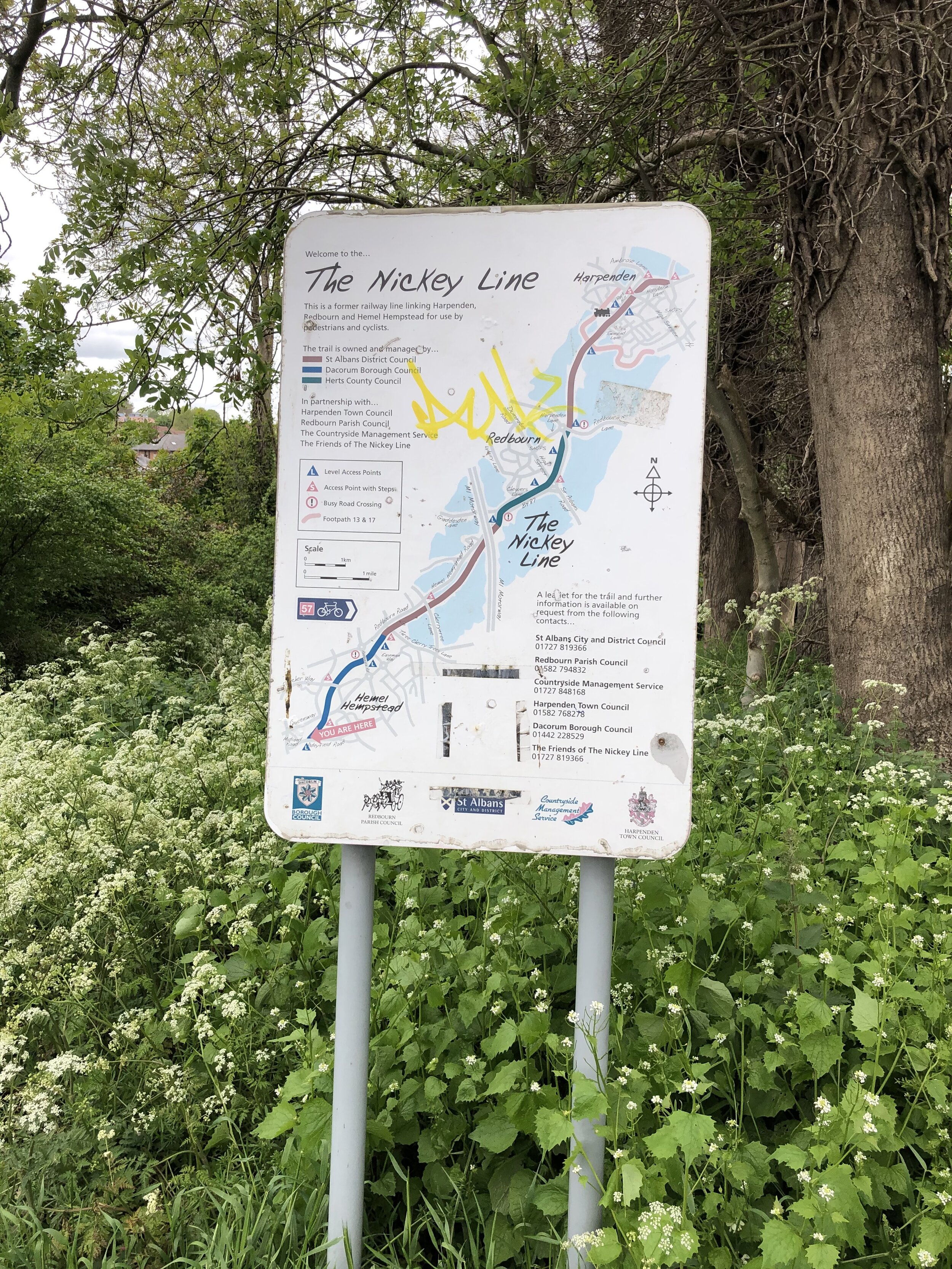
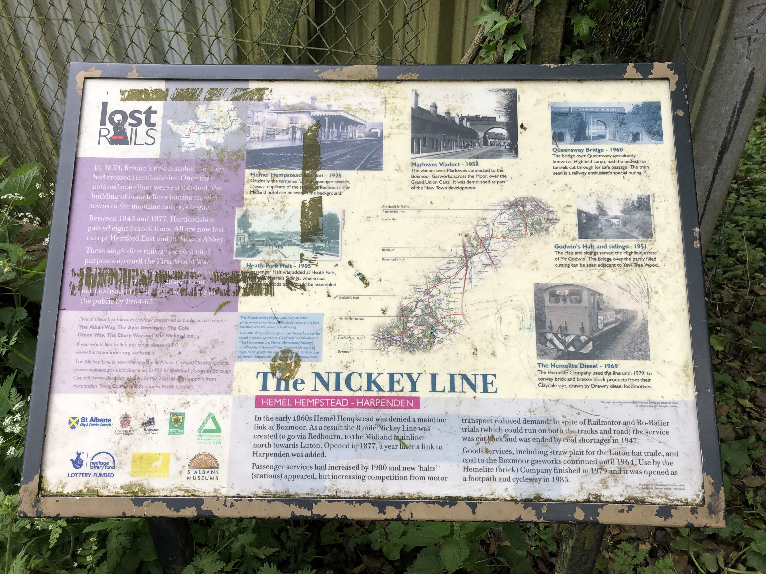
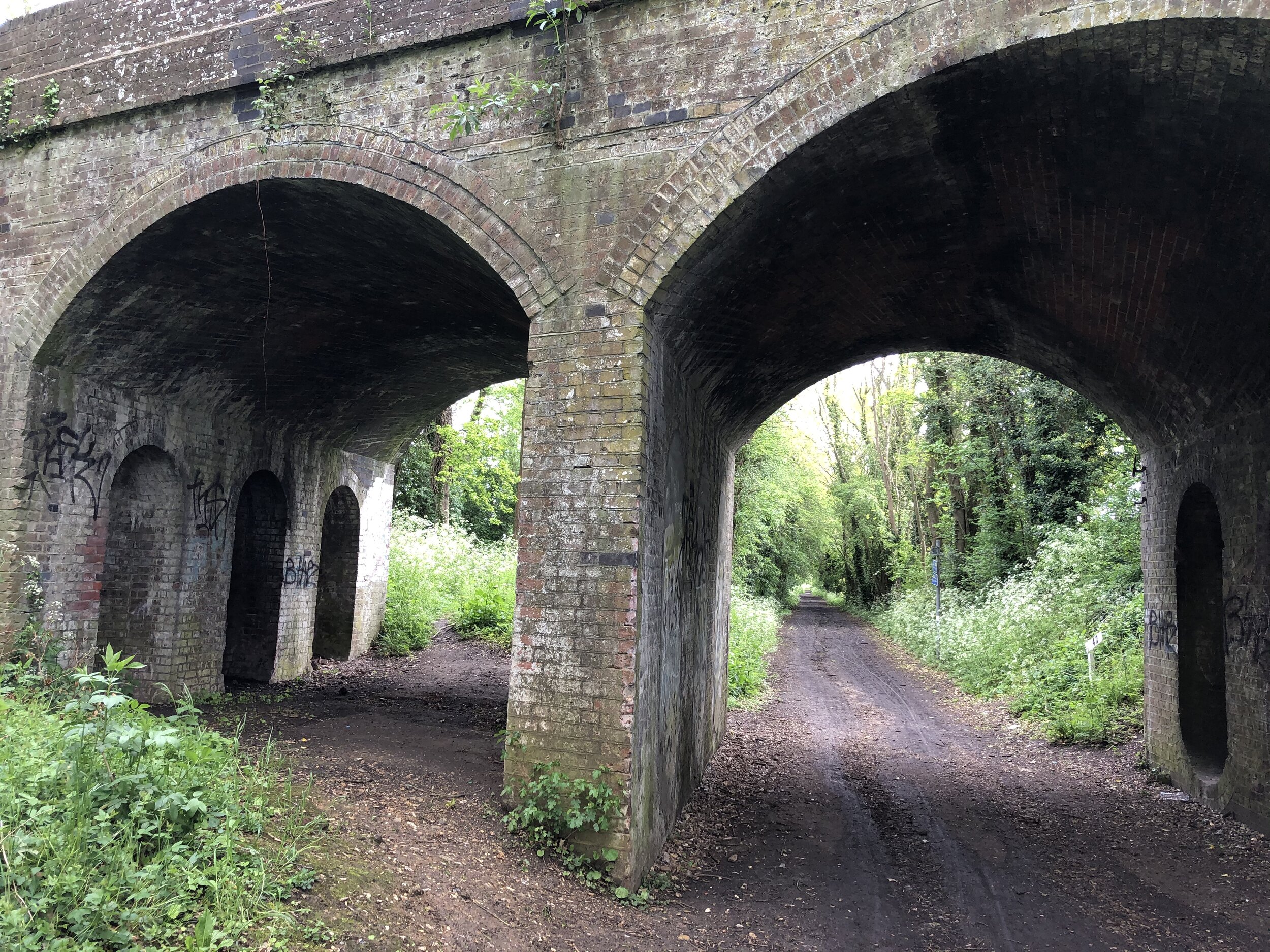
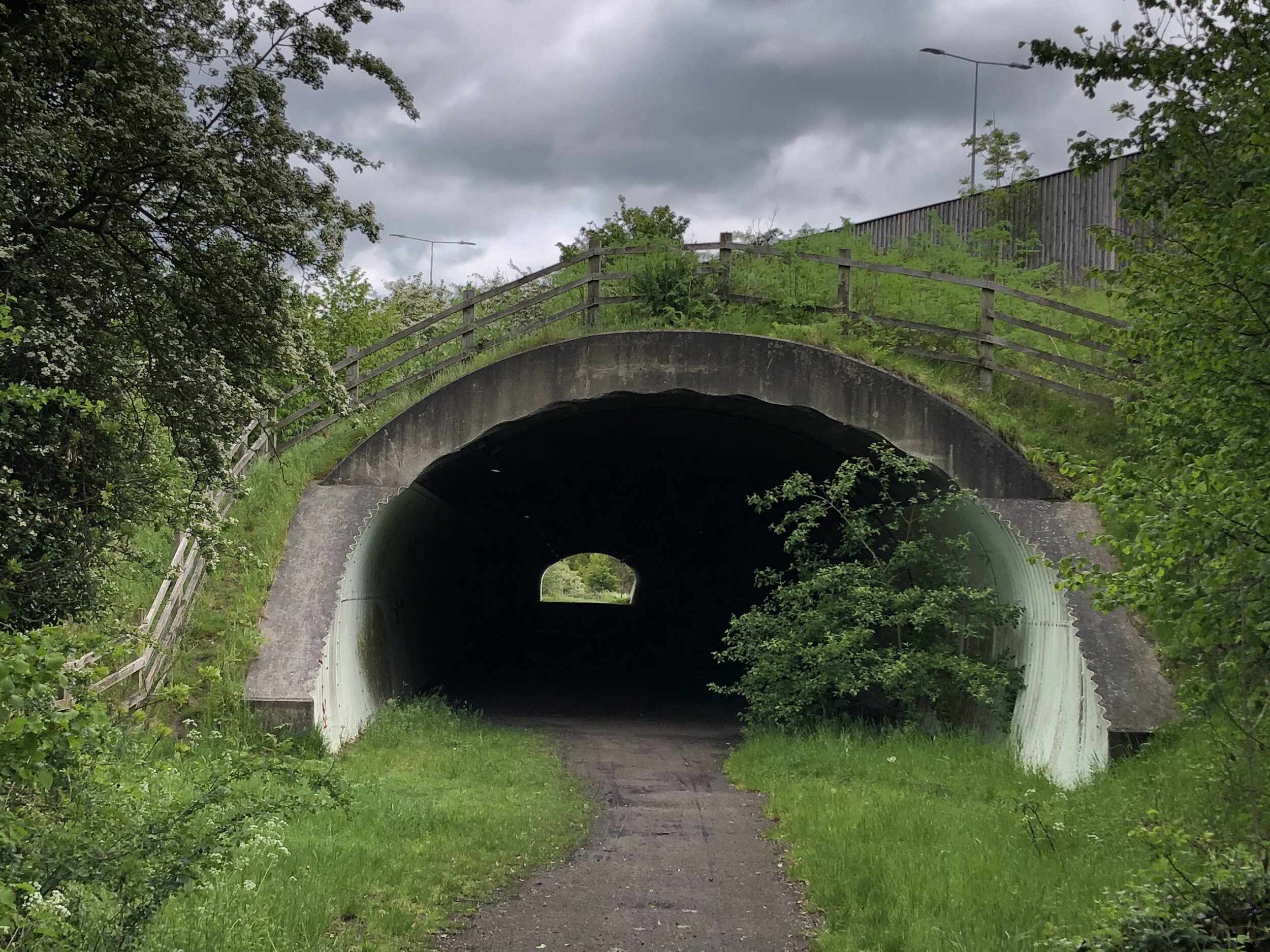
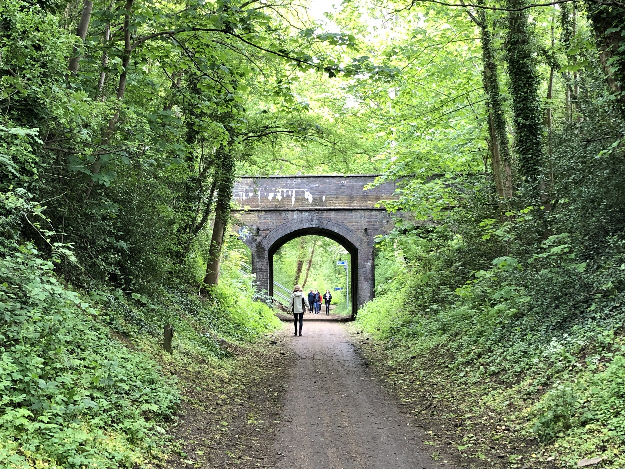
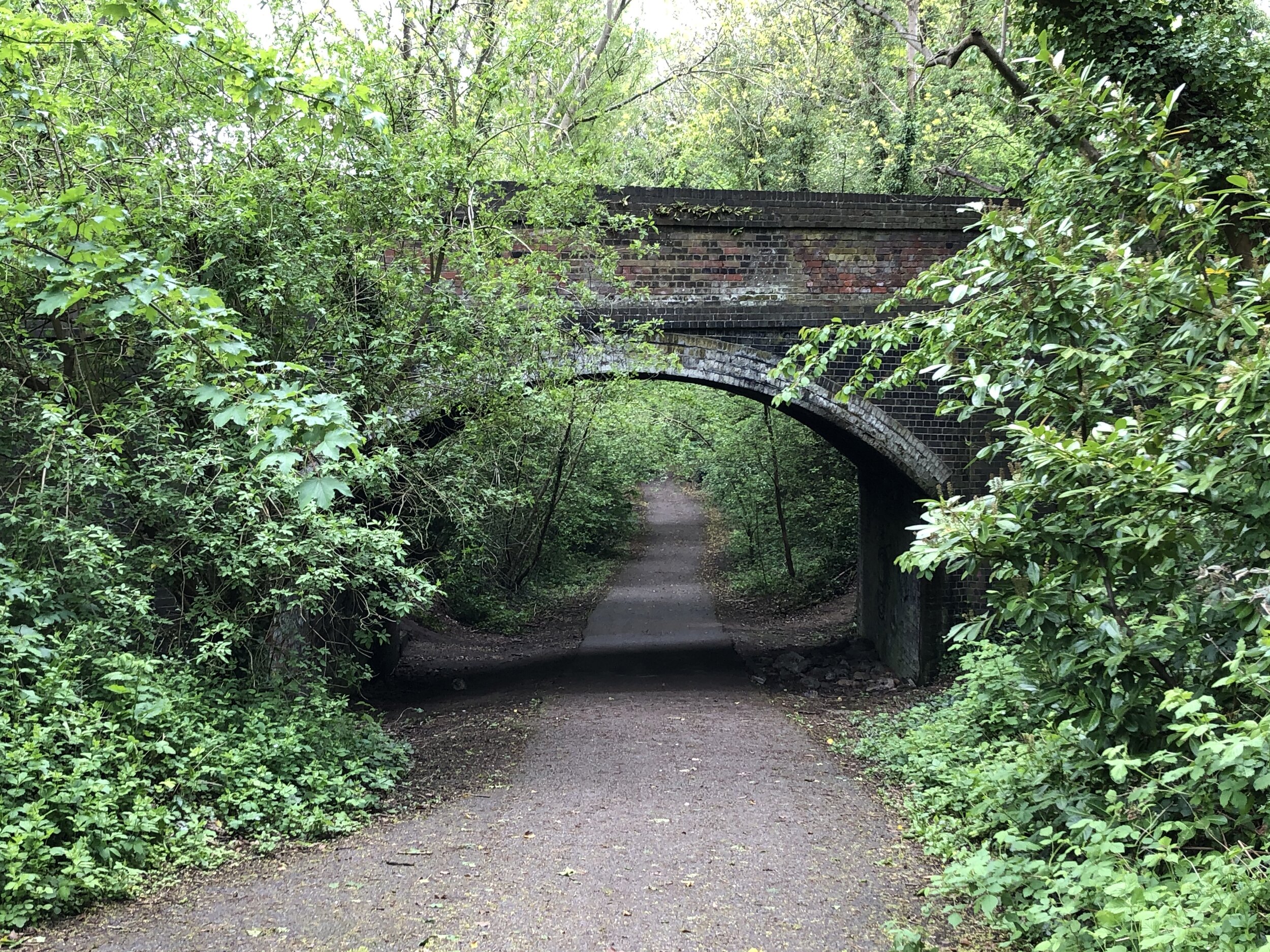
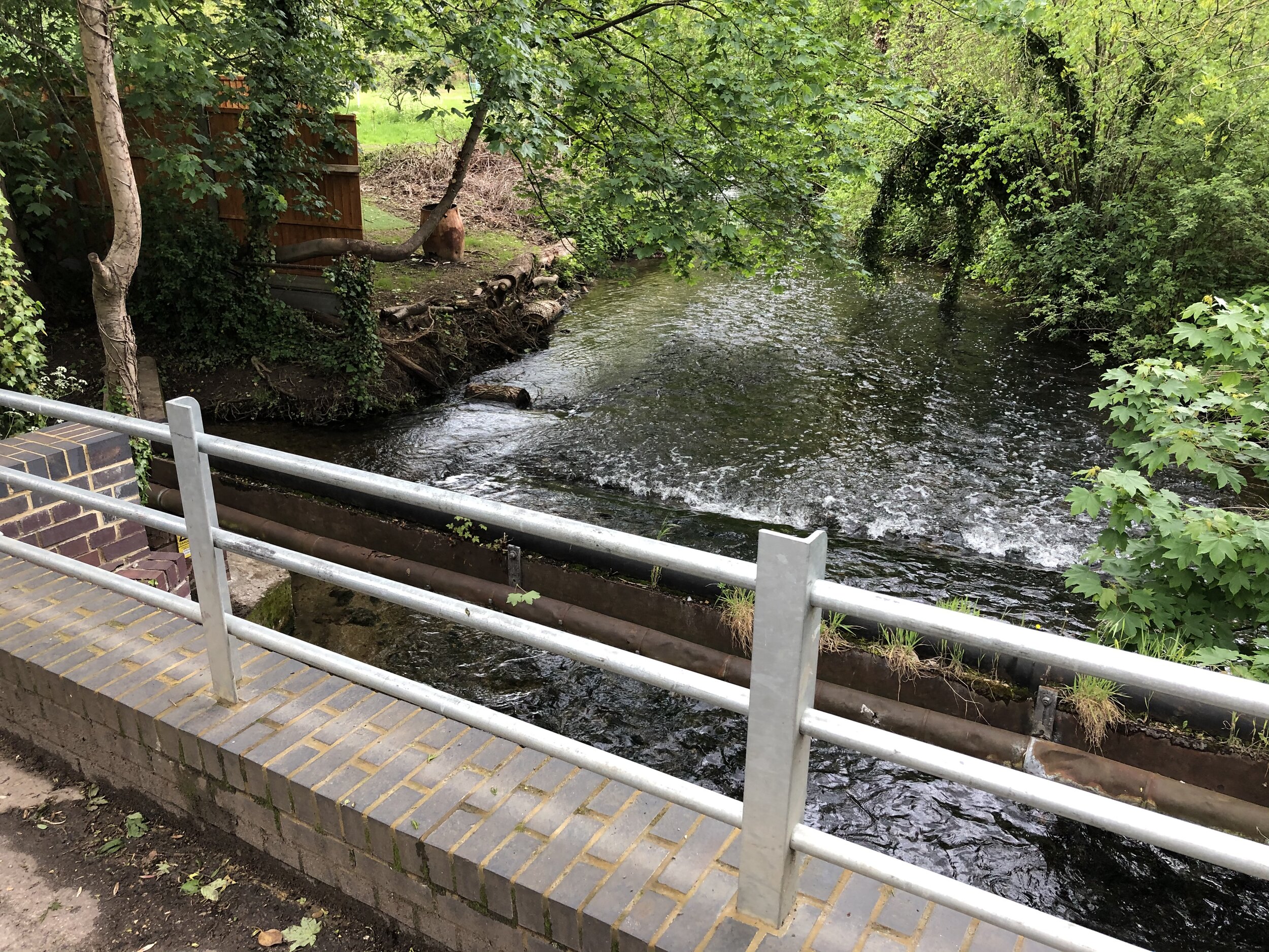
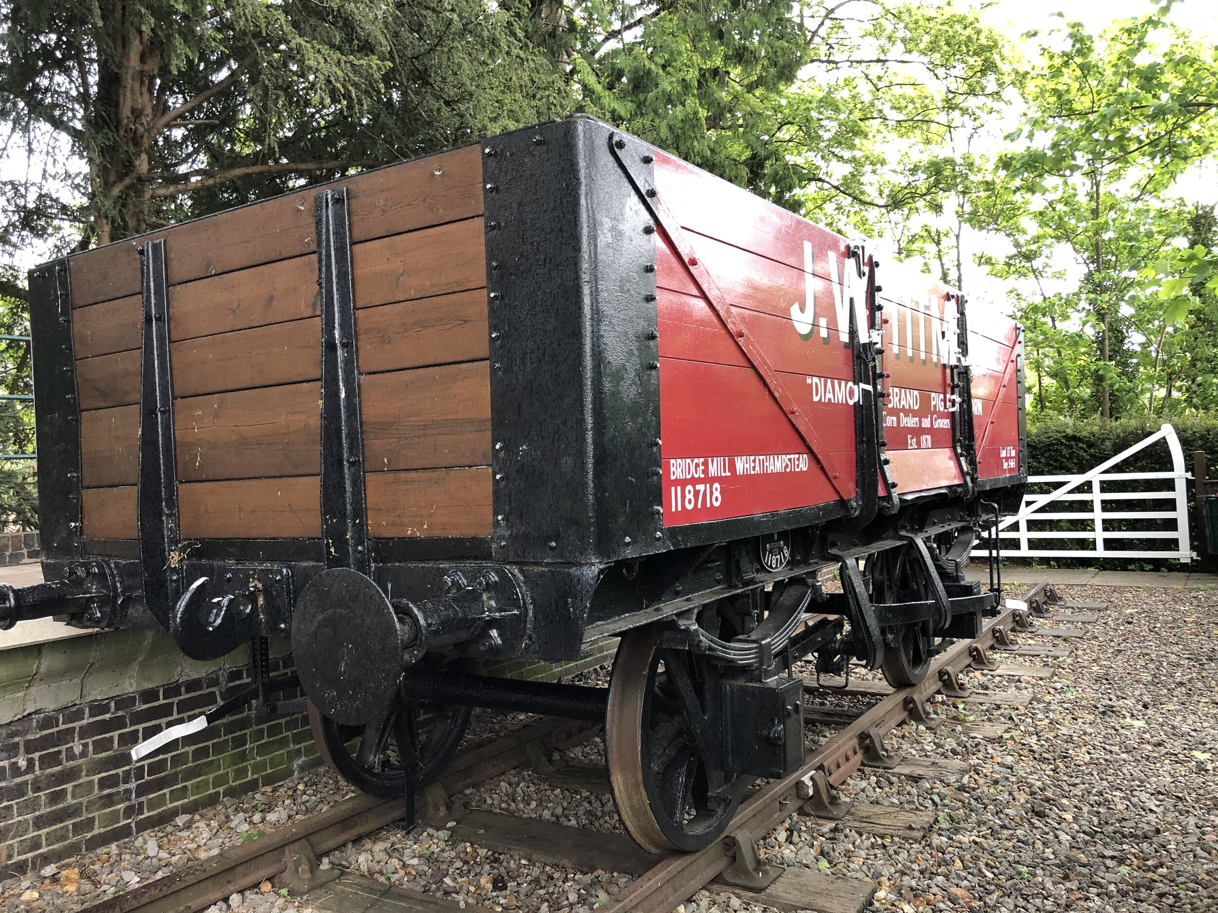
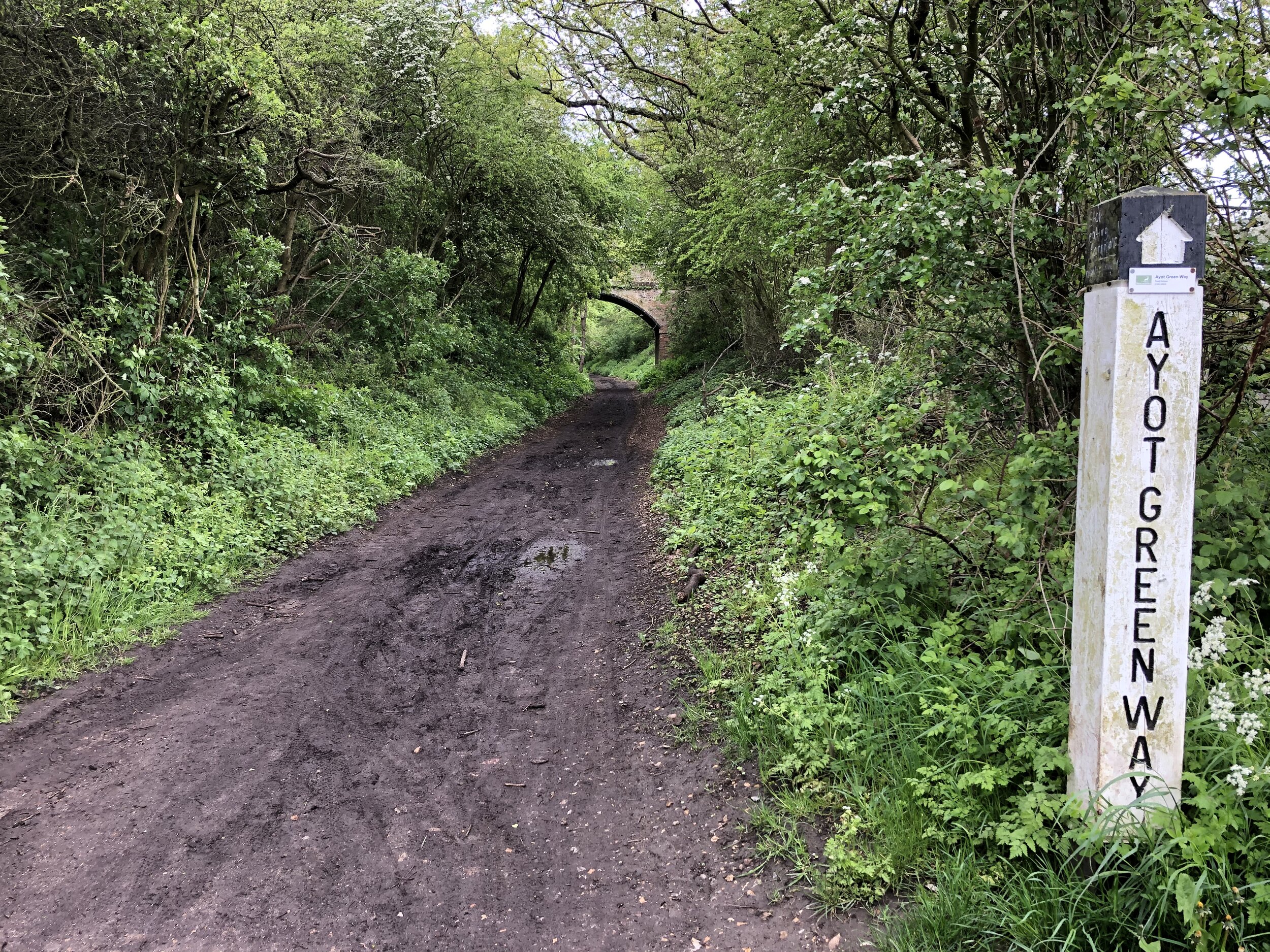
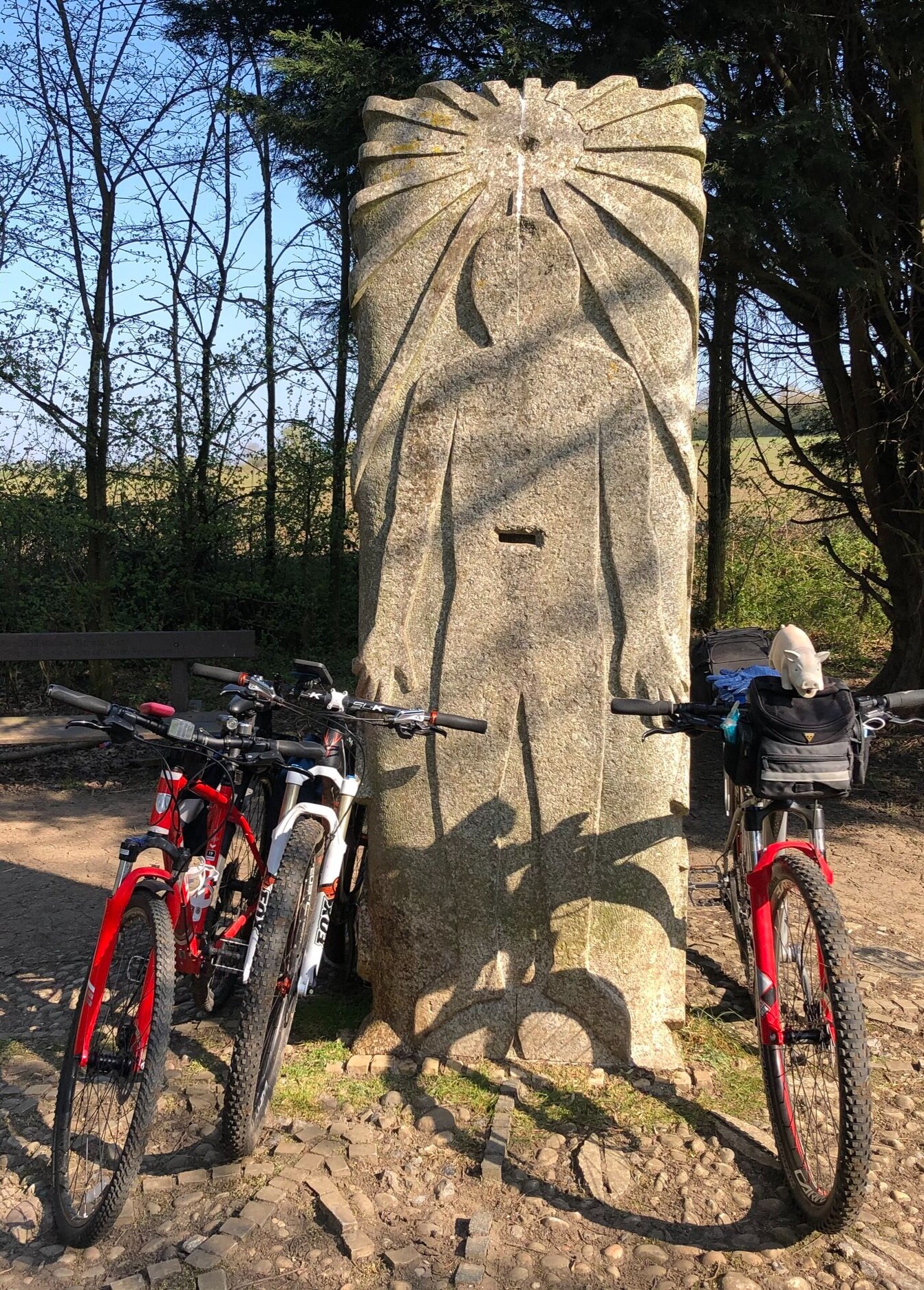
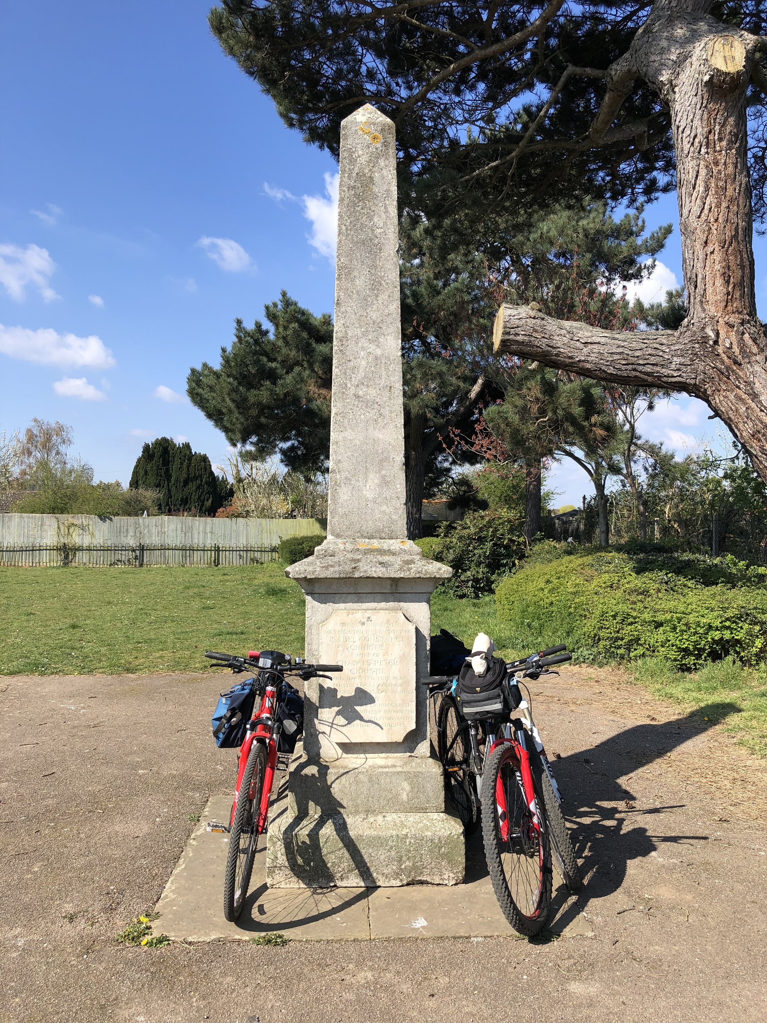
Cycling The Nickey Line, Ayot Greenway and The Alban Way
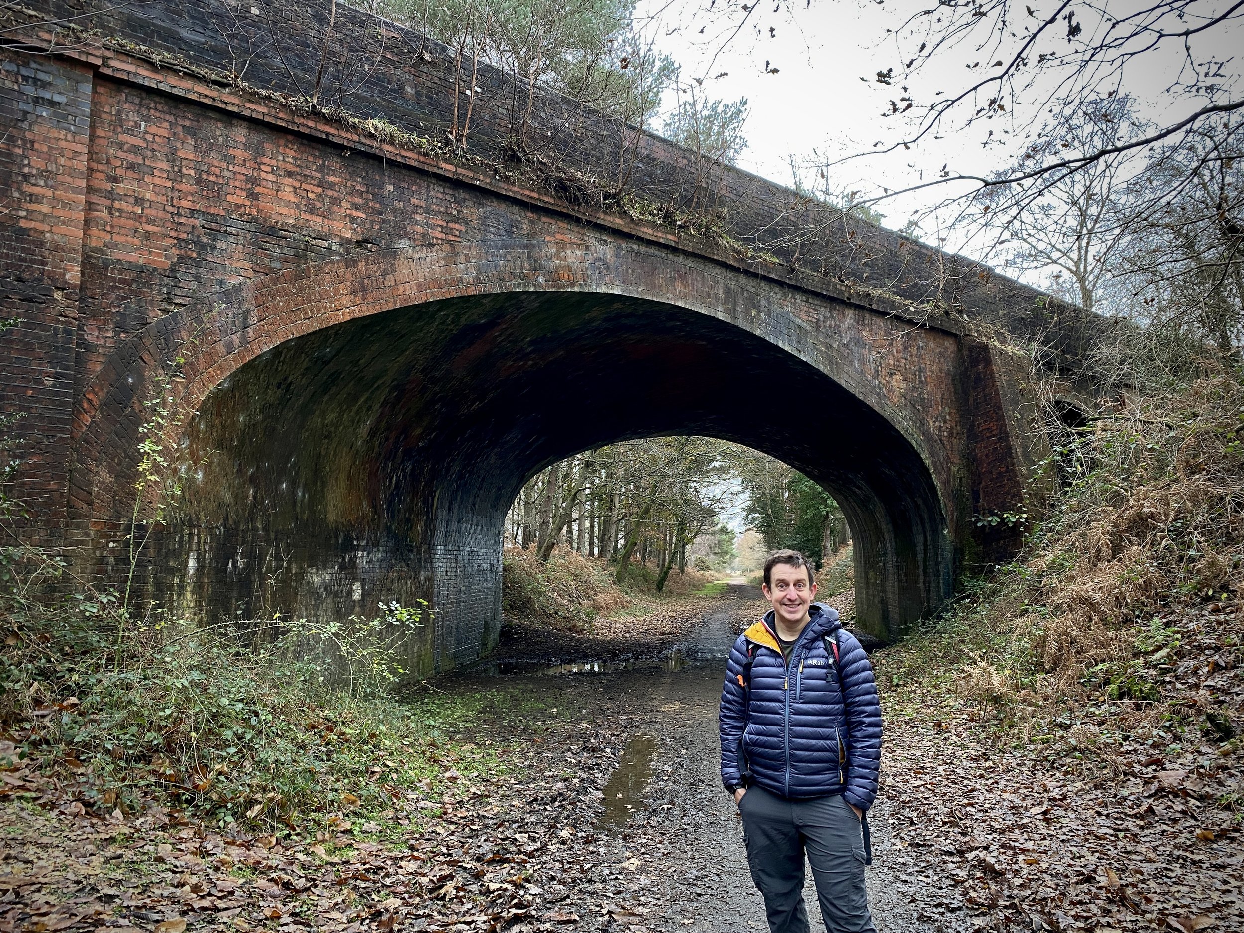
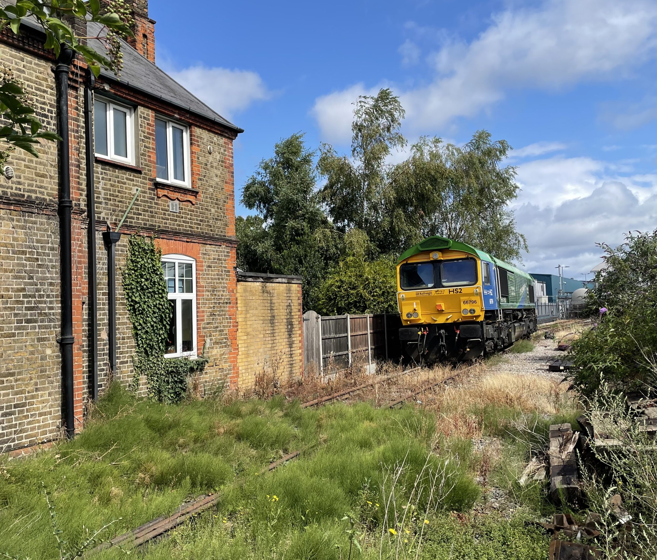
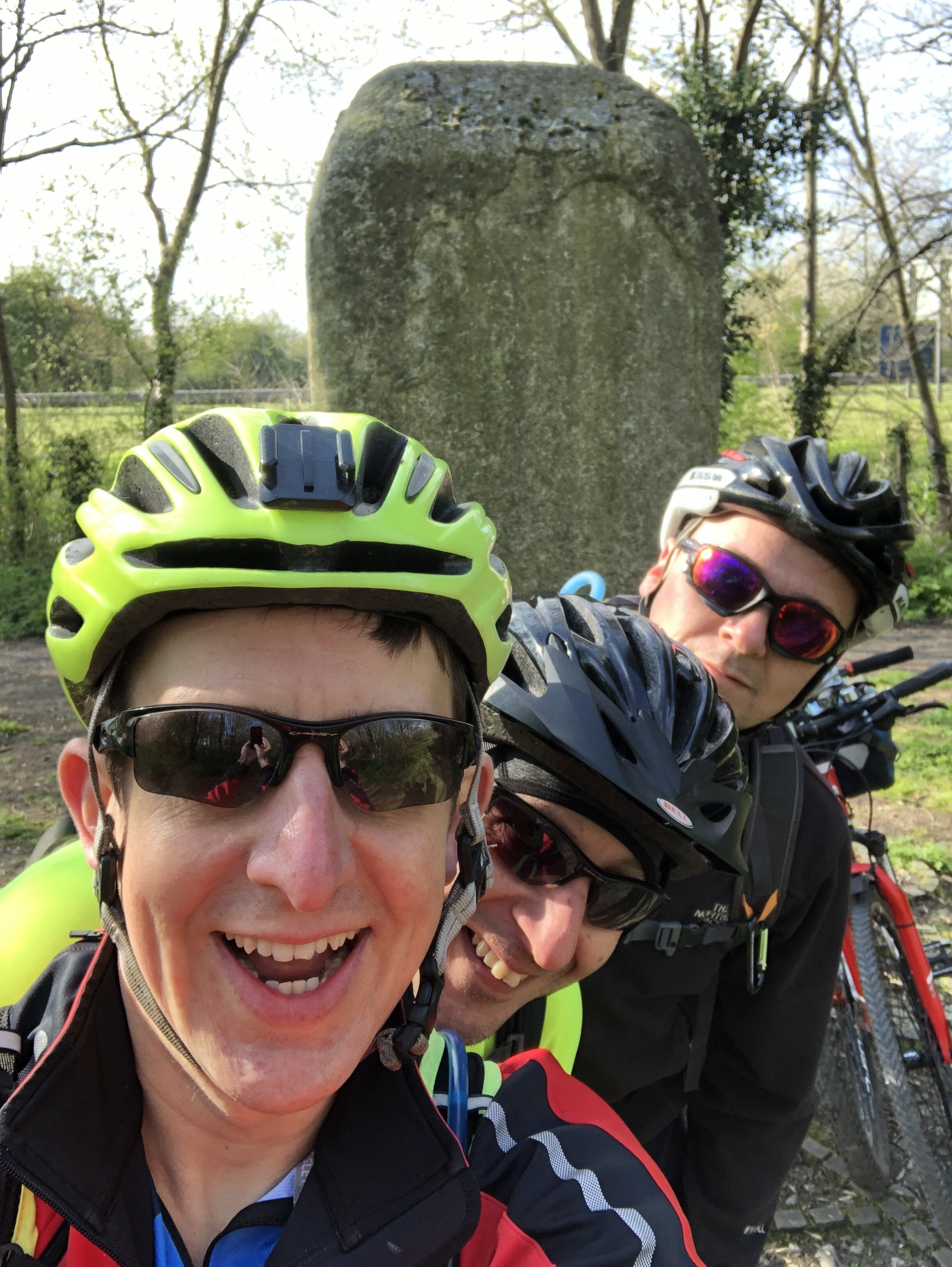
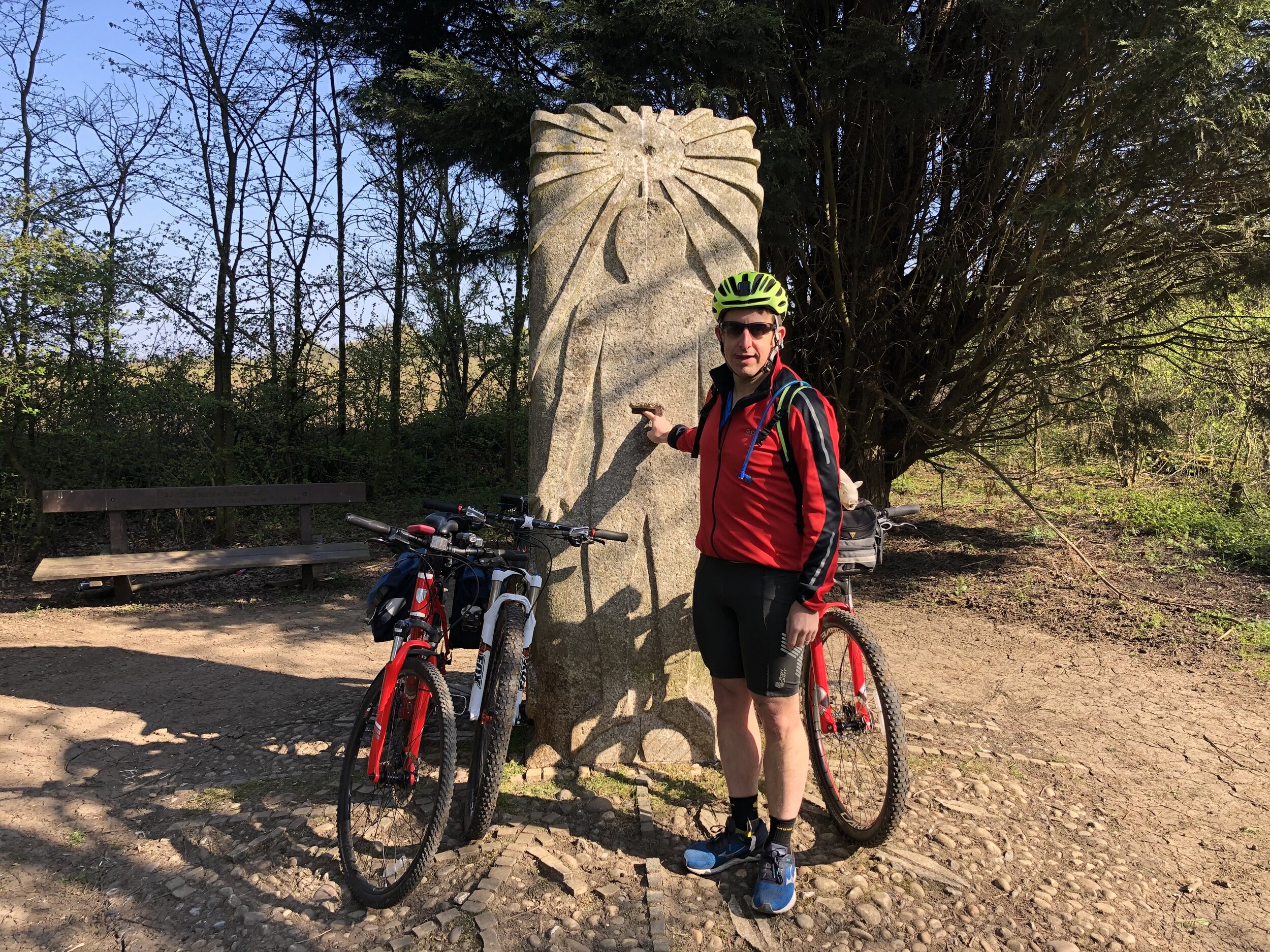
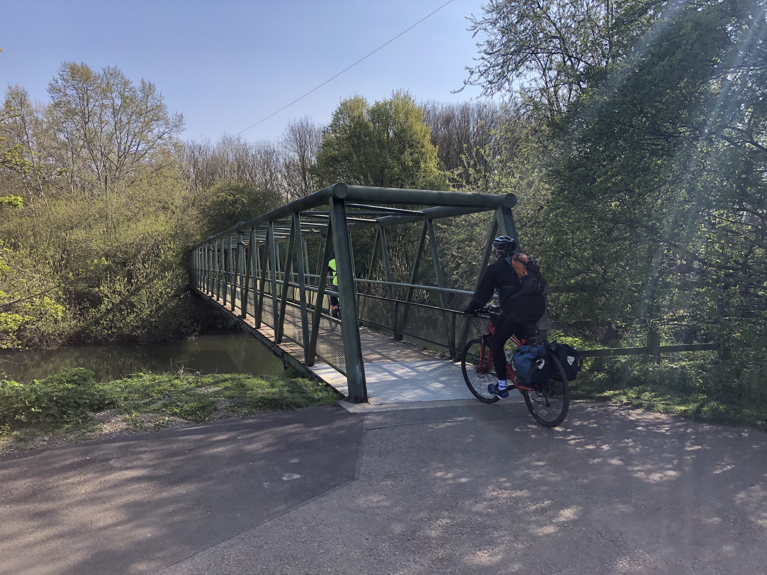
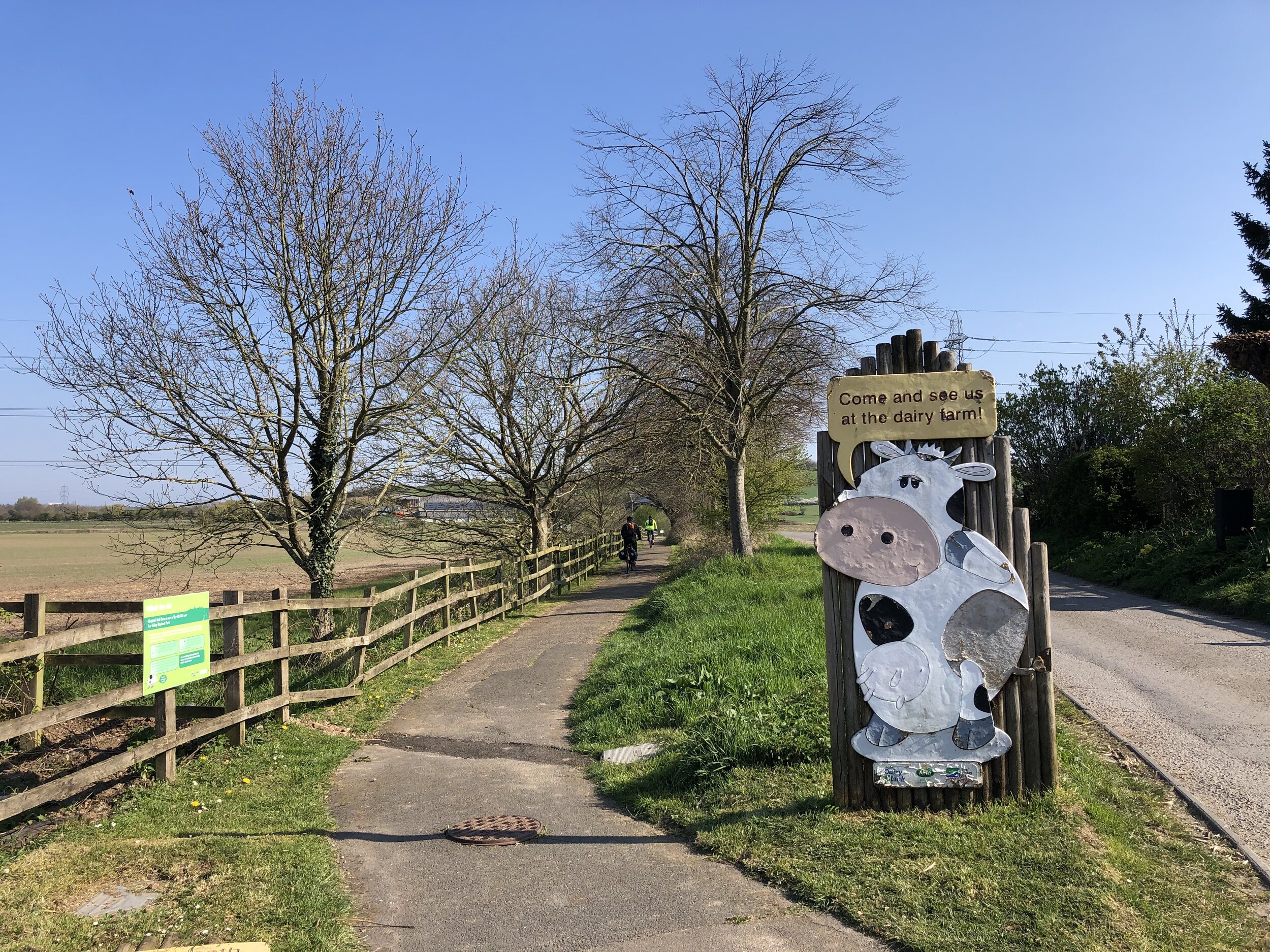
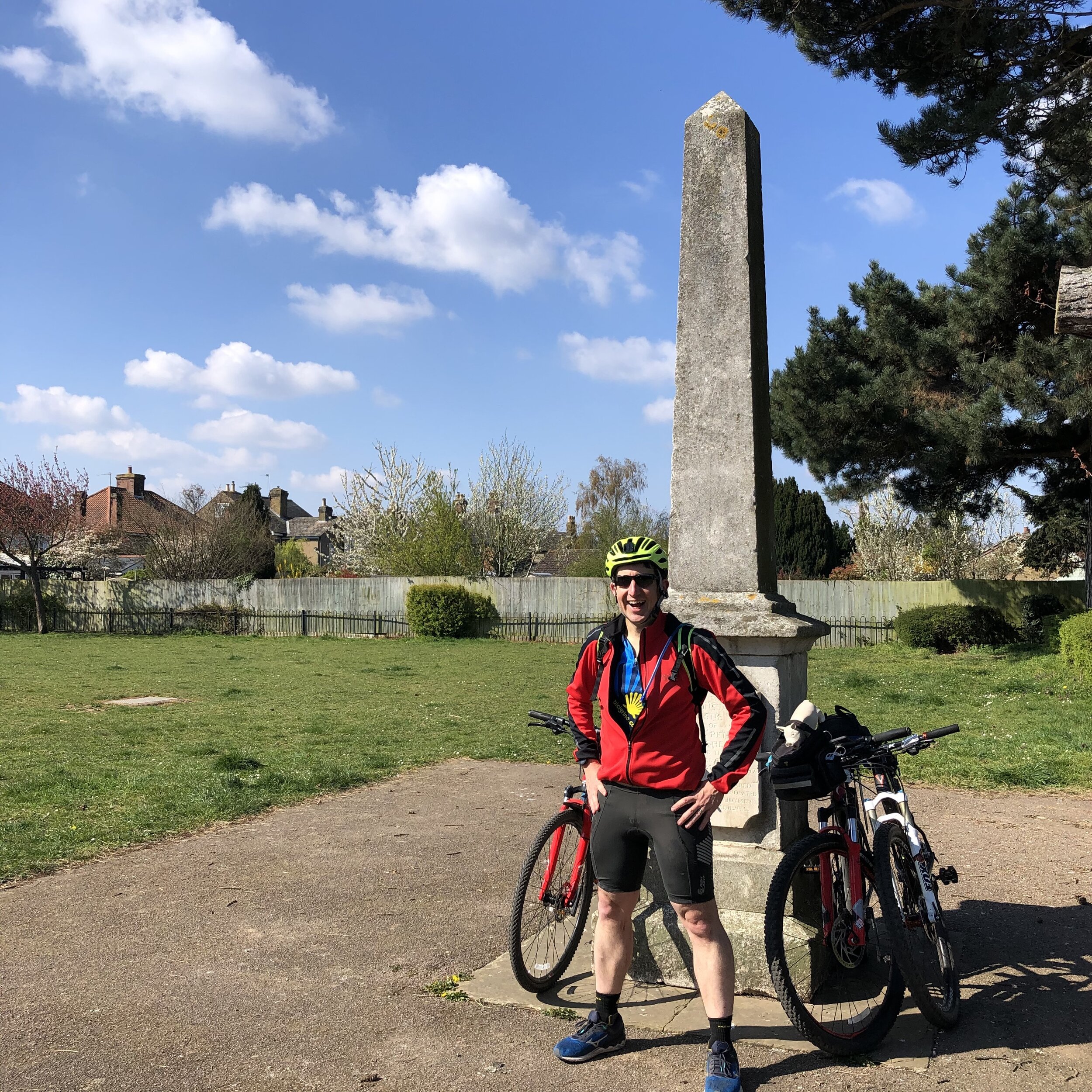
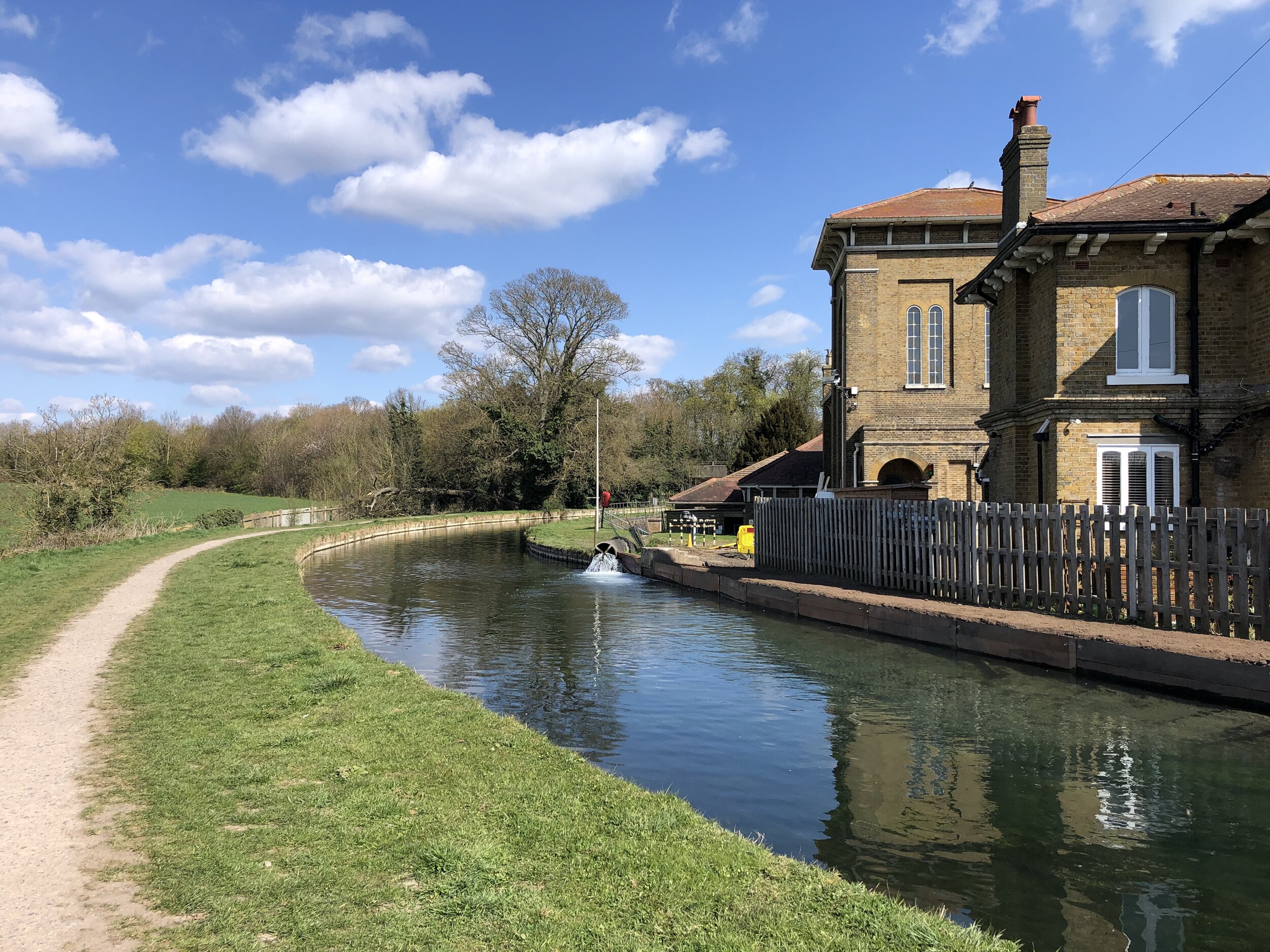
On the Nickey Line

On the Nickey Line


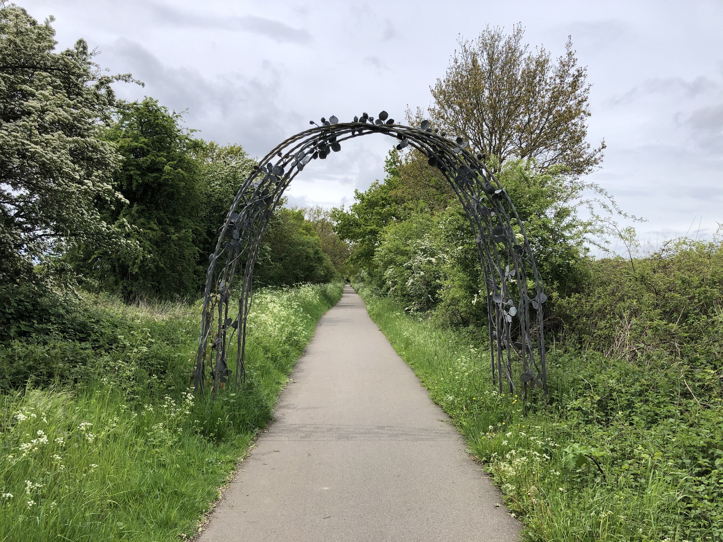
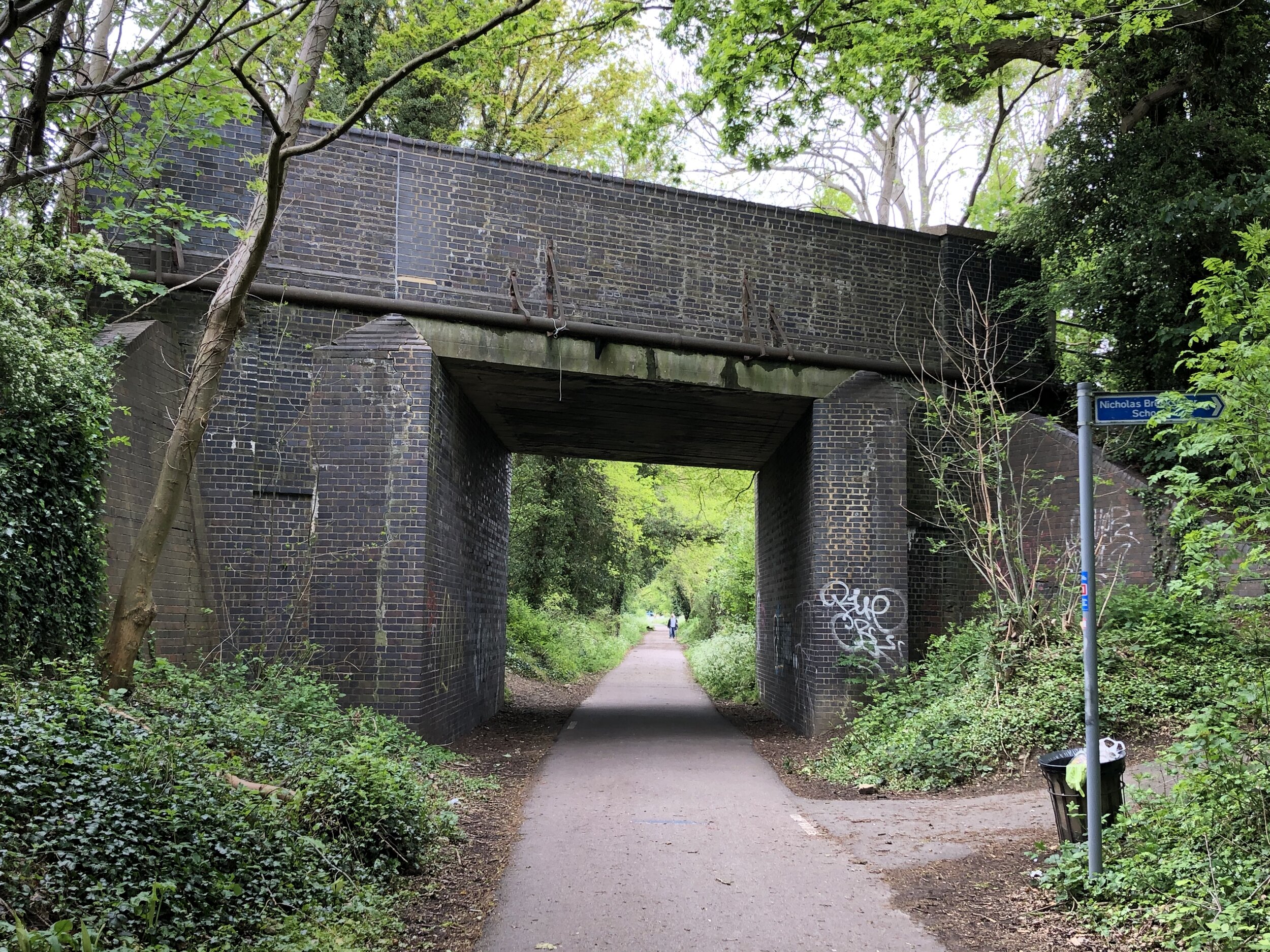
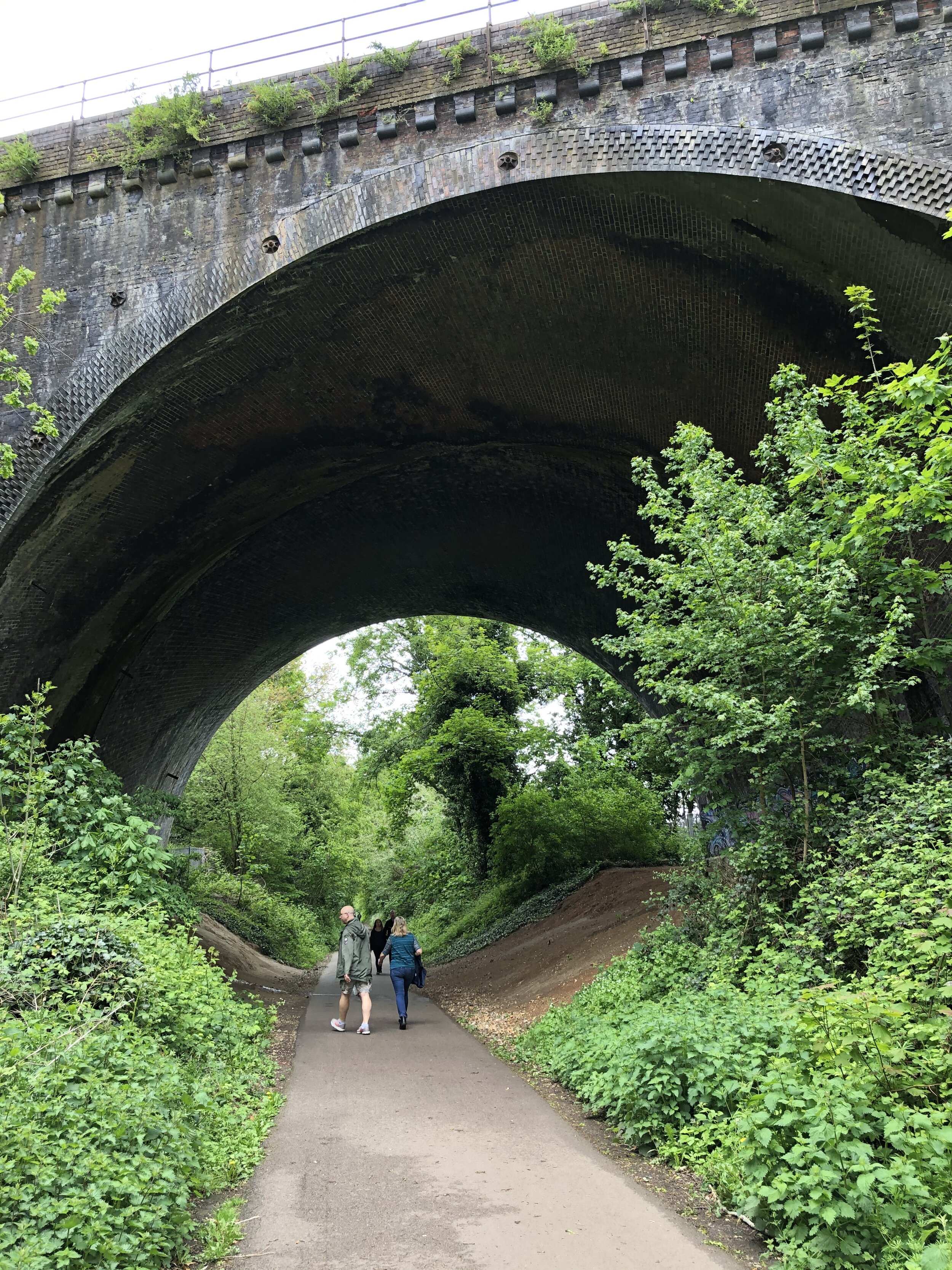
When Dr Beeching cut a large chunk of Britain’s rail network in the 1960s, Hertfordshire had a good share of the impact. The rail passengers’ loss later turned out to be the cyclists’ gain with several very enjoyable routes through the county.

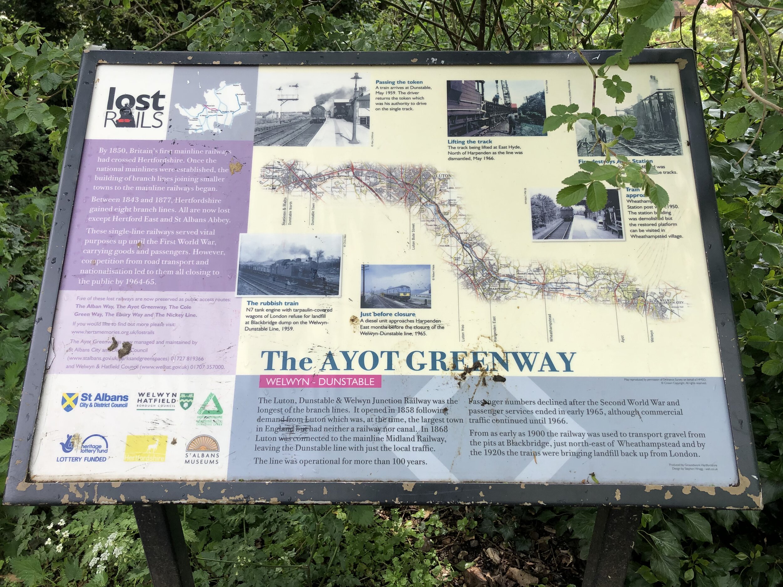
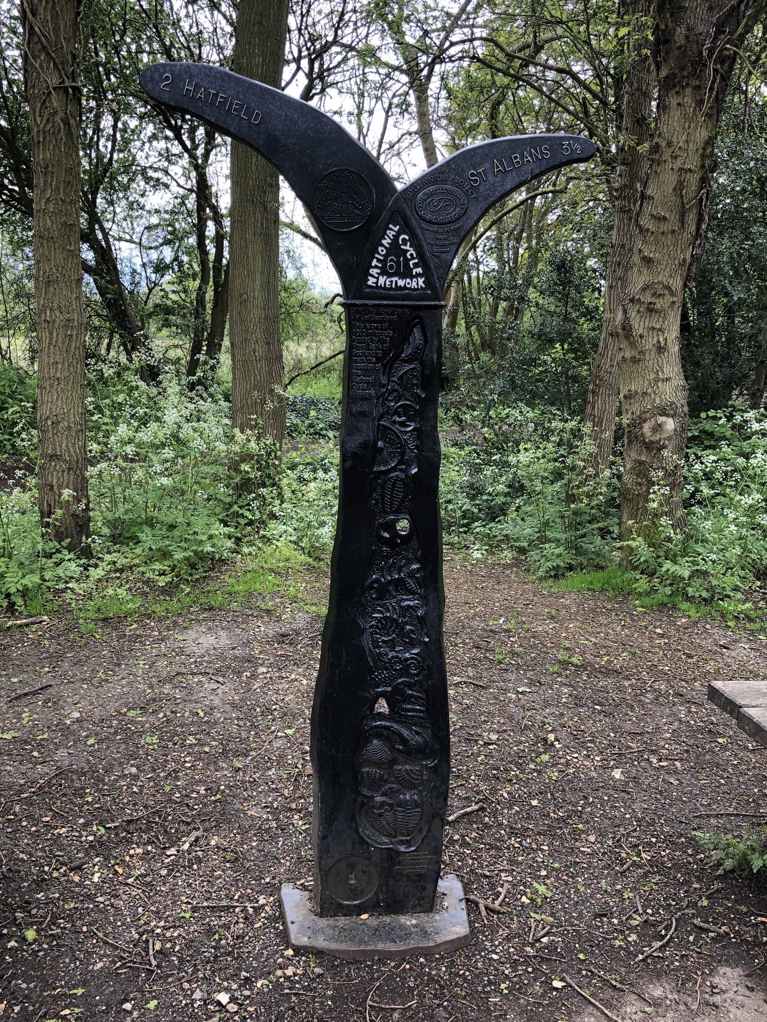
This is a half day circular cycle route that follows three of Hertfordshire’s cycle paths along disused railways. It takes in the Nickey Line, Ayot Greenway and Alban Way. These were formerly the Harpenden to Hemel Hempstead Branch Railway, Dunstable Branch Line and Hatfield and St Albans Railway. Each of the lines have been adopted into the National Cycle Network and have been well restored.

The Lost Rails section of the Herts Memories web site is a great resource for the history of the lines.


Full Route Details

Start & Finish: Nickey Line Start, by The Midland Hotel, Midland Road, Hemel Hempstead, HP2 5BH
Distance: 54.2 km (34 miles)
Elevation change: +/- 364m
GPX File: get via Buy Me a Coffee
Map: OS Explorer Map (182) St. Albans and Hatfield

Cycle Route Elevation

Cycle Route Elevation

Cycle Route Map

Cycle Route Map


Section 1: The Nickey Line

Start: Nickey Line Start, by The Midland Hotel, Midland Road, Hemel Hempstead, HP2 5BH
Finish: Railway Bridge at Hollybush Lane, Harpenden (OS Grid Ref: TL 13426 15162)
Distance: 11.7 km (7.3 miles)
Elevation change: +94m / -77m (Net -17m)
Other routes touched (walk): Hertfordshire Way, River Ver Trail, Chiltern Way
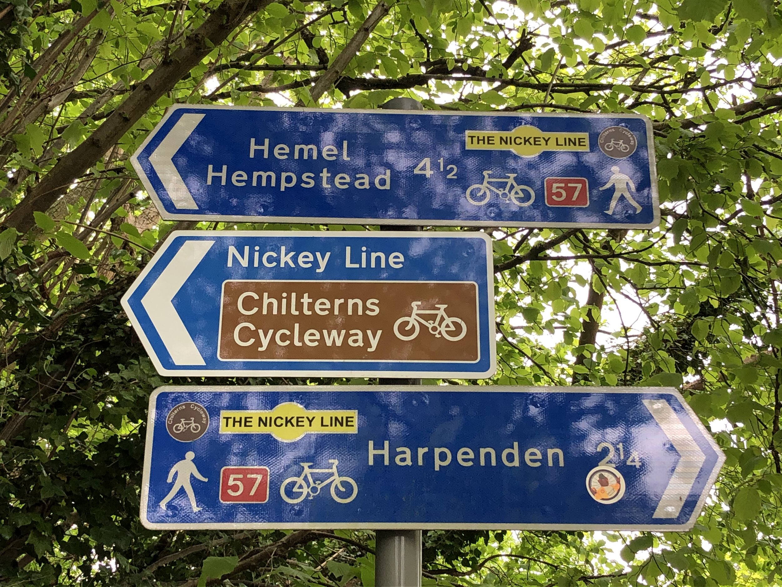
Other routes touched (cycle): NCN 57, Chilterns Cycleway
Disused Stations Passed: Hemel Hempsted, Godwin's Halt, Beaumont's Halt, Redbourn, Roundwood Halt
Pubs / Cafes on route:
Midland Hotel at the Hemel Hempstead end
Links: Nickey Line (Wikipedia), Herts Memories: Nickey Line, Friends of The Nickey Line, Hemel Hempstead, Harpenden

Although you can start the route at any point on it’s circuit I chose the most westerly point at Hemel Hempstead. The Nickey Line starts where Adeyfield Road crosses over what was the Harpenden to Hemel Hempstead Branch Railway. Here there was a station called Hemel Hempsted which sounds the same, but spelled slightly differently to Hemel Hempstead station (previously Boxmoor Station) to the south-west. The section of the route from Boxmoor to here is now completely missing, covered by housing.

There’s curb-side parking in some of the side streets near the start of the Nicky Line. Alternatively you add a couple of miles and can use the town centre car parks or access via Hemel Hempstead (Boxmoor) station if you’re coming by train.

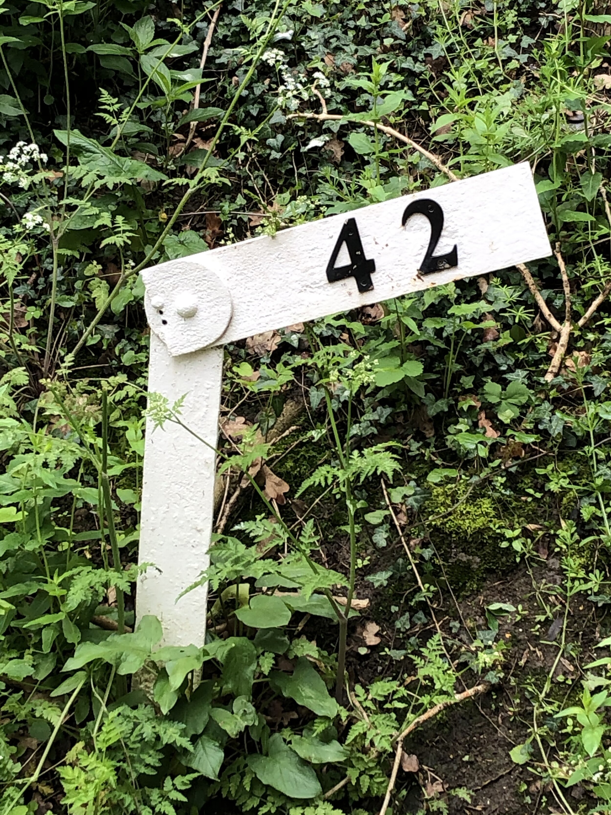
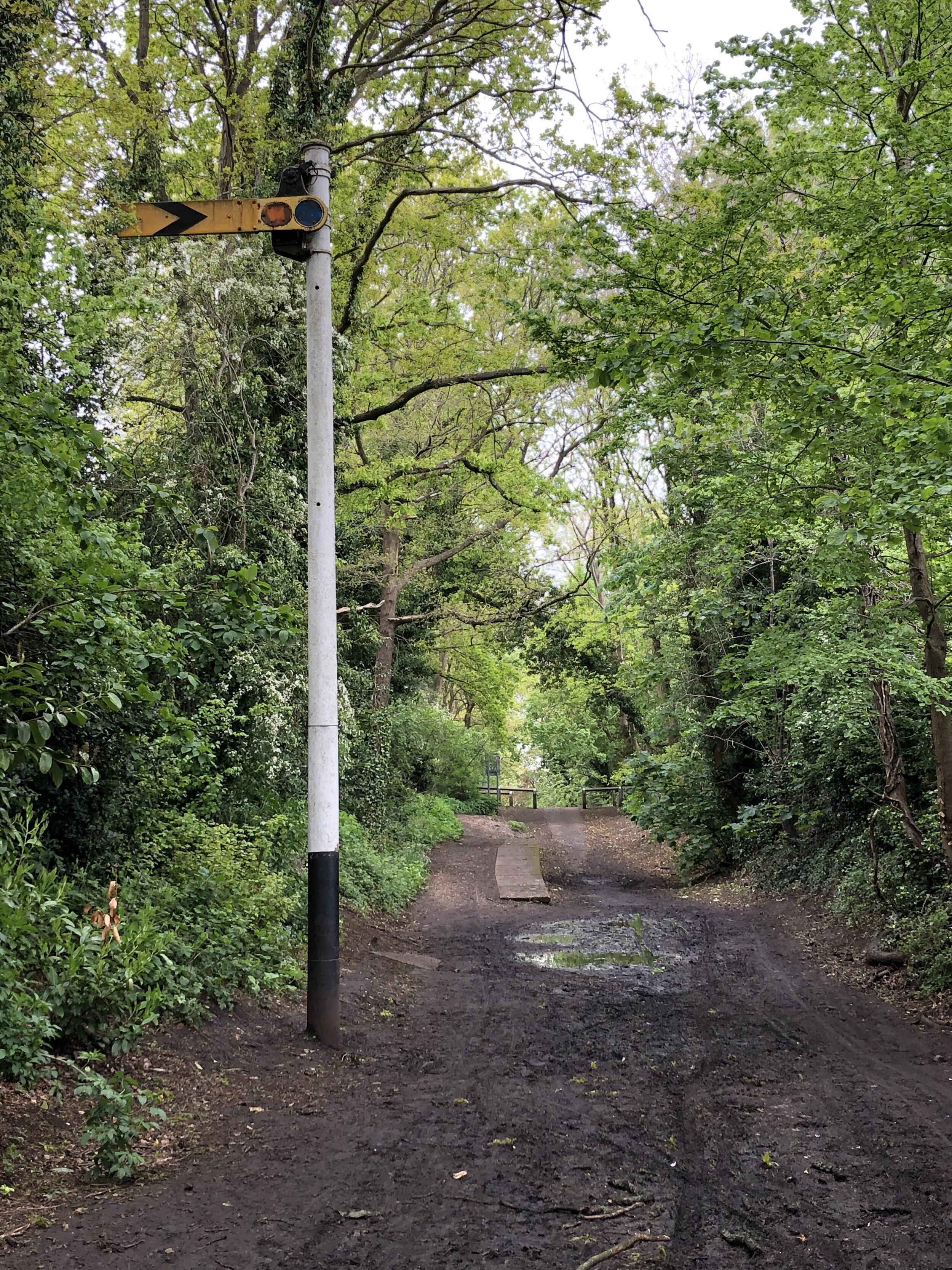
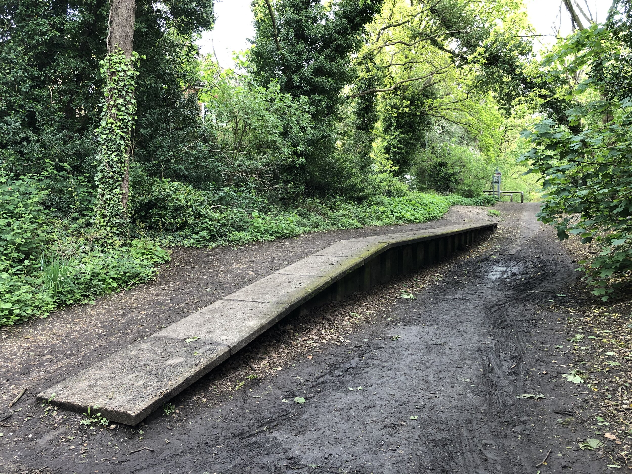
Once on the Nicky Line, it’s a smooth easy to navigate, route all the way to Harpenden. There’s not much left of the 4 previous stations along the way, but several information signs to show you where they were.


Section 2: The Ayot Greenway

Start: Intersection of Lea Valley Walk and Westfield Road, Harpenden (OS Grid Ref: TL 13883 15861)
Finish: Sherrardspark Wood (OS Grid Ref: TL 22861 13396)
Distance: 11.7 km (7.3 miles) including the extra section of disused railway from Harpenden
Elevation change: +102m / -82m (Net -20m)
Other routes touched (walk): Lea Valley Walk, Hertfordshire Way, WCG 100 Centenary Walk
Other routes touched (cycle): NCN 57, 12, Chilterns Cycleway
Disused Stations Passed
: Wheathampstead, Ayot
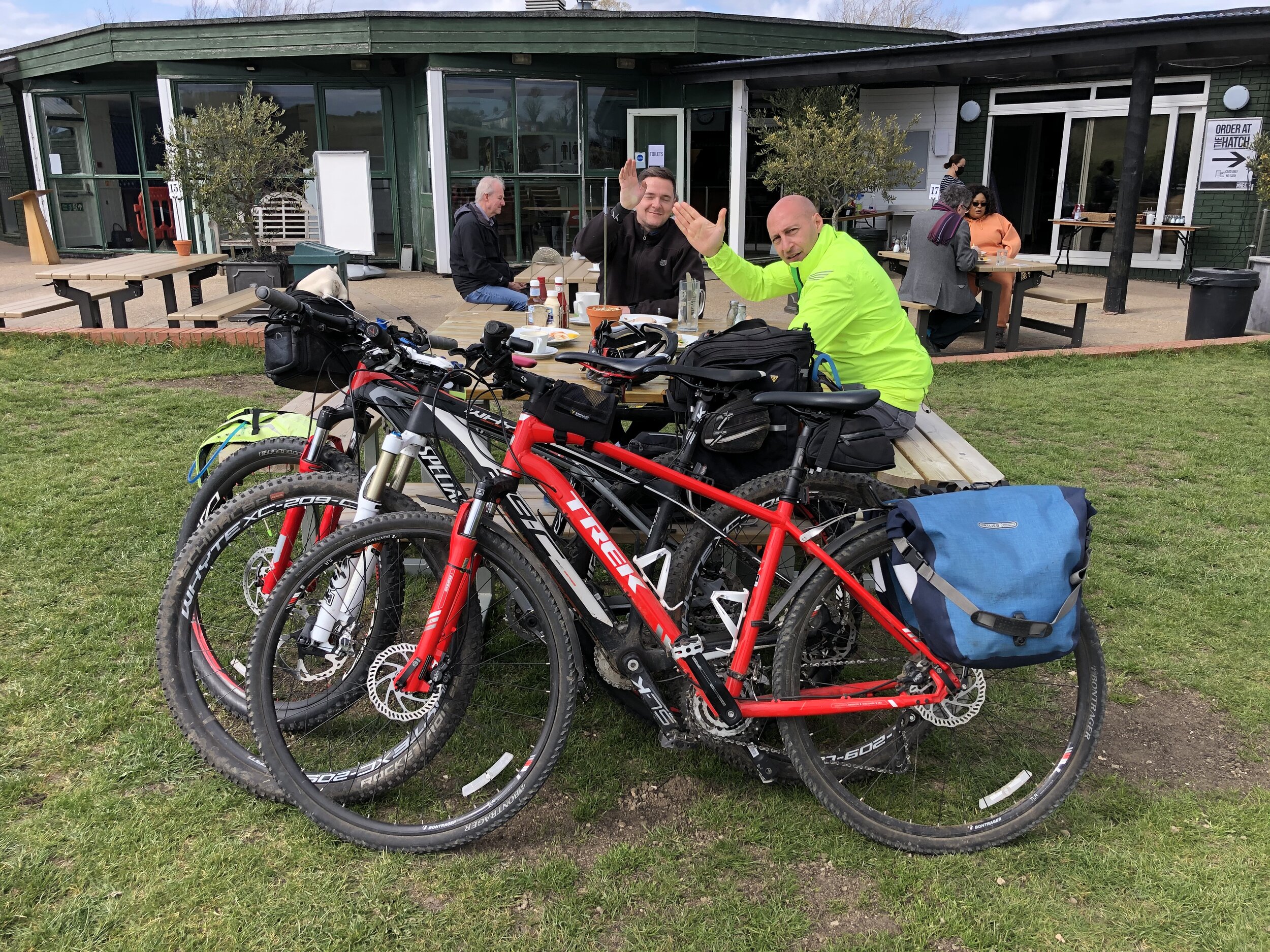
Pubs / Cafes on route: Charlie's Cafe Wheathamstead (AL4 8BU) plus several in Welwyn Garden City after the Greenway
Links: Ayot Greenway (Wikipedia), Herts Memories: Ayot Greenway, Dunstable Branch Line, Wheathampstead, Ayot Green, Ayot St. Peter, Sherrardspark Wood

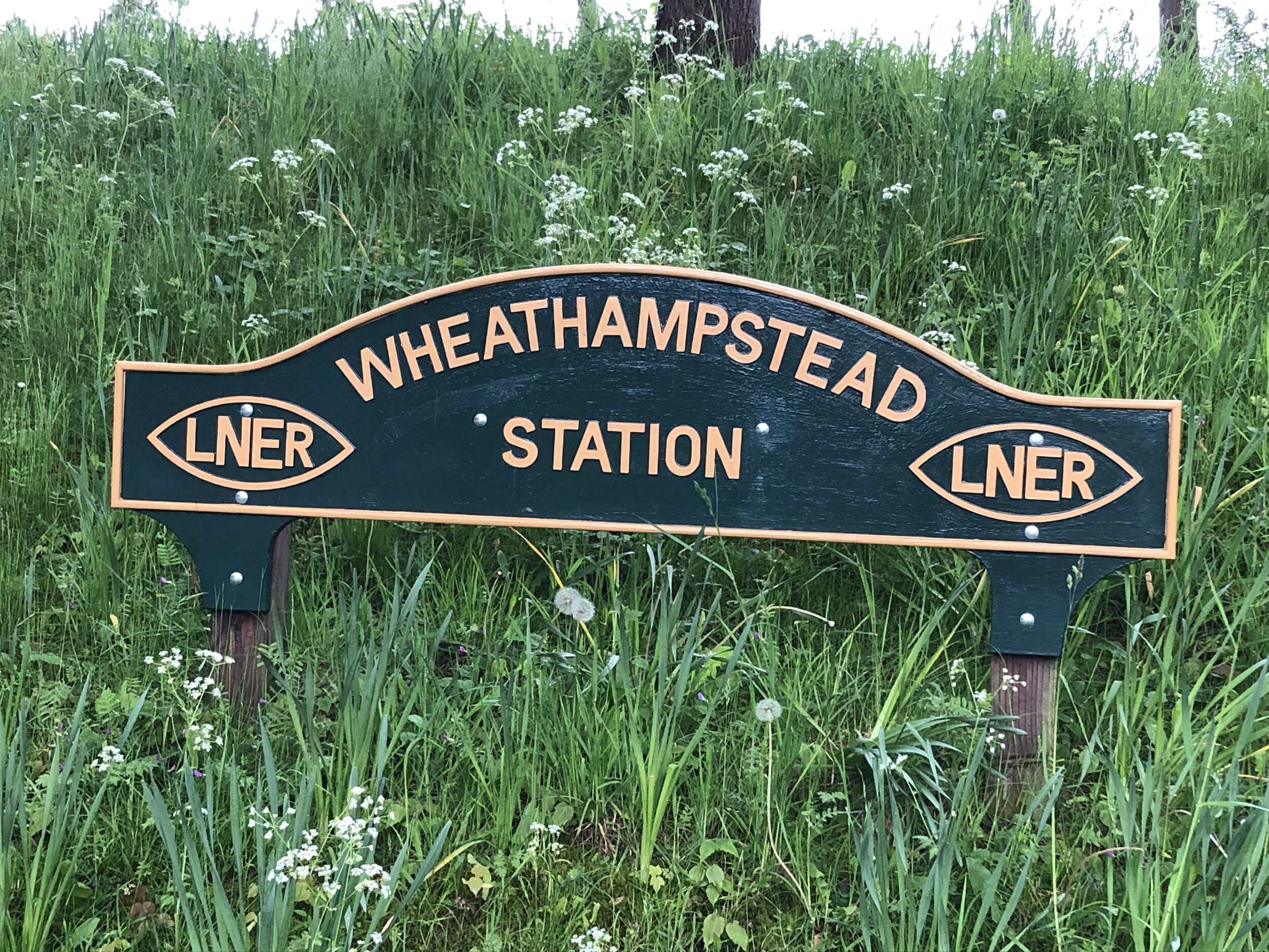
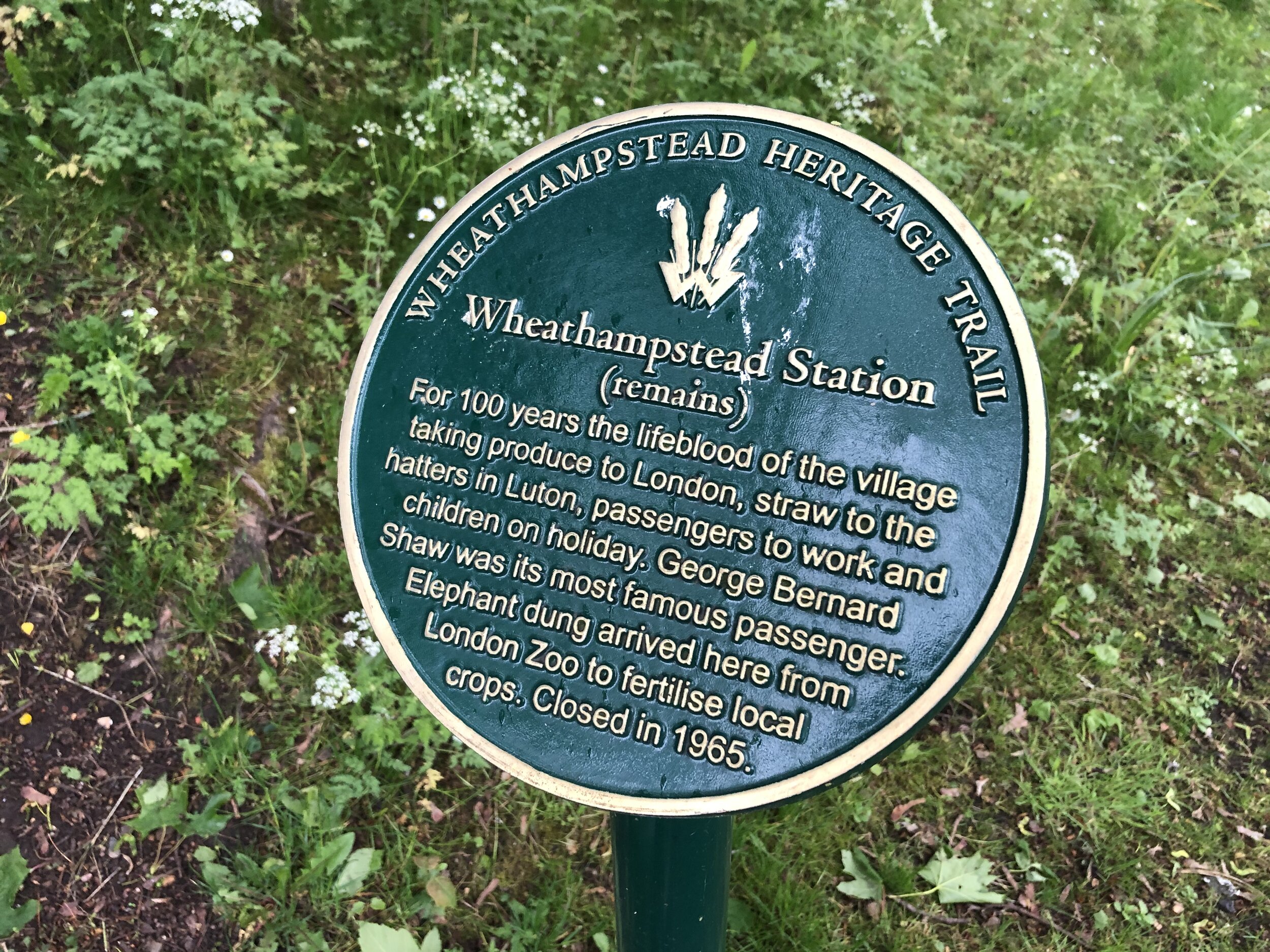
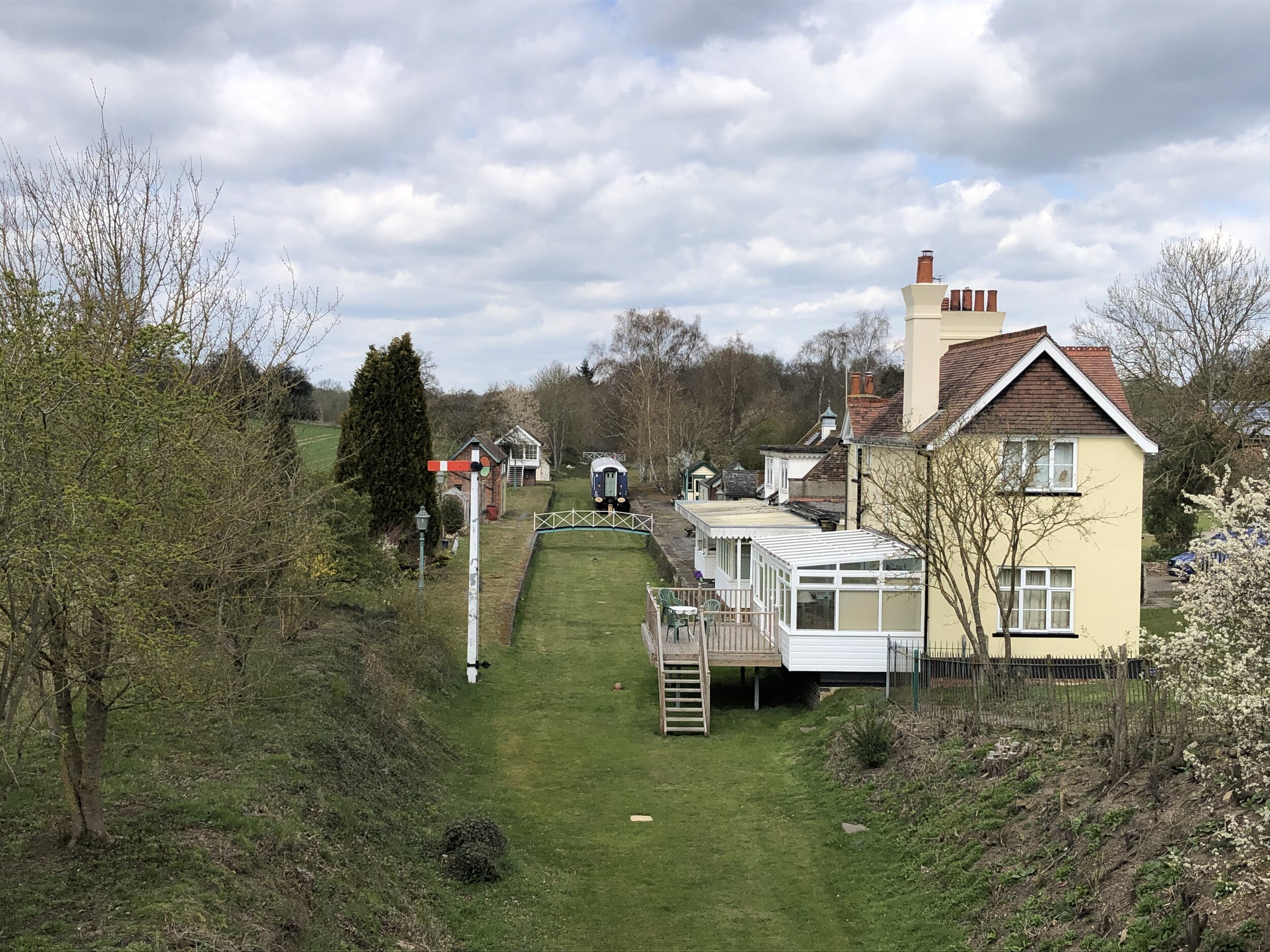
The actual Ayot Greenway starts from Wheathampstead Station but it’s part of a group of cycle paths that trace the old Dunstable Branch Line. The distance and elevation stats below include the full stretch of the disused railway from Harpenden.

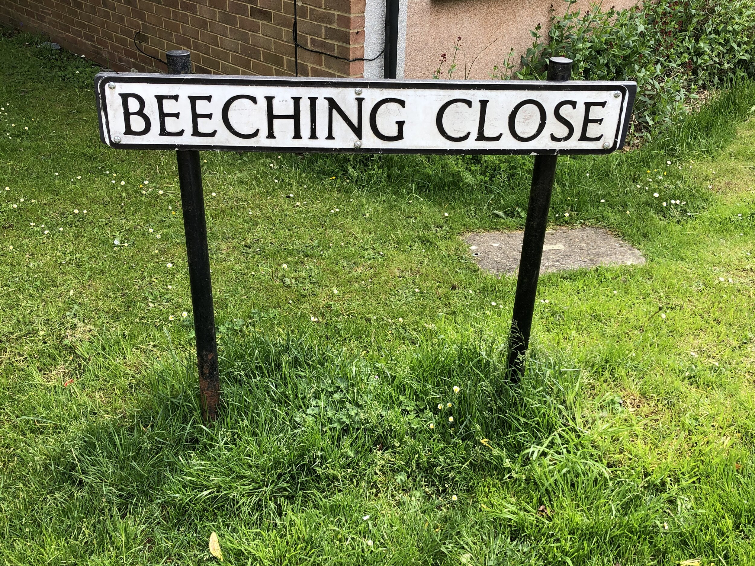
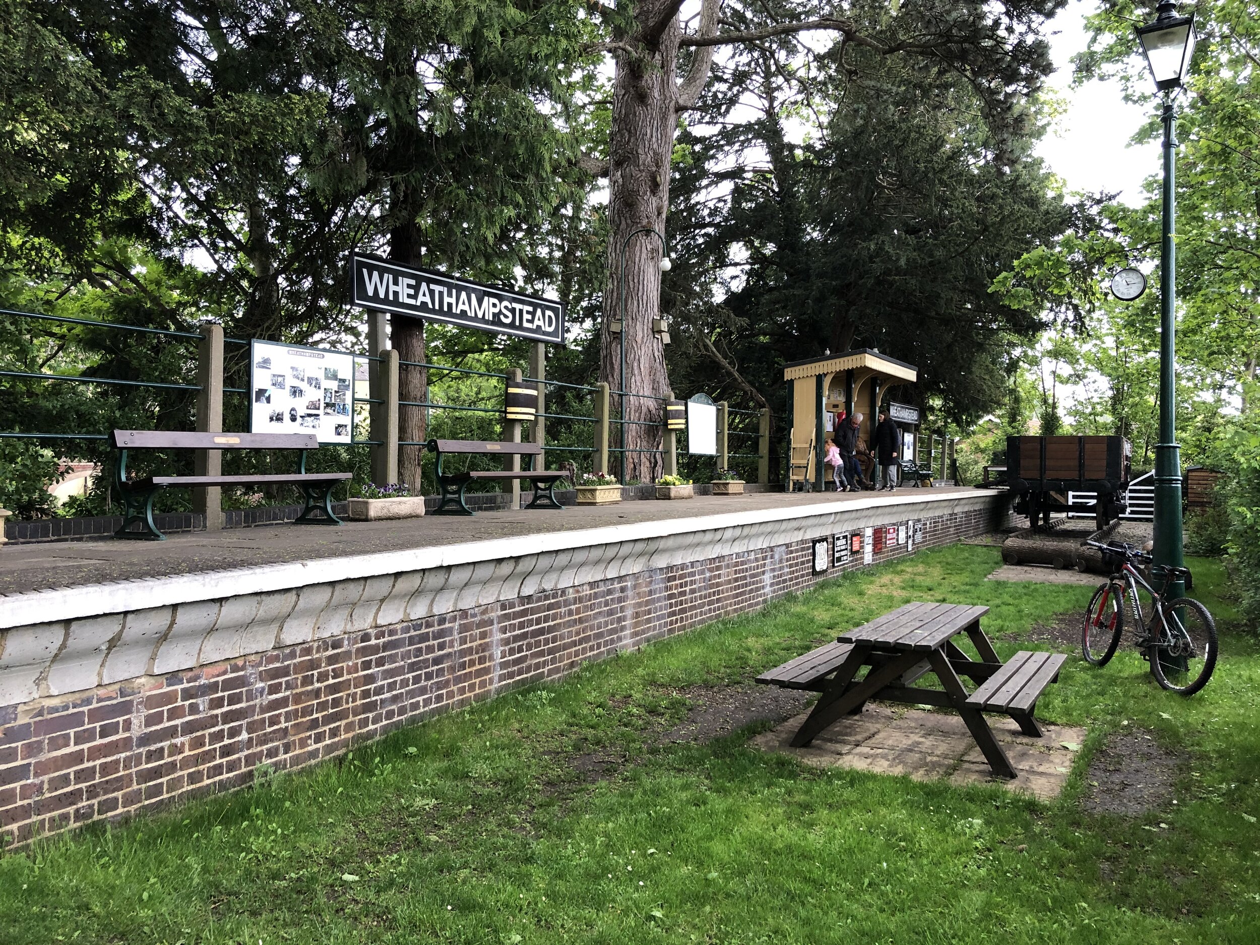
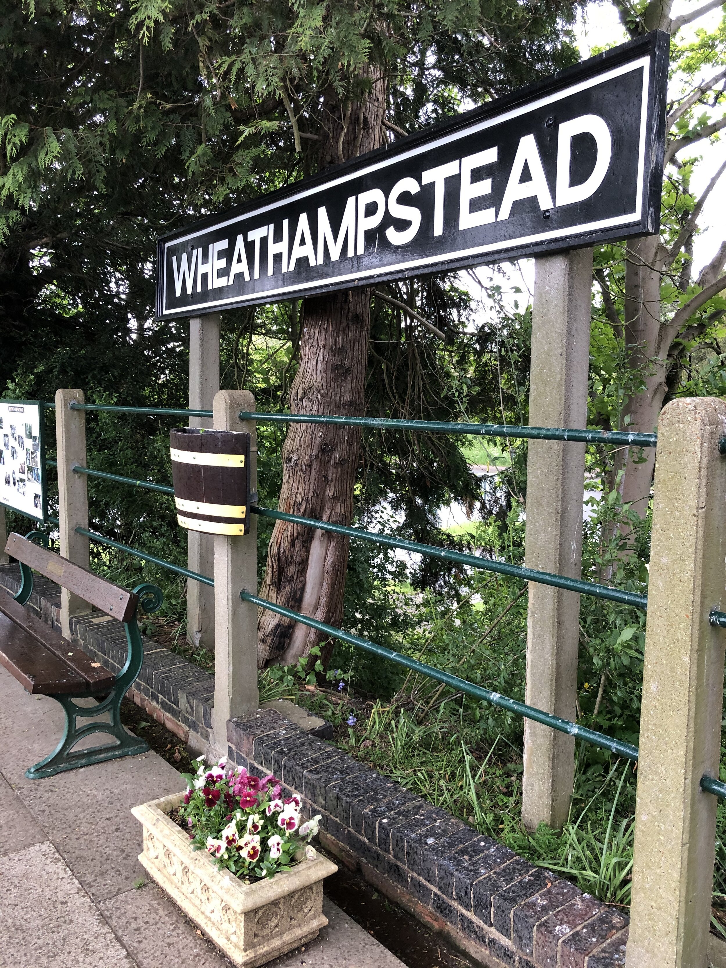
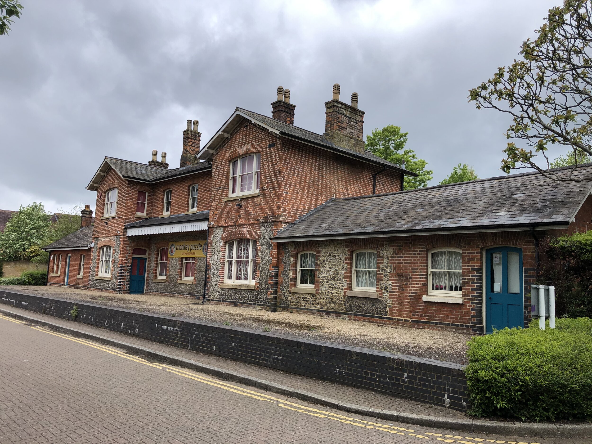
From the Hollybush Lane bridge that marks the end of the Nickey Line there’s two ways to connect to the old Dunstable Branch Line. One option is to continue along the NCN 57 to join at Hickling Way. The alternative route that I took was to turn left onto Westfield Road, heading north along the Chilterns Cycleway. Take the path on the left after Beeching Close to keep on the Cycleway as it joins the Lea Valley Path. Whichever option you take you’ll end up following the NCN 57, Chilterns Cycleway and Lea Valley Path in a south-easterly direction. At the junction with Cherry Tree Lane, turn left, then right onto B653 Lower Luton Road. Follow this for ~1.5km to the roundabout where you’ll find the beautifully preserved Wheathampstead Station on the south east corner. Stop here for a rest before heading south down Station Road. Take a left onto Mount Road where you’ll pick up the NCN 57 again and the start of the Ayot Greenway. Follow this in an easterly direction to Ayot Green.

The sign-posted Ayot Greenway ends at Ayot Green but you can continue following the NCN 57 over the A1, picking up the path of the old railway at Sherrardspark Wood.


Section 3: The Alban Way

Start: Small park off the Great North Road Hatfield (OS Grid Ref: TL 23173 09327)
Finish: Cottonmill Lane, St Albans (OS Grid Ref: TL 23173 09327)
Distance: 9.5 km (5.9 miles)
Elevation change: +39m / -36m (Net +3m)
Other routes touched (walk): St Albans Green Ring
Other routes touched (cycle): NCN 61
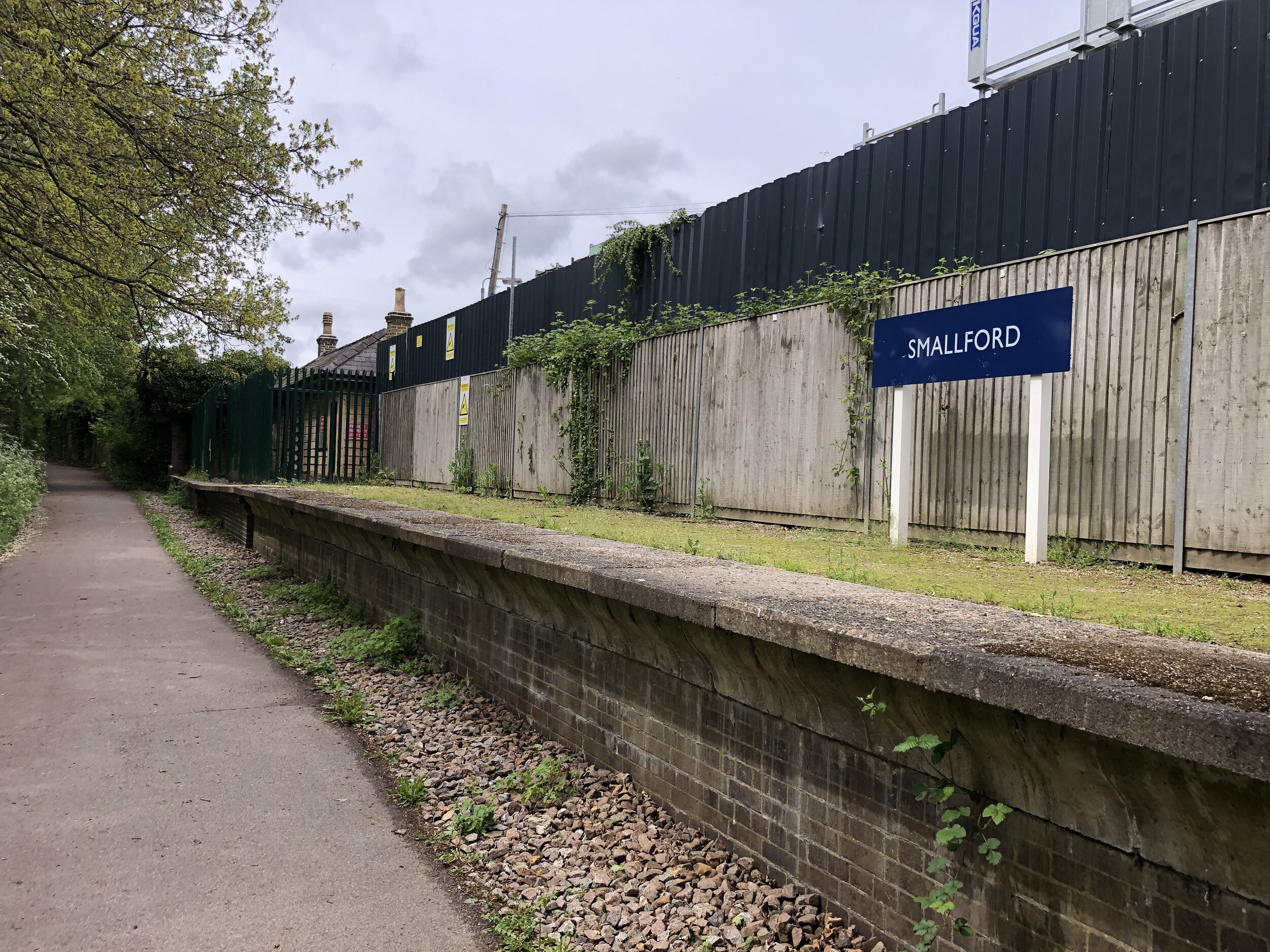
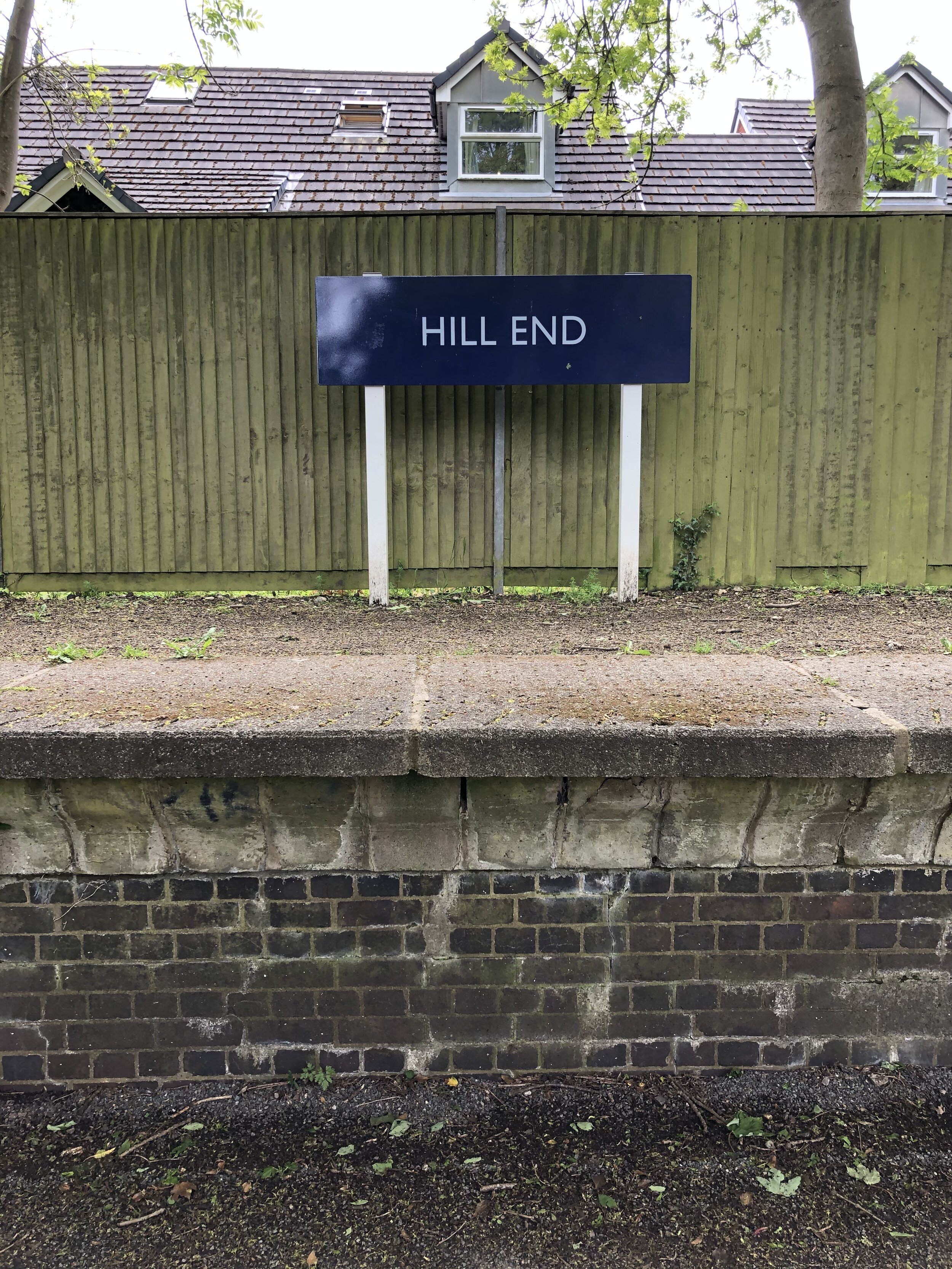
Disused Stations Passed: Lemsford Road Halt, Nast Hyde Halt, Smallford, Hill End, Salvation Army Halt, London Road Station
Pubs / Cafes on route:
none
Links: Alban Way (Wikipedia), Hatfield and St Albans Railway, Herts Memories: Alban Way, Hatfield, St Albans

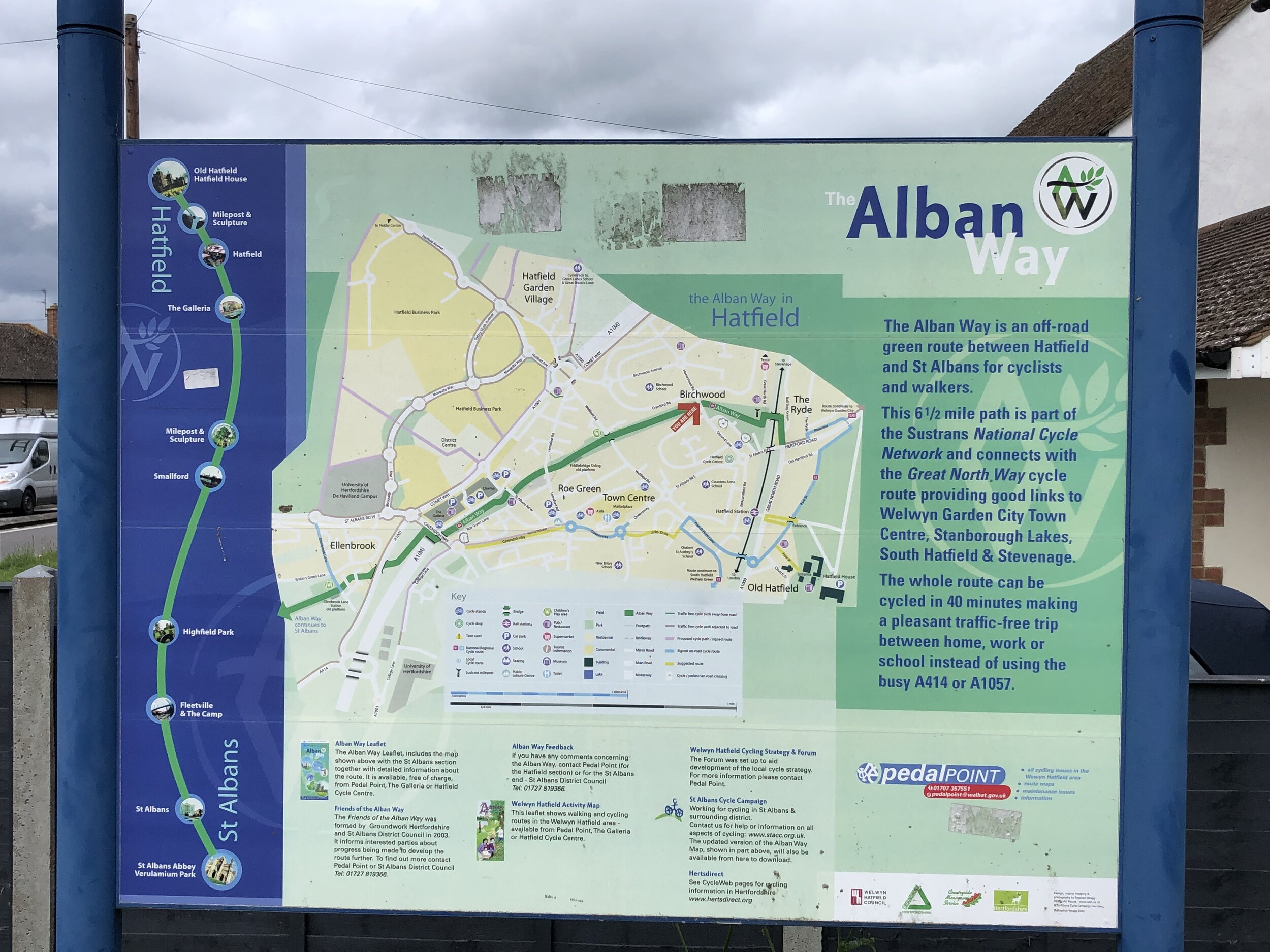
From Sherrardspark Wood continue along the NCN 57 to Welwyn Garden City town centre. This is approximately half way into the circular tour and a good place to stop for food and a rest. From here continue south along the NCN 57, crossing the present-day mainline railway bridge and connect with the NCN 61 on the A1000. The NCN 61 will take you through Hatfield and onto the Alban Way. The distance and elevation stats above for the Alban Way start as the NCN 61 crosses the Great North Road.

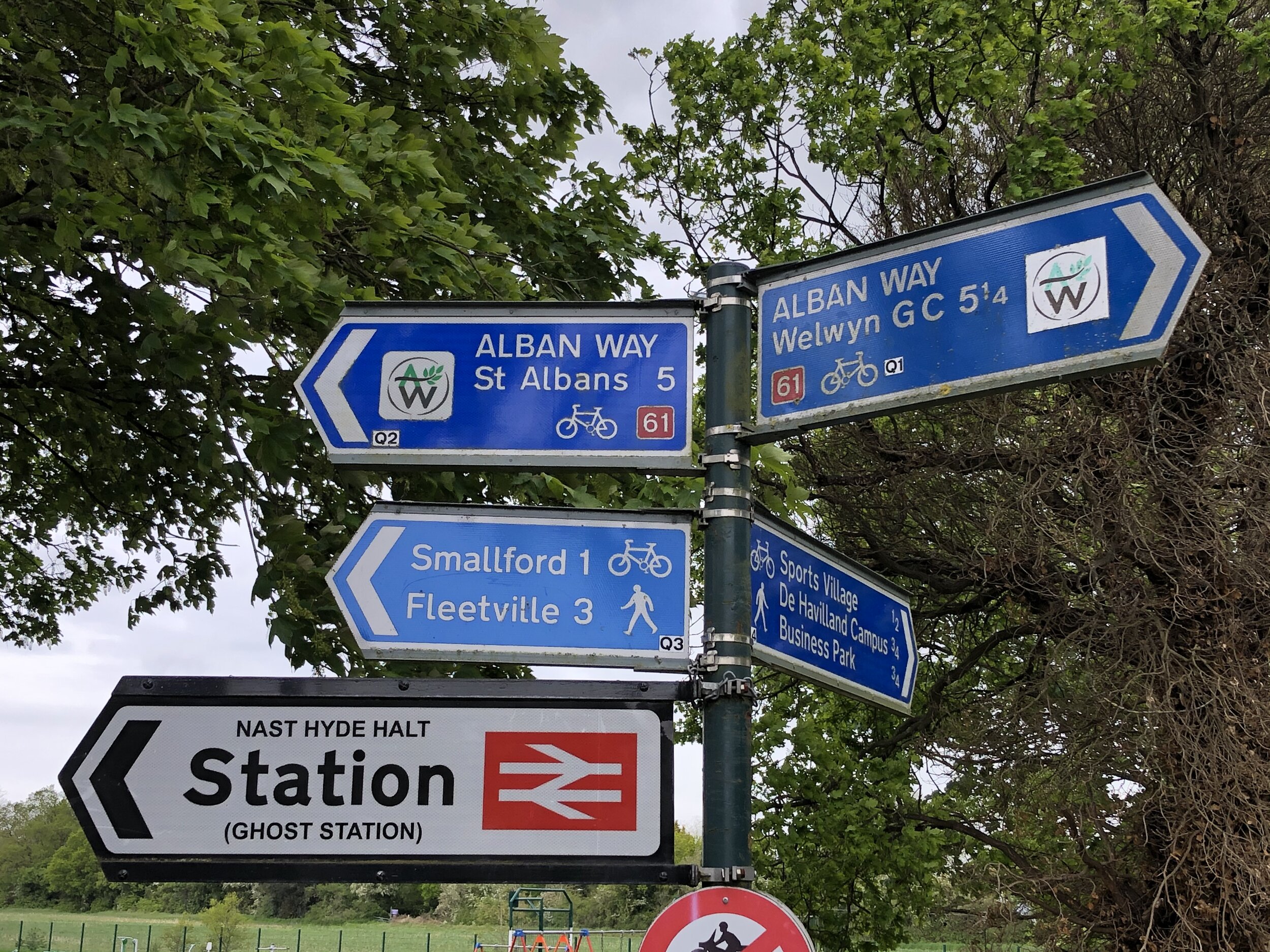
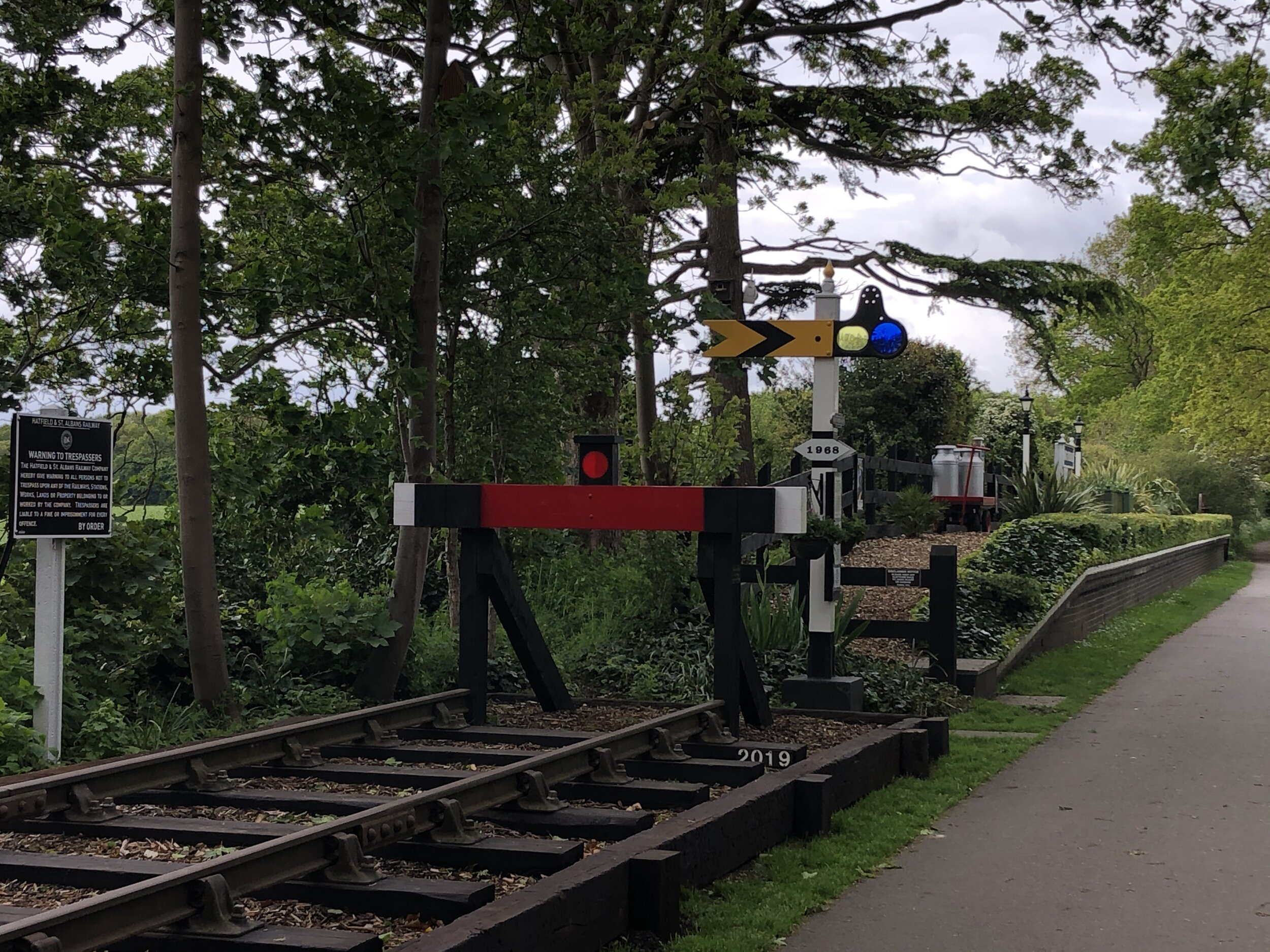
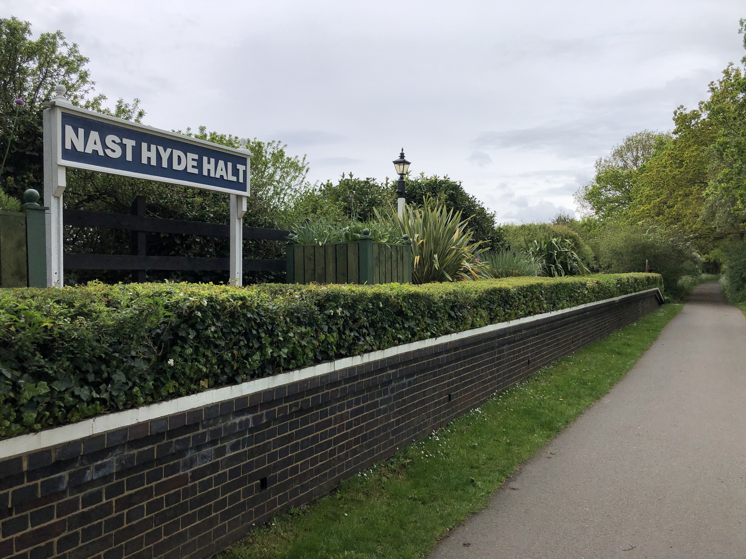
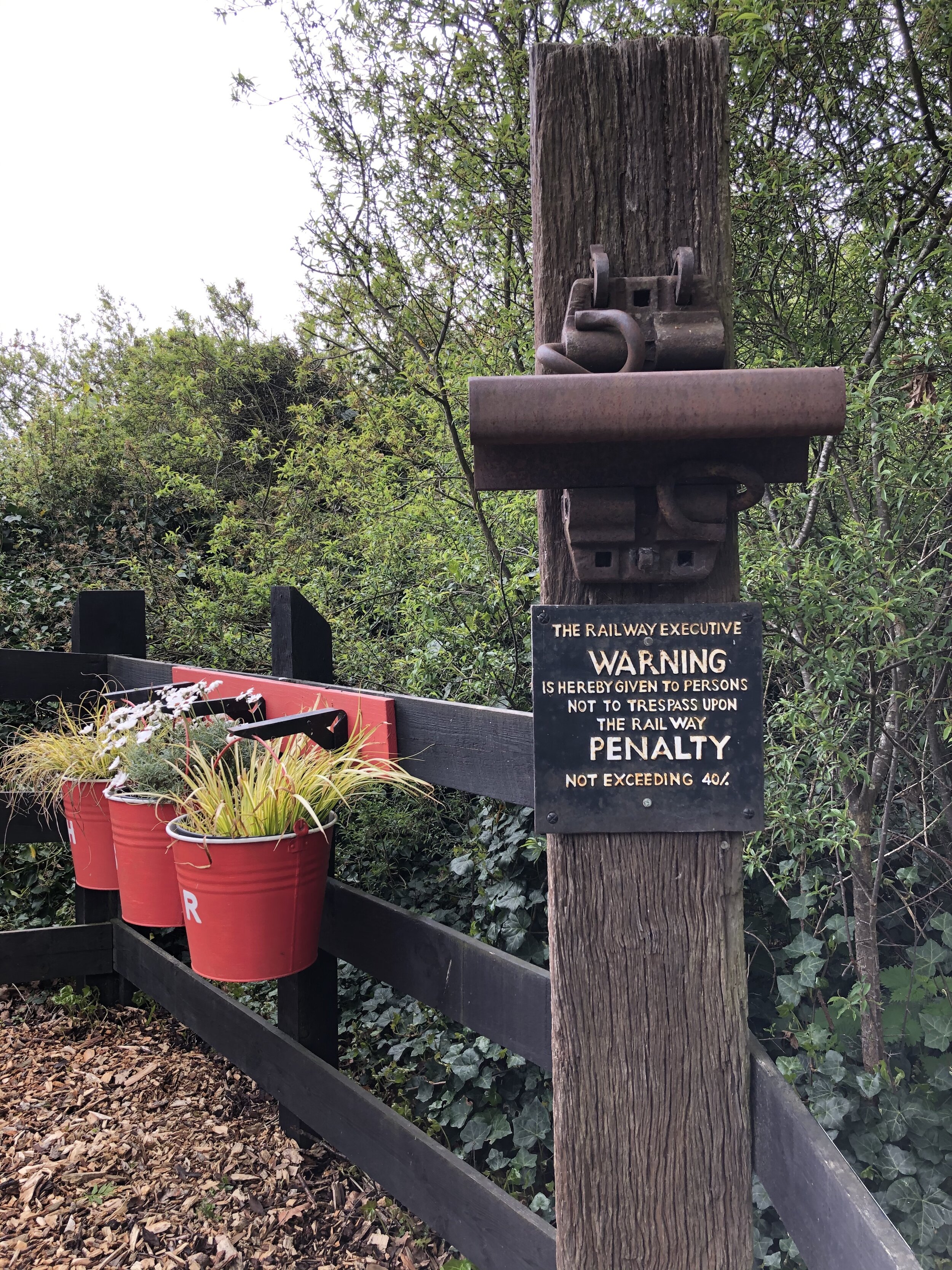
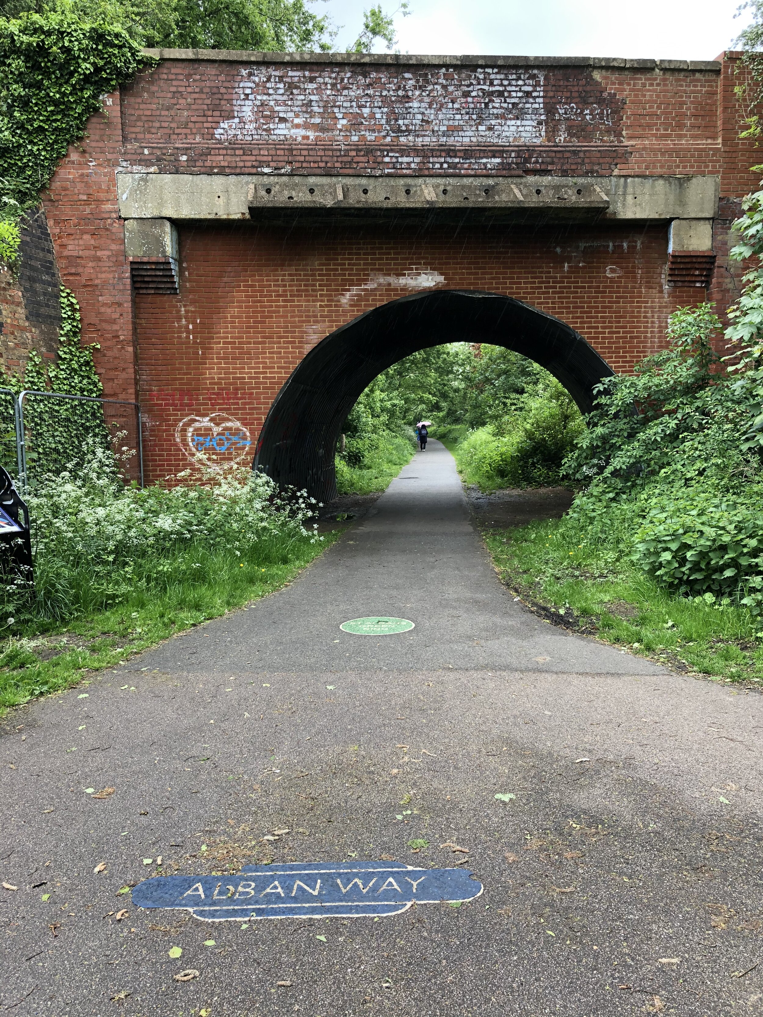
The Alban Way is the best preserved of the 3 routes. Nast Hyde Station is a highlight and there’s information boards along the way detailing the history of each of the old stations. It’s worth taking this section slow to take in the artifacts of the old line. This section of the route ends at the junction with Cottonmill Lane just before the old rail line would have connected with the present-day line to St Albans Abbey Station.


Section 4: Return To The Start

Start: Cottonmill Lane, St Albans (OS Grid Ref: TL 23173 09327)
Finish: Nickey Line Start, by The Midland Hotel, Midland Road, Hemel Hempstead, HP2 5BH
Distance: 14.1 km (8.8 miles)
Elevation change: +129m / -100m (Net +29m)

From the end of the Alban Way at Cottonmill Lane, take a left to continue on the NCN 61. Follow this for 2.5km until it meets the B4630 Watford Road. After following this south for ~100m carefully cross the road onto Ragged Hall Lane in a south westerly direction. You will now have left the NCN 61. Continue south-west along Ragged Hall Lane and onto Bedmond Lane, St Albans Lane and Sergehill Lane. At the junction with Church Lane in Bedmond take a right onto Bedmond Road for 2.5km.

You’ll now be in the uninspiring outer edges of Hemel Hempstead. There’s no pretty way through this back to the start but several options. If you have the GPS route you can take a complex route through quiet residential streets. Alternatively, the easiest route to navigate is to continue on Bedmond Road north, merging with the A4147 then left on the the B487 Swallowdale Lane. This runs past Keens Field where you can pick up the Nickey Line again, retracing your treads back to the Midland Hotel.


More Disused Railway Posts


Hurley and Ashley Hill Circular Walk
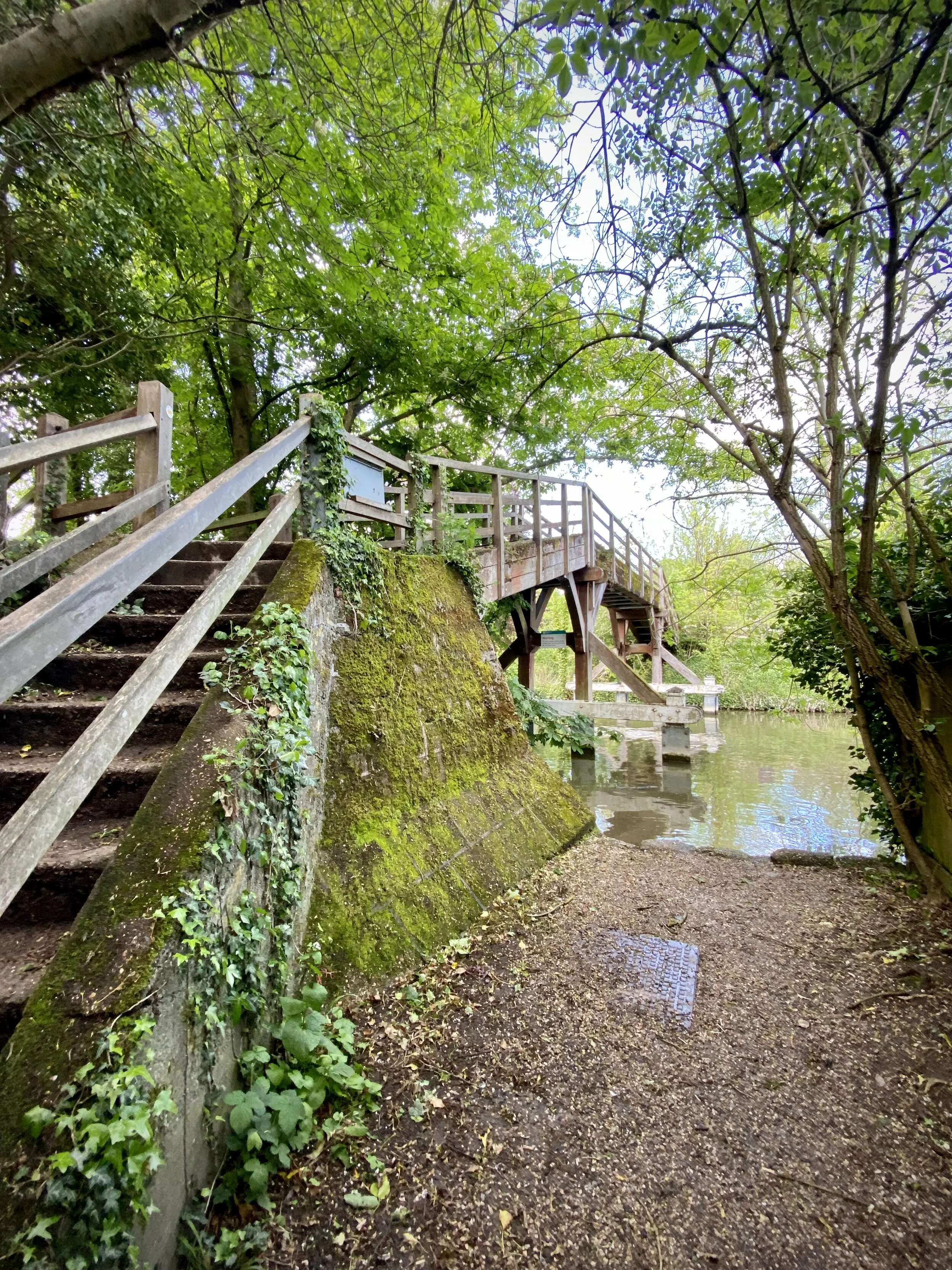
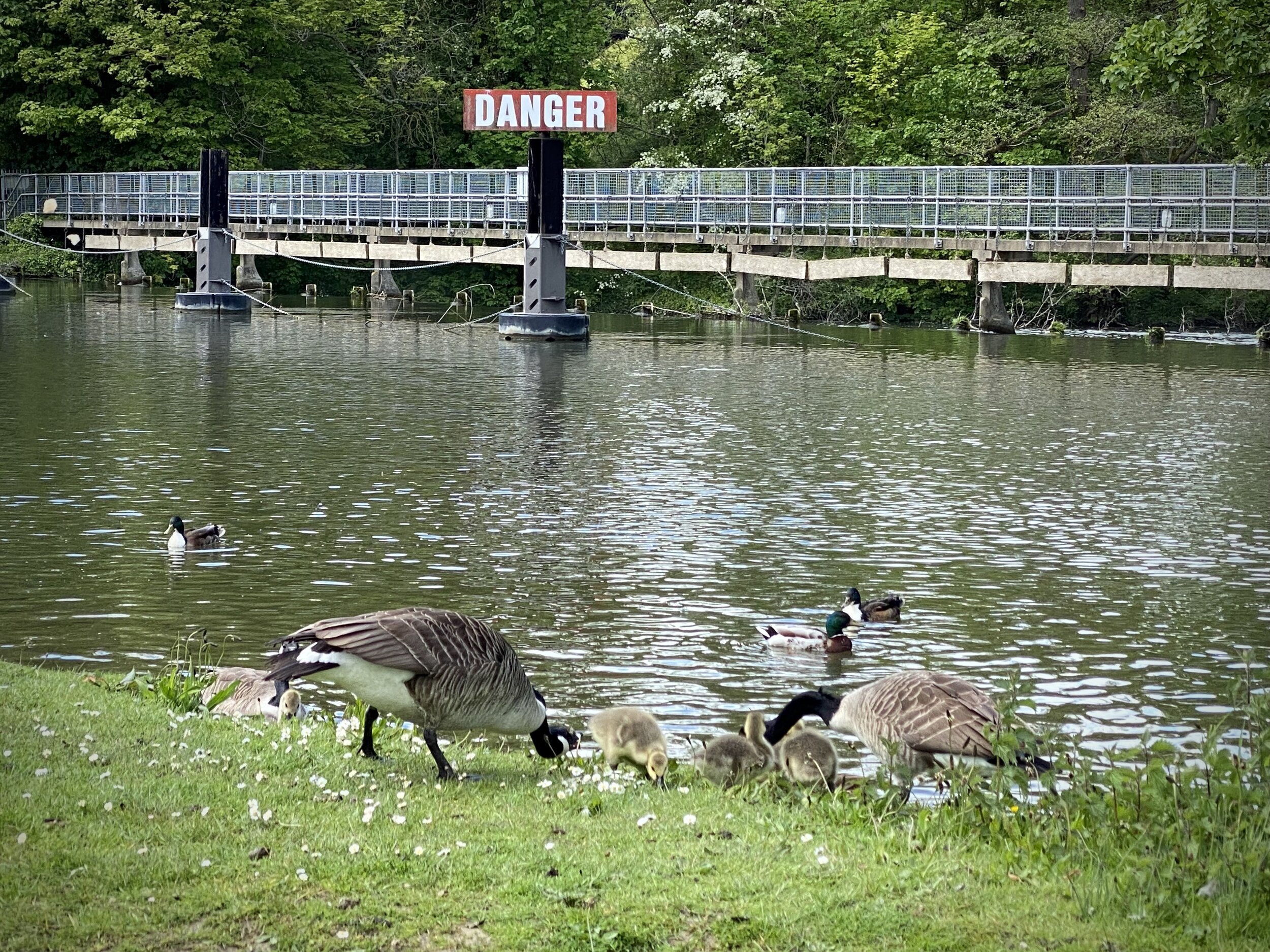
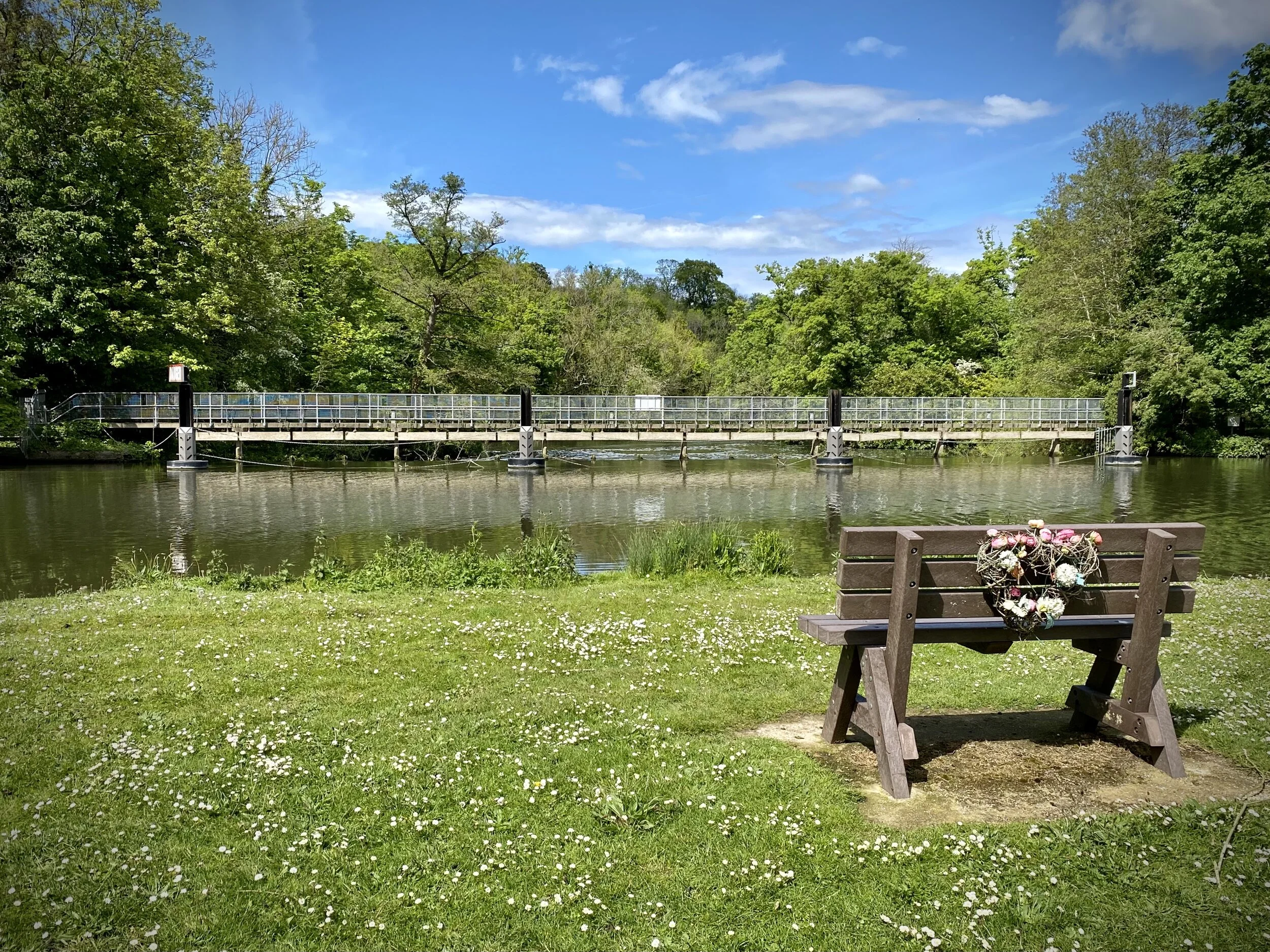
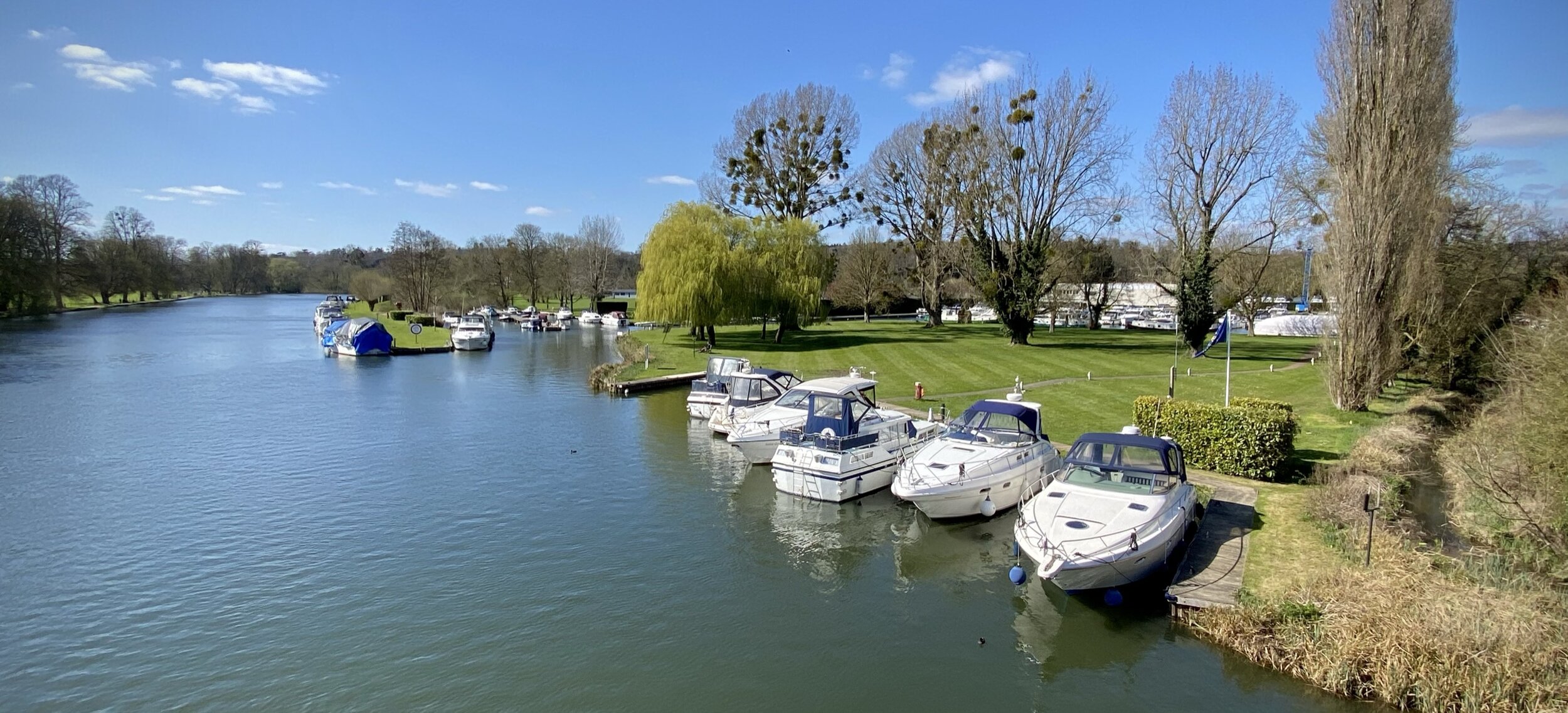
Hurley Weir

Hurley Weir


Start & Finish: Hurley village Car Park, Maidenhead, SL6 5NB
Distance: 8.9 km (5.5 miles)
Elevation change: +/- 132m
GPX File: get via Buy Me a Coffee
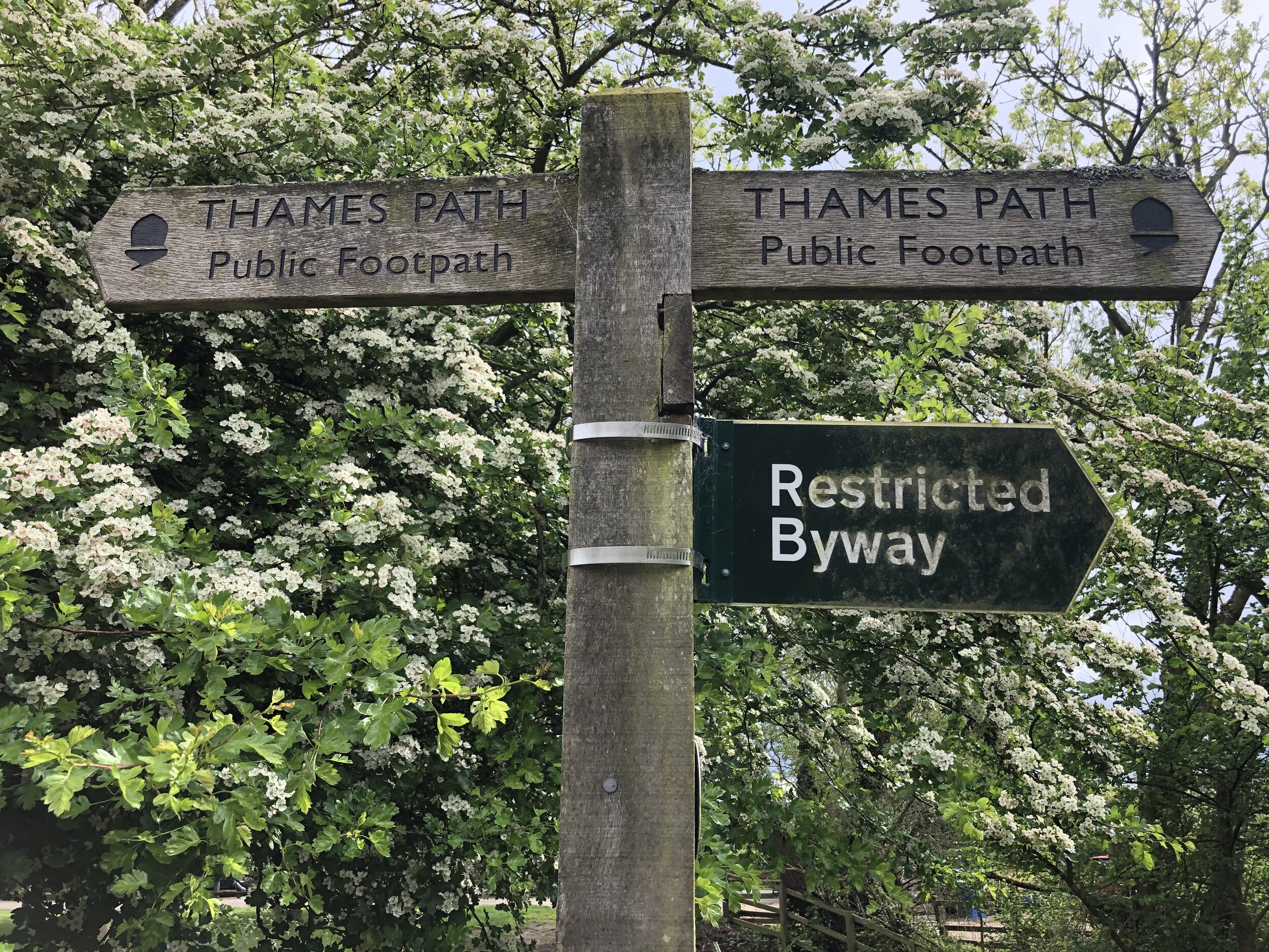
Other routes touched (walk): Thames Path, The Wokingham Way, The Chiltern Way Berkshire Loop, Littlewick Green, Ashley Hill and Knowl Hill Circular Walk
Other routes touched (cycle): Berkshire Cycle Route 52
Pubs / Cafes on route: The Rising Sun Hurley, The Olde Bell Hurley
Map: OS Explorer Map (172) Chiltern Hills East and OS Explorer Map (171) Chiltern Hills West, Henley-on-Thames and Wallingford
Links: Hurley, Ashley Hill


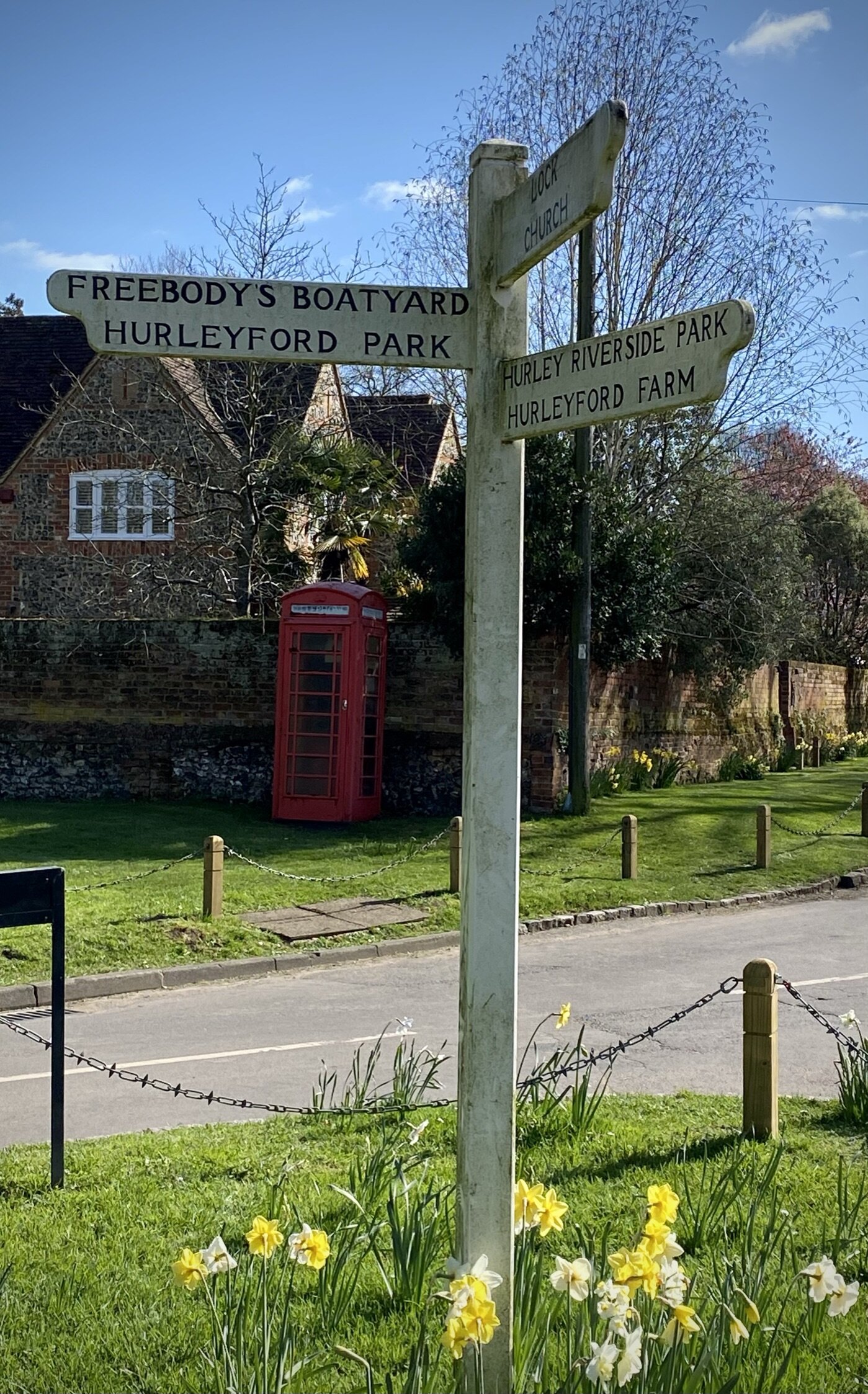
For our latest short Thames Path circular walk we returned to Hurley. There’s a small cark park at the end of High Street opposite St Mary’s church. This gets very busy during summer weekends but there’s a lot of free curb-side parking all along High Street.

Pick up the Thames Path at the north end of High Street and follow it west for 2km to Frogmill. After the river-side houses, take the footpath on the left following it south down Black Boy Lane to the A4130 Henley Road. Turn left onto the A4130 following the pavement in front of the Black Boy pub then carefully cross the road and take the footpath heading south. Follow this path for ~1.5 km up the hill to meet the Chiltern Way Berkshire Loop.
Take a left onto the Chiltern Way Berkshire Loop and follow it to the top of Ashley Hill. Here you’ll pass the house with the inaccessible OS Trig Pillar in its grounds. Continue along the Chiltern Way, now heading down the hill on the eastern side, and take the 2nd footpath on the left. Follow this path for 2km all the way back to the start, via the grounds of the Berkshire College of Agriculture.

route-36100646-map-full.png
elevation_profile (1).jpg


Chiltern Railways Walking Routes

Having walked and cycled a lot of the Chilterns over the past few years I’ve become much more familiar with its landscape. I discovered the valleys in my cycling trips along the Chiltern Rivers and the high points while bagging the Trig Points. With a need to find more short local walks during the Covid Lockdowns my attention turned to finding the rail lines and stations in the AONB. All of the walks listed below the map are around 10k (~6 miles) with a start and finish at a Chiltern rail station. This list covers all stations inside the Chiltern Hills AONB, shaded in green on the map. There’s also a selection of walks covering stations in the “Greater Chiltern Area”, shaded in peach, which covers the area bounded by the north end of the AONB and the Rivers Thames, Lea and Colne.


Rail-based circular walks in the Chiltern Hills AONB

Where all or most of the walk is within the boundary of the AONB


Rail-based circular walks in the Greater Chilterns Area

Where all or most of the walk is outside of the boundary of the AONB


Rail-based point to point walks in the Greater Chilterns Area


Rail-based cycle trips in the Greater Chilterns Area


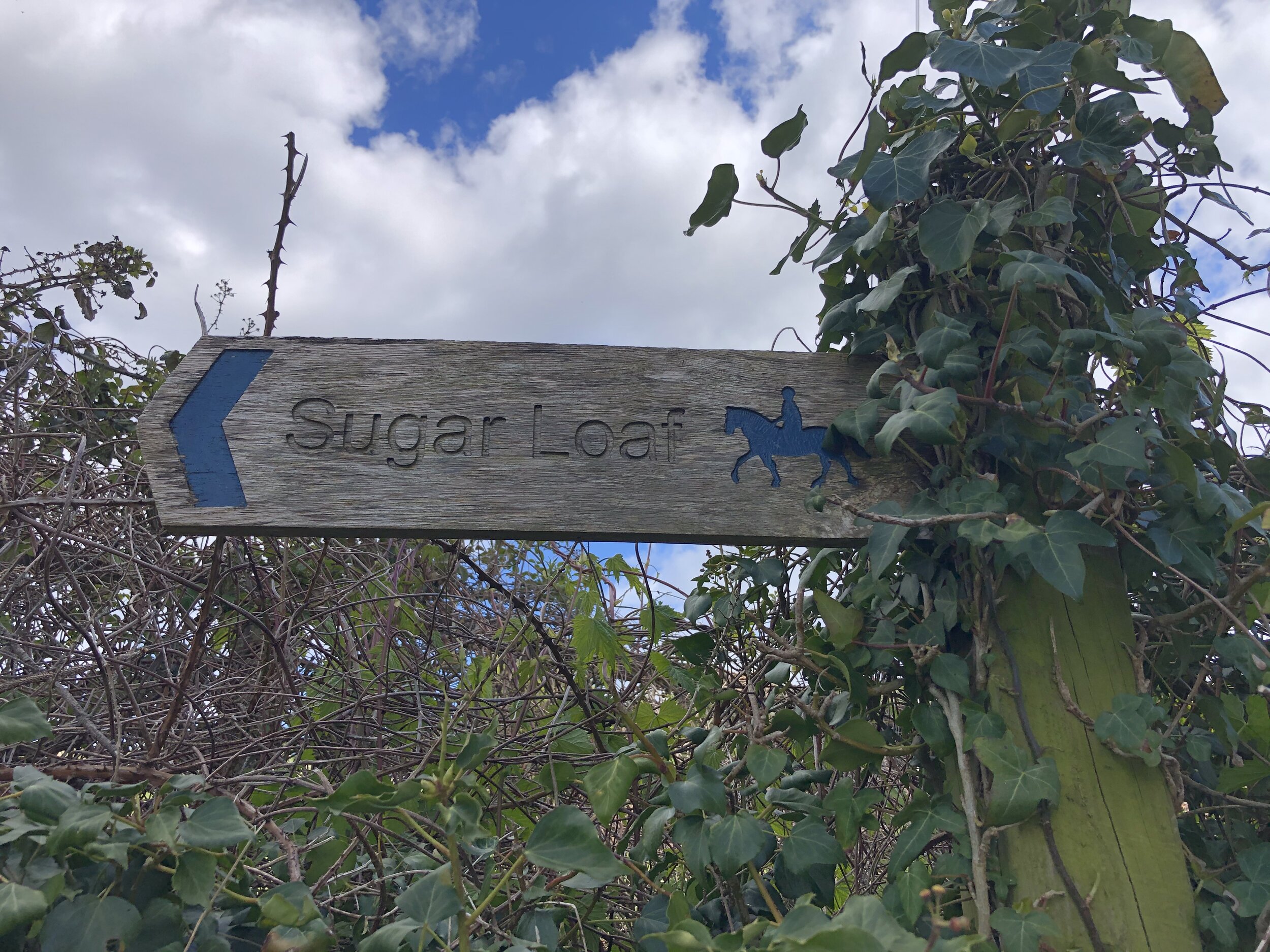
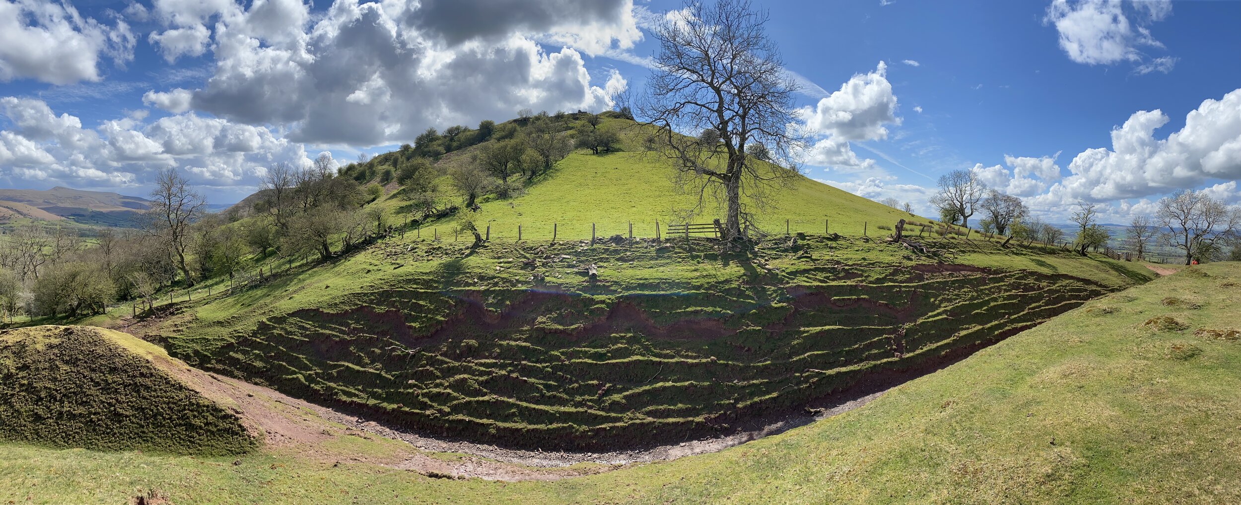
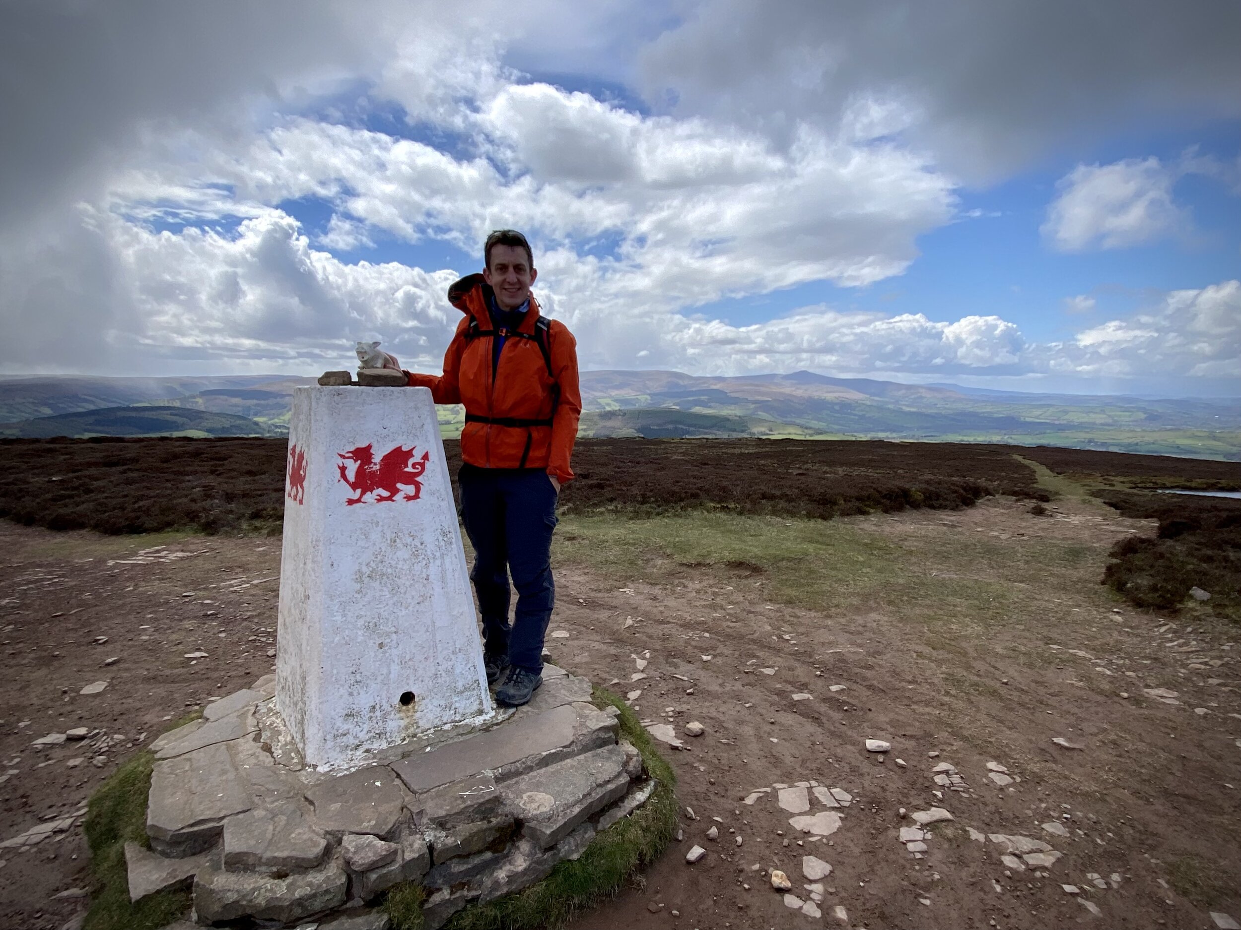
Sugar Loaf
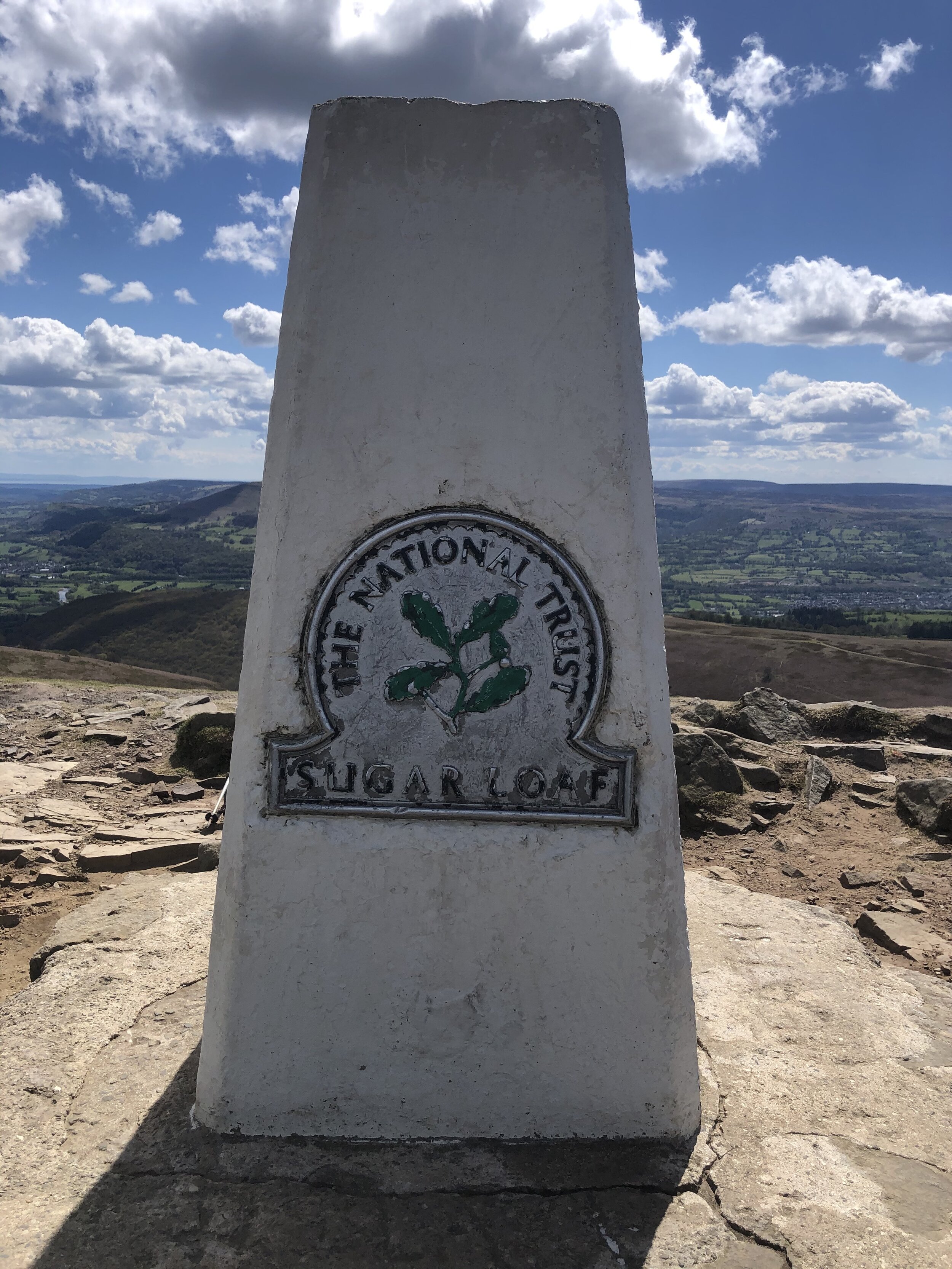
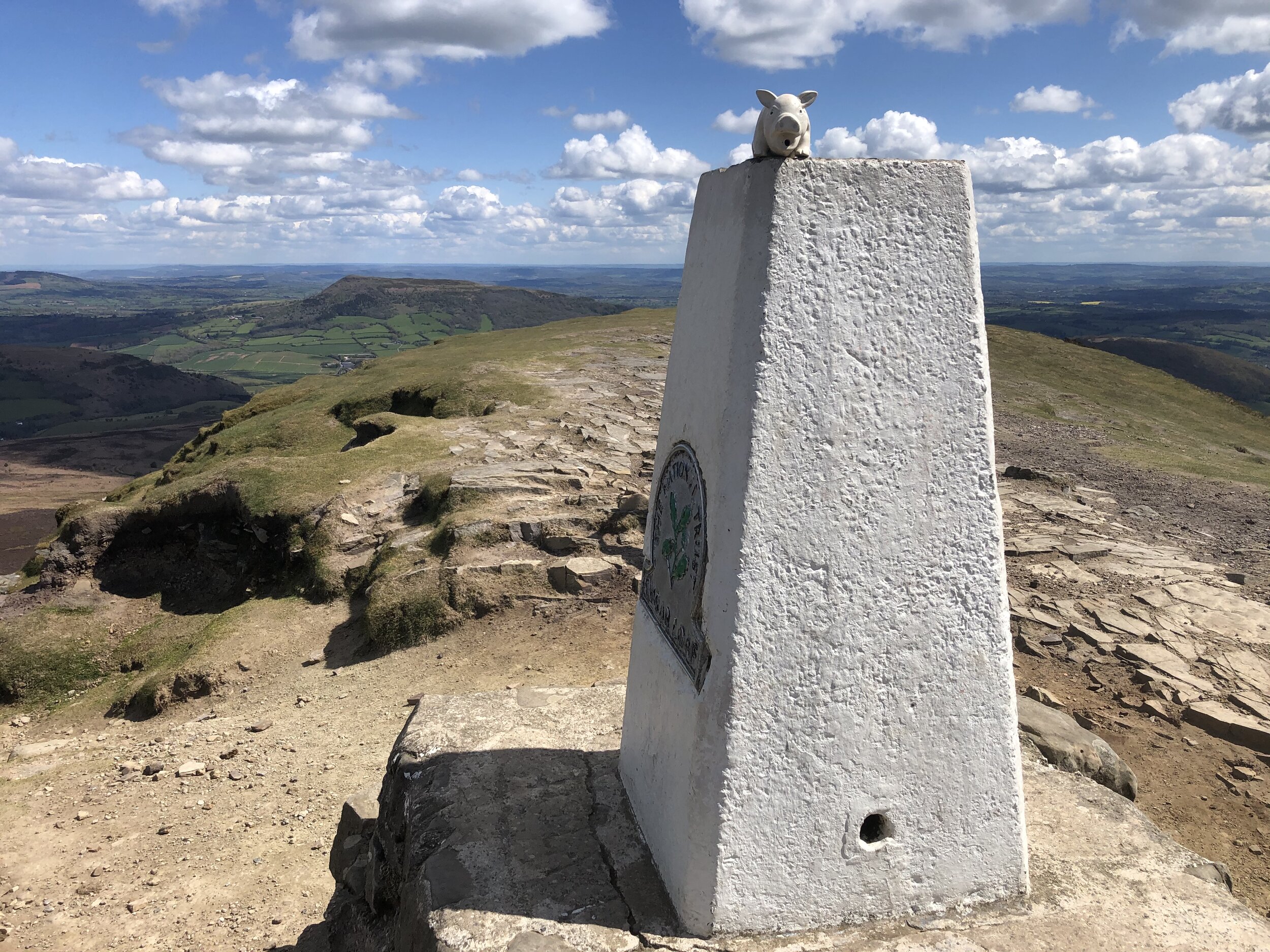
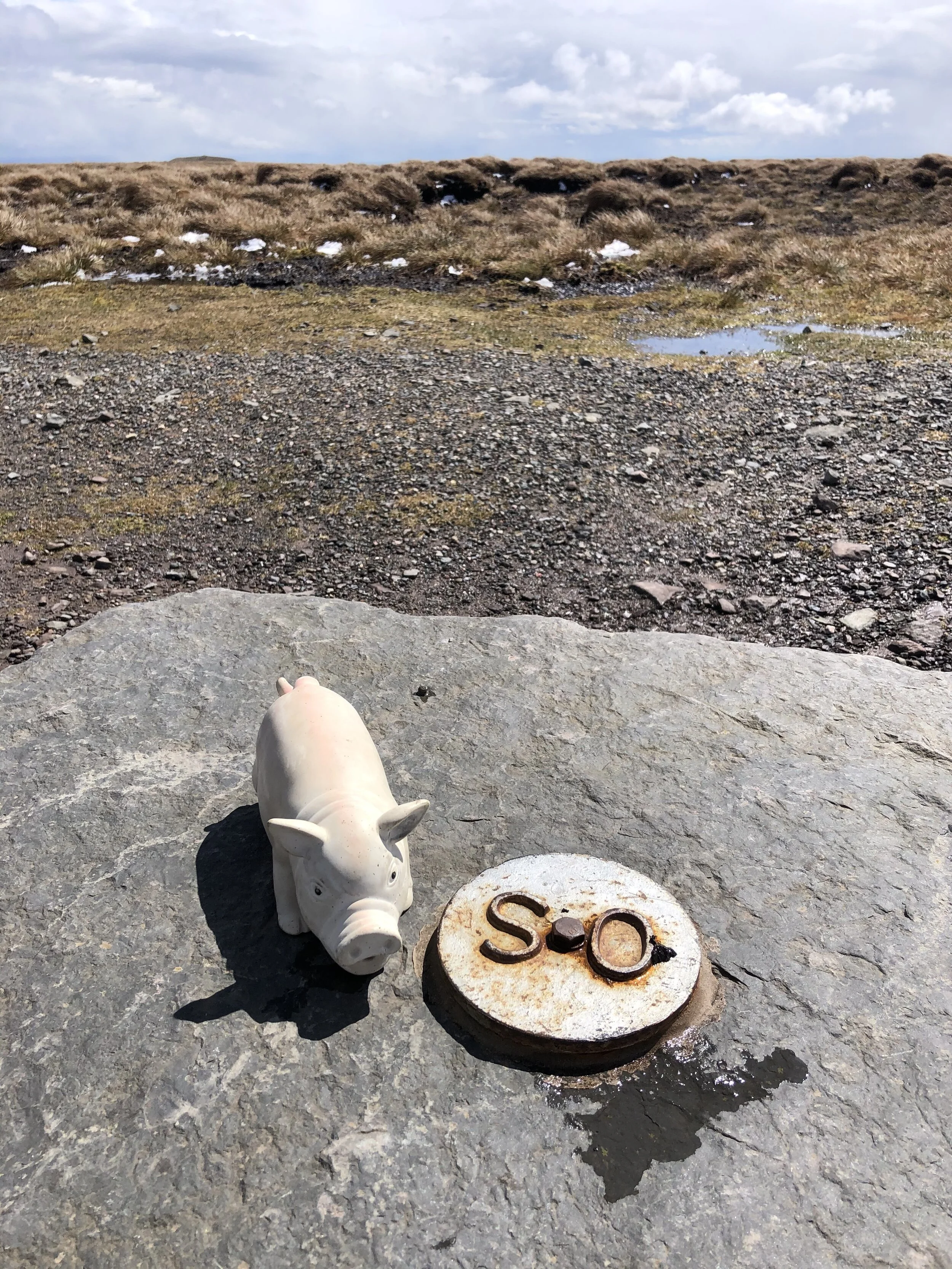
Trig Pillar at the top of Sugar Loaf

Trig Pillar at the top of Sugar Loaf


Member of: Marilyn
Parent Peak: Waun Fach
Elevation: 596m
Date climbed: 6th May 2021
Coordinates: 51° 51' 46'' N, 3° 3' 28'' W
Route Start & Finish
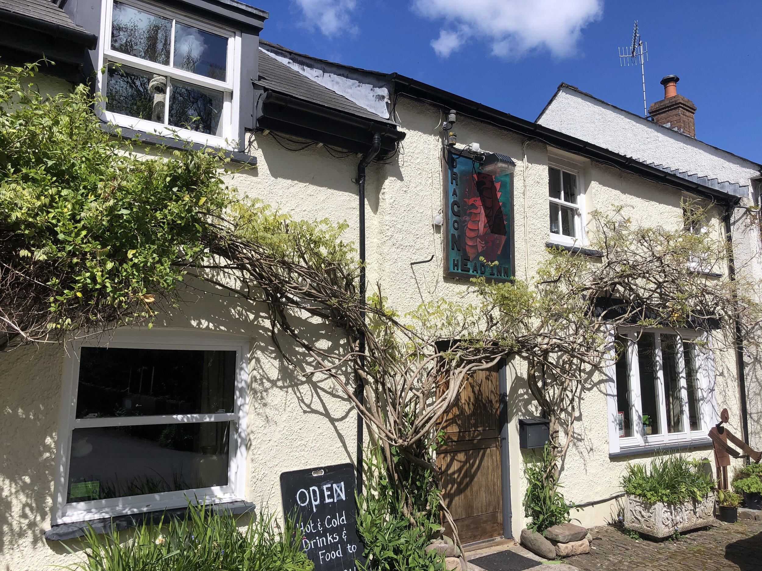
: The Dragons Head pub, Llangenny, Crickhowell, NP8 1HD
Distance: 8.7 km (5.4 miles)
Elevation change: +/- 502m
GPX File: get via Buy Me a Coffee
Other routes touched (walk): None
Other routes touched (cycle): None
Other pubs / Cafes on route: None
OS Trig Pillar: TP6243 - Sugar Loaf
Map: OS Explorer OL13 Brecon Beacons National Park - Eastern area
Links: Wikipedia / Peakbagger / Hillbagging / Llangenny


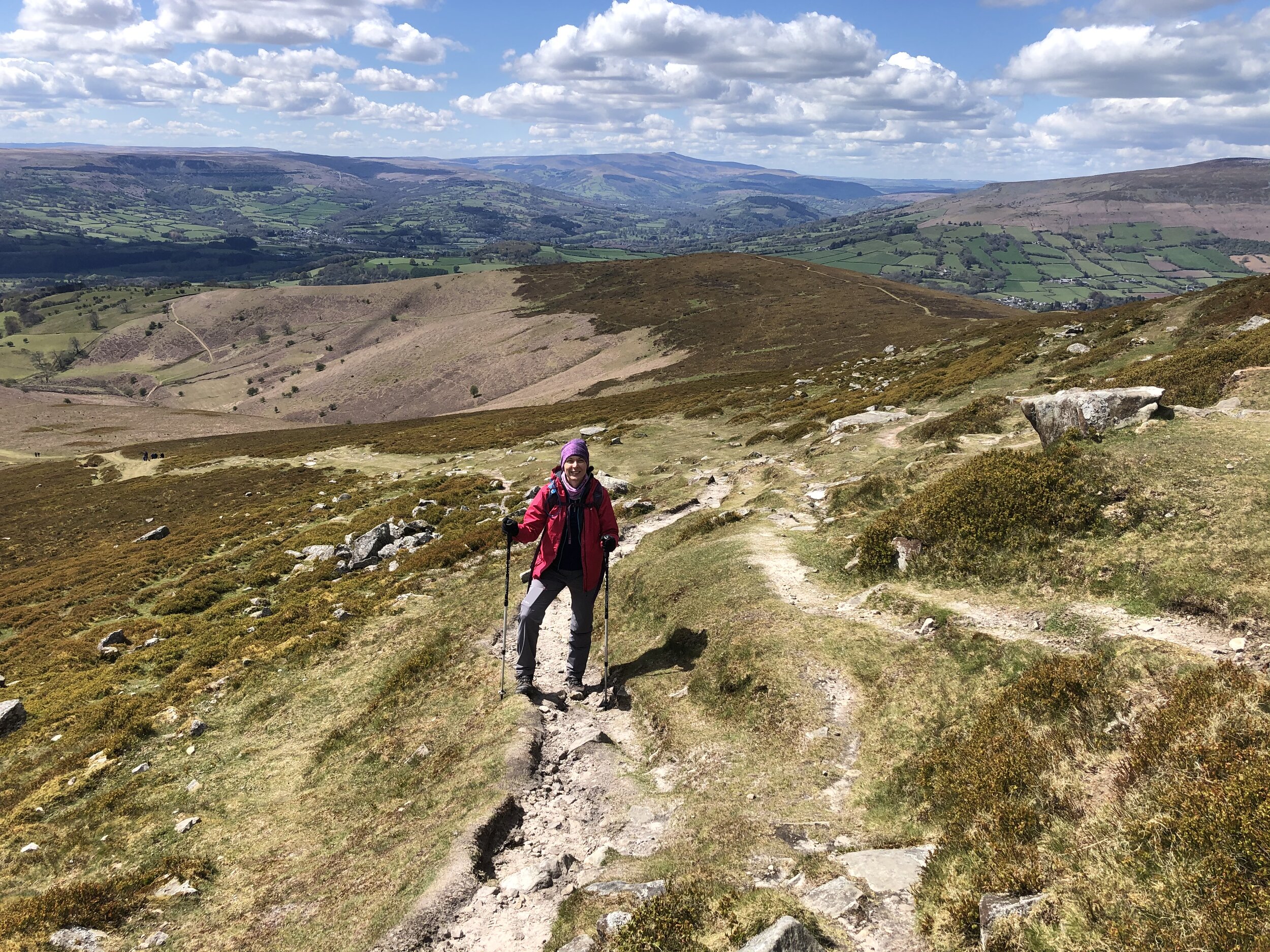
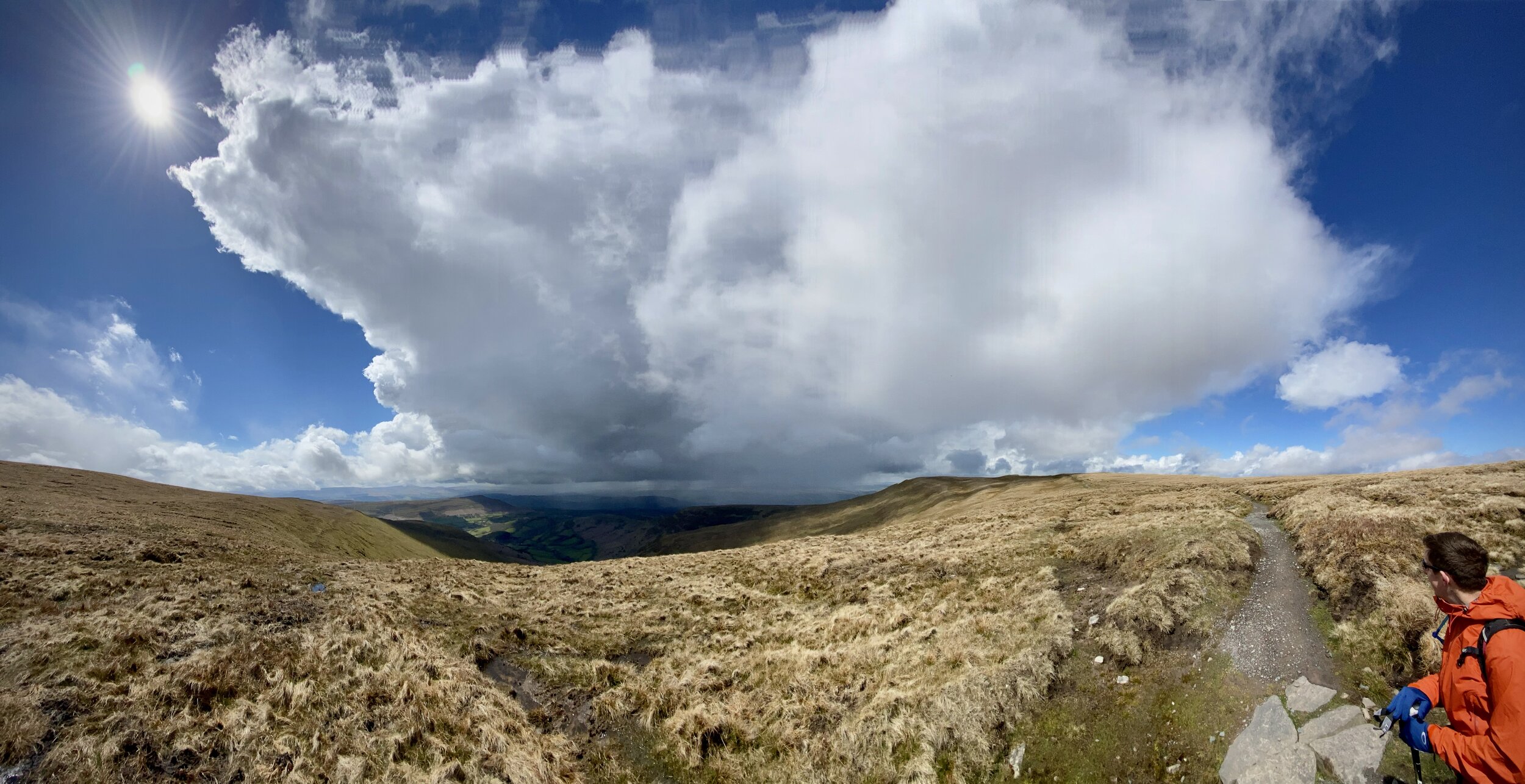
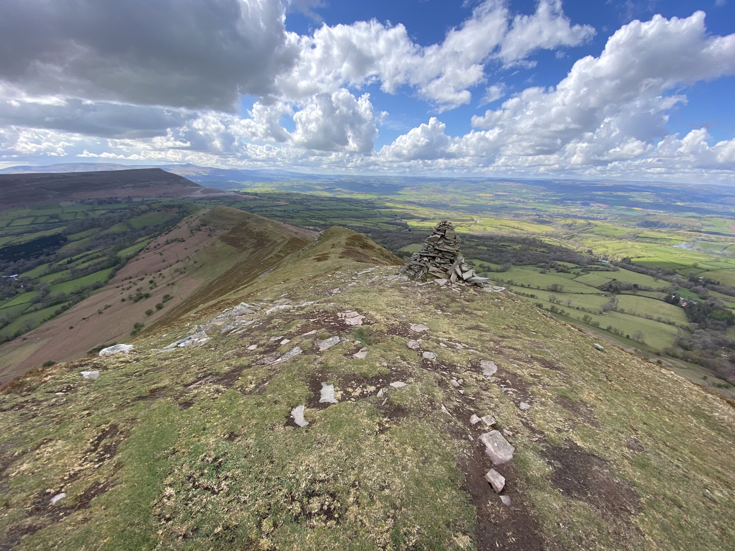
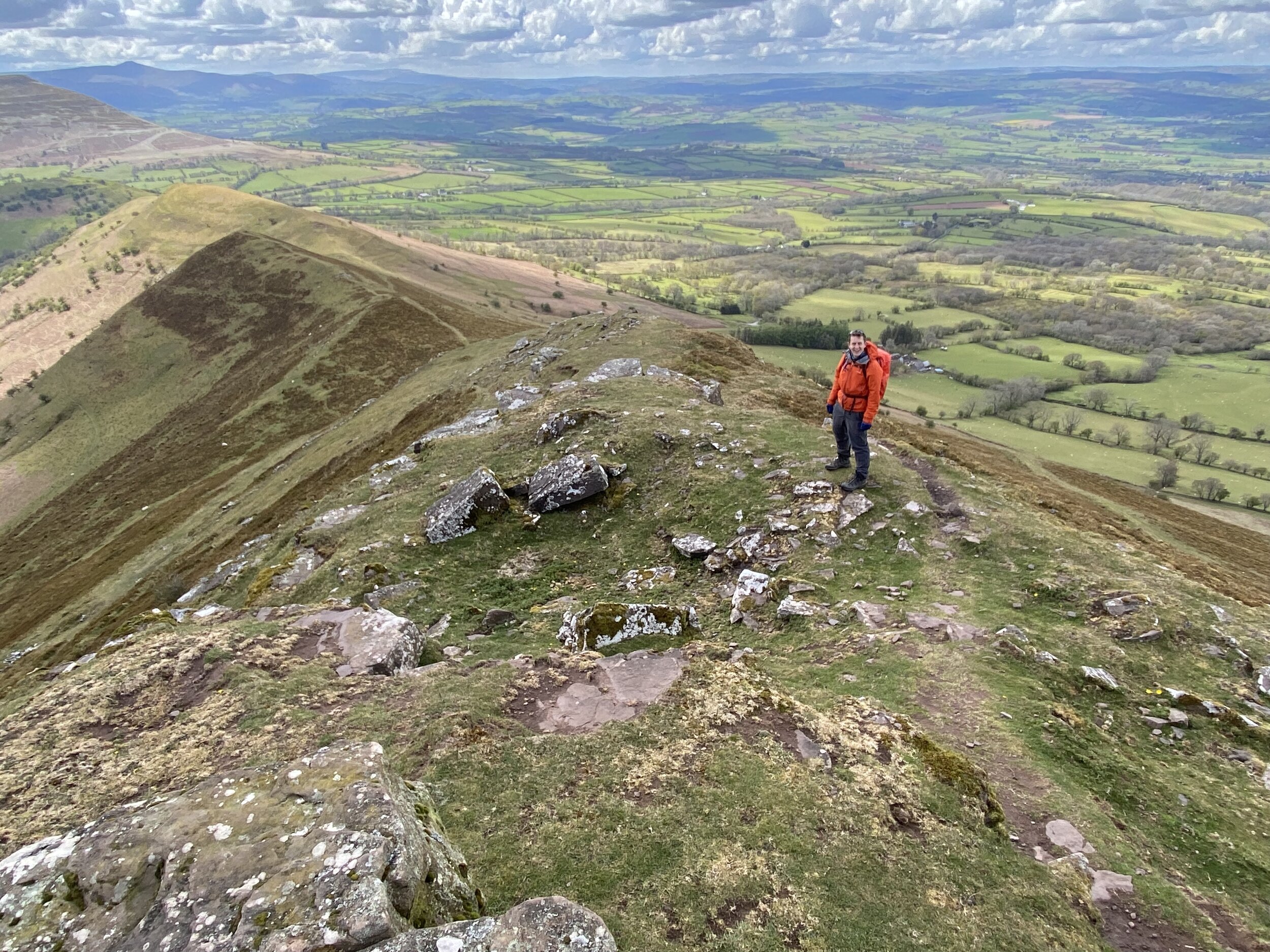
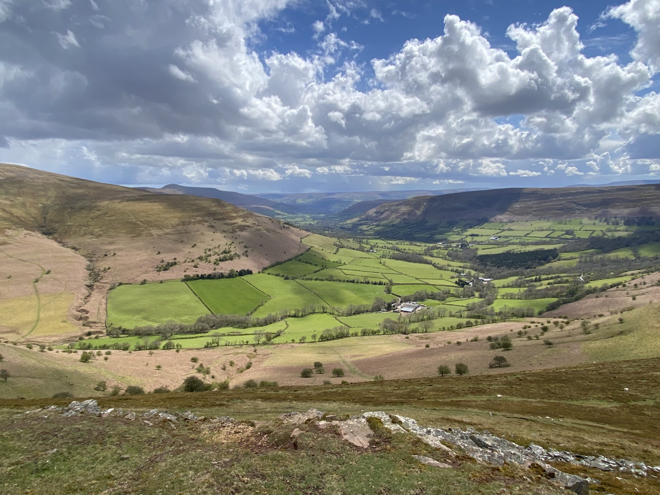
This was the second of three trig-bagging walks in the Black Mountains on a spring trip to the Brecon Beacons. We were on the last day of good weather before a long stretch of rain so we picked this one based on recommendation from a friend who lives nearby.

Many people start their Sugar Loaf trip from Abergavenny and there’s lots of footpath options between the town and the summit. The approach from Llangeny is a great alternative, especially if you’re travelling there from the North or West.

From the Dragon’s Head car park, cross over the (river) Grwyne Fawr, taking a left on the road that runs parallel to the river. Take the first road on right and walk up the hill in a north-easterly direction. After ~1.25 km from the start continue along the footpath through a farm rather than keeping on the road that curves to the right. Once past the farm you’ll follow the edge of a field upwards towards a path T-junction. Take a right here heading south. This path will curve round the brow of a hill before heading north east up to the summit of Sugar Loaf.

On a clear day the views from the summit are excellent so it’s worth spending a bit of time there to take it all in. To return to the start, take the north-westerly path which curves round to the west. After 3km from the summit the path enters a farm where you’ll take a right onto the road. Soon after this take a left onto another road, another left at the end and continue to the junction where you’ll meet your earlier route up. Take a right here and retrace your steps to the bridge then the Dragons Head pub.


elevation_profile (1).jpg

Waun Fach and The Dragon's Back
Top of the Dragons Back

Top of the Dragons Back


Member of: Marilyn, Hewitt, Nuttall
Parent Peak: Pen y fan
Elevation: 811m
Date climbed: 5th May 2021
Coordinates: 51° 57' 46'' N, 3° 8' 35'' W
Route Start & Finish: The Dragons Back pub, Pengenffordd, Talgarth, Brecon, LD3 0EP
Distance: 11.7 km (7.3 miles)
Elevation change: +/- 574m
GPX File: get via Buy Me a Coffee
Other routes touched (walk): None
Other routes touched (cycle): None
Other Pubs / Cafes on route: None
OS Trig Pillar: TP3548 - Gwynydd Bach
Map: OS Explorer OL13 Brecon Beacons National Park - Eastern area
Links: Wikipedia / Peakbagger / Hillbagging


This was the second of three trig-bagging walks in the Black Mountains on a spring trip to the Brecon Beacons. It was my birthday and, having missed out on our normal big trip due to Covid, I wanted a special mountain. It may not be well known, a County Top or on many bucket lists, but as the highest peak in the Black Mountains, that would be enough significance for this year.

The car park next to the Dragon’s Back pub is an obvious place to start. The honesty box for the £2 charge gives warnings of tough-to-remove stickers to be stuck to windscreens if the charge is not paid. Despite the CCTV cameras above it, it’s unlikely they would know you’ve put money in there. After a year of not touching any cash I was pleasantly surprised to discover that we actually had some coins in the car.

Take the footpath that starts at the north end of the car park and follow it in a south-easterly direction for just over 3.5 km. Here you’ll reach a ridgeline with several different footpath interactions. Take the path that heads north, continuing to ascent, then curves to the east. Follow this path for approximately 2km to the summit of Waun Fach. There used to be an OS Trig Pillar here, but it’s been replaced by a low, flat stone with a metal OS roundel on it.

From the summit, take the northerly footpath, descending steadily for 1.5 km. At the path junction take the left hand path, heading south west, descending along the Dragons Back. We had very good visibility which gave us some amazing views across to the National Park to Pen y Fan and beyond. The highlight at the end of the trip is the path through the ruins of Castel Dinas. The steep ascent up to to the castle right at the end of the trip was a bit daunting though given we were low on energy at the time.

I’d been hesitant about doing this one having read and heard of tough navigation and boggy conditions at the top. The path at the summit seemed relatively new so have probably addressed the bogginess issue. I’d say that the navigation is no tougher than similar mountains in the area so you’ll be fine with the usual preparation, clothing and skills for the hills.


elevation_profile.jpg

Mynydd Llangorse
View to Llangorse Lake from the western side of Mynydd Llangorse

View to Llangorse Lake from the western side of Mynydd Llangorse


Member of: Marilyn
Parent Peak: Mynydd Troed
Elevation: 515m
Date climbed: 4th May 2021
Coordinates: 51° 55' 57'' N, 3° 13' 27'' W
Route Start & Finish: Parking outside Llangorse Multi Activity Centre, Gilfach Farm, Llangorse, Brecon, LD3 7UH
Distance: 6.5 km (4.0 miles)
Elevation change: +/- 285m
GPX File: get via Buy Me a Coffee
Other routes touched (walk): Beacons Way
Other routes touched (cycle): None
Pubs / Cafes on route: None
OS Trig Pillar: TP5020 - Mynydd Llangorse
Map: OS Explorer OL13 Brecon Beacons National Park - Eastern area
Links: Wikipedia / Peakbagger / Hillbagging / Llangorse Lake, Llangors


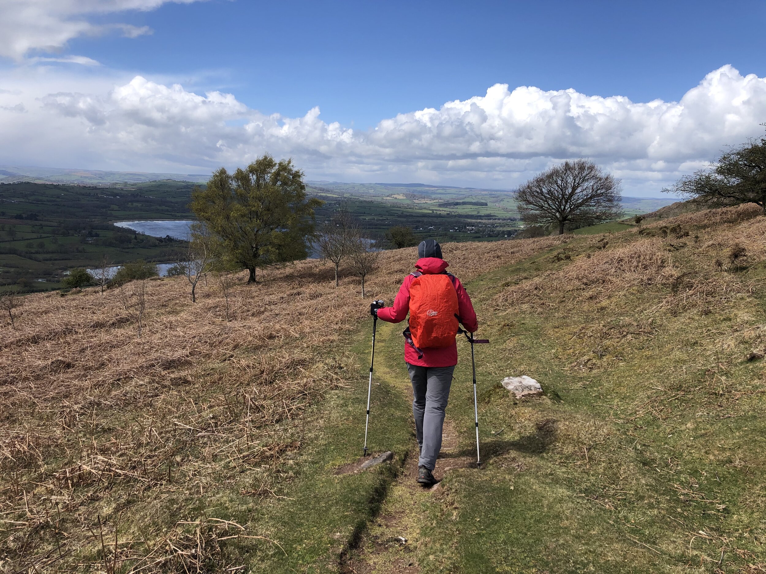
This was the first of three trig-bagging walks in the Black Mountains on a spring trip to the Brecon Beacons. With a short distance and relatively low elevation this made for a nice warm-up for the longer treks of the next couple of days.

The parking area just outside of the Llangorse Activity Centre is an obvious place to start. Just inside the activity centre you can find the start of a footpath heading in a south-easterly direction across a field towards the hill. The trig pillar at the summit is only 1.5km from the Activity Centre, giving you the option of a very short out-and-back. If you prefer a longer circular walk, there’s several options based on a few paths that intersect at the summit. We continued east for ~500 metres, then taking a well marked track south to the Beacons Way.

When you meet the Beacons Way, don’t follow it but take the westerly path that makes a steady descent from the hill. This path will curve round to the hill and reconnect with the path you followed at the start and back to the Activity Centre.

The cafe at Llangorse lake, a short drive from the Activity Centre, is a great place for a rest, a coffee and a cake after the walk.


route-35995910-map-full.png
elevation_profile.jpg

Chiltern Walks: Speen and Lacey Green
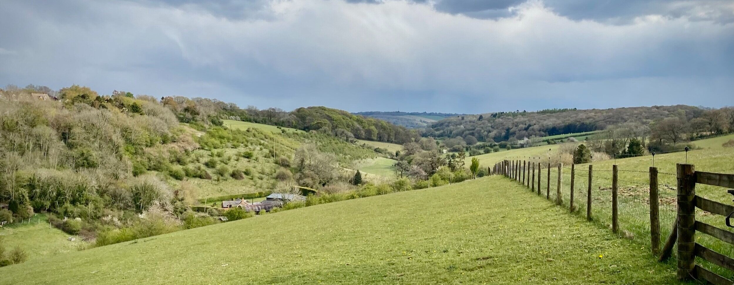
Valley view near Flowers Bottom Lane

Valley view near Flowers Bottom Lane


Start & Finish: Bradenham National Trust Car Park, Bradenham, Princes Risborough, HP27 0PR
Distance: 7.4 km (4.6 miles)
Elevation change: +/- 125m
GPX File: get via Buy Me a Coffee
Other routes touched (walk): N/A
Other routes touched (cycle): Chilterns Cycleway
Pubs / Cafes on route: None
Map: OS Explorer Map (172) Chiltern Hills East and OS Explorer Map (181) Chiltern Hills North
Links: Bradenham National Trust Estate, Speen, Lacey Green, Loosley Row


This pleasant, short Chiltern walk starts with a steep climb through the woods from Bradenham National Trust Car Park. Unlike a lot of our recent Chiltern walks it doesn’t follow or cross any of the well marked trails such as the Chiltern Way or Ridgeway. The guidance below will help you navigate but don’t use it as a fully accurate turn-by-turn guide. Always take a map and/or a GPX route and prepare well for the weather and terrain.

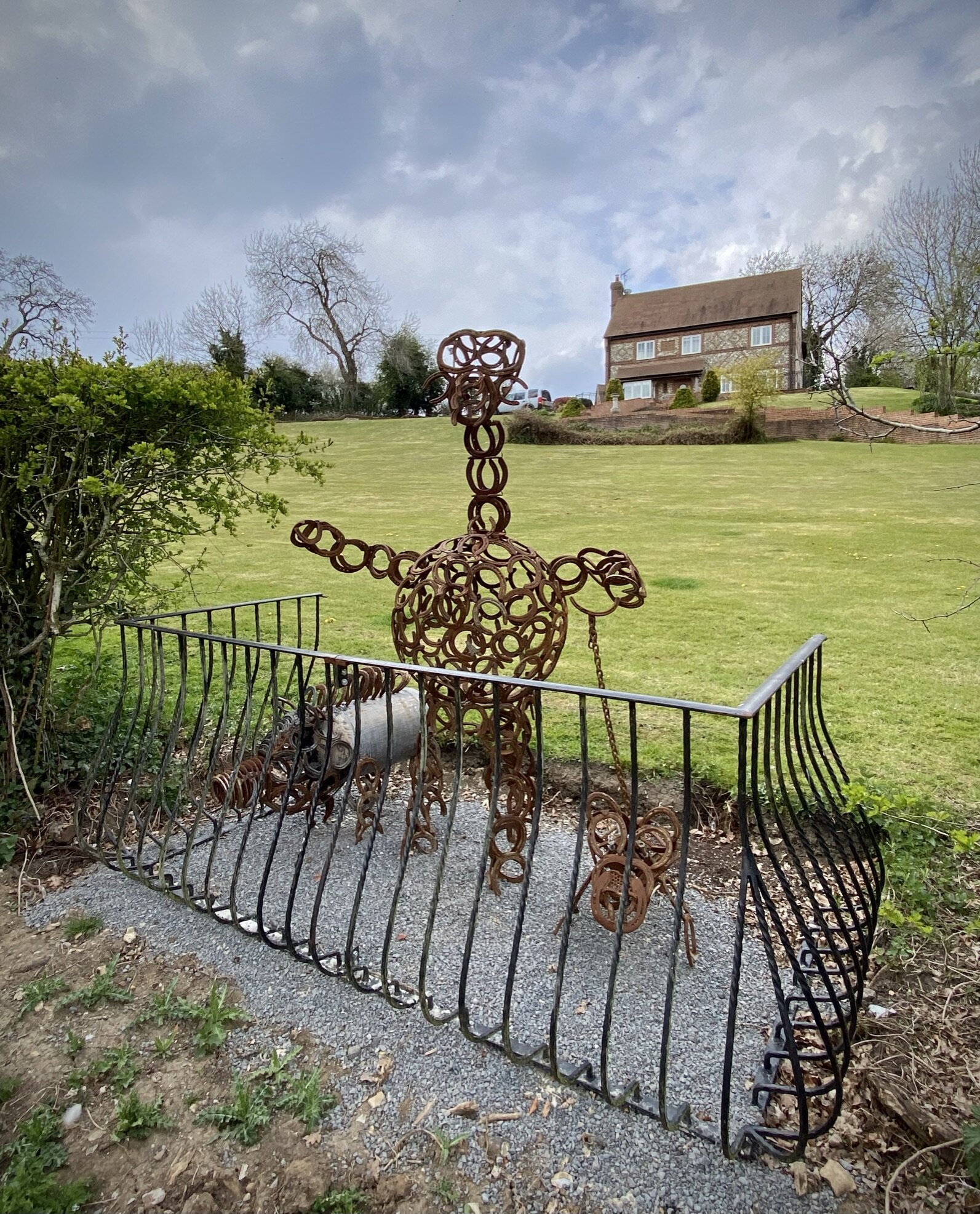
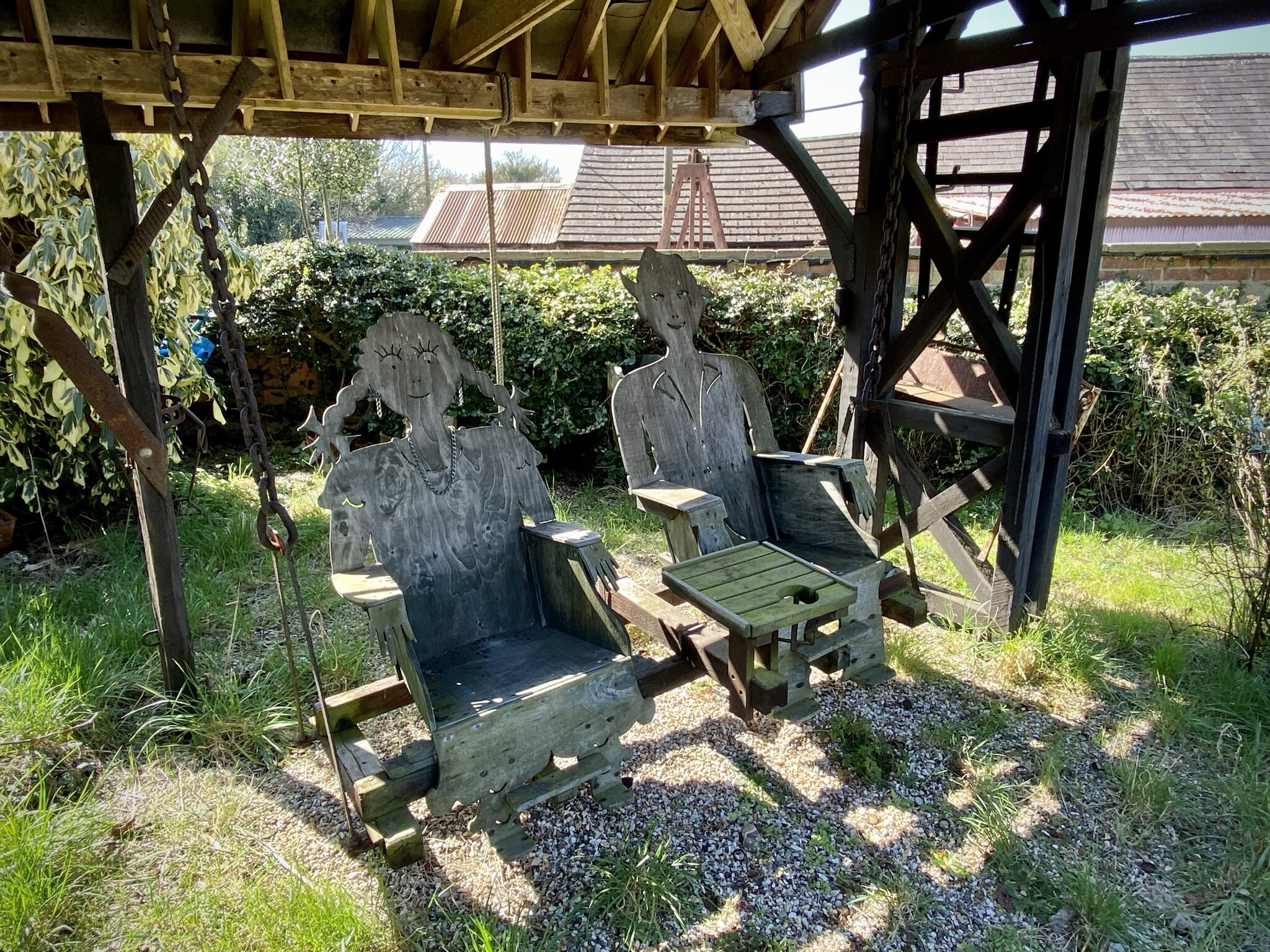
Keep an eye out for the sculptures on display in the garden of the large house on the north side of Kiln Lane. Although there’s no pubs on the main route, you can take a short diversion at the half-way point into Lacey Green village for a rest at the Black Horse.


elevation_profile.jpg

Walking The Capital Ring: Harrow on the Hill to Horsenden Hill

Including the London Borough High Points of Brent and Ealing

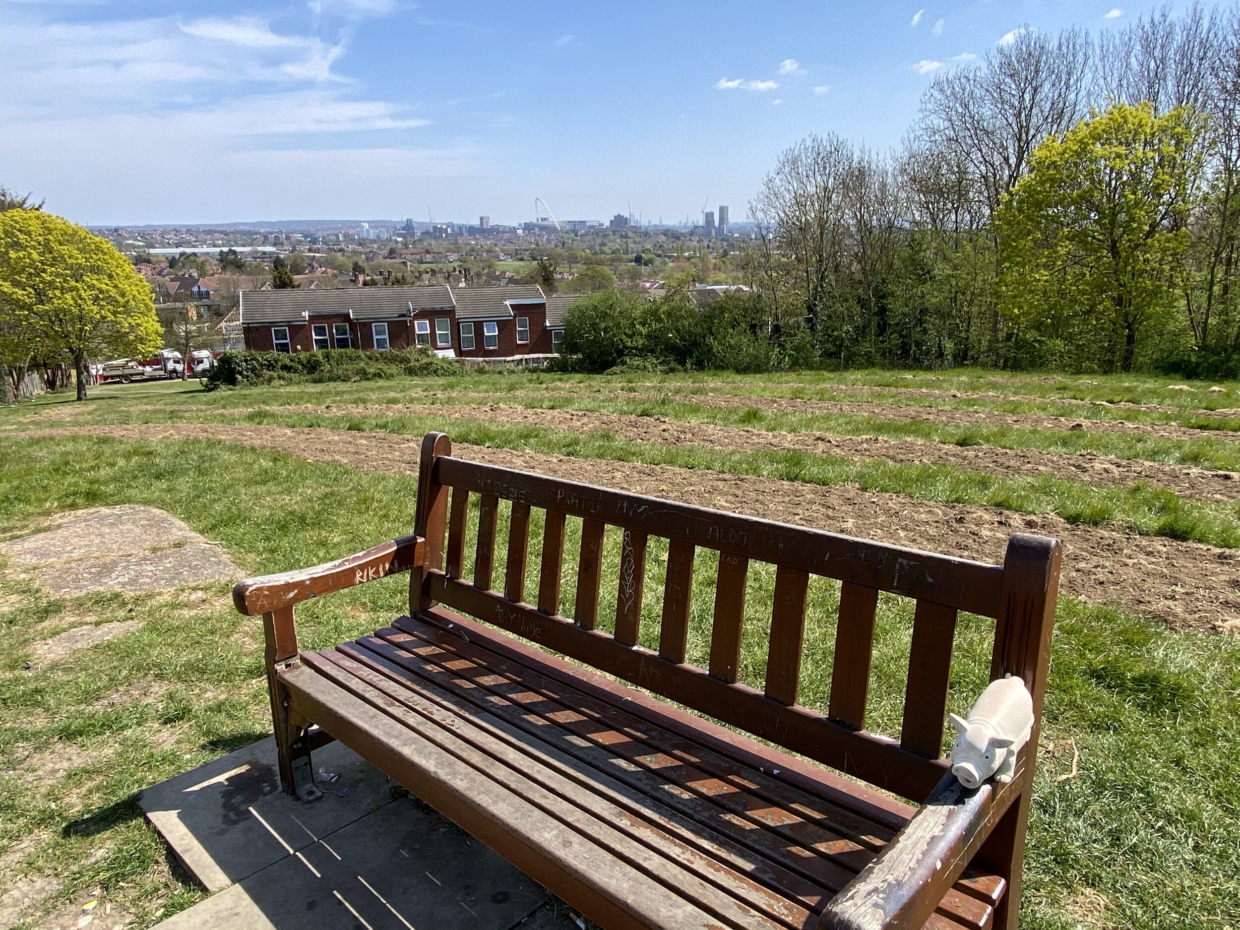
View to Wembley and the city from Sudbury Hill

View to Wembley and the city from Sudbury Hill


Start: Harrow on the Hill Station, Station Approach, Harrow, HA1 1BB
Finish
: Perivale Station, Horsenden Lane North, Perivale, Greenford, UB6 8AE
Distance: 7.9 km (4.9 miles)
Elevation change: +96m /- 146m. Net -50m
GPX File: get via Buy Me a Coffee
Other routes touched (walk): The Capital Ring, Grand Union Canal Paddington Arm
Other routes touched (cycle): N/A
Pubs / Cafes on route: Several on Harrow on the Hill High Street and around Sudbury Hill stations
Map: OS Explorer Map (173) London North, The City, West End, Enfield, Ealing, Harrow & Watford
Guidebook: Capital Ring (National Trail Guides) by Colin Saunders
Links: Harrow on The Hill, St Mary’s Church Harrow on the Hill, Sudbury Hill, Horsenden Hill

This route mostly follows the Capital Ring with a couple of short diversions to bag the high points of the London Boroughs of Brent and Ealing.

The map and route details above describe a route from Harrow on the Hill to Perivale Stations. A return trip by public transport would take you to from Perivale to Northolt by train then a bus to Harrow on the Hill. We had 2 cars for the trip so we were able to park one car at by St Mary’s Church, Harrow on the Hill and another at Horsenden Farm, both free at the time we went. This reduced the trip distance by about 1 km.

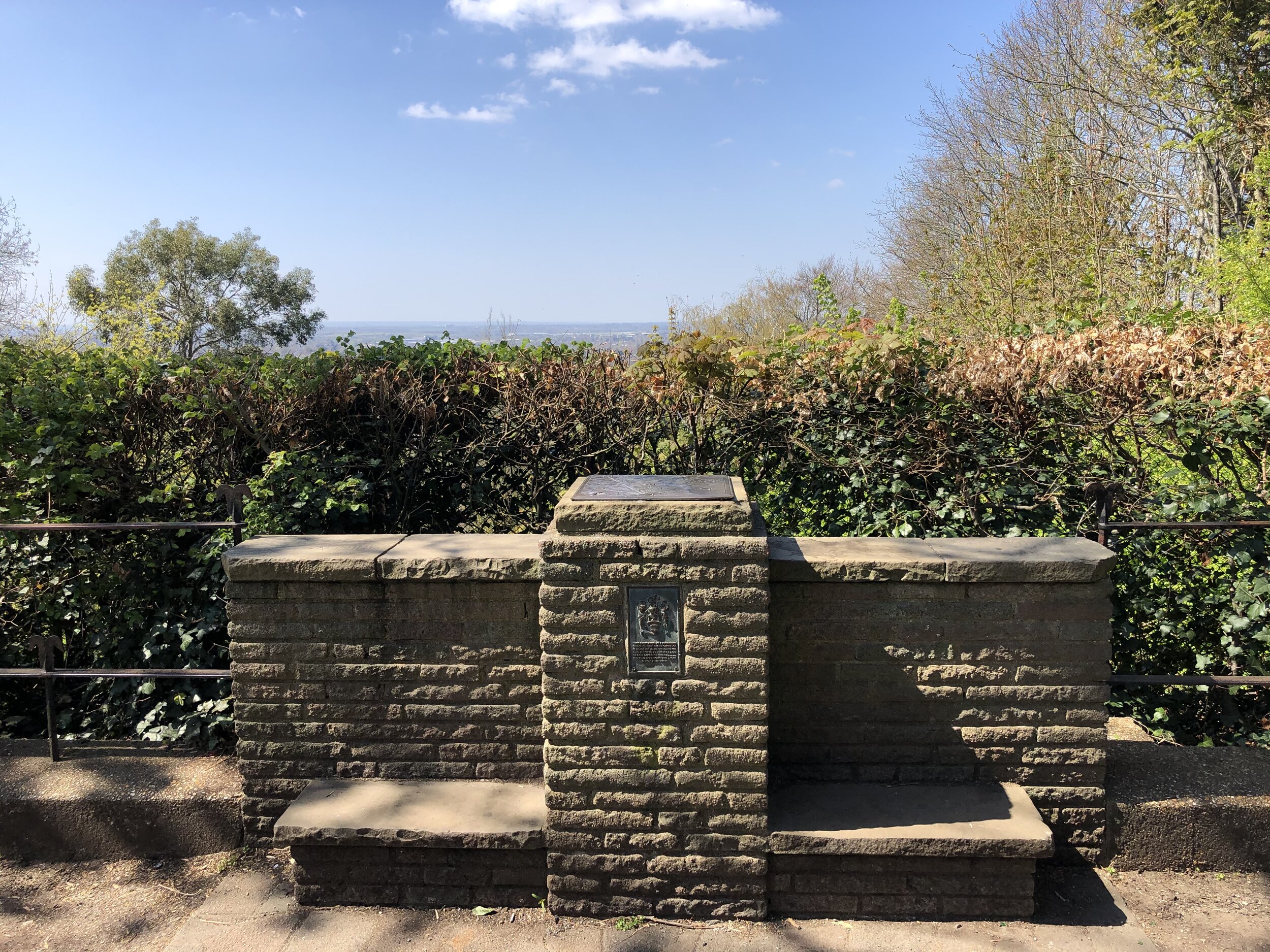
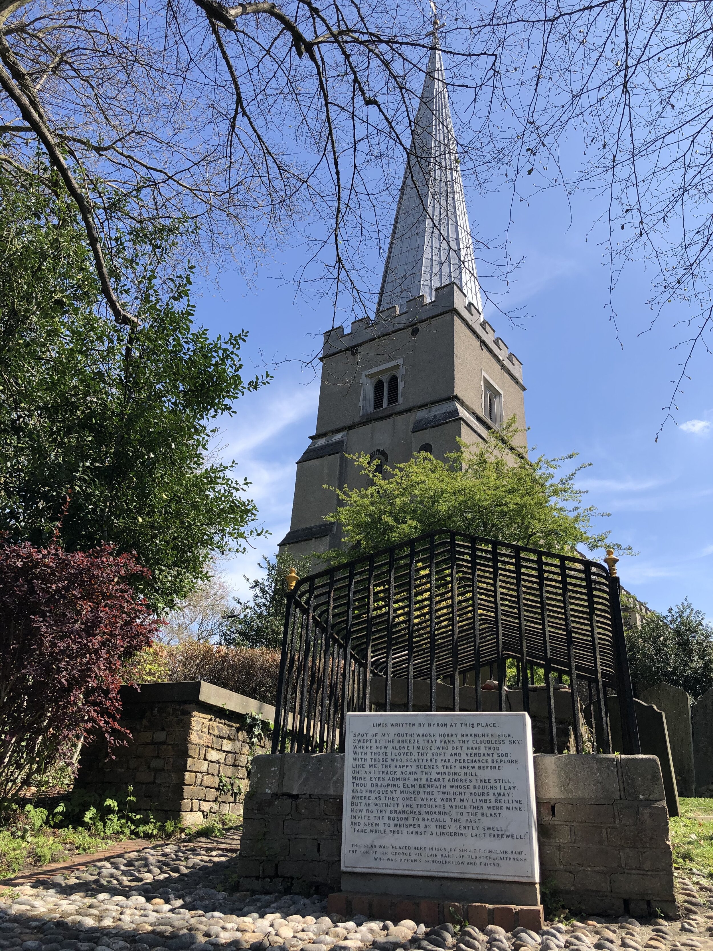
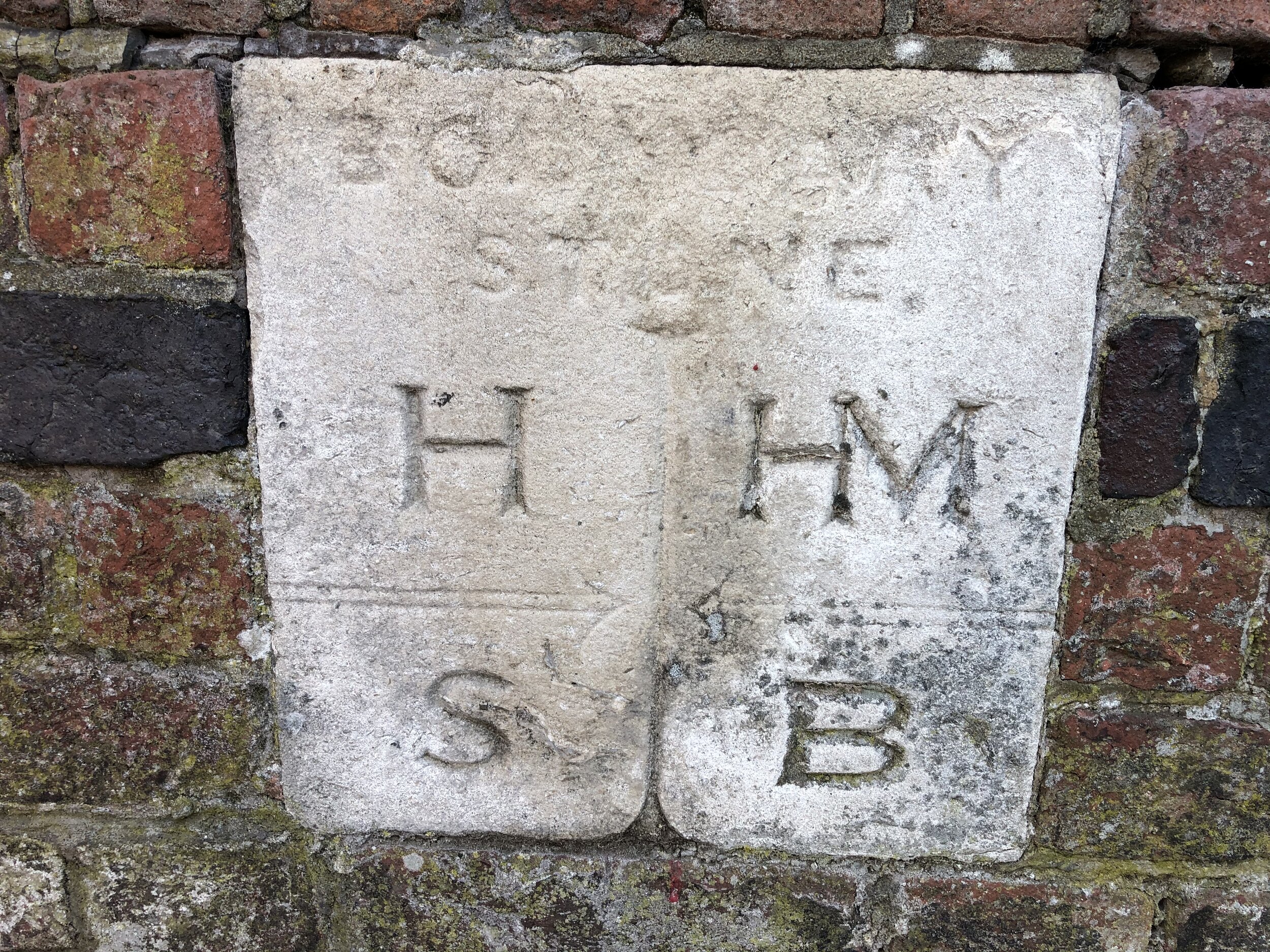
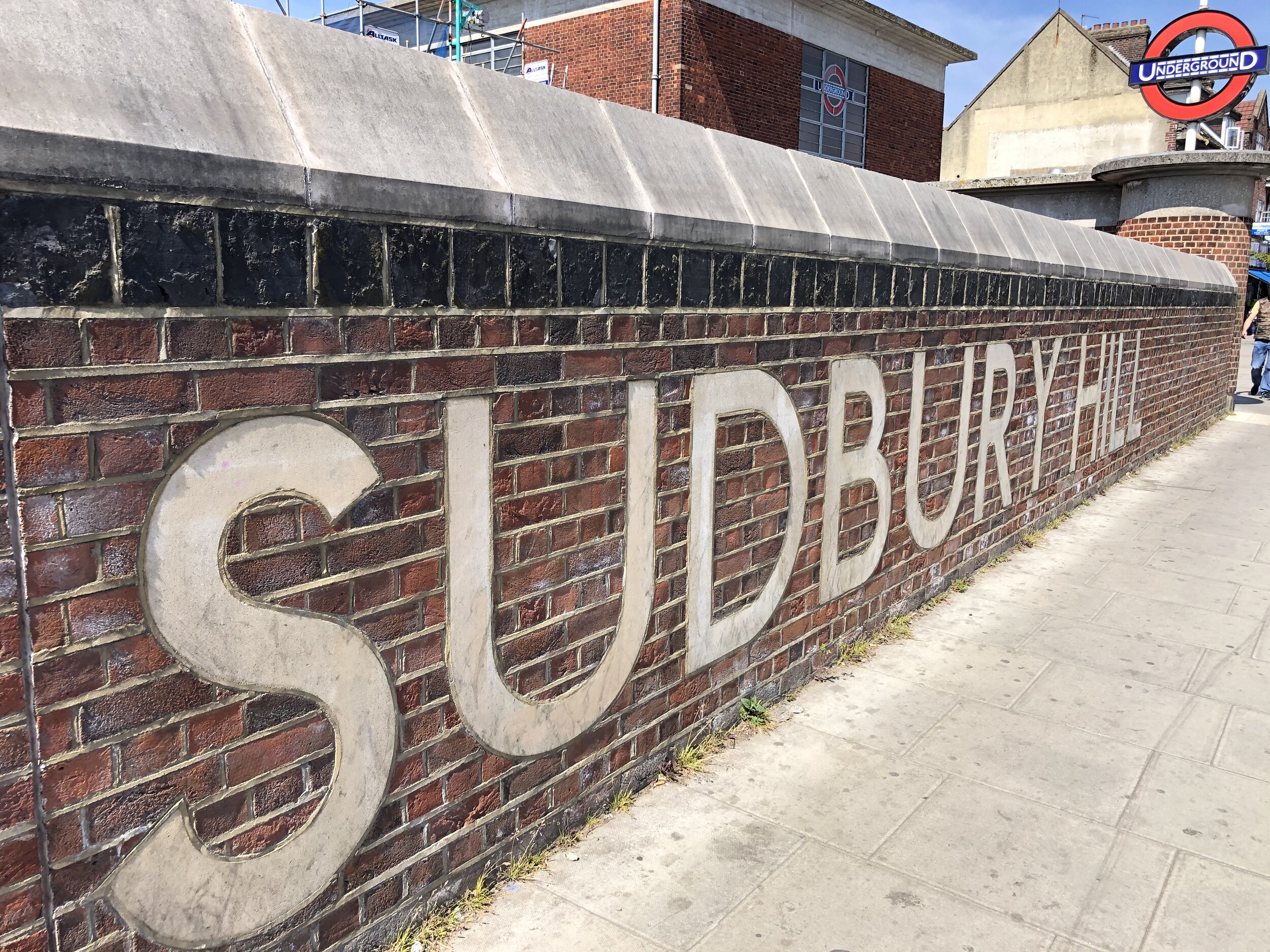
From Harrow on the Hill Station, walk south along Station Approach, taking a left onto Lowland’s Road (A404) and then cut south across The Grove Open Space. At the south end of the park you’ll follow the Capital Ring Link up to Lord Byron’s view in the grounds of St Mary’s Church. This is the top of Harrow Hill at 124m. It’s not the high point of Harrow, though as that’s Bushey Heath to the north. The name is thought to come from the Old English for 'heathen temple'. Its remains may well stand beneath St Mary's church, whose spire can be seen for miles around (source: How London’s Hills Got Their Names).

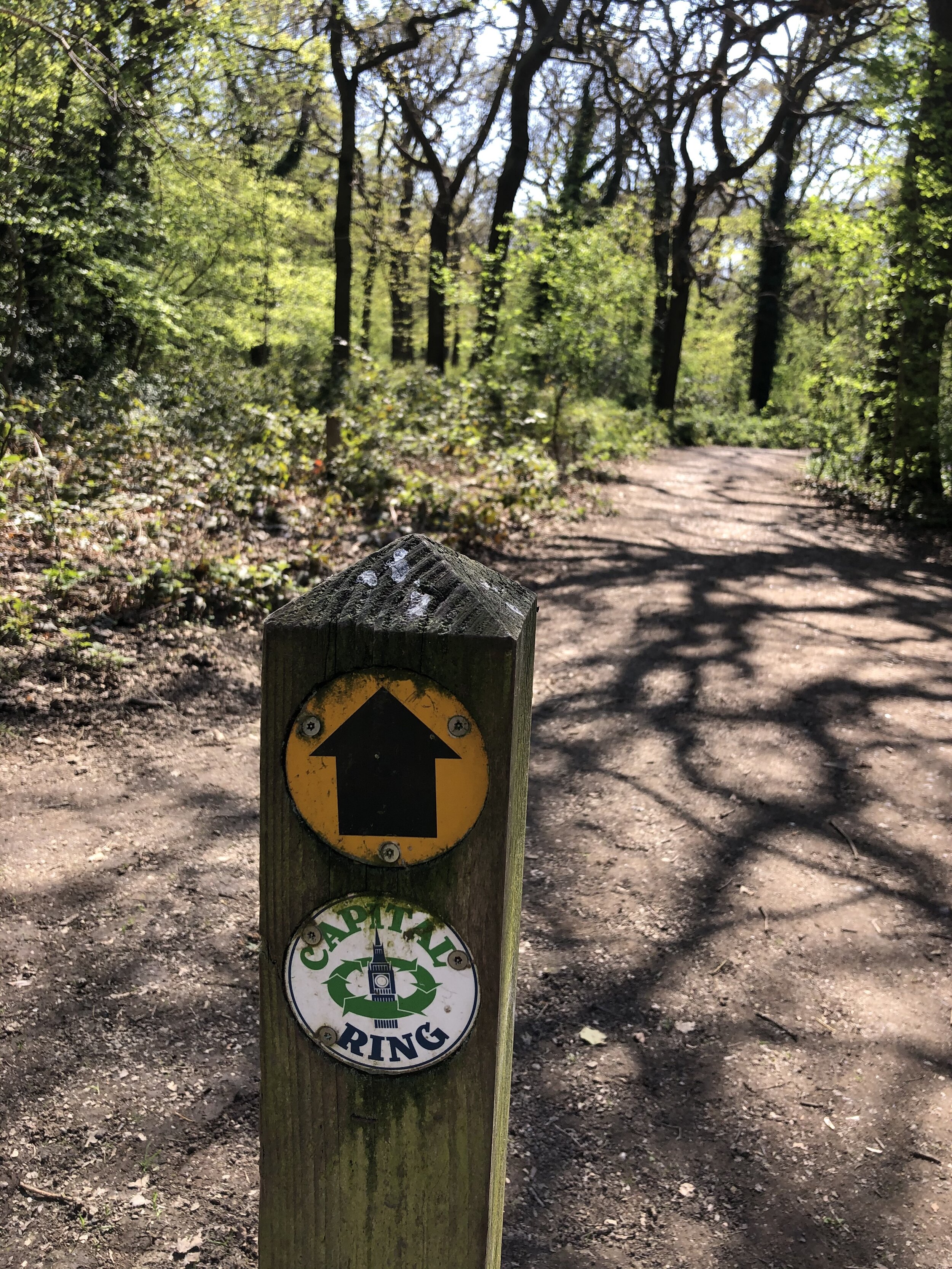
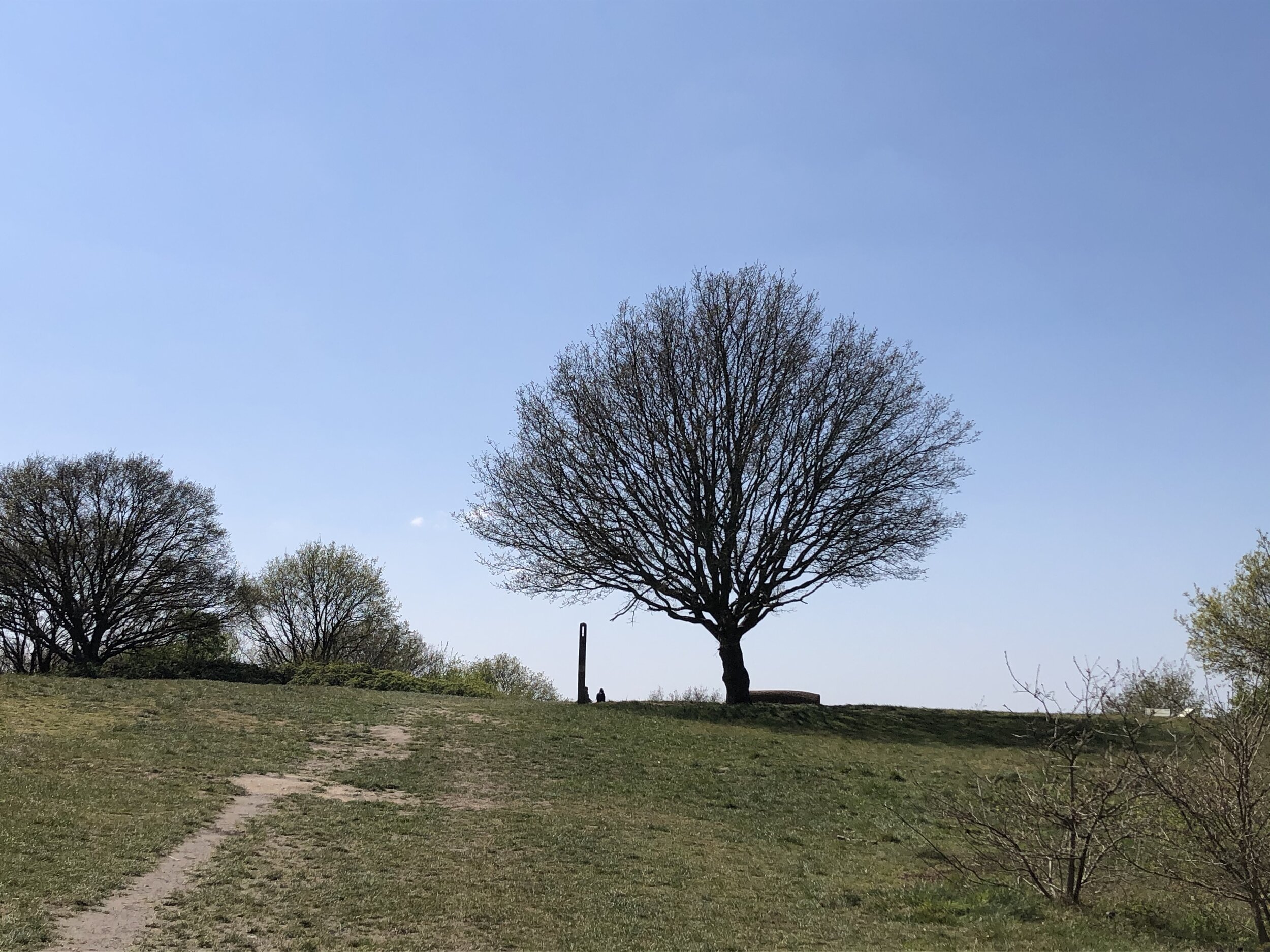
When exiting St Mary’s Church, walk south down Church Hill to High Street. You’ll now be on the Capital Ring which you’ll follow for most of the trip. When the Capital Ring leaves Sudbury Hill road at South Hill Avenue, keep walking down Sudbury Hill. At the intersection of Sudbury Hill, Greenford Road, Harrow Road and Sudbury Court Drive, take a left onto Sudbury Court Drive. Take the first right onto Sudbury Court Road then the footpath into Sudbury Hill Park. You can’t miss the tree that marks the (alternative) highest point in Brent.

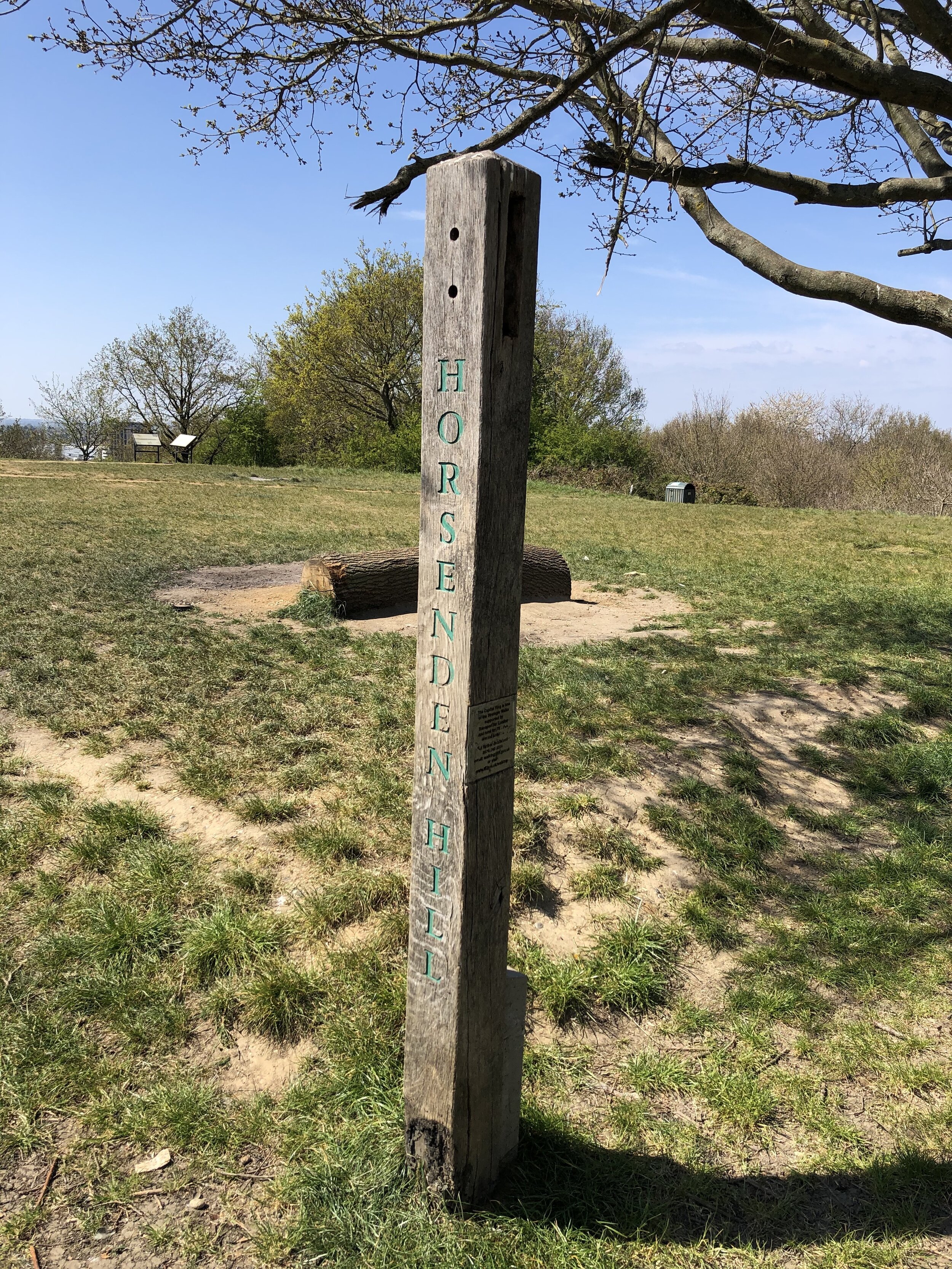
Take a moment to rest on the benches that are strangely turned away from the view before retracing your steps to the intersection. Continue south-west along Greenford Road, rejoining the Capital Ring at Sudbury Hill Harrow Station. Continue along the Capital Ring to the bridge over the Grand Union Canal, bagging the Trig Pillar at Horsenden Hill along the way. The car park at Horsenden Farm, next to the Grand Union, was our end point for the trip. If you’re finishing at Perivale station, cross over the Grand Union and keep walking down Horsenden Lane South for ~600m.


route-34784737-map-full.png
elevation_profile.jpg

The tree at the top of Sudbury Hill

The tree at the top of Sudbury Hill

Sudbury Hill

Significance: (alternative) Highest peak in London Borough of Brent
Member of: N/A
Parent Peak: Haddington Hill. NHN = Wakeman’s Hill Avenue (the other high point in Brent)
Historic County: Middlesex (of which Bushey Heath is the County Top)
Elevation: 91m
Date “climbed”: 24th April 2021
Coordinates: 51° 33' 45'' N, 0° 19' 29'' W
Nearest Station: Sudbury Hill Harrow (Chiltern Railways): 1.9 km
On route of: N/A. The Capital Ring is 1.1 km to the south-west
Map: OS Explorer Map (161) London South, Westminster, Greenwich, Croydon, Esher & Twickenham
Links: Wikipedia (Brent), Wikipedia (Sudbury Hill), Peakbagger, Hillbagging

This may be 1 metre lower than the official high point of Brent but it’s likely the most interesting. The higher point is in the middle of a residential street and looks tedious. I’ll confirm that soon when I get round to visiting it. At last this one feels like a summit and has some views of the city.


IMG_7783.jpg

Horsenden Hill

Significance: Highest peak in London Borough of Ealing
Member of: N/A
Parent Peak: Haddington Hill. NHN = Sudbury Hill
Historic County: Middlesex (of which Bushey Heath is the County Top)
Elevation: 85m
Date “climbed”: 24th April 2021
Coordinates: 51° 32' 46'' N, 0° 19' 34'' W
Nearest Station: Sudbury Town (Piccadilly Line): 1.6 km
On route of: The Capital Ring is 0.1 km to the north
OS Trig Pillar: TP4023 - Horsenden Hill
Map: OS Explorer Map (161) London South, Westminster, Greenwich, Croydon, Esher & Twickenham
Links: Wikipedia (Ealing), Wikipedia (Horsenden Hill), Peakbagger, Hillbagging

Signs of an Iron Age settlement from 2500 BC have been found on and around the hill. Its present name can be traced back to Saxon times and probably refers to a hill fort controlled by a chap called Horsa (source: How London’s Hills Got Their Names).

Unlike Sudbury there’s no disputes about this being the highest point in Ealing.


Chiltern Walks: Goring & Streatley Station Circular
IMG_7722.JPEG

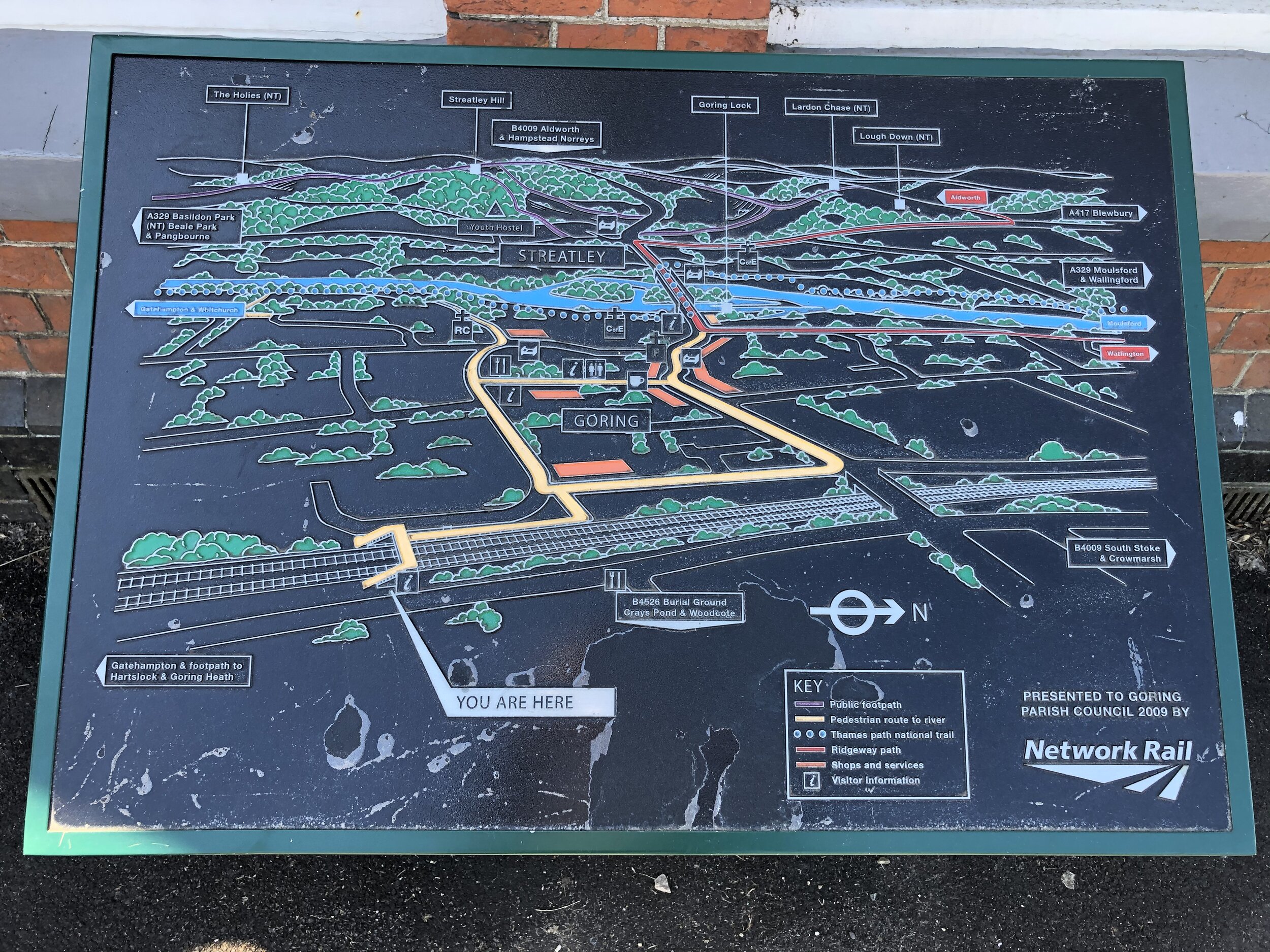
Start & Finish: Goring Station, Goring, Reading, RG8 0ES
Distance: 8.9 km (5.5 miles)
Elevation change: +/- 155m
GPX File: get via Buy Me a Coffee
Other routes touched (walk): The Chiltern Way Southern Extension
Other routes touched (cycle): N/A
Pubs / Cafes on route: None, although there are several in Goring Town Centre close to the start & finish
Map: OS Explorer Map (171) Chiltern Hills West, Henley-on-Thames and Wallingford
Links: Goring-on-Thames, Goring & Streatley Station


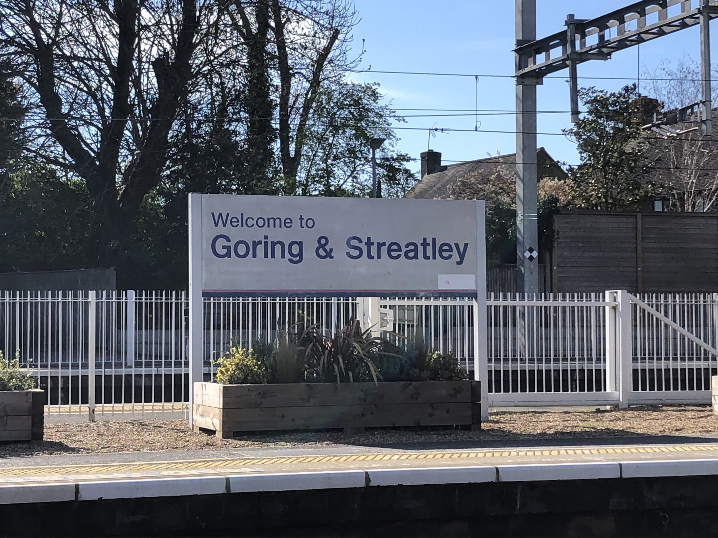
For the latest in our series of ~10k walks from Chilterns Railway Stations we went to the far west to Goring. Goring & Streatley is the only station on the GWR mainline that’s within the Chilterns. Both the stations either side of it, Pangbourne and Cholsey are on the other side of the Thames and outside of the AONB. The guidance below will help you navigate but don’t use it as a fully accurate turn-by-turn guide. Always take a map and/or a GPX route and prepare well for the weather and terrain.

From the start at Goring and Streatley Station, walk north toward the road bridge over the railway and take a right onto Farm Road. From here you’ll follow the Chiltern Way Southern Extension through housing, then wooded paths, steadily climbing away from the river. Shortly after Wroxhill Woods, take a right hand footpath off Beech Lane at a farm entrance. You’ll now leave the Chiltern Way and will be heading south across farmland.

At a path intersection take the left hand path and continue down to Elvendon Lane. Take a left onto the lane, following it easterly for 100m before taking a right hand path. Follow this path in a south-easterly direction, carefully crossing Reading Road. Continue south until you meet Blackbird’s Bottom (a lane). Take a right onto Blackbird’s bottom and follow it in a westerly direction until you meet the Chiltern Way again. Follow the Chiltern Way until you arrive back at Goring & Streatley Station.


route-35646058-map-full.png
elevation_profile.jpg

Cycling The Prime Meridian Part 2 - Waltham Abbey to Peterborough
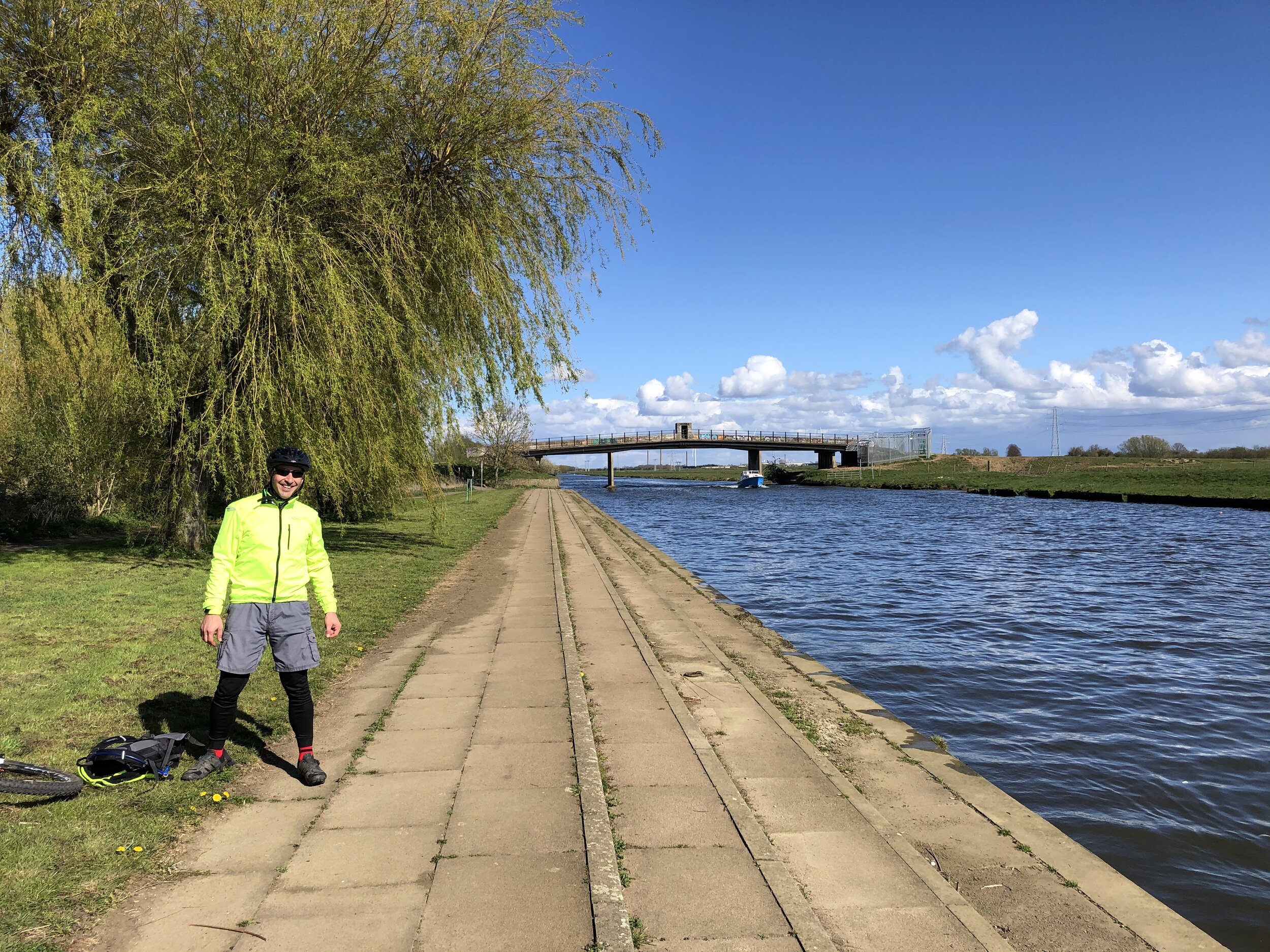
Crossing the River Nene in Fenland

Crossing the River Nene in Fenland


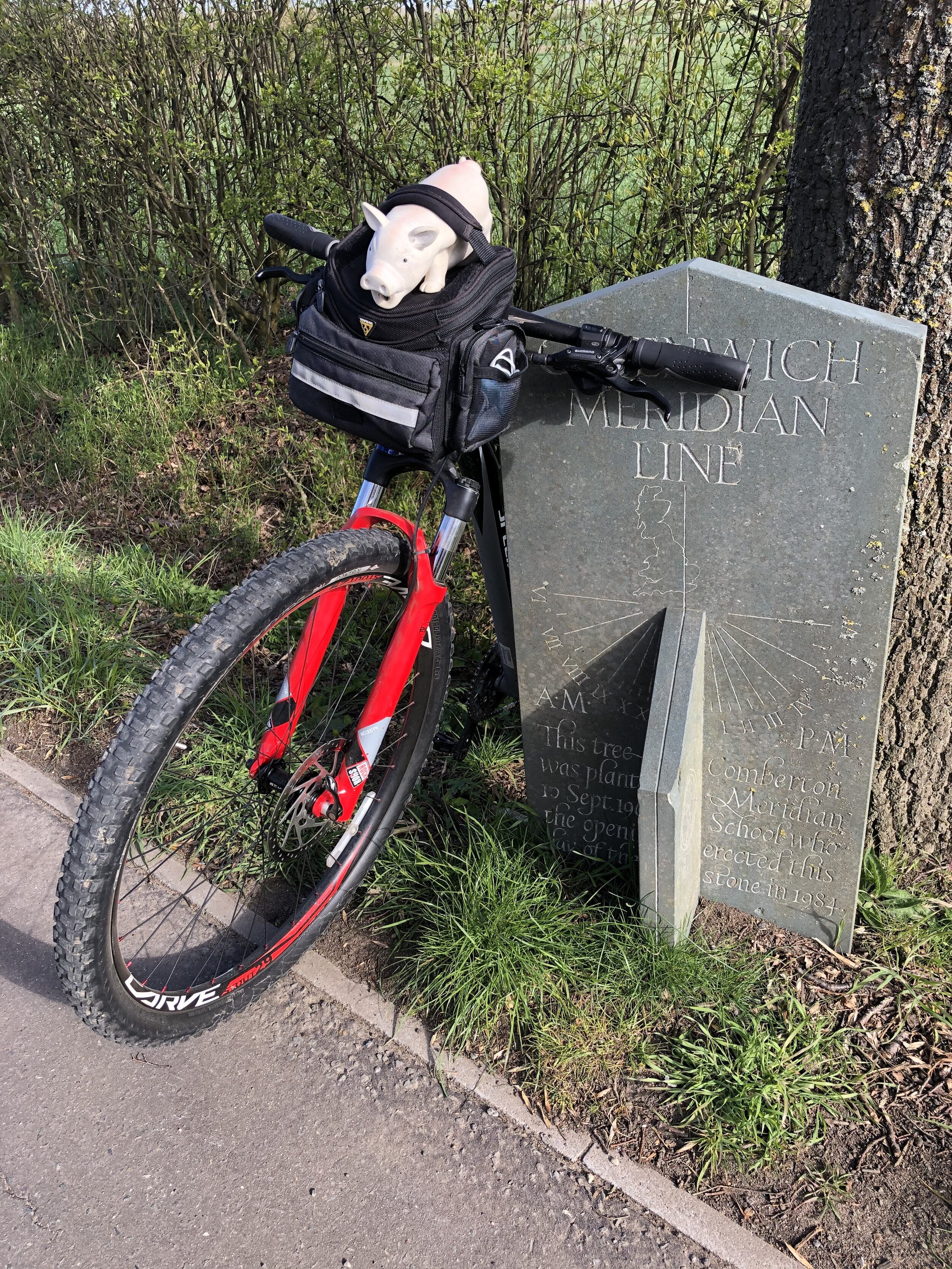
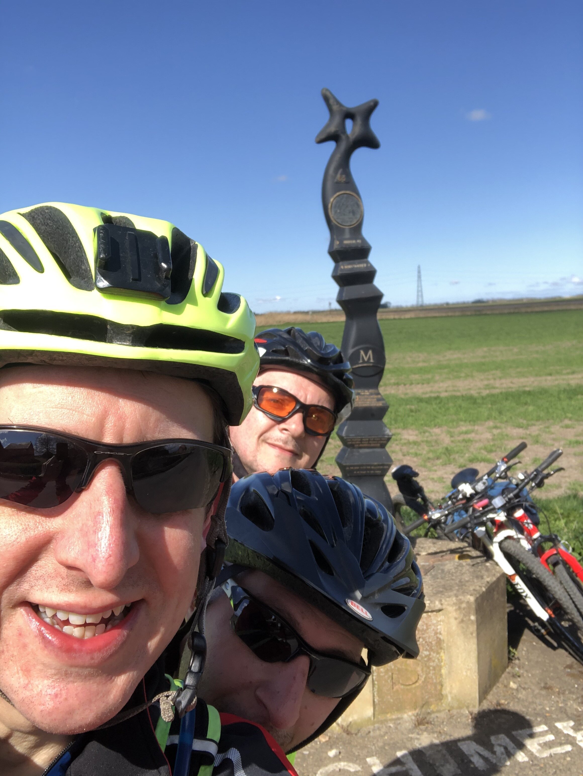
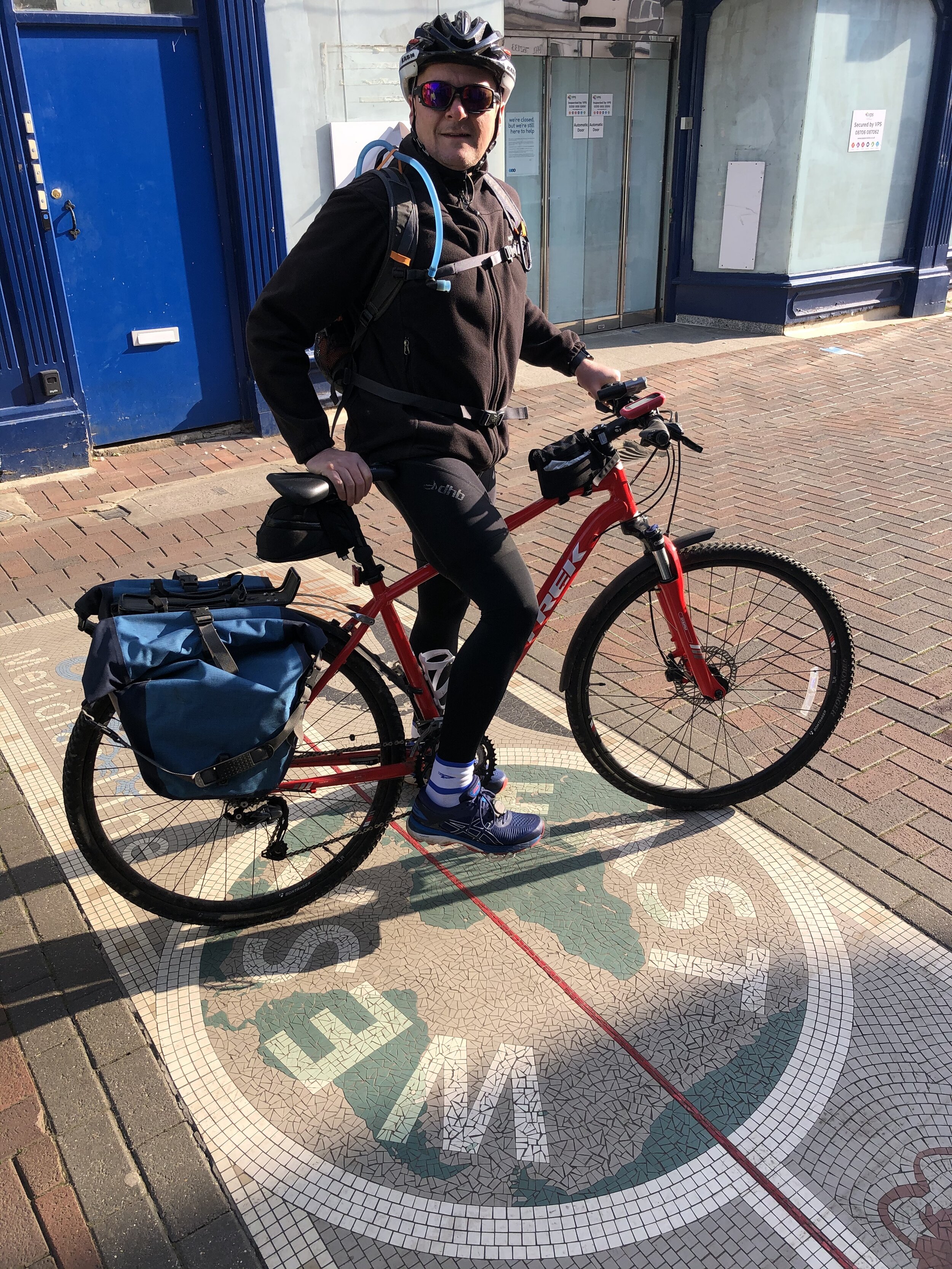
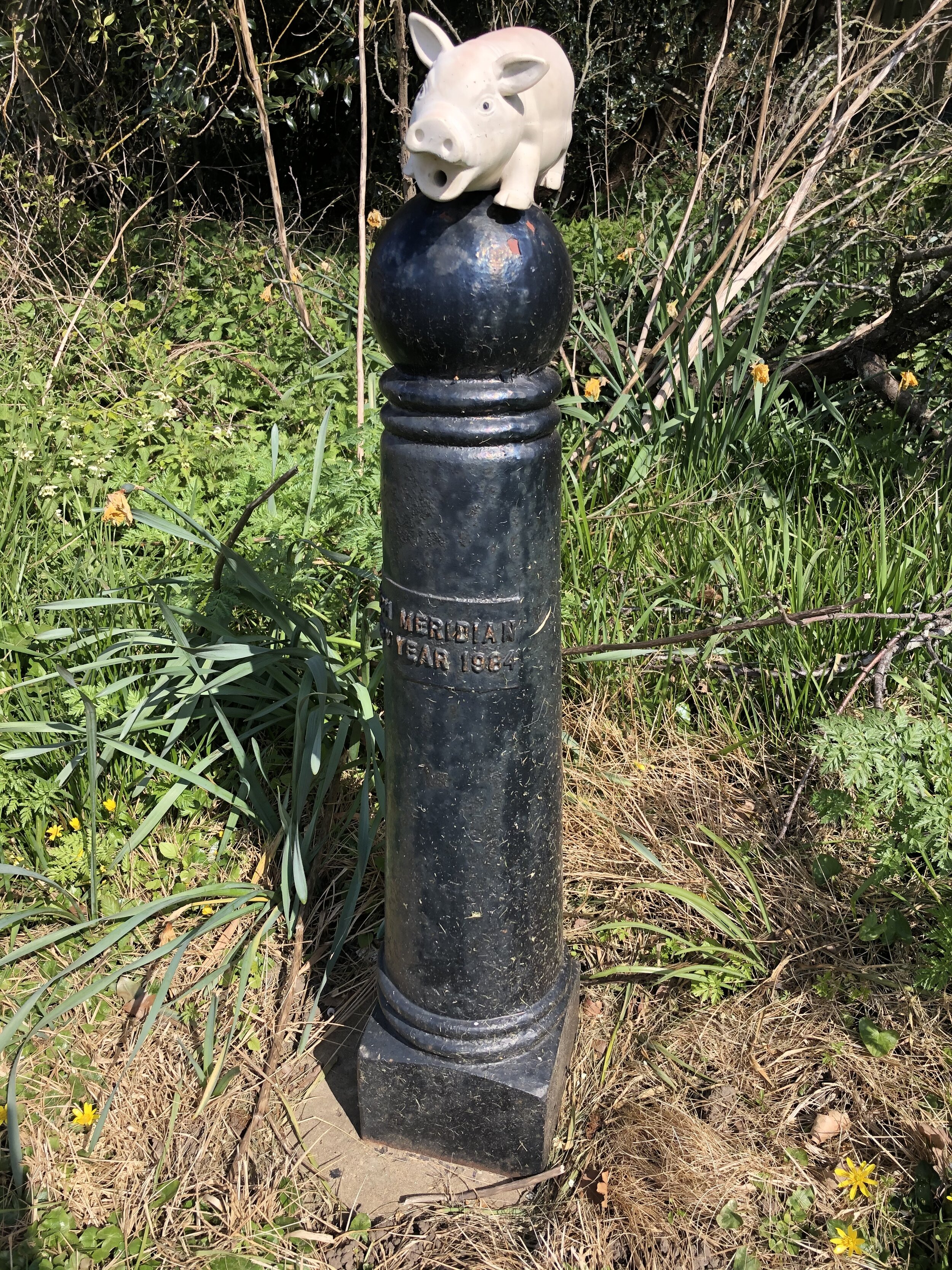
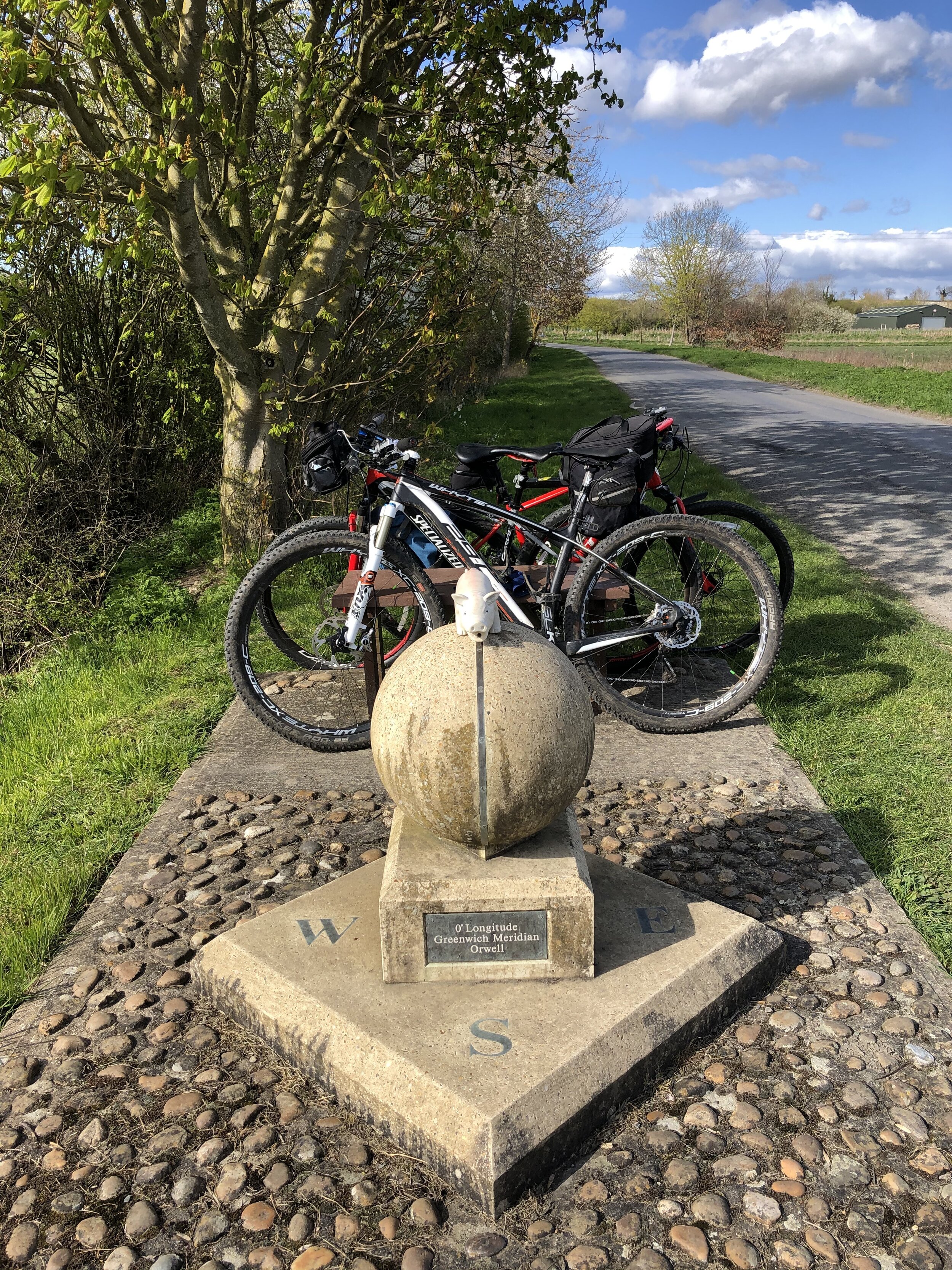
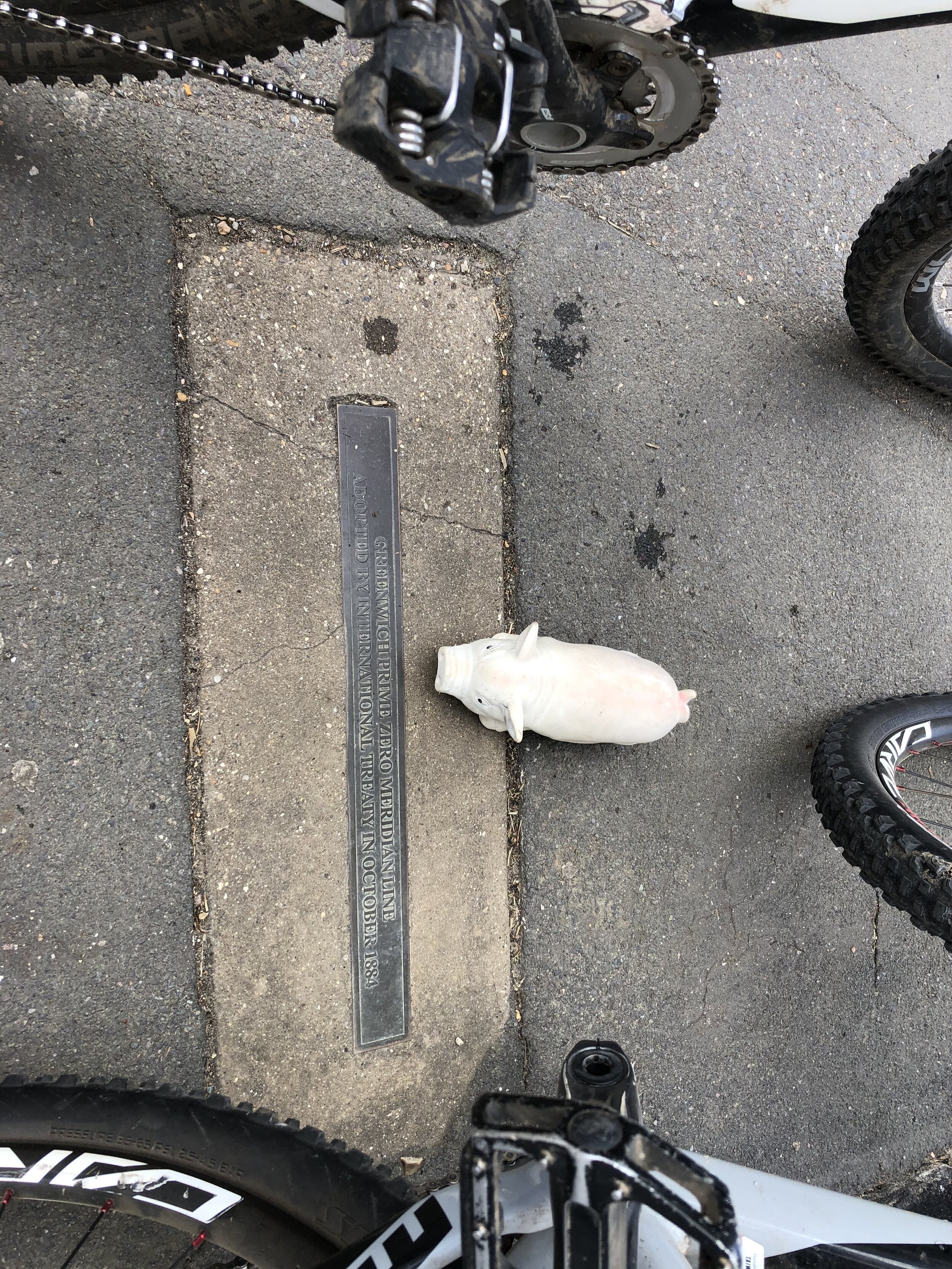
The Prime Meridian, also known as the Greenwich Meridian, is the line of longitude defined as 0°. It’s the line that divides East and West. It’s also a line that I asked myself: “can that be cycled"?”. The answer is “no” as it’s a dead-straight line with buildings inconveniently built along it's path. You can cycle quite close to it though, so that’s what we did.

If you want to walk it, there’s a well-signed path called the Greenwich Meridian Trail. The Trail is also very well described in a series of 4 books by Graham and Hilda Heap. The cycle route that I designed stays as close to the Prime Meridian as possible but avoiding footpaths and opting for quieter country roads over busy main roads. Even if you’re cycling I highly recommend the Greenwich Meridian Trail books as they’re a great guide to the interesting things to see along the way.

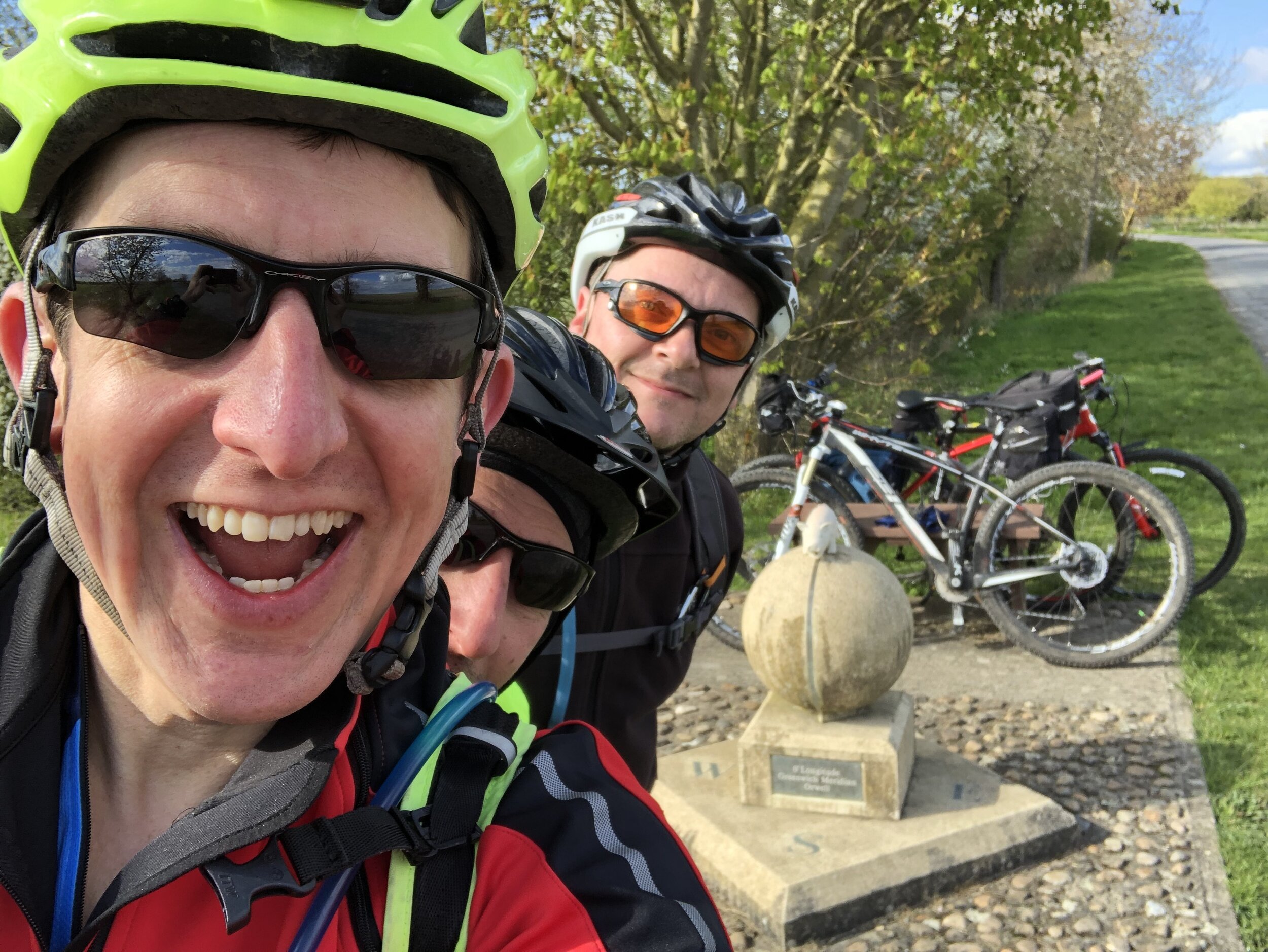
It had been 9 months since Brian and I cycled the first part from Peacehaven to Waltham Abbey. There had been 2 Covid-19 Lockdowns since then and we were eager to get out on the road. So, as soon as we were able to travel again we picked up an additional cycle buddy and headed to Waltham Abbey.

Day numbers below are for the total Prime Meridian trip starting in Peacehaven.


Day 3: Waltham Abbey to Barton

Start: Waltham Abbey Church, 4 Church St, Waltham Abbey EN9 1DJ
Finish: The White Horse Inn, 118 High St, Barton, Cambridge, CB23 7BG
Distance: 76 km (47 miles)
Elevation change: + 517m / -517m (Net 0m)
GPX File: get via Buy Me a Coffee
Other routes touched (walk): Greenwich Meridian Trail, Lea Valley Walk, New River Path, Hertfordshire Way, Icknield Way, Harcamlow Way,
Other routes touched (cycle): NCN 1, 61, Icknield Way Trail, National Byway
Pubs / Cafes on route:
Lots, but I recommend The Heath Cafe Bar at Royston
Maps:
- OS Explorer Map (174) Epping Forest & Lee Valley Map
- OS Explorer Map (194) Hertford and Bishop's Stortford
- OS Explorer Map (209) Cambridge, Royston, Duxford & Linton
Guidebook: Greenwich Meridian Trail Book 2: Greenwich to Hardwick
Links: Wikipedia: Prime Meridian, The Greenwich Meridian, Greenwich Meridian Trail, Waltham Abbey, Lea Valley Park, Ware, Royston, Barton

route-35693412-map-full.png
elevation_profile.jpg

Day 4: Barton to Peterborough

Start: The White Horse Inn, 118 High St, Barton, Cambridge, CB23 7BG
Finish: Peterborough Railway Station, Peterborough, PE1 1QL, United Kingdom
Distance: 88.9 km (55.2 miles)
Elevation change: +246m / - 253m (Net -9m)
GPX File: get via Buy Me a Coffee
Other routes touched (walk): Greenwich Meridian Trail, Harcamlow Way, Wimpole Way, Pathfinder Way, Ouse Valley Way, Rothschild Way, Nene Way
Other routes touched (cycle): NCN 12, 51, 63, National Byway
Pubs / Cafes on route:
Lots, but I recommend The Nook at Swavesey, The Rose and Crown Somersham and Nanas Team Room Chatteris
Maps:
- OS Explorer Map (209) Cambridge, Royston, Duxford & Linton
- OS Explorer Map (225) Huntingdon and St.Ives, Grafham Water
- OS Explorer Map (227) Peterborough
Guidebook: Greenwich Meridian Trail Book 2: Greenwich to Hardwick and Greenwich Meridian Trail Book 3: Hardwick to Boston
Links: Wikipedia: Prime Meridian, The Greenwich Meridian, Greenwich Meridian Trail, Barton, Hardwick, Swavesey, St. Ives, Somersham, Chatteris, Peterborough

As you can see from the map below, both Barton and (especially) Peterborough are a bit off course for the Prime Meridian. The choice of Barton was really down to post-Lockdown availability of hotels. In normal times there would likely be more options. Given the choice we would have stayed in Hardwick where the 2nd Greenwich Meridian Trail book ends.

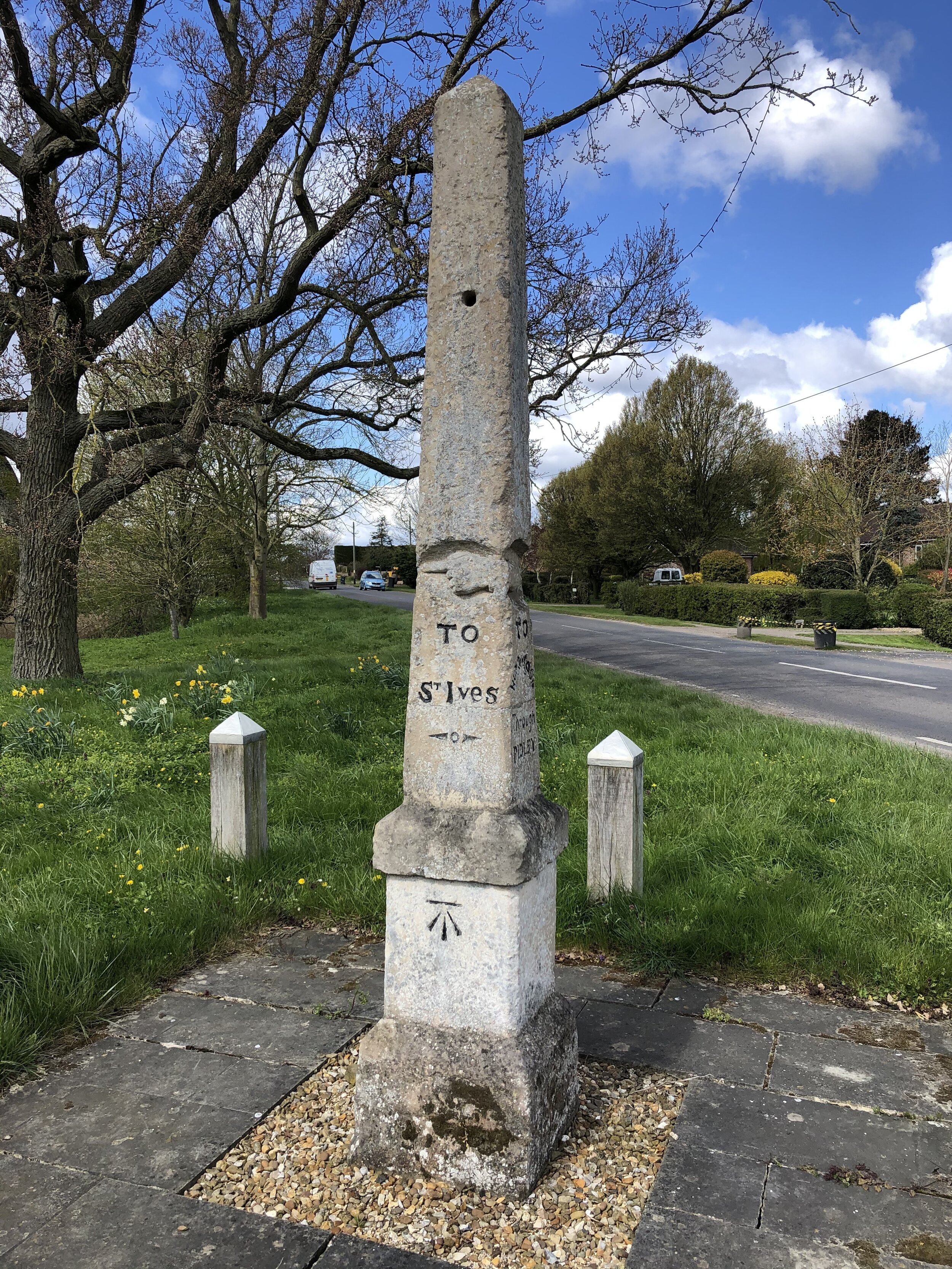
Peterborough is actually a long way off course at 22 km away from the final Meridian marker of the trip. This was our end point as we were taking the train from there back to the start. We took a Thameslink train to Potters Bar via a change at Hitchen. From Potters Bar, Waltham Abbey is a 50 minute cycle ride or, as we did a 20 minute drive as we left a car at Potters Bar and another at Waltham Abbey.

route-35693414-map-full.png
elevation_profile (1).jpg

The Missing Link: March to Fleet

route-36921279-map-full.png

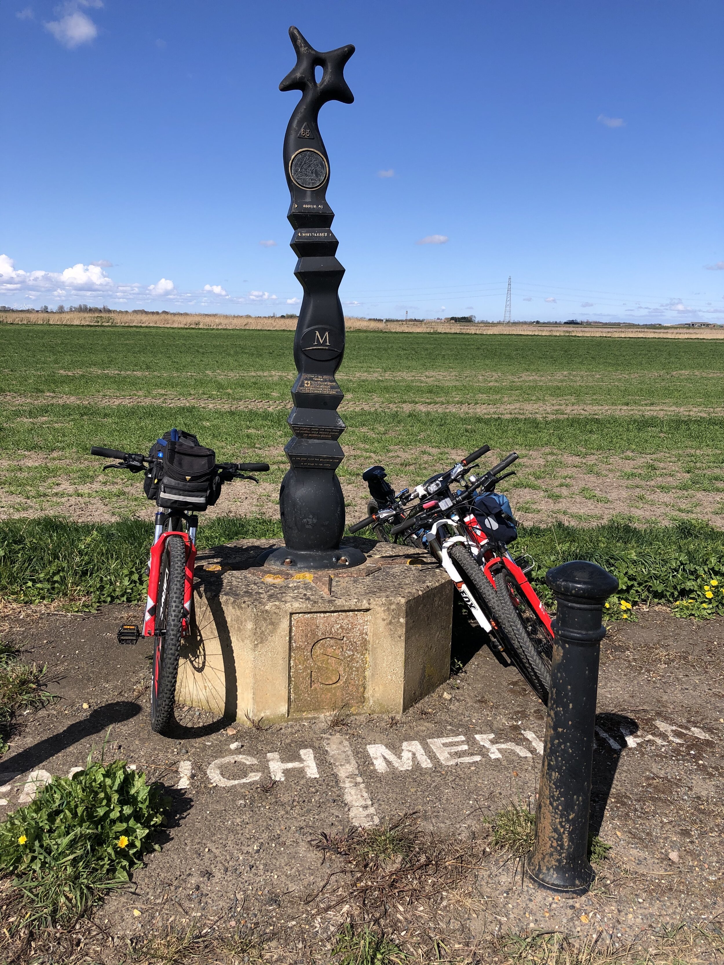
If you’re not taking the Peterborough diversion to end the section there, here’s how to continue up the Meridian. This section starts at the last Meridian marker on Day 4 and picks up the Day 5 route at the first Meridian marker. You’ll save ~20k by taking this route rather than going via Peterborough. There’s not much to see though and few options for food and accommodation.

elevation_profile.jpg

Start: Turves Sustrans Millennium Marker. Grid Ref TL 35692 97021
Finish: Fleet Obelisk. Grid Ref TF 35123 15538
Distance: 28.7 km (17.8 miles)
Elevation change: +91m / - 89m (Net -2m)
GPX File: get via Buy Me a Coffee
Other routes touched (walk): Greenwich Meridian Trail, Nene Way
Other routes touched (cycle): NCN 63
Maps:
-
OS Explorer Map (227) Peterborough
- OS Explorer Map (235) Wisbech and Peterborough North


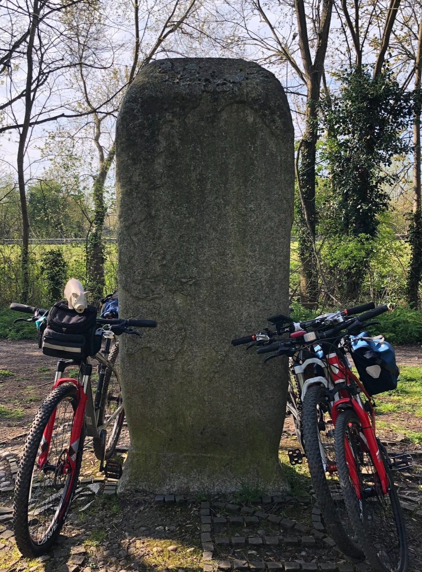
Prime Meridian markers on the route


Chiltern Walks: Saunderton and Loosley Row
Ascent from Smalldean Lane

Ascent from Smalldean Lane


Start & Finish: Saunderton Station, High Wycombe, HP14 4HX
Distance: 9.1 km (5.6 miles)
Elevation change: +/- 125m
GPX File: get via Buy Me a Coffee
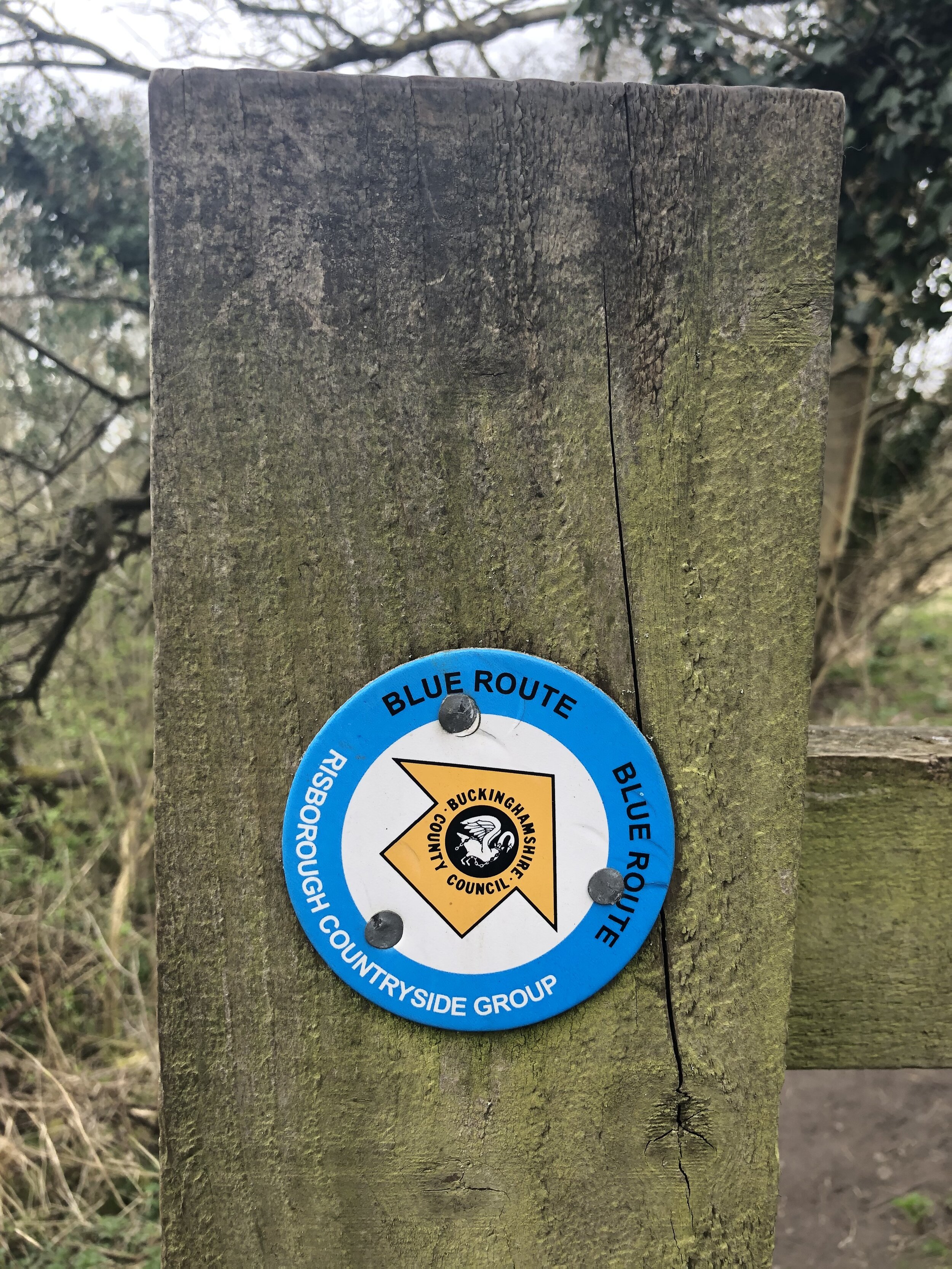
Other routes touched (walk): Chiltern Way, The Ridgeway, Risborough Blue Route
Other routes touched (cycle): Chilterns Cycleway
Pubs / Cafes on route: The Golden Cross, Saunderton at start and finish.
Map: OS Explorer Map (171) Chiltern Hills West, Henley-on-Thames and Wallingford and OS Explorer Map (172) Chiltern Hills East
Links: Saunderton, Saunderton Station, Loosley Row


For the latest of our Chiltern Rail based walks we visited Saunderton. Once a Victorian-era industrial town, it’s now a quiet village in a scenic Chiltern valley. The guidance below will help you navigate but don’t use it as a fully accurate turn-by-turn guide. Always take a map and/or a GPX route and prepare well for the weather and terrain.

From the train station cross the A4010 Wycombe Road and walk north-west up Smalldean Lane. As you pass the back entrance to The Residence on the right hand side, take a footpath that runs along the field edge parallel to Smalldean Lane. At the end of the field there’s a small gap in the hedge where you can get back onto the lane. Walk back along the lane for ~100m and take the right hand footpath up the hill to the north-east.

Continue along this path, following the ridgeline for nearly 2km until you reach Little Lane. Cross over and take Foundry Lane into Loosley Row village centre. Shortly after passing the old Foundry, take a right up Loosely Hill to the crossroad with Lower Road. Take a left onto Lower Road to join the Chiltern Way. After 100m take a left off Lower Road, continuing to follow the Chiltern Way through a farm. Follow the Chiltern way for another 1.5 km until you meet The Ridgeway next to the railway line. Carefully cross the rail line via the level crossing and continue to follow the Ridgeway south. Here you’ll leave the Chiltern Way which heads north next to the rail line.

Here the Ridgeway cuts through Princes Risborough Golf Course and meets Lee Road. Here continue south along Lee Road rather than taking the Ridgeway to the east. When Lee Road curves to the left, continue south along the footpath through a farm. Keep to the main path on a south-westerly direction, eventually returning to Saunderton.


route-34620371-map-full.png
elevation_profile.jpg

Walking The North Downs Way Part 1 - Farnham to Puttenham

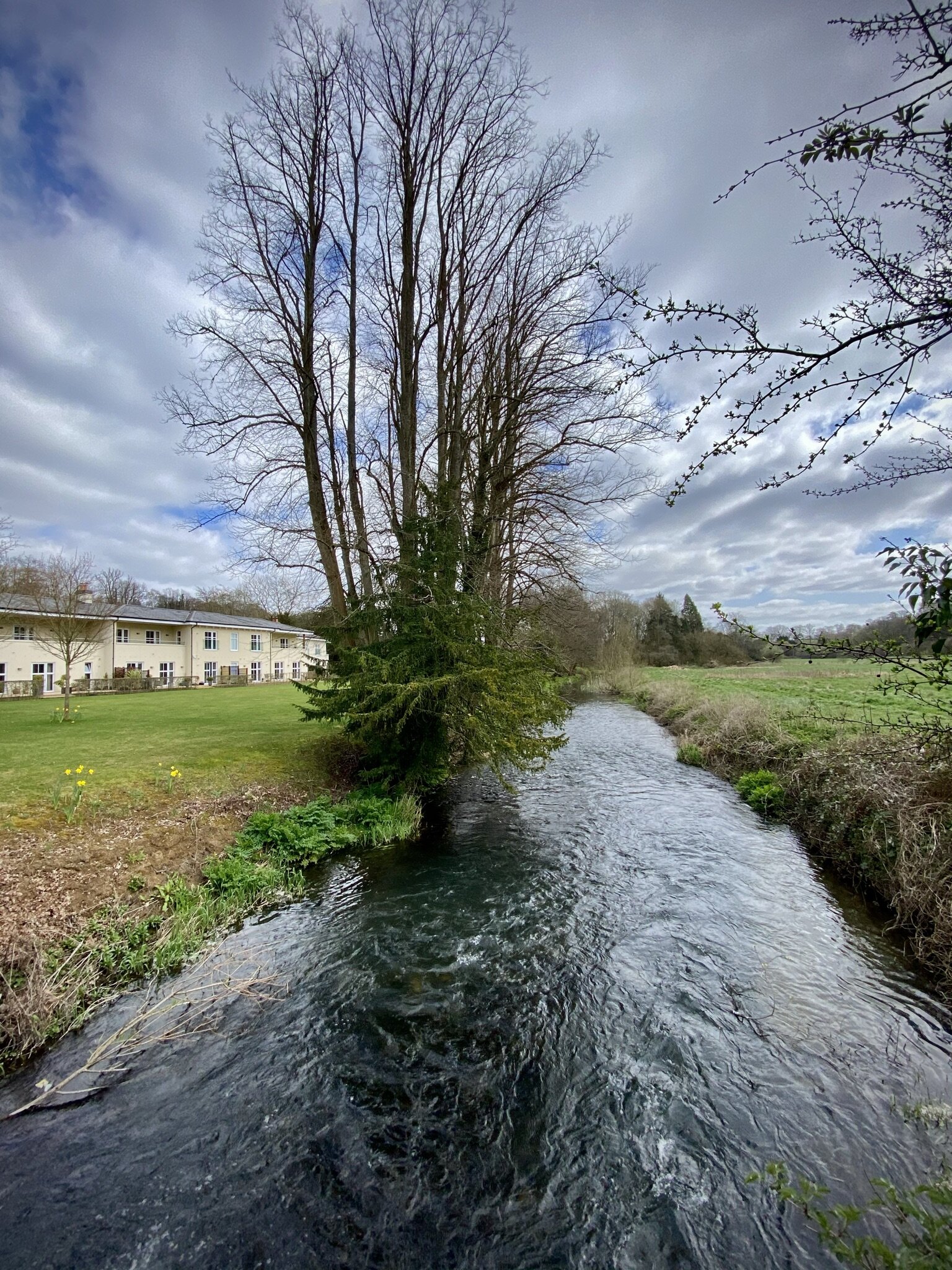
Following the River Wey at Farnham


Start: Farnham Station, Farnham, GU9 8AG
Finish
: The Good Intent Pub, 60-62 The Street, Puttenham, Guildford, GU3 1AR
Distance: 10.6 km (6.6 miles)
Elevation change: +118m / -100m. Net +8m
GPX File: get via Buy Me a Coffee
Other routes touched (walk): Puttenham Walk (SCC)
Other routes touched (cycle): NCN 22
Pubs / Cafes on route: None on route but several in Farnham plus the Good Intent Pub at the end
Map: OS Explorer Map (145) Guildford and Farnham
Guidebook: The North Downs Way National Trail from Farnham to Dover (Cicerone)
Links: Farnham, Farnham Railway Station, Puttenham


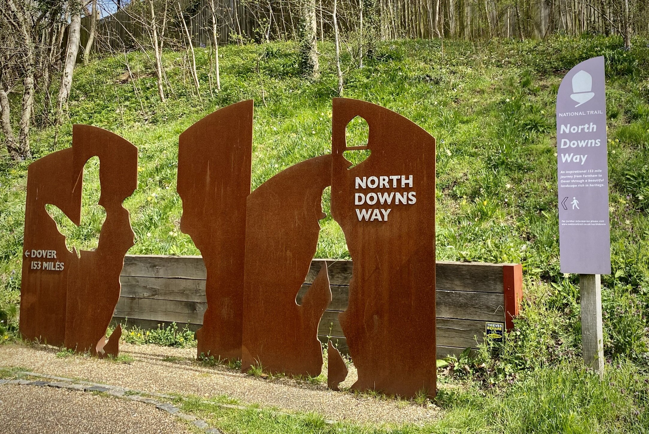
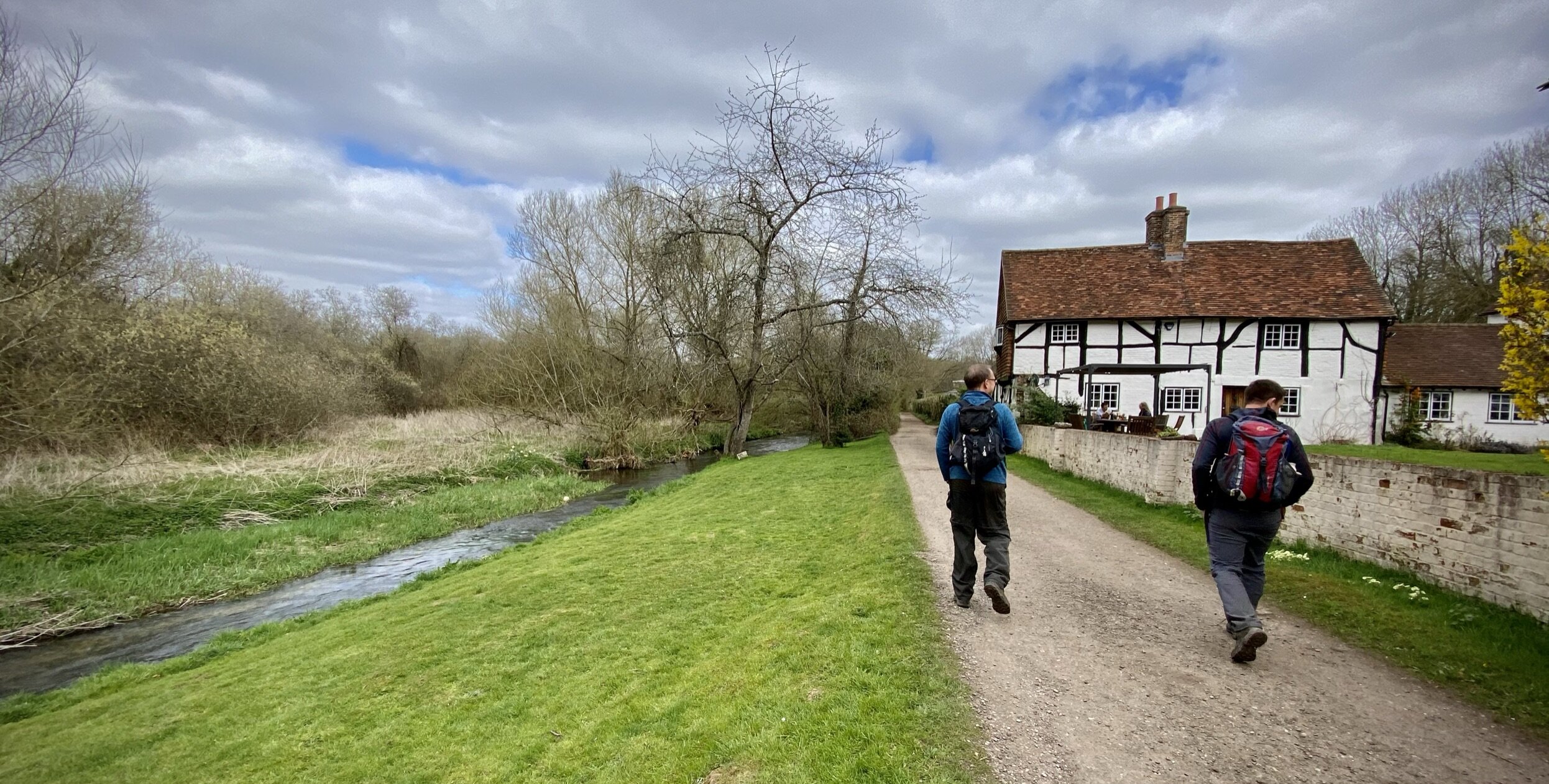
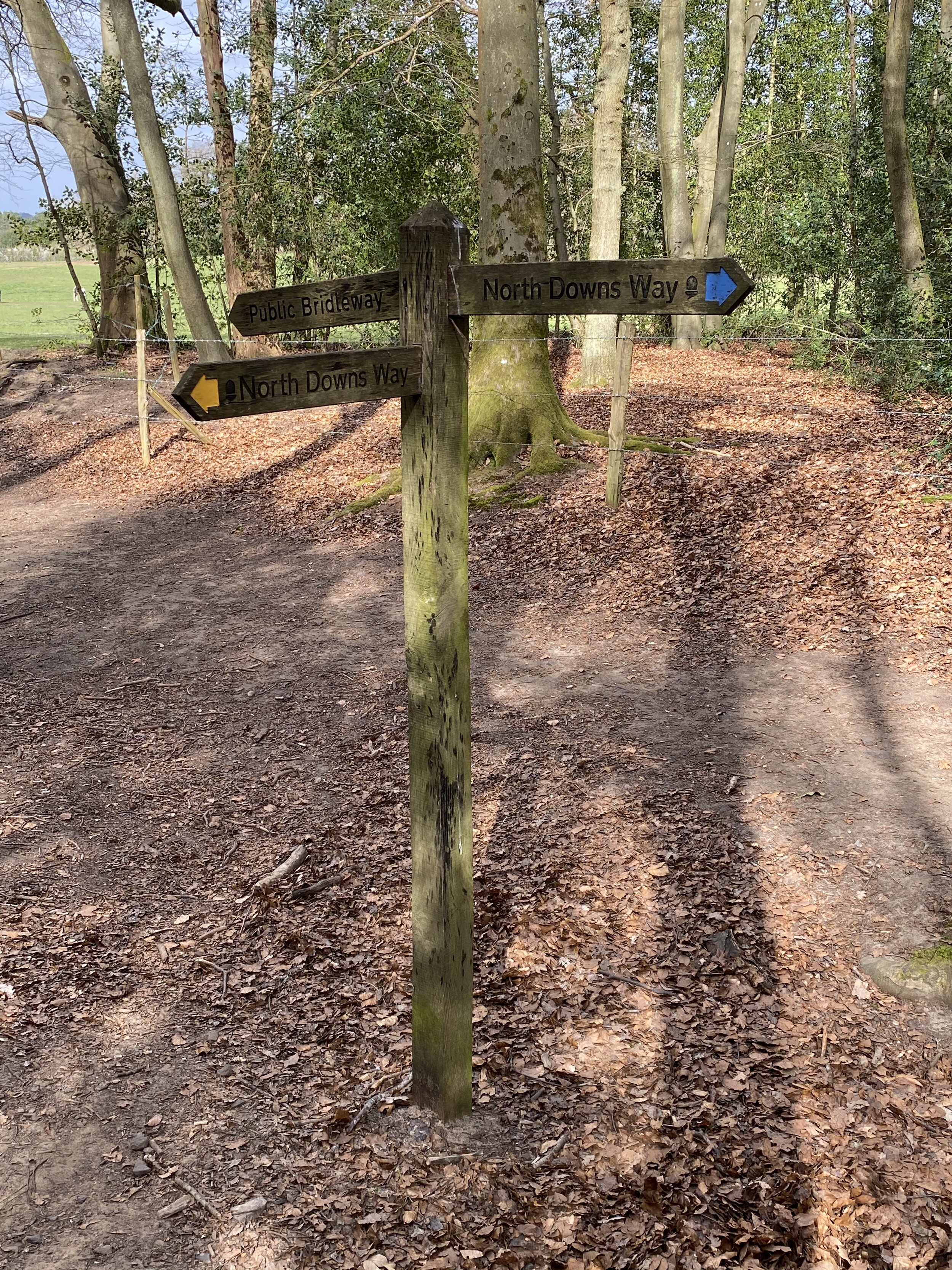
This is the first of a series of short point-to-point walks along the North Downs Way. The full trail is a long distance path stretching from Farnham in Surrey to Dover in Kent. Our walks took in short sections of 10 km to 13 km which we did with a friend over the course of a couple of years when our schedules coincided. The North Downs Way is well signposted however I highly recommend taking a map or GPX route to keep you on track. The Cicerone book on the trail is a great guide to the points of interest along the way.

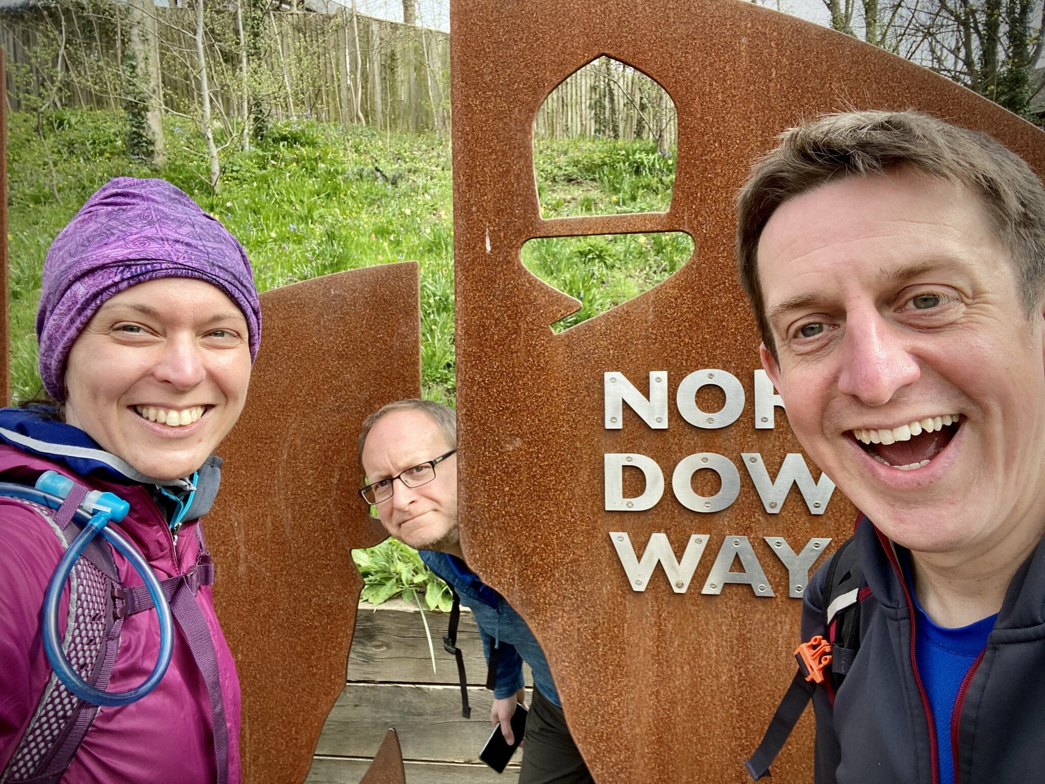
For this section we left one car in the car park behind Farnham Railway Station and the other outside the Good Intent Pub in Puttenham. From the Farnham Station car park it’s less than 100m to walk to the large sign that marks the official start of the North Downs Way at Hickley’s Corner on the A31. It struck me as an odd place to start the trail as this is a very busy junction and not representative of the rest of the trail.

The trail follows the right hand side of the A31 for 100m in a northerly direction before you take onto Darville Lane. Follow this onto Snailslynch and you’ll soon be walking next to the River Wey. At the 4km mark you’ll enter into the Surrey Hills Area of Outstanding Natural Beauty (AONB) after crossing Crooksbury Road. From here the trail keeps to the northern edge of the AONB through to Tatsfield in Kent.


route-32429568-map-full.png
elevation_profile (1).jpg


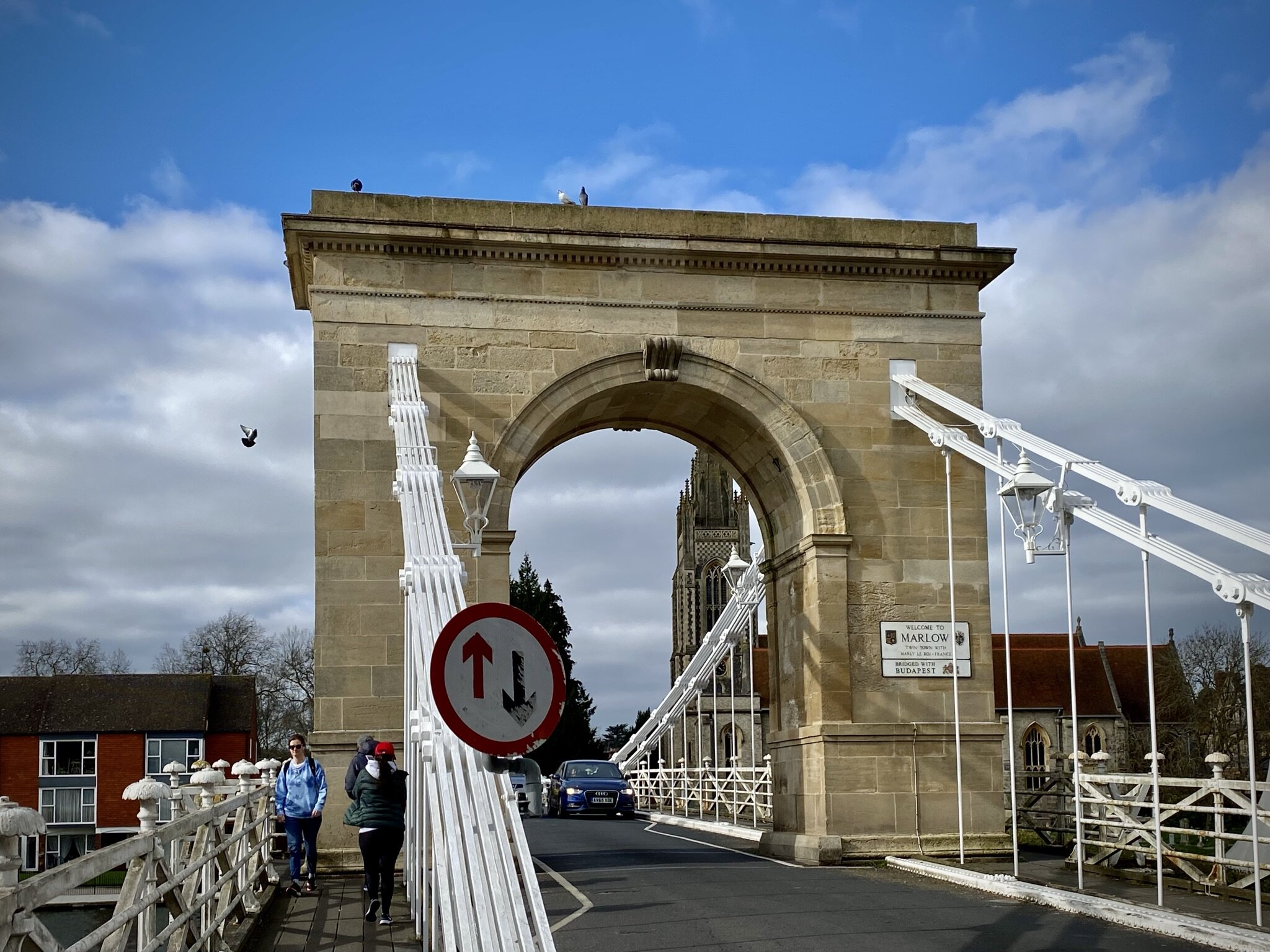
Chiltern Walks: Marlow, Hurley, Temple and Bisham
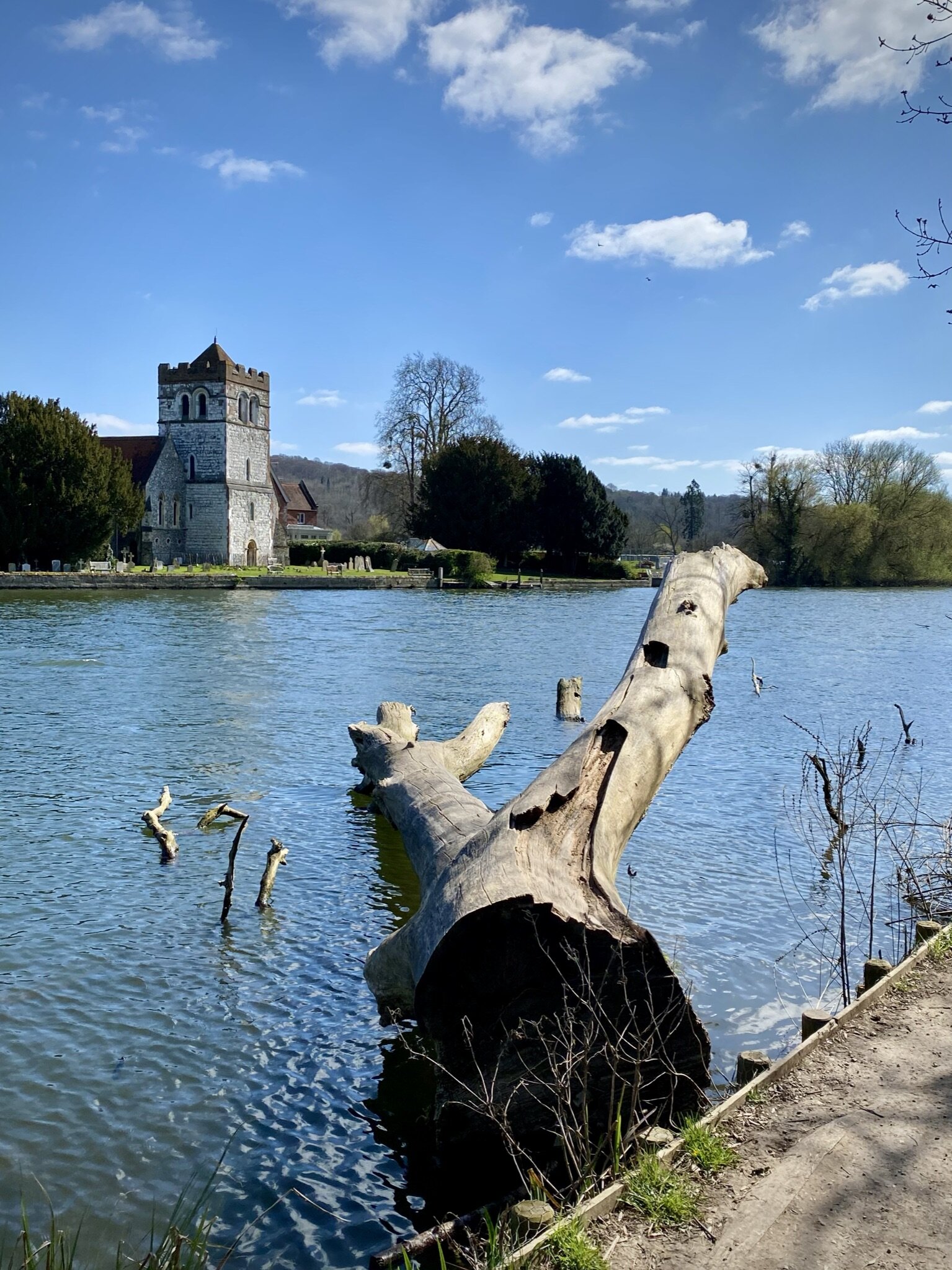
View to All Saints Church, Bisham from the Thames Path

View to All Saints Church, Bisham from the Thames Path


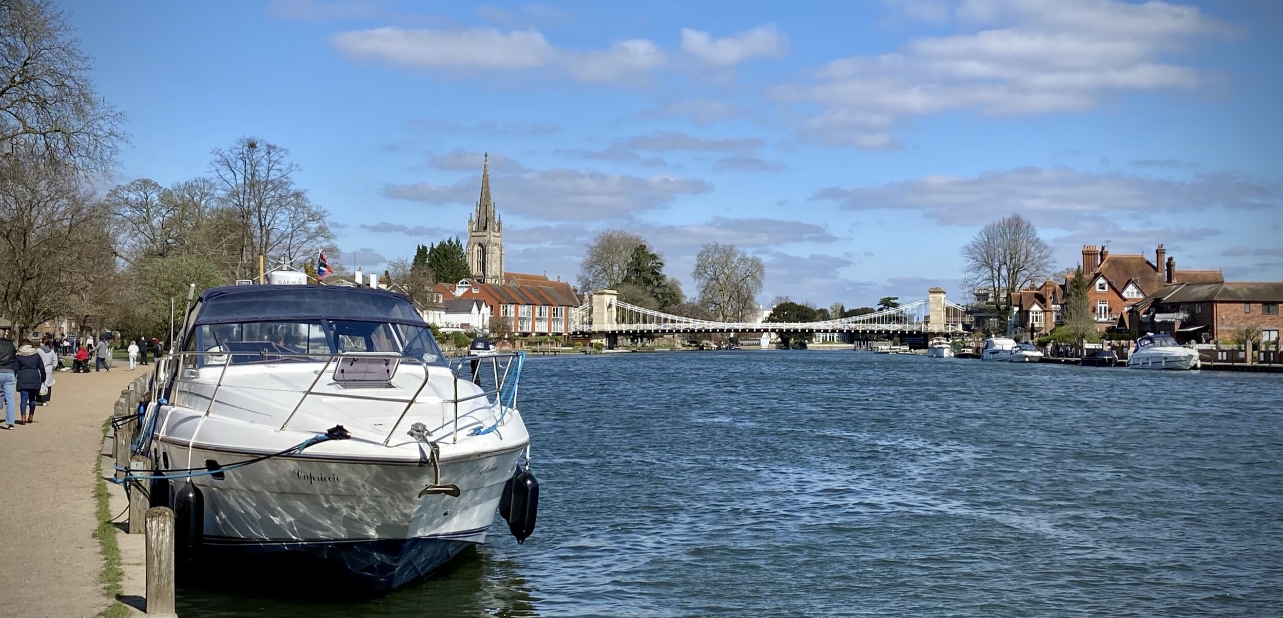
Start & Finish: Higginson Park, High Street, Marlow, SL7 1AW
Alternative Start & Finish: Marlow Railway Station, Station Approach, Marlow, SL1 1AN
Distance: 8.8 km (5.5 miles) or an additional 1.5 km if starting from the Railway Station
Elevation change: +/- 37m
GPX File: get via Buy Me a Coffee
Other routes touched (walk): Thames Path, Shakespeare’s Way
Other routes touched (cycle): N/A
Pubs / Cafes on route: Several in Marlow High Street, also the café in Higginson Park and the Bull Inn, Bisham
Map: OS Explorer Map (172) Chiltern Hills East
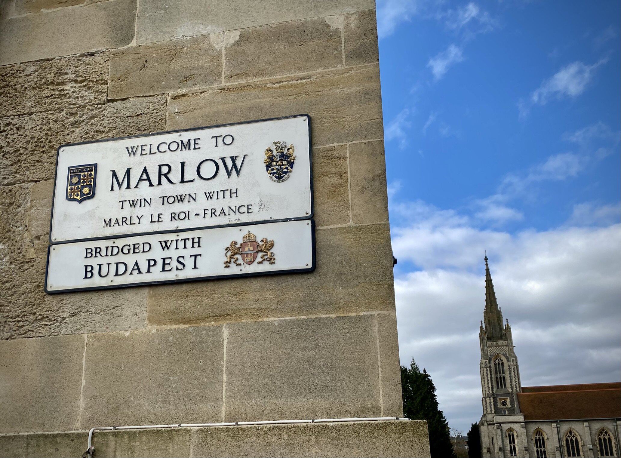
Links: Marlow, Marlow Bridge, Hurley, Temple Mill Island, Bisham, Bisham Abbey


This is a scenic and very easily navigable loop of the Thames from Marlow, picking up where the Marlow Donkey route leaves off. If you’re arriving by car there’s a large car-park at Higginson Park. If you’re coming by train the walk to and from Marlow station adds an extra 1.5 km to the total route distance. The guidance below will help you navigate but don’t use it as a fully accurate turn-by-turn guide. Always take a map and/or a GPX route and prepare well for the weather and terrain.

From Higginson’s park take the Thames Path south for 3.5 km to Hurley Lock. This is a very busy part of the National Trail and you’ll soon see why. Just after Hurley Lock, cross a small wooden footbridge and down an alley into Hurley Village Centre. Depending on the time of year you can get refreshments either at Hurley Lock or in a small shop in Hurley village.

From Hurley, take a left onto Mill Lane, now heading east parallel to the Thames. You’ll pass through a static caravan park, then fields and eventually Temple Lane. Follow Temple Lane as it snakes around Bisham Abbey National Sports Centre and joins Bisham Road. This is a busy section of the route as this is one of the main car routes into Marlow. It’s safe enough with a good pavement, just a little less peaceful than the rest of the route. Soon you’ll get back to the Marlow Suspension Bridge with Higginson Park on the north side.


route-35521954-map-full.png
elevation_profile (1).jpg

Richard gowerComment
St Albans Easter 10k

When: April 2nd 2021
Where: Highfield Park, St Albans, AL4 0DY
Course: P-shaped route starting in Highfield Park, following the Alban Way and a loop out to the North Circular/A1 around Sleapshyde
Other routes touched: Alban Way / NCN 61
Finish time: 53:12


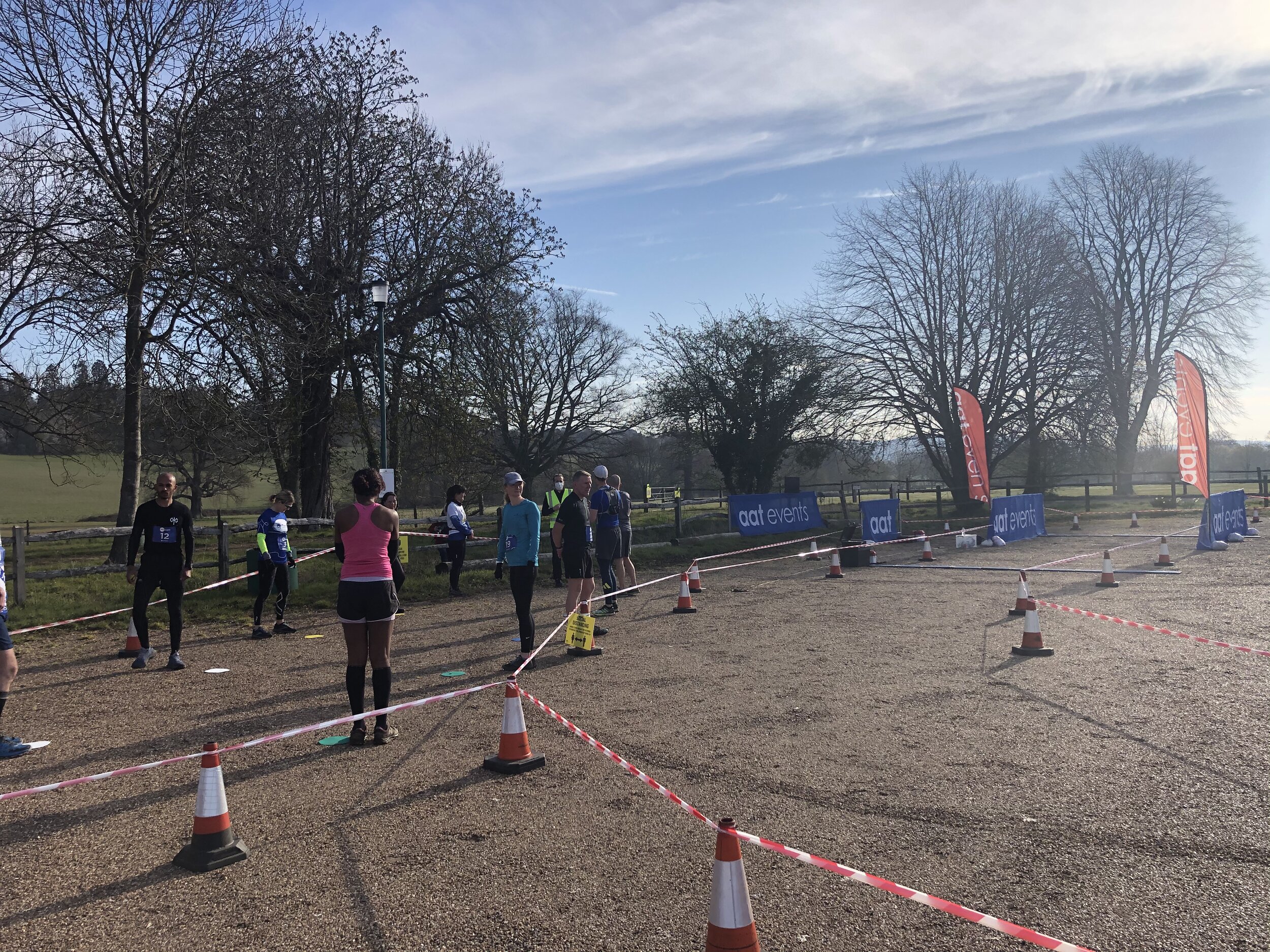
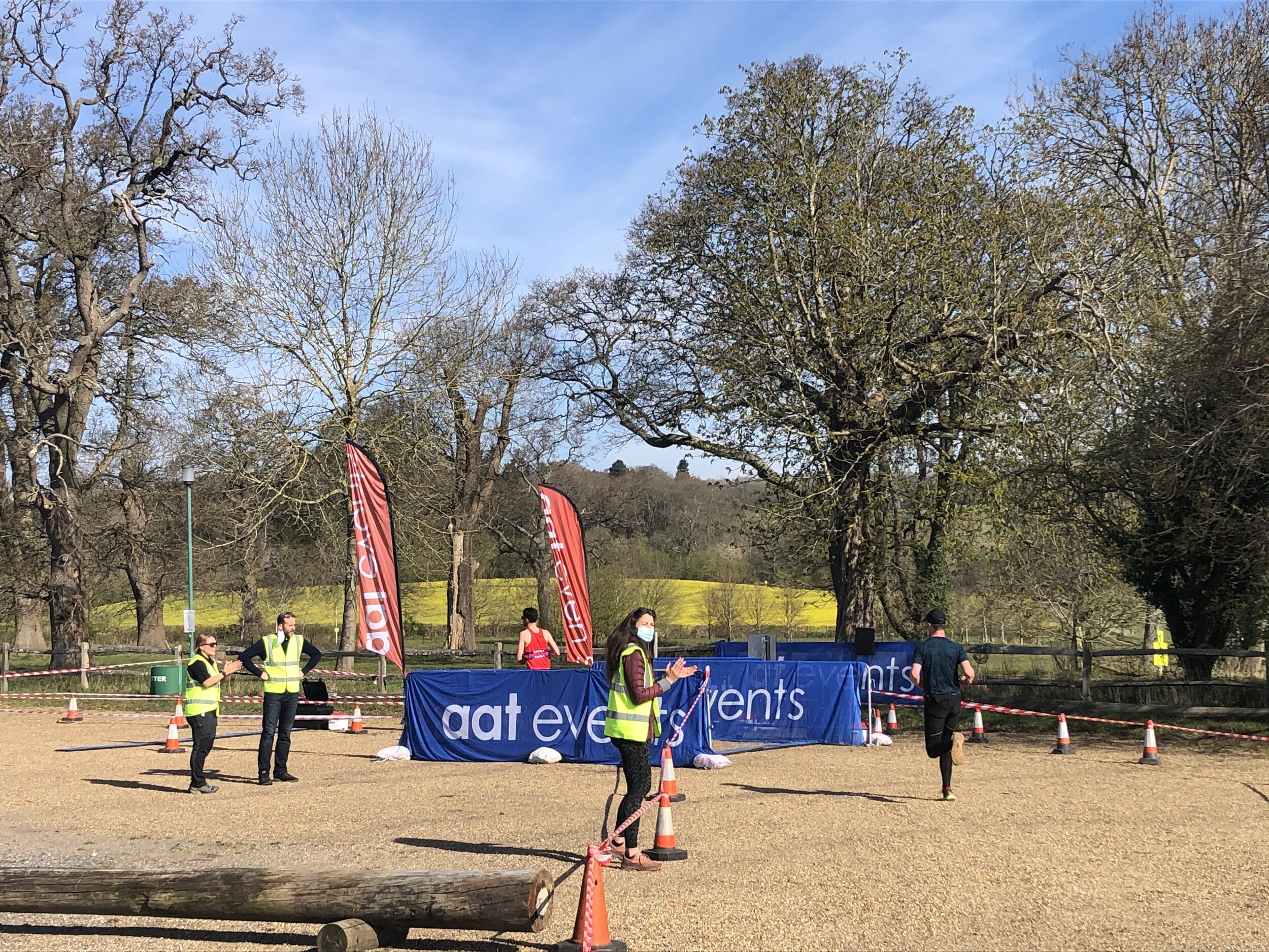
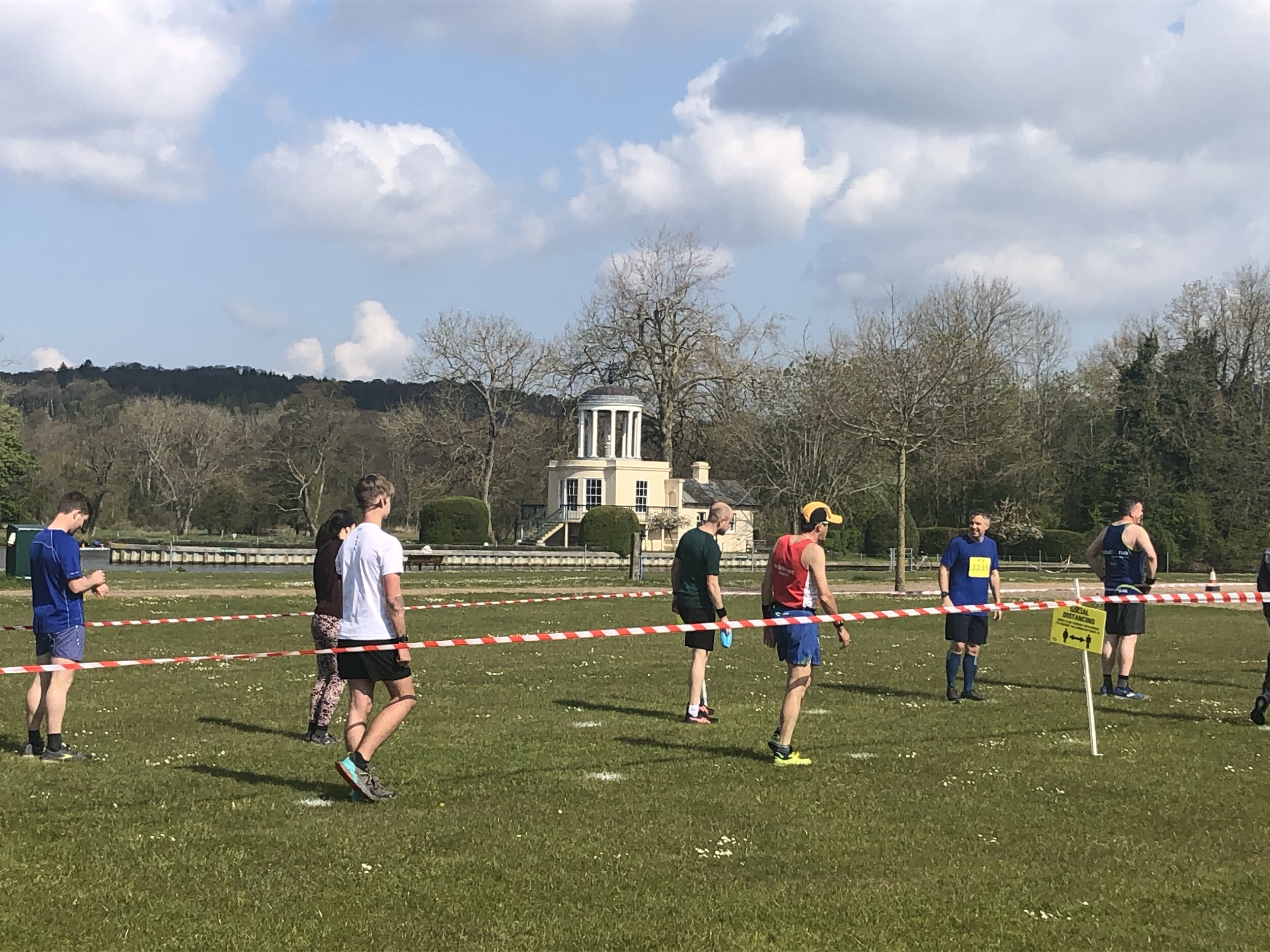
This was the first organized 10k event of 2021 and my first since Newbury Racecourse in February 2020. It was great to be back with other people and in a well organized Covid-secure event.

route-35584818-map-full.png
elevation_profile.jpg
Breaking 100 kph in Zwift

Having completed my Zwift Masochist badge, the obvious one to do next was the 100 kph Extra Credit badge. I already knew that the best place to do it was on the descent down from the Radio Tower. I’d tried it a few times before but could never get over 97 kph. As it turns out, you need a little help and the Aero Boost Helmet Power-up is the best way to do it.

Top Tips to get the 100 kph Badge

  • Select the Mountain 8 Route in Watopia.

  • After around 400 metres you’ll pass through the Downtown start/finish arch. This normally gives you a Power-up. If you get the Aero Boost Helmet, carry on. If you don’t get it, stop the ride, start again and keep trying until you get the helmet. I got it on my 6th attempt.

  • At 12km into the Mountain 8 route you’ll get to the top of the Radio Tower. Stop here and have a rest.

  • For the descent you’ll need a heavy bike. I chose the Zwift TT frame with the Zipp 808 wheels.

  • Continue round the loop at the top of the Radio Tower loop, gradually picking up speed. Keep accelerating down the first part of the descent. When you get to the bend (at 12.8 km) hit the Power-up button and give it everything you’ve got. This will give you the boost you’ll need to get you over 100 kph.

Other Notes

  • Check your own weight in your profile before starting off. I discovered that my Zwift weight was showing lower than my real weight. I hadn’t updated it after Christmas :-). Be sure to correct your weight if it’s understating it.

  • When I first attempted it using the tips above I pressed the Power-up button too early and just missed the badge. I’ve heard of different people pressing it at different points on the descent. It’s probably also related to how much power you’re putting though too.

  • You notice that my cadence is going crazy for the first few seconds in the video. It always does that after I’ve stopped and re-started and likely a faulty cadence monitor. It doesn’t affect the speed on the descent though. The horrible cranking sound is what my bike does since the Mascochist badge. Time for a service I think.

Comment below if you have other tips for breaking 100 kph.


Telegraph Hill: Kingston-upon-Thames Borough High Point

Significance: Highest peak in London Borough of Kingston-upon-Thames
Member of: N/A
Parent Peak: Botley Hill. NHN = Clock House
Historic County: Surrey (of which Leith Hill is the County Top)
Elevation: 90m
Date “climbed”: 27th March 2021
Coordinates: 51° 19' 49'' N, 0° 19' 39'' W
Nearest Station: Chessington South (South Western Railway): 3.4 km
On route of: N/A. Chessington Countryside Walk is 2.2 km to the north-east
OS Trig Pillar:
TP5774 - Rushett Common (Missing)
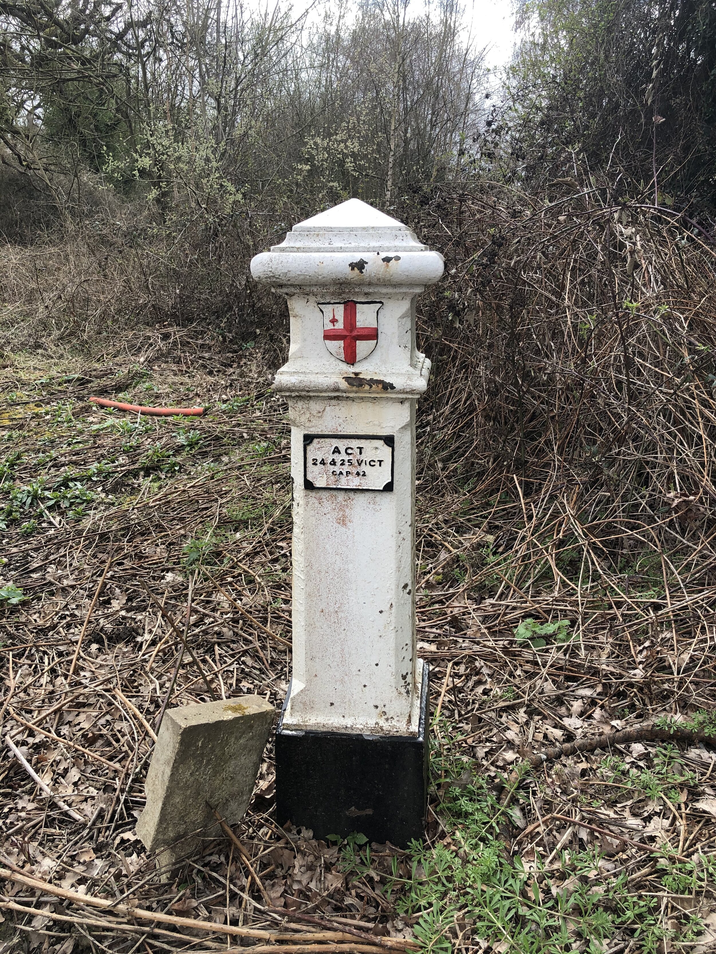
Coal Duty Post: 115
Map: OS Explorer Map (161) London South, Westminster, Greenwich, Croydon, Esher & Twickenham
Links: Wikipedia (Kingston-upon-Thames), Peakbagger, Hillbagging

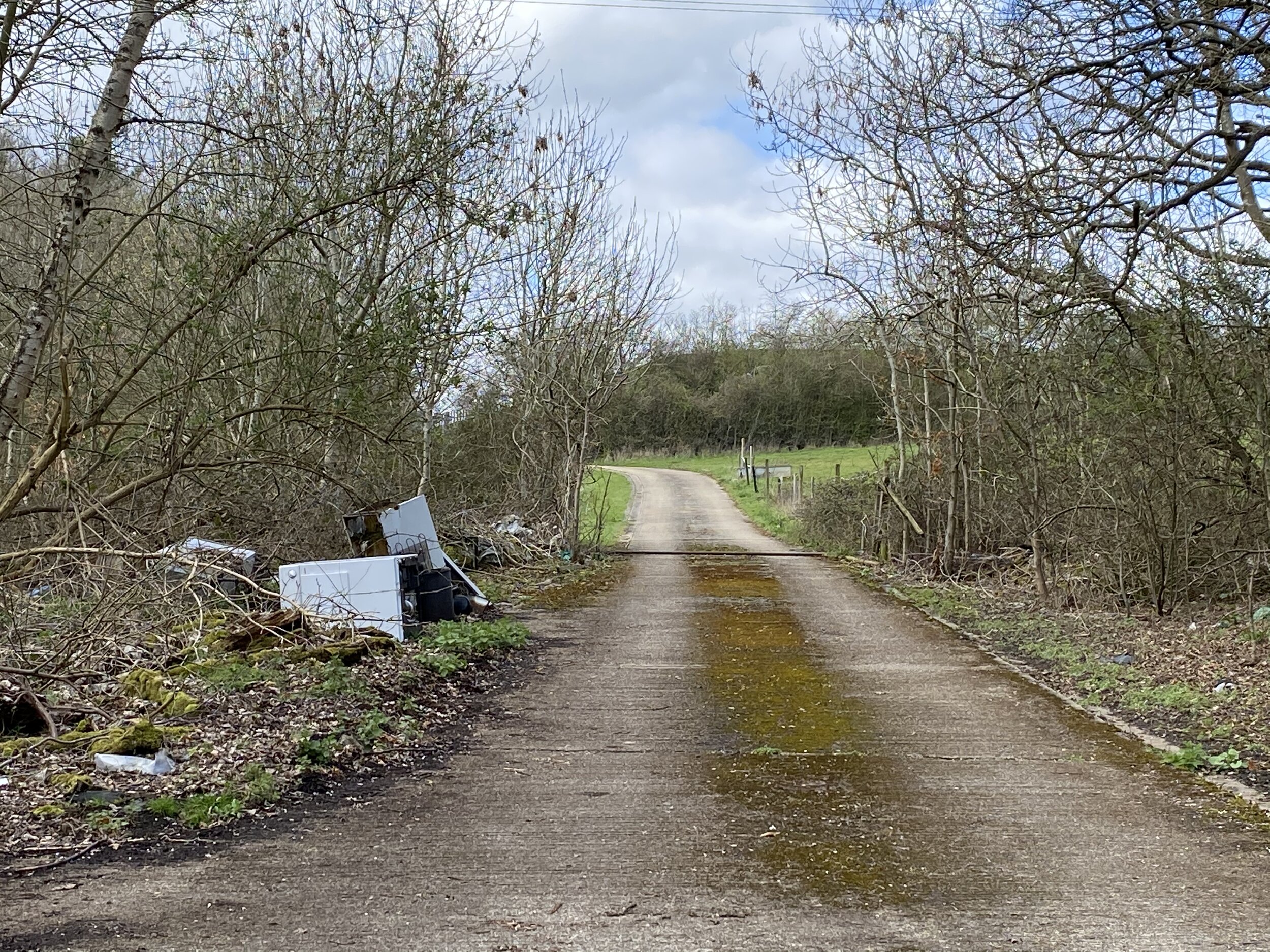
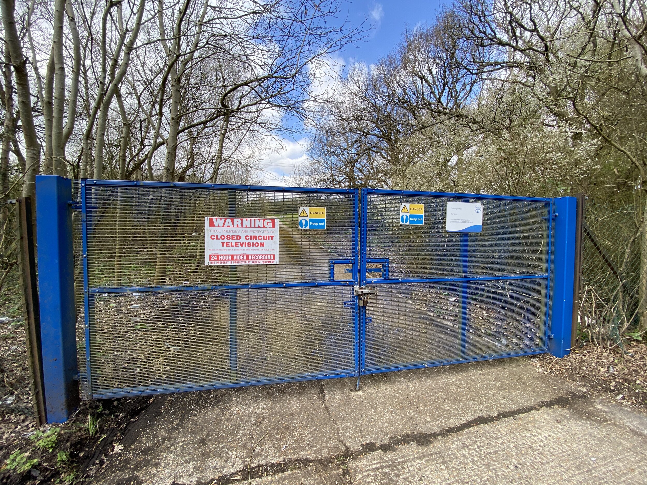
After the under-whelm of visiting High Holborn, this went one step further by both lacking in elevation and being inaccessible. The summit of Telegraph Hill is in private property so you can only get within a few hundred metres of it. You can either pull in by the blue gates on the A423 for a nice view of discarded waste on the shabby driveway or access it via the woods off The Avenue. The latter option gets you slightly closer and at least gives you a walk there from The Star pub on the main road. Look out for the Coal Duty Post in the pub car park.


Chessington Countryside Walk
View to Rushett Farm airstrip from the Trig Pillar on the north edge of Ashtead Woods

View to Rushett Farm airstrip from the Coal Post on the north edge of Ashtead Woods


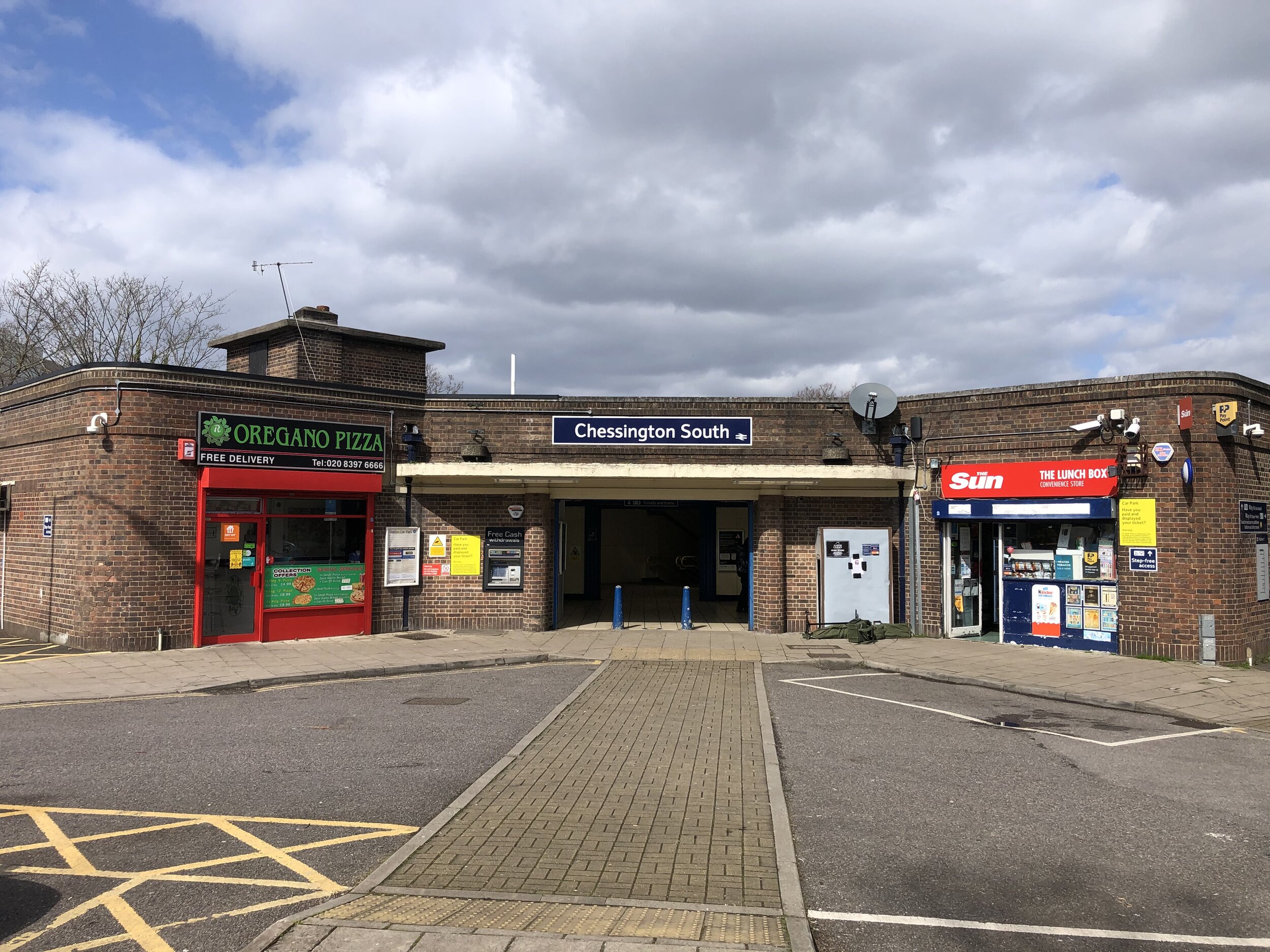
Start & Finish: Chessington South Station, Chessington, KT9 2JR
Distance: 9.1 km (5.6 miles)
Elevation change: +/- 92m
GPX File: get via Buy Me a Coffee
Other routes touched (walk): Thames Down Link
Other routes touched (cycle): N/A
OS Trig Pillar: TP2145 - Chessington
London Coal Duty Posts: 117, 118, 119, 120
Pubs / Cafes on route: N/A
Map: OS Explorer Map (161) London South, Westminster, Greenwich, Croydon, Esher & Twickenham
Links: Explore Surrey - Chessington Countryside Walk Leaflet, Chessington, Chessington South Station, Chessington World of Adventures, Ashtead Common, Epsom Common, Horton Country Park


This is an easy, scenic walk in countryside to the south of Chessington. It was our latest walk in the Explore Surrey series whose website is a rich source of information about getting out and about in the county. As with all of their routes, their PDFs have all the details so I won’t cover them again here.

Our walk was a slight variation on the route described in the PDF in order to bag an OS Trig Pillar and 4 Coal Duty Posts. You’ll pass 2 of the Coal Posts on the Public Bridleway through Ashtead Woods. It’s a minor diversion off the trail to visit the other 2 which are on either side of the B280 Christ Church Road near the Epsom Common Car Park.

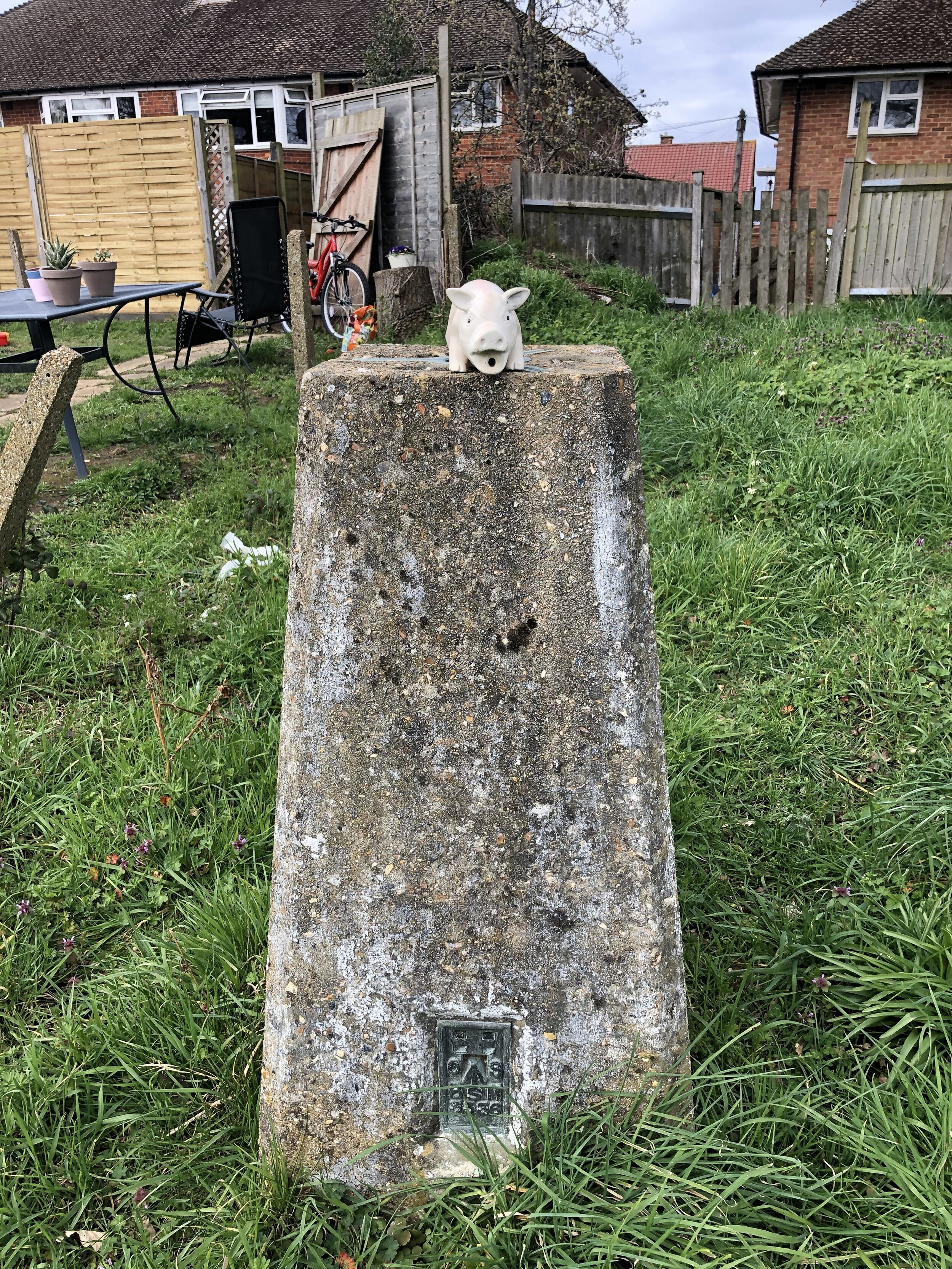
The OS Trig Pillar is right at the end of the walk before returning to Chessington South station. It’s an unloved pillar sitting in a vacant patch of land at the end of a residential cul-de-sac. From the footpath off Green Lane look out for the wooden information sign for Huntingate Walk. Take a right here, through a gate and descend a short, steep bank to cross Hunting Gate Drive. Walk up Vivien Close, keeping to the right to find the Trig Pillar is at the end of the road.


route-35521971-map-full.png
elevation_profile.jpg

Chiltern Walks: Risborough Railways Ramble
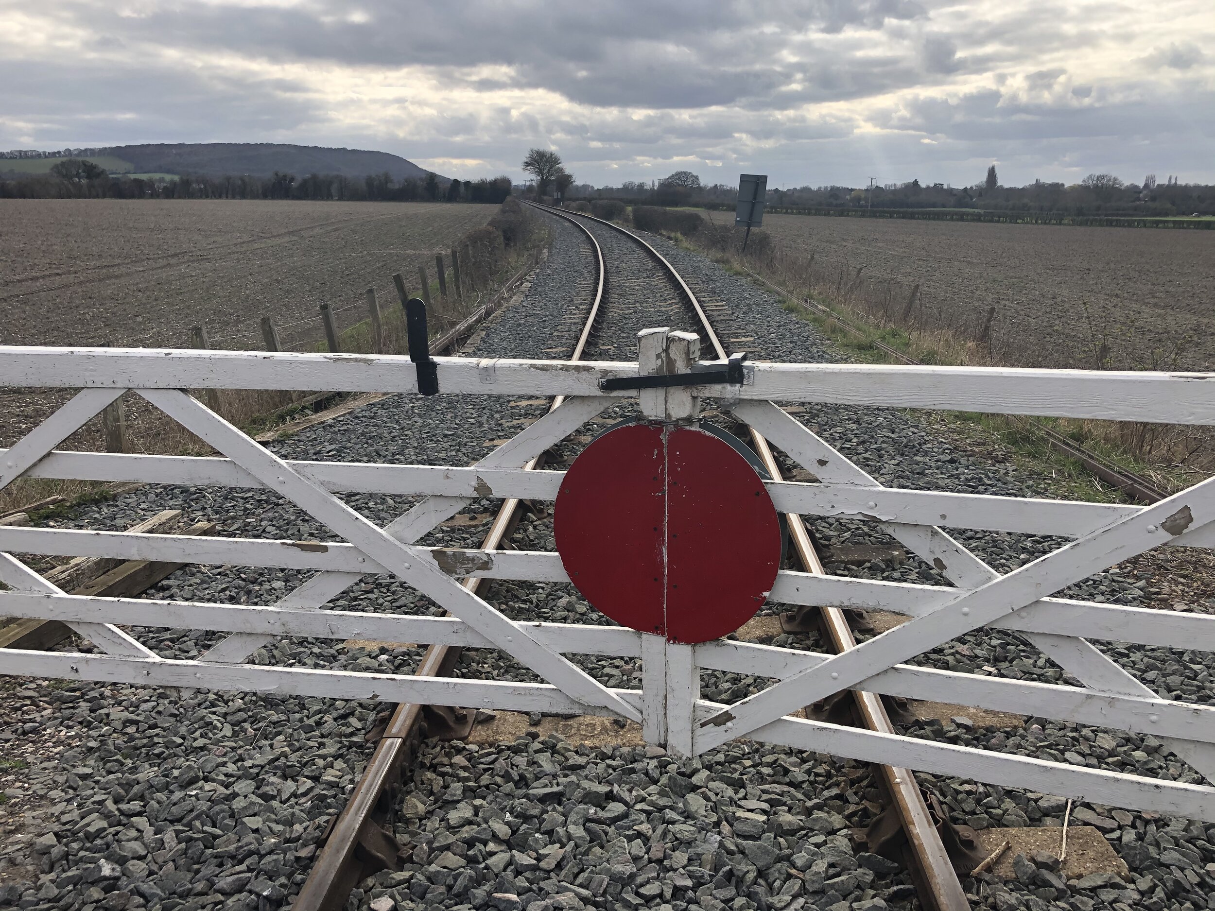
Level Crossing on the Chinnor and Princes Risborough Railway near the start of The Phoenix Trail

Level Crossing on the Chinnor and Princes Risborough Railway near the start of The Phoenix Trail


Start & Finish: Princes Risborough Station, Princes Risborough, HP27 9DD
Distance: 10.7 km (6.6 miles)
Elevation change: +/- 83m
GPX File: get via Buy Me a Coffee
Other routes touched (walk): Risborough Blue, Orange, Green and Pink Routes, Outer Aylesbury Ring, The Ridgeway, Chiltern Way
Other routes touched (cycle): NCN 57, Phoenix Trail, Chilterns Cycleway
Pubs / Cafes on route: Several in Princes Risborough High Street, including The Crepe Escape
Map: OS Explorer Map (181) Chiltern Hills North
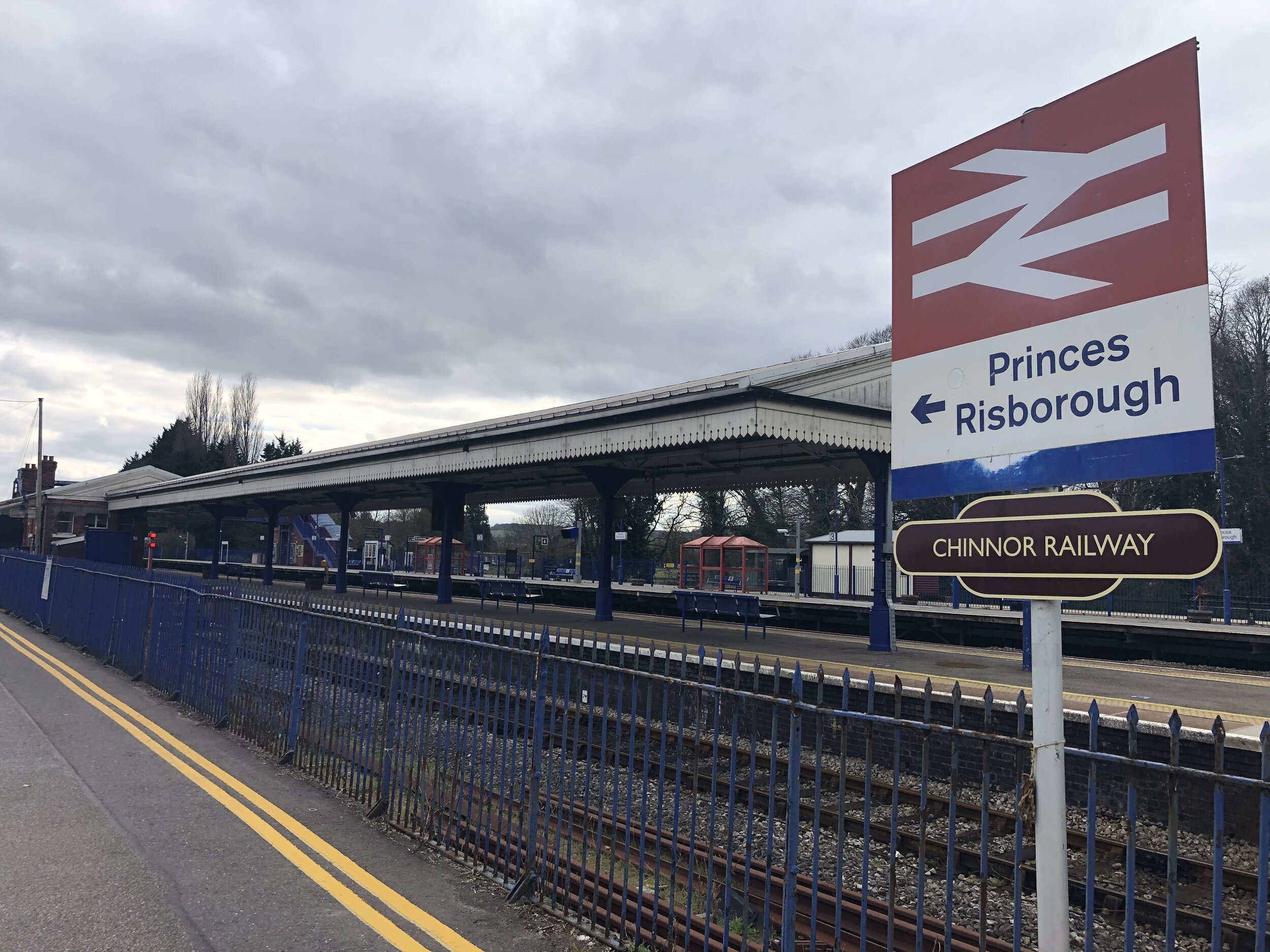
Links: Princes Risborough, Princes Risborough Station, Watlington and Princes Risborough Railway, Chinnor and Princes Risborough Railway


For the latest in our Chiltern Railways circular walks we visited Princes Risborough. It’s a market town on the north edge of the Chilterns and a meeting point of current and disused railway lines. The guidance below will help you navigate but don’t use it as a fully accurate turn-by-turn guide. Always take a map and/or a GPX route and prepare well for the weather and terrain.

From the station take the B4444 Summerleys Road north, passing under 2 railway bridges. After the 2nd bridge, take a right onto a small road, also called Summerley’s Road (but leaving the B4444). Pass under another railway bridge then take a right onto Mount Way. Carefully cross over a level crossing and continue to the T junction with Stratton Road. Take a left onto Stratton Road, then onto Church Street and take a right at the end onto the High Street. You’ll now be on the Outer Aylesbury Ring. Follow this along the High Street, left onto the A4010, right onto New Road. Continue up New Road, climbing the hill until you get to the Ridgeway. Take a right onto the Ridgeway.

Follow the Ridgeway for ~2.5 km in a south-westerly direction. Be careful on the section that follows the A4010. There’s a wide pavement but it’s a very busy road and you’ll need to cross over it. At the end of this Ridgeway section you’ll join the Chiltern Way and cross over the railway. Take a right onto the Chiltern Way and follow this north. Cross over a level crossing again and continue north towards Horsenden. After the level crossing make sure you follow the Risborough Blue route and not the Chiltern way which takes a turn to the left.

When you get to Horsenden Lane, take a left and pass Horsenden Parish Church. Keep on Horsenden Lane as it turns right. You’ll now be on the Risborough Pink Route and NCN 57. Follow this in a north-westerly direction until you meet the B4009. Just before the main route you’ll have passed over a level crossing on the Chinnor and Princes Risborough Railway and then the start of the Phoenix Way.

Take a right turn on the B4009, passing under the old railway bridge that’s now the start of the Phoenix Trail. Take a right hand footpath immediately after the bridge and follow the path parallel to the still abandoned rail line that connects the Phoenix Trail to Princes Risborough Station. The path will connect with Summerley’s Road where you can take a right and return back to the start.


route-35388275-map-full.png
elevation_profile.jpg