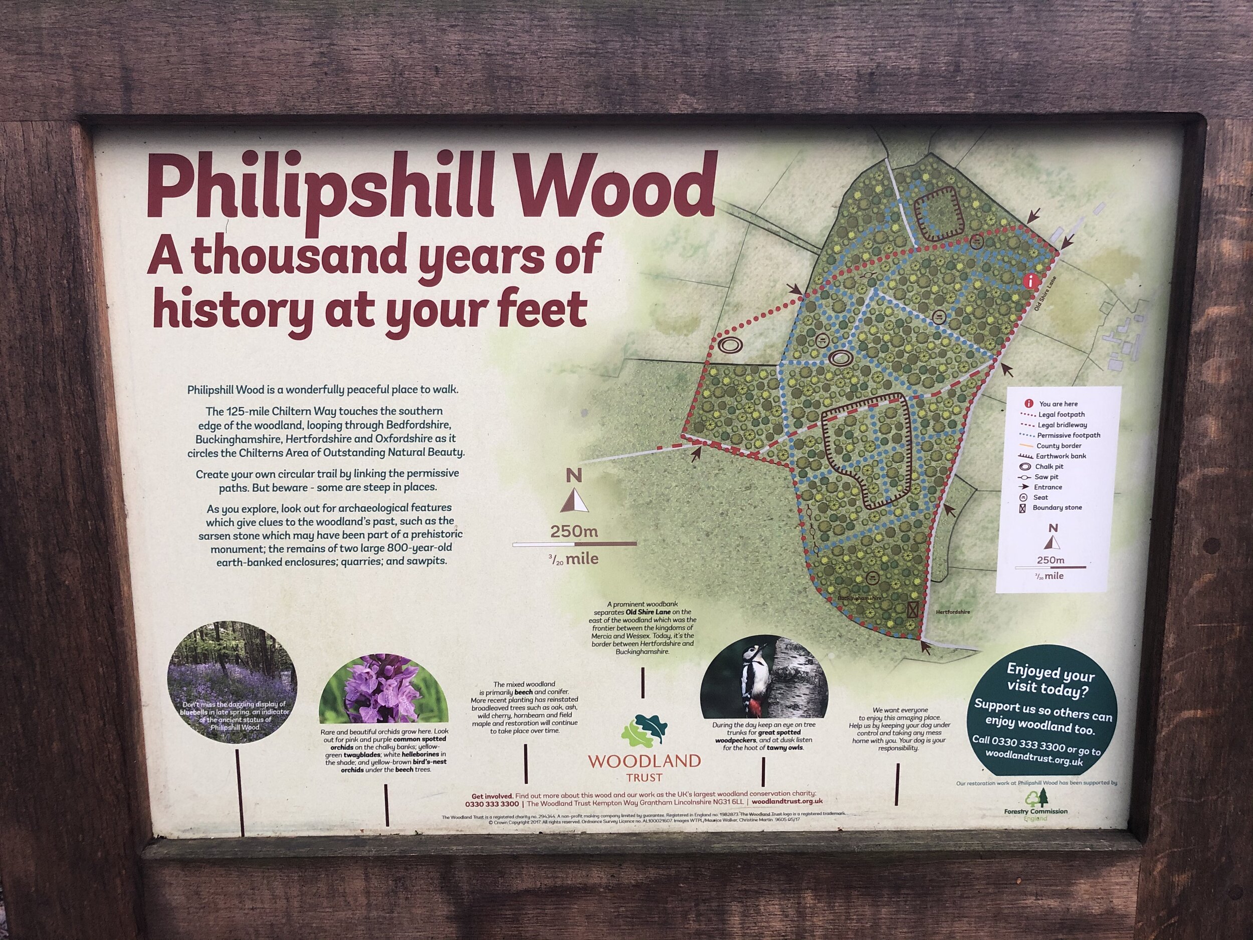
Chiltern Walks: Hedgerley and Bulstrode
Bulstrode Park

Bulstrode Park


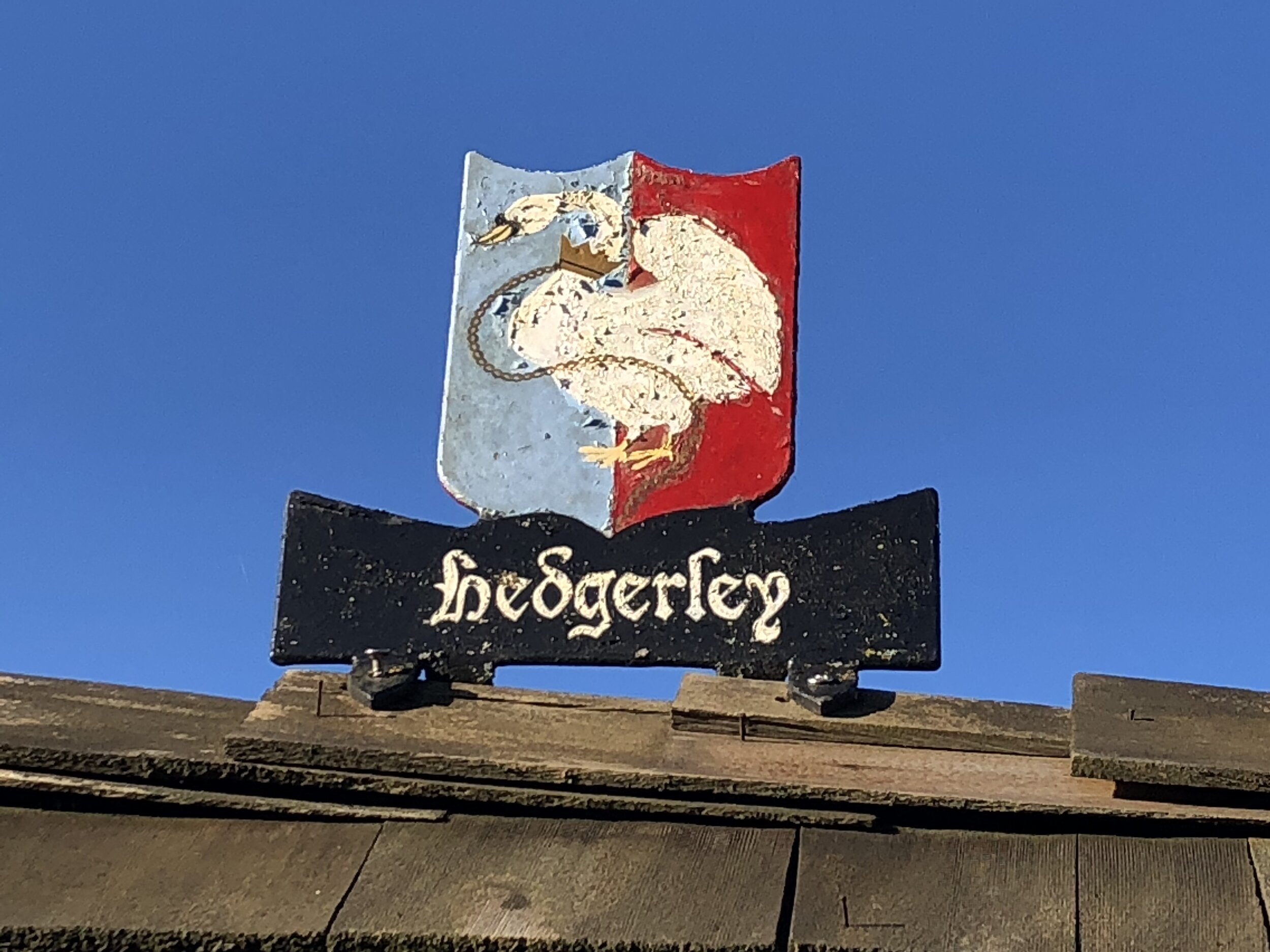
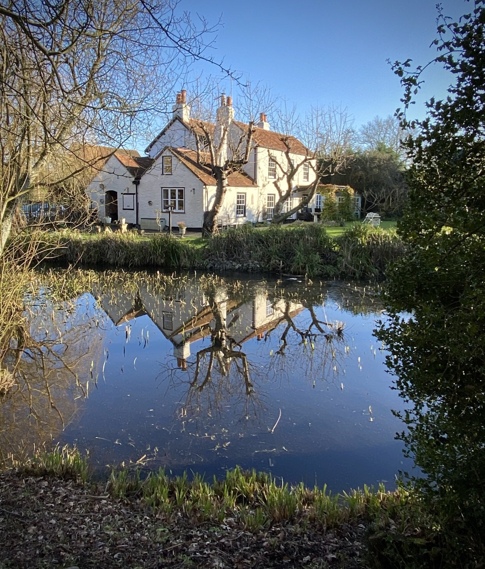
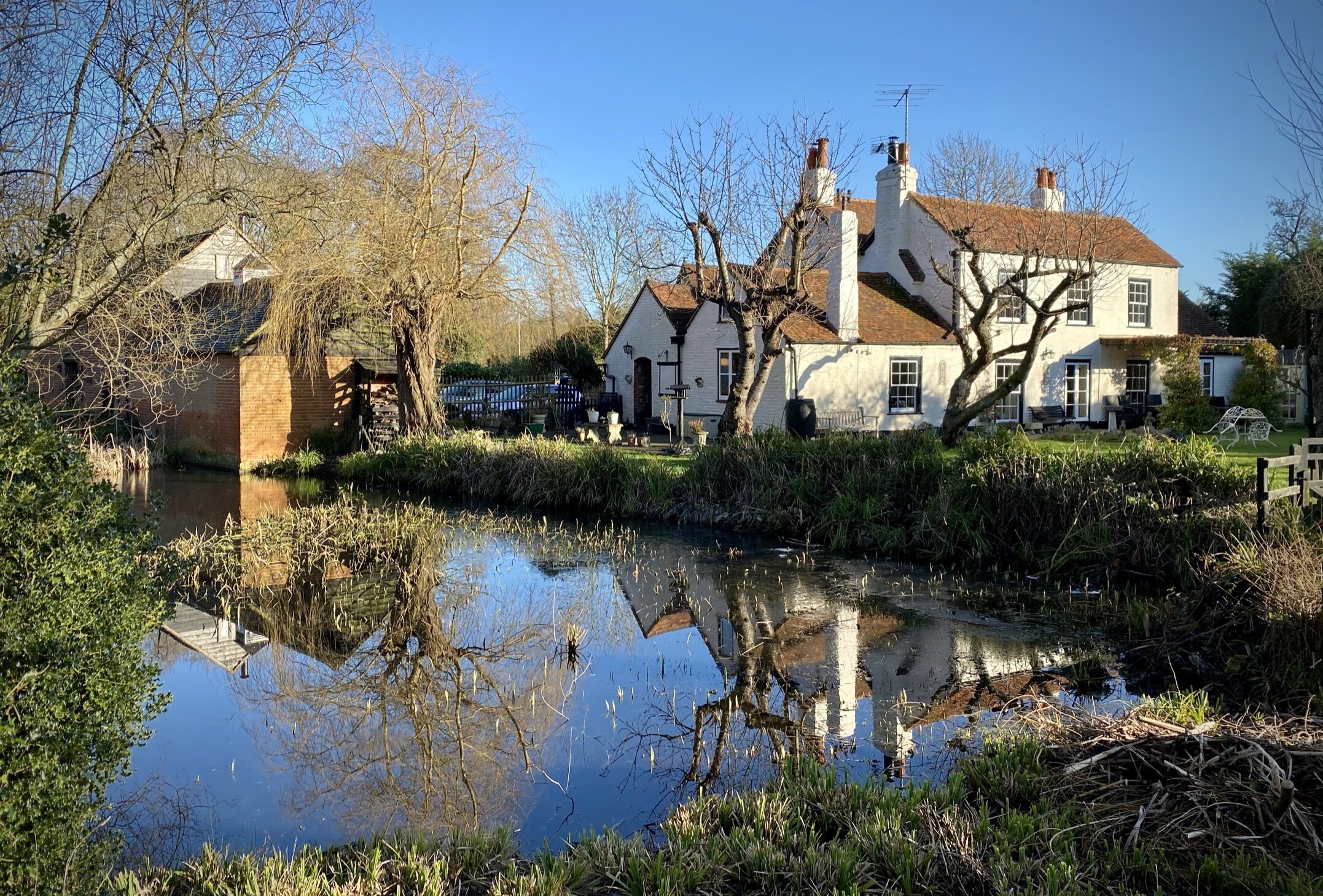
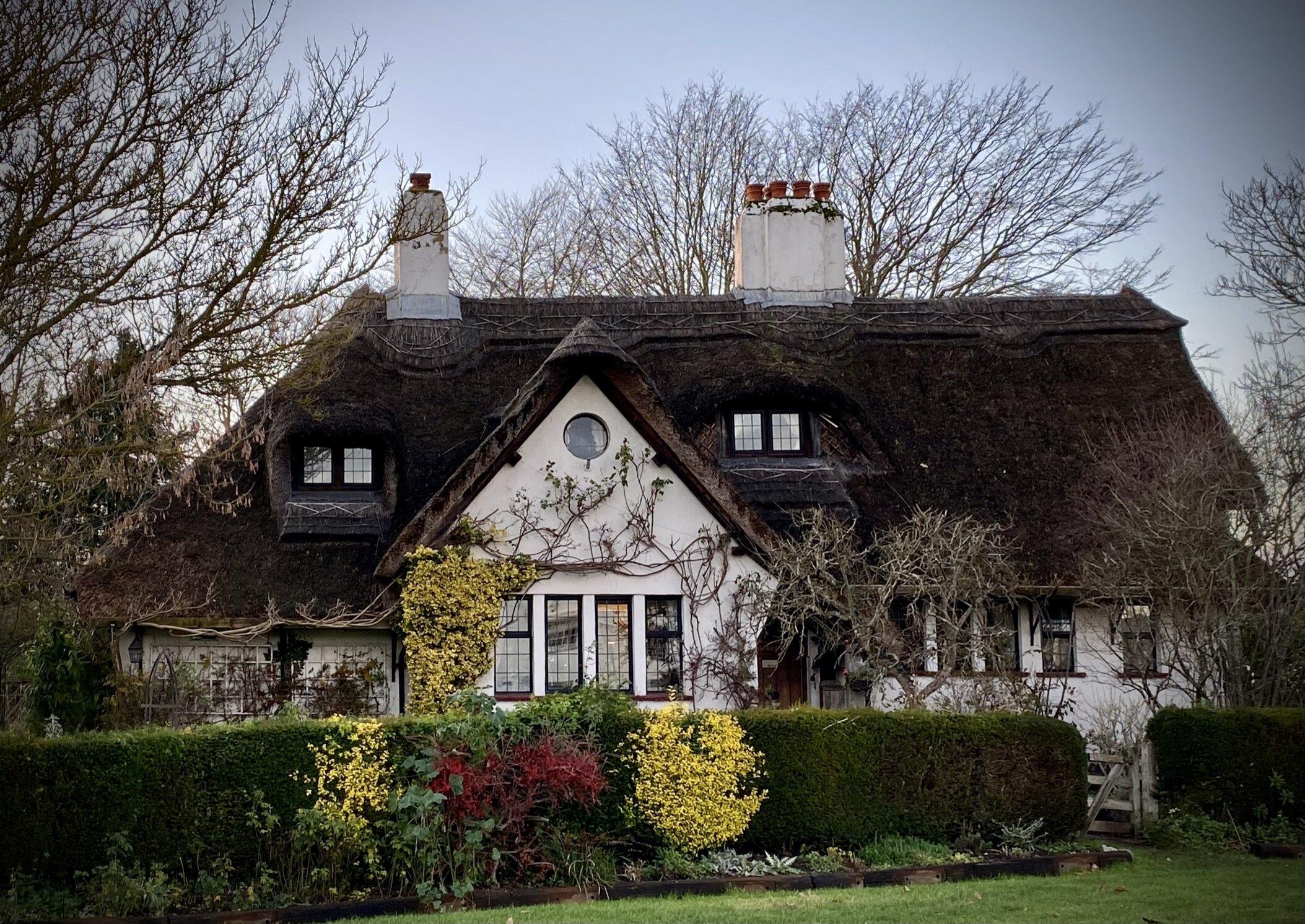
Start & Finish: The White Horse, Hedgerley, Village Lane, Hedgerley, Slough, SL2 3UY
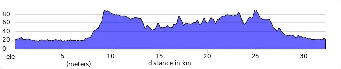
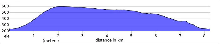
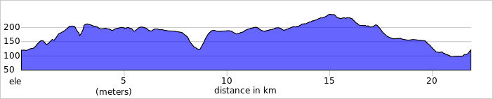
Distance: 6.9 km (4.3 miles)
Elevation change: +/- 52m
GPX File: get via Buy Me a Coffee
Other routes touched (walk): Hedgerley Circular
Other routes touched (cycle): None
Other Pubs / Cafes on route: None
Map: OS Explorer Map (172) Chiltern Hills East
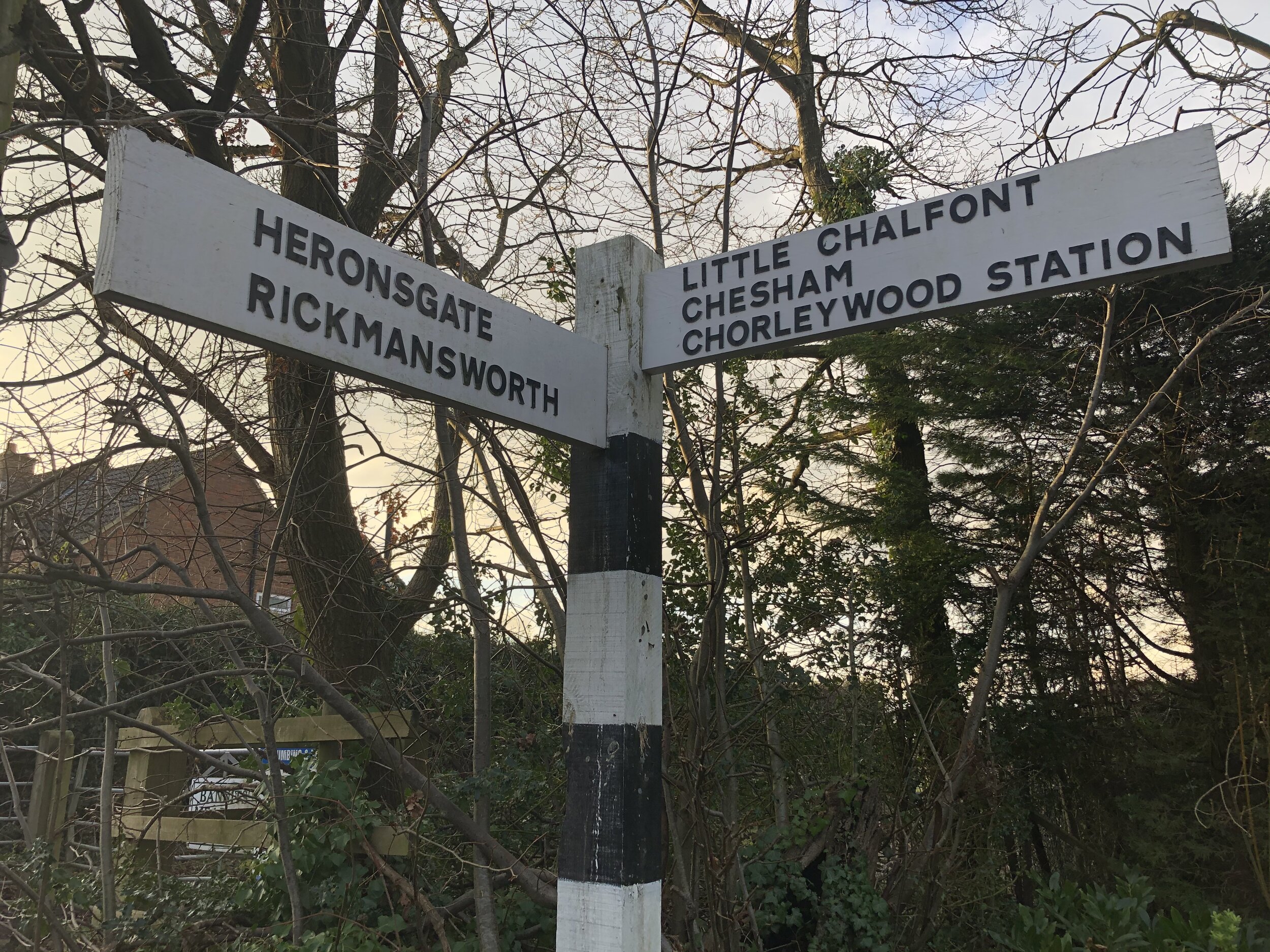
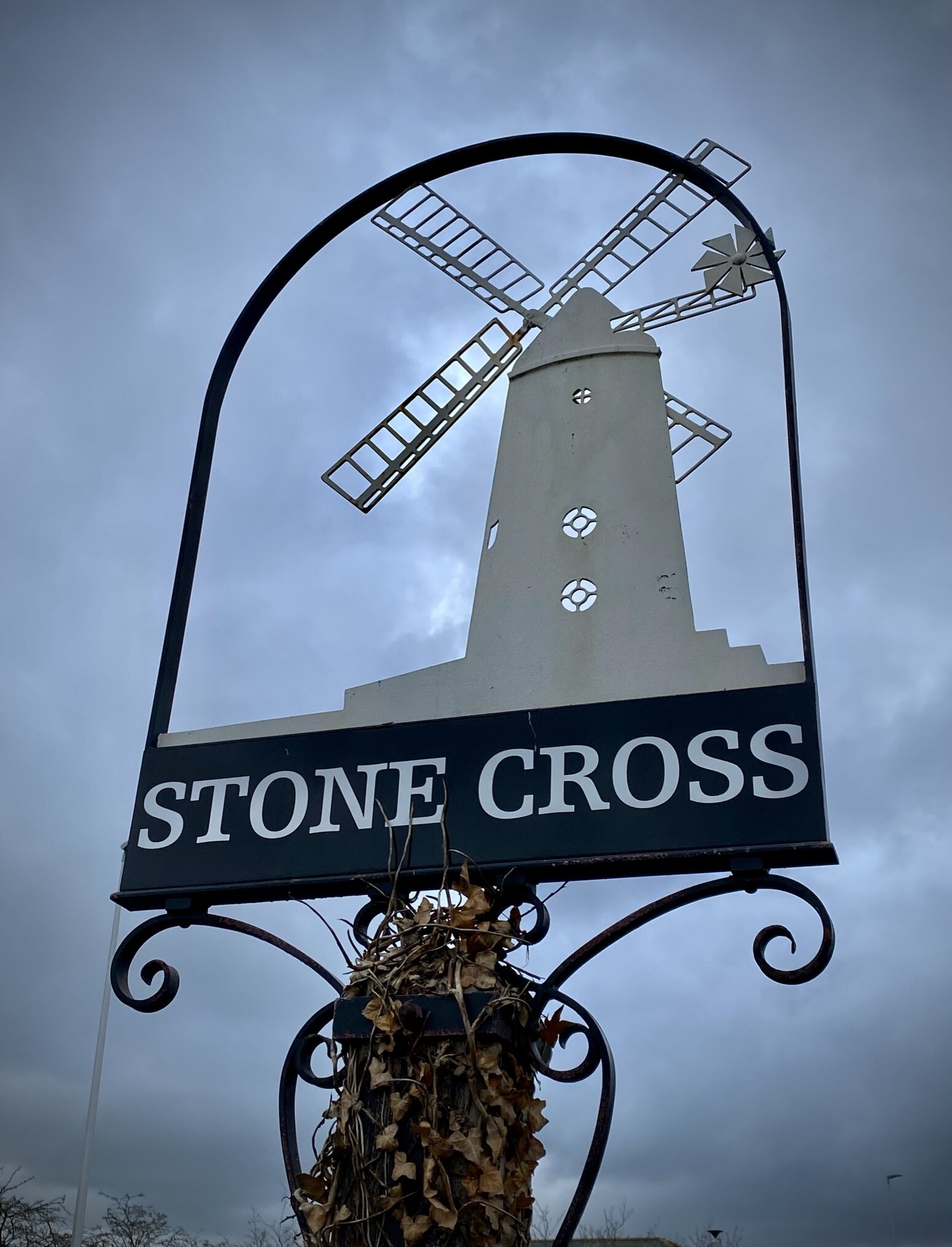
Links: Hedgerley, Gerrards Cross, Bulstrode Park


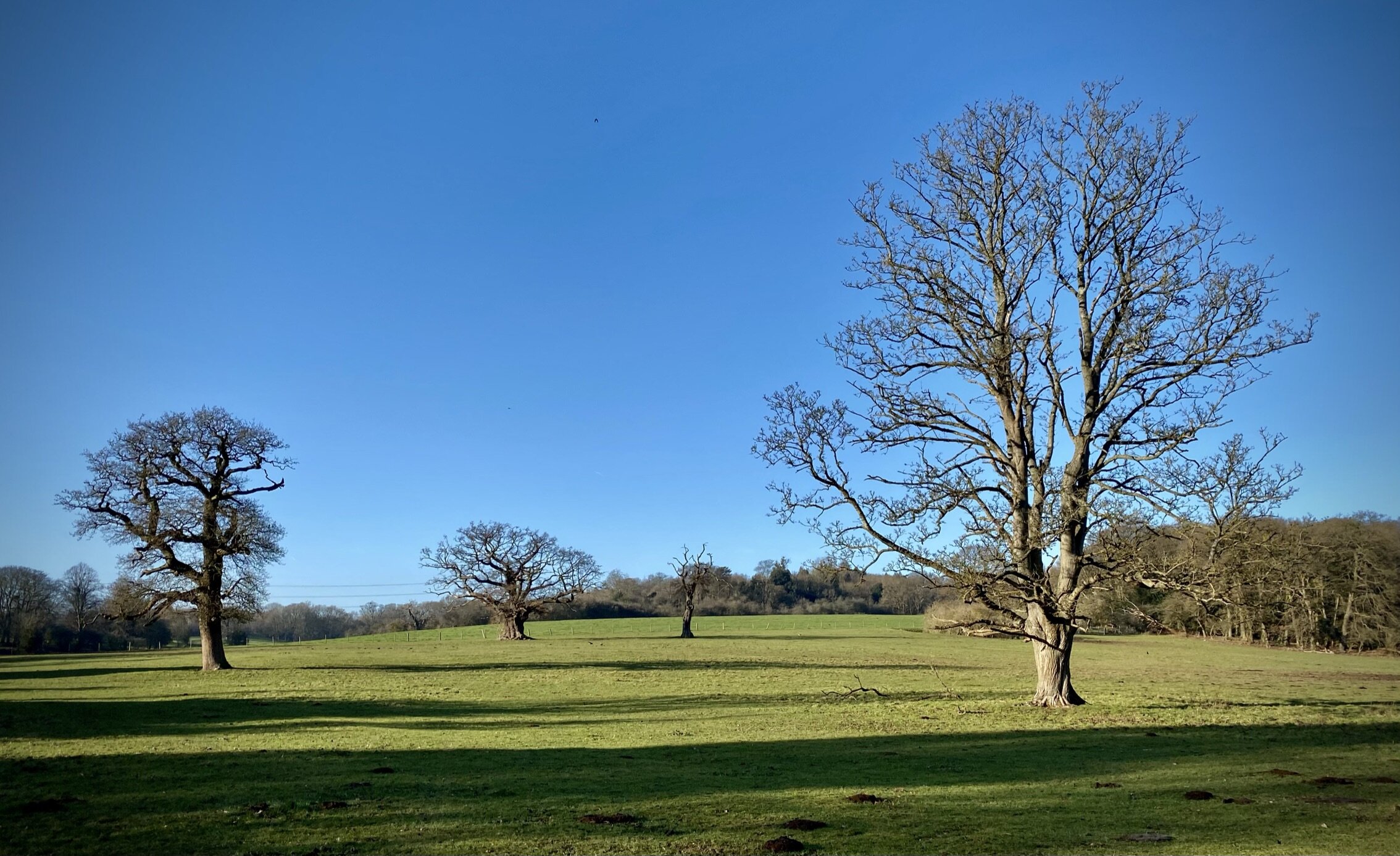
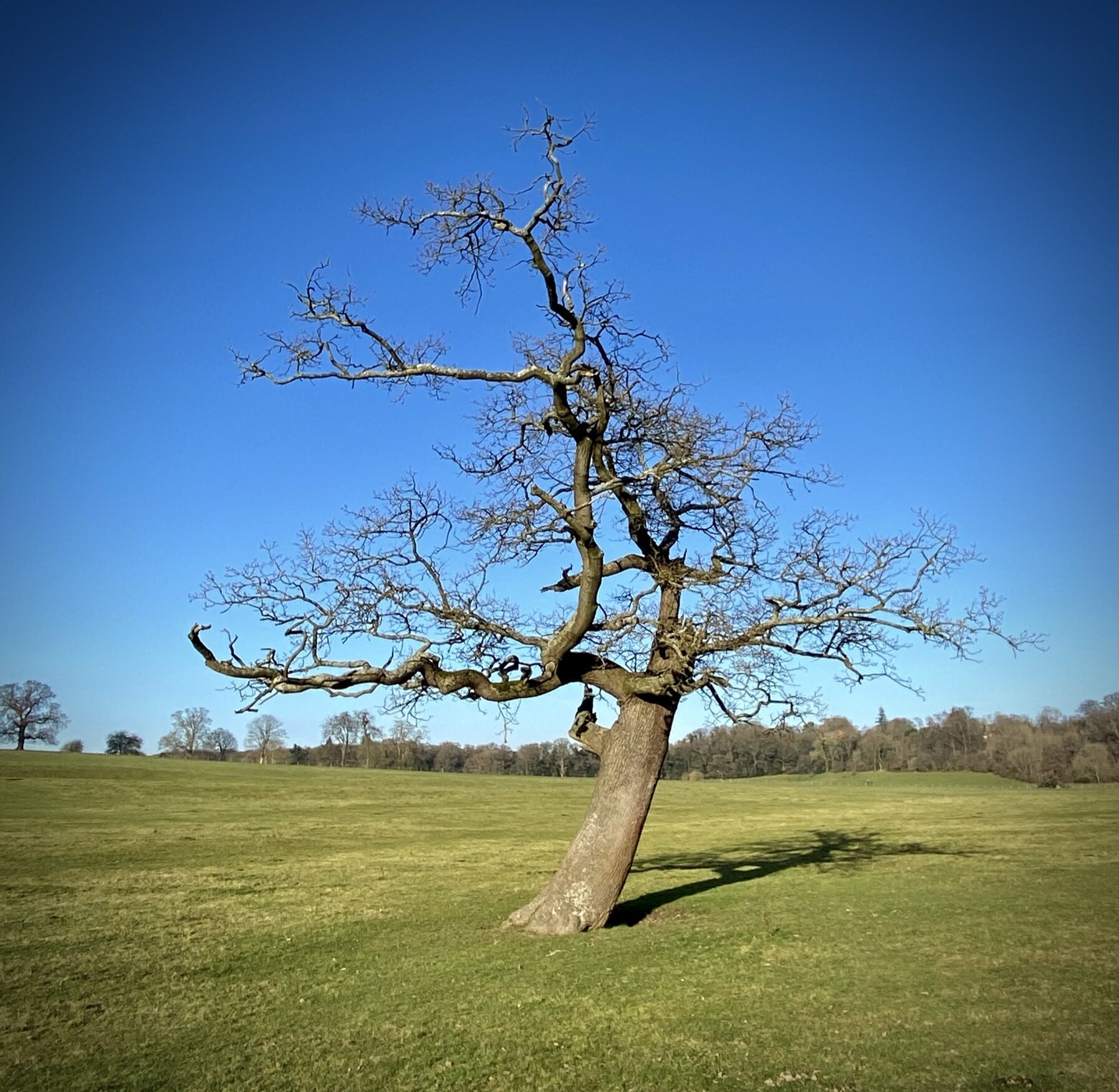
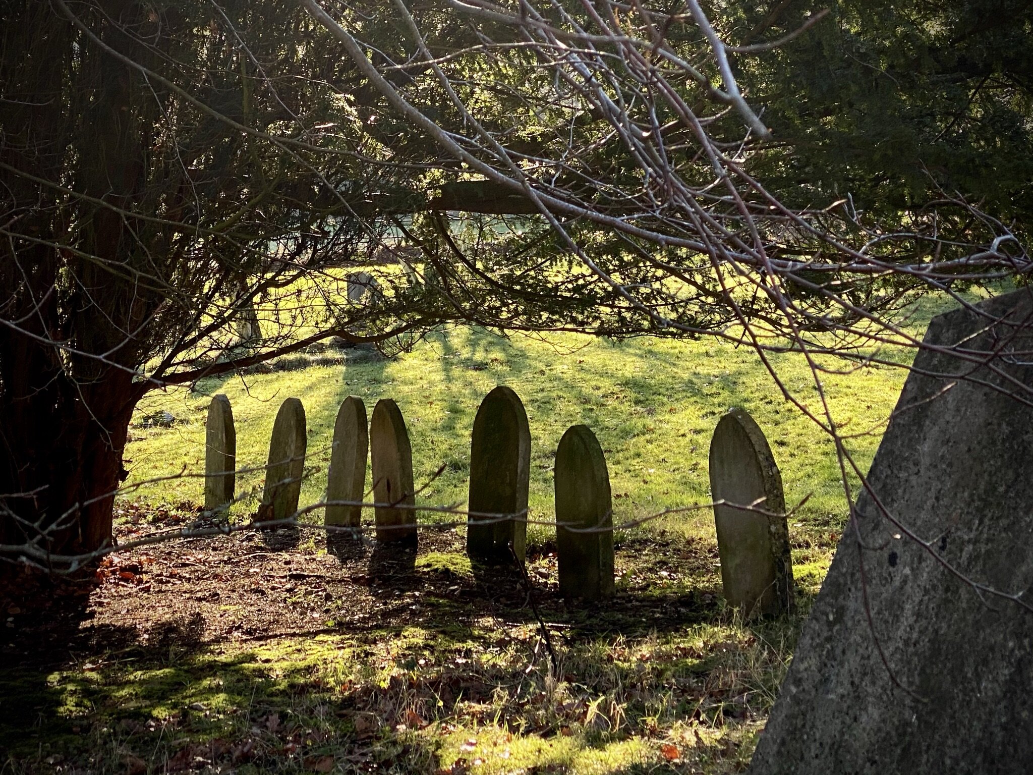
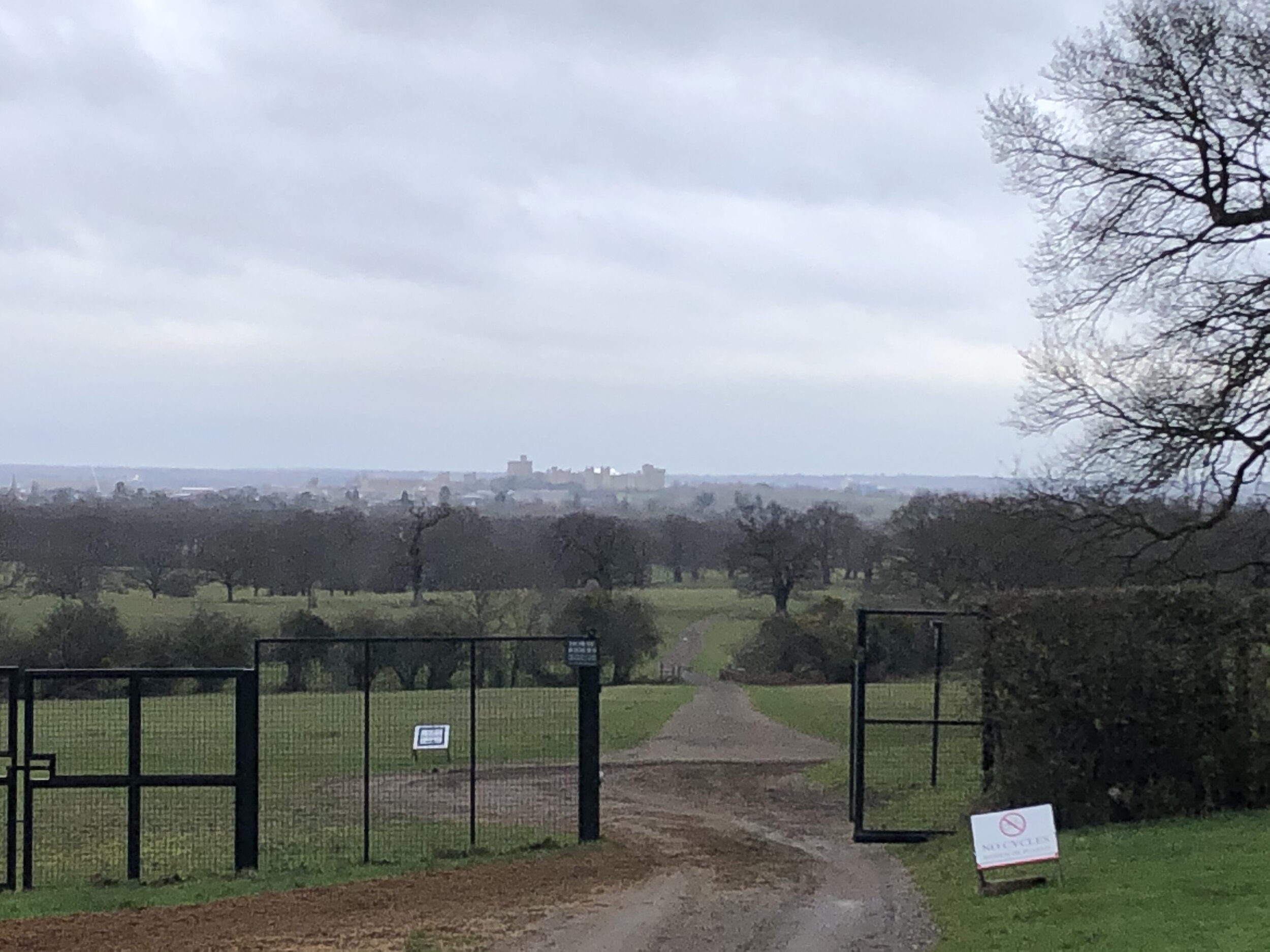
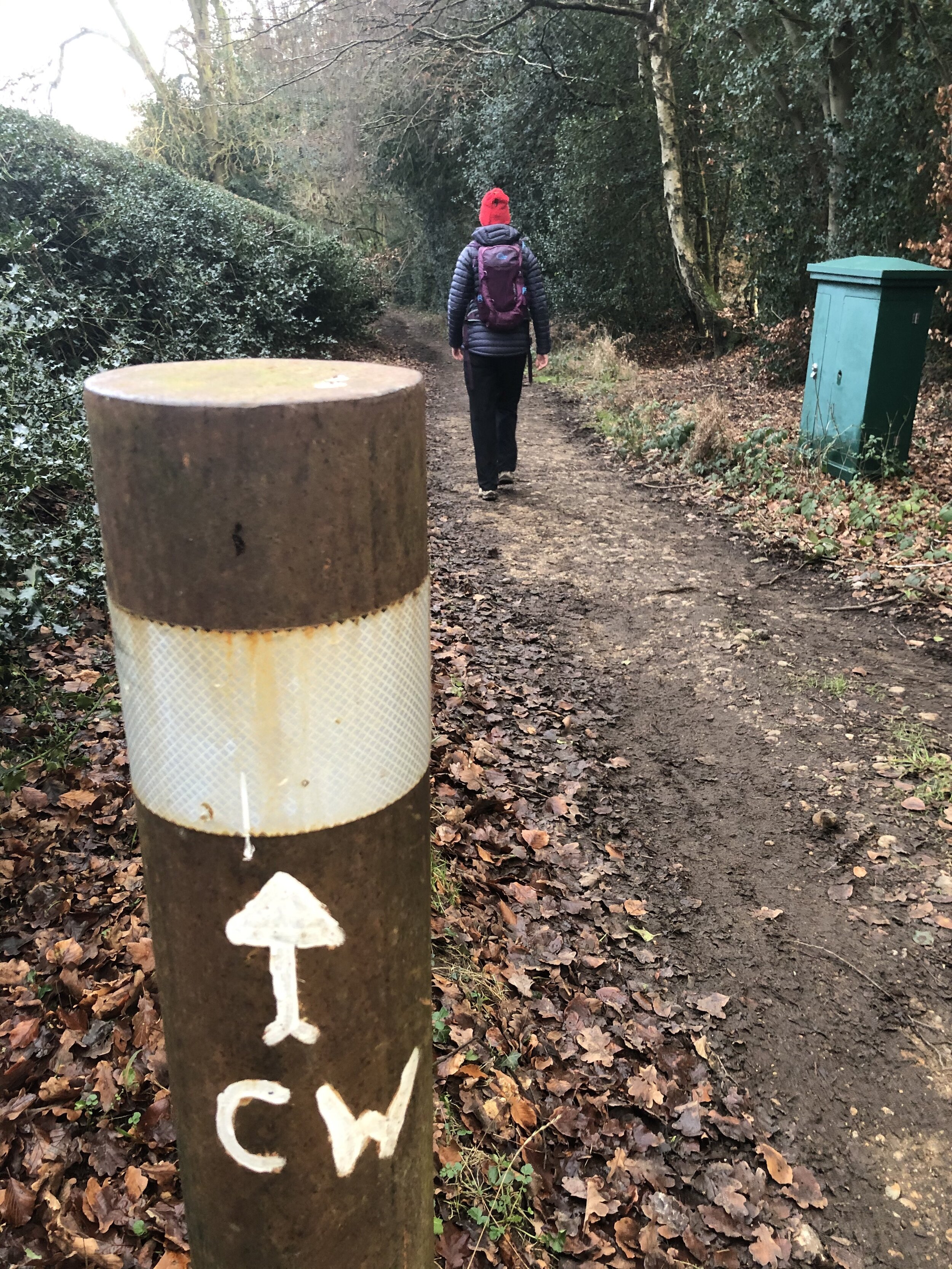
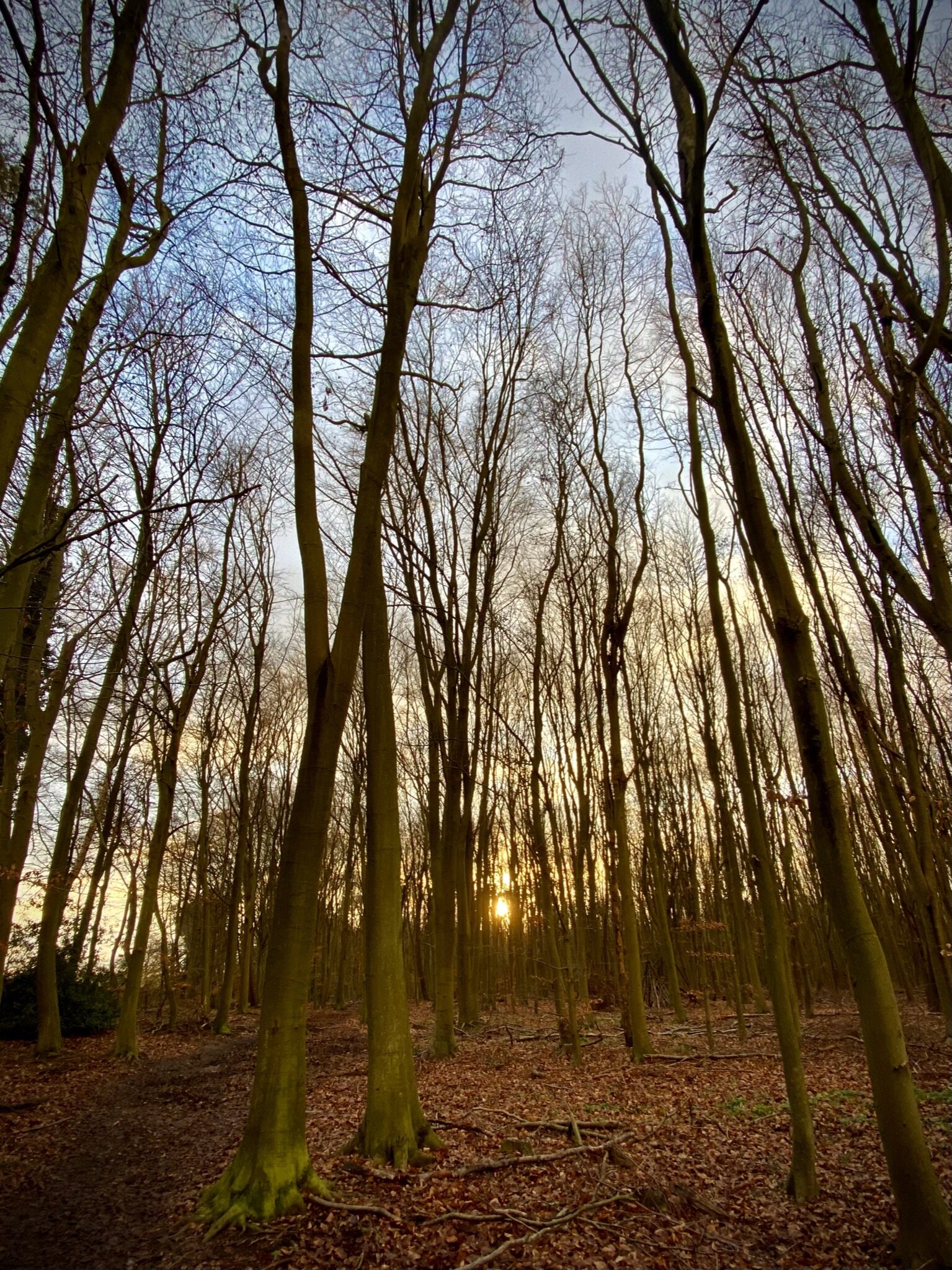
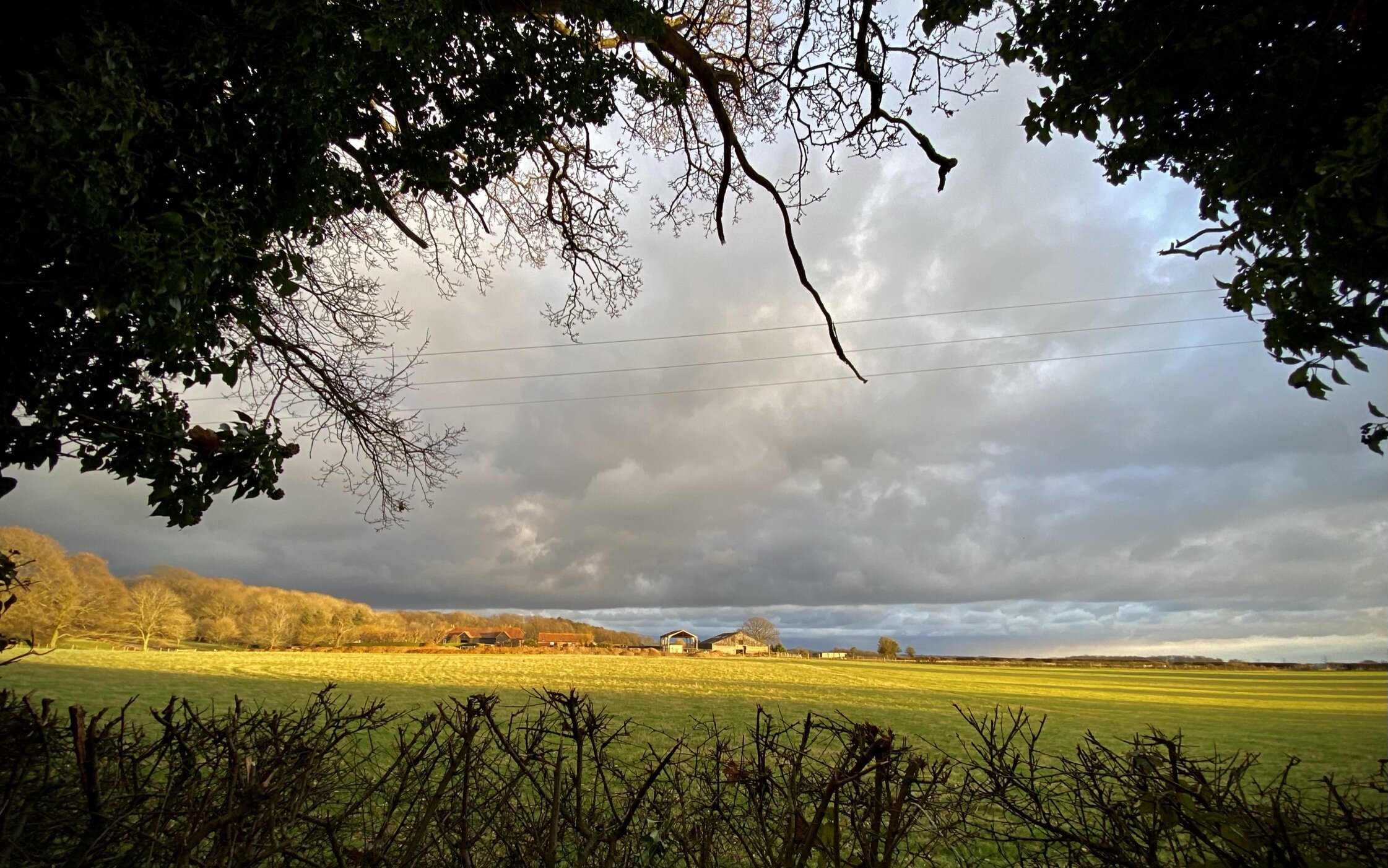
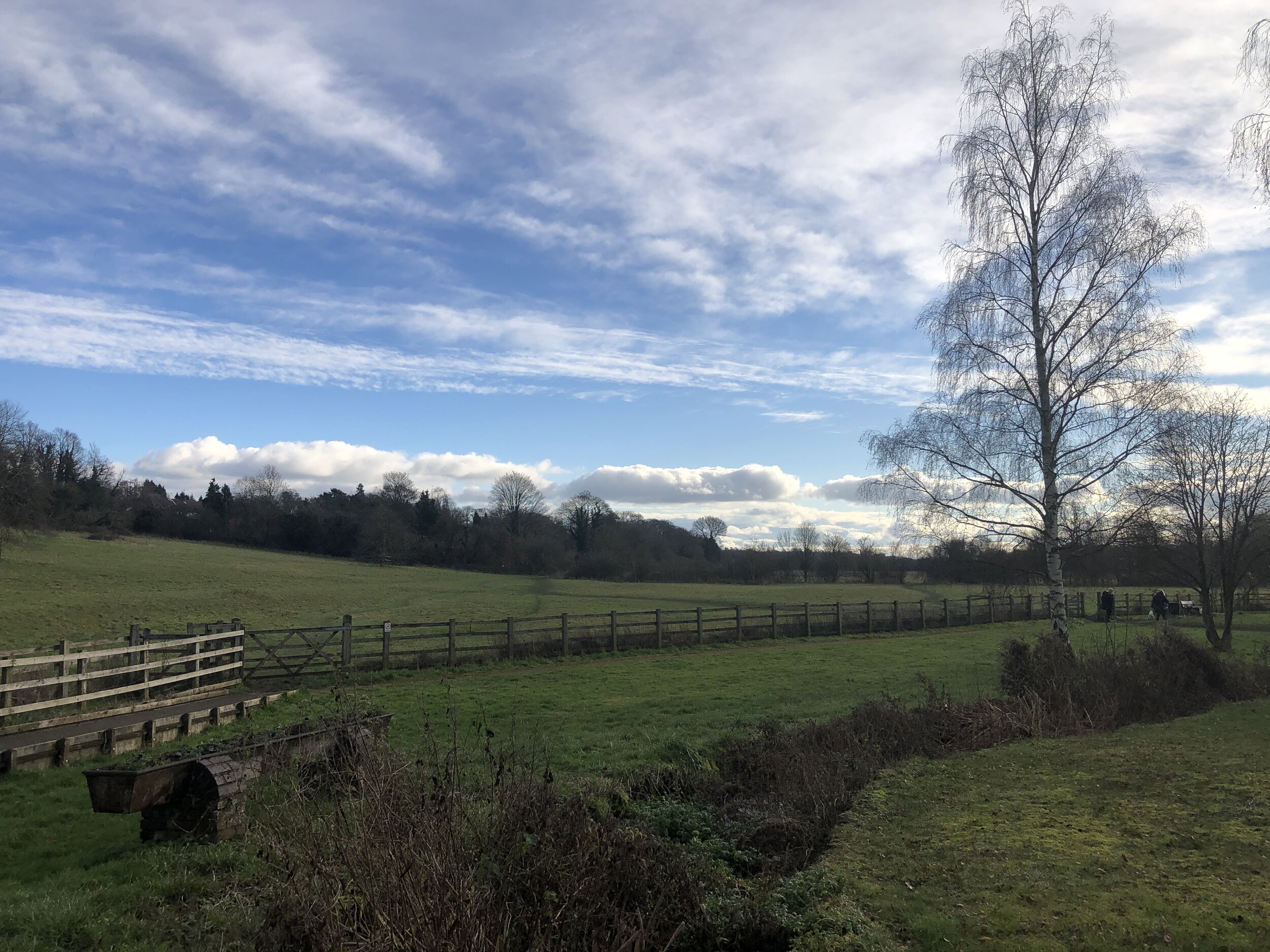
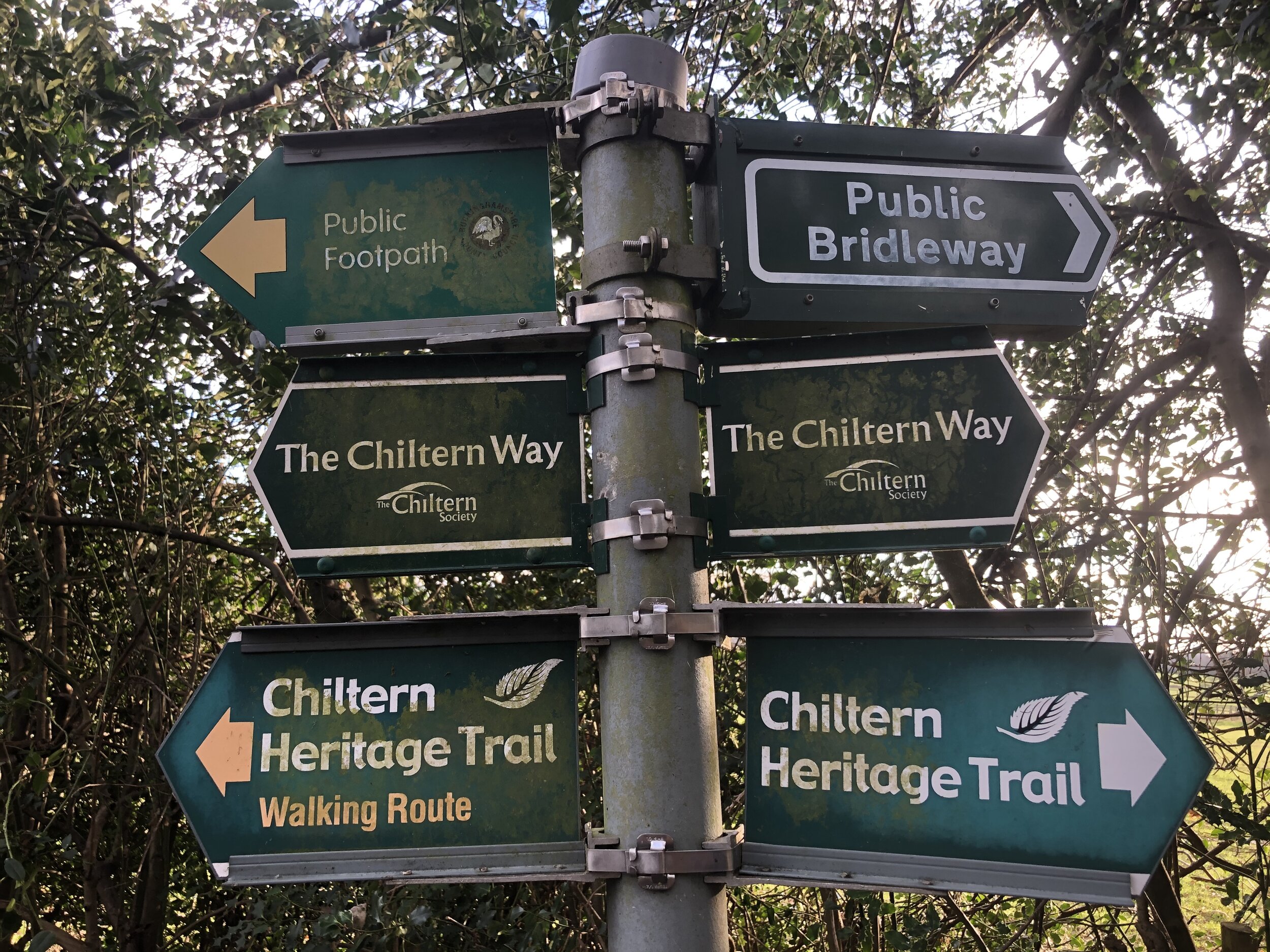
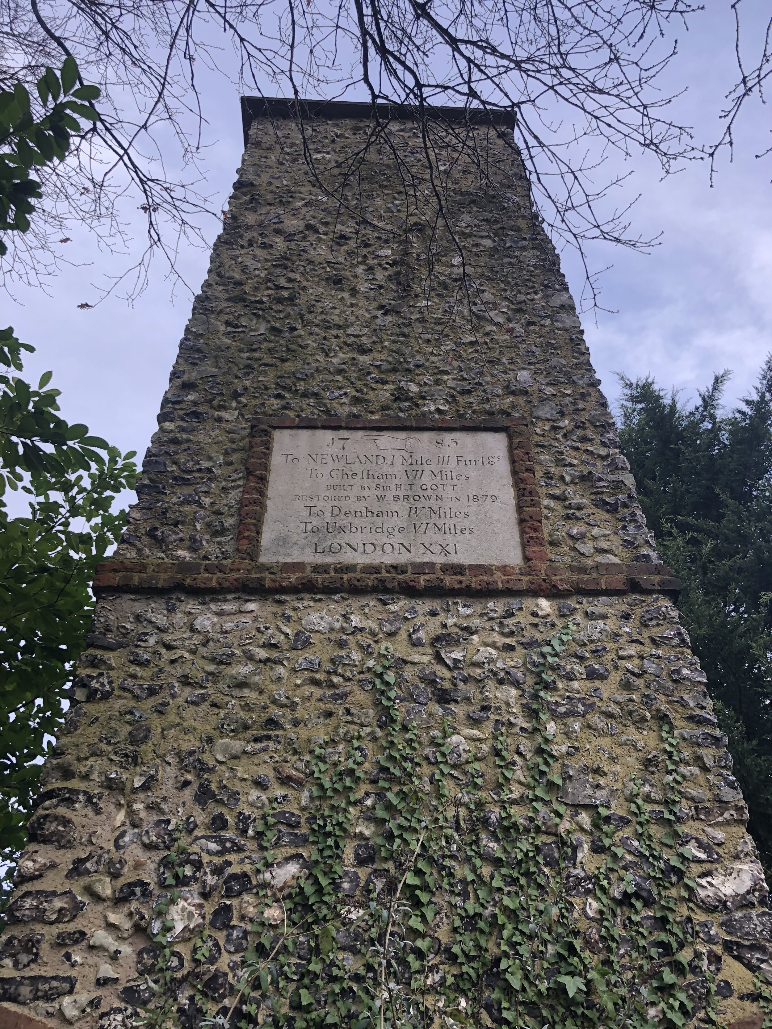
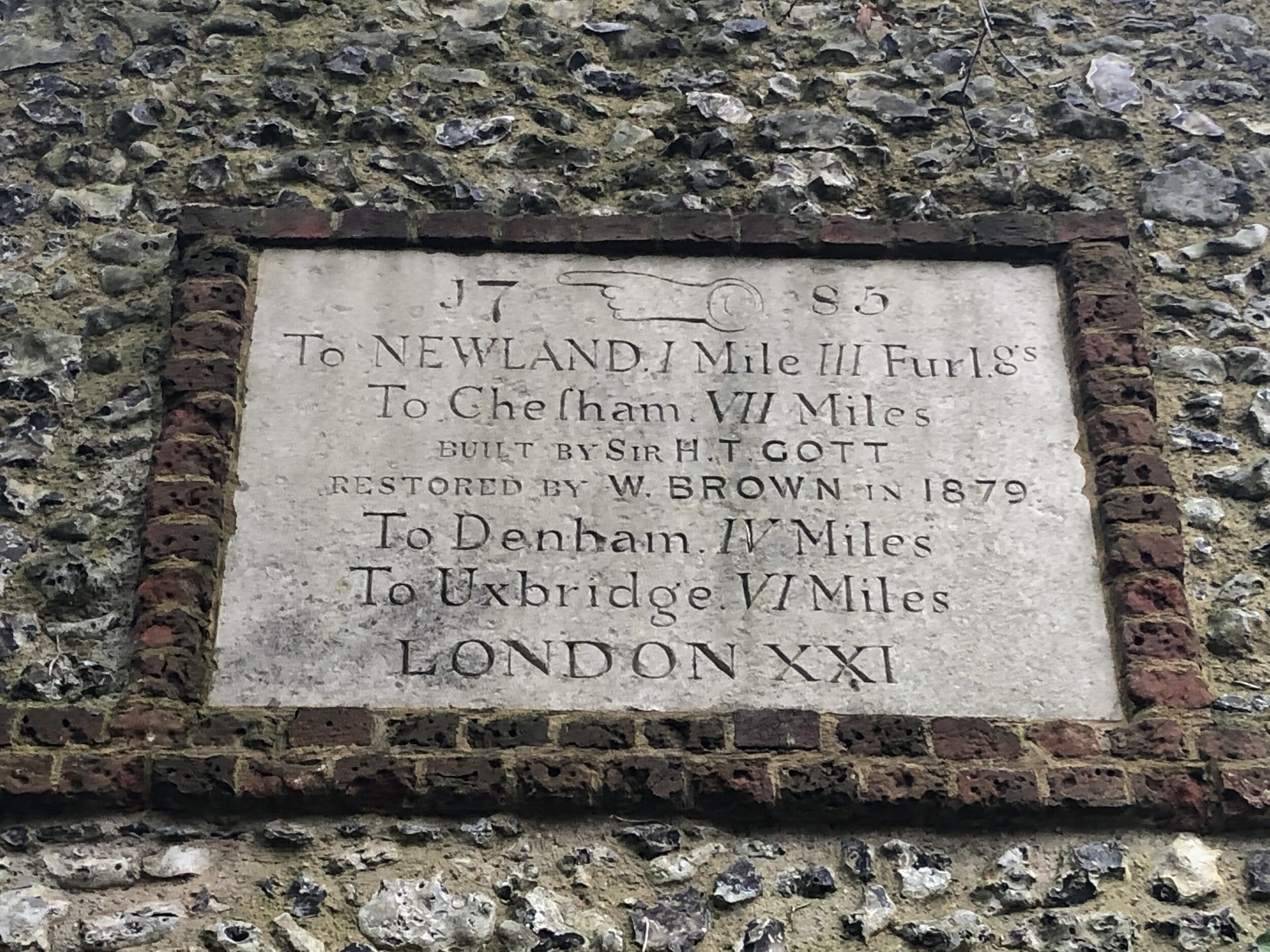
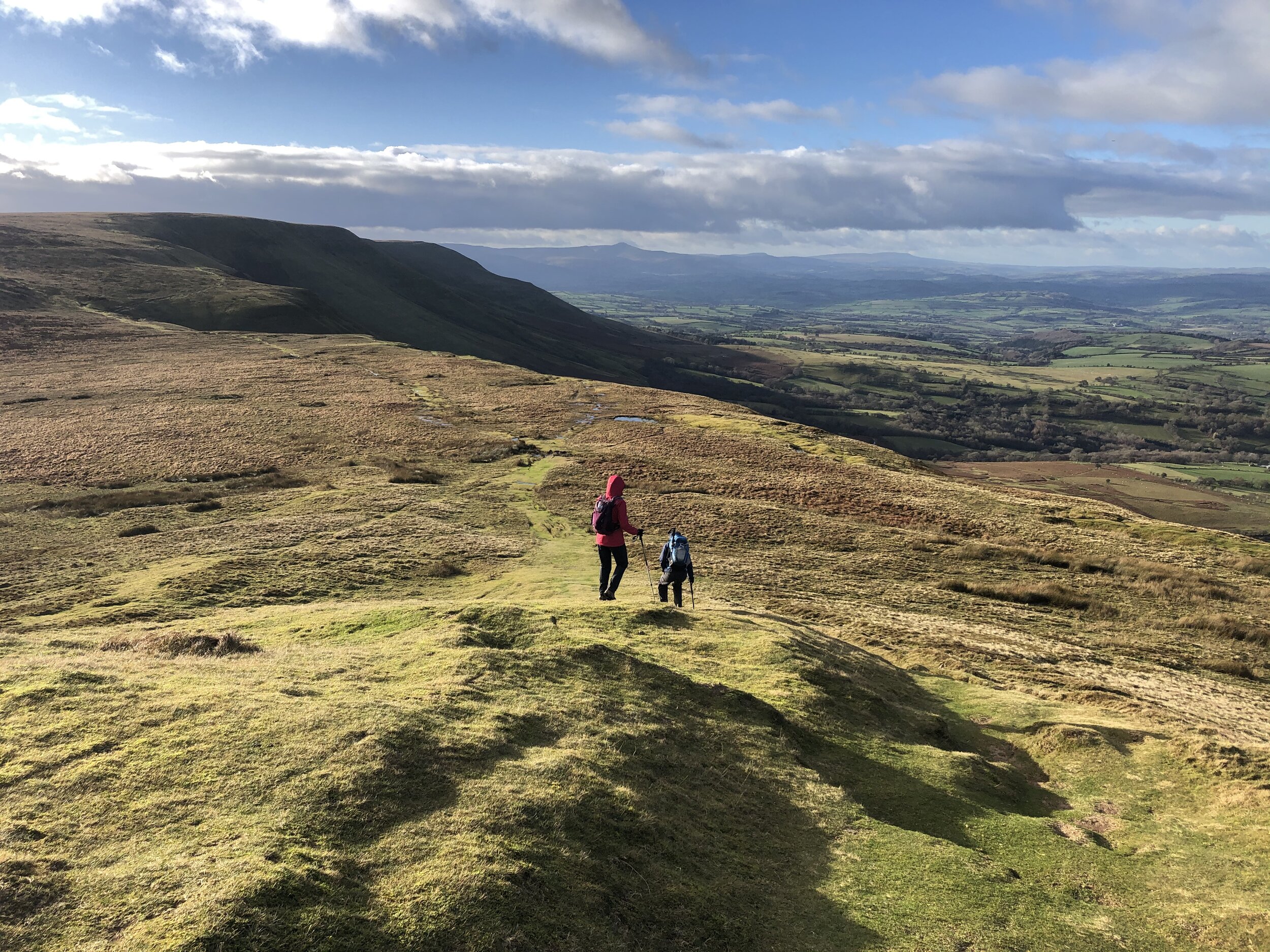
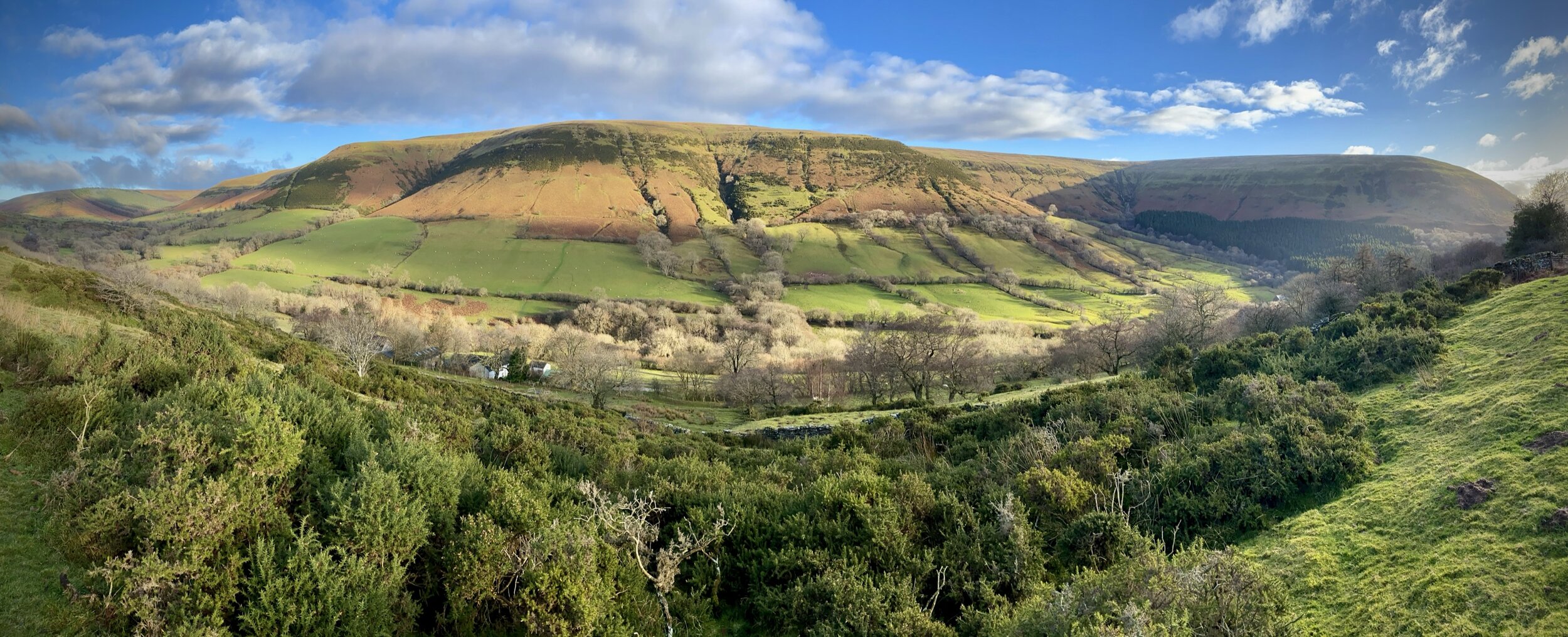
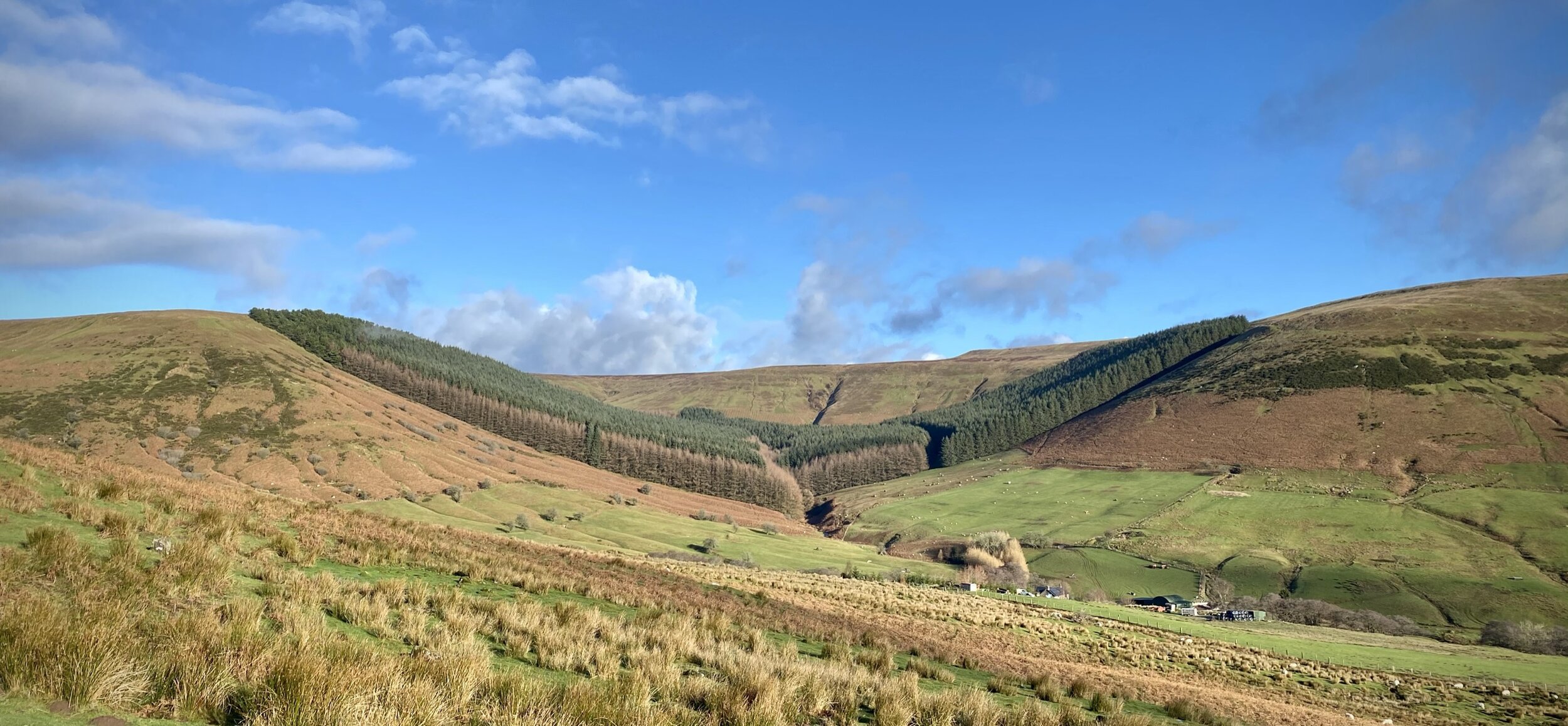
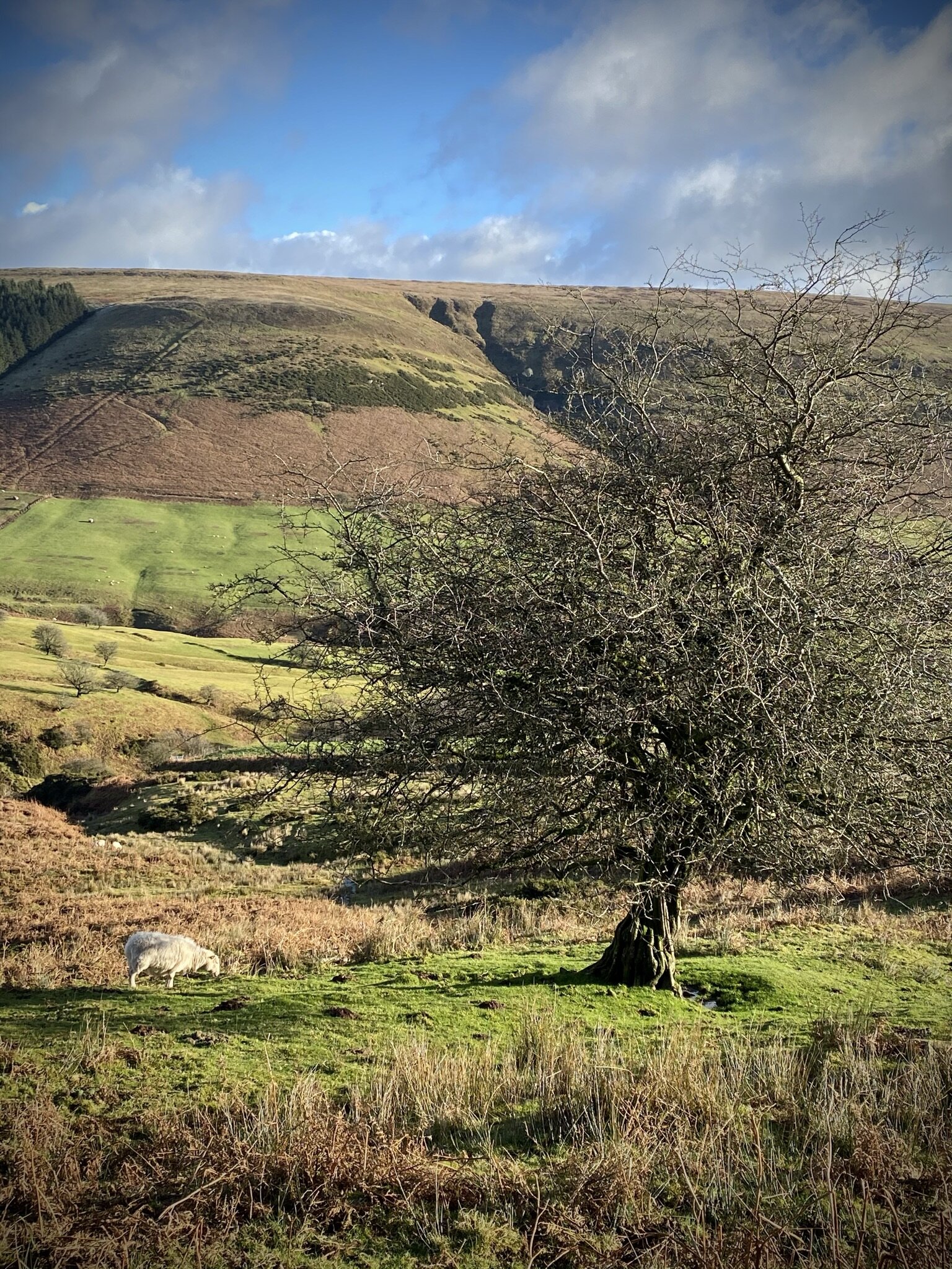
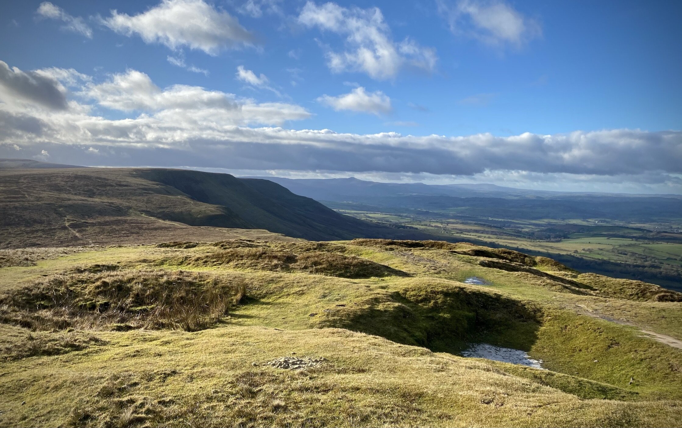
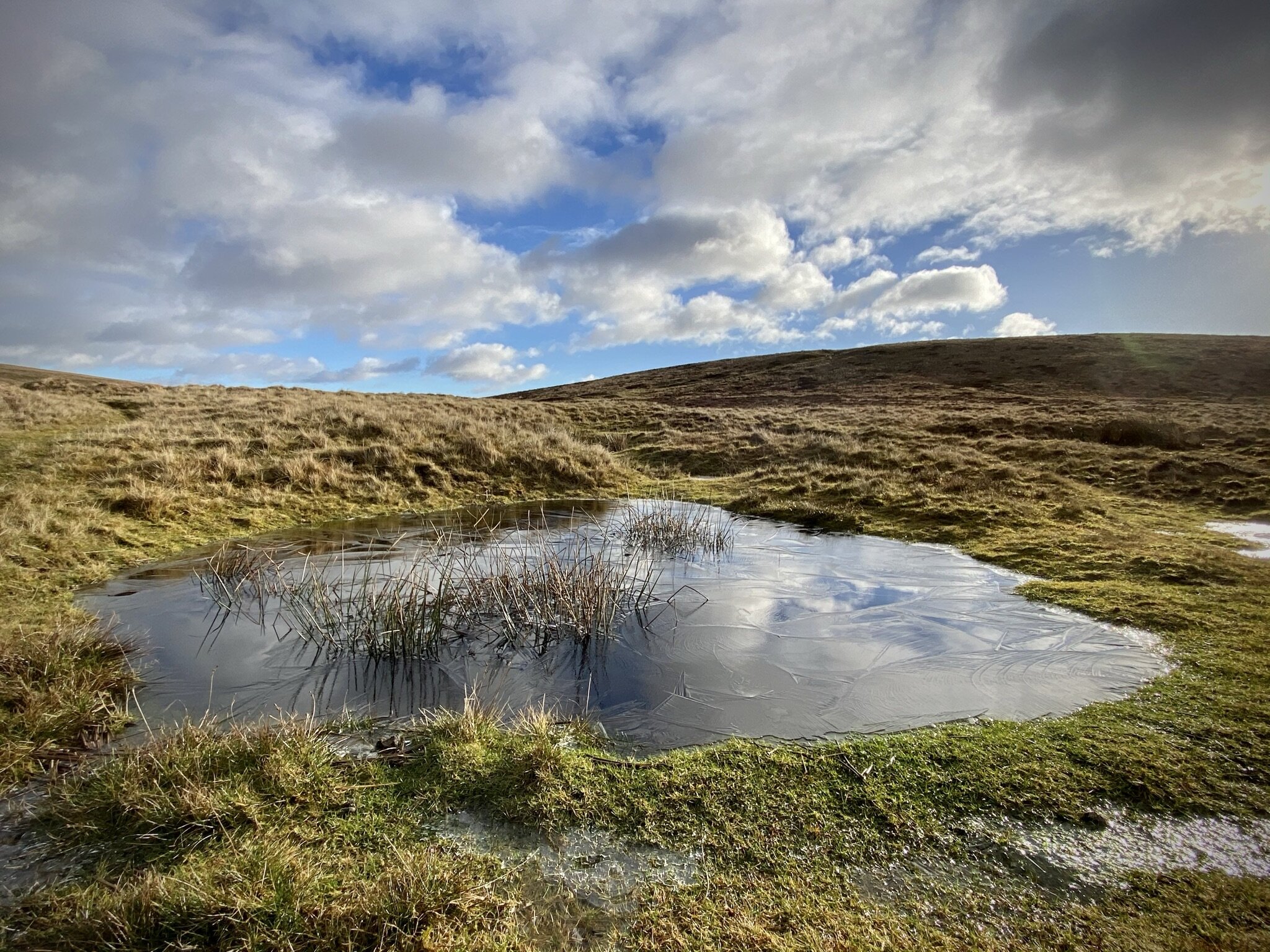
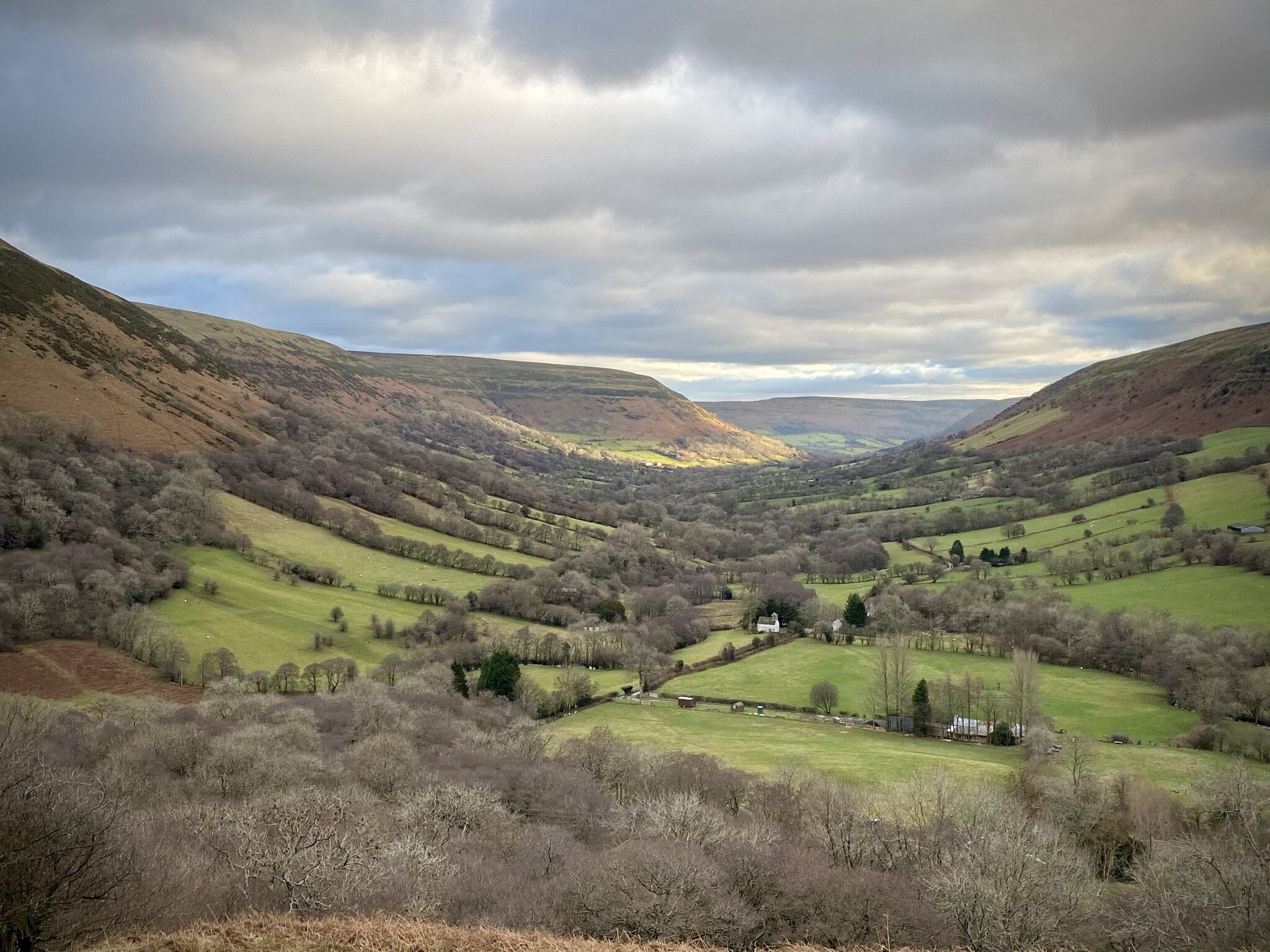
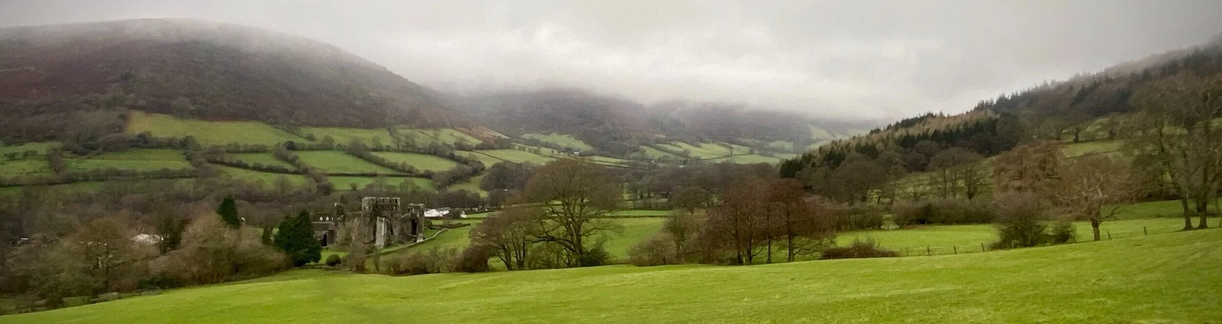
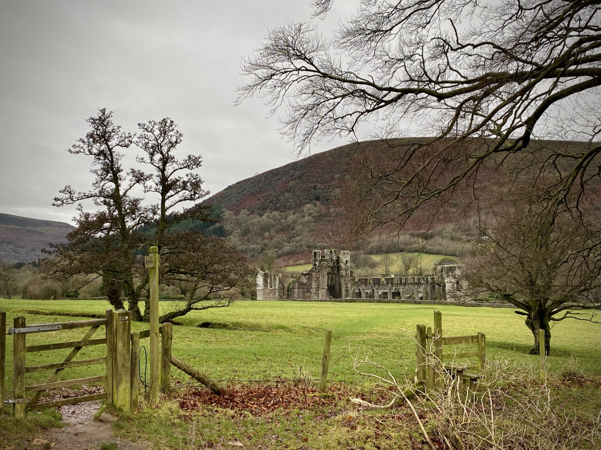
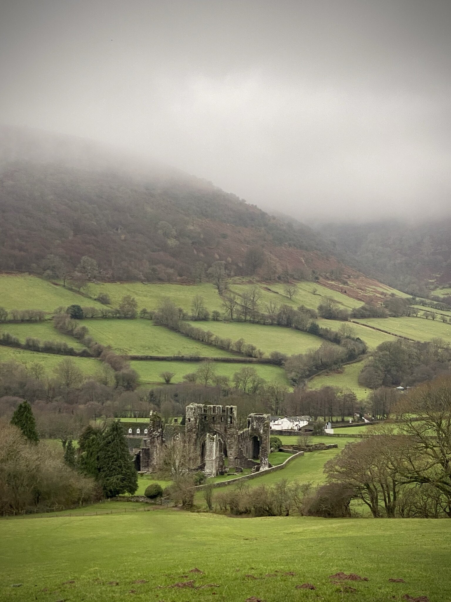
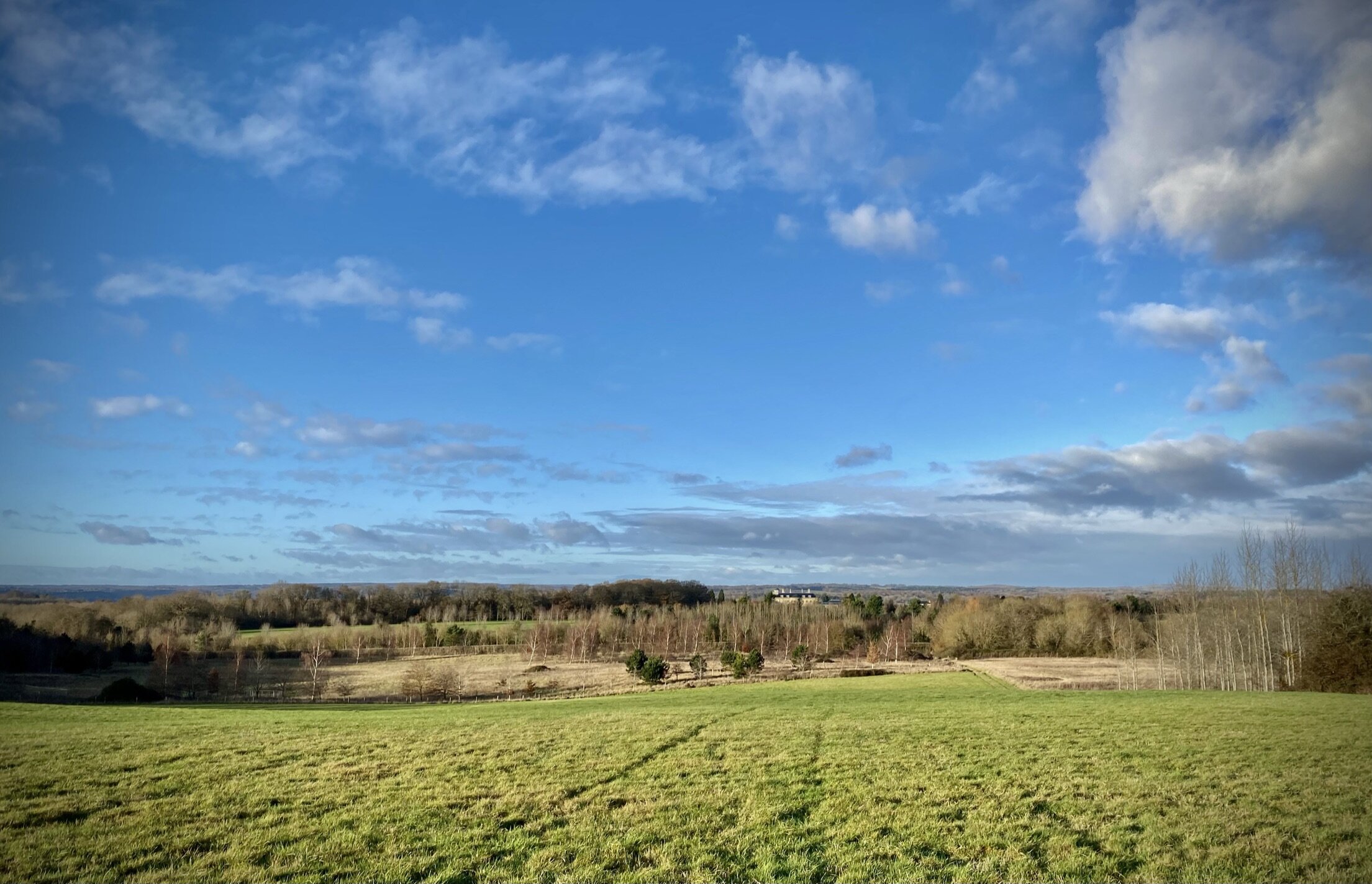
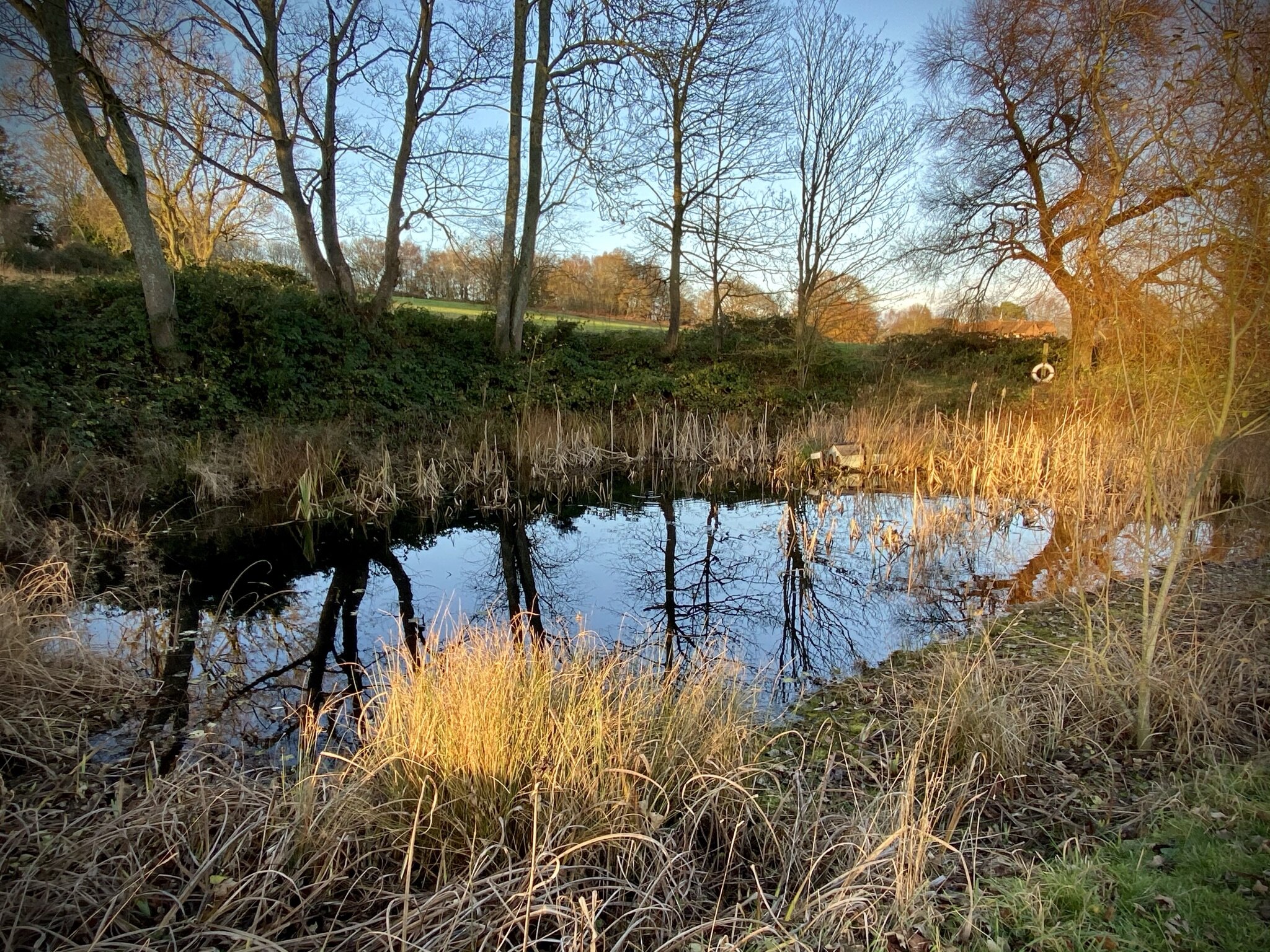
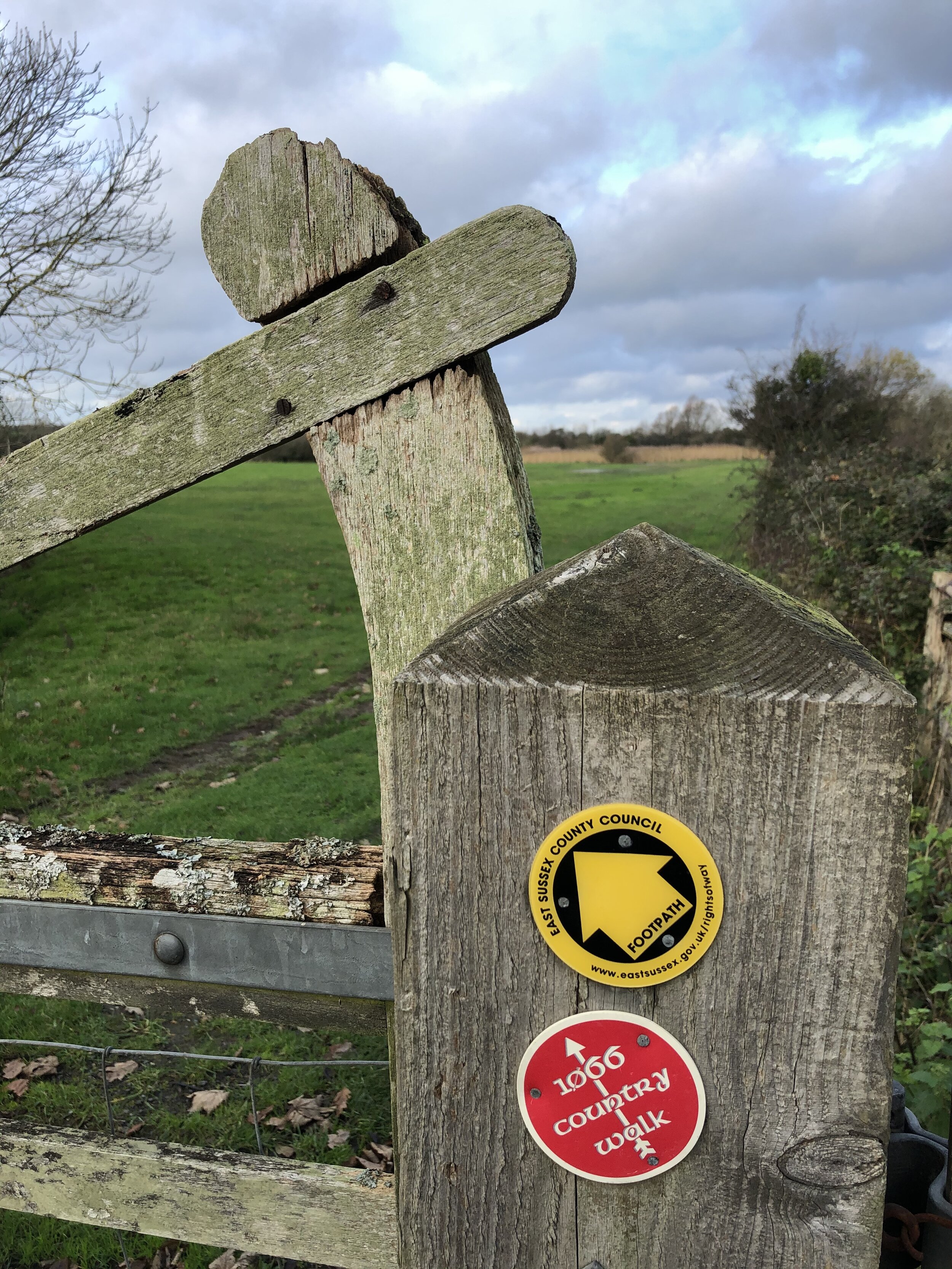
If you’ve already done the Hedgerley Circular, this short route returns to the highlights of the eastern section plus an extra loop over the M40. This additional section takes you into the grounds of Bulstrode Park. The estate pre-dates the Norman Conquest and a house has been on the land since the 1600s. For much of recent history the estate has been owned by an evangelical Christian mission although it has been in private hands since 2016. The house was being renovated when we were on this walk, although the paths through the park are always open. The guidance below will help you navigate but don’t use it as a fully accurate turn-by-turn guide. Always take a map and/or a GPX route and prepare well for the weather and terrain.

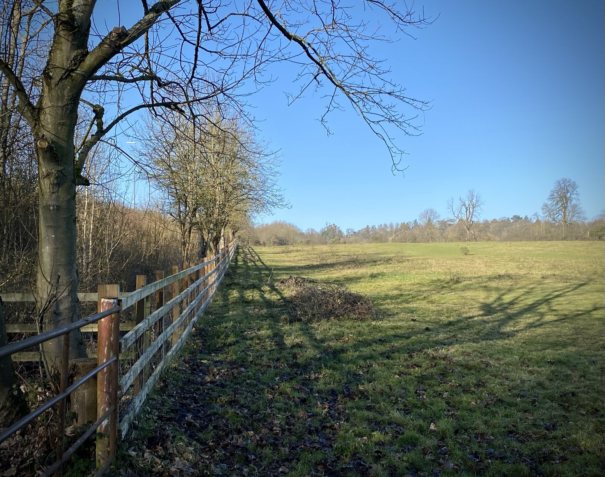
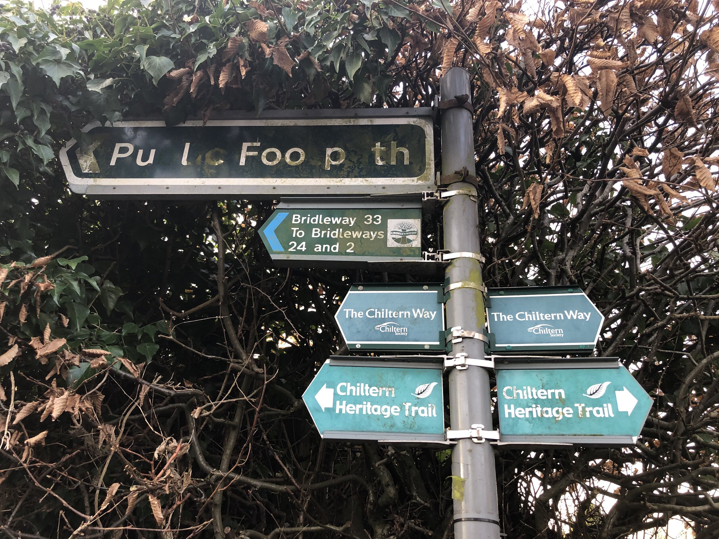
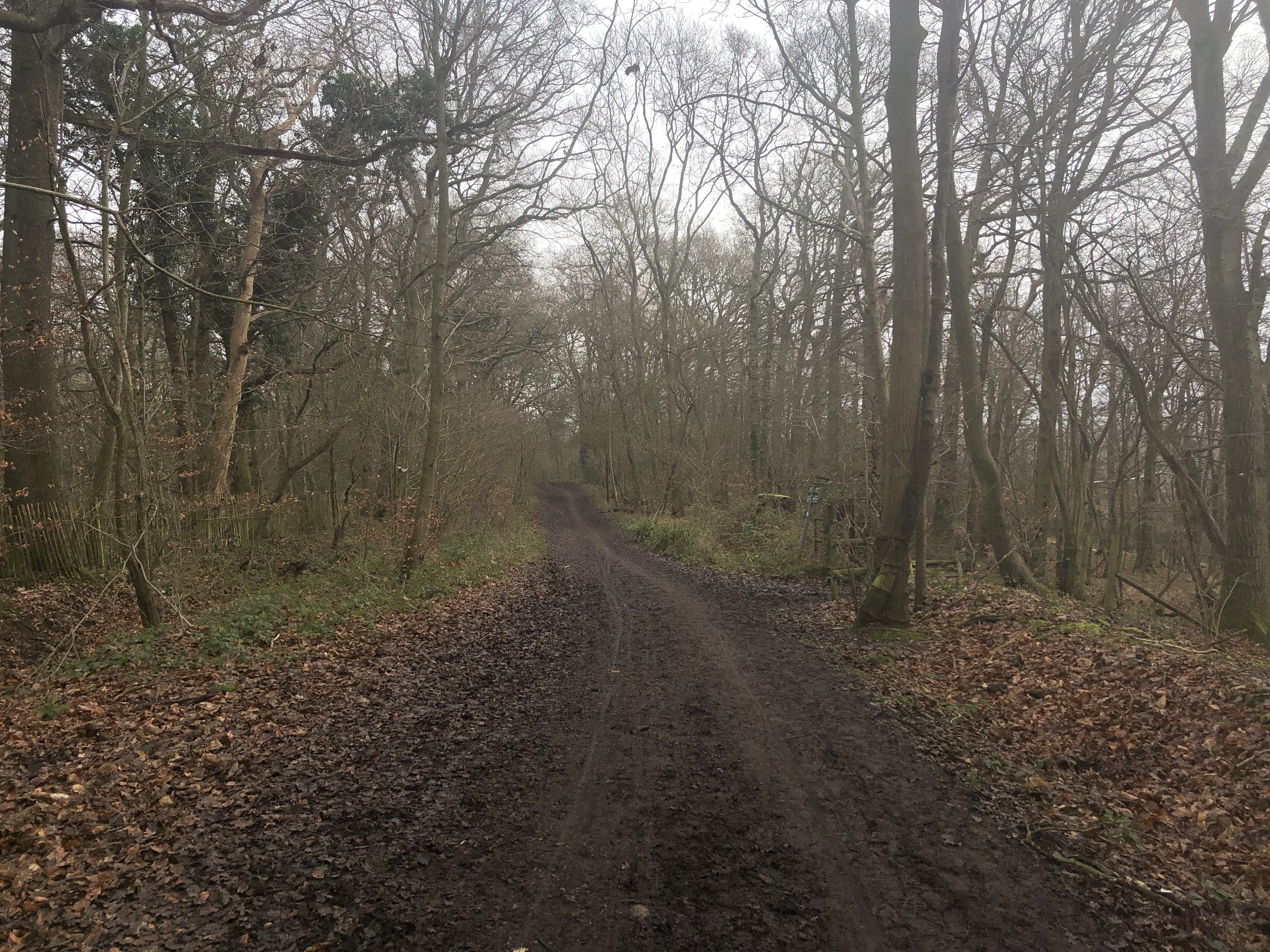
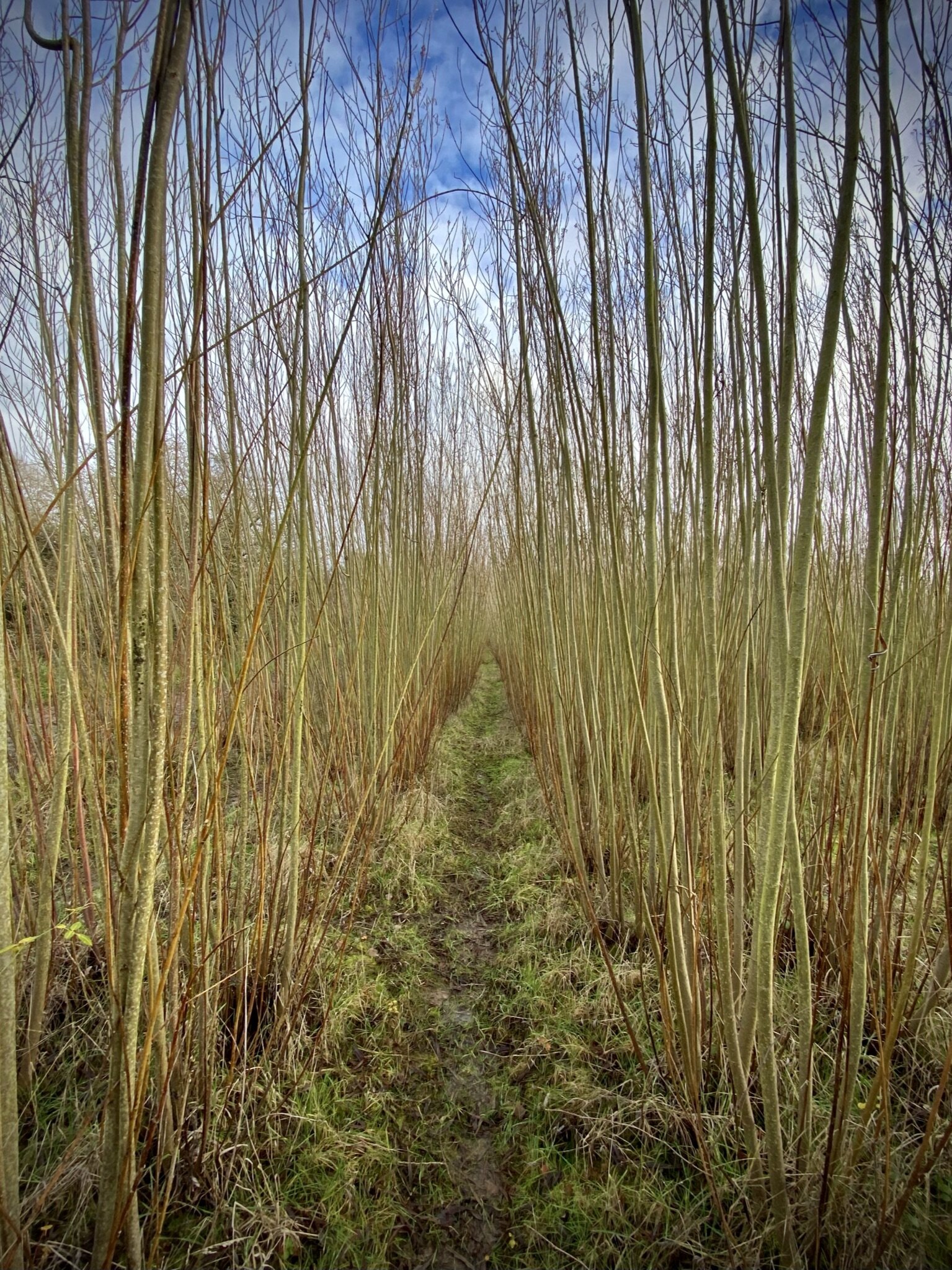
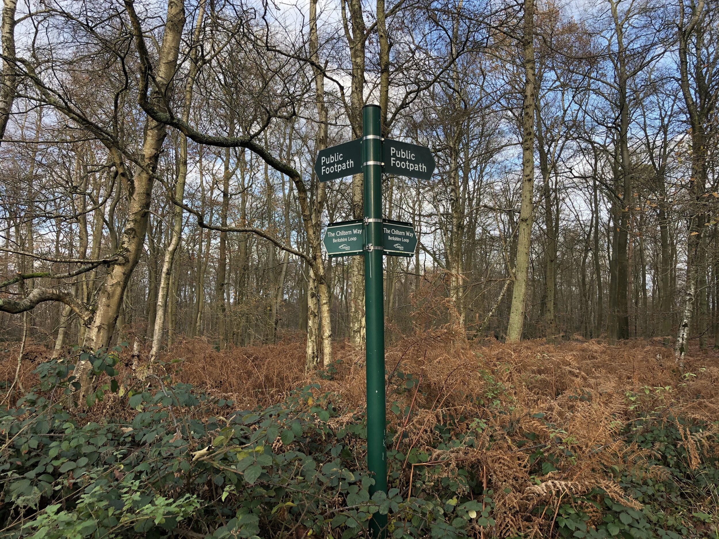
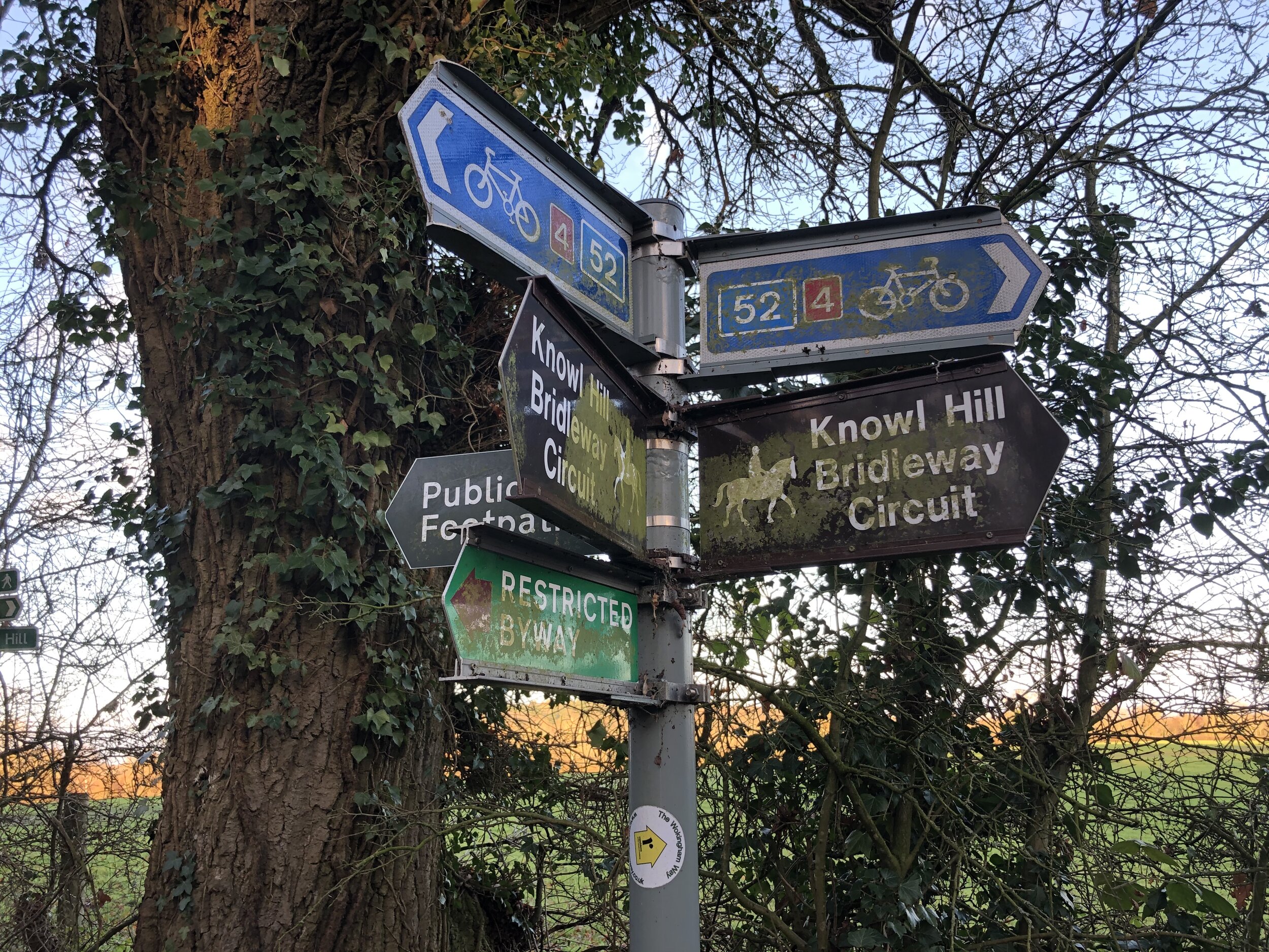
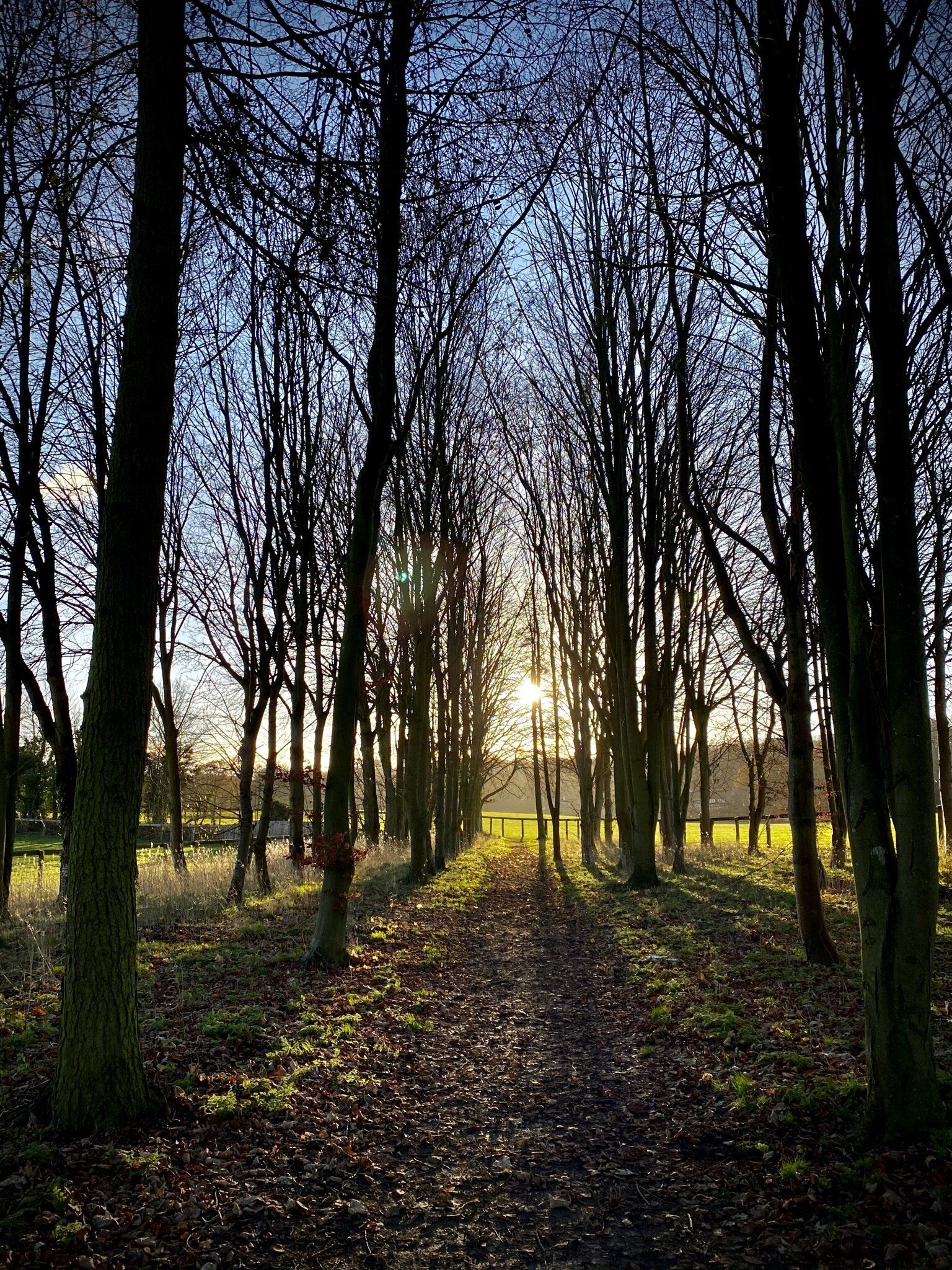
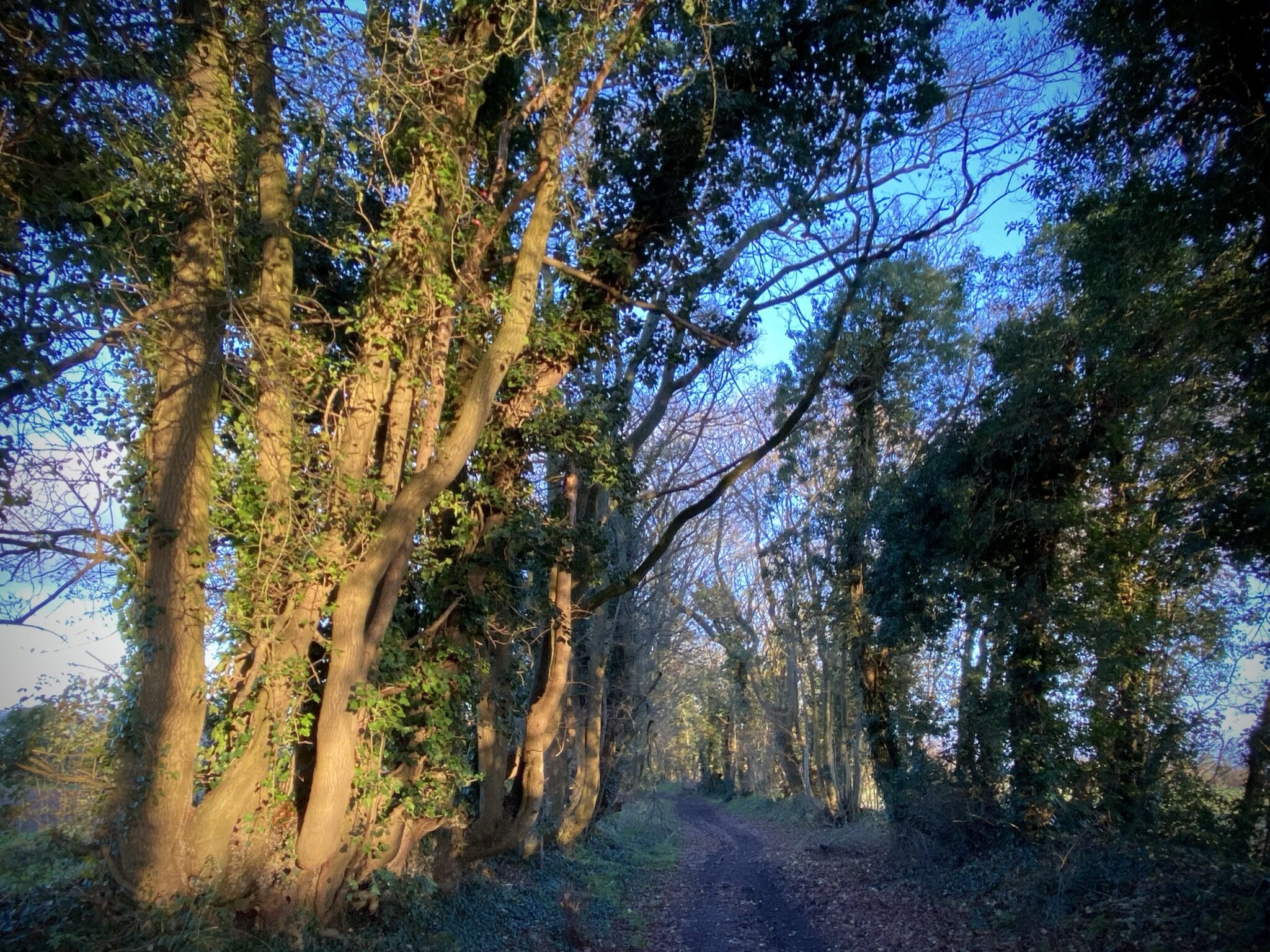
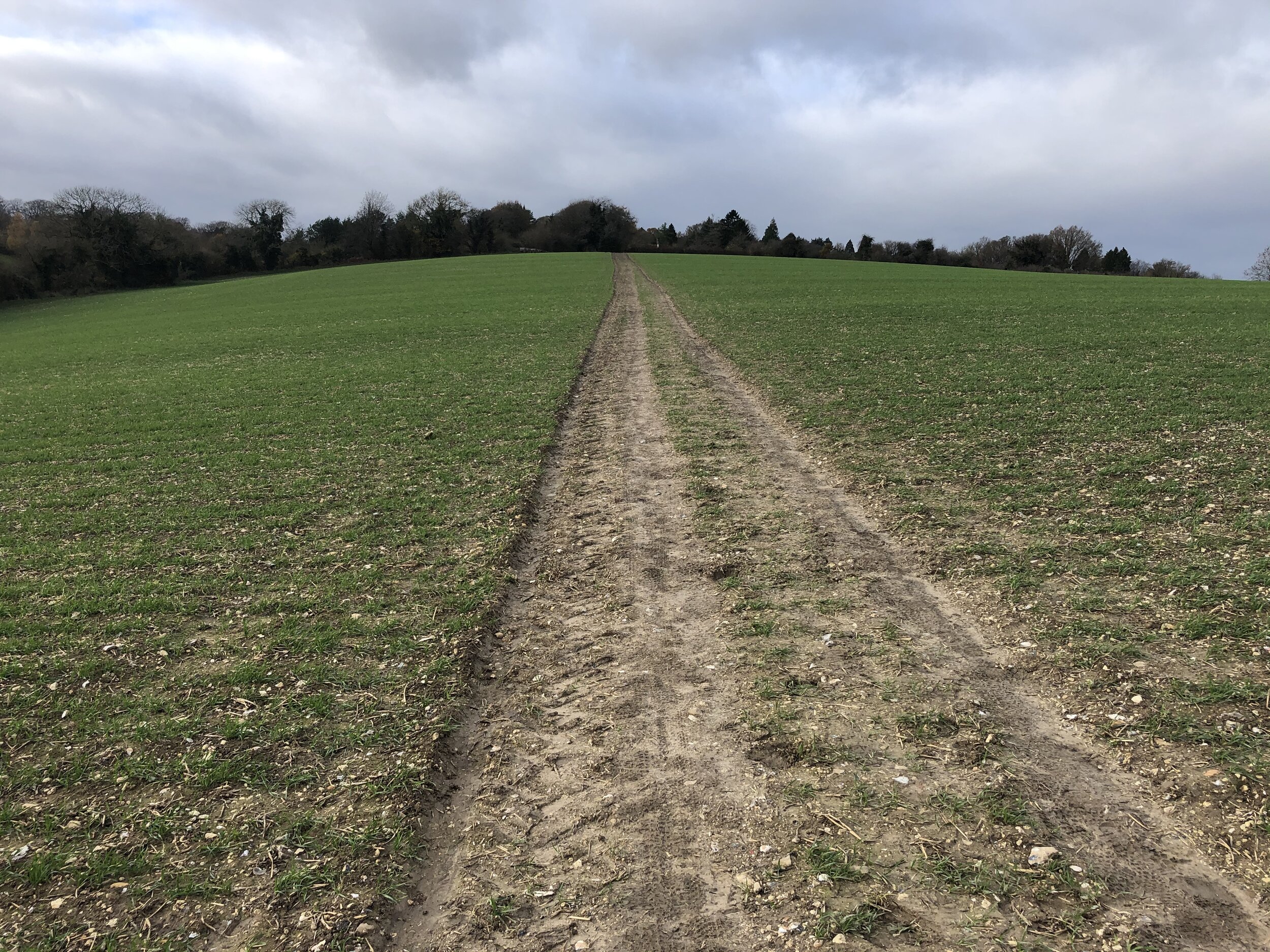
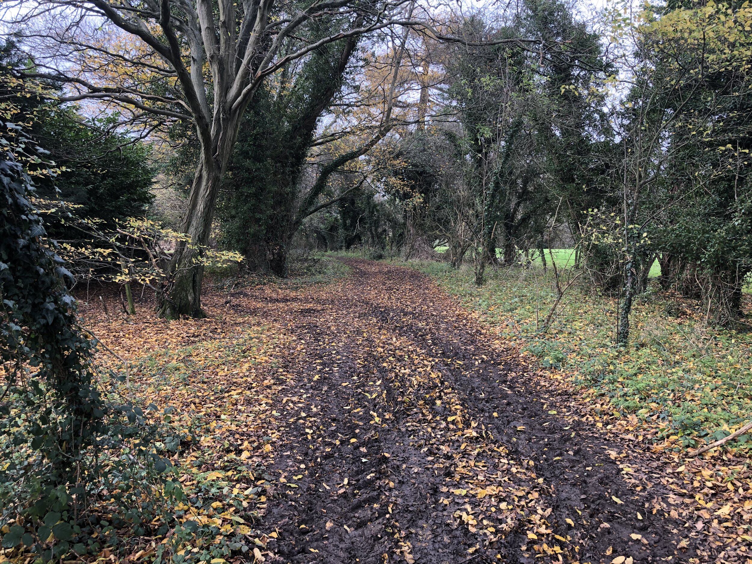
From The White Horse in Hedgerley walk south down Village Lane to the junction with Hill View and take the first footpath on the left. Follow the path in an easterly direction for just under 2 km, crossing under the M40, until you get to Hedgerley Lane. Follow Hedgerley Lane in a north-easterly direction for 200m then take the footpath on the left that leads to Main Drive. This brings you to the entrance of the Bulstrode Estate.

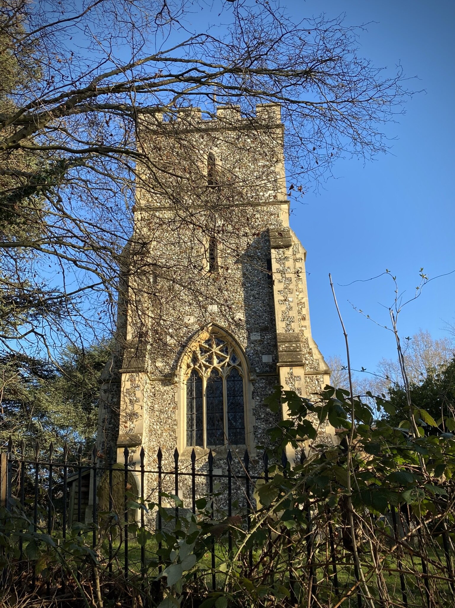
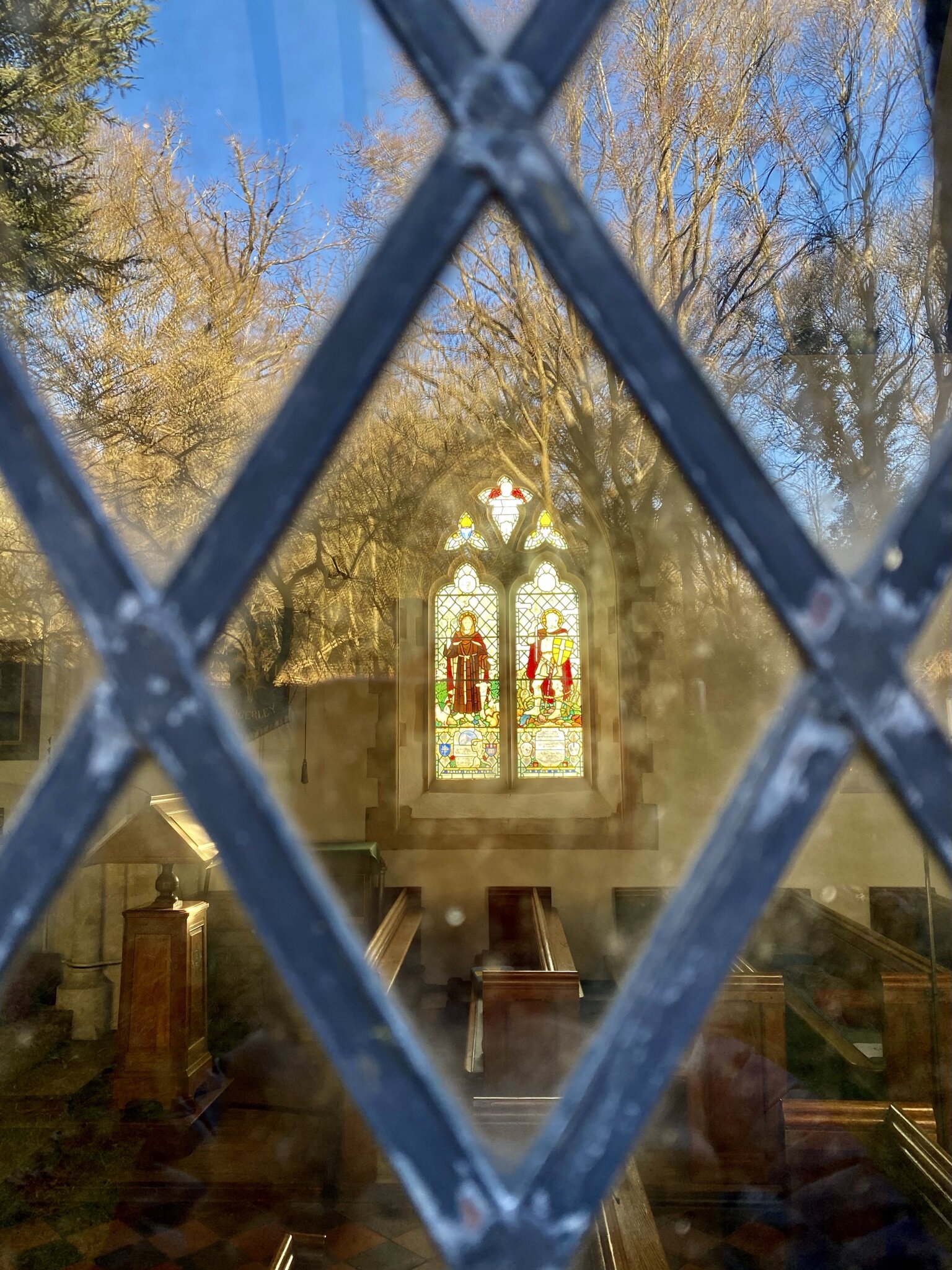
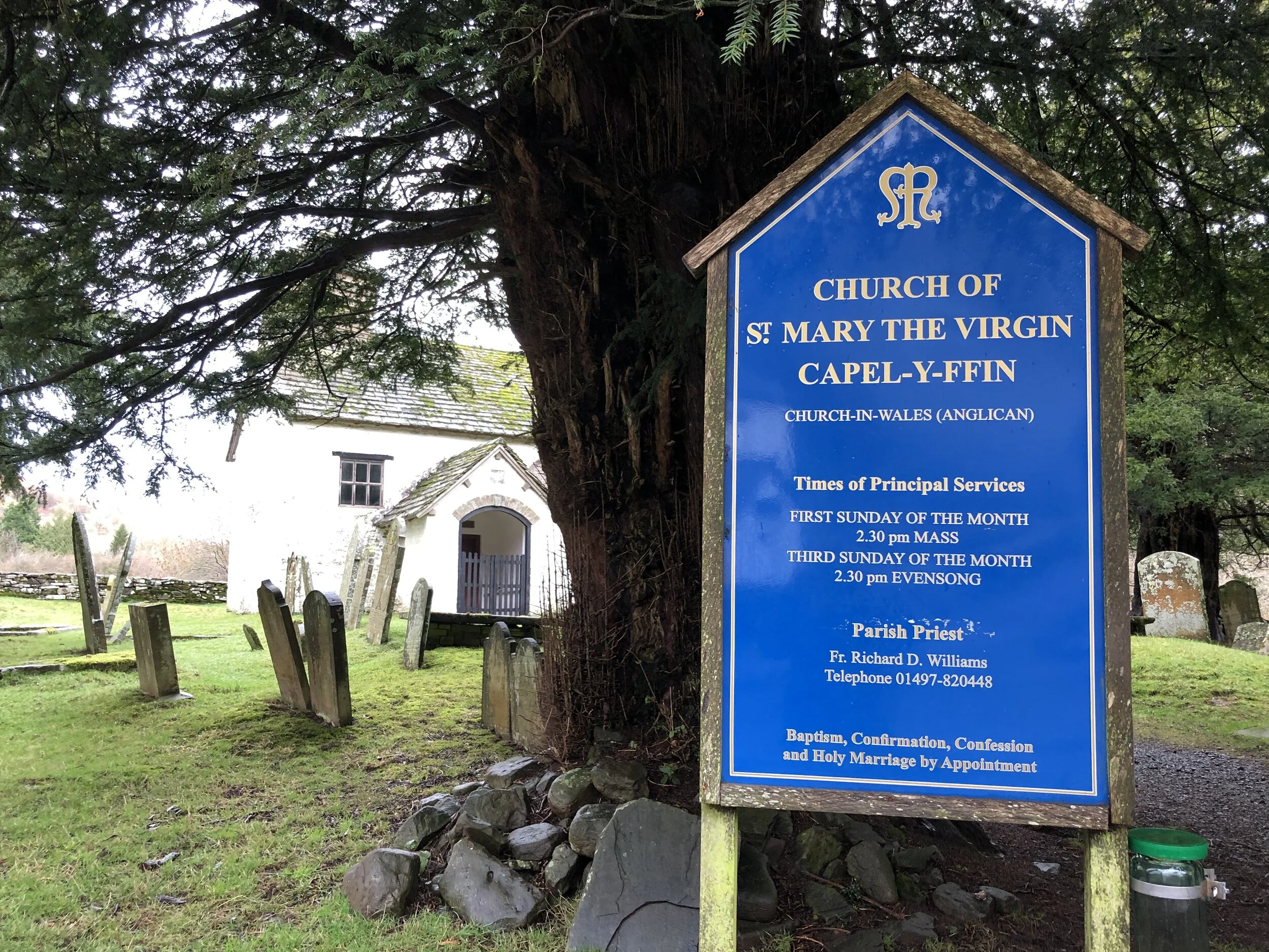
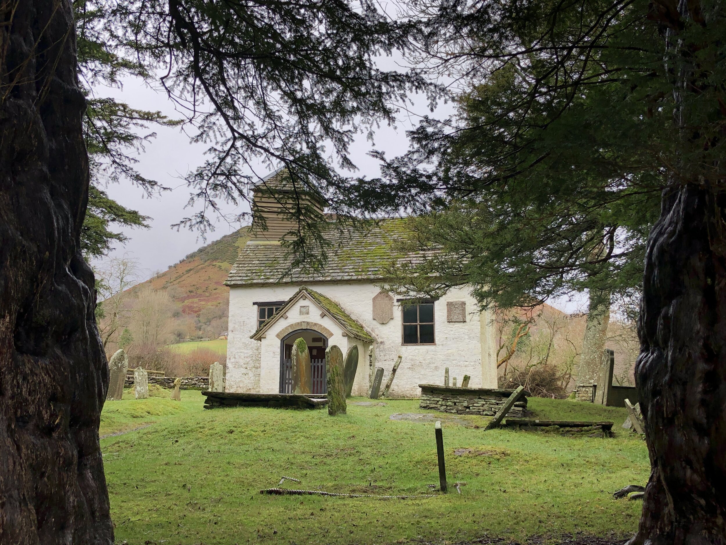
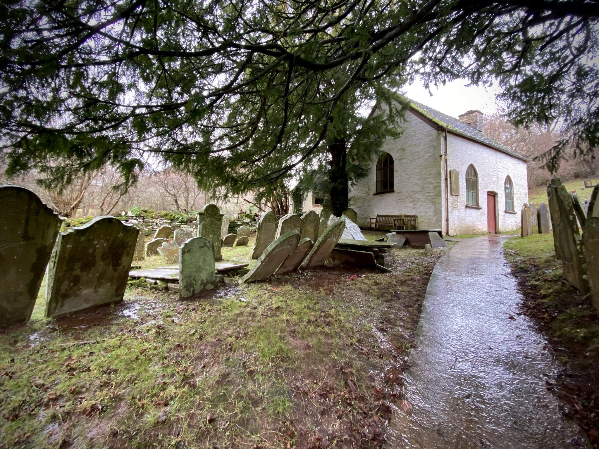
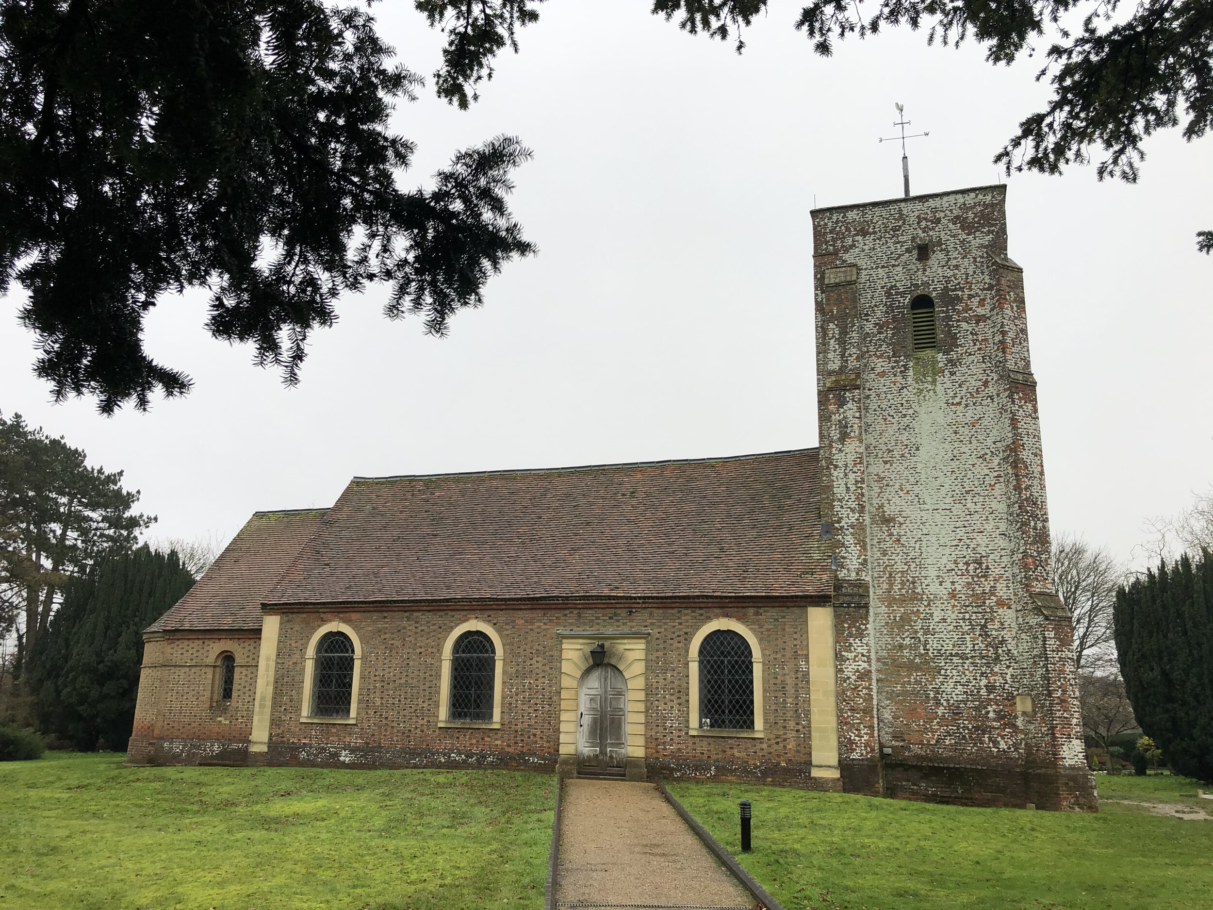
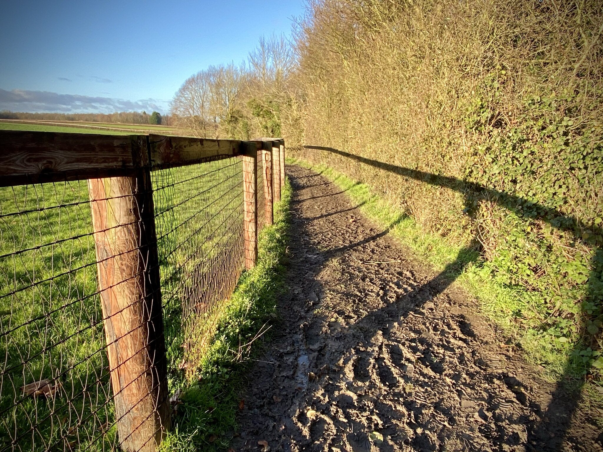
Take a left onto Main Drive to walk in a westerly direction passing the northern side of the main house. Eventually you’ll get back to Hedgerley Lane on the northern side of the M40. Cross over the M40 bridge then take the first path on the left to connect to Waspeys Lane. Take a left onto Waspey’s Lane then the first lane on the right. Follow the lane in a south westerly direction and continue as it becomes a footpath. This path will lead you to St Mary The Virgin Church and the start of the walk at the White Horse.


route-34988463-map-full.png
elevation_profile.jpg

Walks Along The Thames Path National Trail
Maidenhead Bridge

Maidenhead Bridge

I’ve spent a lot of my life living close to the Thames and have done countless walks, runs and rides along it. It’s also the first National Trail that I’ve completed end to end. That was a cycle trip and, as my blog post on it describes, it’s best discovered on foot.

More recently I’ve been returning to the trail to do shorter circular walks containing stretches of the Thames Path. So far it’s been mostly focused on the Chilterns section, but I’ll extend towards the outer ends later. Here’s the links to the walks that I’ve done so far. They’re in order of closest to the source first.


From The Source to The Chilterns: Kemble to Wallingford

Circular Walks including the Thames Path


The Chilterns Section: Wallingford to Staines-upon-Thames


Circular Walks including the Thames Path


The London Section: Staines-upon-Thames to The Thames Barrier

Walks Crossing or Ending at The Thames Path


Round Berkshire Cycle Route - Windsor Loop
Cycle path between The Rangers Gate and Clewer Green

Cycle path between The Rangers Gate and Clewer Green


Start & Finish: Windsor Bridge, Windsor, SL4 6AA
Distance: 23.3 km (20 Miles)
Elevation change: +/- 212m
GPX File: get via Buy Me a Coffee
Other Routes Touched (walk): Thames Path, Jubilee River Path, Three Castles Path
Other Routes Touched (cycle): NCN 4, Ascot To Windsor Cycle Path
Pubs / Cafes on route: several on Eton High Street
Map: OS Explorer Map (160) Windsor, Weybridge & Bracknell
Links: Round Berkshire Cycle Route, Eton, Windsor, Windsor Bridge, Old Windsor, Windsor Great Park

Previous section: Round Berkshire Cycle Route - Maidenhead Loop


This is the first in a series of short trips to tackle the Round Berkshire Cycle Route in smaller sections. The full route is 140 miles from Lambourne in the west to Datchet in the east. I’ll probably do the whole route in a single trip one day, but for now I’m happy to break it into smaller sections.

We started this loop at Windsor Bridge, close to both of the town’s train stations and several car parks. From here the route heads north toward Slough before diverting east to Datchet. After Datchet the route follows the B3021 parallel to the Thames joining the A308 into Old Windsor. Depending on your love of hills, the climb up Crimp Hill into the Great Park is either a high or a low-light.

Must of Windsor Great Park is reserved for walkers and horse-riders with cycling prohibited on many paths. The route 52 takes you along the the cyclable parts on very well maintained roads. At the southern end of the park you’ll exit at Blacknest Gate following Mill Lane then Buckhurst Road. When you reach the Ascot Gate you’ll leave the route 52 as it continues along Sunninghill Road to Bracknell. Instead, return into the park and take Dukes Lane North-East to The Village.

At this point you can join an inner circle of the route 52 up to Snow Hill and the Copper Horse and back to The Village via Bishopsgate Road. On the day we were there the gates to Snow Hill were closed to cyclists so we had to double back to The Village. Whichever option you’ve taken, the next stage starts with following the westerly road from The Village junction, up to Primrose Hill and north to the Ranger’s Gate.

Be careful when exiting the Ranger’s Gate as the A332 can be extremely busy. The road is the quickest route back to Windsor, but for a safer, more interesting route, take the cycle path to the left of the road and follow it to the grounds of Windsor FC and onto the B3022. The final 2km of the route winds through residential streets before returning to the river on Barry Avenue between the Thames and Alexandra Park.


route-34938830-map-full.png
elevation_profile (1).jpg

Chiltern Walks: Heronsgate and Bottom Wood
View east from Philipshill Wood

View east from Philipshill Wood


Start & Finish: The Stag, Long Lane, Heronsgate, WD3 5BT
Distance: 6.5 km (4 miles)
Elevation change: + / - 82m
GPX File: get via Buy Me a Coffee
Other routes touched (walk): Chiltern Way, Chiltern Heritage Trail, South Bucks Way
Other routes touched (cycle): Chiltern Heritage Trail Milton Route
Pubs / Cafes on route: The Stag, Heronsgate
Map: OS Explorer Map (172) Chiltern Hills East
Links: Heronsgate, Philipshill Woods, Newlands Park


A short walk in the eastern Chilterns, touching parts of our previous walk from Chalfont St Giles to Newlands Park. We started from The Stag pub in Heronsgate, but Chorleywood station is not far and only adds a short distance if you’re coming in by train. The guidance below will help you navigate but don’t use it as a fully accurate turn-by-turn guide. Always take a map and/or a GPX route and prepare well for the weather and terrain.

From The Stag cross over Long Lane and walk along Stag Lane in a north easterly direction. Take a left onto Rendlesham Way and follow it to Quickley Lane. Take a right then immediately left onto Burfield Road. At the T-junction take a left onto Shire Lane. Walk along Shire Lane in a south-westerly direction then onto Old Shire Lane. The Chiltern Way section of the route follows Old Shire Lane along the edge of Philipshill Wood. This ancient trackway is “is thought to mark part of the boundary between the Anglo-Saxon kingdoms of Wessex and Mercia” (Wikipedia).

Continue along old Shire Lane until you reach a T-junction in the path at the northern end of the Chiltern Open Air Museum. Take a left to continue along Old Shire Lane following the boundary of the Open Air Museum and Newlands Park. At ~3.5 km into the walk take a left off Old Shire Lane to follow a path heading east. After 400m take a left to cross through Bottom Wood. Exit Bottom Wood and continue east across the field towards the M25. When you reach the path at the edge of the Heronsgate Woods take a left to follow the Heronsgate boundary back to The Stag.


route-34952348-map-full.png
elevation_profile.jpg

Chiltern Walks: Chalfont St Giles and Newlands Park
Fields at eastern end of Newlands Park

Fields at eastern end of Newlands Park


Start & Finish: Chalfont St. Giles Village Centre, HP8 4QF
Distance: 8.6 km (5.3 miles)
Elevation change: + / - 75m
Chiltern Heritage Trail Section Covered: Newland Gorse to Chalfont Common: 4.6 km
GPX File: get via Buy Me a Coffee
Other routes touched (walk): Chiltern Way, Chiltern Heritage Trail, South Bucks Way
Other routes touched (cycle): Chiltern Heritage Trail Milton Route
Pubs / Cafes on route: Several in Chalfont St. Giles Village Centre
Map: OS Explorer Map (172) Chiltern Hills East
Links: Chalfont St Giles, Newlands Park, Philipshill Wood, Chalfont Centre for Epilepsy, Gott’s Monument, River Misbourne


This is part of a series of short circular walks in the Chilterns. It’s a part of a series of 17 walks that, between them, cover the 83 km of the Chiltern Heritage Trail. Created as a Millennium project, this trail links the towns and parishes within the district, offering stunning scenery, charming villages, and points of historical interest. The guidance below will help you navigate but don’t use it as a fully accurate turn-by-turn guide. Always take a map and/or a GPX route and prepare well for the weather and terrain.

From the village centre you’ll follow the Chiltern Way in an easterly direction over fields, across the A413 then up a steep hill. Soon you’ll pass the picturesque H2 construction site for one of the Chiltern tunnel vents. Continue along the Chiltern Way as it enters the Newlands Park Estate, curving around its perimeter.

Approximately 3 km into the trip you’ll meet a path junction in Philipshill Wood. Instead of taking a left turn to continue on the Chiltern Way, continue straight on, keeping to the left of the boundary of Newlands Park. After ~350m take a right hand path (Old Shire Lane), again keeping Newlands Park on your right. After ~600 metres, take a right hand path back into Newlands Park and follow the path toward then over Gorelands Lane. Continue in a south-westerly direction through farmland and into the Chalfont Centre for Epilepsy.

To the right of the main gate of the Centre for Epilepsy, look out for Gott’s Obelisk. According to the plaque, it was “… built in 1785 by Sir William Gott who lived at nearly Newlands Park, it was a marker to George III his hunting partner. Once struck by lightning it is half it’s original height”.

From the monument, take Misbourne Avenue down to the A413, take a left and briefly follow the main road until you see a footpath sign on the right. Carefully cross the road and take the path across the River Misbourne until you meet the Chiltern Heritage Trail. Turn right onto the trail and follow it back to Chalfont St. Giles.


route-34946606-map-full.png
elevation_profile.jpg

Chiltern Heritage Trail next section clockwise: Chalfont St Peter, Seer Green and Chalfont St Giles
Chiltern Heritage Trail next section anti-clockwise: Phillipshill Wood and Hanging Wood

Walking The London Loop and Capital Ring
The London Loop and Capital Ring in one view

London Loop in Blue, Capital Ring in Red. Base map from OpenStreetMap


The London Loop and Capital Ring are long distance circular walks around London. Both were conceived in the ‘90s and completed in the early 2000s. They pass through mostly green spaces around the capital and can easily be broken up into a series of shorter walks. Having cycled both a few years ago, I’m now returning to walk them. I’ve mostly covered the western sections and there’s a long way to go.

The list of sections below are those that I’ve planned but not necessarily completed yet. I’ve also included links to blog posts for other walks that follow or cross over parts of either the London Loop or the Capital Ring. If you would like GPX files of any of these sections please Buy Me a Coffee and let me know which section(s) you are interested in. For a limited time I would be happy to share files for all sections of either collection for 1 coffee plus any feedback on the route (corrections, changes etc.)

There are now several guidebooks to either the Loop or the Ring. Note that the sections below and the order of them don’t necessarily match exactly to those in the guides. I use Colin Saunders’ guides for each route and can highly recommend them for their description of the route and points of interest.


The London Loop In Sections

  • London Loop Section 01: Erith Riverside to Bexley. Distance: 14.0 km. Elevation Change: +72m / -67m. Net +6m

  • London Loop Section 02: Bexley to Petts Wood. Distance: 12.5 km. Elevation Change: +134m / -67m. Net +67m

  • London Loop Section 03: Petts Wood to West Wickham Common. Distance: 15.2 km. Elevation Change: +168m / -183m. Net -15m

  • London Loop Section 04: West Wickham Common to Hamsey Green. Distance: 15.1 km. Elevation Change: +285m / -182m. Net +183m

  • London Loop Section 05: Hamsey Green to Coulsdon South. Distance: 10.2 km. Elevation Change: +119m / -201m. Net -82m

  • London Loop Section 06: Coulsdon South to Banstead Downs. Distance: 8.0 km. Elevation Change: +126m / -87m. Net +39m

  • London Loop Section 07: Banstead Downs to Ewell West. Distance: 6.6 km. Elevation Change: +23m / -114m. Net -91m

  • London Loop Section 08: Ewell West to Kingston Bridge. Distance: 12.8 km. Elevation Change: +47m / -72m. Net -25m

  • London Loop Section 09: Kingston Bridge to Hatton Cross. Distance: 16.1 km. Elevation Change: +70m / -58m. Net +12m

  • London Loop Section 10: Hatton Cross to Hayes and Harlington. Distance: 6.8 km. Elevation Change: +36m / -24m. Net +12m

  • London Loop Section 11: Hayes and Harlington to Uxbridge. Distance: 12.0 km. Elevation Change: +55m / -54m. Net +1m

  • London Loop Section 12: Uxbridge to Harefield. Distance: 7.6 km. Elevation Change: +29m / -23m. Net +6m

  • London Loop Section 13: Harefield to Moor Park. Distance: 8.7 km. Elevation Change: +116m / -91m. Net -25m

  • London Loop Section 14: Moor Park to Hatch End. Distance: 7.7 km. Elevation Change: +93m / -95m. Net -2m

  • London Loop Section 15: Hatch End to Elstree. Distance: 15.2 km. Elevation Change: +182m / -153m. Net -29m

  • London Loop Section 16: Elstree to High Barnet. Distance: 18.1 km. Elevation Change: +243m / -238m. Net +5m

  • London Loop Section 17: High Barnet to Enfield Lock. Distance: 14.8 km. Elevation Change: +95m / -176m. Net -81m

  • London Loop Section 18: Enfield Lock to Chingford. Distance: 8.1 km. Elevation Change: +110m / -71m. Net +39m

  • London Loop Section 19: Chingford to Chigwell. Distance: 7.1 km. Elevation Change: +83m / -95m. Net -12m

  • London Loop Section 20: Chigwell to Havering. Distance: 10.7 km. Elevation Change: +175m / -115m. Net +60m

  • London Loop Section 21: Havering to Harold Wood. Distance: 8.1 km. Elevation Change: +29m / -97m. Net -68m

  • London Loop Section 22: Harold Wood to Upminster Bridge. Distance: 7.3 km. Elevation Change: +46m / -64m. Net -18m

  • London Loop Section 23: Upminster Bridge to Rainham. Distance: 7.7 km. Elevation Change: +32m / -43m. Net -11m

  • London Loop Section 24: Rainham to Purfleet. Distance: 8.3 km. Elevation Change: +38m / -38m. Net 0m


Other Walks on The London Loop


London Loop and Capital Ring.pptx.jpg

The Capital Ring in Sections

  • Capital Ring Section 01: Woolwich to Falconwood. Distance: 10.6 km. Elevation Change: +158m / -95m. Net +63m

  • Capital Ring Section 02: Falconwood to Grove Park. Distance: 6.9 km. Elevation Change: +56m / -80m. Net -24m

  • Capital Ring Section 03: Grove Park to Crystal Palace. Distance: 14.2 km. Elevation Change: +151m / -120m. Net +31m

  • Capital Ring Section 04: Crystal Palace to Streatham. Distance: 6.9 km. Elevation Change: +78m / -122m. Net -44m

  • Capital Ring Section 05: Streatham to Wimbledon Park. Distance: 9.4 km. Elevation Change: +49m / -59m. Net -10m

  • Capital Ring Section 06: Wimbledon Park to Richmond. Distance: 12.0 km. Elevation Change: +132m / -148m. Net -16m

  • Capital Ring Section 07: Richmond to Osterley Lock. Distance: 7.8 km. Elevation Change: +44m / -33m. Net +11m

  • Capital Ring Section 08: Osterley Lock to Greenford. Distance: 9.3 km. Elevation Change: +50m / -45m. Net -5m

  • Capital Ring Section 09: Greenford to South Kenton. Distance: 9.2 km. Elevation Change: +137m / -120m. Net +17m

  • Capital Ring Section 10: South Kenton to Hendon Park. Distance: 10.7 km. Elevation Change: +134m / -108m. Net +26m

  • Capital Ring Section 11: Hendon Park to Highgate. Distance: 9.4 km. Elevation Change: +99m / -70m. Net +29m

  • Capital Ring Section 12: Highgate to Stoke Newington. Distance: 9.1 km. Elevation Change: +42m / -112m. Net -70m

  • Capital Ring Section 13: Stoke Newington to Hackney Wick. Distance: 6.7 km. Elevation Change: +26m / -48m. Net -22m

  • Capital Ring Section 14: Hackney Wick to Royal Albert Dock. Distance: 8.4 km. Elevation Change: +31m / -33m. Net -2m

  • Capital Ring Section 15: Royal Albert Dock to Woolwich. Distance: 6.2 km. Elevation Change: +30m / -25m. Net +5m


Other Walks on The Capital Ring


Other Resources


More London Posts

If you enjoyed reading this post, there is plenty more to explore across the capital. I have put together a dedicated London Outdoors page where I keep track of all my other adventures around the city. It is a handy index where I group my posts by the different types of places I have visited: including historic boundary lines, canal towpaths, and some surprising urban high points.

The collection covers a bit of everything: from long-distance cycling routes to tracing the underground network on foot, and ticking off another Saturday morning parkrun. If you are looking for some inspiration for your own weekend outings, head back over to the London Outdoors page to see what else I have been up to.

Greater London High Points

Greater London is divided into 32 local authority districts called Boroughs plus the City of London. Living relatively close to the edge of London, it was natural that I would want to visit all 33 high points. Much like the UK County Tops some feel like a proper summit and others are unremarkable points in flat areas.

Westerham Heights on the Kent border is the high point of both Bromley and the whole of Greater London. It’s also a very short walk from Betsom’s Hill, the Kent County Top. Other than their elevations neither is particularly interesting though. You’ll need to visit Sanderstead Plantation in Croydon for the highest point that actually feels like a hill.

Prior to 1st April 1994, the Greater London high point was on the north-eastern slope of Botley Hill. A boundary change moved this point to Surrey where Leith Hill is higher.

Hampstead Heath, the high point of Camden is also the high point of the old County of London Administrative County. This area came into being with Local Government Act 1888 which split some Historic Counties into new Administrative Counties. The Administrative Counties have since been replaced by the Metropolitan and Non-metropolitan Counties plus Greater London.

High Holborn, the high point of The City of London, is not a borough but an English Ceremonial County.

As you would expect with high points, several are marked with OS Trig Pillars. Sanderstead Plantation in Croydon has a Trig Pillar nearby at Selsdon Park but it’s not at the summit. Pole Hill, in Waltham Forest is the highest point of a Greater London Borough that has a Trig Pillar on the summit.

By the end of 2021 I had completed the high points of all Greater London Boroughs. Click on the links in the list below to see details on each one. I still have the remaining Trig Pillars and Summits >100m to complete. Let me know if you spot any mistakes in the data below and I’ll donate £1 per correction to one of my causes.


London’s High Points and OS Trig Pillars


Greater London Boroughs High Points

Sanderstead Plantation

Pole Hill, Waltham Forest

Pole Hill, Waltham Forest

Bushey Heath, Harrow


London’s Natural High Points vs its Buildings & Structures

Westerham Heights was the highest point in London until the completion of The Shard in 2012. The Observation Deck at the Shard is at 244m, just 1m lower than Westerham Heights. However, the highest point on The Shard is 309.6m.

When 22 Bishopsgate was completed in 2020, it relegated Westerham Heights to 3rd place.

At the time of writing (march 2026) there are now 22 buildings and structures in London with heights between those of Westerham Heights and Sanderstead Plantation, London’s 2nd highest Borough High Point.


Parent Peaks of The Greater London Boroughs

The Parent Peaks of the London Borough High Points have a distinct north/south split. All High Points north of the Thames have Haddington Hill in the Chilterns as their parent. Botley Hill in Kent is the parent for all London High Points south of the Thames. The Nearest Higher Neighbour, according to Peakbagger also keeps to this north/south split with the exception of Heston The Vale.

The graphic below shows the Borough High Points in descending order from left to right with peaks north of the river on the top half and south of the river on the lower half.


More London posts

If you enjoyed reading this post, there is plenty more to explore across the capital. I have put together a dedicated London Outdoors page where I keep track of all my other adventures around the city. It is a handy index where I group my posts by the different types of places I have visited: including historic boundary lines, canal towpaths, and some surprising urban high points.

The collection covers a bit of everything: from long-distance cycling routes to tracing the underground network on foot, and ticking off another Saturday morning parkrun. If you are looking for some inspiration for your own weekend outings, head back over to the London Outdoors page to see what else I have been up to.


More County Tops


2020 in numbers

2020: The year of Zwift:


My mileage per activity type in 2020

My mileage per activity type in 2020


TOTAL DISTANCE IN 2020

  • Run (outdoor): 502 miles (803 km)

  • Run (Zwift): 50 miles (80 km)

  • Cycle (Outdoor): 352 miles (563 km)

  • Cycle (Zwift): 2,452 miles (3,923 km)

  • Trek: 687 miles (1,099 km)

  • Total = 4,043 miles (6,470 km)

Trek = recorded hiking & walking events, not general steps.


Bowsey Hill: Wokingham High Point

Significance: Highest peak in the Unitary Authority of Wokingham
Member of: N/A
Parent Peak: Butser Hill. NHN = Ashley Hill
Historic County: Berkshire (of which Walbury Hill is the County Top)
Elevation: 142m
Date “climbed”: 31st December 2020
Coordinates: 51° 30' 55'' N, 0° 50' 20'' W
On route of: NCN 4, Round Berkshire Cycle Route
Map: OS Explorer Map (171) Chiltern Hills West, Henley-on-Thames and Wallingford
Links: Wikipedia (Wokingham), Peakbagger, Hillbagging

I’d bagged the high point of Wokingham several times without realising. It’s on a wide trail through the woods, passed by NCN 4 and the Round Berkshire Cycle Route. Nothing to mark the top but a nice place to pass through on a walk or cycle ride.


Round Berkshire Cycle Route - Maidenhead Loop
View to Danesfield House from Crazies Hill

View to Danesfield House from Crazies Hill


Start & Finish: Maidenhead Bridge, Bridge Road, Maidenhead, SL6 8DW
Distance: 44.3 km (27.5 Miles)
Elevation change: +/- 311m
GPX File: get via Buy Me a Coffee
Other Routes Touched (walk): Maidenhead Boundary Walk, Thames Path, The Wokingham Way, The Chiltern Way Berkshire Loop
Other Routes Touched (cycle): NCN 4, 61, Chilterns Cycleway Link
Other Routes Touched (horse): Knowl Hill Bridleway Circuit
Pubs / Cafes on route: several on Cookham High Street
Maps:
- OS Explorer Map (160) Windsor, Weybridge & Bracknell
- OS Explorer Map (171) Chiltern Hills West, Henley-on-Thames and Wallingford
- OS Explorer Map (172) Chiltern Hills East
Links: Maidenhead, Fifield, White Waltham, Knowl Hill, Crazies Hill, Burchett’s Green, Pinkney’s Green, Cookham

Next section: Round Berkshire Cycle Route - Windsor Loop


This is the first in a series of short trips to tackle the Round Berkshire Cycle Route in smaller sections. The full route is 140 miles from Lambourne in the west to Datchet in the east. I’ll probably do the whole route in a single trip one day, but for now I’m happy to break it into smaller sections.

The Maidenhead Loop was the obvious place for me to start as I grew up there and knew the lanes well. I chose the Thames bridge at Maidenhead as the starting point. There’s some free on-street parking near there and it’s a short ride from both Maidenhead and Taplow train stations.

The route is fairly well signposted with the white-on-blue route 52 numbering. I would still take a GPS or a map though as it’s easy to miss a sign. I found that out the hard way when I’d turned off my GPS to save power near Hurley and missed the turn up to Burchett’s Green.

The part to take particular attention to is the Alternative Link between Fifield and Crazies Hill. This is the part that takes you off the larger circular route to make it a smaller loop. The split is just after you pass the Fifield Inn pub on Fifield Road. Take a right on the B3024 heading west rather than east towards Windsor. The convergence with the main route is at a crossroads at Crazies Hill. The larger route will meet you from the left from Highfield Lane and you’ll take a right onto Rose Lane heading north-east.


route-34906348-map-full.png
elevation_profile.jpg

Twmpa & Rhos Dirion Circular Walk
View to Pen y Fan from Rhos Dirion

View to Pen y Fan from Rhos Dirion


Start & Finish: Gospel Pass Car Park, Capel-y-ffin, Abergavenny, NP7 7NP
Distance: 13 km (8.1 miles)
Elevation change: + / - 376m
GPX File: get via Buy Me a Coffee
Other routes touched (walk): None
Other routes touched (cycle): NCN 42
Pubs / Cafes on route: None
Map: OS Explorer OL13 Brecon Beacons National Park - Eastern area
Links: Gospel Pass, Vale of Ewyas

Rhos Dirion:

Member of: None
Parent Peak: Waun Fach
Elevation: 713m
Date climbed: 24th December 2020
Coordinates: 51° 59' 36'' N, 3° 8' 59'' W
OS Trig Pillar: TP5658 - Rhos Dirion
Links: Wikipedia / Peakbagger

Twmpa:

Member of: None
Parent Peak: Waun Fach
Elevation: 690m
Date climbed: 24th December 2020
Coordinates: 52° 2' 7'' N, 3° 6' 17'' W
OS Trig Pillar: None
Links: Wikipedia / Peakbagger


In the third of three winter walks in the Vale of Ewyas we did a circular trek to the summits of Twmpa and Rhos Dirion.

From the free parking at Gospel Pass take the westerly path up to the summit of Twmpa, also called Lord Hereford’s Knob. Trig Baggers will be disappointed as there’s no pillar at the top. By continuing west for another 1.8 km you’ll reach the patriotically painted pillar at the top of Rhos Dirion. We were there on a cold but clear winter’s day and had a great view of Pen y Fan in the distance. After bagging Rho Dirion, retrace your steps down to the col between the two summits. Rather than climb back up to Twmpa, take a right to head in a south-easterly direction down the valley. Navigation is easy following a well worn path tracing the course of Nant Bwch.

The valley path turns into a farm track then a single-track road to Capel-y-ffin. Rather than stick to the road follow the path that curves round the side of the nose of the mountain half way up its elevation. On the southern-most point you’ll get a great view over Capel-y-ffin and the southern part of the Vale of Ewas.

Continue on the mountain pass as it curves anti-clockwise around the mountain. You’ll now be heading north back towards the Gospel Pass. After ~2 km the path will join the valley road which you can follow back to the car park.


route-34848075-map-full.png
elevation_profile.jpg

Llanthony Priory and Rhiw Arw Trig Pillar Circular Walk
Misty descent to Llanthony Priory

Misty descent to Llanthony Priory


Start & Finish: Llanthony Priory Hotel, Llanthony, Abergavenny, NP7 7NN
Distance: 8.2 km (5.1 miles)
Elevation change: + / - 364m
GPX File: get via Buy Me a Coffee
Other routes touched (walk): Offa’s Dyke Path, Beacons Way
Other routes touched (cycle): None, although NCN 42 passes by the road entrance to Llanthony Priory
Pubs / Cafes on route: Coffee Shop at Llanthony Priory. The Half Moon Pub is near the Priory but not on the route
Trig Pillar: TP5648 - Rhiw Arw
Map: OS Explorer OL13 Brecon Beacons National Park - Eastern area
Links: Llanthony, Llanthony Priory, River Honddu, Offa’s Dyke, Vale of Ewyas


In the second of three winter walks in the Vale of Ewyas we did a circular trek to the Rhiw Arw Trig Pillar.

From the free car parking at Llanthony Priory, take the Beacons way clockwise around the Priory. Leave the Beacons Way at the northern side of the Priory outer wall and follow the footpath signed to Hatterall Ridge as it curves round to the north-west. Keeping to this track you’ll reach the Offa’s Dyke National Trail approximately 2 km from the Priory. Take a right onto the National Trail, heading south-east. Follow Offa’s Dyke for ~2.5 km until you reach the Rhiw Arw Trig Pillar.

After the Trig Pillar continue south-east along Offa’s Dyke for just under 1 km and descend back to Llanthony Priory via The Beacons Way.


route-34878022-map-full.png
elevation_profile (1).jpg

North Daren Trig Pillar from Capel-y-ffin Out-and-Back Walk
View towards Llanthony

View towards Llanthony


Start & Finish: Church of St. Mary the Virgin, Capel-y-ffin, Abergavenny, NP7 7NP
Distance: 8.8 km (5.5 miles)
Elevation change: + / - 325m
GPX File: get via Buy Me a Coffee
Other routes touched (walk): Offa’s Dyke Path
Other routes touched (cycle): NCN 42
Pubs / Cafes on route: None
Trig Pillar: TP5154 - North Daren
Map: OS Explorer OL13 Brecon Beacons National Park - Eastern area
Links: Capel-y-ffin, River Honddu, Offa’s Dyke, Vale of Ewyas


In the first of three winter walks in the Vale of Ewyas we did an out-and-back trek to the North Daren Trig Pillar.

From Capel-y-ffin village centre, take the track to the right of St. Mary’s Chapel. Continue for ~1 km passing over the River Honddu, the Baptist church on the left and a farm on the right. When you reach the footpath sign for Offa’s Dyke, cross over the stile on the left of the track. From here follow the path at it climbs and zig zags up to to National Trail. The path uphill path was very obvious when we were there in winter but can be obscured by bracken in the summer.

A cairn and a stone sign marks the junction of the uphill path and Offa’s Dyke. Turn right (south-east) onto the National Trail and continue for ~1.6 km until you reach the Trig Pillar. For the return trip, retrace your steps back to the bottom of the hill where the path meets the track. Here you can take a right and follow the track back to Capel-y-ffin or take a left then a footpath shortly on the right. Here you can follow a path across a field, over a wooden bridge and onto the valley road. Take a right when you get to the road to return to Capel-y-ffin.


route-34539967-map-full.png
elevation_profile.jpg

Walking The Chiltern Way Part 2 - Cow Roast to Chalk Hill
Dunstable Down

Dunstable Down


Start: Cowroast Lock, 46 Wharf Lane, Tring, HP23 5RE
Finish: White Lion Pub, Watling Street, Houghton Regis, Dunstable, LU6 1RS
Distance: 21.9 km (13.6 Miles)
Elevation change: +314m / -315m. Net -1m
GPX File: get via Buy Me a Coffee
Other Routes Touched (walk): Chiltern Way, Iknield Way, Rangers’ Ramble, Foresters’ Walk, Ashridge Boundary Trail, Hertfordshire Way
Other Routes Touched (cycle): Chilterns Cycleway, Berkhamsted Route 6, Grand Union Canal Towpath
Pubs / Cafes on route: Bridgewater Arms, Little Gadesden / National Trust Cafe at Dunstable Downs
Maps: OS Explorer Map (181) Chiltern Hills North and OS Explorer Map (193) Luton and Stevenage
Links: Chiltern Way (Chiltern Society), Cow Roast, National Trust Ashridge Estate, Ashridge, Little Gaddesden, Whipsnade Zoo, Whipsnade, Dunstable Downs National Trust


This is the second of a series of point to point walks on the Chiltern Way. The full trail is approximately 177 miles (285 km) long, depending on which extensions you take, and takes a large circle around the Chiltern Hills National Landscape. My friend Brian and I have been doing a section a year on or around the Winter Solstice since 2019. At the current rate we plan to be finished in December 2027. The Chiltern Way is well sign-posted however you should take a map or GPX route to keep on track and be prepared for all weathers. This post isn’t intended as a fully accurate turn-by-turn guide.

For our latest Winter Solstice walk we picked up the Chiltern Way from where we left off a year ago. Cow Roast Lock at 08:00 was a bit brighter and significantly less rainy than how we left it in 2019. As we got into the first hour of the walk Brian and I reflected on some of the changes in a weird year of Covid-19. For the first time since I started my Solstice Walks I wasn’t doing it to unwind from my usual year-end work stress. I hadn’t been to an office since mid-February, had no work-related travel and very little commuting. This gave me a chance to build in more positive daily habits and have more control over my working environment. Year-end at work was still very busy, but now I felt energised rather than exhausted.

This first half of this section of the Chiltern Way was pleasant but with fewer points of interest. Fields and woodland went by in a blur as we caught up on our recent events. The route became more interesting as we ascended out of the Gade Valley after Dagnall and up toward Whipsnade. This part of the Chiltern Way converges with the Icknield Way path that I covered a few years ago in similar damp weather and muddy terrain.

We were walking between Lockdowns 2 and 3 and food stops were few and far between. Normally the Bridgewater Arms at Little Gadesden would have been open when we arrived, but we were too early for their later opening times. The National Trust Cafe at Dunstable Downs was our main hope but the Visitor Centre and Cafe were closed. We has to make do with a pasty and a coffee from the small takeaway hatch at the back. It was drizzling and freezing so we didn’t hang around for long and continued north.

Our finish point was the White Lion Pub on the A5 north of Dunstable. This felt like the obvious target as it was the starting point of our 2nd Icknield Way trip 2 years ago. As that also covered the next section of the Chiltern Way, we’ll start again from Streatley for our next Solstice walk.


route-31621522-map-full.png
elevation_profile.jpg


Ashley Hill: Windsor and Maidenhead High Point

Significance: Highest peak in The Royal Borough of Windsor and Maidenhead
Member of: None
Parent Peak: Bald Hill. NHN = Bald Hill
Historic County: Berkshire (of which Walbury Hill is the County Top)
Elevation: 145m
Date climbed: 12th December 2020
Coordinates: 51° 31' 19'' N, 0° 48' 55'' W
On route of: Chiltern Way Berkshire Loop, Hurley and Ashley Hill Circular Walk, Littlewick Green, Ashley Hill and Knowl Hill Circular Walk
OS Trig Pillar: TP0903 - Ashley Hill
Map: Chiltern Hills East Map | High Wycombe, Maidenhead & Rickmansworth | Ordnance Survey | OS Explorer Map 172
Links: Wikipedia (Windsor and Maidenhead), Peakbagger, Hillbagging

The summit of Ashley Hill, the highest point in the Royal Borough of Windsor and Maidenhead is in the grounds of a large house. We spent a few minutes looking for a sight of the OS Trig Pillar but there was too much hedging around the property. The green Chiltern Way footpath sign is the closest you’ll get to the summit.


Littlewick Green, Ashley Hill and Knowl Hill Circular Walk
View to Robinswood, north-west of Ashley Hill

View to Robinswood, north-west of Ashley Hill


Start & Finish: Parking spaces on north-east corner of Littlewick Green, near corner of Gilchrist Way and Jubilee Road, SL6 3RF
Distance: 9.9 km (6.1 miles)
Elevation change: + / - 135m
GPX File: get via Buy Me a Coffee
Other routes touched (walk): Chiltern Way Berkshire Loop, Wokingham Way, Hurley and Ashley Hill Circular Walk
Other routes touched (cycle): NCN 4, Round Berkshire Cycle Route 52
Other Routes Touched (horse): Knowl Hill Bridleway Circuit
Pubs / Cafes on route: The Cricketers, Littlewick Green
Map: OS Explorer Map (172) Chiltern Hills East and OS Explorer Map (171) Chiltern Hills West, Henley-on-Thames and Wallingford
Links: Littlewick Green, Knowl Hill, Ashley Hill


Having lived in Littlewick Green for about 15 years I’d walked, ran and cycled pretty much every path around there. This was a return trip after 8 years to see what had changed and for another visit to Ashley Hill.

Public transport options are limited, although there’s a bus stop on the A4 at the junction of Jubilee Road and Green Lane. If you’re drivin, the best places to park are by the big tree on the north-east corner of Littlewick Green or outside the Cricketers. Save the drink at the Cricketers for the end though and start the walk by heading north up Green Lane. At the end of Green Lane continue north onto Burchett’s Green Lane. Here you can either visit The Crown pub or take a short cut left through woods to avoid the village centre. Cross over Burchett’s Green Road and through the Berkshire College of Agriculture land to Honey Lane.

From Honey Lane you’ll be following the Chiltern Way Berkshire Extension through Ashley Hill woods and open fields to Warren Row. The summit of Ashley Hill, the highest point in the Royal Borough of Windsor and Maidenhead is in the grounds of a large house. We spent a few minutes looking for a sight of the OS Trig Pillar but there was too much hedging around the property. The green Chiltern Way footpath sign is the closest you’ll get to the summit.

At Warren Row Road you’ll leave the Chiltern Way and join Star Lane through woods down to Knowl Hill and back to the A4. Cross the A4 and follow Knowl Hill Common road and the Knowl Hill Bridleway Circuit east back to Littlewick Green.


route-34782239-map-full.png
elevation_profile.jpg

Eastbourne Pier and Beachy Head Circular Walk
Eastbourne Pier from the west

Eastbourne Pier from the west


Start & Finish: Eastbourne Pier, 3 Grand Parade, Eastbourne, BN21 3EL
Distance: 10 km (6.2 miles)
Elevation change: + / - 204m
GPX File: get via Buy Me a Coffee
Other routes touched (walk): South Downs Way, Weald Way
Other routes touched (cycle): None
Other routes touched (run): Beachy Head Marathon
Pubs / Cafes on route: Several on Eastbourne sea front, The Kiosk at the start of the SDW, The Beachy Head pub
Trig Pillar: TP0453 - Beachy Head
Map: OS Explorer OL25 Eastbourne & Beachy Head
Links: Eastbourne, Eastbourne Pier, Beachy Head


For me this was a walk largely designed to bag the OS Trig Pillar at the top of Beachy Head. I’d had a couple of near misses, most notably on the final stretch of the Beachy Head Marathon, but never got to touch it. The pillar is actually a very easy to get on a drive-by as it’s just behind the big pub on Beachy Head Road. It would be a shame to miss out on the walk though as it’s a South Downs classic.

This is definitely a walk of two halves with a central hill section bookended by the flat, coastal out-and back from the pier. If you just wanted to do the hilly part you can save 5k and do the big loop starting either from The Beachy Head pub or from the start of the South Downs Way on Dukes Drive. If you’ve got the time the full 10k route is well worth it and gives you a diverse “Down and Town” trip.

We started from the pier entrance on the B2106 Grand Parade with a circuit of the pier. A combination of it being December and just out of the latest Covid Lockdown meant that there was nothing going on there at the time. After the pier, follow the Promenade south, keeping to the higher path when you have an option. After ~2.5k you’ll reach the sign that marks the start of the 100 mile South Downs Way. Follow the South Downs Way up a steep hill and continue for a further 2km until you reach the cliff-edge RAF memorial. To visit the Trig Pillar walk a further 100m up hill to the north-west then retrace your steps back to the memorial.

To return, take the first footpath to the left of the memorial (as you face the sea). Descend on the steep path to the cliff edge (but not too far) and continue round heading north back to Eastbourne. When you reach the cliff edge look back to the south along the coast for a great view of Beachy Head Lighthouse. Keep the the cliff-edge path and you’ll end up back at the kiosk on Dukes Drive. From here return to the pier following the lower promenade along the top of the beach.


route-34801380-map-full.png
elevation_profile.jpg

Pevensey Castle and Hankham Circular Walk
IMG_2955.jpg

Start & Finish: Pevensey Castle Car Park, Pevensey, BN24 5LF
Distance: 11.4 km (7 miles)
Elevation change: + / - 80m
GPX File: get via Buy Me a Coffee
Other routes touched (walk): 1066 Country Walk - South Downs Link
Other routes touched (cycle): NCN 2
Pubs / Cafes on route: Royal Oak and Castle (Pevensey), Pevensey Castle Tea Room, Cafe at Sharnfold Farm Near Stone Cross
Map: OS Explorer OL25 Eastbourne & Beachy Head
Links: Pevensey, Pevensey Castle, 1066 Country Walk


Now that my brother-in-law has moved to Eastbourne this is likely to be the first of several walks we’ll be doing in the area. We chose Pevensey Castle as a good meeting point near to the town and a great start for a flat countryside walk.

From the Pevensey Castle Car park, the walk starts in the grounds of the castle. It’s an English Heritage property but you only have to pay to enter the ruins of the main part of the castle. At the south-west end of the castle grounds take a right onto High Street and cross over the B2191. Here you’ll pick up the 1066 Country Walk which you’ll follow for 3km in a westerly direction to Stone Cross.

The Stone Cross section of the 1066 Walk is on the busy Dittons Road. It’s only for 800m though and you’ll be able to take a right back onto a footpath. After crossing the A27 Pevensey Bypass (crossing very carefully!) you’ll reach Sharnfold Farm with a Farm Shop and Cafe for a mid-point rest.

From Sharnfold Farm cross over the Hailsham road and into a large field. The path across the field wasn’t visible when we were there but it’s in a roughly north east direction crossing under the electricity lines. At the north end of the field the route follows a stream bed and through a farm into Hankham. Take a left onto Hankham Street and follow the road for 2km to Rickney.

Just before Rickney Road crosses the river and joins Rickney Lane take a footpath on the right. This follows Pevensey Haven River all the way back to Pevensey. This was extremely muddy on the day that we went so be sure to take boots if it’s even remotely damp. You’ll cross over the busy A27 for a final time before reaching Castle Road and back to the car park at the start.


route-34801340-map-full.png
elevation_profile (1).jpg

Chiltern Walks: Little Kingshill and Little Missenden

View to Little Missenden on the Chiltern Heritage Trail / South Bucks Way

View to Little Missenden on the Chiltern Heritage Trail / South Bucks Way


Start & Finish: The Red Lion, 1 Highmore Cottages, Little Missenden, Amersham, HP7 0RB
Distance: 9.9 km (6.1 miles)
Elevation change: + / - 104m
South Bucks Way section covered: Little Kingshill to Little Missenden: 3.47 km
Chiltern Heritage Trail Section Covered: Beamond End Lane to Little Kingshill Recreation Park: 6.2 km
GPX File: get via Buy Me a Coffee
Other routes touched (walk): South Bucks Way, Chiltern Heritage Trail
Other routes touched (cycle): Chilterns Heritage Trail: Hampden Route
Pubs / Cafes on route: The Red Lion and The Crown Inn at the start and finish in Little Missenden. The Square and The Earl Howe in Holmer Green
Map: OS Explorer Map (172) Chiltern Hills East
Links: River Misbourne, Little Missenden, Great Kingshill, Holmer Green


The South Bucks Way is a 37 km (23-mile) trail that promises a delightful escape for walkers and hikers. This scenic route, often overshadowed by its more famous counterparts, offers a tranquil journey through charming villages, lush countryside, and the gentle murmur of the River Misbourne. This post is part of a series of circular walks featuring the South Bucks Way. The full trail stretches from Coombe Hill near Wendover to the Grand Union Canal at Denham. Our walks take in short sections of the South Bucks Way and loop back to the start on other paths. The South Bucks Way is well sign-posted however you’ll need a map or GPX route to keep on track for the return sections of the loops. The guidance below will help but don’t use it as a fully accurate turn-by-turn guide.

The route is also part of a series of 17 walks that, between them, cover the 83 km of the Chiltern Heritage Trail. Created as a Millennium project, this trail links the towns and parishes within the district, offering stunning scenery, charming villages, and points of historical interest.

From the Crown Inn in Little Missenden village centre, cross Village Road and follow the Chiltern Heritage Trail south for 2.65 km. When you reach Beaumond End Lane, cross it to take the footpath on the other side rather than continuing along the Chiltern Heritage Trail. Cross over Sheepcote Dell Road and follow the footpath across the field to reach Hogg Lane. Take a right onto Earl Howe Lane and follow it in a northerly direction through Holmer Green village. Here you pass a few pubs and cafes for a mid-walk rest.

Continue up New Pond Road, take a left onto Beech Tree Road, a right onto Watchet Lane, then take the first footpath on the left. Follow the path through fields and woods in a north-westerly direction until you reach Windsor Lane in Little Kingshill. Here you’ll connect with the end of the South Bucks Way section of Part 3. Take a right onto Windsor Lane to follow the South Bucks Way/Chiltern Heritage Trail back to the start at Little Missenden.


South Bucks Way previous section (north): Great Missenden and Little Kingshill
South Bucks Way next section (south):
Little Missenden and Shardeloes

Chiltern Heritage Trail next section clockwise: Great Missenden and Little Kingshill
Chiltern Heritage Trail next section anti-clockwise: Amersham, Winchmore Hill and Penn