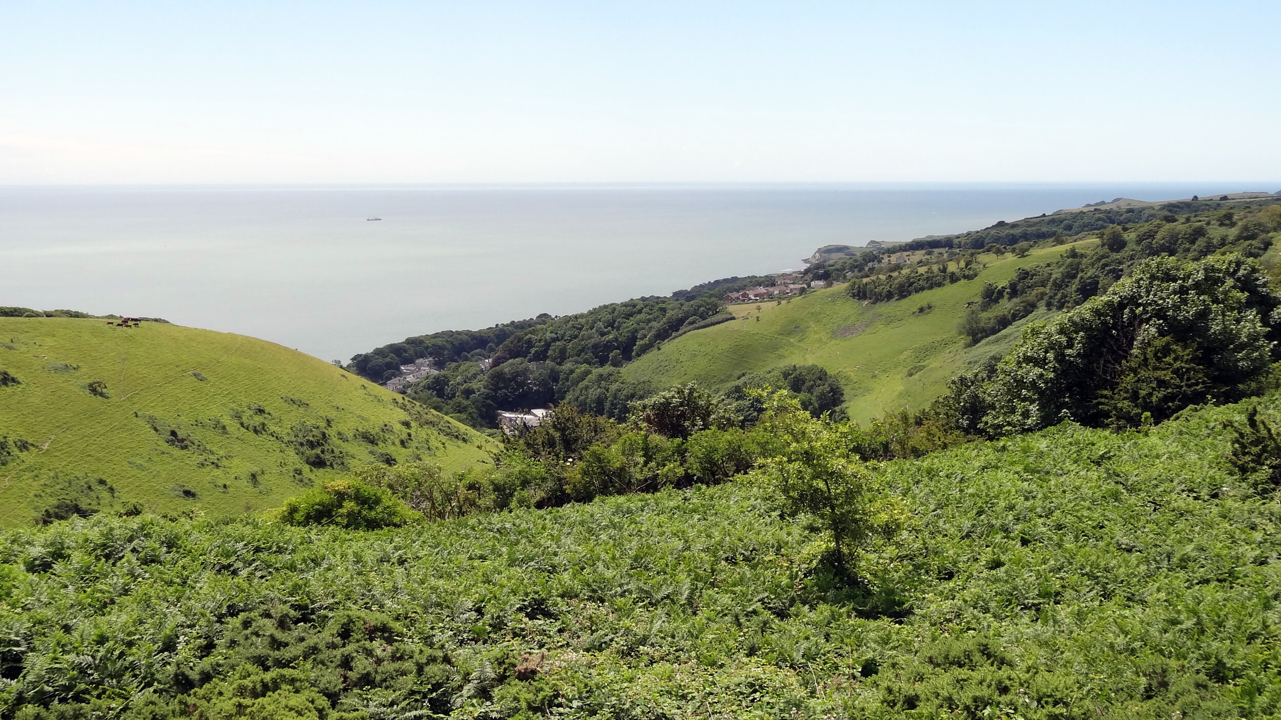
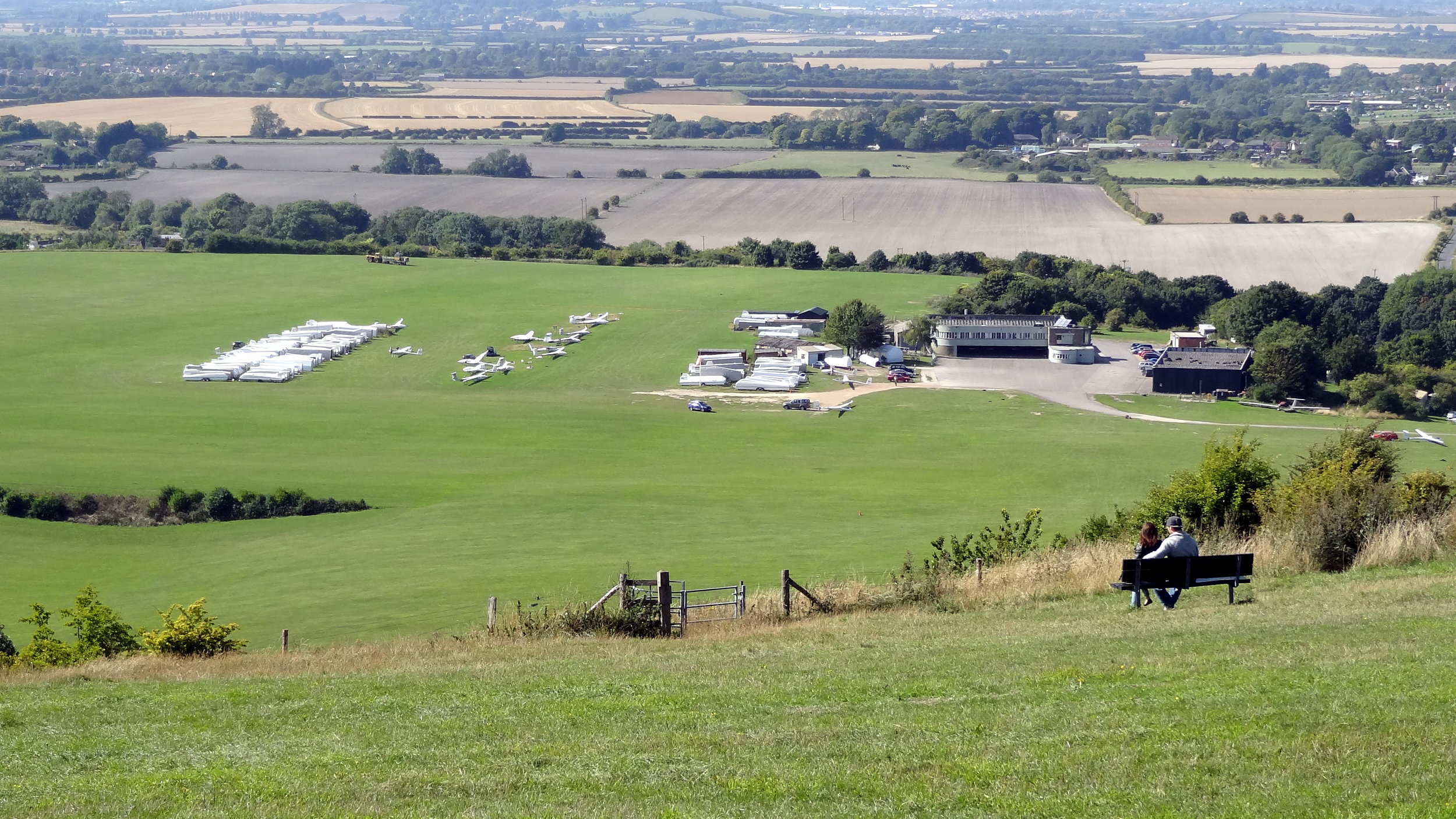
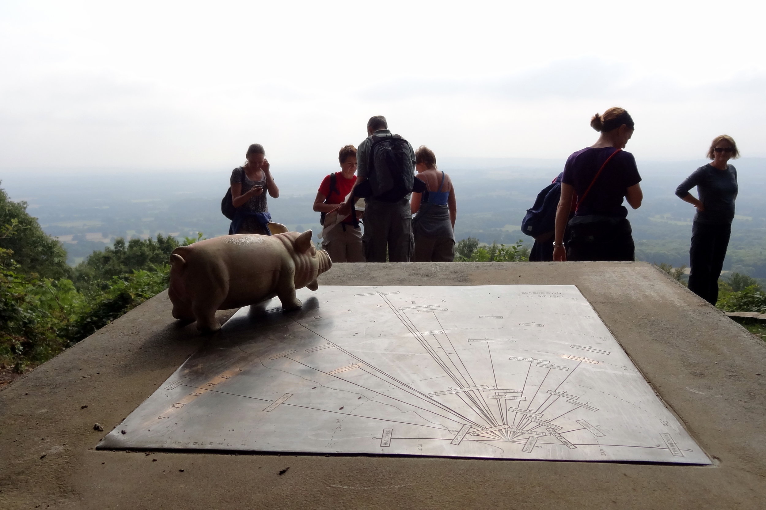
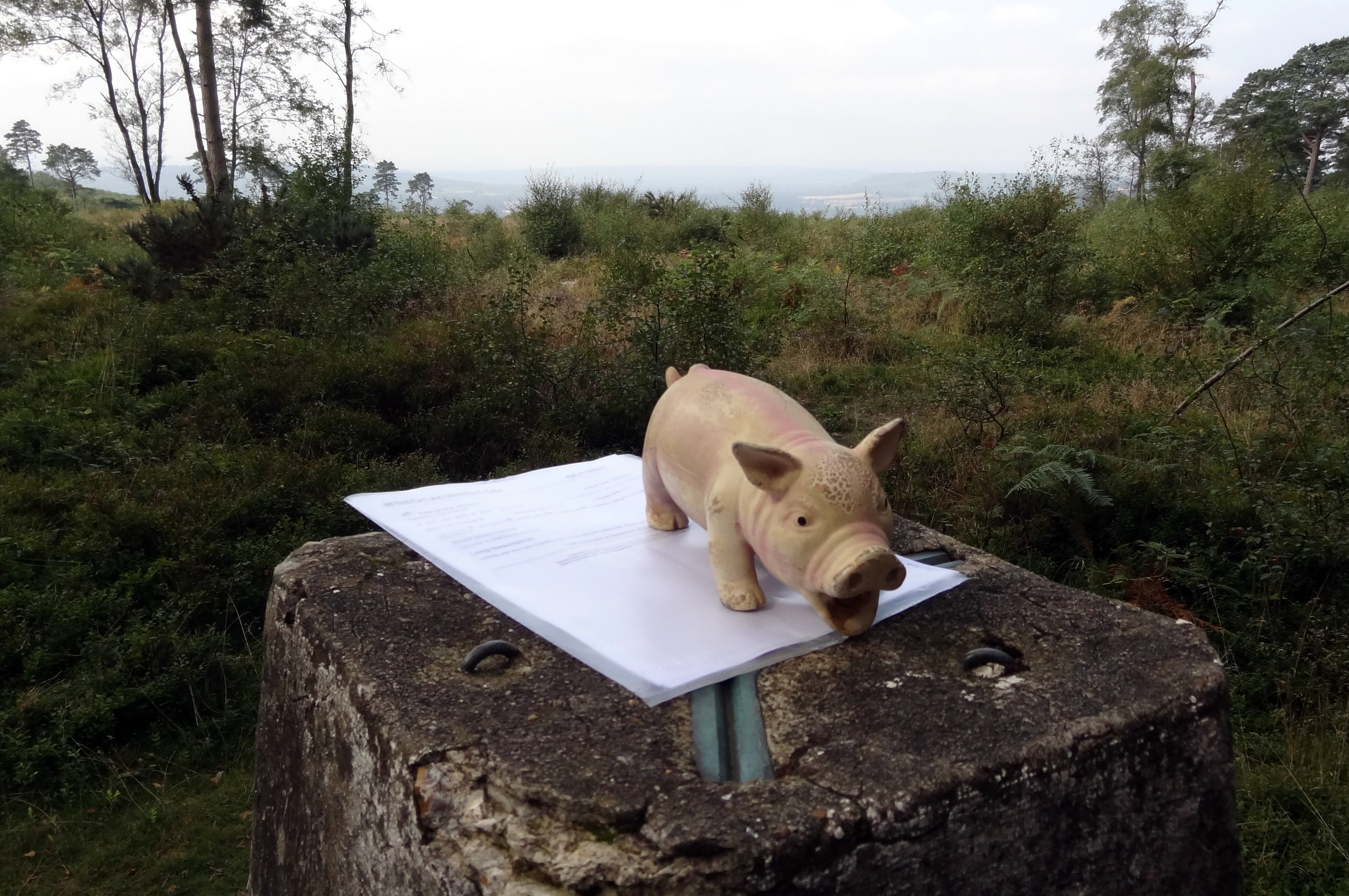
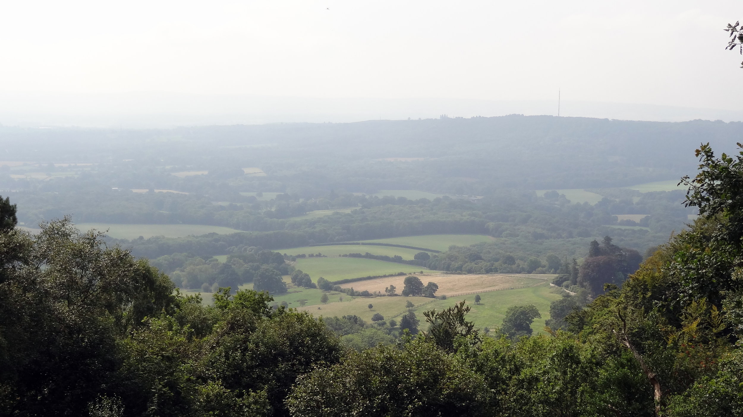
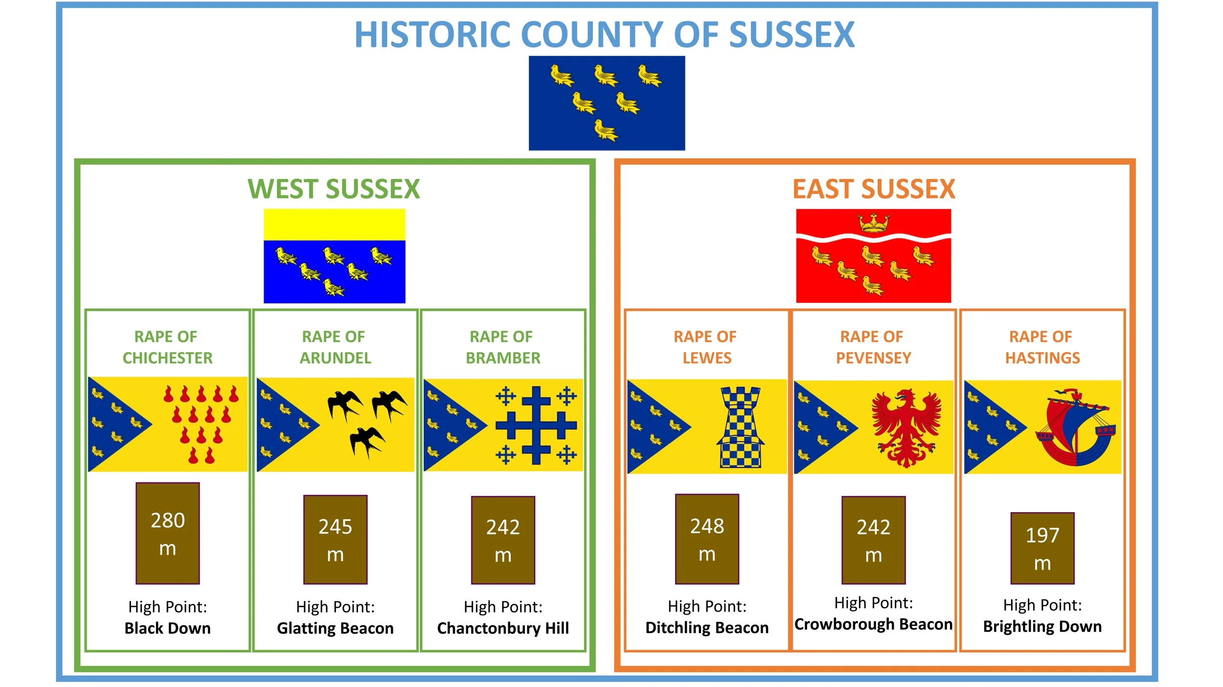
Black Down holds the distinction of being the highest point in both the historic county of Sussex and the entire South Downs National Park. Standing at an elevation of approximately 280m above sea level, this hill is a prominent part of the Greensand Ridge, rather than the chalk South Downs that form the backbone of the national park. Its position in the far northwest of West Sussex gives it a commanding presence, rising steeply above the surrounding Low Weald and offering some of the most expansive and rewarding views in the South East of England.
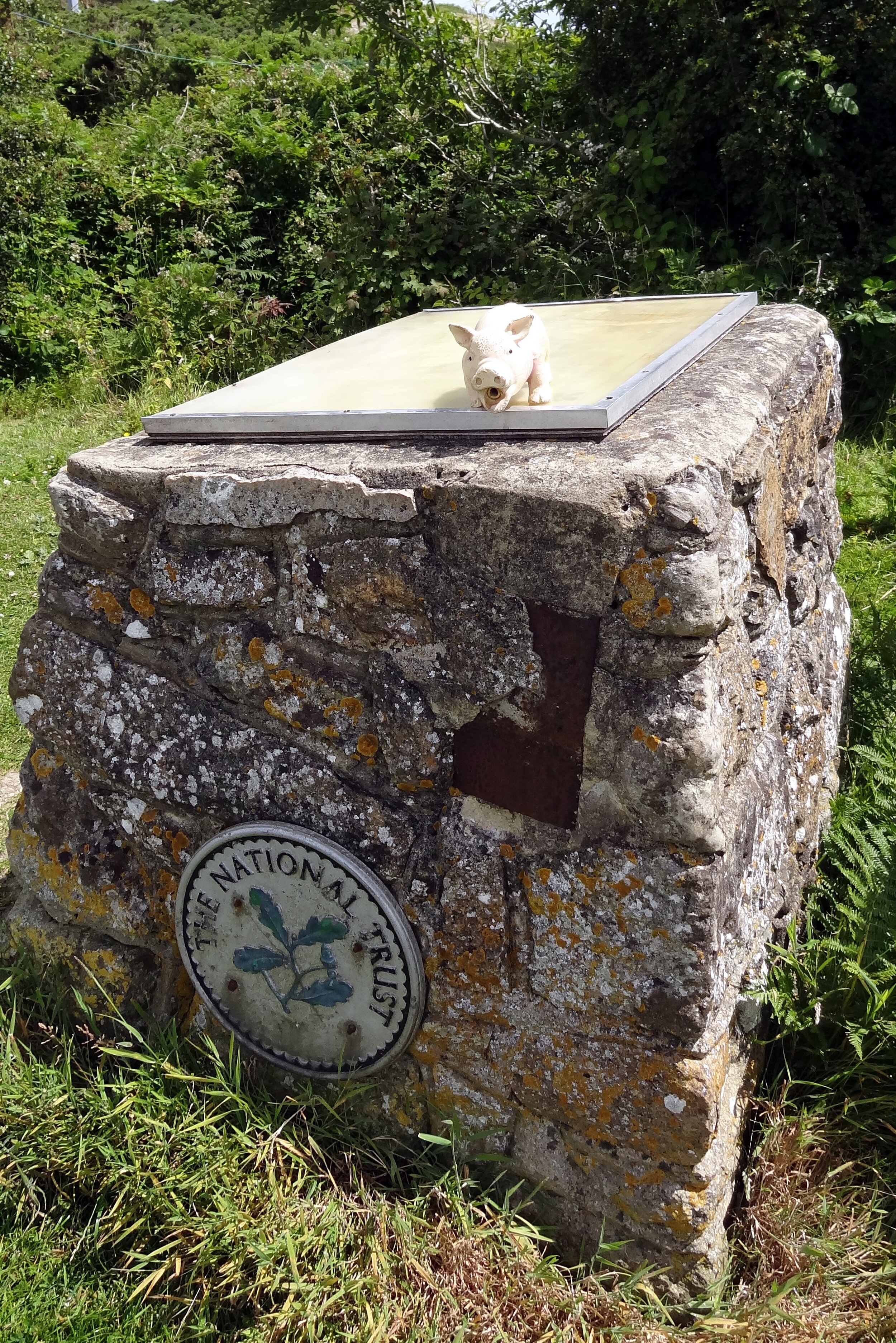
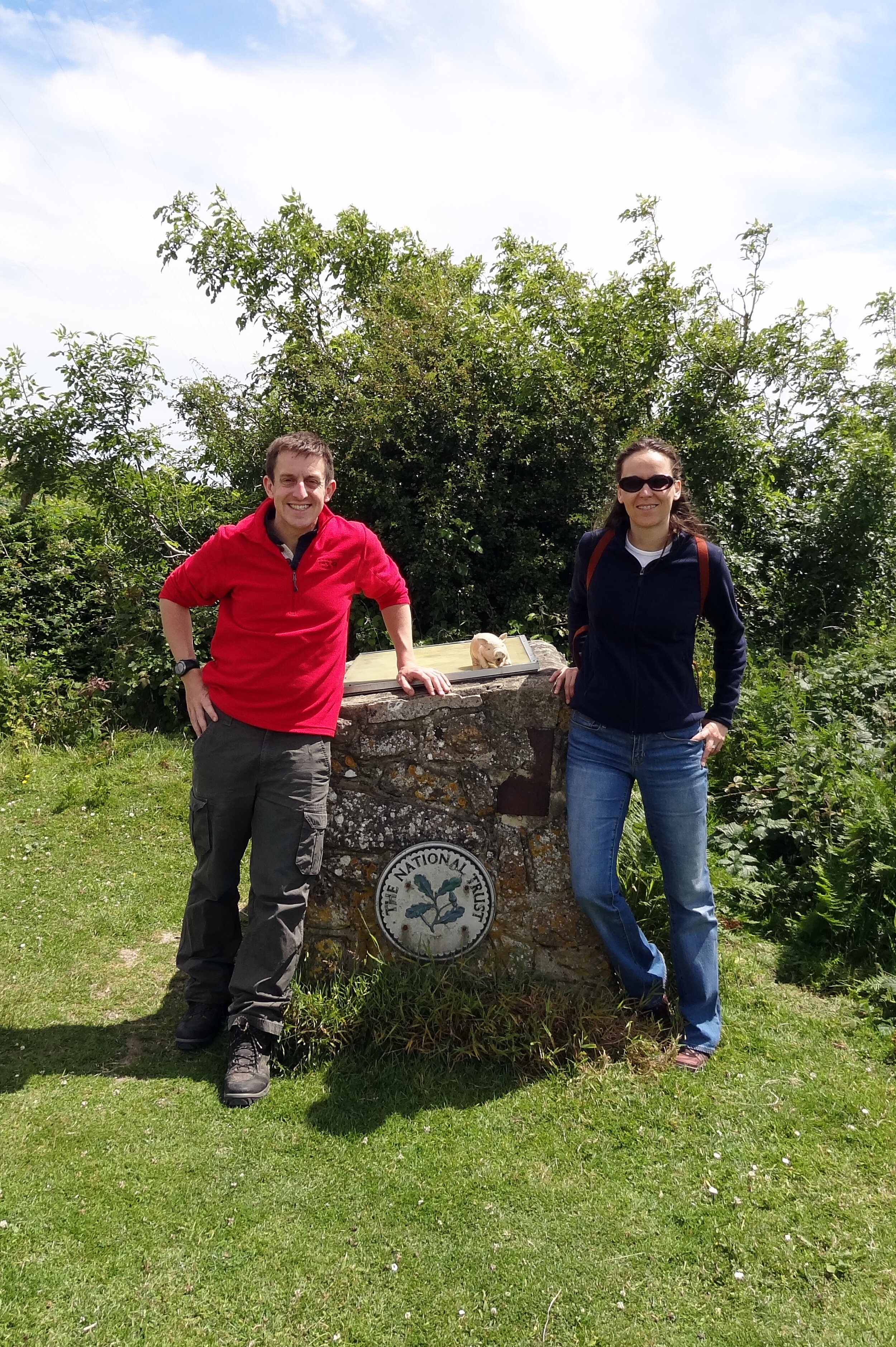
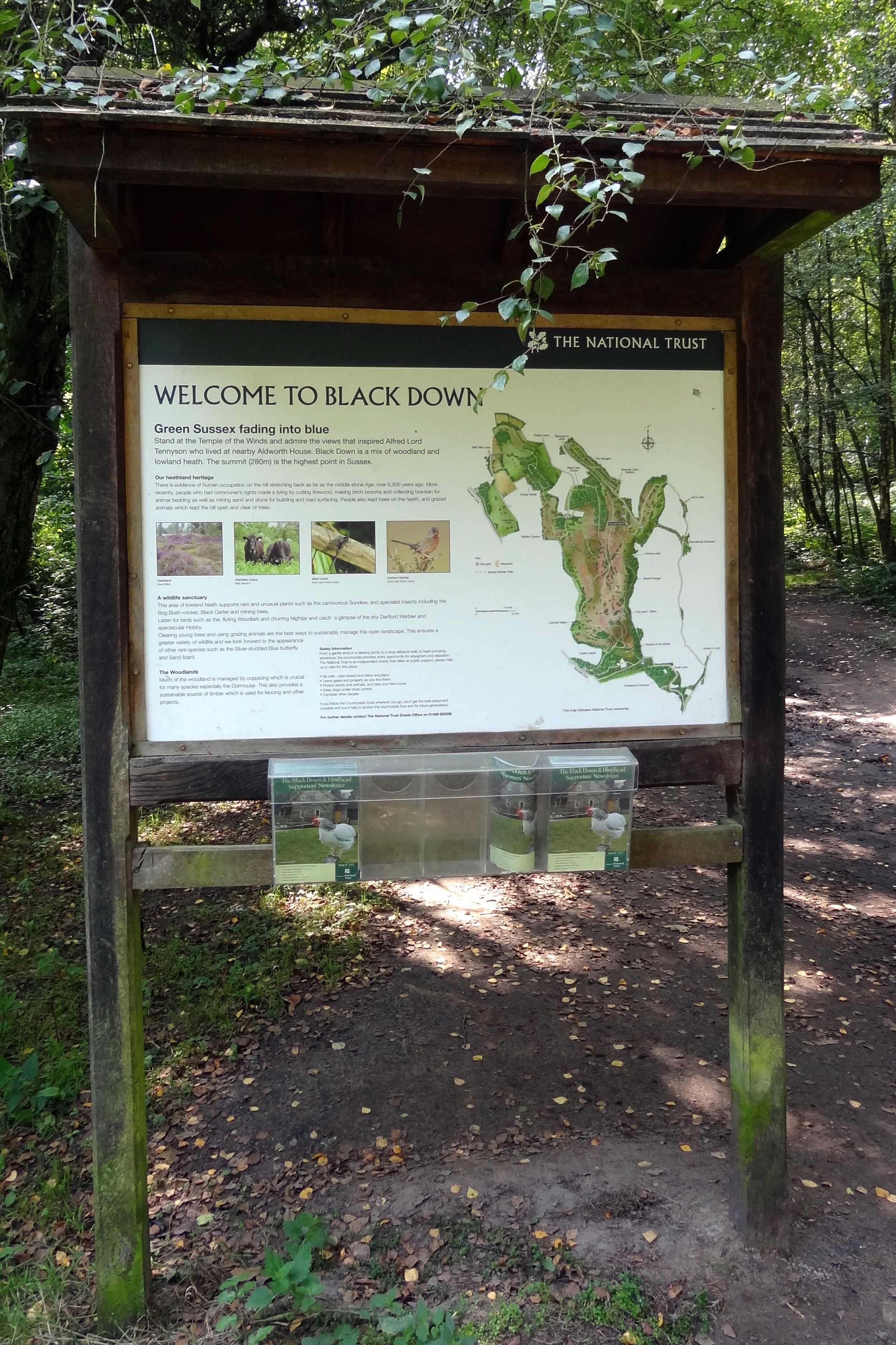
The extensive pine and heather-covered slopes of Black Down are owned and managed by the National Trust. This landscape is an internationally important example of heathland habitat. Historically a grazed common, the area is now carefully managed with controlled burning and conservation grazing to prevent the spread of Scots pine and allow the unique flora, such as heather and gorse, to flourish.
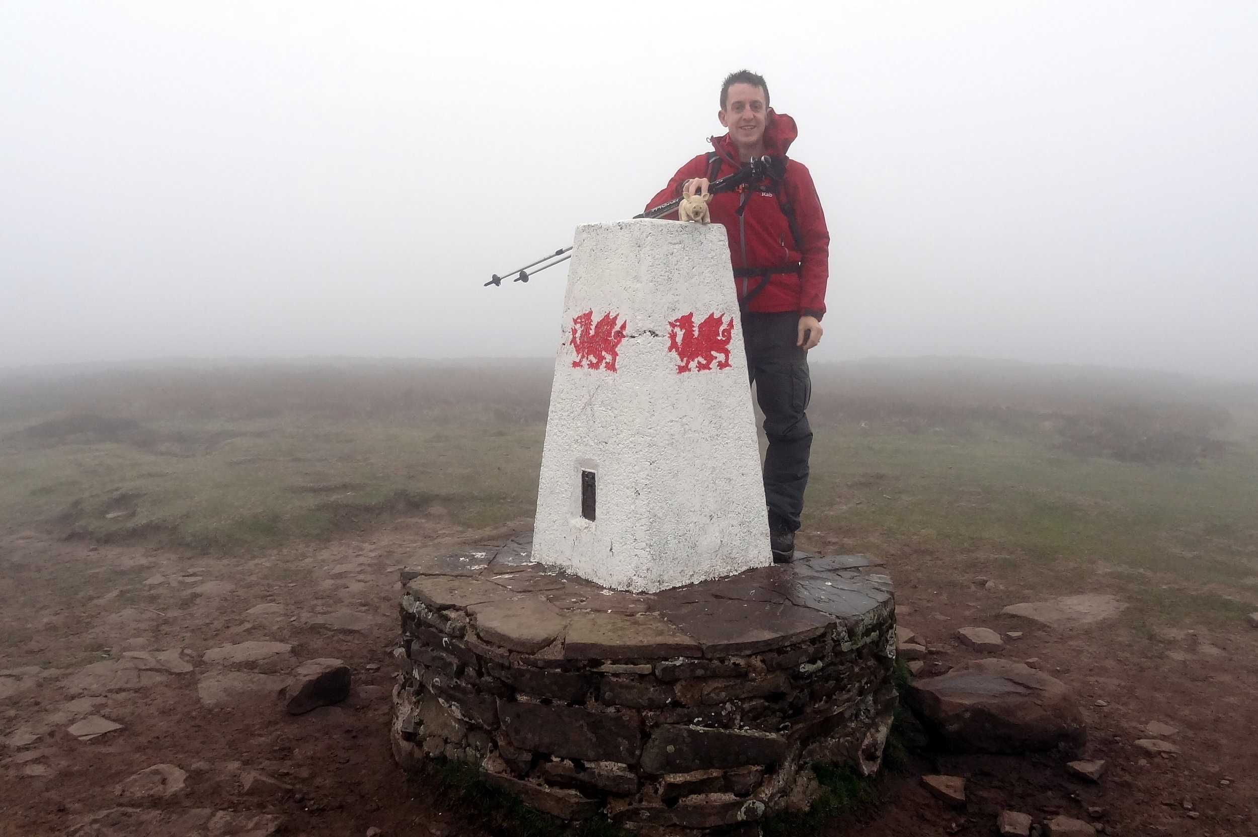
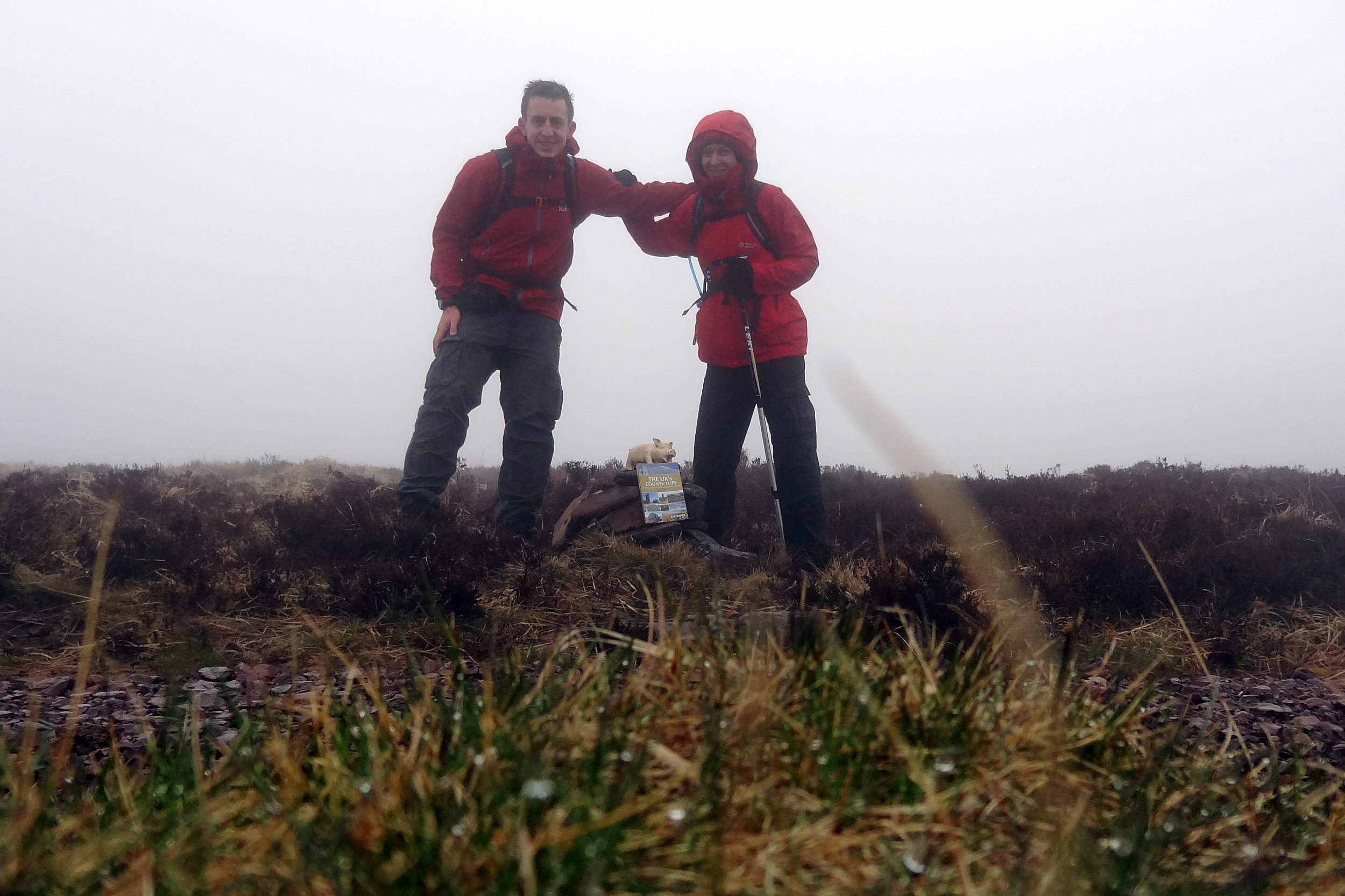
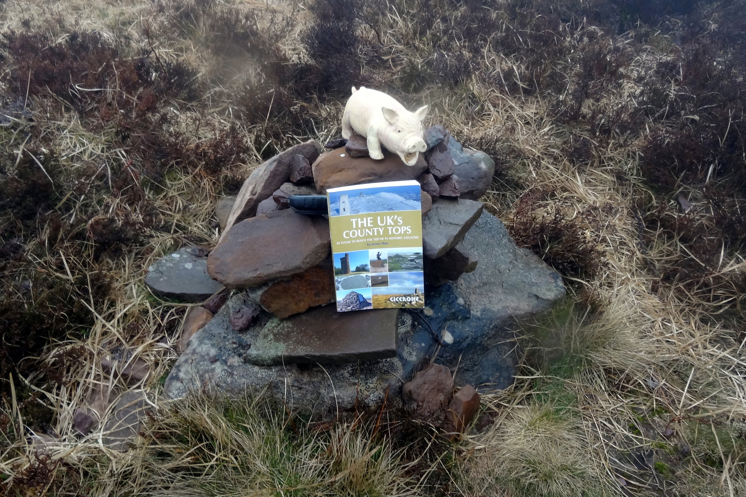
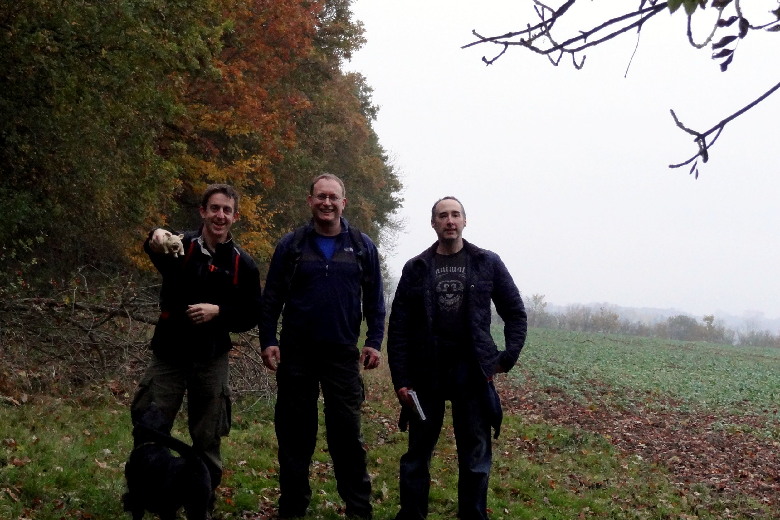
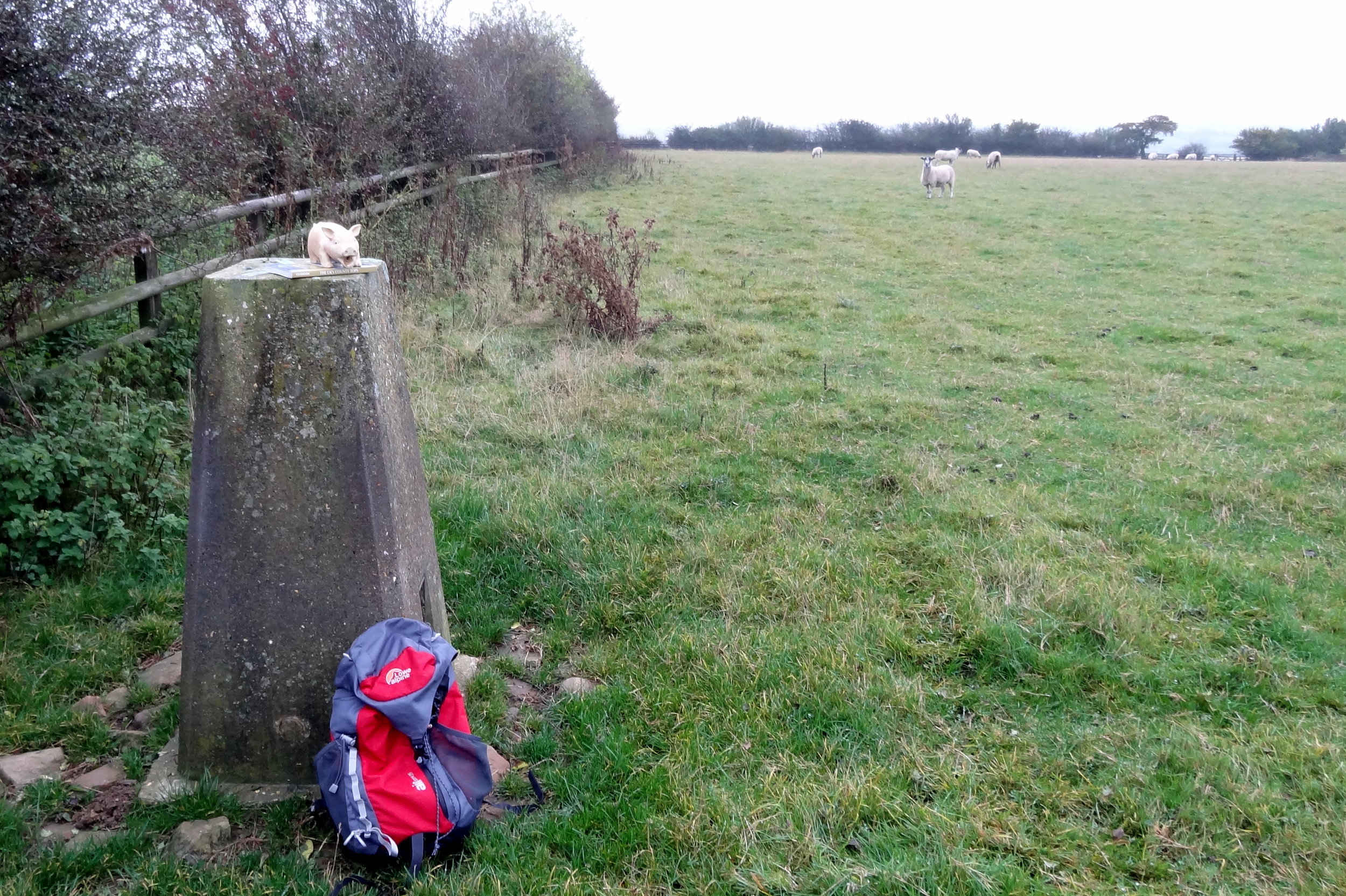
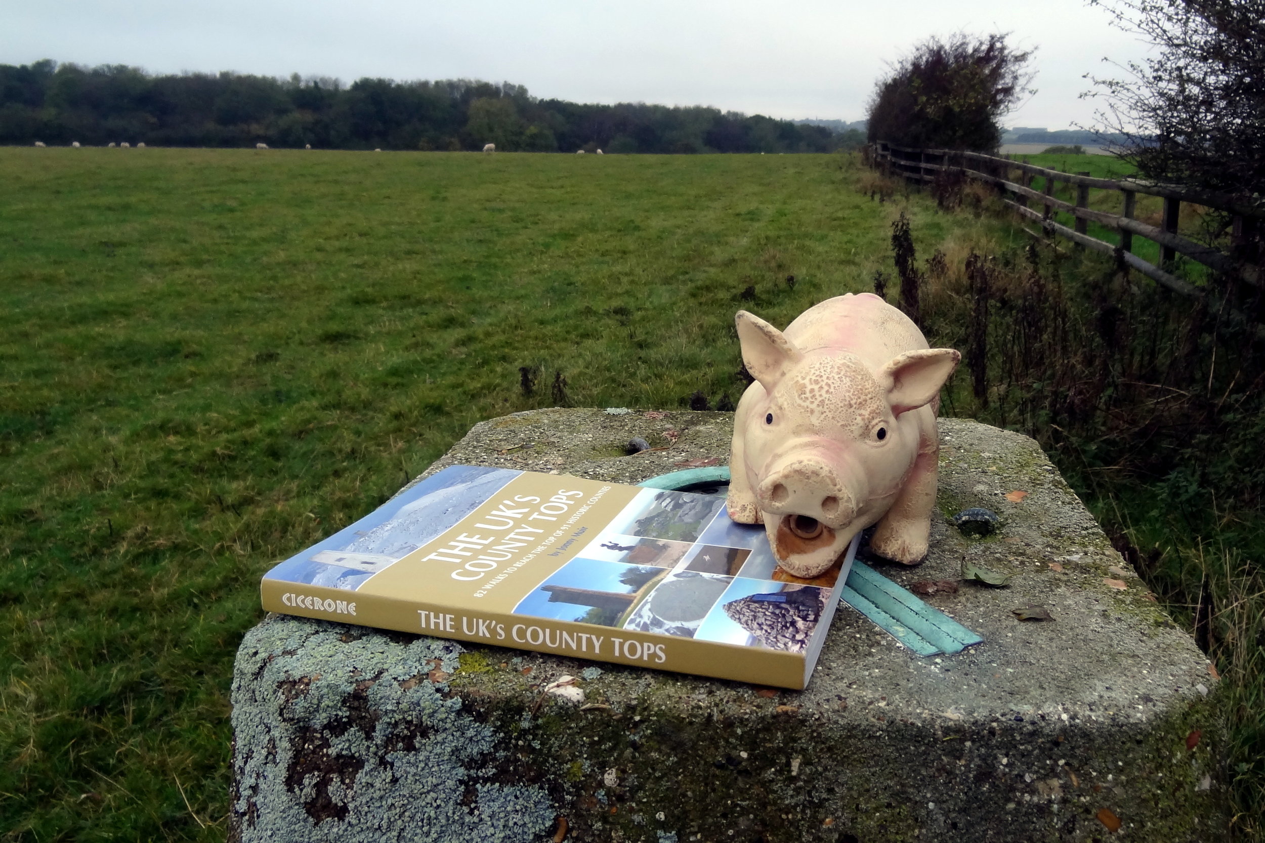
We bagged Black Down in misty day and chose a short circular walk of only 4 km. There are many trails in the area so there’s several options for longer treks. For this walk follow the Serpent Trail in a southerly direction from the National Trust Black Down Car Park. After approximately 1.9 km take a path on the right to ascend to the summit of Black Down.
After the summit retrace your steps back to the Serpent Trail and continue to follow it in a southerly direction. The Trail will soon curve clockwise to take you in a north westerly direction. Continue until approximately 3.3 km into the walk to the point where the Serpent Trail meets the Sussex Border Path. Take a right onto the Sussex Border Path and continue for approximately 300m until you reconnect with the part of the Serpent Trail that you were on earlier. Continue along the Serpent Trail in a northerly direction until you return to the start of the walk at the National Trust Car Park.