When: November 10th 2013
Where: Cowley (Middlesex) to Watford (Hertfordshire), UK
Course: Point to point: Grand Union towpath from Cowley recreational ground, ending in Cassiobury Park
Other routes touched (walk): Grand Union Canal, London Loop, Colne Valley Trail, Hillingdon Trail
Other routes touched (cycle): NCN Route 6, 61
Finish time: 2:03
Significance: Highest peak in the Historic County of Kent, High point of the Lathe of Sutton-at-Hone
Member of: N/A
Parent Peak: Botley Hill.
Nearest Higher Neighbour = Botley Hill
Elevation: 251m
Date “climbed”: 3rd November 2013
Coordinates: 51°17′18″N 0°03′26″E
Route Start / End: Parking / Bus stop on A233
Route Distance: 0.2 km (0.1 miles)
Route Elevation Change: +/- 2m
Subsidiary tops on route: None
GPX File: get via Buy Me a Coffee
Other routes touched: None
OS Trig Pillar: TP5218 - Old Fort (Destroyed)
Map: OS Explorer Map (147) Sevenoaks and Tonbridge
Guidebook: The UK's County Tops (Jonny Muir), Walking the County High Points of England (David Bathurst)
Links: Wikipedia (Kent, Sutton-at-Hone, Betsom’s Hill), Peakbagger
Betsom's Hill holds the distinction of being the highest natural point in the historic English county of Kent. Situated on the western edge of the county, it is a significant, yet often unassuming, landmark on the rolling chalk ridges of the North Downs. It is part of the North Downs, a chalk escarpment that stretches from Surrey to the White Cliffs of Dover.
The highest point of Betsom's Hill is unfortunately located on private land and is generally inaccessible to the public. There is no official public marker or pathway to the absolute top. It’s just over the border with Greater London so it can bagged within a short walk with Westerham Heights, the high point of Greater London.
I bagged Betsom’s Hill in 2013 as a part of series of quick high-point drive-bys. There’s nothing to see at either high point so do it on the way to much more interesting destinations along the North Downs Ridge.
Red = Betsom’s Hill. Green = Westerham Heights.
A peak so boring we only took 1 photo
OTHER HIGH POINT IN Kent
Holly Hill (172m): Medway Towns Unitary Authority High Point
See also the High Points of the Kent Lathes
Greater London Borough High Points formerly within Kent
Westerham Heights (245m) Bromley Borough High Point
Shooters Hill (132m) Greenwich Borough High Point
Sydenham Hill (112m) Southwark and Lewisham Borough High Point
Langdon Shaw (83m) Bexley Borough High Point
Significance: Highest peak in Rutland (Historic CT)
Member of: N/A
Parent Peak: Cleeve Hill. NHN = Beacon Hill (Leicestershire)
Elevation: 197 m
Date climbed: October 14th 2014
Coordinates: 52°40′05″N 0°46′34″W
Route Start / End: Layby near Cold Overton Road / Manor Lane junction
Route Distance: 1.4 km (0.9 miles)
Route Elevation Change: +/- 6m
Subsidiary tops on route: None
GPX File: get via Buy Me a Coffee
Other routes touched: None
OS Trig Pillar: TP7029 - Wood Close
Map: OS Explorer 234: Rutland Water
Guidebook: The UK's County Tops (Jonny Muir), Walking the County High Points of England (David Bathurst)
Links: Wikipedia (Rutland), Wikipedia (Cold Overton Park), Peakbagger
Bardon Hill, Leicestershire County Top
Significance: Highest peak in Leicestershire (Historic CT)
Member of: Marilyn
Parent Peak: Thorpe Cloud. NHN = Thorpe Cloud
Elevation: 278m
Date climbed: October 14th 2014
Coordinates: 52° 42' 52'' N, 1° 19' 14'' W
Route Start / End: On-street parking at Vercor Close, Coalville, LE67 4QS
Route Distance: 4.3 km (2.7 miles)
Route Elevation Change: +/- 91m
Subsidiary tops on route: None
GPX File: get via Buy Me a Coffee
Other routes touched (walk): Ivanhoe Way
Other routes touched (cycle): none
OS Trig Pillar: TP1022 - Bardon Hill
Map: OS Explorer 245: The National Forest
Guidebook: The UK's County Tops (Jonny Muir), Walking the County High Points of England (David Bathurst)
Links: Wikipedia (Leicestershire), Wikipedia (Bardon Hill), Peakbagger, Hillbagging
OTHER HIGH POINTS IN Leicestershire
Nether Hall (110m) Leicester City Unitary Authority High Point: Peakbagger / Hillbagging
When: September 29th 2013
Where: Ealing, Middlesex, UK
Course: Residential roads around Ealing. Dull
Other routes touched: N/A
Finish time: 1:54
Hills near the Five Knolls Barrow Cemetery
Significance: Highest peak in Bedfordshire (Traditional CT), Central Bedfordshire Unitary Authority High Point
Member of: N/A
Parent Peak: Haddington Hill. NHN = Pavis Wood
Elevation: 243m
Date climbed: 31st August 2013
Coordinates: 51° 51' 51'' N, 0° 32' 11'' W
Route Start / End: Chilterns Gateway Centre, Dunstable Road, Whipsnade, LU6 2GY
Route Distance: 5.2 km (3.2 miles)
Route Elevation Change: +/- 92m
Subsidiary tops on route: none
GPX File: get via Buy Me a Coffee
Other routes touched (walk): Chiltern Way, Icknield Way
Other routes touched (cycle): Icknield Way Trail
OS Trig Pillar: TP0379 - Dunstable Down
Map: OS Explorer Map (181) Chiltern Hills North
Guidebook: The UK's County Tops (Jonny Muir), Walking the County High Points of England (David Bathurst)
Links: Wikipedia (Bedfordshire), Wikipedia (Central Bedfordshire), Wikipedia (Dunstable Downs), Peakbagger, Hillbagging, National Trust
The County Top and Trig Point can be easily bagged on a drive-by or a 5 minute walk from the car-park. This would be a waste though as the walks and views from here are amazing. Take a picnic on a sunny day and watch the gliders taking off and landing below the hill.
Other High Points In Bedfordshire
The Slipe (107m) Bedford Borough Unitary Authority High Point: Peakbagger / Hillbagging
Whitehill-Butterfield Green (178m) Luton Unitary Authority High Point: Peakbagger / Hillbagging
View from Black Down on a misty day
Significance: Highest peak in Sussex (Historic CT), Highest peak in West Sussex (Present Day CT), South Downs National Park High Point, Rape of Chichester High Point
Member of: Marilyn
Parent Peak: Leith Hill.
Nearest Higher Neighbour = Leith Hill
Elevation: 280m
Date climbed: 26th August 2013
Coordinates: 51°03′30″N 0°41′24″W
Route Start / End: National Trust - Black Down Car Park, Tennyson's Lane, Haslemere, GU27 3BJ
Route Distance: 4 km (2.5 miles)
Route Elevation Change: +/- 57m
Subsidiary tops on route: None
GPX File: get via Buy Me a Coffee
Other routes touched (walk): Sussex Border Path, The Serpent Trail
Other routes touched (cycle): none
OS Trig Pillar: TP1443 - Blackdown
Map: OS Explorer OL33 Haslemere & Petersfield
Guidebook: The UK's County Tops (Jonny Muir), Walking the County High Points of England (David Bathurst)
Links: Wikipedia (Sussex), Wikipedia (West Sussex), Wikipedia (Black Down), Rape of Chicester, Peakbagger, Hillbagging, National Trust
Black Down holds the distinction of being the highest point in both the historic county of Sussex and the entire South Downs National Park. Standing at an elevation of approximately 280m above sea level, this hill is a prominent part of the Greensand Ridge, rather than the chalk South Downs that form the backbone of the national park. Its position in the far northwest of West Sussex gives it a commanding presence, rising steeply above the surrounding Low Weald and offering some of the most expansive and rewarding views in the South East of England.
The extensive pine and heather-covered slopes of Black Down are owned and managed by the National Trust. This landscape is an internationally important example of heathland habitat. Historically a grazed common, the area is now carefully managed with controlled burning and conservation grazing to prevent the spread of Scots pine and allow the unique flora, such as heather and gorse, to flourish.
We bagged Black Down in misty day and chose a short circular walk of only 4 km. There are many trails in the area so there’s several options for longer treks. For this walk follow the Serpent Trail in a southerly direction from the National Trust Black Down Car Park. After approximately 1.9 km take a path on the right to ascend to the summit of Black Down.
After the summit retrace your steps back to the Serpent Trail and continue to follow it in a southerly direction. The Trail will soon curve clockwise to take you in a north westerly direction. Continue until approximately 3.3 km into the walk to the point where the Serpent Trail meets the Sussex Border Path. Take a right onto the Sussex Border Path and continue for approximately 300m until you reconnect with the part of the Serpent Trail that you were on earlier. Continue along the Serpent Trail in a northerly direction until you return to the start of the walk at the National Trust Car Park.
OTHER HIGH POINTS IN Sussex
Ditchling Beacon (248m) East Sussex Ceremonial County High Point and the Rape of Lewes High Point
Bullock Hill (197m) Brighton & Hove Authority High Point
Glatting Beacon. (245m). Rape of Arundel High Point
Crowborough Beacon (242m). Rape of Pevensey High Point
Chanctonbury Hill (242m). Rape of Bramber High Point
Brightling Down (197m). Rape of Hastings High Point
The White Horse at Milk Hill
Significance: Highest peak in Wiltshire (Historic CT)
Member of: Hardy
Parent Peak: Walbury Hill. NHN = Walbury Hill
Elevation: 295m
Date climbed: 18th May 2013
Coordinates: 51°22′40″N 1°51′07″W
Route Start / End: Pewsey Downs Car Park, Marlborough, SN8 4JX
Route Distance: 5.8 km (3.6 miles)
Route Elevation Change: +/- 77m
Subsidiary tops on route: None
GPX File: get via Buy Me a Coffee
Other routes touched (walk): Mid Wilts Way, White Horse Trail, Great Stones Way
Other routes touched (cycle): NCN 45
Map: OS Explorer Map (157) Marlborough and Savernake Forest
Guidebook: The UK's County Tops (Jonny Muir), Walking the County High Points of England (David Bathurst)
Links: Wikipedia (Wiltshire), Wikipedia (Milk Hill), Peakbagger
OTHER HIGH POINT IN Wiltshire
Liddington Hill (276m) Swindon Unitary Authority High Point: Peakbagger
Dunkey Beacon, Somerset County Top
Having 6 County Tops in the bag, I was now ready for a longer multi-day trip to climb a few more remote ones. We went with a group of friends, some in it for the County Tops, others along for the ride. We headed down to Cornwall on a Friday afternoon for the start of the peaks of the South West. We started in Cornwall with the furthest away peak and worked our way back towards home.
Brown Willy
Significance: Highest peak in Cornwall (Historic County Top), Cornwall National Landscape High Point
Member of: Marilyn
Parent Peak: High Willhays.
Nearest Higher Neighbour: Cox Tor
Elevation: 420m
Date climbed: 20th April 2013
Coordinates: 50°35′20″N 4°36′08″W
Route Start / End: Rough Tor Car Park, Roughtor Road, Camelford, PL32 9QJ
Route Distance: 8 km (5 miles)
Route Elevation Change: +/- 400m
Subsidiary tops on route: Showery Tor (385m), Little Rough Tor (373m), Rough Tor (400m)
GPX File: get via Buy Me a Coffee
Other routes touched: N/A
OS Trig Pillar: TP1710 - Brown Willy
Map: OS Explorer 109: Bodmin Moor
Guidebook: The UK's County Tops (Jonny Muir), Walking the County High Points of England (David Bathurst)
Links: Wikipedia (Cornwall), Wikipedia (Brown Willy), Peakbagger
Brown Willy is in a remote patch of Bodmin Moor, roughly in the centre of the county. By the time you’ve reached the car park you’re already at 260m elevation so the walk only adds another 160m. It’s a fairly quick out and back to bag the summit but worth a couple of diversions to Rough Tor, Little Rough Tor and Showery Tor in the way.
High Willhays
Significance: Highest peak in Devon (Historic County Top), Dartmoor National Park High Point
Member of: Marilyn, Hewitt, Nuttall
Parent Peak: Cross Fell.
Nearest Higher Neighbour: Garreg Las
Elevation: 621m
Date climbed: 20th April 2013
Coordinates: 50°41′06″N 4°00′36″W
Route Start / End: Meldon Reservoir Car Park, Okehampton, EX20 4LU
Route Distance: 6.4 km (4 miles)
Route Elevation Change: +/- 395m
Subsidiary tops on route: Yes Tor (619m)
GPX File: get via Buy Me a Coffee
Other routes touched (walk): Mary Michael Pilgrims Way
OS Trig Pillar: TP7101 - Yes Tor
Map: OS Explorer OL28: Dartmoor
Guidebook: The UK's County Tops (Jonny Muir), Walking the County High Points of England (David Bathurst)
Links: Wikipedia (Devon), Wikipedia (High Willhays), Peakbagger
High Willhays is the highlight of this collection of four peaks. It’s the highest and it’s a great circular walk. Note that the summit is on a Military firing range so check firing times before you leave to make sure that access is open.
From the Meldon Reservoir car park walk in a south easterly direction across the top of the reservoir dam wall. Take a right and follow the path on the southern edge of the reservoir and continue south on the path following the West Oke River. At ~5km from the car park you can take a path that climbs up the hill in a north-westerly direction to Fordlands Ledge. Here you'll join the Mary Michael Pilgrims Way. Continue up the hill until you reach the summit of High Willhays. From High Willhays continue north to Yes Tor.
From Yes Tor we took a bearing and followed a direct line in a north-westerly direction to meet the track at 50°41'51.3"N 4°01'39.2"W. This track takes you in a northerly direction, curving to the west and returns to the reservoir then back to the start.
Dunkery Beacon
Significance: Highest peak in Somerset (Historic County Top), Exmoor National Park High Point
Member of: Marilyn
Parent Peak: High Willhays.
Nearest Higher Neighbour: Werfa
Elevation: 519m
Date climbed: 21st April 2013
Coordinates: 51.16197°N 3.58736°W
Route Start / End: Dunkery Beacon Parking, Cutcombe, Minehead, TA24 7AT
Route Distance: 2.7 km (1.7 miles)
Route Elevation Change: +/- 120m
Subsidiary tops on route: none
GPX File: get via Buy Me a Coffee
Other routes touched (walk): Macmillan Way West
OS Trig Pillar: TP7321 - Dunkery
Map: OS Explorer OL9: Exmoor
Guidebook: The UK's County Tops (Jonny Muir), Walking the County High Points of England (David Bathurst)
Links: Wikipedia (Somerset), Wikipedia (Dunkery Beacon), Peakbagger
Like Brown Willy, Dunkery Beacon is a quick out and back from a convenient car park. The Trig Pillar at the summit is long gone but it’s been replaced by a massive pile of stones and a plaque commemorating the handover of the hill to the National Trust.
From the car park it's only a 1.5km route to the summit. We made a small circle of it by taking the westerly path up and easterly down. The hill is also on the Macmillan Way so can be bagged on a longer trek
Lewesdon Hill
Significance: Highest peak in Dorset (Historic County Top), Dorset National Landscape High Point
Member of: Marilyn
Parent Peak: Staple Hill (Somerset)
Nearest Higher Neighbour: Staple Hill
Elevation: 185m
Date climbed: 21st April 2013
Coordinates: 50°48′28″N 2°47′59″W
Route Start / End: Parking spot on junction of B3162 and Coombe Lane
Route Distance: 2.2 km (1.4 miles)
Route Elevation Change: +/- 112m
Subsidiary tops on route: none
GPX File: get via Buy Me a Coffee
Other routes touched: none
Map: OS Explorer 116: Lyme Regis and Bridport
Guidebook: The UK's County Tops (Jonny Muir), Walking the County High Points of England (David Bathurst)
Links: Wikipedia (Dorset), Wikipedia (Lewesdon Hill), Peakbagger, National Trust
We unintentionally saved the least interesting of the four peaks til last. Lewesdon Hill, the high point of Dorset is most easily done on a short out-and-back walk from parking spaces on the B3162 near Bucks Head Cottage. From here walk ~200m along Coombe Lane then take a footpath on the right. The summit is approximately 1km from where you parked. We didn't find anything of interest to mark the summit.
Slightly further to the north is the Wessex Ridgeway which gives you options to bag this hill as a part of a more interesting longer distance trek.
Other High Points In Cornwall
Telegraph Tower, Higher Newford (51m) Isles of Scilly Administrative County High Point: Peakbagger
Other High Points In Devon
Beacon Hill (196m) Torbay Unitary Authority High Point: Peakbagger
Woolwell Road (162m) Plymouth Unitary Authority High Point: Peakbagger
Other High Points In Dorset
Corfe Hills (78m) Bournemouth, Christchurch, and Poole Unitary Authority High Point: Peakbagger
Other High Points In Somerset
Niver Hill (264m) Bath and North East Somerset Unitary Authority High Point: Peakbagger
Blagdon Hill Farm (242m) North Somerset Unitary Authority High Point: Peakbagger
Dundry Hill East Top (160m) Bristol Unitary Authority High Point: Peakbagger
When: March 31st 2013
Where: Richmond, London, UK
Course: Figure of 8 loop on Thames Path and nearby roads surrounding Richmond upon Thames, Key Gardens and Petersham
Other routes touched (walk): Thames Path, Capital Ring
Other routes touched (cycle): NCN 4
Finish time: 1:59
Concrete barges at Rainham
The London Loop is a ~130-mile circular walking route of outer London. Although intended for walkers only, much of it is cyclable with just a few diversions from the main path. I completed it in a 2-day micro-adventure back in 2013. Please note that both the London Loop and Capital Ring were designed for walking. Much of both routes can be cycled as there’s many sections on cycle routes and roads. Some sections are on footpaths that should not be cycled so be prepared to find alternative routes around these.
Day 1: Southern Section: Harefield to Dartford
Start: The Coy Carp, Copperhill Lane, Harefield, Uxbridge UB9 6HZ
Finish: Grotty hotel near the Dartford Crossing, Kent
Distance: 110 km (68 miles)
Elevation Change: + 1.046m / - 1,082m. Net -36m
GPX File: get via Buy Me a Coffee
Other Routes Touched (Walk): Colne Valley Trail, Hillingdon Trail, Grand Union Canal Towpath, Celandine Route, Shakespeare’s Way, Beeches Way, Thames Path, Thames Down Link, Hogsmill Valley Walk, Town and Down Circular Walk, Sutton Countryside Walk, Vanguard Way, Greenwich Meridian Trail, Cray Riverway, Darent Valley Path
Other Routes Touched (Cycle): NCN 1, 125, 20, 21, 232, 4, 6, 61
Guidebook: The London Loop: Recreational Path Guide by Colin Saunders
Maps:
- OS Explorer Map (172) Chiltern Hills East
- OS Explorer Map (160) Windsor, Weybridge & Bracknell
- OS Explorer Map (161) London South, Westminster, Greenwich, Croydon, Esher & Twickenham
- OS Explorer Map (162) Greenwich and Gravesend
Day 2: Northern Section: Dartford to Harefield
Start: Grotty hotel near the Dartford Crossing, Kent
Finish: The Coy Carp, Copperhill Lane, Harefield, Uxbridge, UB9 6HZ
Distance: 92 km (57 miles)
Elevation Change: + 967m / - 962m. Net +5m
GPX File: get via Buy Me a Coffee
Other Routes Touched (Walk): Havering Green Ways, Greenwich Meridian Trail, Lea Valley Walk, New River Path, Pymmes Brook Trail, Colne Valley Trail, Hillingdon Trail, Grand Union Canal Towpath
Other Routes Touched (Cycle): NCN 1, 13, 136, 3, 6, 61
Guidebook: The London Loop: Recreational Path Guide by Colin Saunders
Maps:
- OS Explorer Map (173) London North, The City, West End, Enfield, Ealing, Harrow & Watford
- OS Explorer Map (172) Chiltern Hills East
You can't cycle over the Dartford Bridge or under the tunnel but there is a free service that drives you and your bikes through. There's a free phone at the entrance to the tunnel on either side.
The London Loop and Capital Ring
London Loop in Blue, Capital Ring in Red. Base map from OpenStreetMap
More London posts
When: March 5th 2013
Where: Tower 42, 25 Old Broad Street, London
Floors: 42
Steps: 932
Finish time: 8 minutes, 38 seconds
Charity: Shelter
My donation / sponsorship total: £200
Day 1: Lemosho Glades to Lemosho Forest Camp
Date: February 8th 2013
Start: Parking at end of dirt road, Lemosho Glades, ~2,230m elevation
Finish: Lemosho Forest Camp, Mti Mkubwa, ~2,650m elevation
Distance: 4.7 km (2.9 miles)
Elevation change: +422m / -5m. Net +418m
GPX File: get via Buy Me a Coffee
Other Routes Touched: Northern Circuit
Day 2: Lemosho Forest Camp to Shira One Camp
Date: February 9th 2013
Start: Lemosho Forest Camp, Mti Mkubwa, ~2,650m elevation
Finish: Shira One Camp, ~3,500m elevation
Distance: 9 km (5.6 miles)
Elevation change: +890m / -83m. Net +807m
GPX File: get via Buy Me a Coffee
Other Routes Touched : Northern Circuit
Day 3: Shira One Camp to Shira Hut
Date: February 10th 2013
Start: Shira One Camp, ~3,500m elevation
Finish: Shira Hut, ~3,840m elevation
Distance: 7.4 km (4.6 miles)
Elevation change: +386m / -3m. Net +383m
GPX File: get via Buy Me a Coffee
Other Routes Touched: Northern Circuit, Shira Route
Day 4: Shira Hut to Barranco Camp
Date: February 11th 2013
Start: Shira Hut, ~3,840m elevation
Finish: Barranco Camp, ~3,900m elevation
Distance: 9.8 km (6.1 miles)
Elevation change: +732m / -651m. Net -81m
GPX File: get via Buy Me a Coffee
Other Routes Touched: Machame Route
Day 5: Barranco Camp to Karanga Camp
Date: February 12th 2013
Start: Barranco Camp, ~3,900m elevation
Finish: Karanga Camp, ~4,000m elevation
Distance: 4.9 km (3.0 miles)
Elevation change: +335m / -279m. Net +56m
GPX File: get via Buy Me a Coffee
Other Routes Touched: Umbwe Route, Machame Route
Day 6: Karanga Camp to Barafu Camp
Date: February 13th 2013
Start: Karanga Camp, ~4,000m elevation
Finish: Barafu Camp, ~4,600m elevation
Distance: 3.8 km (2.4 miles)
Elevation change: +593m / -0m. Net +593m
GPX File: get via Buy Me a Coffee
Other Routes Touched: Umbwe, Machame, Mweka
Day 7: Barafu Camp to Millennium Camp via Ulhuru Peak
Date: February 14th 2013
Start: Barafu Camp, ~4,600m elevation
Finish: Millennium Camp, ~3,800m elevation
Distance: 13.6 km (8.5miles)
Elevation change: +1,217m / -2,062m. Net -845m
GPX File: get via Buy Me a Coffee
Other Routes Touched: Umbwe, Machame, Mweka, Northern Circuit, Rongai, Marangu
Day 8: Millennium Camp to Mweka
Date: February 15th 2013
Start: Millennium Camp, ~3,800m elevation
Finish: Mweka, ~1,650m elevation
Distance: 11.5 km (7.1 miles)
Elevation change: +0m / -2,142m. Net -2,142m
GPX File: get via Buy Me a Coffee
Other Routes Touched: Mweka
The Complete Route
Each colour represents 1 day from North-West (red) to South-East (blue)
Photos by Richard Gower, Brian Gatt, Simon Livings, Lisa Zardoni, Anna Mansley and Kevin Doble
Pavis Wood
Significance Highest peak in Hertfordshire (Historic County Top)
Member of: N/A
Parent Peak: Haddington Hill
Nearest Higher Neighbour: Haddington Hill
Elevation: 248m
Coordinates: 51°46′20″N 0°40′52″W
Links: Wikipedia (Hertfordshire), Wikipedia (Pavis Wood), Peakbagger
Haddington Hill
Significance Highest peak in Buckinghamshire (Historic County Top), Chiltern Hills National Landscape High Point
Member of: Marilyn
Parent Peak: Cleeve Hill
Nearest Higher Neighbour: Pilot Hill
Elevation: 267m
Coordinates: 51°46′18″N 0°42′42″W
Links: Wikipedia (Buckinghamshire), Wikipedia (Haddington Hill), Peakbagger, Wendover Woods
For both peaks:
Date climbed: 19th January 2013
Route Start / End: Wendover Woods Car Park, Upper Icknield Way, Aston Clinton, HP22 5NQ
Distance: 10.2 km (6.3 miles)
Elevation change: +/- 157m
Subsidiary tops on route: none
GPX File: get via Buy Me a Coffee
Other routes touched (walk): The Ridgeway, Wendover Woods Firecrest Trail
Other routes touched (cycle): Harding Route
Cafe on route: Wendover Woods Cafe
Map: OS Explorer Map (181) Chiltern Hills North
Guidebook: The UK's County Tops (Jonny Muir), Walking the County High Points of England (David Bathurst)
Other High Points In Buckinghamshire
Bow Brickhill (171m) Milton Keynes Unitary Authority High Point: Peakbagger
Track to Scafell Pike from New Dungeon Ghyll Hotel
Significance: Highest peak in Cumberland (Historic CT), Cumbria (Ceremonial CT), Lake District National Park High Point, England Country Top
Member of: Marilyn, Hewitt, Hardy, Wainwright, Nuttall
Parent Peak: Snowdon. NHN = Carnedd Llewelyn
Elevation: 978m
Date climbed: 22nd May 2005 and July 29th 2012
Coordinates: 54.4542° N, 3.2116° W
Route Start / End: New Dungeon Ghyll Hotel, Ambleside, LA22 9JX
Route Distance: 22 km (13.7 miles)
Route Elevation Change: +/- 1,062m
Subsidiary tops on route: Esk Pike, Broad Crag
GPX File: get via Buy Me a Coffee
Other routes touched (walk): Cumbria Way
Other routes touched (cycle): N/A
OS Trig Pillar: TP5828 - Sca Fell
Map: OS Explorer OL6: The English Lakes - South Western area and OS Landranger 90: Penrith & Keswick
Guidebook: The UK's County Tops (Jonny Muir), Walking the County High Points of England (David Bathurst)
Links: Wikipedia (Cumberland), Wikipedia (Scafell Pike), Peakbagger
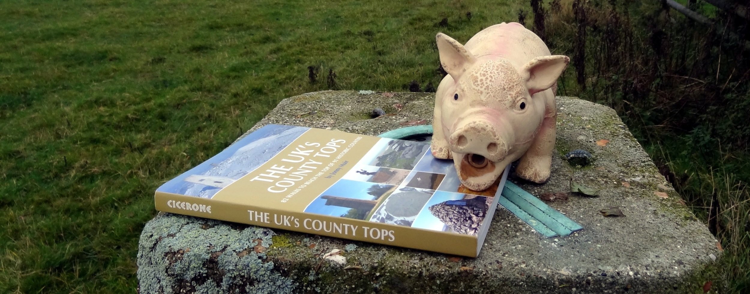
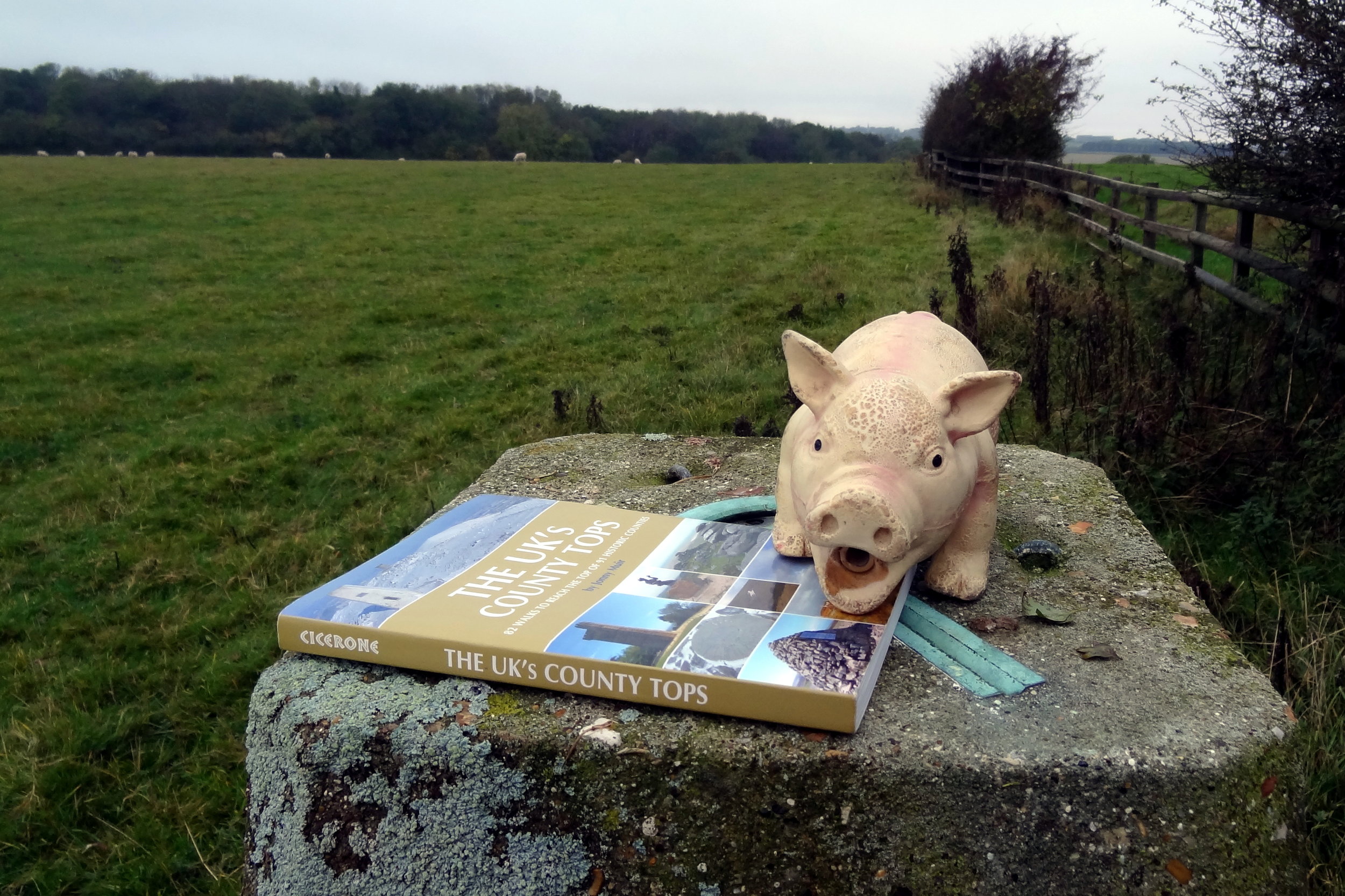
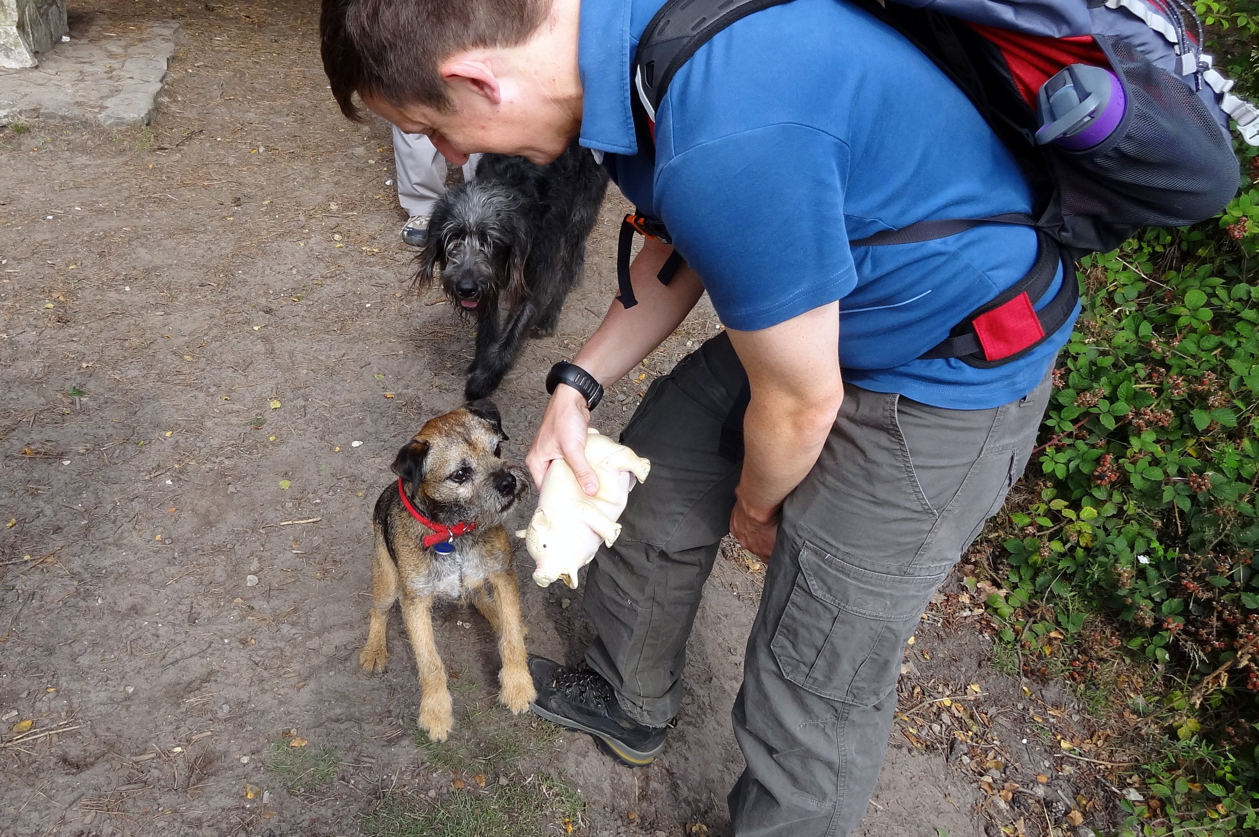
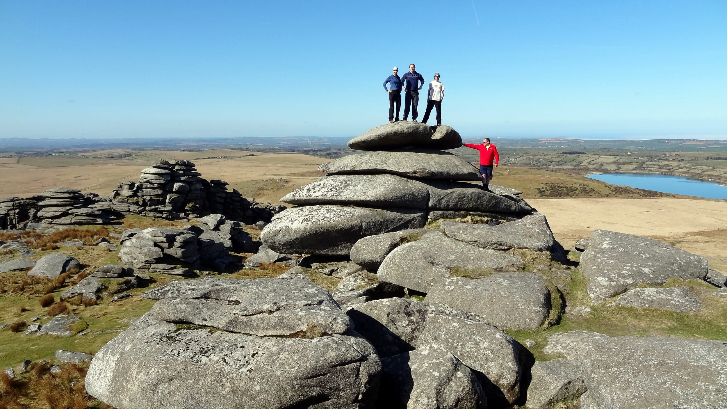
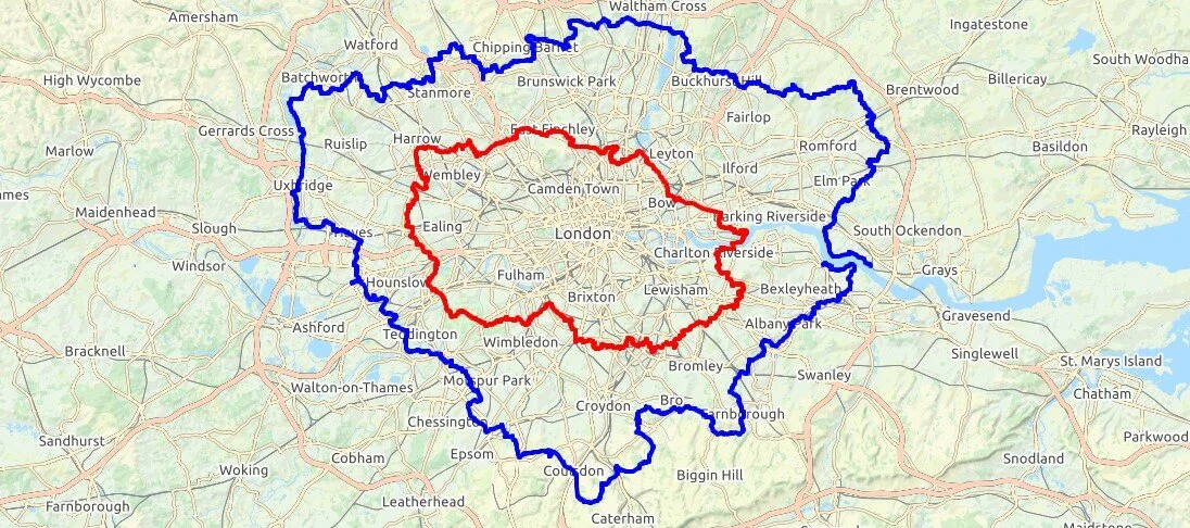
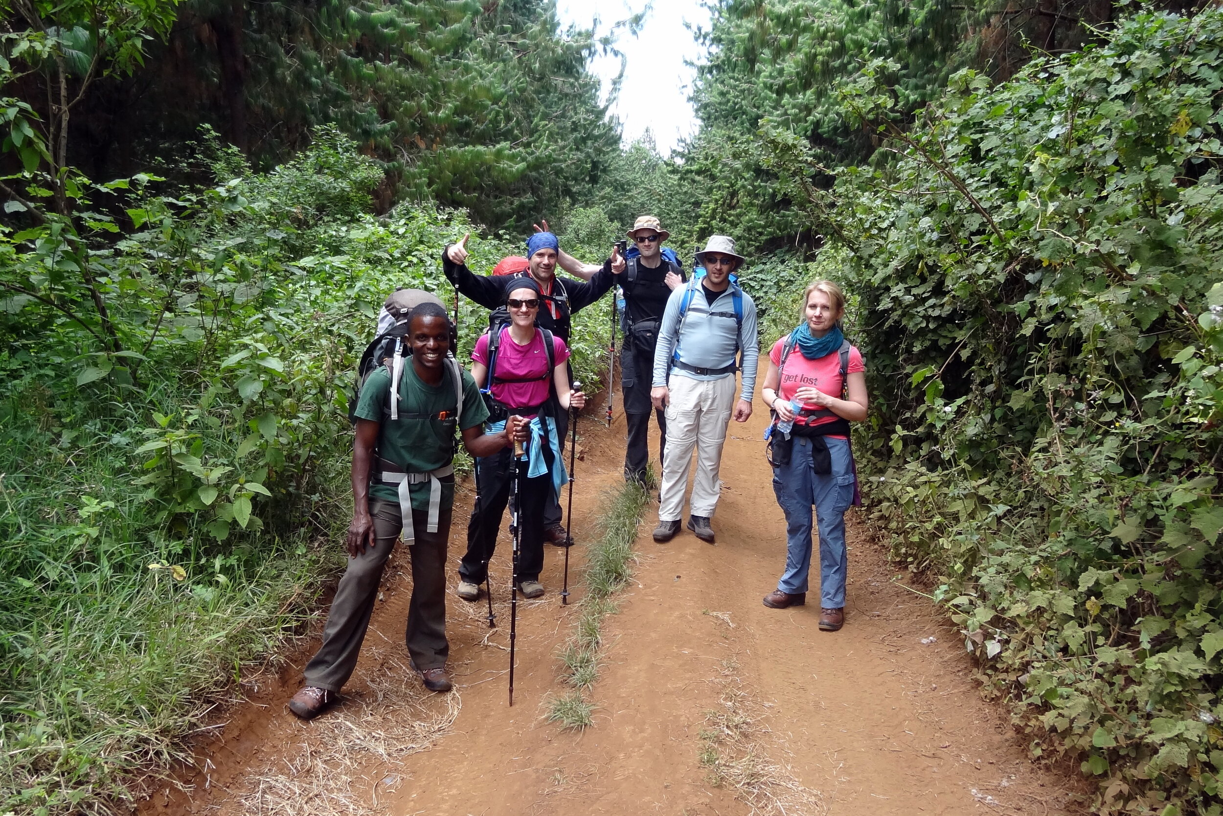
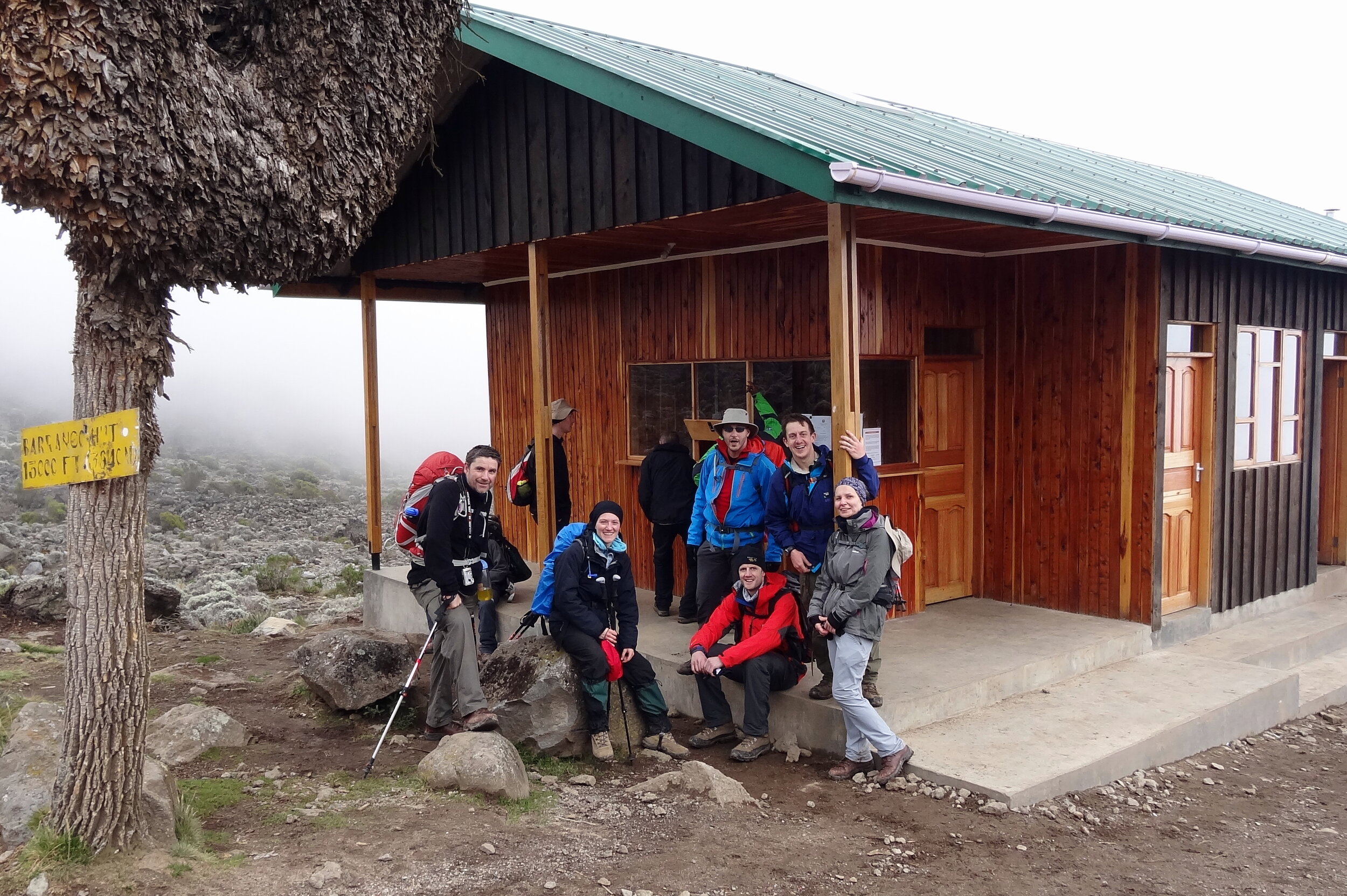
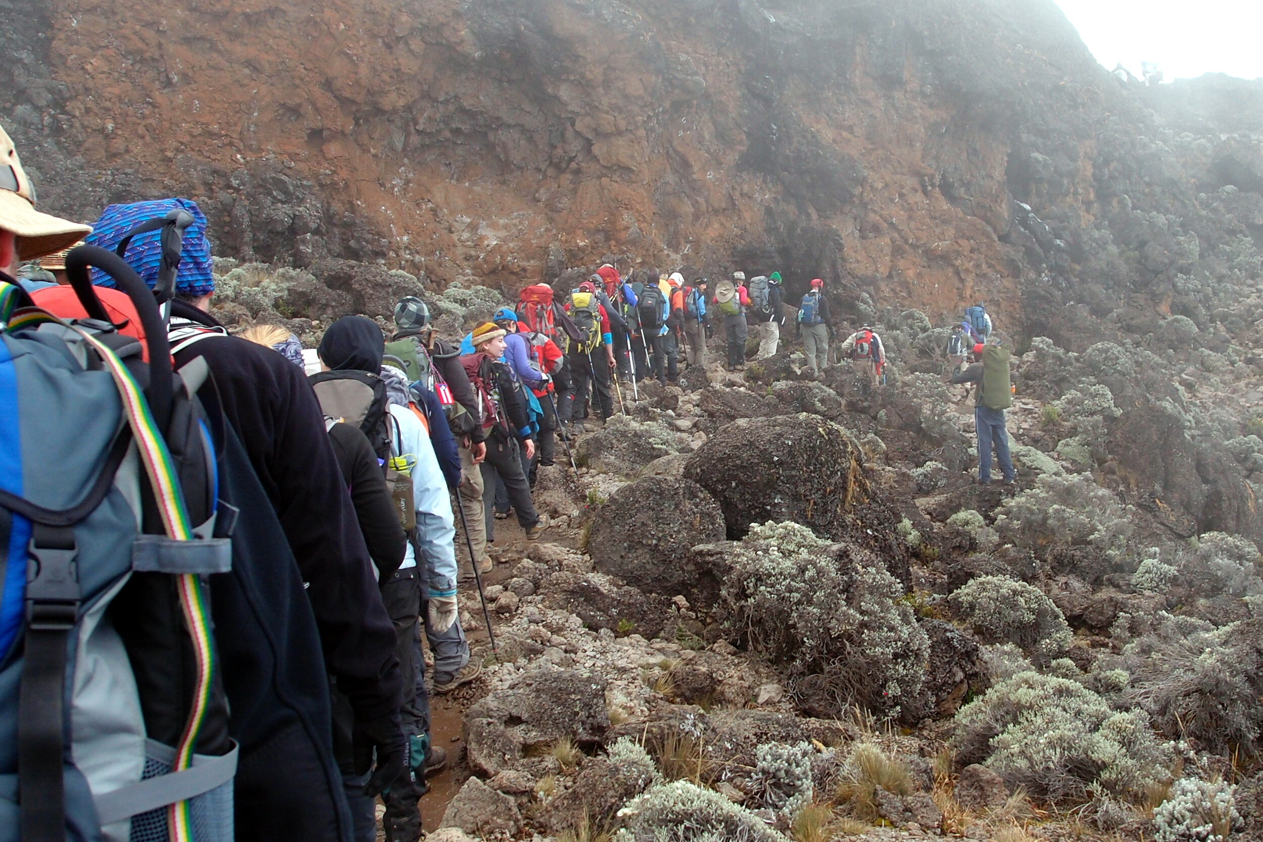
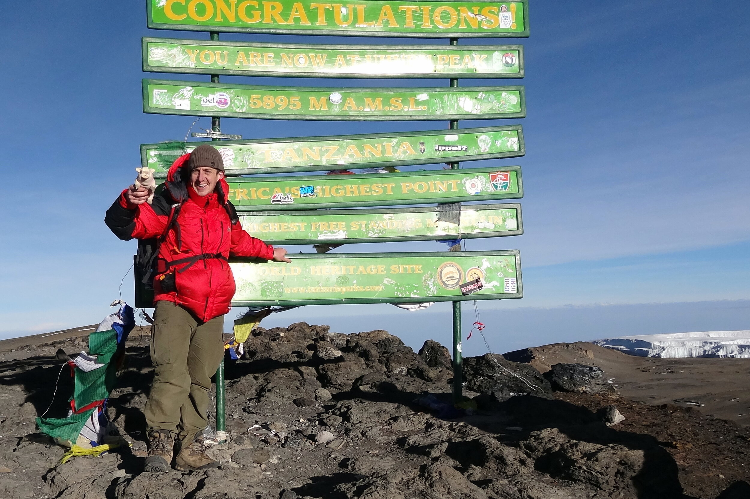
I can’t remember how many times I’ve done Scafell Pike. It was probably 4 times, the first 2 being in Venture Scouts a long time before I started obsessively tracking everything. The most recent two times were part of 36-hour unofficial Three Peaks Challenges. It was the most recent ascent that will be the most memorable and the reason why I’ll never do Scafell Pike again.
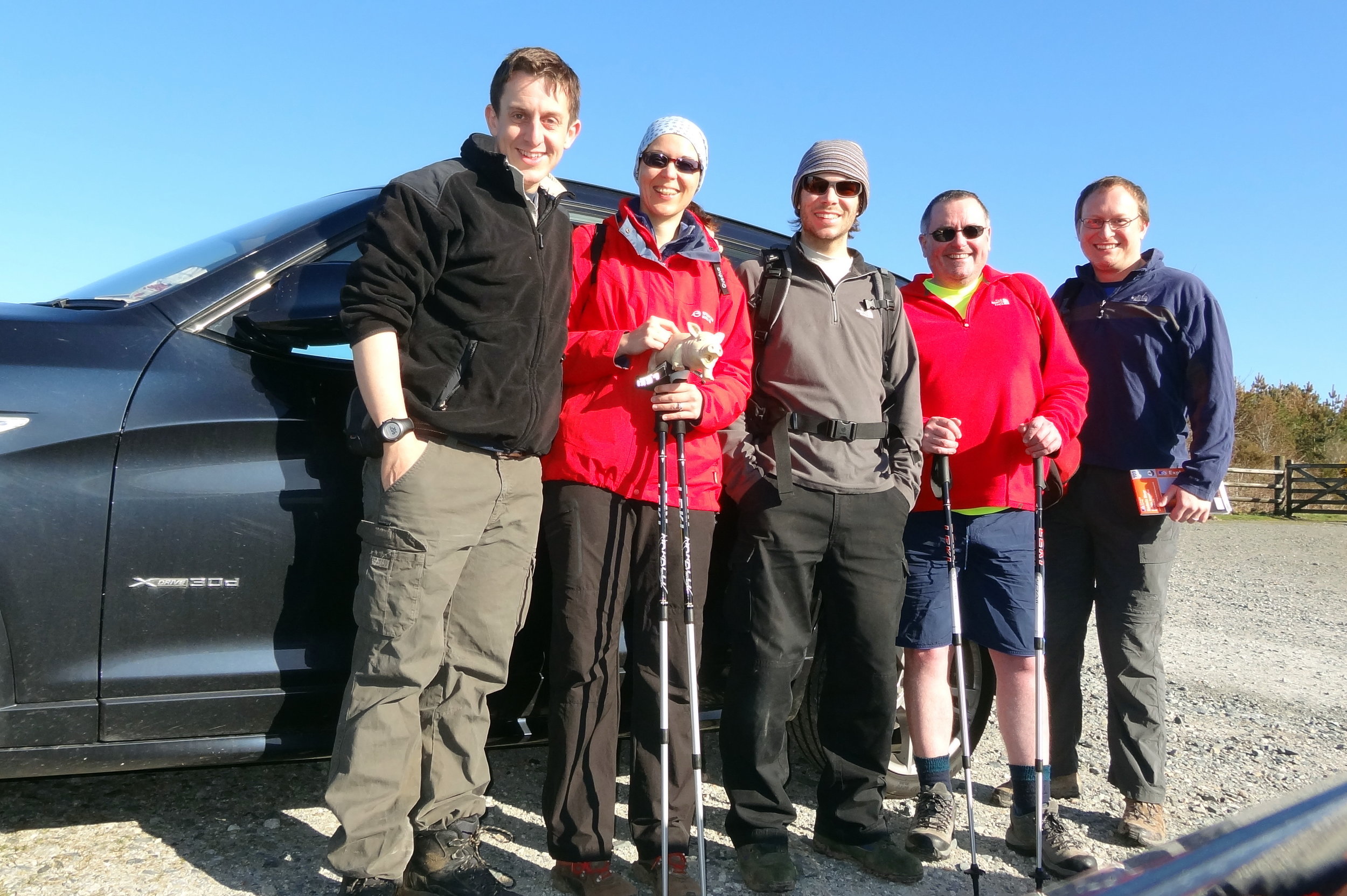
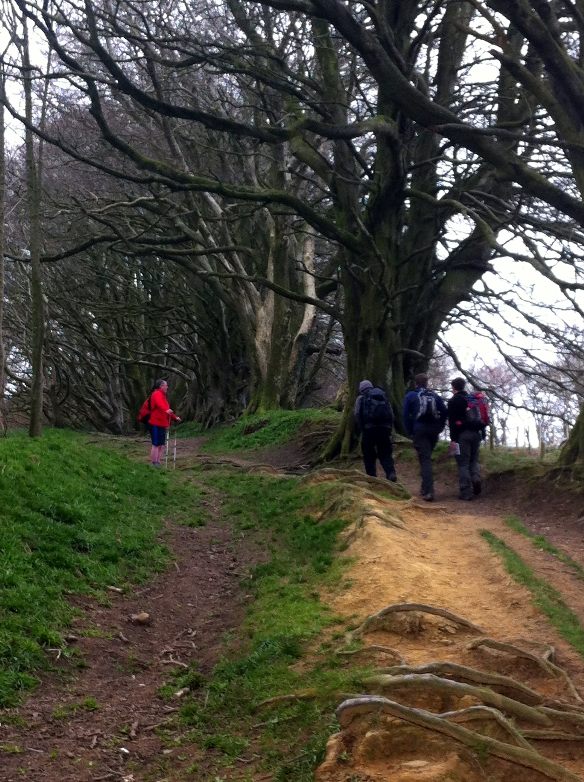
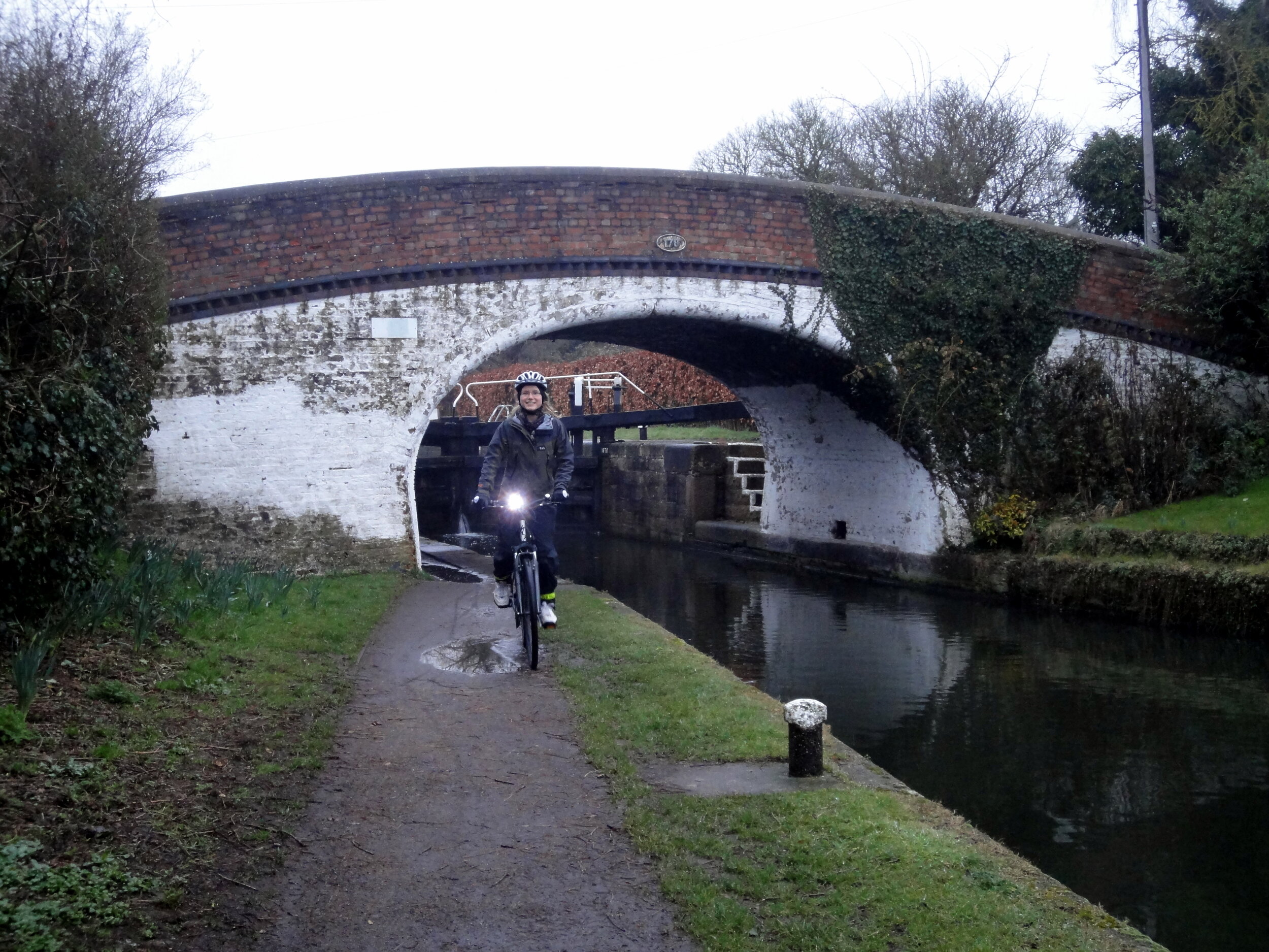
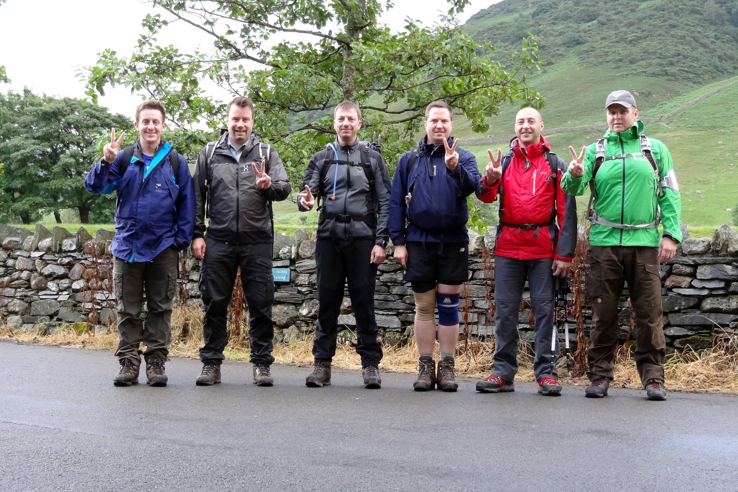
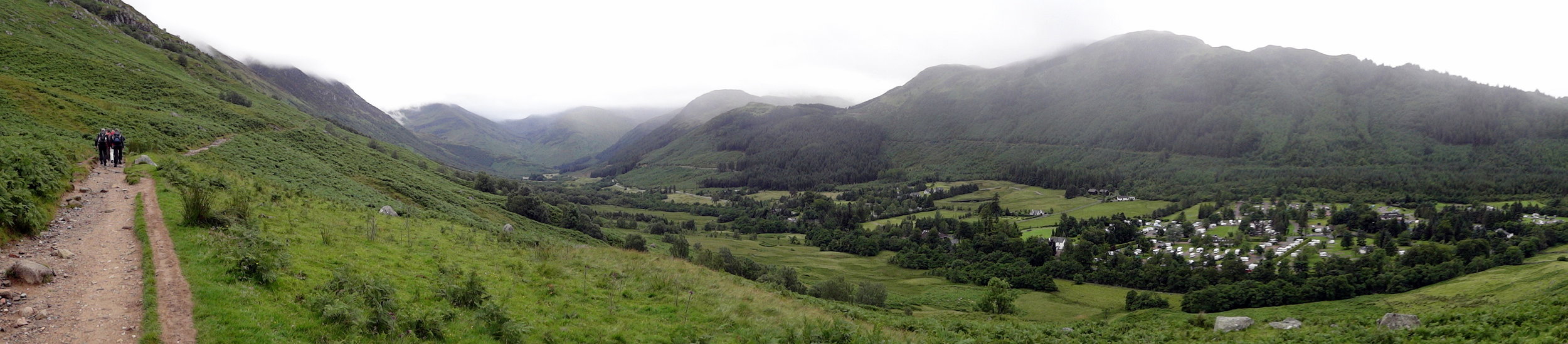
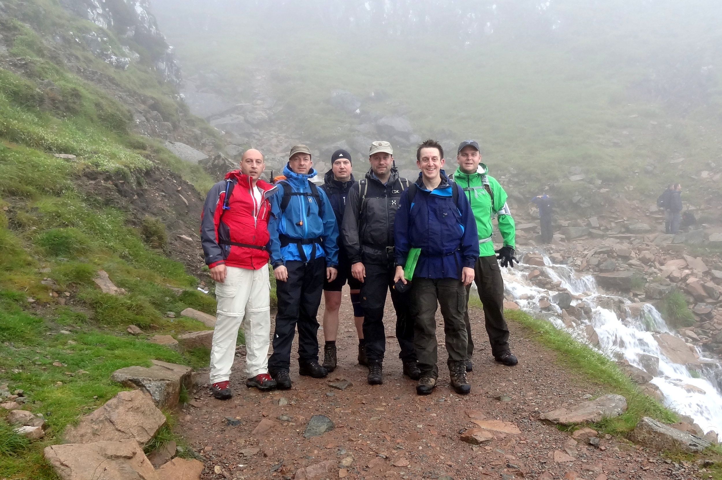
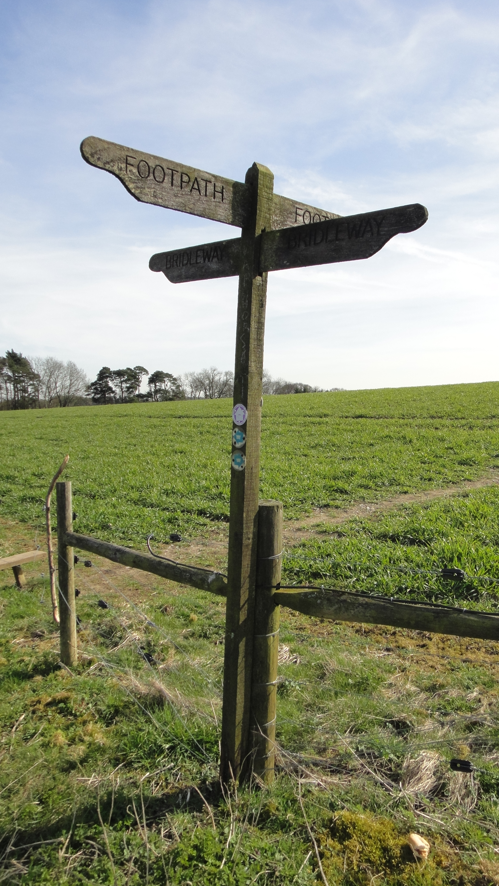
It was my second trip there as a part of a 36 hour 3 Peaks Challenge. Ben Nevis went well and we got to the Scafell Pike start point early. Having done the mountain a few times before I chose the Old Dungeon Ghyl route for a change.
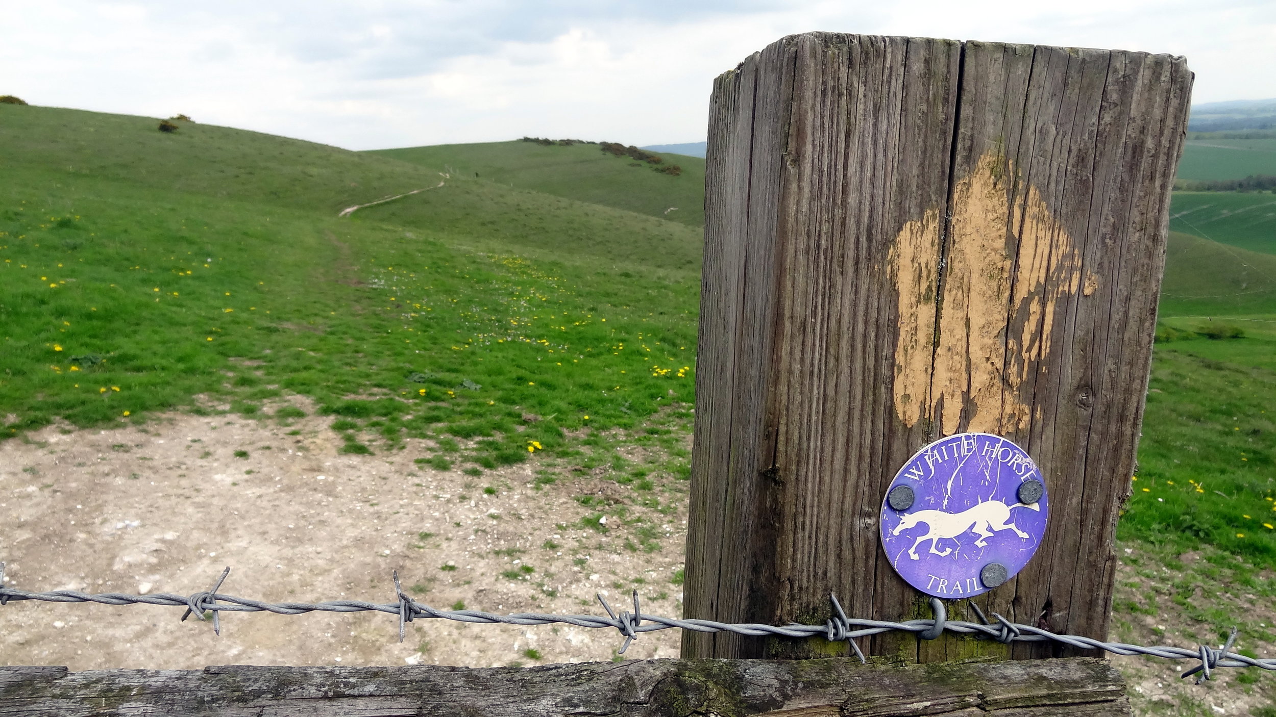
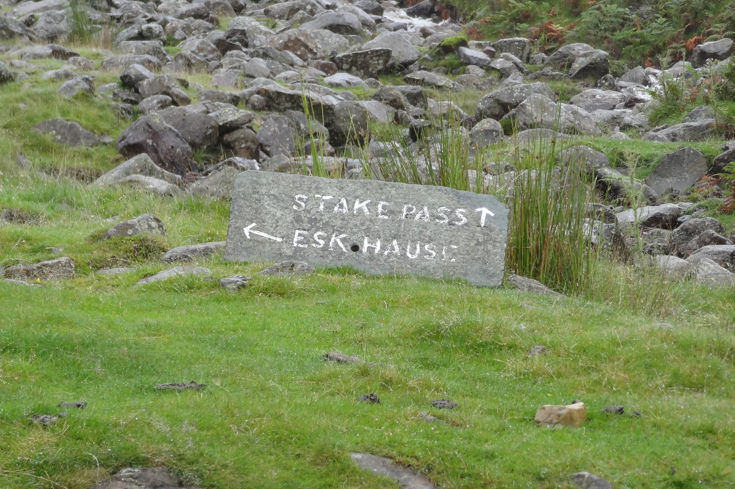
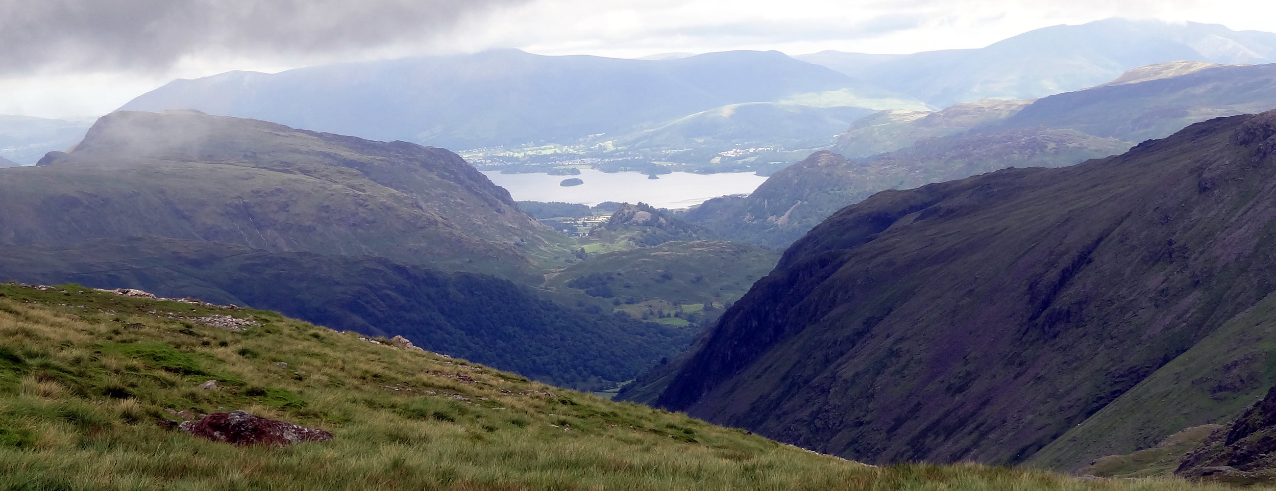
The plan was to follow the Cumbria Way from Old Dungeon Ghyl, then approach the summit from the east via Angle Tarn, Esk Haus and Broad Crag.
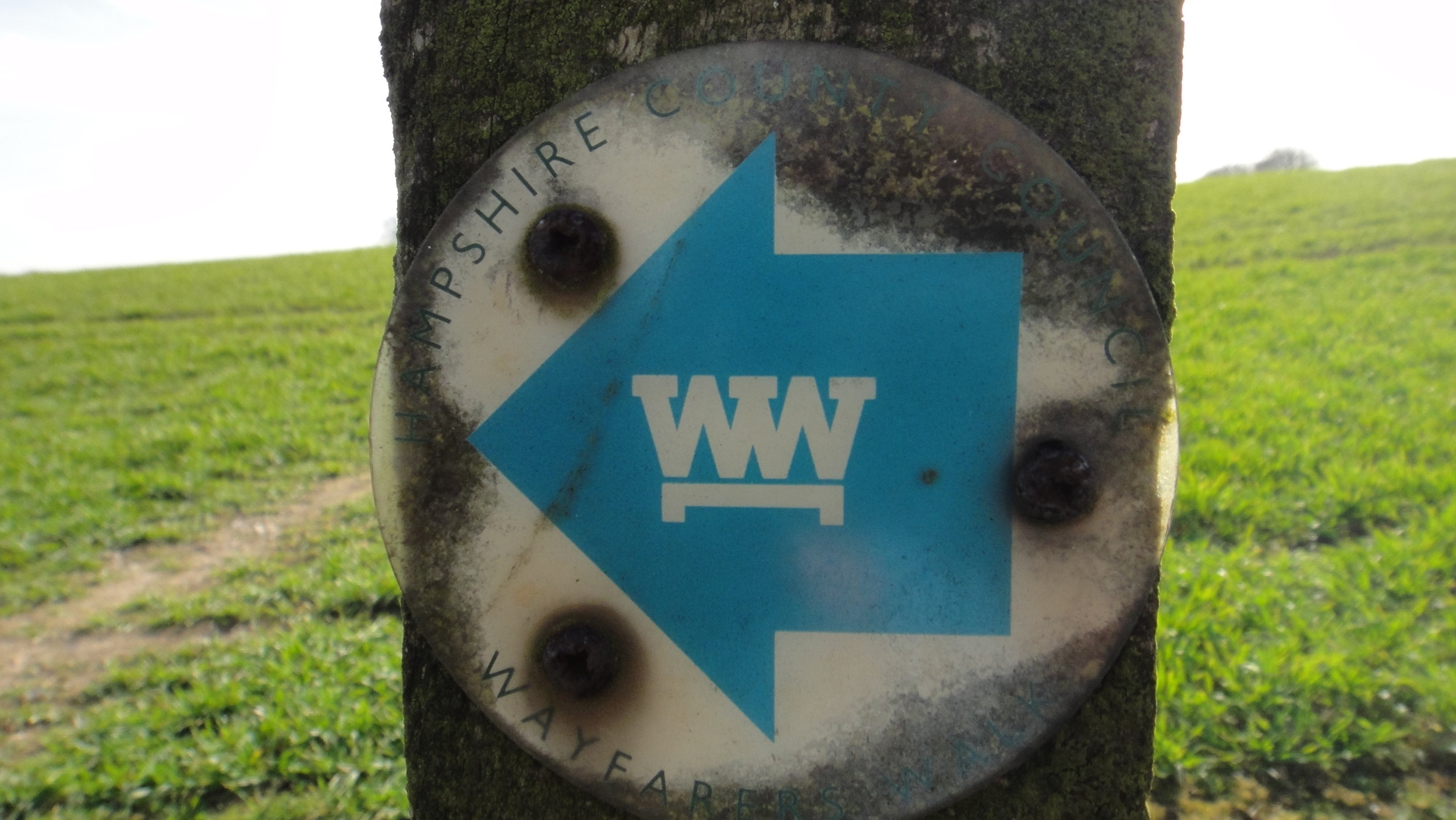
This was in the days before I meticulously planned every route on RideWithGPS and follow it by iPhone. Back then I had the OS Explorer map and a basic Garmin device that jus had the coordinates of the summit. Rather than following the trail heading north-west from Angle Tarn I took a path to the south-west to Esk Pike.
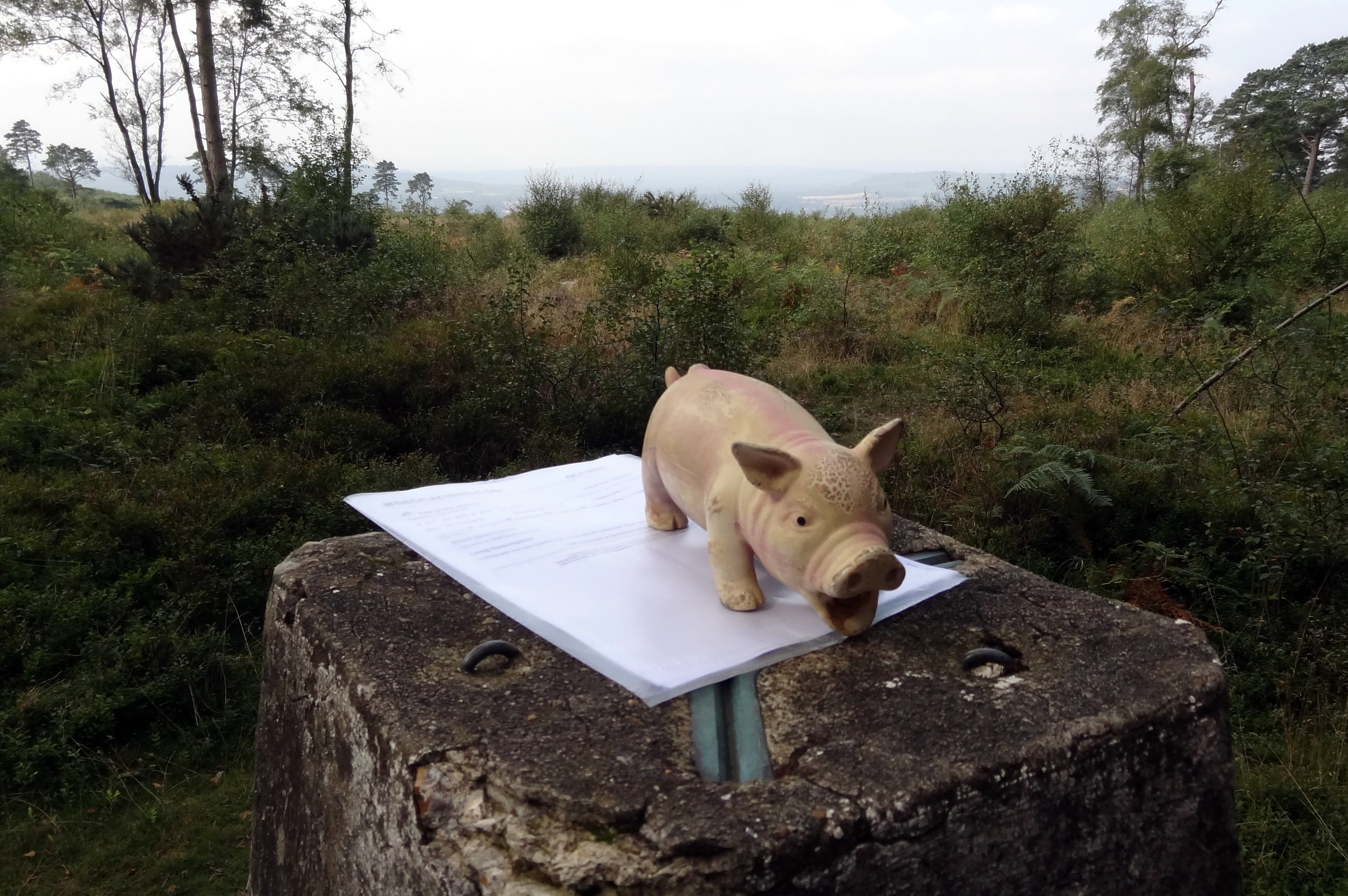
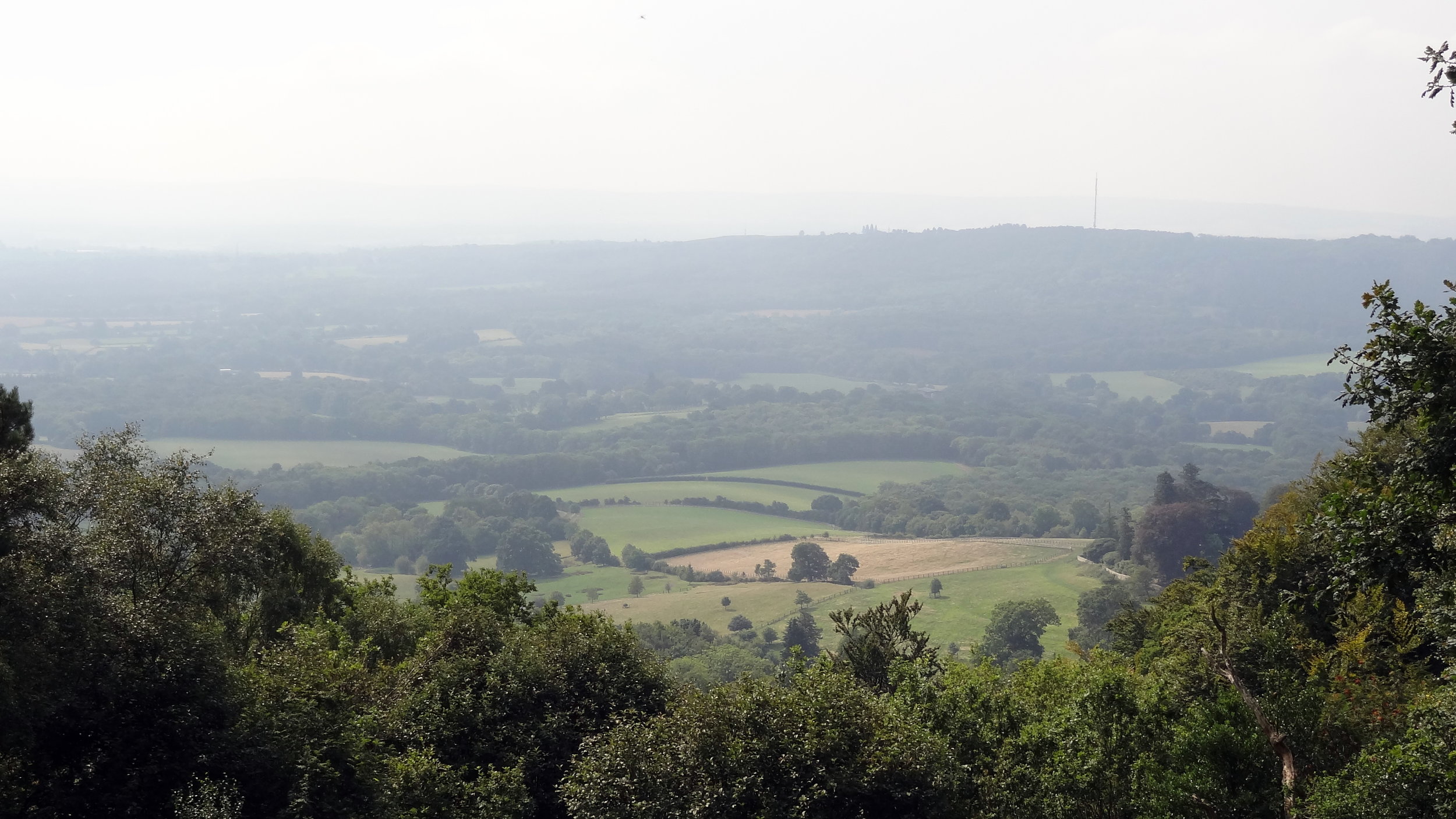
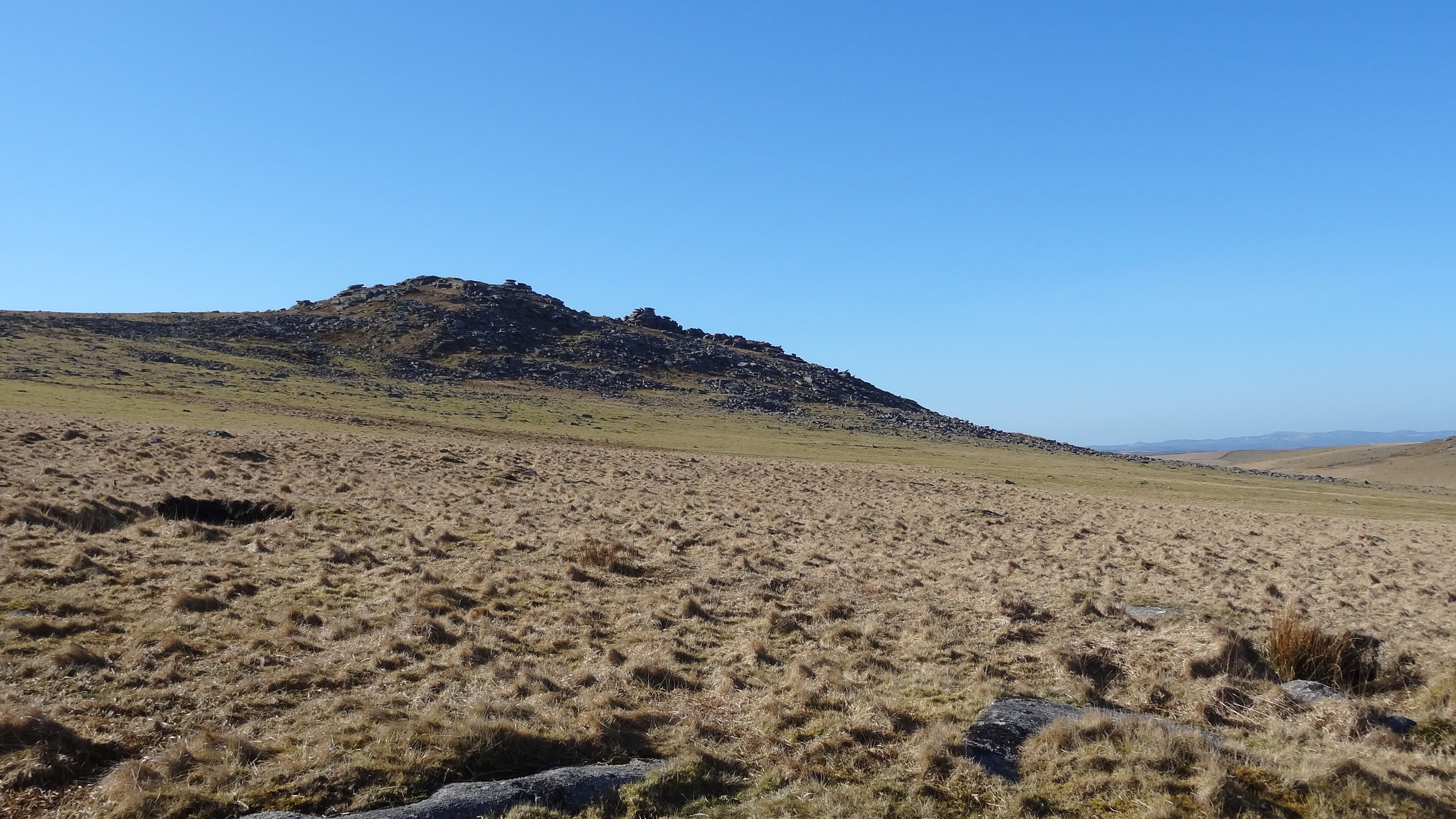
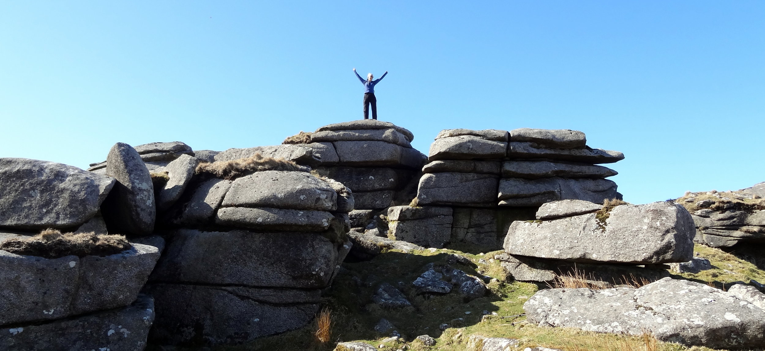
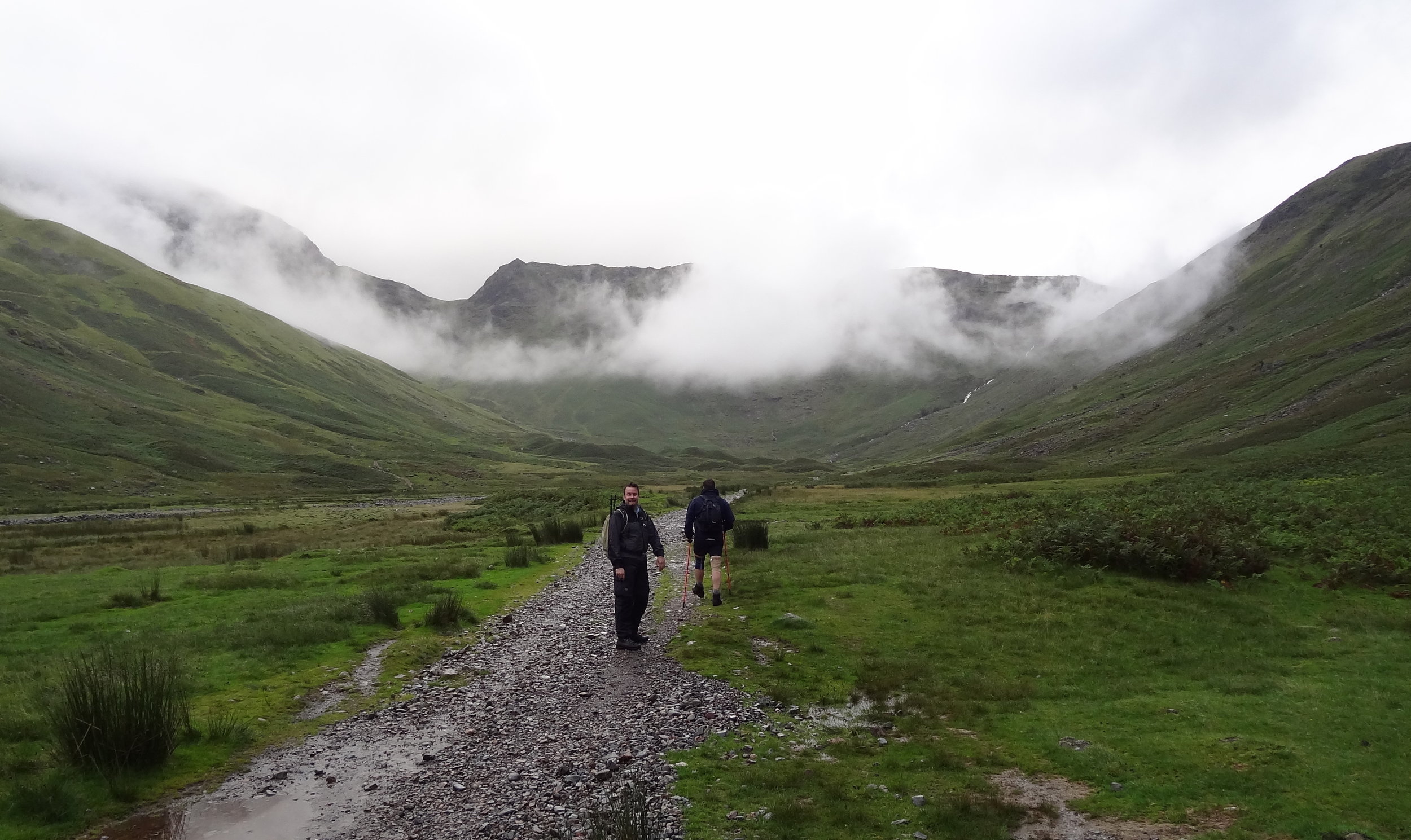
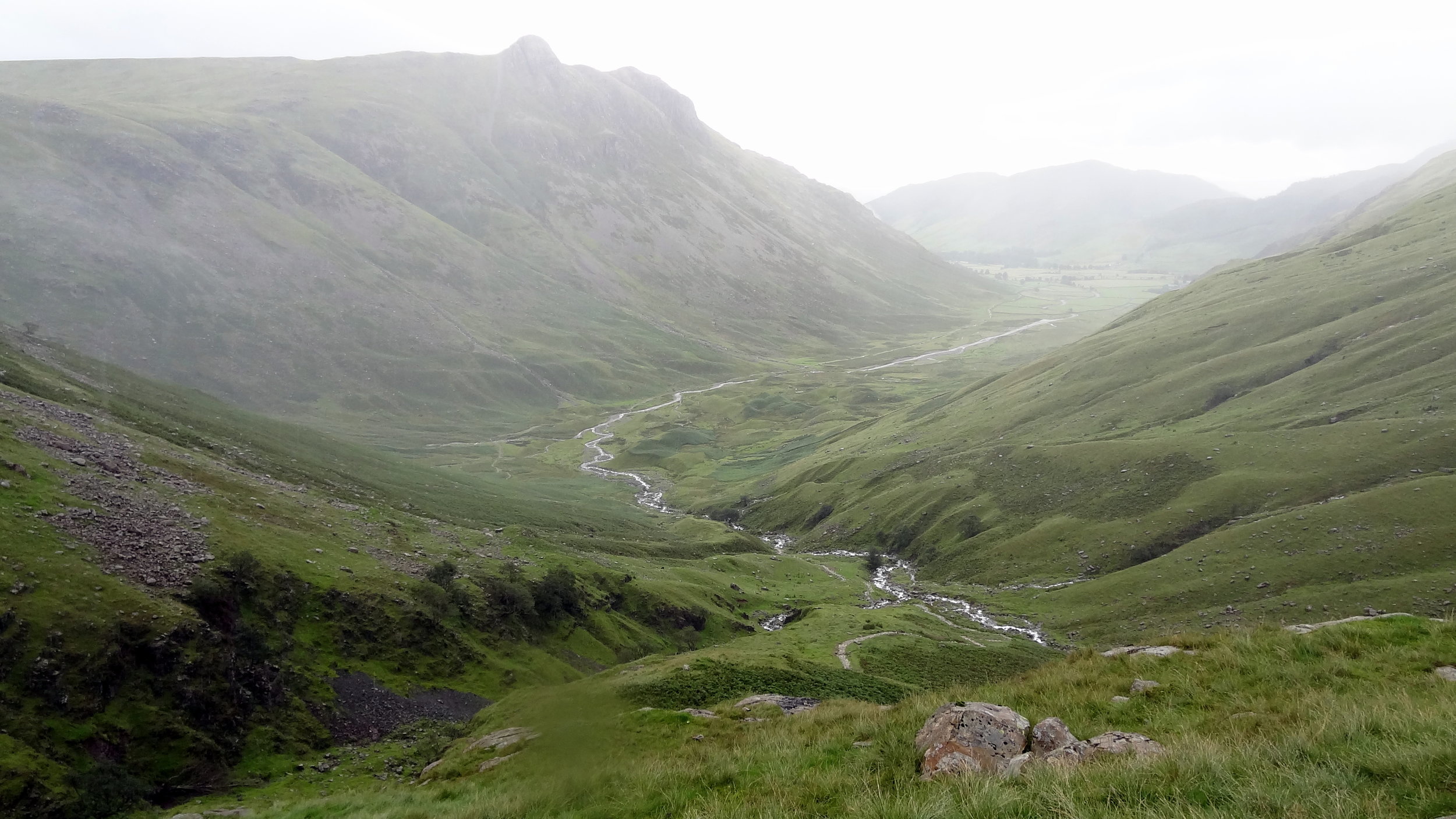
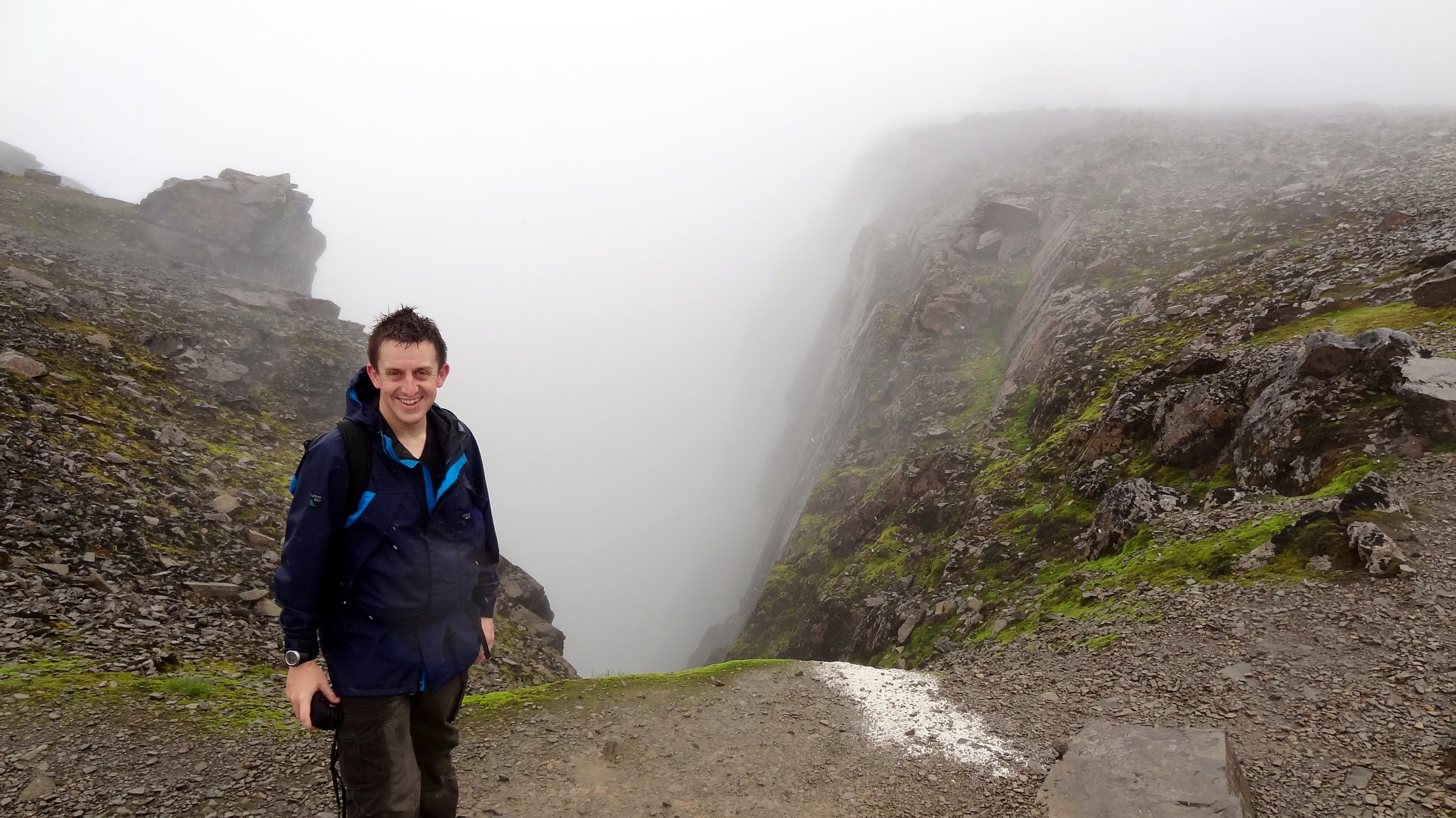
It was at the top of Esk Pike that I figured that we weren’t in the right place. Visibility was very low but I managed to find a clear spot to get a view of the area. Yes, we we’re definitely in the wrong place and had accidentally bagged an extra summit. Normally I would have styled it out and pretended that it was all part of the planned route. My prolonged look of confusion and map studying gave the game away and it was obvious that this wasn’t part of the plan.
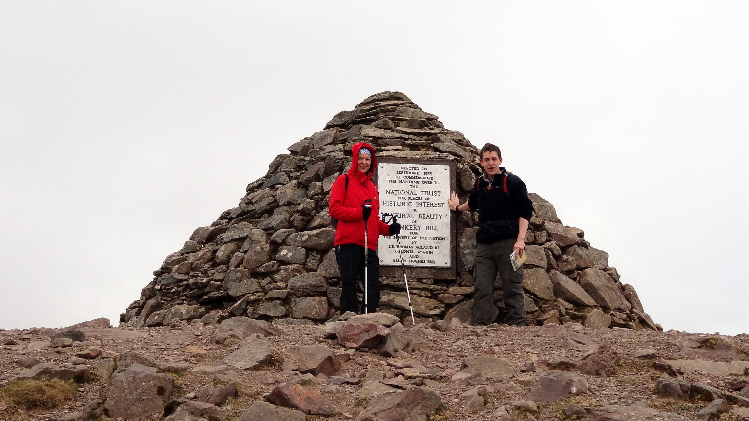
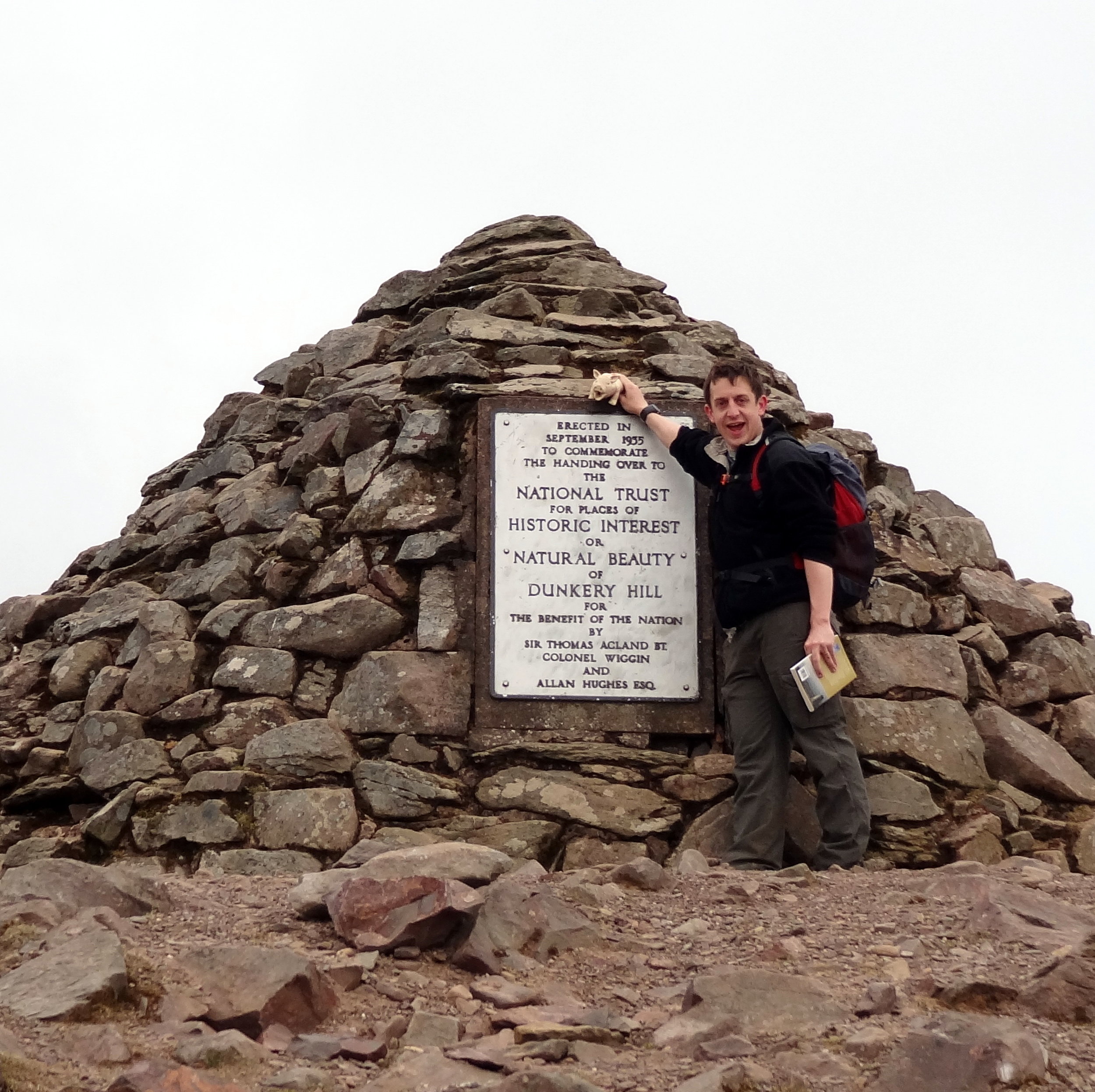
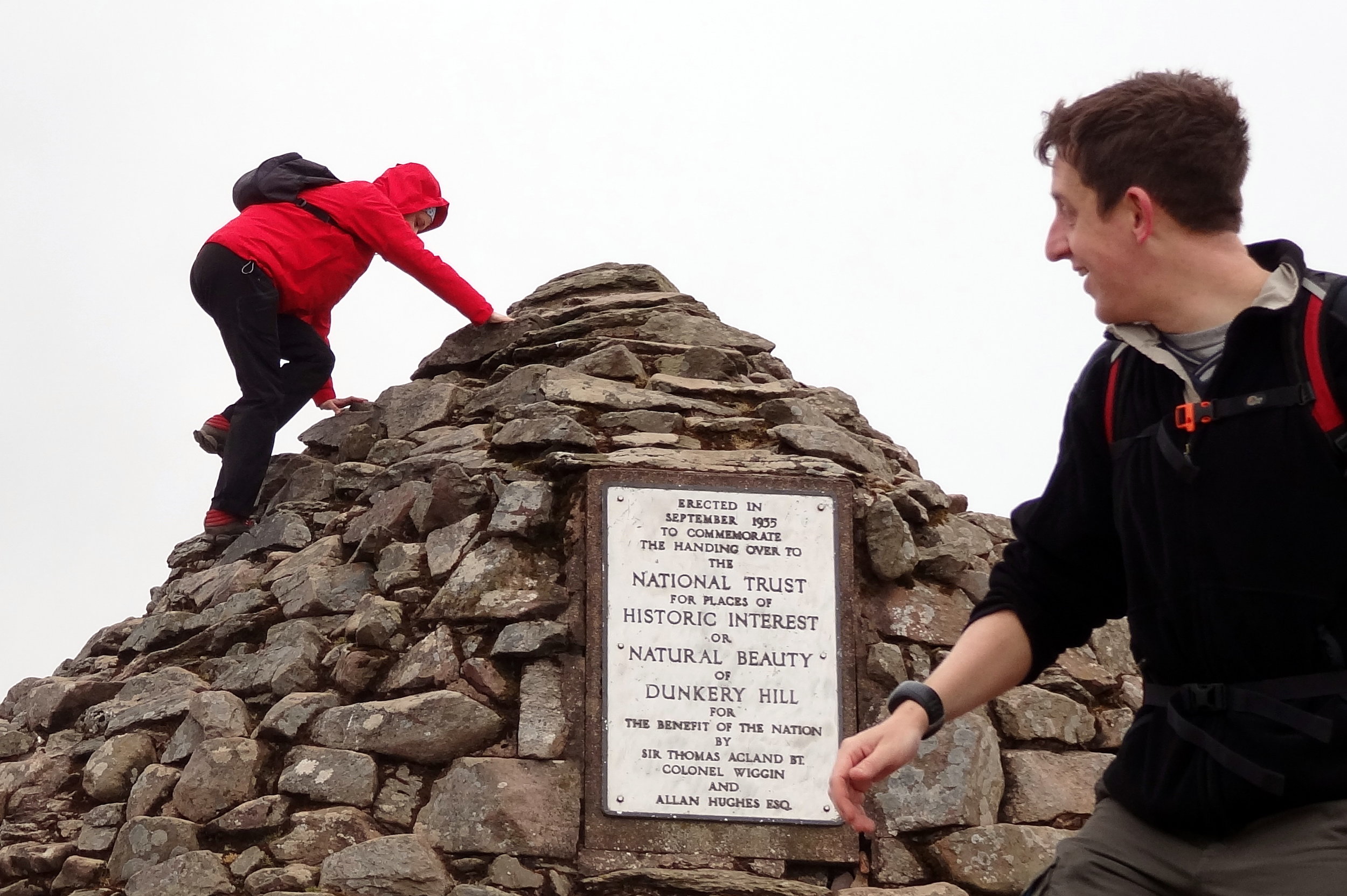
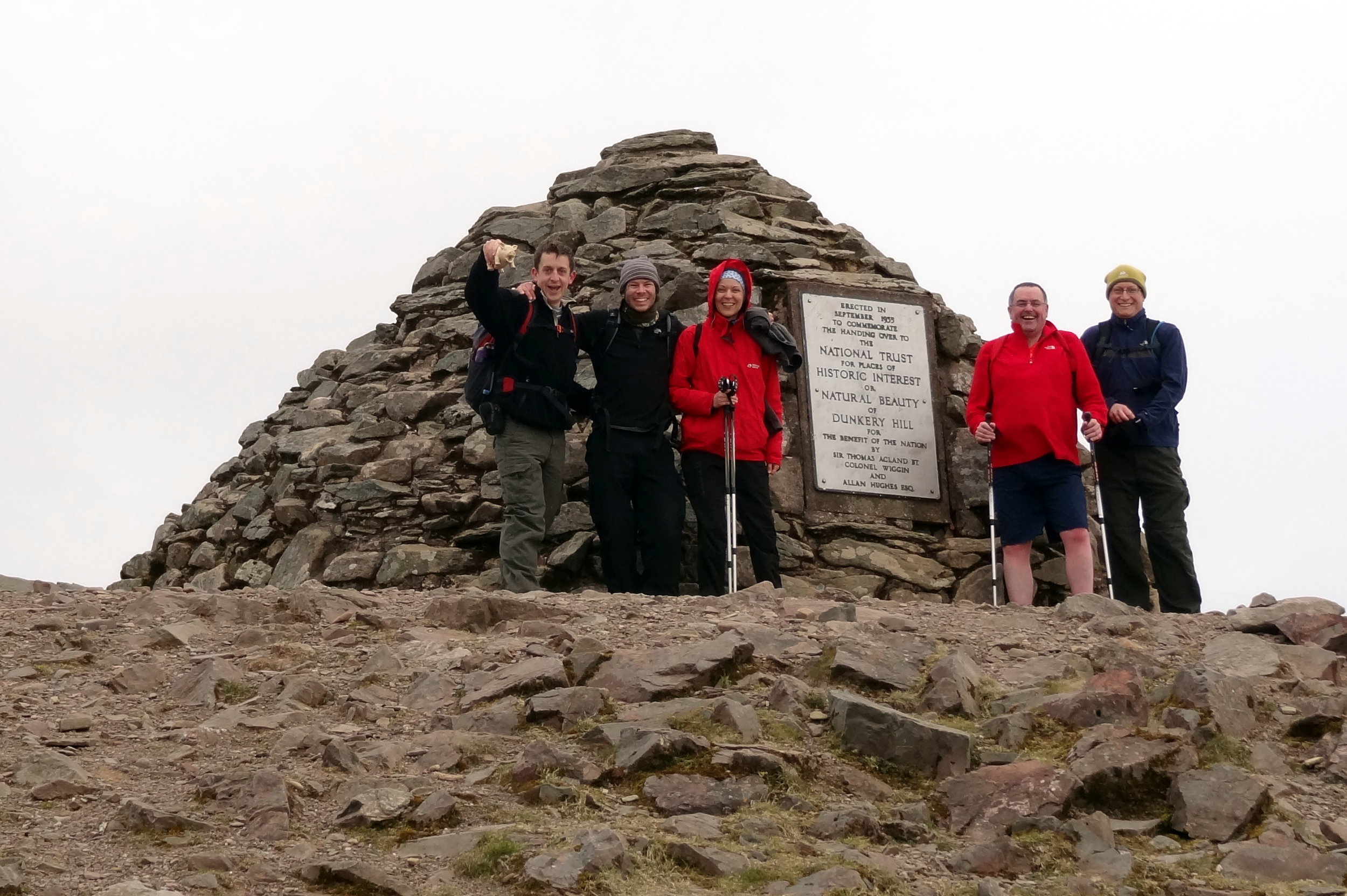
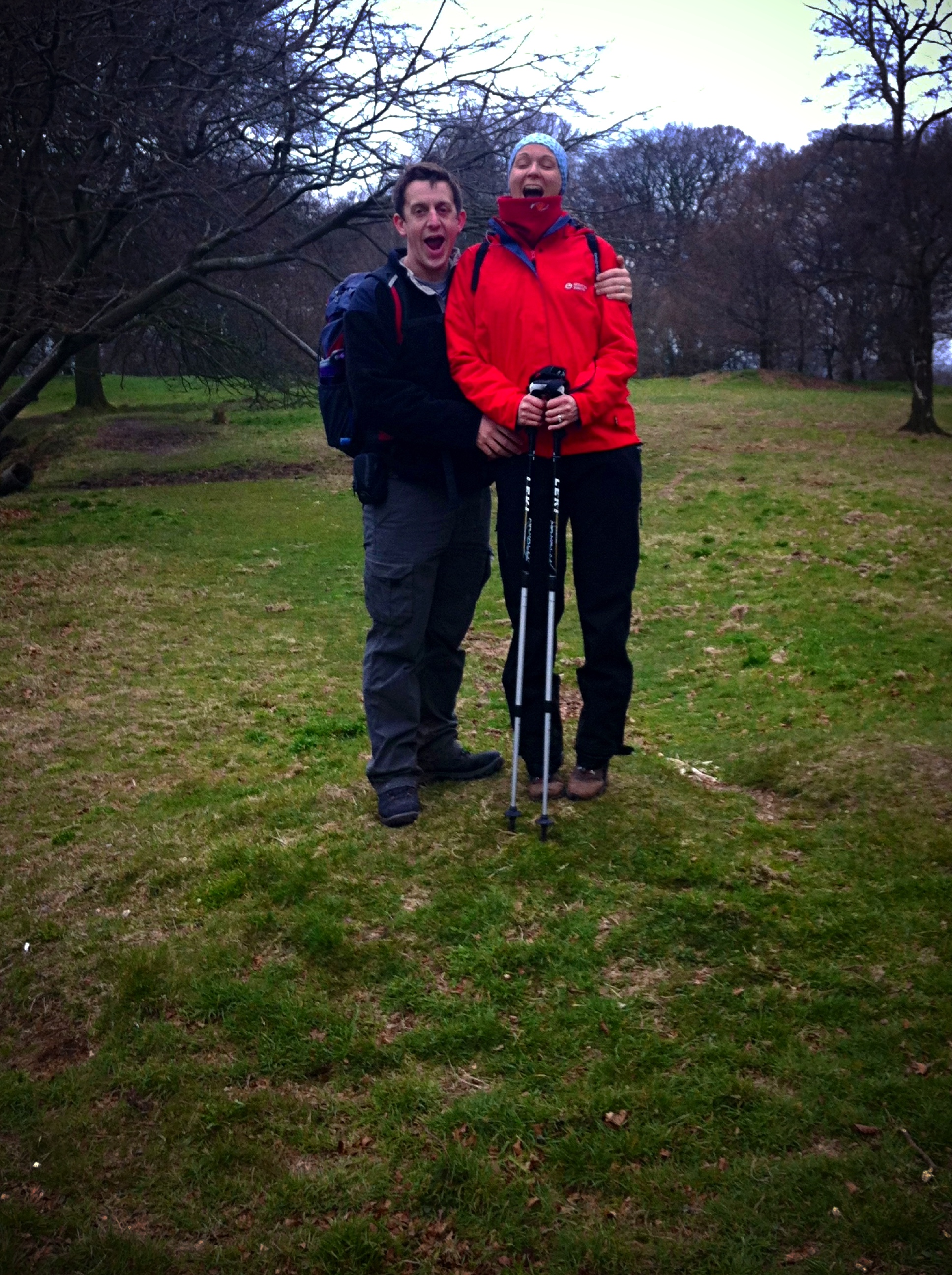
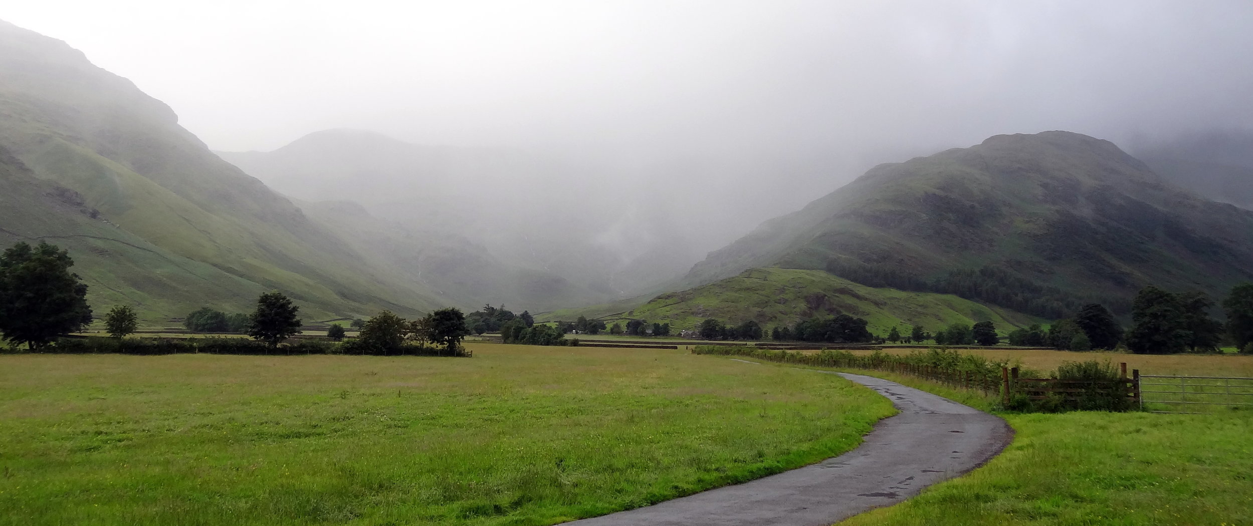
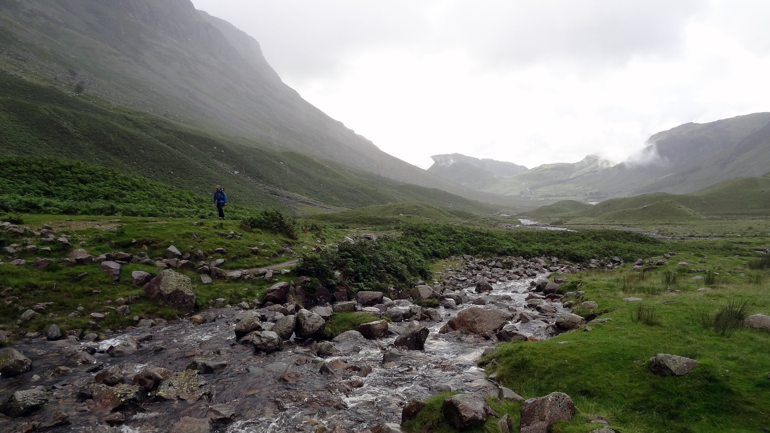
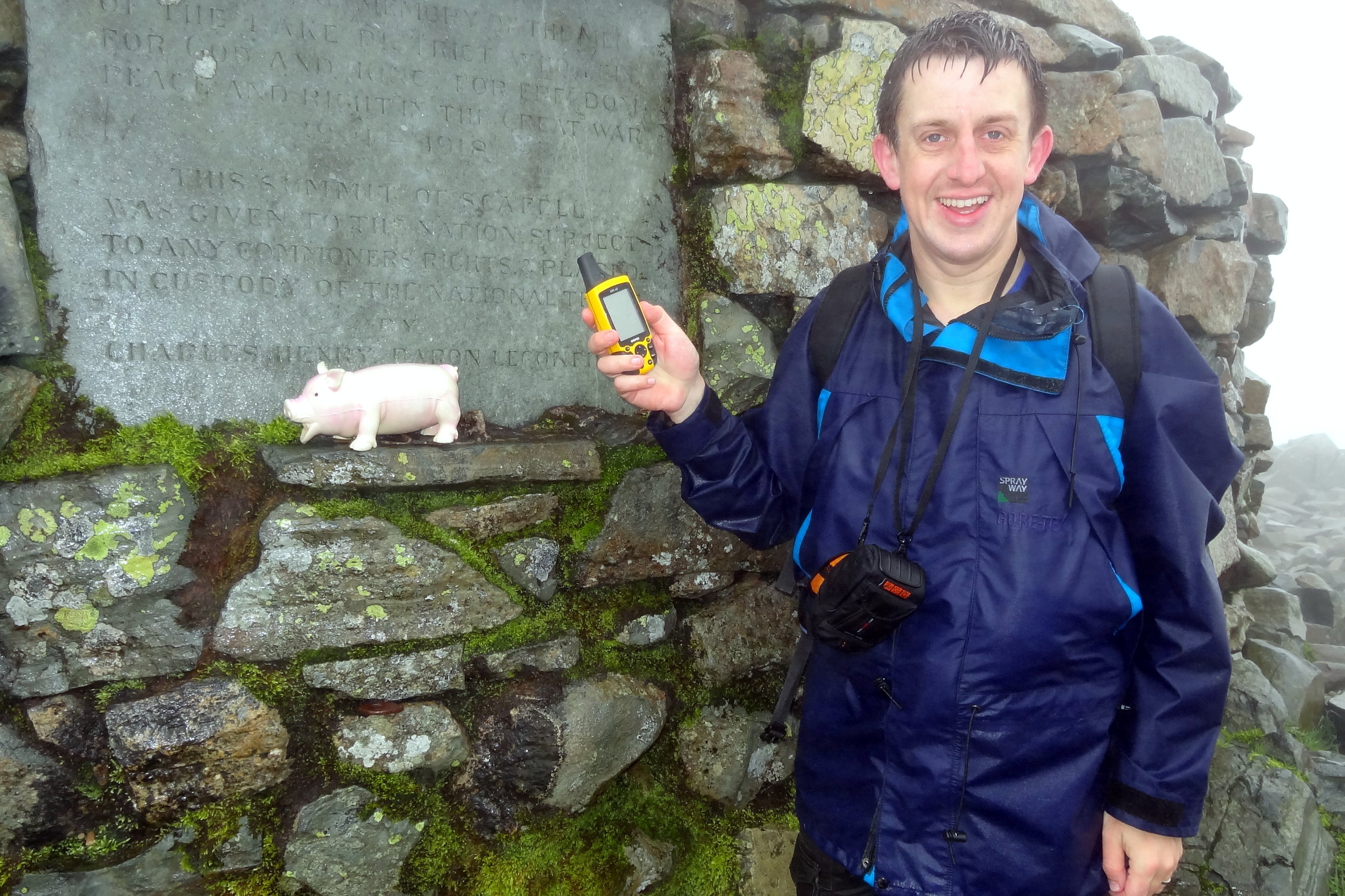
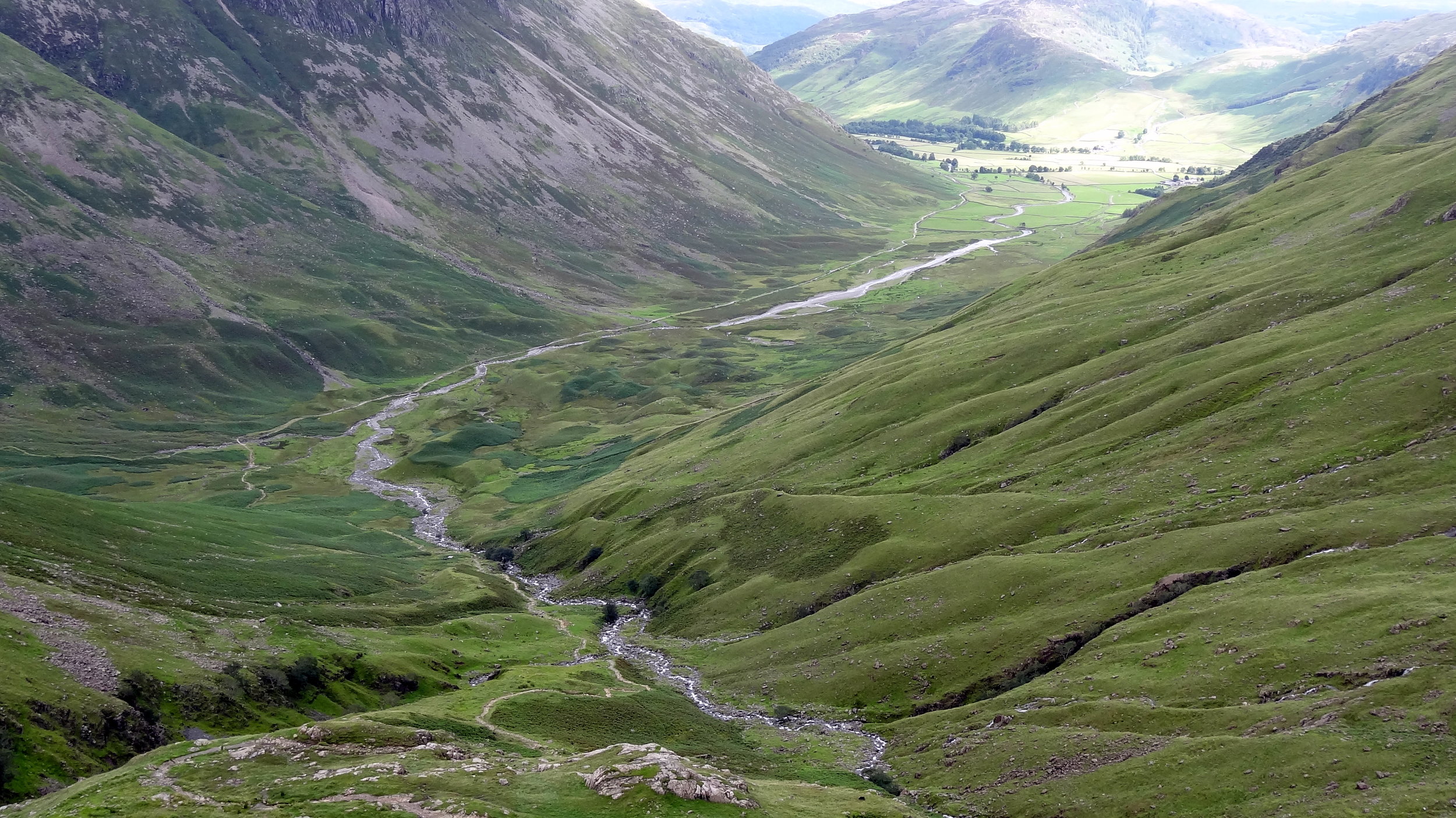
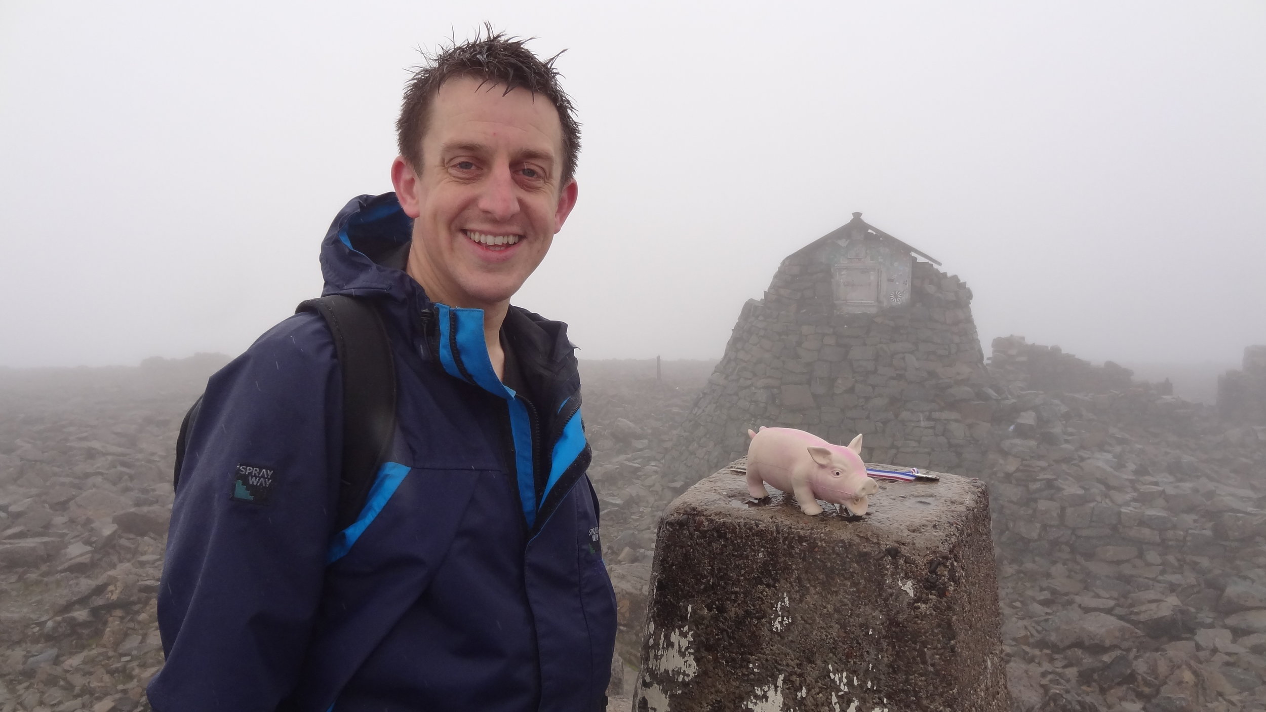
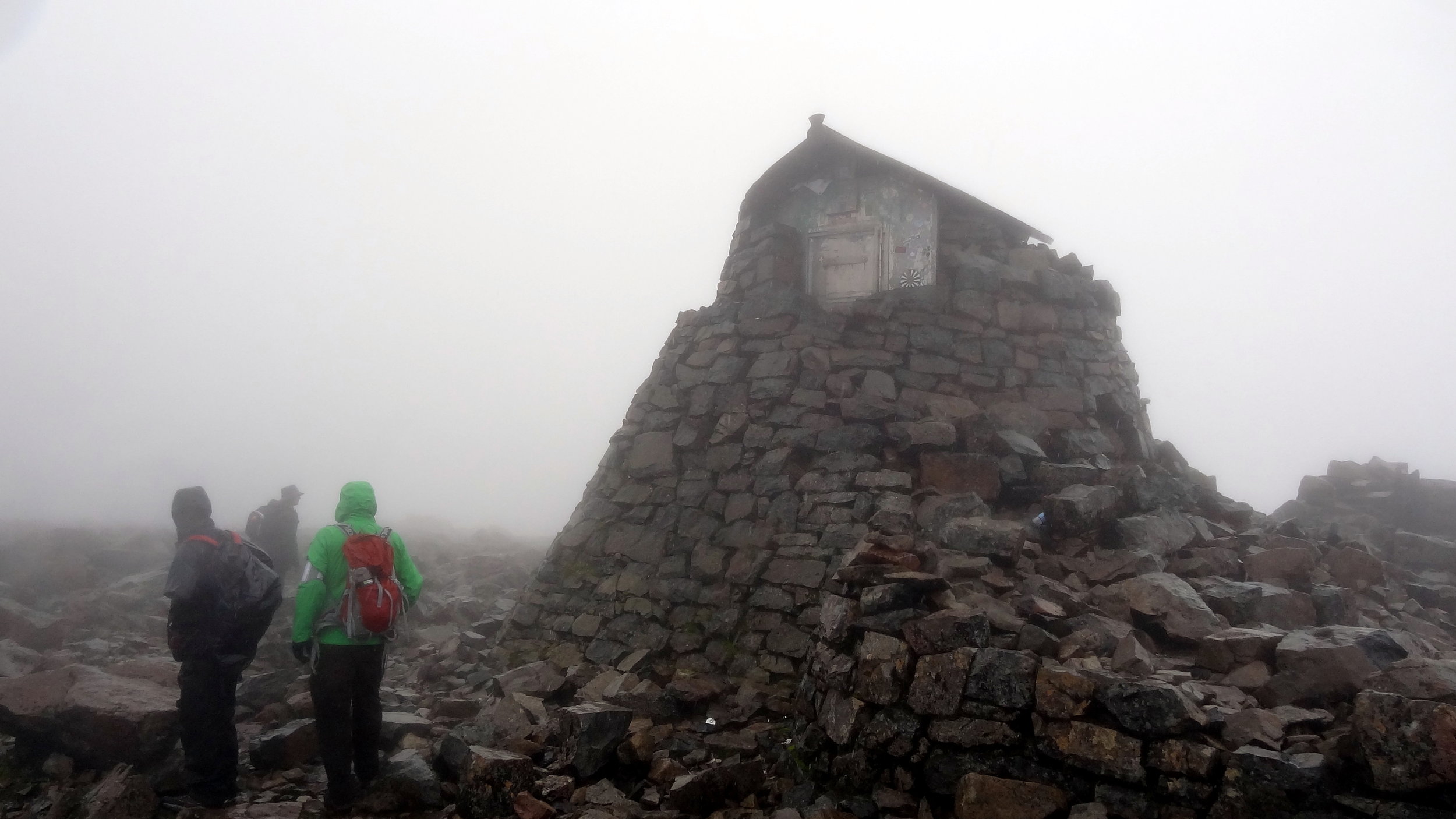
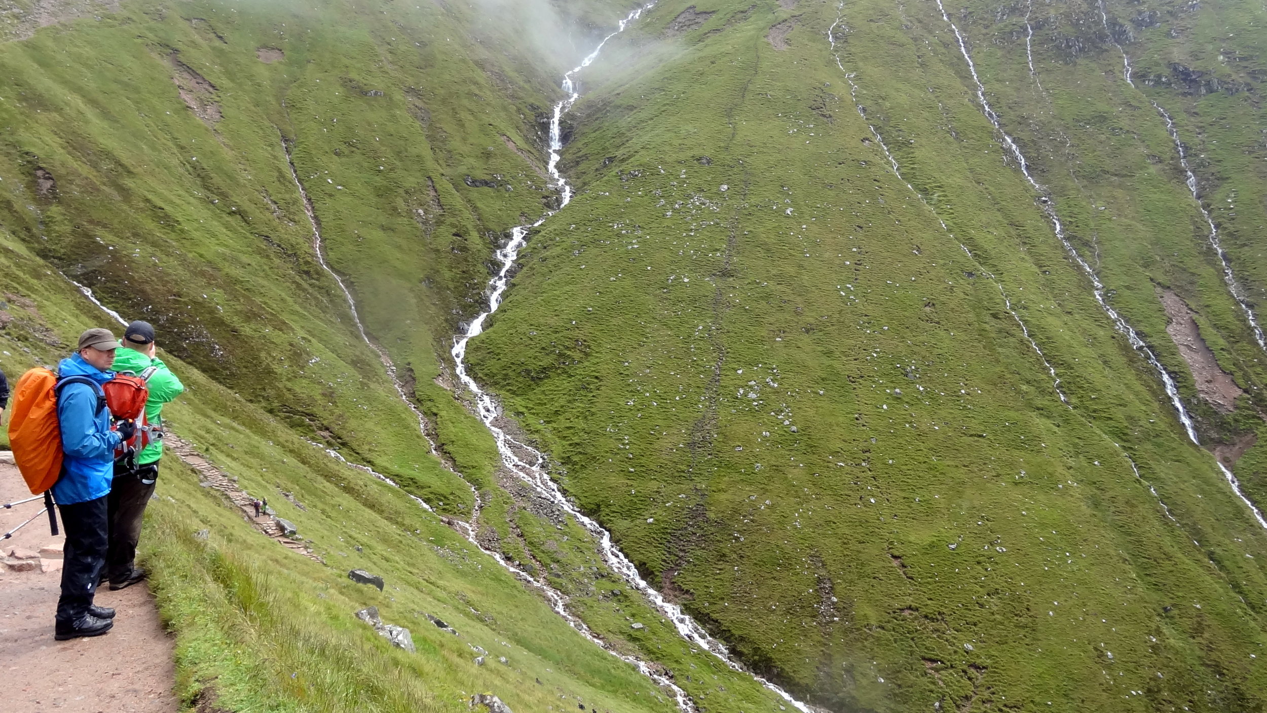
We descended the “Bonus Peak”, got back on track and started the proper ascent to Scafell Pike. Once we were past the cloud line it was properly grim. Visibility stayed low and there was a constant drizzle. Finally we got to the summit, took a few photos and quickly turned around to descend. My first ascent of Scafell Pike had been a pleasant walk on a clear summer’s day. This wasn’t that day.
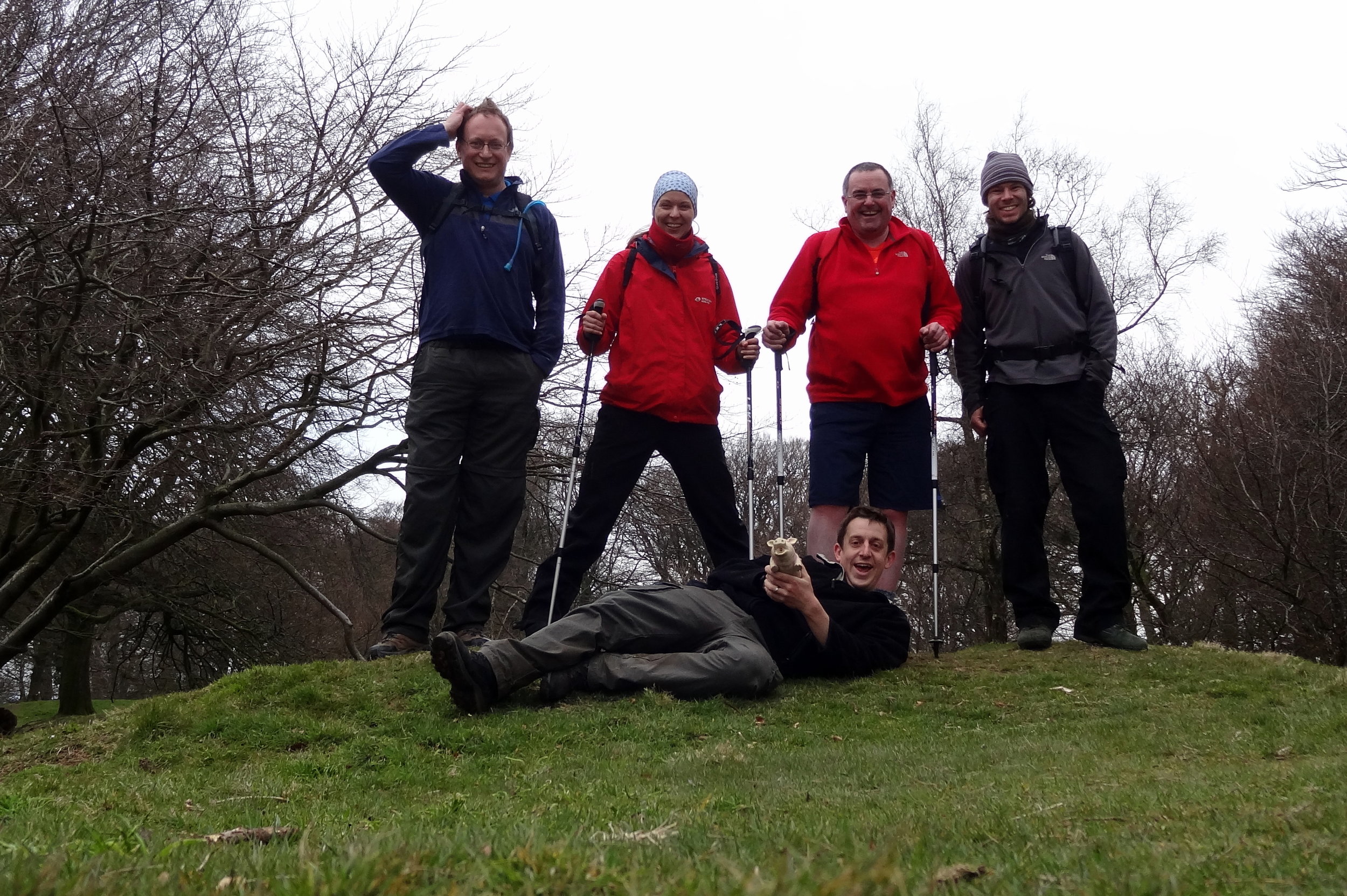
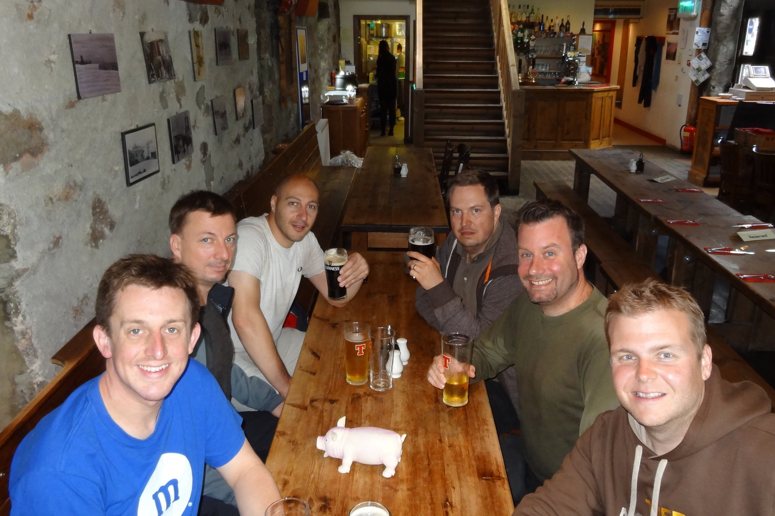
By the time we returned to the car park at the bottom we’d been out for over 9 hours. We had only planned for 5 hours and we were going to do Snowdon later in the day. After our Scafell adventure nine of us wanted to see another mountain that day. We ditched the idea of going to Snowdon and headed to Chester for a curry, some beers and a lot of post-hike analysis of my navigation skills.
View from the Pony Track
Also known as: Beinn Nibheis
Significance: Highest peak in Inverness-shire (Historic County Top), Highland (Council Top), Mainland Great Britain/Scotland/UK Country Top, Ben Nevis and Glen Coe NSA High Point
Member of: Munro, Marilyn
Parent Peak: N/A.
Nearest Higher Neighbour: Melderskin, Norway
Elevation: 1,344m
Date climbed: 21st May 2005 and July 28th 2012
Coordinates: 56.7969° N, 5.0036° W
Route Start / End: Ben Nevis Inn, Achintee Rd, Achintee, Fort William, PH33 6TE
Route Distance: 15.5 km (9.6 miles)
Route Elevation Change: +/- 1,306m
Subsidiary tops on route: none
GPX File: get via Buy Me a Coffee
Other routes touched: none
OS Trig Pillar: TP1289 - Ben Nevis
Map: OS Explorer 392: Ben Nevis and Fort William
Guidebook: The UK's County Tops (Jonny Muir), Cicerone Guide: Ben Nevis and Glen Coe
Links: Wikipedia (Inverness-shire), Wikipedia (Ben Nevis), Peakbagger
I’ve completed two ascents of the UK’s tallest mountain. Both were on unofficial self-organised Three Peaks Challenges. We weren’t bothered by doing it in the normal 24 hour window, so did it in a more leisurely 36 hours. This allows for an overnight stay and removes the need for a support driver.
On my first attempt we completed the challenge in a whisker under the 36 hours. We stayed in Fort William on the night before, did Ben Nevis in the morning, lunch in the Ben Nevis Inn, and drove to a hotel near Scafell Pike. On the second day we did an early ascent of Scafell Pike, then drove to Snowdonia for the Snowdon ascent.
My second Three Peaks attempt, with a different group, didn’t go quite so well. We ended up doing four peaks, but not the ones that we intended. I’ll save that story for the Scafell Pike post.
Unless you’re particularly adventurous and very experienced there’s one route up and down a Ben Nevis: The Pony Track. It’s a safe route with little navigation required. On both of my ascents the visibility at the top was extremely poor and the return from the summit to the track wasn’t obvious. Yes, it’s a relatively easy climb but don’t beget caught out and do all the usual mountain prep and precautions.
Glen Ogle Viaduct (official event photo)
The Rob Roy Challenge was a run/bike event along the Rob Roy Way between Drymen and Kenmore in Scotland. I completed it with a group of friends in 2012 as a new challenge, having done several London to Paris cycle rides together. I’m writing this 10 years later so my memory of the details is a little hazy. However, from the many photos that we took it seemed like we had a lot of fun on a very cloudy and drizzly day. So far it’s the only mixed run/cycle event that I’ve done although I’m keen to do more.
Note that my Garmin didn’t save the GPX track so I had to recreate the route on RideWithGPS. The actual distances and elevations may have been slightly different to what I have below.
Section 1: The Run
Start: Drymen Road Cottage Car Park, 4 miles north of Drymen on the Rob Roy Way
Finish: Wheels Cycling Centre, Invertrossachs Road, Callander, FK17 8HW
Distance: 23.6 km (14.6 miles)
Elevation change: +338m / -363m (Net -25m)
Section finish time: 2 hours 55 minutes
Other routes touched (walk): Rob Roy Way, Mary Queen of Scots Way, Coilhallan Wood Trail
Other routes touched (cycle): NCN 7, EV1
Section 2: The Cycle
Start: Wheels Cycling Centre, Invertrossachs Road, Callander, FK17 8HW
Finish: Field on the south side of Loch Tay, west of Kenmore
Distance: 64.4 km (40 miles)
Elevation change: +827m / -756m (Net -71m)
Section finish time: 5 hours 23 minutes
Other routes touched (walk): Rob Roy Way, Coilhallan Wood Trail, Great Trossachs Path, Three Saints Way
Other routes touched (cycle): NCN 7, EV1
Total Route
Date completed: 23rd June 2012
Distance: 88.5 km (55 miles)
Elevation change: + 1,201m / -1,156m (Net +45m)
Finish time: 8 hours 18 minutes
GPX File: get via Buy Me a Coffee
Links: Rob Roy Way, Drymen, Aberfoyle, Callander, Balquhidder, Killin, Kenmore
When: April 1st 2012
Where: Reading, Berkshire UK
Course: Town roads, starting at Green Park, passing through Town centre, University and finishing at Madejski football stadium
Other routes touched (walk): Kennet and Avon Canal Towpath
Other routes touched (cycle) NCN 4, 22, 23
Finish time: 2:00
Walbury Hill
Significance: Highest peak in Berkshire (Historic County Top), North Wessex Downs National Landscape High Point
Member of: Marilyn, Hardy
Parent Peak: Beacon Batch
Nearest Higher Neighbour: Cleeve Hill
Elevation: 297m
Coordinates: 51°21′08″N 1°27′57″W
OS Trig Pillar: TP0302 - Inkpen
Links: Wikipedia (Berkshire), Wikipedia (Walbury Hill), Peakbagger
Pilot Hill
Significance Highest peak in Hampshire (Historic CT)
Member of: N/A
Parent Peak: Walbury Hill.
Nearest Higher Neighbour: Walbury Hill
Elevation: 286m
Coordinates: 51°20′19″N 1°25′48″W
OS Trig Pillar: TP5448 - Pilot
Links: Wikipedia (Hampshire), Wikipedia (Pilot Hill), Peakbagger
For both peaks:
Date climbed: 25th March 2012
Route Start / End: Combe Gibbett & Walbury Hill Car Park, Combe, Hungerford, RG17 9EH
Route Distance: 9.9 km (6.1 miles)
Route Elevation Change: +/- 150m
Subsidiary tops on route: none
GPX File: get via Buy Me a Coffee
Other routes touched (walk): Wayfarers Walk, Brenda Parker Way, Test Way
Other routes touched (cycle): NCN 246
Map: OS Explorer 157 - Marlborough & Savernake Forest
Guidebook: The UK's County Tops (Jonny Muir), Walking the County High Points of England (David Bathurst)
The high points of the Historic Counties of Berkshire and Hampshire can be bagged in one short walk. This was the first trip to intentionally bag County Tops, although I had already completed Ben Nevis, Scafell Pike and Snowdon before.
From the Combe Gibbett & Walbury Hill Car Park follow the Wayfarers Walk in a north-westerly direction for 1km. At a path junction take a left and follow the path in a south-easterly direction for 0.5 km to the summit of Walbury Hill
Leave the summit by continuing along the path which will soon curve to the north-east. The path will re-join the Wayfarers Walk ~400m before the car park. Take a right back onto the Wayfarers Walk and follow it for 1.7 km to a path junction. Take the path on the right and follow it as it snakes through Eastwick Copse to the summit of Pilot Hill. Note that the Trig Pillar that marks the summit is in a farmer's field rather than on the path so you'll need to approach it carefully.
From the summit continue along the path until it returns to the Wayfarers Walk. Take a left onto the Wayfarer's Walk and follow it back to the car park.
Other High Points In BERKSHIRE
Whitehorse Hill (261m) Oxfordshire Ceremonial County High Point, previously part of Historic Berkshire: Peakbagger
Ashley Hill (145m) Windsor & Maidenhead Unitary Authority High Point: Peakbagger
Bowsey Hill (142m) Wokingham Unitary Authority High Point: Peakbagger
Surrey Hill (130m) Bracknell Forest Unitary Authority High Point: Peakbagger
Park Lane, Tilehurst (103m) Reading Unitary Authority High Point: Peakbagger
East Burnham Park (51m) Slough Unitary Authority High Point: Peakbagger
Other High Points In Hampshire
St Boniface Down (241m) Isle of Wight Ceremonial County High Point: Peakbagger
Fort Southwick (122m) Portsmouth Unitary Authority High Point: Peakbagger
Bassett Avenue (82m) Southampton Unitary Authority High Point: Peakbagger
A major benefit of infrequent business trips to Guangzhou was the variety of food that I'd never seen anywhere else. My Chinese colleagues soon realised that I was one of the few western visitors that would try any of the food. I was sure they were trying to see how far they could push me. The jellyfish starter and the fish-eye soup were a particular favourite in the cafeteria near our office.
One night I was taken to the Dong Jiang Seafood restaurant in the city centre. I'm writing this a few years on so I can't remember exactly where it was and there seems to be several restaurants in the city with the same name. The place was huge: 5 floor, each large enough to hold several hundred diners. You could either pick from the menu, which helpfully showed photos of the animals that would be your dinner, or go down to the market hall on the ground floor. The market hall had stalls and buckets of everything you could eat from chicken testicles, bees, shark and a counter with somebody hacking into a whole crocodile.
I was determined to have a snake, so I was taken over to the large buckets. I pointed at one that I liked the look of, not really knowing how to select good snake. A member of staff hooked the live snake, popped it in a bag, weighed it and took it to the kitchen. About 30 minutes later, it was presented on my table in segments, following a duck-tongue starter. There's an old cliche that everything tastes like chicken, and the snake actually did.
I like to think I'd eat anything as a cultural experience whilst on my travels. Snake actually felt a bit tame against the stuff I saw in the market hall. The craziest thing was the Canadian Geoduck Clam which looked like something from another planet. Next time I visit will be the true test of whether I'd really try anything.