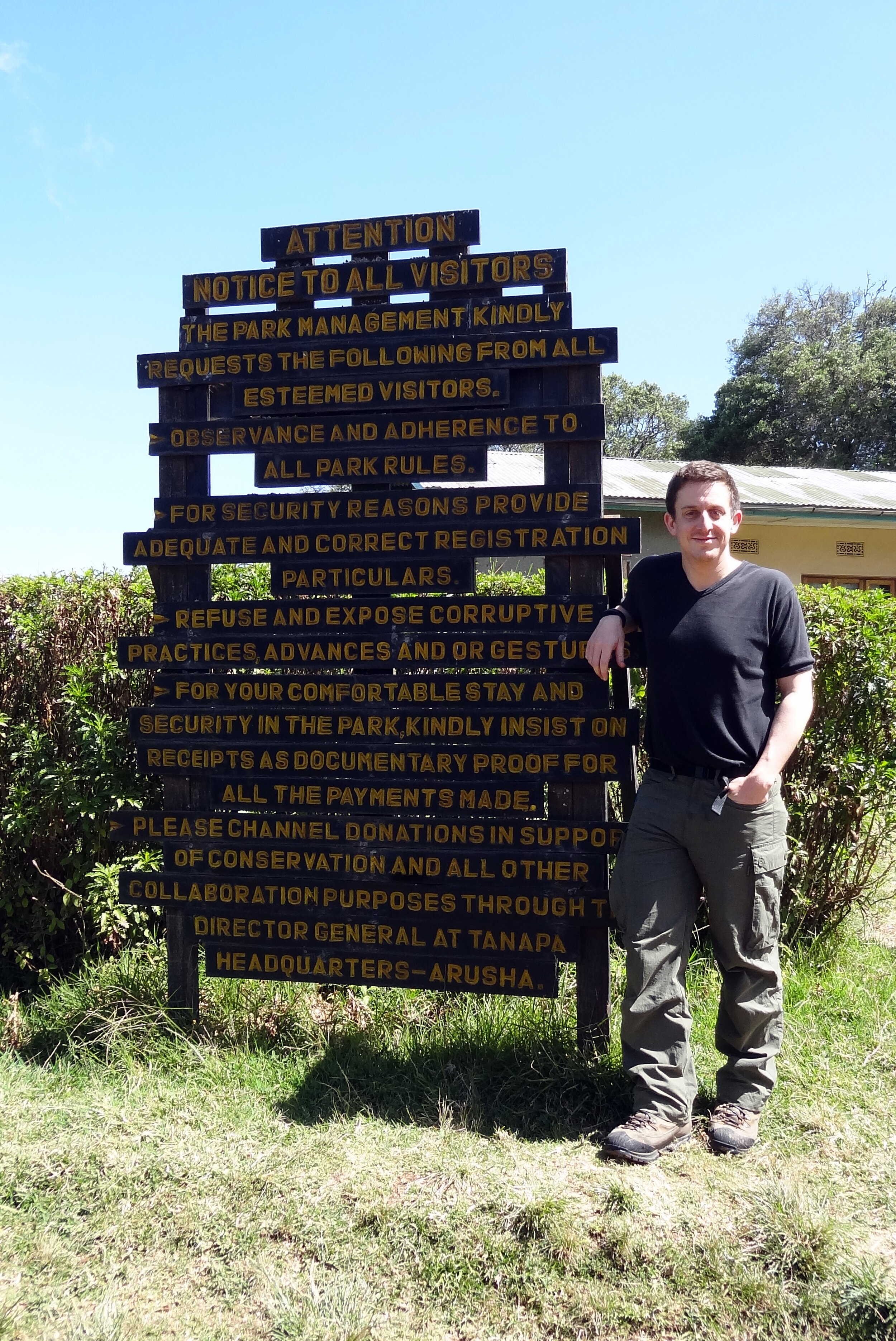
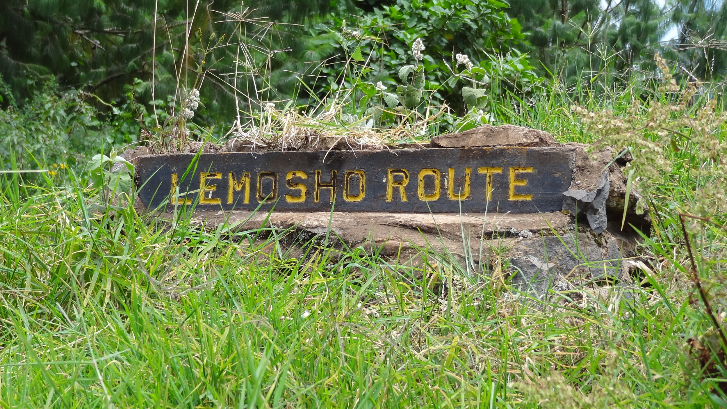
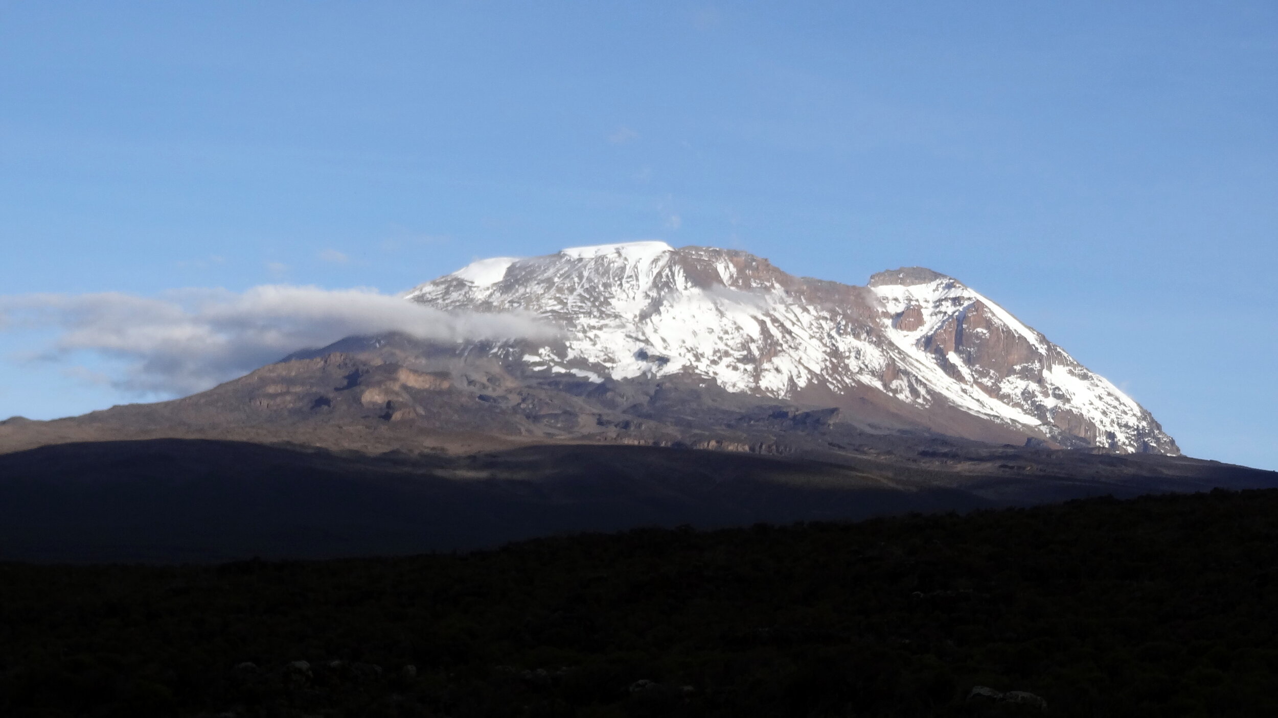
Walking Kilimanjaro by the Lemosho Route

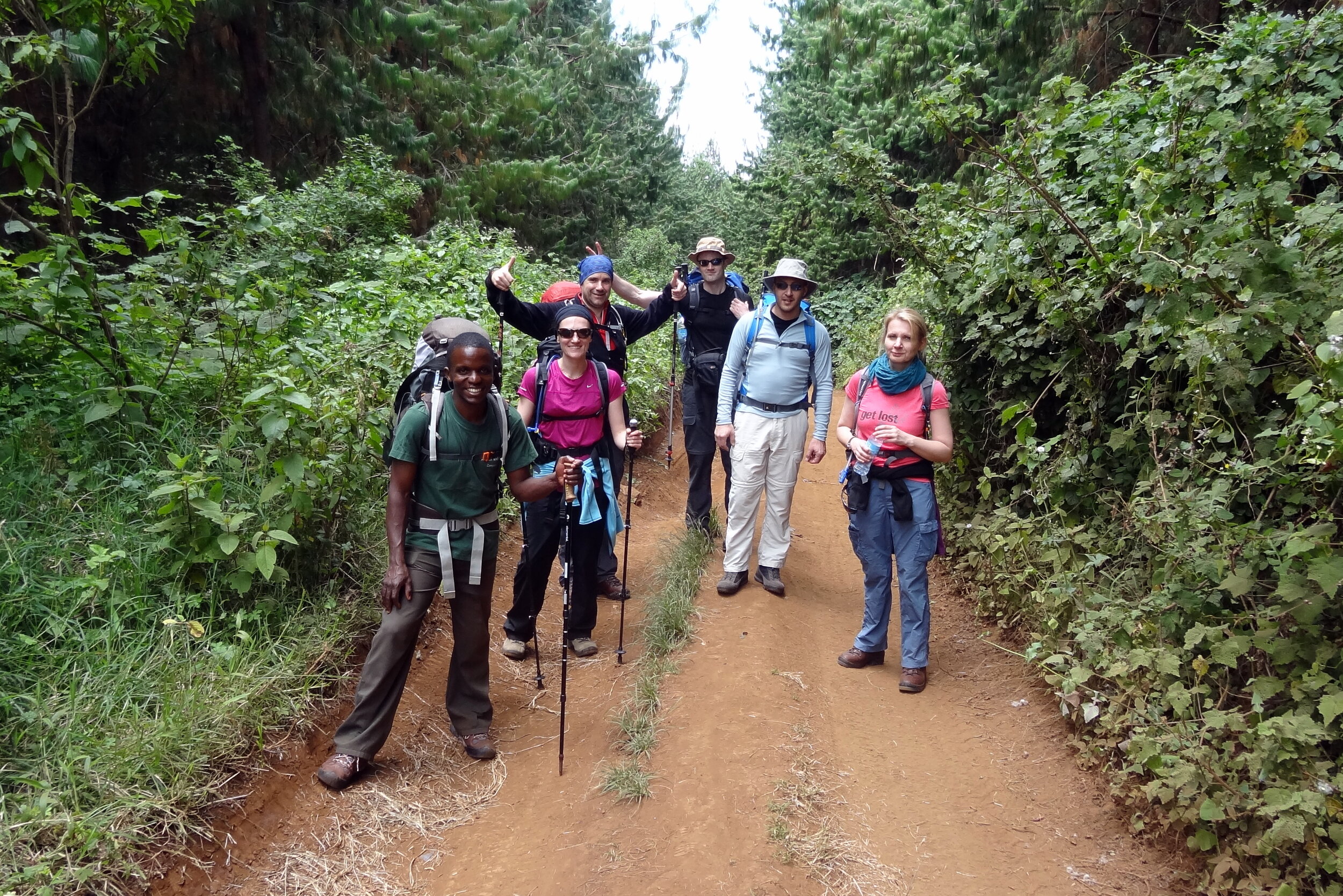
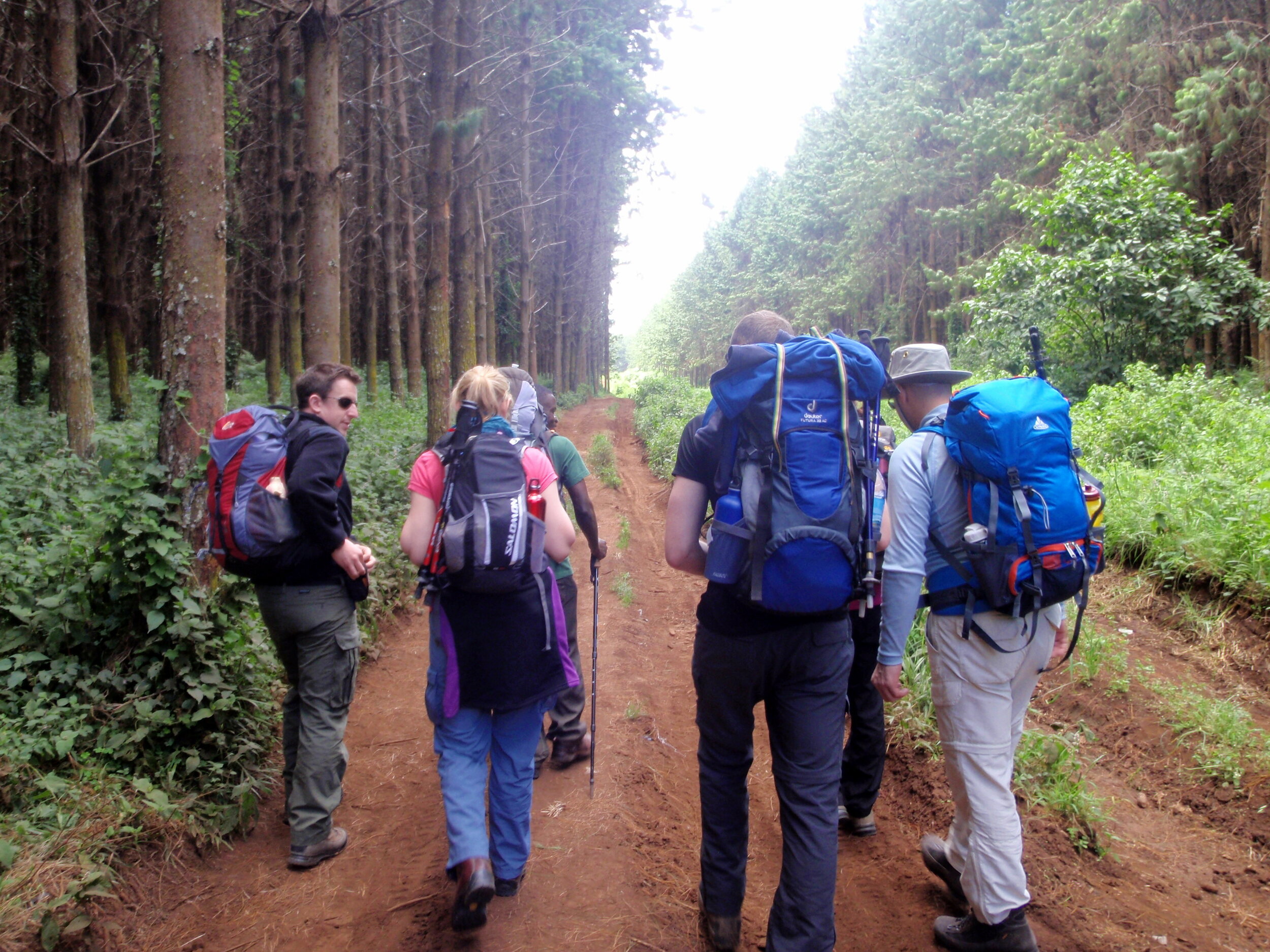
Day 1: Lemosho Glades to Lemosho Forest Camp
Date: February 8th 2013
Start: Parking at end of dirt road, Lemosho Glades, ~2,230m elevation
Finish: Lemosho Forest Camp, Mti Mkubwa, ~2,650m elevation
Distance: 4.7 km (2.9 miles)
Elevation change: +422m / -5m. Net +418m
GPX File: get via Buy Me a Coffee
Other Routes Touched: Northern Circuit
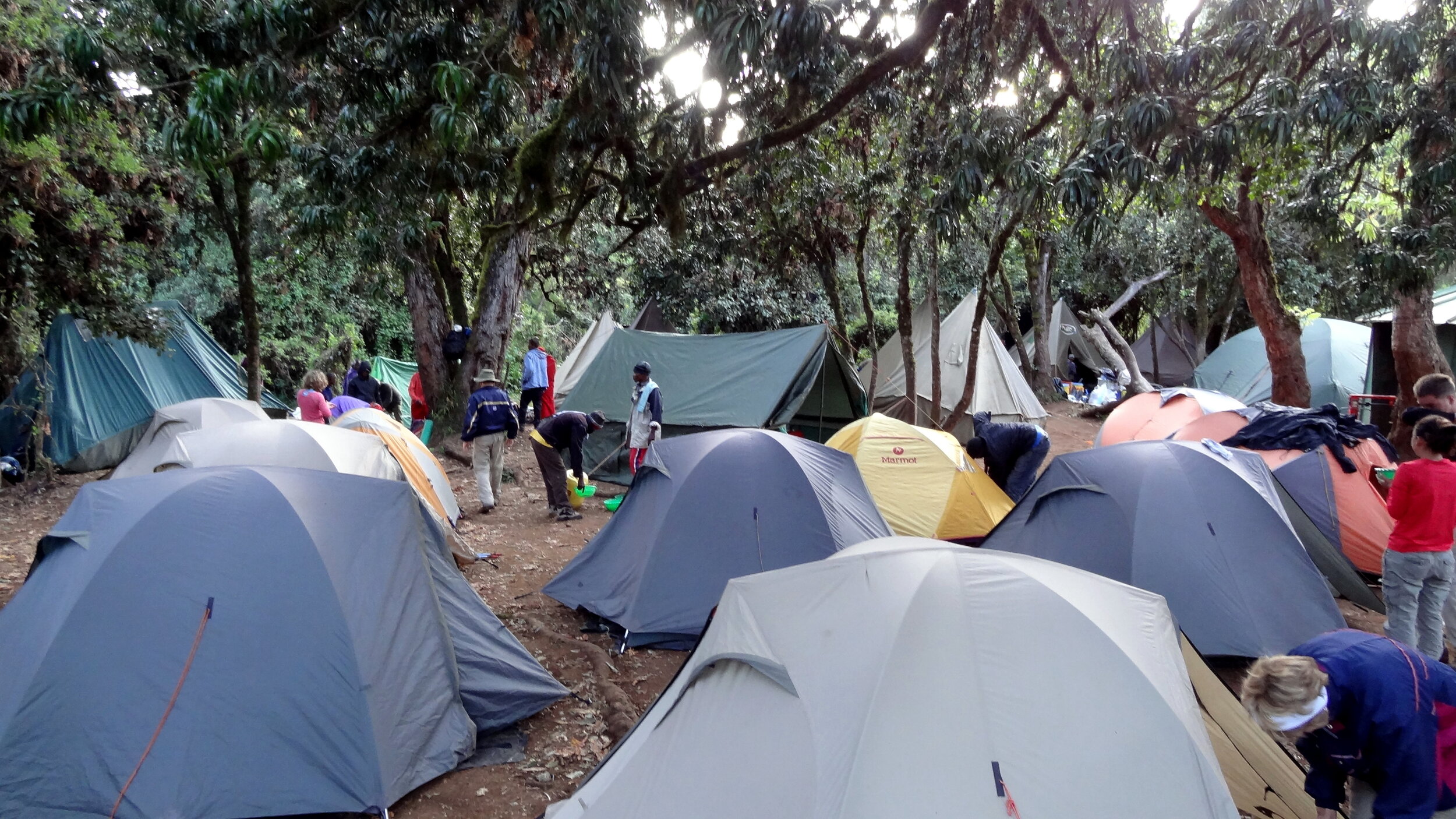
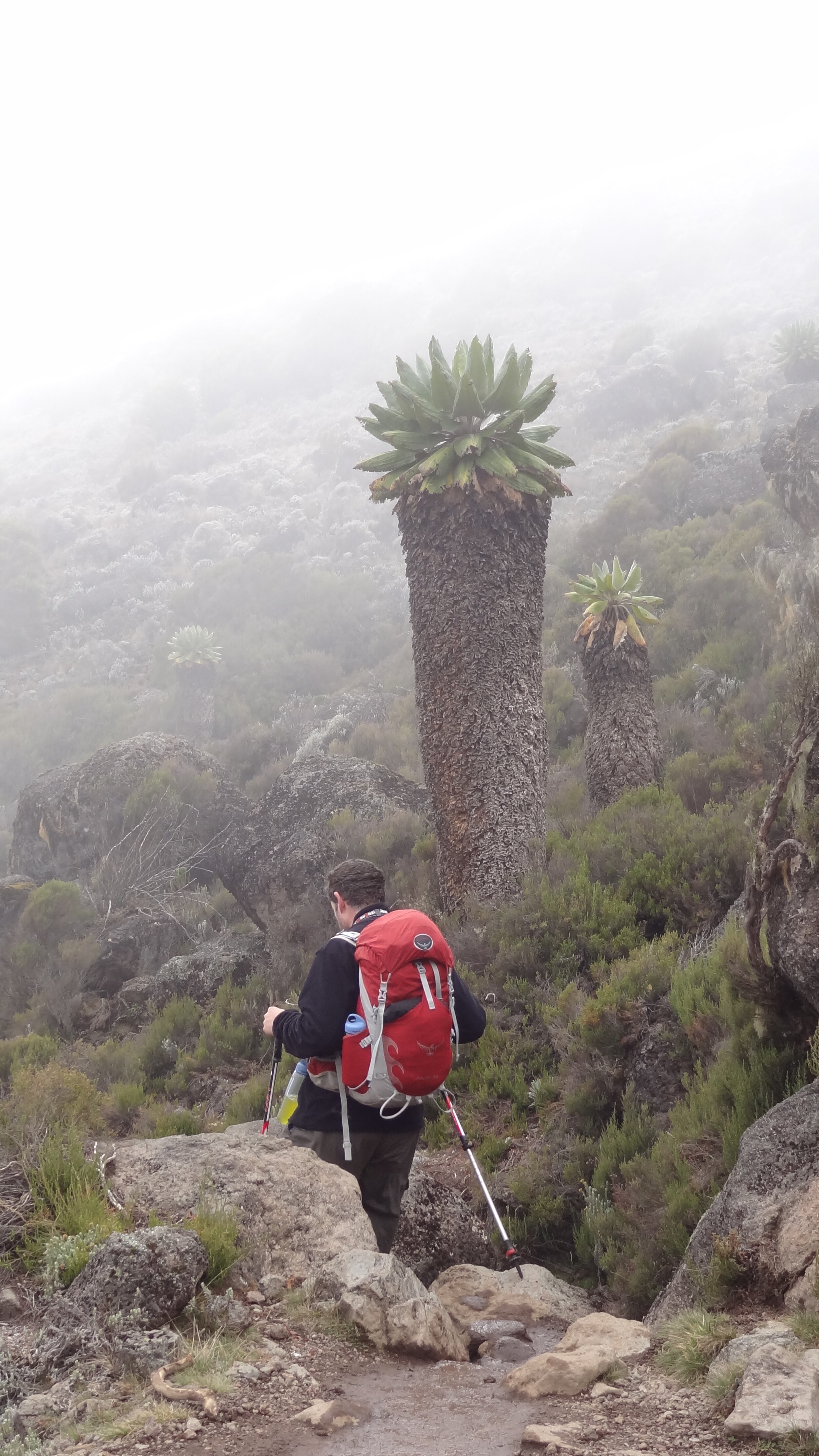
Day 2: Lemosho Forest Camp to Shira One Camp
Date: February 9th 2013
Start: Lemosho Forest Camp, Mti Mkubwa, ~2,650m elevation
Finish: Shira One Camp, ~3,500m elevation
Distance: 9 km (5.6 miles)
Elevation change: +890m / -83m. Net +807m
GPX File: get via Buy Me a Coffee
Other Routes Touched : Northern Circuit
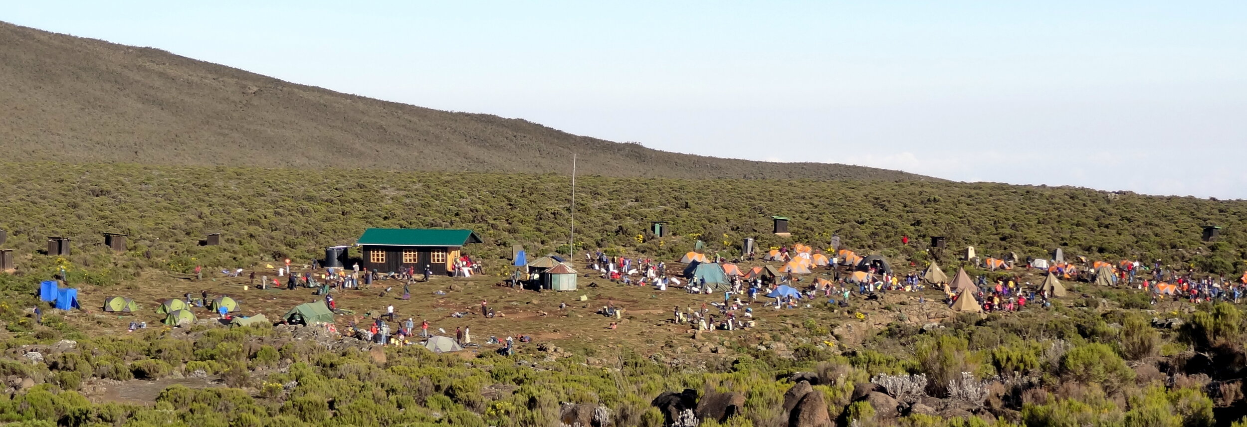
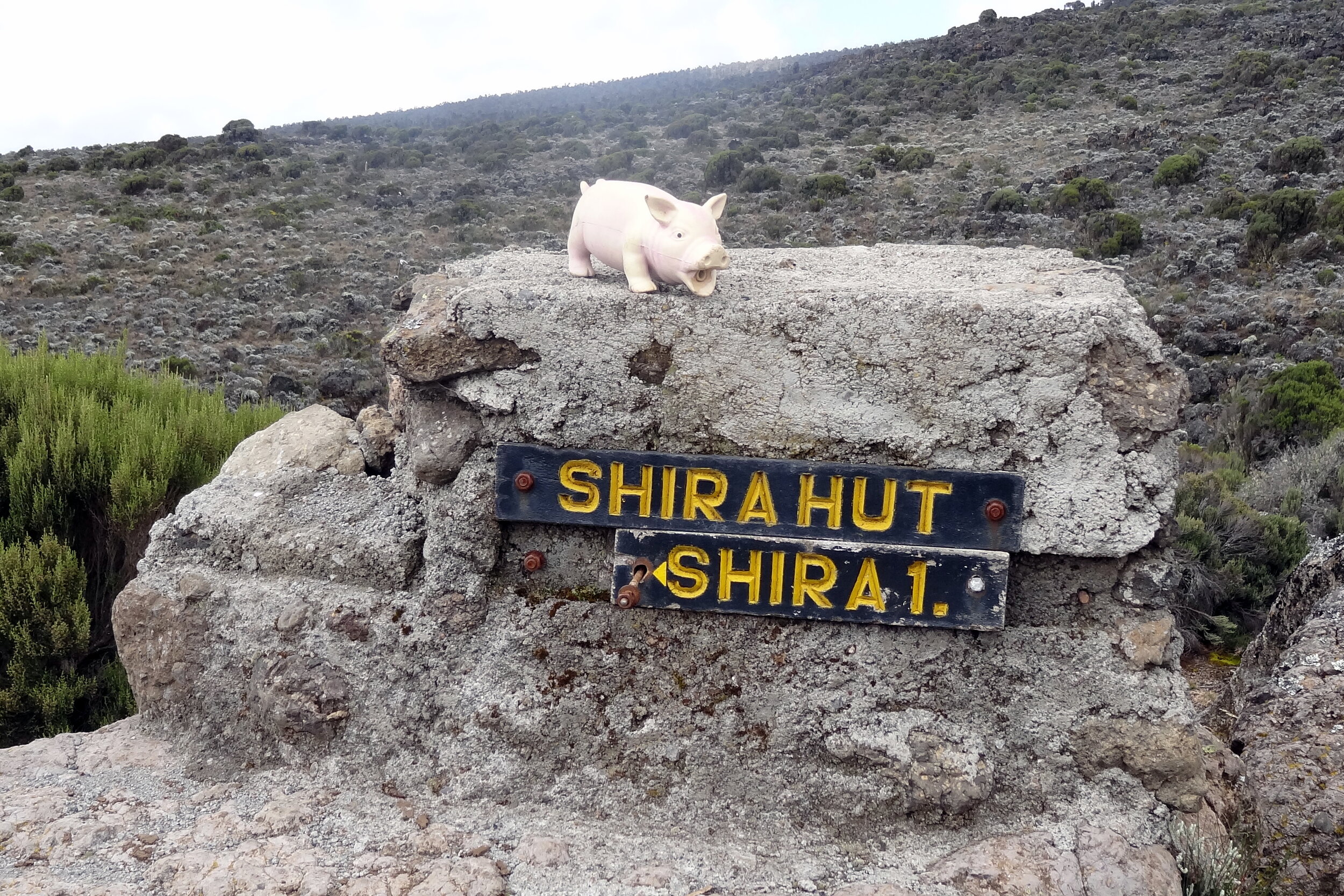
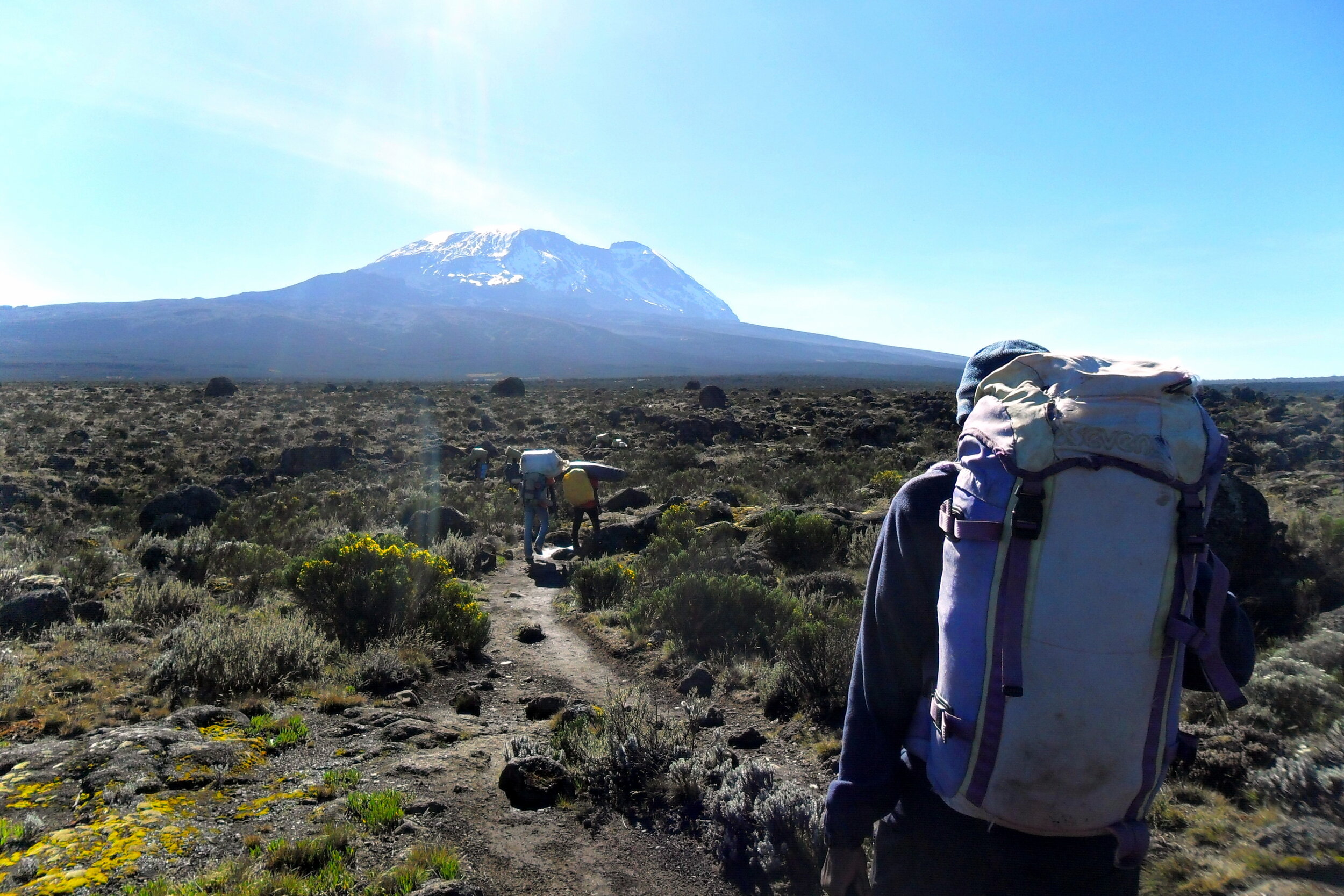
Day 3: Shira One Camp to Shira Hut
Date: February 10th 2013
Start: Shira One Camp, ~3,500m elevation
Finish: Shira Hut, ~3,840m elevation
Distance: 7.4 km (4.6 miles)
Elevation change: +386m / -3m. Net +383m
GPX File: get via Buy Me a Coffee
Other Routes Touched: Northern Circuit, Shira Route
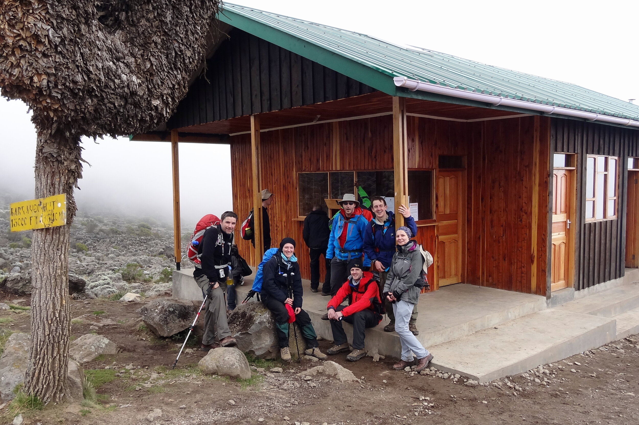
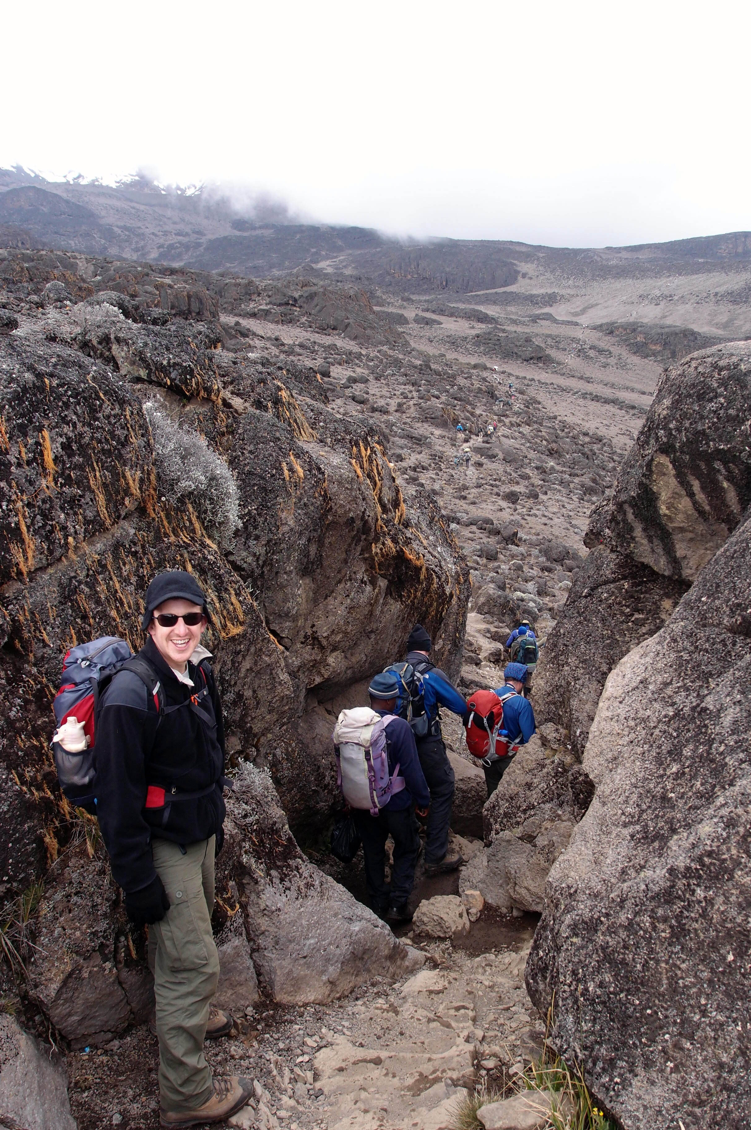
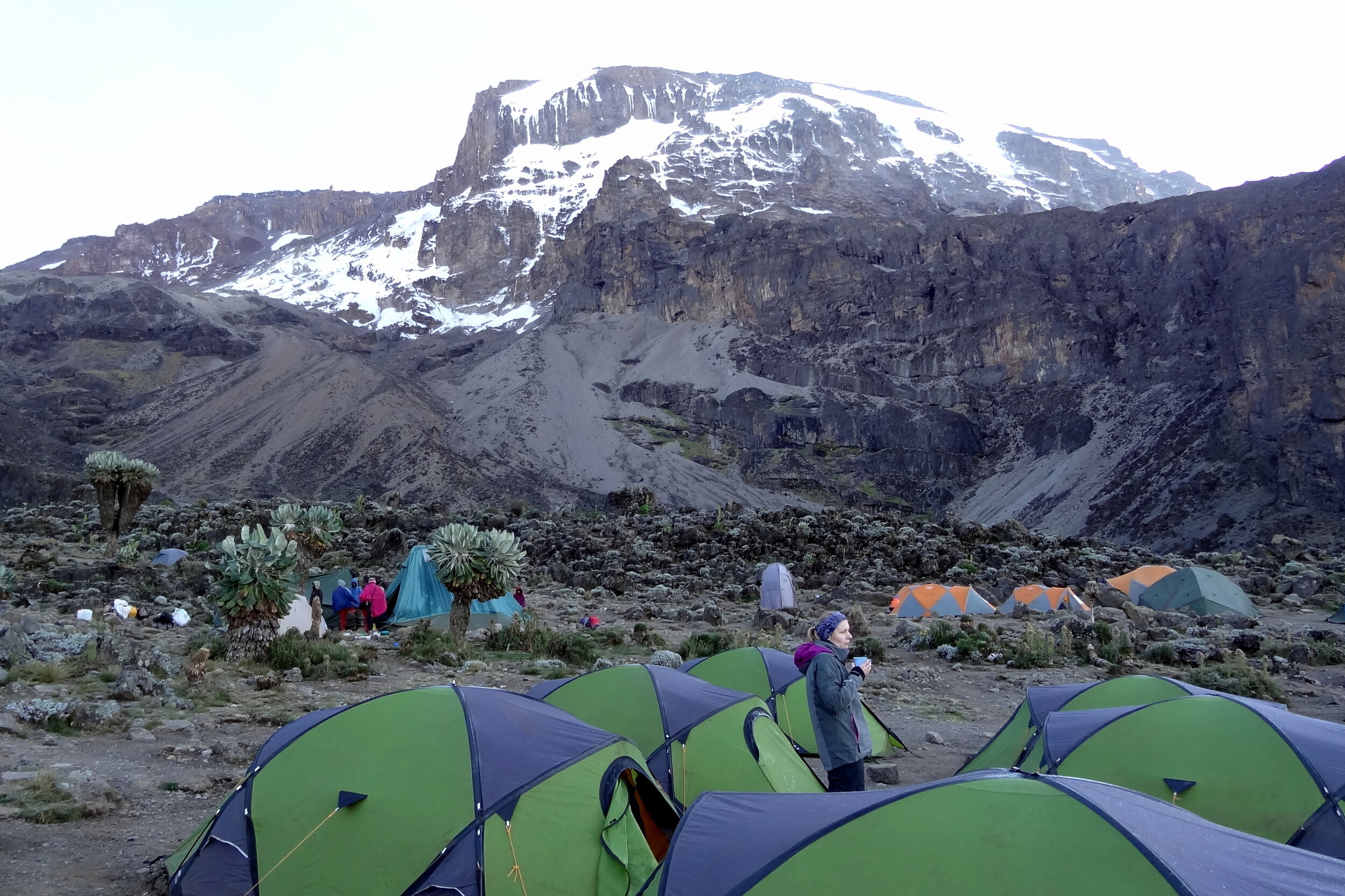
Day 4: Shira Hut to Barranco Camp
Date: February 11th 2013
Start: Shira Hut, ~3,840m elevation
Finish: Barranco Camp, ~3,900m elevation
Distance: 9.8 km (6.1 miles)
Elevation change: +732m / -651m. Net -81m
GPX File: get via Buy Me a Coffee
Other Routes Touched: Machame Route
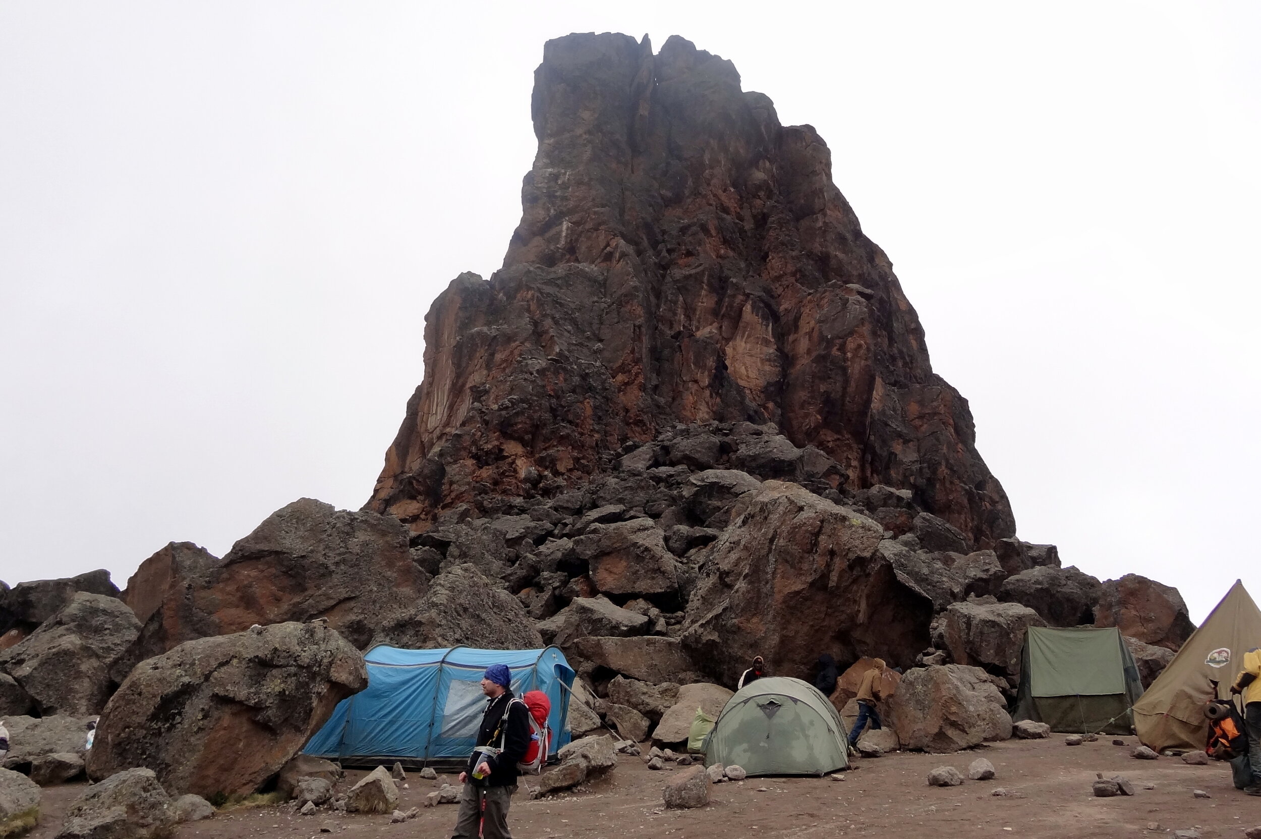

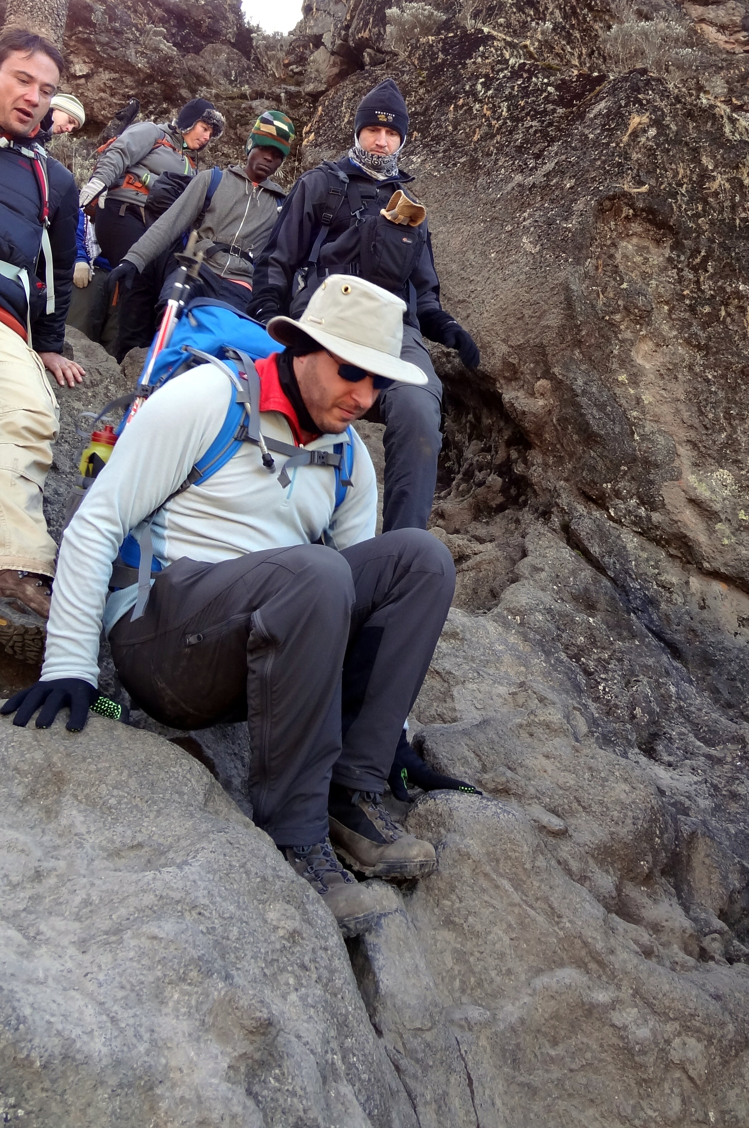
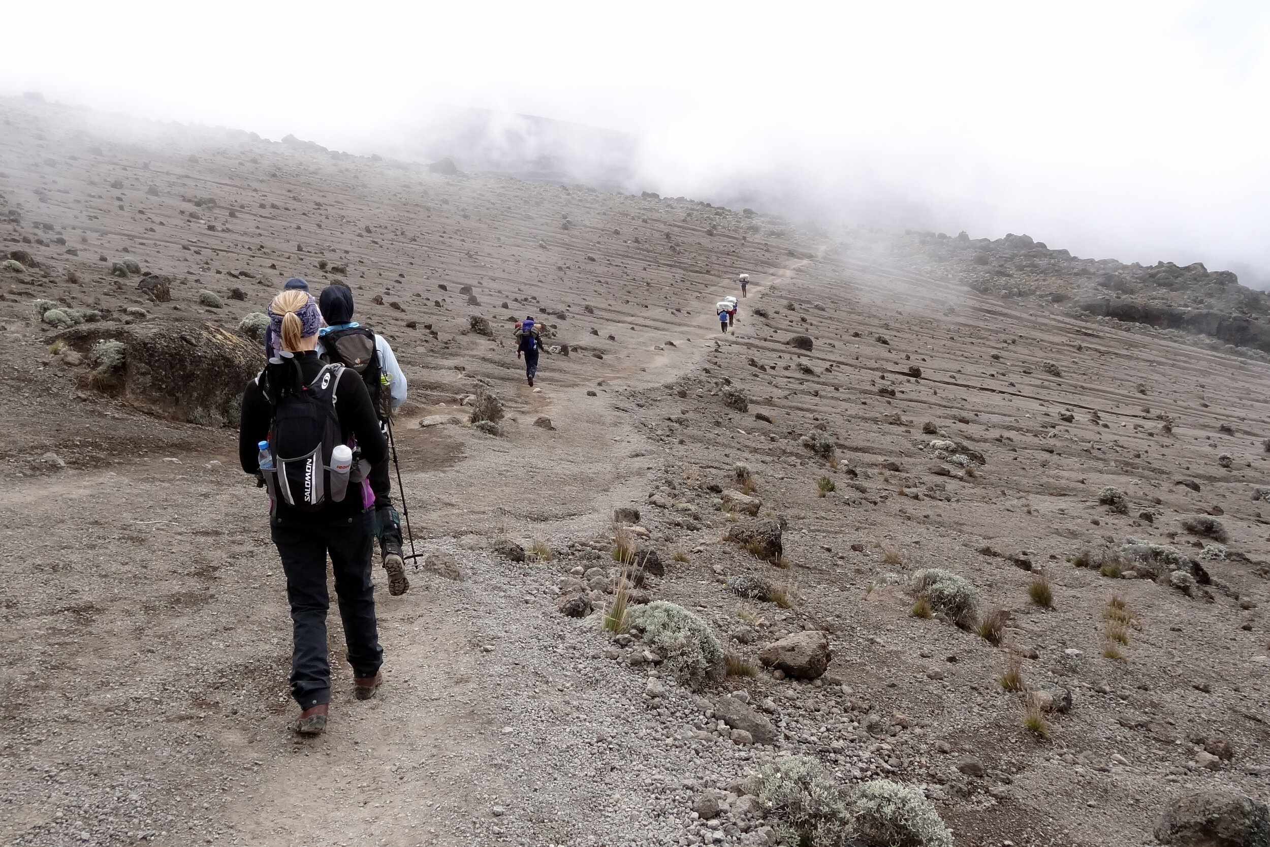
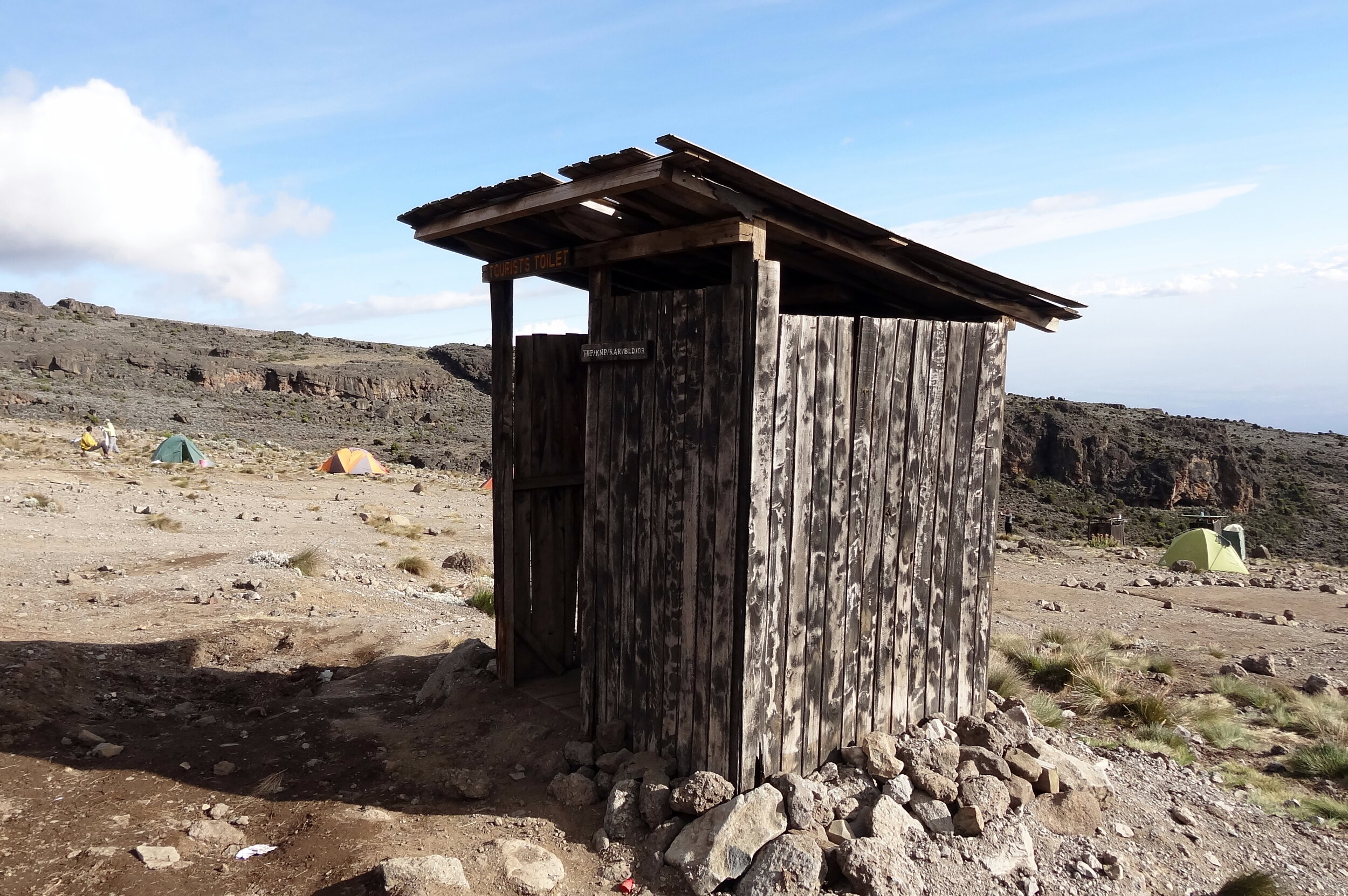
Day 5: Barranco Camp to Karanga Camp
Date: February 12th 2013
Start: Barranco Camp, ~3,900m elevation
Finish: Karanga Camp, ~4,000m elevation
Distance: 4.9 km (3.0 miles)
Elevation change: +335m / -279m. Net +56m
GPX File: get via Buy Me a Coffee
Other Routes Touched: Umbwe Route, Machame Route
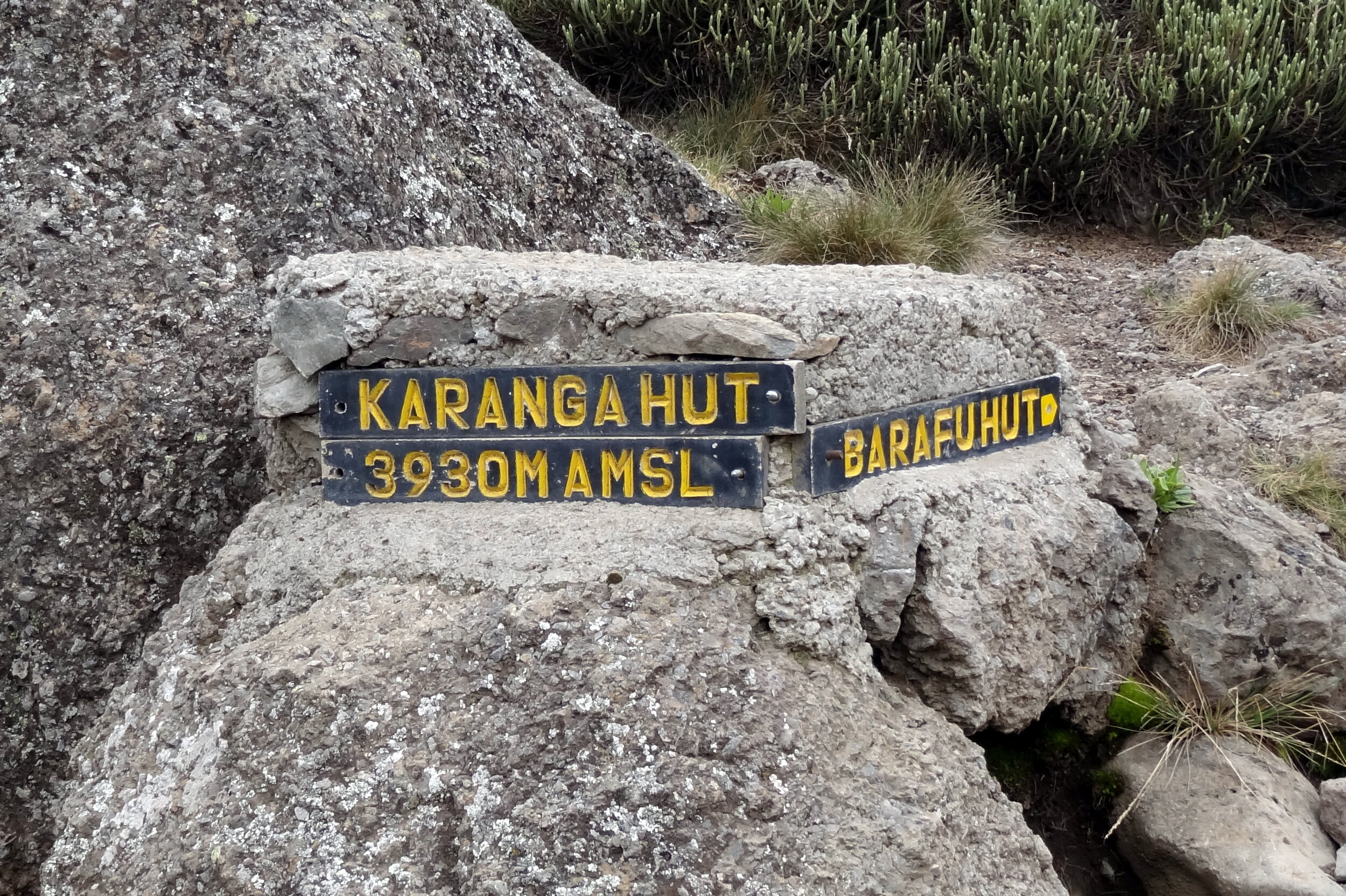
Day 6: Karanga Camp to Barafu Camp
Date: February 13th 2013
Start: Karanga Camp, ~4,000m elevation
Finish: Barafu Camp, ~4,600m elevation
Distance: 3.8 km (2.4 miles)
Elevation change: +593m / -0m. Net +593m
GPX File: get via Buy Me a Coffee
Other Routes Touched: Umbwe, Machame, Mweka
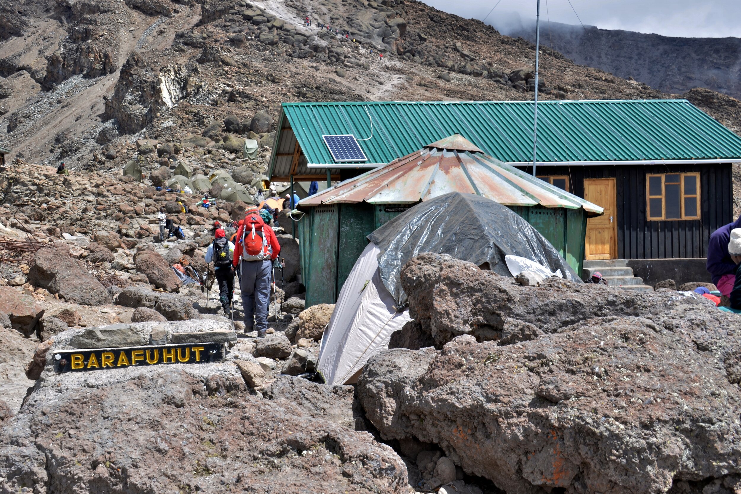
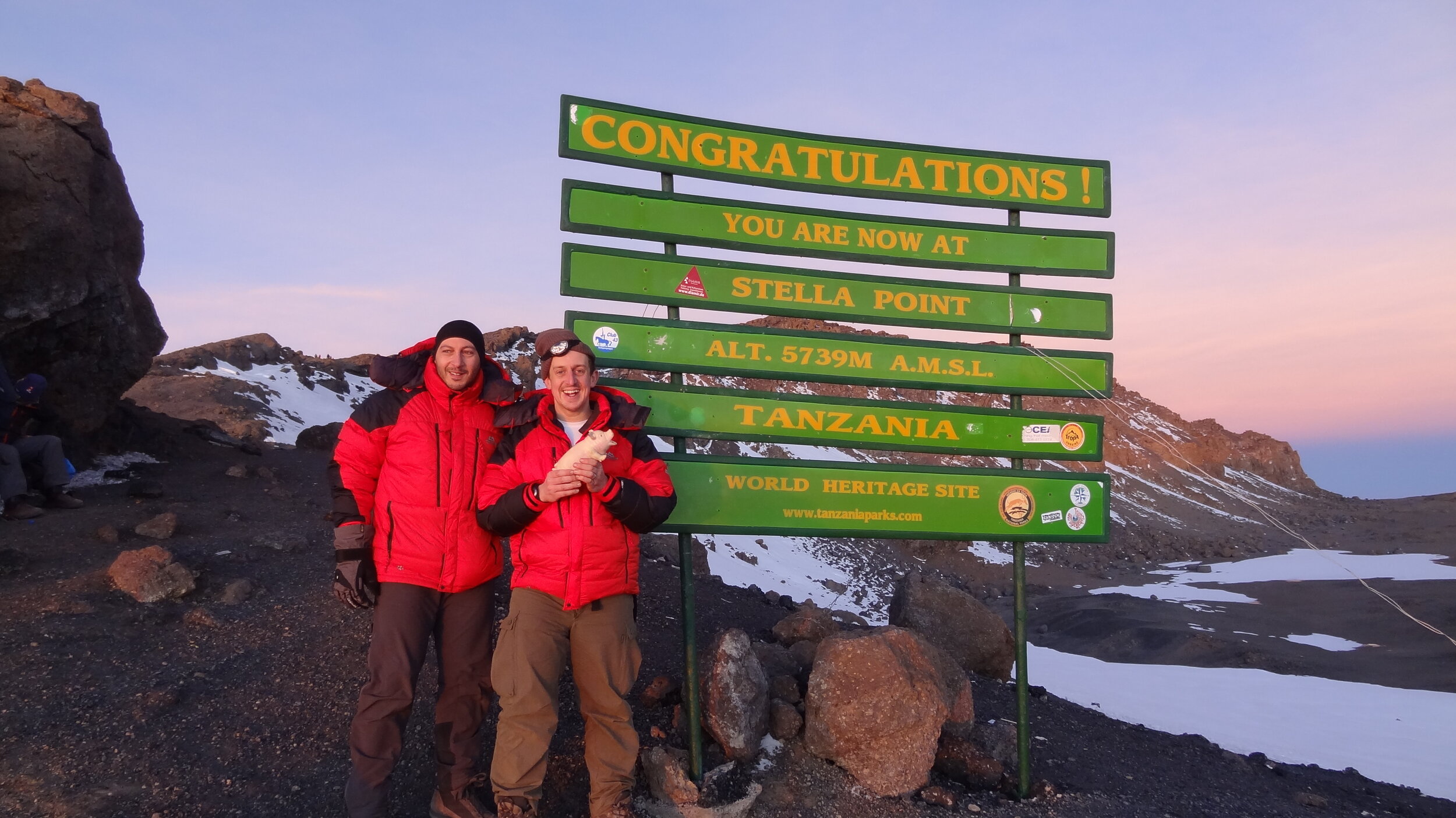
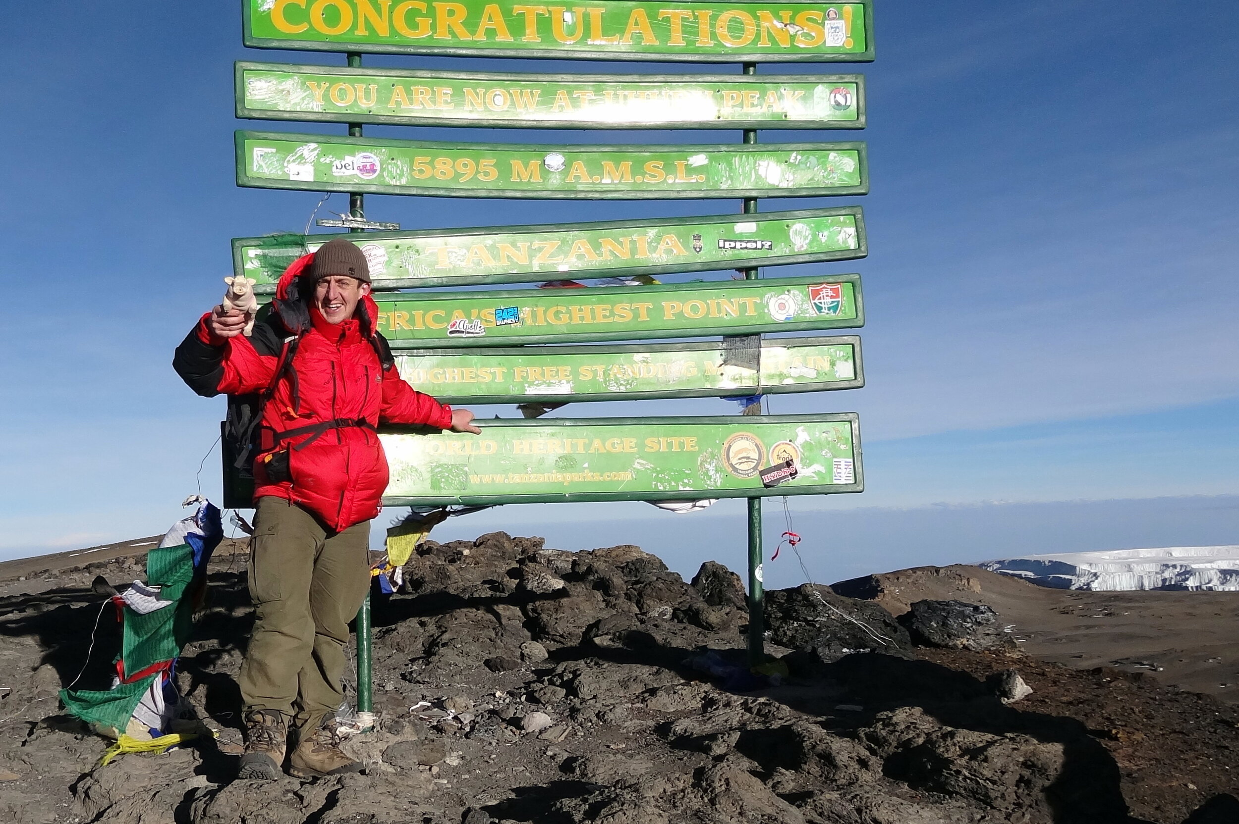
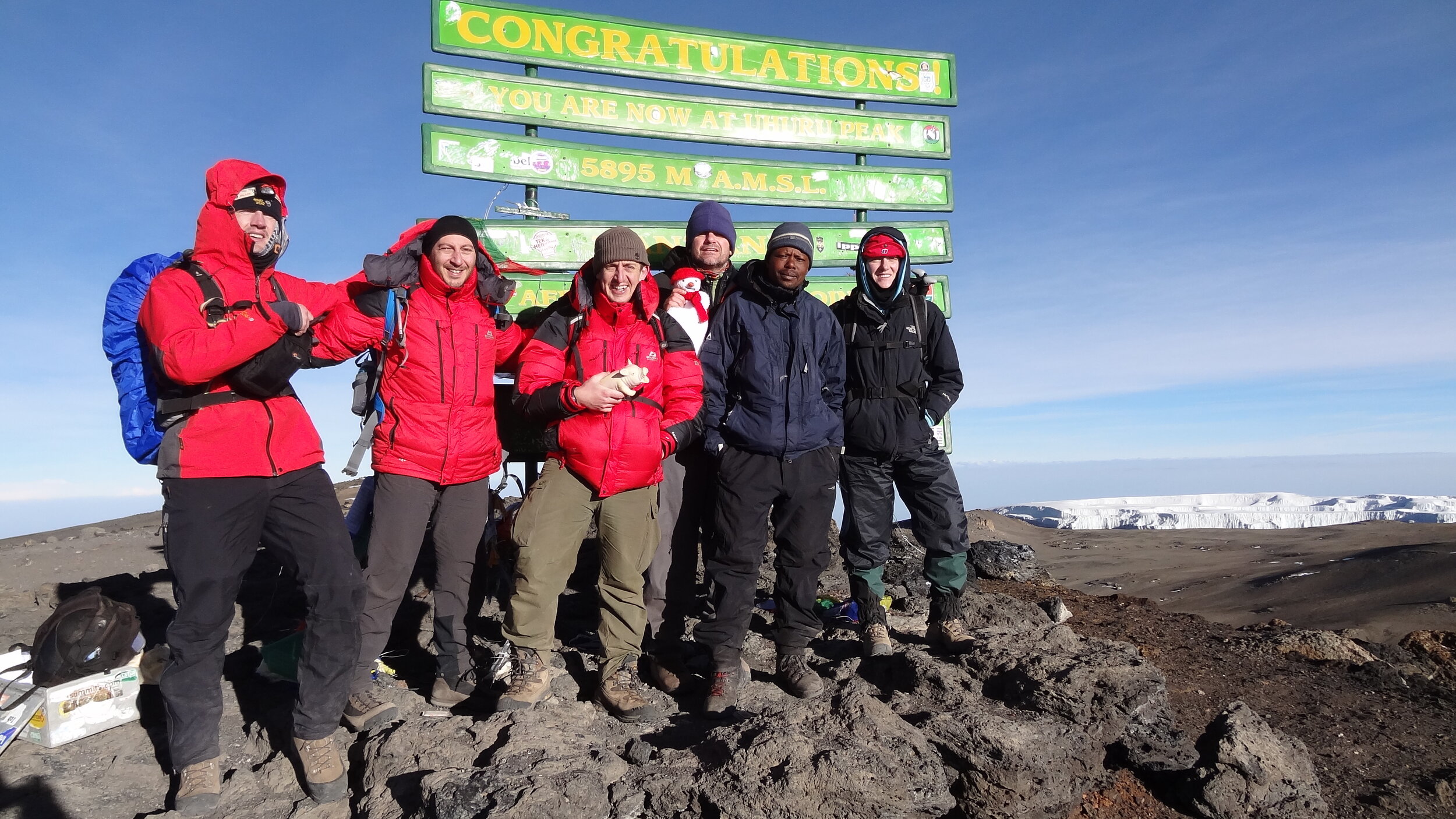
Day 7: Barafu Camp to Millennium Camp via Ulhuru Peak
Date: February 14th 2013
Start: Barafu Camp, ~4,600m elevation
Finish: Millennium Camp, ~3,800m elevation
Distance: 13.6 km (8.5miles)
Elevation change: +1,217m / -2,062m. Net -845m
GPX File: get via Buy Me a Coffee
Other Routes Touched: Umbwe, Machame, Mweka, Northern Circuit, Rongai, Marangu
Day 8: Millennium Camp to Mweka
Date: February 15th 2013
Start: Millennium Camp, ~3,800m elevation
Finish: Mweka, ~1,650m elevation
Distance: 11.5 km (7.1 miles)
Elevation change: +0m / -2,142m. Net -2,142m
GPX File: get via Buy Me a Coffee
Other Routes Touched: Mweka
The Complete Route
Each colour represents 1 day from North-West (red) to South-East (blue)
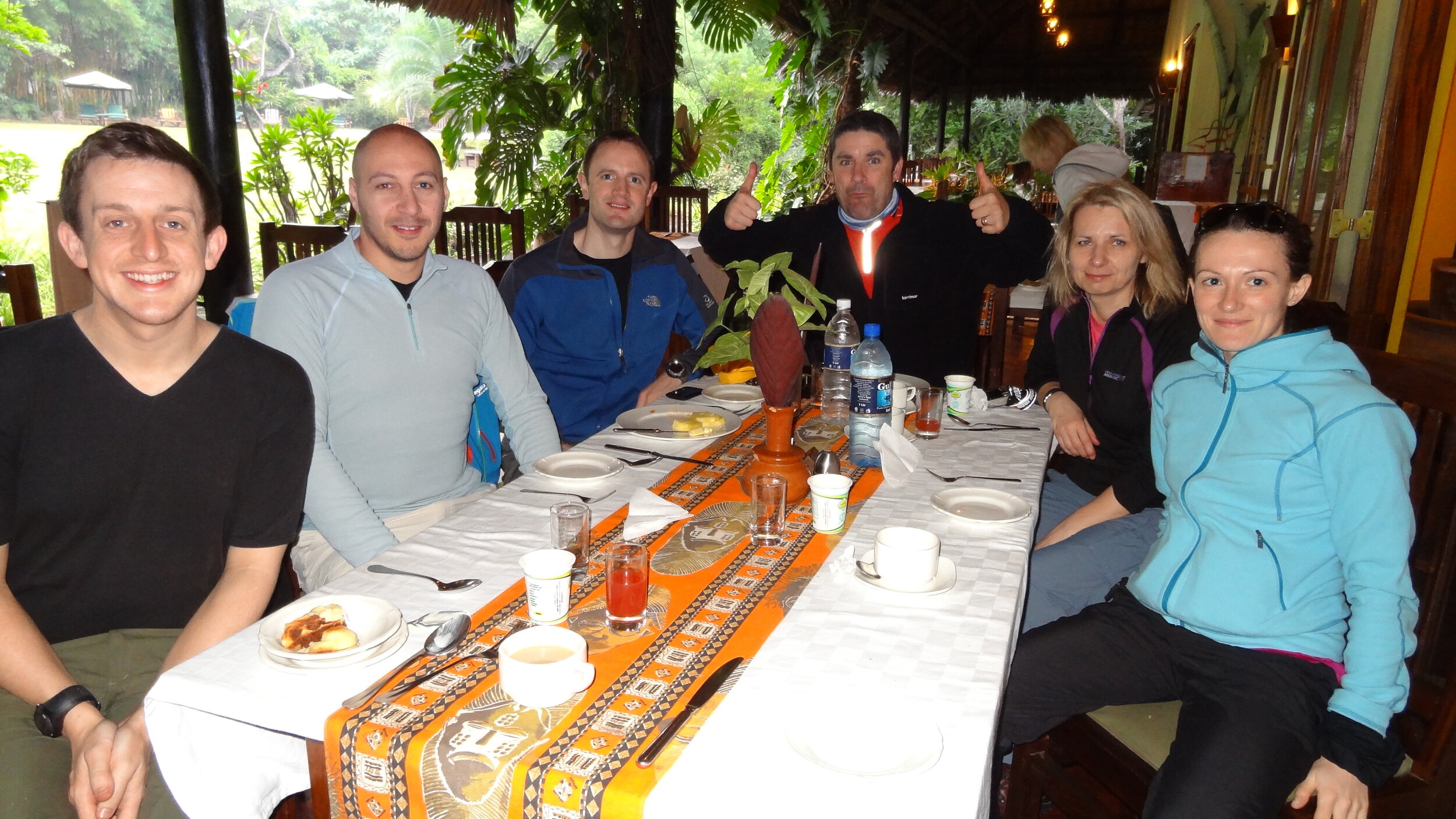
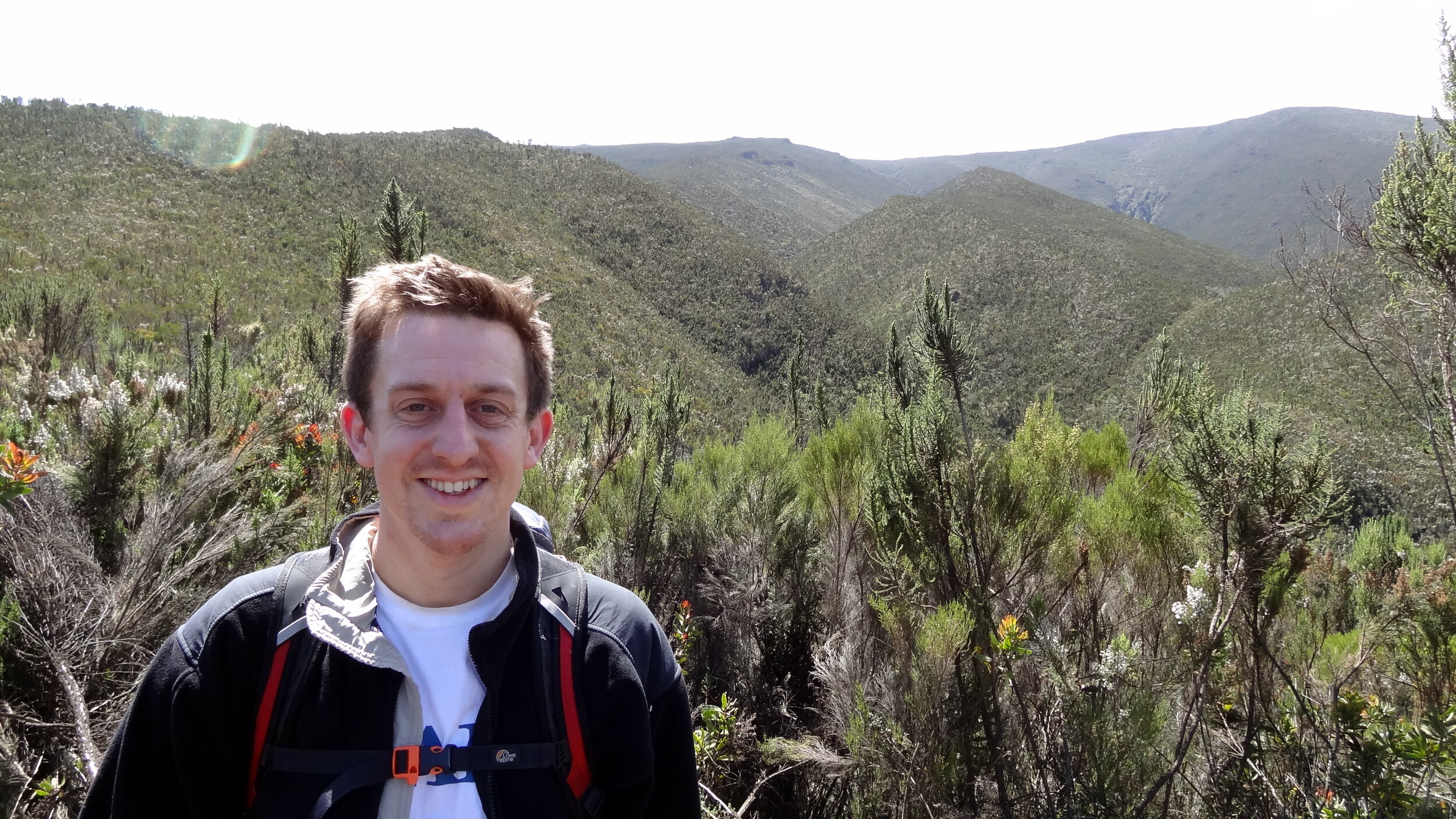
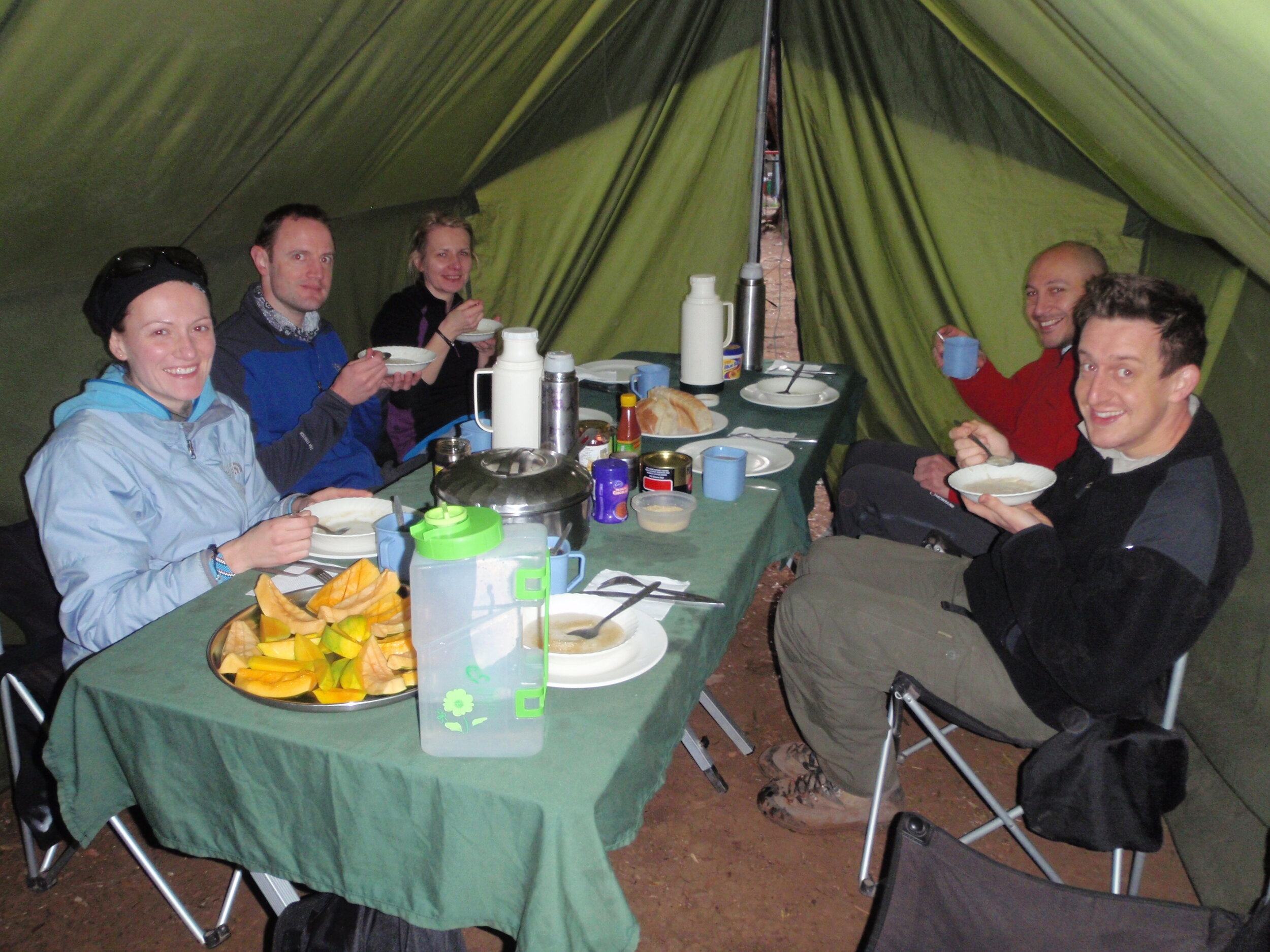
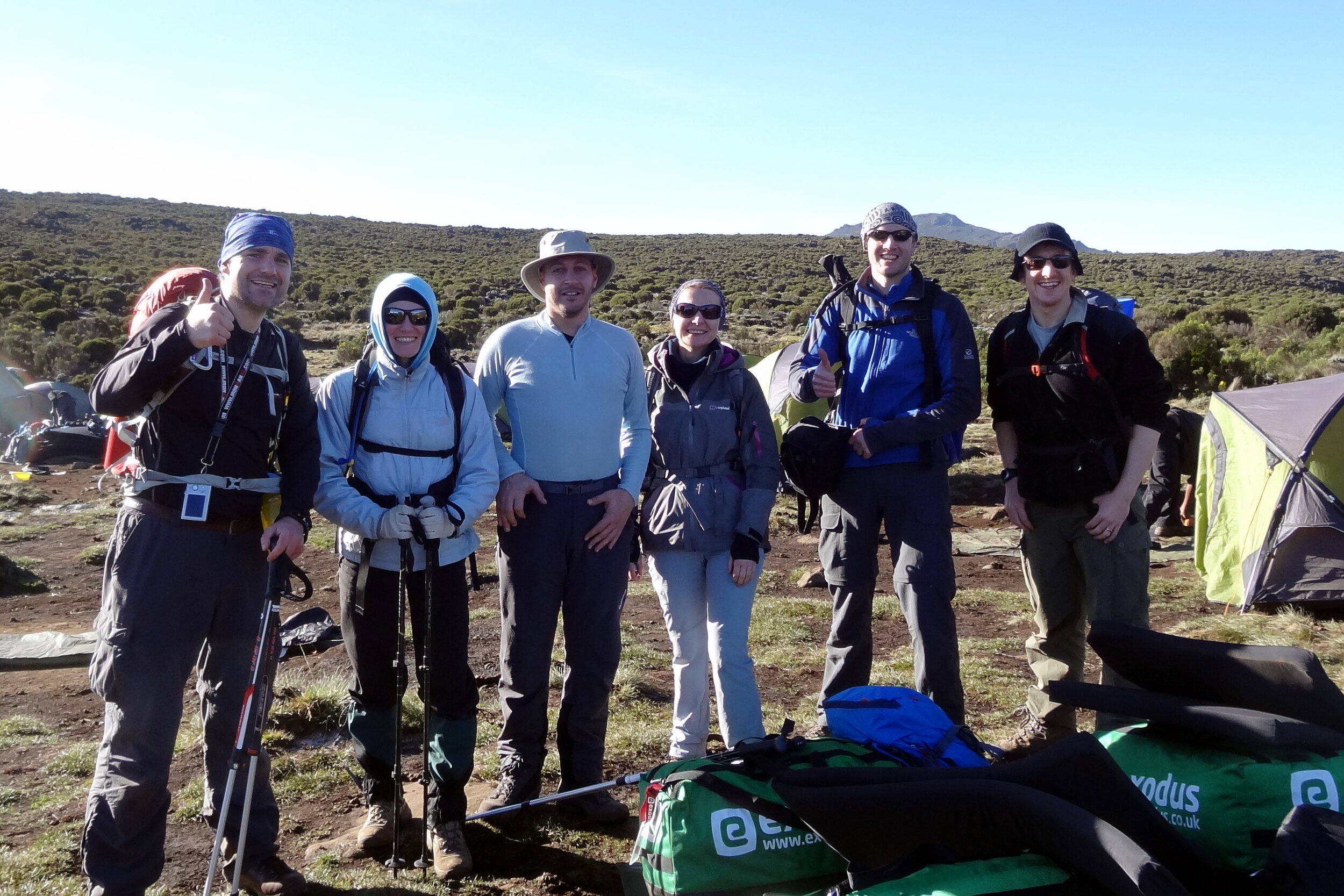
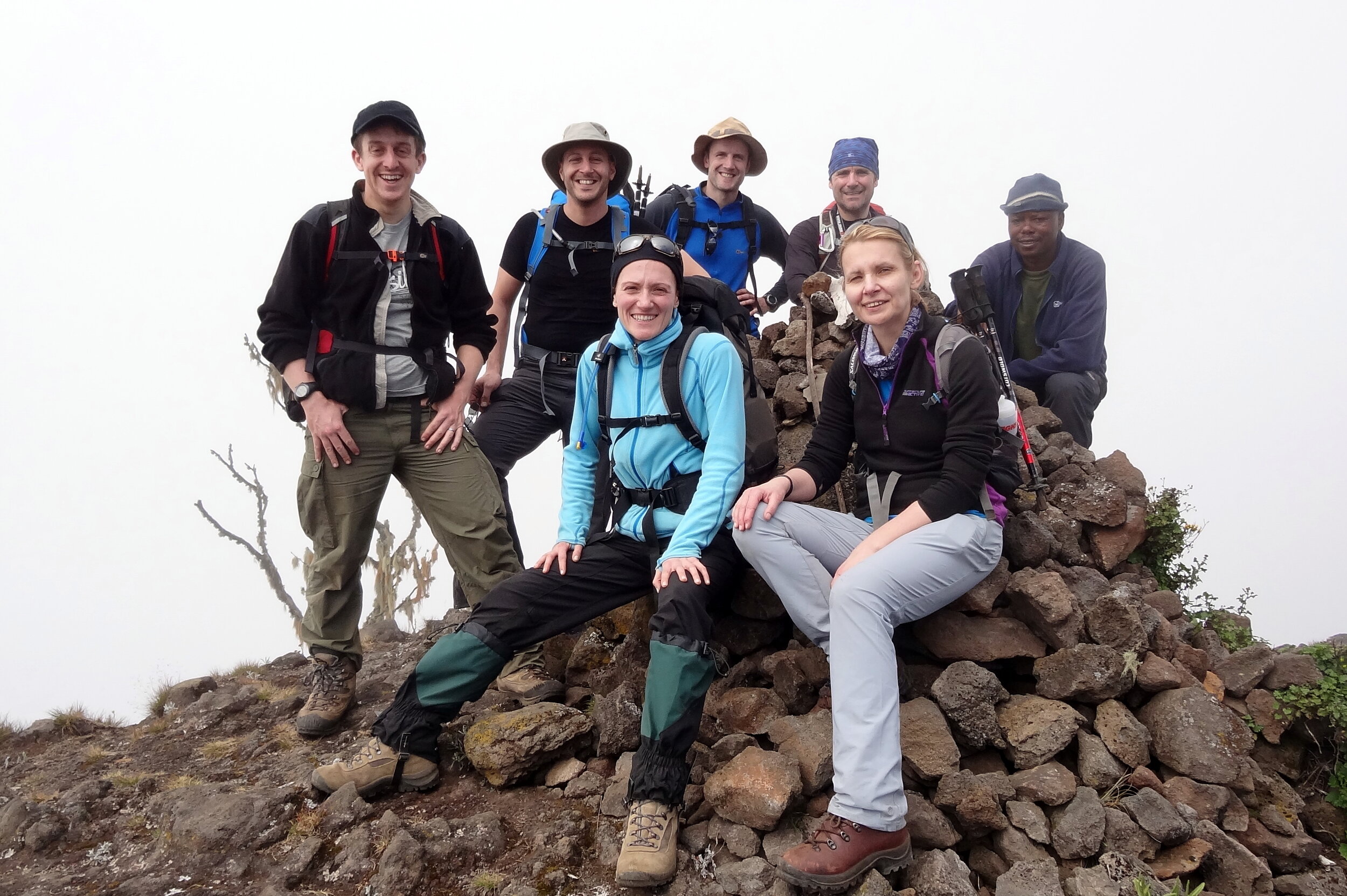
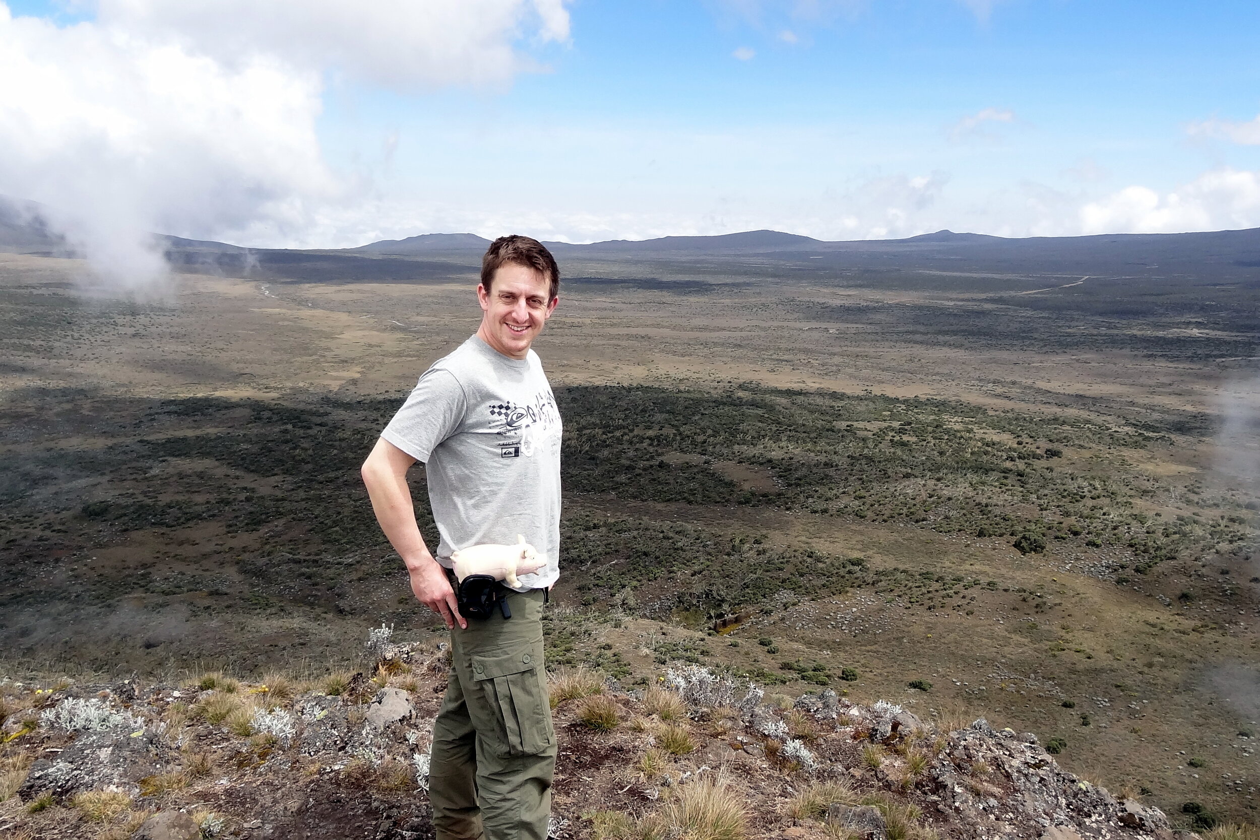
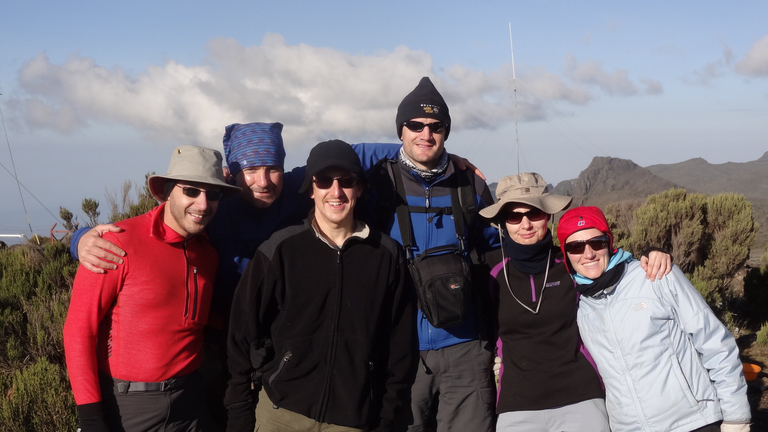
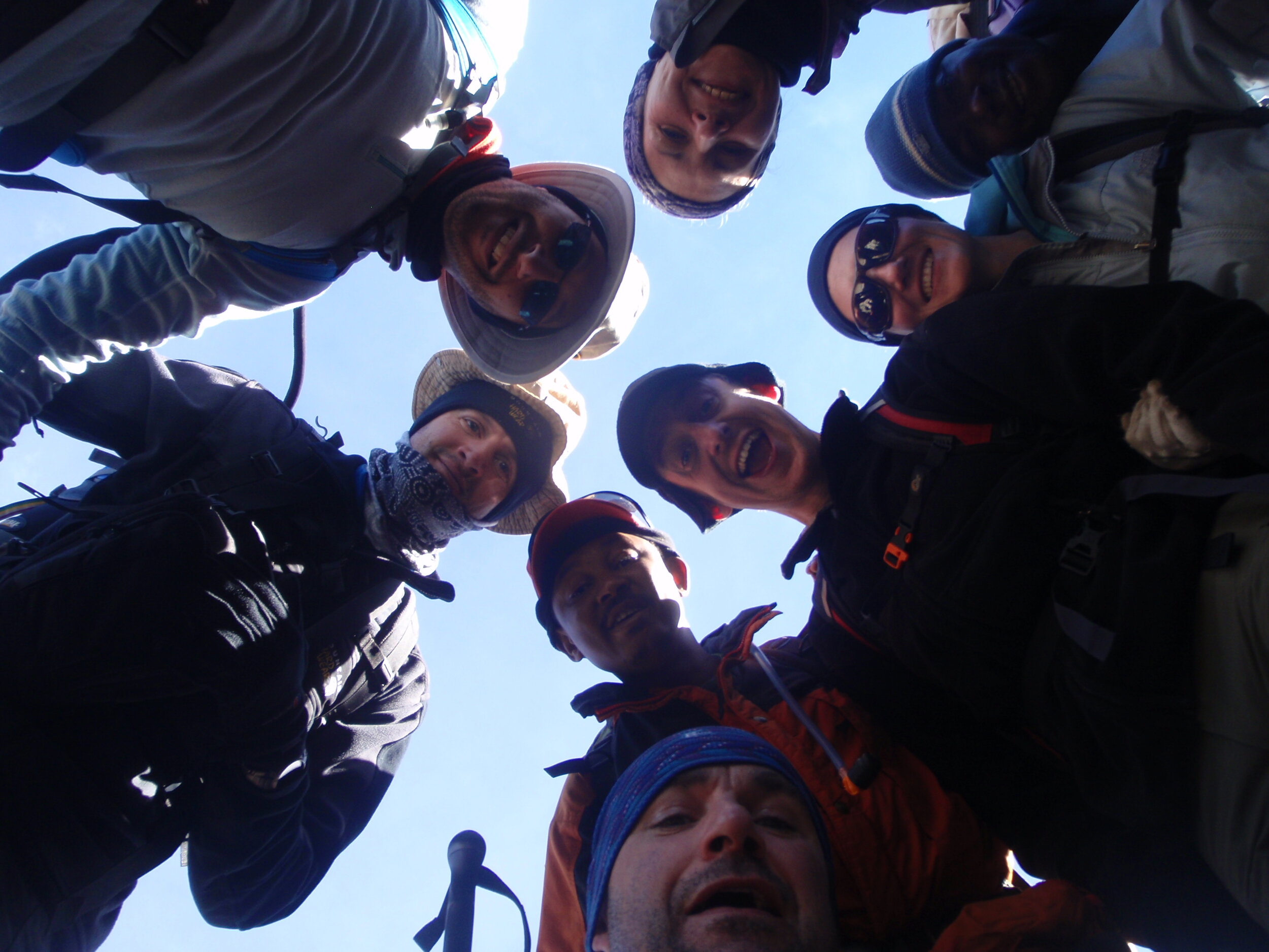
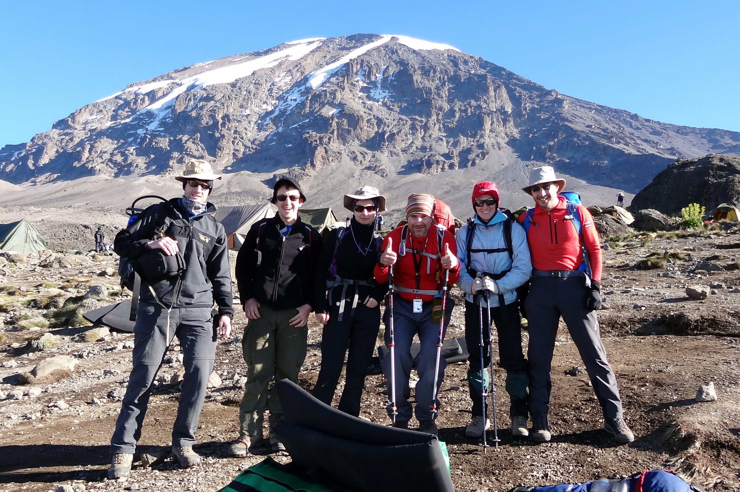
Photos by Richard Gower, Brian Gatt, Simon Livings, Lisa Zardoni, Anna Mansley and Kevin Doble