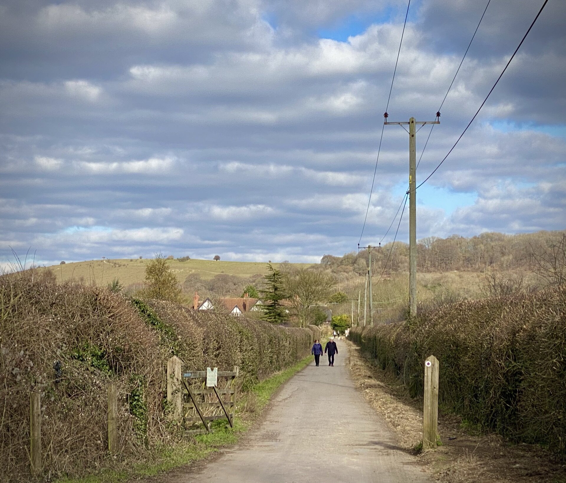
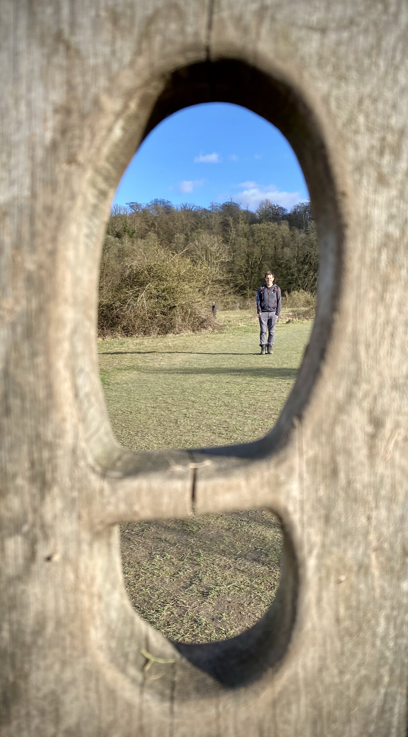
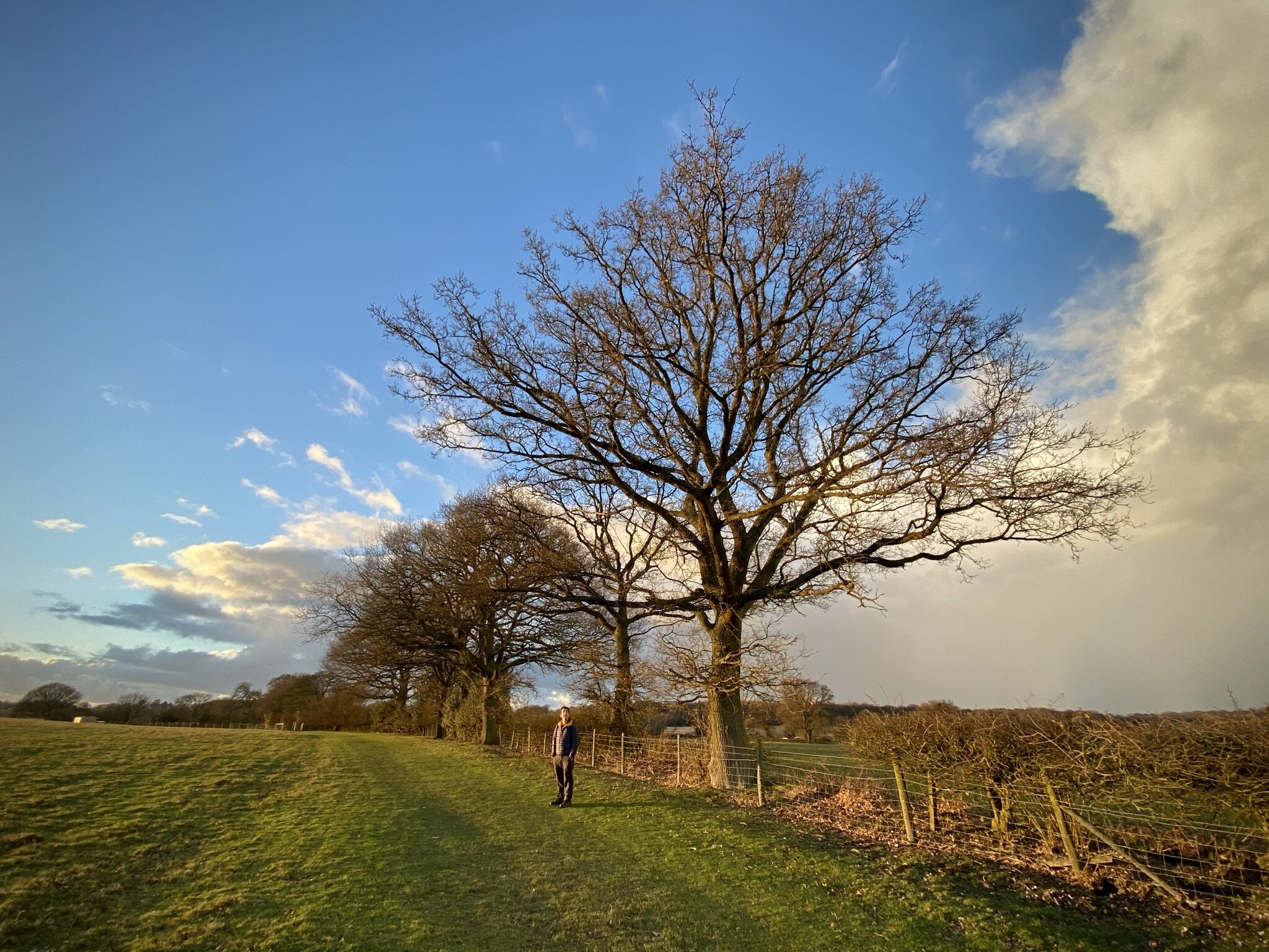
Ascent from Smalldean Lane
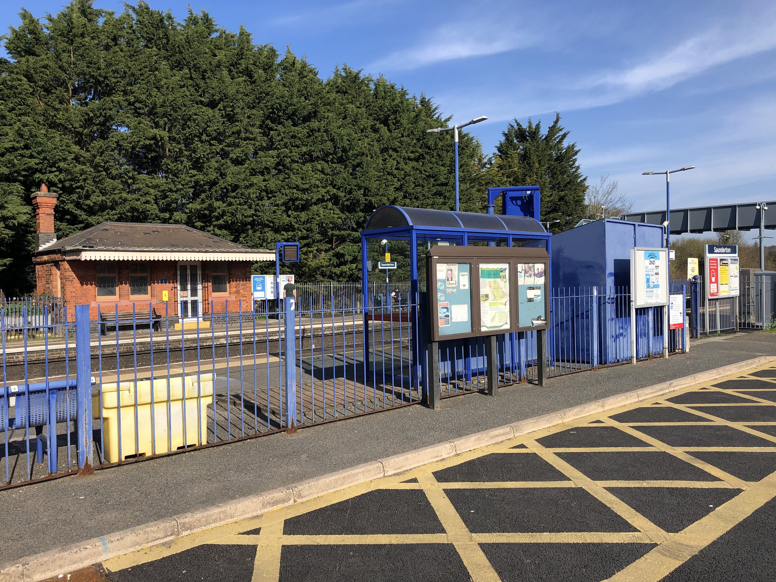
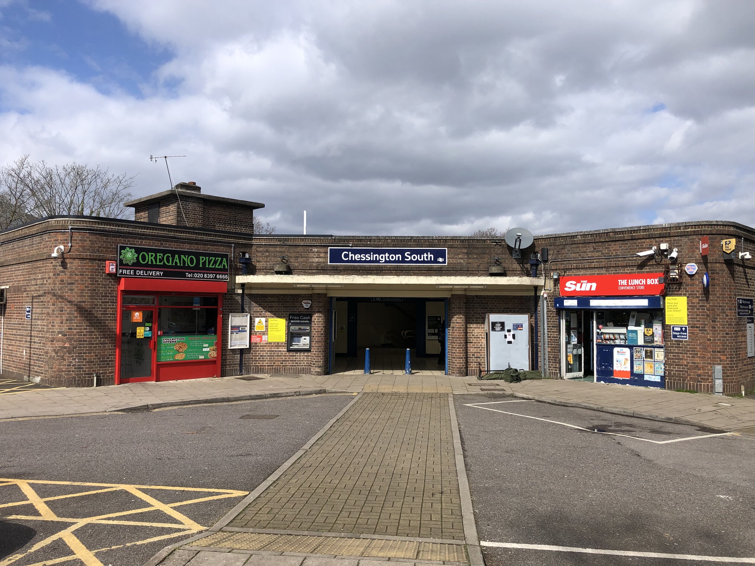
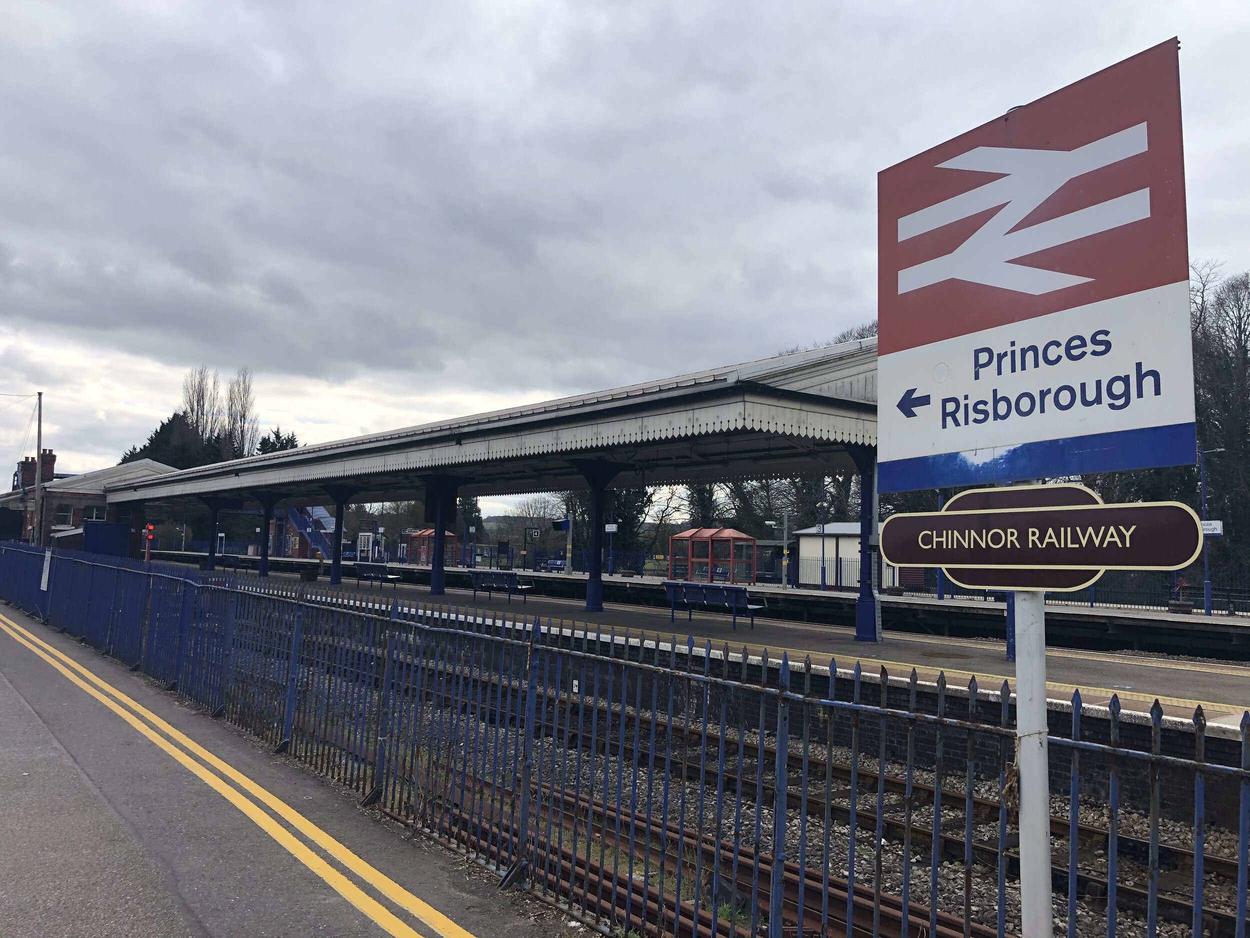
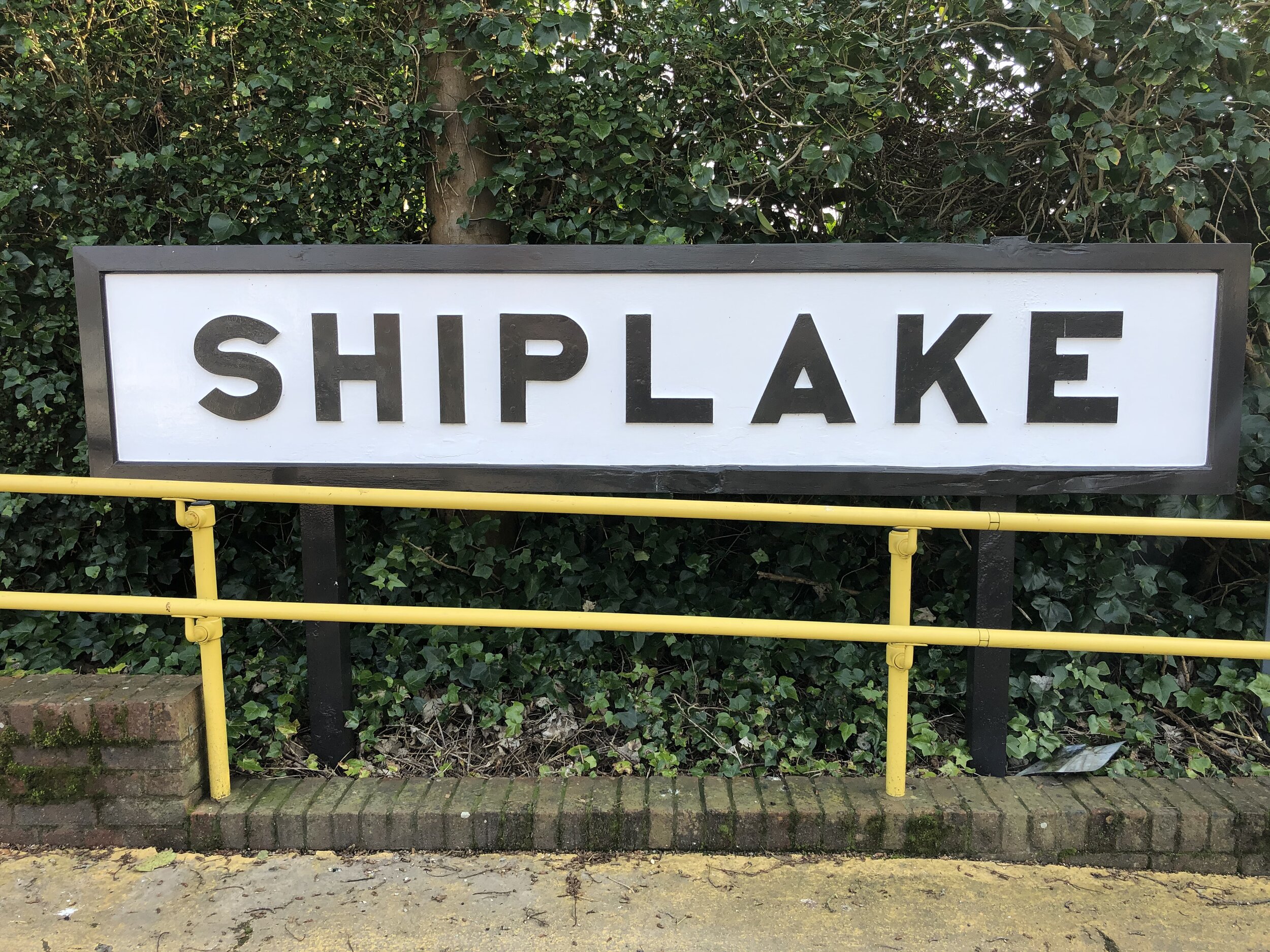
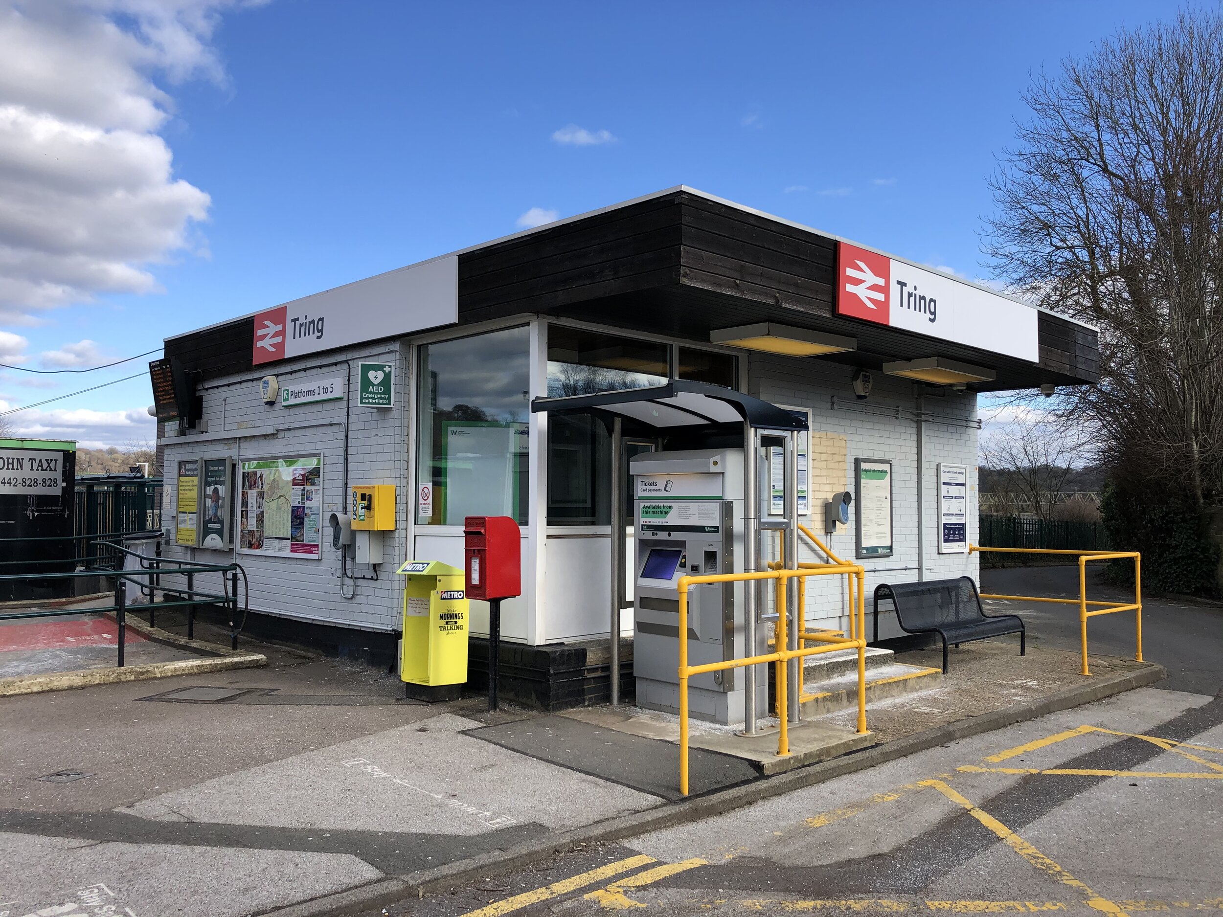
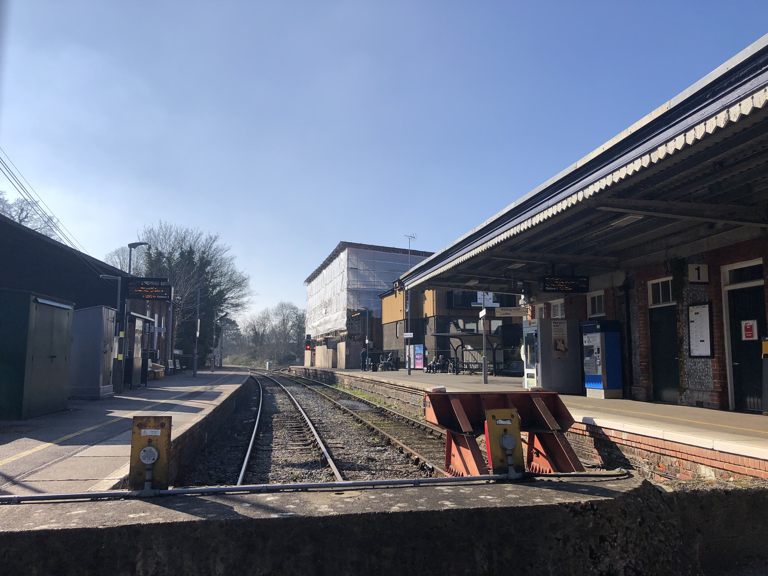
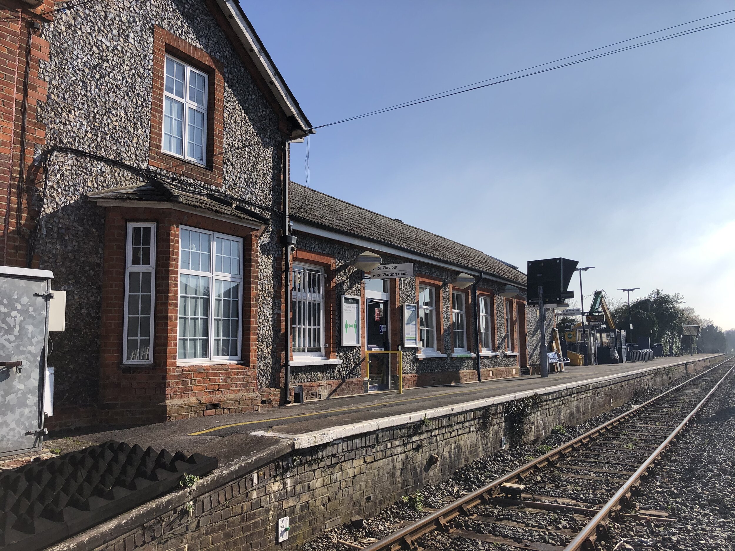
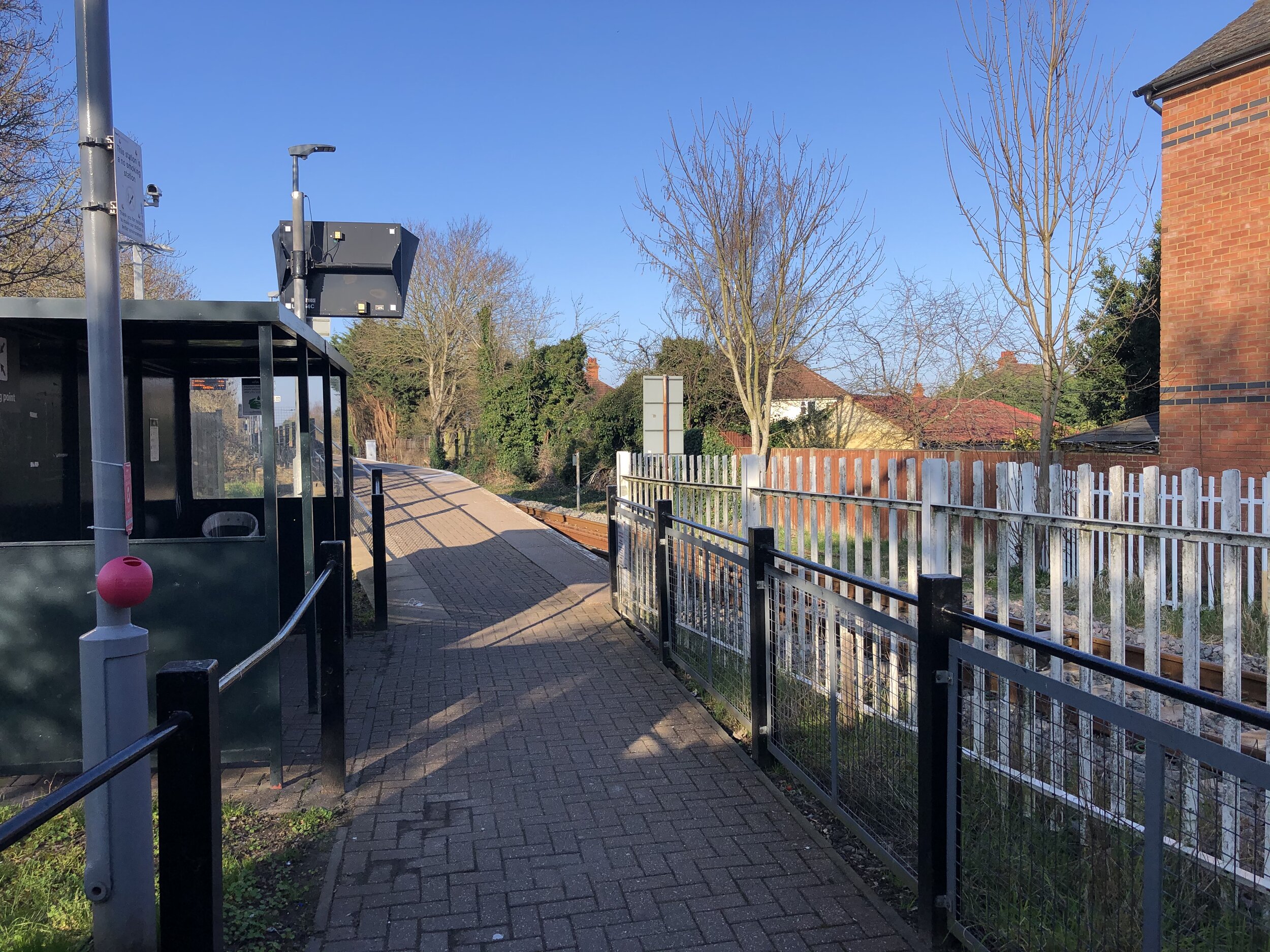
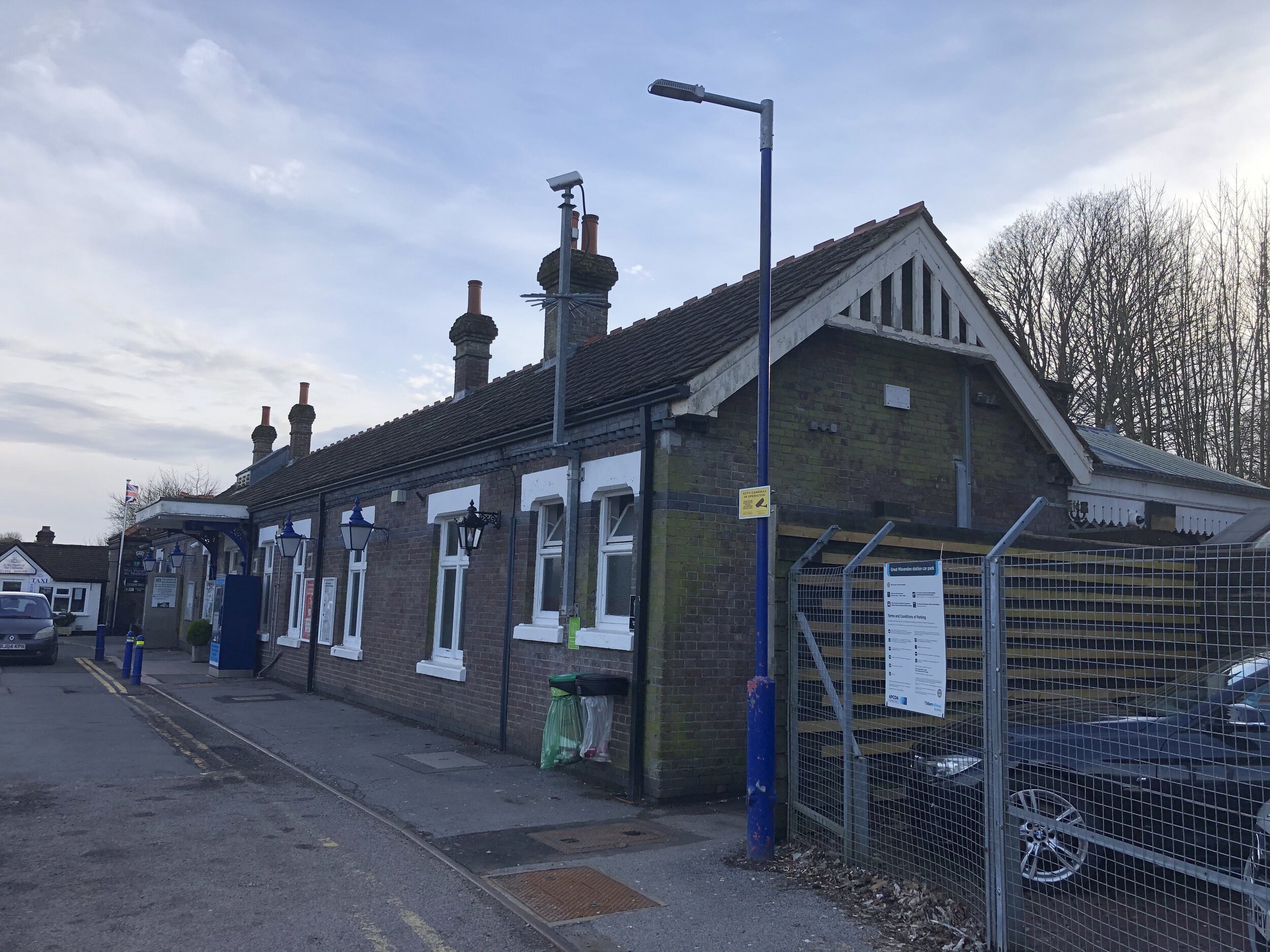
Start & Finish: Saunderton Station, High Wycombe, HP14 4HX
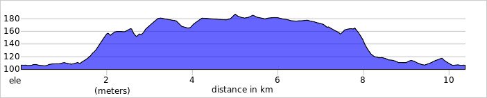
Distance: 9.1 km (5.6 miles)
Elevation change: +/- 125m
GPX File: get via Buy Me a Coffee
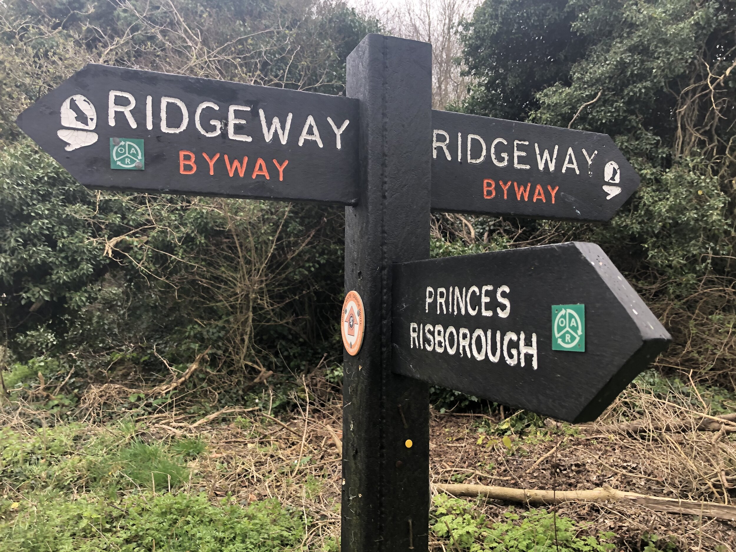
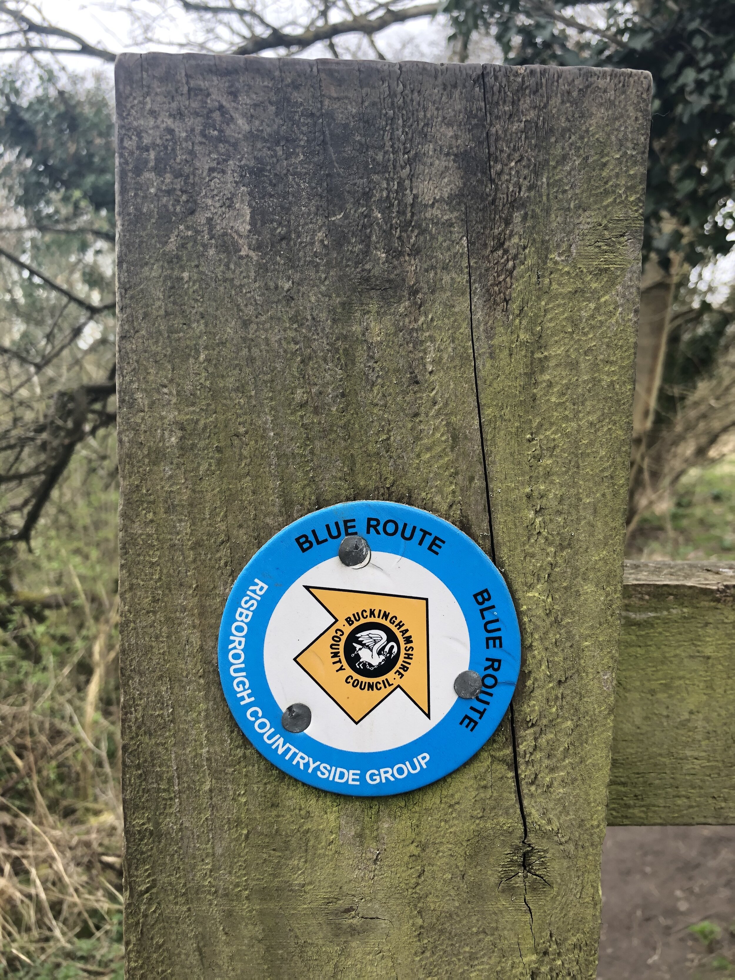
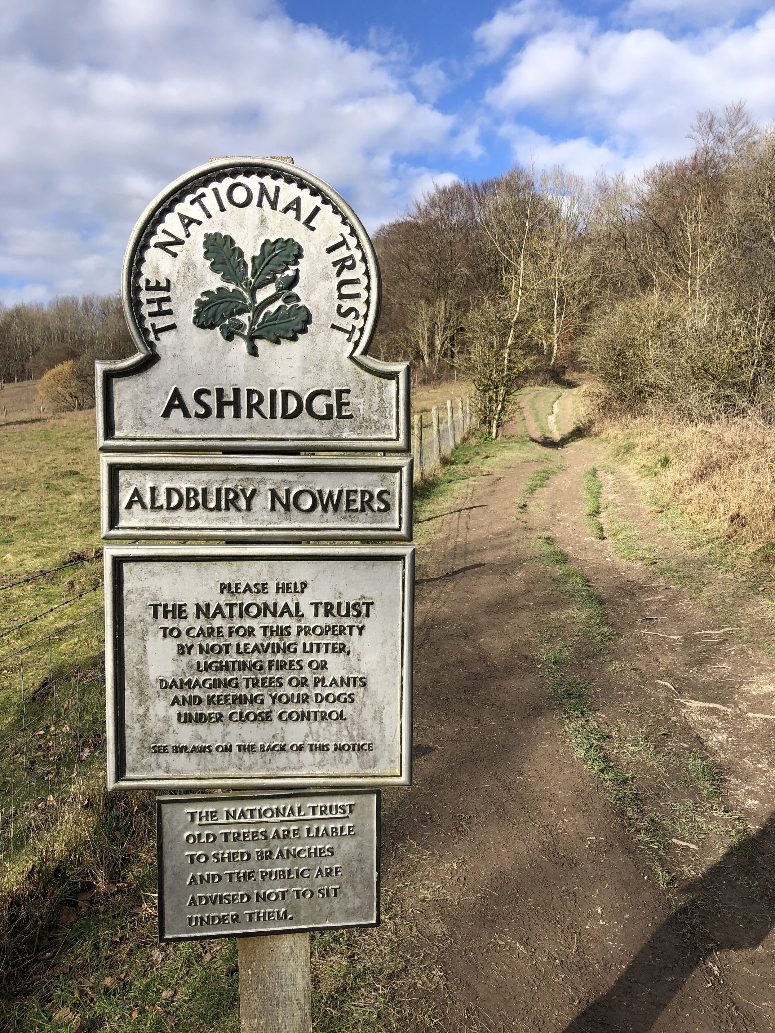
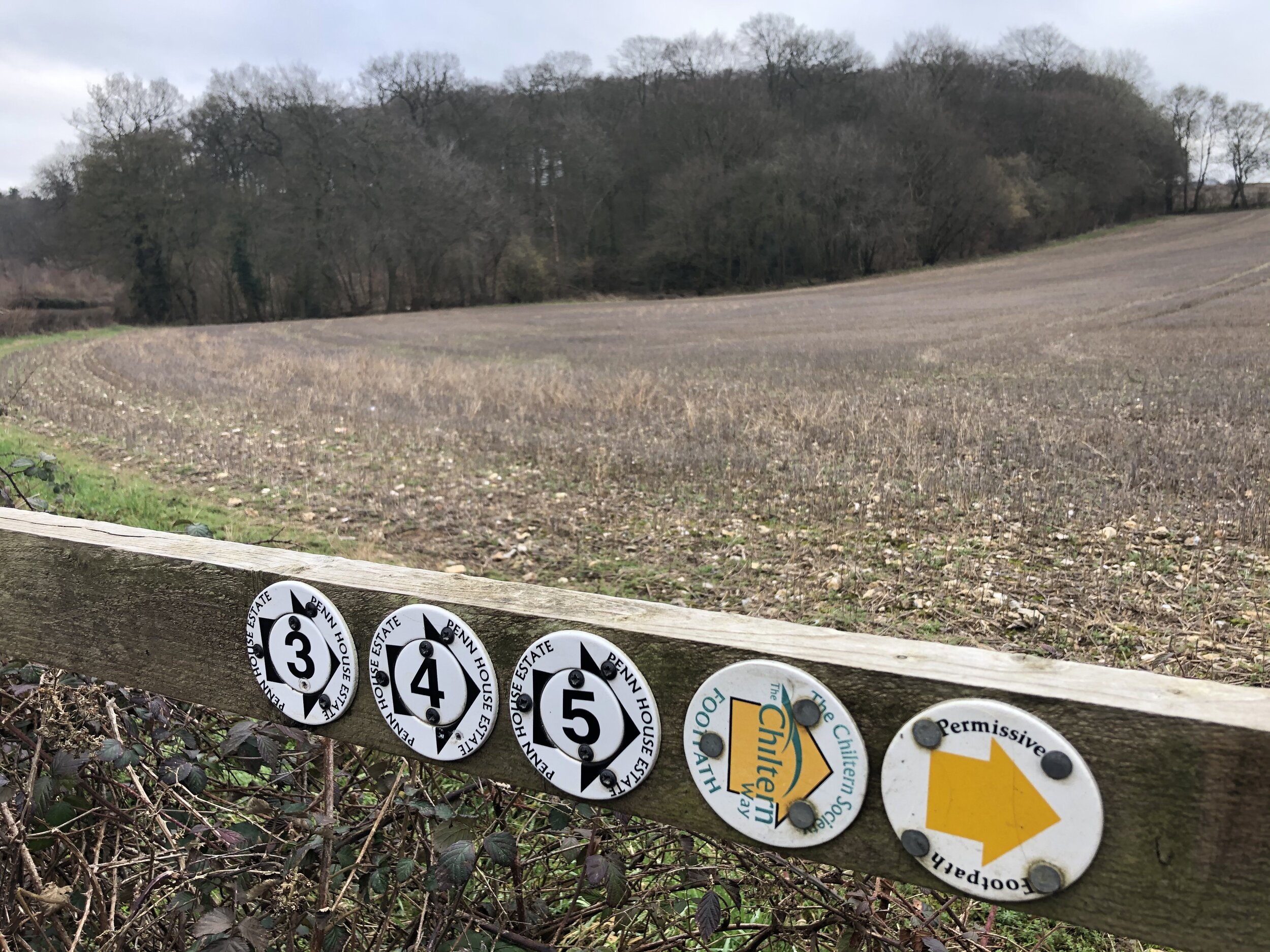
Other routes touched (walk): Chiltern Way, The Ridgeway, Risborough Blue Route
Other routes touched (cycle): Chilterns Cycleway
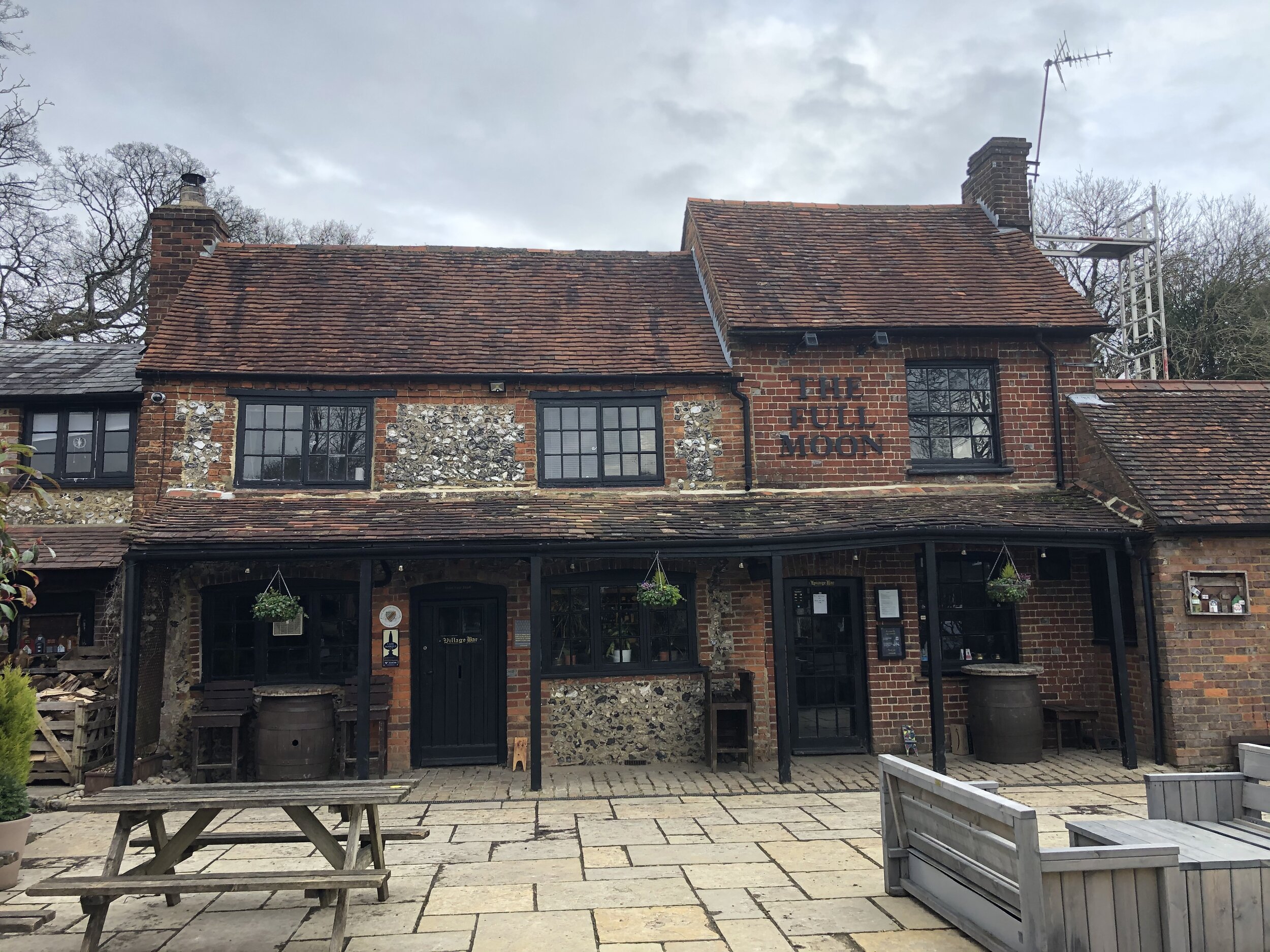
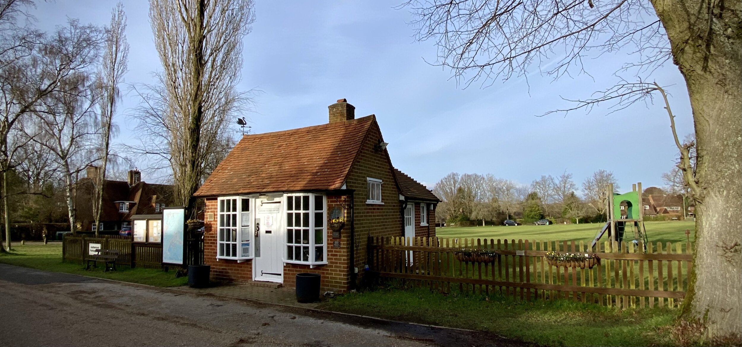
Pubs / Cafes on route: The Golden Cross, Saunderton at start and finish.
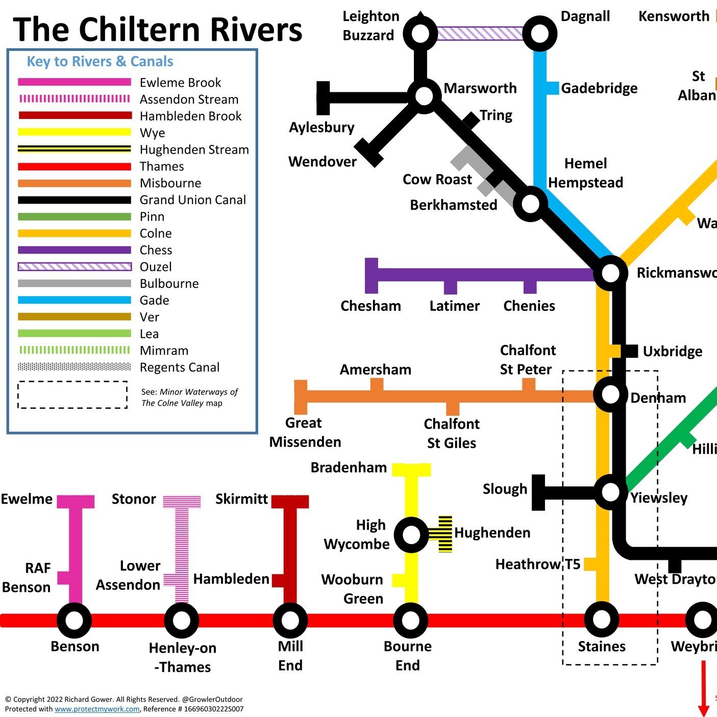
Map: OS Explorer Map (171) Chiltern Hills West, Henley-on-Thames and Wallingford and OS Explorer Map (172) Chiltern Hills East
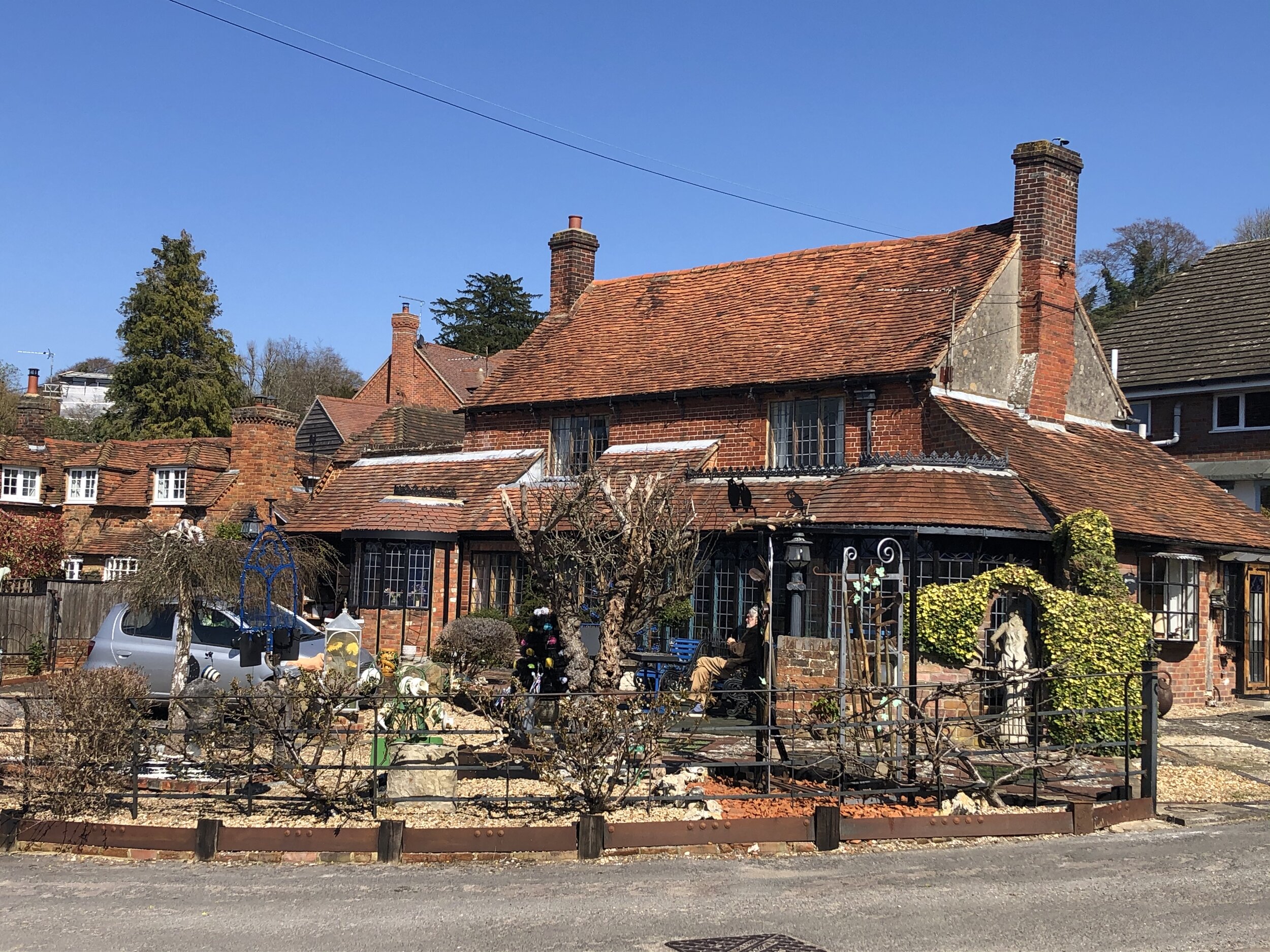
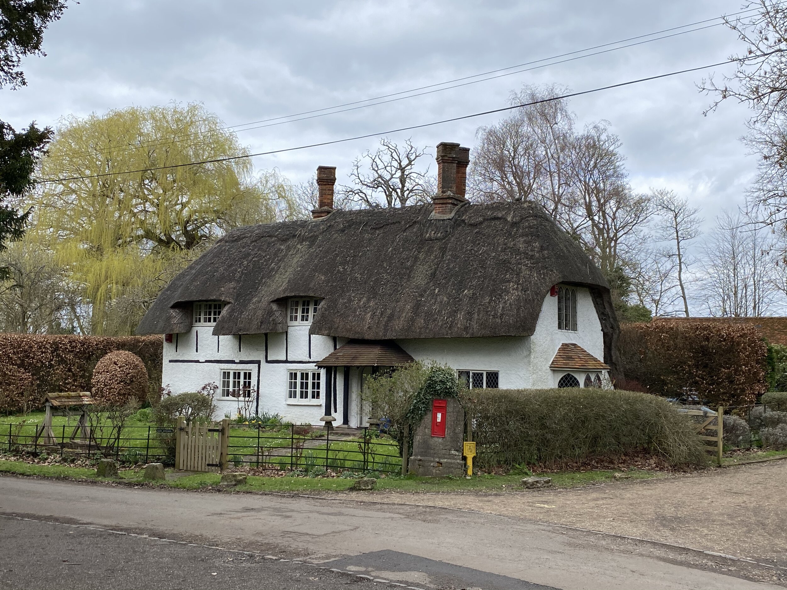
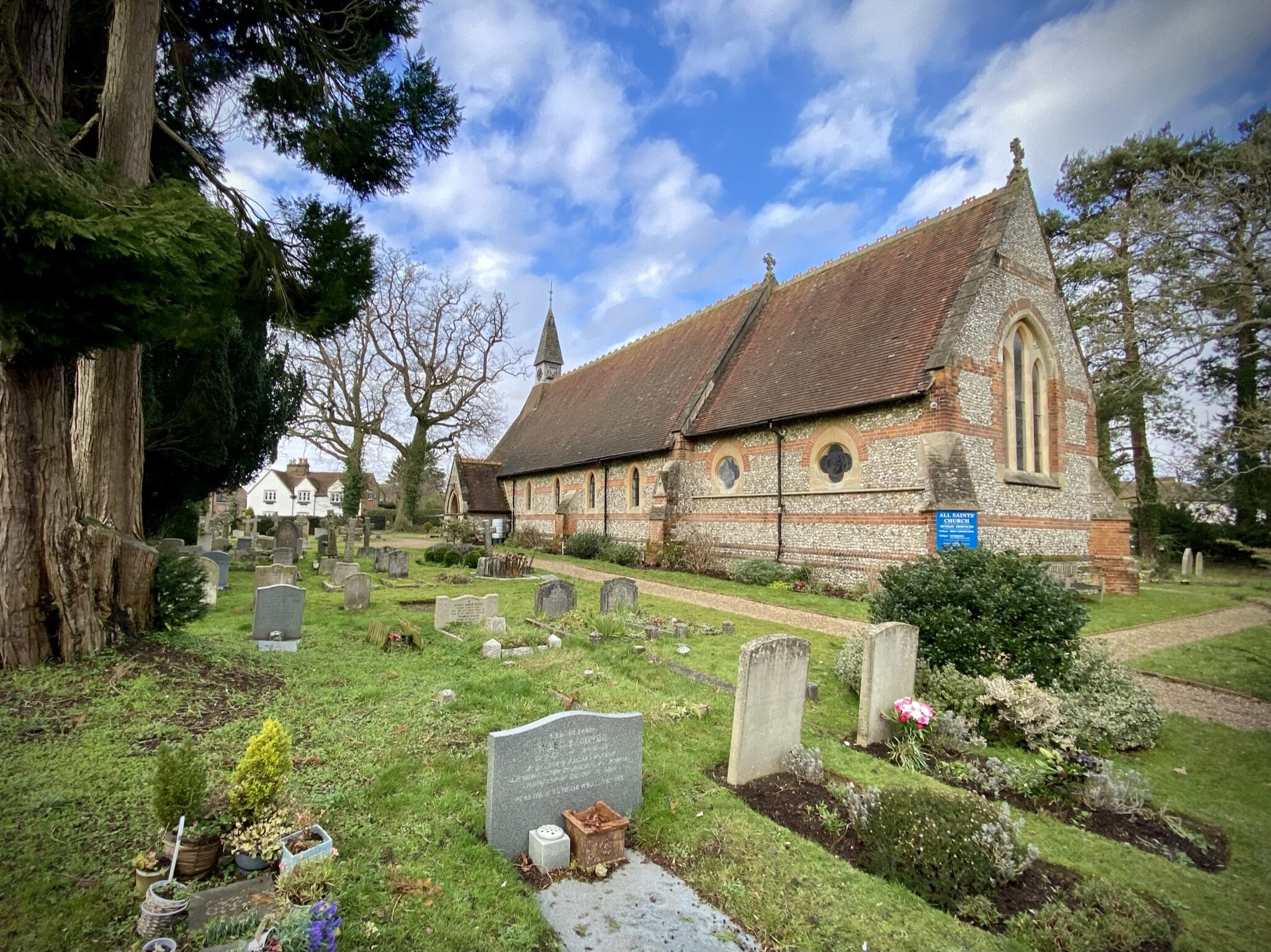
Links: Saunderton, Saunderton Station, Loosley Row
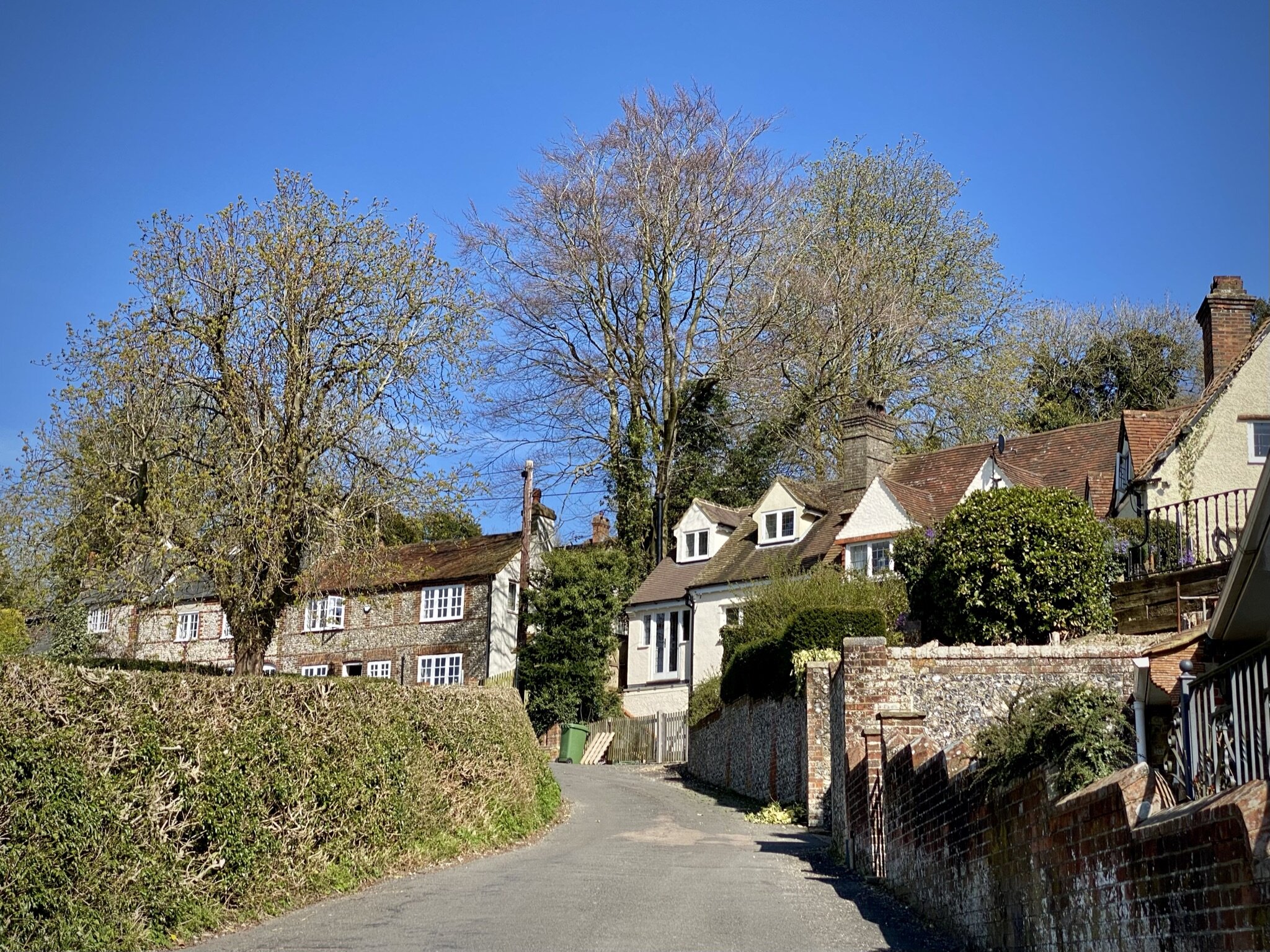
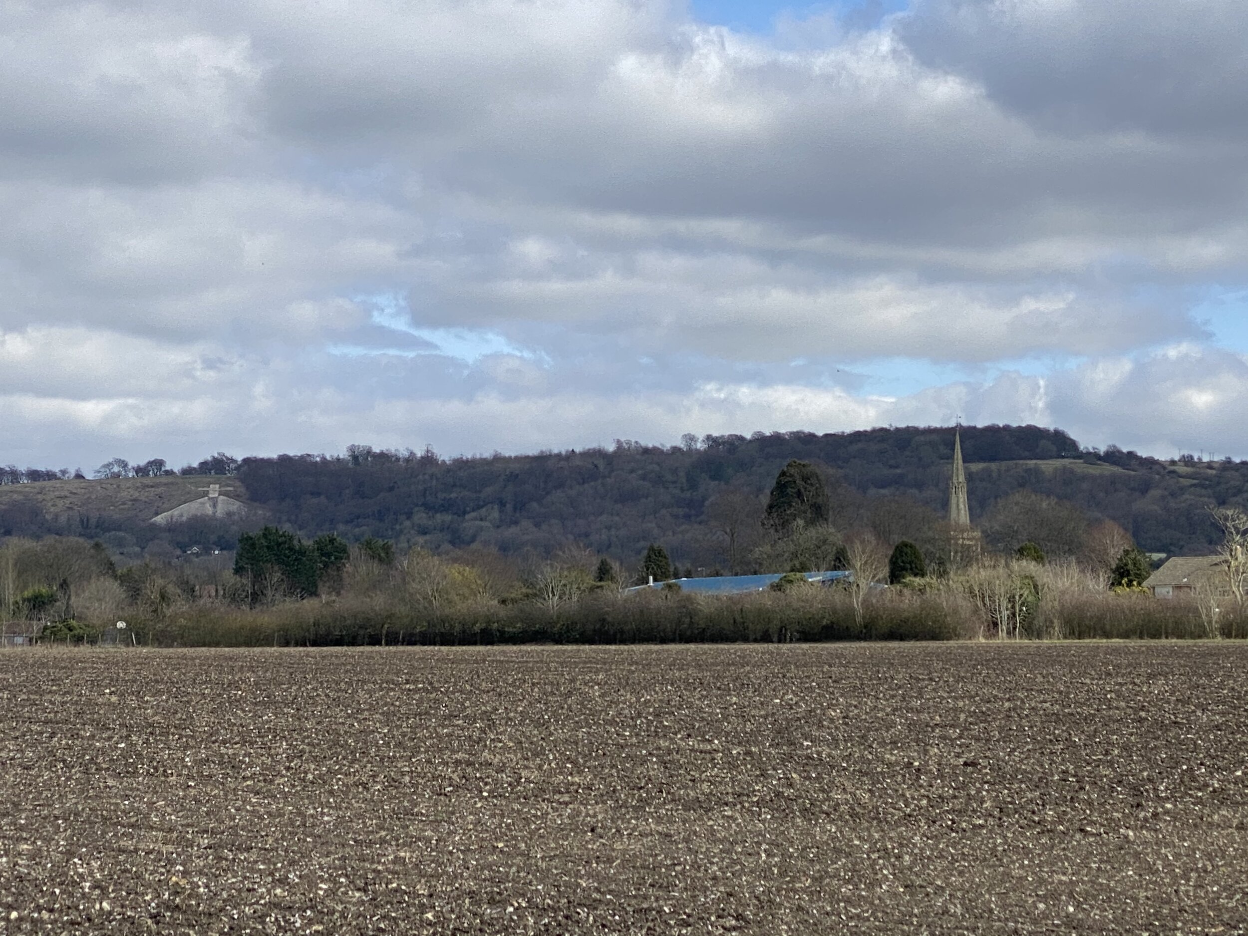
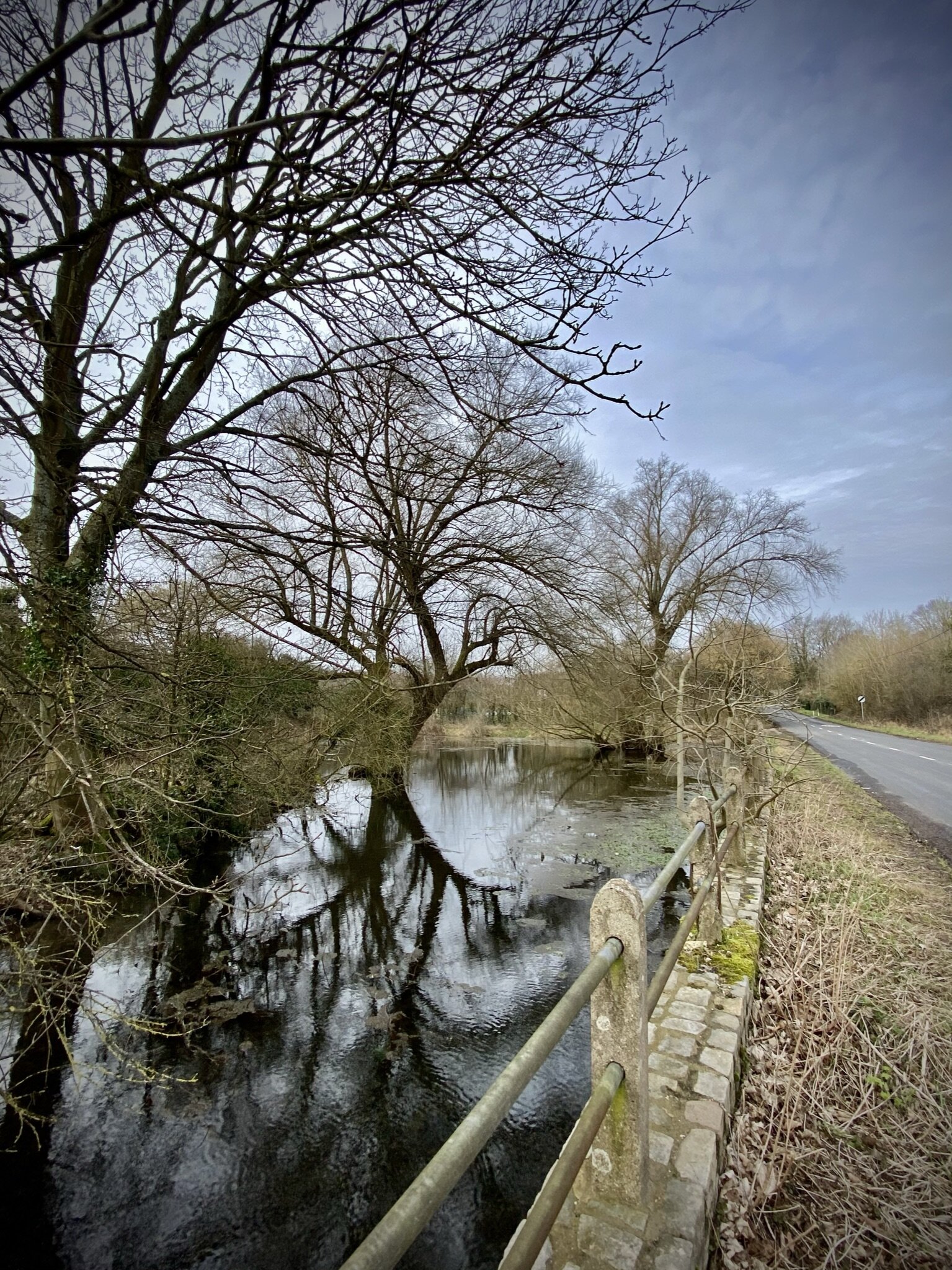
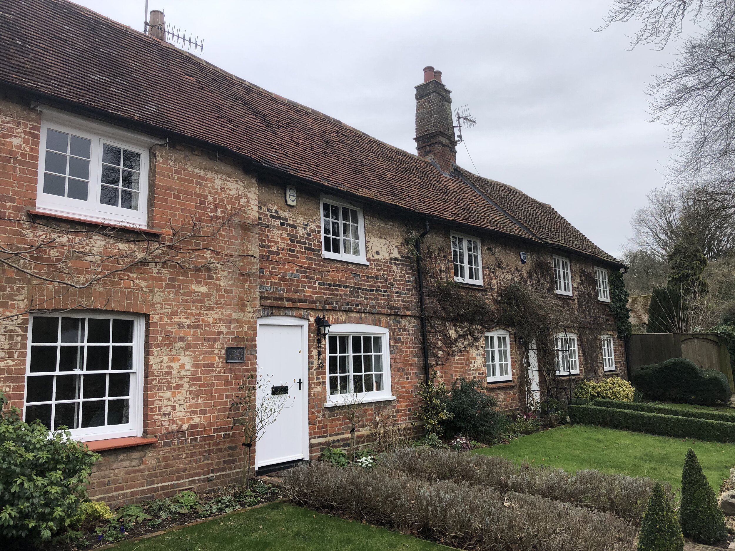
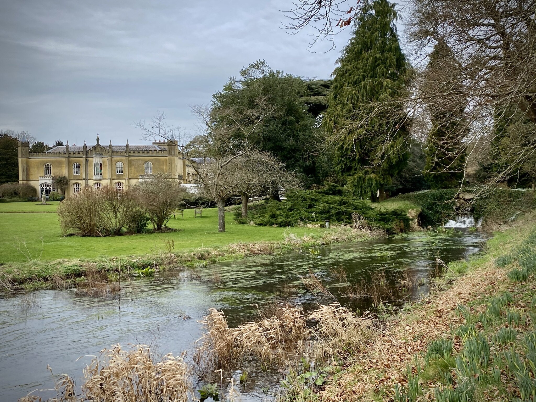
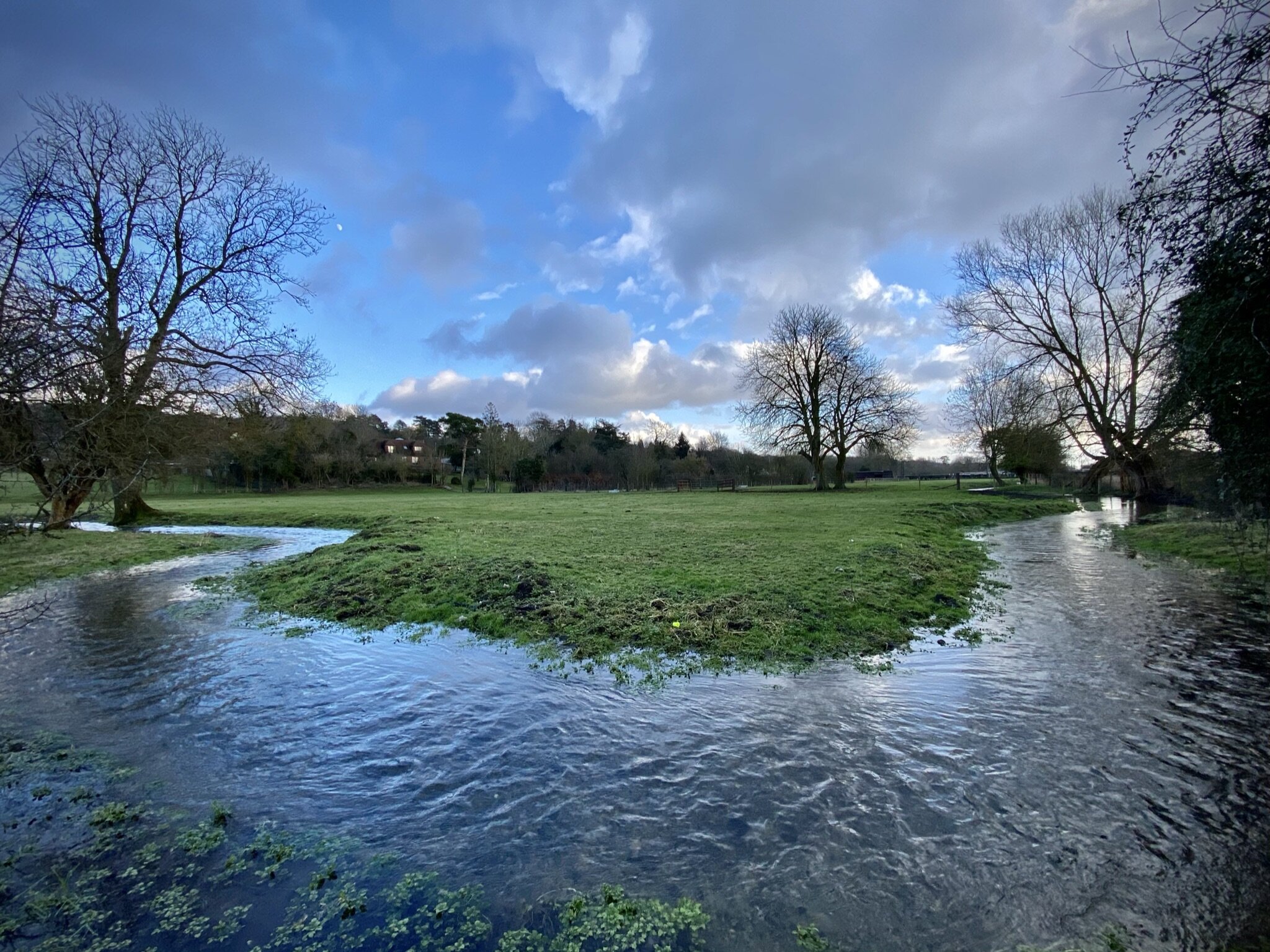
For the latest of our Chiltern Rail based walks we visited Saunderton. Once a Victorian-era industrial town, it’s now a quiet village in a scenic Chiltern valley. The guidance below will help you navigate but don’t use it as a fully accurate turn-by-turn guide. Always take a map and/or a GPX route and prepare well for the weather and terrain.
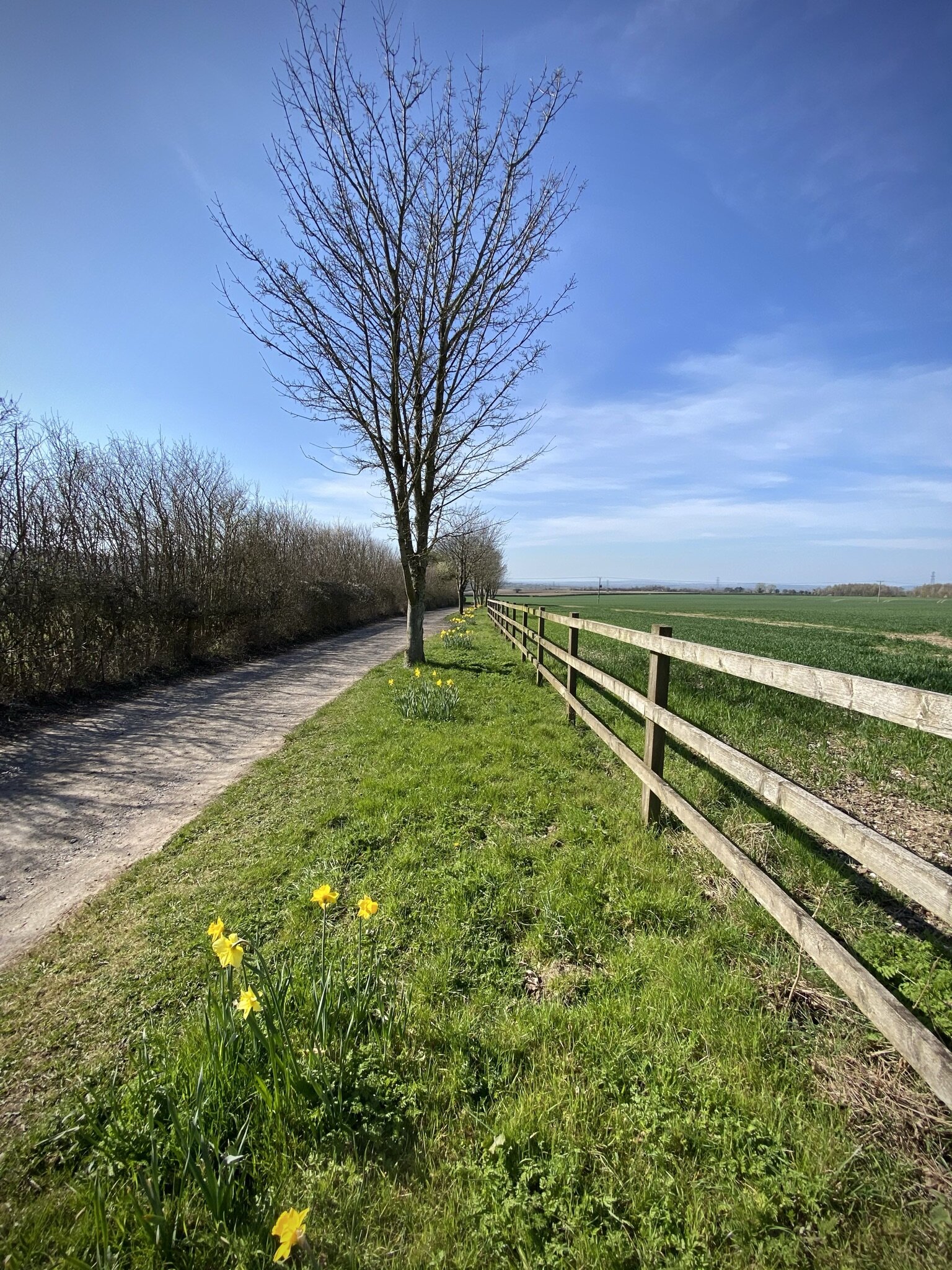
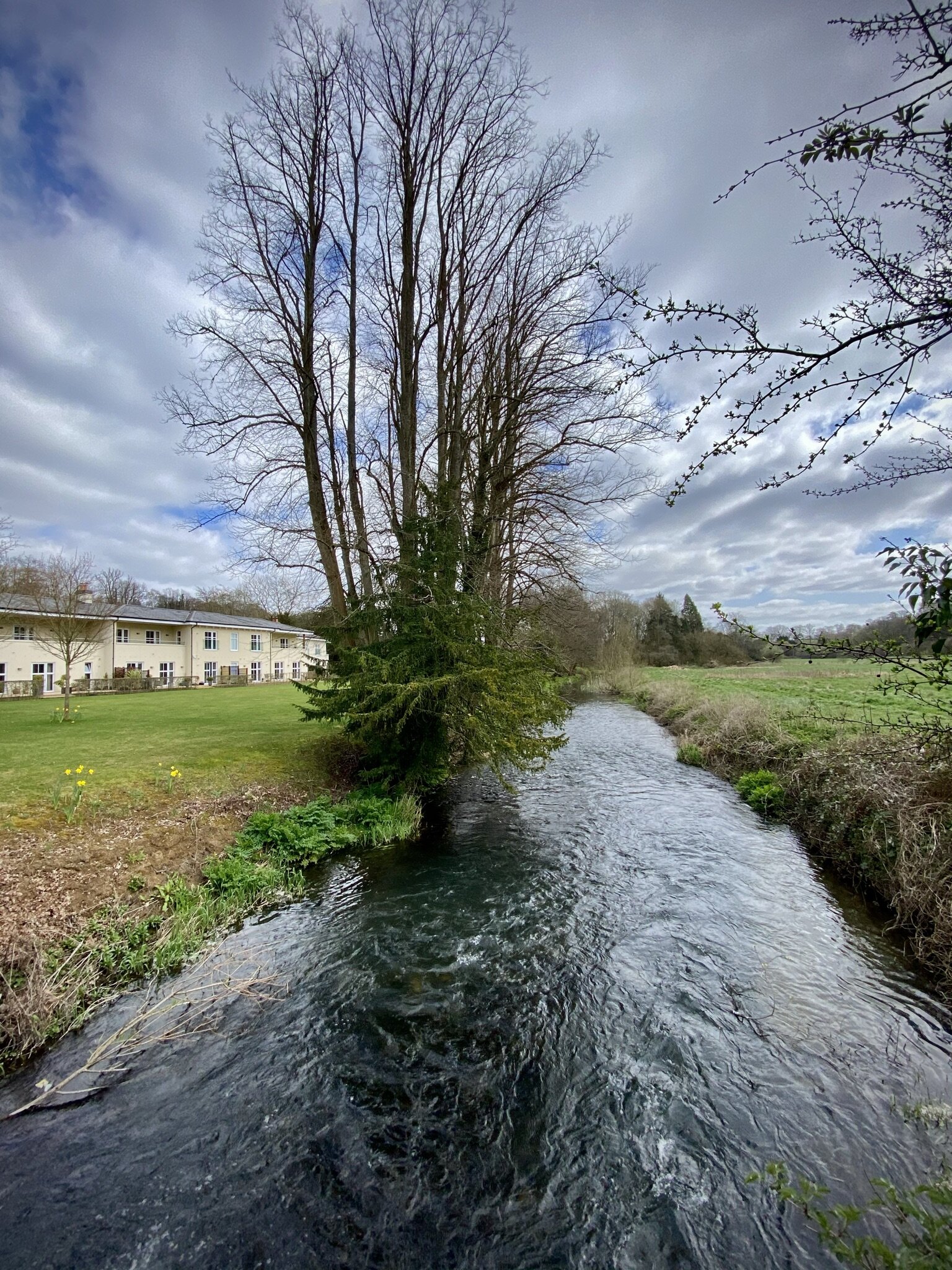
From the train station cross the A4010 Wycombe Road and walk north-west up Smalldean Lane. As you pass the back entrance to The Residence on the right hand side, take a footpath that runs along the field edge parallel to Smalldean Lane. At the end of the field there’s a small gap in the hedge where you can get back onto the lane. Walk back along the lane for ~100m and take the right hand footpath up the hill to the north-east.
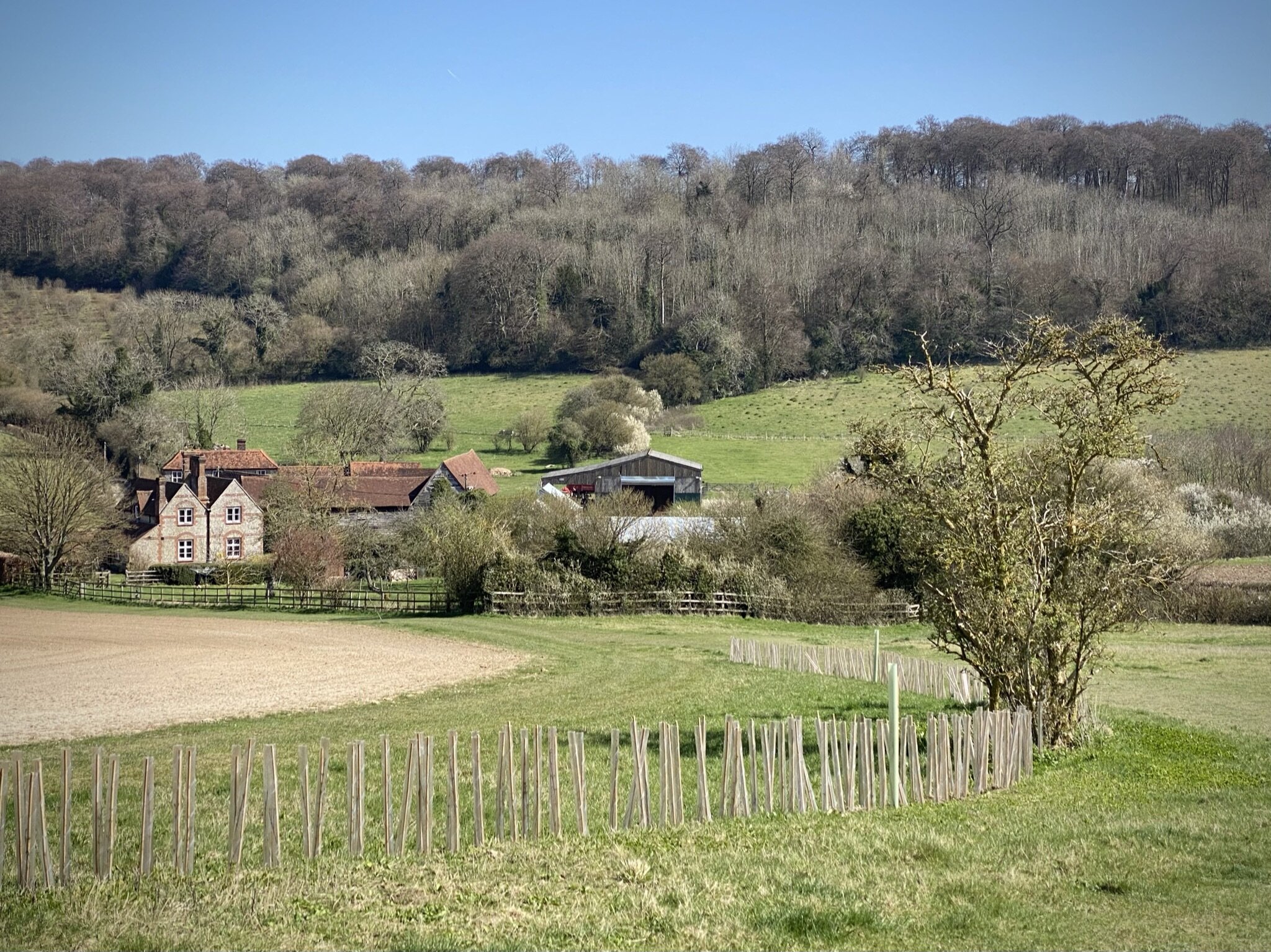
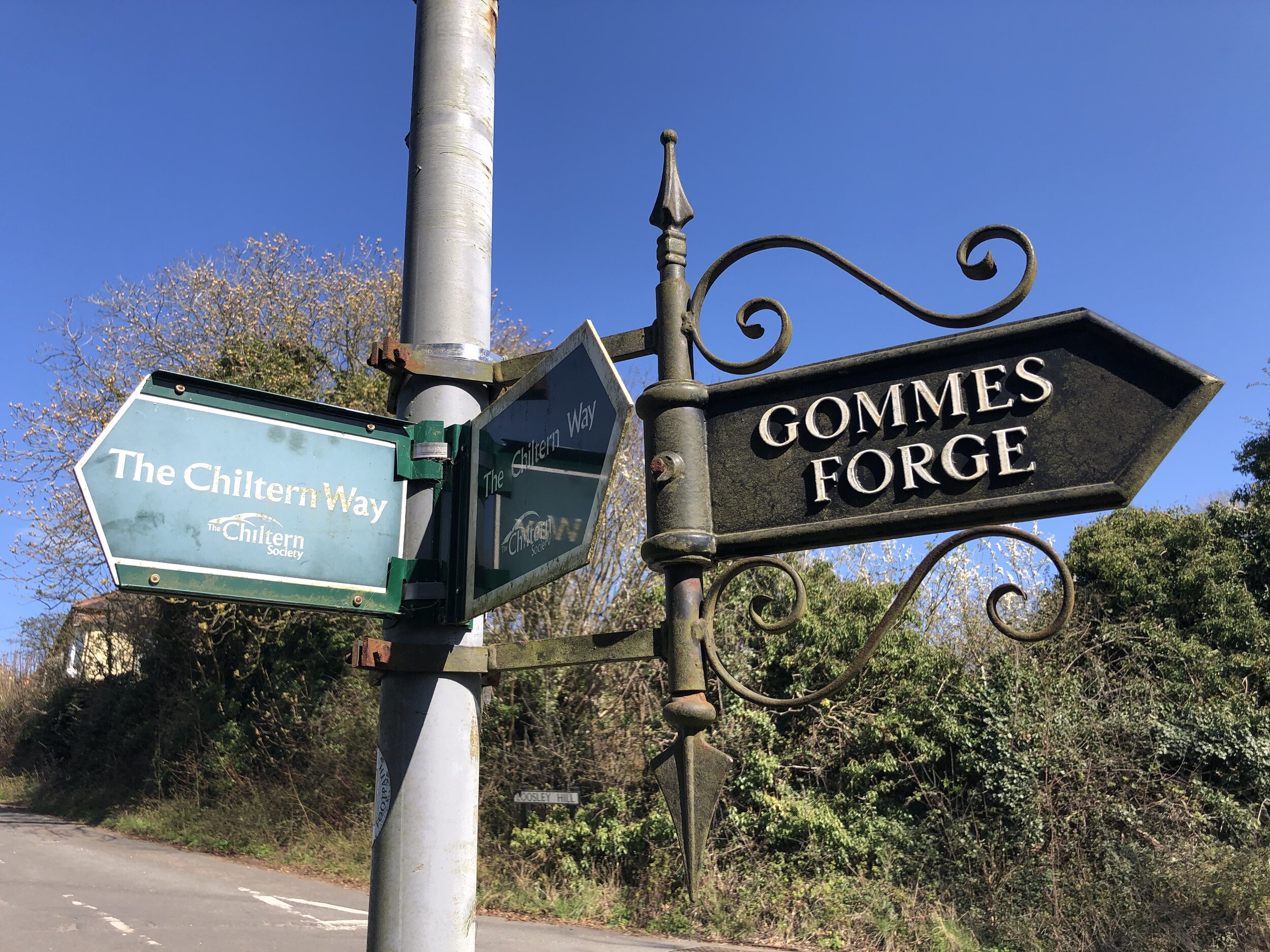
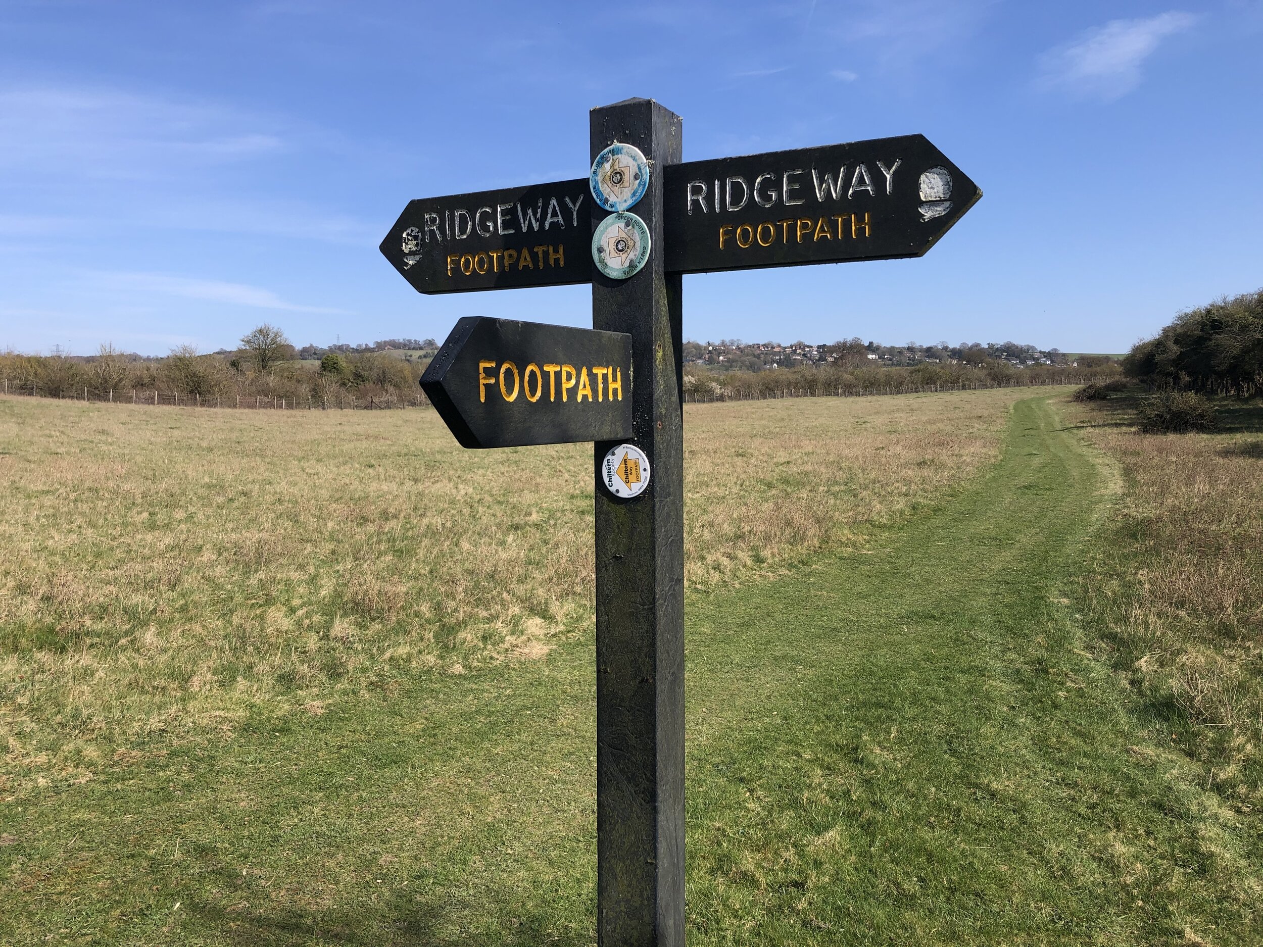
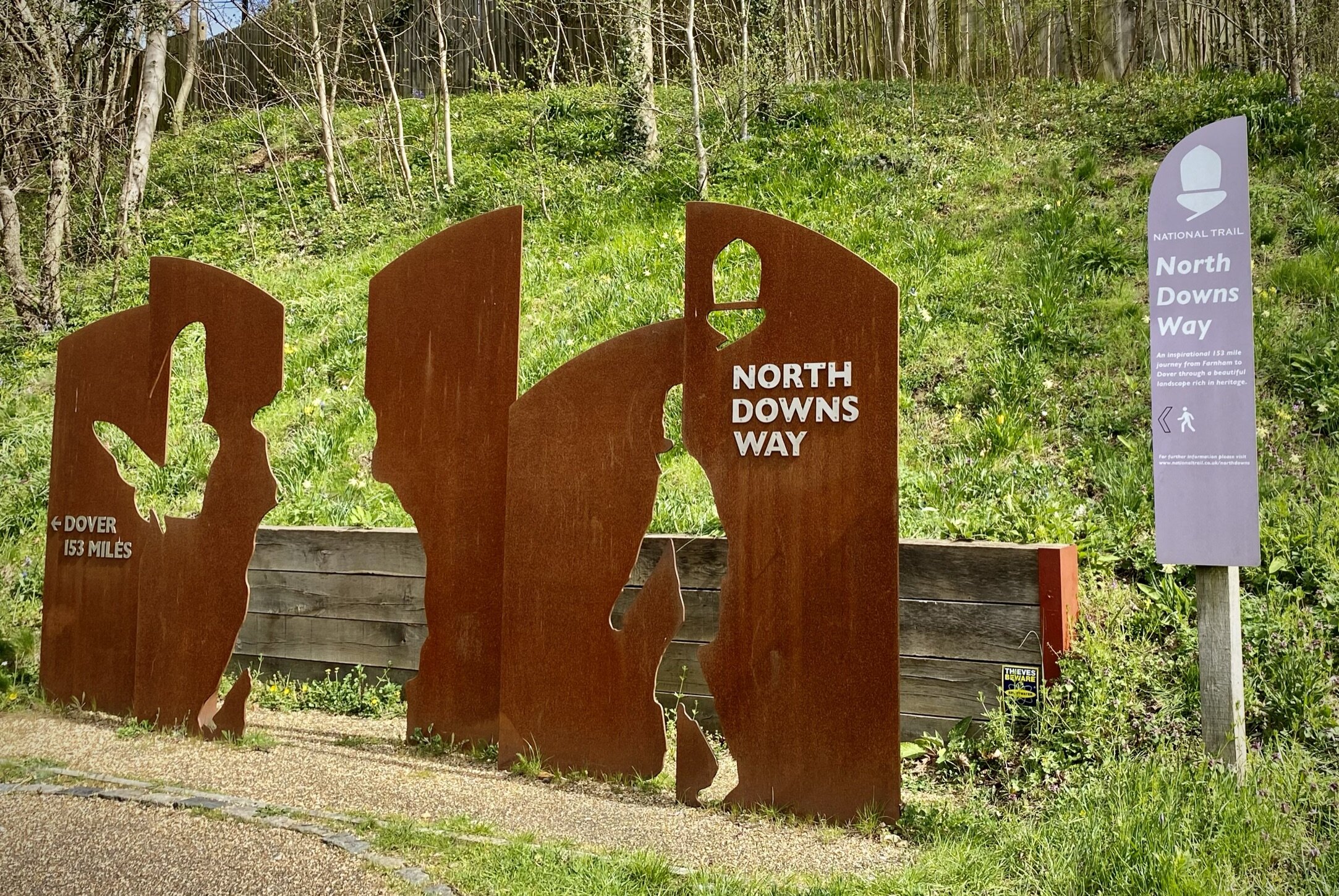
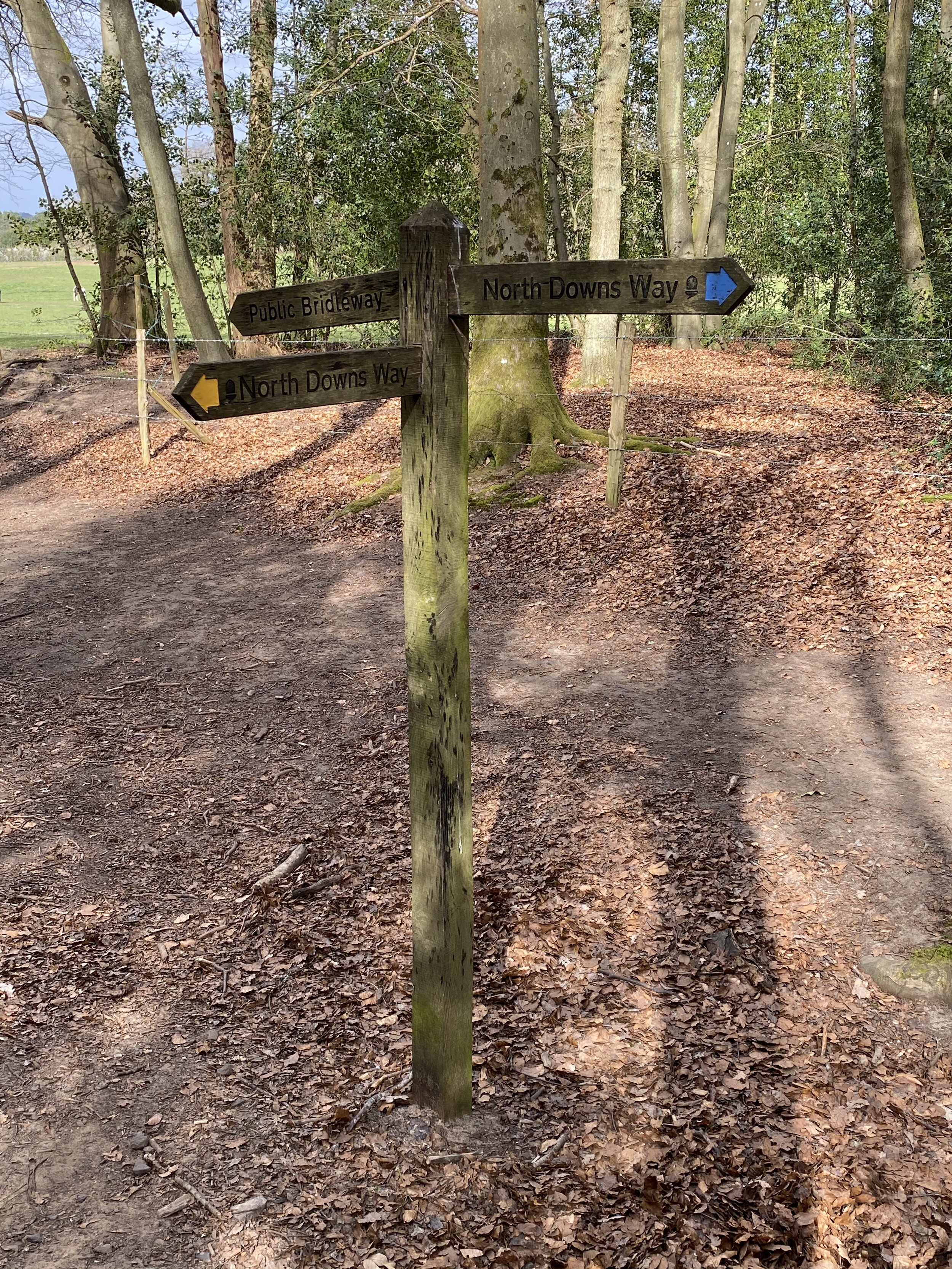
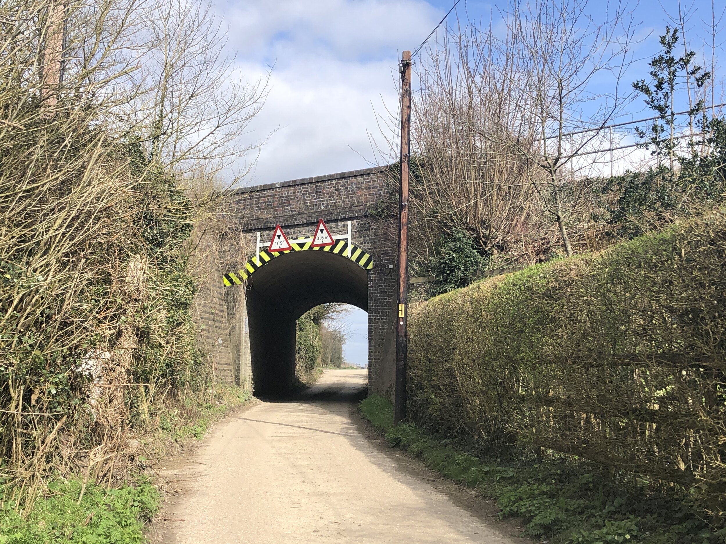
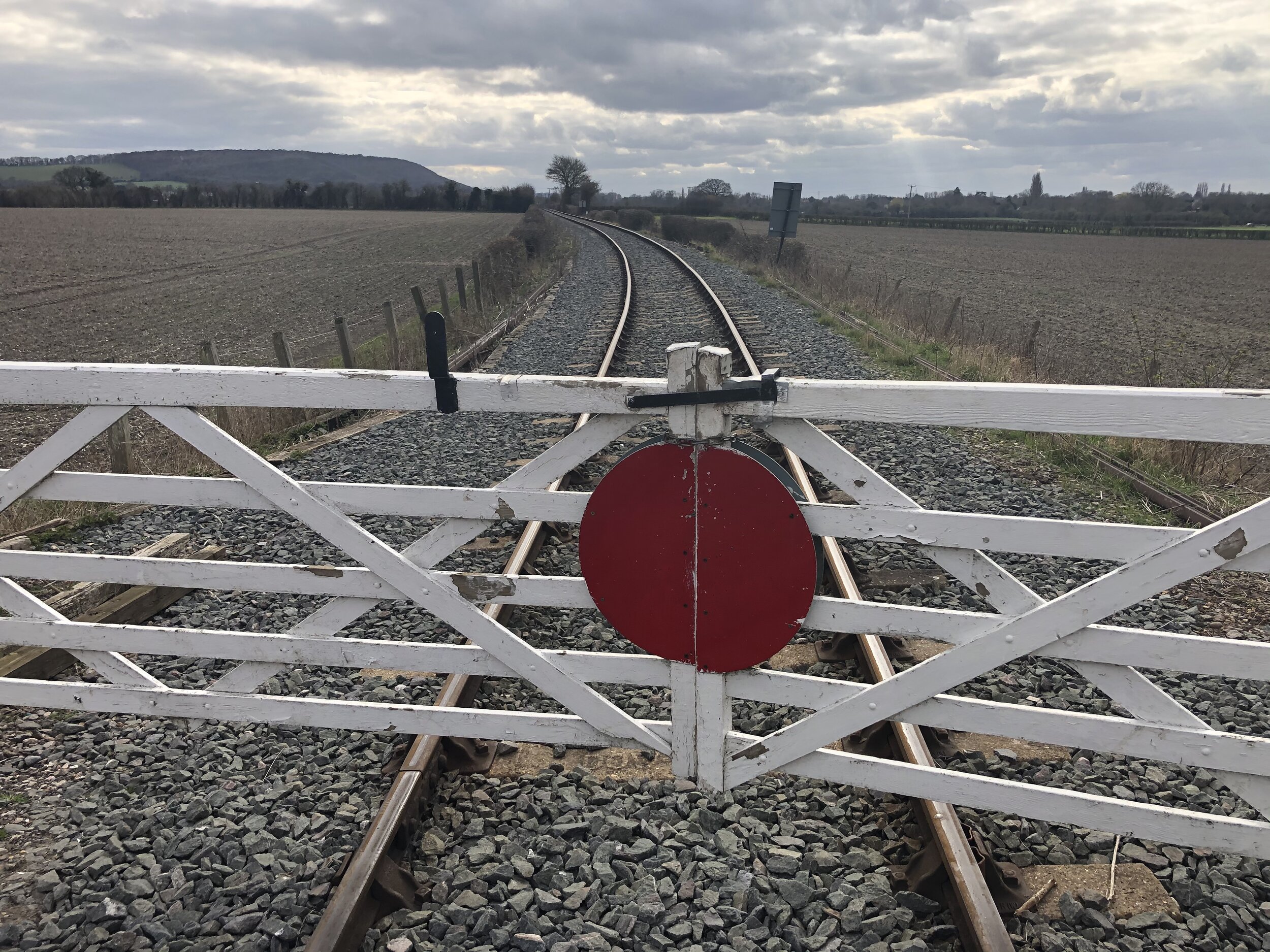
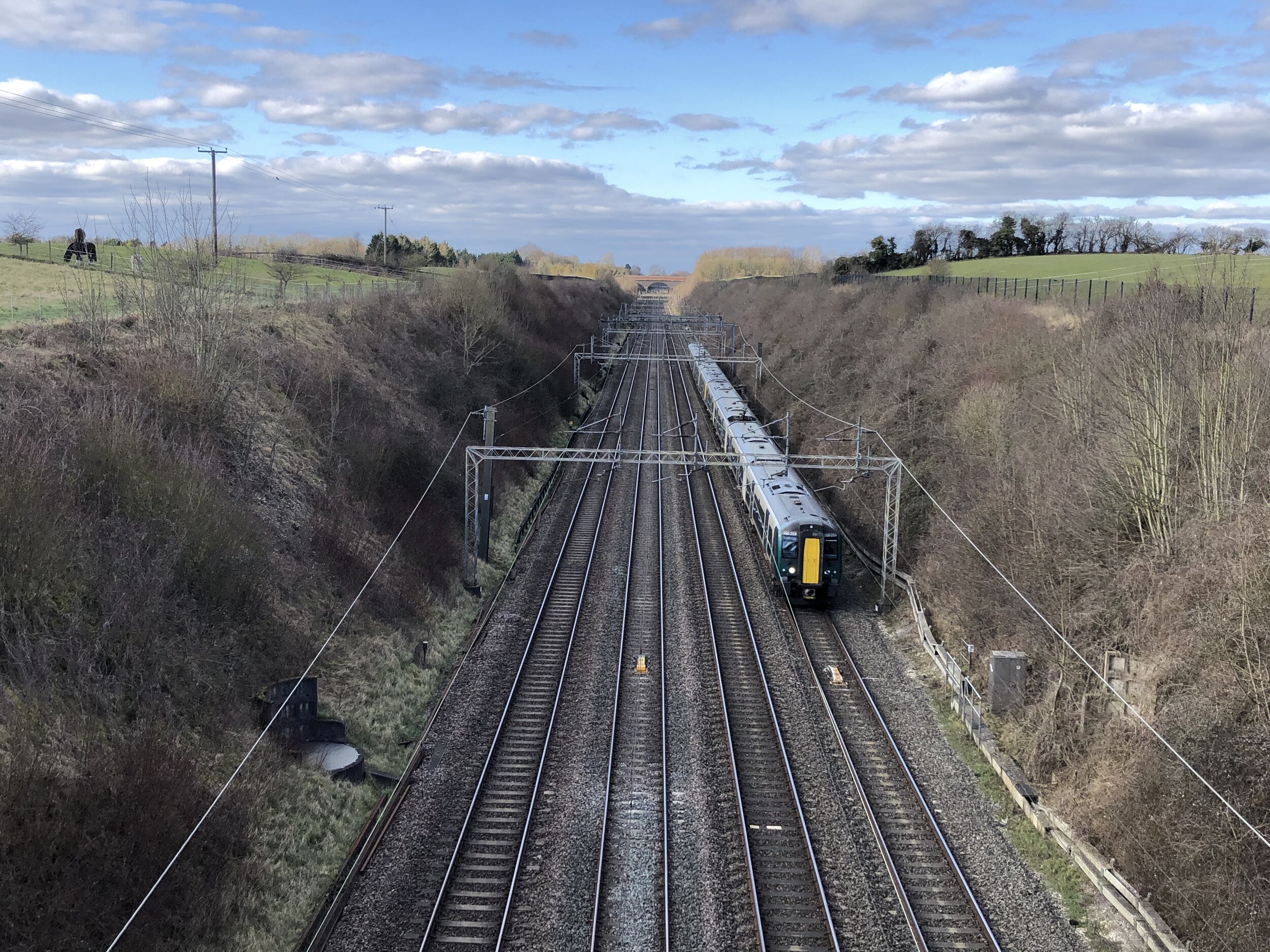
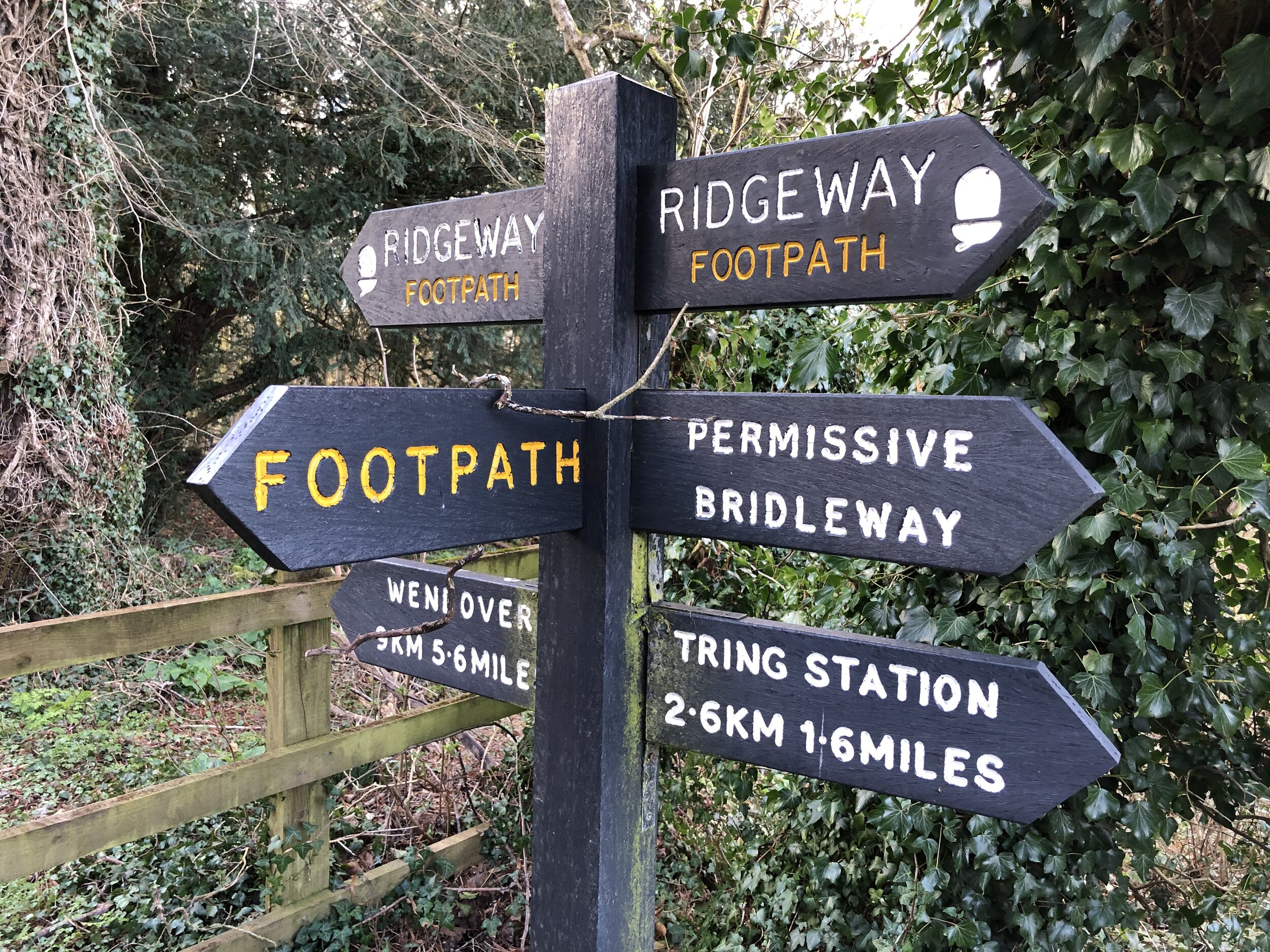
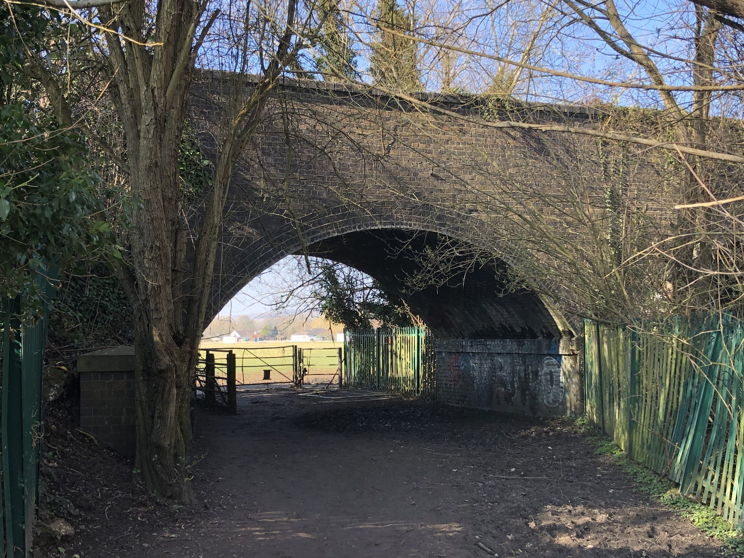
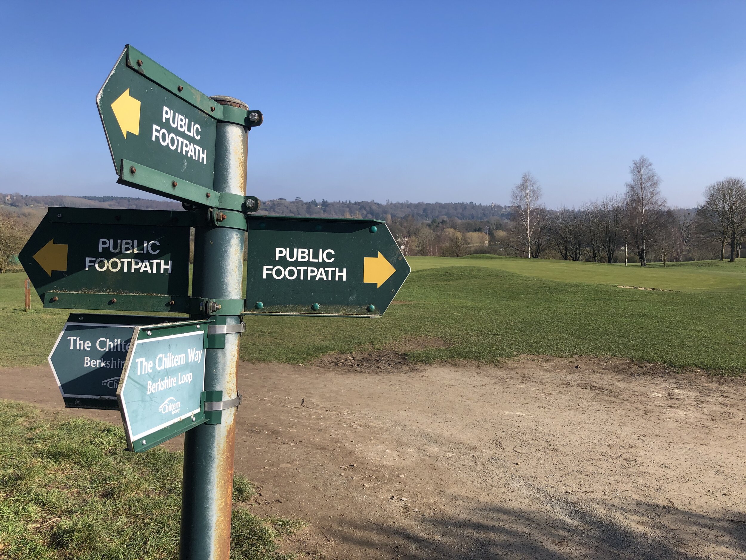
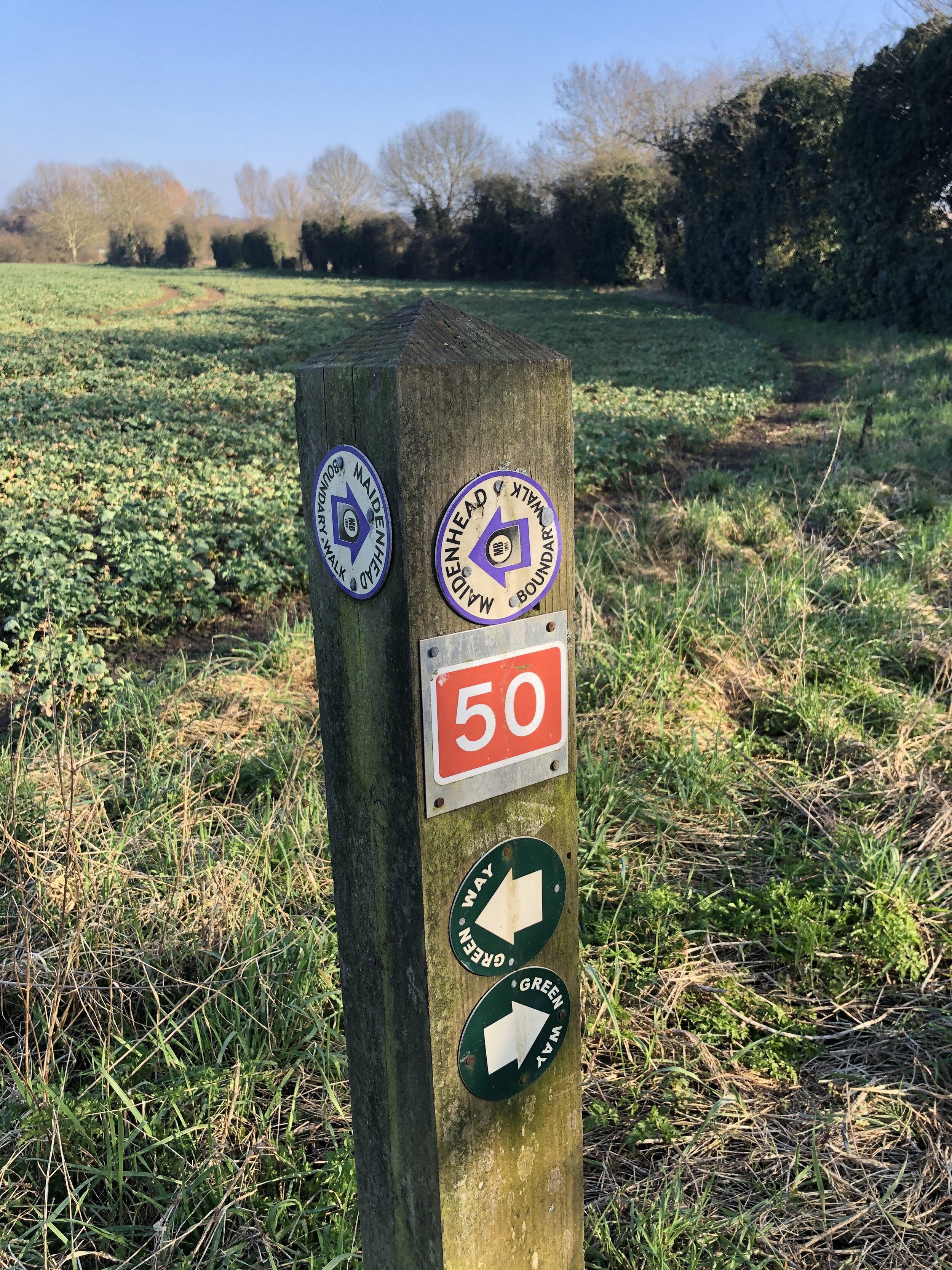
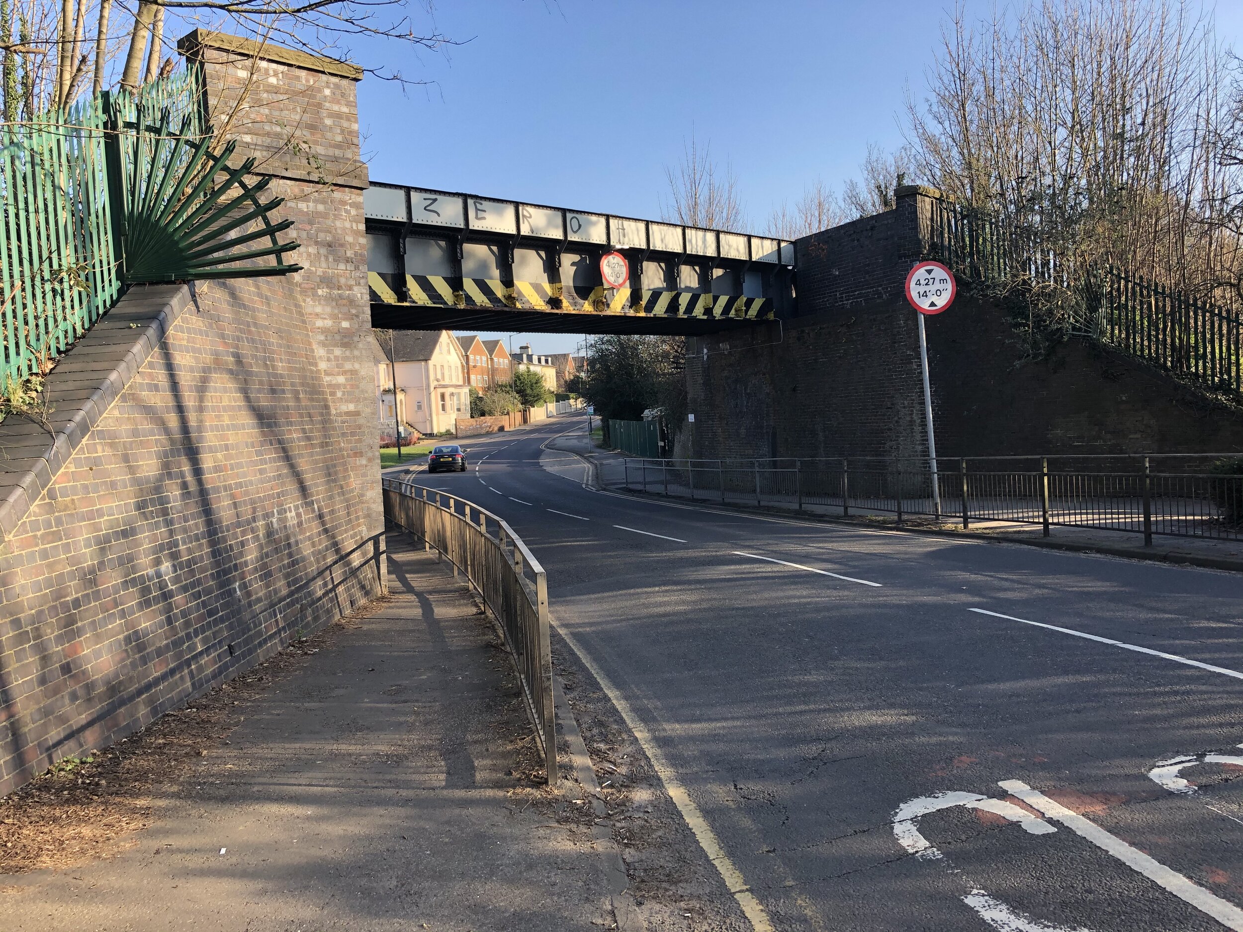
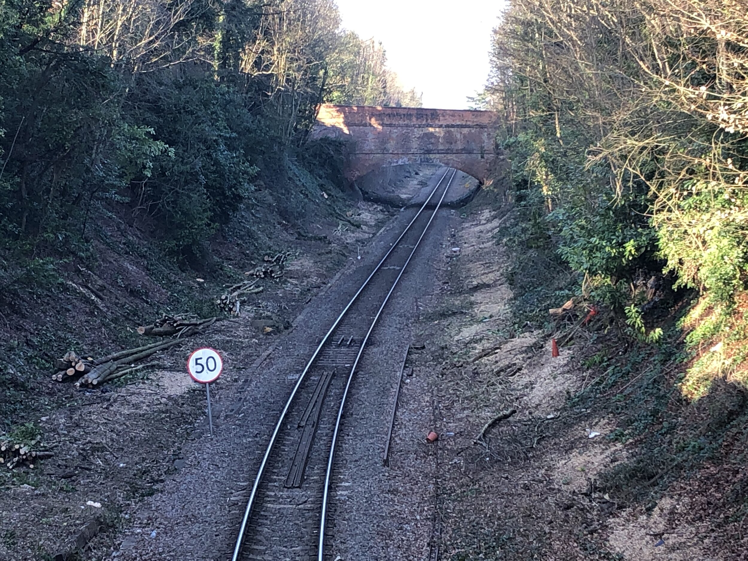
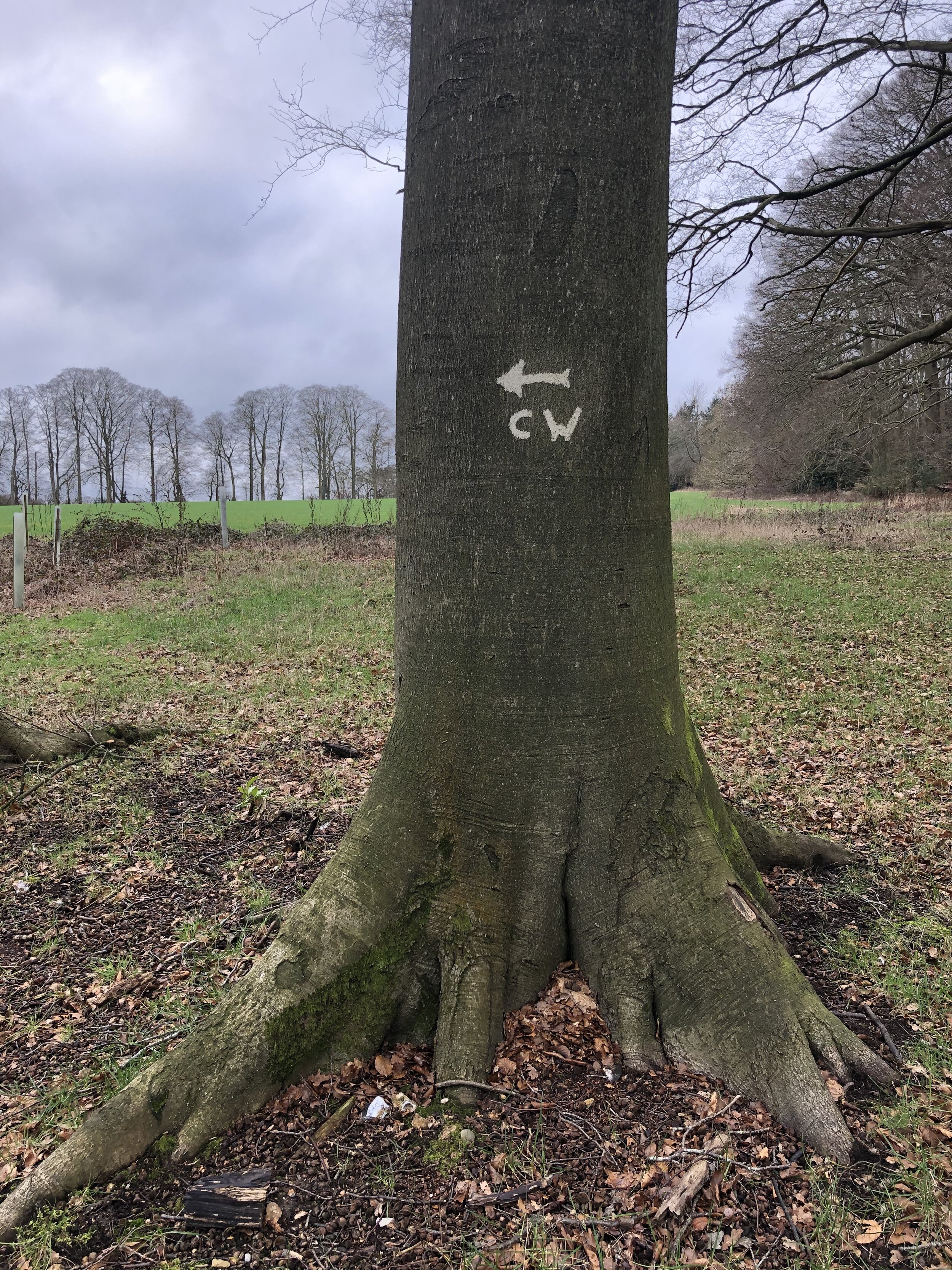
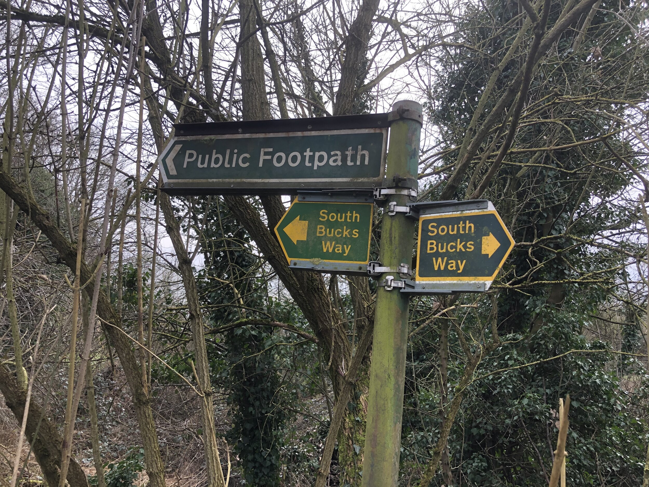
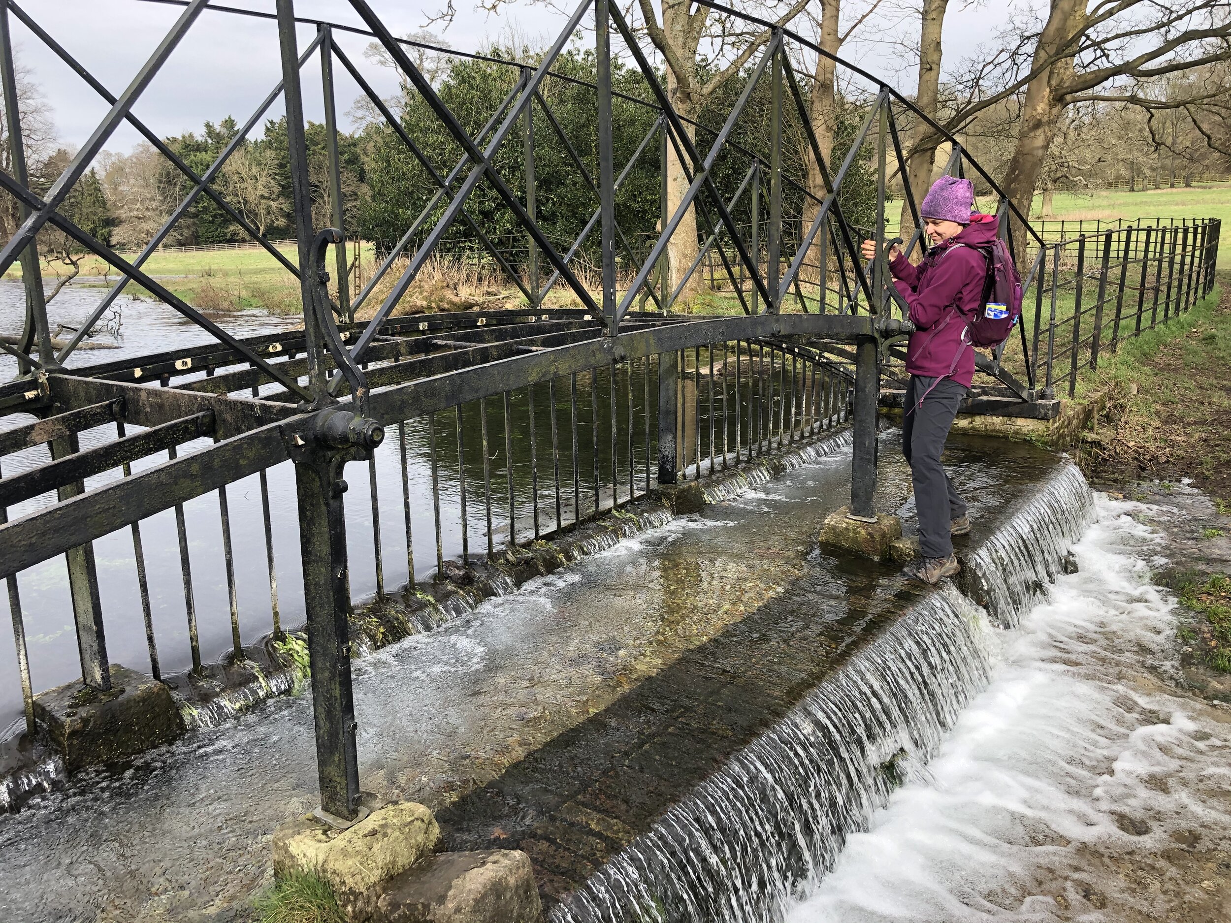
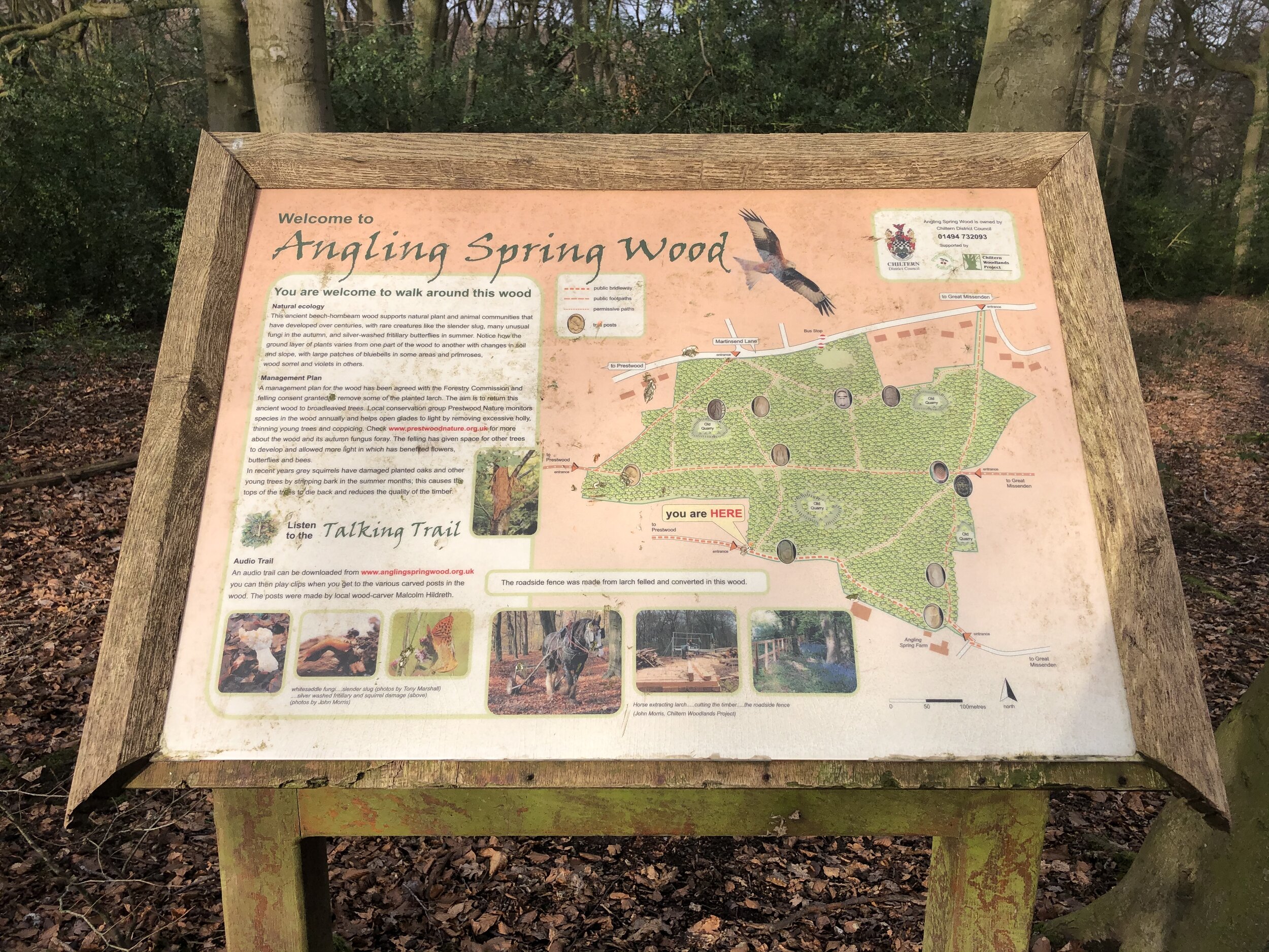
Continue along this path, following the ridgeline for nearly 2km until you reach Little Lane. Cross over and take Foundry Lane into Loosley Row village centre. Shortly after passing the old Foundry, take a right up Loosely Hill to the crossroad with Lower Road. Take a left onto Lower Road to join the Chiltern Way. After 100m take a left off Lower Road, continuing to follow the Chiltern Way through a farm. Follow the Chiltern way for another 1.5 km until you meet The Ridgeway next to the railway line. Carefully cross the rail line via the level crossing and continue to follow the Ridgeway south. Here you’ll leave the Chiltern Way which heads north next to the rail line.
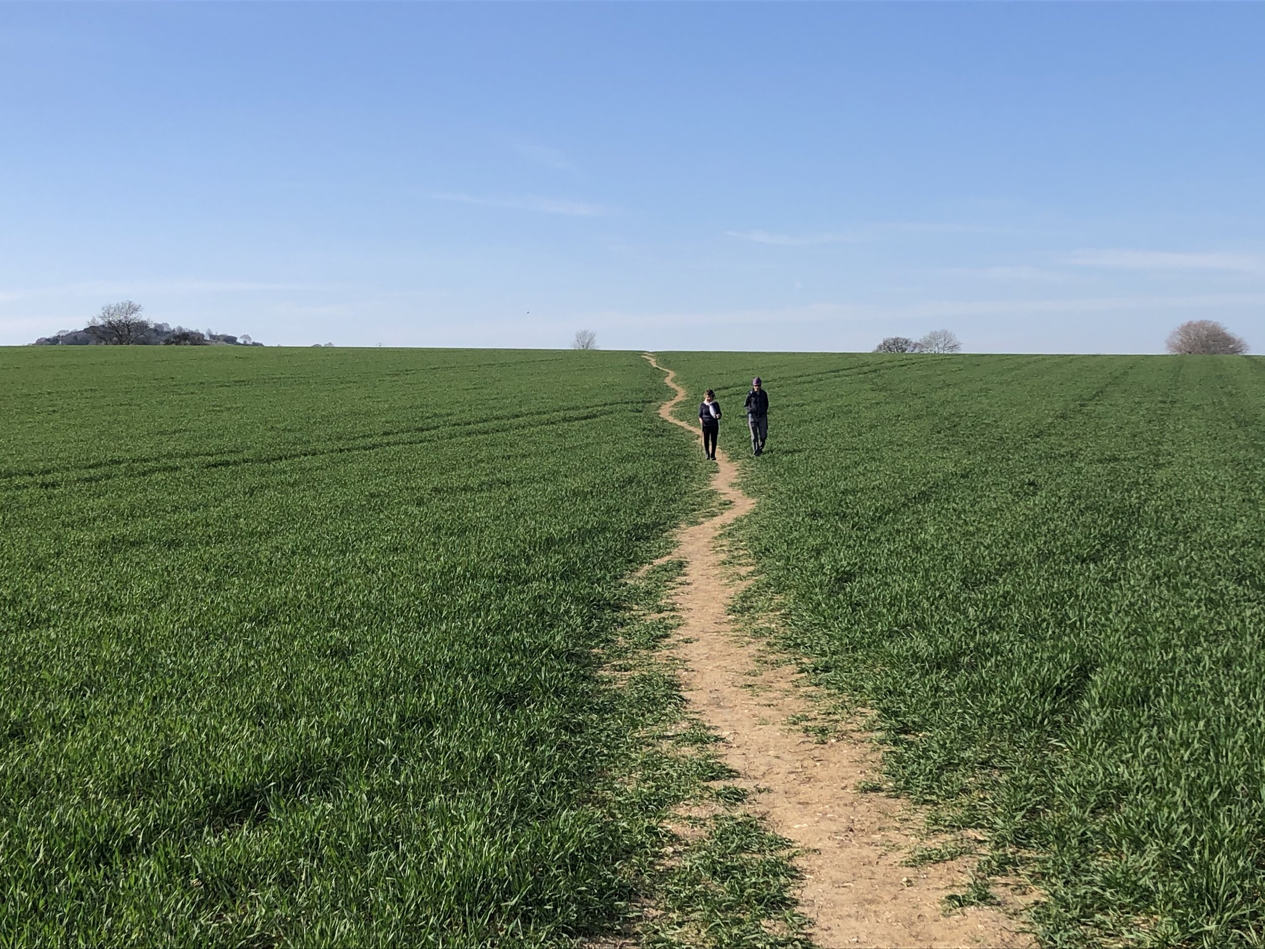
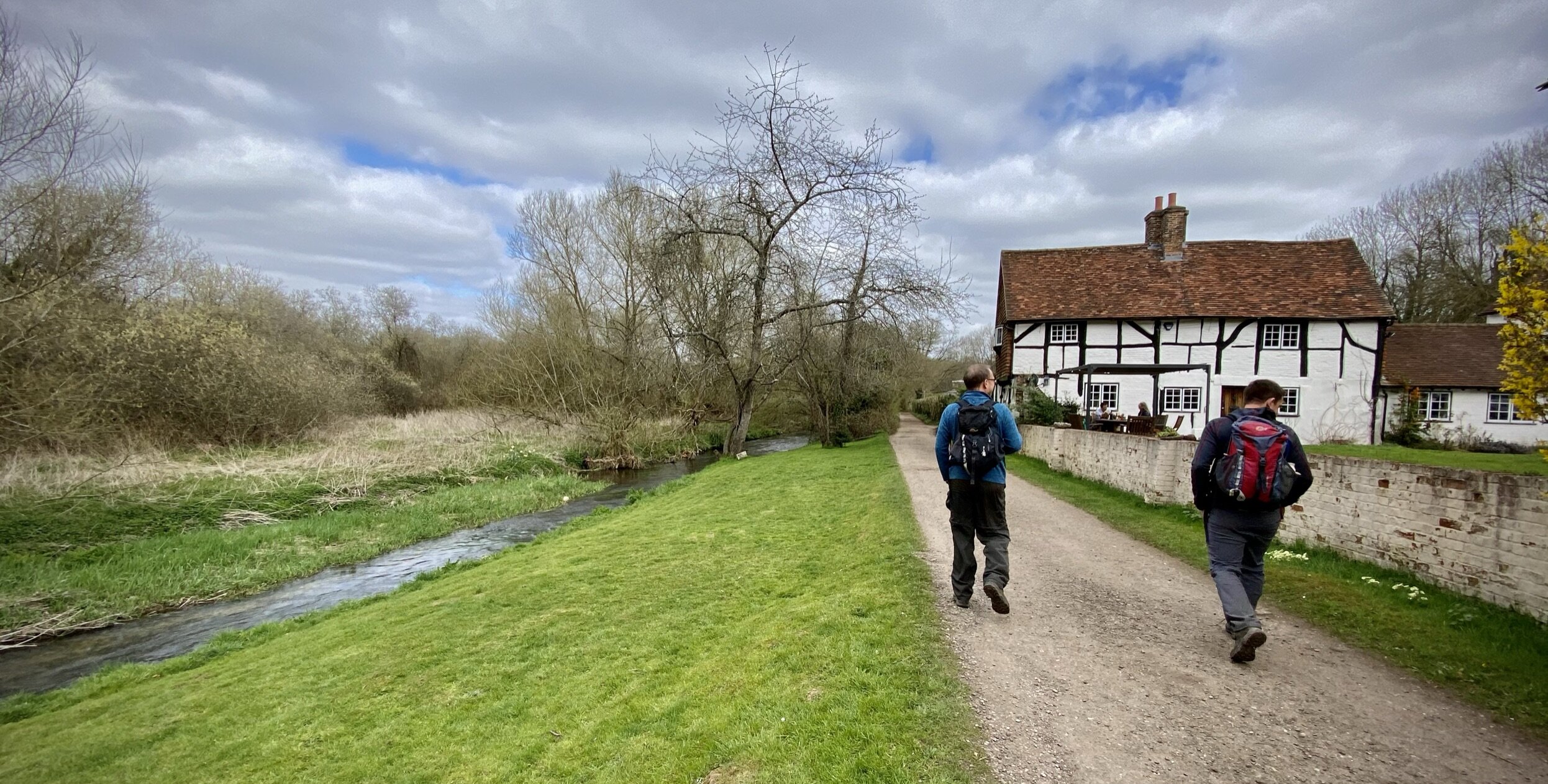
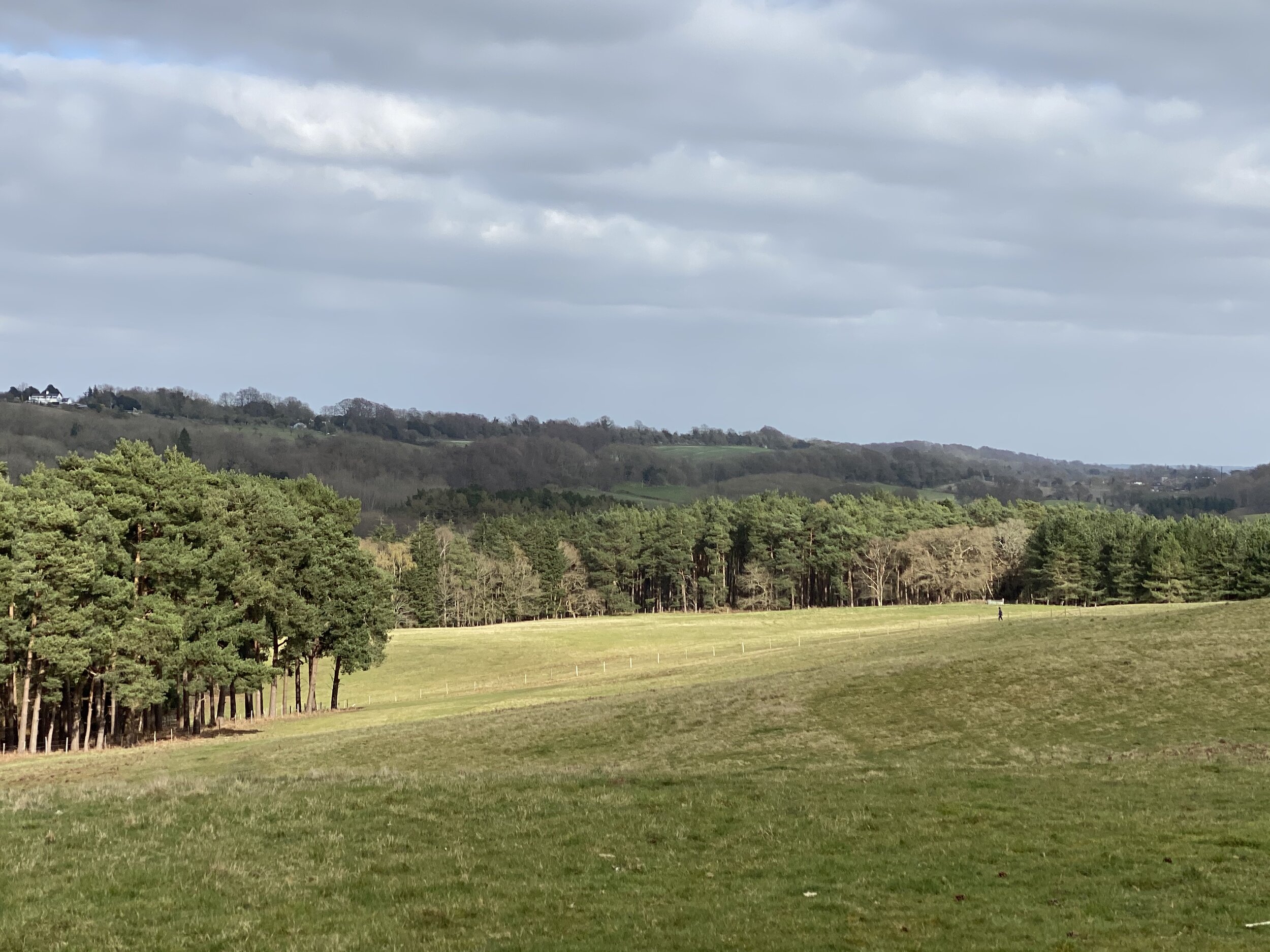
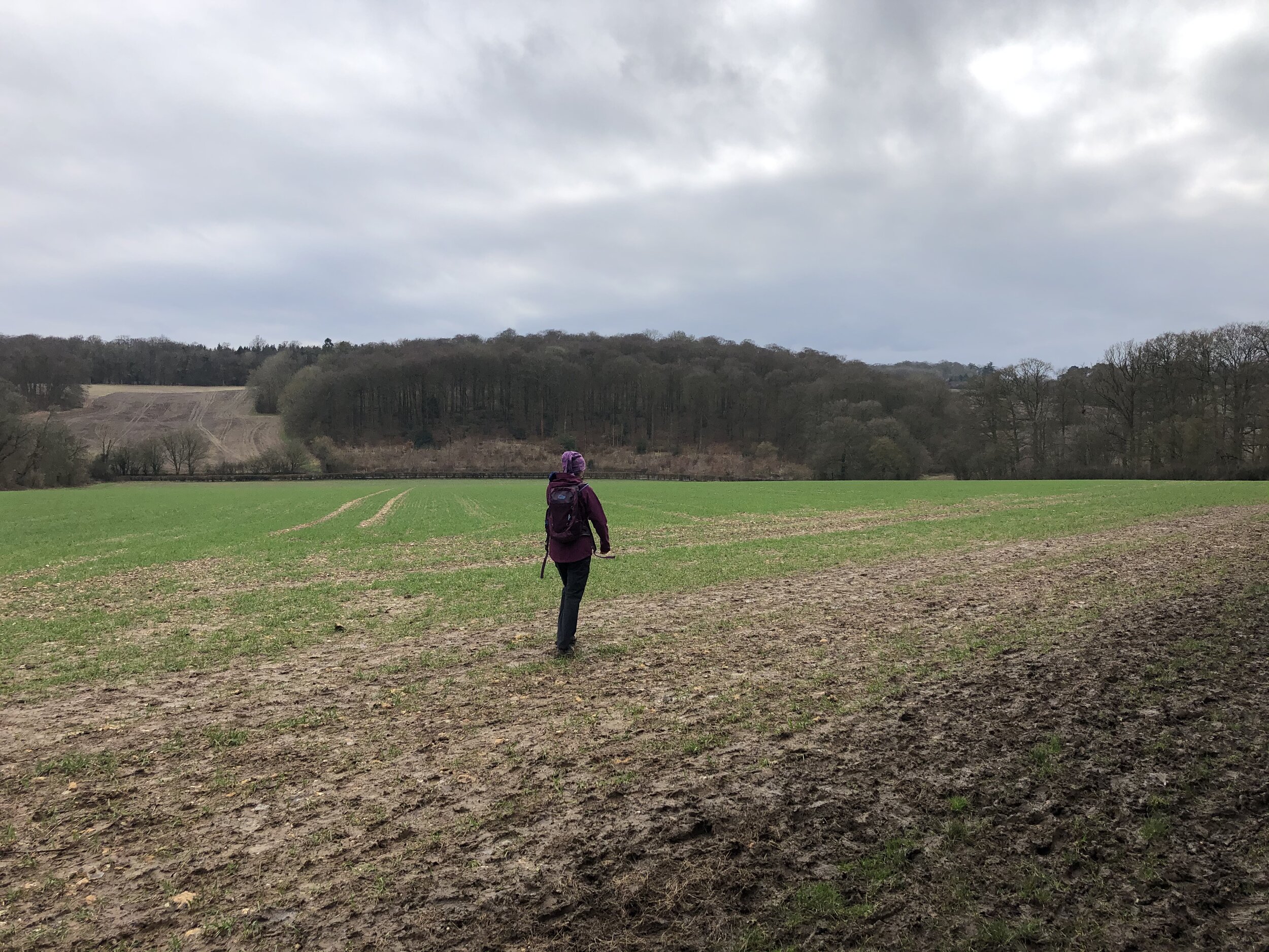
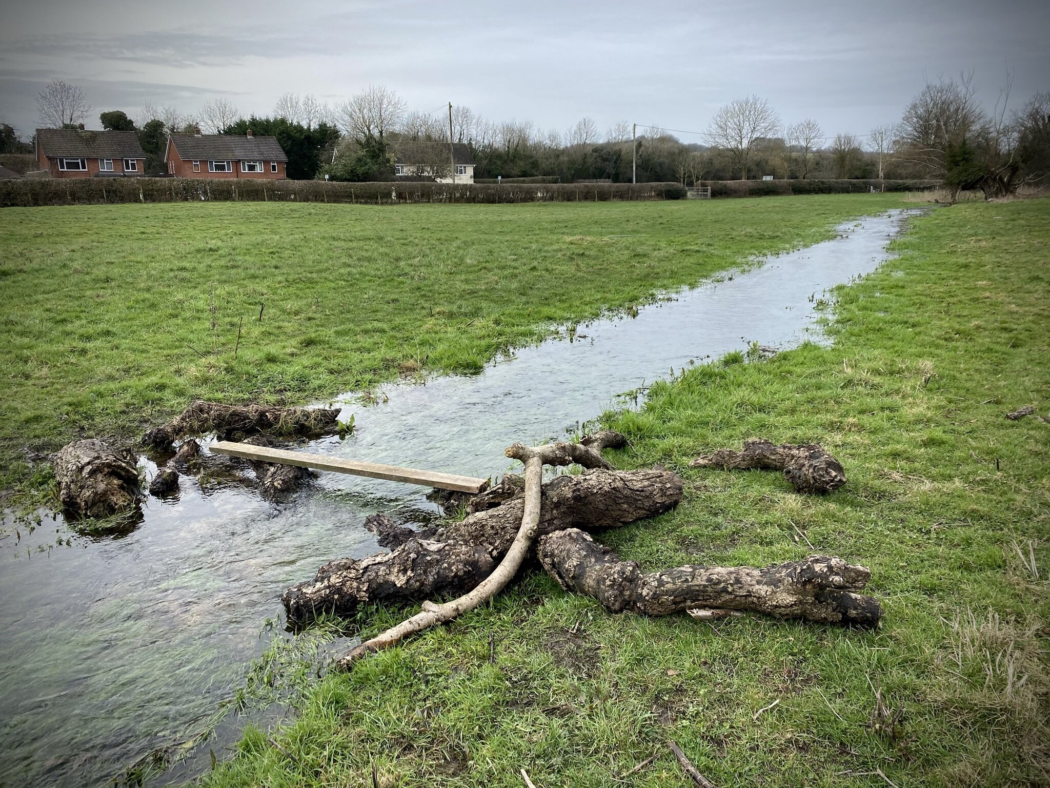
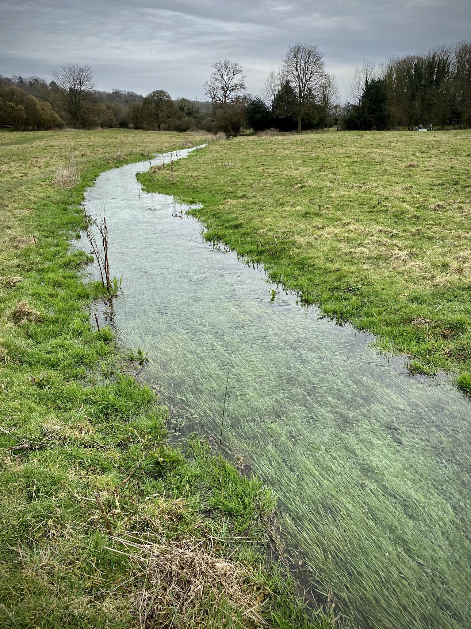
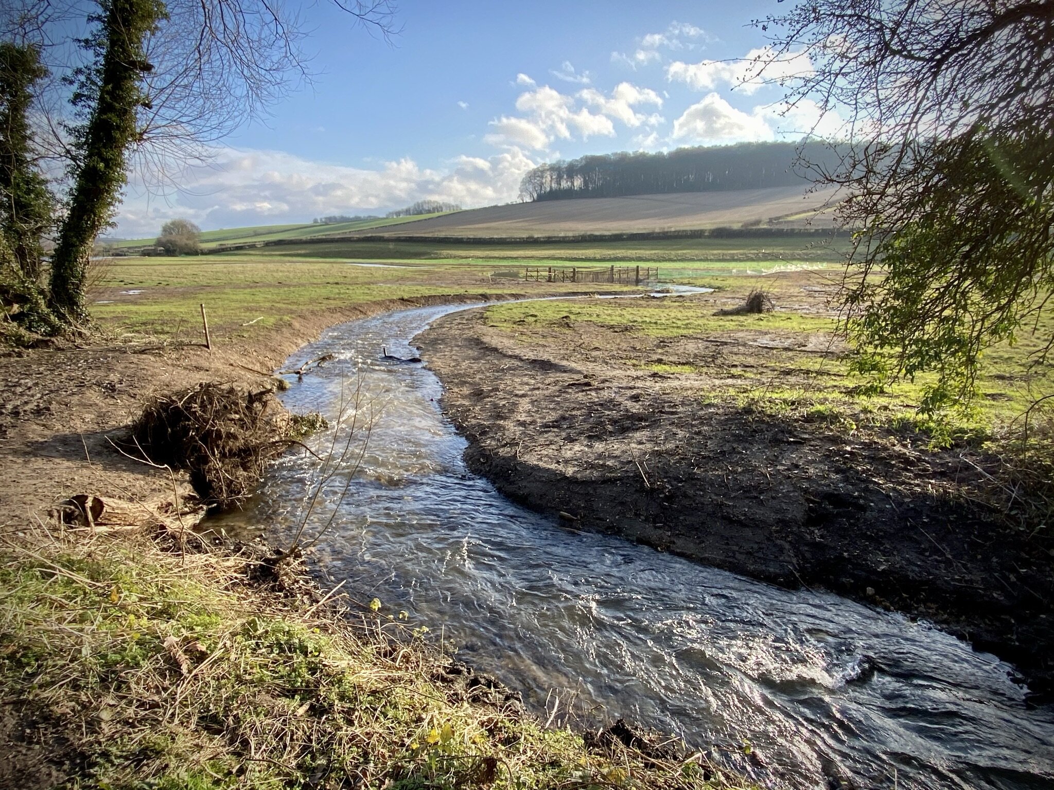
Here the Ridgeway cuts through Princes Risborough Golf Course and meets Lee Road. Here continue south along Lee Road rather than taking the Ridgeway to the east. When Lee Road curves to the left, continue south along the footpath through a farm. Keep to the main path on a south-westerly direction, eventually returning to Saunderton.