Rugged Radnage 10K

When: November 16th 2014
Where: Radnage Village Hall, Green Ln Radnage, High Wycombe, HP14 4DN
Course: Single-lap bow-tie shaped double loops.
Other routes touched (walk): Chiltern Way
Other routes touched (cycle): Chilterns Cycleway
Finish time: 56 mins

For event #3 in Growlerthon, I went to Radnage in South Oxfordshire for their annual Rugged Radnage 10K cross-country race. It had been a while since I'd done a proper muddy run and this one gave me what I needed. Radnage is a small village set in some beautiful countryside. The mid-November timing gave an amazing autumnal backdrop to a fun, challenging run across local farms and woods. The killer final 1K uphill to the finishing point gave a satisfying ending to the run.

Thanks to my friend Sara and the other local volunteers for a friendly, well organised event.

trip-54441919-map-full - Rugged Radnage.png
 
London Bridges Half Marathon

For a few years I imagined a half marathon that follows the Thames Path in London crossing every bridge along the way. On a chilly day in November, with only minor route planning on Google Maps, I gave it a go.

The route starts at Westminster Bridge, heading east towards Tower Bridge. The rules are that every accessible bridge must be crossed and each side of the river covered. This means a zig-zagging route up to Tower Bridge, then the opposite zig-zag back to Westminster and onwards to Chelsea Bridge. This marks the final turn back eastwards, finishing at County Hall on the South side of Westminster Bridge.

My Garmin read 14.1 miles at the end, 1 mile over a true half. Staying tighter to the river would have carved off most of that extra mile. I made this first attempt on a busy Saturday afternoon, and the crowds around Tower Hill and County Hall meant that a diversion was needed at times. My run took nearly 3 hours, mostly due to lack of carbs the day before and a very crowded route that became a slow walk in some parts. An early-morning crowdless route would be do-able in under 2hrs.

Its a great route for views of London and never boring. Its unlikely to be practical to be run as a large organised event due to the many road crossings and narrow alleys, but it works well for small groups.

Here's the details... (N) and (S) indicate North or South direction of travel across the bridge.

Map - London Bridges Half Marathon 1.png

Section 1

  • Start at Westminster Bridge North side by the Houses of Parliament

  • Head east along the Embankment towards Tower Bridge

  • Cross Hungerford Footbridge (S), head east

  • Cross Waterloo Bridge (N), head east

  • Cross Blackfriars Bridge (S), head east

  • Cross the Millennium Footbridge (N), head east

  • Cross Southwark Bridge (S), head east

  • Cross London Bridge (N), head east

  • Cross Tower Bridge (S), now start heading back towards Westminster

Section 2

elevation_profile - London Bridges Half Marathon 1.jpg
  • Cross London Bridge (N), head west

  • Cross Southwark Bridge (S), head west

  • Cross the Millennium Footbridge (N), head west

  • Cross Blackfriars Bridge (S), head west

  • Cross Waterloo Bridge (N), head west

  • Cross Hungerford Footbridge (S), head west

  • Cross Westminster Bridge (N), head west

  • Cross Lambeth Bridge (S), head west

  • Cross Vauxhall Bridge (N), head west

  • Cross Chelsea Bridge (S), now start heading east back towards Westminster

Section 3

  • Cross Vauxhall Bridge (N), head east

  • Cross Lambeth Bridge (S), head east

  • Finish at Westminster Bridge, south side by County Hall


Cycling London's Capital Ring
View to the city on the northern section

View to the city on the northern section


Start & Finish: Old Deer Park Car Park, Park Lane, Richmond, TW9 2RA
Distance: 127 km / 79 miles
Elevation Change: + / - 1,017m
GPX File: get via Buy Me a Coffee
Other Routes Touched (Walk): Thames Path, Wandle Trail, Green Chain Walk, King John’s Walk, Explore Charlton Trail, Jubilee Greenway, The Greenway, Lea Canal Towpath, Lea Valley Walk, New River Path, Grand Union Canal Towpath
Other Routes Touched (Cycle): NCN 1, 13, 20, 21, 4 / CS 1, 2, 3
Guidebook: The Capital Ring by Colin Saunders. Arum Press.
Maps:
- OS Explorer Map (161) London South, Westminster, Greenwich, Croydon, Esher & Twickenham
- OS Explorer Map (173) London North, The City, West End, Enfield, Ealing, Harrow & Watford


The Capital Ring is a 78 mile walking route circling inner and central London. It was established in 2005 as a continuous signposted route that takes in many of London’s parks and green spaces. Whilst there are many books and articles detailing how to walk it, there’s very little in the way of advice for cyclists. That’s probably intentional as some parts, particularly Richmond Park and Wimbledon Common, specifically prohibit cycling along the route.

My first attempt at cycling the Capital Ring was in 2013, 6 months after a successful 2-day adventure on its big sister, the 150 mile London Loop. Having found the Loop relatively straightforward I considered the Ring to be easy. My first attempt with 2 friends failed spectacularly with a combination of my ineffective navigation, Brian’s broken bike and Ray’s broken body. A broken chain en-route to the start and some confusion over the meet-up point meant an 11 am start, far too late for a 70+ miler on an autumn day. We decided to see how far we could get and less than 20 miles in we realised it wasn’t going to happen. We ended up with a smaller 45 mile trip. A nice day but we hadn’t conquered the Capital Ring.

I’d learnt my navigation lesson by the 2nd attempt 1 year later. Previously I’d been relying only on Colin Saunders’ excellent guide to the route. It's appropriately detailed and, whilst great for walkers, it's not something that you can read whilst cycling at speed. Although the route is well signposted it'seasy to miss the signs every now and then. The solution for attempt 2 was a handlebar mounted iPhone case and a cycling app with a GPX file of the route. This was the single most important reason that we were able to complete the route in a day.

The route itself is a well thought-out mix of some well-known and unfamiliar parts of London. Although the official start is the Woolwich tunnel on the eastern side, you can pick it up wherever you want. We started on the far west at Richmond Bridge going anti-clockwise. This gave us some amazing early-morning views across Richmond Park and some great photo opportunities with the deer. The official Capital Ring route through the park prohibits cycling so its important to take a detour here to avoid annoying the early morning walkers and the potential £50 fine for cycling on the wrong paths.

The rest of the south side is fairly scenic taking in Wimbledon Common, Streatham and on to Eltham. The route crosses the river at the Woolwich Foot Tunnel before the less than scenic parts around London City Airport and Barking. The route gets interesting again when it joins a long stretch of converted railway called the Greenway taking you to the Queen Elizabeth Olympic Park.

The North London section is mostly a nice combination of canals and parks with some busy sections around the A1/A406 road links near Brent Cross. This section reaches its literal peak at Harrow On The Hill which, based on our chosen start point, came just as the sun went down and tiredness set in. From Harrow it's down-hill all the way back to Richmond Bridge. The official route takes advantage of canal and stream towpaths although we took an alternative road-based route trying to avoid falling into the Grand Union in the dark.

Our experience proved that cycling the Capital Ring is both practical and rewarding. There’s no detailed guide to cycling the Ring yet, so I recommend some careful planning and being prepared for some spontaneous detours. I would say that ~90% of the route is cycle friendly with easy alternatives for the rest. A good GPS device will help you get back on track when you get lost or need to make a detour to avoid a muddy hill. For enjoyment go for 2 days and take a slow pace. This will give you time to read the guide book as you go and learn about the interesting places along the way. The 1 day version we did becomes a very different experience altogether as it's more of a physical and navigational challenge. Either way it's an incredibly rewarding route and a unique way to see the Capital.

route-26640052-map-full.png
Capital Ring Elevation Profile

Capital Ring Elevation Profile


The Capital Ring and The London Loop

London Loop in Blue, Capital Ring in Red. Base map from OpenStreetMap

London Loop in Blue, Capital Ring in Red. Base map from OpenStreetMap


More London posts


Normanby Top: Lincolnshire County Top

Radar tower near the summit


Normanby Top

Also Known As: Wolds Top, Normanby Hill, The Wolds
Significance: Highest peak in Lincolnshire (Historic County Top), Parts of Lindsey (Administrative County Top), Lincolnshire Wolds National Landscape
Member of: Marilyn
Parent Peak: Walton Hill.
Nearest Higher Neighbour: Bishop Wilton Wold
Elevation: 168m
Date climbed: October 14th 2014
Coordinates: 53°27′09″N 0°18′48″W


Route Start / End: Near radio station tower (massive golf ball) on east-west road between Normanby Road and B1225
Route Distance: 1.1 km (0.7 miles)
Route Elevation Change: +/- 5m
Subsidiary tops on route: None
GPX File: get via Buy Me a Coffee
Other routes touched: None
OS Trig Pillar: TP0753 - Acre
Map: OS Explorer 282: Lincolnshire Wolds North
Guidebook: The UK's County Tops (Jonny Muir), Walking the County High Points of England (David Bathurst)
Links: Wikipedia (Lincolnshire), Wikipedia (Parts of Lindsey), Wikipedia (Normanby Top), Peakbagger, Hillbagging


OTHER HIGH POINTS IN Lincolnshire


Royal Parks Half Marathon

When: October 12th 2014
Where: London, UK
Course: Start and end in Hyde Park via Green Park, St James', Westminster Bridge and The Embankment
Other routes touched (walk): Thames Path, Jubilee Walkway, Jubilee Greenway, Diana Princess of Wales Memorial Walk
Other routes touched (cycle): None
Finish time:
 1:47

The London Royal Parks may have been my 17th Half Marathon, but it was by far my most important. This year I was running for Cancer Research UK as the first event in Growlerthon2015, my year of fundraising. I’d been trying to get into this race for years but always missed out via the public ballot. Running for a charity is great way to guarantee a place, and it comes with the responsibility of raising enough money for them.

The race is hugely popular as goes through some great London scenery. There’s 3 of the Royal Parks: Hyde, Green and St James, plus Buckingham Palace, Parliament Square, Westminster Bridge, the Embankment and Admiralty Arch.

October 12th was a beautiful Autumn day with excellent running conditions. I’m not fond of running in the heat and that day was nicely chilly. The flat course, the buzz of the crowds and Timi and her parents there to support all contributed to a great race and a Personal Best of 1:47.

A very large glass of wine helped to finish the day and was the decider to return in 2015 for the 42 mile Royal Parks Ultra.

 
One Year On

I've been dreading writing this. It's not the usual procrastination and not the fear of having to do something I don’t want to. It's the need to do it mixed with the knowing that it will bring up things I've been happy not to think about for a while.

I've not spoken much about my Dad's death. I didn't feel the need to but I always knew there would be a time to reflect on it properly and, one year on, that time is here. Funerals are the time to mark the passing, to grieve together and say goodbye. I don't understand them and they don't work for me. Dad's funeral was small, 8 of us, although there would have been many more if Mum, my sister and I had invited them. Dad was popular and there could have been many more there but he would have wanted it to be small and private. Or maybe that’s what we wanted.

It started in March. Mum and Dad had returned to the UK a few months earlier, after 4 years of living in France. Christmas was nice as my in-laws were visiting from Hungary and we were all together. By March, Dad was out in the garden again where he spent a lot of time working. For 70 he was in good shape and very active, so climbing trees to cut down branches wasn’t unusual. Having pains in his chest afterwards was odd but easy to put it down to just over-doing it. The pains didn’t go away tho and then the coughing came. Like most men, Dad wasn’t one for going to the doctors, so only went there after the pain didn’t go away and Mum made him go. Then came the scan and the shadow on the lung. Not good. Things progressed fairly quickly or at least that’s how I remember it now.

By April, Dad was in hospital to have fluid drained from his lungs. It was meant to be a week but it became a month. The hospital was a few miles from where my wife, Timi and I lived and I cycled there to see him most nights. We were all fully in denial, conscious that there could be something very bad but trying not to think about it. Dad wasn’t a big talker, so pretending that all was well came easily. Whilst there, Dad had a biopsy to find out what the shadow was.

During the May Bank Holiday Timi and I were in Hungary for my birthday. We were in an odd limbo time of not wanting to make new plans in case we needed to be close to home but not cancelling anything either. I kept in contact with Mum while we were away and “all was well”. The day after we got back Mum emailed to ask if she could meet me at home after work. That was the point that I knew that we couldn’t be in denial anymore.

Mum couldn’t look at me when she told me. Dad had lung cancer. It was Mesothelioma, a rare type caused by contact with asbestos. Dad was an engineer and would have had a lot of contact with it, long before it was known to be dangerous. Mesothelioma lays dormant, often for 30 years and then suddenly becomes a problem very quickly. There’s no cure and not much in the way of effective treatment.

Dad was allowed to go home soon after and there were plans for chemotherapy to delay the effects. He was upbeat and positive as usual, not wanting to worry anyone. We all got on with it by pretending it wasn’t happening. The most consistent advice that I got from friends was “don’t leave anything left unsaid”. I understood that but at the same time I didn’t know what there was that was unsaid. I was lucky to have a great childhood and the best parents I could wish for. I didn’t feel that there was anything unsaid but the advice made me think that maybe there should be.

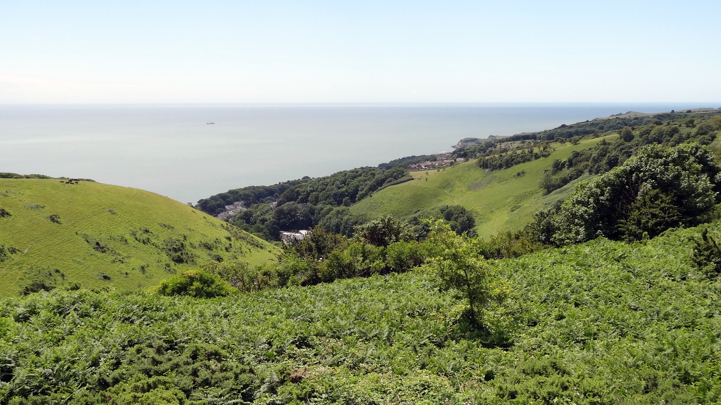
Summer was somewhat surreal. The first round of chemo came and went and was fairly straightforward. Timi and I would visit as often as we could and we spent time in the garden, enjoying the summer evenings with Mum and Dad. I had an odd mix of enjoying the time spent together and a greater appreciation of the value of the time left with a dread of what would come next.

Chemo round 2 had more of an impact. Dad slept for most of the 3 weeks that followed. He decided not to carry on with round 3. That was the point where there were really no more options. By September, not even 6 months on from the first pains in the chest, we knew that there was nothing left to be done. Dad was happy to stay in denial and did not want to talk about his illness. This meant that we could not ask how long he had left. Mum read that, with Mesothelioma, it's often 1 year from the first diagnosis. In the end we had half of that.

The final 2 weeks were a rapid decline. I had moved in with my parents to do whatever was needed. Dad couldn’t do much for himself anymore and retreated even further into himself. The hardest thing for me was watching Mum spoon-feeding him with baby food when he couldn’t do it for himself. After a life well lived that’s not something you want to end up doing whichever side of the spoon you’re on.

During the last week we had a hospital bed downstairs. Dad wasn’t able to talk or carry himself any more and Mum and I were not able to carry him upstairs. We had regular visits from carers who would wash and feed him. They were amazing and are so professional at a job that I can’t imagine doing at all. Through that week Mum and I would take it in turns to be with him and make sure he was OK. I would talk to him and he talked back. I had no idea if he understood what I was saying and I certainly didn’t understand what he was trying to say. Either way, there was nothing left unsaid.

October 11th was an otherwise normal, sunny autumn day. The carers came to wash, feed and shave Dad. I was on the sofa, working and keeping an eye out for him. By now his breathing had slowed down and there were longer gaps between breaths. Around 10 I noticed that it had been an especially long gap...

For a very long time I considered that the death of one of my parents would be the worst thing that could happen. At the time it was, but it was also not how I expected. 6 months is an odd combination of enough time to get used to something happening but too quick to get any real perspective. By the point that he had stopped breathing I was just running a process that I had rehearsed in my mind for several months. The final day was surreal. There was the calling the doctor and waiting for morning appointments to end before the doctor could come out. Then there was the Police who had to come out in cases of an industrial-related illness but didn’t know what to do when they arrived. I had to call the doctor to get him to explain to the police what they should be doing. It was a full 8 hours before the undertakers came for him. Then came the unexpected relief. Relief that he wasn’t going to be in that pain anymore and that part of the nightmare was over.

The hardest thing was calling Lisa, my sister. Lisa lives a very long way away in Zambia with all of the difficulties of not being able to be home regularly. Lisa had come back to visit Dad in July, the last time he was well enough to appreciate it. Having lived abroad myself for several years I knew the fear of something bad happening at home and having to deal with something remotely. The auto-pilot process of dealing with the death only worked until I called Lisa and then I fell apart.

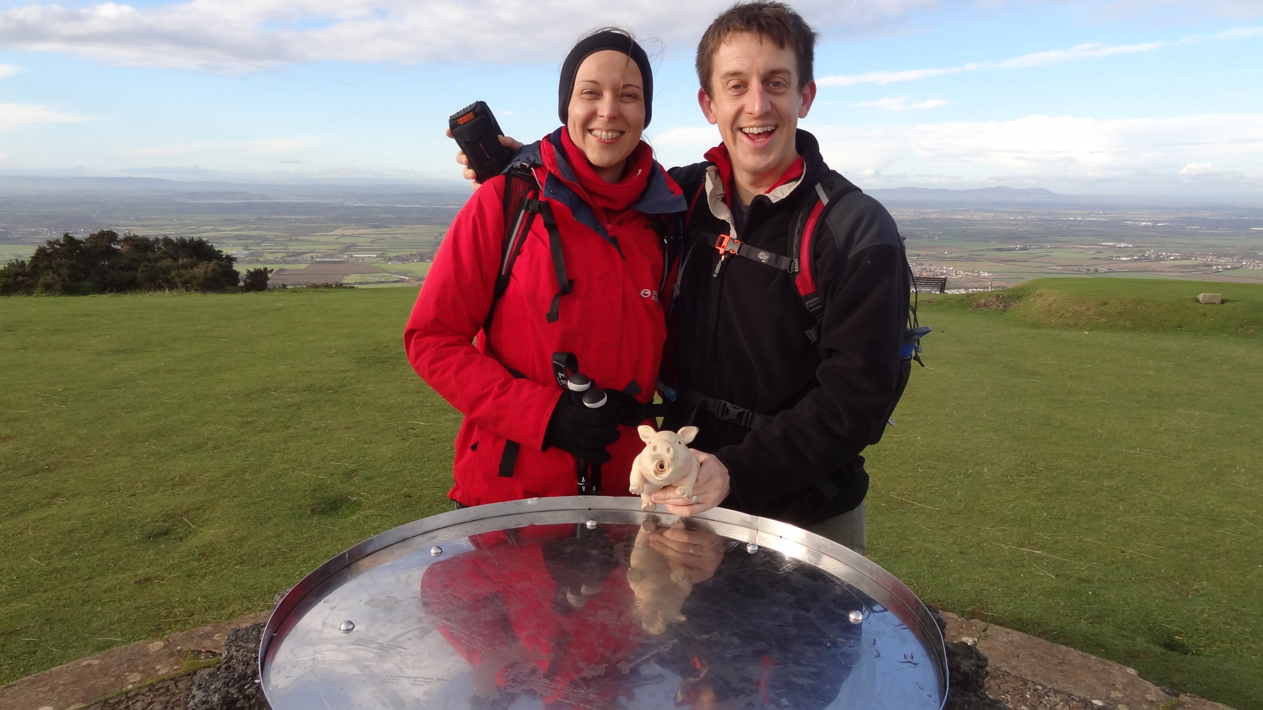
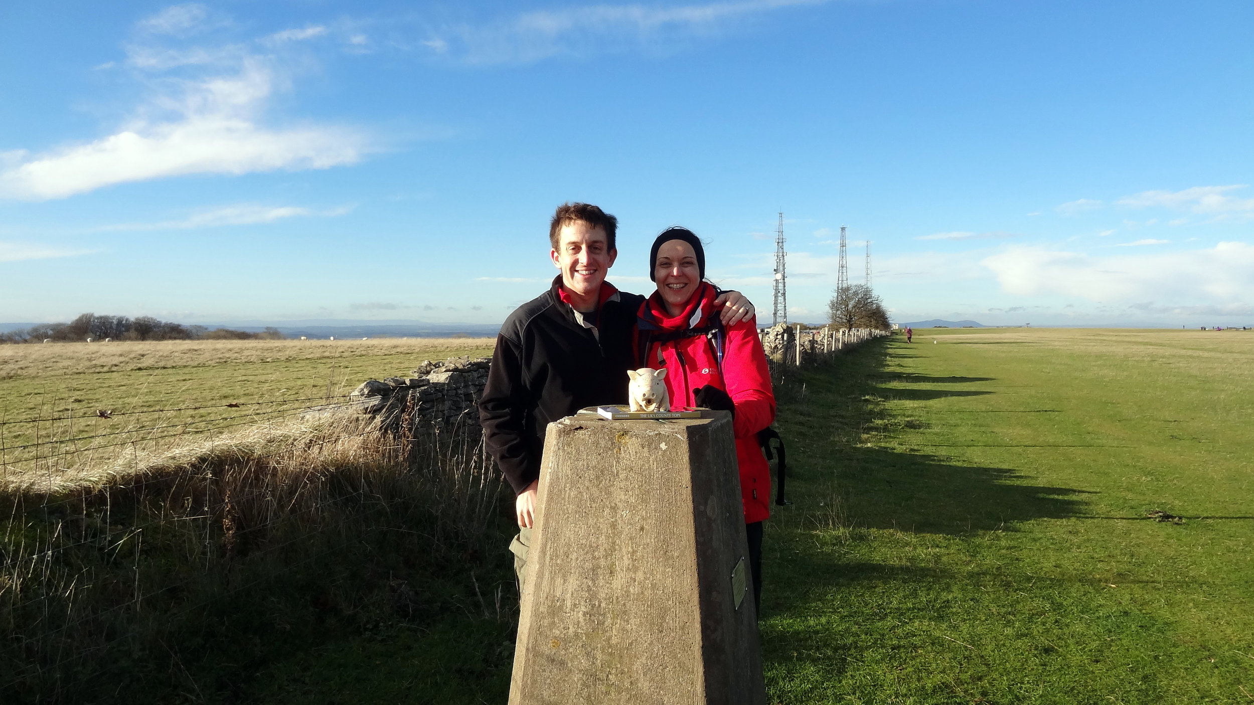
So, it's one year on and a lot had happened. Timi and I bought and refurbished a house. Mum visited Lisa in Zambia and their relationship is the best I’ve seen it in as long as I can remember. We’ve all had our fair share of ups and downs. Dad is still with us all and in different ways for each of us. For me it's deep in who I am. He was a good man and I hope I am too.

Richard gowerComment
Kékes: Hungary High Point

Significance: Highest Point in Hungary
Parent Peak:
TBC, possibly Javorie, Slovakia
Nearest Higher Neighbour: Javorie, Slovakia
Elevation:
1,104m
Date climbed:
August 17th, 2014
Coordinates:
47° 52' 21'' N, 20° 0' 31'' E
Guidebook: Europe’s High Points (Cicerone)
Links:
Wikipedia (Hungary / Kékes), Peakbagger

The highest point in Hungary is very easy to tick off as you can drive to the top. There’s a lot of hiking options around but Timea and I were on a driving tour of the north and east of the country and decided to do it as a drive-by. The summit is marked by a stone painted in the colours of the Hungarian flag.


St Boniface Down: Isle Of Wight High Point

Significance: Highest peak on the Isle of Wight (Present Day County Top), Isle of Wight National Landscape High Point
Member of: Marilyn, Hardy
Parent Peak: n/a.
Nearest Higher Neighbour: Butser Hill
Historic County: Hampshire (of which Pilot Hill is the County Top)
Elevation: 241m
Date climbed: 6th July 2014
Coordinates: 50° 36' 13'' N, 1° 11' 51'' W
OS Trig Pillar: TP0352 - Wroxall Down
Map: OS Explorer OL29 Isle of Wight
Guidebook: Walking the County High Points of England (David Bathurst)
Links: Wikipedia (Isle of Wight), Wikipedia (St Boniface Down), Peakbagger, Hillbagging, National Trust

This was another drive-by County Top bagging for us. We were on a weekend trip for my mum's birthday and I convinced her that the diversion to the top of a hill to see a radar station was a good thing to do. As it turned out the views to the south coast of the island were fantastic that day.

Having seen David Bathurst's book since that trip, I've been inspired to go back one day and try a longer circular route to the top. I also completely missed bagging the Trig Pillar so I definitely have some unfinished business up there.


Black Mountain: Herefordshire County Top

Also Known As: Twyn Llech (Welsh)
Significance: Highest peak in Herefordshire (Historic CT).
Member of: Marilyn, Hewitt, Nuttall
Parent Peak: Waun Fach. NHN = Rhos Dirion
Elevation: 703m
Date climbed: April 20th 2014
Coordinates: 52°00′30″N 3°05′05″W
Route Start / End: Gospel Pass Car Park, Capel-y-ffin, Abergavenny, NP7 7NP
Route Distance: 8 km (5 miles)
Route Elevation Change: +/- 196m
Subsidiary tops on route: Hay Bluff (677m)
GPX File: get via Buy Me a Coffee
Other routes touched: Offa’s Dyke Path
OS Trig Pillar: TP5402 - Pen-Y-Beacon
Map: OS Explorer OL13 Brecon Beacons National Park
Guidebook: The UK's County Tops (Jonny Muir), Walking the County High Points of England (David Bathurst)
Links: Wikipedia (Herefordshire), Wikipedia (Black Mountain), Peakbagger, Hillbagging


If I had known that I’d be returning to the Ewyas valley many times in the future I probably wouldn’t have attempted this on on such a rainy day. As it happened we were on the last day of a long weekend in the Brecon Beacons and I was eager to bag this one.

Although Black Mountain is the high point of Herefordshire, an English County, much of the walk is in Wales. The obvious starting point is the car park at the top of Gospel Pass. From here there’s a well trodden path up the side of the valley to the Hay Bluff Trig Pillar. From the pillar, take the south-easterly path to join Offa’s Dyke. Continue for ~1.2k until you get to the high point. There’s nothing here except for a small group of stones. As visibility was very poor and it was raining a lot, we quickly retraced our steps back to the parking spot.

In the following years a good friend of ours would move to the valley and we have done a lot more walks near there. With better weather and more time I would plan a different walk that includes both Twmpa and Black Mountain.


Worcestershire Beacon: Worcestershire County Top
Summit of Worcestershire Beacon

Summit of Worcestershire Beacon


Significance: Highest peak in Worcestershire (Historic County Top), Malvern Hills National Landscape
Member of: Marilyn, Hardy
Parent Peak: Hergest Ridge.
Nearest higher Neighbour: Titterstone Clee Hill
Elevation: 425m
Date climbed: 19th April 2014
Coordinates: 52°06′17″N 2°20′25″W


Route Start / End: Beacon Road Car Park, Beacon Rd, Malvern, WR14 4EH
Route Distance: 2.8 km (1.7 miles)
Route Elevation Change: +/- 110m
Subsidiary tops on route: Summer Hill (383m)
GPX File: get via Buy Me a Coffee
Other routes touched (walk): Geopark Way, Three Choirs Way
Other routes touched (cycle): none
OS Trig Pillar: TP0724 - Malvern
Map:
OS Explorer Map (190) Malvern Hills & Bredon Hill
Guidebook: The UK's County Tops (Jonny Muir), Walking the County High Points of England (David Bathurst)
Links: Wikipedia (Worcestershire), Wikipedia (Worcestershire Beacon), Peakbagger, Hillbagging


elevation_profile.jpg


OTHER HIGH POINT IN Worcesterhire


Boring Field: Huntingdonshire County Top

The boring summit of Boring Hill


Significance: Highest peak in Huntingdonshire (Historic CT)
Member of: N/A
Parent Peak: Cleeve Hill. NHN = The Slipe
Elevation: 81m
Date climbed: December 13th 2013
Coordinates: 52° 19' 46'' N, 0° 27' 42'' W 
Route Start / End: Layby near water tower on B645 (NN9 6BG)
Route Distance: 2.5 km (1.6 miles)
Route Elevation Change: +/- 10m
Subsidiary tops on route: None
GPX File: get via Buy Me a Coffee
Other routes touched: None
Map: OS Explorer 225: Huntingdon and St.Ives, Grafham
Guidebook: The UK's County Tops (Jonny Muir)
Links: Wikipedia (Huntingdonshire), Wikipedia (Covington), Peakbagger, Hillbagging

Note: Boring field is now in the Ceremonial County of Cambridgeshire

Border post


Ebrington Hill: Warwickshire County Top

Significance: Highest peak in Warwickshire (Traditional CT)
Member of: N/A
Parent Peak: Cleve Hill. NHN = Bredon Hill
Elevation: 261m
Date climbed: 13th December 2013
Coordinates:  52°04′54″N 1°43′38″W 
Route Start / End: layby near radio transmitter at junction of Cotswold Link and country road between Park Lane and Nebsworth Lane
Route Distance: 0.1 km (0.1 miles)
Route Elevation Change: +/- 0m
Subsidiary tops on route: none
GPX File: get via Buy Me a Coffee
Other routes touched (walk): Cotswold Link
Other routes touched (cycle): none
Map:
OS Explorer Map (205) Stratford-upon-Avon and Evesham
Guidebook: The UK's County Tops (Jonny Muir), Walking the County High Points of England (David Bathurst)
Links: Wikipedia (Warwickshire), Wikipedia (Ebrington Hill), Peakbagger, Hillbagger


This County Top can be done as a very quick drive-by if, as I was, you’re short on time and on the way to somewhere else. There’s parking space for a couple of cars at the transmitter station. Don’t worry too much about whether you’ll find a parking space. You’ll soon find out when you get there why this isn’t one of England’s Top Ten tourist attractions.

There’s a Queen Elizabeth Diamond Jubilee boundary stone by the transmitter. From here, cross the road following the Cotswold Link and take a bearing using the coordinates above to reach the high point of Warwickshire. Retrace your steps to the car, get in and drive somewhere more interesting.

If you have the time a more interesting way to bag this would be as part of a long distance walk on the Cotswold Link.


Cleeve Hill: Gloucestershire County Top
Cotswold Way junction near the summit.

Cotswold Way junction near the summit.

Significance: Highest peak in Gloucestershire (Historic County Top), Cotswolds National Landscape High Point
Member of: Marilyn
Parent Peak: The Wrekin.
Nearest Higher Neighbour: Herefordshire Beacon
Elevation: 330m
Date climbed: 8th December 2013
Coordinates: 51.920°N 2.007°W
   
Route Start / End: Rising Sun Hotel, Rising Sun Lane, Cleeve Hill, Cheltenham, GL52 3PX
Route Distance: 12 km (7.5 miles)
Route Elevation Change: +/- 304m
Subsidiary tops on route: Cleeve Hill (317)
GPX File: get via Buy Me a Coffee
Other routes touched (walk): Cotswold Way, Winchcombe Way (West), Isbourne Way
Other routes touched (cycle): none
OS Trig Pillar: TP0007 - Cleeve Hill
Map: OS Explorer Map (179) Gloucester, Cheltenham and Stroud
Guidebook: The UK's County Tops (Jonny Muir), Walking the County High Points of England (David Bathurst)
Links: Wikipedia (Gloucestershire), Wikipedia (Cleeve Hill), Peakbagger, Hillbagging


OTHER HIGH POINT IN Gloucestershire


Great Wood: Suffolk County Top
DSC06145.JPG

Significance: Highest peak in Suffolk (Historic CT)
Member of: N/A
Parent Peak: Haddington Hill. NHN = Chrishall Common
Elevation:
 128m
Date climbed: 17th November 2013
Coordinates: 51°17′18″N 0°03′26″E   
Map: OS Explorer Map (211) Bury St.Edmunds and Stowmarket
Guidebook: The UK's County Tops (Jonny Muir), Walking the County High Points of England (David Bathurst)
Links: Wikipedia (Suffolk), Wikipedia (Great Wood), Peakbagger, Hillbagging

I bagged Great Wood, the high point of the Historic County of Suffolk, in 2013 as a part of series of quick high-point drive-bys. Nothing to see here so do it on the way to much more interesting destinations in the area.


Other High Point In Suffolk


Great Chishill and Chrishall Common: Cambridgeshire and Essex County Tops

The inspiring summit of Cambridgeshire


Great Chishill

Significance: Highest peak in Cambridgeshire (Historic CT)
Member of: N/A
Parent Peak: Haddington Hill. NHN = Chrishall Common
Elevation:
 146m
Coordinates: 52° 1' 39'' N, 0° 4' 45'' E
Links: Wikipedia (Cambridgeshire), Wikipedia (Great Chishill), Peakbagger, Hillbagging

Chrishall Common

Significance: Highest peak in Essex (Historic CT)
Member of: N/A
Parent Peak: Haddington Hill. NHN = Whitehill-Butterfield Green
Elevation:
 147m
Coordinates: 52° 0' 19'' N, 0° 6' 5'' E
Links: Wikipedia (Essex), Wikipedia (Chrishall Common), Peakbagger, Hillbagging

For both peaks:
Date climbed:
 17th November 2013
Route Start / End: Great Chishill Village Hall
Route Distance: 9.2 km (5.6 miles)
Route Elevation Change: +/- 78m
Subsidiary tops on route: None
GPX File: get via Buy Me a Coffee
Other routes touched: Harcamlow Way
Map: OS Explorer Map (209) Cambridge, Royston, Duxford & Linton
Guidebook: The UK's County Tops (Jonny Muir), Walking the County High Points of England (David Bathurst)


Other High Points In Cambridgeshire

  • Boring Field (81m) Huntingdonshire High Point (now part of Ceremonial County of Cambridgeshire)

  • Haddenham Village (39m) Former Administrative County of the Isle of Ely High Point

Other High Points In ESSEX

GREATER LONDON BOROUGH HIGH POINTS FORMERLY WITHIN Essex