Langdon Hill Southwest Slope: Thurrock High Point

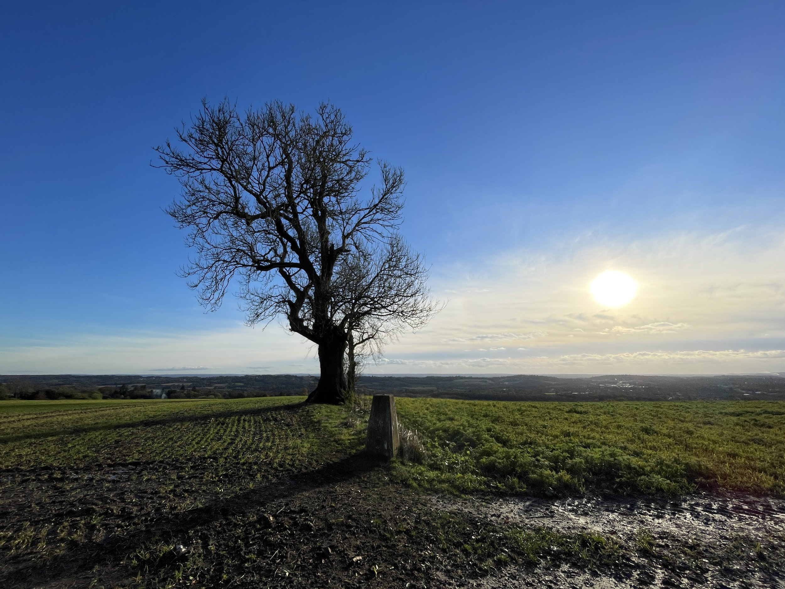
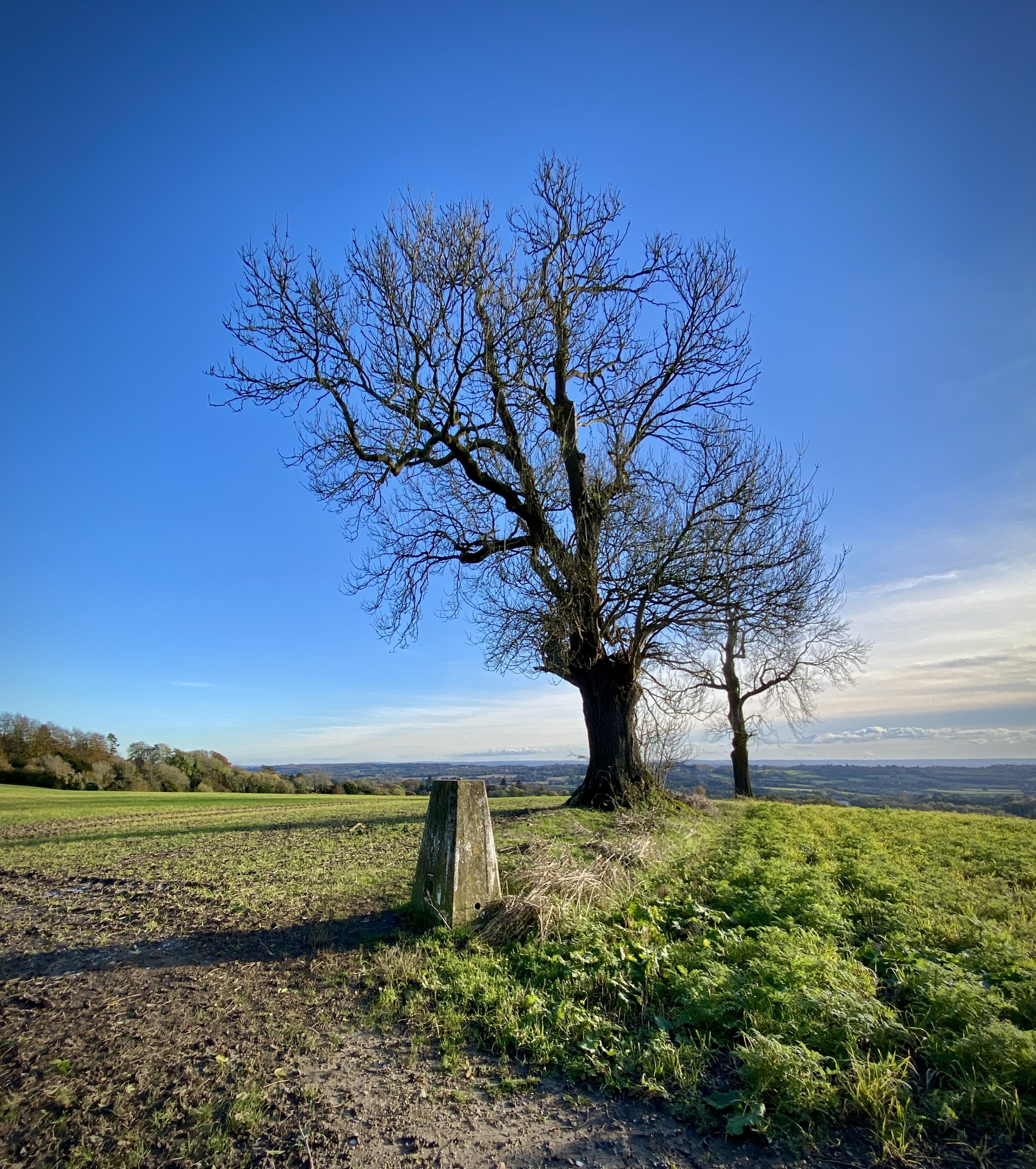
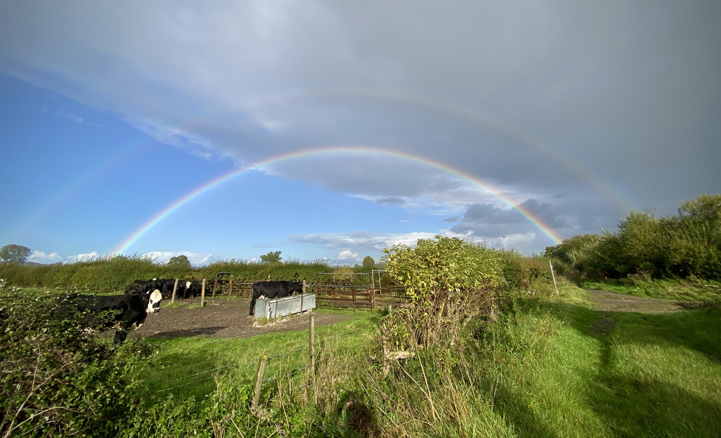
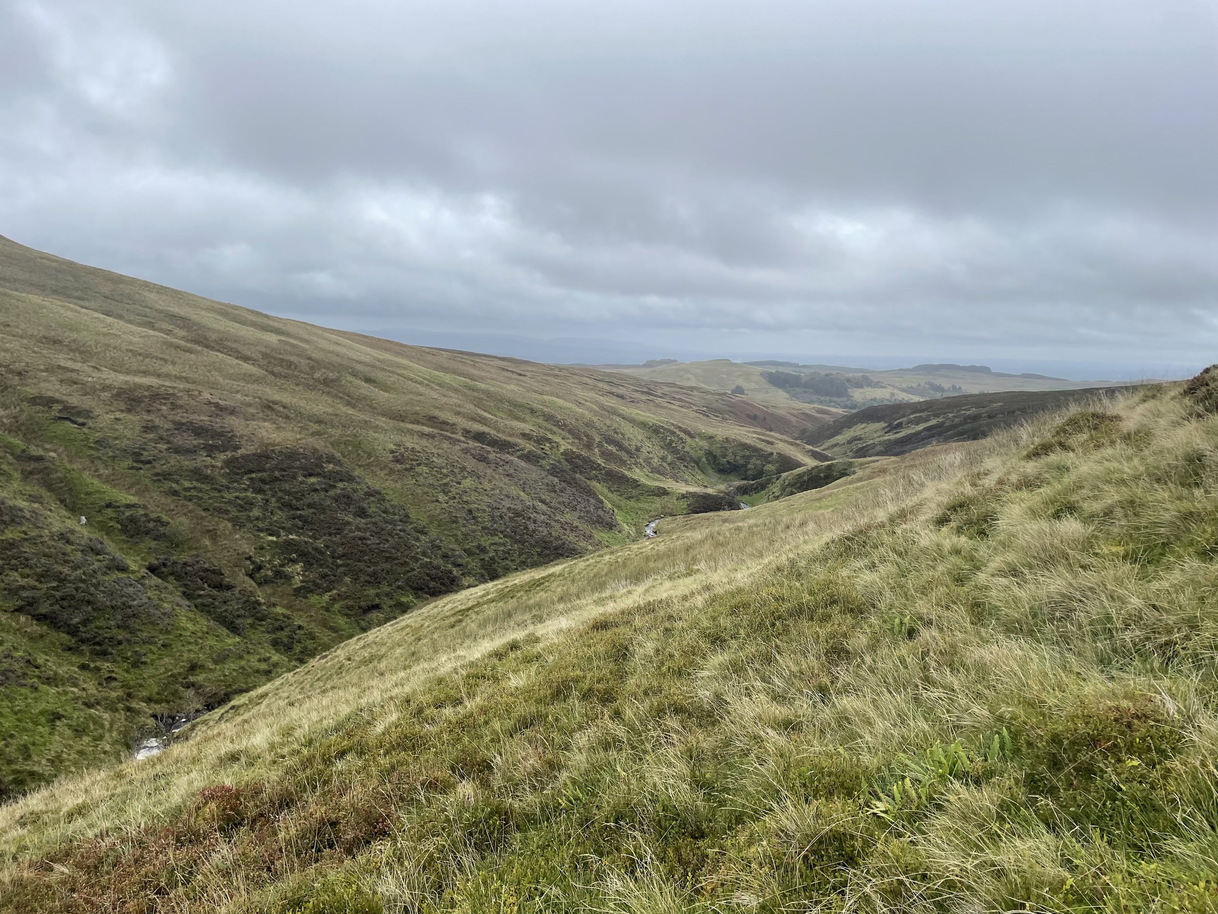
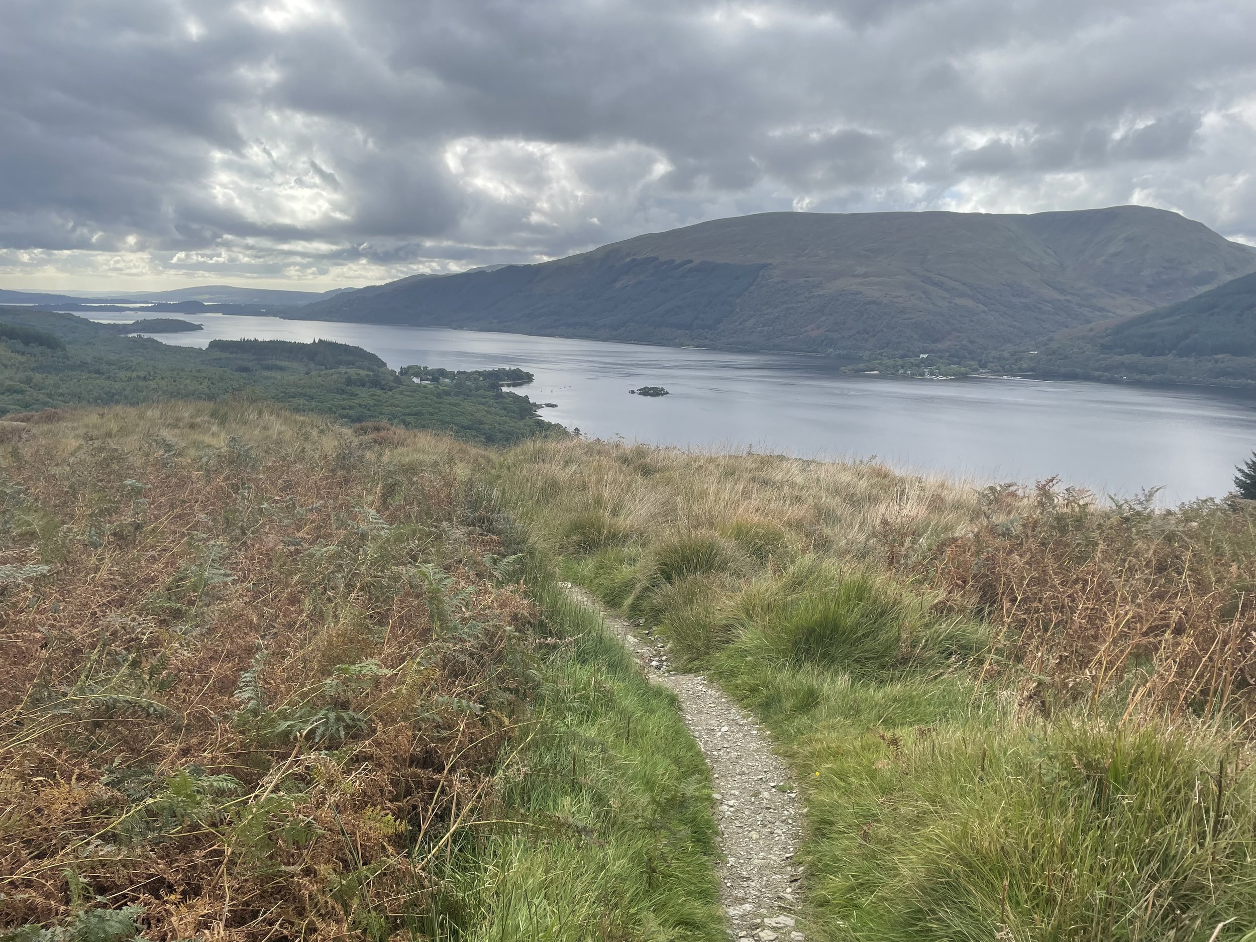
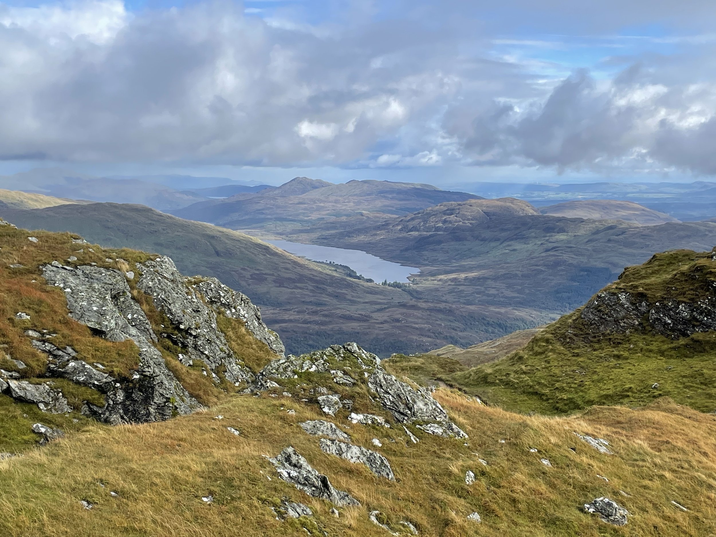
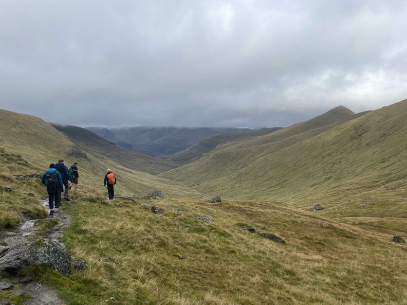
View across the Thames Estuary from One Tree Hill


Significance:  Unitary Authority High Point for Thurrock
Member of: N/A
Parent Peak: Langdon Hill NHN = Langdon Hill
Elevation: 116m
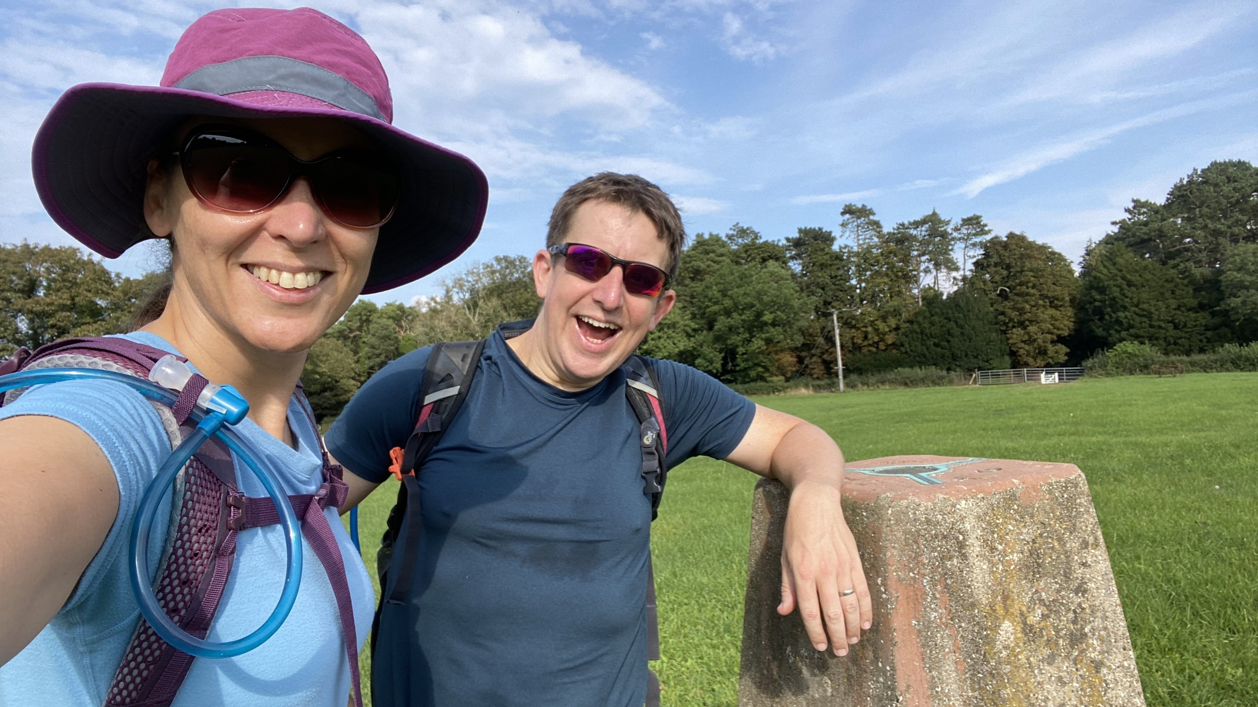
Date climbed: November 24th 2023
Coordinates: 51° 33' 5'' N, 0° 25' 19'' E

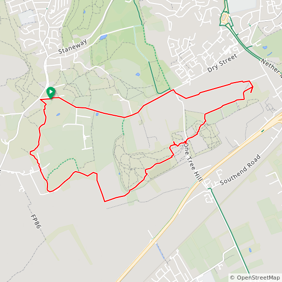
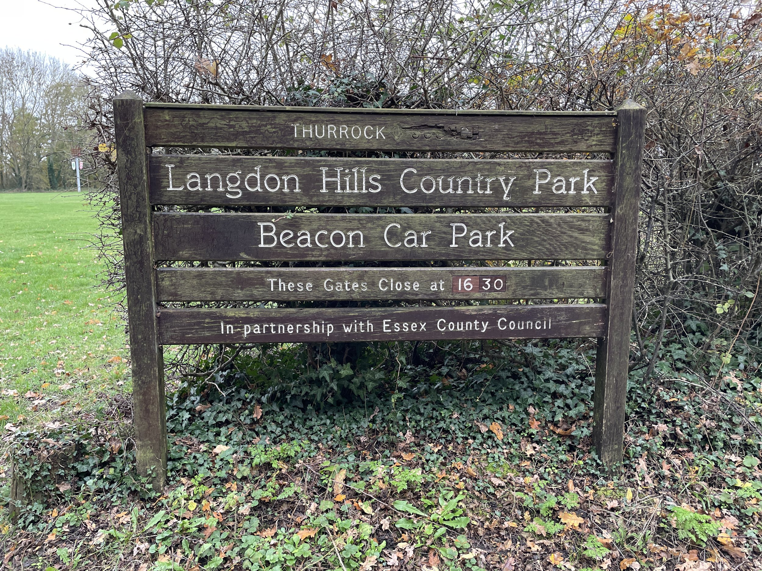
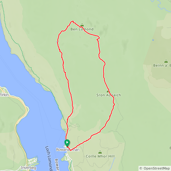
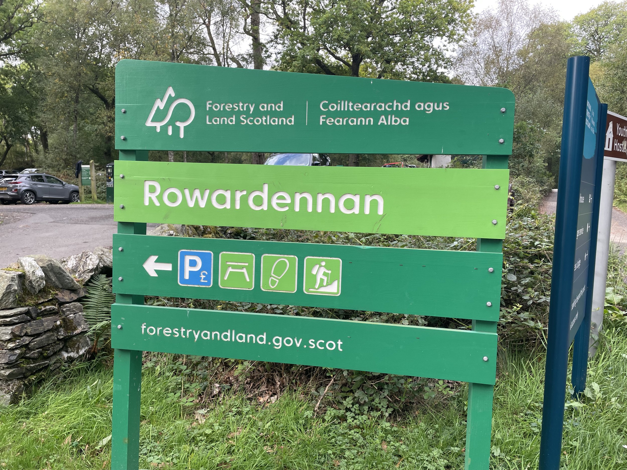
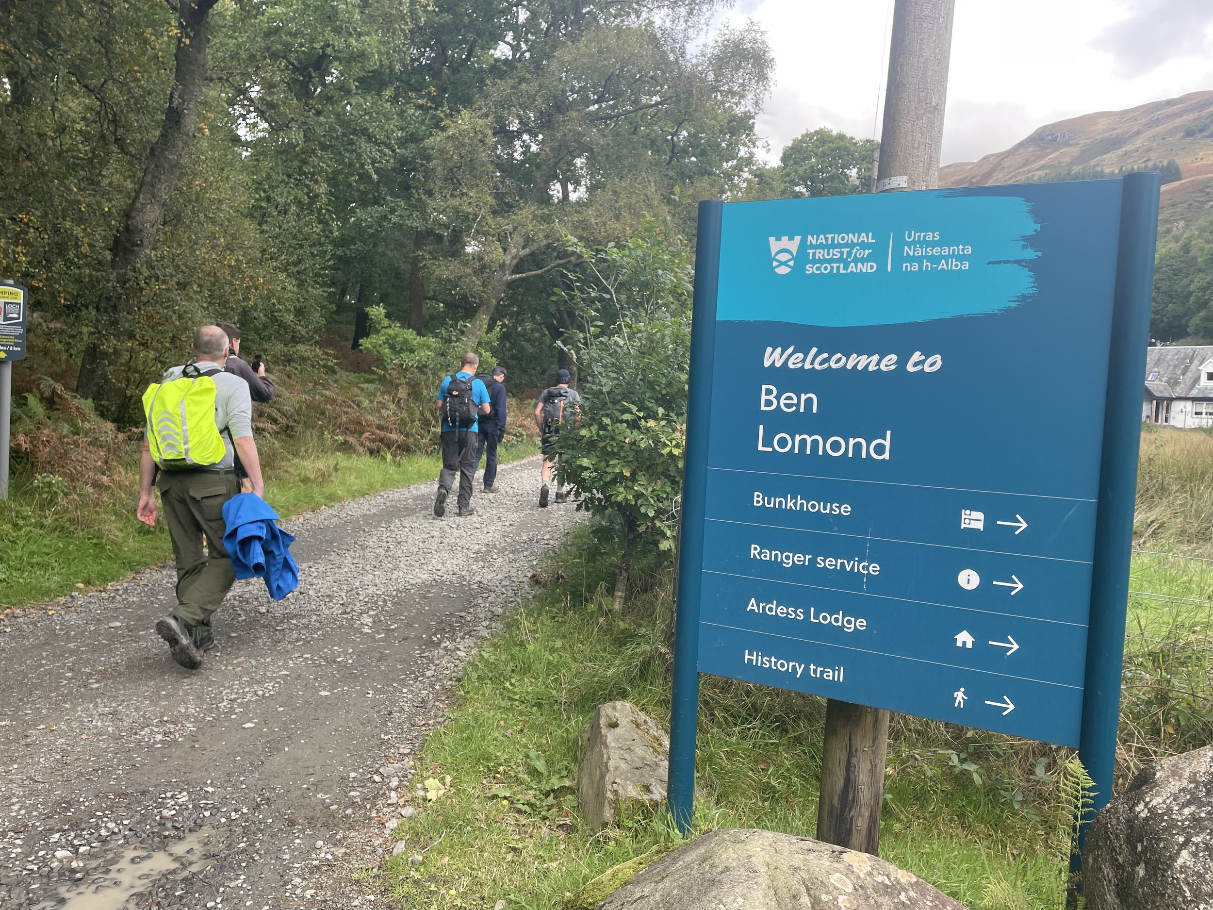
Route Start & Finish: Beacon Field Car Park, 1 Dry Street, Langdon Hills, Basildon, SS16 5LT
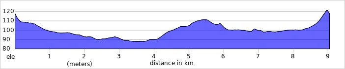
Route Distance: 8.1 km (5 miles)
Route Elevation change: +/- 143m
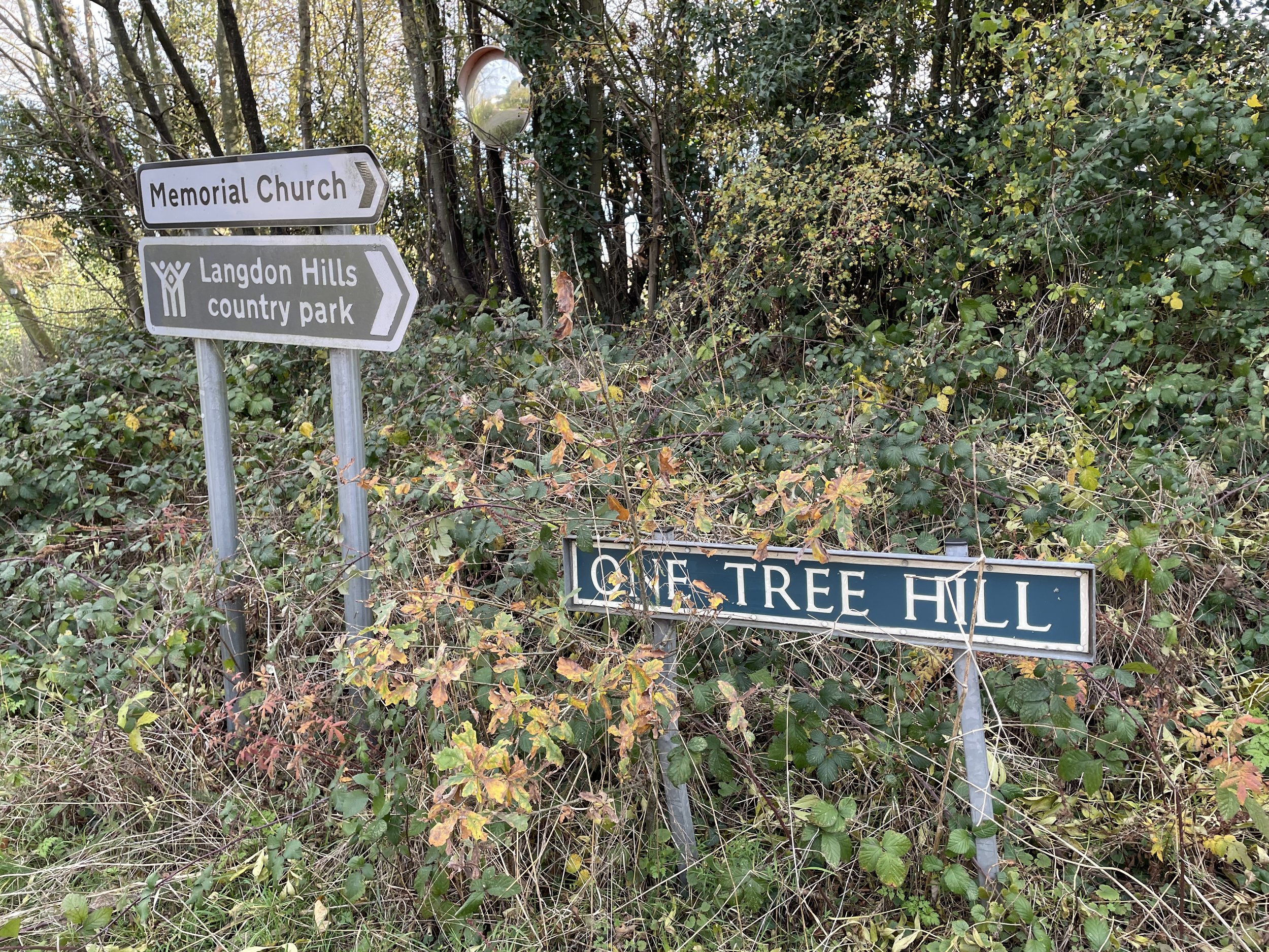
Subsidiary tops on route: Hawkesbury Hill (70m), One Tree Hill (80m), Old Hill (75m)
GPX File: get via Buy Me a Coffee
Other routes touched (walk): None
Other routes touched (cycle): NCN 13
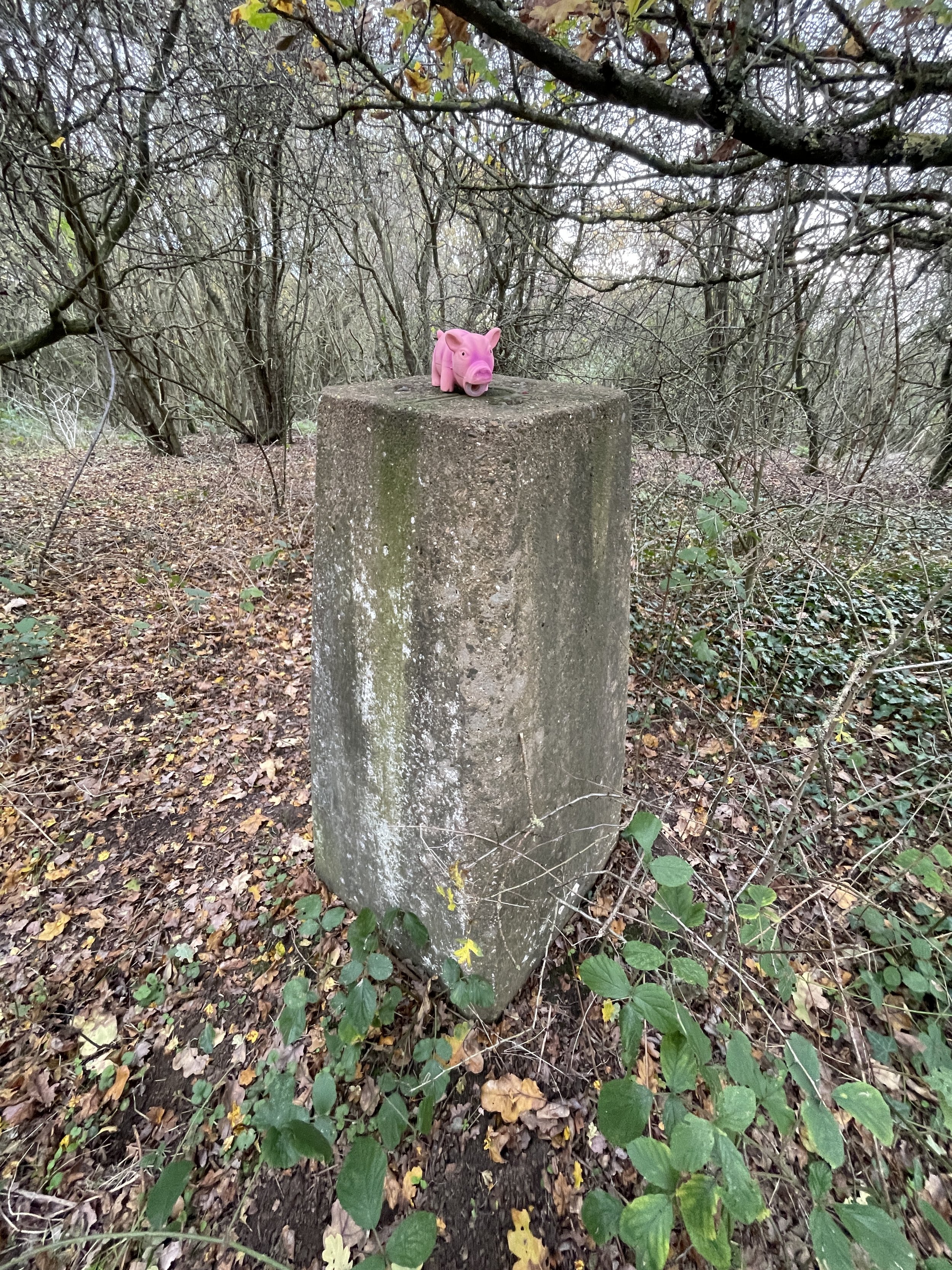
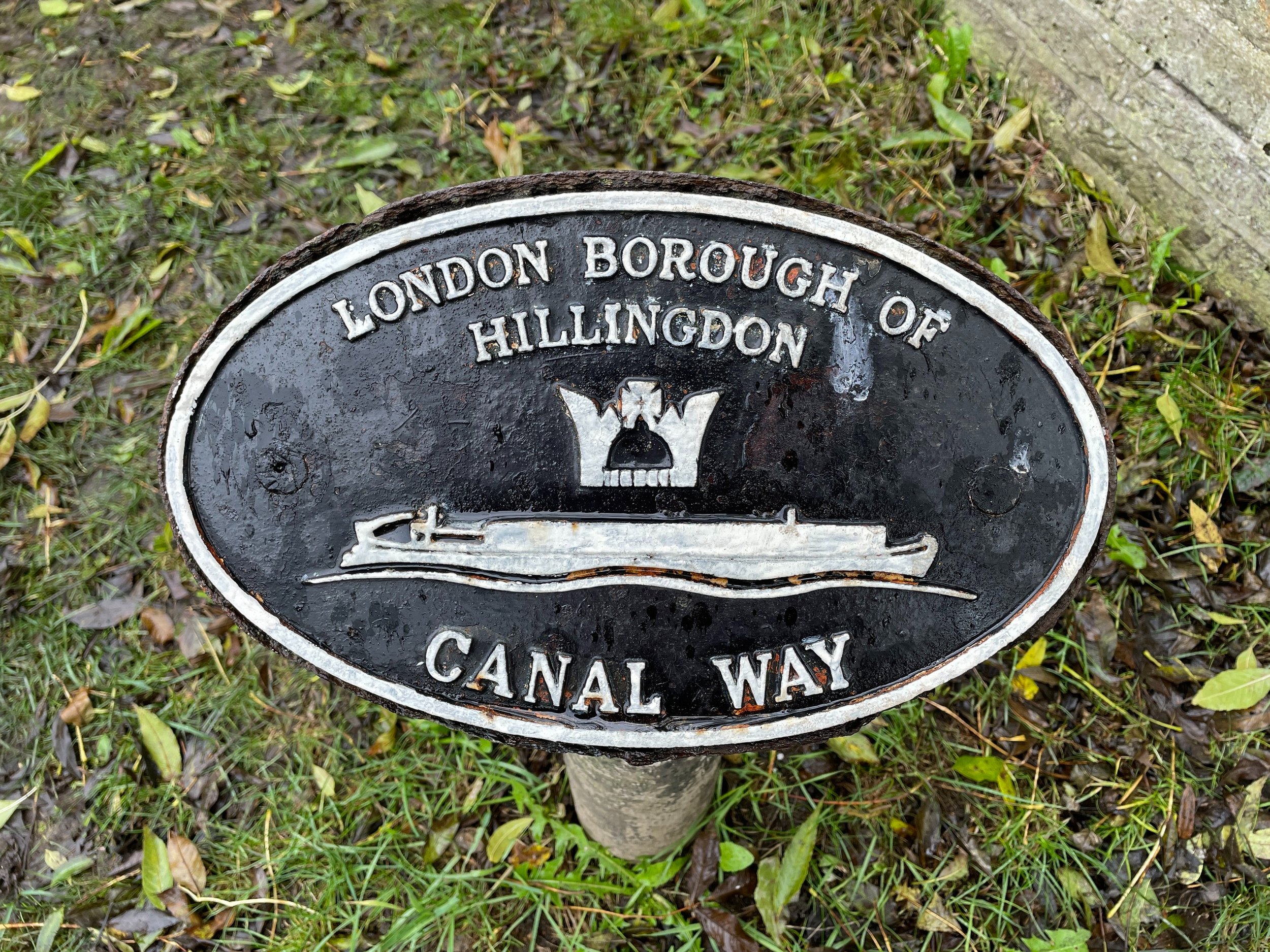
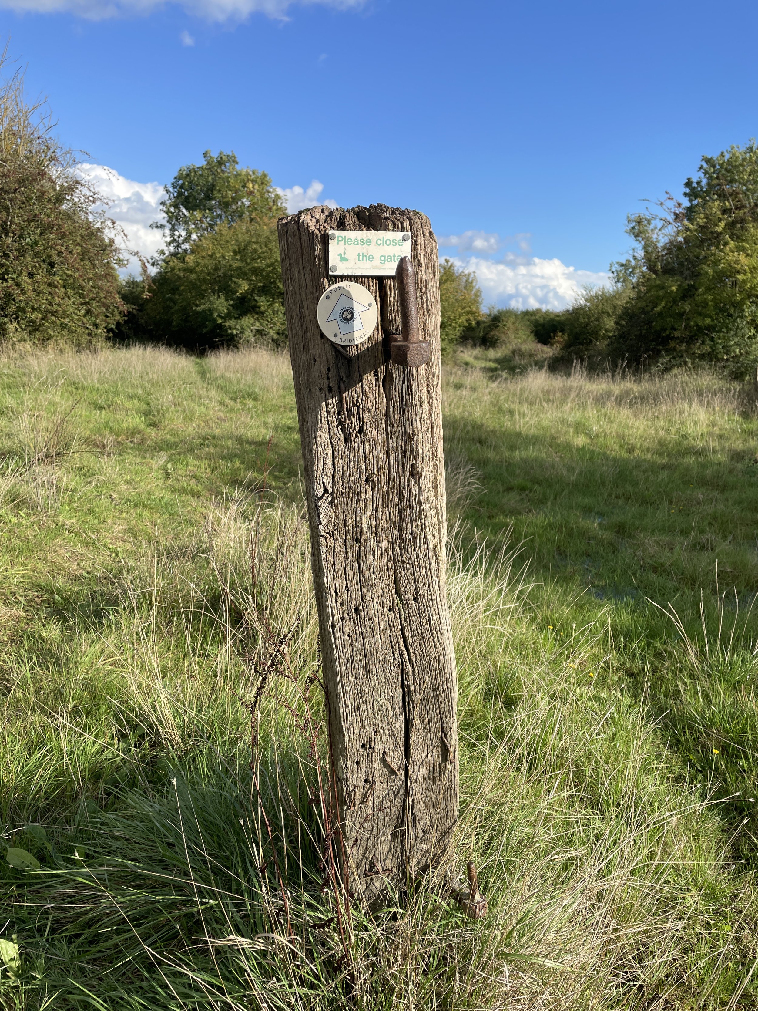
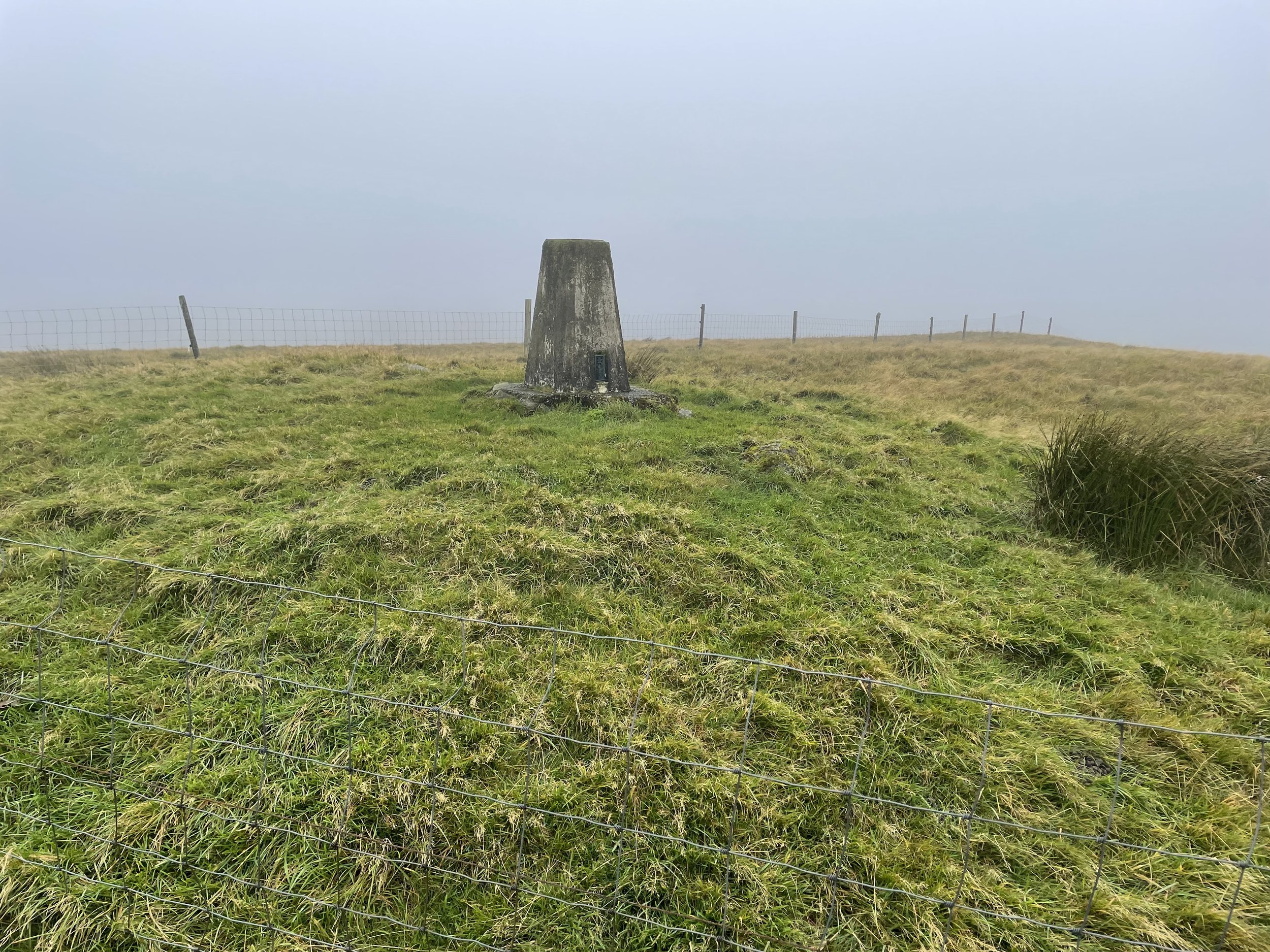
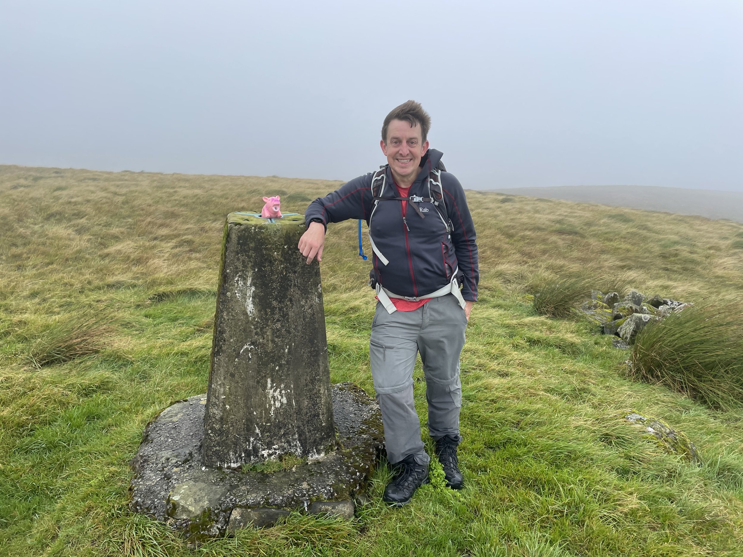
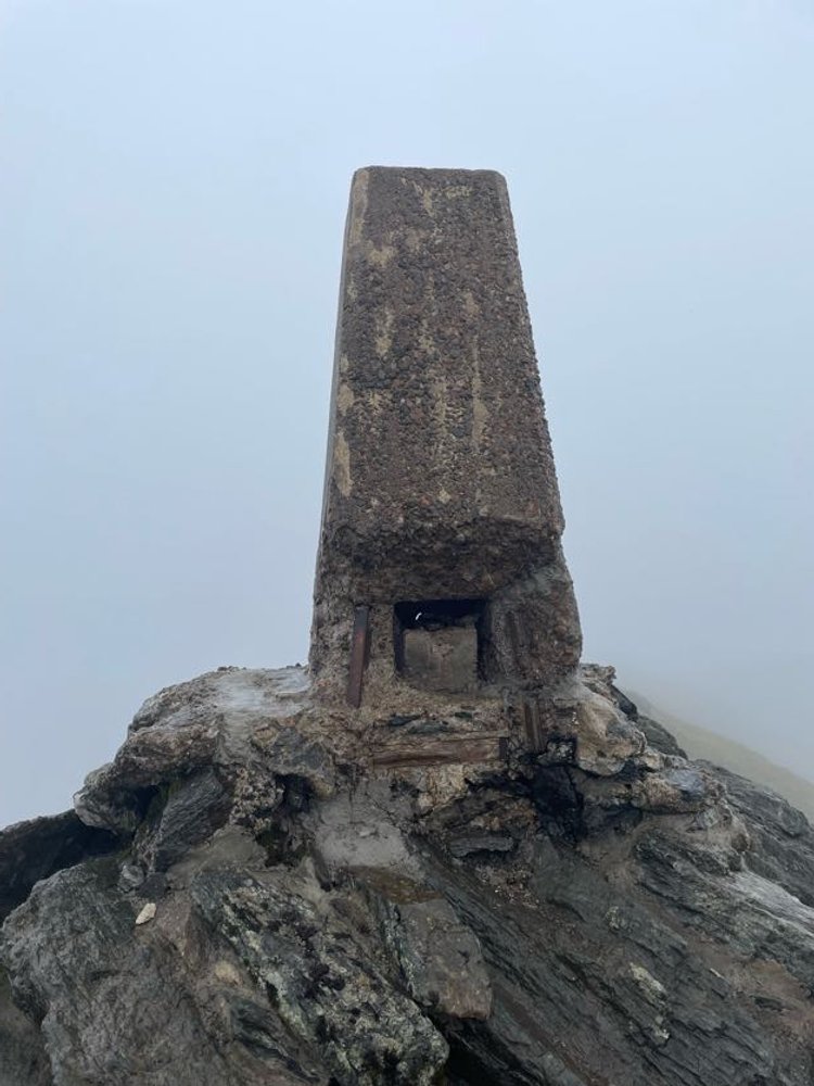
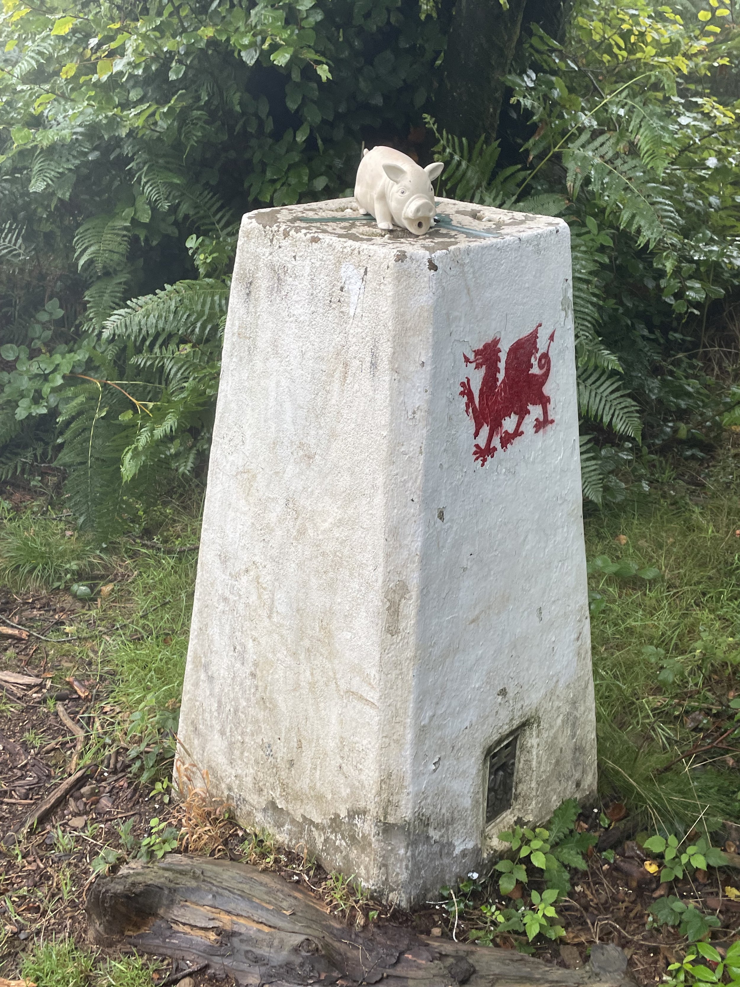
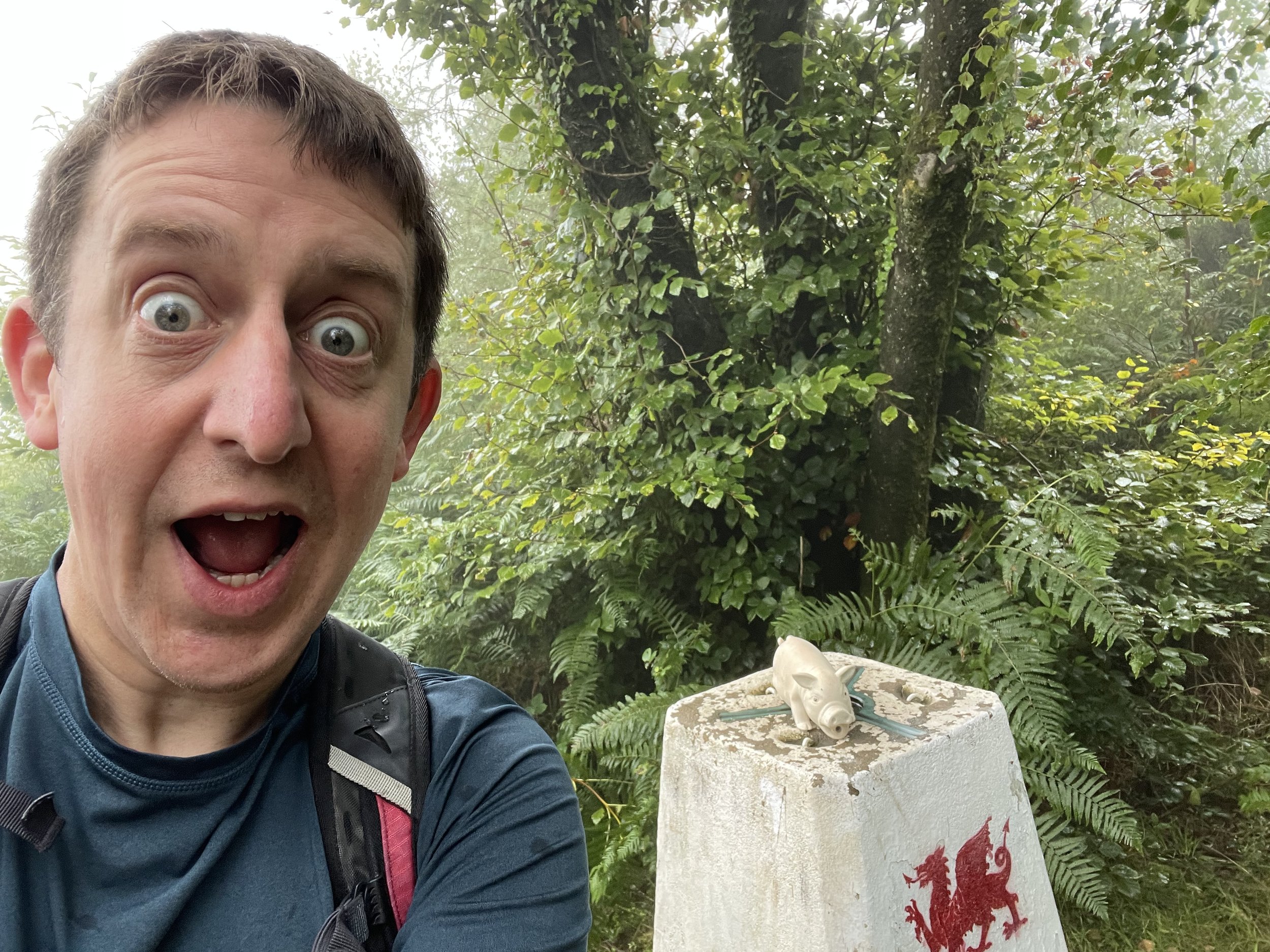
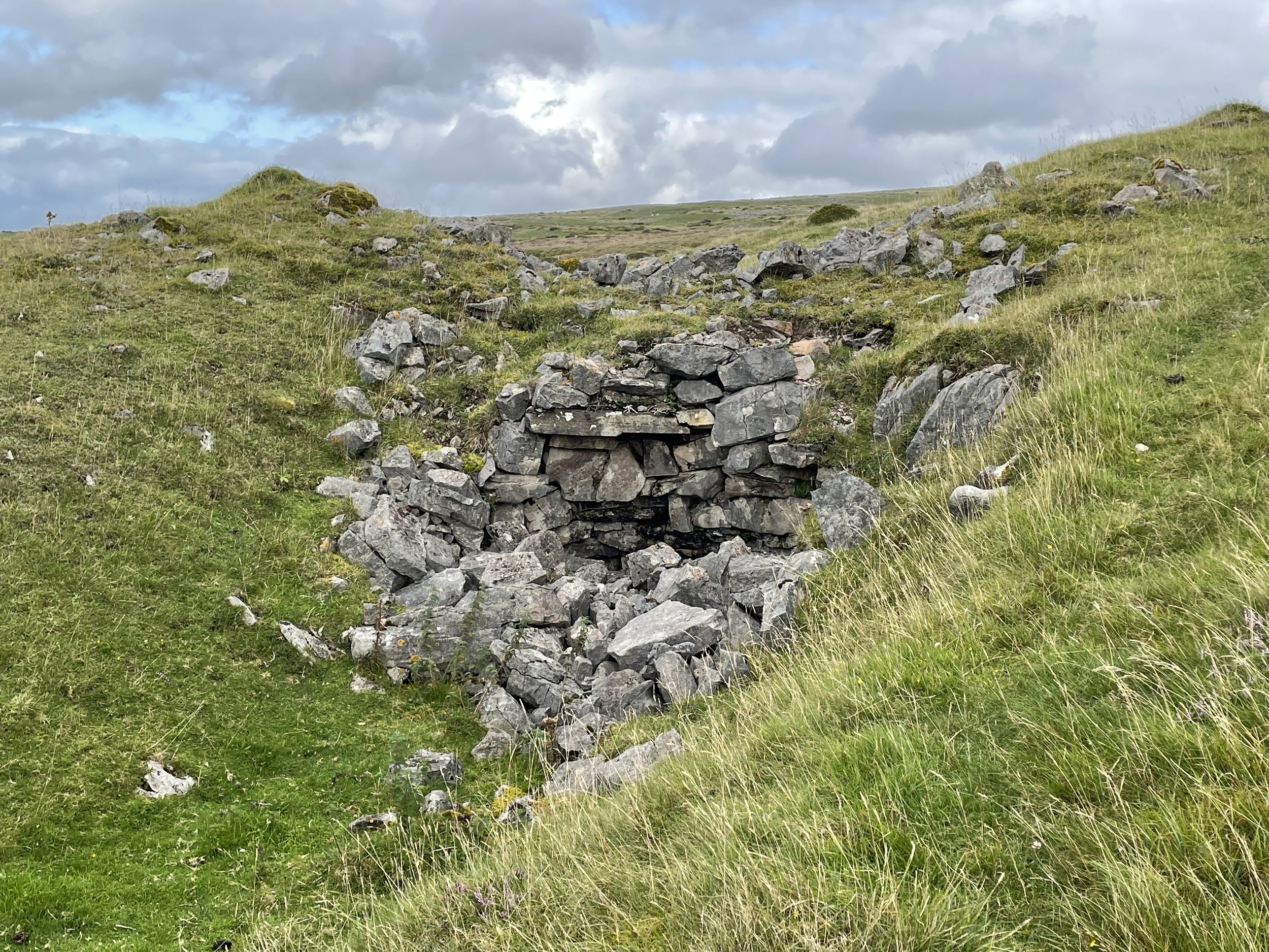
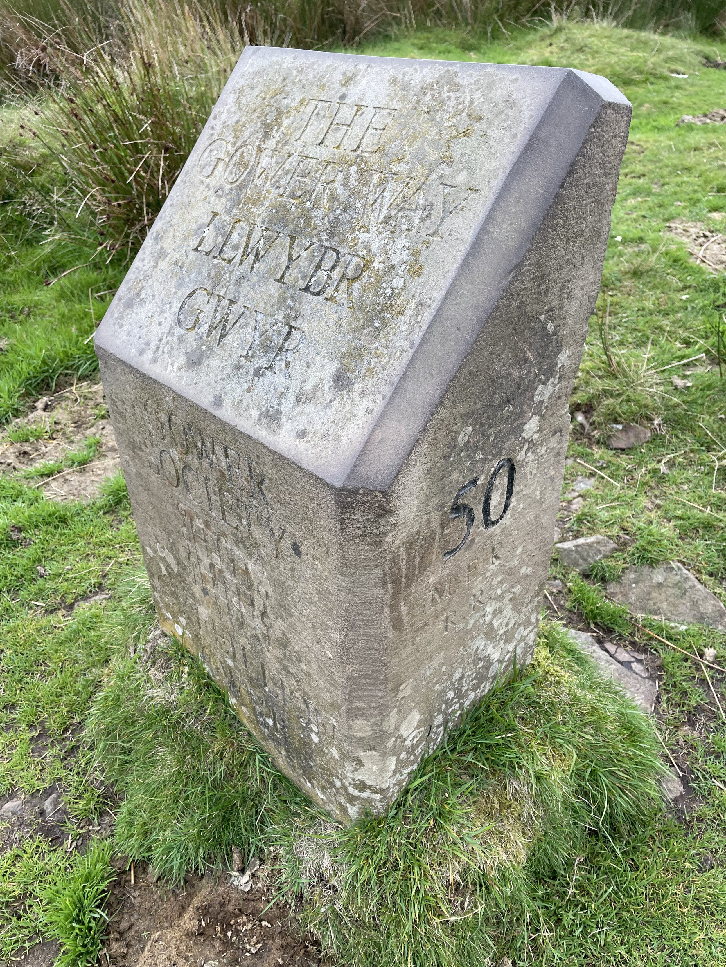
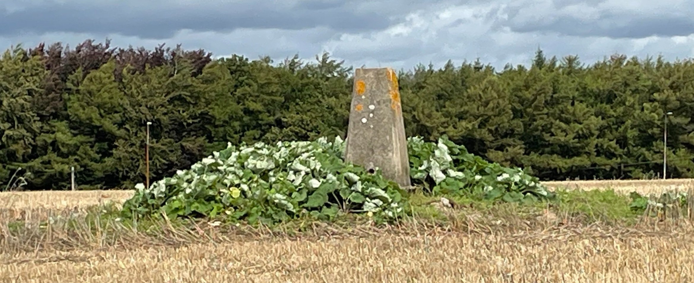
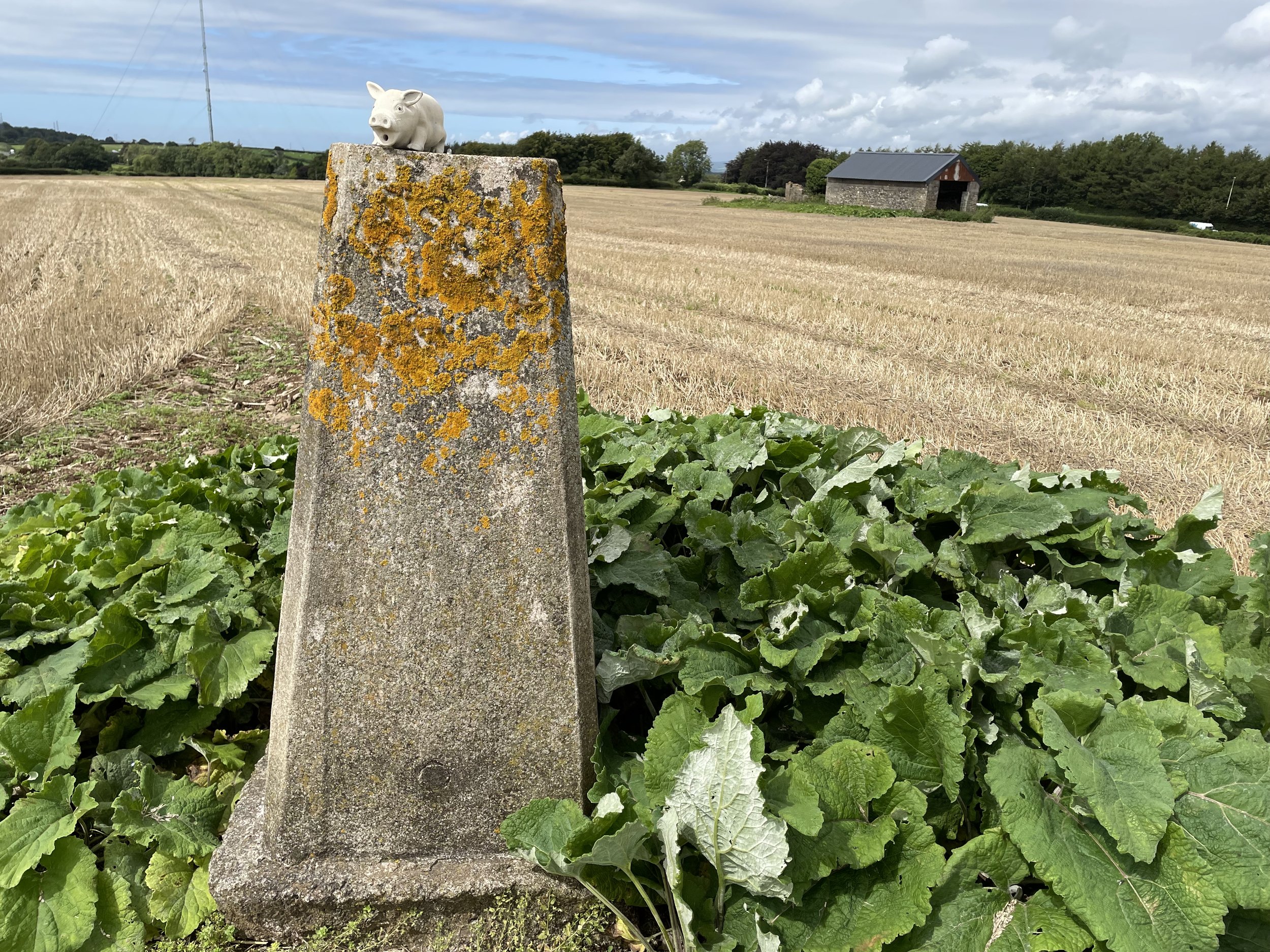
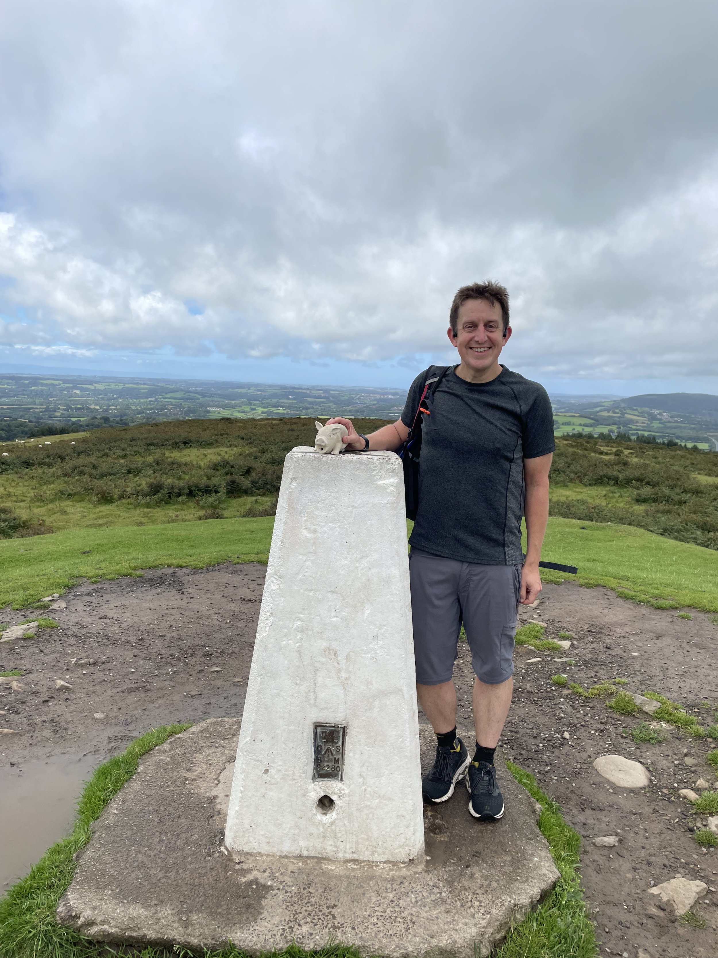
OS Trig Pillar: TP3681 - Hawksbury Bush
Pubs / Cafes on route: N/A
Map: Southend-on-Sea & Basildon Map | Brentwood & Billericay | Ordnance Survey | OS Explorer Map 175
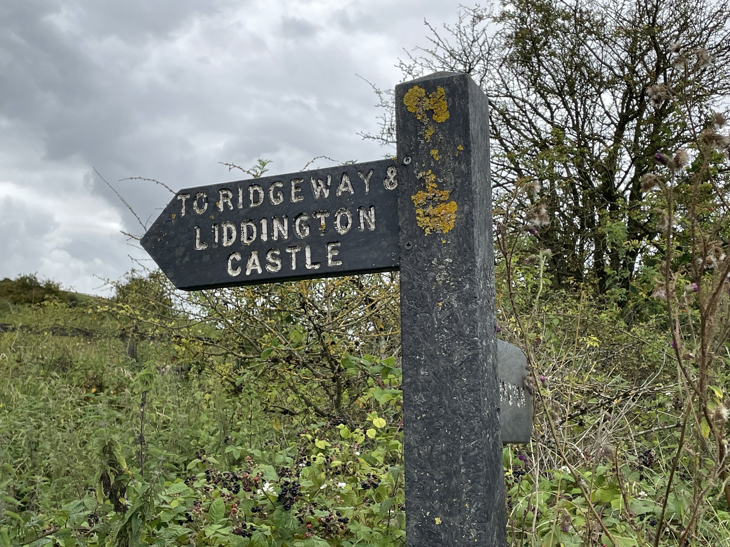
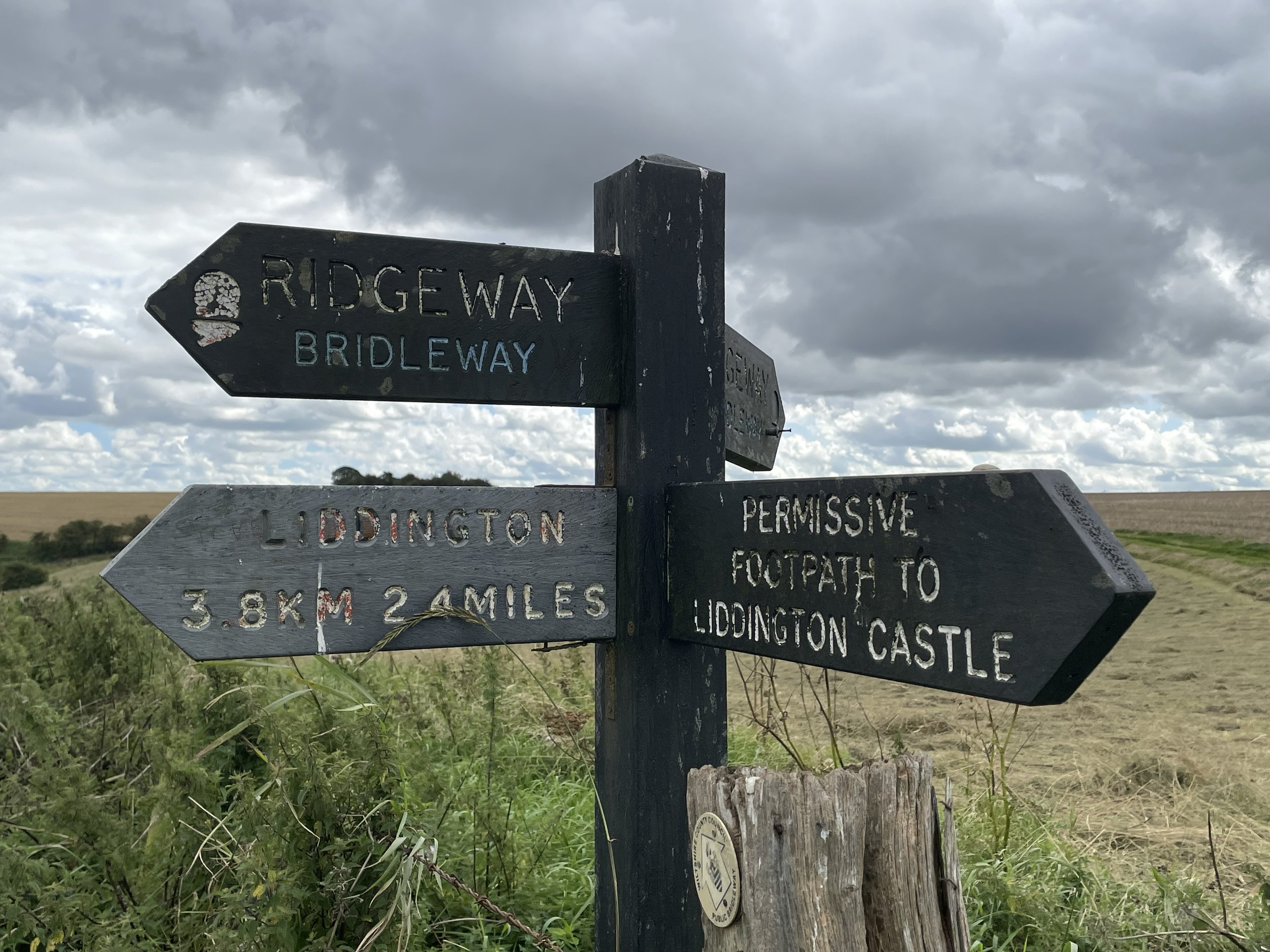
Links: Wikipedia: (Thurrock, Langdon Hills), Peakbagger, Hillbagging


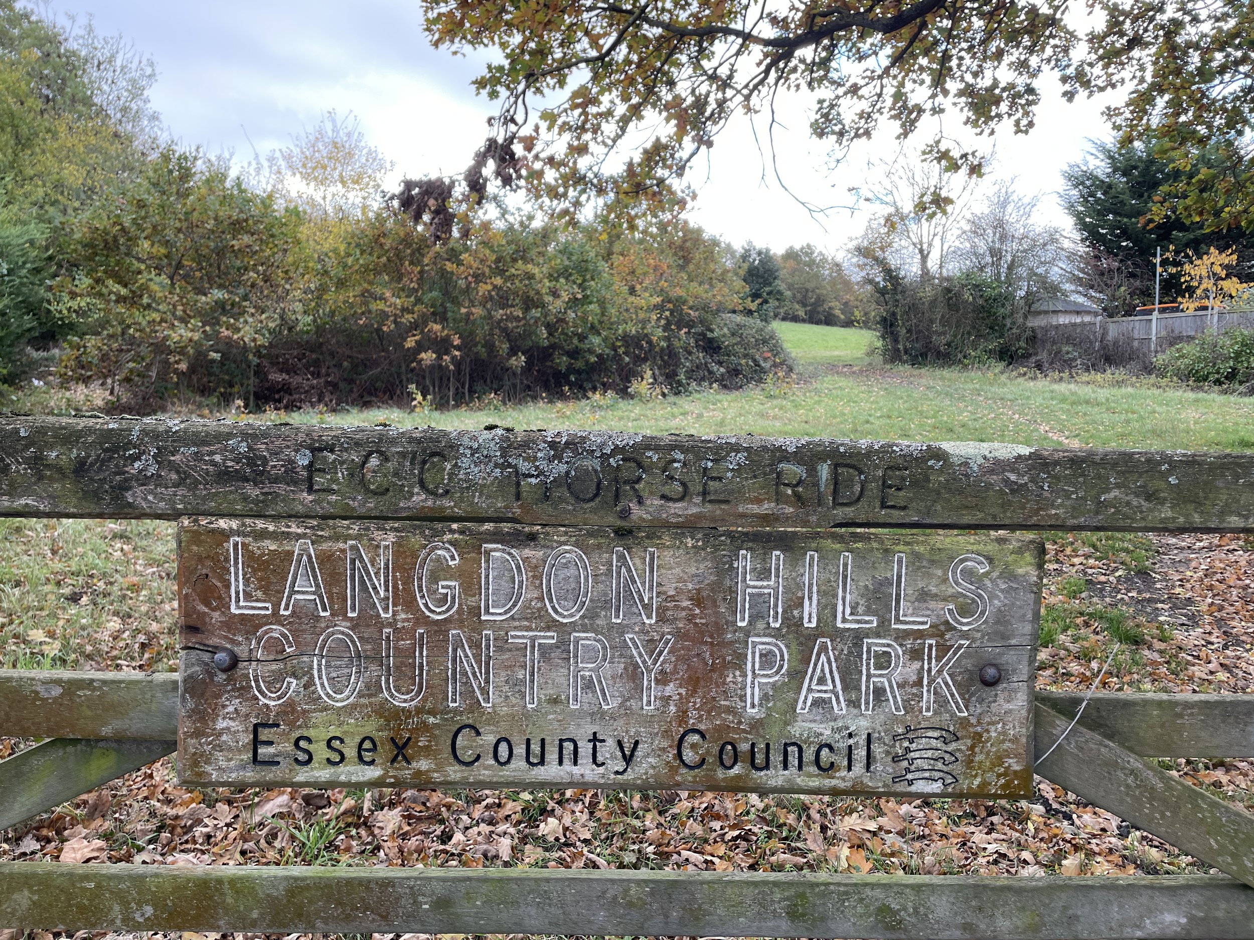
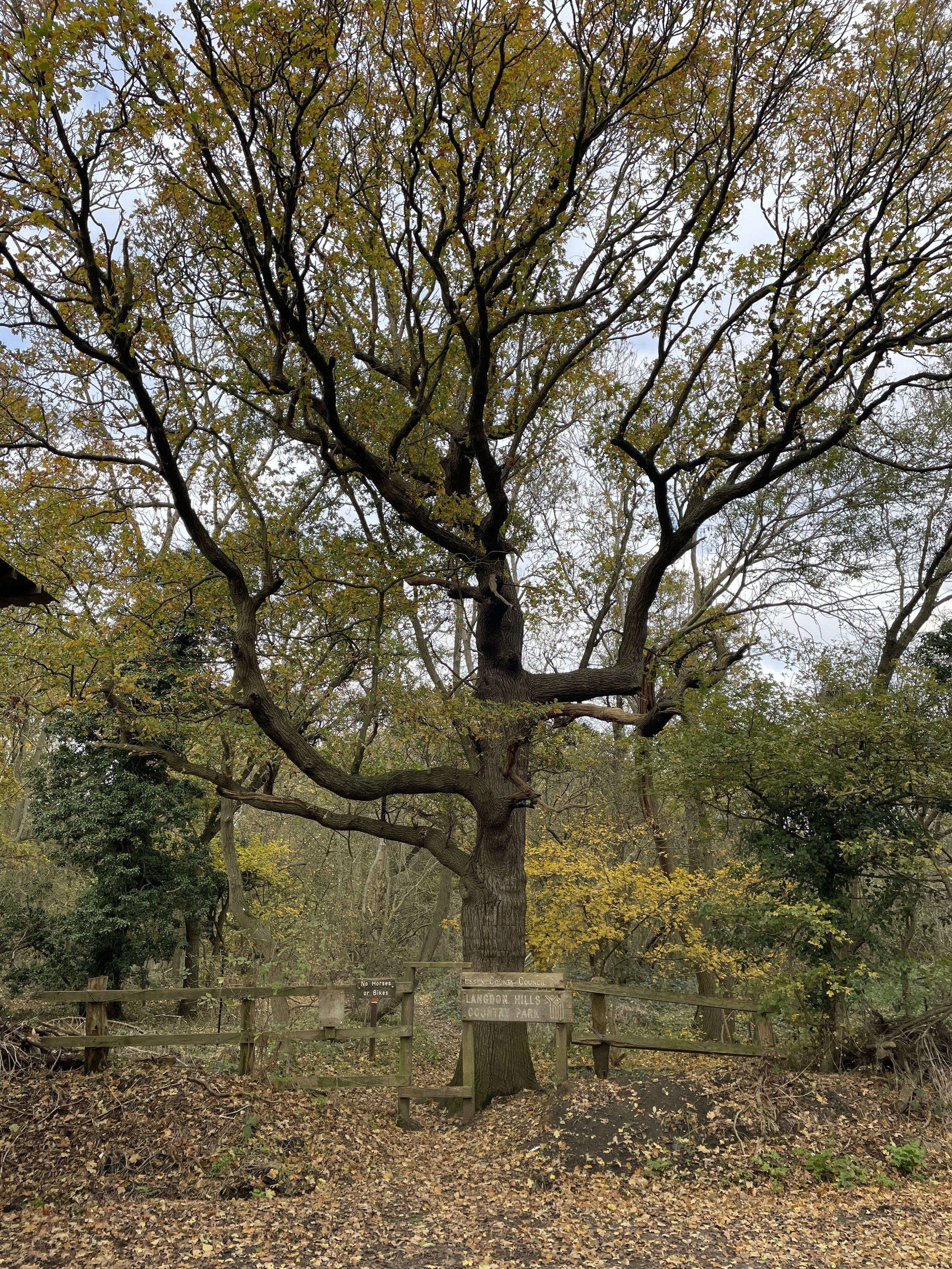
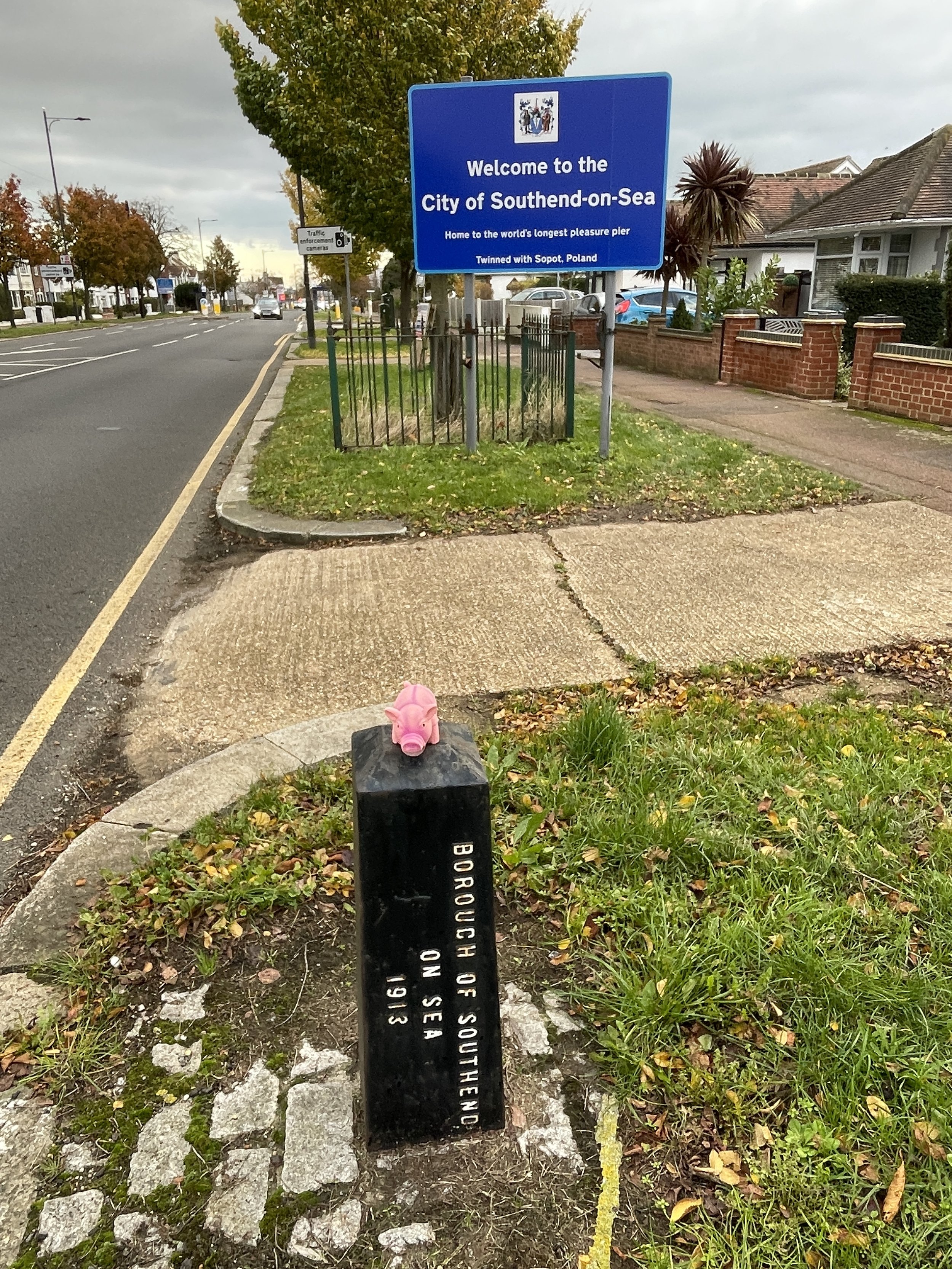
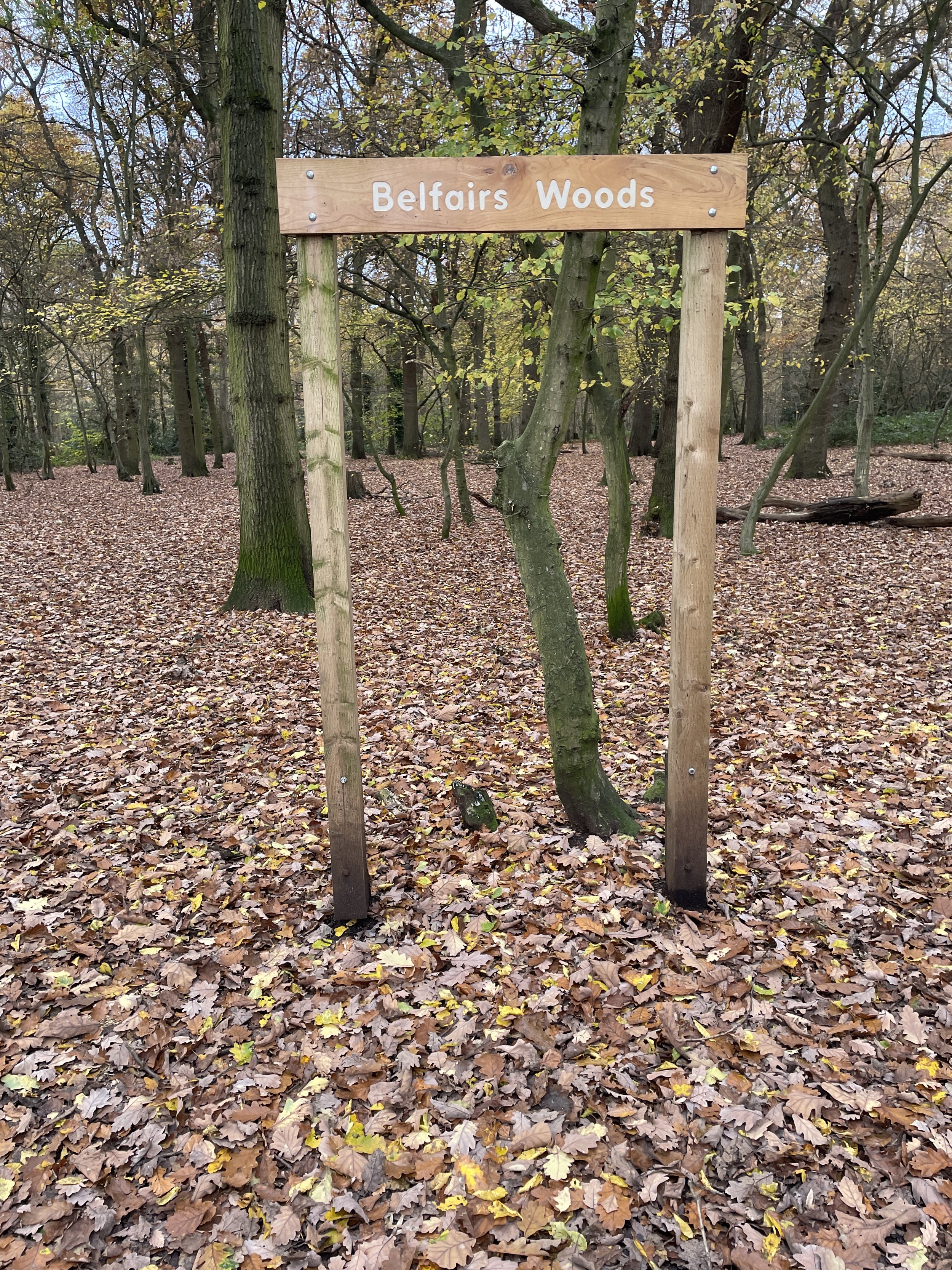
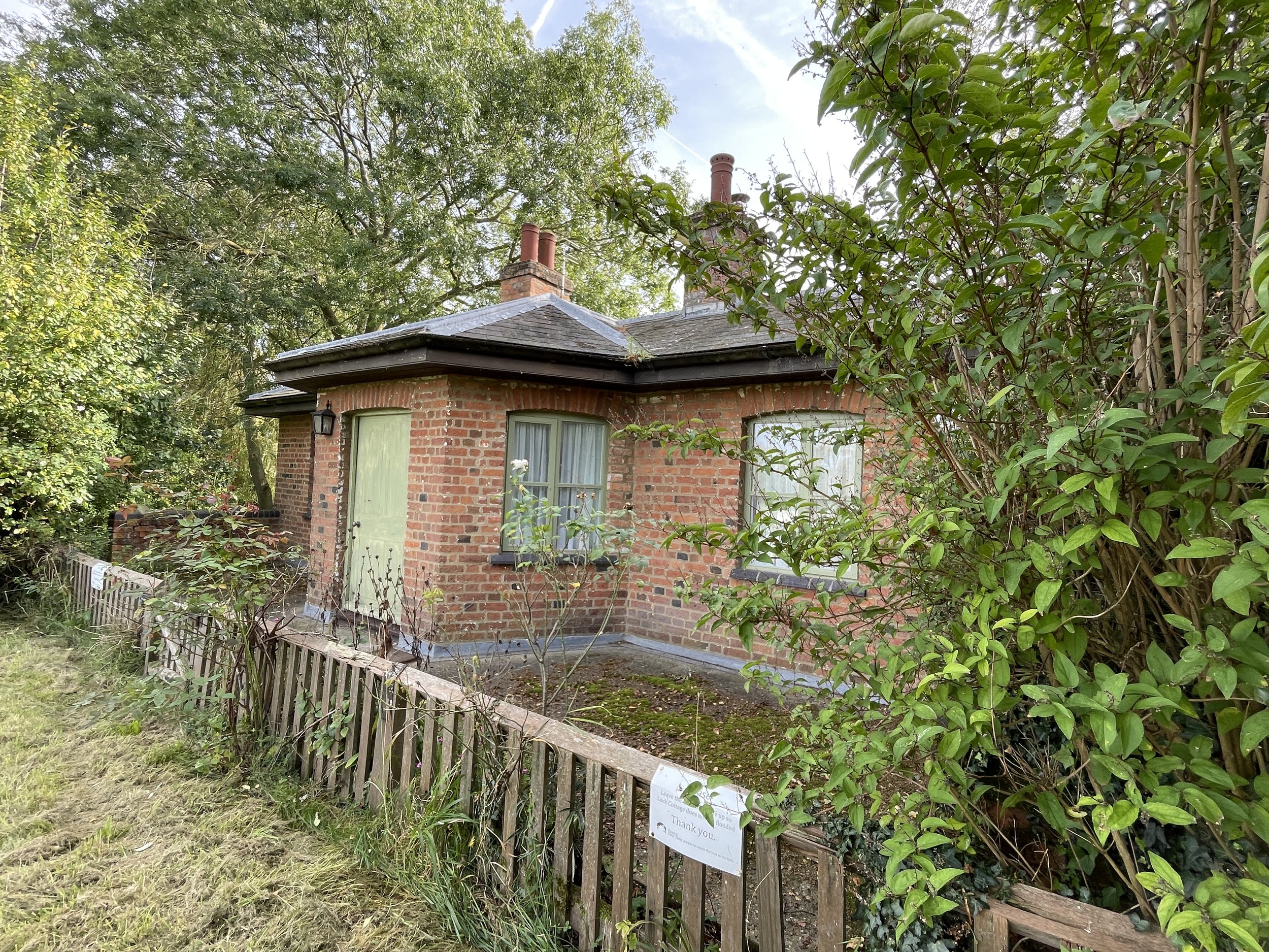
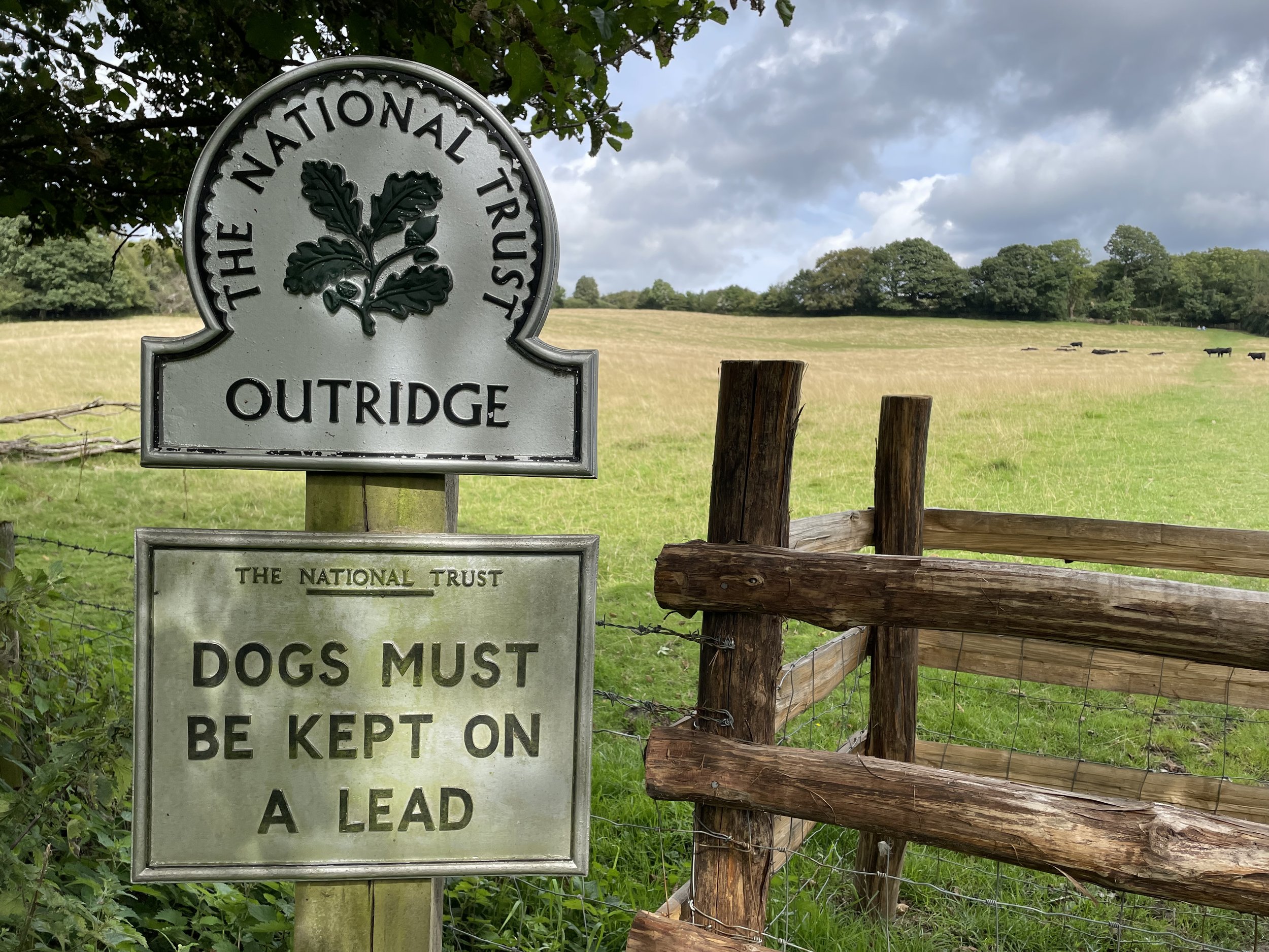
After a couple of quick drive-bys to bag the twin high points of Southend, I drove to the nearby Langdon Hills Country Park for a more interesting adventure. The high point of the Unitary Authority of Thurrock is a slope point near the top of Langdon Hill, cut off by the Thurrock/Basildon boundary. It can also be bagged on a quick drive-by but the 8km walk including the nearby Trig Pillar and One Tree Hill is much more interesting.

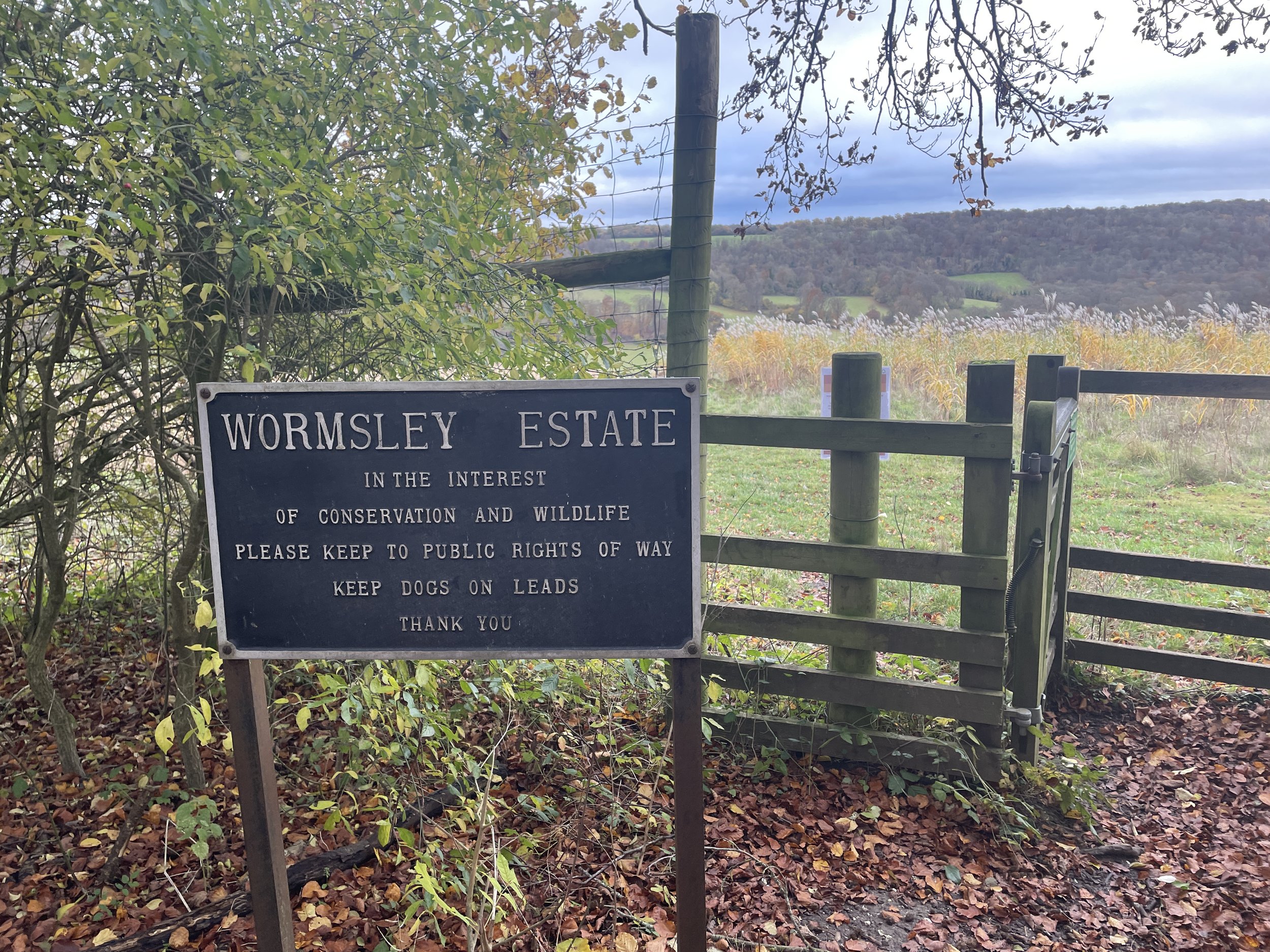
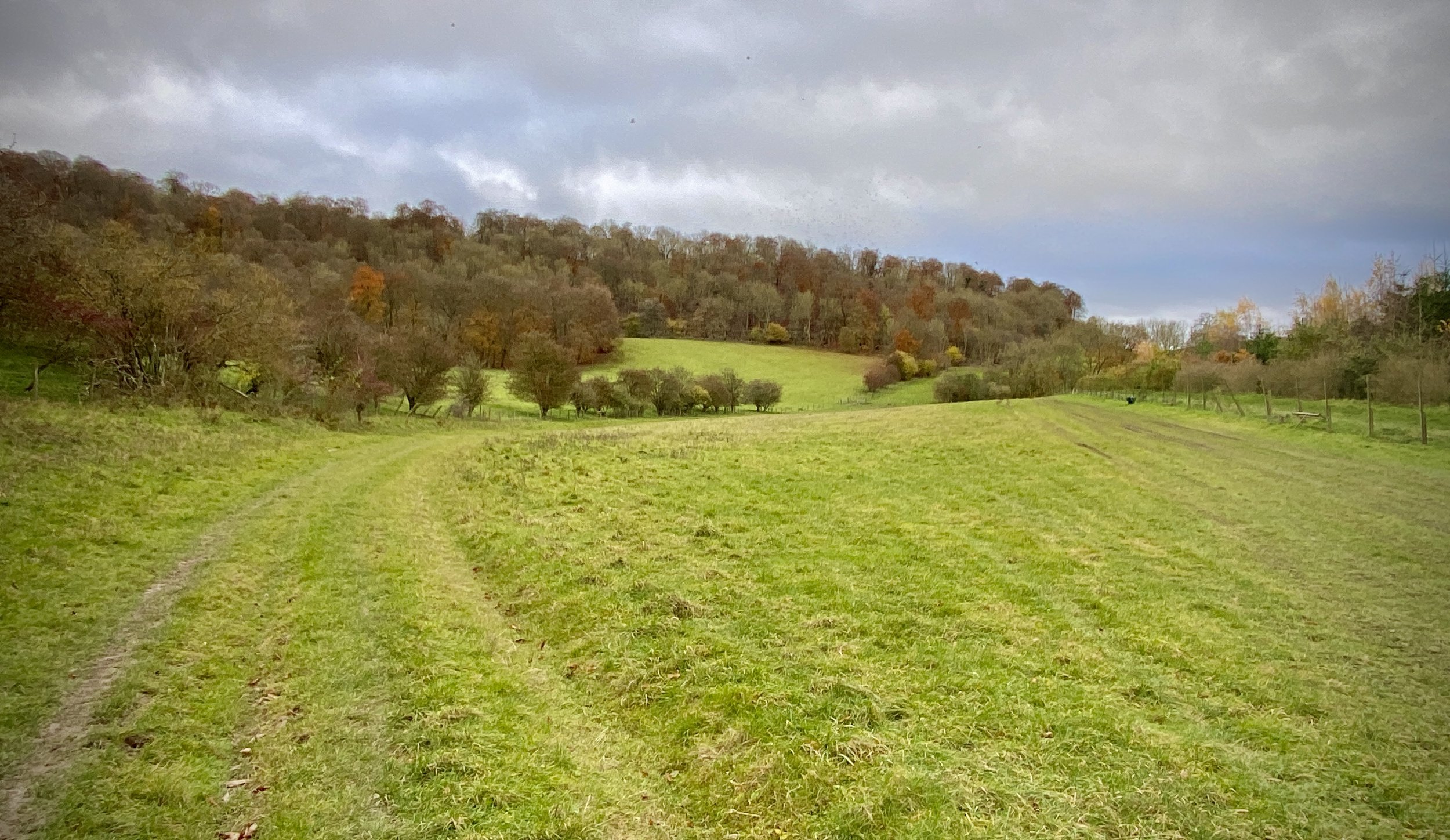
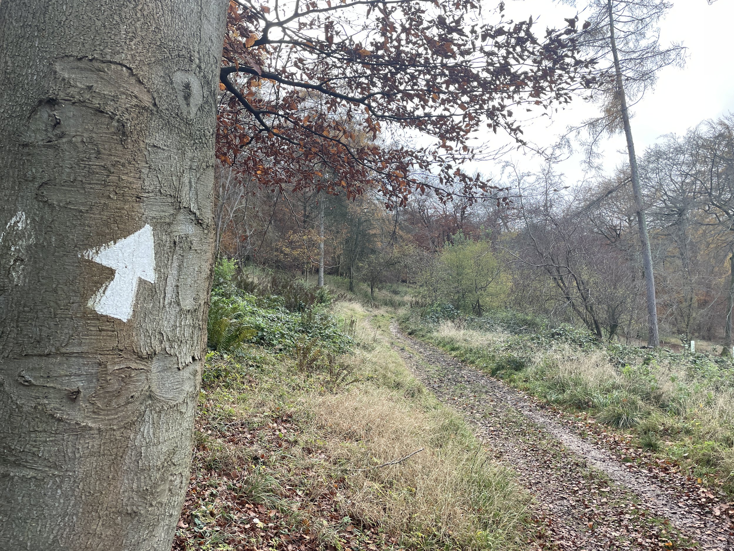
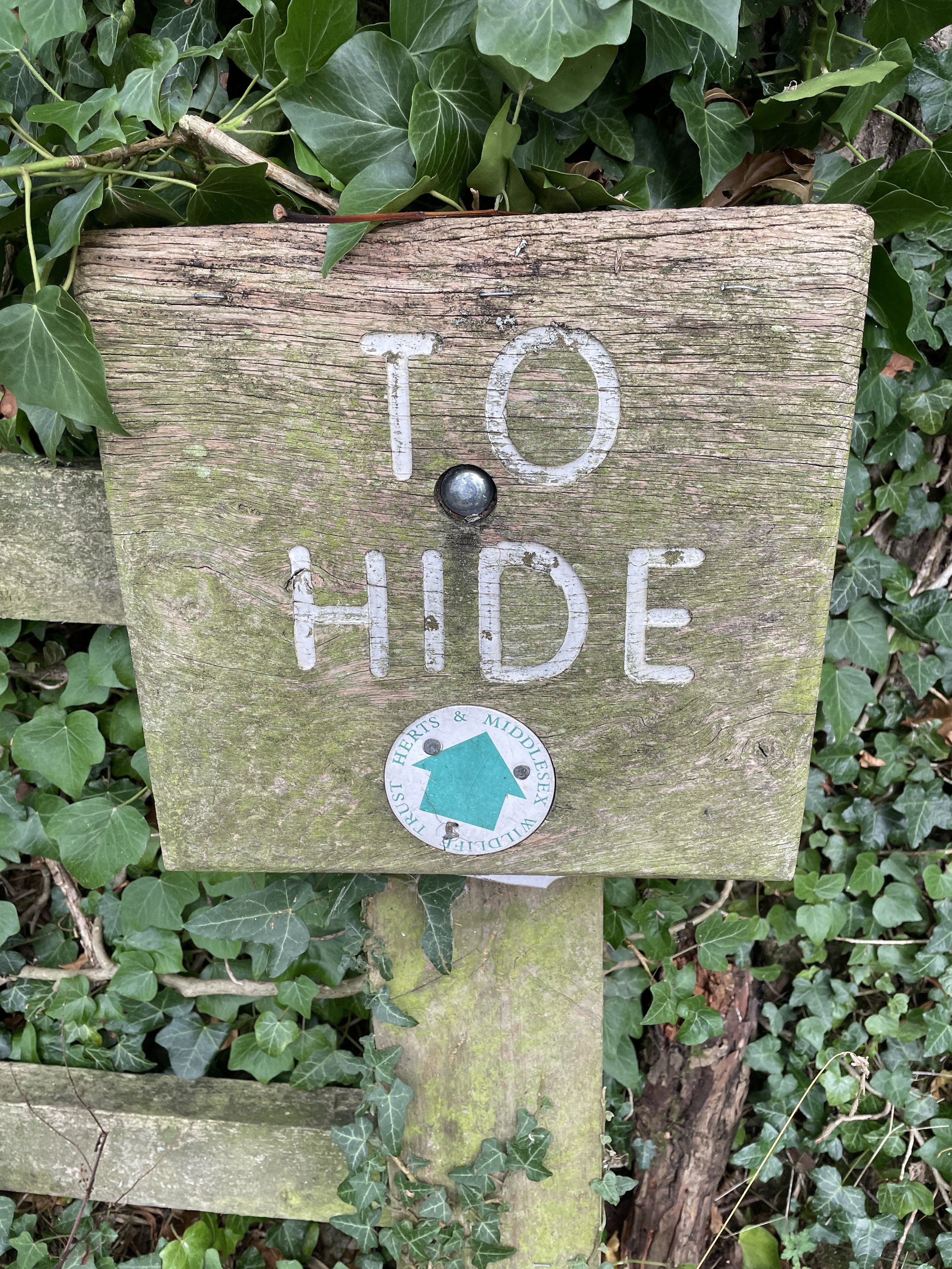
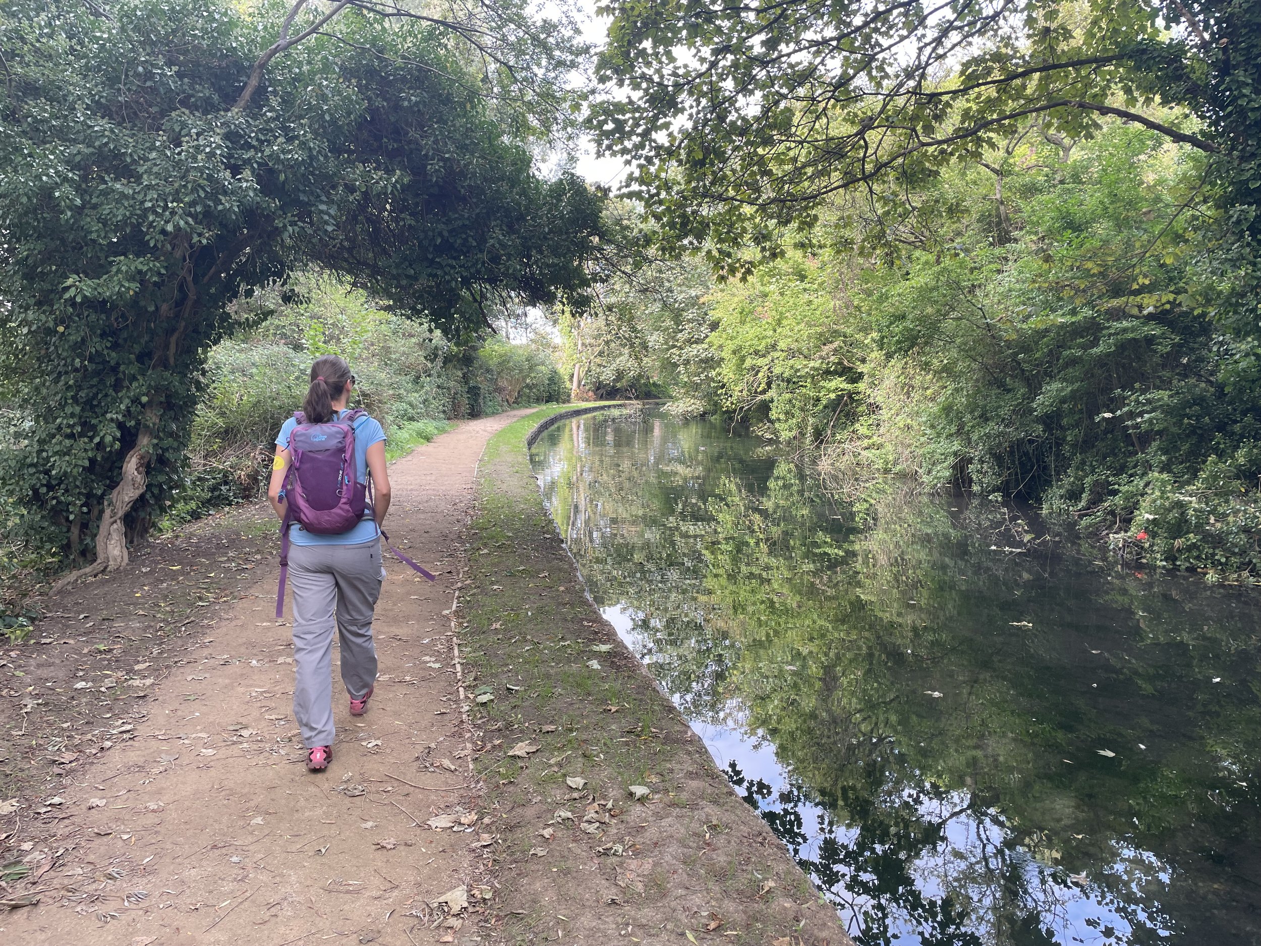
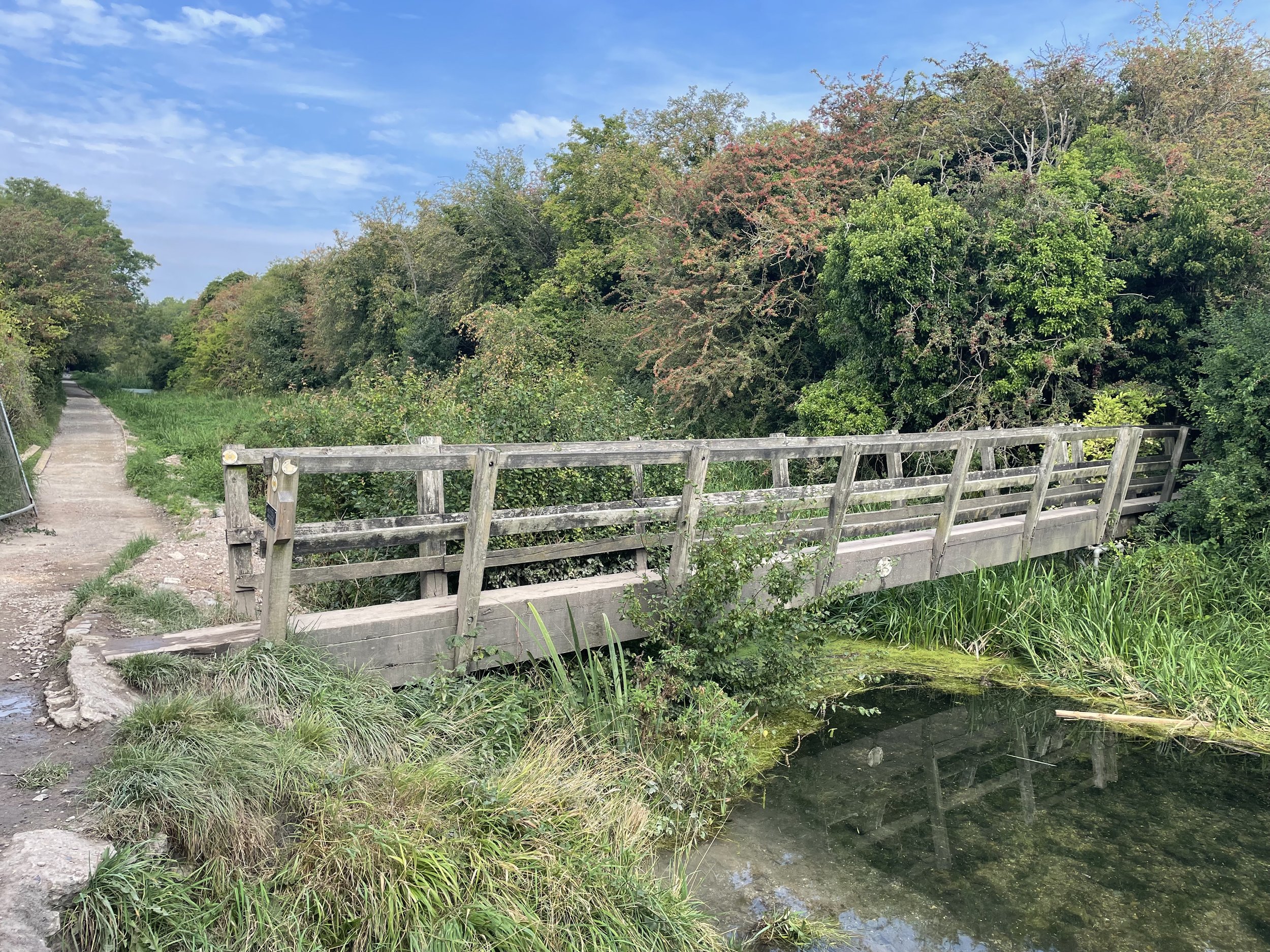
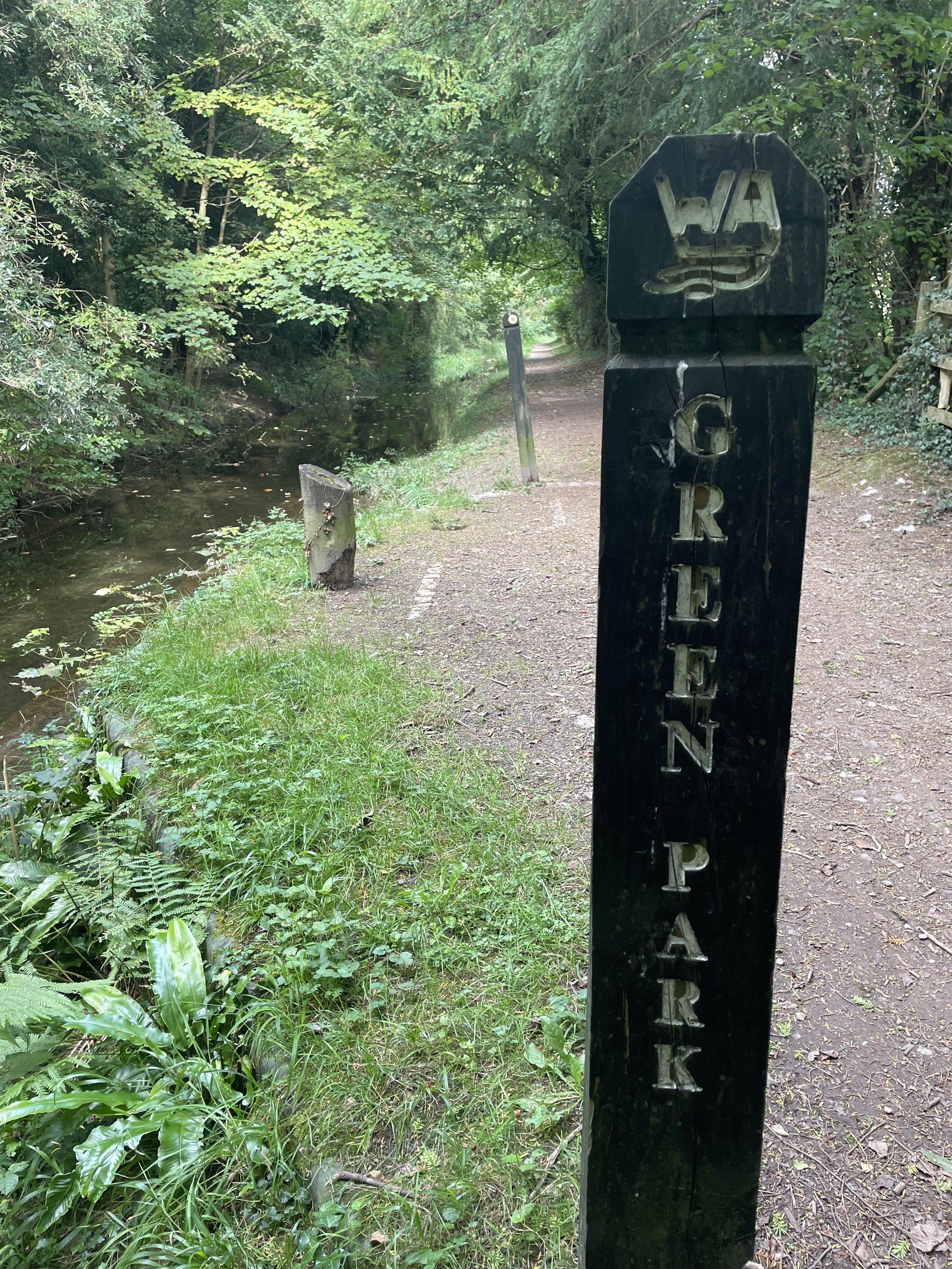
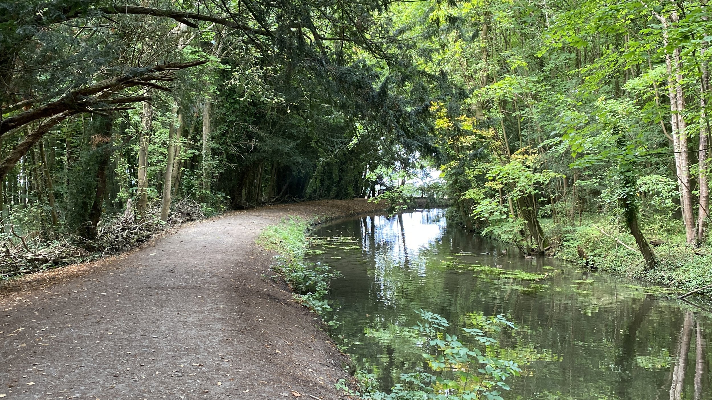
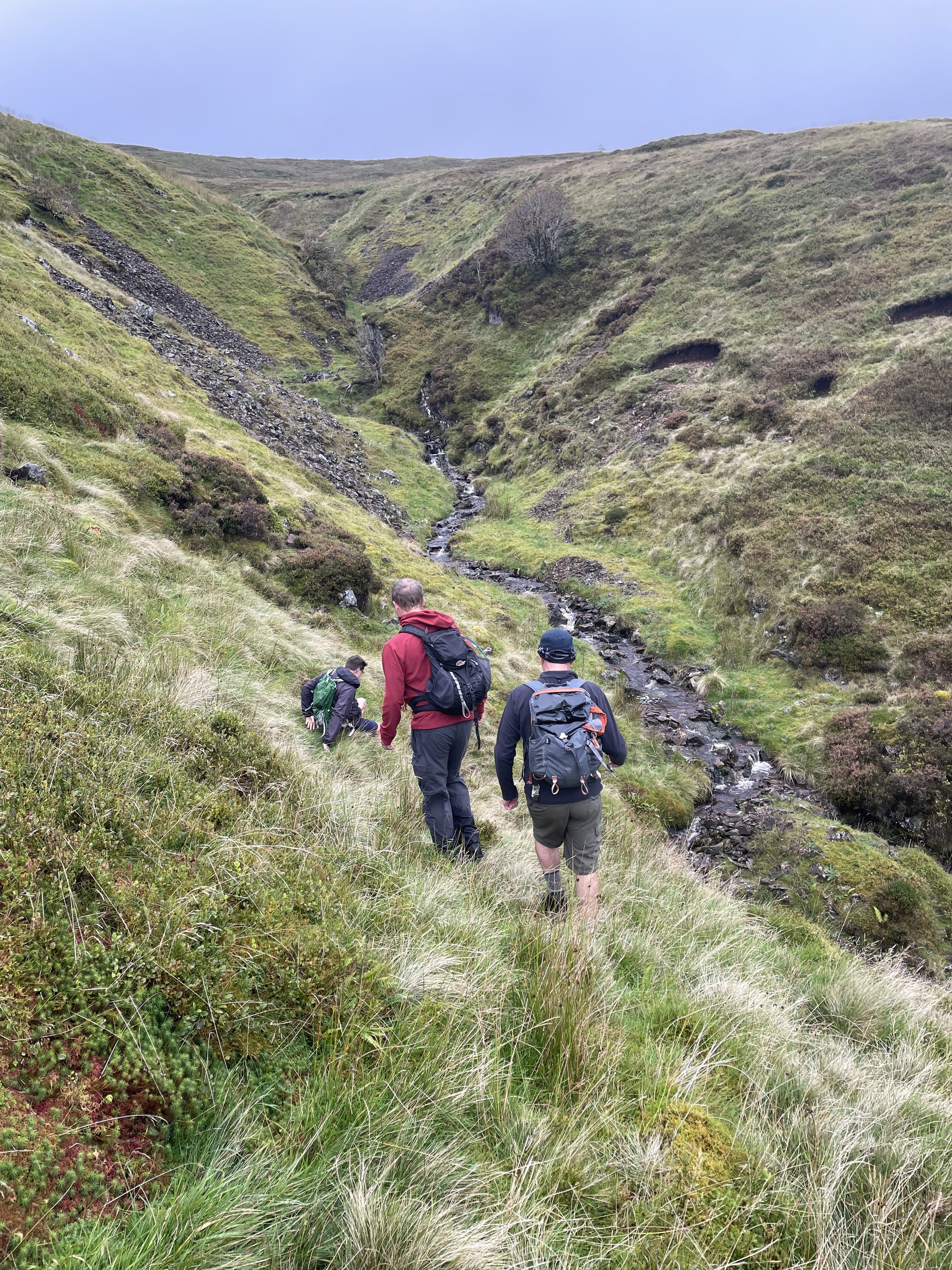
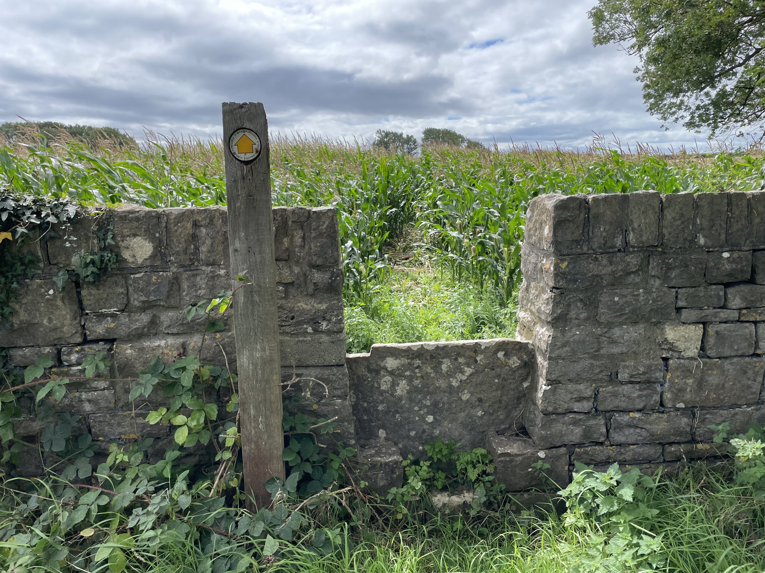
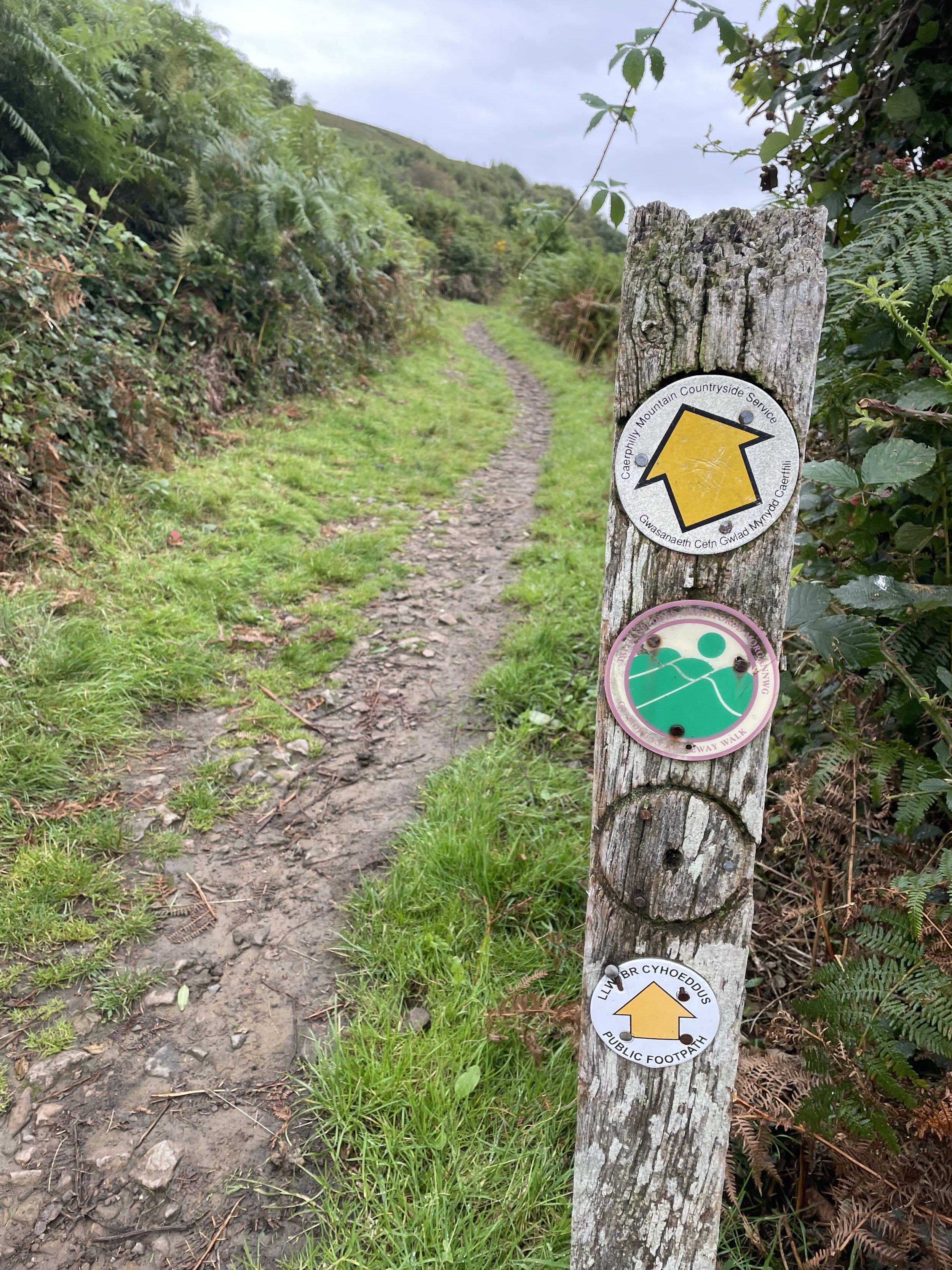
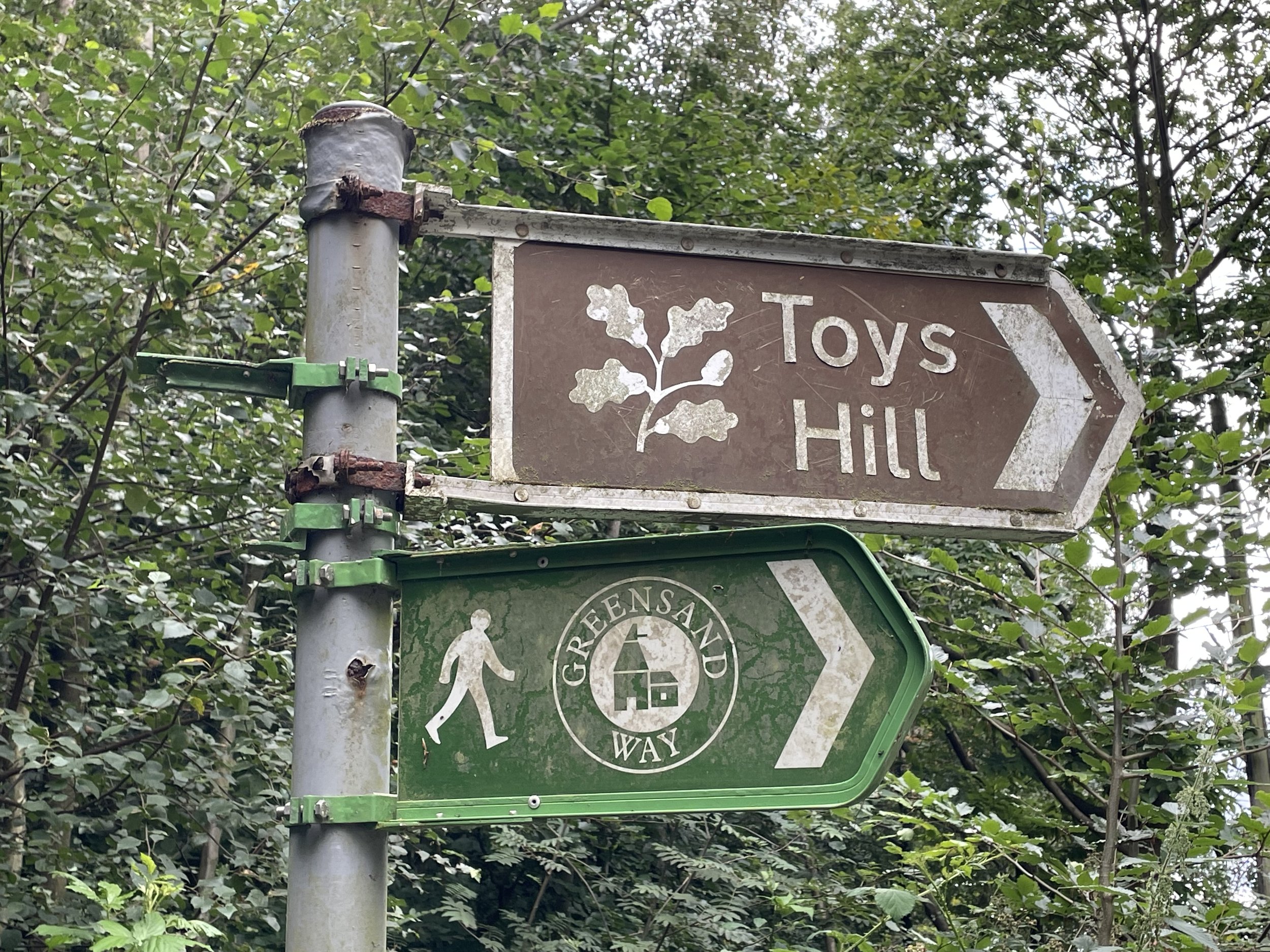
Start at the Beacon Field Car Park and take the footpath than runs along the right hand side of Dry Street. The footpath will end so you’ll need to walk along the road for a short distance. There’s no pavement but it’s a quiet lane and dangerous as long as you keep an eye out for cars. At 1.6km (1 mile) into the walk take a right onto One Tree Hill (road), then take the first footpath on the left. Follow the footpaths across the fields in a north-easterly direction, joining Hawkesbury Bush Lane. Take a right onto a footpath that enters Langdon Hills Country Park.

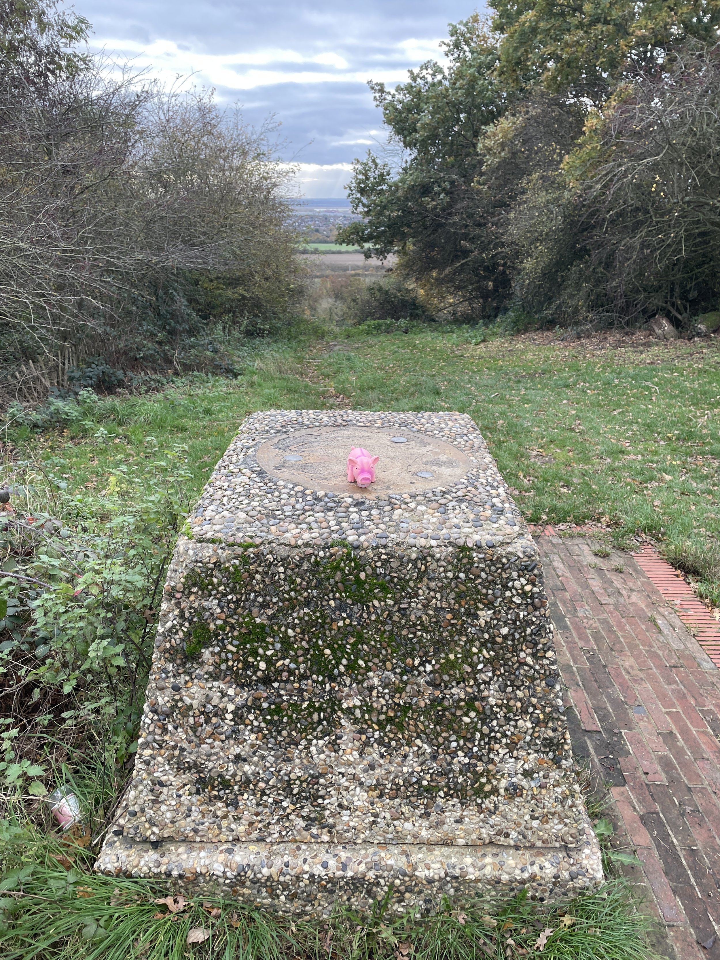
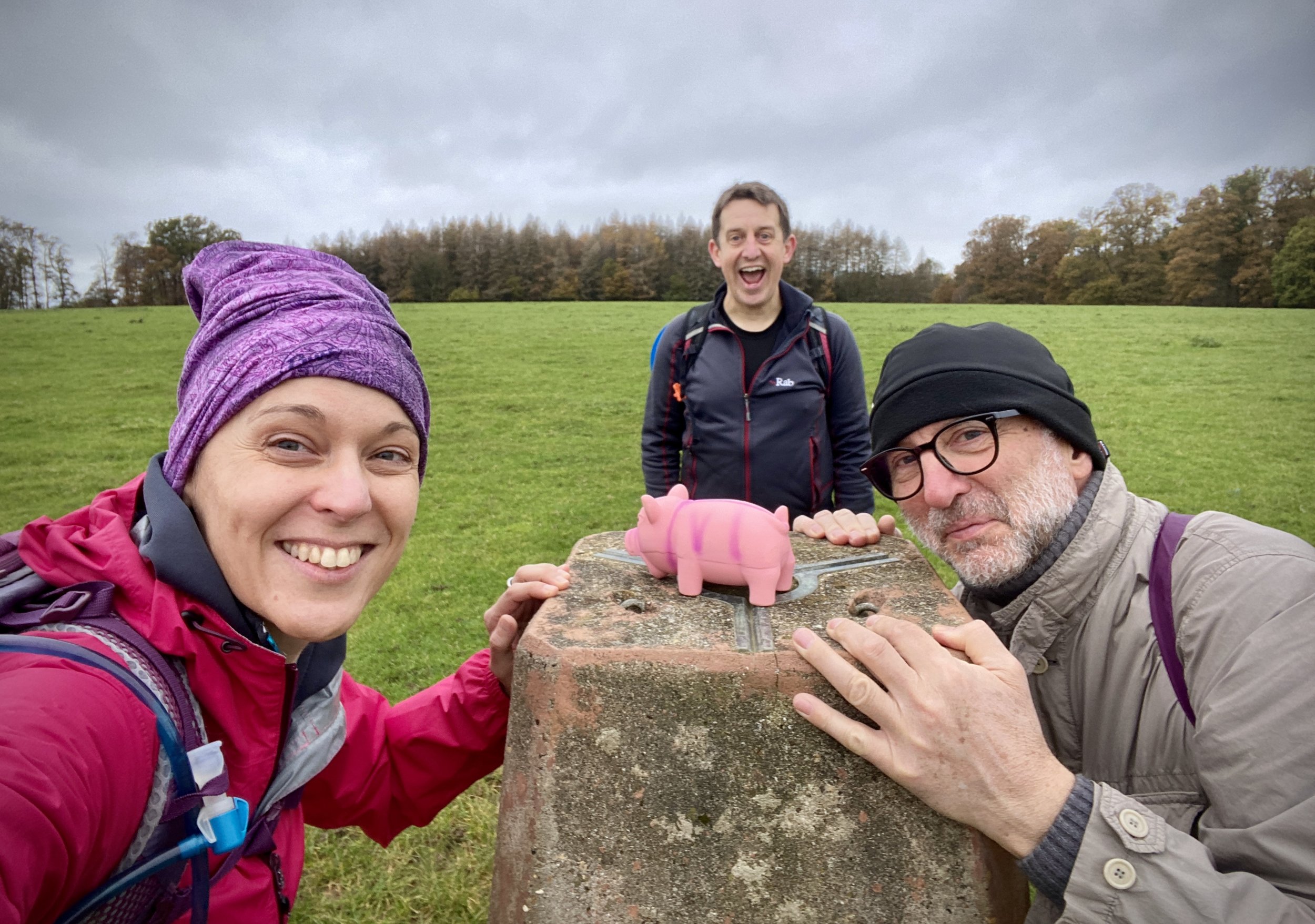
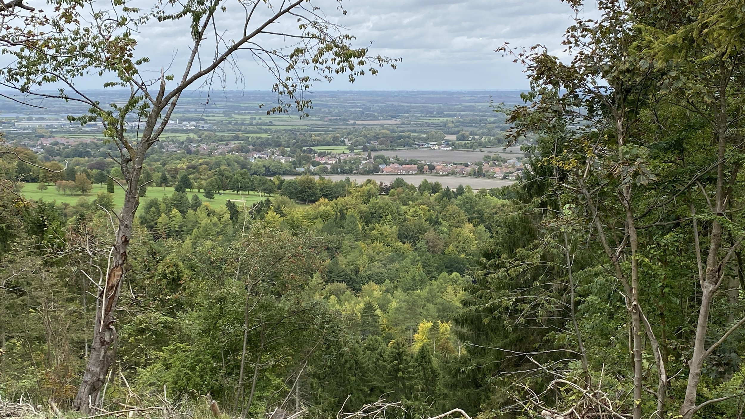
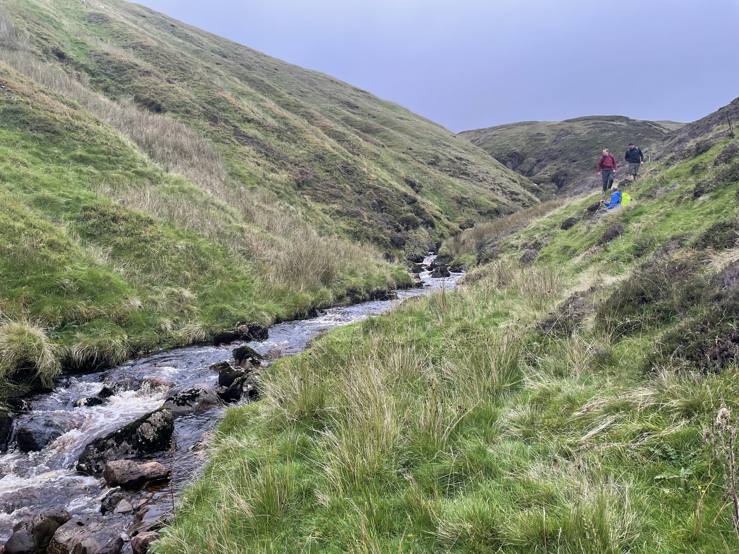
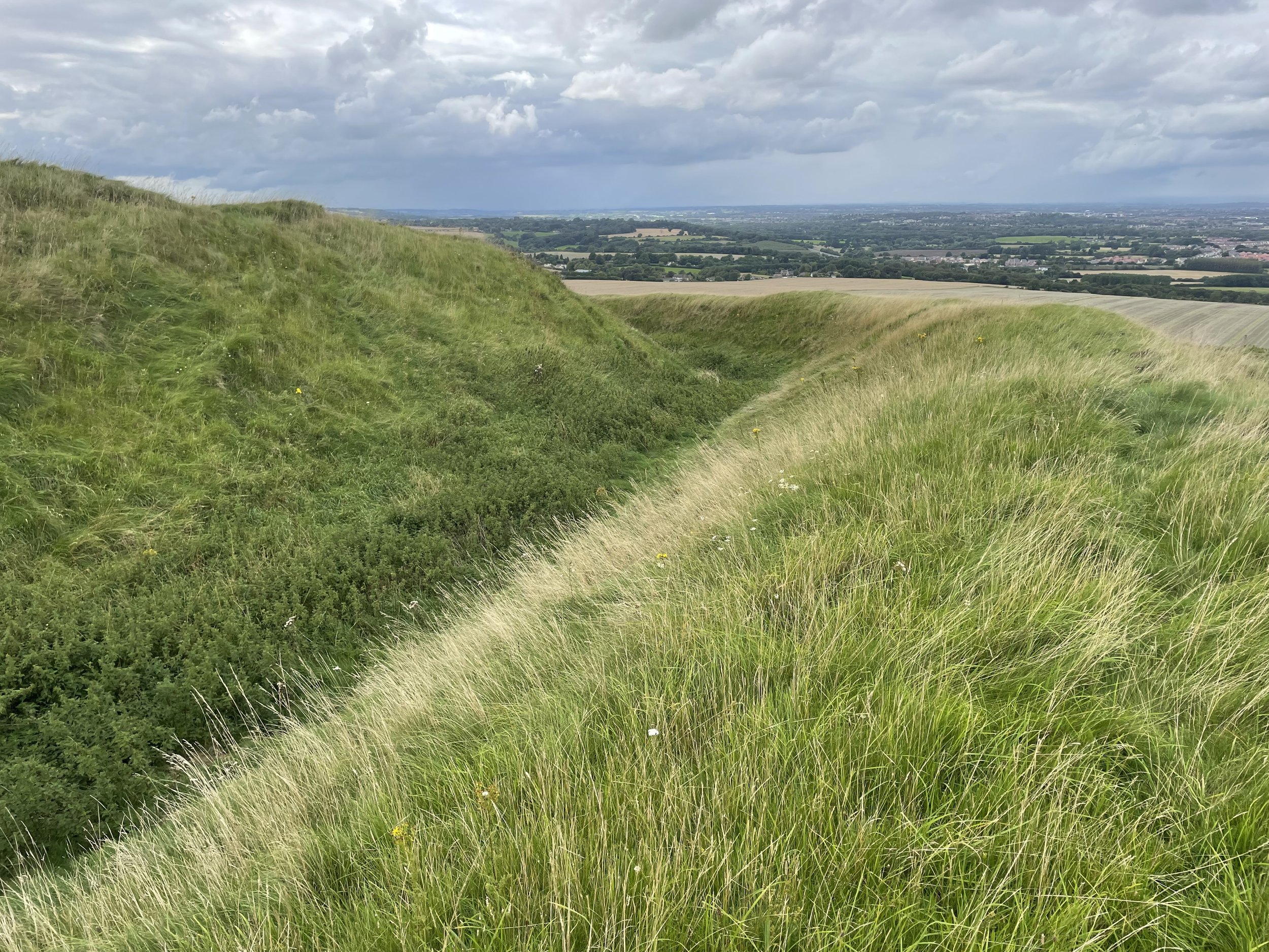
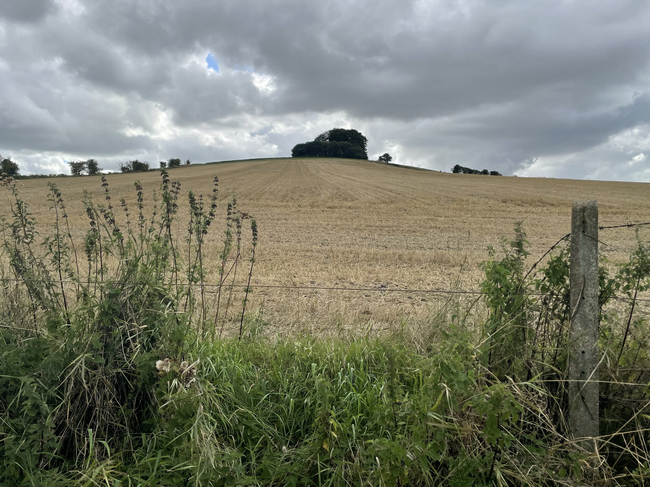
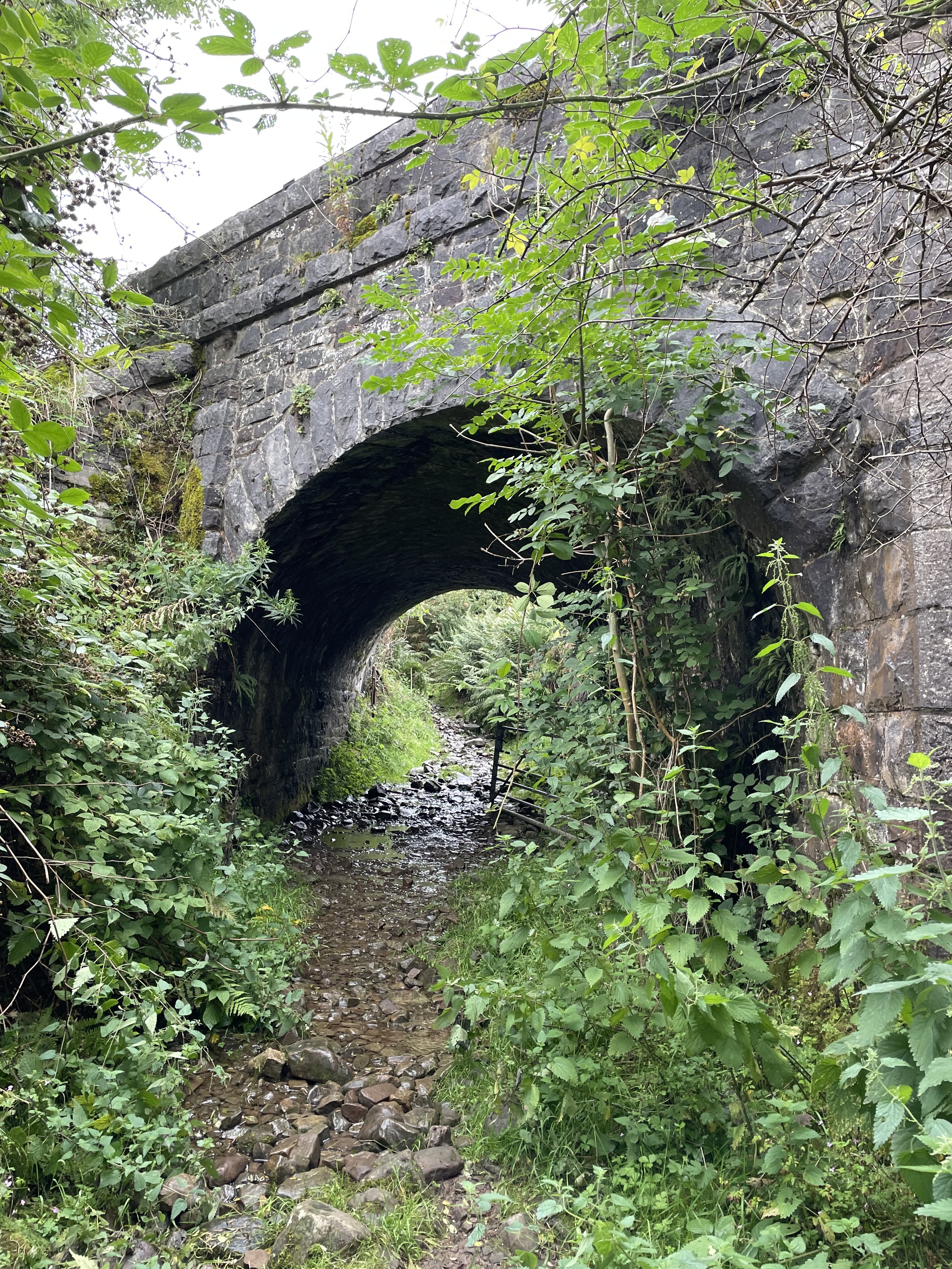
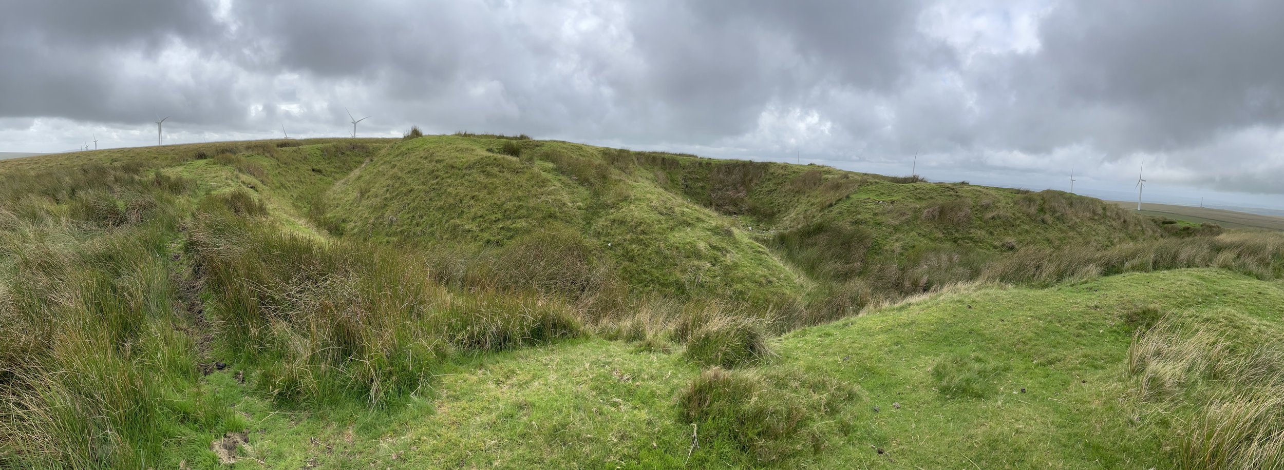
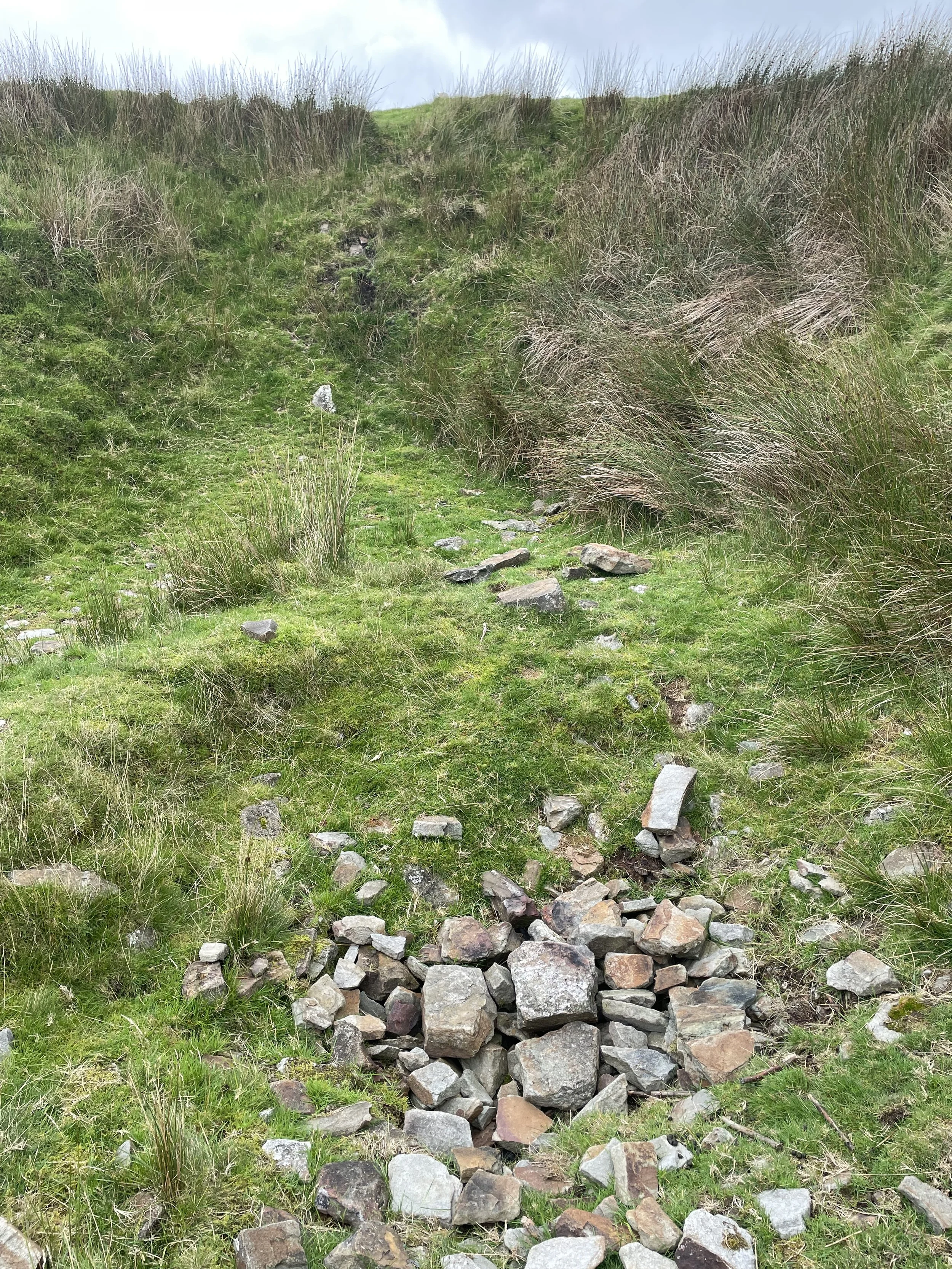
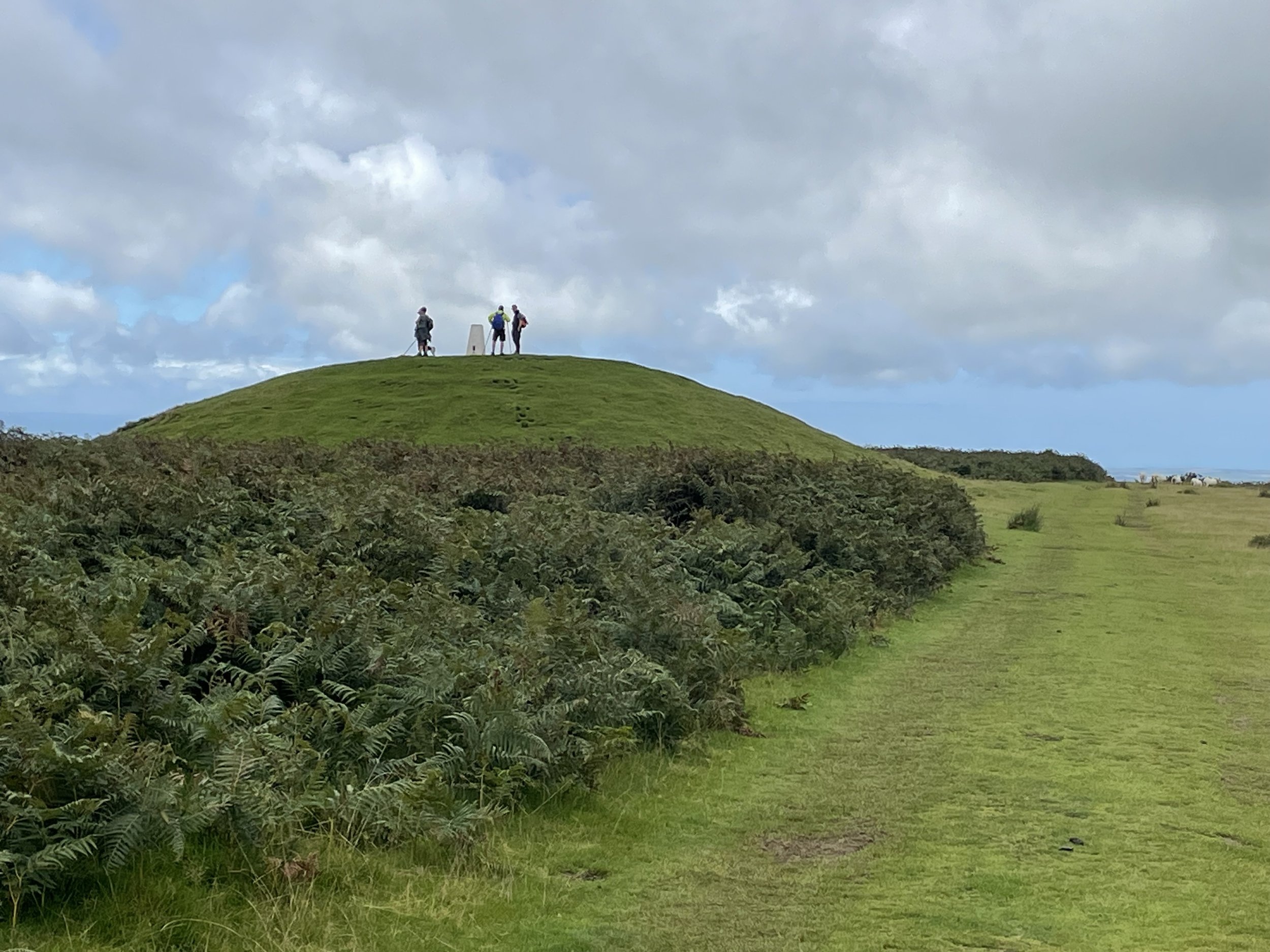
Instead of following the footpath that runs diagonally across the field, keep to the left hand side of the field and follow a small path into the woods, ascending up Hawesbury Hill. Here you’ll find the Trig Pillar hiding in thick undergrowth at the top of the hill. Any nice views of the estuary have been long since overgrown.

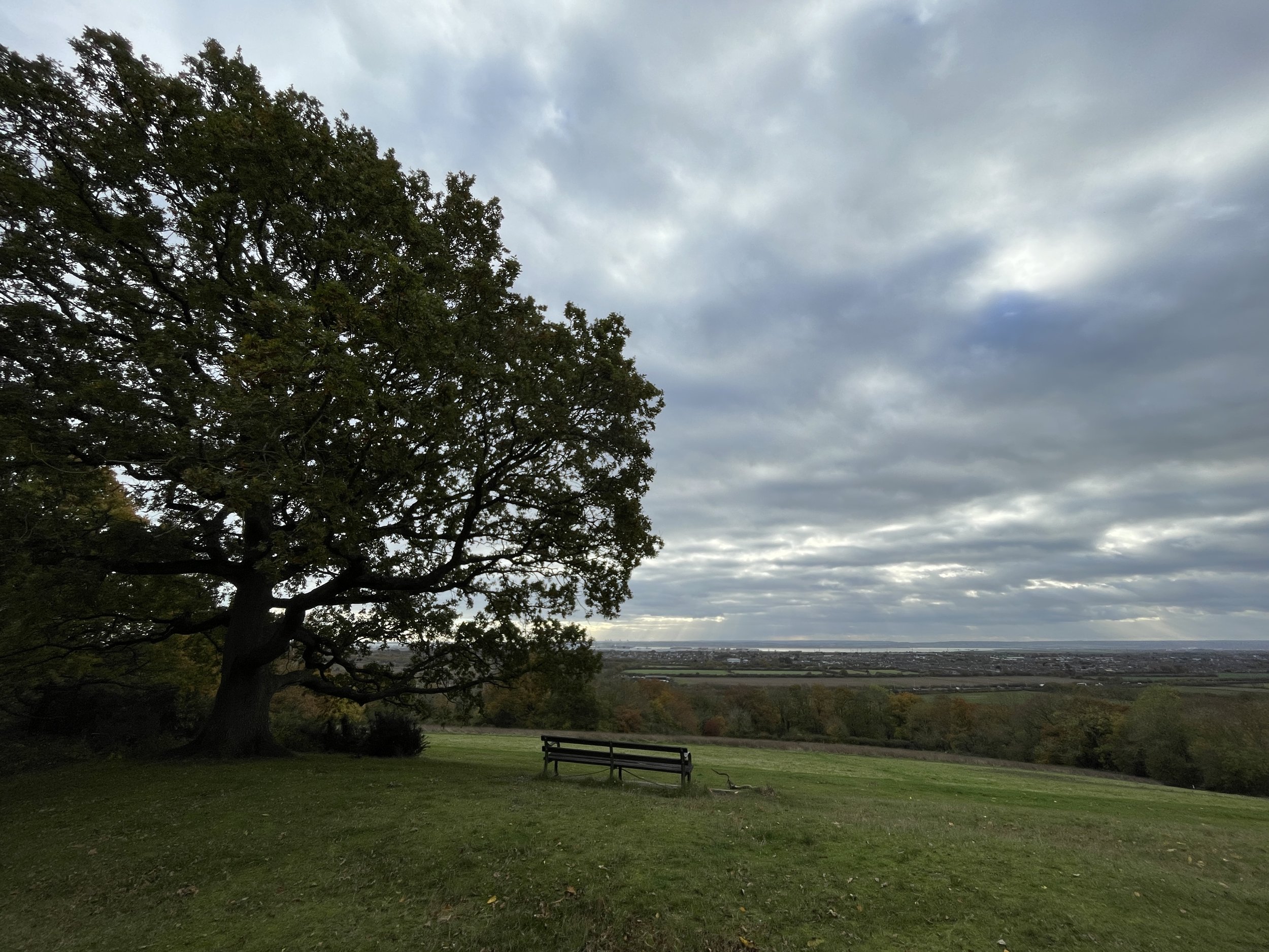
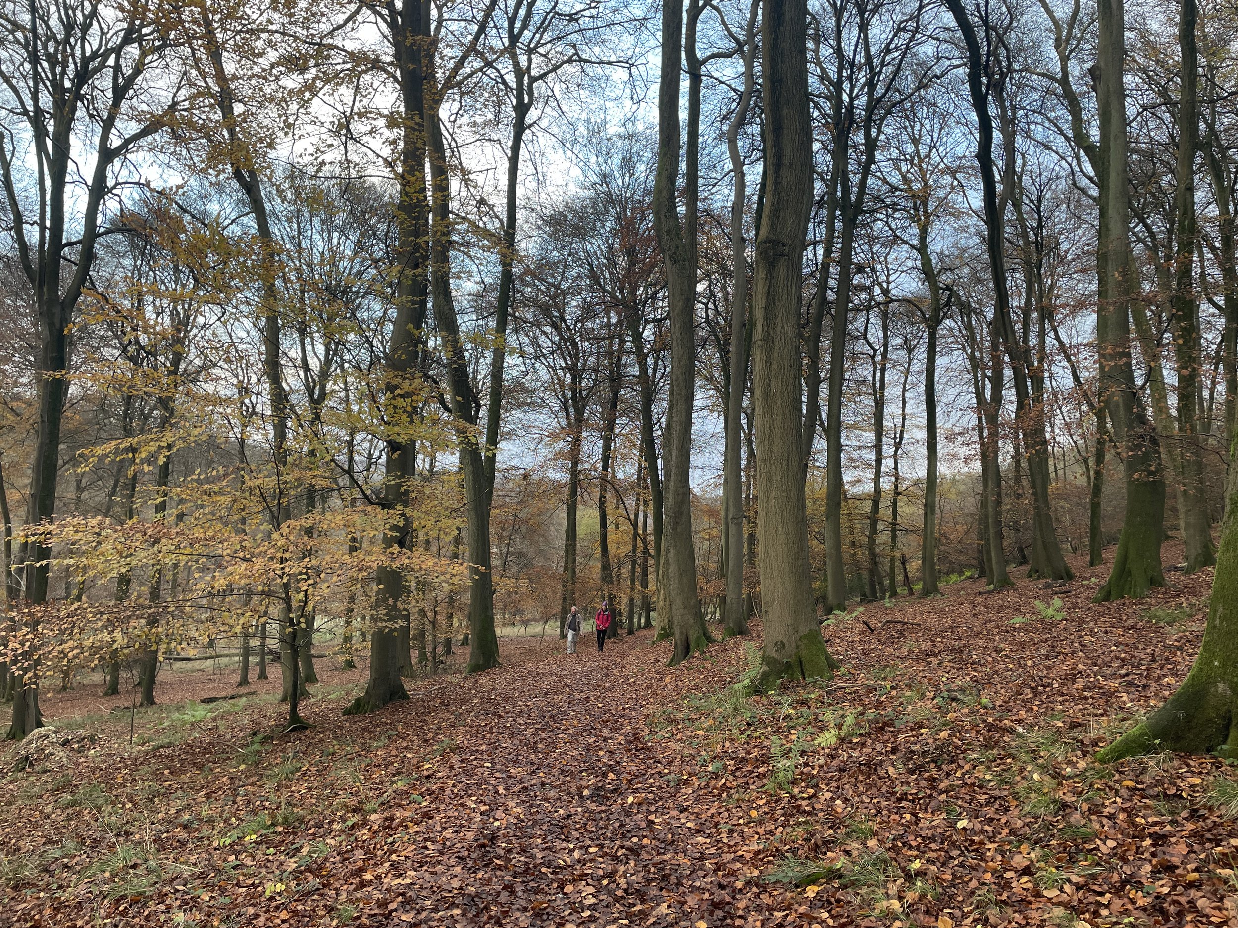
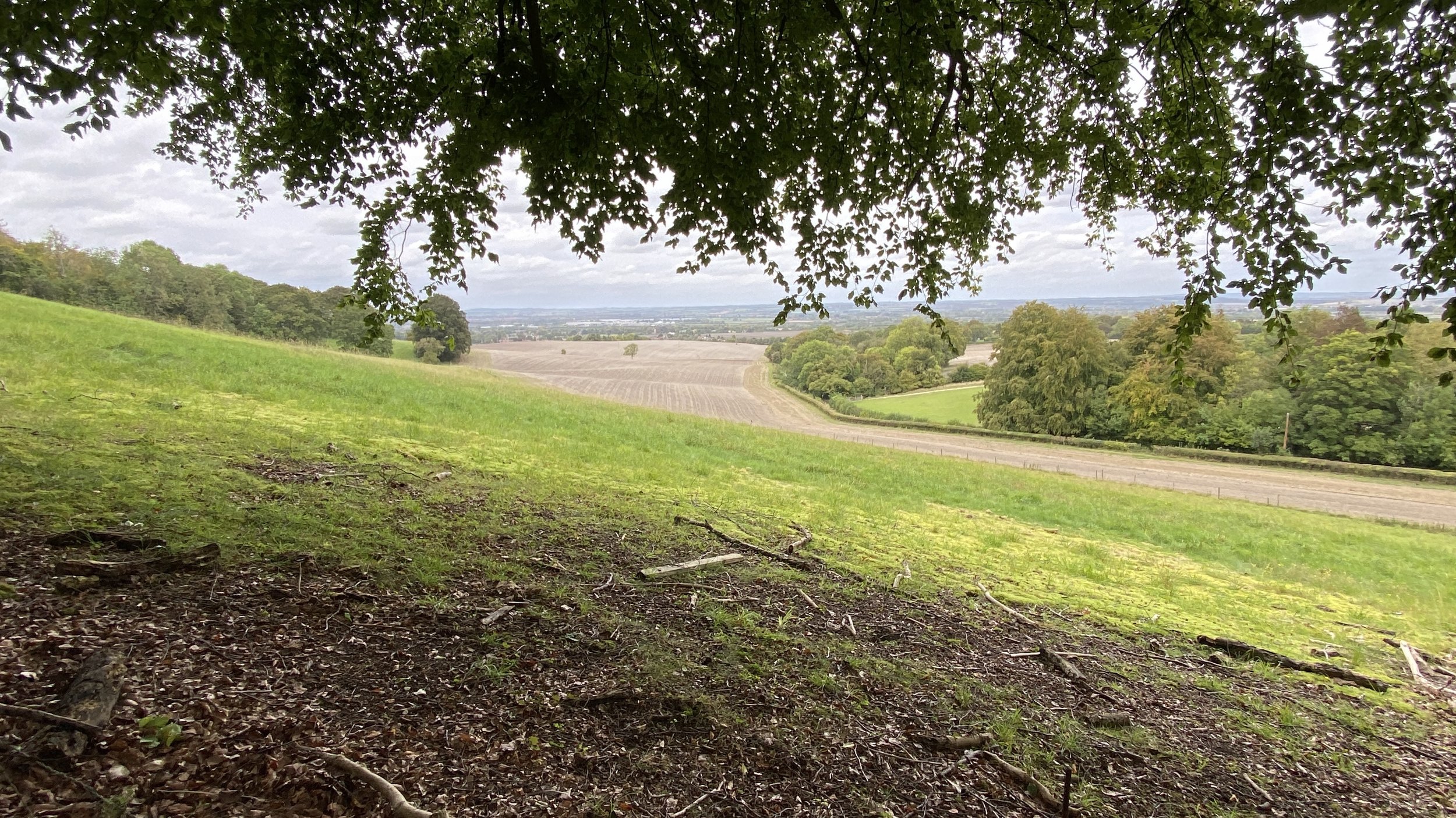
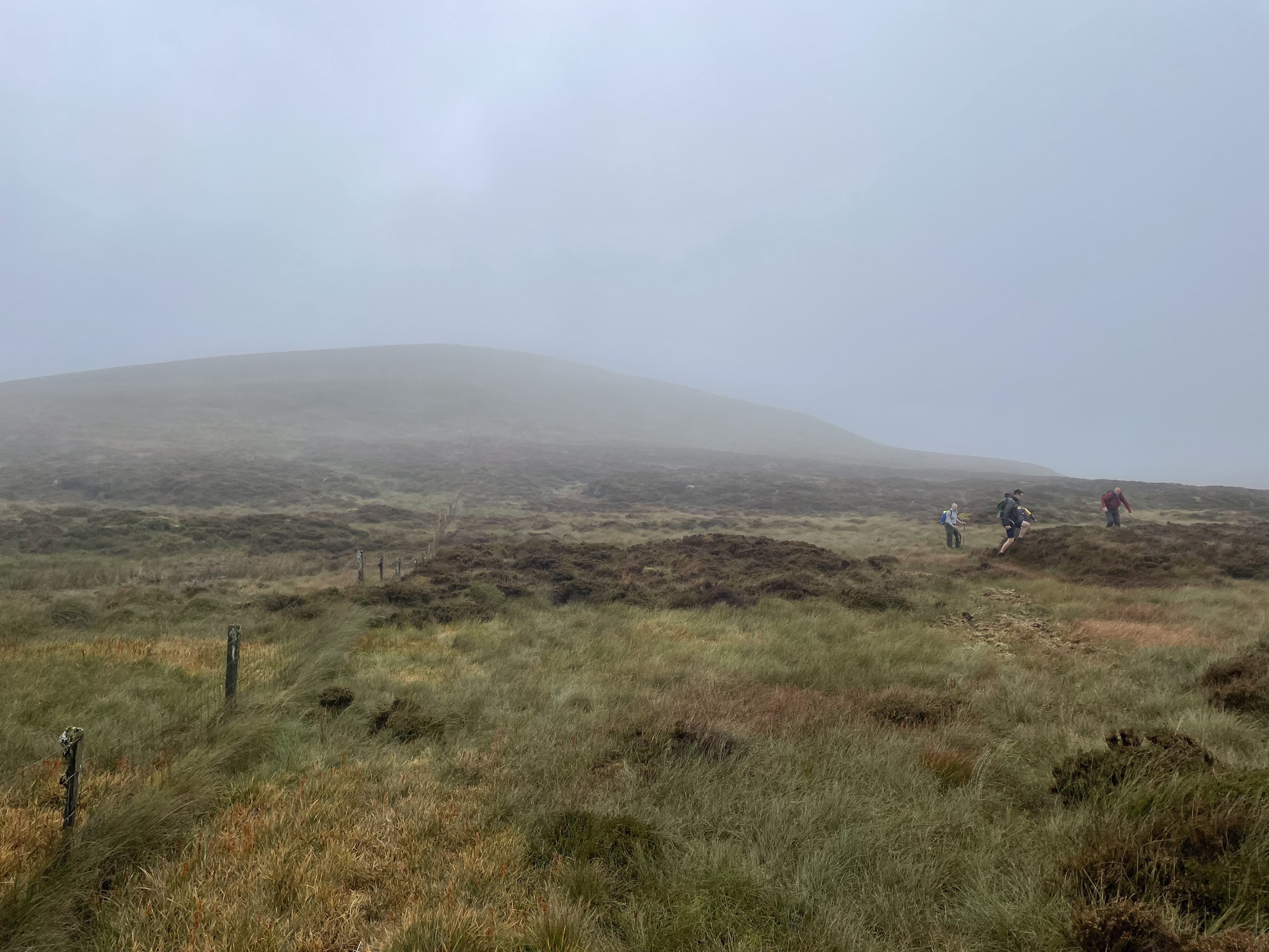
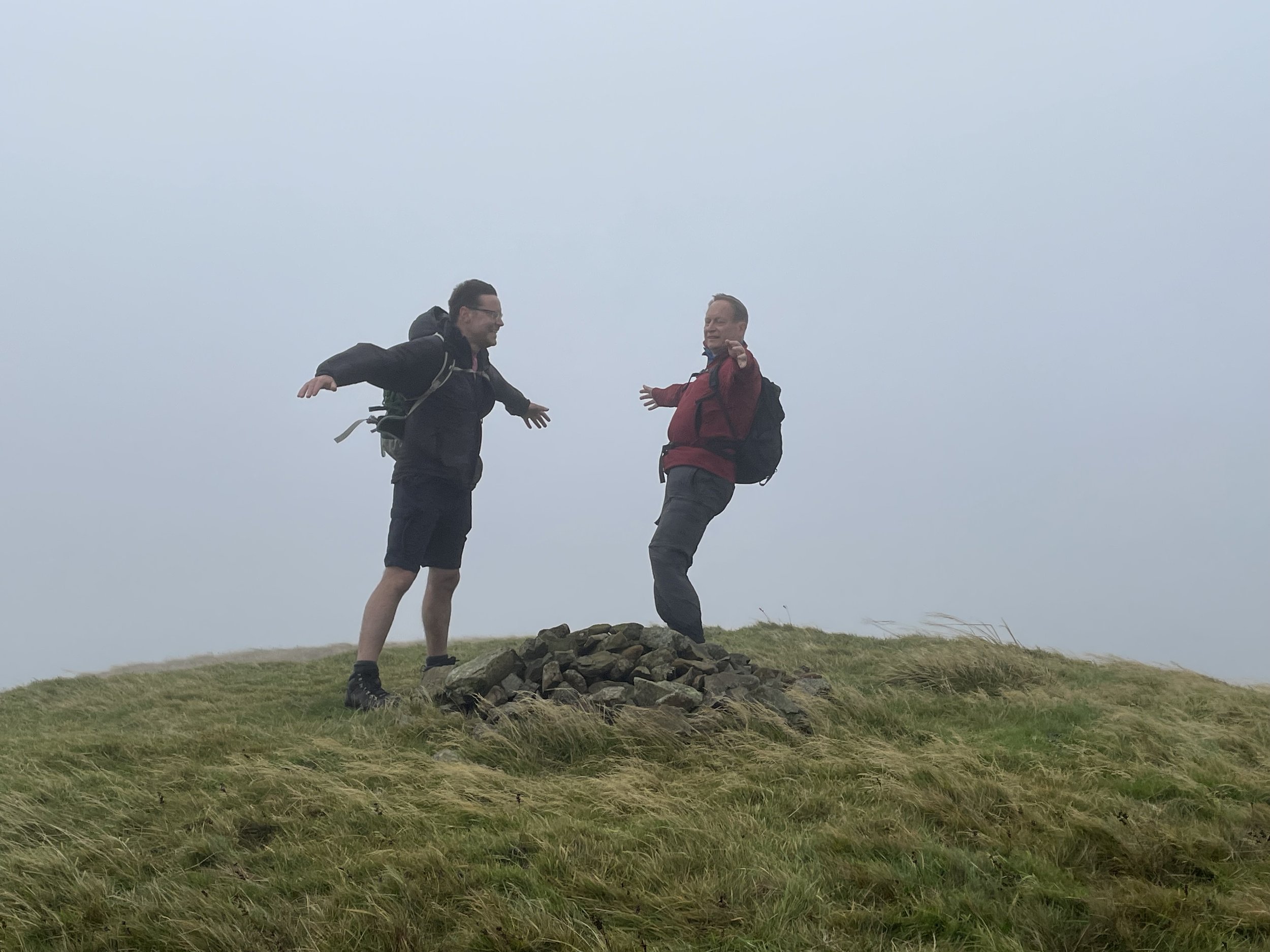
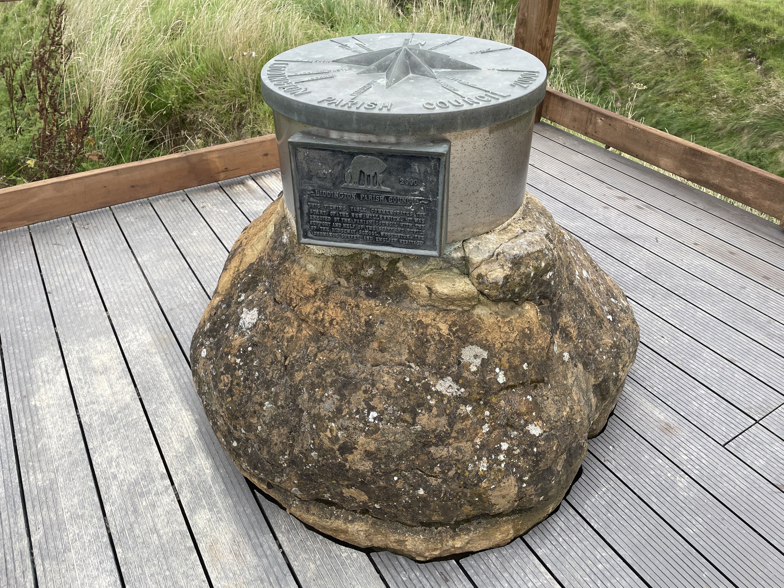
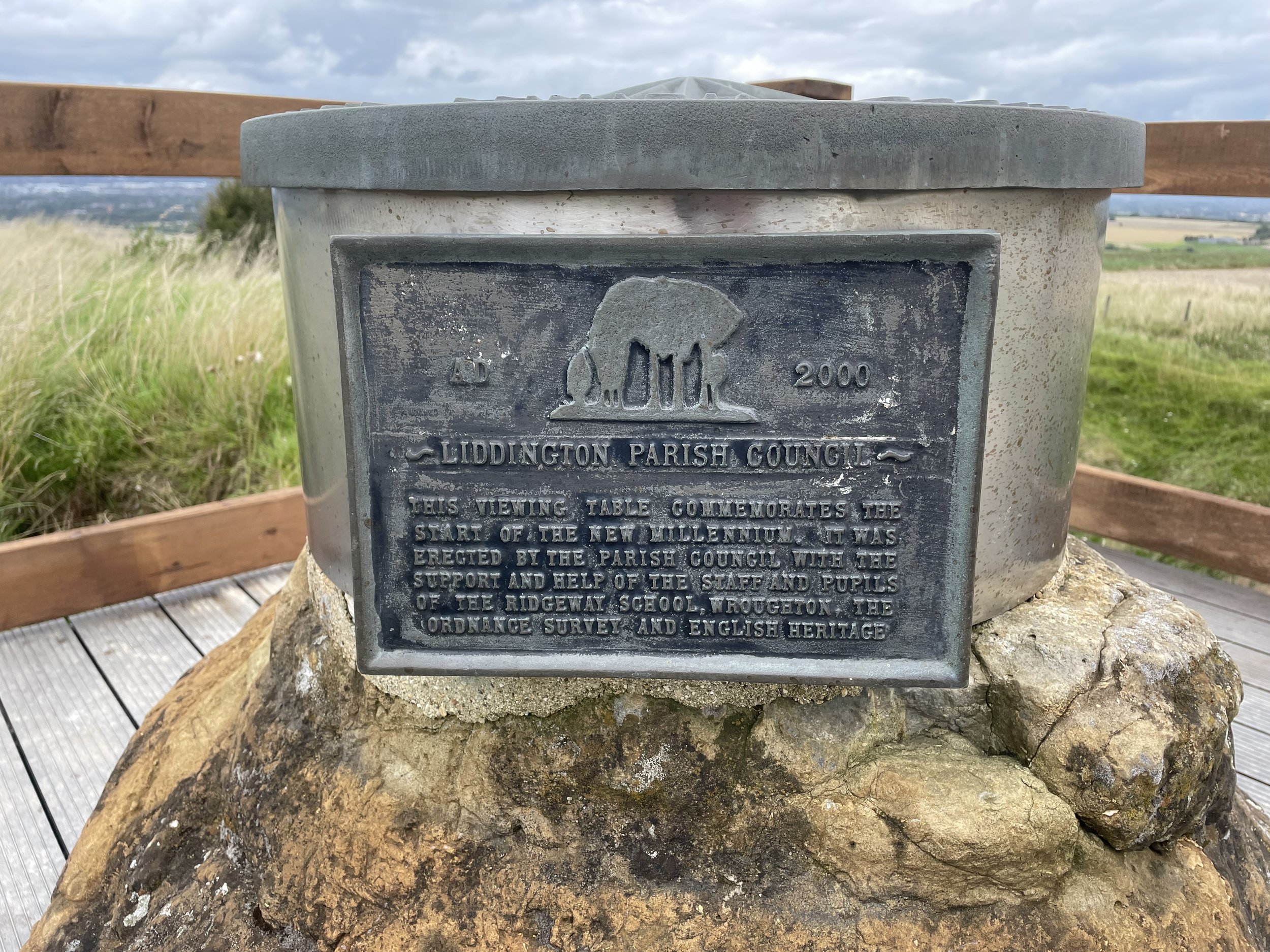
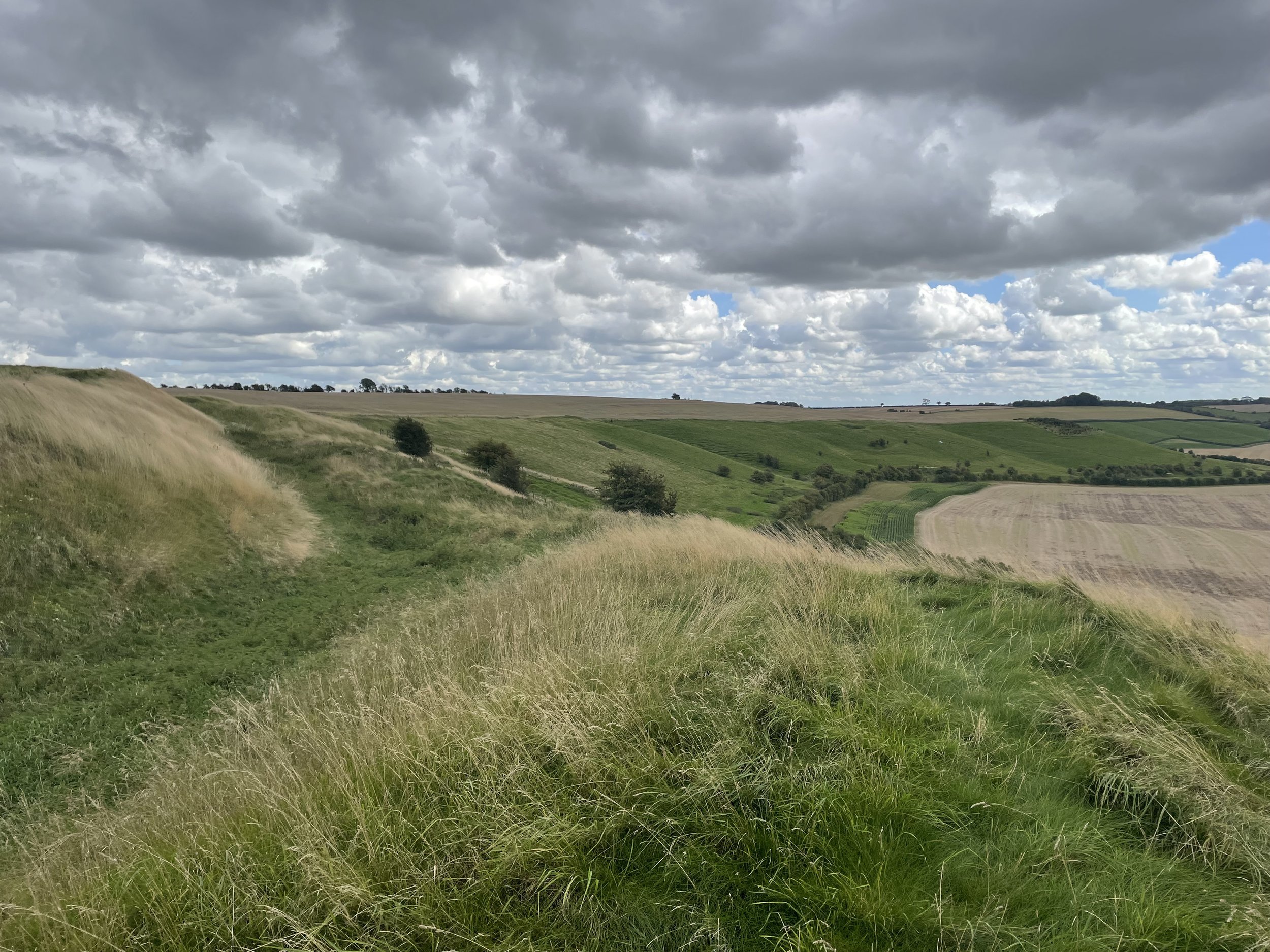
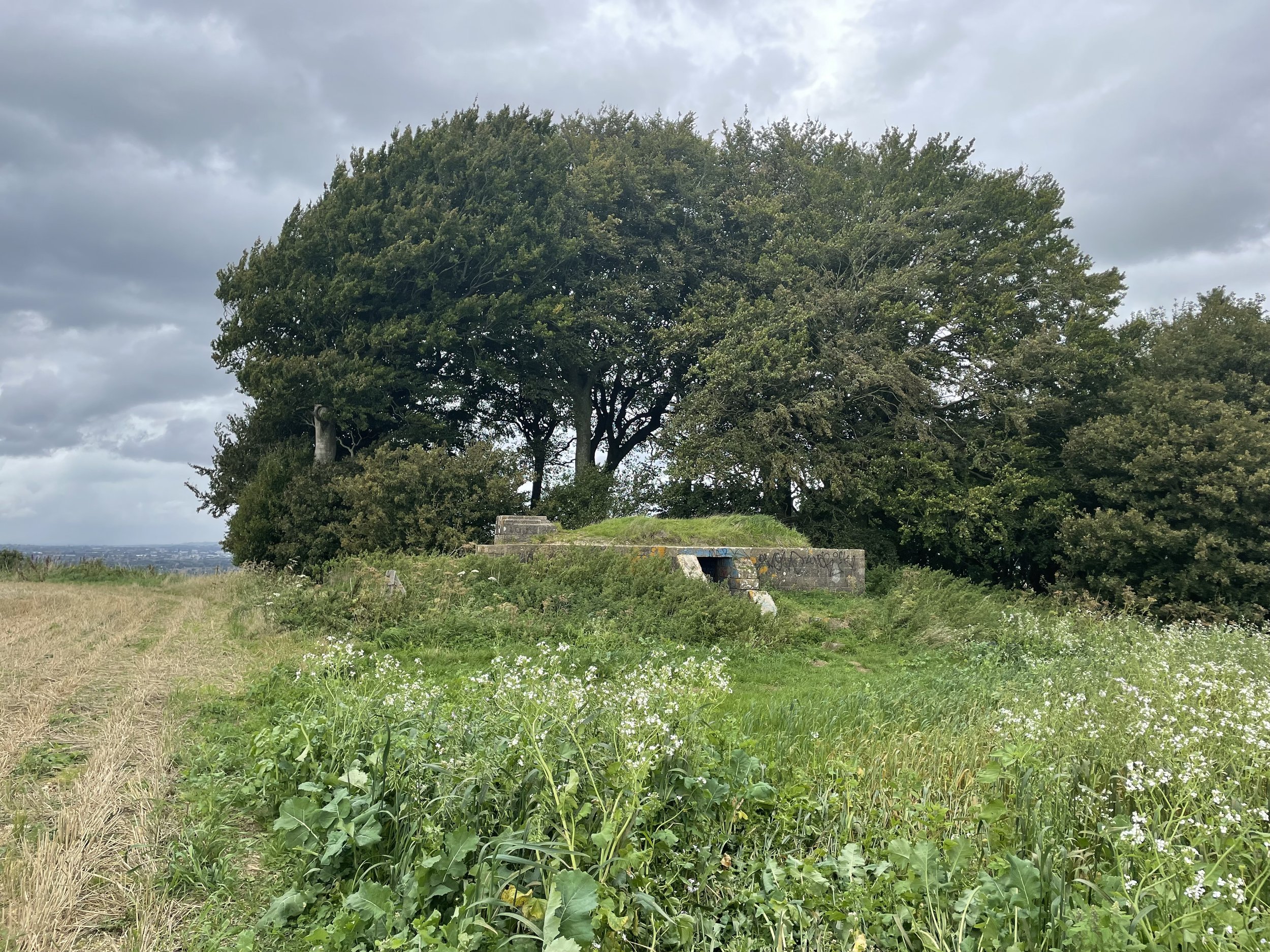
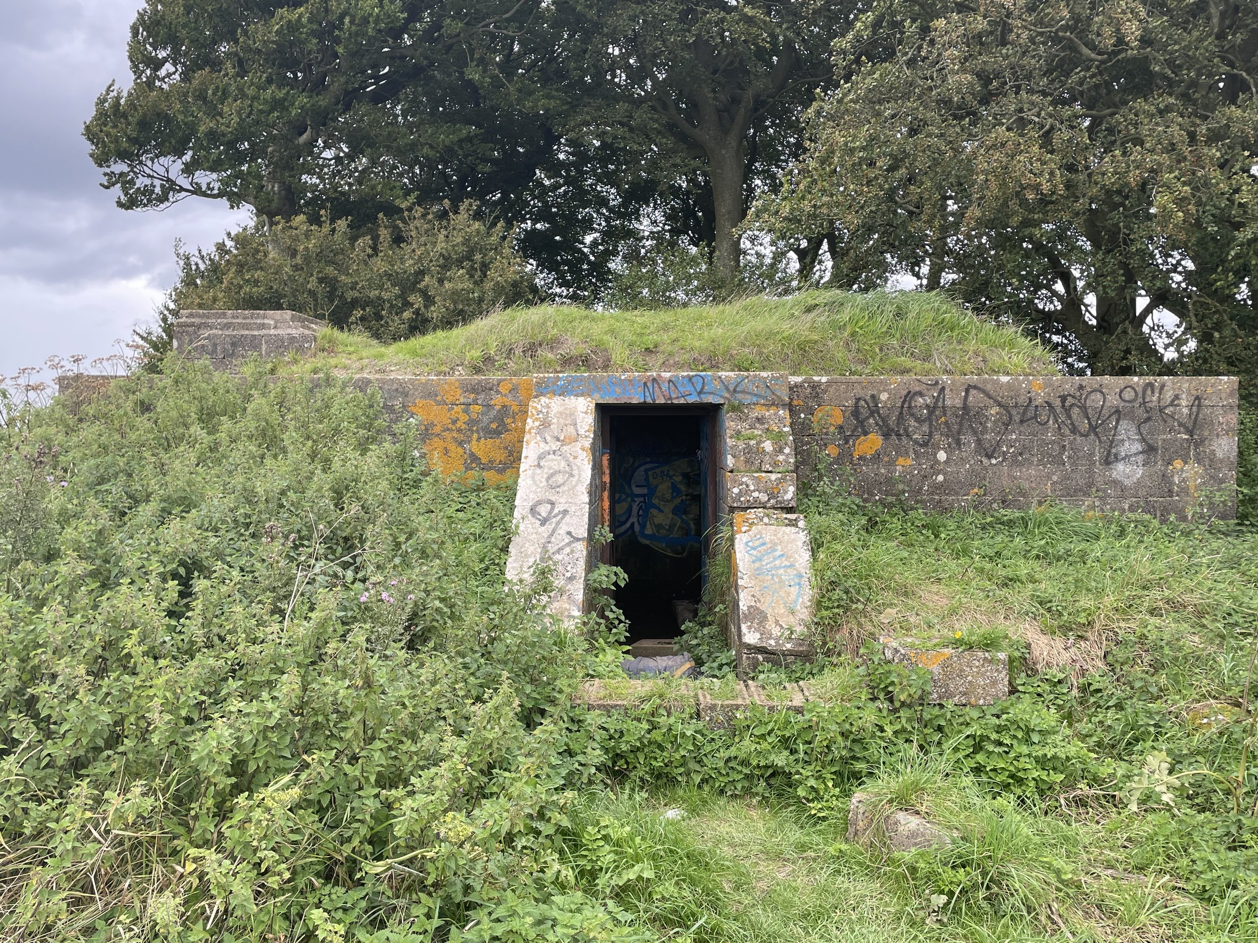
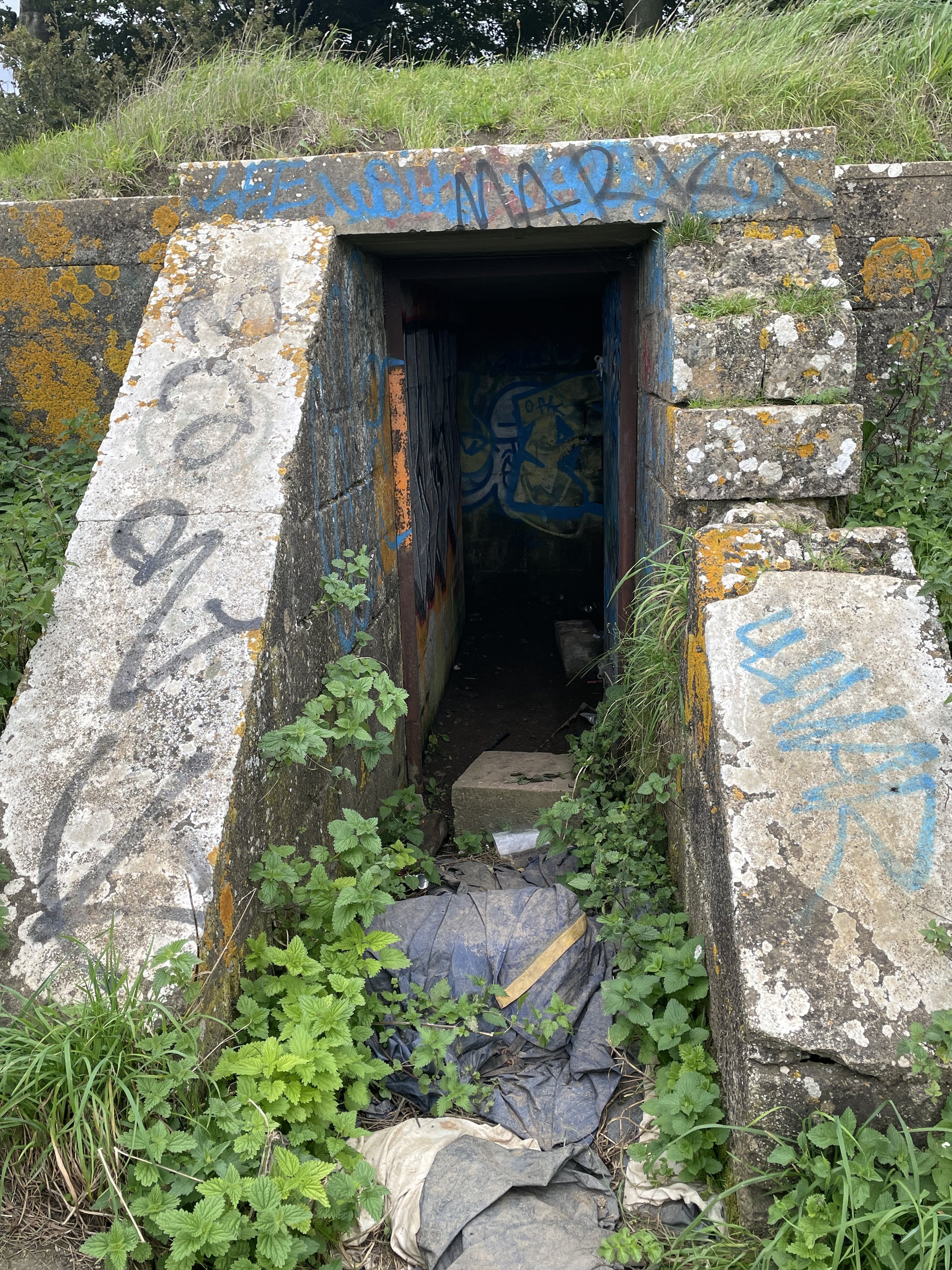
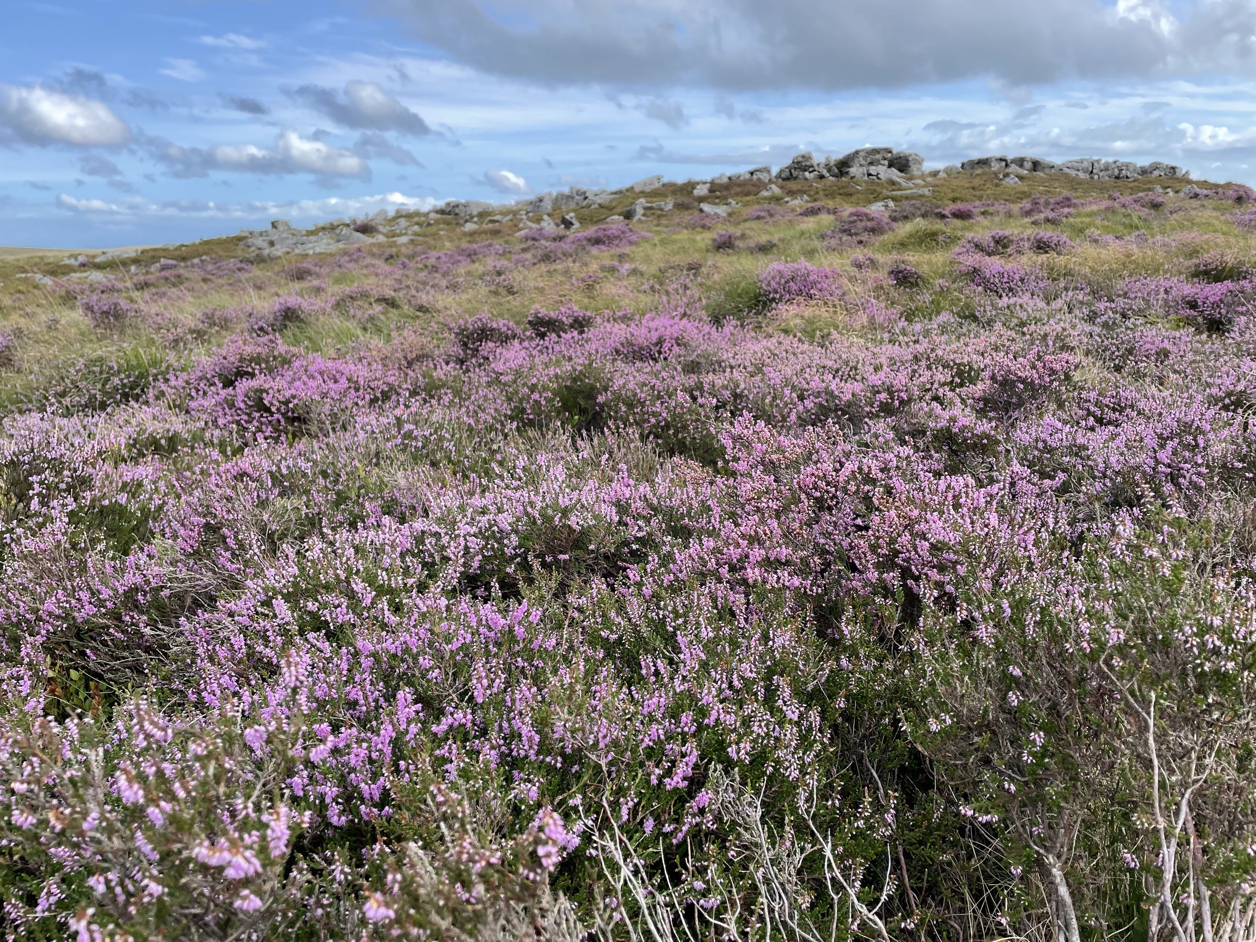
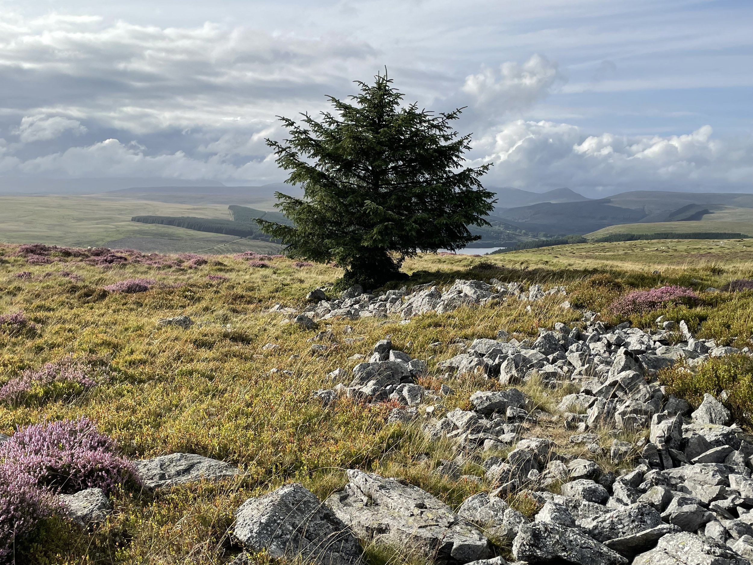
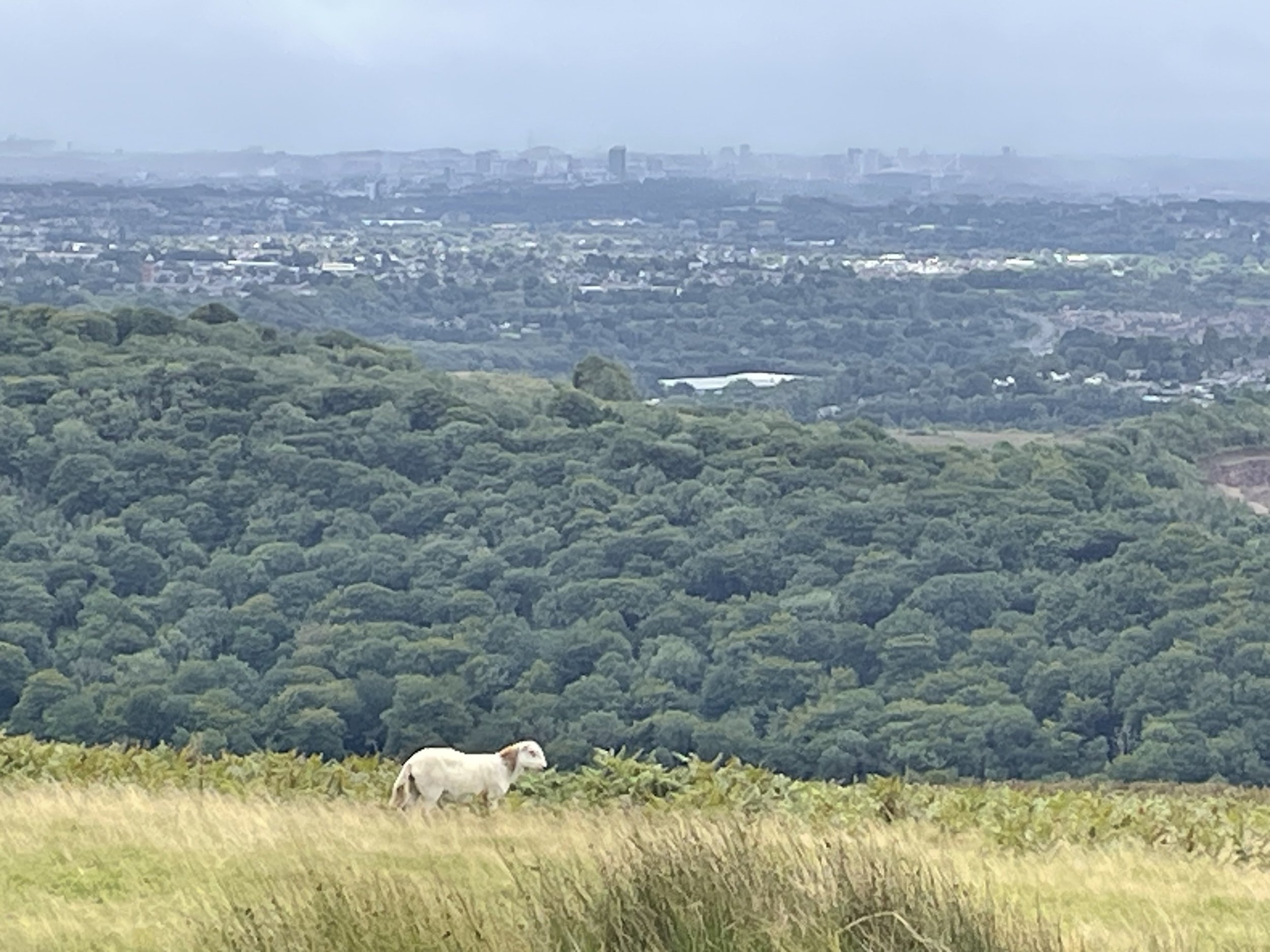
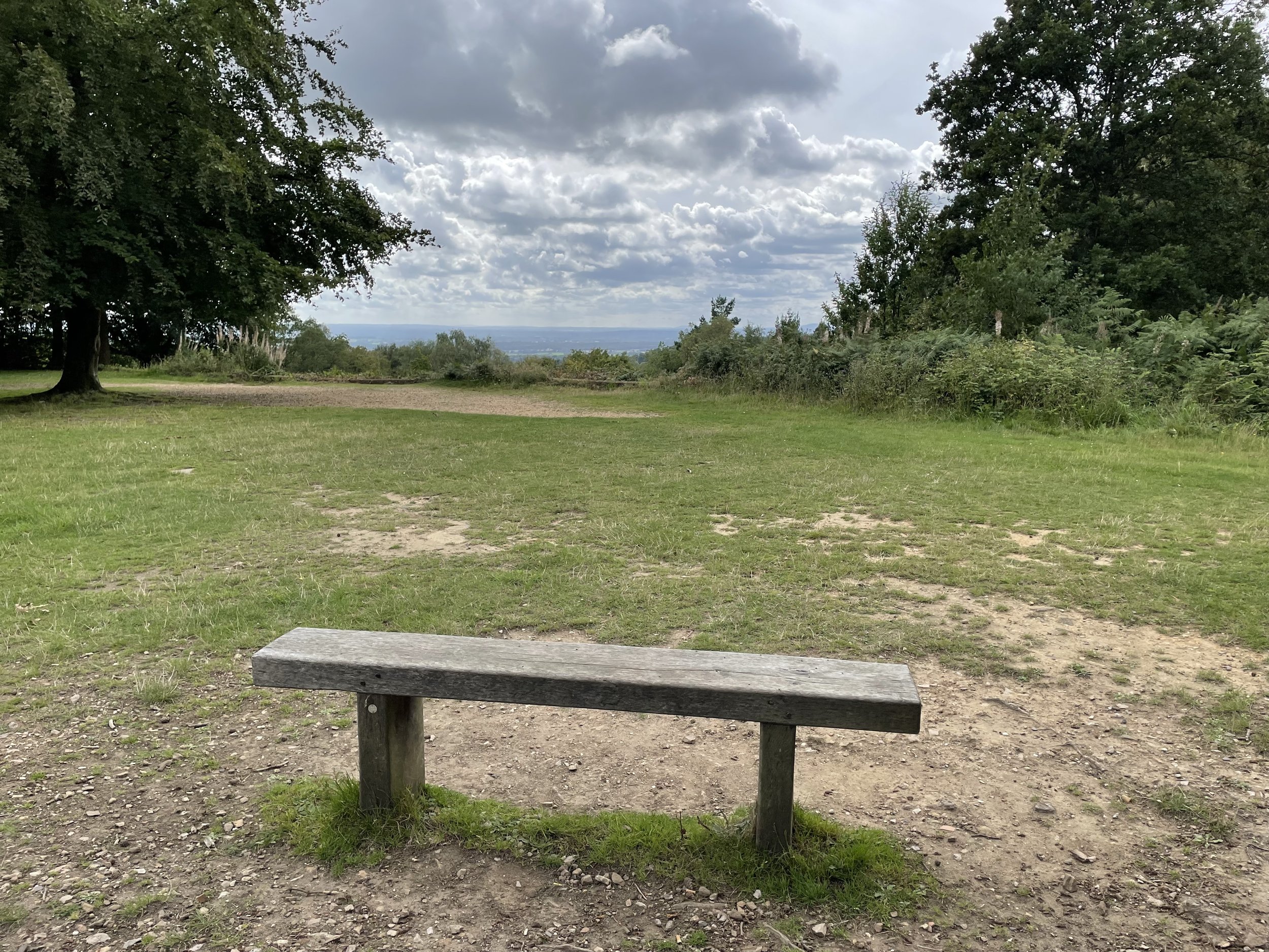
Retrace your steps out of the woods and take a left to follow the fence to re-join the footpath that started back at the gate. Follow this path in a south-westerly direction for 1km to reach One Trill Hill (road). Cross the road and walk through the car park to take the path up to the summit of One Tree Hill. There’s great views to the south on a clear day (which I didn’t have when I visited).

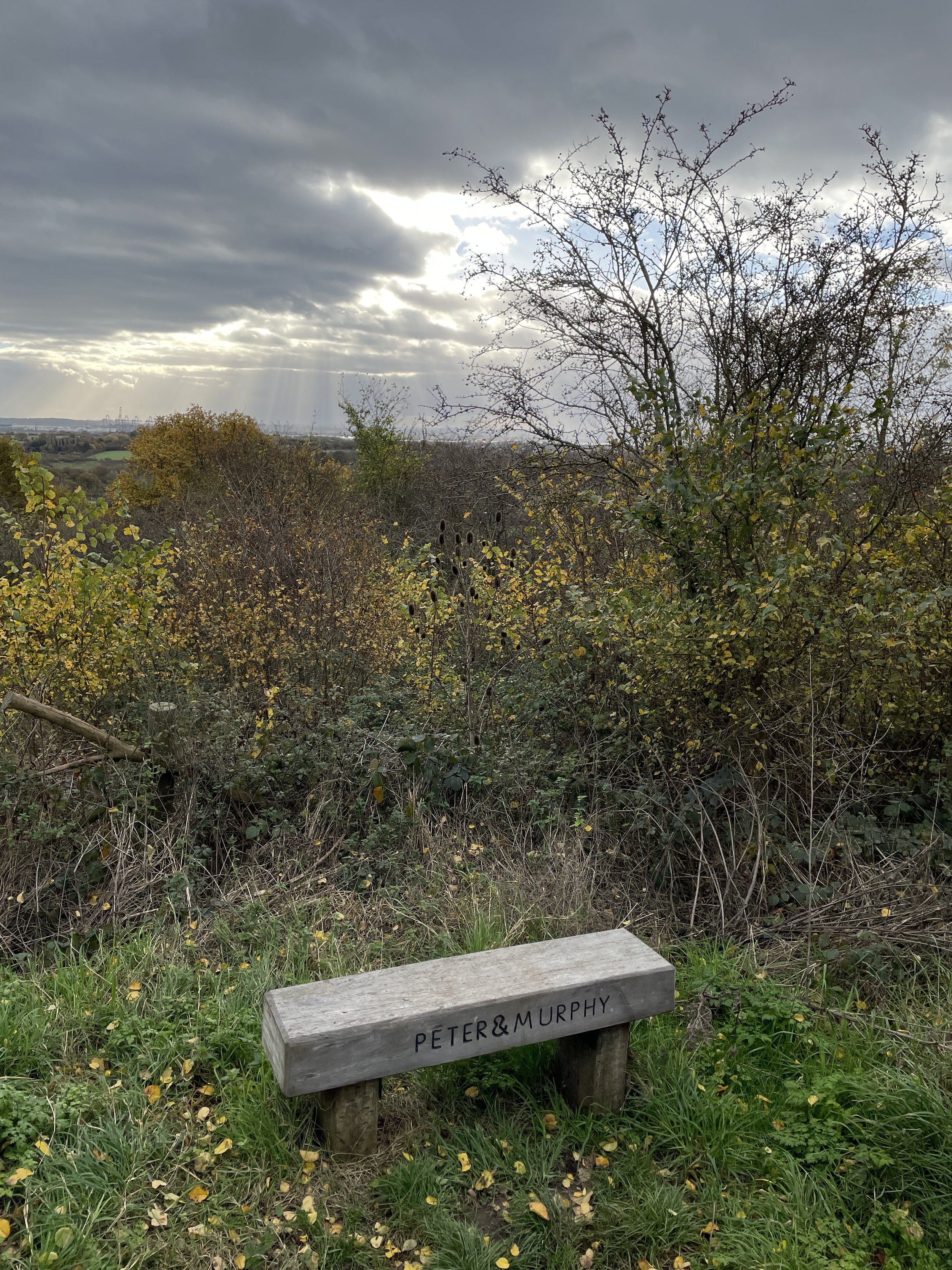
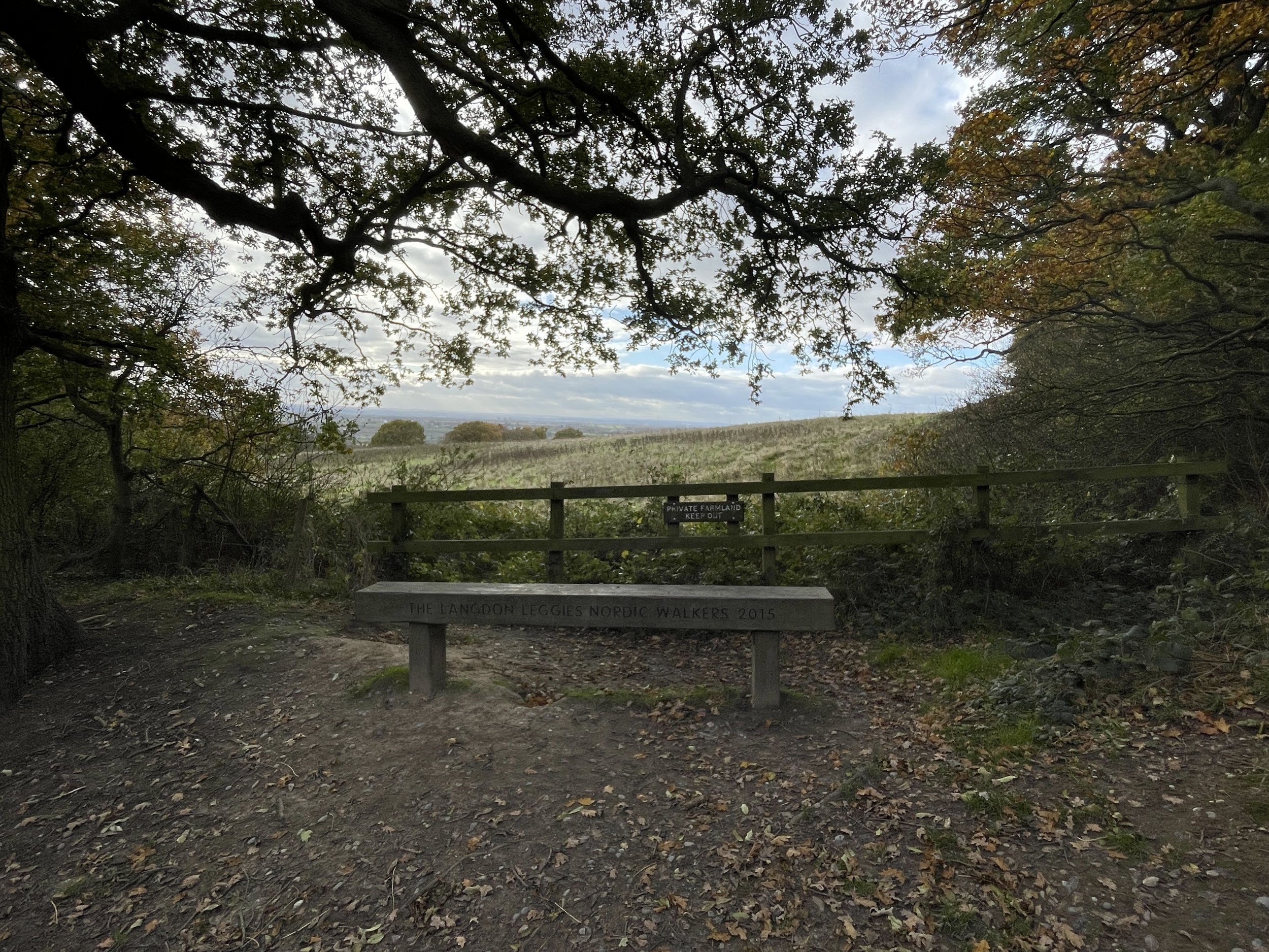
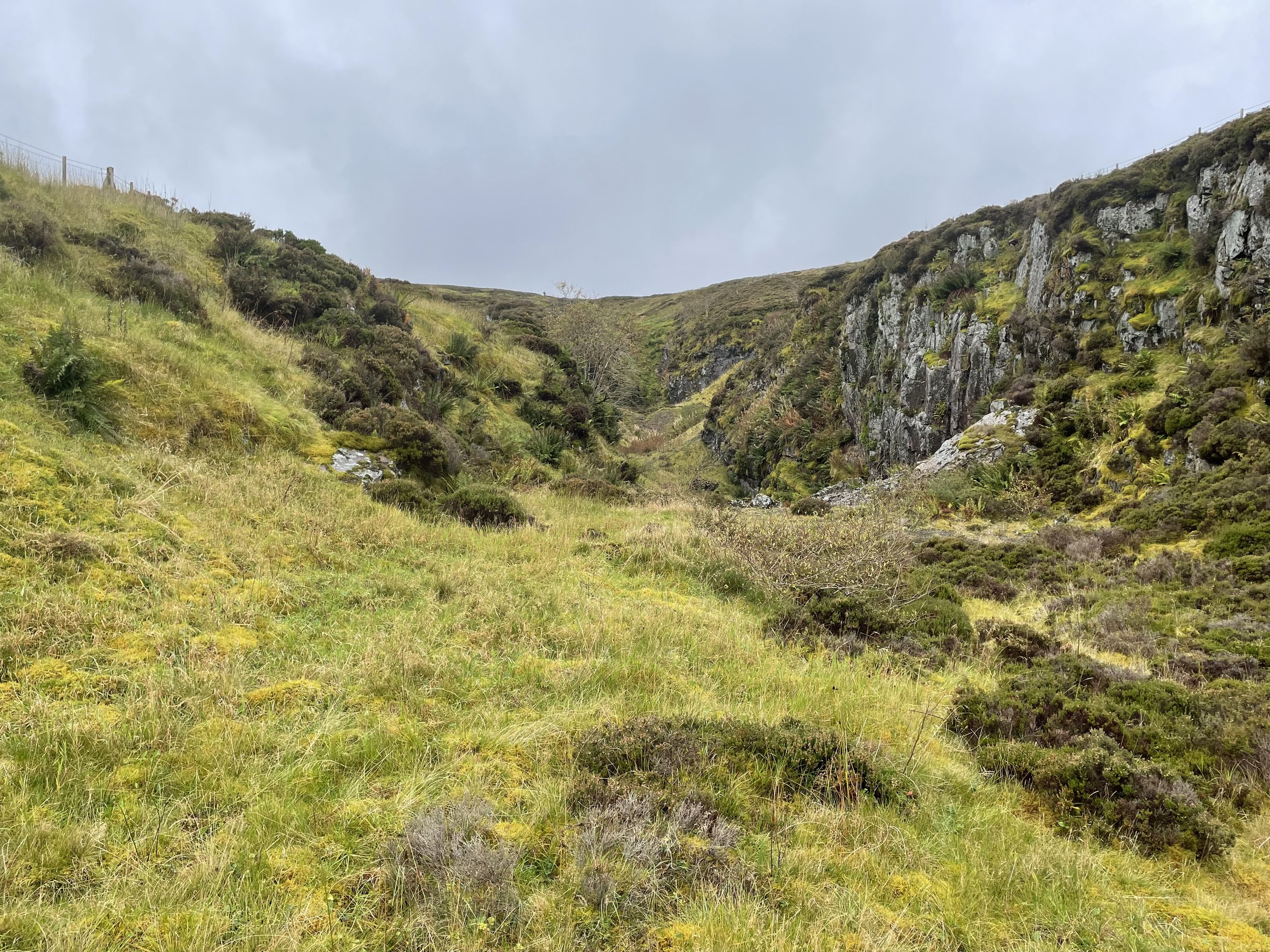
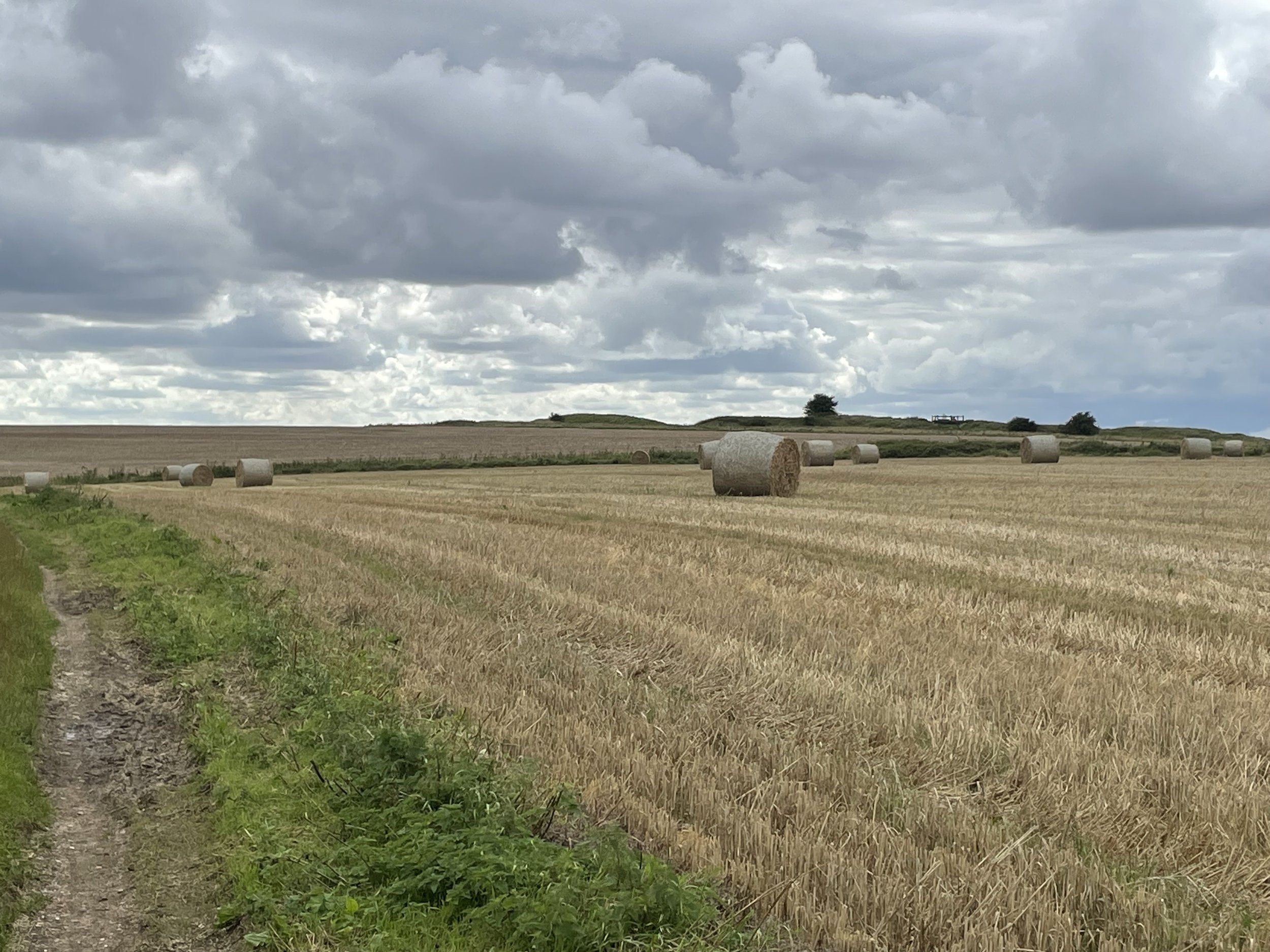
After One Tree Hill continue heading in a south-westerly direction, cutting through Northlands Wood. The path will take a sharp right-turn to the north and start ascending Old Hill. You can visit the summit with a short diversion from the path, but there’s little of interest there. Continue to follow the path as it snakes around Old Hill, crossing over Old Hill Avenue and back into Langdon Hills Country Park. When you meet a bench dedicated to the Langdon Leggies Nordic Walkers take a right to follow a path that gently ascends through the woods back towards the car park.

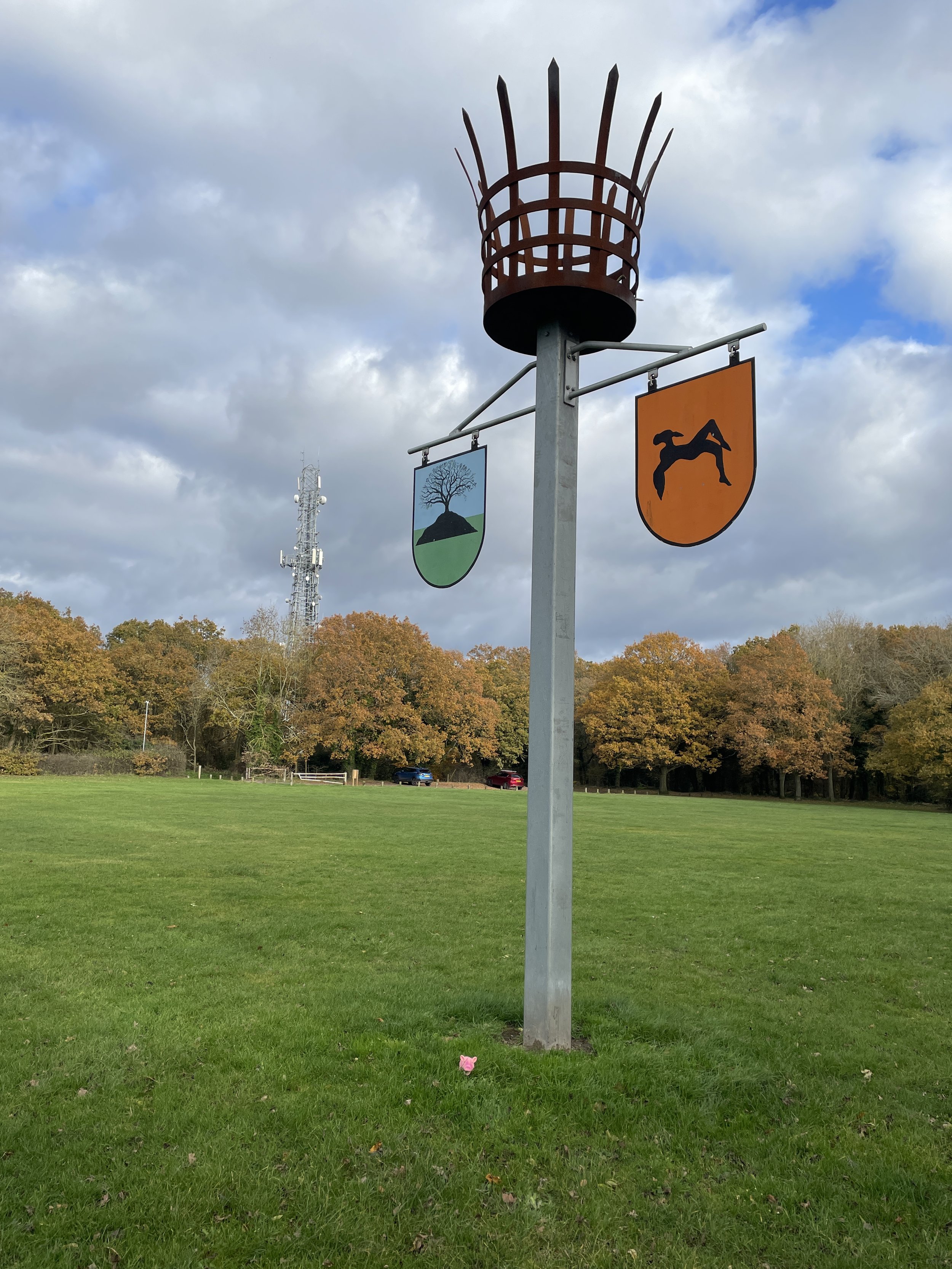
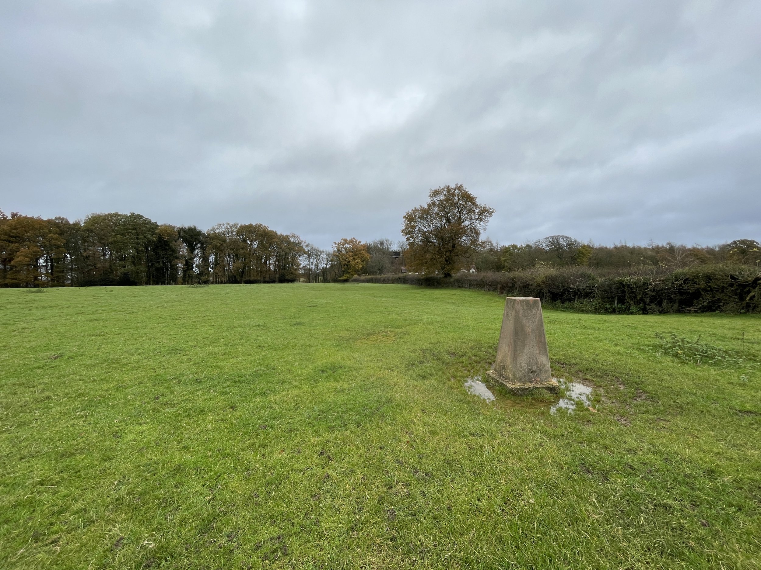
When you reach the east-west path before the Beacon Hill field you’ll be at the Thurrock/Basildon border and the Thurrock High Point. The more interesting feature is the Beacon a few metres further into the field. From here walk diagonally across the field to the north-western corner to the Langdon Hill “summit” before returning to the car park.


London Road and Heath Mount: Southend High Points

The county of Essex has, at time of writing, 2 Unitary Authorities: Thurrock and Southend-on-Sea. With a rare quiet week at work and a need for a geek-adventure based day off, I headed east to bag them both. First up: Southend which has 2 alternative options for its high point. It’s hard to say which is the most interesting as neither offers a great view or a Trig Pillar. Both could be bagged on a single walk or cycle ride but I did both as drive-bys before heading on to Thurrock for a more interesting adventure.


London Road

Significance: Unitary Authority High Point for Southend-on-Sea
Member of:
N/A
Parent Peak:
Haddington Hill NHN: Sandpit Hill
Historic County: Essex (of which Chrishall Common is the County Top)
Elevation:
61m
Date “climbed”:
November 24th 2023
Coordinates:
51° 32' 57'' N, 0° 37' 31'' E
Map:
Southend-on-Sea & Basildon Map | Brentwood & Billericay | Ordnance Survey | OS Explorer Map 175
Links:
Wikipedia (Southend-on-Sea), Peakbagger, Hillbagging

The first contender for the Southend High Point is right on the boundary with the Castle Point borough of Essex. The high point is by the “Welcome to the City of Southend-on-Sea” sign. Next to the sign you’ll also find a Rochford/Southend boundary stone and an old wooded post with an inscription that reads “Here grew the Burnt Oak, being the ancient bounds of the Manor of Southchurch, belonging to John Gregory Welch Esq. 1832”.


Heath Mount

Significance: Unitary Authority High Point for Southend-on-Sea
Member of:
N/A
Parent Peak:
Haddington Hill NHN: Thundersley Hill
Historic County: Essex (of which Chrishall Common is the County Top)
Elevation:
61m
Date “climbed”:
November 24th 2023
Coordinates:
51° 33' 49'' N, 0° 38' 5'' E
Map:
Southend-on-Sea & Basildon Map | Brentwood & Billericay | Ordnance Survey | OS Explorer Map 175
Links:
Wikipedia (Southend-on-Sea), Peakbagger, Hillbagging

Heath Mount is a 5 to 10 minute, 2 mile drive from the London Road High Point. It’s at the entrance to Belfairs Woods off Woodside road where there’s free on-street parking. Nothing obvious to mark the spot. The spot is on the Southend Ring, a 24km trail circling the city.


Bald Hill: Oxfordshire Historic County Top

Ascending Shirburn Hill


Significance: Highest peak in Oxfordshire (Historic County Top)
Member of: N/A
Parent Peak: Haddington Hill. NHN = Haddington Hill
Elevation: 257m
Date climbed: 24th August 2013 and 19th November 2023
Coordinates:  51° 39' 21'' N, 0° 56' 53'' W

Route Start & Finish: Christmas Common Road, Lewknor, Oxfordshire, OX49 5HL
Distance: 12.1 km (7.5 miles)
Elevation change: +/- 270m
GPX File: get via Buy Me a Coffee
Other routes touched (walk): Chiltern Way, Oxfordshire Way
Other routes touched (cycle): Chiltern Cycleway
Pubs / Cafes on route: The Fox & Hounds (8 km in)
OS Trig Pillar: TP0317 - Shirburn Hill
Map: OS Explorer Map Active (171) Chiltern Hills West, Henley-on-Thames and Wallingford
Guidebook: The UK's County Tops (Jonny Muir), Walking the County High Points of England (David Bathurst)
Links: Wikipedia (Oxfordshire), Wikipedia (Cowleaze Wood), Peakbagger, Hillbagging, Cowleaze Wood, Halifax LW579 51 Squadron RAF Memorial, Wormsley Estate, Christmas Common


This is classic Chiltern walk with rolling hills, an Historic County Top, an OS Trig Pillar and an old English pub along the way. Timea and I had visited Bald Hill, the Oxfordshire Historic County Top, as a drive-by 10 years before but we wanted to revisit it as a part of a longer walk. With a friend visiting for the weekend and needing to find a great Chilterns experience so we headed off towards Christmas Common.

The guidance below will help you navigate but don’t use it as a fully accurate turn-by-turn guide. Always take a map and/or a GPX route and prepare well for the weather and terrain.

The best place to start the walk is at the free car park at Cowleaze Woods. At the start of the central trail from the car park you’ll find an information board about the nearby RAF Memorial. This tells the story of a Halifax bomber that crashed into the woods in March 1944 killing its 7 crew. From this board you can follow waymarkers to the crash site.

Follow these markers for 100m to reach a junction in the path then take a left. This is where you’ll leave the trail to the crash site to visit the Oxfordshire County Top. The unmarked “summit” is ~300m from the junction. It’s pretty underwhelming especially when compared to the present-day Oxfordshire County Top at Whitehorse Hill near Swindon.

After the County Top take the next right and follow paths that curve to the south to find the Halifax bomber crash site. Here you’ll find a memorial stone and a small information board. We visited soon after Remembrance Day so there were fresh poppies and wreaths around the memorial.

After the memorial find and follow a path that runs east through Cowleaze Woods and into the Wormsley Estate. When you reach a small road take a left then leave the road on a path on the right to ascend into woods at Highfield Shaw. Here you’ll take a right onto a path that will lead you down to the Chiltern Way. Take a right onto the Chiltern Way and follow it for 700 metres to a junction in the woods. Here leave the Chiltern Way and continue heading west, ascending through Charley Shaw to Christmas Common.

The Fox and Hounds at Christmas Common is a great place to stop for a rest before the final 4km. It’s a popular pub and gets very busy at weekends so it’s best to book a table if you’re planning to eat there.

After visiting the Fox and Hounds take a left and follow the Oxfordshire Way as it curves to the west, descending between Watlington Hill and Shirburn Hill. At the bottom of the hill the path becomes a road and you’ll pass farm buildings on the left before taking a footpath on the right. Follow this path, gradually ascending Shirburn Hill until you reach the field next to Christmas Common Road. The path crosses diagonally across the field towards Cowleaze Water Tower, however if you take a right half-way across the field directly to the hedge you can visit the Shirburn Hill OS Trig Pillar.

After the Trig Pillar head north to the gate in the corner of the field. Cross over the road to the Water Tower and follow the footpath back into Cowleaze Woods car park and the completion of the walk.


OTHER HIGH POINT IN OXFORDSHIRE


Walking The North Downs Way Part 6 - Merstham to Gangers Hill

Ockley Hill


Start: Merstham Station, Station Rd, Merstham, Redhill, RH1 3ED
Finish
: Gangers Hill Car Park, Gangers Hill, Woldingham, Godstone, CR3 7AD
Distance: 11.8 km (7.3 miles)
Elevation change: +270m / -140m. Net -130m
GPX File: get via Buy Me a Coffee
Other routes touched (walk): Tandridge Border Path, Downlands Circular Walk, Woldringham Countryside Walk, Over The Downs To Oxted Mill Walk
Other routes touched (cycle): NCN 20, 21
Pubs / Cafes on route: The Feathers is at the start of the route before you get to Merstham Station
OS Trig Pilllar: TP5210 - Ockley Hill
Map: Dorking, Box Hill & Reigate Map | Leatherhead & Caterham | Ordnance Survey | OS Explorer Map 146
Guidebook: The North Downs Way National Trail from Farnham to Dover (Cicerone)
Links: Merstham, Chaldon, Marden Park


This is the sixth of a series of short point-to-point walks along the North Downs Way. The full trail is a long distance path stretching from Farnham in Surrey to Dover in Kent. Our walks took in short sections of 10 km to 13 km which we did with a friend over the course of a couple of years when our schedules coincided. The North Downs Way is well sign-posted however I highly recommend taking a map or GPX route to keep you on track. The Cicerone book on the trail is a great guide to the points of interest along the way.

For this section we left one car at the end of the walk at Gangers Hill Car Park and another at the start at Merstham Station. From the station walk along Station Road North and take a left onto a footpath next to the Village Hall. This will take you onto the Hight Street to the left of the Feathers Pub and back onto the North Downs Way. Cross over the High Street and follow Quality Street to the end where you can take a left at the North Downs Way sign. The next 1 km takes you over the M25, A23 and M25 before you’re back in pleasant countryside.

The first point of interest on the walk is the Ockley Hill Trig Pillar at 3.2 km from the start. Here you’ll get a great view to the south including Redhill Common and the Greensand Ridge. There’s also several spots on the northern side of the North Downs Way to get a view across to London.

After the Trig Pillar the route gently undulates and sticks to quiet wooded areas. There’s not as many points of interest as Section 5 offered but it’s a great walk nonetheless. This section ends at Gangers Hill Car Park on the edge of Marden Park. At this finish point you’re right on top of the tunnel carrying the Oxted to Woldringham rail line under the North Downs Ridge.


Walking The Slough Arm Canal

Start: Slough Station, Railway Terrace, Slough, SL1 1XW
Finish
: West Drayton Station, Station Approach, West Drayton UB7 9DY
Distance: 10 km (6.2 miles)
Elevation change: +/- 28m
GPX File: get via Buy Me a Coffee
Other routes touched (walk): Colne Valley Trail, Beeches Way, Shakespeare’s Way, Celandine Route, London Loop
Other routes touched (cycle): Grand Union Canal Towpath, NCN 61
London Coal Duty Post: 69
Pubs / Cafes on route: Several in West Drayton High Street
Map: OS Explorer Map (172) Chiltern Hills East and OS Explorer Map (160) Windsor, Weybridge & Bracknell
Links: Slough Arm Canal (Wikipedia / Canal & River Trust) Slough, Langley, Iver, Yiewsley, West Drayton, Colne Valley Regional Park,


The Slough Canal is an arm that branches off from the main Grand Union Canal at Yiewsley in Hillingdon, Greater London. It was opened in 1882, primarily to serve the brick industry. The arm closed to commercial traffic in 1960 and re-opened in 1975. There have been plans to extend the canal to join the River Thames between Windsor and Maidenhead, but that feels unlikely to happen.

I’ve cycled the Slough Arm on many occasions and crossed over it on other walks but, until now, hadn’t walked the whole length. It runs parallel to the GWR mainline and Elizabeth Line which makes it easy to walk as a single point-to-point between stations. We started at Slough Station and finished at West Drayton, with a short ride on the Elizabeth Line back to the start.

Leave Slough Station at the north entrance onto Railway Terrace and walk west to join the B416. Follow the B416 in a northerly direction to find the entrance to the canal basin on the right hand side of the road shortly after St. Paul’s church. The first 4km runs between a mix of residential and light industrial areas. There’s a lot of rubbish along the way despite the best efforts of the Friends of The Slough Arm local community group.

After the Langley park Road Bridge (#7), the canal becomes a parking area for boats lined up for the repair yard at bridge #6 at Hollow Hill Lane. From here the canal enters the Colne Valley Regional Park and soon joins the Beeches Way and Shakespeare’s Way. The towpath passes under the M25, then over the Colne Brook, River Colne and Frays River. Watch out for the two WW2 Pill Boxes that guard the rivers and the Coal Duty Post by the footbridge carrying the London Loop.

By the time you reach the junction with the Grand Union Canal you’ll have passed through Berkshire, Buckinghamshire, the Historic County of Middlesex and into the Greater London Borough of Hillingdon. When you reach the main line of the Grand Union, cross over the footbridge and take a right to follow the towpath for 800m to the West Drayton High Street Bridge. Leave the canal and cross the bridge to reach the end of the walk at West Drayton Station.


The Bridges

Bridge numbers counting down from the Basin to the Junction with the Grand Union. Bridges 5 and 2 have been destroyed.


Walking The Aylesbury Arm Canal

Bridge 10 between Puttenham and Broughton


The Aylesbury Canal is an arm that branches off from the main Grand Union Canal at Marsworth near the Hertfordshire / Buckinghamshire border. The canal opened in 1814 and was used for the transport of agricultural produce and coal. Unlike the Wendover Canal the whole length is still navigable.

We walked the length of the canal in three sections over the autumn of 2023. Each section was part of a circular walk of around 10k. A single point-to-point walk of the canal is also 10k. Scroll down to the bottom of this page for details.


Section 1: Marsworth To Puttenham

Start & Finish: The Red Lion Pub, 90 Vicarage Rd, Marsworth, Tring HP23 4LU
Distance
: 9 km (5.6 miles)
Elevation change: +/- 52m.
GPX File: get via Buy Me a Coffee
Other routes touched (walk): Aylesbury Ring
Other routes touched (cycle): Grand Union Canal Towpath, Tring 5 Cycle Route
Pubs / Cafes on route: The Red Lion (at start and end), The Farmhouse Kitchen at PE Mead and Sons (7.2 km in)
Map: Chiltern Hills North Map | Aylesbury, Berkhamsted & Chesham | Ordnance Survey | OS Explorer Map 181
Links: Aylesbury Arm Canal (Wikipedia / Canal & River Trust / Aylesbury Canal Society), Marsworth, Grand Union Canal, Drayton Beauchamp, Wilstone


For section 1 of the Aylesbury Arm we picked up where we left off on the final section of the Wendover Canal walk. The Red Lion Pub on Vicarage Road is a good place to start as there’s free on-street parking. From the pub walk north to cross the Grand Union Canal and take a left to follow the Grand Union Towpath to Marsworth Wharf. Here you can either cross over the gates on the first lock of the Aylesbury Canal or cross over the Watery Lane bridge. Either way, take a right after crossing the Aylesbury Canal to follow the towpath heading west.

This first section of the Aylesbury Canal towpath is just under 3km leading to bridge #7 near Puttenham. Once leaving the towpath follow the lane in a south-easterly direction to Drayton Beauchamp, crossing over the B489 Lower Icknield Way. Once in Drayton Beauchamp find the footpath on the left that leads to Wilstone Reservoir then follow the northern edge of the reservoir to join the B489 at PE Mead & Sons Farm Shop. There’s a cafe there that’s a good place for a rest before the final section.

After the Farm Shop continue along the B489 in a north-easterly direction to the point where the road curves to the right. Take a footpath on the left of the curve that leads back to Watery Lane in Marsworth, crossing over Wingrave Road on the way. Follow Watery Lane back over the Aylesbury Canal then return to the Red Lion either via the same route as the start of the trip or along Church Lane.


Section 2: Puttenham to Broughton

Start & Finish: St Mary’s Church, Church Lane, Puttenham, Tring, HP23 4PR
Distance: 9.8 km (6.1 miles)
Elevation change: +/- 28m
GPX File: get via Buy Me a Coffee
Other routes touched (walk): Aylesbury Ring
Other routes touched (cycle): None
Pubs / Cafes on route: None
Map: Chiltern Hills North Map | Aylesbury, Berkhamsted & Chesham | Ordnance Survey | OS Explorer Map 181
Links: Aylesbury Arm Canal (Wikipedia / Canal & River Trust / Aylesbury Canal Society), Puttenham, Broughton


This section starts at St Mary’s Church in Puttenham which is one of the few places to park near the route. From the church take a footpath heading in a north-easterly direction to connect with the outer Aylesbury Ring. Follow the Outer Aylesbury Ring as it curves to the south-east, connecting with the Aylesbury Canal 2km from the start of the walk.

Follow the Aylesbury Canal towpath for just under 4km to bridge #11. You’re now at the end of this section of the towpath and on the outer edges of Broughton, a suburb of Aylesbury. Cross over the bridge to the southern bank and pick up the footpath that heads east all the way back to St Mary’s Church at Puttenham. Navigation is fairly simple as there’s few other paths connecting with it. It was very overgrown when we were there and having some hedge clippers would have made it easier.

Be careful with this section in damp conditions. It was a very wet October day when we were there and the ground on the northern side of the canal was soaked.


Section 3: Broughton to Aylesbury Basin

Start & Finish: Aylesbury Basin, Aylesbury, HP21 7SH
Distance: 7 km (4.3 miles)
Elevation change: +/- 20m
GPX File: get via Buy Me a Coffee
Other routes touched (walk): Round Aylesbury Walk
Other routes touched (cycle): None
Pubs / Cafes on route: Many in Aylesbury Town Centre
Map: Chiltern Hills North Map | Aylesbury, Berkhamsted & Chesham | Ordnance Survey | OS Explorer Map 181
Links: Aylesbury Arm Canal (Wikipedia / Canal & River Trust / Aylesbury Canal Society), Marsworth, Broughton, Aylesbury


For this final section we started in Aylesbury Town Centre where there’s a lot of options for parking and access by public transport. I tried to plan a full circular walk like for the other sections but couldn’t find a good scenic option around the urban part at the basin end. Instead, the first and last 2km repeat the final part of the towpath.

Start at Aylesbury Basin and follow the towpath on the southern side of the canal to Victoria Park. Leave the canal and cross over the Bear Brook Stream following it in an easterly direction parallel to the towpath. Cross under the A4157 Oakfield Road Bridge into Oakfield Park continuing the follow the Bear Brook as it curves down to the south-east. At around 2.1 km into the trip you can take a left hand path that crosses over the stream and through the Bear Brook Flood Relief Area. This area is (as you might imagine) prone to flooding, so if it’s impassable stick to the path to the right of the Bear Brook up to a crossing to Broughton Lane.

Whichever way you cross the Bear Brook, find the footpath that leads into fields on the eastern side of Broughton Lane north of Manor Farm. Follow the path through the field for approximately 1 km curving up to the north-east to return to the Aylesbury Canal at Bridge 13. This is where section 2 left the canal. Take a left at the bridge to follow the towpath in a westerly direction back to Aylesbury Basin.


The Full Aylesbury Arm Canal Route

The 3 circular route sections shown together. Red = Section 3, Green = Section 2, Blue = Section 3

The 10km point to point Walk from Marsworth to Aylesbury

Details for a Point-to-Point Walk:

Start: Marsworth Wharf, Tring, HP23 4BW
Finish: Aylesbury Basin, Aylesbury, HP21 7SH
Distance
: 10 km (6.2 miles)
Elevation change: +18m /- 44m. Net -26m
GPX File: get via Buy Me a Coffee
Other routes touched (walk): Aylesbury Ring, Round Aylesbury Walk.
Other routes touched (cycle): Tring 5 Cycle Route
Map: Chiltern Hills North Map | Aylesbury, Berkhamsted & Chesham | Ordnance Survey | OS Explorer Map 181
Links: Aylesbury Arm Canal (Wikipedia / Canal & River Trust / Aylesbury Canal Society),


The Bridges

There’s no number sign on bridge 13.


Walking The Wendover Arm Canal

Two sides of the Miswell Bridge. Left: looking west, Right: looking east.


The Wendover Canal is an arm of the Grand Union Canal that branches off from the main Grand Union at Bulbourne near Marsworth on the Hertfordshire / Buckinghamshire border. It was originally planned as a feeder to carry water from springs near Wendover on the northern edge of the Chilterns the main line of the Grand Union. Paul Whitewick’s video tells the story of the birth and decline of the canal and is useful watching before visiting it.

We walked the length of the canal in three sections over the autumn of 2023. Each section was part of a circular walk of around 10k. A single point-to-point walk of the canal is 11.4k. Scroll down to the bottom of this page for details.


Section 1: Wendover to Stablebridge Road

Start & Finish: Wendover Clock Tower, 3 Tring Rd, Wendover, Aylesbury HP22 6DU
Distance
: 10.8 km (6.7 miles)
Elevation change: +/- 166m.
GPX File: get via Buy Me a Coffee
Other routes touched (walk): Aylesbury Ring, Outer Aylesbury Ring, Wendover Woods Hillfort Trail
Other routes touched (cycle): None
Pubs / Cafes on route: Many in Wendover Village Centre, Restaurant at the Chiltern Forest Golf Club (6.3k in), Wendover Woods Cafe (8.4 km in)
OS Trig Pillar: TP2394 - Coombe Hill
Map: Chiltern Hills North Map | Aylesbury, Berkhamsted & Chesham | Ordnance Survey | OS Explorer Map 181
Links: Wendover Arm Canal (Wikipedia / Canal & River Trust / Wendover Canal Trust) , Wendover, Halton, RAF Halton, Wendover Woods


Section 1 starts at the Clock Tower in Wendover Town Centre. From here head north along Aylesbury Road then take a right onto Wharf Road. Here you’ll find the start of the Wendover Canal footpath at the point where Heron Brook passes under the road into the canal. This first section of the path covers 4.5 km, ending at Stablebridge Road. Along the way you’ll pass through Halton village and past the RAF Halton.

At Stablebridge Road leave the canal and walk south along the Outer Aylesbury Ring. Cross over the B4009 Upper Icknield Way and ascend up through the Chiltern Forest Golf Course. Continue along the Outer Aylesbury Ring to the Wendover Woods Visitors’ Centre. Along the way you can opt to take a short-cut across a field to visit the Coombe Hill Trig Pillar.

From the Wendover Woods Visitors’ Centre, pick up the Hillfort Trail to reach a footpath that leads down to Beechwood Lane. Continue in a south-westerly direction along Beechwood Lane, Barlow Road, Hampden Road and onto the B4009 Upper Icknield Way to return to the Wendover Clock Tower.


Section 2: Stablebridge Road to Miswell Farm

Start & Finish: Small car park on western side of Stablebridge Road, Aston Clinton, just south of the canal.
Distance: 8.9 km (5.5 miles)
Elevation change: +/- 157m
GPX File: get via Buy Me a Coffee
Other routes touched (walk): Outer Aylesbury Ring, Tring Parish Walk 1: Little Tring
Other routes touched (cycle): None
Pubs / Cafes on route: Restaurant at the Chiltern Forest Golf Club (6.7k in)
Map: Chiltern Hills North Map | Aylesbury, Berkhamsted & Chesham | Ordnance Survey | OS Explorer Map 181
Links: Wendover Arm Canal (Wikipedia / Canal & River Trust / Wendover Canal Trust), Aston Clinton, Drayton Beauchamp


Section 2 picks up at Stablebridge Road and follows the Wendover Canal for 2.6 km to the wooden footbridge near Misbourne Farm. This takes you to the point where the restored part of the canal finishes. Cross over the footbridge and follow the path in a south-easterly direction. Cross over the B488 Icknield Way, following Miswell Lane and take a right onto Buckingham Lane. Continue in a westerly direction through the residential estate to meet a footpath by the playing fields. Take a left to follow this path.

Continue to follow the path as it curves round to the west, crossing over the A41, Dancers End Lane and then up the hill into the woods. Here you’ll reconnect with the Outer Aylesbury Ring near the Chiltern Forest Golf Course from section 1. Descend the hill in the opposite direction that you took in section 1 (heading north) to return to the canal at Stablebridge Road.


Section 3: Miswell Farm to Marsworth

Start & Finish: The Red Lion Pub, 90 Vicarage Rd, Marsworth, Tring HP23 4LU
Distance
: 9.7 km (6 miles)
Elevation change: +/-61m.
GPX File: get via Buy Me a Coffee
Other routes touched (walk): Tring Parish Walk 1: Little Tring
Other routes touched (cycle): Grand Union Canal Towpath, Tring 5 Cycle Route
Pubs / Cafes on route: The Red Lion (at start and end), Waters Edge (0.6km in)
Map: Chiltern Hills North Map | Aylesbury, Berkhamsted & Chesham | Ordnance Survey | OS Explorer Map 181
Links: Wendover Arm Canal (Wikipedia / Canal & River Trust / Wendover Canal Trust), Marsworth, Tring Reservoirs, Grand Union Canal


Section 3 completes the Wendover Arm and gives a tour of Marsworth, the start of the Aylesbury Canal and the Marsworth Reservoirs. The start and end is at the Red Lion Pub in Marsworth village centre where there’s free on-street parking. From the pub follow Vicarage Road heading in a south-easterly direction and take a right onto Church Lane. When Church Lane starts to curve to the right, take a footpath to the left that leads to a bridge that takes the B489 Lower Icknield Way over the Grand Union Canal.

Cross over the Grand Union and take a left into the Startops End Car Park. This is a good alternative place to start the walk but can often be full at weekends. Take the footpath along the north-westerly edge of Startops End Reservoir then cross over Tringford Road to follow the north-westerly edge of Tringford Reservoir. Keep heading in a southerly direction to Little Tring Road to the bridge over the Wendover Canal.

Before the bridge leave the road to pick up the footpath heading (right) in a westerly direction to a dead-end / turnaround spot for canal boats. Continue along the footpath, now in a south-westerly direction to a path junction. Take a right, heading north to return to the Wendover Canal at the wooden footbridge where section 2 left the canal.

After crossing the footbridge, take a right to follow the route of the canal, currently dry and under restoration works. The path will lead you back to Little Tring Road where you’ll need to temporarily leave the route of the old towpath to reach the Little Tring Road bridge again. Rejoin the canal towpath, this time taking a left to head in an easterly direction. Follow the canal towpath for 2.1 km to reach the end of the Wendover Arm at Bulbourne.

To complete the walk, take a left onto the main route of the Grand Union Canal, following it for 1.7 km to the start of the Aylesbury Canal. Cross over the first lock of the Aylesbury Canal and continue to the Long Marston Road Bridge. Cross over the bridge and you’ll be back on Vicarage Road near the Red Lion Pub


The Full Wendover Arm Canal Route

The 3 circular route sections shown together. Green = Section 1, Blue = Section 2, Red = Section 3

The Point to Point Walk from Wendover to Bulbourne

Details for a Point-to-Point Walk:

Start: Wharf Road, Wendover, Aylesbury, HP22 6HF
Finish: Junction with main route of Grand Union Canal at New Canal Cottages, Tring HP23 4NG
Distance
: 11.4 km (7.1 miles)
Elevation change: +55m /- 57m
GPX File: get via Buy Me a Coffee
Other routes touched (walk): Aylesbury Ring, Outer Aylesbury Ring, Tring Parish Walk 1: Little Tring
Other routes touched (cycle): None
Pubs / Cafes on route: Many in Wendover Village Centre, none on route
Map: Chiltern Hills North Map | Aylesbury, Berkhamsted & Chesham | Ordnance Survey | OS Explorer Map 181
Links: Wendover Arm Canal (Wikipedia / Canal & River Trust / Wendover Canal Trust) , Wendover, Halton, Aston Clinton, Tring Reservoirs, Grand Union Canal


Hill of Stake: Renfrewshire County Top

Navigating the bog near a misty Hill of Stake


Significance: High Point for the Historic County of Renfrewshire, High Point of Muirshiel Regional Park
Member of: Marilyn
Parent Peak: TBC. NHN = Cruach nan Capull
Elevation: 522m
Date climbed: September 24th 2023
Coordinates: 55° 49' 45'' N, 4° 45' 28'' W

Route Start & Finish: Muirshiel Visitor Centre, Calder Glen Road, Lochwinnoch, PA12 4LB
Route Distance: 12.8 km (8 mile)
Route Elevation change: +/- 429m
Subsidiary tops on route: Misty Law (510m)
GPX File: get via Buy Me a Coffee
Other routes touched (walk): None
OS Trig Pillar: TP3902 - Hill Of Stake
Pubs / Cafes on route: Cafe at the Muirshiel Visitor Centre at start and finish
Map: Greenock, Largs & Millport Map | Clyde Muirshiel Regional Park | Ordnance Survey | OS Explorer Map 341
Guidebook: The UK's County Tops (Jonny Muir)
Links: Wikipedia: (Renfrewshire / Clyde Muirshiel Regional Park / Hill of Stake), Peakbagger, Hillbagging


This was a day hike as a part of a 4-day Scottish County Top trip to bag Ben Lawers, Ben Vorlich, Ben Lomond and the Hill of Stake. It was our final day of the trip and, with the Bens ticked off, we just had Hill of Stake to complete.

The 3 Bens were similar walks: steep, high mountains on popular well marked paths. Hill of Stake is in a remote part of the Muirshiel Regional Park on a route with occasional paths that disappear into the boggy ground.

The first 4 km from the Visitor Centre is straightforward, following a well-signed track to the old mine. From the mine you can follow a path parallel to a stream in a south-westerly direction. You’ll need a compass or GPX route, especially in low visibility conditions as the path abruptly ends. By taking a bearing you can reach the Trig Pillar marking the lonely summit of Hill of Stake. From here you can either retrace your steps or, as we did, continue on an anti-clockwise route to also take in Misty Law.

Navigation to Misty Law is simple if you follow the fence from the Hill of Stake summit. You’ll also pass over East Girt hill with its summit marked by a small pile of stones. The fence follows a curve and we thought we could outsmart it by following a direct line to Misty Law. It was extremely wet and boggy so we soon returned to the fence line. Near the top of Misty Law you’ll need to cross the barbed wire fence but there’s an obvious place to cross where blue plastic tubing saves your crotch from the barbs. Once you’ve bagged the Misty Law summit return to this spot on the fence then take a north-westerly bearing to the confluence of Black Grain Burn and Raith Burn.

The main challenge of the walk is how to cross over to the northern side of Raith Burn. It’s a fast-flowing stream with narrow enough places to cross via rocks but very slippery. We sent Joel, the tallest member of the group over first. Not having his height and having a fear of slipping I decided against his chosen mid-stream rock and opted for a spot further down. All 5 of us managed to cross in different sections but somehow Joel managed to fall in having already crossed it.

After crossing the Raith Burn follow a path that runs alongside it for around 1 km before leaving it to take a bearing in a north-easterly direction to the bridge across the Calder Water. Once across take a right to follow the track back to the Visitors Centre.


Other High Points in the Historic County of Renfrewshire


Ben Lomond: Stirlingshire County Top

View over Loch Lomond on the descent from Ben Lomond


Also known as: Beinn Laomainn (“beacon mountain")
Significance
: High Point for the Historic County of Stirlingshire, high point for the Loch Lomond NSA
Member of: Munros, Marilyns
Parent Peak: Beinn Ime. NHN = Beinn Ime
Elevation: 974m
Date climbed: September 23rd 2023
Coordinates: 56° 11' 25'' N, 4° 37' 59'' W

Route Start & Finish: Ben Lomond (Rowardennan) Car Park, Stirling, G63 0AR
Route Distance: 12 km (7.5 mile)
Route Elevation change: +/- 913m
Subsidiary tops on route: Ptarmigan (778m)
GPX File: get via Buy Me a Coffee
Other routes touched (walk): Ben Lomond Trail, Ptarmigan Ridge Path, West Highland Way
OS Trig Pillar: TP1283 - Ben Lomond
Pubs / Cafes on route: None on route but the Clansman Bar at the Rowardennan Hotel is near the car park
Map: Loch Lomond North Map | Tyndrum, Crianlarich & Arrochar | Ordnance Survey | OS Explorer Map OL39
Guidebook: The UK's County Tops (Jonny Muir)
Links: Wikipedia: (Stirlingshire / Ben Lomond), Peakbagger, Hillbagging


This was a day hike as a part of a 4-day Scottish County Top trip to bag Ben Lawers, Ben Vorlich, Ben Lomond and the Hill of Stake. We were on our 3rd day of the trip and had already ticked off Ben Lawers and Ben Vorlich. Now for Ben Lomond, not the highest of the trip, but definitely the most iconic. Ben Lomond is the most southerly Munro, sits on the edge of Loch Lomond and is very close to Glasgow. As such it’s very popular and it can be hard to find parking spots.

We read that in the summer the police close off the road to the main car-park. We were there in late September after the summer peak but we also had to get in a parkrun as it was a Saturday. By the time we arrived it was 11:00 and the main car-park was full so we parked in the overflow instead. This has its advantage though as it’s free and has a direct connection to the Ben Lomond Trail.

We opted for the clockwise circular route, initially following the West Highland Way from the overflow to the main car-park then picking up the Ptarmigan Ridge Path that ascends on the western side of the mountain closest to the Loch. The weather was a bit grey but we still had great views down to the Loch as we climbed.

The different map apps that we had in the group gave different positions for the summit of Ptarmigan so we visited both just to be sure. After Ptarmigan there’s a steep final ascent to the Ben Lomond summit and the Trig Pillar. The summit is flat and, when we were there, fairly crowded with walkers stopping for lunch. After a quick break we continued the circuit, descending down via the Ben Lomond Way.

Near the Loch there’s a path junction with one route to the main car-park and another to the overflow. We took the route to the main car-park to have a celebratory drink at the Clansman Bar at the Rowardennan Hotel.


Ben Vorlich: Dunbartonshire County Top

View to the south-west on the descent of Ben Vorlich


Also Known as: Beinn Mhùrlaig
Significance: High Point for the Historic County of Dunbartonshire
Member of: Munros, Marilyns
Parent Peak: xx. NHN = Beinn Ime
Elevation: 943m
Date climbed: September 22nd 2023
Coordinates: 56° 16' 27'' N, 4° 45' 18'' W

Route Start & Finish: Inveruglas Visitor Centre, Inveruglas Farm, A82, Arrochar, G83 7DP
Route Distance: 13.3 km (8.3 mile)
Route Elevation change: +/- 904m
Subsidiary tops on route: None
GPX File: get via Buy Me a Coffee
Other routes touched (walk): Loch Lomond and Cowal Way, Three Lochs Way
OS Trig Pillar: TP1309 - Ben Vorlich
Pubs / Cafes on route: Cafe at Inveruglas Visitor Centre at start/finish.
Map: Loch Lomond North Map | Tyndrum, Crianlarich & Arrochar | Ordnance Survey | OS Explorer Map OL39
Guidebook: The UK's County Tops (Jonny Muir)
Links: Wikipedia: (Dunbartonshire / Ben Vorlich), Peakbagger, Hillbagging


This was a day hike as a part of a 4-day Scottish County Top trip to bag Ben Lawers, Ben Vorlich, Ben Lomond and the Hill of Stake. After ticking off Ben Lawers we drove south to Balquhidder to stay at the Mhor 84 hotel ahead of tackling Ben Vorlich the next day.

It was during dinner at Mhor 84 that I realised that there was more than one Ben Vorlich and I had planned for the wrong one. Fortunately the correct one was only a 40 minute drive in the direction of our 3rd peak of the trip so we didn’t lose any time overall. Definitely a lesson learned for future trips as I soon found out that there’s also more than one Morven.

With a brand new route plan we arrived at the Inveruglas Visitor Centre for the start of the walk. We often follow Jonny Muir’s guide for the routes but this time decided to take a southern approach to Ben Vorlich instead of the northern route from Ardlui Station that he took.

From the Visitor Centre, head south along the Three Lochs Way following the A82. You’ll pass the Hydroelectric Power Station on your right. After ~900m leave the A82, still following the Three Loch Way along a track now heading west. This track runs parallel to the Inveruglas Water (stream), curving to the north to reach the dam at the southern edge of Loch Stoy.

At ~3km from leaving the A82 and 1 km before the dam you’ll meet a footpath heading steeply up to the right. This is a good place to take a break before the main ascent. Once on the path it’s a further 2.6 km climb to the cairn that marks the summit. You’ll pass the Ben Vorlich Trig Pillar shortly before the high point. For the descent retrace your steps back to the Visitor Centre. As with our Ben Lawers trip the day before, we had a lot of mist, drizzle and wind at the top but much better weather as we descended. Our slog to the top was rewarded by amazing views over both Loch Lomond and Loch Stoy.


Other High Points in the Historic County of Dunbartonshire


Ben Lawers: Perthshire County Top

Descending Ben Lawyers towards Beinn Ghlas


Also known as: Beinn Labhair
Significance
: High Point for the Historic County of Perthshire, Council Top for Perth and Kinross, high point for the Loch Rannoch and Glen Lyon NSA
Member of: Munros, Marilyns
Parent Peak: Ben Nevis NHN = Aonach Beag
Elevation: 1,124m
Date climbed: September 21st 2023
Coordinates: 56° 32' 42'' N, 4° 13' 15'' W

Route Start & Finish: National Trust of Scotland Ben Lawers Car Park, Killin, FK21 8TY
Route Distance: 11.4 km (7.1 mile)
Route Elevation change: +/- 838m
Subsidiary tops on route: Beinn Ghlas
GPX File: get via Buy Me a Coffee
Other routes touched (walk): Ben Lawers Trail
OS Trig Pillar: TP1281 - Ben Lawers
Pubs / Cafes on route: N/A
Map: Ben Lawers & Glen Lyon Map | Loch Tay, Killin & Kenmore | Ordnance Survey | OS Explorer Map OL48
Guidebook: The UK's County Tops (Jonny Muir)
Links: Wikipedia: (Perthshire / Ben Lawers), Peakbagger, Hillbagging


This was a day hike as a part of a 4-day Scottish County Top trip to bag Ben Lawers, Ben Vorlich, Ben Lomond and the Hill of Stake. First up was Ben Lawers, the 3rd highest UK Historic County Top and the highest of this particular trip.

After a flight from London and a 2 hour drive from Glasgow we arrived at the National Trust car park at the start of the trail. The Ben Lawers Trail is well marked and maintained making navigation very easy. We also had good visibility on the day, although the summit was wet and very windy. The trek to the summit passes over Beinn Ghlas, a 1103 m Munro, followed by a small descent before a steep climb to the Ben Lawers Trig Pillar.

For the return to the car park you can either retrace your steps over Beinn Ghlas or take an alternative path to the west from the col between the two peaks. This alternative route rejoins the main Ben Lawers Trail by a fence at 2.2 km from the car park.


Walking Mount Etna

View to the South-East Crater from the Boca Nuova crater rim


Significance:  Highest Point on the Island of Sicily and Metropolitan City of Catania
Parent Peak: N/A. NHN = Marmolada, Italy
Elevation: 3,342m
Date climbed: August 28th 2023
Coordinates: 37° 45' 1'' N, 14° 59' 41'' E

Route Start: 37°45'49.7"N 14°59'43.4"E
Route Finish: 37°45'55.4"N 15°00'49.7"E
Route Distance: 6.4 km (4 miles)
Route Elevation change: +336m / -540m. Net -204m
GPX File: get via Buy Me a Coffee
Guidebook: Walking in Sicily (Cicerone Guides): 46 walking routes including Mt Etna and the Egadi and Aeolian islands
Links: Wikipedia: (Sicily, Catania, Mount Etna), Peakbagger


When we were talking about where to go for our summer holiday this year I wasn’t as keen as Timea was on Sicily. I always prefer to go somewhere new and we’d done Sicily. I got convinced about going when we researched about the Mount Etna and Stromboli trips. Our last trip had also been nearly 20 years ago and we’d only scratched the surface of exploring the island.

First up was the Mount Etna trip. Having come off a busy time at work, and wanting to minimise the planning, we went with a private tour organised by our hotel. Our guide Angelo and his daughter Fabiana picked us up at 07:30 from our hotel in Risposto and we headed towards the mountain.

We made a quick stop on the drive up to Cappalla Nel Maggio, an old church that had nearly been destroyed by a lava flow. A sign on the chapel tells the story (please excuse the translation): “During the eruption of November 1950 a lava flow, dividing into two arms, threatened simultaneously Milo and Fornazzo. In so much danger a solemn devout procession was promoted from the parish priest of Fornazzo Don Salvatore Fichera. It changed it, deviating to the left, it was channeled into the Cava Grande torrent, sparing the town. Then the commitment to build a chapel was born. In May 1971 another lava flow retraced the same route. The procession ended in a house owned by Mr. Sebastiano Cantarella. This house was overwhelmed by August 3, 1979. Of these there are currently some ruins still visible. The same flow of August 3, 1979 threatened to overwhelm this chapel but it stopped close to its walls penetrating inside the Chapel. The prodigious event is remembered every year on the first Sunday of August with a procession and the celebration of the Holy Mass”

The drive to the Visitor Centre at Piano Provenzana took just over an hour. Here we had a quick stop then transferred to a Unimog, a large off-road bus to take us further up. Piano Provenzana is also has a large car park and several tour agencies if you’re making your own way there. Our guide told us that there’s no limit on numbers of visitors to the mountain but you may be limited by the number of spaces on the Unimogs. An alternative is walking all the way up from Piano Provenzana but you’ve got to be a strong hiker, and prepared for the heat. Also, given the obvious dangers of climbing up an active volcano, I certainly wouldn’t go without an experienced guide.

The Unimog trip took about half an hour to cover 9.7 km and 1,183m of elevation to reach the start of the hiking section at 2,967m. There were a few other groups on the same bus and we let them go heading, preferring a more relaxing ascent. We slowly ascended in a southerly direction to reach the Boca Nuova Crater after 2.2 km.

We were there on a clear but windy day. Not too much wind to blow us off course but enough to blow clouds of sulphur into our faces. My regret here was no packing my Buff to cover my face with. Timea was better prepared as she brought hers so I had to settle with holding a tissue over my mouth and face. You definitely don’t want the sulphur inside you.

The sulphur was a small price to pay for the awesome view of the Boca Nuova Crater, still spewing clouds of steam and gas. Our route took us on a full anticlockwise circuit of the crater and close to the South-East Crater, the current high point of the mountain at 3,357m. We couldn’t get to the top of that one as it’s still dangerous but I was very happy getting to the most accessible high point of 3,317m.

After the Boca Nuova crater we skirted round the south-western edge of the North-East Crater. A circuit of this crater looked tempting but it was also too dangerous so we settled for peering over the top on the southern edge. from here we descended in a north-easterly direction towards the Observatory Etneo where we met the bus to take us back to the Visitor Centre. The fast ski-like descent down the ash fields to the bus was another highlight of the trip.

The adventure wasn’t over yet as there were 2 more interesting stops on the way back down to Riposto. First stop was an “island” of forest created when a lava flow cut off one of the main roads up to the mountain in 2002. A new road has been laid over the lava and you can take a small track down to see the remains of the old road.

Stop 2 was a small cave created by a lava flow. There’s steps at either end making it easy to walk through, although a helmet and torch is essential. The cave was once used as an ice house and is depicted in the painting “La Grotta a La Neige” by Jean-Pierre Houël. According to the information board, the painting is now displayed in The Hermitage in St. Petersburg, Russia.

We were back in our hotel in Rispoto by 16:30 totaling an 8 hour trip. If you’re up for a similar day trip I can highly recommend our guide Angelo at siciliaadventure.it


Liddington Hill: Swindon High Point

Approach to Liddington Hill from The Ridgeway


Significance:  Unitary Authority High Point for Swindon
Member of: N/A
Parent Peak: Walbury Hill. NHN = Milk Hill
Elevation: 276m
Date climbed: August 20th 2023
Coordinates: 51° 30' 41'' N, 1° 41' 40'' W

Route Start & Finish: Parking spots on Aldbourne Road (B4192) or on The Ridgeway (Road).
Route Distance: 6 km (3.7 miles)
Route Elevation change: +/- 98m
GPX File: get via Buy Me a Coffee
Other routes touched: The Ridgeway
OS Trig Pillar: TP0743 - Liddington Castle
Pubs / Cafes on route: N/A
Map: Cirencester & Swindon Map | Fairford & Cricklade | Ordnance Survey | OS Explorer Map 169
Links: Wikipedia: (Swindon, Liddington Castle), Peakbagger: (Castle / Hill), Hillbagging


Liddington Hill is the high point of the Unitary Authority of Swindon within the Historic County of Wiltshire. The summit of the hill has the remains of Liddington Castle, a late Bronze Age and early Iron Age hillfort with a prominent Trig Pillar on the north-eastern rim.

Although the Trig Pillar is the highest position on the hill, the natural high point is a little to the south-east in a farmer’s field. There were crops growing at the time and robust fencing around the castle so I decided not to walk to the natural high-point. From the castle it’s hard to spot the highest natural position on a relatively flat summit so tramping through crops to an unmarked position didn’t feel right. At the time I was more interested in finding the remains of the WW2 decoy bunker on the route back to the parking spot. See this video on YouTube for more on the bunker.

Access to the hill is easy and the summit can be bagged in a simple out-and-back from Aldbourne Road or as a minor detour from the Ridgeway. There’s parking space for a few cars at the junction of Aldbourne Road and The Ridgeway (path). These were full when I arrived so I used a layby round the corner on the road called The Ridgeway to the north of the hill.


Coety Mountain: Blaenau Gwent & Torfen High Points

Approach to Coety Mountain from Forge Side Road


Coety Mountain

Also known as: Coity Mountain / Mynydd Coety (Welsh)
Significance
: High Point for the Welsh Principal Area of Blaenau Gwent
Member of: Marilyns
Parent Peak: Pen y Fan. NHN = Sugar Loaf
Elevation: 578m
Date climbed: August 19th 2023
Coordinates: 51° 45' 55'' N, 3° 6' 53'' W
Links: Wikipedia: Blaenau Gwent, Coety Mountain, Peakbagger, Hillbagging

Coety Mountain East Slope

Significance:  Unitary Authority High Point for Torfaen
Member of: N/A
Parent Peak: Coety Mountain. NHN = Coety Mountain
Elevation: 574m
Date climbed: August 19th 2023
Coordinates: 51° 45' 56'' N, 3° 6' 50'' W
Links: Wikipedia (Torfaen), Peakbagger, Hillbagging


For both peaks:

Route Start & Finish: Parking space before the cattle grid near Varteg Road Cemetery, Varteg Road, Pontypool, NP4, UK
Route Distance: 10.1 km (6.2 miles)
Route Elevation change: +/- 276m
GPX File: get via Buy Me a Coffee
Other routes touched (walk): N/A
Other routes touched (cycle): N/A but NCN 492 passes very close to the start of the walk.
OS Trig Pillar: TP5042 - Mynydd Varteg Fawr
Pubs / Cafes on route: N/A
Map: Ordnance Survey OS Explorer OL13 Brecon Beacons National Park - Eastern Area Map
Links: Blaenavon, Blaenavon World Heritage Site


Coety Mountain is the high point of the Welsh Principal Areas of Blaenau Gwent and Torfaen within the Historic County of Monmouthshire. The Blaenau Gwent / Torfaen border runs along the ridge of the mountain with the 2 high points very close together.

The quickest way to bag the high points is an out-and-back from the Whistle Inn Halt at the north-western end of Blaenavon. Instead I chose a longer circular route from the south-eastern end of town to include the Mynydd Farteg Fawr Trig Pillar. There’s a parking space for a couple of cars near the cattle grid by the cemetary on Varteg Road, or, if not available you can also park along Forge Side Road.

From Varteg Road follow Forge Side Road in a north-westerly direction until you reach a footpath on the left by an old access road to a mine. Follow the path to the left of the mine as it curves up the hill towards the south-east. At a path junction take the path that leads to the north-west and follow that for about 250m. There’s no direct path from here to access the top of the ridge so I found a safe spot and headed up through the bracken. When you reach the top of the ridge take a left to follow the path to the Trig Pillar.

After the Trig Pillar retrace your steps to where you reached the top and continue following the path for ~2.4 km to the top of Coety Mountain. Keep an eye on the GPS though as the path disappears before the summit. The top of Coety Mountain is obvious but you’ll need to follow the GPS to reach the East Slope which is the high point of Torfaen.

After the high points make your way down to a track that leads to an old mine. Around 100m to the north-west of the mine you can pick up a path that leads to the south-east. Follow this for ~3.6km until you reach the point where you left the path earlier to reach the Trig Pillar. From here retrace your steps to the start of the walk at Varteg Road.

While in Blaenavon it’s worth spending a bit more time there to visit the UNESCO World Heritage Site attractions and the Historic Railway. I completed the walk just in time to take a ride on the old steam train that follows the track connecting the Whistle Inn Halt and Varteg Road. You’ll get a great view of Coety Mountain and Mynydd Farteg Fawr on the trip.


Blaenavon's Heritage Railway


Wentwood: Newport High Point

Significance: High Point for the Welsh Principal Area of Newport
Member of: Marilyns
Parent Peak: TBC. NHN = Mynydd Twyn-glas
Elevation: 309m
Date climbed: August 20th 2023
Coordinates: 51° 38' 40'' N, 2° 51' 8'' W

Route Start & Finish: Cadeira Beeches car park, Usk Road, Llanvaches, Newport, NP26 3AZ
Route Distance: 2.6 km (1.6 miles)
Route Elevation change: +/- 37m
GPX File: get via Buy Me a Coffee
Other routes touched: N/A
OS Trig Pillar: TP6796 - Wentwood
Pubs / Cafes on route: N/A
Map: Newport & Pontypool/Casnewydd a Pont-y-Pŵl Map | Caerleon & Usk | Ordnance Survey | OS Explorer Map 152
Links: Wikipedia: Newport / Wentwood, Peakbagger, Hillbagging


Wentwood is the high point of the Welsh Principal Area of Newport within the Historic County of Monmouthshire. The Trig Pillar that marks the summit can be reached on a 2.6km out-and-back walk from the Cadeira Beeches car park. There’s an even closer parking spot just to the east of the Trig Pillar accessible from the north/south road that connects the A48 with Usk Road. I was there early on a Sunday morning and there was plenty of room to park so I made this one a very quick drive-by on the way to the more interesting Coety Mountain.


Merthyr Common & Pen March: Merthyr Tydfill & Caerphilly High Points

Pontsticill Reservoir and view to the Brecon Beacons


Merthyr Common

Significance: High Point for the Welsh Principal Area of Merthyr Tydfil
Member of: N/A
Parent Peak: Cefn yr Ystrad. NHN = Pen March
Elevation: 531m
Coordinates: 51° 47' 25'' N, 3° 20' 6'' W
Links: Wikipedia (Merthyr Tydfil), Peakbagger, Hillbagging

Pen March

Significance: High Point for the Welsh Principal Area of Caerphilly
Member of: N/A
Parent Peak: Cefn yr Ystrad. NHN = Cefn yr Ystrad
Elevation: 535m
Coordinates: 51° 47' 27'' N, 3° 19' 56'' W
Links: Wikipedia (Caerphilly), Peakbagger, Hillbagging

For both peaks:

Date climbed: August 19th 2023
Route Start & Finish: Red Cow Inn, Main Road, Pontsticill, Merthyr Tydfil, CF48 2UN
Route Distance: 6.6 km (4.1 miles)
Route Elevation change: +/- 284m
GPX File: get via Buy Me a Coffee
Other routes touched (walk): Taff Trail
Other routes touched (cycle): NCN 8
Pubs / Cafes on route: Red Cow Inn at start and finish
Map: Brecon Beacons National Park / Parc Cenedlaethol Bannau Brycheiniog Map | Western Area | Ordnance Survey | OS Explorer Map OL12
Links: Pontisticill, Pontsticill Reservoir, Brecon Beacons National Park


This walk covers the high points of both the Welsh Principal Areas of Merthyr Tydfil and Caerphilly.

To start the walk I parked outside the Red Cow Inn at Pontsticill and followed the road down the hill to cross over Taff Fechan (river) to meet the Taff Trail. Cross the road opposite the water treatment plant to join a footpath that leads up the hill in a north-easterly direction. The path crosses under the Brecon Mountain Railway to meet a path junction at the 350m contour line. Take a right and keep to the path now heading south-east. At the 440m contour line, approximately 1.4km into the walk, leave the path and cross open land towards the high points. This is where I found it essential to follow my GPX track as it’s easy to get lost up there.

The route to the high point roughly follows the border of Merthyr Tydfil and Powys until you reach a dry pond that marks the Merthyr / Powys / Caerphilly county tri-point. The Merthyr Common high point is to the west of the pond and Pen March to the east. There’s nothing to mark either and neither feels like an achieved summit as the ground in Powys to the north of the border is higher.

My original plan for this walk was to include the Trig Point at the summit of Cefn Yr Ystrad. It was now late in a full day of high-point bagging, getting cold and the route to the Trig Pillar was boggy. I decided to leave Cefn Yr Ystrad for another day, return to Pontsticill and rest for more high-points the next day.


2 Peaks and a County Tri-point

Map base = Esri Topo


Mynydd y Betws: Swansea High Point

Penlle'r Castel


Significance: High Point for the Welsh Principal Area of Swansea
Member of: Marilyns
Parent Peak: TBC. NHN = Garreg Lwyd
Elevation: 373m
Date climbed: August 19th 2023
Coordinates: 51° 46' 2'' N, 3° 56' 15'' W

Route Start & Finish: Parking spot at junction of 2 small roads at marker 48 of the Gower Way
Route Distance: 1.3 km (>1 mile)
Route Elevation change: +/- 55m
GPX File: get via Buy Me a Coffee
Other routes touched (walk): The Gower Way
OS Trig Pillar: TP5000 - Mynydd Bettws
Pubs / Cafes on route: N/A
Map: Swansea/Abertawe Map | Neath/Castell-Nedd & Port Talbot | Ordnance Survey | OS Explorer Map 165
Links: Wikipedia: (Swansea / Mynydd y Betws / Penlle'r Castell), Peakbagger, Hillbagging


Mynydd y Betws is the high point of the Welsh Principal Area of Swansea within the Historic County of Glamorganshire.

It’s a misleading name as the Swansea high point is at Penlle'r Castel, an historic ruin on the summit of Mynydd y Gwair. There’s a nearby Trig Pillar called Mynydd Betws and, according to the map I was using, another summit called Mynydd y Betws with an elevation of 341m. I decided to bag them all just to be sure. My plan was to do them in a circular walk from the start of the access road to the farm near the Trig Pillar. It was wet and windy when I arrived so I decided to bag the Trig Pillar and the 341m peak first, then drive closer to the path to Penlle'r Castel.

The best place to park for access to Penlle'r Castel is at a path junction by marker 48 of The Gower Way on the east side of the hill. If you’re driving there from the south you’ll likely come up the Rhydypandy Road. This passes very close to the western side of the summit shortly before a sharp bend in the road and a steep descent. There’s no safe parking space here, so continue down the hill, then take a right at the first junction to find the parking spot at Gower Way marker 48. Note that the road junction you will have just taken is the tri-point of the counties of Swansea, Carmarthenshire and Neath Port Talbot.

From the parking spot follow the Gower Way to the remains of Penlle'r Castel. My map had the 371m point a little further to the south-west so I continued along the path, almost to the Rhydypandy Road. Retrace your steps to return to the parking spot.


Tair Onnen: Vale of Glamorgan High Point

Tair Onnen Trig Pillar


Also known as: Tair Onen (Pantylladron)
Significance
: High Point for the Welsh Principal Area of Vale of Glamorgan
Member of: N/A
Parent Peak: Craig y Llyn. NHN = Garth Hill
Elevation: 137m
Date “climbed”: August 19th 2023
Coordinates: 51° 27' 24'' N, 3° 23' 17'' W

Route Start & Finish: Parking space near entrance of ConeMasters Limited, St Hilary Offices & Depot, Tair Onen, St Hilary, CF71 7UA
Route Distance: 1.2 km (>1 mile)
Route Elevation change: +/- 5m
GPX File: get via Buy Me a Coffee
Other routes touched: N/A
OS Trig Pillar: TP6301 - Tair Onen
Pubs / Cafes on route: N/A
Map: Cardiff & Bridgend / Caerdydd a Pen-y-Bont Ar Ogwr Map | Vale of Glamorgan / Bro Morgannwg | Ordnance Survey | OS Explorer Map 151
Links: Wikipedia (Vale of Glamorgan), Peakbagger, Hillbagging


Tair Onen is the high point of the Welsh Principal Area of Vale of Glamorgan within the Historic County of Glamorganshire.

This High Point can be bagged with a very short walk from the parking space near entrance of ConeMasters Limited. From the parking space walk south and cross the A48. Don’t take the footpath over the stone wall that’s immediately opposite the junction. Instead cross through the gate into the field on the right and follow the left hand edge of the field heading south. When you reach the solar panel farm take a right and follow the path following the northern edge of the solar farm. You’ll soon reach the highest point of the path where you can cut into the field to bag the Trig Pillar and county high point. Fortunately there were no crops growing when I was there but be careful not to damage anything during growing season. Return to the parking spot via the same route.


Garth Hill: Cardiff High Point

Approaching the summit of Garth Hill


Also known as: Mynydd y Garth (Welsh), The Garth
Significance
: High Point for the Welsh Principal Area of Cardiff
Member of: Marilyn
Parent Peak: TBC. NHN = Cefn Eglwysilan
Elevation: 307m
Date climbed: August 19th 2023
Coordinates: 51° 32' 36'' N, 3° 17' 40'' W

Route Start & Finish: The Taffs Well Inn, Cardiff Road, Taff's Well, Cardiff, CF15 7PR
Route Distance: 6.2 km (3.6 miles)
Route Elevation change: +/- 260m
GPX File: get via Buy Me a Coffee
Other routes touched: N/A … the Taff Trail runs past Taff’s Well Station
OS Trig Pillar: TP3324 - Garth
Pubs / Cafes on route: The Taff’s Well Inn (start), The Gwaelod-y-Garth Inn (600m in)
Map: Cardiff & Bridgend / Caerdydd a Pen-y-Bont Ar Ogwr Map | Vale of Glamorgan / Bro Morgannwg | Ordnance Survey | OS Explorer Map 151
Links: Wikipedia: Garth Hill / Cardiff / Taff’s Well, Peakbagger, Hillbagging


Garth Hill is the high point of the Welsh Principal Area of Cardiff within the Historic County of Glamorganshire.

With all of the English, Welsh and Northern Irish Historic County Tops in the bag, I had now turned my attention to the modern day counties and Unitary Authorities. The Wife was away and I had a free weekend in hand so I drove to Cardiff for 2 days of bagging the High Points of the South Wales Principal Areas. I had already bagged Werfa (Mynydd Llangeinwyr) on a separate trip back in 2019, so I had 8 to complete in this trip.

After spending the night in Cardiff and ticking off Cardiff parkrun I headed north along the a River Taff to the small village of Taff’s Well. Taff's Well is a village in the south-east of Rhondda Cynon Taf, about 6 miles (9.7 km) north of Cardiff. It is known locally as the "Gates to the Valleys". The village is named after the River Taff, which flows through it, and the warm spring within Taff's Well Park. The spring is the only thermal spring in Wales, and is thought to rise from the carboniferous limestone. The water is tepid, with a temperature of around 18 degrees Celsius. Taff's Well was a popular spa resort in the 19th century, and people would travel from all over the UK and Europe to bathe in its waters. The spa closed in the early 20th century, but the spring is still a popular local tourist attraction.

Taff’s Well Station is an obvious place to start the walk but as I was driving I managed to save 1 km each way by parking on the road outside The Taff’s Well Inn. From here there’s a path that crosses the River Taff before climbing steeply up to Main Road. Take a right onto Main Road and then, just in front of The Gwaelod-y-Garth Inn, take a left up Route des Alpes road. Continue up Route des Alpes, gradually ascending for 1 km until you reach a path that takes a sharp right hand turn towards the north-east away from the road. Continue up the path and curve round to the north-west to the trig pillar at the summit.

For the descent retrace your steps to the start but take a few moments, 1km from the summit, to visit the cliff edge view over Taff’s Well and along the Taff Valley toward Cardiff. Shortly after the view-point there’s a path leading directly down to Route des Alpes road. I decided to take this rather than the longer route I came up with. It turned out to be very steep and, after a lot of recent rain, very slippery. I got down but mostly by sliding down on my arse grabbing hold of any heather I could find. It’s definitely a shorter route but not necessarily quicker and, if I were to do it again, I would avoid it in favour of returning via the same route I had come up on.

One peak completed … now on to Tair Onnen in the Vale of Glamorgan.


Walking The Greensand Way Part 22 - Toys Hill and Ide Hill

Cows and oast houses near French Street


Start & Finish: Toys Hill Car Park, Toy's Hill Road, Westerham, TN16 1QG
Distance: 8 km (5 miles)
Elevation change: +/- 215m
Greensand Way section covered: French Street to Ide Hill: 3.71 km
GPX File: get via Buy Me a Coffee
Other routes touched (walk): NT Octavia Hill Centenary Walk, Weardale Walk,
Other routes touched (cycle): N/A
Pubs / Cafes on route: Cock Inn at Ide Hill (just off route at 1.8 km in), National Trust Cafe at Emmetts Garden (3.4 km in)
Map: Sevenoaks & Tonbridge Map | Royal Tunbridge Wells & Westerham | Ordnance Survey | OS Explorer Map 147
Links: Toys Hill National Trust, Ide Hill, Emmett’s Garden National Trust, Weardale Manor


This is the twenty-second of a series of short circular walks featuring the Greensand Way. The full trail is a long distance path stretching from Haslemere in Surrey to Ham Street in Kent. Our walks take in short sections of the Greensand Way and loop back to the start on other paths. The Greensand Way is well sign posted however you’ll need a map or GPX route to keep on track for the return sections of the loops. The guidance below will help but don’t use it as a fully accurate turn-by-turn guide.

For this section we parked at the National Trust Car Park at the bottom of Toy’s Hill and picked up the Greensand Way heading east after crossing Chart Lane. The route covers a lot of the same ground as the NT Octavia Hill Centenary Walk, but it’s not exactly the same so be careful when following route markers. After 1.75km you’ll reach Ide Hill village and will leave the Greensand Way but follow the Octavia Hill Walk north along Sundridge Road. Take a footpath on the right to leave the road, crossing a field to Norman Street then taking a left to return to Sundridge Road. Take a right, then a left into the lane that passes Ide Hill Cricket Club.

Follow the Octavia Hill Walk up through Emmett’s Garden National Trust where there’s a café. Shortly after the cafe you’ll leave the Octavia Hill Walk and continue west, now picking up the Weardale Walk. Follow this to French Street to join the Greensand Way at the point that you left it on section 21. Take the Greensand Way in a southerly direction all the way back to the Toy’s Hill Car Park.

The Greensand Way doesn’t cross over the top of Toy’s Hill so it’s worth taking a short out-and-back diversion from the path to the summit. At the top you’ll find the remains of Weardale Manor, a memorial and great views over the Kent and Sussex countryside.


Toys Hill

Significance: Highest peak in the Kent Downs AONB
Member of: England Peaks with 100 meters of Prominence
Parent Peak: Botley Hill. NHN = Betsom’s Hill
Elevation: 248m
Date climbed: August 13th 2023
Map: Sevenoaks & Tonbridge Map | Royal Tunbridge Wells & Westerham | Ordnance Survey | OS Explorer Map 147
Links: Wikipedia (Kent Downs / Toys Hill), Peakbagger, Hillbagging