Start / Finish: Minet Country Park, Springfield Rd, Hayes, UB4 0LL
Distance: 46.7 km (29 miles)
Elevation Change: +/- 153m
GPX File: get via Buy Me a Coffee
Other Routes Touched (walk): Hillingdon Trail, Grand Union Canal Towpath, Shakespeare’s Way, London Loop, Thames Path, Capital Ring
Other Routes Touched (cycle): None
Map: OS Explorer 173 London North and OS Explorer 172 Chiltern Hills East
Links: River Crane, Minet Country Park, Cranford Park, Crane Park, Hounslow Baseline
- Drawing The Line at Hounslow (article, St Margarets, 2010)
- Heathrow Airport honours the work of Major General William Roy (article, Ordnance Survey 2013)
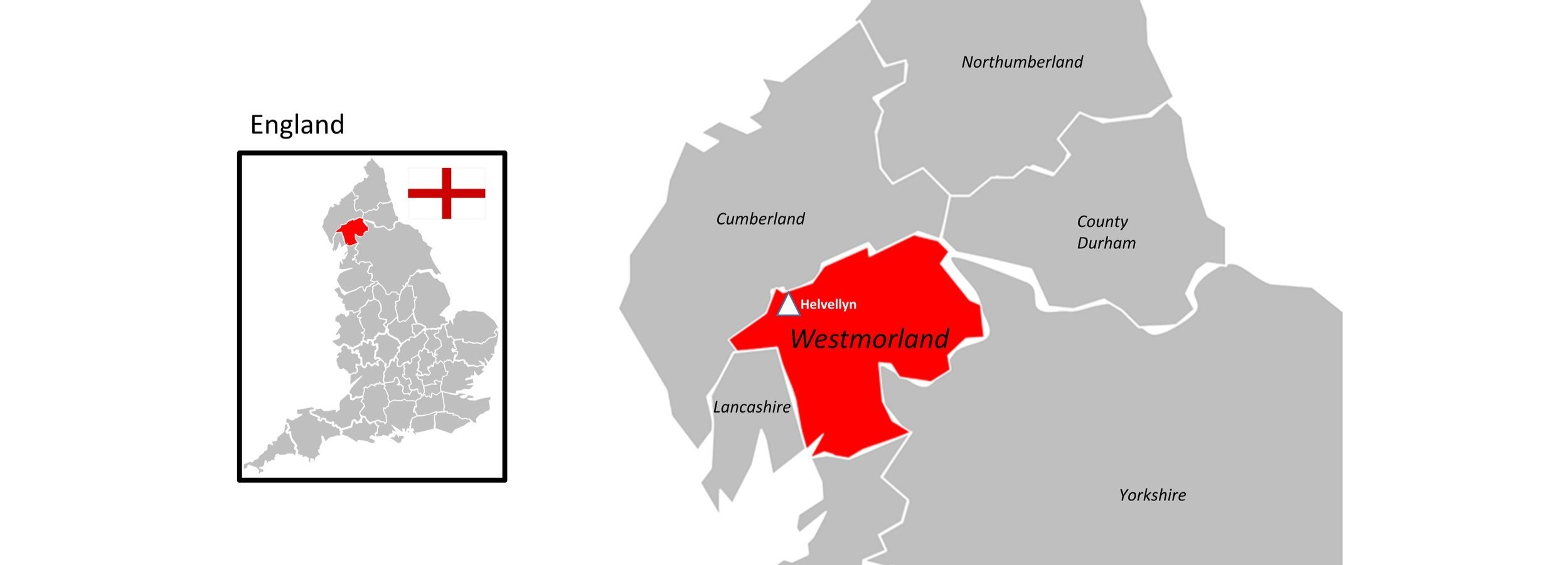
The idea for this trip came while reading Mike Parker's book, Map Addict. In his fascinating and funny account of all things map-related, Chapter 2 covers the very beginnings of the Ordnance Survey. Long before the Ordnance Survey officially existed, General William Roy pioneered the meticulous techniques that would later be used to map the entirety of the UK. His 1784 Hounslow Baseline was the very first highly accurate point-to-point measurement of its kind, chosen because of its proximity to the Royal Observatory at Greenwich and the extraordinary flatness of Hounslow Heath.
I won't go into the entire history of the triangulation of Great Britain, as Mike Parker's book is the perfect place to start. Instead, this post outlines a brilliant 50km circular cycle adventure that explores the historic Hounslow Baseline and the nearby River Crane.
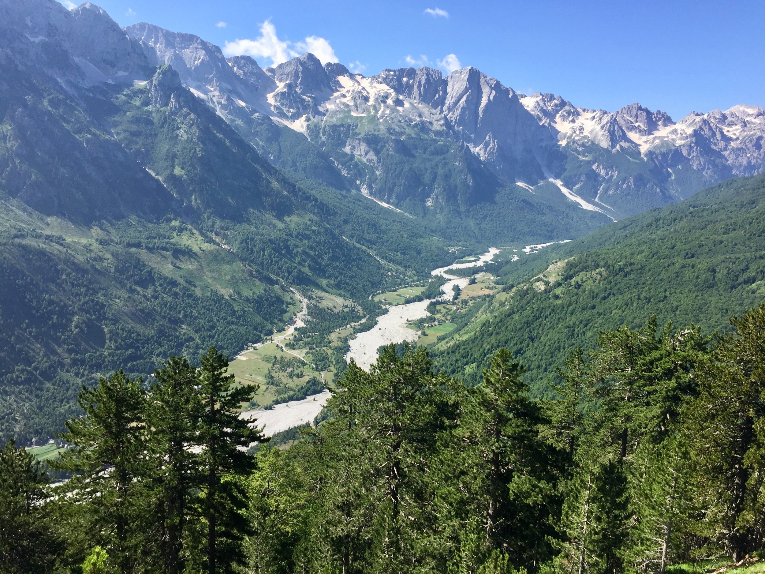
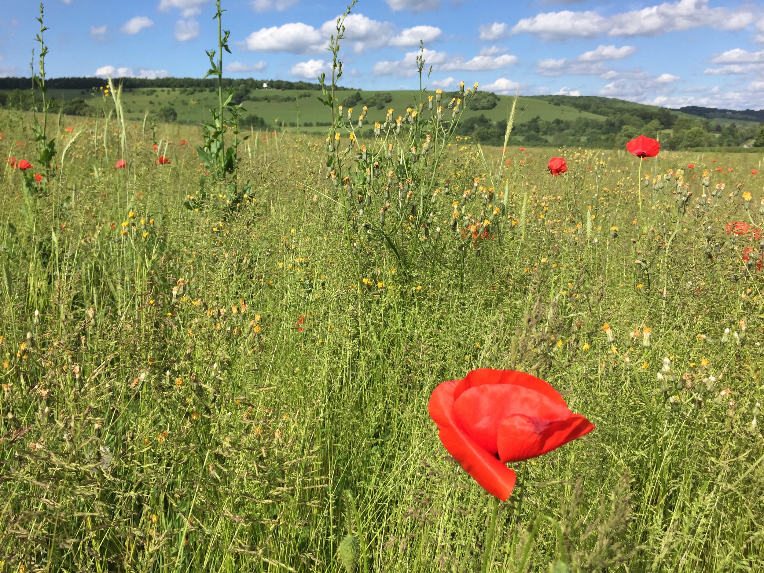
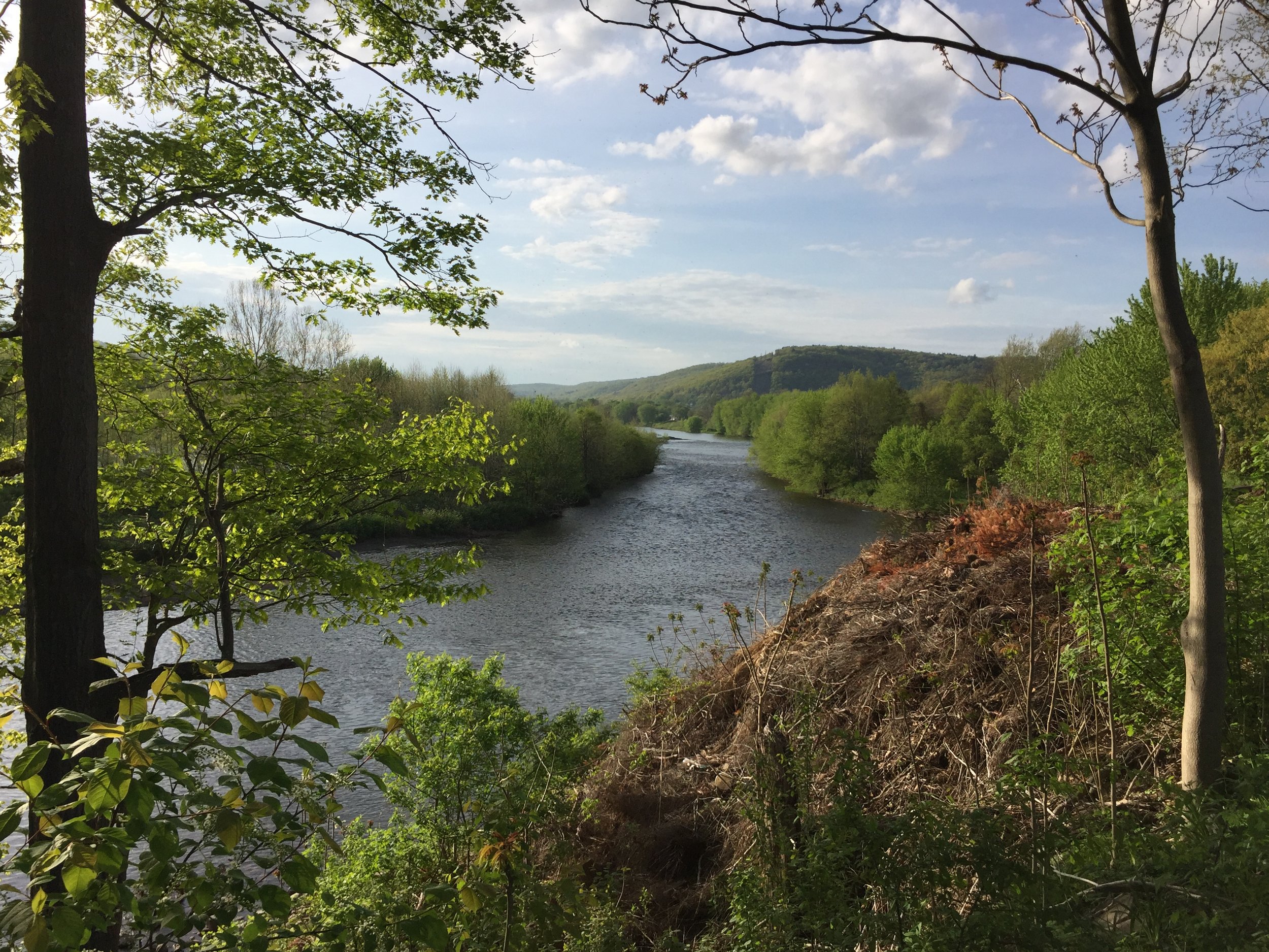
The River Crane
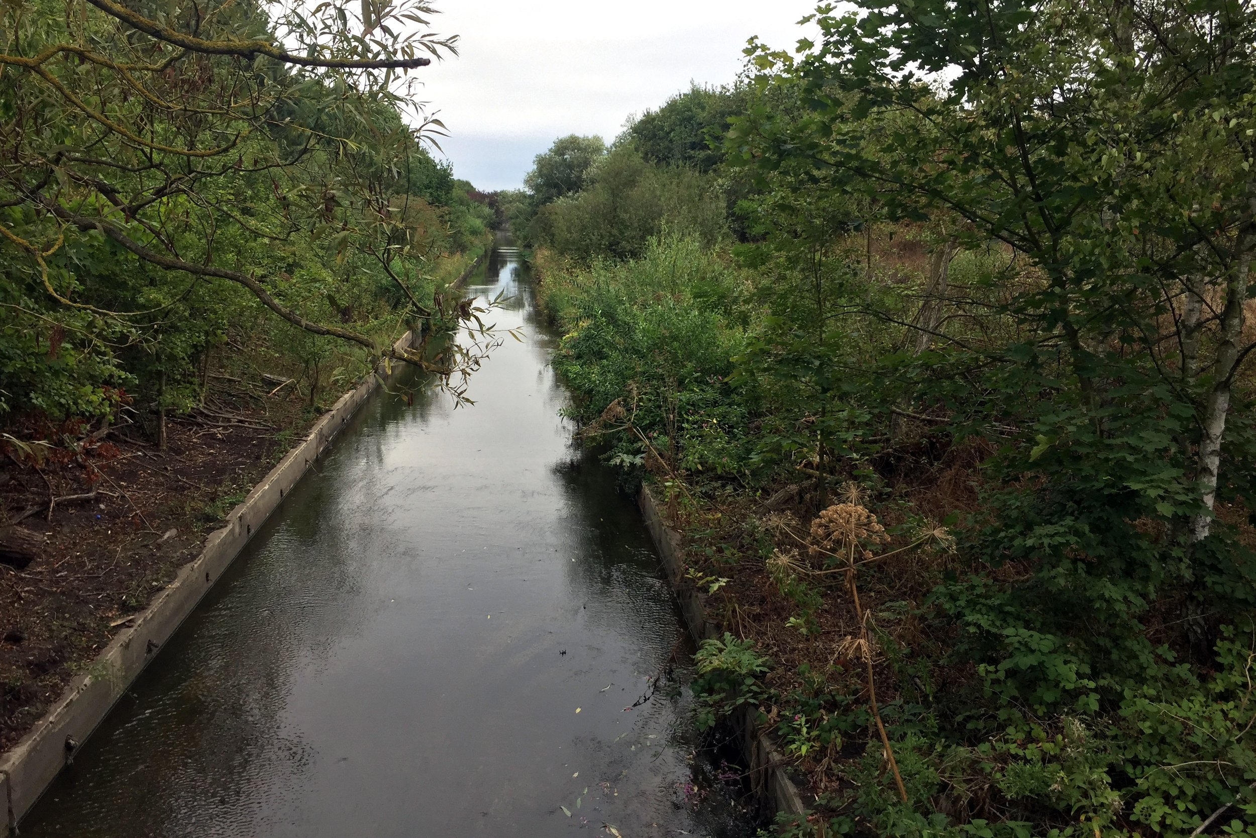
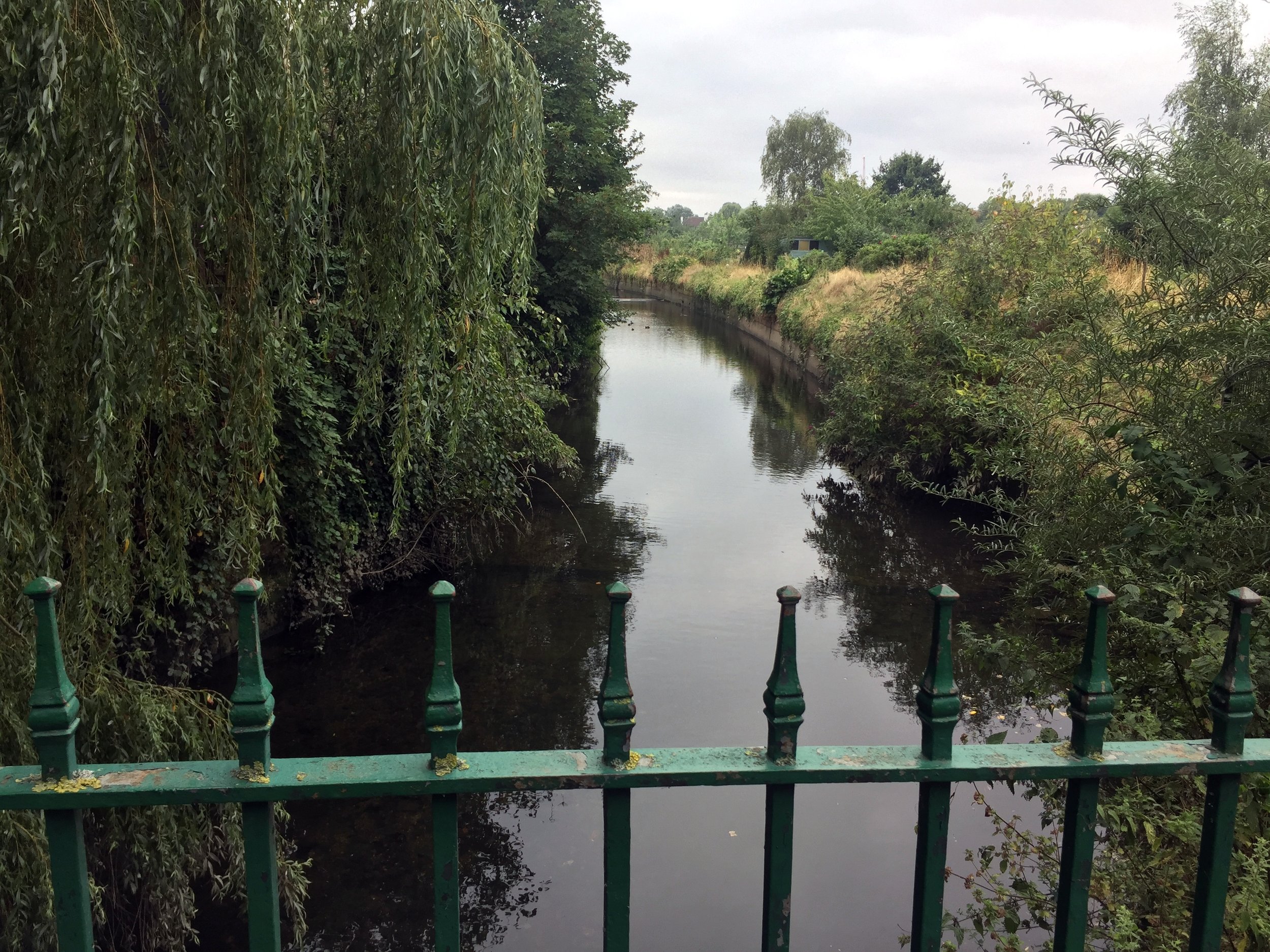
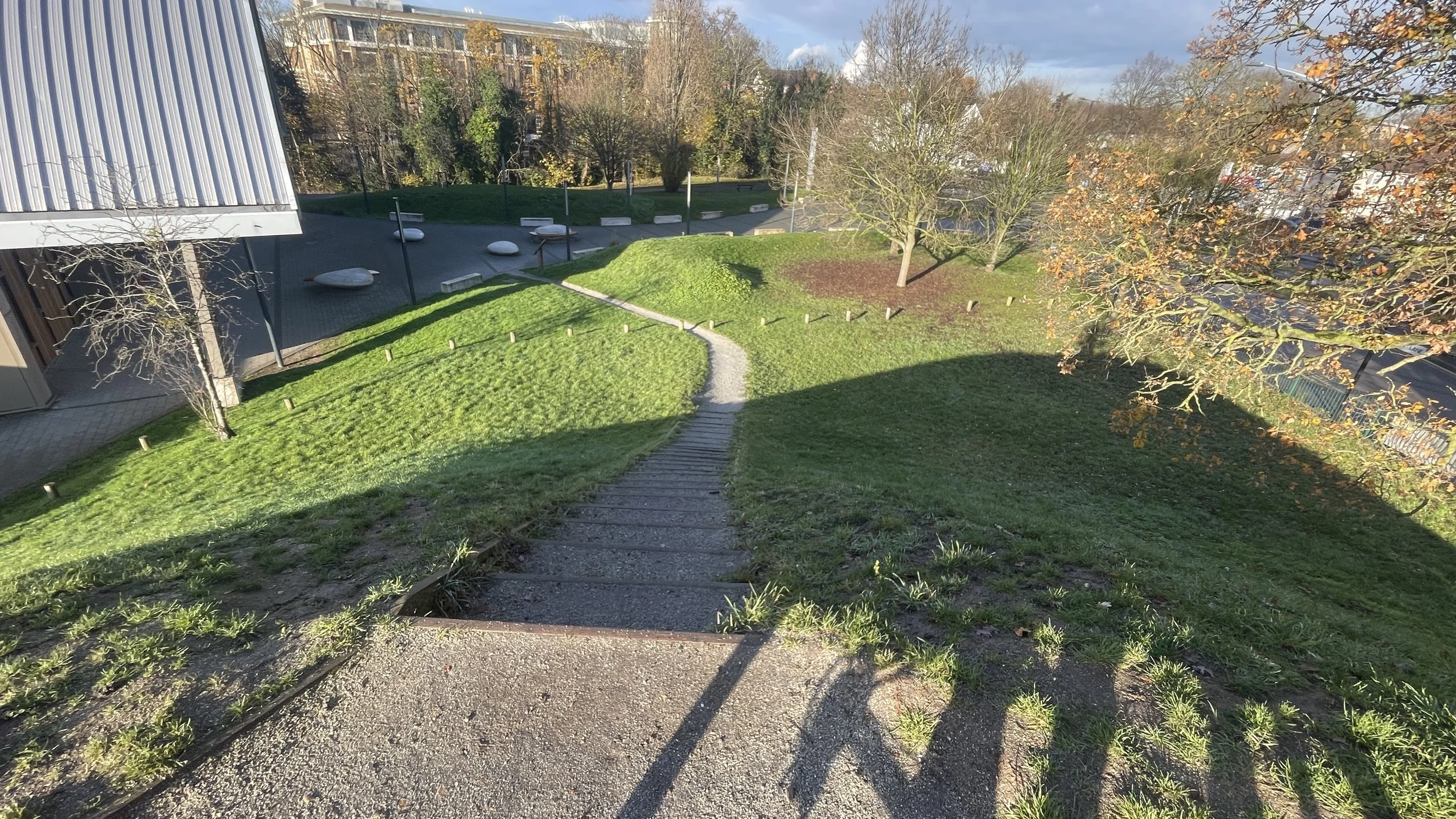
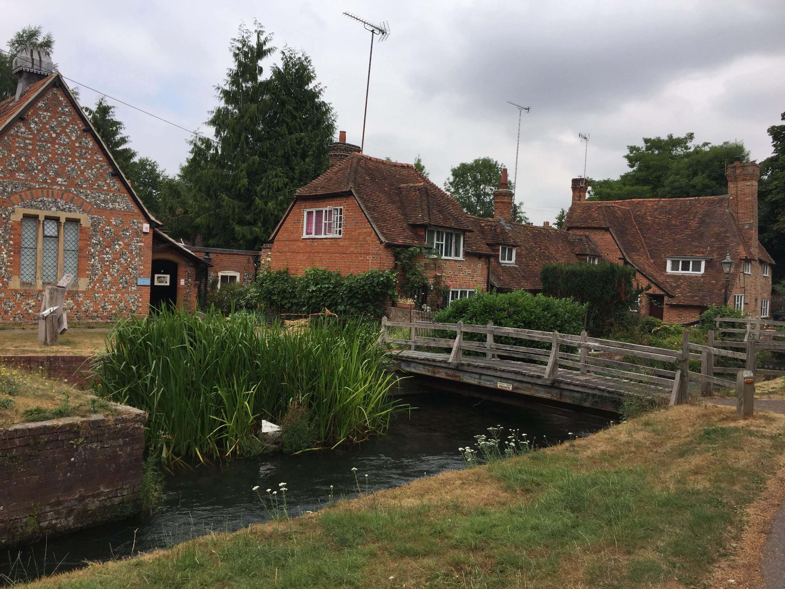
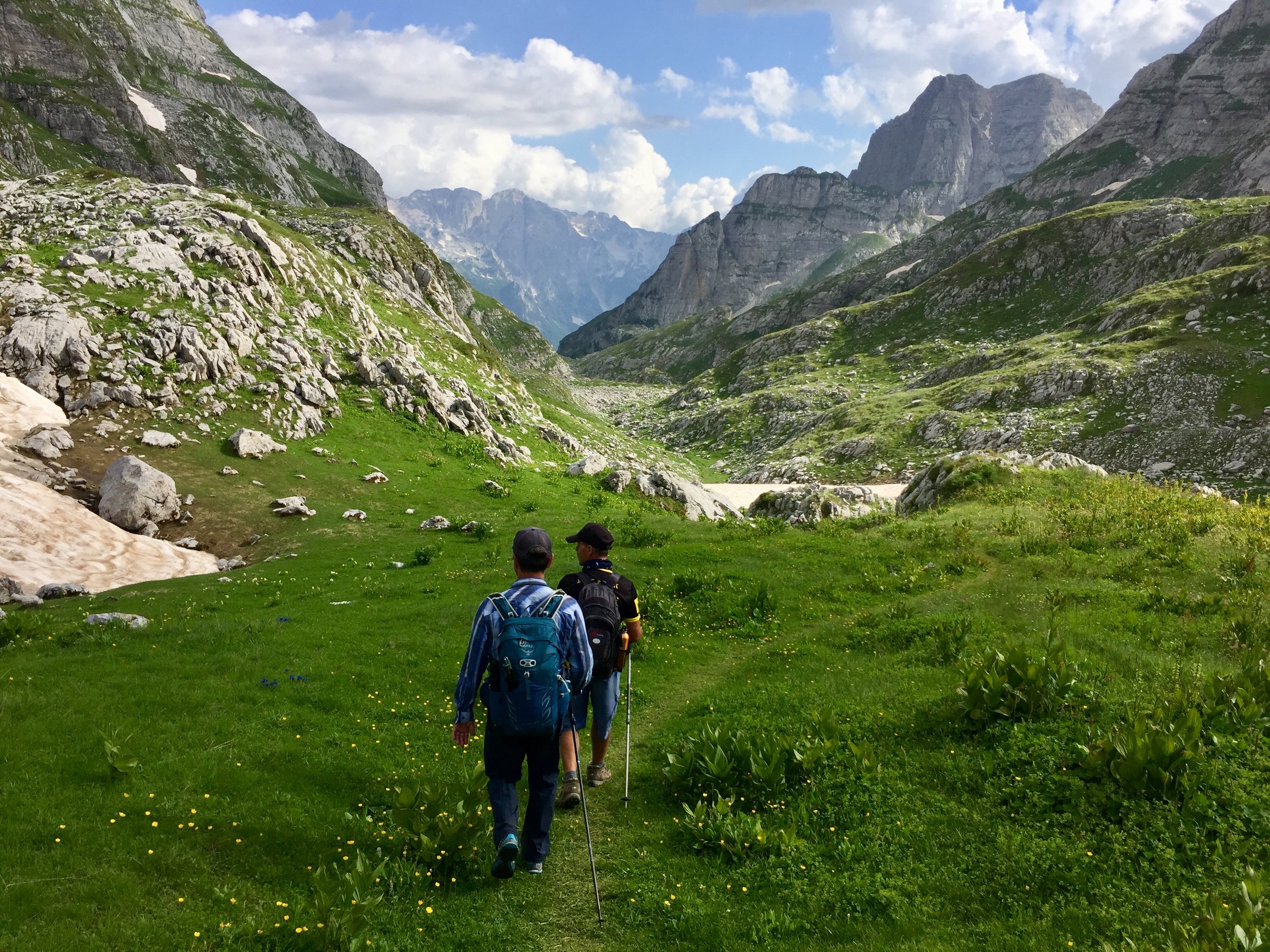
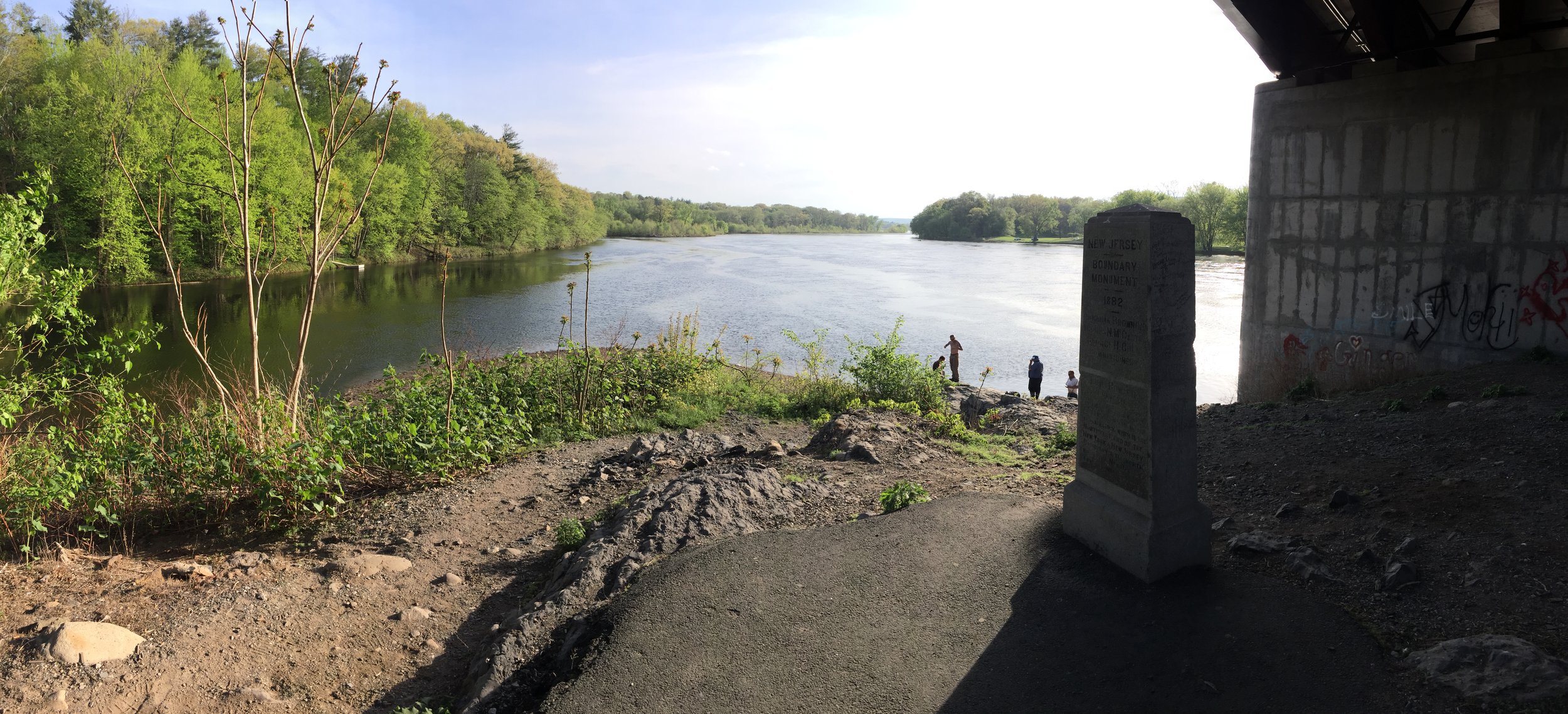
The best place to start is the car park at Minet Country Park in Hayes. A few hundred metres west, you will cross a bridge giving you your first sight of the River Crane (which is actually known as the Yeading Brook further upstream before it officially becomes the Crane).
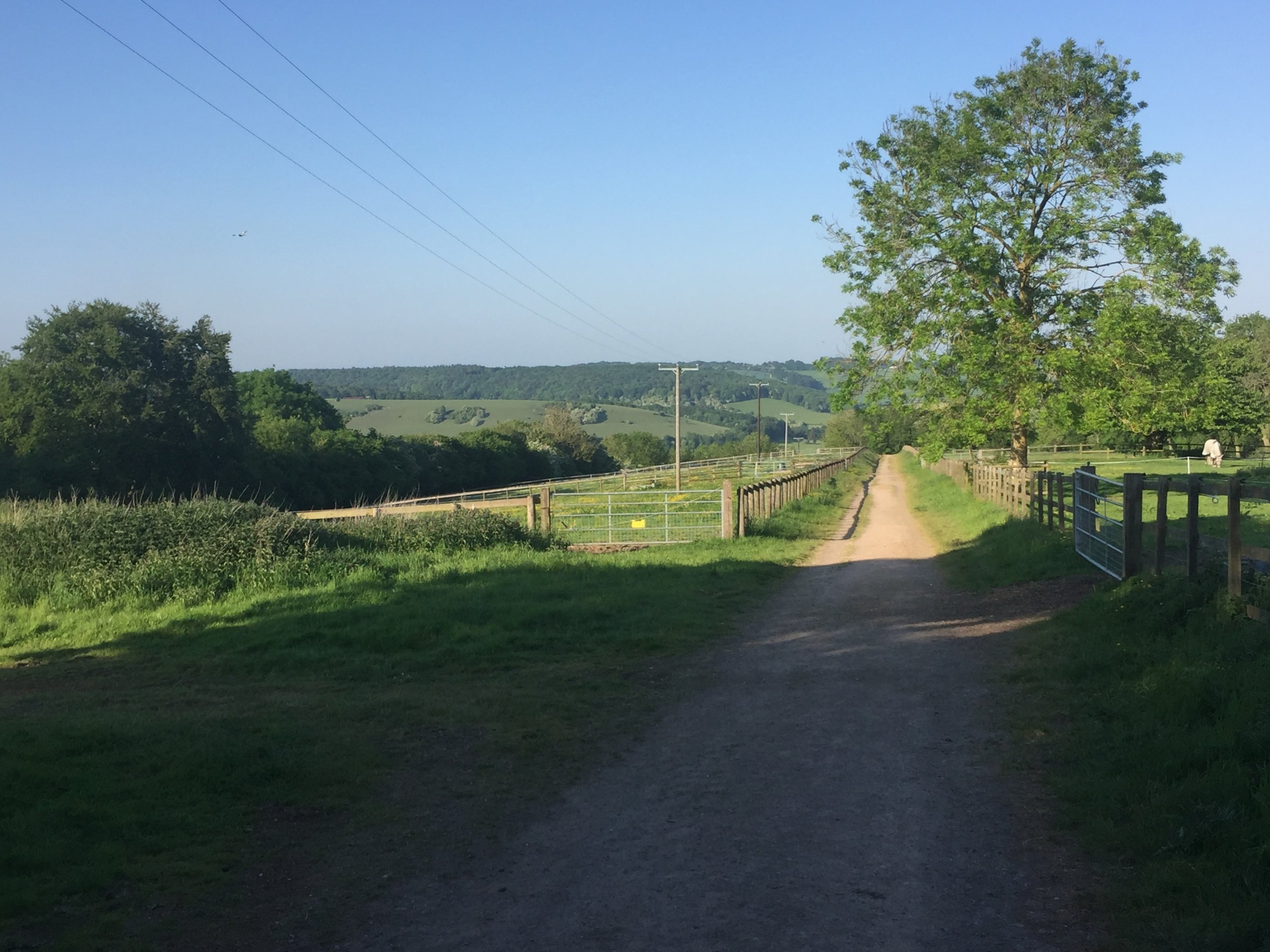
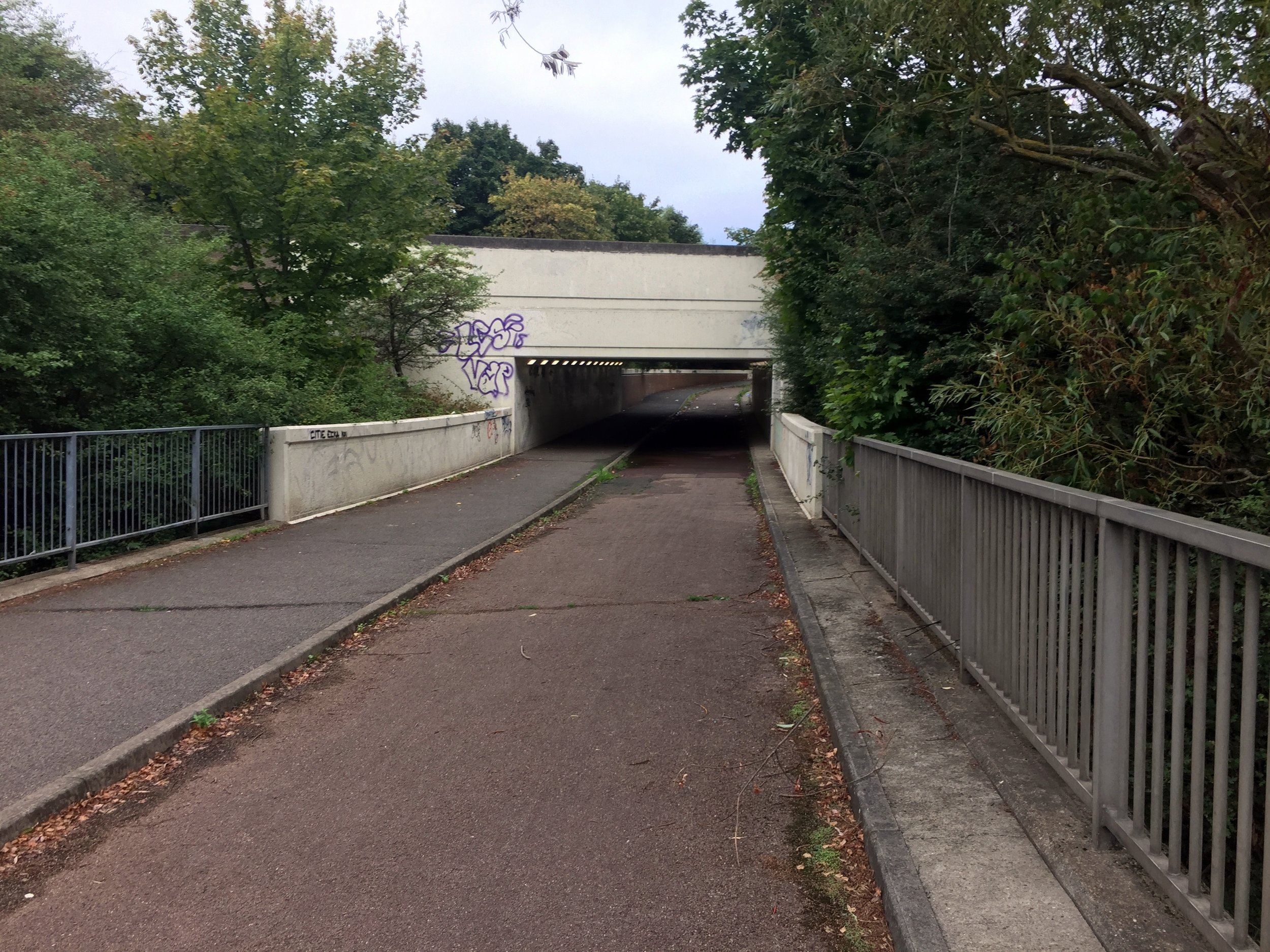
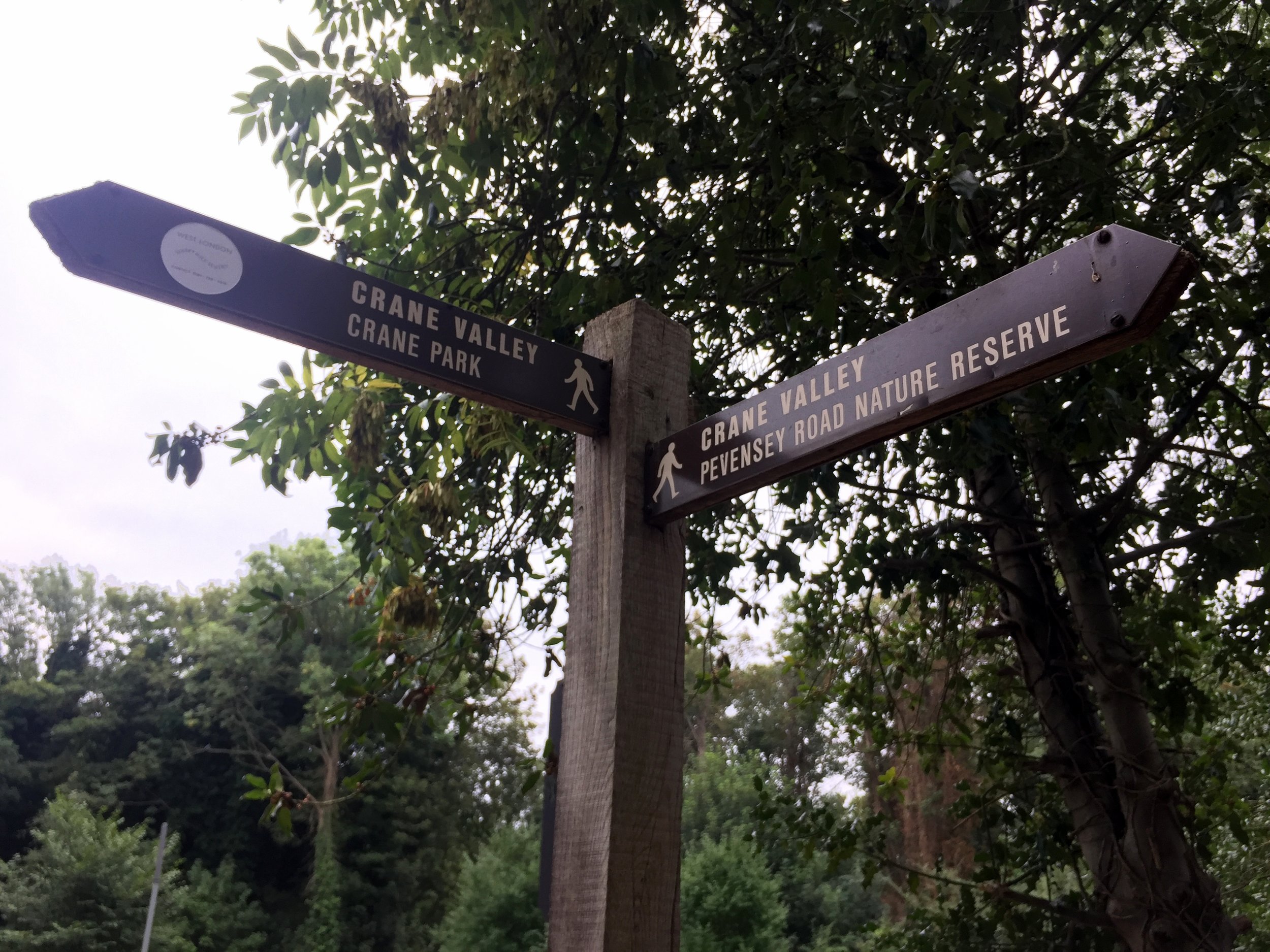
From the bridge, continue north-west through the Parkway underpass, then take a left and follow the cycle path running parallel to the Parkway. This crosses over the Grand Union Canal and the mainline railway. Don't forget to marvel at the sprawling industrial wasteland along the way! Once over the canal, you will join the well-signed London Loop, which you can easily follow for much of the river's route.
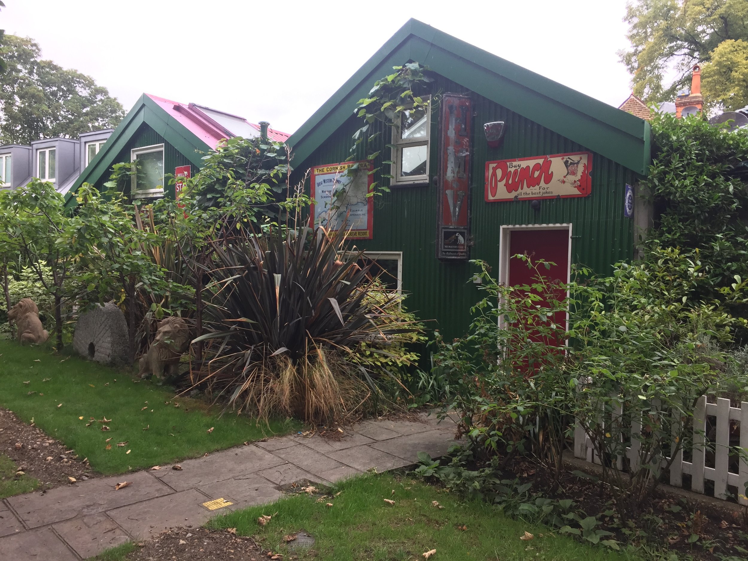
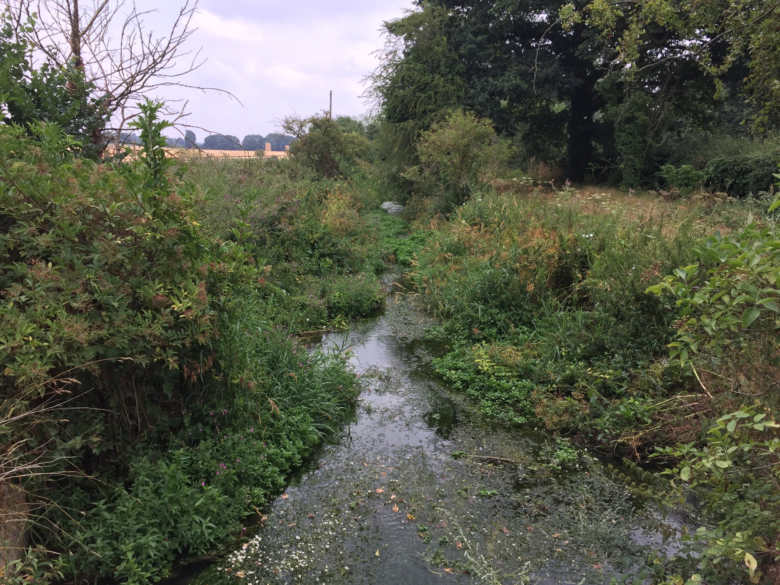
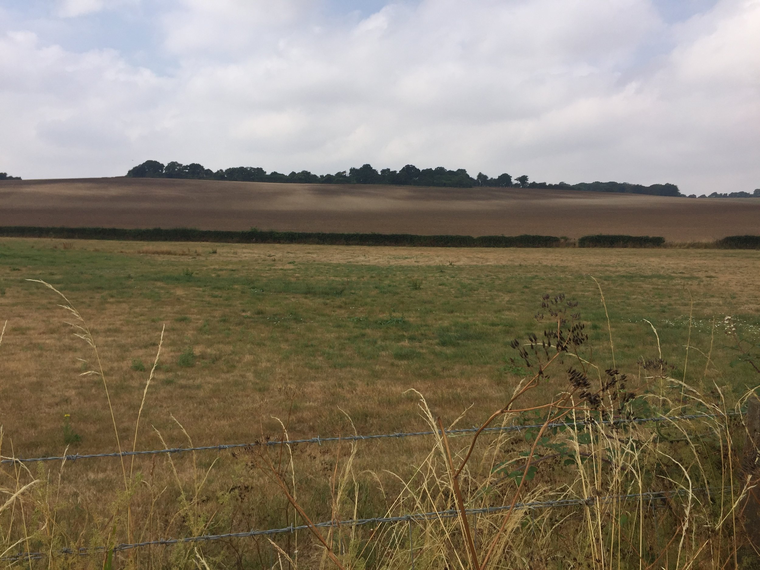
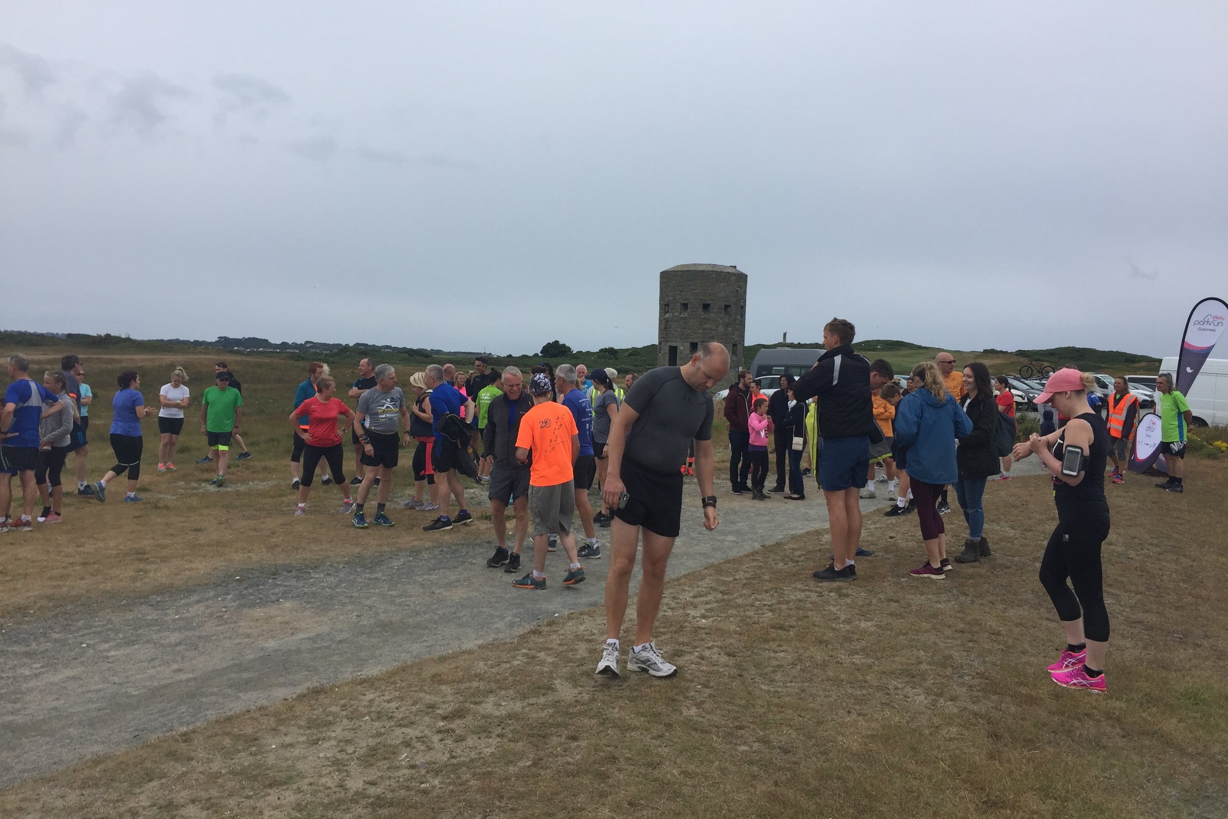
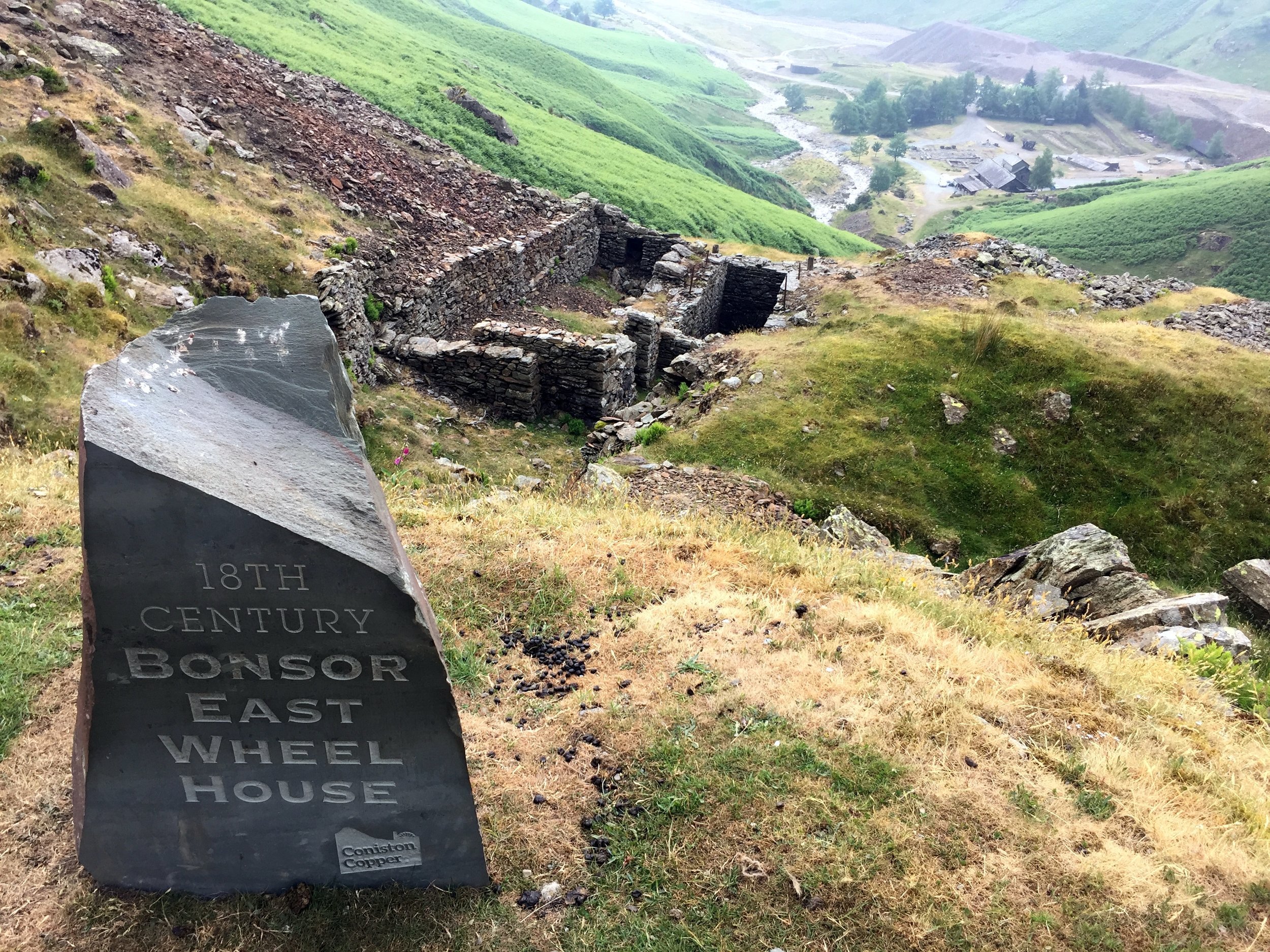
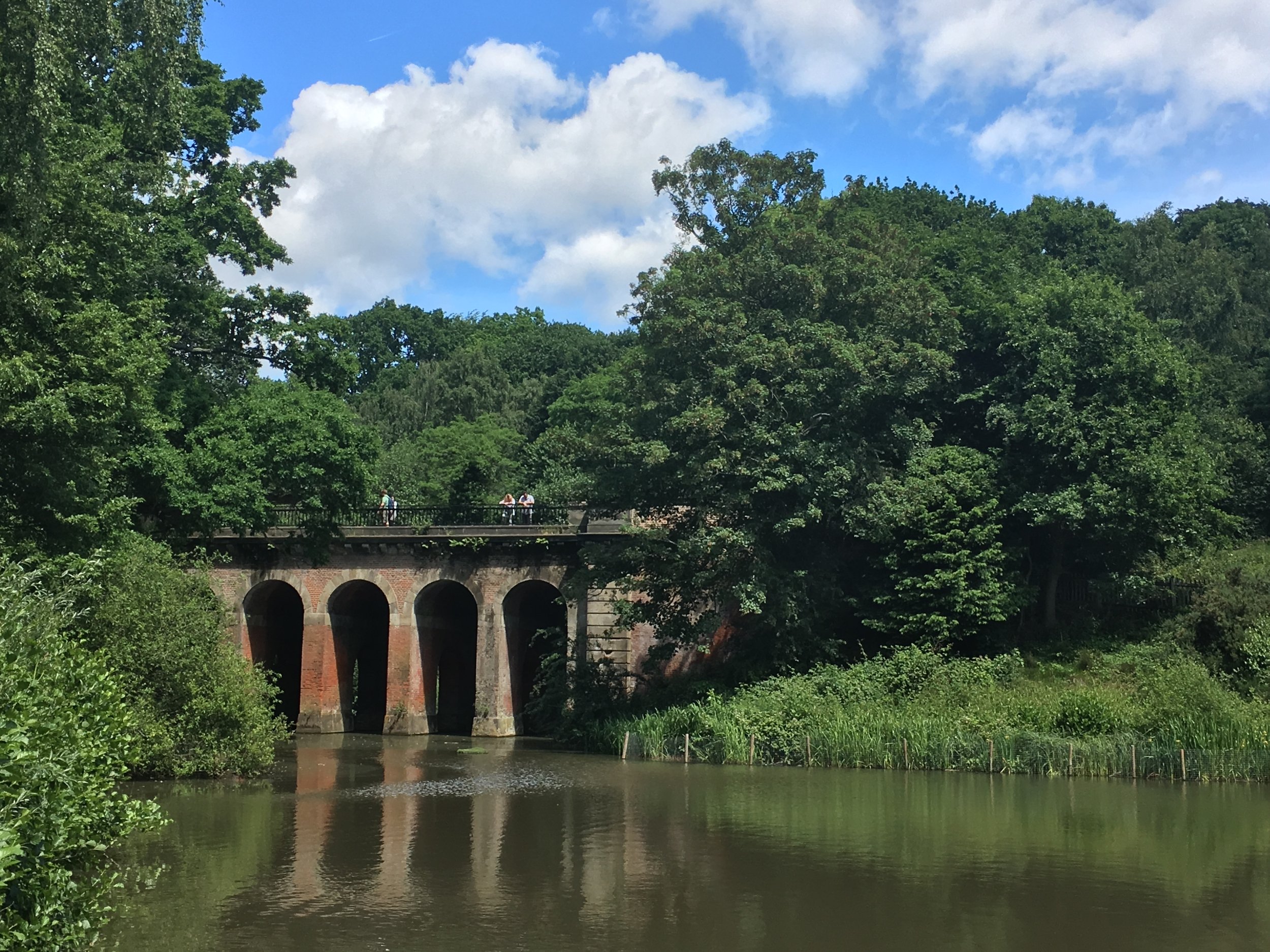
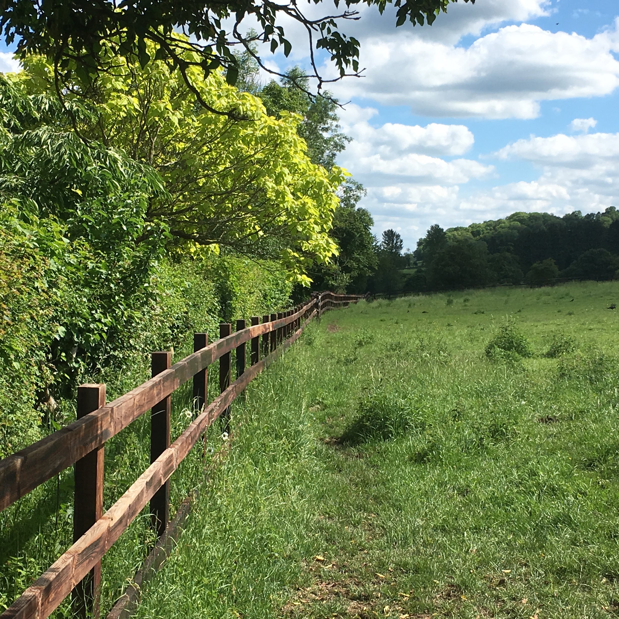
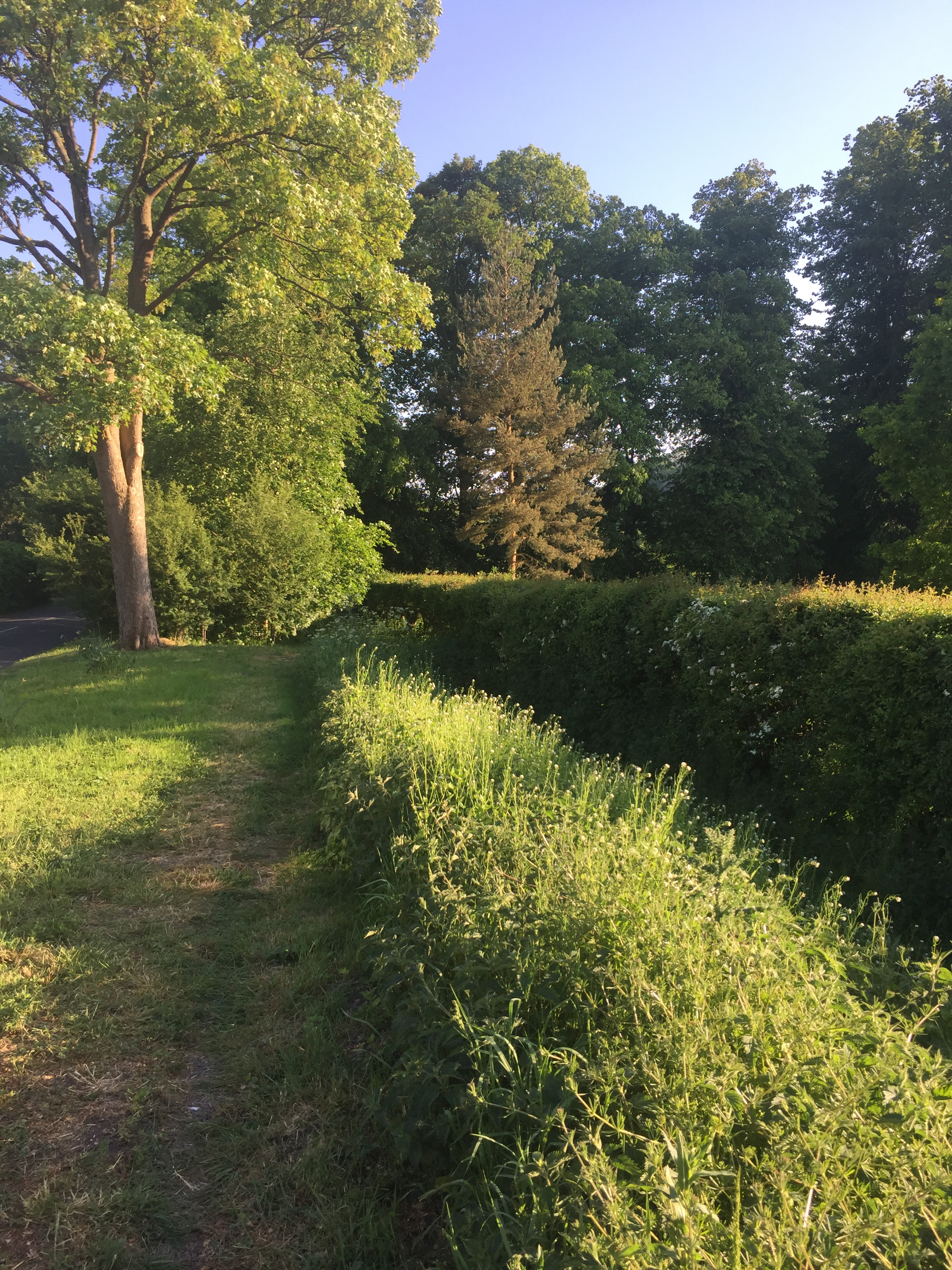
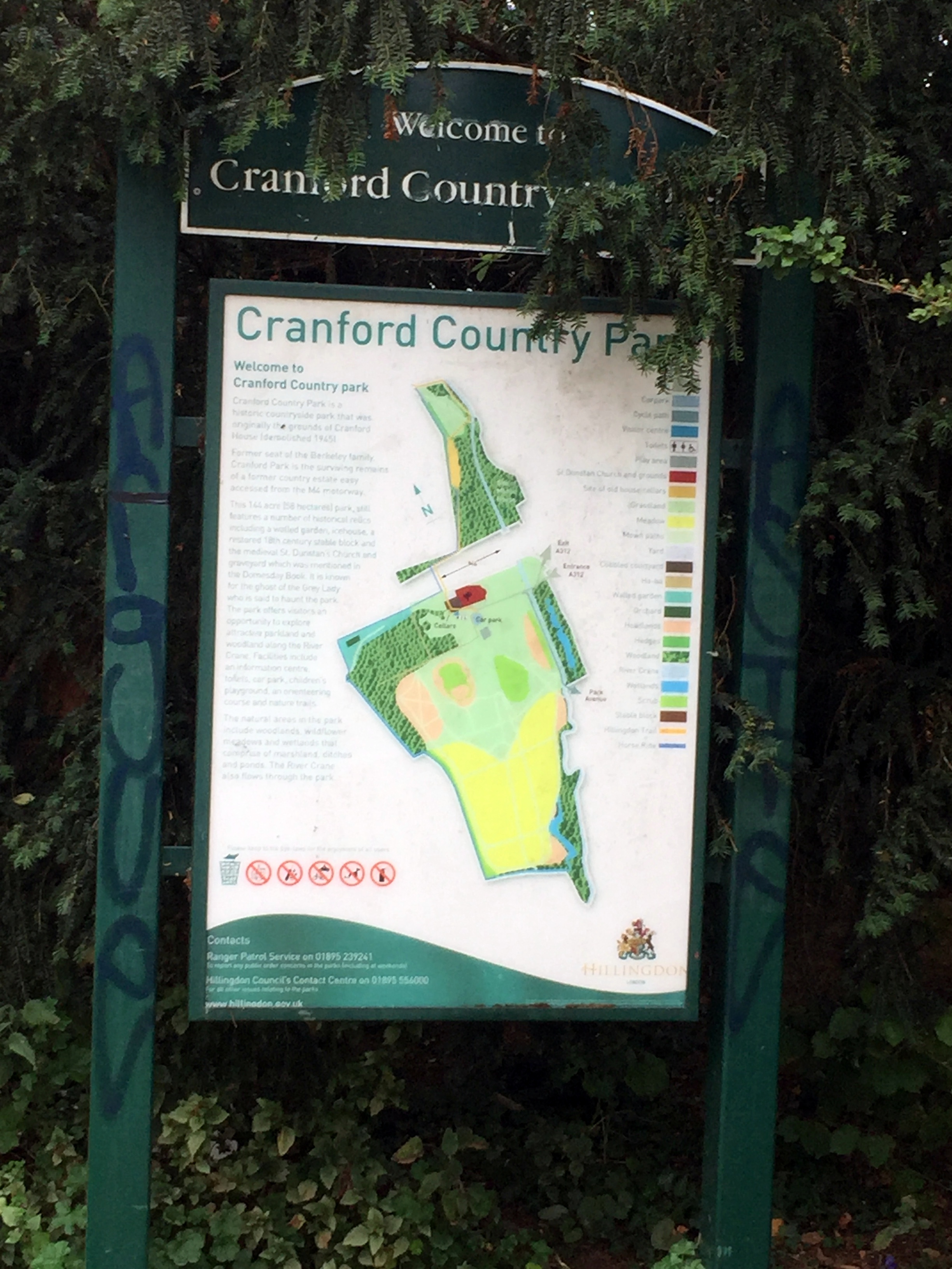
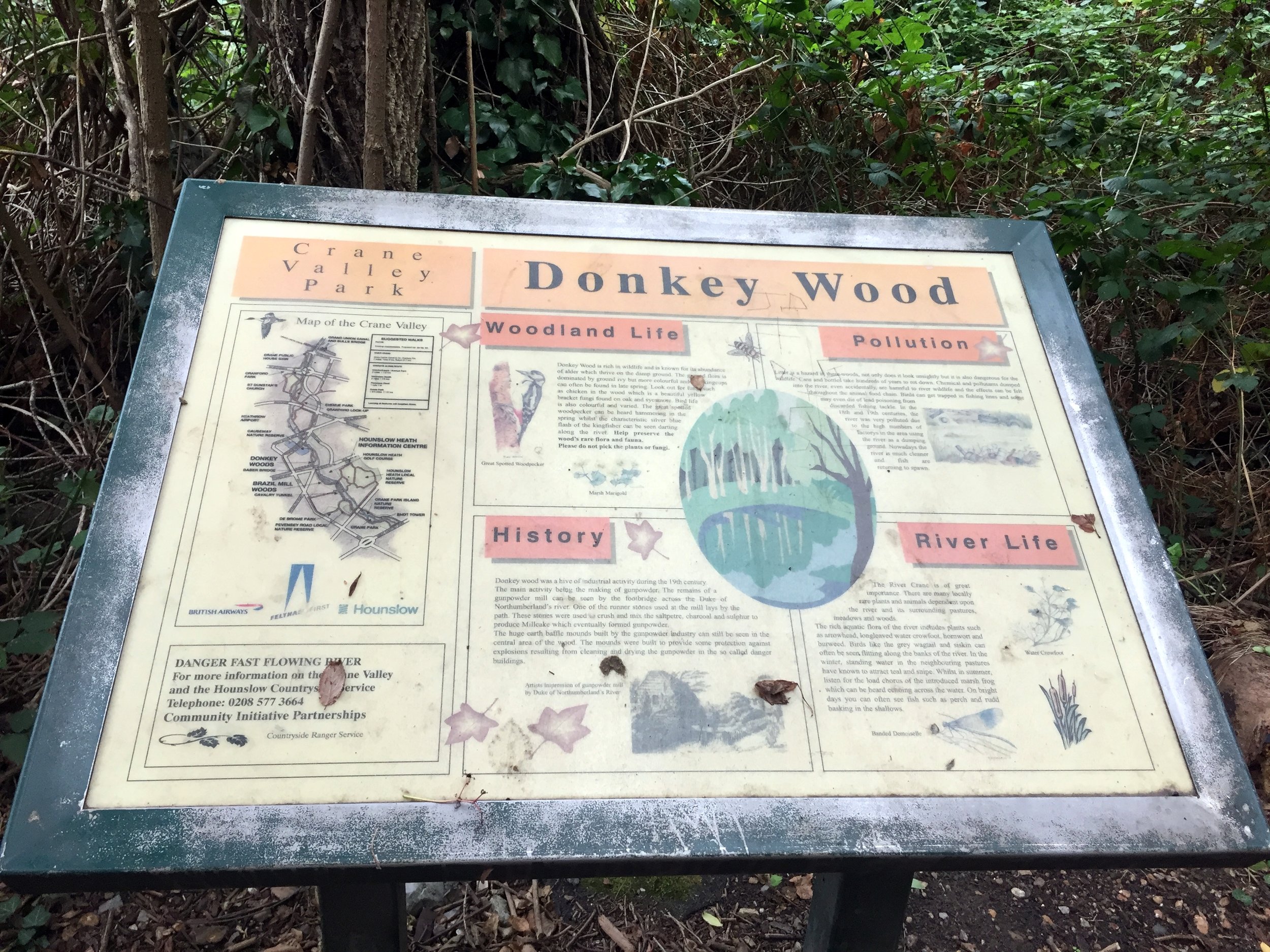
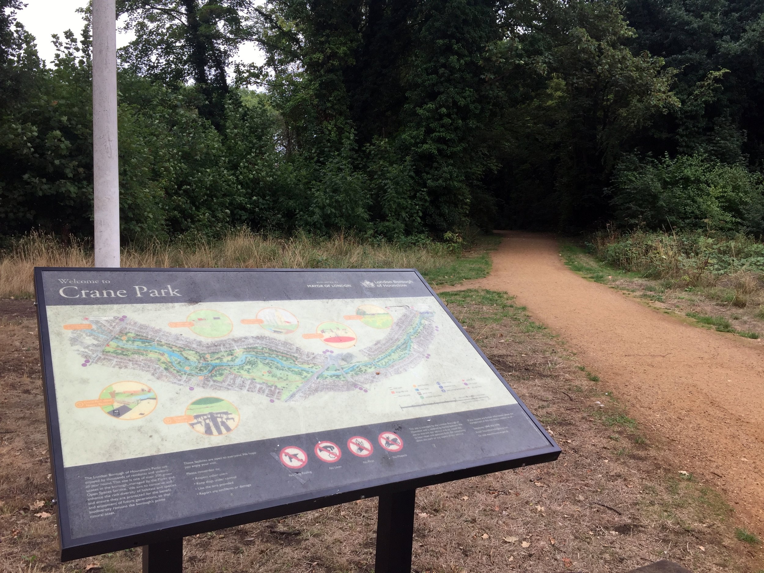
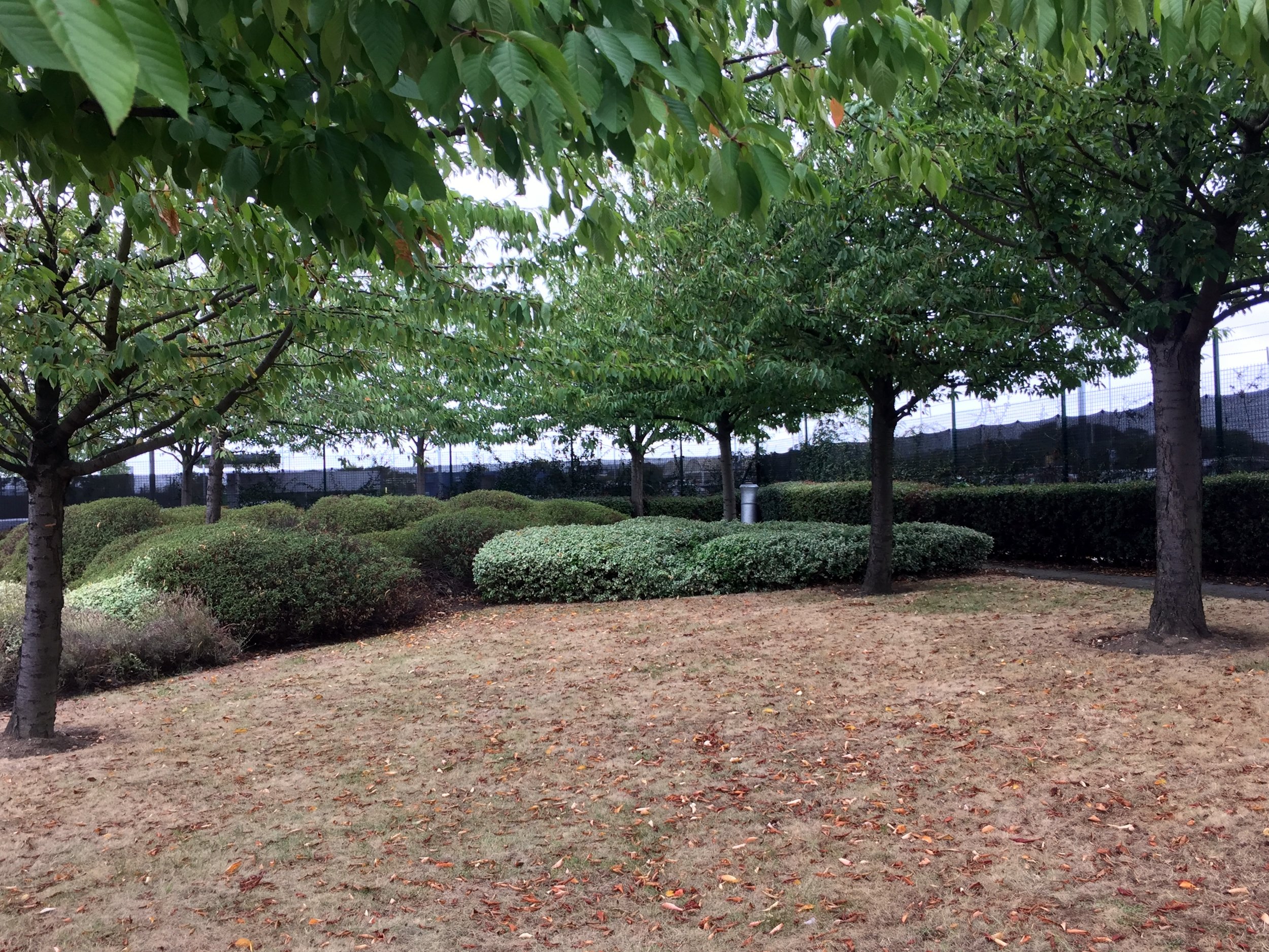
The route dives into Cranford Park, the first in a brilliant chain of green spaces that hug the Crane. Once you cross the busy A30 (you will likely have to cycle west for a short distance to safely use the crossing), the path strings together The Causeway, Donkey Wood, and Brazil Mill Meadows before delivering you into Crane Park, home of the local Crane parkrun! Crane Park is steeped in history; it was once the site of the notorious Hounslow Gunpowder Works. Look out for the imposing 18th-century brick Shot Tower built beside the water, a stark reminder of the area's explosive past.
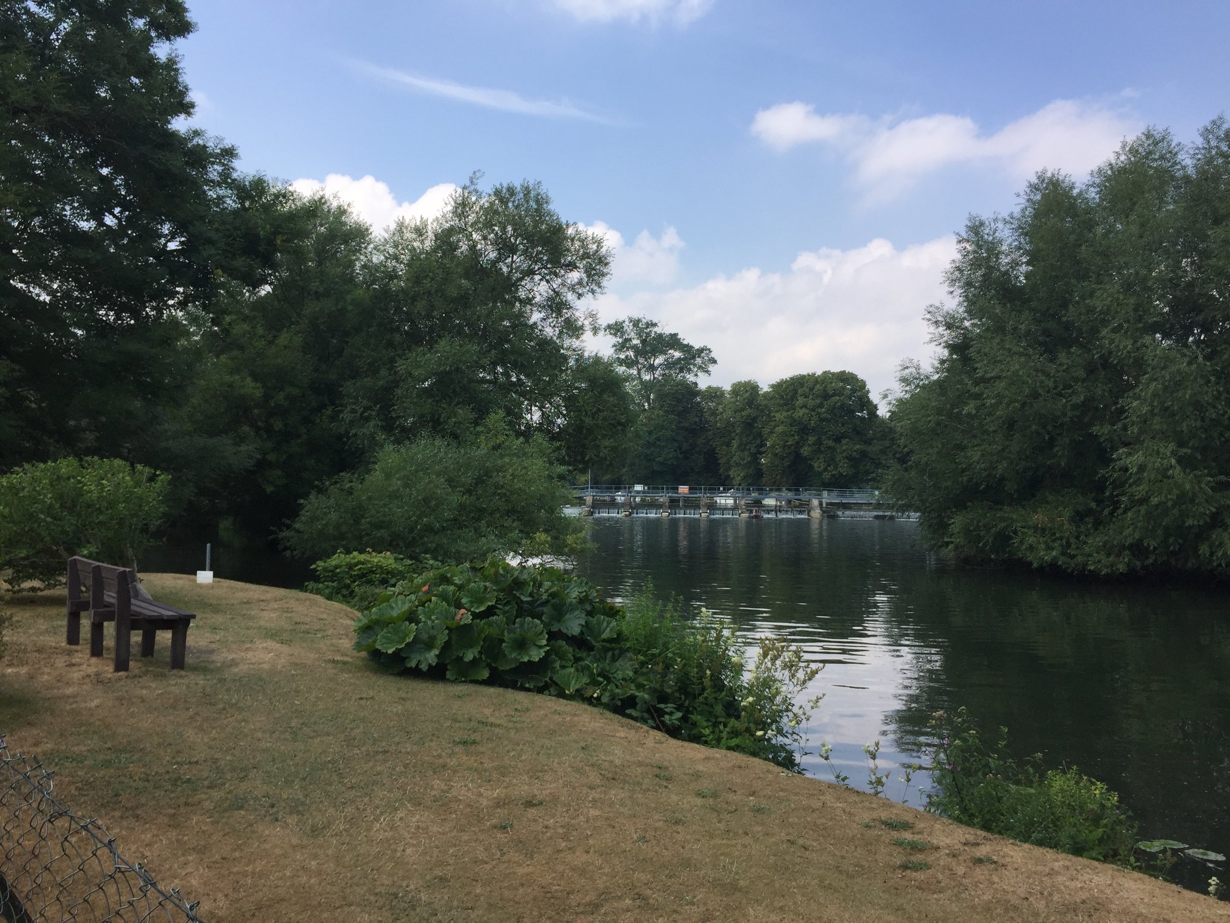
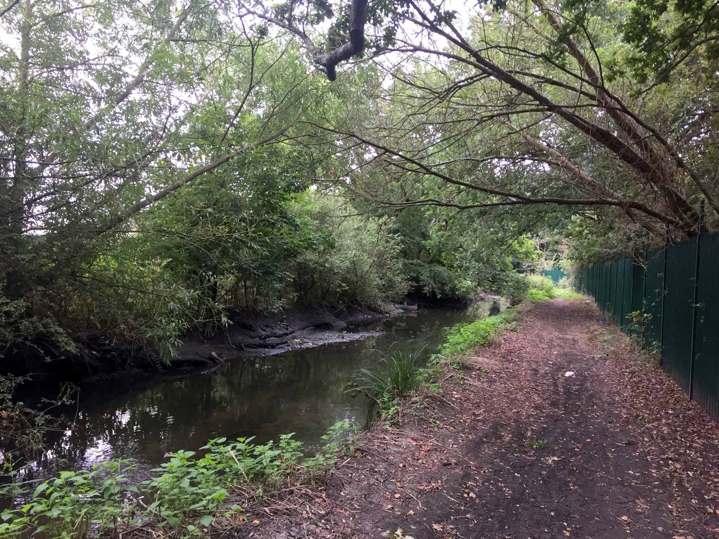
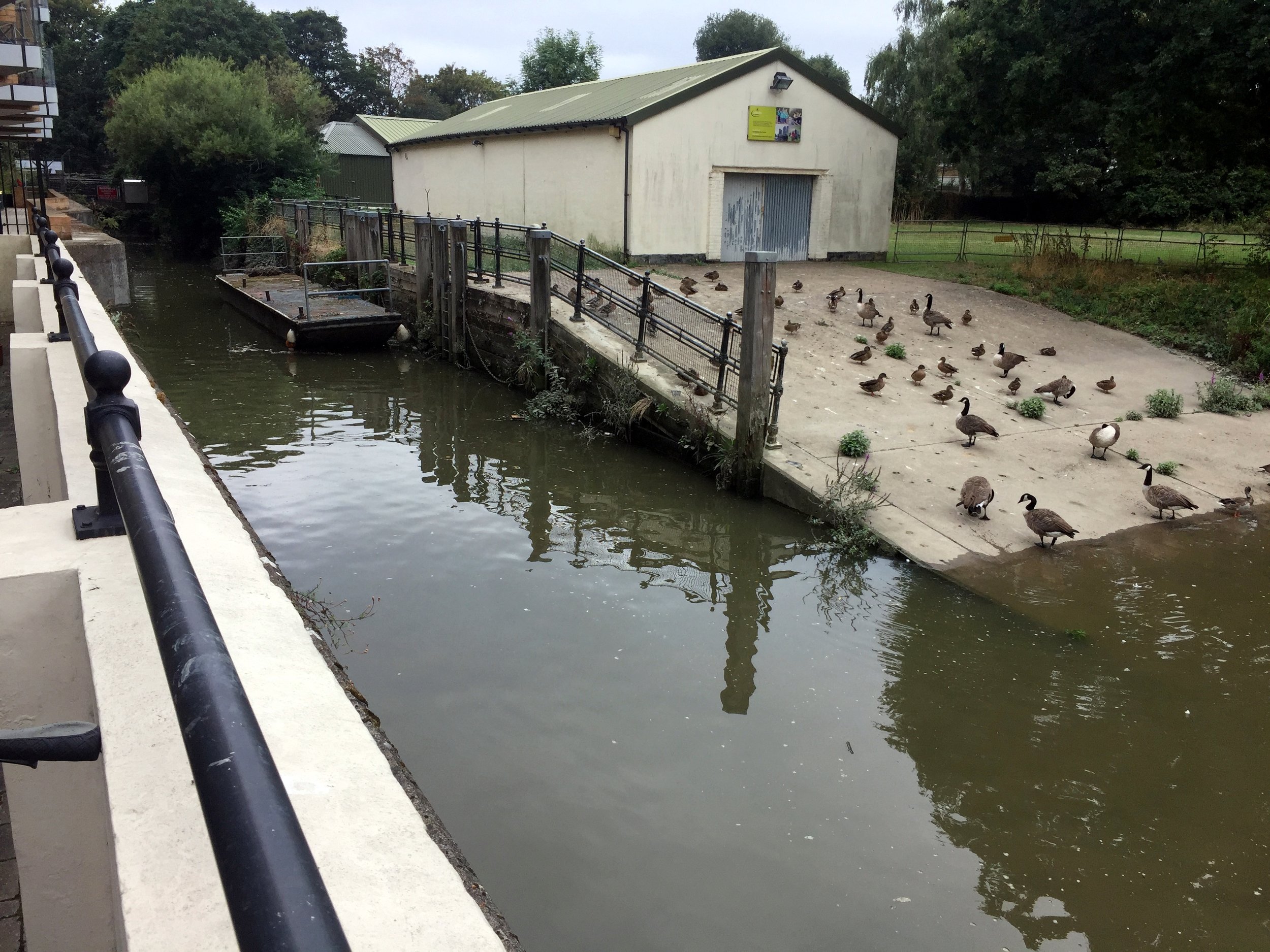
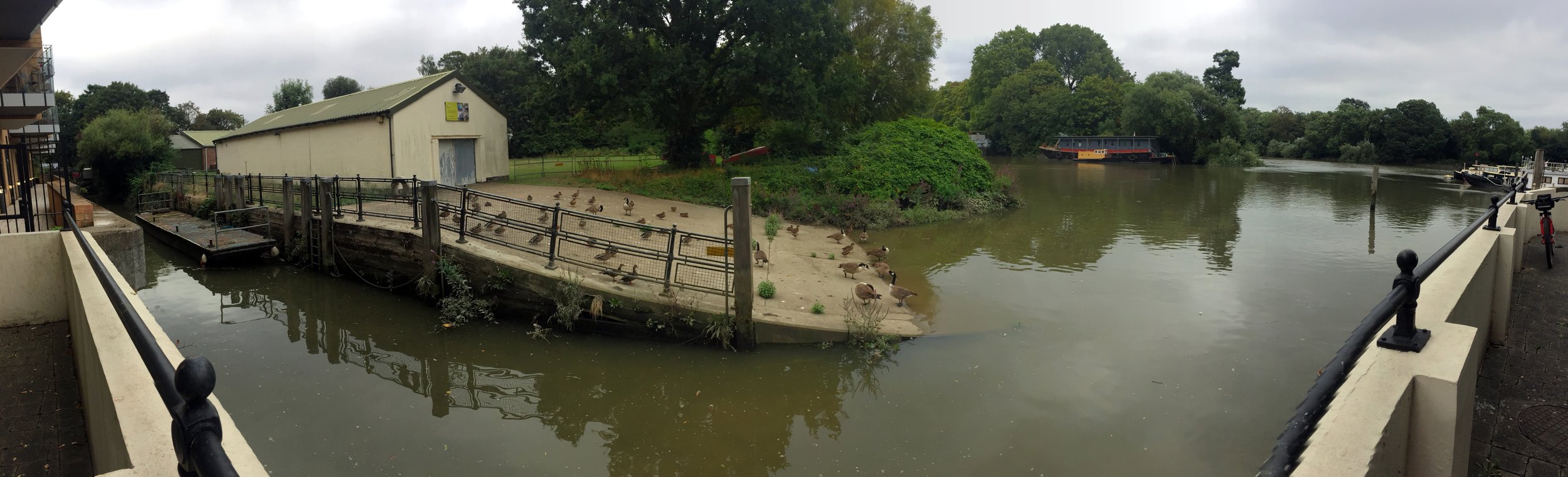
After Crane Park, the London Loop officially diverts away from the river, so you will need to rely on your GPX file to navigate through several residential Twickenham streets to stay close to the water. Eventually, the Crane meets the River Thames next to an apartment block off Railshead Road.
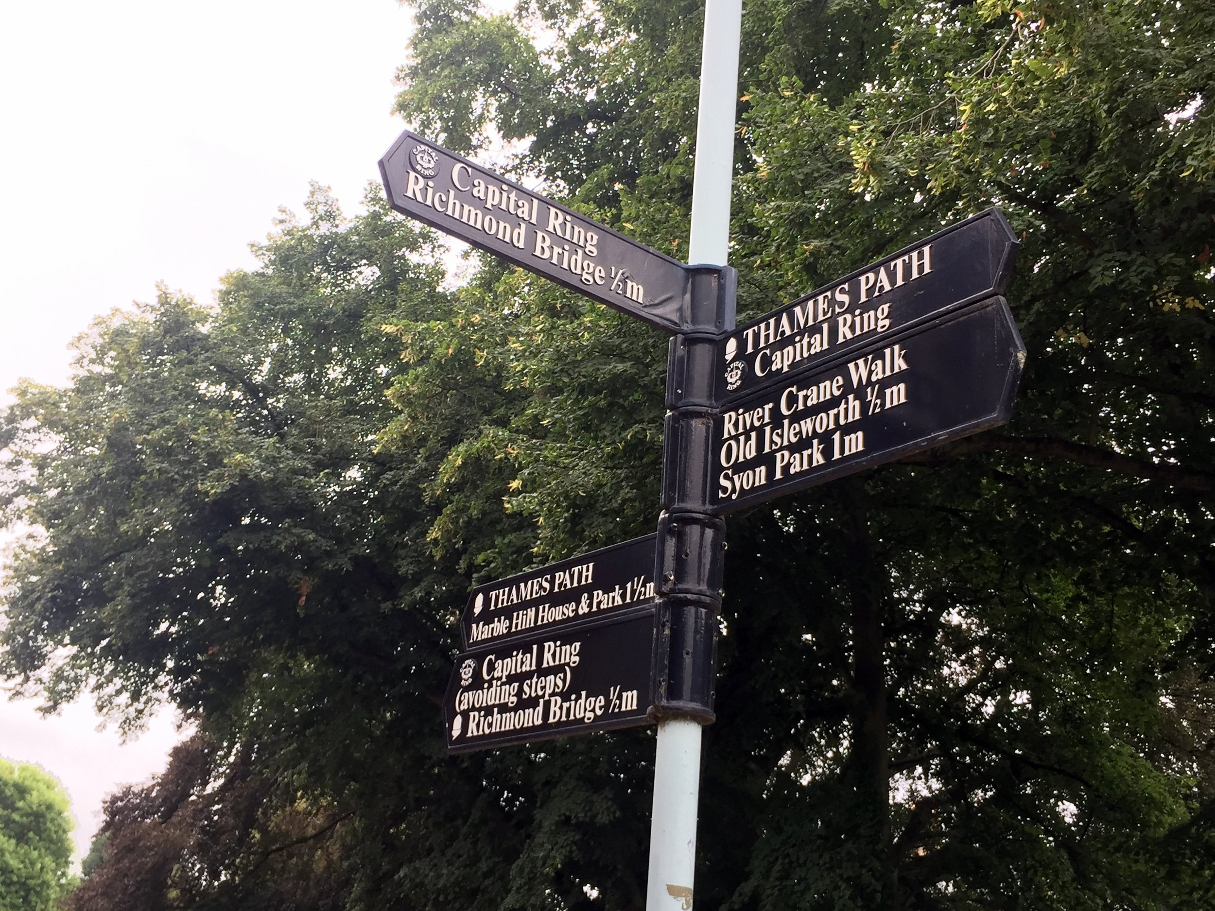
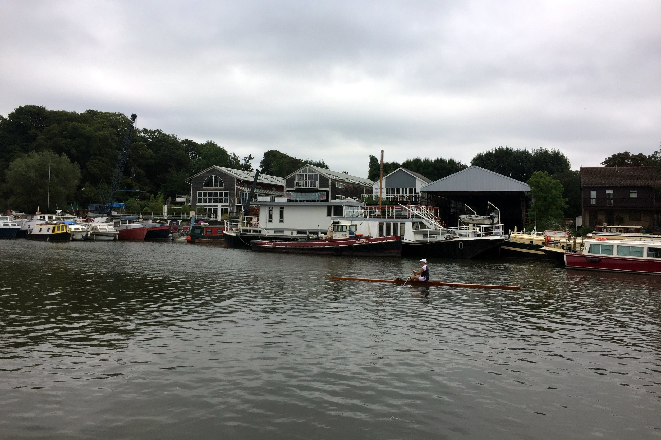
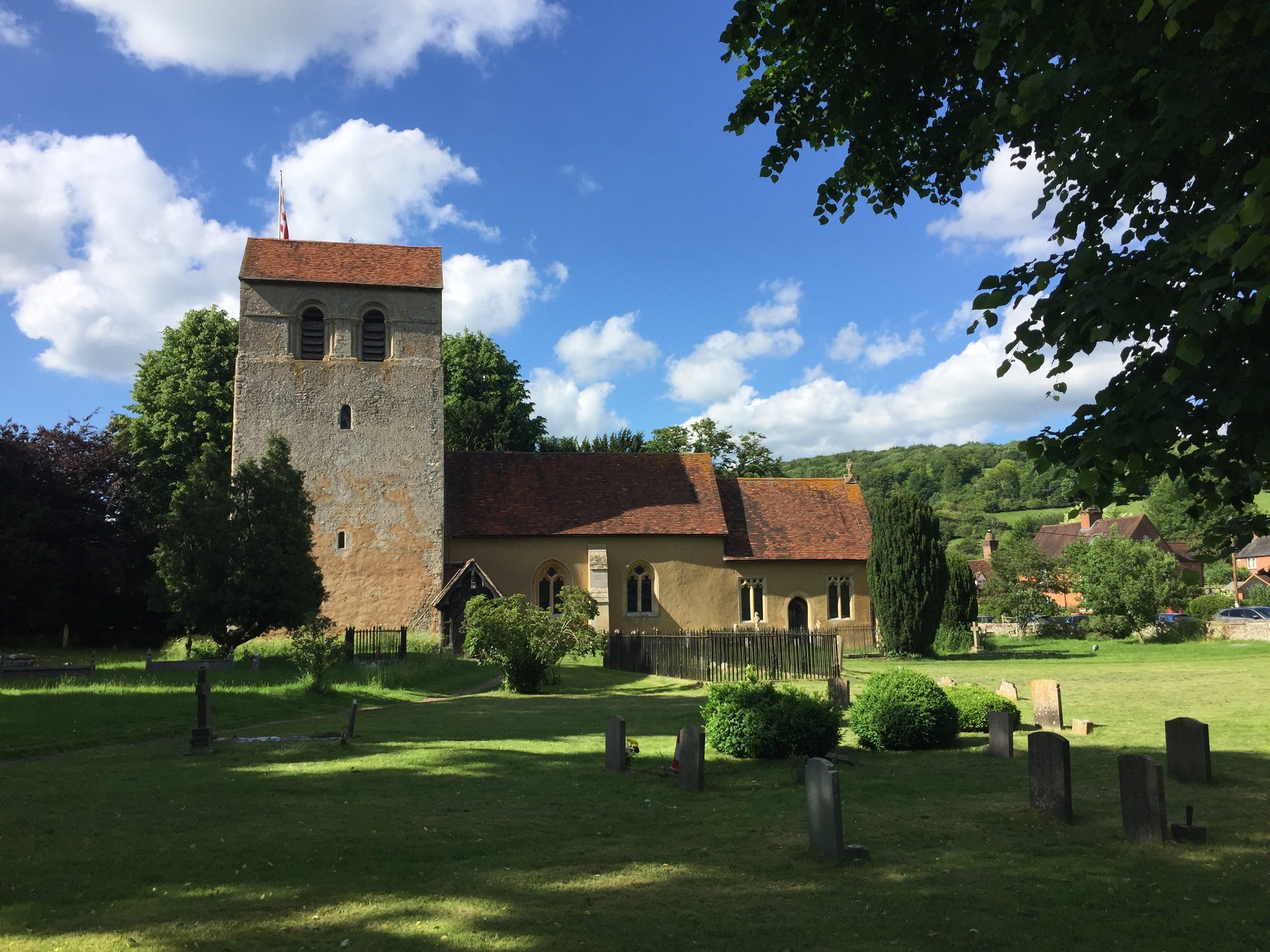
The Thames Path & Capital Ring at St Margarets
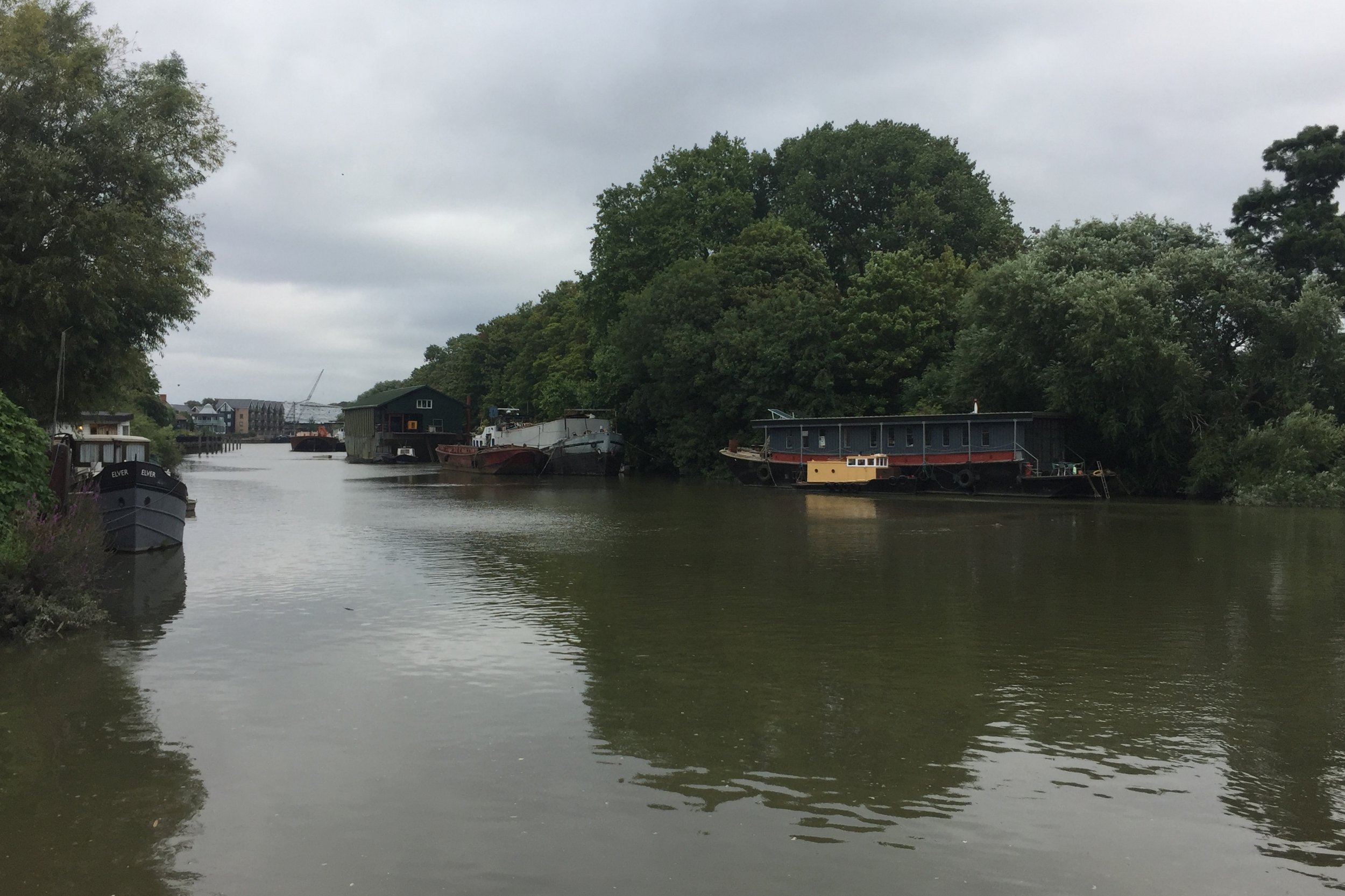
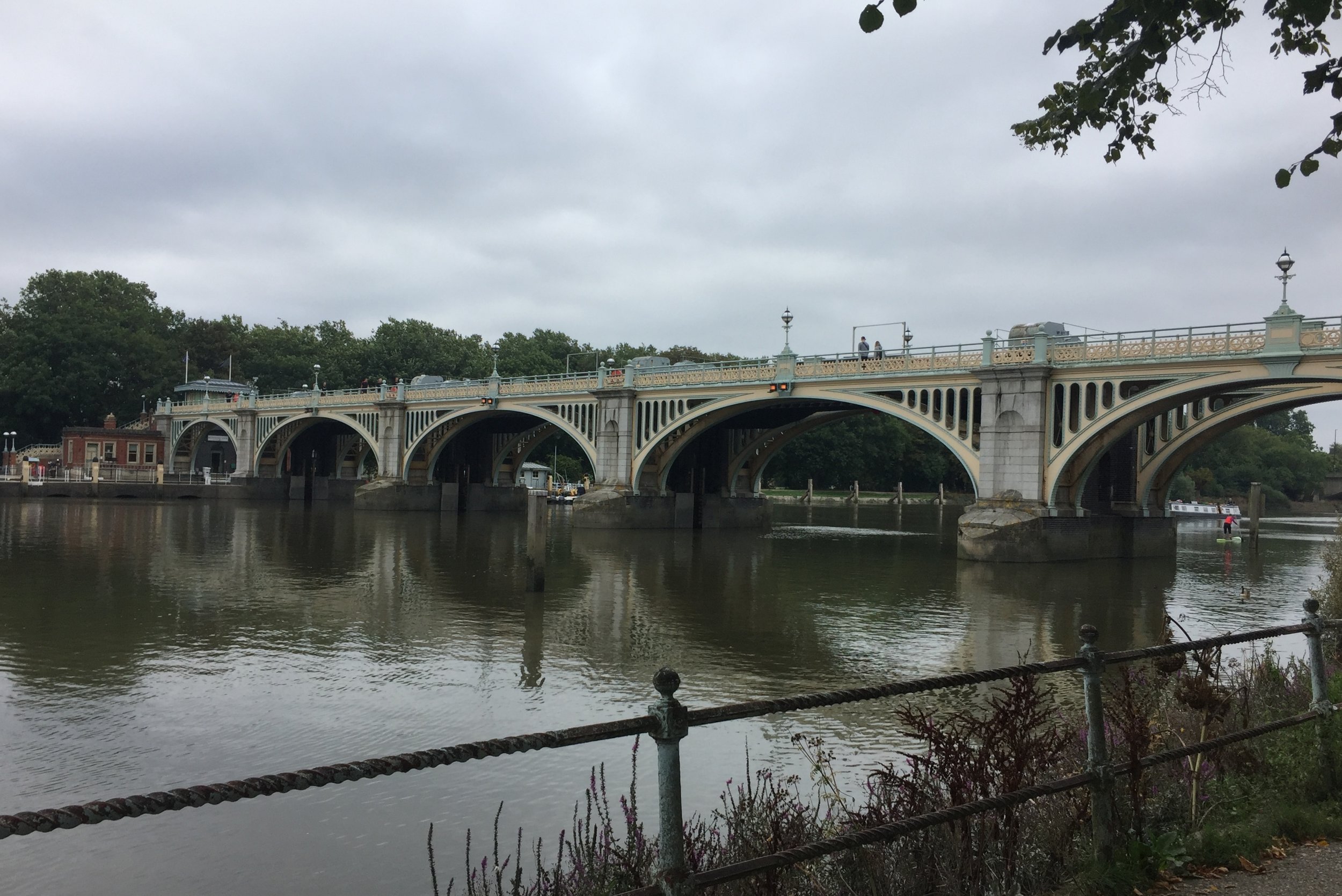
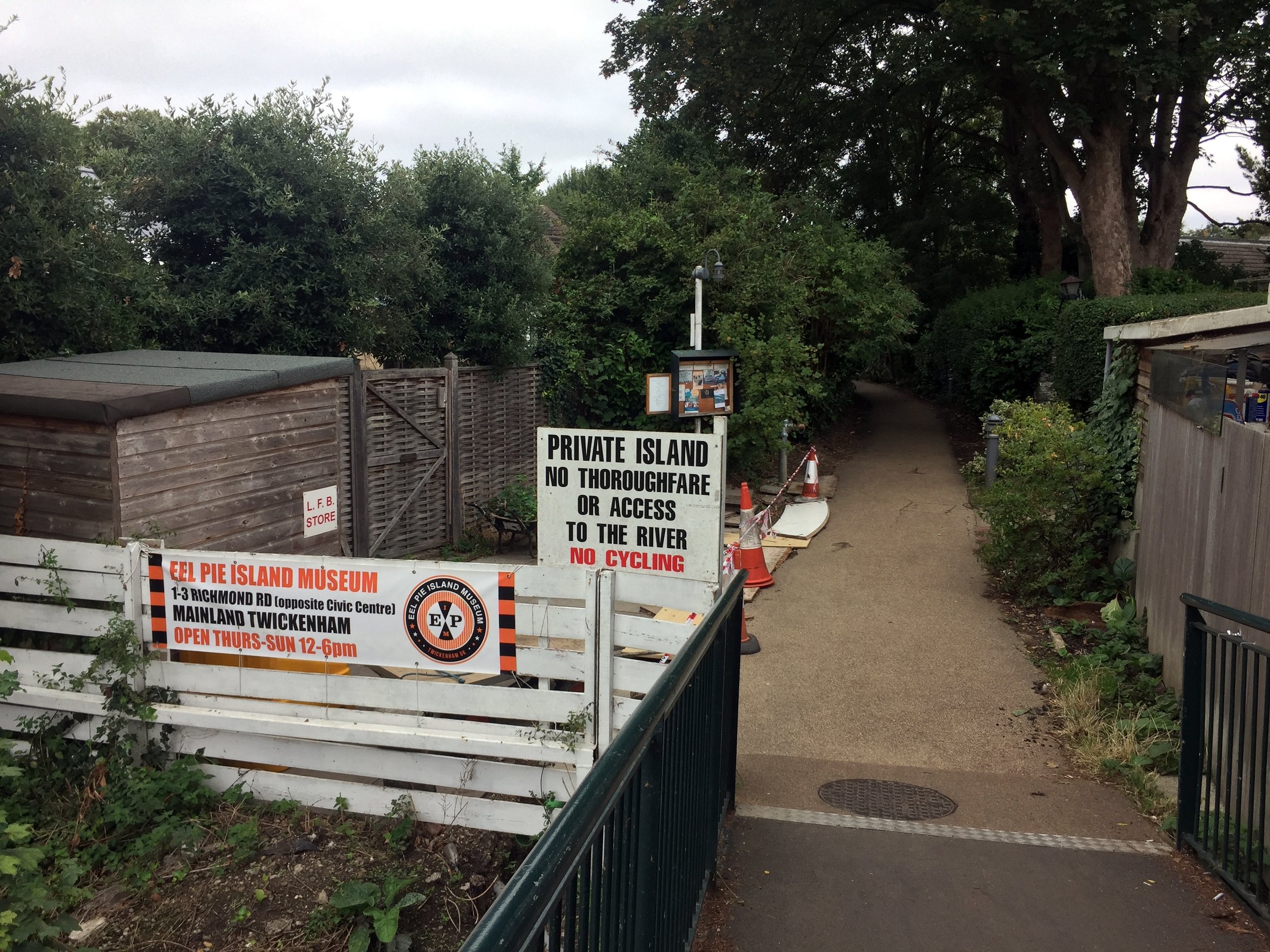
From the end of the Crane, there are two options to get you over to the Hounslow Baseline: a direct but busy road route, or a marginally longer but far more scenic trip along the Thames Path. Taking the Thames Path (as I did) briefly links you up with the Capital Ring. A stop at the famous Barmy Arms pub and a quick view of Eel Pie Island—the legendary 1960s hangout for bands like The Rolling Stones and The Who—makes for a perfect halfway rest stop.
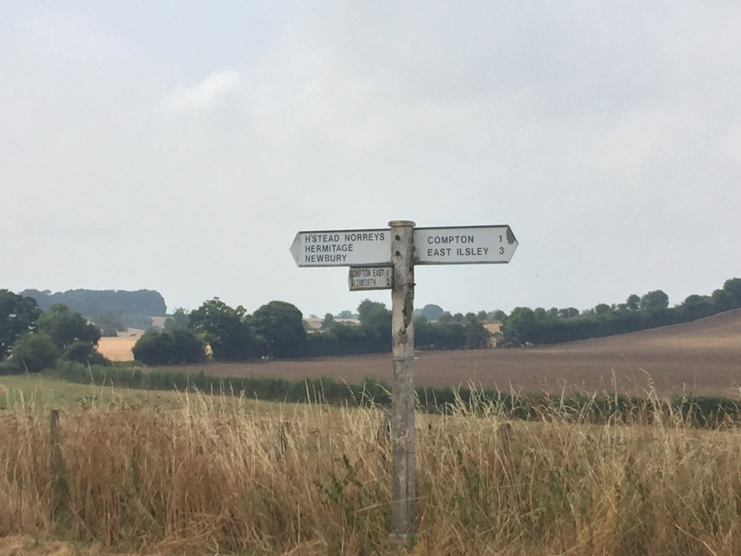
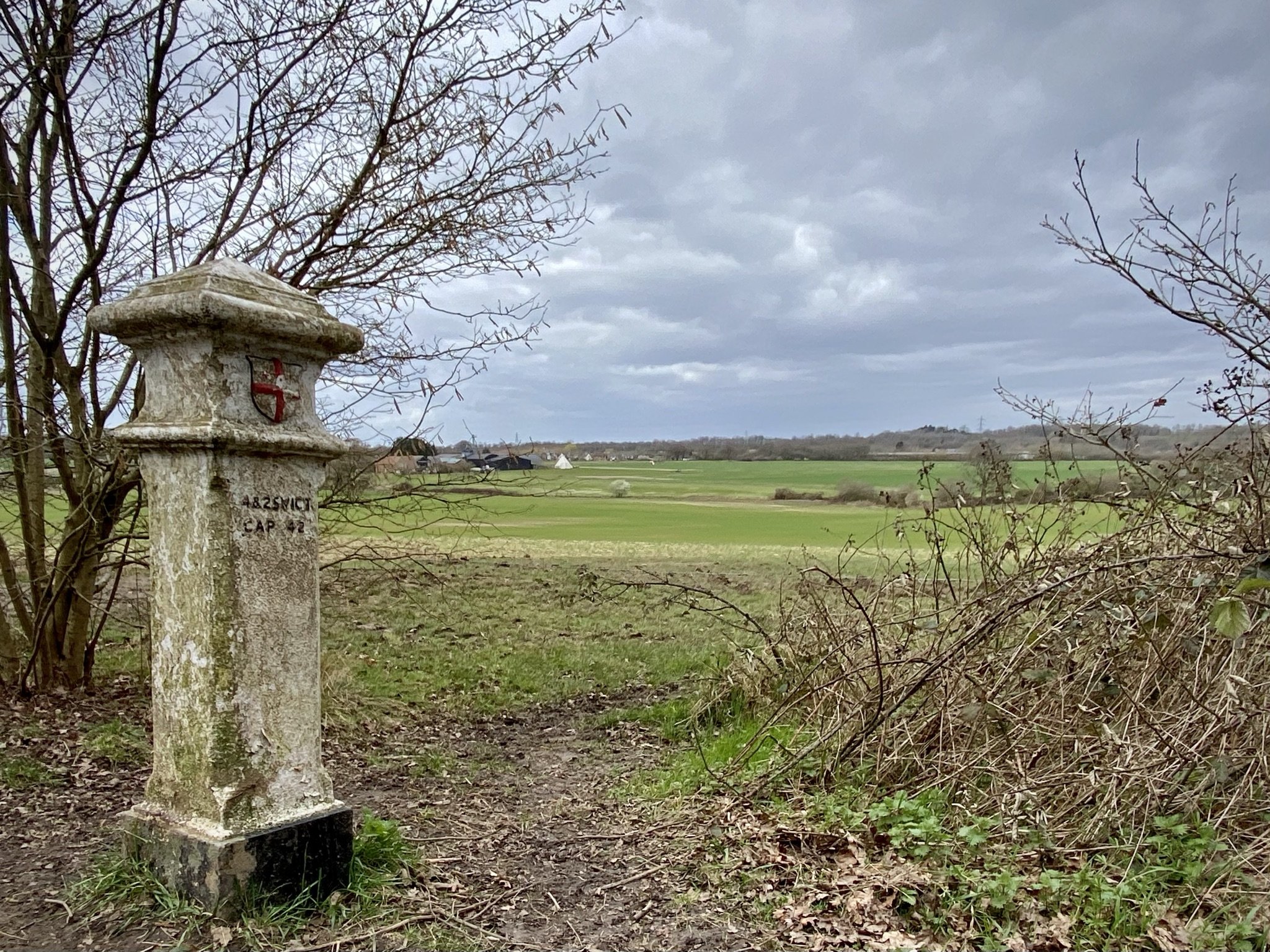
After navigating the local roads away from the Thames up to the A312 (Uxbridge Road), keep an eye out for a small footpath near a zebra crossing. This path leads into a quiet cul-de-sac called Roy Grove, which is home to the south-eastern end of the Hounslow Baseline.
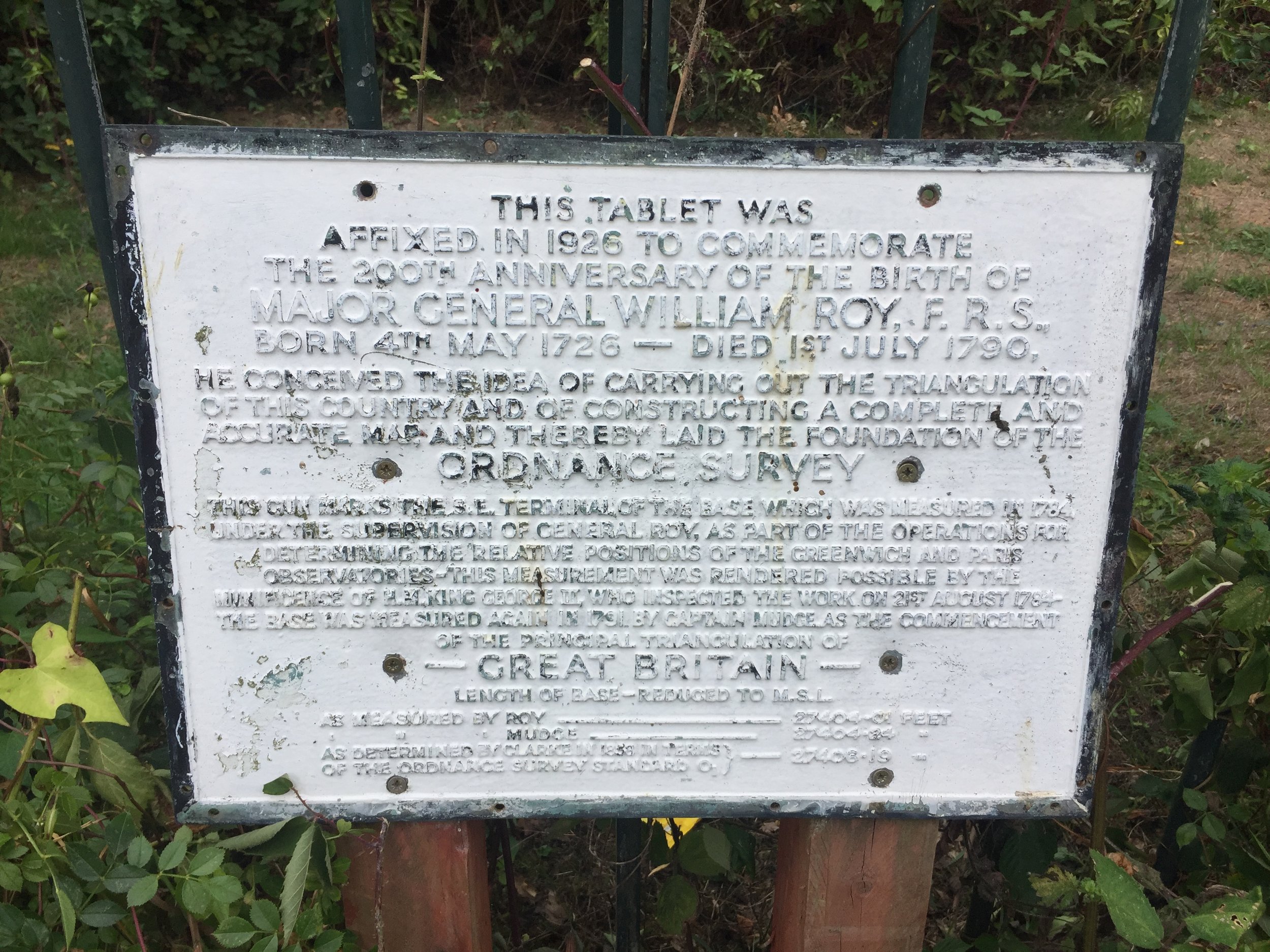
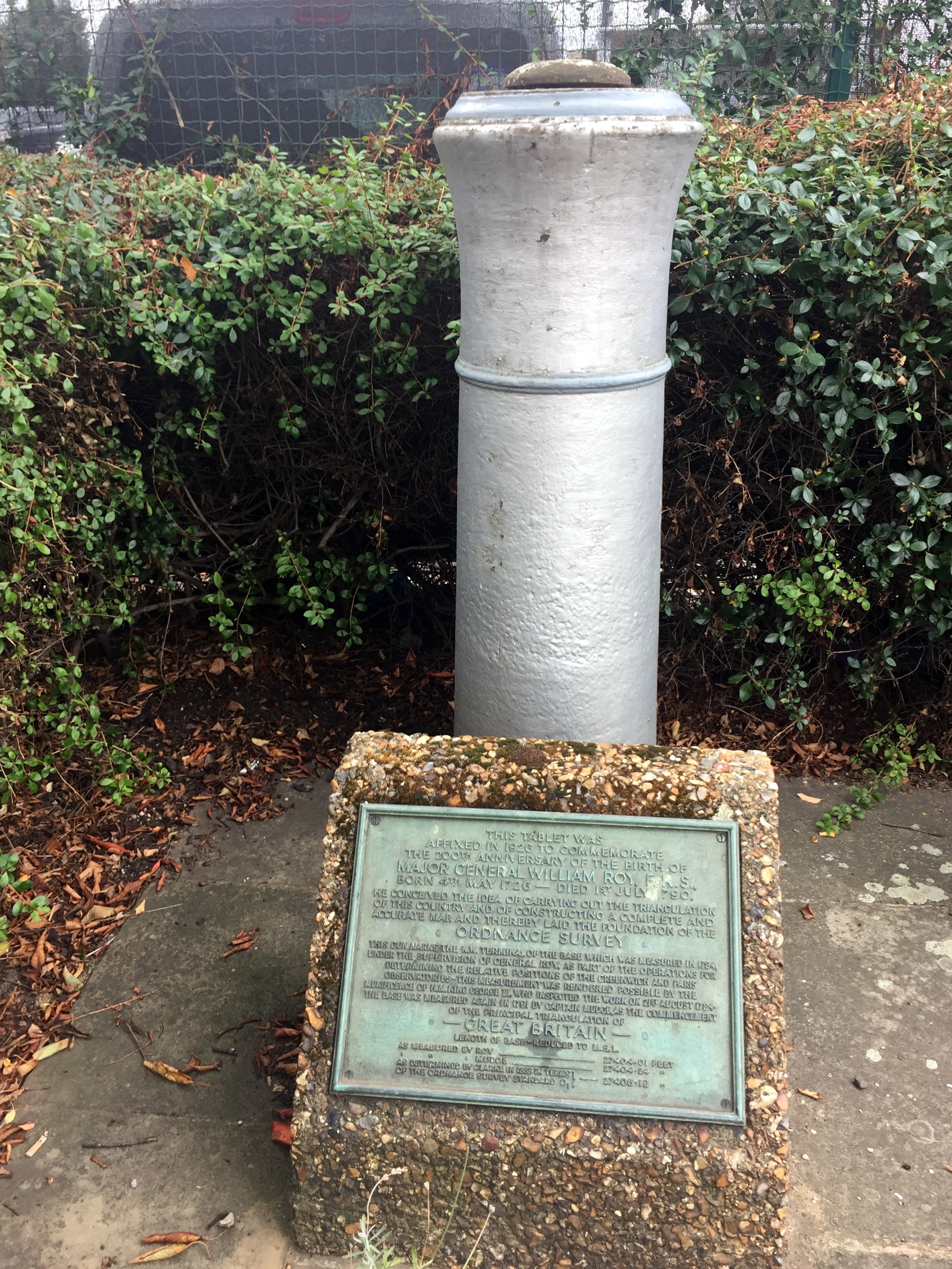
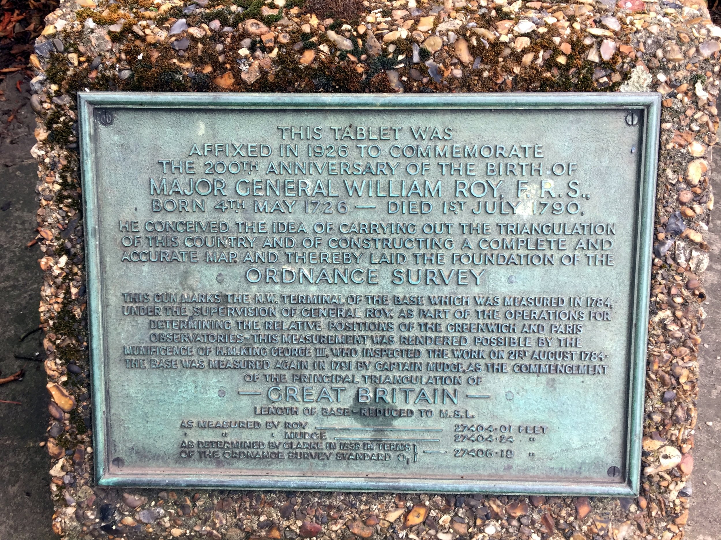
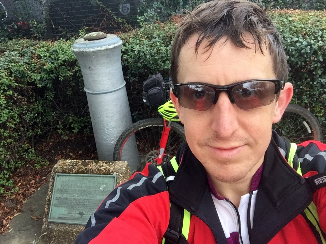
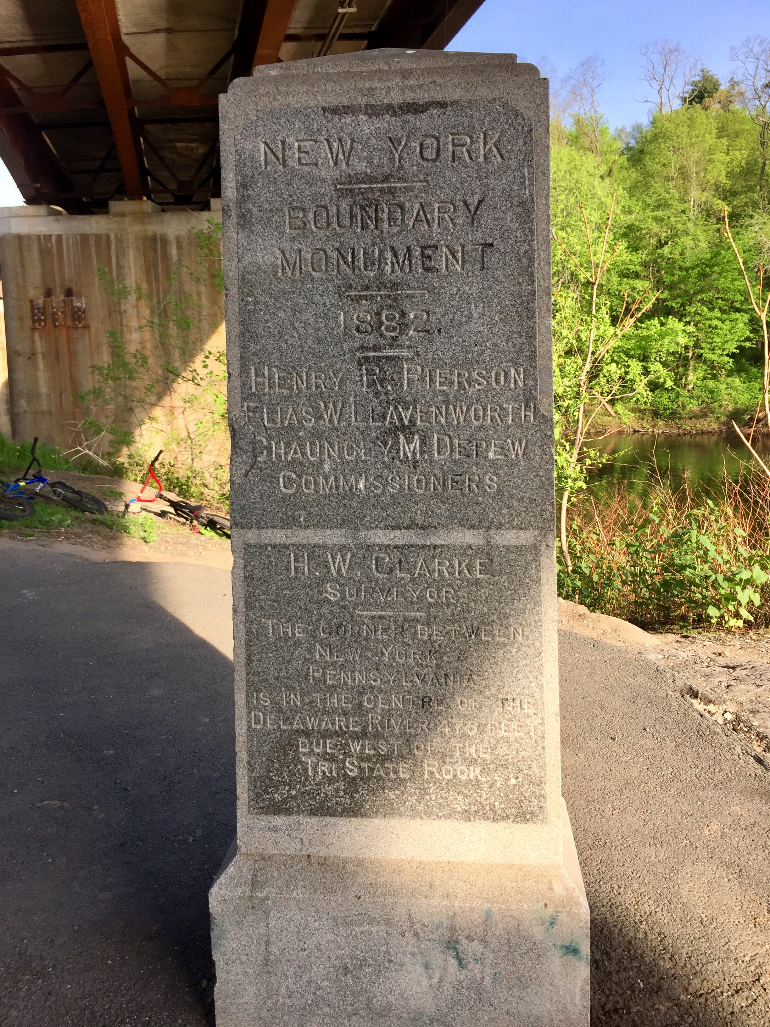
The Hounslow Baseline
The street name, Roy Grove, is your first clue. The actual monument sits on an unloved patch of grass between two houses and consists of a historic cannon barrel buried muzzle-first into the ground, next to a plaque honouring Major General William Roy.
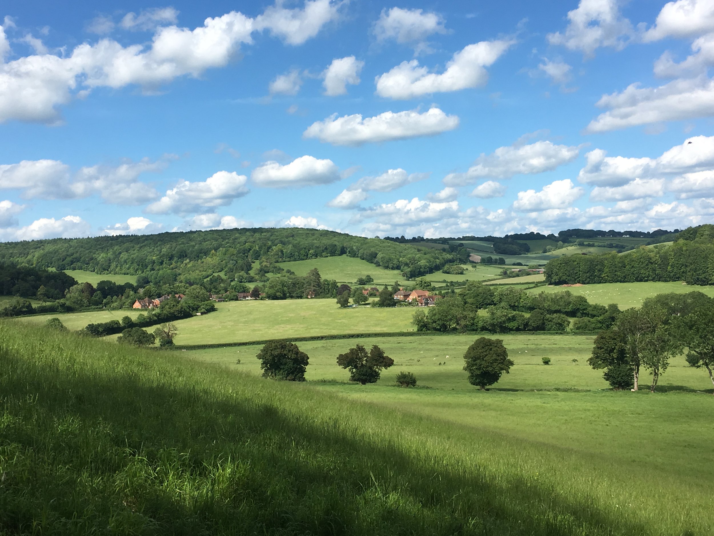
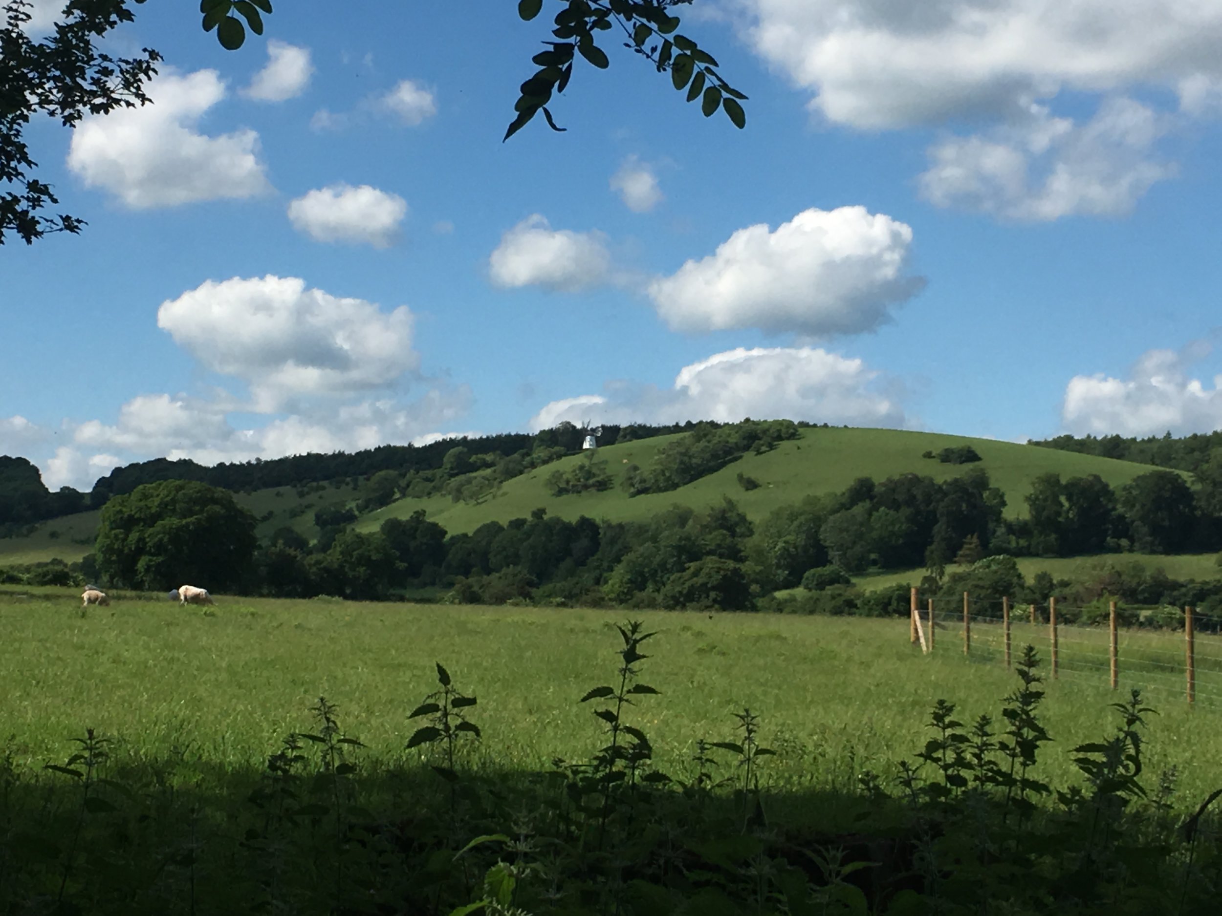
To cycle the actual Baseline, you essentially follow the A312 north-west for about 7km. The road name changes several times, but it is a remarkably straight route that closely traces Roy's original measurement line. Eventually, you reach the Hatton Cross Roundabout right on the edge of Heathrow Airport. You have to take a slight diversion around the Eastern Perimeter Road here, as the airport is unsurprisingly not keen on people cycling across the active runways!
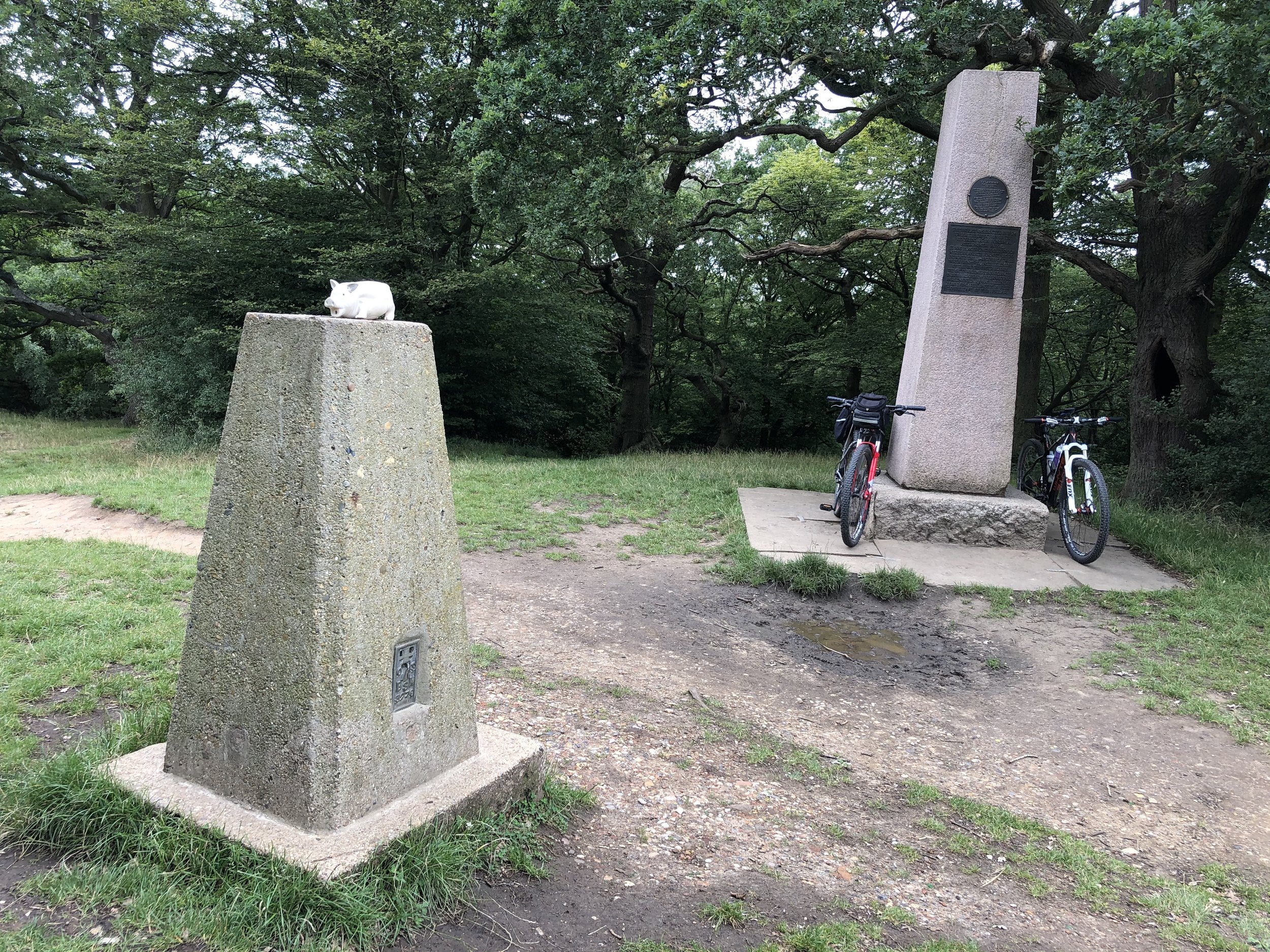
The northern end of the Baseline is hidden on a grassy triangle at the junction of the Northern Perimeter Road and Nene Road. The monument, a twin of the cannon at Roy Grove, is tucked in the far corner. It sits right next to a massive Heathrow business car park. It is rather lovely that, in an area where every inch of concrete is monetised for parking, this little-visited monument has been quietly preserved. While some argue the Ordnance Survey should do more to promote these monuments, I quite like that they are hard to find. It feels entirely fitting that you need a map and some solid navigation skills to track them down!
From the monument, it is an easy 7km ride back to Minet Park, taking you through Sipson, one of the historic "doomed villages" that will eventually be lost if Heathrow's proposed third runway ever goes ahead, before linking back up to the Grand Union Canal.
Trigpointing.uk record: TP7804 - Hounslow Heath Baseline South-east
Trigpointing.uk record: TP7816 - Hounslow Heath Baseline North-west
See also: The Salisbury OS Baseline
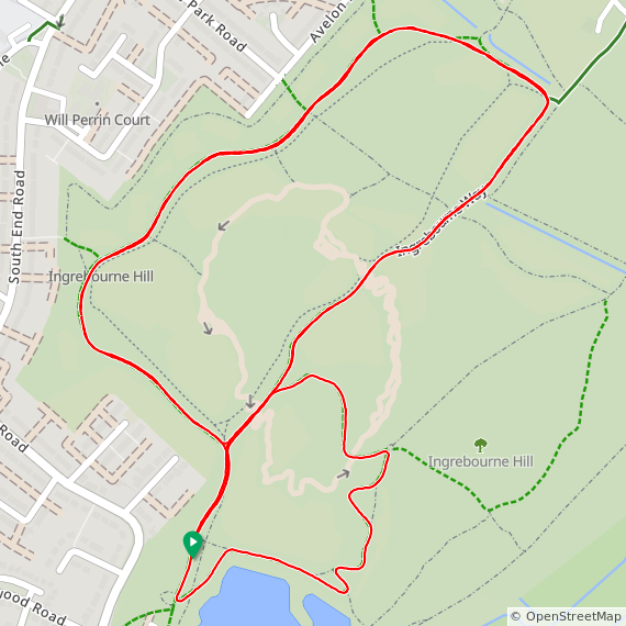
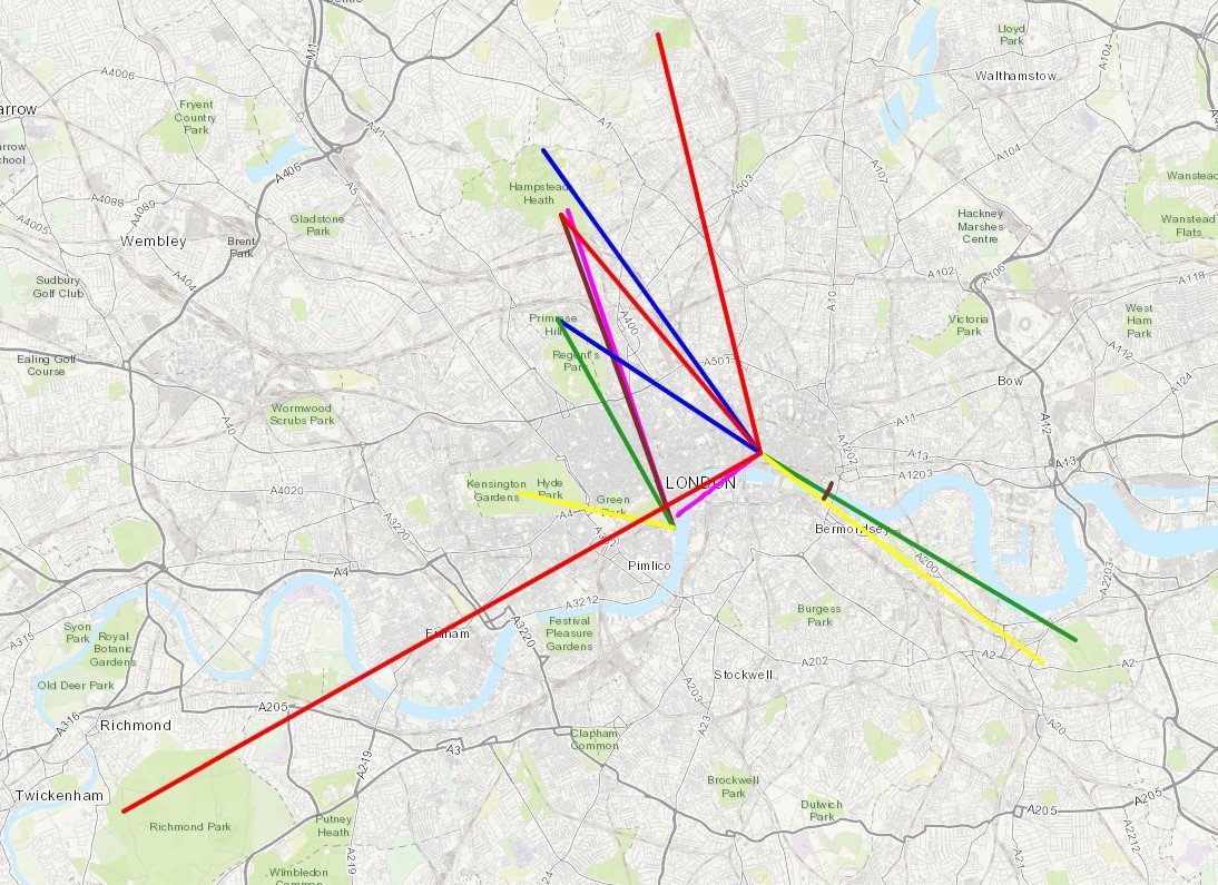
Red = course of the River Crane, Yellow = cycle route, Blue = Hounslow Baseline. Green = (approx) future site of proposed Heathrow 3rd runway

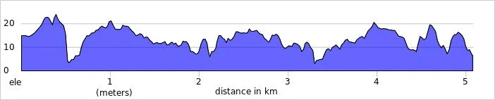
Elevation plan of the cycle route (marked as yellow in the map)
More London Posts
If you enjoyed reading this post, there is plenty more to explore across the capital. I have put together a dedicated London Outdoors page where I keep track of all my other adventures around the city. It is a handy index where I group my posts by the different types of places I have visited: including historic boundary lines, canal towpaths, and some surprising urban high points.
The collection covers a bit of everything: from long-distance cycling routes to tracing the underground network on foot, and ticking off another Saturday morning parkrun. If you are looking for some inspiration for your own weekend outings, head back over to the London Outdoors page to see what else I have been up to.