Cycling The River Pang

Near the source of the Pang
River start: Between Compton and Hampstead Norreys
River end: Confluence with the Thames at Pangbourne
River length: 23 km (14 miles)
Cycle Route Start & Finish:
Cycle Route Distance: 37 km (23 miles)
Cycle Route Elevation change: + / - 273m
GPX File: get via Buy Me a Coffee
Other routes touched (walk): Thames Path
Other routes touched (cycle): Round Berkshire Cycle Route
Map: OS Explorer Map (159) Reading, Wokingham and Pangbourne
Links: River Pang, Compton, Pangbourne
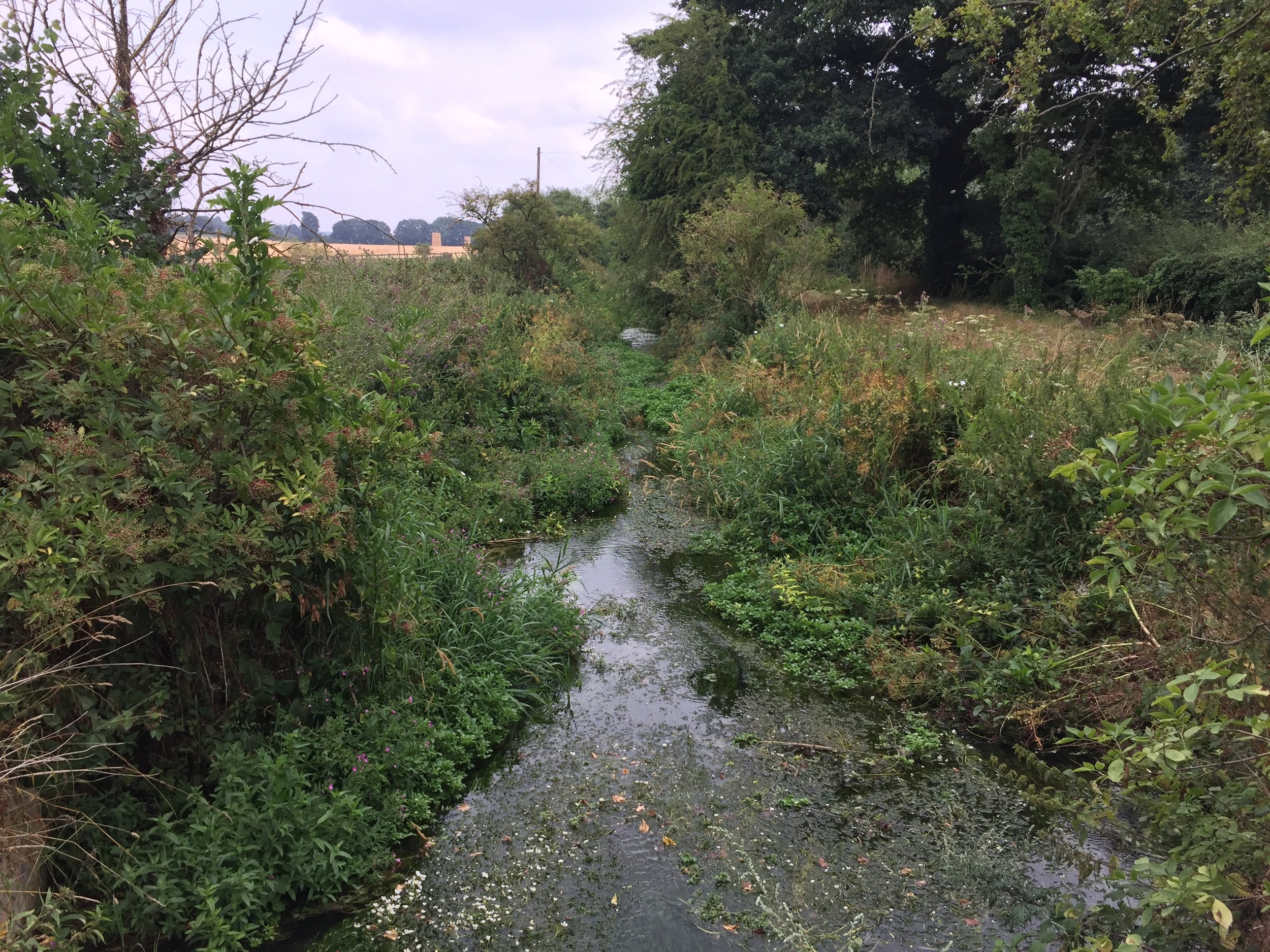
The River Pang is a small tributary of the Thames in West Berkshire. The source is between Compton and Hampstead Norreys and from there it runs 23k / 14 miles to meet the Thames at Pangbourne. I cycled the length as a part of a 38k / 24 circular, also taking in villages to the north or the river including Ashampstead and Upper Basildon. For the first 8 miles, the river stays close to country roads, but from Bucklebery its tough to stay close to its course. There's some good walking options that take non-cycleable footpaths for the rest of the route to Pangbourne. Its a pleasant ride along mostly quiet country lanes.
Circular route, anticlockwise, starting and ending in Pangbourne. How To:
A good place to park is the Short-stay shoppers car-park off Ferry lane. From here...
Take Whitchurch Road (B471) south, taking a right at the roundabout onto the High Street. Follow this to the next roundabout and take a left onto Tidmarsh Road,
Follow Tidmarsh Road for nearly 4 miles, crossing over the M4, then take the first right onto Common Hill
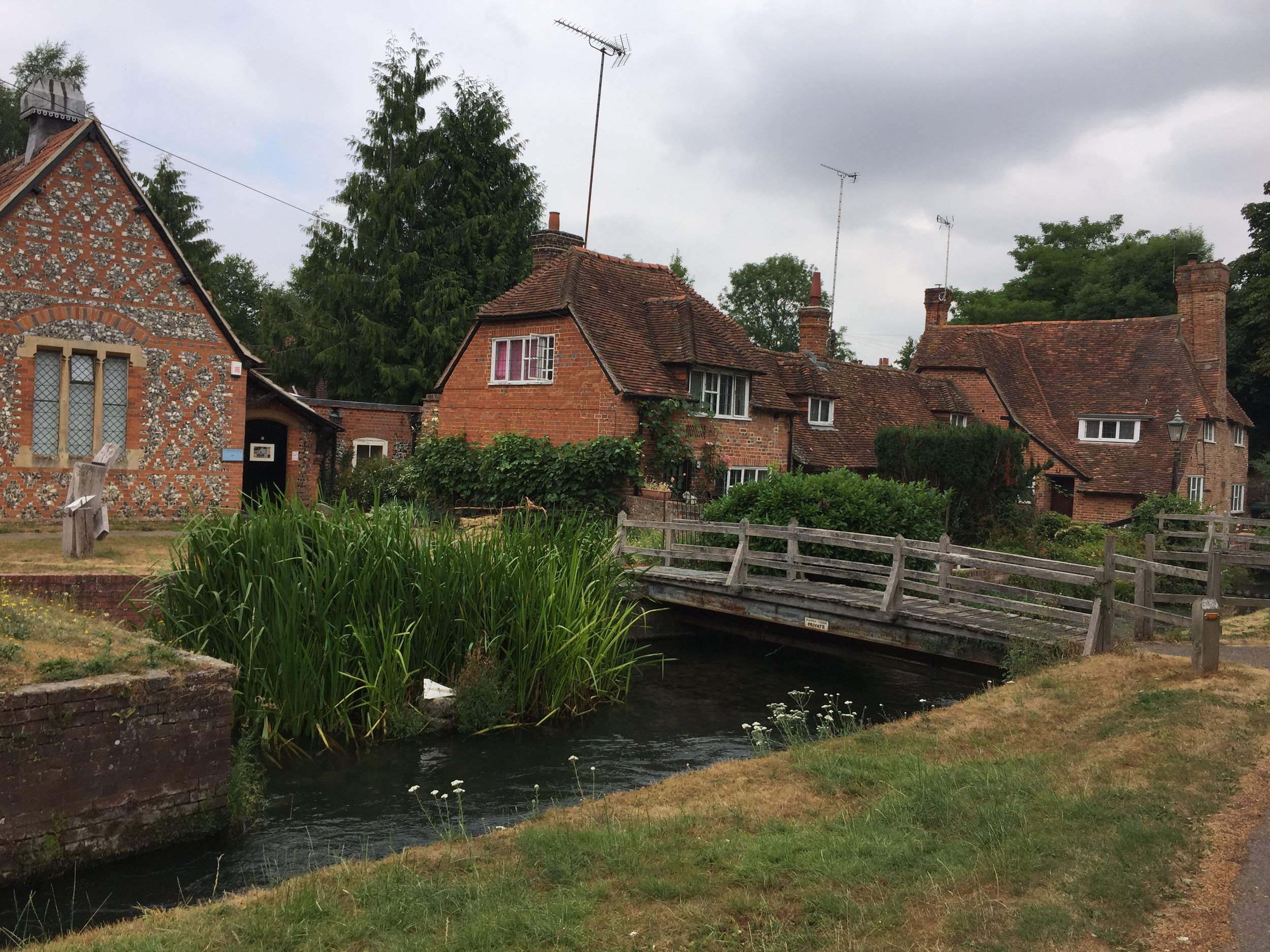
Follow Common Hill to Bradfield, taking a left onto Ashamptstead Road. You'll shortly cross over the Pang at some old mill buildings.
Take a left onto Back Lane. Follow this all the way to the junction of Cock Lane. Take a right then immediately left onto Bucklebury Road.
Follow Bucklebury Road for approx. 2 miles, taking a left into Bucklebury.
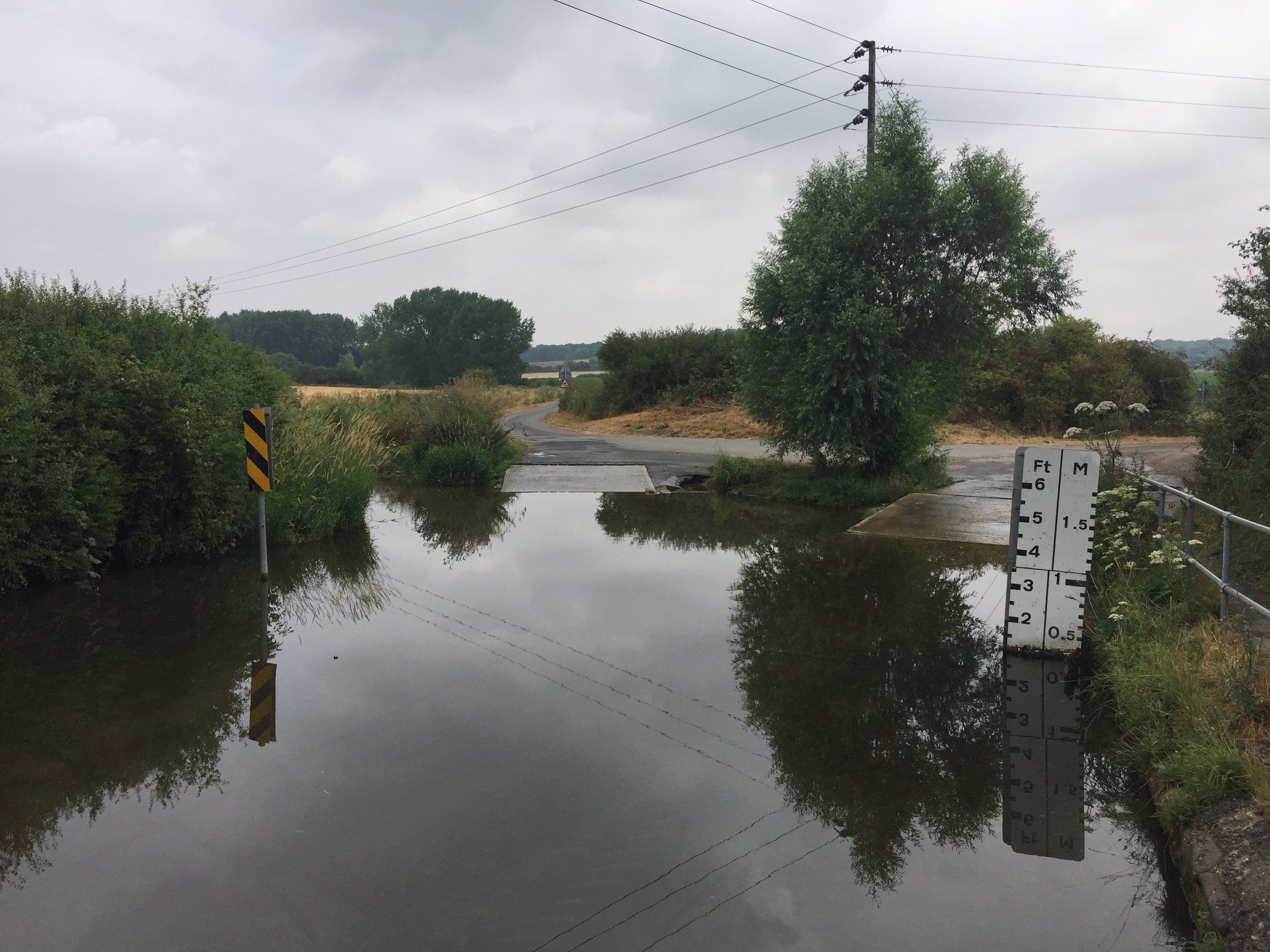
After the village, take a right on the main road, then first right again and cross the ford.
After the ford, take the first left onto Brocks Lane. The Pang will stay to the left of you from here on.
Continue along Brocks Lane until it the junction of Everington Lane just after the M4 underpass.
Take a right onto Everington Lane, then immediately left onto Yattendon Road.
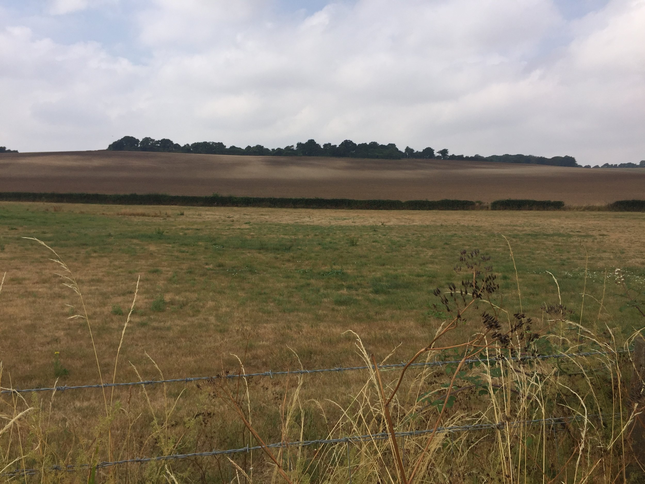
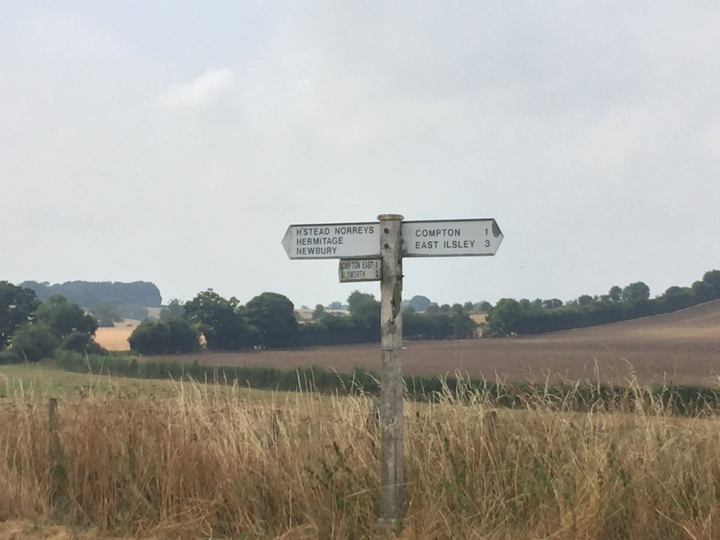
Join the B4009 through Hampstead Norreys. The (mainly dry) source of the Pang is in the fields on the left hand side of the road about 1.5 miles from the village.
To return to Pangbourne .... take the first right onto Coombe Road.
After about half a mile take a right onto a Bridleway that runs along the right hand side of a field. This is steep and narrow: good for mountain bikes or walking.
The Bridleway will meet Thorn Hill, follow this to Aldworth road, continuing on this as it passes The Four Points pub.
After 4 miles, turn right onto Whitemoor Lane. This is a steep hill up to Ashampstead Road.
Turn right onto Ashampstead Road and follow it, merging onto Aldworth Road. Continue onto Pangbourne Road.
Follow Pangbourne Road down the hill to the Town Centre.
Turn left onto Tidmarsh Road, then cross over the roundabout onto Station Road / Shooters Hill.
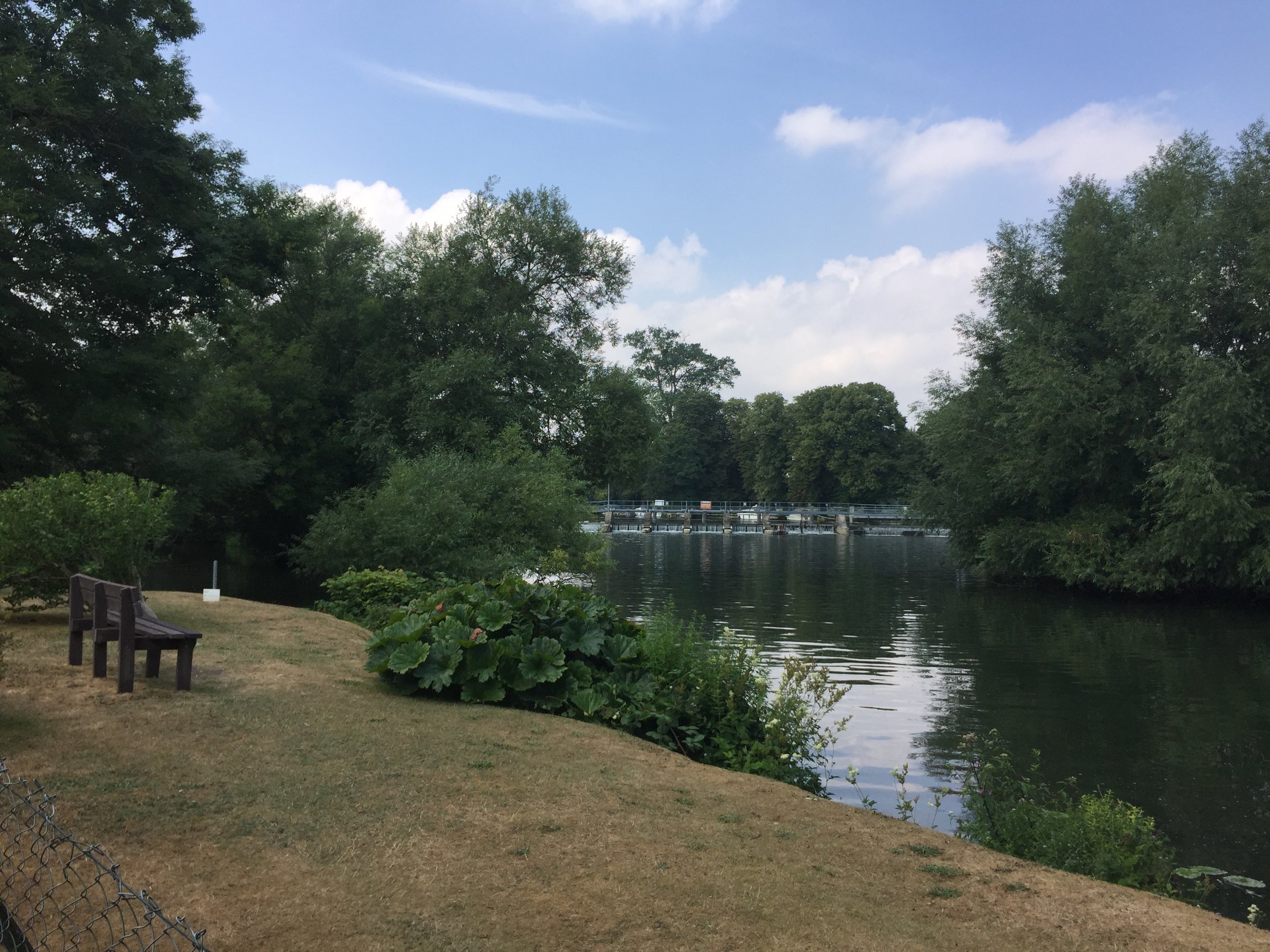
Immediately after the railway bridge, turn right onto a footpath. This will take you to the confluence of the Pang and the Thames.
Continue along the footpath to the back of the car park where you started.
Alternatives for walkers are:
At point #, continue over the roundabout and take The Moors, a small road to the left of WHSmith. This becomes a footpath that stays close to the Pang, returning to Tidmarsh Road.
At point #4, turn left at the mill buildings in Bradfield and follow the Berkshire Circular Walks footpath to Bucklebury.
Red = route of the River Pang, Blue = circular cycle route.