Old Man of Coniston: Lancashire County Top

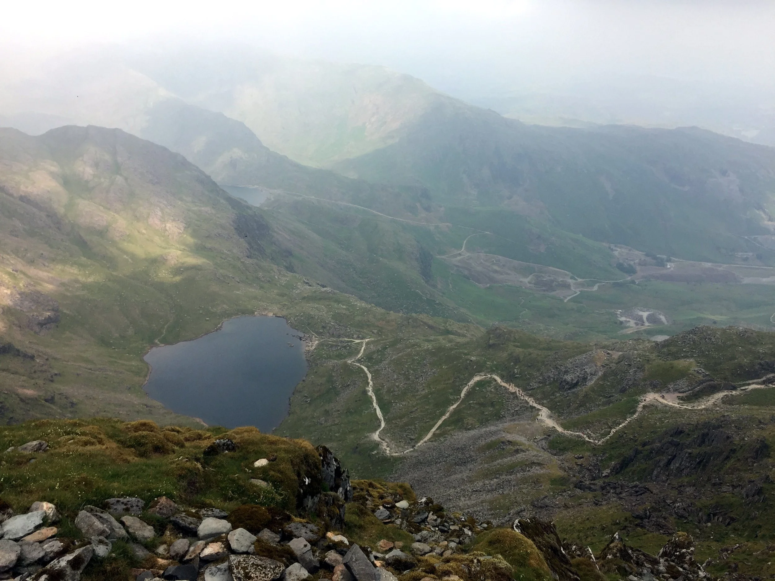
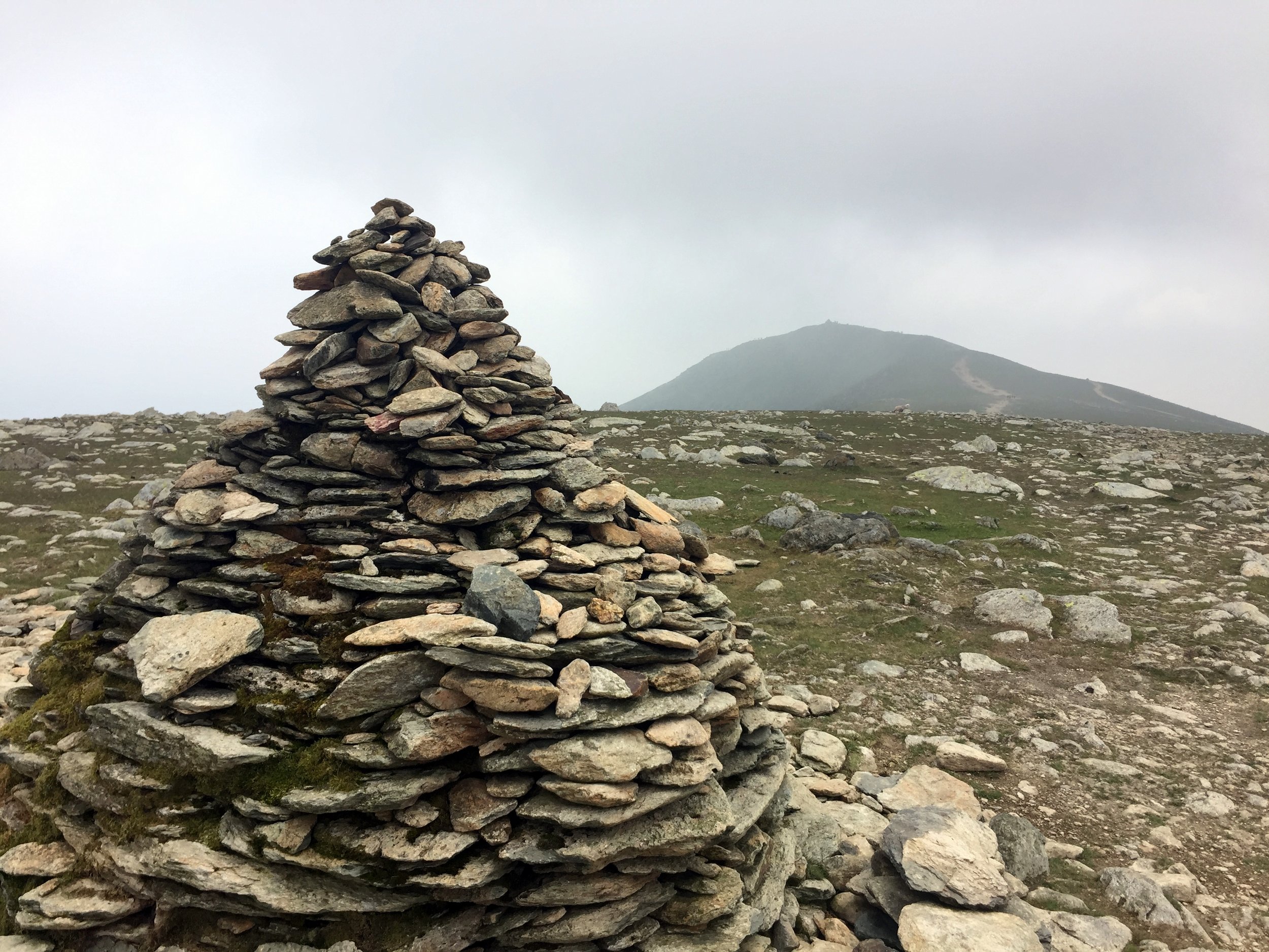
View to Low Water
Also known as: Coniston Old Man
Significance: Highest Peak in Lancashire (Historic CT)
Member of: Hewitt, Marilyn, Nuttall, Wainwright, Aetherius Society Holy Mountains
Parent Peak: Scafell Pike. NHN = Crinkle Crags-South Top
Elevation: 803m
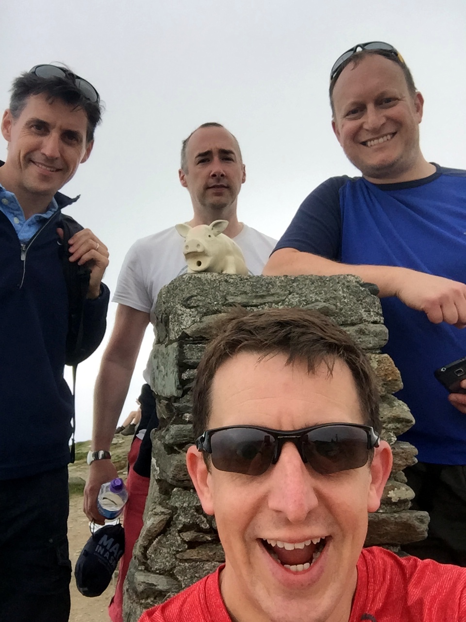
Date climbed: 09/06/2018
Coordinates: 54.3701° N, 3.1199° W
Route Start / End: Circular from Holly How YHA, Coniston
Route Distance: 11 km (6.8 miles)
Route Elevation Change: +/- 728m
Subsidiary tops on route: Brim Fell (796m)
GPX File: get via Buy Me a Coffee
Other routes touched: None
OS Trig Pillar: TP2382 - Coniston Old Man
OS Map: Outdoor Leisure 6: The English Lakes South Western Area
Guidebook: The UK's County Tops (Jonny Muir), Walking the County High Points of England (David Bathurst)
Links: Wikipedia (Lancashire), Wikipedia (Old Man of Coniston), Peakbagger, Hillbagging
We did the Old Man of Coniston in the same trip as Helvellyn . This was a long weekend in the Lakes to complete the Historic County Tops in the area. We would have also included Scafell Pike if I hadn’t already done it several times and, after the last one, decided to never go back.
We were staying in the YHA Coniston Holly How so had the advantage of doing a circular trek from the door of the hostel. An alternative start point is the Old Station Car Park in the centre of Coniston.
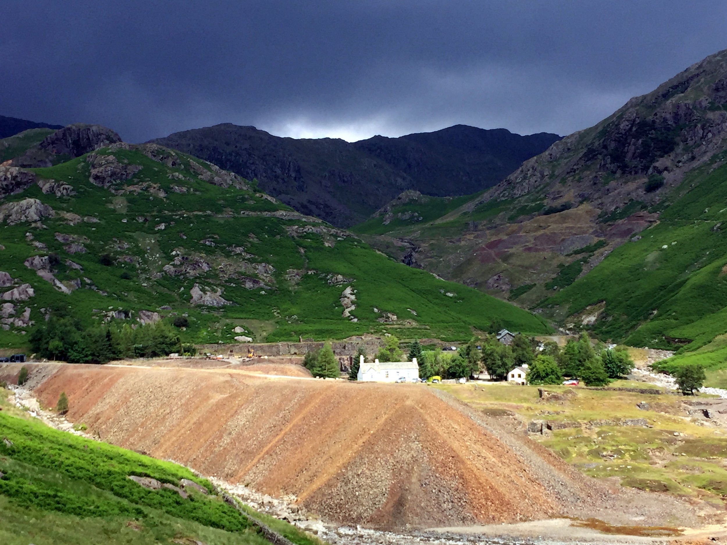
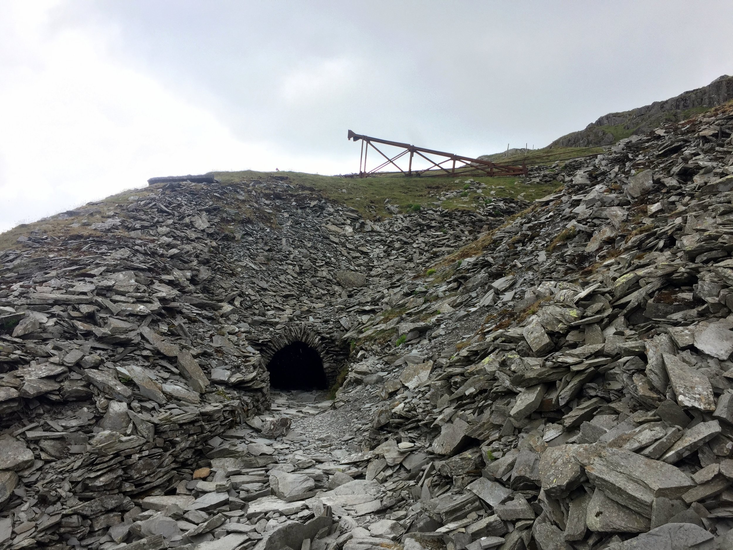
We took the footpath on the north side of the YHA to join another path heading in a south-westerly direction around the edge of Round Haw and Mouldry Bank. This curves to a north-westerly direction roughly following the course of the Red Dell Beck stream. Don't follow this all the way though as you'll need to take the paths that lead you to Levers Water.
Continue around the southern edge of Levers Water ascending to the west until you meet a path that connects Great How Crags with the Old Man of Coniston summit. Take a left onto this path and follow it in a southerly direction to the summit.
After the summit continue on the path to the south-east (not the path that leads directly south). This will curve to the north-east as you descend to the north-east corner of Low Water. From here take the easterly path for ~2km until you meet the Church Beck stream. Continue along this path following the stream as it curves to the south-east and leads you to Coniston town centre.
If you're staying at the YHA it's less than 1km up Yewdale Road from Coniston Town centre.

OTHER HIGH POINTS IN Lancashire
Gragareth (628m) Lancashire Ceremonial County (alternative): Peakbagger / Hillbagging
Green Hill (627m) Lancashire Ceremonial County (alternative): Peakbagger / Hillbagging
Blackstone Edge (474m) Rochdale Unitary Authority High Point (alternative): Peakbagger / Hillbagging
Hail Storm Hill-Southeast Slope (474m) Rochdale Unitary Authority High Point (alternative): Peakbagger / Hillbagging
Winter Hill (456m) Blackburn with Darwen Unitary Authority High Point: Peakbagger / Hillbagging
Winter Hill Boundary (447m) Bolton Unitary Authority High Point: Peakbagger / Hillbagging
Scholes Height (415m) Bury Unitary Authority High Point: Peakbagger / Hillbagging
Billinge Hill (179m) Merseyside Ceremonial County and St Helens Unitary Authority High Point: Peakbagger / Hillbagging
Billinge Hill - North Top (169m) Wigan Unitary Authority High Point: Peakbagger / Hillbagging
Greenheys (Newcombe Drive) (116m) Salford Unitary Authority High Point: Peakbagger / Hillbagging
Heaton Park (108m) Manchester Unitary Authority High Point: Peakbagger / Hillbagging
Appleton Park (105m) Warrington Unitary Authority High Point: Peakbagger / Hillbagging
Knowsley Park (100m) Knowsley Unitary Authority High Point: Peakbagger / Hillbagging
Woolton Hill (89m) Liverpool Unitary Authority High Point: Peakbagger / Hillbagging
Melling Mount (36m) Sefton Unitary Authority High Point: Peakbagger / Hillbagging
Warbreck Reservoir (34m) Blackpool Unitary Authority High Point: Peakbagger / Hillbagging