Walking The Turner and Dickens Trail
Margate

Margate


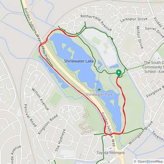
Start: Dickens House Museum 2 Victoria Parade Broadstairs CT10 1QS
Finish:
Turner Contemporary, Margate, CT9 1HG
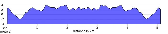
Distance: 6.2 km (3.9 miles)
Elevation Change: +36m / -54m
GPX File: get via Buy Me a Coffee
Other Routes Touched (walk): Ramsgate to Margate Coastal Walk
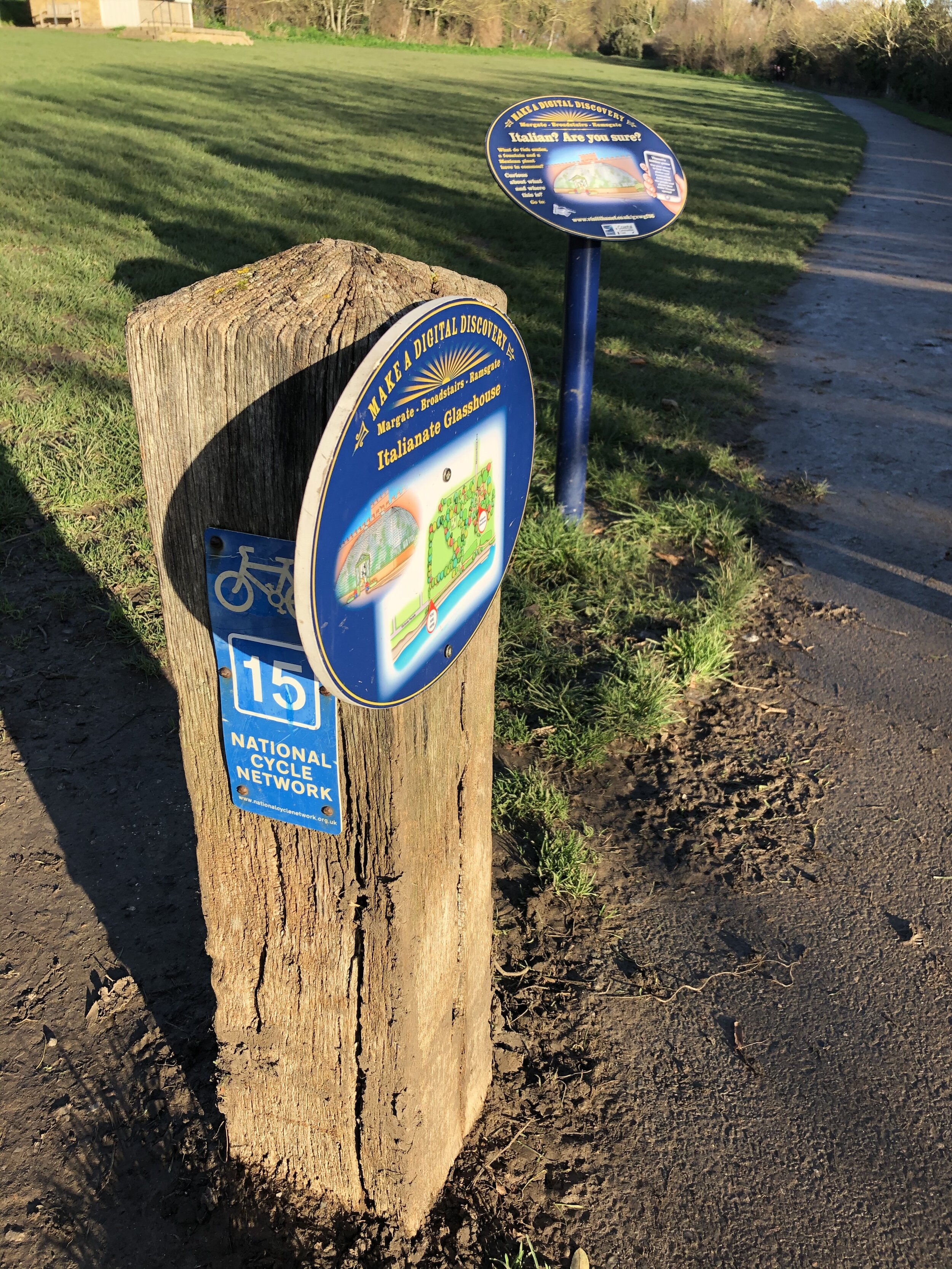
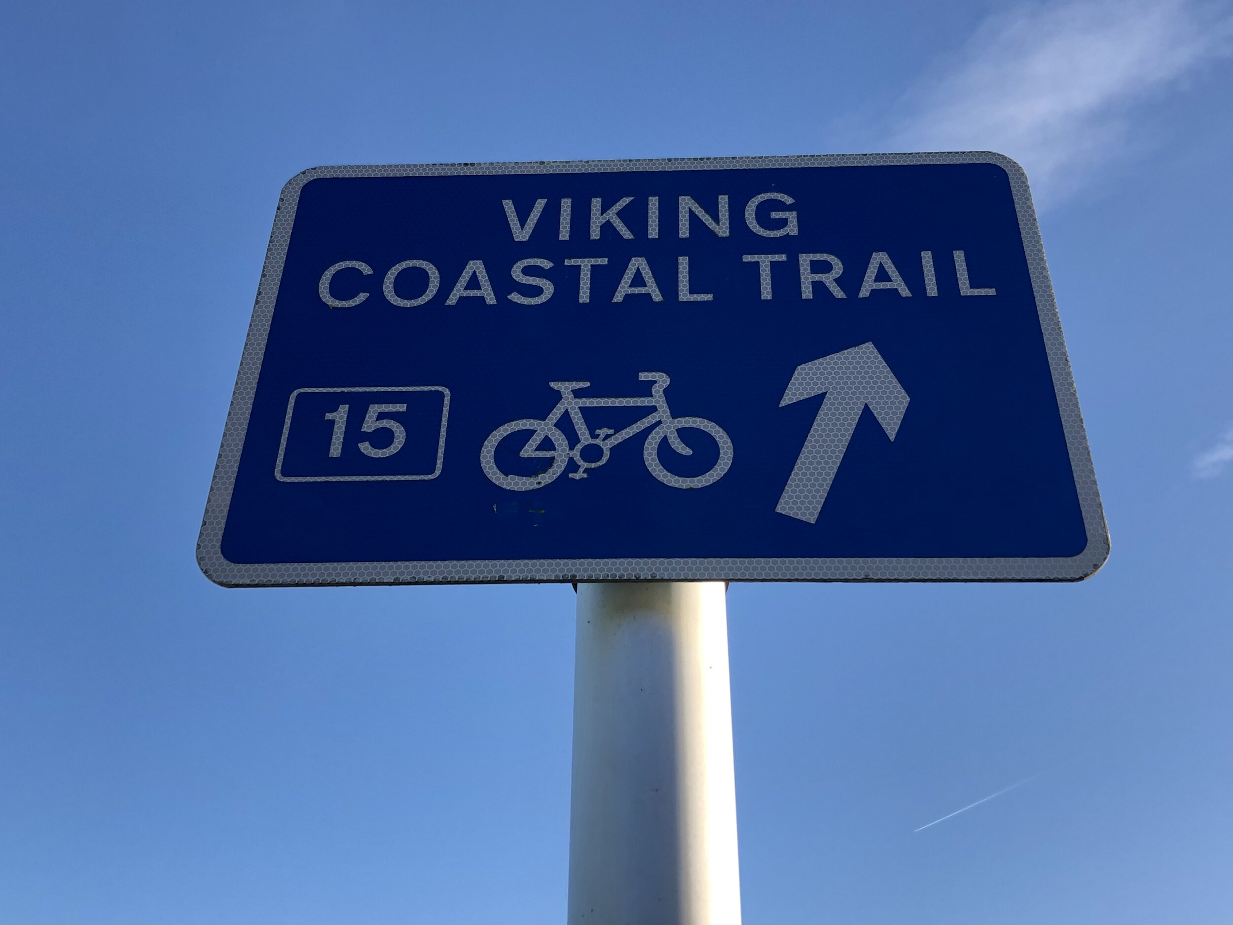
Other Routes Touched (cycle): NCN 15
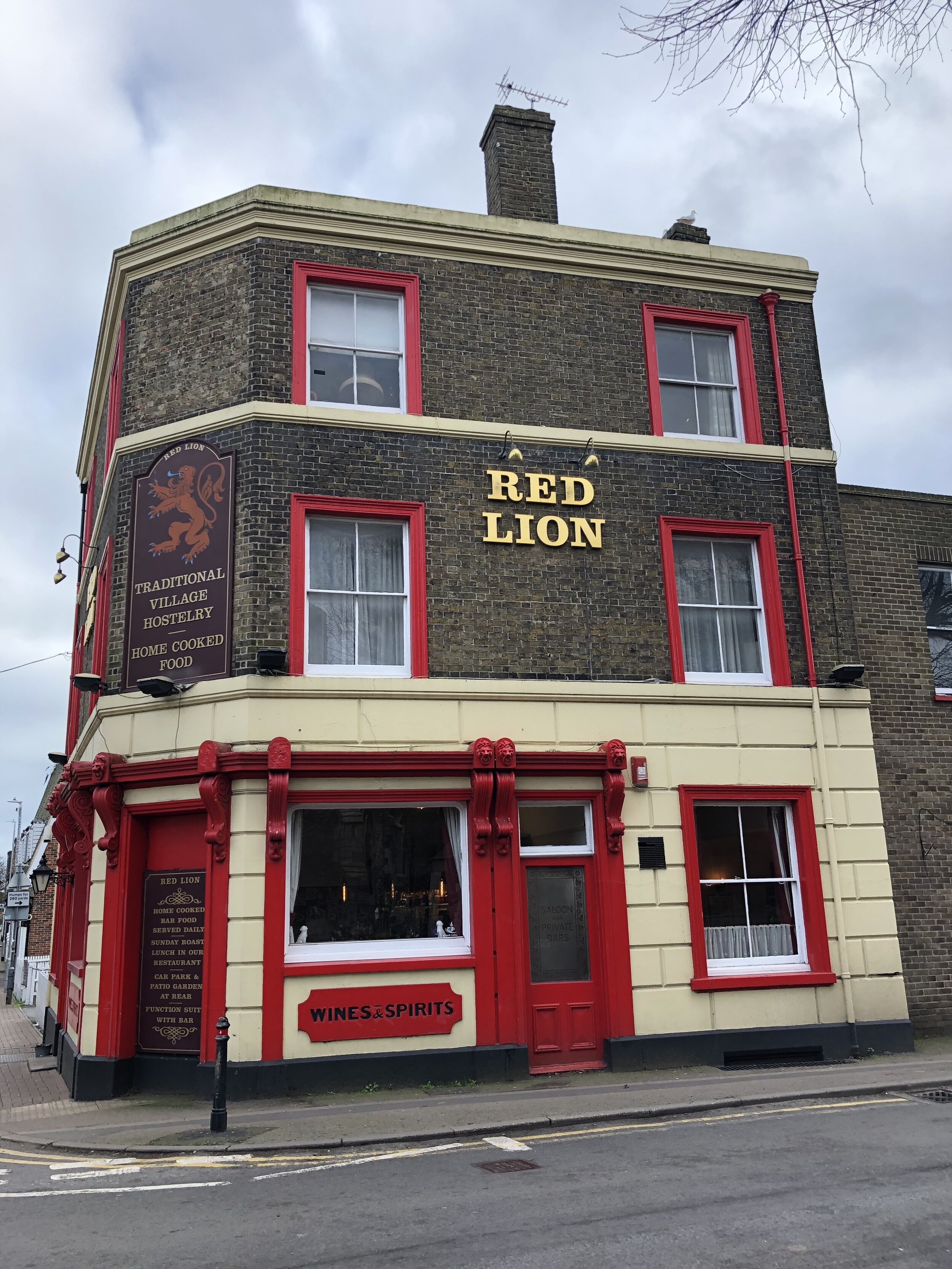
Pubs / Cafes on route: Several. We stopped at the Red Lion in St Peters
Map: OS Explorer Map (150) Canterbury and the Isle of Thanet
Links: Turner Contemporary, Visit Thanet, Broadstairs, St Peter’s, Margate


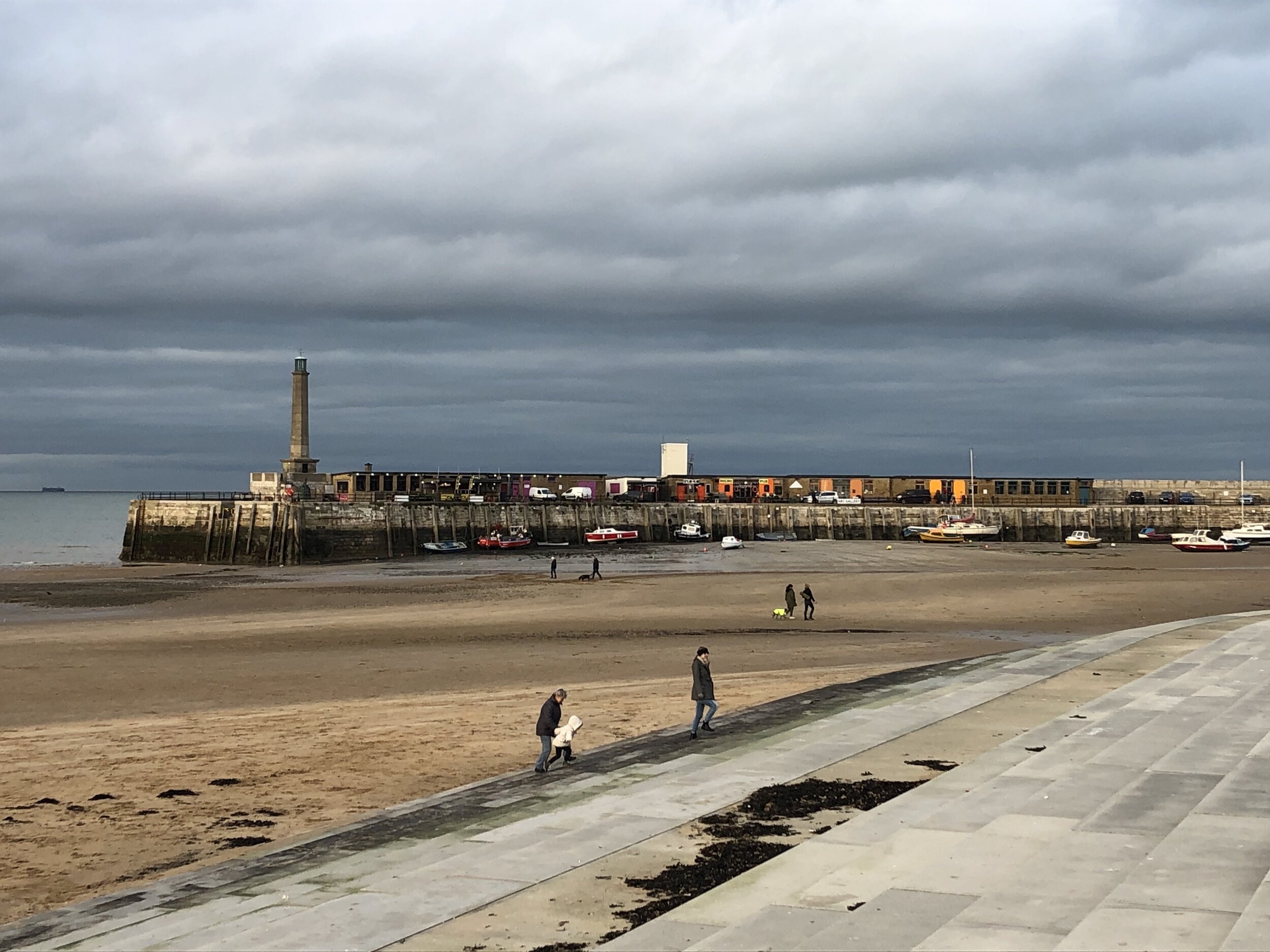
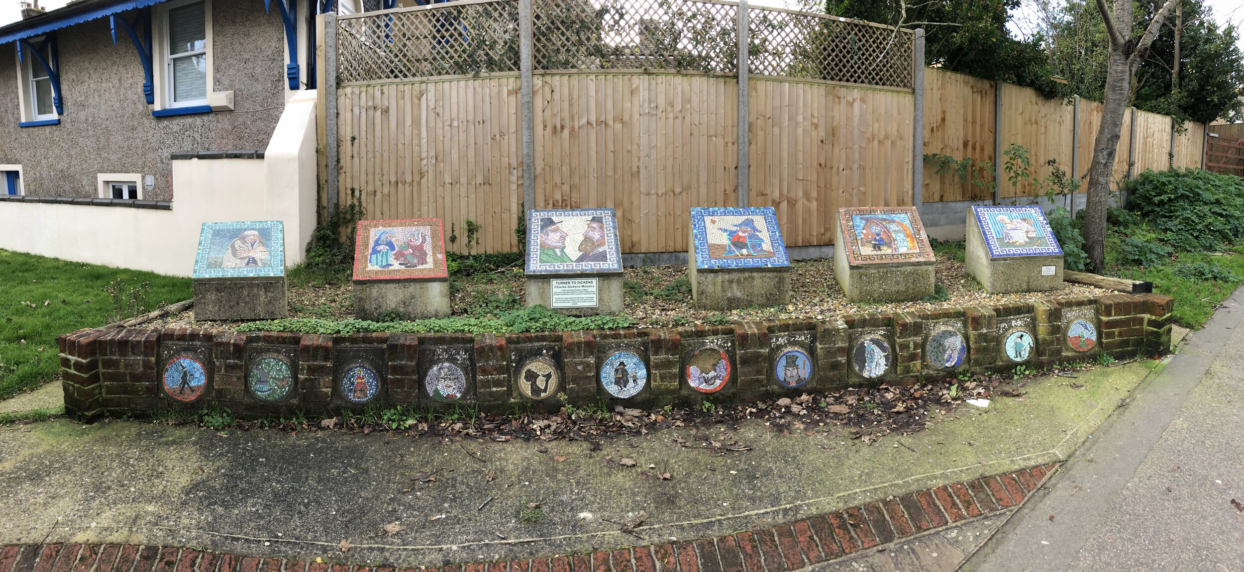
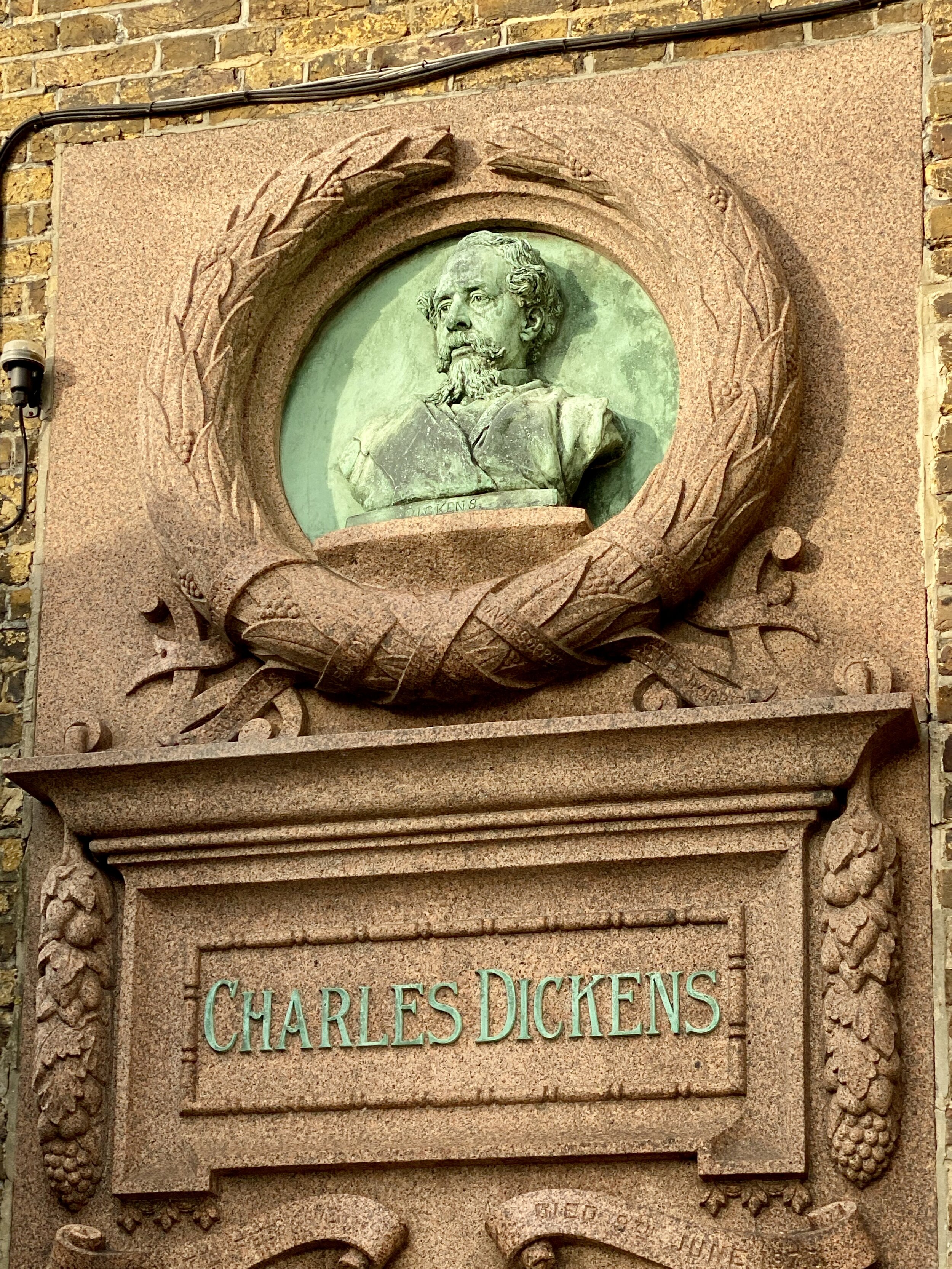
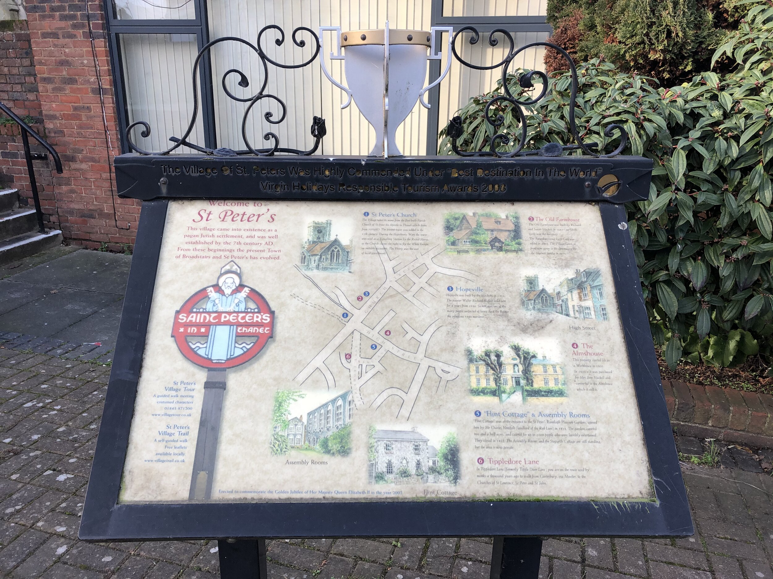
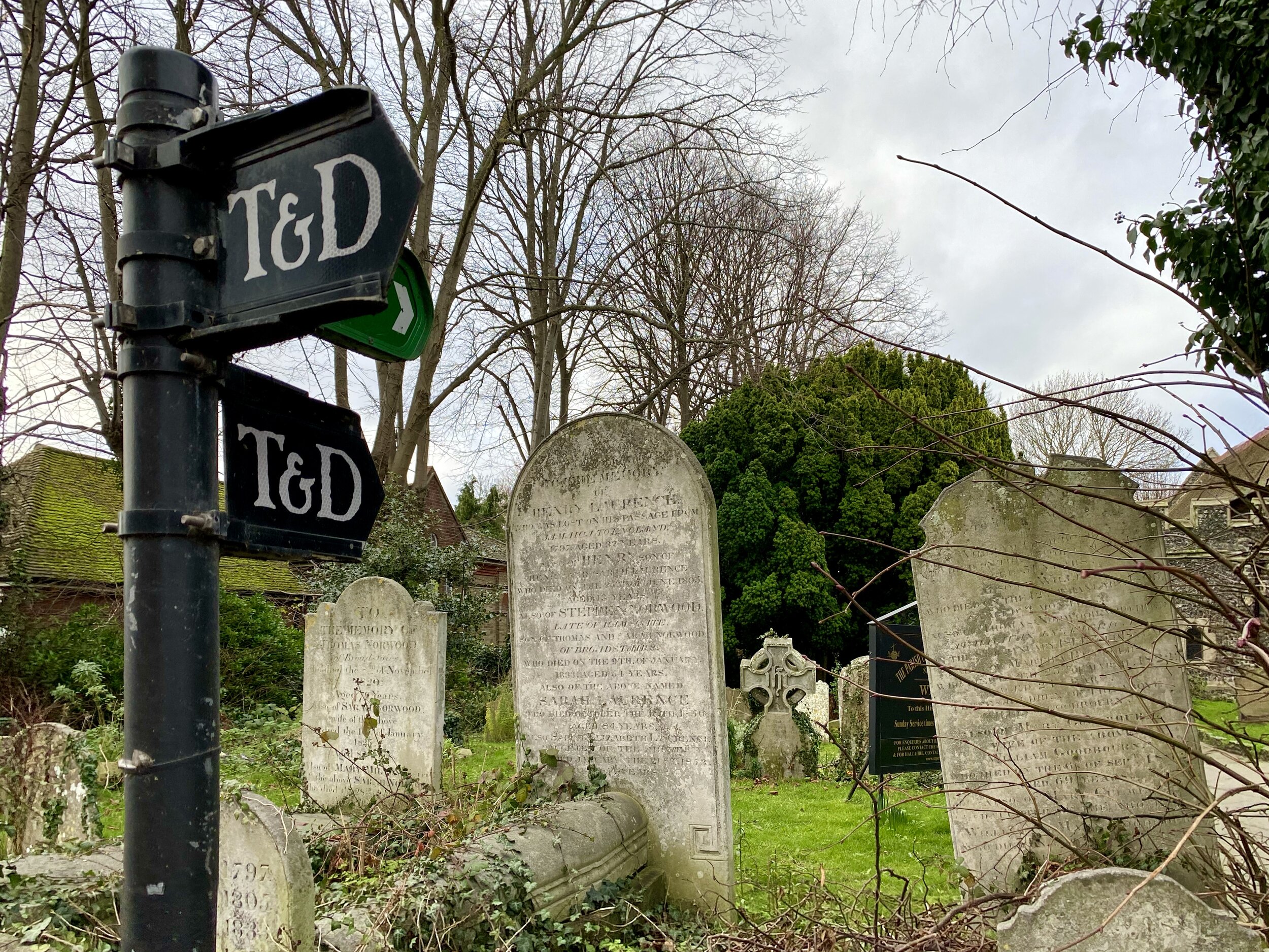
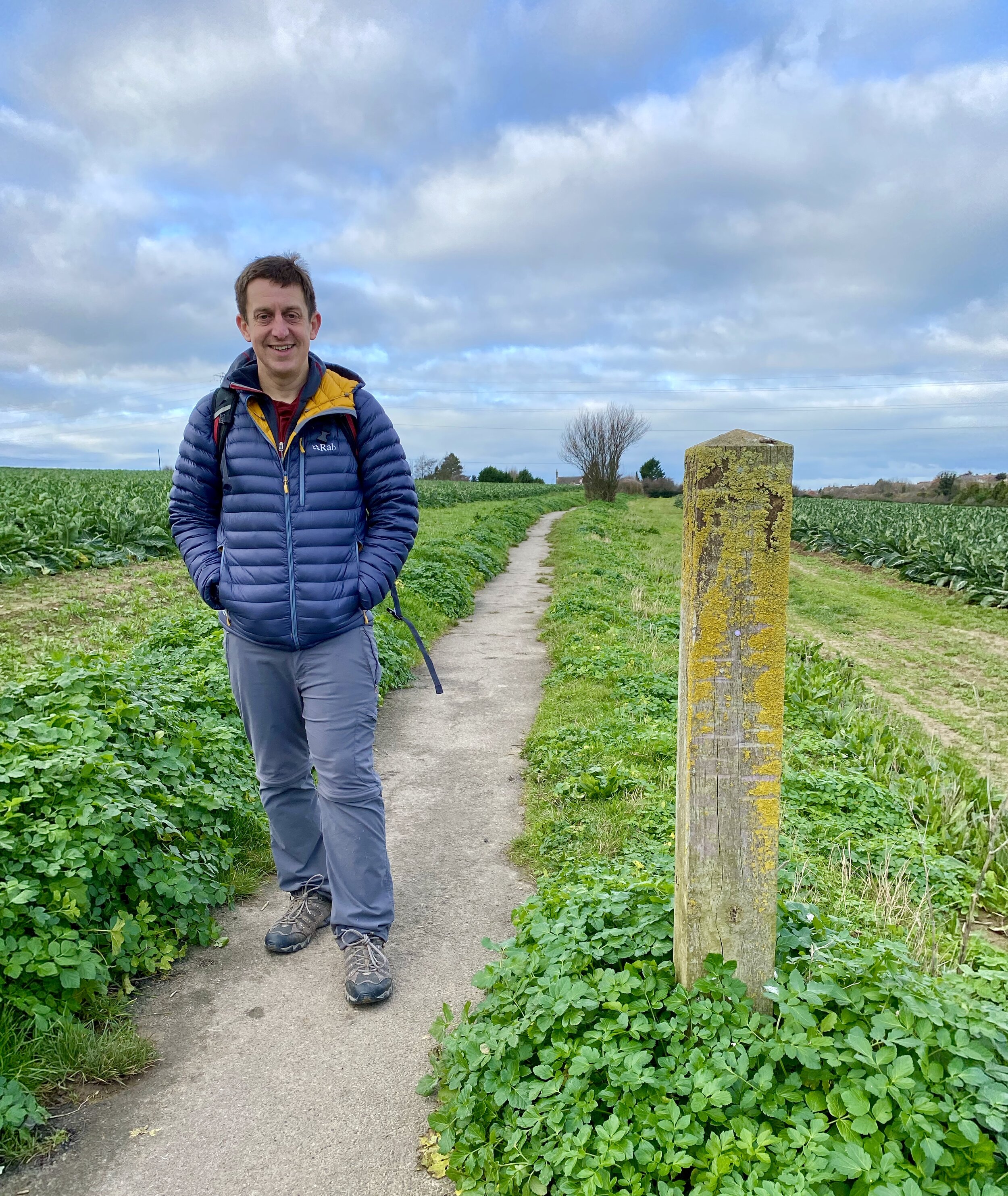
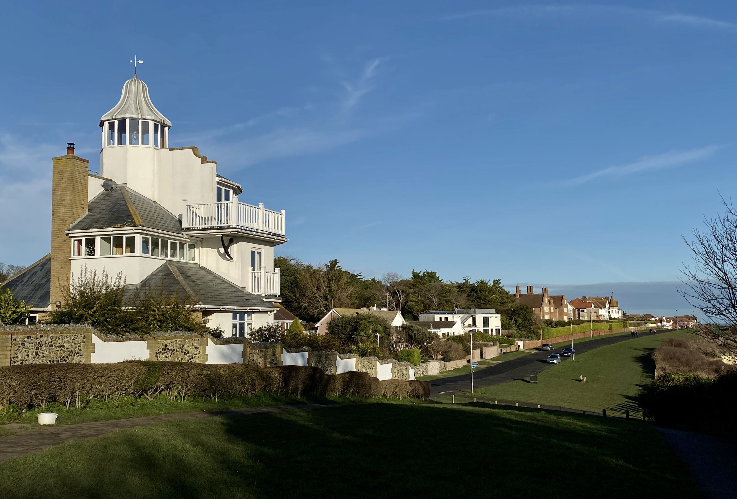
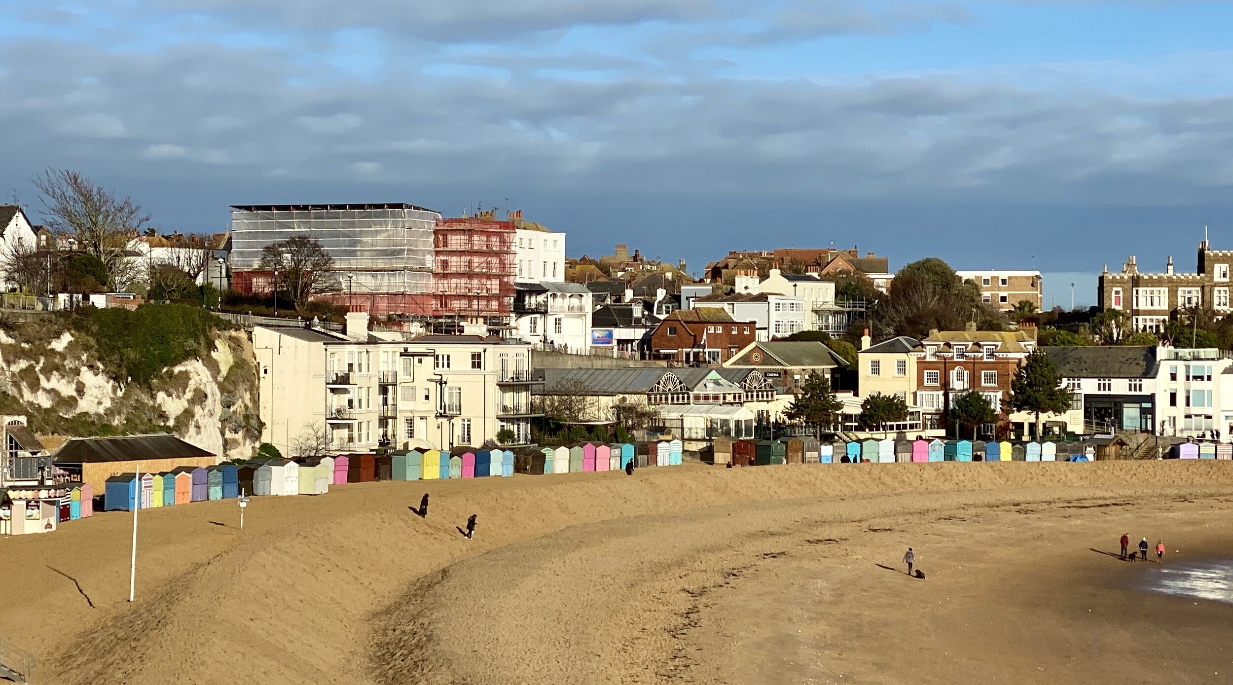
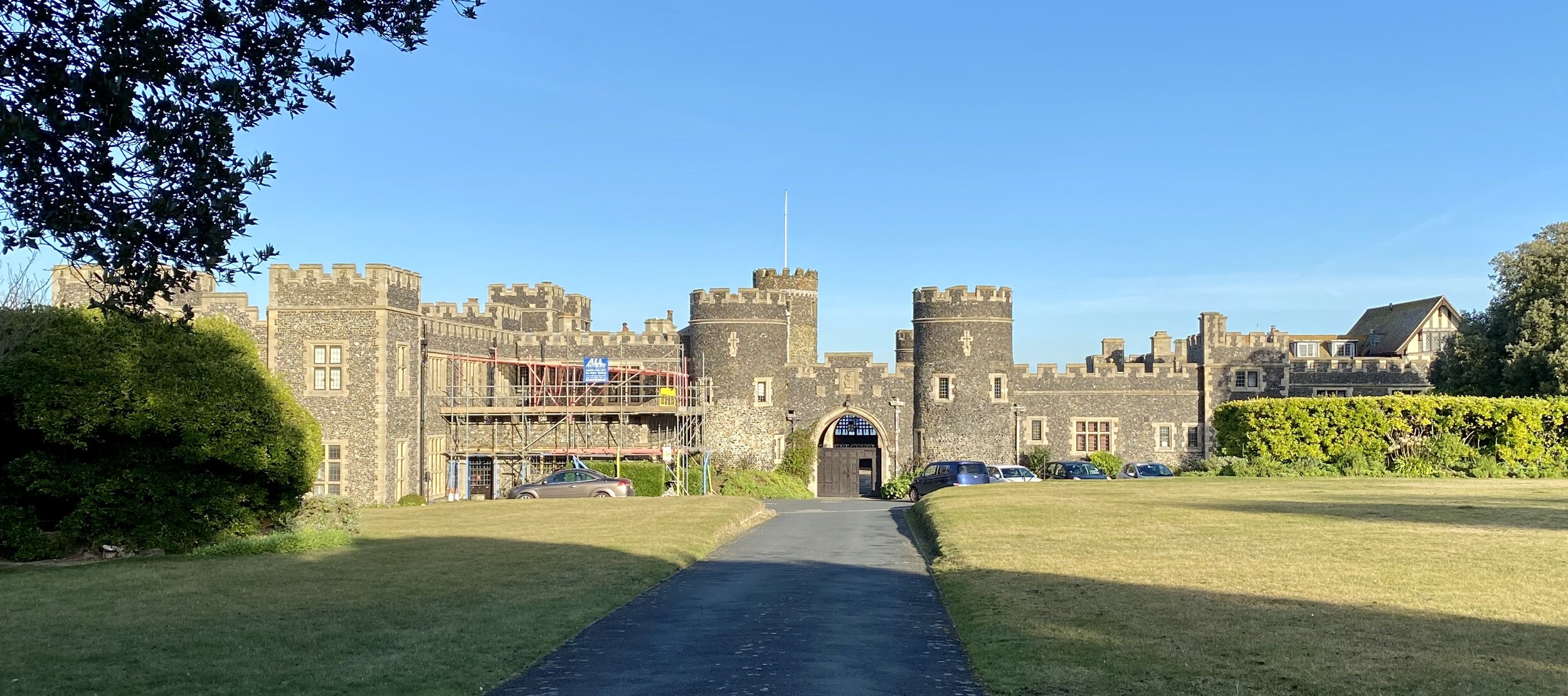
After loving our previous day's Ramsgate to Margate coastal walk we were keen to do one more trip before heading home. The Turner and Dickens walk , also connecting both towns, walk is a good choice. The walk is well documented in this leaflet so I won't repeat any of it here. My main add is that it's a great companion to the coastal route. Doing both in the same day would make a fantastic 17.5km / 11 mile circular route.


route-31666880-map-full.png
Walking The Coastal Route from Ramsgate to Margate

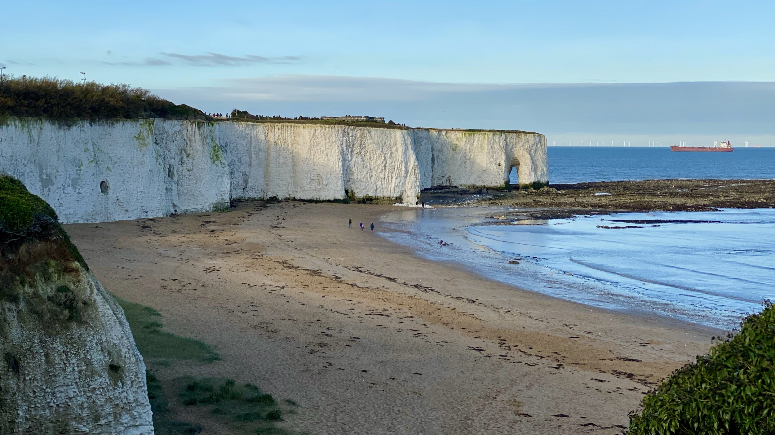
Kingsgate Bay


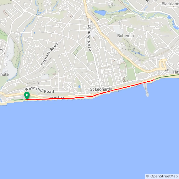
Start: Ramsgate Tunnels, Marina Esplanade, Ramsgate CT11 8FH
Finish:
Turner Contemporary, Rendezvous, Margate CT9 1HG
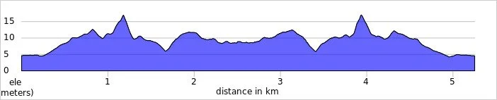
Distance: 11.3 km (7 miles)
Elevation Change: +129m /- 127m
GPX File: get via Buy Me a Coffee
Other Routes Touched (walk): Broadstairs Town Trail, Turner & Dickens Walk, Sea it All Walk
Other Routes Touched (cycle): NCN 15, Viking Coastal Trail,
Pubs / Cafes on route: Lots, especially in Broadstairs and Margate beach-side.
Map: OS Explorer Map (150) Canterbury and the Isle of Thanet
Links: Turner Contemporary, Visit Thanet, Ramsgate, Broadstairs, North Foreland Lighthouse, Margate


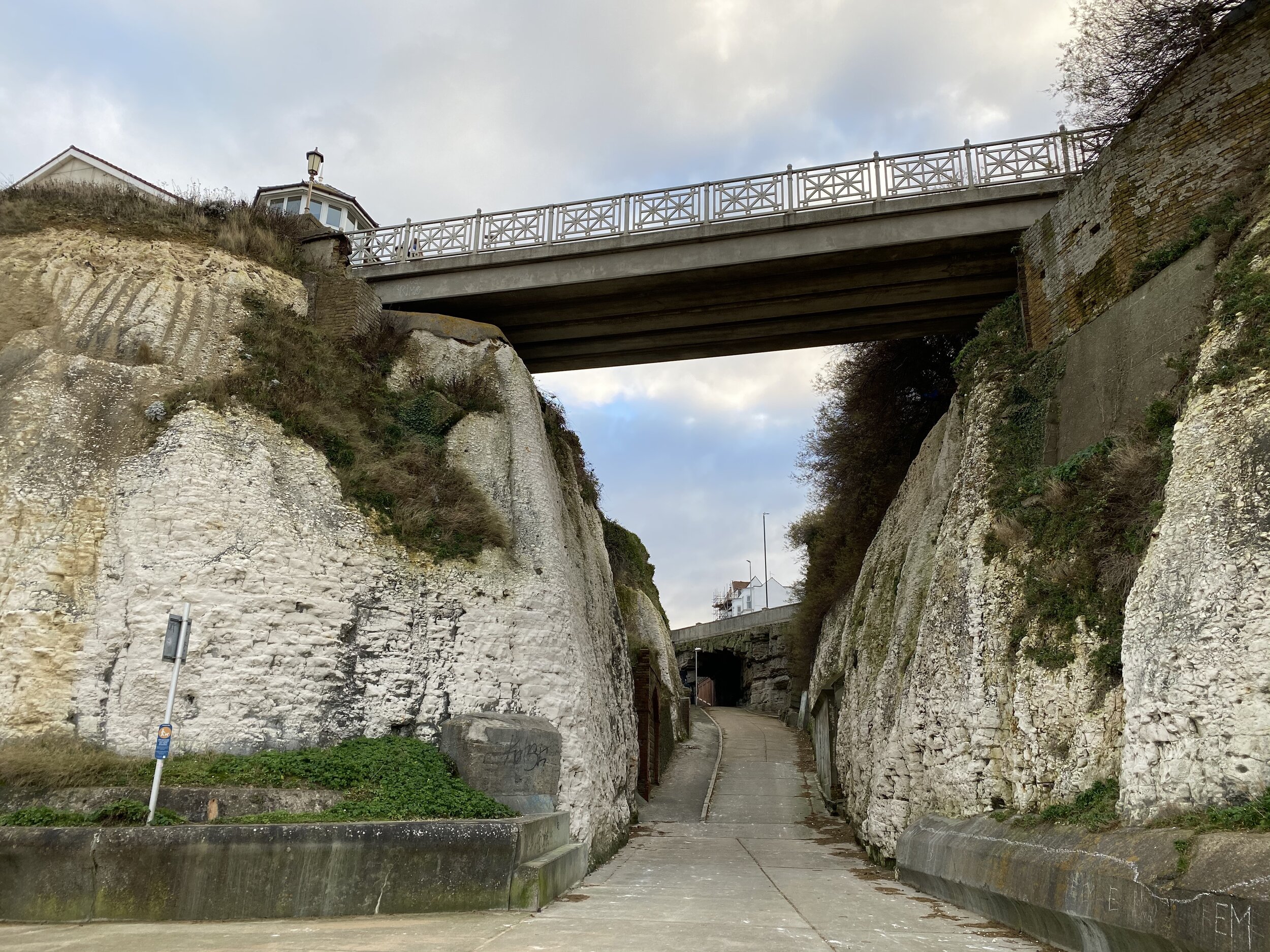
Ever since I’d started researching my family history I’ve had a trip to Broadstairs in the back of my mind. My Dad remembered being sent to a convalescence home there when he was a boy. He didn’t remember much of the details or even how long he was there for. His most vivid memory was being taken to a London train station by his parents and being met by some nuns. His only other memory was walking through a tunnel from the home to the beach where they would play in the afternoons.

Having read some of the blog posts from people who also went there it seems that vague memories are a shared experience. Some told of abuse by the nuns but there’s no evidence that it happened to my Dad. One day I’ll do some deeper research, but for now I wanted to visit the area and see where he spent some of his childhood.

This was also our New Years’ planning trip. We do something like this every January to reflect on the year before and decide what’s important for the year ahead. A long walk outside in an inspiring place puts us in the right mental state to work out what’s really important. The coastal walk from Ramsgate to Margate turned out to be a perfect location for such a walk.

Our walk started from a B&B that we rented on Granville Marina in Ramsgate. A visit to the Ramsgate Tunnels seemed very appealing but we had a long day ahead to do so we’ll do those on a return visit. The first section stays close to the beach following the Sea it All route. The painted shelters along the East Cliffs are worth a look but don't go too far as you'll get to a dead end. The best route is to use the stairs to the Winterstoke Gardens (~750m from the Ramgate Tunnels) and follow the cliff-top path through King George VI Memorial Park.

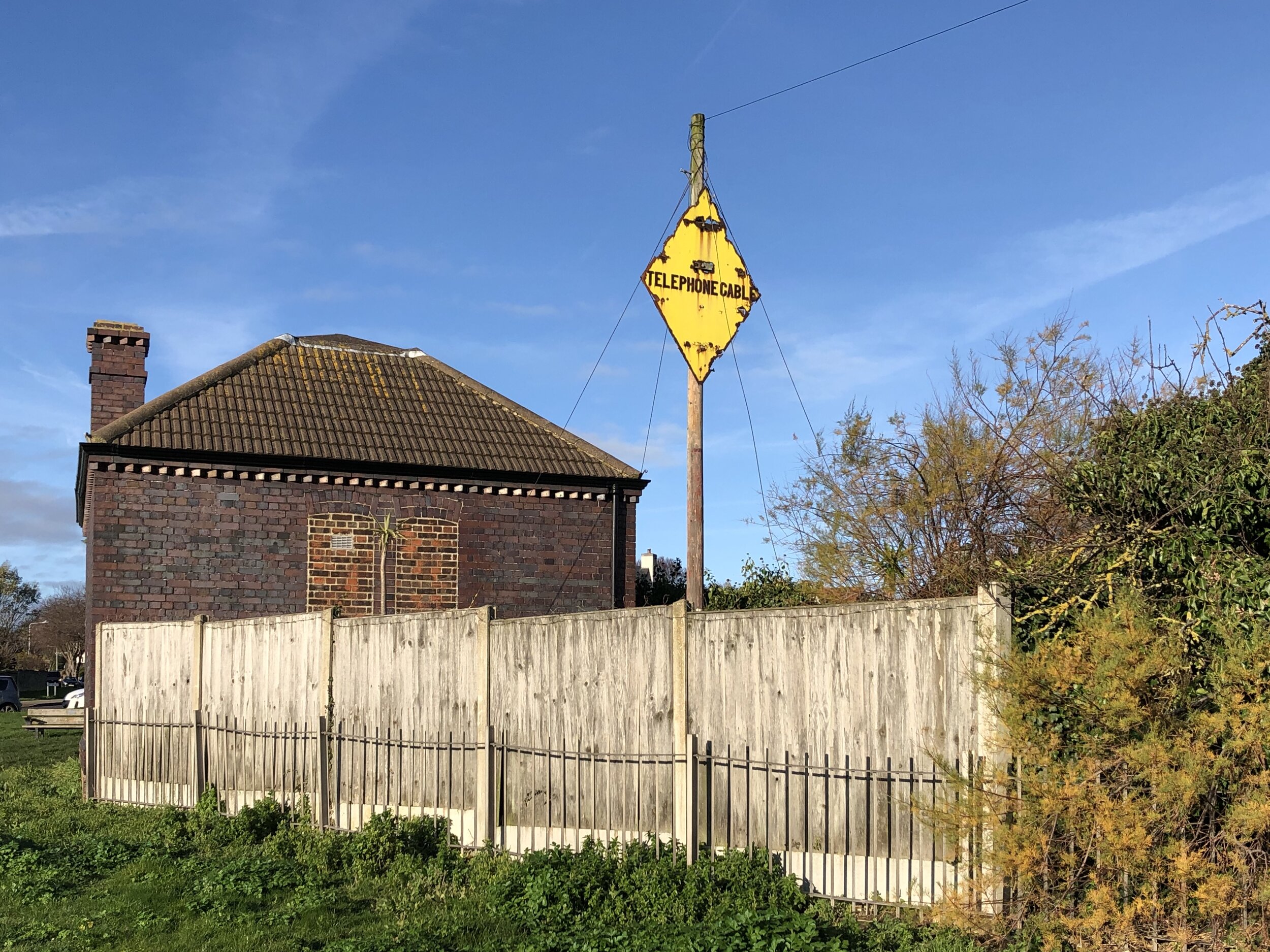
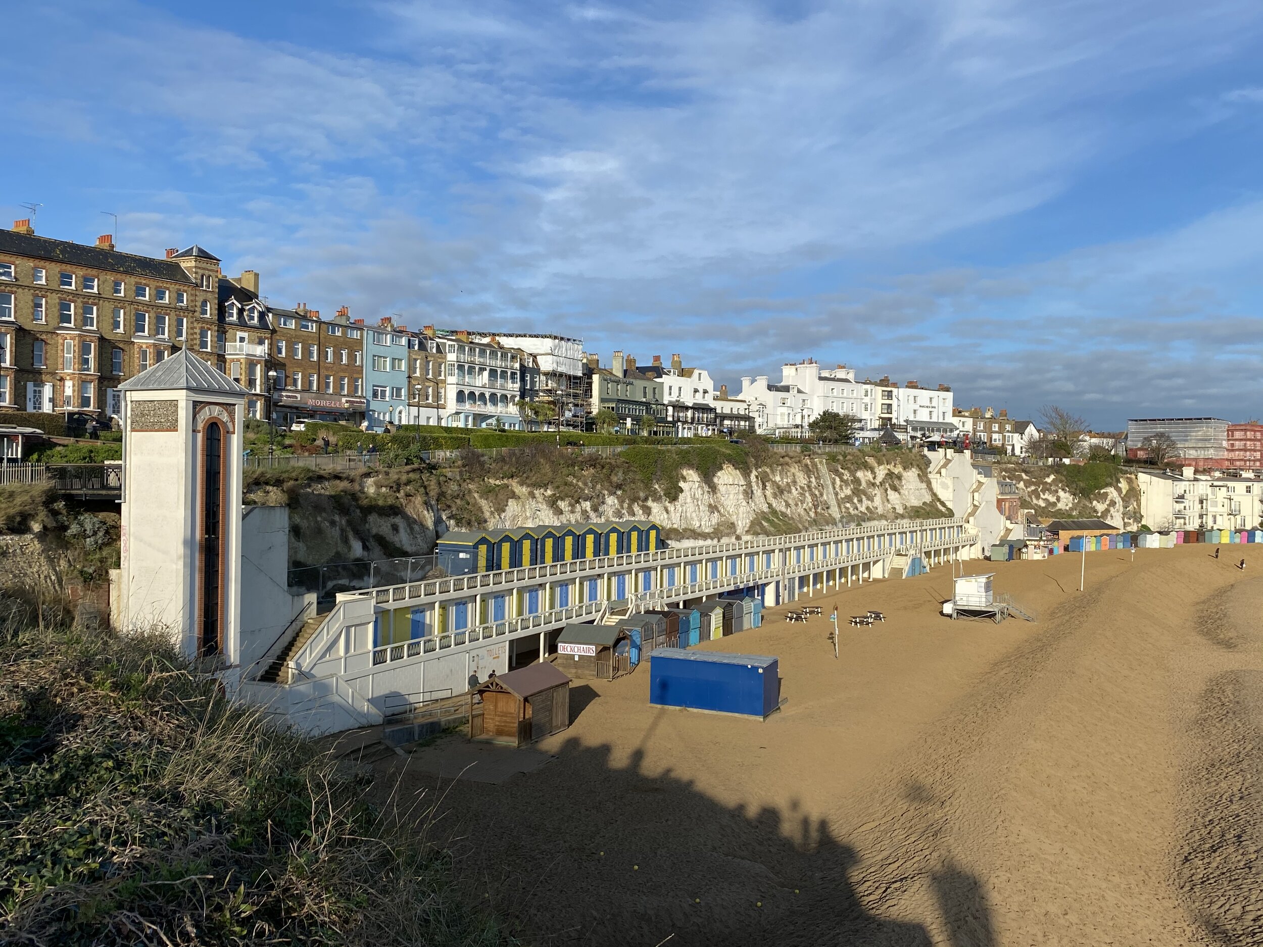
The route has options in several places to stay on the cliff-top path or take the beach-route. A lot of this will depend on tides so keep an eye out and stay to the cliff-top if in doubt. The first of these choices is at Dumpton Gap where there's a path down to the beach next to the old submarine telephone cable hut. From here both the cliff-top and beach walks take you to Viking Bay in Broadstairs.

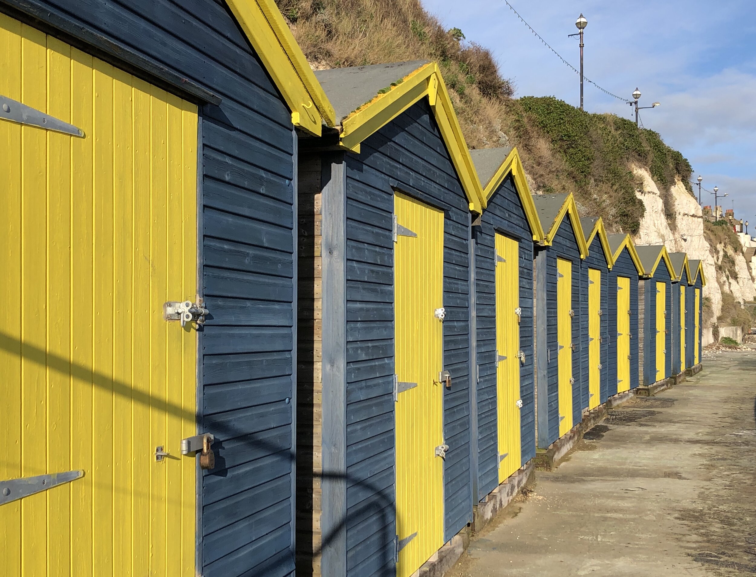
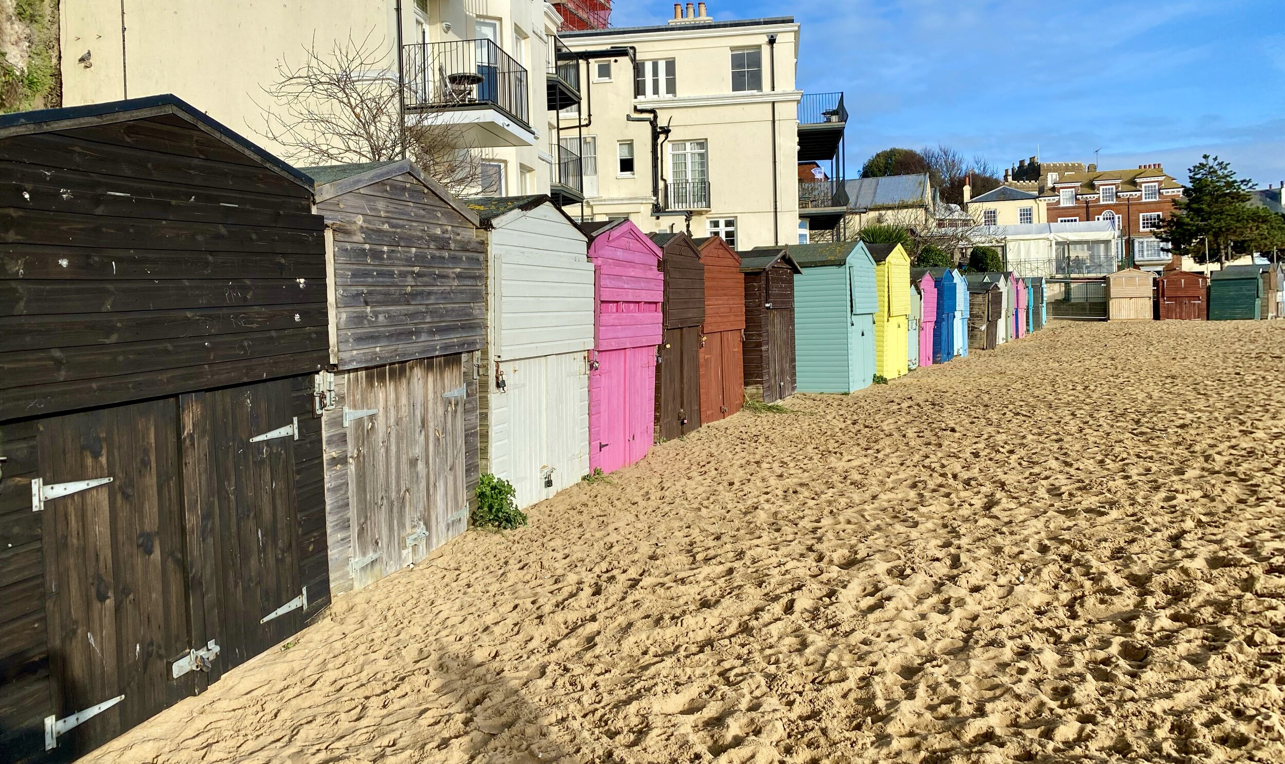
At Broadstairs we met up with Mark, a new friend that we met on the Camino Portuguese last May. As well as being an all round great guy, his local knowledge made the trip even more special. We walked with Mark along Stone Beach, where the (now filled in) tunnel that my Dad remembers connected to St Mary’s Convalescence Home on the top of the Cliff. The bright sunny day was quite a contrast to the grim black and white image I’d had of my Dad's stay there. I’d always pictured his time there to be a lonely and scary experience but maybe it wasn’t. It made me think about how we often make up stories about other people’s experiences through a lack of information.

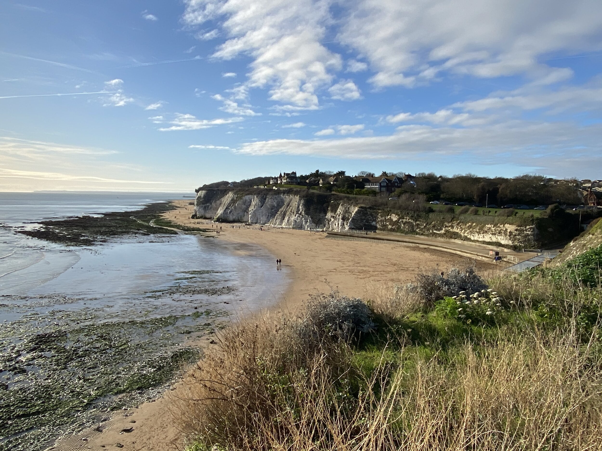
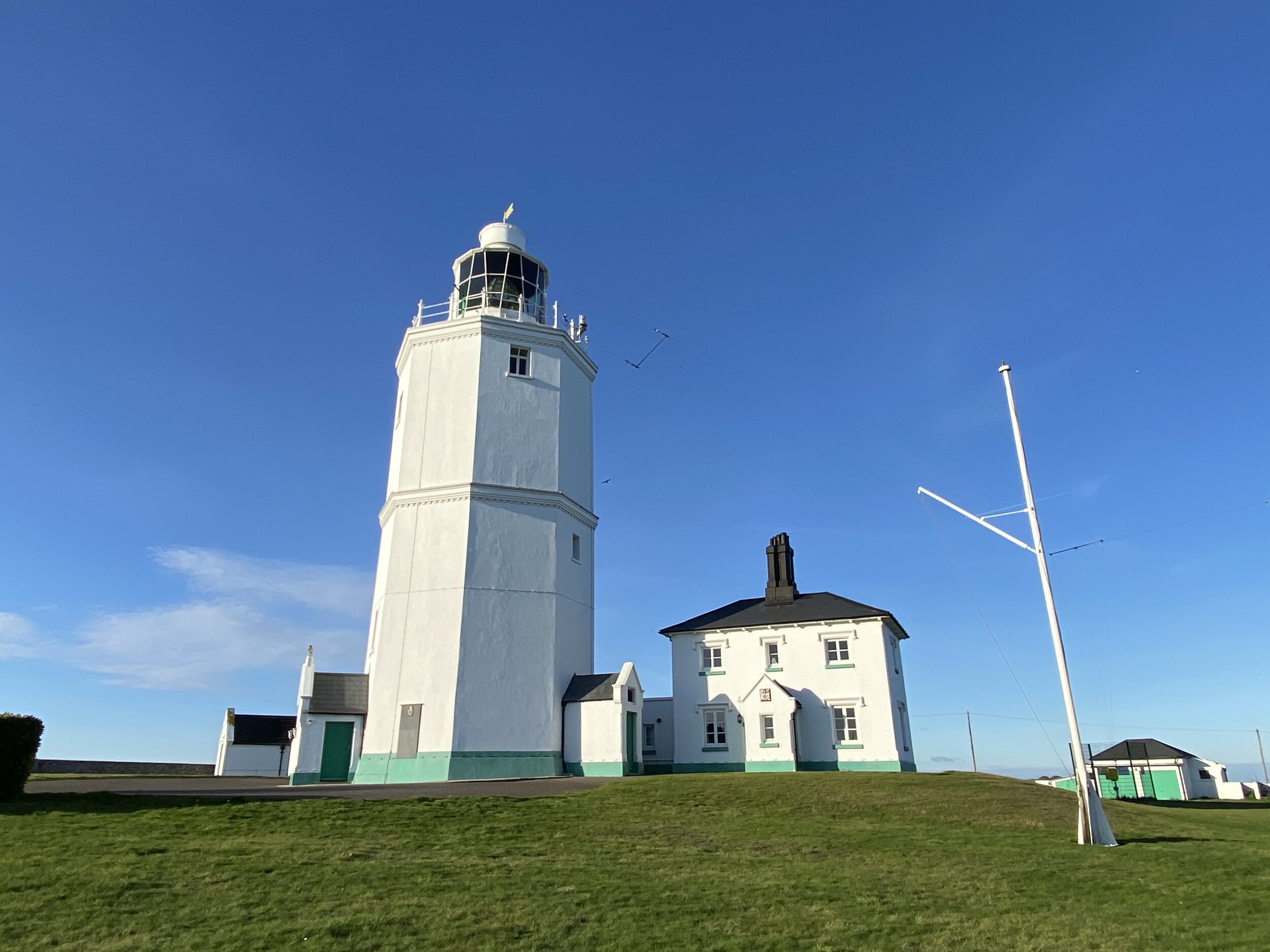
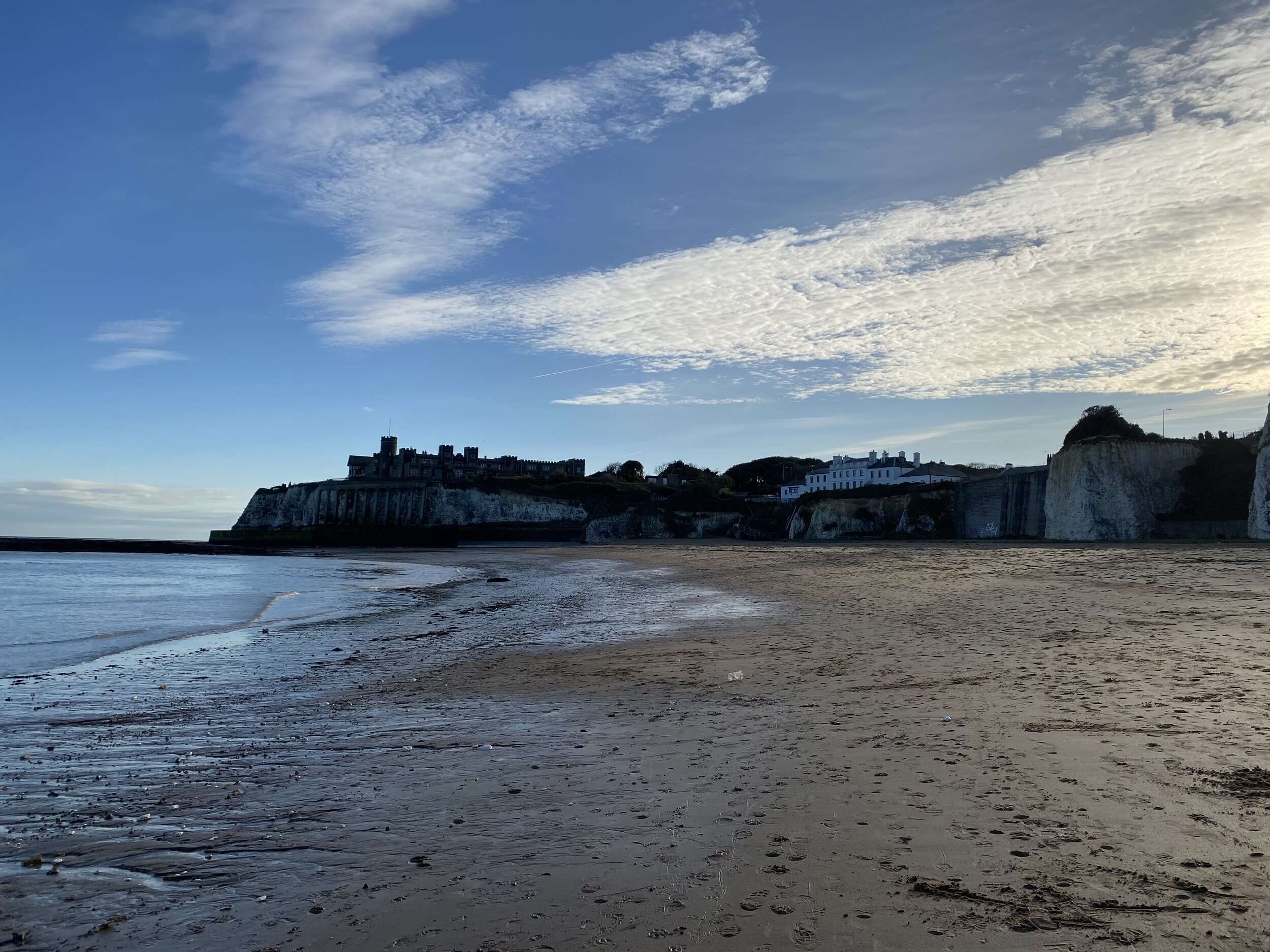
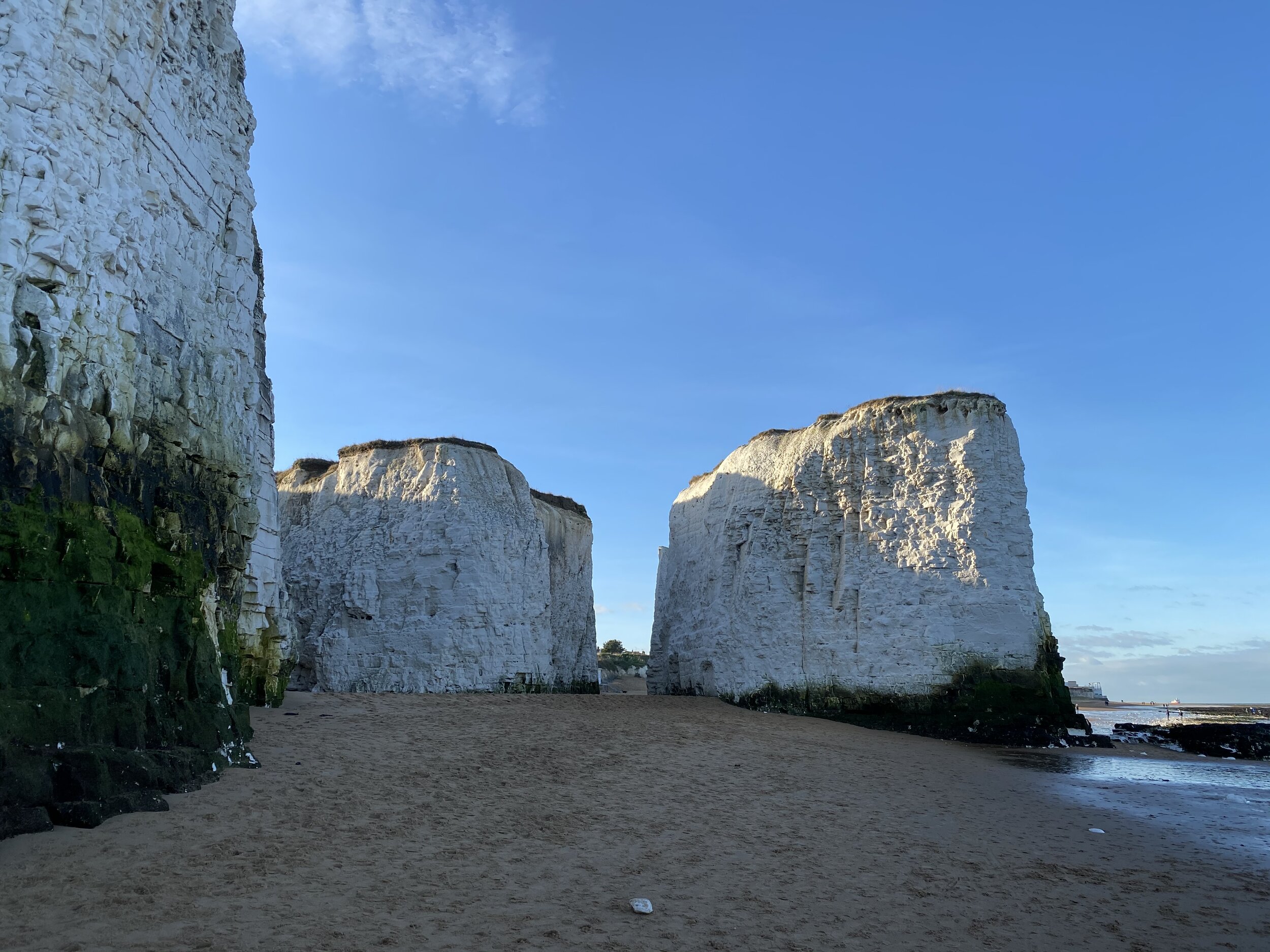
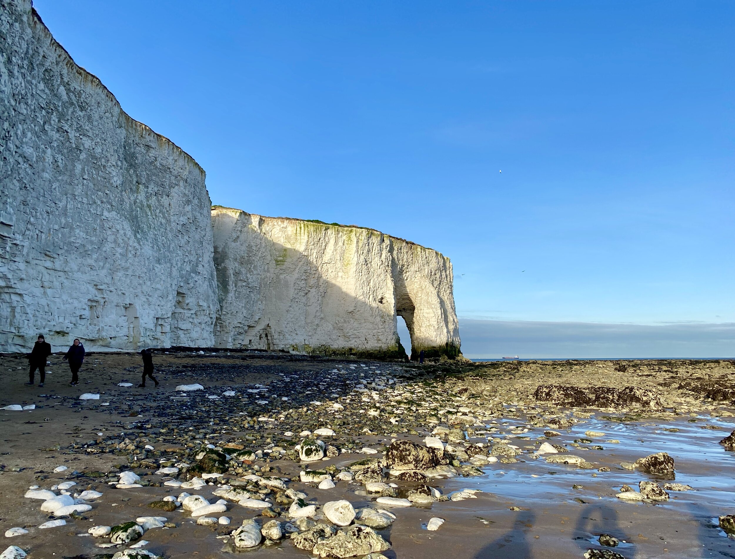
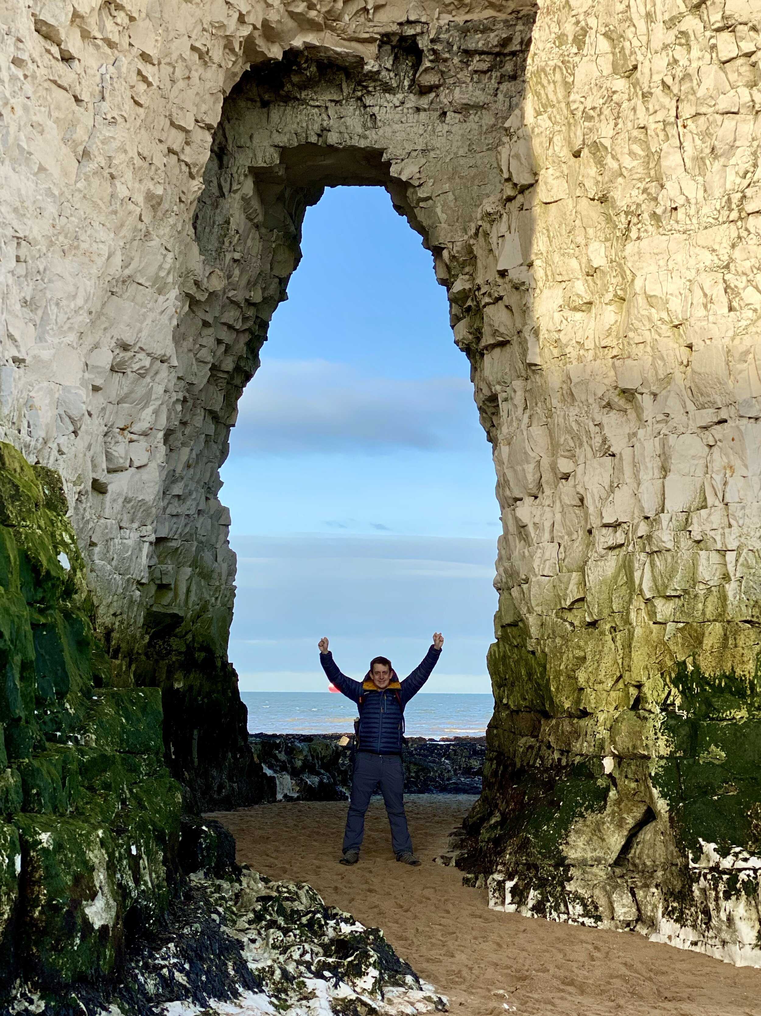
After Stone Beach the coastal path diverts off the cliff from behind the expensive houses on North Foreland Road. A highlight is North Foreland Lighthouse which towers over the original site of St Mary’s, now a private estate. After ~1km, you can return to the Beach at Kingsgate Bay. Our timing was great as the tide was out and we were able to walk all the way to Margate on the beach.

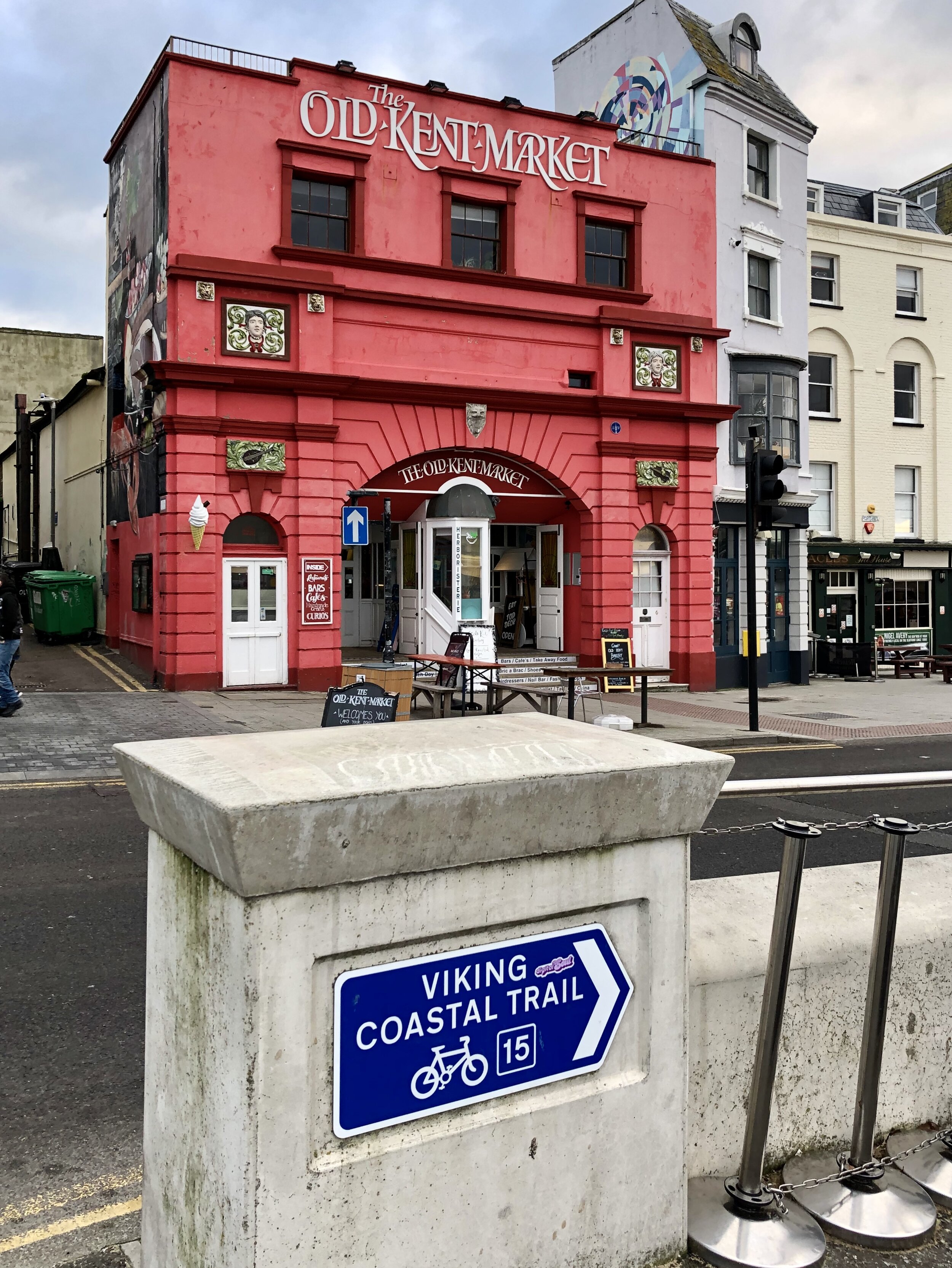
There's a lot of choice of things to do and places to eat after the walk. We opted for the quirky Double-Decker Bus cafe in the Old Kent Market for food and a rest before heading back. Regular trains run back to Ramsgate from Margate, making this an easy point-to-point walk.


The Chiltern Rivers

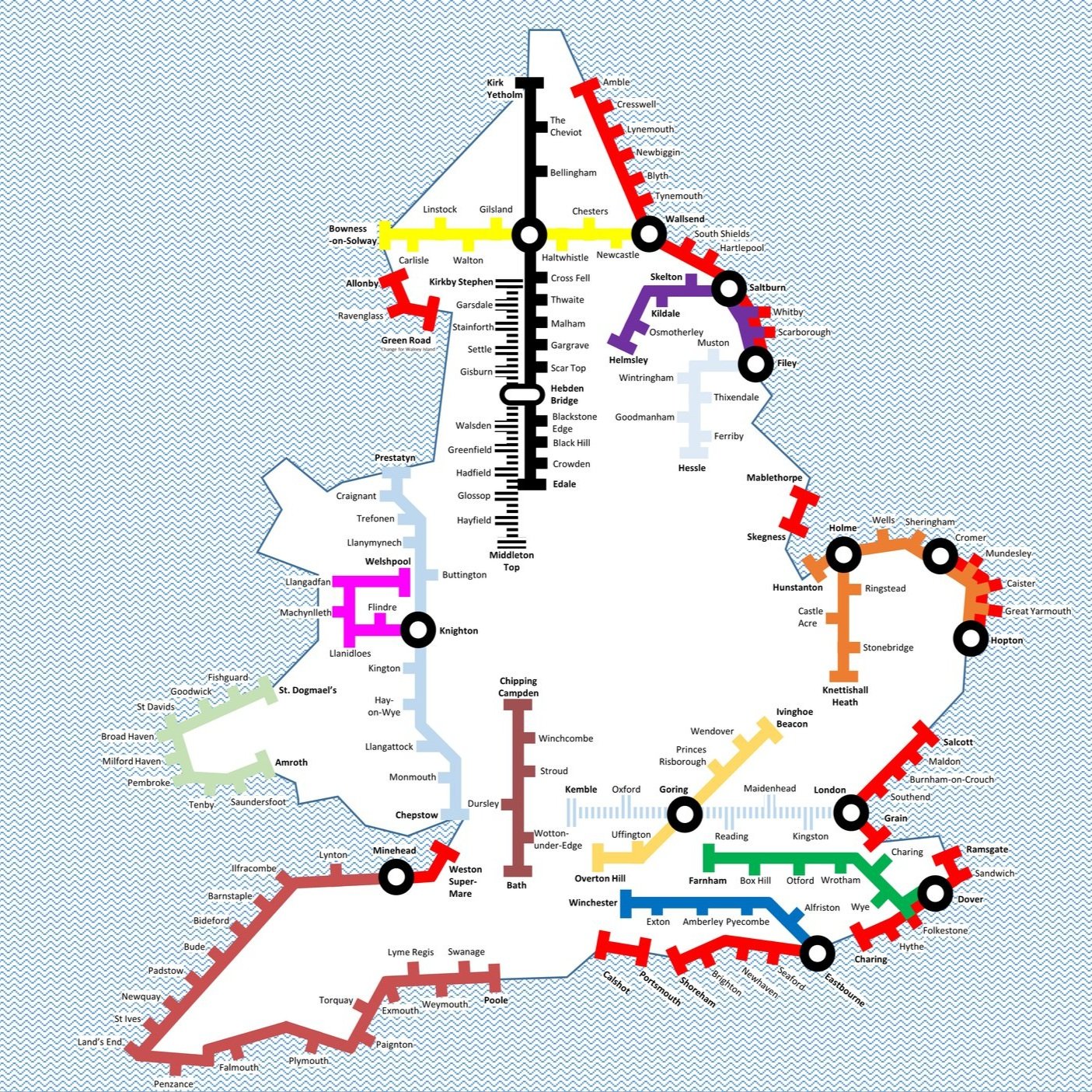
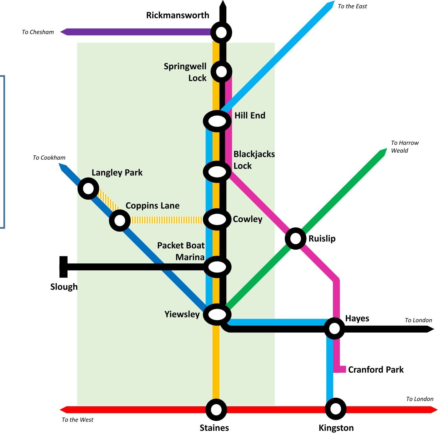
Here’s a Tube-style map of the rivers of the Chiltern Hills National Landscape (formerly AONB) and “Greater Chilterns Area”. Let me know if you spot any mistakes and I’ll donate £1 per correction to one of my causes. If you would like a printable PDF version, please Buy Me a Coffee and send me your e-mail via the Contact page. All copies for personal, not commercial use.


It started in 2016 with my Winter Solstice walk along the River Chess. I loved the walk and soon my mind turned to contemplating how many rivers there were in the Chilterns. More importantly, how many of them could be walked, cycled or ran? Over the following few weeks I went on a desk-based adventure researching the source and mouth of every waterway in the area. Unlike the Chess most of them don’t have a well-signed path following them. For these I started planning cycle trips to discover them. These would be circular routes, one section keeping as close as possible to the river, and the other section a return trip along quiet country lanes.

Each trip took me to places I’d not been to before. It also taught me a lot about the geography of an area that I’d grown up near but knew little about. I could see first hand how the rivers formed the valleys that cut through the chalk hills. I also discovered how many of the towns and villages that I knew so well were named after the river that runs through them.

The tricky part what knowing when the adventure would come to an end. Every time I got close I discovered a new stream that I never heard of and had to find that one too. I also had to make a decision about what would classify as a Chiltern River. The main criteria was that either the source had to be in the Chiltern Hills AONB and / or most of the river’s length had to be through the Greater Chilterns area. Some didn’t quite match this but I included them anyway. The Lea, for example, originates North of Luton in the gap between the 2 sections of the AONB. From here it flows away from the Chilterns to meet the Thames on the other side of London. It still felt like a Chiltern River though so I included it. I’m very happy that I did as the cycle trip along it was one of the most enjoyable of the set.

There’s a few that I didn’t include. The Flit and the Hiz both touch the Greater Chilterns area but originate outside of it. I may explore them later but for now I’m happy to give them a miss. I’m sure that there will be other rivers, streams or waterways that I have missed. If you know of any and have a recommendation for an adventure that includes them, post a note in the comments section below.

Scroll down for maps, links to blog posts for each river-based trip and a section on Chilterns towns that take their names from the rivers.


Click on the linked river name below to see the blog post for each river-based trip.

  • Alderbourne: Source in Fulmer, runs ~5 miles to the Colne Brook at Iver Heath, Buckinghamshire

  • Ash: Splits from the Colne on Staines Moor, runs ~6.2 miles to meet the Thames at Walton-on-Thames, Surrey

  • Assendon Stream: Source in Stonor, runs ~4 miles to the River Thames at Henley-on-Thames, Oxfordshire

  • Bulbourne: Source at Cow Roast, runs ~7 miles to the River Gade at Two Waters, Apsley, Hertfordshire

  • Chess: Source in Chesham Vale, Buckinghamshire, runs ~11 miles to the River Colne at Rickmansworth, Hertfordshire

  • Colne: Source near North Mymms, Hertfordshire, runs ~11.2 miles to the the Thames at Staines, Surrey

  • Colne Brook: Splits from the Colne at Uxbridge Moor, Greater London, runs ~9 miles to the Thames at Hythe End near Staines, Surrey

  • Datchet Common Brook: Source at Fulmer Wood Lake, runs 7 miles to meet the Thames at Sunnymeads near Wraysbury

  • Ewelme Brook: Source in Ewelme Village, runs ~2 miles to the Thames near Benson Lock, Oxfordshire

  • Frays River: Splits from the Colne at West Drayton, Greater London, runs ~5.5 miles and rejoins the Colne near Staines, Surrey

  • Gade: Source at Dagnall, Buckinghamshire, runs ~16 miles to the Colne at Rickmansworth, Hertfordshire

  • Hambleden Brook: Source at Skirmett, runs 4.1 miles to meet the Thames at Mill End, Buckinghamshire

  • Horton Brook: Source at Black Park near Fulmer, runs 12.2 miles to meet the Thames at Ankerwyke near Wraysbury

  • Hugenden Stream: Sourced from springs near Hughenden Village, runs ~2.2 miles to meet the Wye in High Wycombe

  • Lea: Source in Leagrave, Bedfordshire, runs 42 miles to meet the Thames at Leamouth, Greater London

  • Mimram: Source near Whitwell, runs 12 miles to the River Lea at Hertford, Hertfordshire

  • Misbourne: Source at Great Missenden, runs ~17 miles to the Colne at Denham, Buckinghamshire

  • Ouzel: Source at Dagnall, runs 20 miles to join the River Great Ouse at Newport Pagnell, Buckinghamshire

  • Pinn: Source at Pinner, runs approx, 11.4 miles joining the Grand Union and the Frays at Yiewsley, Greater London

  • Wraysbury: Splits from the Colne at West Drayton, runs ~5.5 miles and rejoins the Colne near the confluence with the Thames at Staines, Surrey

  • Ver: Source at Kensworth, Bedfordshire, runs ~15 miles to the Colne at Bricket Wood, Hertfordshire

  • Wye: Source at Bradenham, runs 9 miles to the Thames at Bourne End, Buckinghamshire


Canals & other man made waterways

Wendover Arm Canal

Wendover Arm Canal


Chilterns Towns Taking Their Name from the Rivers.

  • Ashford - River Ash

  • Bricket Wood - Rivers Ver and Colne: "Bright-coloured small island or piece of marshland"

  • Bourne End (Buckinghamshire) - River Wye

  • Bourne End (Hertfordshire) - Bourne Gutter, a short stream that flows into the Bulbourne near Hemel Hempstead

  • Chalfont St. Giles - River Misbourne. Chalfont means "spring frequented by calves"

  • Chalfont St. Peter - River Misbourne. Chalfont means "spring frequented by calves"

  • Colnebrook - Colne Brook (obviously)

  • Colney - River Colne. Also London Colney, Colney Heath

  • Fordbridge - River Ash

  • Fulmer - Alderbourne. Means "Mere or lake frequented by birds", possibly due to the small lakes feeding the river at the end of Framewood Road

  • Gadebridge - River Gade

  • Great Gaddesden - River Gade

  • Great Missenden - River Misbourne

  • Halliford (Upper and Lower) - River Ash. Means “holy ford”

  • Little Missenden - River Misbourne

  • Leagrave - River Lee (possibly - alternative meaning exist that are not connected to the river)

  • Longford - River Colne and Wraysbury: "Long Ford across the river"

  • Loudwater - River Wye

  • Luton - River Lee: "Farmstead on the River Lee"

  • Pinner - River Pinn

  • Redbourne - River Ver: "reedy stream", reedy could be a derivation of Reade who owned the manor in the 16th century

  • Ruislip - River Pinn (could also be Yeading Brook): "leaping place across a river where rushes grow"

  • High Wycombe - River Wye

  • St Albans (Roman name = Verulamium) - River Ver

  • Stanwell - River Colne - "Stoney spring or stream"

  • Two Waters - Rivers Gade and Bulbourne

  • Watford - River Colne - "Ford used when hunting"

  • Wooburn Green - River Wye

  • Wraysbury - Wraysbury River. River could be named after the town. Strangely the river doesn't go through the town, although the Colne Brook Does

  • Uxbridge - River Colne: "Bridge of the tribe called the Wixan"

Primary sources: A Dictionary of British Place Names (Mills) and Wikipedia


Tube-style Maps


Chiltern Walks: Penn Wood
IMG_0047.jpg

Start / Finish: Penn St, Penn, Penn Street, Amersham HP7 0PX
Distance: 6.3 km (3.9 miles)
Elevation Change: +/- 75m
GPX File: get via Buy Me a Coffee
Other Routes Touched (walk): N/A
Other Routes Touched (cycle): Milton Route
Pubs / Cafes on route: The Squirrel and The Hit or Miss both at the start and end of the route
Map: OS Explorer Map (172) Chiltern Hills East
Links: Penn


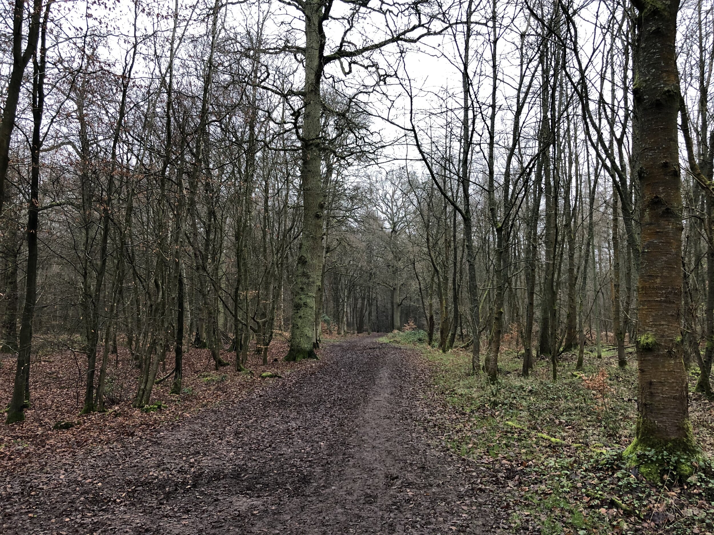
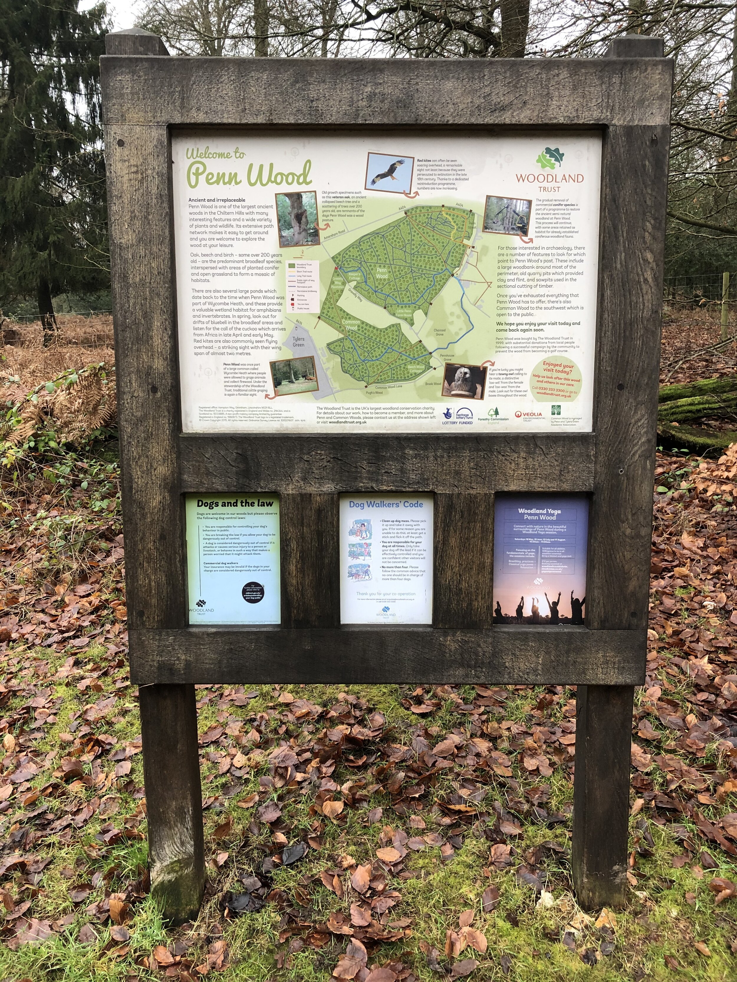
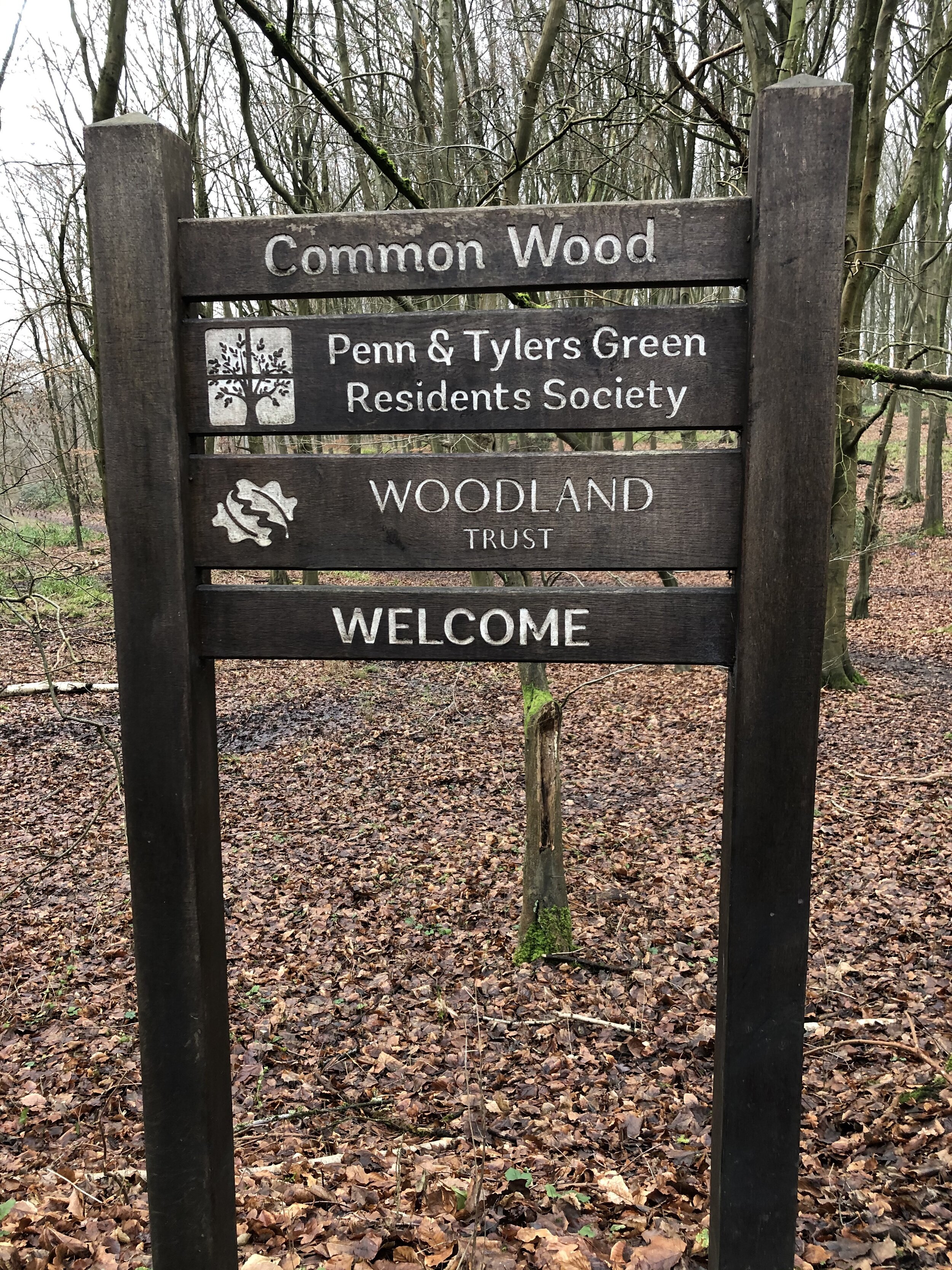
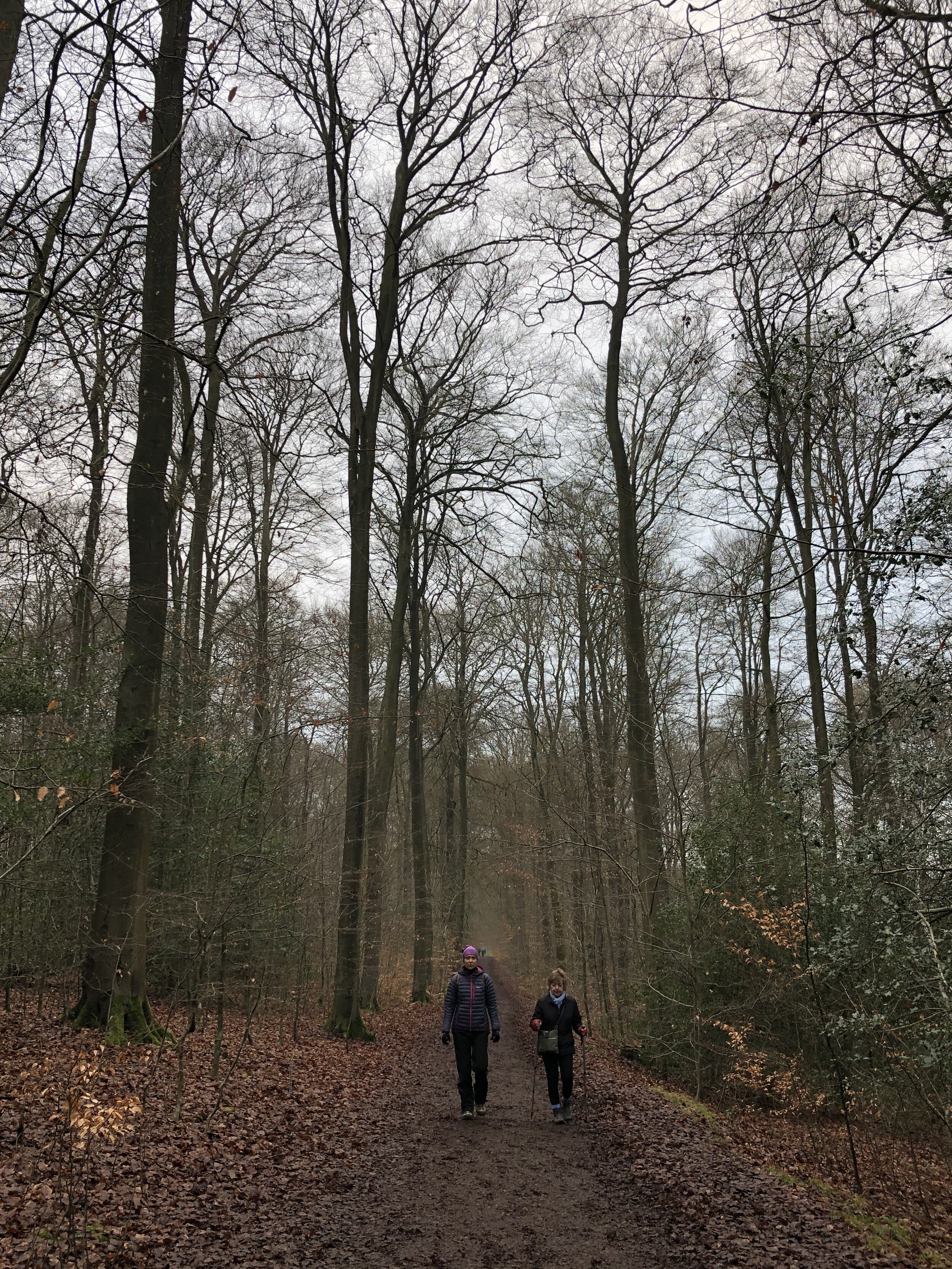
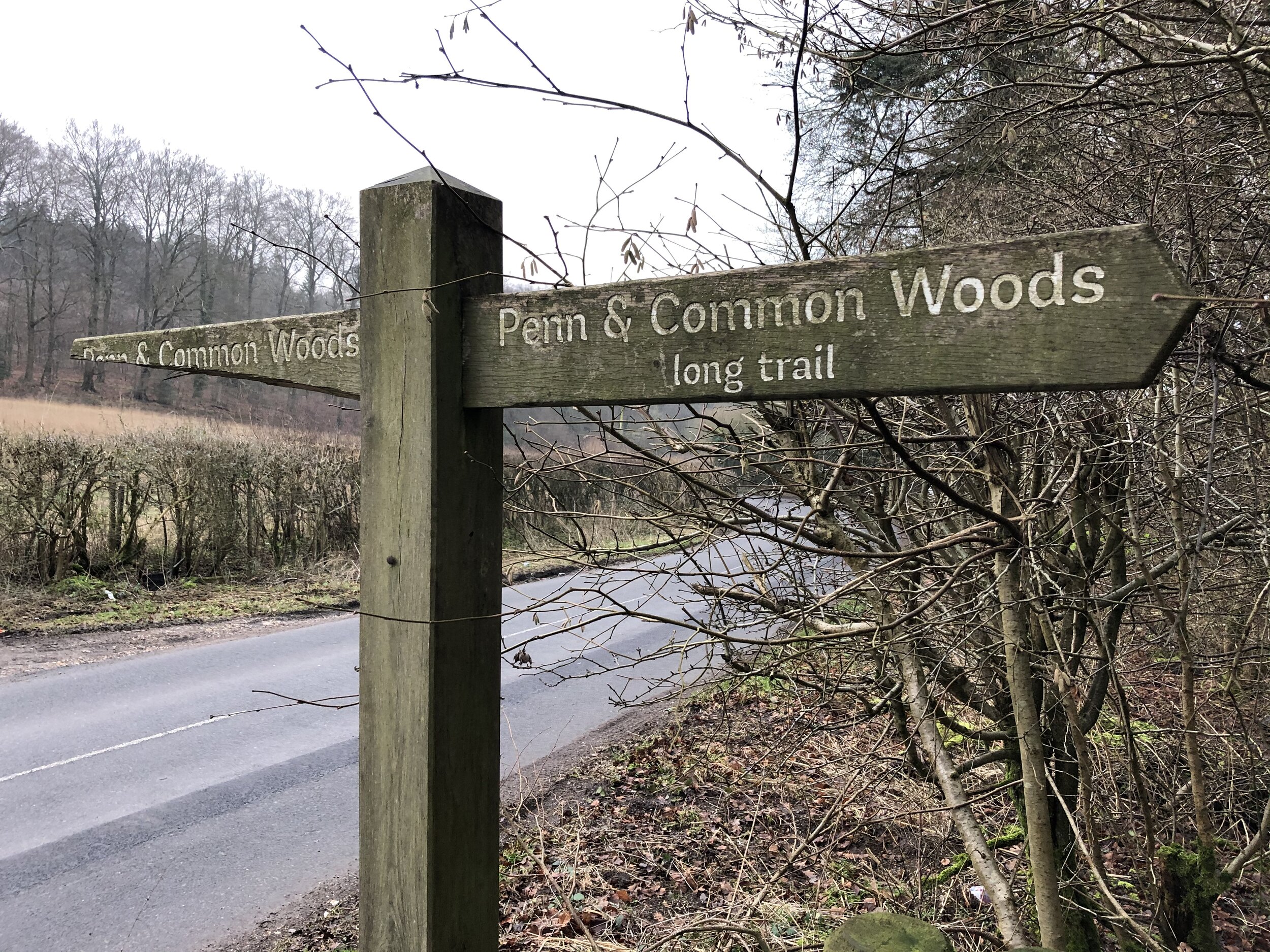
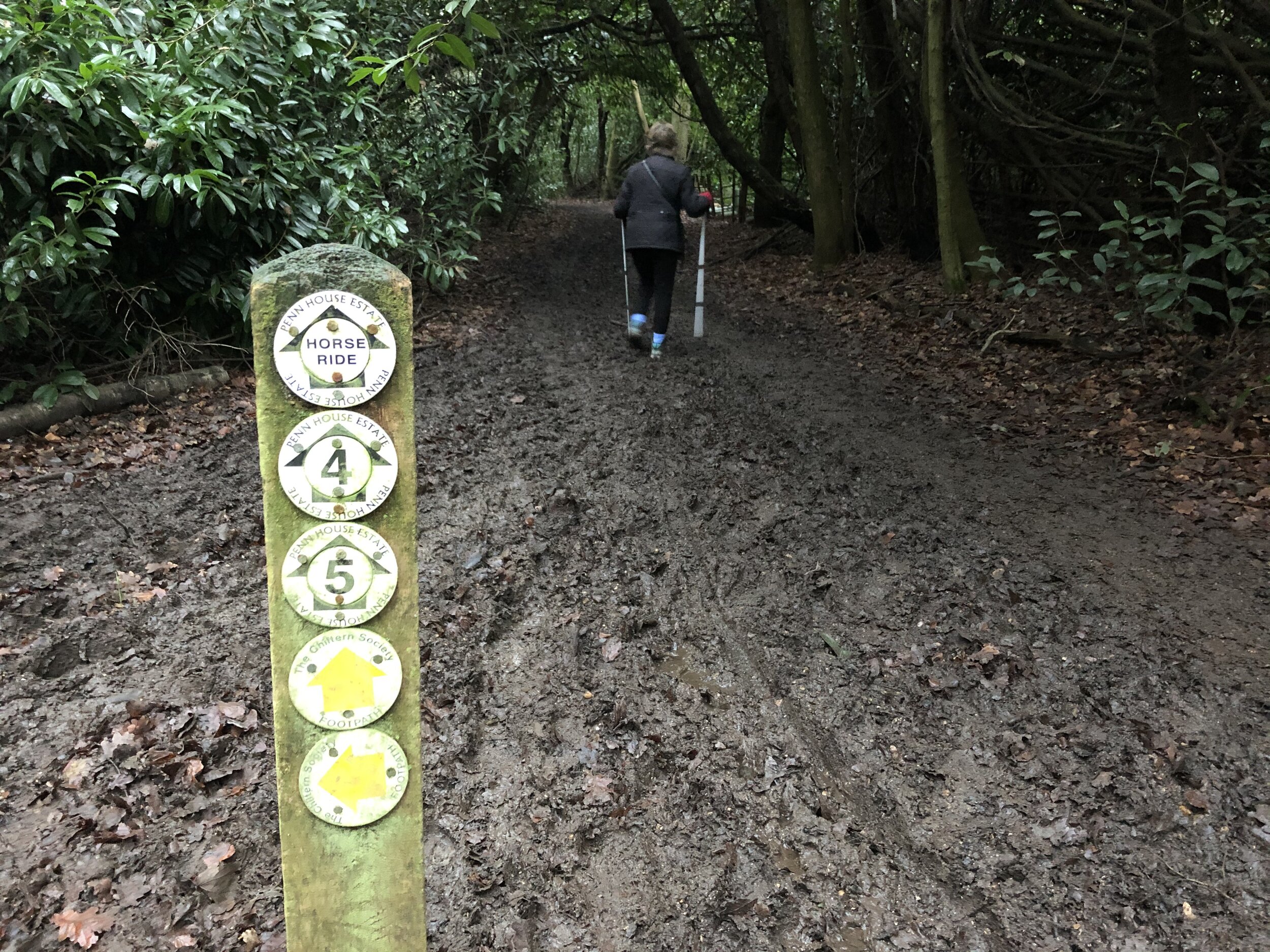
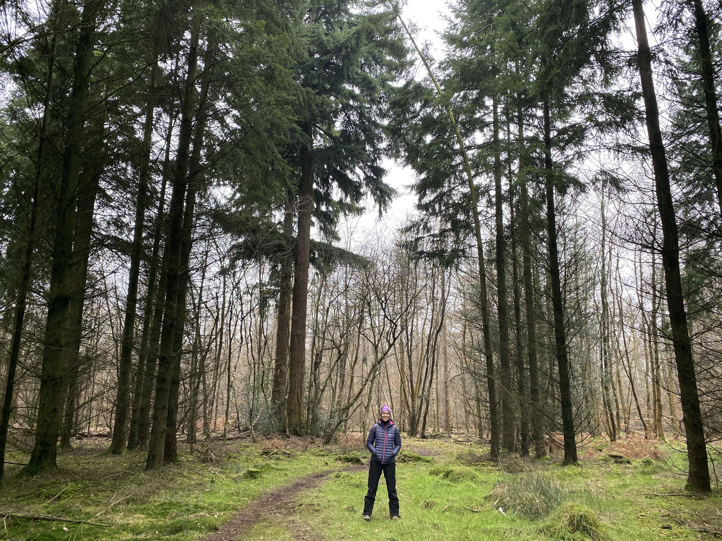
Unlike many of my recent walks this had no geeky excuse to be there. No Trig Pillars, no County Tops, no National Trail to complete. Instead, this was a simple New Year’s Day walk in the heart of the Chilterns. The guidance below will help you navigate but don’t use it as a fully accurate turn-by-turn guide. Always take a map and/or a GPX route and prepare well for the weather and terrain.

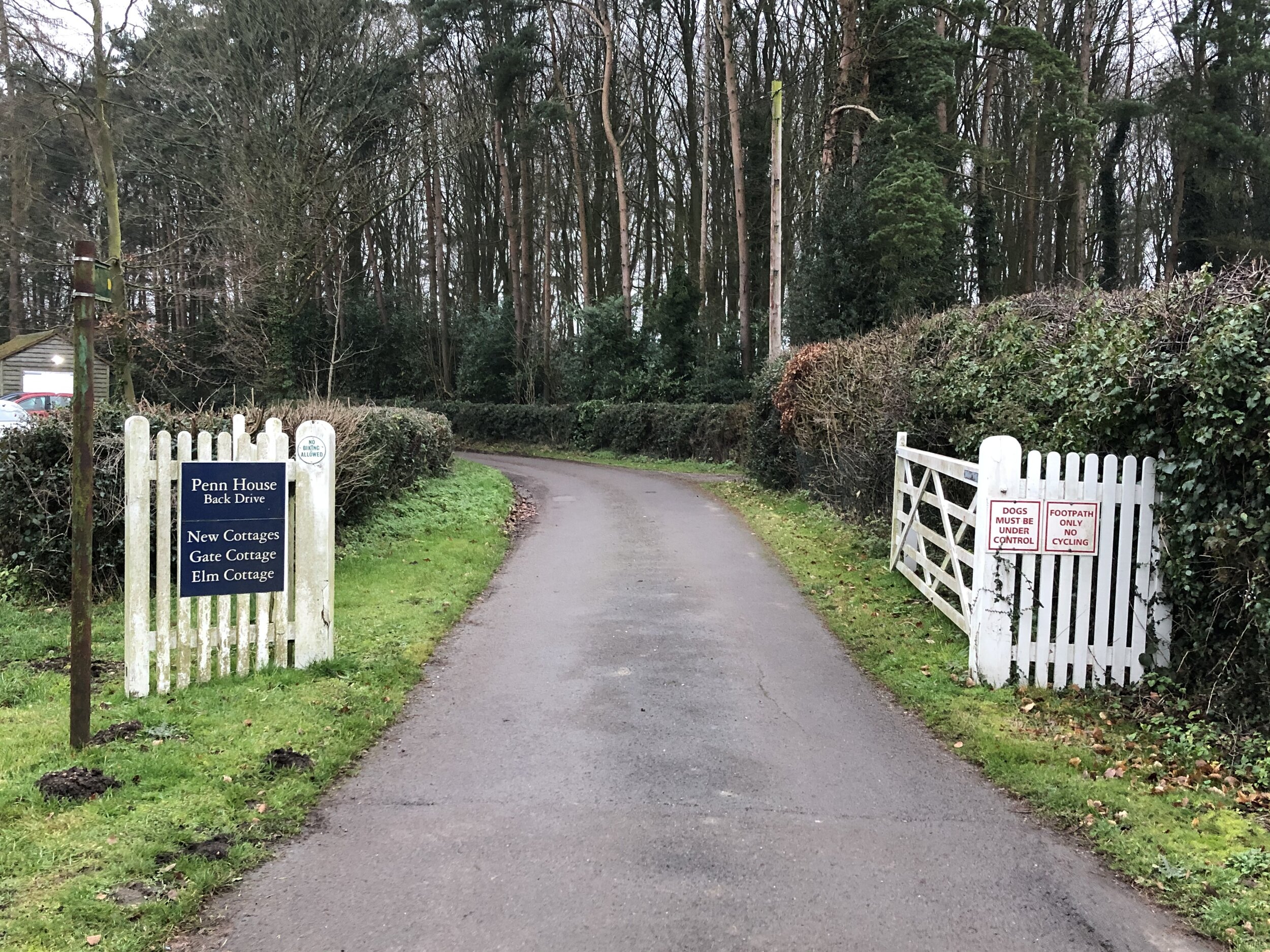
The best place to start is at the Squirrel Pub where there’s good free parking on Penn Street. From here cross over the small green, past the cricket pitch and head for one of the openings in the fence. Penn Wood has a lot of paths criss-crossing it so there’s many options for walks there. We chose a diagonal North-East route that heads toward one of the main gates to the A404 at Beamond End. At this point you’ll be 1 km into the walk and you’ll turn right, heading South-West for 1.5 km to the crossing of Gravelly Way.

Continue South-West between Two Sisters Plantation and Gravelly Way Plantation then take a path crossing a field in a roughly Southerly direction. At the end of the field the path re-enters the wood and climbs steeply up to Chalk Track. Chalk Track is a long, straight Bridleway running to the South West. It eventually meets Common Wood Lane but we took a left turn about 300 metres from the end on a path that crosses Gravelly Way again. There’s a final 0.75 km climb up out of the woods, past Grove House and back to Penn Street.

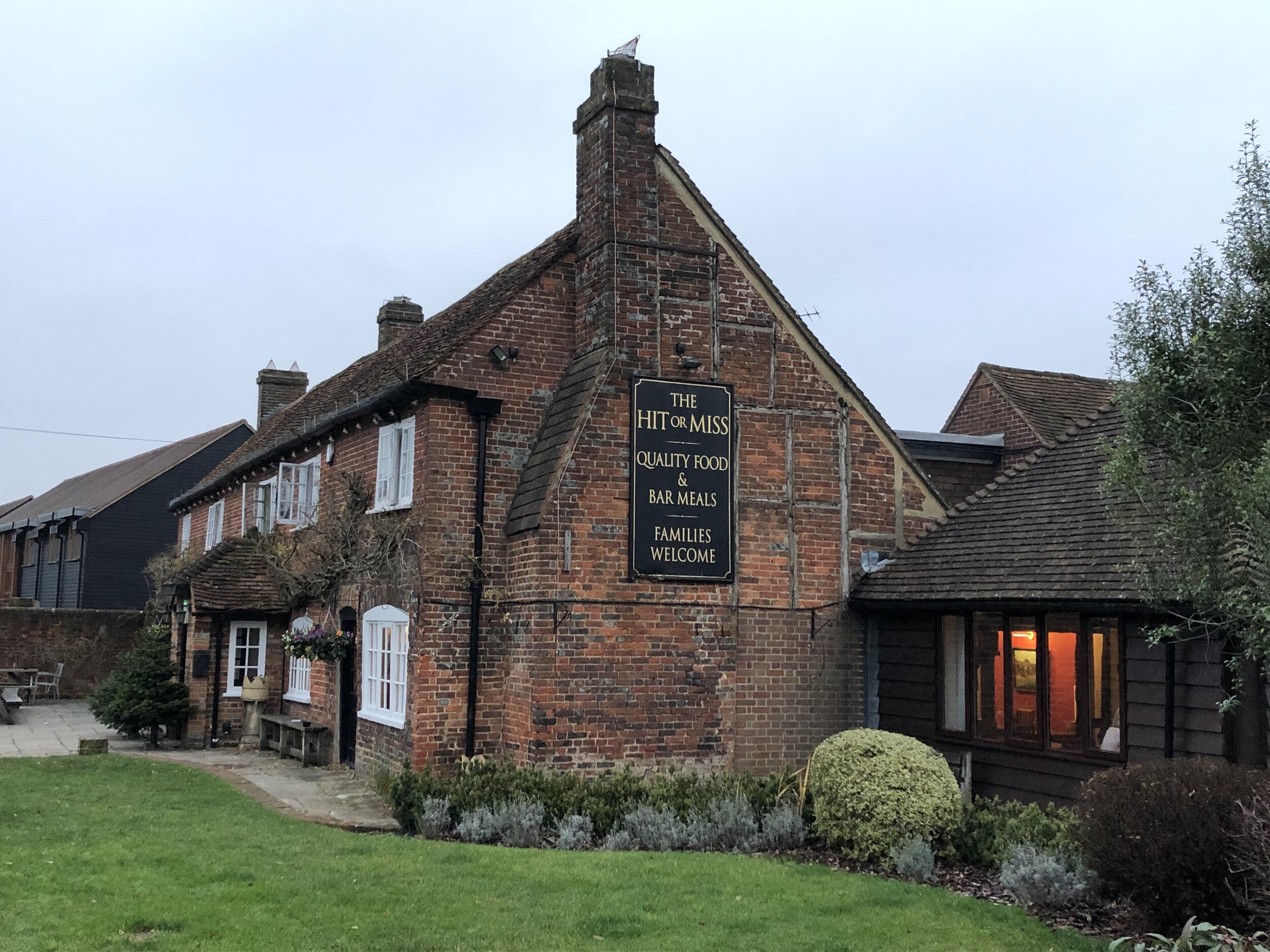
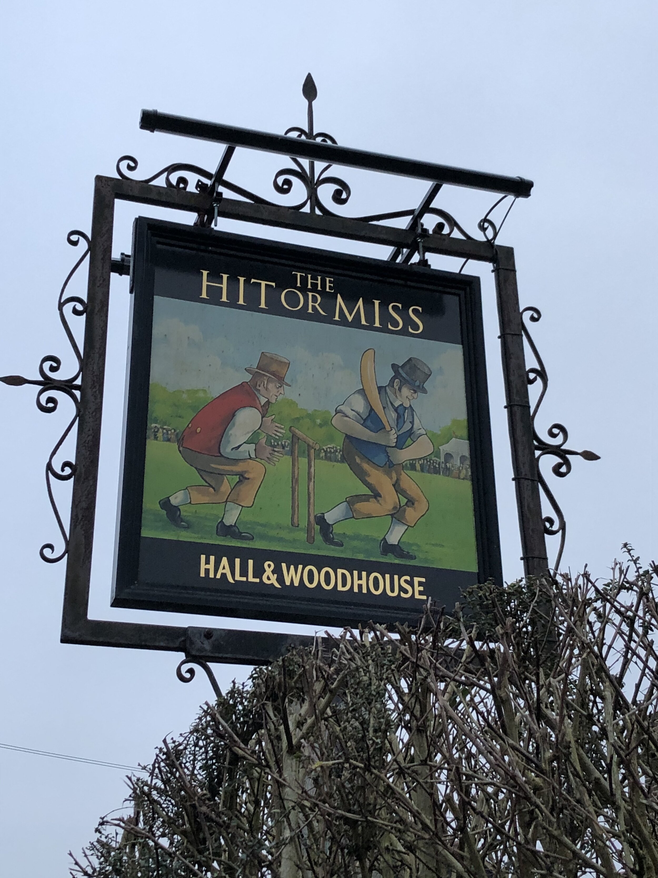
Penn Street is fairly busy and the best place to walk is on the grass verge on the Northern side. It’s a very short walk along here to the first pub, the Hit Or Miss, and and even shorter one from there back to the Squirrel.


Cycling The NCN Route 4


ConnectING Routes


2019 in numbers
My mileage per activity type in 2019

My mileage per activity type in 2019


TOTAL DISTANCE IN 2019

  • Run: 338 miles (544 km)

  • Cycle (Outdoor): 494 miles (796 km)

  • Cycle (Zwift): 266 miles (428 km)

  • Trek: 565 miles (909 km)

  • Total = 1,664 miles (2677 km)

Trek = recorded hiking & walking events, not general steps.


KEY EVENTS IN 2019

Chiltern Walks: The Hughenden Stream
View of St Michael & All Angels, Hughenden Parish Church from the Hughenden Stream

View of St Michael & All Angels, Hughenden Parish Church from the Hughenden Stream

Part of the Chiltern Rivers Series
River start:
Springs in the Hughenden Valley
River end: Confluence with River Wye in High Wycombe Town Centre
River length: 3.5 km (2.2 miles)

Walking route start: Hughenden Village Hall, HP14 4NX
Walking route end: Eden Shopping Centre,  HP11 2DQ
Walking route length: 4.1 km (2.5 miles)
Walking route elevation change: +15m /- 42m. Net -27m
GPX File: get via Buy Me a Coffee
Other routes touched (walk): Hughenden Park Boundary Walk
Other routes touched (cycle): N/A
Map: OS Explorer Map (172) Chiltern Hills East
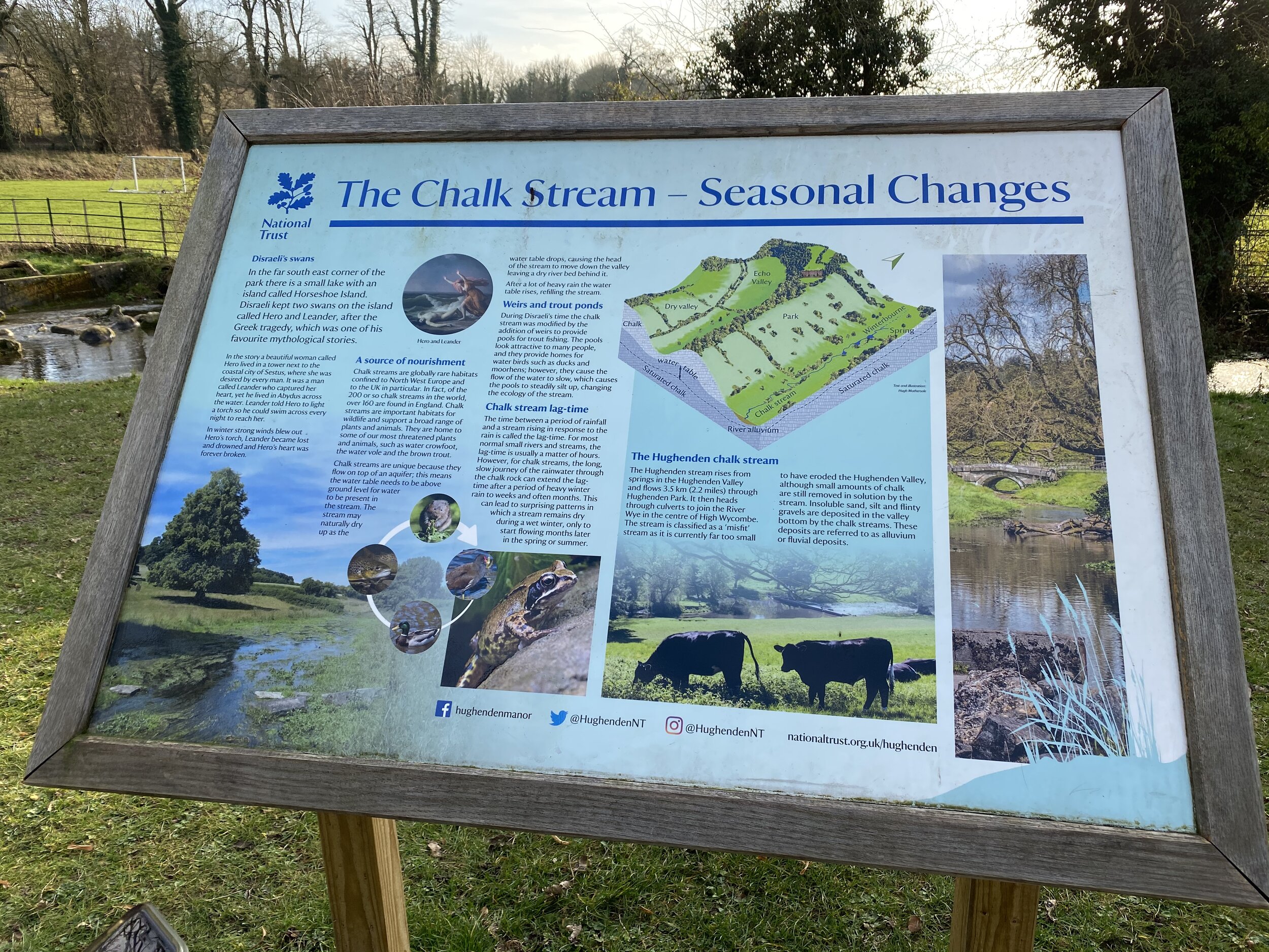
Links: Hughenden Valley, Hughenden National Trust, High Wycombe, Dry valleys and the chalk stream at Hughenden (National Trust)


Our walk along the Hughenden stream marked the final stage of my Chiltern Rivers Adventure. I’ve been saying this for about a year and a half and keep finding streams that I didn’t know about. I’m sure that I’ll find more and I’ll do them when I find them, but for now I’m calling this done. The guidance below will help you navigate but don’t use it as a fully accurate turn-by-turn guide. Always take a map and/or a GPX route and prepare well for the weather and terrain.

What a wonderful way to finish the project too. The Hughenden Stream is short at just over 2 miles from spring to mouth, but takes in some interesting points along the way. Although Hughenden Village Hall has its own large car park there’s signs saying parking is strictly for hall use only and there's a lockable gate. Rather than risk getting locked in we parked on the road nearby.

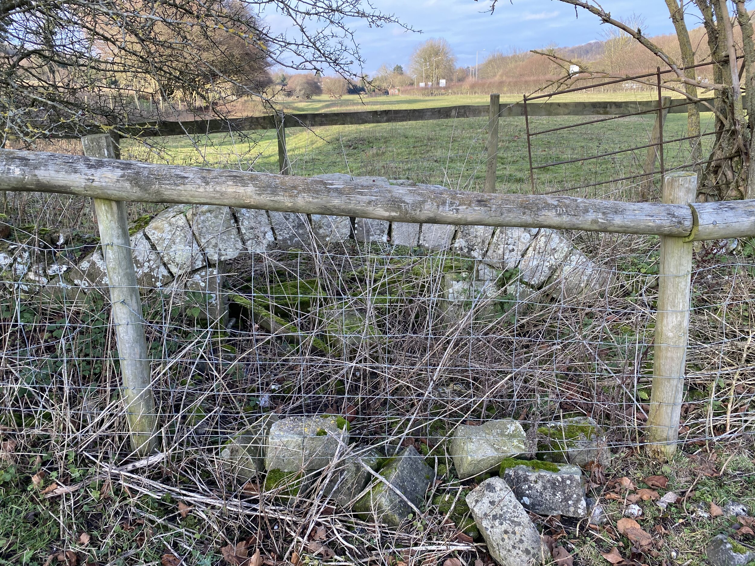
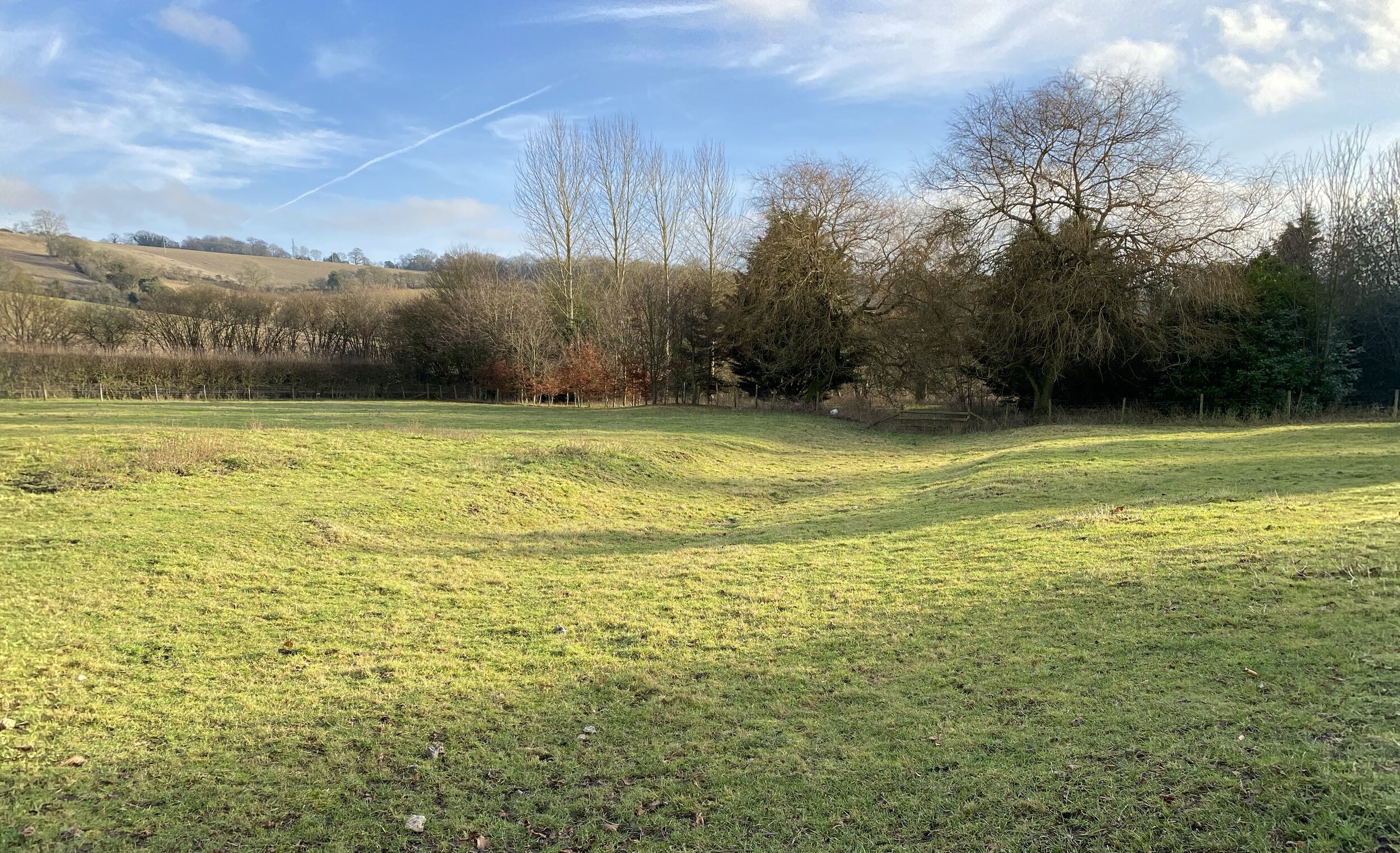
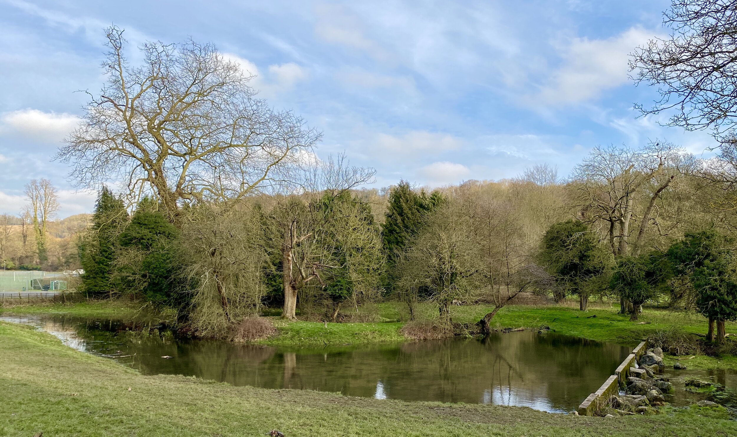
The stream is often dry in spring and summer so we chose well to walk it on a sunny but soggy mid-winter’s day. Even so, for the first part of our walk we saw only an indentation across the field where the stream once flowed. At around 750m in we found our first physical sign of the stream with the remains of an old stone bridge fenced off from the fields.

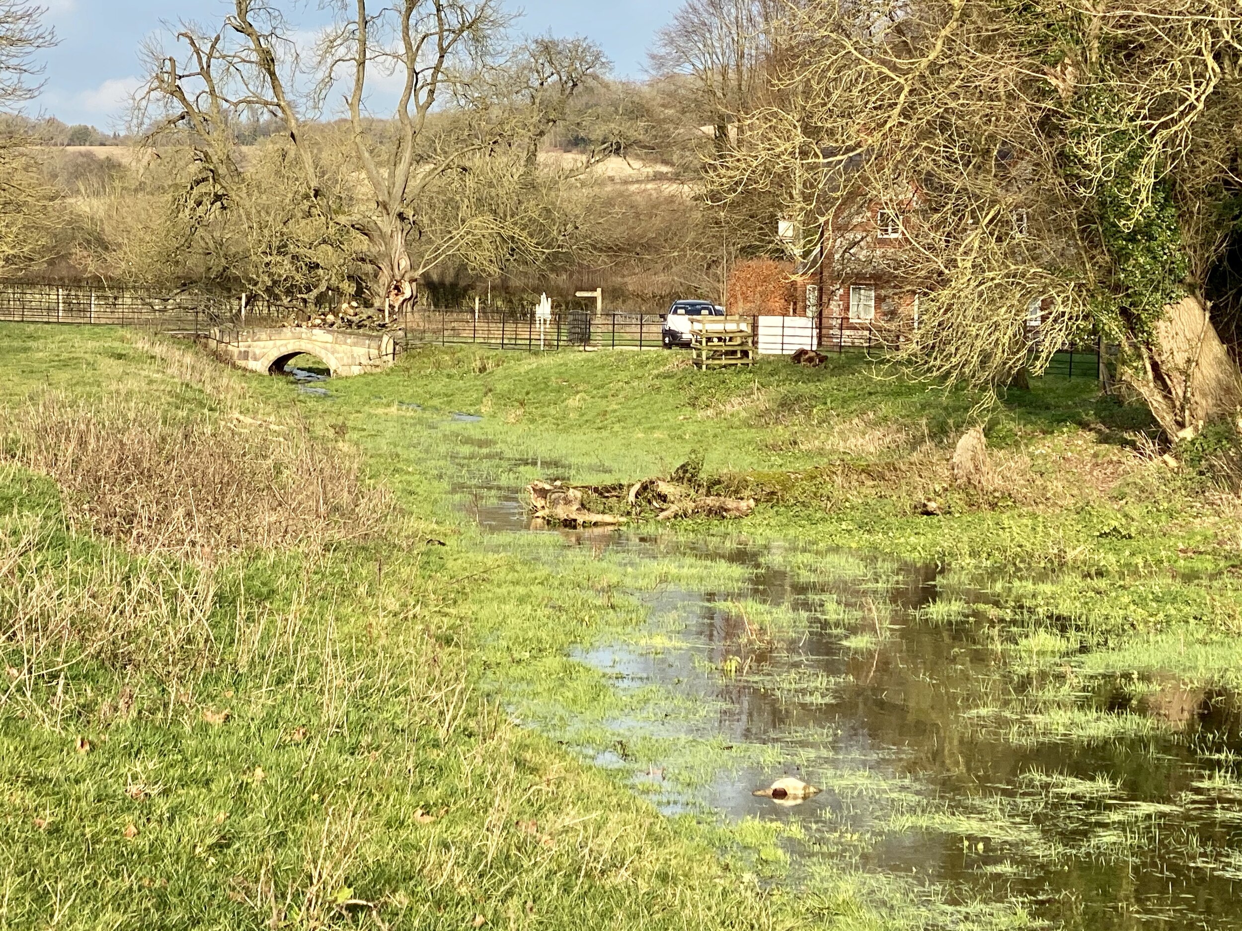
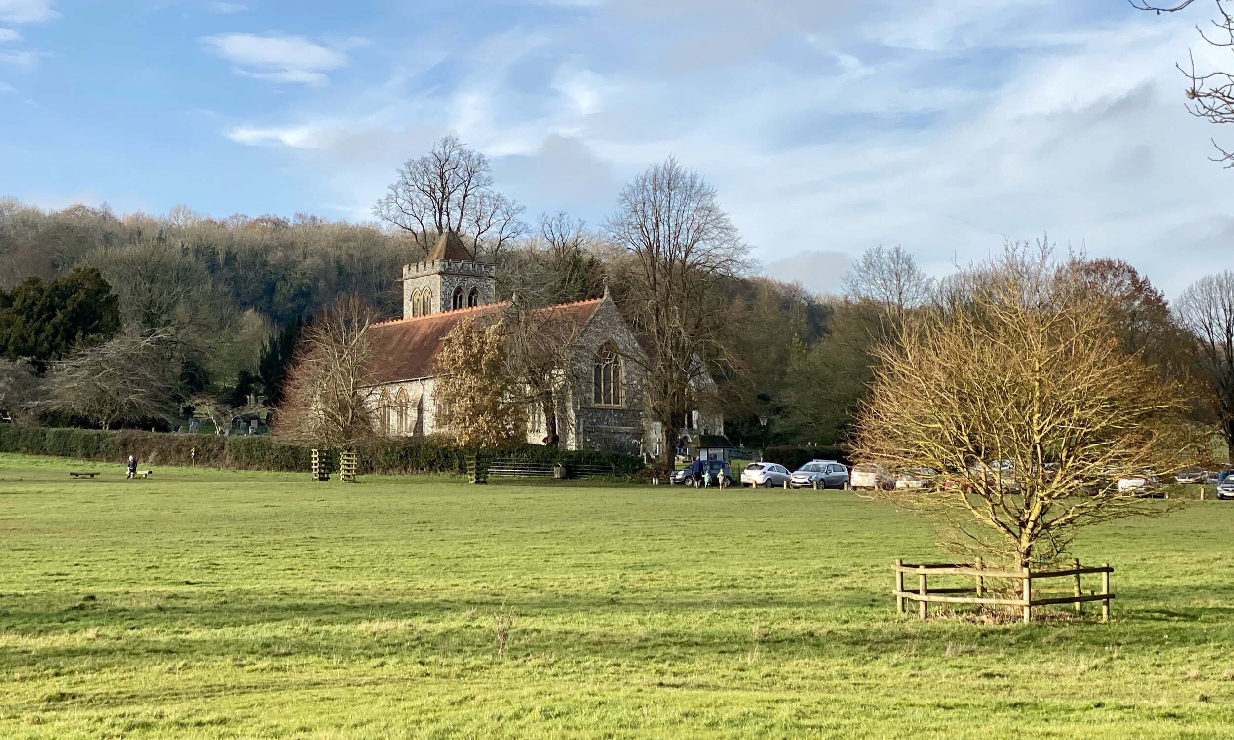
Our first sight of actual water was in the grounds of Church Farm at the point where the Hughenden Boundary Walk intersects with our route. A bit further down you’ll enter the grounds of Hughenden Park. Here you can visit the grave of former UK Prime Minister Benjamin Disraeli at St Michael & All Angels Church.

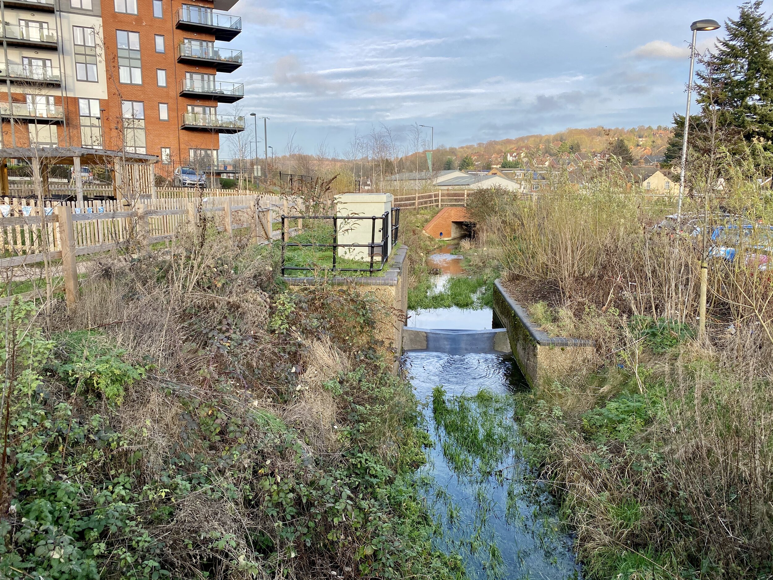
At the Southern end of Hughenden Park the stream disappears into a housing estate. You have the choice of keeping close to the stream by walking along the busy Hughenden Road or, as we did, take the quieter Coates Lane and Hughenden Boulevard. You can pick up the stream again by following a footpath along an uncovered channel that runs South-West from Hughenden Avenue between housing. At the end of the footpath, cross the road and follow intermittently covered and exposed sections of the stream in front of the Spindle and Thread Pub and Morrision's Supermarket.

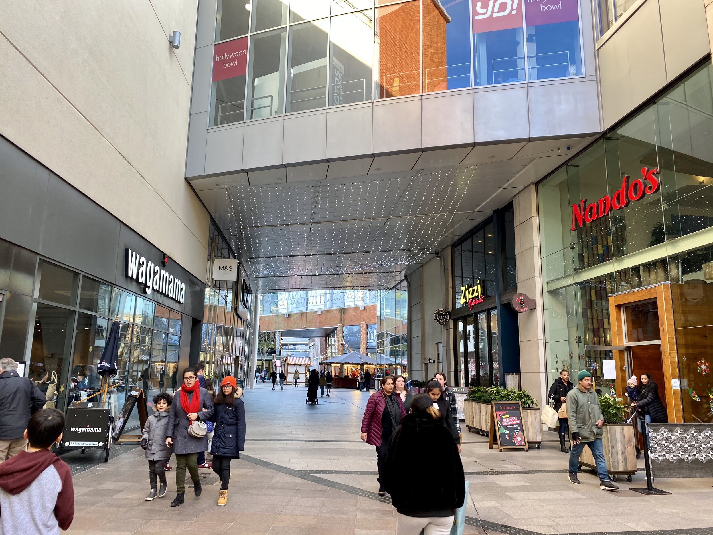
The last time that you see the uncovered stream is at the crossing of Parker Knoll Way south of Morrisons. The stream goes under the railway and flows under the town centre. For the final stretch of the walk follow Bellfield Road under the railway bridge, and cross the A40 Oxford Road to enter the Eden Shopping Centre. The Shopping Centre was built right on top of the River Wye and possibly the confluence with the Thames. I couldn’t find any details on whether the actual confluence was so I decided that it was probably between Nando’s and Wagamama’s, our final stop for the trip.

You can return to the start via the #300 bus. Check timetables for the most up to date info.

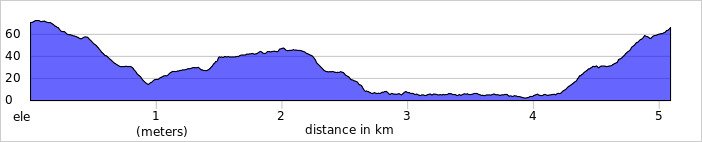
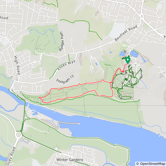
Red = the stream, blue = the walk

elevation_profile.jpg

Chiltern Hills OS Trig Pillars

If you’ve searched for or stumbled across this page then you probably already know what an OS Trig Pillar is. If you don’t then this article from the Ordnance Survey is a good place to start.

Boxing Day 2019 saw the completion of my mission to find all of the Trig Pillars in the Chilterns. I used my broader definition of the Chilterns which extends beyond the boundaries of the AONB to the banks of the Thames, Lea and Colne. I also kept it to those that were accessible without trespassing, damaging crops or fences or scaring animals. That definition is somewhat subjective though as some that I’ve listed as accessible are just off the public right of way. Looking at the logs, there’s others who have successfully bagged ones I’ve listed as inaccessible but I’ve taken a more risk-averse approach, missing out on 7 pillars. Always check the logs on Trigpointing.uk to see how easy it is to access a pillar.

The Map

Click on each icon to see the Trig Pillar name and a link to the page on Trigpointing.uk


The Spreadsheet


The Photos: Chilterns National Landscape Trig Pillars

The Photos: Greater Chiltern Area Trig Pillars


The Log Sheet

If you would like a PDF version of my manual Chilterns OS Trig Pillars Log Sheet, please BuyMeACoffee and let me know on the Contact Page. It’s a table of all Chilterns National Landscape Trig Pillars, plus a section for those inside the Greater Chilterns Area. You can track your date completed and there’s space for your own Notes. It’s simple and you could easily make one yourself, but let me know if you want a copy of mine. 20% of each virtual coffee goes to one of the Causes that I support and the rest goes toward the running of this website.


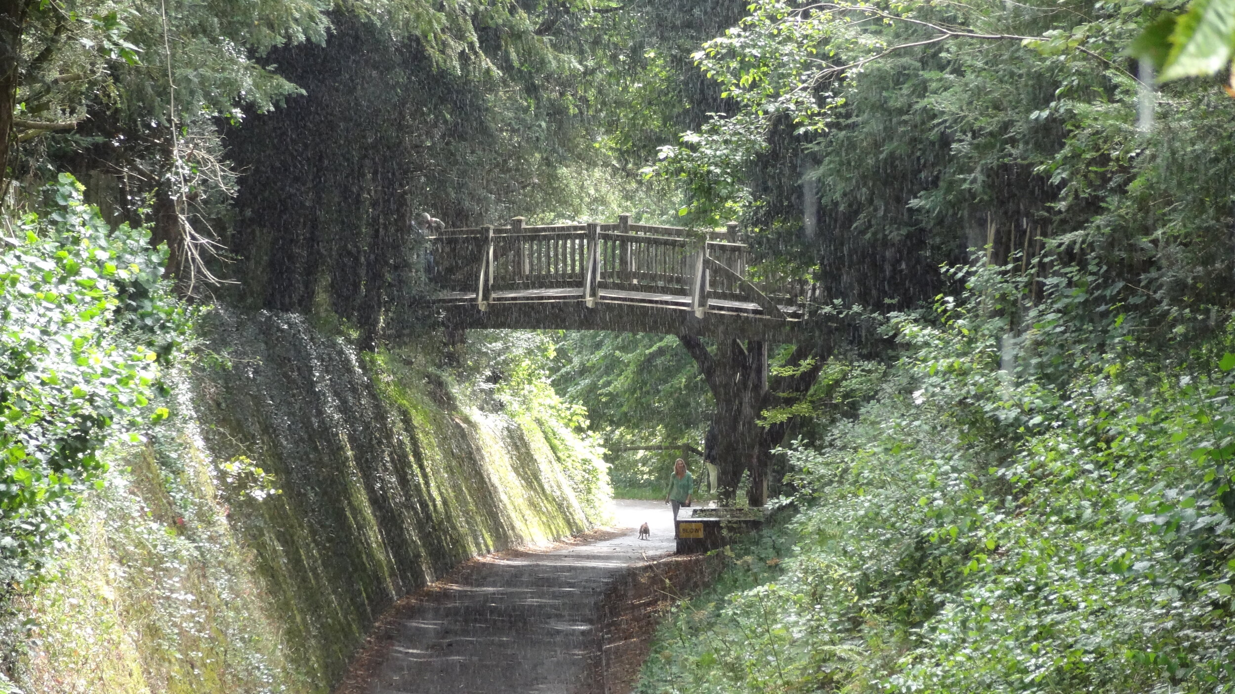
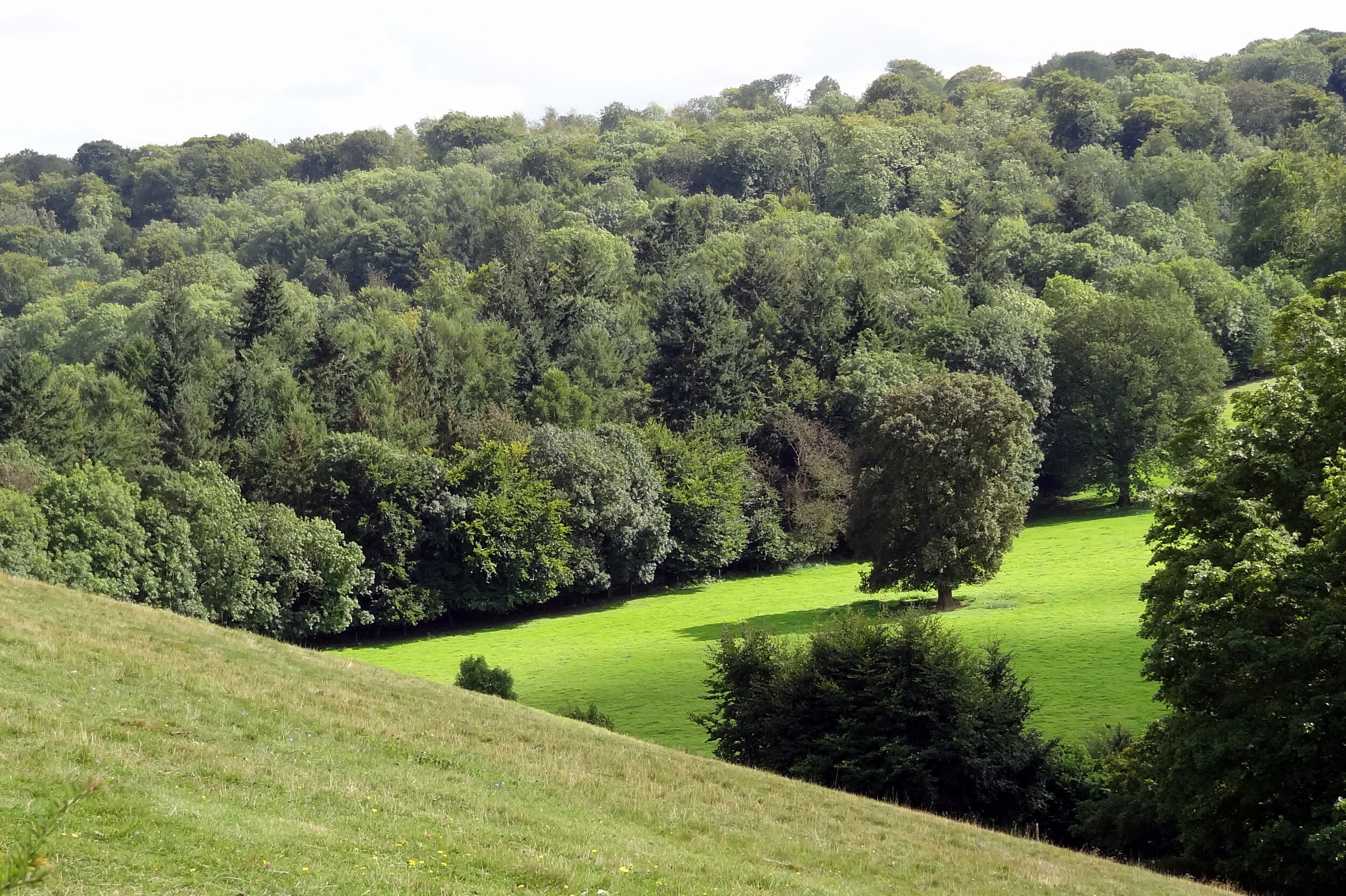
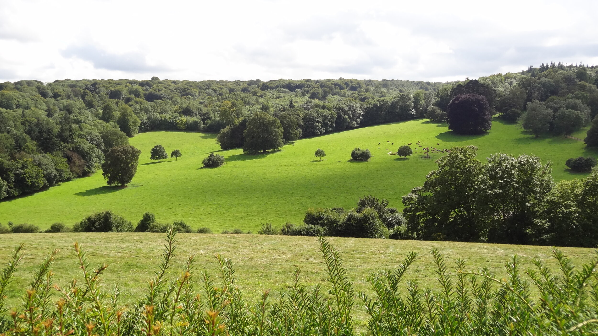
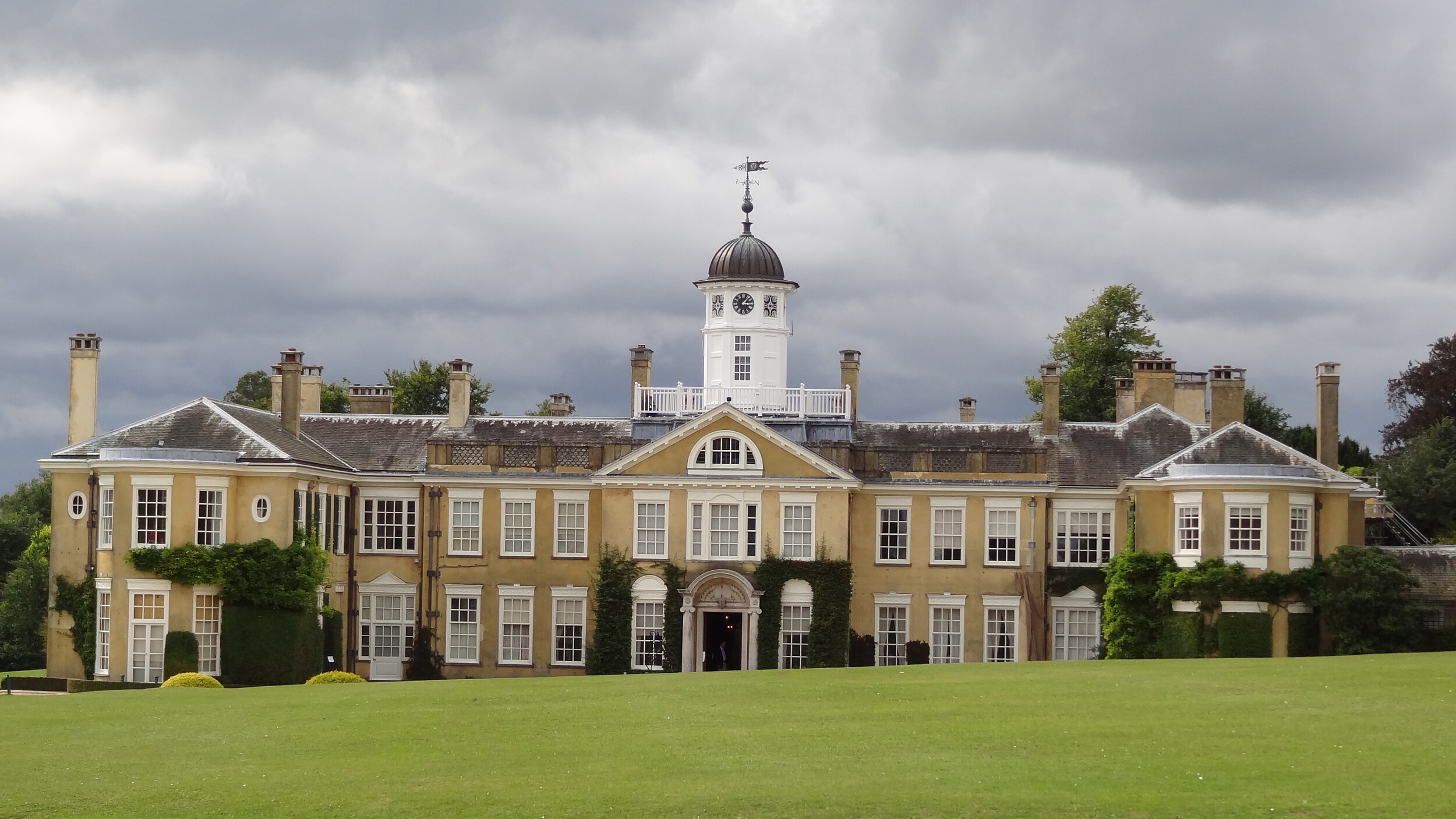
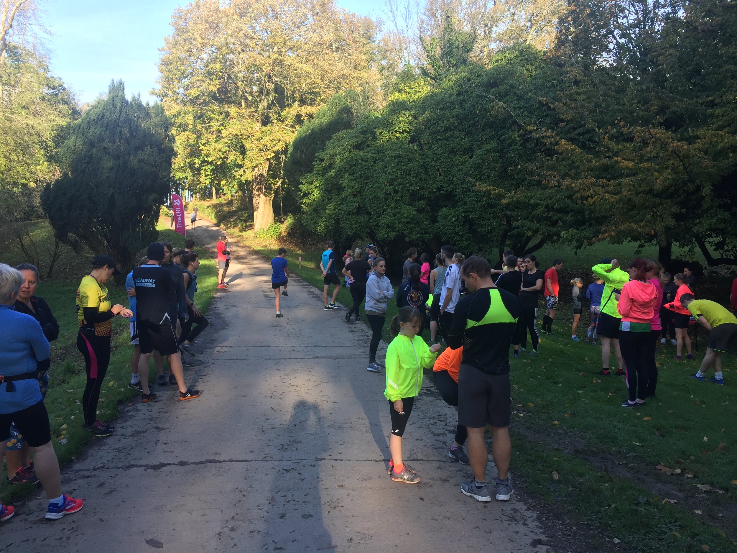
Trust 10 Polesden Lacey

When: December 22nd 2019
Where: Polesden Lacey National Trust, Great Bookham, Dorking, Surrey, RH5 6BB
Course: Muddy, hilly, twisty, turny trail route out and back from Polesden Lacey NT Car Park.
Other routes touched (walk): Prospects of Polesden (SCC), Ranmore (SCC)
Other routes touched (cycle):
N/A
Finish time: 64 minutes

Camera was broken today so here’s some Polesden pix from an earlier visit on a brighter day.

elevation_profile - Trust 10 Polesden Lacey.jpg
Walking The Chiltern Way Part 1 - Stokenchurch to Cow Roast
Dawn on the Chiltern Way at Stokenchurch

Dawn on the Chiltern Way at Stokenchurch


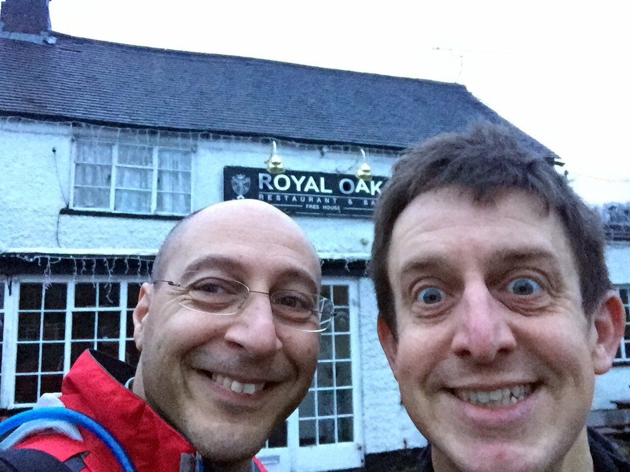
Start: The Royal Oak Pub, Church St, Stokenchurch, High Wycombe, HP14 3TH
Finish: Cowroast Lock, 46 Wharf Ln, Tring HP23 5RE
Distance: 36.5 km (22.7 Miles)
Elevation change: +452m / -646m. Net -194m
GPX File: get via Buy Me a Coffee
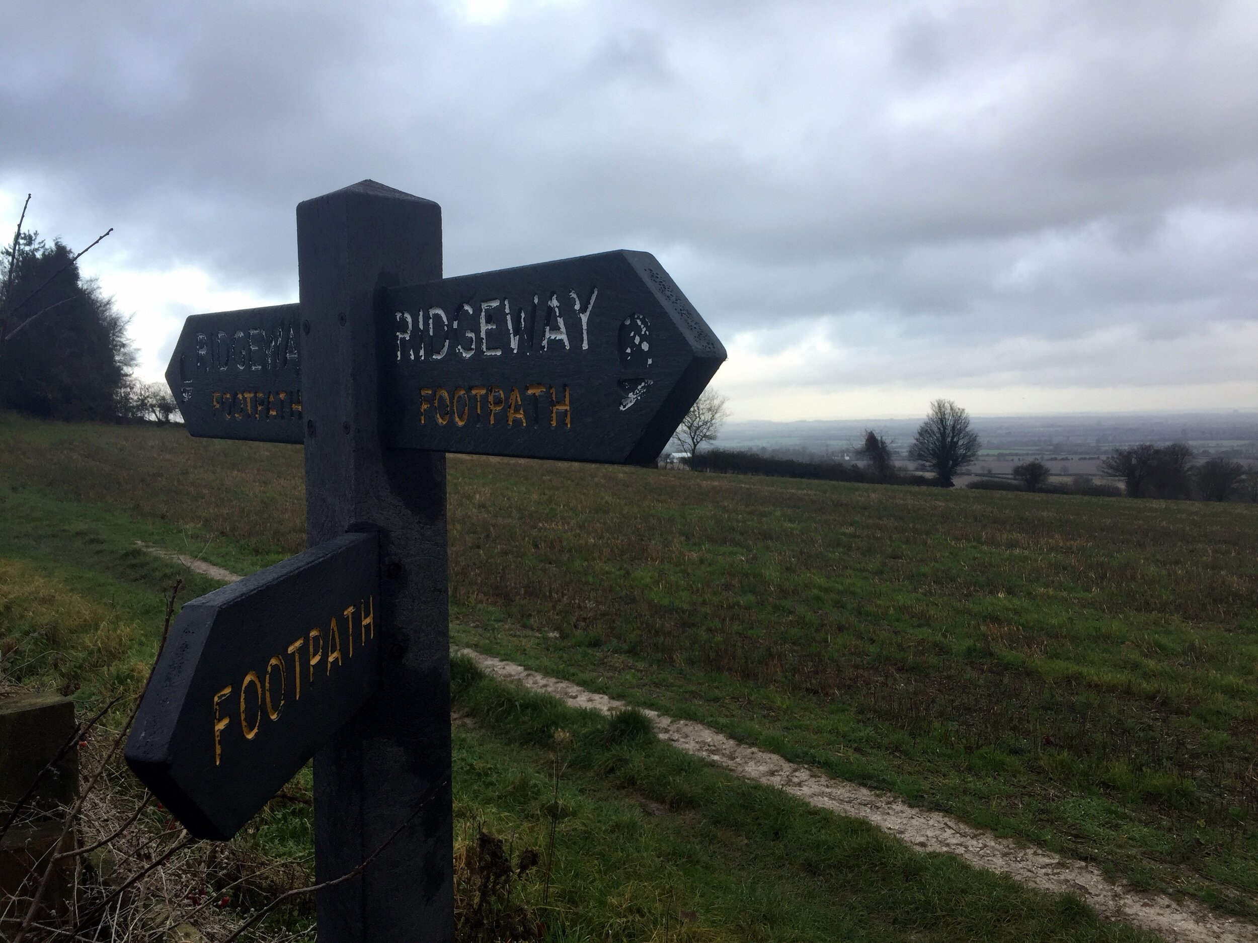
Other Routes Touched (walk): The Ridgeway, Midshires Way, Risborough Blue Route, Risborough Purple Route, South Bucks Way, Grand Union Canal Towpath
Other Routes Touched (cycle): Chilterns Cycleway, NCN Route 57, Hampden Route, Harding Route, Tring Route 5, Berkhamsted Route 6
Maps:
- OS Explorer Map (171) Chiltern Hills West, Henley-on-Thames and Wallingford
- OS Explorer Map (172) Chiltern Hills East
- OS Explorer Map (181) Chiltern Hills North
Links: Chiltern Way (Chiltern Society), Stokenchurch, Bledlow, Loosley Row, Little Hampden, Cow Roast


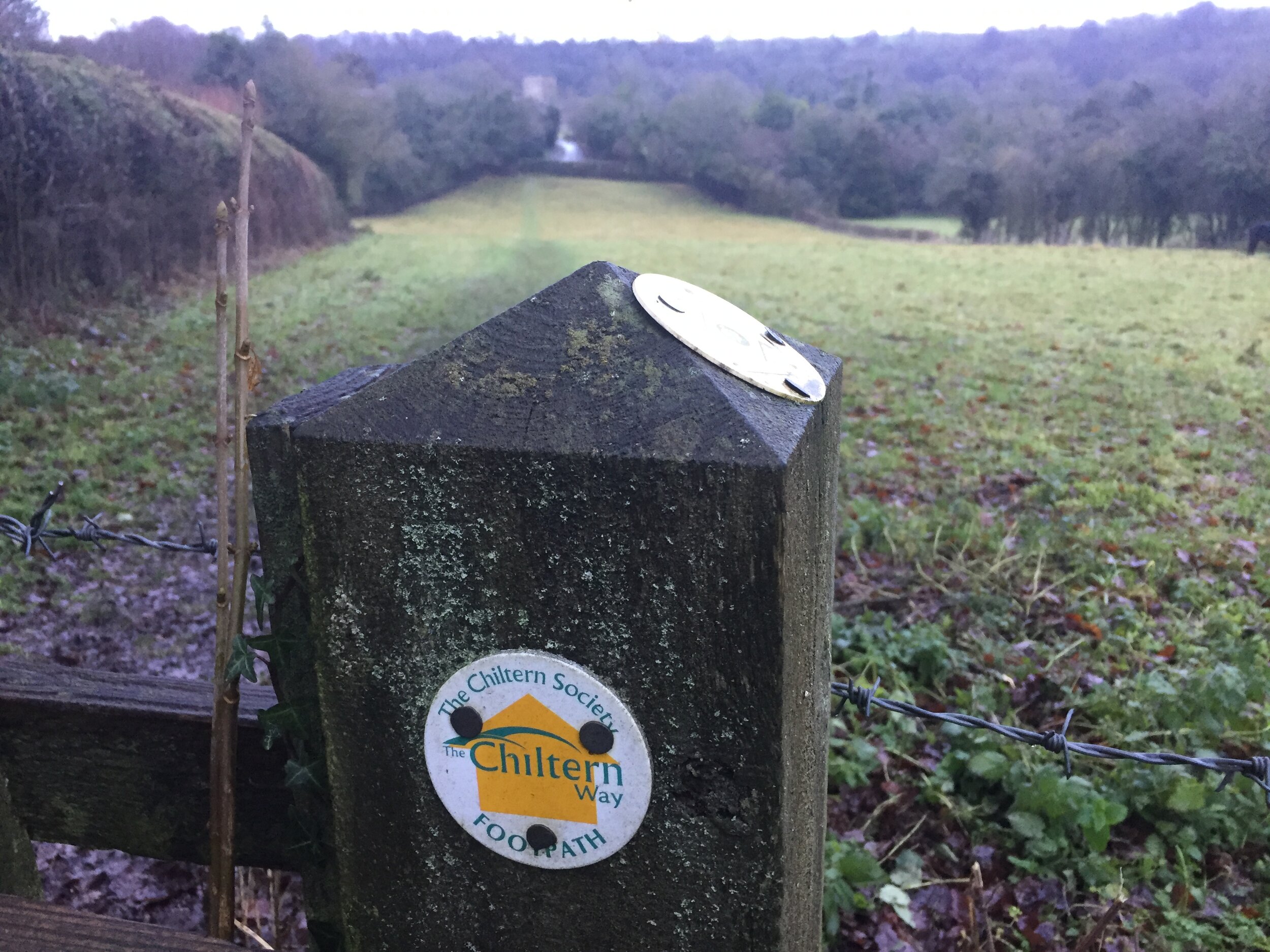
This is the first of a series of point to point walks on the Chiltern Way. The full trail is approximately 177 miles (285 km) long, depending on which extensions you take, and takes a large circle around the Chiltern Hills National Landscape. My friend Brian and I have been doing a section a year on or around the Winter Solstice since 2019. At the current rate we plan to be finished in December 2027. The Chiltern Way is well sign-posted however you should take a map or GPX route to keep on track and be prepared for all weathers. This post isn’t intended as a fully accurate turn-by-turn guide.

A dawn-to-dusk Winter Solstice walk has become a permanent feature of my Christmas plans. It started out a few years ago as a solo trip to escape shopping and people in general. Brian joined me for last year’s Icknield Way trip and, not only did it not kill him, he was back for more this time.

The Solstice Walk has also become a means for me to unwind my brain after the busiest 6 weeks in my job. By mid December my brain is mashed. I’m waking up at 04:00 every morning and my mind is racing at a thousand miles an hour. A full day's walking in the countryside has proven to be the perfect antidote.

I chose the Chiltern Way for this year's trip. Although I’d crossed and followed it on many smaller walks, I’d never attempted any of its 134 miles as a specific trip. On the early morning drive there I explained to Brian why I chose Stokenchurch as the start. The transmitter tower, just off the M40, is a big landmark and always reminds me of my first ultra-distance walk. In my late teens I completed Endurance 80, a 50 mile / 80k circular walk from Great Missenden. The Stokenchurch Tower marked the final corner, normally passed in the middle of the night, and a sign that we were on the home straight. Brian was particularly amused by my story of being part of the "Fastest All-Girls' Team" one year. I'll save that for another blog post though.

I knew this was going to be muddy. It got confirmation of this when I slipped over onto my arse 200 metres into the walk. What followed was the wettest, muddiest adventure since the Gower Ultra. Two weeks of rain had made most of the South of England a muddy mess.

The morning was fairly easy. It was an overcast misty day but warm enough. The trail is well sign-posted so navigation was easy. The morning hours slipped away with conversations about work, home automation, future adventures and general geekery.

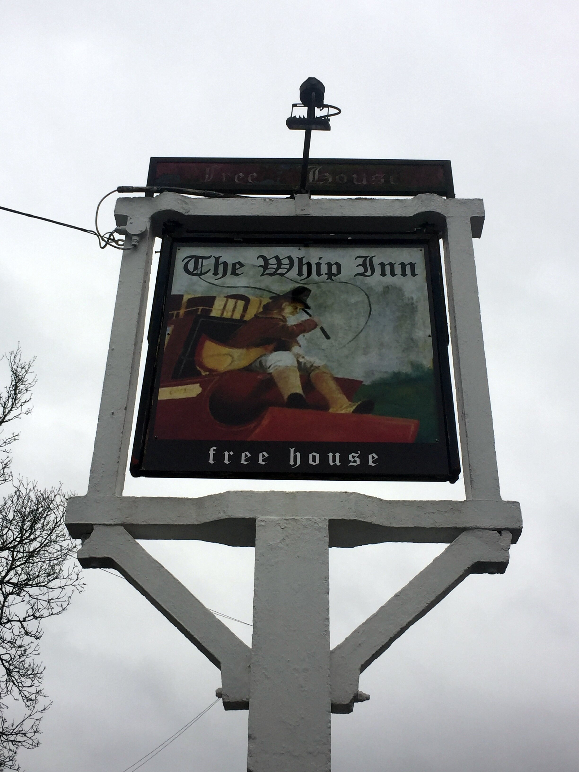
We made it to The Whip Inn at Lacey Green just as it was opening for lunch. At 10 miles in it was just under half way and perfect for a refuel before the longer, tougher afternoon stretch. Tougher was an apt description as it felt significantly colder as we left. It also started raining within 30 mins and didn't stop for the rest of the trip.

By 16:00 it was fairly dark and we started relying more on my phone for navigation. There were many wooded sections which were pitch black. Wandering through cold rain in the dark is not everyone's cup of tea but it was exactly what I needed. Being completely focused on navigating to the end was the fully-present experience I needed to combat the abstract concerns of corporate working life.

Our main learning was that the trip was just a bit too far. 23 miles, of which the last 5 were in the dark, was too much in those conditions. Twenty would have been plenty. The weather made sure that we would remember that by turning up the rain intensity in the last hours. To top it off we had a nearby lightning strike in the final 100 metres.

Our plans for a celebratory drink at the end didn't happen. By the time we reached my car at Cow Roast Lock we were soaked and exhausted. All we could think about was getting home, getting dry and getting to bed.

Long. Soaking. Challenging. Hilly. Muddy. Cold.

Loved it.


Previous section: Walking The Chiltern Way Part 9: Russell’s Water to Stokenchurch (Coming in December 2027)
Next section: Walking The Chiltern Way Part 2: Cow Roast to Chalk Hill


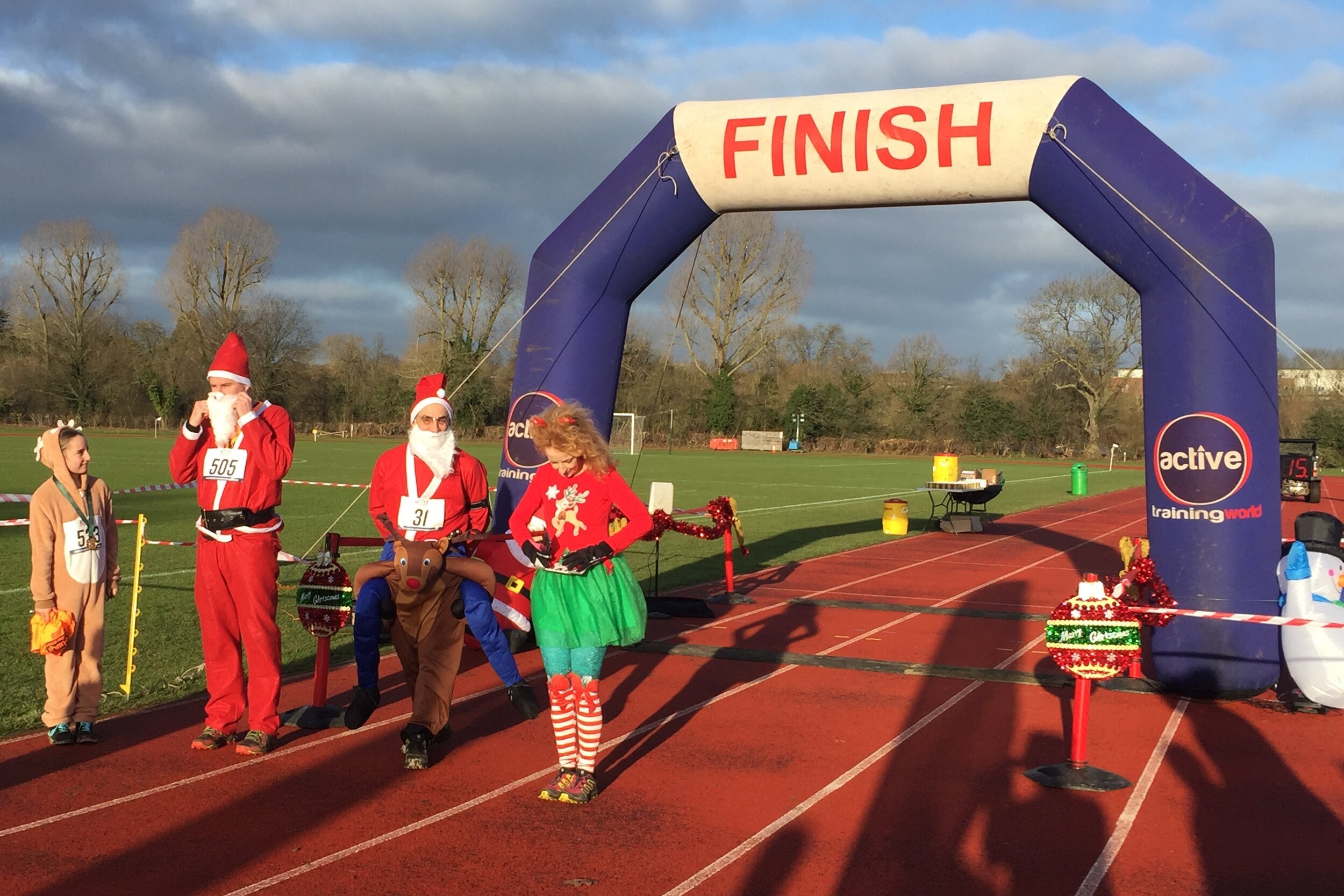
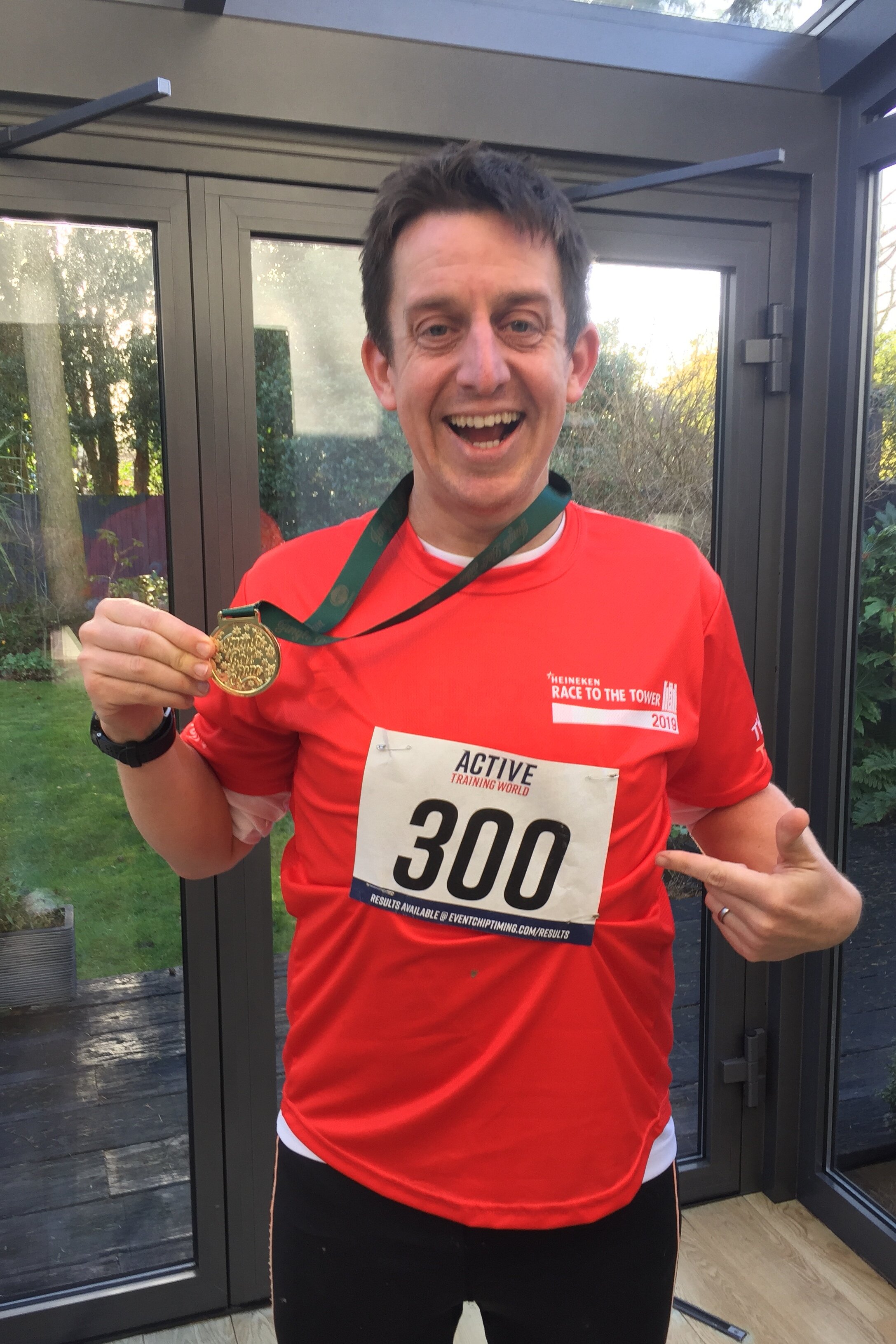
Two Counties Jungle Bell Run 10k

When: December 17th 2019
Where: Merchant Taylors’ Senior School, Sandy Lodge, Northwood, Middlesex, HA6 2HT
Course: Twisty turny, MUDDY, route around the grounds of Merchant Taylor’s School with a lap of the lake and following a section of the River Colne.
Other routes touched: course of the River Colne
Finish time: 57 minutes

Completing all Essex parkruns
Essex parkrun banner.JPG

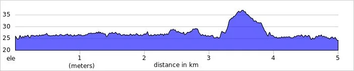
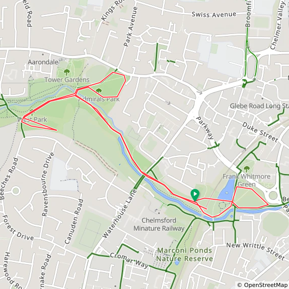
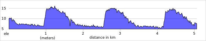
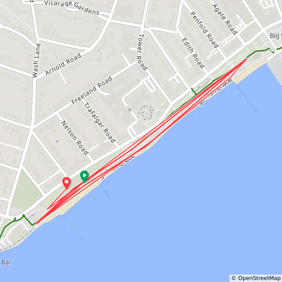
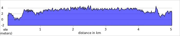
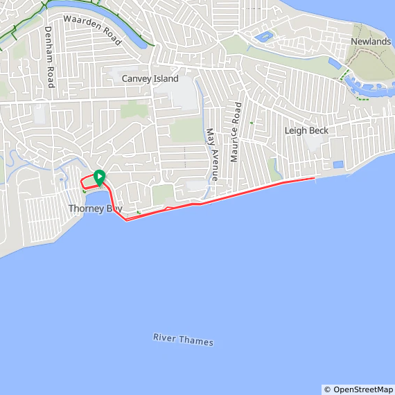
There are currently 27 parkrun events in present-day Essex of which I have done 6. The first was Gunpowder which started on October 22nd 2011 and the newest is Thorney Bay Beach which started on May 2nd 2026. Hatfield Forest was also an Essex event but has now closed. The name for having completed all parkrun events in the county is “PIED (parkruns in Essex Done)”.

The Historic County of Essex has a further 9 events. These are now part of Greater London. Completing these is “Completely PIED”. Victoria Dock, which was part of Greater London and within the Historic County of Essex, has been permanently cancelled.

For the absolute completists there’s also the “Completely PIED +” which includes the 12 parkrun events in Cambridgeshire, Hertfordshire, Kent, Suffolk whose Voronoi area extends into Essex.

Numbers exclude any events that are not open to the general public such as prisons or armed forces facilities.


All of the Essex parkrun events …

Below are each of the Essex 5k parkrun events in alphabetical order. A few things to note:

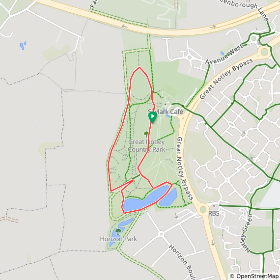
  • The interactive maps below take you to the approximate location for the course, typically the centre of the park. See the course instructions in the parkrun page for each event for specific directions to the start.
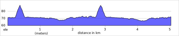
  • Course maps and elevation profiles show the route at the time that I ran it and may have changed since then. See the Course page in the event’s page on parkrun.org.uk for the current course outline. Note that course outlines are from Garmin data during a specific run and may vary from the officially measured distance.

  • Please contact me if you spot an event that doesn’t have a course map and elevation profile and you would like to donate one from your own run. I’m also interested in maps and elevation profiles for courses that have changed or where there’s a regular alternative route (e.g. Horsham). I’ll need a GPX file from your run plus the date. I’ll include a credit for you and will donate £1 to parkrun.


ARU Writtle

  • I have not yet completed this event

  • Historic County: Essex

  • Ceremonial County: Essex

  • Inaugural: December 6th 2025

  • Other routes touched (cycle): NCN 1

  • Course Map and Elevation Profile by: Ian Long on the winter course in January 2026.

  • Links: Event Home Page, Course Page, Blog 7t write-up


Basildon

  • I have not yet completed this event

  • Historic County: Essex

  • Ceremonial County: Essex

  • Inaugural: April 5th 2014

  • Other routes touched: None

  • Course Map and Elevation Profile by: Ian Long

  • Links: Event Home Page, Course Page, blog7t write-up


Billericay

  • I completed this event on: New Year’s Day 2023 with a finish time of: 26:57

  • Historic County: Essex

  • Ceremonial County: Essex

  • Other routes touched: None

  • Inaugural: June 24th 2017

  • Other routes touched: None

  • Course Map and Elevation Profile by: Ian Long

  • Links: Event Home Page, Course Page, blog7t write-up


Brentwood

  • I completed this event on: November 16th 2019 with a finish time of: 28:53

  • Historic County: Essex

  • Ceremonial County: Essex

  • This event is also part of LonDone ++

  • Other routes touched: None

  • Inaugural: December 6th 2014

  • Links: Event Home Page, Course Page, blog7t write-up


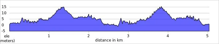
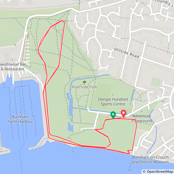
Burnham-on-Crouch

  • I have not yet completed this event

  • Historic County: Essex

  • Ceremonial County: Essex

  • Inaugural: July 22nd 2014

  • Other routes touched: None

  • Course Map and Elevation Profile by: Ian Long

  • Links: Event Home Page, Course Page, blog7t write-up


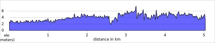
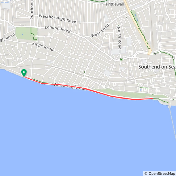
Chalkwell Beach

  • I have not yet completed this event

  • Historic County: Essex

  • Ceremonial County: Essex

  • This event is also part of Kent ++

  • Inaugural: February 29th 2020

  • Other routes touched (walk): Southend Ring, King Charles III England Coast Path

  • Other routes touched (cycle): NCN 16

  • Course Map and Elevation Profile by: Ian Long

  • Links: Event Home Page, Course Page, blog7t write-up


Chelmsford Central

  • I have not yet completed this event

  • Historic County: Essex

  • Ceremonial County: Essex

  • Inaugural: January 19th 2013

  • Other routes touched (cycle): NCN 1

  • Course Map and Elevation Profile by: Ian Long

  • Links: Event Home Page, Course Page, blog7t write-up


Clacton Seafront

  • I have not yet completed this event

  • Historic County: Essex

  • Ceremonial County: Essex

  • Inaugural: October 15th 2015

  • Other routes touched (cycle): NCN 150

  • Course Map and Elevation Profile by: Ian Long

  • Links: Event Home Page, Course Page, blog7t write-up


Colchester Castle


Great Dunmow


Great Notley

  • I have not yet completed this event

  • Original name: Braintree. The event was initially planned and referred to as Braintree parkrun during its setup phase, but was renamed to Great Notley prior to its inaugural event to adhere to parkrun's rule of naming events after the park itself.

  • Historic County: Essex

  • Ceremonial County: Essex

  • Inaugural: June 28th 2014

  • Other routes touched: None

  • Course Map and Elevation Profile by: Ian Long

  • Links: Event Home Page, Course Page, blog7t write-up


Gunpowder

  • I completed this event on: December 27th 2014 with a finish time of: 25:47

  • Historic County: Essex

  • Ceremonial County: Essex

  • This event is also part of LonDone +

  • Other routes touched (cycle): NCN 1

  • Inaugural: October 22nd 2011

  • Links: Event Home Page, Course Page, blog7t write-up

 
elevation_profile - Gunpowder.jpg

Hadleigh

  • I have not yet completed this event

  • Historic County: Essex

  • Ceremonial County: Essex

  • Inaugural: October 22nd 2016

  • Other routes touched (walk): Blue Walk

  • Course Map and Elevation Profile by: Ian Long

  • Links: Event Home Page, Course Page, blog7t write-up


Harlow

  • I completed this event on: Christmas Day 2019 with a finish time of: 26:54

  • Historic County: Essex

  • Ceremonial County: Essex

  • Other routes touched (cycle): NCN 1

  • Inaugural: November 8th 2014

  • Links: Event Home Page, Course Page, blog7t write-up


Harwich


Hatfield Forest

  • This parkrun event has been permanently cancelled. I did not complete this event before it was closed.

  • Historic County: Essex

  • Ceremonial County: Essex

  • Inaugural: March 21st 2015. Final event: #131 on September 23rd 2017

  • Reason for cancellation: The venue couldn't sustain the growing event, mainly due to a lack of all-weather parking, leading to difficult conditions in winter and limited space

  • Replaced by: Castle Park

  • Links: Event Home Page


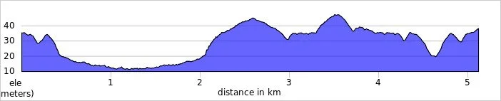
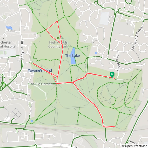
Highwoods

  • I have not yet completed this event

  • Historic County: Essex

  • Ceremonial County: Essex

  • Inaugural: March 2nd 2019

  • Other routes touched (walk): Colchester Orbital

  • Other routes touched (cycle): NCN 1

  • Course Map and Elevation Profile by: Ian Long

  • Links: Event Home Page, Course Page, blog7t write-up


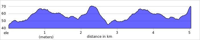
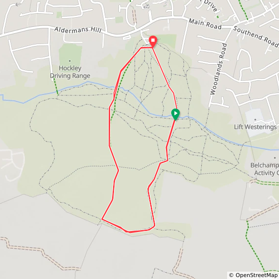
Hockley Woods

  • I have not yet completed this event

  • Historic County: Essex

  • Ceremonial County: Essex

  • Inaugural: February 2nd 2015

  • Other routes touched: None

  • Course Map and Elevation Profile by: Ian Long

  • Links: Event Home Page, Course Page, blog7t write-up


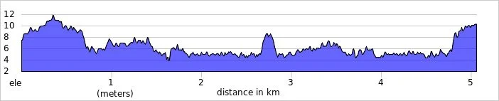
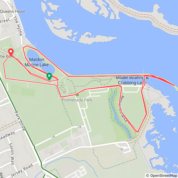
Maldon Prom

  • I have not yet completed this event

  • Historic County: Essex

  • Ceremonial County: Essex

  • Inaugural: August 31st 2013

  • Other routes touched (walk): King Charles III England Coast Path, Northey Island Circular Walk

  • Course Map and Elevation Profile by: Ian Long

  • Links: Event Home Page, Course Page, blog7t write-up


Markshall

  • I have not yet completed this event

  • Original name: Markshall Estate. Shortened to simplify the event name and align with parkrun HQ's naming guidelines.

  • Historic County: Essex

  • Ceremonial County: Essex

  • Inaugural: November 13th 2021

  • Links: Event Home Page, Course Page, blog7t write-up


Mersea Island

  • I have not yet completed this event

  • Historic County: Essex

  • Ceremonial County: Essex

  • Inaugural: December 17th 2016

  • Other routes touched (walk): King Charles III England Coast Path

  • Course Map and Elevation Profile by: Ian Long

  • Links: Event Home Page, Course Page, blog7t write-up


Roding Valley

  • I completed this event on: September 22nd 2018 with a finish time of: 27:08

  • Historic County: Essex

  • Ceremonial County: Essex

  • This event is also part of LonDone +

  • Other routes touched: None

  • Inaugural: January 14th 2017

  • Links: Event Home Page, Course Page, blog7t write-up

 
elevation_profile - Roding Valley.jpg

South Woodham Ferrers


Southend


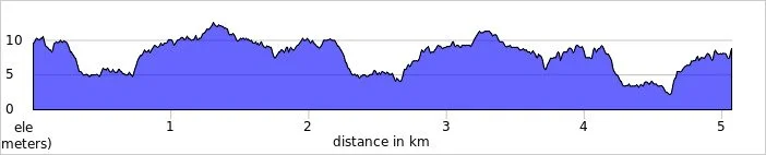
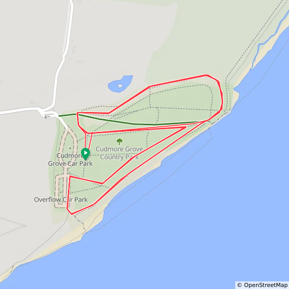
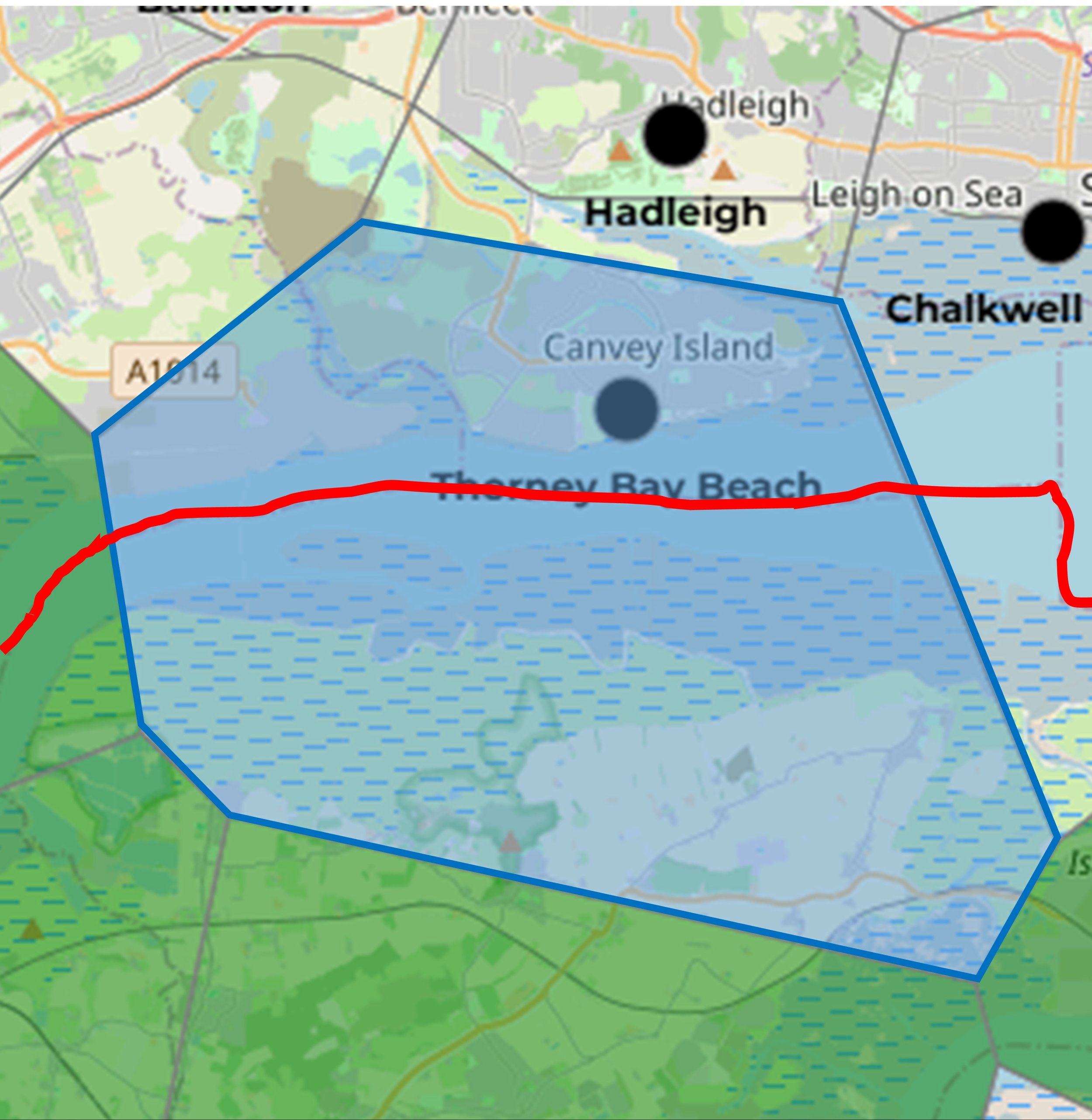
Thorney Bay Beach

  • I have not yet completed this event

  • Historic County: Essex

  • Ceremonial County: Essex

  • This event is also part of Kent ++

  • Inaugural: May 2nd 2026

  • Other routes touched (walk): King Charles III England Coast Path

  • Course Map and Elevation Profile by: Ian Long

  • Links: Event Home Page, Course Page, blog7t write-up


Thurrock, Orsett Heath

  • I completed this event on: March 12th 2022 with a finish time of: 25:59

  • Historic County: Essex

  • Ceremonial County: Essex

  • This event is also part of Kent ++

  • Other routes touched: None

  • Inaugural: October 10th 2015

  • Links: Event Home Page, Course Page, blog7t write-up


Walton Promenade

  • I have not yet completed this event

  • Historic County: Essex

  • Ceremonial County: Essex

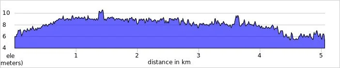
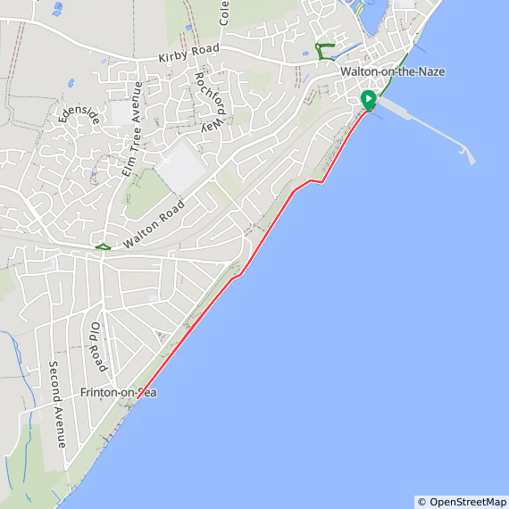
  • Inaugural: February 28th 2026

  • Other routes touched (cycle): NCN 150

  • Course Map and Elevation Profile by: Ian Long

  • Links: Event Home Page, Course Page


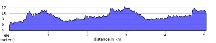
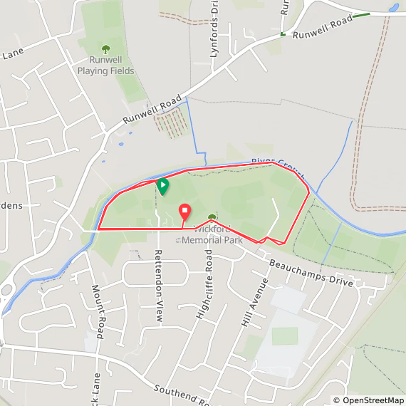
Wickford Memorial

  • I have not yet completed this event

  • Historic County: Essex

  • Ceremonial County: Essex

  • Other routes touched: None

  • Inaugural: February 29th 2020

  • Course Map and Elevation Profile by: Ian Long

  • Links: Event Home Page, Course Page, blog7t write-up


PARKRUNS IN HISTORIC COUNTY OF ESSEX BUT NOW IN GREATER LONDON(“COMPLETELY PIED”)

See the LonDone blog post for maps and stats for these:

*Hackney Marshes starts and ends in Historic Essex but most of the course is in Historic Middlesex


COMPLETELY PIED+: The Voronoi overlappers.

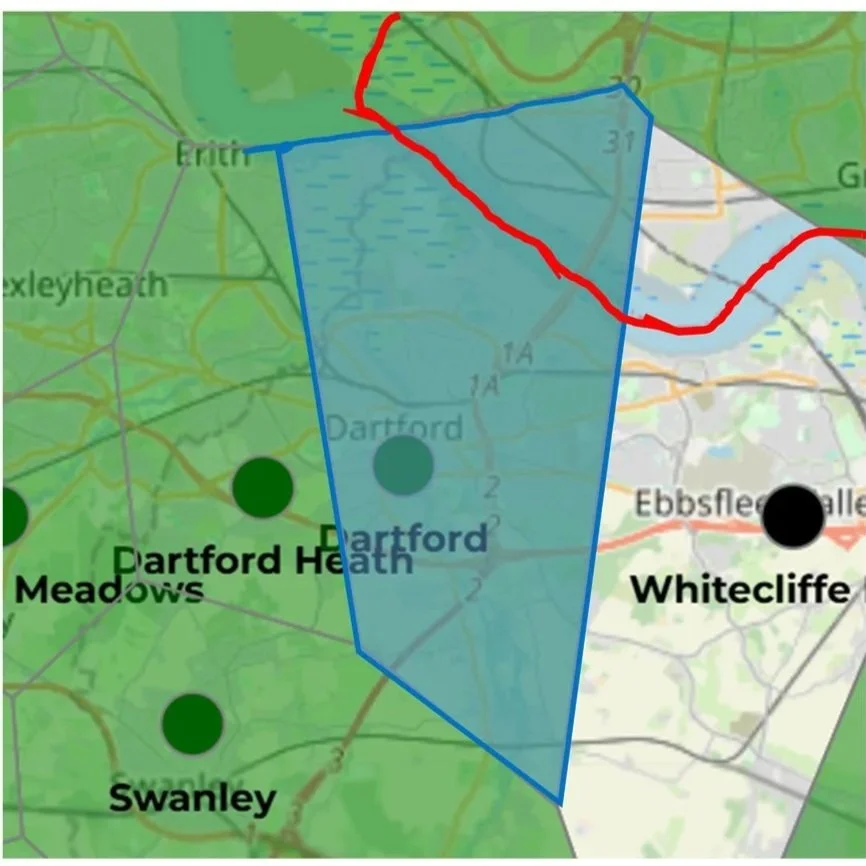
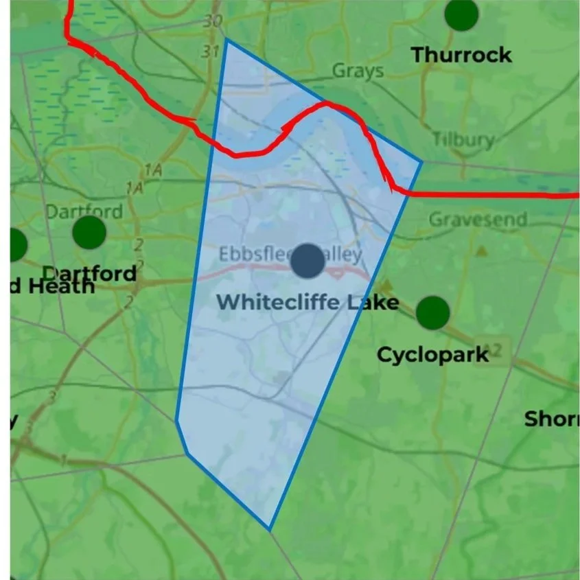
Once you’ve completed all of the parkrun events in Historic Essex the icing on the cake is to complete the 12 parkrun events in Cambridgeshire, Hertfordshire, Kent, Suffolk whose Voronoi area extends into Essex. Note that different parkrun apps have slightly different calculations for their Voronoi maps. For this page I’ve used the Voronoi map from the Running Challenges Chrome Extension.

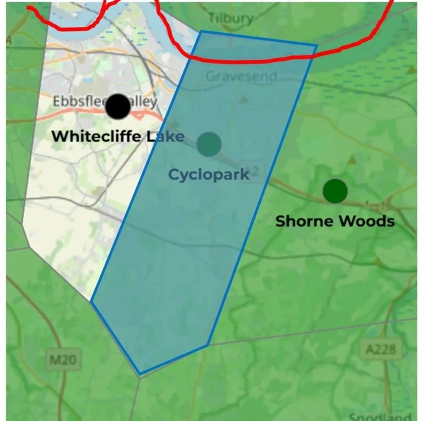
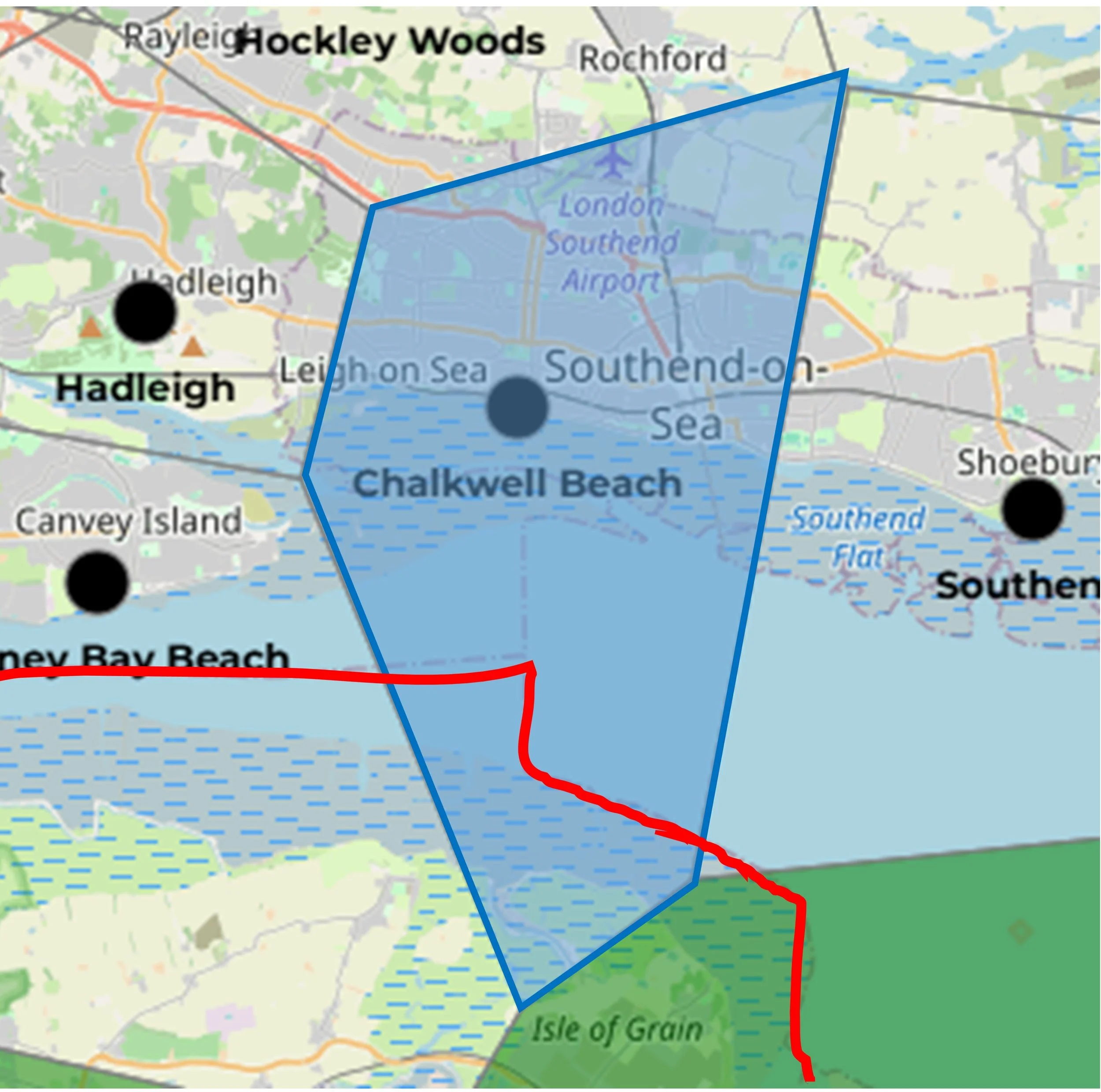
In the images below the light blue polygon is the non-Essex parkrun event whose Voronoi area extends into Essex. The red line is the county border.


More parkrun posts

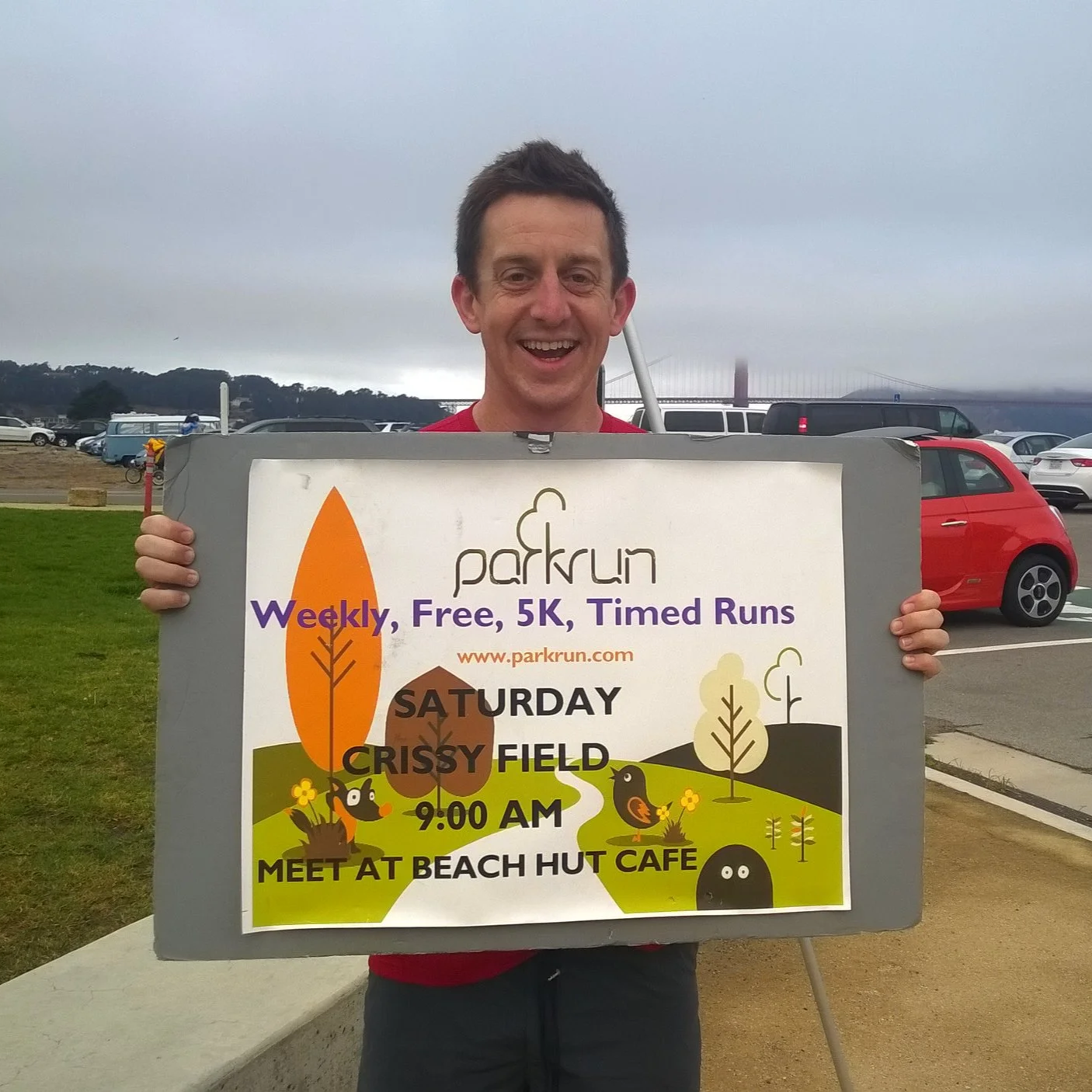
parkruns are free, weekly, community 5k events all around the world. I started in December 2012 and have been obsessive about it ever since. See my parkrun Collection page for details.

Featured and popular parkrun posts:


Completing all Hampshire parkruns
Hampshire parkrun banner.JPG

There are currently 25 parkrun events in present-day Hampshire of which I have done 17. The first was Basingstoke which started on July 5th 2008 and the newest is Fordingbridge Recreation Ground which started on July 19th 2025. The name for having completed all parkrun events in the county is “Champshire”.

The Historic County of Hampshire has a further 5 events, totaling 30.

  • Bournemouth, Highcliffe Beach and Moors Valley were in historic Hampshire but are now part of present-day Dorset and are in the South West region.

  • Tidworth: South Tidworth where the parkrun takes place was moved from Hampshire into Wiltshire in 1992 but houses there still have Hampshire on their address for post.
  • Medina IOW was in Historic Hampshire but is now in the present-day county of the Isle of Wight.

A special mention goes to Sandhurst Memorial. The course starts and ends in Berkshire but crosses over into Hampshire which is on the south side of the River Blackwater.

Mountbatten School parkrun was active until the Covid-19 parkrun pause and is now permanently cancelled.

You can spell out the word ‘Hampshire’ by running various parkrun events in the county of Hampshire. For example: Havant, Andover, Meon Valley Trail, Portsmouth Lakeside, Southampton, Hogmoor Inclosure, Itchen Valley Country, Rushmoor, Eastleigh. (thanks to Helen Rees for this info)

Numbers exclude any events that are not open to the general public such as prisons or armed forces facilities.


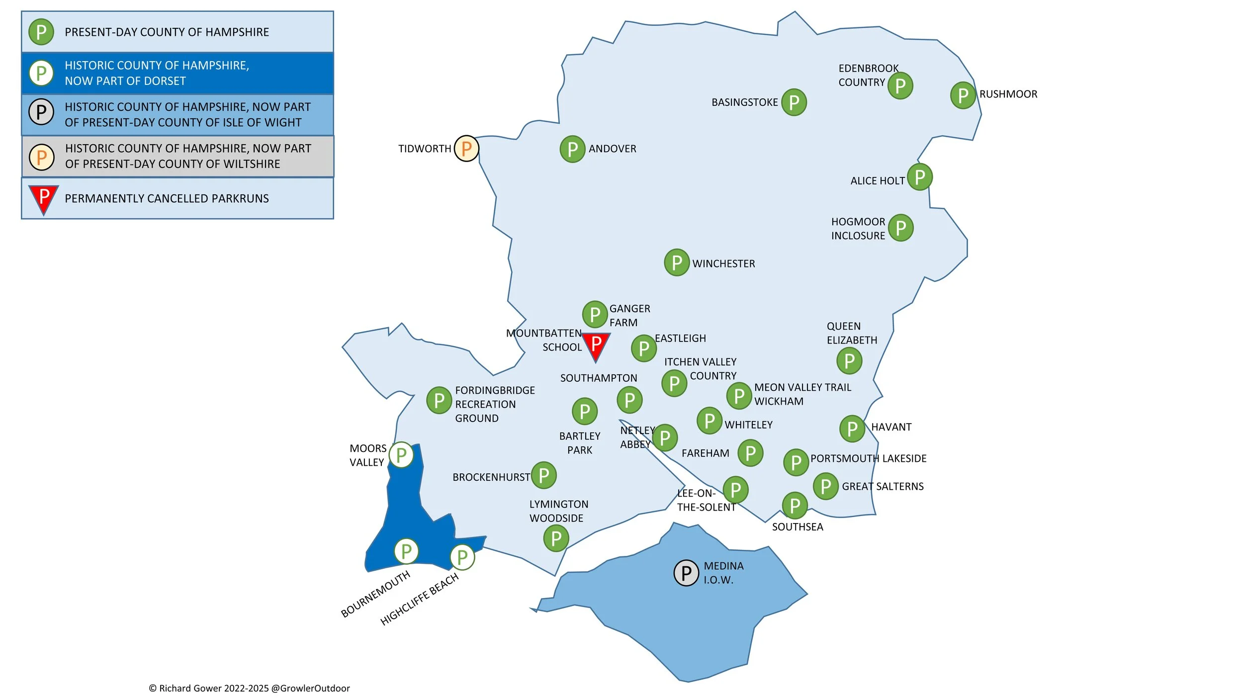
A map of the parkrun events in the county of Hampshire.

All of the Hampshire parkrun events …

Below are each of the Hampshire 5k parkrun events in alphabetical order. A few things to note:

  • The interactive maps below take you to the approximate location for the course, typically the centre of the park. See the course instructions in the parkrun page for each event for specific directions to the start.

  • Course maps and elevation profiles show the route at the time that I ran it and may have changed since then. See the Course page in the event’s page on parkrun.org.uk for the current course outline. Note that course outlines are from Garmin data during a specific run and may vary from the officially measured distance.

  • Please contact me if you spot an event that doesn’t have a course map and elevation profile and you would like to donate one from your own run. I’m also interested in maps and elevation profiles for courses that have changed or where there’s a regular alternative route (e.g. Horsham). I’ll need a GPX file from your run plus the date. I’ll include a credit for you and will donate £1 to parkrun.


Alice Holt

  • I completed this event on: New Year’s Day 2020 with a finish time of: 28:09

  • Historic County: Hampshire

  • Ceremonial County: Hampshire

  • Other routes touched (walk): The Shipwrights Way

  • Other routes touched (cycle): NCN 22, 224

  • Inaugural: November 17th 2012

  • Links: Event Home Page, Course Page, blog7t write-up


Andover

  • I completed this event on: December 7th 2019 with a finish time of: 26:54

  • Historic County: Hampshire

  • Ceremonial County: Hampshire

  • Other routes touched (walk): The Brenda Parker Way

  • Other routes touched (cycle): Charlton Lakes Cycle Path

  • Inaugural: July 16th 2011

  • Links: Event Home Page, Course Page

 
elevation_profile - Andover.jpg

Bartley Park

  • I completed this event on: July 26th 2025 with a finish time of: 26:59

  • Historic County: Hampshire

  • Ceremonial County: Hampshire

  • Other routes touched: None

  • Inaugural: December 18th 2021

  • Links: Event Home Page, Course Page


Basingstoke

  • I completed this event on: July 1st 2017 with a finish time of: 23:57

  • Original name: North Hampshire Time Trial. The original set of Time Trials were rebranded as "parkrun" in 2008 to appeal to a wider, non-traditional running community.

  • Historic County: Hampshire

  • Ceremonial County: Hampshire

  • Other routes touched (cycle): NCN 23

  • Inaugural: July 5th 2008

  • Links: Event Home Page, Course Page

 
elevation_profile - Basingstoke.jpg

Brockenhurst

  • I have not yet completed this event

  • Historic County: Hampshire

  • Ceremonial County: Hampshire

  • Inaugural: May 25th 2013

  • Links: Event Home Page, Course Page


Eastleigh

  • I completed this event on: July 2nd 2016 with a finish time of: 25:39

  • Historic County: Hampshire

  • Ceremonial County: Hampshire

  • Other routes touched: N/A

  • This event is also part of parkrun Compass Club

  • Inaugural: May 8th 2010

  • Links: Event Home Page, Course Page

 
elevation_profile - Eastleigh.jpg

Edenbrook Country

  • I first completed this event on: August 27th 2022 with a finish time of: 25:08

  • Historic County: Hampshire

  • Ceremonial County: Hampshire

  • Other routes touched: None

  • Inaugural: April 23rd 2022

  • Links: Event Home Page, Course Page, blog7t write-up


Fareham

  • I have not yet completed this event

  • Historic County: Hampshire

  • Ceremonial County: Hampshire

  • Other routes touched (walk): None

  • Other routes touched (cycle): None, although NCN 236 runs past the start and finish

  • Inaugural: April 9th 2016

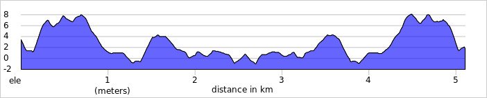
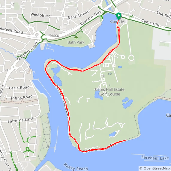
  • Course Map and Elevation Profile by: Mark Brace on April 6th 2019

  • Links: Event Home Page, Course Page


Fordingbridge Recreation Ground

  • I have not yet completed this event

  • Historic County: Hampshire

  • Ceremonial County: Hampshire

  • Inaugural: July 19th 2025

  • Links: Event Home Page, Course Page


Ganger Farm

  • I completed this event on: December 2nd 2023 with a finish time of: 27:37

  • Historic County: Hampshire

  • Ceremonial County: Hampshire

  • Other routes touched: None

  • Inaugural: November 19th 2022

  • Links: Event Home Page, Course Page


Great Salterns

  • I completed this event on: Christmas Day 2022 with a finish time of: 27:28

  • Historic County: Hampshire

  • Ceremonial County: Hampshire

  • Other routes touched: none

  • Inaugural: January 22nd 2022

  • Links: Event Home Page, Course Page


Havant

  • I have not yet completed this event

  • Historic County: Hampshire

  • Ceremonial County: Hampshire

  • Other routes touched (walk): Staunton Way

  • Other routes touched (cycle): None

  • Inaugural: June 16th 2012

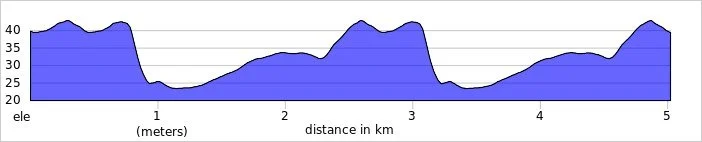
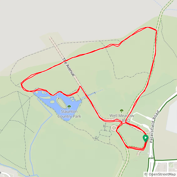
  • Course Map and Elevation Profile by: Mark Brace on May 3rd 2025

  • Links: Event Home Page, Course Page


Hogmoor Inclosure

  • I completed this event on: New Year’s Day 2020 with a finish time of: 25:20

  • Historic County: Hampshire

  • Ceremonial County: Hampshire

  • Other routes touched: N/A

  • Inaugural: March 10th 2018

  • Links: Event Home Page, Course Page, blog7t write-up


Itchen Valley Country

  • I completed this event on: November 12th 2021 with a finish time of: 27:05

  • Historic County: Hampshire

  • Ceremonial County: Hampshire

  • Other routes touched (walk): Forest Trail, Woods and Meadows Walk, Purple Trail

  • Inaugural: February 29th 2020

  • Links: Event Home Page, Course Page


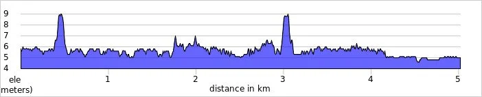
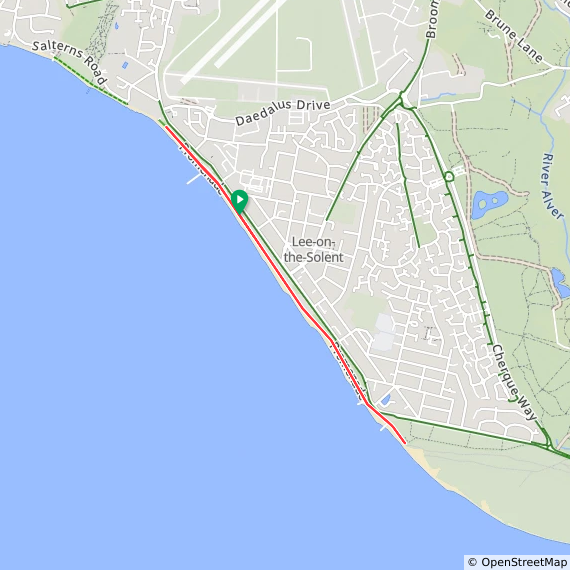
Lee-on-the-Solent

  • I completed this event on: June 13th 2026 with a finish time of: 29:02

  • Historic County: Hampshire

  • Ceremonial County: Hampshire

  • Other routes touched (walk): Solent Way

  • Other routes touched (cycle): NCN 2

  • Inaugural: July 4th 2015

  • Course Map and Elevation Profile by: Mark Brace on February 29th 2020

  • Links: Event Home Page, Course Page


Lymington Woodside

  • I have not yet completed this event

  • Historic County: Hampshire

  • Ceremonial County: Hampshire

  • Inaugural: July 9th 2016

  • Links: Event Home Page, Course Page


Medina I.o.W.

  • I have not yet completed this event

  • Historic County: Hampshire

  • Ceremonial County: Isle of Wight

  • Inaugural: May 7th 2011

  • Links: Event Home Page, Course Page


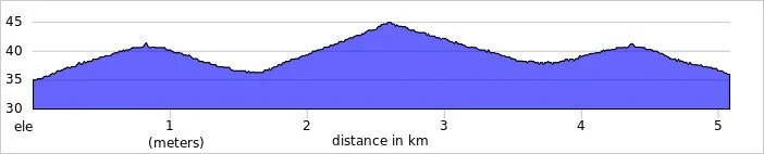
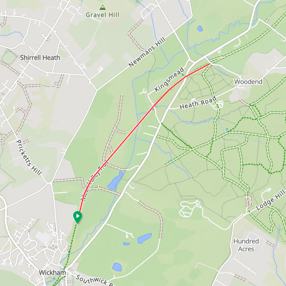
Meon Valley Trail, Wickham

  • I completed this event on: May 16th 2026 with a finish time of: 27:52

  • Historic County: Hampshire

  • Ceremonial County: Hampshire

  • Other routes touched (walk): Meon Valley Trail, Pilgrims’ Trail, Soberton and Newtown Millennium Walk

  • Other routes touched (cycle): NCN 224

  • Inaugural: April 12th 2025

  • Links: Event Home Page, Course Page


Mountbatten School

  • This parkrun event has been permanently cancelled. I did not complete this event before it was closed.

  • Historic County: Hampshire

  • Ceremonial County: Hampshire

  • Inaugural: March 2nd 2019

  • Final event: #46 on March 14th 2020

  • Links: Event Home Page, Course Page


Netley Abbey

  • I completed this event on: July 22nd 2023 with a finish time of: 26:58 on their alternative course as there was an event on the main course.

  • Historic County: Hampshire

  • Ceremonial County: Hampshire

  • Other routes touched (walk): N/A, although the Solent Way runs very close by.

  • Course Map and Elevation Profile by: Mark Brace on March 7th 2020

  • Inaugural: March 17th 2012

  • Links: Event Home Page, Course Page

Netley Abbey course (3 laps) on March 7th 2020

Netley Abbey alternative course (5.5 laps) - July 22nd 2023


Portsmouth Lakeside

  • I completed this event on: June 1st 2024 with a finish time of: 27:53

  • Historic County: Hampshire

  • Ceremonial County: Hampshire

  • Other routes touched (walk): Pilgrims’ Trail

  • Other routes touched (cycle): NCN 22, 236

  • Inaugural: April 30th 2016

  • Links: Event Home Page, Course Page


Queen Elizabeth

  • I completed this event on: March 30th 2019 with a finish time of: 26:58

  • Historic County: Hampshire

  • Ceremonial County: Hampshire

  • Other routes touched (walk): South Downs Way, Staunton Way, Hangers Way, The Shipwrights Way

  • Other routes touched (cycle): NCN 89

  • Inaugural: May 18th 2013

  • Links: Event Home Page, Course Page


Rushmoor

  • I completed this event on: November 4th 2017 with a finish time of: 26:51

  • Historic County: Hampshire

  • Ceremonial County: Hampshire

  • Other routes touched (walk): Basingstoke Canal Towpath

  • Inaugural: May 3rd 2014

  • Links: Event Home Page, Course Page, blog7t write-up

 
elevation_profile - Rushmoor.jpg

Southampton

  • I completed this event on: January 8th 2022 with a finish time of: 26:12

  • Historic County: Hampshire

  • Ceremonial County: Hampshire

  • Other routes touched: None

  • This event is also part of parkrun Compass Club

  • Inaugural: July 7th 2012

  • Links: Event Home Page, Course Page


Southsea

  • I completed this event on: April 22nd 2023 with a finish time of: 26:01

  • Historic County: Hampshire

  • Ceremonial County: Hampshire

  • Other routes touched (walk): Solent Way, The Shipwrights Way

  • Other routes touched (cycle): NCN 2

  • This event is also part of parkrun Compass Club

  • Inaugural: October 5th 2013

  • Links: Event Home Page, Course Page


Whiteley

  • I have not yet completed this event

  • Historic County: Hampshire

  • Ceremonial County: Hampshire

  • Other routes touched: None

  • Inaugural: April 1st 2017

  • Course Map and Elevation Profile by: Mark Brace on October 26th 2019

  • Links: Event Home Page, Course Page


Winchester

  • I completed this event on: January 11th 2020 with a finish time of: 26:37

  • Historic County: Hampshire

  • Ceremonial County: Hampshire

  • Other routes touched: N/A

  • Inaugural: April 27th 2013

  • Links: Event Home Page, Course Page


More parkrun posts

parkruns are free, weekly, community 5k events all around the world. I started in December 2012 and have been obsessive about it ever since. See my parkrun Collection page for details.

Featured and popular parkrun posts:


Completing all Sussex parkruns
Sussex parkrun banner.JPG

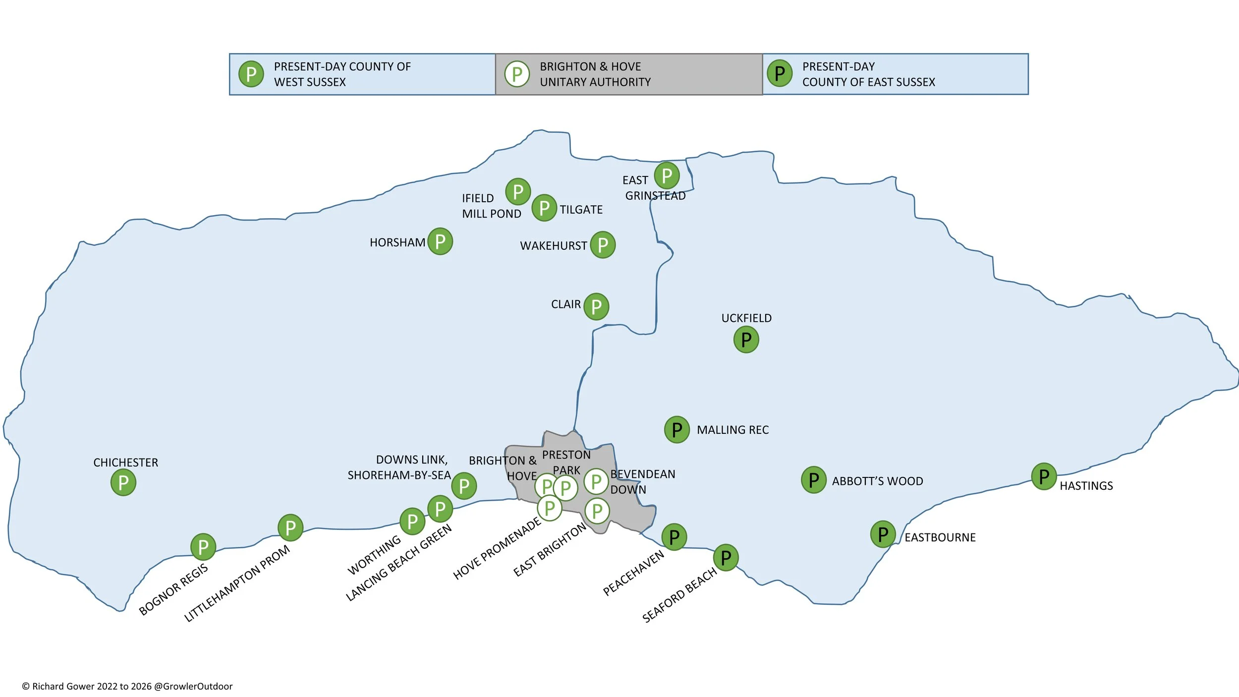
There are currently 24 parkrun events in the present-day county of Sussex. The Historic County is now made up of 3 present-day counties:

  • East Sussex with 7 parkrun events, the oldest of which is Eastbourne which started on January 28th 2012 and the newest is Abbot’s Wood which started on May 9th 2026. I have completed 2 of these events.

  • West Sussex with 12 parkrun events, the oldest of which is Tilgate which started on June 9th 2012 and the newest is Downs Link, Shoreham-by-Sea which started on October 11th 2025. I have completed 7 of these events.

  • Brighton and Hove Unitary Authority with 5 parkrun events, the oldest of which is Brighton and Hove which started on November 3rd 2007 and the newest is East Brighton which started on December 8th 2018. I have completed 3 of these events.

The name for having completed all parkrun events in the county is “Sussexful”.

Numbers exclude any events that are not open to the general public such as prisons or armed forces facilities.


All of the Sussex parkrun events …

Below are each of the Sussex 5k parkrun events in alphabetical order. A few things to note:

  • The interactive maps below take you to the approximate location for the course, typically the centre of the park. See the course instructions in the parkrun page for each event for specific directions to the start.

  • Course maps and elevation profiles show the route at the time that I ran it and may have changed since then. See the Course page in the event’s page on parkrun.org.uk for the current course outline. Note that course outlines are from Garmin data during a specific run and may vary from the officially measured distance.

  • Please contact me if you spot an event that doesn’t have a course map and elevation profile and you would like to donate one from your own run. I’m also interested in maps and elevation profiles for courses that have changed or where there’s a regular alternative route (e.g. Horsham). I’ll need a GPX file from your run plus the date. I’ll include a credit for you and will donate £1 to parkrun.


Abbot’s Wood


Bevendean Down


Bognor Regis


Brighton & Hove

  • I have not yet completed this event

  • Original name: Brighton and Hove Time Trial. The original set of Time Trials were rebranded as "parkrun" in 2008 to appeal to a wider, non-traditional running community.

  • Historic County: Sussex

  • Ceremonial County: East Sussex

  • City & Unitary Authority: Brighton and Hove

  • Other routes touched (walk): Monarch’s Way

  • Other routes touched (cycle): Regional route 82

  • Inaugural: November 3rd 2007

  • Course Map and Elevation Profile by: Mark Brace on January 23rd 2019

  • Links: Event Home Page, Course Page, blog7t write-up


Chichester

  • I have not yet completed this event

  • Historic County: Sussex

  • Ceremonial County: West Sussex

  • Other routes touched (walk): West Sussex Literary Trail

  • Inaugural: August 2nd 2014

  • Course Map and Elevation Profiles by: Mark Brace on October 11th 2025 (Summer Course) and January 11th 2025 (Winter Course)

  • Links: Event Home Page, Course Page, blog7t write-up

Chichester 3 lap Summer Course

Chichester 3 lap Summer Course

Chichester 4 lap Winter Course

Chichester 4 lap Winter Course


Clair

 
elevation_profile - Clair.jpg

Downs Link, Shoreham-by-Sea


East Brighton


East Grinstead

  • I completed this event on: November 9th 2019 with a finish time of: 28:12

  • Historic County: Sussex

  • Ceremonial County: West Sussex

  • This event is also part of Kent ++

  • This event is also part of parkrun Compass Club

  • Other routes touched (walk): Sussex Border Path. The western edge runs very close to the Greenwich Meridian Trail.

  • Inaugural: September 9th 2017

  • Links: Event Home Page, Course Page, blog7t write-up


Eastbourne


Hastings


Horsham

  • I completed this event on: August 31st 2019 with a finish time of: 24:48 on the Summer course

  • Historic County: Sussex

  • Ceremonial County: West Sussex

  • Other routes touched (walk): West Sussex Literary Trail

  • Inaugural: September 6th 2014

  • Winter Course Map and Elevation Profile by: Mark Brace on March 4th 2023

  • Links: Event Home Page, Course Page, blog7t write-up

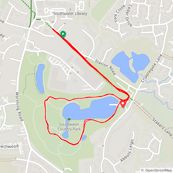
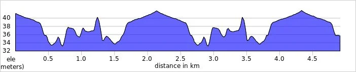
Horsham has an alternative location for winter parkruns at Southwater Country Park, a few miles away.

Summer Course at Horsham Park

Summer Course at Horsham Park

Winter Course at Southwater Country Park


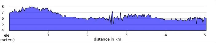
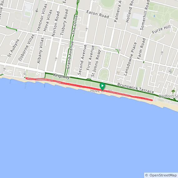
Hove Promenade


Ifield Mill Pond

 
elevation_profile - Ilfield Mill Pond.jpg

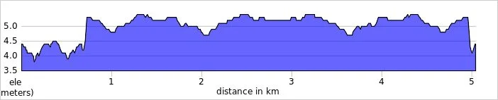
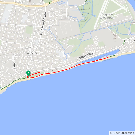
Lancing Beach Green

  • I have not yet completed this event

  • Historic County: Sussex

  • Ceremonial County: West Sussex

  • Other routes touched (walk): King Charles III England Coastal Path

  • Other routes touched (cycle): NCN 2

  • Inaugural: August 25th 2018

  • Course Map and Elevation Profile by: Mark Brace on June 22nd 2024

  • Links: Event Home Page, Course Page, blog7t write-up


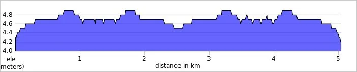
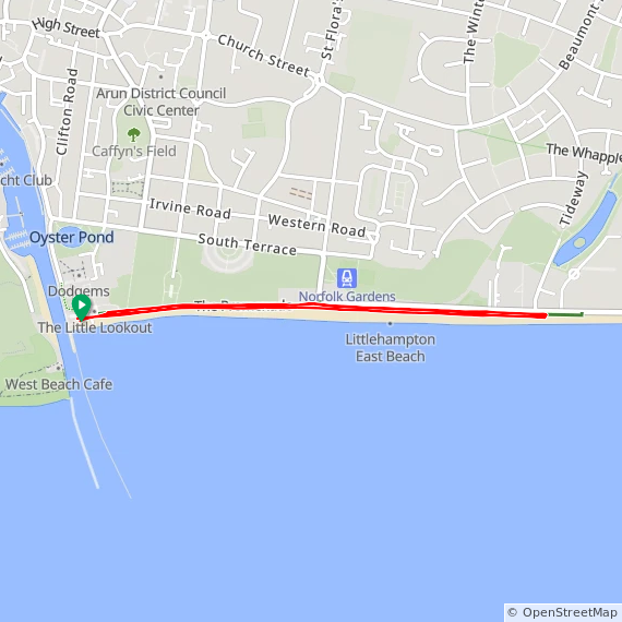
Littlehampton Prom

  • I have not yet completed this event

  • Historic County: Sussex

  • Ceremonial County: West Sussex

  • Other routes touched (walk): King Charles III England Coastal Path

  • Other routes touched (cycle): NCN 2

  • Inaugural: April 13th 2019

  • Course Map and Elevation Profile by: Mark Brace on April 4th 2026

  • Links: Event Home Page, Course Page, blog7t write-up


Malling Rec

  • I completed this event on: July 20th 2024 with a finish time of: 27:19

  • Historic County: Sussex

  • Ceremonial County: East Sussex

  • Other routes touched (walk): None, but the Sussex Ouse Valley Walk runs close to the start and end of the course.

  • Inaugural: July 6th 2024

  • Links: Event Home Page, Course Page, blog7t write-up


Peacehaven


Preston Park

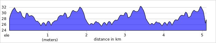
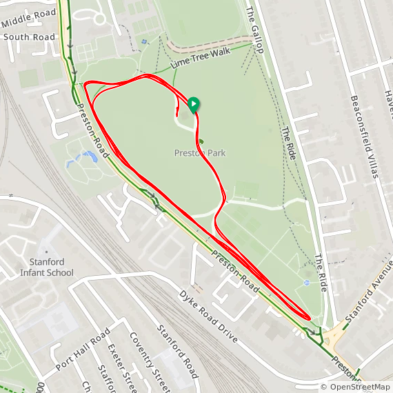
  • I have not yet completed this event

  • Historic County: Sussex

  • Ceremonial County: East Sussex

  • City & Unitary Authority: Brighton and Hove

  • Other routes touched (cycle): None, although NCN20 runs close to the western edge of the route

  • Inaugural: April 20th 2013

  • Course Map and Elevation Profile by: Mark Brace on December 21st 2019

  • Links: Event Home Page, Course Page, blog7t write-up


Seaford Beach

  • I have not yet completed this event

  • Historic County: Sussex

  • Ceremonial County: East Sussex

  • Other routes touched (cycle): NCN 2

  • Other routes touched (cycle): Vanguard Way

  • Inaugural: March 2nd 2019

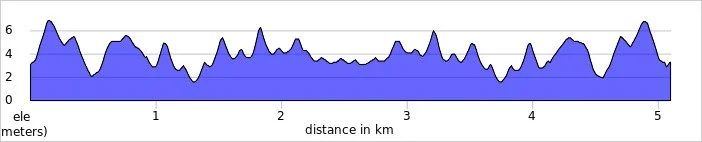
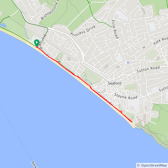
  • Course Map and Elevation Profile by: Mark Brace on January 30th 2019

  • Links: Event Home Page, Course Page, blog7t write-up


Tilgate


Uckfield


Wakehurst


Worthing

  • I have not yet completed this event

  • Historic County: Sussex

  • Ceremonial County: West Sussex

  • Other routes touched (cycle): NCN 2

  • Other routes touched (cycle): Vanguard Way

  • Inaugural: June 11th 2016

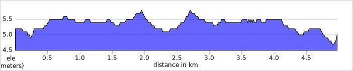
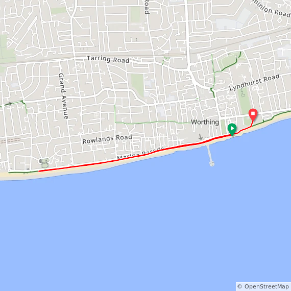
  • Course Map and Elevation Profile by: Mark Brace on May 25th 2024

  • Links: Event Home Page, Course Page, blog7t write-up


More parkrun posts

parkruns are free, weekly, community 5k events all around the world. I started in December 2012 and have been obsessive about it ever since. See my parkrun Collection page for details.

Featured and popular parkrun posts:


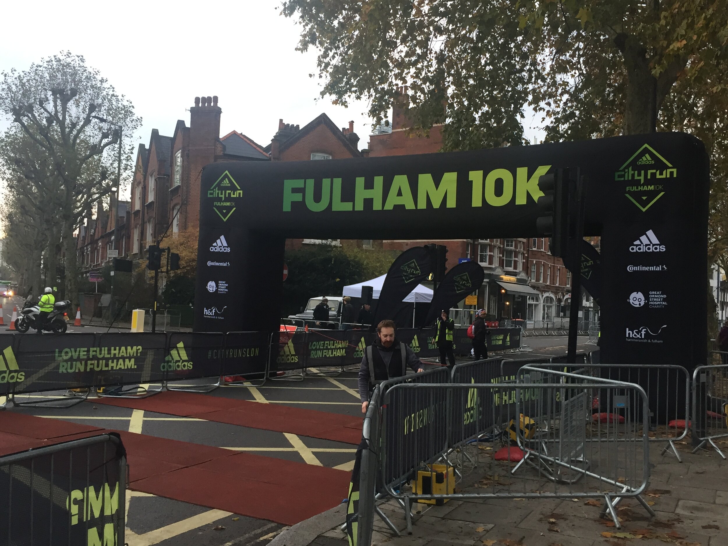
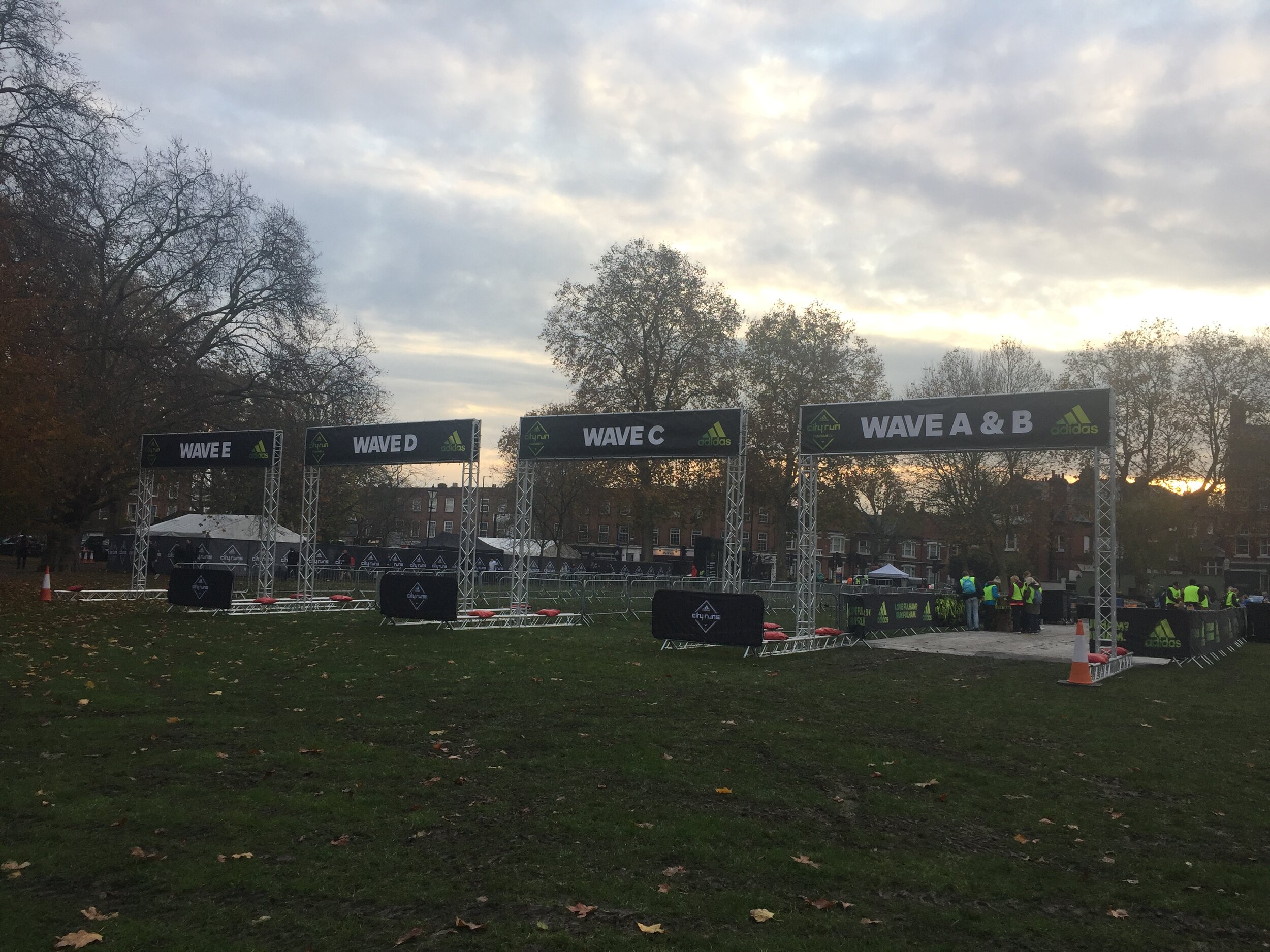
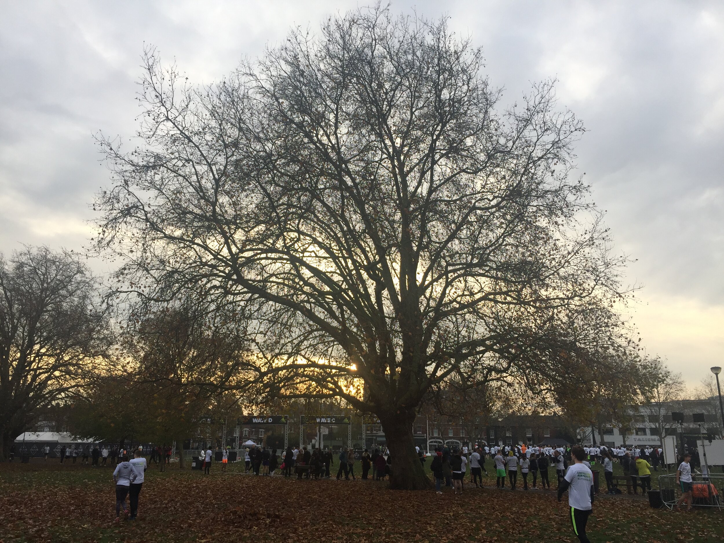
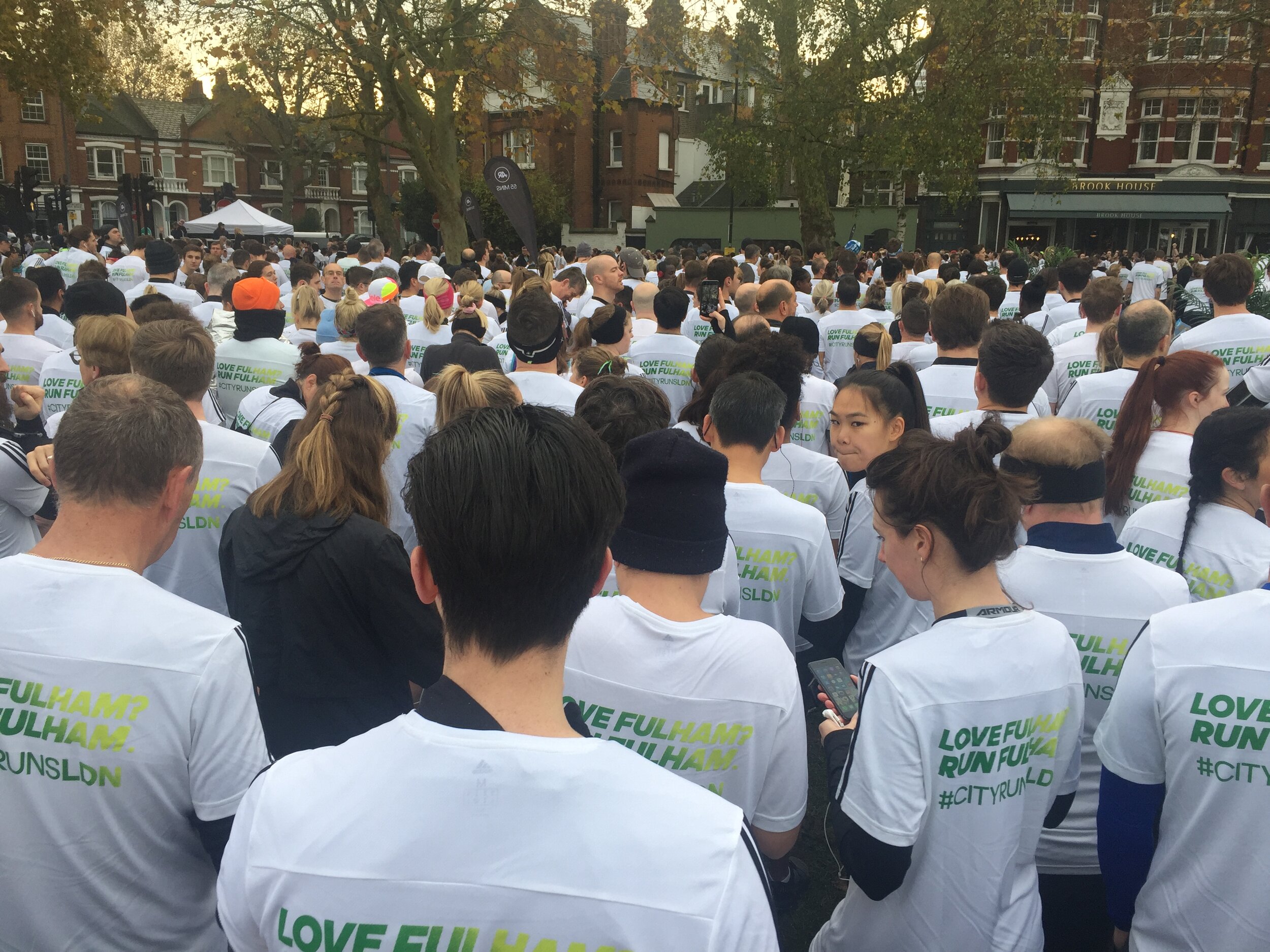
Adidas City Runs - Fulham 10k

When: November 17th 2019
Where: Fulham, London, UK
Course: Twisty turny on-road route around Waltham Green, Fulham and Parson’s Green including a loop of Stamford Bridge stadium. Start and end at Eel Brook Common.
Other routes touched: None
Finish time: 54 minutes

 
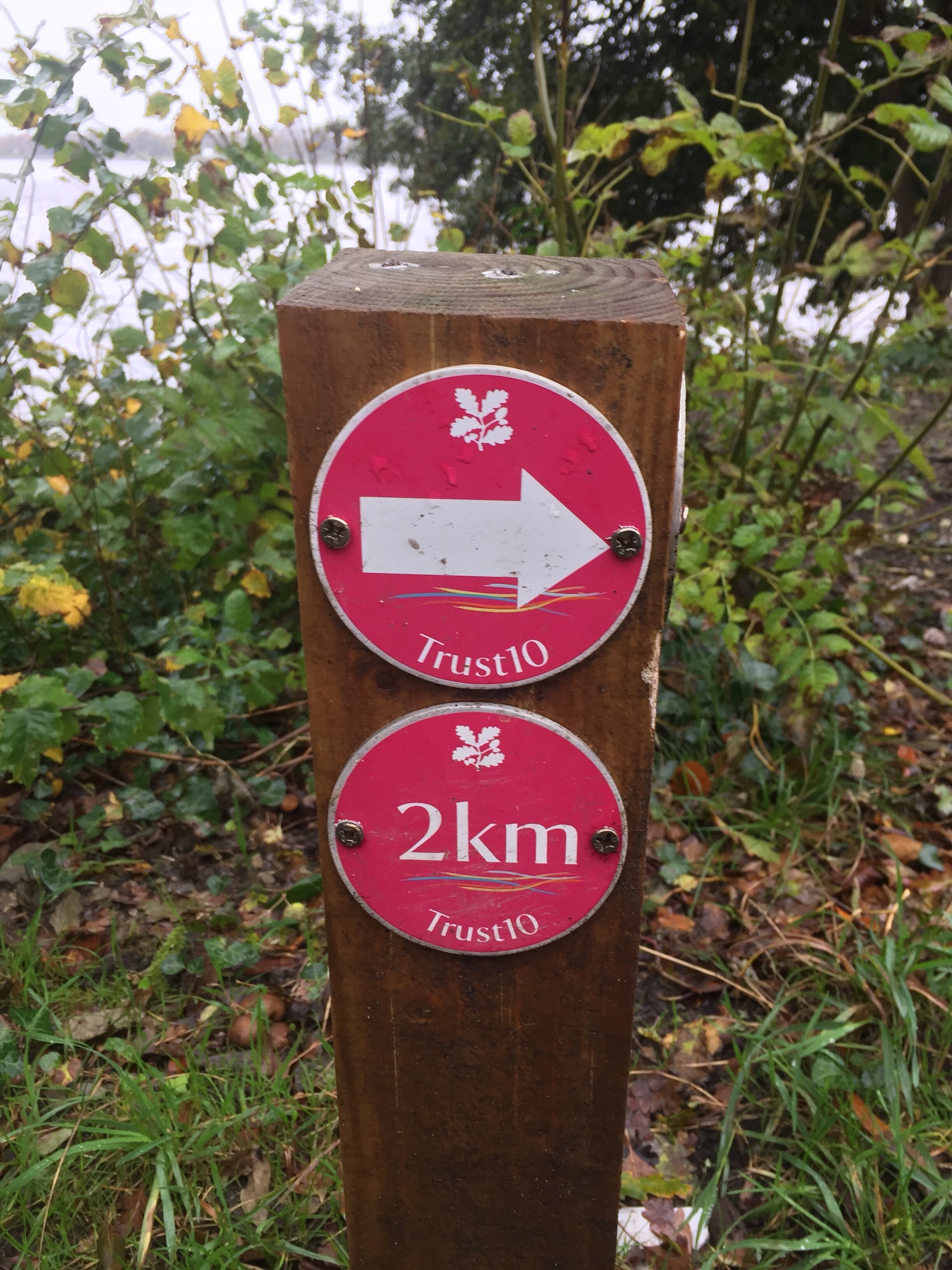
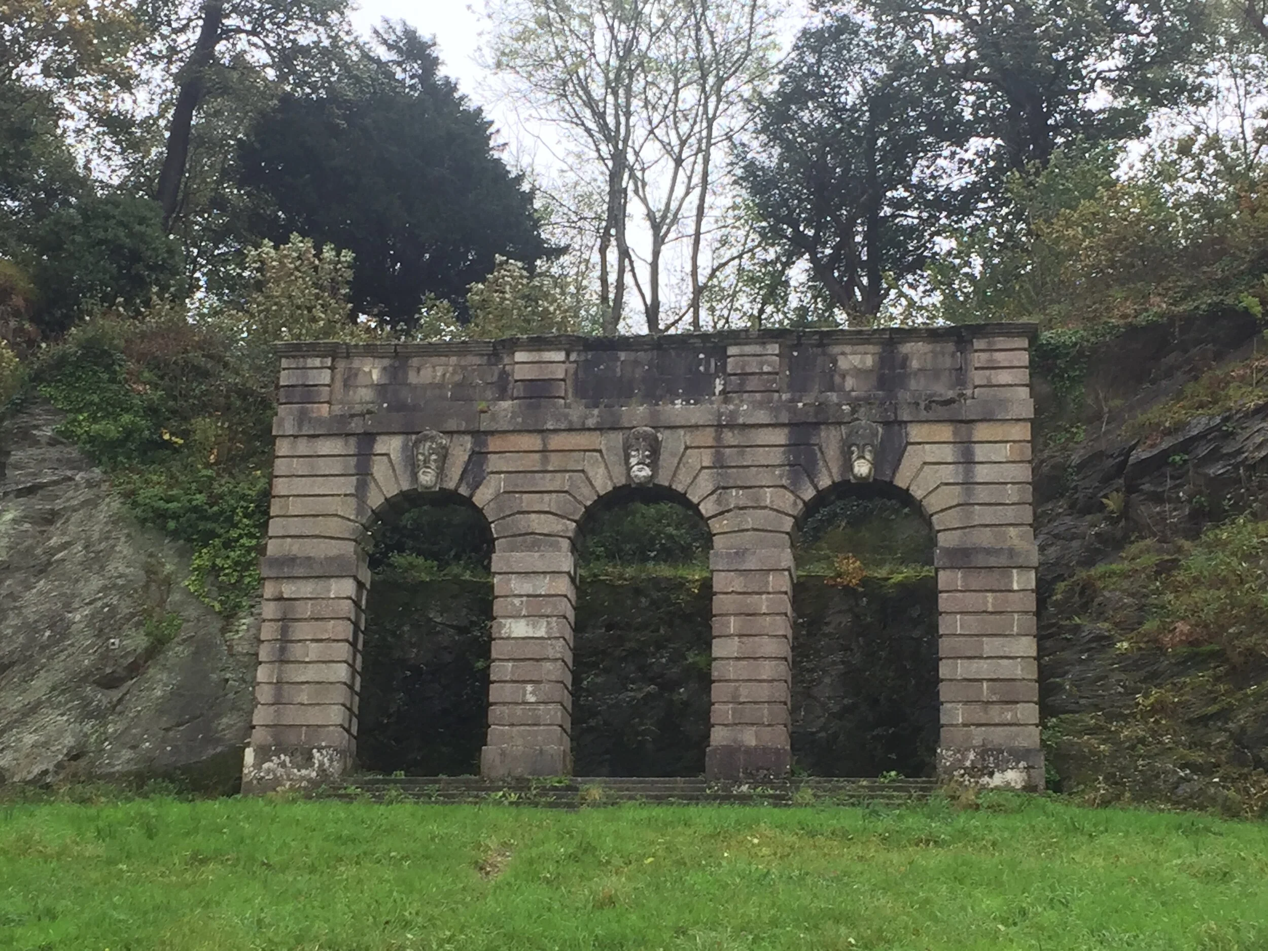
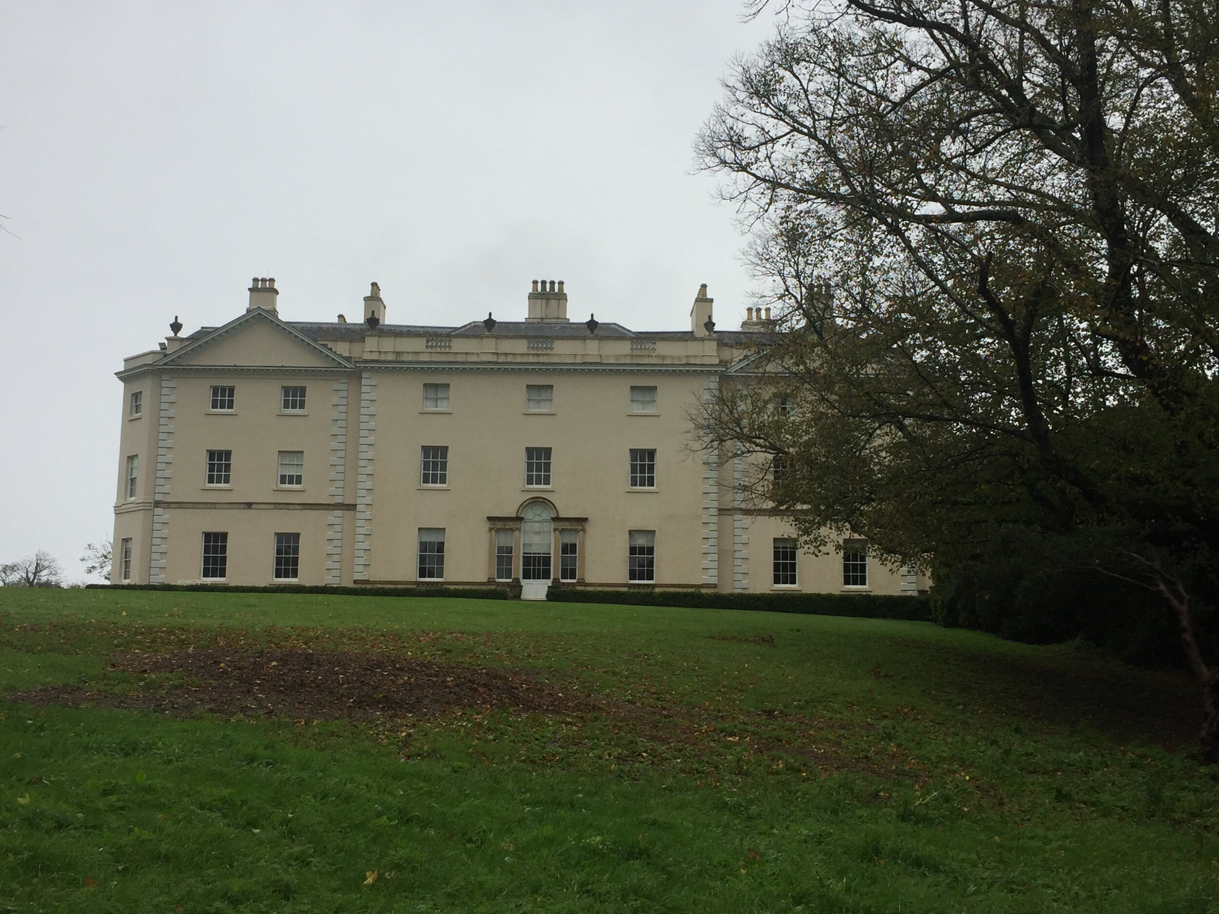
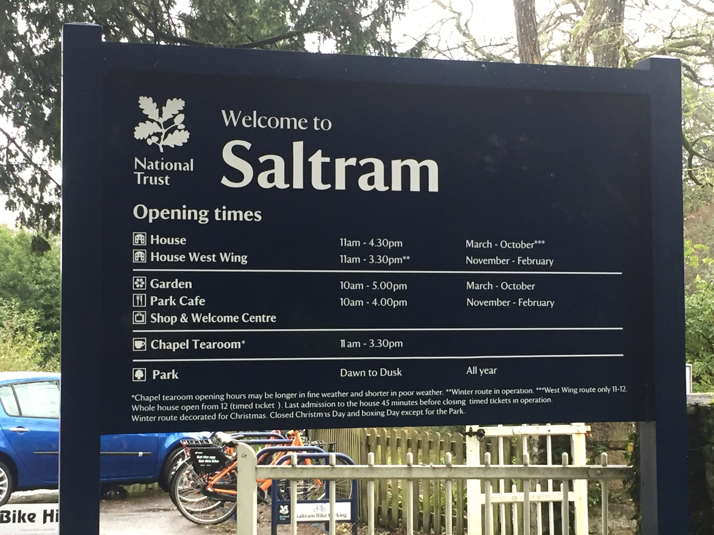
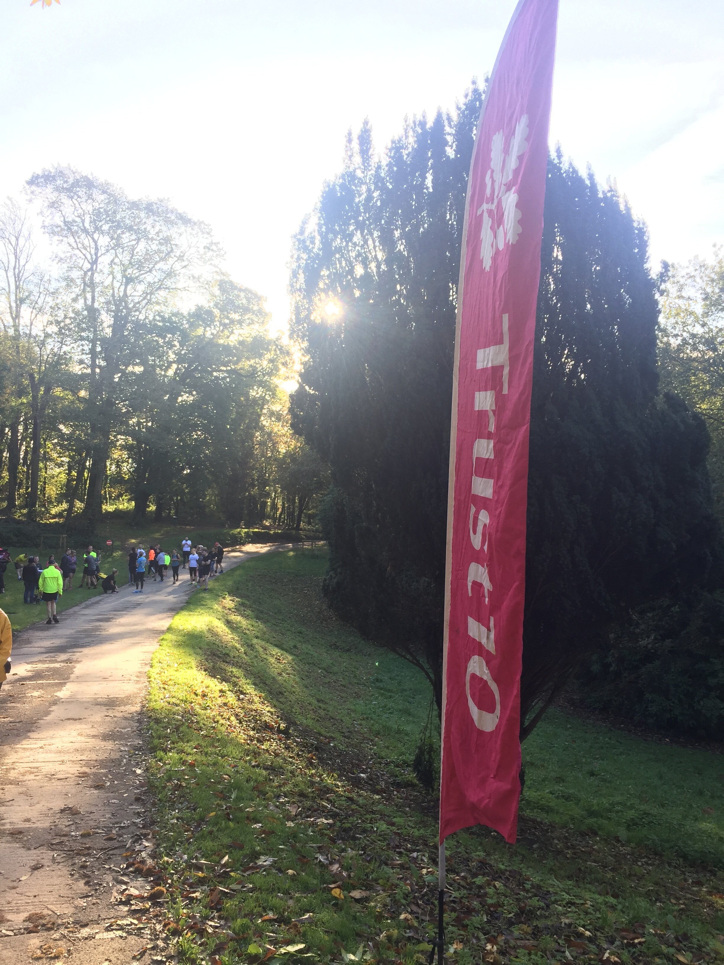
Trust 10 Saltram

When: October 27th 2019
Where: Saltram National Trust, Plymouth, Devon, UK
Course: Figure of 8 around the grounds of the National Trust property including a stretch of the River Plym embankment.
Other routes touched (walk): None
Other routes touched (cycle): NCN 2,27
Finish time: 65 minutes (due to being massively hung over)

 
parkrun Alphabet Challenge

After 291 parkruns, including 154 different locations, I finally cracked the Alphabet challenge. This is the Holy Grail for many parkrun obsessives, especially those in the parkrun Tourist community. I’d heard about it since I started parkrun 6 years ago, but with a lot fewer events at the time it was really hard. By the time I’d done 100 different events, I’d ticked off 21 letters without any targeted Alphabet bagging. All that remained were I, J, Y and Z. As there’s no X anywhere in the world, it doesn’t count (yet).

With 4 left to go I was now on a mission. At the time there were only 2 "I" parkruns in the country: Inverness and Ipswich. I very nearly did Inverness on our LEJOG adventure but decided against a run that day as we had 105 miles to cycle. A parkrun would have added an extra 5 miles and have delayed our cycle for 2 hours. It wasn’t going to happen. By the time I was planning my trip to Ipswich, a new event called Isabel Trail popped up in Stafford and I pounced on that one.

A weekend trip to Jersey bagged me the J and I got the island’s Half Marathon in on the same weekend. If I’d waited a year I could have used the new Jersey Farm event for my J and avoided a flight. I’m glad I did it though. It gave us a great weekend away and also contributed to my Channel Islands Regionnaire. Y was a relatively easy one. I had the choice of York and Yeovil Montacute. I chose the latter as we were visiting friends in Somerset so Yeovil was a short drive from there.

Then there was Z. Scroll down for the end of the story ……

Alphabeteer Bar Chart.JPG

Events by Letter

… that i had completed by the time I achieved my first alphabet.

Note that Yeovil Montacute has been permanently cancelled. It was one of the events that didn’t come out of the other side of the Covid pause. York, Yarborough Leisure Centre, Y Promenâd parkrun, Aberhonddu, and Y Promenâd, Abermaw are now the UK’s 4 Ys


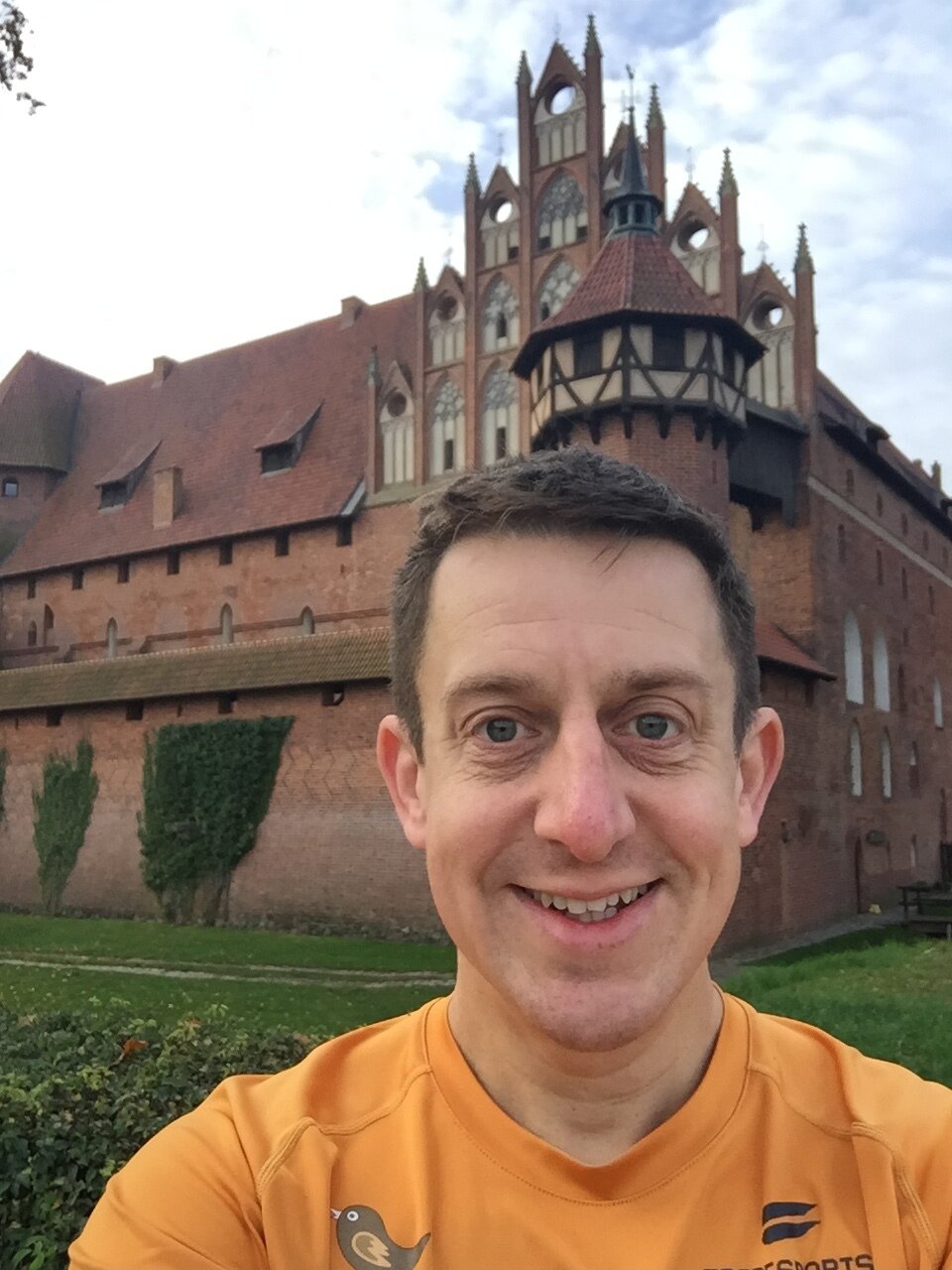
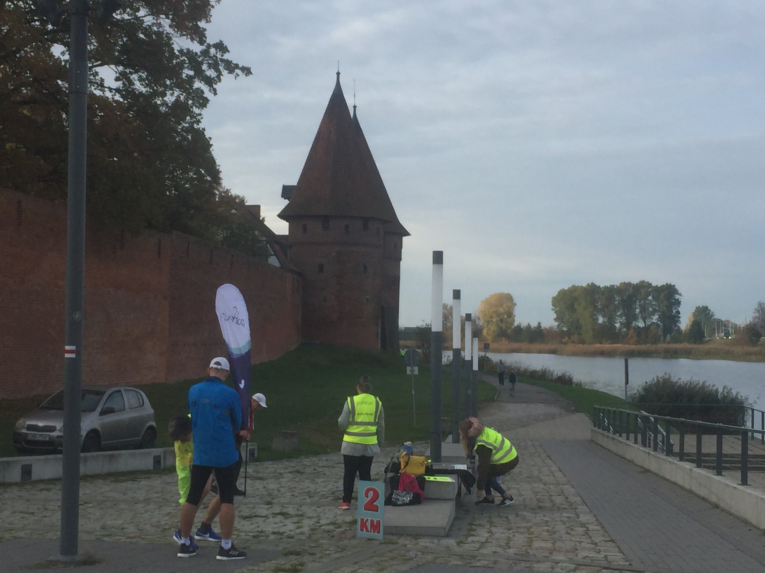
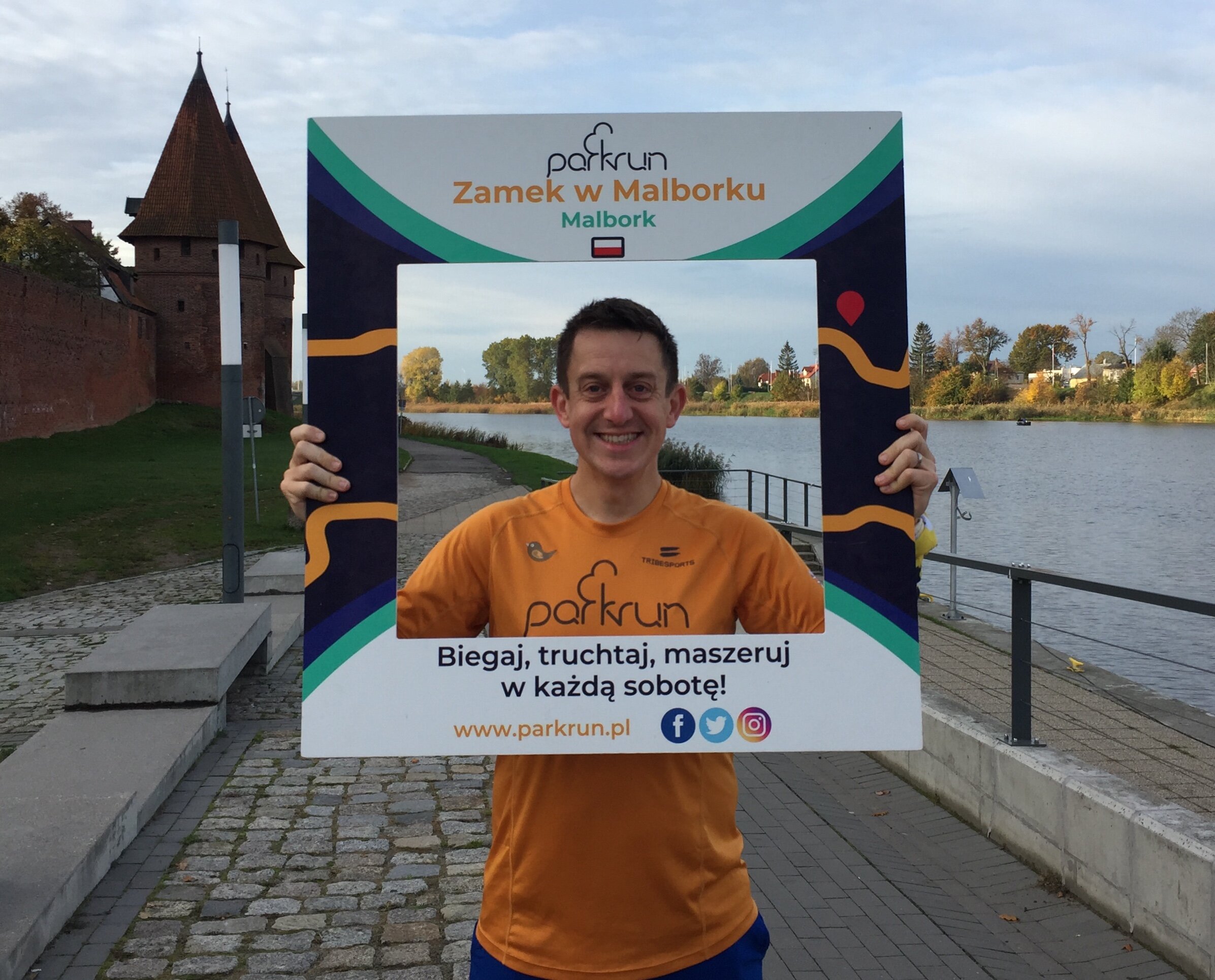
Zamek w Malborku

This was my second attempt at completing my Alphabet at Malbork. The first try was at the end of August. My parkrun mates and I had been trying to find a mutually convenient date all year. It looked like it wasn’t going to happen but then we found a date that would work as long as we were back by Saturday night before the wives had noticed we were missing.

This would be an especially important trip for Mark. He had come to parkun a bit later and had set himself the challenge of achieving the alphabet in his first 25 events. He claims that he was the first man and second human to have done this.

Shortly before the weekend came I had to make a last minute work trip to New Jersey. I had booked an overnight flight back to London to land at 10:00 on Friday morning. This would give me 3 hours before Neil would need to pick me up for our drive to Luton for the Wizz Air flight to Gdańsk.

After a nightmare trip out to New Jersey I decided that I needed a bit of extra contingency. I paid an extra £300 to get the earlier flight back which would give me another 3 hours. That was plenty of time to make the afternoon flight. What could go wrong?

Lots as it turned out. The combination of a broken plane, a storm and general ineptitude by United meant I was trapped in Newark Airport for 27 hours. I finally landed at Heathrow 23 hours late at 06:30 on Saturday morning. I’d long since missed my opportunity to get to Poland. The faint silver lining was that I didn’t have to miss parkrun altogether. I was still able to get home, get changed and get to Bedford to complete my Bedfordshire County collection.

Seeing how annoyed I was about missing my Malbork trip, Timea (wife) offered to come with me on my second attempt. This was a big deal as she has a general disinterest in running except that it gives her an extra few hours sleep on a Saturday. The following few weeks were a mixture of fighting with United for compensation and planning the return trip.

I’d lost faith in things going to plan after a Summer of flight delays and cancellations. I was checking the parkrun website every day for the 2 weeks leading up to it to make sure it wasn’t cancelled. As it happened all went to plan. The flight was on time, none of the usual nonsense from the rental car company and the hotel was just what we needed.

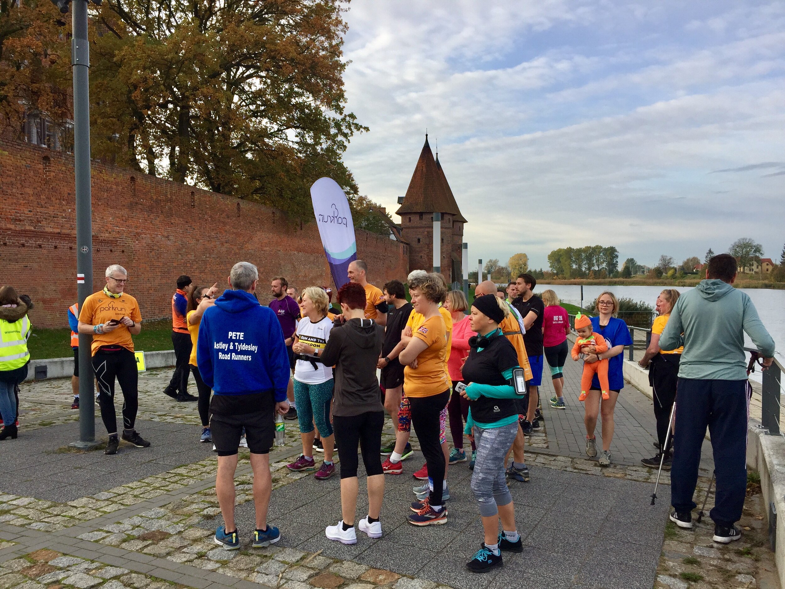
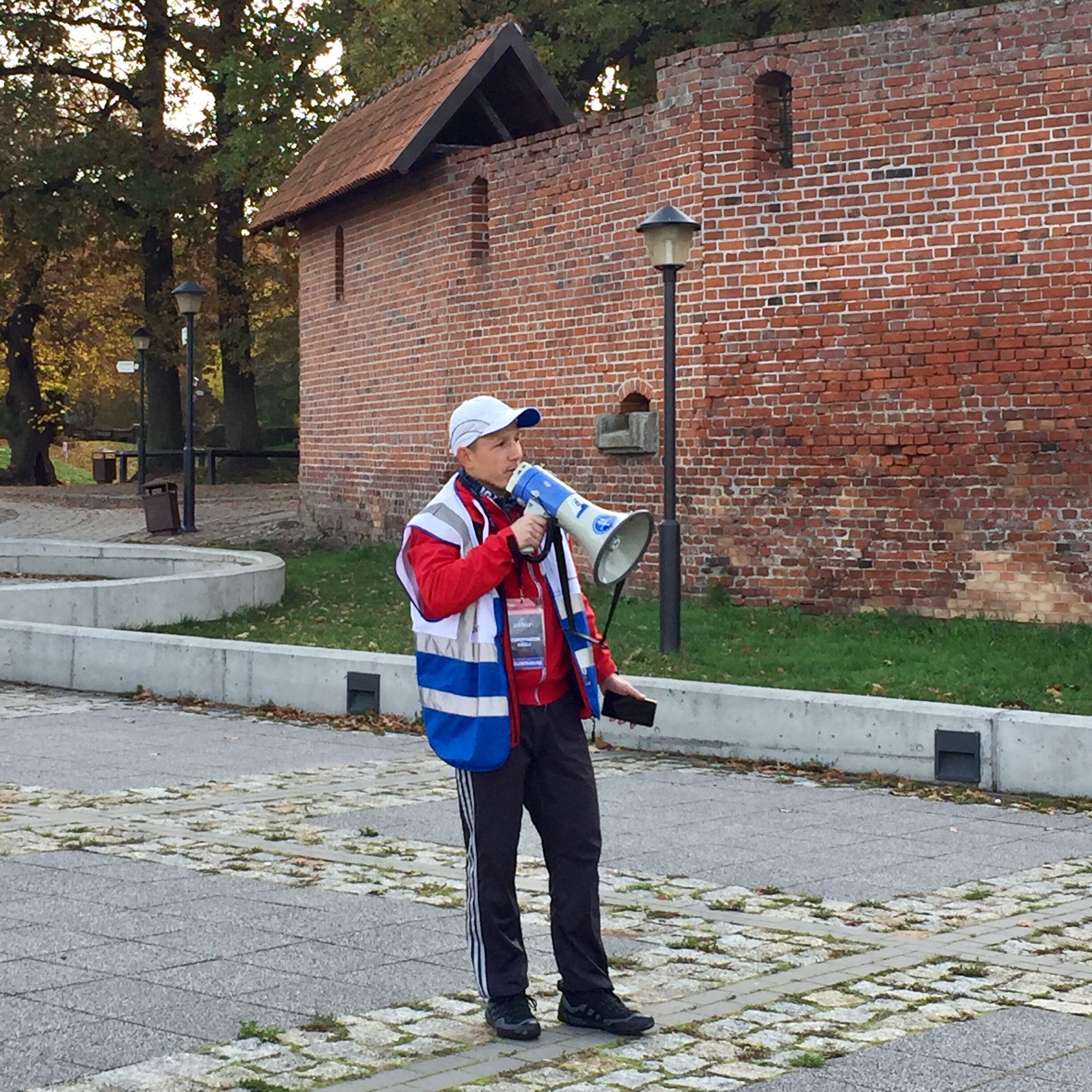
There were 43 parkrunners there that morning. 11 were locals and 32 were Brits like me who had flown over for the event. Any town with a park that begins with a Z (and definitely those with an X) will do very well from tourist income.

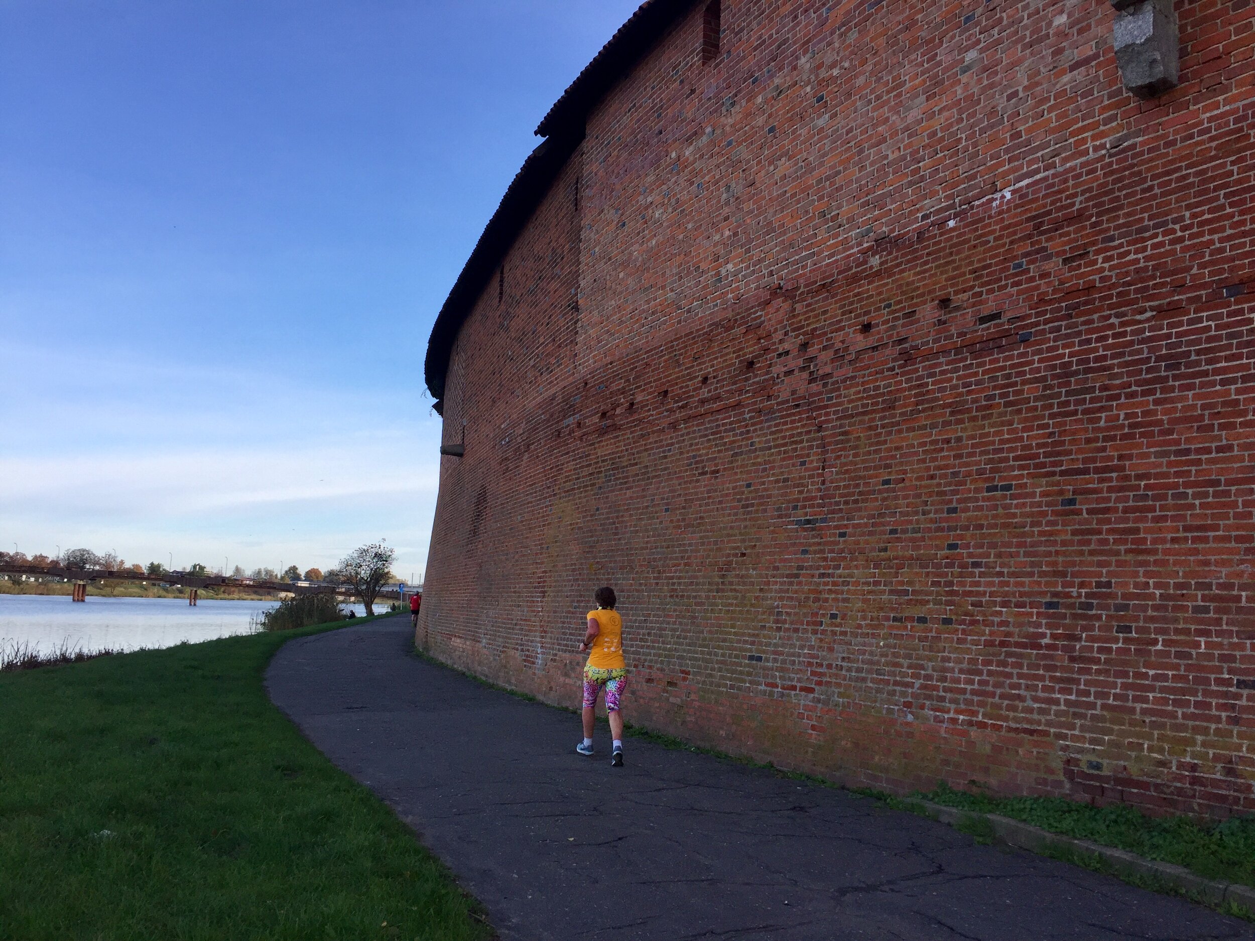
The run itself was great: a simple out and back course along the River Nogat next to the Castle. Once I was finished I popped back to the hotel to wake up the wife, have a quick shower then back to the castle for breakfast. The castle is also a UNESCO World Heritage site so it also gave me a tick on that list too.

There's a few options for a Z in Poland, and several in other countries too. Zamek w Malborku is a really great option for a relatively easy trip from the UK and plenty of other things to do for a weekend away.


More parkrun posts

parkruns are free, weekly, community 5k events all around the world. I started in December 2012 and have been obsessive about it ever since. See my parkrun Collection page for details.

Featured and popular parkrun posts:


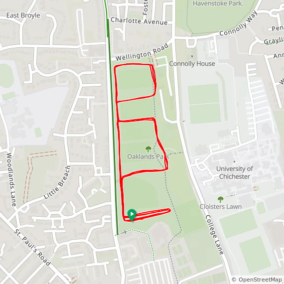
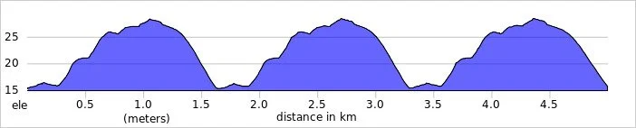
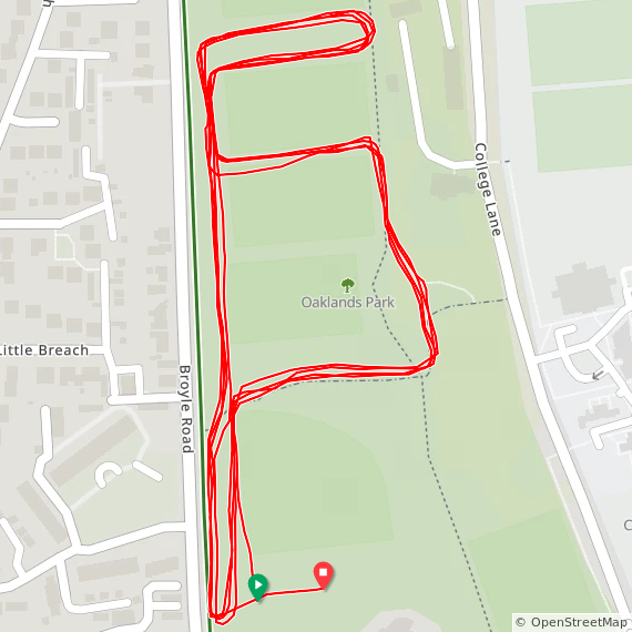
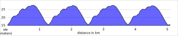
Completing all Kent parkruns
Kent parkrun banner.JPG

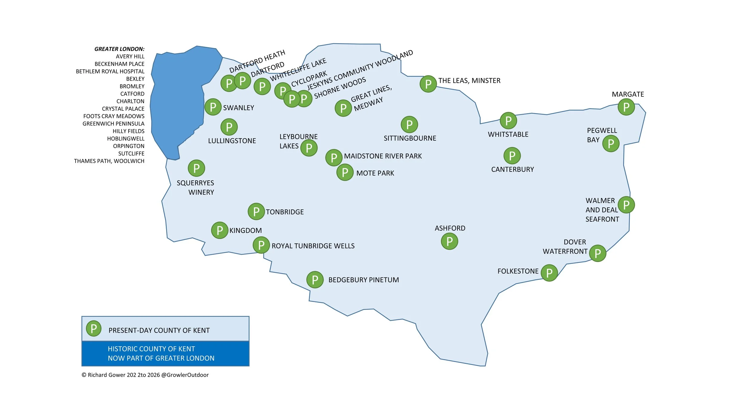
There are currently 27 parkrun events in present-day Kent of which I have done 21. The first was Whitstable which started on November 6th 2010 and the newest is Jeskyns Community Woodland which started on July 18th 2026.

The Historic County of Kent has a further 15 events. These are now part of Greater London. Both Bethlem Royal Hospital and Crystal Palace cross the Surrey/Kent border but are mostly in Historic Kent.

Completing all of the parkrun events in Kent is often called being “A Complete Kent”. “A Complete Kent +” would be completing all events in the Historic County of Kent, including those now in Greater London. For the absolute completists there’s also the “Complete Kent ++” which includes the 5 parkrun events in Essex and 2 in East Sussex whose Voronoi area extends into Kent. Scroll down for more on this. An alternative completion name is “Gar-Done of England”.

Numbers exclude any events that are not open to the general public such as prisons or armed forces facilities.


All of the Kent parkrun events …

Below are each of the Kent 5k parkrun events in alphabetical order. A few things to note:

  • The interactive maps below take you to the approximate location for the course, typically the centre of the park. See the course instructions in the parkrun page for each event for specific directions to the start.

  • Course maps and elevation profiles show the route at the time that I ran it and may have changed since then. See the Course page in the event’s page on parkrun.org.uk for the current course outline. Note that course outlines are from Garmin data during a specific run and may vary from the officially measured distance.

  • Please contact me if you spot an event that doesn’t have a course map and elevation profile and you would like to donate one from your own run. I’m also interested in maps and elevation profiles for courses that have changed or where there’s a regular alternative route (e.g. Horsham). I’ll need a GPX file from your run plus the date. I’ll include a credit for you and will donate £1 to parkrun.


Ashford


Bedgebury Pinetum

  • I completed this event on: January 22nd 2022 with a finish time of: 26:23

  • Historic County: Kent

  • Ceremonial County: Kent

  • Other routes touched: Bedgebury Pinetum Mountain Bike Routes

  • Inaugural: March 19th 2016

  • Links: Event Home Page, Course Page, blog7t write-up


Canterbury


Cyclopark

  • I completed this event on: March 19th 2022 with a finish time of: 26:23

  • Historic County: Kent

  • Ceremonial County: Kent

  • Other routes touched (cycle): NCN 177

  • Inaugural: July 20th 2019

  • Links: Event Home Page, Course Page, blog7t write-up


Dartford

  • I completed this event on: December 22nd 2018 with a finish time of: 29:06

  • Historic County: Kent

  • Ceremonial County: Kent

  • Other routes touched (walk): Darent Valley Path

  • Other routes touched (cycle): NCN 125

  • This event is also part of LonDone +

  • Inaugural: June 26th 2014

  • Links: Event Home Page, Course Page, blog7t write-up


Dartford Heath

  • I completed this event on: December 15th 2018 with a finish time of: 29:02

  • Historic County: Kent

  • Ceremonial County: Kent

  • Other routes touched: None

  • This event is also part of LonDone +

  • Inaugural: May 12th 2018

  • Links: Event Home Page, Course Page, blog7t write-up

 
route-31325370-map-full - Dartford Heath.png

Dover Waterfront

  • I completed this event on: May 24th 2025 with a finish time of: 26:57

  • Historic County: Kent

  • Ceremonial County: Kent

  • Other routes touched (walk): Saxon Shore Way

  • Other routes touched (cycle): NCN 2

  • Inaugural: September 9th 2023

  • Links: Event Home Page, Course Page, blog7t write-up


Folkestone


Great Lines, Medway

  • I completed this event on: March 23rd 2024 with a finish time of: 28:44

  • Historic County: Kent

  • Ceremonial County: Kent

  • Other routes touched: Saxon Shore Way

  • Inaugural: September 28th 2013

  • Links: Event Home Page, Course Page, blog7t write-up


Jeskyns Community Woodland


Kingdom

  • I completed this event on: February 1st 2020 with a finish time of: 27:10

  • Historic County: Kent

  • Ceremonial County: Kent

  • Other routes touched: None

  • Inaugural: April 27th 2019

  • Links: Event Home Page, Course Page, blog7t write-up


Leybourne Lakes

  • I completed this event on: April 2nd 2022 with a finish time of: 25:29

  • Original name: Malling. Changed to avoid confusion with Malling Rec parkrun in Lewes (which started in summer 2024), and to logically reflect its actual location in Leybourne Lakes Country Park, since "Malling" is a borough and not a specific town.

  • Historic County: Kent

  • Ceremonial County: Kent

  • Other routes touched: None

  • Inaugural: October 3rd 2015

  • Links: Event Home Page, Course Page, blog7t write-up


Lullingstone

  • I completed this event on: November 2nd 2019 with a finish time of: 31:17

  • Historic County: Kent

  • Ceremonial County: Kent

  • Other routes touched: None

  • This event is also part of LonDone ++

  • Inaugural: April 11th 2015

  • Links: Event Home Page, Course Page, blog7t write-up


Maidstone River Park

  • I completed this event on: April 9th 2022 with a finish time of: 25:46

  • Original name: Maidstone. Changed oo better reflect the route and align with parkrun policy of using the smallest identifiable location, particularly since Mote Park parkrun had also opened in Maidstone.

  • Historic County: Kent

  • Ceremonial County: Kent

  • Other routes touched (walk): KCC Centenary Walk

  • Inaugural: April 13th 2013

  • Links: Event Home Page, Course Page, blog7t write-up


Margate


Mote Park

  • I completed this event on: July 19th 2025 with a finish time of: 26:42

  • Historic County: Kent

  • Ceremonial County: Kent

  • Other routes touched (walk): Len Valley Walk

  • Other routes touched (cycle): NCN 177

  • Inaugural: June 4th 2022

  • Links: Event Home Page, Course Page, blog7t write-up


Pegwell Bay


Royal Tunbridge Wells

  • I completed this event on: January 29th 2022 with a finish time of: 27:27

  • Historic County: Kent

  • Ceremonial County: Kent

  • Other routes touched: None

  • Inaugural: April 26th 2014

  • Links: Event Home Page, Course Page, blog7t write-up


Shorne Woods

  • I completed this event on: March 26th 2022 with a finish time of: 26:14

  • Historic County: Kent

  • Ceremonial County: Kent

  • Other routes touched: Several trails inside the country park

  • Inaugural: March 30th 2013

  • Links: Event Home Page, Course Page, blog7t write-up


Sittingbourne


Squerryes Winery

  • I completed this event on: October 12th 2019 with a finish time of: 26:55

  • Historic County: Kent

  • Ceremonial County: Kent

  • Other routes touched: None

  • This event is also part of LonDone ++

  • Inaugural: September 14th 2019

  • Links: Event Home Page, Course Page, blog7t write-up

 
elevation_profile - Squerreys Winery.jpg

Swanley

  • I completed this event on: December 18th 2021 with a finish time of: 25:25

  • Historic County: Kent

  • Ceremonial County: Kent

  • Other routes touched: None

  • This event is also part of LonDone +

  • Inaugural: October 23rd 2021

  • Links: Event Home Page, Course Page, blog7t write-up


The Leas, Minster

  • I completed this event on: August 12th 2023 with a finish time of: 28:06

  • Historic County: Kent

  • Ceremonial County: Kent

  • Other routes touched: England Coast Path

  • Inaugural: September 28th 2019

  • Links: Event Home Page, Course Page, blog7t write-up


Tonbridge

  • I completed this event on: January 15th 2022 with a finish time of: 26:13

  • Historic County: Kent

  • Ceremonial County: Kent

  • Other routes touched (walk): Weald Way, Eden Valley Walk, The Tudor Trail

  • Other routes touched (cycle): NCN 12

  • Inaugural: November 9th 2013

  • Links: Event Home Page, Course Page, blog7t write-up


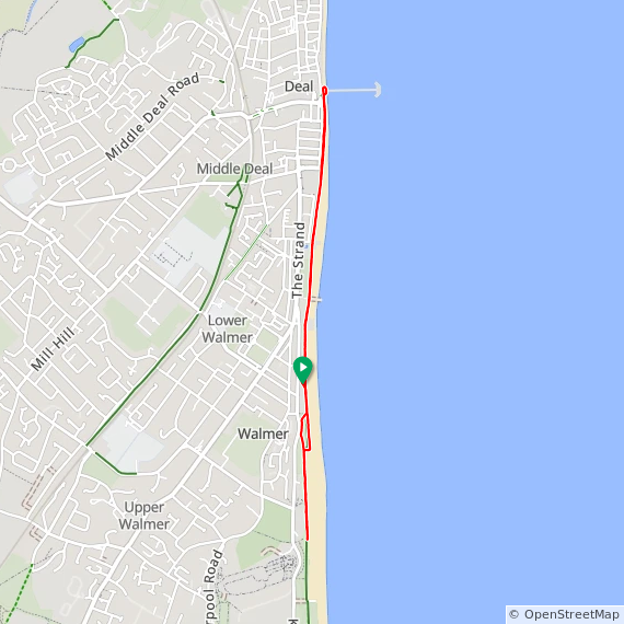
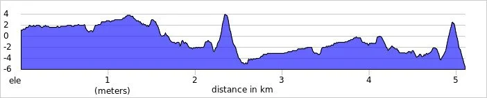
Walmer and Deal Seafront

  • I completed this event on: July 12th 2025 with a finish time of: 26:17

  • Historic County: Kent

  • Ceremonial County: Kent

  • Other routes touched (walk): Saxon Shore Way, King Charles III England Coast Path

  • Other routes touched (cycle): NCN 2

  • Inaugural: September 15th 2019

  • Links: Event Home Page, Course Page, blog7t write-up


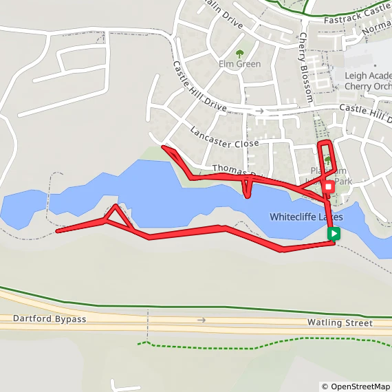
Whitecliffe Lake


Whitstable

  • I completed this event on: August 3rd 2024 with a finish time of: 28:35

  • Historic County: Kent

  • Ceremonial County: Kent

  • Other routes touched (walk): Saxon Shore Way

  • Other routes touched (cycle): NCN 15: Viking Way

  • Inaugural: November 6th 2010

  • Links: Event Home Page, Course Page, blog7t write-up


PARKRUNS IN HISTORIC COUNTY OF KENT BUT NOW IN GREATER LONDON (“Complete Kent +”)

See the LonDone blog post for maps and stats for these:

* The Bethlem Royal Hospital Crystal Palace courses are partly in Historic Surrey and mostly in Historic Kent


Complete Kent ++: The Voronoi overlappers.

Once you’ve completed all of the parkrun events in Historic Kent the icing on the cake is to complete the 4 parkrun events in Essex and 2 in East Sussex whose Voronoi area extends into Kent. Note that different parkrun apps have slightly different calculations for their Voronoi maps. For this page I’ve used the Voronoi map from the Running Challenges Chrome Extension.

In the images below the light blue polygon is the non-Kent parkrun event whose Voronoi area extends into Kent. The red line is the county border.


More parkrun posts

parkruns are free, weekly, community 5k events all around the world. I started in December 2012 and have been obsessive about it ever since. See my parkrun Collection page for details.

Featured and popular parkrun posts:


Walking The Camino Finisterre
Finisterre

Finisterre


For the story so far, see Walking The Camino Inglés

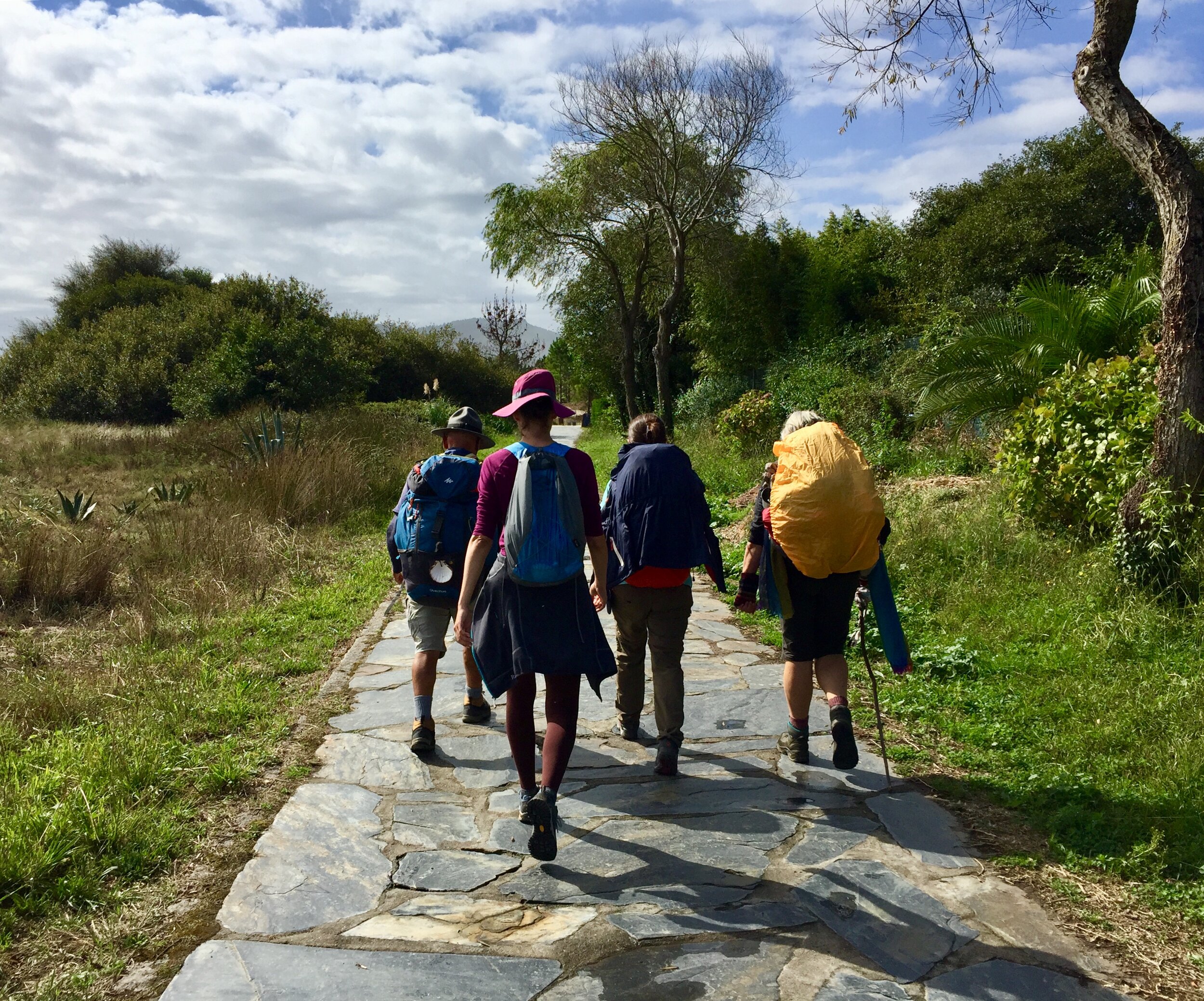
We got up early to leave Santiago de Compostela. Unlike our first trip there were were not going home. This time we were about to start a new chapter of our second Camino adventure. We were starting the Camino Finisterre.

The Finisterre route is often done as an extension to one of the longer Caminos that end in Santiago. For many pilgrims the Camino is all about the journey rather than the destination. Santiago is a wonderful place with the cathedral as the natural end point. The end can often feel like it's come too quickly or can be an anticlimax. The solution to the problem of not wanting to finish is to continue. The Finisterre provides this solution taking you from the city to the coast at the "end of the world".

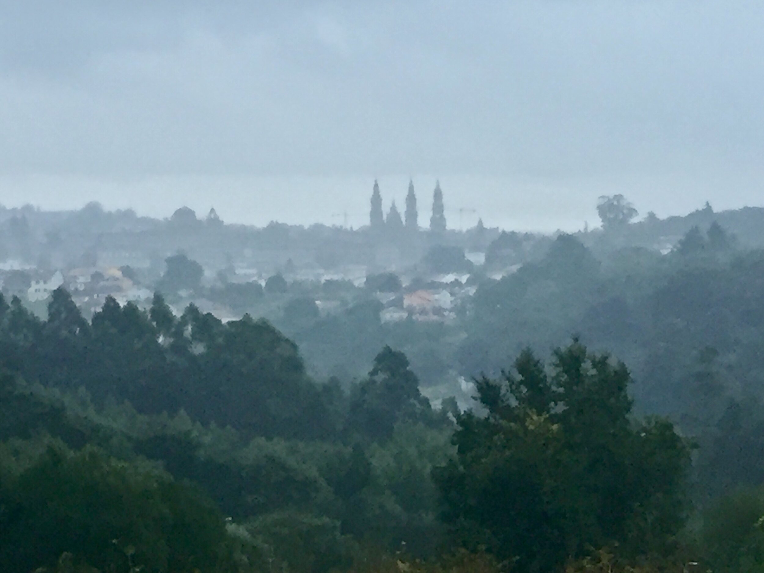
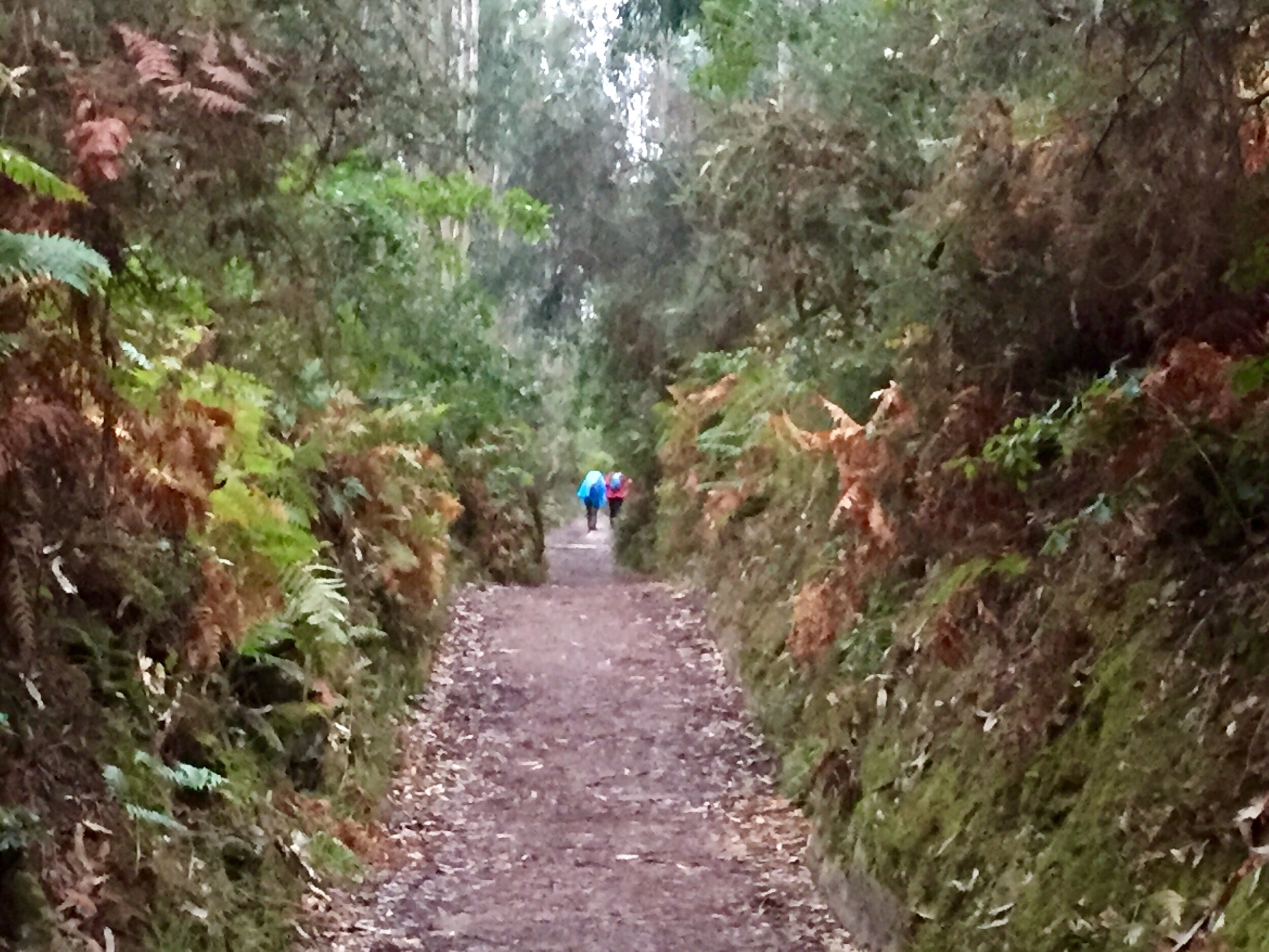
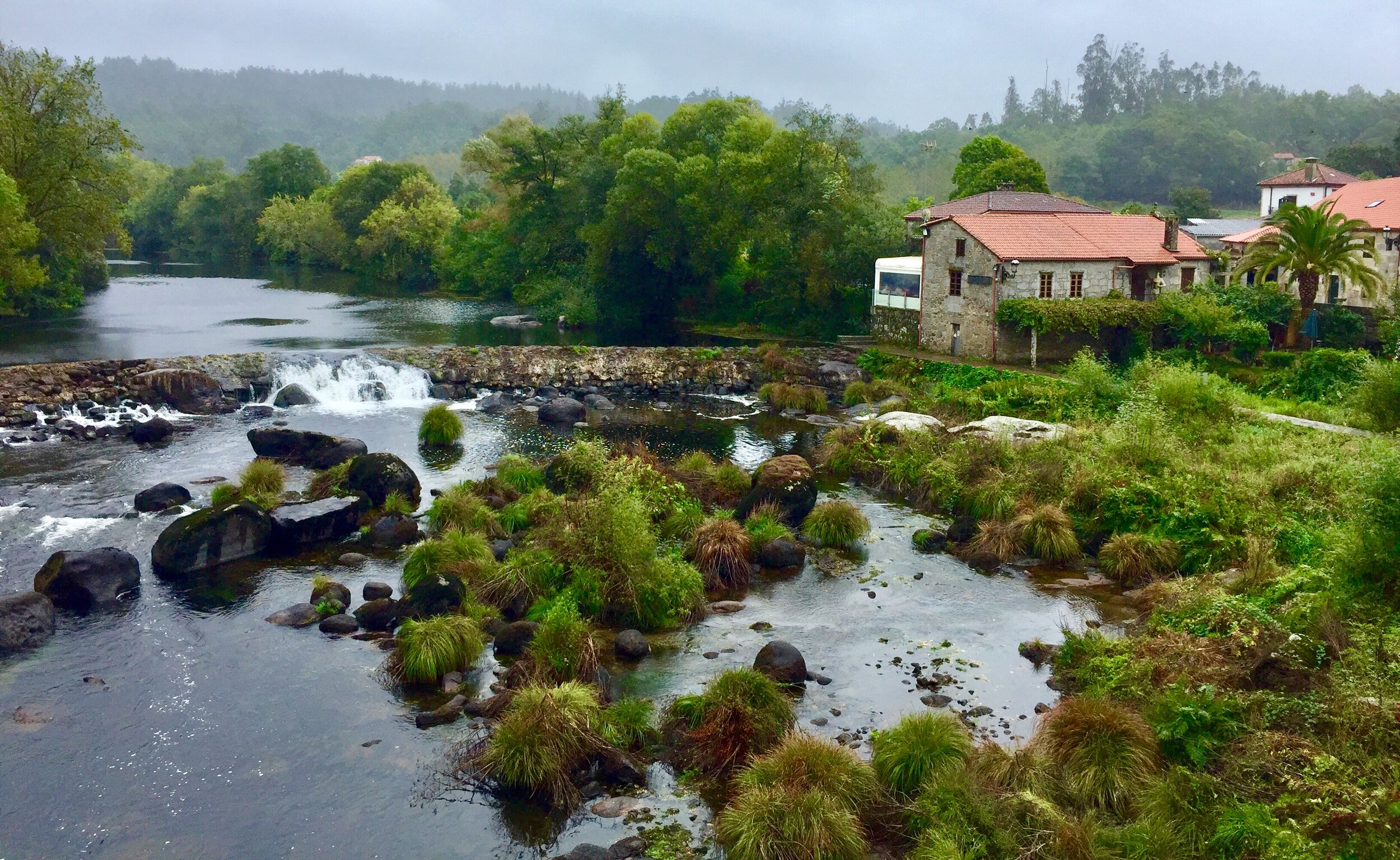
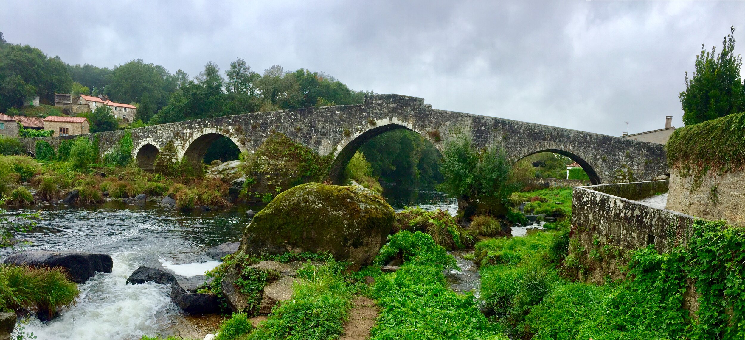
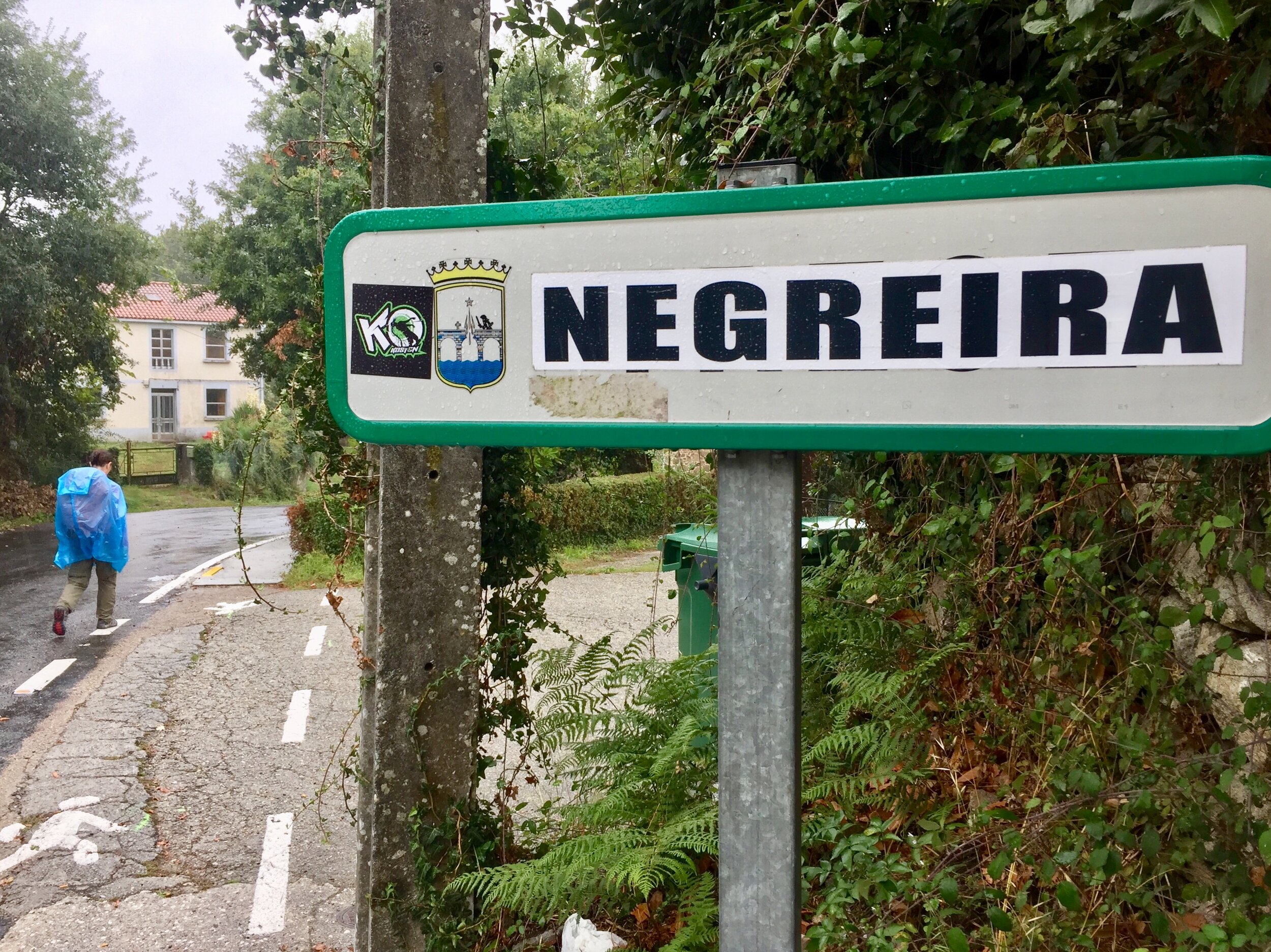
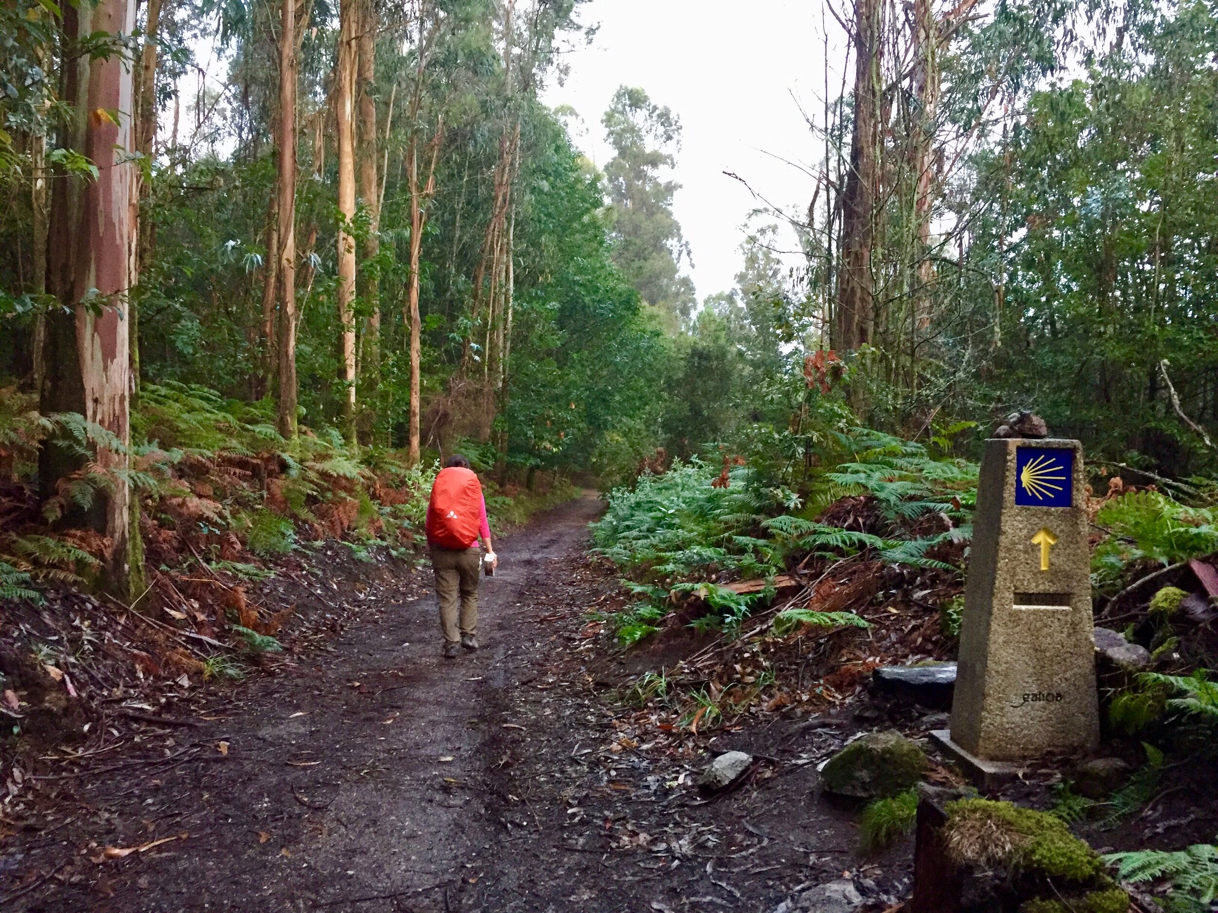
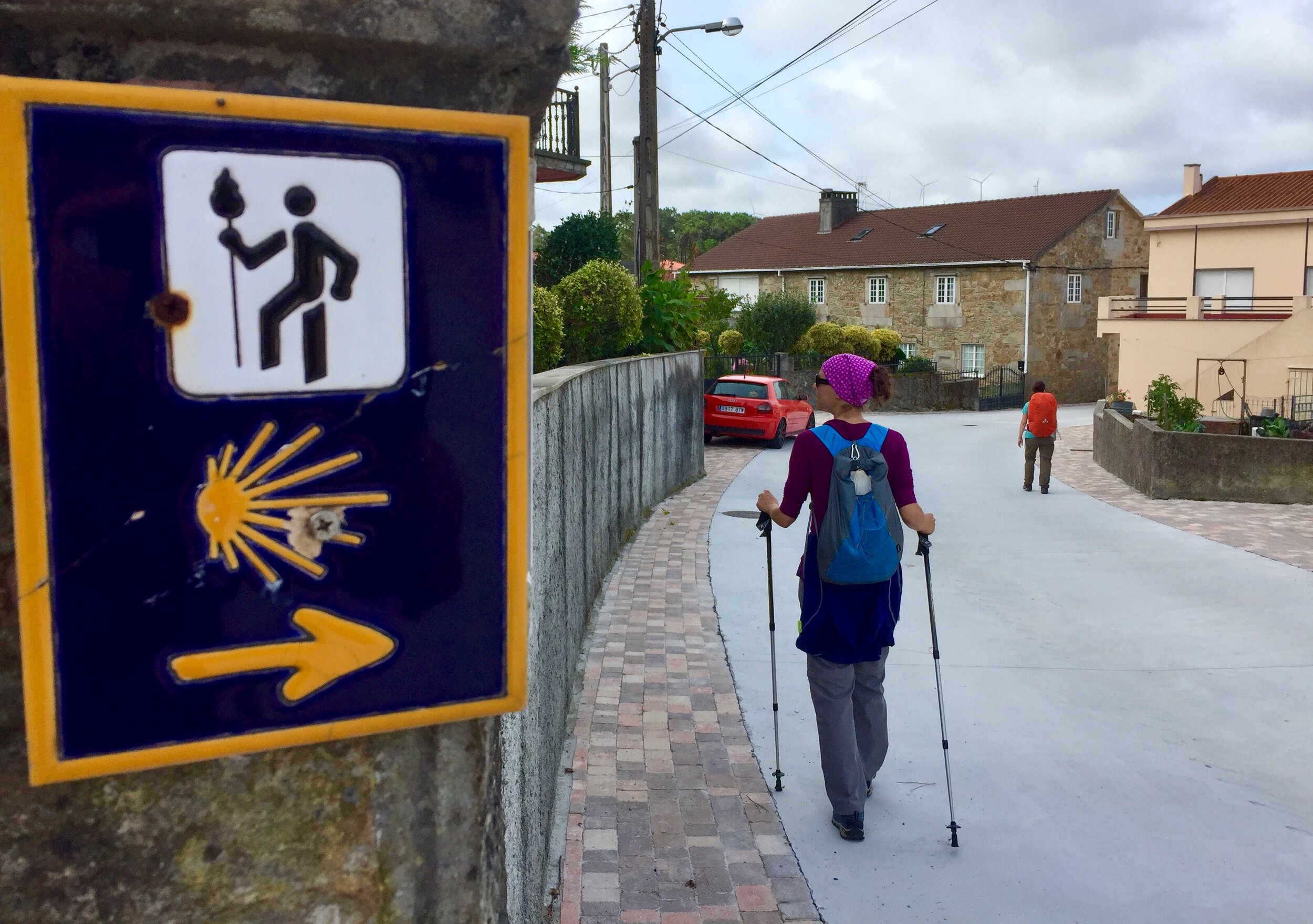
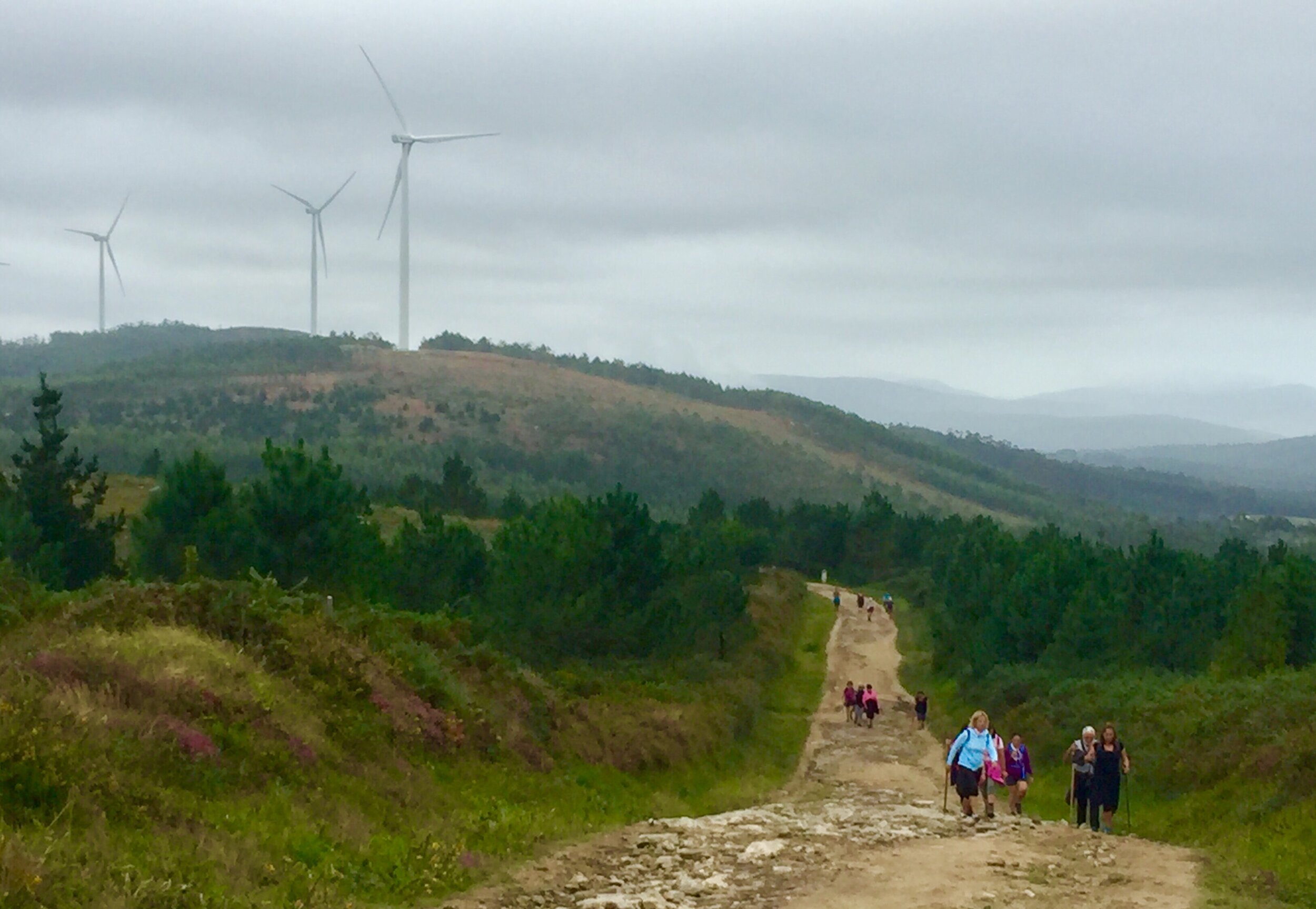
Our first day on the Finisterre was damp and cloudy. We followed the route west out of the city often looking back to see the cathedral spires staying on the horizon for any miles. Day 2 and 3, through Negreira to Oliviera via Santa Marina kept similar weather. It was a nice contrast to the baking heat of the Ingles week and added another point of difference to this trip.

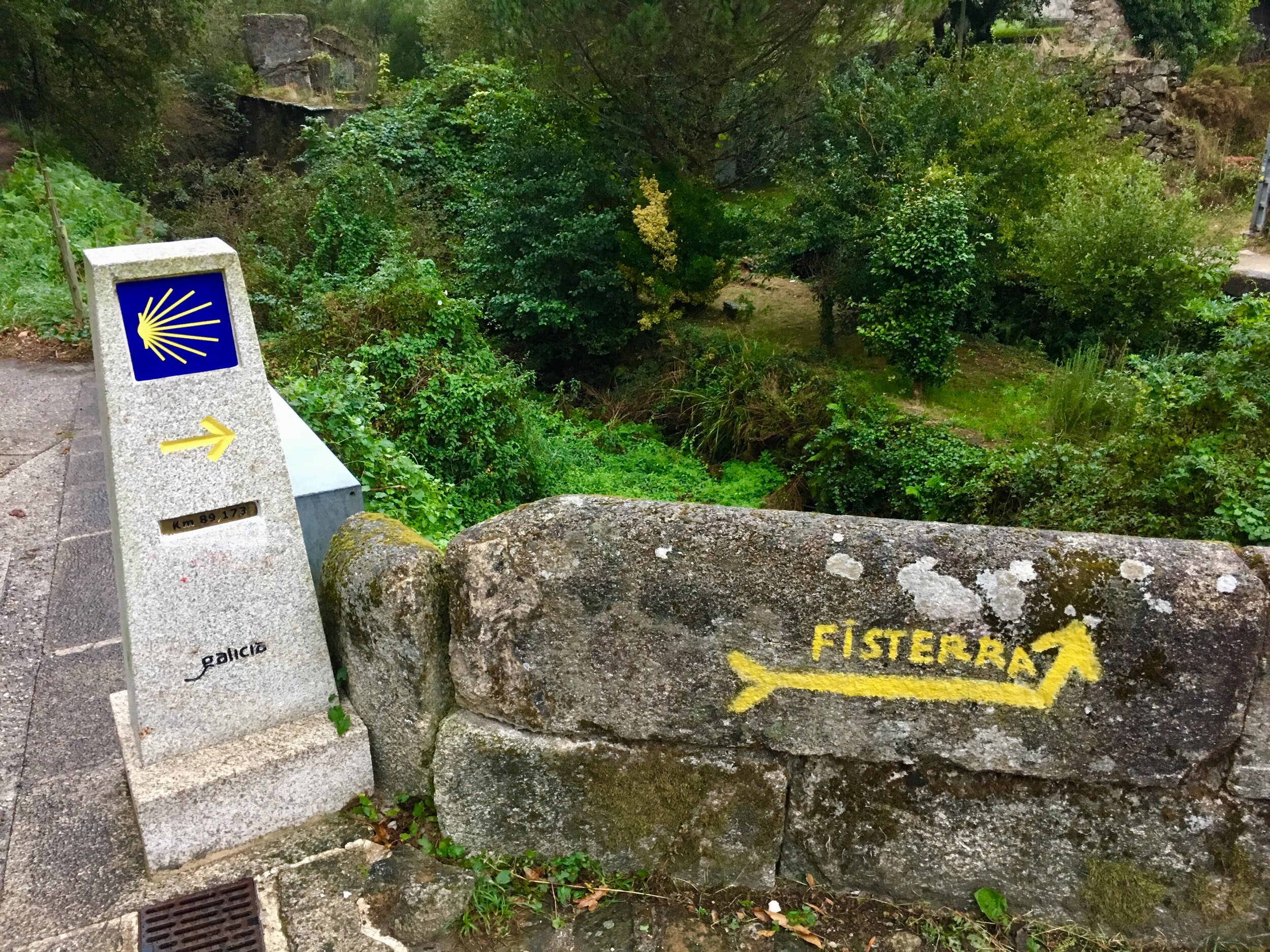
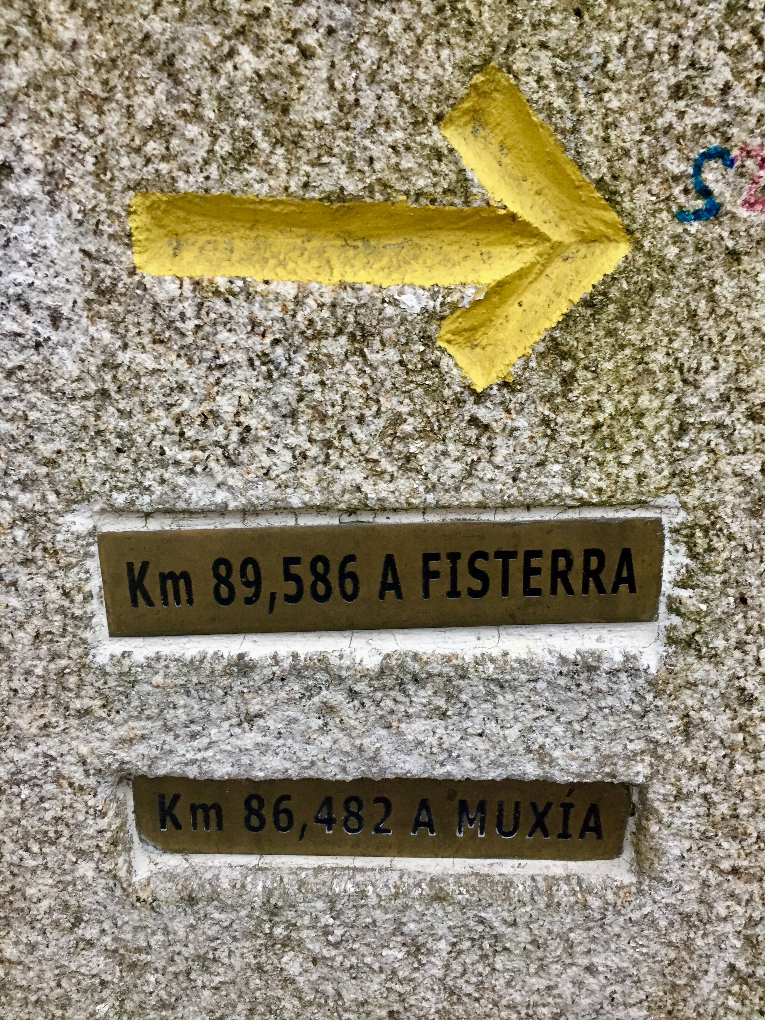
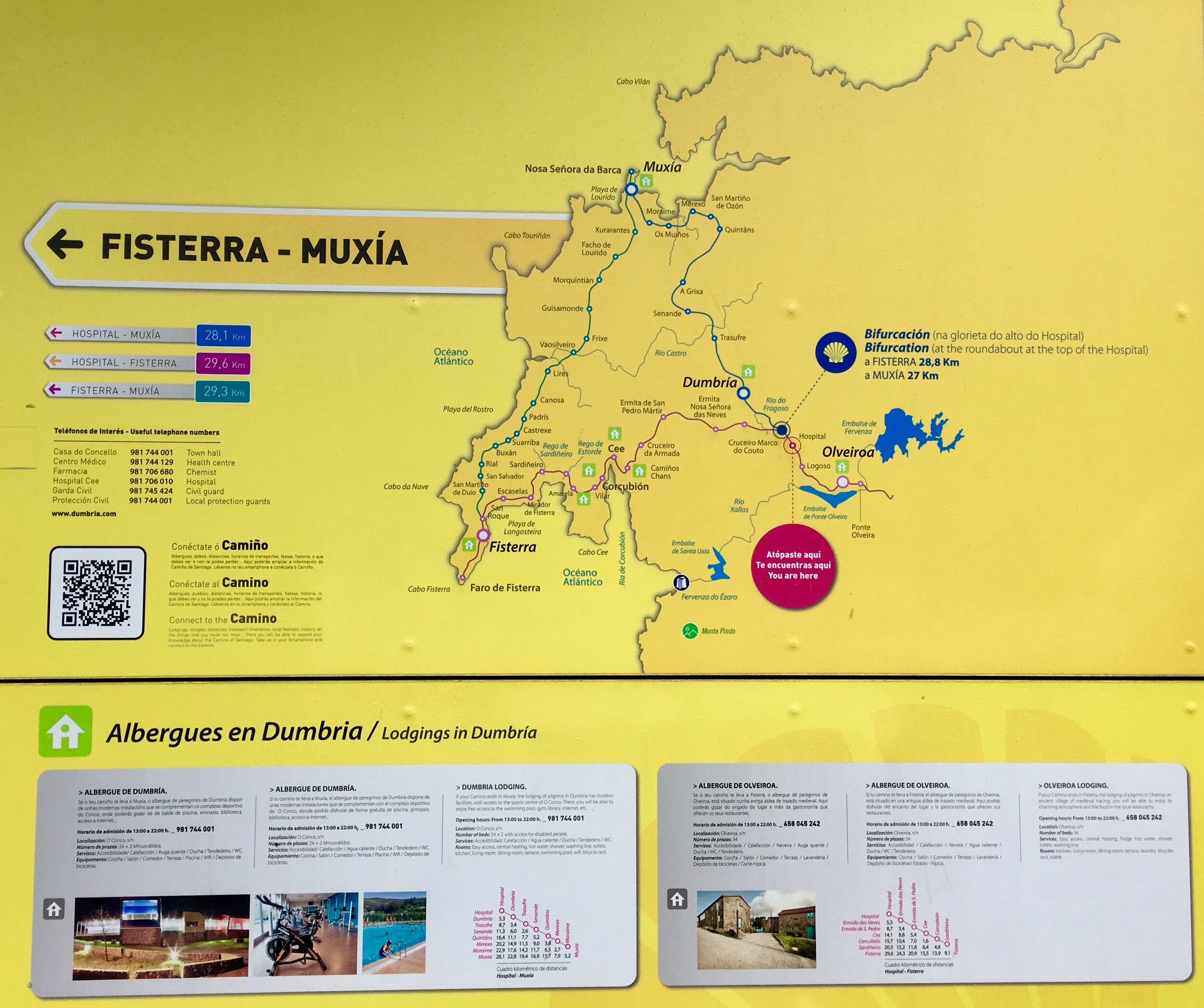
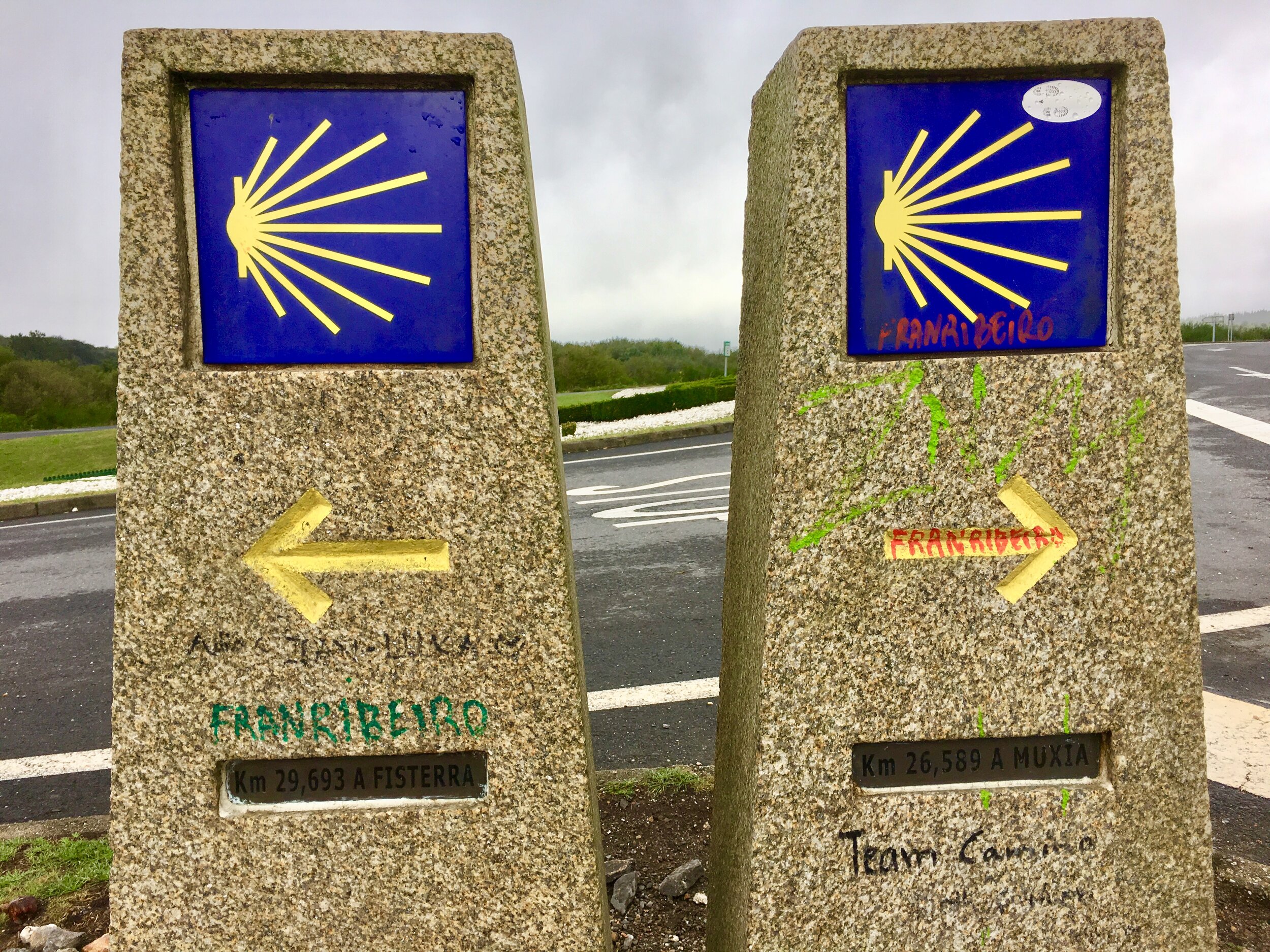
Shortly after Oliviera on Day 4 the Camino Finisterre splits. Continuing south-west you'll take the direct route to Finisterre. Taking the north-west option, as we did, takes you to Muxia. From Muxia you can continue along the coast to Finisterre. We were in no rush to complete the journey and wanted to experience both destinations.

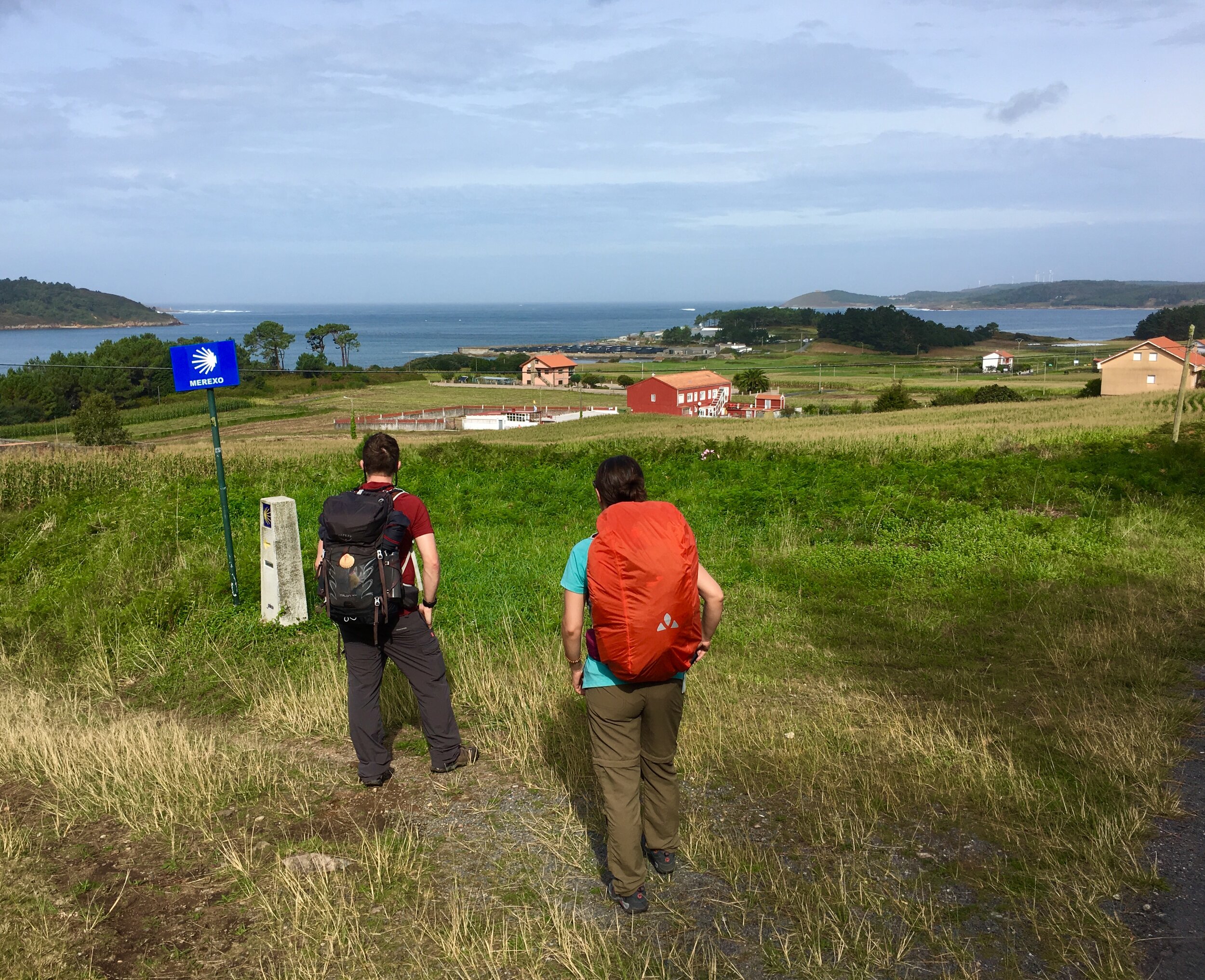
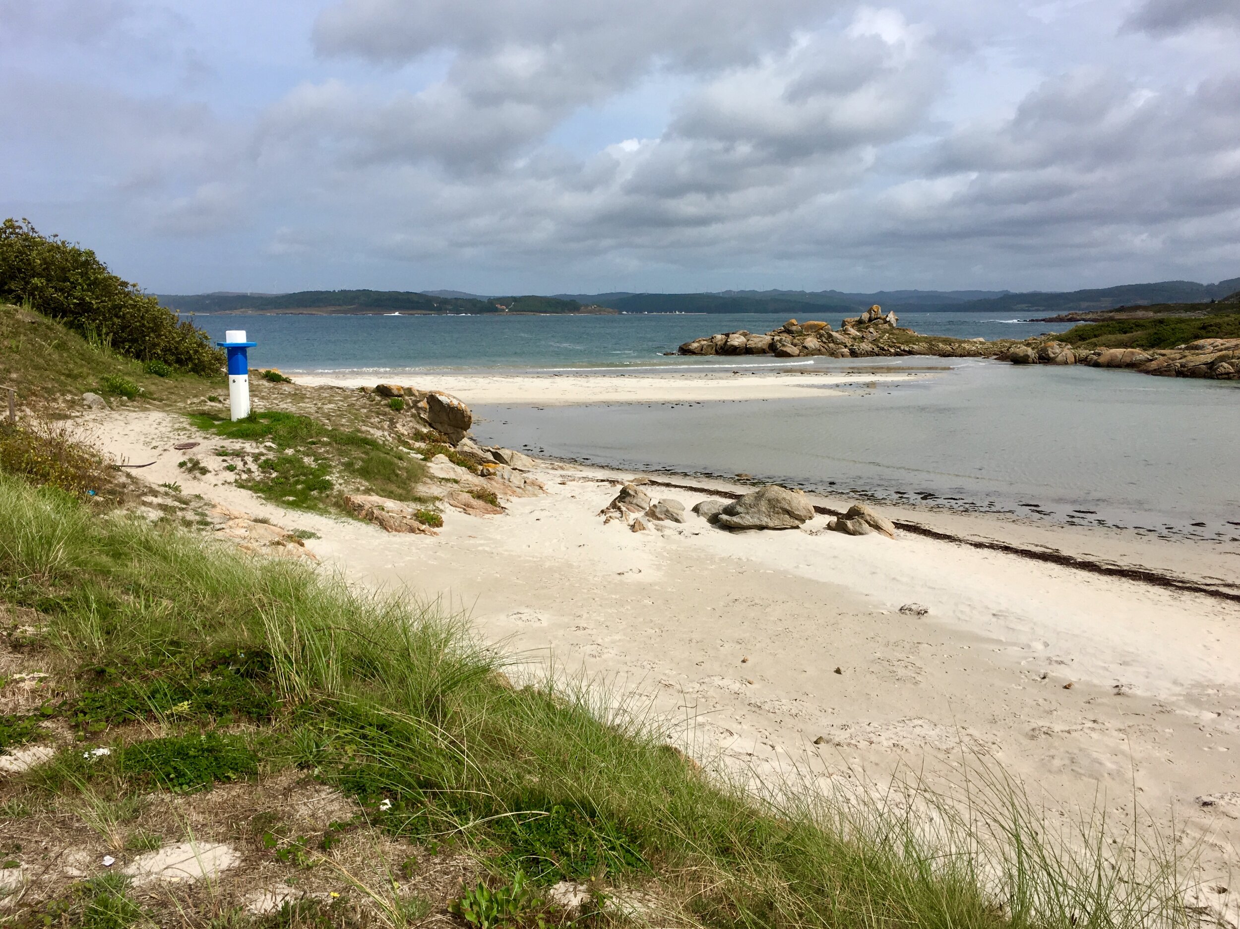
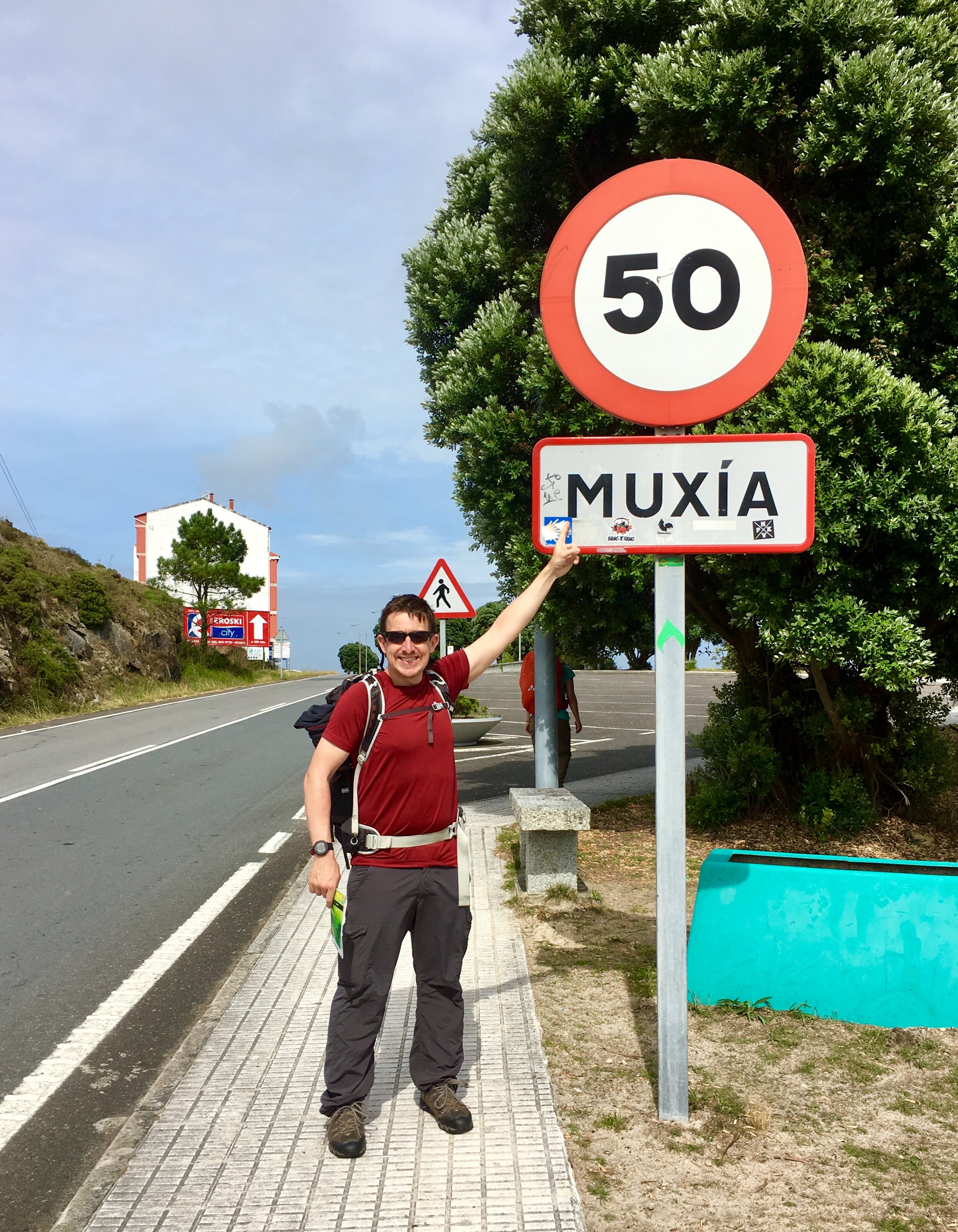
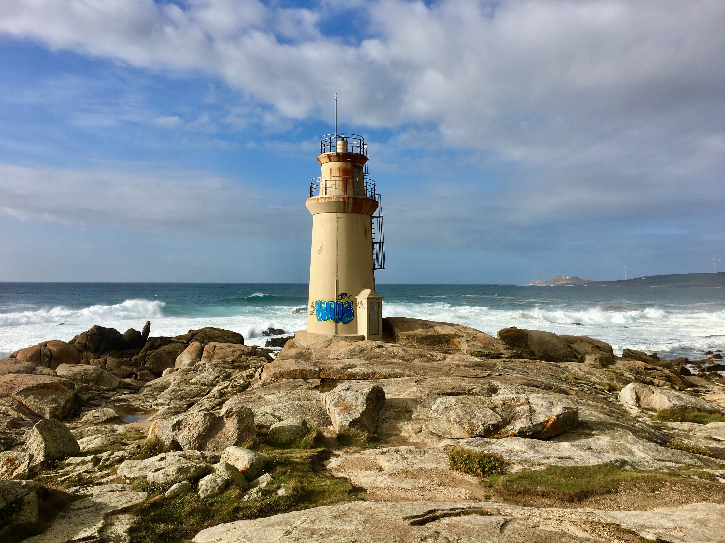
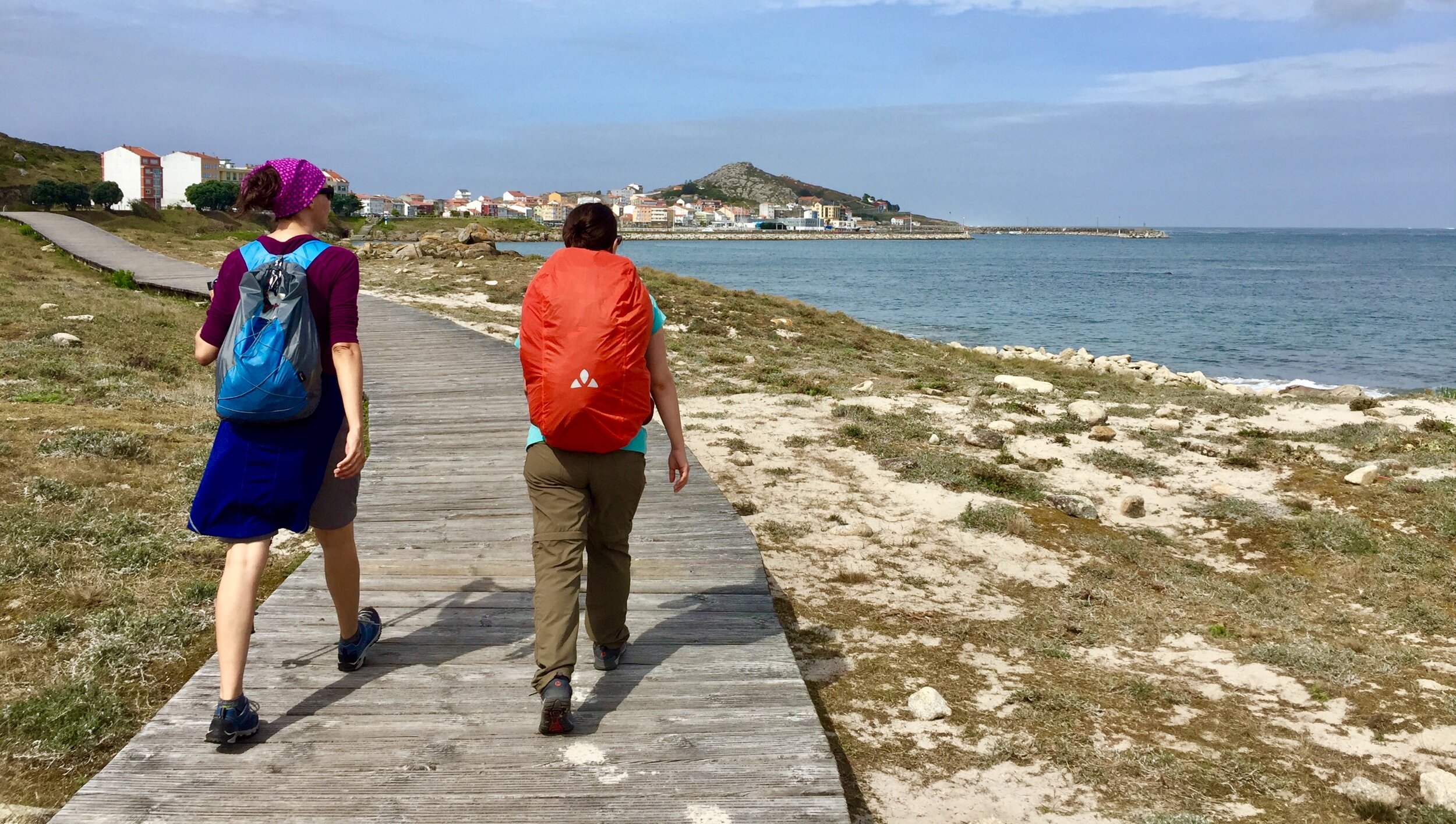
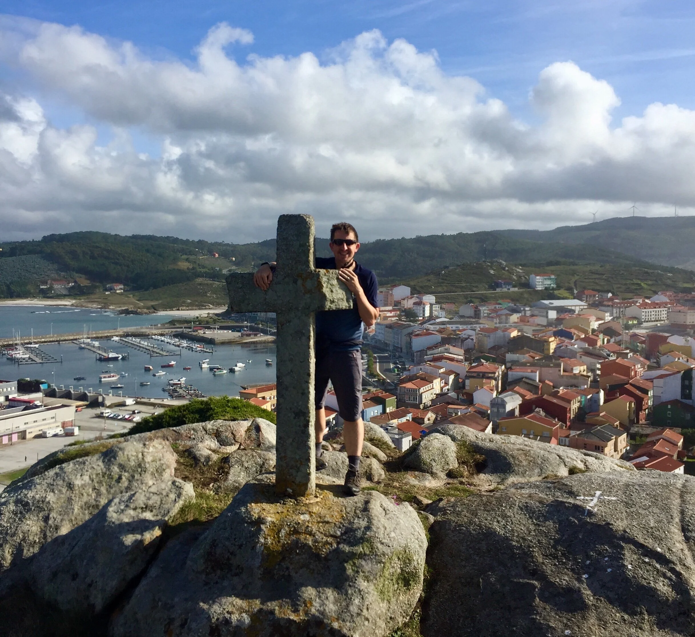
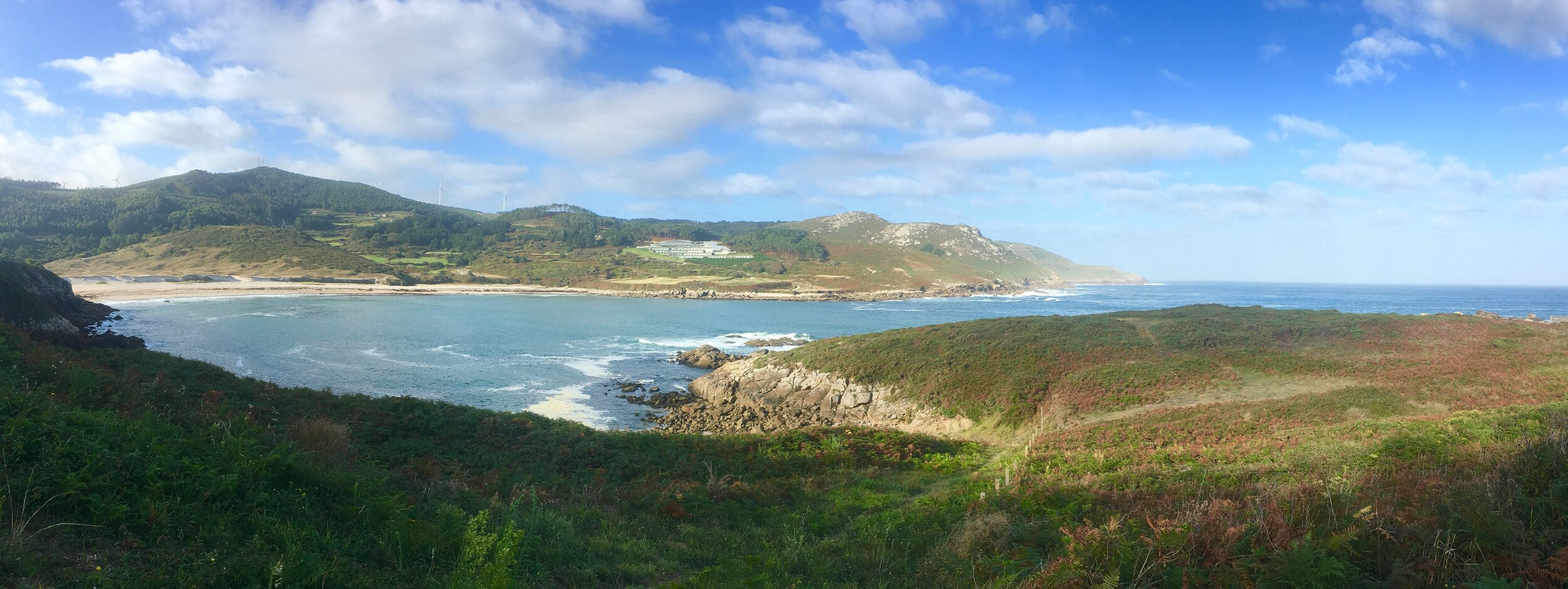
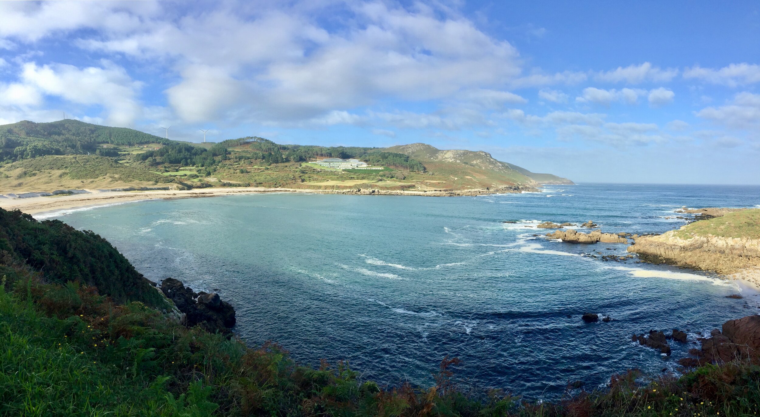
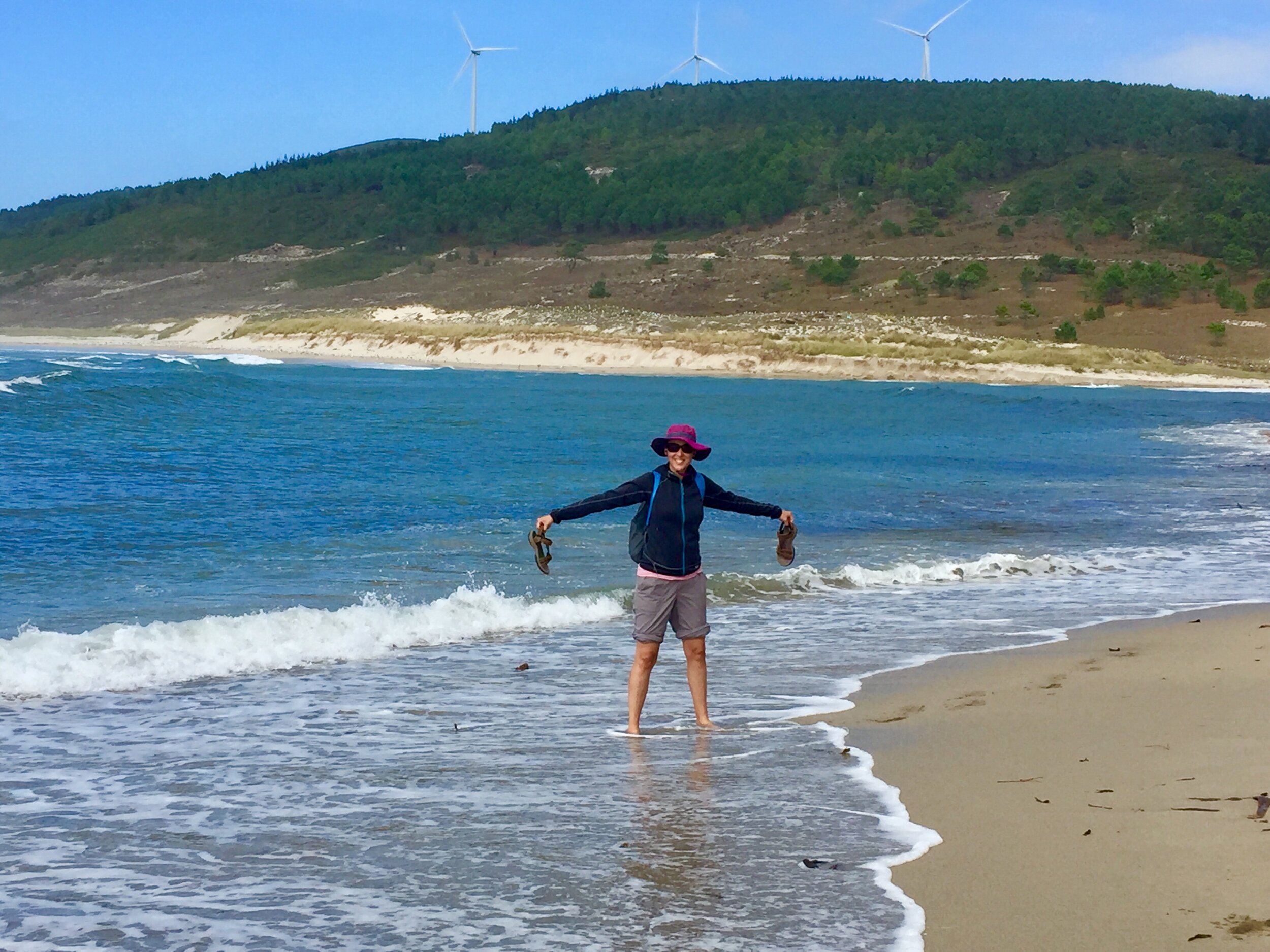
We weren't disappointed. The approach to Muxia follows a coastal path descending from the cliffs and along the beach. We spent a lovely, now sunny, afternoon exploring the town. From the seafood to the hill-top monument to the church at the end of he peninsular, we loved this town.

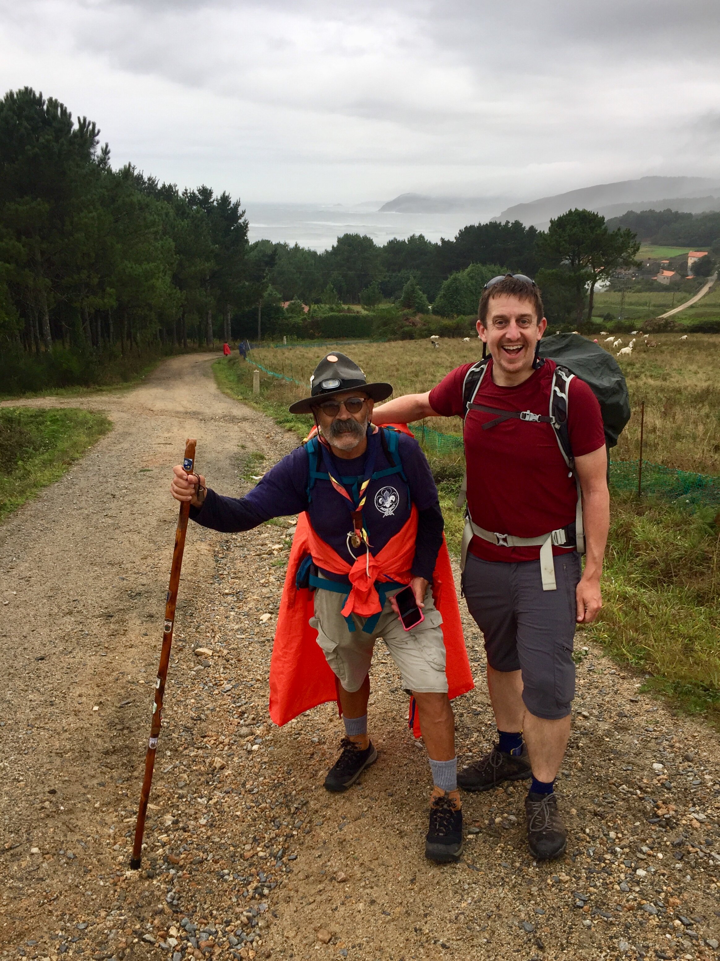
From Muxia, Finisterre is another 33km over 2 days to the south. Unlike most of the Camino trails, you'll meet pilgrims coming from the opposite direction. These are the ones that continued to Finisterre from Oliviera and have chosen Muxia as their final destination. There's fewer cafes and accommodation in this stretch so Lires is the obvious place to rest for the final stretch.

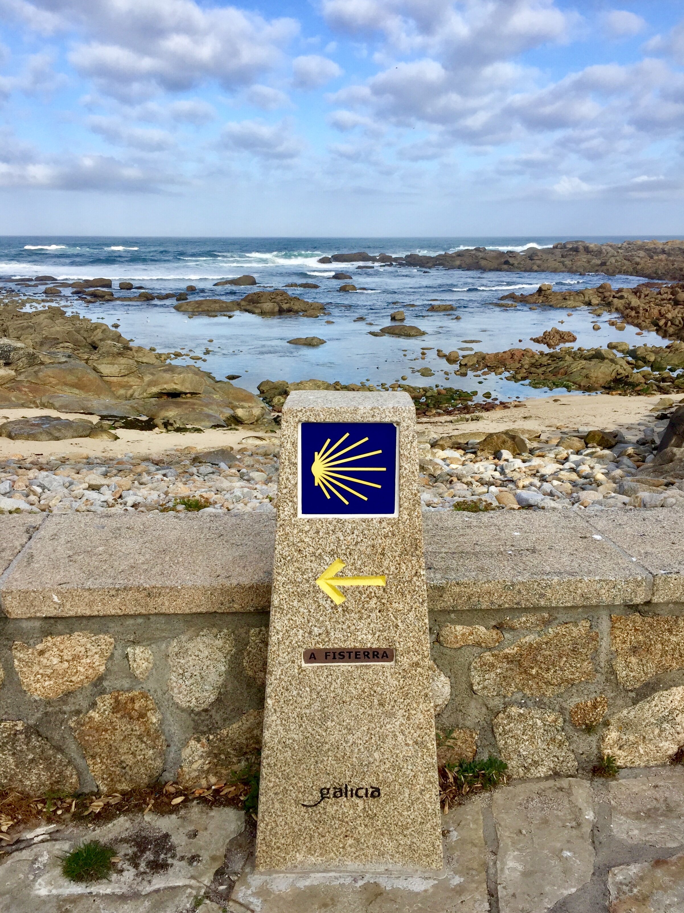
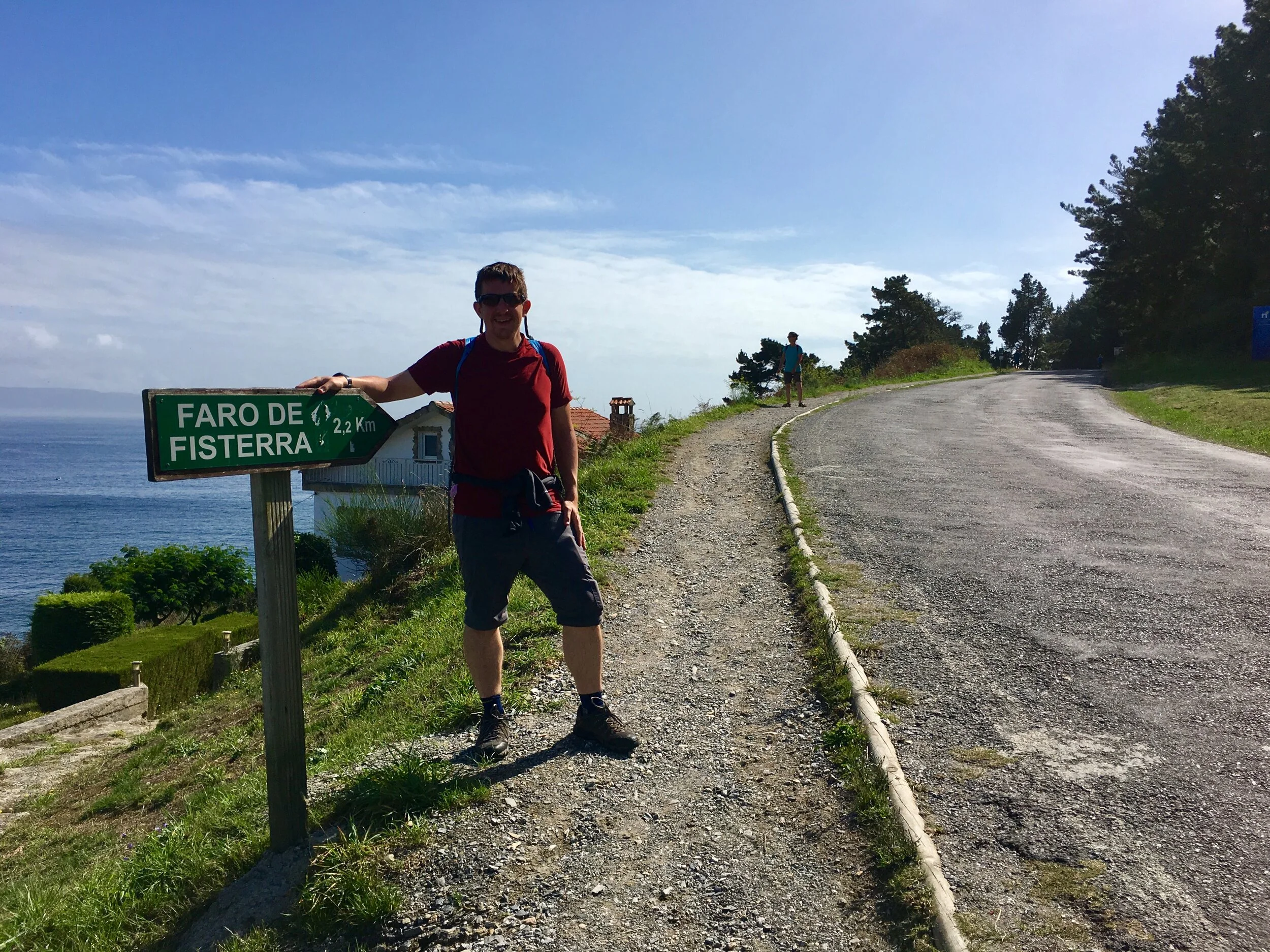
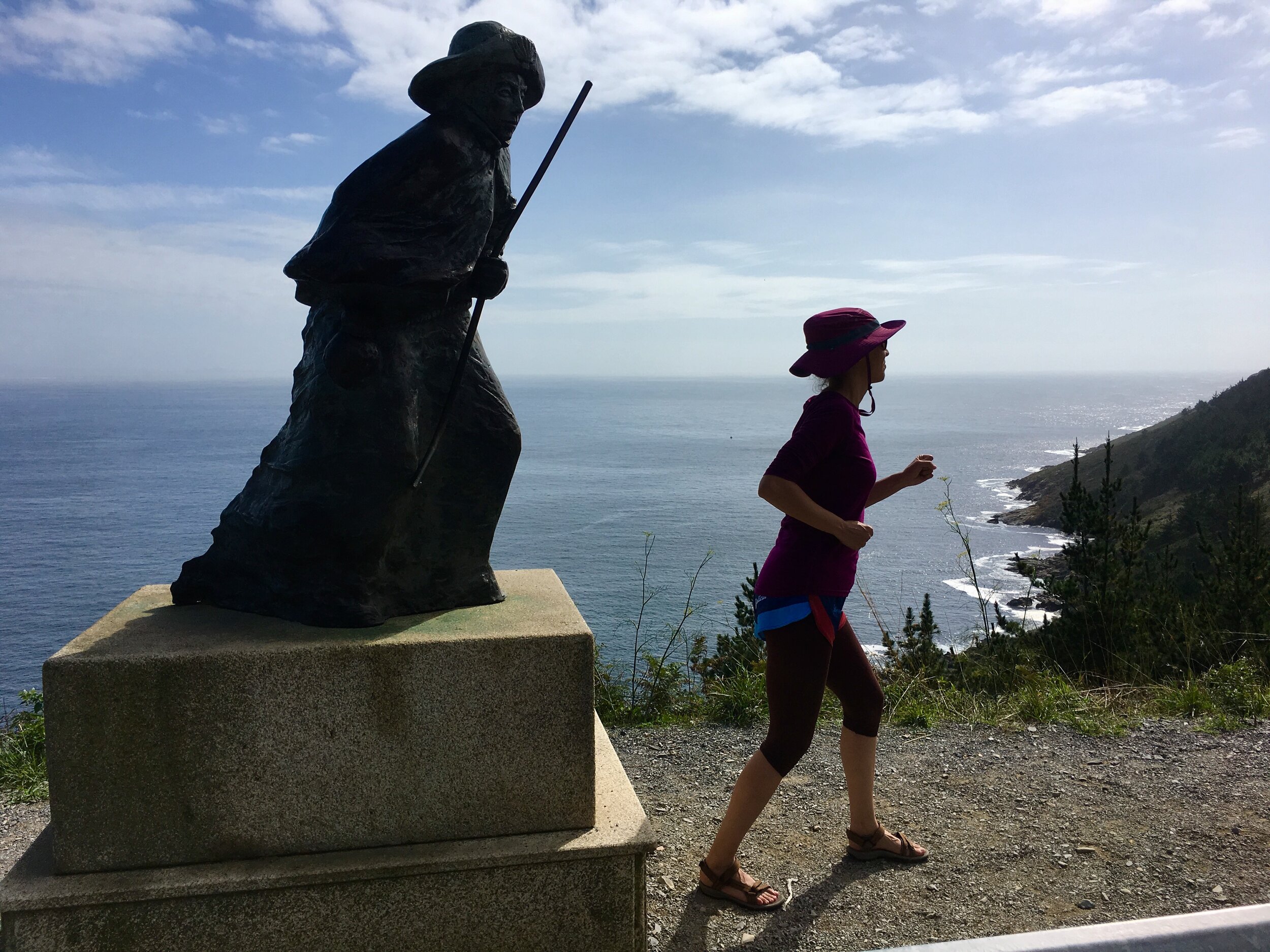
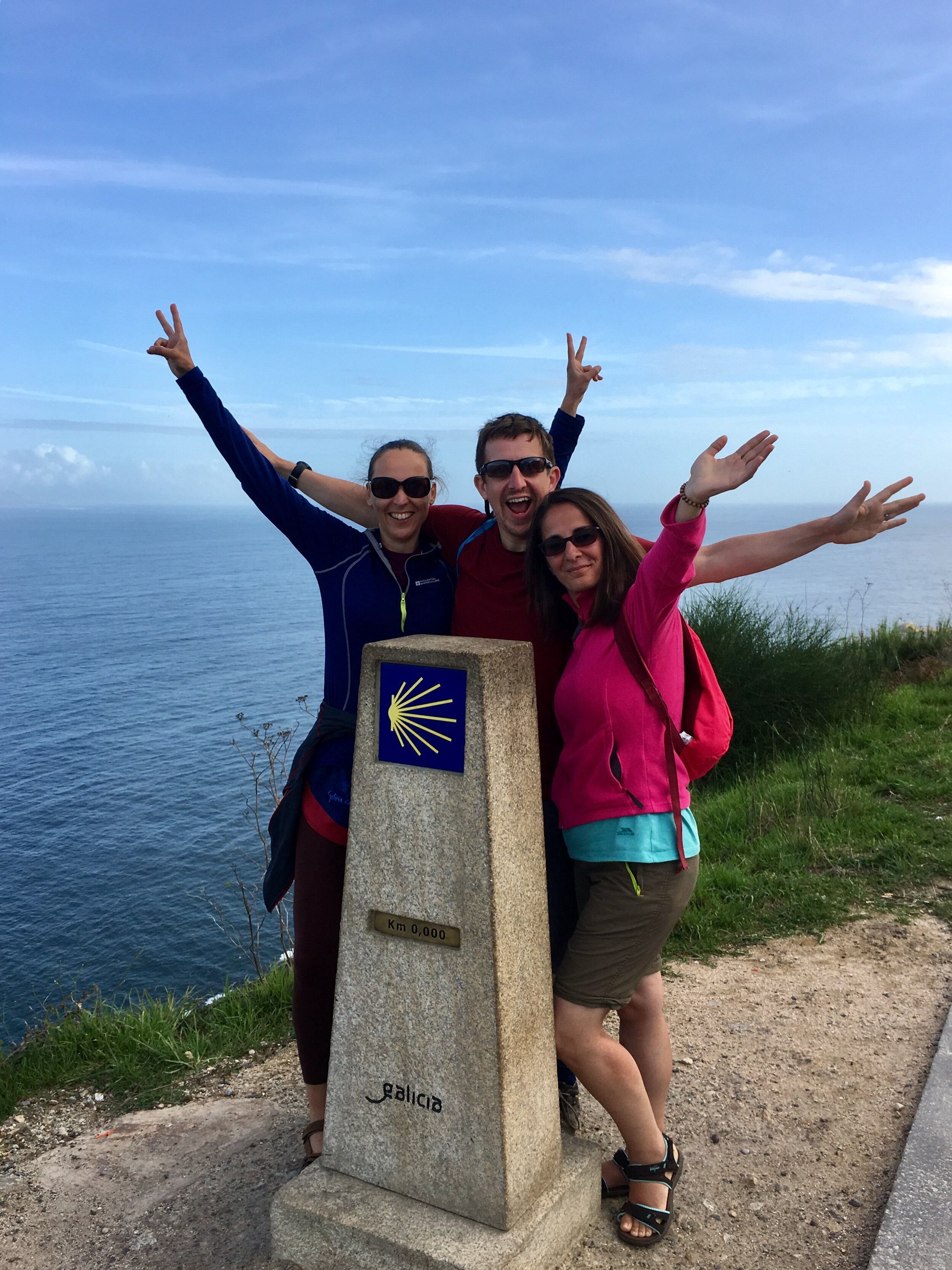
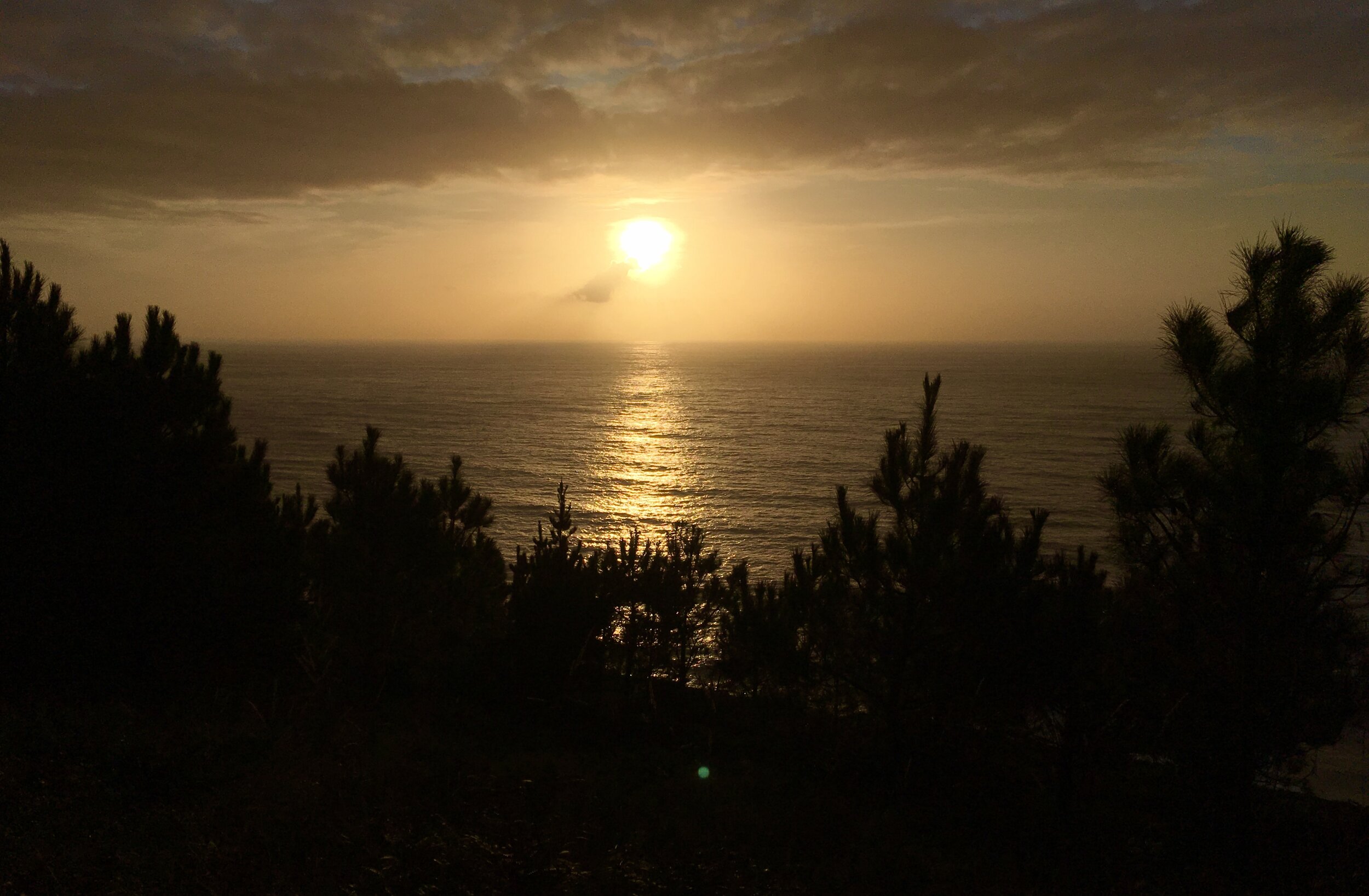
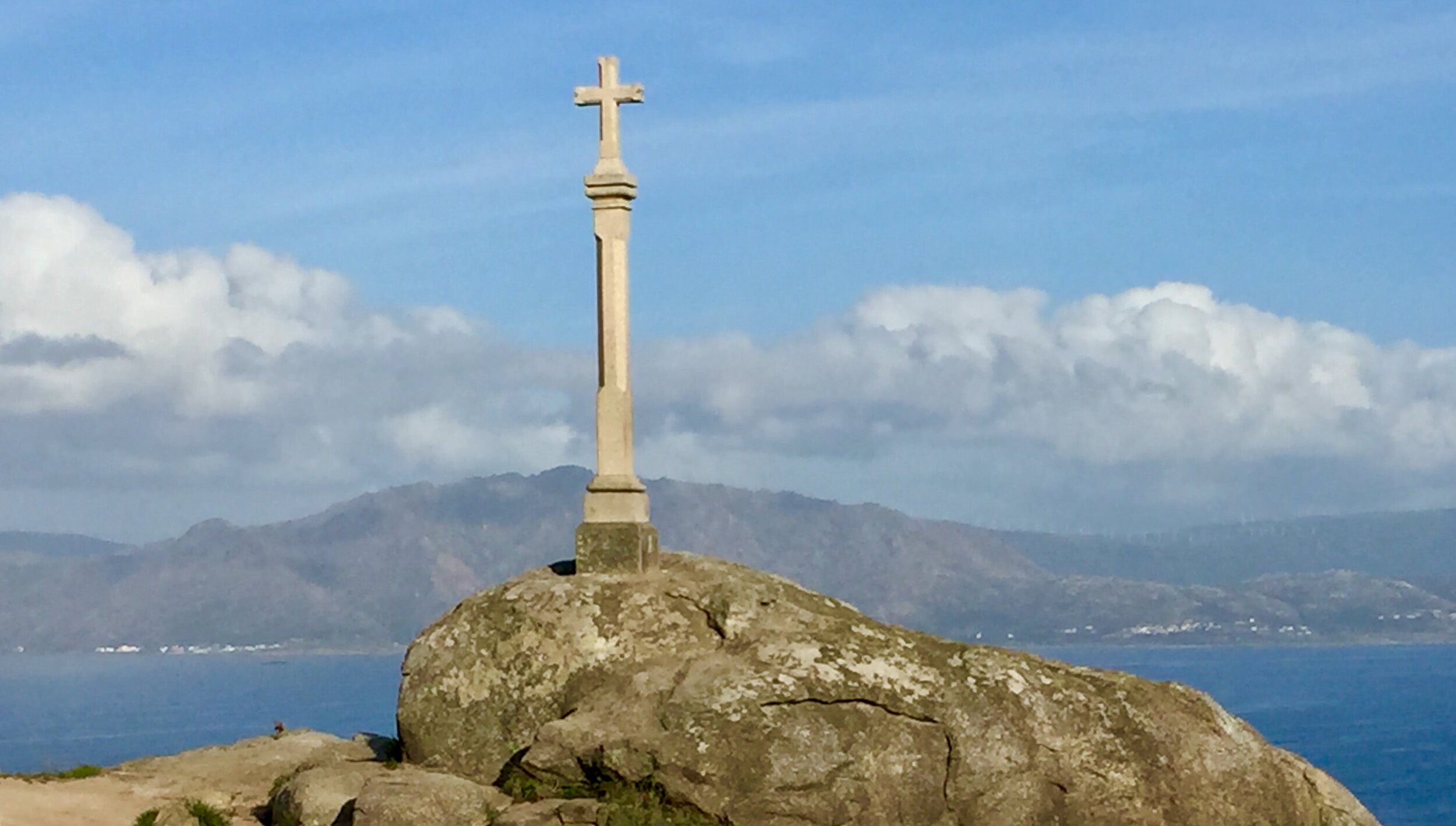
The final approach to the next of the world goes through Fistera town. We were staying the over night so we dropped off our bags to lighten the load for the last stretch. From Fistera, the route climbs up the eastern side of the hills to the iconic Faro de Finisterre. The 0km pillar is next to the lighthouse and beyond it the steep rocky cliffs to sit for an hour and contemplate the journey that's now ended.

On the beautiful clear day that we had it was hard to feel anything but satisfaction and wonder. Our first Camino, the Portuguese, was a deeper more spiritual journey for us. Despite not being religious, the cathedral in Santiago was a fitting end to that trip. The two weeks of our Inglés and Finisterre walk was different. We had fewer life decisions to make, fewer thoughts to process and the stress of the start of the journey had disappeared quickly. Instead we took in more of the changing landscape, enjoyed the towns and had fun together. For some, this wouldn't have been an "authentic" Camino. For us it was a different chapter in a Camino story that we'll come back to many times.

That next chapter would have to wait a while. In the winter that followed our return to the UK a pandemic would emerge that would change the world and put the brakes on many pilgrim journeys for a long time to come. We didn't stop walking though but stayed local and explored more near where we lived. We'll be back on the Camino one day though for the next chapter to be be written.


DAY 1: Santiago de Compostela To Negreira

Date: Saturday September 21st 2019
Start:
Cathedral of Santiago de Compostela, Praza do Obradoiro, s/n, 15704 Santiago de Compostela
Finish (Albergue):
Albergue El Carmen (Private Rooms also available), Rúa Carmen, 2, 15830 Negreira
Rest stops: Os Arcos, CP-7802, 15896 Santiago de Compostela / O km 79, Aldea Augapesada, 8, 15229 Ames / Restaurante Pontemaceira, Lugar Pontemaceira, 3 15870 Ames
Distance: 21.2 km / 13.3 miles
Elevation Change: +467m / -556m / Net -89m
GPX File: get via Buy Me a Coffee
Walking Time: 4 hours 40 minutes
Other Routes Touched: N/A


DAY 2: Negreira To Santa Marina

Date: Sunday September 22nd 2019
Start:
Albergue El Carmen, Rúa Carmen, 2, 15830 Negreira
Finish (Albergue):
Casa Pepa (Private Rooms also available), Lugar Santa Mariña, 4, 15256 Santa Marina
Rest stops: Albergue Cafetería Alto da Pena, Piaxe, 5 15838 Negreira / Albergue O Rueiro, Vilaserio, 28 15838 Vilaserío
Distance: 21.1 km / 13.2 miles
Elevation Change: +483m / -327m / Net +156m
GPX File: get via Buy Me a Coffee
Walking Time: 4 hours 36 minutes
Other Routes Touched: N/A


DAY 3: Santa Marina To Olveiroa

Date: Monday September 23rd 2019
Start:
Casa Pepa, Lugar Santa Mariña, 4, 15256 Santa Marina
Finish (Albergue):
Casa Loncho (Private Rooms also available), Lugar Olveiroa
Rest stops: Casa Xalleiro Tienda-Cafetería, Lago 13 15256 Mazaricos / Albergue Ponte Olveira, Ponte Olveira 3 15256 Mazaricos
Distance: 13.1 km / 8.2 miles
Elevation Change: +231m / -291m / Net -60m
GPX File: get via Buy Me a Coffee
Walking Time: 2 hours 50 minutes
Other Routes Touched: N/A


DAY 4: Olveiroa To Dumbria

Date: Tuesday September 24th 2019
Start:
Casa Loncho (Private Rooms also available), Lugar Olveiroa
Finish (Hotel):
Mesón O Argentino, Calle Dumbria, s/n, 15151 Dumbría
Finish (Albergue): Albergue de Peregrinos de Dumbría, 15151 Dumbría
Rest stops: Albergue Bar O Logoso, 15151 O Logoso / O Casteliño, Calle Hospital, 0 S/N 15151 Dumbría
Distance: 10.6 km / 6.6 miles
Elevation Change: +188m / -266m / Net -78m
GPX File: get via Buy Me a Coffee
Walking Time: 2 hours 28 minutes
Other Routes Touched: N/A


DAY 5: Dumbria To Muxia

Date: Wednesday September 25th 2019
Start:
Mesón O Argentino, Calle Dumbria, s/n, 15151 Dumbría
Finish (Albergue):
Albergue Delfín, Av. López Abente, 22, 15124 Muxía
Rest stops: Casa da Coxa, Rua Senande, 91, 15124 Senande / Bar Pataca, 15125 Os Muíños
Distance: 24.3 km / 15.2 miles
Elevation Change: +490m / -650m / Net -160m
GPX File: get via Buy Me a Coffee
Walking Time: 6 hours 13 minutes
Other Routes Touched: Camiño dos Faros


DAY 6: Muxia To Lires

Date: Thursday September 26th 2019
Start:
Albergue Delfín, Av. López Abente, 22, 15124 Muxía
Finish (Hotel):
Casa Raúl, 15138, Lires
Finish (Albergue): As Eiras Lires, Lugar de Lires, 82, 15138 Santo Estevo de Lires
Rest stops: O Muino, Guisamonde
Distance: 15.5 km / 9.7 miles
Elevation Change: +325m / -352m / Net -27m
GPX File: get via Buy Me a Coffee
Walking Time: 4 hours 07 minutes
Other Routes Touched: Camiño dos Faros


DAY 7: Lires To Finisterre

Date: Friday September 27th 2019
Start:
Casa Raúl, 15138, Lires
Finish:
Cape Finisterre Lighthouse, Cabo Fisterra, s/n, 15155 Fisterra
Rest stops: Bar La Razon, Candelas, A Lugar San Salvador Duio, 7 15154 Fisterra
Distance: 16.9 km / 10.6 miles
Elevation Change: +378m / -284m / Net +94m
GPX File: get via Buy Me a Coffee
Walking Time: 4 hours 28 minutes
Other Routes Touched: Camiño dos Faros


The Full Route - Camino Finisterre from Santiago de Compostela to Finisterre

Each colour represents a different day.