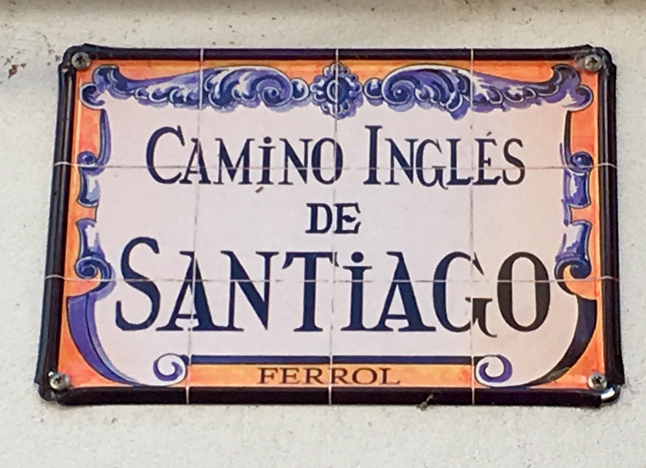
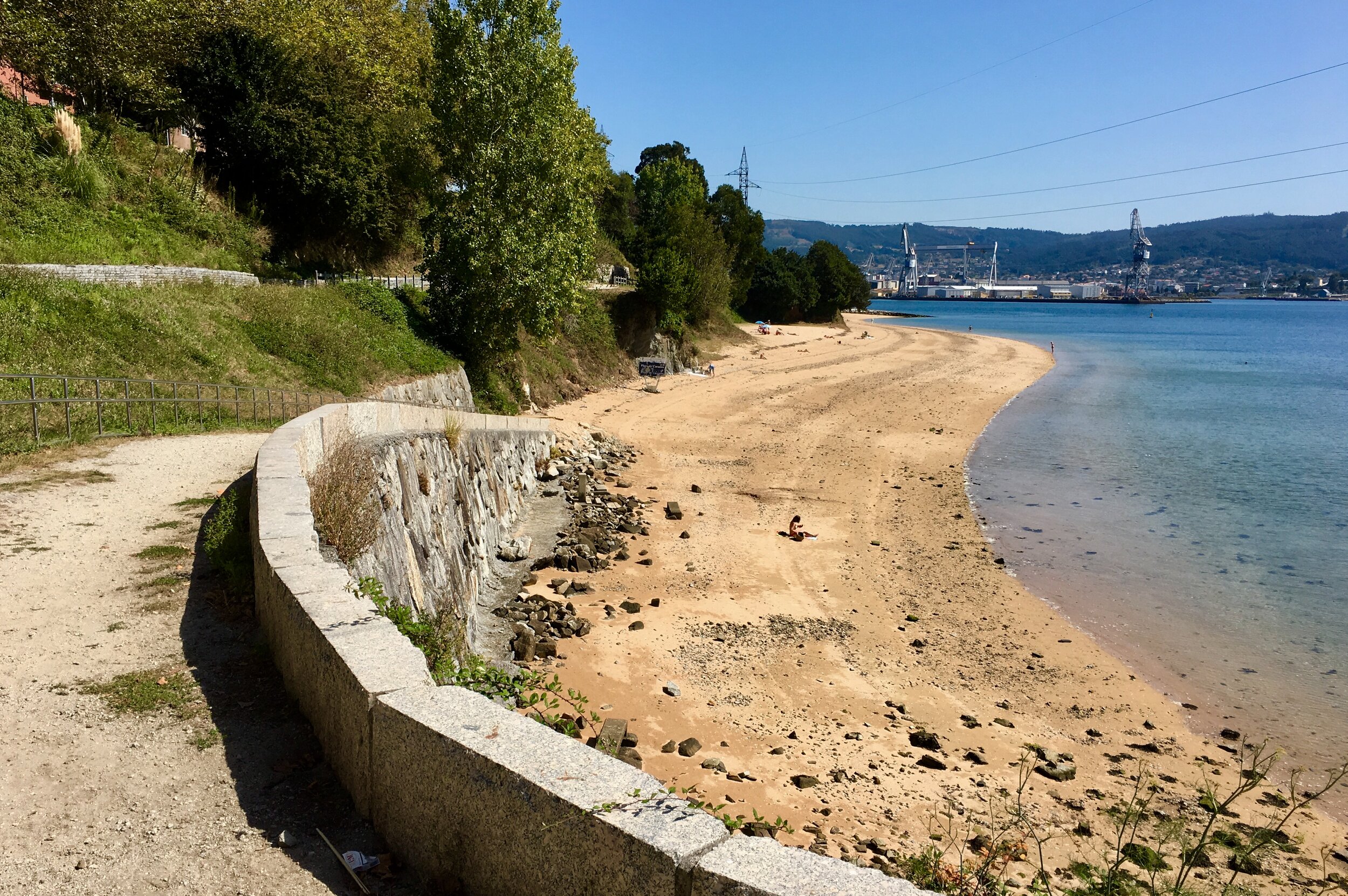
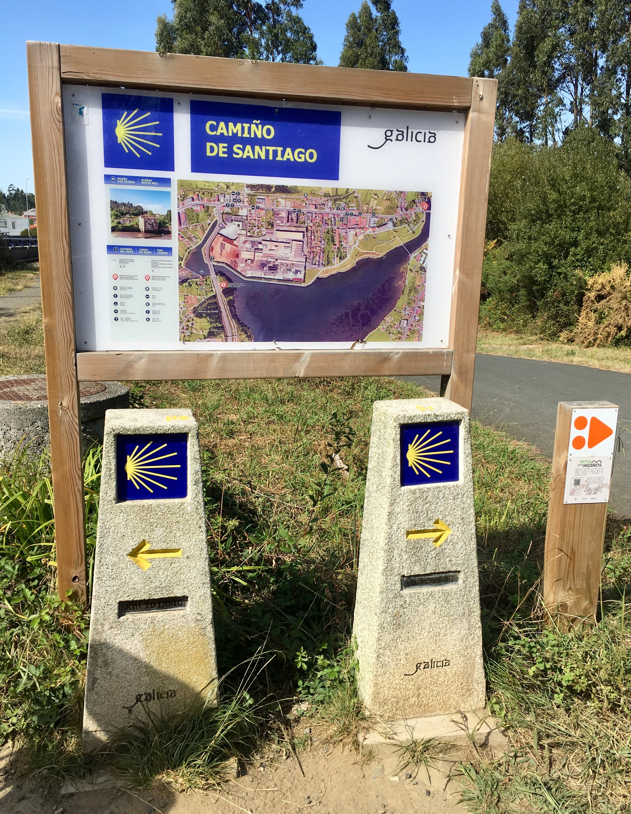
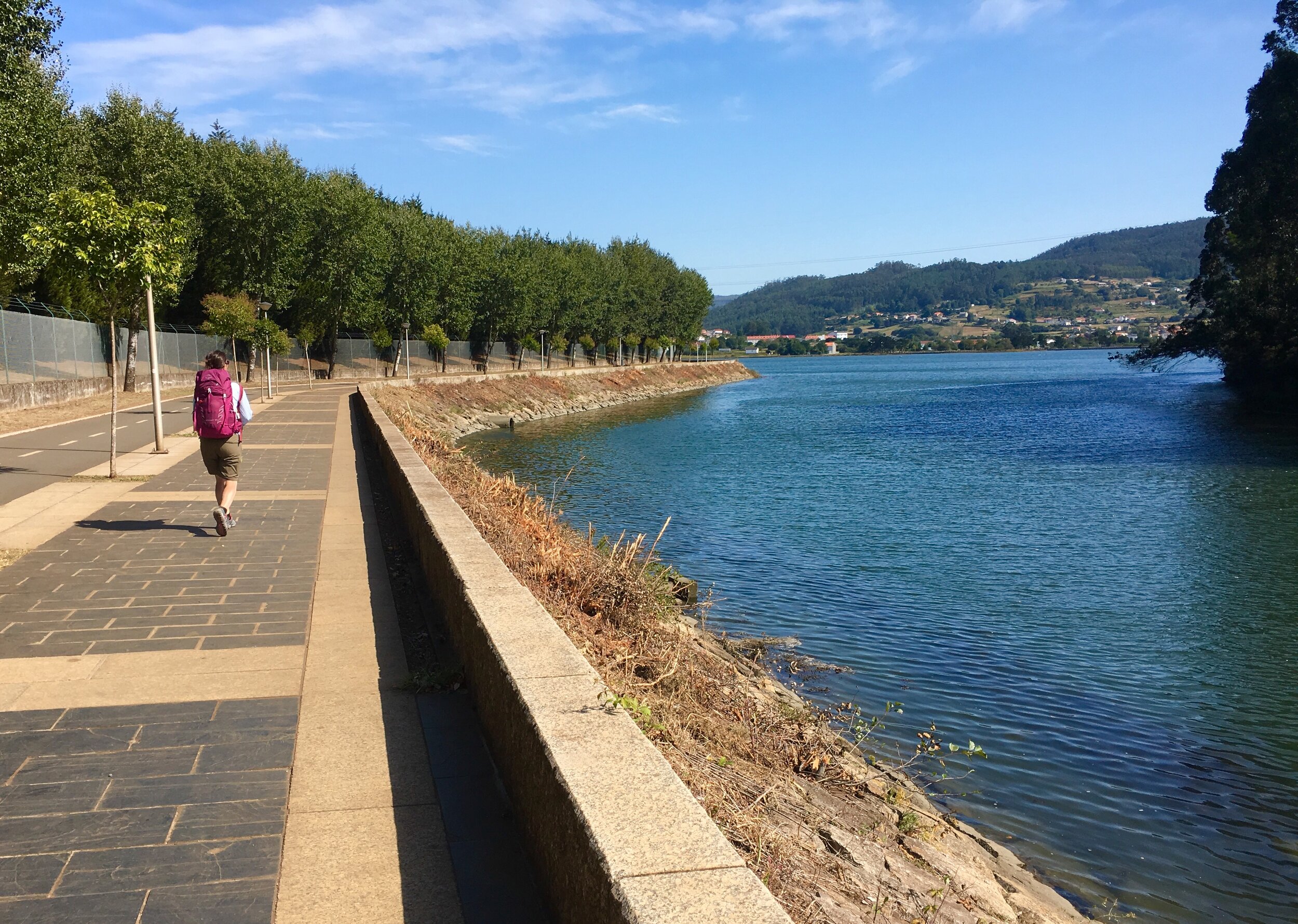
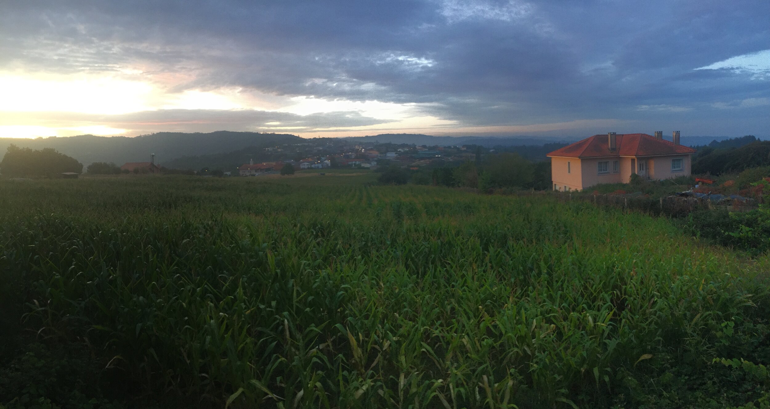
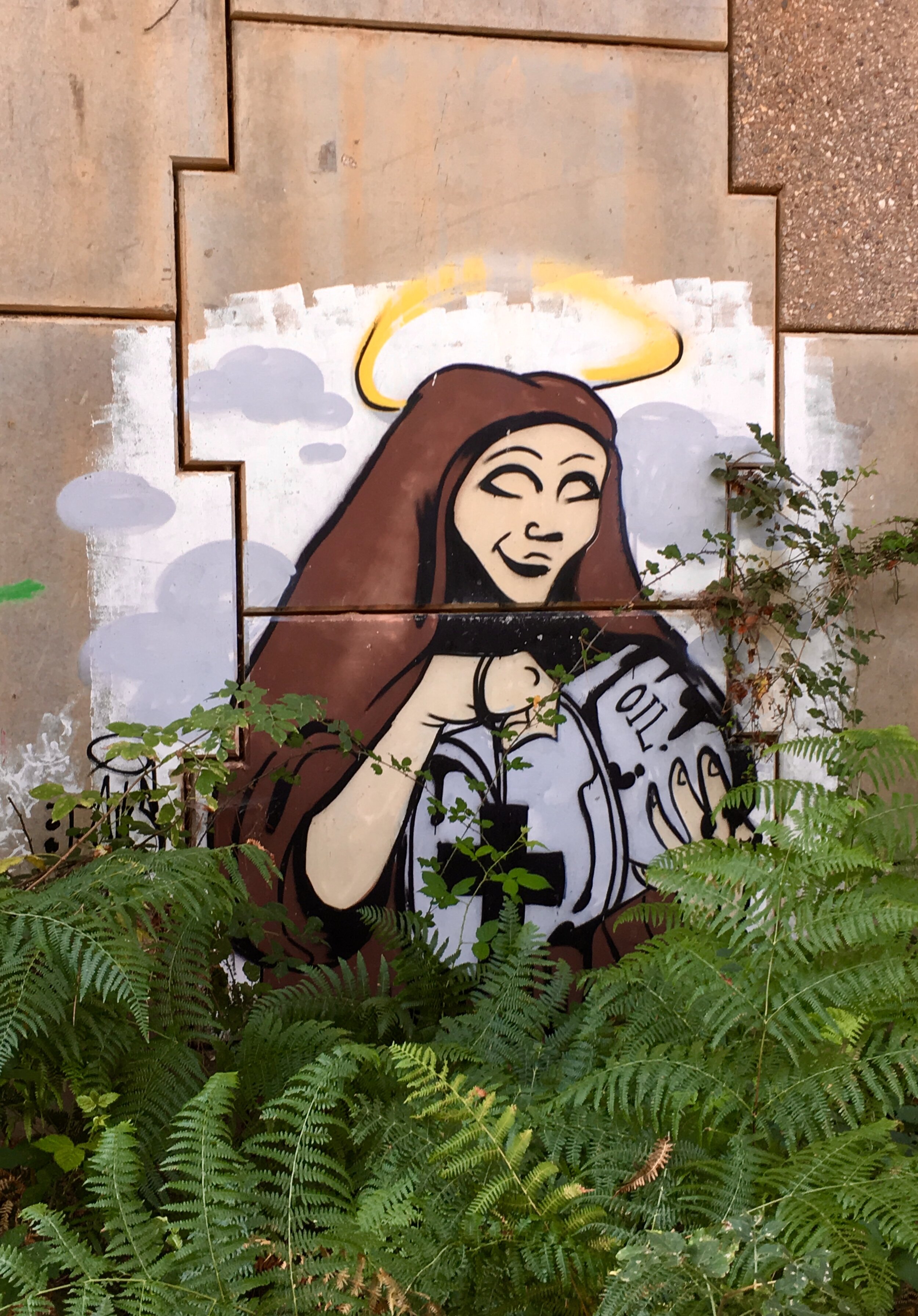
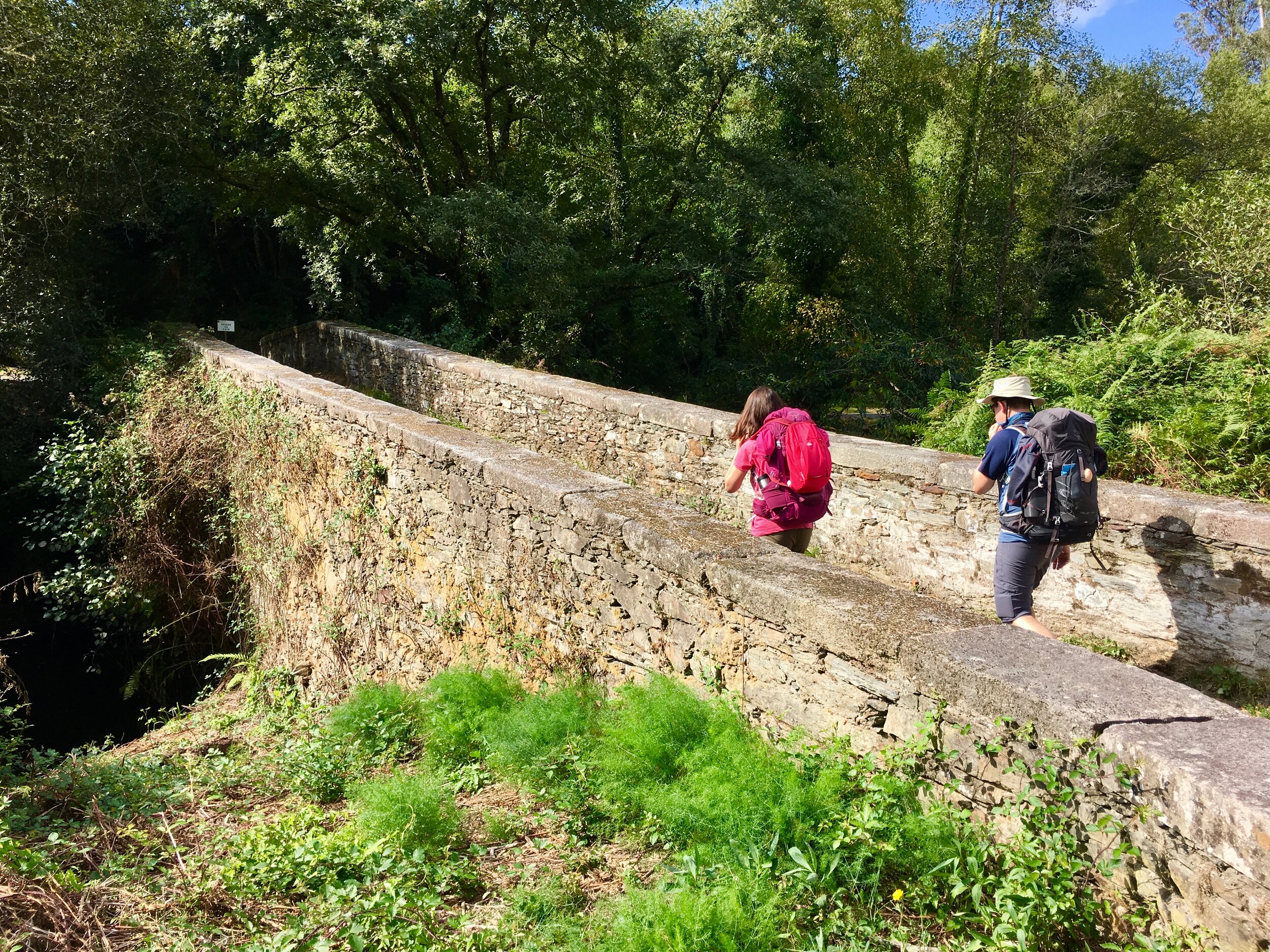
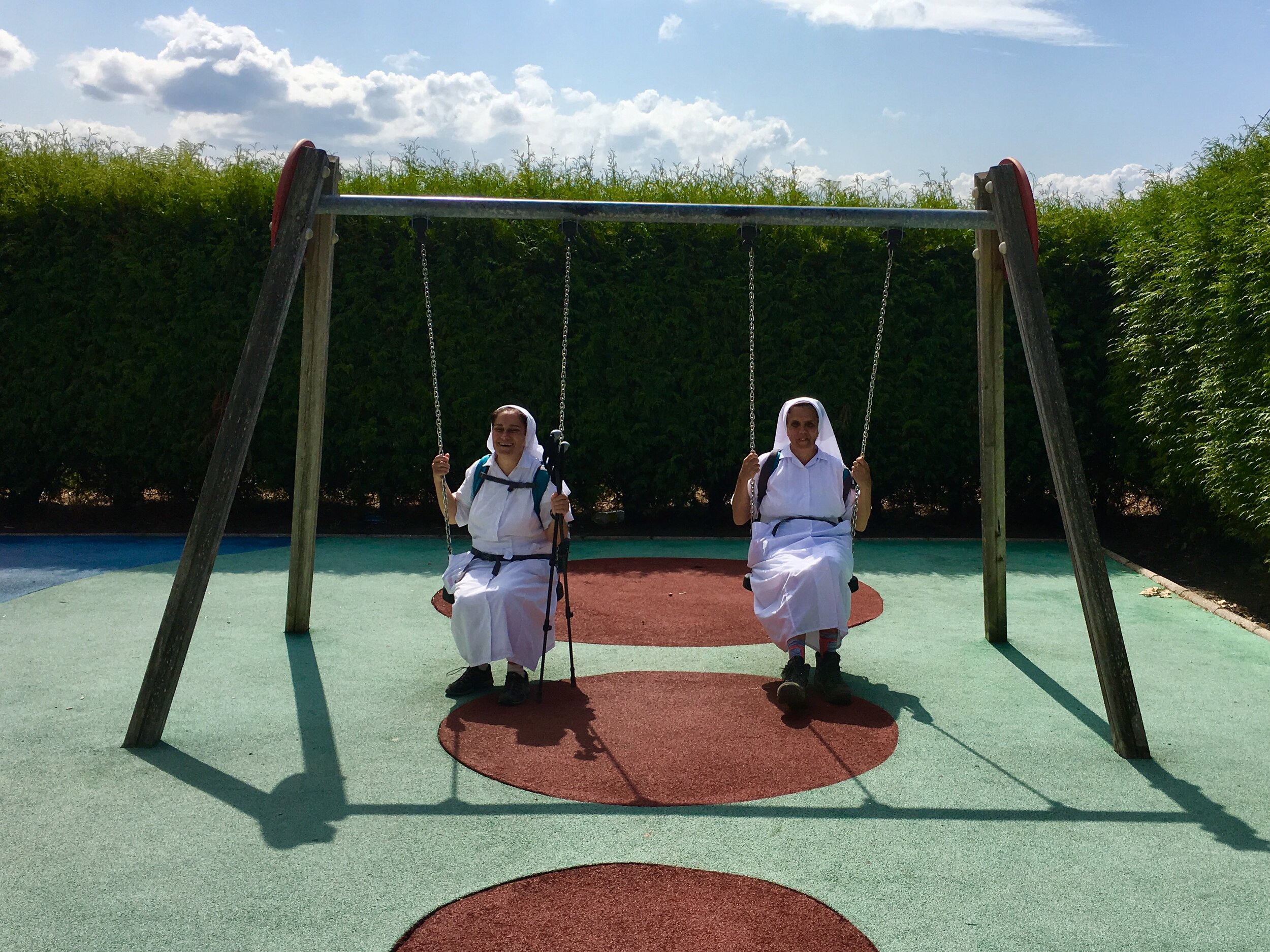
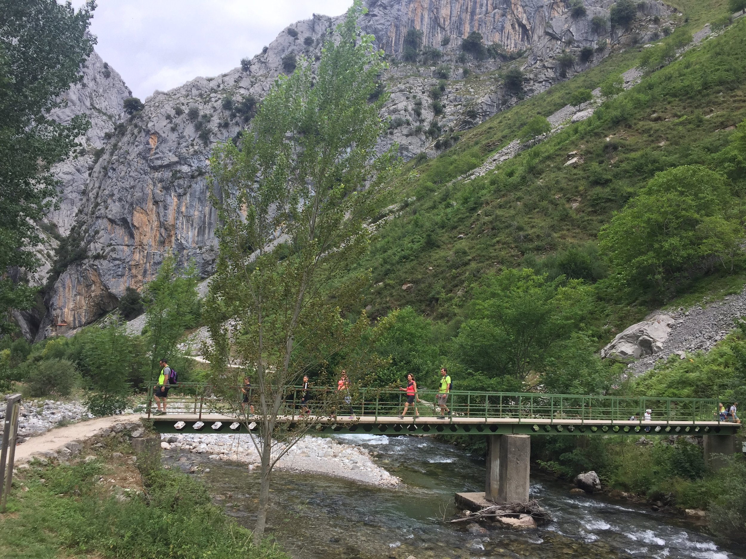
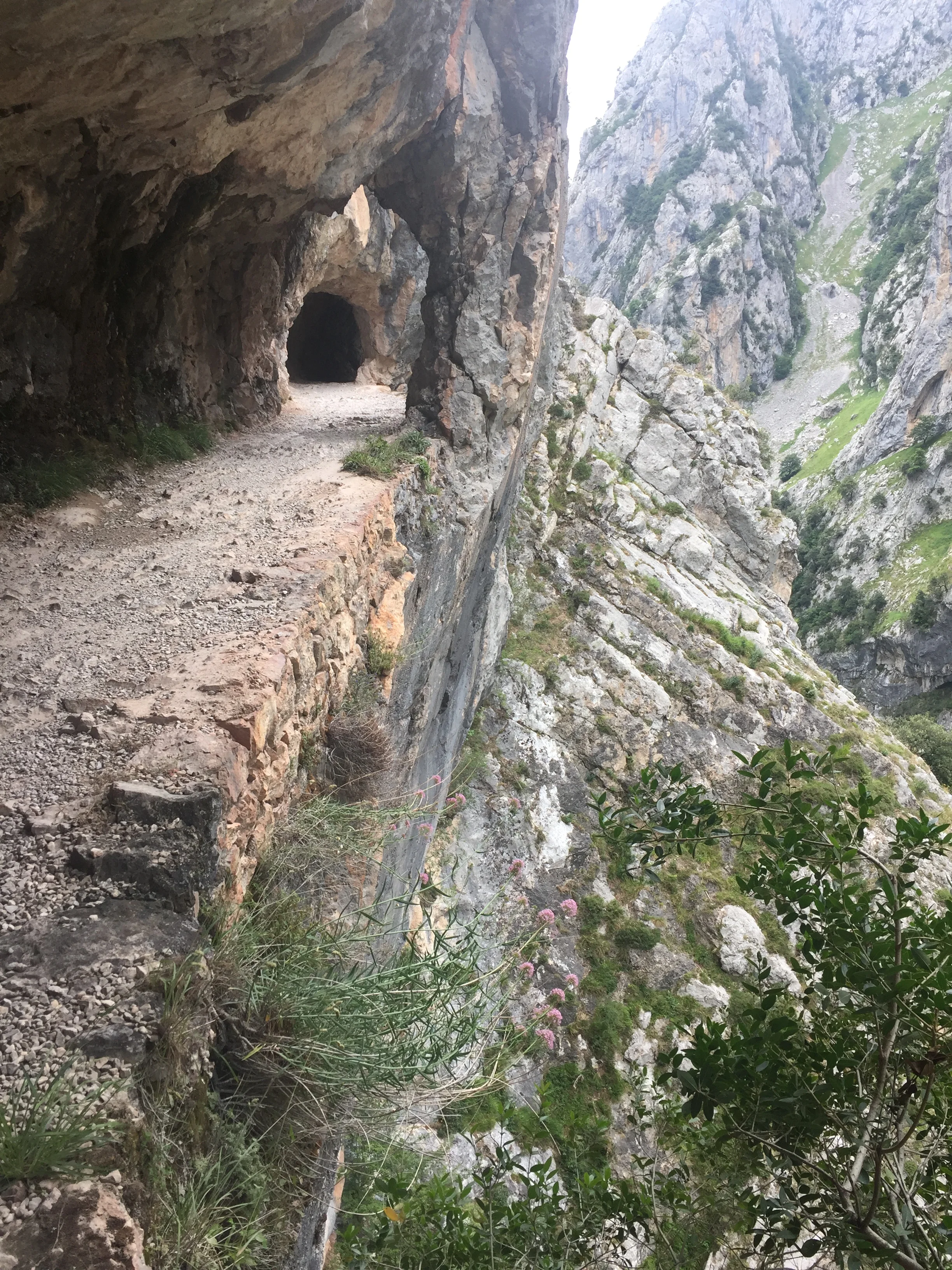
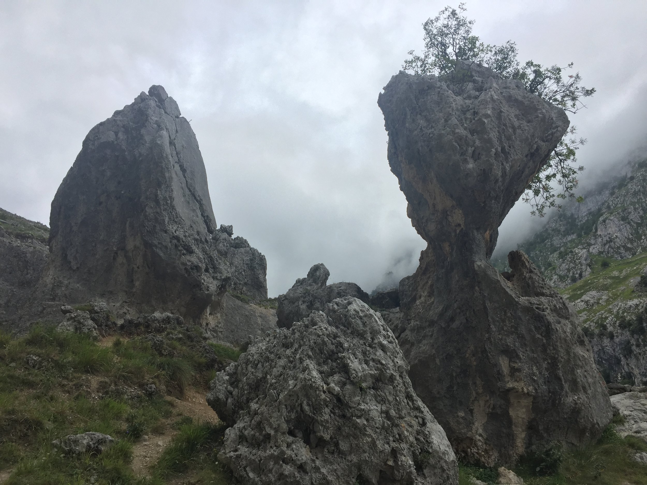
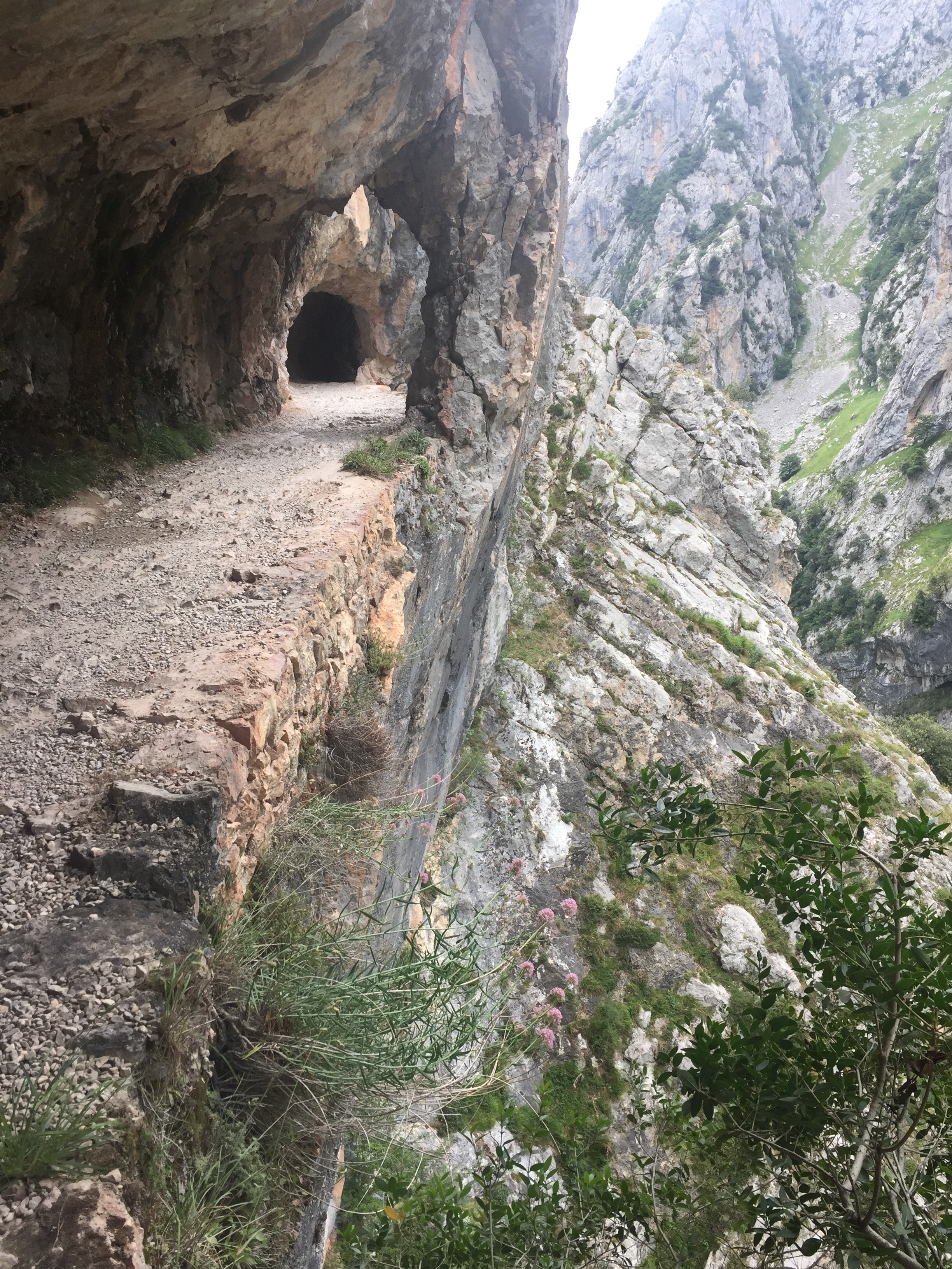
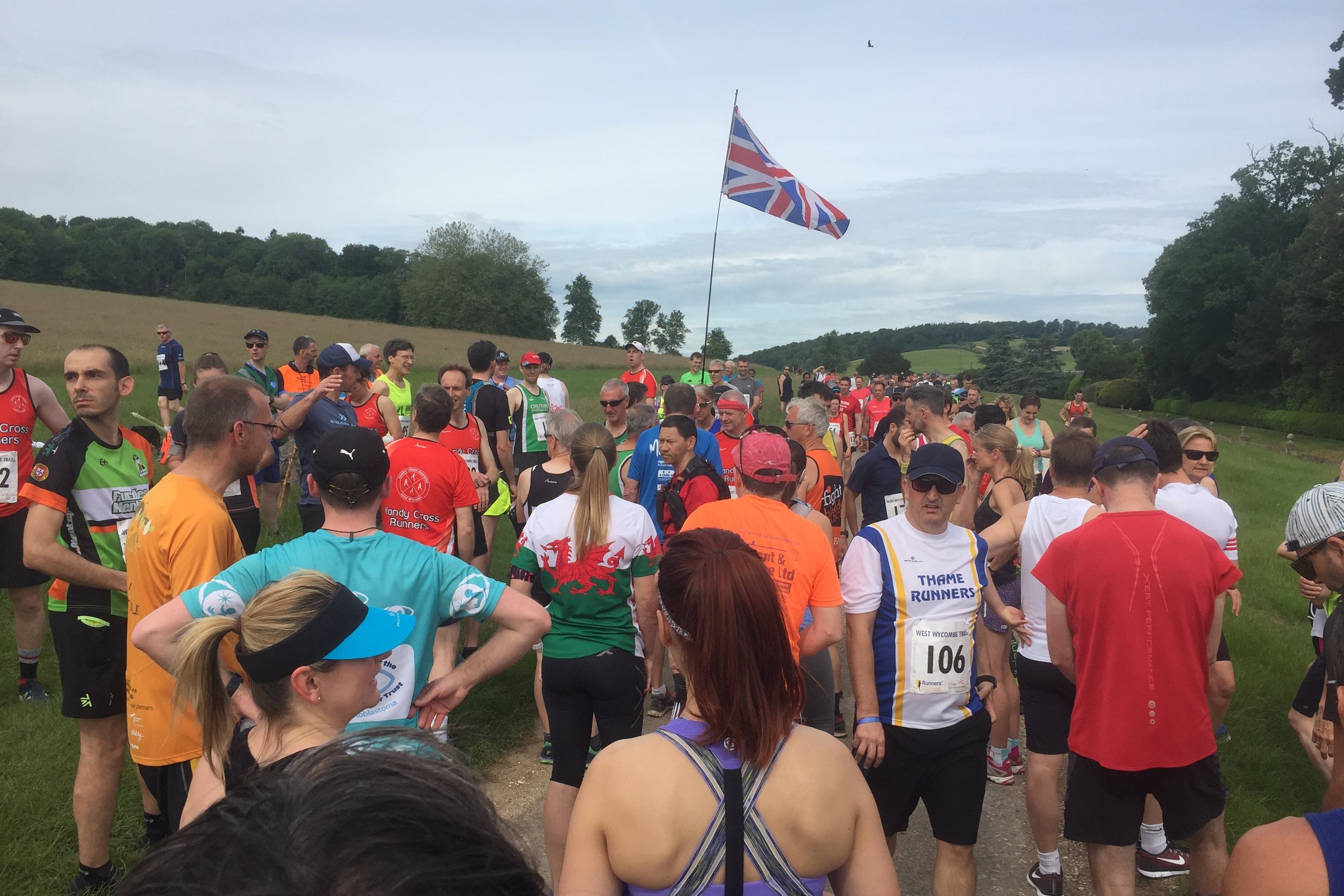
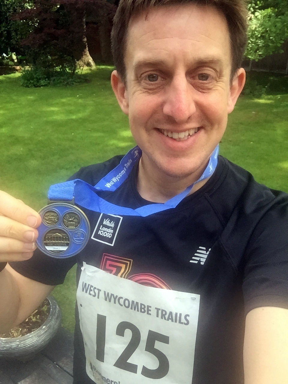
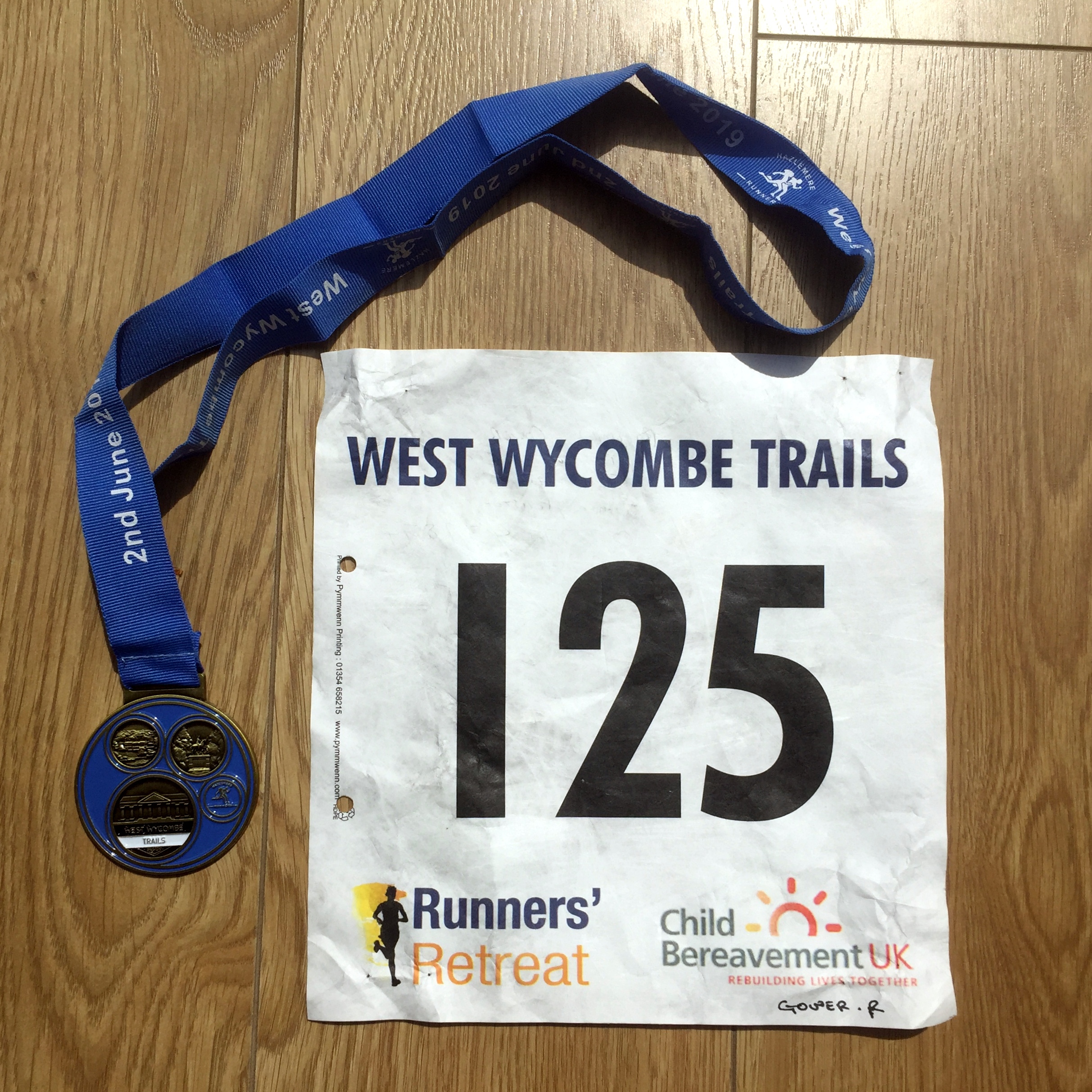
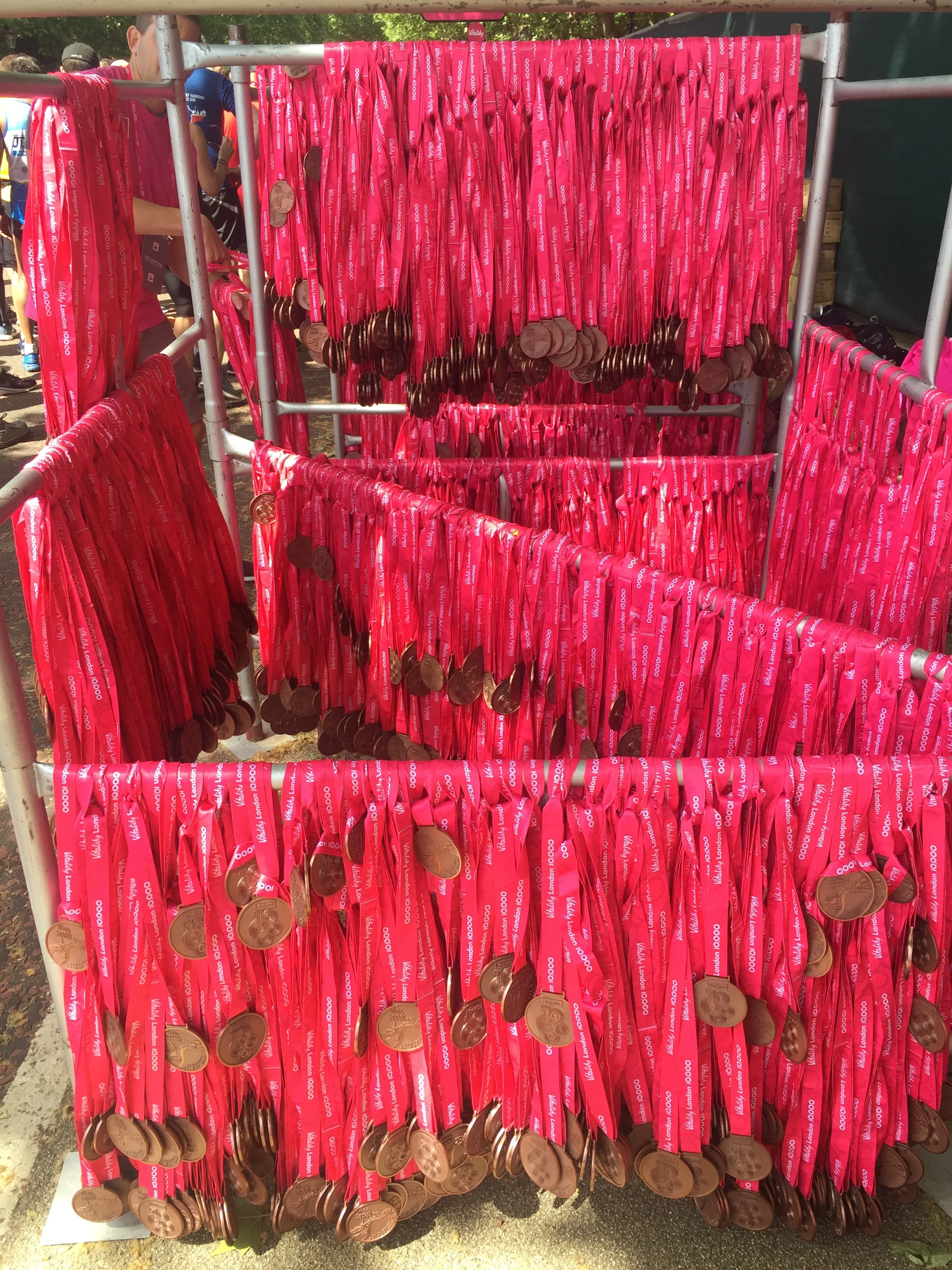
Walking The Camino Inglés

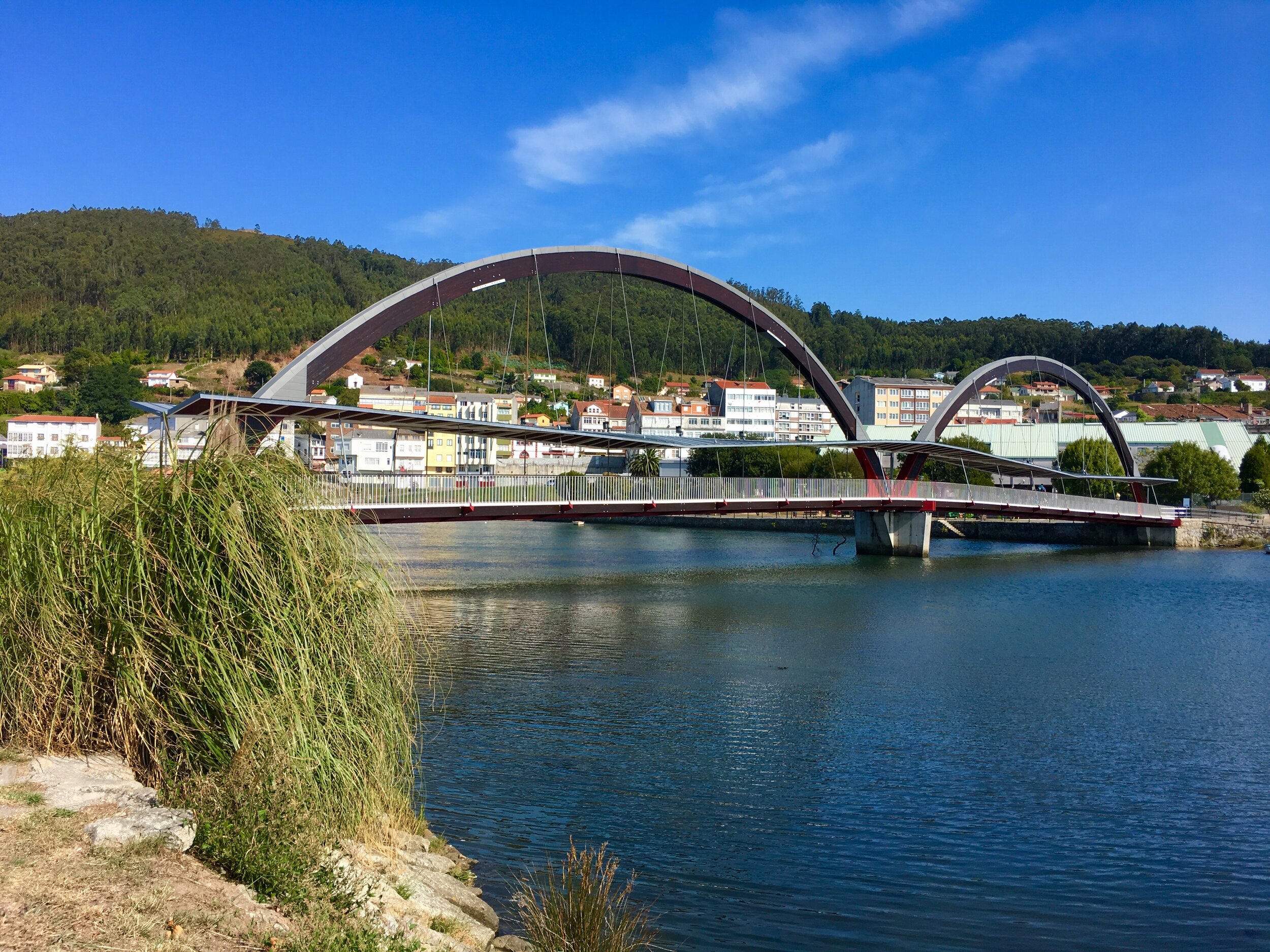
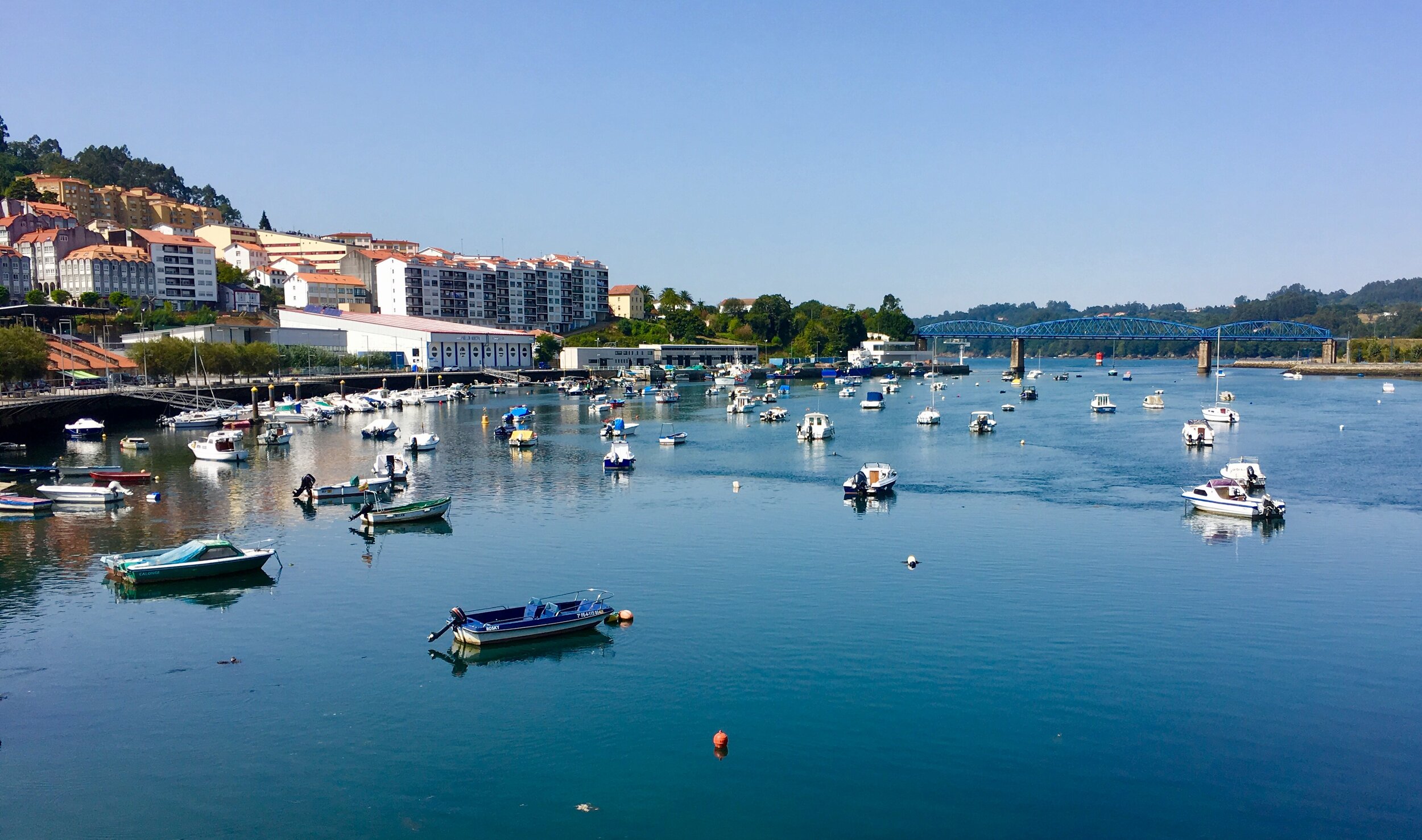
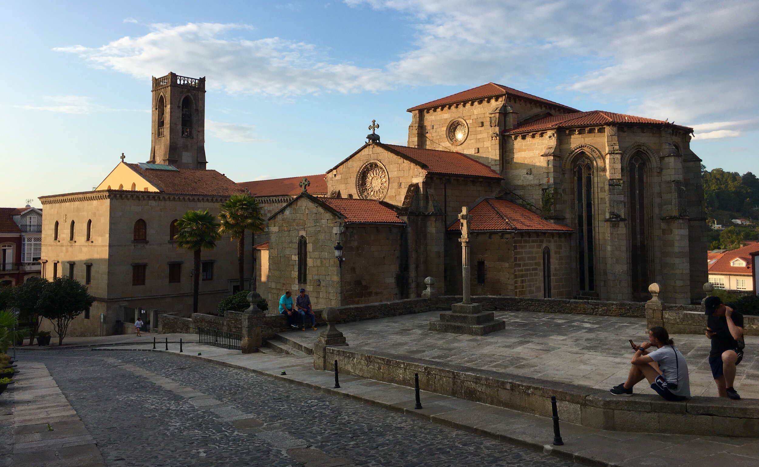
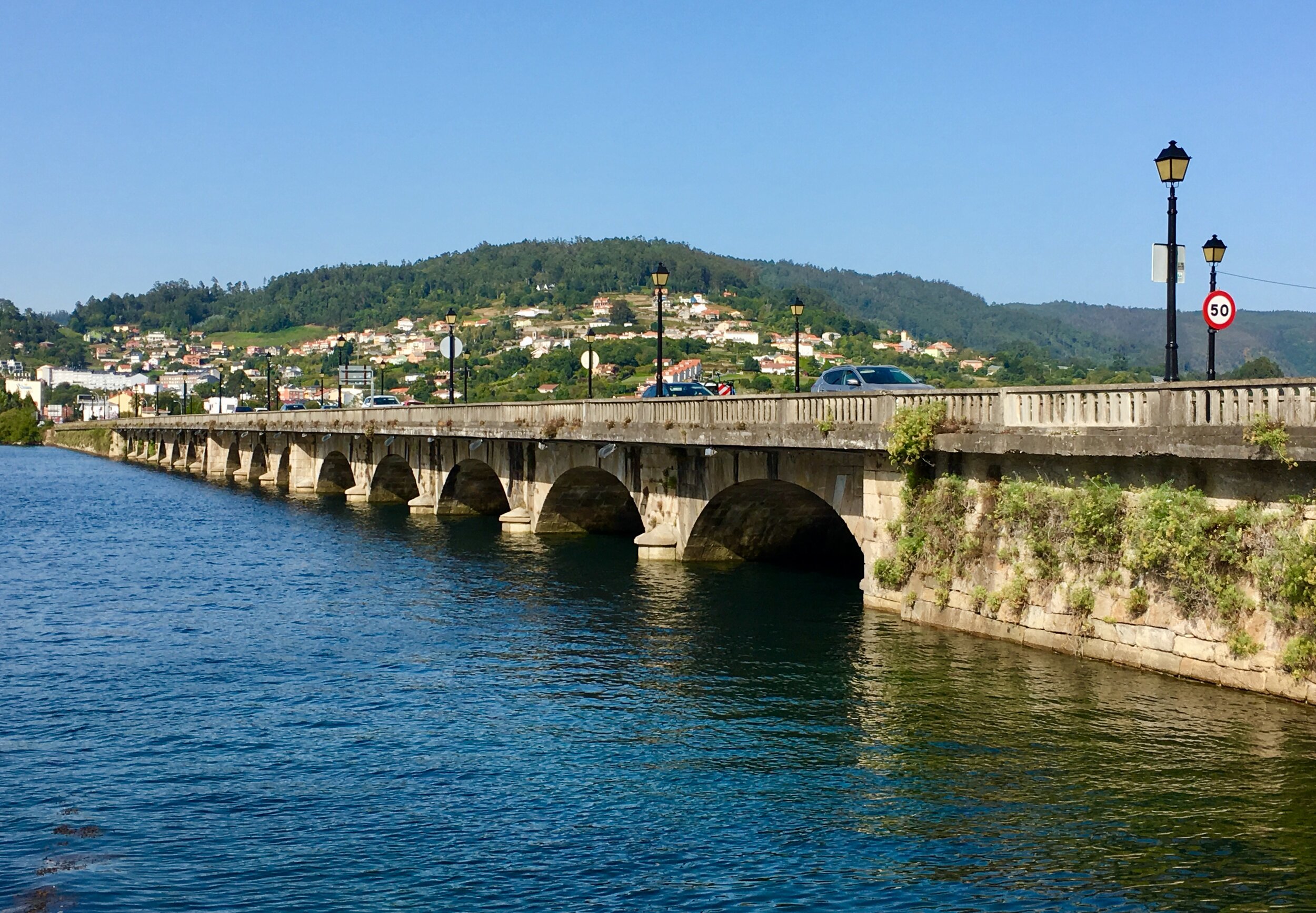
Pontedeume


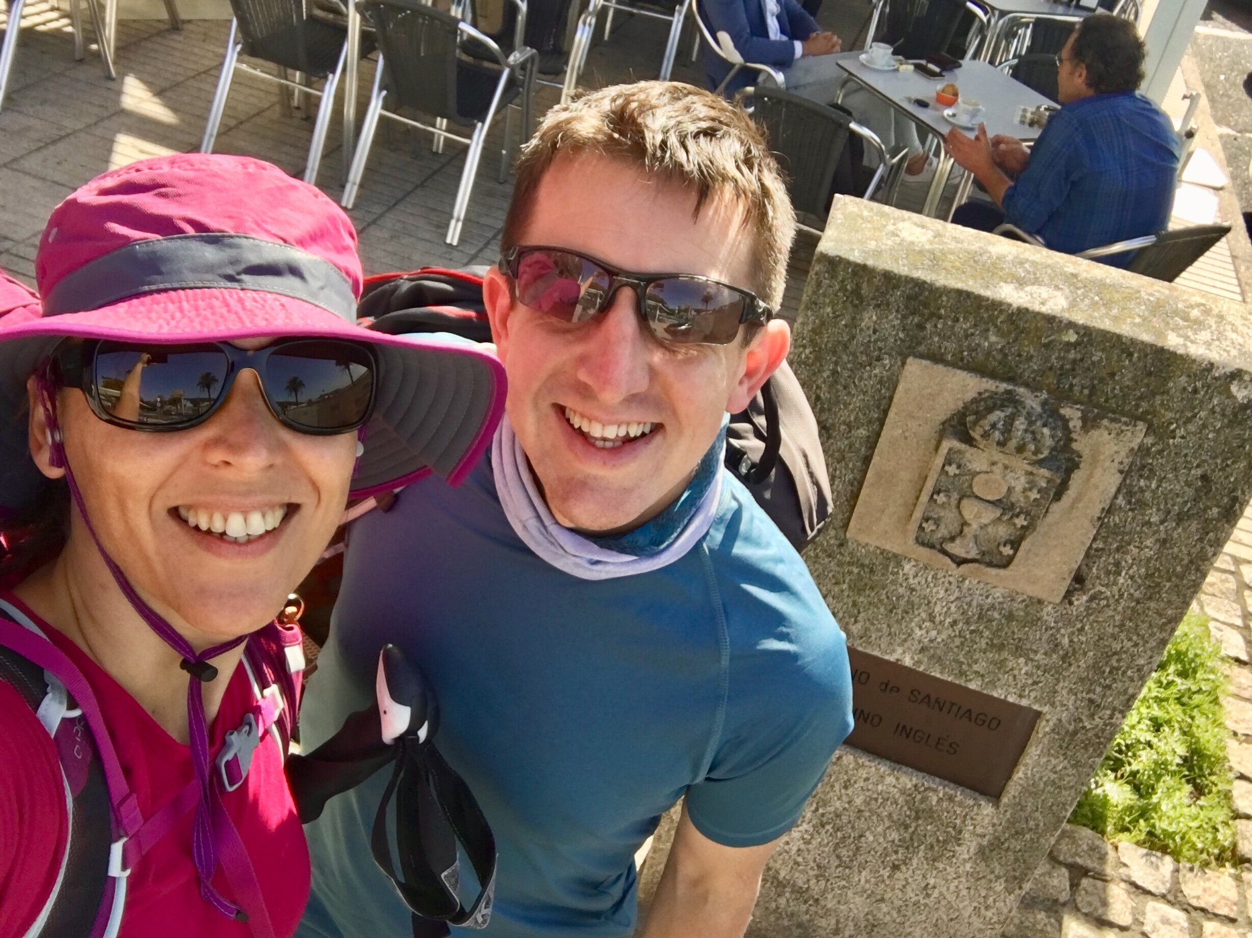
It only took one taste of the Camino to get hooked. Shortly after returning from the Camino Portuguese in May we had already started planning our next one for the following Autumn. It didn't take a lot of deliberation to work out what would come next. My work schedule would only allow us another 2 week trip. We also had a strong desire to see Finisterre, the end of the world. The combination of the Camino Inglés and the Camino Finisterre would fulfil both criteria.

With the Inglés at 110 km and the Finisterre via Muxia at 122 km, they are easily achieved within 2 weeks. You can do either in less than a week each but we were in no rush. We had learnt on the Portuguese that 15 to 18 km per day was the right place for us.

The Inglés is the shortest of the main Camino routes into Santiago de Compostela. Its name comes from the pilgrims who would start their journey in England, take a boat to the northern Galician coast and continue from there. Nowadays there's two options for starting the Inglés, A Coruña and Ferrol, both connecting at Hospital de Bruma. It's more likely that olden-days pilgrims would have arrived in A Coruña as there would have been very few options to arrive by boat from England to Ferrol. Despite the authenticity, the route from A Coruña is shorter than the 100km needed to get the Compostela certificate. At 110km, Ferrol is the more popular route, especially for pilgrims like me who need the certificate.

As the date for our trip approached I was in desperate need of a break. Work had been intense, and getting stuck in Newark Airport on a 27 hour delay didn't help. I'd wished to not travel again for work any time soon. As it turned out that wish came true as Covid scuppered all work travel for the following 2 years.

My wish for uneventful air travel didn't come through though. Our plan was to fly from Heathrow to A Coruña then take a taxi to Ferrol. A broken piece of engine kept us at Heathrow for four hours before our flight was cancelled and we had to return home. The expensive, albeit insurance-covered, Plan B was to take a taxi to Gatwick the next morning into then an early flight to Santigo via Barcelona and a taxi to Ferrol. We arrived at the harbour in time for our scheduled start time for the walk.

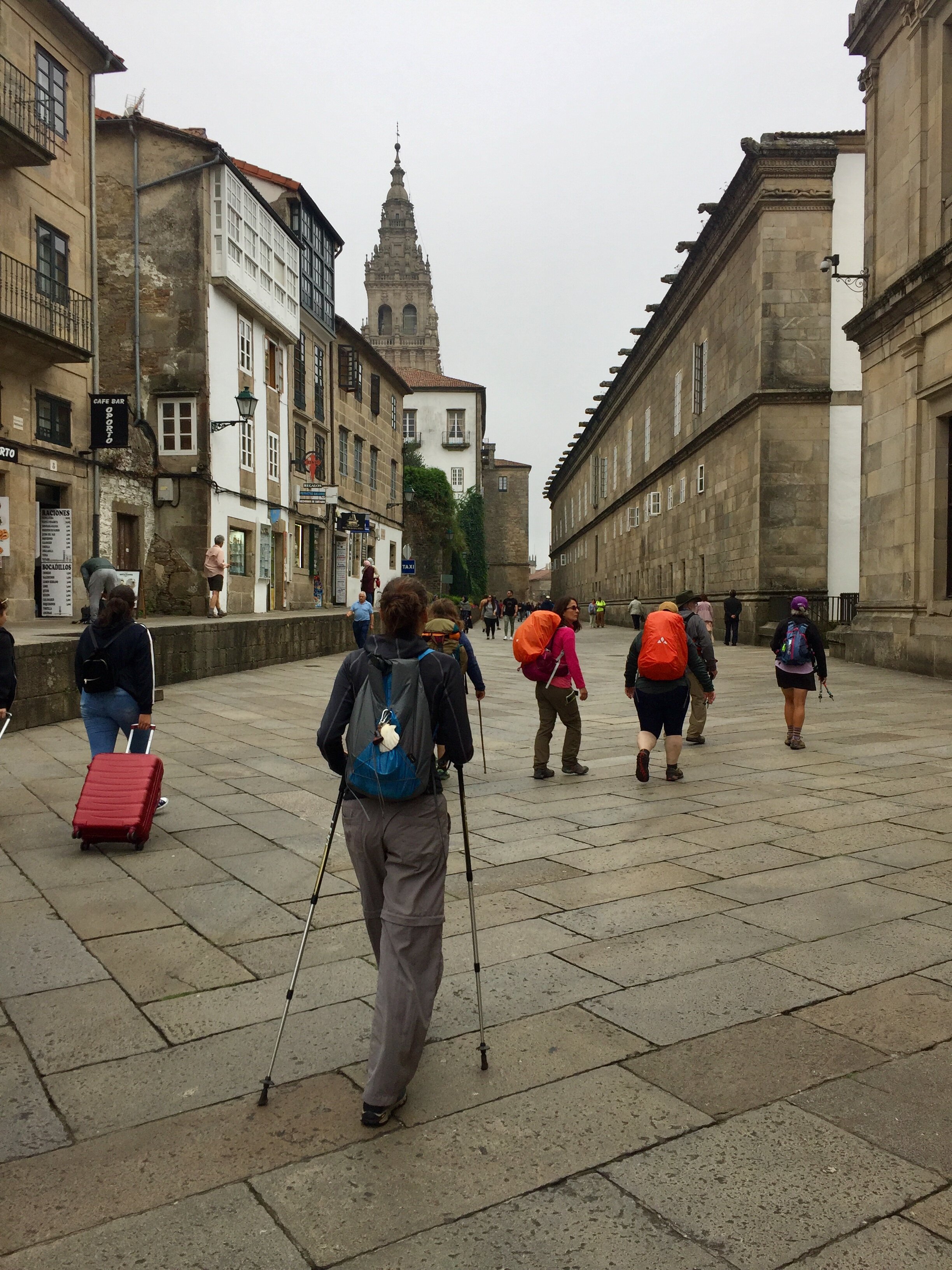
With the stress of the travel and a very hot day, the first leg to Neda was hard going. I still had a lot of work thoughts running around in my head. This didn't feel like the mindful Camino experience that we remembered from a few months before.

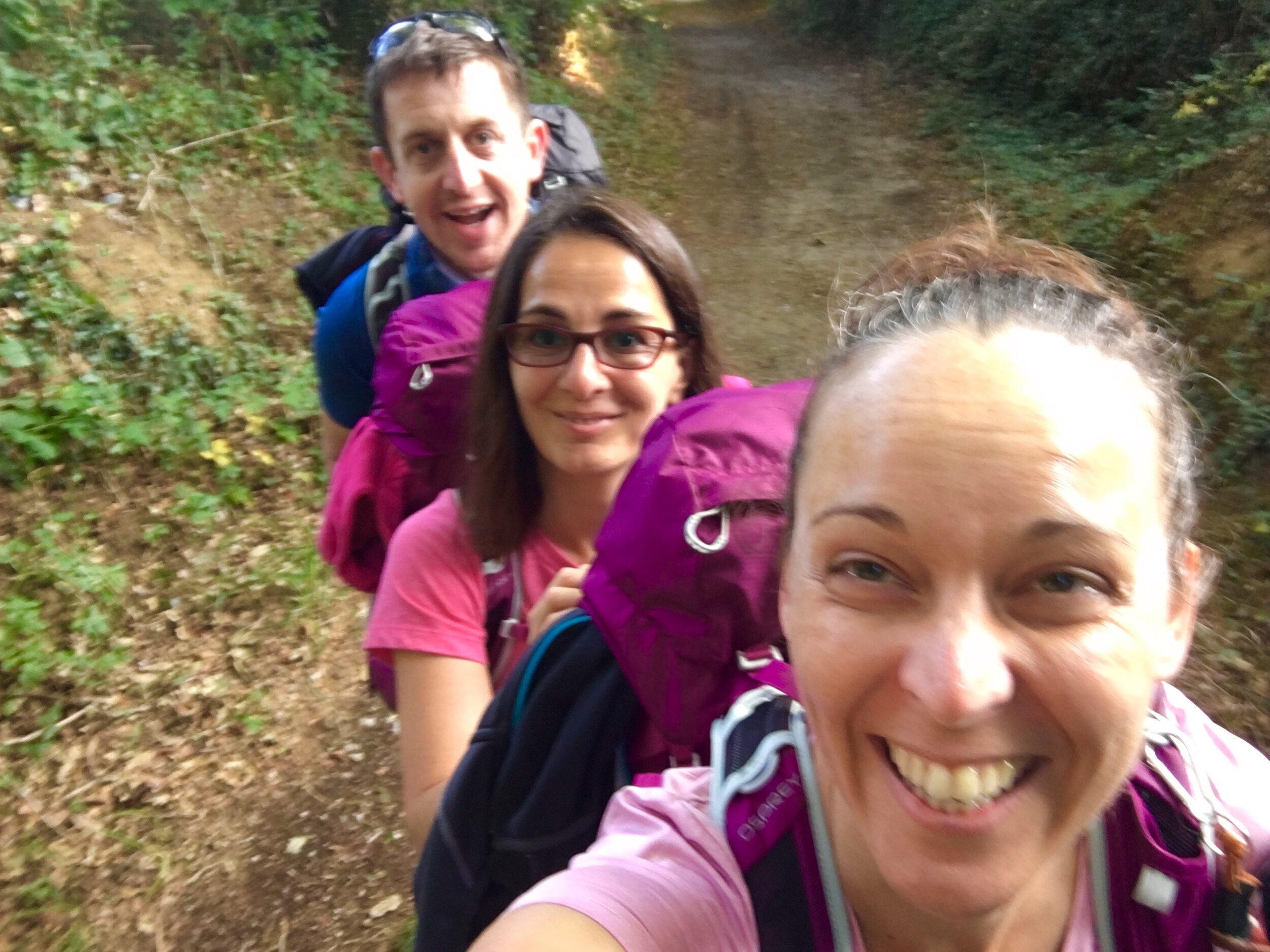
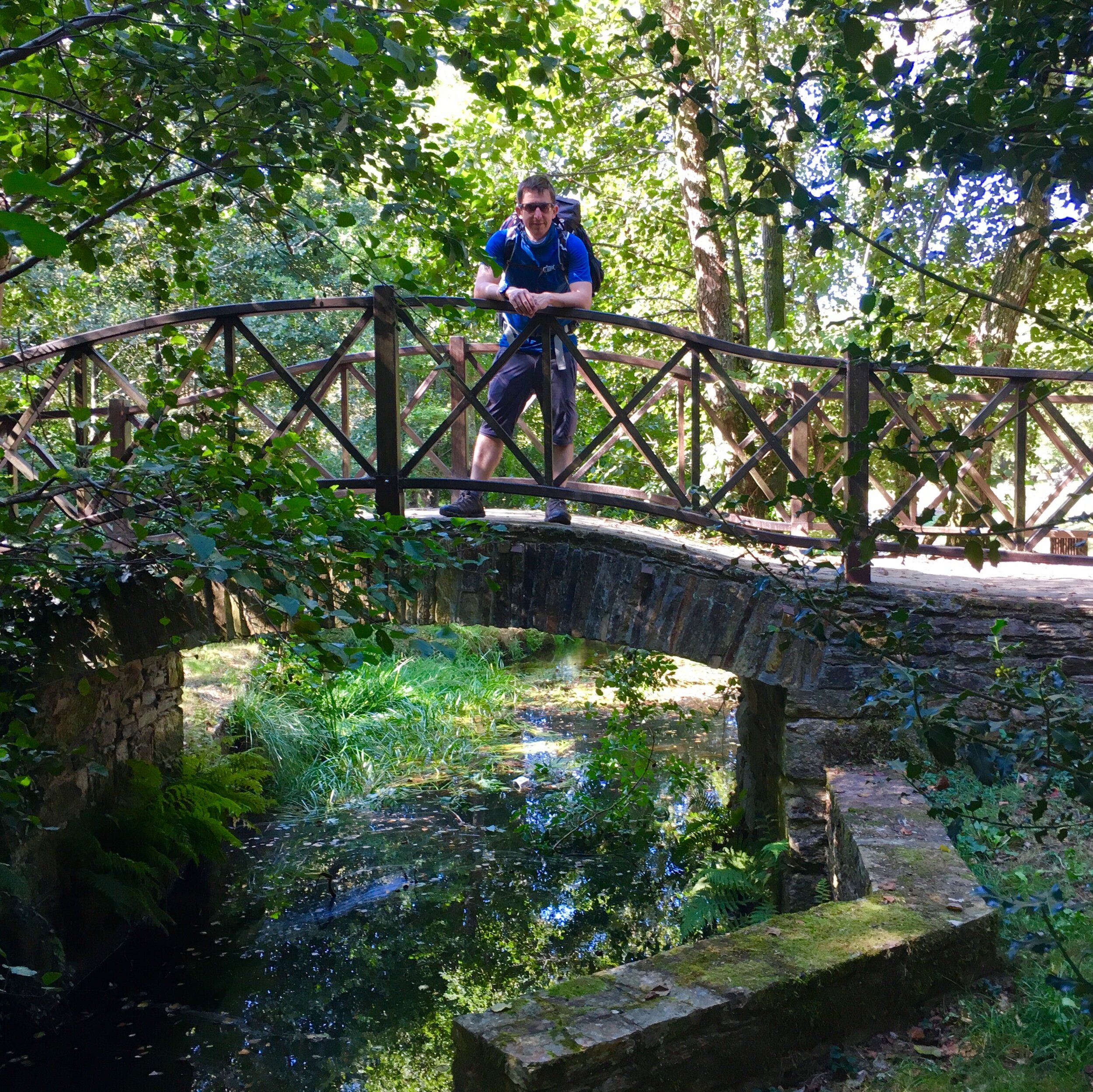
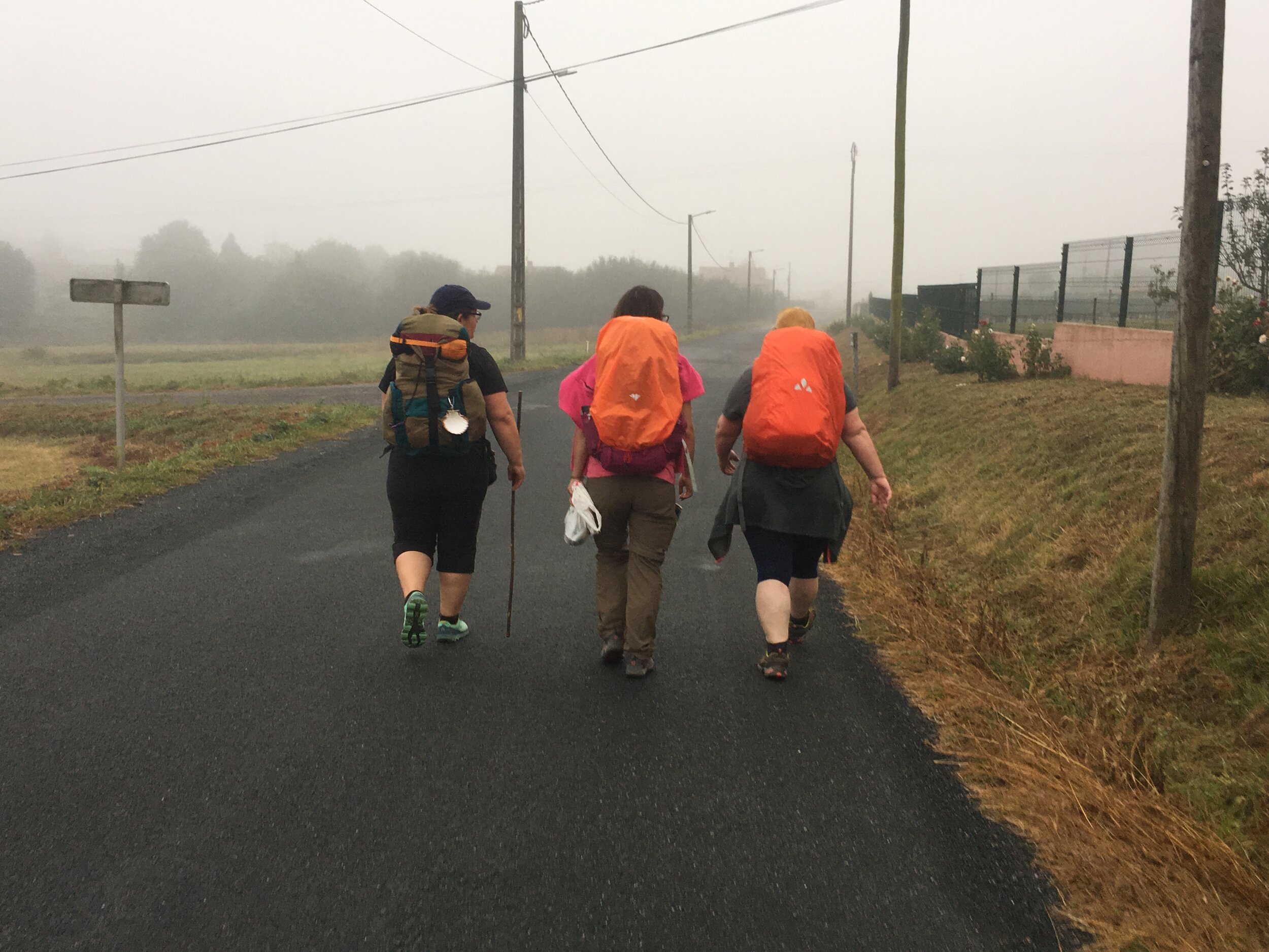
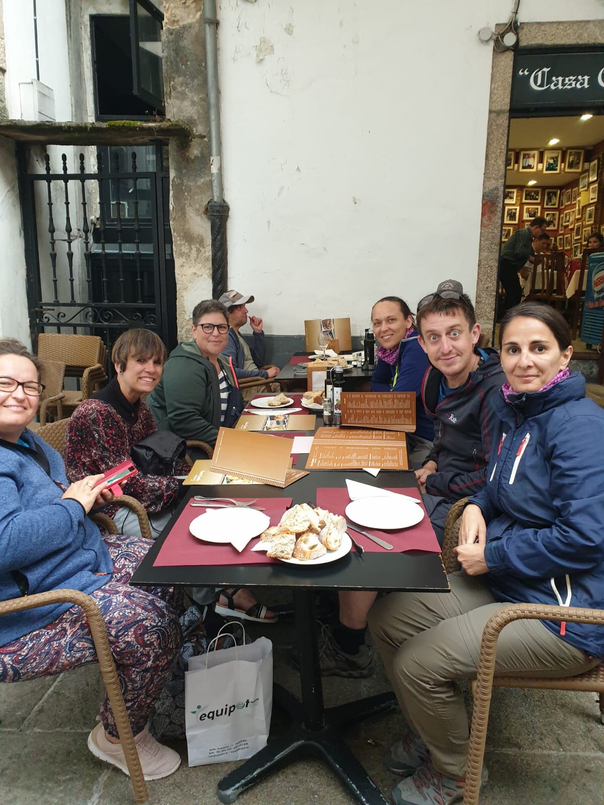
This trip was also different in that we were a group of three rather than two. Adina, a good friend of ours whose previous Caminos had inspired our Portuguese trip, joined us for what would be her third Camino.

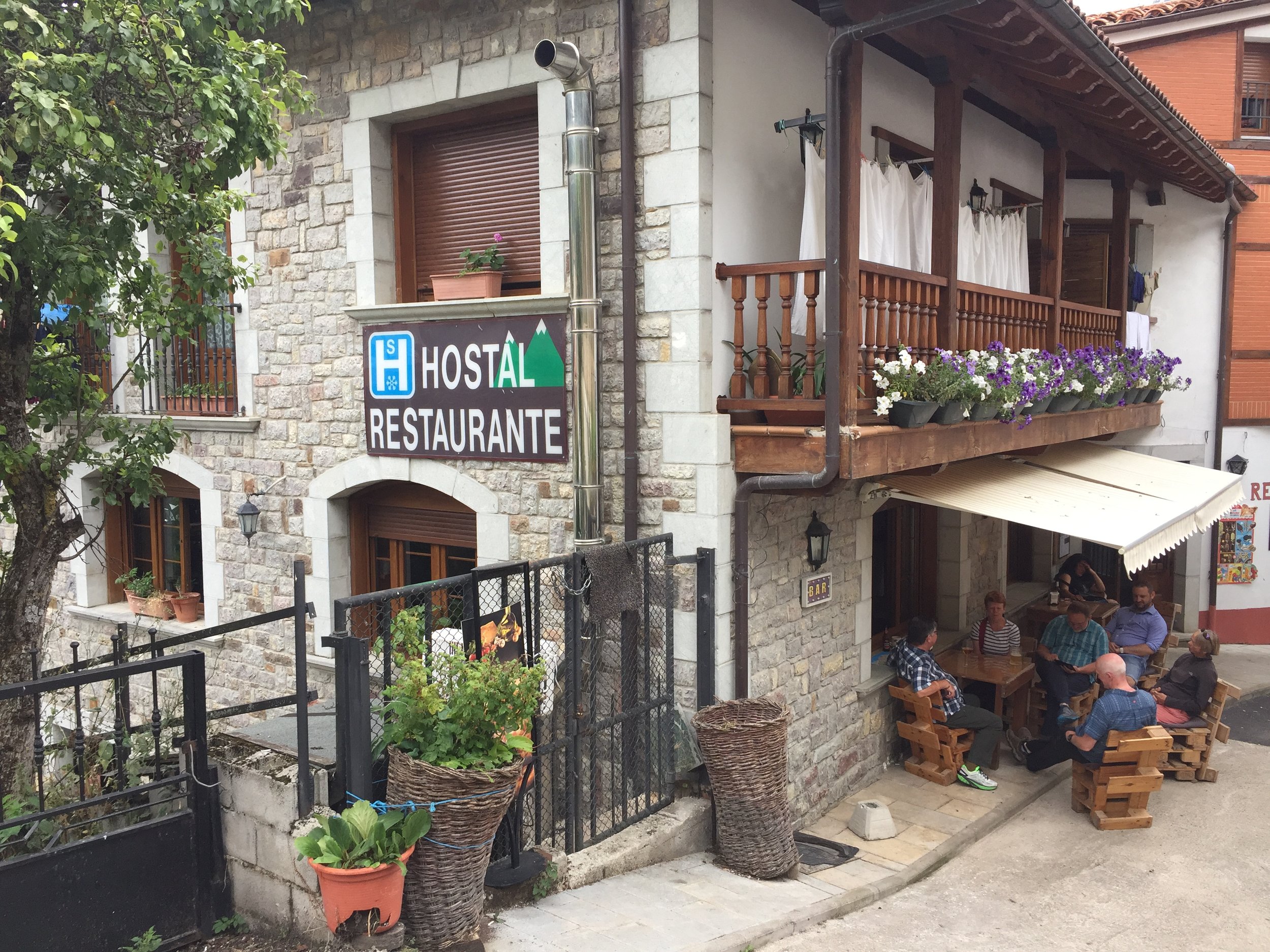
As we arrived in Neda for the first night we checked into our different accommodations. Adina preferred to stay in the communal Albergues. One sleepless Albergue experience on the Portuguese was enough for us and we opted for comfortable B&Bs and small hotels instead. We soon got over any anxiety about doing an "authentic" Camino. We saw a lot of snobbery around what constitutes a genuine Camino experience. There's always someone doing it with more hardship than you. For us, that wasn't what the experience was about. Everyone has their own Camino experience however they do it. We found our way of doing it and it worked well for us.

As it turned out Adina had a great first night's sleep in her newly built Albergue. Our hotel experience wasn't so great due to the combination of thin walls and partying neighbours. The rest of the trip's accommodations, with one exception, were much better and more like what we were used to on the Portuguese.

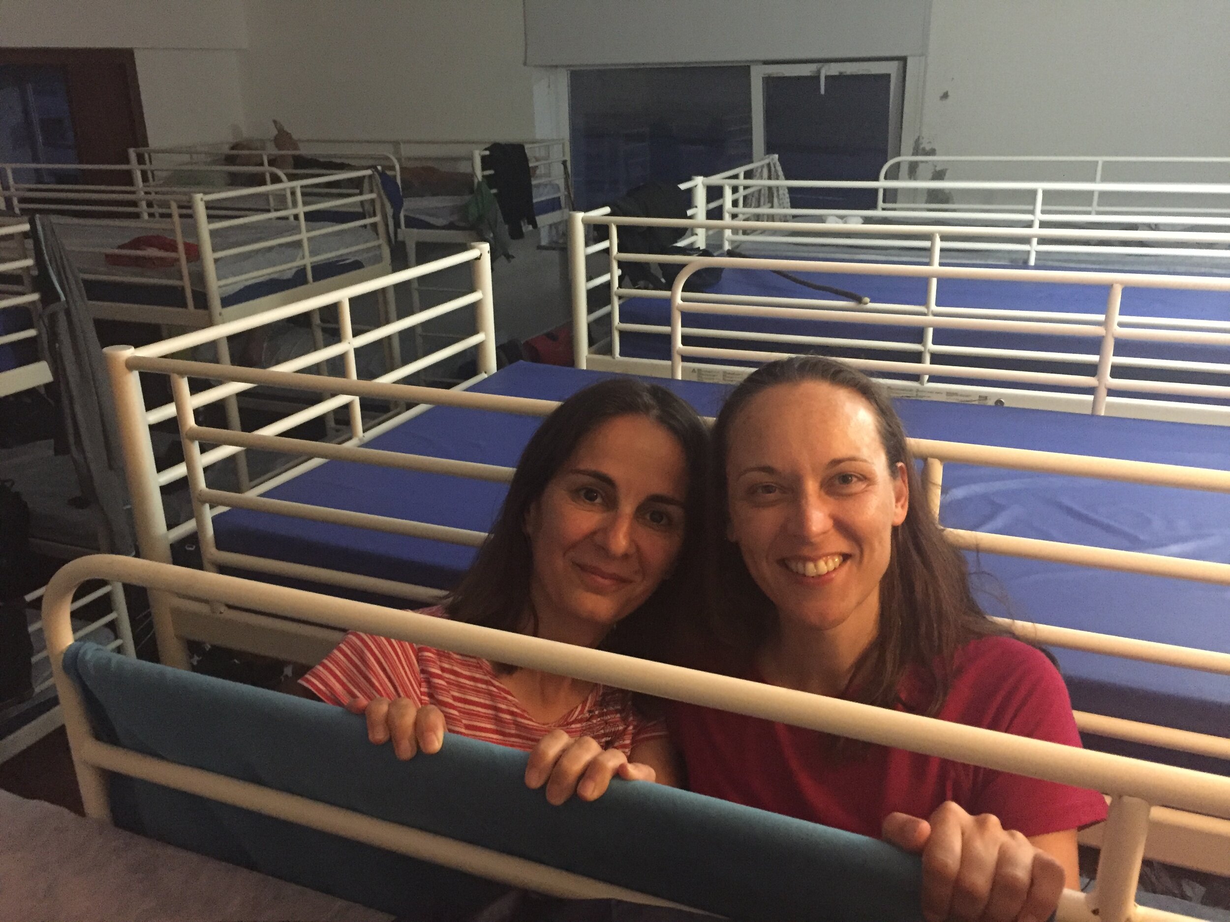
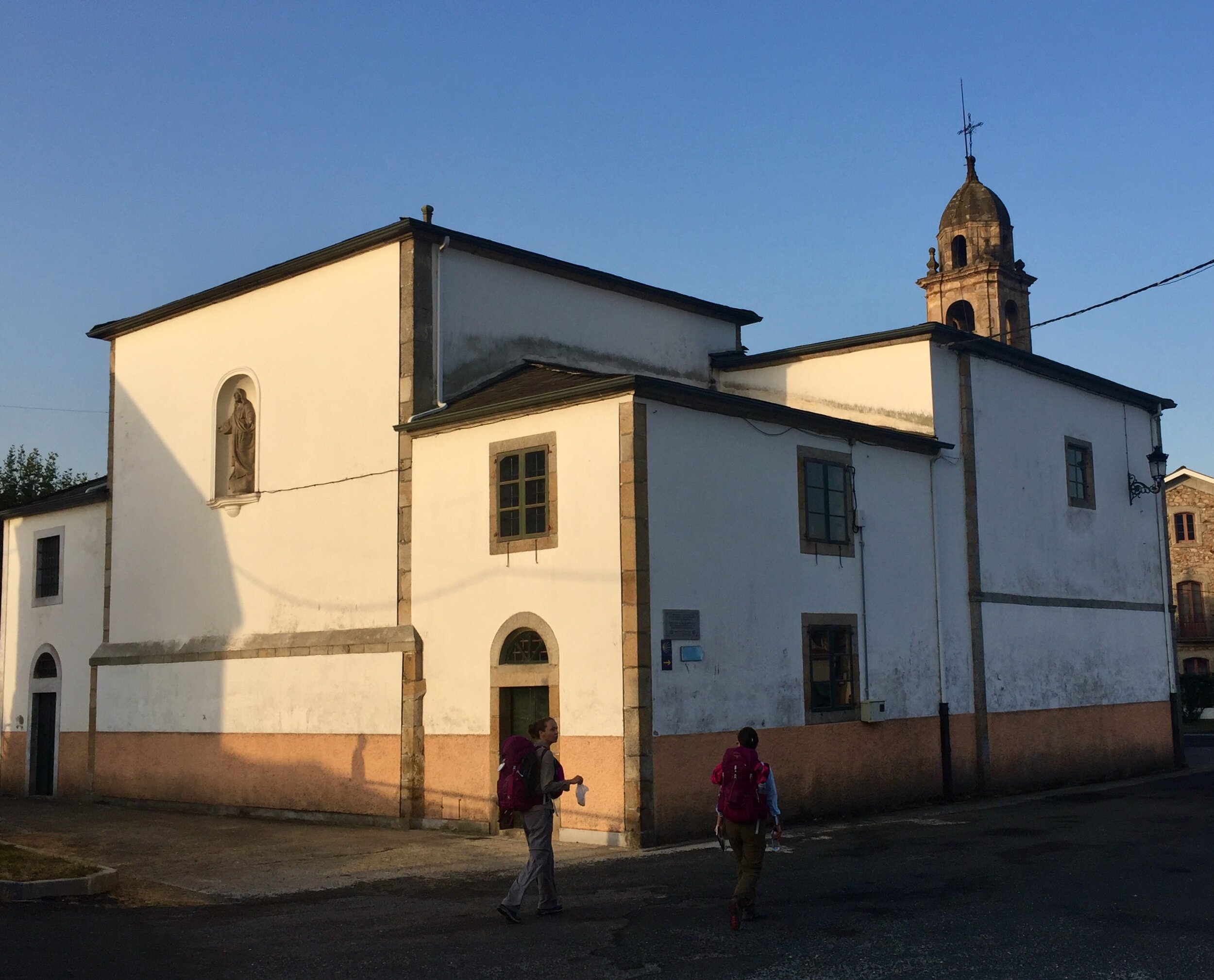
The one exception to the good night's sleep was in Presedo. This was on a longer stretch of the route with few accommodation choices. Our only option was the Albergue. It was .....fine .... as Albergues go, but we'd got used to having our own rooms and this was a bit of a shock to the system. Food choices were limited too with the only restaurant 20 minutes walk away. The reviews for the restaurant were good but we must have been there when the staff were having an off night. We got through the snoring, the humid room and the bed bugs and set off early the next day. The reward was a great hotel (for us) and another new Albergue (for Adina) on the next night.

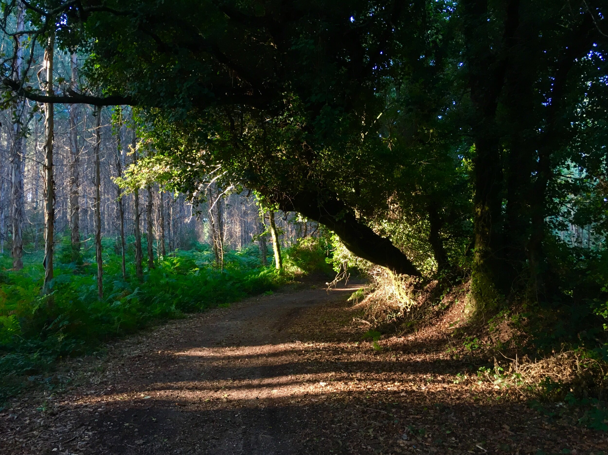
The route in general was interesting and enjoyable. It didn't have the "wow factor" of the Portuguese so we were glad to have done that one as our first Camino experience. Instead this was a satisfying continuation of our Camino story, a middle chapter of a longer book that we're still writing. Having a friend join us also gave us a different perspective on the trip.

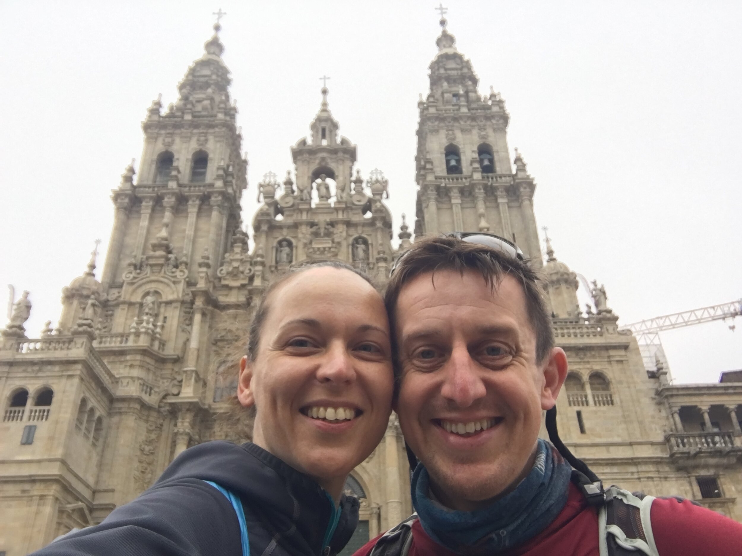
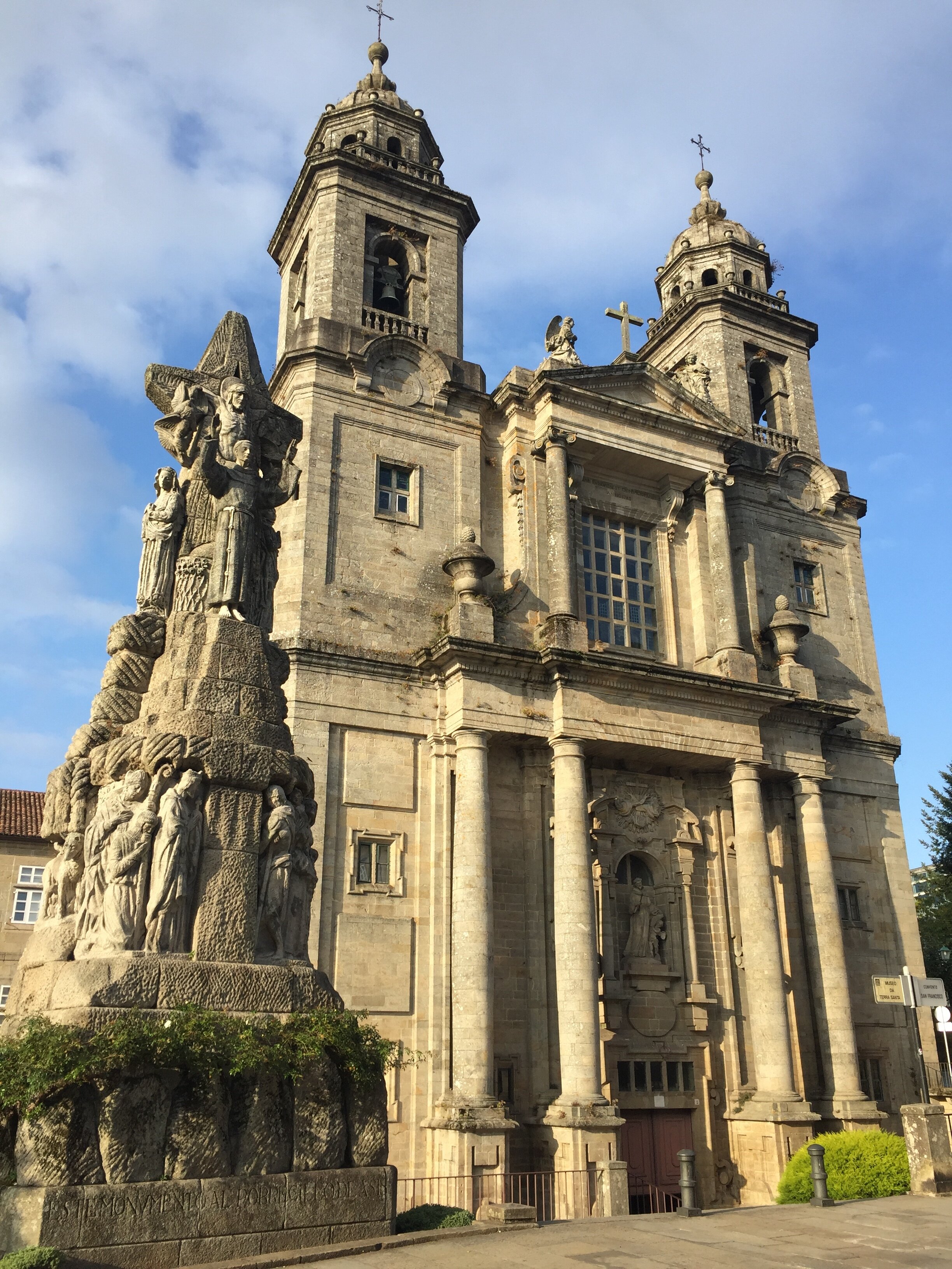
Entering Santago de Compostela at the end of the Portuguese was a magical and emotional experience. This was different. It didn't give us the big sense of achievement or the thrill of the new. Instead, it felt like coming home. Although this was only our second visit, we were already in love with the place and it was starting to feel like a place we would return to often.

The other big difference to our first Camino was that Santiago was a stop on the way, not the final destination. The next day we would wake up, have breakfast and start walking again. We would continue towards the West in search of the end of the world: Finisterre.


DAY 1: Ferrol to NEDA

Date: Saturday September 14th 2019
Start:
Inicio del Camino Inglés a Santiago de Compostela, Paseo Mariña, s/n, 15401 Ferrol
Finish (Hotel):
Pensión Residencia Maragoto, Av. Xubia, 12, 15510 Neda
Finish (Albergue): Albergue de Peregrinos de Neda, 15510 Neda
Rest stops: (Before start): La Gruta Sofdan, Paseo Mariña, 8- 10, 15401 Ferrol,
Distance: 13.8 km / 8.6 miles
Elevation Change: +186m / -174m / Net +12m
GPX File: get via Buy Me a Coffee
Walking Time: 3 hours 41 minutes
Other Routes Touched: Camino de San Andres de Teixido

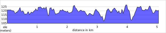
elevation_profile - Camino  Ingles - Day 1 - Ferrol To Neda.jpg

DAY 2: Neda to Pontedeume

Date: Sunday September 15th 2019
Start:
Pensión Residencia Maragoto, Av. Xubia, 12, 15510 Neda
Finish (Hotel):
Hotel Eumesa, Av. Coruña, s/n, 15600 Pontedeume
Finish (Albergue): Albergue de peregrinos de Pontedeume, Rúa Peirao, 15600 Pontedeume
Rest stops: El Camarote, Av. Naturais de Fene, 42, 15500 Fene / Restaurante Vilar do Colo, Pol. Ind. Vilar do Colo, Rua Astano, 3B, 15500 Fene,
Distance: 15.3 km / 9.6 miles
Elevation Change: +318m / -323m / Net -5m
GPX File: get via Buy Me a Coffee
Walking Time: 4 hours 36 minutes
Other Routes Touched: N/A

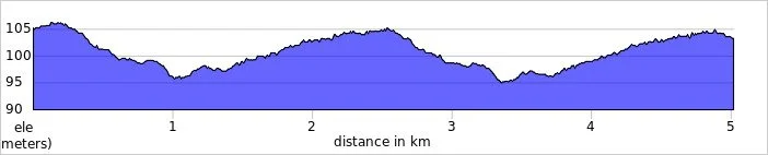
elevation_profile - Camino  Ingles - Day 2 - Neda to Pontedeume.jpg

DAY 3: Pontedeume to Betanzos

Date: Monday September 16th 2019
Start:
Hotel Eumesa, Av. Coruña, s/n, 15600 Pontedeume
Finish (Hotel):
Hotel Villa de Betanzos, Avenida de Castilla, 38, 15300 Betanzos
Finish (Albergue): Albergue de Peregrinos "Casa da Pescadería", Rúa Pescadería, 4, 15300 Betanzos
Rest stops: Ultreia et suseia, Puente Bajoy, s/n, 15639 / Café 15 Once, Rúa a Carreira, 3 Bajo, 15630 Miño
Distance: 21.0 km / 13.1 miles
Elevation Change: +568m / -545m / Net +23m
GPX File: get via Buy Me a Coffee
Walking Time: 5 hours 59 minutes
Other Routes Touched: Camino Real de Obre


DAY 4: Betanzos to Presedo

Date: Tuesday September 17th 2019
Start:
Hotel Villa de Betanzos, Avenida de Castilla, 38, 15300 Betanzos
Finish (Hotel):
N/A: Albergue is the only option here.
Finish (Albergue): Albergue Presedo, Lugar Campo de Ntra. Sra. de la Saleta, 10, 15318 Abegondo
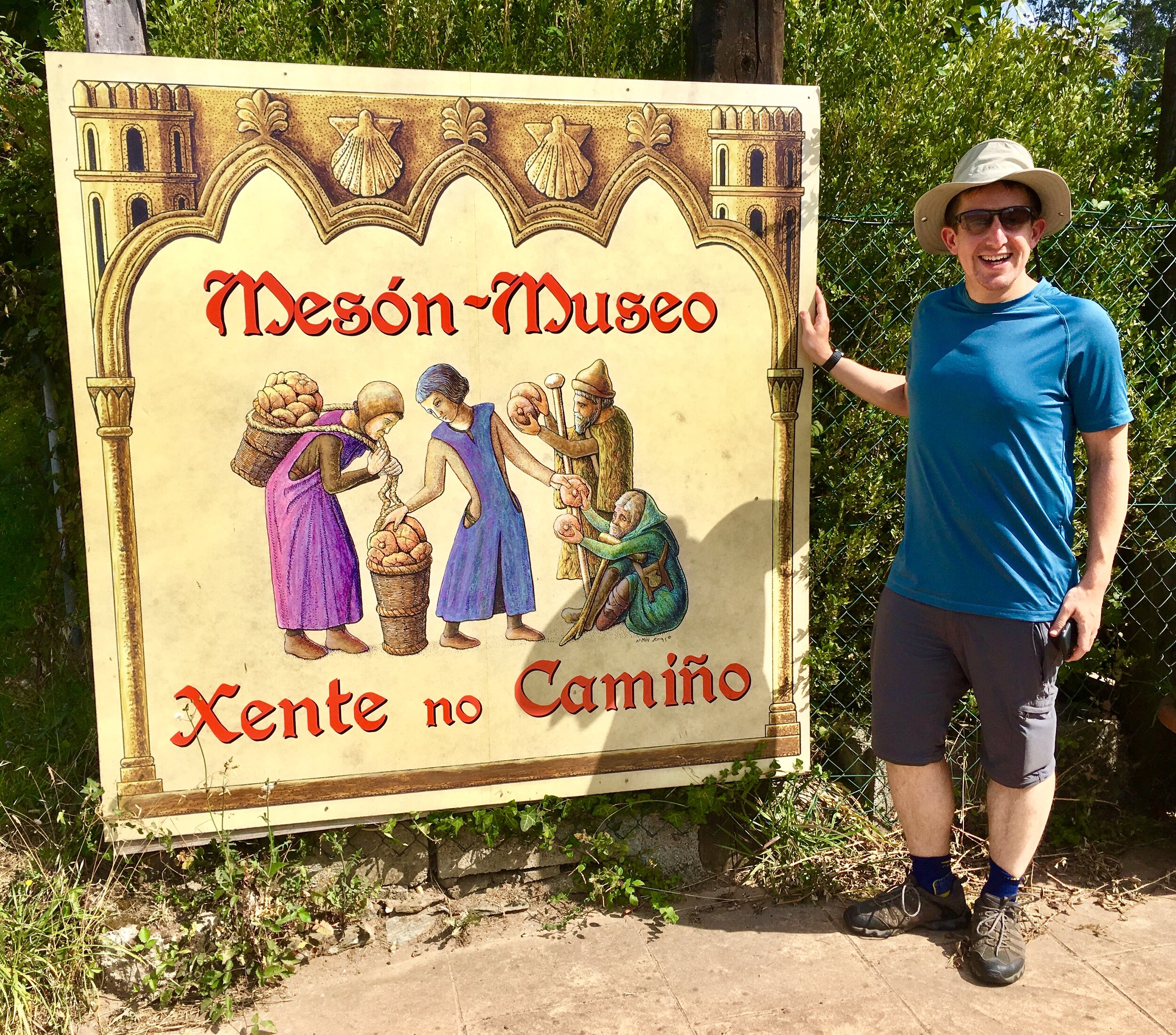
Rest stops: Bar Carabel, Meangos 4, 15318 Abegondo / Meson-Museo Xente No Camino, Lugar Campo de Ntra. Sra. de la Saleta, 30, 15318 Abegondo
Distance: 11.4 km / 7.1 miles
Elevation Change: +306m / -201m / Net +105m
GPX File: get via Buy Me a Coffee
Walking Time: 2 hours 53 minutes
Other Routes Touched: N/A

DAY 5: Presedo to A Rua

Date: Wednesday September 18th 2019
Start:
Albergue Presedo, Lugar Campo de Ntra. Sra. de la Saleta, 10, 15318 Abegondo
Finish (Hotel):
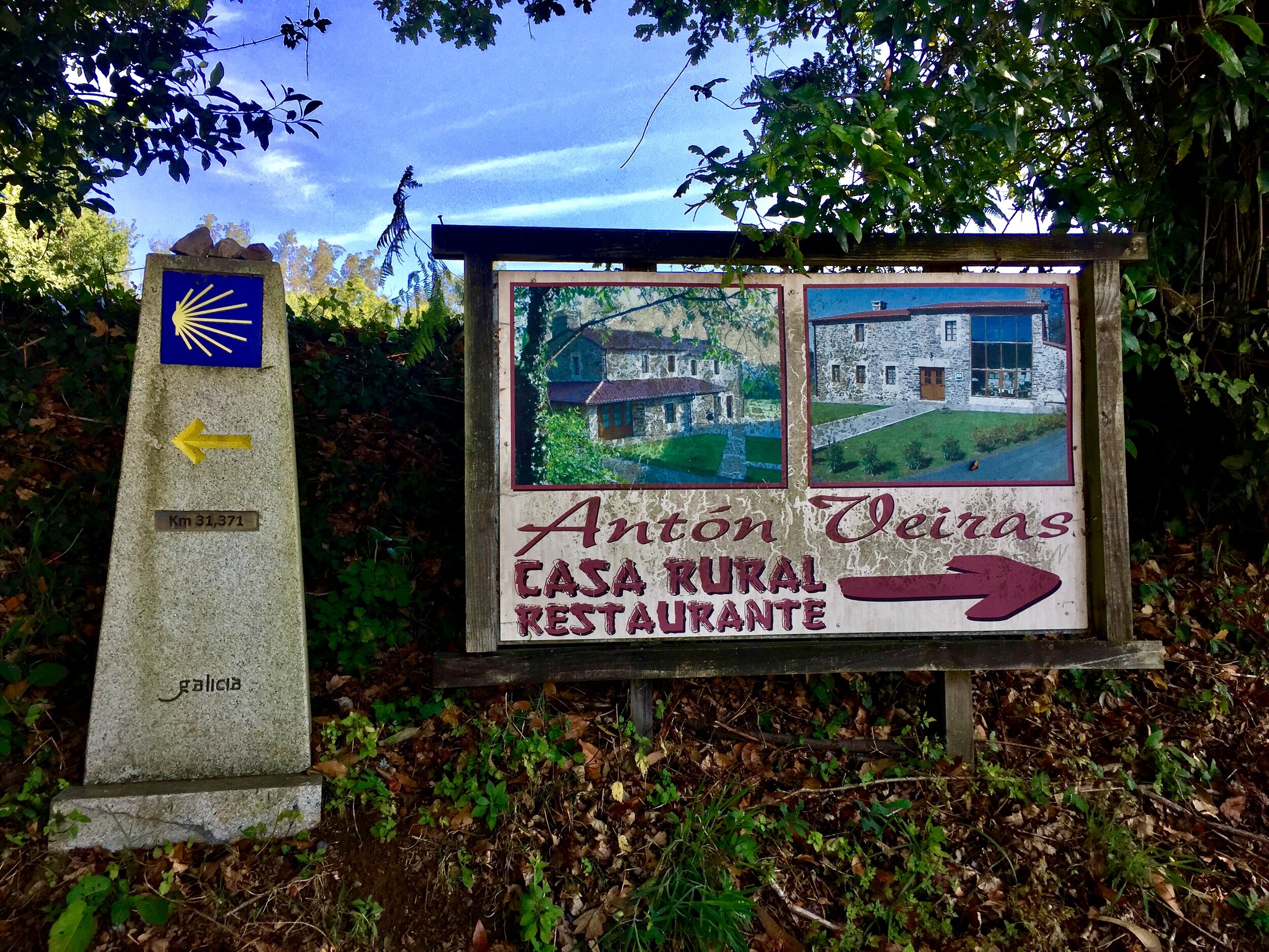
Casa Rural Antón Veiras, Outeiro de Abaixo 2, poulo, 15680 Ordes
Finish (Albergue): Albergue de peregrinos de Poulo, Lugar, Outeiro, 3, 15687 Ordes
Rest stops: Bar Casa Avelina, Travesas, 38, 15183 Carral / Cafe Bar Uzal, Cruz, 4, 15685 Ordes
Distance: 22.1 km / 13.8 miles
Elevation Change: +479m / -333m / Net +146m
GPX File: get via Buy Me a Coffee
Walking Time: 5 hours 15 minutes
Other Routes Touched: N/A


DAY 6: A Rua to Sigueiro

Date: Thursday September 19th 2019
Start:
Casa Rural Antón Veiras, Outeiro de Abaixo 2, poulo, 15680 Ordes
Finish (Hotel):
Sigüeiro Hostel, Praza de Alexandre Bóveda, 1 bajo, 15888 Sigüeiro
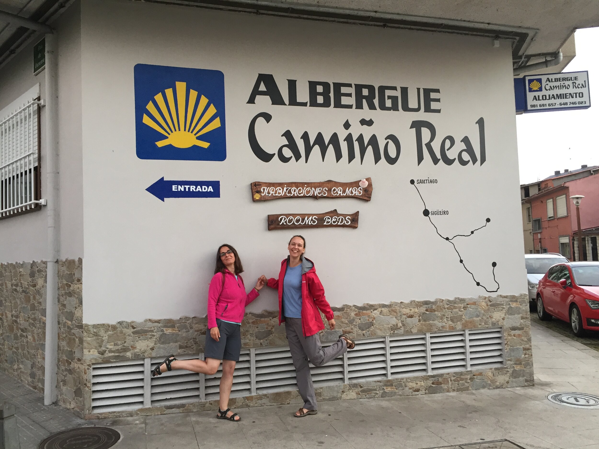
Finish (Albergue): Albergue Camiño Real, Rúa Ourense, 9, Bajo, 15888 Sigüeiro
Rest stops: Cafe-Bar O Cruceiro, Calle, 28, 15687 A Calle
Distance: 15.6 km / 9.8 miles
Elevation Change: +187m / -254m / Net -67m
GPX File: get via Buy Me a Coffee
Walking Time: 3 hours 57 minutes
Other Routes Touched: N/A


DAY 7: Siguero to Santiago de Compostela

Date: Friday September 20th 2019
Start:
Sigüeiro Hostel, Praza de Alexandre Bóveda, 1 bajo, 15888 Sigüeiro
Finish:
Cathedral of Santiago de Compostela, Praza do Obradoiro, s/n, 15704 Santiago de Compostela
Hotel: Pensión Residencia Hedrass, Rúa da Fonte de Santo Antonio, 25, 15702 Santiago de Compostela
Rest stops: Hotel Castro, Formarís, 22-23, 15884 Santiago de Compostela
Distance: 16.1 km / 10.1 miles
Elevation Change: +316m / -296m / Net +20m
GPX File: get via Buy Me a Coffee
Walking Time: 3 hours 56 minutes
Other Routes Touched: All other Caminos de Santiagos converge at the Cathedral.
The Full Route - Camino Ingles from Ferrol to Santiago de Compostela


Chiltern Walks: Naphill and West Wycombe
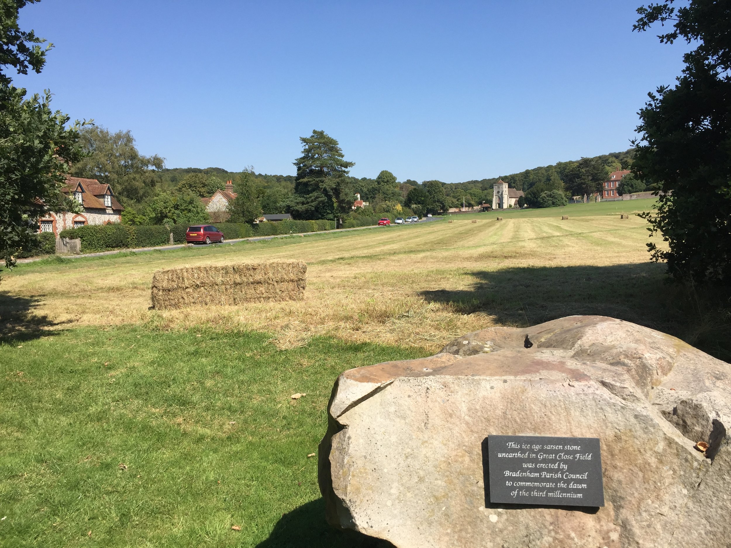
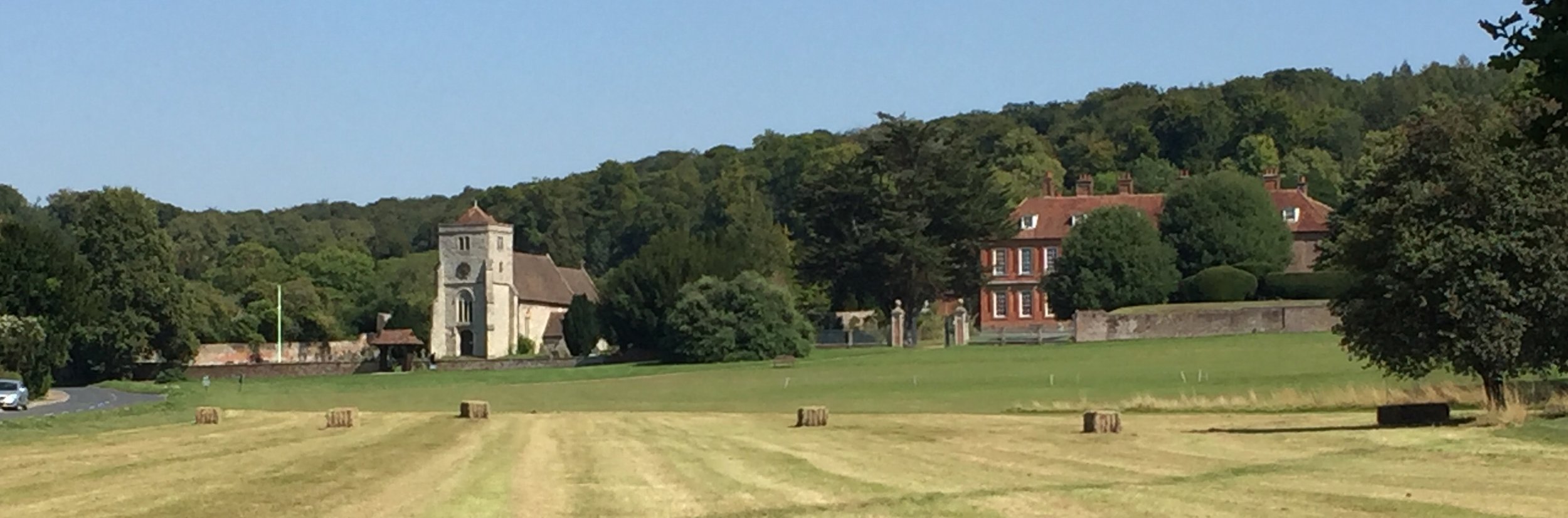
View across Bradenham Cricket Green to the church and manor

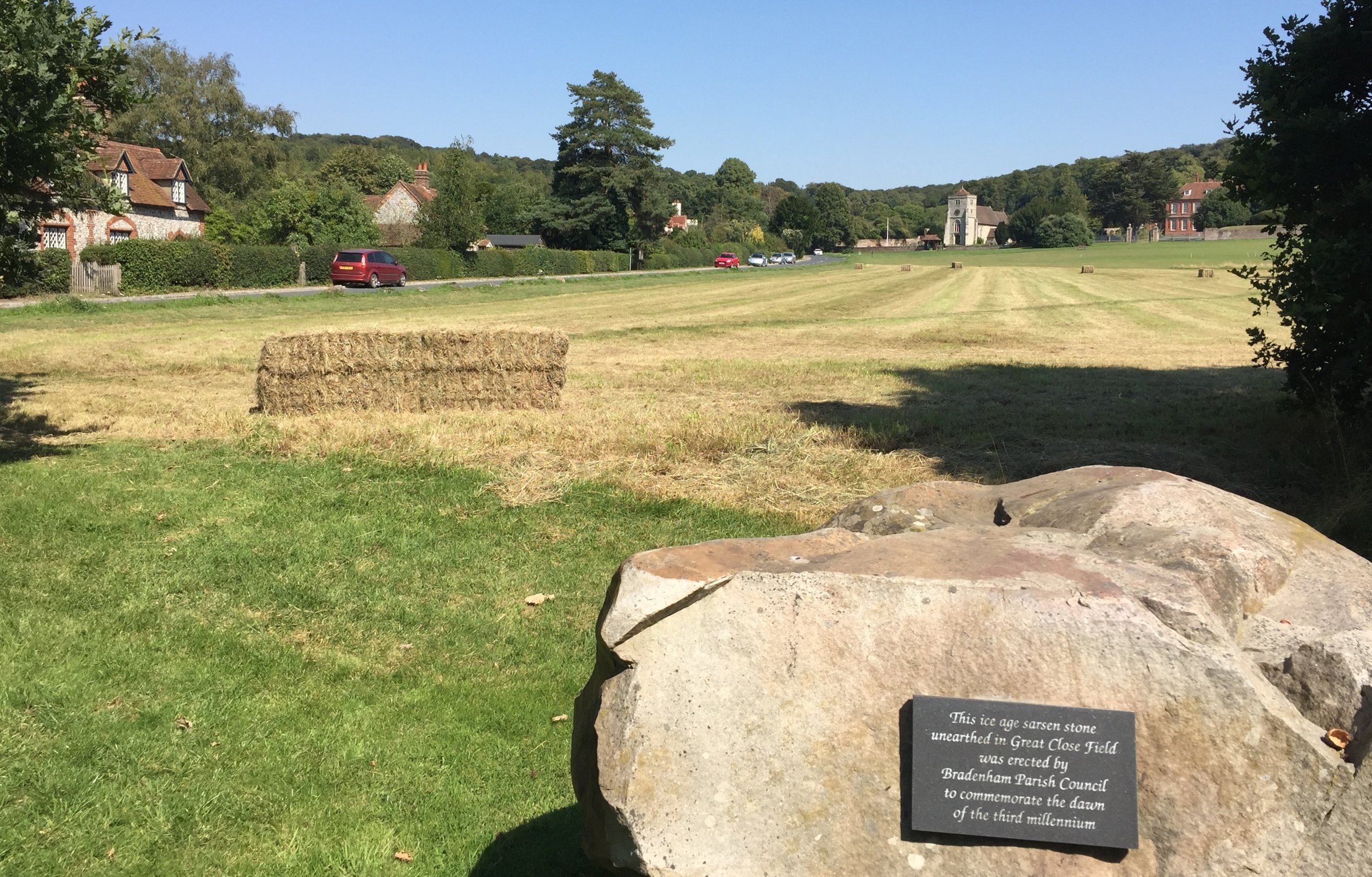
View across Bradenham Cricket Green to the church and manor


Start / Finish: The Black Lion, Woodlands Drive, Naphill, High Wycombe, HP14 4SH
Distance: 10 km (6.1 miles)
Elevation Change: +/- 191m
GPX File: get via Buy Me a Coffee
Other Routes Touched: None
Other Pubs / Cafes on route: The Apple Orchard Coffee Shop, West Wycombe High Street, Red Lion Team Room both at 4 km in
Map: OS Explorer Map (172) Chiltern Hills East
Links: Naphill, West Wycombe, West Wycombe Park National Trust, Hellfire Caves, Bradenham


Having been West Wycombe and Naphill a few times recently I was keen to check out a circuit that connects them. The guidance below will help you navigate but don’t use it as a fully accurate turn-by-turn guide. Always take a map and/or a GPX route and prepare well for the weather and terrain.

There’s many places that you could start, but we chose the Black Lion Pub at the Northern most point of the route. From here follow the edge of Naphill Common on a straight South-Easterly direction for ~1.5 km. Take a right turn and follow paths through fields and woodland for ~2 km to the A40 / West Wycombe High Street.

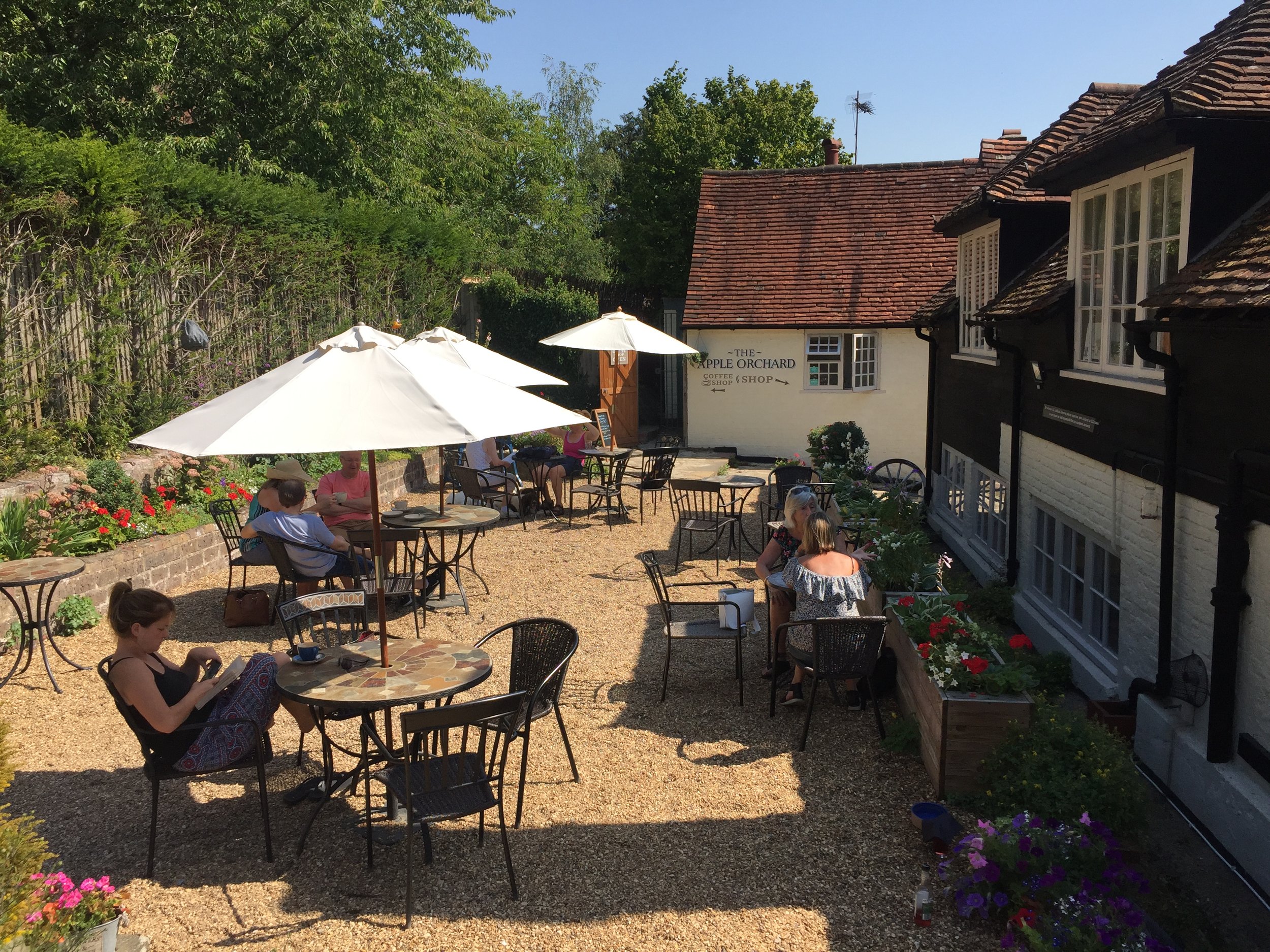
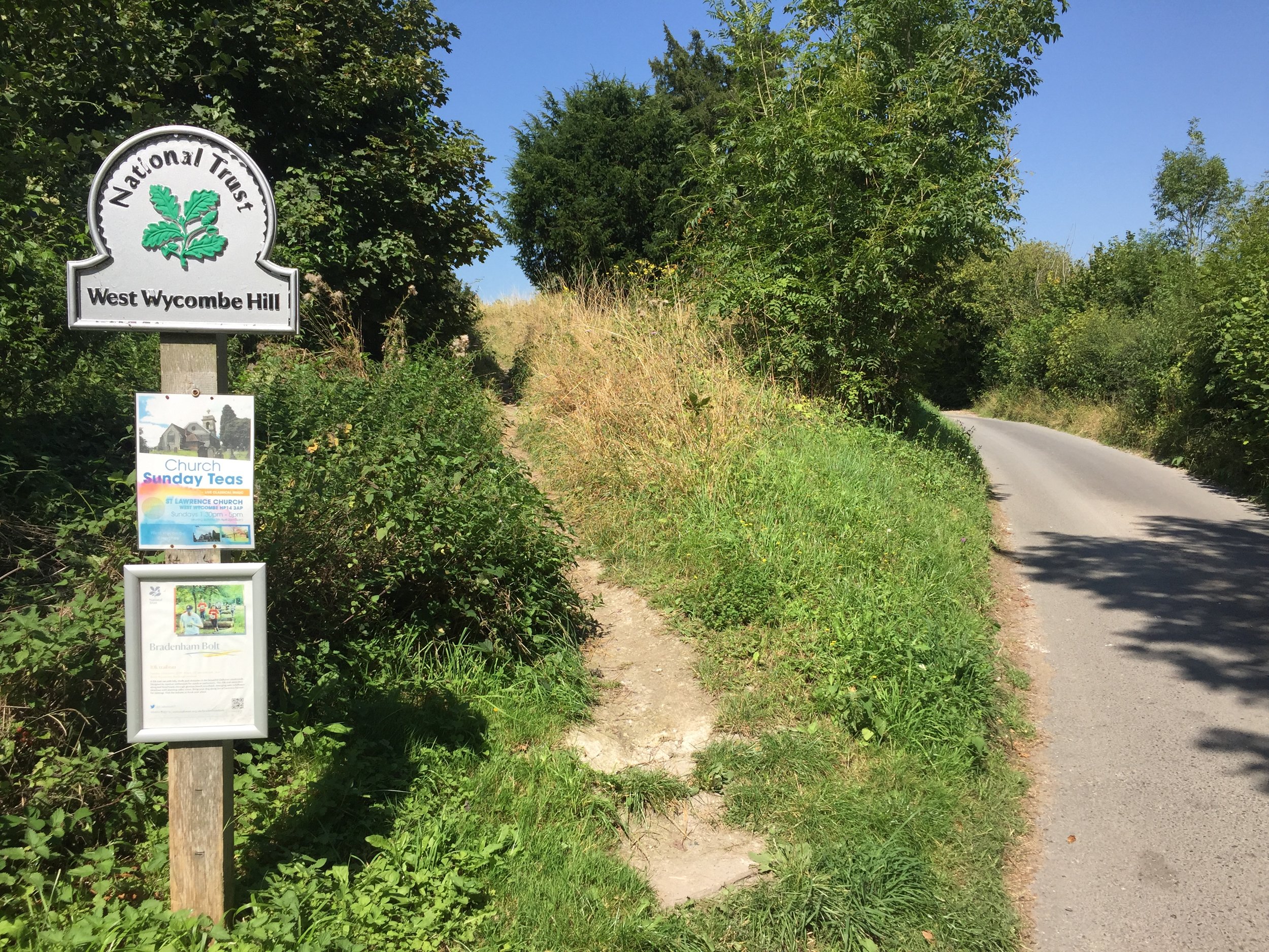
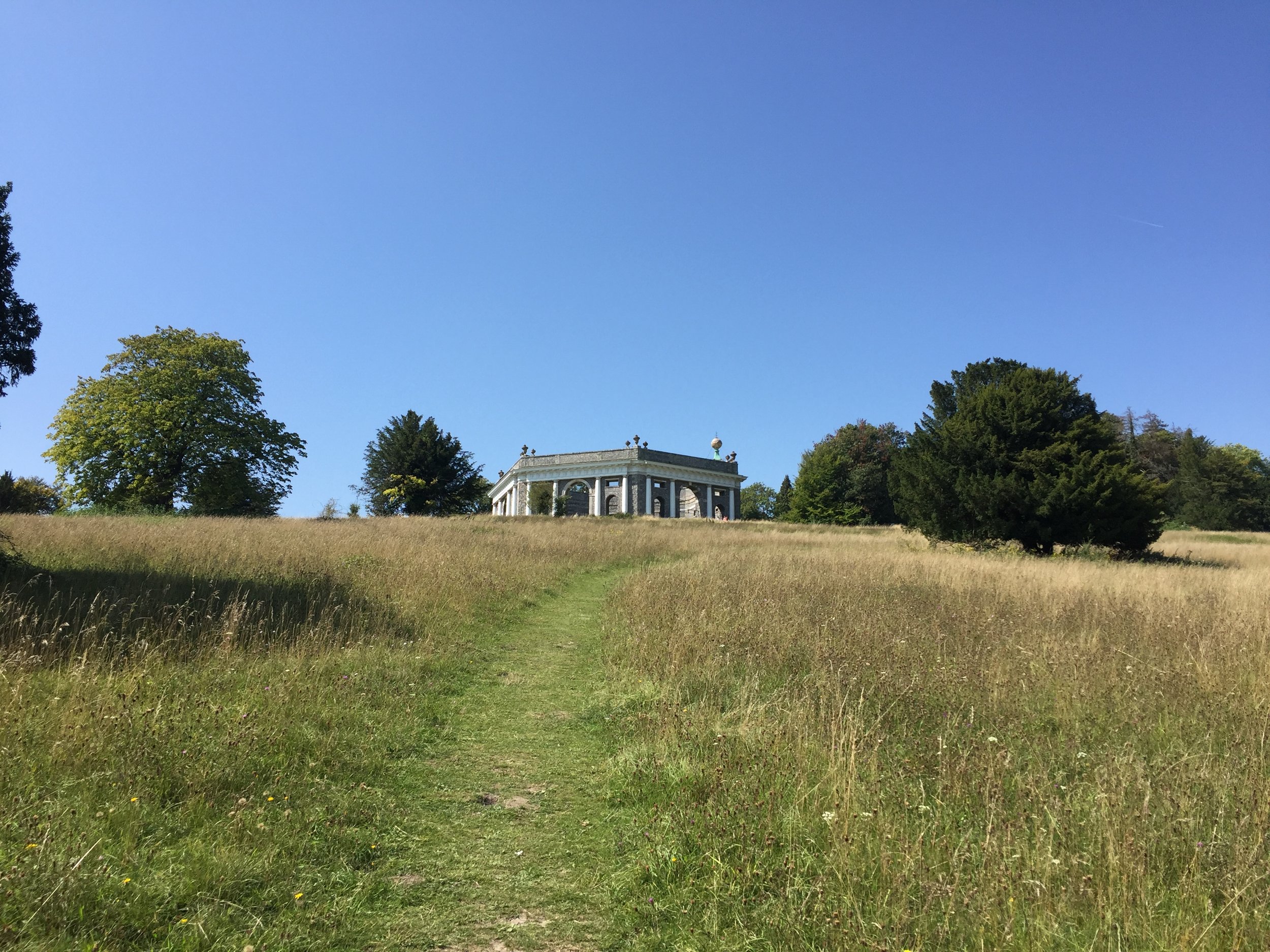
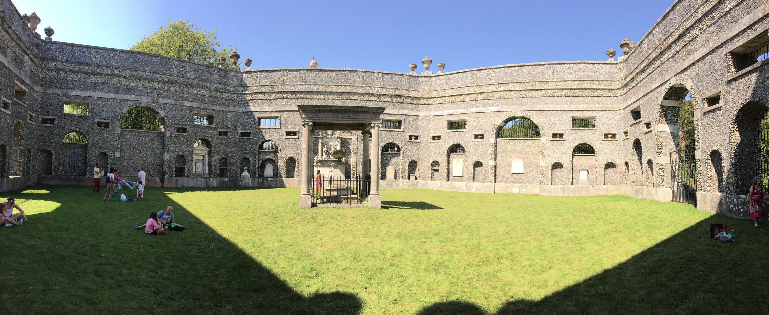
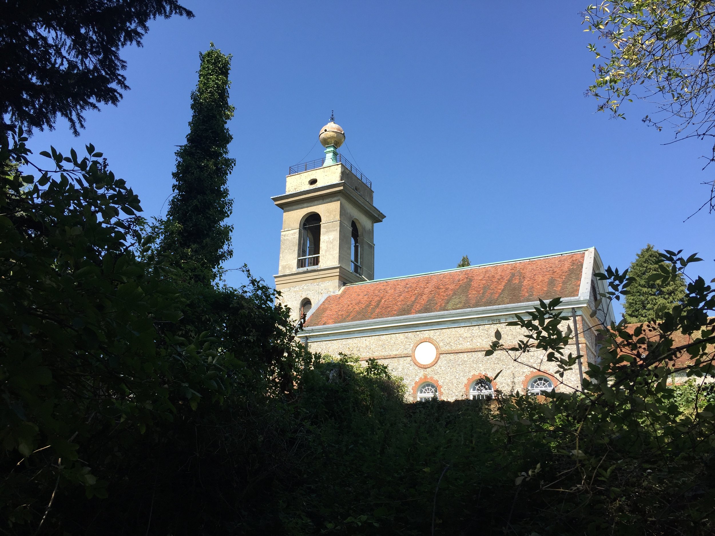
West Wycombe village is a lovely Chiltern village spoilt slightly by the really busy road that runs through the middle of it. There’s a few options for rest stops but we chose the Apple Orchard cafe behind the shop of the same name. You can also visit the West Wycombe Park National Trust property or the Hellfire Caves. Having been to both a couple of times before we moved on, heading North West out of the village. The Dashwood Mausoleum and St Lawrence Church are well worth a stop on the way.

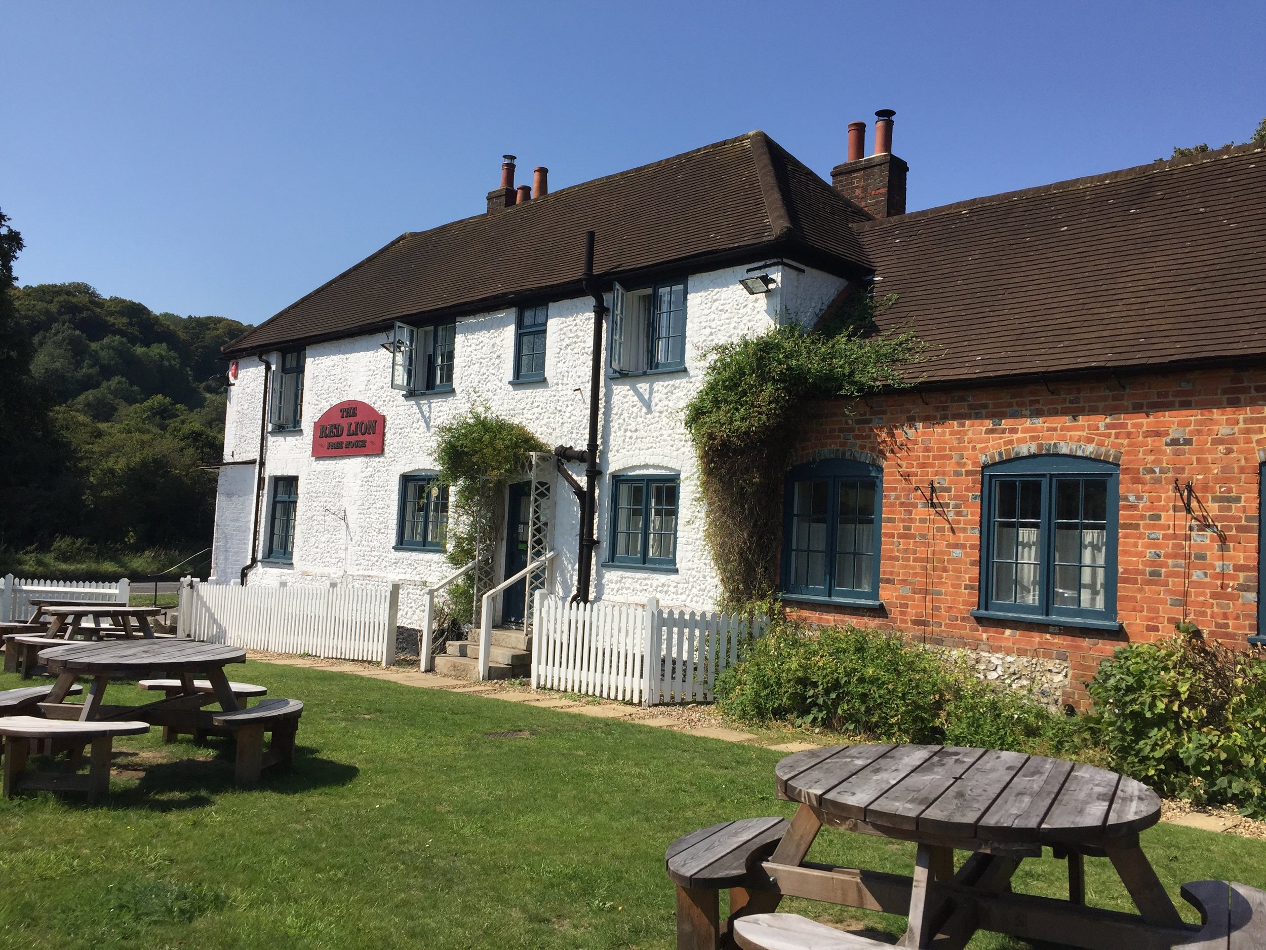
At ~2 km North of the Mausoleum take a right-hand / Easterly footpath which takes you down the hill to the A4010 and the Red Lion Tea Room. We were there on a very hot Summer’s day and looking forward to a rest but arrived to find it closed. Continuing East the route takes you through Bradenham Village, a highlight of the walk. If you were to draw a picture of what a Chiltern village should look like, you’d probably draw Bradenham. Heading out of the village, the path climbs steeply up a wooded hill, back to Naphill Common and the Black Lion Pub.


Completing all Bedfordshire parkruns
Bedfordshire parkrun banner.JPG

There are currently 8 parkrun events in present-day Bedfordshire. The first was Bedford which started on June 11th 2011 and the newest is Jubilee, Bedford which started on June 21st 2025. The name for having completed all parkrun events in the county is “Made the Beds”.

I first completed the county on August 24th 2019 at Bedford.

Note that the address for Rushmere parkrun is in Bedfordshire, but the whole of the parkrun course is in Buckinghamshire, so I have listed it there.

Numbers exclude any events that are not open to the general public such as prisons or armed forces facilities.


A map of the parkrun events in the county of Bedfordshire.

All of the Bedfordshire parkrun events …

Below are each of the Bedfordshire 5k parkrun events in alphabetical order. A few things to note:

  • The interactive maps below take you to the approximate location for the course, typically the centre of the park. See the course instructions in the parkrun page for each event for specific directions to the start.

  • Course maps and elevation profiles show the route at the time that I ran it and may have changed since then. See the Course page in the event’s page on parkrun.org.uk for the current course outline. Note that course outlines are from Garmin data during a specific run and may vary from the officially measured distance.

  • Please contact me if you spot an event that doesn’t have a course map and elevation profile and you would like to donate one from your own run. I’m also interested in maps and elevation profiles for courses that have changed or where there’s a regular alternative route (e.g. Horsham). I’ll need a GPX file from your run plus the date. I’ll include a credit for you and will donate £1 to parkrun.


Bedford

  • I completed this event on: August 24th 2019 with a finish time of: 26:06

  • Historic County: Bedfordshire

  • Ceremonial County: Bedfordshire

  • Other routes touched (walk): John Bunyan Trail

  • Inaugural: June 11th 2011

  • Links: Event Home Page, Course Page, blog7t write-up


Dunstable Downs

 
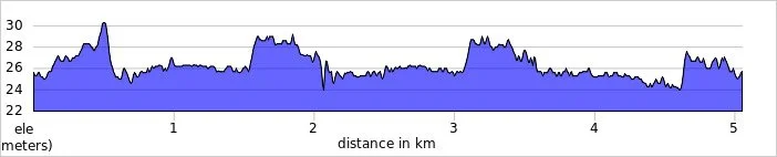
elevation_profile - Dunstable Downs.jpg

Great Denham

  • I completed this event on: July 27th 2019 with a finish time of: 25:50

  • Historic County: Bedfordshire

  • Ceremonial County: Bedfordshire

  • Other routes touched (walk): Ouse Valley Way

  • Inaugural: February 17th 2018

  • Links: Event Home Page, Course Page, blog7t write-up


Henlow Bridge Lakes

  • I completed this event on: November 6th 2021 with a finish time of: 26:47

  • Historic County: Bedfordshire

  • Ceremonial County: Bedfordshire

  • Other routes touched (walk): Hicca Way, Kingfisher Way

  • Other routes touched (cycle): None but NCN 12 runs past the entrance.

  • Inaugural: September 18th 2021

  • Links: Event Home Page, Course Page, blog7t write-up


Houghton Hall

  • I completed this event on: New Year’s Day 2018 with a finish time of: 27:02

  • Historic County: Bedfordshire

  • Ceremonial County: Bedfordshire

  • Other routes touched (cycle): NCN 6

  • This event is also part of Chilterns parkrun

  • Inaugural: December 23rd 2017

  • Links: Event Home Page, Course Page, blog7t write-up

 
elevation_profile - Houghton Hall.jpg

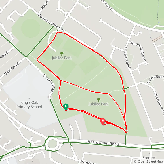
Jubilee, Bedford

  • I completed this event on: January 3rd 2026 with a finish time of: 27:47

  • Historic County: Bedfordshire

  • Ceremonial County: Bedfordshire

  • Other routes touched (walk): John Bunyan Trail

  • Inaugural: June 21st 2025

  • Links: Event Home Page, Course Page


Luton Wardown

  • I completed this event on: April 15th 2017 with a finish time of: 26:51

  • Historic County: Bedfordshire

  • Ceremonial County: Bedfordshire

  • Other routes touched (walk): Lee Valley Trail

  • Other routes touched (cycle): N/A, but the western edge of the course runs close to and parallel with NCN 6

  • This event is also part of Chilterns parkrun

  • Inaugural: April 18th 2015

  • Links: Event Home Page, Course Page, blog7t write-up

 
elevation_profile - Luton Wardown.jpg

Millennium Country

  • I completed this event on: July 13th 2019 with a finish time of: 26:09

  • Historic County: Bedfordshire

  • Ceremonial County: Bedfordshire

  • Other routes touched (cycle): NCN 5

  • Inaugural: March 23rd 2019

  • Links: Event Home Page, Course Page, blog7t write-up

 
elevation_profile - Millennium Country.jpg

More parkrun posts

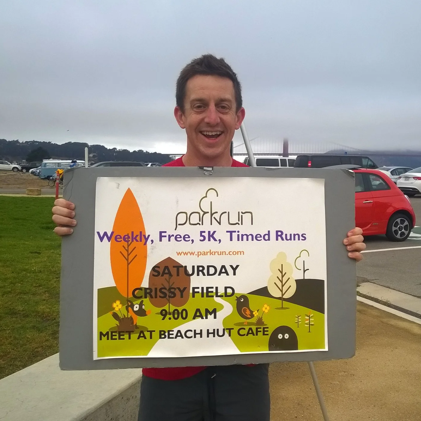
parkruns are free, weekly, community 5k events all around the world. I started in December 2012 and have been obsessive about it ever since. See my parkrun Collection page for details.

Featured and popular parkrun posts:


Cycling The Tring 5 & Berkhamsted 6 Routes
Ashridge

Ashridge


Start/Finish: Aldbury Village Green, Tring HP23 5RT
Distance:
52 km (32 miles)
Elevation Change: +/- 316m
GPX File: get via Buy Me a Coffee
Other Routes Touched (Cycle): Chilterns Cycleway, Grand Union Canal Towpath
Other Routes Touched (Walk): Grand Union Wendover Arm Canal Towpath, Grand Union Aylesbury Arm Canal Towpath, Chiltern Way, The Ridgeway, Ashridge Boundary Trail
Pubs / Cafes on route: Church Farm Cafe and The Greyhound Inn (at start and end), The Greyhound Pub (4 km in), The Half Moon (16.7 km in), The Red Lion (22 km in), Waters Edge (23 km in), Bridgewater Arms (46.5 km in) plus many in Tring and Berkhamsted town centres.
Map: OS Explorer Map (181) Chiltern Hills North
Links: Hertfordshire.gov.uk leaflet on Tring 5 and Berkhamsted 6, Aldbury, Tring, Berkhamsted, Ashridge


This is actually 2 separate cycle routes with a 2.5 km overlap along Newground Road. They’re distinctive individual rides but we decided to join them together to make the most of a long drive to get there. Aldbury is a great place to start as it has a few nice pubs and free parking around the village green. The Church Farm Cafe is a great cycle cafe in Albury. It opened since we did the cycle ride but I’ve visited on a few walks through the village. It’s a good base for a coffee, cake and cycle accessories.

From Aldbury we headed South towards Cow Roast on the Tring 5 taking a clockwise route. At the Southern point near Cholesbury there’s a choice between the standard route along Shire Lane or, as we chose, the off-road option along Kiln Lane and Brown Lane. Both options join back together at Hastoe, then head North through Tring, Little Tring and Wilstone. North of Tring you’re in Canal Country as the route crosses over the Grand Union a couple of times plus both the Aylesbury and Wendover Arms. From Long Marsworth the route heads South-East back to the start at Aldbury.

Part 2 is the Berkhamsted 6 route which follows the Chilterns Cycleway on a steep climb out of Aldbury. After a sharp left (North) on New Road the route cuts through the woodland around Ashridge up to its most Northerly Point at Ringshall. Turning South, the route follows the Chilterns Cycleway for about a mile, then diverts right (South) at Little Gadsden to enter the Ashridge College Estate (see photo above). Continue South for approx 4 miles into Berkshamsted Town Centre for a rest, coffee and cake.

Compared with the scenic Ashridge Estate, the final North-Easterly stretch out of Berkshamted is fairly unremarkable. The first part to the East of Northbury is a climb up to Tinkers Lane. All that climbing is then repaid with pleasant descent back to the start.

Cycling The Thames and Severn Canal
Bowbridge

Bowbridge


Start: Gloucester Railway Station, Bruton Way, Gloucester GL1 1DE, UK
Finish:
Kemble Railway Station, Kemble, Cirencester GL7 6AU, UK
Distance: 48.5 km (30 miles)
Elevation Change: +313m / -221 m / Net -92m
GPX File: get via Buy Me a Coffee
Other Routes Touched (Cycle): NCN 41, 45
Other Routes Touched (Walk): Gloucester & Sharpness Canal Towpath, Wysis Way, Glevum Way, Stroudwater Navigation Towpath, Thames & Severn Way, Cotswolds Way, Macmillan Way, The Monarch’s Way, Thames Path
Maps:
- OS Explorer 179 Gloucester, Cheltenham & Stroud
- OS Explorer OL14 Wye Valley & Forest of Dean
- OS Explorer 168 Stroud, Tetbury & Malmesbury
Links: : Gloucester & Sharpness Canal, Thames & Severn Canal, Gloucester, Stroud, Kemble


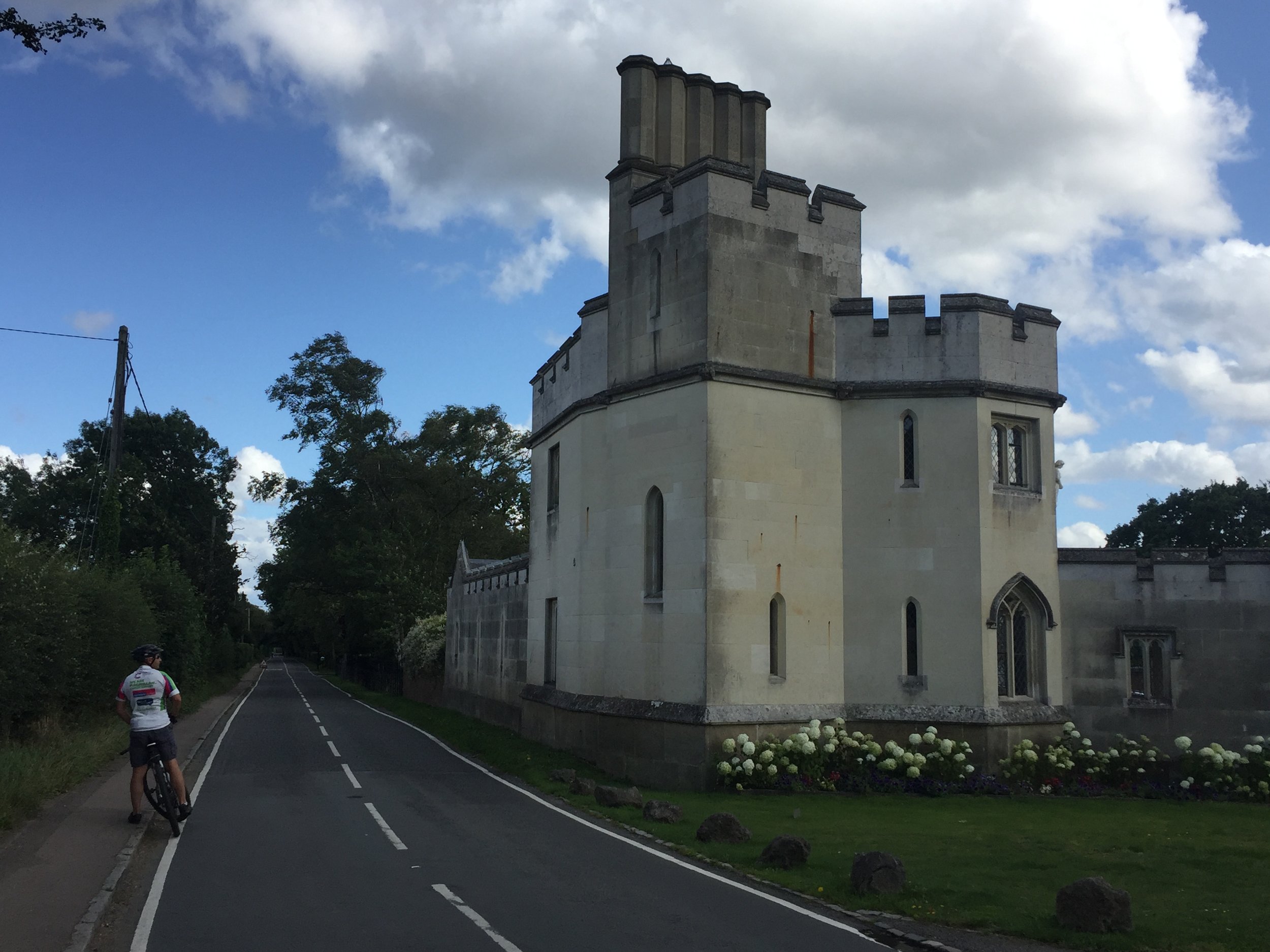
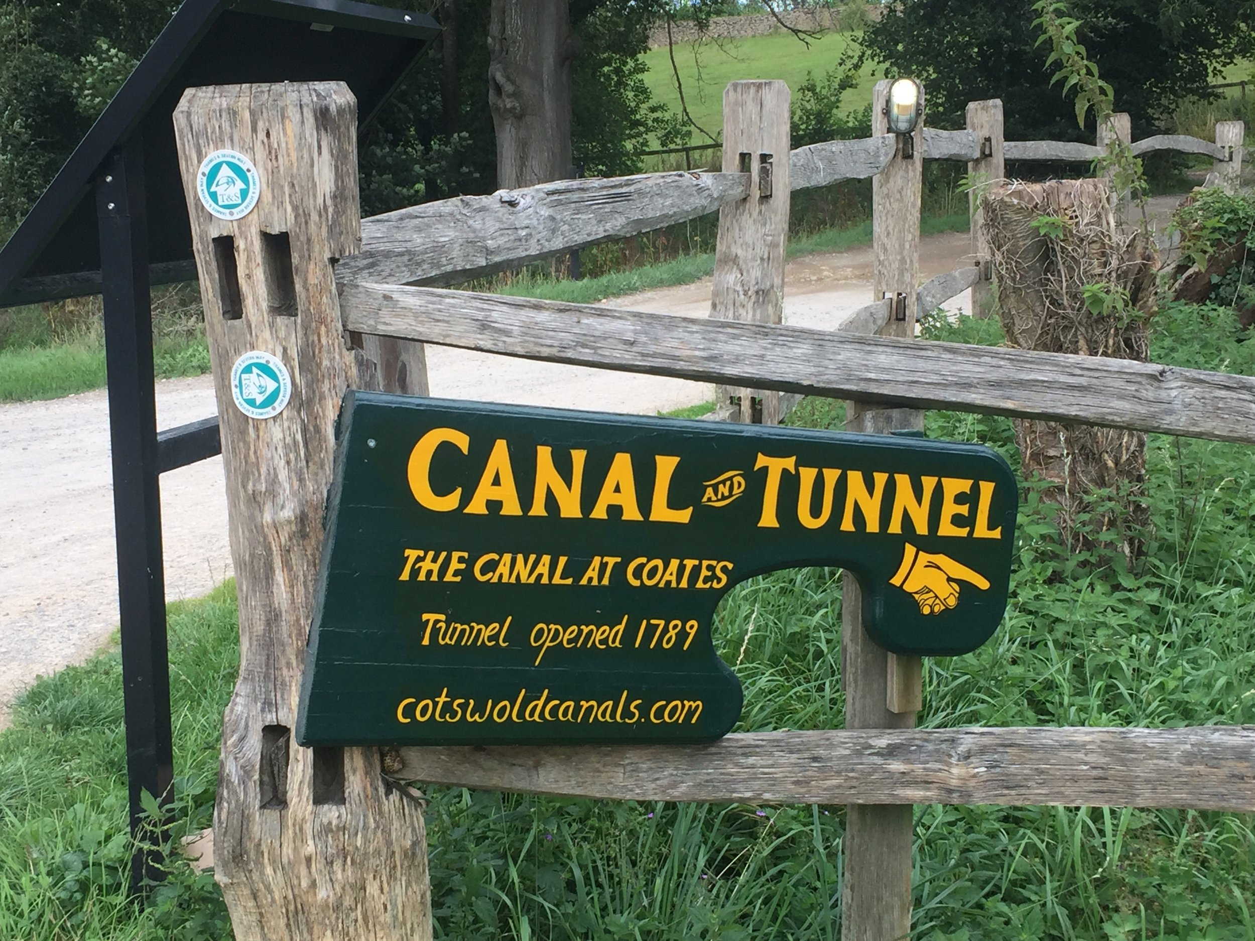
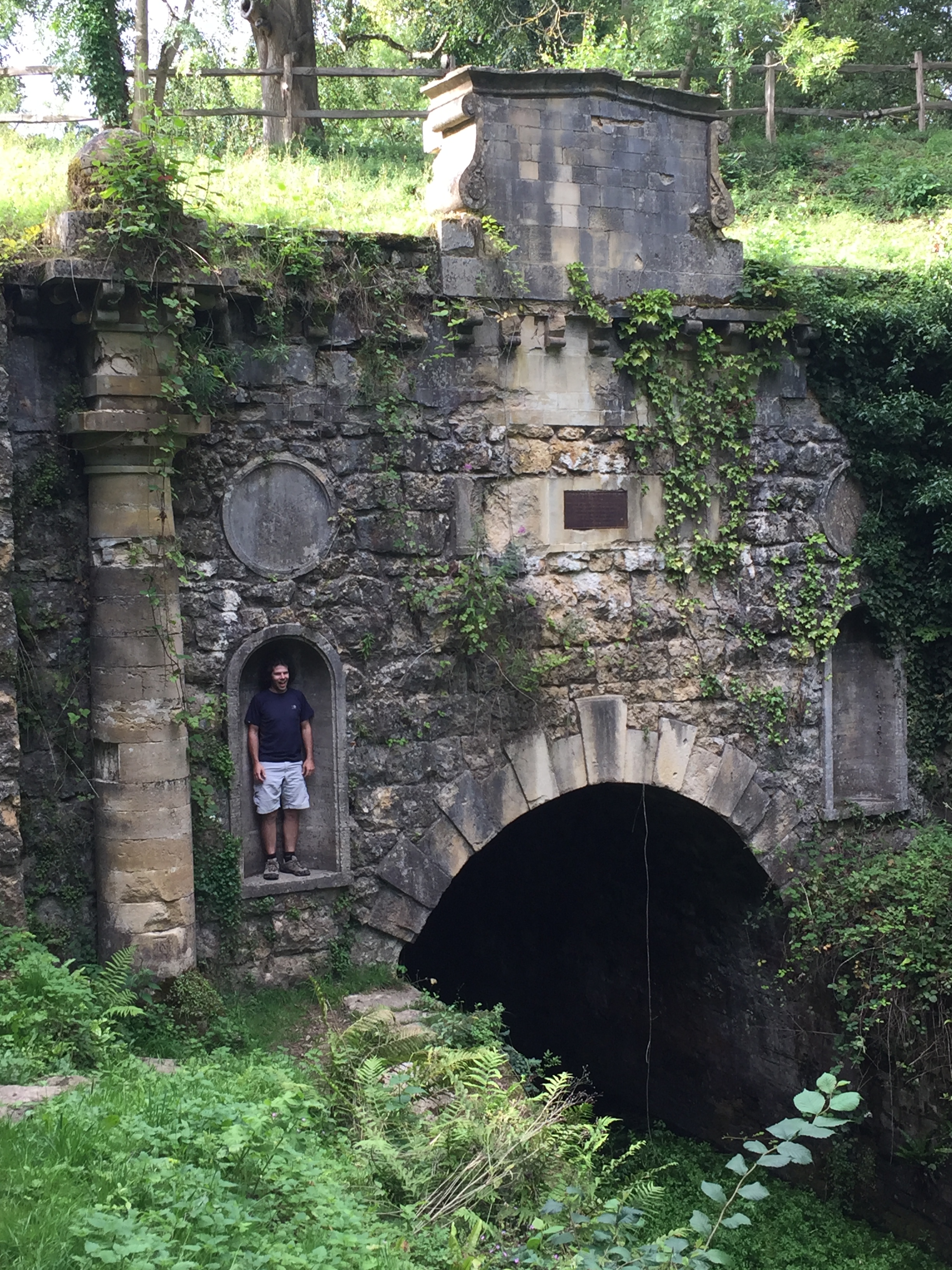
This was a short cycle ride that was 22 years in the making. Back in 1997 my mate Charles and I visited Kemble in Gloucestershire to kick off our 3-day Thames Path Adventure. With some time to kill on the evening before the ride we explored the area around the source. Just behind the stone that marks the source we found an abandoned canal and followed it for a mile and a half until reaching a tunnel. I made a mental note to find out more about it and follow it to the end one day.

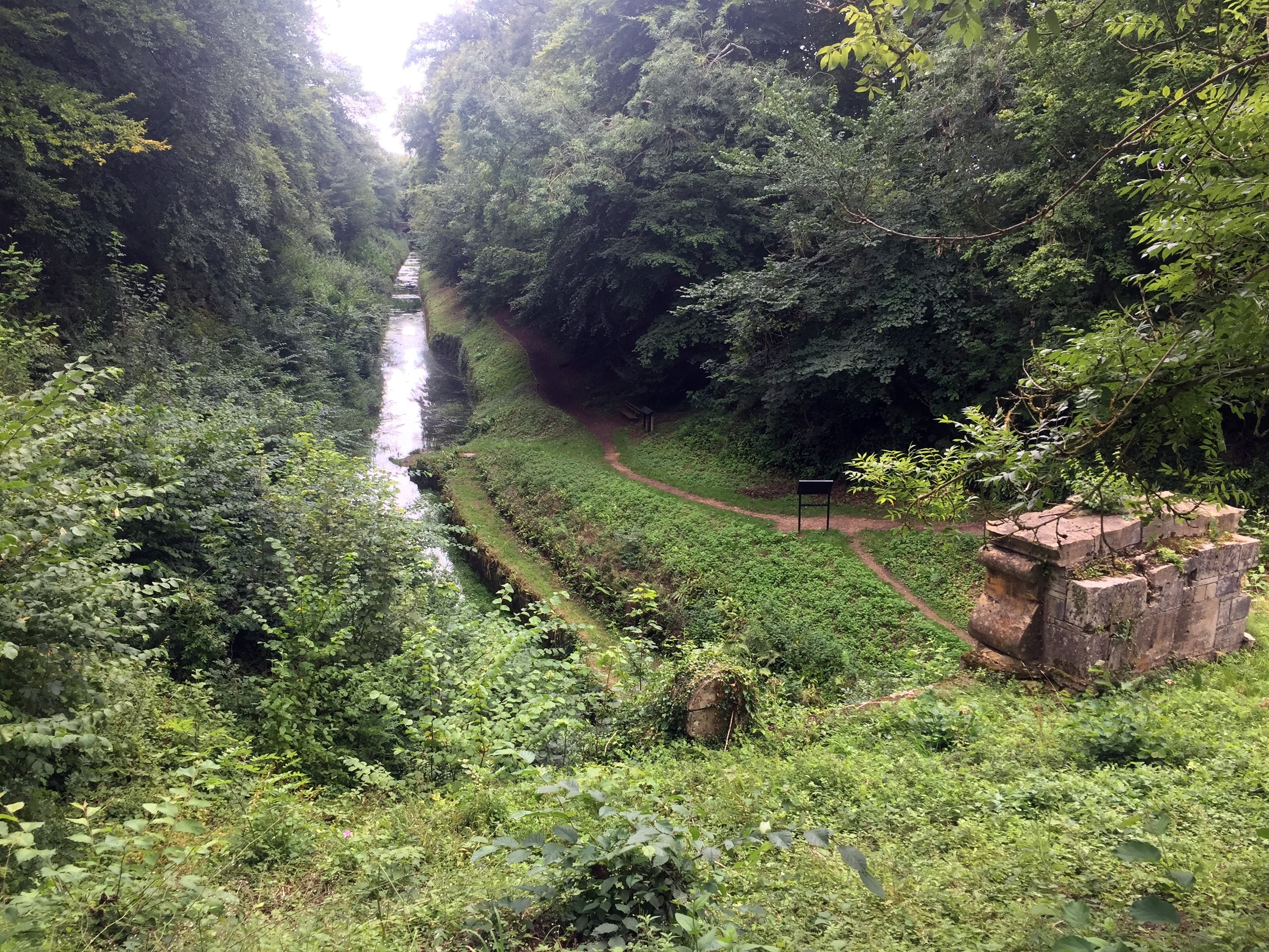
I quickly forgot about the canal and only remembered it a few months ago. With a bit of web research I found out that we had stumbled across the Thames and Severn Canal. It was completed in 1789 to connect the 2 rivers but abandoned in 1927 and fell into disrepair. With some further research I discovered an interesting 50k point-to-point trip along the both the Gloucester & Sharpness and Thames & Severn canals.

After the obligatory Saturday morning parkrun at Tetbury Goods Shed we parked at Kemble railway station. From here we took the bikes on the train for a 40 minute trip to Gloucester station. The Gloucester and Sharpness Canal basin is 1 km from the station via the High Street. The basin is a good start point for a few different adventures. The Severn Way runs through it and you can take it north through Wales to Plynlimon or South to Bristol. We headed South along the NCN 41/45 following the canal.

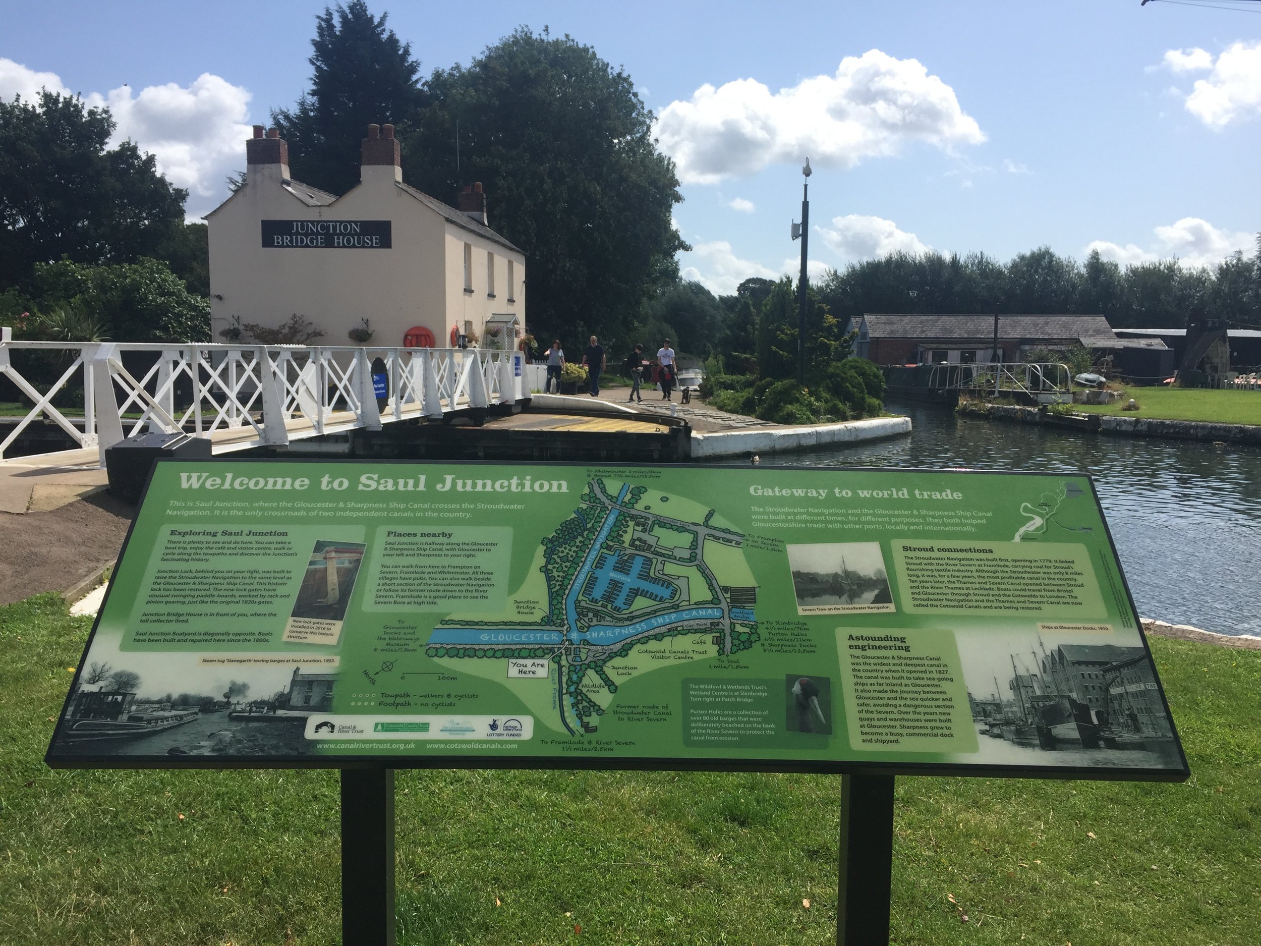
The Gloucester and Sharpness runs for 16 miles from Gloucester basin to Sharpness Docks. I had visited the Southern end of it a few years ago to see the old barges at Purton. The towpath from Gloucester to the junction with the Thames and Severn at Saul is well maintained and good for cycling. The NCN follows the towpath for 2.5 miles before diverting to the West. Here you have a choice of continuing along the towpath (as we did) or following the NCN and rejoining the canal at Saul Junction.

At Saul Junction you need to dismount and walk the bikes 500 metres to Whitminster Lane. Here you rejoin the NCN 45 which follows a parallel course to the North of the Stroudwater Navigation. After ~10km / 6 miles, the NCN diverts South following the Nailsworth Stream. Instead, turn left / North to Dudbridge and pick up the Stroudwater Navigation east into Stroud.

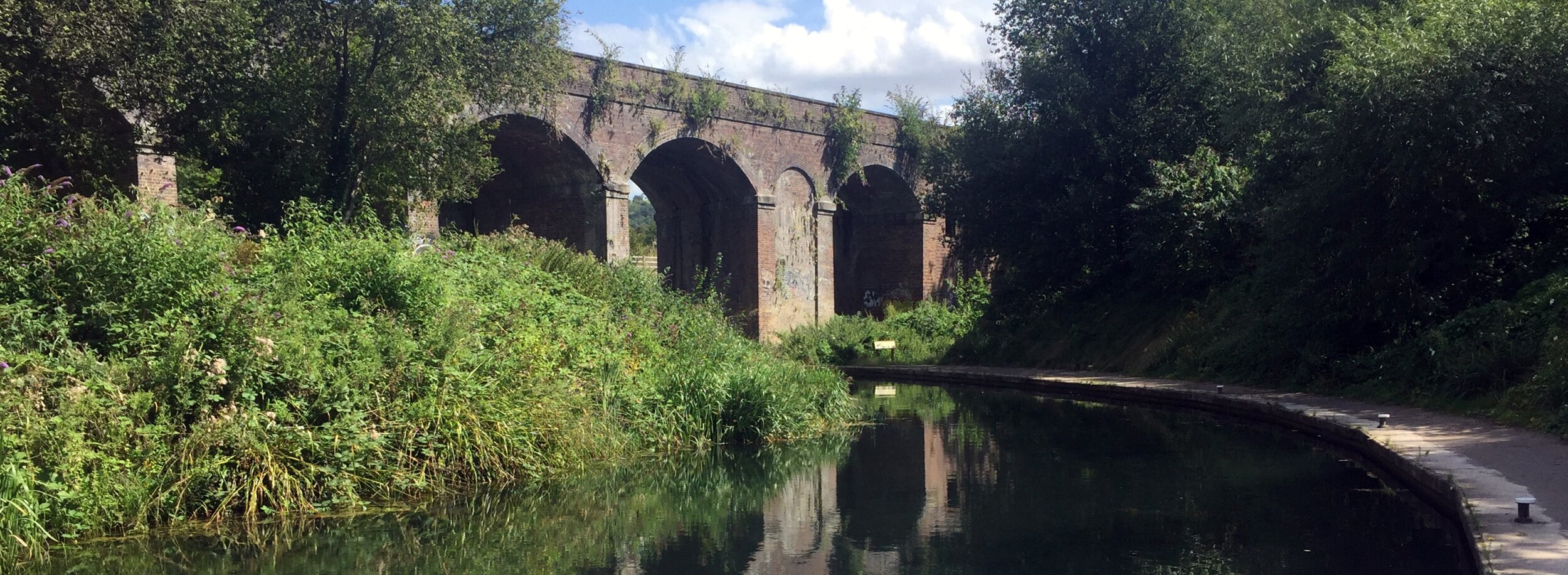
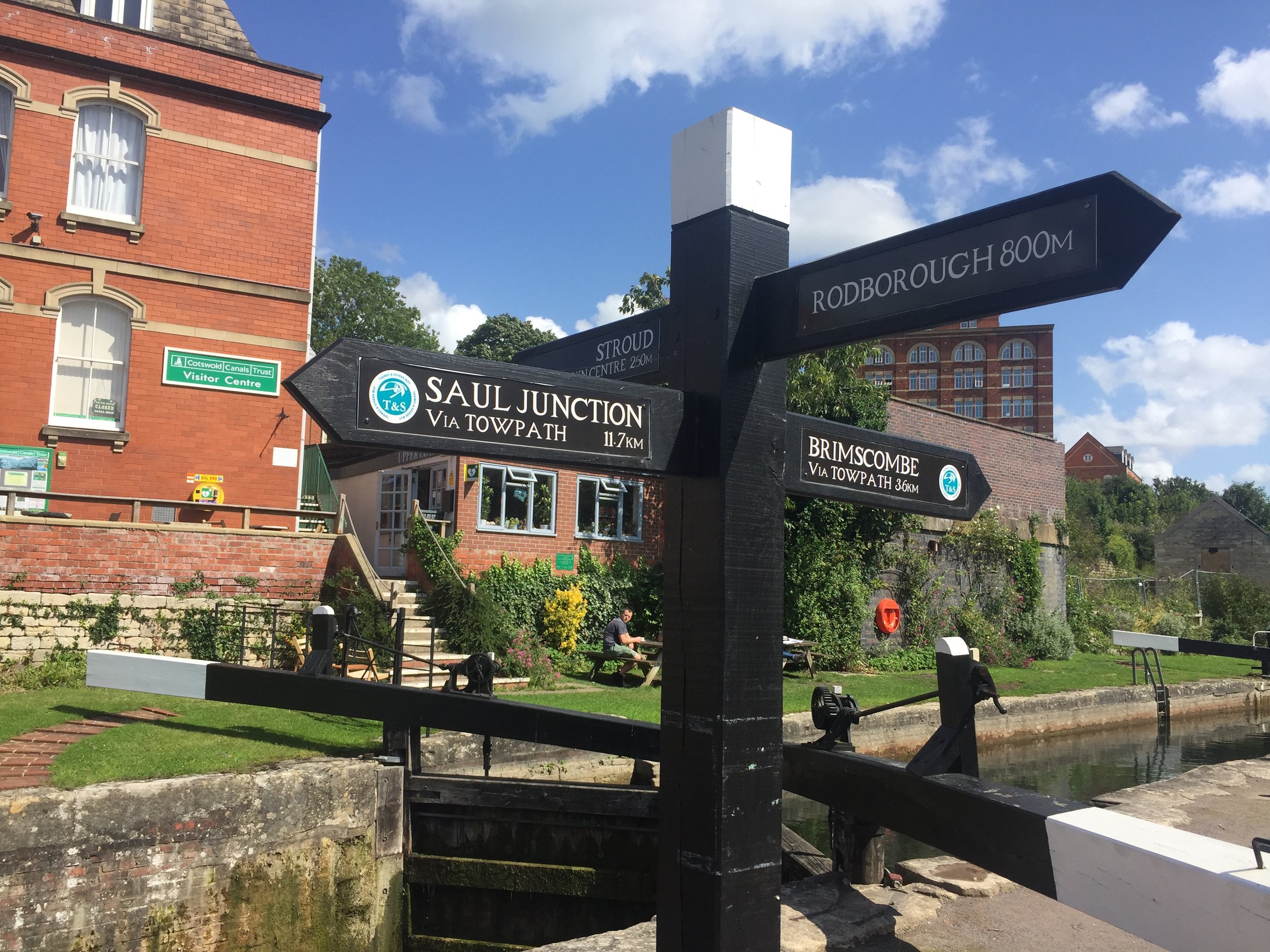
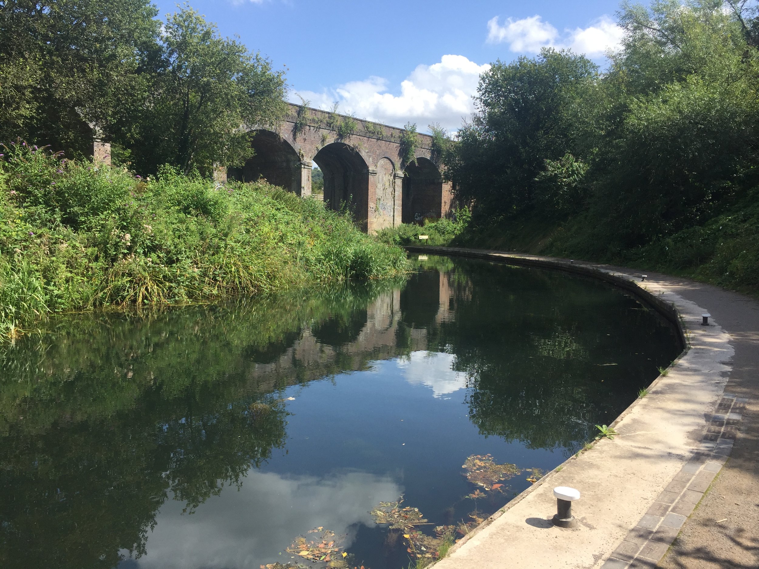
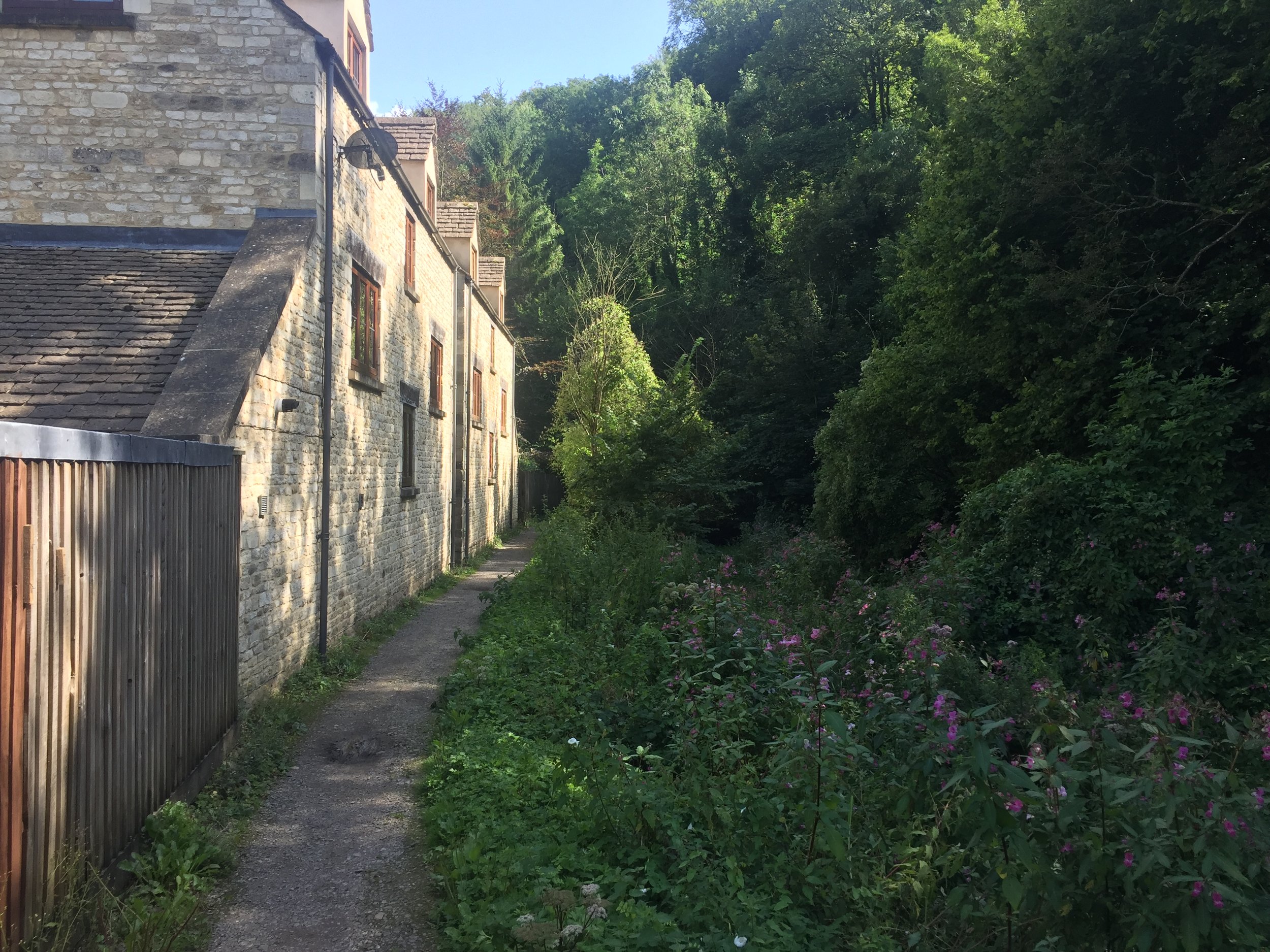
The Upper Lock Cafe is a great place to stop for a rest. From here the route is now called the Thames and Severn Canal Towpath. You can follow this without significant diversion all the way to Sapperton. The path gets quite narrow after Stroud but it's easily cycled if you keep your eyes peeled for root branches and steep cambers. There's many places where the canal disappears completely having been covered by abandoned industrial units and dense vegetation.

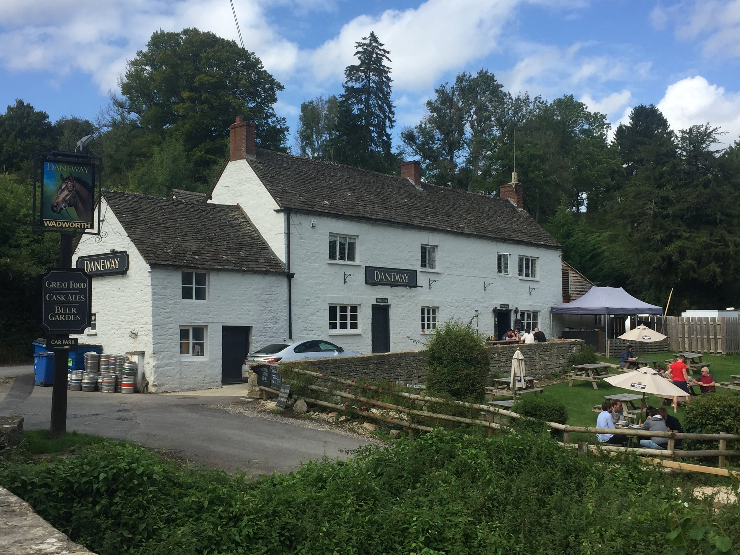
The Daneway Inn at Sapperton is the next obvious place to stop for a drink. Check out the cross-section diagram of the tunnel and hill on the wall near the main door. From here, navigation is trickier as the canal disappears into the tunnel and the cycle route diverts up and over the hill. There's a steep climb from the Inn to Sapperton Village, so make sure that you're well rested.

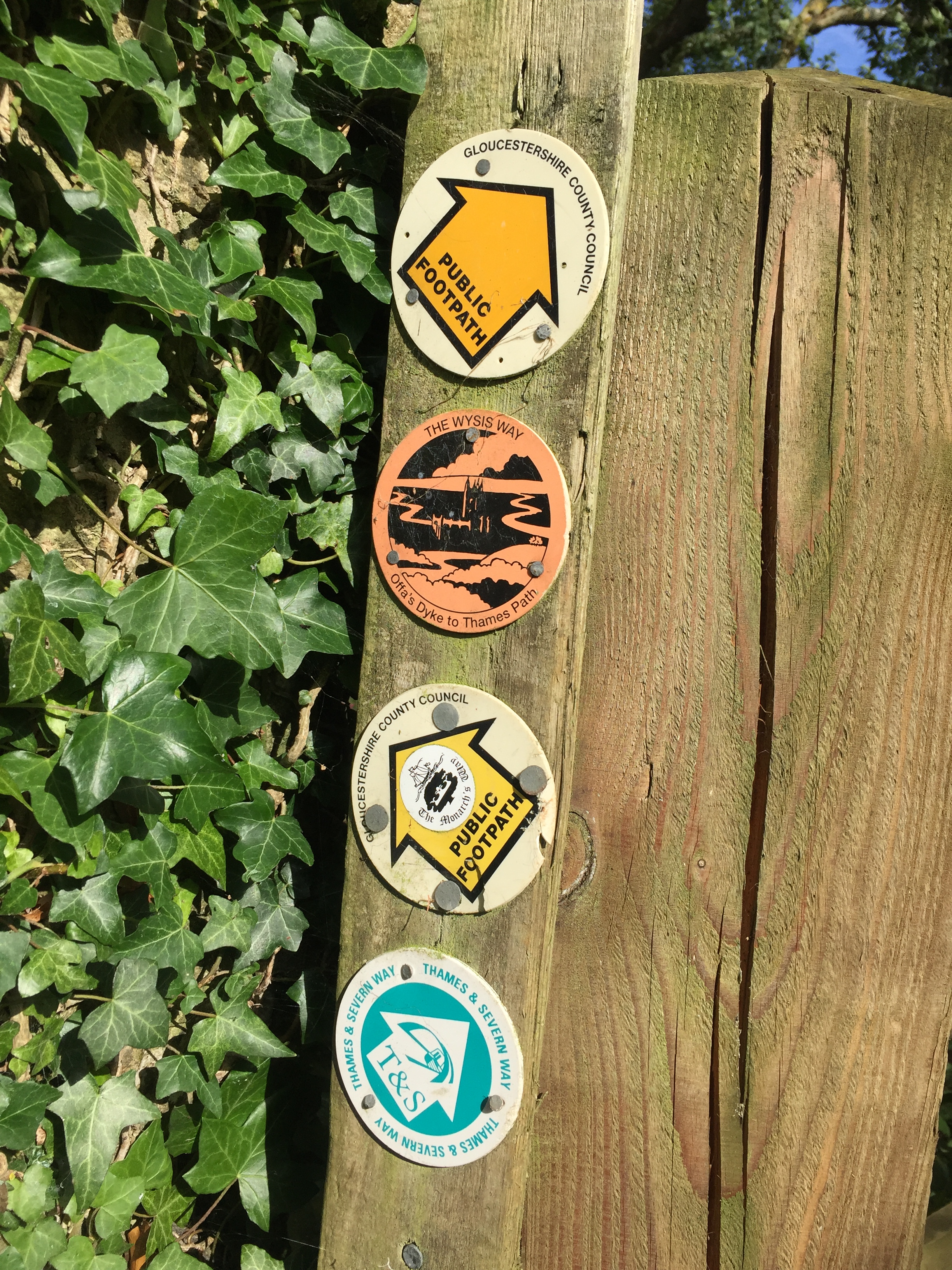
You'll now be following the Wysis Way all the way to the Source of Thames. Its primarily a footpath, but easy enough for passing and no styles to prevent cycling. Just remember to go slow and dismount for the very occasional walker coming the other way. Even in the height of Summer we only passed a handful of walkers on the whole trip.

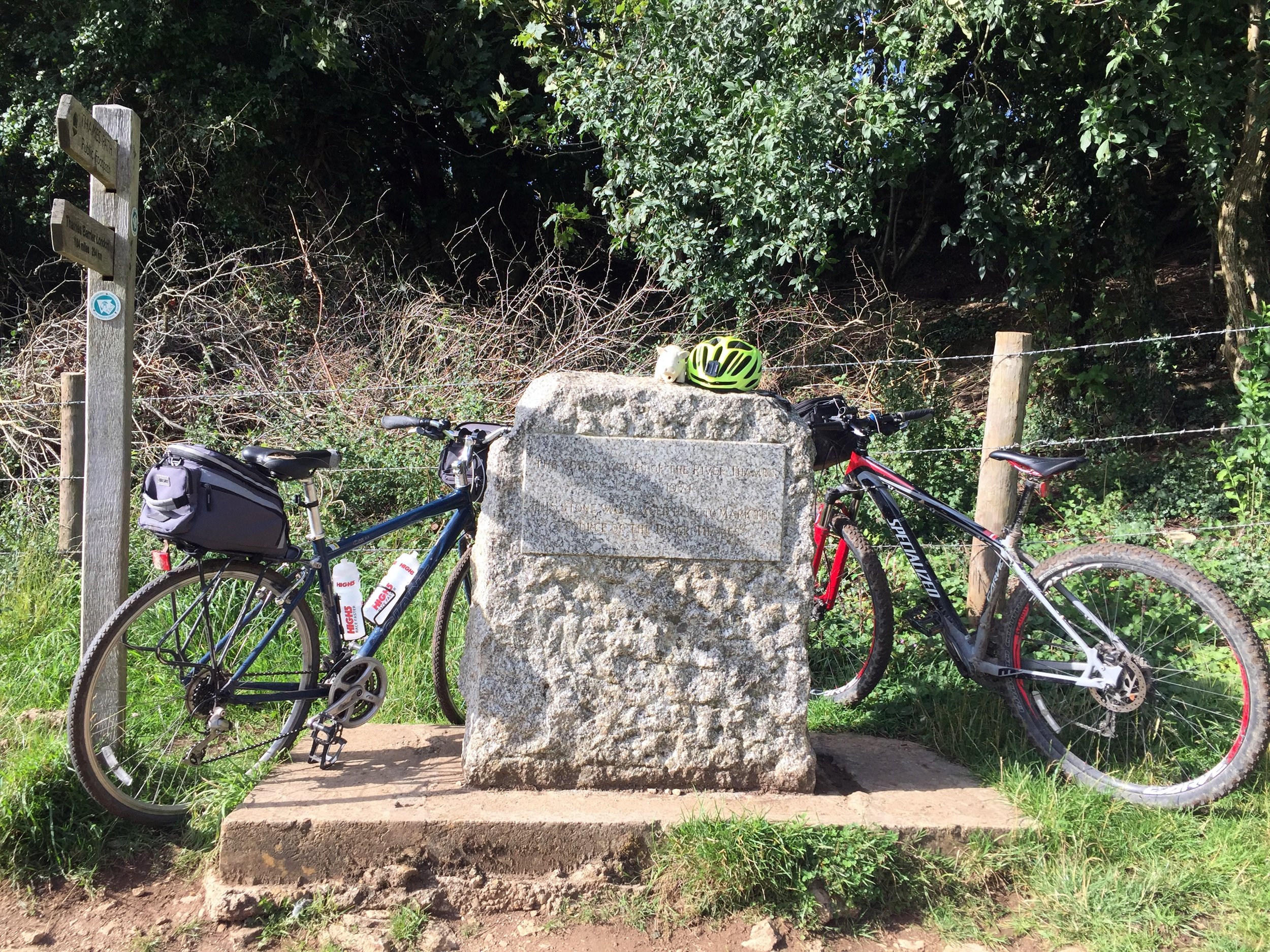
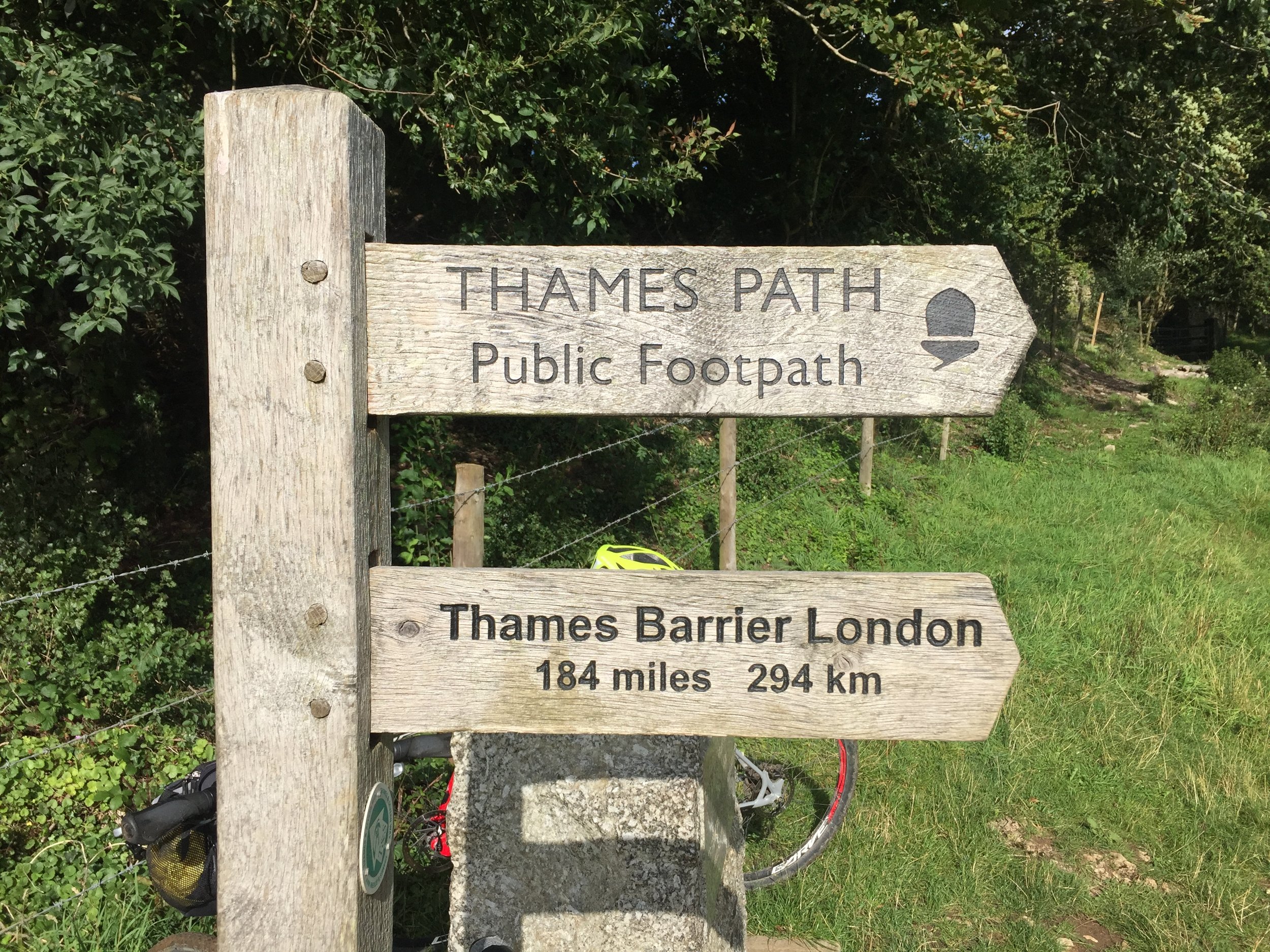
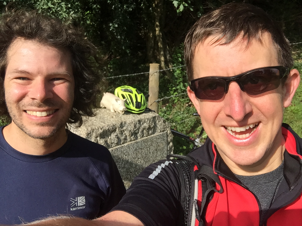
The Source of The Thames is marked by a large stone next to a wooden National Trail sign pointing 184 miles away to London. Part of me wanted to carry on, but the main part of me (and all of Charlie) was happy just to cycle the final couple of miles back to Kemble Station.

On most adventures I miss a sense of completion as they always inspire at least 2 new trips. This was different as it closed the circle on an idea I had 22 years ago. Yes, I do want to explore the Severn Way and the rest of the Wysis, but they can wait. This adventure is done.


Start: Gloucester Railway Station


End: Kemble Railway Station


Cycling The Assendon Stream
IMG_2444.jpg

Part of the Chilterns Rivers series
River start:
Just off B480 at Stonor, Oxfordshire
River end: Confluence with River Thames at Phyllis Court Club, Henley-on-Thames
River length: 6.5 km (4 miles)

Cycle route start / end: The Quince Tree, 21 B480, Stonor, Henley-on-Thames RG9 6HB
Cycle route length: 15.1 km (9.4 miles)
Cycle route elevation change: +/- 205m
GPX File: get via Buy Me a Coffee
Other routes touched (walk): Oxfordshire Way, Shakespeare’s Way, Chiltern Way
Other routes touched (cycle): Chilterns Cycleway
Map: OS Explorer 171 Chiltern Hills West, Henley-on-Thames and Wallingford
Links: Assendon Stream, Stonor, Henley-on-Thames, Jimmy The Marmoset


Having described yesterday’s Ouzel trip as “obscure and tenuous”, this one goes one step further by not even being there. The Assendon is an ephemeral chalk stream that is dry, even in wet winters. The best source that I could find on the stream is the JBA Trust Report about the last time the stream appeared in 2014. The document also shows the course of the stream, starting in Stonor Village and flowing South-East to the Thames just North of Henley-On-Thames town centre.

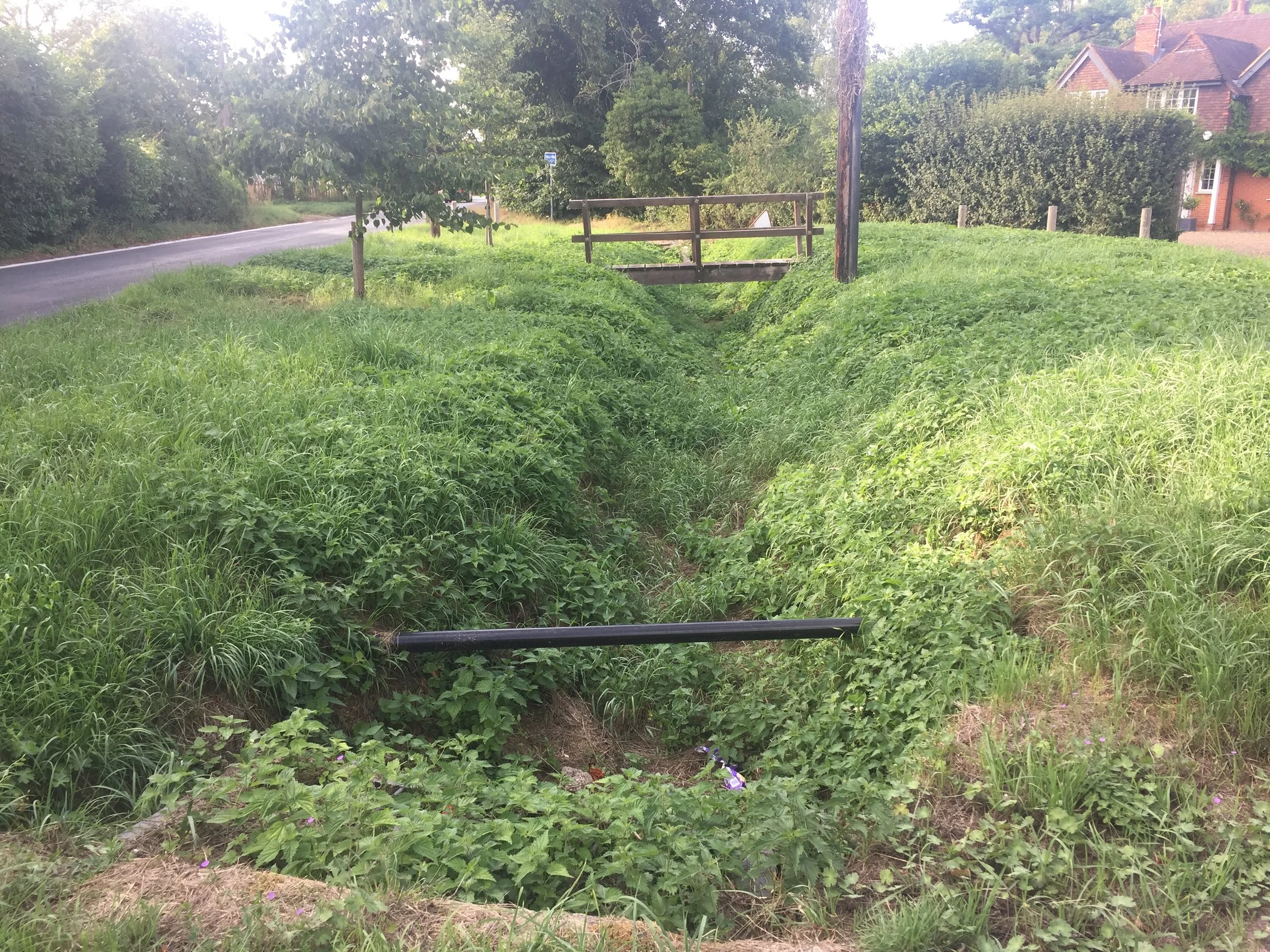
Cycling along the course of the stream is very straightforward as the B480 and then A4130 follow it all the way to Henley. The map in the JBA report is too low-res to tell, but it looks like the source is on the West side of the road then switches the the East side for most of the route. There’s a small green in Middle Assendon with a big ditch and a wooden bridge which I assume crosses the stream. Once you get onto the Fairmile cyclepath along the A4130 you’ll follow a long grassy ditch which becomes a concrete ditch following the pavement. Look out for the gravestone of Jimmy The Marmoset next to a tree before the stream diverts from the road under some houses. Presumably the stream meets the Thames in the grounds of the Phyllis Court Club. It’s a private club so if you’re not a member you can access the Thames via a footpath to the North.

To return to the source via a more challenging route, take the Marlow Bottom Road for 1.5km North and turn left up Icehouse Lane towards Fawley. Turn right at Dobson’s Lane, then left at St Mary The Virgin Church At Fawley. Here you can see two impressive mausolea in the grounds before you take a steep descent down to Fawley Bottom Lane. The rest of the ride is a steep climb North, then an even steeper descent on a bridleway through woodland along the boundary of the Stonor Park estate.

The Quince Tree cafe used to be a great place to start and end the ride but it closed down in 2016. Its still a good place to park but you’ll need to find other places for rest stops. For the childish amongst you there’s also the enjoyment of getting the full-house of smutty signs: Pishill, Bix Bottom, Lower Assendon and Cockslease Farm. Not that I would do such a thing …

Blue = course of the stream, red = cycle route

Elevation for cycle route


Chiltern Walks: Miswell Farm & Wendover Arm
Miswell Farm Trig pillar

Miswell Farm Trig pillar


Start / Finish: Layby on Little Tring Road, North of Tringford Pumping Station, HP23 4NR
Distance: 3.4 km (2.1 miles)
Elevation change: +/- 22 m
GPX File: get via Buy Me a Coffee
Other Routes Touched (walk): Grand Union Canal Wendover Arm
Other Routes Touched (walk): Tring Route 5
Pubs / Cafes on route: N/A
Map: OS Explorer Map (181) Chiltern Hills North
Links: Miswell Farm Trig Pillar, Wendover Arm Canal


This is a really short but interesting walk in the North Chilterns. I only discovered it when setting off to bag the Miswell Farm Trig Pillar but also found a nice circular walk around an abandoned section of the Wendover Arm of the Grand Union Canal. The guidance below will help you navigate but don’t use it as a fully accurate turn-by-turn guide. Always take a map and/or a GPX route and prepare well for the weather and terrain.

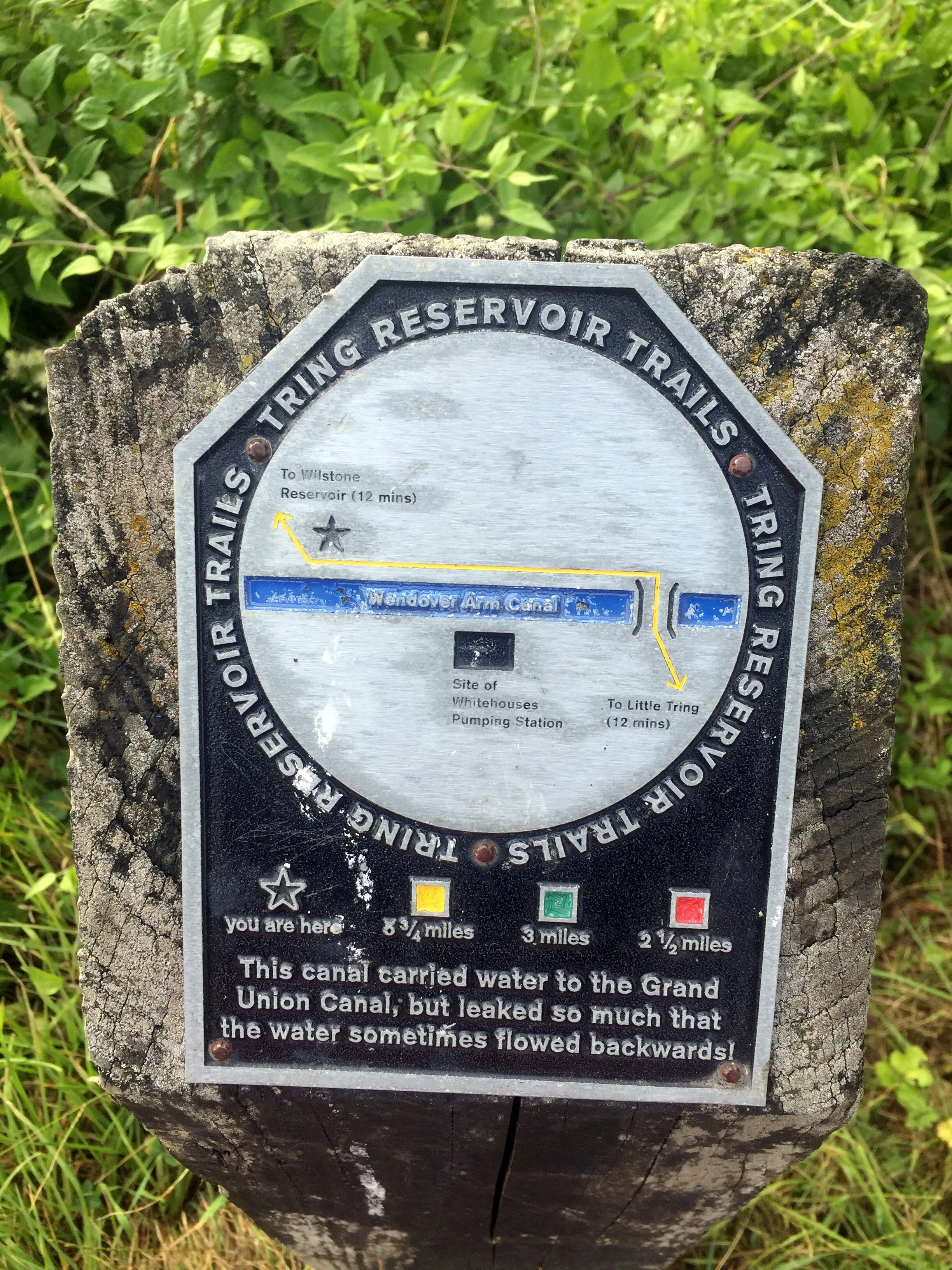
The best place to park is a small layby just North of the Tringford Pumping Station. A footpath from here leads to the West and joins a dry section of the Canal. This is in the process of being restored and presumably will be re-filled and reconnected with the wet bits at either end of the walk. About 1 km along the towpath you can cross a footbridge that marks the end of the dry section and take a steep South-Easterly path up the hill. At the top of the hill there’s a locked farm gate which gives a short-cut to the Trig Pillar at the other side of the field. For an easier and less trespassy route to the pillar, continue down the hill until you reach a footpath heading North-East at the bottom of the field. When you reach the far fence of the first field you can follow the fence until you reach the Pillar, returning the same way.

The rest of the walk follows a straight north-east line along the edges of sheepy fields until you reach the Canal. This marks the end of the Eastern part of the restored section and you can follow this to road with the Pumphouse and the layby.

elevation_profile.jpg

Cycling The River Ouzel
Bridge over the River Ouzel near Edlesborough

Bridge over the River Ouzel near Edlesborough


Part of the Chiltern Rivers Series
River start:
Dagnall, Buckinghamshire
River end: Confluence with the River Great Ouse and Newport Pagnall
River length: 32 km (~20 miles)

Cycle route start / end: Dagnall Church, HP4 1RL
Cycle route length: 31.2 km / 19.4 miles
Cycle route elevation change: +/- 191 m
GPX File: get via Buy Me a Coffee
Other routes touched (walk): Icknield Way, Grand Union Canal, Two Ridges Link
Other routes touched (cycle): NCN Route 6
Map: OS Explorer Map (181) Chiltern Hills North
Links: River Ouzel, Dagnall, Edlesborough, Leighton Buzzard


This one firmly belongs in the “obscure and tenuous” section of my Chilterns Rivers project. It counts because the source of The Ouzel is in Dagnall which is firmly within the boundary of the AONB. However, it soon escapes and 95% of its course is outside of the Chilterns. From Leighton Buzzard the river follows the course of the Grand Union Canal to Milton Keynes where it splits off and joins the River Great Ouse at Newport Pagnell. I wasn’t up for cycling the Grand Union yet again so I confined my ride to exploring the first 12km.

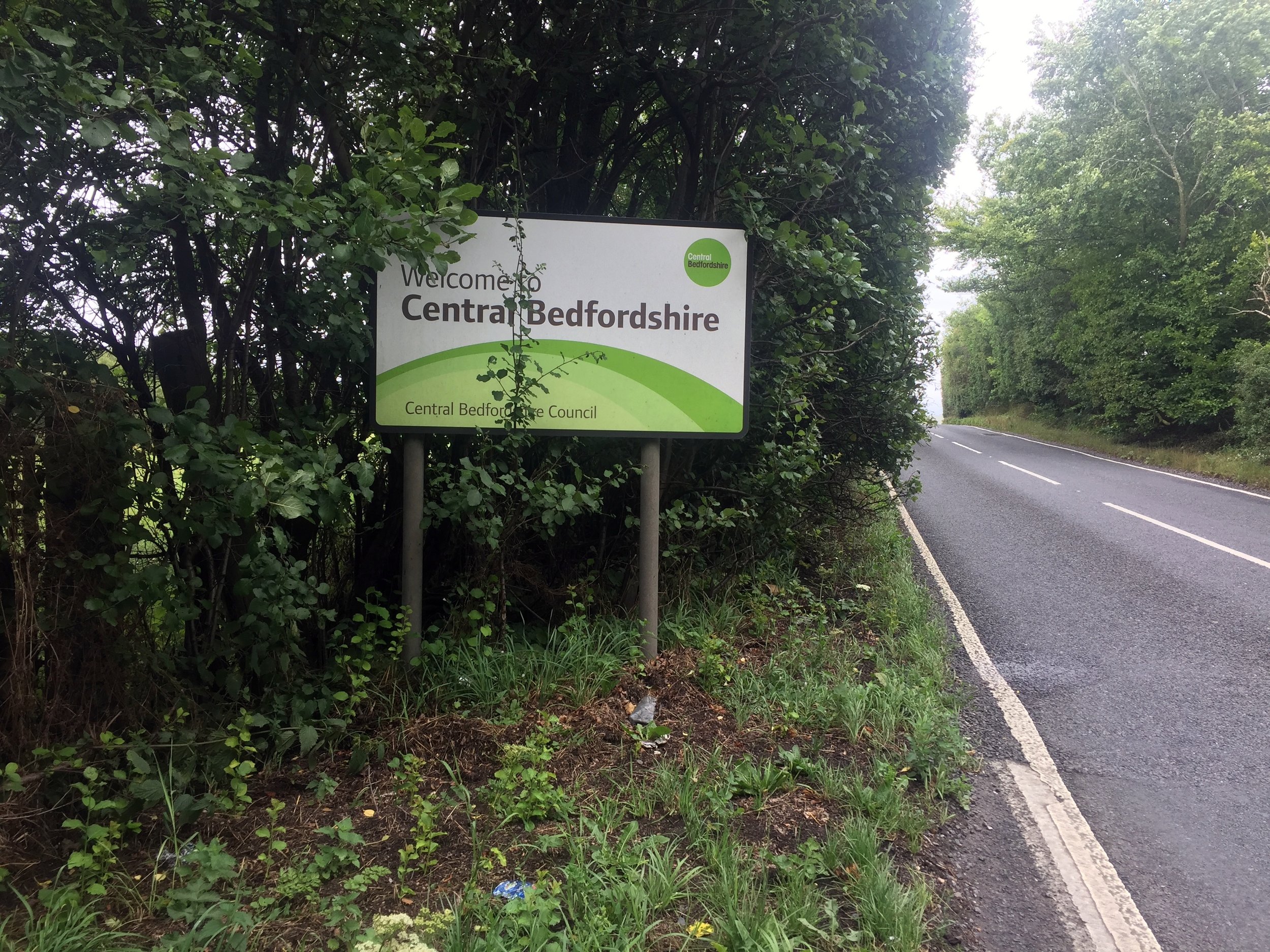
Dagnall Church is a good place to start the ride. From here take the B440 North and take a right onto the B489. The Ouzel rises in the farm bounded by these 2 roads and crosses the B489 before the sign for Central Bedfordshire. This is the first first and most underwhelming of the 5 road crossings en route its way to Leighton Buzzard. The rest of this outbound section is a pleasant meander through small country lanes and villages with a few pubs and cafes for rest stops along the way.

At Leighton Buzzard, the return is very simple as it follows the Grand Union Canal towpath for approx 6.5 miles to Cheddington. From here, cross over at the lock and, after a farm, follow Chapel Lane through Ivinghoe Aston back to the B489. The end point at Dagnall is 3 km from this junction.

Its a bit of a weird route but actually quite interesting. There’s good views of Ivinghoe Beacon and the Whipsnade White Lion from several parts. From Dagnall you can pick up the River Ver and trace that South to the Colne. Alternatively, the Ridgeway and Icknield Way converge at Ivinghoe Beacon.

Blue = River, Red = Cycle Route

Elevation for cycle route


Traverse of The Picos de Europa
IMG_2323.JPG


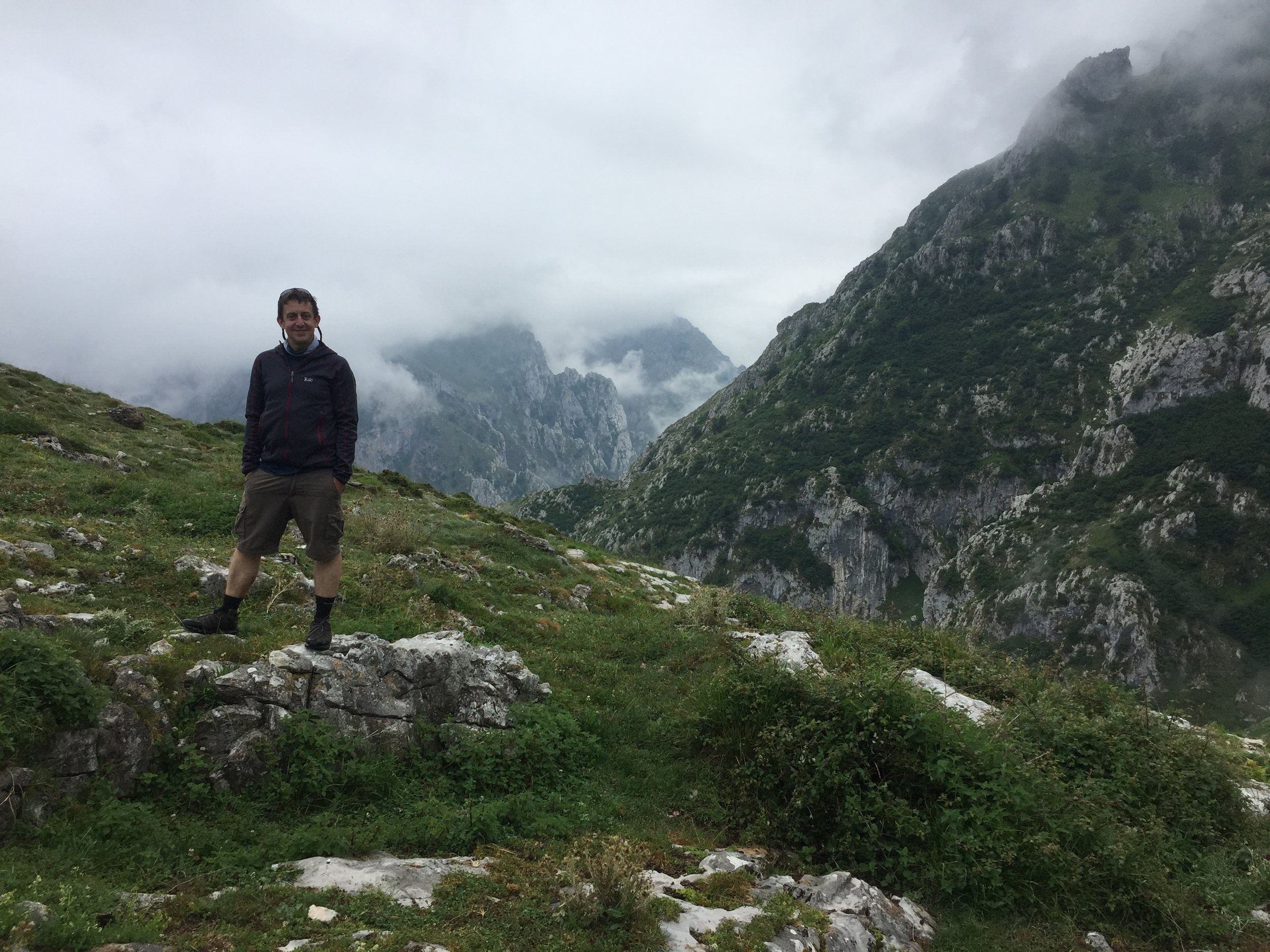
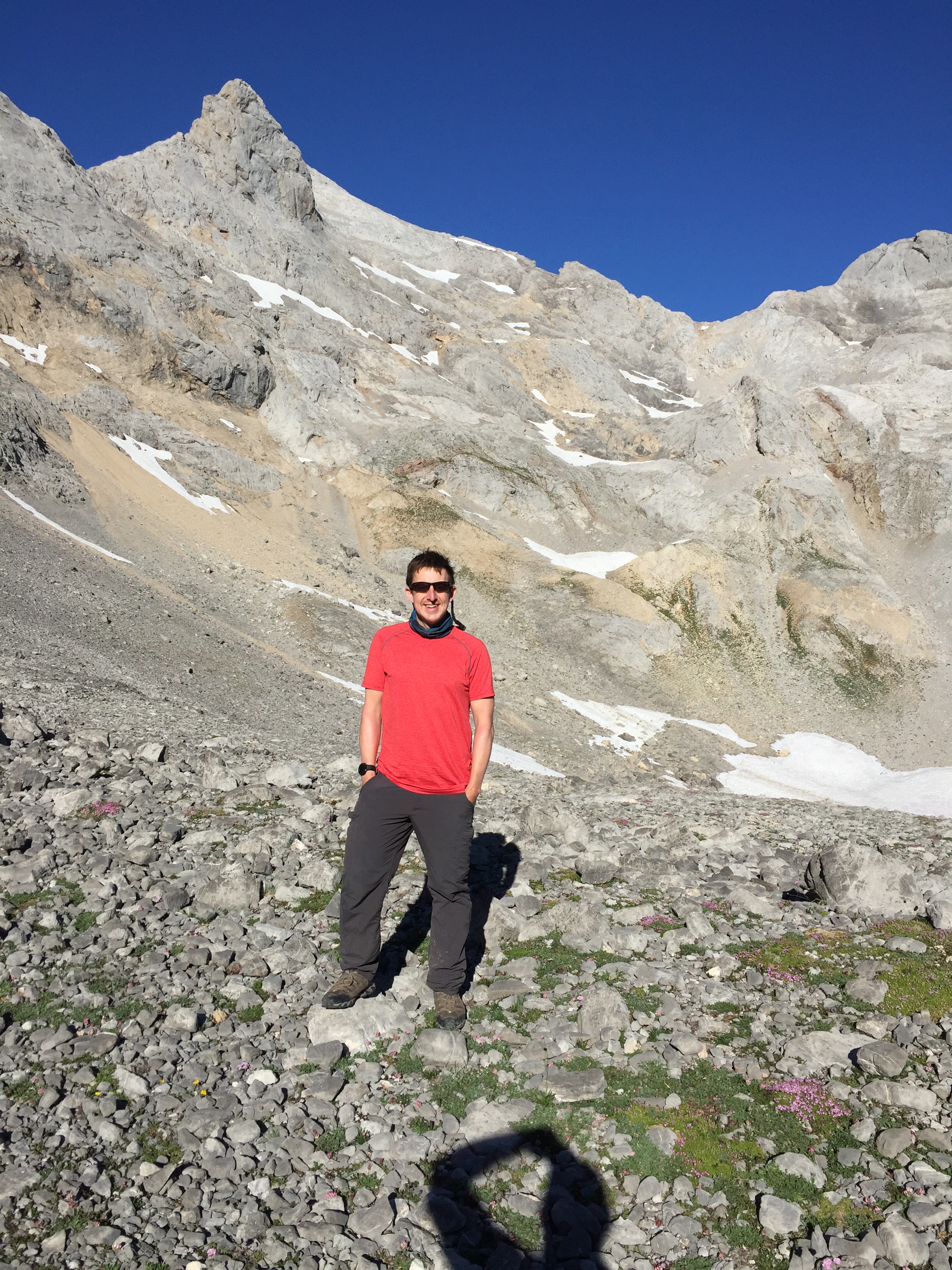
Unlike most of my adventures which are conceived and planned a year in advance, this was a last minute affair. This year’s summer trip was meant to be Part 3 of the big cycle trips following LEJOG and Titanic Ireland. LEJOG started with 6 of us, finished with 5 and by Belfast we were down to 3. By early June this year it was pretty clear that no-one else shared my excitement about the 2019 trip.

I loved last year’s High Peaks of The Balkans trip so much that the KE Adventures website was my first port after killing the cycle trip. Of the 4 possible trips in July the Picos de Europa Traverse stood out. With my current Camino obsession it also ticked a couple of boxes. This would be another Northern Spain trip tucked between the routes of the Caminos Frances and Norte. I could even do a tiny bit of the Norte when passing through Bilbao.

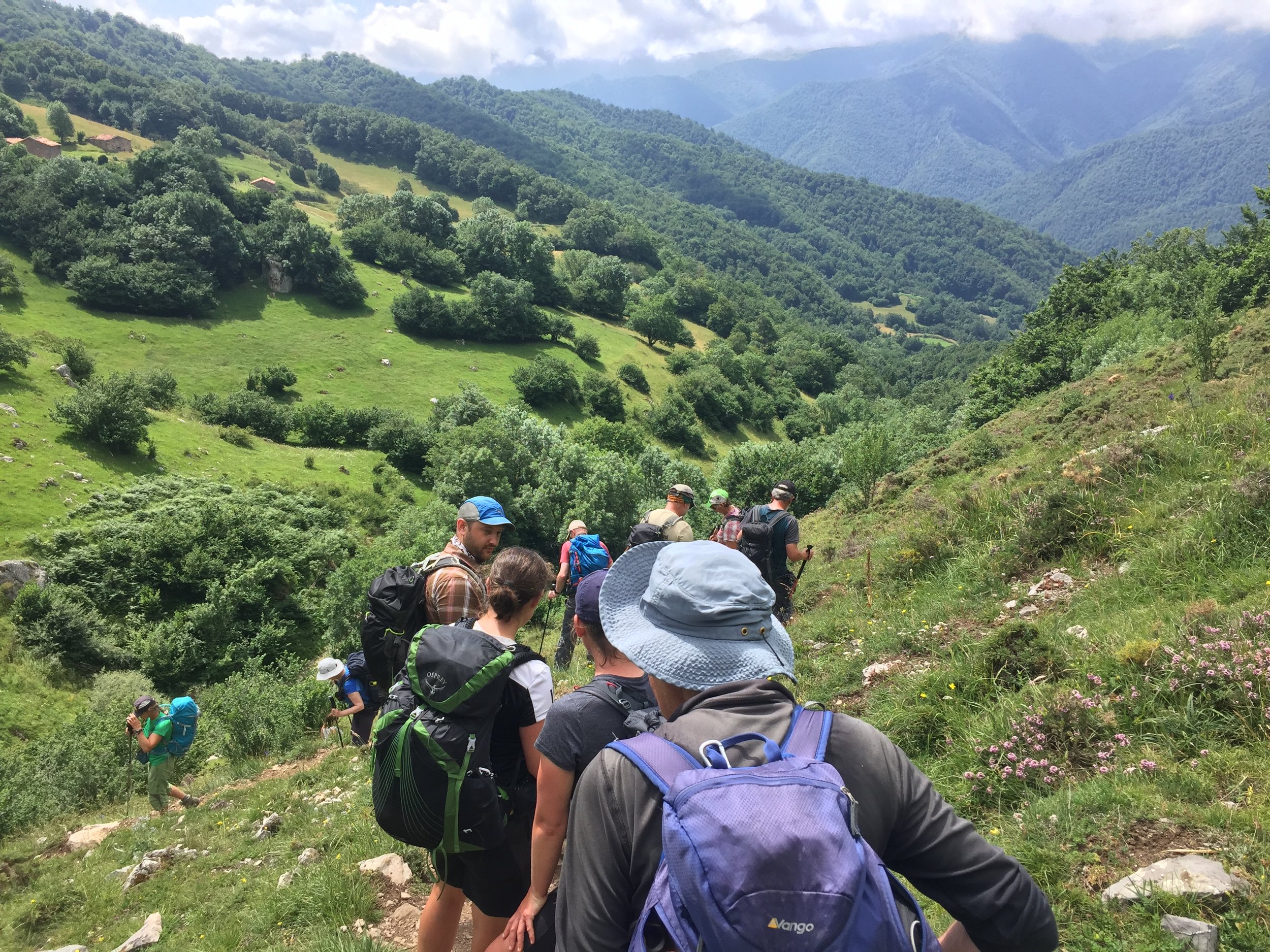
So, 6 weeks later, I was wandering around Bilbao airport looking for 11 random people that I would spend the next week with. I'd done group trips like this a couple of times before so I knew what to look for: rugged types, alone or in couples with big bags, also looking lost. Eventually we all found each other and the local Guide and started the 2 hour drive into the National Park.

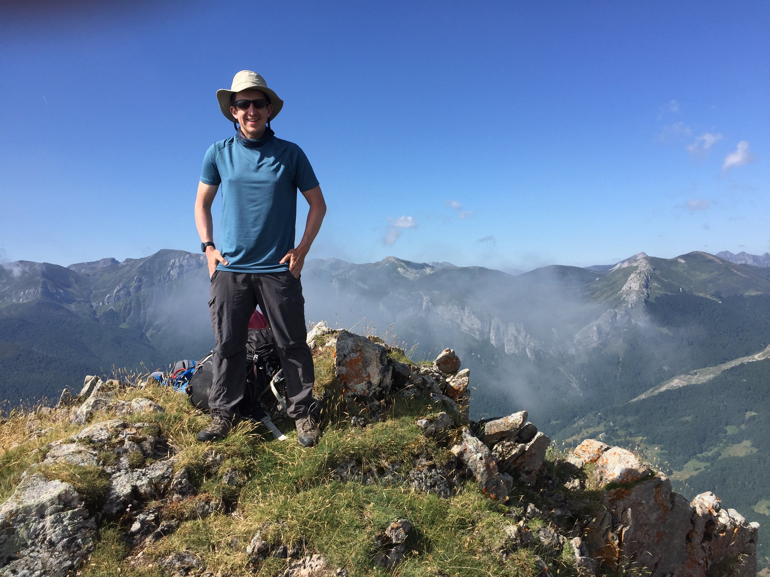
The Picos de Europa is split into 3 massifs by the Cares and Duje rivers. This trip covers the Western and Central Massifs in a continuous 6 day trek. Day 1 was a good intro with a long, steady day, a 2,026m summit and a variety of terrain. As well as a taster day for the trip, it gave our guide Rosanna an idea of abilities in the group.

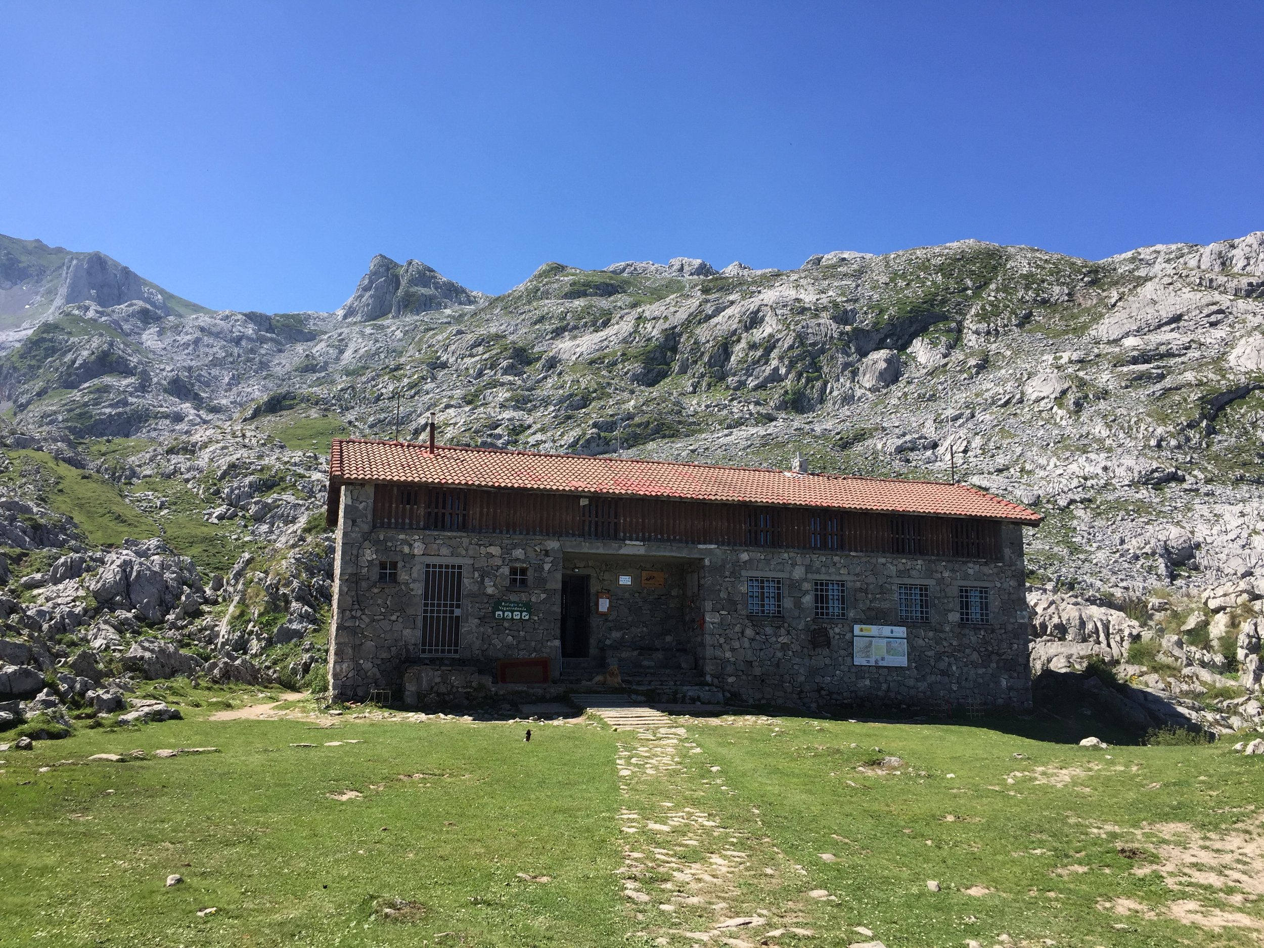
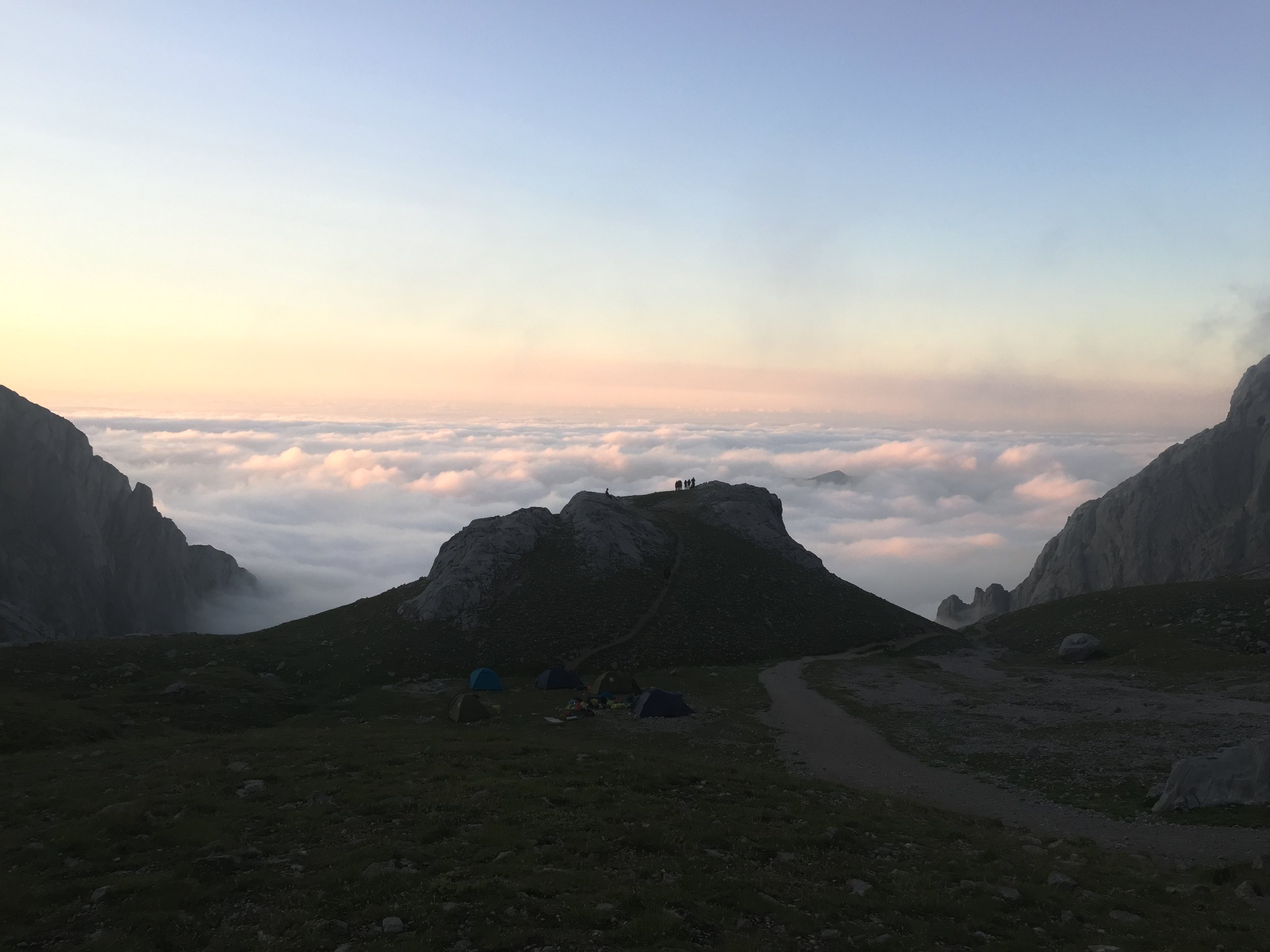
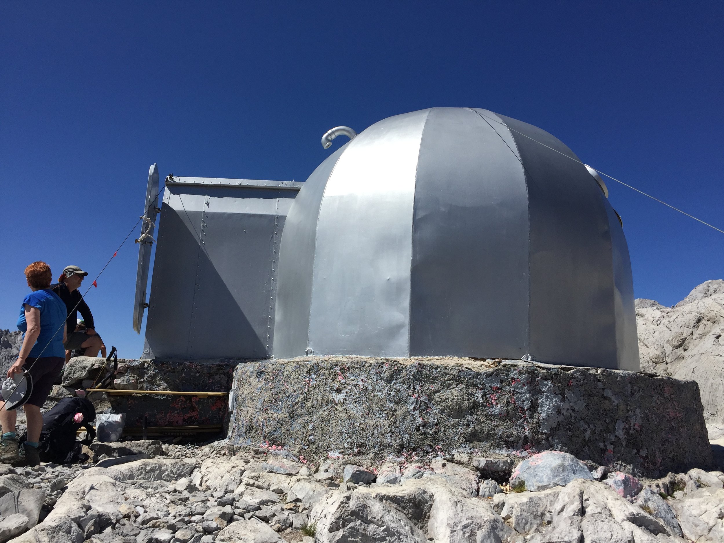
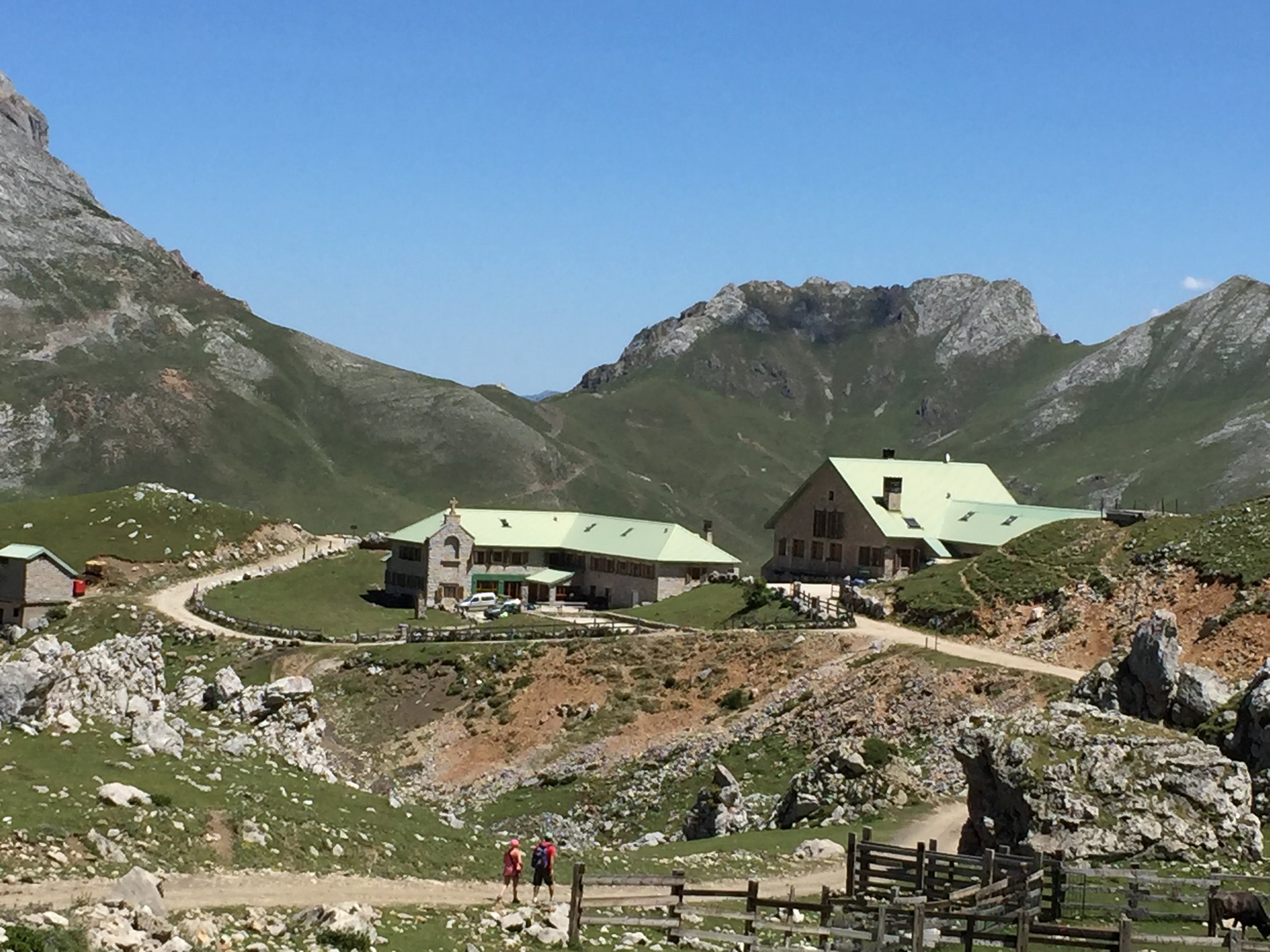
The first night was the Vegarredonda Refuge where we had an outbuilding to ourselves. Even having done my share of refuge/albergue stays, it still takes a night or 2 to get used to the communal sleeping and basic toilet facilities. This wasn’t a bad start though and still luxury compared some of the stops in the Balkans.

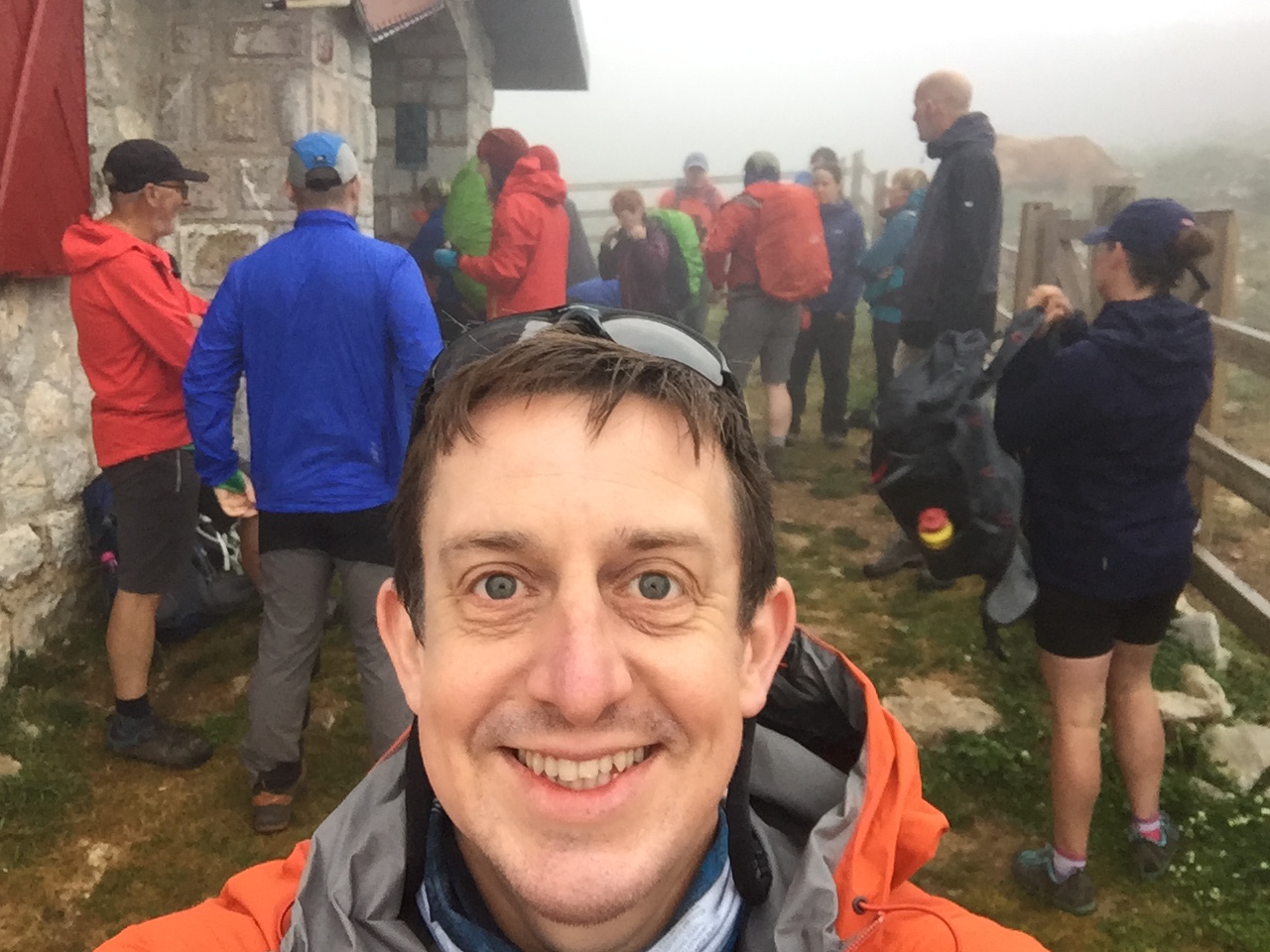
Day 2 was the least memorable and mostly covered in low clouds. It started with retracing our route back to the parking spot then heading East to Lago de la Ercina. This was the day where I wasn’t sure that I would enjoy the trip. In hindsight it was the Balkans that set my expectations too high. Having had such a great experience on that one I was too eager for this to match it from the outset.

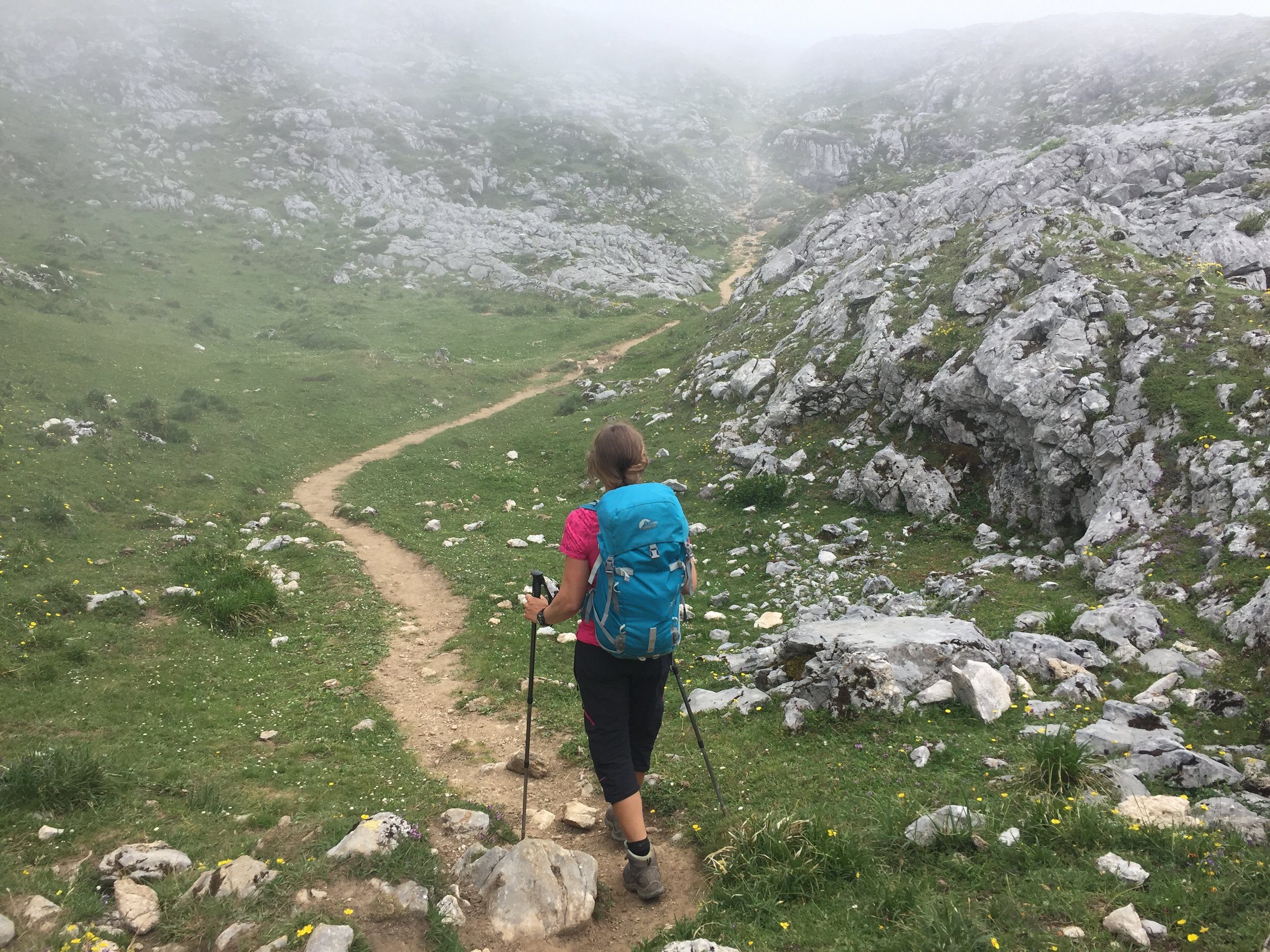
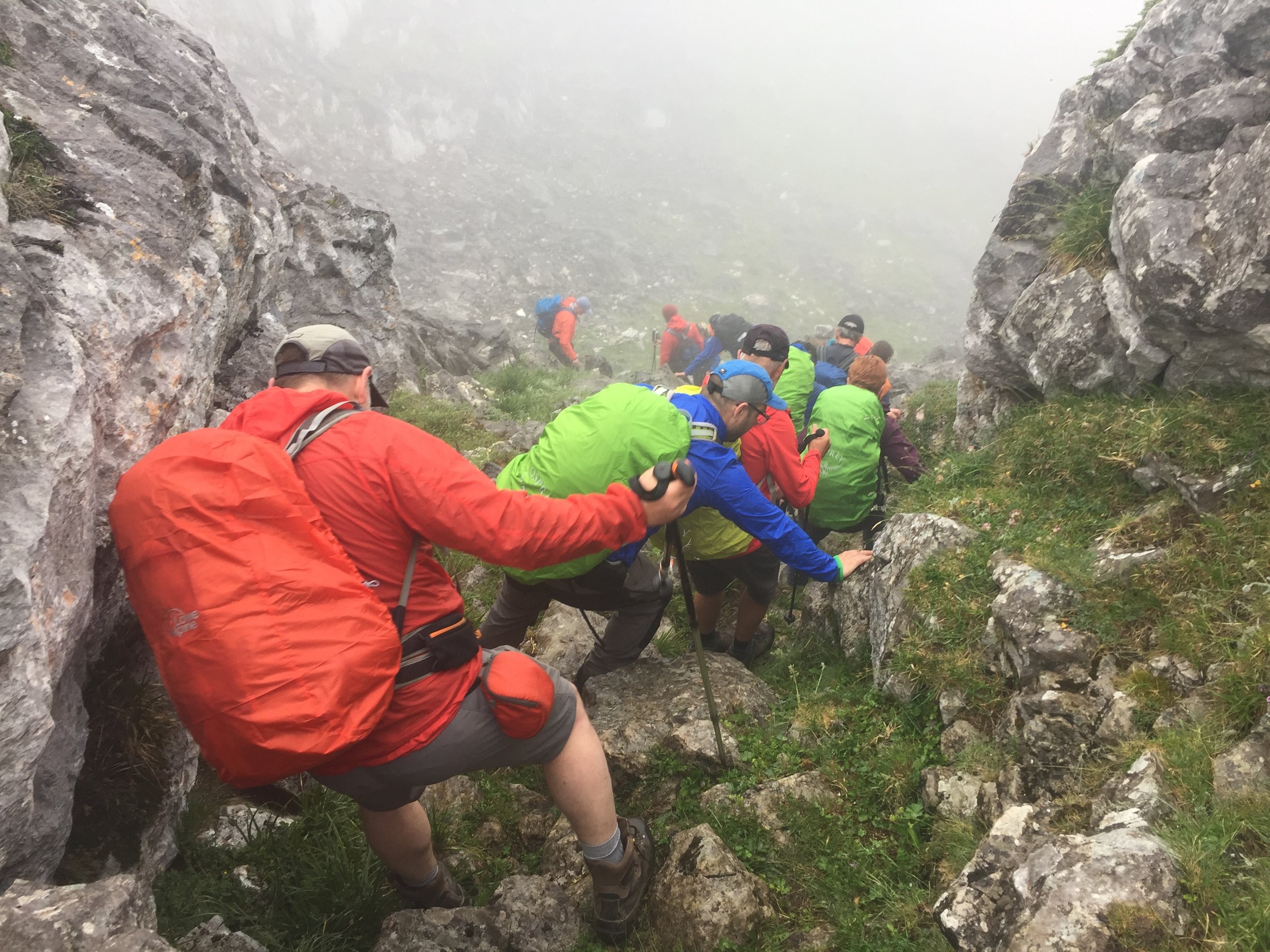
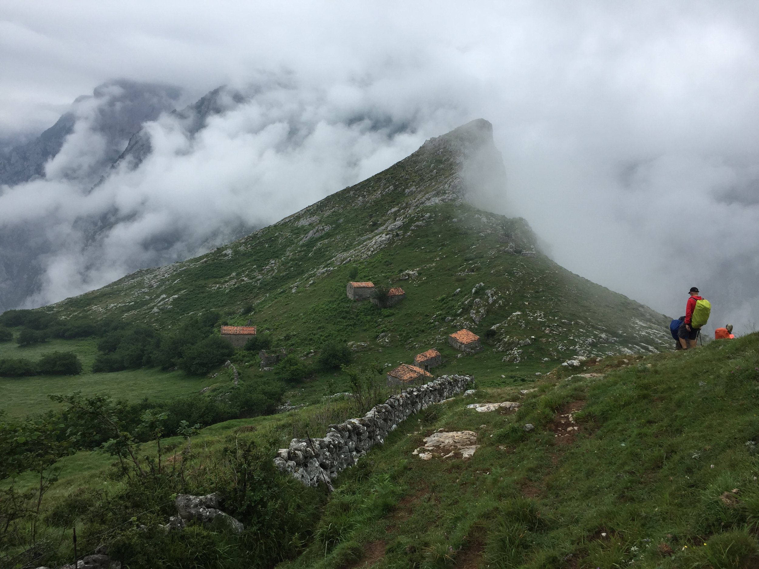
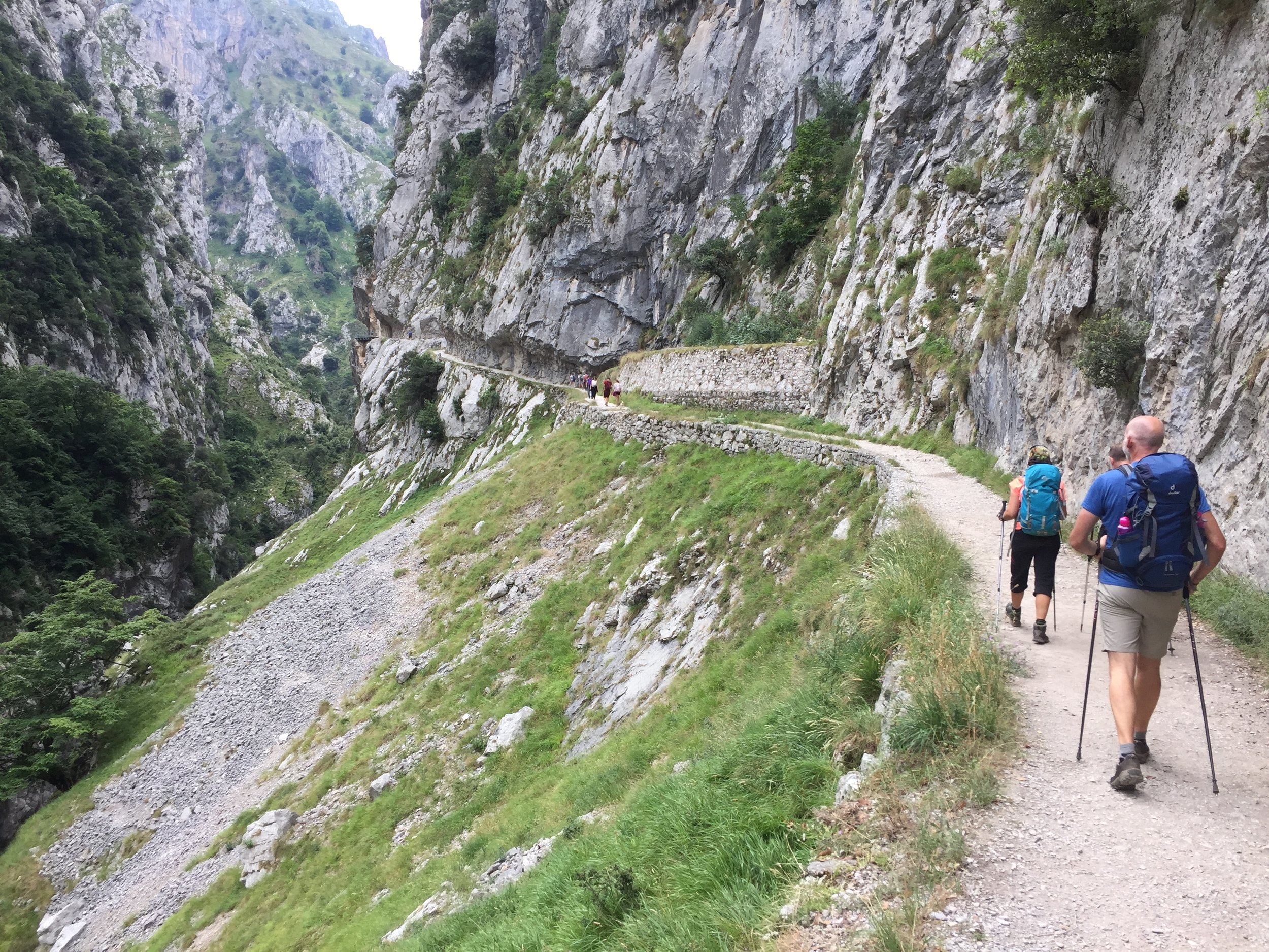
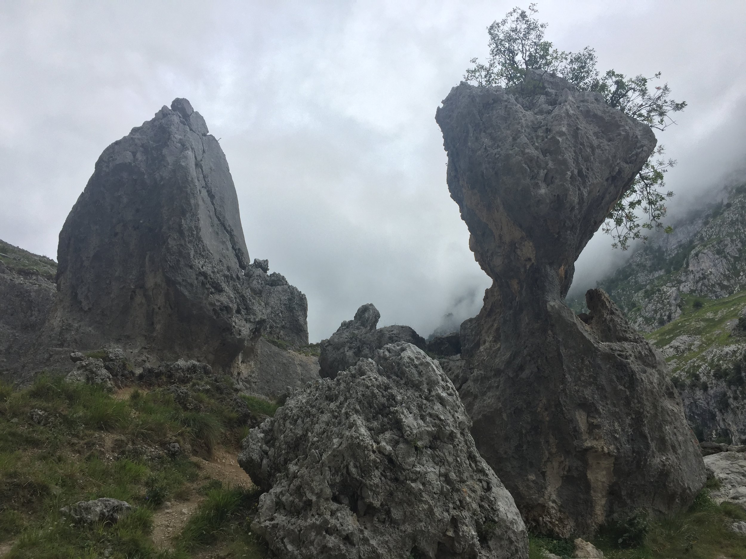
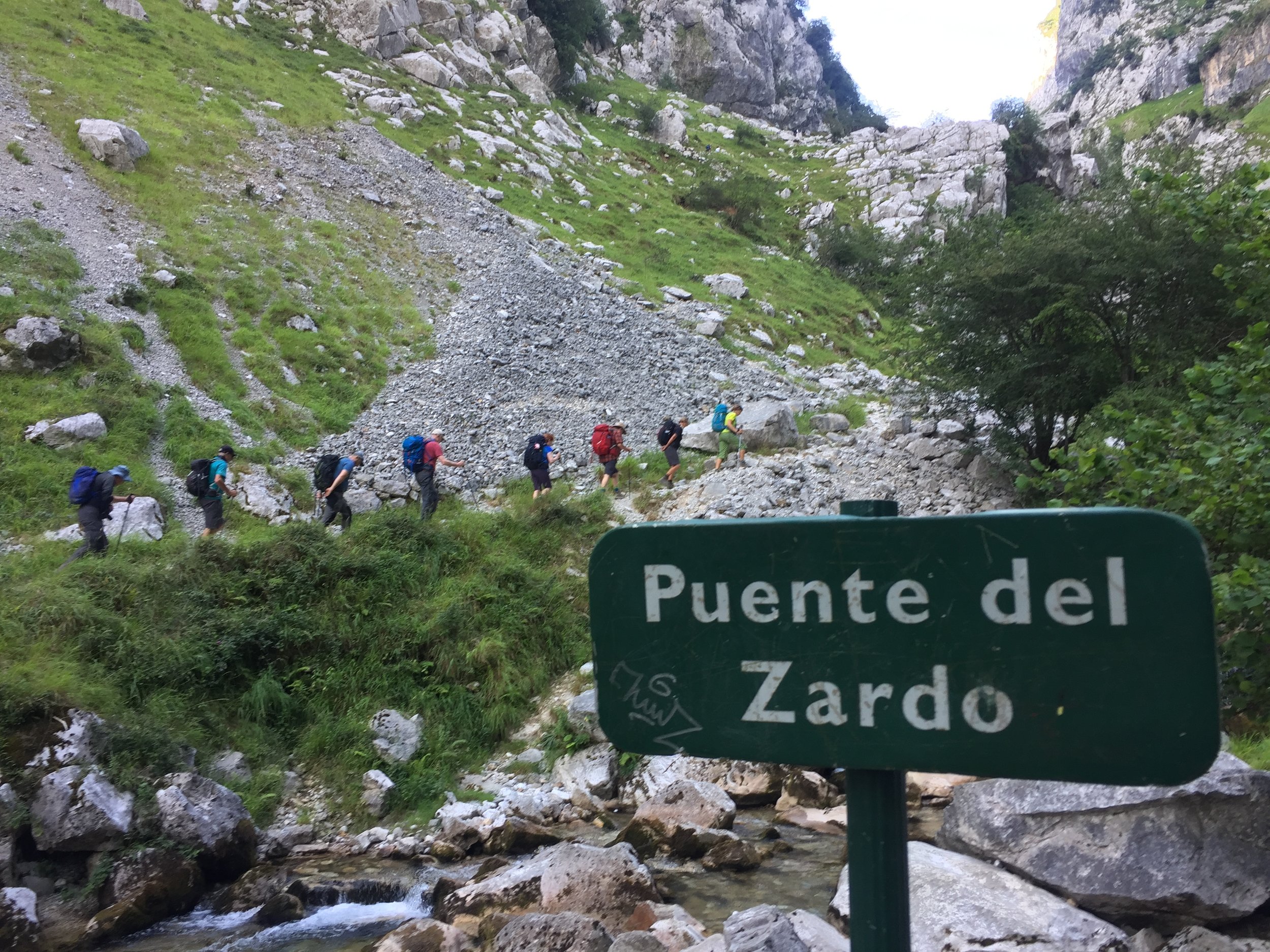
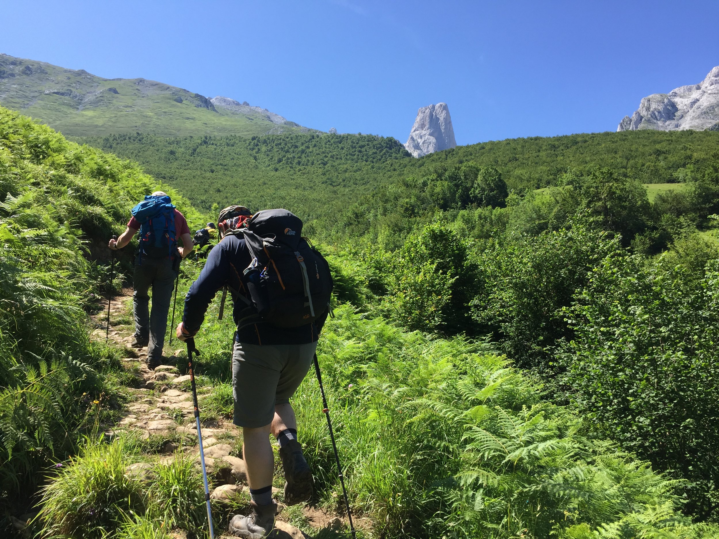
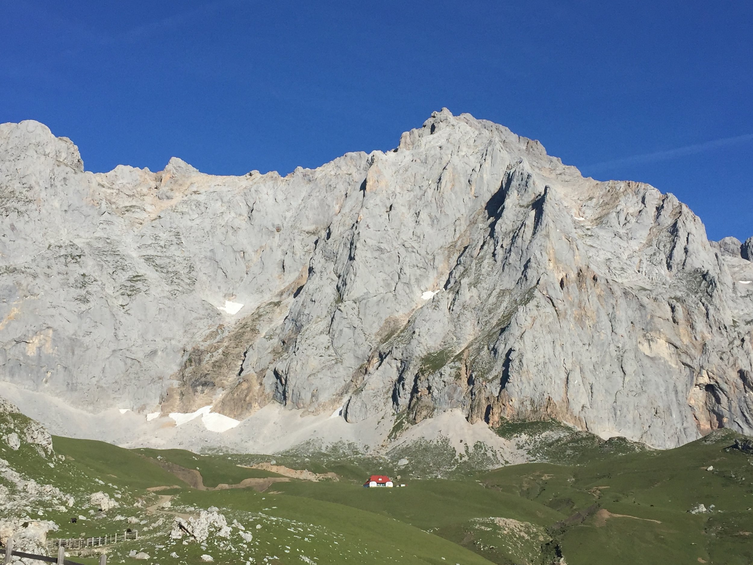
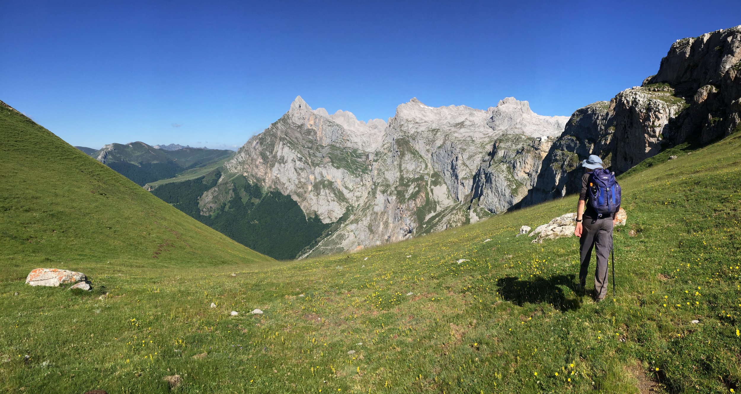
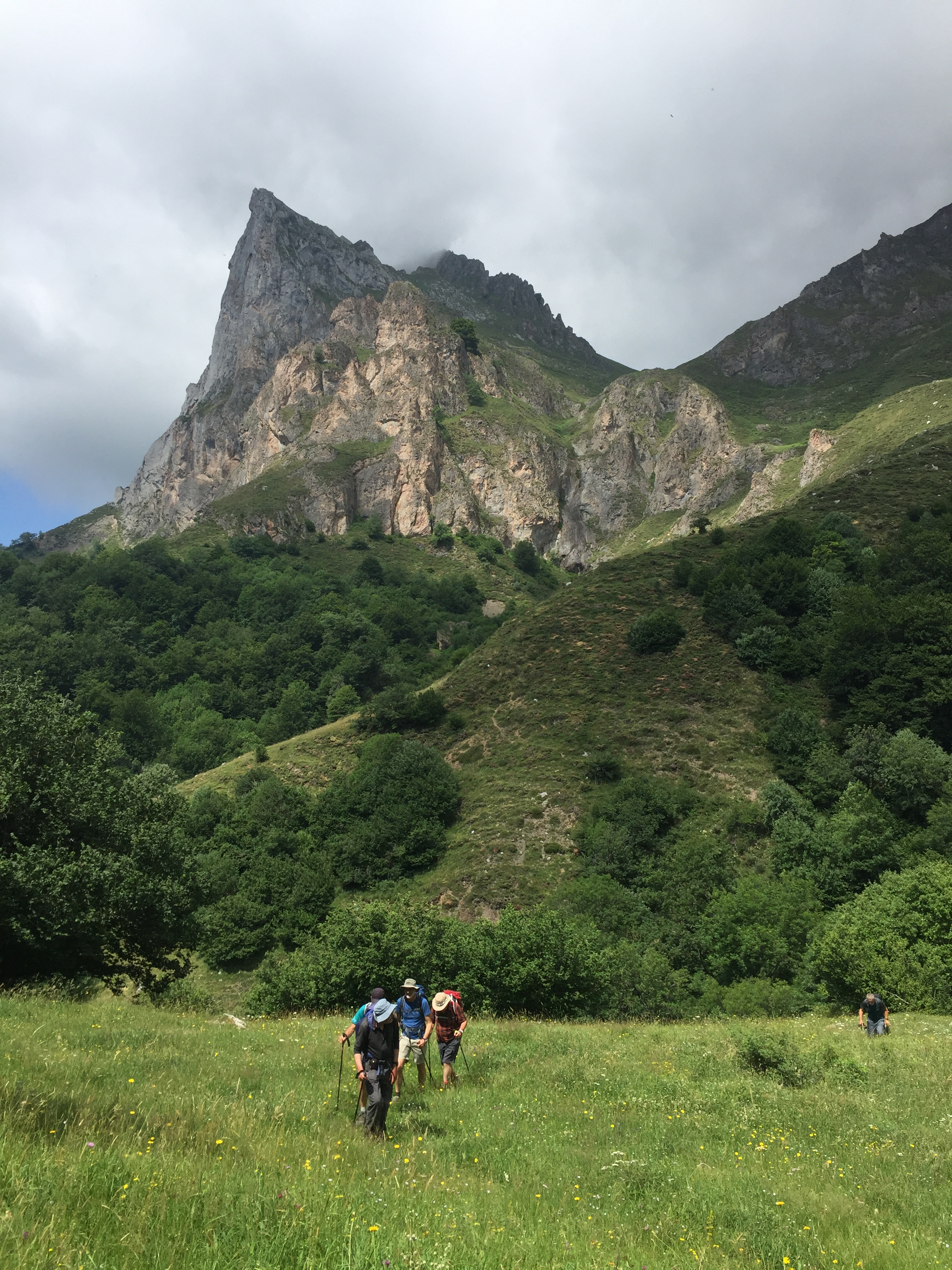
Any fears of being underwhelmed vanished on day 3. This started with a 4-hour steep descent into the Cares Gorge. The gorge splits the Western and Central Massifs and it’s a beauty. The footpath follows a man-made channel that takes water from the Cares River to a hydroelectric plant further North. The trail provides some easy walking with dramatic views along the steep limestone walls.

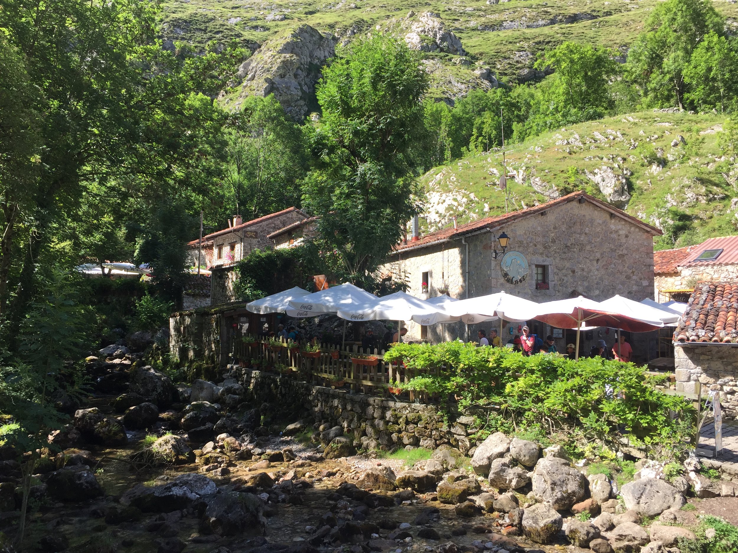
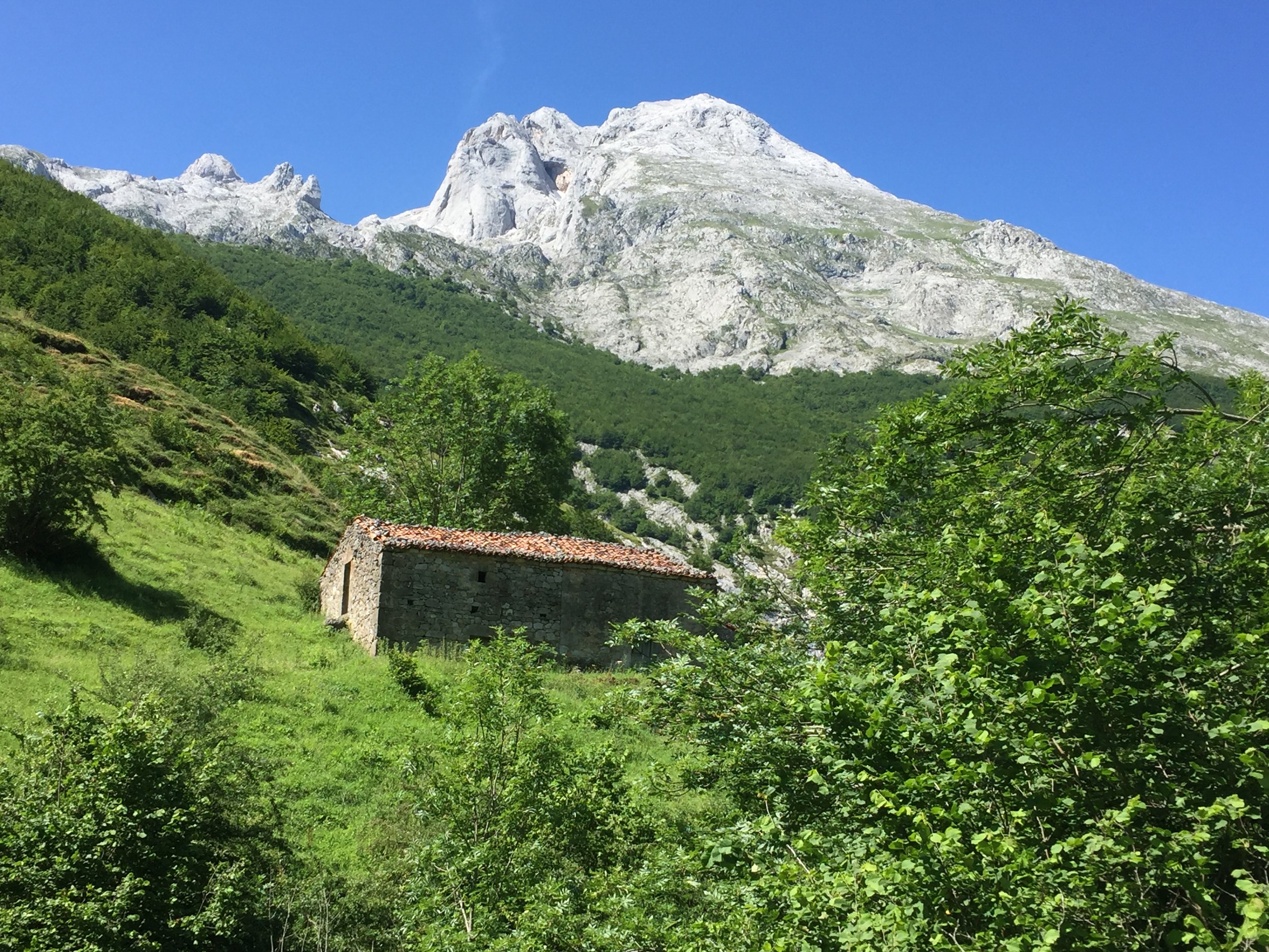
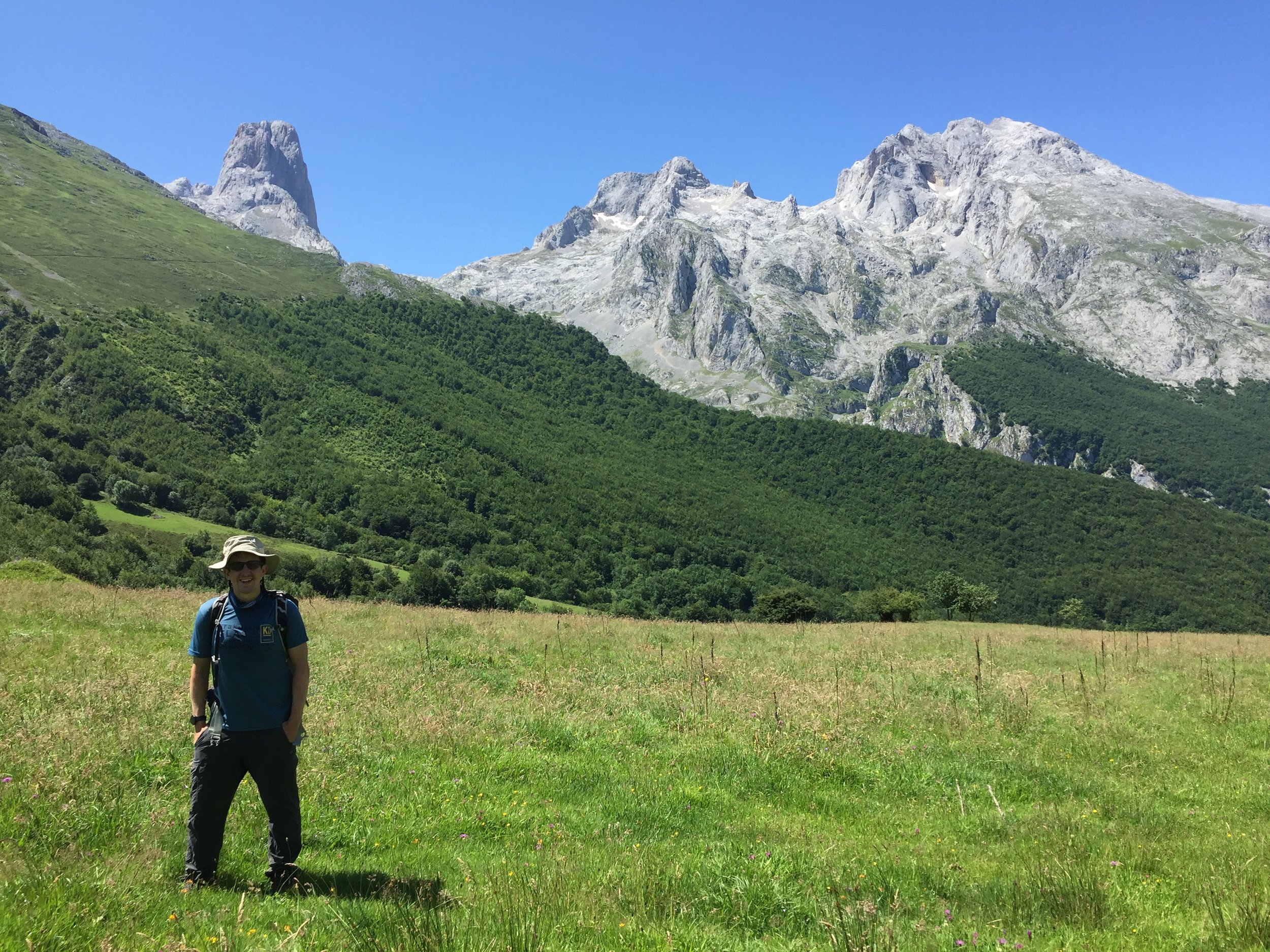
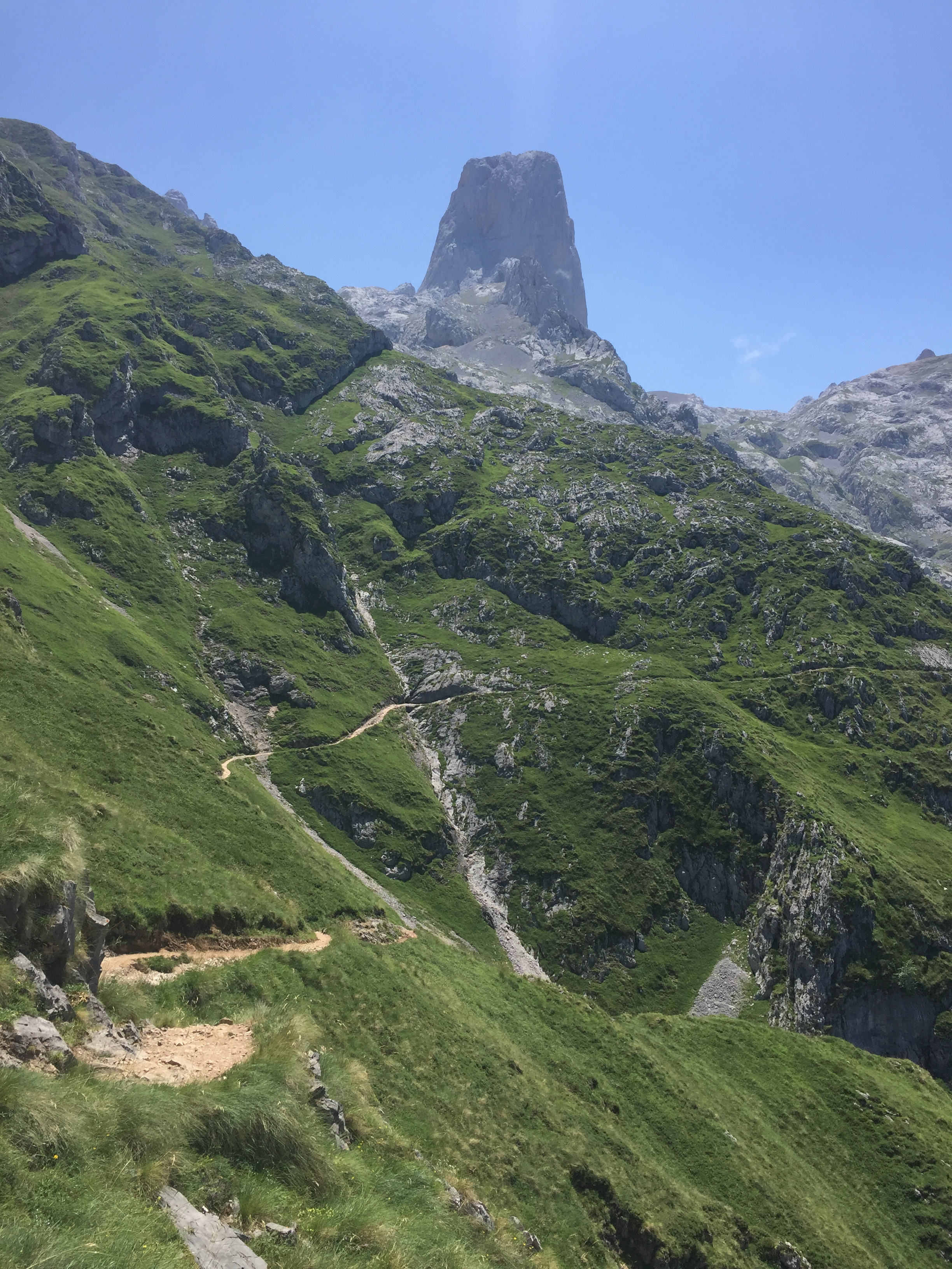
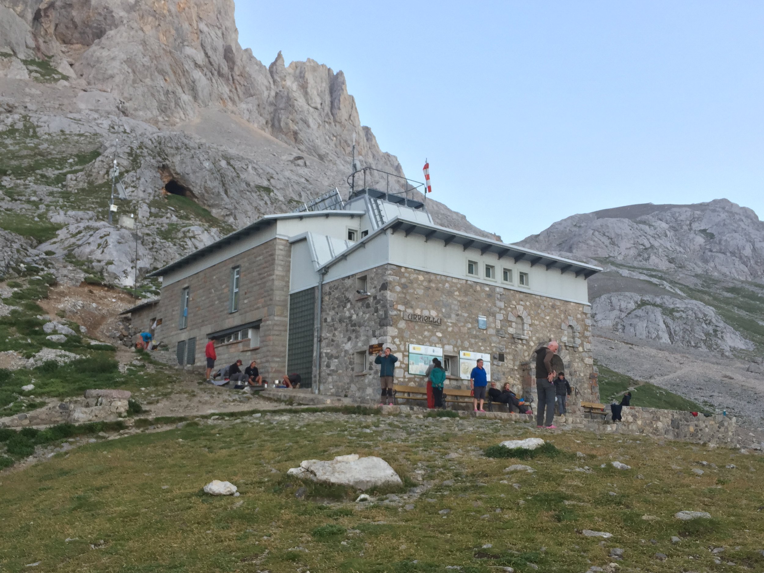
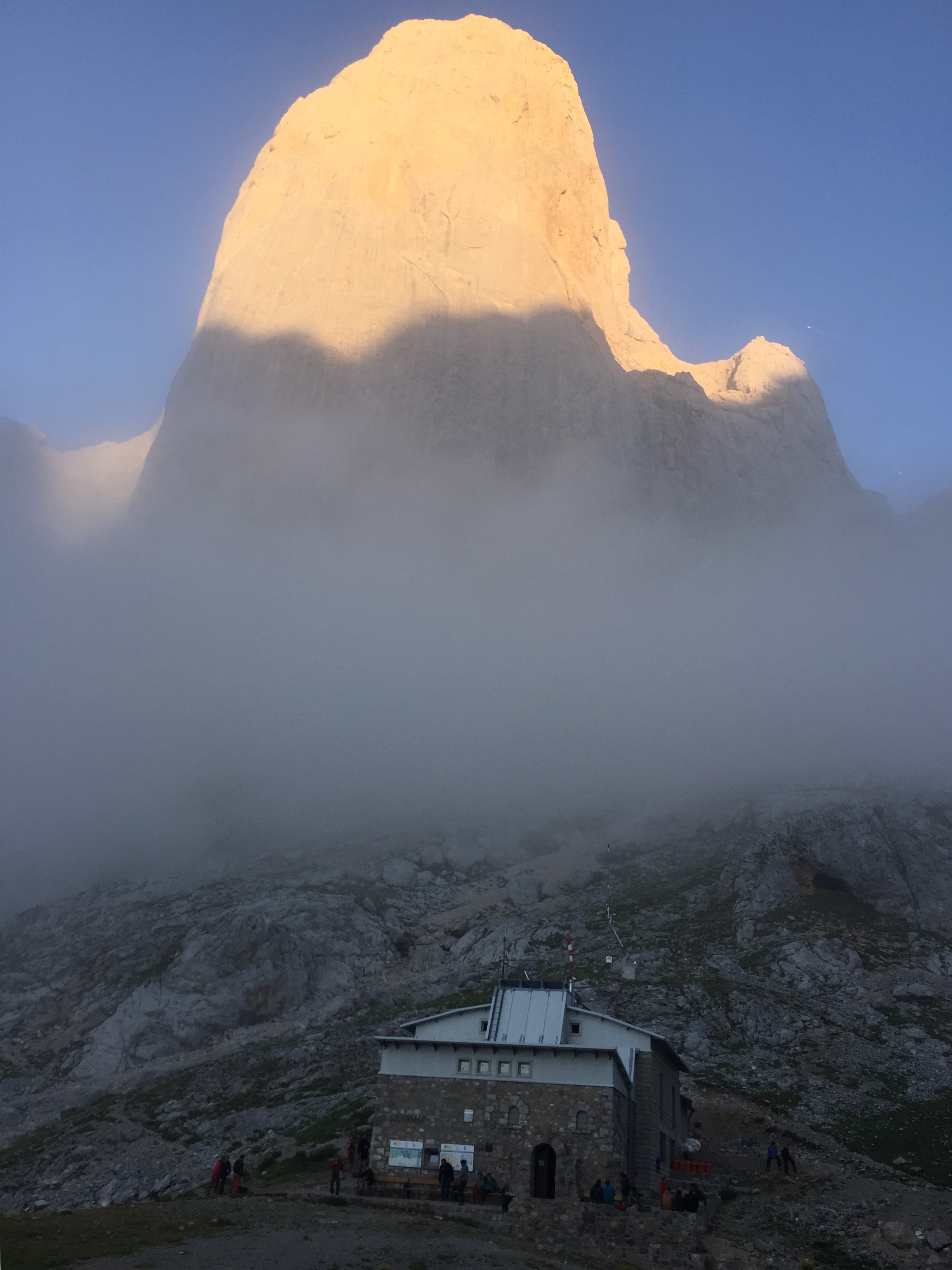
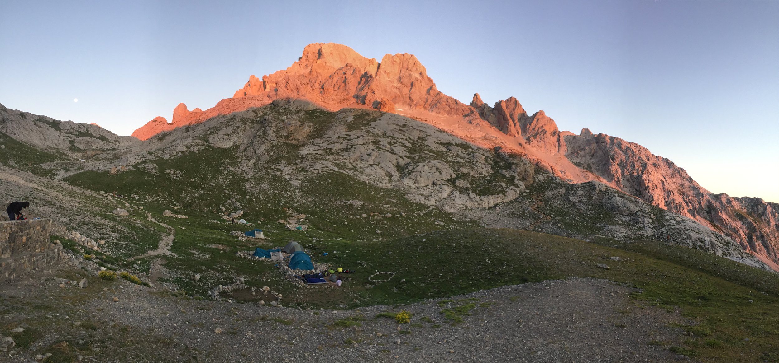
That evening gave us a break from the refuges as we stayed in a nice hotel in Poncebos. We were now at the lowest elevation of the trip so the only option now was up. Day 4 gave us the most elevation in 1 day at nearly 2,000m metres. We had the option of taking the funicular railway to avoid the first third of the climb. We’d already learnt not to take any of the easier options as there was always something amazing to be missed. This was no exception as the completely enclosed funicular misses a rewarding climb. This day finished at the Vega de Urrielu refuge under the imposing Naranjo de Bulnes, a popular climbing spot.

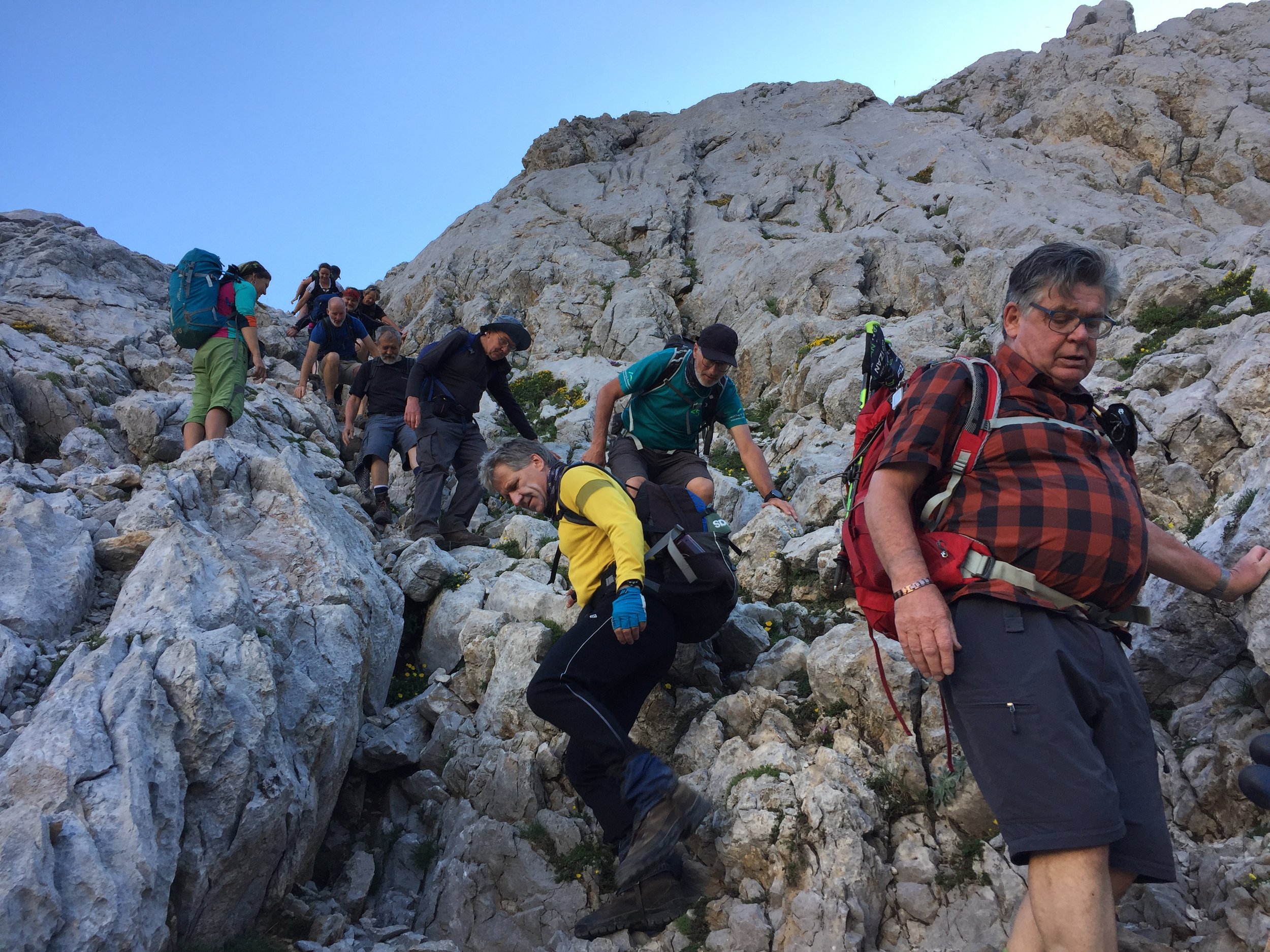
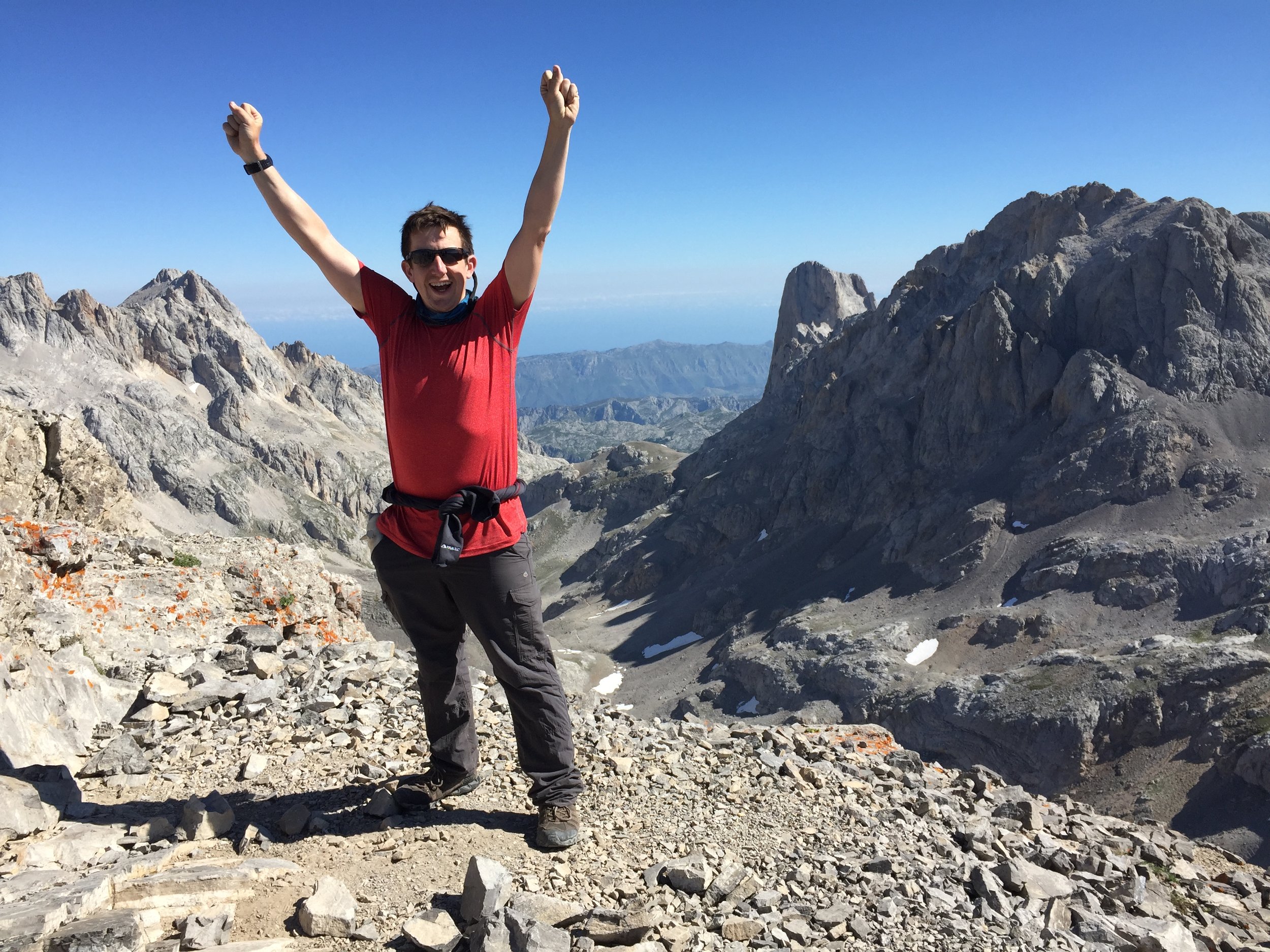
Day 5 was the technical day with more steep scrambling sections. Our guide did well to manage our expectations on the difficulty of it. After last year’s tricky climb of Montenegro’s Zla Kolata I figured that it couldn’t be so bad. It definitely wasn’t, but it was still an exhilarating diagonal traverse of the back of Torre de los Horcados. The end of this section rewarded us with a summit of that peak and a lunch stop at the quirky Cabaña Verónica.

The rest of the trip was mostly downhill with pleasant walking. There were still interesting diversions like the stay in a hotel once owned by the King of Spain, an abandoned mine, a final summit and an excursion to Potes, an historic town near the end of the trek at Espinama.

While this didn’t have the drama of the Balkan peaks or any country high points, this matched that trip in overall enjoyment. The lack of heavy tourism will keep it a hidden gem and one for those of us wanting something different. As a tour company, KE Adventures more than lived up to expectations and I'm sure I'll be signing up for several more of their trips.


Day 1 - Lago de Enol to Vegarredonda Refugio

Date: Monday July 15th 2019
Start:
Aparcamiento Pandecarmen near Lago de Enol, 33556, Asturias, Spain
Finish:
Vegarredonda Refugio, 33556, Asturias, Spain
Rest stops: Mirador de Ordiales, 33556, Asturias, Spain
Distance: 12.4 km / 7.7 miles
Elevation Change: +958m / -577m / Net +429m
Walking time: 6 hours 32 minutes
GPX File: get via Buy Me a Coffee
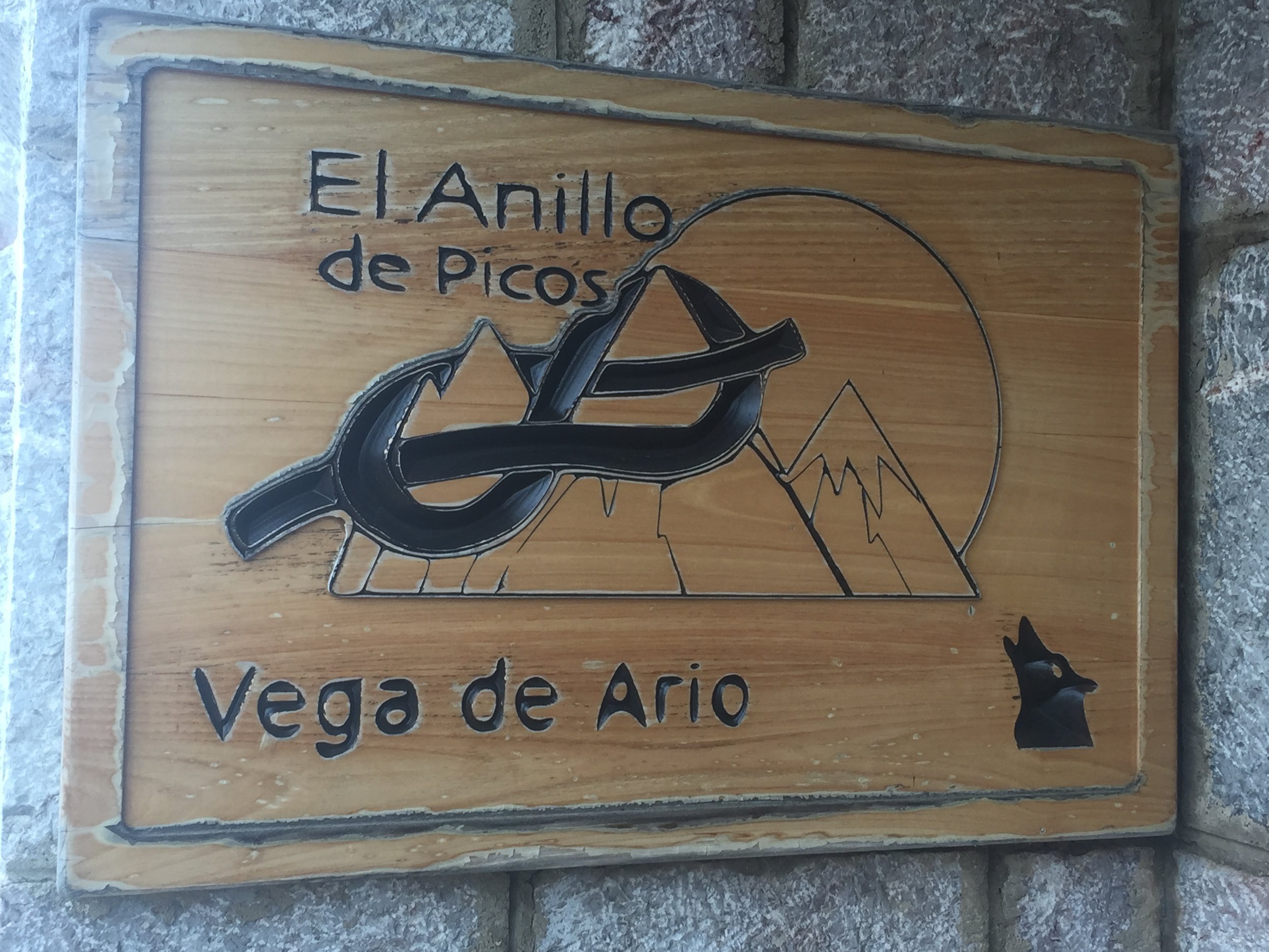
Other Routes Touched: El Anillo de Picos, PR-PNPE 5 Bufferera-Ordiales
Summit: Pico Cotalba (2026m)


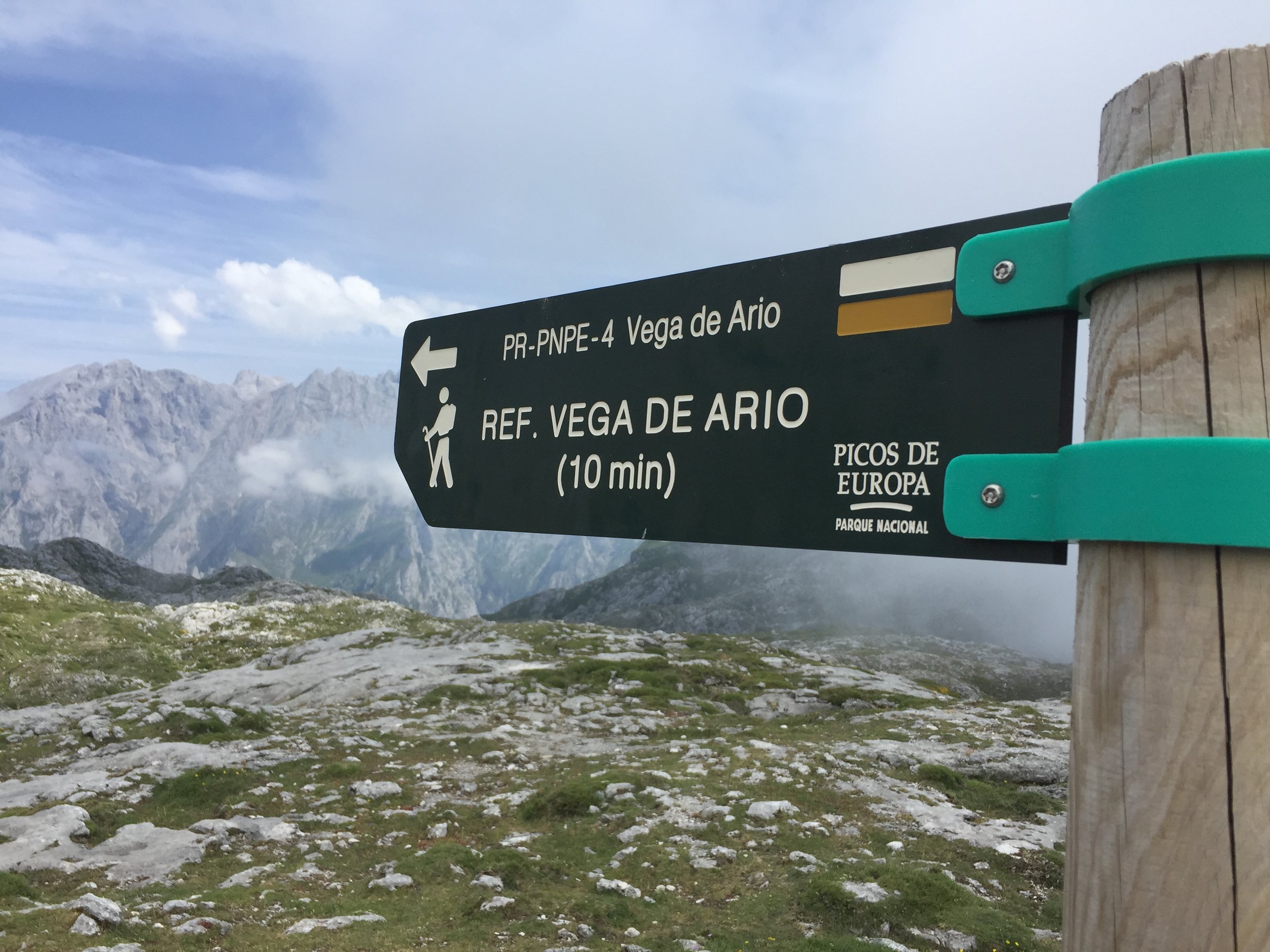
Day 2 - Vegarredonda Refugio to Refugio Vega de Ario

Date: Tuesday July 16th 2019
Start:
Vegarredonda Refugio, 33556, Asturias, Spain
Finish:
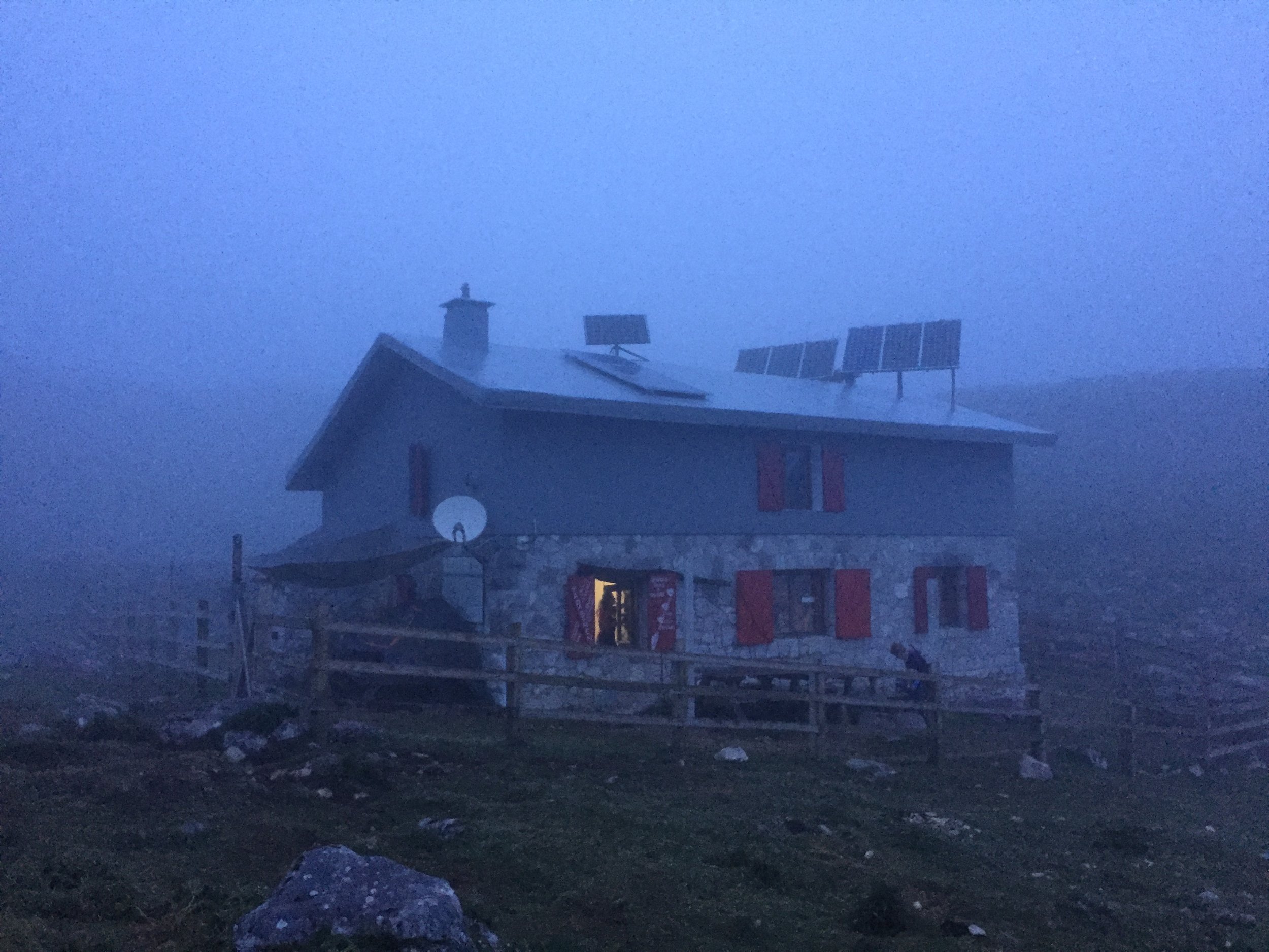
Refugio Vega de Ario, 33556, Asturias, Spain
Distance: 14.7 km / 9.1 miles
Elevation Change: +694m / -521m / Net -173m
Walking time: 6 hours
GPX File: get via Buy Me a Coffee
Other Routes Touched: El Anillo de Picos, PR-PNPE 4 Vega de Ario


Day 3 - Refugio Vega de Ario to Puente Poncebos

Date: Wednesday July 17th 2019
Start:
Refugio Vega de Ario, 33556, Asturias, Spain
Finish:
Hotel Garganta del Cares, Lugar Puente Poncebos, 0 S N, 33554 Camarmeña, Asturias, Spain
Distance: 17.6 km / 10.9 miles
Elevation Change: +830m / -2,168m / Net -1,338m
Walking time: 8 hours 34 minutes
GPX File: get via Buy Me a Coffee
Other Routes Touched: El Anillo de Picos, PR-PNPE 3 - Ruta del Cares


Day 4 - Puente Poncebos to Naranjo de Bulnes

Date: Thursday July 18th 2019
Start:
Hotel Garganta del Cares, Lugar Puente Poncebos, 0 S N, 33554 Camarmeña, Asturias, Spain
Finish:
Naranjo de Bulnes: Refugio Vega de Urriellu, 33554 Cabrales, Asturias, Spain
Rest stop: Refugio de la Terenosa
Distance: 11.9 km / 7.4 miles
Elevation Change: +1,748m / -20m / Net +1,728m
Walking time: 6 hours 42 minutes
GPX File: get via Buy Me a Coffee
Other Routes Touched: El Anillo de Picos, PR-PNPE 3 - Ruta del Cares, PR-PNPE 19 Canal de Camburero, PR-PNPE 19 Vega de Urrielu, GR202 Ruta de la Reconquista


Day 5 - Naranjo de Bulnes to Refugio Aliva

Date: Friday July 19th 2019
Start:
Naranjo de Bulnes: Refugio Vega de Urriellu, 33554 Cabrales, Asturias, Spain
Finish:
Hotel Áliva, Puerto de Áliva s/n, 39588 Puerto de Aliva, Spain
Rest stops: Cabaña Verónica, Parque Nacional Picos de Europa, s/n, 39570, Cantabria, Spain
Distance: 11.8 km / 7.3 miles
Elevation Change: +685m / -989m / Net -304m
Walking time: 6 hours 42 minutes
Other Routes Touched: El Anillo de Picos, PR-PNPE 23 Horcados des Rojos, Mirador de El Cable - Cabana Veronica
GPX File: get via Buy Me a Coffee
Summit: Torre de los Horcados Rojos (2,506m)


Day 6 - Refugio Alvia to Espinama

Date: Saturday July 20th 2019
Start:
Hotel Áliva, Puerto de Áliva s/n, 39588 Puerto de Aliva, Spain
Finish:
Hostal Restaurante Nevandi, Barrio Espinama, s/n, 39588 Espinama, Cantabria, Spain
Distance: 10.3 km / 6.4 miles
Elevation Change: +255m / -1,036m / Net -781m
Walking time: 4 hours 21 minutes
GPX File: get via Buy Me a Coffee
Other Routes Touched: PR PNPE 24 - Puertos de Aliva - Fuente de, , GR202 Ruta de la Reconquista
Summit: Pico Valdecoro (1,841m)


The Full Traverse

The full 6-day Traverse from North West to South East. Note the overlap between Days 1 (Red) and 2 (Blue)


Completing all Oxfordshire parkruns
Oxforshire parkrun banner.JPG

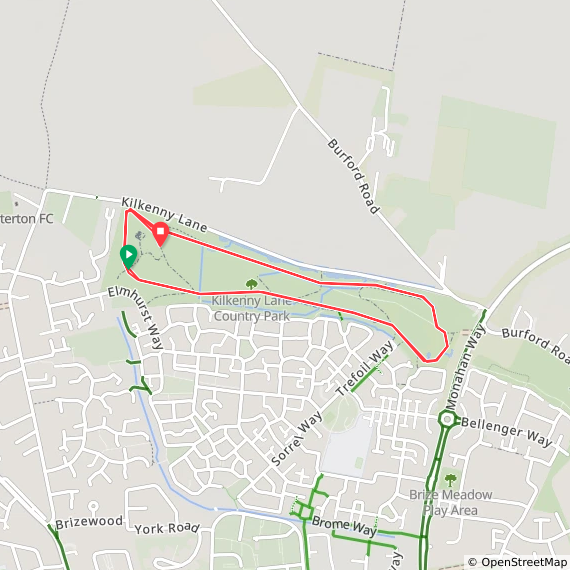
There are currently 13 parkrun events in present-day Oxfordshire. The first was Abingdon which started on May 7th 2011 and the newest is Kilkenny Lane Country which started on October 18th 2025. The name for completing all of the events in the county is Oxford Don(e)

Three events in present-day Oxfordshire (Harcourt Hill, Didcot and Grove Fields) were part of Historic Berkshire. Abingdon gets an honourable mention as, although it was in Historic Oxfordshire, there’s a small section by Abingdon Lock that was in Historic Berkshire.

I first completed the county on July 6th 2019 at Banbury.

Numbers exclude any events that are not open to the general public such as prisons or armed forces facilities.


A map of the parkrun events in the county of Oxfordshire.

All of the Oxfordshire parkrun events …

Below are each of the Oxfordshire 5k parkrun events in alphabetical order. A few things to note:

  • The interactive maps below take you to the approximate location for the course, typically the centre of the park. See the course instructions in the parkrun page for each event for specific directions to the start.

  • Course maps and elevation profiles show the route at the time that I ran it and may have changed since then. See the Course page in the event’s page on parkrun.org.uk for the current course outline. Note that course outlines are from Garmin data during a specific run and may vary from the officially measured distance.

  • Please contact me if you spot an event that doesn’t have a course map and elevation profile and you would like to donate one from your own run. I’m also interested in maps and elevation profiles for courses that have changed or where there’s a regular alternative route (e.g. Horsham). I’ll need a GPX file from your run plus the date. I’ll include a credit for you and will donate £1 to parkrun.


Abingdon

  • I completed this event on: March 16th 2019 with a finish time of: 25:38

  • Historic County: Oxfordshire. A small section of the course at Abingdon Lock was in Historic Berkshire

  • Ceremonial County: Oxfordshire

  • Other routes touched (walk): Thames Path, Oxford Green Belt Way

  • Historic County: Oxfordshire

  • Inaugural: May 7th 2011

  • Links: Event Home Page, Course Page


Banbury

  • I completed this event on: July 6th 2019 with a finish time of: 26:08

  • Historic County: Oxfordshire.

  • Ceremonial County: Oxfordshire

  • Other routes touched (walk): N/A, although the Western edge goes very close to, and parallel with, the Oxford Canal Walk.

  • Historic County: Oxfordshire

  • Inaugural: September 27th 2014

  • Links: Event Home Page, Course Page

 
elevation_profile - Banbury.jpg

Bicester

  • I completed this event on: January 27th 2018 with a finish time of: 25:15

  • Historic County: Oxfordshire.

  • Ceremonial County: Oxfordshire

  • Other routes touched (cycle): NCN 51

  • Historic County: Oxfordshire

  • Inaugural: April 16th 2016

  • Links: Event Home Page, Course Page

 
route-29335678-map-full - Bicester.png

Chipping Norton School

  • I completed this event on: December 14th 2019 with a finish time of: 28:13

  • Other routes touched (walk): Shakespeare’s Way

  • Historic County: Oxfordshire

  • Ceremonial County: Oxfordshire

  • Inaugural: December 14th 2019

  • Links: Event Home Page, Course Page


Didcot

  • I completed this event on: February 9th 2019 with a finish time of: 24:48

  • Historic County: Berkshire

  • Ceremonial County: Oxfordshire

  • Other routes touched (cycle): NCN 5

  • Inaugural: February 21st 2015

  • Links: Event Home Page, Course Page


Grove Fields

  • I completed this event on: September 11th 2021 with a finish time of: 24:53

  • Historic County: Berkshire

  • Ceremonial County: Oxfordshire

  • Other routes touched (walk): Wilts and Berks Canal Towpath

  • Inaugural: August 21st 2021

  • Links: Event Home Page, Course Page

 
elevation_profile - Grove Fields.jpg
route-37479660-map-full - Grove Fields.png

Harcourt Hill

  • I completed this event on: February 16th 2019 with a finish time of: 24:55

  • Historic County: Berkshire

  • Ceremonial County: Oxfordshire

  • Other routes touched (walk): Ramblers’ Jubilee Circular Walk

  • Inaugural: October 18th 2014

  • Links: Event Home Page, Course Page

 
elevation_profile - Harcourt Hill.jpg

Henley-on-Thames


Horspath

  • I completed this event on: September 18th 2021 with a finish time of: 24:44

  • Historic County: Oxfordshire

  • Ceremonial County: Oxfordshire

  • Other routes touched (cycle): None, however NCN 57 runs past the entrance and parallel to the southern edge of the course.

  • Inaugural: August 14th 2021

  • Links: Event Home Page, Course Page

 
elevation_profile - Horspath.jpg
route-37541506-map-full - Horspath.png

Kilkenny Lane Country

  • I completed this event on: August 15th 2026 with a finish time of: 27:44

  • Historic County: Oxfordshire

  • Ceremonial County: Oxfordshire

  • Other routes touched: None

  • Inaugural: October 18th 2025

  • Links: Event Home Page, Course Page


Oxford

  • I first completed this event on: Christmas Day 2017 with a finish time of: 26:17

  • Historic County: Oxfordshire

  • Ceremonial County: Oxfordshire

  • Other routes touched (cycle): NCN 51

  • Inaugural: November 5th 2011

  • Links: Event Home Page, Course Page


University Parks

  • I first completed this event on: March 5th 2022 with a finish time of: 25:18

  • Historic County: Oxfordshire

  • Ceremonial County: Oxfordshire

  • Other routes touched: None, although NCN 51 runs parallel to the western edge of the route.

  • Inaugural: February 5th 2022

  • Links: Event Home Page, Course Page


Witney

  • I completed this event on: June 29th 2019 with a finish time of: 25:56

  • Historic County: Oxfordshire

  • Ceremonial County: Oxfordshire

  • Other routes touched (cycle): NCN 57

  • Inaugural: March 10th 2018

  • Links: Event Home Page, Course Page

 
elevation_profile - Witney.jpg

More parkrun posts

parkruns are free, weekly, community 5k events all around the world. I started in December 2012 and have been obsessive about it ever since. See my parkrun Collection page for details.

Featured and popular parkrun posts:


Cycling The Chiltern Heritage Trails

The Chiltern Heritage Cycling Trails were established as the District Councils Millennium project. Each of the 3 routes connects scenic towns and parishes of the Chilterns AONB, and include some historic, yet not very well known, places of interest. Each route is a circuit so can be started at any point, however Amersham New Town is an obvious base. Amersham has a direct rail and Underground connection to London and good parking options.

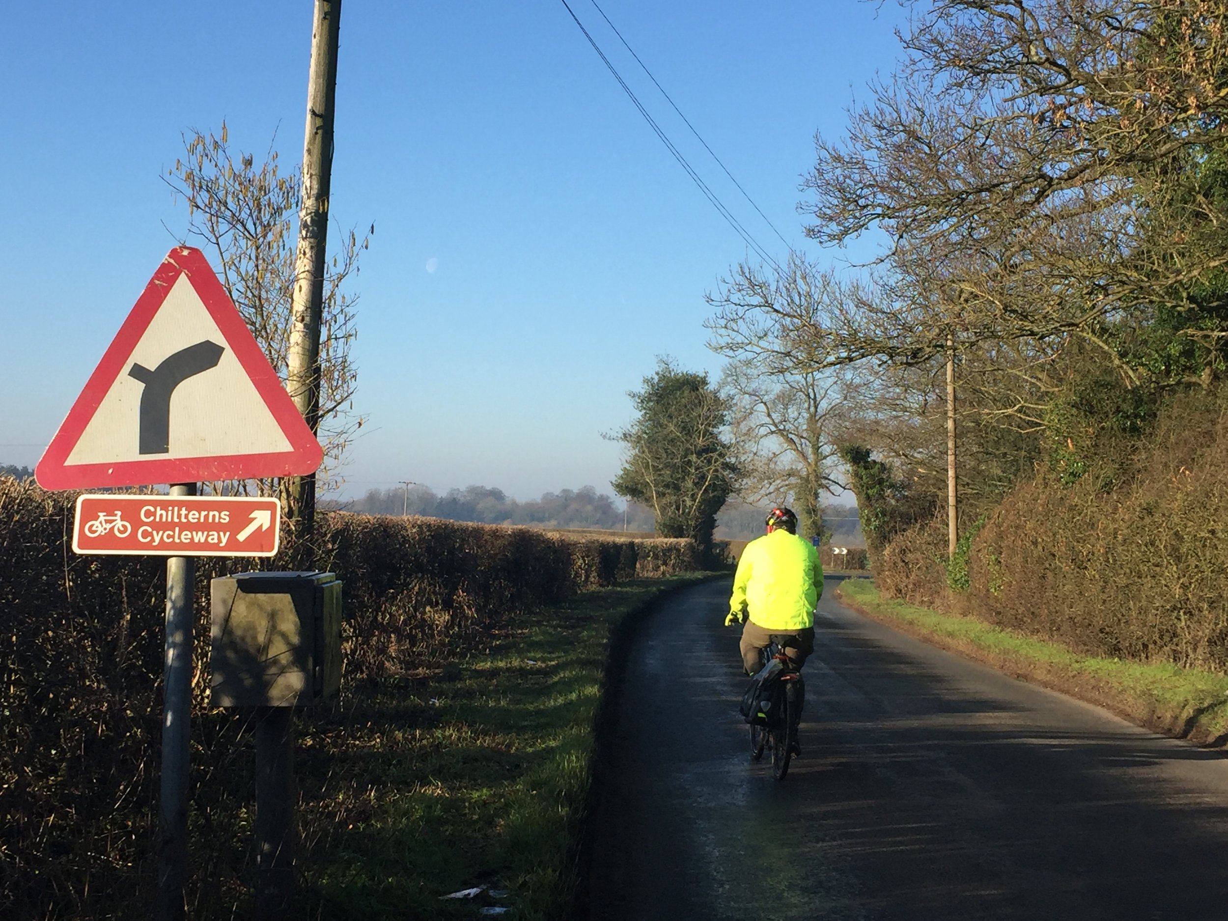
The routes follow some sections of the 170 mile Chiltern Cycleway, so some parts will be familiar if you have done that. Signage is pretty good in most parts, although a GPS route is advisable as some junctions can be tricky.

IMG_9775.jpg

Green = Milton Route, Red = Hampden Route, Blue = Harding Route


Milton Route

Route named after: John Milton, who was an English Poet and Civil Servant. See also: Milton’s Cottage, Chalfont St Giles
Route cycled on: June 23rd 2013
Start / Finish: Amersham High Street (Free parking on Sundays)
Distance: 42km / 26 miles
Elevation Change: +/- 391m
GPX File: get via Buy Me a Coffee
Other Routes Touched (walk): Chiltern Way, Chiltern Heritage Trail, South Bucks Way
Other Routes Touched (cycle): N/A
Map: OS Explorer Map (172) Chiltern Hills East 
Links: Amersham, Chalfont St Peter, Chalfont St Giles, Seer Green, Penn


Hampden Route

Route named after: John Hampden, who was an early parliamentarian. See also: johnhampden.org
Route cycled on: February 24th 2019
Start / Finish: Amersham High Street (Free parking on Sundays)
Distance: 41km / 25.5 miles
Elevation Change: +/- 352m
GPX File: get via Buy Me a Coffee
Other Routes Touched (walk): Chiltern Way, South Bucks Way, Chess Valley Walk
Other Routes Touched (cycle): Chilterns Cycleway, Harding Route, NCN 57
Map: OS Explorer Map (172) Chiltern Hills East and OS Explorer Map (181) Chiltern Hills North
Links: Amersham, Little Missenden, Holmer Green, Little Kingshill, Great Missenden, The Lee, Chartridge, Chesham, Chesham Bois


Harding Route

Route named after: Thomas Harding who was burnt at the stake in 1532 for possessing a Bible when this was still forbidden.
Route cycled on: July 3rd 2019
Start / Finish:
Amersham High Street (Free parking on Sundays or after 18:00 on weekdays)
Distance: 40 km
Elevation Change: +/- 385m
GPX File: get via Buy Me a Coffee
Other Routes Touched (walk): Chess Valley Walk, Chiltern Way
Other Routes Touched (cycle): Hampden Route, Chilterns Cycleway, NCN 57
Map: OS Explorer Map (172) Chiltern Hills East and OS Explorer Map (181) Chiltern Hills North
Leaflet: Harding / North-East Route
Links: Amersham, Chenies, Flaunden, Ashley Green, Cholesbury, St Leonards, Asheridge, Chesham, Chesham Bois


Walking The Chiltern Heritage Trail

If you have completed the 3 Chiltern Heritage Cycle Trails there’s also the 83 km / 52 mile walking route. And if you’re not up for an 83 km walk in one go, you can take in the Chiltern Heritage Trail in 17 circular walks of between 7.5 and 13 km each. We chose this option, completing all 17 sections over a few years from 2020 to 2025. The advantage of this option is exploring more of the villages and side paths close to the route.

Click here for more information on the Chiltern Heritage Trail walking route.


Cycling The Beeches Cycleway and Jubilee River
IMG_1777.jpg

Start / Finish: Black Park Country Park, Black Park Rd, Slough, SL3 6DS
Distance: 36km (22 miles)
Elevation Change: +/- 156m
GPX File: get via Buy Me a Coffee
Other Routes Touched (walk): Beeches Way, Grand Union Canal Slough Arm
Other Routes Touched (cycle): NCN 61
Map: OS Explorer Map (172) Chiltern Hills East and OS Explorer Map (160) Windsor, Weybridge & Bracknell
Links: Black Park, Burnham Beeches, Burnham, Jubilee River


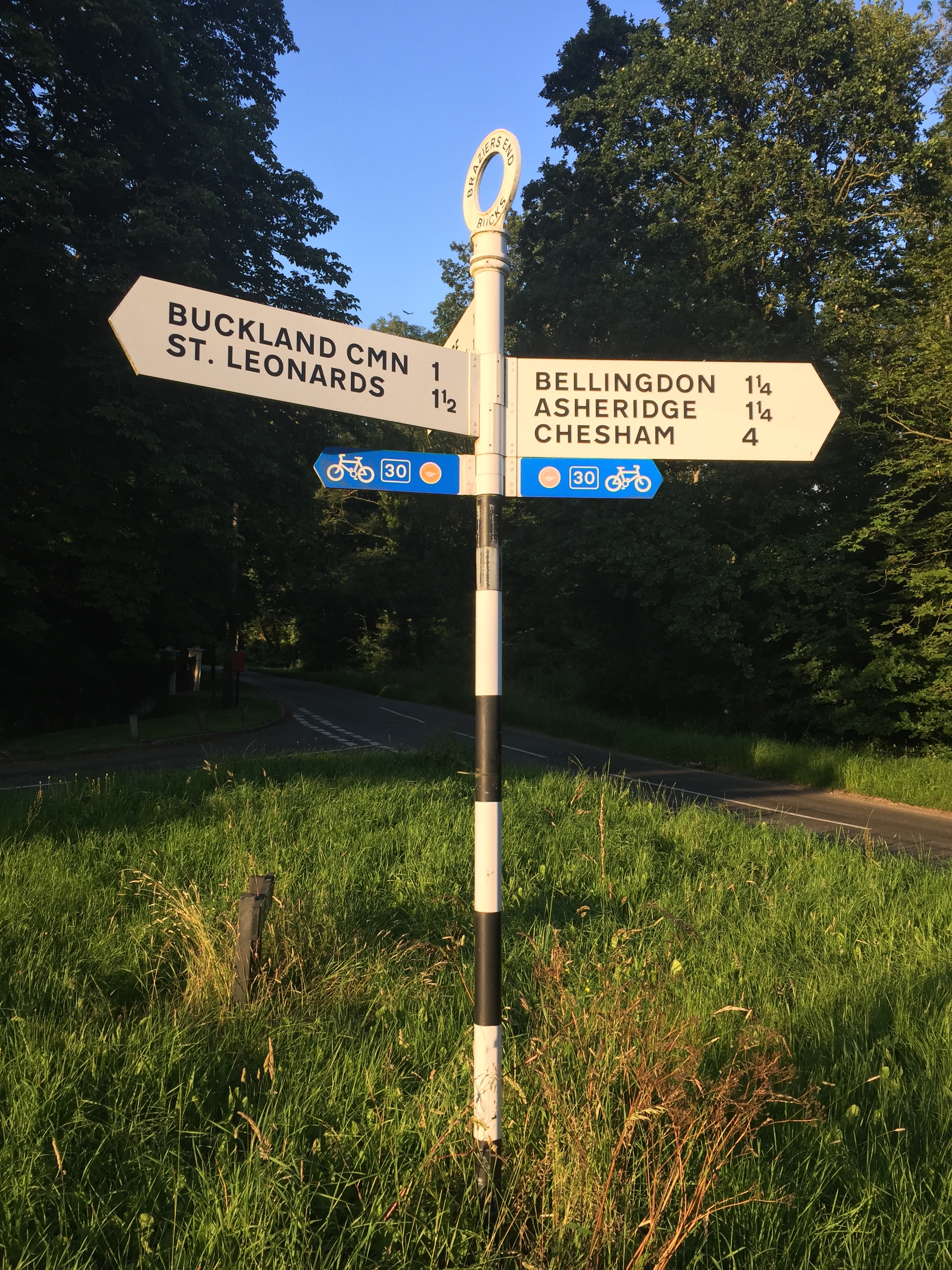
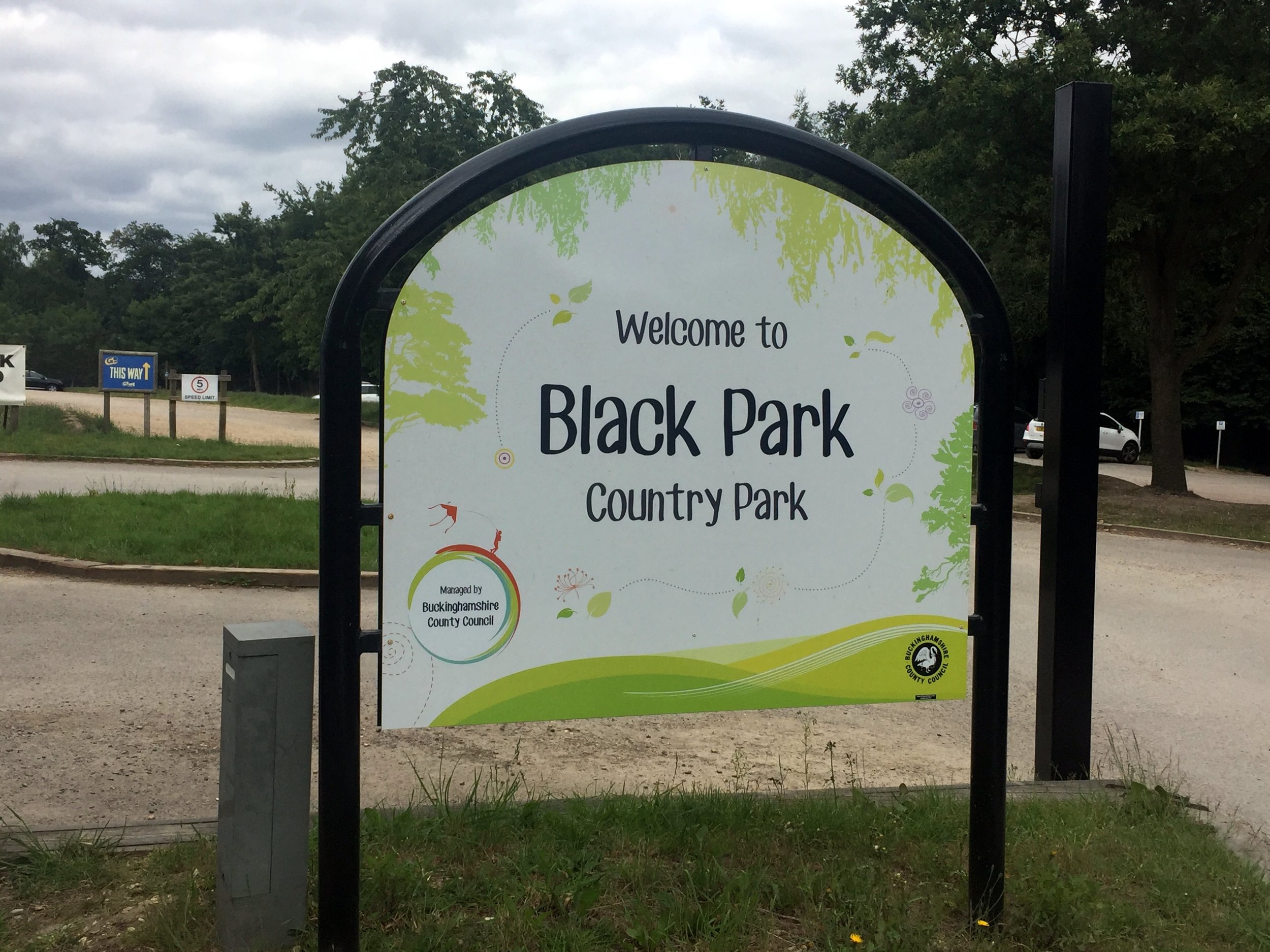
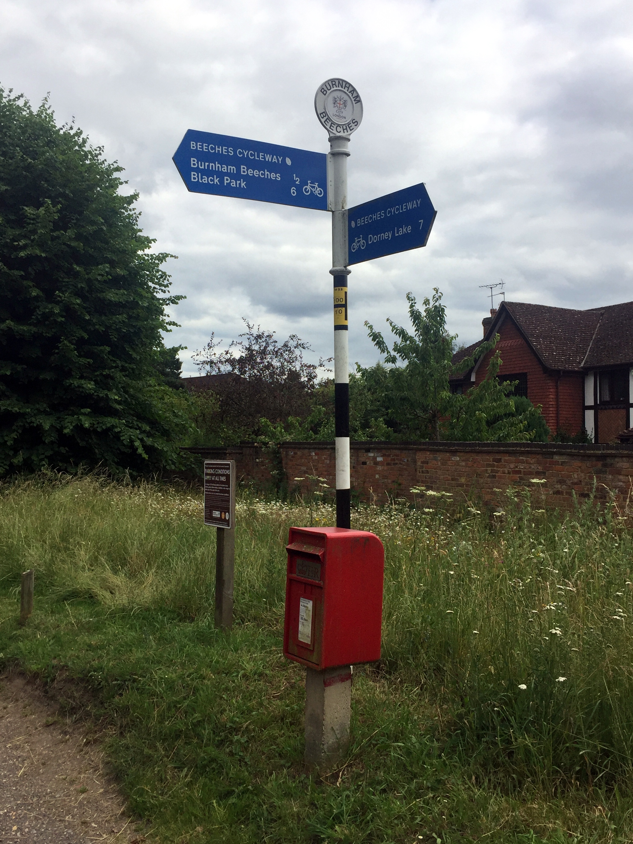
Having visited Black Park parkrun well over 100 times I’d often passed the signs for the Beeches Cycleway and even cycled on parts of it. This was the trip to find out where it went.

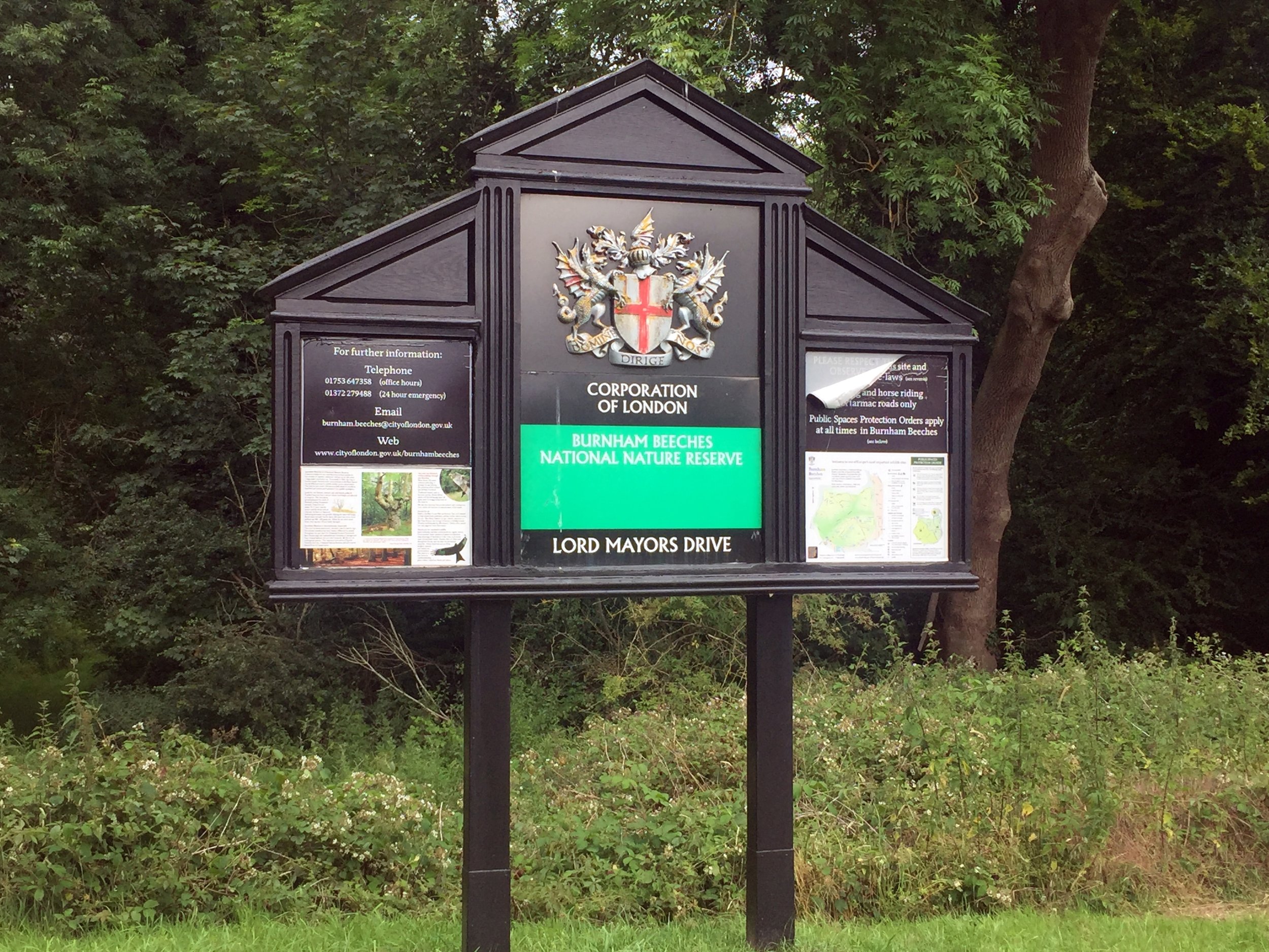
The Cycleway starts at the entrance to Black Park and follows Black Park Road North along the Western perimeter of the park. I already had a better idea and cycled through the park along the Western path until Fulmer Common Road. Turning left on here you connect back with the Cycleway heading West. Following the Beeches Cycleway takes you past Stoke Common and Farnham Common and into Burnham Beeches. From here the Cycleway turns South through Bunham Village and meets the A4 Bath Road by the railway bridge west of Taplow station.

After around 750m you’ll meet the NCN Route 61 South off the A4 and will follow it along the Jubilee River. Although the Cycleway signs were previously pointing to Dorney Lake, they seemed to stop at the A4. If you actually wanted to go to Dorney Lake you would need to turn right off the Jubilee River at Lake End Road. This would give you an option of a longer circular route using the Thames Path. Instead I continued along the Jubilee.

About 1km before the end of the Jubilee River at Datchet you’ll reach a wooden footbridge. Follow the signs for NCN 61 and cross the bridge, then the M4 crossing into Upton Court Park, home of Upton Court parkrun. Follow the NCN 61 through the Upton Court Park and Ditton Park, the North through residential areas of Langley. Just over 1km after the Grand Union Canal you’ll reach the edge of Langley Park and eventually the A420. Cross over this (carefully) and you’ll reach the South-East entrance to Black Park, From here its a few minutes ride back to the main gate.

elevation_profile.jpg

Beat The Boat 10k

When: June 30th 2019
Where: Eton Riverside, Berkshire, UK
Course: Out and back from The Brocas park at Eton with a large loop at Eton Wick and a small loop at the start and end.
Other routes touched: Thames Path, NCN 4
Finish time: 52 minutes

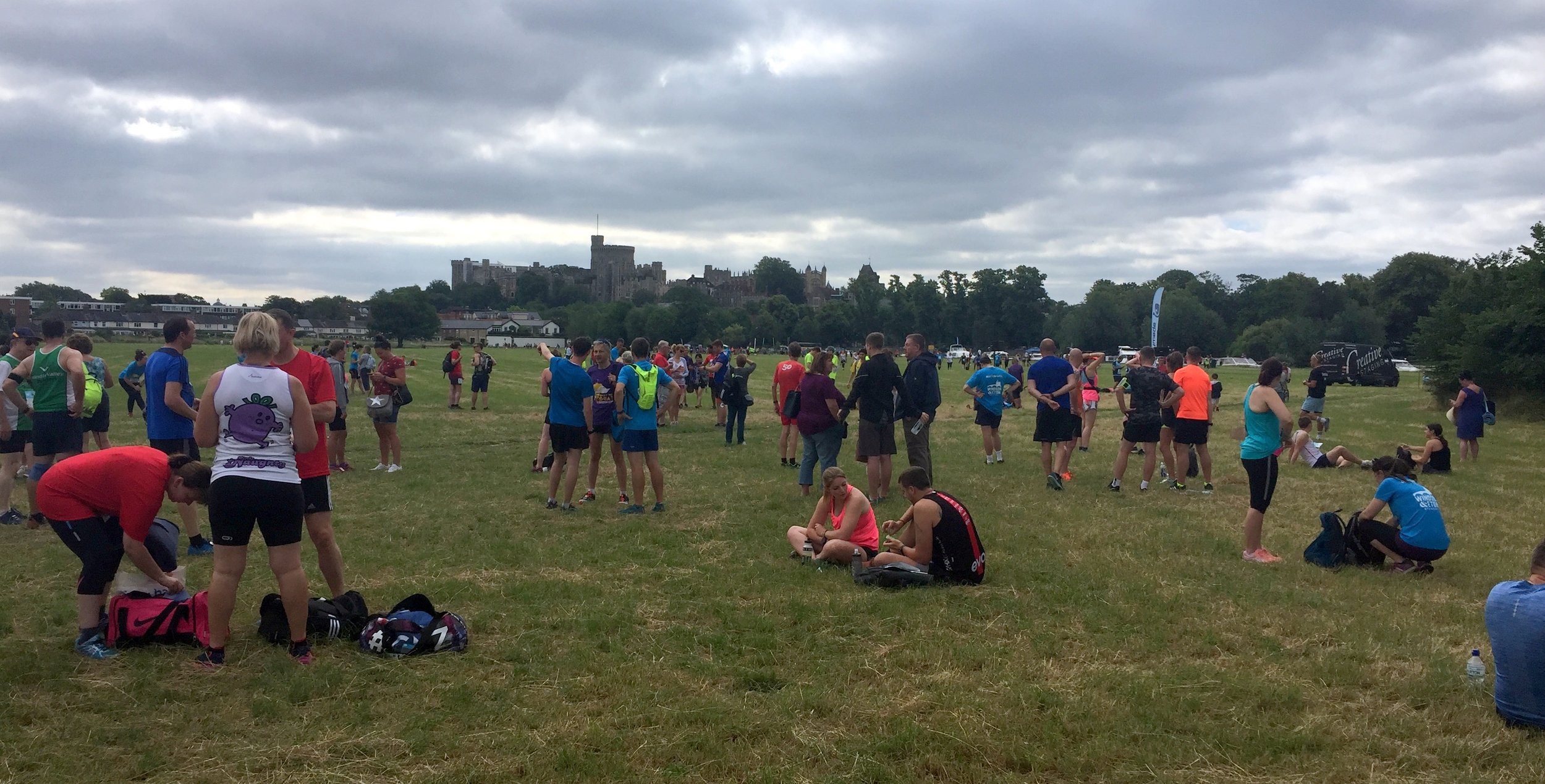
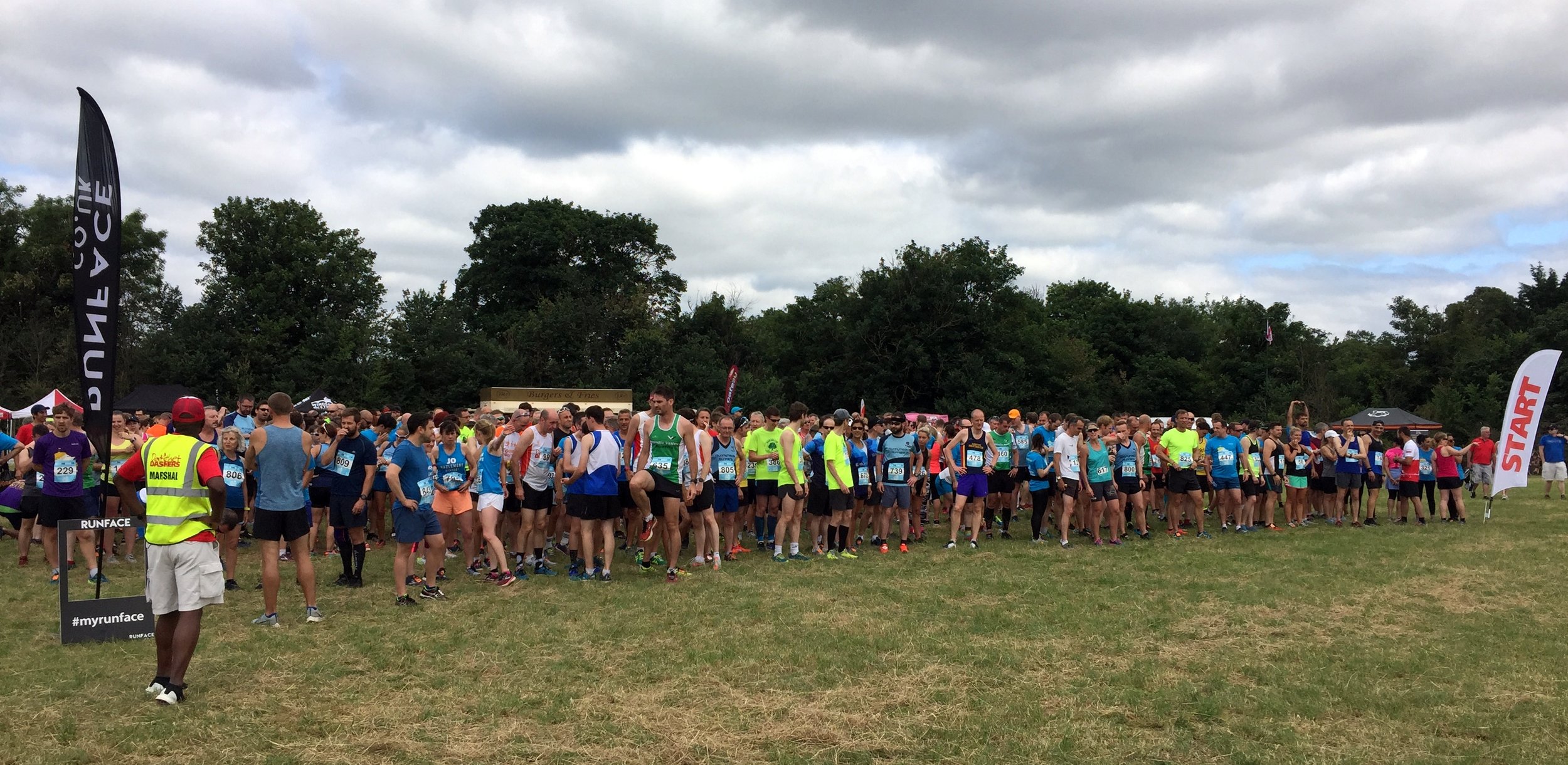
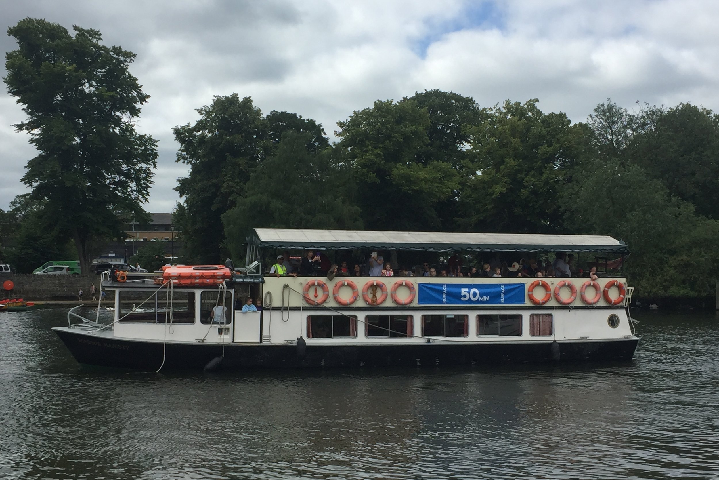
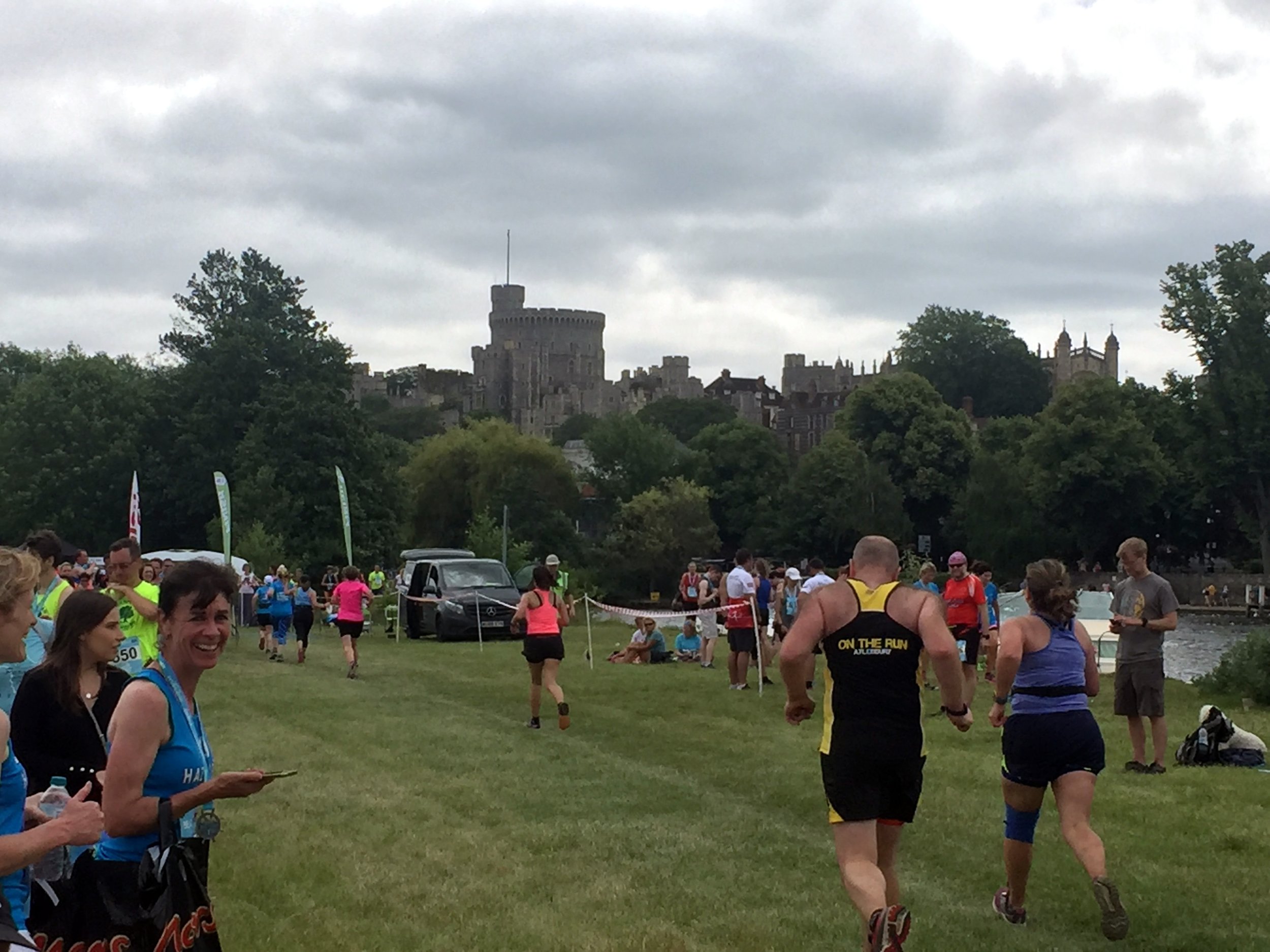
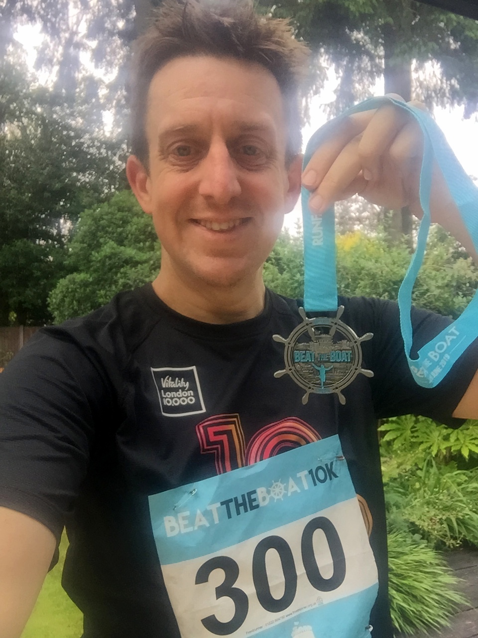
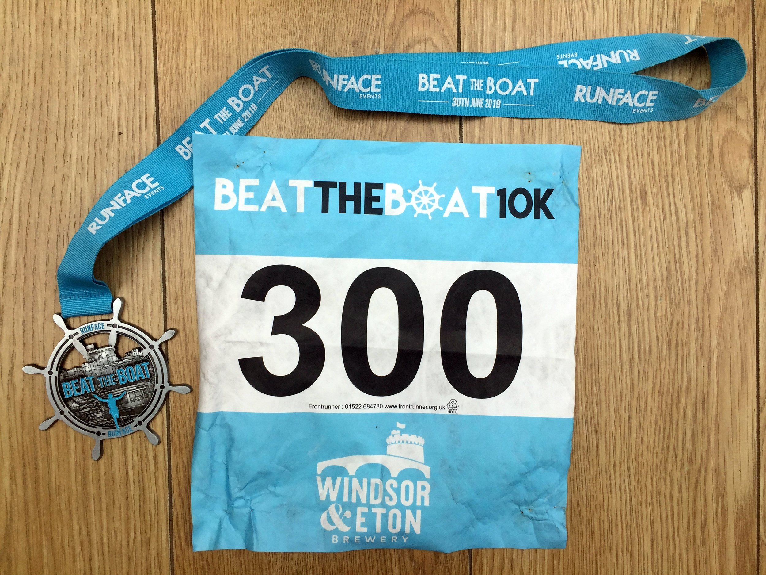
This was a fun 10k with a difference. The route was mainly along the Thames Path between Eton and Dorney chasing 1 of 5 pacer boats down the river. I was aiming for the 55 boat but I got overexcited when I overtook the 50 boat with 1 mile to go. I thought I'd smashed it but didn't realise that the final half km was a lap of the big field at the finish, so the 50 boat caught up. I still beat the 55 boat with 3 minutes to spare.

 
Cycling The Ewelme Brook
Weir near Benson Lock

Weir near Benson Lock


Part of the Chiltern Rivers Series
River start:
Ewelme Village, Oxfordshire
River end: Confluence with the Thames just North of Benson Lock
River length: 3.7 km (2.3 miles)

Cycle route start / end: Circular from parking space near pond in Ewelme Village
Cycle route length: 12 km (~7.5 miles)
Cycle route elevation change: +/- 130m
GPX File: get via Buy Me a Coffee
Other routes touched (walk): Thames Path
Other routes touched (cycle): Chilterns Cycleway
Map: OS Explorer Map (171) Chiltern Hills West, Henley-on-Thames and Wallingford
Links: Ewelme, Benson, RAF Benson, South Chilterns Catchment Partnership: Ewelme Stream


After my New Years trip along the Mimram I was happy to claim my Chilterns Rivers project completed. Then I remembered the Ewelme Brook .... and then discovered the Ouzel too. This project would take a bit longer.

Even after remembering the Ewelme Brook I nearly didn’t bother going there. It’s only 2 miles long and it's on the far Western edge of Chilterns. Didn’t really seem worth the effort of getting there. It was only the coincidence of doing a tourist visit to a nearby parkrun that got me there.

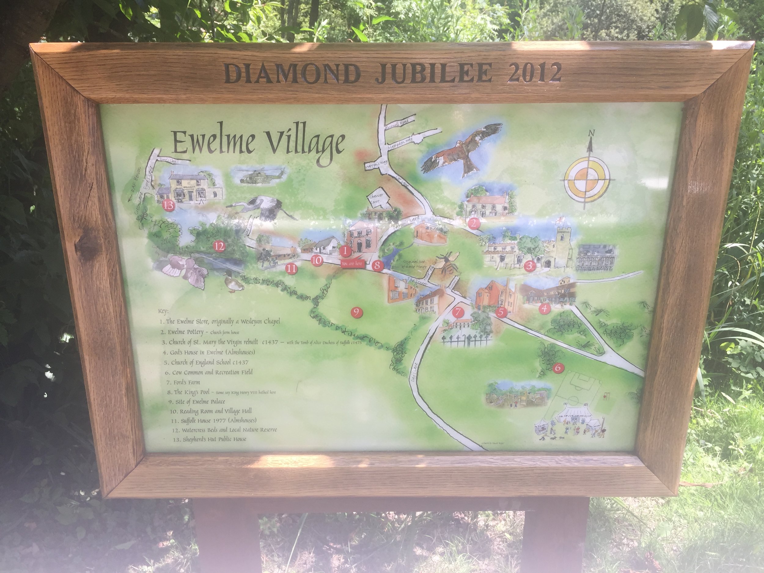
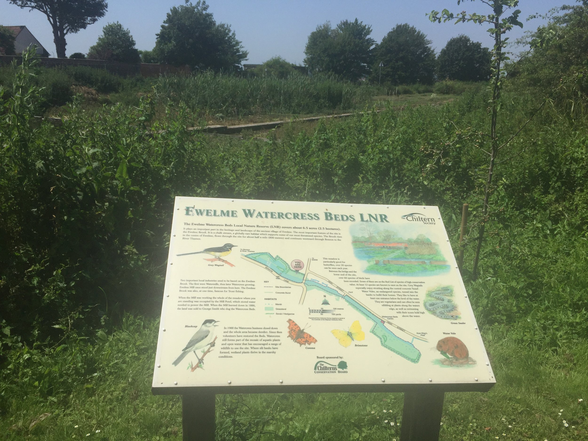
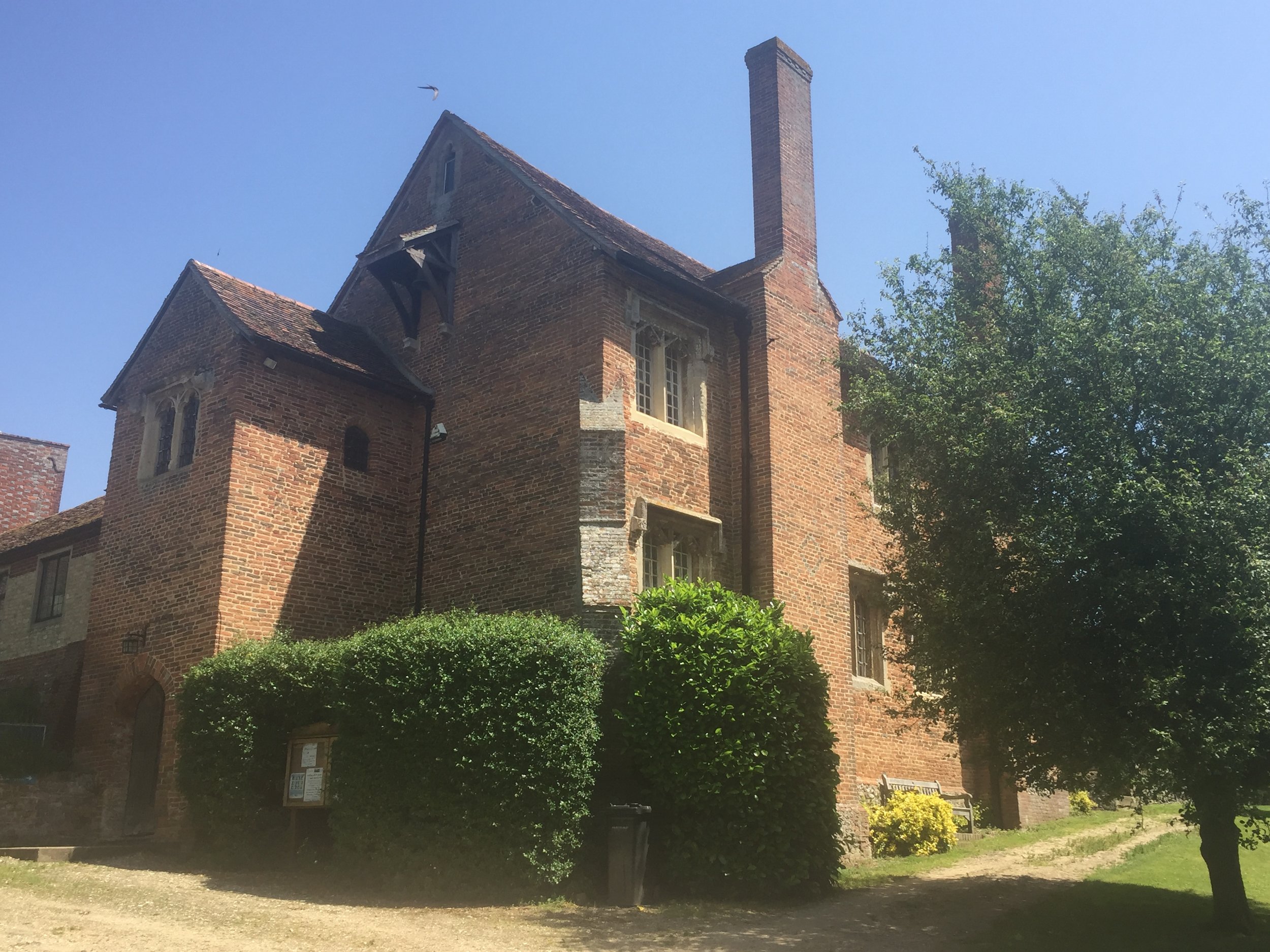
I was so glad I did. It’s beautiful. Ewelme is a lovely Chilterns village most people have never heard of. Given the low readership of my blog that likely to remain the case for a while. Having said that, Ewelme was an unlikely location for a recent episode of Black Mirror so it may be attracting more geeks like me.

There’s not a lot online about the Ewelme Brook so I wasn’t sure where the exact source was. The village pond seemed like a good a place as any to start and it more or less matched the start of the Brook on the map.

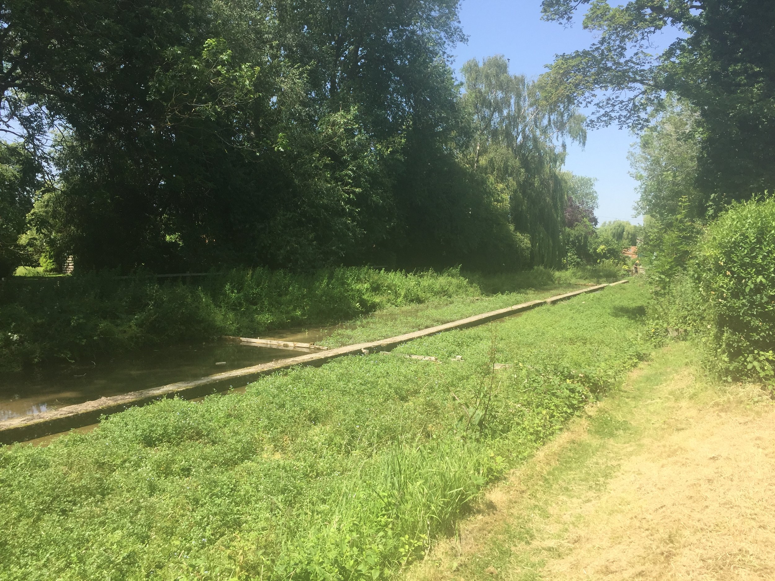
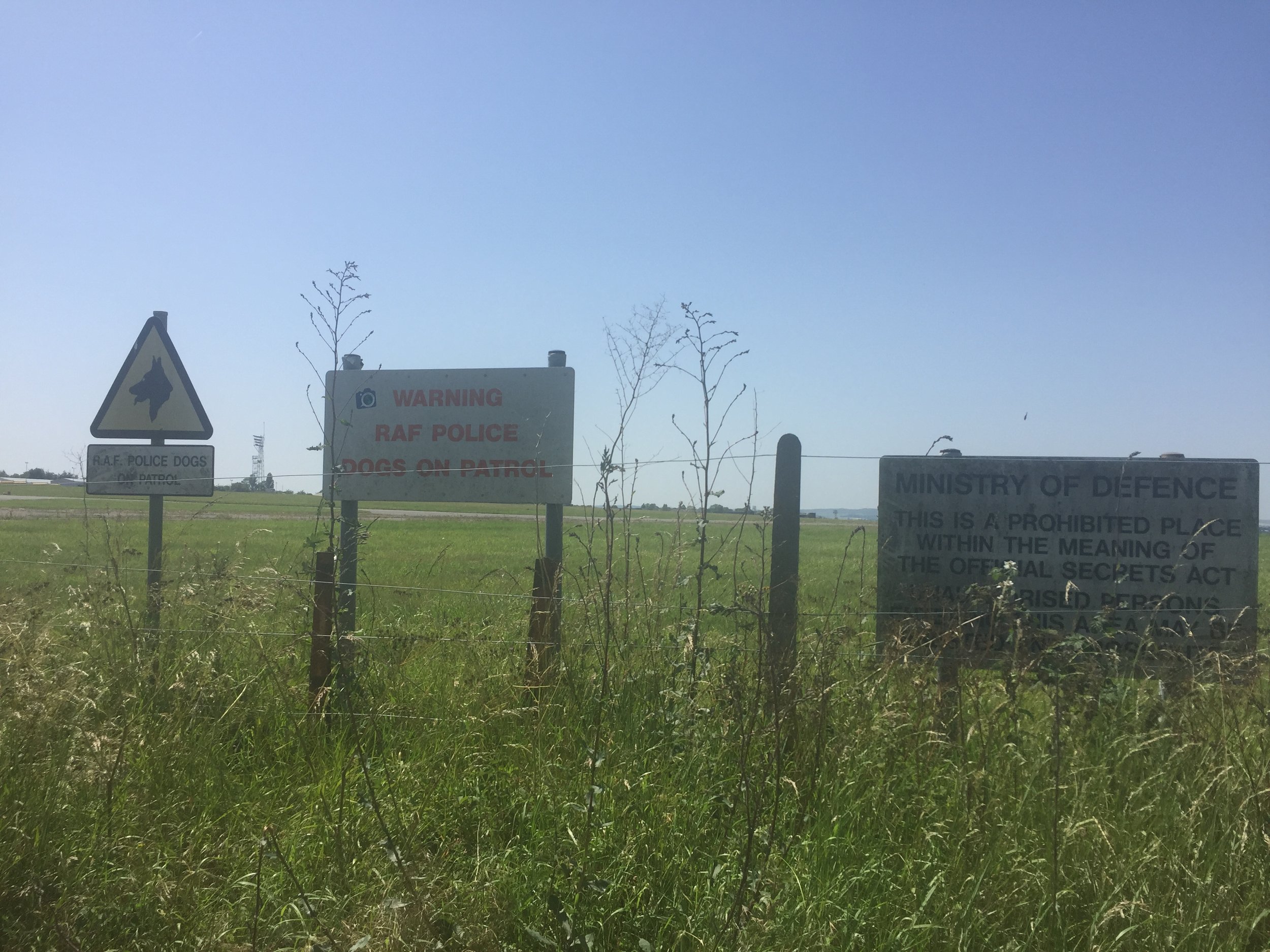
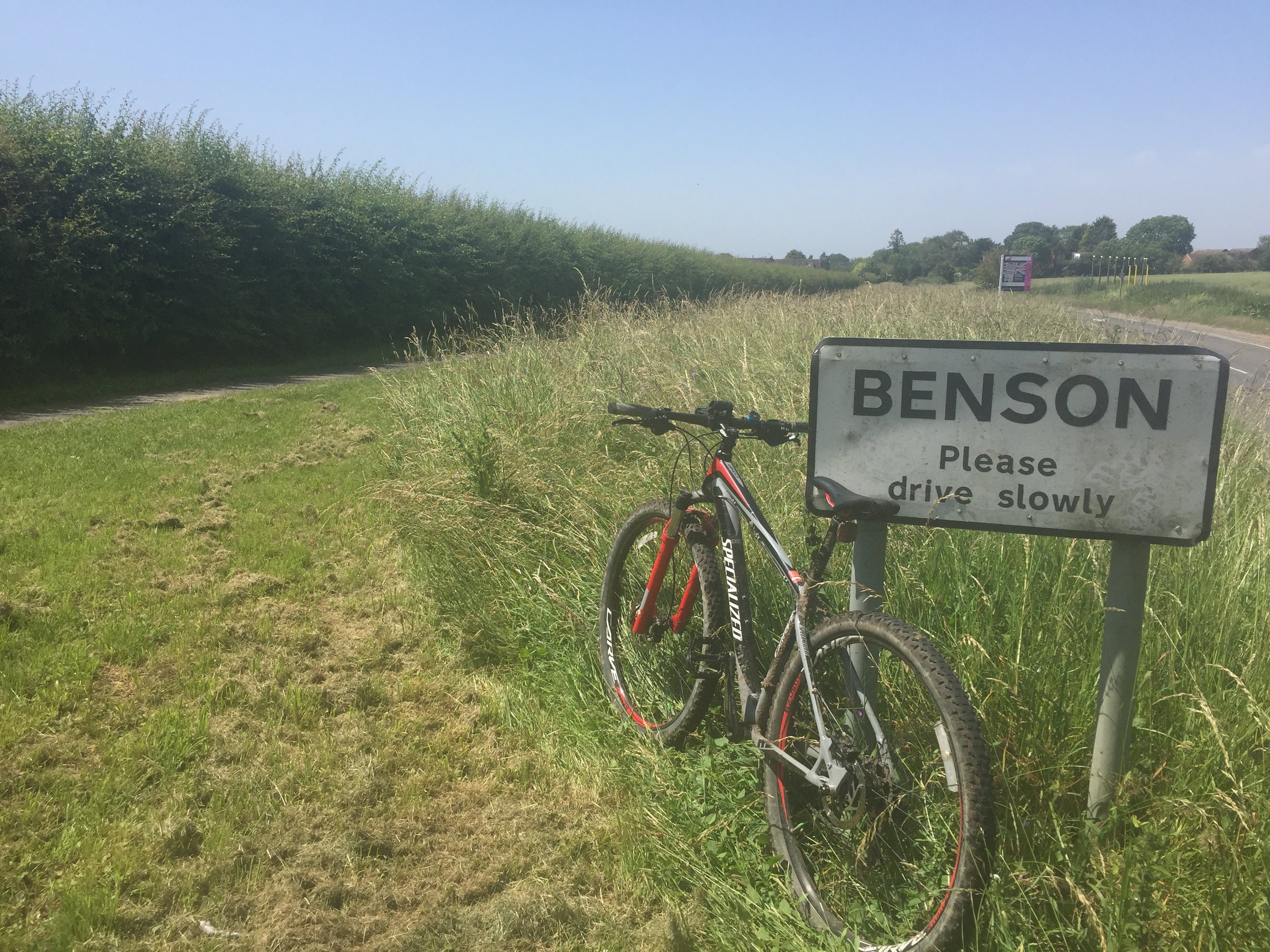
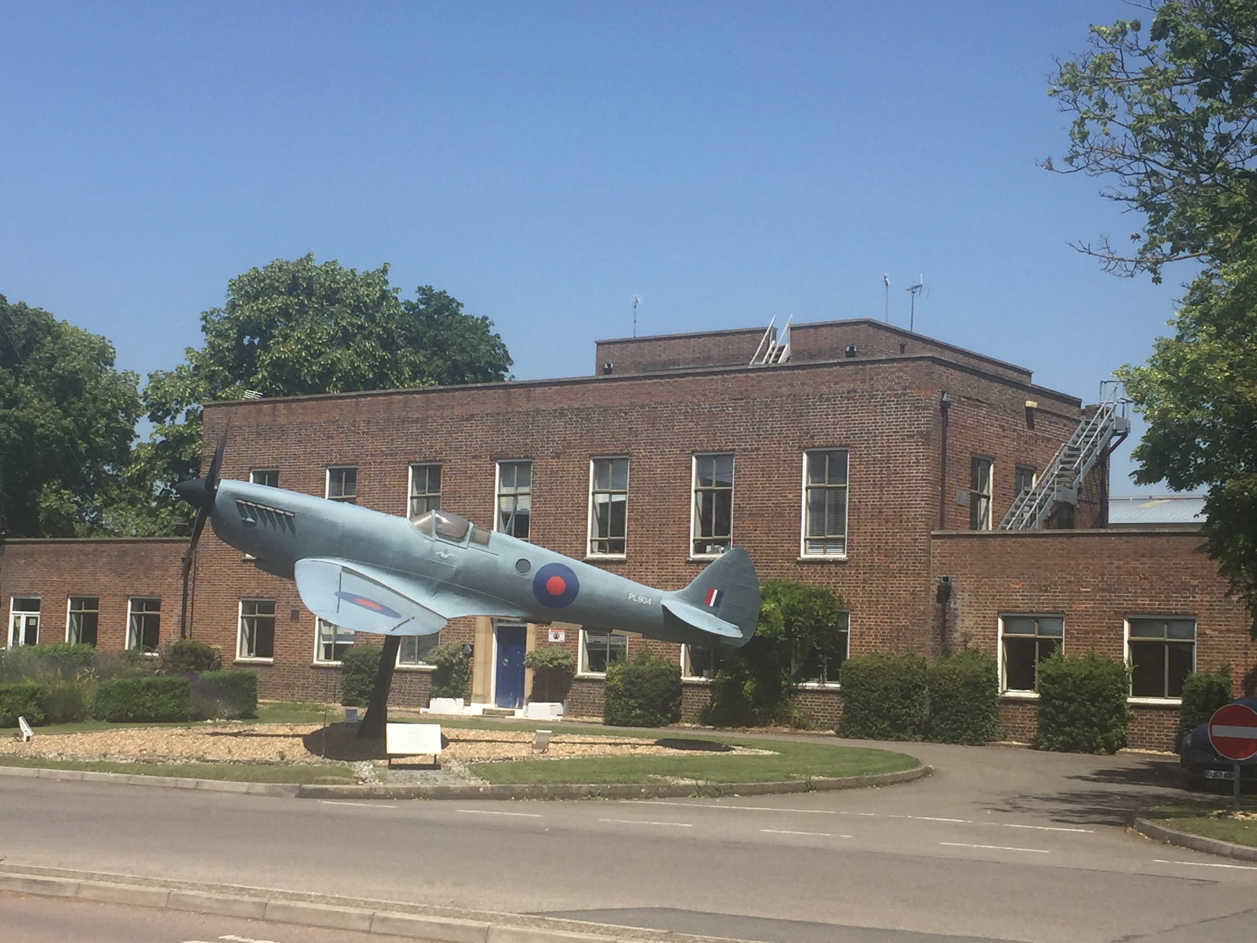
From the pond the Ewelme-Benson road follows tightly to the Brook for most of its course to the end. At 1 km in you'll reach the boundary of Benson RAF base and several signs at the end of the runway to keep people out. At Benson High Street the Brook disappears from the road, appearing again as it crosses under a small lane parallel to the A4074.

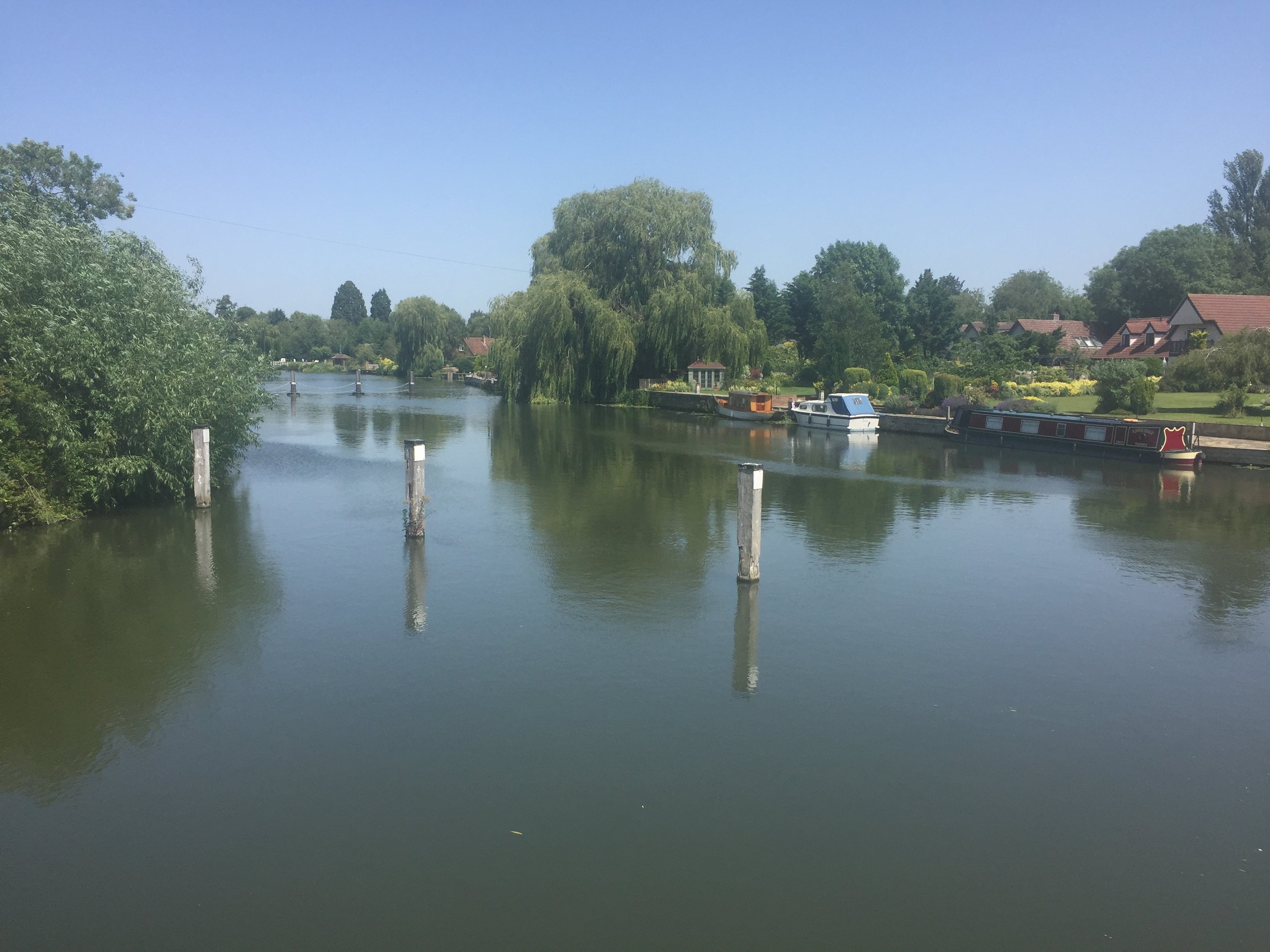
The confluence with the Thames appears to be in the back garden of a private house called Silver Waters, although you can see the Thames from the lane. For a better view continue south for about 100 meters to a footpath that takes the Thames Path across Benson Lock.

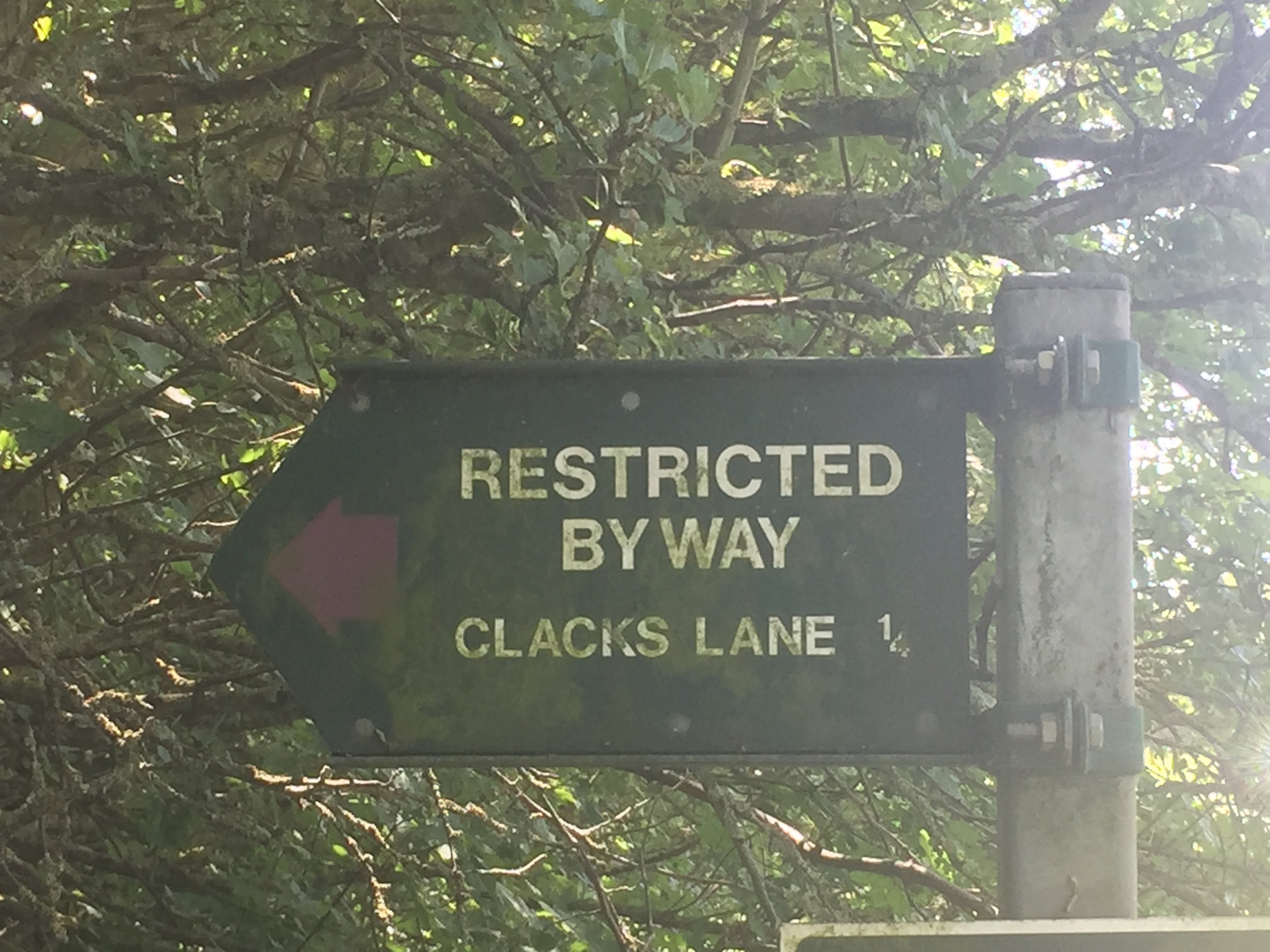
Rather than retrace my steps (treads?) I made a loop of the trip by continuing south until Clacks Lane. At the T-Junction turn left onto Beggarsbush Lane which takes you through Benson RAF vase and back to Ewelme.


blue shows the course of the river, red shows the cycle route.

Elevation for cycle route

Elevation for cycle route


Werfa: Bridgend County Top

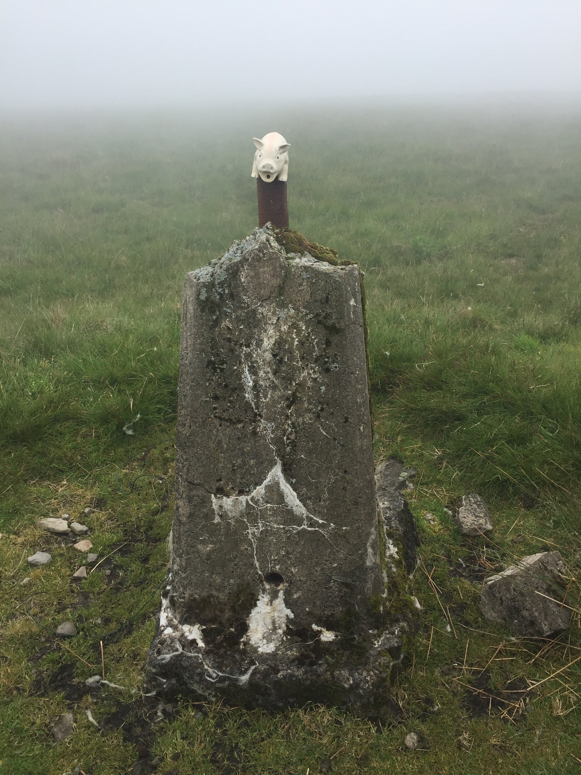
Unloved Trig Pillar at the summit of Werfa


Also known as: Mynydd Llangeinwyr
Significance:
Highest peak in Bridgend (Present-Day Principal Area). Previously within Historic County of Glamorgan.
Member of: N/A
Parent Peak: Craig y Llyn
Elevation: 568m
Date climbed: June 24th 2019
Coordinates: 51.6412°N 3.5726°W
Route Start / End: Out and back from parking place on A4107
Route Distance: 2.6 km (1.6 miles)
Route Elevation Change: +/- 68m
Subsidiary tops on route: None
GPX File: get via Buy Me a Coffee
Other routes touched: None
OS Trig Pillar: TP0732 - Llangeinor
Map: OS Explorer Map (166) Rhondda and Merthyr Tydfil
Links: Wikipedia (Bridgend), Wikipedia (Mynydd Llangeinwyr), Peakbagger


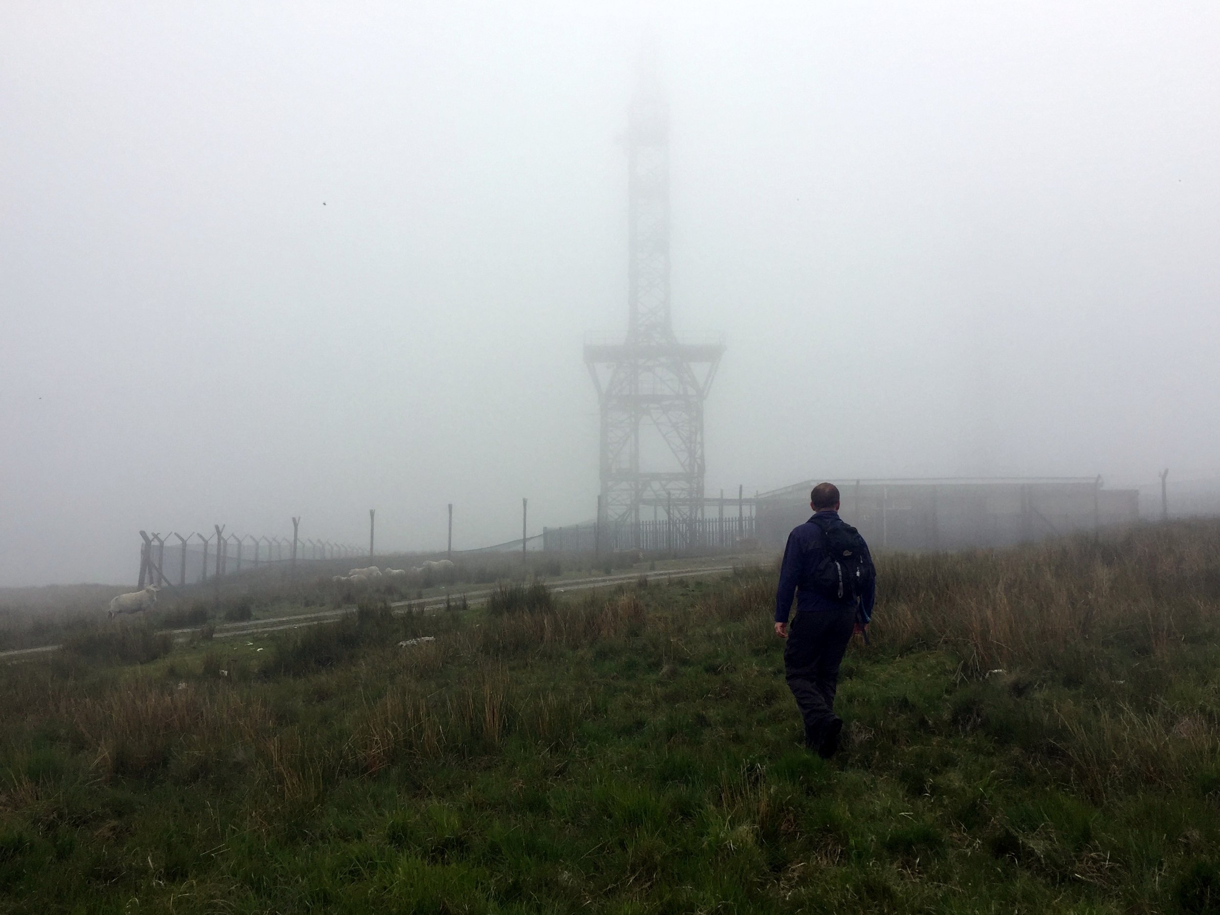
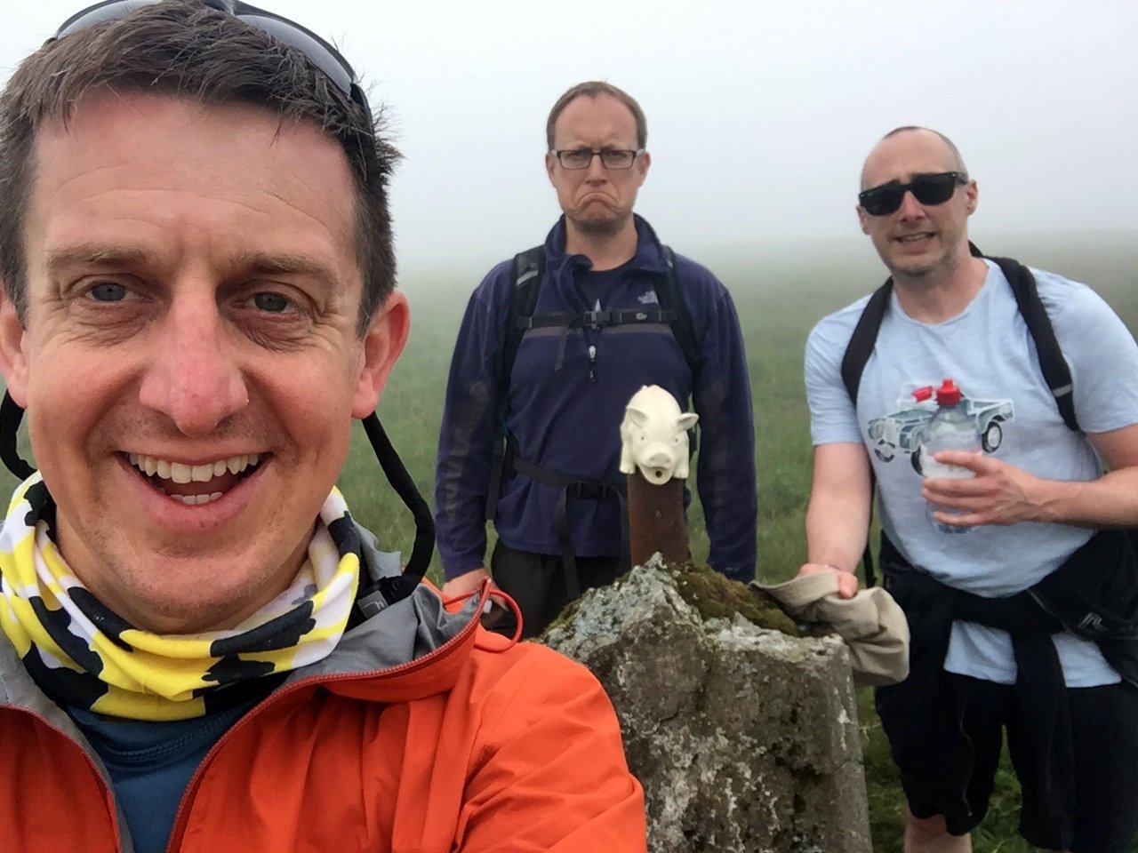
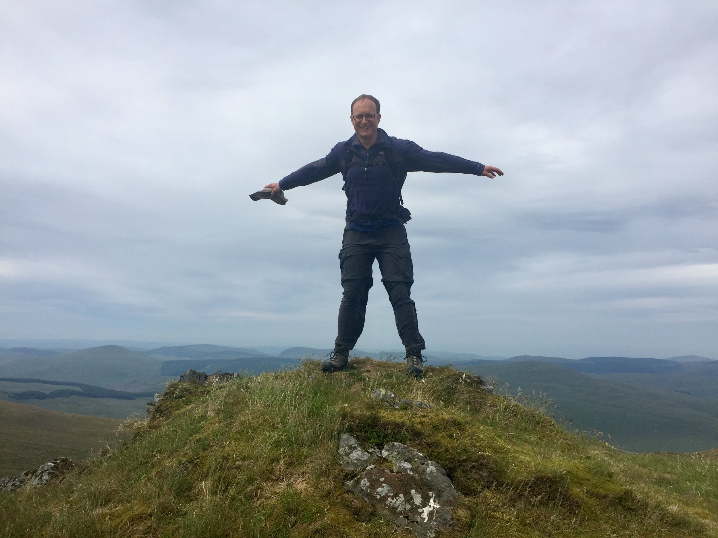
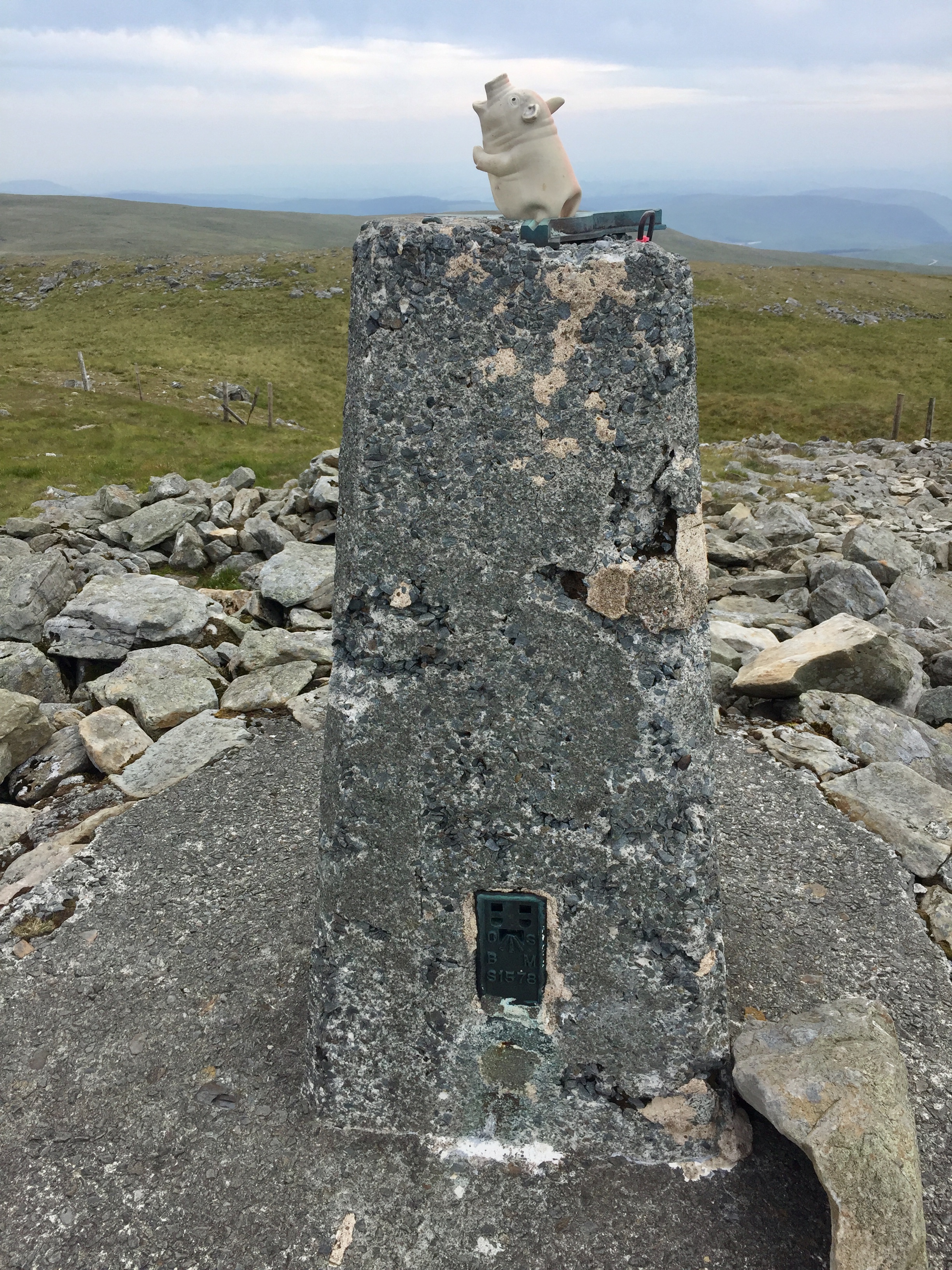
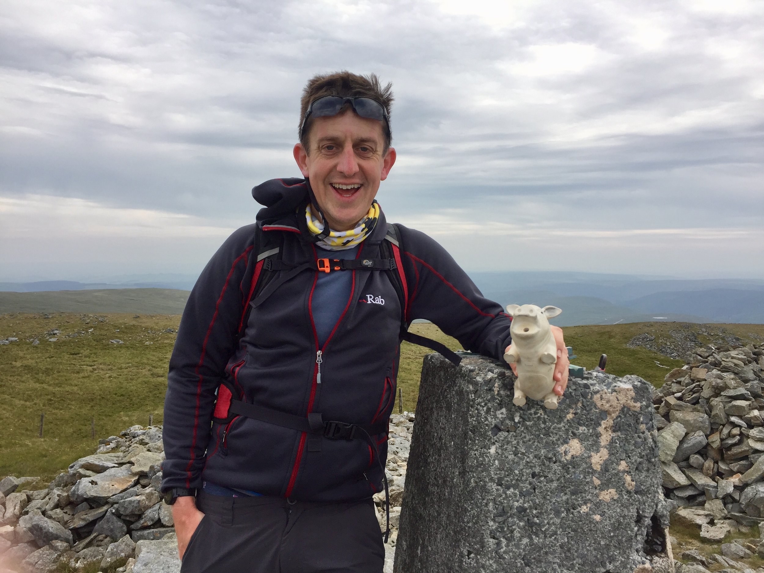
We visited Werfa on the way back home from the Western Wales County Top trip. Having conquered both Plynlimon and Foel Cwmceryn in 1 day we had a spare morning before heading back home. We researched the Welsh Present-day County Tops we settled on Werfa, the high point of Bridgend. It ticked off our main criteria of being an actual mountain, not far from the M4 and having a Trig Pillar.

Based on other people's trip logs we parked at a layby on the A4107 and took a bearing up through the fields to the Trig just behind a radio transmitter. In a clear day the massive wind turbine would have been a useful target. Low cloud meant that we could see the bottom 10m of it and only when we were already up close.

From the Trig Pillar we followed the access road back down to the road, crossing it and heading North to Crug Yr Afan, another Trig Pillar. In hindsight the parking spot on the road between the two trigs would have been better. The map here shows the route using that spot.


Western Wales County Tops

View from Aran Fawddwy


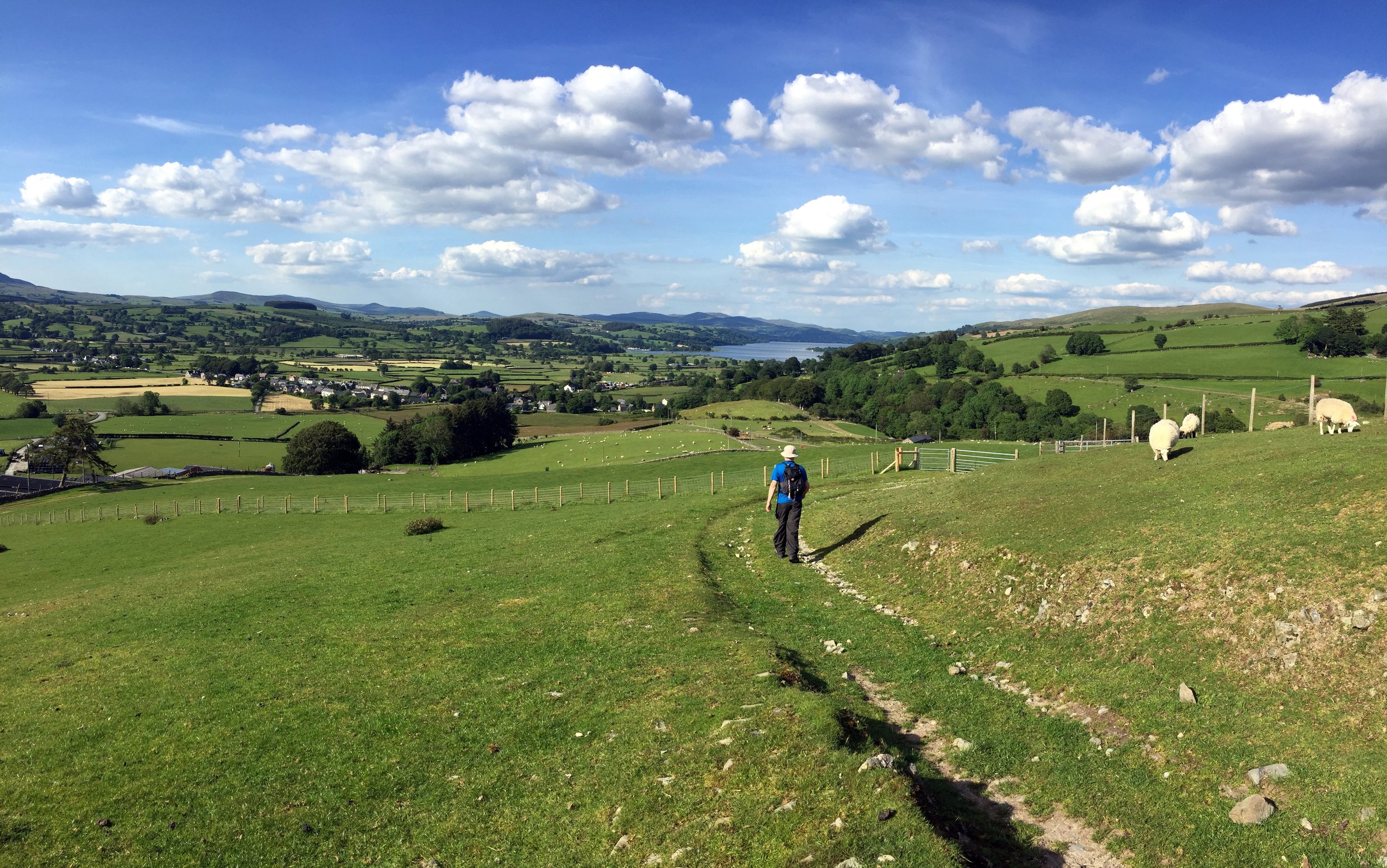
“Remote” and “obscure” are relative terms. If you live in Aberystwyth then Arran Fawddwy, Plynlimon and Foel Cwmcerwyn are all local and accessible peaks. If, like the rest of the us, you don’t then they’re a bugger to get to.

Over my 7 years of County Topping I’d managed to pick off the rest of Wales. Snowdon came first and I’d repeated it several times. The rest of the North was ticked in one trip in 2016, the South in 2014 and all between came on weekend adventures over the years. The final 3 are pretty well spaced out so they could only be done on a road trip rather than a single location adventure. If I’d known earlier that this trip would be such fun I’d have tackled these much earlier.

As is mandatory for all weekend trips now, travel happens on a Friday after work. Saturday starts with the nearest parkrun not yet done. This time is was Dolgellau, a beautiful course along the Afon Mawddach river and Madwddach Trail. The National Cycle Network signs along the route reminded me that I’d passed through here before on my NCN8 end to end Wales trip in 2010.


Arran Fawddwy

Significance: Highest peak in Merionethshire (Historic CT)
Member of: Hewitt, Marilyn, Nuttall
Parent Peak: Snowdon. NHN = Peak 931
Elevation: 907m
Date climbed: June 22nd 2019
Coordinates: 52.7880° N, 3.6881° W
Route Start / End: Out and back from Llanuwchllyn, LL23 7TR
Route Distance: 18.2k / (11.3 miles)
Route Elevation Change: +/- 898m
Subsidiary tops on route: Arran Benllyn (885m), Erw y Ddafad-ddu (872m)
GPX File: get via Buy Me a Coffee
Other routes touched: None
OS Trig Pillar: TP0865 - Aran Fawddwy
Map: OS Explorer Map OL23 Cadair Idris & Llyn Tegid
Guidebook: The UK's County Tops (Jonny Muir)
Links: Wikipedia (Merionethshire), Wikipedia (Aran Fawddwy), Peakbagger

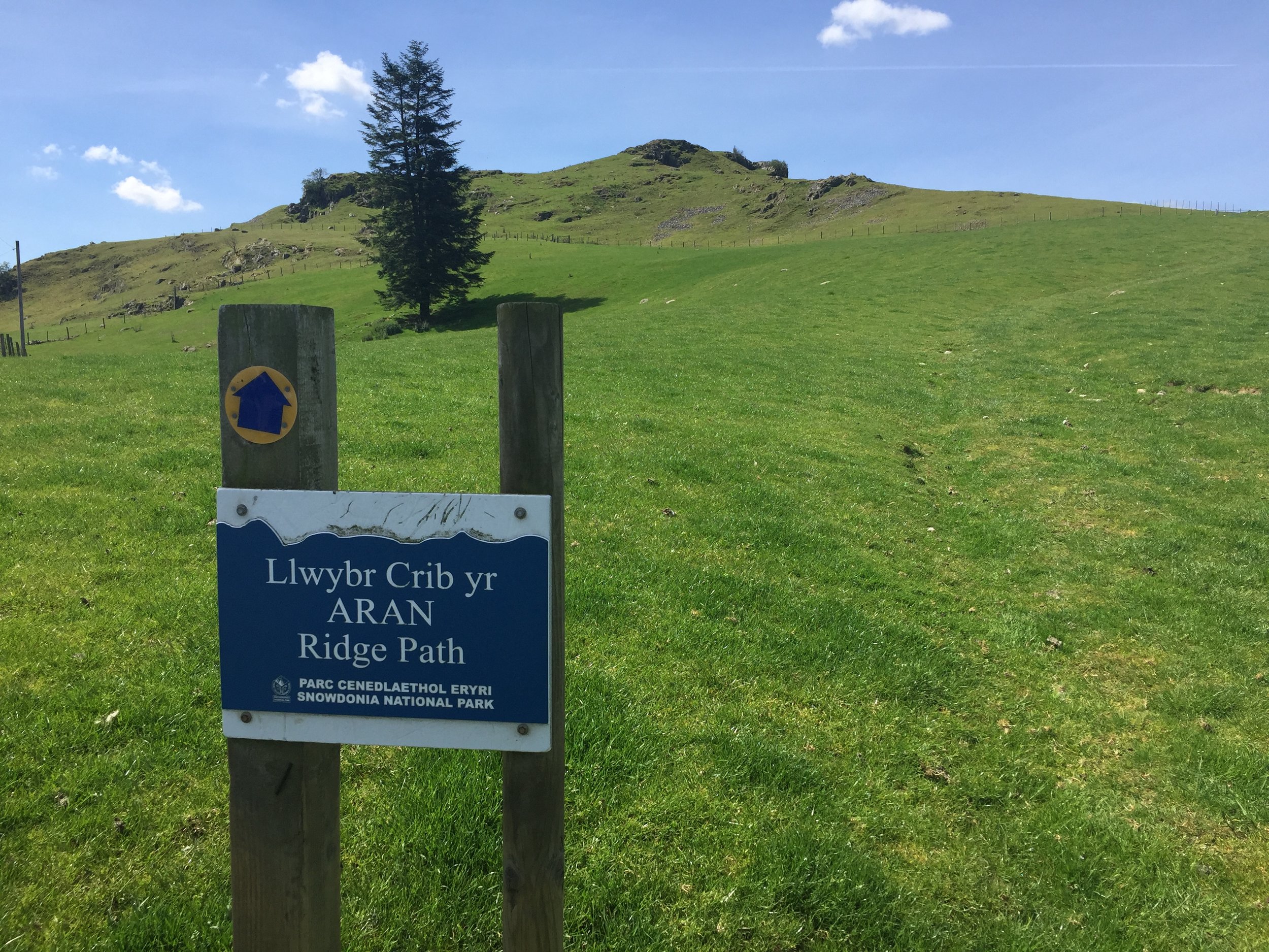
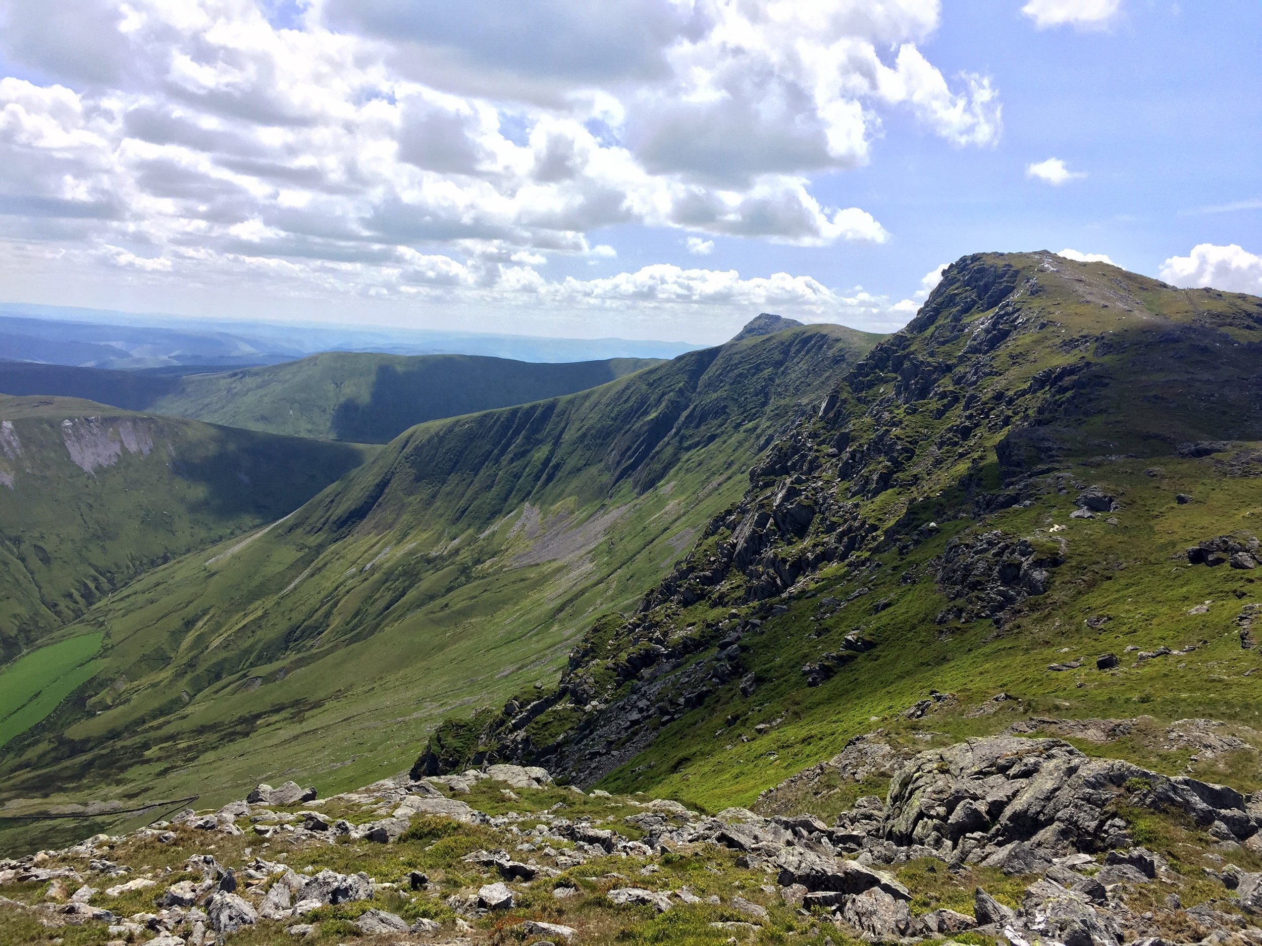
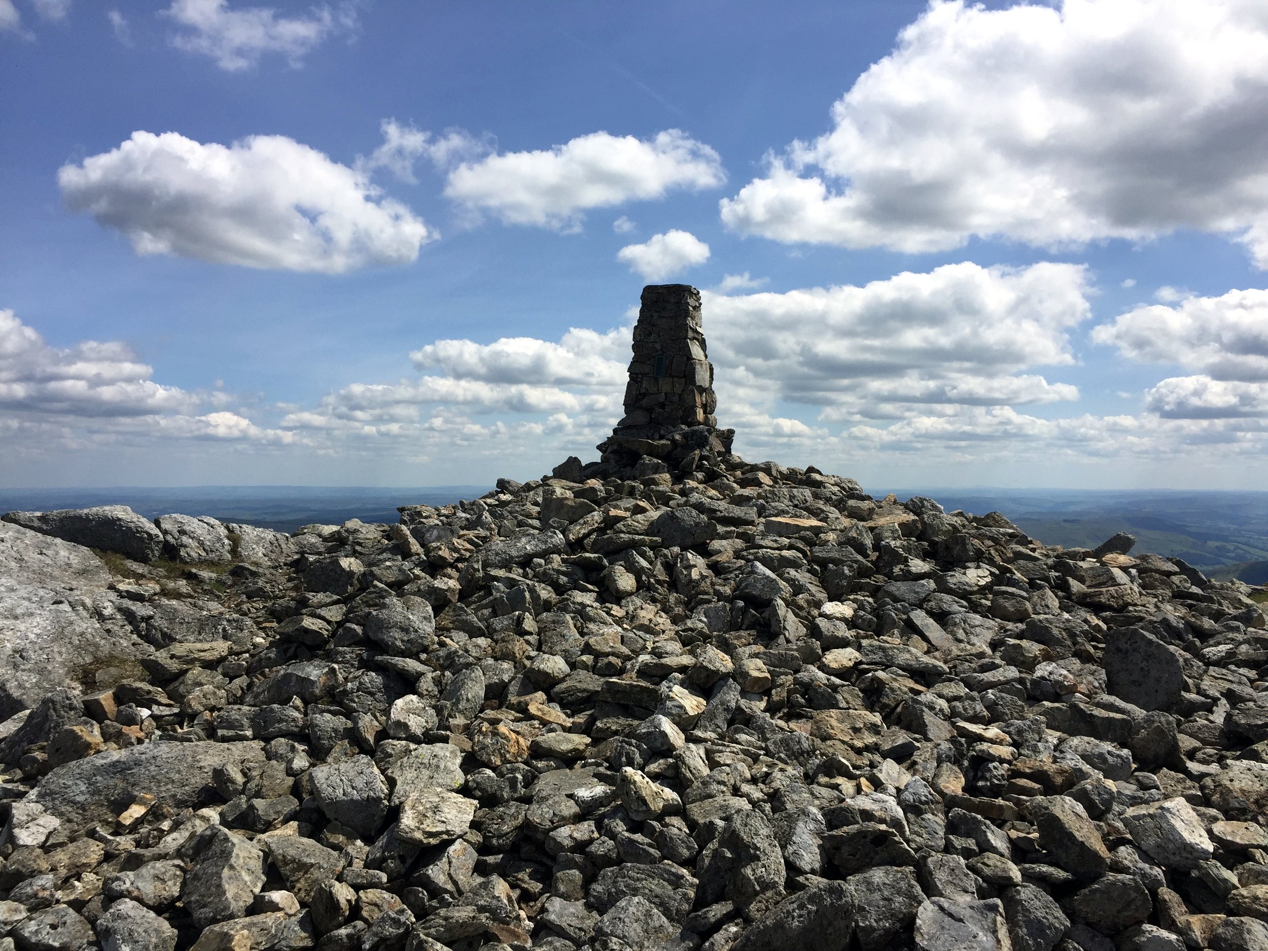
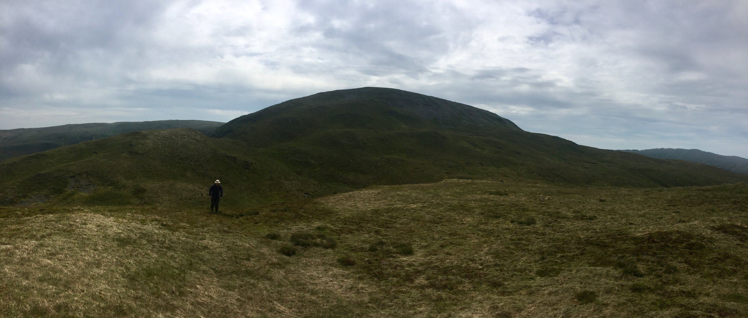
Llanuwchllyn, our start point for the Arran Fawddwy, walk was only 20 minutes from Dolgellau so we were on the trail by 11:00. We were lucky with the weather and had a the most amazing sunny day with clear skies and view for miles. The 360° view from the summit was a rare prize amongst so many cloudy summit days in my Welsh trekking experience.

Arran Fawddwy is a long but easy trek with only a small bit of scrambling in the last 20 minutes. It’s quiet up there too. At 2976 feet it narrowly misses out on being in the Welsh 3000s and the nearby Cadair Idris gets much more attention. If it wasn’t for it being a County Top I’d likely never have gone there either. That would have been a shame as this was one of my most enjoyable UK hikes in several years.

Once off the mountain we drove an hour South to the YHA at Borth. I didn’t know what to expect when I booked this one. My friend who was in charge of accommodation booking had made such an arse of it, I had to take over with only a month to go. This one was booked on the only criteria that it was near Plynlimon and still available.

As it turned out, Borth was a hidden gem. It’s an old Seaside resort that missed the memo about the need to become cheap and tacky. Our room in the YHA was spacious and had a sea view. Dinner in the seafront Victoria Inn and a beach walk back topped off a perfect adventure day in Wales.


Plynlimon

Also known as: Pumlumon Fawr
Significance: Highest peak in Cardiganshire (Historic CT), High Point of the Preserved County of Dyfed and the Principal area of Ceredigion
Member of: Hewitt, Marilyn, Nuttall
Parent Peak: Pen Y Fan. NHN = Craig Cwm Amarch
Elevation: 752m
Date climbed: June 23rd 2019
Coordinates: 52.4675°N 3.7828°W
Route Start / End: Out and back from parking place on Nant-y-Moch eastern road plus a loop of Pumlumon Fach
Route Distance: 7.7 km (4.8 miles)
Route Elevation Change: +/- 400m
Subsidiary tops on route: Pumlumon Fach (664m)
GPX File: get via Buy Me a Coffee
Other routes touched: none
OS Trig Pillar: TP5480 - Plynlimon
Map: OS Explorer Map (213) Aberystwyth and Cwm Rheidol for Plynlimon
Guidebook: The UK's County Tops (Jonny Muir)
Links: Wikipedia (Cardiganshire), Wikipedia (Plynlimon), Peakbagger

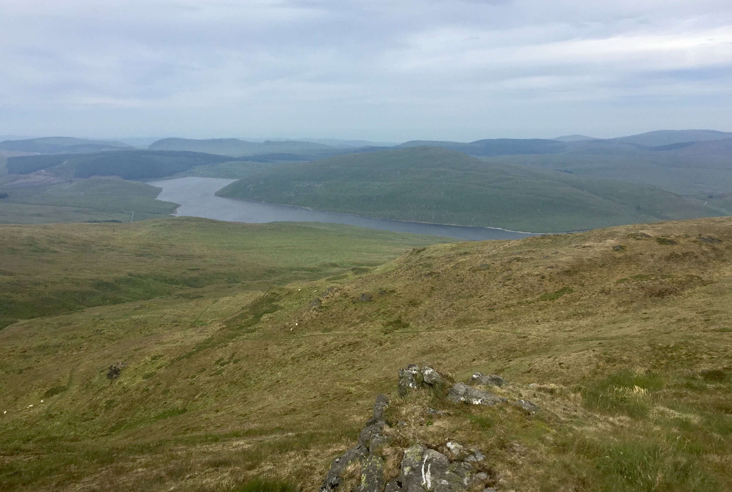
Plynlimon is just a few miles as the crow flies from Borth. We were driving though so it took a winding 45 minute trip so many hairpin bends and a route around the Nant-y-Moch reservoir.

The start of the trail is a small parking spot on the Maesnant road where it meets a farm track. There's 2 options from here: an out and back following the Maesnant stream or a circuit of the Pumlumon Fach. As we were following Jonny Muir's guide an wanted a more interesting route. We opted for the circular plus a couple of detours to bag the summits of Pumlumon Fach and an unnamed peak nearby.

Plynlimon was a much shorter trek than yesterday's Arran Fawddwy trip so we were back down by lunchtime and quickly on the road towards Newport YHA. Even with a short stop to bag a bonus Trig Pillar near Cardigan we arrived at the YHA by 15:00. I'd not read the check-in instructions so didn't realise that we were 2 hours too early. We could get a whole other mountain bagged in that time.


Foel Cwmcerwyn

Significance: Highest peak in Pembrokeshire (Historic County and Welsh Principal Area), Pembrokeshire Coast National Park High Point
Member of: Marilyn
Parent Peak: Plynlimon. NHN = Garreg Lwyd
Elevation: 536m
Date climbed: June 23rd 2019
Coordinates: 51°56′44″N 4°46′29″W
Route Start / End: Out and back from parking place on B4329
Route Distance: 6 km (3.7 miles)
Route Elevation Change: +/- 135m
Subsidiary tops on route: None
GPX File: get via Buy Me a Coffee
Other routes touched: None
OS Trig Pillar: TP5522 - Prescelly
Map: Ordnance Survey Explorer OL35 North Pembrokeshire
Guidebook: The UK's County Tops (Jonny Muir)
Links: Wikipedia (Pembrokeshire), Wikipedia (Foel Cwmcerwyn), Peakbagger

By the time wed reached the parking spot for Foel Cwmcerwyn it was proper rainy. The summit was apparently not far away but we couldn't see anything. Sticking to the GPS route and a straightforward path we arrived at the Trig Point in under and hour. The completion of the Welsh County Tops was a bit of an anticlimax in a damp field with views stretching across the nearest 15 metres.


Race To The Tower Ultra Marathon
IMG_1470.JPG

When: June 8th 2019
From: Bird In Hand Farm, Whiteshill, Stroud
To:
Broadway Tower, Middle Hill, Broadway, WR12 7LB
Distance
: 84.5 km (52.5 miles)
Elevation Change: +1,939m / -1,880m. Net +59m
GPX File: get via Buy Me a Coffee
Other routes touched (walk): Bruce Trail Friendship Trail, Wysis Way, Gustaf Holst Way, Gloucestershire Way, Cheltenham Circular Footpath, Wynchcombe Way, Isbourne Way, Warden’s Way, Wychavon Way (old), Windrush Way, Donnington Way, Wyche Way
Other routes touched (cycle): None
Maps: OS Explorer OL45 The Cotswold Map and OS Explorer 179 Gloucester, Cheltenham & Stroud
Guidebook: The Cotswold Way National Trail Guidebook & Map Booklet - Cicerone
Trig Pillars: The Ring Trig Pillar on Trigpointing, Haresfield Beacon Trig Pillar on Trigpointing
Finish time: 14 hours 47 minutes
Links: Cotswold Way, Stroud, Painswick, Great Witcombe, Cleeve Hill Common, Winchcombe, Broadway, Broadway Tower


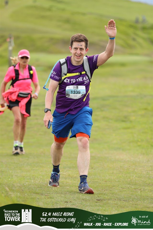
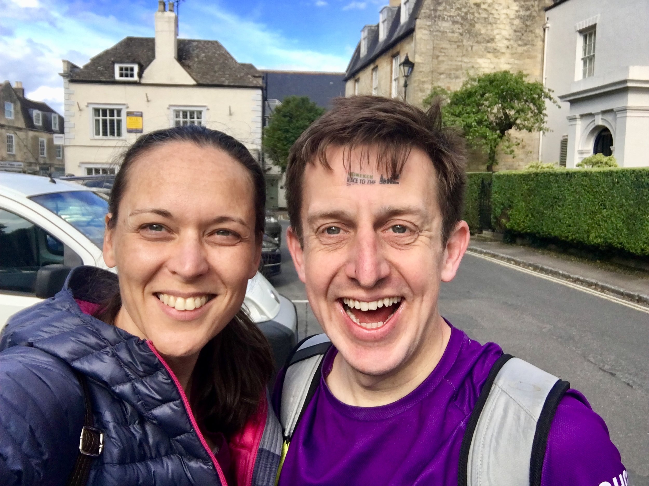
I wasn’t really up for this one. On previous Ultras I’d been mentally in top form, over excited and raring to go. I’d done my usual zero training, so no change there. What was different this time was that I also didn’t feel that I’d got enough rest or nutrition. Those were both my “keys to success” and I’d done neither. The problem was that Tower is renowned as being the toughest of the Race To The series.

Race To The Tower is 10 miles shorter than the Race to the Stones but it's significantly hillier. I got a reminder of this as my train pulled into Stroud through a steep valley. It was raining too. Booking a hotel right next to the train station was too tempting. I could just get on the first train back in the morning and not worry about it.

The thing is: that’s not me. I love Ultras and I never give up. It was still drizzling in the morning, but I woke up with my normal sense of puppy-like excitement. This would be an awesome day.

It was.

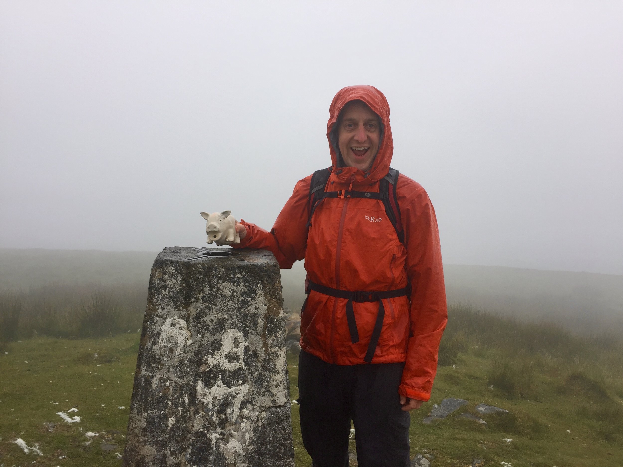
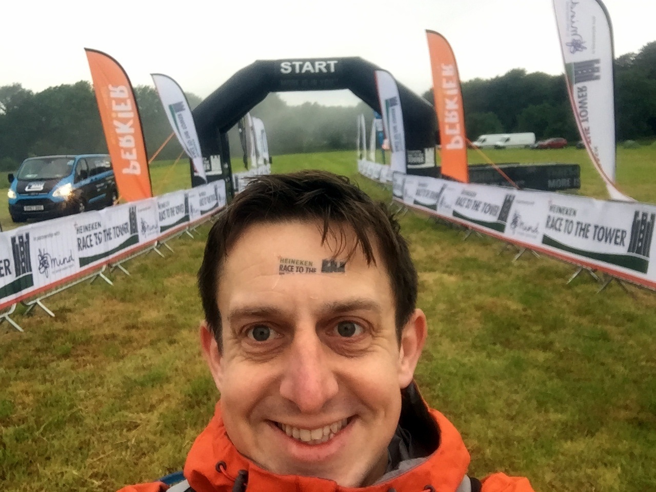
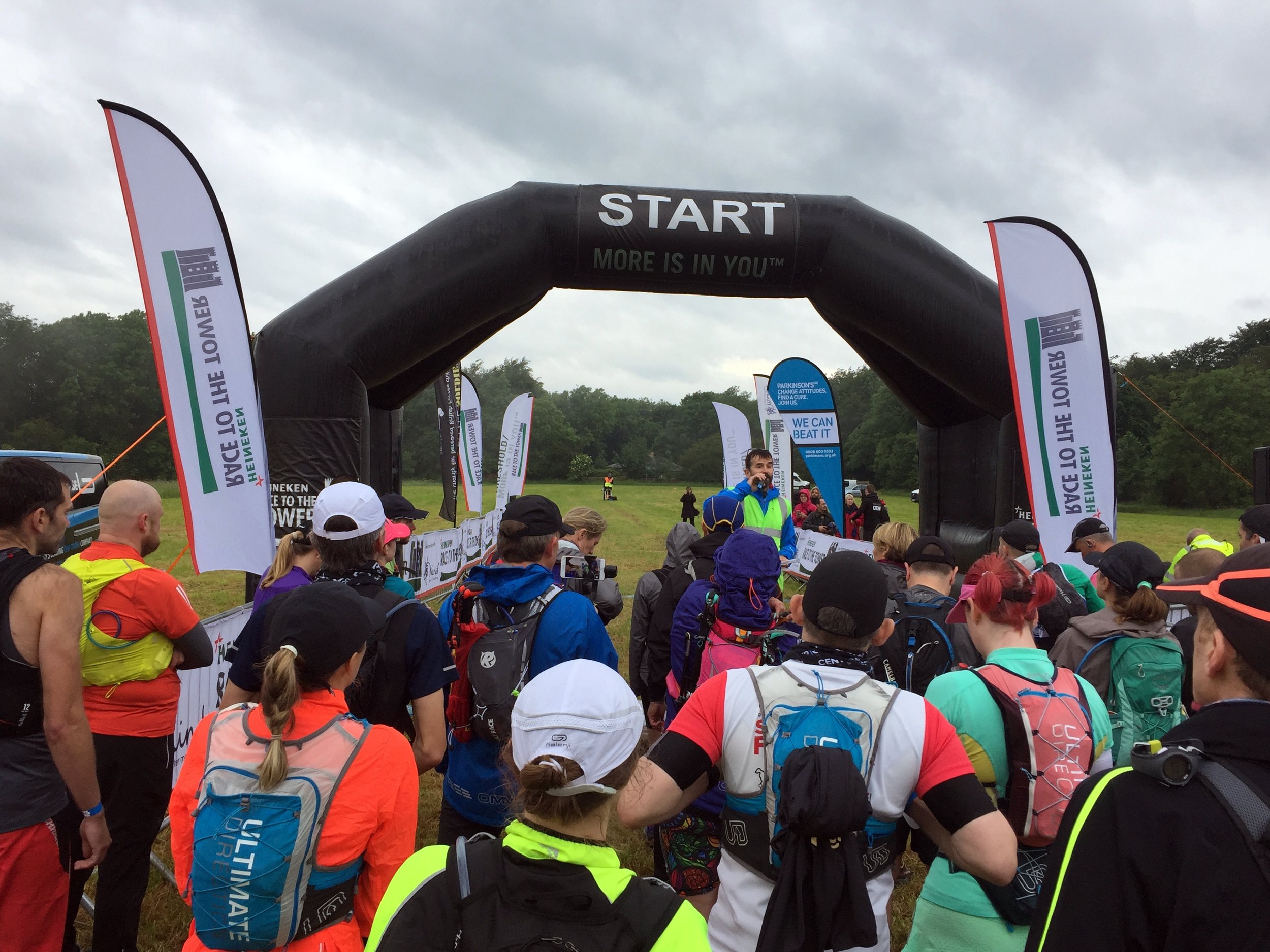
In the taxi ride to the start line I remembered my first Ultra. Back then I had absolutely no idea whether I could go that distance. It didn’t help that everyone I spoke to was on their 5th or more Ultra. The biggest tip that one of them told me that day was to run your own race. Don't change your plan on the day just because you’ve heard that someone else does it differently. Don’t worry about how fast, slow or gracefully other people are running. Just do your thing. I’ve always remembered that and it always works.

I was feeling good that I was now one of those that had done 5 Ultras. Then I met Gobi Man. Not only was this one of a long chain of Ultras, he’d also done several multi-day runs abroad. He’d done Marathon de Sables, a Peruvian Amazon Rain Forest Run and this race was just a warm up for a seven day Gobi race. I made a note of the company that runs these events (don’t tell my wife).

Suddenly it was race time and I snuck into an earlier wave to get off 10 minutes earlier. As usual I’d prepared a spreadsheet with detailed minutes-per-mile and checkpoint locations. After a few years of over-optimistic planning I’d refined my pace and stuck to 12 minute miles for the first half-marathon distance. After that I would drop a minute per mile every 10 miles.

As with previous Ultras, Timi (the wife) and my mum were my Support Crew. They drove to the Cotswolds late morning to meet me half-way. By then I was already an hour ahead of plan so we met further along the route. By then the damp start and a few misjudged puddles had soaked my trainers so my feet needed some attention. As much as Timi complains about the madness of the big runs, she does an outstanding job of patching me up and feeding me. It’s always a massive motivation to see both of them in the tough final stages.

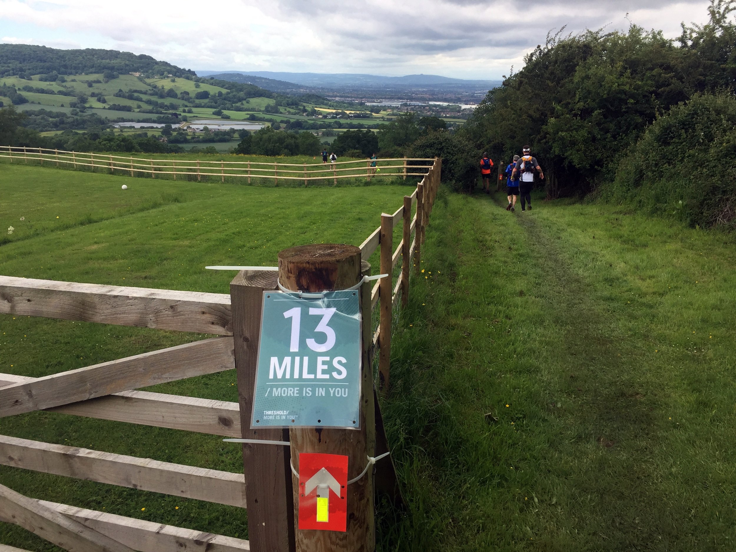
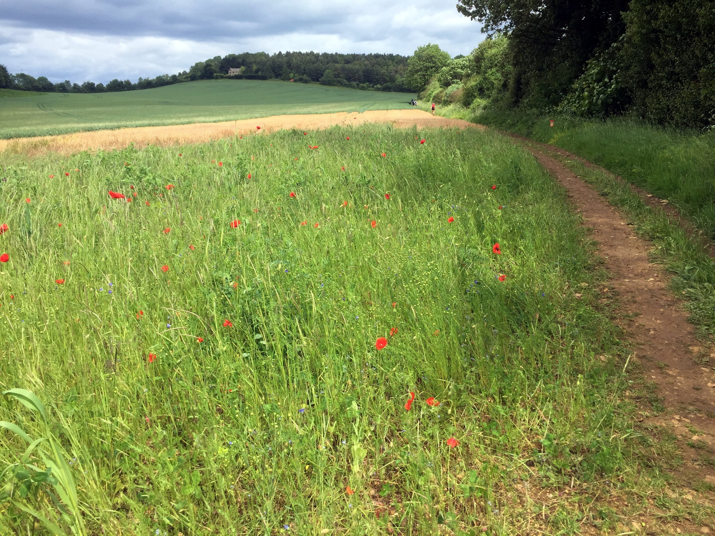
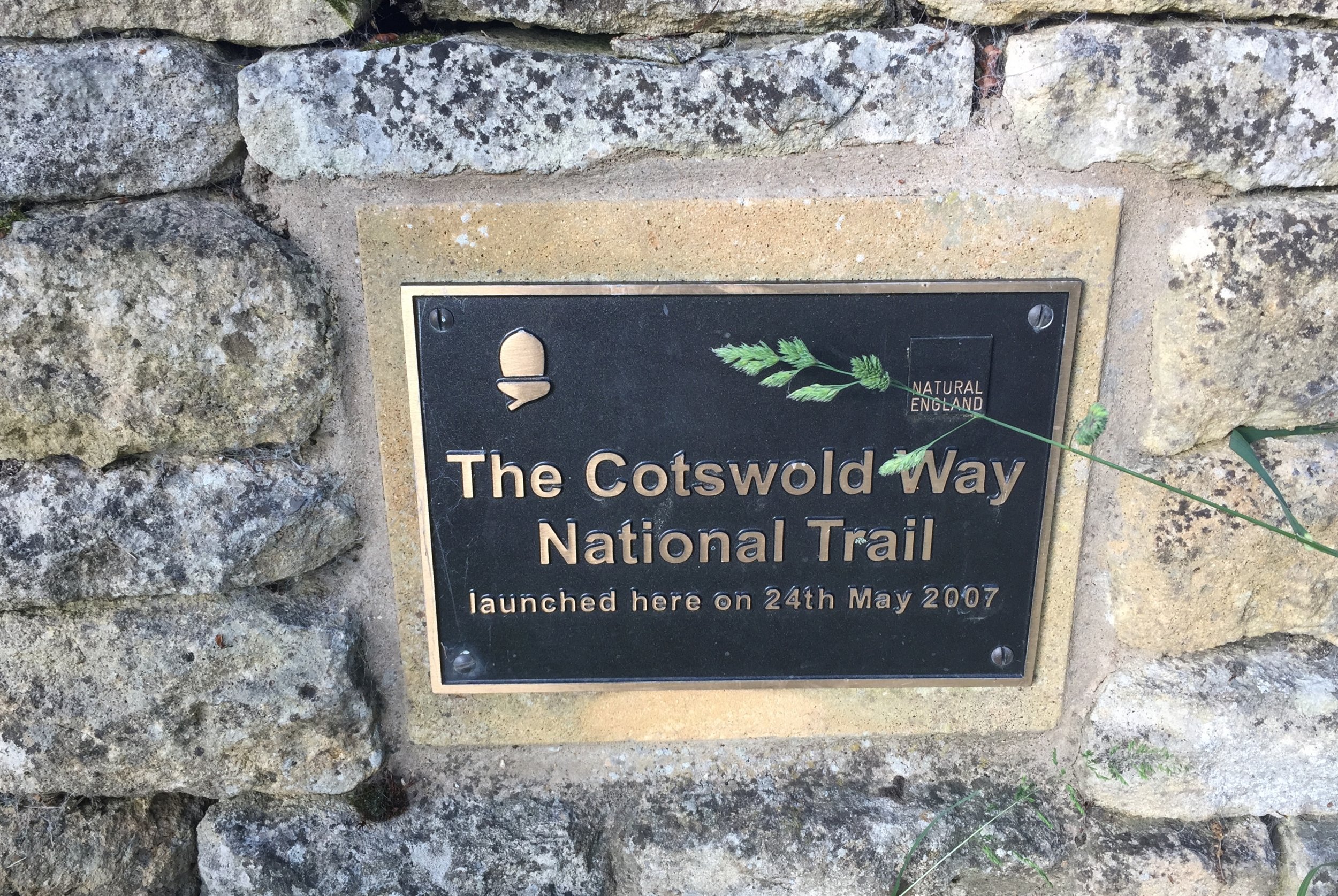
The Cotswolds Way is stunning. Ultras tend to be in interesting areas but this was exceptionally beautiful. I love the UK National Trails and an Ultra is a great way to fully experience them. The varying terrain keeps you focused and helps you to be fully present in the environment in a way that road running often can’t. I did listen to some podcasts along the way, but for the majority of the 15 hours out there I was in "The Zone", fully present in the race.

I was surprised to see Gobi Man when I overtook him at mile 40. He’d started in the Wave before me and I’d assumed that he’d already be a couple of hours ahead. It turned out that he’d taken a wrong junction and gone 2km in the wrong direction. After that he’d lost his mojo and was having a tougher race. I felt bad for him but it secretly made me feel good about my own efforts.

In stark contrast to the evening before I felt on top form throughout the race. Even the long lonely twilight stretches were fine. These are the bits that can wear you down. Runners are now well spaced-out and you can go for a long time without seeing anyone. The long flat section towards Broadway was actually a bit of a slog. I could see Broadway Tower in the far distance from about 8 miles out. It didn’t seem too far but the final part was a curve into the town so it didn’t get closer for a few miles.

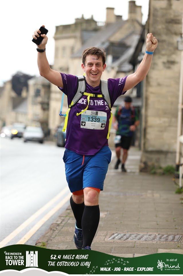
By Broadway it was fully dark and running through the High Street was a highlight. It’s a pretty village in daylight and magical when lit up at night. It was a warm Summer evening and the outside dining areas were packed. The claps and cheers of encouragement were much needed.

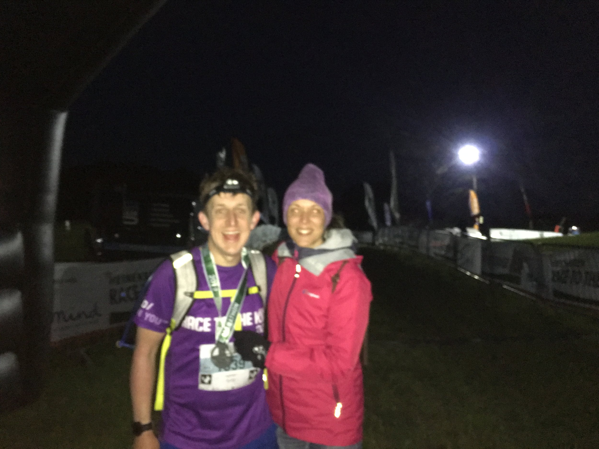
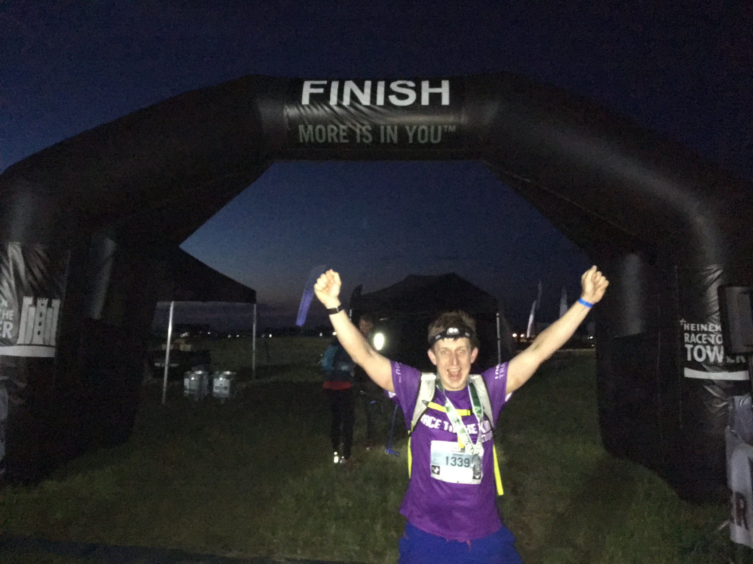
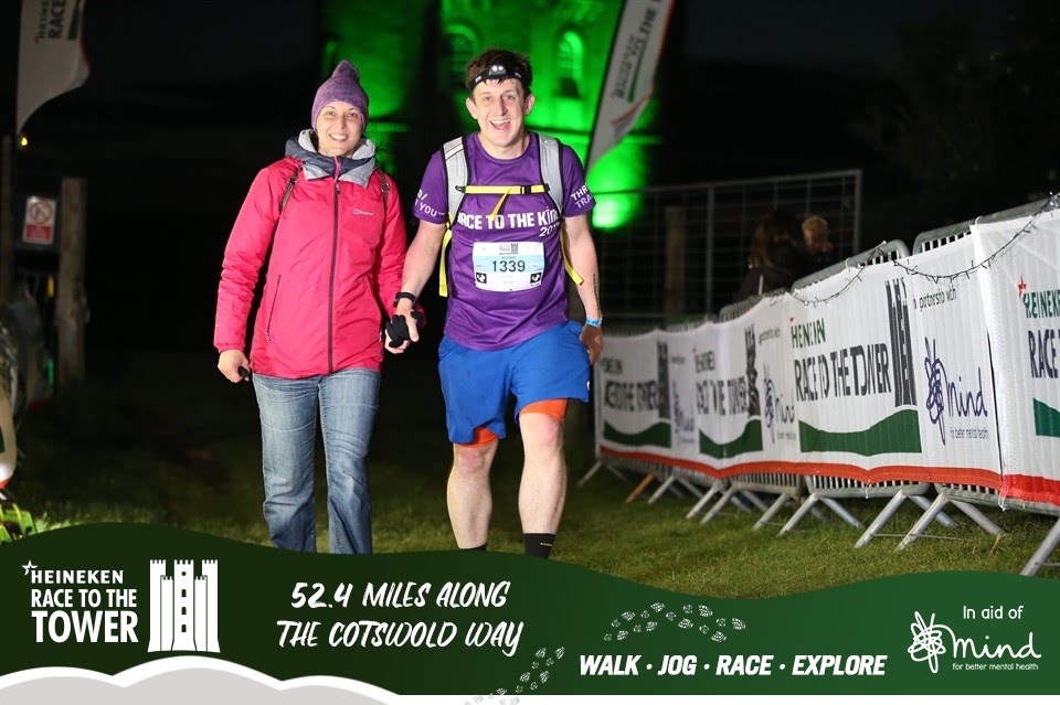
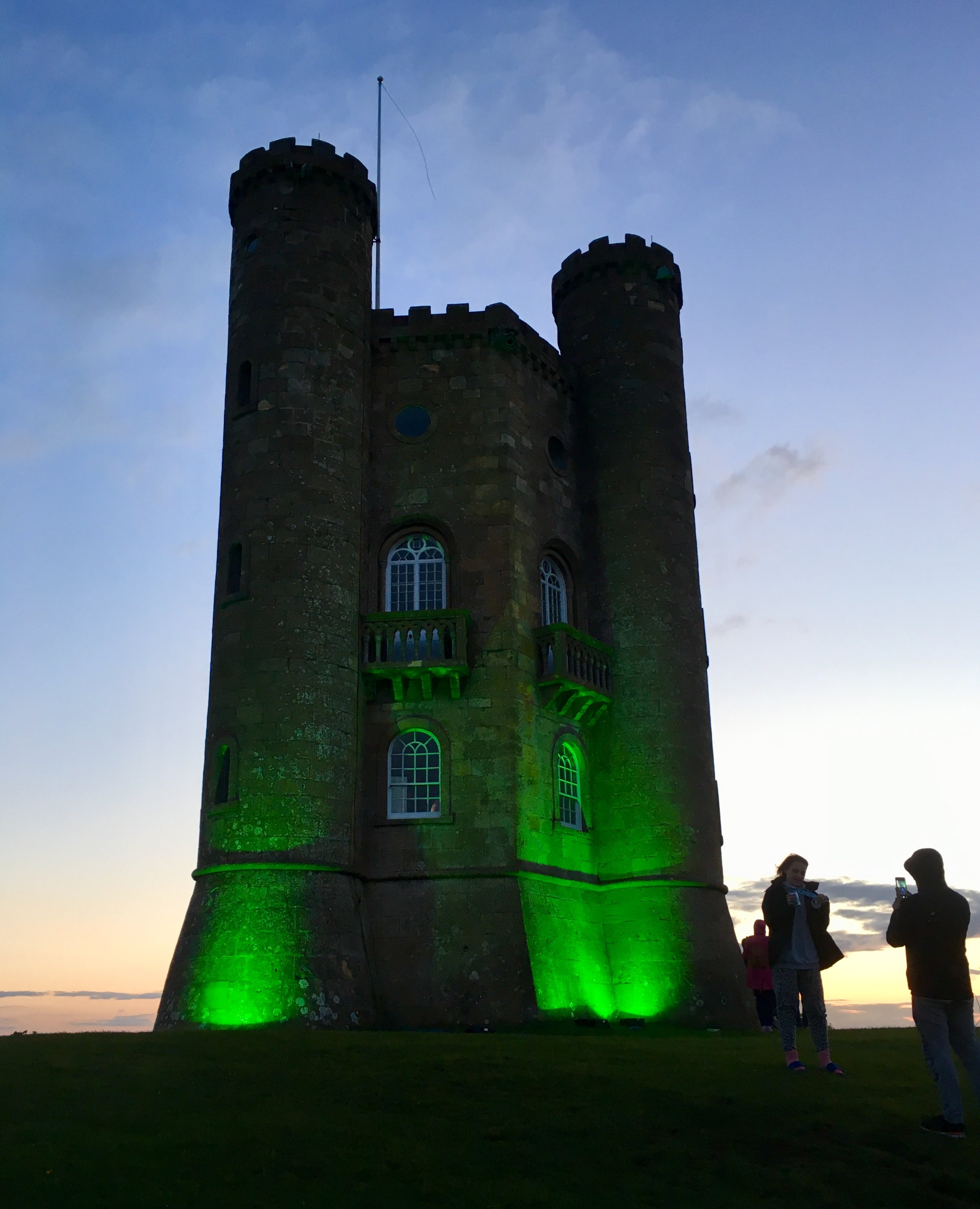
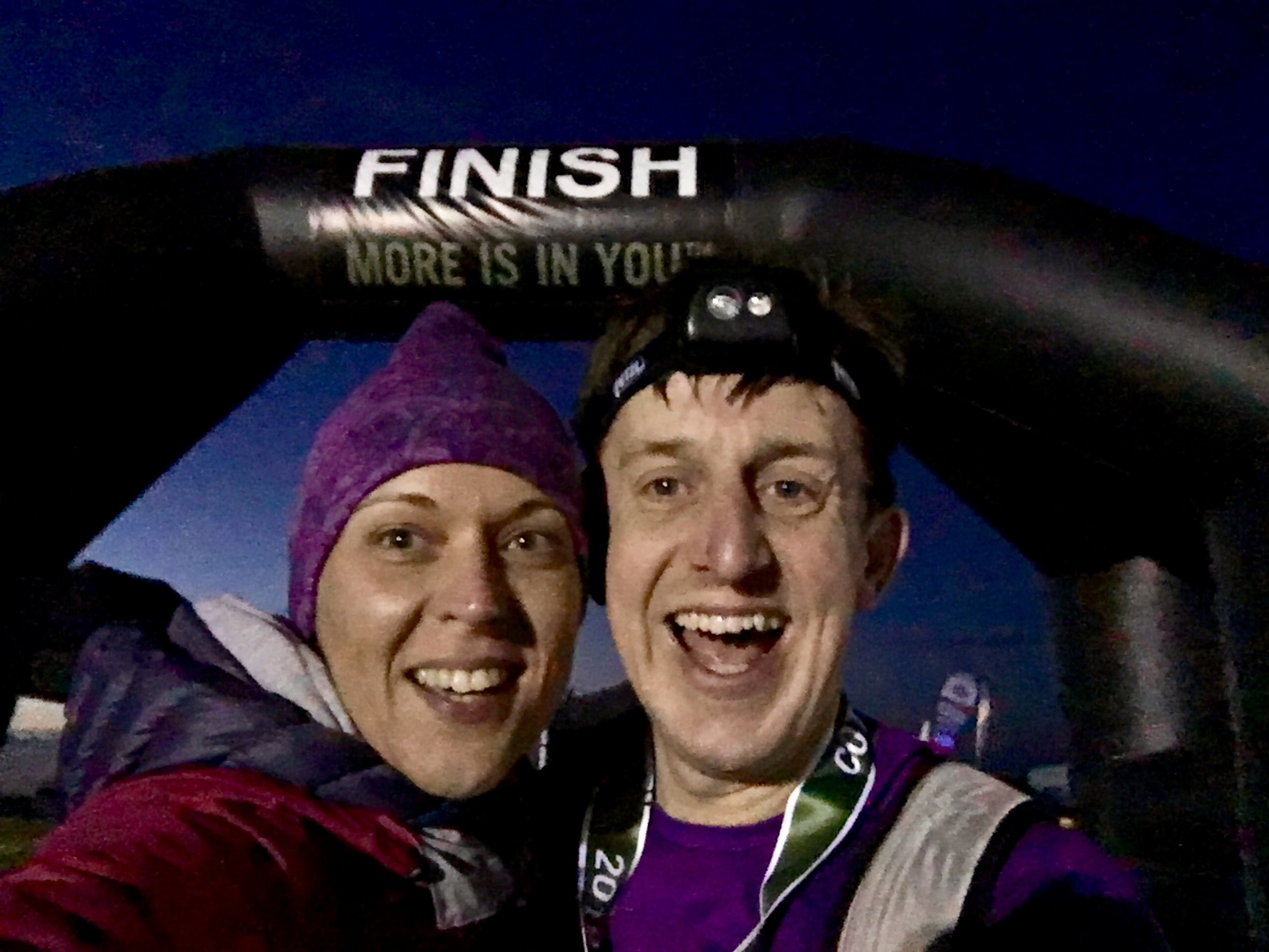
Just past the High Street it got quiet and dark again. The route turned right off the road and into fields again. This was the final mile and it was a bastard. There was no gentle finish, just a seemingly endless climb up to the top of the hill. Timi and mum had been there for half an hour. I was still 45 minutes ahead of time but slowing down. Finally, at the top of the hill and through the trees, the Broadway Tower appeared, lit up in lime green and marking the end of the double marathon. Timi was there at the final 100 metres and joined me to cross the finish line.

It’s a very different feeling crossing finish lines now. I used to get a wave of emotion about finishing something I didn’t think I could do. Now it’s not about proving anything so the feeling is more about satisfaction, enjoyment, excitement and just a bit of being absolutely bloody knackered.

elevation_profile.jpg

Start: Bird In Hand Farm


End: Broadway Tower

 
Vitality London 10,000

When: May 27th 2019
Where: London, UK
Course: Flat, on-road out and back (ish) from The Mall taking in Trafalgar Square, The Strand, Chancery Lane, St Pauls, Bank of England, Whitehall, Westminster Square and Birdcage Walk
Other routes touched (walk): Jubilee Walkway
Finish time: 52.5 minutes

route-30102335-map-full.png
 
Cycling The Icknield Way - Pirton to Knettishall Heath
IMG_1092 - Copy.JPG

Start: The Motte & Bailey, 1 Great Green, Pirton, Hitchin, SG5 3QD
Finish: Knettishall Heath Nature Reserve, Knettishall, Thetford IP22 2TQ
Overnight stop: The Black Bull, 27 High St, Balsham, Cambridge, CB21 4DJ
Distance: 141 km (87 miles)
Elevation Change: + 1768 / - 1823m. Net -55m
GPX File: get via Buy Me a Coffee
Other Routes Touched (walk): Icknield Way Walking Path, Greenwich Meridian Trail, Harcamlow Way, Lark Valley Path, The Great Barrow Walk, Angles Way
Other Routes Touched (cycle): NCN 11, 12, 50, 51
Maps:
-
OS Explorer Map (193) Luton and Stevenage
- OS Explorer Map (209) Cambridge, Royston, Duxford & Linton
- OS Explorer Map (210) Newmarket and Haverhill, Barrow, Clare and Kedington
- OS Explorer Map (229) Thetford Forest in the Brecks
Guidebook: The Icknield Way Path: A Walkers' Guide
Links: Icknield Way Wikipedia entry, National Trails page on the Icknield Way Trail (Rider's Route and Walker's Route)
www.icknieldwaytrail.org.uk, www.icknieldwaypath.co.uk, Euston Park on Trigpointing


Post-Camino withdrawal symptoms were kicking in and the wife was away for the weekend. A new adventure was needed. My "Adventure Ideas" folder is constantly overflowing so there was no danger of lack of inspiration. This time my completer-finisher urge took over: I needed to finish the Icknield Way.
I had already walked the first 30 miles from Ivinghoe Beacon to the Northern edge of the Chilterns at Pirton. There was still another 87 miles to go and the rest of it was relatively flat. This would be a cycle trip rather than another walk. Pirton is a really good place to start the cycle trip as the Icknield Way walking path and riding trail intersect here. The Chilterns Cycleway also passes through it.

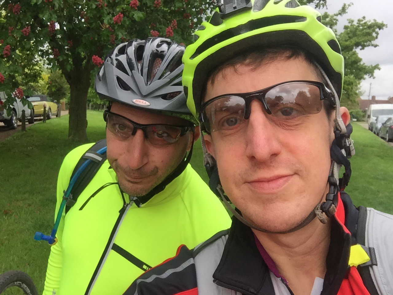
Having snuck in the Dunstable Downs parkrun (also on the Icknield), I met my friend Brian at 10:30. Brian joined me on the previous 20 miles at Christmas and also featured in my Peddars Way adventure a few years back. It seemed only right that he join me on the route that connects the two.

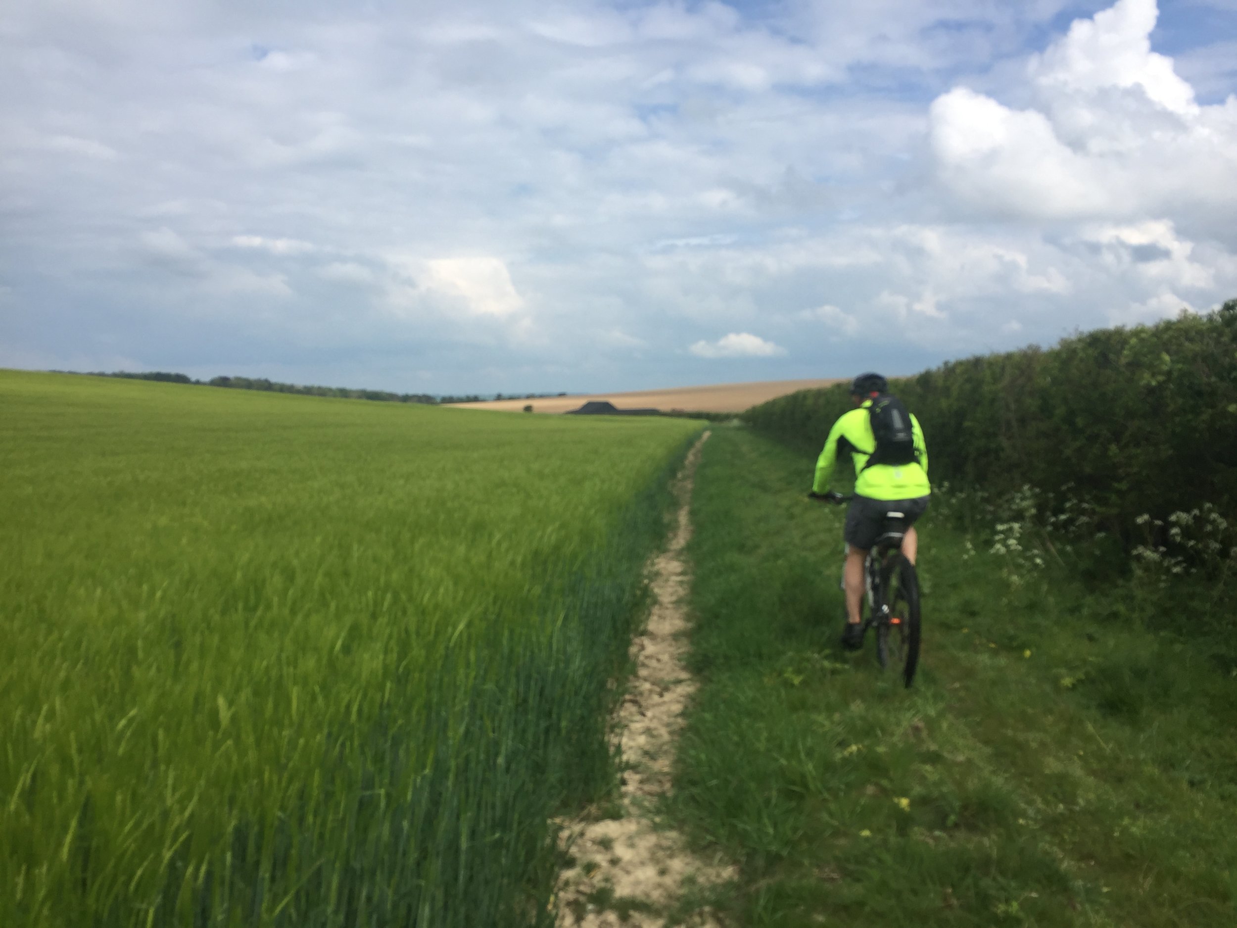
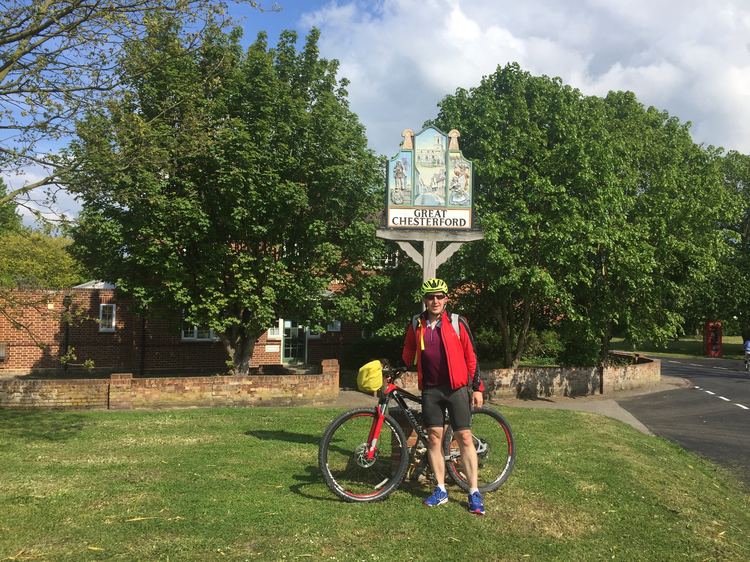
Day 1 was straight-forward, passing through small Hertfordshire towns and villages. Pubs on the route were few and far between, although I'm sure we could have found more with some minor diversions. The first pub we found was in Melbourn, 20 miles in. We were glad we stopped for lunch as we wouldn't pass another one for another couple of hours.

We were following the GPS route linked from the Icknield Way Trail site. It was accurate except for one short stretch when you hit the A505 South of Melbourn. The path through a field must have been blocked since the GPX file was created so we needed a diversion. The simple workaround is to take a left on the A505, then first right at Flint Cross and you're back on track.

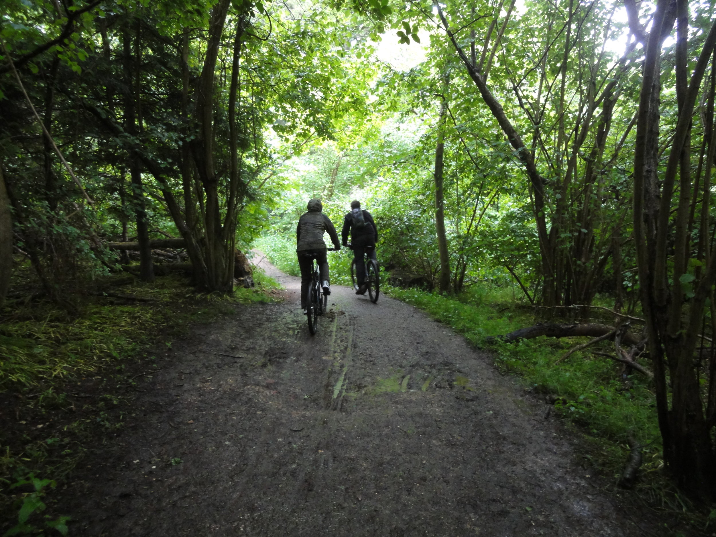
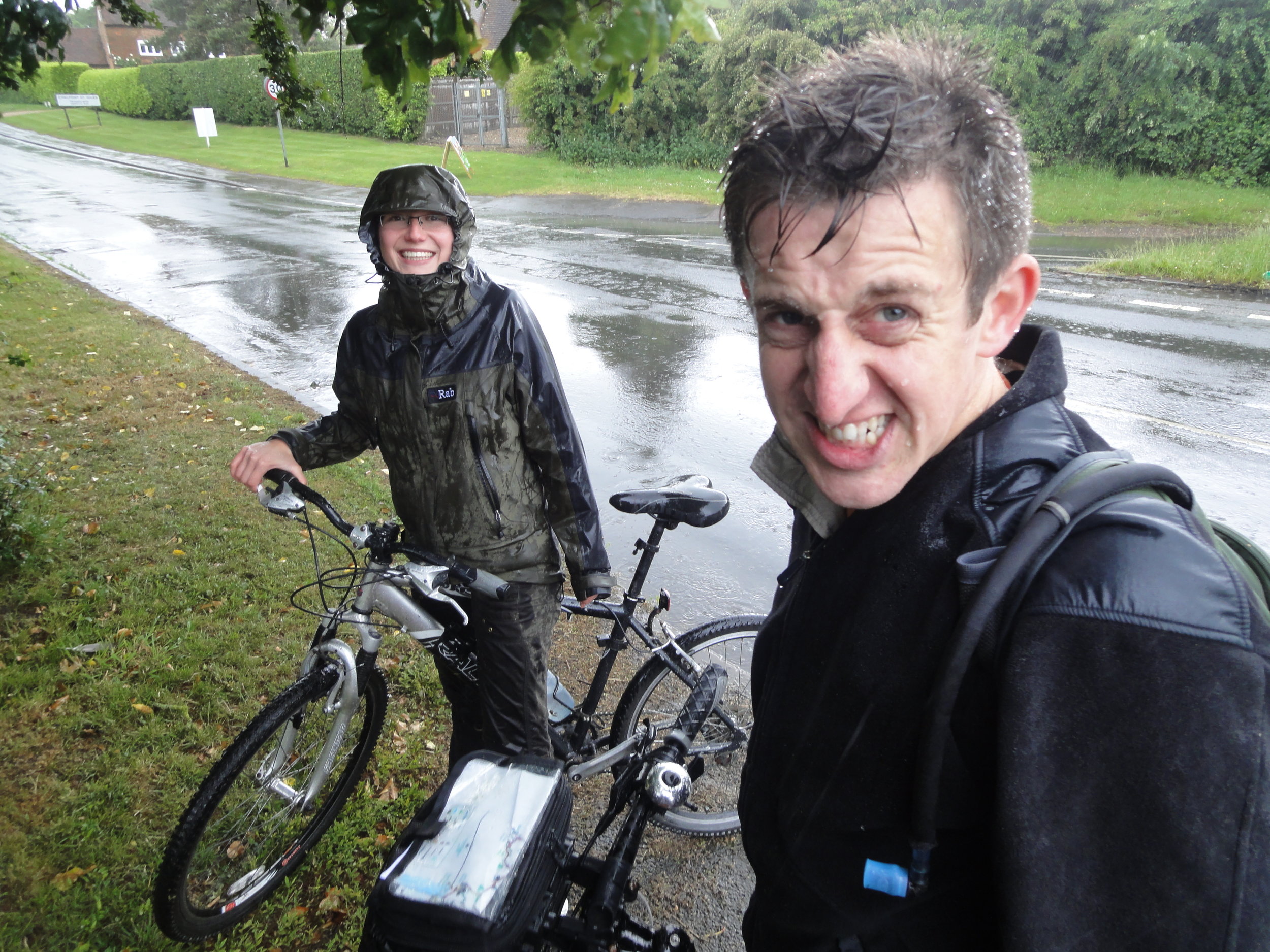
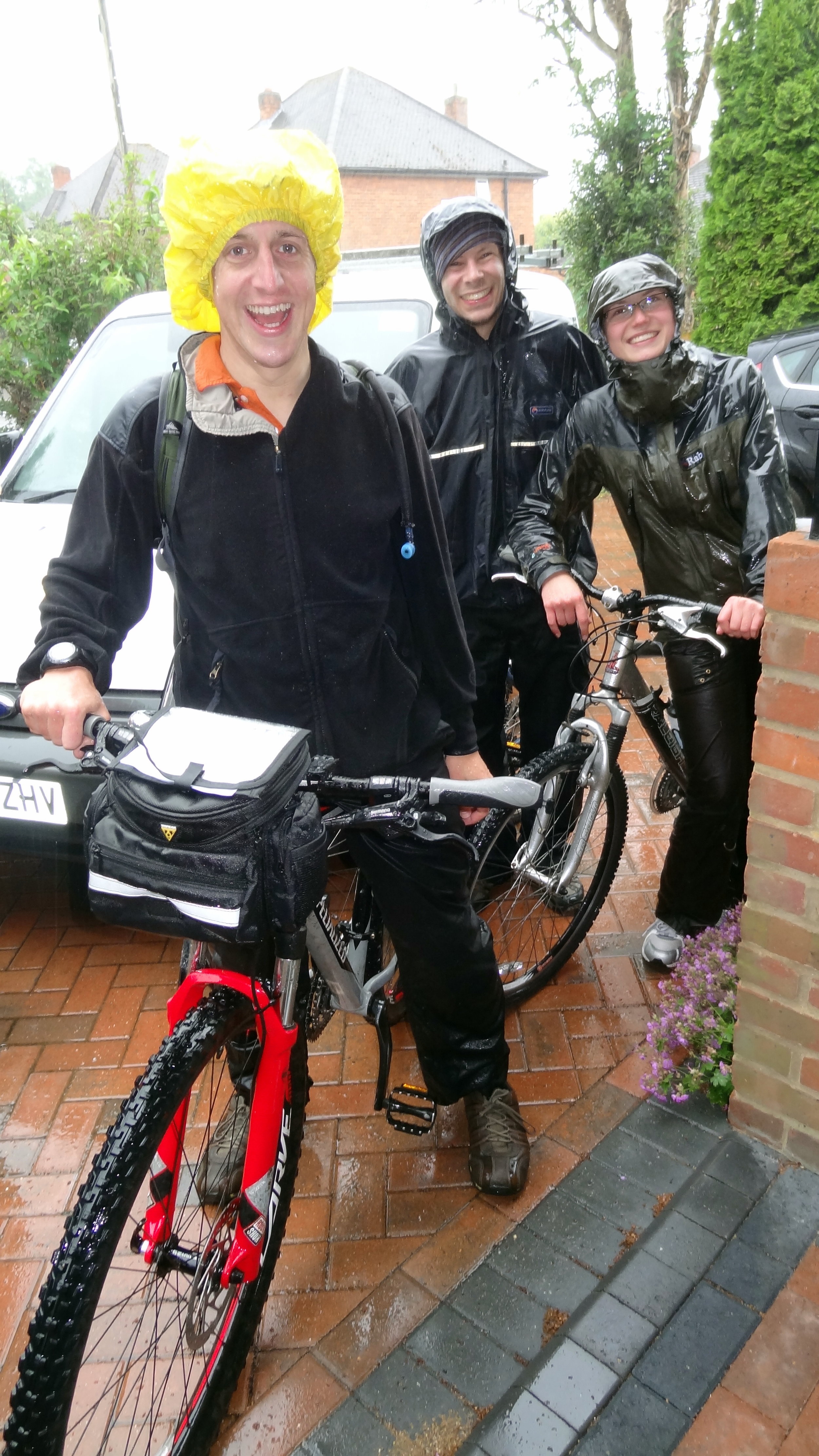
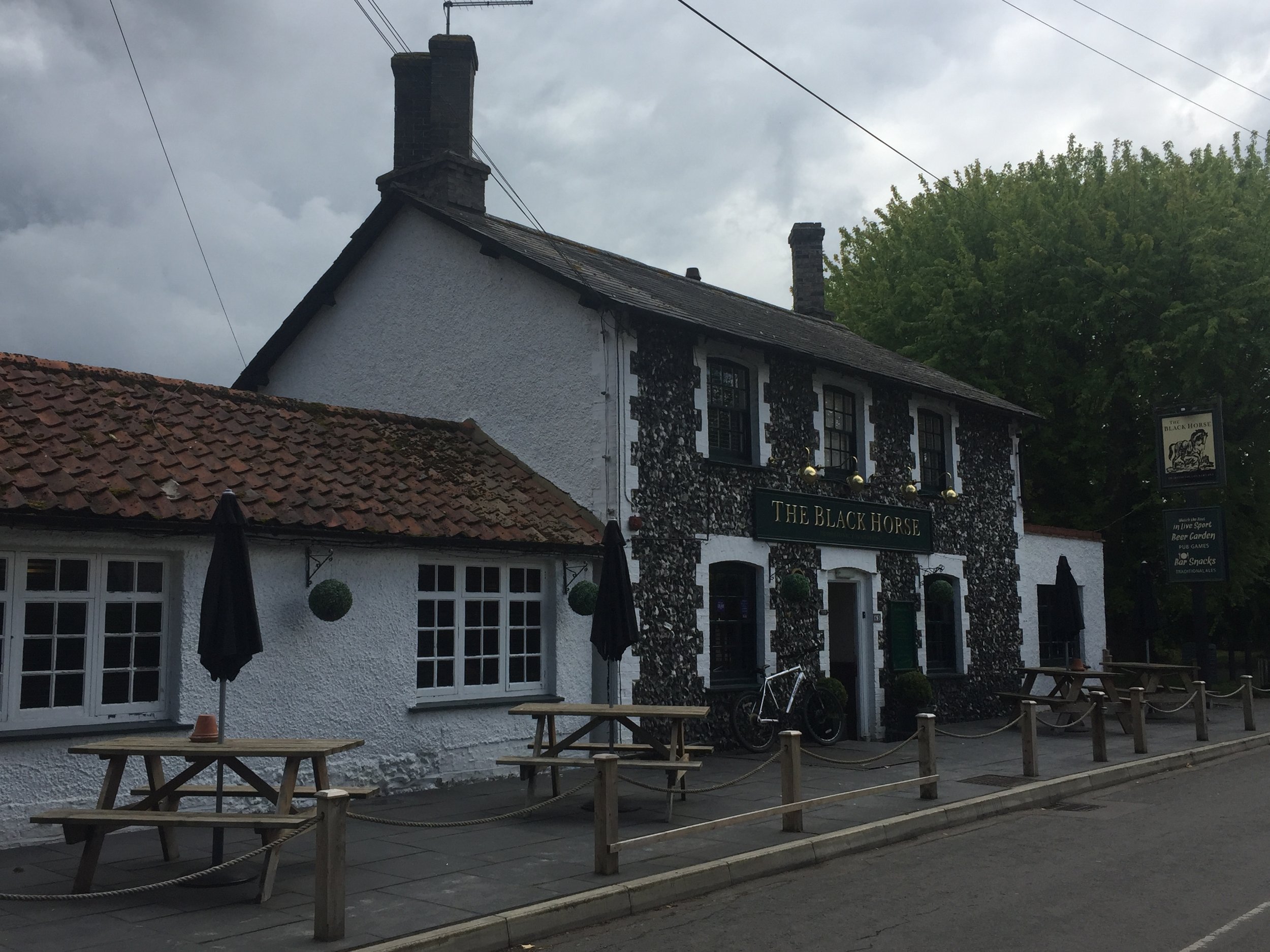
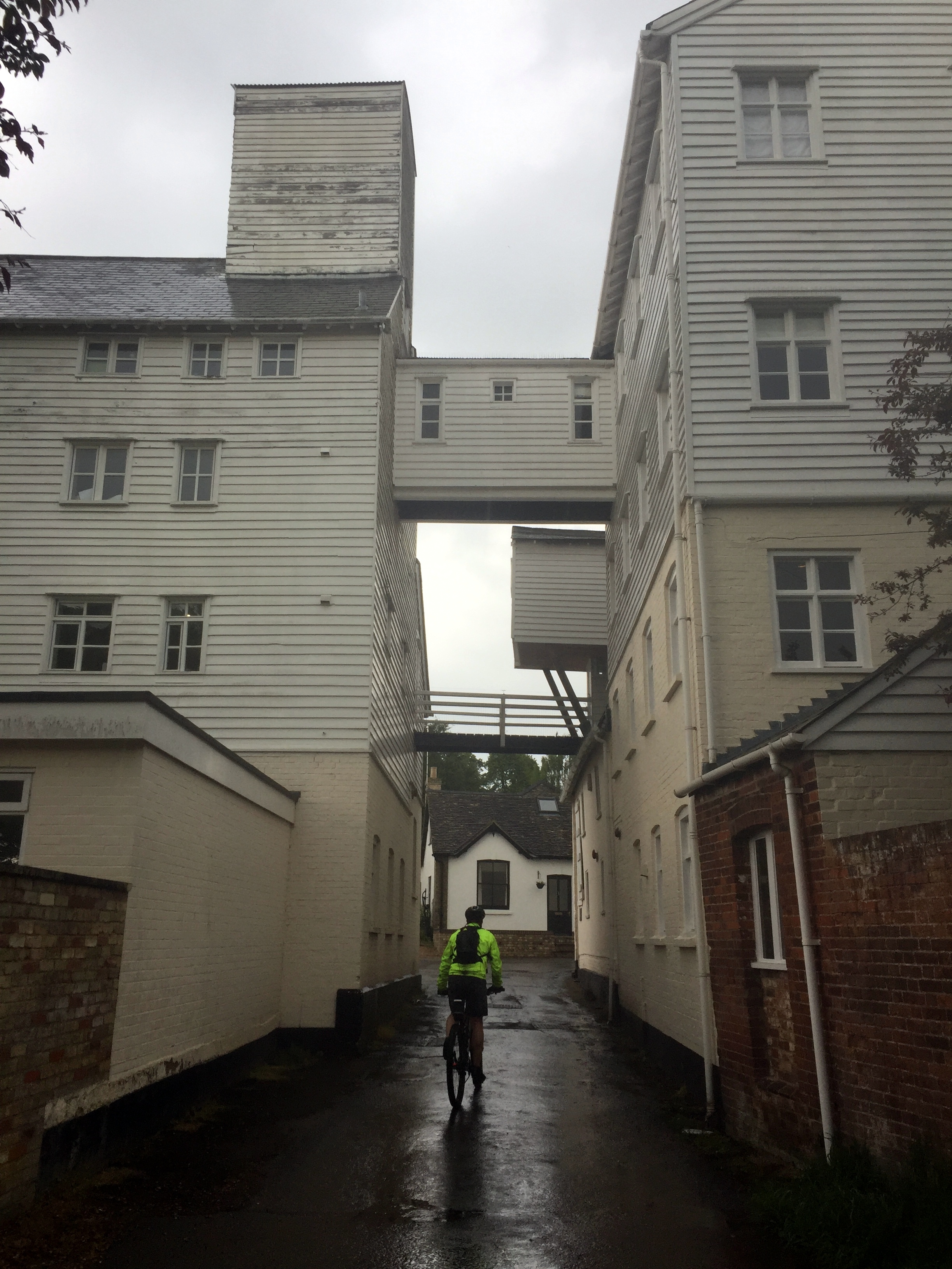
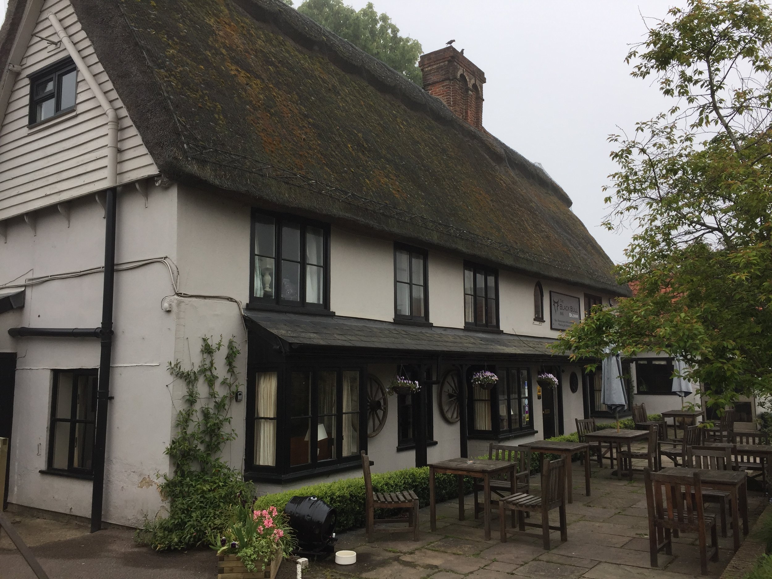
The weather was perfect for cycling except for a 30 minute downpour about an hour from our overnight stop. We hid in a pub until it stopped and cancelled our plans to go into Cambridge for the evening. All we wanted to do now was get to our hotel and find ways to dry us and our clothes. The Black Bull at Balsham is a great overnight option. It's more or less half-way and there's few alternatives. As it happens it's a really nice place. We got dry very quickly by sitting in front of the open fire with a few drinks while we waited for dinner.

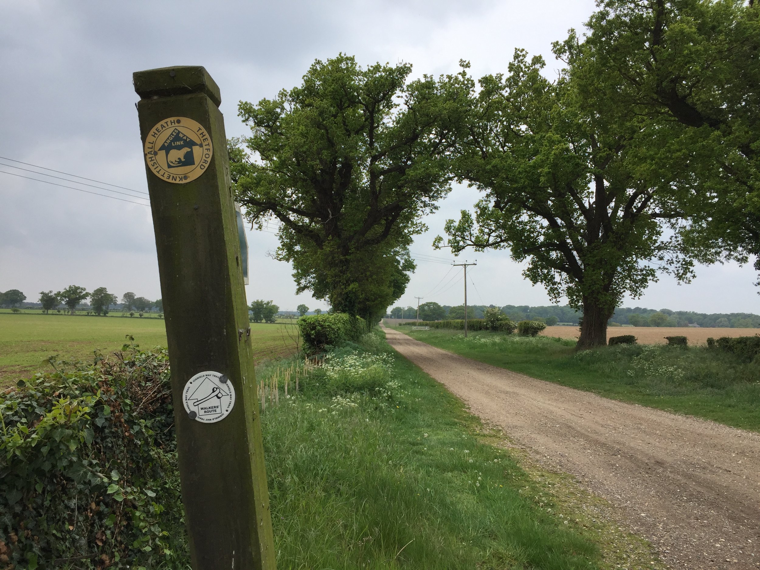
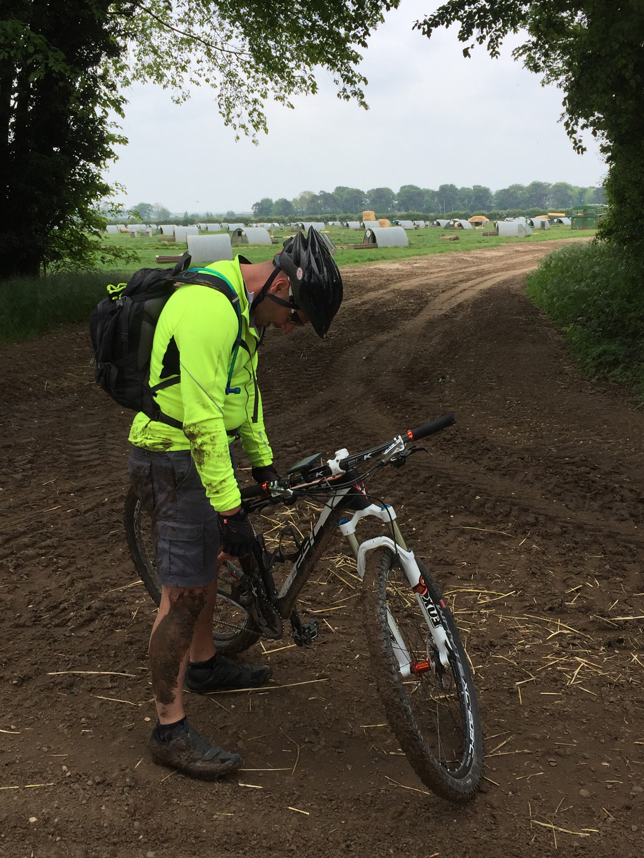
The morning of day 2 was lovely. The misty morning soon became sunny with clear skies. This was Cambridgeshire with long straight, flat stretches of road that helped us get a few miles under our belt. The final 20 miles were really tough. We were now in very rural Suffolk and spent most of the time on sand and gravel farm tracks. We made very slow progress all the way to the end point at Knettishall Heath.

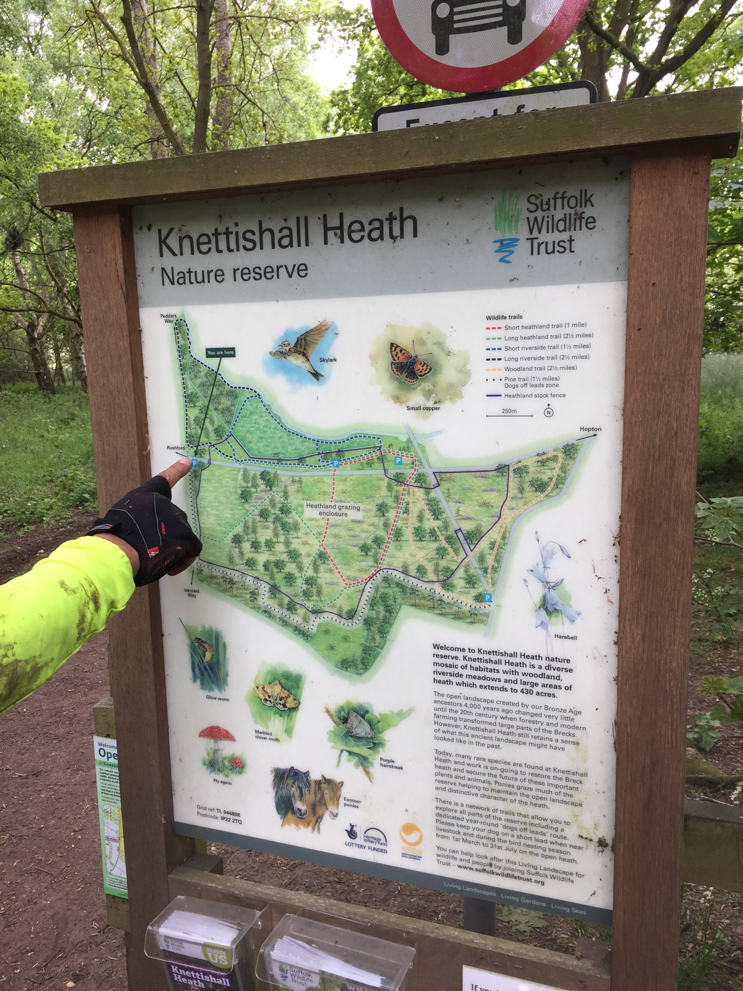
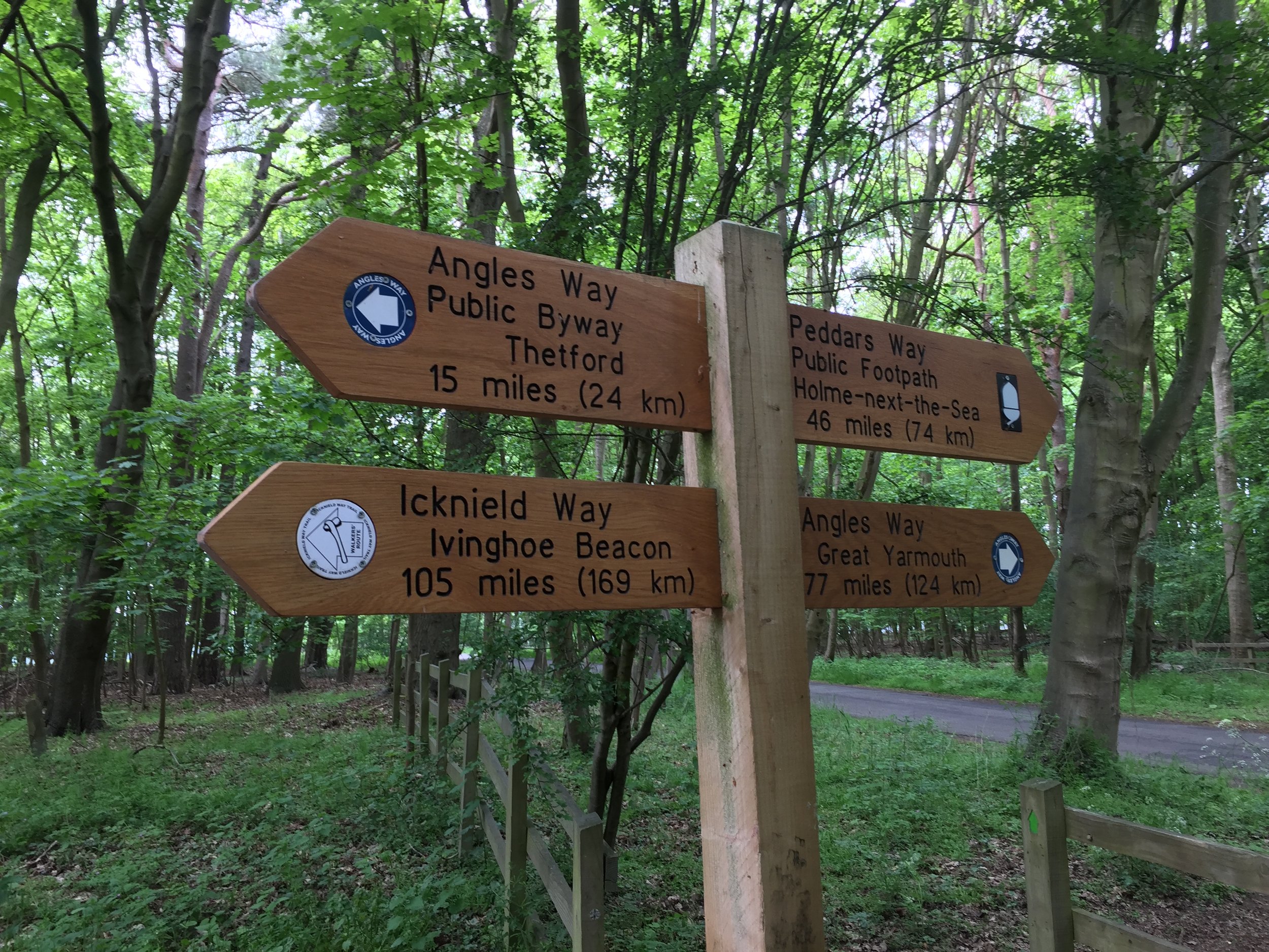
The end of the Icknield Way is a bit of an anti-climax. There's a car-park with a sign but nothing else. From here you can continue North up the Peddars Way to the Norfolk Coast or take the Angles Way East to Great Yarmouth. For us, we'd had enough adventure for one weekend and took the road West to Thetford. From there its an easy trip back to Pirton, taking the train to Hitchen and a 20 minute cycle back to the cars.

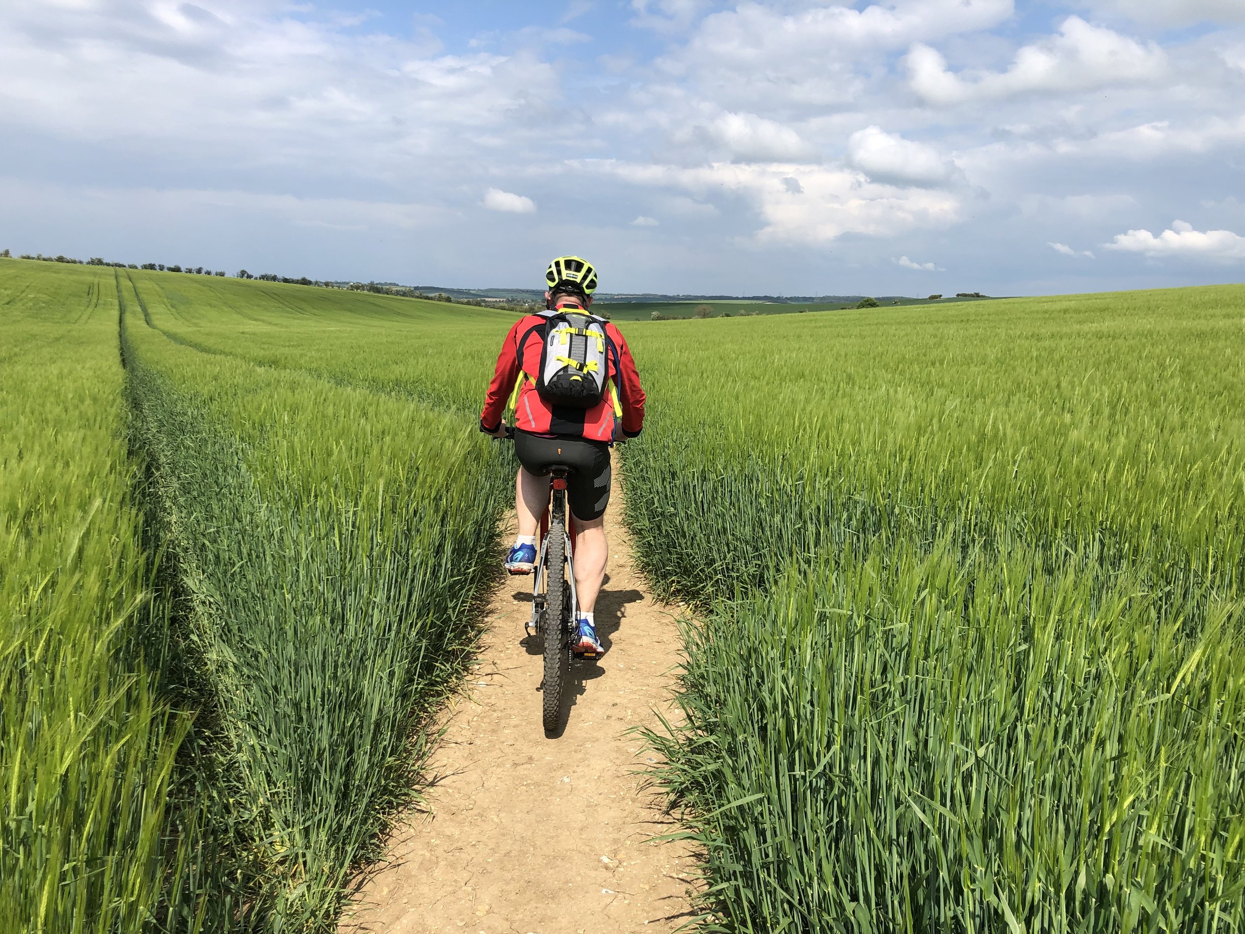
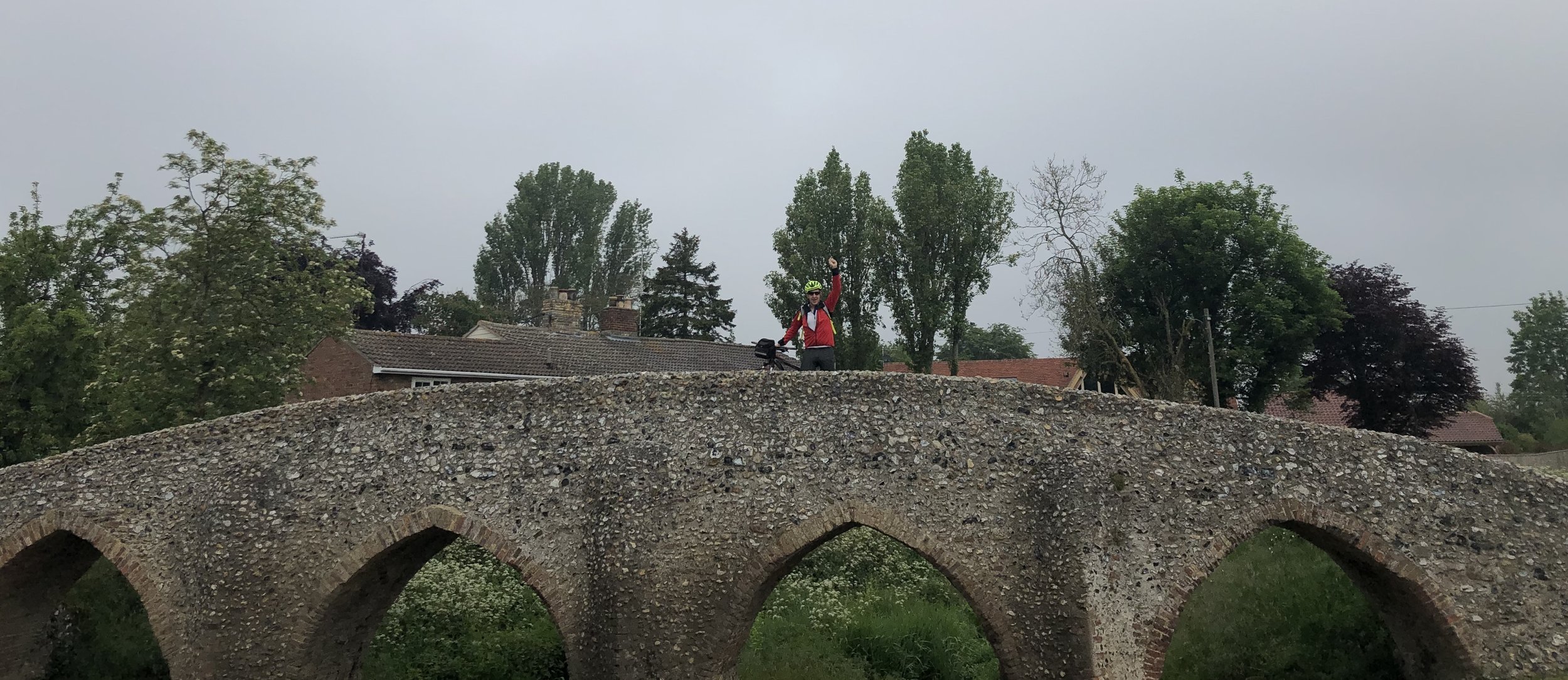
Having revived myself with a pasty at the train station I felt a genuine sense of completion. I'd now conquered the Ridgeway, Icknield Way and Peddars Way. These 3 form a single ancient trail from Avebury to Hunstanton. The obvious follow-on adventure is the Wessex Ridgeway, starting back at Avebury and heading South West to Lyme Regis. Brian didn't seem too impressed with the idea when I mentioned it on the train. I think I'll leave it a couple of months before I bring it up again ...

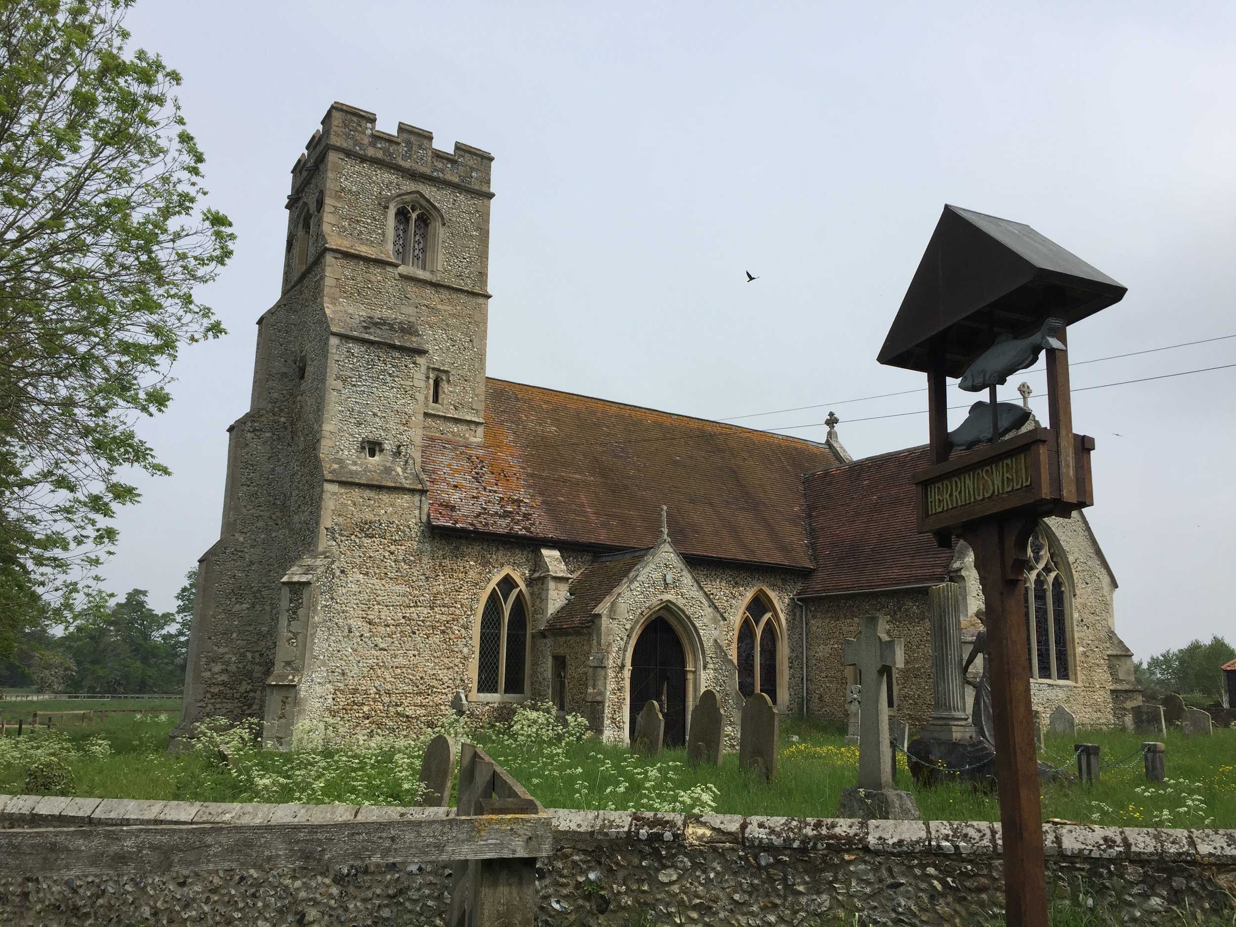
End Point at Knettishall Heath, Norfolk