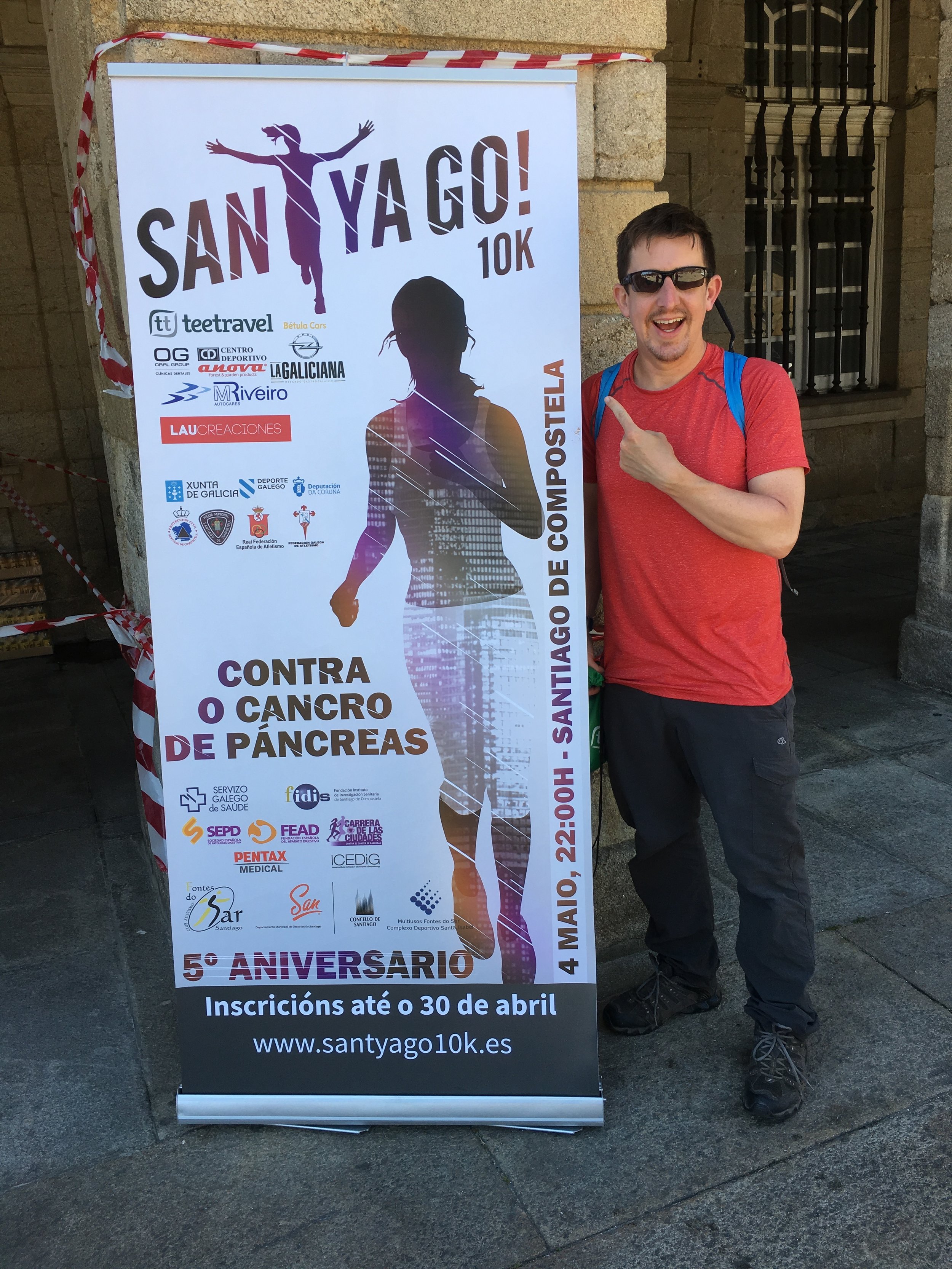
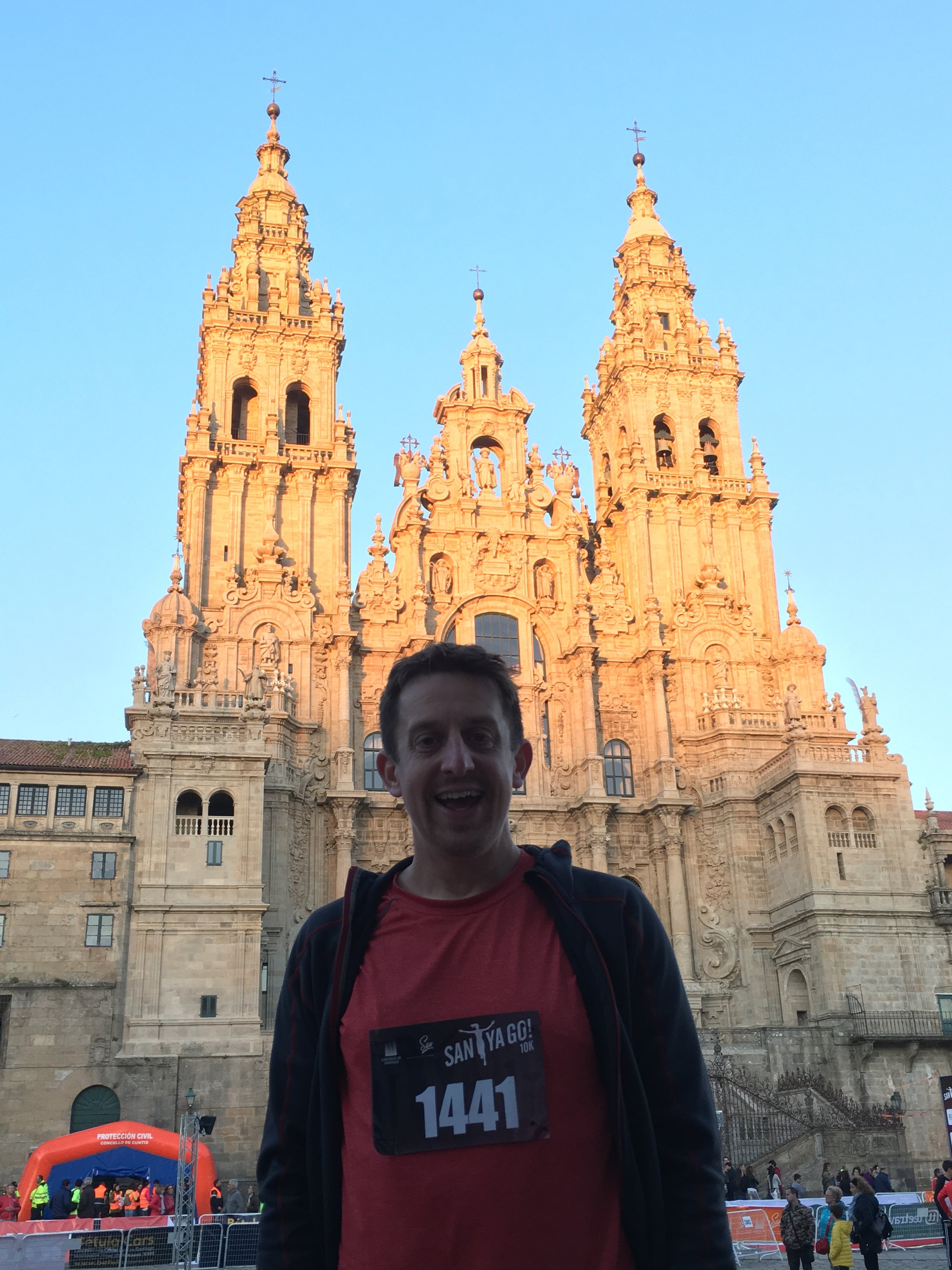
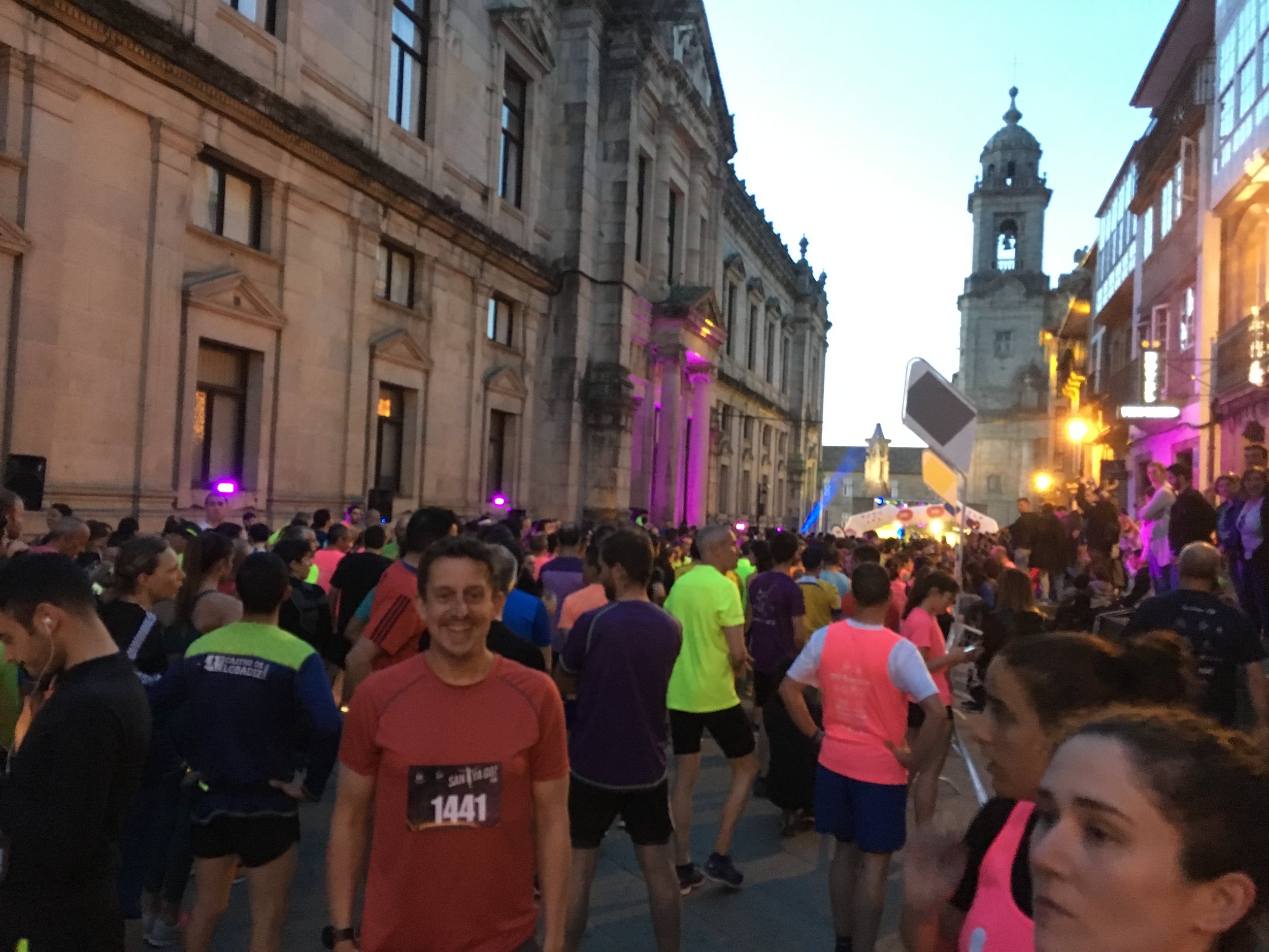
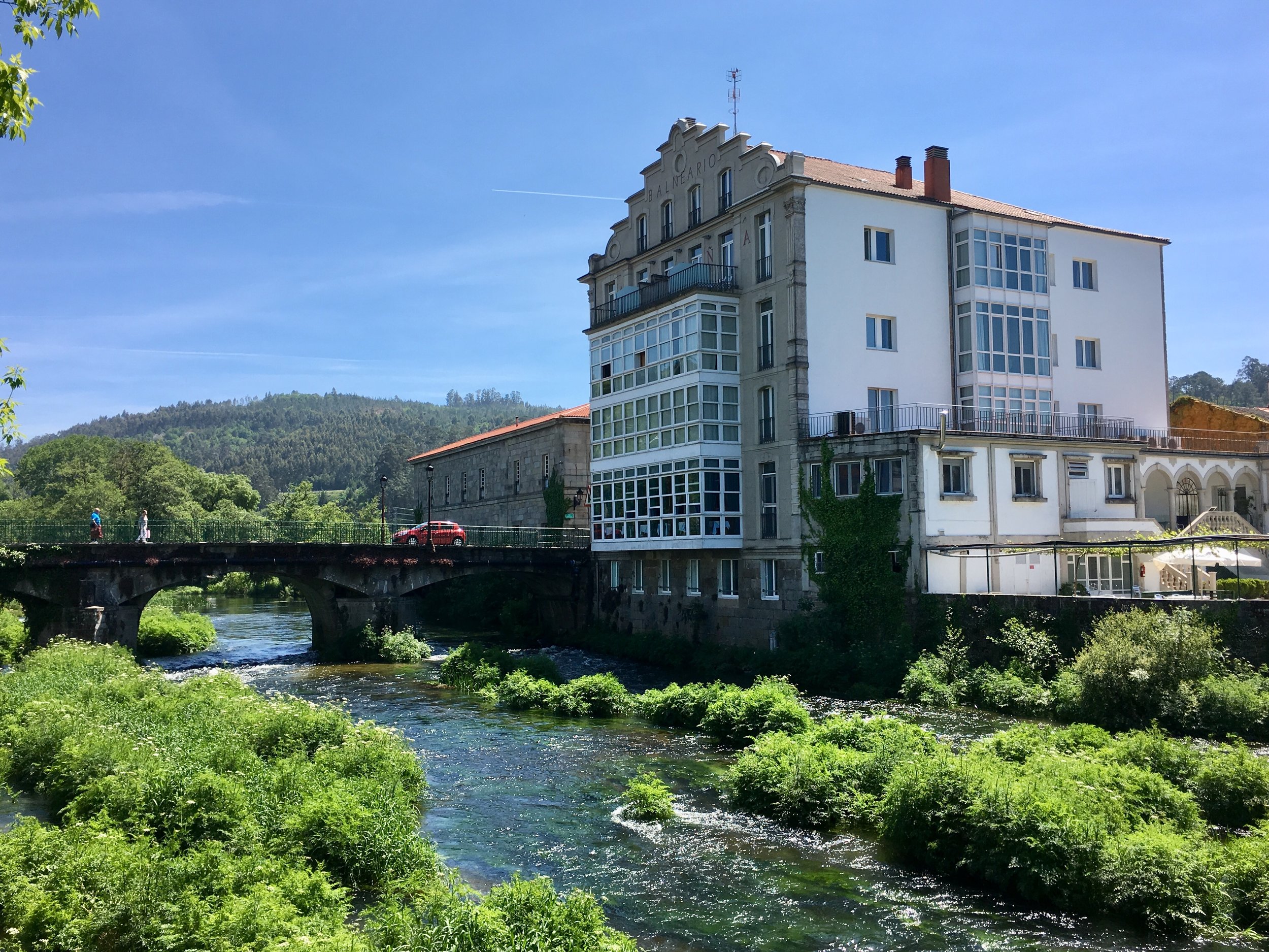
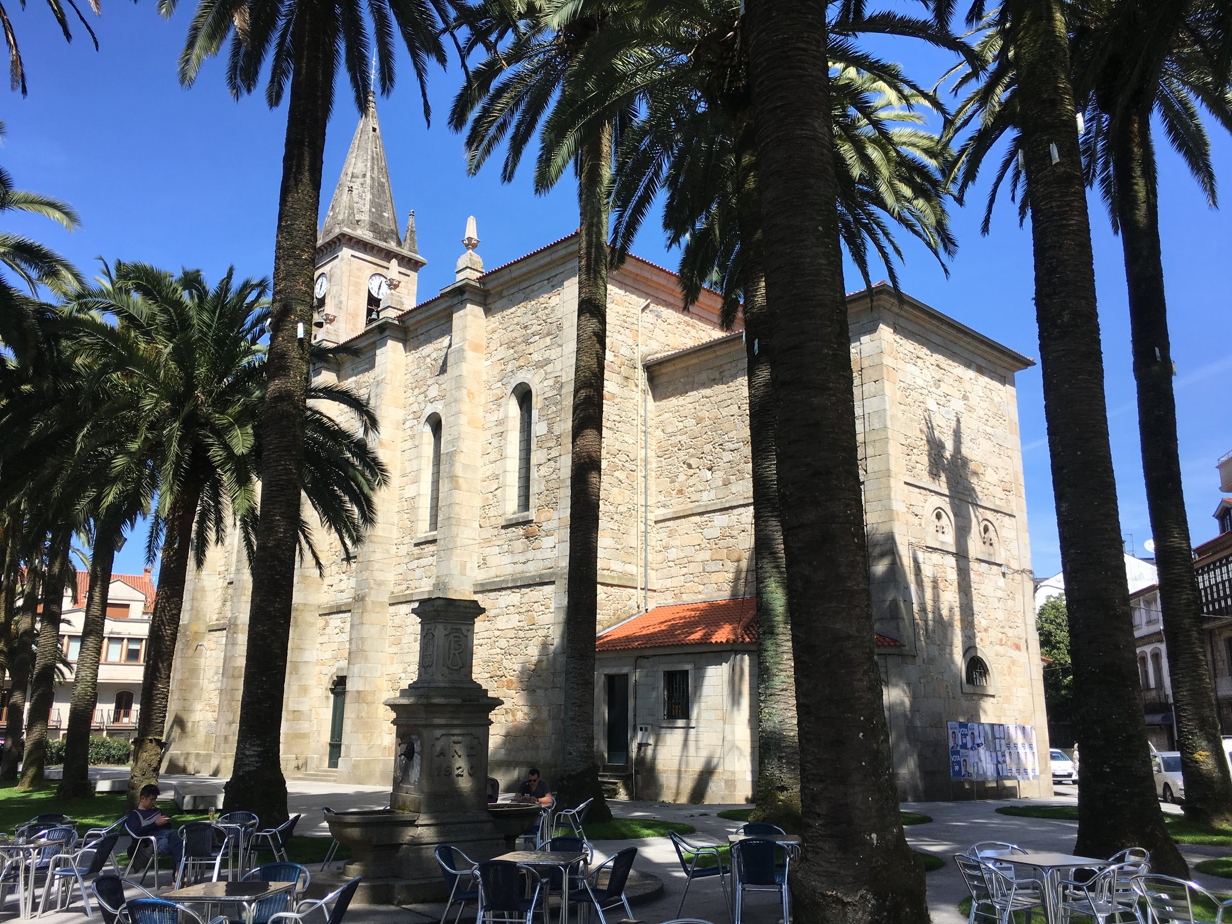
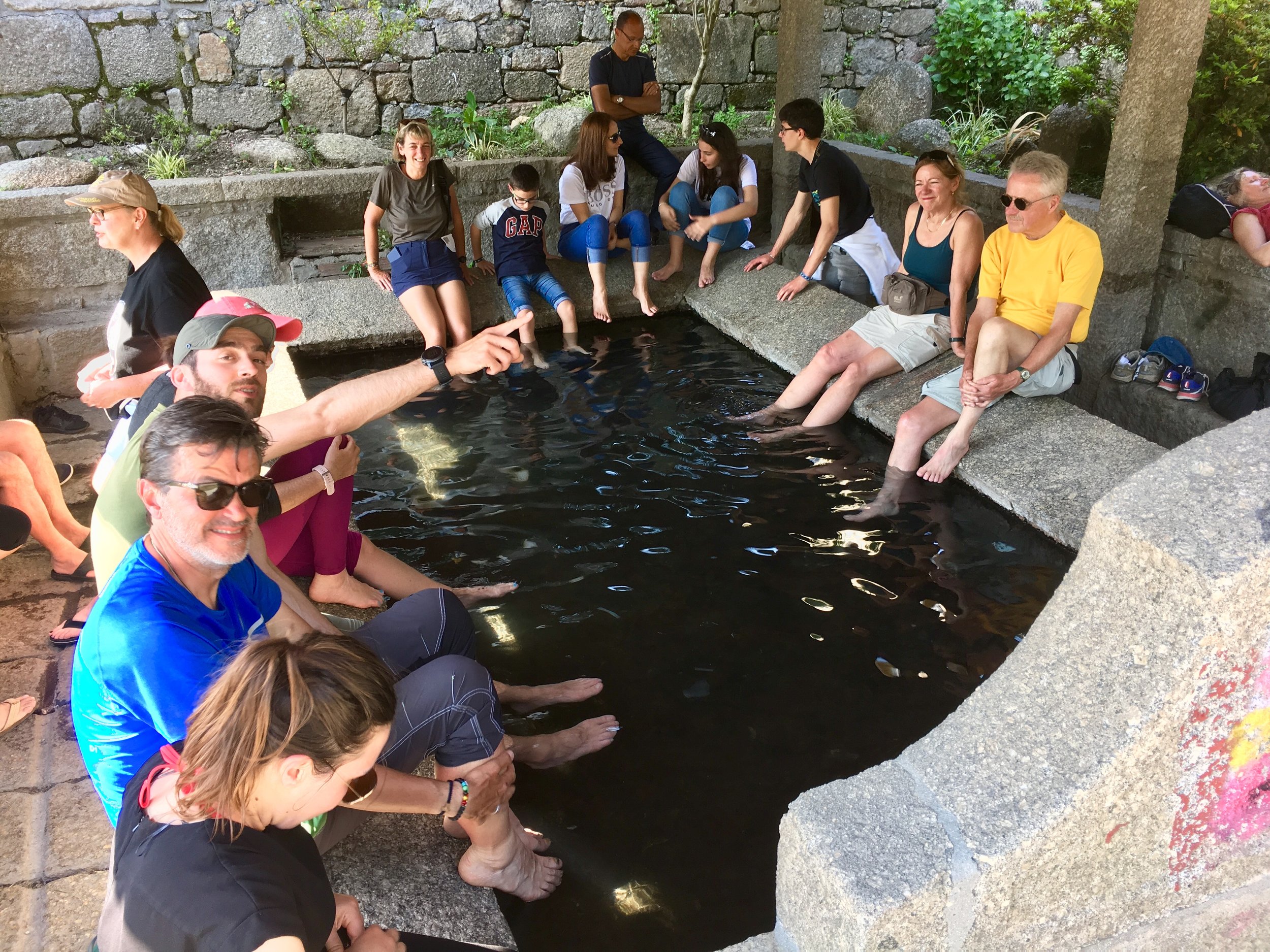
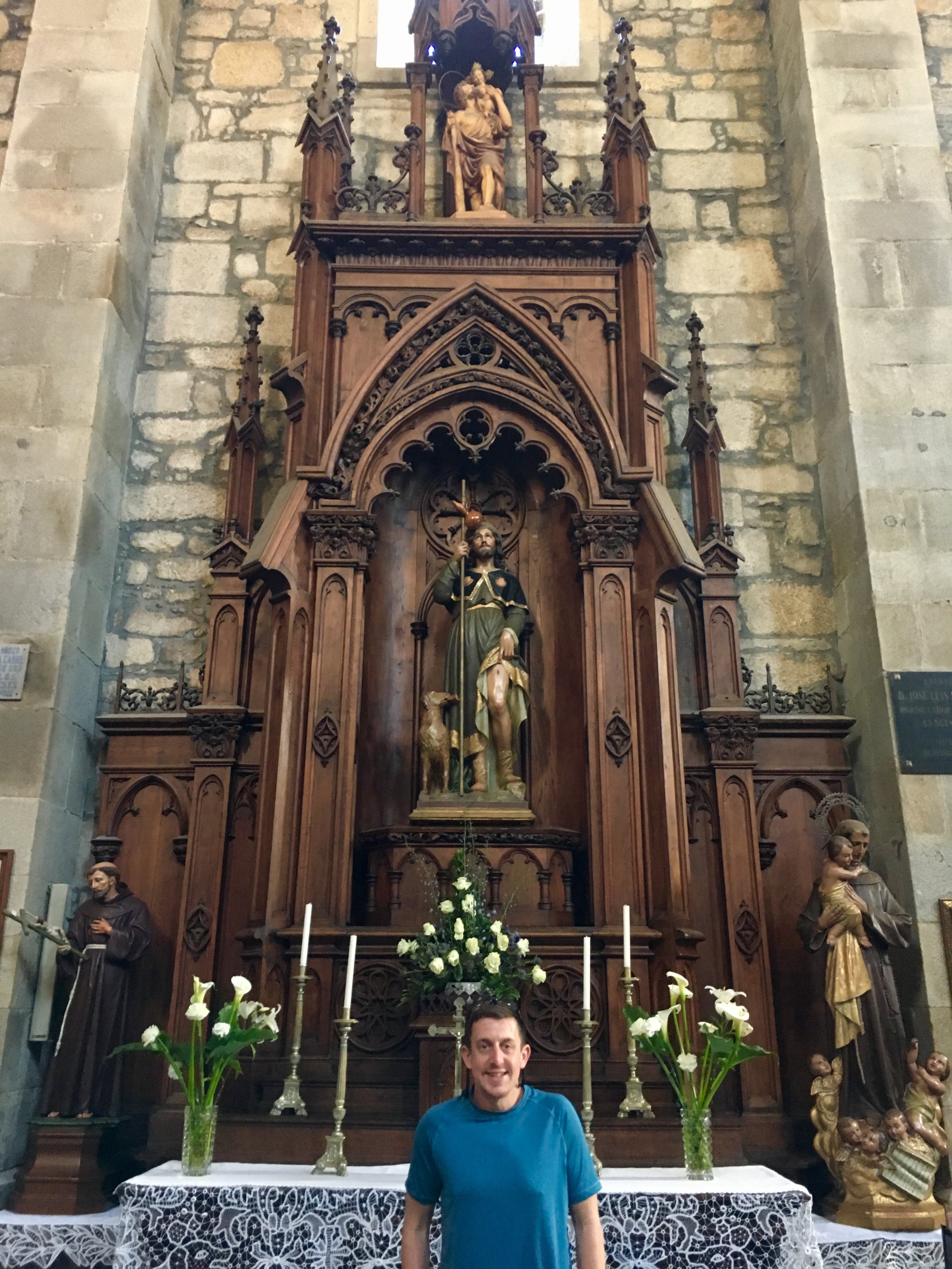
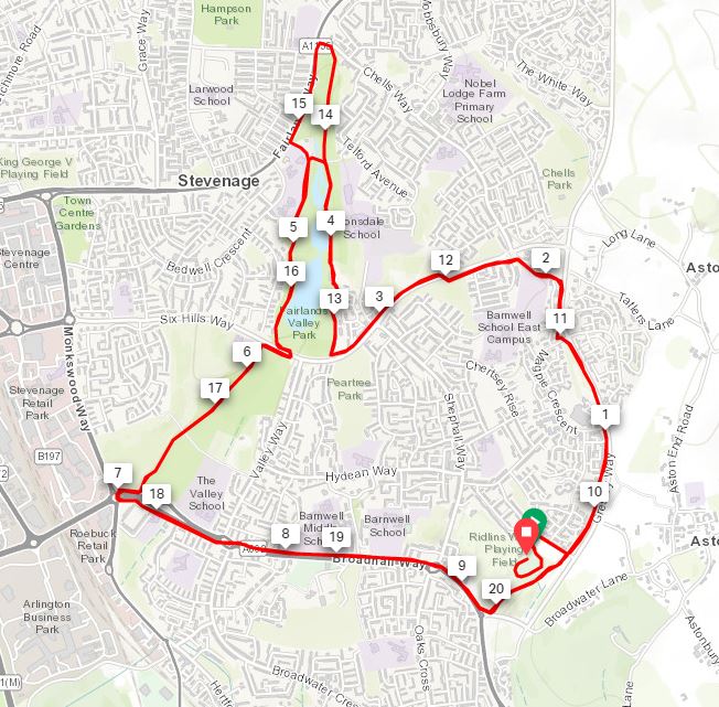
When: May 4th 2019
Where: Santiago de Compostela, Galicia, Spain
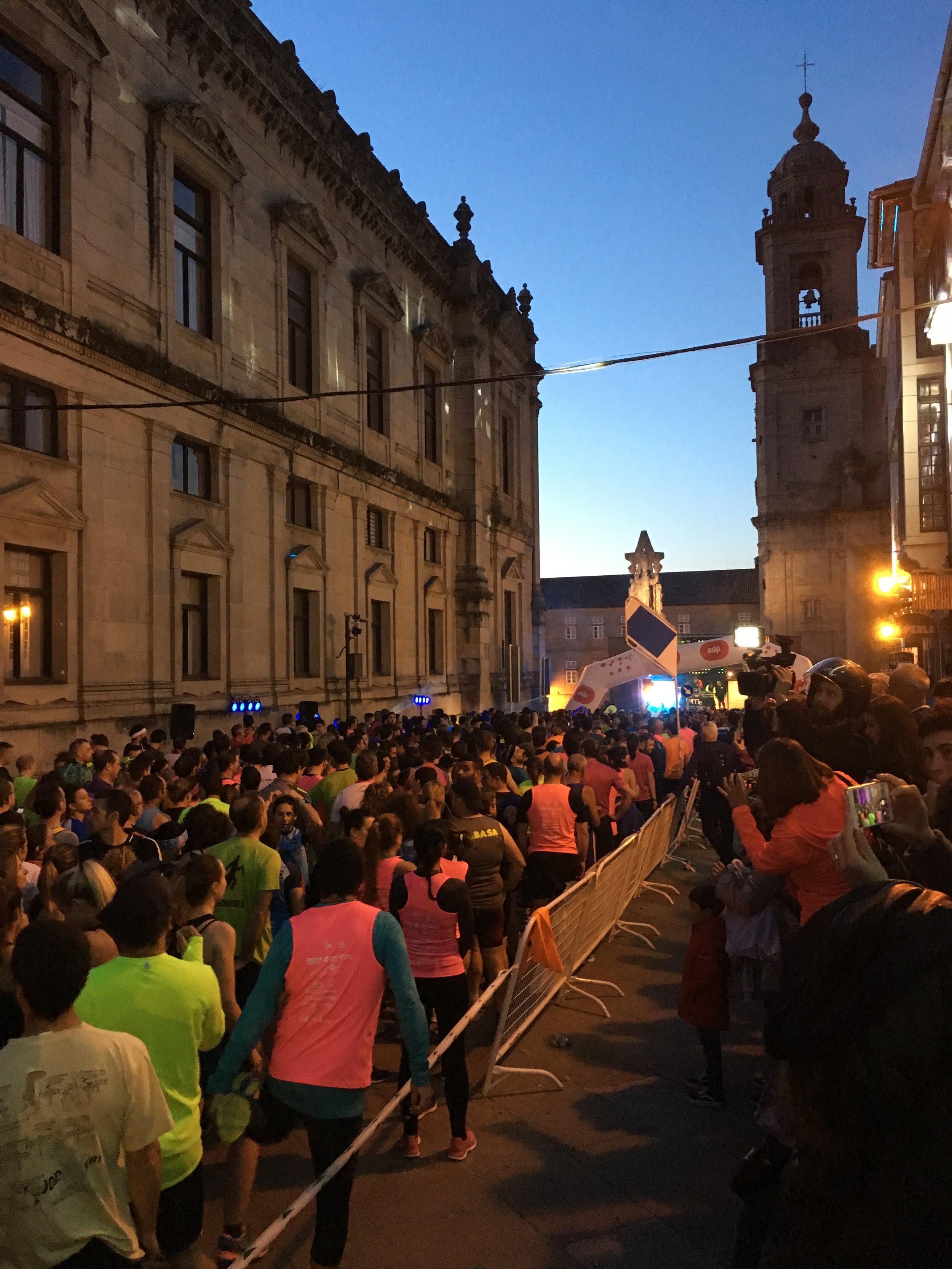
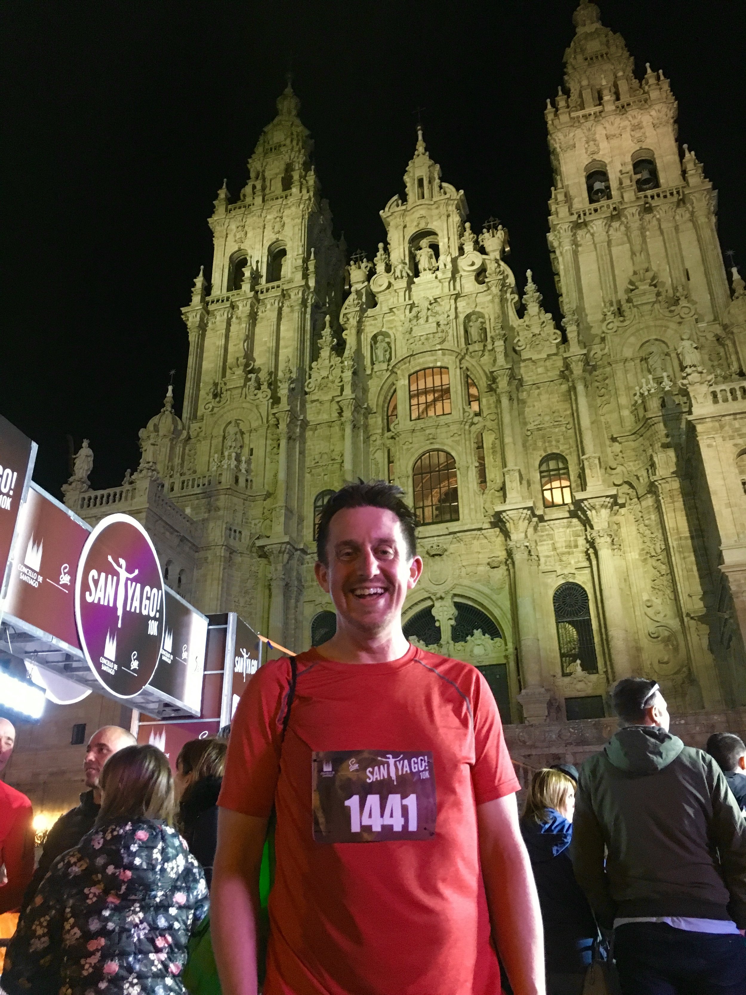
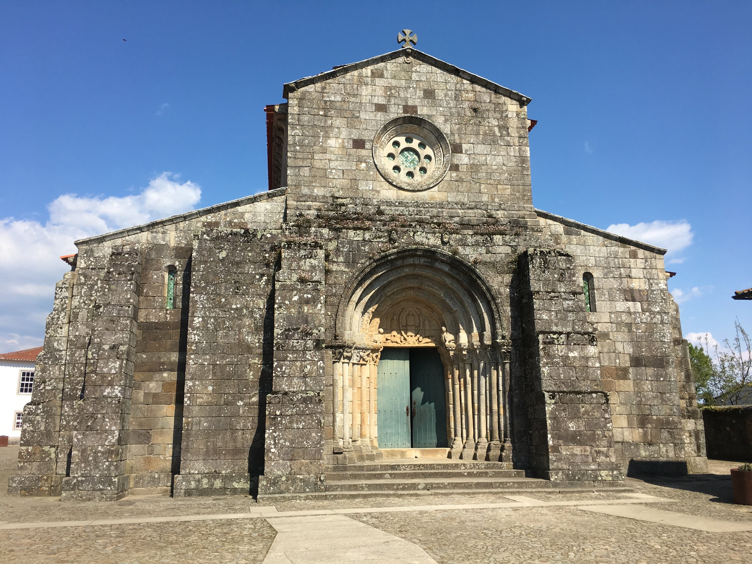
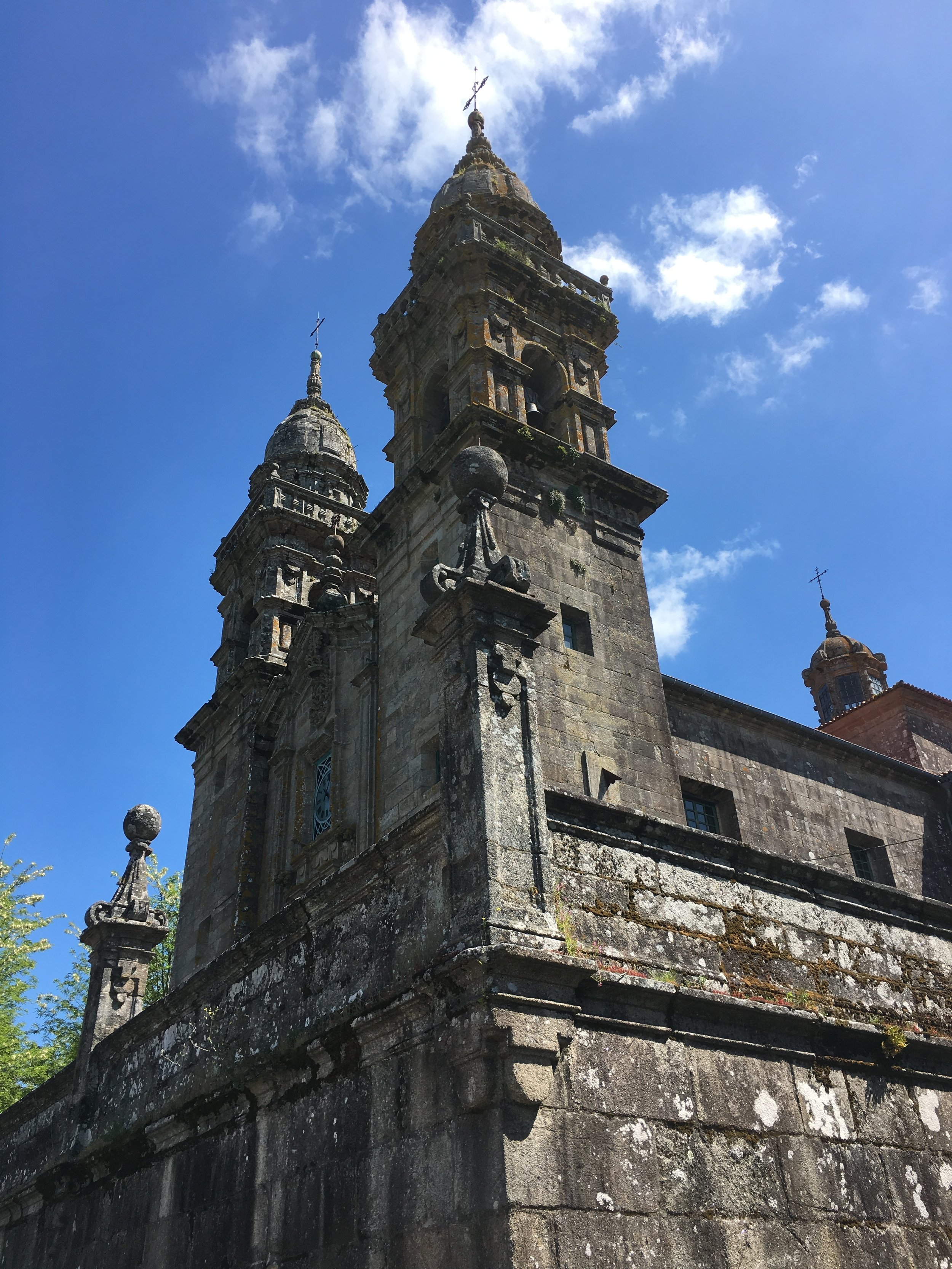
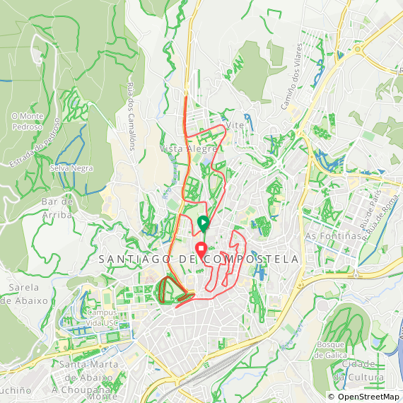
Course: Road and cobbles meandering route. Start in the Old Town in front of the Convent of San Francisco, heading out North for a loop around the University, loop in the Parque Alameda and a final 3k in the Old Town to finish in front of the Cathedral.
Other routes touched: End points of all of the Caminos de Santiago
Finish time: 58 minutes
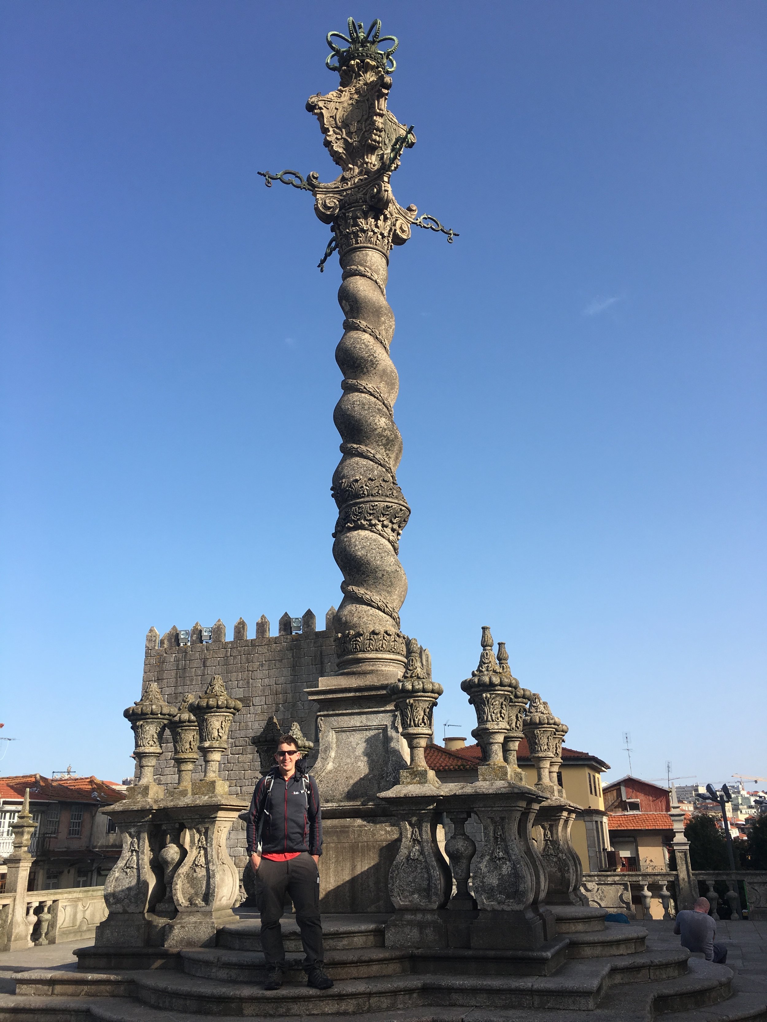
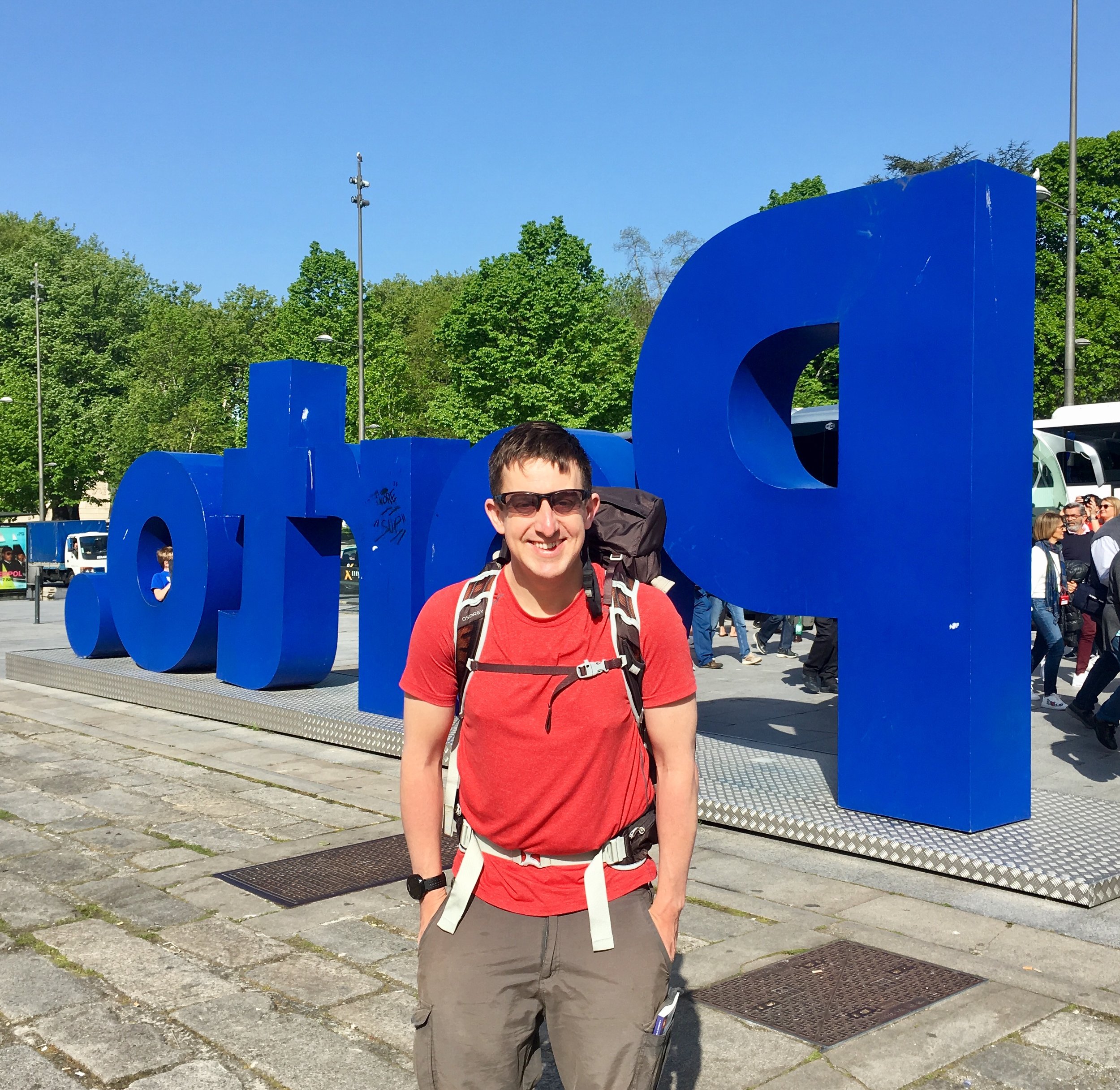
Porto Old Town
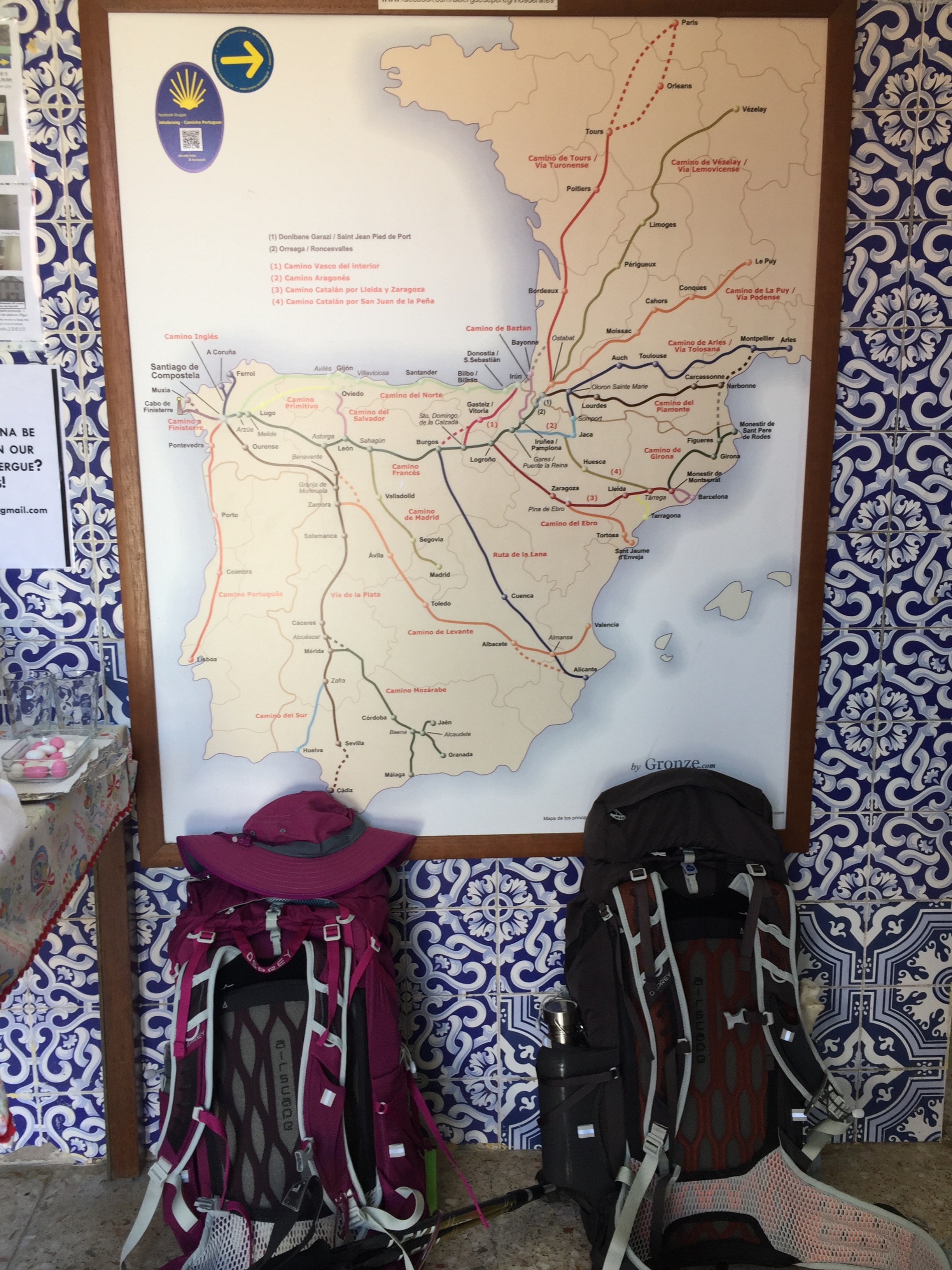
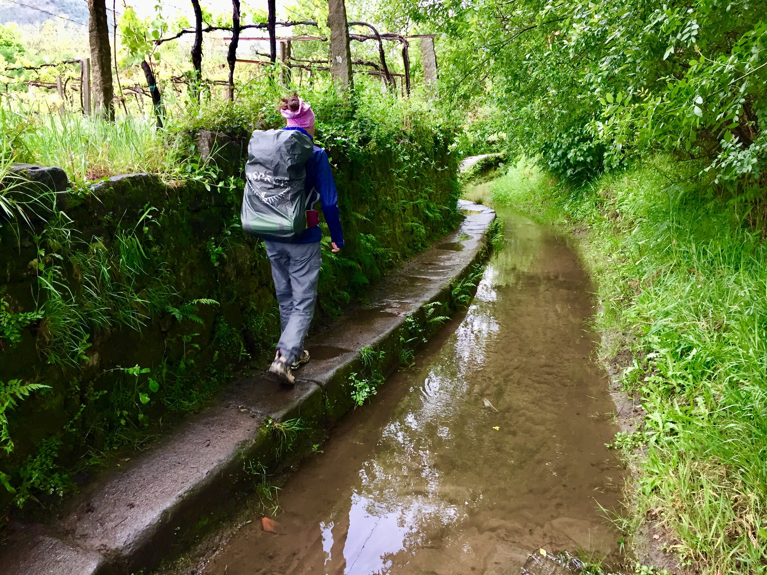
I can’t even remember when I first got excited about walking a Camino. It was probably around 13 years ago when I read The Pilgrimage by Paulo Coelho. Since then the 800km Camino Frances was firmly lodged in my bucket list. It stayed there for a long time though. I’d only considered doing it as a single trip but taking 6 weeks off work wasn’t something I was keen to do. A Camino remained something I would do “in the future”.
Much had changed in the following years. I got married and, unlike a lot of post-marriage men, I became even more adventurous. The tipping point was when my wife Timea also got the adventure bug. Sometime in 2018 she decided that she definitely wanted to do a Camino too.
We still weren’t in a position to take 6 weeks off so we discussed how to get a 1 week Camino taster. On studying the route of the Camino Frances I worked out that the section from St Jean Pied de Port to Pamplona could be an option. I even researched the dates of the Bull Run in case we could “accidentally” arrive for the start of the event (and it would be rude not to take part). Timea quickly realised what I was up to and vetoed that idea immediately.
Our plan came together when we talked to our friend Adina. She had already done a couple of Caminos and convinced us that 1 week was not enough. A true Pilgrimage experience, whether it’s religious, spiritual or simply a personal journey needs at least 2 weeks. The section of the Camino Portuguese from Porto to Santiago would fit nicely into a 2 week window. Throw in the 2 country, 2 time-zone factor and I was completely convinced.
Day 0 - London to Porto
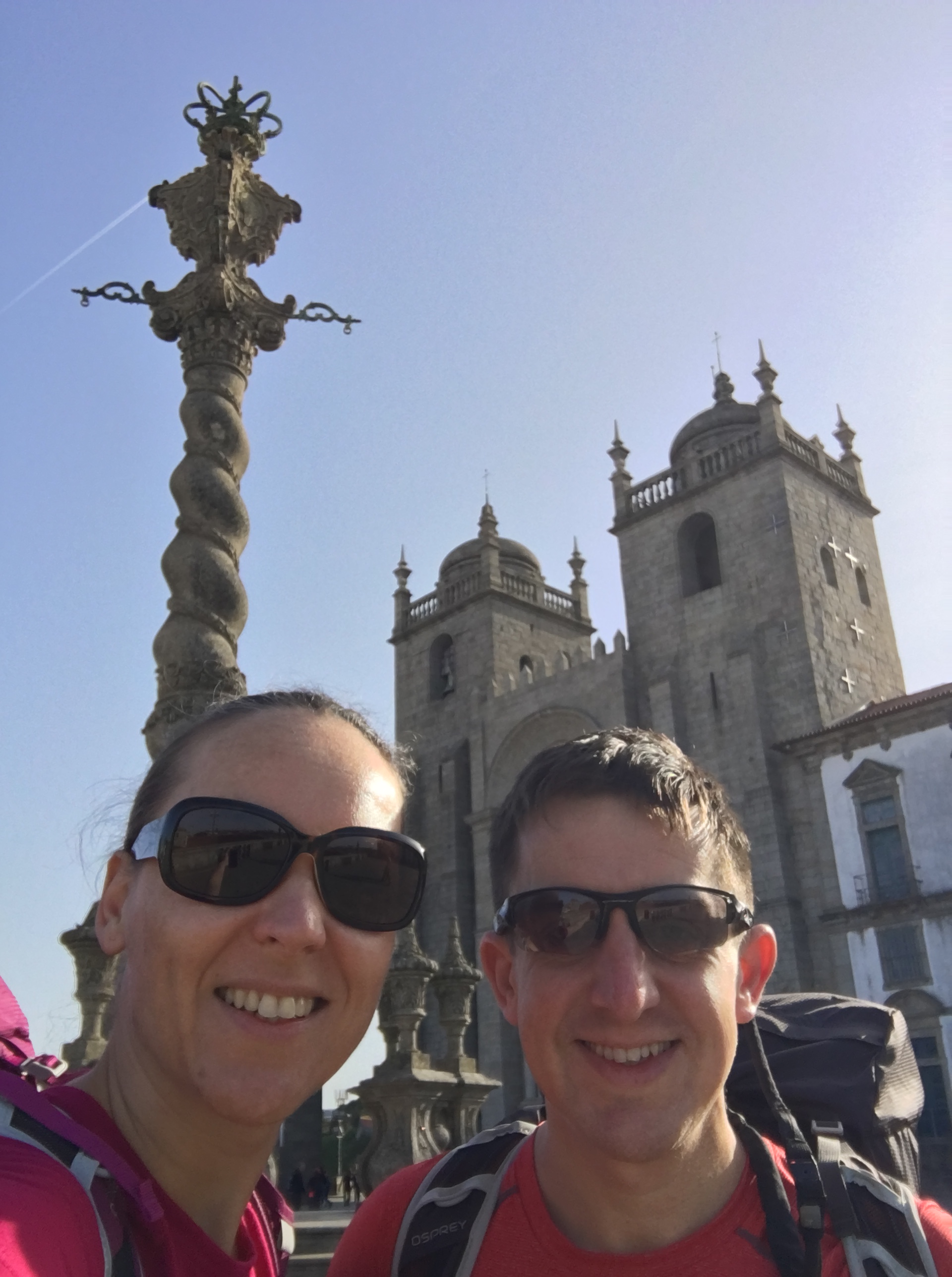
We arrived in Porto on Good Friday. Rather than taking a taxi from the airport as we would have normally done, we got the Metro. Just like the Pilgrims of yore. Our destination station, Sao Bento conveniently gave us a walk past the Cathedral on the way to our apartment. We stopped by and got our first stamp for our Camino passport.
Our apartment was 3 minutes from the Cathedral door and in a old renovated building hugging the cliffs by the river. The bedroom had an old part of the stone wall and some Cathedral steps exposed in the bedroom. The wall has been built in the 1200s to protect the Cathedral during a war. Over time they had been built over and forgotten about only to be found again when this building was being renovated.
The apartment was a great place to explore the riverside of Old Porto. We’d been here a couple of times before so we could relax knowing that we didn’t need to cram in all the sights. This is a truly beautiful city and one I could spend a week getting lost in. For now a nice evening walk and a Cataplana (fish stew) was enough. There were new adventures to come in the morning.
DAY 1: Porto to Gião
Date: Saturday April 20th 2019
Start: Porto Cathedral
Finish: Casa Mindela, Travessa da Joudina, 265 ou Rua da Joudina, 427 Gião - Vila do Conde Portugal
Rest stops: Jeronymo, Rue das Flores / Cafe Simpatia, Leça do Balio / Café CL5, Vilar de Pinheiro
Distance: 23.9 km (14.9 miles)
Elevation Change: +444m / -462m. Net -18m
GPX File: get via Buy Me a Coffee
Walking Time: 5 hours 40 minutes
Other Routes Touched: Camino de Fátima
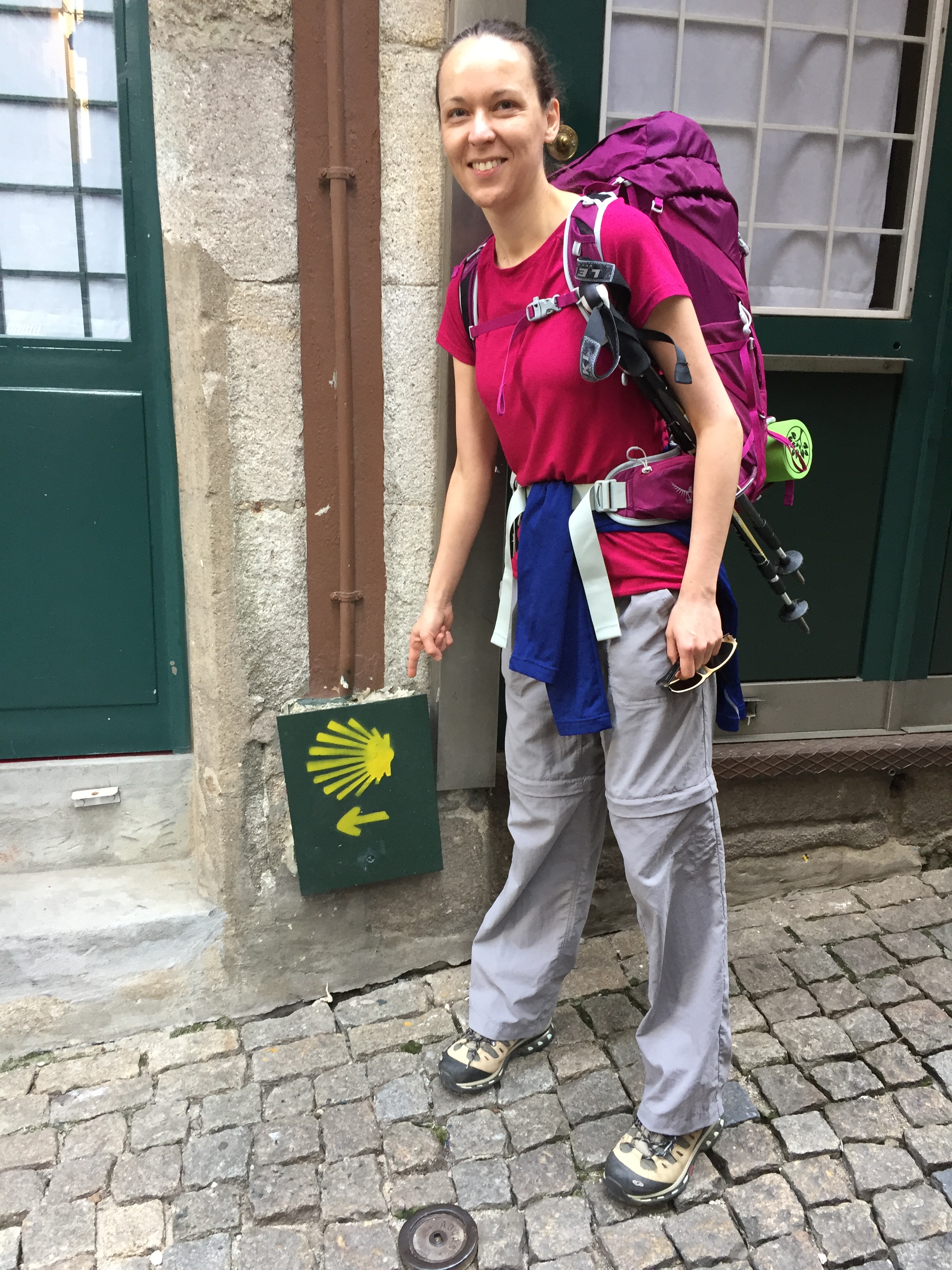
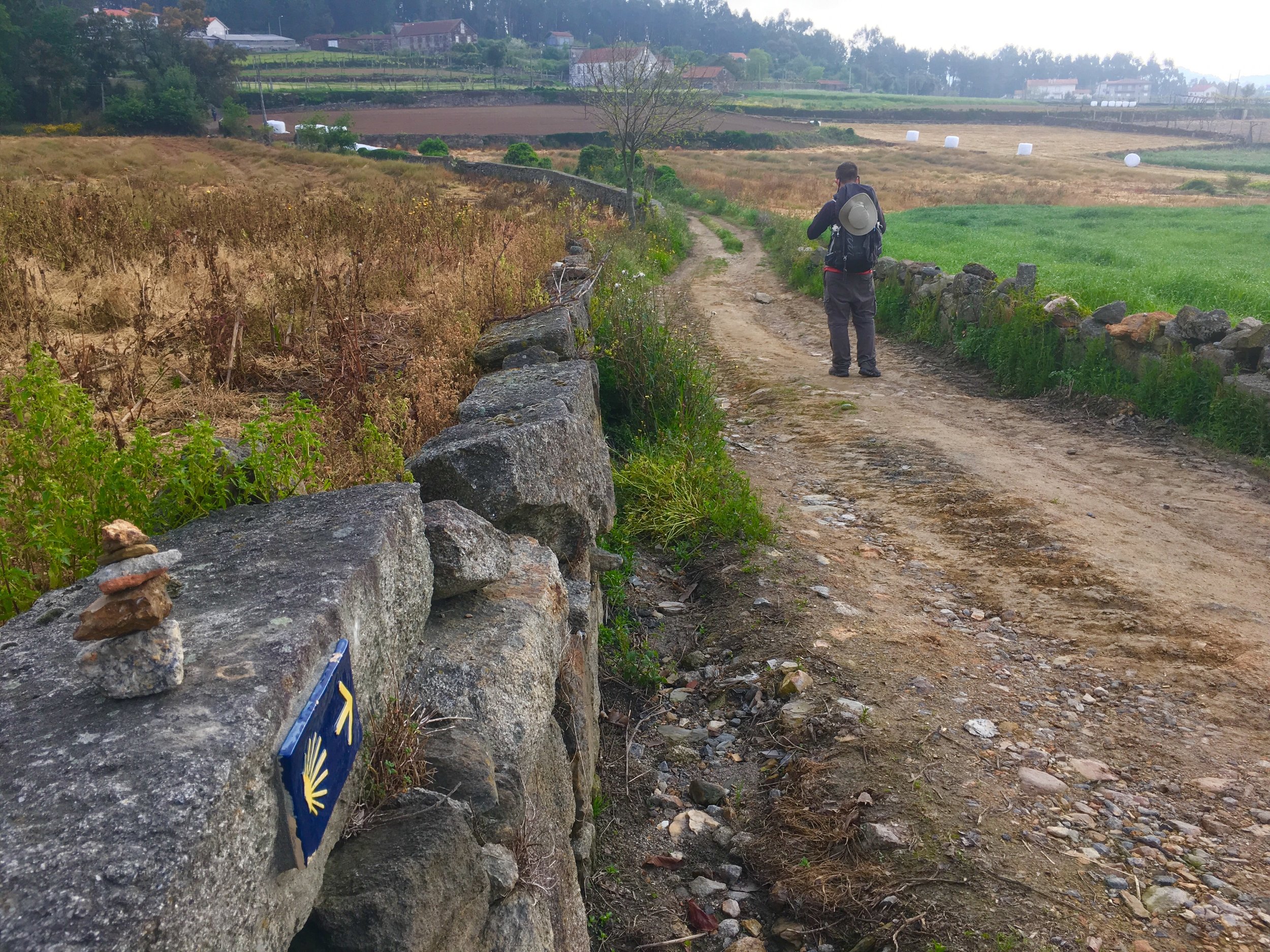
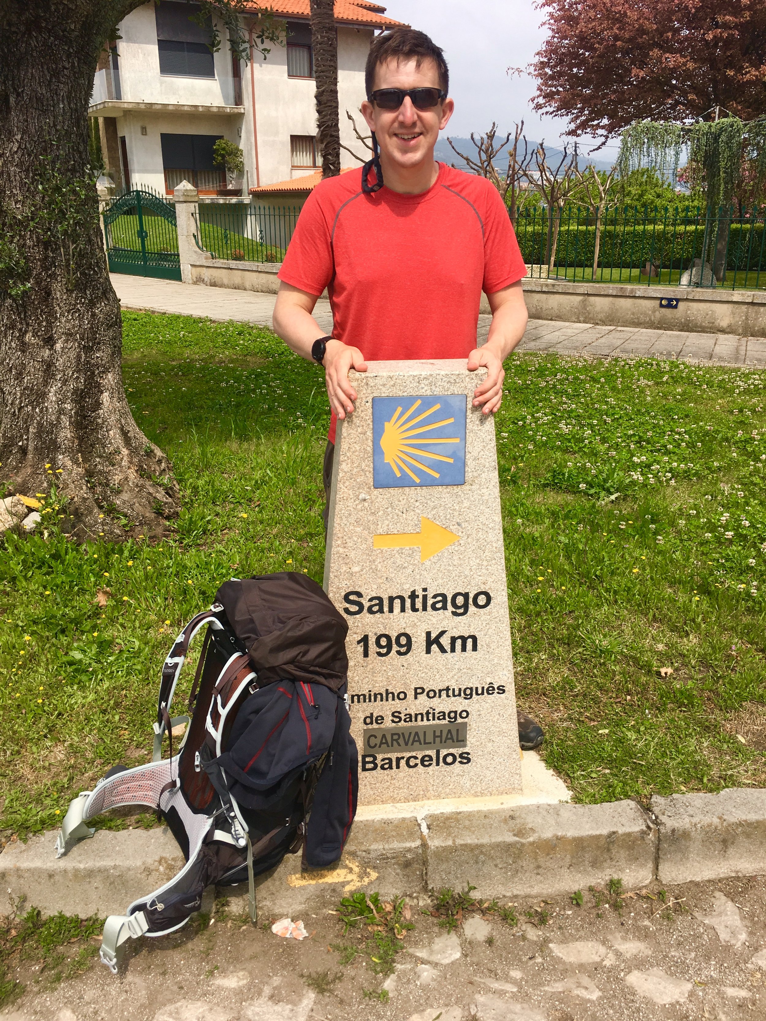
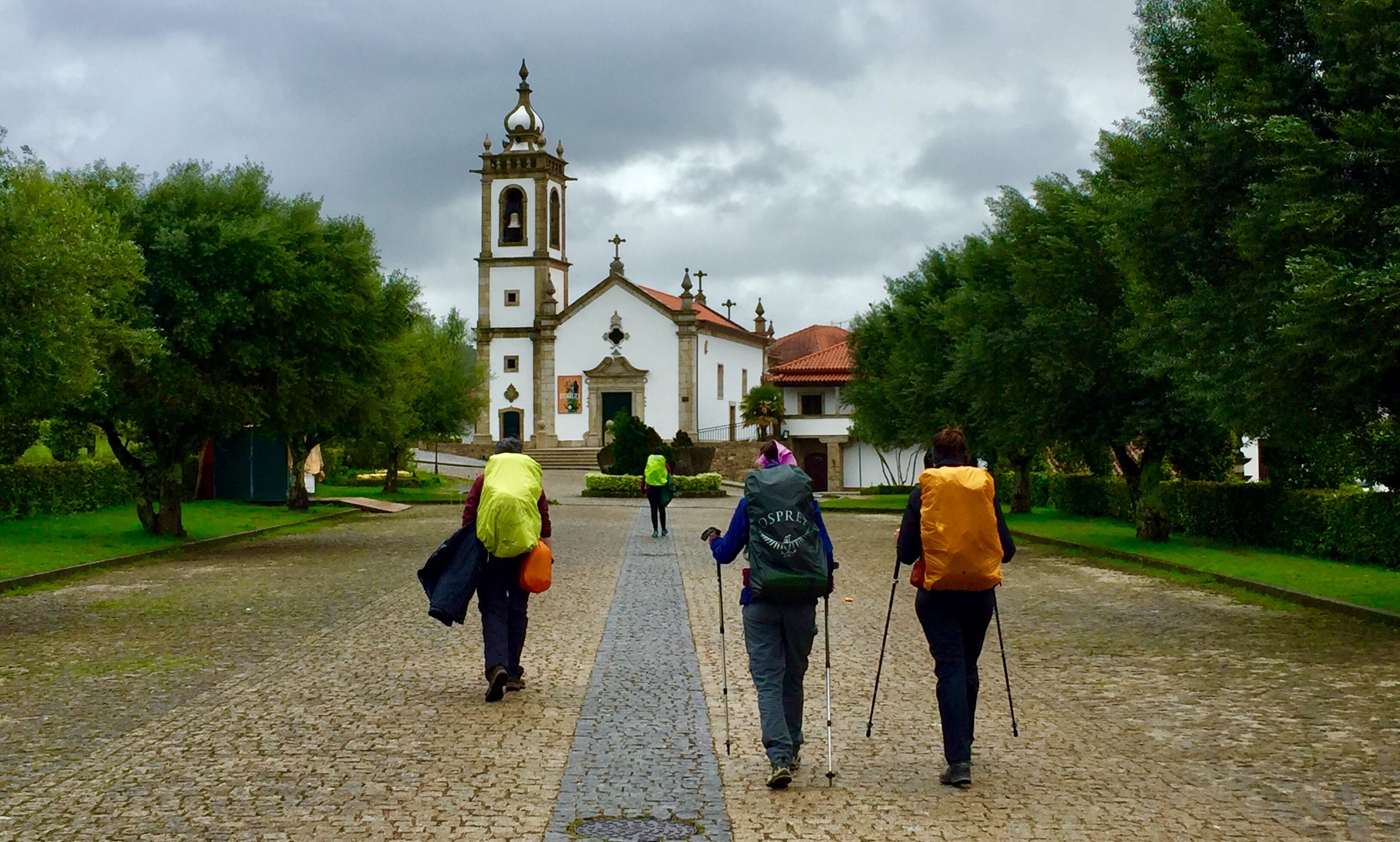
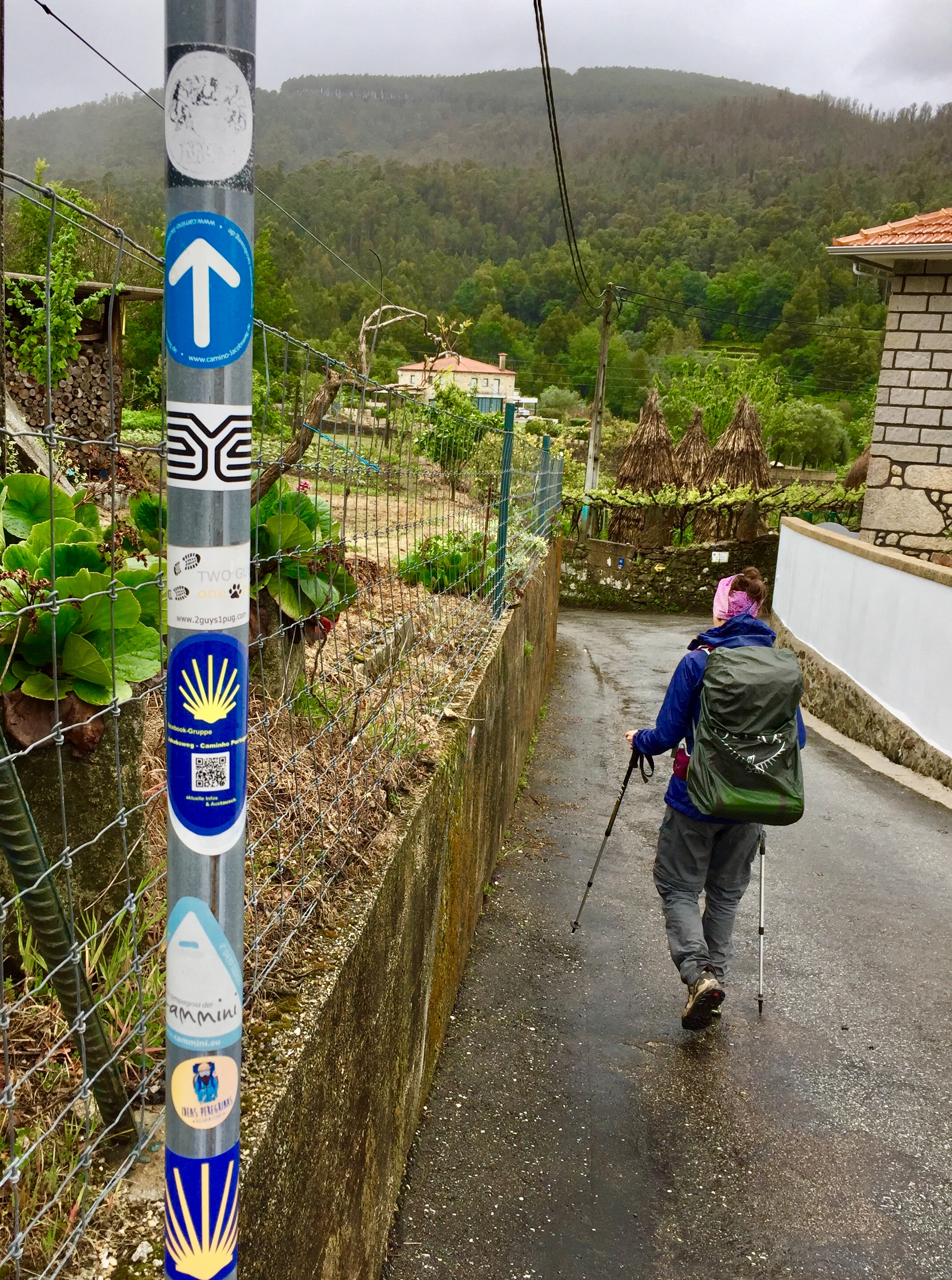
We left the apartment to be back at the Cathedral in time for the 9:00 bells. From here we picked up the first of what would be many thousands of yellow way-mark arrows that pointed to Santiago. Stamp #2 came from a cafe in Rue das Flores where we had a relaxing breakfast before restarting at 10:00 having only travelled 0.5km so far. Pilgrimages need some suffering but we weren’t planning on doing that on the first day.
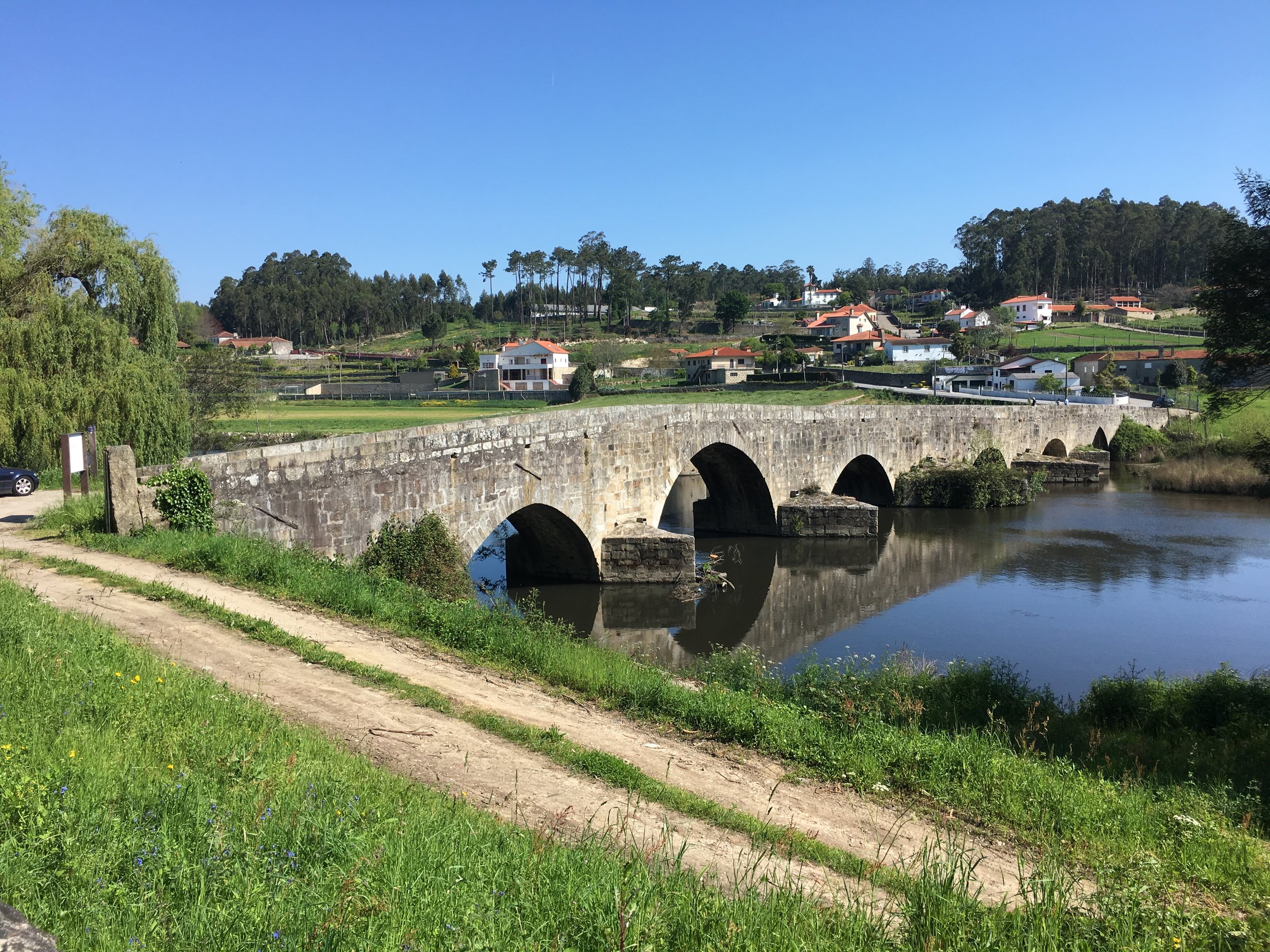
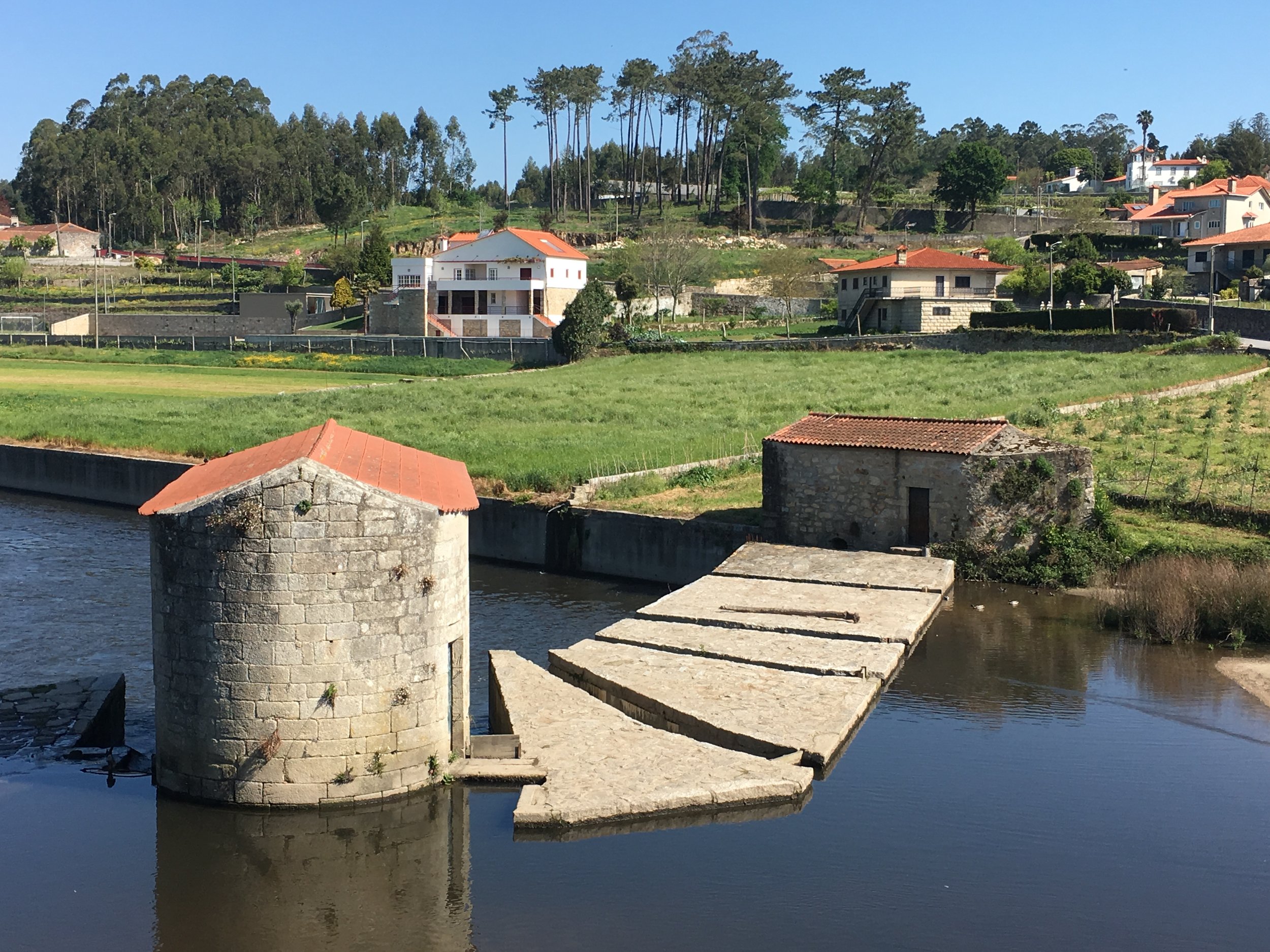
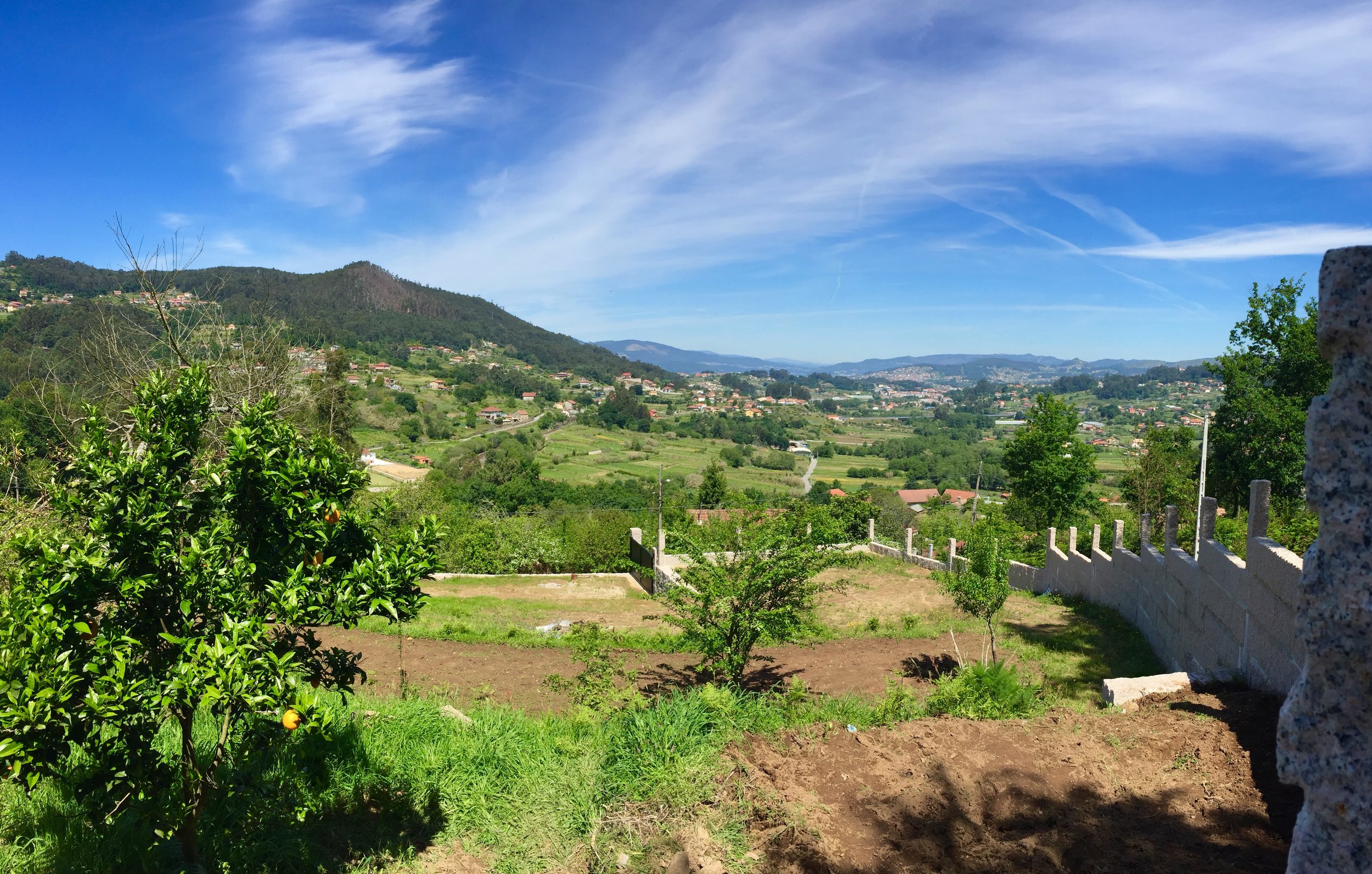
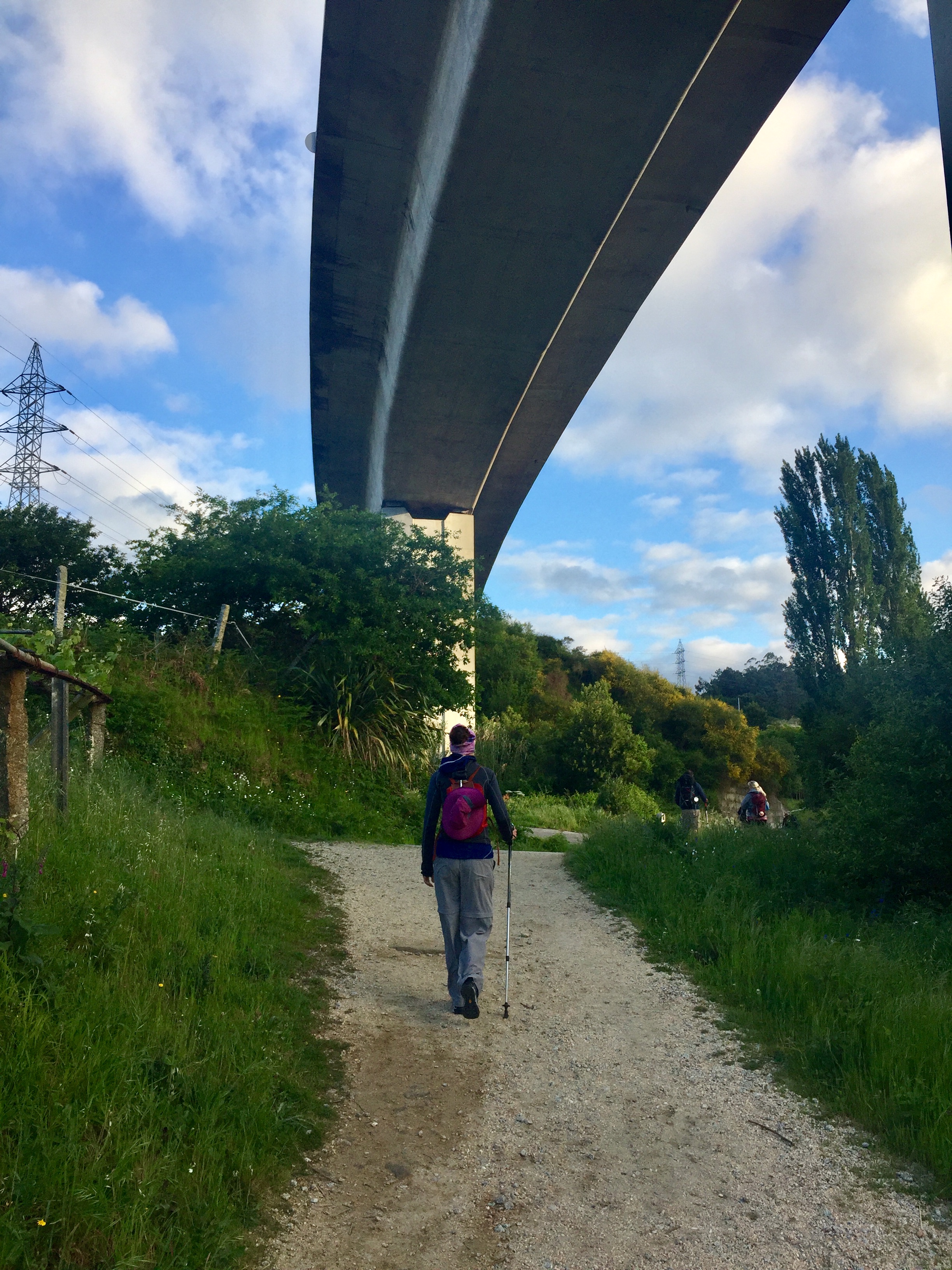
The rest of the day was quite diverse as we followed the route from the Old Town. We passed through the outskirts of the city, nice villages, motorway crossings and an industrial zone. By the 20km point the city was well behind us and we were in the countryside that would be our host for the next 2 weeks.
We didn’t make it as far as the end of the first stage described in the guidebook. Rather than complete the trip at Vilarinho we stopped in a lovely hotel in the grounds of an old farm near Gaio. The place had been in the same family for generations.
This was a beautiful place with a friendly owner. She even called the local restaurant to bring us some food to have on the patio. Day 1 was long, hot and tiring but we were already loving our Camino adventure.
DAY 2: Gião to Rates
Date: Sunday April 21st 2019
Start: Casa Mindela, Travessa da Joudina, 265 ou Rua da Joudina, 427 Gião - Vila do Conde Portugal
Finish: Albergue de Peregrinos, São Pedro de Rates, Rua de Santo António 138, 4570-503 Rates, Portugal
Rest stops: Companhia Do Pão, Largo de Vilarinho / Restaurante Regional O Peregrino, Póvoa de Varzim
Distance: 15.7 km (9.8 miles)
Elevation Change: +236m / -243m. Net -7m
GPX File: get via Buy Me a Coffee
Walking Time: 3 hours 40 minutes
Other Routes Touched: Camino de Fátima, Camino Costa / Camino Central link at Arcos, Ecopista do Ramal da Famalaciao
After a nice breakfast we left the farmhouse over an hour earlier than the previous day. At 40 minutes in we reached the monastery in Vairão, a popular 1st night stop for many pilgrims. Another 30 mins and we were in Vilharinho, the end of stage 1 in the guidebook. Having already had a long day yesterday, a single day trip from Porto to Vilharinho seemed inconceivable. There was also no need for us to keep up with the pace set by the book. We only needed to average 18 km per day so we had an extra 3 days to play with.
We had planned to stop in Sao Manede for lunch after 11km. The town was a lot smaller than we expected and passed right through it without noticing. We even popped into the cafe to pick up water thinking we had another 2km to go. By the time we realised it was too late to turn back so we headed on another 2 km to Arcos. We were tired and hungry when we got there but nothing was open. We sat in the shade outside one of the closed restaurants to contemplate our options.
We phoned ahead to a hotel 10km out but it was fully booked. Our best option now was to head to Rates, 5km away, and spend the night in the albergue there. As we closed in on the albergue we met a nice mother-and-son team from the Netherlands. He was a Camino convert and had brought his mum on his second Portuguese trek. This week was a warm-up for him as he was 6 weeks away from starting a 7 month Camino from The Netherlands to Santiago.
We also bumped into a guy and his dog who we’d seen a couple of times before. He tried to book into the farmhouse the previous night but it was fully booked so he pressed on until the Monastery at Vairão. We also met him halfway today when he overtook us. Bringing a dog on a Camino adds extra adventure as most places won’t take dogs. He went for the fully unplanned version of the Camino and didn’t even have a guidebook or a phone. Pretty impressive.
We ended the day watching the sunset over the hills between the town and the coast sharing a bottle of Port with our new Dutch friends.
DAY 3: Rates to Barcelos
Date: Monday April 22nd 2019
Start: Albergue de Peregrinos, São Pedro de Rates, Rua de Santo António 138, 4570-503 Rates, Portugal
Finish: Art'otel Barcelos, Rua de Santo António 138, 4570-503 Rates, Portugal
Rest stops: Café/Restaurante Noémia, Góios
Distance: 16.6 km (10.3 miles)
Elevation Change: +257m / -283m. Net -26m
GPX File: get via Buy Me a Coffee
Walking Time: 3 hours 54 minutes
Other Routes Touched: Camino de Fátima,
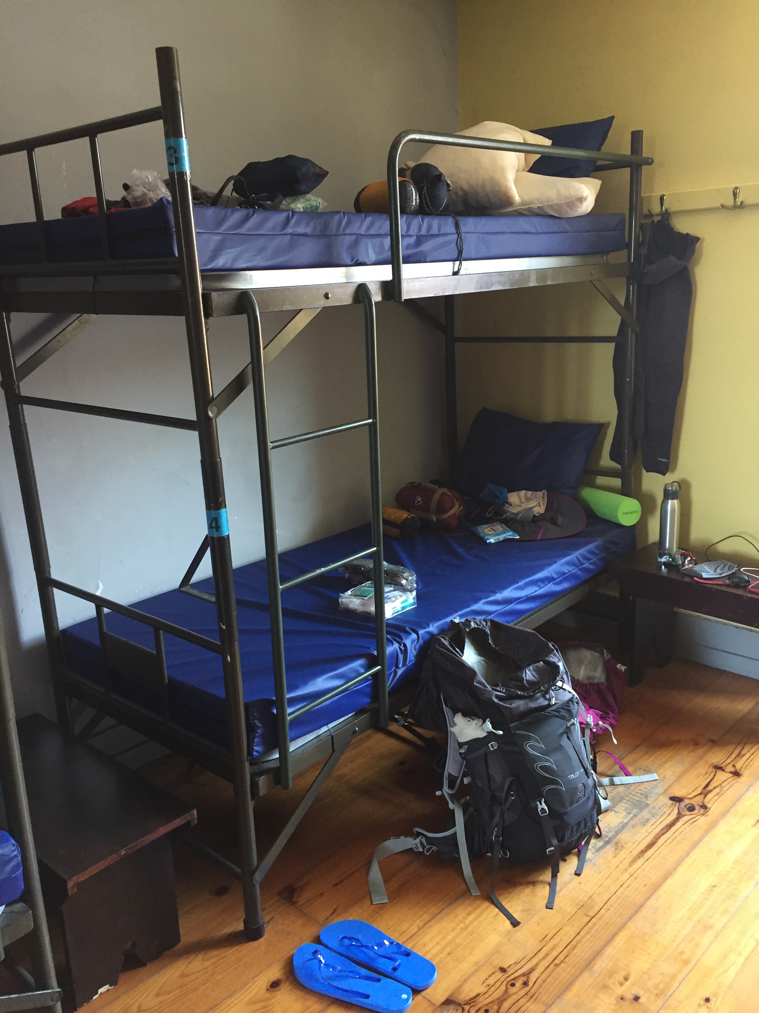
Our first night in a public albergue wasn’t a resounding success. It all started well with a very friendly Hospitaliero, a welcome cake and first pick of the beds. The trouble started when the lights went out and we found ourselves in the Finals of the European Snoring Championships. I’m a bit of a snorer myself so I’m often concerned about keeping others awake in a public dorm. I didn’t need to worry that night as our new Dutch friend was making a great impression of a Harley Davidson all night. I managed to get some sleep but Timea (a light sleeper at the best of times) had to move to the sofa in the common room. At 05:30 Timea shook me awake and announced that we were leaving. I think that was the first time ever that she had been awake at that time.
The early departure gave us a quiet road to ourselves after a social and noisy evening. It was a nice cool temperature and the mist gave the fields a magical quality.
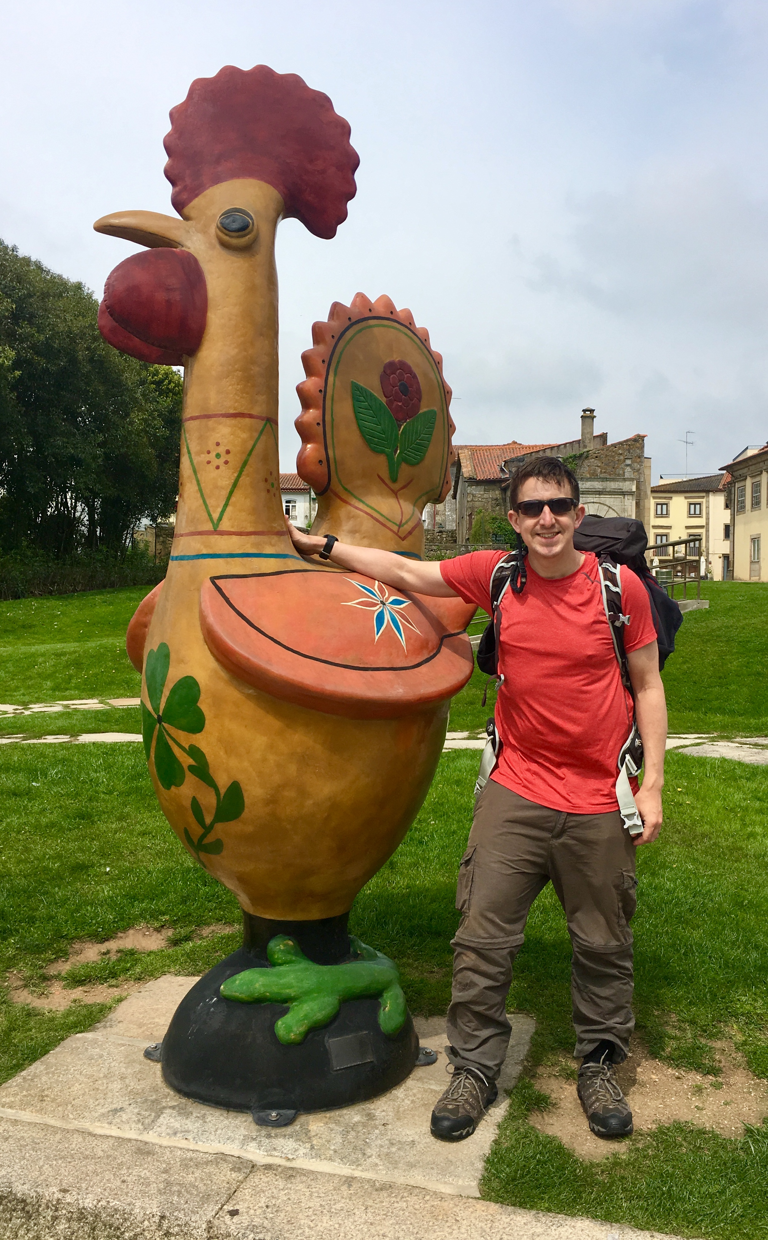
We ended this day in Barcelos, a town famous for its many rooster statues. The town's story concerns a rich man that threw a big party. When the party was over, the man noticed that his cutlery had been stolen by a guest. He accused a pilgrim of the theft and let him go to court. He protested his innocence, but the judge didn't believe him. The judge was about to eat rooster when the pilgrim said: "If I am innocent, this rooster will crow three times." When the pilgrim was about to be lynched, the rooster crowed and the judge released the pilgrim. Since then the rooster has been the symbol of the town and can also be found across Portugal.
After the lack of sleep in Rates we were more than happy to spend a night in a nice boutique hotel. Just us, no bunks, no snoring and a very good shower. Ending the night Timea proclaimed that she was broken and didn’t want to move for at least 2 days. In the next sentence she asked what would happen if we arrived in Santiago early. Would the hotel give us an extra couple of nights? I told her not to worry about that for at least a week and a half.
DAY 4: Barcelos to Lugar do Corgo
Date: Tuesday April 23rd 2019
Start: Art'otel Barcelos, Rua de Santo António 138, 4570-503 Rates, Portugal
Finish: Albergue De Peregrinos Casa Da Fernanda, N204 2, 4990-680 Vitorino dos Piães, Portugal
Rest stops: Café Arantes, Lijó / Restaurante 2000, Senhora da Portela / Pastelaria Sra. Lapa, Aborim
Distance: 20 km (12.4 miles)
Elevation Change: +372m / -313m. Net +59m
GPX File: get via Buy Me a Coffee
Walking Time: 2 hours 44 minutes
Other Routes Touched: Camino de Fátima
We left Barcelos at 08:30 after making the most of breakfast at the Art hotel. We had used up our luck with the dry weather and left the hotel in light drizzel after a full night of heavy rain. The rain turned out to be fine and it was nice to feel a bit cooler after a few hot days.
We were also feeling lighter. Maybe it was because we were getting used to the trekking and we were more rested. Maybe it was just the combination of all the toothpaste, deodorant and plasters we’d used up the days before. It also reminded us of something the Hospitaliero at the Rates Albergue said to us. He said that his rucksack represented his sins but every time he removed stuff from it it still felt just as heavy. Maybe we didn’t have as many sins as him to start with as we were getting lighter.
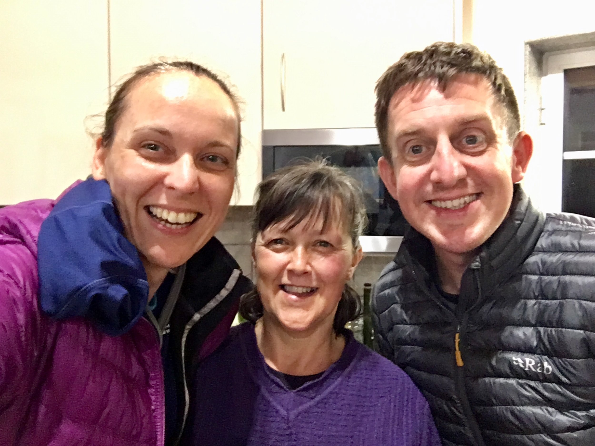
Today we made some Camino friends. Mark and Sienna were a father-and-daughter from the UK who we’d briefly met when leaving the Rates hostel and Kati from Germany was walking alone. We all found ourselves on roughly the same pace and would walk together for the next few days.
Evening accommodation was at a private albergue called Casa Fernanda. We were hesitant about staying there as we’d already been put off the albergue experience. There were few other options that day so we took what we could. As it happened, this was our best night and probably the one we’ll most remember from the whole experience. The place started small. It used to be a private house on the Camino where one night a Pilgrim knocked on the door asking for a place to stay. Not wanting to turn anyone away, Fernanda gave her a bed in her home. From here it grew and became a popular place for Pilgrims to visit. Fernanda is a lovely caring person who does everything to make a Pilgrim feel at home. She has 12 beds in a cabin and hosts everyone for dinner in her kitchen. That night there was 25 for dinner, including several Pilgrims who she found rooms for amongst her neighbours.
It was a late night with lots of Port, conversation and some outstanding singing and guitar playing from our new friend Sienna. This was the first time we really felt that we were experiencing a true, special, pilgrimage experience.
DAY 5: Lugar do Corgo to Ponte de lima
Date: Wednesday April 24th 2019
Start: Albergue De Peregrinos Casa Da Fernanda, N204 2, 4990-680 Vitorino dos Piães, Portugal
Finish: Mercearia da Vila, R. Cardeal Saraiva 34, 4990-076 Pte. de Lima, Portugal
Rest stops: O Farinheiro - Padaria E Pastelaria, Correlha / Sabores do Lima, Largo António de Magalhães, Pte. de Lima
Distance: 14.5 km (9 miles)
Elevation Change: +182m / -263m. Net -81m
GPX File: get via Buy Me a Coffee
Walking Time: 3 hours 21 minutes
Other Routes Touched: Camino de Fátima, Camino de Santiago Braga
Today started with breakfast with all the people at the albergue and a few big hangovers. Timea found some painkillers and decided that she was never going to drink Port again.
The day was short at 15km and, despite being mostly raining, it went fast. We got to know our new Camino friends better and shared stories of our various adventures.
This was the point where we understood the advice that we were given by our friend that one week of Camino is not enough. The first few days were a nice walking holiday but it was only now that it was becoming an experience. If we only had 1 week we’ be heading home soon. With 2 weeks the experience could get deeper day by day.
DAY 6: Ponte de lima to Pecene-Cossourado
Date: Thursday April 25th 2019
Start: Mercearia da Vila, R. Cardeal Saraiva 34, 4990-076 Pte. de Lima, Portugal
Finish: Casa da Capela, N303 116, 4940-132, Portugal
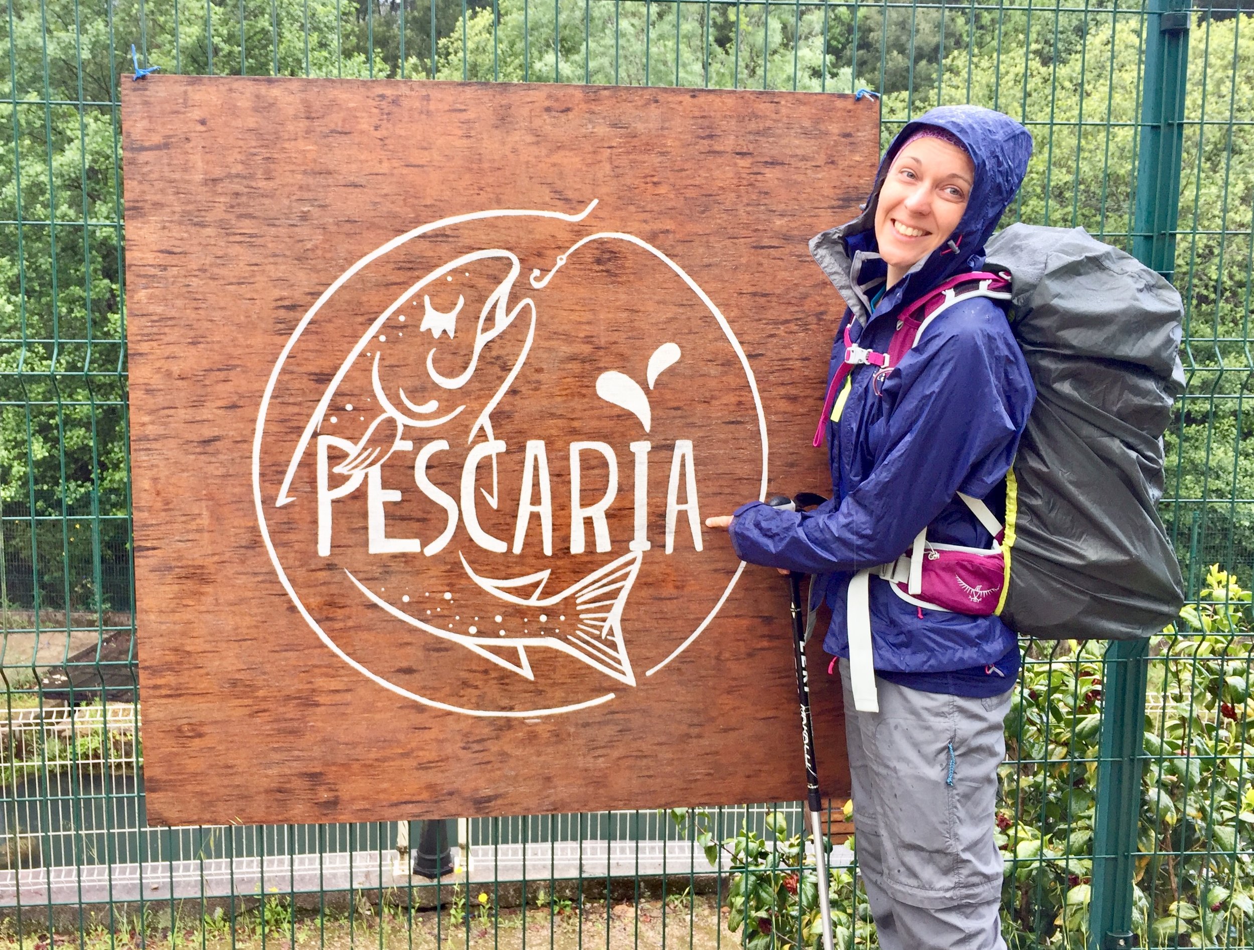
Rest stops: Pescaria, Mouro / Cafe Cunha Nunes, Labruja / Café São Sebastião, Rubiães
Distance: 22.3 km (13.9 miles)
Elevation Change: +616m / -388m / Net +228m
GPX File: get via Buy Me a Coffee
Walking Time: 5 hours 37 minutes
Other Routes Touched: Camino de Fátima, Camino de Santiago Braga
We left Ponte de Lima under a cloud. Our friends from yesterday were already slightly ahead of us as they were staying in the albergue in the other side of the bridge. They were already up and out as we sat down for breakfast giving them an hour's head start
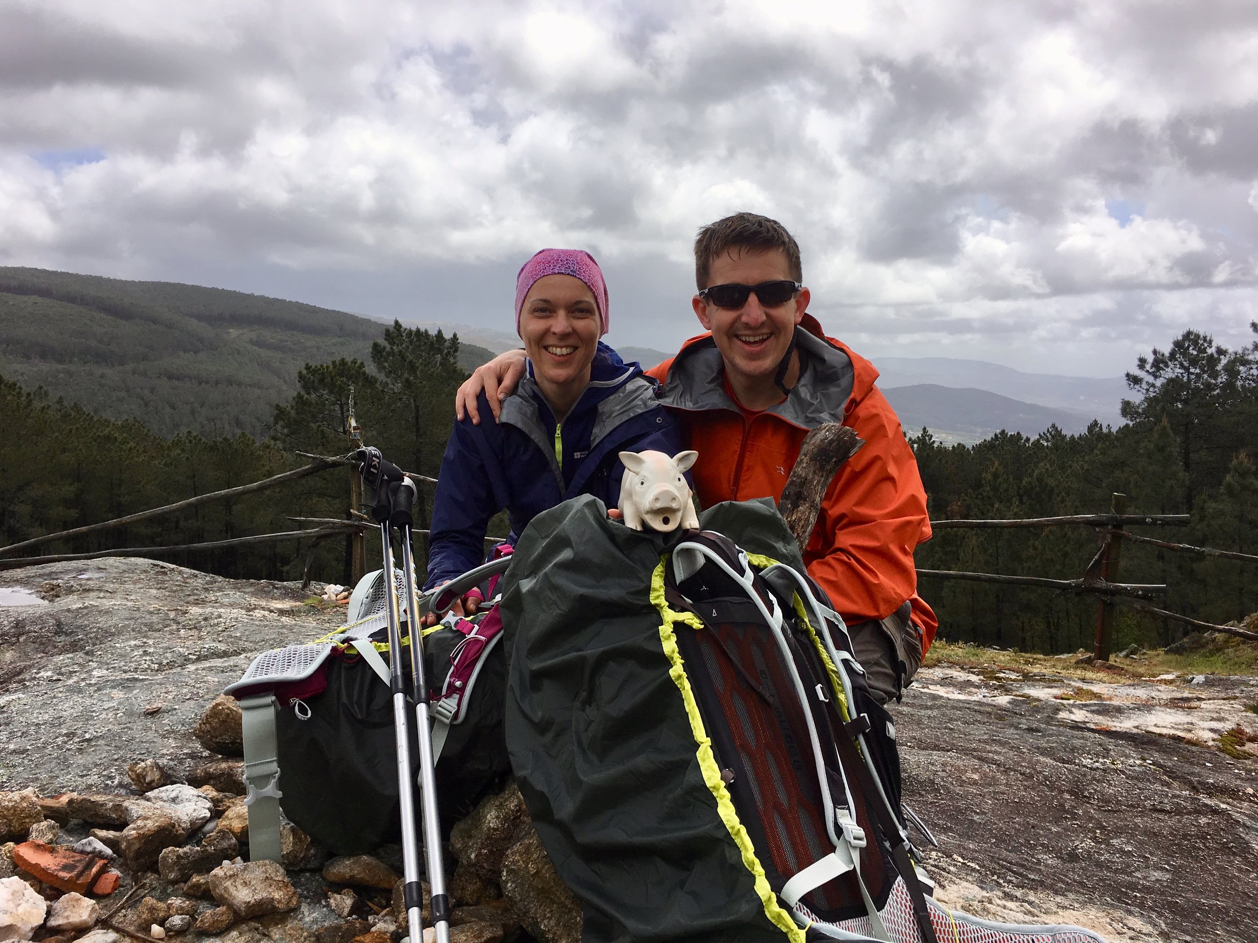
This day includes a climb up to Alto da Portela Grande, the highest point on the Camino at 405m. The weather gradually improved during the morning and we made the most of rest stops at the 2 cafes before the ascent.
Views from the top are fine but not spectacular so we didn’t hang around long. Within 5 minutes of starting the descent we got caught in short but fierce downpour. This was our first real test of whether we’d brought the right waterproofs. We didn’t. I was fine as my jacket kept out the rain and I never wear waterproof trousers anyway. Timea’s didn’t keep out much damp at all and she soon became soaked and cold.
By the time we got to Rubiães we were soaked. Timea popped into the albergue to change her trousers as we still had another 45 minutes to walk. As much as we were not keen on more walking it was much better than dealing with the lack of heating in the albergue. The final push to the guesthouse was more than worth it. It was lovely and, more importantly, gave us a chance to get completely warm and dry again.
DAY 7: Pecene-Cossourado to Valença
Date: Friday April 26th 2019
Start: Casa da Capela, N303 116, 4940-132, Portugal
Finish: Pousada Valença, Baluarte do Socorro, 4930-735 Valença, Portugal
Rest stops: Cafe A Toca, Rua da Viega, Valenca
Distance: 13.6 km (8.5 miles)
Elevation Change: +153m / -353m. Net -200m
GPX File: get via Buy Me a Coffee
Duration: 3 hours 12 minutes
Other Routes Touched: Camino de Fátima, Camino Portuguese Coastal, Grand Rota Travessia da Ribeira do Minho
The previous day’s soaking had taken its toll on Timea. She woke up ill and was caught in a dilemma about whether to walk for the day. In the end, she made the right choice and took a rest day while I continued on my own.
The silver lining on Timea’s rest day was that she met another lady at the guesthouse who was in a similar position. She had hurt her leg and was resting up while her husband continued. This couple would soon be added to our collection of Camino friends that we would see over the next few days.
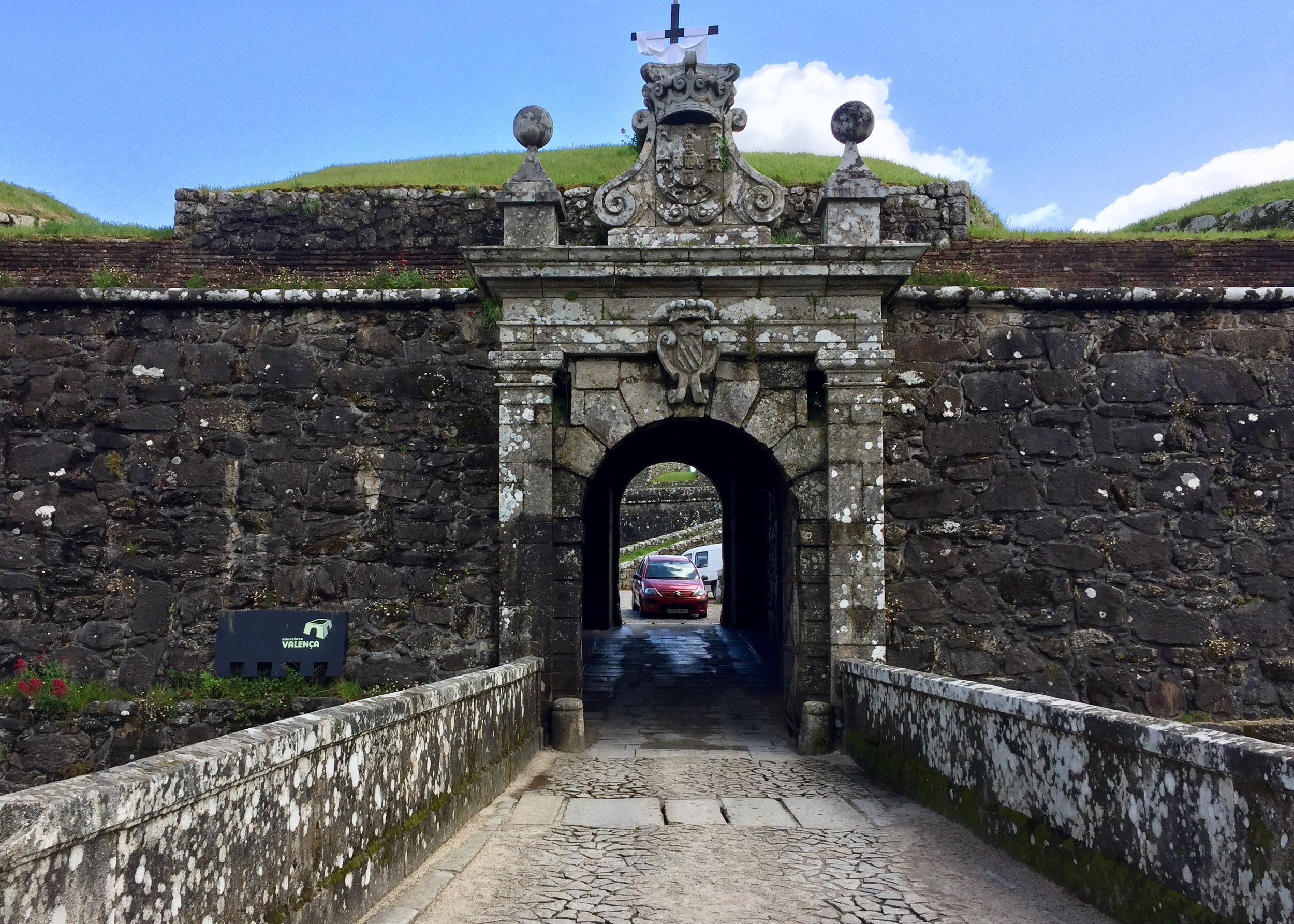
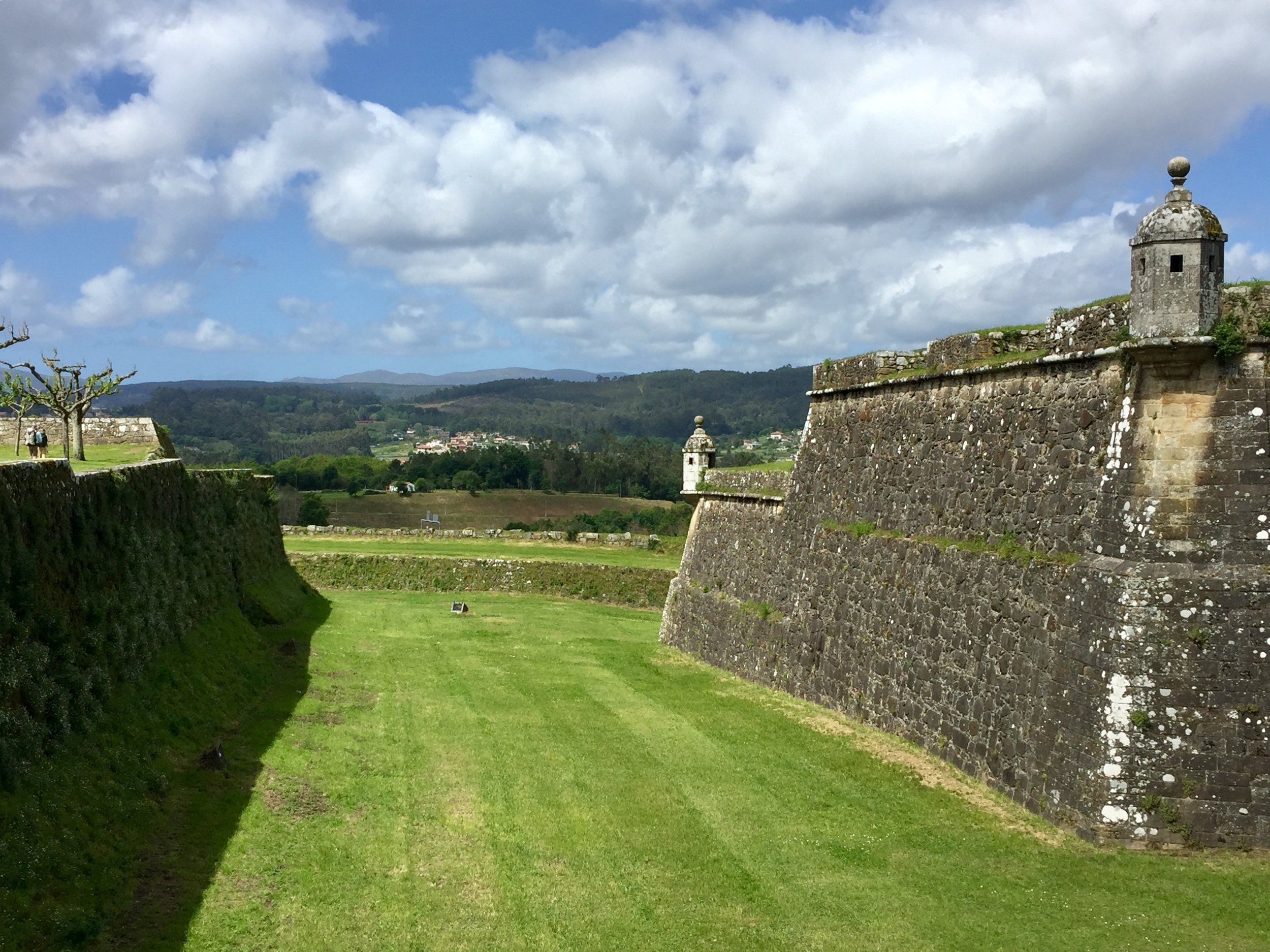
For me this was a short day and mostly downhill. I soon caught up with the 3 friends from Day 4 and we walked together to Valença. The rest of the walk was nice but unspectacular. The route was pleasant but had little to distinguish itself from other days. We arrived in Valença at midday to meet Timea and her new friend in a cafe in the main square.
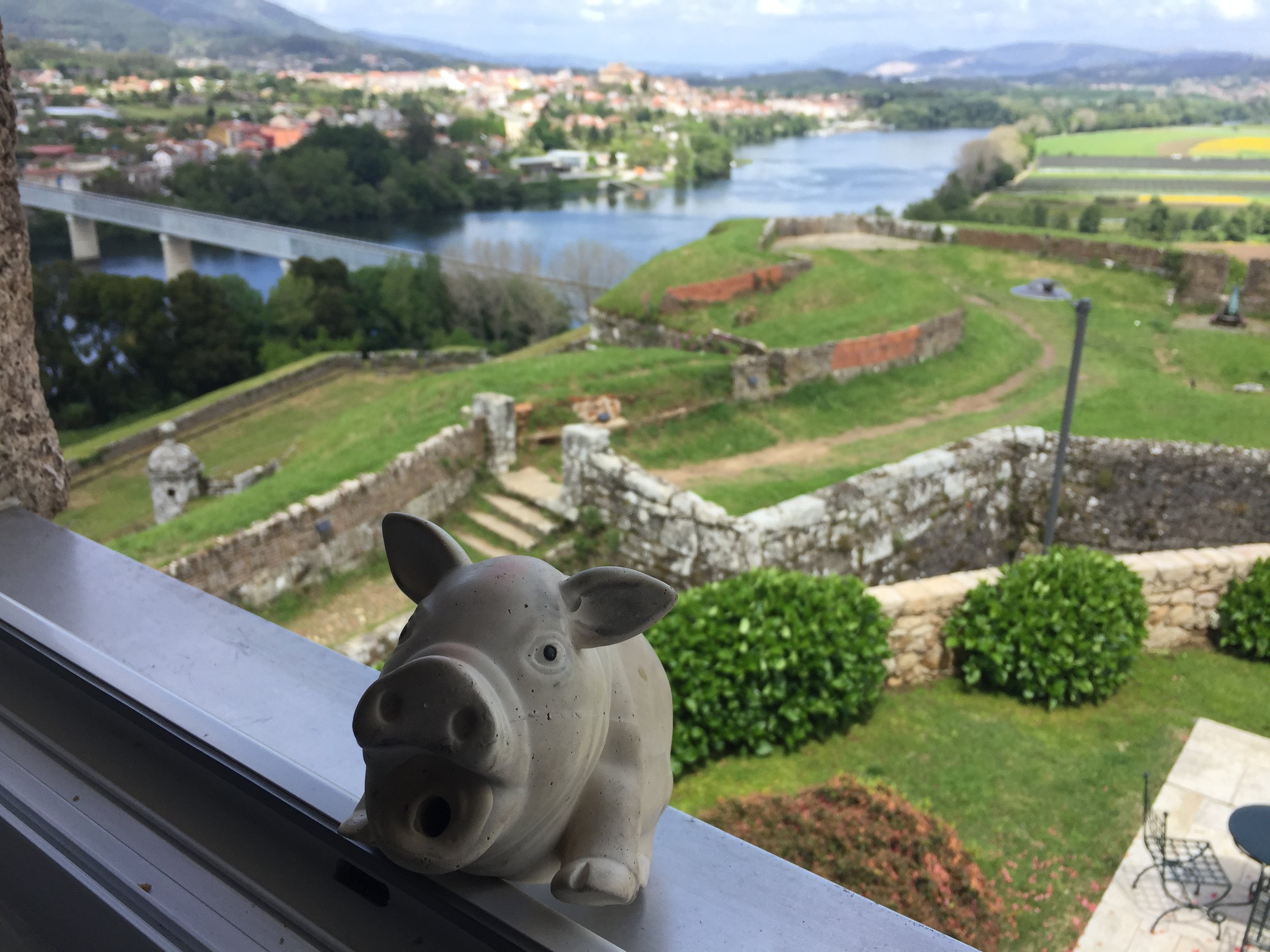
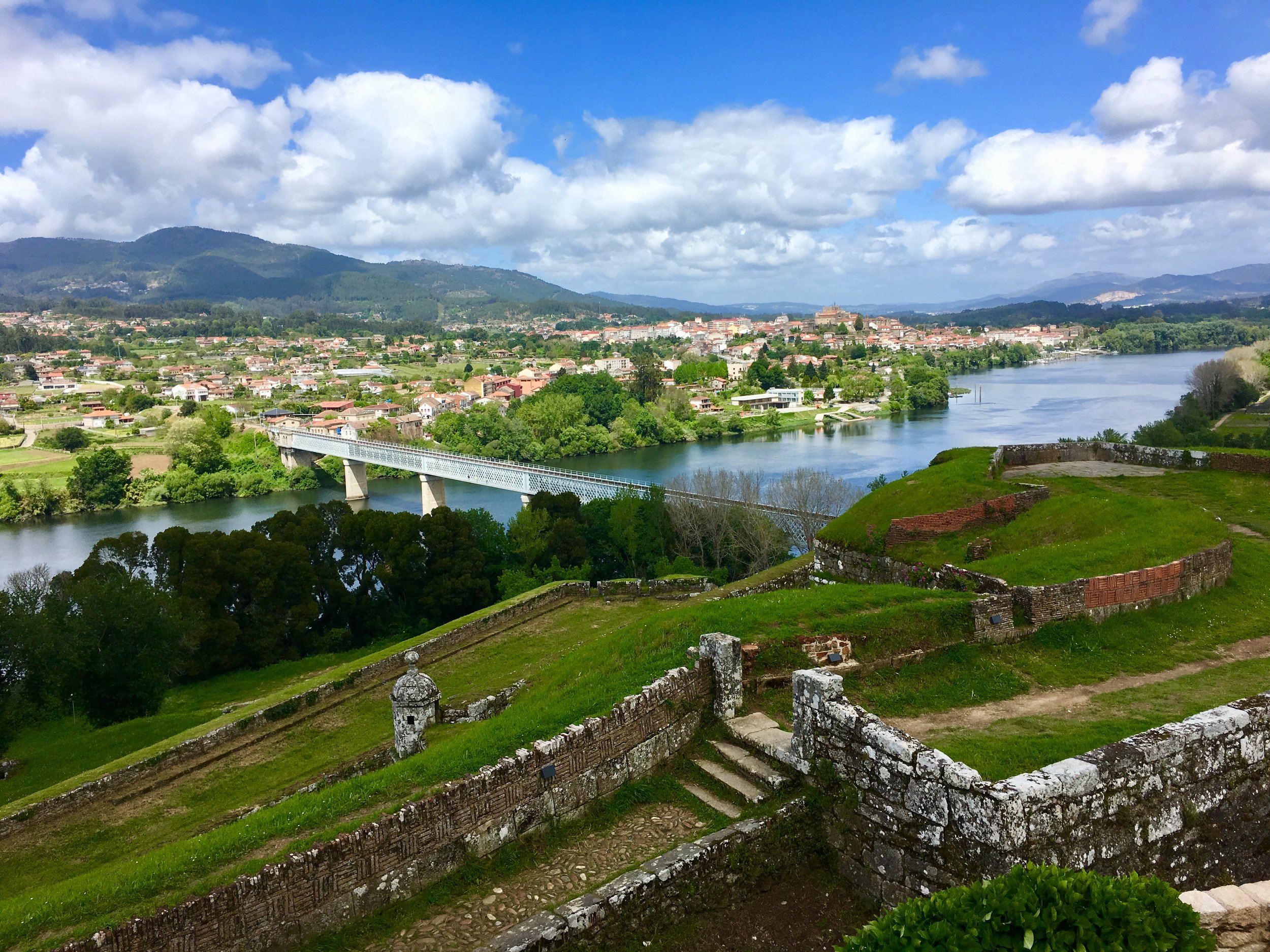
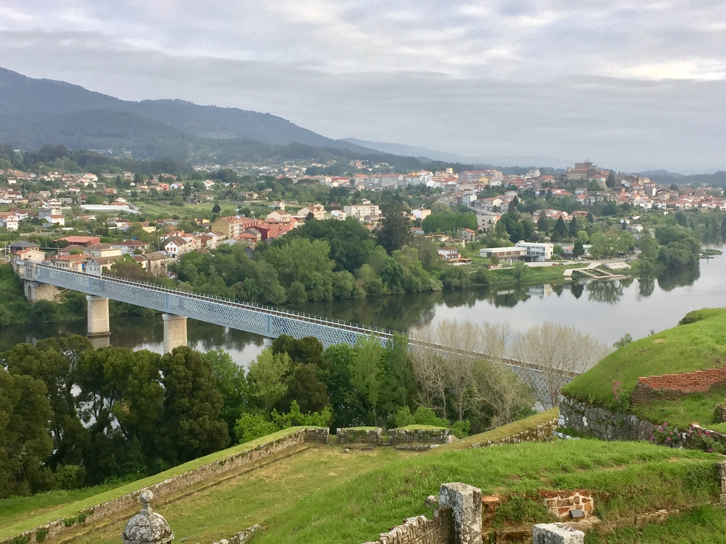
To celebrate the end of the first half of our Camino we stayed in the Poussada Valença. This is a very nice hotel high up on the hill overlooking the Minho River that marks the border between Portugal and Spain. Yes, its expensive, but if you’re not into the albergue-only type of Camino it's a great way to reward yourself for a big milestone in the trip.
Timea’s Facebook post for the day is a great summary of how we were feeling:
So, today we are celebrating many things:
- We are half-way through our journey both here and metaphorically / spiritually speaking.
- We have come to the end of the Portuguese section: we walked 129 kms so far.
- I decided to be mindful of my body and didn’t walk today. I didn’t feel too well after yesterday’s hike and took a taxi instead. It was a hard decision but the right one! #MyCaminoMyWay
- I’m 43 and as one wise man said yesterday, this is age is the spring of the Summer of our lives. I will start fresh as of tomorrow, so watch those spring flowers grow and help to feed them when needed.
- I’ve decided to change how I work in the future and to anchor that I will throw a stone into the river half-way on the bridge tomorrow.
- I have bought a new pair of hiking shoes to continue the journey in. They are so comfy and dry.. just what the doctors ordered!
- We have the sun back and there is an amazing view over to Tui in Spain from our window. That alone would be enough to celebrate!
DAY 8: Valença to Porriño
Date: Saturday April 27th 2019
Start: Pousada Valença, Baluarte do Socorro, 4930-735 Valença, Portugal
Finish: Hotel Internacional, Rúa Antonio Palacios, 99, 36400 O Porriño, Pontevedra, Spain
Rest stops: Cafe/Snackbar Ultreia, Magdalena 19, Ribadelouro / San Campio, Rua Centeans, O Porriño
Distance: 20.3 km (12.7 miles)
Elevation Change: +305m / -302m. Net +3m
GPX File: get via Buy Me a Coffee
Walking Time: 4 hours 44 minutes
Other Routes Touched: Camino de Fátima, Paseo de Louro
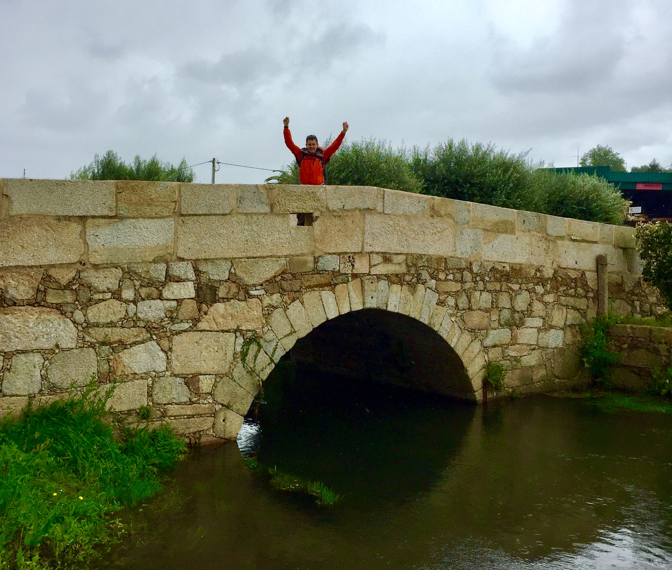
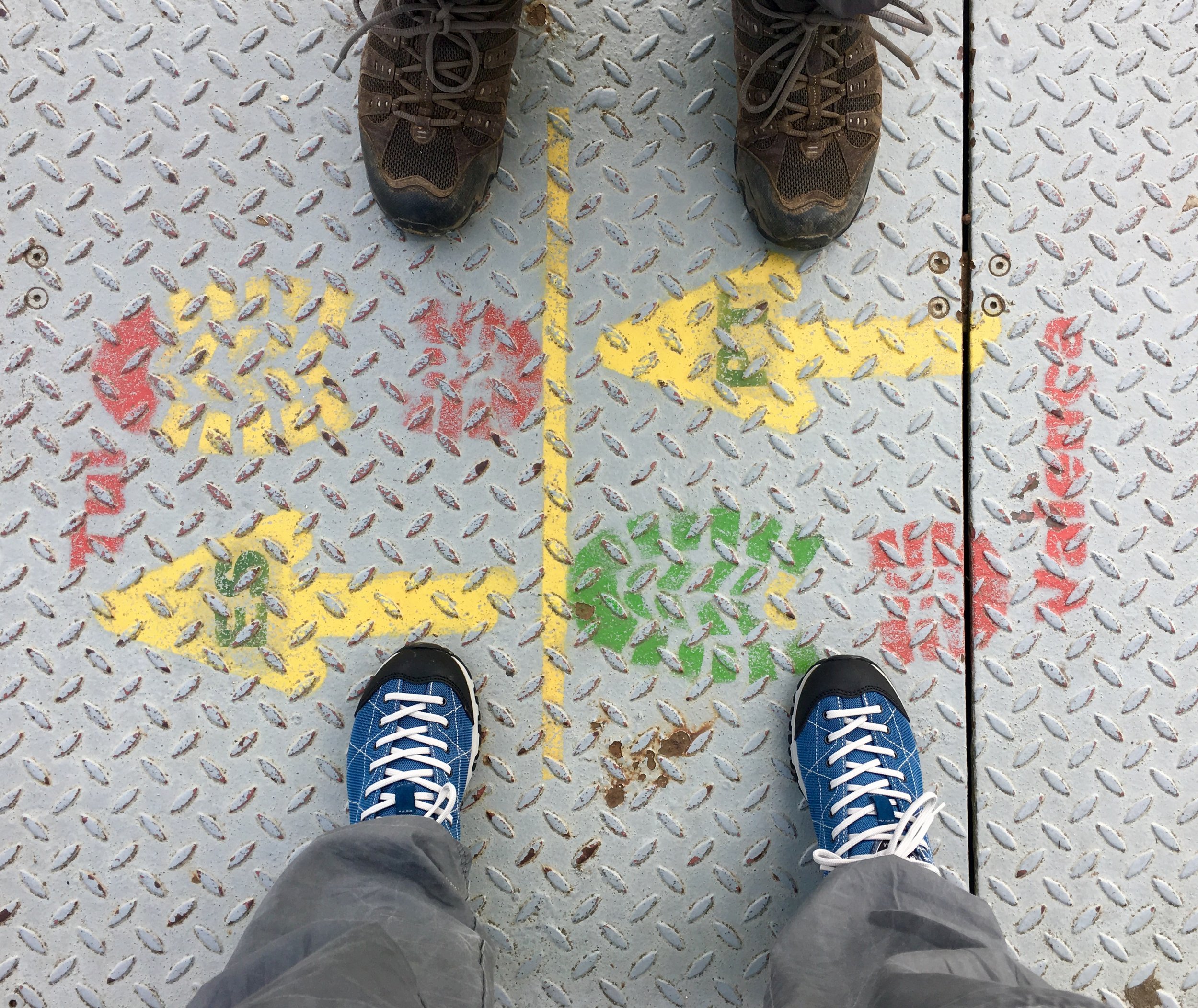
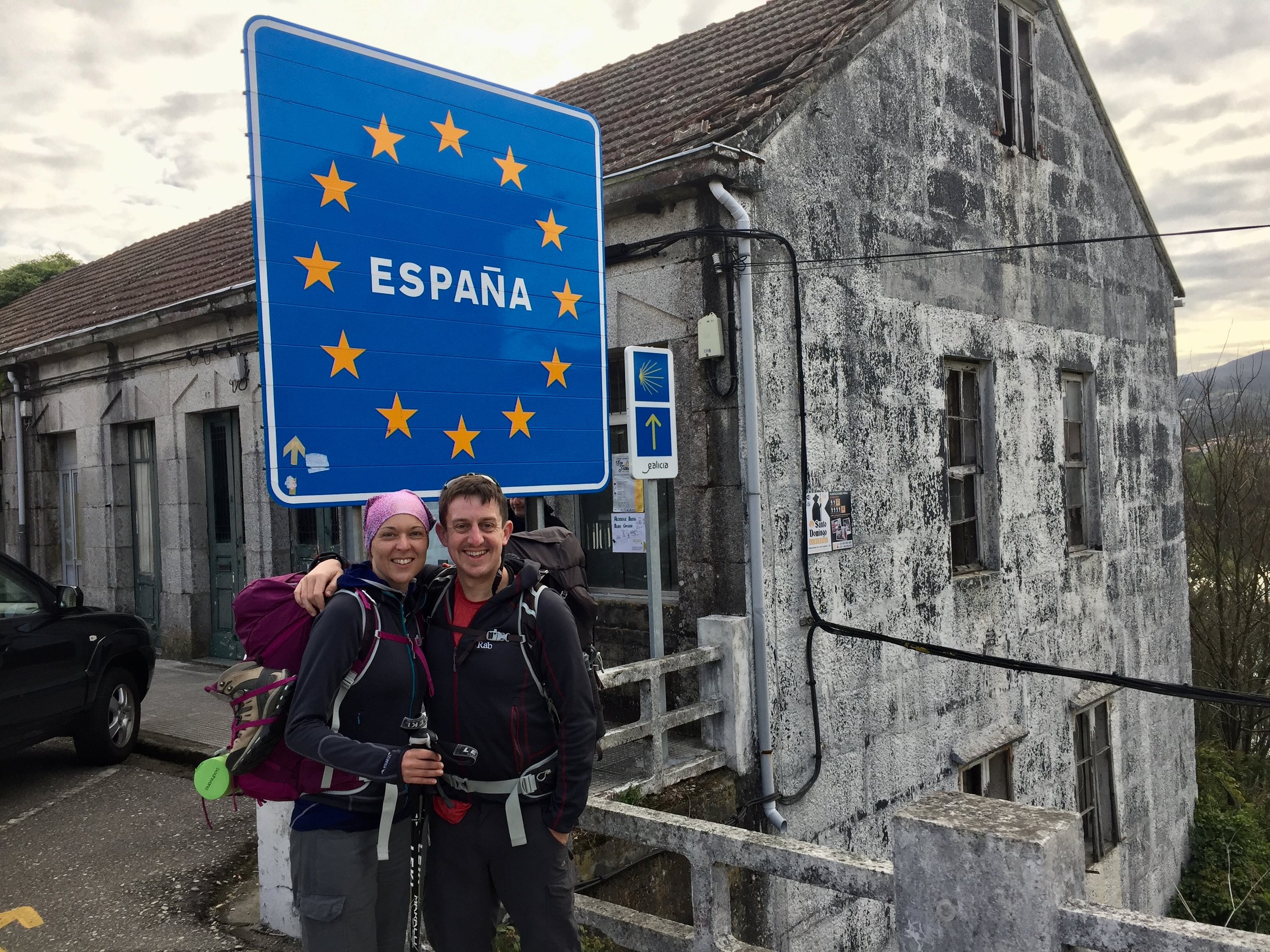
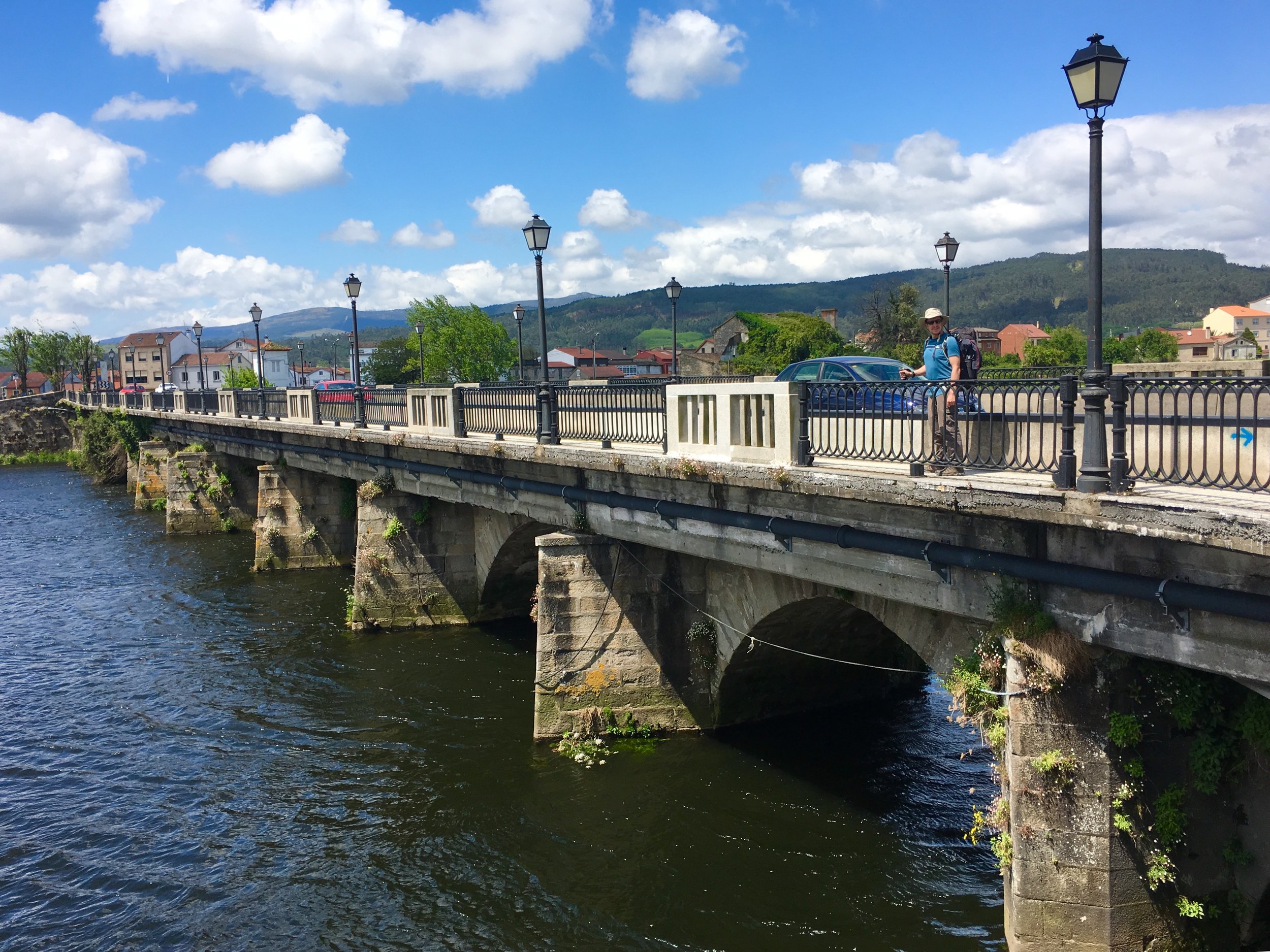
We left Valença early and crossed the bridge from Portugal into Spain. A new day, new section, new country, new timezone. We were now completely immersed in the Camino experience and everything was becoming a “metaphor for life”. The crossing of the bridge into Spain is a great example as many Pilgrims mark this as a metaphorical end to their past life and the start of a new one. For Timea it was significant as it marked her fully letting go of her old corporate life and her readiness to start up her own business. I was just excited about being able to tick off another border on my travel spreadsheet.
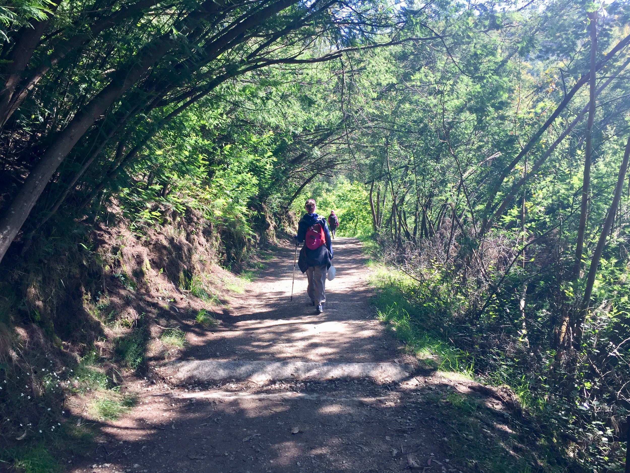
We’d heard this was going to be a tough day through grim industrial roads but the new diversion made it one of my favourite days. We followed a Roman Road through lovely woodland along the Rio Louro and took a diversion that avoided the main industrial areas.
Timea did her good deed for the day when she found a lost phone and found a way to contact the owner. It belonged to an Italian/Spanish couple who were an hour of 2 ahead of us. After a few confused calls in simple English we arranged to leave it at a Petrol Station at the edge of the next big town. Later that day we discovered that we were actually staying at the same hotel as them.
DAY 9: Porriño to Redondela
Date: Sunday April 28th 2019
Start: Hotel Internacional, Rúa Antonio Palacios, 99, 36400 O Porriño, Pontevedra, Spain
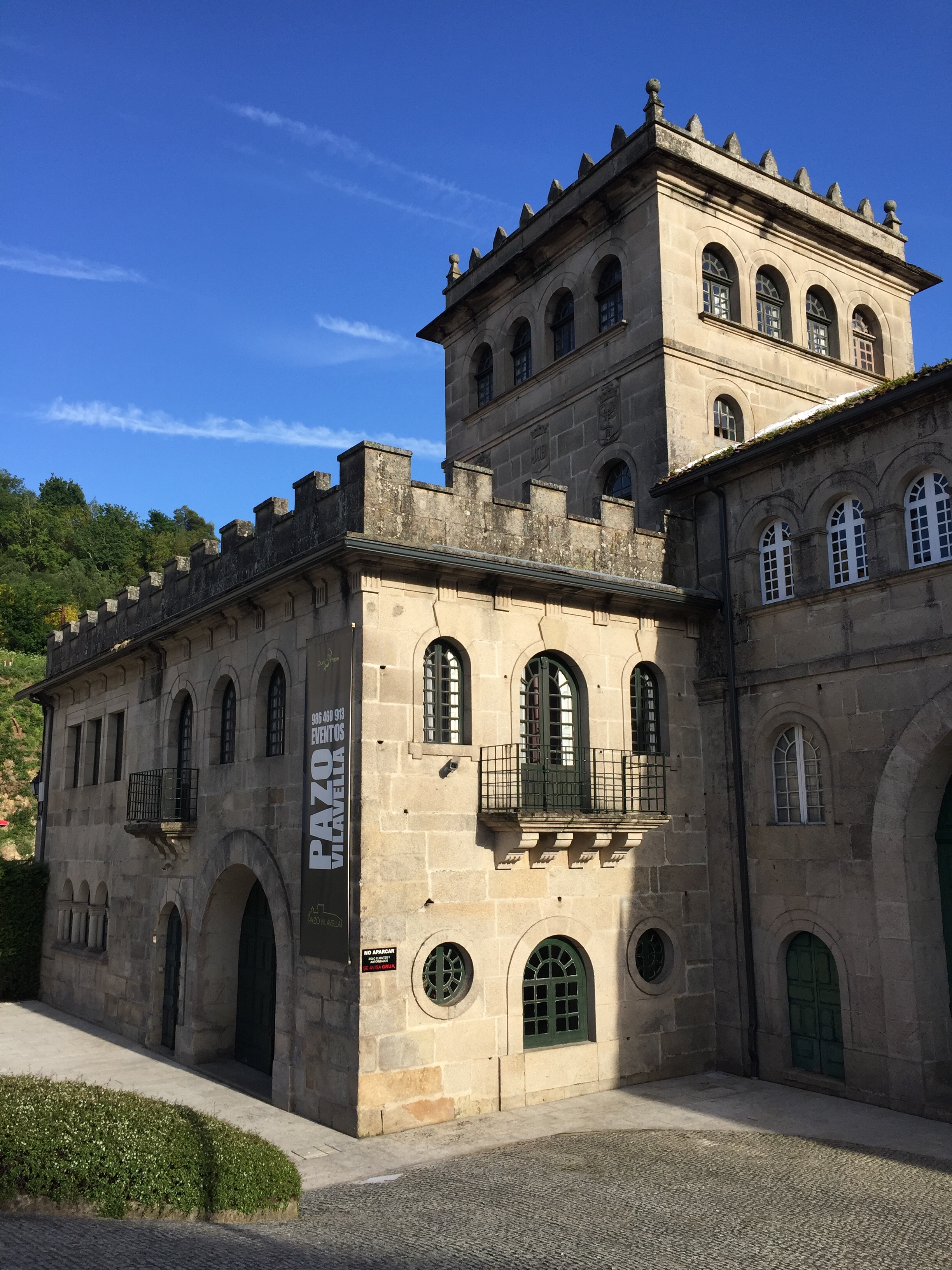
Finish: Convento de Vilavella, Praza de Ponteareas, 15, 36800 Redondela, Pontevedra, Spain
Rest stops: Tapería Flora, Mos
Distance: 16.6 km (10.4 miles)
Elevation Change: +299m / -359m. Net -60m
GPX File: get via Buy Me a Coffee
Walking Time: 3 hours 58 minutes
Other Routes Touched: Camino de Fátima, Senda del Agua
We had a slow start out of Porrino today. I had developed an unexplained limp and the the 17km of mostly concrete didn’t help.
Our morning coffee stop was at Mos, 6km in. Kati, our German friend, was now walking on her own and was powering through each day. She had stayed here the previous night and was nearly 2 days ahead of us already. It was Sunday and not much was open but we found a small cafe for our morning coffee, cake and passport stamp.
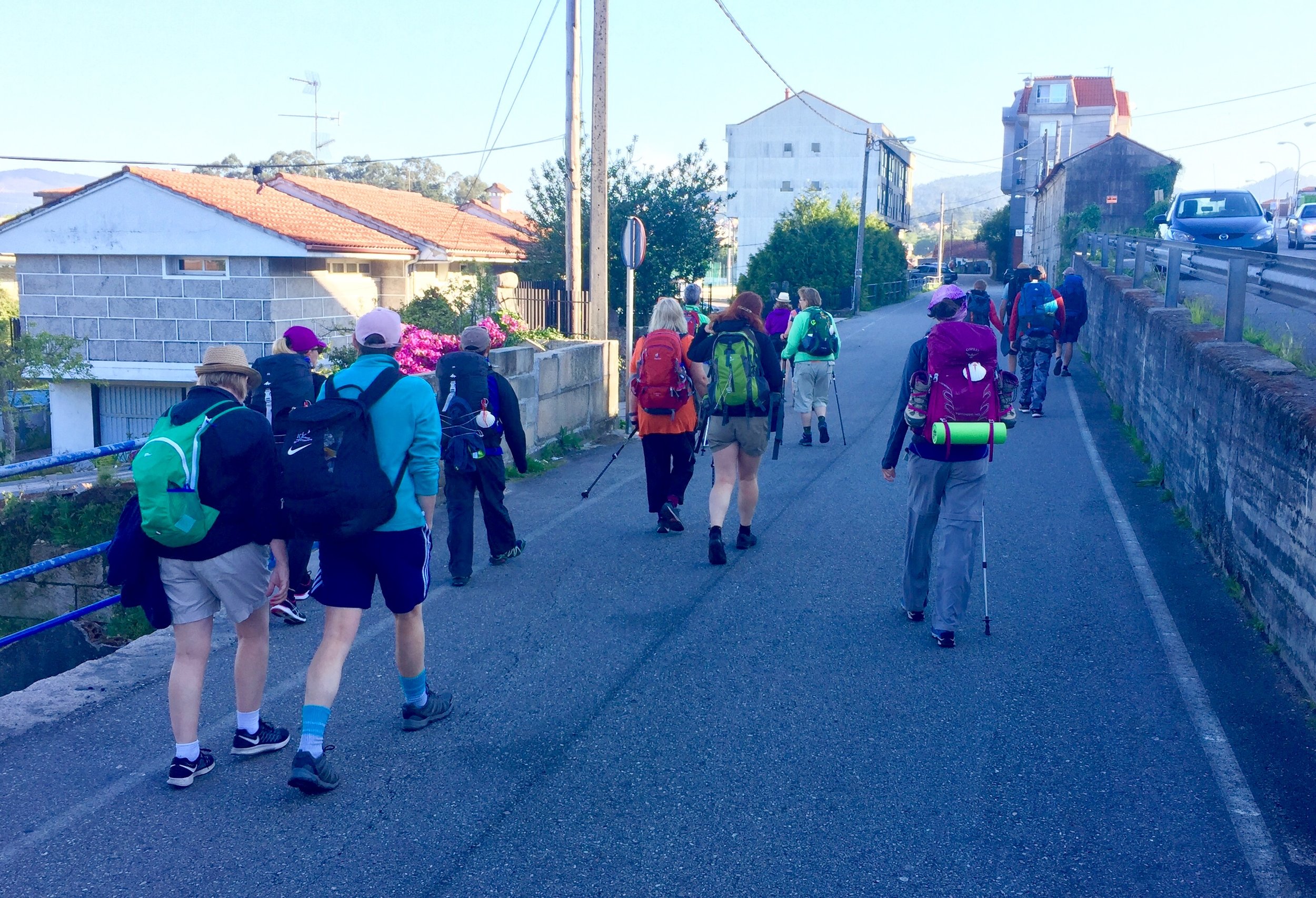
By now we could also spot the nationalities of Pilgrims by the guidebooks they were carrying. A long lilac-coloured book meant they were English and using the John Brierley guide. A square orange book meant they were German. Our big life-hack that we’d picked up from Kati was to take photos of the guidebook pages each day. This means you can keep the book in the bag and just have your phone out for navigation.
We had left the rain well behind us in Portugal and the Spanish section was pleasant and sunny. The rest of today was a steady descent into Redondela where we had a private apartment in an old Convent.
DAY 10: REDONDELA to Pontevedra
Date: Monday April 29th 2019
Start: Convento de Vilavella, Praza de Ponteareas, 15, 36800 Redondela, Pontevedra, Spain
Finish: Hotel Ruas, Rúa Sarmiento, 20, 36002 Pontevedra, Spain
Rest stops: Cafe Bar Jumboli, Estrada Cesantes, Redondela/ Cafetería Pastelería Acuña, Calle Rosalía De Castro, 16 Bajo, Arcade
Distance: 22.2 km (13.9 miles)
Elevation Change: +525m / -535m. Net -10m
GPX File: get via Buy Me a Coffee
Walking Time: 5 hours 31 minutes
Other Routes Touched: Camino de Fátima
We woke up full of energy after a peaceful night in the convent. Over breakfast we chatted to the only other guest in the convent, a Mexican guy walking on his own. He explained that has an annual solo walk while his wife goes to see Ricky Martin in Vegas. We loved the quote he told us: “pain is inevitable, suffering is optional”. I also loved how the Camino can get you into a deep philosophical conversation with a Mexican at 07:30 on the morning in an old Spanish convent.
The first 10k out of Redondela and into Arcade was smooth sailing. It was bright, warm and full of Pilgrims all in high spirits. We stopped at a cafe in Arcade and met our 2nd Mexican for the day. This one was a world traveller with a backpack full of sewn-on patches to prove it and a randomly Dutch accent.
Timea’s unlimited energy in the morning disappeared by mid-afternoon and we slowed down significantly. The final 5km were particularly tough for her and it took me all of my emergency Haribos to coax her out from under a tree to finish the section.
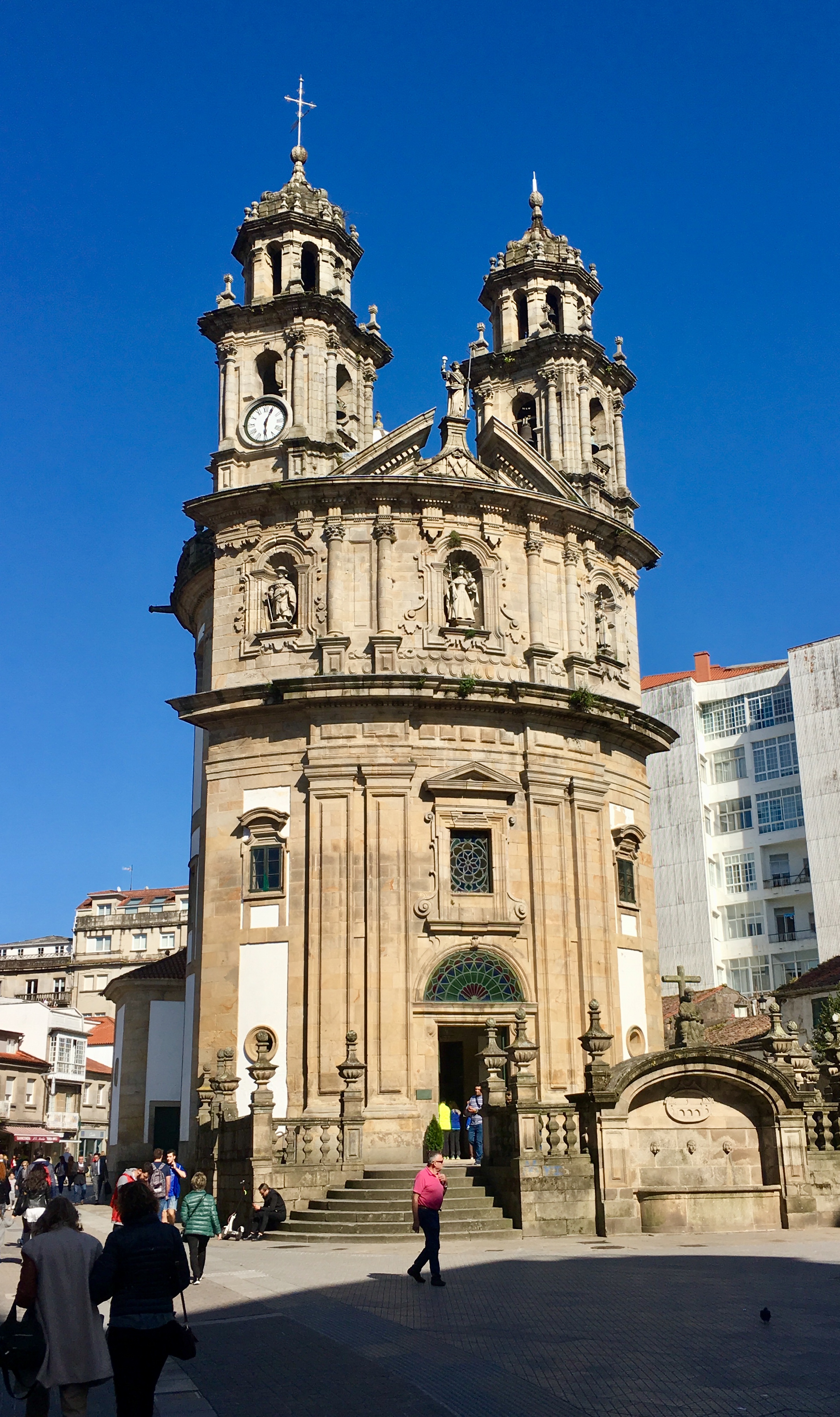
The reward once we made it to the end was the town of Pontevedra. It’s one of the largest on the trip and the capital of its region. A must-see is the Santuario da Peregrina, a Pilgrim chapel built in the shape of a scallop shell.
DAY 11: Pontevedra To Caldas de Reis
Date: Tuesday April 30th 2019
Start: Hotel Ruas, Rúa Sarmiento, 20, 36002 Pontevedra, Spain
Finish: Alojamiento Caldas de Reis, Calle Laureano Salgado, 5, 36650 Caldas de Reis, Pontevedra, Spain
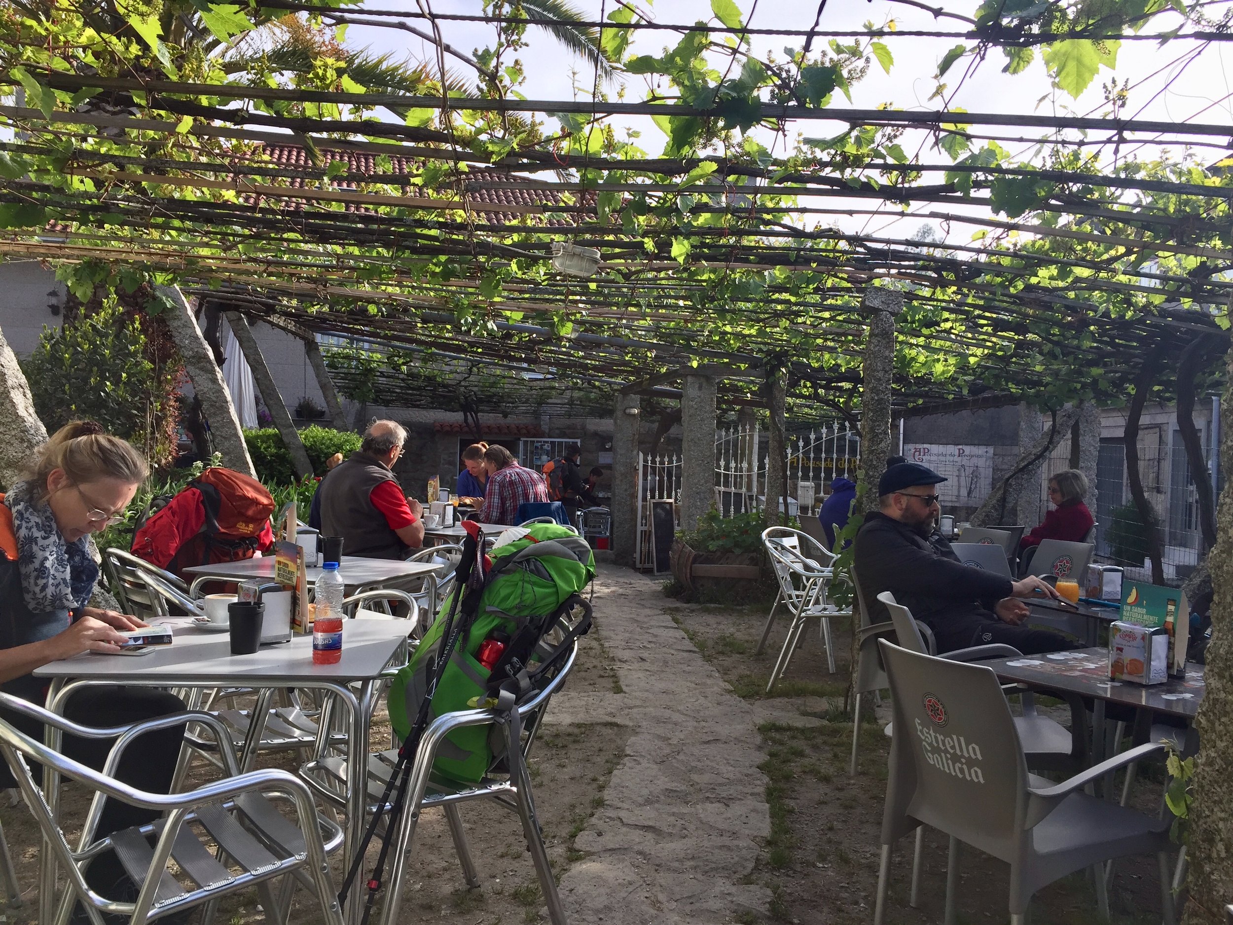
Rest stops: A Pousada do Peregrino (Cafe) San Mauro, Portela
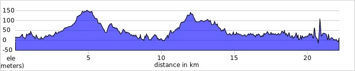
Distance: 21.1 km (13.2 miles)
Elevation Change: +289m / -293m. Net -4m
GPX File: get via Buy Me a Coffee
Walking Time: 4 hours 46 minutes
Other Routes Touched: Camino de Fátima
Another solo day for me as Timea took a rest day having overdone it on the previous day. I left by 08:00 on a faster 5k per hour pace. Today was pleasant and far easier than yesterday for a similar distance. My little toe blister has either gone away or I just don’t notice it now but the shin splints on my left leg feel worse. I ploughed on anyway.
Timea spent the morning in Pontevedra and took a taxi around lunchtime. By coincidence we arrived at exactly the same time to the bridge into Caldas de Reis. Timea was now feeling much better but I was knackered so I hid away in our apartment for a long afternoon nap. I would have stayed there all afternoon but Timea coaxed me out with the promise of meeting San Roque in the nearby church.
The town’s church, Ingexa de San Tomé Becket is named for Archbishop of Canterbury who passed through the town on his own pilgrimage to Santiago. The town’s patron Saint, San Roque, is also the saint of pilgrims and dogs. Legend has it that he become ill whilst on pilgrimage to Rome during the time of plague. His life was saved by a dog who licked his wounds and healed him.
DAY 12: Caldas de Reis to Padrón
Date: Wednesday May 1st 2019
Start: Alojamiento Caldas de Reis, Calle Laureano Salgado, 5, 36650 Caldas de Reis, Pontevedra, Spain
Finish: Private apartment near Xardín Botánico de Padrón, Rúa Franco Salgado Araujo, 13, 15900 Padrón, A Coruña, Spain
Rest stops: Café-Bar Esperon, O Cruceiro / Autoservicio San Miguel, Lugar San Miguel / Mesa de Pedra, Lugar San Miguel
Distance: 19.2 km (12.0 miles)
Elevation Change: +326m / -352m. Net -26m
GPX File: get via Buy Me a Coffee
Walking Time: 4 hours 28 minutes
Other Routes Touched: Camino de Fátima
Timea was feeling much better to day and the lack of a rucksack helped enormously. We decided in Pontevedra to reduce our load to 1 backpack and send the other ahead to Santiago. Now that we were only staying in hotels, we didn’t need sleeping bags and various other non-essentials.
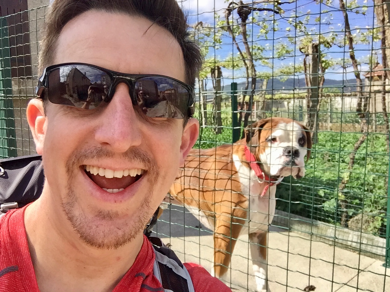
Today was spent deep in thoughts or just giggling and playing with dogs whilst walking among wonderful trees in a gentle wind. I had decided that I had now embodied the spirit of San Roque and was on a new mission to get a selfie with every dog that I could find on the route.
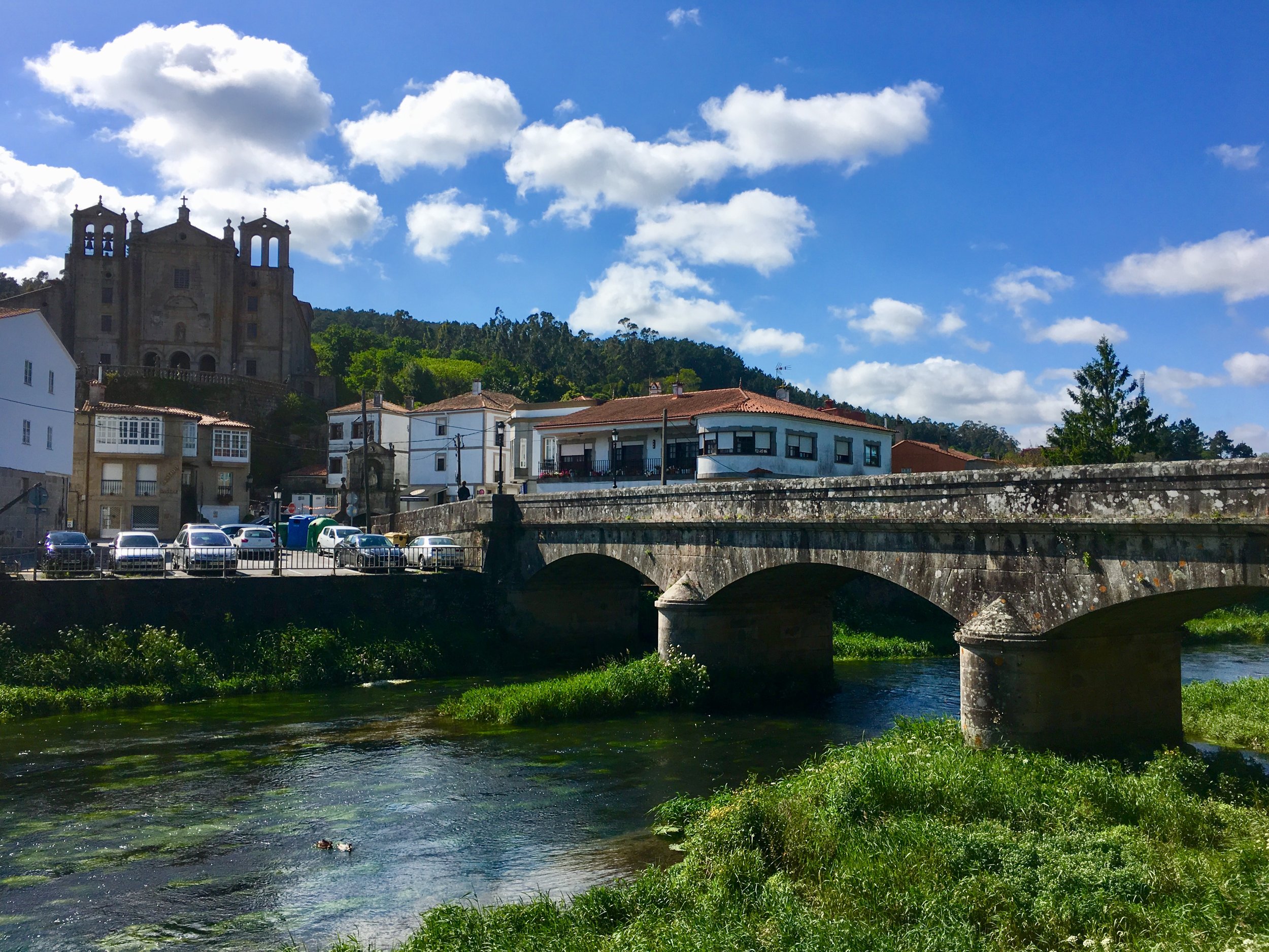
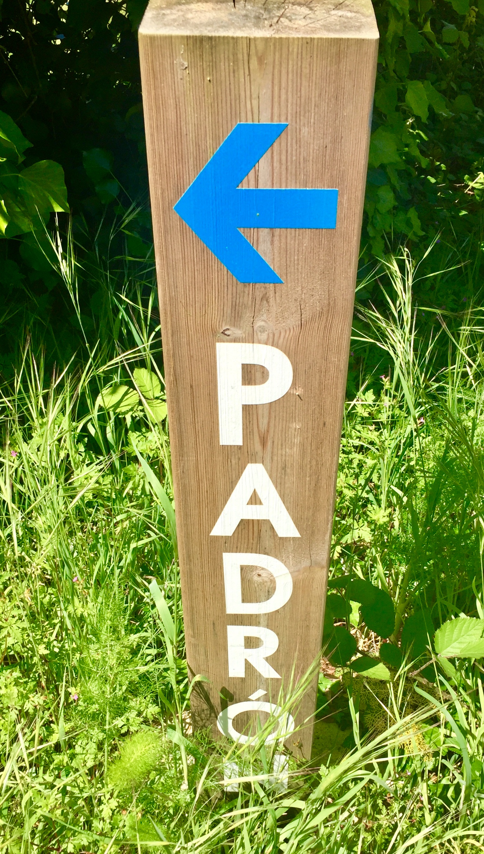
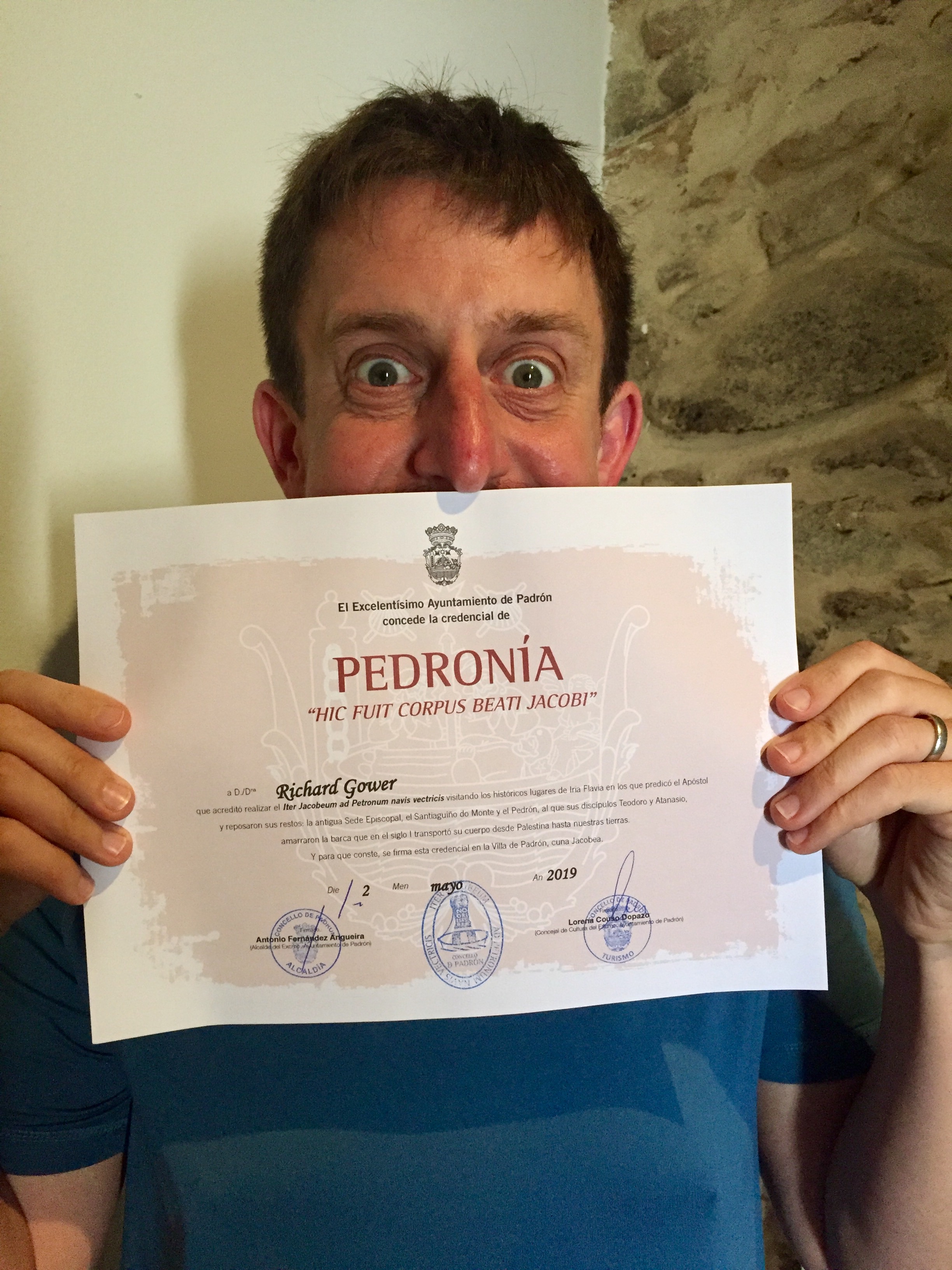
Padron, our destination for the evening, was where St James preached and where his body was returned to before being moved to Santiago de Compostela. Padron is also famous for its hot peppers but we’d arrived before the start of the season so nowhere was serving them. We did manage to get the Padronia, a special pilgrim certificate for anyone walking to the town via the main sites.
DAY 13: Padrón to Parada de Francos
Date: Thursday May 2nd 2019
Start: Private apartment near Xardín Botánico de Padrón, Rúa Franco Salgado Araujo, 13, 15900 Padrón, A Coruña, Spain
Finish: Casa Rural Restaurante Parada de Francos, Rúa de Francos, 43, 15886 Rúa de Francos, La Coruña, Spain
Rest stops: O Lagar de Jesus, Vilar, Escravitude / Bar Restaurante La Milagrosa, 15980 A Picaraña
Distance: 13.2 km (8.3 miles)
Elevation Change: +214m / -131m / Net +81m
GPX File: get via Buy Me a Coffee
Walking Time: 3 hours 02 minutes
Other Routes Touched: Camino de Fátima
The Padrón to Santiago section is normally done in a single 26 km section. We were in no rush though so we split it in 2 and stayed overnight in a lovely small hotel in a tiny village.
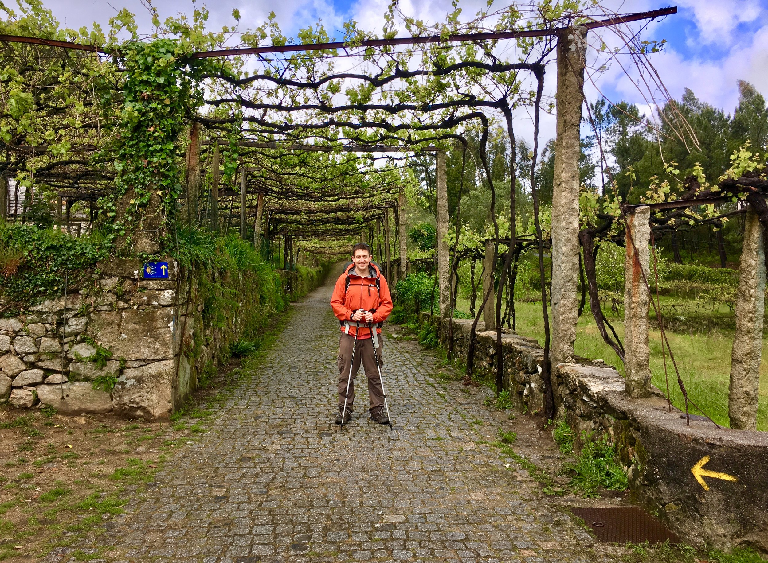
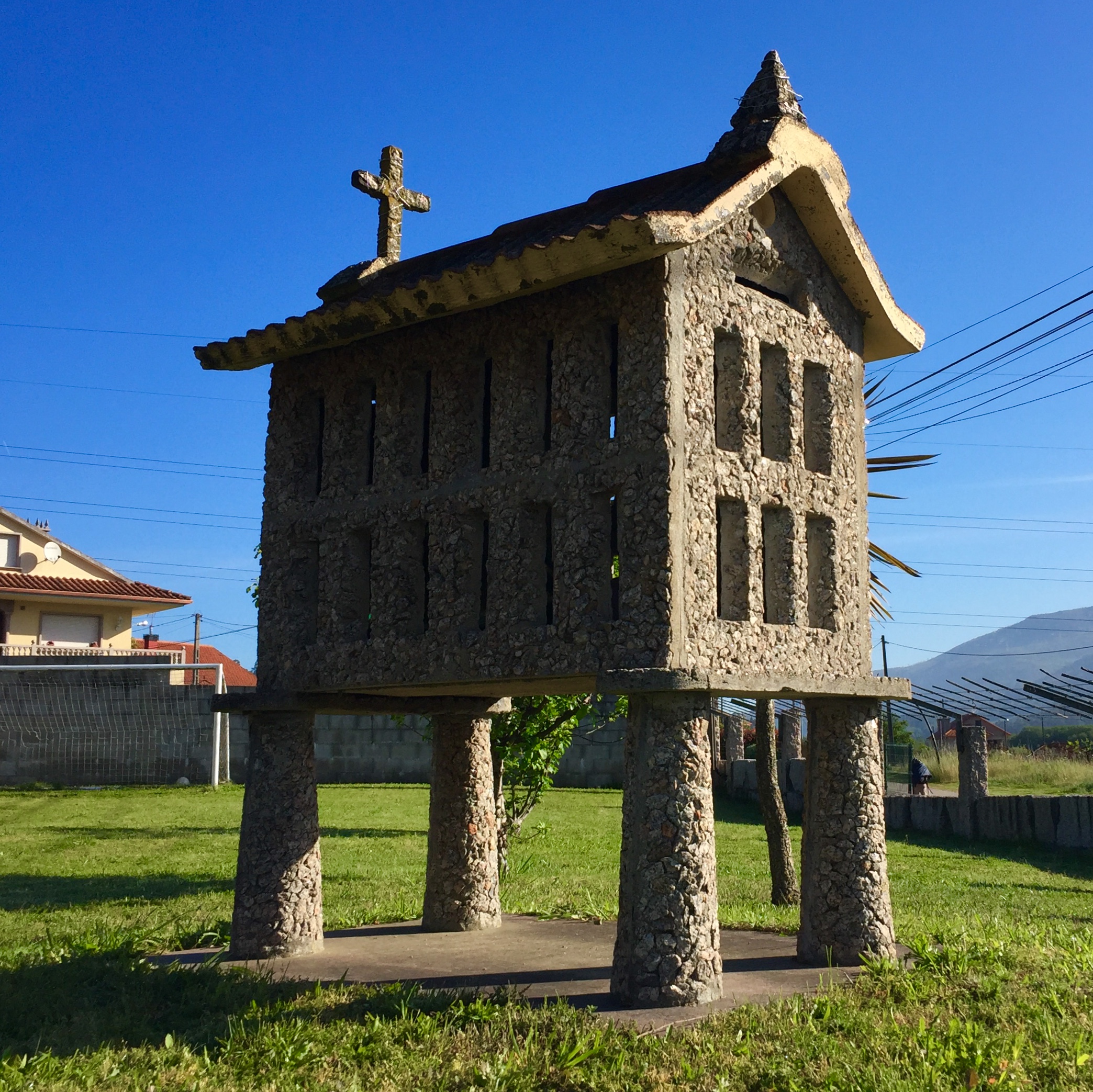
Part of us was dreading the end of our trip. We had adopted a very simple way of life: get up around 07:00, have breakfast, leave at 08:00 walk a bit, have a coffee and a rest, walk a bit more, another rest, walk to wherever we were staying, have dinner and then sleep. Along the way we would talk about important things that we don’t normally get to as work and other stuff gets in the way. We also made new friends, saw some beautiful countryside, took photos of dogs and granary houses. Gradually this felt more like “real life” and home life was something we did as a distraction.
The old cliché of “it’s the journey, not the destination” is especially relevant to a pilgrimage. Whatever the reason you do it, whatever the thing you’re looking for happens on the route, not at the end. There’s no single moment of revelation, just a gradual realisation of whatever you needed to find.
A lot of people say that arriving at Santiago is an anti-climax and a major disappointment. We were close to finding out whether that was true.
DAY 14: Parada de Francos to Santiago de Compostela
Date: Friday May 3rd 2019
Start: Casa Rural Restaurante Parada de Francos, Rúa de Francos, 43, 15886 Rúa de Francos, La Coruña, Spain
Finish: Santiago de Compostela Cathedral, Praza do Obradoiro, s/n, 15704 Santiago de Compostela, A Coruña, Spain
Rest stops: Cafeteria Casa da Cultura Do Milladoiro, 15895 O Milladoiro
Distance: 13.3 km (8.3 miles)
Elevation Change: +386m / -246m. Net +140m
GPX File: get via Buy Me a Coffee
Walking Time: 3 hours 19 minutes
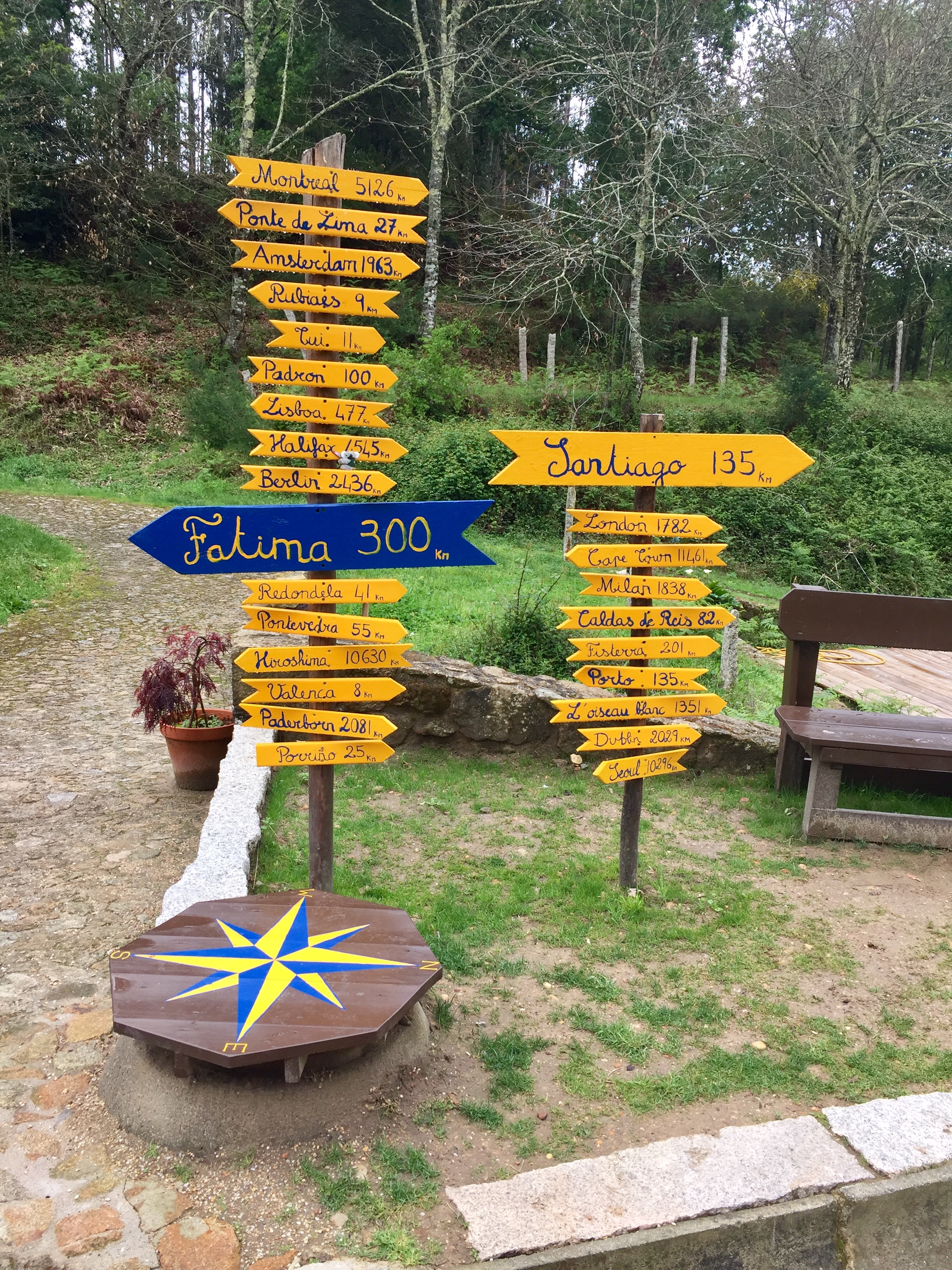
Other Routes Touched: Camino de Fátima, All other Caminos de Santiagos converge at the Cathedral.
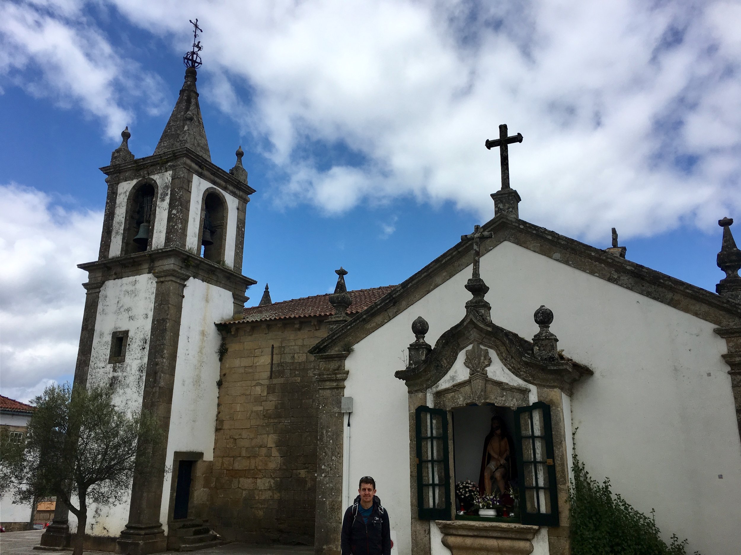
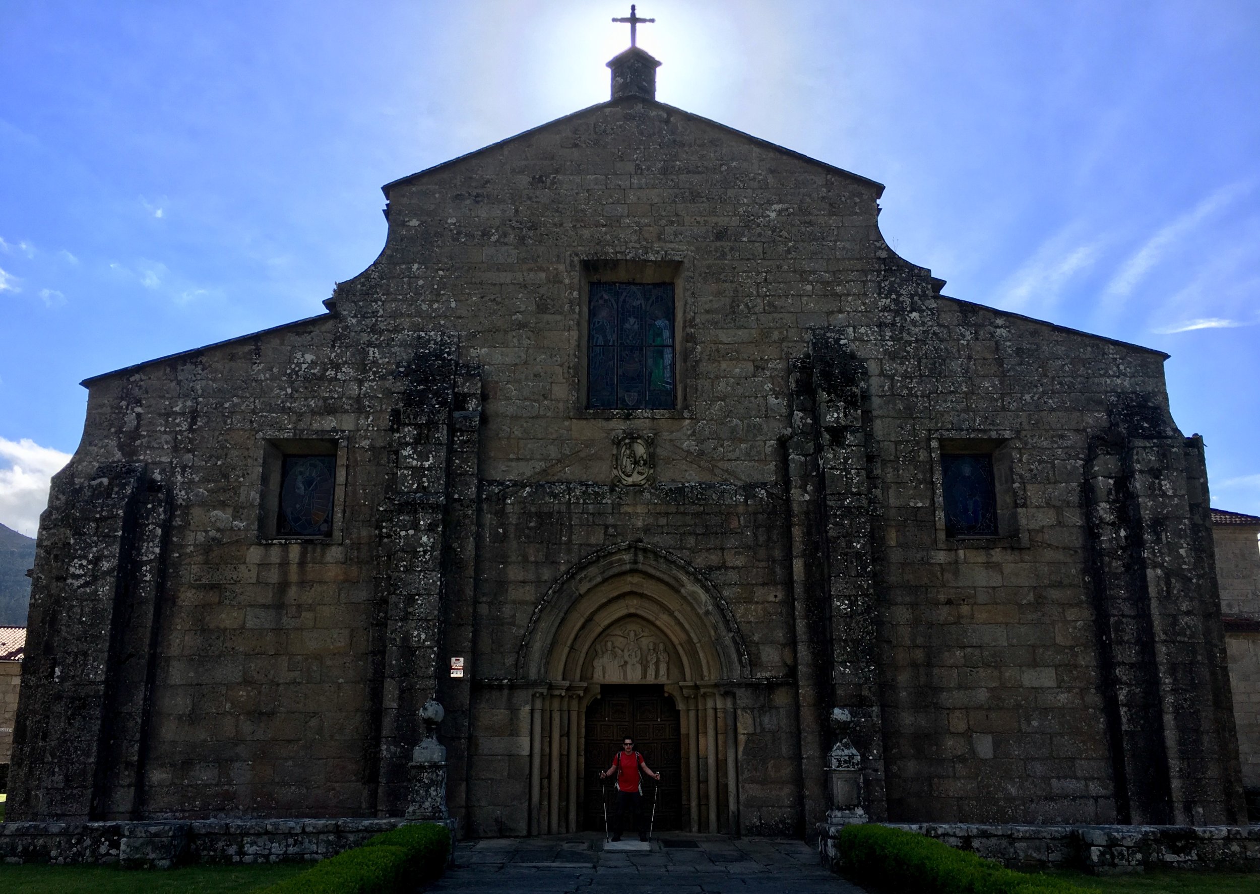
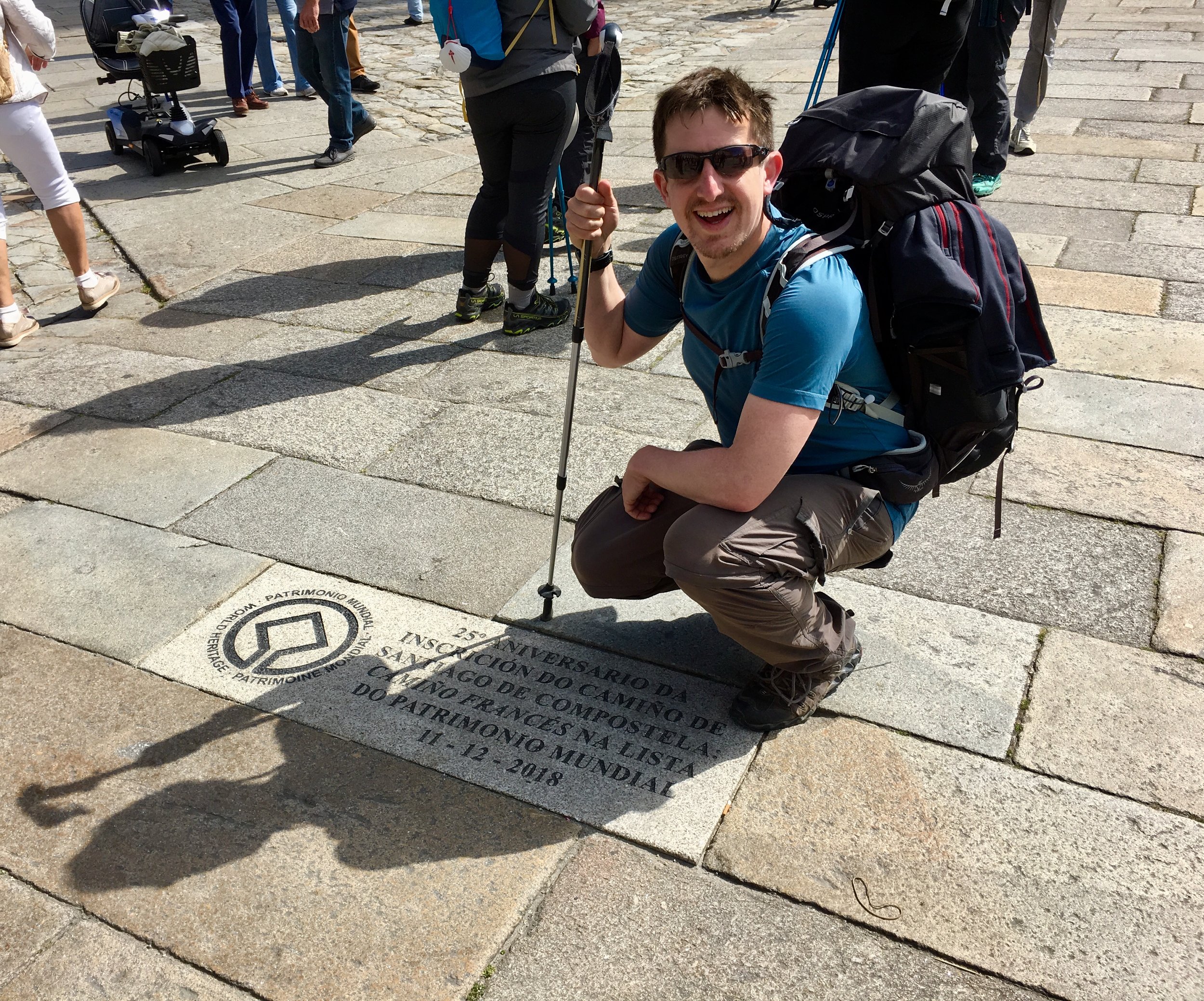
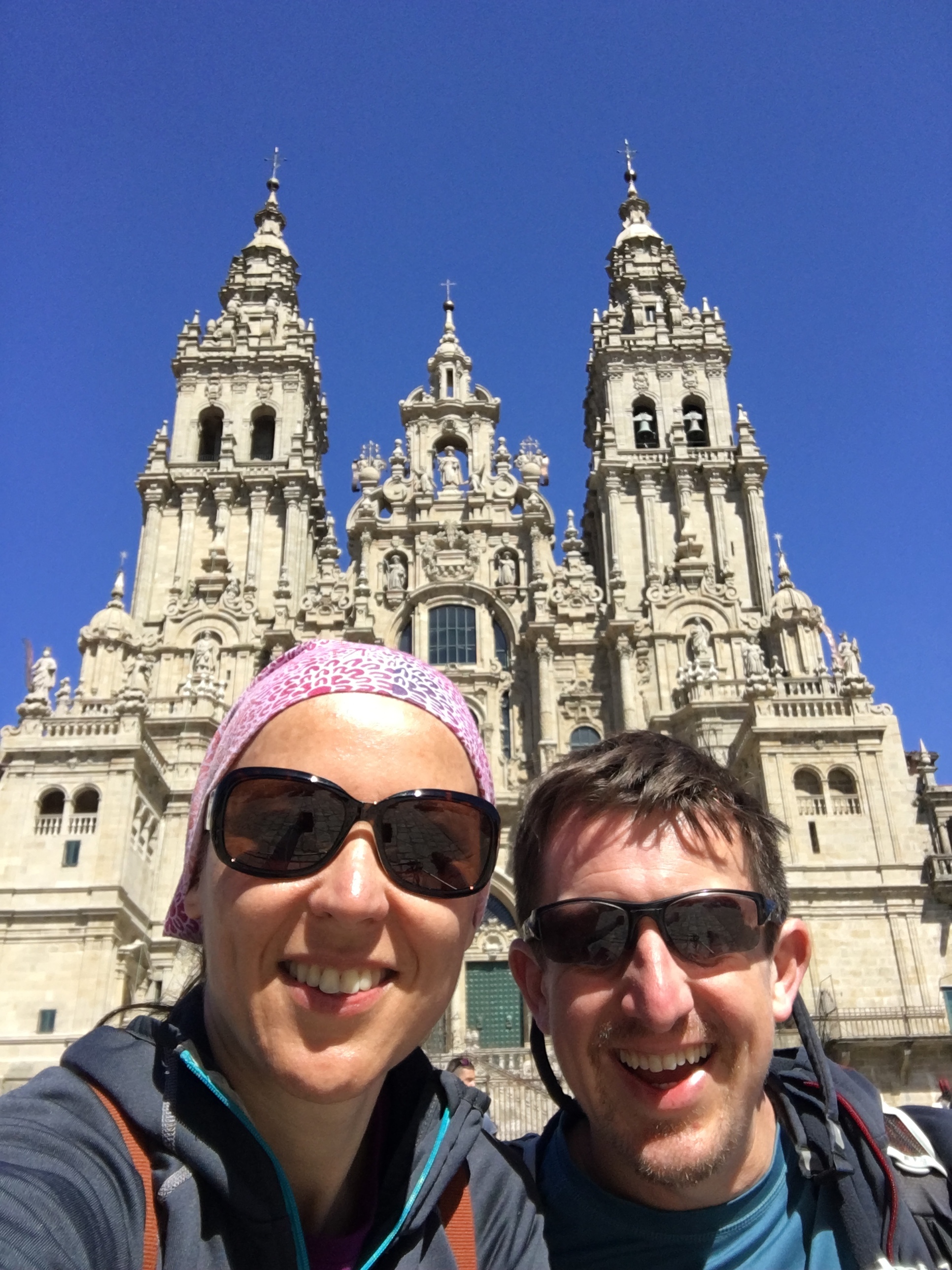
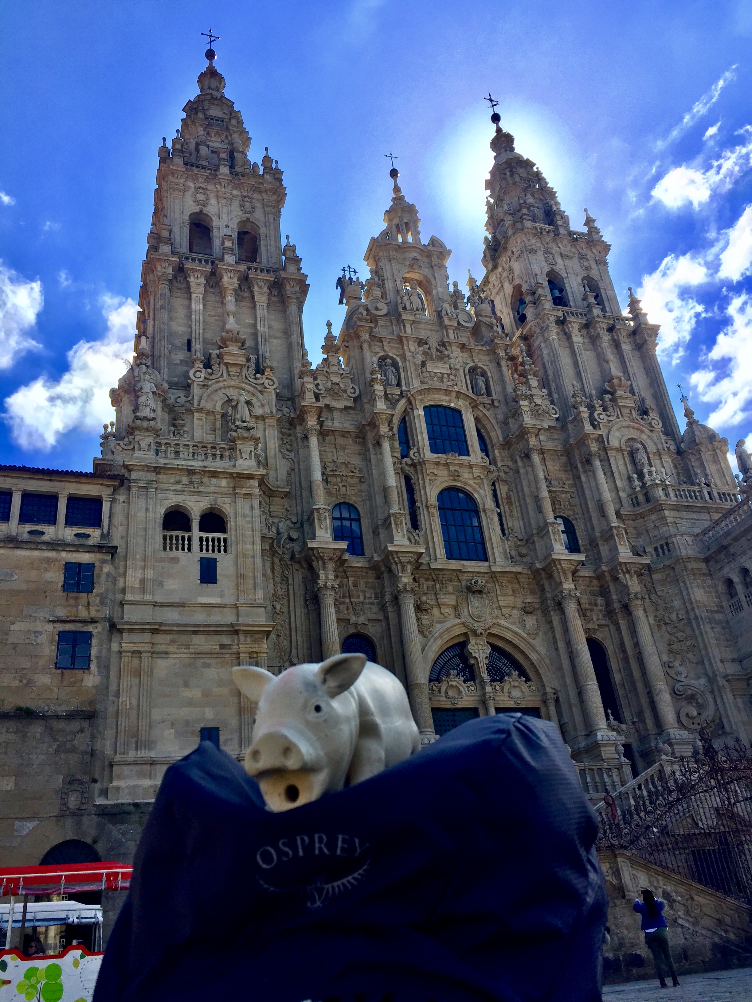
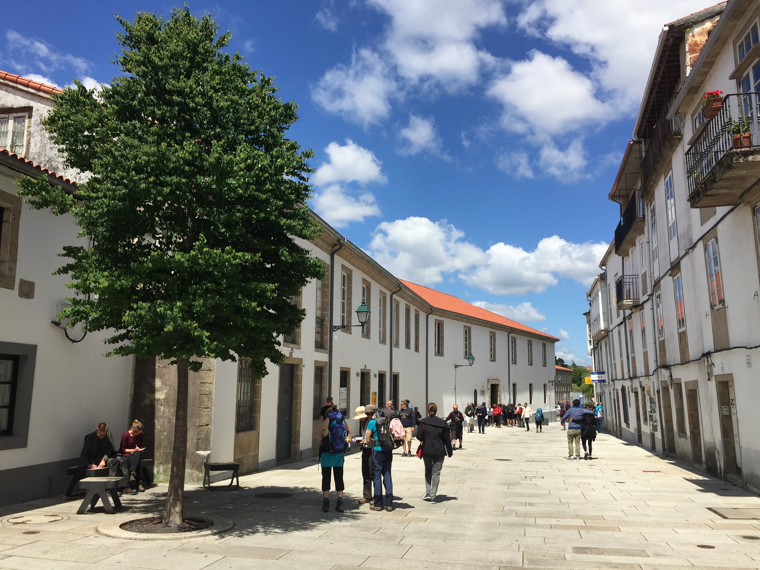
They were wrong. There was no anti-climax on reaching Santiago. We took the morning slowly and made the most of the final few hours on the road. Countryside turned into suburbs which gave way to a large city, then eventually the Old Town. We got to the Praza do Obradoiro shortly before mid-day. The sun was out and the square was full of pilgrims celebrating whatever long journey they’d just completed. It was a magical moment and we only felt happiness to be there. We took our time there, took photos, observed the other Pilgrims and I fell asleep in the sun for a while.
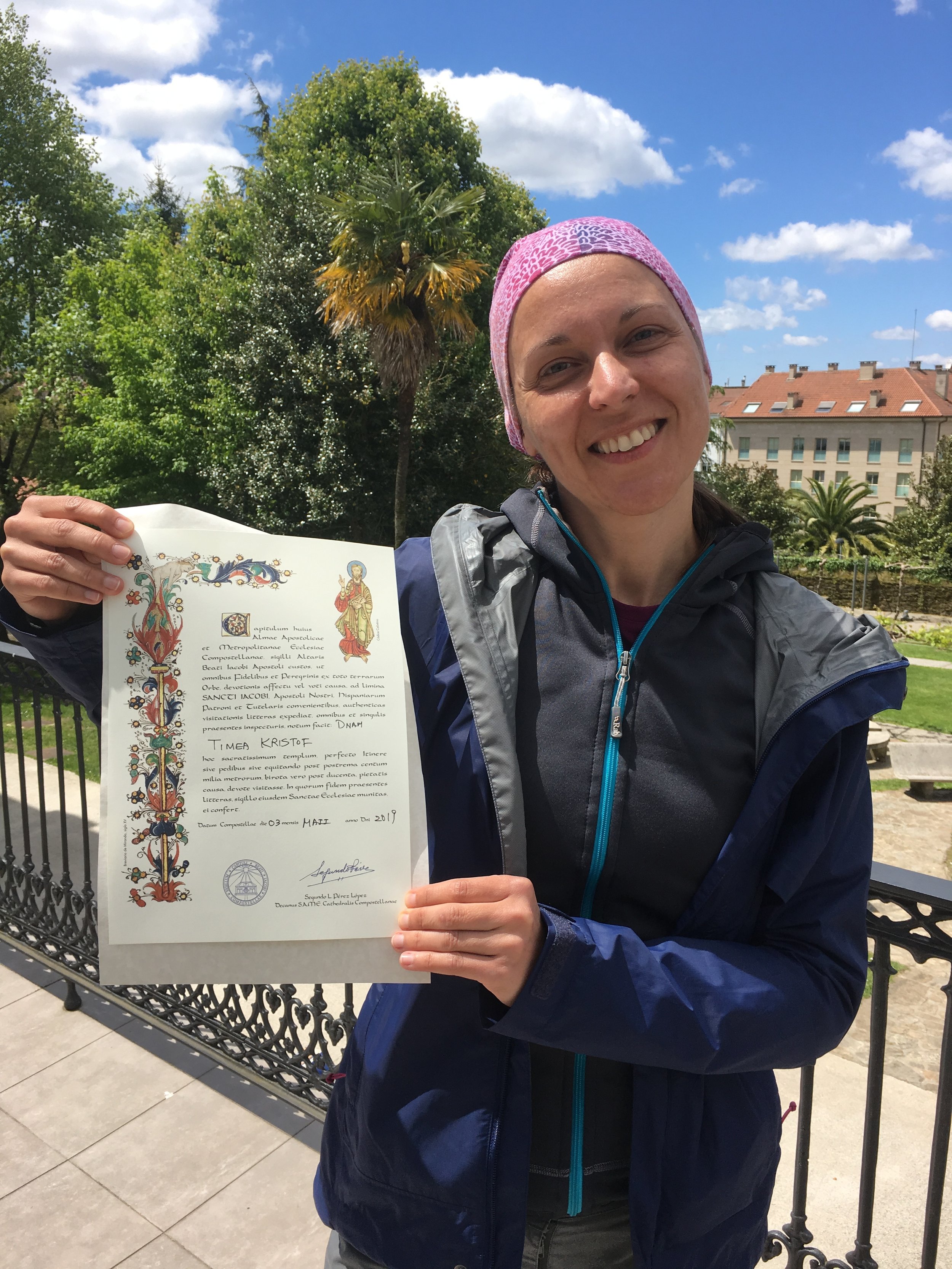
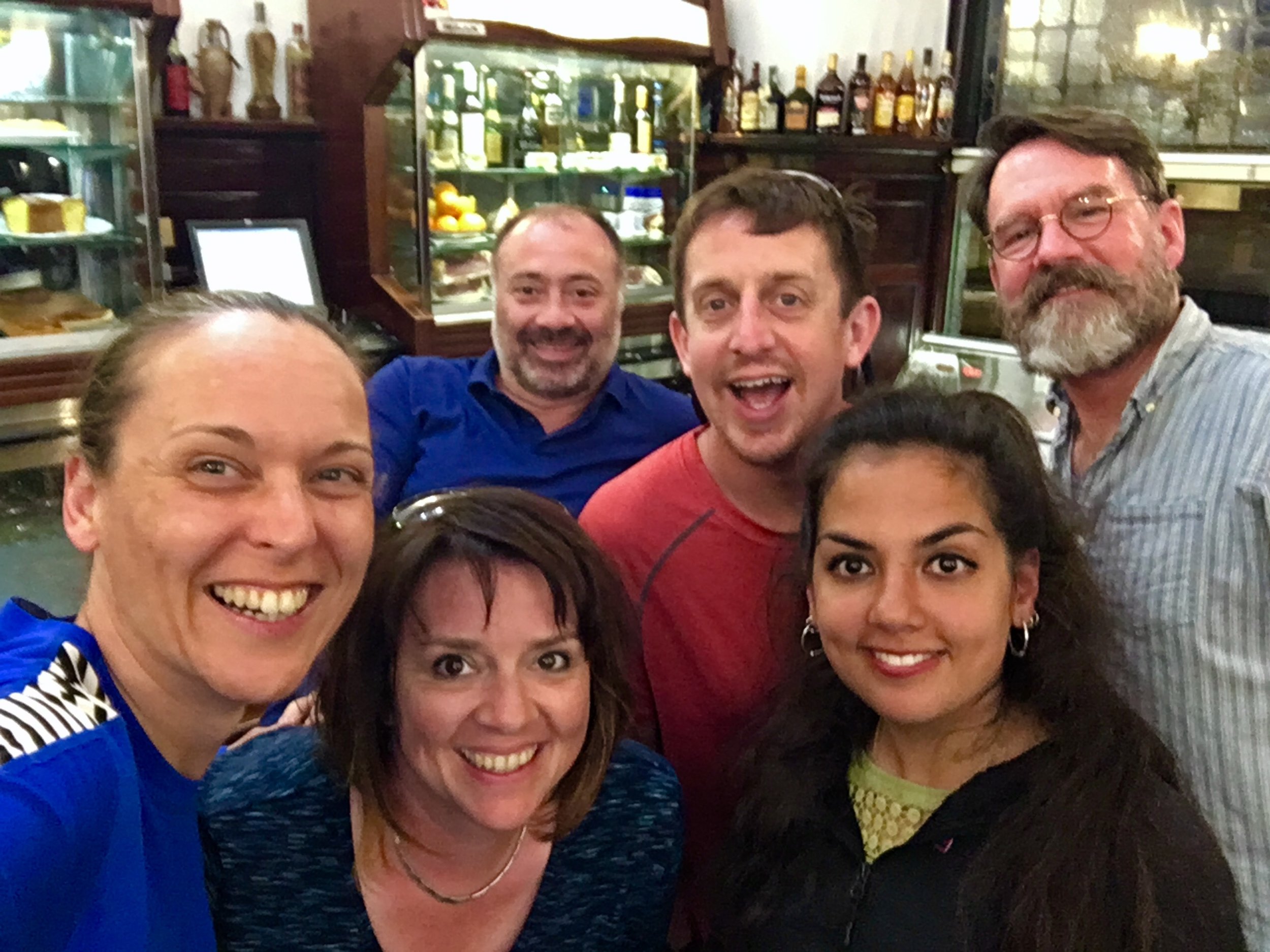
Later that day we joined the long queue to get our certificates at the Pilgrims’ Post Office. We still had the rest of the weekend to explore the city, meet up with some of the friends that we had along the way and reflect on our adventure.
For Timea the journey represented her much needed career change from working for Corporates to working for herself. If there was a breakthrough moment it was on the bridge on the Portuguse border. More importantly, she’d walked significantly further than she’d ever done before, survived a night in an albergue and officially became a Pilgrim.
For me it was different. It was just as amazing an adventure but I didn’t start with a particular thing that I needed to achieve or solve. The most important thing was doing the journey with Timea and supporting her in whatever came up on the trip. You can’t not have a deep experience though. I still got into deep thoughts and discussions, still worked through problems that were bugging me and got inspired along the way. Most of all, I had an amazing couple of weeks in a beautiful place and in the company of some really special people.
It won’t be long before we’re back on the trail. There’s another 7 Caminos to do ....
The Full Route - Camino Portuguese from Porto to Santiago de Compostela
Related Posts:
More on the web:
Books and Maps:
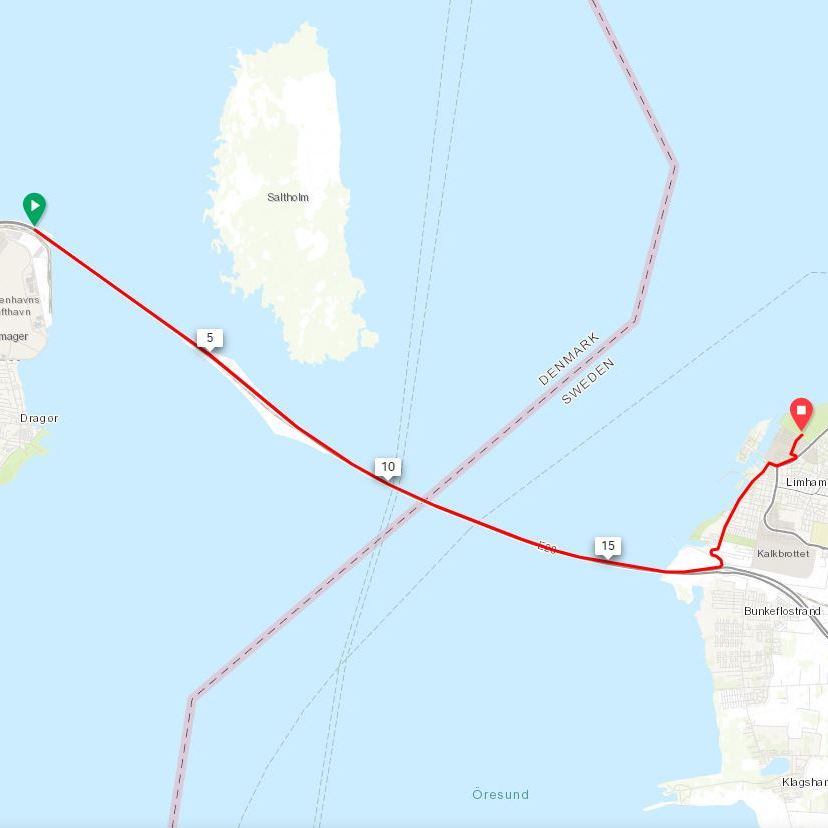
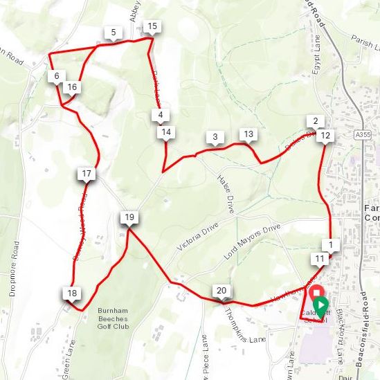
On April 6th 2019 I completed my 50th Half Marathon. Here’s what it looked like …
The Stats
Last: Prague
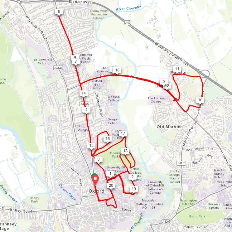
Fastest: Oxford (1:46)
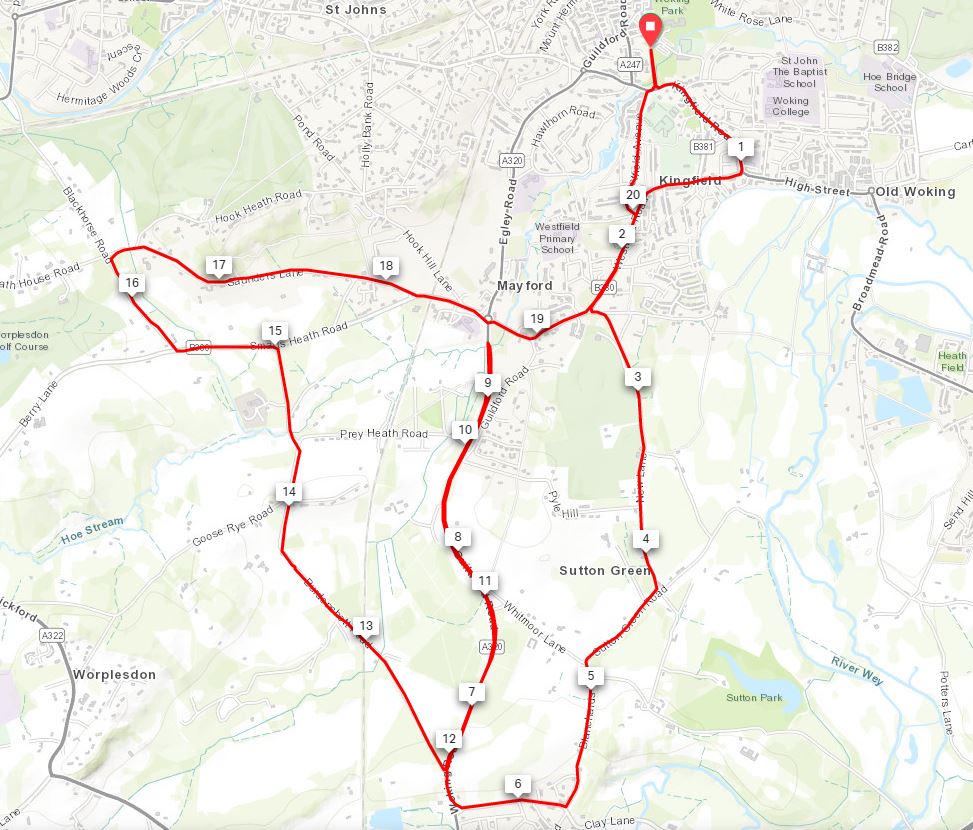
Slowest: Bledlow Ridge (2:46)
Average: 2:00
Average excluding hilly trails: 1:58
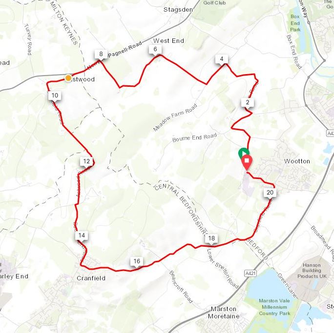
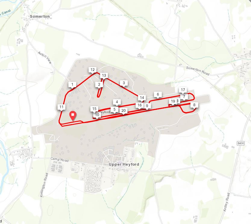
Flattest: Silverstone (+/-81 m)
Hilliest: Bledlow Ridge (+/- 603m)
Favourite: Prague
Least Favourite: Ealing
See the Run Index page for links to blog posts on all 50 courses.
Numbers by region
46 Half Marathons in South England
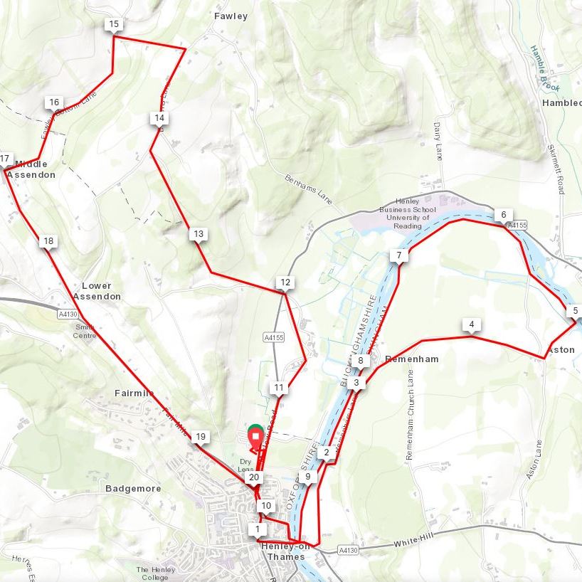
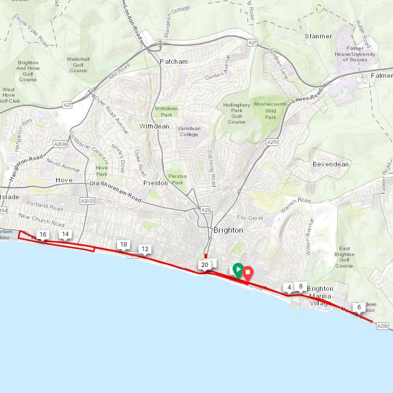
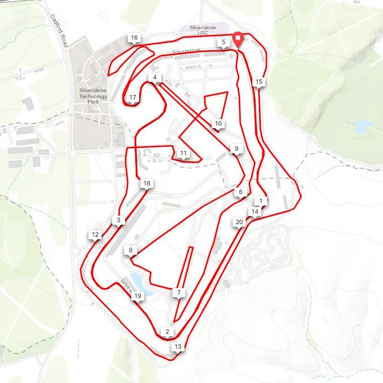
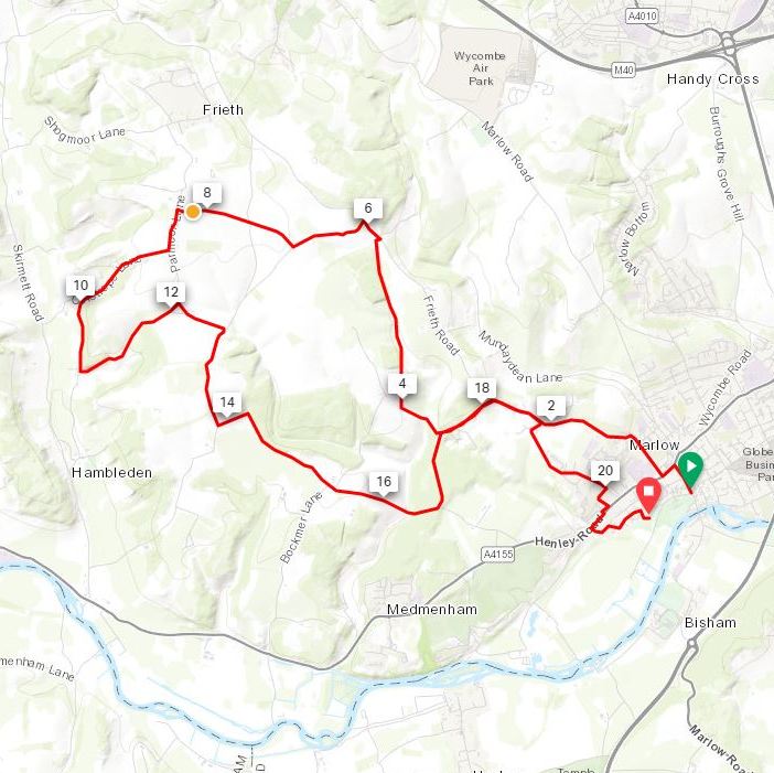
50 Half Marathon Course Routes
All 50 courses from #1: Broloppet top left to #50: Prague bottom right.
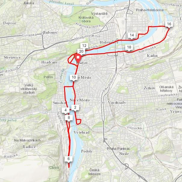
When: April 6th 2019
Where: Prague, Czech Republic
Course: Single circuit loop next to / near the river Vlatava starting and finishing at the Rudolfinum (Prague 1) extending South to Lihovar and North to Libeňský most.
Other routes touched: Svatojakubská Cesta, Česko střed, Cycle routes X1, VCC, A2, A13, A15, A24, A254
Finish time: 1 hour 57 minutes
The idea for "50 Half Marathons before I'm 50" came to me in 2015. I was on a year-long series of challenges to mark my 40th birthday and to raise money for charity in memory of my Dad. By the end of they year I'd racked up a total of 24 Halfs. It didn't take very complicated maths to work out I'd only need to do 3 more per year to reach 50 before my 50th birthday.
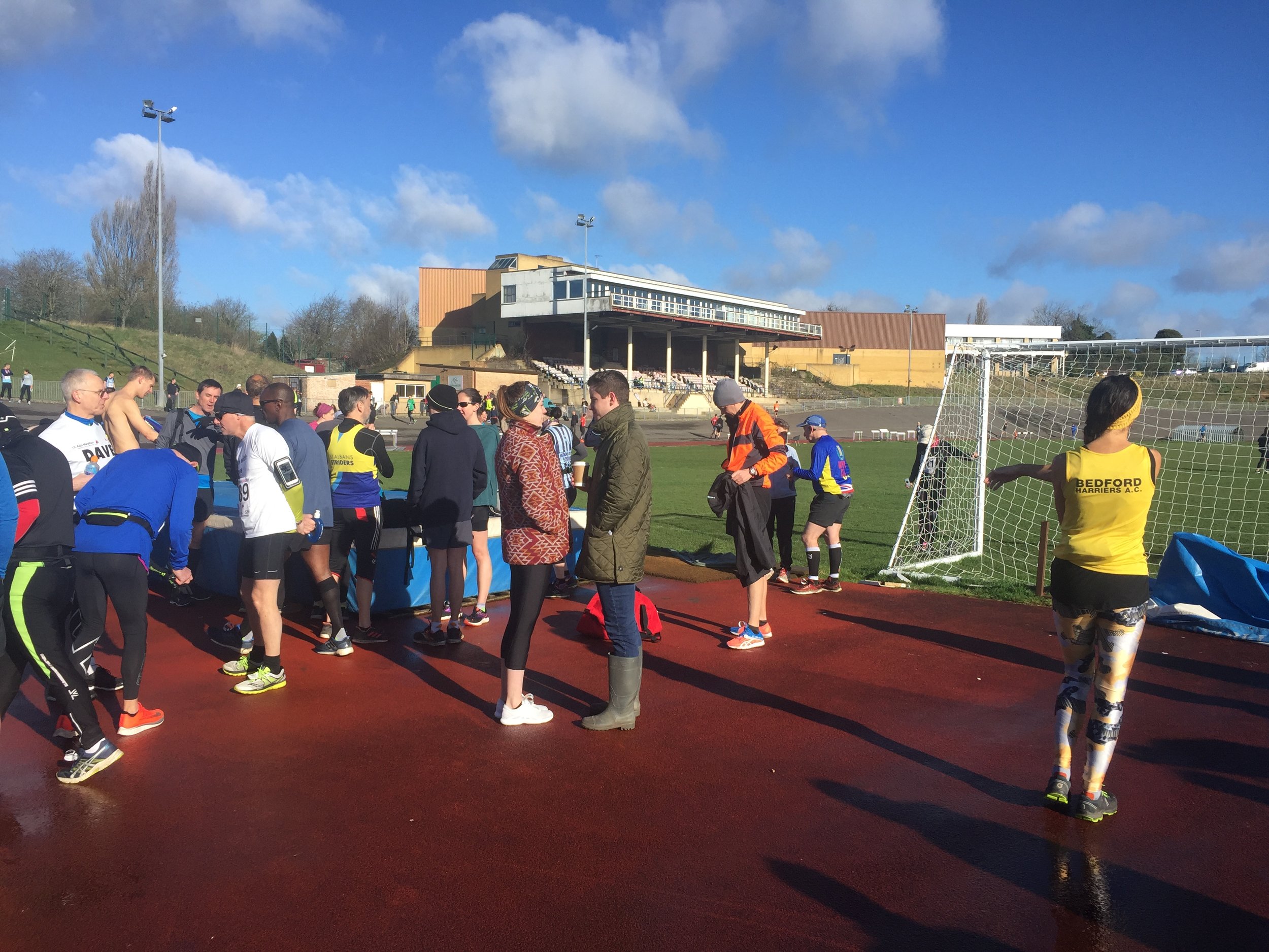
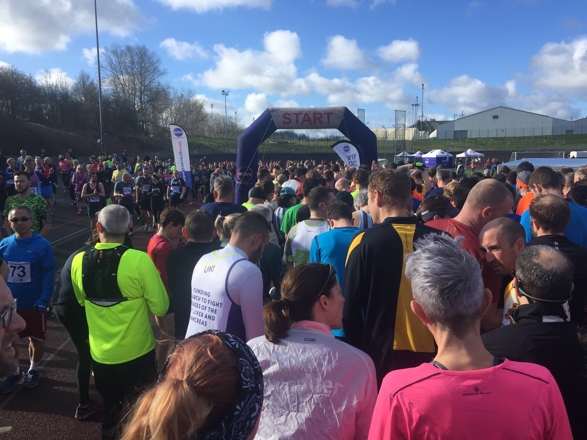
The rules were pretty simple. They had to be organised Half Marathon events and a different one every time. Now that I had a mission, I focused on finding mostly local ones on weekends when we didn't have much else planned. I'd got the routine down to a fine art: arrive an hour before the race; use the toilets before the queues formed and they got rancid; pick up my race number; buy a coffee; do a token 3 minutes of stretching and then we were off.
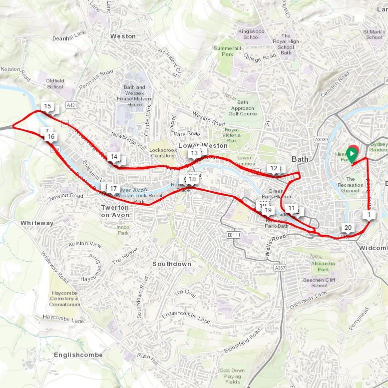
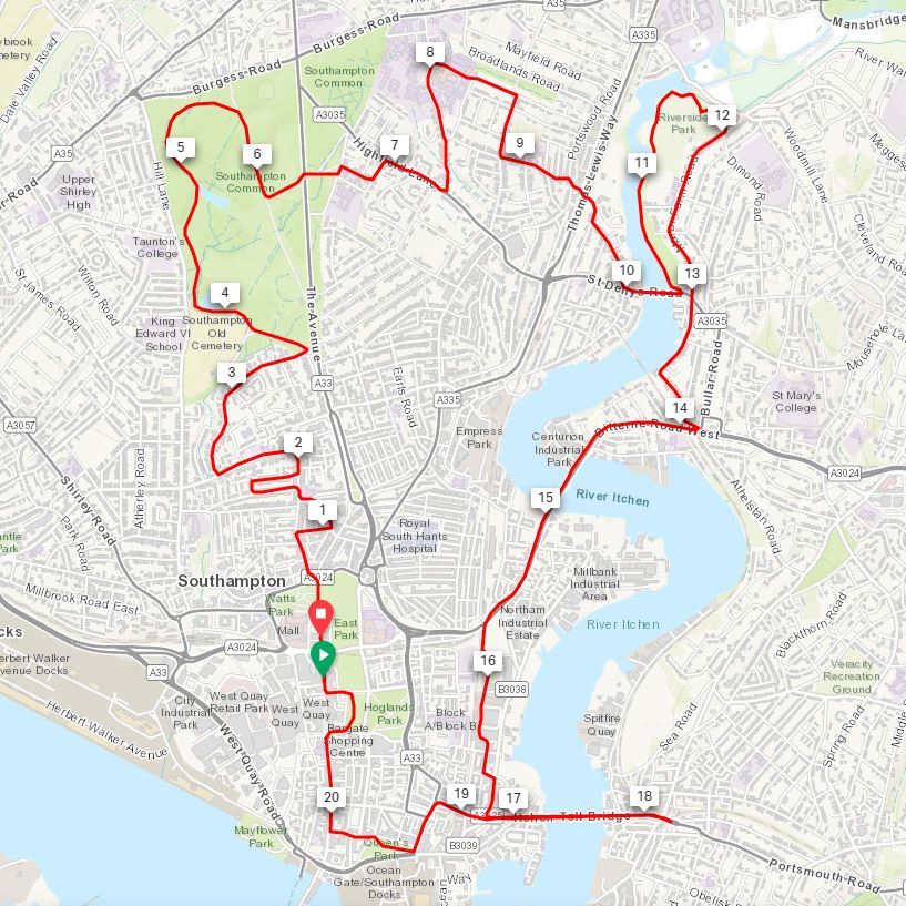
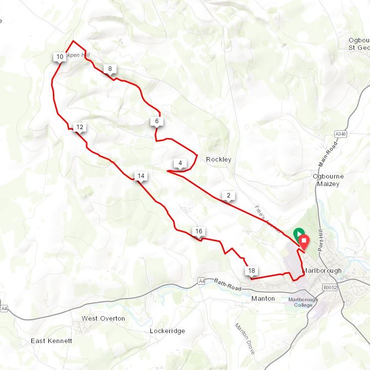
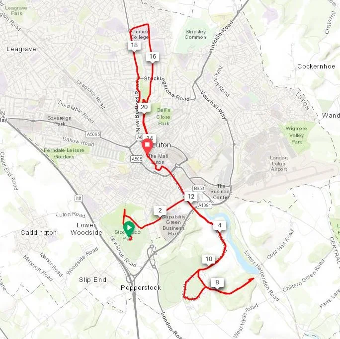
With a large number of races there were the inevitable mix of highs and lows. Some were fast, flat city courses like Bristol, Bath and Southampton. Some were boring: on forgettable residential streets like Ealing and [...so boring I forget the rest]. Others were fun, tough trail events like Marlborough and Dunstable Downs.
I've never been concerned about speed so my finish times were quite a mix. My fastest was Oxford at 1:46 and slowest was an hour slower on the muddy and hilly Bledlow Ridge. My average was around 1:55 but anything below 2 hours was something to be happy with.
By my 40th event at Harpenden I was starting to think about how to celebrate my 50th. I was doing far more than 3 per year so I would overachieve my target by 6 years. It needed to be something special. It needed to be Prague.
Prague will always have a special place in my heart. I lived there for 2 and a half years in my early twenties. I loved it. So much so that when I returned to the UK I had a real problem adjusting to normal life. I kept returning for 5 years to see friends and attempt to keep up my life there. Around 2007 I decided I needed a clean break from Prague so that I could move on. Twelve years went by and I rarely thought about the place.
When I realised that my 50th half would coincide with the 20th anniversary of my first time in Prague it was obvious to me that I had to return. The place that once gave me such a deep and mixed range of emotions now only gave me excitement about the prospect of returning.
I was woke up early on the day of the event. There had been a bit of confusion in the previous few weeks about whether I could pick up my race number on the day. After a few email exchanges with the organisers where it first appeared that I definitely couldn't pick it up, it turned out that I definitely could. The downside was that the pick up point was the Prague Exhibition Centre which was nowhere near the start line.
The extra adventure of finding the Exhibition Centre was a blessing in disguise. It was a beautiful morning and the walk there was the start of a flood of memories coming back to me. I got a bit emotional at the start line. Part of it was the prospect of being on the brink of completing a big challenge milestone. Mostly it was the overwhelming tide of positive memories. I'd spend months exploring the city in my early twenties and knew every inch of it. The main thing I noticed on the walk to the start line was that nothing had changed. It looked exactly the same.
The biggest emotional anchor for me was when they played Vltava by Smetana over the speaker system in the last few minutes before the start. Czech Airways used to play it as I landed at Prague airport on business trips. It was the track that told me that I was home and in my happy place.
The first 3 km followed the Vltava embankment South to Podskalí. My old apartment was in this district and this was a route I'd walked (staggered) many times, mostly drunk after a night out in the centre. The route first crossed the river at Palackého bridge, taking in a loop past the Staropramen Brewery at Smíchov. At 6 km the route doubled back on itself and headed North. Having taken nearly 8 minutes to cross the finish line I'd had the 2-hour pacers in my sights and overtook them on the bend. I worked out that I was only 4 minutes behind the 1:50 pacers and I was determined to catch them up.
The route passed close to the start/finish line at Rudofinum. Two minutes after I passed it the race winners were on the home straight. The winner, Benard Kimeli, completed the race in 59:05, twice as fast as my time. This was a tougher stretch for me. The sun had come out and it and there was the downer of running away from the finish line. The thoughts it had of a close-to PB time I had in the first half quickly vanished. I dug out my emergency Haribo and pushed on.
Despite being roasting hot, the second half was an interesting part of the route. Whereas the first half was on territory that I knew well from my previous life in Prague, I didn't know this part. At 15 km the route crossed back over the river and heading back South toward the finish. I'd already given up on trying to catch up with the 1:50 pacers but I hadn't expected to get overtaken by the 2-hour pacer in he final 1 km. I definitely wasn't that slow and I worked out that I was still well under 2 hours due to the time it took to cross the start line. Even so, I wasn't going to let the 2-hour guy overtake me. I found a bit of extra energy and sped up to pass him.
The end came suddenly. I was still concentrating on keeping ahead of the pacer and hadn't realised how close I was to the end after crossing the final bridge. After a sharp left turn at Jan Palach Square the finish line was right in front of me. I looked out for Timi who was watching from the VIP area but completely missed her. Suddenly it was over: both the best Half Marathon that I'd done and my complete set of 50 different ones. I loved it all.
With the race over we still had the rest of the weekend and a whole new adventure to rediscover my old memories of 20 years ago. That's a story for another time though. This won't be my last Half but I'm not in any rush to sign up for new ones right now. I've got at least six months of other adventures worked out anyway. If any interesting course comes up I'll give them a go. For now 50 is enough and to finish the set in Prague, my favourite city, was the perfect way to finish it.
Significance: Parent Peak of (among others): Bowsey Hill
Member of: Marilyn
Parent Peak: Black Down.
Nearest Higher Neighbour = Black Down
Elevation: 270m
Date “climbed”: 30th March 2019
Coordinates: 50° 58' 40'' N, 0° 58' 49'' W
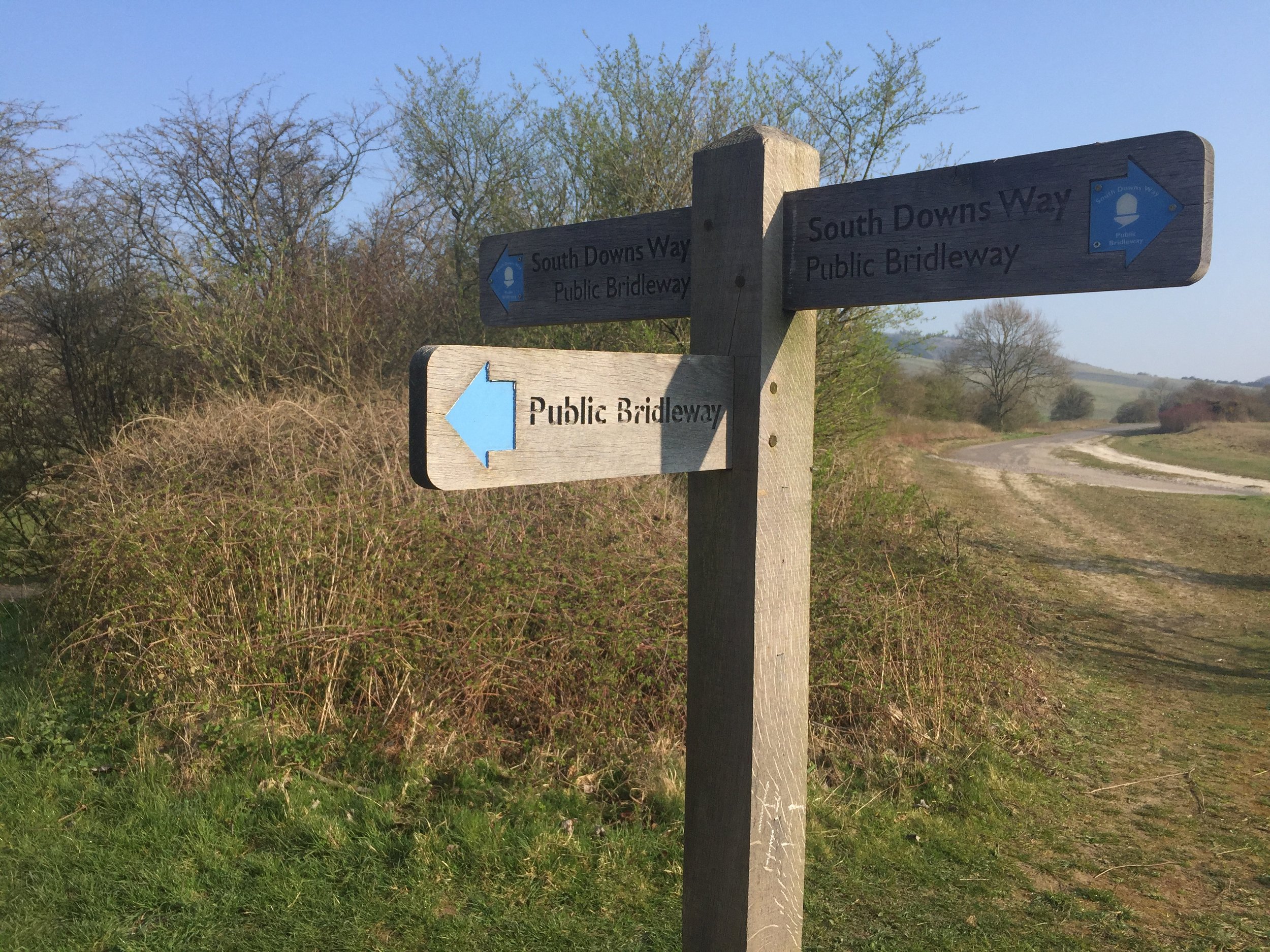
On route of: South Downs Way (just off)
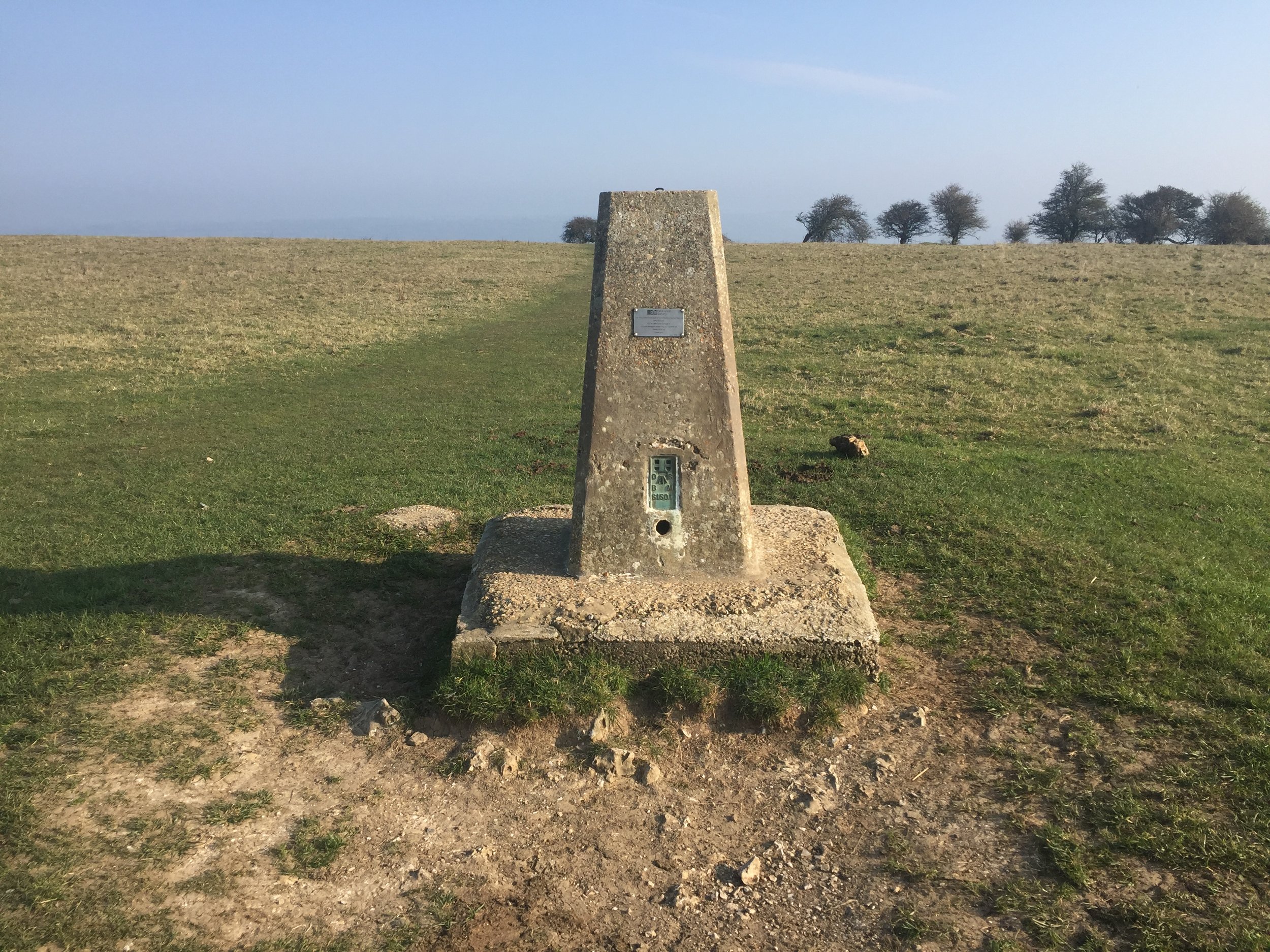
OS Trig Pillar: TP0316 - Butser
Map: Chichester Map | South Harting & Selsey | Ordnance Survey | OS Explorer Map OL08
Links: Wikipedia (Butser Hill), Peakbagger, Queen Elizabeth Country Park
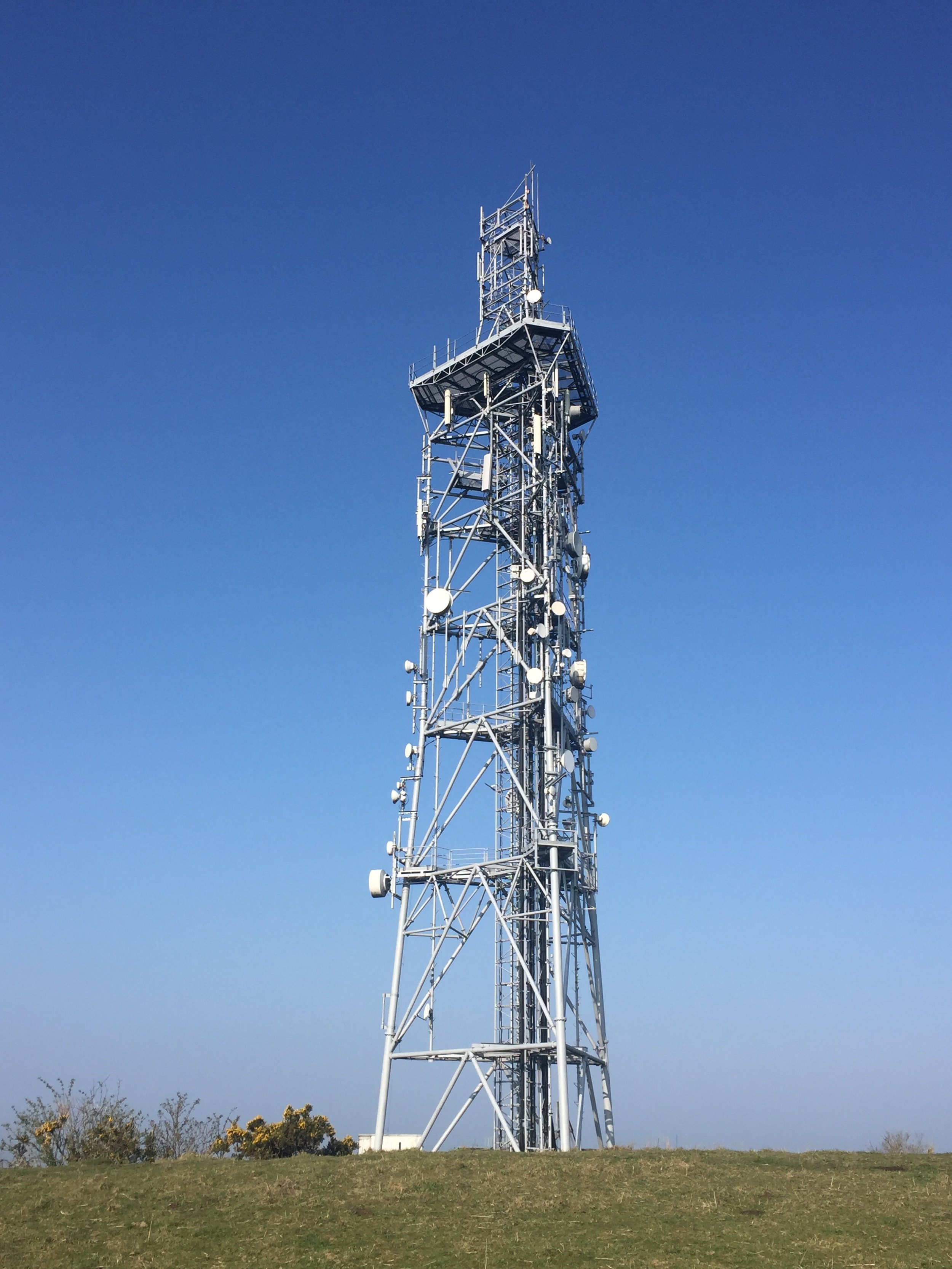
Butser Hill is a geographical and ecological giant. Reaching an elevation of 270 metres it proudly holds the distinction of being the highest point on the chalk ridge of the entire South Downs and one of the highest points in Hampshire. From its flat summit, visitors are rewarded with expansive 360-degree panoramic views that can stretch to the Solent and the Isle of Wight on a clear day.
The hill is an essential site for both history and conservation. The surrounding area is rich with archaeological remains, including Bronze Age burial mounds and ancient Celtic field systems. A short distance away is the famous Butser Ancient Farm, an experimental archaeology site that reconstructs prehistoric, Roman-British, and Saxon dwellings, demonstrating ancient farming and building techniques.
I’d passed close by to the tops of Butser Hill on the Race To The King ultra marathon. It wasn’t close enough though to add some more distance to the 53 miles I had to run that day so I gave it a miss. Luckily it’s in warm-up distance of Queen Elizabeth parkrun at the Country Park of the same name so I returned a few months later.
Although Butser Hill is not the highest point in the South Downs National Park (it’s Blackdown at 280m), it is the highest point on the South Downs escarpment (source).
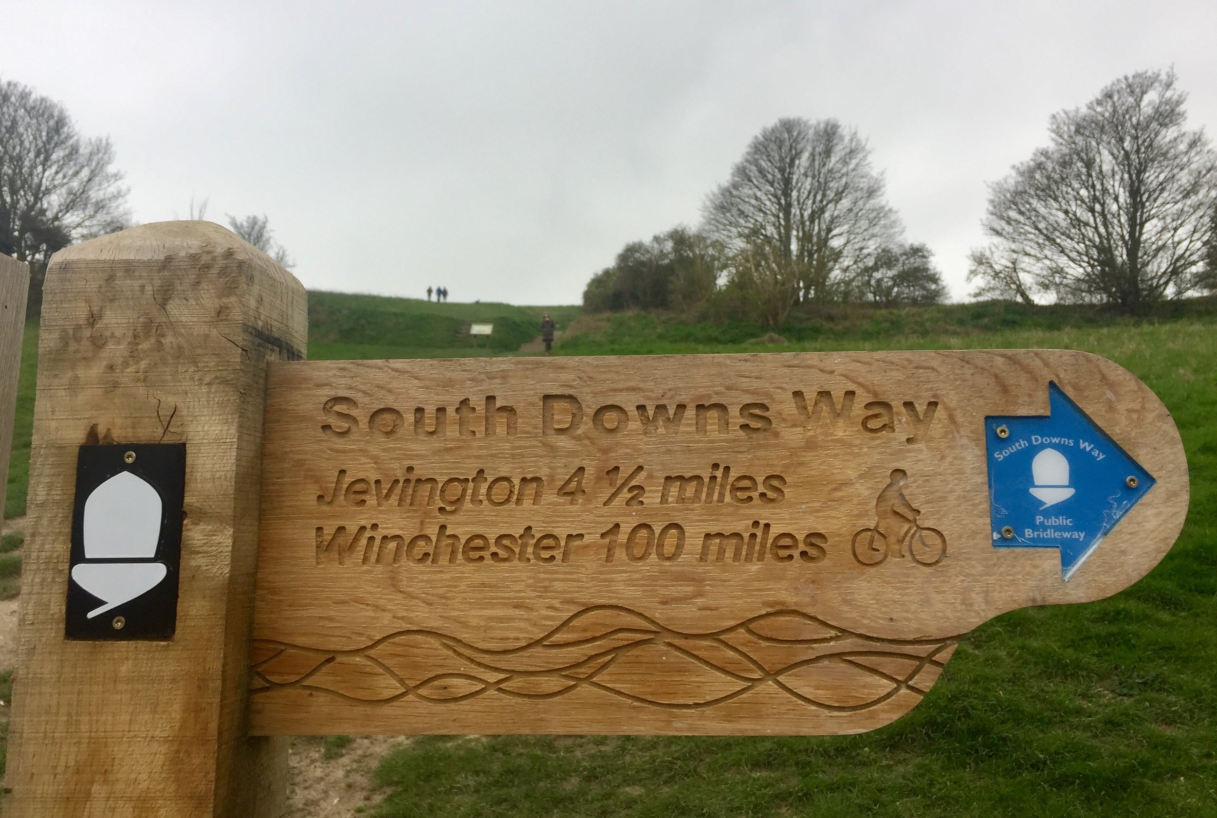
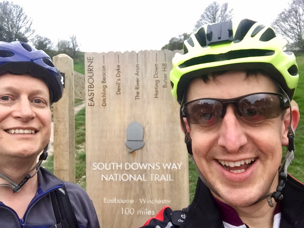
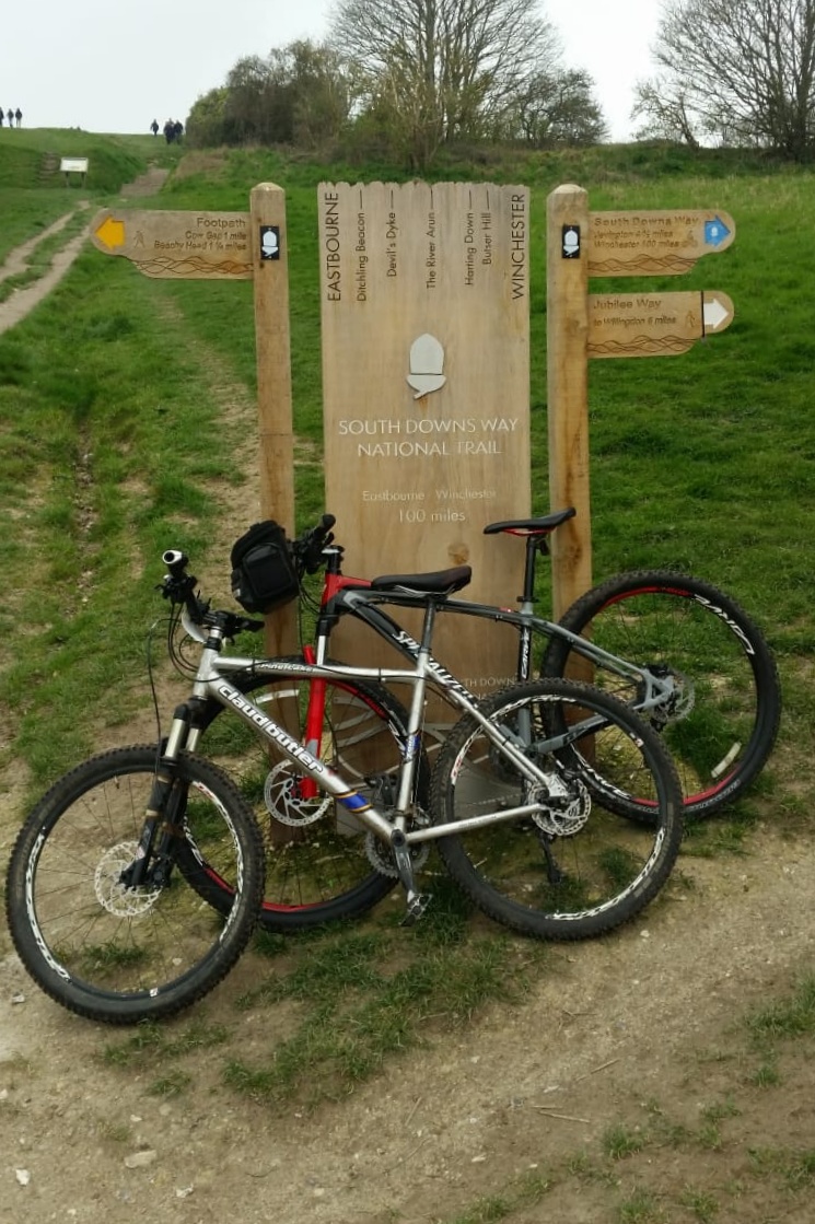
Having completed half of the South Downs Way on Race To The King, I was keen to do the rest. I’d also attempted a cycle trip on the Trail about 13 years ago but abandoned it after 30 miles. Deep mud had slowed us down and, in pre-GPS days, we didn't know where we were. Not being one to be happy with unfinished business, I needed to complete the first 50 miles.
Day 1: Destination Ditchling
Start: Eastbourne Railway Station, Terminus Rd, Eastbourne BN21 3QJ
Finish: White Horse Inn, 16 West St, Ditchling, Hassocks BN6 8TS
Distance: 51km (32 miles)
Elevation Change: +1188m / -1140m. Net +48m
GPX File: get via Buy Me a Coffee
Other Routes Touched (walk): Weald Way, Vanguard Way, Sussex Ouse Valley Way, Mid Sussex Link
Other Routes Touched (cycle): NCN 2
Map: OS Explorer OL25 Eastbourne & Beachy Head and OS Explorer OL11 Brighton & Hove
Guidebook: South Downs Way: National Trail Guide (National Trail Guides), The South Downs Way: Winchester to Eastbourne, Described in Both Directions
Links: National Trails South Downs Way, Eastbourne, South Downs National Trust
It was Saturday so a parkrun had to be included in the plan. We chose Tilgate as it was a new one for both Mark and I and he needed a new letter for his Alphabet Challenge. By the time we’d done the run, picked up the bikes and got 2 trains we were in Eastbourne for 13:30. It was getting on a bit for this time of year so we didn’t hang around.
The first 14 km to Alfriston were familiar as I’d already covered them on the Beachy Head Marathon. Unlike my previous cycling attempt the ground was dry and mud-free. Even so, we were making slow progress as it had been a while since we’d been out on the bikes.
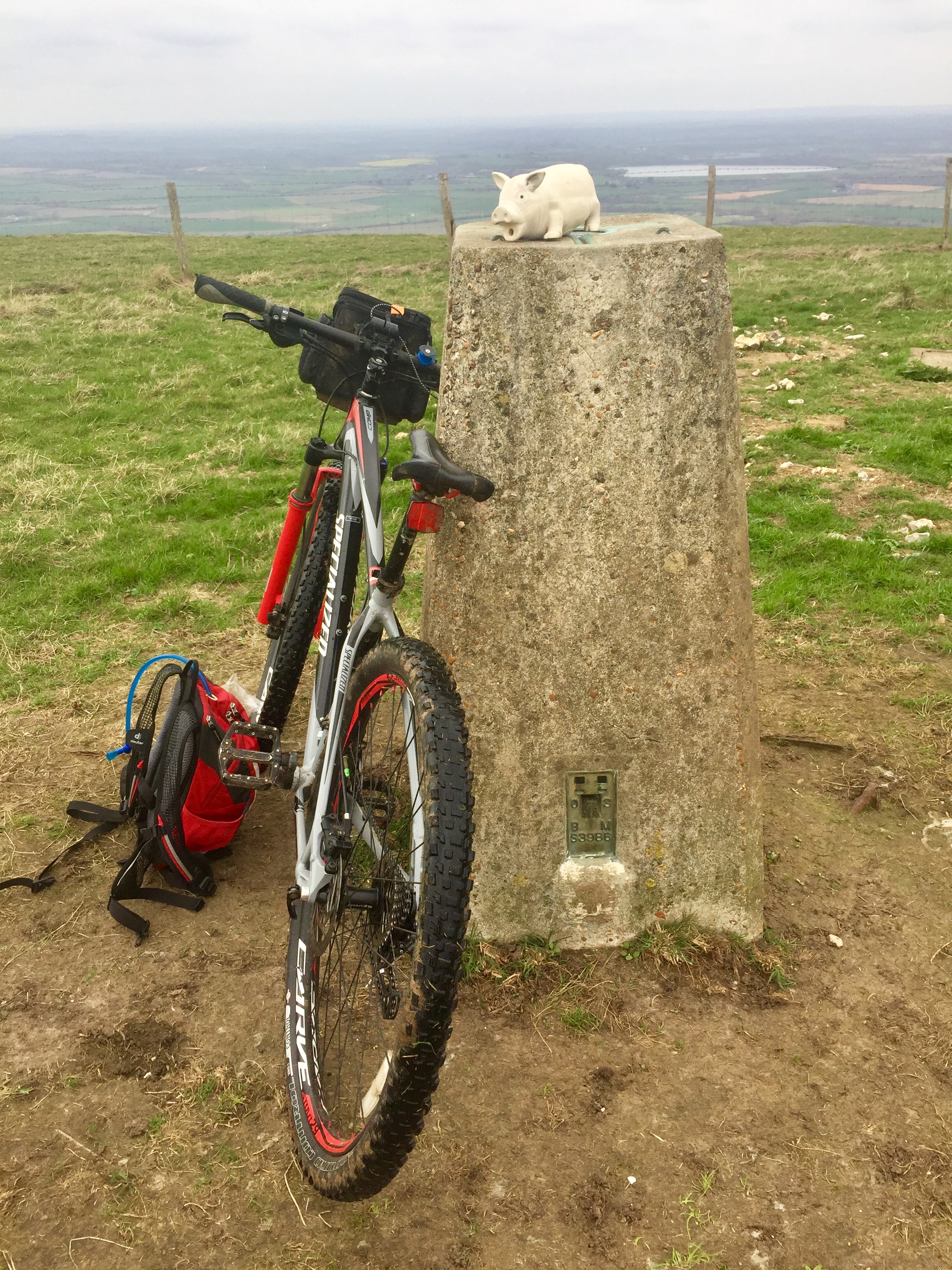
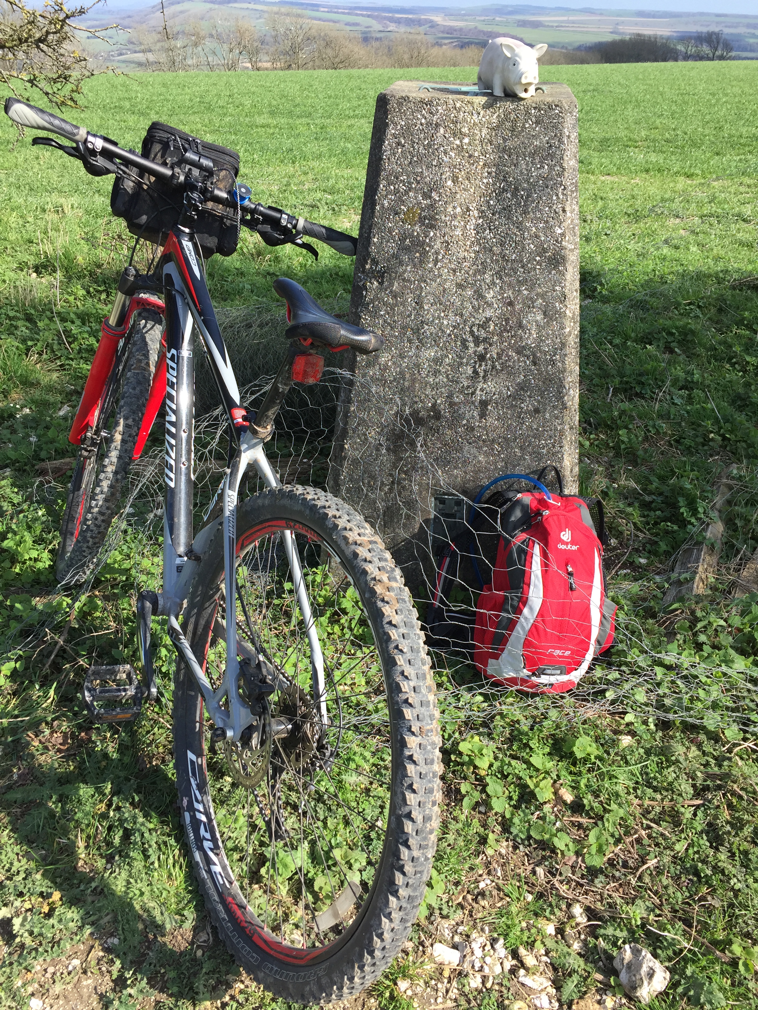
This was also a Trig Pointing adventure and we took the opportunity to bag some Trig Pillars on the route. There are 14 Trig Pillars on or close to the route. See below for the full list.
All went pretty well until Southease when Mark's bike decided to break. Going over a small bridge his back wheel lost a spoke and buckled. It didn’t take long to decide that the bike was “buggered” (technical cycling term) so we needed a Plan B. Luckily we had just passed a station and a train would be passing through shortly. Not having many other options Mark headed back home by train and I continued alone.
By now I was concerned about the daylight. It was already 17:00 with max 90 mins of daylight and at least 2 hours to go. I took on some of my emergency Haribo and tried to cover as much ground as possible with the remaining light.
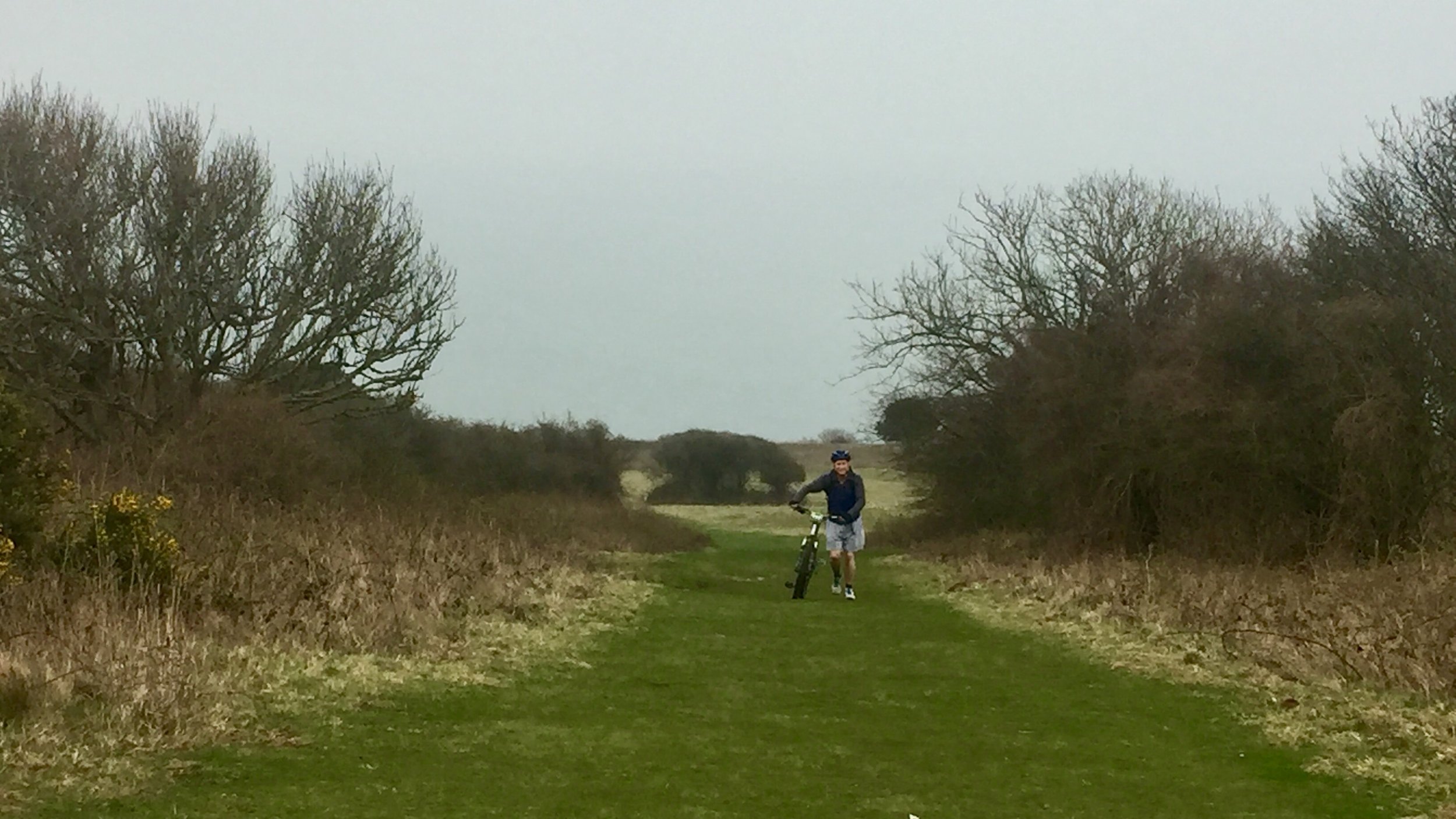
By the time I’d reached the bridge over the A27 it was completely dark and I still had Ditchling Beacon to climb. The next hour was a mix of slow cycling and pushing. At the top of the hill the trail was wide and relatively smooth. The sky was clear and the chalky trail was easy to see. I found it easier to turn my lights off and let my eyes adjust to the twilight.
I’d reached Ditchling Road by 20:00. The pub where I was staying was at the bottom of the hill and I wasn’t looking forward to taking the road down. Instead I discovered a path that goes parallel to the road. This was possibly more dangerous in the dark as it was steep and rutted. Even with carefully pushing the bike I still almost slipped over at least 3 times. By 20:30 I’d made it to the White Horse in Ditchling. After a shower, wine and fish and chips I took advantage of now having the twin room all to myself.
Day 2: Ditchling to Bury Hill
Start: White Horse Inn, 16 West St, Ditchling, Hassocks BN6 8TS
Finish: Bury Hill Trig Point near Amberley
Distance: 45km (28 miles)
Elevation Change: +1147m / -1056m. Net +91m
GPX File: get via Buy Me a Coffee
Other Routes Touched (walk): Mid Sussex Link, Downs Link, Monarch’s Way, Wey-South Path, West Sussex Literary Trail
Other Routes Touched (cycle): NCN 20, 223
Map: OS Explorer OL11 Brighton & Hove and OS Explorer OL10 Arundel & Pulborough
Guidebook: South Downs Way: National Trail Guide (National Trail Guides), The South Downs Way: Winchester to Eastbourne, Described in Both Directions
Links: National Trails South Downs Way, Ditchling, Amberley, South Downs National Trust
Day 2 started with a full English Breakfast at the pub. This was mainly so I could make a Ditchling Bacon joke on WhatsApp. I’m still not convinced that my mates found it as hilarious as it deserved though.
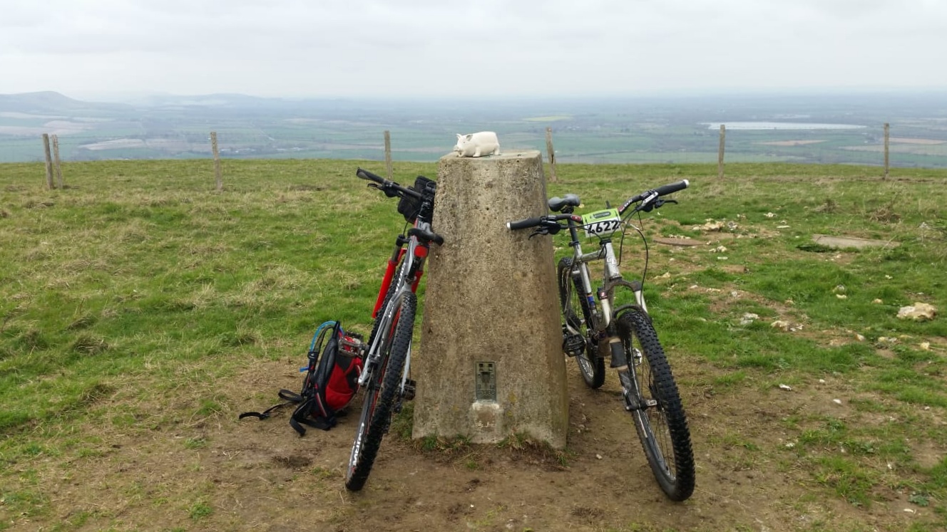
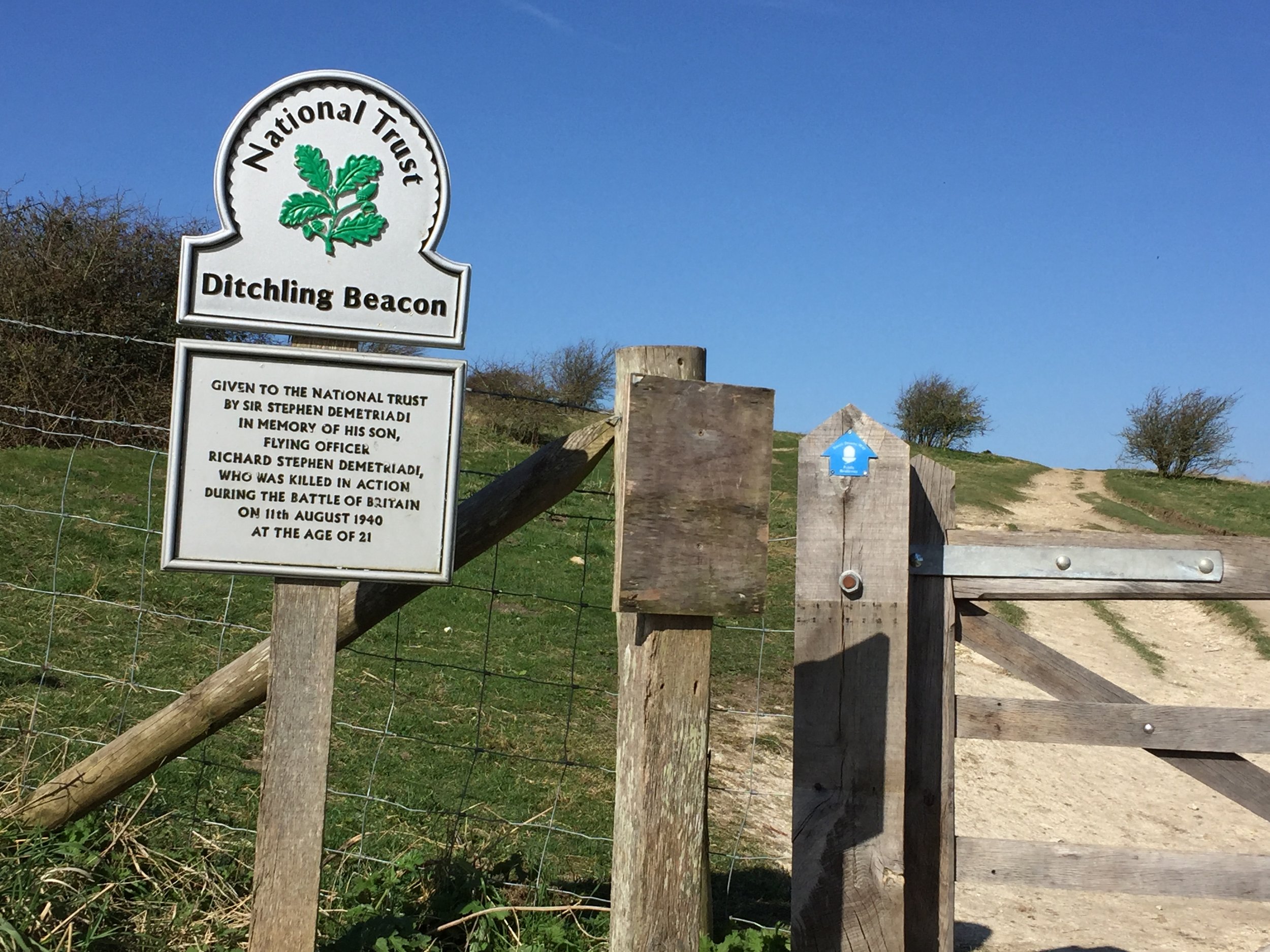
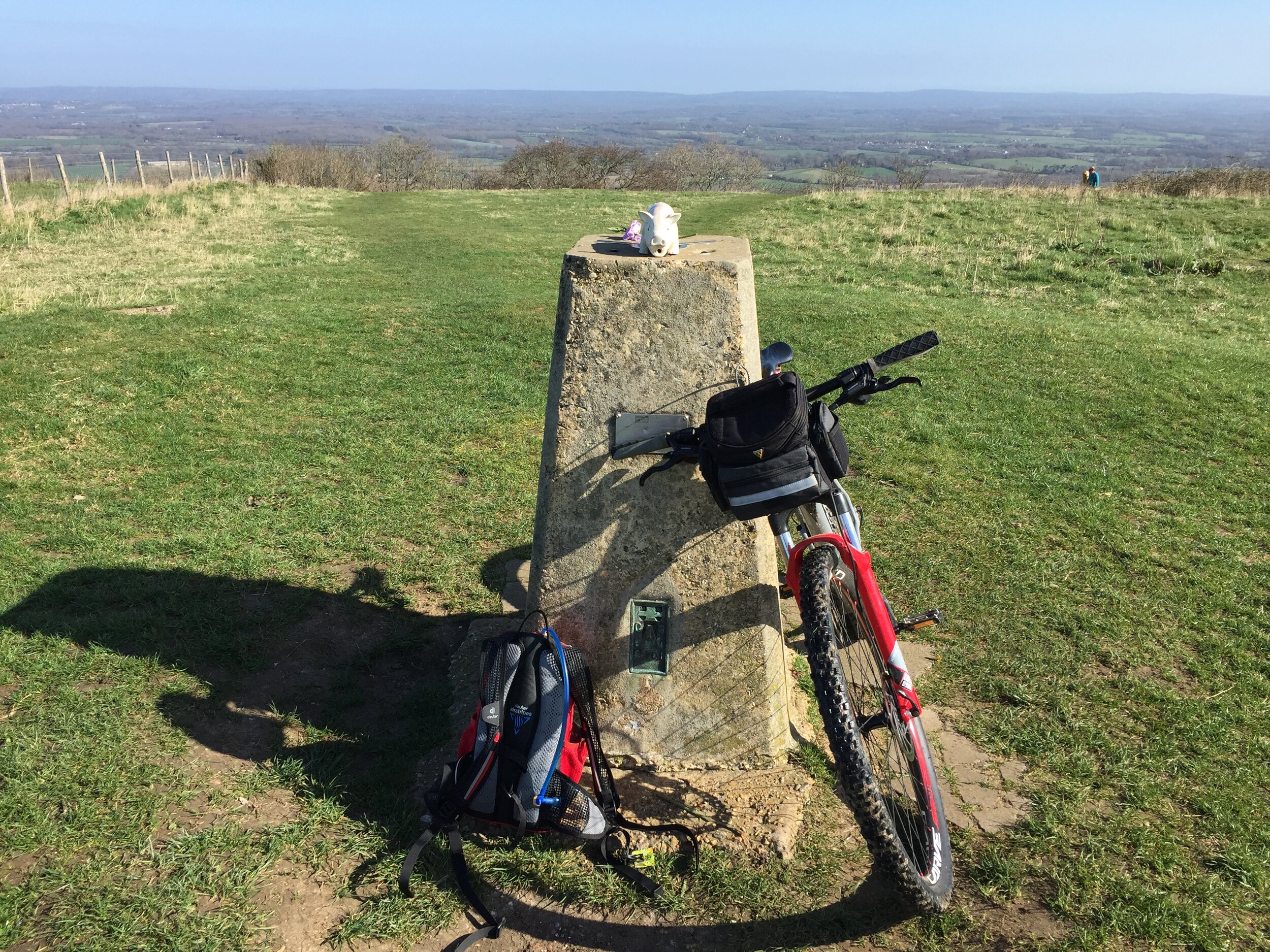
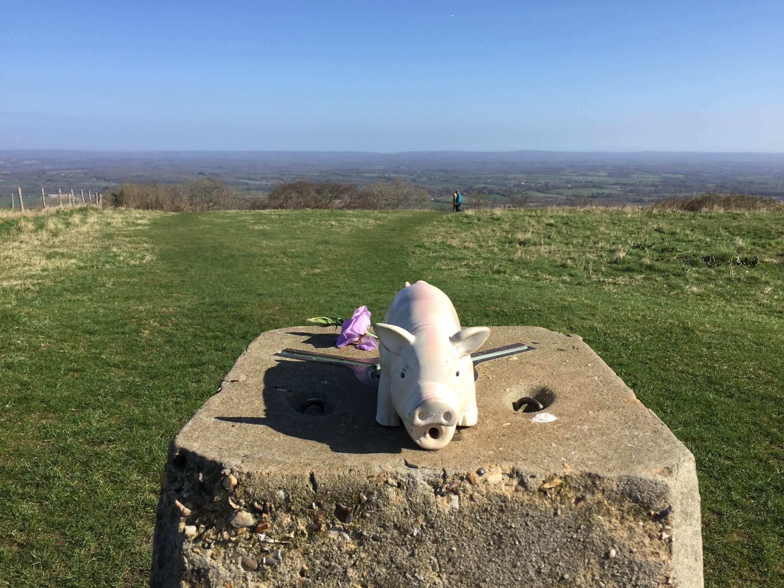
On leaving the hotel I cycled back through the village, this time in daylight. Turning onto Beacon Road you get a great view of the imposing wall that is Ditchling Beacon. I was determined to get to the top without stopping or pushing and I made it. Just. The Beacon was my first trig point of the day after a very sweaty 2 miles.
In contrast to the previous day's overcast grey skies, today was sunny and clear. This would be a very different day altogether. There were similar amounts of ups and downs but it felt easier with a lot more smooth downhill stretches to pick up speed.
My second trig pillar was Devil’s Dyke at 13 km in. In my original planning I’d wanted to stay here only for the amusement of spending a night on Fulking Hill. The fact that the Devil’s Dyke Inn isn’t a hotel put an end to that. It was just as well given how late Day 1 turned out to be.
The rest of the day was a joyous trip along the South Downs. The warm early spring weather had brought a lot of people out walking, cycling or horsing(?) their way along the trail. I made a plan to say a cheery "hello" to everyone I passed to see their reaction. Horse-riders won with 100% "Hello"s back while walkers came joint second with mostly pleasant responses. Cyclists and runners came about even with either no responses or awkward grunts.
Amberley would be the natural destination for the first 50 miles of the Trail. I needed to go a bit further though as I needed to join the route of last year's Race To The King. The Ultra started a few miles South at Slindon, meeting the South Downs Way at Bury Hill. There's a Trig Point just off the Trail there so I made it my destination for this 2-day trip.
Trig Pillars on or near the South Downs Way (Eastbourne to Bury Hill)
All visited on this trip unless stated. Numbers in brackets show approximate kilometres from the start of the Trail at Eastbourne.
TP6953 - Wilmington Hill (10) - slight detour from SDW
TP1440 - Blackcap (42) - slight detour from SDW. I didn’t visit this one as it was already late and dark
TP0760 - Ditchling (46)
TP2770 - Devils Dyke (55)
TP6595 - Truleigh Hill (59) - slight detour from SDW. I didn’t visit this one as there was no obvious public route from the Trail
TP6177 - Steyning Round Hill (68) - very near path but behind a fence
TP4257 - Kithurst Hill (78) - slight detour from SDW
TP0415 - Rackham Hill (81) - very near path but behind a fence
TP1812 - Bury Hill (88) - slight detour from SDW
South Downs Way: Done
Map below: Blue = Beachy Head Marathon, Green = This cycle trip, red = Race To The King Ultra Marathon
Significance: Highest peak in East Sussex (Present Day County Top), Highest point in the Rape of Lewes
Member of: Marilyn
Parent Peak: Leith Hill.
Nearest Higher Neighbour: Leith Hill
Historic County: Sussex (of which Black Down is the County Top)
Elevation: 248m
Date climbed: 24th March 2019
Coordinates: 50° 54′ 7.2″ N, 0° 6′ 25″ W
OS Trig Pillar: TP0760 - Ditchling
Map: OS Explorer OL11 Brighton & Hove
Guidebook: Walking the County High Points of England (David Bathurst)
Links: Wikipedia (East Sussex), Wikipedia (Ditchling Beacon), Peakbagger, National Trust
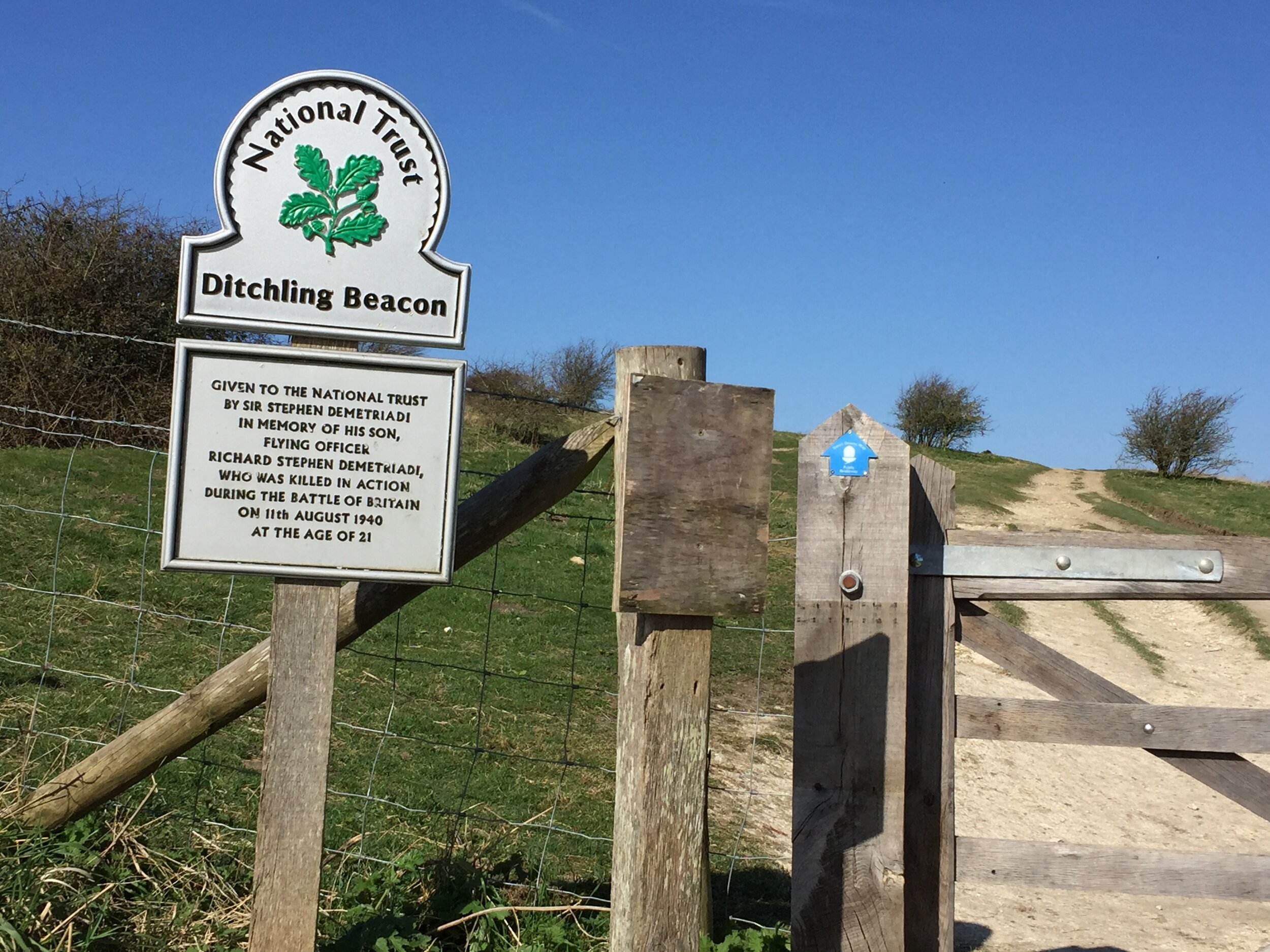
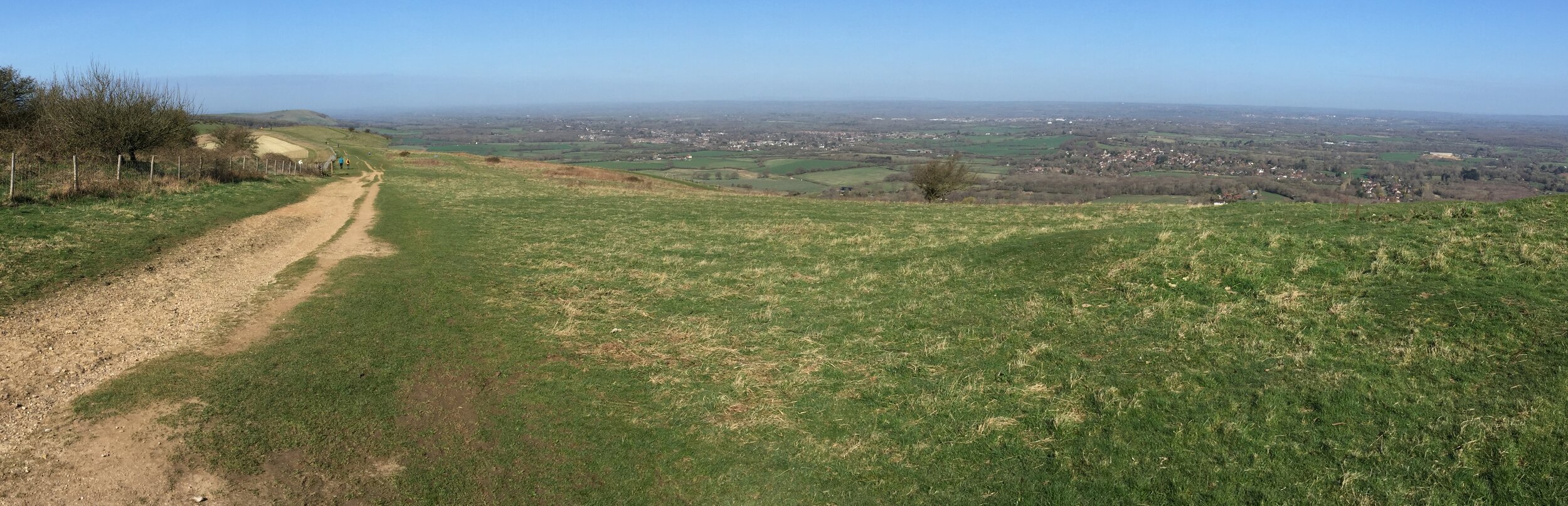
Ditchling Beacon is the County Top of present-day East Sussex. It stands as one of the most significant natural and historical landmarks on the South Downs National Park. Rising to an elevation of 248 metres above sea level, it offers truly panoramic, 360-degree views stretching across the Weald to the north and the coastal strip to the south. More than just a vantage point, this chalk hill is a site rich in millennia of human and natural history.
The prominent position of the Beacon made it an ideal defensive location for ancient peoples. Archaeological evidence confirms it was once the site of an Iron Age hillfort, dating back to prehistory. The remains of a single defensive bank and ditch, enclosing an area of approximately 5.5 hectares (13.6 acres), speak to its strategic importance. While relatively little excavation has been carried out, the presence of these fortifications underscores its role as a significant settlement or refuge overlooking the lower ground of the Weald.
The 'Beacon' in its name is not merely descriptive; it's a historical function. Ditchling Beacon was famously one of a chain of signal fires maintained across the country to warn of impending invasion. Visible for miles around, the beacon would be lit in times of national crisis, a critical part of the early warning network, including famously being used to signal the sighting of the Spanish Armada in 1588.
I'd first bagged bagged Ditchling Beacon in 2012 as a drive by on the way back from Devil's Dyke. There's free parking near the summit so it's easy to reach. I'd also had a few close passes while on the BHF London To Brighton Cycle Ride which goes up and over the hill on Ditchling Road.
It wasn't until my South Downs Way cycle ride that I felt that I'd properly bagged it. The early morning slog up the hill from Ditchling Village made me feel like I'd earned it. The long views on a clear spring morning made it worth the effort too.
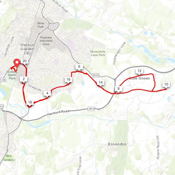
When: March 17th 2019
Where: Welwyn Garden City, Hertfordshire, UK
Course: Out and back from Gosling Sports Park on residential streets and the Cole Green Way with a loop half way around Hertingfordbury and Cole Green
Other routes touched (walk): Cole Green Way, The Old Coach Road, Lea Valley Walk
Other routes touched (cycle): NCN 12, 57, 61
Finish time: 2 hours 6 minutes
Start / Finish: The Bull and Butcher Pub, Holloway Ln, Turville, RG9 6QU
Distance: 11.2 km (6.9 miles)
Elevation Change: +/- 183m
Other Routes Touched (walk): Chiltern Way
Other Routes Touched (cycle): Chiltern Cycleway
Other Pubs / Cafes on route: The Chequers Inn (1 km in) The Chilterns Fox (7.3 km in)
Map: Ordnance Survey Explorer 171 Chiltern Hills West, Henley-on-Thames & Wallingford
Links: Turville, Fingest, Ibstone
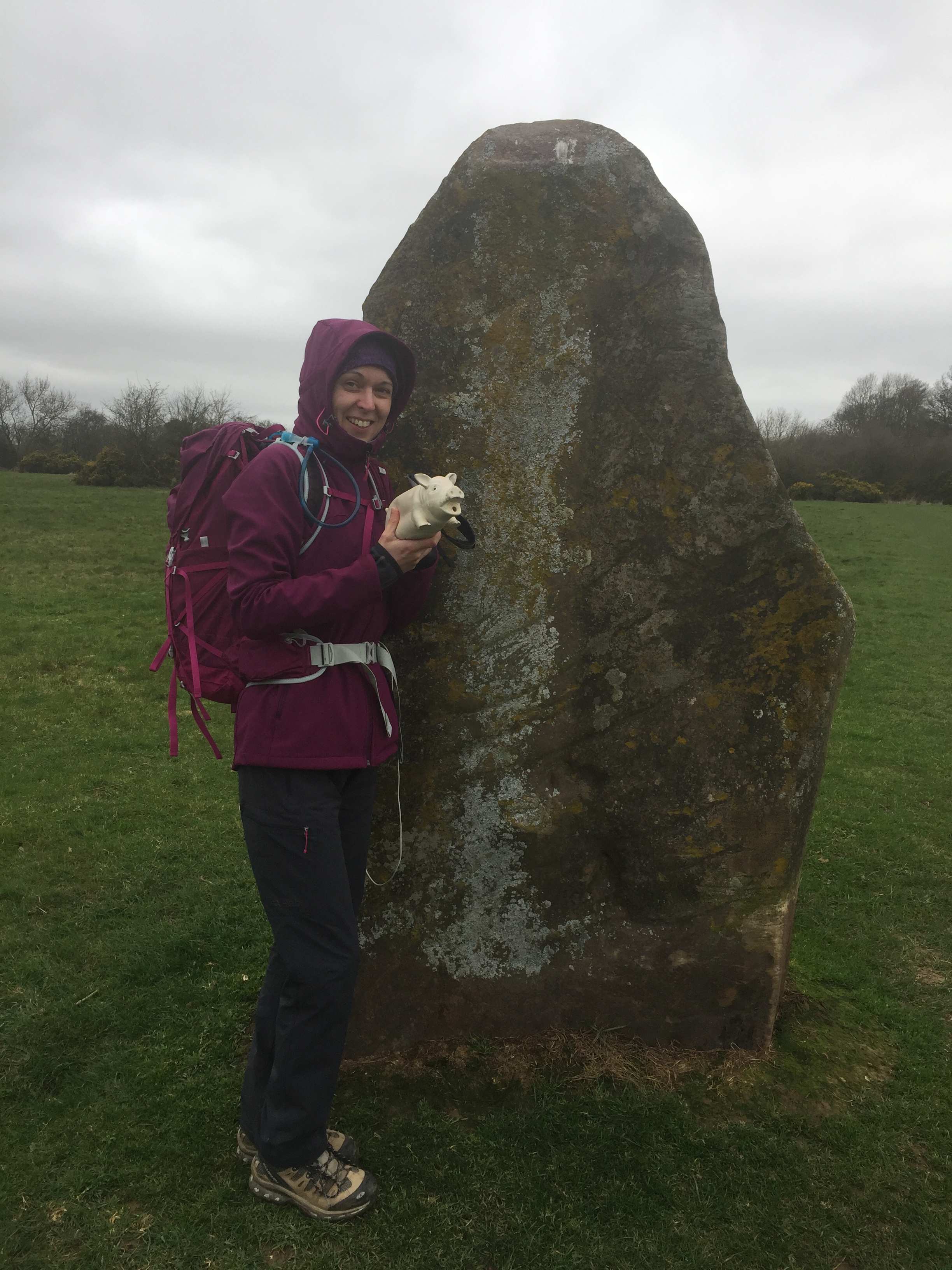
This walk was a little longer than our recent Chiltern rambles. Our Camino adventure was fast approaching and we needed a proper practice if we're going to do 18 km every day in Spain. We'd also heard good things about the pies in the Bull and Butcher in Turville so we needed to check them out. The guidance below will help you navigate but don’t use it as a fully accurate turn-by-turn guide. Always take a map and/or a GPX route and prepare well for the weather and terrain.
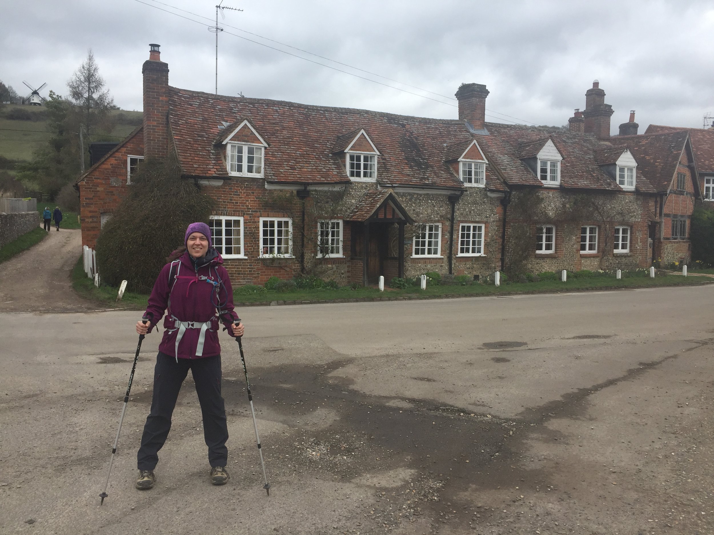
Turville is an idyllic English country village in the heart of the Chilterns. So much so that its been featured in many films and TV series. We'd actually seen it a week ago in an episode of Killing Eve. Its the kind of place that's so special you don't want to blog about it in case too many other people find out about it ...
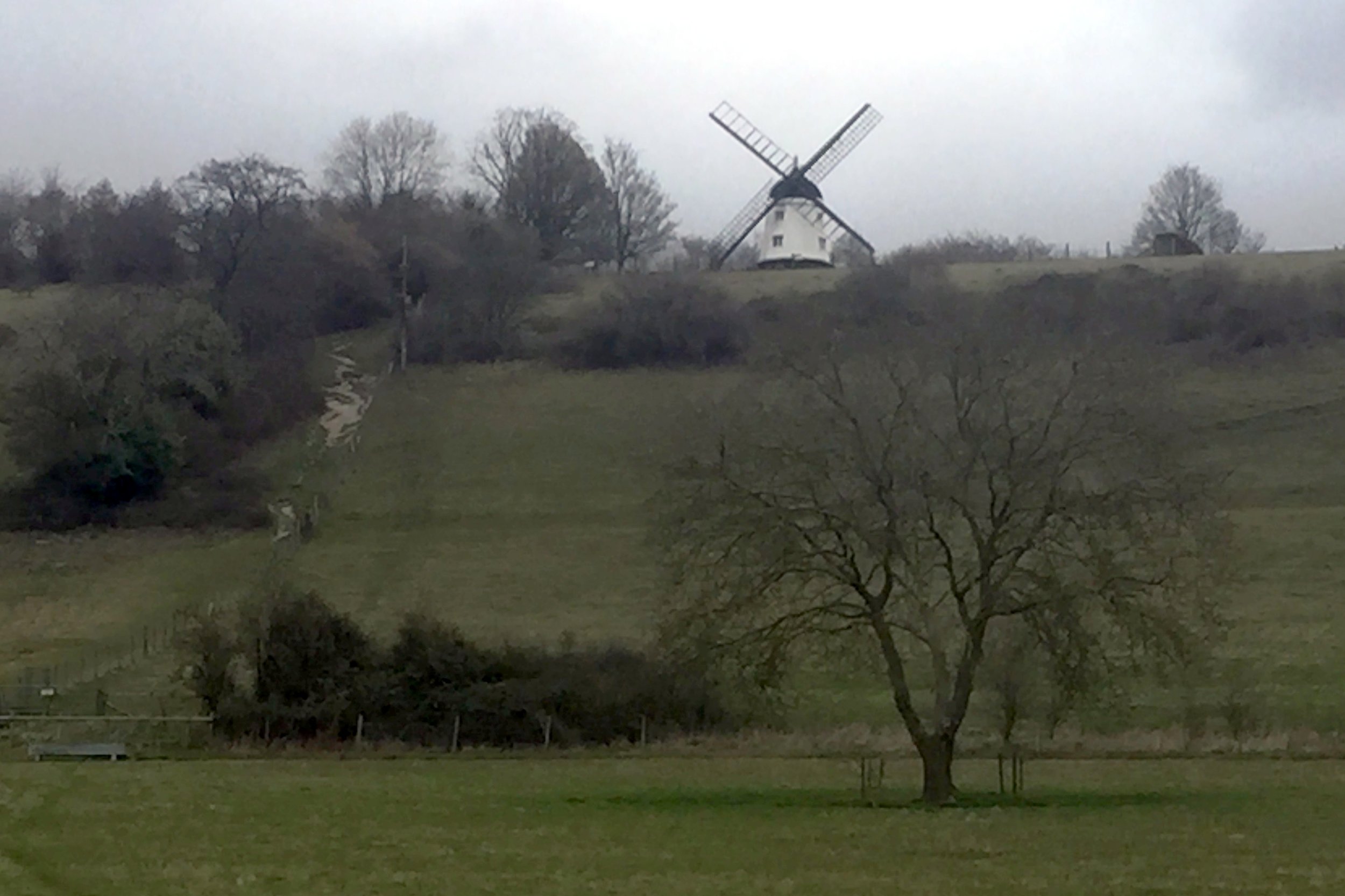
Parking in the village centre we took the footpath leading up the hill toward the windmill. Its a steep climb but we turned off the path pretty soon. I told Timi that we were going to the top of the hill so it was a relief to her that we were actually taking a flatter route around the hill.
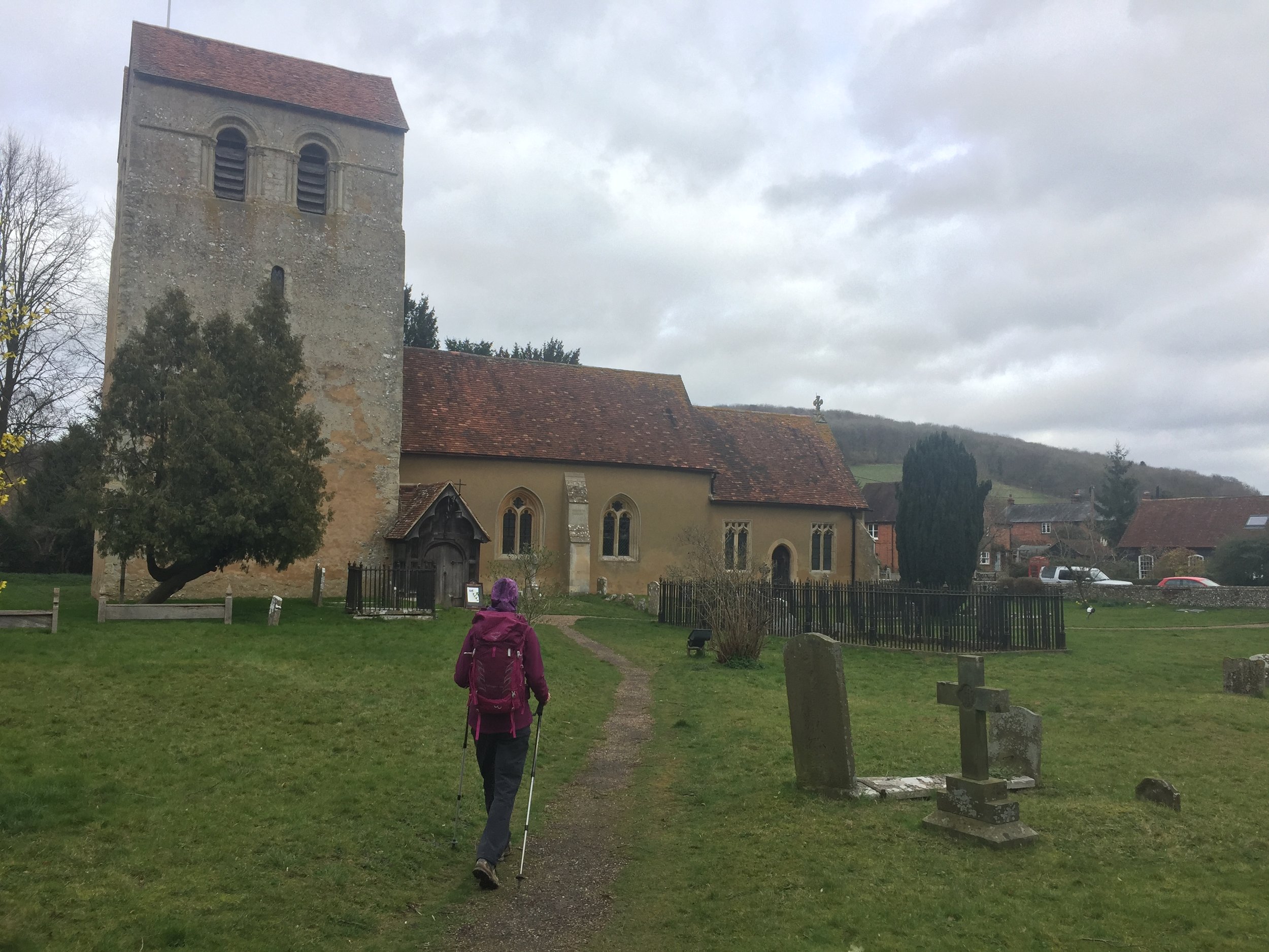
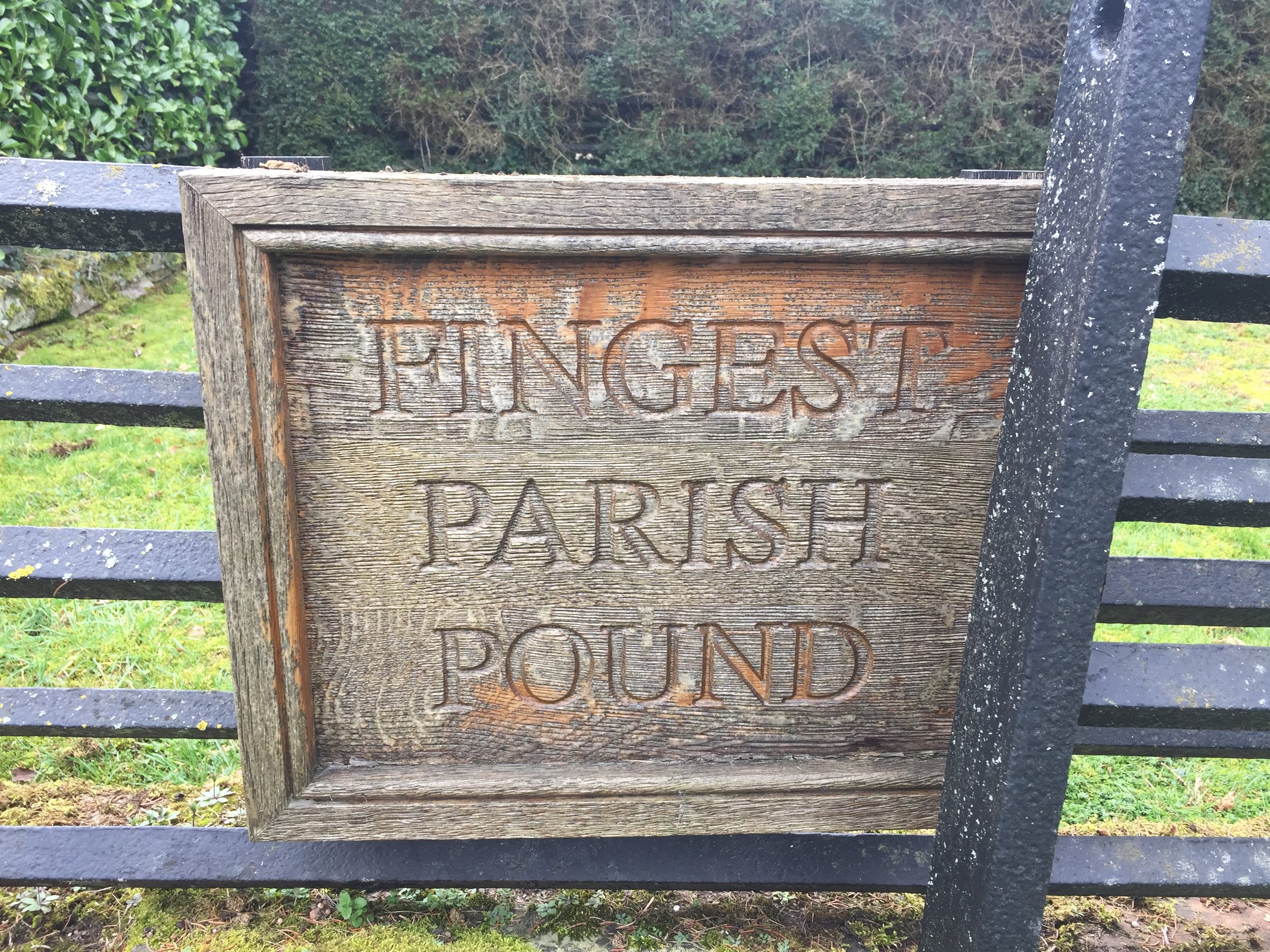
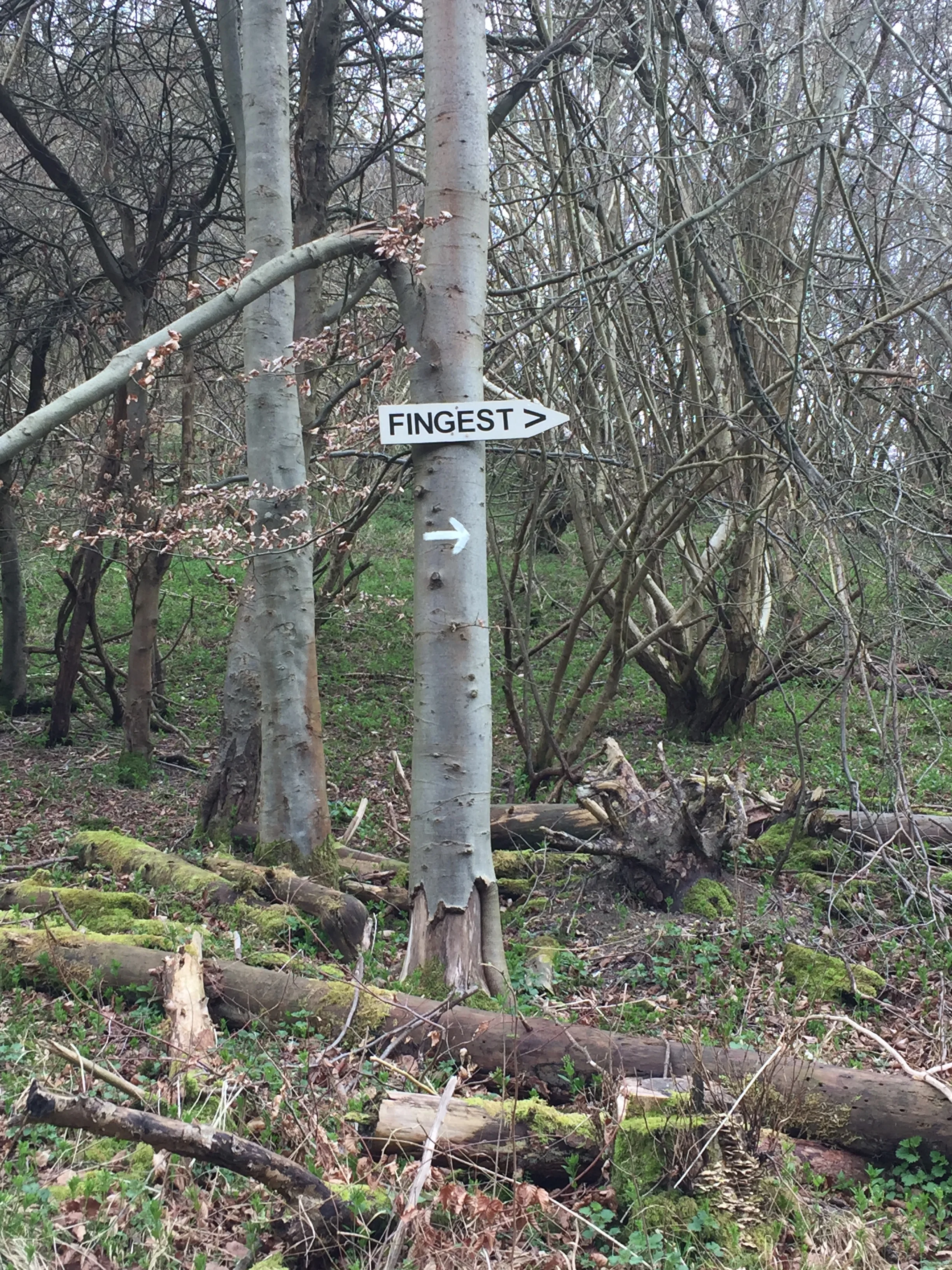
Fingest village arrives at only 1 km into the route. If you're doing the pub crawl version of the route then the Chequers Inn will be your first stop. We avoided this one and checked out St Bartholemew's church instead. After the church/pub the route follows Chequers' Lane for just under 1km before taking a footpath west of a bend in the road.
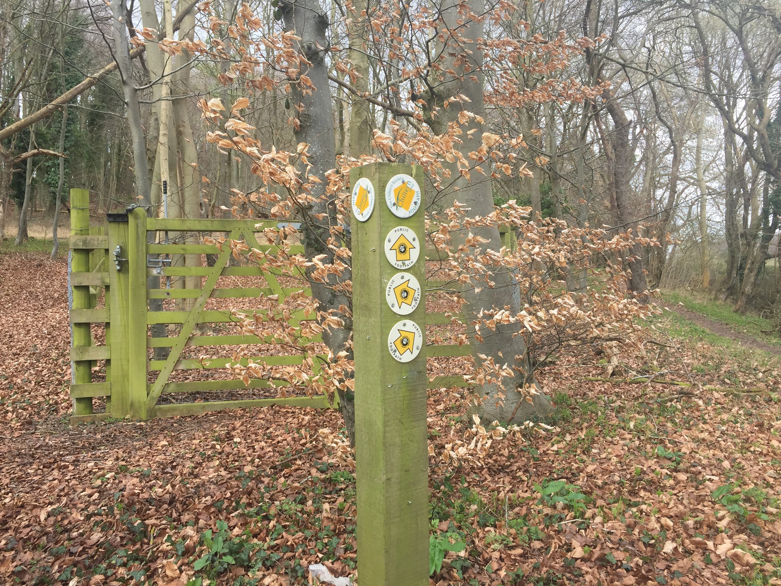
From here the route follows a wooded valley for 3.5 km until a junction with a left hand turn and steep ascent across a field toward the Chiltern Way. This is a really lovely section and, for me, the highlight of the walk.
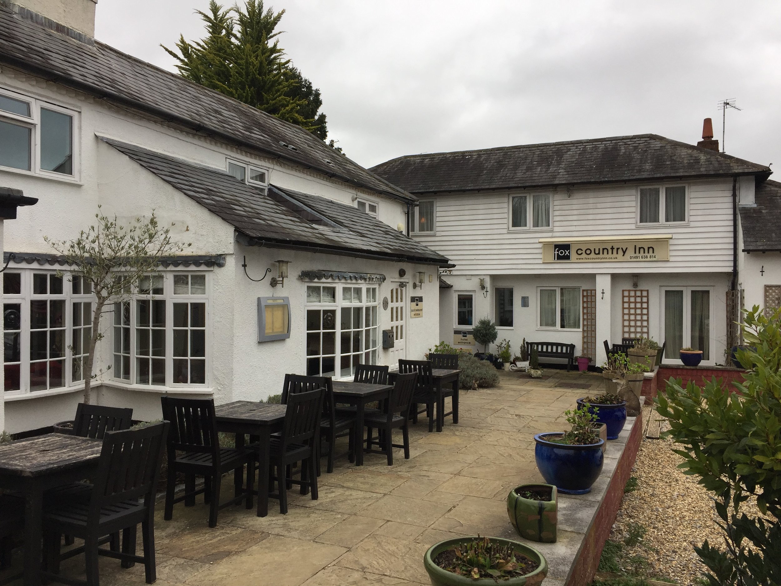
The Chiltern Way section is just over 1 km and takes you to Ibstone Road where you'll find the Fox Country Inn at the North of the village. Needing a rest, we popped in for a drink. It was weirdly empty for a Saturday afternoon, especially as it looked like a really nice place. The unfriendly staff could have been a clue though. We didn't stop for long. Pies at the Bull and Butcher were waiting!
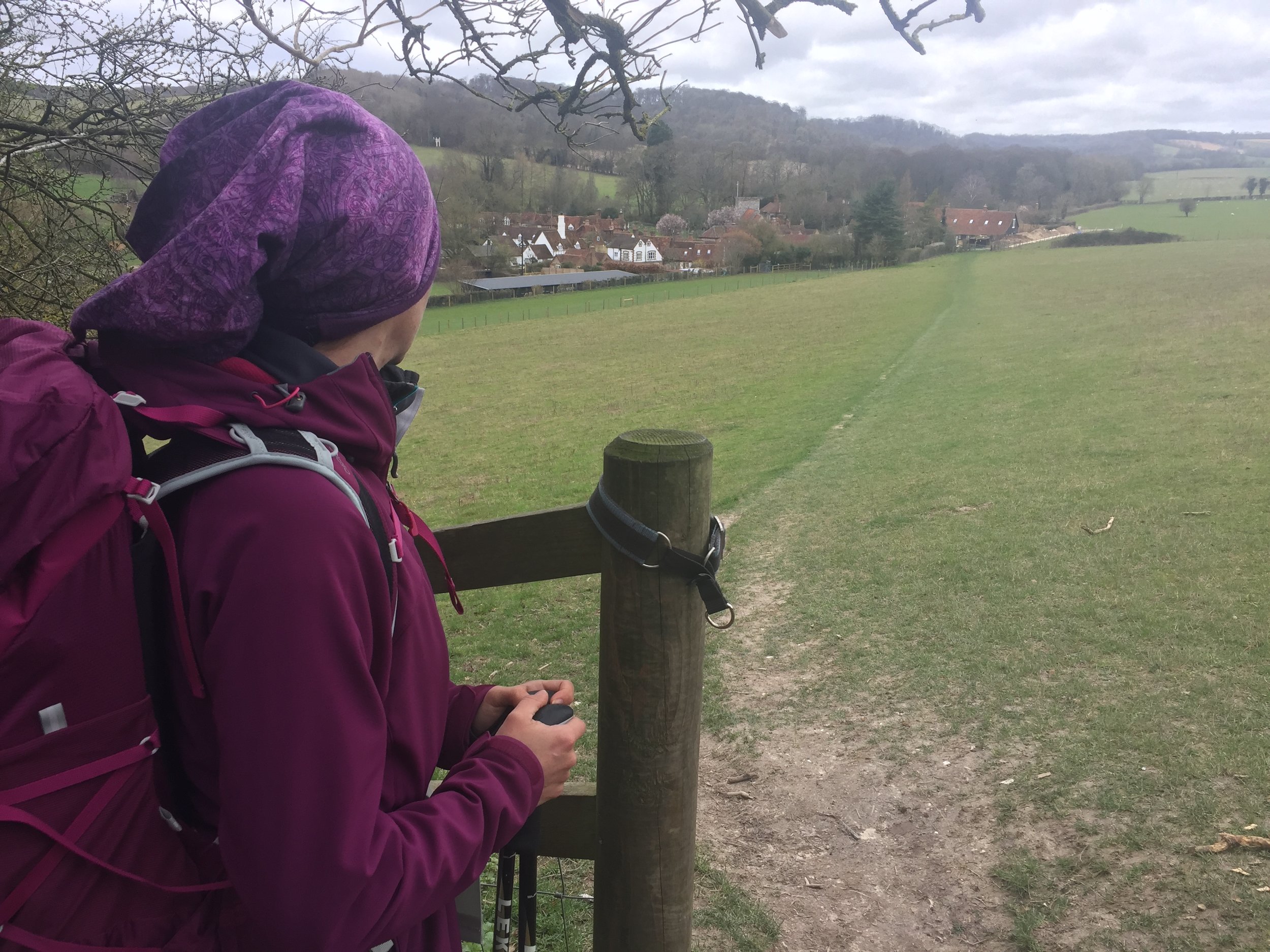
Leaving the Fox we crossed the road and took the path around the Western side of Ibstone Common. From here the route follows wooded paths parallel to Ibstone Road. At the final half km, the path enters into open fields with a great view of Turville village from above. The final section is a steep descent back to the village centre.
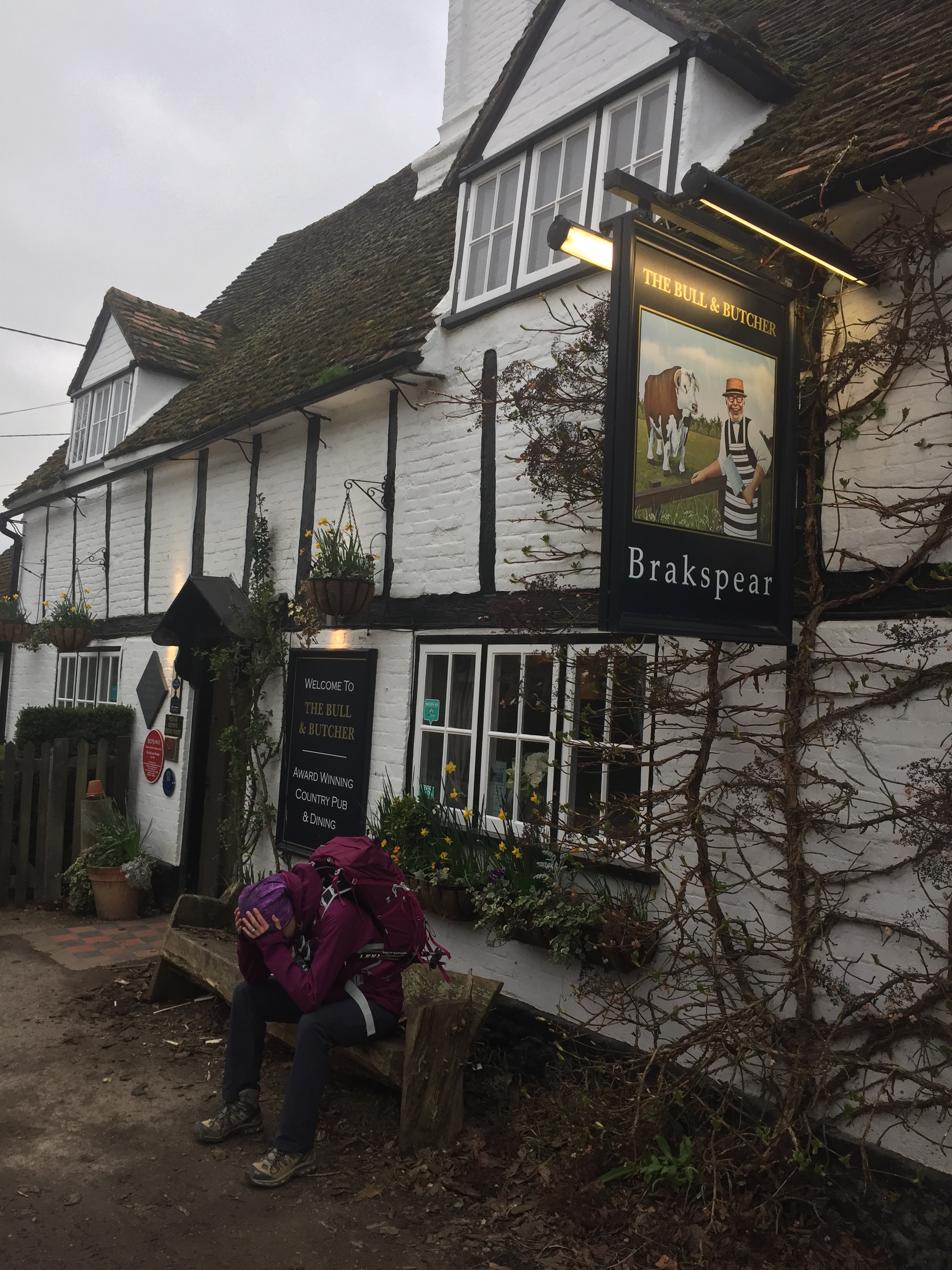
After 11 km with fully laden rucksacks we were really looking forward to the Bull and Butcher's famous pies. Turned out that the rugby was on TV and they had stopped serving food. Doh! We had a sad packet of crisps instead and headed home.
Despite a poor experience of the pubs, the walk was amazing. This is a real gem right in the heart of the Chilterns.
Tower near Palamós
Start: Platja d’Aro Beach, Girona, Spain
Finish: Palamós Old Town
Distance: 8 km (5 miles)
Elevation Change: +71m /-65m. Net +6m
GPX File: get via Buy Me a Coffee
Other Routes Touched: N/A
After a worky week in Barcelona, Timi and I headed North for quiet weekend together. We also got our 2nd unexpected microadventure of the week.
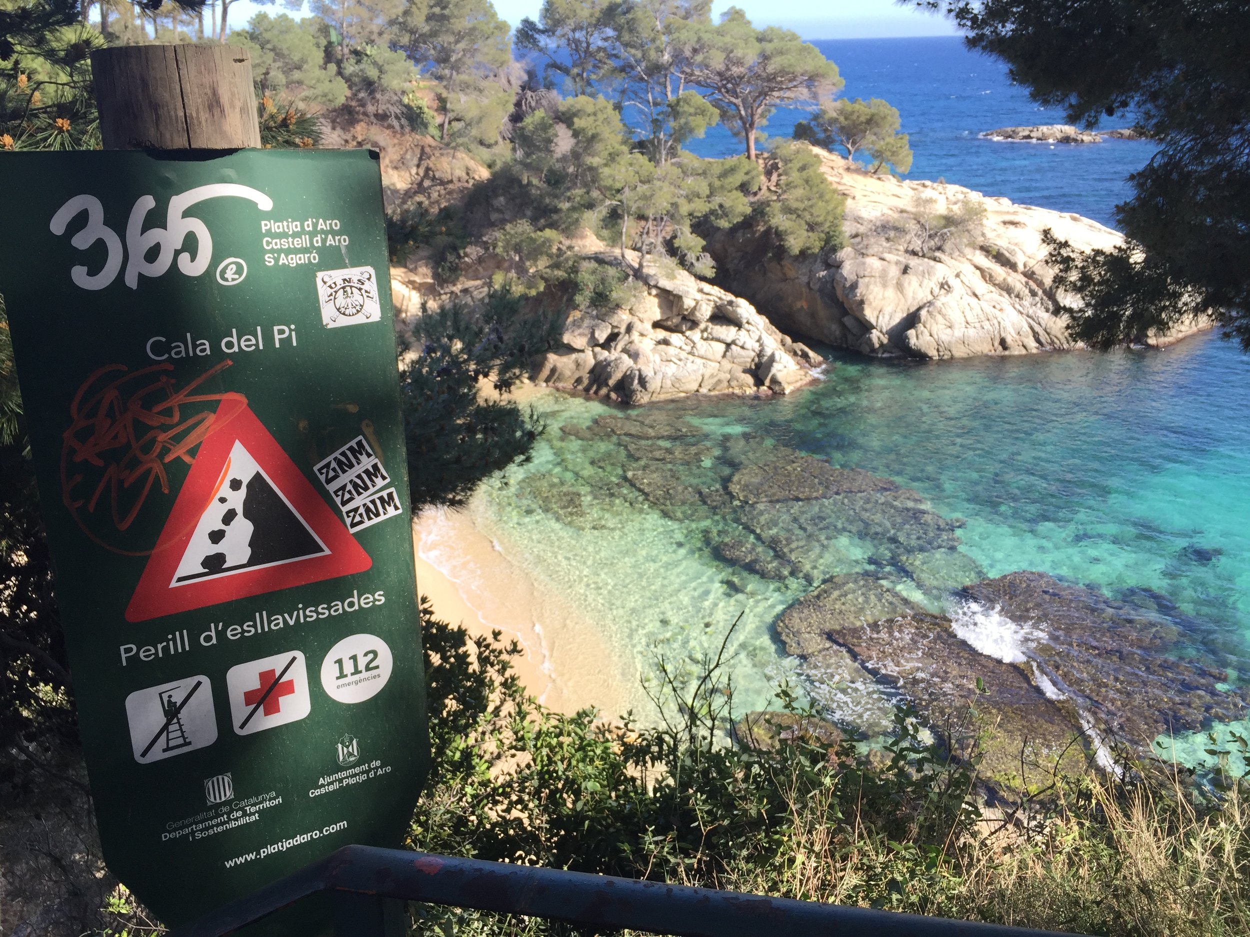
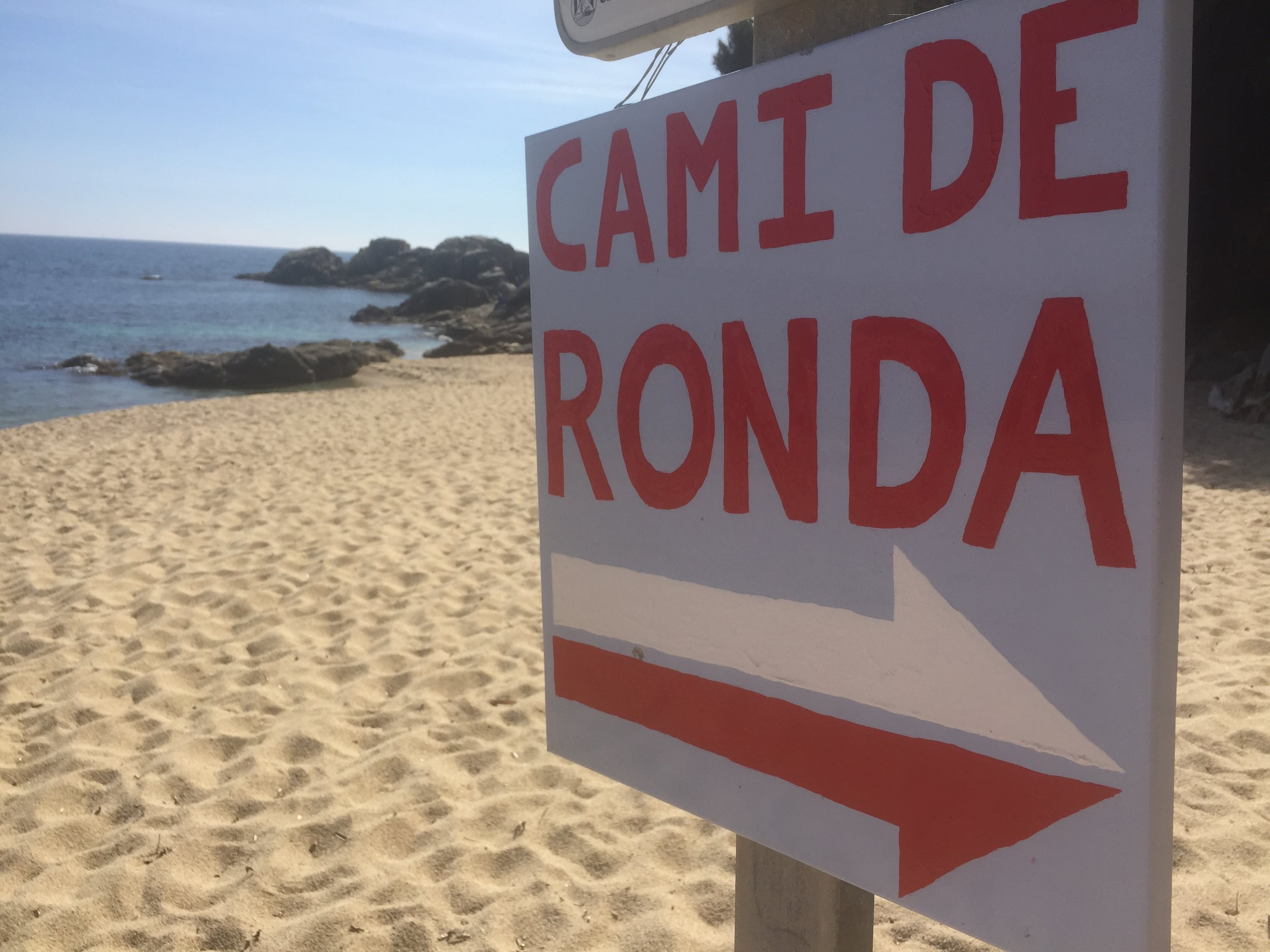
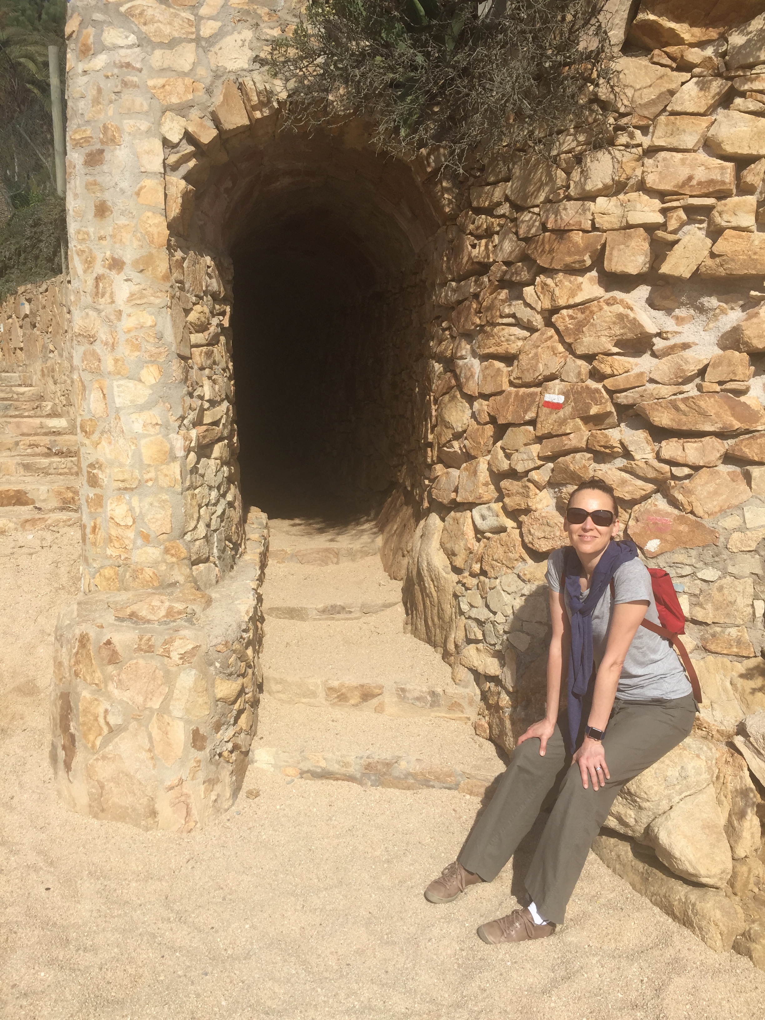
The hotel was on cliff just off the beach at Platja d'Aro. After checking in we wandered down to the small bay to find that the Camino de Ronda went straight through it. With only 6 weeks to go until our Camino Portuguese trip, we had to check it out.
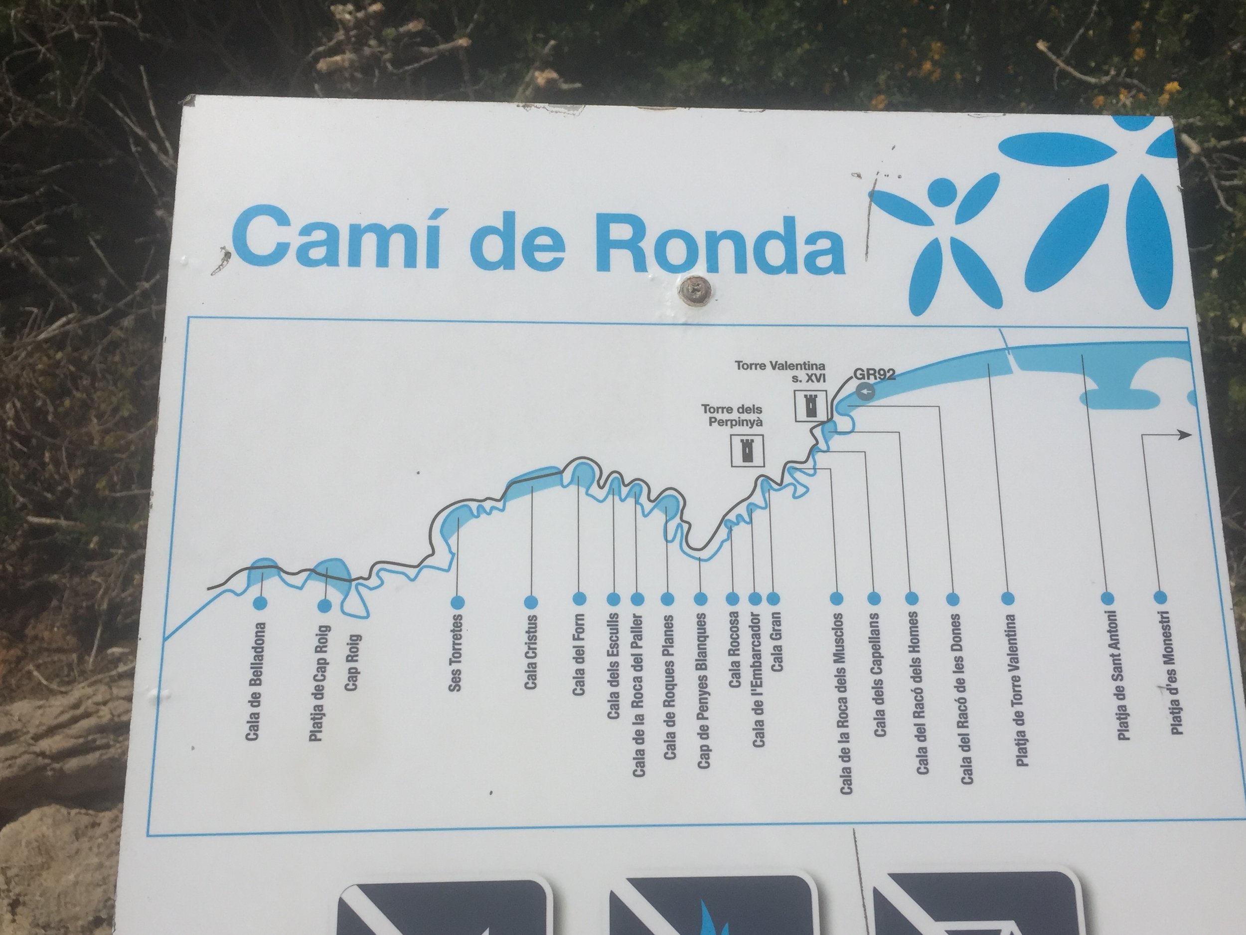
The Camino de Ronda is an old coastal route that connects villages on the Costa Brava. At 43km, its just over the length of a marathon. As much as I was excited to do it all, we we there to relax so we opted for a shorter taster version.
After completing a short section on the Friday between our hotel and Platja d'Aro beach we returned the next day for a longer stretch. On Saturday we headed North to see how far we could get in a few hours.
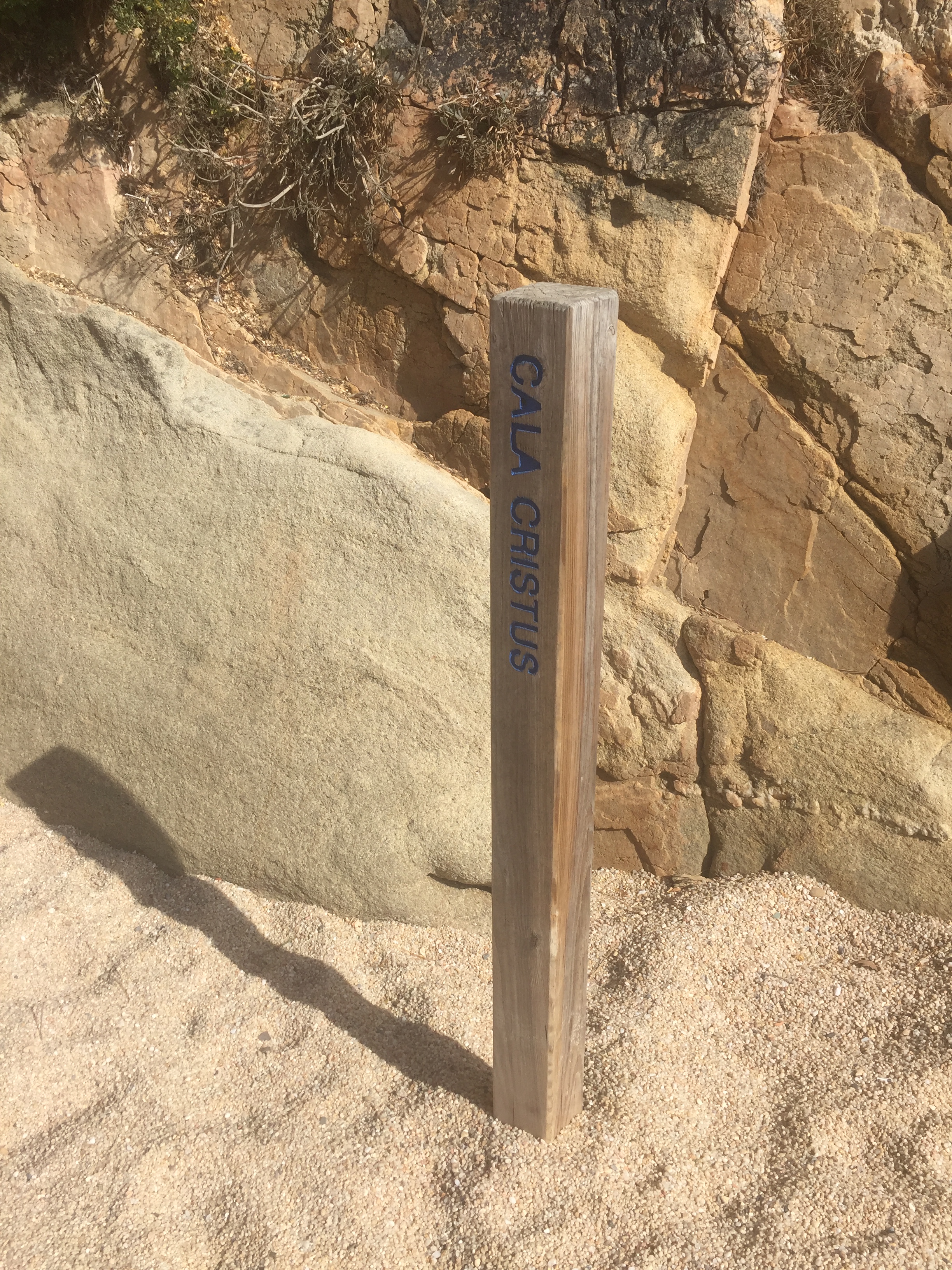
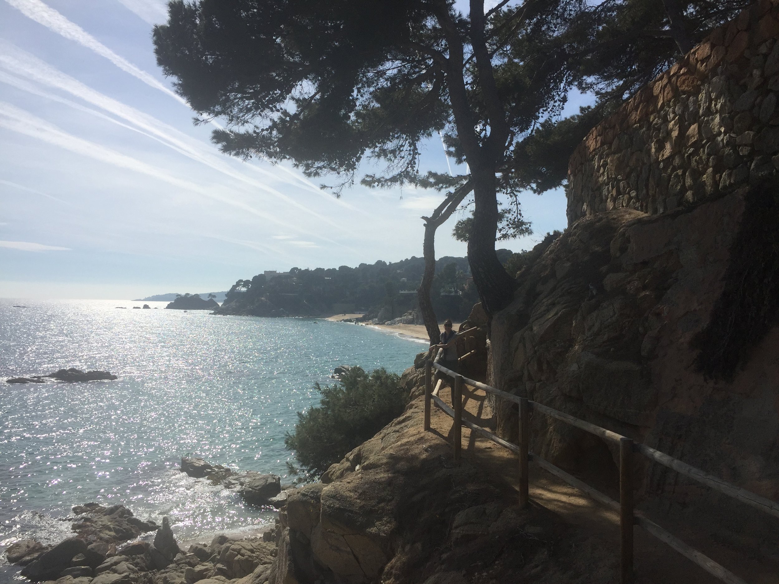
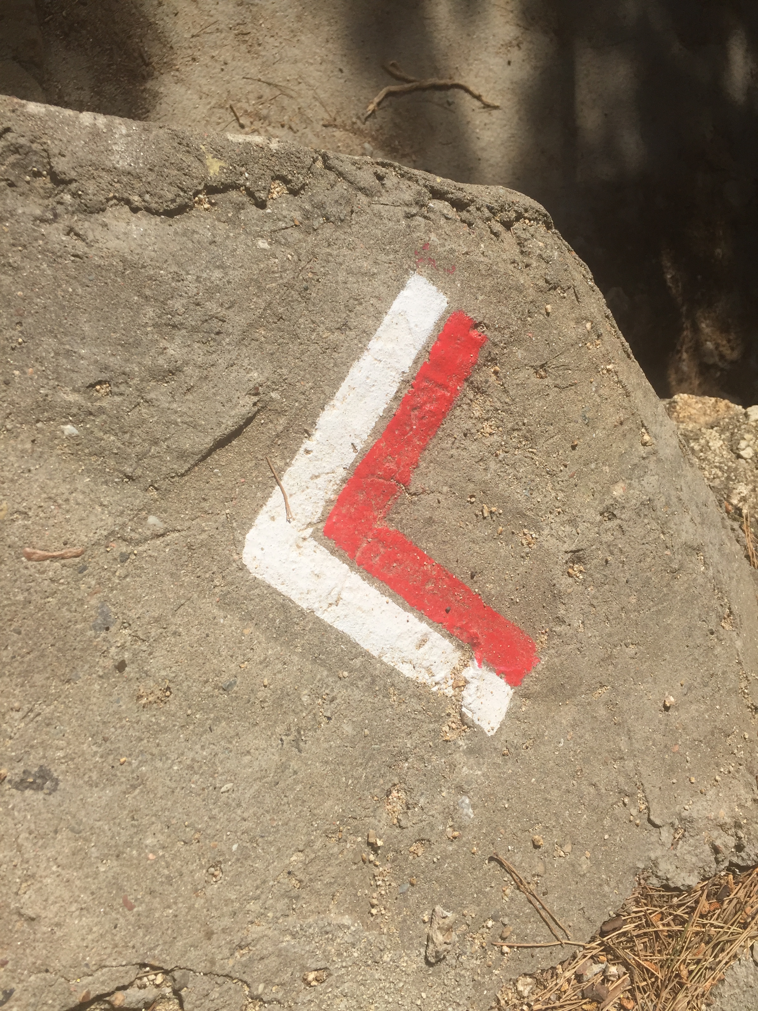
The first few KM ran along jagged cliffs and through beautiful quiet bays. This was off-season and there were very few people around. There was a stunning photo opportunity at every corner so we took out time. The route, or at least the part that we walked, is very well maintained and signposted.
The second half of the walk, from the beach at Sant Antoni de Calonge was flatter and busier. In summer this would be packed with tourists. Even now there were enough places open to find a nice local place for lunch and some not-horrendous 1 Euro wine.
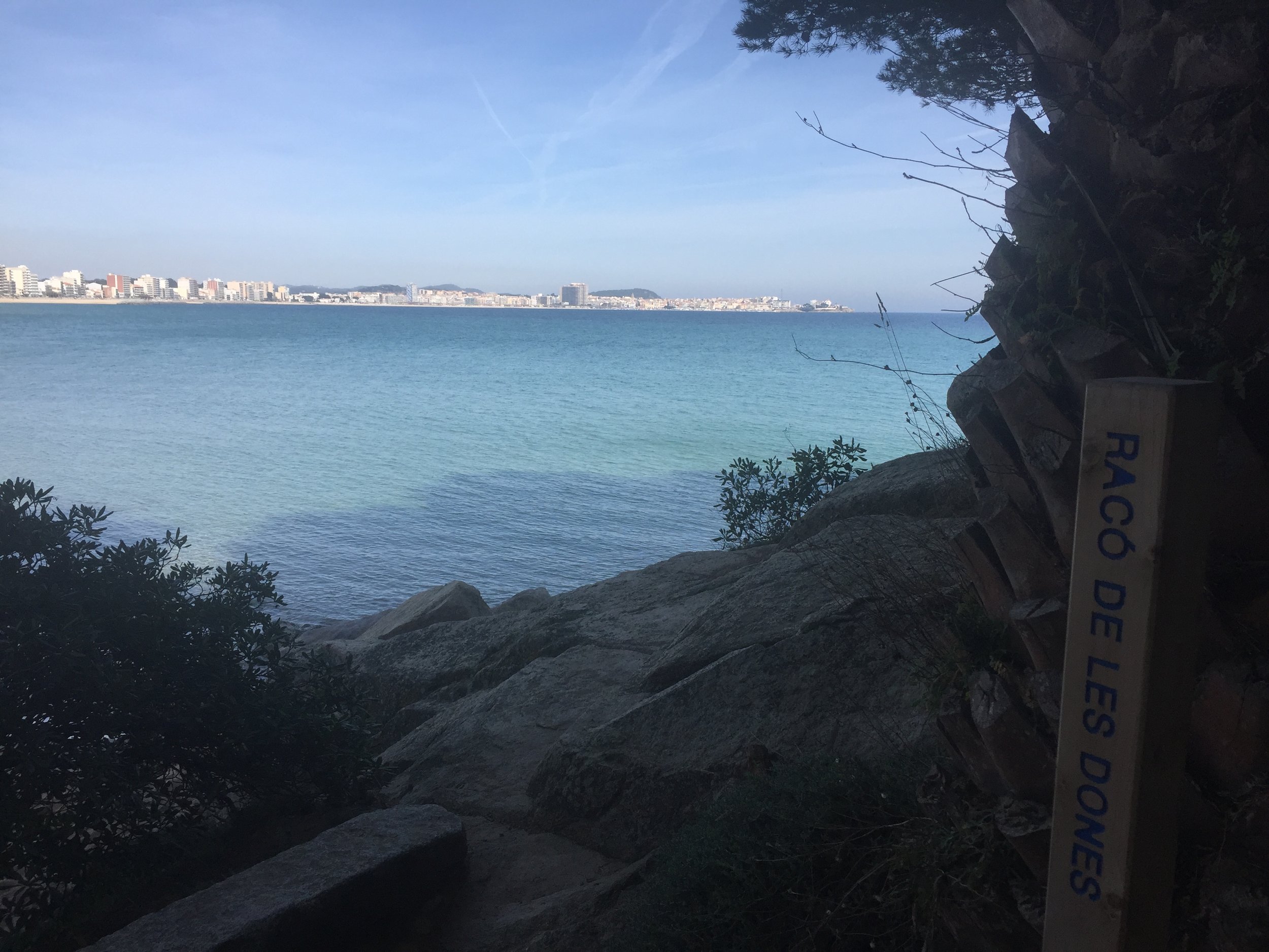
On finishing lunch we chose the church that we could see in the distance as our end point. This was the Parròquia de Santa Maria del Mar in the heart of Palamós Old Town. By the time we arrived here it was getting dark and locals were out for the street markets. It was a nice way to finish an unexpected mini-Camino before taking a taxi back to the hotel.
I've got a good feeling we'll be back here too. Not just to finish the Camino de Ronda though. When we arrived at the harbour at Palamós they were setting up for a Trail Race the next day. We spoke to one of the organizers and took down some details. Looks like Spain will be more of a feature of future trips!
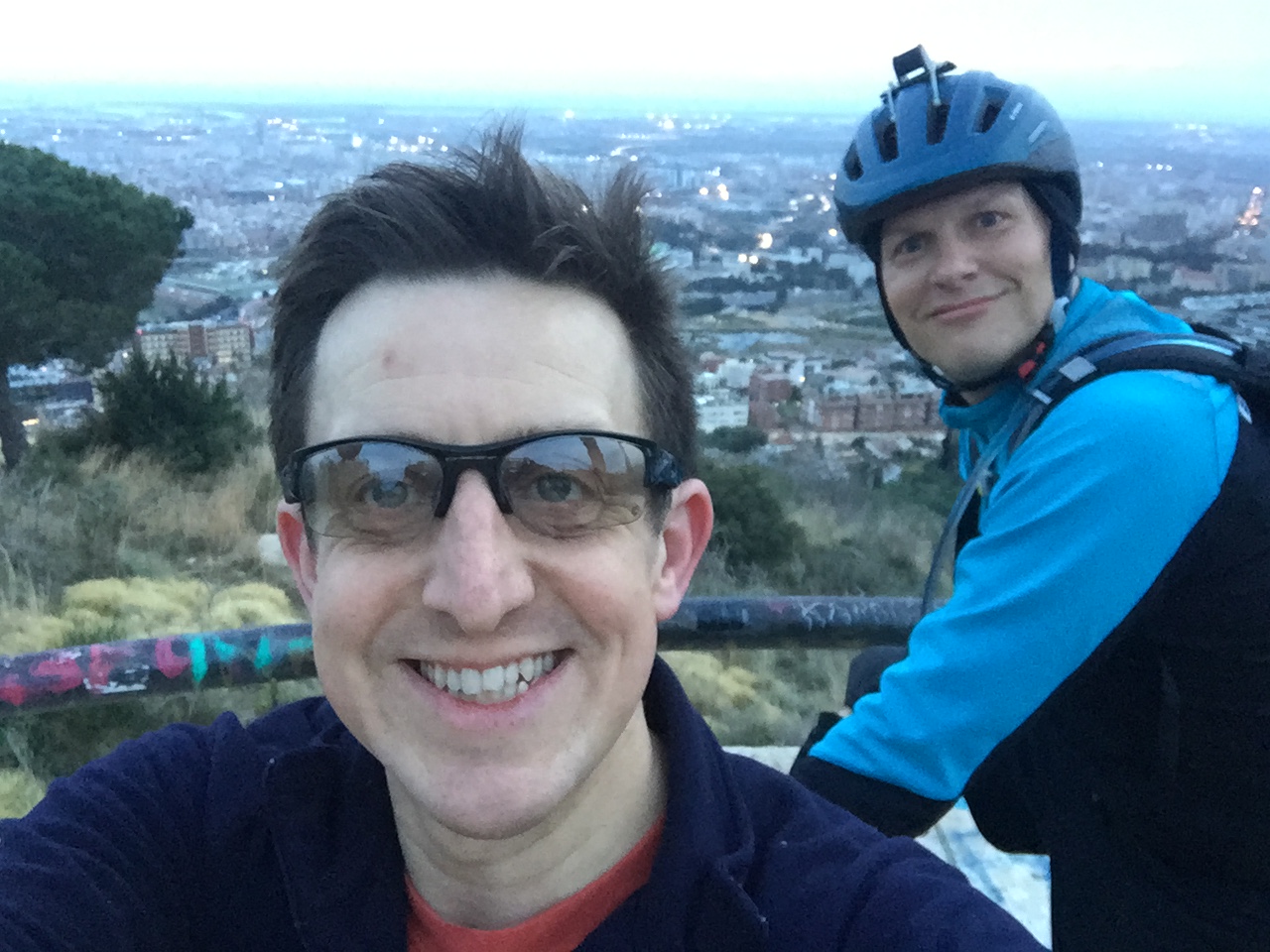
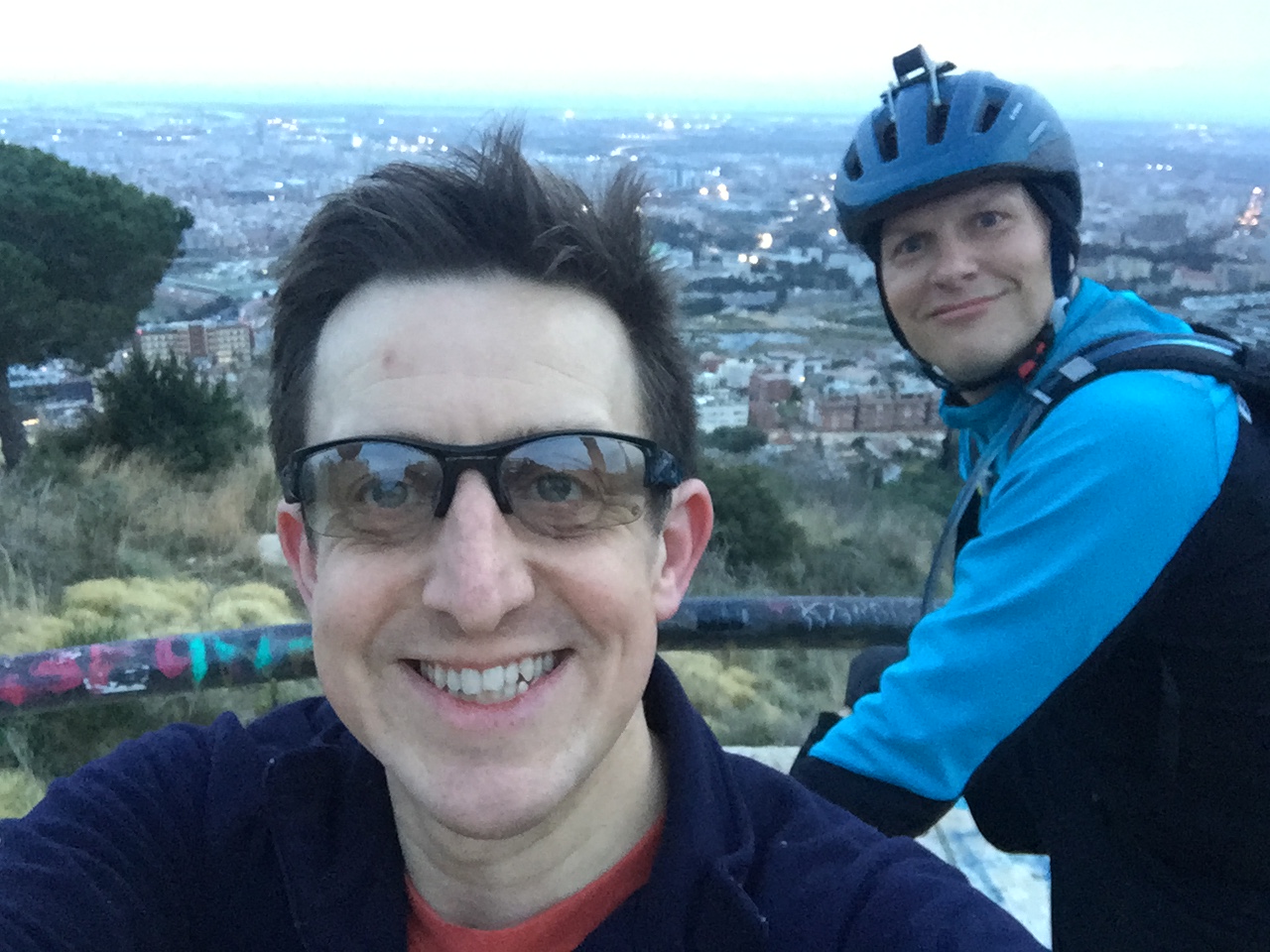
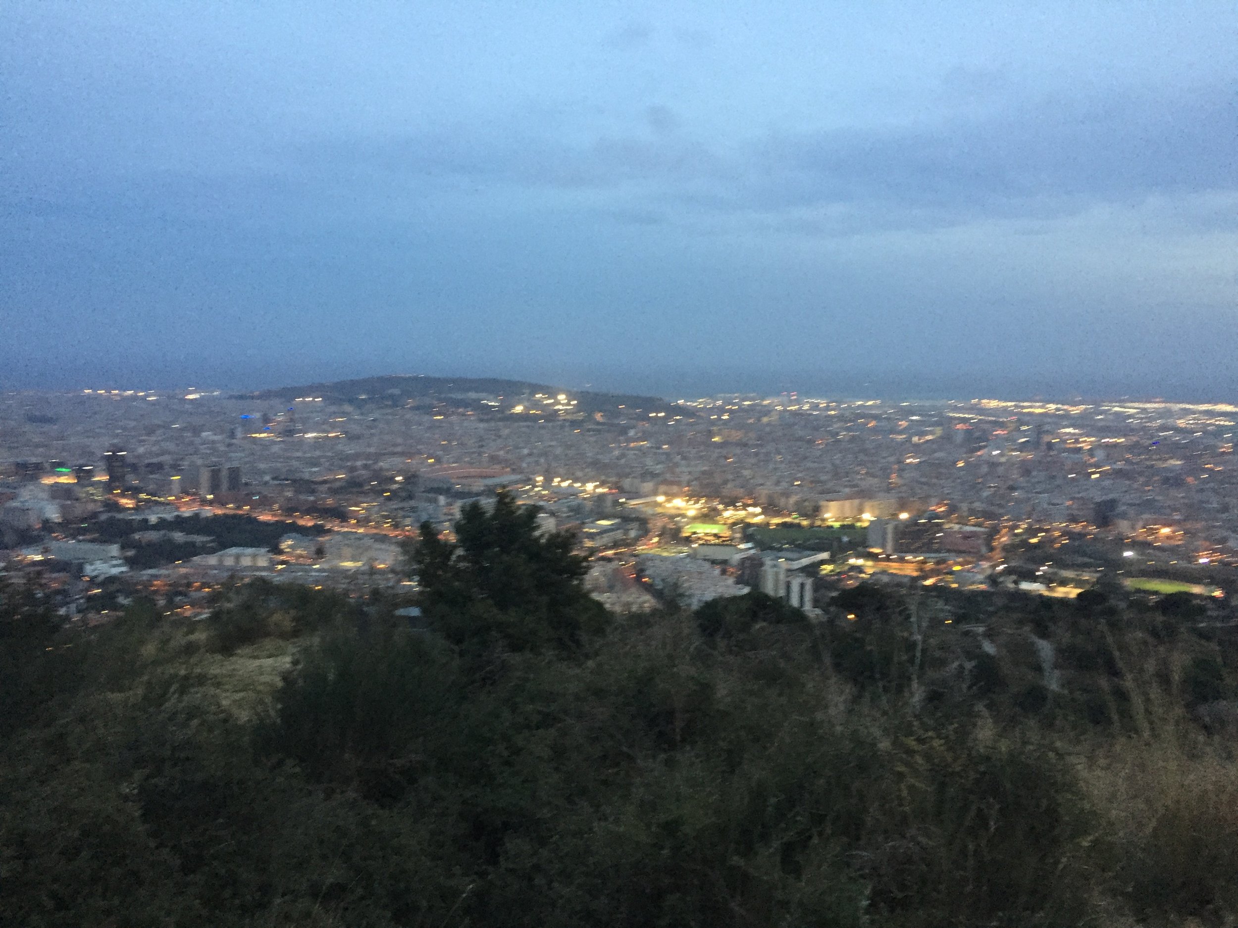
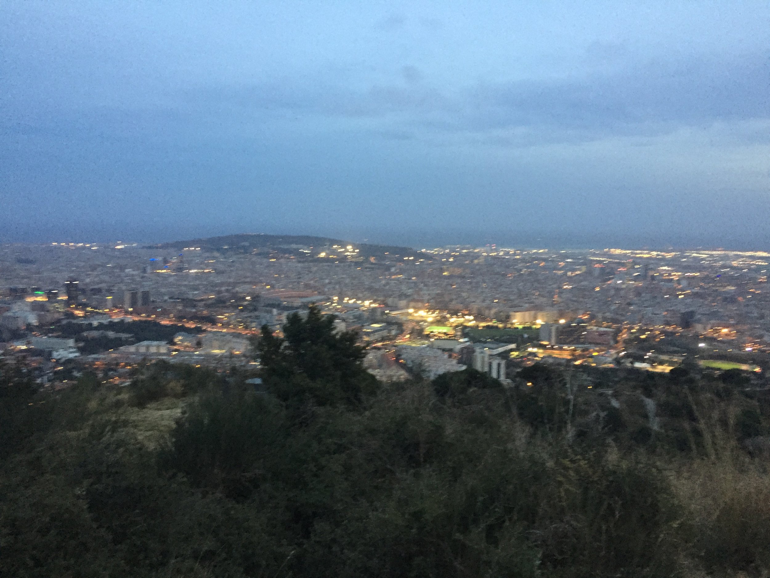
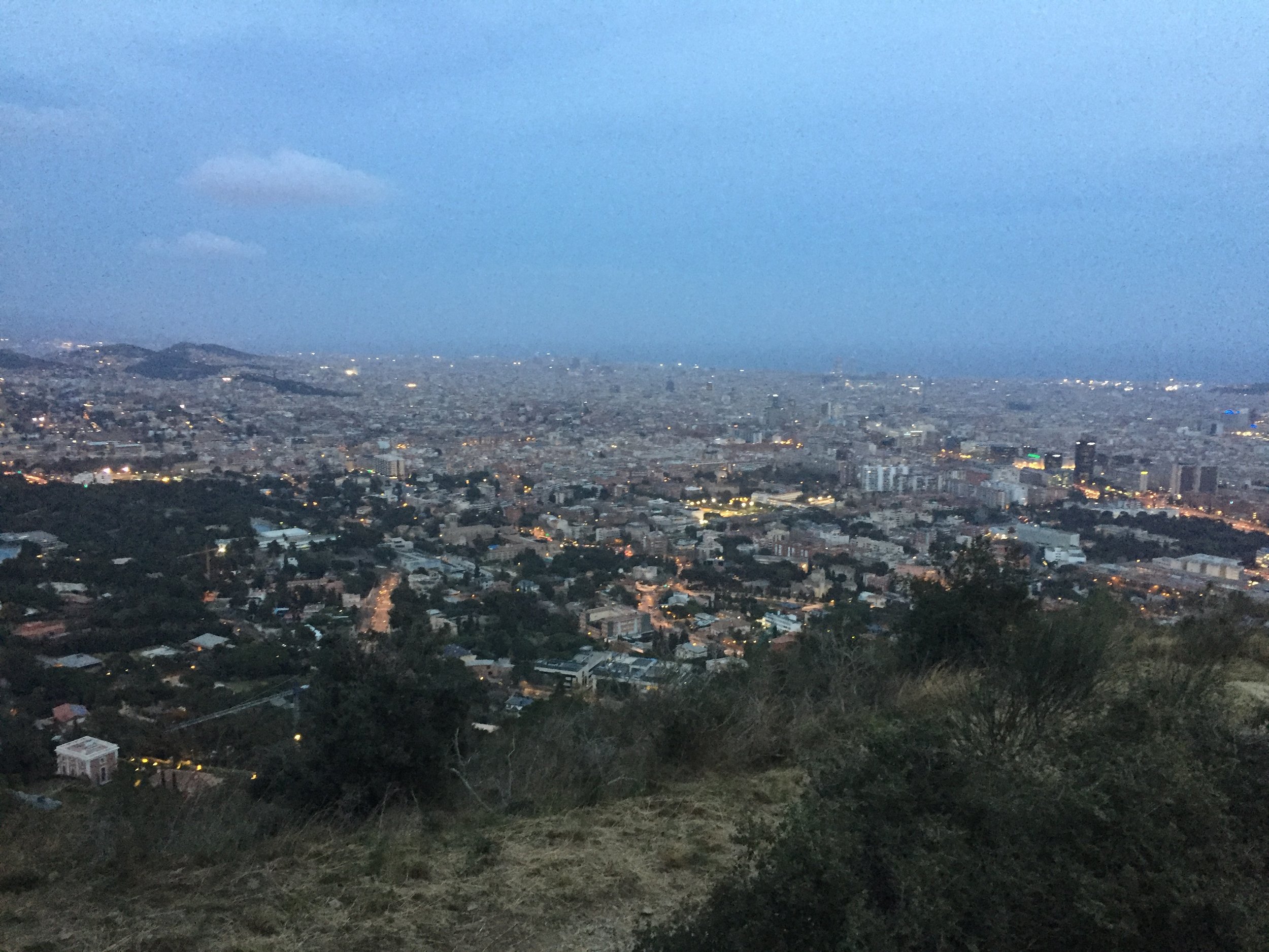
View across Barcelona from the trails
Start / Finish: Sant Just Desvern, Barcelona, Spain
Distance: 15.2 km (9.4 miles)
Elevation Change: +/- 400m
GPX File: get via Buy Me a Coffee
Other Routes Touched (cycle): PRC-164, PRC-171, Carretera de les Aigües
This was the first of 2 unexpected micro-adventures on a business trip to Barcelona. Timi was there for a conference and I tagged along on a combo of working-from-hotel and a Friday off. While we were there we caught up with an old friend from work who now lives in the city. I didn't think twice when he offered to take me on a evening's ride in the nearby mountains.
I've been to Barcelona a few times and always loved it. Its has the right mix of culture, coast, city and access to mountains. It's always been a potential future place to live and this trip only reconfirmed that.
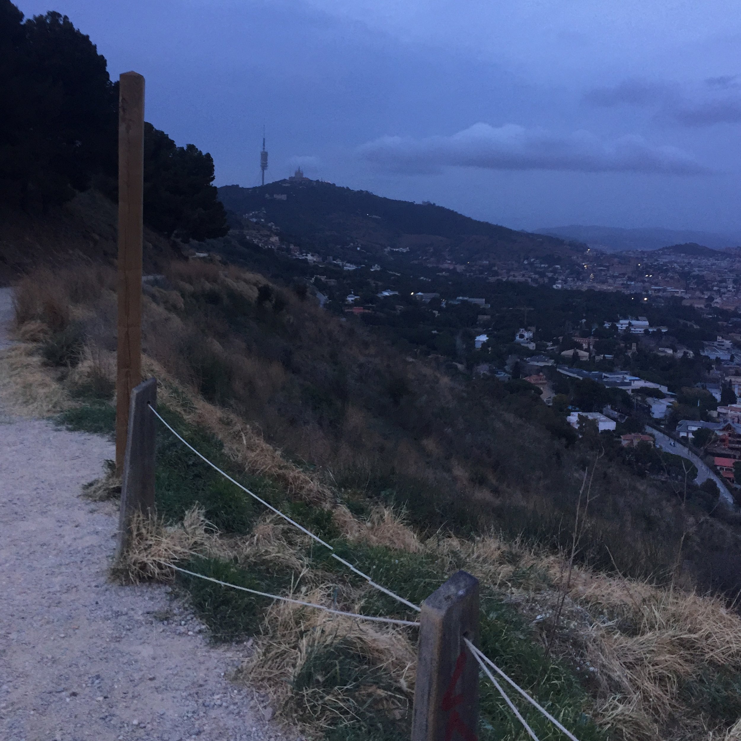
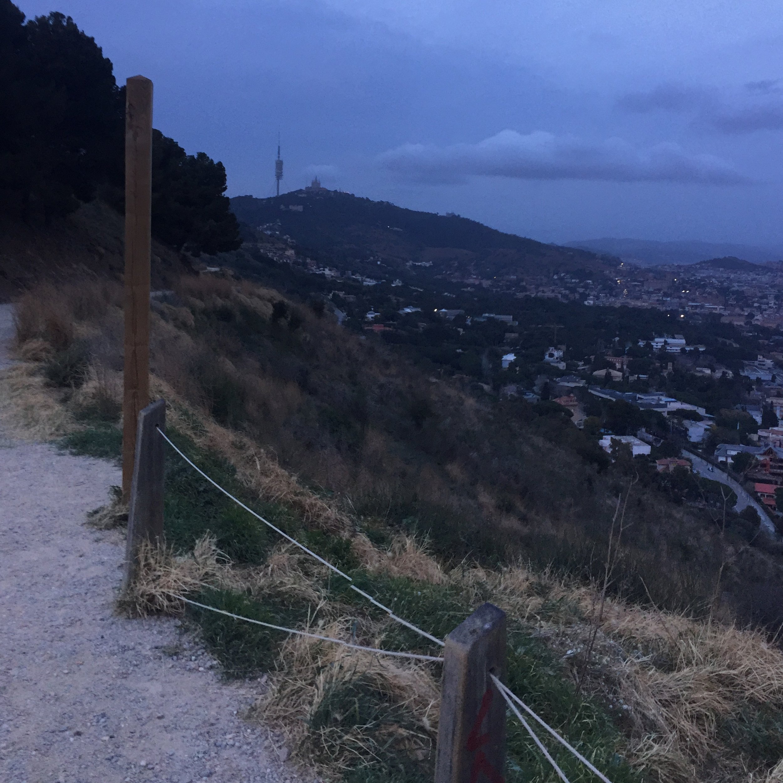
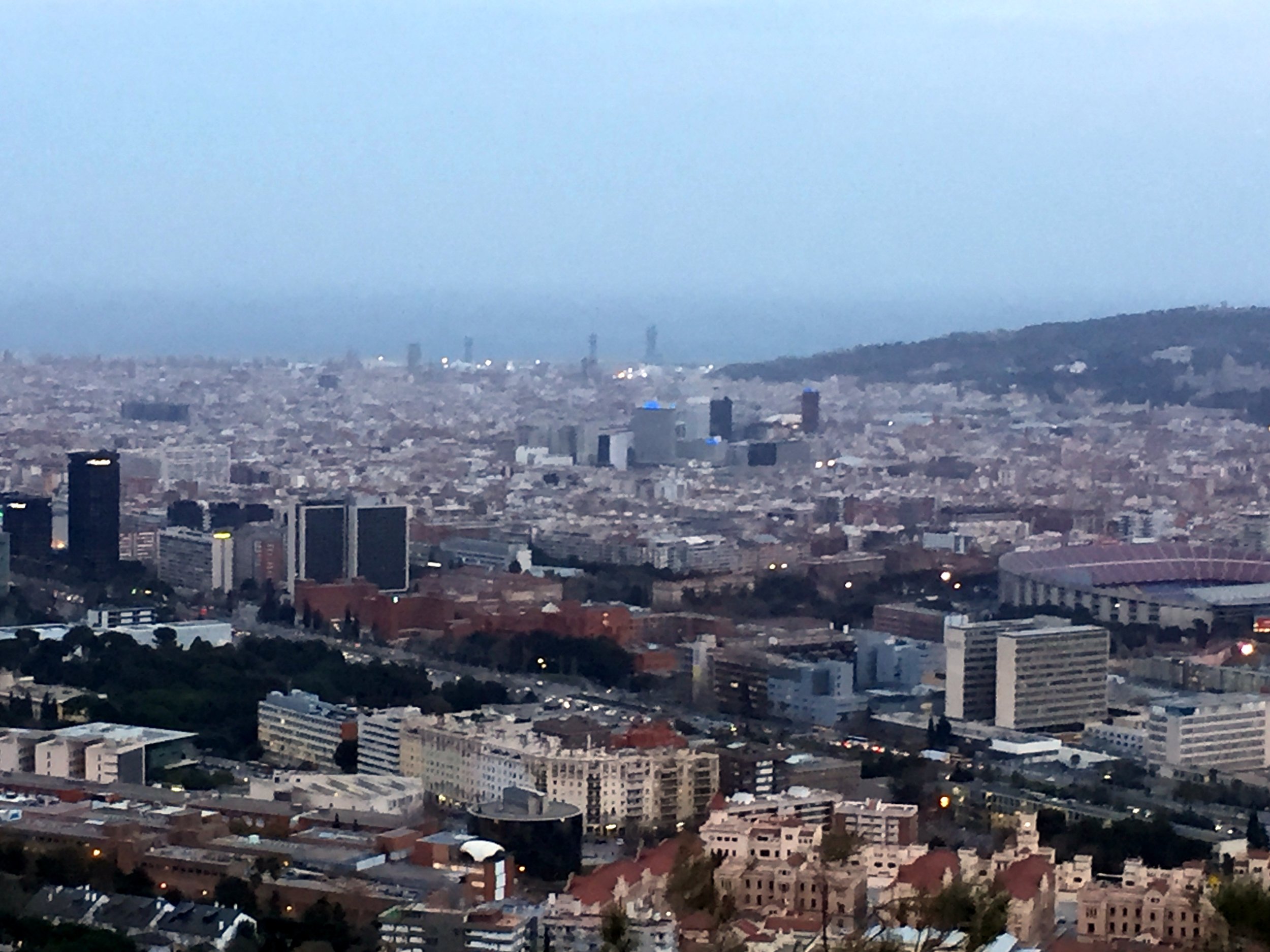
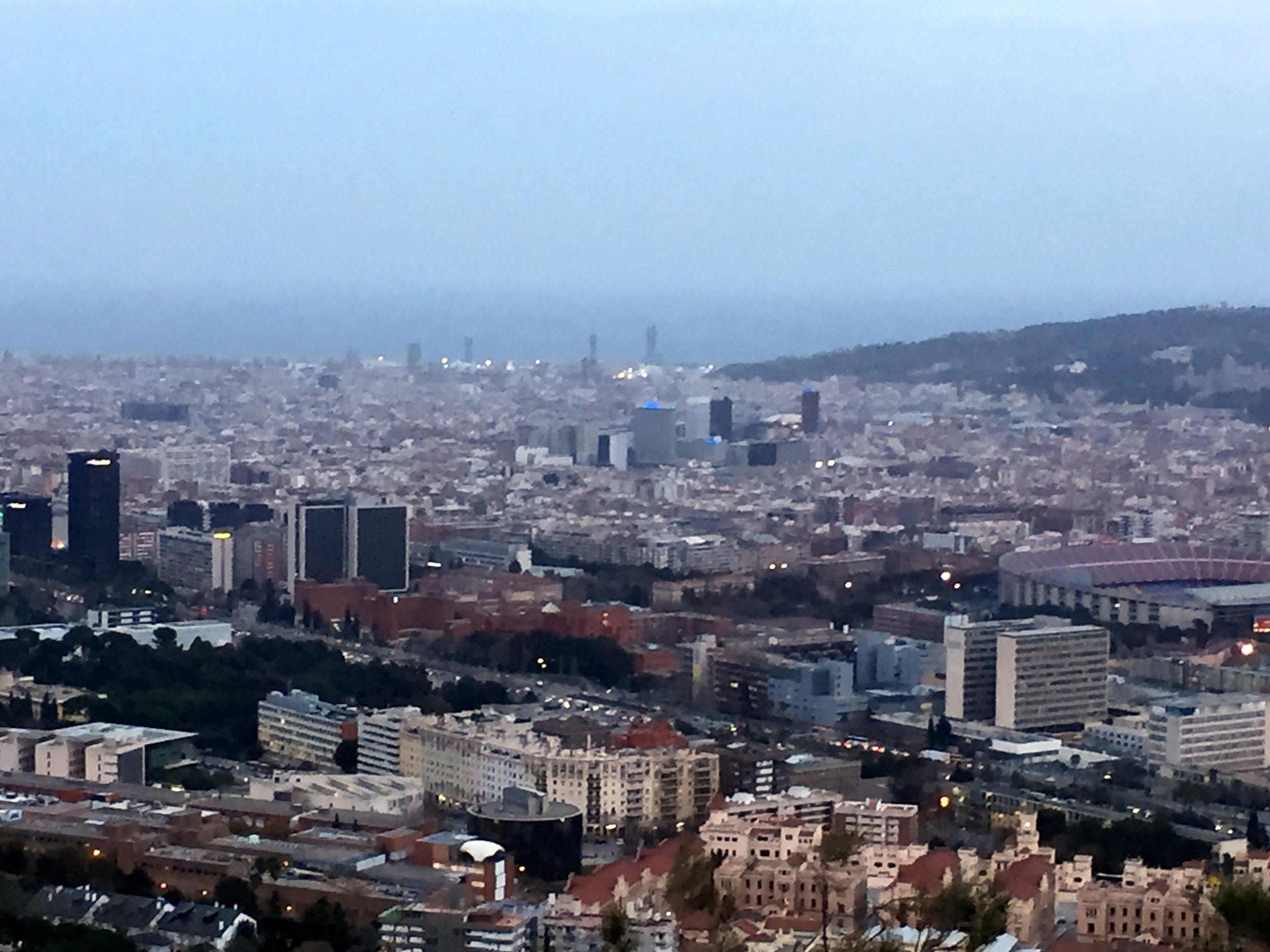
The ride started in Sant Just Desvern, a suburb to the west of the city. From here you can be off road and climbing the trails within 15 minutes. My friend knew the route well and I was in the rare situation of just following along and not really knowing where we were heading. By KM 5 were were up on the Carretera de les Aigües with outstanding views over the city.
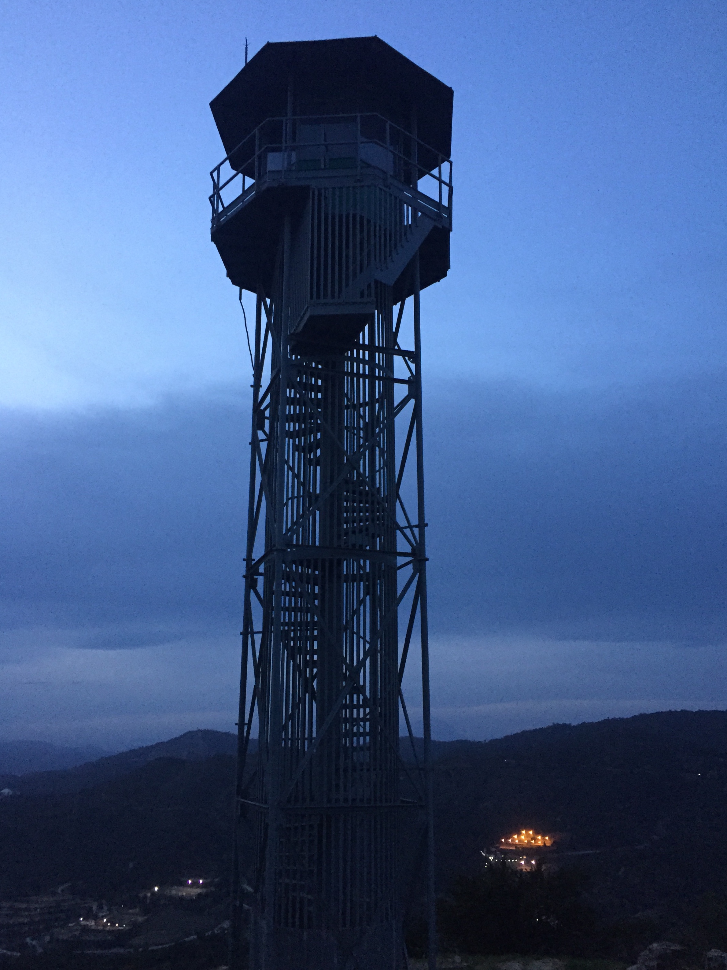
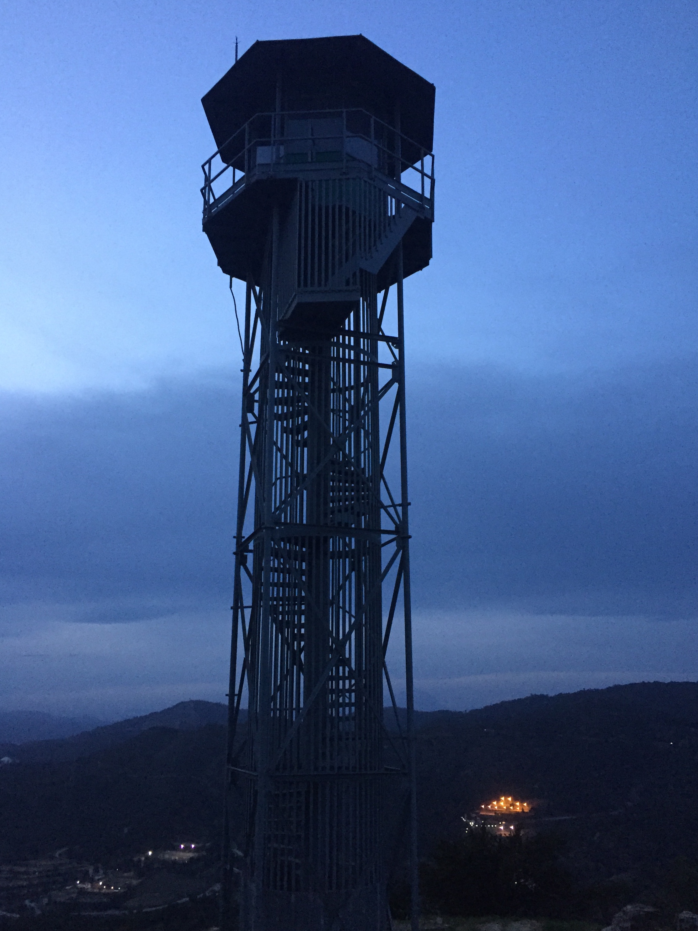
From here there's loads of options including a longer route to Mt Tibidabo. Instead we chose to climb Sant Pere Màrtir, the nearest peak before heading back. Its not a summit you can't easily miss as the giant transmitter can be seen for miles.
By the time we reached the top it was dark and I wimped out of cycling the steep 100m first section on the other side. The combo of my weird nervousness of slipping, the dark and my lack of helmet all kicked in. Beyond that first section the rest of the descent was an amazing ride back through the trails, mountain roads and town to the start.
River Gade in forefront with Varney’s Wood on the hill
Start / Finish: Red Lion Pub, Water End, HP1 3BD
Distance: 5 km (3.1 miles)
Elevation change: +/- 64m
Other Routes Touched: None
OS Trig Pillar: TP6679 - Varneys Wood
Pubs / Cafes on route: Red Lion Pub at the start and finish
Map: OS Explorer Map (182) St. Albans and Hatfield
Links: River Gade, Varneys Wood Trig Pillar, Piccotts End
This is a pleasant short walk centred around bagging the Varneys Wood Trig Pillar. The guidance below will help you navigate but don’t use it as a fully accurate turn-by-turn guide. Always take a map and/or a GPX route and prepare well for the weather and terrain.
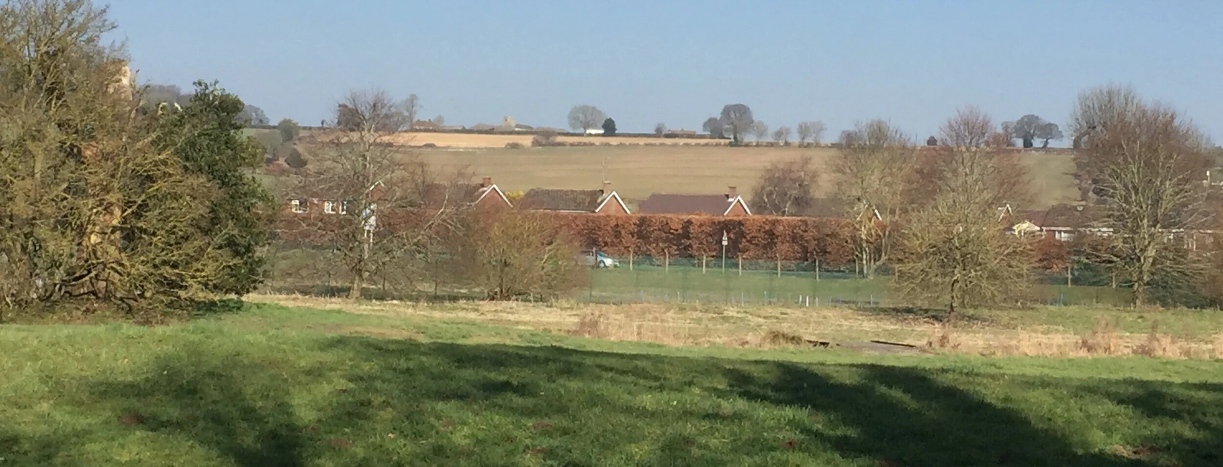
From the Red Lion Pub Car Park cross the Leighton Buzzard Road and take the footpath on the right hand side of the first bend on Red Lion Road. Follow the footpath to the top of the hill where there is a path junction at 1 km into the walk. Turn right (South-East) along the top of the hill, following the edge of Varneys Wood until you reach Wood Farm. There’s a bench with a very nice view of the Gade Valley at the mid-point of this section.
The Trig Pillar is buried inside the hedge on the right hand side of the lane as you walk south-west away from the farm. You can see it and (just about) touch it from the road although you can’t see the Flush Bracket. It’s slightly more accessible from the other side of the hedge, although be careful as that’s in the farmer’s field.
Once exiting Wood Farm continue down the hill to Piccotts End and cross Leighton Buzzard Road again. After the Waterworks, take the right hand footpath and follow this for approx 1.5km north-west following the course of the River Gade. You’ll get a good view of the Wood Farm buildings from the start of this path.
When you reach Potten End Hill road take a right then another right on Leighton Buzzard Road to return to the Red Lion.
map below: The Red Lion Pub at Water End
When: February 17th 2019
Where: Chessington, Surrey, UK
Course: Single circuit on-road route from Chessington School & local roads.
Other routes touched (walk): Chessington Countryside Walk, Thames Down Link, Hogsmill Valley Walk,
Finish time: 53:41
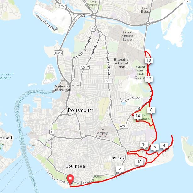
When: February 3rd 2019
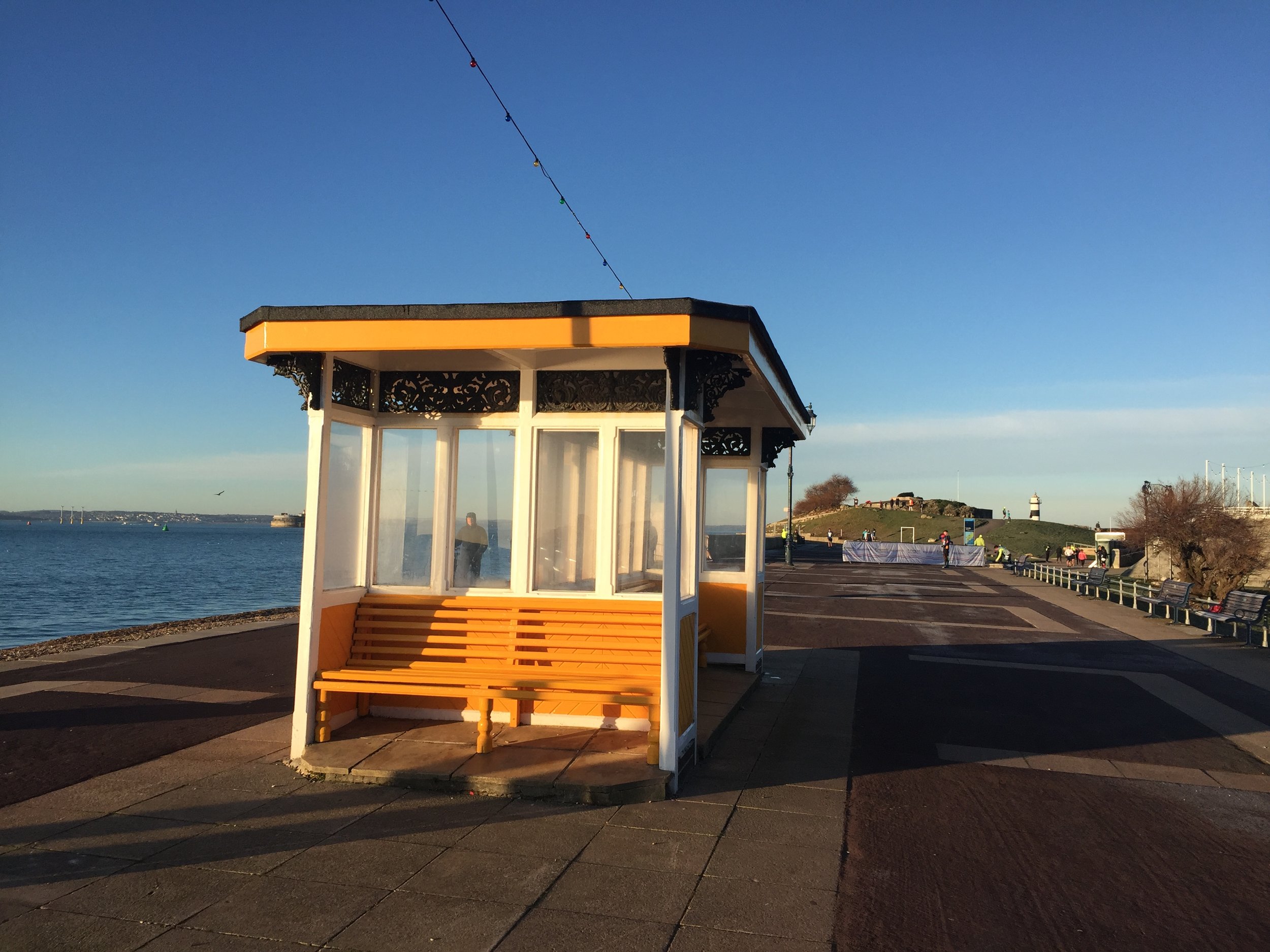
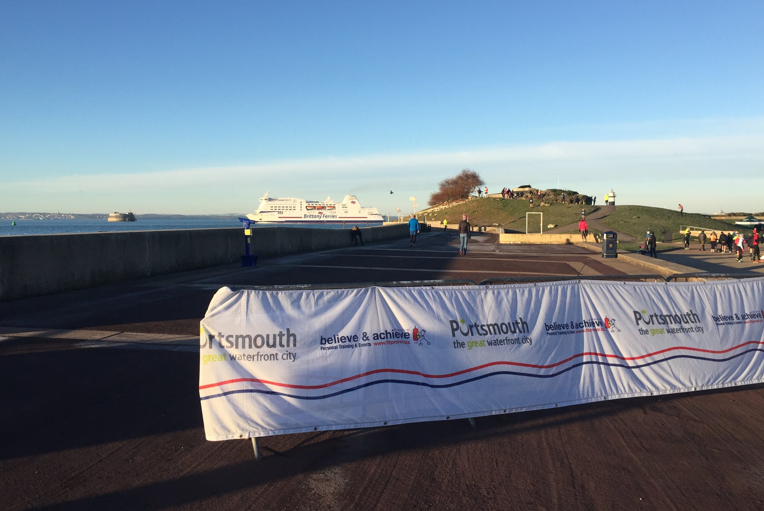
Where: Portsmouth, Hampshire, UK
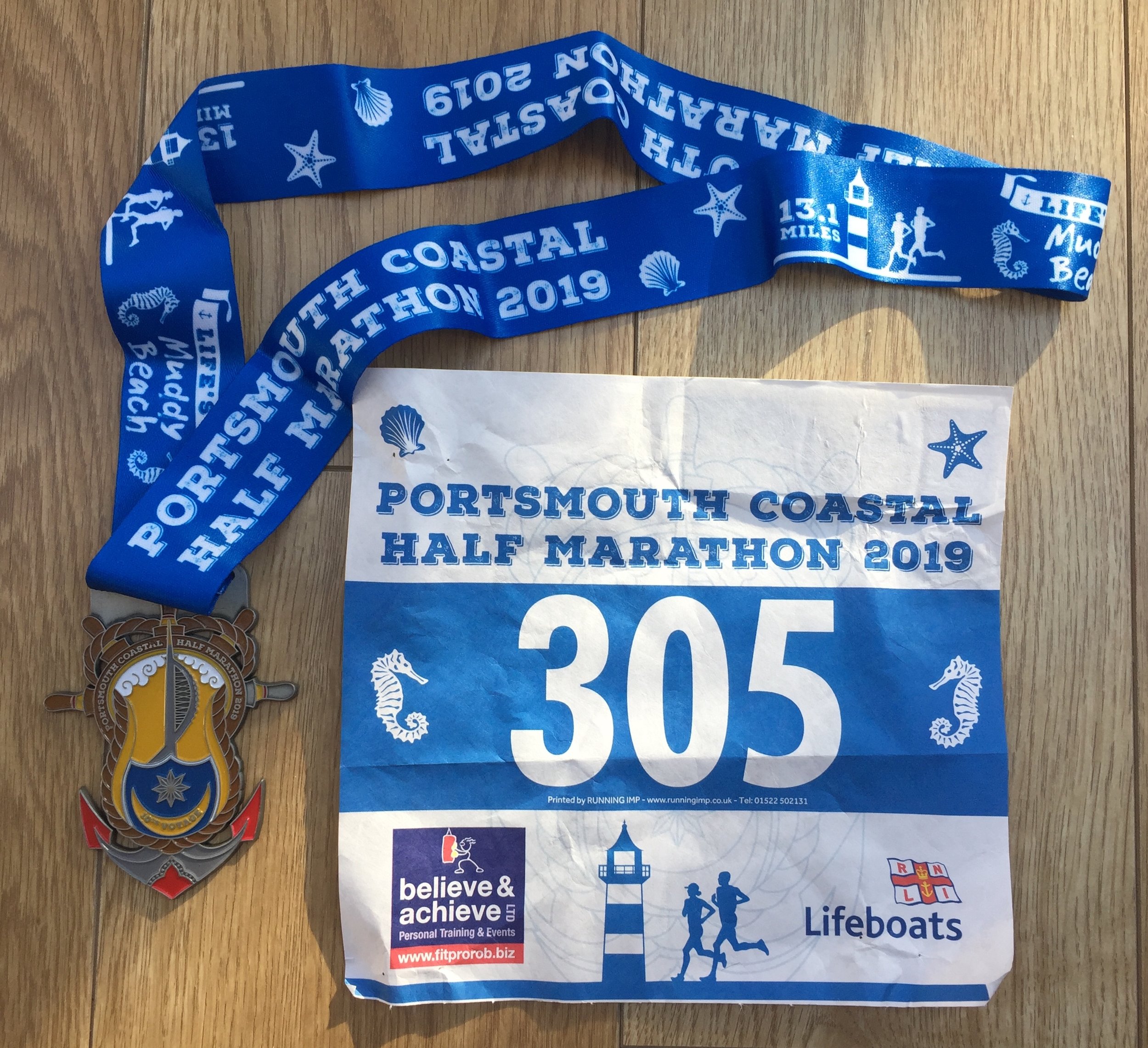
Course: Out and back along the coast from Pyramids Leisure Centre / Southsea Castle to North-East corner of Portsea Island. Similar return route with some diversions. Nice muddy/icy beach section.
Other routes touched (walk): Solent Way, The Shipwrights Way,
Other routes touched (cycle): NCN 2, 222
Finish time: 1 hour 57 minutes
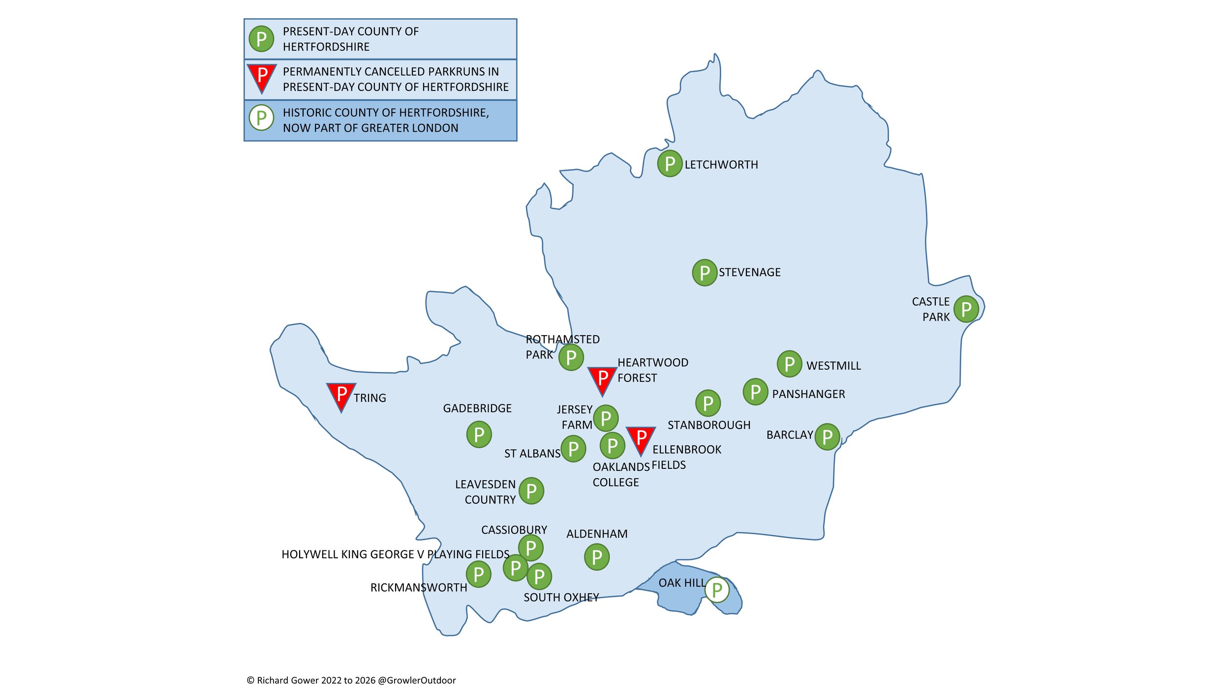
There are currently 18 active parkrun events in present-day Hertfordshire. The first was St Albans which started on January 14th 2012 and the newest is Rothamsted Park which started on April 4th 2026.
Heartwood Forest was also a Hertfordshire event but has now closed. Ellenbrook Fields and Tring parkrun were active until the Covid-19 parkrun pause and are now also permanently closed. The name for having completed all parkrun events in the county is “King of Herts” or “Queen of Herts”.
The Historic County of Hertfordshire has 19 parkrun events. These include Oak Hill which is now part of Greater London.
I first completed the county on February 2nd 2019 at Letchworth.
Numbers exclude any events that are not open to the general public such as prisons or armed forces facilities.
All of the Hertfordshire parkrun events …
Below are each of the Hertfordshire 5k parkrun events in alphabetical order. A few things to note:
The interactive maps below take you to the approximate location for the course, typically the centre of the park. See the course instructions in the parkrun page for each event for specific directions to the start.
Course maps and elevation profiles show the route at the time that I ran it and may have changed since then. See the Course page in the event’s page on parkrun.org.uk for the current course outline. Note that course outlines are from Garmin data during a specific run and may vary from the officially measured distance.
Please contact me if you spot an event that doesn’t have a course map and elevation profile and you would like to donate one from your own run. I’m also interested in maps and elevation profiles for courses that have changed or where there’s a regular alternative route (e.g. Horsham). I’ll need a GPX file from your run plus the date. I’ll include a credit for you and will donate £1 to parkrun.
Aldenham
I completed this event on: November 14th 2015 with a finish time of: 25:08
Historic County: Hertfordshire
Ceremonial County: Hertfordshire
This event is also part of LonDone +
Other routes touched (walk): London Loop
Inaugural: June 20th 2015
Links: Event Home Page, Course Page, blog7t write-up
Barclay
I completed this event on: January 19th 2019 with a finish time of: 26:27
Historic County: Hertfordshire
Ceremonial County: Hertfordshire
Other routes touched: N/A
Inaugural: June 6th 2015
Links: Event Home Page, Course Page, blog7t write-up
Cassiobury
I completed this event on: Christmas Day 2015 with a finish time of: 25:00
Historic County: Hertfordshire
Ceremonial County: Hertfordshire
This event is also part of LonDone + and Chilterns parkrun
Other routes touched: N/A
Inaugural: February 28th 2015
Links: Event Home Page, Course Page, blog7t write-up
Castle Park
I completed this event on: New Year’s Day 2019 with a finish time of: 25:11
Historic County: Hertfordshire
Ceremonial County: Hertfordshire
Other routes touched: N/A
Inaugural: September 30th 2017
Links: Event Home Page, Course Page, blog7t write-up
Ellenbrook Fields
This parkrun event has been permanently cancelled.
I completed this event on: June 17th 2017 with a finish time of: 25:52
Historic County: Hertfordshire
Ceremonial County: Hertfordshire
This event was also part of Chilterns parkrun
Inaugural: May 21st 2016. Final Event: #203 on March 14th 2020
Reason for cancellation: Event organizers could not secure the necessary permission from the landowners to continue hosting the event after the COVID-19 pause.
Links: Event Home Page, Course Page, blog7t write-up
Gadebridge
I completed this event on: November 21st 2015 with a finish time of: 27:29
Historic County: Hertfordshire
Ceremonial County: Hertfordshire
This event is also part of Chilterns parkrun
Other routes touched: N/A
Inaugural: May 2nd 2015
Links: Event Home Page, Course Page, blog7t write-up
Heartwood Forest
This parkrun event has been permanently cancelled.
I completed this event on: January 20th 2018 with a finish time of: 28:00
Historic County: Hertfordshire
Ceremonial County: Hertfordshire
Inaugural: July 29th 2017. Final event: #47 on October 6th 2018
Reason for cancellation: Due to challenges with sustainability, traffic, and potential negative impacts on the growing woodland.
Replaced by: Jersey Farm
Links: Event Home Page, Course Page, blog7t write-up
Holywell King George V Playing Fields
I have not yet completed this event
Historic County: Hertfordshire
Ceremonial County: Hertfordshire
This event is also part of Chilterns parkrun
Inaugural: January 24th 2026
Links: Event Home Page, Course Page
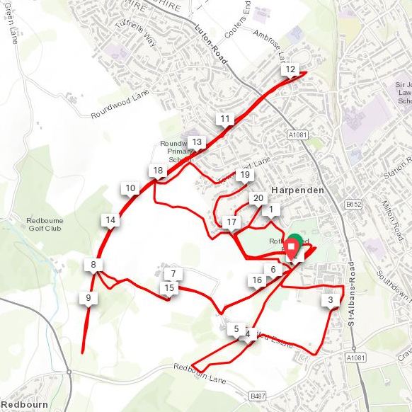
Jersey Farm
I completed this event on: November 24th 2018 with a finish time of: 27:53
Historic County: Hertfordshire
Ceremonial County: Hertfordshire
This event is also part of LonDone ++ and Chilterns parkrun
Other routes touched: N/A
Inaugural: November 10th 2018
Links: Event Home Page, Course Page, blog7t write-up
Leavesden Country
I first completed this event on: January 21st 2023 with a finish time of: 26:16
Historic County: Hertfordshire
Ceremonial County: Hertfordshire
This event is also part of LonDone +
Other routes touched: None
Inaugural: October 22nd 2022
Links: Event Home Page, Course Page, blog7t write-up
Letchworth
I completed this event on: February 2nd 2019 with a finish time of: 28:31
Historic County: Hertfordshire
Ceremonial County: Hertfordshire
Other routes touched (walk): Letchworth Greenway
Inaugural: January 27th 2018
Links: Event Home Page, Course Page, blog7t write-up
Oaklands College
I completed this event on: November 22nd 2025 with a finish time of: 26:29
Historic County: Hertfordshire
Ceremonial County: Hertfordshire
Other routes touched: None
Inaugural: January 18th 2025
Links: Event Home Page, Course Page
Panshanger
I completed this event on: New Year’s Day 2018 with a finish time of: 26:46
Historic County: Hertfordshire
Ceremonial County: Hertfordshire
Other routes touched: N/A
Inaugural: October 11th 2014
Links: Event Home Page, Course Page, blog7t write-up
Rickmansworth
I completed this event on: April 1st 2017 with a finish time of: 26:24
Historic County: Hertfordshire
Ceremonial County: Hertfordshire
This event is also part of LonDone + and Chilterns parkrun
Other routes touched (cycle): NCN 6, 61
Inaugural: March 4th 2017
Links: Event Home Page, Course Page, blog7t write-up
Rothamsted Park
I have not yet completed this event
Historic County: Hertfordshire
Ceremonial County: Hertfordshire
Inaugural: April 4th 2026
Links: Event Home Page, Course Page
Stanborough
I have not yet completed this event
Historic County: Hertfordshire
Ceremonial County: Hertfordshire
Inaugural: October 4th 2025
Links: Event Home Page, Course Page
South Oxhey
I completed this event on: January 31st 2015 with a finish time of: 27:14
Historic County: Hertfordshire
Ceremonial County: Hertfordshire
This event is also part of LonDone + and parkrun Compass Club
Other routes touched: N/A
Inaugural: January 31st 2015
Links: Event Home Page, Course Page, blog7t write-up
St Albans
I completed this event on: February 22nd 2014 with a finish time of: 25:17
Historic County: Hertfordshire
Ceremonial County: Hertfordshire
This event is also part of LonDone ++ and Chilterns parkrun
Other routes touched: N/A
Inaugural: January 14th 2012
Links: Event Home Page, Course Page, blog7t write-up
Stevenage
I completed this event on: January 26th 2019 with a finish time of: 24:15
Historic County: Hertfordshire
Ceremonial County: Hertfordshire
Other routes touched: N/A
Inaugural: May 28th 2016
Links: Event Home Page, Course Page, blog7t write-up
Tring
This parkrun event has been permanently cancelled.
I completed this event on: November 22nd 2014 with a finish time of: 27:01
Historic County: Hertfordshire
Ceremonial County: Hertfordshire
This event was also part of Chilterns parkrun
Inaugural: November 1st 2014. Final Event: #293 on March 14th 2020
Reason for cancellation: The Woodland Trust, which manages Tring Park, withdrew permission due to the event's negative impact on the park's sensitive chalk grassland, ancient monuments, and SSSI (Site of Special Scientific Interest) areas, citing concerns about damage, administrative burden, and the need to prioritise conservation over mass events.
Links: Event Home Page, Course Page, blog7t write-up
Westmill
I completed this event on: New Year’s Day 2018 with a finish time of: 29:01
Historic County: Hertfordshire
Ceremonial County: Hertfordshire
This event is also part of parkrun Compass Club
Other routes touched: N/A
Inaugural: July 22nd 2017
Links: Event Home Page, Course Page, blog7t write-up
More parkrun posts
parkruns are free, weekly, community 5k events all around the world. I started in December 2012 and have been obsessive about it ever since. See my parkrun Collection page for details.
Featured and popular parkrun posts:
Denbie’s Wine Estate
Start / Finish: Denbie’s Wine Estate, London Rd, Dorking, RH5 6AA
Distance: 10km (6.2 miles)
Elevation Change: +/-220m
GPX File: get via Buy Me a Coffee
Other Routes Touched (walk): Mole Gap Trail, North Downs Way, Prospects of Polesden
Other Routes Touched (run): Mole Valley parkrun, Surrey Bacchus Wine Half Marathon
Other Routes Touched (cycle): Norbury Park Off-Road Cycle & Walk SCC
Pubs / Cafes on route: Denbies Vinyard Cafe at start and end.)
Map: OS Explorer 146 Dorking, Box Hill & Reigate
Links: Explore Surrey - Ranmore Circular, Westhumble, Boxhill and Westhumble Station, Denbies, Ranmore Common, Denbies Hillside National Trust
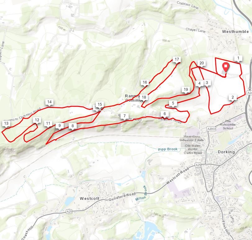
The Explore Surrey’s guide to this walk starts the route at Boxhill and Westhumble station. If you’re driving, as we were, then Denbie’s Wine Estate is a great alternative place to start. Denbies have obviously caught on to the benefits of attracting outdoor people as I’ve found myself visiting there 3 times in the last 6 months for different events. Most significantly for walkers, the visitors’ centre sits just off the North Downs Way and at the junction of 2 other trails.
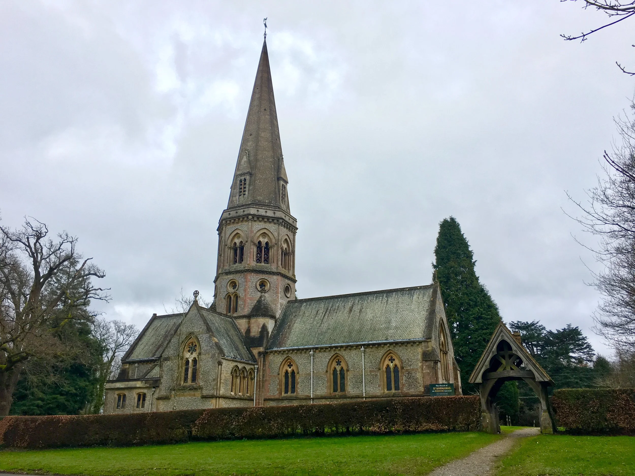
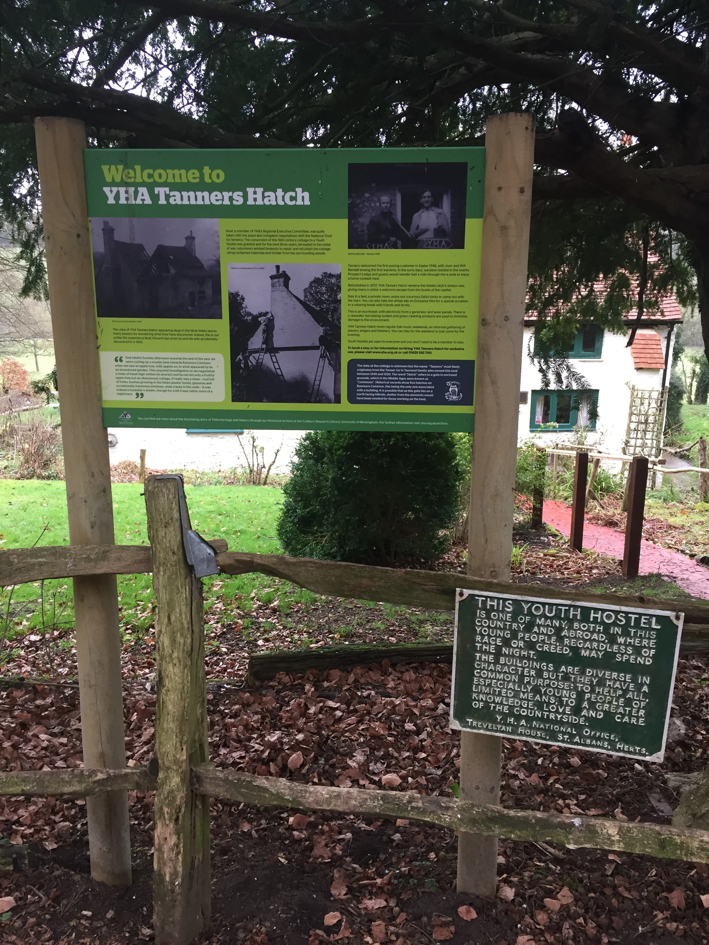
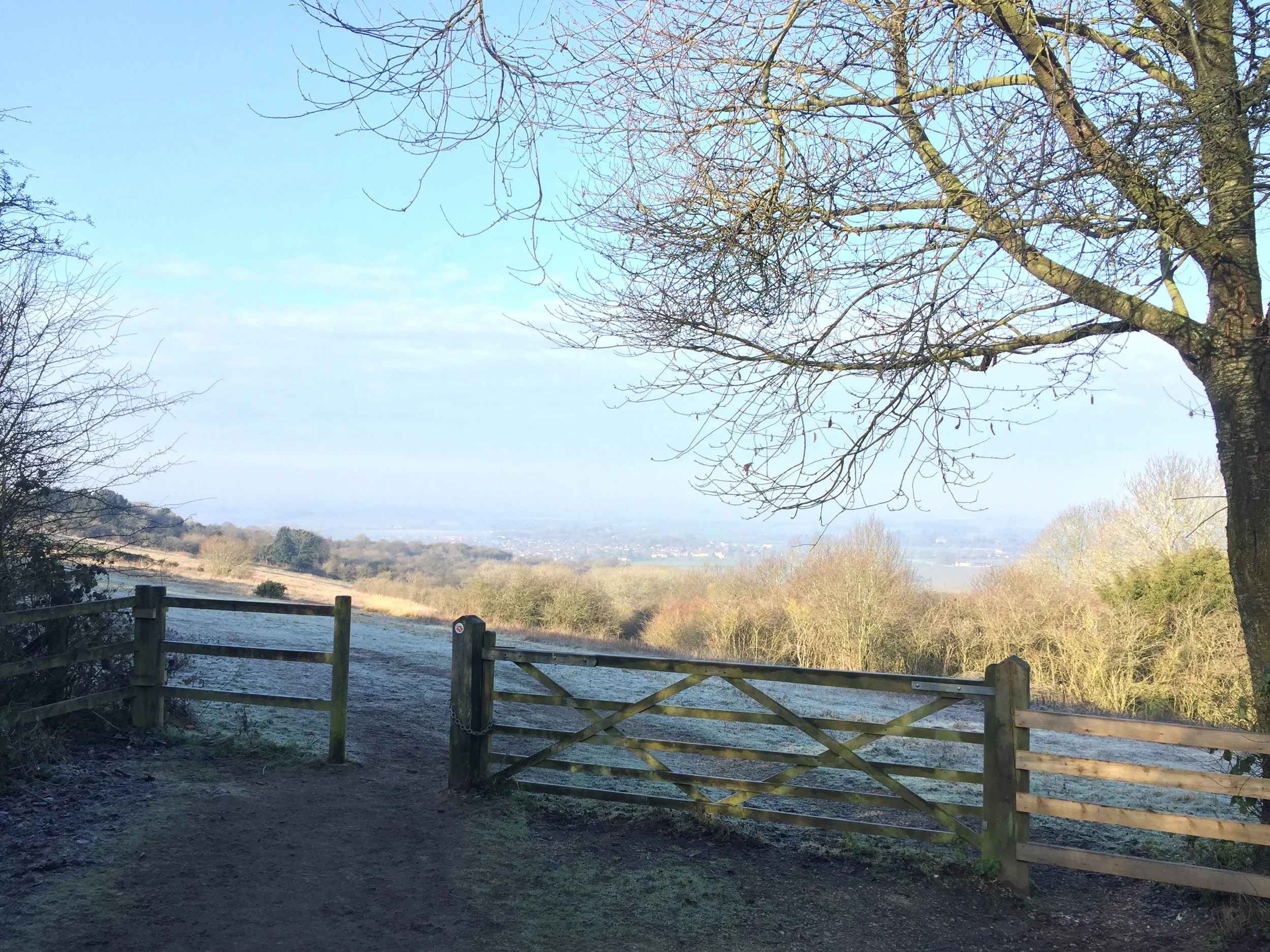
From the Denbies car park the route heads north-west through the vinyard, joining the North Downs Way near the top of the hill. This 2 km section along the National Trail gives you some great views across to Box Hill, the Mole Valley and Dorking. Just past St Barnabas Church, the route leaves the North Downs Way and joins the Prospects of Polesden trail down through the woods to the quaint Tanners Hatch YHA.
On the final section heading back east towards Westhumble we briefly diverted off the trail for a spot of Trigpointing. Trig Pillar TP2480 - Crabtree Cottages can be found about 100 metres down Crabtree Lane hiding behind bracken but easily accessible. After rejoining the main route there’s a steady descent down to Westhumble and a final 1km South through the houses back to Denbies.
For a much better description of the route check out the Explore Surrey guide to the route. Its a really great walk in the Surrey Hills and we’ll definitely be back to do some of the other trails that we crossed on the route.
View to Watlington
Start / Finish: Watlington Hill NT Car Park, Watlington, OX49 5HS
Distance: 3.6km (2.2 miles)
Elevation change: +/- 104m
GPX File: get via Buy Me a Coffee
Other Routes Touched (walk): The Ridgeway
Other Routes Touched (cycle): None
Pubs / Cafes on route: None
Map: OS Explorer Map Active (171) Chiltern Hills West, Henley-on-Thames and Wallingford
Links: National Trust Watlington Hill, Watlington
Maybe it was the clear, sunny winter’s day, but I think I’ve found my new favourite short walk in the Chilterns. Judging from how packed was the car-park when we arrived, this is clearly a popular place. When we left at lunchtime it was overflowing with cars lined up along the road. The guidance below will help you navigate but don’t use it as a fully accurate turn-by-turn guide. Always take a map and/or a GPX route and prepare well for the weather and terrain.
From the car-park take a clockwise / Westerly direction and you’ll soon get great views to the North. After half a mile the trail descends steeply to Hill Road where you’ll turn left onto the Ridgeway. Follow the Ridgeway for about a quarter-mile then left a left through a gate and follow the path through the fields at the foot of the hill. The route hits a T-junction in the path at the end of the field. Take another left here and follow the path gradually ascending all the way back to the car-park.
If you’re heading back via the M40 there’s also the Shirburn Hill Trigpoint and Bald Hill, the Oxfordshire Historic County Top within 5 minutes drive of Watlington Hill or the pub
Design from the Disraeli coat of arms incorporated into the old visitor’s gates.
Start / Finish: Hughenden Manor, Buckinghamshire
Distance: 3.4 km (2.1 miles)
Elevation change: +/- 89m
GPX File: get via Buy Me a Coffee
Other Routes Touched (walk): Hughenden Boundary Walk
Other Routes Touched (cycle): N/A
Pubs / Cafes on route: Hughenden Manor National Trust Cafe
Map: OS Explorer Map (172) Chiltern Hills East
Links: Hughenden National Trust, Hugenden Manor, Disreali Monument
Having already visited the Manor at Hughenden, this time we were back to explore the wider estate. The Monument Walk is a a great short stroll that reveals even more about the history of the estate. From the National Trust Visitors’ Kiosk follow the orange arrows for the 1-mile walk to the monument, The NT’s own web page on the walk is a great resource for info on the route and history of the monument. The guidance below will help you navigate but don’t use it as a fully accurate turn-by-turn guide. Always take a map and/or a GPX route and prepare well for the weather and terrain.
Although the NT’s route directs you to retrace your steps from the monument, a better option is to continue south and make it a circuit. Pass through Little Tinkers Wood, across a small housing estate then back across Coates Lane into Hughenden Park. From here head north back to the fence surrounding the Manor.
As you re-enter the grounds take a moment to look at the gates designed by Benjamin Disraeli himself. They include a Castilian Tower, representing his Jewish heritage, which he played down in his earlier carrier but re-embraced later on. After passing the gates turn left onto the North Lawn for a great view of the house to finish the walk.
There are currently 11 parkrun events in present-day Buckinghamshire. The first was Black Park which started on July 18th 2009 and the newest is Church Mead which started on April 9th 2022. The name for having completed all parkrun events in the county is “Buck'ed Up”.
The Historic County of Buckinghamshire has 12 parkrun events. These include Upton Court which is now part of present-day Berkshire.
I first completed the county on Christmas Day 2018 at Linford Wood.
Numbers exclude 2k Junior parkruns and any events that are not open to the general public such as prisons or armed forces facilities.
All of the Buckinghamshire parkrun events …
Below are each of the Buckinghamshire 5k parkrun events in alphabetical order. A few things to note:
The interactive maps below take you to the approximate location for the course, typically the centre of the park. See the course instructions in the parkrun page for each event for specific directions to the start.
Course maps and elevation profiles show the route at the time that I ran it and may have changed since then. See the Course page in the event’s page on parkrun.org.uk for the current course outline. Note that course outlines are from Garmin data during a specific run and may vary from the officially measured distance.
Please contact me if you spot an event that doesn’t have a course map and elevation profile and you would like to donate one from your own run. I’m also interested in maps and elevation profiles for courses that have changed or where there’s a regular alternative route (e.g. Horsham). I’ll need a GPX file from your run plus the date. I’ll include a credit for you and will donate £1 to parkrun.
Aylesbury
I completed this event on: November 30th 2013 with a finish time of: 22:24 (My parkrun PB)
Historic County: Buckinghamshire
Ceremonial County: Buckinghamshire
Other routes touched (walk): Round Aylesbury Walk
Inaugural: November 2nd 2013
Links: Event Home Page, Course Page, blog7t write-up
Black Park
I first completed this event on December 26th 2012 (Freedom Run), December 29th 2012 (First recorded run) with a fastest Time of 22:32
Historic County: Buckinghamshire
Ceremonial County: Buckinghamshire
Other routes touched (walk): Beeches Way
Other routes touched (cycle): The Beeches Cycleway starts from the car park.
This event is also part of LonDone ++ and Chilterns parkrun
Inaugural: July 18th 2009
Links: Event Home Page, Course Page, blog7t write-up
Buckingham
I completed this event on: December 1st 2018 with a finish time of: 27:39
Historic County: Buckinghamshire
Ceremonial County: Buckinghamshire
Other routes touched (walk): Ouse Valley Way
Inaugural: May 17th 2014
Links: Event Home Page, Course Page, blog7t write-up
Bury Field
I completed this event on: November 27th 2021 with a finish time of: 25:54
Historic County: Buckinghamshire
Ceremonial County: Buckinghamshire
Other routes touched (walk): Ouse Valley Way
Inaugural: November 6th 2021
Links: Event Home Page, Course Page
Church Mead
I first completed this event on: April 16th 2022 with a finish time of: 27:35
Historic County: Buckinghamshire
Ceremonial County: Buckinghamshire
This event is also part of Chilterns parkrun
Other routes touched (walk): Chiltern Heritage Trail
Other routes touched (cycle): Chiltern Heritage Trail Milton Route
Inaugural: April 9th 2022
Links: Event Home Page, Course Page, blog7t write-up, My Run Report for event #43
Higginson, Marlow
I completed this event on: September 1st 2018 with a finish time of: 28:18
Historic County: Buckinghamshire
Ceremonial County: Buckinghamshire
This event is also part of Chilterns parkrun
Other routes touched (walk): Thames Path, Shakespeare’s Way
Inaugural: August 18th 2018
Links: Event Home Page, Course Page, blog7t write-up
Linford Wood
I completed this event on: Christmas Day 2018 with a finish time of: 27:24
Historic County: Buckinghamshire
Ceremonial County: Buckinghamshire
Other routes touched: N/A
Inaugural: July 16th 2016
Links: Event Home Page, Course Page, blog7t write-up
Milton Keynes
I completed this event on: September 24th 2016 with a finish time of: 24:29
Historic County: Buckinghamshire
Ceremonial County: Buckinghamshire
Other routes touched (walk): Grand Union Canal Towpath
Other routes touched (walk): NCN 6, 50, 51
Inaugural: January 16th 2010
Links: Event Home Page, Course Page, blog7t write-up
Rushmere
I completed this event on: January 5th 2018 with a finish time of: 25:58
Historic County: Buckinghamshire
Ceremonial County: Buckinghamshire
Other routes touched (walk): Greensand Ridge Walk
The address for Rushmere is actually in Bedfordshire but as the whole course is on the Buckinghamshire side of the border, I’m including it here.
Inaugural: November 7th 2015
Links: Event Home Page, Course Page, blog7t write-up
Wendover Woods
I completed this event on: September 29th 2018 with a finish time of: 27:20
Historic County: Buckinghamshire
Ceremonial County: Buckinghamshire
This event is also part of Chilterns parkrun
Other routes touched (walk): Hillfort Trail, Hilltop Trail, Firecrest Trail
Inaugural: September 15th 2018
Links: Event Home Page, Course Page, blog7t write-up
Wycombe Rye
I completed this event on: February 2nd 2013 with a finish time of: 25:04
Historic County: Buckinghamshire
Ceremonial County: Buckinghamshire
This event is also part of Chilterns parkrun
Other routes touched: N/A
Inaugural: August 4th 2012
Links: Event Home Page, Course Page, blog7t write-up
More parkrun posts
parkruns are free, weekly, community 5k events all around the world. I started in December 2012 and have been obsessive about it ever since. See my parkrun Collection page for details.
Featured and popular parkrun posts:
Welwyn North
Part of the Chiltern Rivers Series
River start: Off Lilley Bottom Road, north-west of Whitwell, Hertfordshire
River end: Confluence with River Lea, north-east of Hertford Town Football Club, Hertford, Hertfordshire
River length: 20 km (12 miles)
Cycle route start / end: Circular from Hertford Town Centre
Cycle route length: 53 km (~33 miles)
Cycle route elevation change: +/- 372m
GPX File: get via Buy Me a Coffee
Other routes touched (walk): Lea Valley Walk, Cole Green Way, Hertfordshire Chain Walk, Hertfordshire Way, The Chiltern Way Northern Extension
Other routes touched (cycle): NCN Route 12 and 61, Chilterns Cycleway
Maps:
- OS Explorer Map (182) St. Albans and Hatfield, OS Explorer Map (193) Luton
- Stevenage, OS Explorer Map (194) Hertford and Bishop's Stortford
Links: River Mimram, Whitwell, Welwyn, Hertford
This was to be the final trip in my Chilterns Rivers project, and one to satisfy my completist nature. That idea changed during research for this blog post as I noticed that I’d missed the Ouzel, the Flit and the Hiz. Not a big deal as it gives me more trips to do this year.
I’d already attempted this trip earlier in the year, only making it 5 miles in before abandoning it. I’d just come back from my Balkans trip and I was in the mood for another adventure. The wife was out for the day and tackling the Mimram seemed like a great way to spend a Sunday. It wasn’t. What I’d not factored in was that I was exhausted from the Balkans trek and it was also the middle of a heatwave. I’d also driven an hour to Hertford before realising that I’d not packed my backup USB power charger and my phone was already down to 50%. This is a complicated route and I wasn’t going to crack it without the GPS route. For some unknown reason I set off anyway then decided 5 miles in that I had neither the power in my phone or my body to complete it. My second attempt was better planned. January 2nd wasn’t in a heatwave, I was fully rested after Christmas and I’d brought my charger. I’d also brought my friend Charlie for added entertainment.
Hertford is a great base for the trip as it's a nice town with lots of parking and choices for food. For the circular trip we took an North-Westerly anti-clockwise route along mostly quiet county roads to find the source. The actual source is not accessible but we picked a quaint pond nearby to mark the start of the river section. From here the route heads South-East also along quiet country roads back to Hertford. The first couple of miles follows Lilley Bottom Road through Whitwell High Street, crossing over the river several times.
By the time we got to Welwyn we were ready for a coffee break. Despite having several pleasant looking pubs nothing seemed to be open so we continued on. This final section was the most interesting as it gave us a chance to get off-road as we got onto some bridleways through Panshanger park. Shortly after Panshanger we joined the Cole Green Way which follows a disused railway line to Hertford.
A kilometre before reaching the end we went off-piste to find the confluence of the Mimram and the Lea. Its at the end of a footpath to the east of the grounds of Hertford Town Football Club. I imagine that few locals even know its there and its a nice quiet place to mark the end of the trip.
Blue = River, Red = Cycle Route
Elevation for cycle route (0km = source of Mimram near Frogmore Stables)