Chiltern Walks: Turville, Fingest & Ibstone

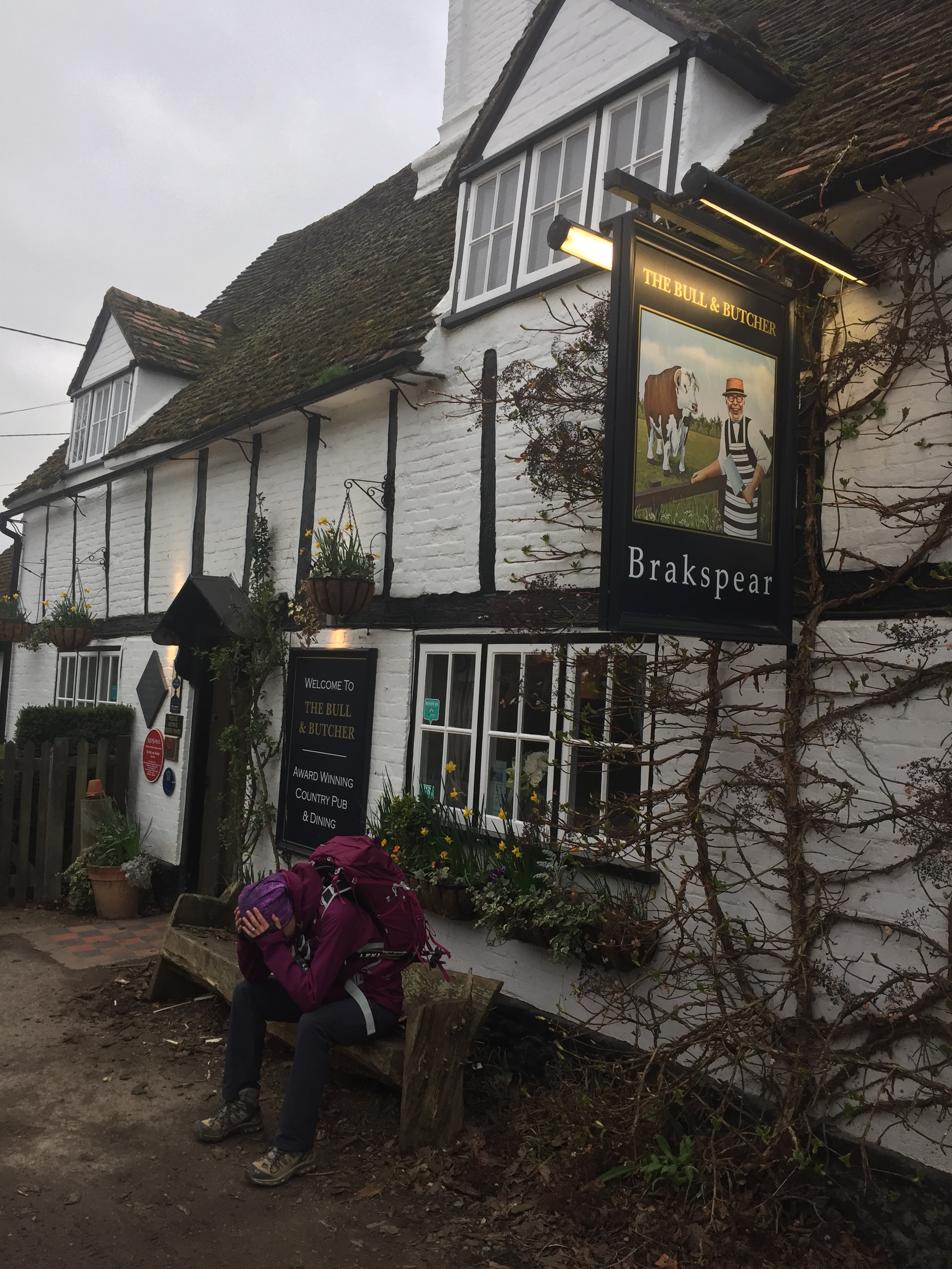
Start / Finish: The Bull and Butcher Pub, Holloway Ln, Turville, RG9 6QU
Distance: 11.2 km (6.9 miles)
Elevation Change: +/- 183m
Other Routes Touched (walk): Chiltern Way
Other Routes Touched (cycle): Chiltern Cycleway
Other Pubs / Cafes on route: The Chequers Inn (1 km in) The Chilterns Fox (7.3 km in)
Map: Ordnance Survey Explorer 171 Chiltern Hills West, Henley-on-Thames & Wallingford
Links: Turville, Fingest, Ibstone
This walk was a little longer than our recent Chiltern rambles. Our Camino adventure was fast approaching and we needed a proper practice if we're going to do 18 km every day in Spain. We'd also heard good things about the pies in the Bull and Butcher in Turville so we needed to check them out. The guidance below will help you navigate but don’t use it as a fully accurate turn-by-turn guide. Always take a map and/or a GPX route and prepare well for the weather and terrain.
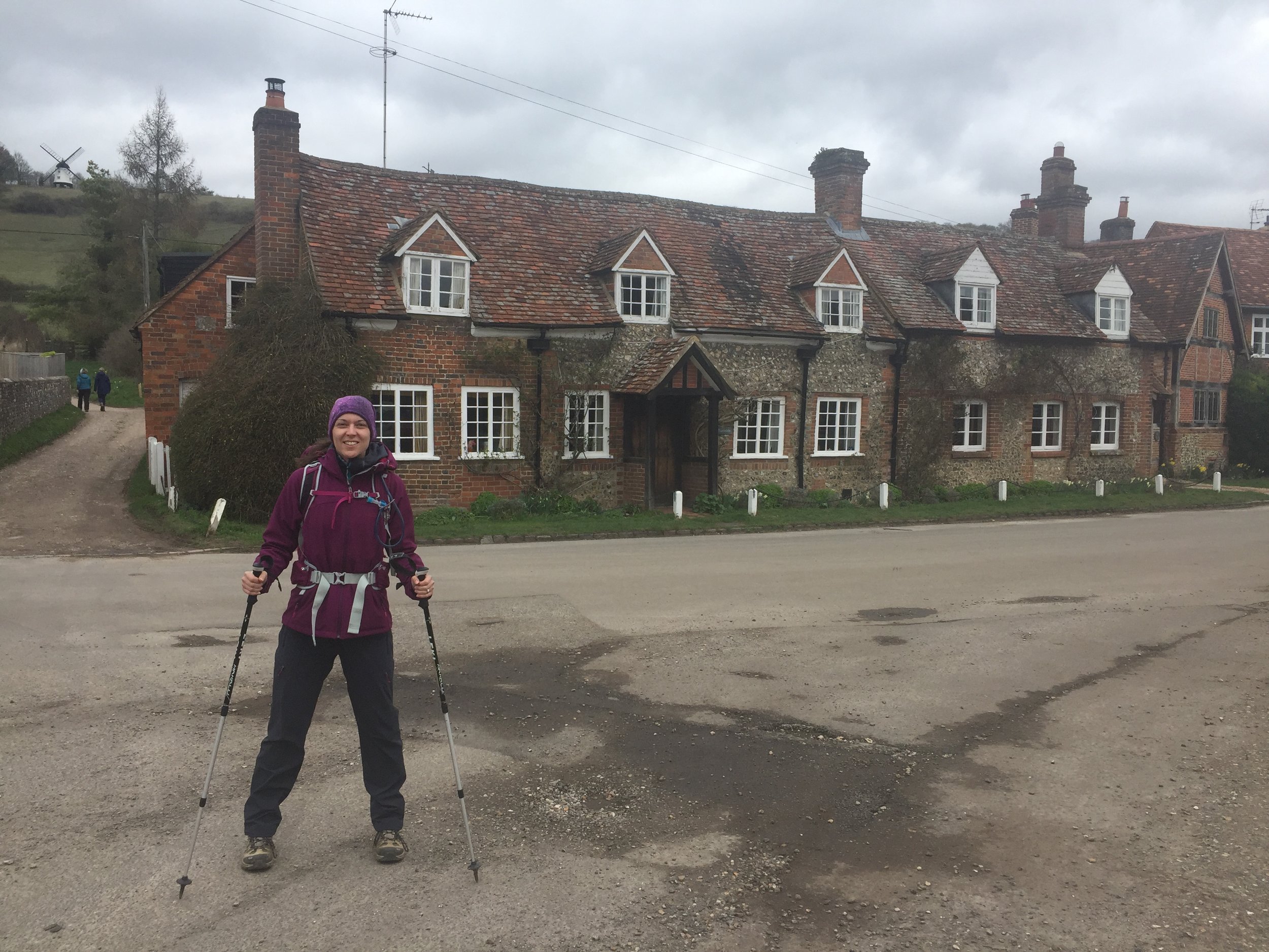
Turville is an idyllic English country village in the heart of the Chilterns. So much so that its been featured in many films and TV series. We'd actually seen it a week ago in an episode of Killing Eve. Its the kind of place that's so special you don't want to blog about it in case too many other people find out about it ...
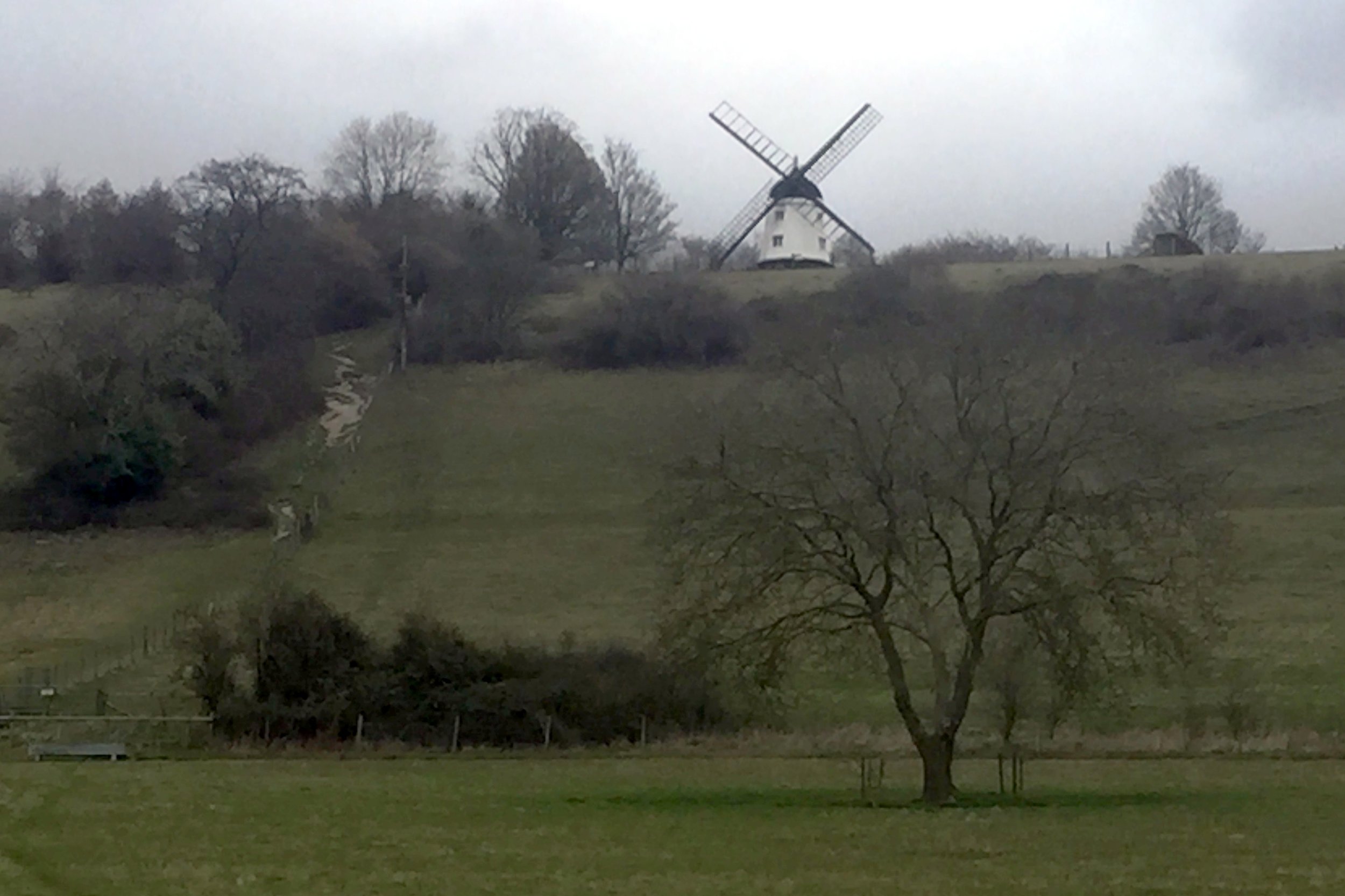
Parking in the village centre we took the footpath leading up the hill toward the windmill. Its a steep climb but we turned off the path pretty soon. I told Timi that we were going to the top of the hill so it was a relief to her that we were actually taking a flatter route around the hill.
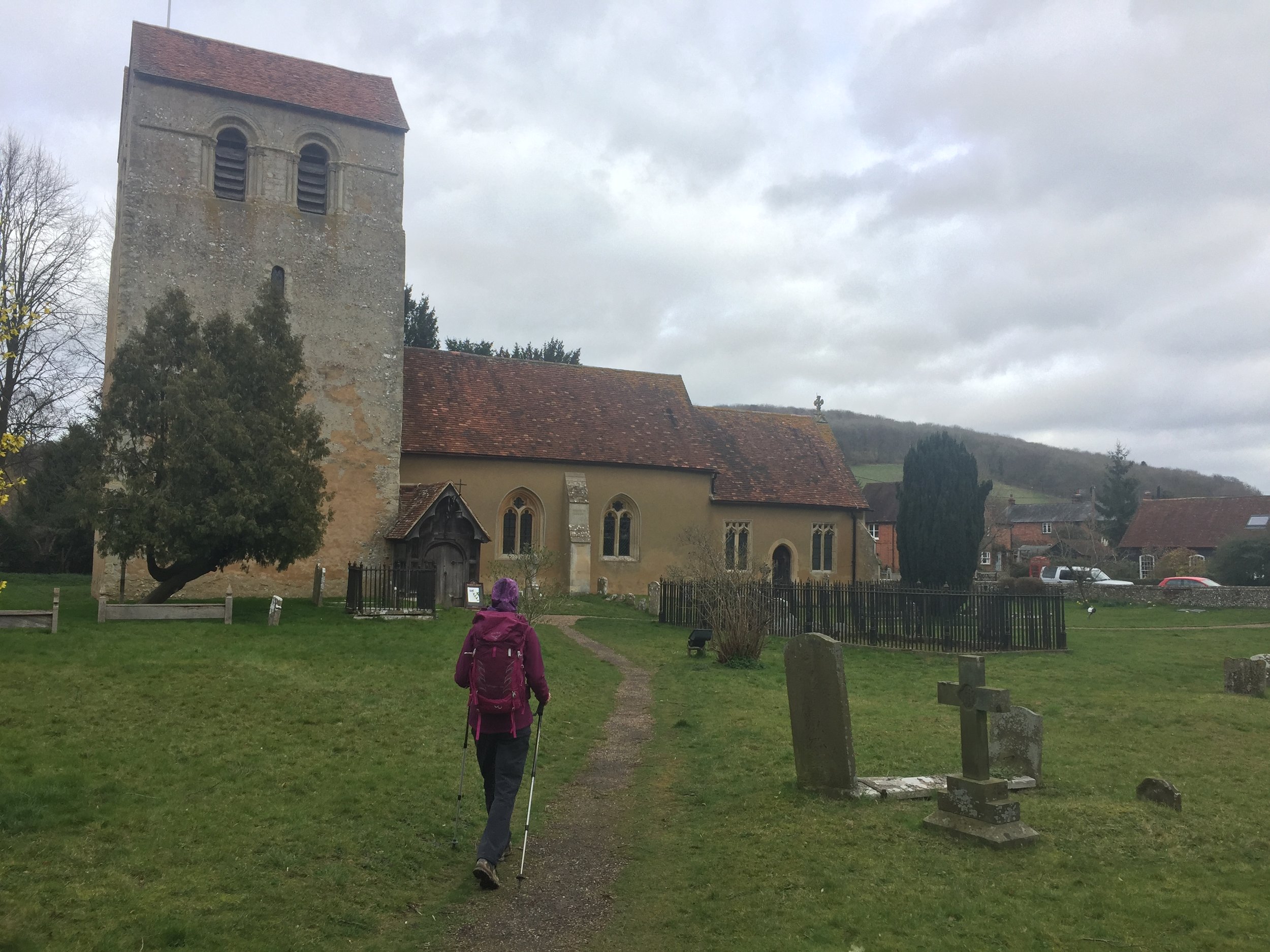
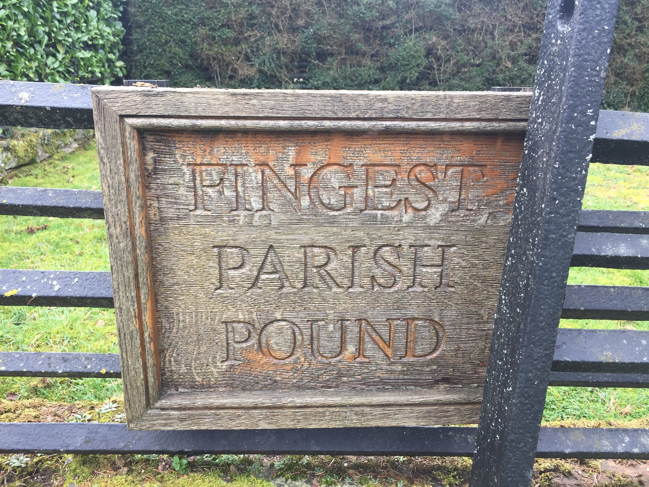
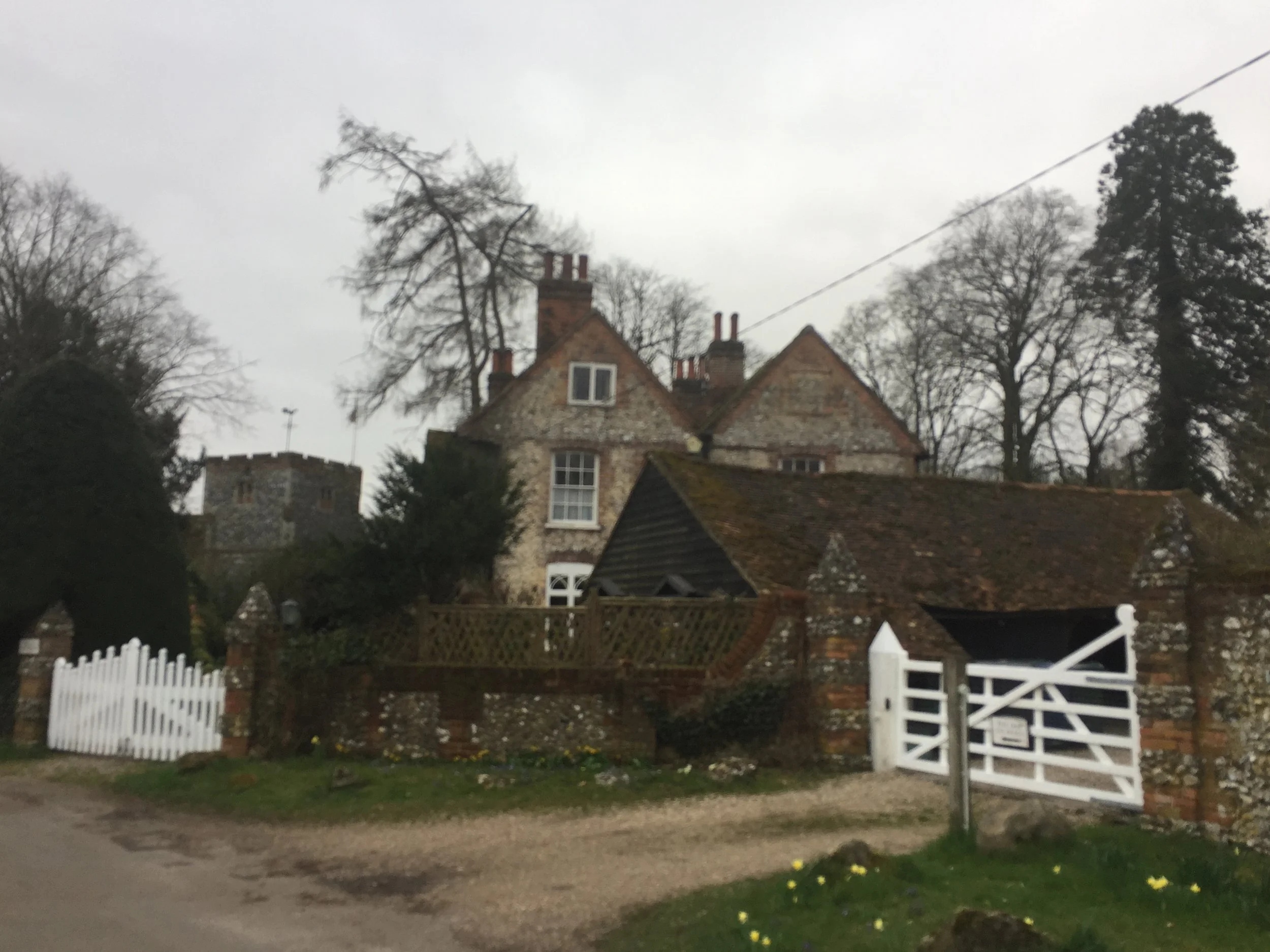
Fingest village arrives at only 1 km into the route. If you're doing the pub crawl version of the route then the Chequers Inn will be your first stop. We avoided this one and checked out St Bartholemew's church instead. After the church/pub the route follows Chequers' Lane for just under 1km before taking a footpath west of a bend in the road.
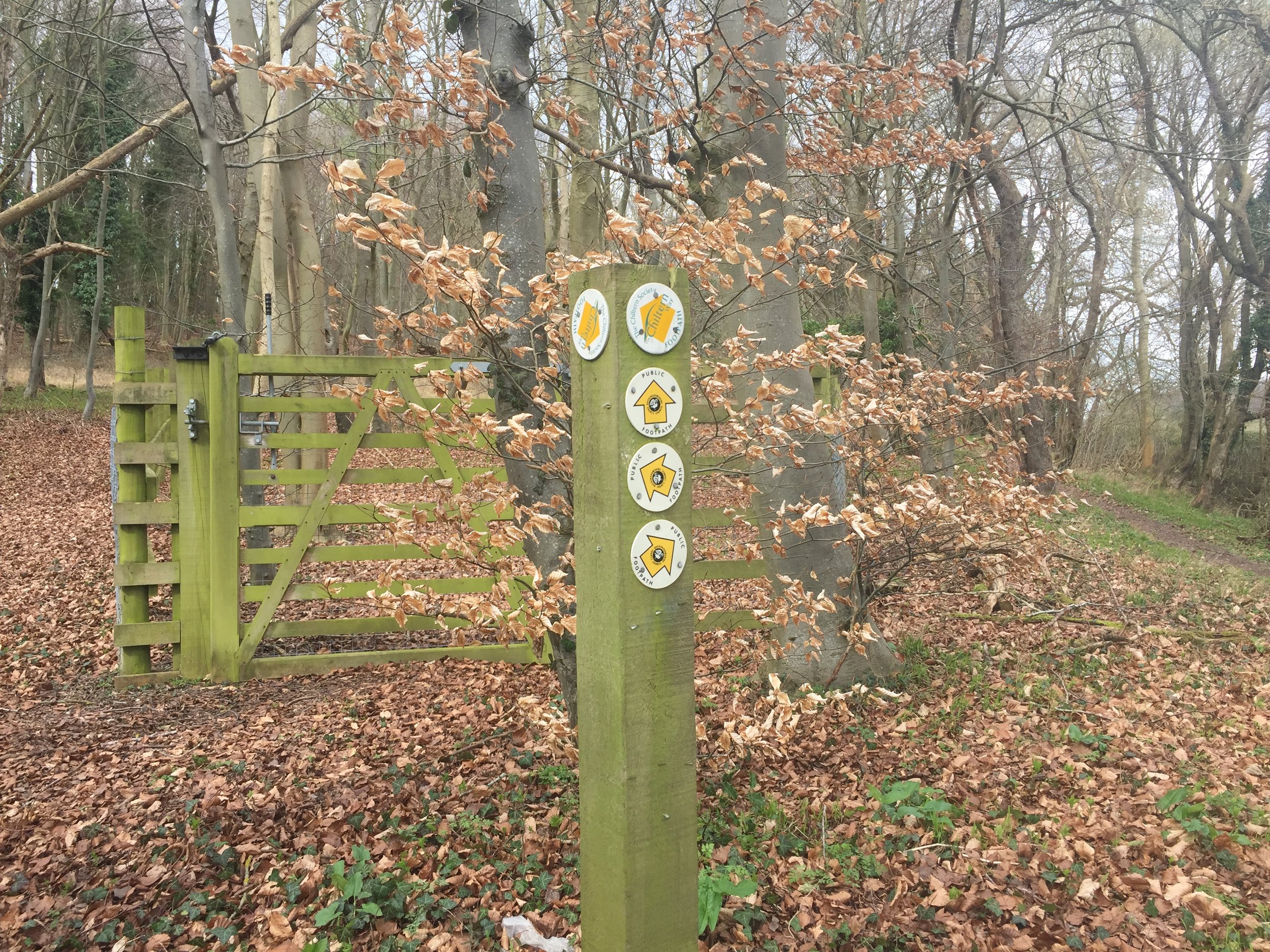
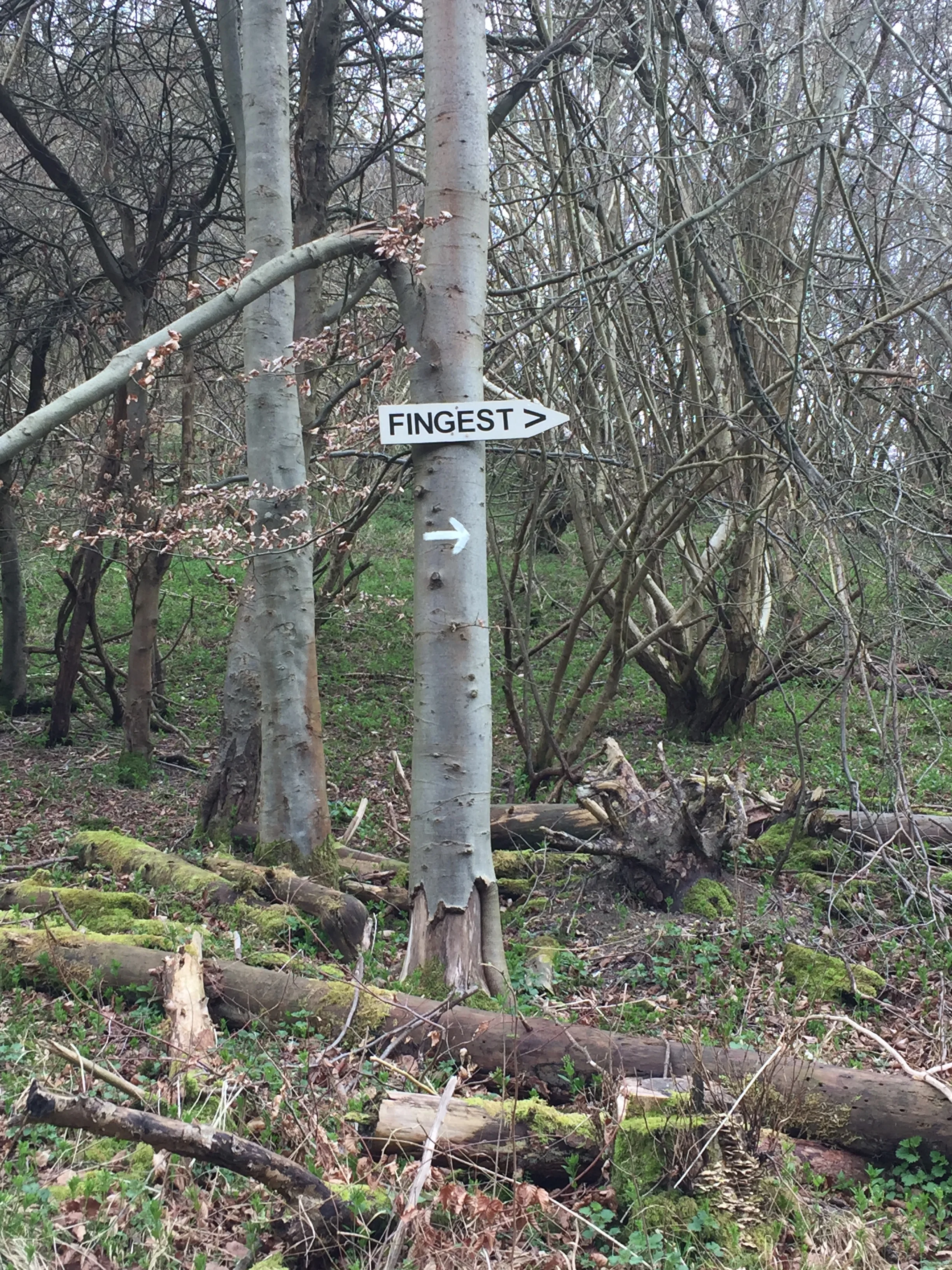
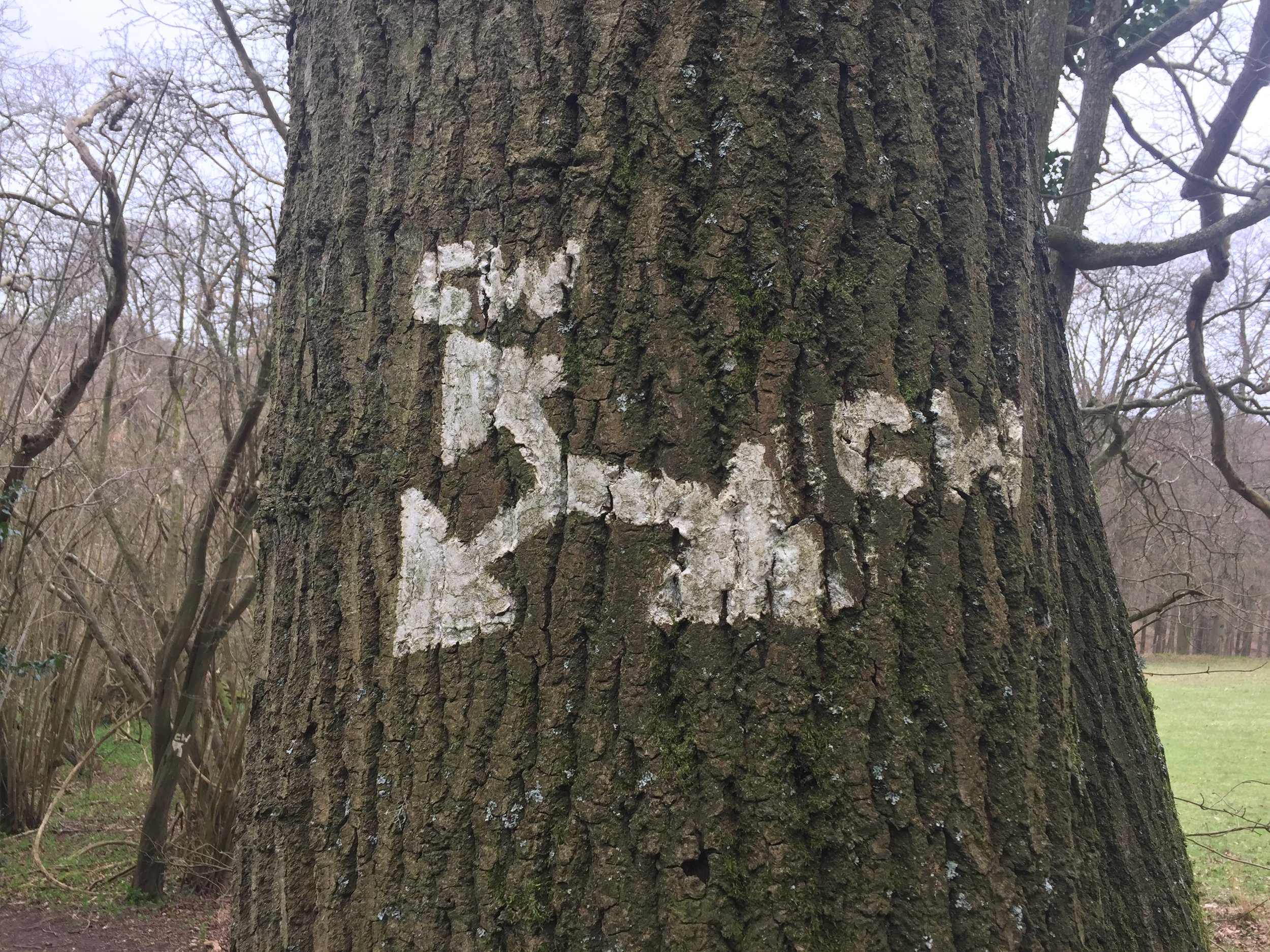
From here the route follows a wooded valley for 3.5 km until a junction with a left hand turn and steep ascent across a field toward the Chiltern Way. This is a really lovely section and, for me, the highlight of the walk.
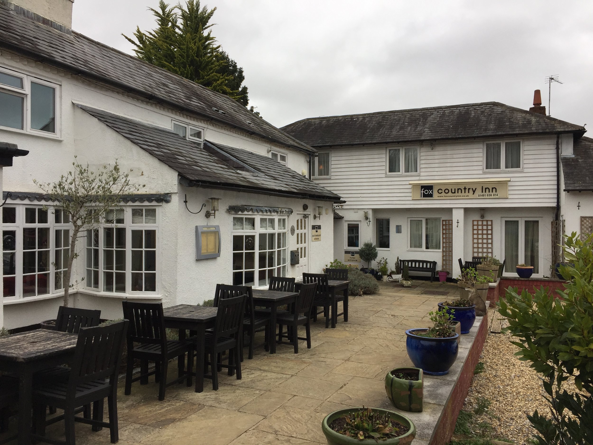
The Chiltern Way section is just over 1 km and takes you to Ibstone Road where you'll find the Fox Country Inn at the North of the village. Needing a rest, we popped in for a drink. It was weirdly empty for a Saturday afternoon, especially as it looked like a really nice place. The unfriendly staff could have been a clue though. We didn't stop for long. Pies at the Bull and Butcher were waiting!
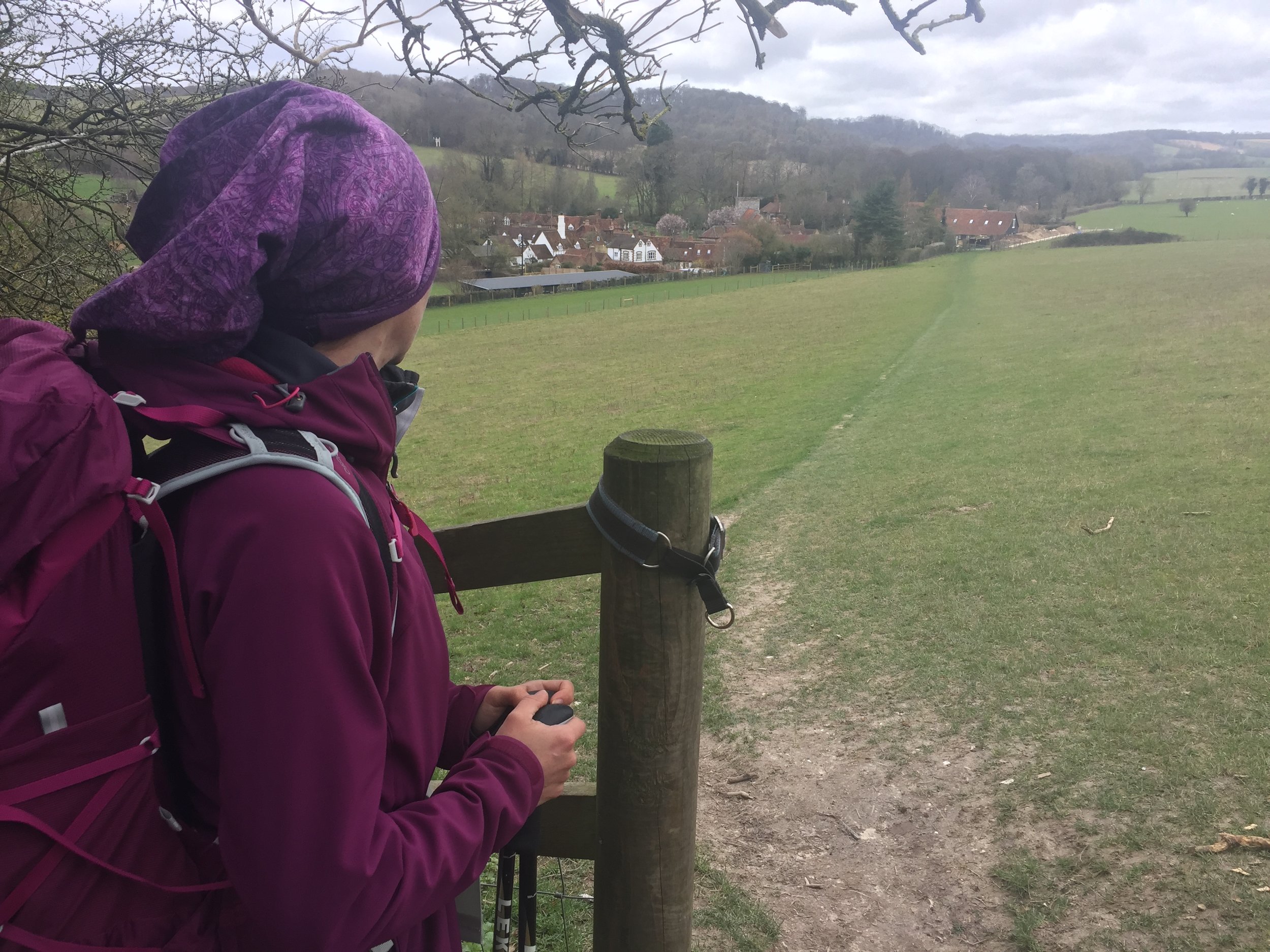
Leaving the Fox we crossed the road and took the path around the Western side of Ibstone Common. From here the route follows wooded paths parallel to Ibstone Road. At the final half km, the path enters into open fields with a great view of Turville village from above. The final section is a steep descent back to the village centre.
After 11 km with fully laden rucksacks we were really looking forward to the Bull and Butcher's famous pies. Turned out that the rugby was on TV and they had stopped serving food. Doh! We had a sad packet of crisps instead and headed home.
Despite a poor experience of the pubs, the walk was amazing. This is a real gem right in the heart of the Chilterns.