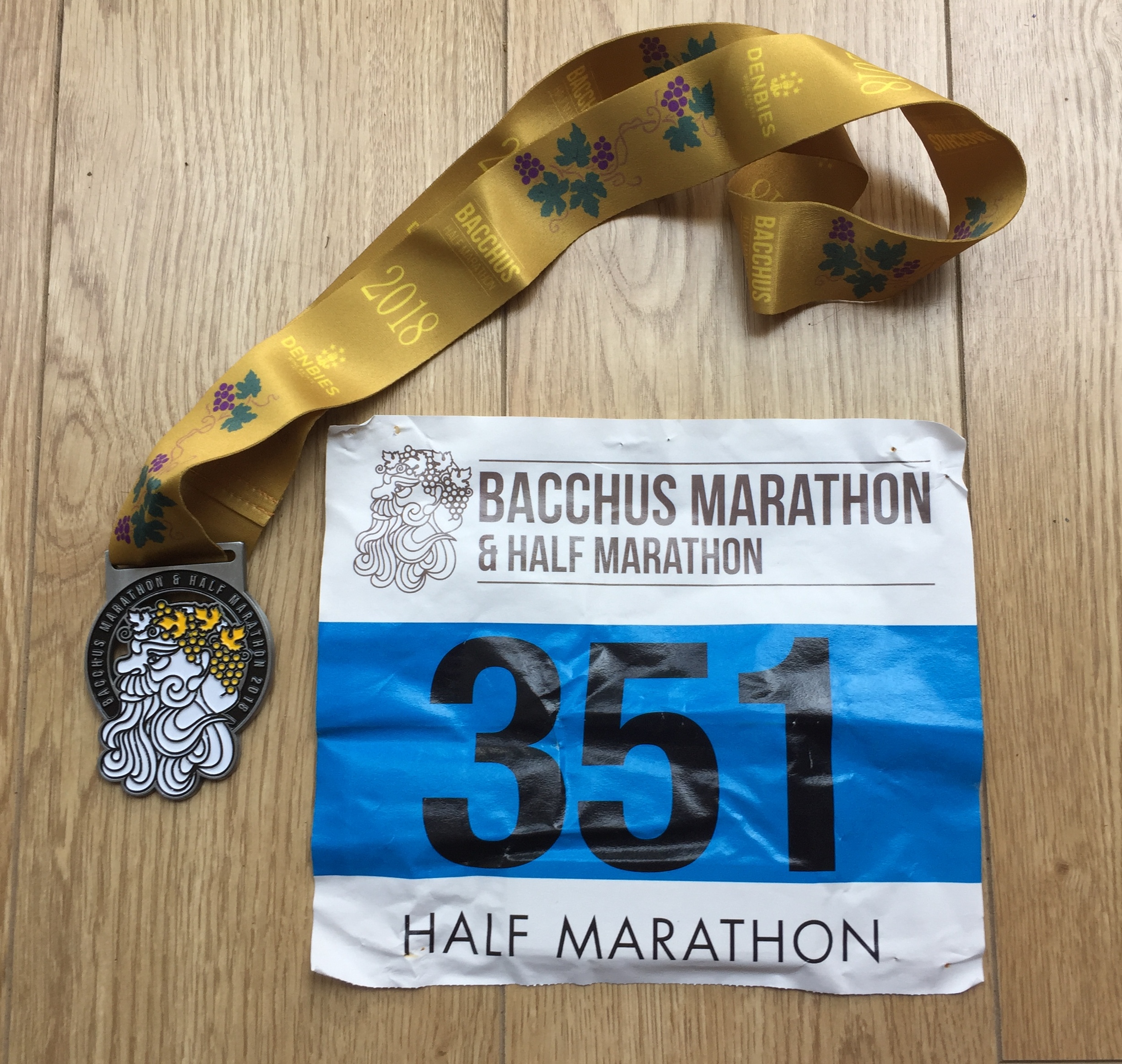
After a New Year’s Day visit to Westmill, I’ve now earned the (unofficial) parkrun Compass Club badge. This comes from completing parkrun events that contain the words North, East, South and West. But how many parkrun compass points are there? What’s the actual most Northerly/Easterly/Southerly or Westerly parkrun in the UK? … or in the world? So, with a bit of extra time on my hands before New Year and inspired by a debate on the UK parkrun Tourists group I had to find out.
I update this page whenever I spot a new one pop up and do an annual check. Let me know if I’ve missed any or you spot any errors and I’ll donate £1 per update to parkrun Forever.
To be eligible for the Compass Club badge the event name must have the words north, south, east or west in the title. It counts even if the word is part of the name rather than a compass position (e.g loWESToft). Be careful about the long name as there’s an inconsistency were Henley Wood, OsWESTrey counts but Bangor, NORTHern Ireland doesn’t count. parkrun challenge apps tend to use the short name of the event so if the compass position is in the long name it might not count on the app that you’re using. For the purposes of this page I’ve included all compass positions in both the long and short names.
Local language spellings of the compass positions don’t count to the badge however I have noted them in the links below.
Graphics show parkrun events that are open to the public. Note that Mount Pleasant, the most southerly parkrun event in the world is a closed event on an MOD facility. Similarly, Ayios Nikolaos parkrun on the Sovereign Base Areas of Akrotiri and Dhekelia on the island of Cyprus is the most easterly event in the UK parkrun region but is also a closed event on an MOD facility.
Russian parkrun events were suspended in early 2022 following the invasion of Ukraine. Prior to this Russia was home to the most northerly parkrun event in the world at Vorkuta Borodskoy Park and two events containing “north” in Russian language: Lesopark Severny and Severnoe Tushino.
Global Compass Club
The most northerly event in the world was Vorkuta Borodskoy Park, Russia prior to the 2022 suspension of parkrun events in Russia. The current most northerly event is Pokkinen parkrun, Finland
The most easterly event in the world is Gisborne, New Zealand
The most southerly public event in the world is Cape Pembroke Lighthouse, Falkland Islands. Mount Pleasant parkrun, Falkland Islands is further South than Cape Pembroke however it is in a closed MOD facility and not open to the public.
The most westerly event in the world is Shawnigan Hills, Canada

Global East
Excluding UK, Australia and South Africa (scroll down for these):
Global North
Excluding UK, Australia and South Africa (scroll down for these):
(local spelling) FukaKITAryokuchi, Japan (Deep North Green)
(local spelling) Milano NORD, Italy
(local spelling) NORDE Fælled parkrun, Randers, Denmark
(local spelling) Lesopark SEVERNY, Russia (event currently suspended)
(local spelling) SEVERNOE Tushino, Russia (event currently suspended)
Global West
Excluding UK, Australia and South Africa (scroll down for these):
Global South
Excluding UK, Australia and South Africa (scroll down for these):
(local spelling) Gdańsk POŁUDNIE, Poland
(local spelling) ZUIDERpark, Netherlands
The Bill Thorpe Walking Bridge parkrun (Canada) was originally called SOUTH Riverfront Trail for the first few runs but then changed its name
UK Compass Club

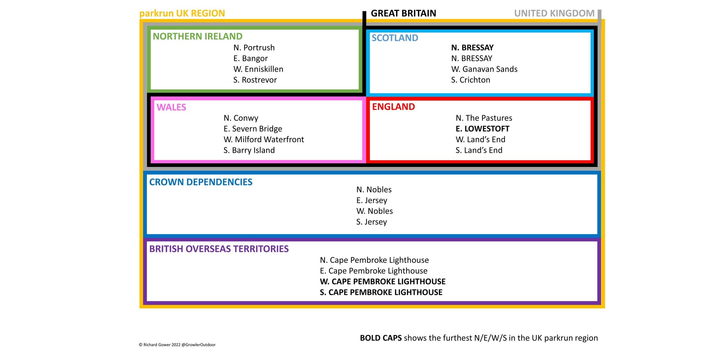
Note, Akrotiri is the most easterly event in the UK region (in a British Overseas Territory). It is not shown above as it is not open to the public.
UK East
Most easterly event in the UK mainland is Lowestoft
Ayios Nikolaos is the most easterly event in the UK “region” but is on a closed facility
EAST Grinstead: Completed November 9th 2019
EASTleigh: Completed July 2nd 2016
There was an EAST Sutton Park parkun on a closed facility but it closed after just 9 events
UK North
Most northerly event in the UK is Bressay, Shetland Islands
Most northerly event on the UK Mainland is Thurso
NORTHala Fields: Completed July 26th 2014
NORTHampton: Completed December 25th 2021
UK West
Most westerly event on the UK Mainland is Land’s End
Most westerly event in the UK is Enniskillen
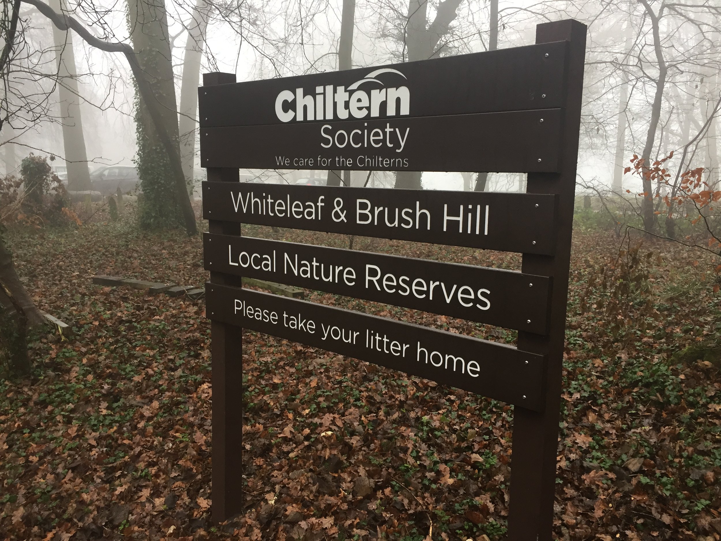
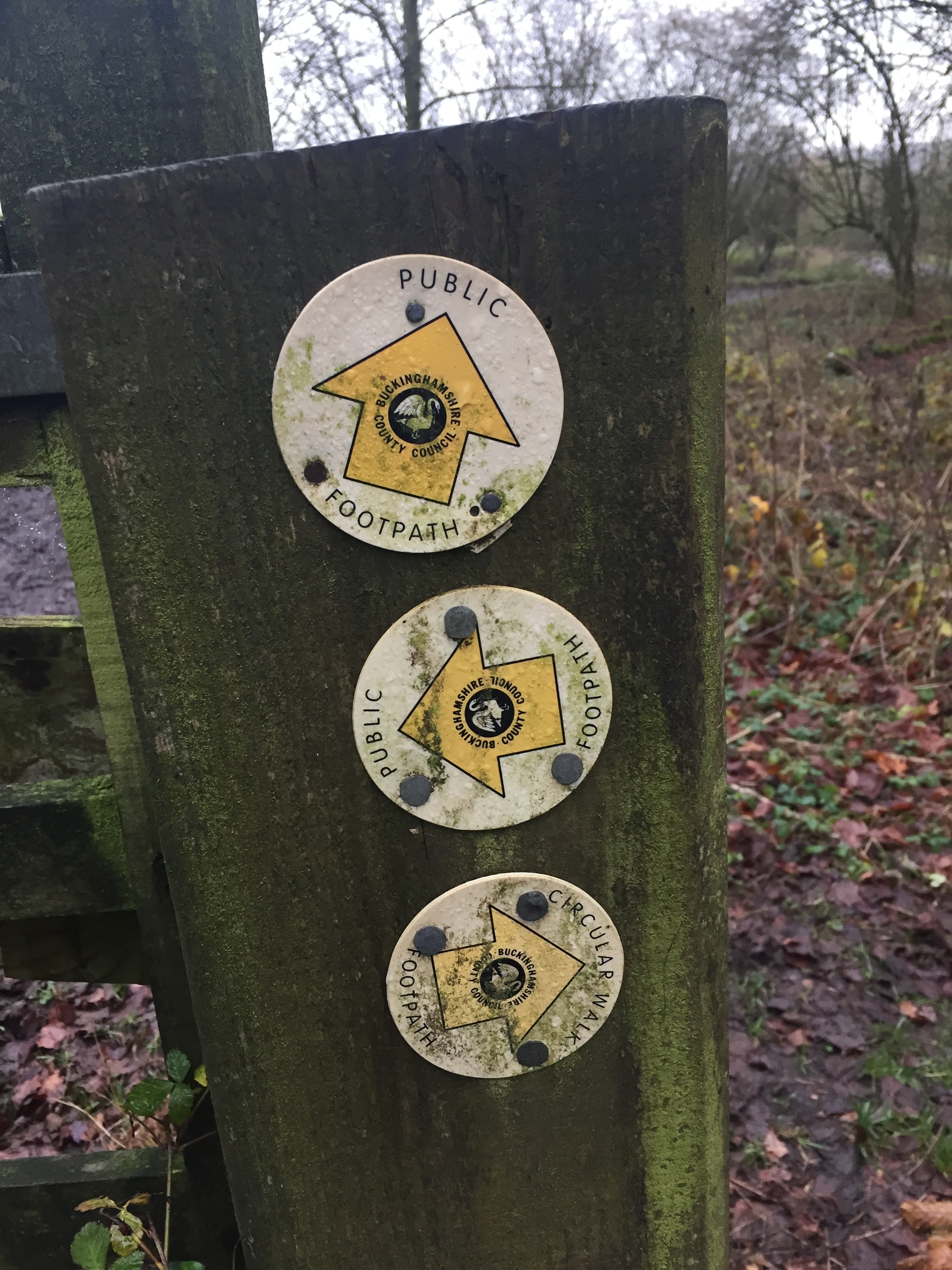
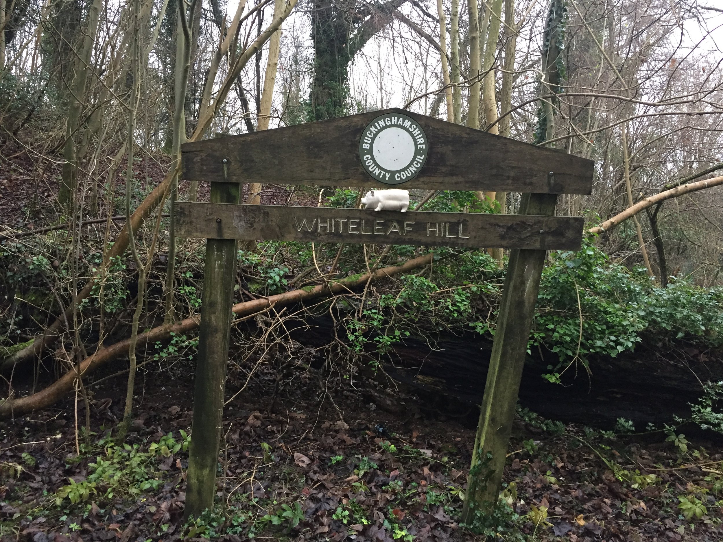
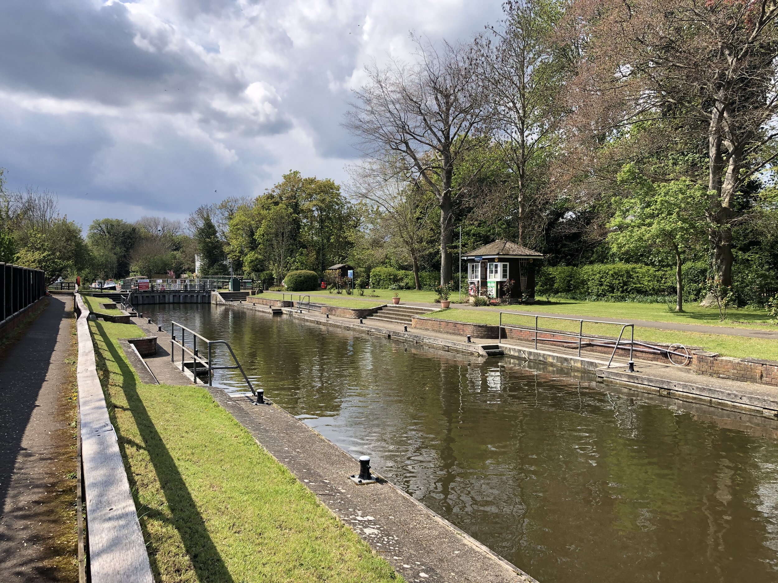
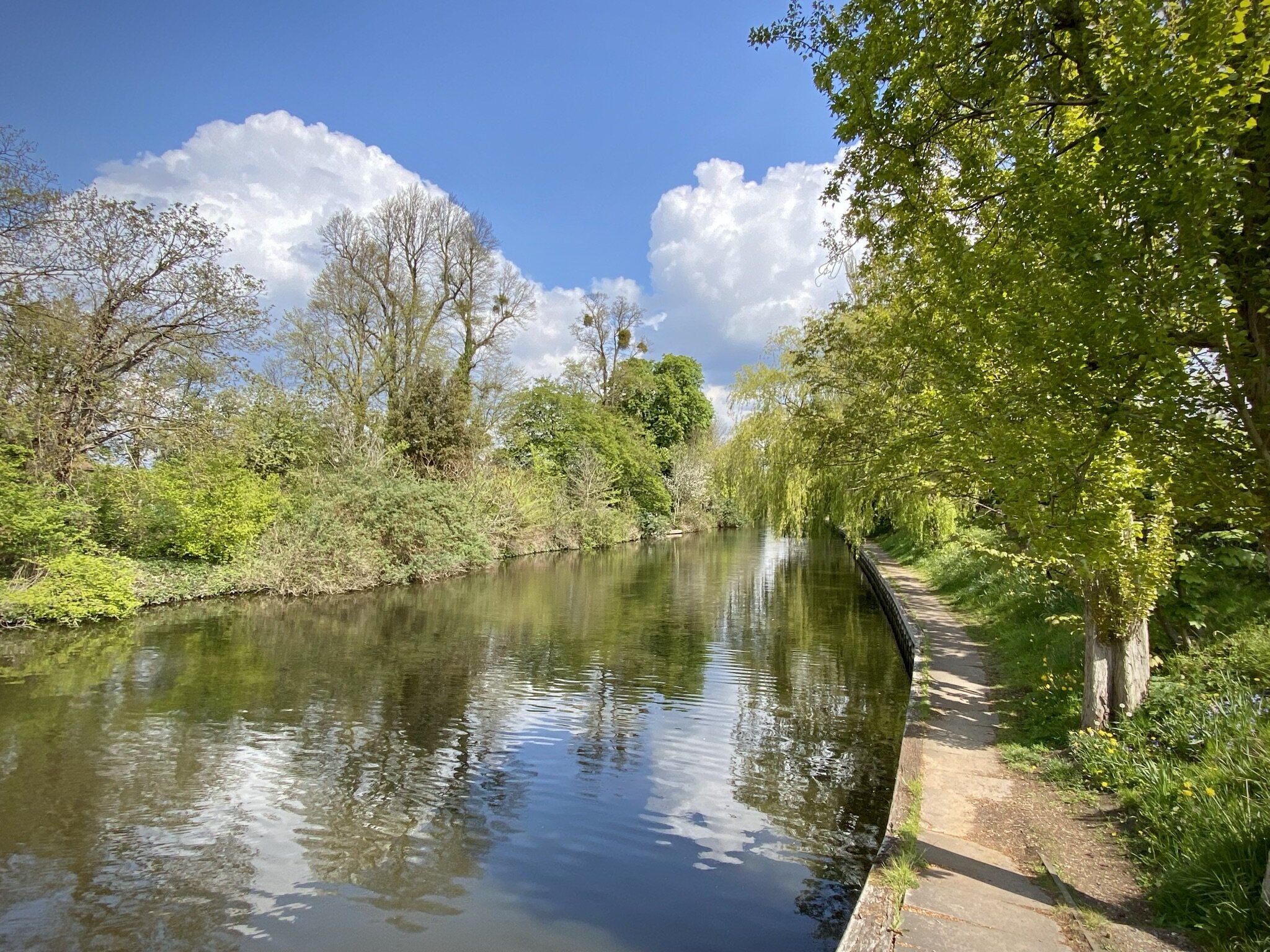
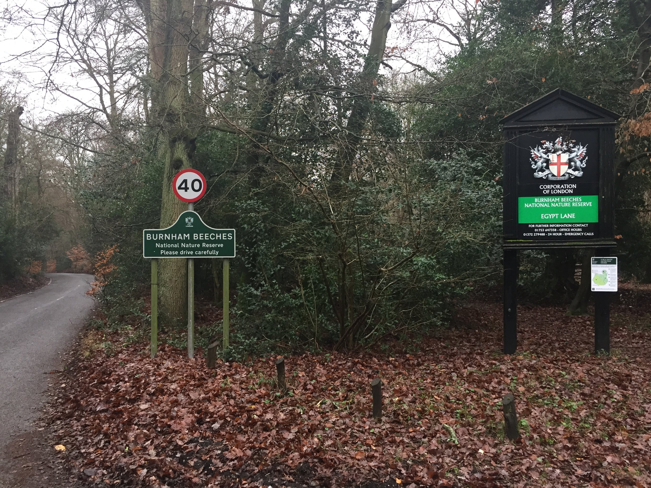
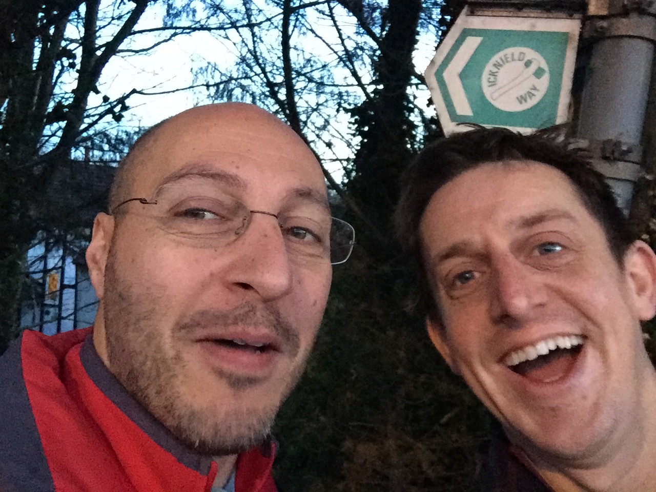
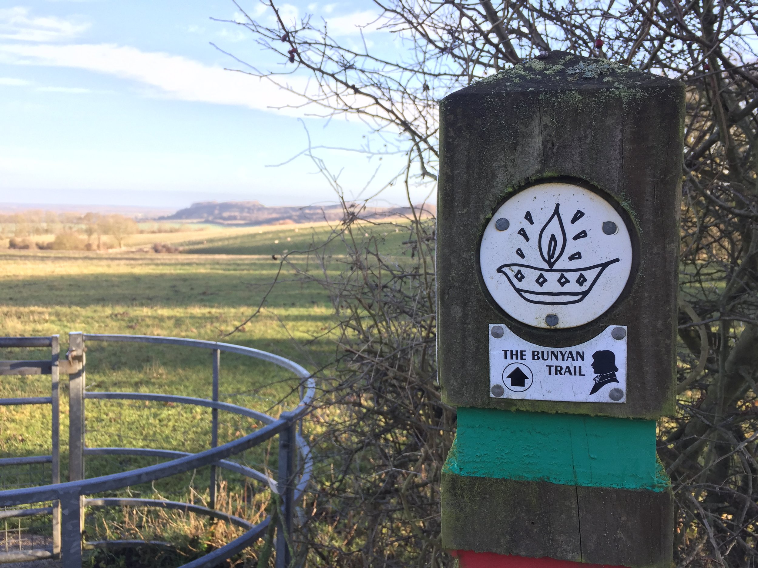
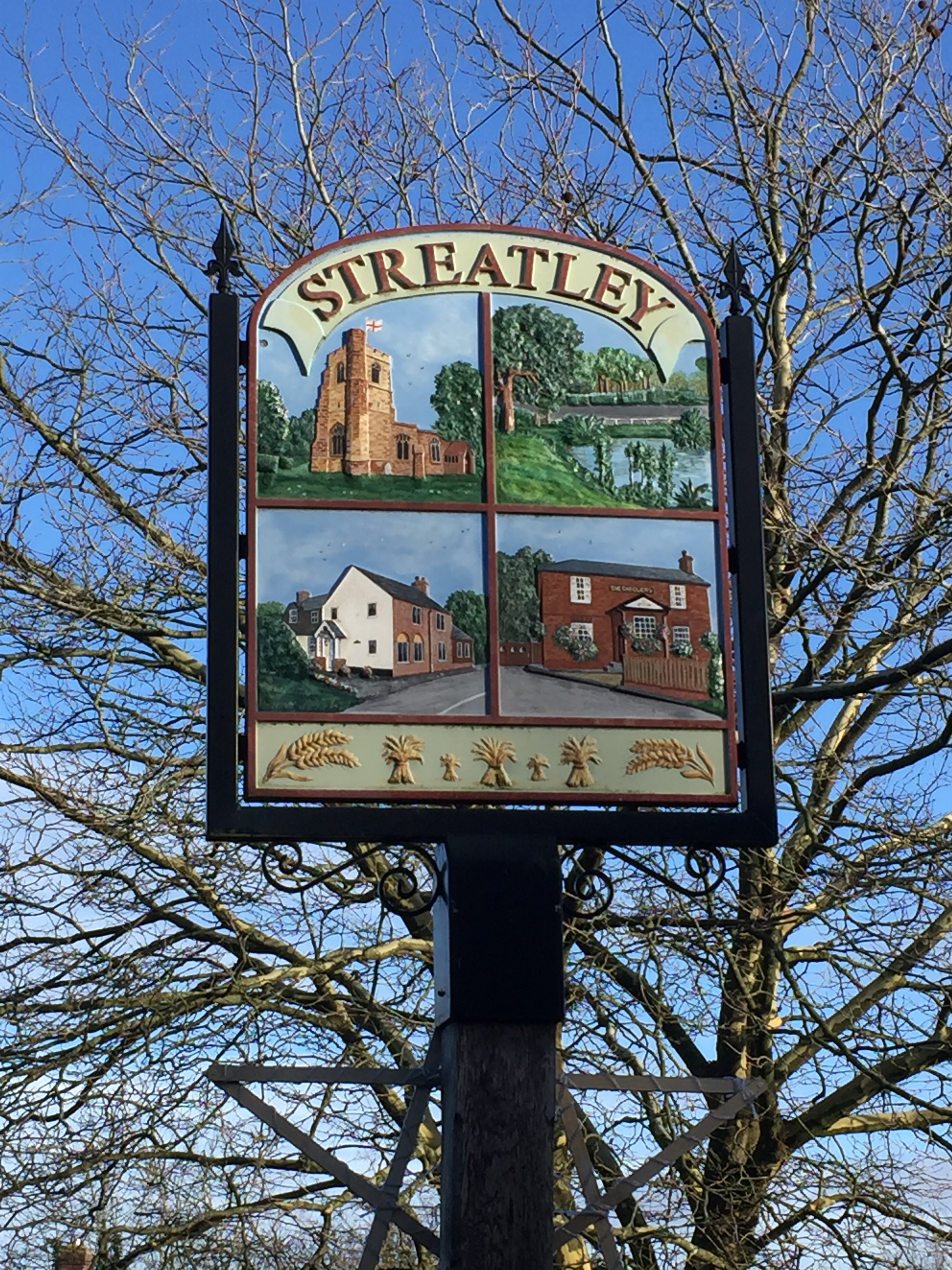
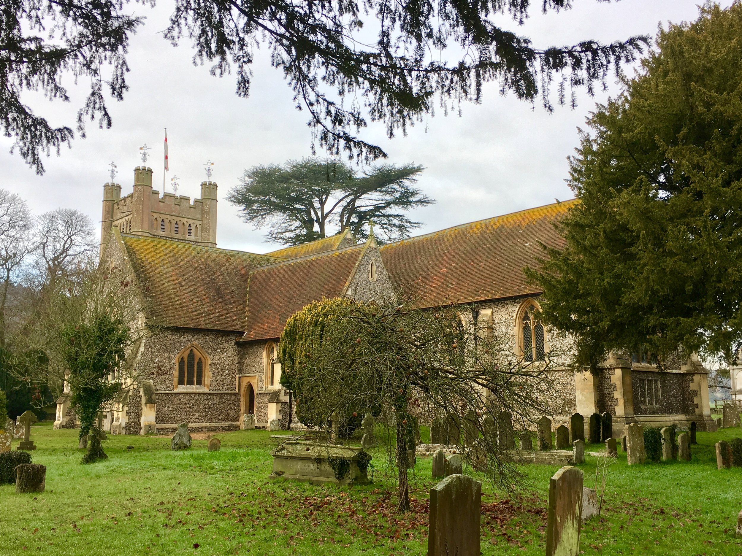
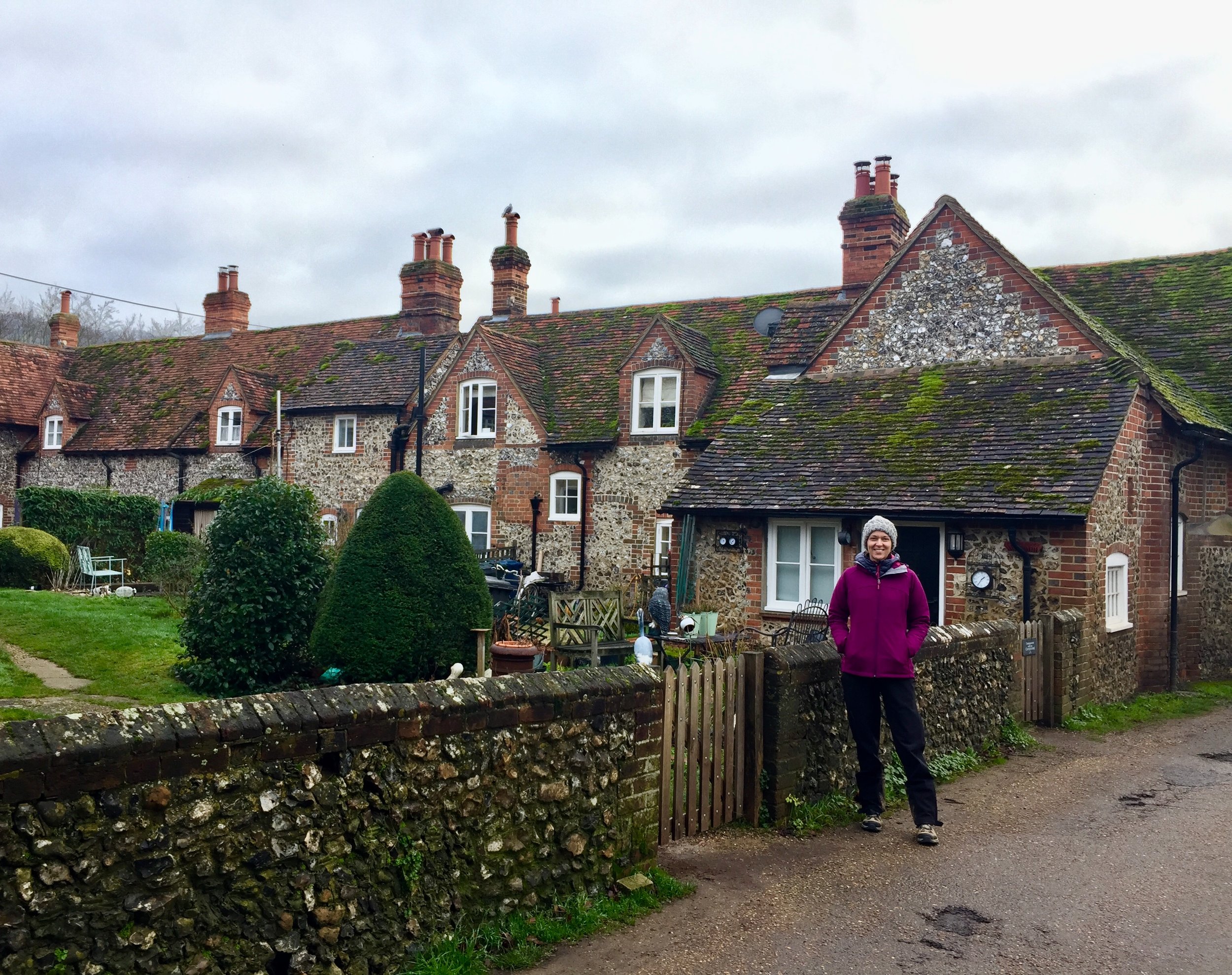
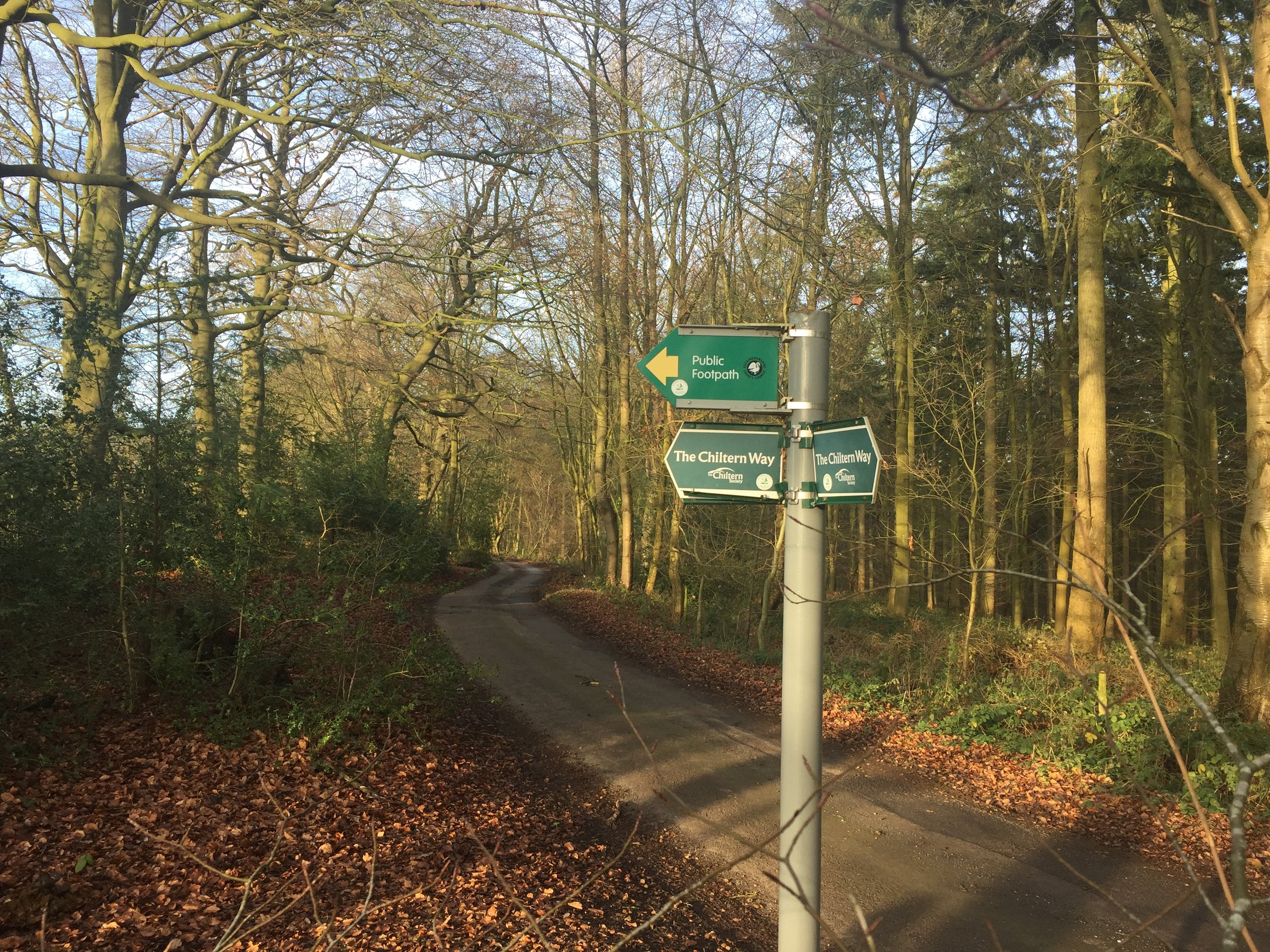
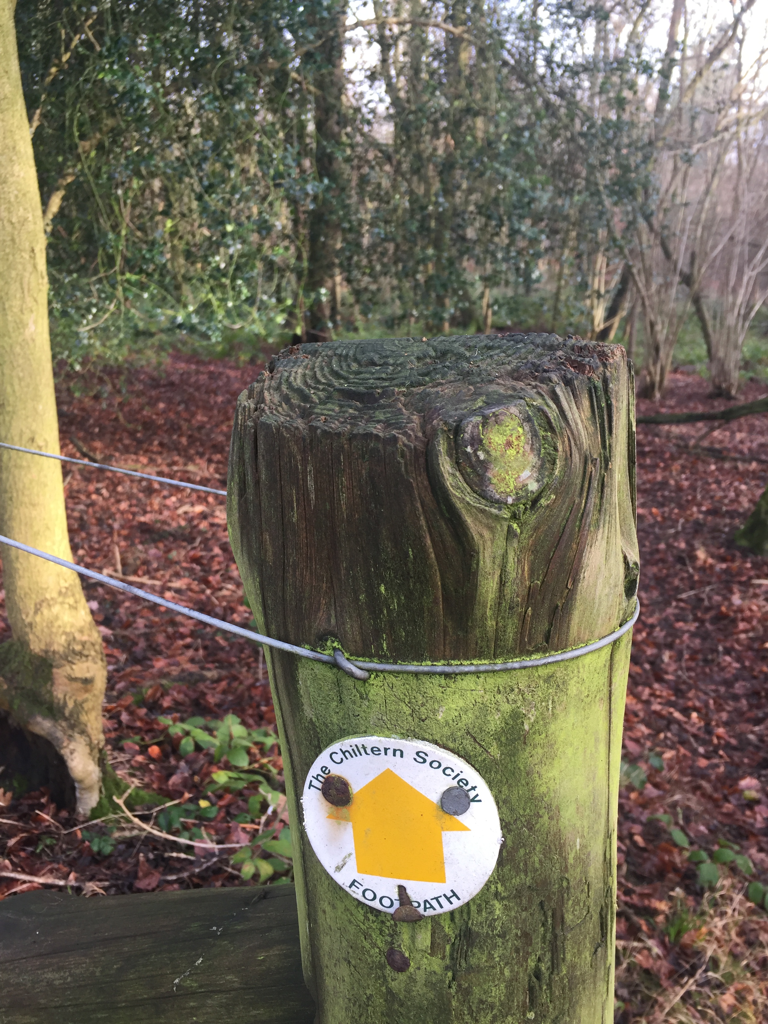
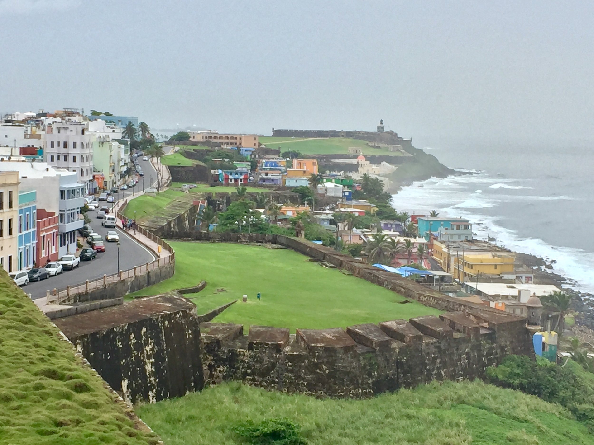
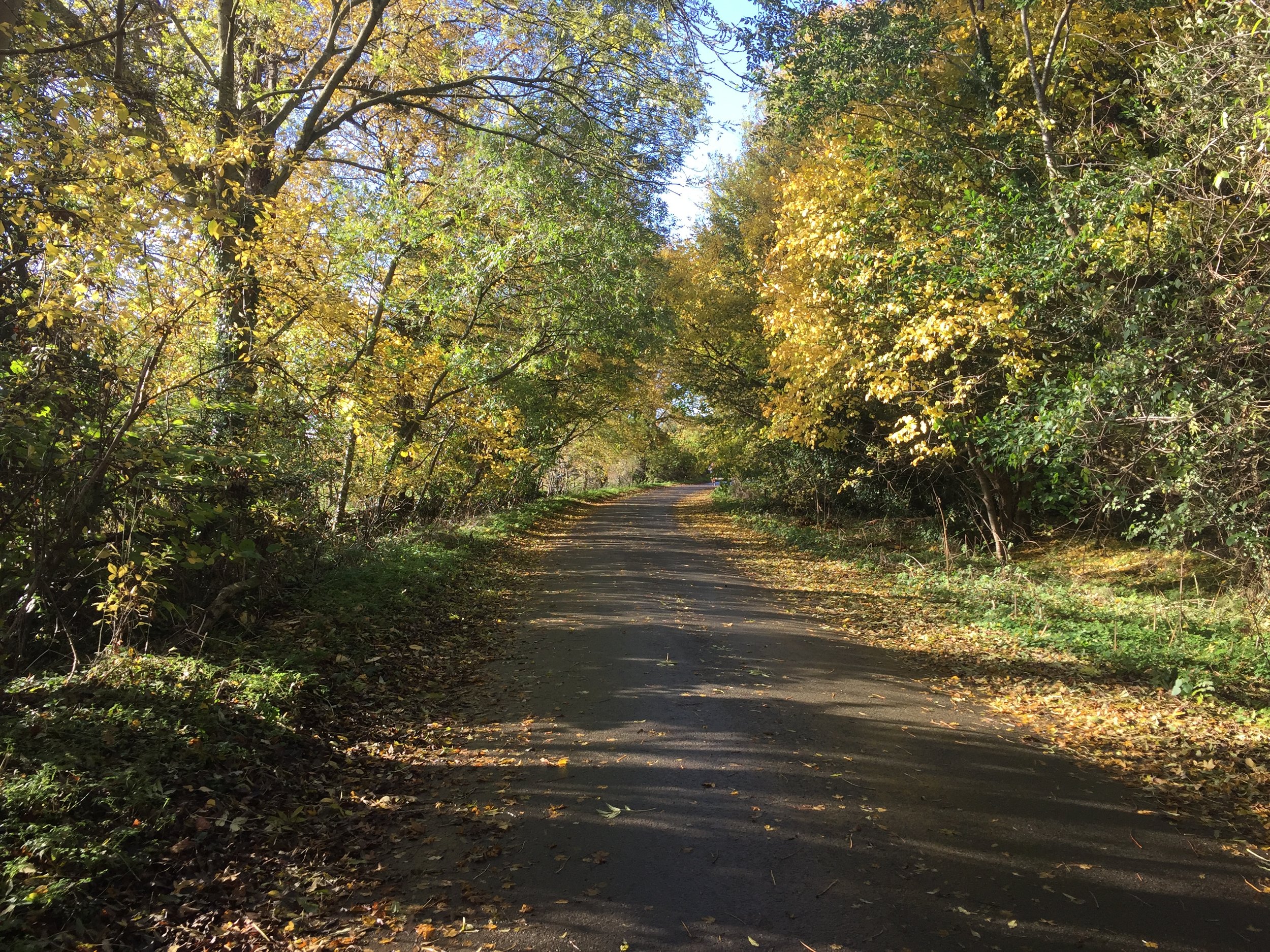
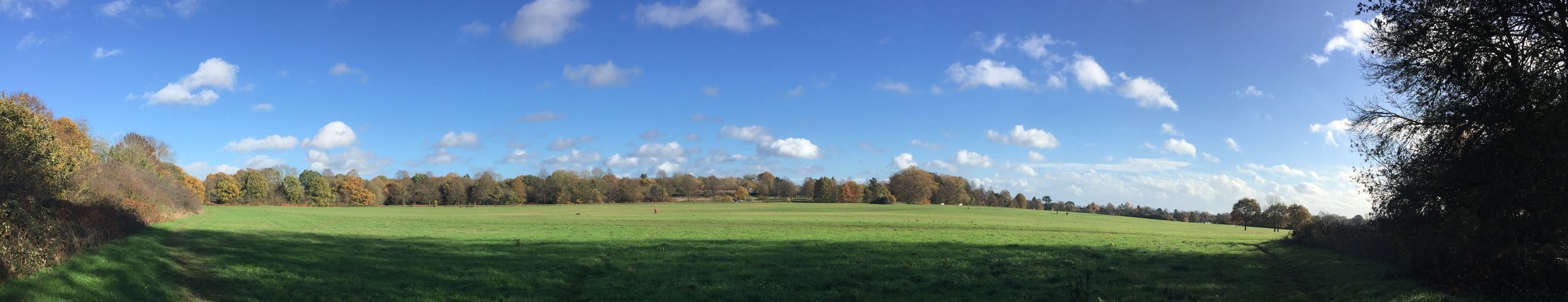
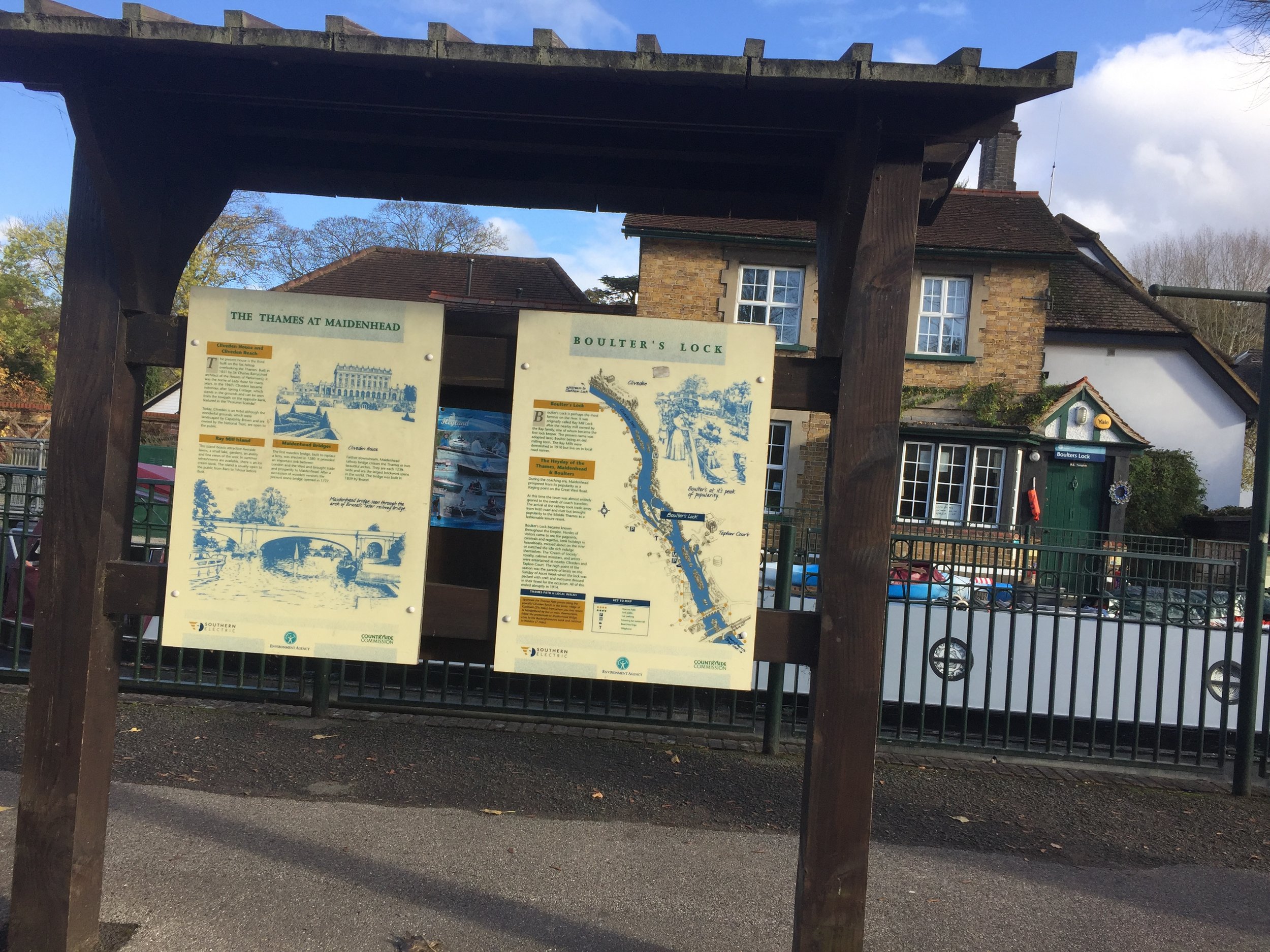
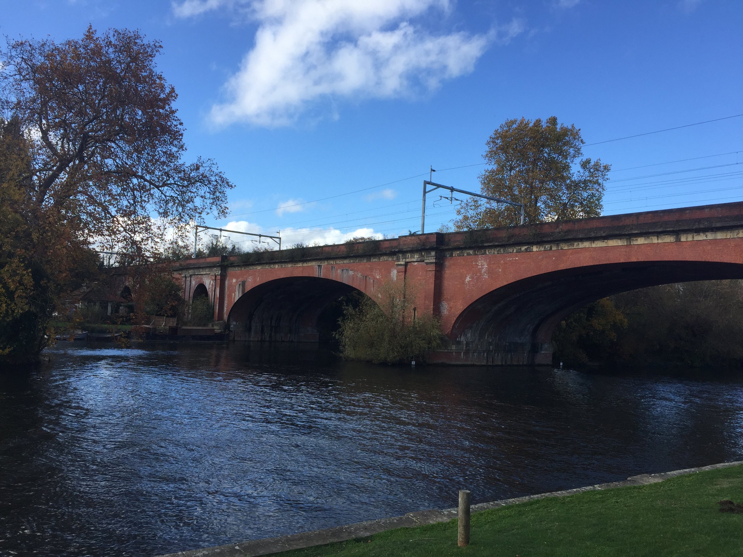
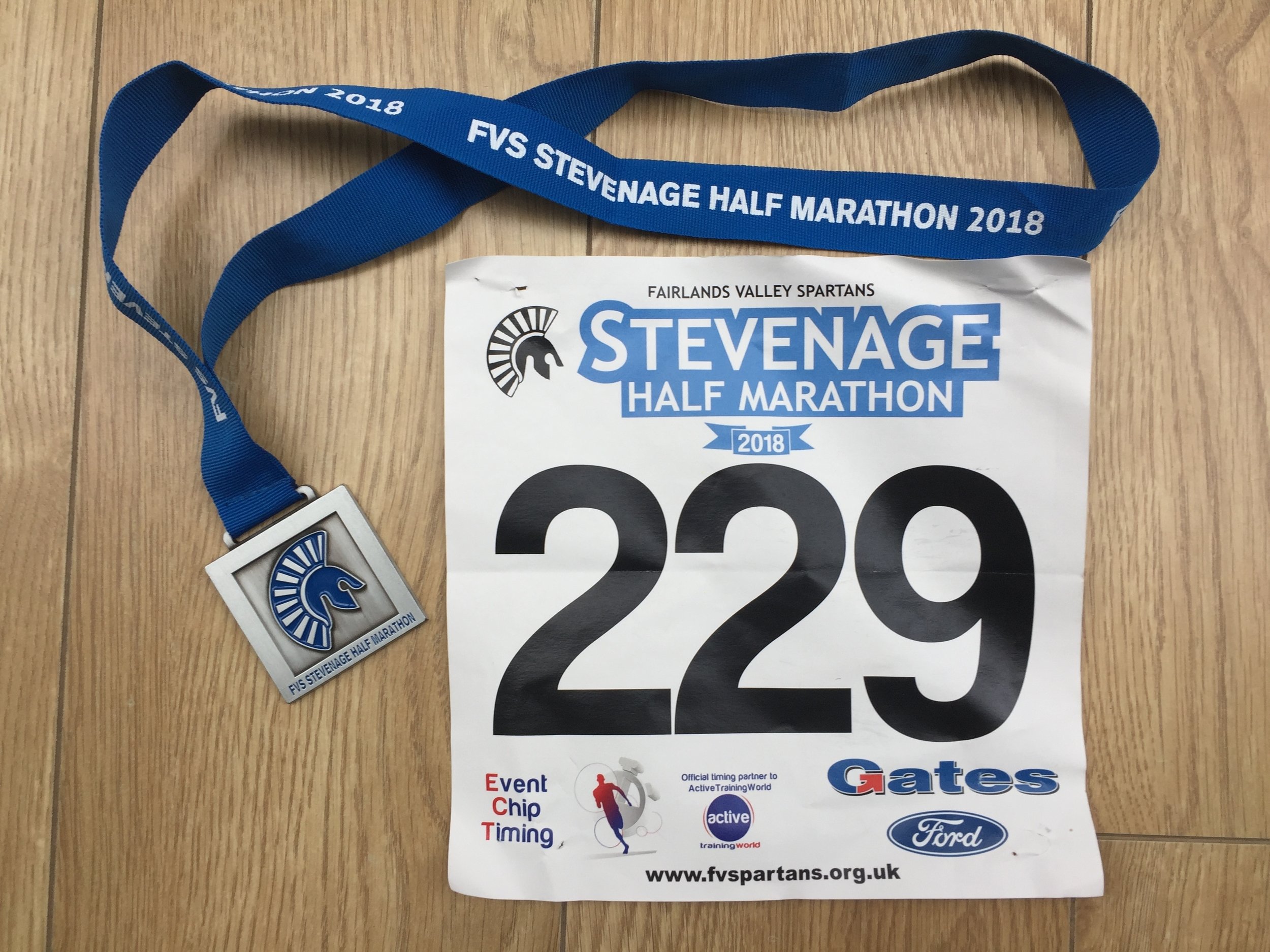
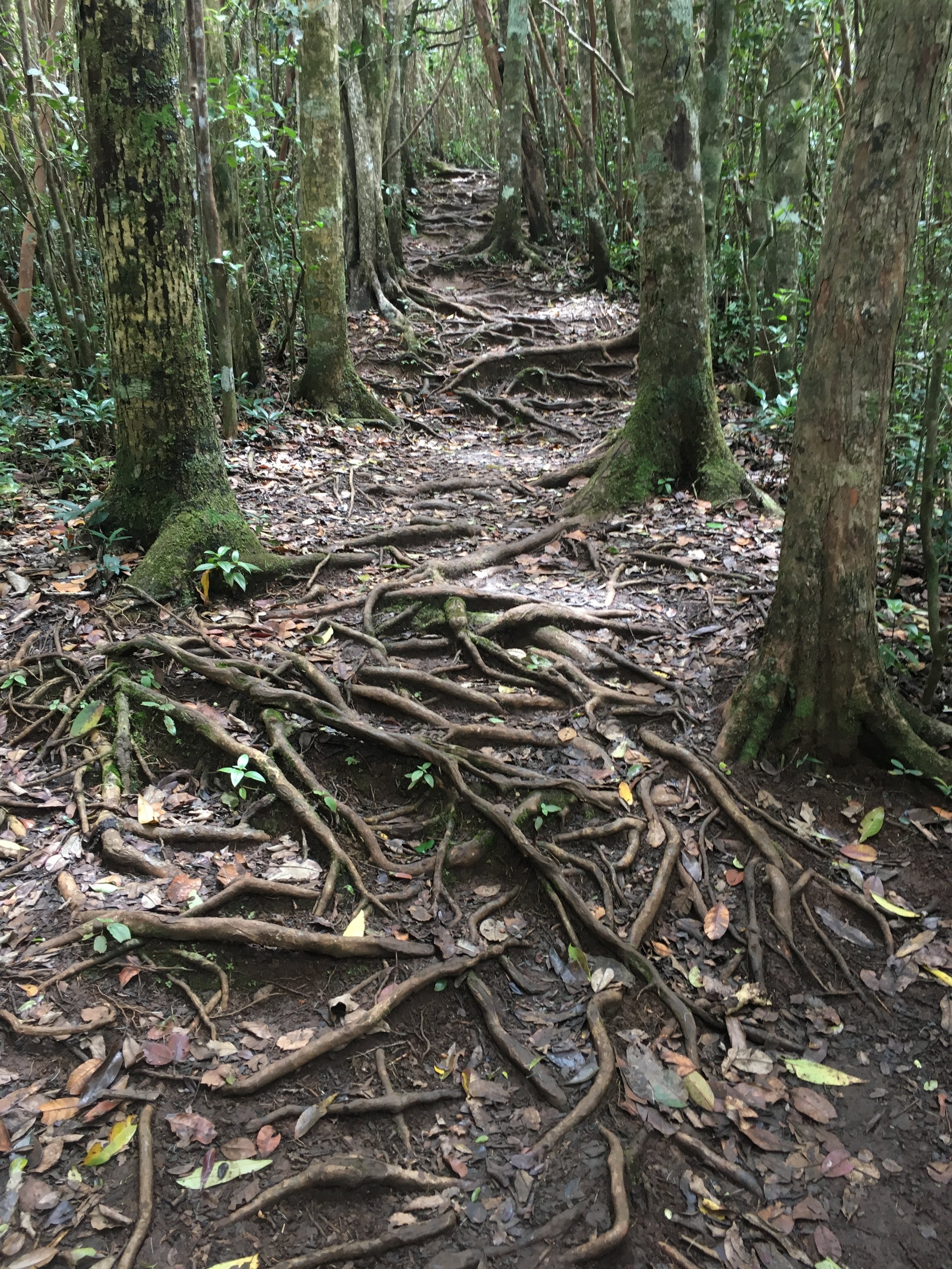
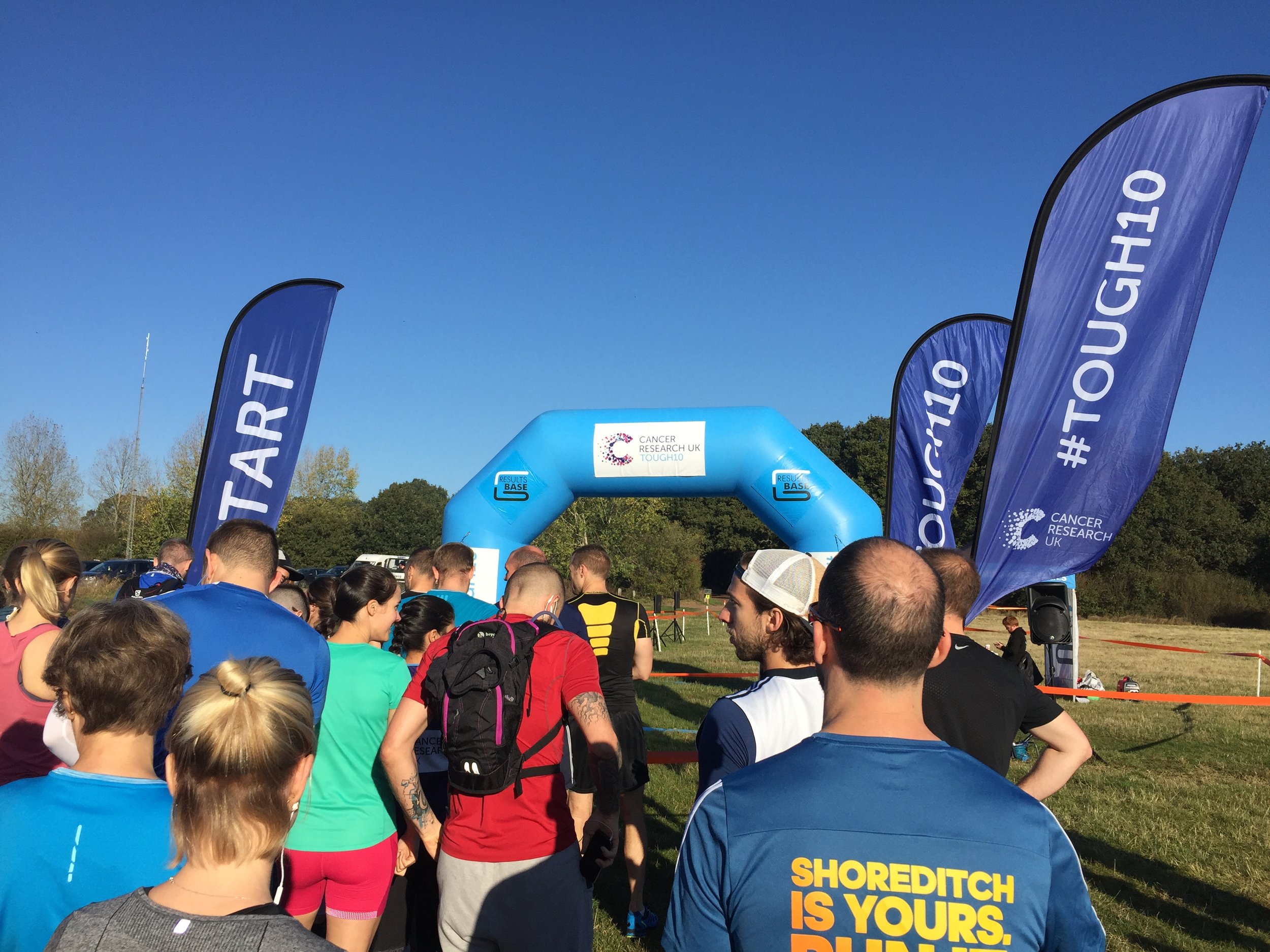
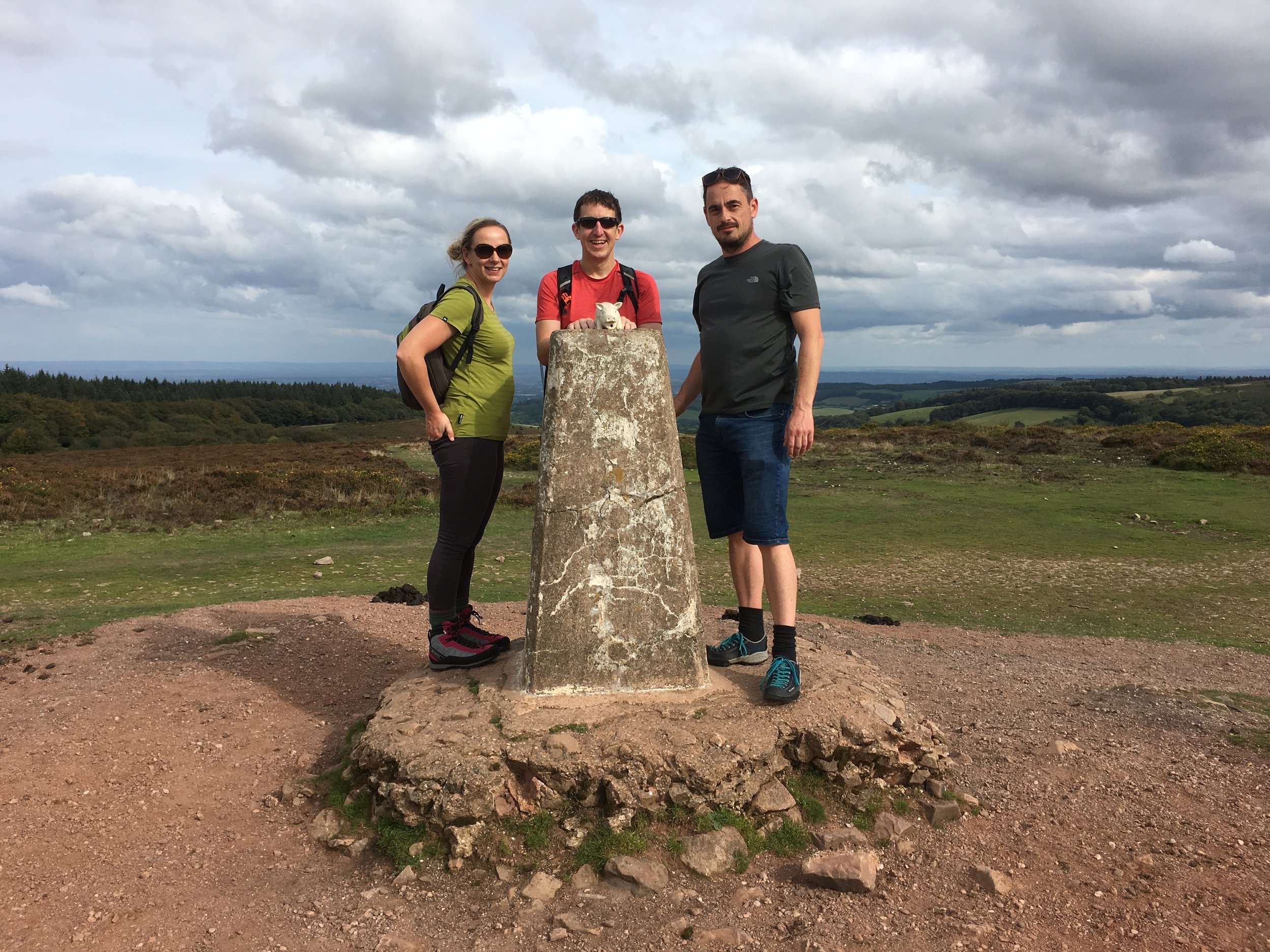
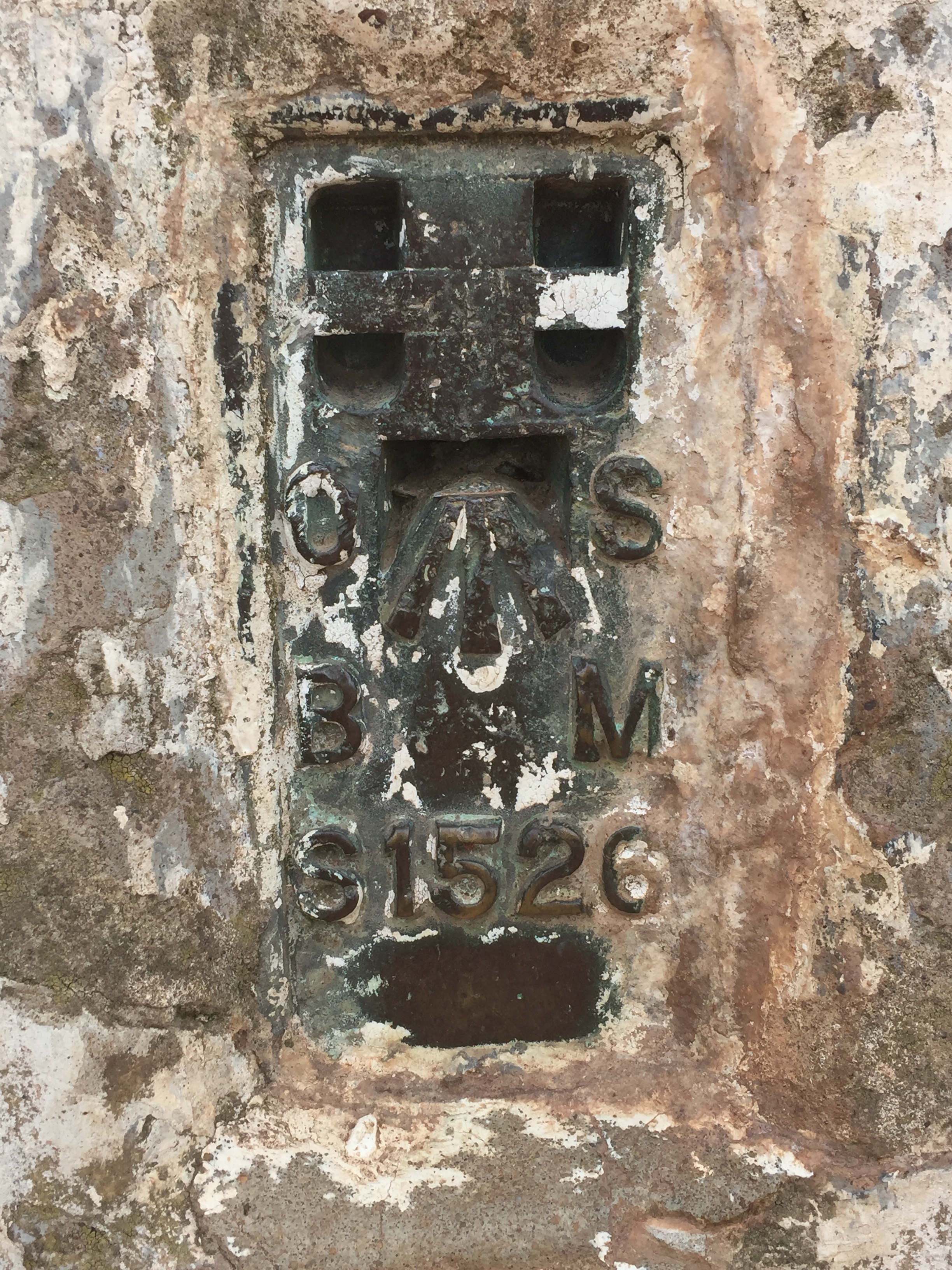
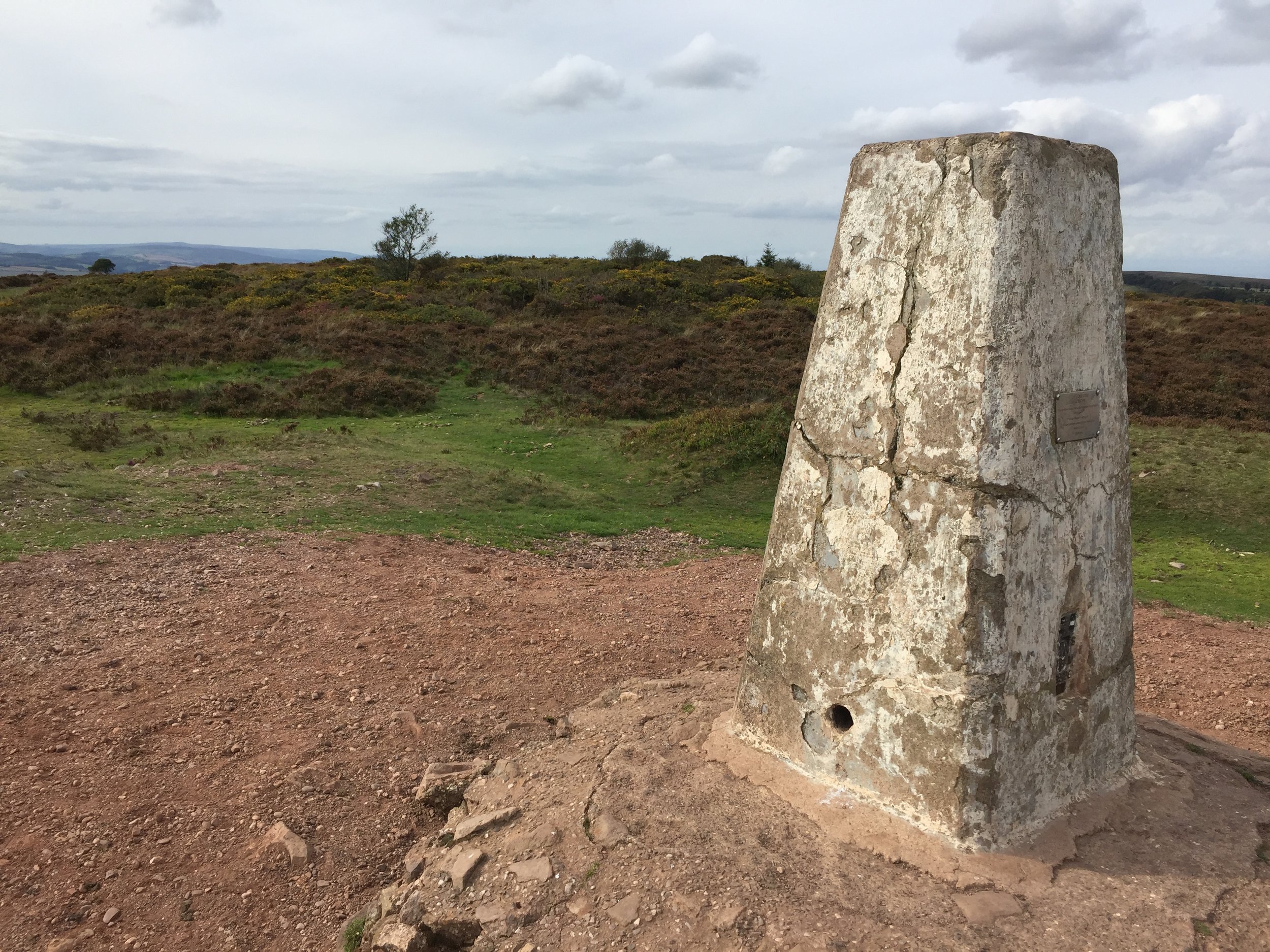
WESTmill: Completed 1st January 2019
UK South
Most southerly event on the UK Mainland is Land’s End
Most southerly event in the UK parkrun region is Jersey
SOUTHall: Completed February 12th 2022
SOUTH Norwood: Completed 23rd December 2017
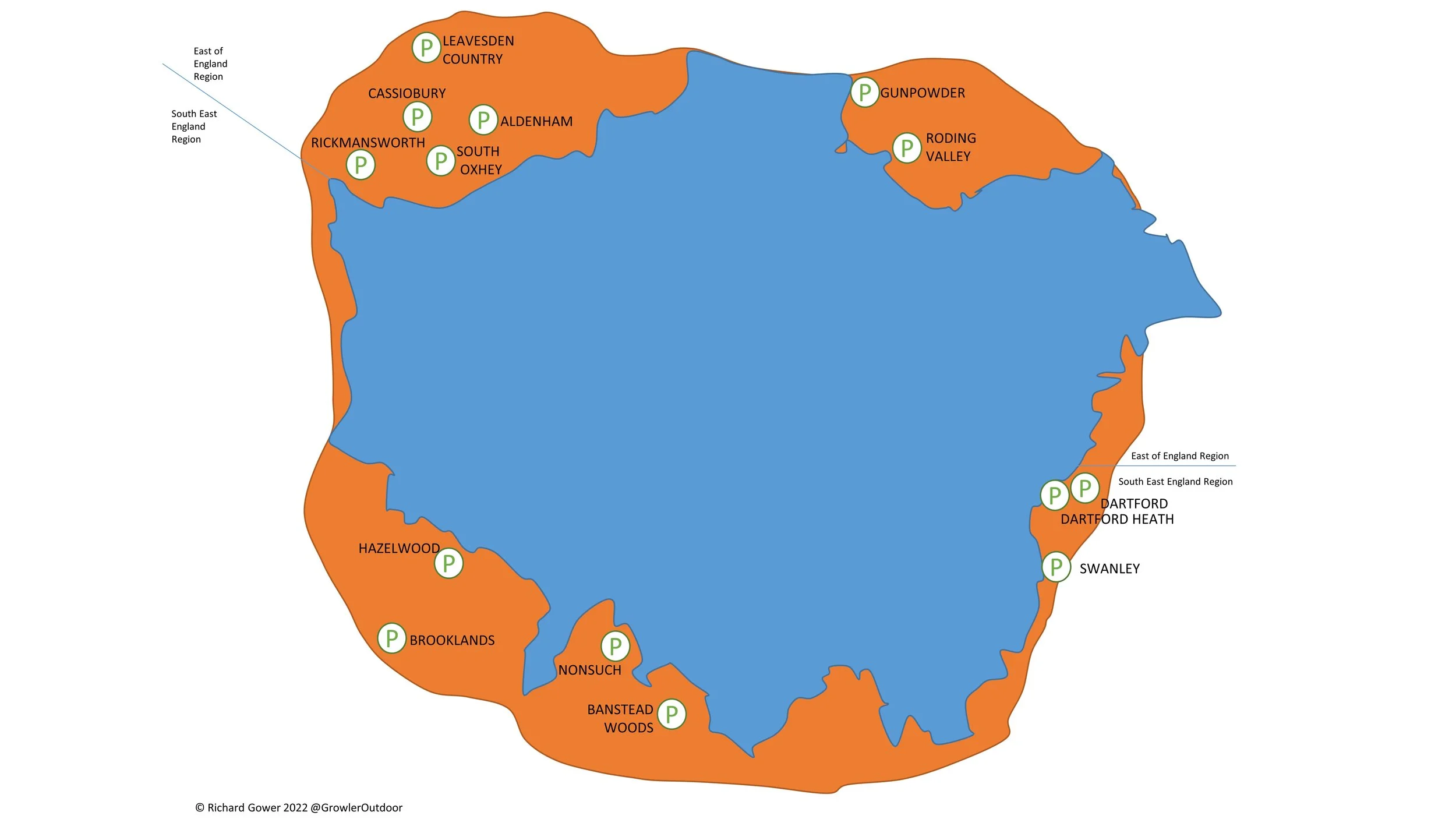
SOUTH Oxhey: Completed 31st January 2015
SOUTHampton: Completed 8th January 2022
SOUTHsea: Completed April 22nd 2023
SOUTHwark: Completed 11th November 2017
Australia Compass Club

Australia East
The most easterly event in Australia is Kingscliff
Australia North
The most northerly event in Australia is Nightcliff
Australia West
The most westerly event in Australia is Baxter
Australia South
South Africa Compass Club

South Africa East
The most easterly event in South Africa is Hluhluwe
Somerset EAST, South Africa
South Africa North
The most northerly event in South Africa is Louis Trichardt
(local spelling) NOORDwyk, South Africa
There was a parkun event at Aliwal NORTH, but it has now been permanently cancelled and replaced by Aliwal North Golf Club
South Africa West
The most westerly event in South Africa is Springbok
There were parkrun events at WESTbury and WESTonaria in South Africa but they are now permanently cancelled
South Africa South
The most southerly event in South Africa is Cape Agulhas
(local spelling) BeZUIDenhout, South Africa
*compass position is in the long form of the event name. This may not be counted in the Compass Club in some parkrun challenge apps.
More parkrun posts
parkruns are free, weekly, community 5k events all around the world. I started in December 2012 and have been obsessive about it ever since. See my parkrun Collection page for details.
Featured and popular parkrun posts: