Thames Path Challenge 28k

When: September 8th 2018
Where: Bishop's Park, Fulham, London, UK
Course: Thames Path from Bishop's Park to Hurst Park, West Molesey, Surrey
Other Trails touched (walk): Thames Path, Beverley Brook Walk, Capital Ring
Other Trails touched (cycle): NCN 4,
Finish time
: 7 hours 16 mins (Walk)

This was a return to the Thames Path for my first long-distance walk with Timea and the start of our training for next year's Camino. We were part of a group from Timi's company, Activision, some of whom did the 50k or 100k options. Just like the Threshold series that I'm more familiar with, this was a really well organised event from Action Challenges


Dunstable Downs Trail Half Marathon

When: September 2nd 2018
Where: Dunstable Downs, Bedfordshire,  UK
Course: Single loop starting at Creasey's Park Community Football Centre, Dunstable, heading up over Dunstable Downs on the Icknield Way across the National Trust grounds. Loops back through Studham Common, returning to base back along the Downs. Lovely views.
Other routes touched (walk): Icknield Way, Chiltern Way
Other routes touched (cycle): Chilterns Cycleway
Finish time: 2 hours 11 mins (Hot + Hilly)

The Beeches Summer 5k Road Race

When: August 22nd 2018
Where: Burnham Beeches, Buckinghamshire UK
Course: Out and back along paved roads in the country park with single small loop half way. Hilly
Other routes touched (walk): Beeches Way
Other routes touched (cycle): Beeches Cycleway
Links: Burnham Beeches & Stoke Common, Burnham Beeches Half Marathon, East Burnham Park - Highest point in Slough (Near Burnham Beeches)
Finish time: 29 mins


Cycling The River Crane & The Hounslow Baseline

A geek cycling microadventure along the River Crane and Hounslow Baseline on sections of the London Loop, Capital Ring and Thames Path.

IMG_8131.jpg


The idea for this trip came whilst reading Mike Parker's book, Map Addict. In his fascinating and funny account of all things map-related Chapter 2 covers the beginnings of the Ordnance Survey. Prior to the establishment of the Ordnance Survey General William Roy pioneered the techniques that would later be used to map all of the UK. The Hounslow Baseline was the first point to point measurement and was chosen “because of its vicinity to the capital and the Royal Observatory at Greenwich, its great extent, and the extraordinary levelness of its surface, without local obstruction whatever to render measurements difficult.”

I won't go into the rest of the story as its well documented elsewhere and Mike Parker's book is a great place to start. Instead, this blog post describes a ~50k circular cycle adventure that explores the Hounslow Baseline and the nearby River Crane.  


The River Crane

The best place to start is the car-park at Minet Country Park in Hayes. A few hundred metres West you'll cross a bridge giving the first sight of the Crane.  The source is further North in the park but you can't see it so its not worth venturing further. 

  • From the bridge continue North-West through the Parkway underpass, then take a left and follow the cycle path that runs parallel to the Parkway.

  • The Parkway will cross over the Grand Union Canal and mainline railway. Don't forget to marvel at the industrial wasteland along the way. Once you have crossed the Grand Union Canal you'll also be on the well-signed London Loop which you can follow for much of the route of the Crane.

  • Take a right at the roundabout, then first left at the Crane Pub onto Watersplash Lane.

  • From Watersplash Lane you'll enter Cranford Park, the first of a chain of parks and green spaces that follow the Crane for most of its course.

  • At around KM 5 you'll cross over the A4 Bath Road then through a small housing estate in Cranford before re-entering the park.

  • At KM 7 you'll reach the A30, a busy dual carriageway with a solid central reservation. Unless you want to risk cutting across you'll need to cycle West for ~1km to the nearest crossing then back on the other side.

  • Once over the A30 continue along the green spaces including The Causeway, Donkey Wood, Brazil Mill Meadows, and Pevensey Road Nature Reserve then into Crane Park, home of Crane parkrun.

  • The Crane passes under the A316 and B358 as they cut across Crane Park. After the B358 continue alongside the River Crane but don't follow the London Loop signs as they leave the Crane at this point.

  • Continue through Crane Park and Kneller Gardens into Twickenham. From here is harder to stay next to the river so you'll need to navigate through several residential streets. This is where a map and a GPX file is essential.

  • The Crane eventually meets the Thames next to an apartment block off Railshead Road. Take the footpath next to the Capital Ring sign to see the confluence of the 2 rivers.


The Thames Path & Capital Ring at St Margarets

From the end of the Crane there's 2 options to get you to the Hounslow Baseline: a direct but busy road route through St Margarets, Twickenham and Strawberry Hill or a marginally longer but more scenic Thames Path route. Taking the latter (as I did) also takes you along 500m of the Capital Ring before it crosses Richmond Lock Footbridge.  A stop at the Barmy Arms and a visit to Eel Pie Island make a great half-way rest stop for the trip.

From The Thames Path opposite Eel Pie Island:

  • Turn right onto Wharf Lane, then left onto Heath Road and left onto Hampton Road.

  • Continue along Hampton Road for approx 2 KM, taking a right onto Burtons Road.

  • Continue along Burtons Road, taking a left onto St. James' Road an continue all the way to the junction of Windmill Road and The A312.

  • Turn left onto the A312 (Uxbridge Road) and look out for a small footpath on the right near a zebra crossing.

  • Follow the footpath into a small cul-de-sac called Roy Grove where you'll find the South-Eastern end of the Hounslow Baseline.


The Hounslow Baseline

The street name, Roy Grove, is the first clue that you've found the right place. The actual monument is on the opposite side of the turning circle in an unloved patch of grass between 2 houses. The monument is a barrel of a cannon sticking the ground, next to a plaque describing the life and work of Major General William Roy. To cycle the Baseline:

  • Return back down the footpath and take a left onto the A312 Uxbridge Road.

  • Follow the A312 for ~7 KM until it crosses the A30 and reaches the Hatton Cross Roundabout at Heathrow. The road name will change several times along the route from Uxbridge Road, to Hampton Road West, Harlington Road East and Faggs Road. There's very little navigation to do as its a pretty straight route, presumably following the original Baseline.

  • At the Hatton Cross Roundabout take the 4th exit onto Envoy Avenue, then left onto the Eastern Perimetre road. This is a bit of a diversion from the original route of the Baseline but unfortunately necessary as the airport is not keen on people cycling across the runways.

  • The Eastern Perimeter Road will become the Northern Perimeter Road. Follow this until the junction of Nene Road.

  • The end of the Baseline is on a grassy triangle of the North East side of this junction.

The monument, a twin of the South West one at Roy Grove, is in the far corner of the grassy triangle. You can barely see it from the road so you'd have to be looking for it to notice it. The rest of the site is now a Heathrow Business parking car park. The area could have been used for another 25 parking spaces with hundreds of thousands of pounds of revenue. Its nice that a little-visited monument has been preserved there instead.

I've read a few opinions that the Ordnance Survey should do more to preserve and promote the 2 monuments that are so important to their history. I don't agree. It seems fitting that they are hard to find and you'd need a map and some navigation skills to find them.


Doomed Village

From the monument it's just over 7 KM back to Minet Park. The easiest way is to continue North over Nene Road, crossing the A4 and taking the A408 through Sipson. This is one of the "Doomed Villages" that will be lost to the future expansion of the airport. As you pass by Sipson Close, look left as this will be the end of the proposed 3rd runway. I've been through here a few times in the past and normally see "Stop Heathrow Expansion" banners on most roads, presumably preaching to the converted. Maybe the lack of them this time is due to the increasingly lost cause of trying to stop the inevitable?

  • From the A408, turn right onto Sipson Lane, then left at the roundbout onto the High Street.

  • Turn right at the A437 North Hyde Road and continue until the Parkway roundabout from the start of the trip.

  • Retrace the route along the cycle path next to the Parkway, crossing back under into Minet Park


Red = course of the River Crane, Yellow = cycle route, Blue = Hounslow Baseline. Green = (approx) future site of proposed Heathrow 3rd runway

Elevation plan of the cycle route (marked as yellow in the map)

Elevation plan of the cycle route (marked as yellow in the map)


Middlesex parkrun & The Eel Pie Pilgrimage
Middlesex parkrun banner.JPG

Back in April I completed my 100th different parkrun event at Hazelwood. What I didn't know at the time was that it was also my last of the 20* parkruns in the historic county of Middlesex. This only became important in the last few weeks when looking for new parkrun challenges to tick off. I'd completed LonDone and the Channel Islands Region in July. Next up would be the South-East England region but there's 84 of them and I've only ran 26 so it will take ages. I needed some smaller, more frequent hits, and the mini-regionnaires of the Historic Counties would do the job. It would also be a nice match with my other current obsession, the UK County Tops

The Historic County of Middlesex has been chopped and changed over the years and now doesn't really exist except as a legacy in some postal addresses. Most relevant to the parkrun geek, it's also in the address of parkrun Headquarters that can be found at the bottom of every page on parkrun.org.uk. A pilgrimage to the parkrun HQ would be a fitting end to the Middlesex mini-regionnaire.

So, as a part of a different micro-adventure, I headed towards Eel Pie Island. This is a quaint, quirky place in the Thames just South of Twickenham. I'd read about it and its interesting musical history a few years ago and had wanted to check it out. Discovering that it's now the Global HQ for parkrun meant that I had to go immediately. I wasn't really sure what to expect though. I had visions of a sprawling HQ complex, maybe under a volcano, with Paul Sinton-Hewitt at the centre of it, stroking his cat and surveying a huge map of the world, planning his next country to conquer. 

As it turned out there were no volcanoes and if there was a sprawling complex it was well hidden. Although you can walk onto the island over a footbridge, there's no access to Phoenix Wharf where the offices are. There's some cute cottages along a quiet footpath but no obvious signs of a global HQ. I assumed that the secrecy was for a reason. They're probably in league with the Illuminati and the Bilderberg Group is probably also behind the fence. Assuming I was being watched by parkrun's crack security militia I decided to retreat before being captured, never to be seen again. 

*at the time


Completing Middlesex parkun

If you've done LonDone , you've pretty much also done Middlesex as its only Hazelwood that sits outside of the Greater London region. The other odd exception is Oak Hill. It's the only North-West London event that's not within the Middlesex boundary, due to an oddly shaped scoop of old Hertfordshire that plucks it out from its neighbours. I'm now hoping for a new parkrun to be set up in Wrotham Park as it would have the honor of being the only event that's inside old Middlesex but outside of both Greater London and the M25.


Here's the full list of all parkruns, at the time of writing, that are in the Historic County of Middlesex.

Actual course routes and positions for events that I have completed


More parkrun posts

parkruns are free, weekly, community 5k events all around the world. I started in December 2012 and have been obsessive about it ever since. See my parkrun Collection page for details.

Featured and popular parkrun posts:


Completing all Berkshire parkruns
Berkshire banner.JPG

There are currently 10 parkrun events in present-day Berkshire. The first was Reading which started on September 12th 2009 and the newest is Sandhurst Memorial which started on December 7th 2019.

The Historic County of Berkshire has 12 parkrun events. It includes Didcot, Harcourt Hill and Grove Fields which were in Historic Berkshire by are now in present-day Oxfordshire. Abingdon gets an honorable mention as, although it was in Historic Oxfordshire, there’s a small section by Abingdon Lock that was in Historic Berkshire.

Upton Court is part of present-day Berkshire but was part of Historic Buckinghamshire.

I first completed the county on August 18th 2018 at Newbury which was the 8th Berkshire event at the time. The 2 newer events, also completed, are California Country and Sandhurst Memorial.


The interactive maps below take you to the approximate location for the course, typically the centre of the park. See the course instructions in the parkrun page for each event for specific directions to the start. Course maps show the route at the time that I ran it and may have changed since then.


Bracknell

  • Completed: November 28th 2015

  • Time: 26:13

  • Other routes touched (walk): N/A, but the western side runs parallel and very close to the Wokingham Way

  • http://www.parkrun.org.uk/bracknell/

  • Inaugural: April 4th 2015


California Country


Dinton Pastures


Maidenhead


Newbury


Prospect

  • Completed: July 28th 2018

  • Time: 26:42

  • Other routes touched (cycle): N/A, but the southern sections nearly touch NCN 422

  • http://www.parkrun.org.uk/prospect/

  • Inaugural: May 5th 2018


Reading

  • Completed: October 12th 2013

  • Time: 23:39

  • Other routes touched (walk): Thames Path

  • Other routes touched (walk): NCN 4

  • http://www.parkrun.org.uk/reading/

  • Inaugural: September 12th 2019


Sandhurst Memorial

 
elevation_profile - Sandhurst Memorial.jpg

Upton Court


Woodley


Actual course outlines for the parkrun events in present-day Berkshire.


More parkrun posts

parkruns are free, weekly, community 5k events all around the world. I started in December 2012 and have been obsessive about it ever since. See my parkrun Collection page for details.

Featured and popular parkrun posts:


East Burnham Park: Slough High Point
View of the summit. There's no cairns so take care with navigation

View of the summit. There's no cairns so take care with navigation

Significance: Highest peak in the Slough Unitary Authority (Present Day CT)
Member of: None 
Parent Peak: Haddington Hill. NHN = Windsor Castle Historic Hill
Historic County: Buckinghamshire (of which Haddington Hill is the County Top)
Elevation: 51 m
Date “climbed”: July 25th 2018
Coordinates: 51.5379° N, 0.6249° W


Route Start / End: Circular route from Burnham Beeches car-park off Lord Mayors Drive, Farnham Common.
GPX File: get via Buy Me a Coffee
Map: Explorer 172. Chiltern Hills East
Links: Wikipedia (Slough), Peakbagger, Hillbagging

East Burnham Park gets a nomination for my award for the most underwhelming County Top in the UK. "East Burnham Park" is actually Estate Agent speak for "the arse-end of Slough". Others may argue that Slough is also the arse-end of Berkshire, but you've not heard me say that.

The summit was in the Historic County of Buckinghamshire and is now in the Ceremonial County of Berkshire. The high point of the present-day Slough Unitary Authority is on a small mound of grass opposite the junction of Farnham Lane and Crown Lane. There's nothing really to see here and the dog-poo bin that used to mark the summit has long since disappeared. 

If you're planning an attempt on the summit a good option is to combine it with a cycle ride from Burnham Beeches. You'll get a reasonably pleasant trip out of it and will spend as little time as possible in Slough as most of the route is in South Bucks. Don't forget your crampons and make sure you have spent several weeks in the area before the trip to get acclimatised. Slough has very little provision for Mountain Rescue so if you get into trouble, you're on your own.


Cycling The River Pang
Near the source of the Pang

Near the source of the Pang


River start: Between Compton and Hampstead Norreys
River end: Confluence with the Thames at Pangbourne
River length: 23 km (14 miles)
Cycle Route Start & Finish:
Cycle Route Distance: 37 km (23 miles)
Cycle Route Elevation change: + / - 273m
GPX File: get via Buy Me a Coffee
Other routes touched (walk): Thames Path
Other routes touched (cycle): Round Berkshire Cycle Route
Map:
OS Explorer Map (159) Reading, Wokingham and Pangbourne
Links: River Pang, Compton, Pangbourne


The River Pang is a small tributary of the Thames in West Berkshire. The source is between Compton and Hampstead Norreys and from there it runs 23k / 14 miles to meet the Thames at Pangbourne. I cycled the length as a part of a 38k / 24 circular, also taking in villages to the north or the river including Ashampstead and Upper Basildon. For the first 8 miles, the river stays close to country roads, but from Bucklebery its tough to stay close to its course. There's some good walking options that take non-cycleable footpaths for the rest of the route to Pangbourne. Its a pleasant ride along mostly quiet country lanes. 

Circular route, anticlockwise, starting and ending in Pangbourne. How To:

  1. A good place to park is the Short-stay shoppers car-park off Ferry lane. From here...

  2. Take Whitchurch Road (B471) south, taking a right at the roundabout onto the High Street. Follow this to the next roundabout and take a left onto Tidmarsh Road,

  3. Follow Tidmarsh Road for nearly 4 miles, crossing over the M4, then take the first right onto Common Hill

  4. Follow Common Hill to Bradfield, taking a left onto Ashamptstead Road. You'll shortly cross over the Pang at some old mill buildings.

  5. Take a left onto Back Lane. Follow this all the way to the junction of Cock Lane. Take a right then immediately left onto Bucklebury Road.

  6. Follow Bucklebury Road for approx. 2 miles, taking a left into Bucklebury.

  7. After the village, take a right on the main road, then first right again and cross the ford.

  8. After the ford, take the first left onto Brocks Lane. The Pang will stay to the left of you from here on.

  9. Continue along Brocks Lane until it the junction of Everington Lane just after the M4 underpass.

  10. Take a right onto Everington Lane, then immediately left onto Yattendon Road.

  11. Join the B4009 through Hampstead Norreys. The (mainly dry) source of the Pang is in the fields on the left hand side of the road about 1.5 miles from the village.

  12. To return to Pangbourne .... take the first right onto Coombe Road.

  13. After about half a mile take a right onto a Bridleway that runs along the right hand side of a field. This is steep and narrow: good for mountain bikes or walking.

  14. The Bridleway will meet Thorn Hill, follow this to Aldworth road, continuing on this as it passes The Four Points pub.

  15. After 4 miles, turn right onto Whitemoor Lane. This is a steep hill up to Ashampstead Road.

  16. Turn right onto Ashampstead Road and follow it, merging onto Aldworth Road. Continue onto Pangbourne Road.

  17. Follow Pangbourne Road down the hill to the Town Centre.

  18. Turn left onto Tidmarsh Road, then cross over the roundabout onto Station Road / Shooters Hill.

  19. Immediately after the railway bridge, turn right onto a footpath. This will take you to the confluence of the Pang and the Thames.

  20. Continue along the footpath to the back of the car park where you started.

Alternatives for walkers are:

  • At point #, continue over the roundabout and take The Moors, a small road to the left of WHSmith. This becomes a footpath that stays close to the Pang, returning to Tidmarsh Road.

  • At point #4, turn left at the mill buildings in Bradfield and follow the Berkshire Circular Walks footpath to Bucklebury.

Red = route of the River Pang, Blue = circular cycle route.

Langley Park Summer Series 5k

When: Multiple: 3 events per summer in May, June, July. Wednesday evenings at 19:00. My first ran: May 2015
Where: Langley Country Park, Buckinghamshire UK
Course: complicated but well managed off-road loops of the park
Other routes touched (walk): Beeches Way, Shakespeare’s Way, Colne Valley Trail Extension
Other routes touched (cycle): NCN 246
Fastest Finish time: 0:25:43

 
High Peaks of the Balkans

I’d seen the ad for this trip on Facebook about a year ago. It ticked all the right boxes to get me over-excited. 4 new countries, the highest peak in each, and a new airport. What's not to like? I signed up straight away expecting to rope in a few friends along the way. No chance ... 1 or 2 showed interest but came up with excuses like no money, lack of approval from the wife or “just had a baby”. Meh.

So, 1 year later I turned up at Tirana airport on my own looking for others with KE Adventures bags. I had the cunning plan of wearing my KE shirt so I could be spotted by others. All that did was make them think that I was their official guide for the week and I ended up carrying bags around. Once gathered together with our actual guide we started the 4 hour transfer to the first night's accommodation.

As it turned out, the other 11 in the group were lovely and all interesting people. KE seems to attract the more serious walker and adventure-seeker. All had incredible stories of previous trips and with none of the one-upmanship that comes with some groups. By the end of the trip I’d compiled a long list of future trips and kit advice.


Day 1: Mt Korab

Significance: Highest peak in both Albania and (FYRO) Macedonia
Elevation: 2,764 m
Date climbed: July 1st 2018
Coordinates: 41.7901° N, 20.5471° E
Route Start / End: Circular route from Hotel Korabi, Radomirë, Albania
Route Distance: 17.2 km (10.7 miles)
Route Elevation Change: +/- 1,527m
GPX File: get via Buy Me a Coffee
Webhttps://en.wikipedia.org/wiki/Korab_(mountain)

One of the things I loved about the trip was how much was packed into each day. Day 1 was no exception with a 06:00 wake up call for the trek to Mt Korab, the high point of both Albania and Macedonia. This was the highest of the 3 summits on the trip and a long day at 9 hours. It was a nice warm-up and a chance to get to know the rest of the group and our guide Geri a bit better. We climbed up from the Albanian side then had lunch in Macedonia over-looking Mavrovo National Park. The return was more or less the same as the ascent, with a nice diversion through a forest and meadows. After a quick celebratory Albanian beer we set off on 3 hour bus transfer to the Kosovan city of Junik.


Day 2: Đeravica

Significance: Highest peak in Kosovo
Elevation: 2,656 m
Date climbed: July 2nd 2018
Coordinates: 42.5318° N, 20.1399° E
Route Start / End: Point to point route from Gropa e Ereniku to Dobërdol
Route Distance: 15.9 km (9.9 miles)
Route Elevation Change: +1,053m / -947m. Net 106m
GPX File: get via Buy Me a Coffee
Webhttps://en.wikipedia.org/wiki/Deravica

Kosovo was a pleasant surprise. My only awareness of it was from grim news reports from the 90s. I’d tried not to have any expectations, just an excitement from being able to tick off a new country, and an obscure one at that. Following our last comfortable night for a few days we took a bumpy 4x4 trip to a remote valley to start of our 4 day trek.

After the gentle initial ascent of Korab, today’s climb got steep quickly. The post-lunch scramble reminded me a bit of the Barranco Wall on Kilimanjaro. Once at the summit I was more hesitant to climb on top of the trig-like pillar than on Korab due to the high winds and steeper sides. Fortunately there was a flag pole to grip onto and attempt to look vaguely heroic.

After the initial descent from the summit, the rest of the trek continued north-west, re-entering Albania after traversing a steep sided valley. A large ice field tested my long held nervousness of slipping. The more experienced of the group trudged straight across it while I followed Geri on a longer steadier route.

From the Kosovo/Albania border on the final pass, the end of the day’s walk was a pleasant wander down the Alpine Valley to the farm where we stayed for the night. This was to be the most basic of the guest houses: a single barn floor with a row of mattresses. The 3 snorers in the group, of which I was one, took the option of a separate barn 5 mins up the valley. Although intended as a gift for the others, we ended up with the better deal with a cosier barn and better toilet.


Day 3: Dobërdoll to Çerem

Elevation: from 1,800m to 1,220m
Date walked: July 3rd 2018
Route Start / End: Point to point route from Dobërdol to Çerem, Albania
Route Distance: 17 km (10.5 miles)
Route Elevation Change: +418m / -994m. Net -576m
GPX File: get via Buy Me a Coffee


Day 3 was a break from the summits with a gentler plateau walk, mostly descending, from 1,791m to ~1,200m. The route crossed the Albania/Montenegro border several times a highlight being our lunch stop on a hill with views across to Zla Kolata.

Accommodation that evening was a pleasant but basic guesthouse in Çerem. We were amongst around 50 guests squeezed into the main house plus a few outbuildings. The good news was that it had a shower, but with just 1 for 50 sweaty walkers, there was a bit of a queue. Dinner arrangements were impressive as one lady in a small shed managed to serve up a hearty meal for everyone in 1 sitting.


Day 4: Zla Kolata

Significance: Highest peak in Montenegro
Elevation: 2,564 m
Date climbed: July 4th 2018
Coordinates: 42.4850° N, 19.8972° E
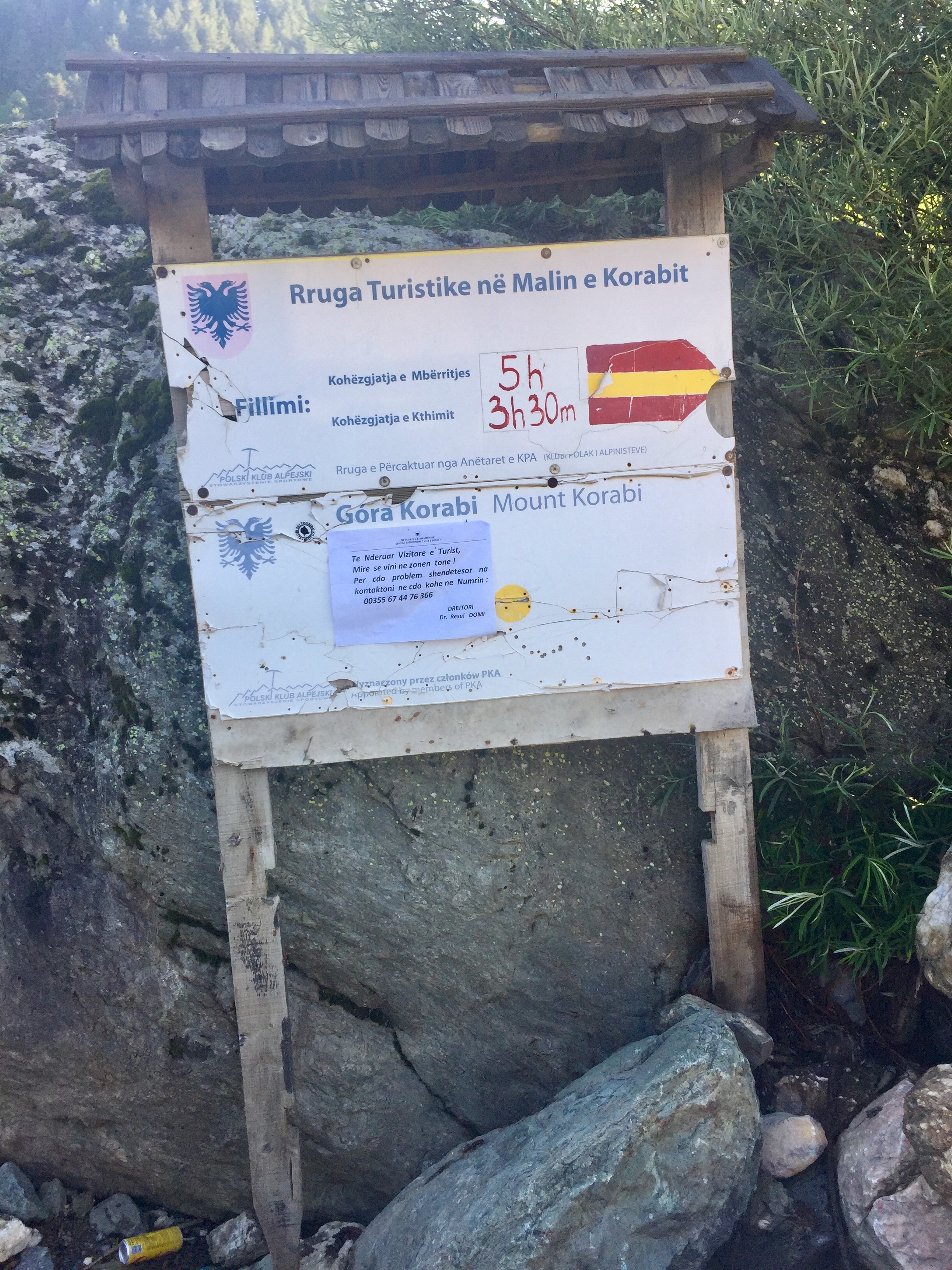
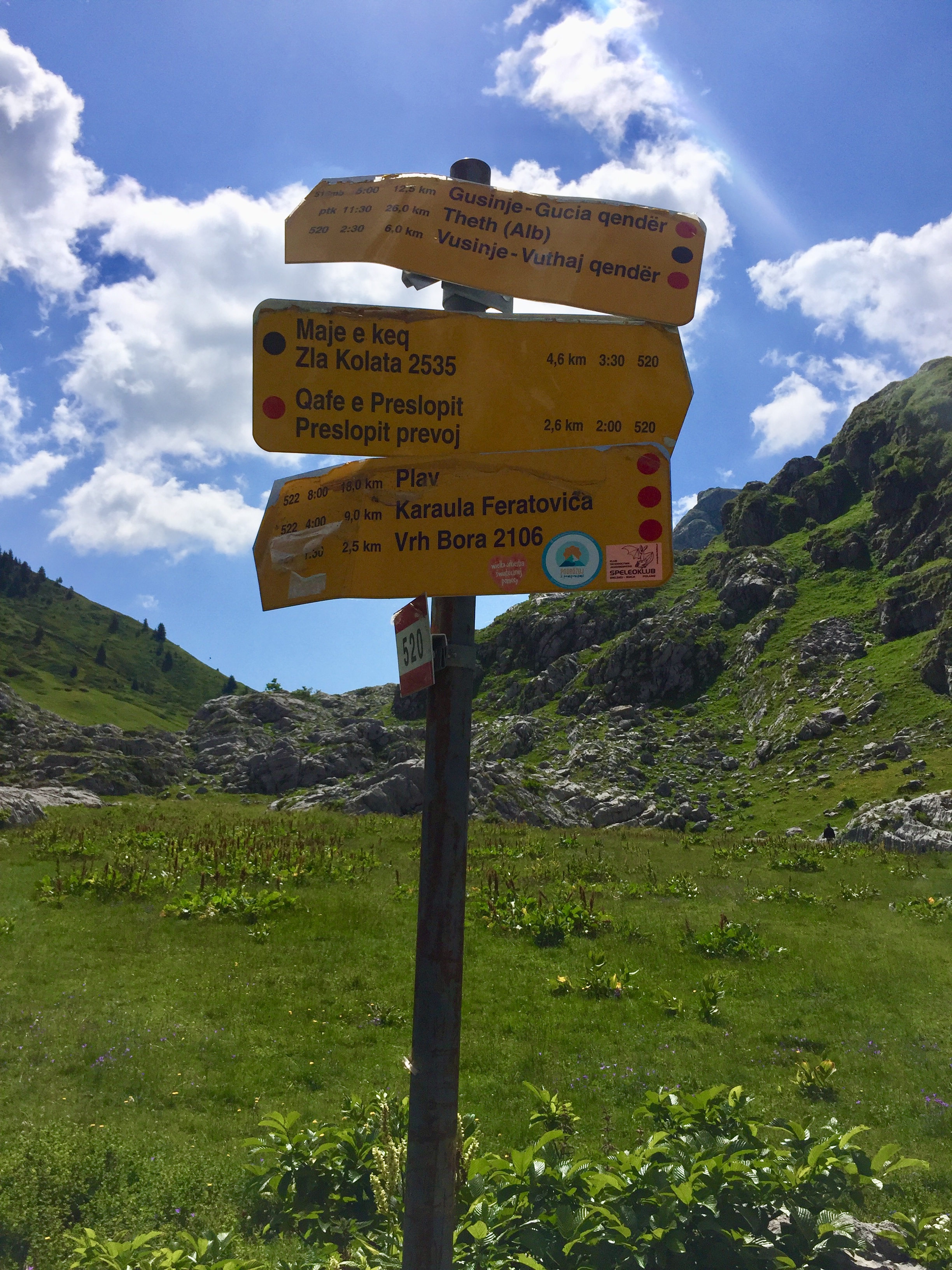
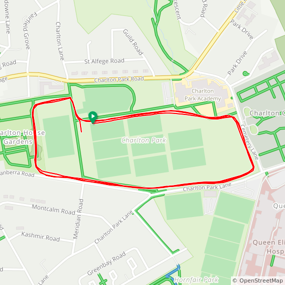
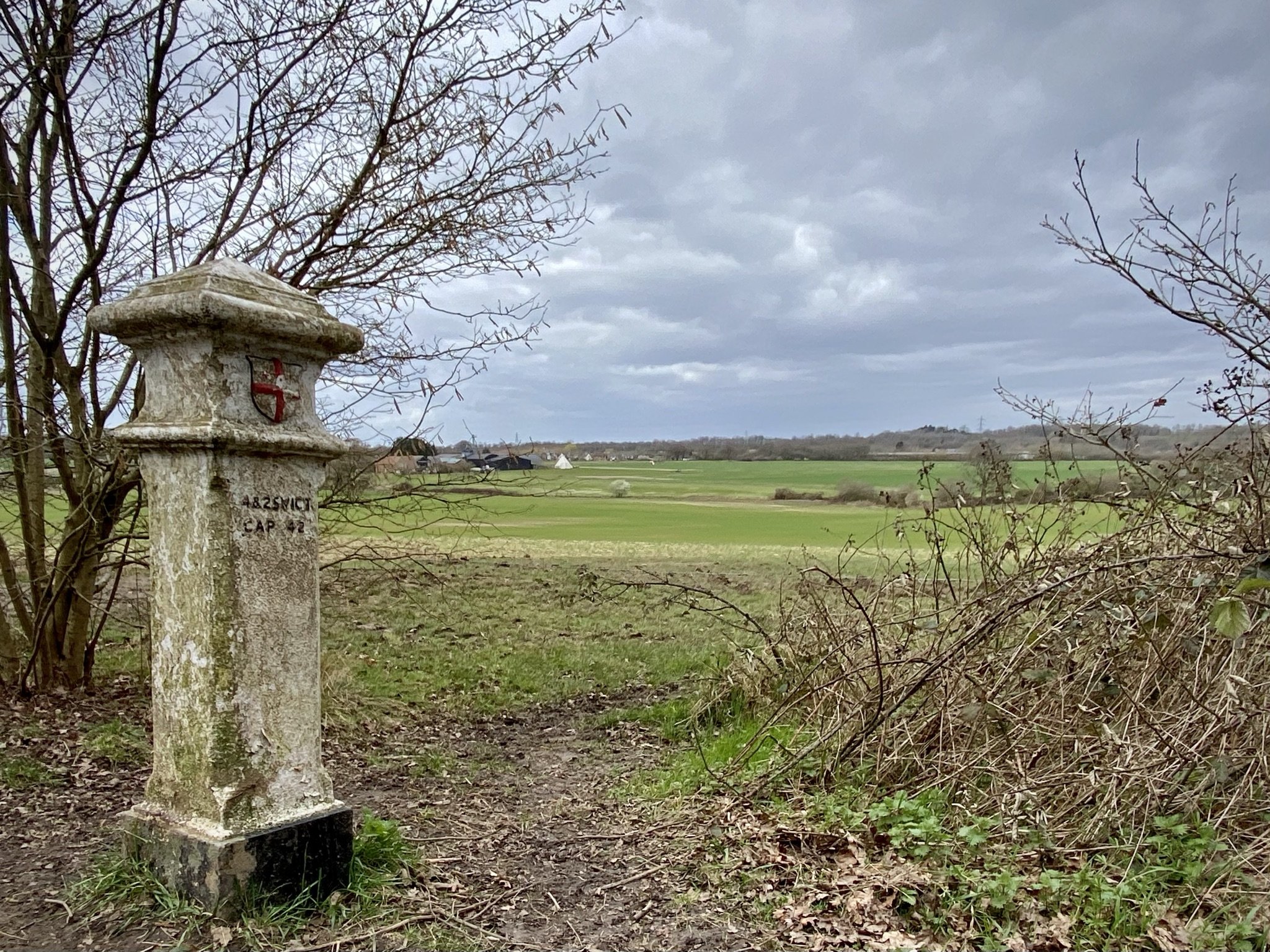
Route Start / End: Point to point route from Çerem, Albania to wild campsite on south side of Zla Kolata
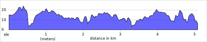
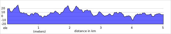
Route Distance: 17.1 km (10.6 miles)
Route Elevation Change: +1,457m / -1,148m. Net -309m
GPX File: get via Buy Me a Coffee
Webhttps://en.wikipedia.org/wiki/Zla_Kolata

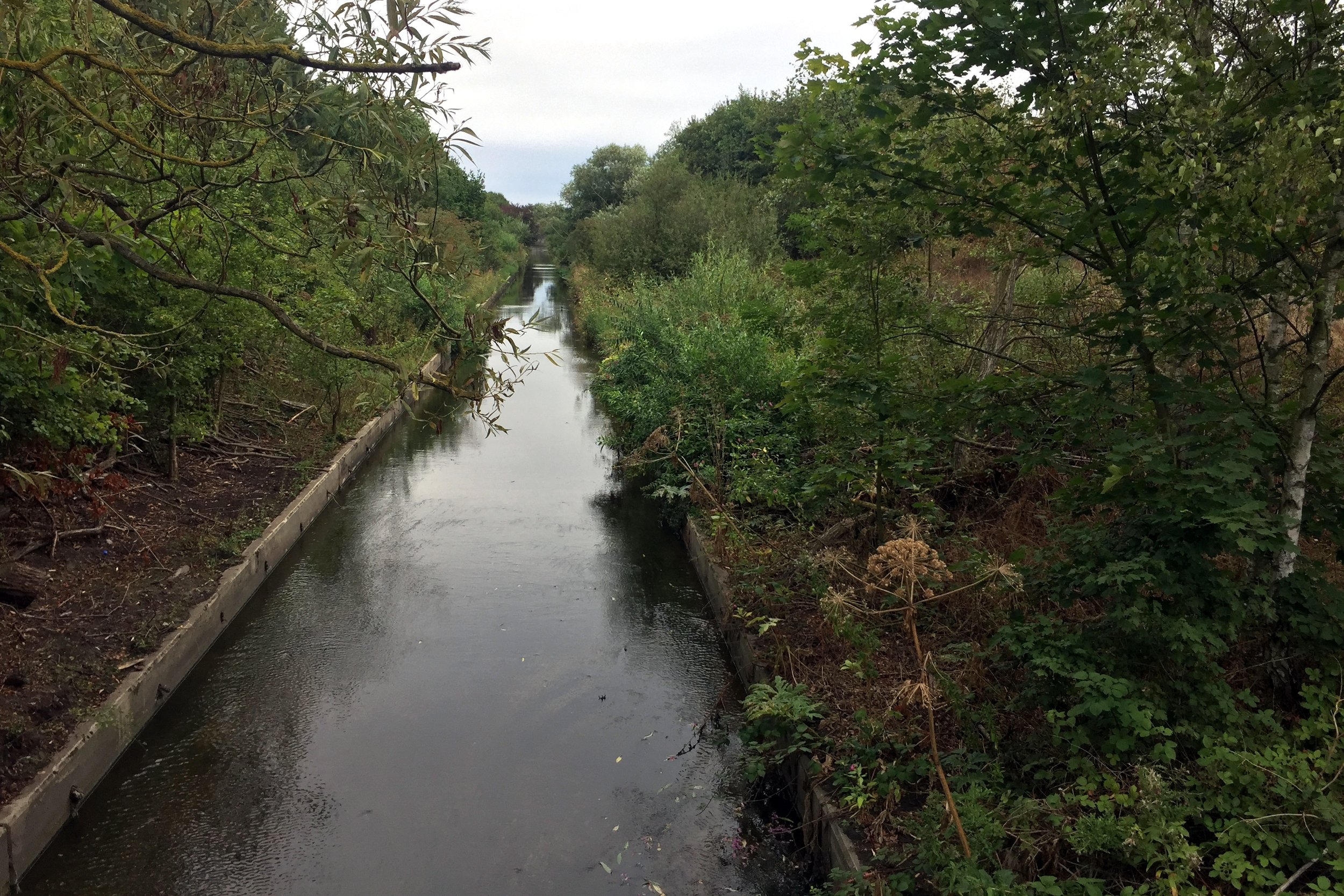
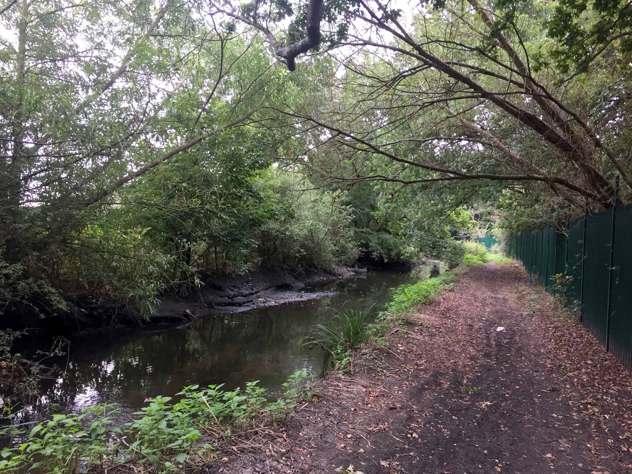
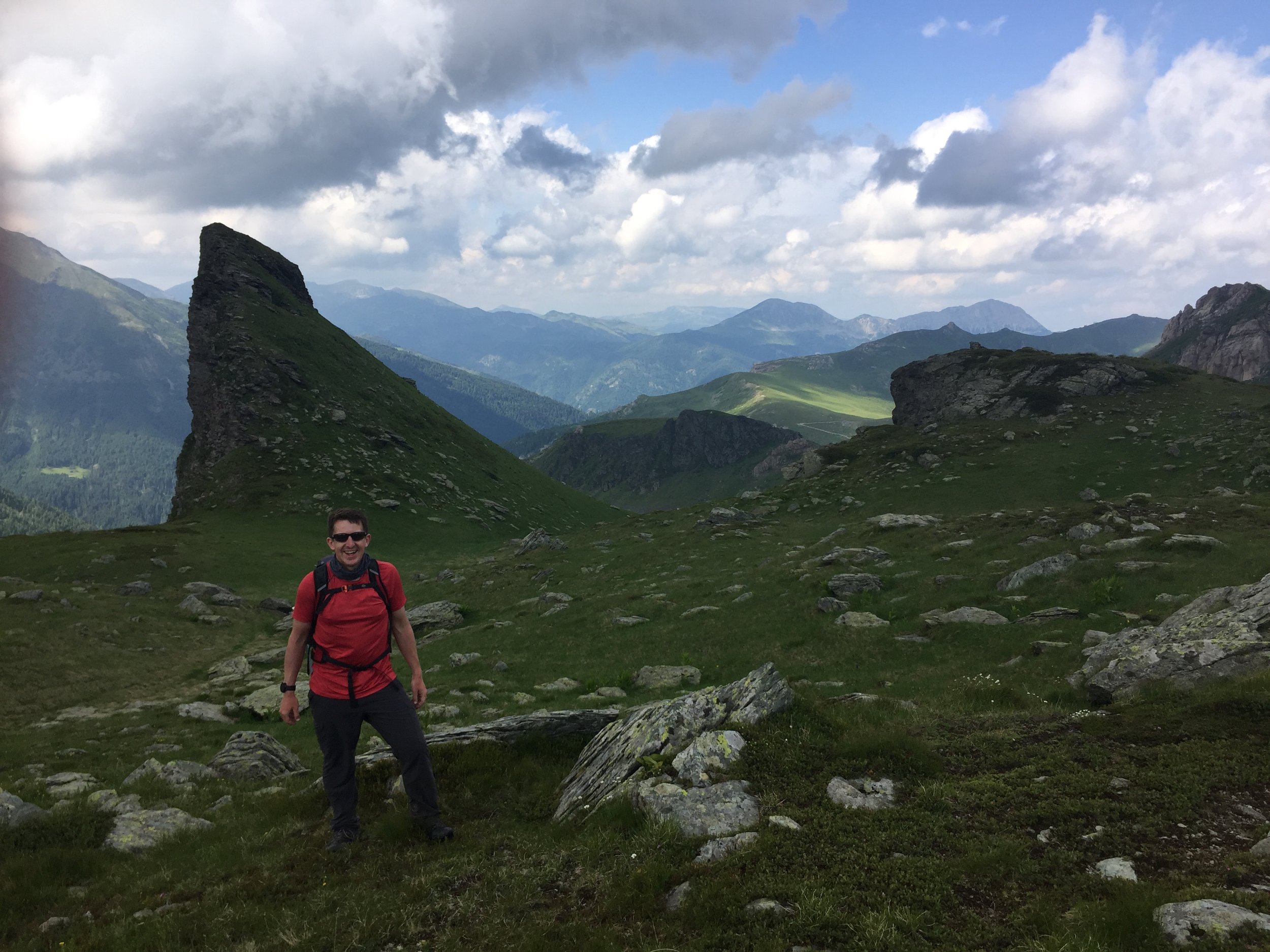
By avoiding the screening of the World Cup quarter final nonsense I managed to get an early night. It was just as well as the next day was epic. This was Zla Kolata, the High Point of Montenegro. It was a monster.

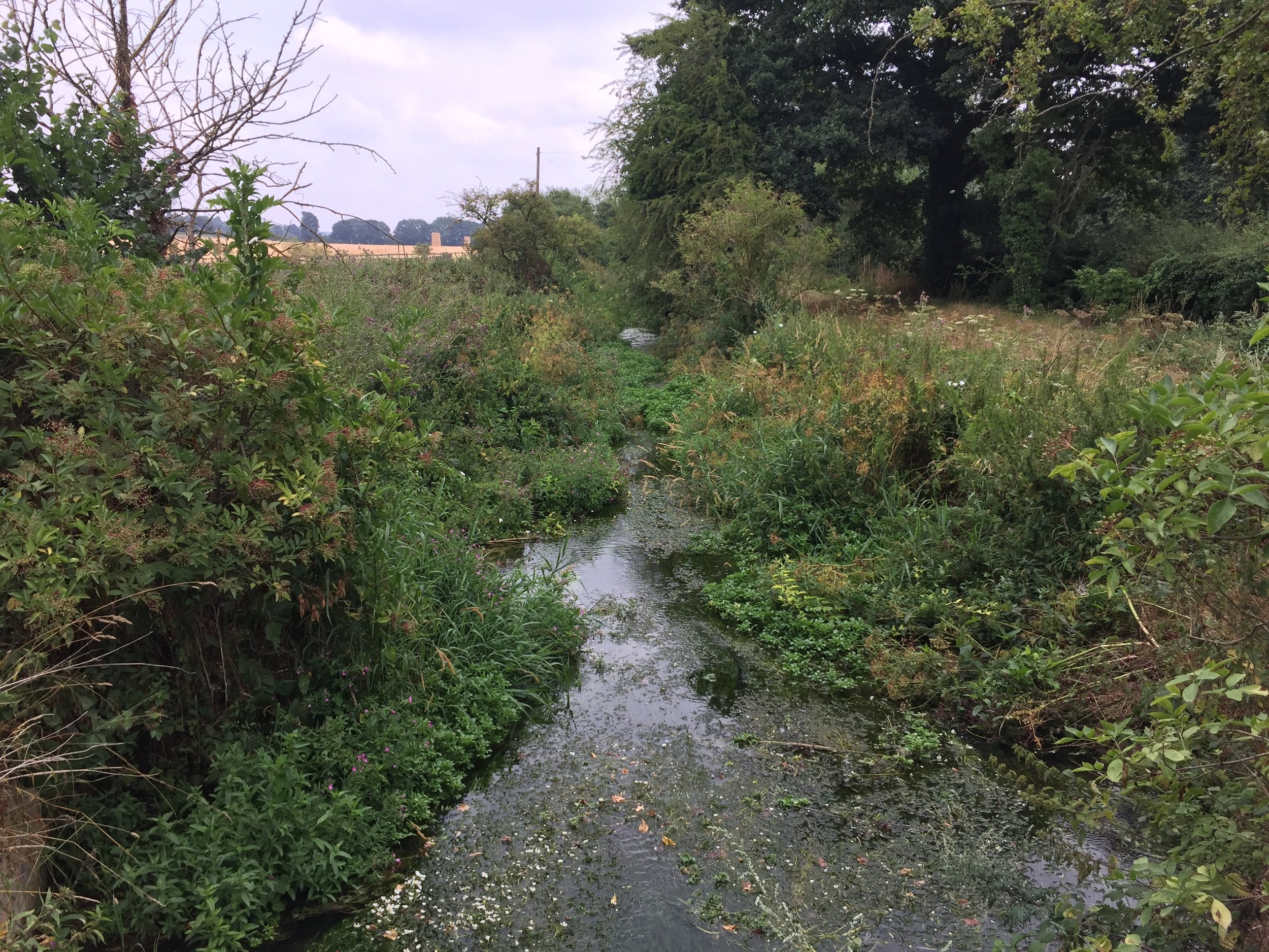
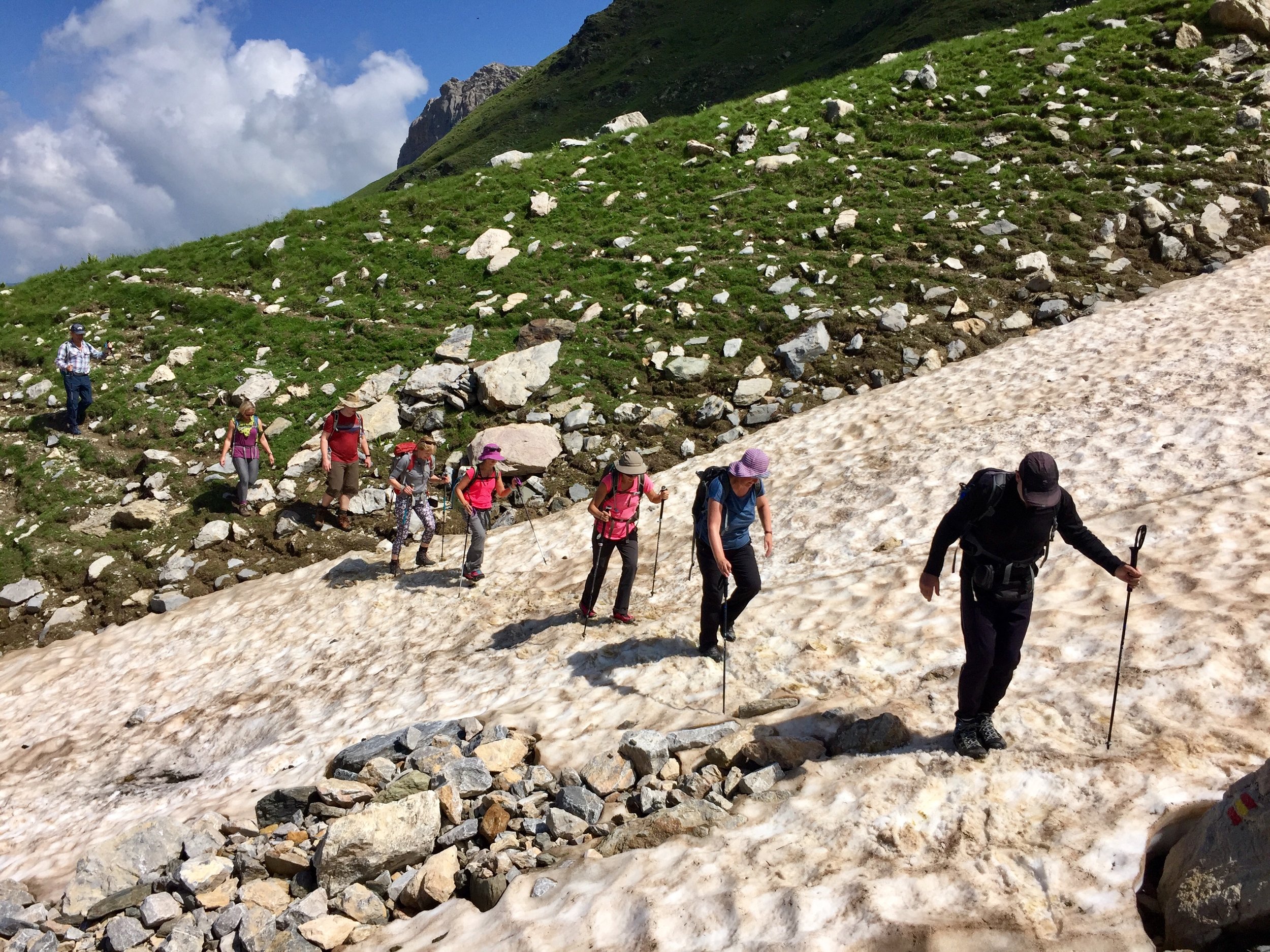
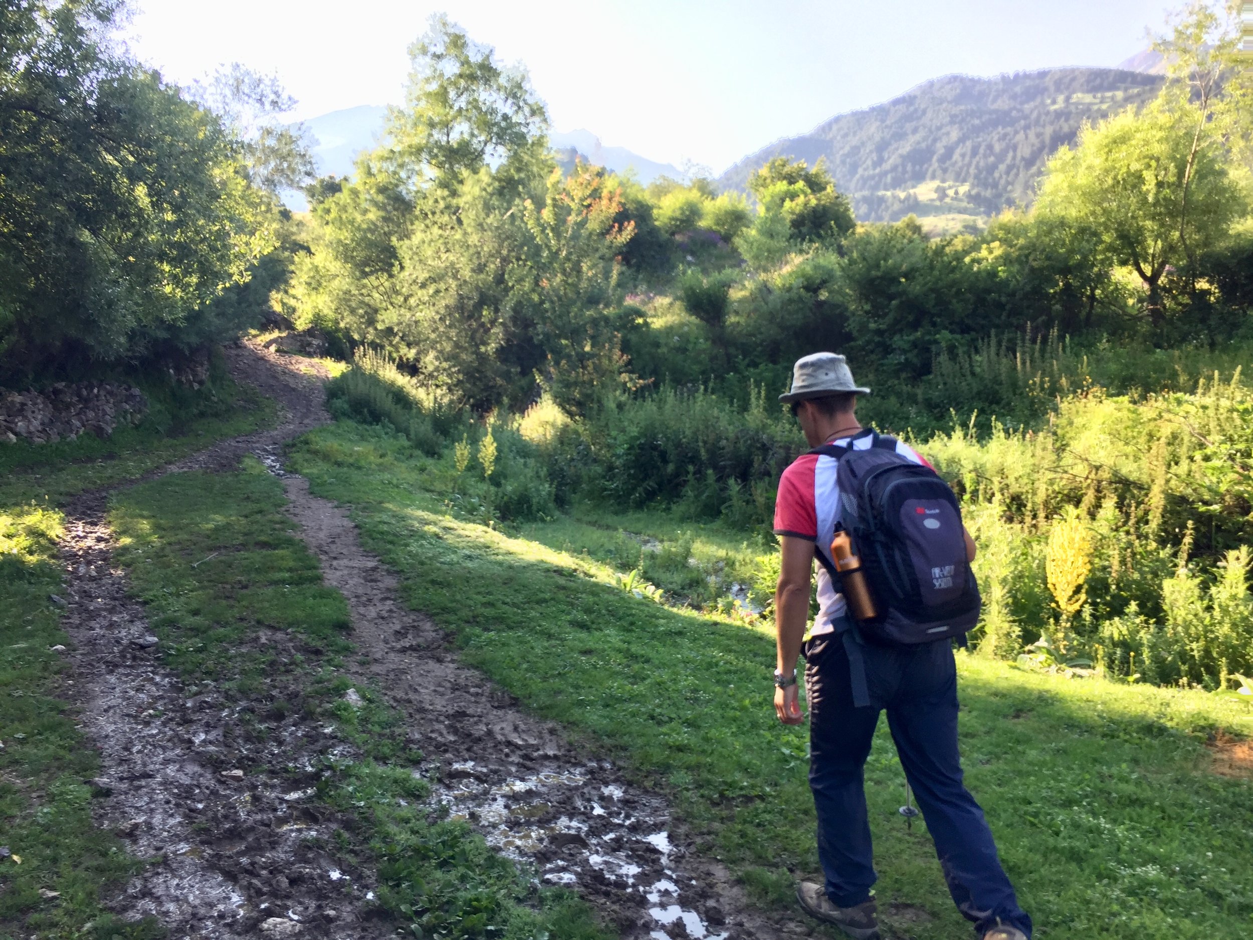
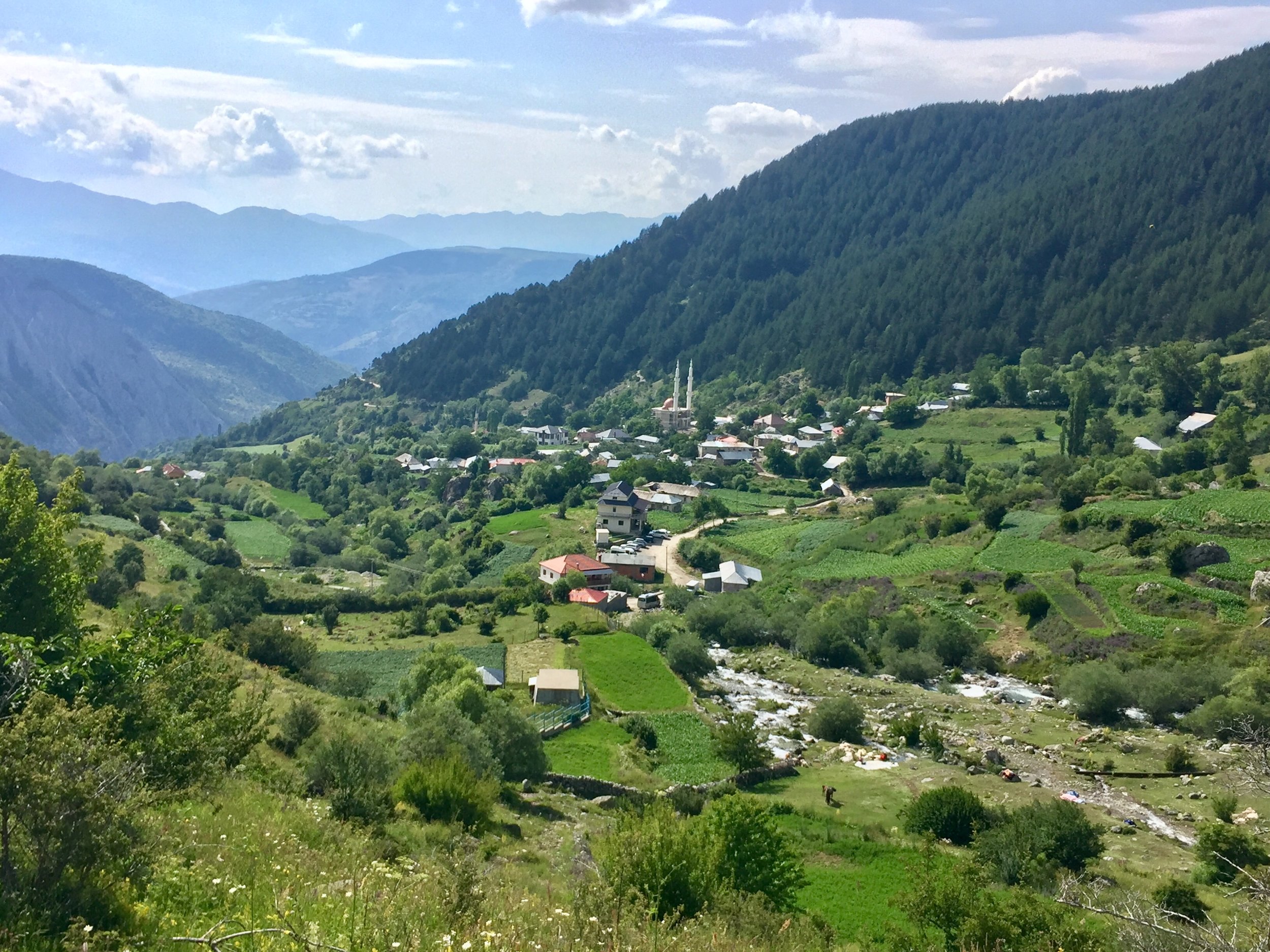
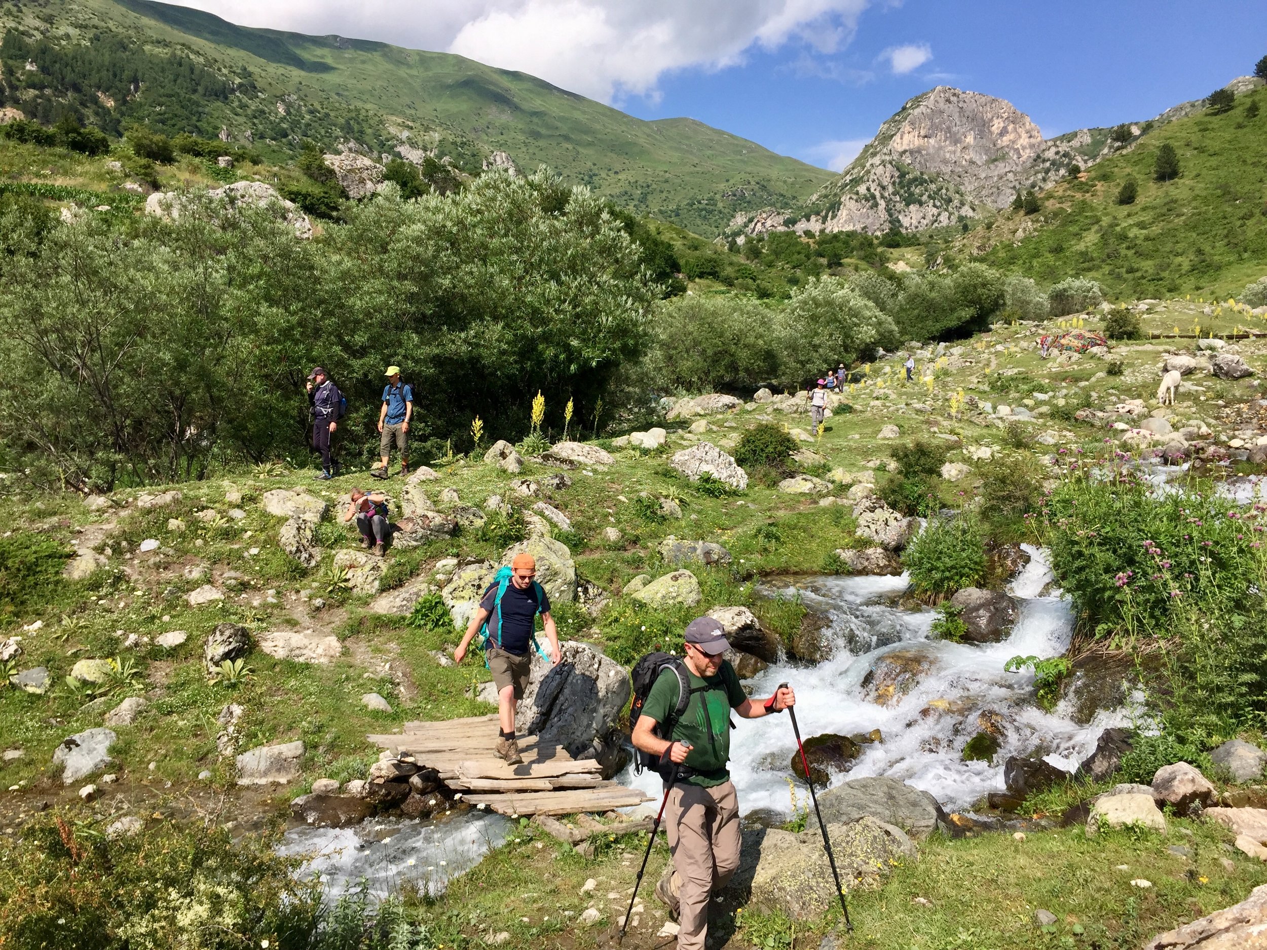
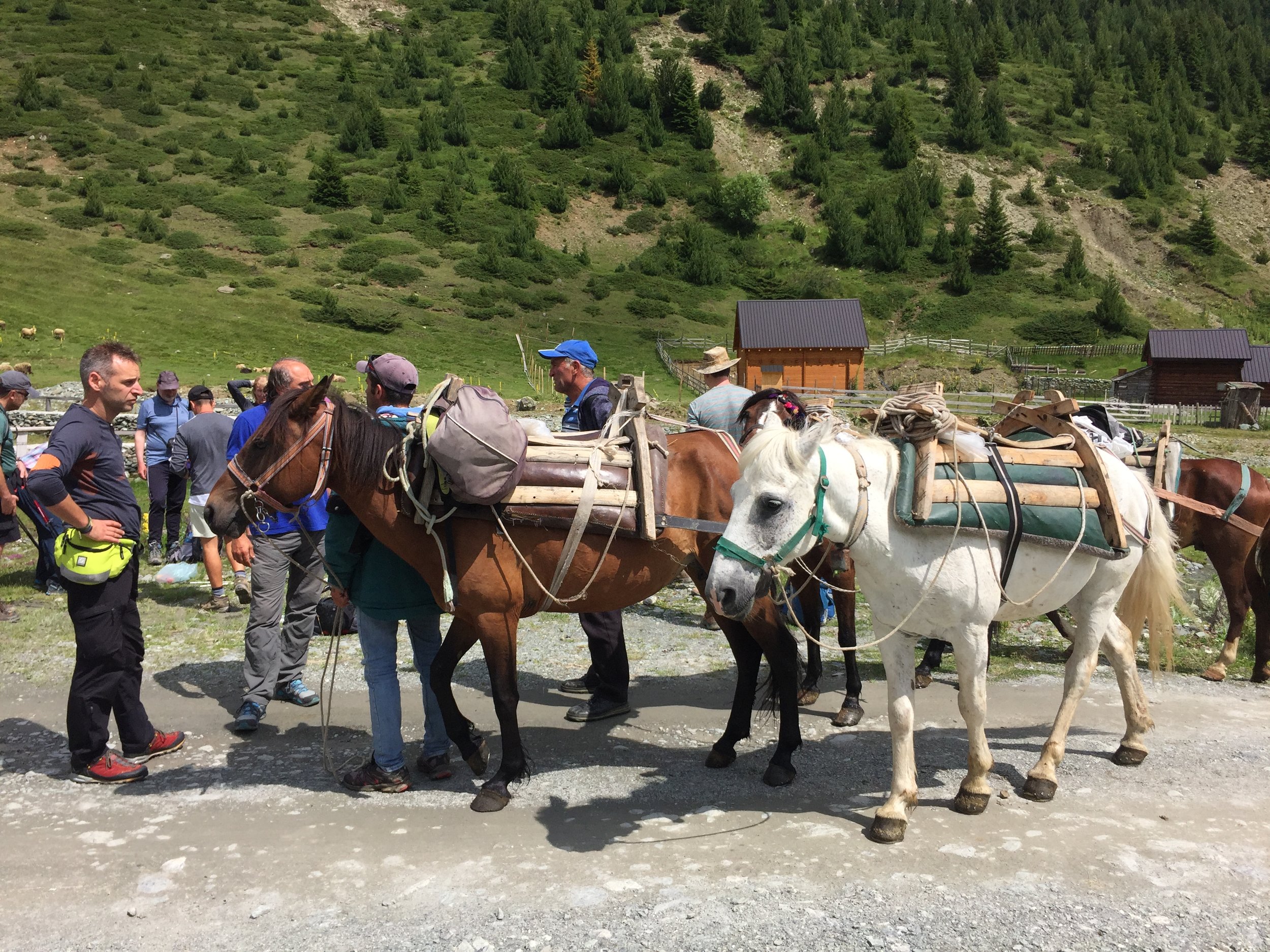
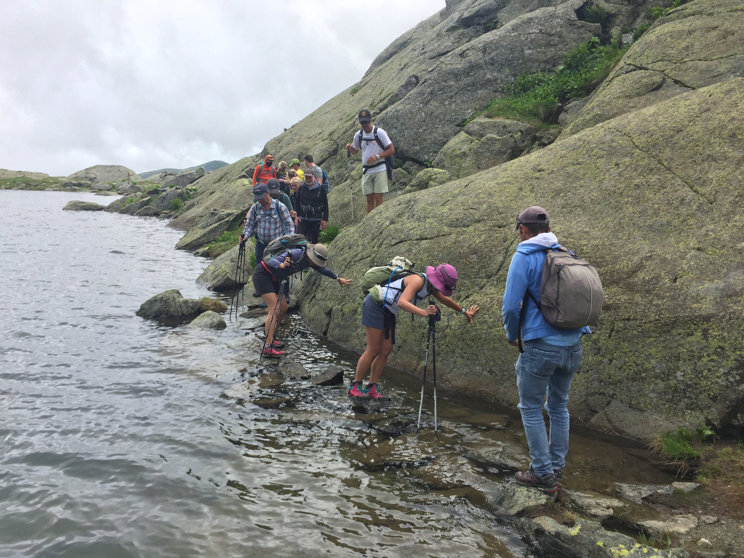
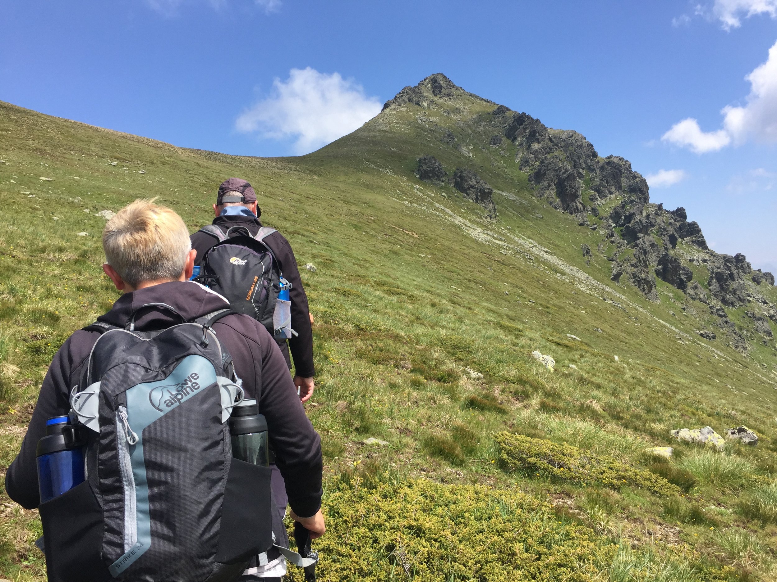
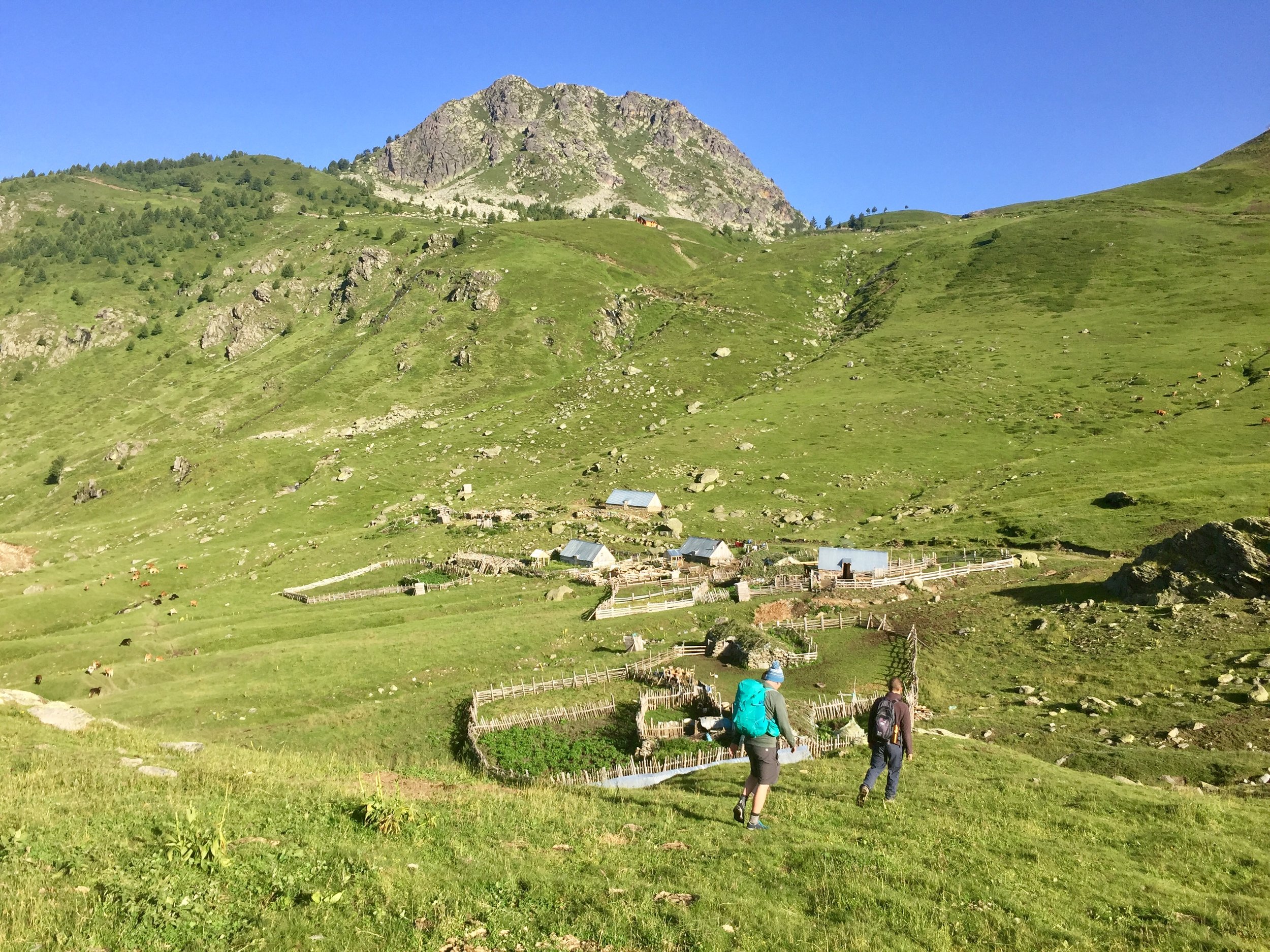
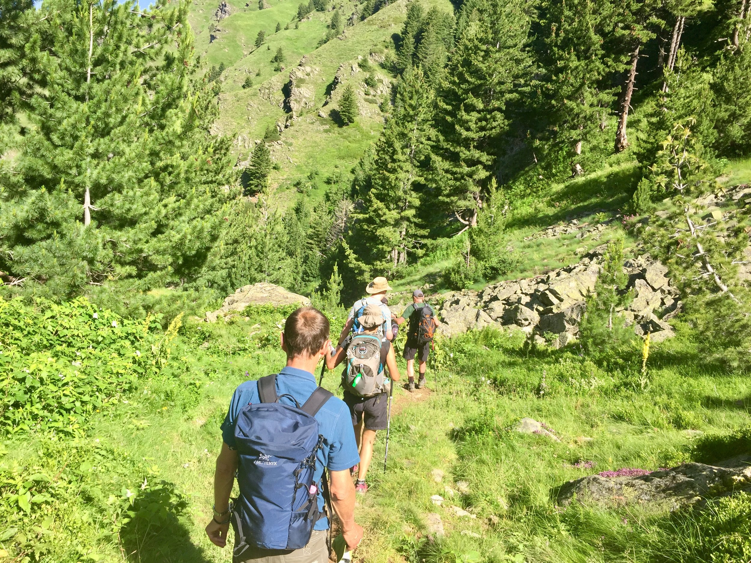
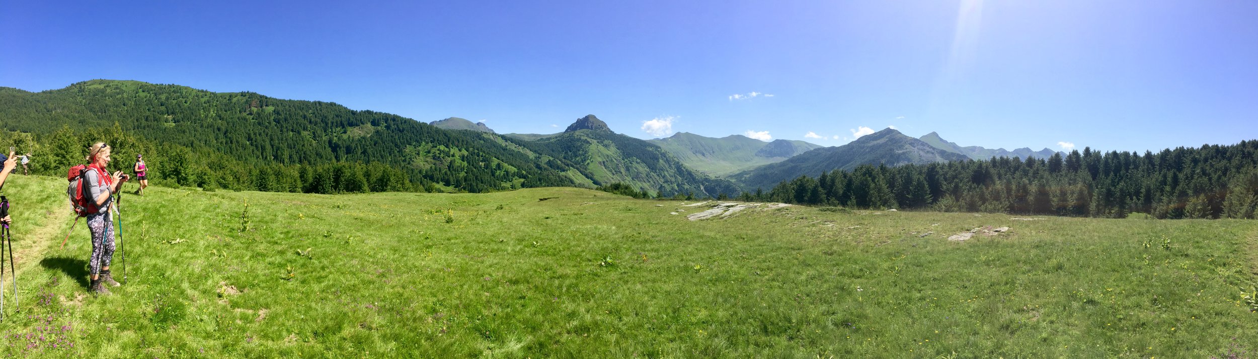
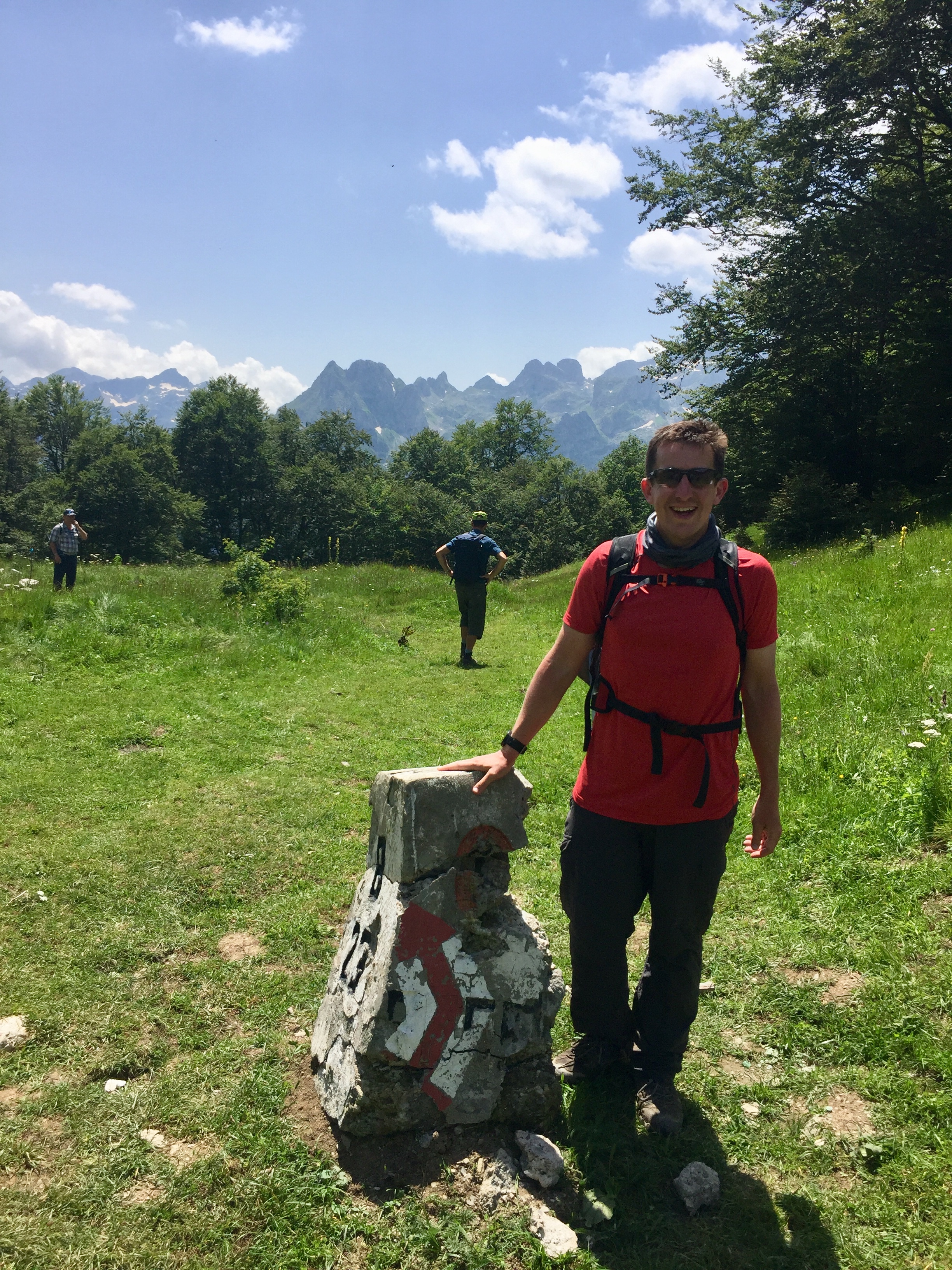
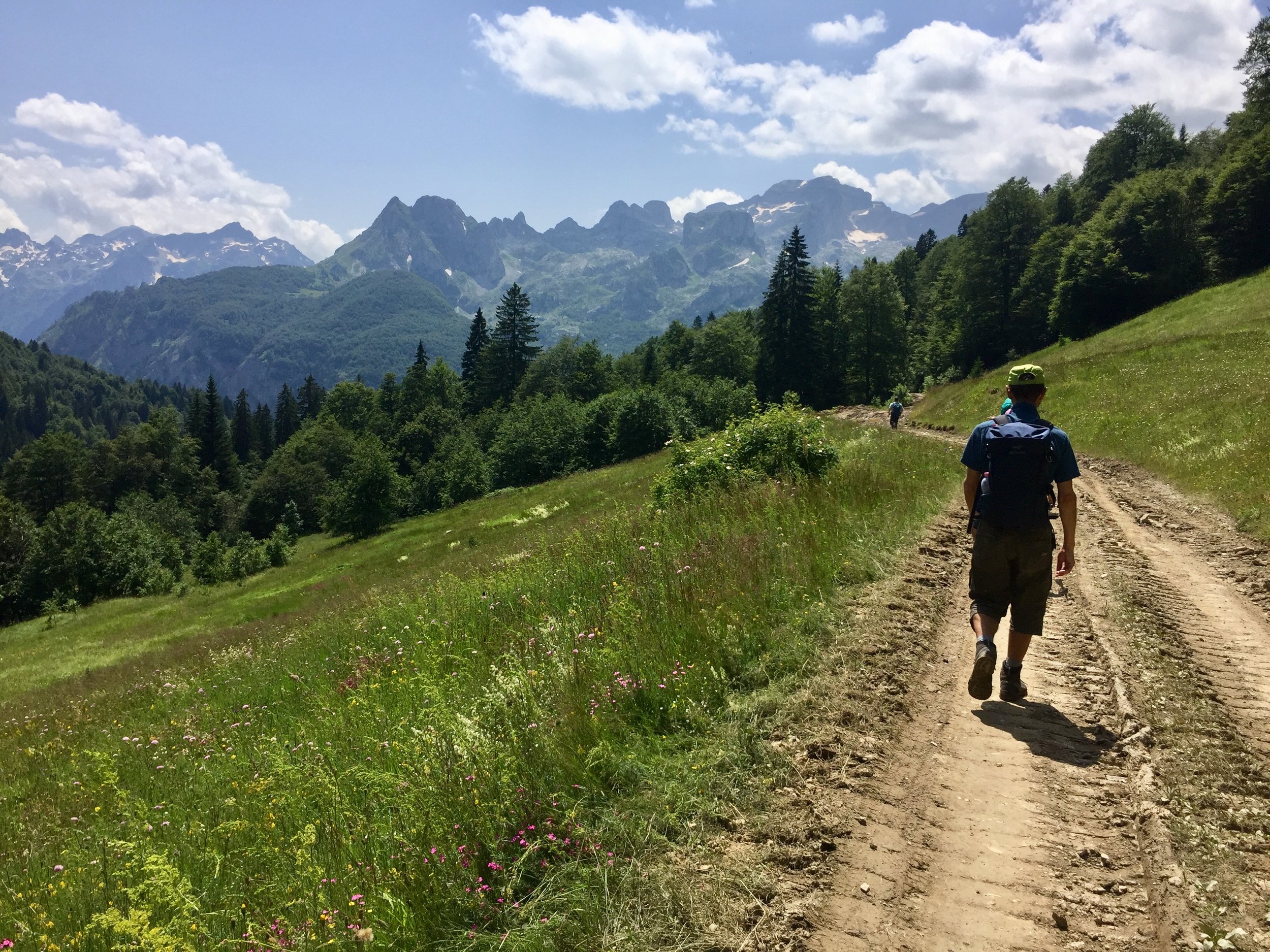
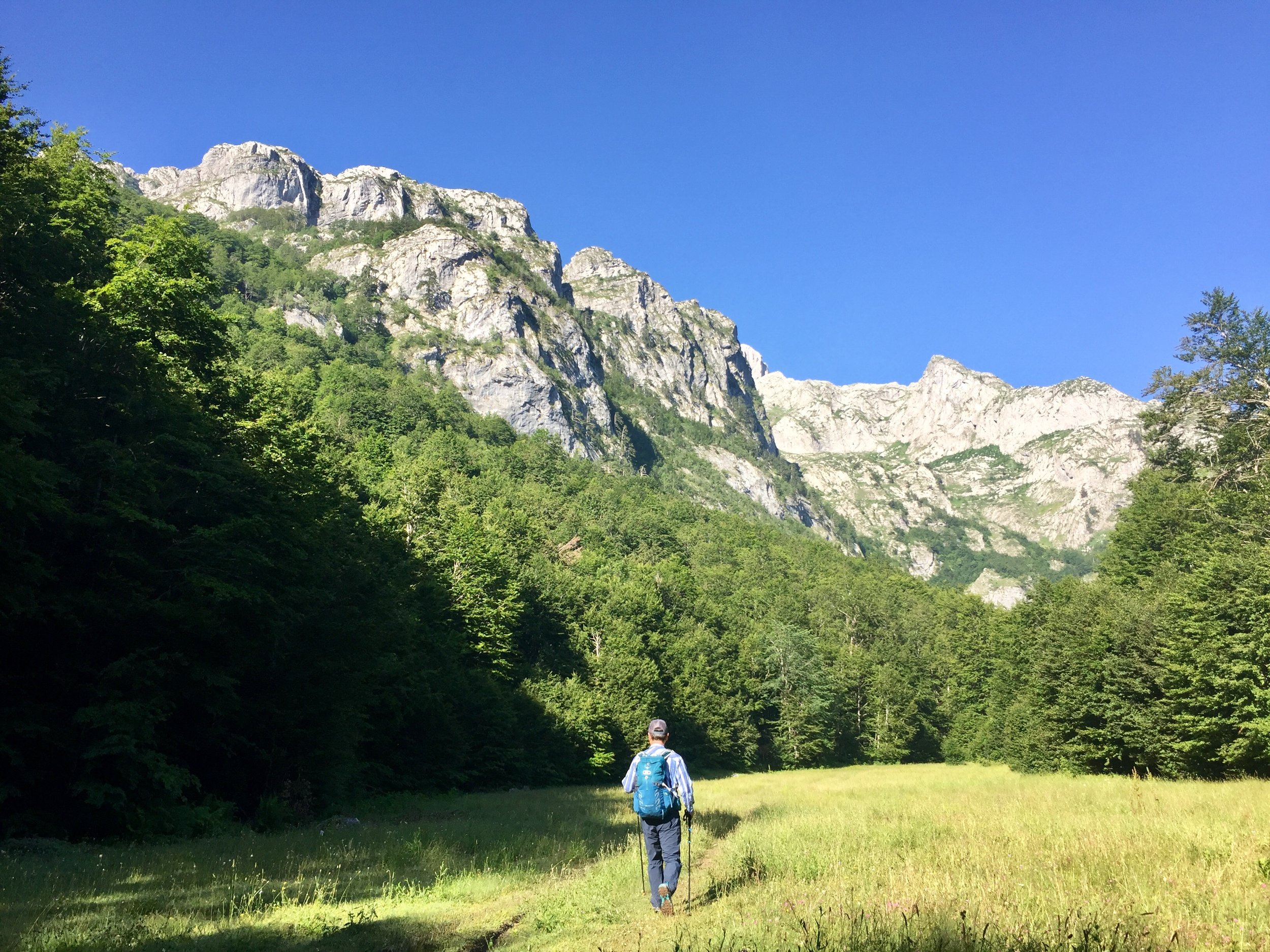
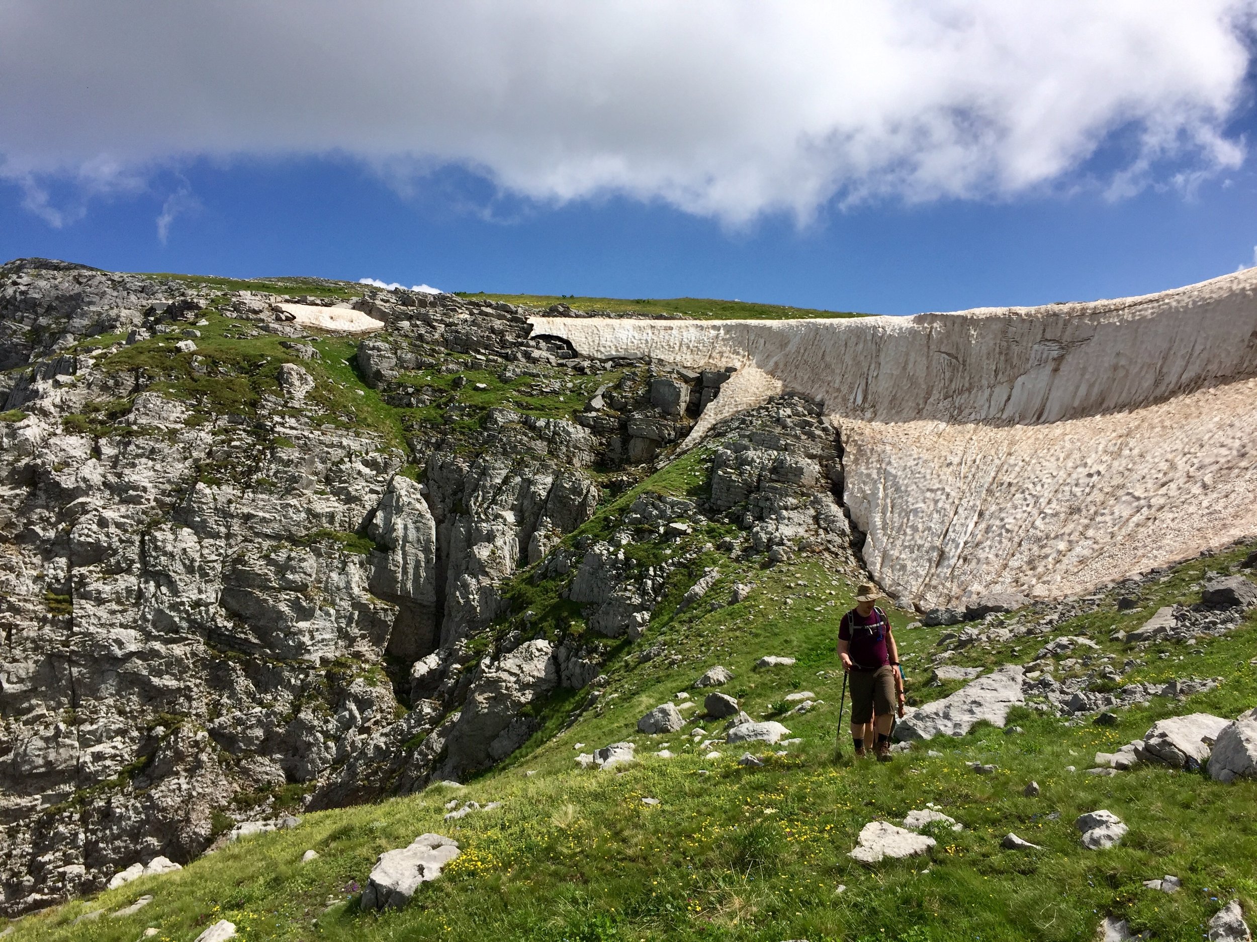
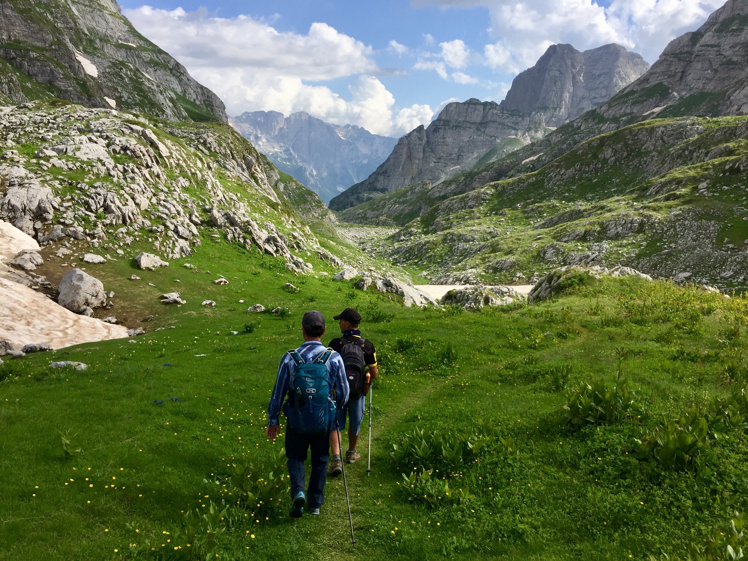
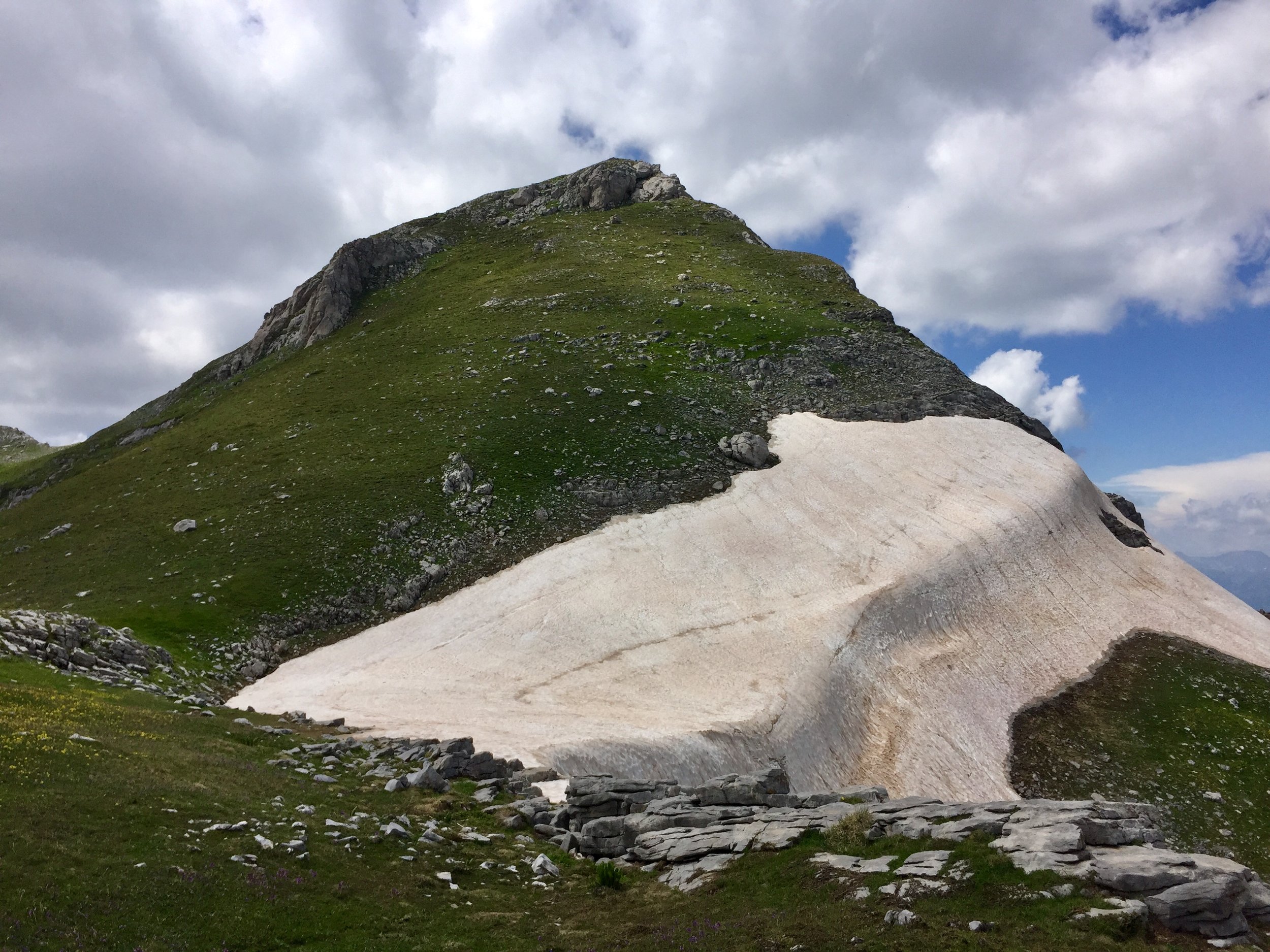
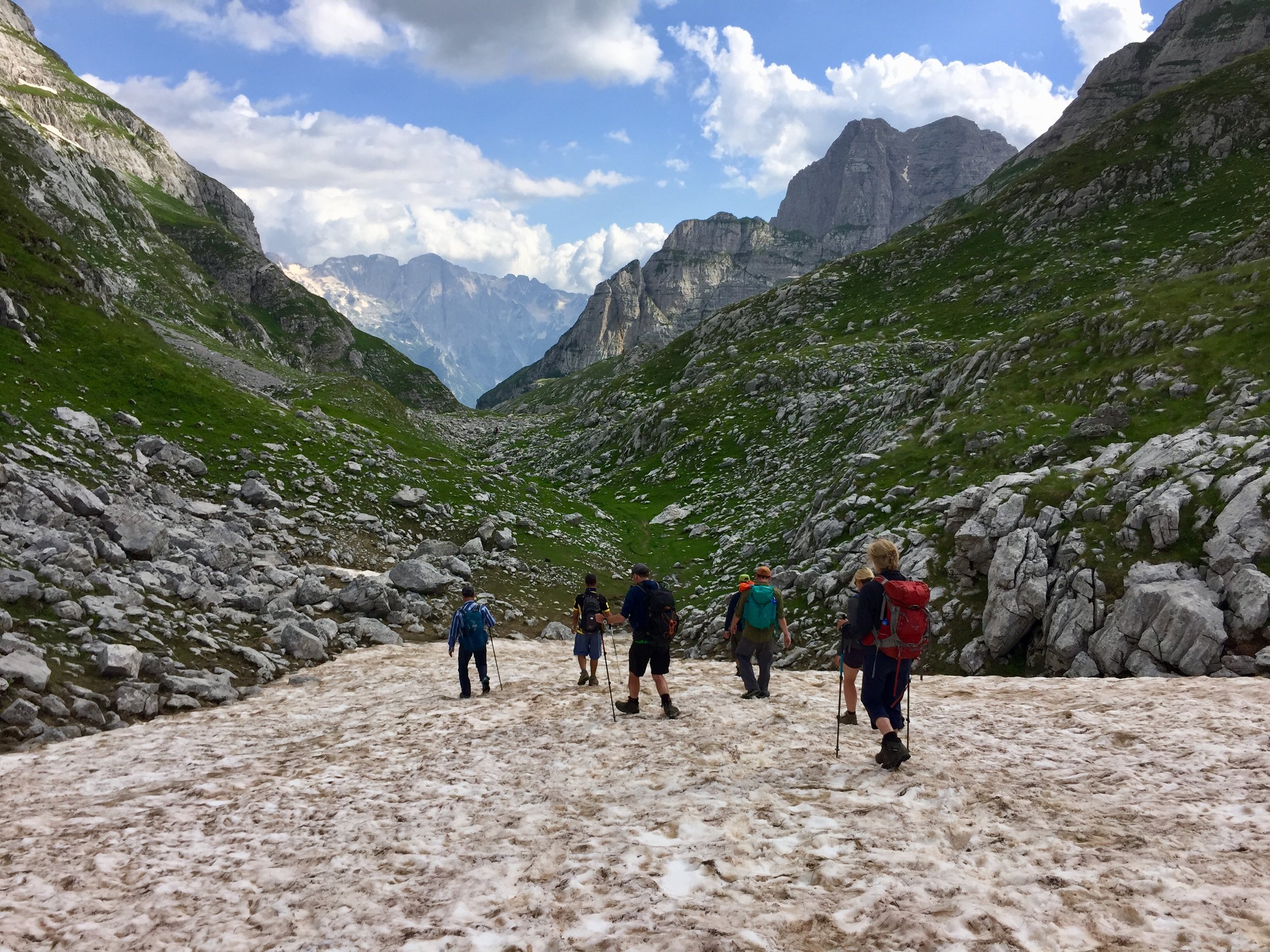
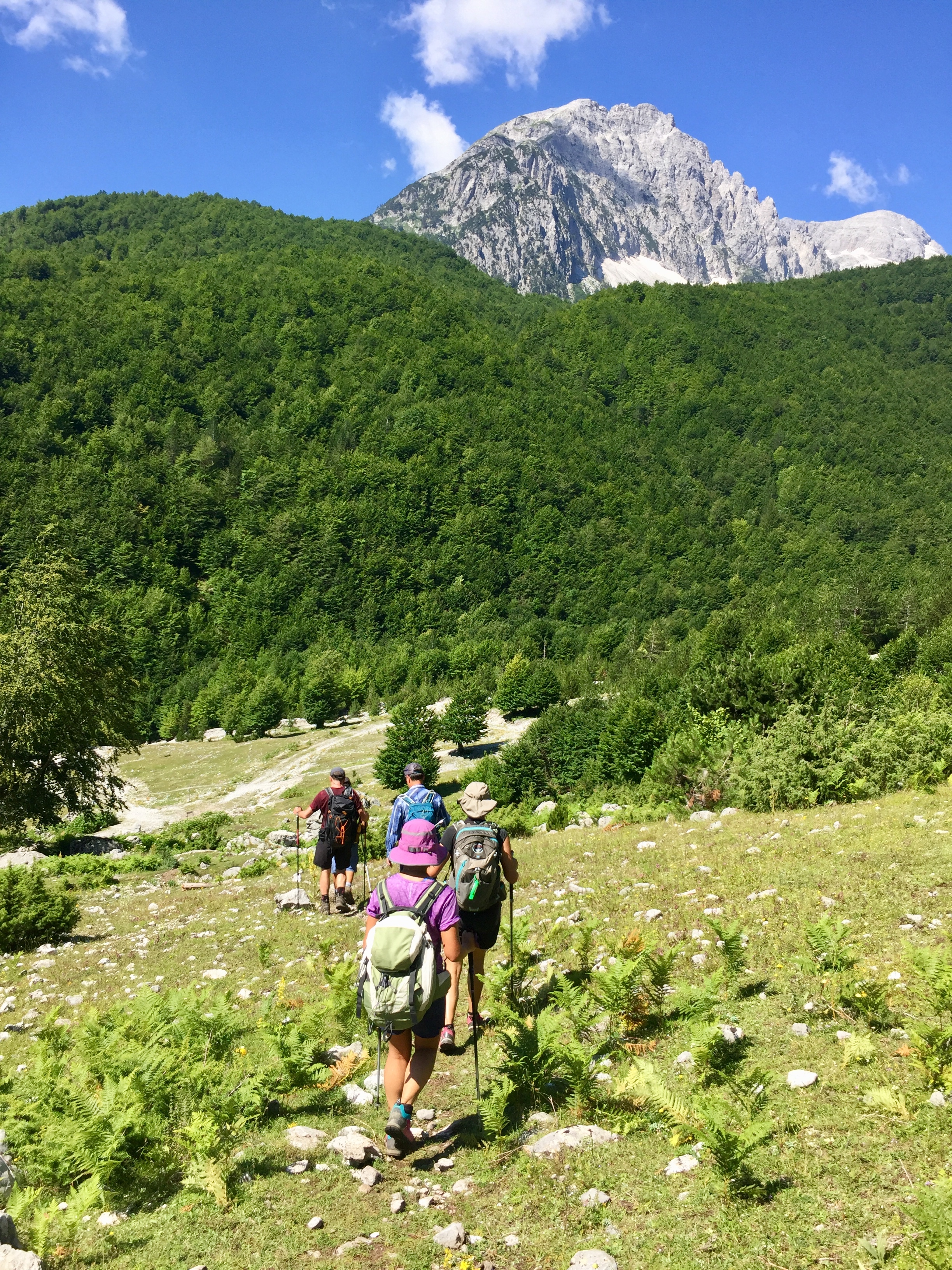
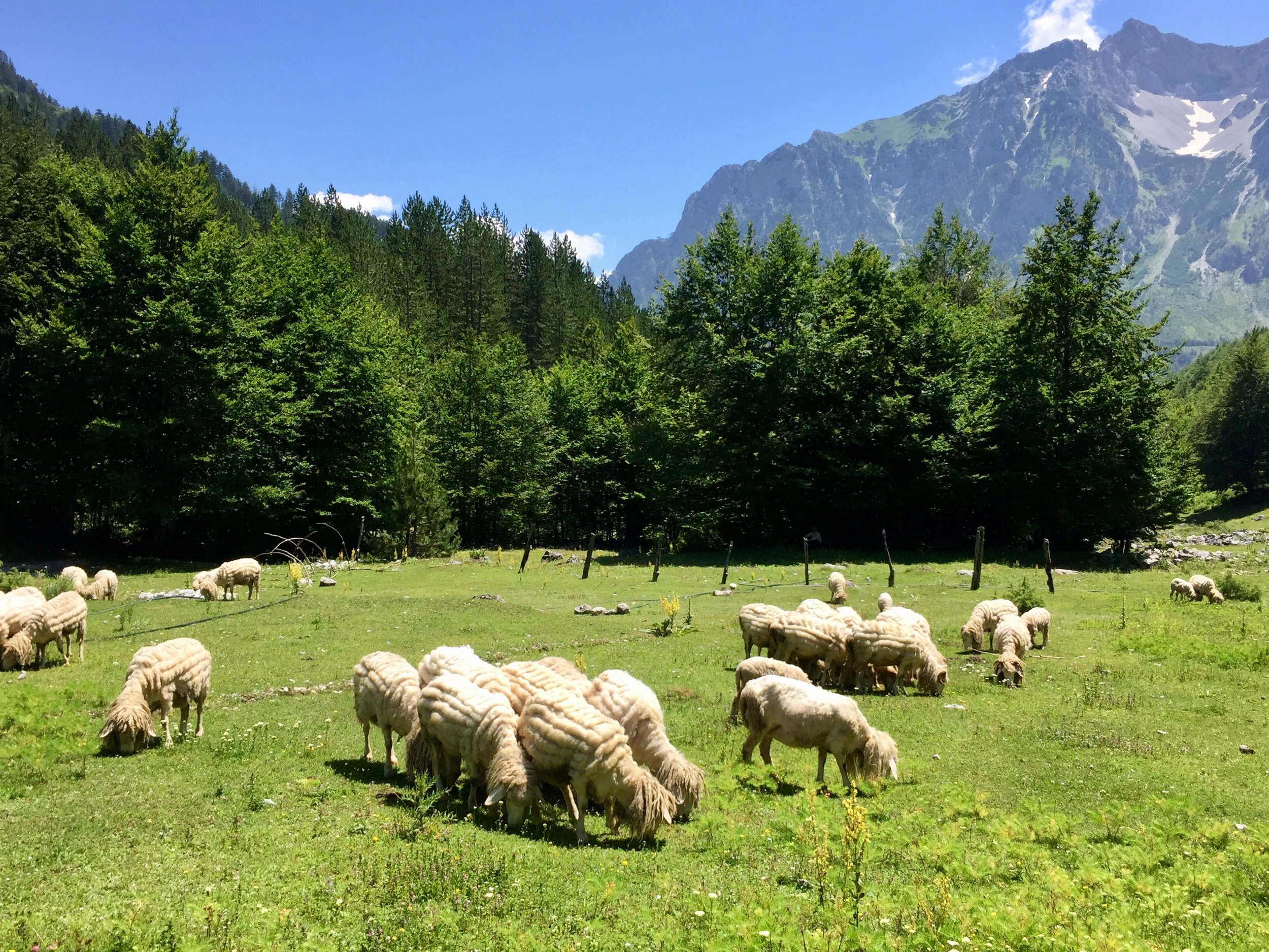
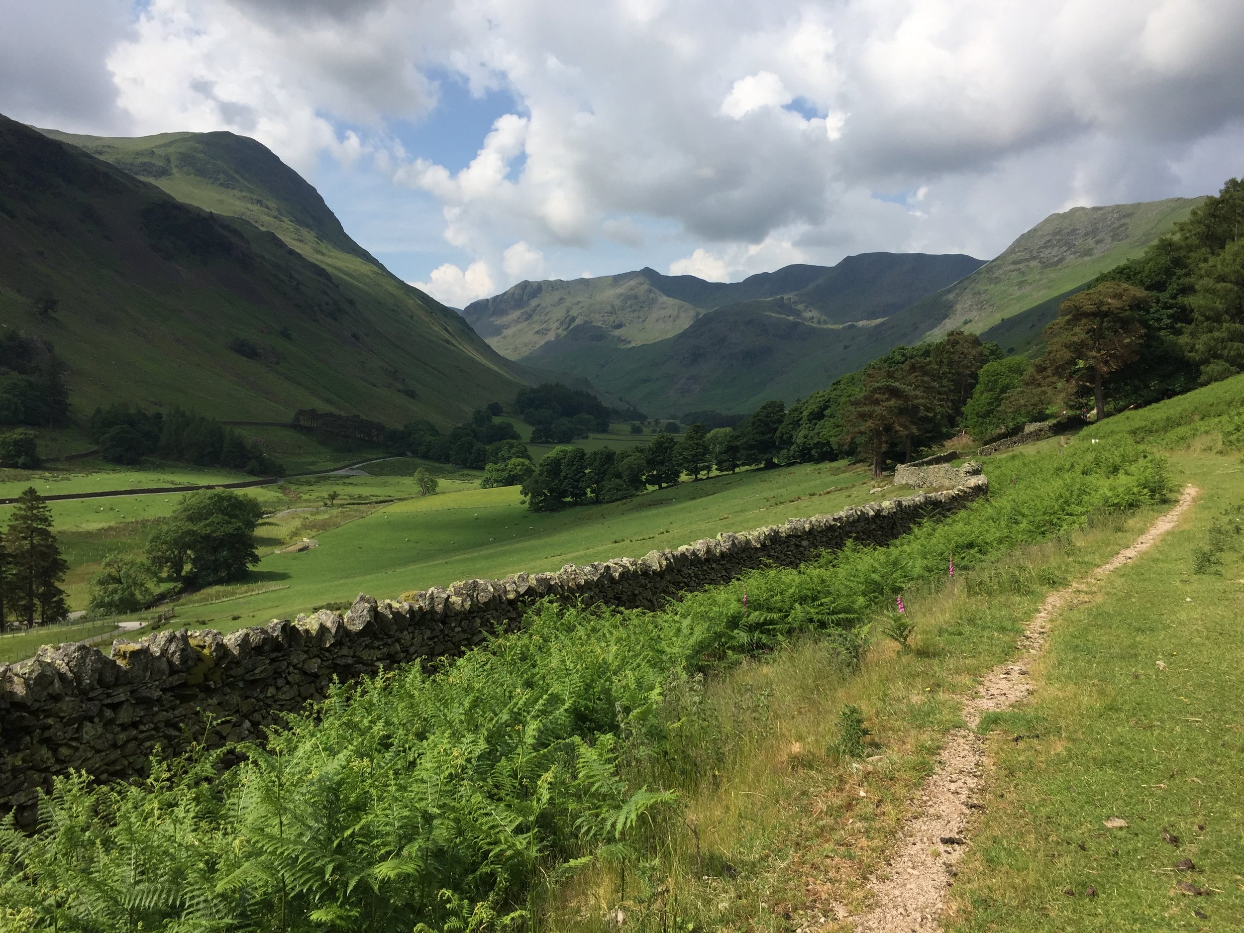
The morning was a nice ascent through forests and meadows up to pass on the Albania/Montenegro border. We stopped for an hour for lunch while Geri met up with 2 local guides who would help us on the summit climb. I spent much of that hour looking up at the ascent in fear. From there it all looked like sheer cliff faces and steep ice.

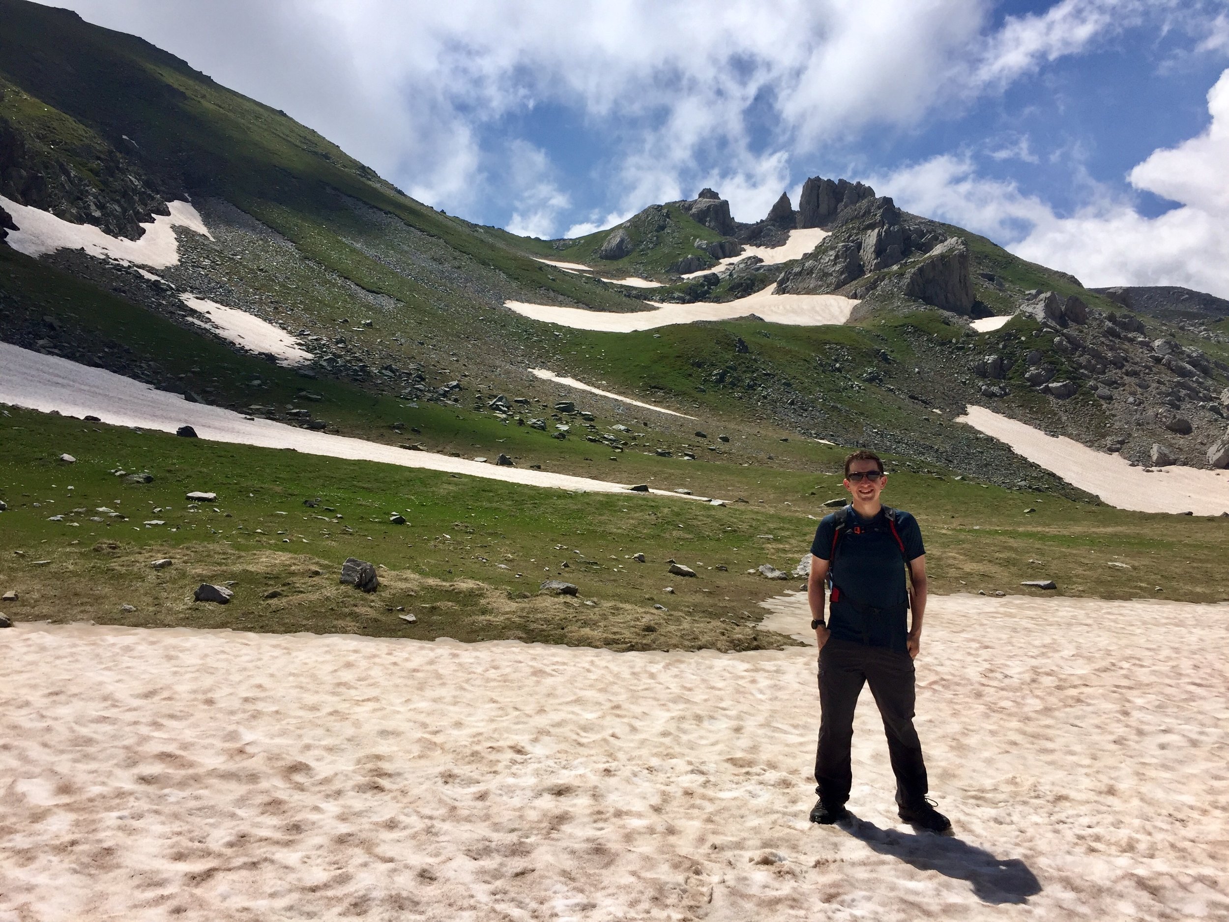
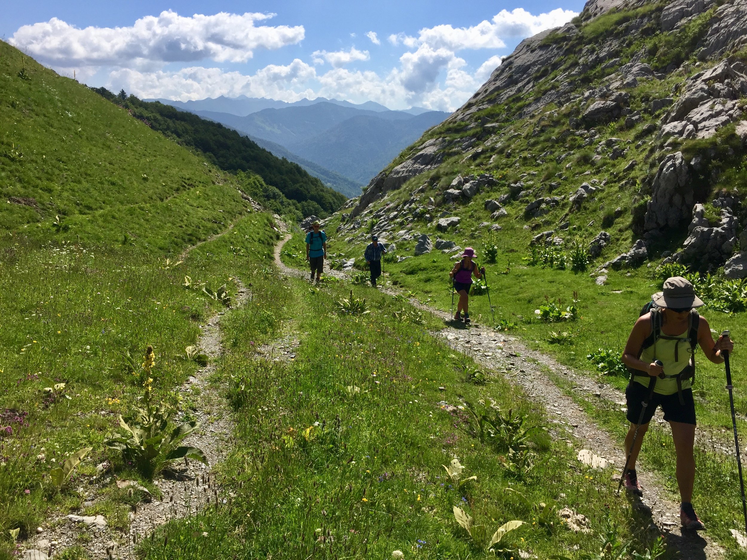
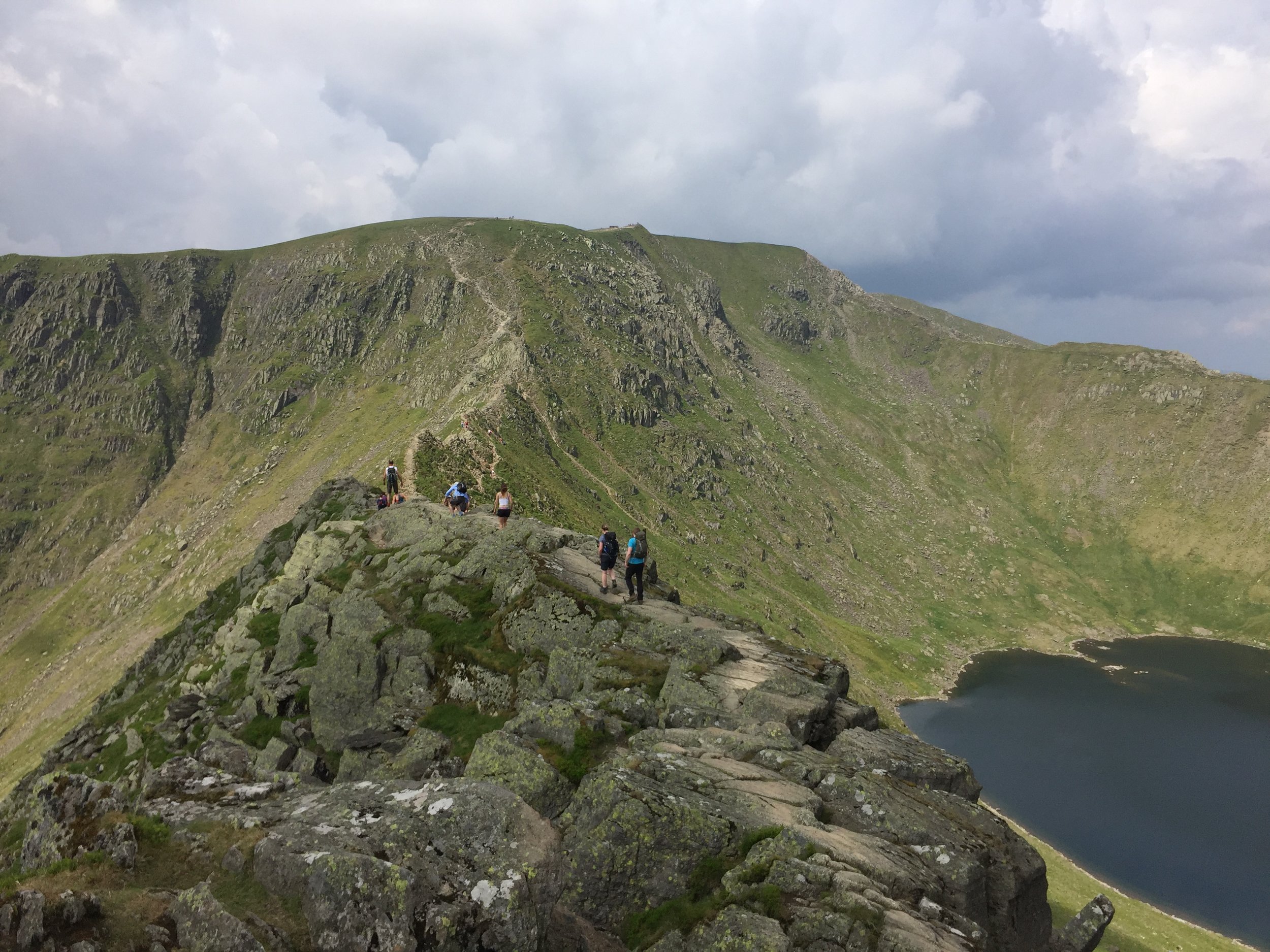
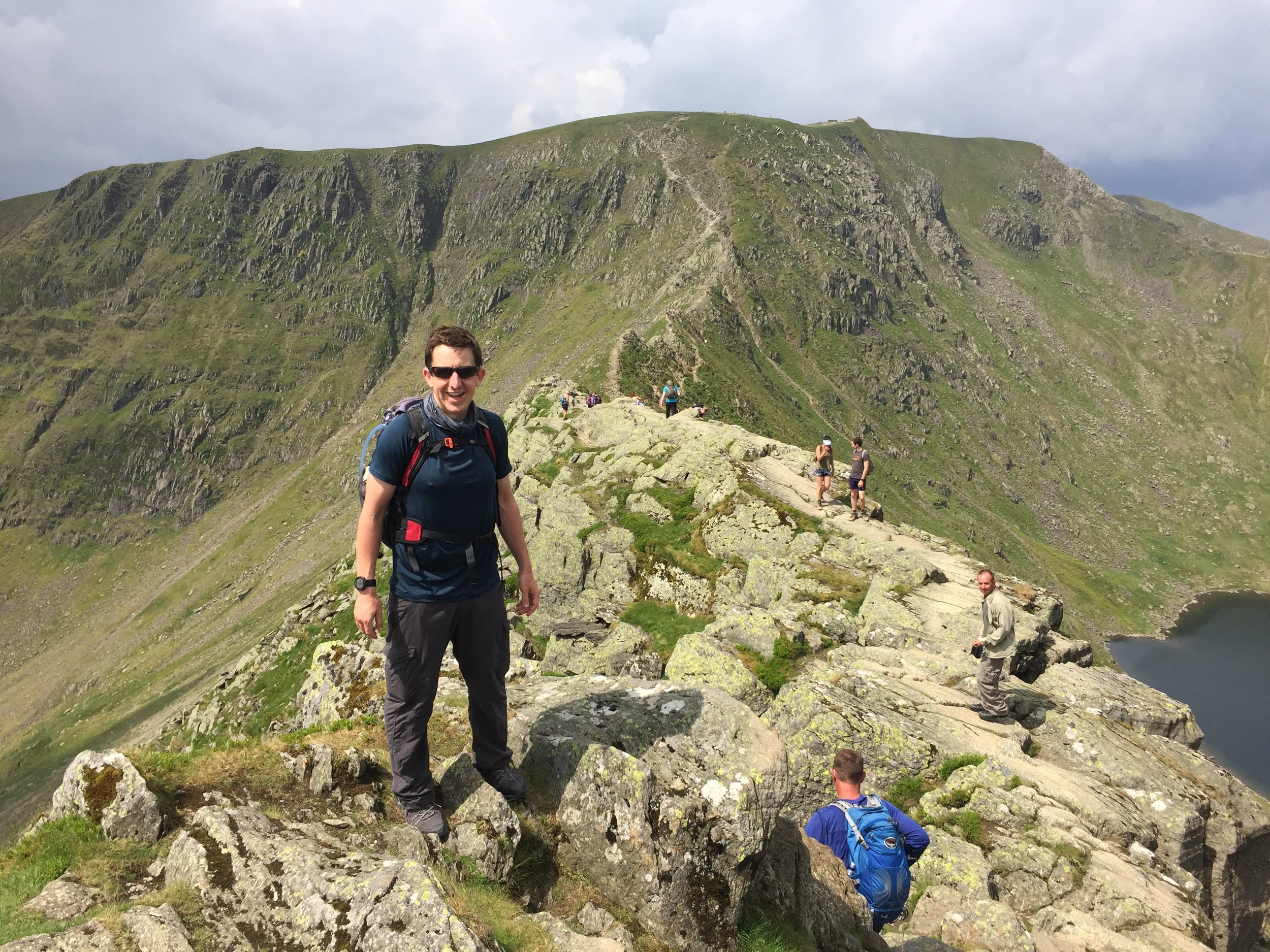
Most of the actual ascent was fine. Taking it step-by-step tends to be much less daunting than from a distance anyway. The tricky bit was not far from the top where the only passing point on an icy ridge was a thin, rocky ledge with a long drop below it. My slipping fear was kicking in but I pressed on, helped enormously by the local guides.

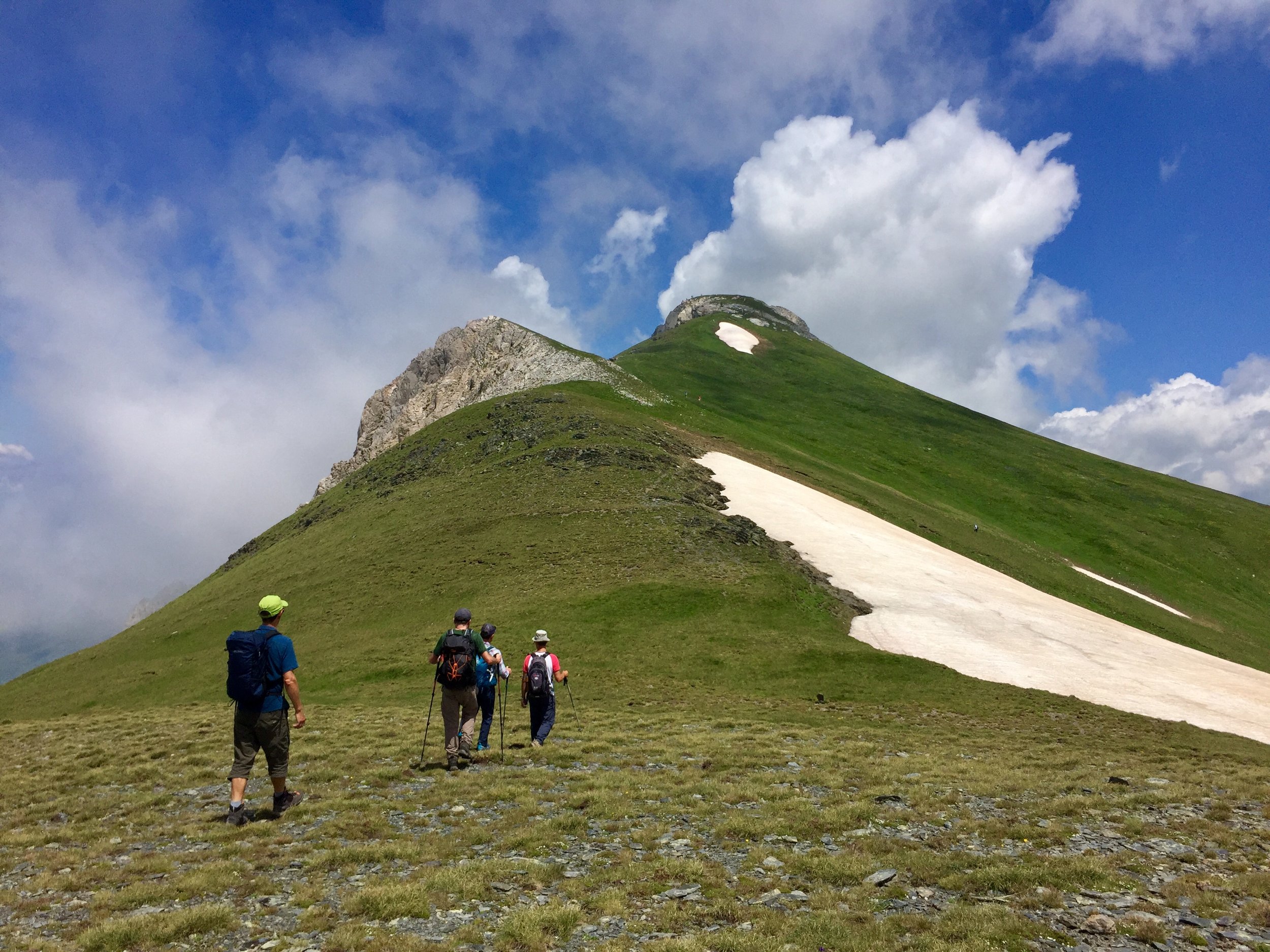
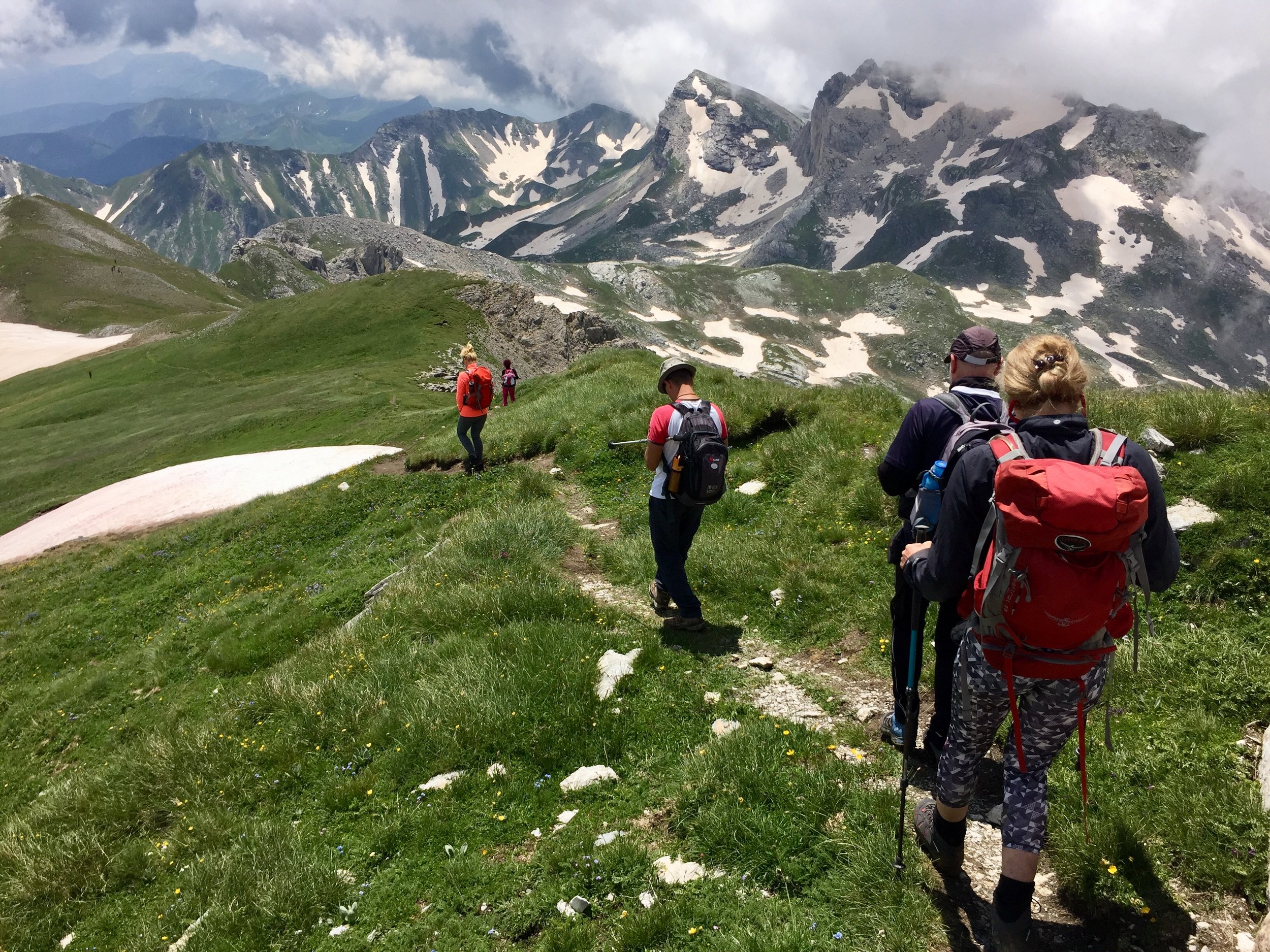
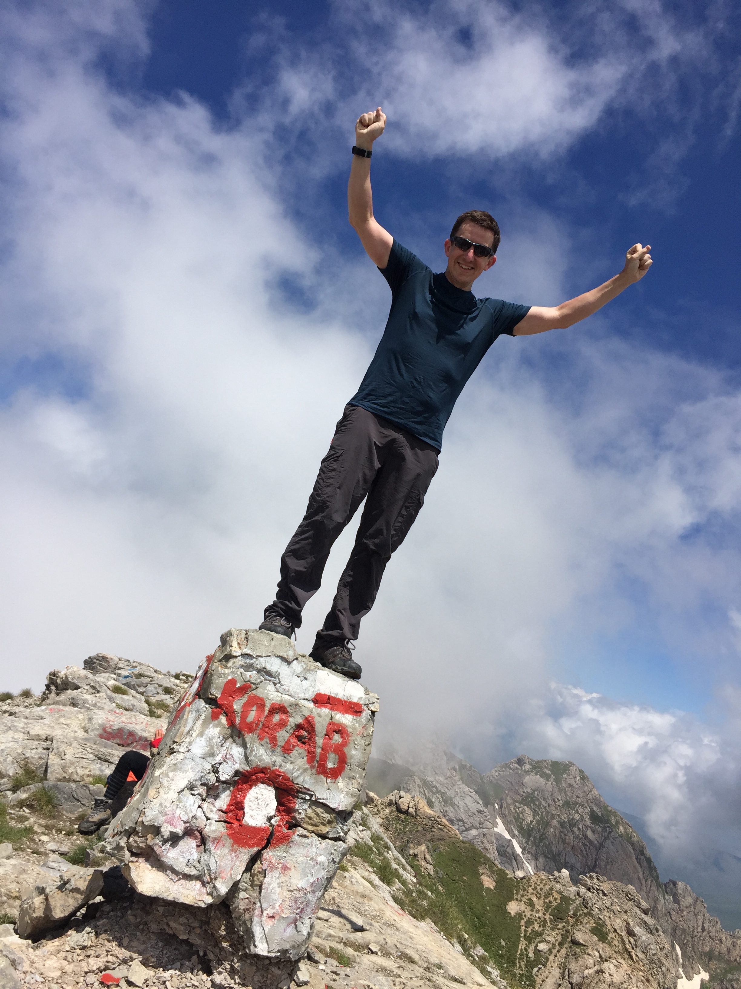
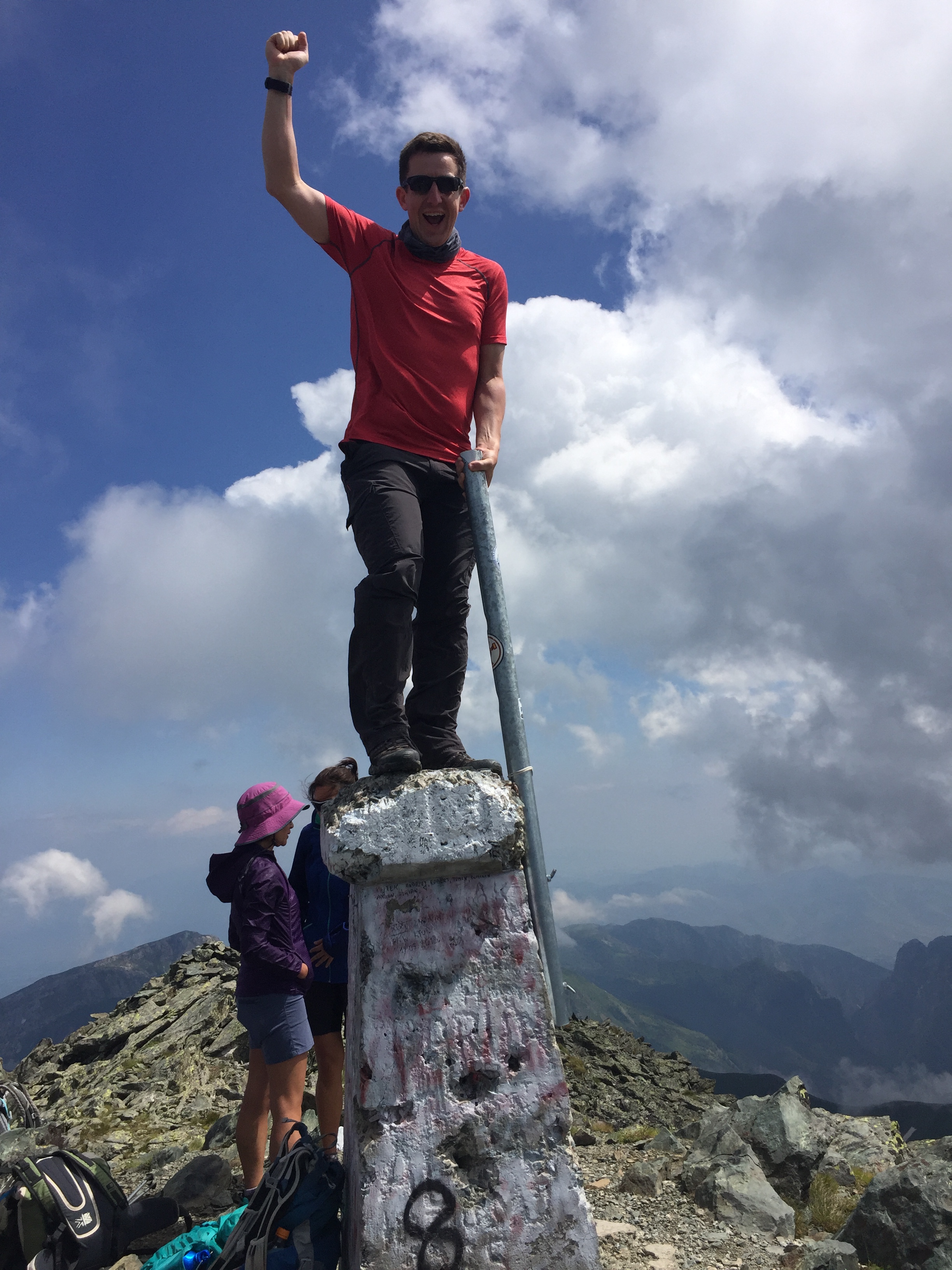
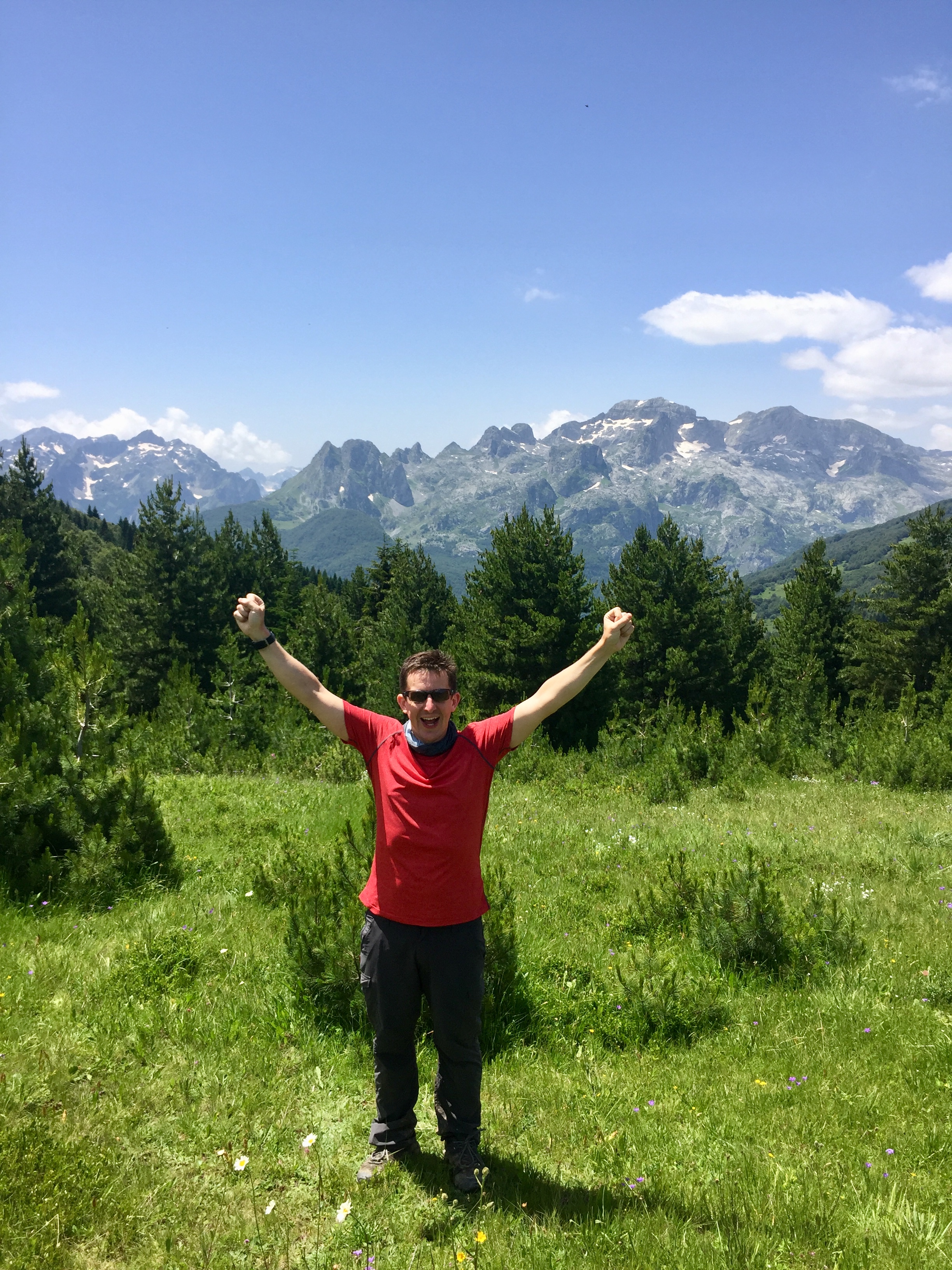
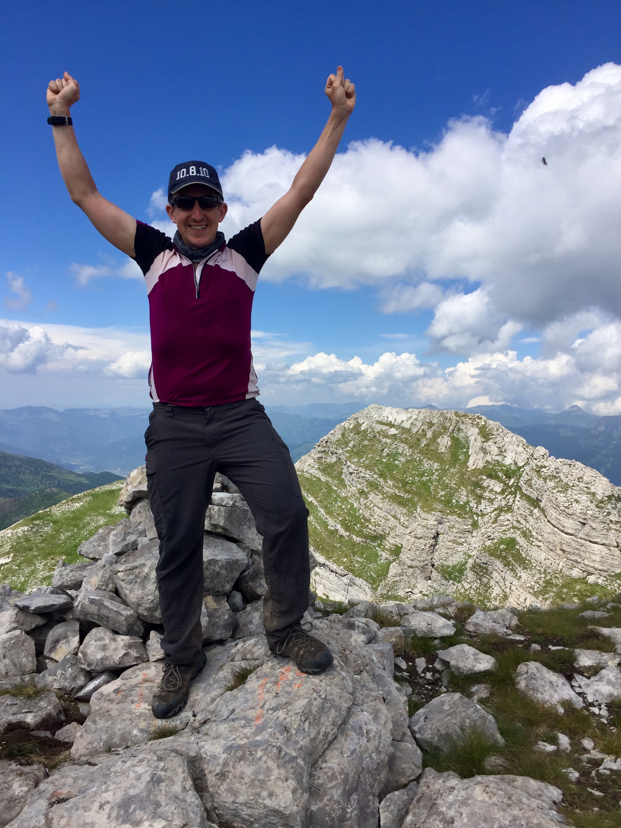
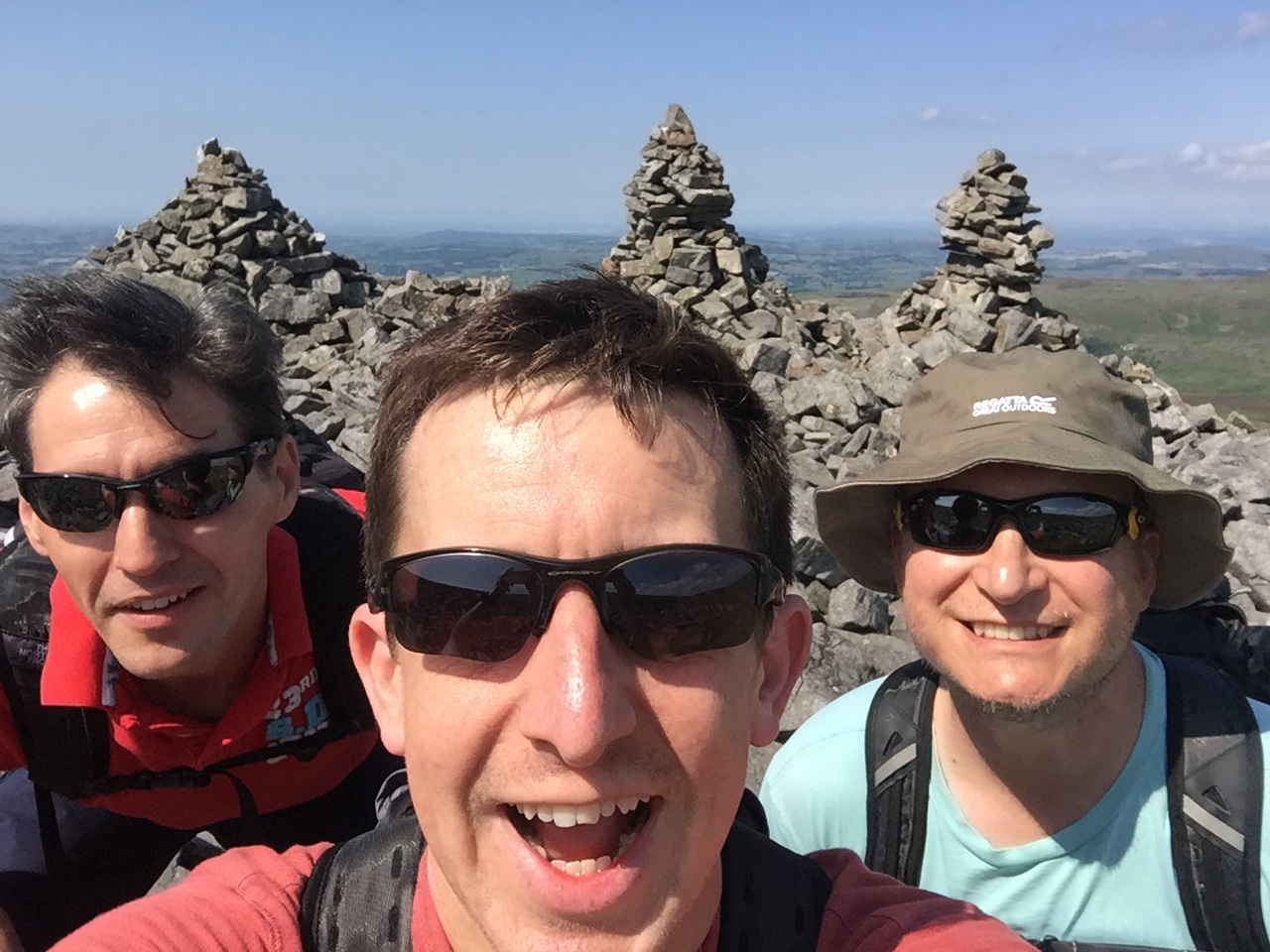
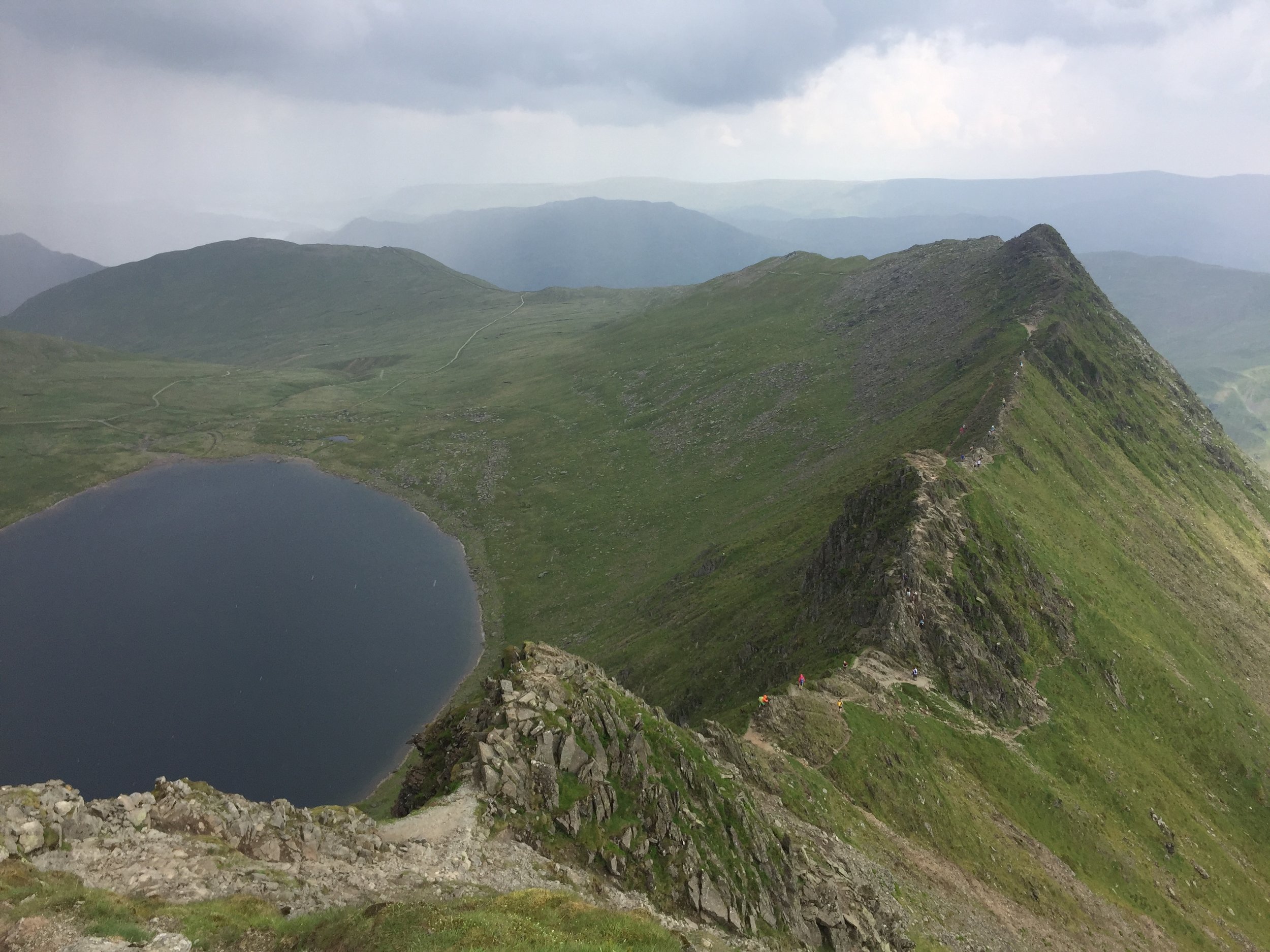
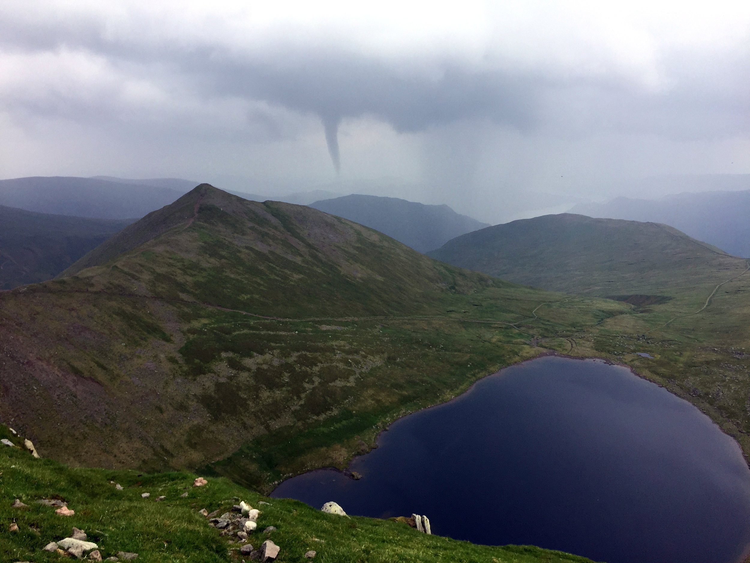
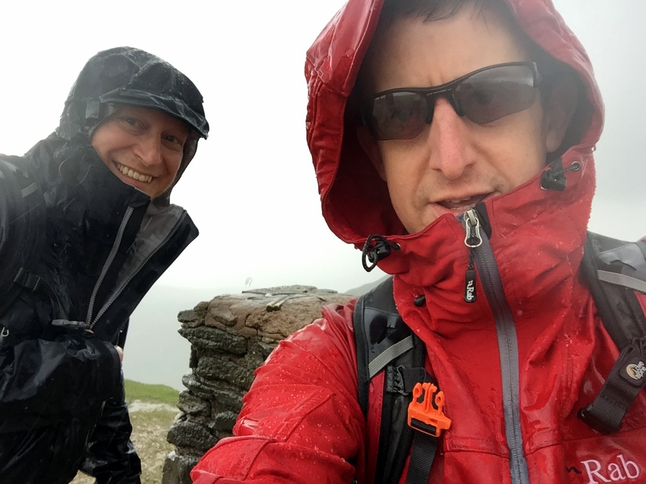
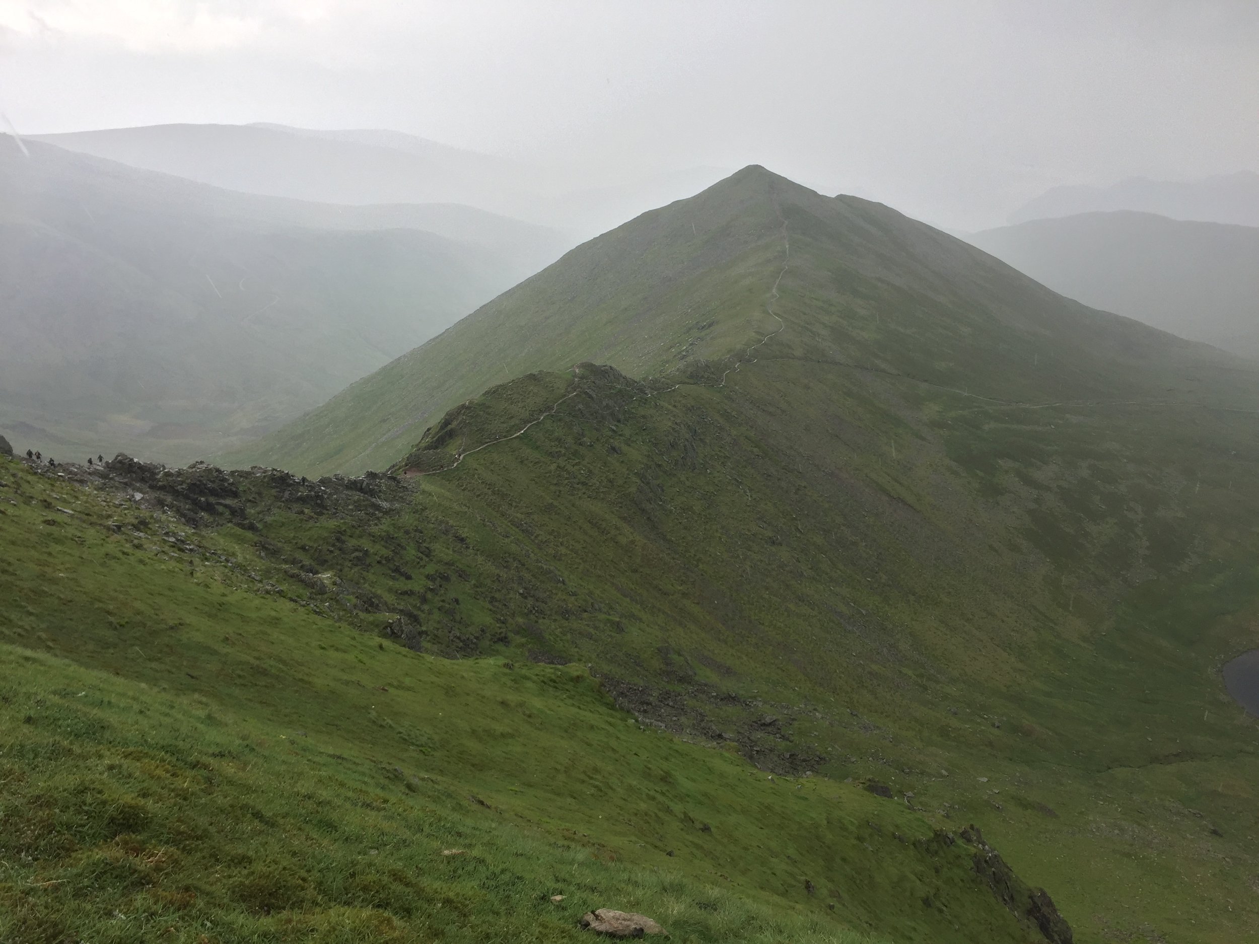
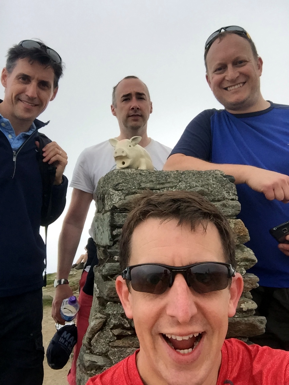
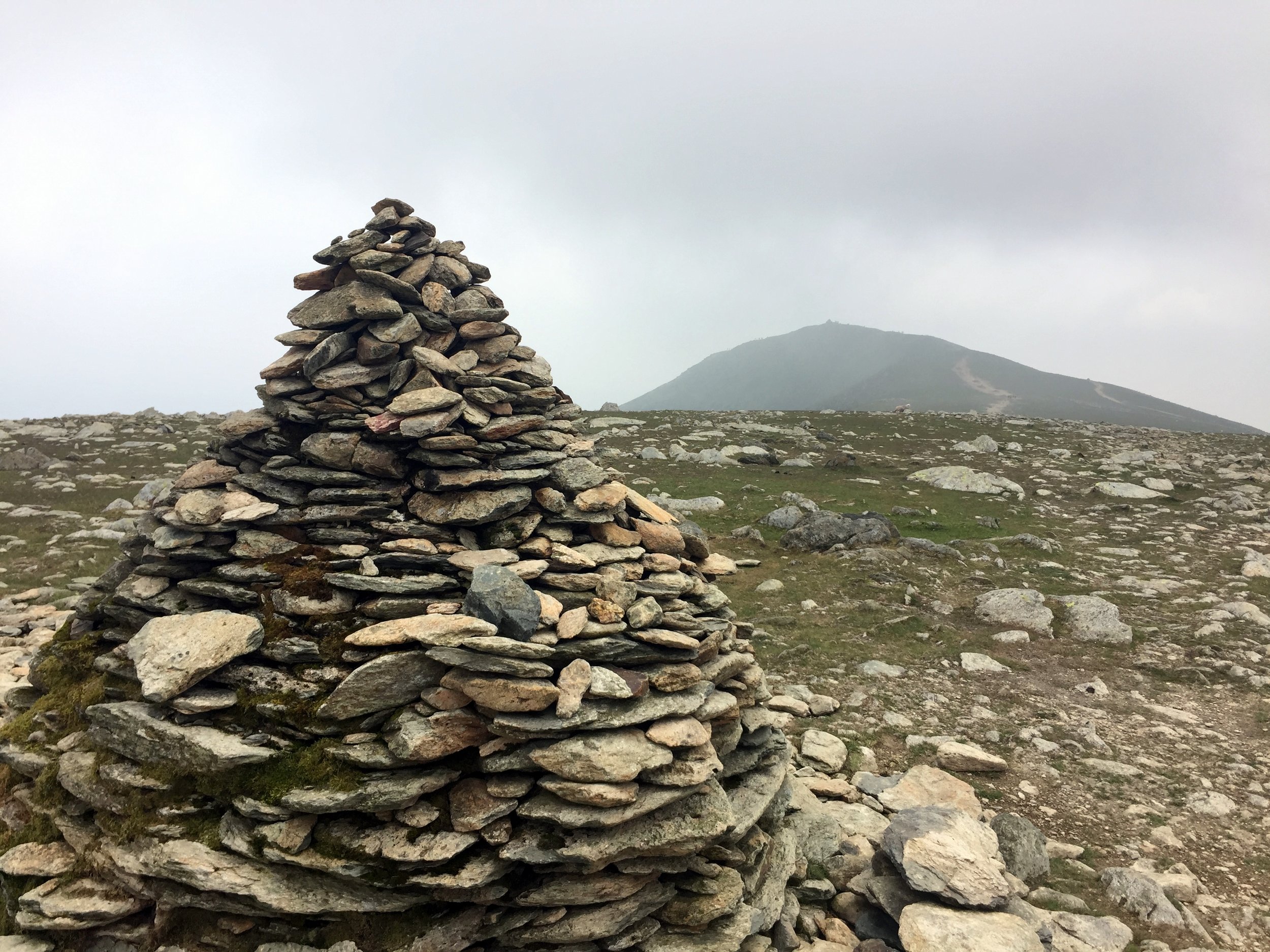
For the final push to the top we were down to 8, with 5 of the group having decided they had met their limits. The final 20 mins was a steep, but relatively easy and mostly grassy scramble to the summit. It was well worth the effort as we were rewarded by clear 360 degree views of both countries. It was a good competitor to Toubkhal for the best summit view I’ve had so far.

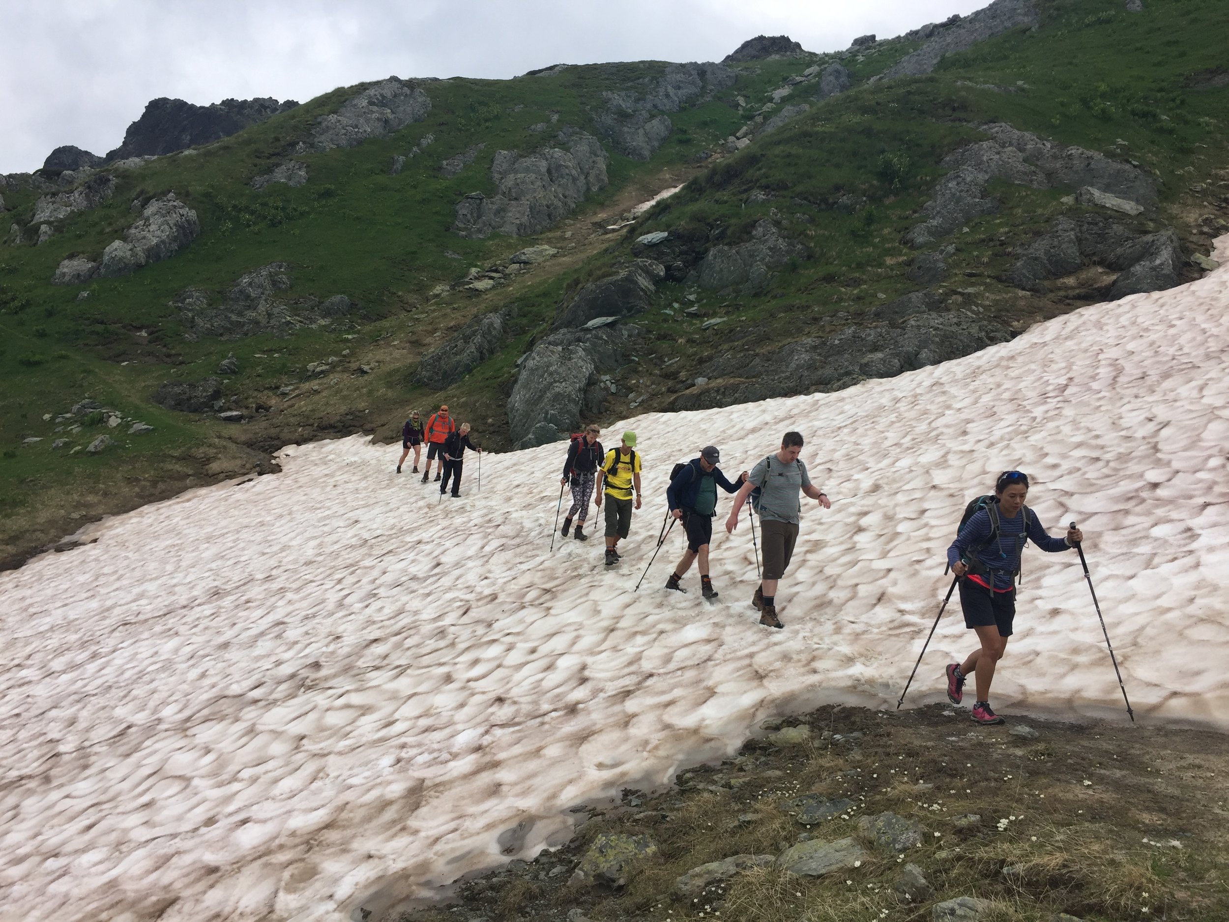
The descent to the pass was the same route, although several bits were tougher than I remembered on the way up. I held back to keep fellow trekker Stephen company. He had been struggling with his feet since the first day and was slowed down due to the pain of red raw toes. To be honest, I was also glad of the slower pace to take my time on the steep parts.

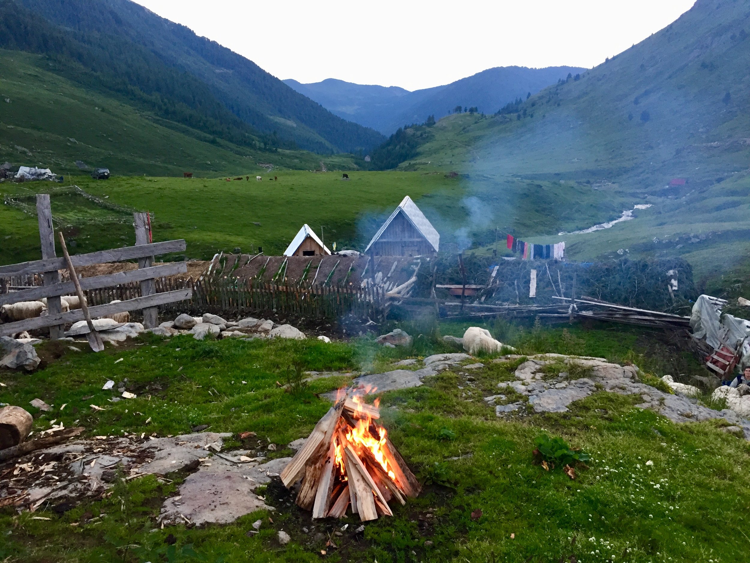
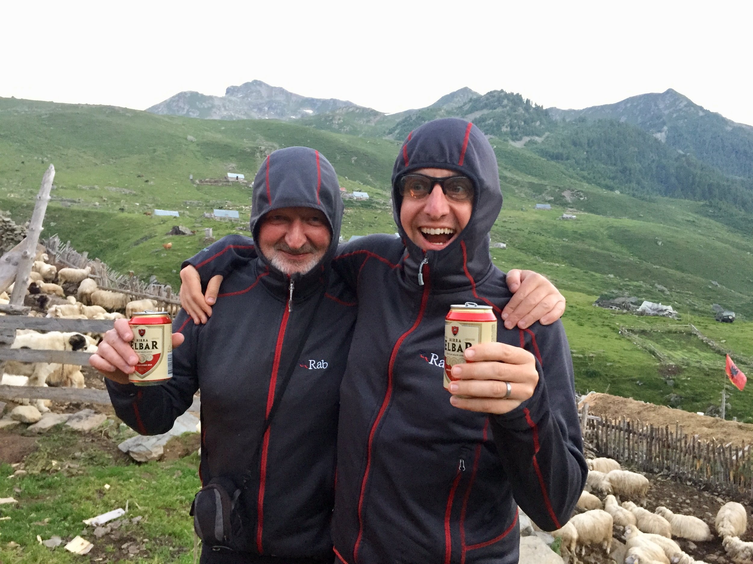
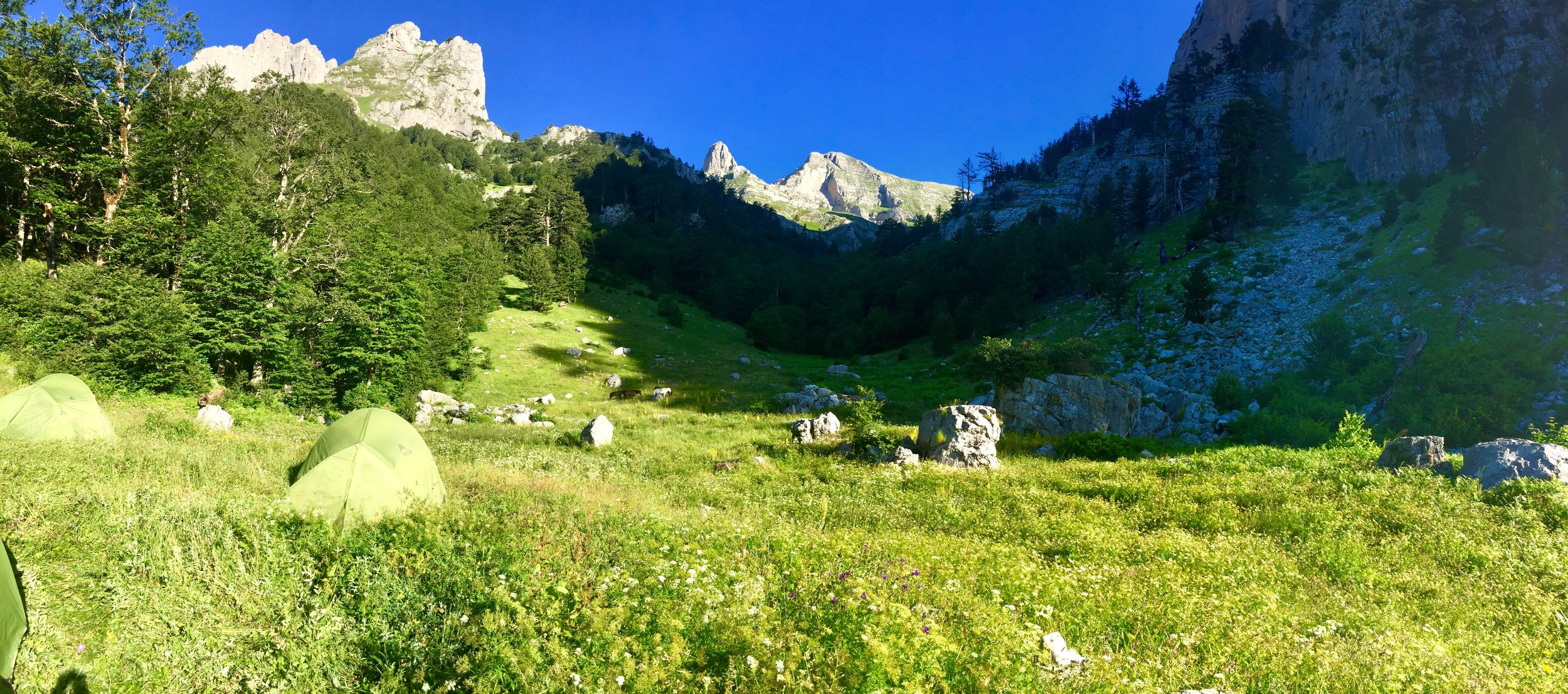
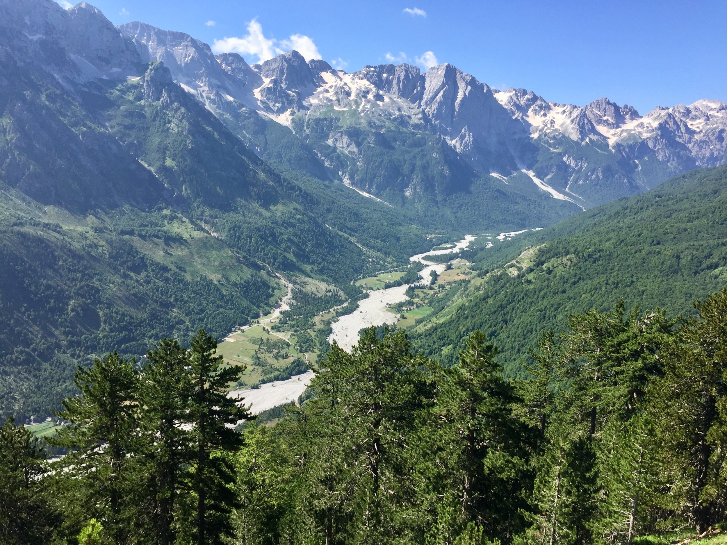
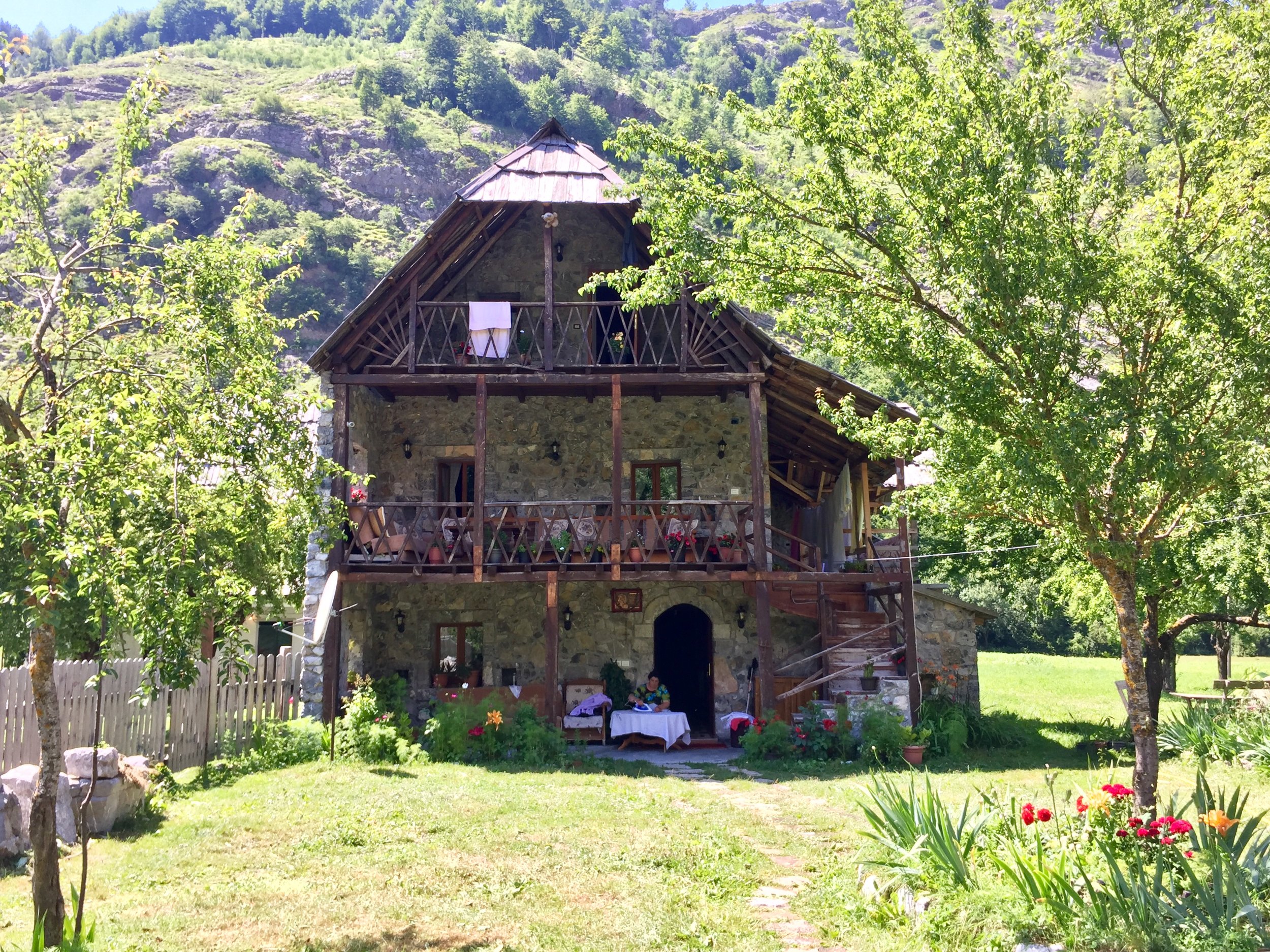
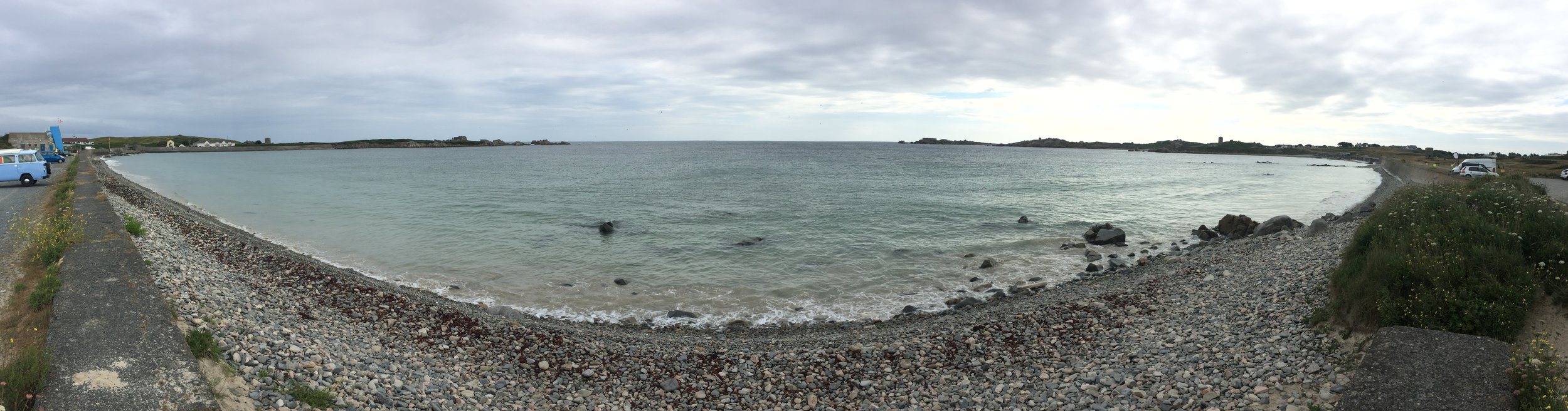
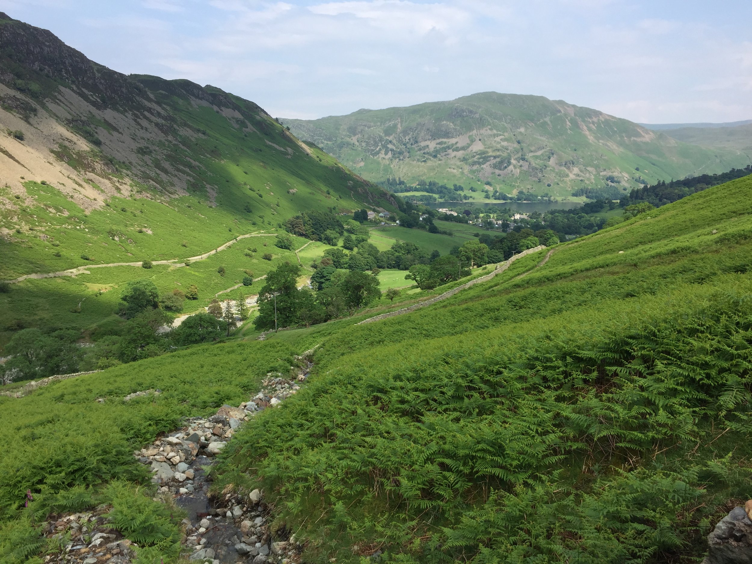
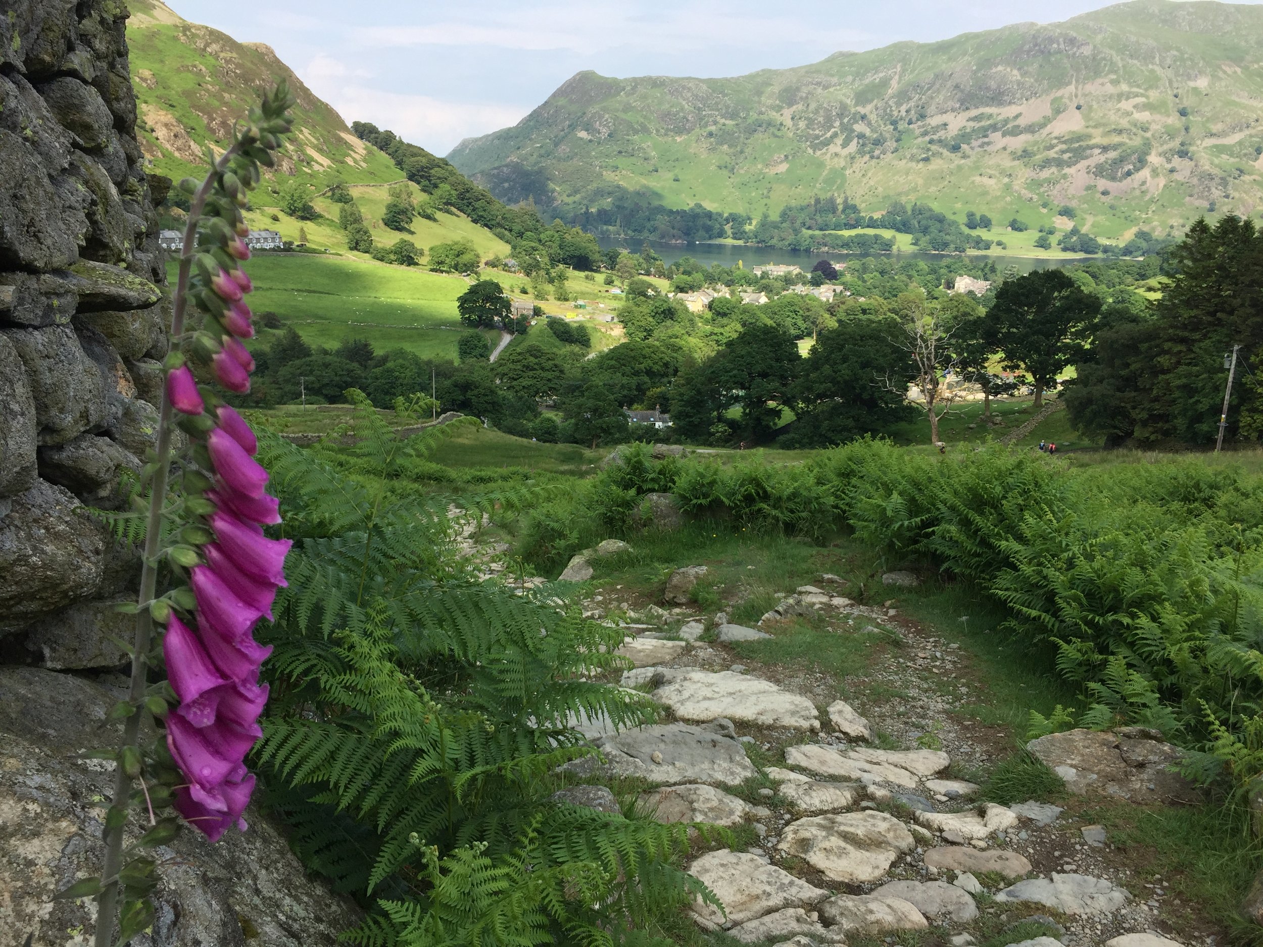
With no villages close to the mountain, we wild camped that night. I enjoyed the best night‘s sleep in a tent for many years. In the morning we left the camp site for the final descent to the Valbona Valley. It was a short day ending at a very nice guest house for some beer, rest, reading and a celebration on completing a challenging 3-country trek.


Day 5: Zla Kolata to Valbonë

Elevation: from 1,486m to 960m
Date walked: July 5th 2018
Route Start / End: Point to point route from wild camp site south of Zla Kolata to Valbonë, Albania
Route Distance: 11.2 km (7 miles)
Route Elevation Change: +424m / -962m. Net -538m
GPX File: get via Buy Me a Coffee


The final couple of days of the trip were more restful with a boat & bus transfer back to Tirana and some free time in the city. This trip was epic: a perfect combination of an awe-inspiring adventure, expert organisation and fantastic company. My first action after returning was to check the KE brochure for the next adventure....

LEFT: All 5 days: Mt Korab to the South East and Djerevica/Kolata trek to the centre North

ABOVE: Djerevica/Kolata from right to left. Green = Day 2: Djerevica, Blue = Day 3: plateau walk, Red = Day 4: Zla Kolata, Yellow = Day 5: Valbone descent

Race To The King Ultra Marathon

When: June 24th 2018
From: Slindon Estate, Arundel, West Sussex
To:
Winchester Cathedral, Winchester SO23 9LS
Distance: 86.1km (53.5 miles)
Elevation: +1,344m / - 1,380m. Net -36m
GPX File: get via Buy Me a Coffee
Other routes touched (walk): Monarch’s Way, South Downs Way, West Sussex Literary Trail, New Lipchis Way, Staunton Way, The Shipwrights Way, Long Woodland Trail, Wayfarers Walk, Allan King Way, Pilgrims’ Trail, Itchen Way, Clarendon Way
Other routes touched (cycle): NCN 22, 222, 224, 23
Maps:
- Ordnance Survey Explorer OL10 Arundel & Pulborough Map
- Ordnance Survey Explorer OL8 Chichester, South Harting & Selsey Map
- Ordnance Survey Explorer OL3 Meon Valley, Portsmouth, Gosport and Fareham Map
- Ordnance Survey Explorer OL32 Winchester, New Alresford & East Meon Map
Trig Pillars: TP1105 - Beacon Hill, TP5226 - Old Winchester Hill, TP3089 - Exton
Finish time: 14 hours 49 minutes
Links: South Downs Way, Harting Down National Trust, Queen Elizabeth Country Park, Beacon Hill Nature Reserve, Winchester


This was my 4th ultra and the 2nd in the Threshold Trail series. My first couple were a test, then reconfirmation, that I could do an Ultra. After the Gower I was happy to call myself an Ultra Marathon runner. From here on I’ll do them for the pure awesomeness of the events.

As a true introvert I’m not chatty on the events, defaulting to an inner game of getting through the run. Despite this I love the social aspect of the events. It’s the buzz of so many people taking on a major challenge, the support that everyone gives each other and the spectators cheering and helping anyone on the route.

Race To The King was a classic example of why I love these events. The South Downs Way is an iconic trail, the weather was amazing (albeit a little warm) and the organisation couldn’t be faulted.

The conditions couldn’t have been more different to October’s Gower Ultra. That was was damp and crippled my feet while this was bone dry. Despite being 3 miles long I’d completed this one nearly a hour quicker at 14 hours 49 mins. By the time I’d reached Winchester Cathedral I was in good shape and on a bit of a high.

Next Ultra: Race To The Tower 2019.


Start: Slindon Estate, Arundel


End: Winchester Cathedral


Hautnez - Guernsey Island High Point
IMG_3405.jpg

Significance: High point of the island of Guernsey, Channel Islands
Elevation: 111 m
Date climbed: 17/06/2018
Coordinates: 49° 25' 55'' N, 2° 35' 44'' W
Route Start / End: car park in front of  Guernsey Airport Terminal building
Route Stats: Approx 2 metres walk up the grassy bank between the car-park and the main road, 1 m elevation!
Subsidiary tops on route: none
Webhttp://www.peakbagger.com/peak.aspx?pid=9555

 
IMG_3406.jpg
Completing all Channel Islands parkruns

Less than a month after completing LonDone, I've also bagged the Channel Islands Regionnaire status. Its arguably easier as it's 2 events rather than 50+, but does involve flights and a bit of co-ordination. I did both a year apart to coincide with the half marathons for each island. Both were interesting courses with a friendly crowd and special in their own way. I don't expect any new Channel Island events in the near future, so it looks like this Regionnaire is safe for a while.


Jersey

  • Completed: June 10th 2017

  • Time: 27:53

  • Other routes touched (walk): Corbiere Railway Walk

  • Other routes touched (cycle): Jersey Cycle Route 1

  • http://www.parkrun.org.uk/jersey/

  • Inaugural: September 26th 2015


Guernsey


More parkrun posts

parkruns are free, weekly, community 5k events all around the world. I started in December 2012 and have been obsessive about it ever since. See my parkrun Collection page for details.

Featured and popular parkrun posts:


Gragareth: Lancashire Present-Day County Top
Three Men of Gragareth

Three Men of Gragareth


Significance: Present Day County Top of Lancashire
Member of: Hewitt
Parent Peak: Great Coum. NHN = Crag Hill
Historic County: Lancashire (of which Old Man of Coniston is the County Top)
Elevation: 628m
Date climbed: 11th June 2018
Coordinates: 54.2085° N, 2.4814° W

Route Start / End: Circular from Leck Fell House
Route Distance: 5 km (3.1 miles)
Route Elevation Change: +/- 207m
Subsidiary tops on route: none
GPX File: get via Buy Me a Coffee
Other routes touched: None
OS Trig Pillar: TP3427 - Gragareth Fell
OS Map: Yorkshire Dales Map | Southern & Western | Ordnance Survey | OS Explorer Map OL2
Guidebook: Guidebook: Walking the County High Points of England (David Bathurst)
LinksWikipedia (Lancashire), Wikipedia (Gragareth), Peakbagger, Hillbagging


This was a sneaky bonus tick. After a weekend in the Lake District tackling the Old Man and Helvellyn we were heading home. The trip is nearly 5 hours at best so I was looking for a convenient mountain en route to break up the trip. Gragareth fitted the bill as it was a decent mountain and only 15 minutes off the M6. It was also pretty obscure and, on a Monday morning, we had the walk to ourselves.

The best place to start the walk is from a small parking bay just before the gate to Leck Fell House. Go through this gate and the second gate on the junction before the driveway for the farm. After this you’re on Yorkshire Dales Open Access land. 

The first part is fairly straightforward. Continue along the path beyond the gate, keeping to the right side of the wall. After ~1 km, there’s a path (according to the map I was using) that doubles back roughly southwards up across the hill. We couldn’t see any path so just followed the GPS direction across some very rocky lava flow-like patches. At the top of the hill you’ll get to the Three Men Of Gragareth. From here, head east and follow an actual path all the way to the summit.

The summit is a black Trig point on a large plateau with views to Whernside. From here, take the path heading south(ish) towards a stone wall. Don’t climb over the ladder, but continue following the wall all the way to the 2nd gate by Leck Fell House.

Despite not being the most exciting walk in the world, it’s a pleasant diversion from a long drive home from the Lakes.


There’s some dispute about the high point in Present-Day Lancashire. Peakbagger lists Gragareth as the high point at 628 meters (2060 feet) and Green Hill at 627 meters (2057 feet). Hillbagging has Gragareth at the same height but shows Green Hill at 628.2 metres (2061 feet). Even so, Hillbagging has the comment “Lancashire county top transferred to hill 2793 Gragareth in 2014. All higher ground on Green Hill is in Cumbria. Bridge summit 560m S at SD701815. Nuttall summit at SD701820”. In David Bathurst’s book, Walking The High Points of England, he shows Gragareth at 627 metres (2056 feet) and Green Hill at 628 metres (2059 feet). Wikipedia has similar elevations to David’s book with Gragareth at 627 m (2,057 ft) and Green Hill at 628 m (2,060 ft).

Elevations in the list are based on Peakbagger.

OTHER HIGH POINTS IN LANCASHIRE


Helvellyn: Westmorland County Top
Striding Edge

Striding Edge


Significance: Highest peak in Westmorland (Historic CT)
Member of: Furth, Marilyn, Hewitt, Nuttall, Wainwright, Birkett
Parent Peak: Scafell Pike
Elevation: 950m
Date climbed: 10th June 2018
Coordinates: 54.5268° N, 3.0172° W
Route Start / End: Circular from Patterdale Hotel, A592, Penrith, CA11 0NN
Route Distance: 14.7 km (9.1 miles)
Route Elevation Change: +/- 848m
Subsidiary tops on route: High Spying How (Striding Edge: 863m), Catstye Cam (890m)
GPX File: get via Buy Me a Coffee
Other routes touched (walk): Coast to Coast Walk (St Bees to Shap), The Ullswater Way
OS Trig Pillar: TP3724 - Helvellyn
Map: OS Explorer OL5: The English Lakes North Eastern Area
Guidebook: The UK's County Tops (Jonny Muir), Walking the County High Points of England (David Bathurst)
Links: Wikipedia (Westmorland), Wikipedia (Helvellyn), Peakbagger, Hillbagging


We did Helvellyn in the same trip as Old Man of Coniston. This was a long weekend in the Lakes to complete the Historic County Tops in the area. We would have also included Scafell Pike if I hadn’t already done it several times and, after the last one, decided to never go back.

Helvellyn is an icon of the Lake District and often considered to be one of England’s best walks. We had a great time on outperform trek there so I can relate to those reviews. We started at the hotel next to the Patterdale Hotel and followed the track that follows the route of the St Bees to Shap section of the Coast to Coast Walk.

When ascending in this clockwise direction you’ll approach the summit via Striding Edge. I’m not a big fan of ridges like these but this was a lot of fun. We had the advantage of good visibility and dry conditions. However, the weather forecasted rain soon so we didn’t hang around too much. That was just as well as an icy downpour started just as we reached the plateau at the summit. We got a good view of walkers behind us getting drenched.

From the Trig Pillar at the summit we saw mini cyclones in the distance and rapidly moving clouds. Fortunately they were moving away from us so we had avoided much of day’s rain. After lunch at the summit we continued our clockwise route, descending via Swirral Edge. It’s another challenging route, but not as tricky as Striding Edge and easier to do as a descent. Even so, the route was now very wet so we took it easy.

Once off Swiral Edge (which I always misremember as Squirrel Edge), we were back in easy terrain, following the path back to the Patterdale Hotel


Old Man of Coniston: Lancashire County Top
IMG_7318.jpg

View to Low Water

Also known as: Coniston Old Man
Significance:
Highest Peak in Lancashire (Historic CT)
Member of: Hewitt, Marilyn, Nuttall, Wainwright, Aetherius Society Holy Mountains
Parent Peak: Scafell Pike. NHN = Crinkle Crags-South Top
Elevation: 803m
Date climbed: 09/06/2018
Coordinates: 54.3701° N, 3.1199° W
Route Start / End: Circular from Holly How YHA, Coniston
Route Distance: 11 km (6.8 miles)
Route Elevation Change: +/- 728m
Subsidiary tops on route: Brim Fell (796m)
GPX File: get via Buy Me a Coffee
Other routes touched: None
OS Trig Pillar: TP2382 - Coniston Old Man
OS Map: Outdoor Leisure 6: The English Lakes South Western Area
Guidebook: The UK's County Tops (Jonny Muir), Walking the County High Points of England (David Bathurst)
Links: Wikipedia (Lancashire), Wikipedia (Old Man of Coniston), Peakbagger, Hillbagging


We did the Old Man of Coniston in the same trip as Helvellyn . This was a long weekend in the Lakes to complete the Historic County Tops in the area. We would have also included Scafell Pike if I hadn’t already done it several times and, after the last one, decided to never go back.

We were staying in the YHA Coniston Holly How so had the advantage of doing a circular trek from the door of the hostel. An alternative start point is the Old Station Car Park in the centre of Coniston.

We took the footpath on the north side of the YHA to join another path heading in a south-westerly direction around the edge of Round Haw and Mouldry Bank. This curves to a north-westerly direction roughly following the course of the Red Dell Beck stream. Don't follow this all the way though as you'll need to take the paths that lead you to Levers Water.

Continue around the southern edge of Levers Water ascending to the west until you meet a path that connects Great How Crags with the Old Man of Coniston summit. Take a left onto this path and follow it in a southerly direction to the summit.

After the summit continue on the path to the south-east (not the path that leads directly south). This will curve to the north-east as you descend to the north-east corner of Low Water. From here take the easterly path for ~2km until you meet the Church Beck stream. Continue along this path following the stream as it curves to the south-east and leads you to Coniston town centre.

If you're staying at the YHA it's less than 1km up Yewdale Road from Coniston Town centre.


OTHER HIGH POINTS IN Lancashire


LonDone: Completing all Greater London parkruns

LonDone is the term for completing all parkrun events in Greater London. There are currently 62 parkrun events in Greater London. The first was Bushy Park which started on October 2nd 2004 and the newest is Thames Path, Woolwich which started on May 6th 2023.

I first completed LonDone on June 3rd 2018 at Catford which was the 52nd London event at the time. I have maintained my LonDone status with Thames Path, Woolwich on it’s 3rd event on May 20th 2023.


Greater London parkruns by Borough

The London Boroughs are the 32 local authority districts that together with the City of London make up the administrative area of Greater London.

  • Bromley has the most parkrun events with 5.

  • There are 3 boroughs that do not currently have a parkrun event: Kensington and Chelsea, Merton and the City of Westminster.

  • The City of London also doesn’t have a parkrun event. Due to its small size and lack of green spaces it’s unlikely to ever have one.

  • 5 parkrun events share their name with the borough that they are in: Bexley, Bromley, Greenwich, Harrow and Southwark.

  • Another 6 parkrun events have all or part of their name in the name of the borough that they are in: Barking, Fulham Palace, Hackney Marshes, Kingston, Richmond Park and Walthamstow.

The table above shows parkrun events listed by London Borough where the current start line is located. Most events are fully within the boundaries of their respective borough, however some cross borders. Events in italics with a * have explanations below. Thanks to the members of the various Facebook parkrun groups for input on these. Events like Clapham Common may be under the jurisdiction of a borough council but shown above in a different borough due to the start line location.

  • Clapham Common has the start and finish in Wandsworth although the course crosses into the eastern side of the Common which is part of Lambeth. The event is under Lambeth jurisdiction (thanks to Cal Jones for this info), although I’ve listed it under Wandsworth in the table for consistency of where the start point is.

  • Crane Park parkrun is half in Hounslow borough and half in Richmond - as the river Crane is the boundary. On the current course the start is in Hounslow and the finish in Richmond (thanks to Mike Dennison for this info).

  • Kingston parkrun starts and ends in Kingston upon Thames and crosses over into Richmond upon Thames in the middle section (thanks to Mike Dennison for this info).

  • Roundshaw Down parkrun has the briefing in Croydon, the start in border Sutton (just over the border) and the finish in Croydon. Much of the course is in Sutton with the eastern edge in Croydon. (thanks to Robert Butlin for this info).

  • The Wanstead Flats course is in Redbridge, although the post-code for the Harrow Road Pavilion is in neighboring Waltham Forest. This is presumably because the entrance to the Pavilion is off Harrow Road which is right on the border.

  • Wimbledon Common parkrun is mostly in Wandsworth although the finish line and funnel is inside the Merton boundary - the Wandsworth border is a few metres north of the drinking trough next to the finish line. The old Wimbledon Common parkrun course, which was used as an alternative course (due to hornets on the usual course) in 2016 was entirely in Merton (thanks to Charles Leonard for this info).


Greater London parkruns by Historic County

Before the creation of Greater London, the area was split between 5 Historic Counties:

  • 24 Greater London parkrun events were previously in the historic county of Middlesex. Hazelwood is the only parkrun event that was in Middlesex but is not now in Greater London.

  • 16 Greater London parkrun events were previously in the historic county of Surrey. The Riddlesdown event crosses the current border of Greater London and present-day Surrey but is classified as London.

  • 13 Greater London parkrun events were previously in the historic county of Kent. Bethlem Royal Hospital crosses the border of Historic Surrey and Kent, but the parkrun event is mostly on the Kent side.

  • 8 Greater London parkrun events were previously in the historic county of Essex.

  • 1 Greater London parkrun event (Oak Hill) was previously in the historic county of Hertfordshire


All of the London parkrun events …

Below are each of the Greater London parkun events in alphabetical order. A few things to note:

  • The interactive maps below take you to the approximate location for the course, typically the centre of the park. See the course instructions in the parkrun page for each event for specific directions to the start.

  • Course maps and elevation profiles show the route at the time that I ran it and may have changed since then. See the Course page in the event’s page on parkrun.co.uk for the current course outline.

  • Nearest Train/Tube/Tram details are based primarily on the public transport description in the Course page for each event plus input submitted by readers of this page.

  • See the LonDone parkrun travel connections page for more details on stations, driving and facilities.


parkrun LonDone Tracker

If you would like a PDF version of my manual LonDone tracker, please BuyMeACoffee and let me know on the Contact Page. It’s a table of all current Greater London parkrun events, plus all events inside the M25, with space for future new events. You can track your date completed and finish time. It’s simple and you could easily make one yourself, but let me know if you want a copy of mine. 20% of each virtual coffee goes to parkrun Forever and the rest goes toward the running of this website.


Ally Pally


Barking

  • I completed this event on: October 28th 2017 with a finish time of: 26:40

  • Other routes touched: N/A

  • Greater London Borough: Barking and Dagenham

  • Historic County: Essex

  • Inaugural: July 28th 2012

  • Nearest Train/Tube/Tram: Barking (National Rail via c2c. Overground. Underground via Bakerloo, District, Hammersmith & City). Walking Distance: 0.6 miles (0.96 km).

  • Links: Event Home Page, Course Page, blog7t write-up


Beckenham Place

  • I completed this event on: February 3rd 2018 with a finish time of: 25:51

  • Other routes touched (walk): Green Chain Walk, Capital Ring

  • Greater London Borough: Lewisham

  • Historic County: Kent

  • Inaugural: November 19th 2016

  • Nearest Train/Tube/Tram: Beckenham Hill (National Rail via Thameslink). Walking Distance: 0.5 miles (0.8 km). Alternative: Beckenham Junction (Tram).

  • Links: Event Home Page, Course Page, blog7t write-up


Beckton

  • I completed this event on: January 6th 2017 with a finish time of: 27:28

  • Other routes touched (cycle): NCN 13

  • Greater London Borough: Newham

  • Historic County: Essex

  • Inaugural: June 2nd 2012

  • Nearest Train/Tube/Tram: Royal Albert (DLR). Walking Distance: 0.3 miles (0.48 km).

  • Links: Event Home Page, Course Page, blog7t write-up


Bedfont Lakes

  • I completed this event on: January 18th 2014 with a finish time of: 24:13

  • Other routes touched: N/A

  • Greater London Borough: Hounslow

  • Historic County: Middlesex

  • Inaugural: May 9th 2009

  • Nearest Train/Tube/Tram: Ashford (National Rail via South Western). Walking Distance: 1.1 miles (1.76 km). Alternative: Hatton Cross (Tube, then take a bus).

  • Links: Event Home Page, Course Page, blog7t write-up


Bethlem Royal Hospital

  • I completed this event on: May 25th 2019 with a finish time of: 25:15

  • Other routes touched: N/A

  • Greater London Borough: Bromley

  • Historic County: Surrey & Kent (course is on the border of the 2 counties)

  • Inaugural: May 25th 2019

  • Nearest Train/Tube/Tram: Eden Park (National Rail via southeastern). Walking Distance: 0.7 miles (1.12 km).

  • Links: Event Home Page, Course Page, blog7t write-up


Bexley

  • I completed this event on: March 31st 2018 with a finish time of: 26:13

  • Other routes touched: N/A

  • Greater London Borough: Bexley

  • Historic County: Kent

  • Inaugural: February 4th 2012

  • Nearest Train/Tube/Tram: Welling (National Rail via southeastern). Walking Distance: 1.2 miles (1.92 km).

  • Links: Event Home Page, Course Page, blog7t write-up


Brockwell

  • I completed this event on: May 26th 2018 with a finish time of: 27:28

  • Other routes touched: N/A

  • Greater London Borough: Lambeth

  • Historic County: Surrey

  • Inaugural: December 11th 2010

  • Nearest Train/Tube/Tram: Herne Hill (National Rail via southeastern, Thameslink). Walking Distance: 0.4 miles (0.64 km). Alternative: Brixton (Tube).

  • Links: Event Home Page, Course Page, blog7t write-up


Bromley

  • I completed this event on: March 17th 2018 with a finish time of: 26:38

  • Other routes touched: N/A

  • Greater London Borough: Bromley

  • Historic County: Kent

  • Inaugural: August 29th 2009

  • Nearest Train/Tube/Tram: Bromley South (National Rail via southeastern, Thameslink). Walking Distance: 0.9 miles (1.44 km).

  • Links: Event Home Page, Course Page, blog7t write-up


Burgess

  • I completed this event on: December 2nd 2017 with a finish time of: 25:17

  • Other routes touched (cycle): NCN 425

  • Greater London Borough: Southwark

  • Historic County: Surrey

  • Inaugural: September 22nd 2012

  • Nearest Train/Tube/Tram: Elephant & Castle (National Rail via southeastern, Thameslink, Underground via Bakerloo, Northern). Walking Distance: 1 miles (1.6 km).

  • Links: Event Home Page, Course Page, blog7t write-up


Bushy Park

  • I completed this event on: March 1st 2014 with a finish time of: 23:30

  • Other routes touched (walk): London Loop

  • Greater London Borough: Richmond upon Thames

  • Historic County: Middlesex

  • Inaugural: October 2nd 2004

  • Nearest Train/Tube/Tram: Hampton Court (National Rail via South Western). Walking Distance: 0.8 miles (1.28 km). Alternative: Teddington (Train), Hampton Wick (Train)

  • Links: Event Home Page, Course Page, blog7t write-up


Canons Park

  • I completed this event on: November 12th 2016 with a finish time of: 26:03

  • Other routes touched: N/A

  • Greater London Borough: Harrow

  • Historic County: Middlesex

  • Inaugural: October 8th 2016

  • Nearest Train/Tube/Tram: Canons Park (Underground via Jubilee). Walking Distance: 0.4 miles (0.64 km). Alternative: Harrow & Wealdstone (Train)

  • Links: Event Home Page, Course Page, blog7t write-up


Catford

  • I completed this event on: June 2nd 2018 with a finish time of: 25:47

  • Other routes touched: N/A

  • Greater London Borough: Lewisham

  • Historic County: Kent

  • Inaugural: April 28th 2018

  • Nearest Train/Tube/Tram: Hither Green (National Rail via southeastern). Walking Distance: 0.5 miles (0.8 km). Alternative: Catford, Catford Bridge.

  • Links: Event Home Page, Course Page, blog7t write-up


Elephant's Head!


Charlton

  • I completed this event on: December 4th 2021 with a finish time of: 25:13

  • Other routes touched (walk): Capital Ring

  • Greater London Borough: Greenwich

  • Historic County: Kent

  • Inaugural: October 2nd 2021

  • Nearest Train/Tube/Tram: Charlton (National Rail via southeastern, Thameslink). Walking Distance: 0.8 miles (1.28 km). Alternative: DLR Woolwich, North Greenwich (Jubilee).

  • Links: Event Home Page, Course Page, blog7t write-up


Clapham Common

  • I completed this event on: April 14th 2018 with a finish time of: 25:41

  • Other routes touched: N/A

  • Greater London Borough: Start and finish in Wandsworth although the course crosses into the eastern side of the Common which is part of Lambeth. The event is under Lambeth jurisdiction (thanks to Cal Jones for this info).

  • Historic County: Surrey

  • Inaugural: March 24th 2018

  • Nearest Train/Tube/Tram: Clapham South (Underground via Northern). Walking Distance: 0.4 miles (0.64 km). Alternative: Clapham Junction (Train)

  • Links: Event Home Page, Course Page, blog7t write-up


Crane Park

  • I completed this event on: October 4th 2014 with a finish time of: 24:24

  • Other routes touched (walk): London Loop

  • Greater London Borough: Crane Park parkrun is half in Hounslow borough and half in Richmond - as the river Crane is the boundary. On the current course the start is in Hounslow and the finish in Richmond (thanks to Mike Dennison for this info).

  • Historic County: Middlesex

  • Inaugural: June 9th 2012

  • Nearest Train/Tube/Tram: Whitton (National Rail via South Western). Walking Distance: 1.1 miles (1.76 km).

  • Links: Event Home Page, Course Page, blog7t write-up


Crystal Palace

  • I completed this event on: December 17th 2016 with a finish time of: 26:23

  • Other routes touched (walk): Capital Ring

  • Greater London Borough: Bromley

  • Historic County: Surrey

  • Inaugural: May 29th 2010

  • Nearest Train/Tube/Tram: Penge West (National Rail via Southern. Overground). Walking Distance: 0.2 miles (0.32 km). Alternative: Penge East (Train), Crystal Palace (Train, Overground).

  • Links: Event Home Page, Course Page, blog7t write-up


Dulwich

  • I completed this event on: October 22nd 2016 with a finish time of: 25:18

  • Other routes touched (walk): Green Chain Walk

  • Greater London Borough: Southwark

  • Historic County: Surrey

  • Inaugural: April 14th 2012

  • Nearest Train/Tube/Tram: West Dulwich (National Rail via southeastern). Walking Distance: 0.8 miles (1.28 km). Alternative: North Dulwich.

  • Links: Event Home Page, Course Page, blog7t write-up


Finsbury Park

  • I completed this event on: January 24th 2015 with a finish time of: 28:06

  • Other routes touched (walk): Capital Ring, New River Path

  • Greater London Borough: Haringey

  • Historic County: Middlesex

  • Inaugural: October 31st 2009

  • Nearest Train/Tube/Tram: Finsbury Park (National Rail via Great Northern, Thameslink. Overground. Underground via Piccadilly, Victoria). Walking Distance: 0.4 miles (0.64 km).

  • Links: Event Home Page, Course Page, blog7t write-up


Foots Cray Meadows

  • I completed this event on: October 20th 2018 with a finish time of: 28:36

  • Other routes touched (walk): N/A but runs very close to the London Loop and Cray Riverway

  • Greater London Borough: Bexley

  • Historic County: Kent

  • Inaugural: July 21st 2018

  • Nearest Train/Tube/Tram: Albany Park (National Rail via southeastern). Walking Distance: 0.5 miles (0.8 km).

  • Links: Event Home Page, Course Page, blog7t write-up


Fulham Palace

  • I completed this event on: October 19th 2013 with a finish time of: 23:28

  • Other routes touched (walk): Thames Path

  • Greater London Borough: Hammersmith and Fulham

  • Historic County: Middlesex

  • Inaugural: October 19th 2013

  • Nearest Train/Tube/Tram: Putney Bridge (Underground via District). Walking Distance: 0.6 miles (0.96 km). Alternative: Putney.

  • Links: Event Home Page, Course Page, blog7t write-up


Gladstone

  • I completed this event on: November 1st 2014 with a finish time of: 24:14

  • Other routes touched: N/A

  • Greater London Borough: Brent

  • Historic County: Middlesex

  • Inaugural: June 30th 2012

  • Nearest Train/Tube/Tram: Dollis Hill (Underground via Jubilee). Walking Distance: 1.1 miles (1.76 km). Alternative: Cricklewood.

  • Links: Event Home Page, Course Page, blog7t write-up


Greenwich

  • I completed this event on: May 13th 2017 with a finish time of: 34:07

  • Other routes touched (walk): Shuttle Riverway

  • Greater London Borough: Greenwich

  • Historic County: Kent

  • Inaugural: March 6th 2010

  • Nearest Train/Tube/Tram: Falconwood (National Rail via southeastern). Walking Distance: 1 mile (1.6 km).

  • Links: Event Home Page, Course Page, blog7t write-up


Grovelands

  • I completed this event on: January 1st 2015 with a finish time of: 25:24

  • Other routes touched: N/A

  • Greater London Borough: Enfield

  • Historic County: Middlesex

  • Inaugural: July 24th 2010

  • Nearest Train/Tube/Tram: Winchmore Hill (National Rail via Great Northern, Thameslink). Walking Distance: 0.8 miles (1.28 km). Alternative: Southgate (Tube).

  • Links: Event Home Page, Course Page, blog7t write-up


Gunnersbury

  • I completed this event on: March 8th 2014 with a finish time of: 23:11

  • Other routes touched: N/A

  • Greater London Borough: Hounslow

  • Historic County: Middlesex

  • Inaugural: October 29th 2011

  • Nearest Train/Tube/Tram: Acton Town (Underground via District, Piccadilly). Walking Distance: 0.6 miles (0.96 km). Alternative: Kew Bridge (Rail).

  • Links: Event Home Page, Course Page, blog7t write-up


Hackney Marshes


Hampstead Heath

  • I completed this event on: January 4th 2014 with a finish time of: 26:31

  • Other routes touched: N/A

  • Greater London Borough: Camden

  • Historic County: Middlesex

  • Inaugural: May 14th 2011

  • Nearest Train/Tube/Tram: Hampstead Heath (Overground). Walking Distance: 0.5 miles (0.8 km). Alternative: Hampstead (Tube).

  • Links: Event Home Page, Course Page, blog7t write-up


Hanworth

  • I completed this event on: June 15th 2019 with a finish time of: 27:24

  • Other routes touched: N/A

  • Greater London Borough: Hounslow

  • Historic County: Middlesex

  • Inaugural: May 4th 2019

  • Nearest Train/Tube/Tram: Feltham (National Rail via South Western). Walking Distance: 0.9 miles (1.44 km).

  • Links: Event Home Page, Course Page, blog7t write-up

 
elevation_profile - Hanworth.jpg

Harrow

  • I completed this event on: November 7th 2015 with a finish time of: 25:24

  • Other routes touched: N/A

  • Greater London Borough: Harrow

  • Historic County: Middlesex

  • Inaugural: May 9th 2015

  • Nearest Train/Tube/Tram: Harrow on the Hill (National Rail via Chiltern Railways. Underground via Metropolitan). Walking Distance: 0.4 miles (0.64 km).

  • Links: Event Home Page, Course Page, blog7t write-up


Harrow Lodge

  • I completed this event on: March 25th 2017 with a finish time of: 25:33

  • Other routes touched: N/A

  • Greater London Borough: Havering

  • Historic County: Essex

  • Inaugural: January 12th 2013

  • Nearest Train/Tube/Tram: Elm Park (Underground via District, Hammersmith & City). Walking Distance: 0.6 miles (0.96 km).

  • Links: Event Home Page, Course Page, blog7t write-up


Highbury Fields

  • I completed this event on: January 1st 2014 with a finish time of: 25:13

  • Other routes touched (cycle): NCN 162

  • Greater London Borough: Islington

  • Historic County: Middlesex

  • Inaugural: November 12th 2011

  • Nearest Train/Tube/Tram: Highbury & Islington (National Rail via Great Northern. Overground. Underground via Victoria). Walking Distance: 0.2 miles (0.32 km).

  • Links: Event Home Page, Course Page, blog7t write-up


Hilly Fields

  • I completed this event on: May 27th 2017 with a finish time of: 26:53

  • Other routes touched: N/A

  • Greater London Borough: Lewisham

  • Historic County: Kent

  • Inaugural: September 8th 2012

  • Nearest Train/Tube/Tram: Ladywell (National Rail via South Western). Walking Distance: 0.4 miles (0.64 km).

  • Links: Event Home Page, Course Page, blog7t write-up


Hoblingwell

  • I completed this event on: February 10th 2018 with a finish time of: 26:02

  • Other routes touched: N/A

  • Greater London Borough: Bromley

  • Historic County: Kent

  • Inaugural: July 15th 2017

  • Nearest Train/Tube/Tram: St Mary Cray (National Rail via southeastern, Thameslink). Walking Distance: 0.8 miles (1.28 km).

  • Links: Event Home Page, Course Page, blog7t write-up


Kingston

  • I completed this event on: January 3rd 2015 with a finish time of: 25:26

  • Other routes touched (walk): Thames Path

  • Other routes touched (cycle): NCN 4

  • Greater London Borough: Starts and ends in Kingston upon Thames and crosses over into Richmond upon Thames in the middle section (thanks to Mike Dennison for this info).

  • Historic County: Surrey

  • Inaugural: March 20th 2010

  • Nearest Train/Tube/Tram: Hampton Wick (National Rail via South Western). Walking Distance: 1.7 miles (2.72 km).

  • Links: Event Home Page, Course Page, blog7t write-up


Lloyd

  • I completed this event on: October 1st 2016 with a finish time of: 26:08

  • Other routes touched (walk): Vanguard Way

  • Other routes touched (cycle): NCN 232

  • Greater London Borough: Croydon

  • Historic County: Surrey

  • Inaugural: October 23rd 2010

  • Nearest Train/Tube/Tram: Lloyd Park (Tram). Walking Distance: >0.1 miles (>0.1 km). Alternative: East Croydon (Rail)

  • Links: Event Home Page, Course Page, blog7t write-up


Lordship Recreation Ground

  • I completed this event on: November 12th 2022 with a finish time of: 25:26

  • Other routes touched: None

  • Greater London Borough: Haringey

  • Historic County: Middlesex

  • Inaugural: October 22nd 2022

  • Nearest Train/Tube/Tram: Turnpike Lane (Underground via Piccadilly). Walking Distance: 0.8 miles (1.28 km). Alternative: Bruce Grove (Overground)

  • Links: Event Home Page, Course Page, blog7t write-up


Mile End

  • I completed this event on: April 22nd 2017 with a finish time of: 26:02

  • Other routes touched (cycle): NCN 1. (walk): Jubilee Greenway

  • Greater London Borough: Tower Hamlets

  • Historic County: Middlesex

  • Inaugural: February 4th 2012

  • Nearest Train/Tube/Tram: Mile End (Underground via Central, Circle, District, Hammersmith & City). Walking Distance: 0.6 miles (0.96 km). Alternative: Limehouse (Train, DLR).

  • Links: Event Home Page, Course Page, blog7t write-up


Northala Fields

  • I completed this event on: July 26th 2014 with a finish time of: 23:58

  • Other routes touched: N/A

  • This event is also part of parkrun Compass Club

  • Greater London Borough: Ealing

  • Historic County: Middlesex

  • Inaugural: June 21st 2014

  • Nearest Train/Tube/Tram: Northolt (Underground via Central). Walking Distance: 0.5 miles (0.8 km).

  • Links: Event Home Page, Course Page, blog7t write-up


Oak Hill

  • I completed this event on: January 10th 2015 with a finish time of: 24:58

  • Other routes touched (walk): Pymmes Brook Trail

  • Greater London Borough: Barnet

  • Historic County: Hertfordshire

  • Inaugural: August 27th 2011

  • Nearest Train/Tube/Tram: Oakleigh Park (National Rail via Great Northern, Thameslink). Walking Distance: 0.6 miles (0.96 km). Alternative: Southgate (Tube)

  • Links: Event Home Page, Course Page, blog7t write-up


Old Deer Park

  • I completed this event on: September 21st 2013 with a finish time of: 23:32

  • Other routes touched: N/A

  • Greater London Borough: Richmond upon Thames

  • Historic County: Surrey

  • Inaugural: August 21st 2010

  • Nearest Train/Tube/Tram: Richmond (National Rail via South Western. Overground. Underground via District). Walking Distance: 0.4 miles (0.64 km).

  • Links: Event Home Page, Course Page, blog7t write-up


Orpington

  • I completed this event on: December 24th 2016 with a finish time of: 28:04

  • Other routes touched: N/A

  • Greater London Borough: Bromley

  • Historic County: Kent

  • Inaugural: September 15th 2012

  • Nearest Train/Tube/Tram: Orpington (National Rail via southeastern, Thameslink). Walking Distance: 1.6 miles (2.56 km).

  • Links: Event Home Page, Course Page, blog7t write-up


Osterley

  • I completed this event on: January 25th 2014 with a finish time of: 23:35

  • Other routes touched: N/A

  • Greater London Borough: Hounslow

  • Historic County: Middlesex

  • Inaugural: August 31st 2013

  • Nearest Train/Tube/Tram: Osterley (Underground via Piccadilly). Walking Distance: 1 mile (1.6 km). Alternative: Isleworth (Train)

  • Links: Event Home Page, Course Page, blog7t write-up


Peckham Rye

  • I completed this event on: December 25th 2016 with a finish time of: 25:36

  • Other routes touched: N/A

  • Greater London Borough: Southwark

  • Historic County: Surrey

  • Inaugural: June 21st 2014

  • Nearest Train/Tube/Tram: Honor Oak Park (National Rail via Southern, Overground). Walking Distance: 1.1 miles (1.76 km). Alternative: Nunhead (Train)

  • Links: Event Home Page, Course Page, blog7t write-up


Pymmes

  • I completed this event on: February 7th 2015 with a finish time of: 26:09

  • Other routes touched (walk): Pymmes Brook Trail

  • Greater London Borough: Enfield

  • Historic County: Middlesex

  • Inaugural: April 9th 2011

  • Nearest Train/Tube/Tram: Silver Street (Overground). Walking Distance: 0.2 miles (0.32 km). Alternative: Edmonton (Train), Seven Sisters (Tube)

  • Links: Event Home Page, Course Page, blog7t write-up


Raphael

  • I completed this event on: February 11th 2017 with a finish time of: 26:36

  • Other routes touched: N/A

  • Greater London Borough: Havering

  • Historic County: Essex

  • Inaugural: May 2nd 2015

  • Nearest Train/Tube/Tram: Romford (National Rail via greateranglia. Overground, Elizabeth Line). Walking Distance: 0.9 miles (1.44 km). Alternative: Elm Park (Tube).

  • Links: Event Home Page, Course Page, blog7t write-up


Richmond Park

  • I completed this event on: February 1st 2014 with a finish time of: 24:14

  • Other routes touched (cycle): NCN 4

  • Greater London Borough: Richmond upon Thames

  • Historic County: Surrey

  • Inaugural: October 20th 2007

  • Nearest Train/Tube/Tram: Richmond (National Rail via South Western. Overground. Underground via District). Walking Distance: 1.1 miles (1.76 km).

  • Links: Event Home Page, Course Page, blog7t write-up


Riddlesdown

  • I completed this event on: January 1st 2017 with a finish time of: 26:24

  • Other routes touched (walk): London Loop, Tandridge Border Path

  • Greater London Borough: Croydon

  • Historic County: Surrey

  • Inaugural: July 2nd 2011

  • Nearest Train/Tube/Tram: Whyteleafe (National Rail via Southern). Walking Distance: 1 mile (1.6 km). Alternative: Upper Warlingham (Train)

  • Links: Event Home Page, Course Page, blog7t write-up

  • Note that the start, and most of the course is in Greater London, however the finish is in Surrey.


Roundshaw Downs

  • I completed this event on: January 1st 2017 with a finish time of: 27:28

  • Other routes touched: N/A

  • Greater London Borough: Has the briefing in Croydon, the start on the border with Sutton (may actually be in Sutton) and the finish in Croydon. Much of the course is in Sutton with the eastern edge in Croydon. (thanks to Robert Butlin for this info).

  • Historic County: Surrey

  • Inaugural: July 18th 2009

  • Nearest Train/Tube/Tram: Waddon (National Rail via Southern). Walking Distance: 1.1 miles (1.76 km). Alternative: West Croydon (Overground), Wandle Park (Tram)

  • Links: Event Home Page, Course Page, blog7t write-up

 
route-26832661-map-full - Roundshaw Downs.png

Southall

  • I completed this event on: February 12th 2022 with a finish time of: 25:03

  • Other routes touched: None

  • This event is also part of parkrun Compass Club

  • Greater London Borough: Ealing

  • Historic County: Middlesex

  • Inaugural: January 8th 2022

  • Nearest Train/Tube/Tram: Southall (National Rail via GWR, Underground, Elizabeth Line). Walking Distance: 0.7 miles (1.12 km).

  • Links: Event Home Page, Course Page, blog7t write-up


South Norwood

  • I completed this event on: December 23rd 2017 with a finish time of: 28:28

  • Other routes touched (cycle): NCN 21

  • This event is also part of parkrun Compass Club

  • Greater London Borough: Croydon

  • Historic County: Surrey

  • Inaugural: July 8th 2017

  • Nearest Train/Tube/Tram: Arena (Tram). Walking Distance: 0.4 miles (0.64 km). Alternative: Alternative: Elmers End (Train), Norwood Junction (Overground).

  • Links: Event Home Page, Course Page, blog7t write-up


Southwark

  • I completed this event on: November 23rd 2017 with a finish time of: 24:26

  • Other routes touched: N/A

  • This event is also part of parkrun Compass Club

  • Greater London Borough: Southwark

  • Historic County: Surrey

  • Inaugural: September 7th 2013

  • Nearest Train/Tube/Tram: Surrey Quays (Overground). Walking Distance: 0.2 miles (0.32 km). Alternative: South Bermondsey (Train), Canada Water (Tube)

  • Links: Event Home Page, Course Page, blog7t write-up


Stockley Country

  • I completed this event on: January 7th 2023 with a finish time of: 26:07

  • Other routes touched: The London Loop

  • Greater London Borough: Hillingdon

  • Historic County: Middlesex

  • Inaugural: January 7th 2023

  • Nearest Train/Tube/Tram: West Drayton (National Rail via GWR, Elizabeth Line). Walking Distance: 1 miles (1.6 km).

  • Links: Event Home Page, Course Page, blog7t write-up


Sunny Hill

  • I completed this event on: April 13th 2019 with a finish time of: 26:48

  • Other routes touched: N/A

  • Greater London Borough: Barnet

  • Historic County: Middlesex

  • Inaugural: March 30th 2019

  • Nearest Train/Tube/Tram: Colindale (Underground via Northern). Walking Distance: 1.3 miles (2.08 km). Alternative: Mill Hill Broadway (Train).

  • Links: Event Home Page, Course Page, blog7t write-up


Sutcliffe

  • I completed this event on: November 20th 2021 with a finish time of: 25:01

  • Other routes touched: None

  • Greater London Borough: Greenwich

  • Historic County: Kent

  • Inaugural: September 11th 2021

  • Nearest Train/Tube/Tram: Kidbrooke (National Rail via southeastern). Walking Distance: 0.7 miles (1.12 km).

  • Links: Event Home Page, Course Page, blog7t write-up


Thames Path, Woolwich

  • I completed this event on: May 20th 2023 with a finish time of: 24:47

  • Other routes touched (walk): Thames Path

  • Other routes touched (walk): NCN 1, Q14

  • Greater London Borough: Greenwich

  • Historic County: Kent

  • Inaugural: May 6th 2023

  • Nearest Train/Tube/Tram: Woolwich (Elizabeth Line). Walking Distance: 0.3 miles (0.48 km). Alternative: Woolwich Arsenal DLR

  • Links: Event Home Page, Course Page, blog7t write-up


Tooting Common

  • I completed this event on: January 28th 2017 with a finish time of: 26:55

  • Other routes touched (walk): Capital Ring

  • Greater London Borough: Wandsworth

  • Historic County: Surrey

  • Inaugural: January 30th 2016

  • Nearest Train/Tube/Tram: Tooting Bec (Underground via Northern). Walking Distance: 0.8 miles (1.28 km). Alternative: Balham (Train), Clapham Junction (Overground).

  • Links: Event Home Page, Course Page, blog7t write-up


Valentines

  • I completed this event on: November 5th 2016 with a finish time of: 25:54

  • Other routes touched: N/A

  • Greater London Borough: Redbridge

  • Historic County: Essex

  • Inaugural: February 19th 2011

  • Nearest Train/Tube/Tram: Gants Hill (Underground via Central). Walking Distance: 0.7 miles (1.12 km). Alternative: Alternative: Ilford (Train), Woodgrange Park (Overground).

  • Links: Event Home Page, Course Page, blog7t write-up


Victoria Dock

  • I completed this event on: April 28th 2018 with a finish time of: 24:23

  • Other routes touched (cycle): NCN 13

  • Greater London Borough: Newham

  • Historic County: Essex

  • Inaugural: March 17th 2018

  • Nearest Train/Tube/Tram: Royal Victoria (DLR). Walking Distance: 0.3 miles (0.48 km). Alternative: Custom House (Train), Canning Park (Tube).

  • Links: Event Home Page, Course Page, blog7t write-up


Walthamstow

  • I completed this event on: December 3rd 2016 with a finish time of: 26:11

  • Other routes touched: N/A

  • Greater London Borough: Waltham Forest

  • Historic County: Essex

  • Inaugural: January 26th 2013

  • Nearest Train/Tube/Tram: Higham's Park (Overground). Walking Distance: 0.8 miles (1.28 km). Alternative: Walthamstow Central (Train, Tube).

  • Links: Event Home Page, Course Page, blog7t write-up


Wanstead Flats

  • I completed this event on: December 10th 2016 with a finish time of: 25:27

  • Other routes touched (walk): Greenwich Meridien Trail, Epping Forest Centenary Walk

  • Greater London Borough: Redbridge, although the post-code for the Harrow Road Pavilion is in neighboring Waltham Forest. This is presumably because the entrance to the Pavilion is off Harrow Road which is right on the border.

  • Historic County: Essex

  • Inaugural: May 21st 2011

  • Nearest Train/Tube/Tram: Leytonstone High Road (Overground). Walking Distance: 0.5 miles (0.8 km). Alternative: Stratford International (Train), Leytonstone (Tube), Forest Gate (Elizabeth Line).

  • Links: Event Home Page, Course Page, blog7t write-up


Wimbledon Common

  • I completed this event on: November 29th 2014 with a finish time of: 25:14

  • Other routes touched: Capital Ring

  • Greater London Borough: Wandsworth. The course is mostly in Wandsworth although the finish line and funnel is inside the Merton boundary - the Wandsworth border is a few metres north of the drinking trough next to the finish line. The old Wimbledon Common parkrun course, which was used as an alternative course (due to hornets on the usual course) in 2016 was entirely in Merton (thanks to Charles Leonard for this info).

  • Historic County: Surrey

  • Inaugural: January 6th 2007

  • Nearest Train/Tube/Tram: Southfields (Underground via District). Walking Distance: 1.4 miles (2.24 km). Alternative: Putney (Train), Wimbledon (Tram).

  • Links: Event Home Page, Course Page, blog7t write-up


Wormwood Scrubs

  • I completed this event on: June 15th 2013 with a finish time of: 24:10

  • Other routes touched: N/A

  • Greater London Borough: Hammersmith and Fulham

  • Historic County: Middlesex

  • Inaugural: June 11th 2011

  • Nearest Train/Tube/Tram: East Acton (Underground via Central). Walking Distance: 0.4 miles (0.64 km). Alternative: Acton Main Line (Train)

  • Links: Event Home Page, Course Page, blog7t write-up


Actual Course Outlines for Greater London parkruns

Actual course outlines for the parkrun events in Greater London. Some courses have changed their routes since I completed them.


More parkrun posts

parkruns are free, weekly, community 5k events all around the world. I started in December 2012 and have been obsessive about it ever since. See my parkrun Collection page for details.

Featured and popular parkrun posts:


More London posts