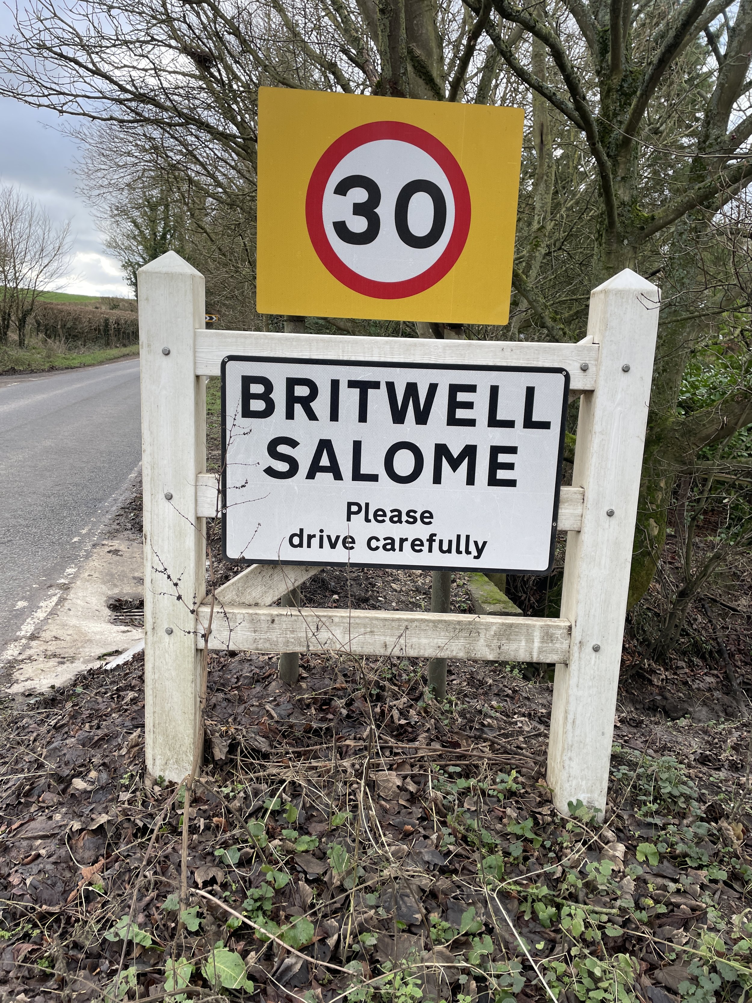
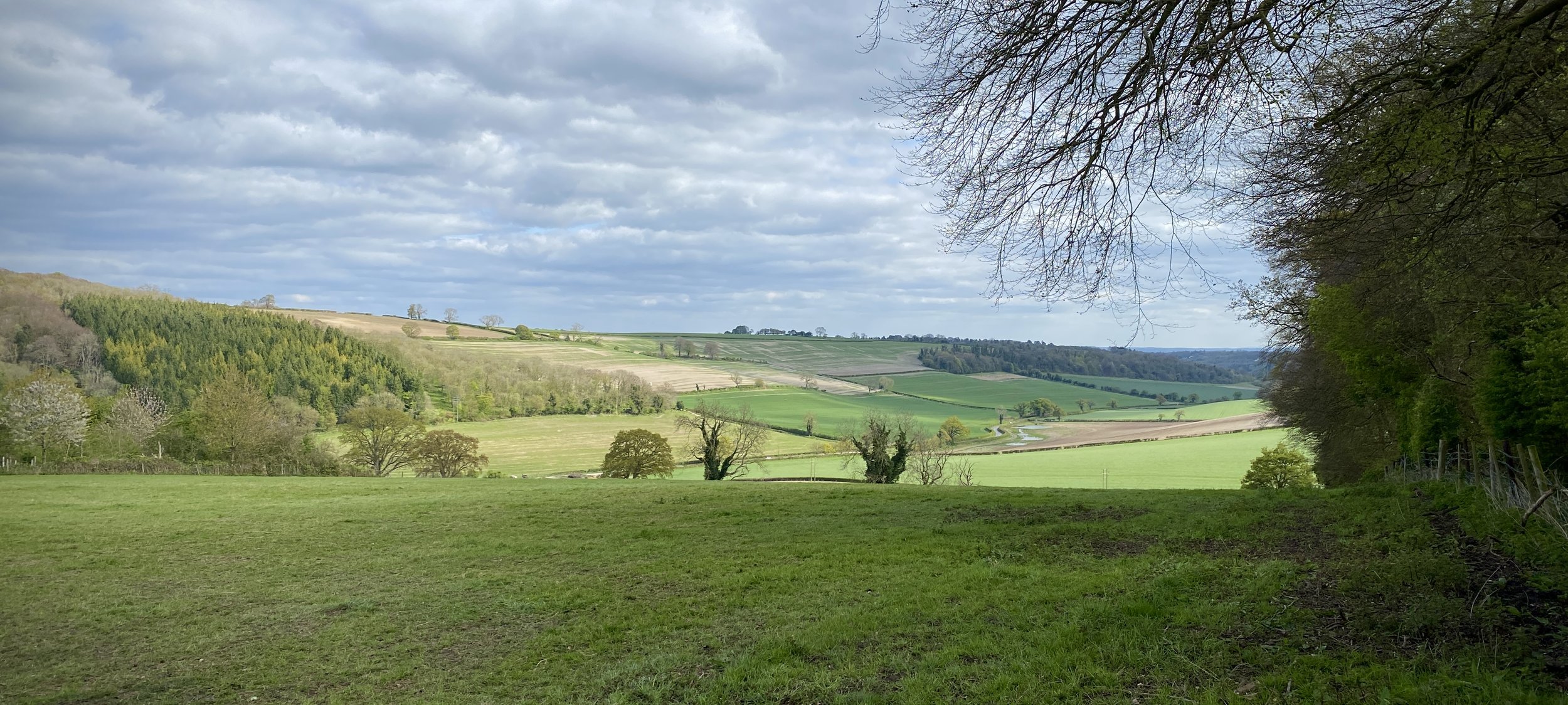
Between Turville Heath and Pishill
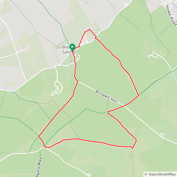
Start & Finish: Road-side parking in Stonor Village, RG9 6HB
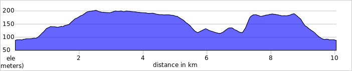
Distance: 10 km (6.2 miles)
Elevation change: +/- 208m
GPX File: get via Buy Me a Coffee
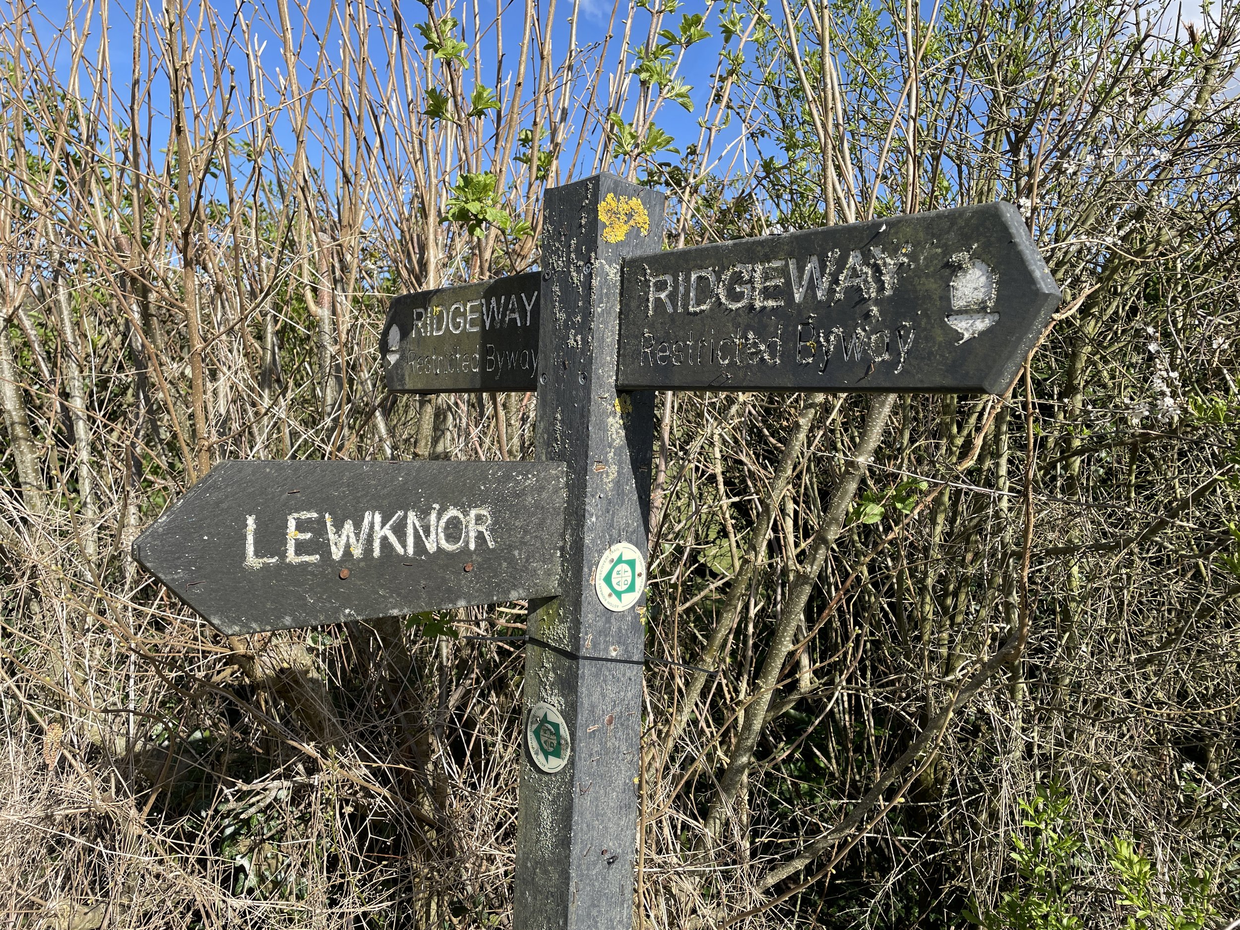
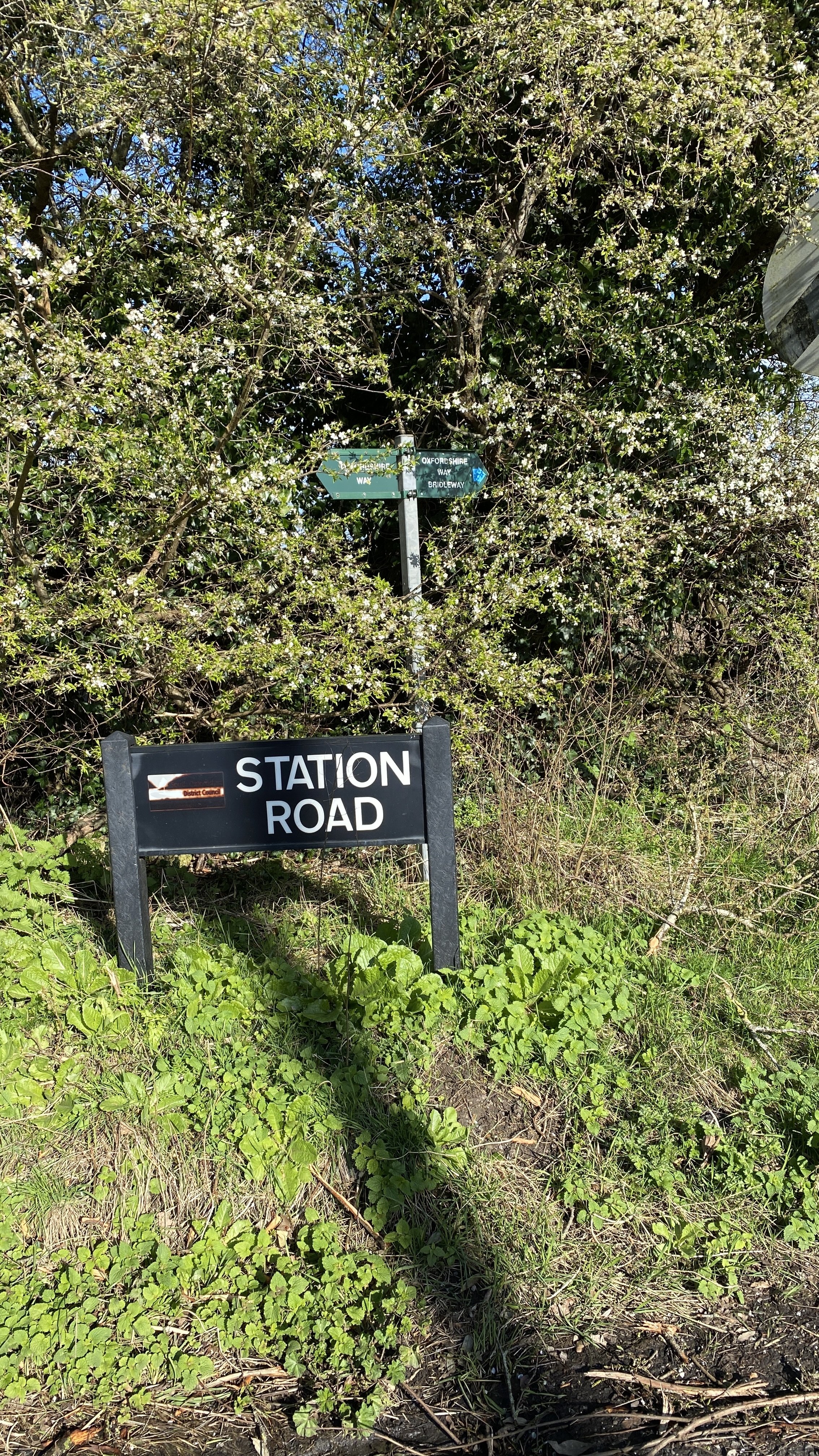
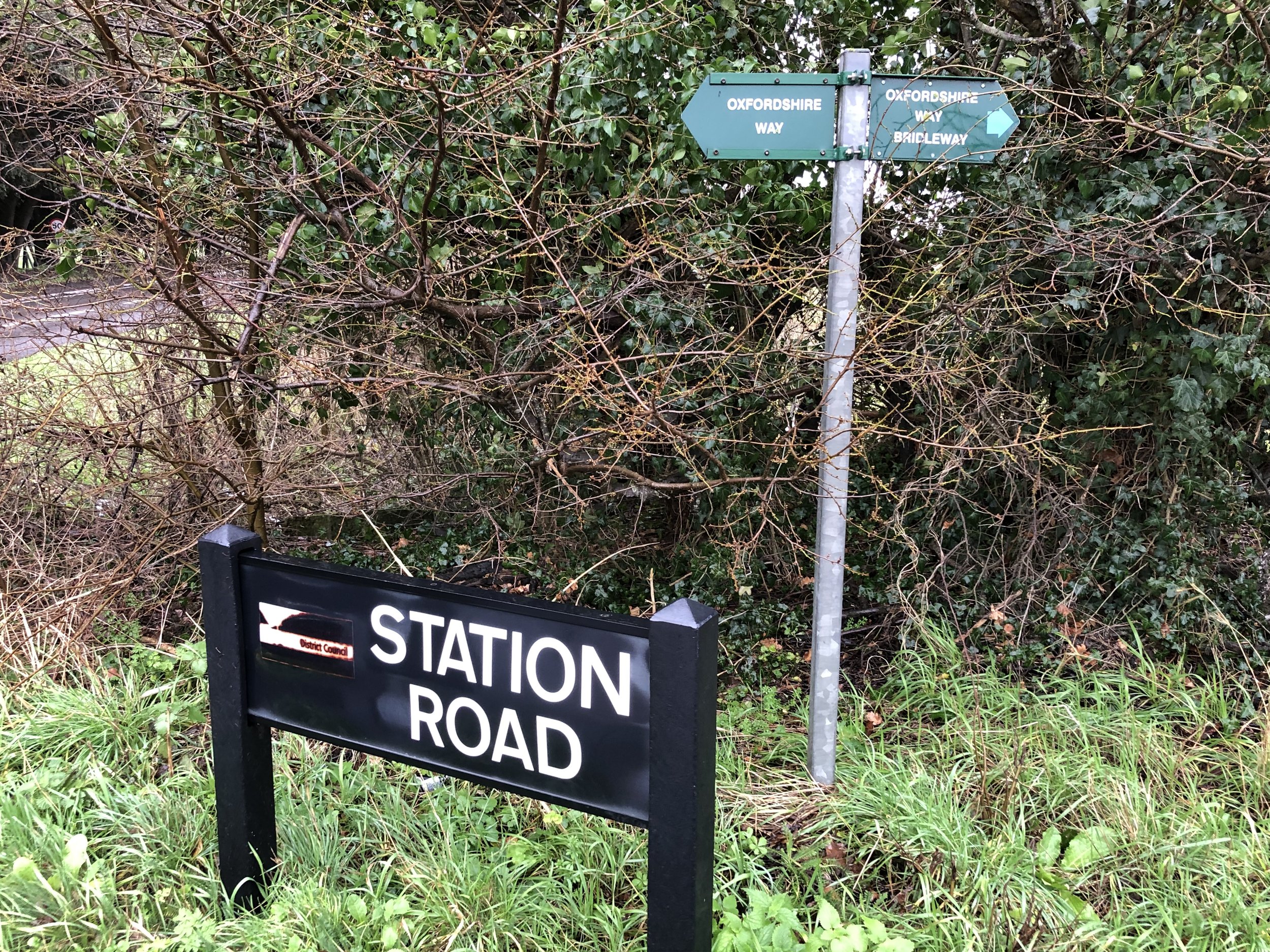
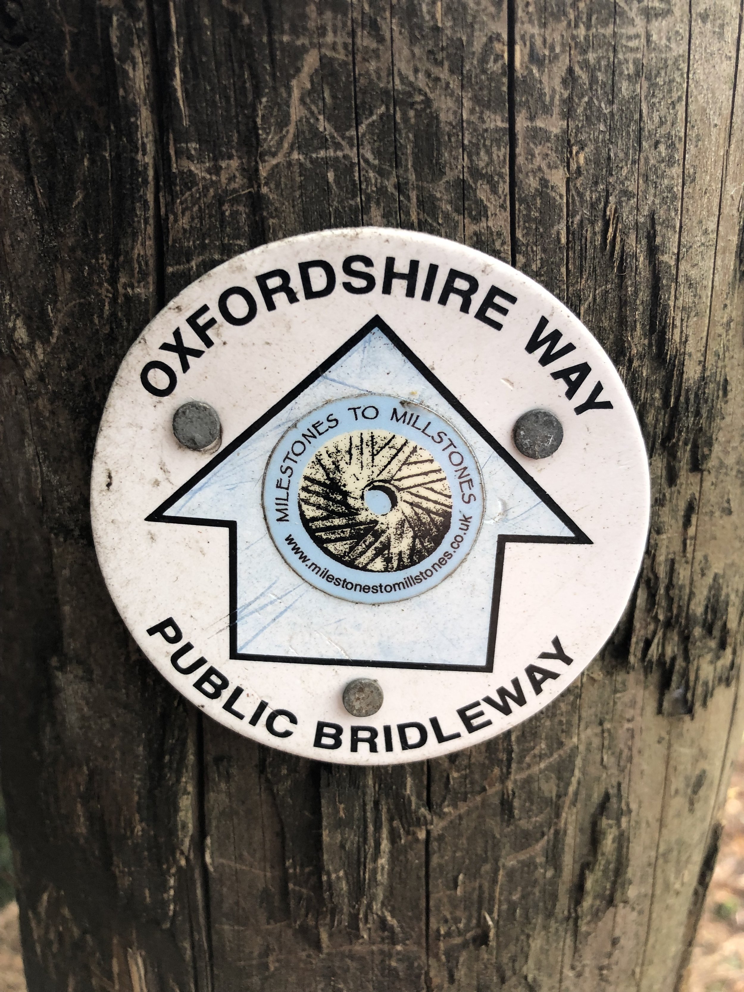
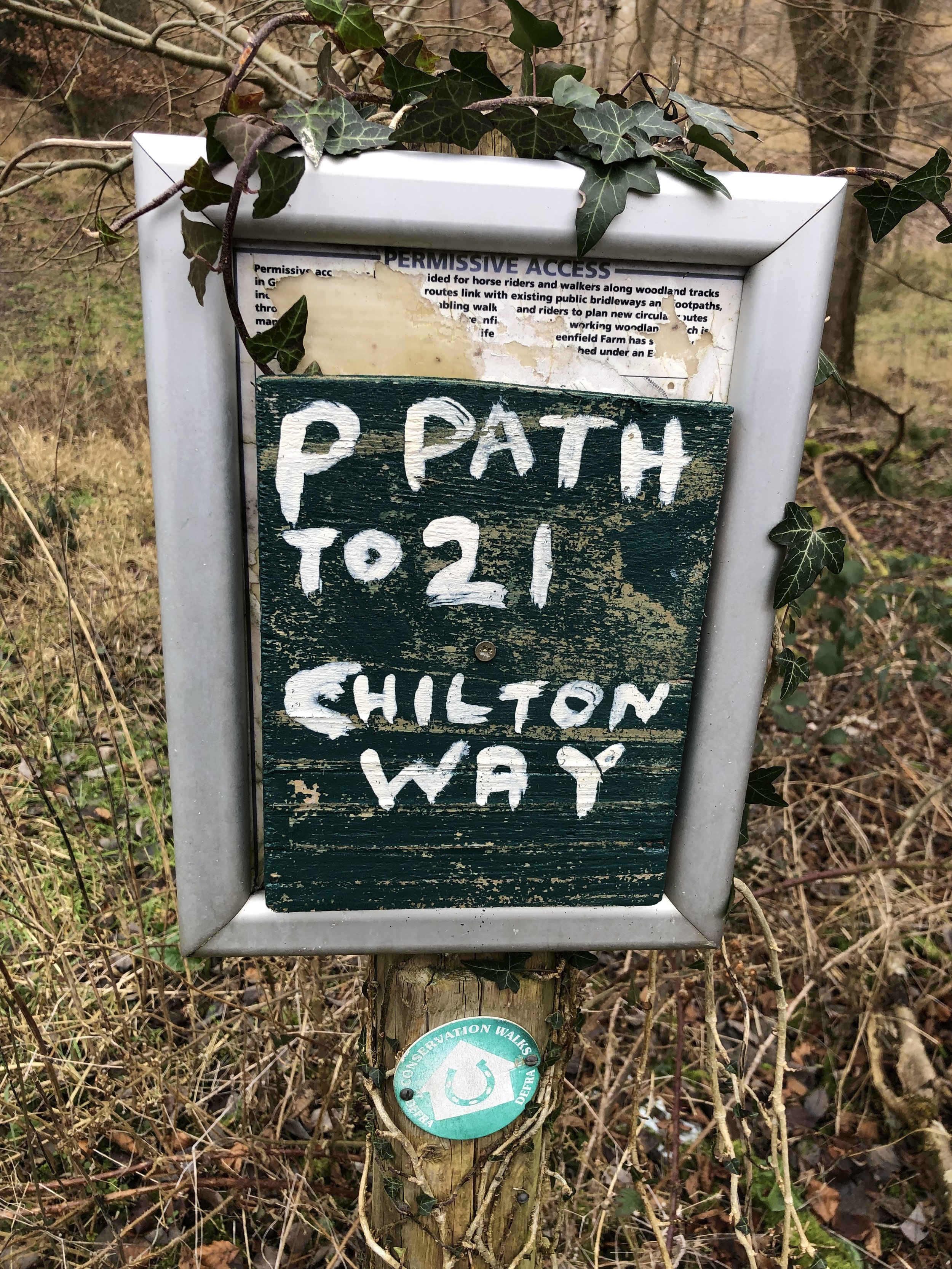
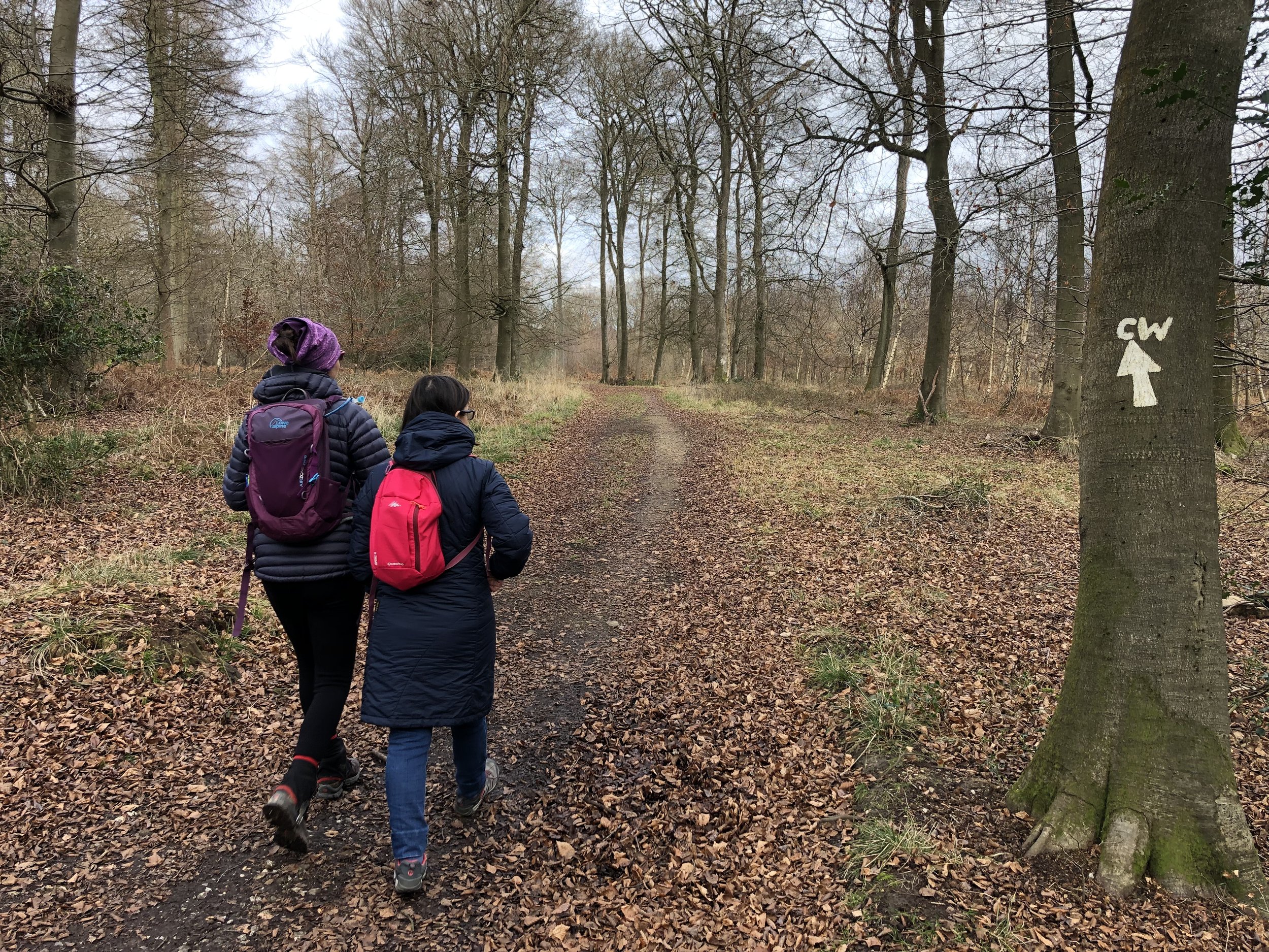
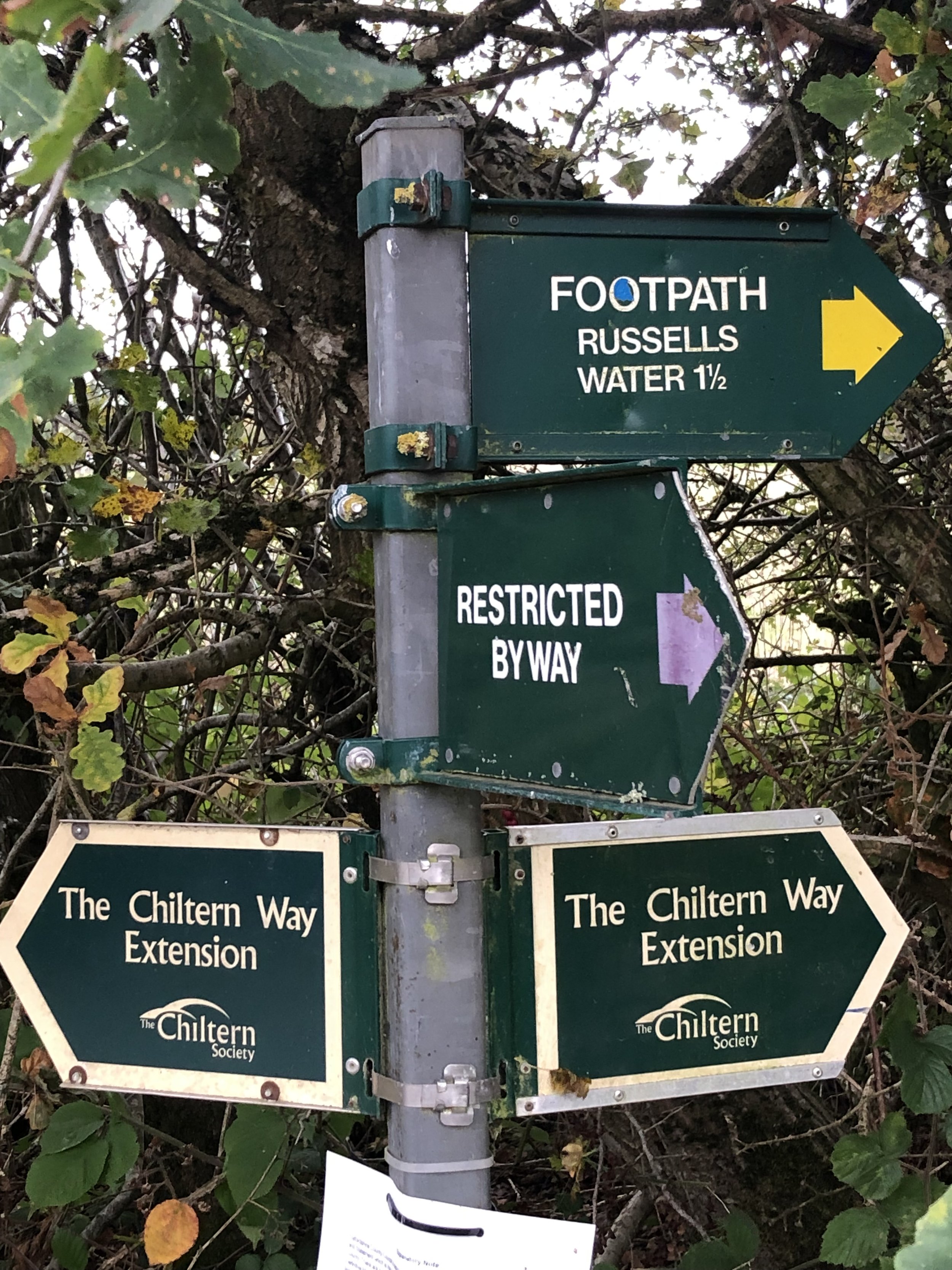
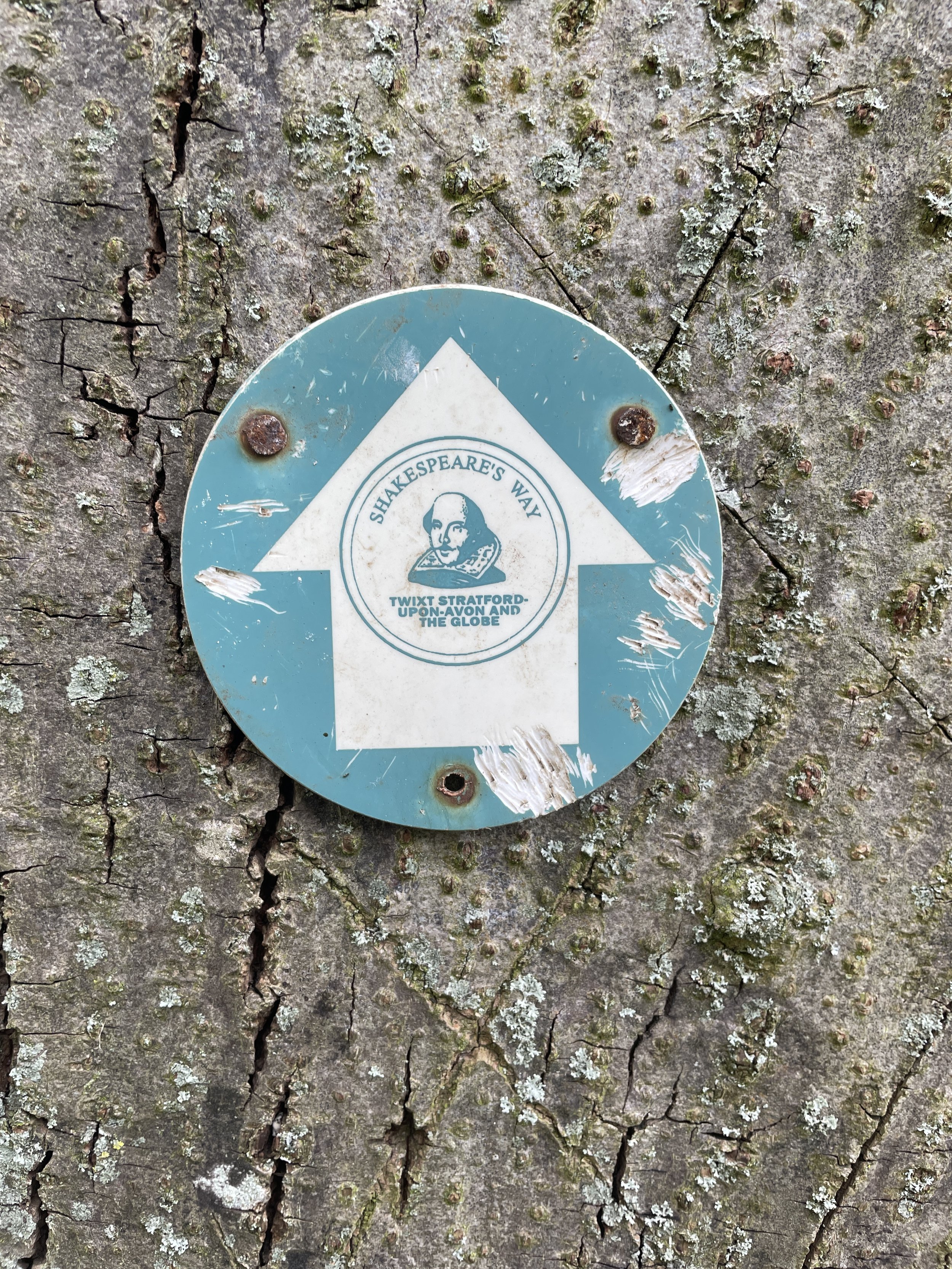
Other routes touched (walk): Shakespeare’s Way, Chiltern Way, Oxfordshire Way, 7 Shires Way
Other routes touched (cycle): none
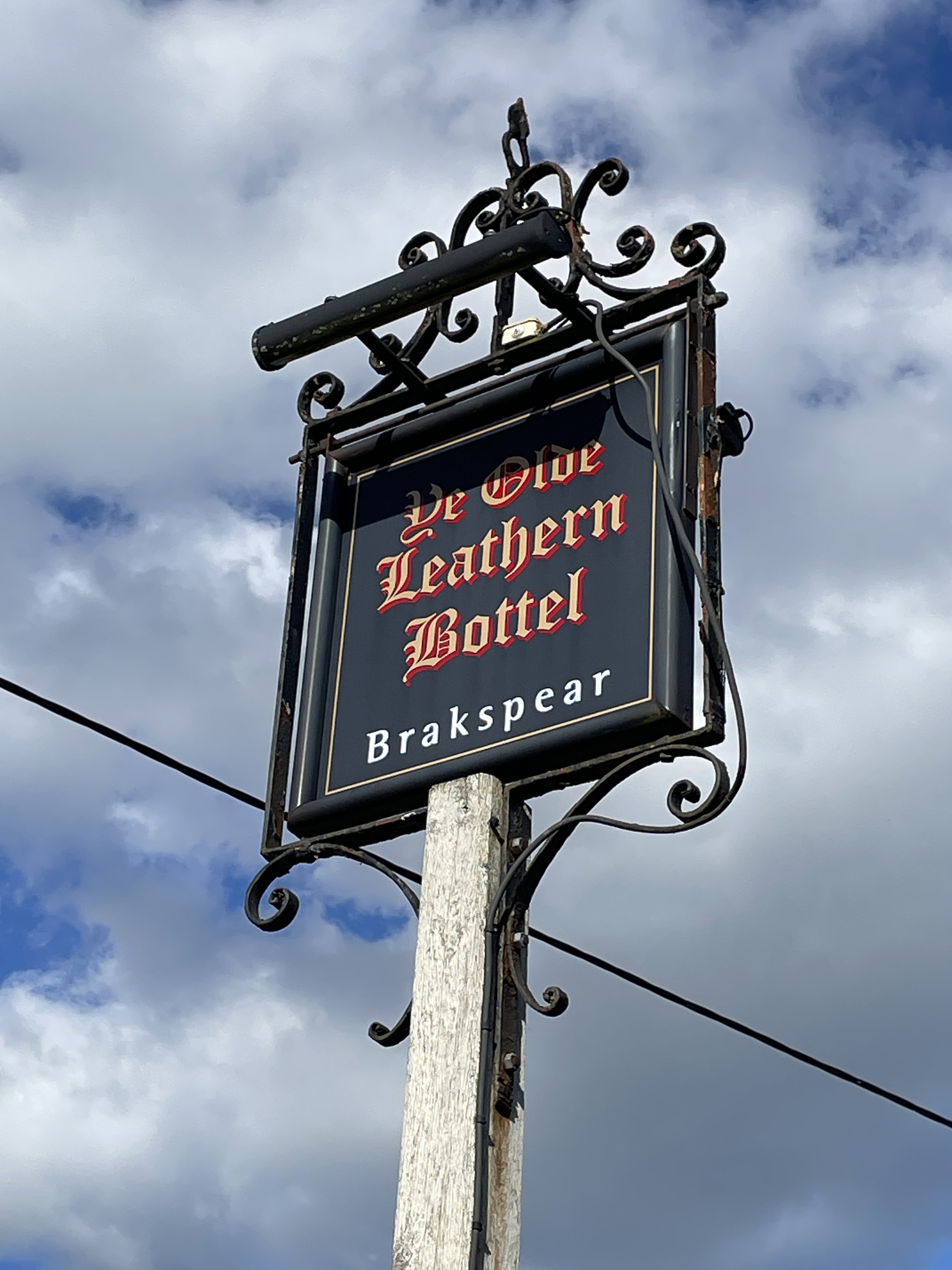
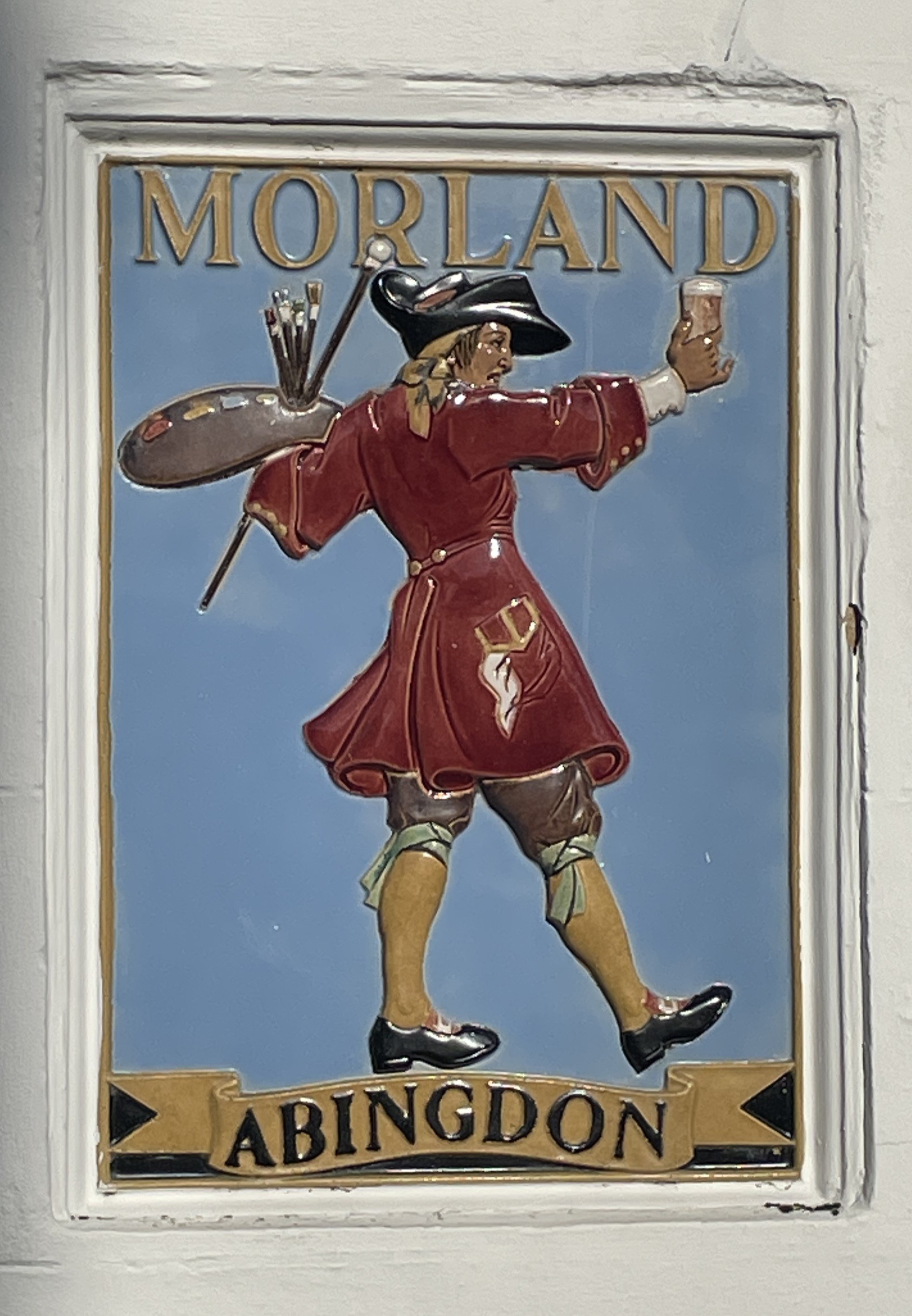
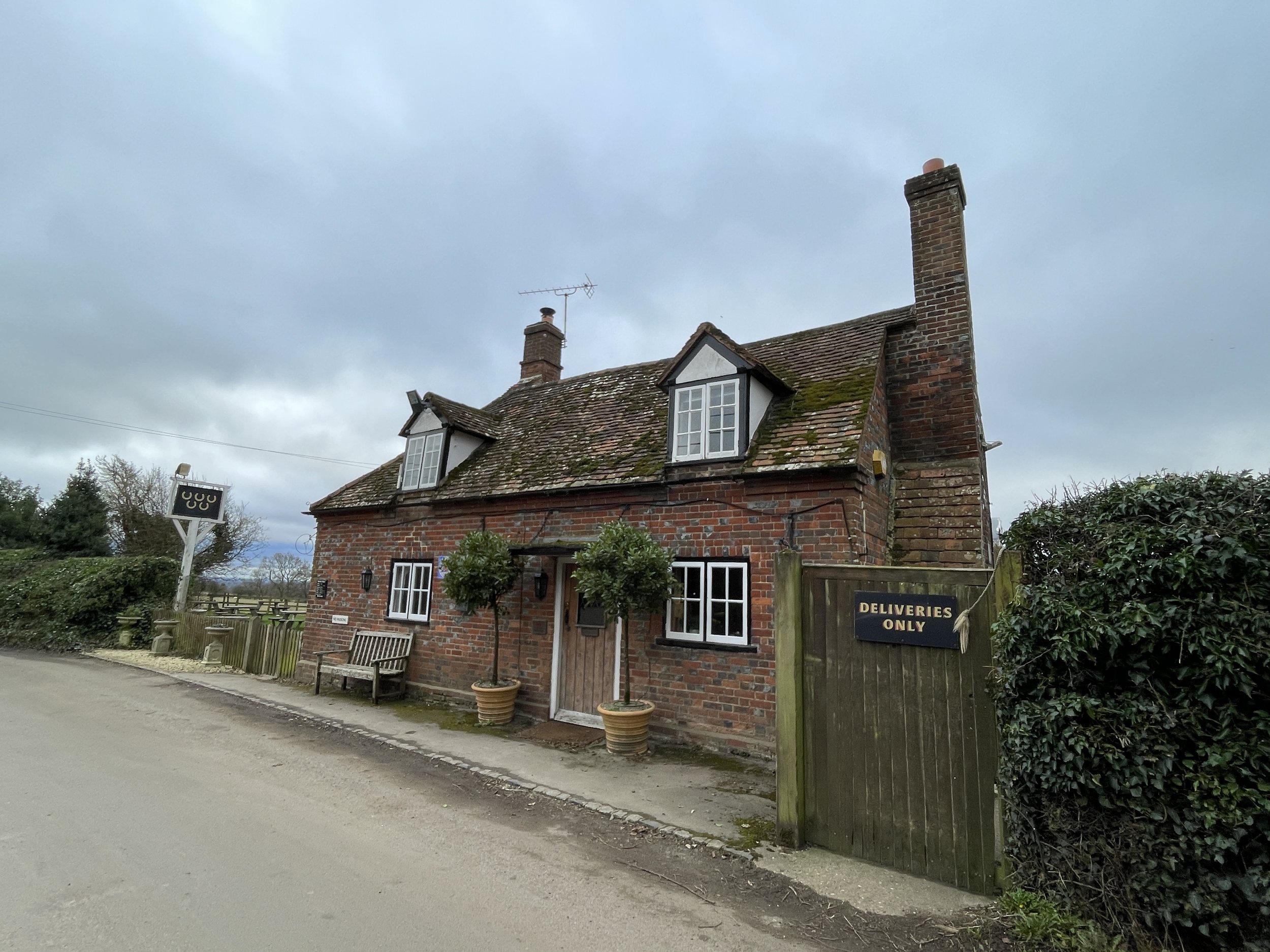
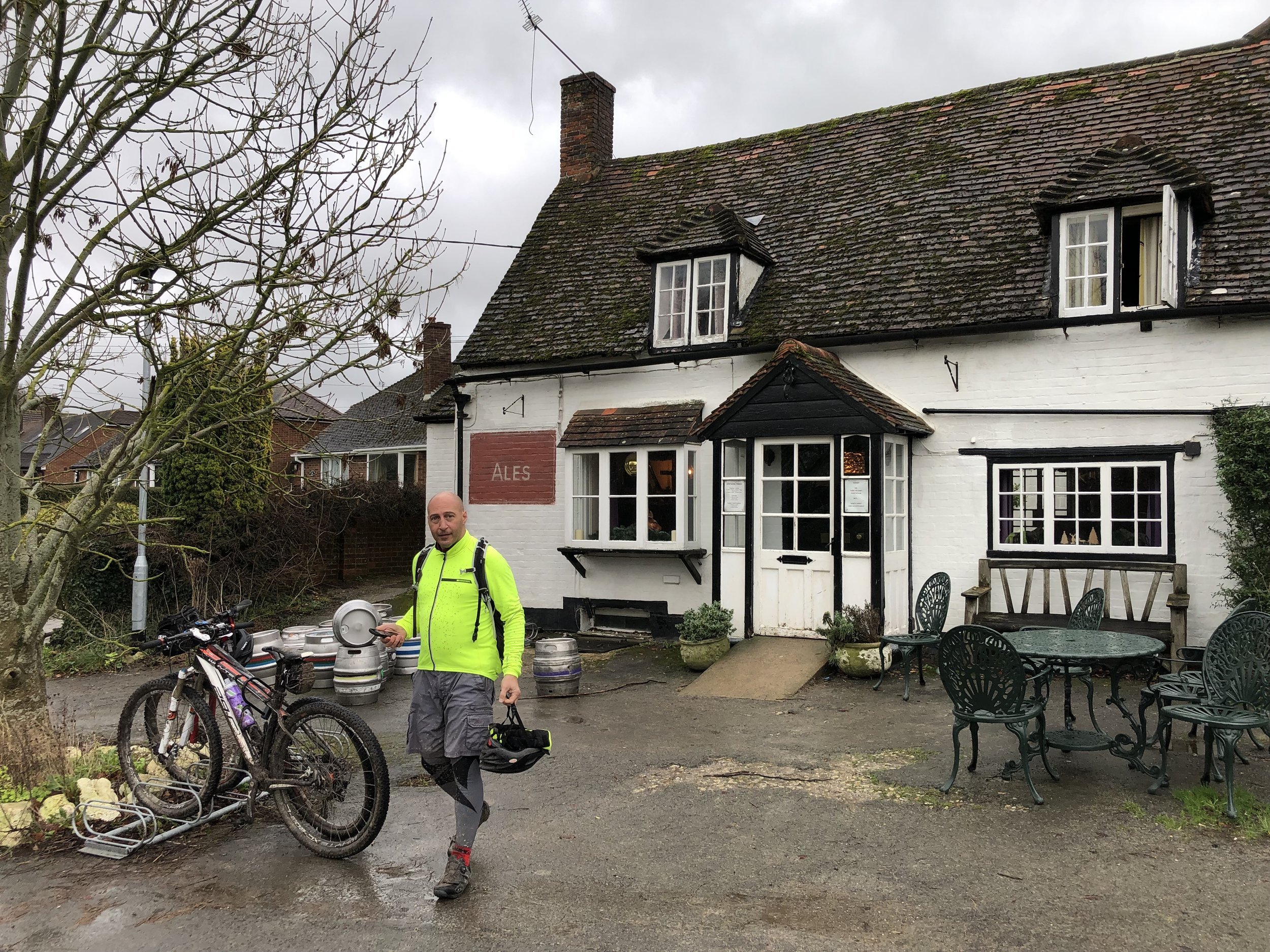
Pubs / Cafes on route: Cafe at the Stonor House Visitors Centre
Map: OS Explorer Map (171) Chiltern Hills West, Henley-on-Thames and Wallingford
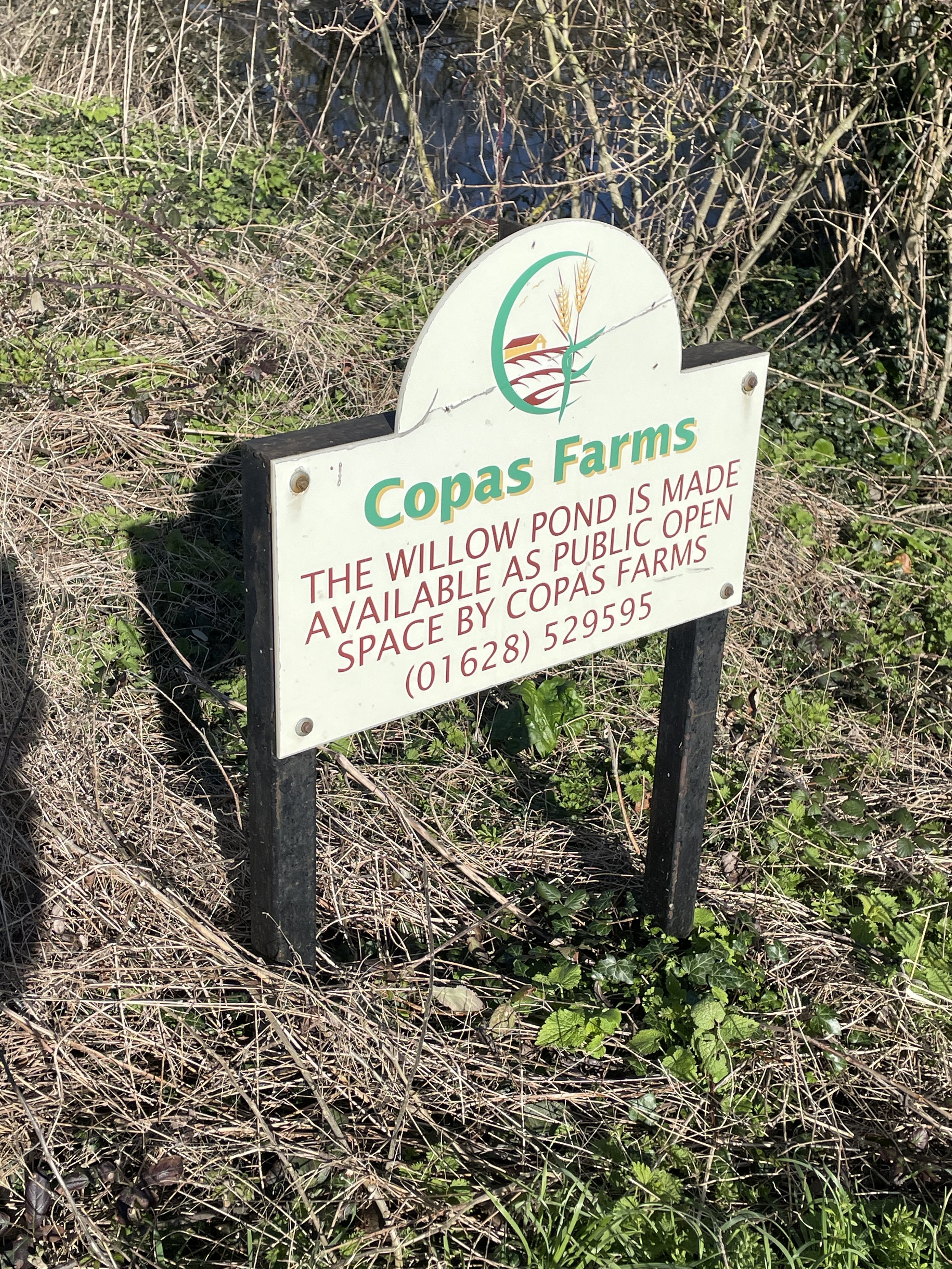
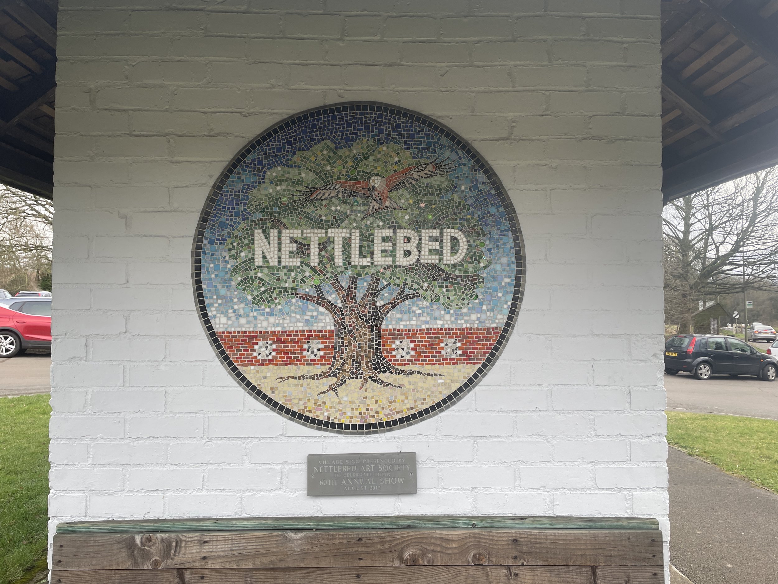
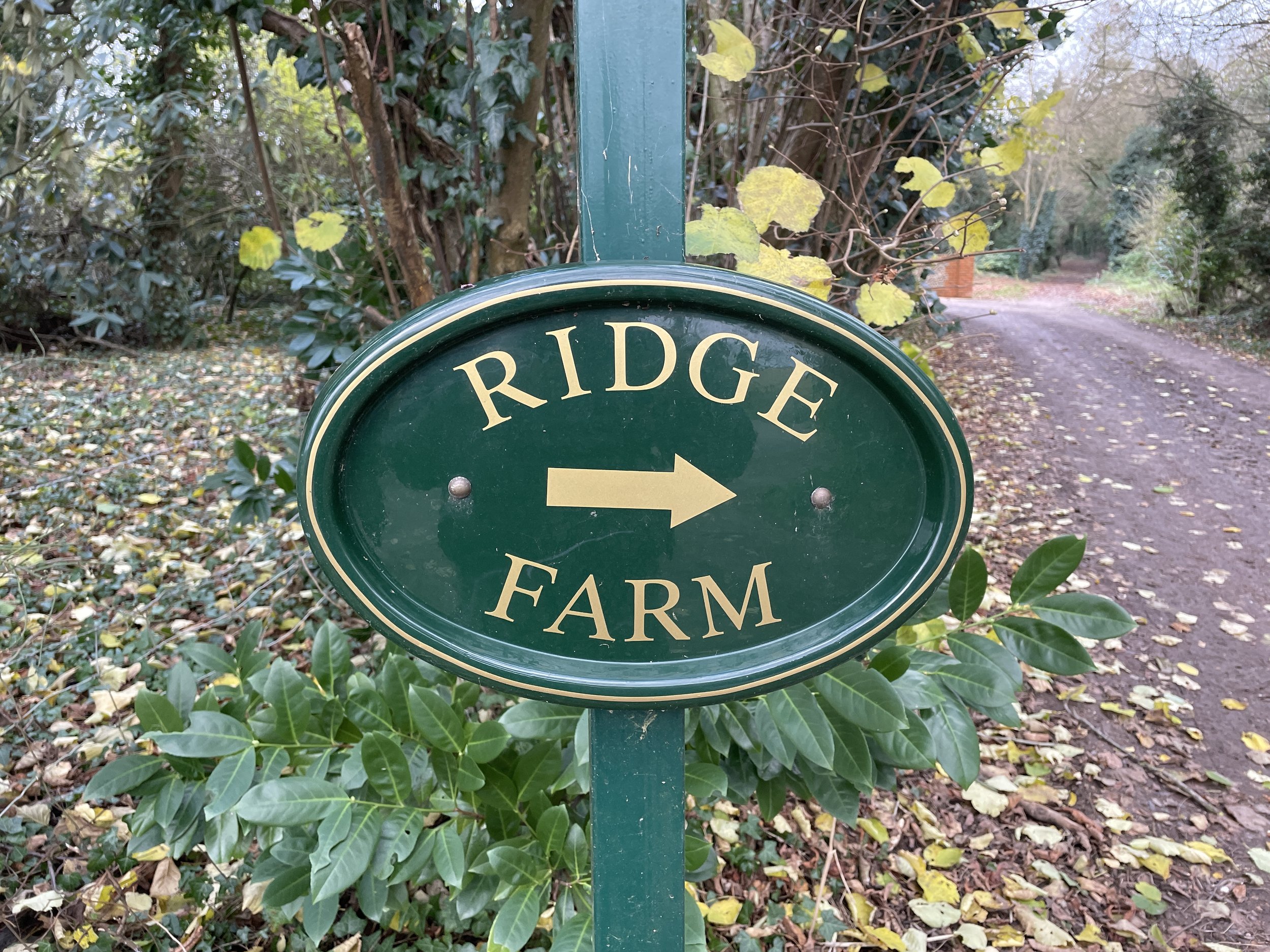
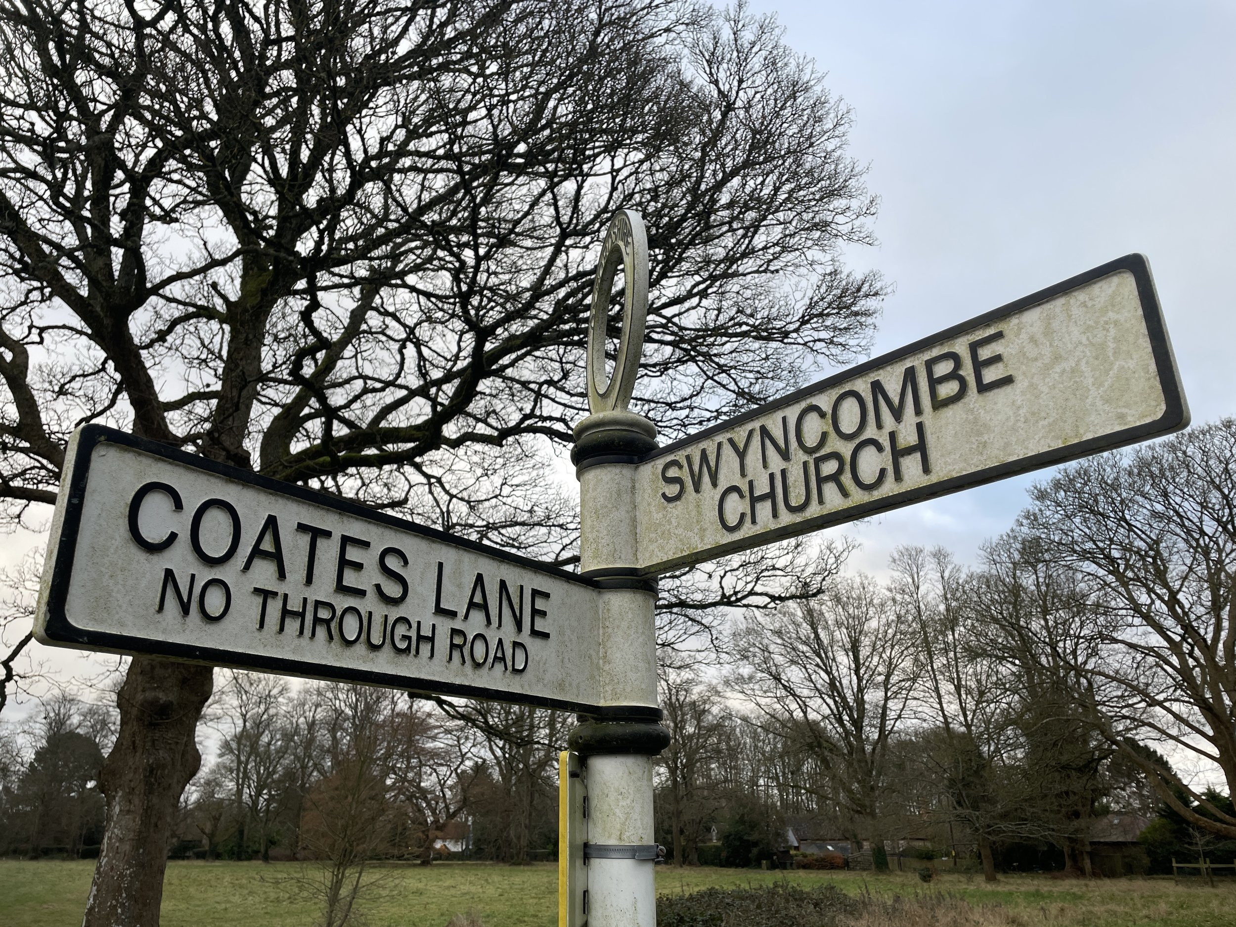
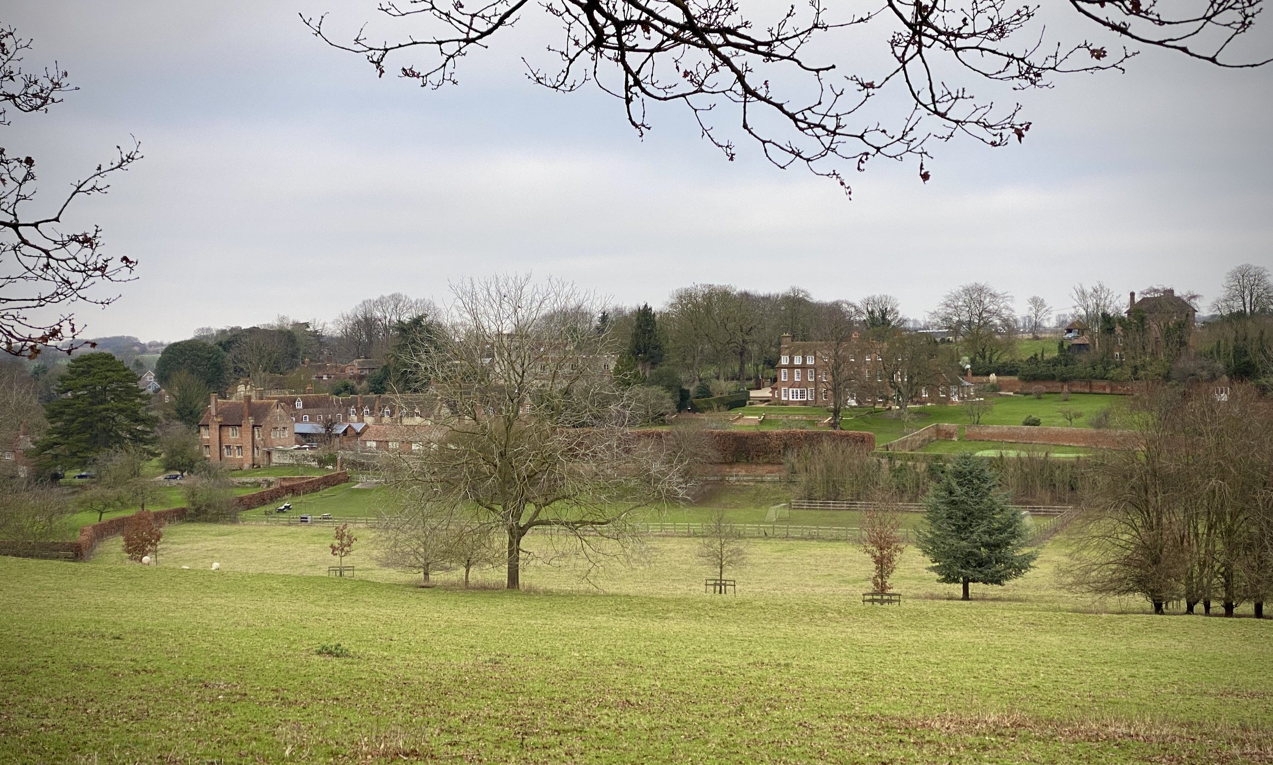
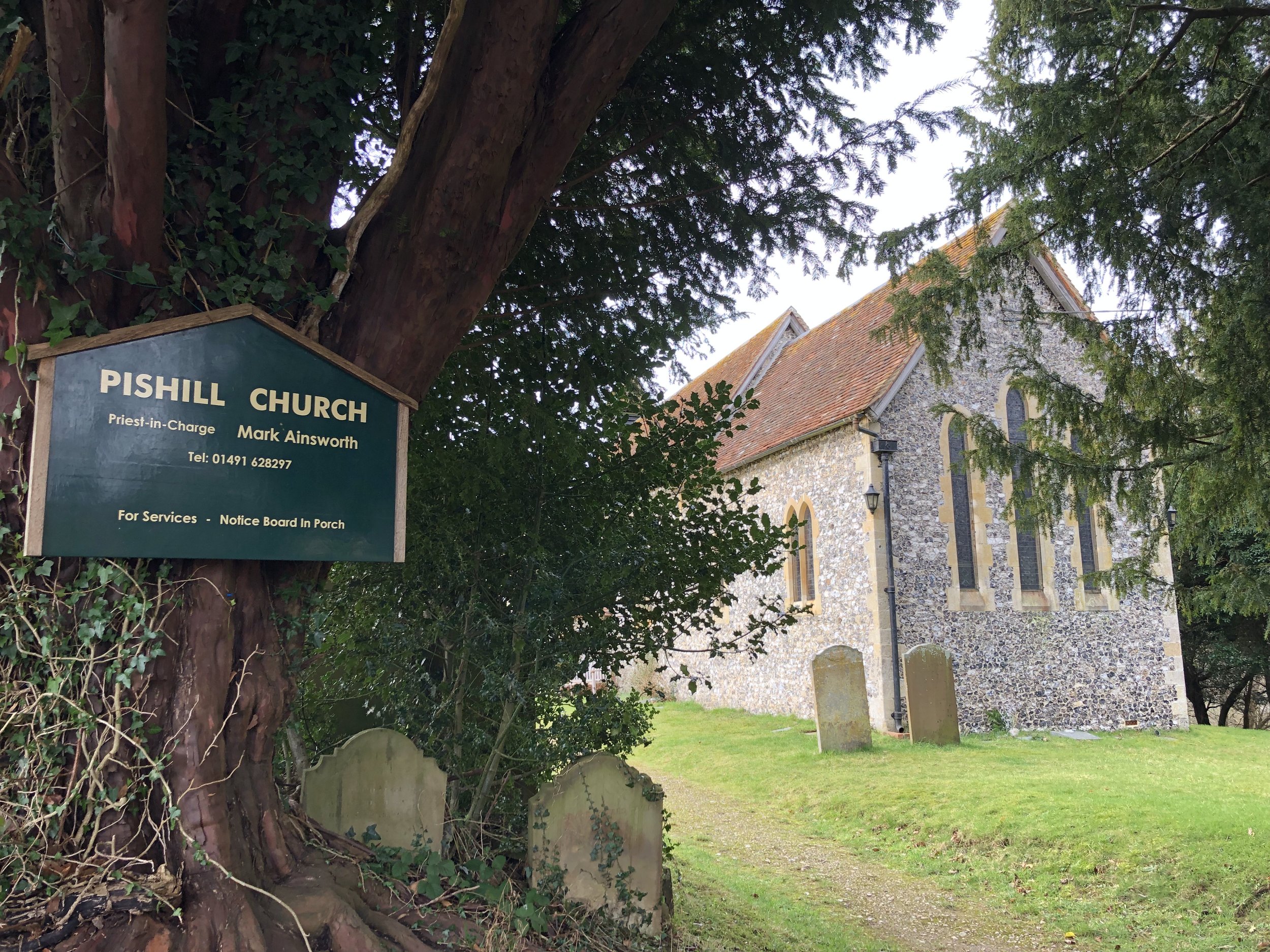
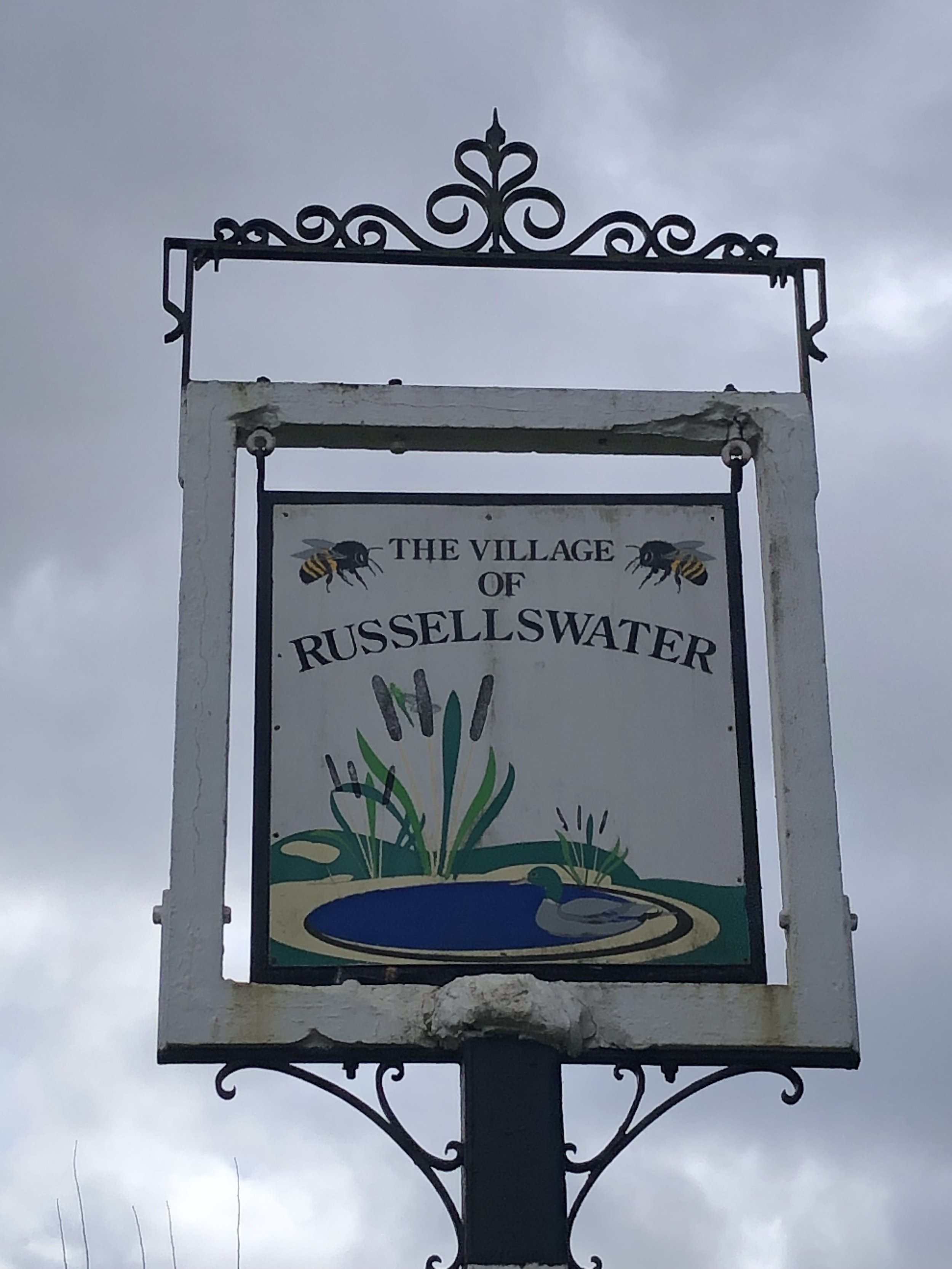
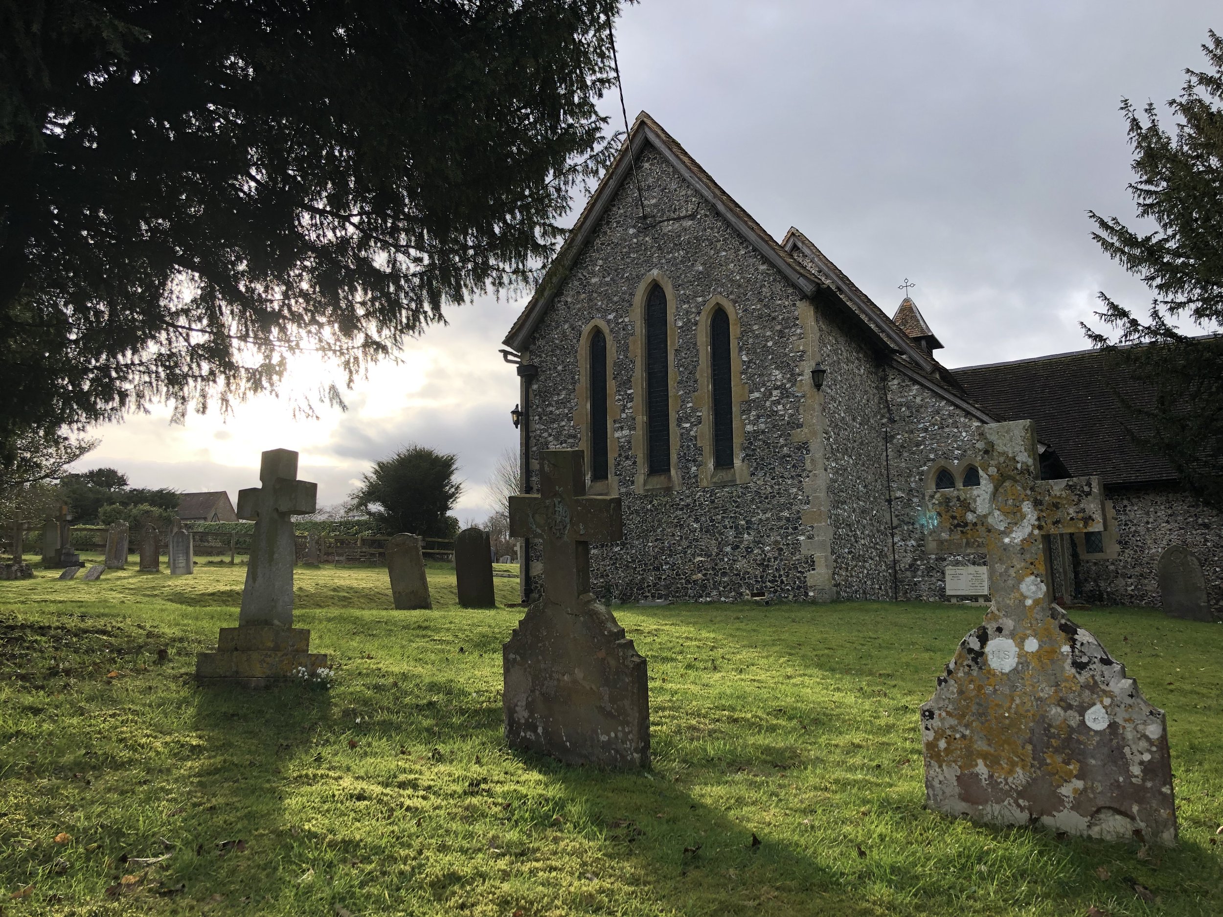
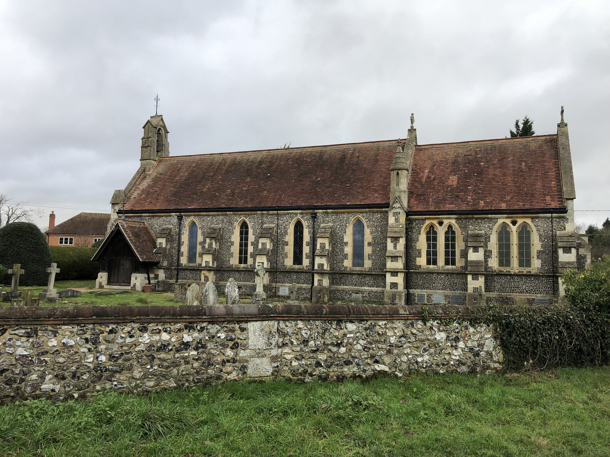
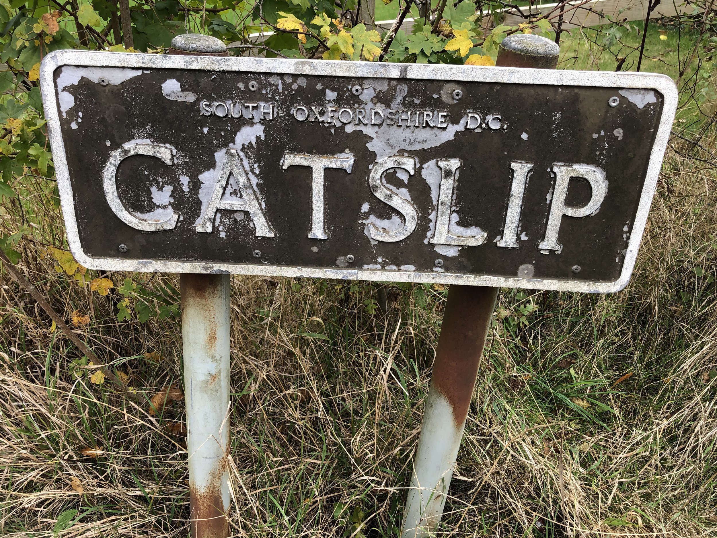
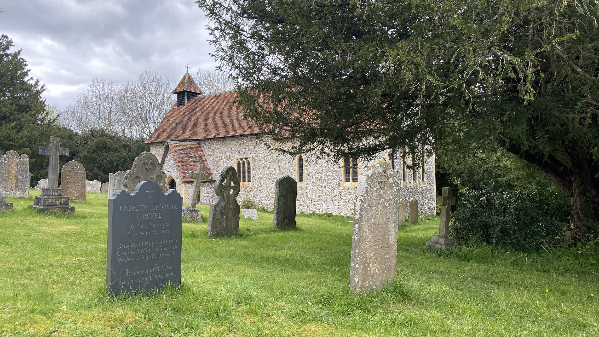
Links: Stonor, Stonor Park, Pishill, Maidensgrove
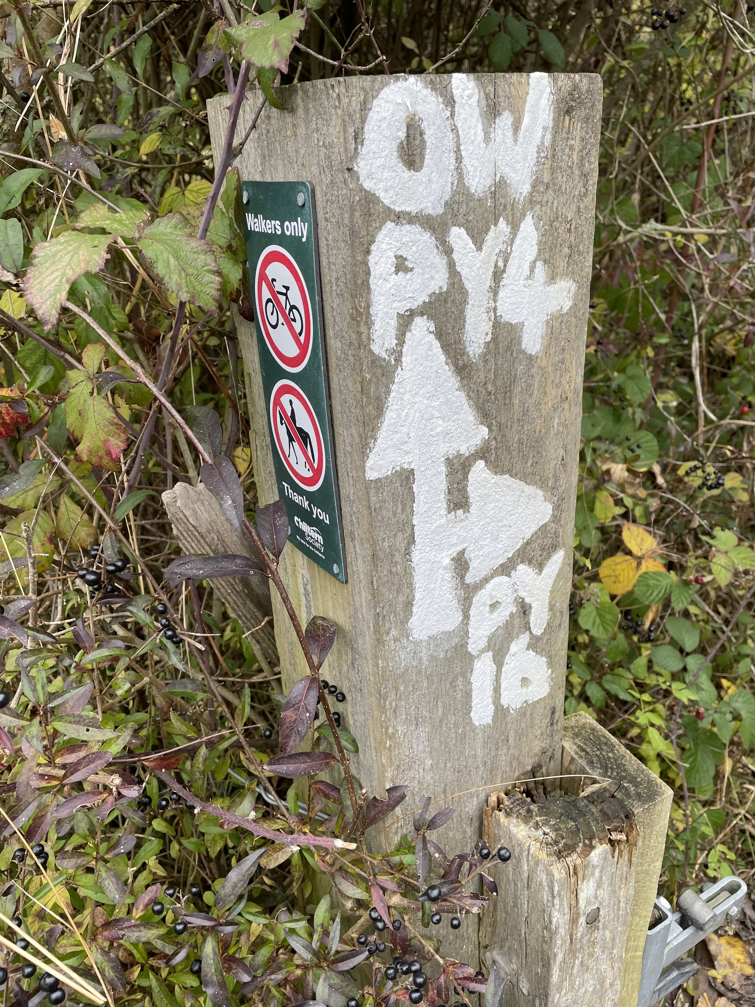
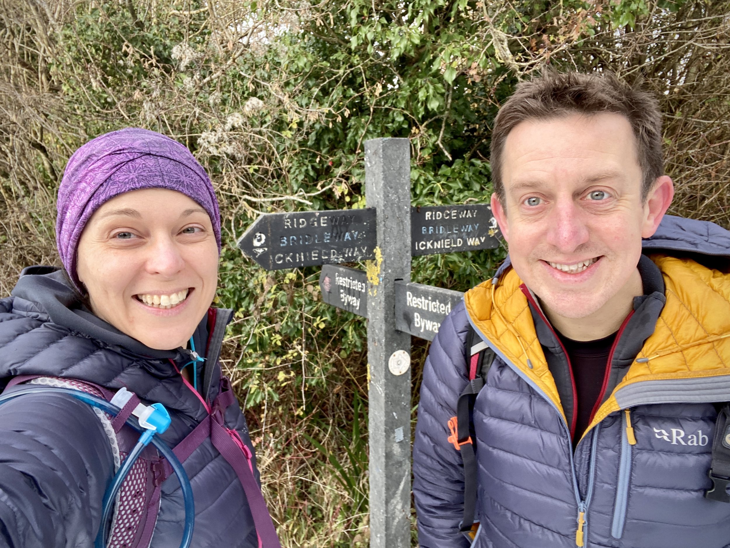
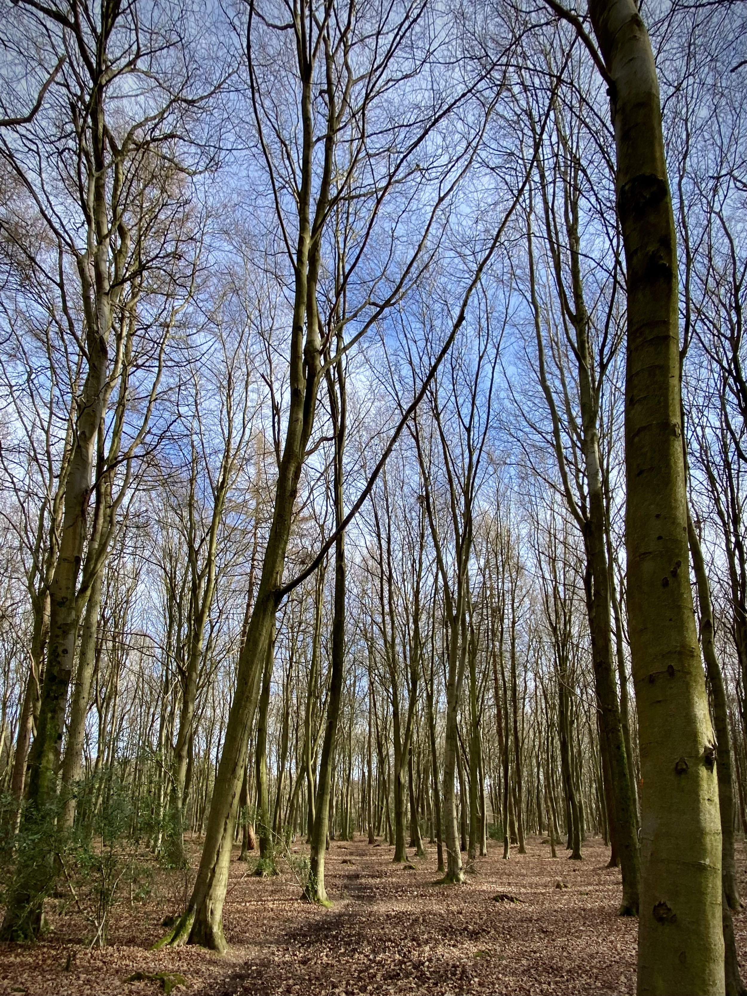
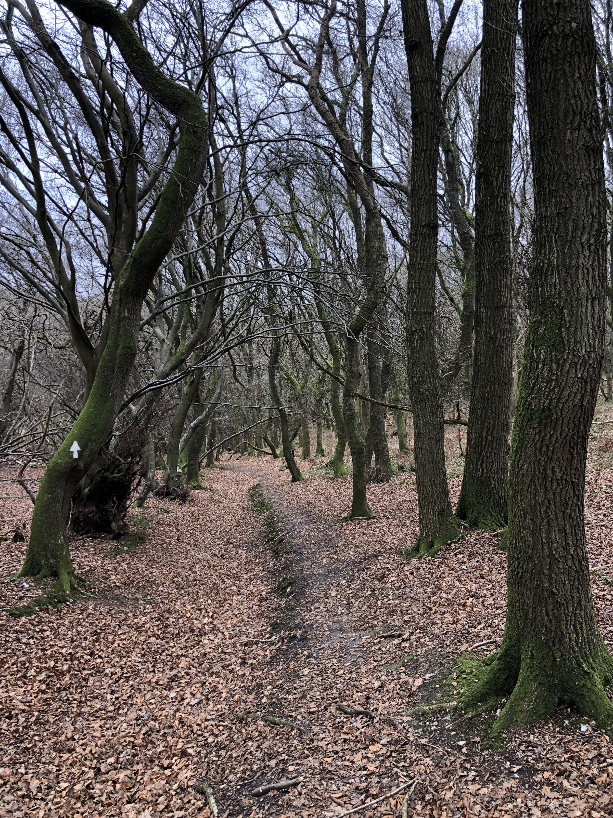
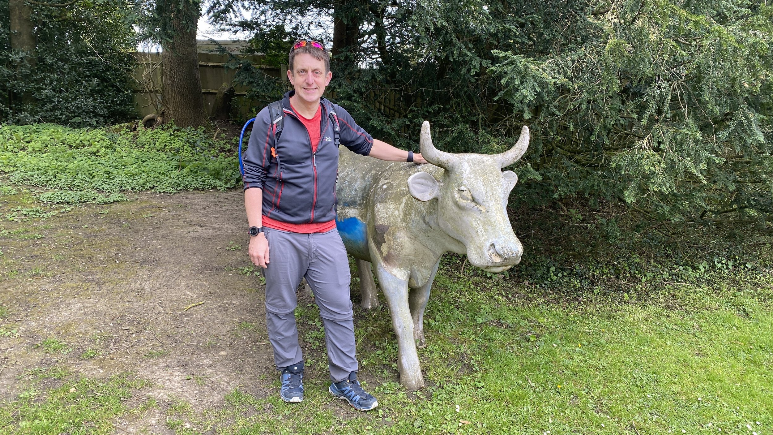
This is part of a series of short circular walks in the Chilterns. The guidance below will help you navigate but don’t use it as a fully accurate turn-by-turn guide. Always take a map and/or a GPX route and prepare well for the weather and terrain.
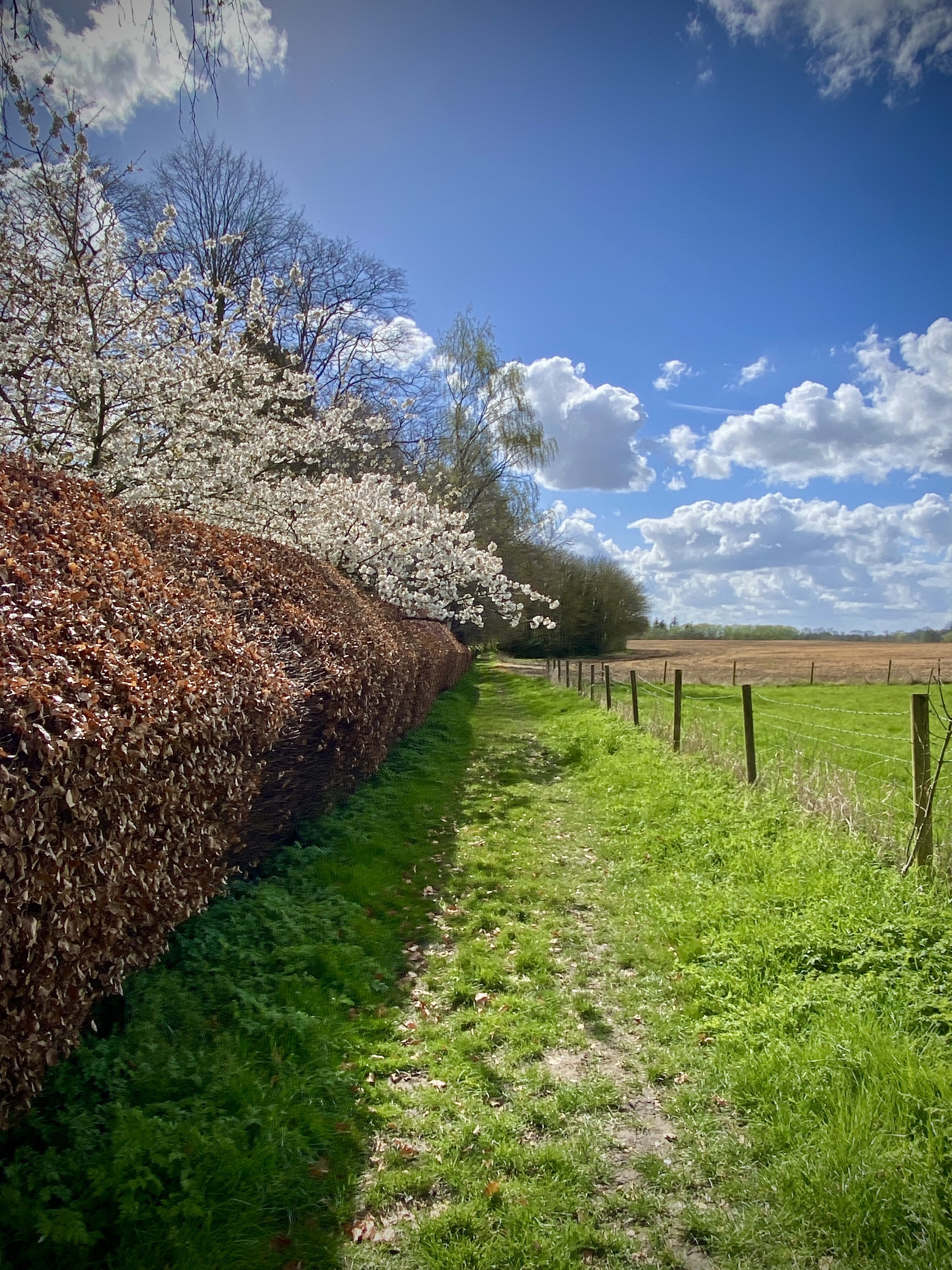
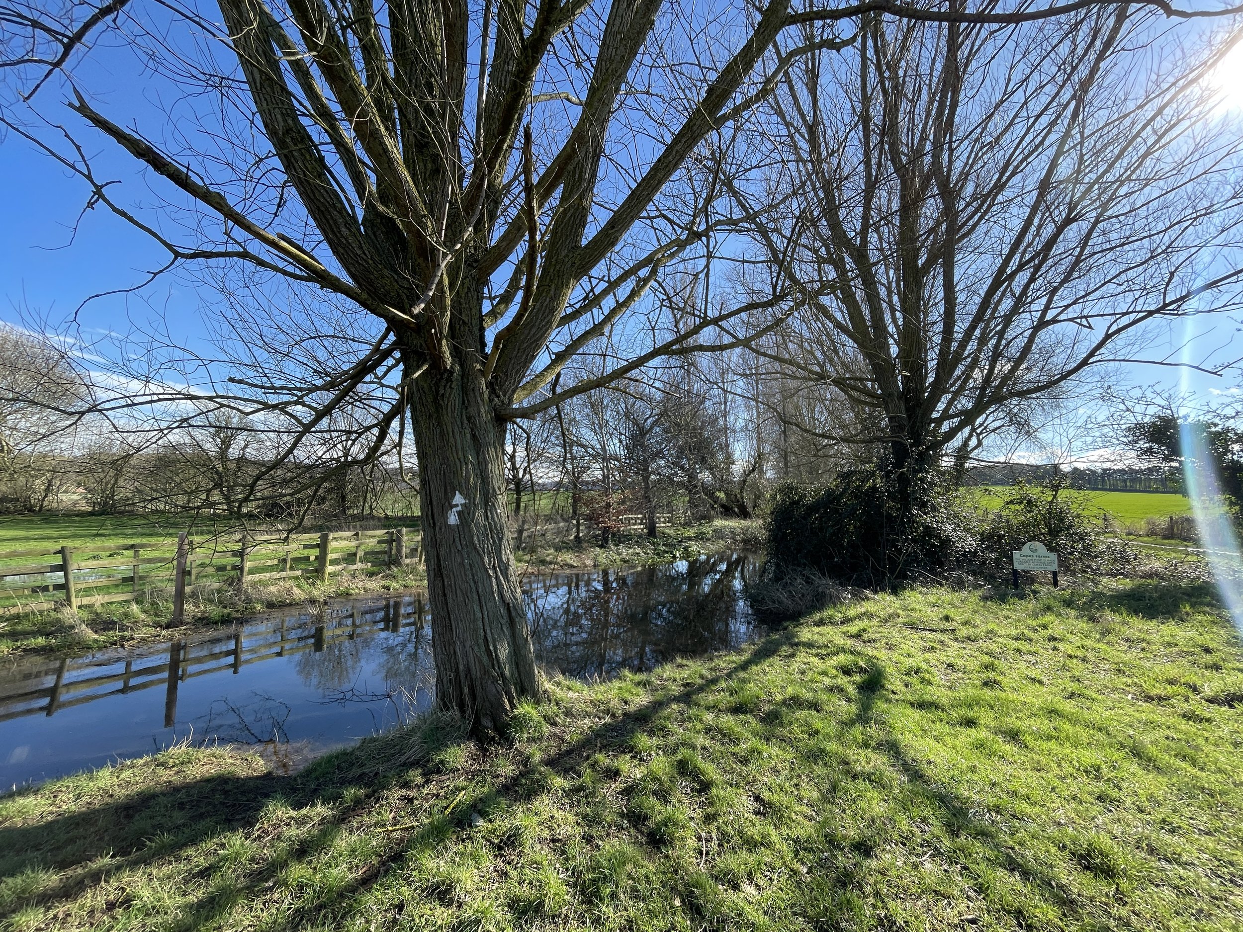
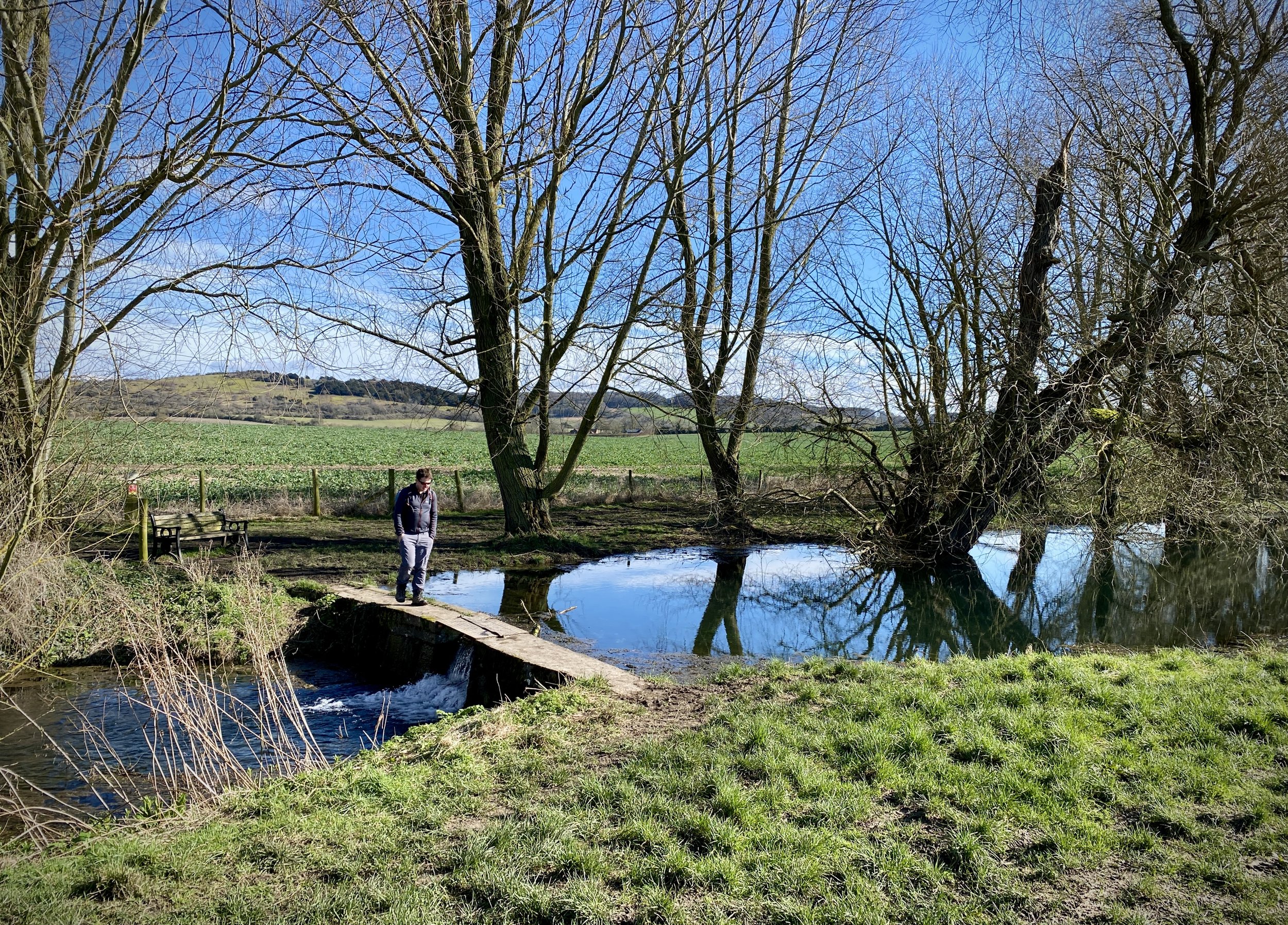
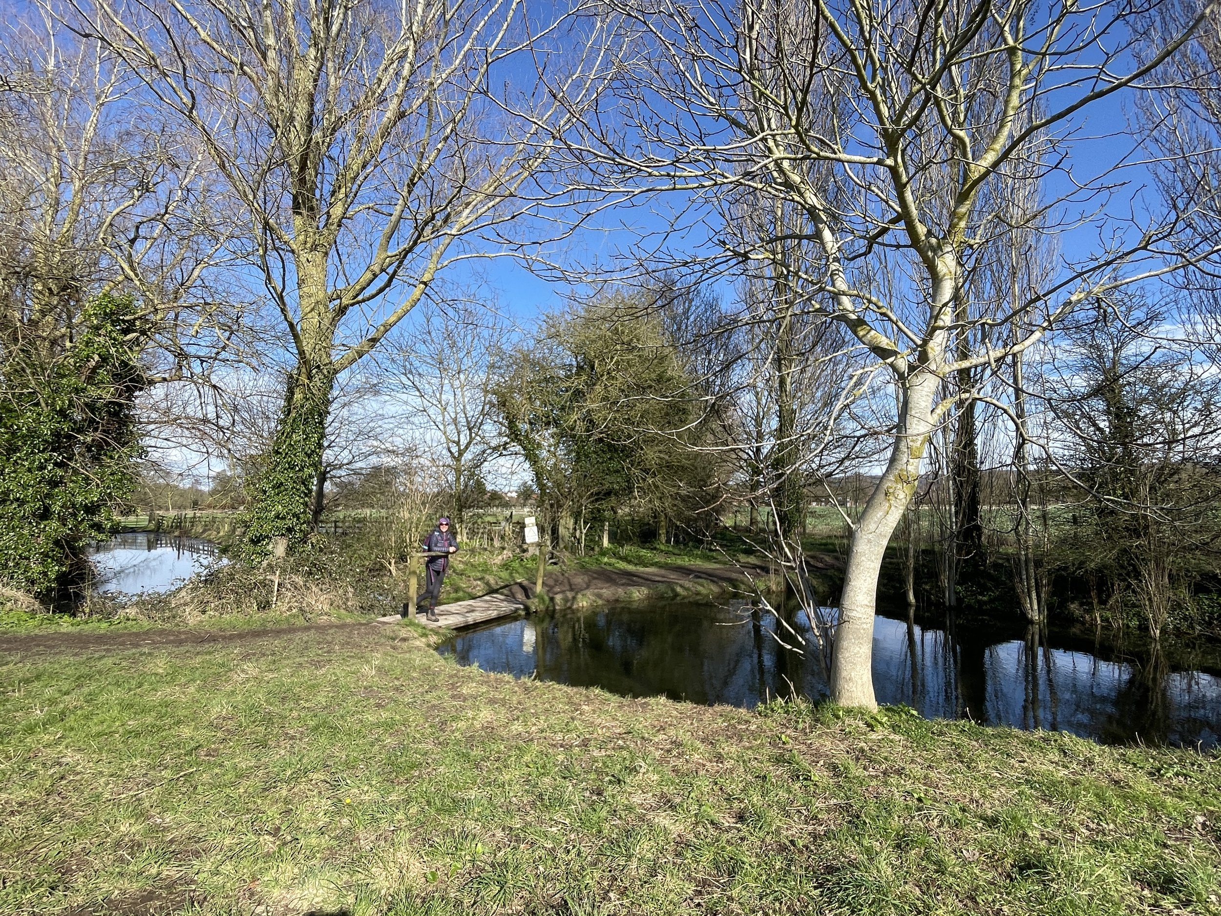
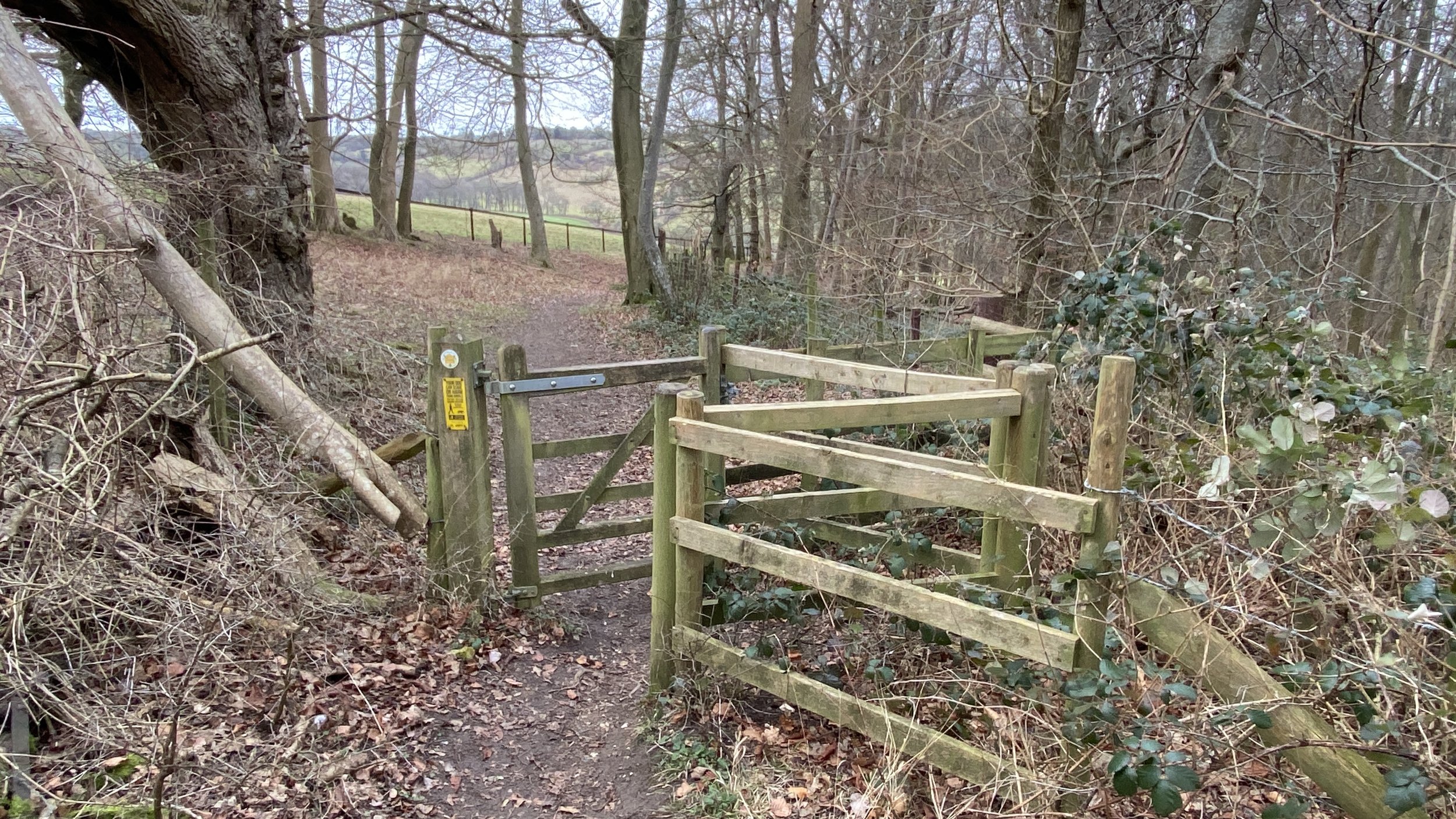
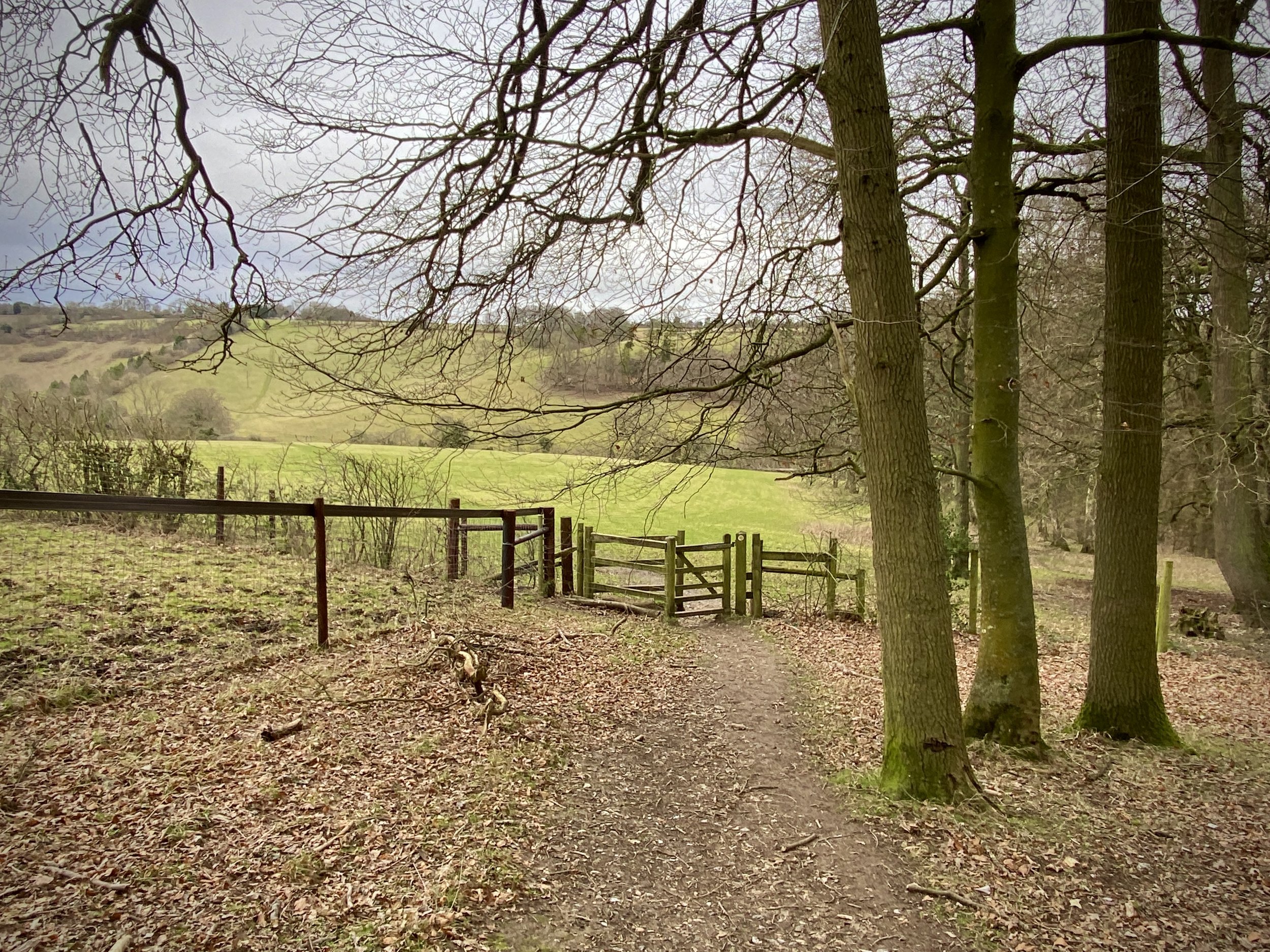
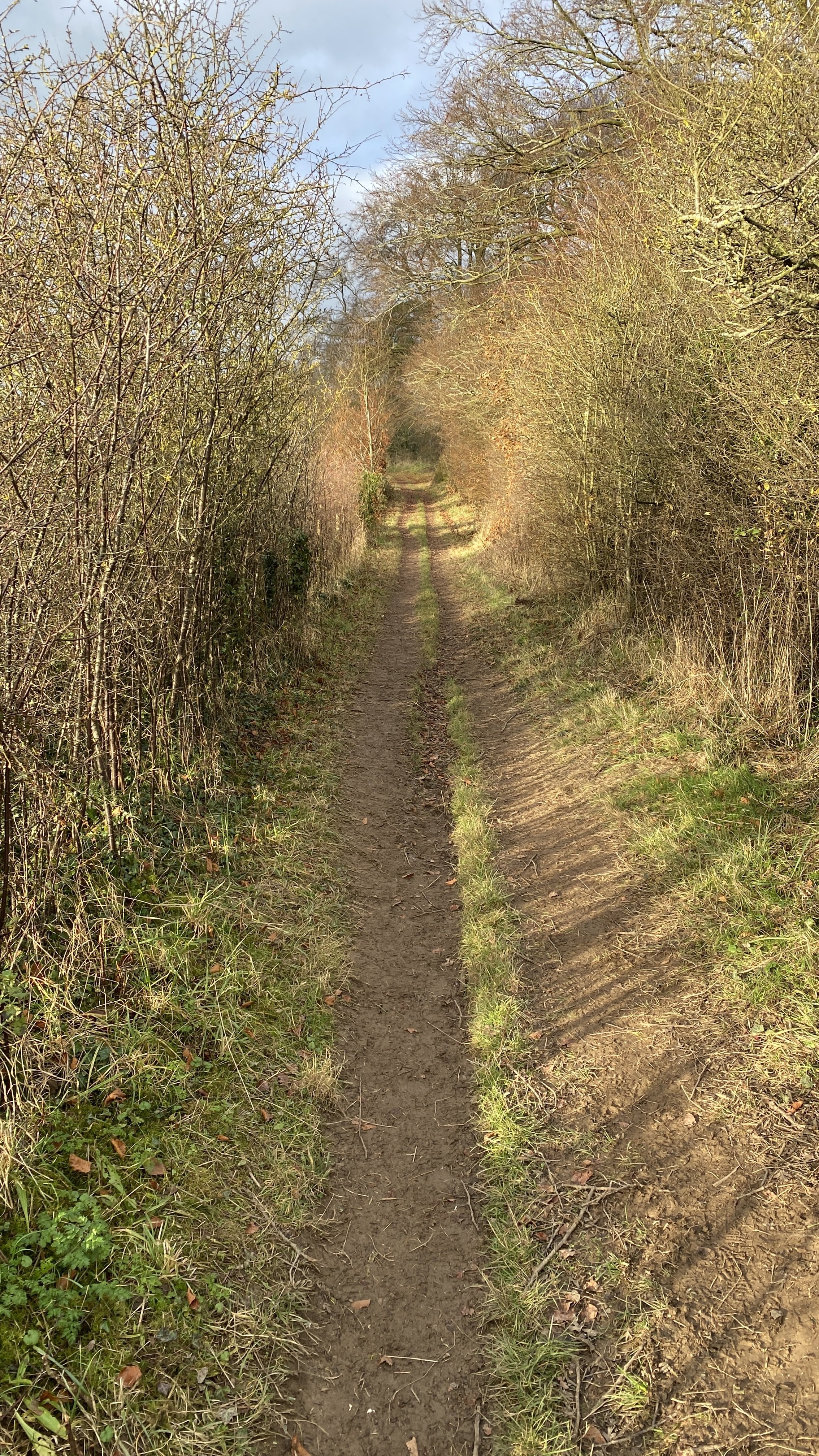
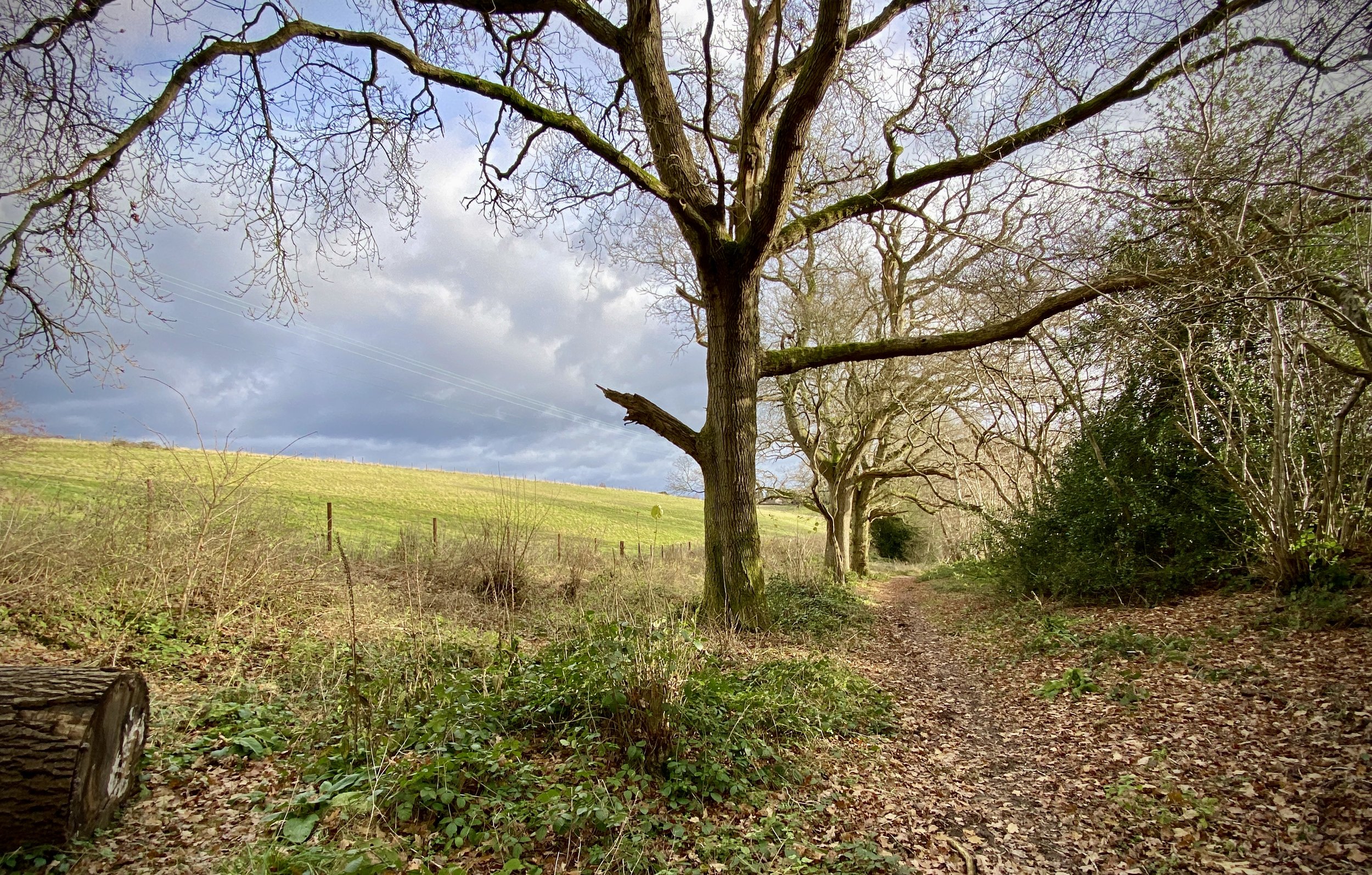
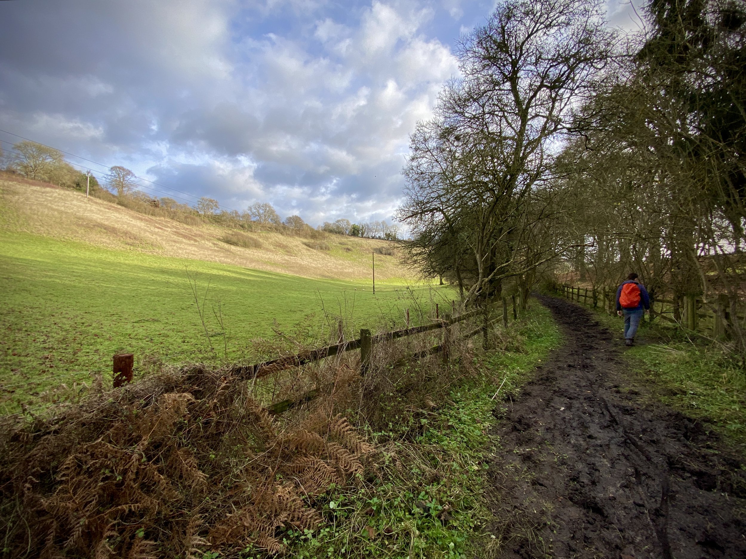
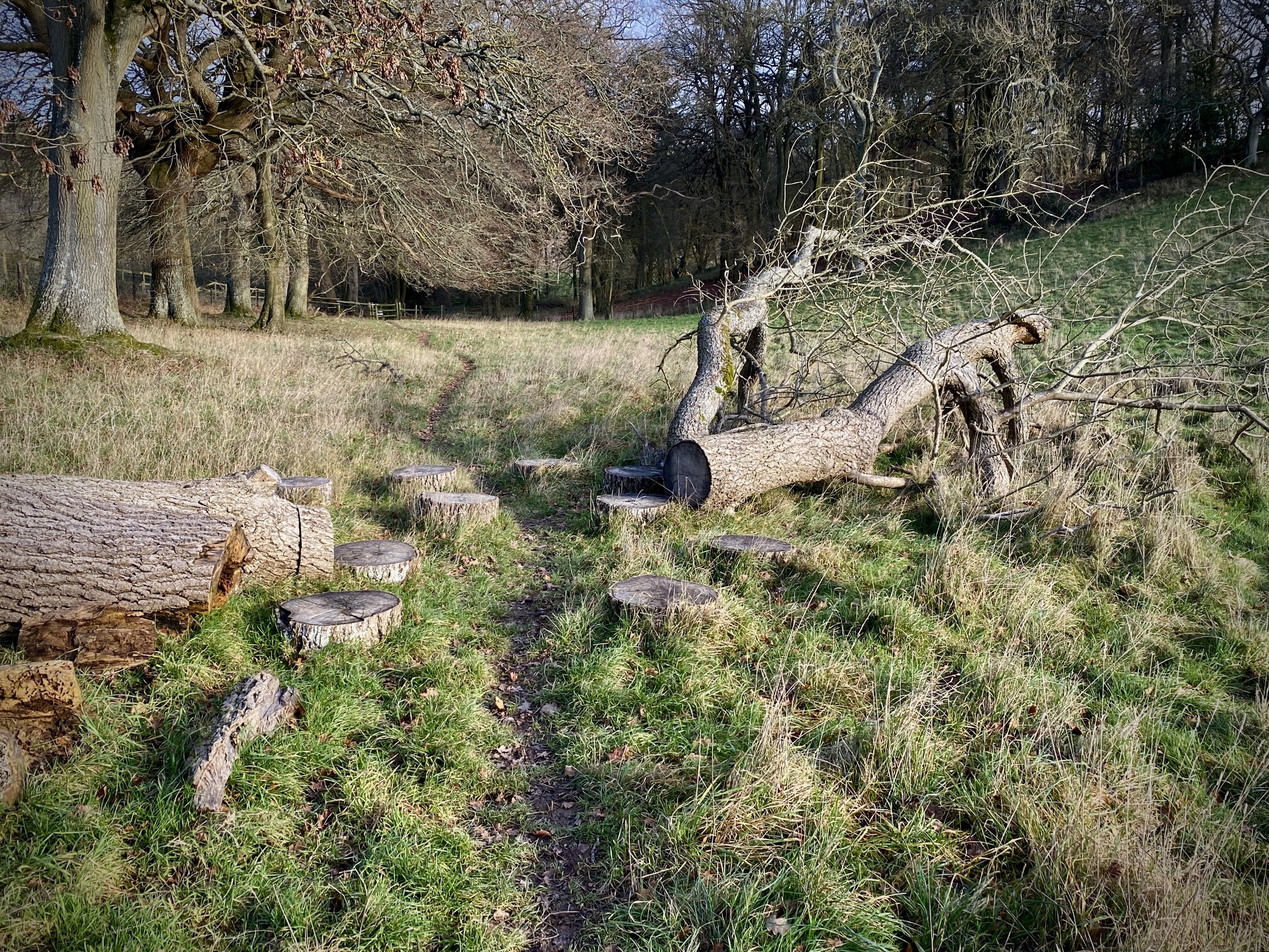
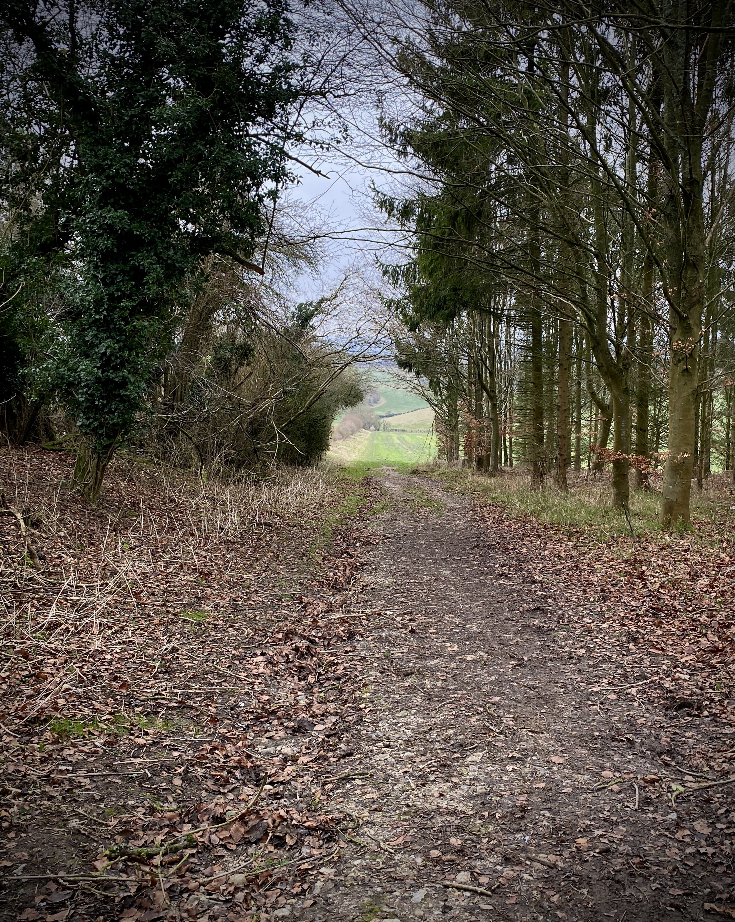
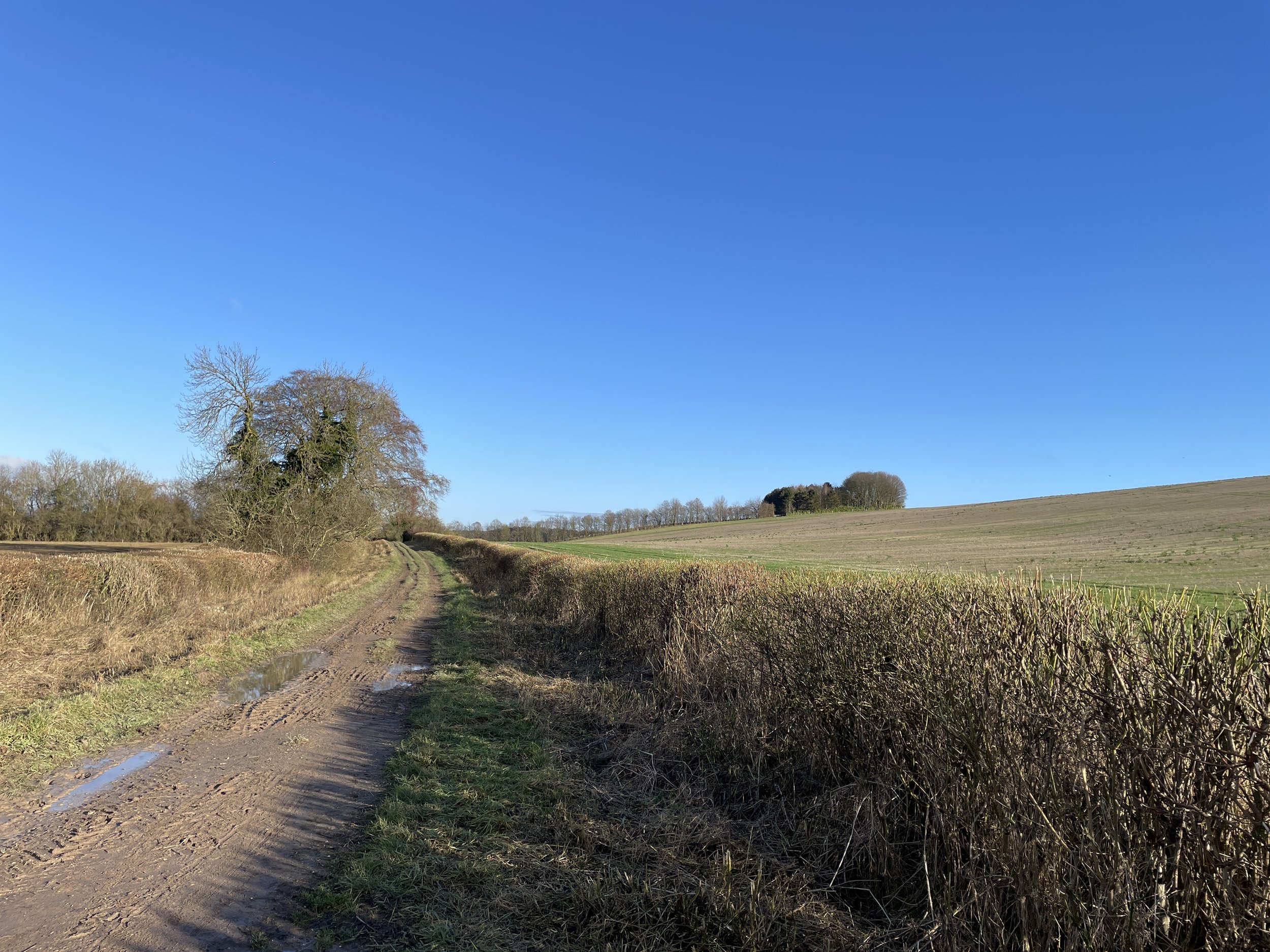
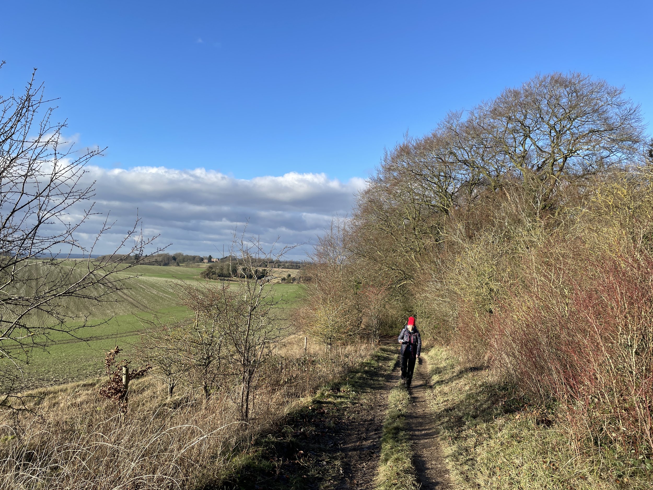
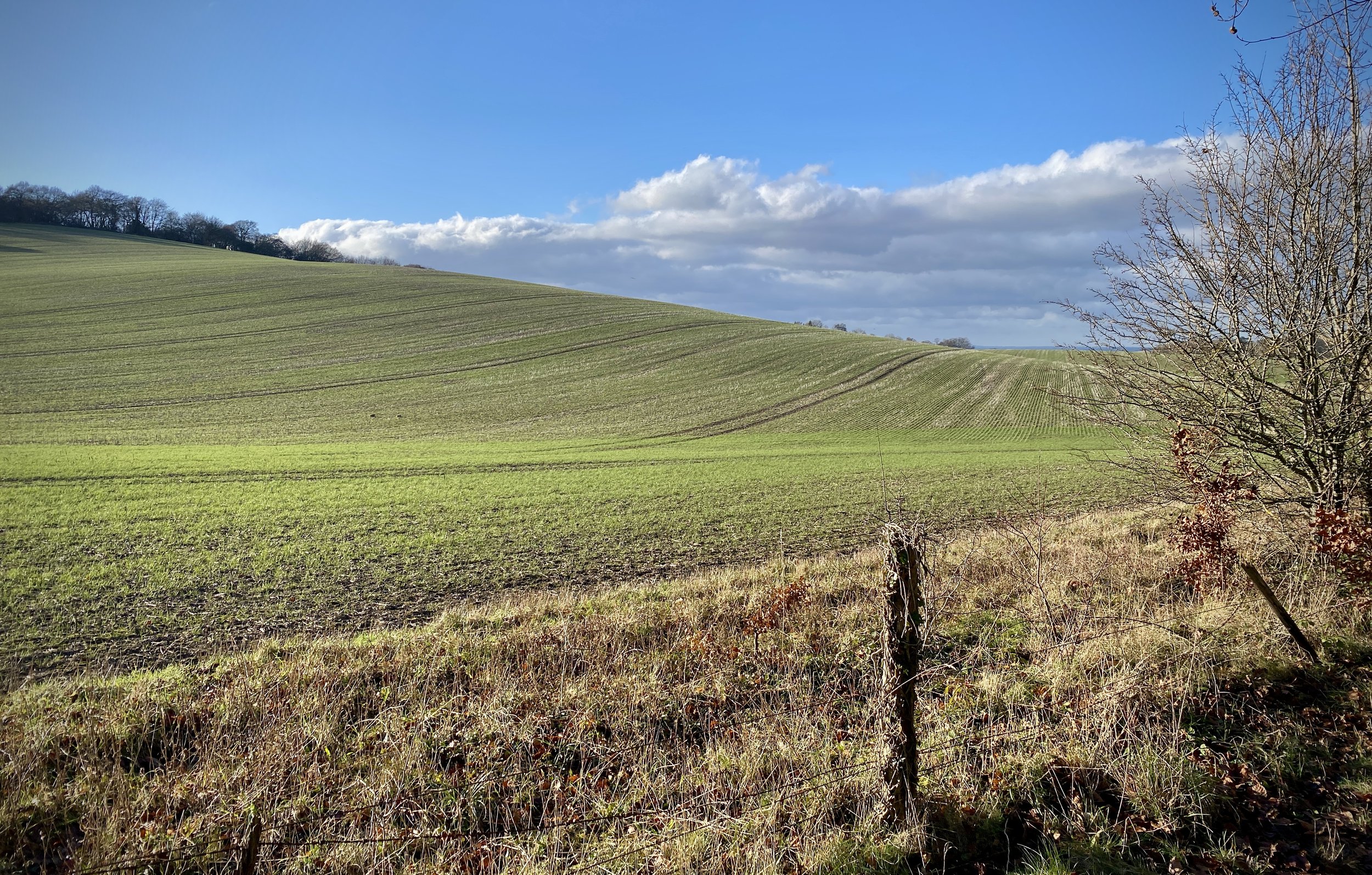
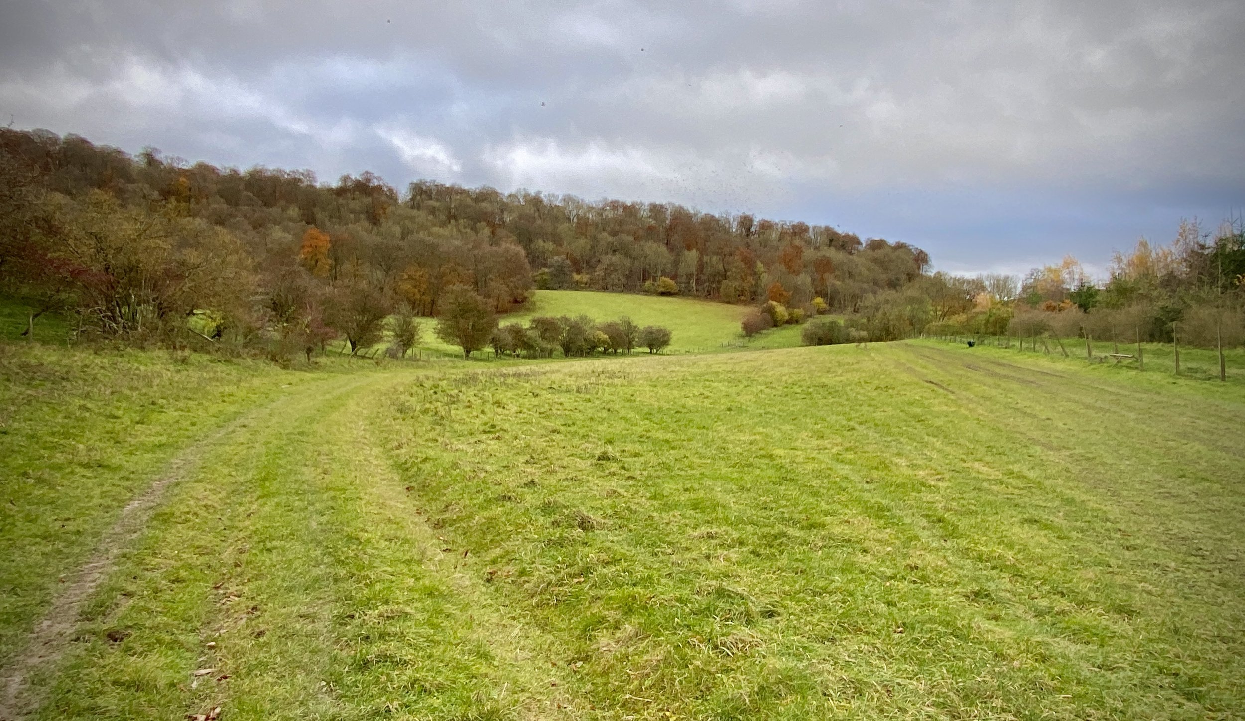
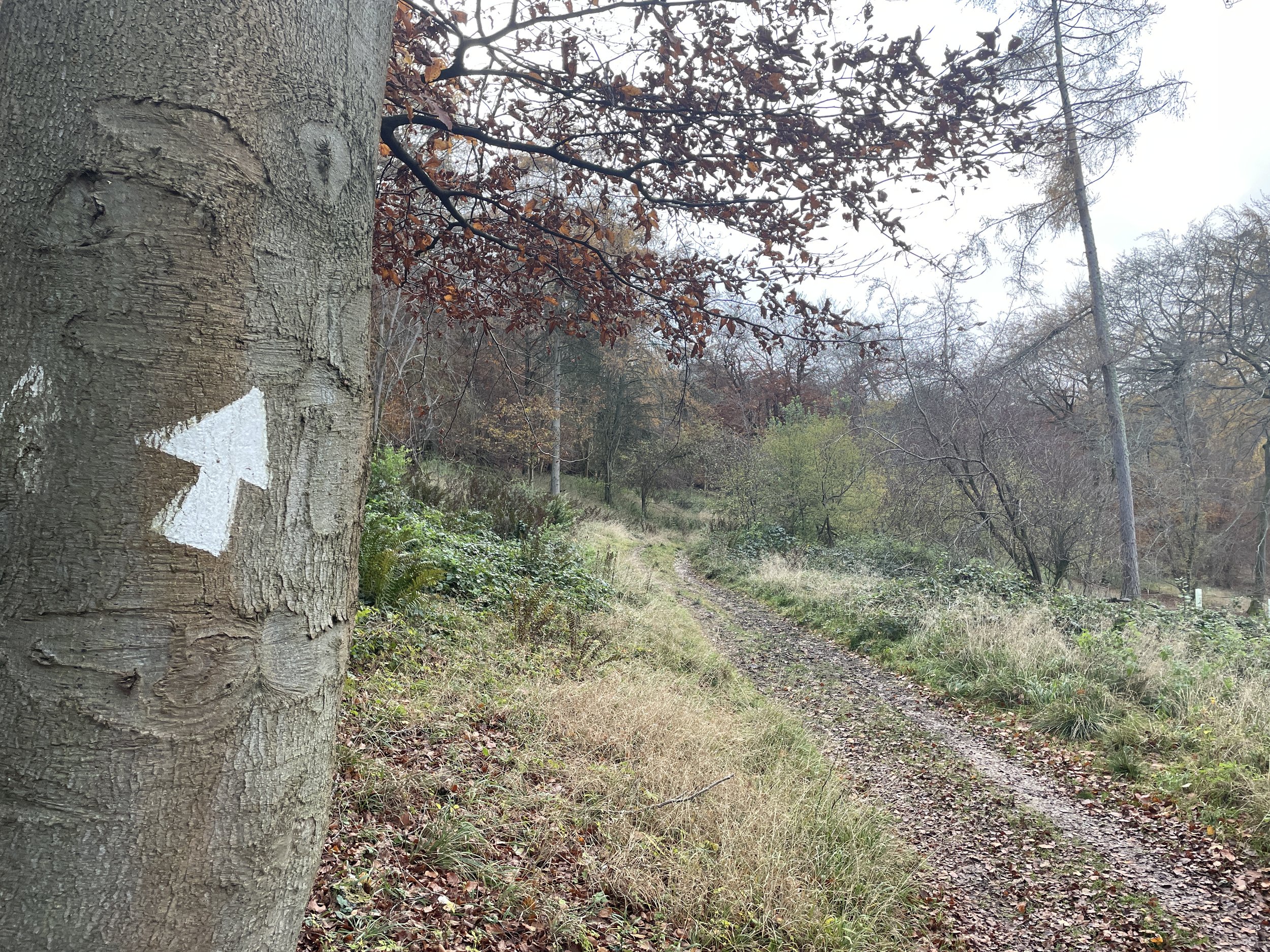
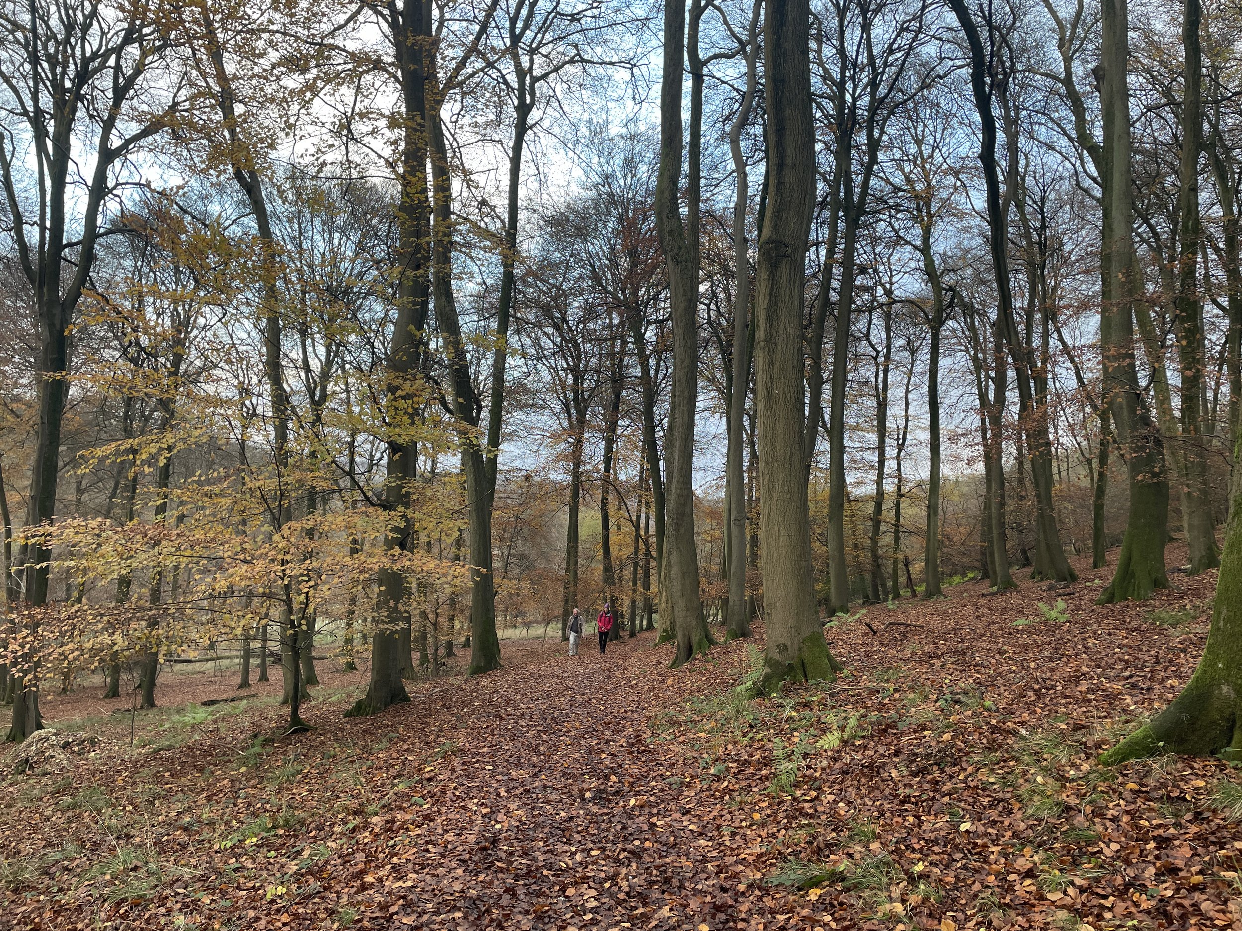
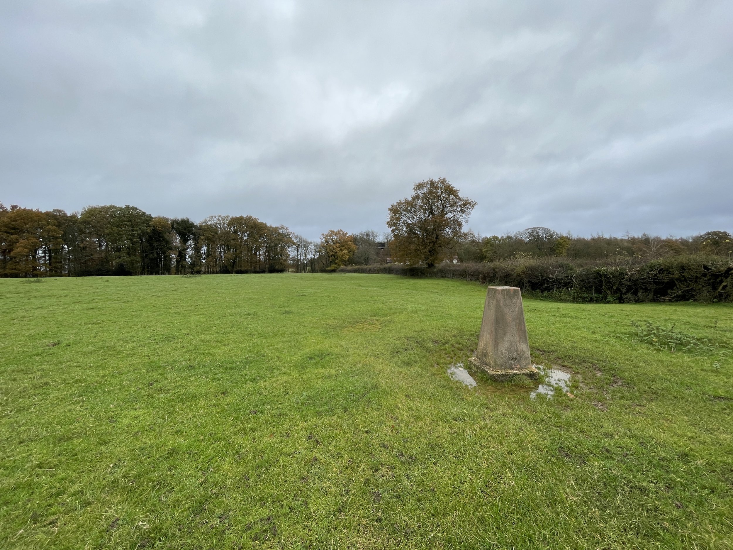
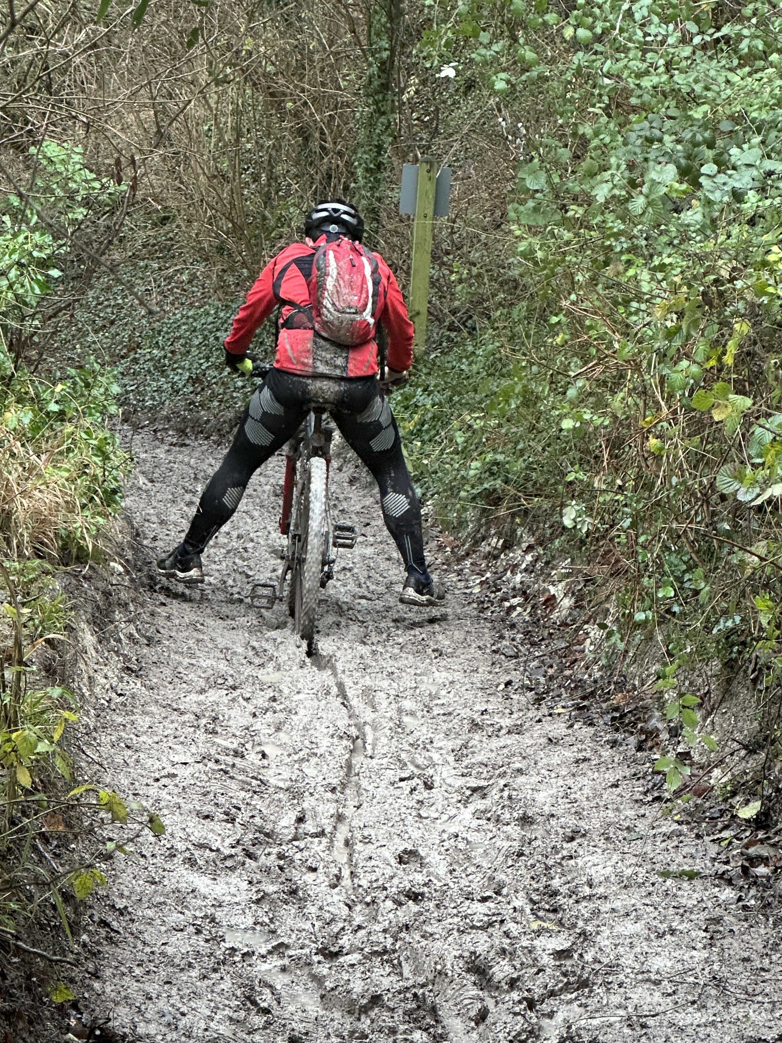
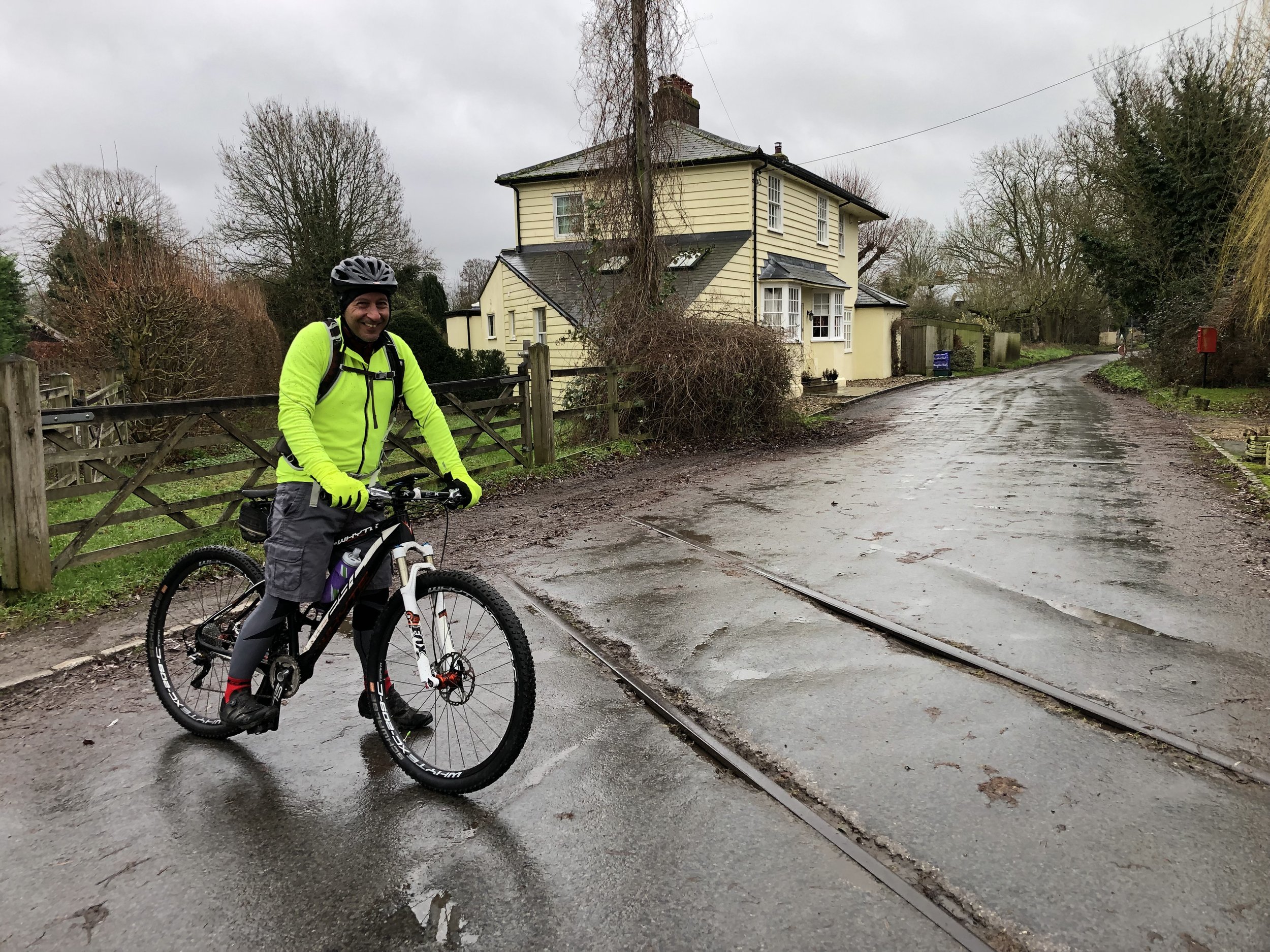
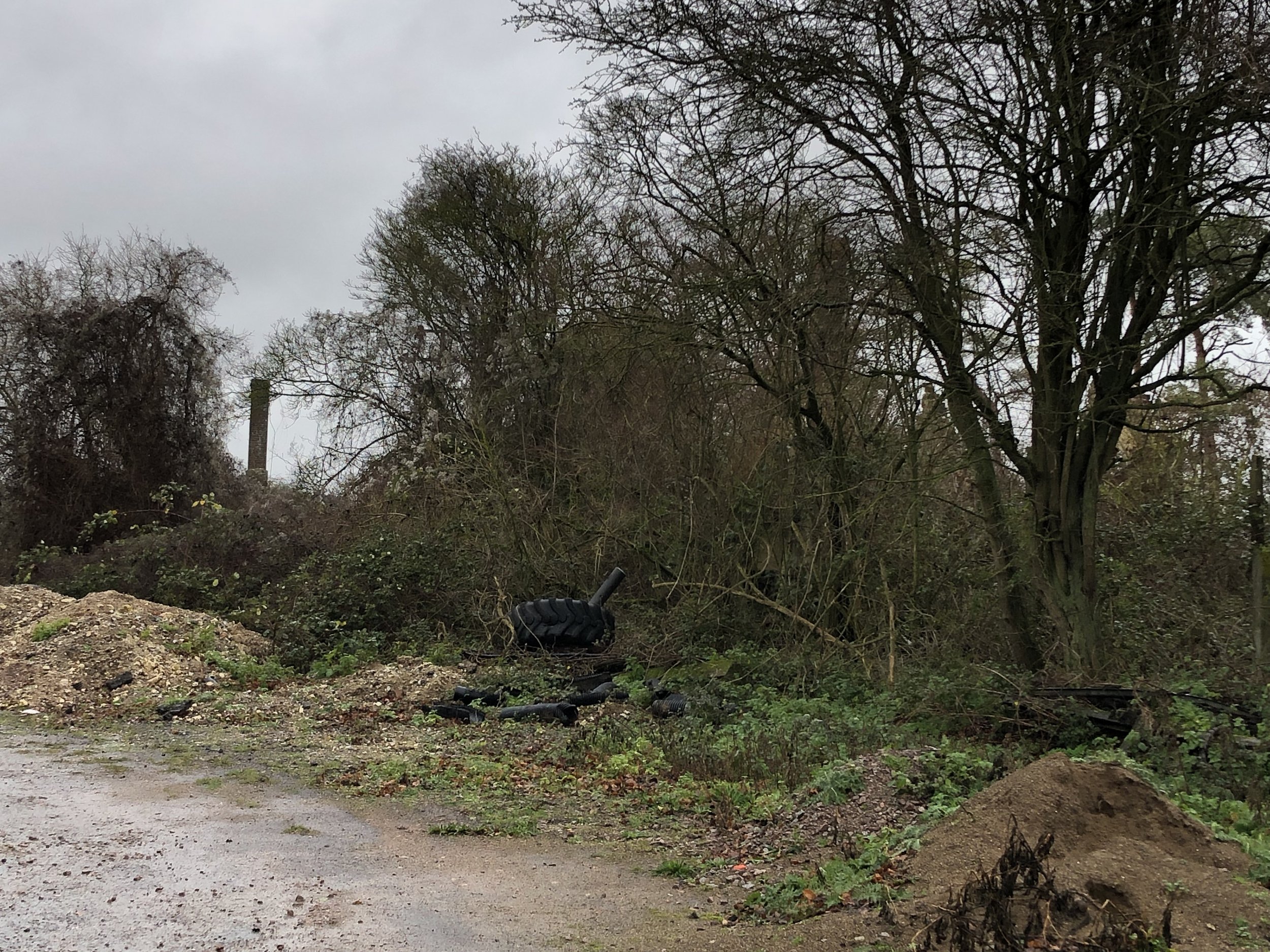
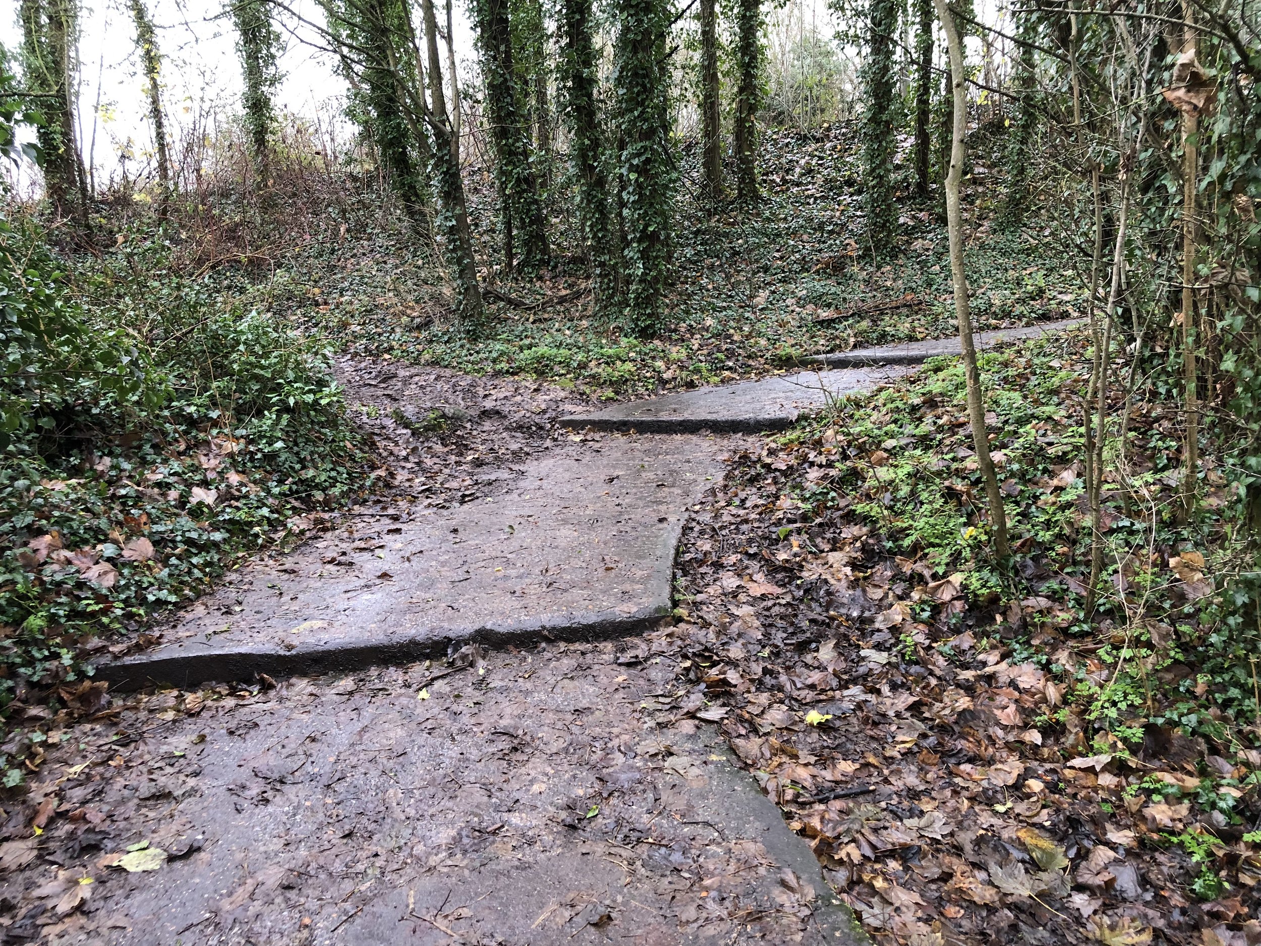
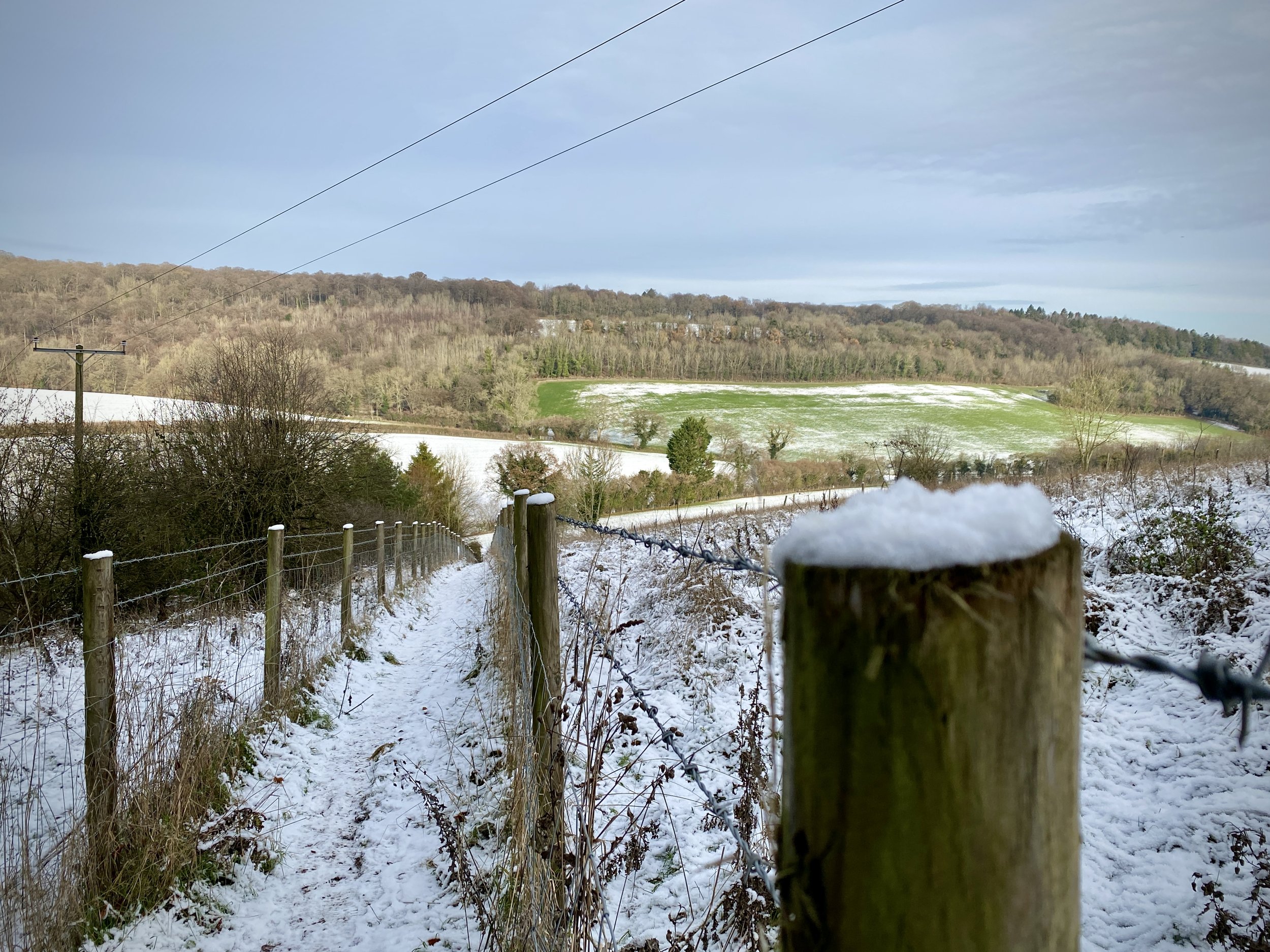
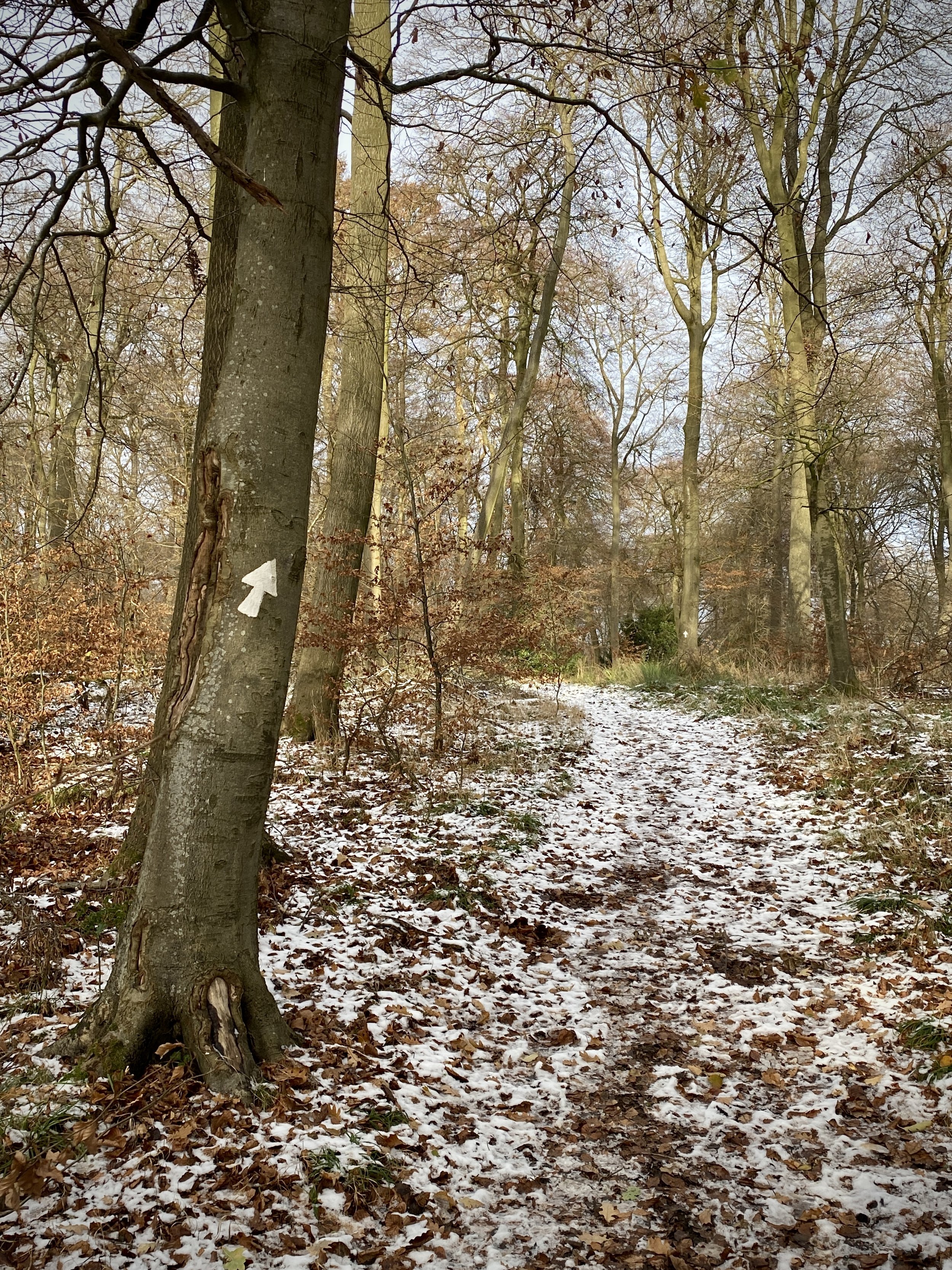
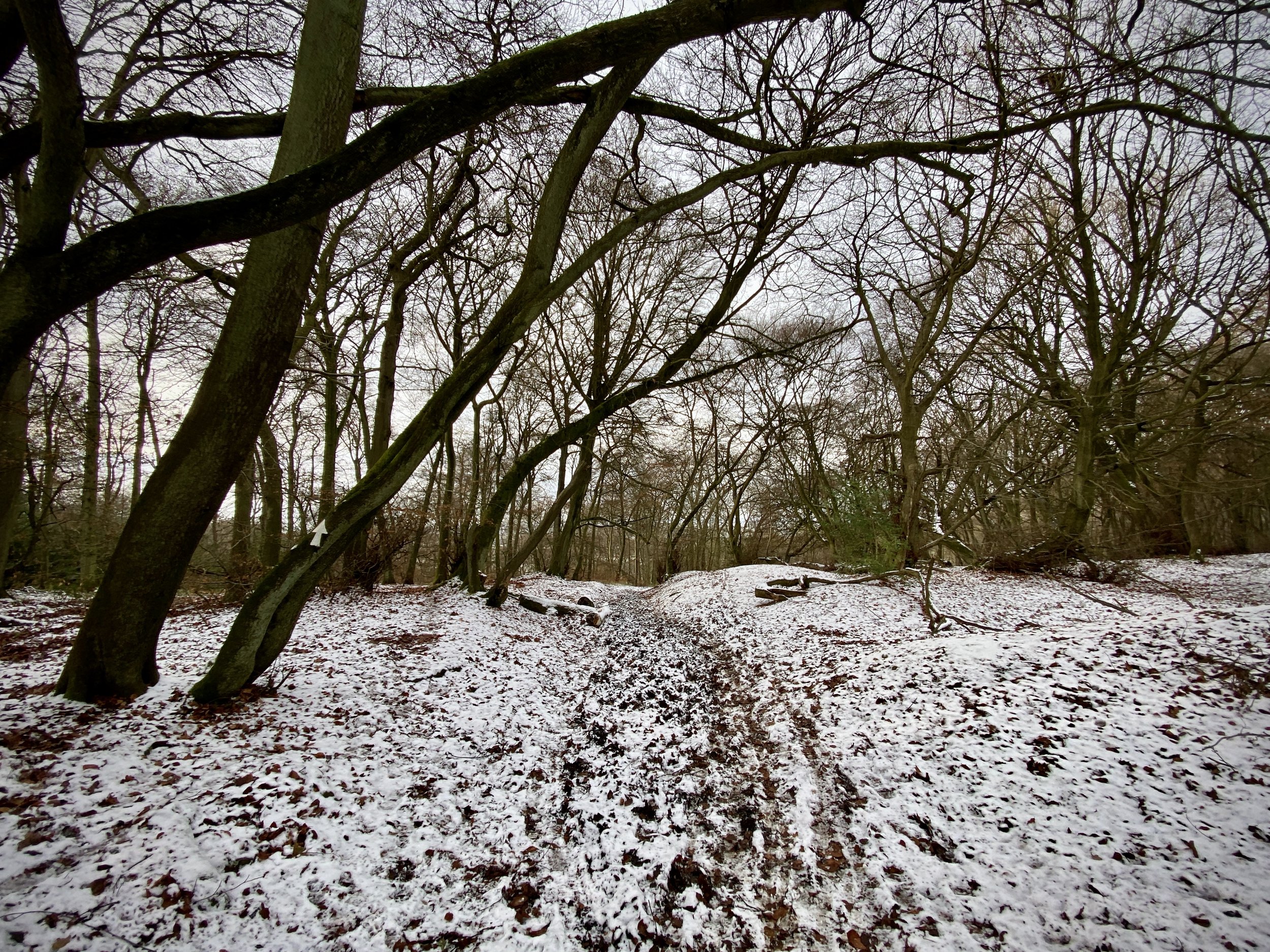
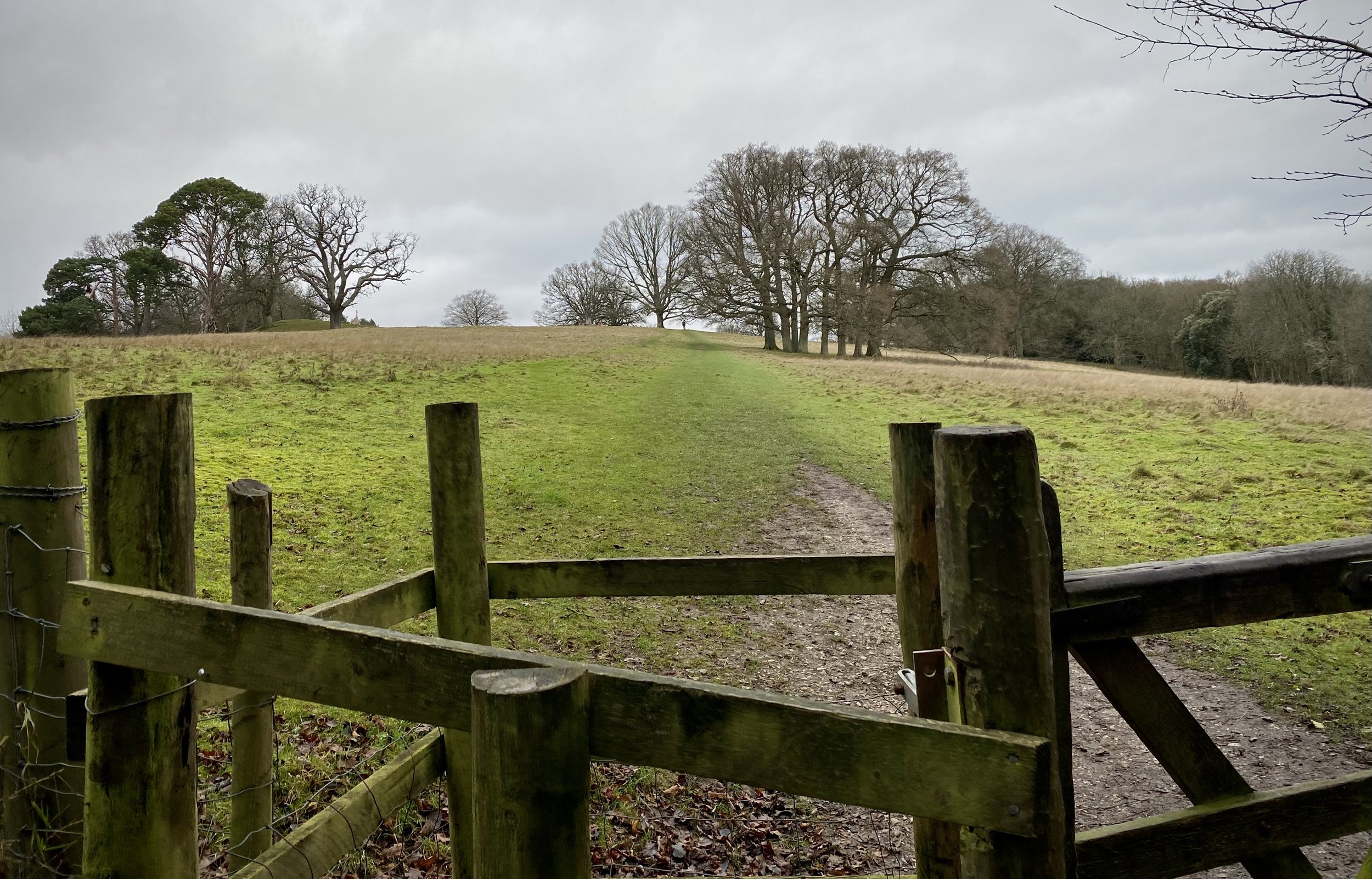
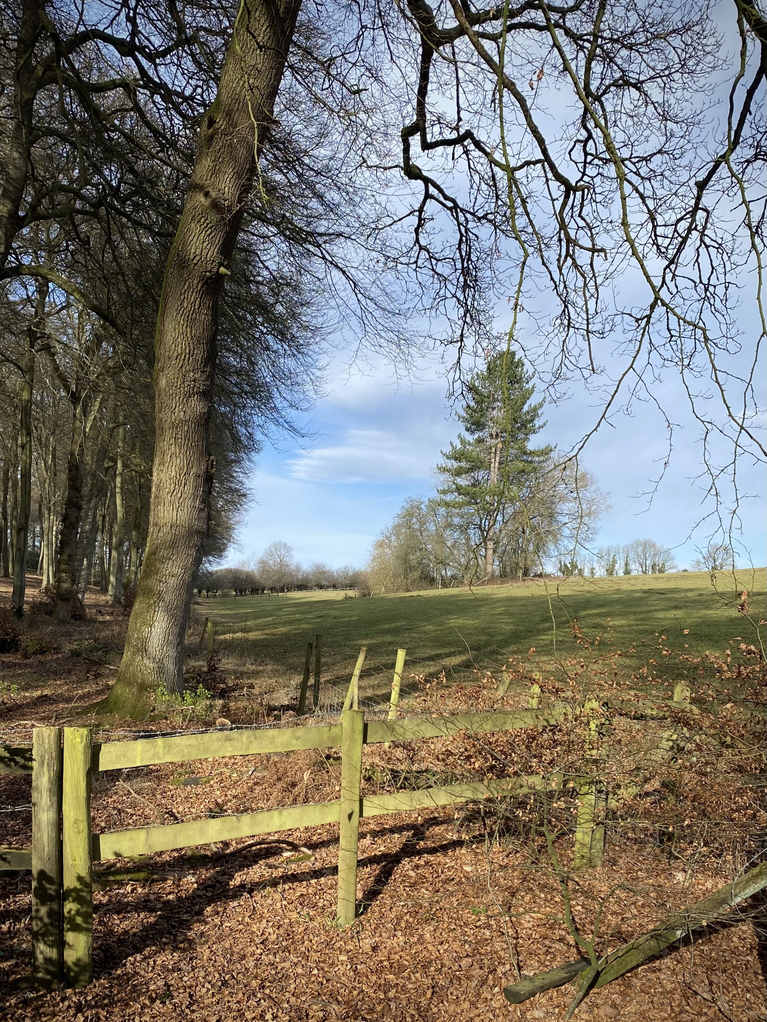
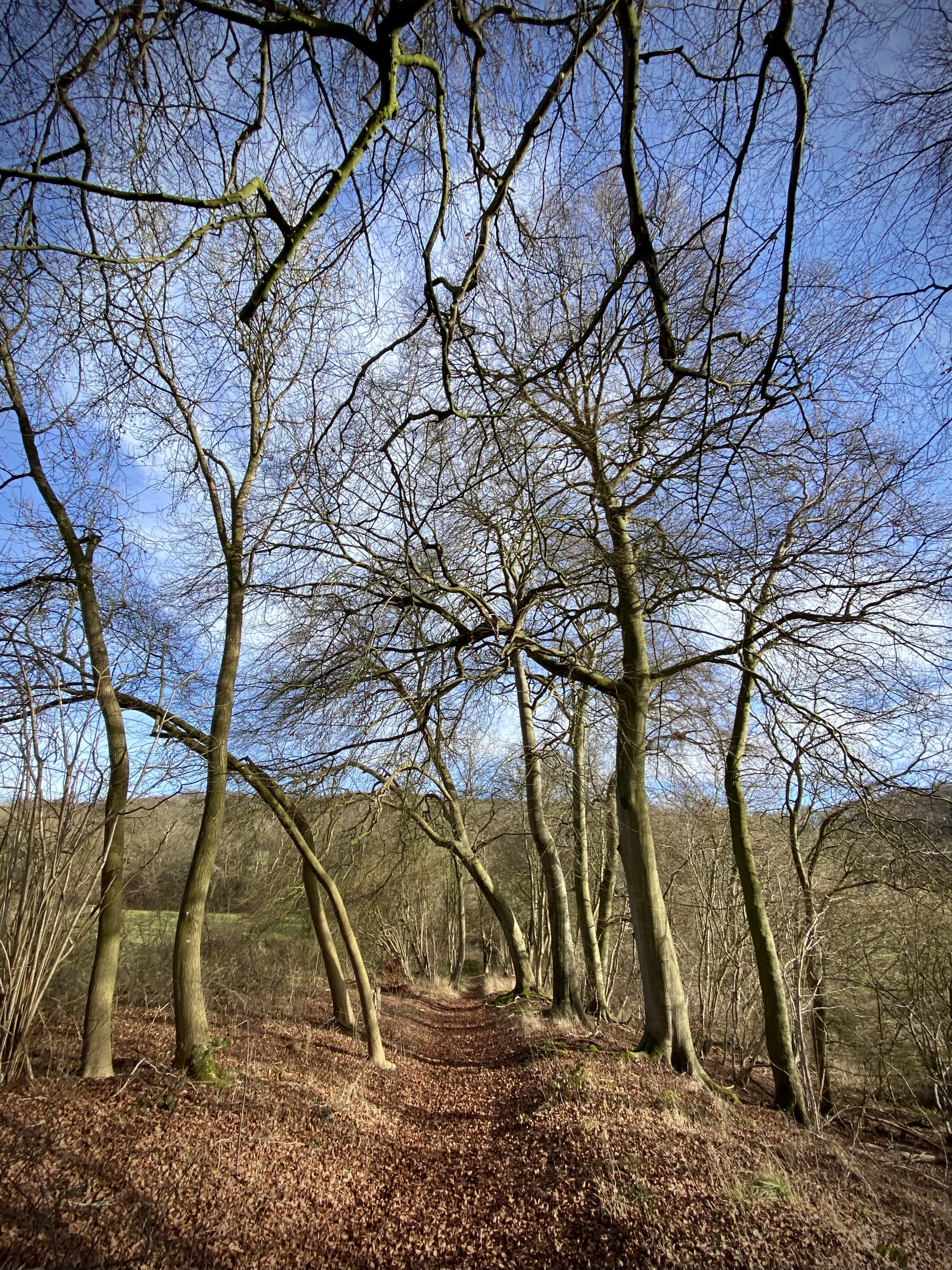
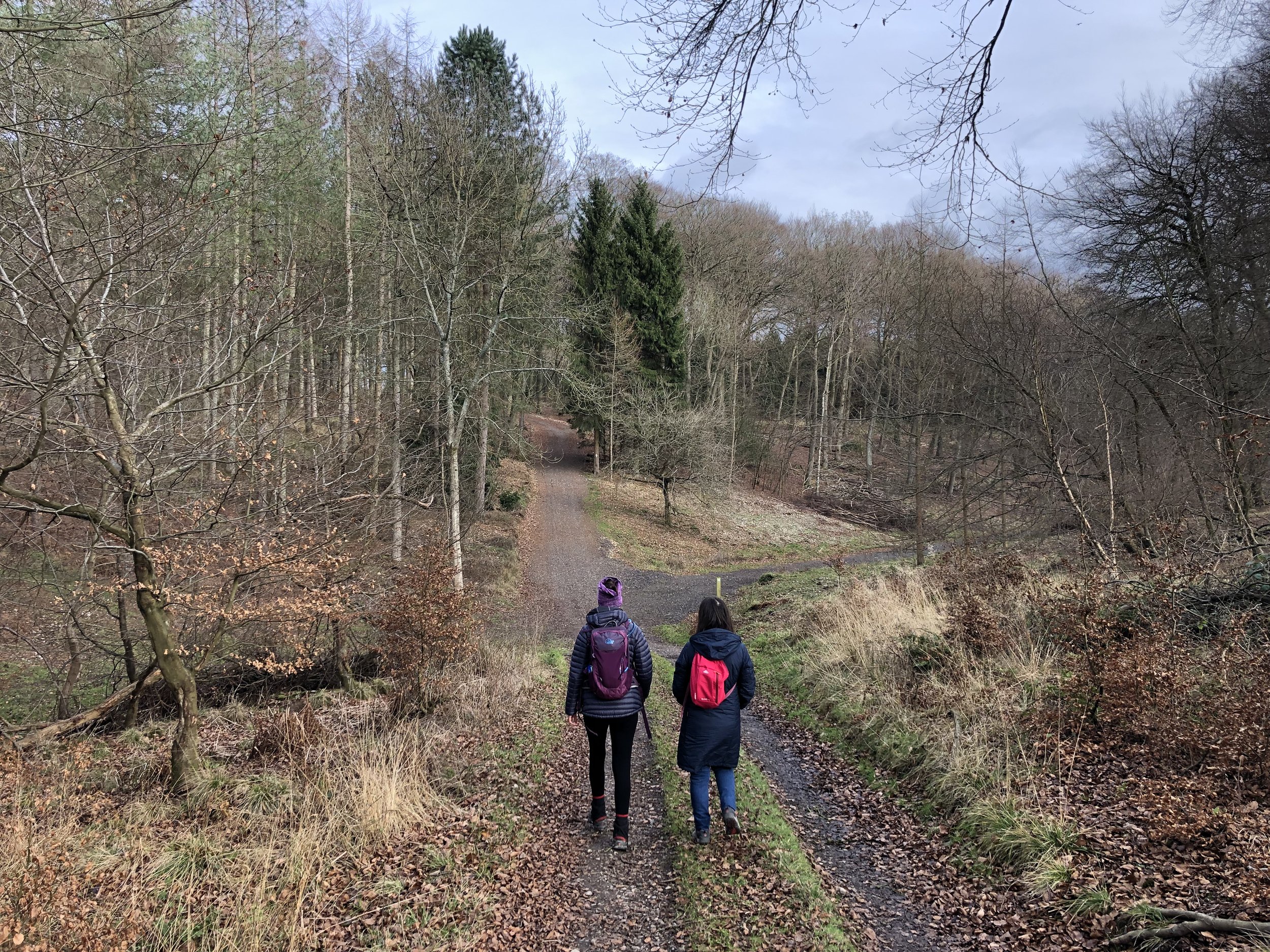
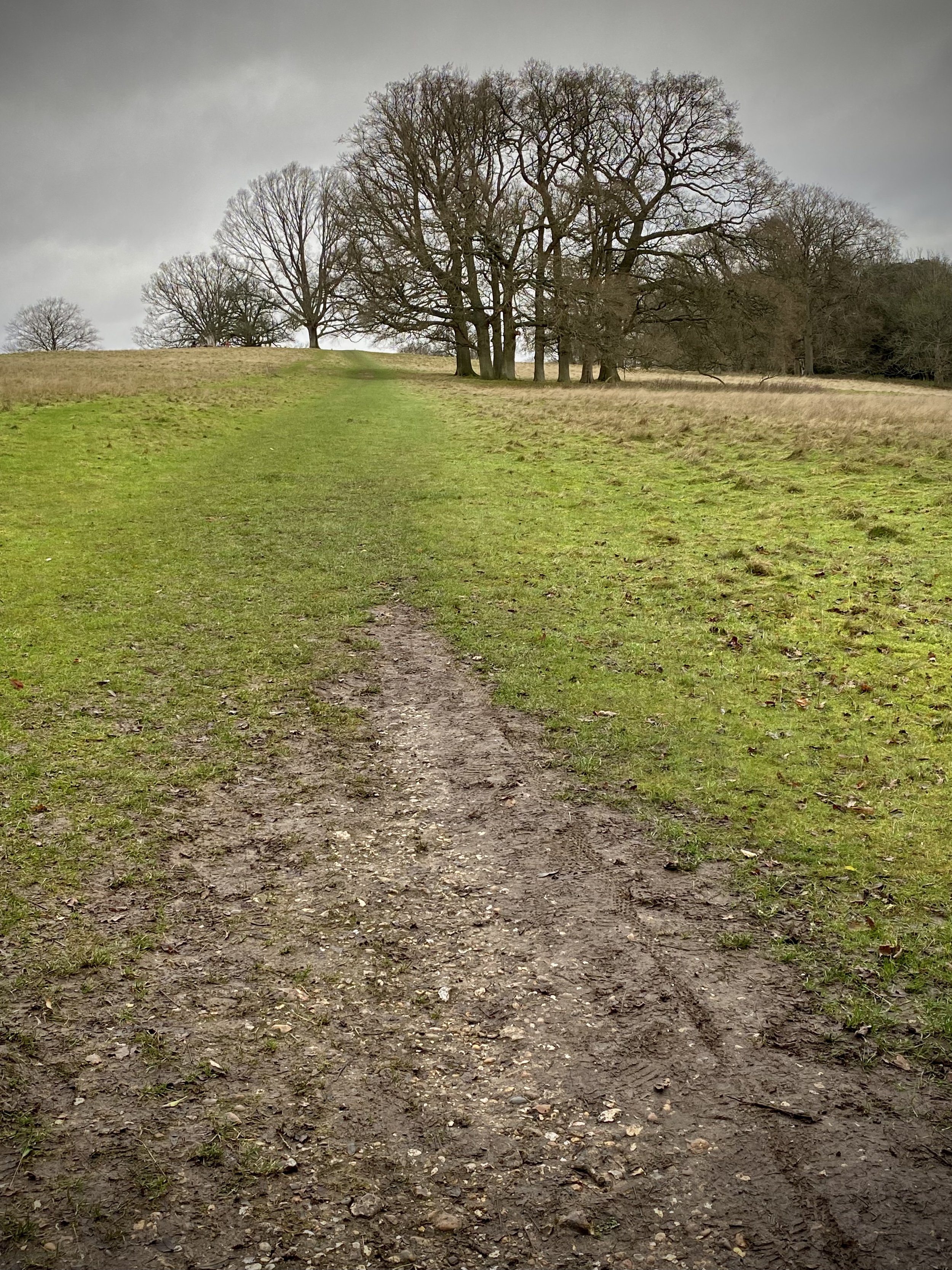
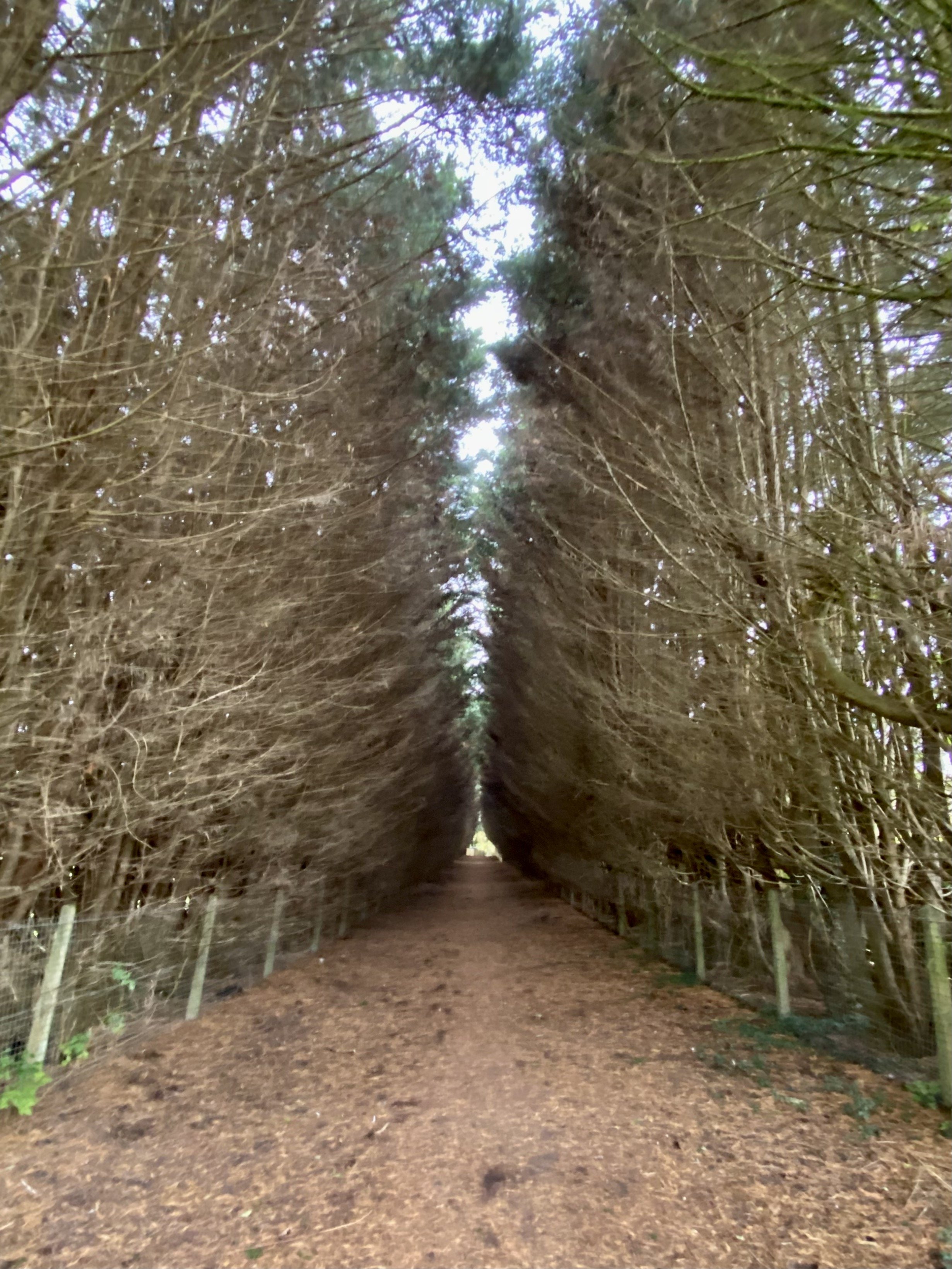
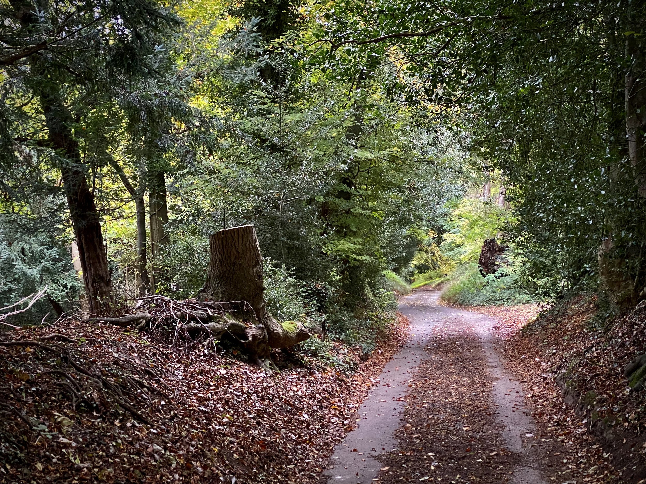
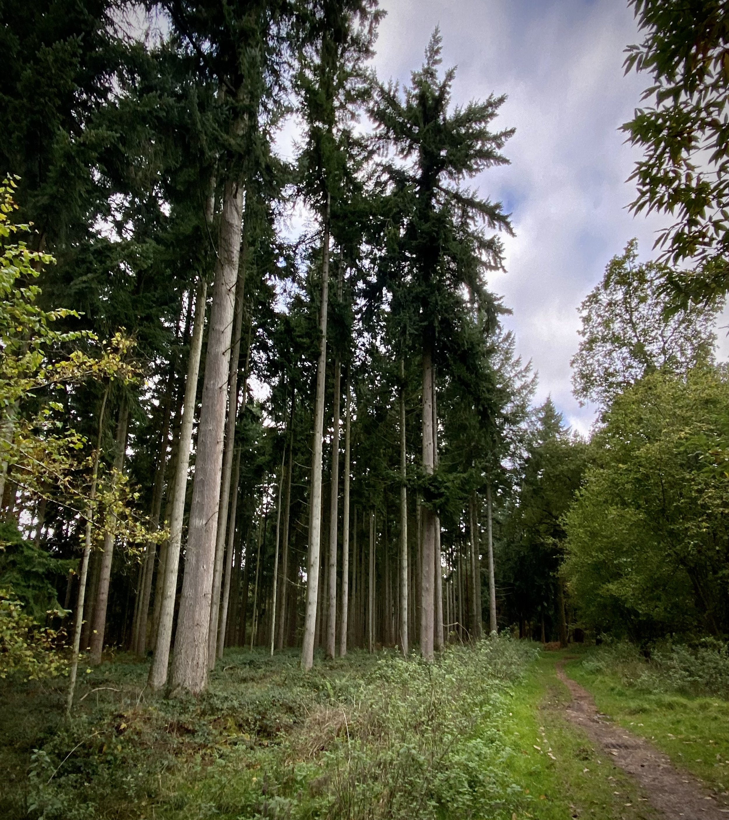
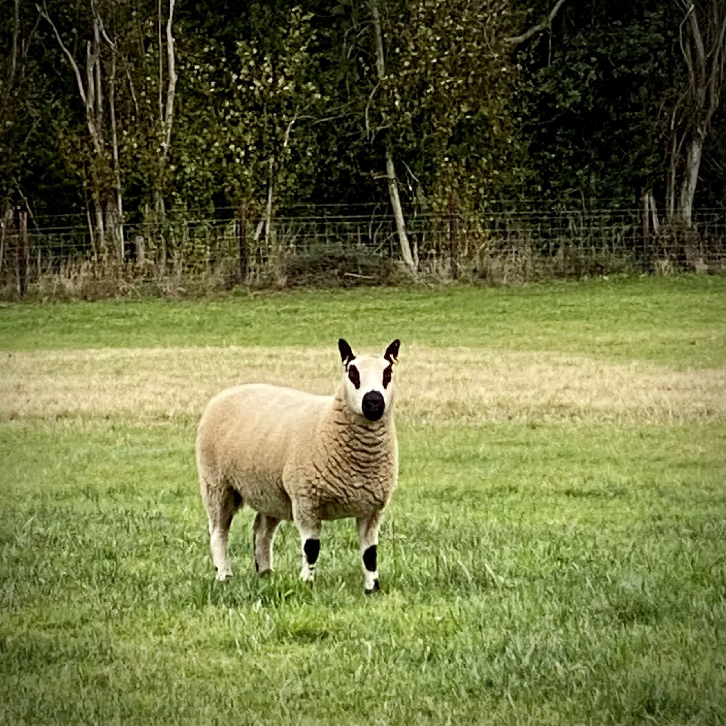
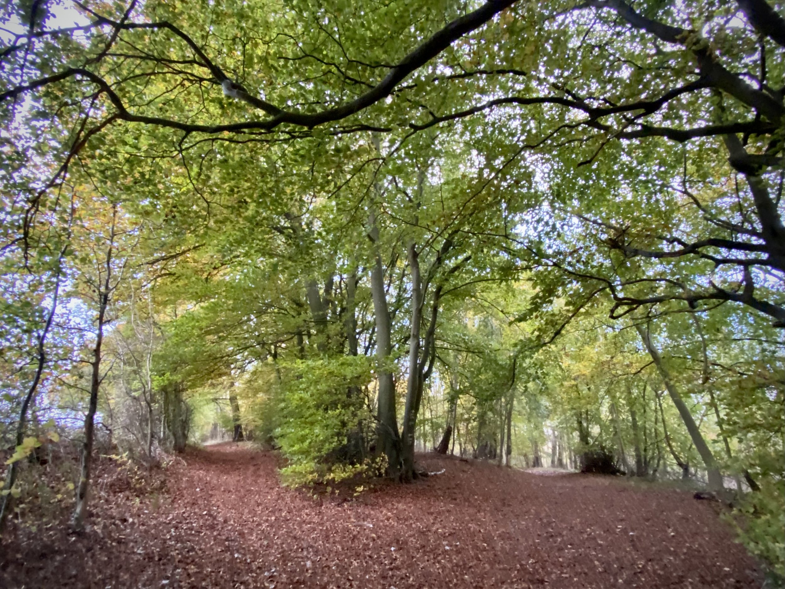
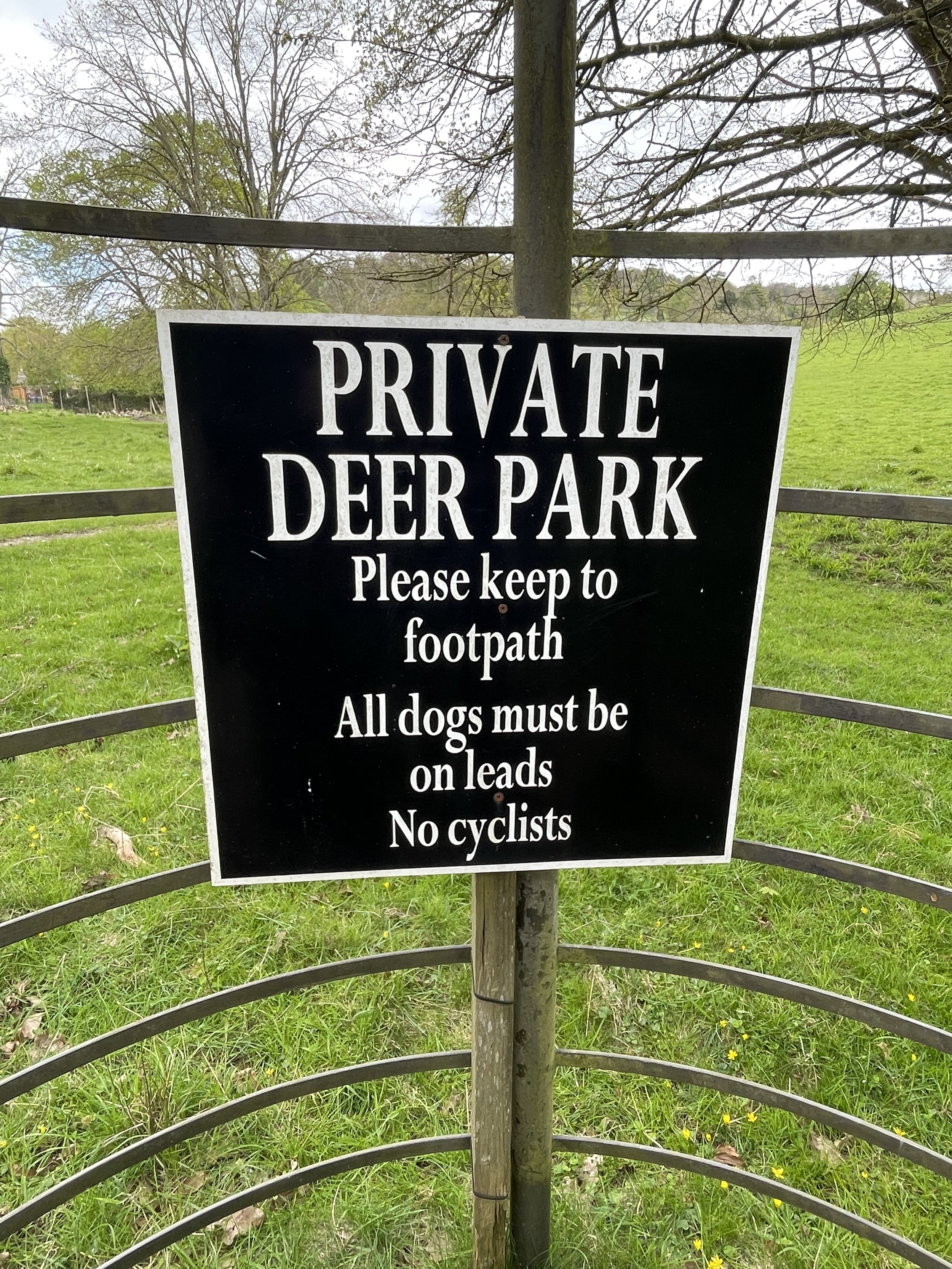
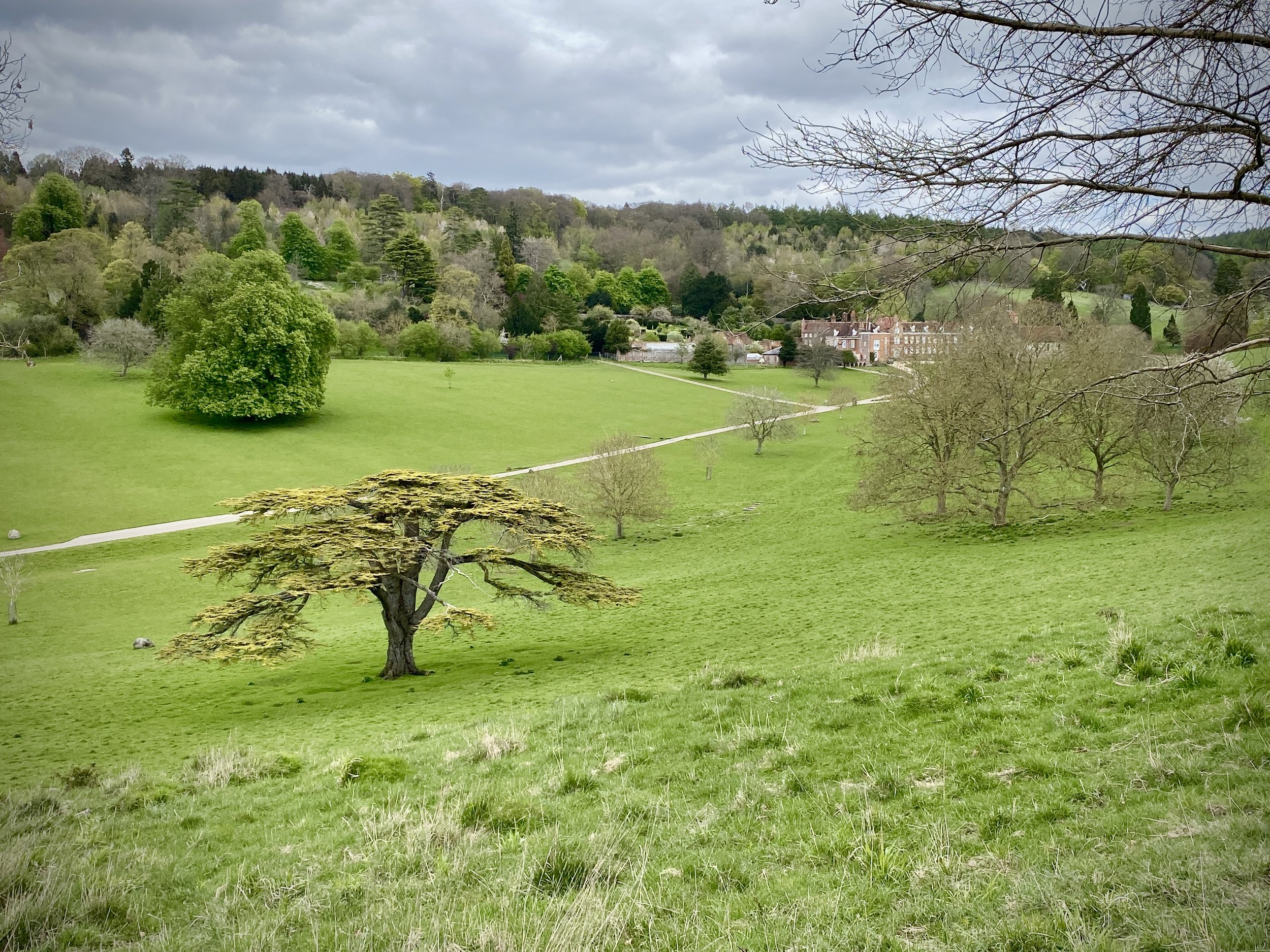
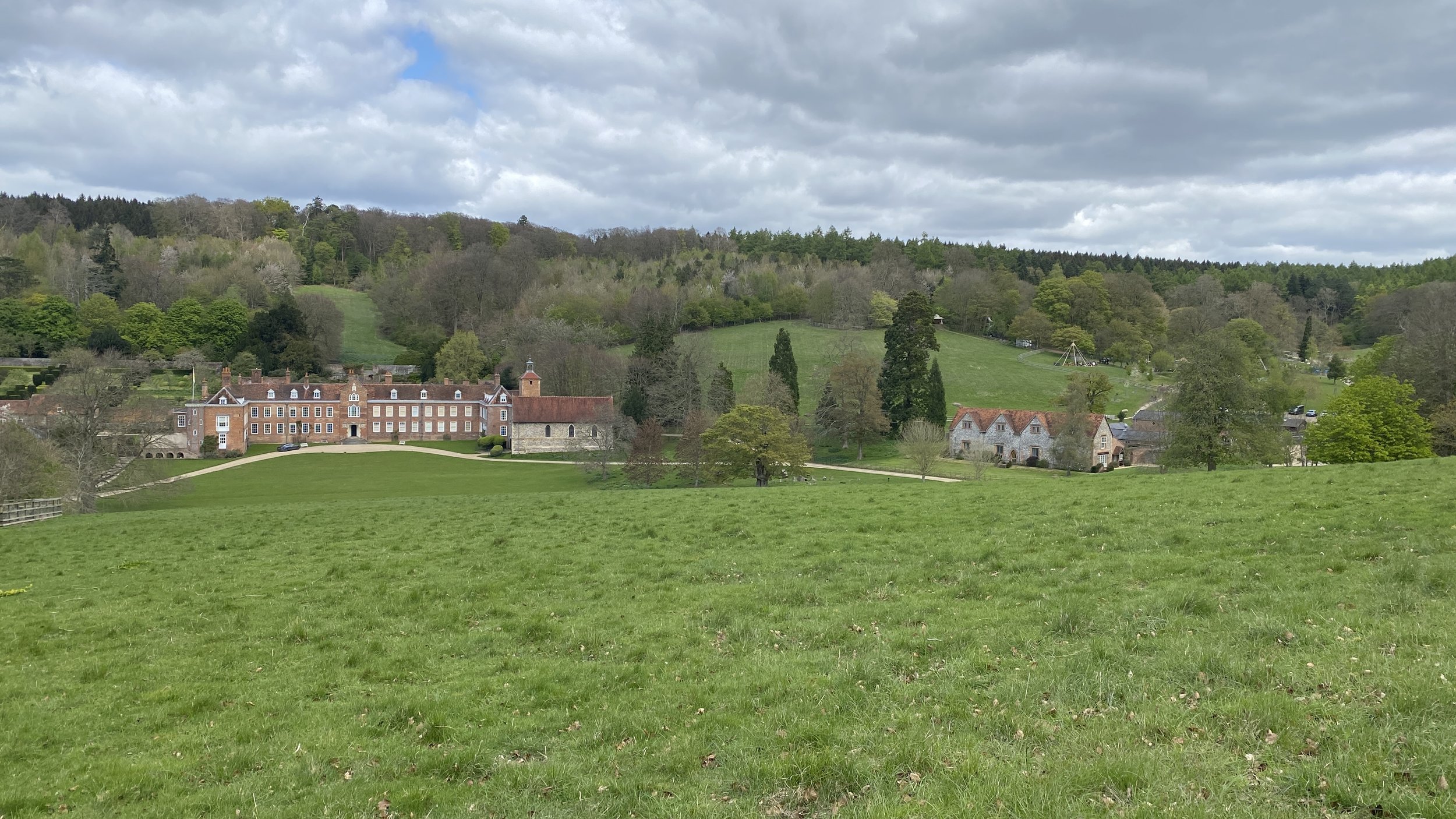
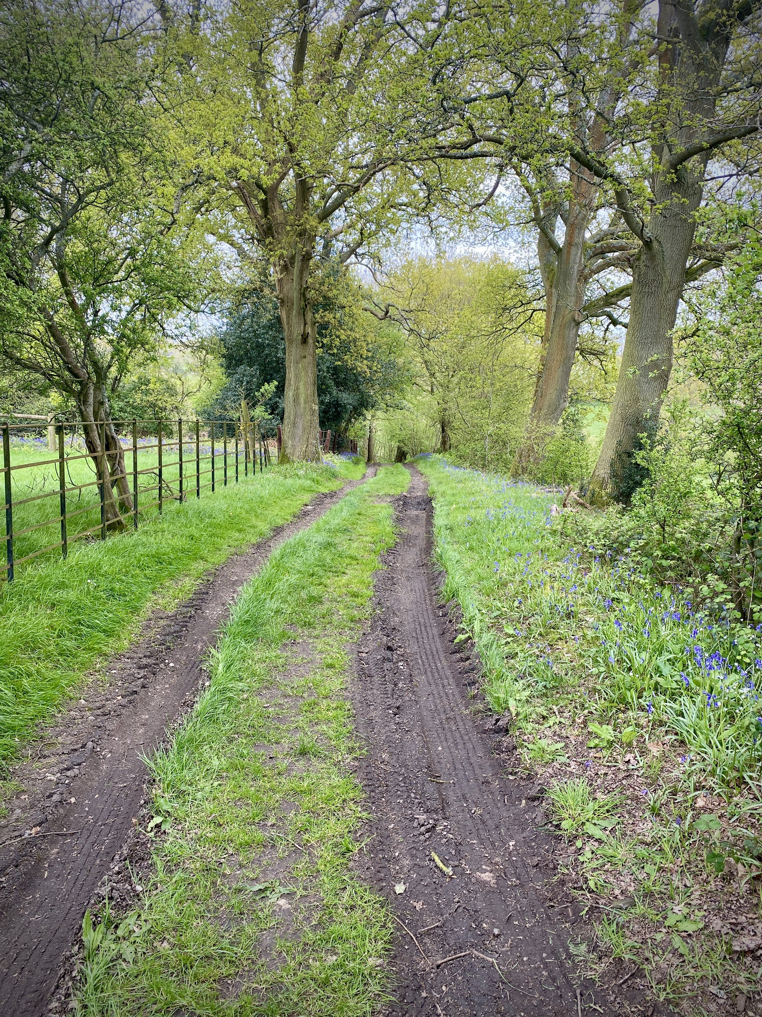
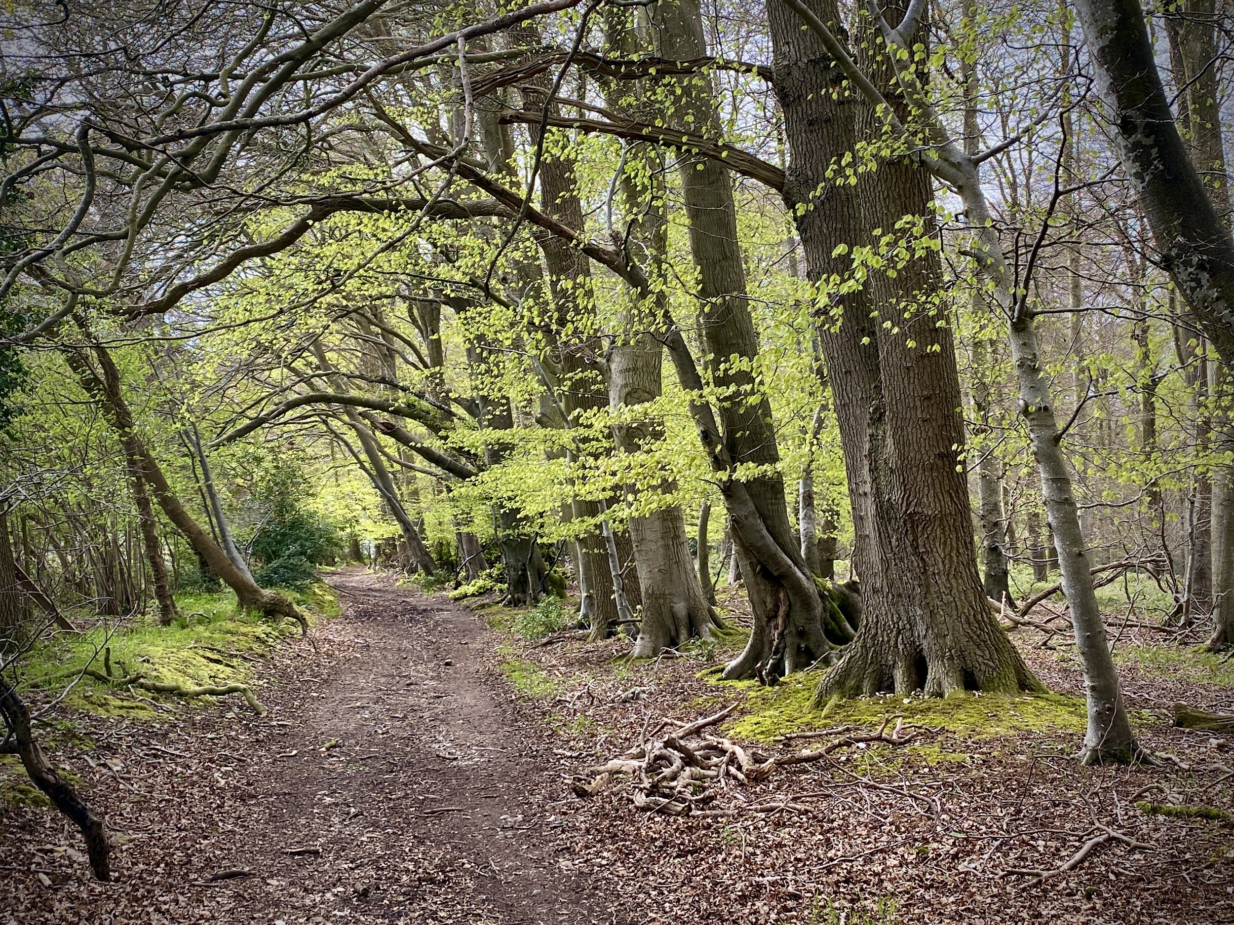
For this walk we parked in a small layby in Stonor village centre. From here walk up the B480 in a northerly direction until you reach the corner of Stonor Park. Pass through the kissing gates and follow the path in a east/north-easterly direction for 1.9 km. Take a left onto Drovers Lane, following it in a north-westerly direction. Along Drovers Lane you can choose to either stick to the road or, as we did, take the parallel path through Summerheath Wood.
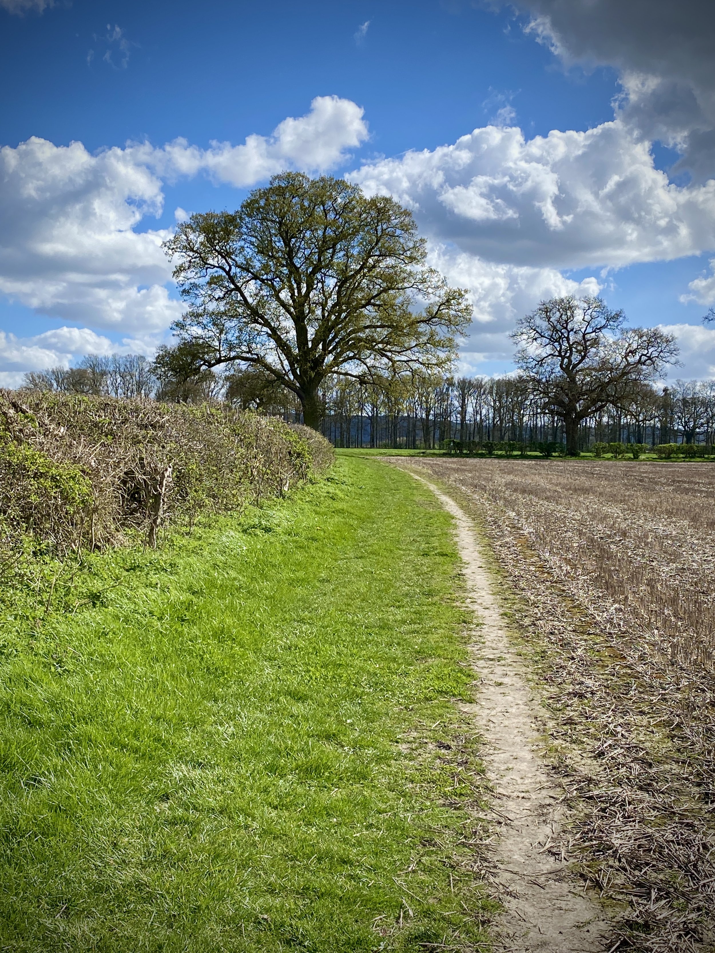
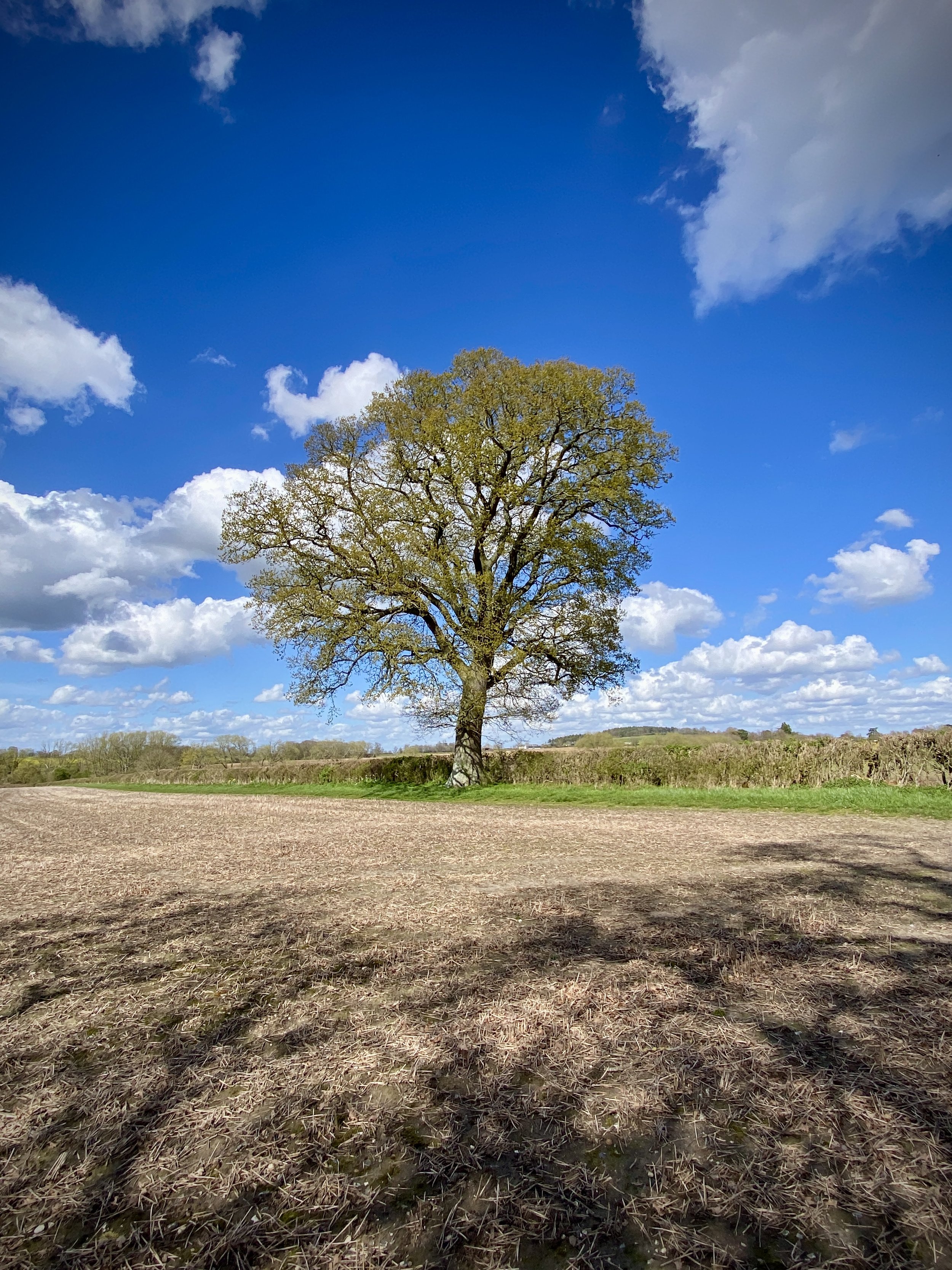
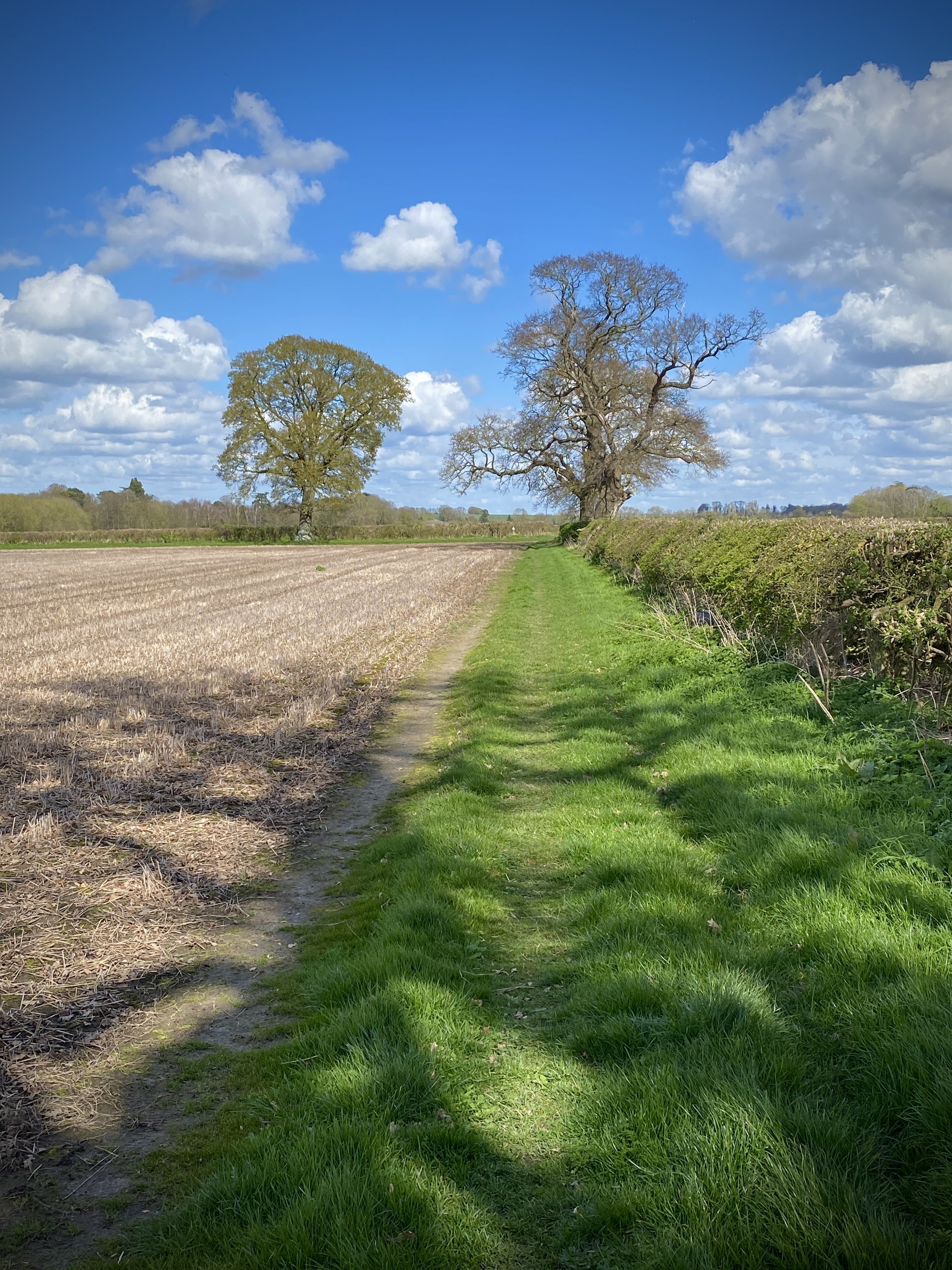
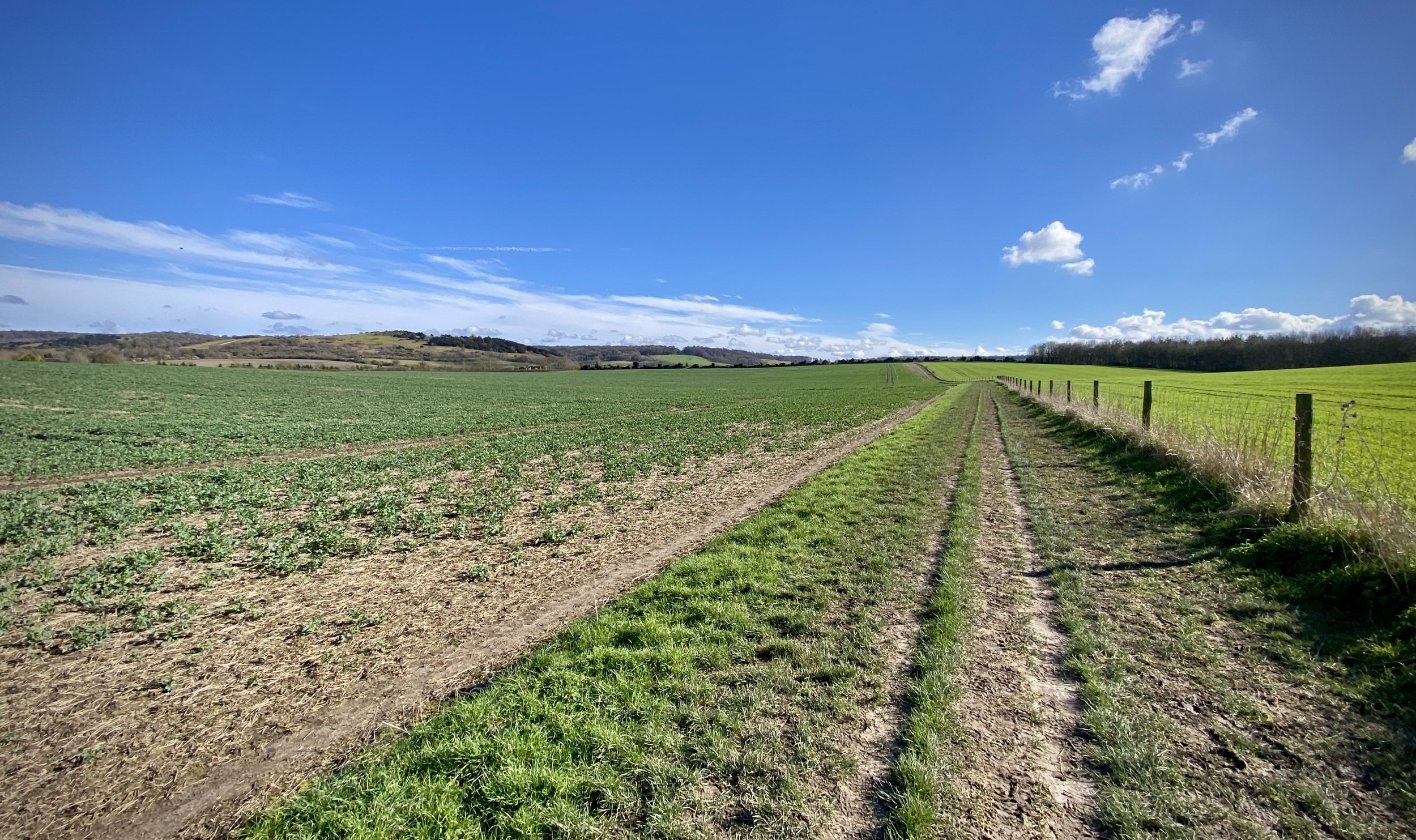
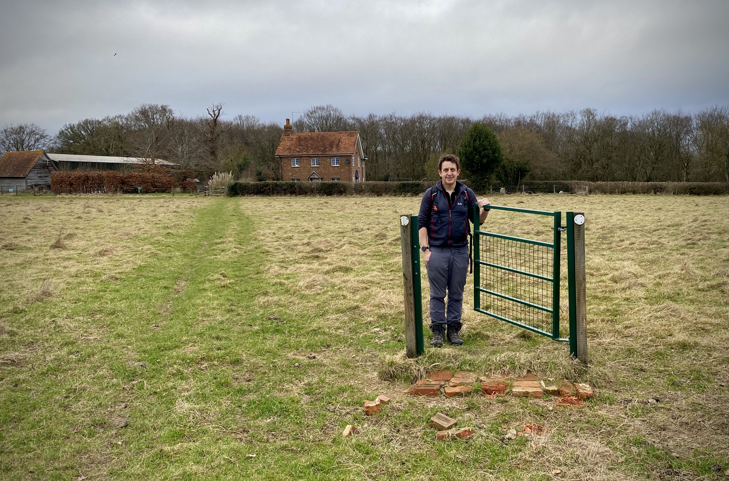
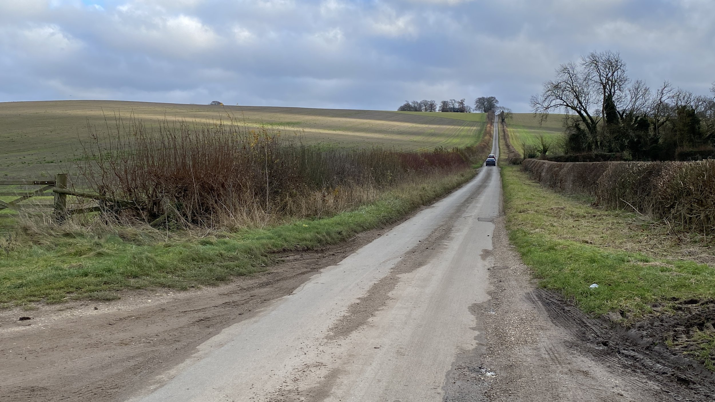
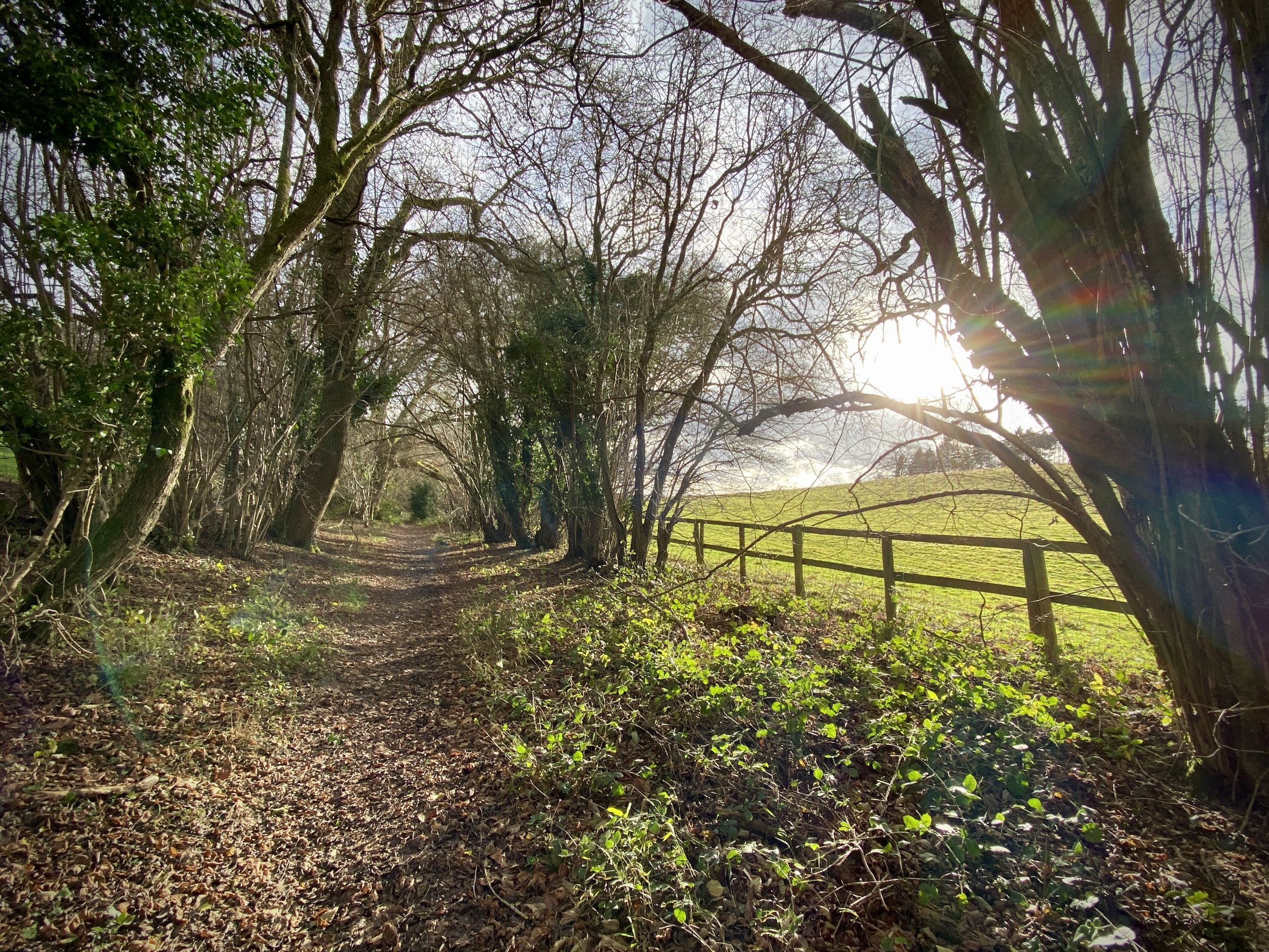
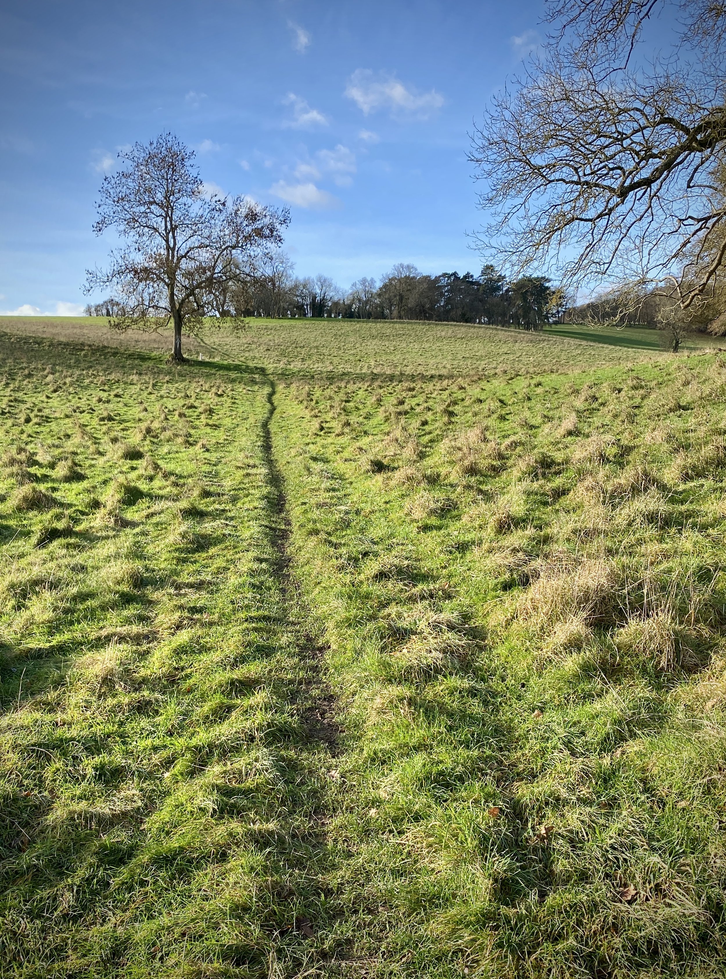
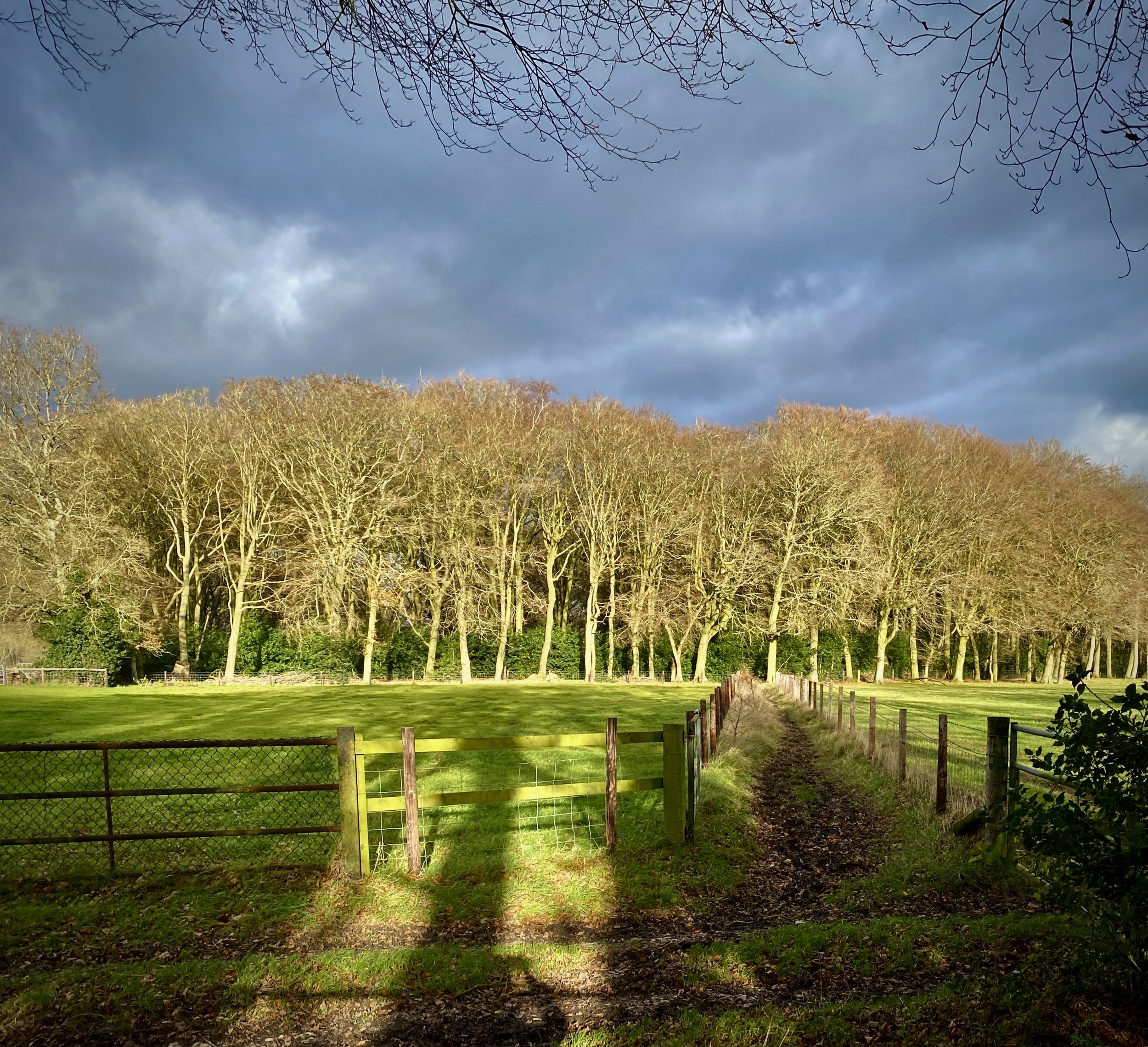
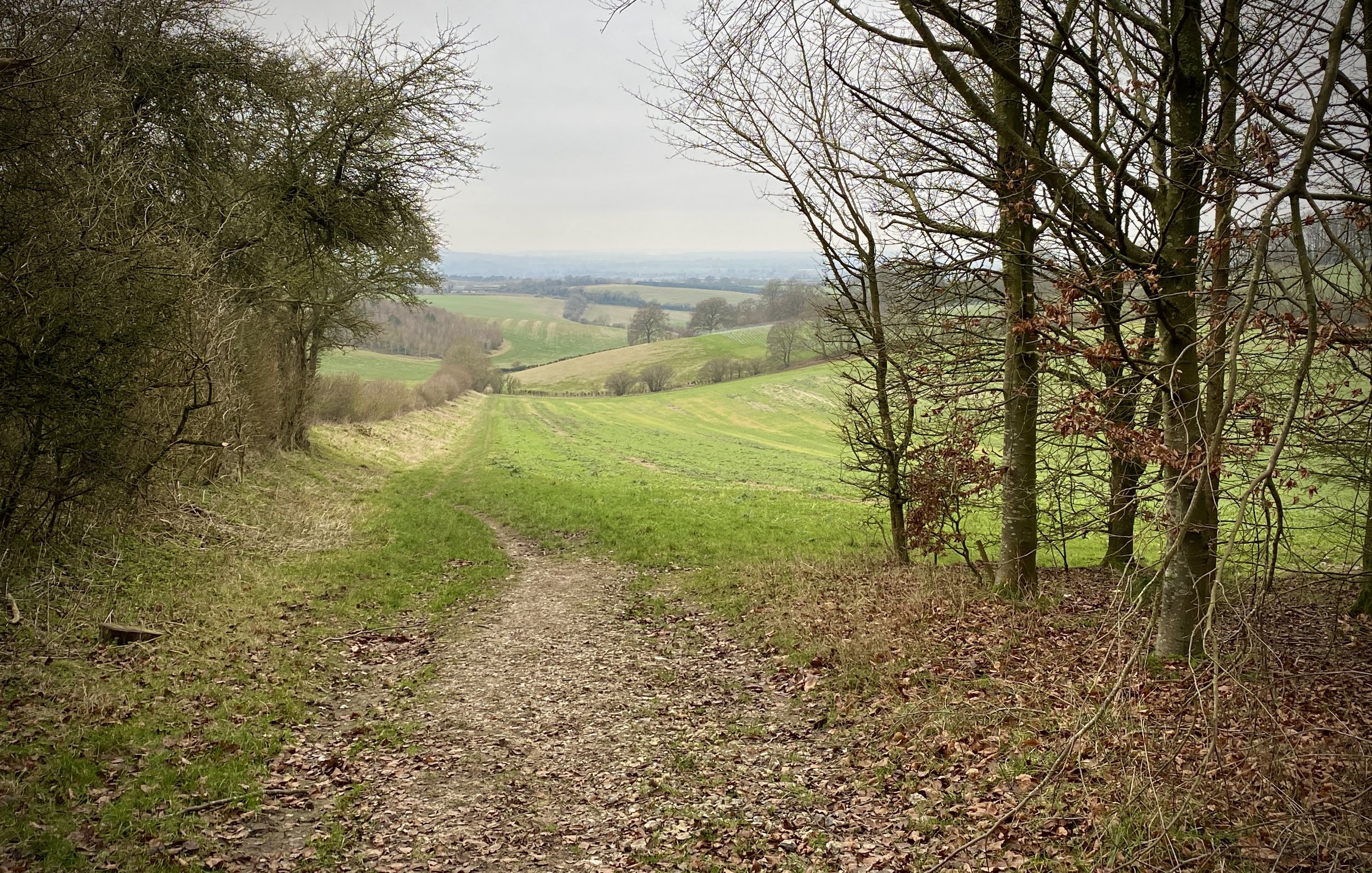
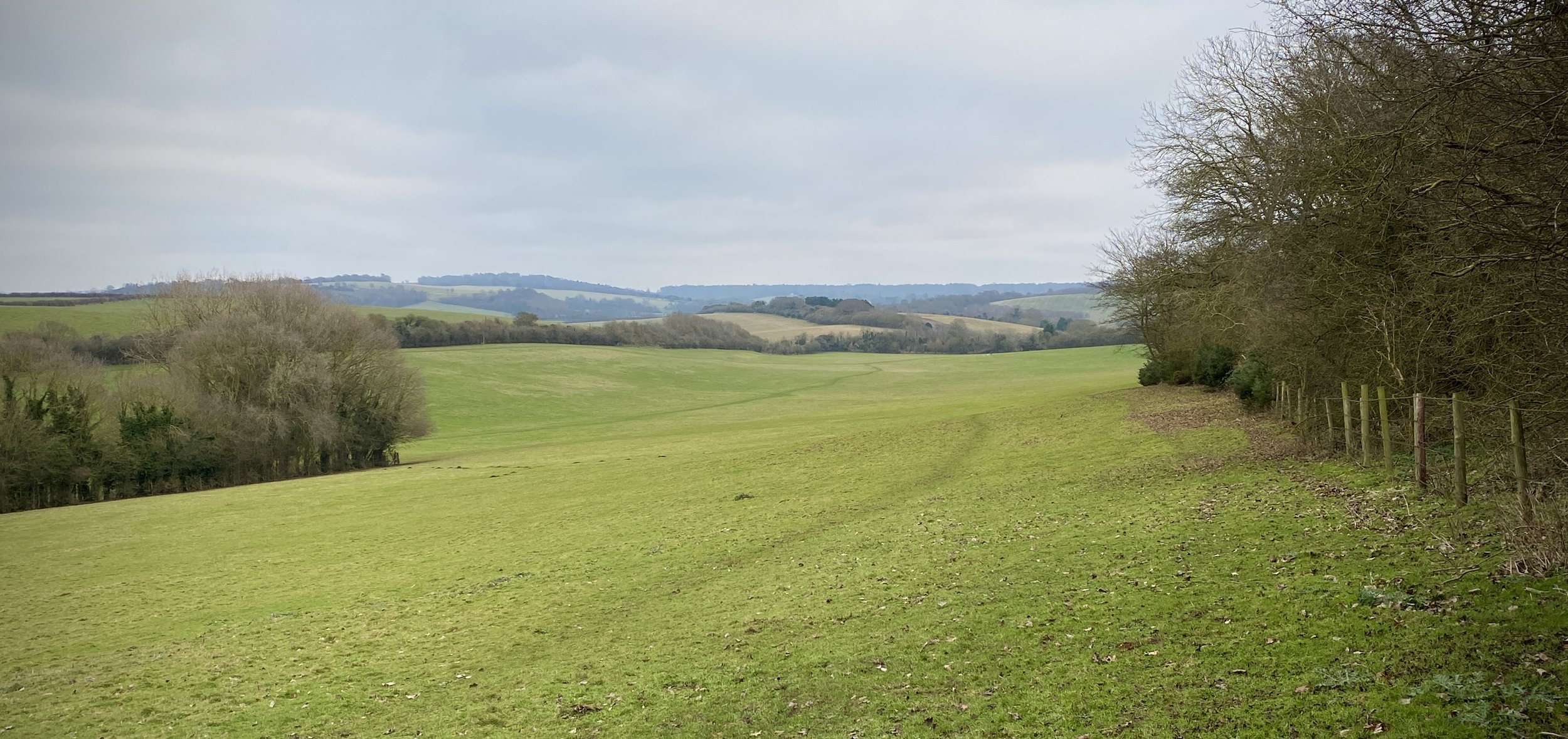
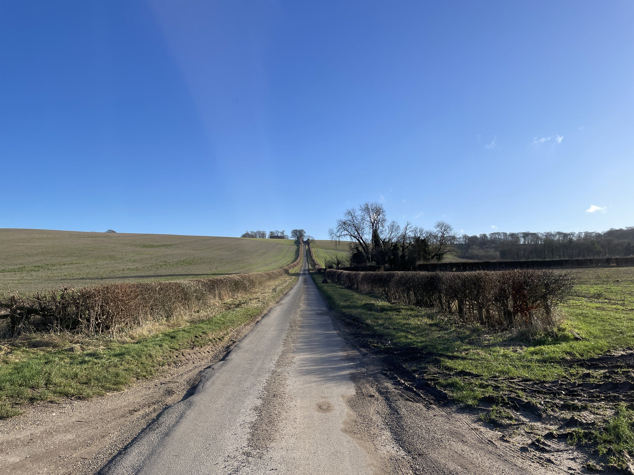
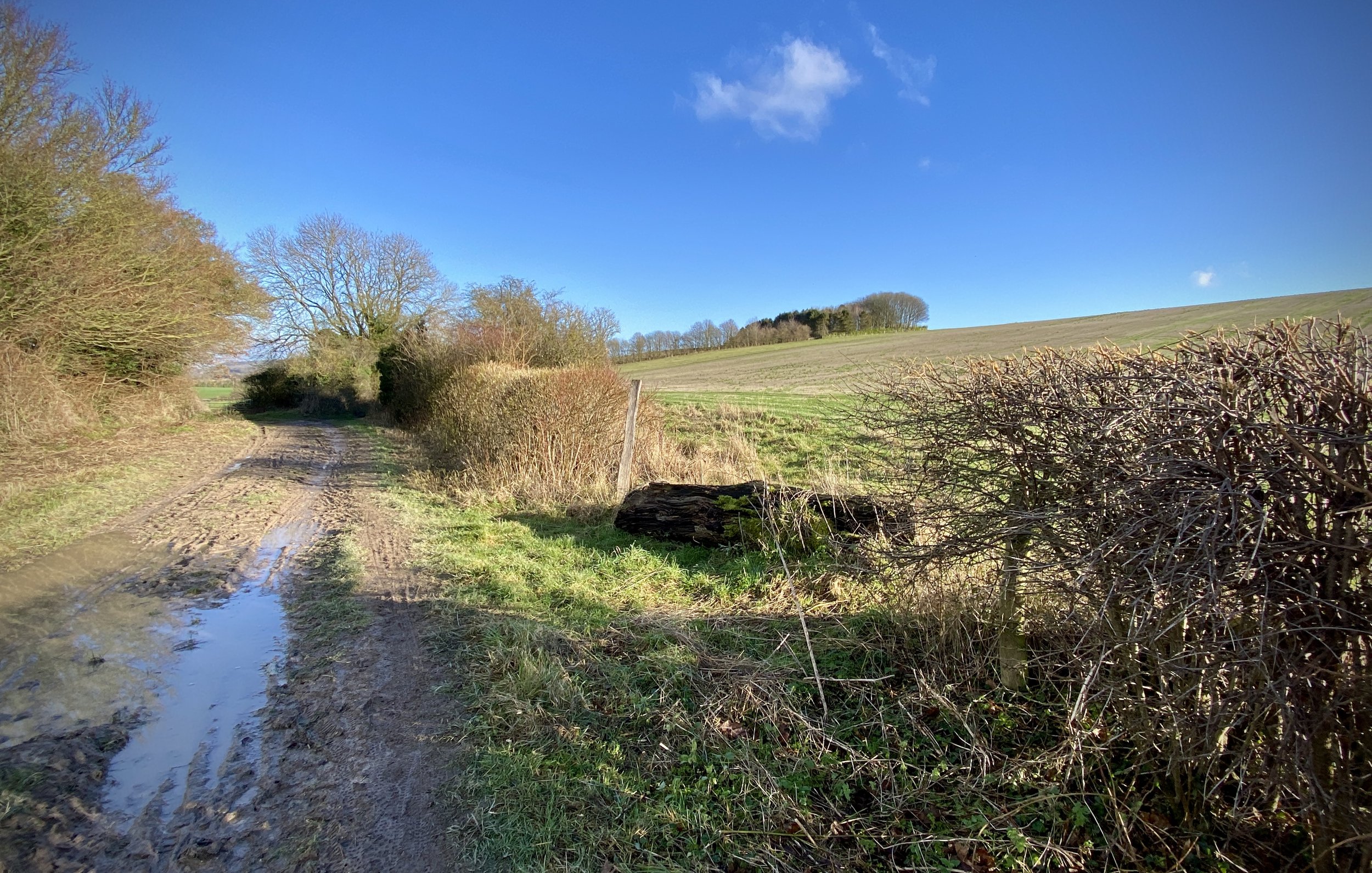
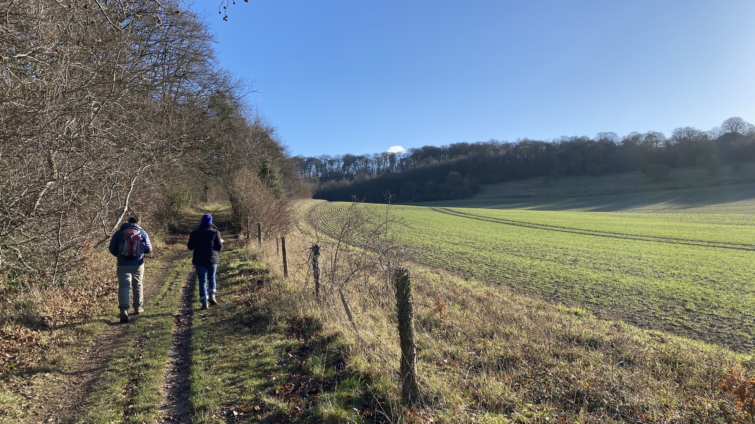
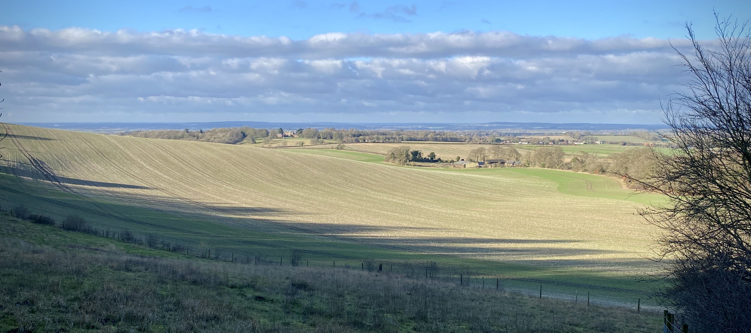
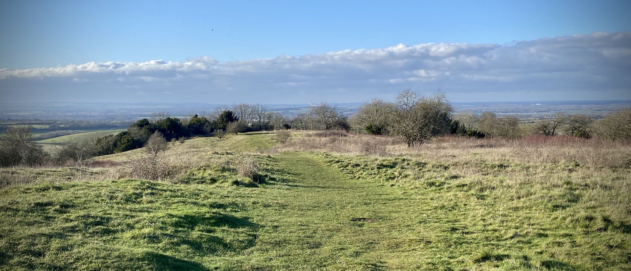
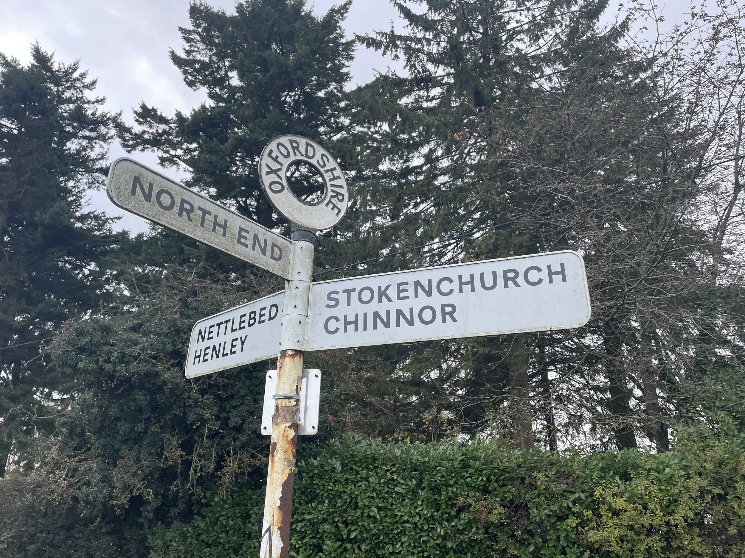
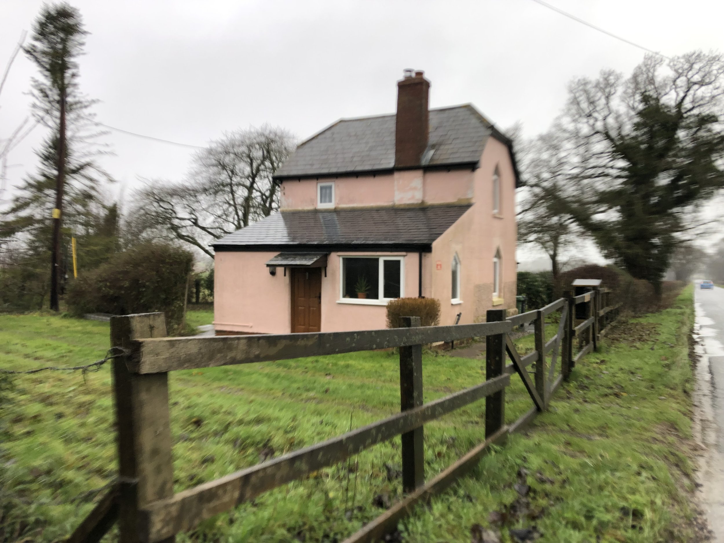
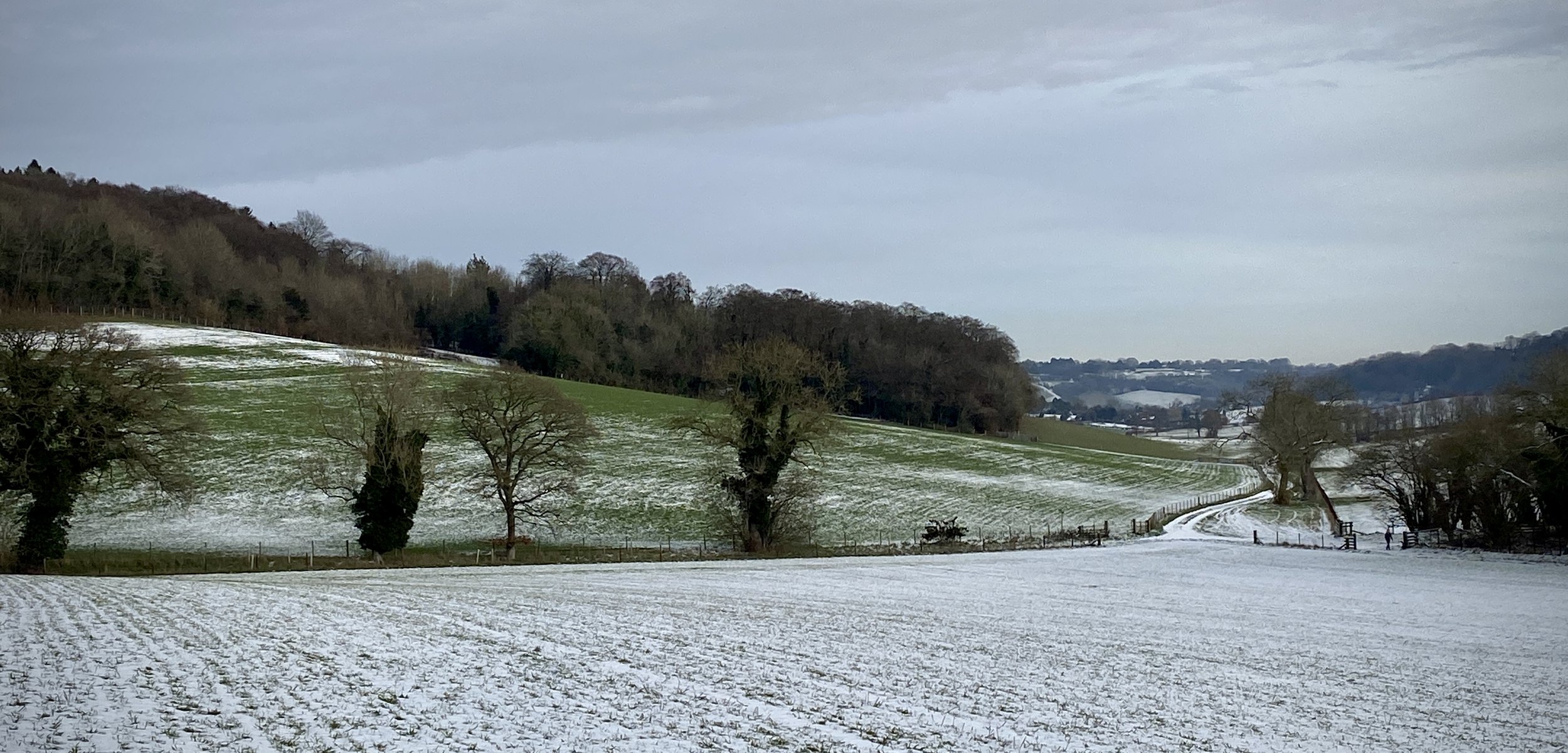
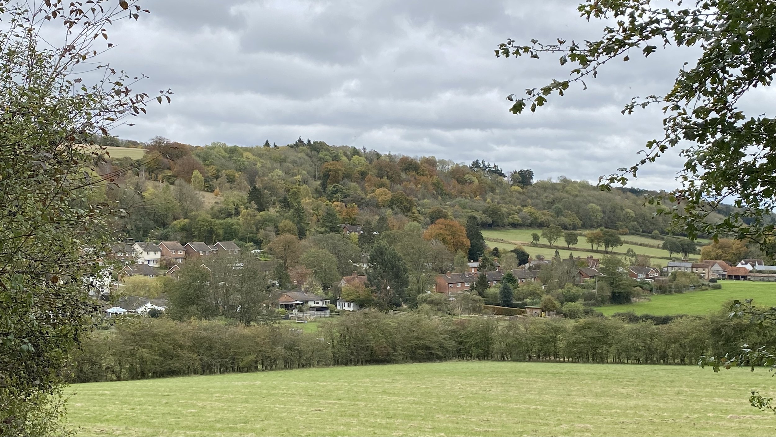
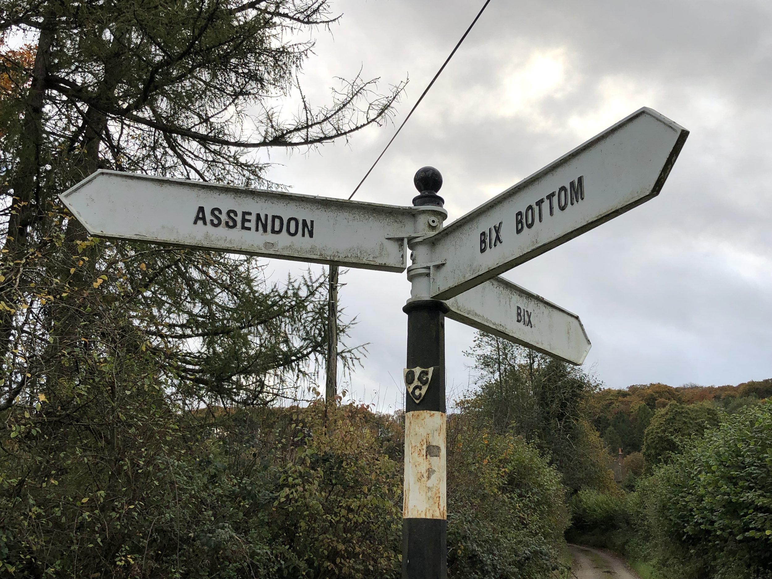
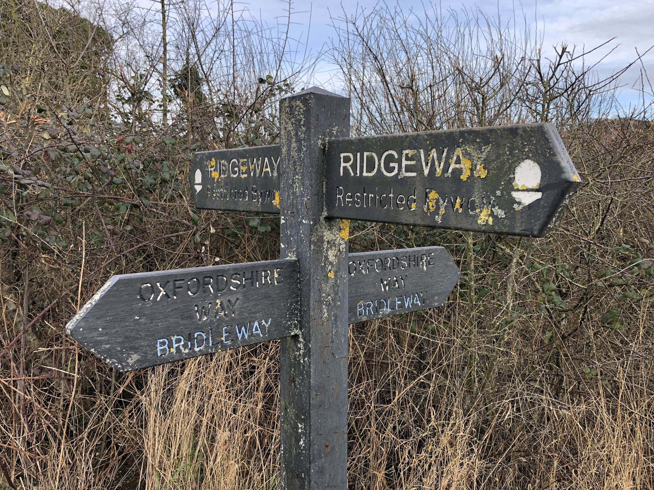
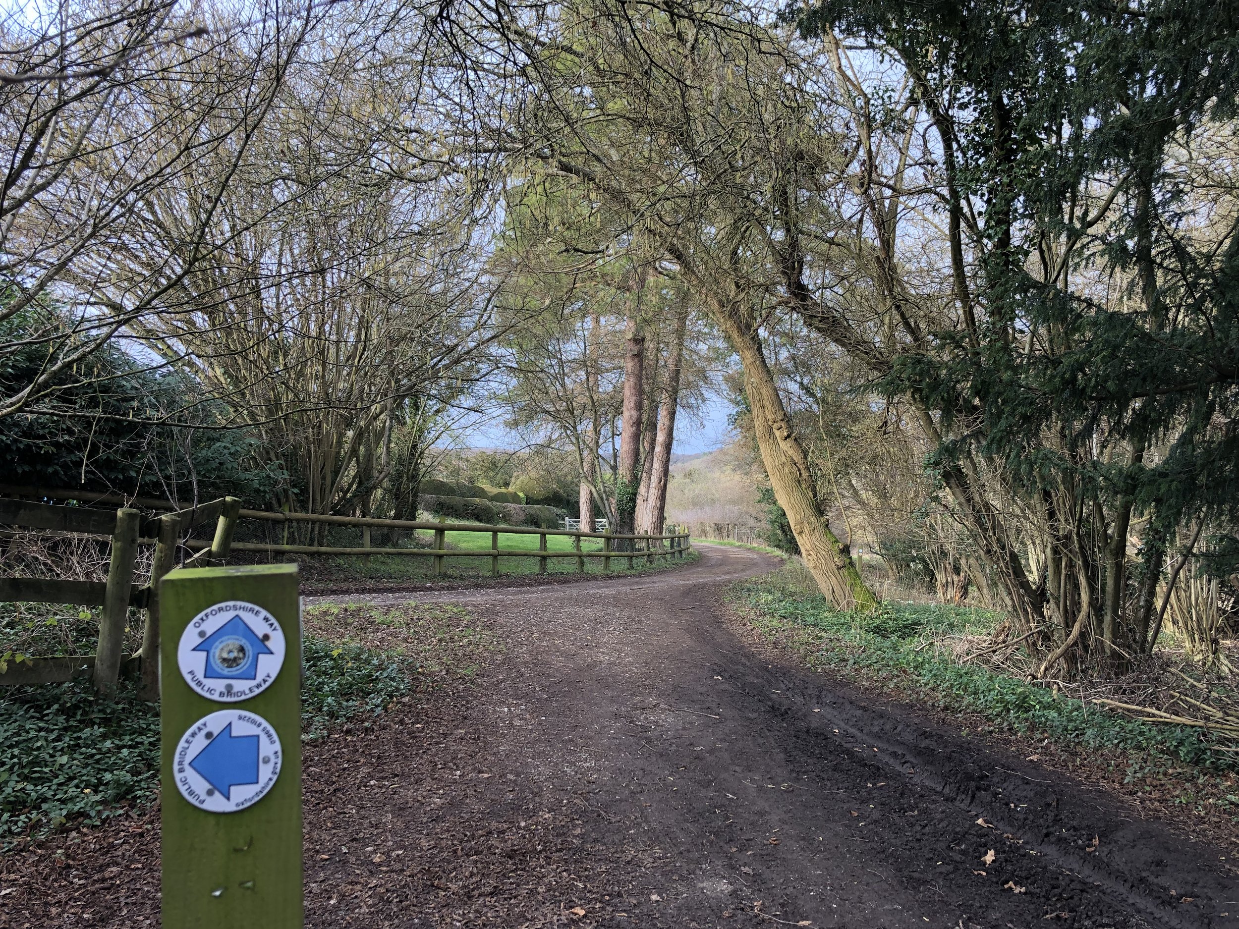
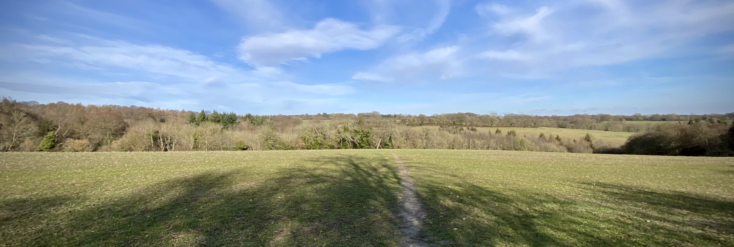
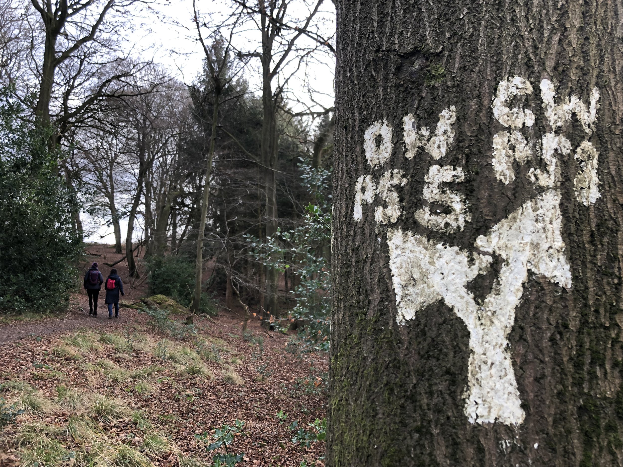
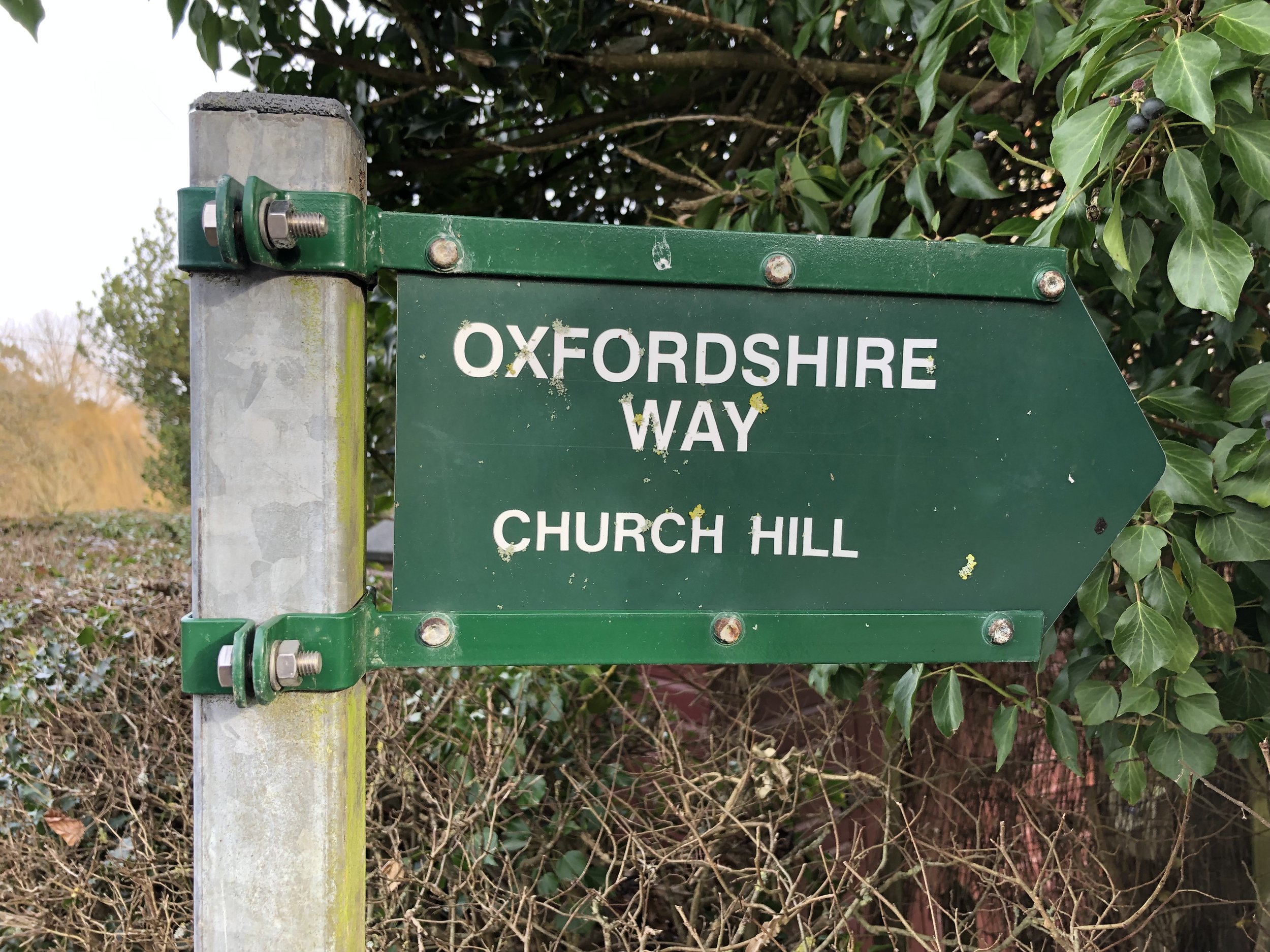
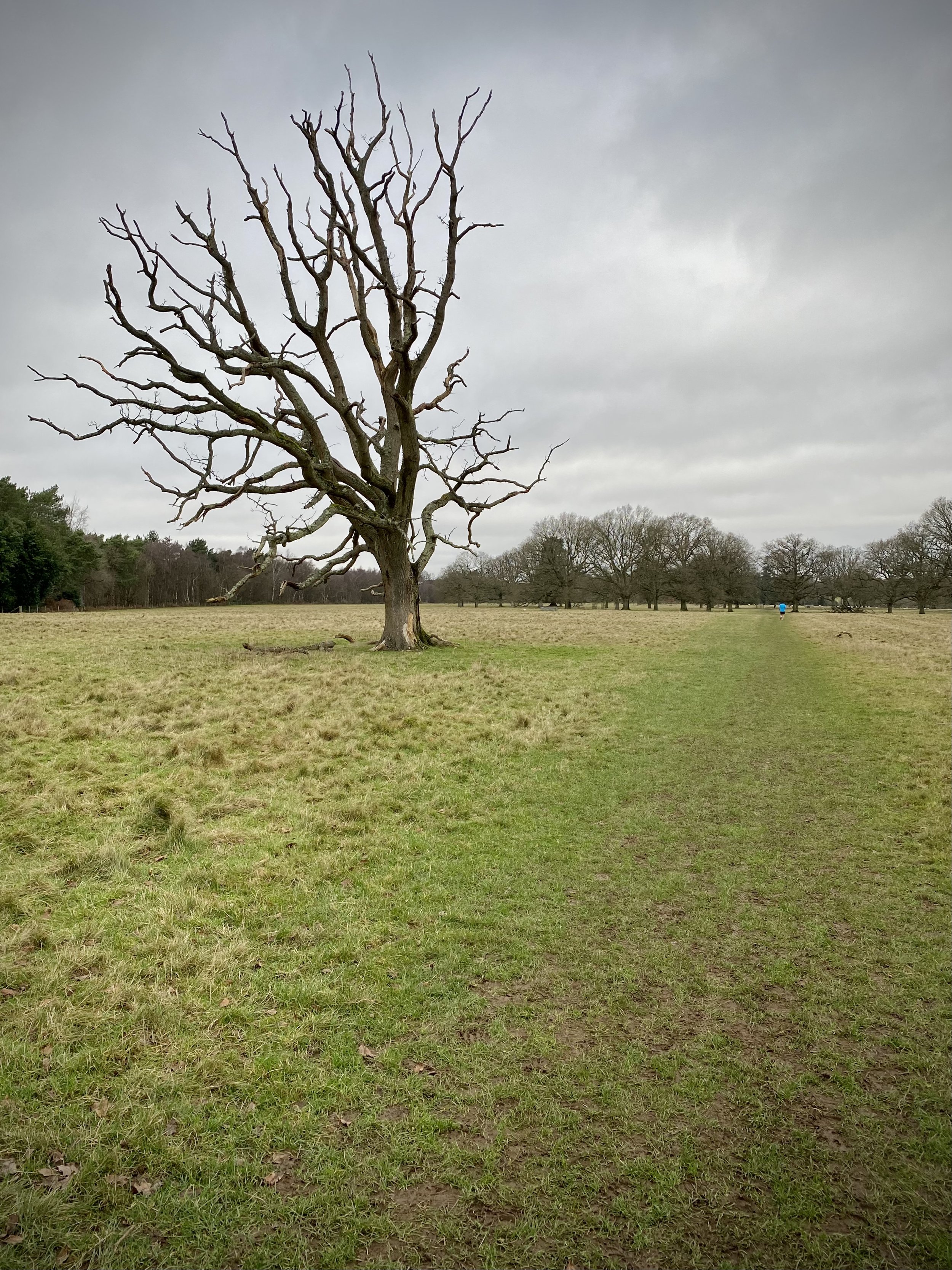
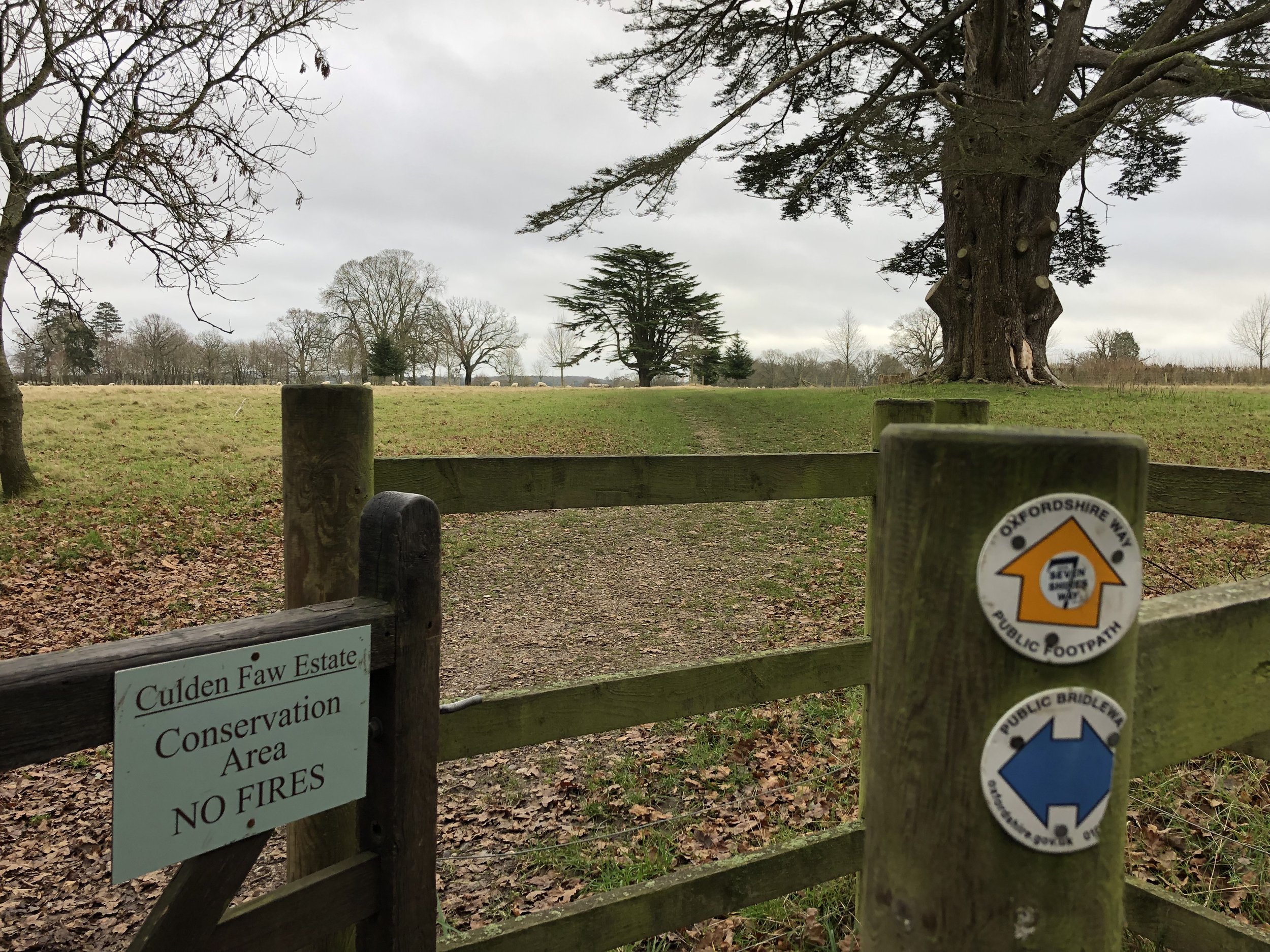
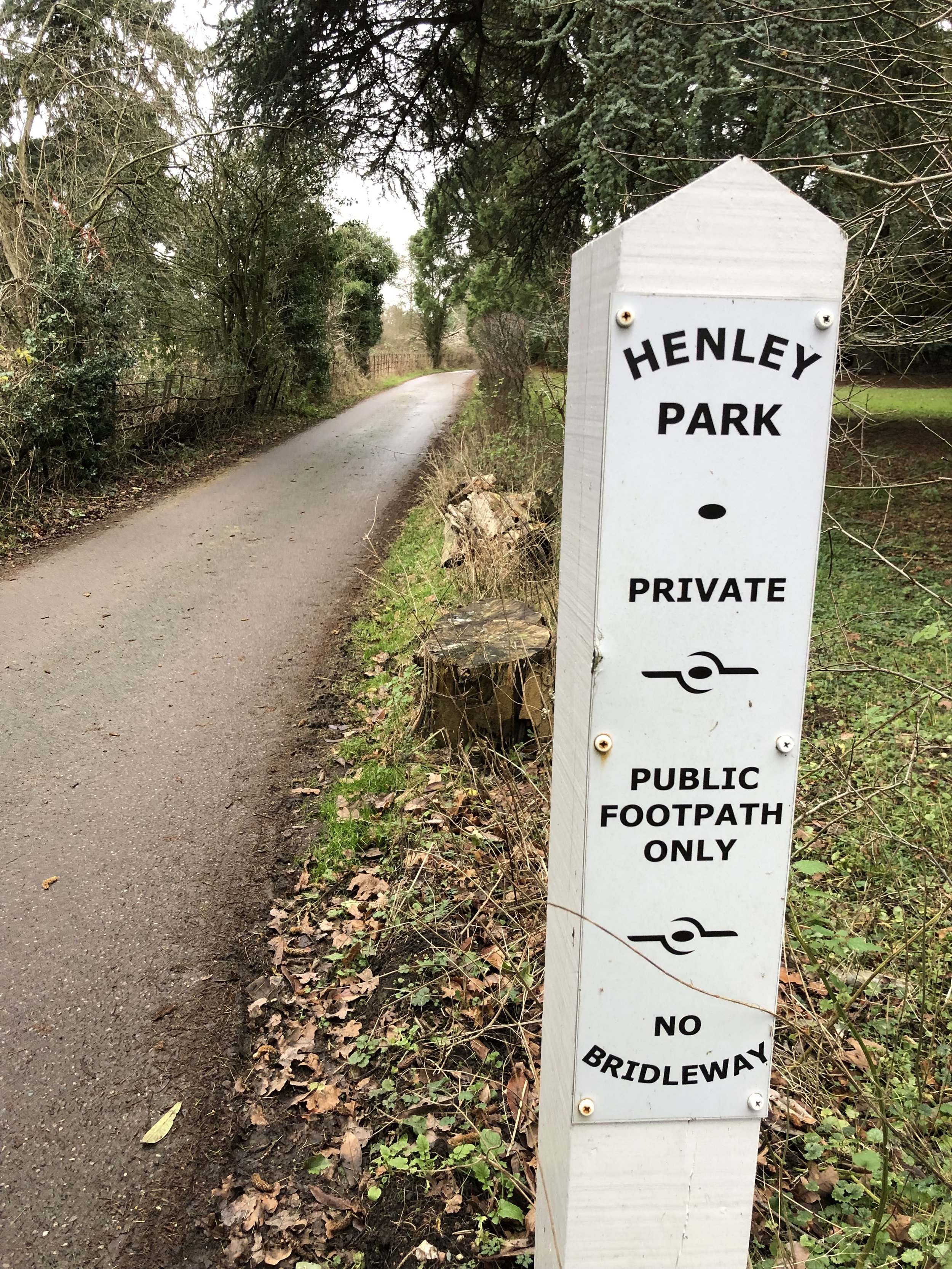
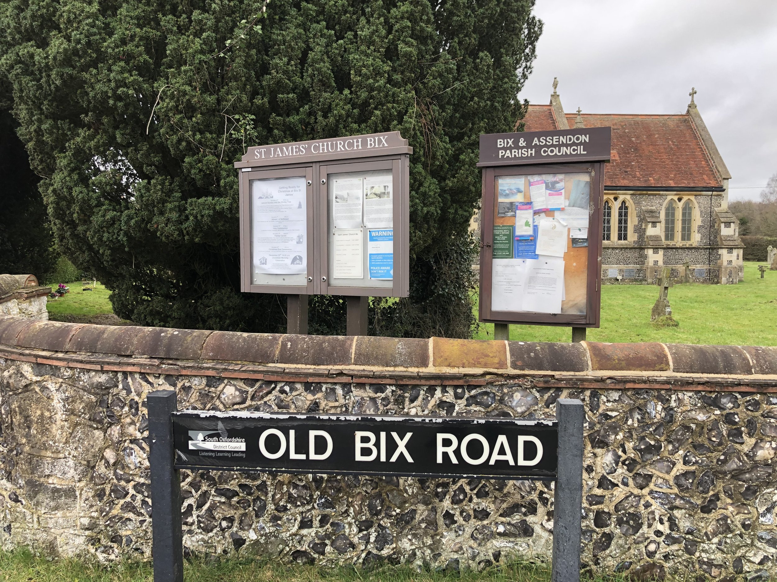
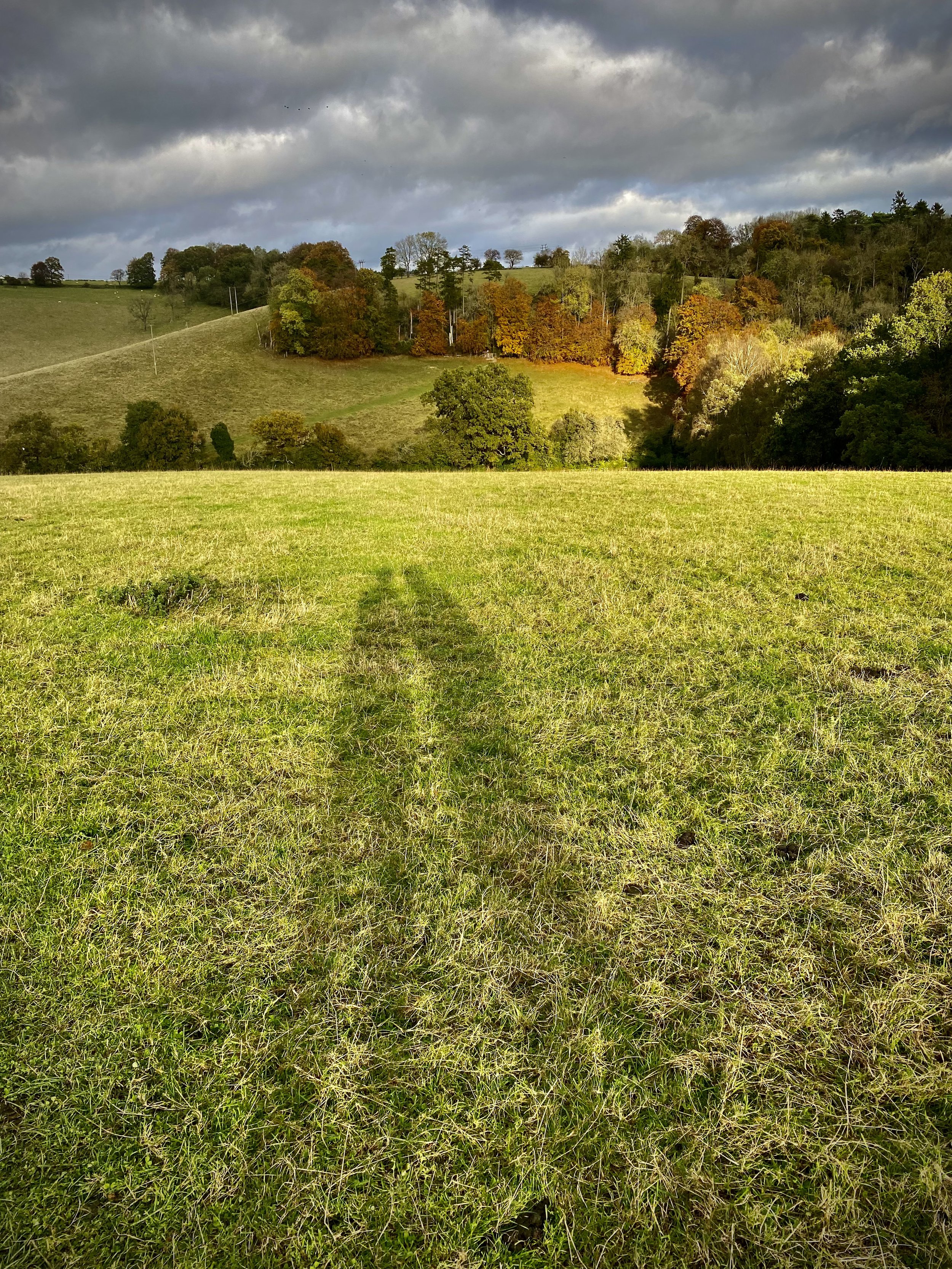
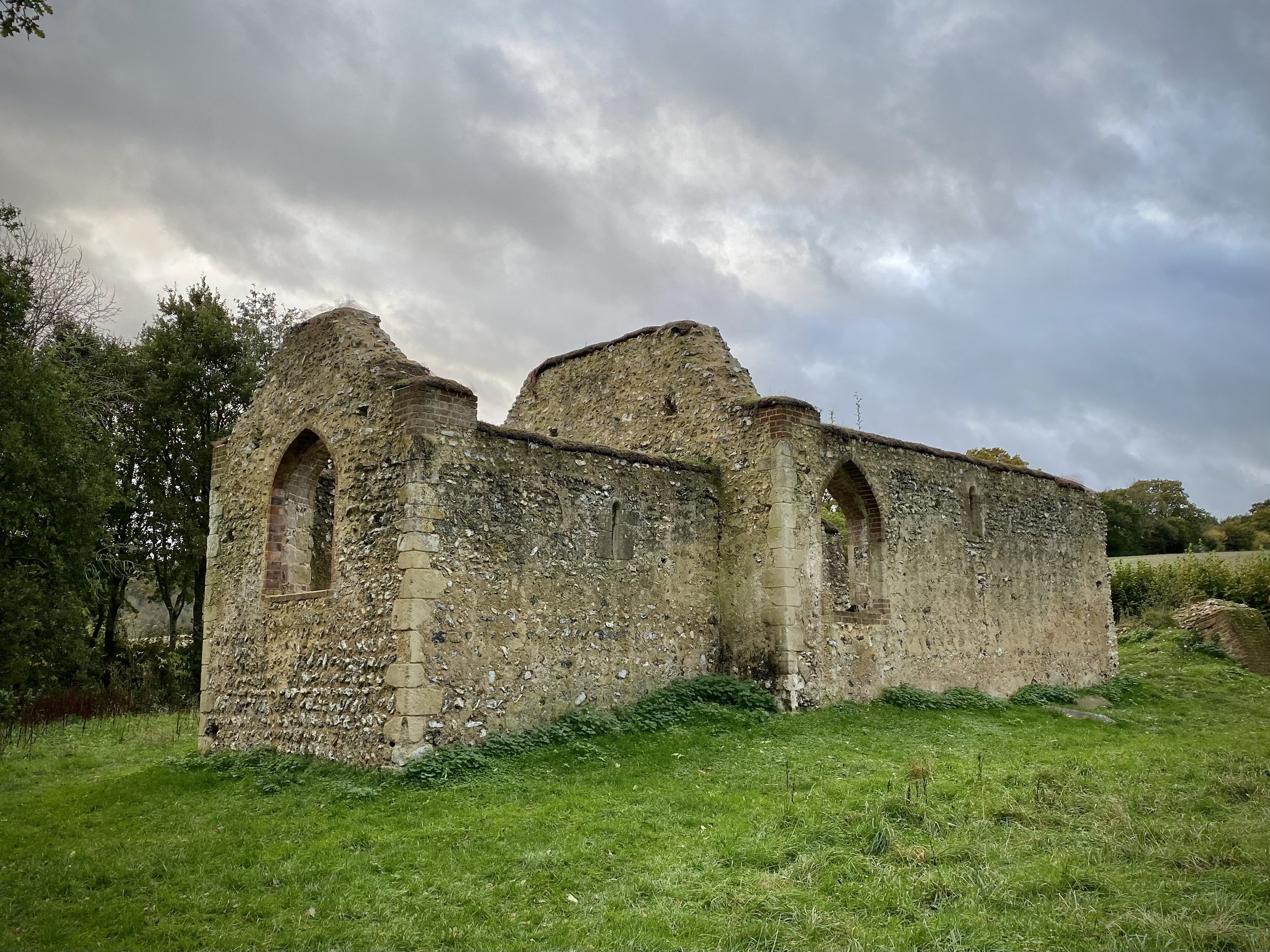
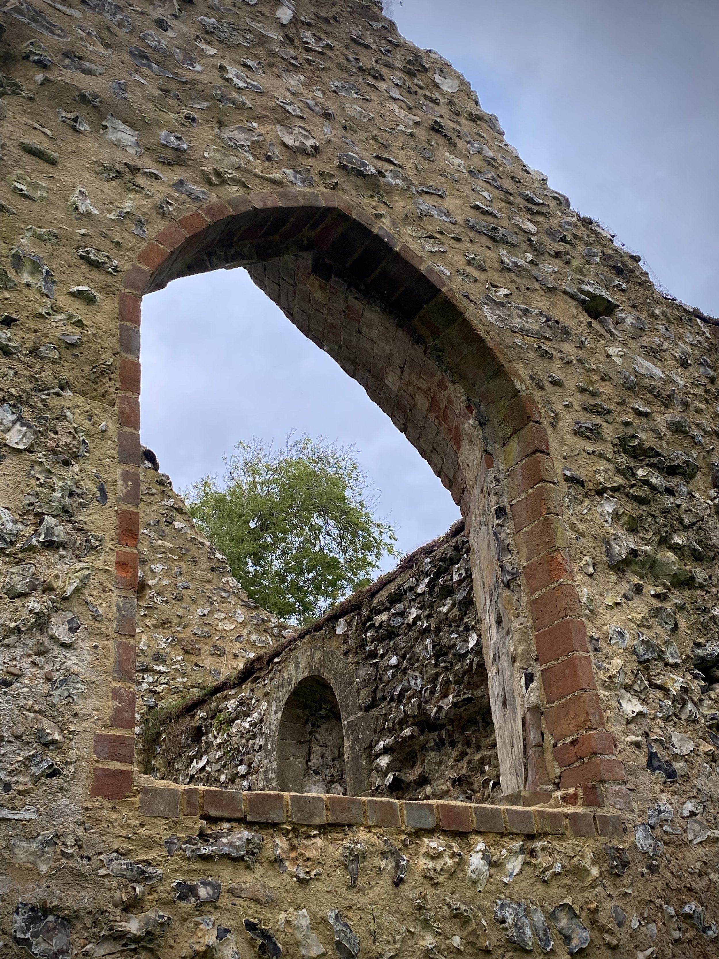
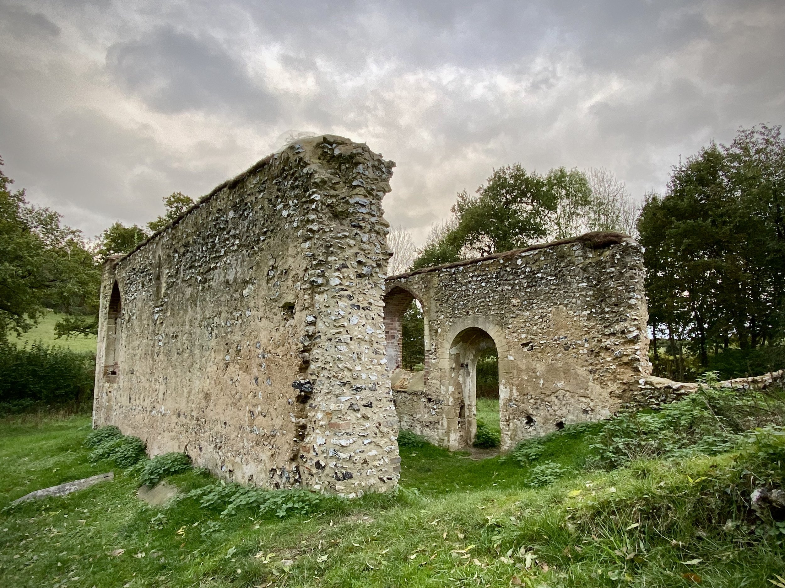
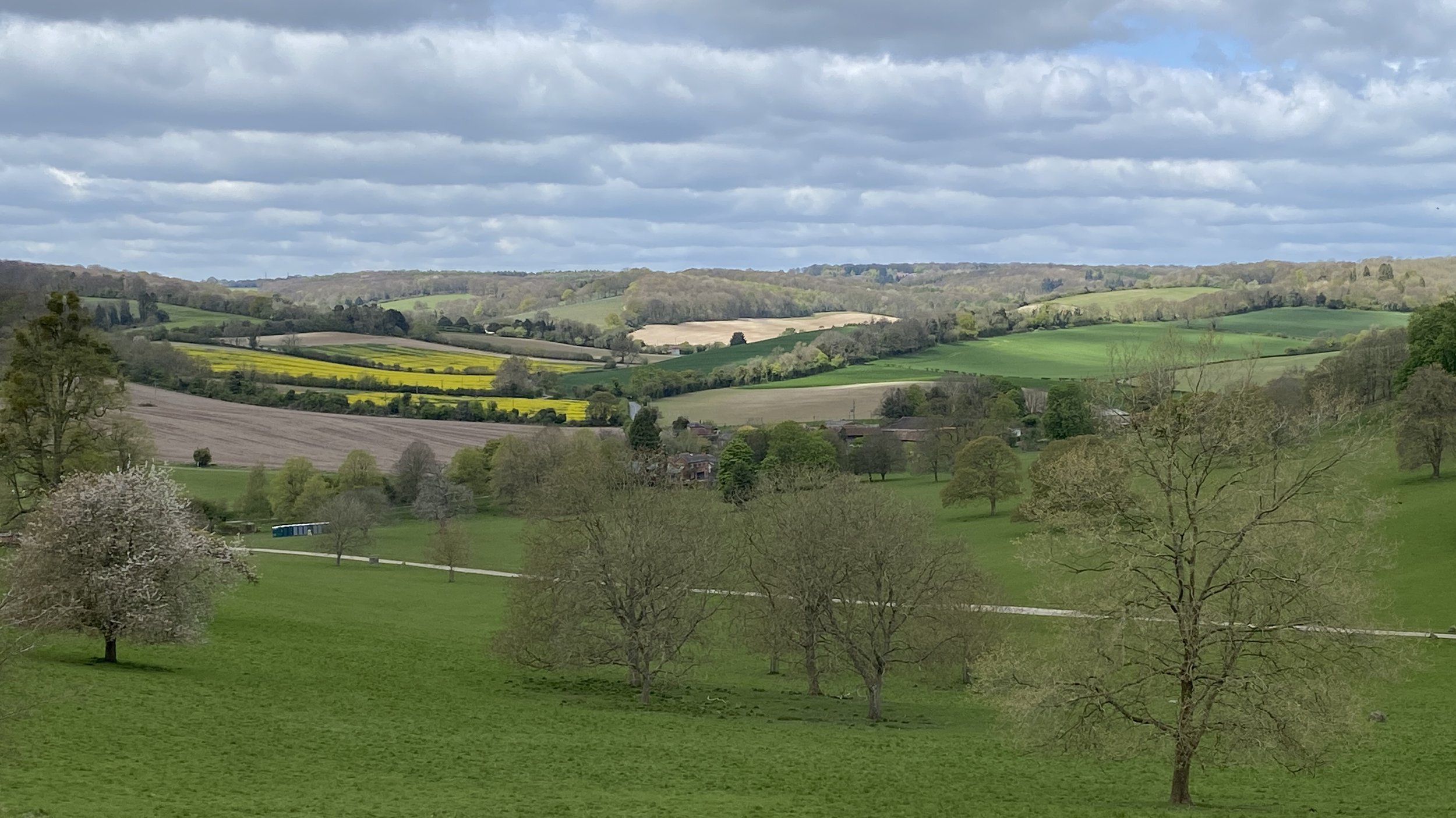
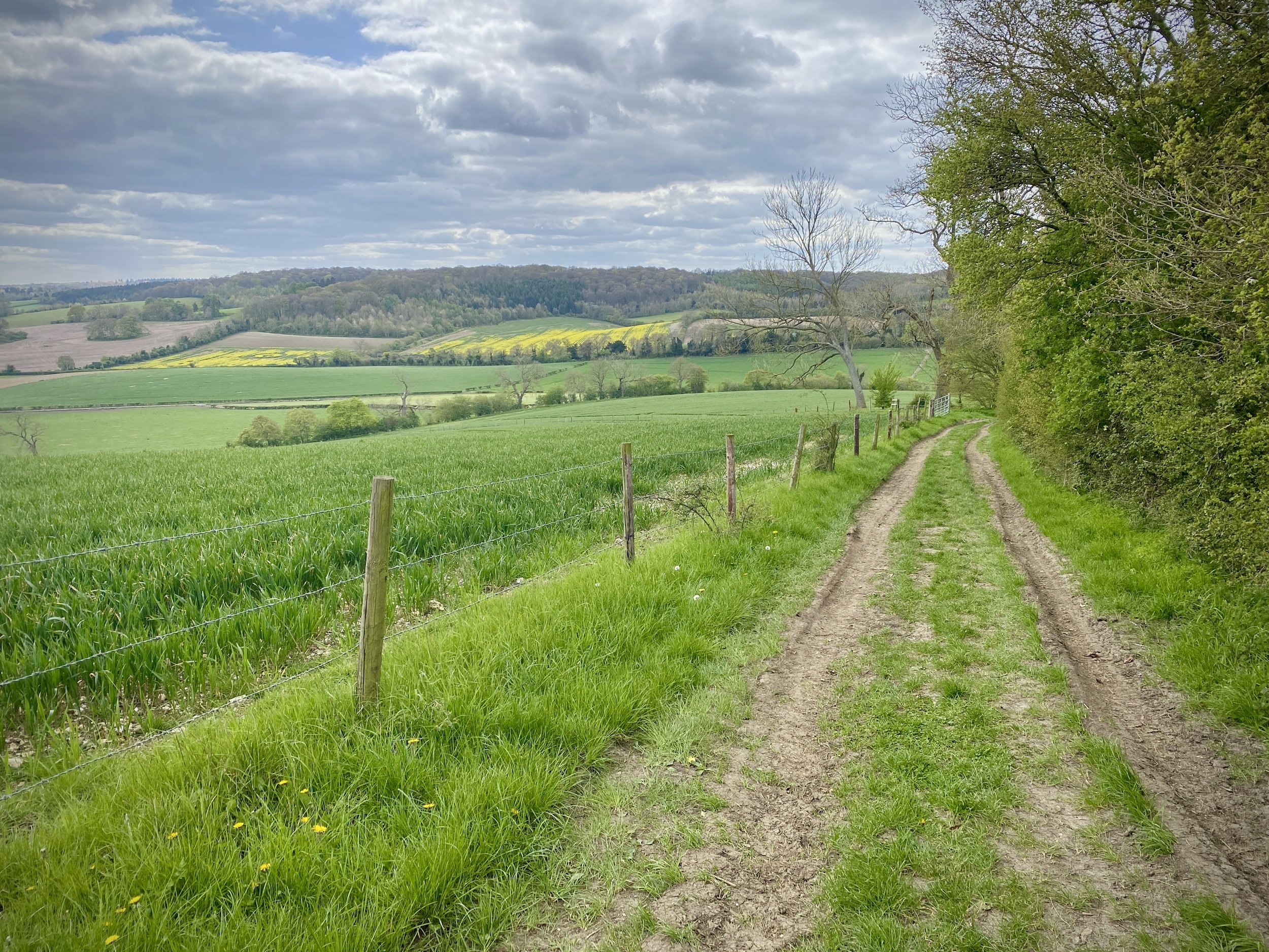
At the end of Drovers Lane continue onto Dolesden Lane, cross over Balham’s Lane then take a footpath on the left at the end of Dolesden Lane. Follow the footpath to the left of the converted church building and follow the path through farmland as it gently descends to Pishill. As you approach Pishill the path will meet a T-junction with the Oxfordshire Way. Take a left, then a right onto the B480 then a left onto Church Hill. Follow the Oxfordshire Way in a southerly direction up Church Hill then out into farmland. Continue for 2km from Pishill until you meet the junction with the Chiltern Way / Shakespeare’s Way at Maidensgrove. Take a left onto the Chiltern Way / Shakespeare’s Way to follow it all the way back to Stonor.

Shakespeare’s Way Previous Section (north): Russell's Water, Pishill and Maidensgrove
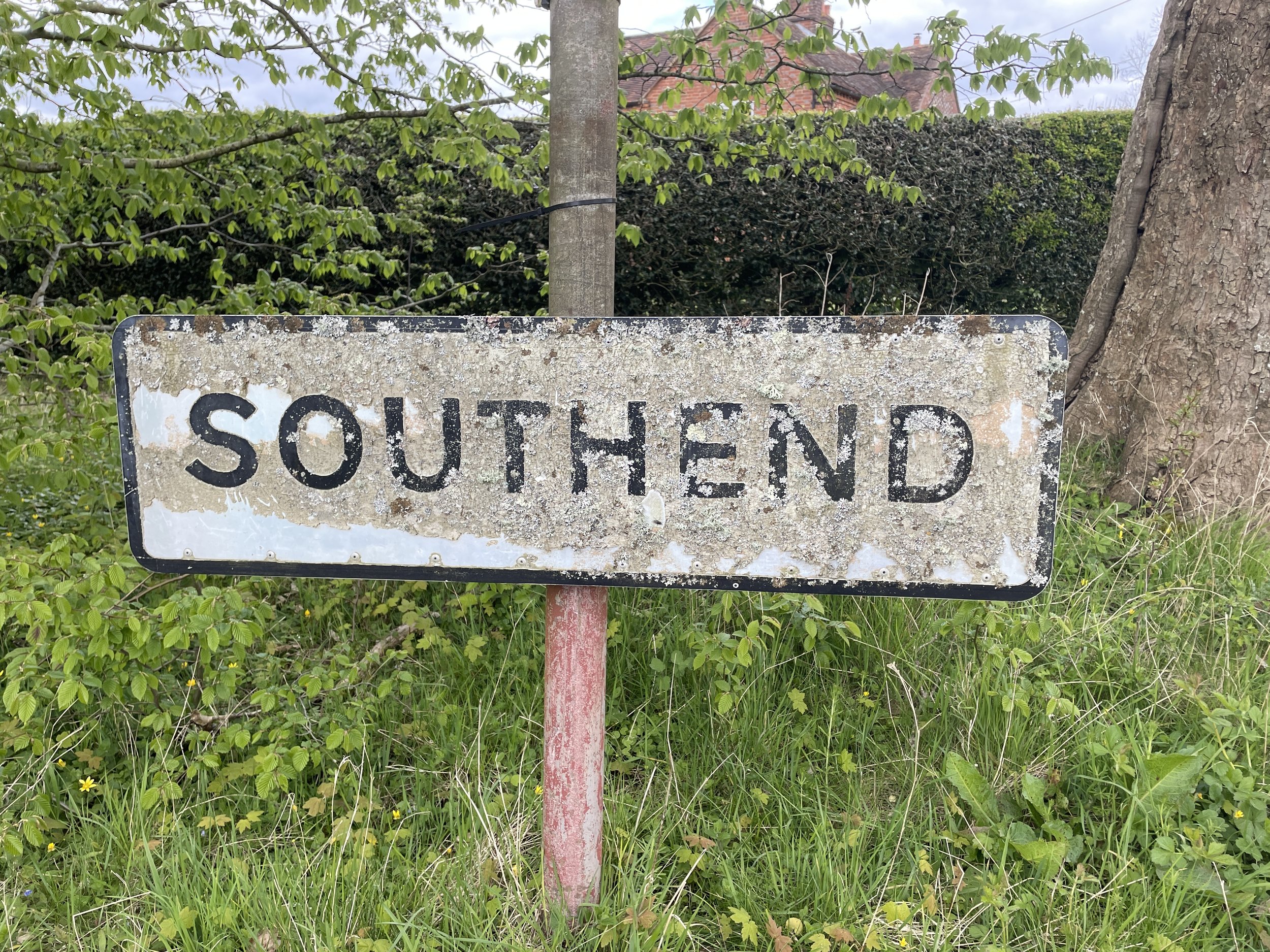
Shakespeare’s Way Next Section (south): Southend and Skirmitt (blog post coming soon)