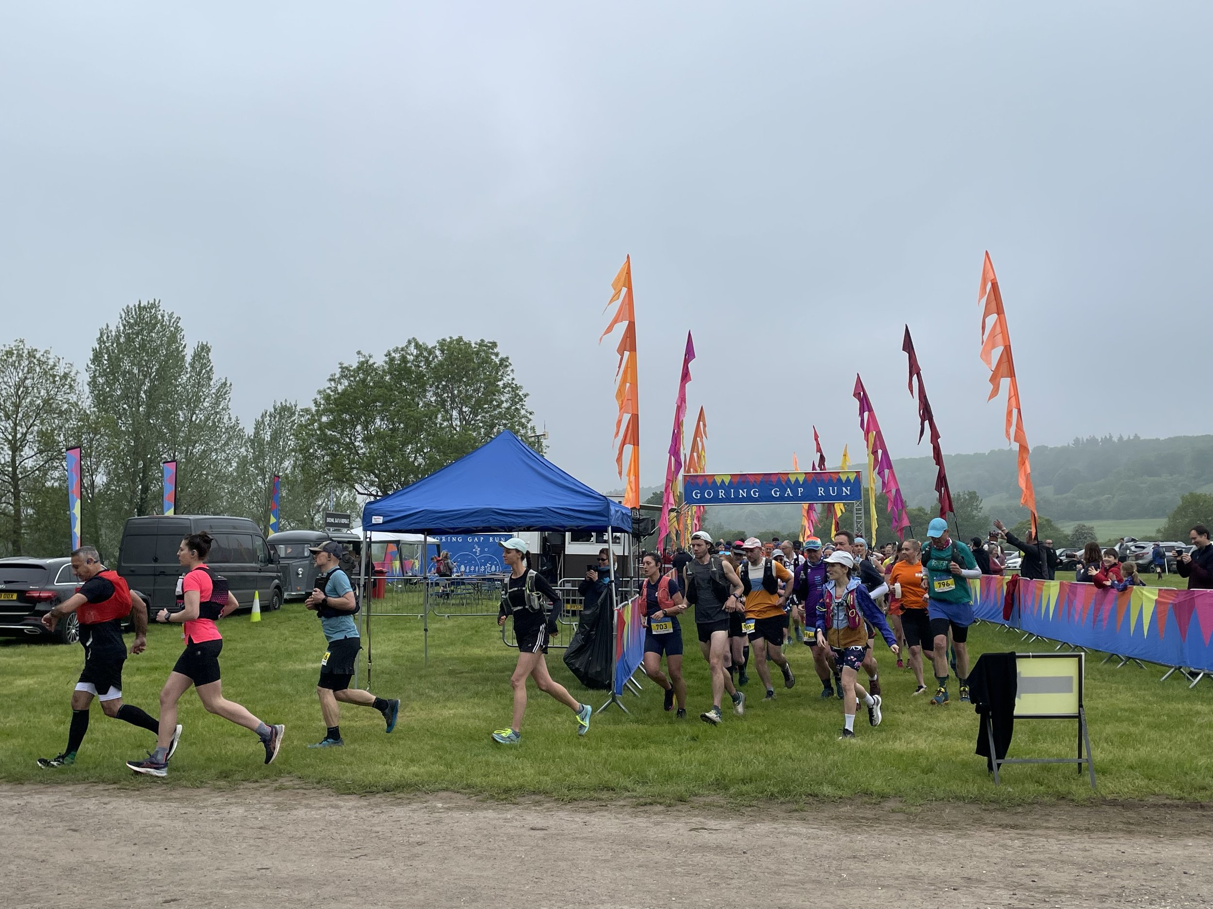
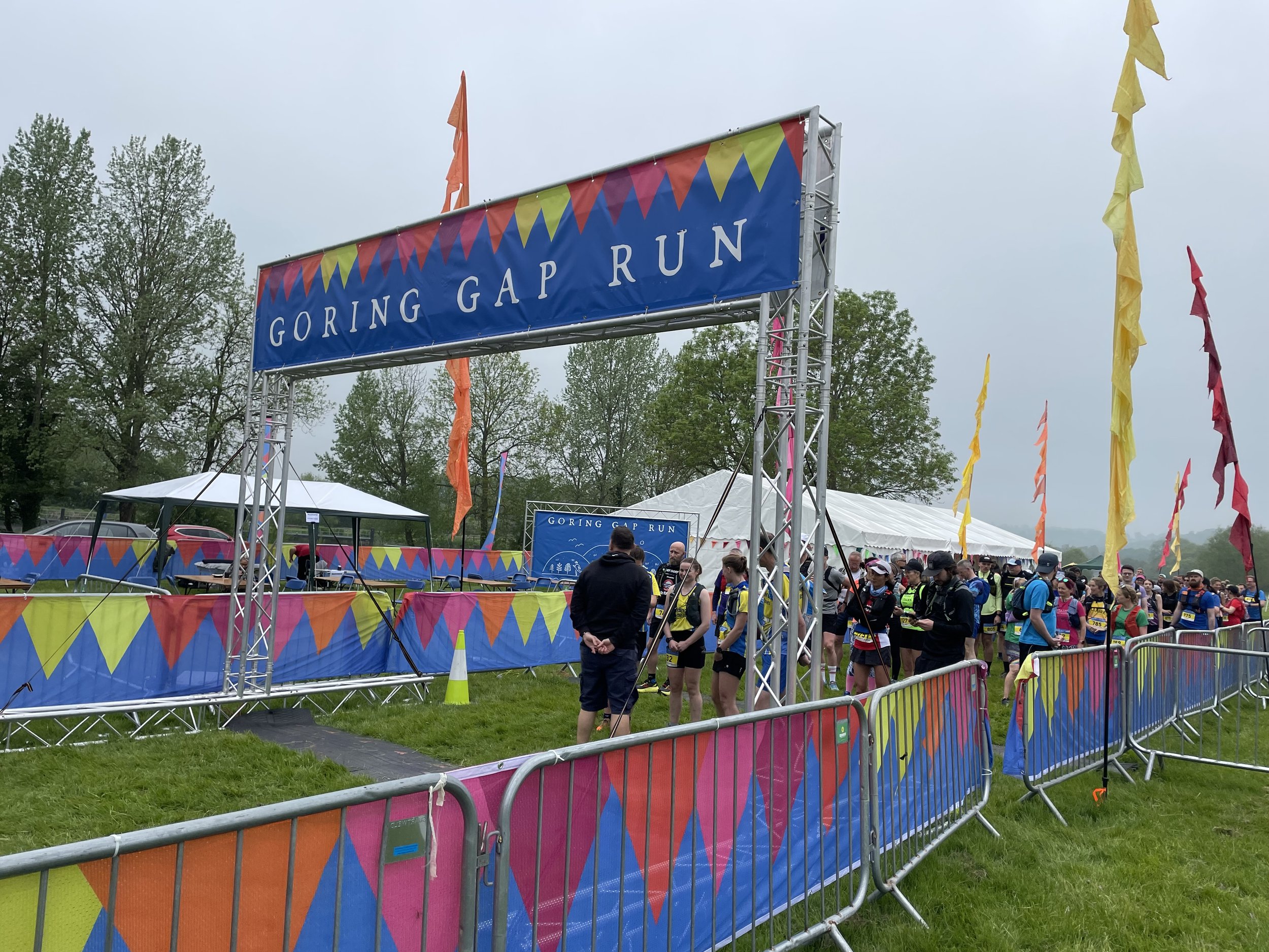
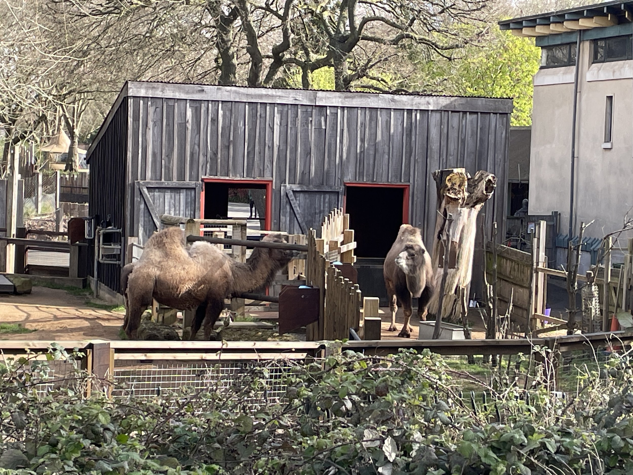
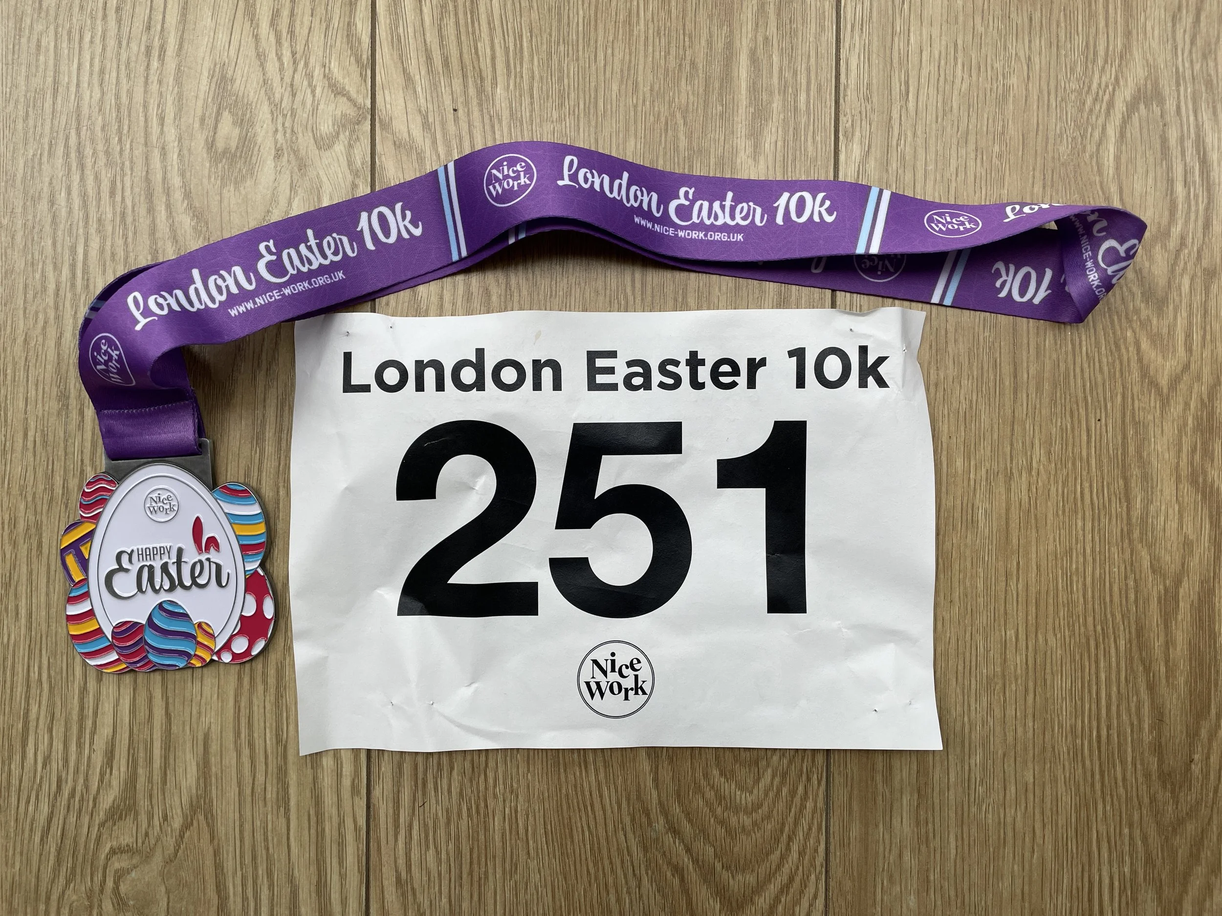
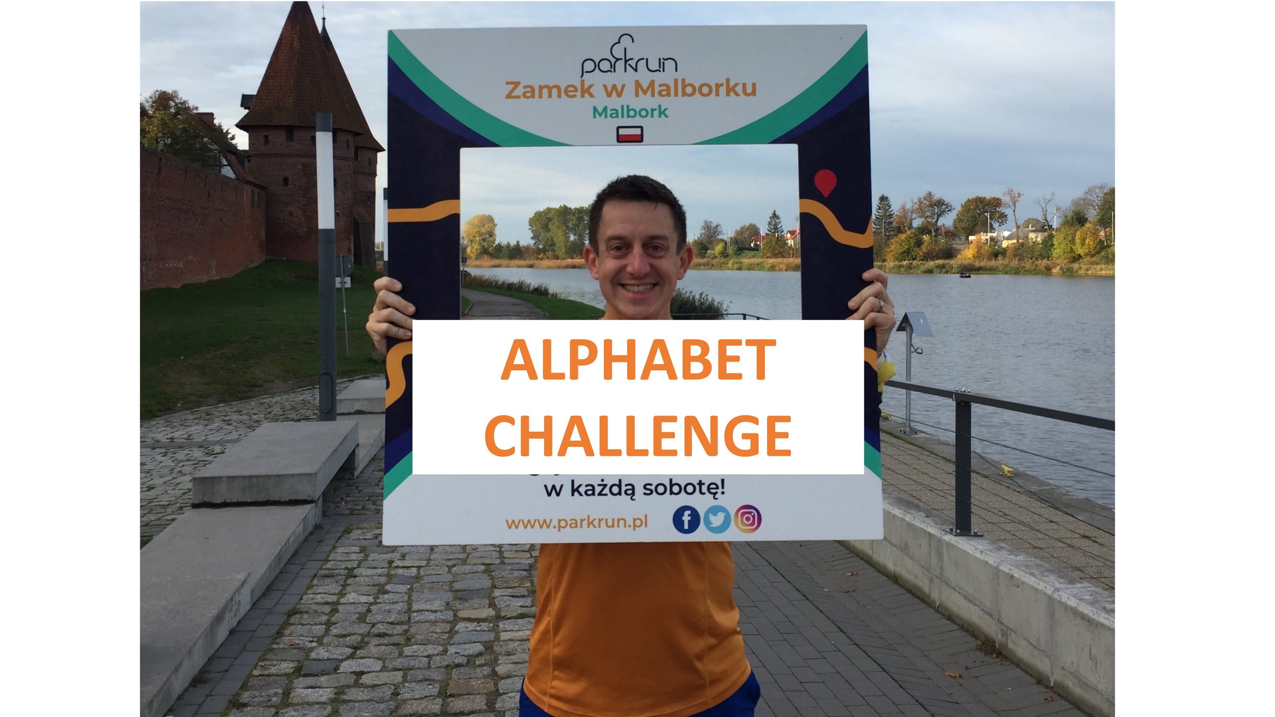
When: April 1st 2024
Where: Regent’s Park London
Course: Flat-ish 3 loops of the northern half of the park.
Other routes touched: N/A
Finish time: 58 minutes 54 seconds


When: April 1st 2024
Where: Regent’s Park London
Course: Flat-ish 3 loops of the northern half of the park.
Other routes touched: N/A
Finish time: 58 minutes 54 seconds
If you would like a PDF version of my manual LonDone tracker, please BuyMeACoffee and let me know on the Contact Page. It’s a table of all current Greater London parkrun events, plus all events inside the M25, with space for future new events. You can track your date completed and finish time. It’s simple and you could easily make one yourself, but let me know if you want a copy of mine. 20% of each virtual coffee goes to parkrun Forever and the rest goes toward the running of this website.
Except from the full PDF
My stats for the year:

TOTAL DISTANCE IN 2023
Run (outdoor): 287 miles / 459 km
Cycle (Outdoor): 595 miles / 951 km
Cycle (Zwift): 1,519 miles / 2,426 km
Walk/Hike: 759 miles / 1,215 km
Total = 3,160 miles / 5,052 km (target was > 5,000 km)
Walk / Hike = recorded hiking & walking events, not general steps.
Total includes “other” activities such as SUP.
KEY EVENTS IN 2023
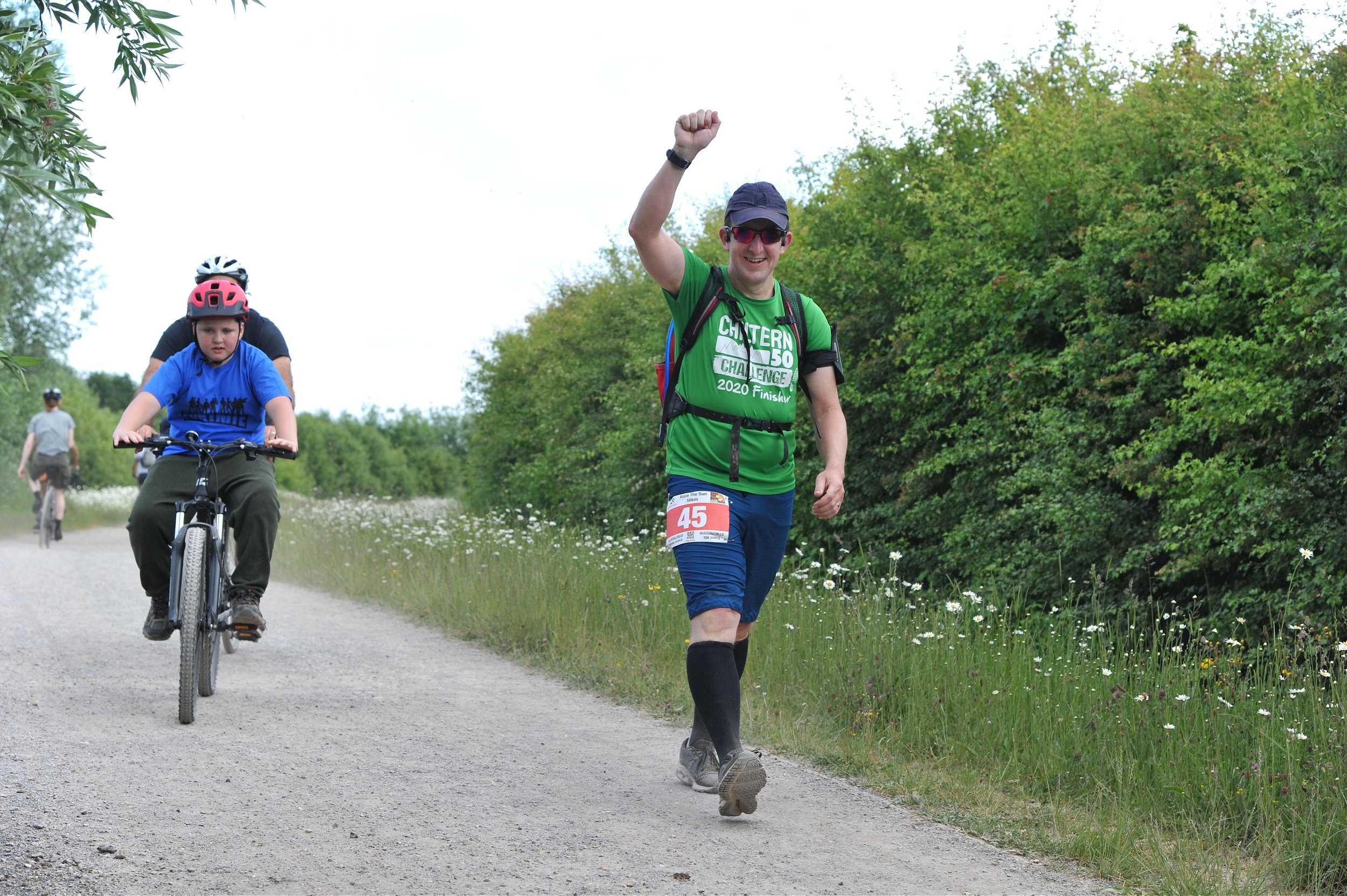
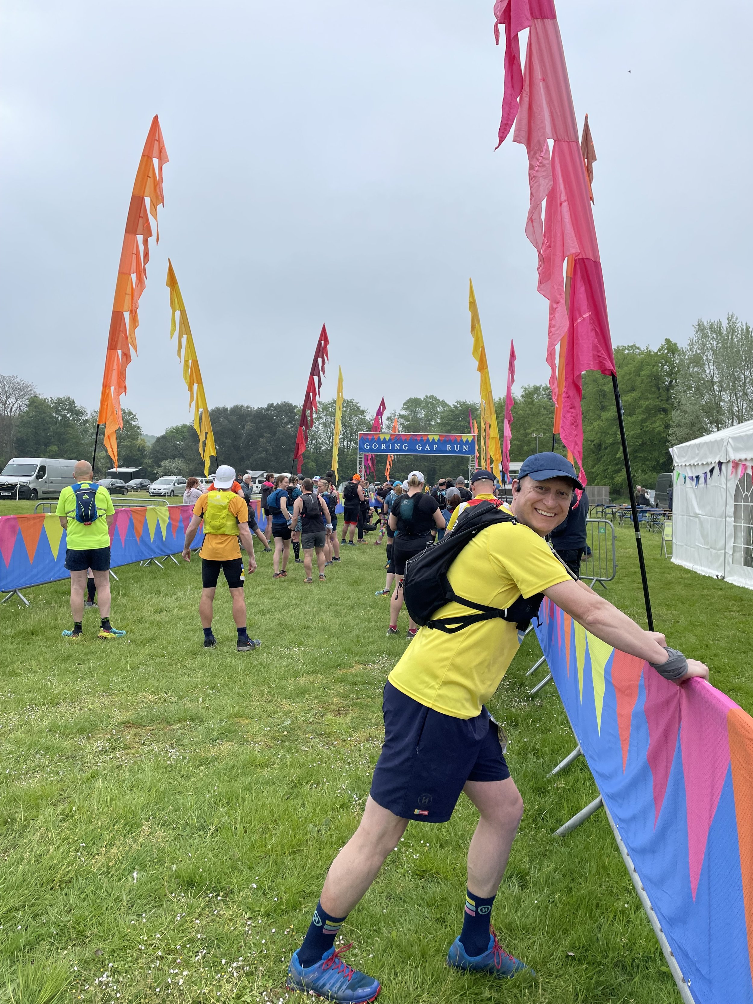
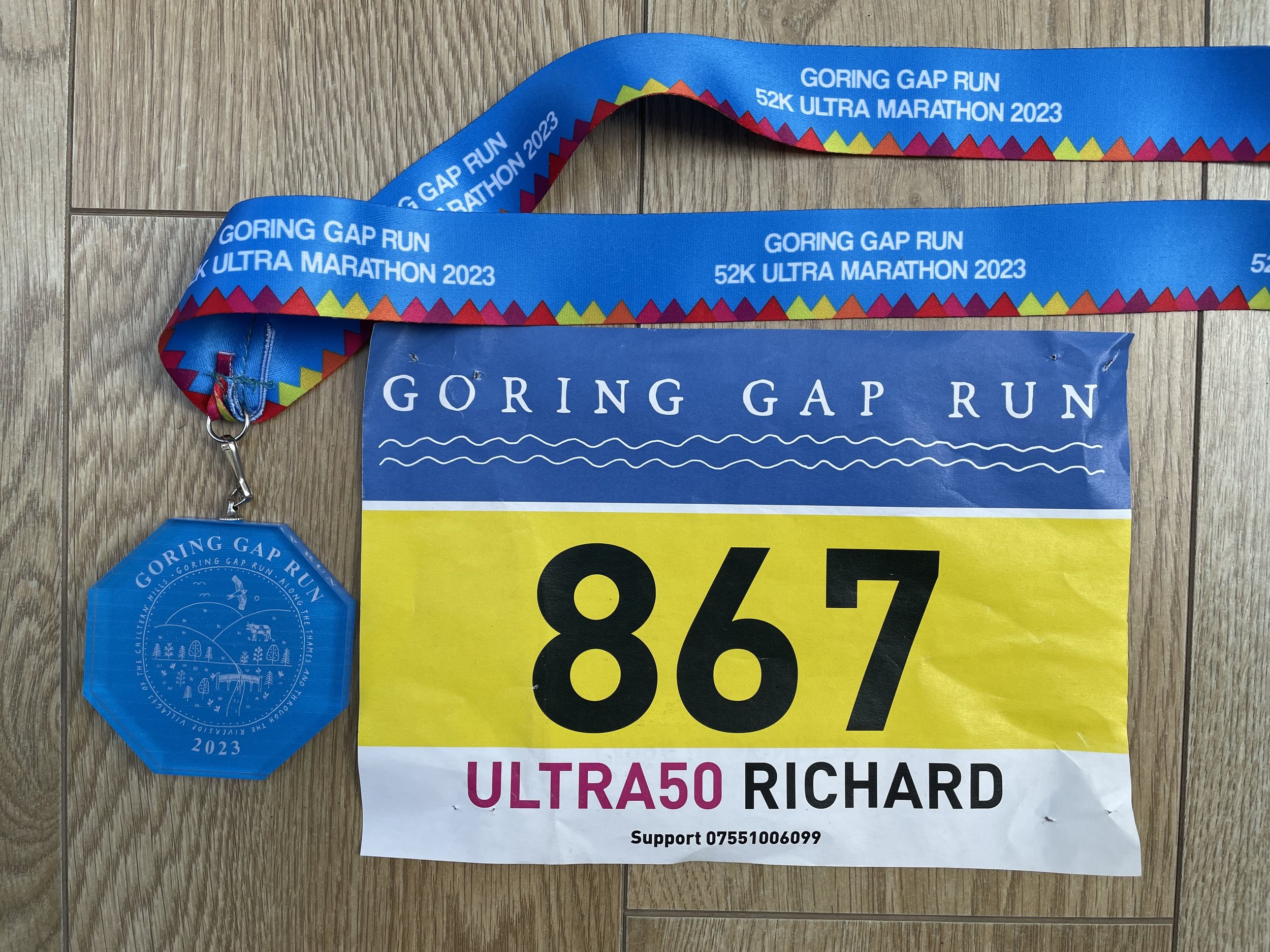
2 x Ultra Marathons: Goring Gap 50 and Race The Sun 50
1 x Marathon: Brighton
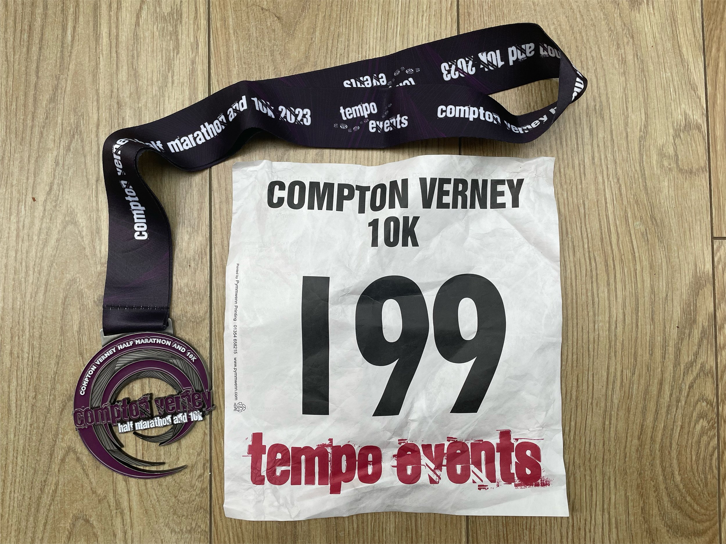
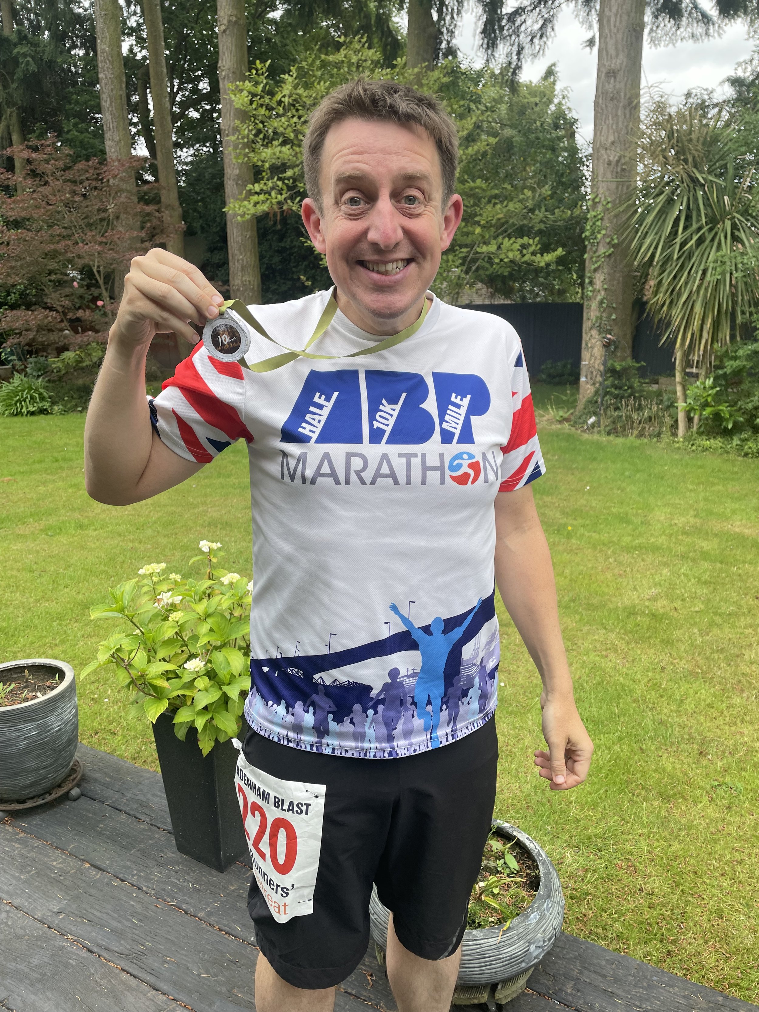
3 x 10k running events: Mortimer Trail, Bradenham Blast and Compton Verney
49 parkruns, including 12 new locations
23 parkrun volunteering occasions
4 new Historic County Tops: Ben Lawers, Ben Vorlich, Ben Lomond, Hill of Stake
28 new Present-Day, alternative or previous County Tops:
- England: Whitehorse Hill, Haddenham Village, Racecourse Road, Nether Hall, Mill Hill, Staverton Clump, The Slipe, Bow Brickhill, Corley Moor, Meigh’s Wood, Rednall Hill North Top, Bassett Avenue, Fort Southwick, Holly Hill, Liddington Hill, London Road, Heath Mount, Langdon Hill Southwest Slope, Blagdon Hill Farm, Niver Hill, Hanging Hill
- Wales: Garth Hill, Tair Onnen, Mynydd y Betws, Merthyr Common, Pen March, Coety Mountain, Wentwood
33 new OS Trig Pillars bagged
3 international / island High Points: Pico de las Nieves* (Gran Canaria), El Toro (Menorca), Mt Etna* (Sicily) … *=highest accessible point
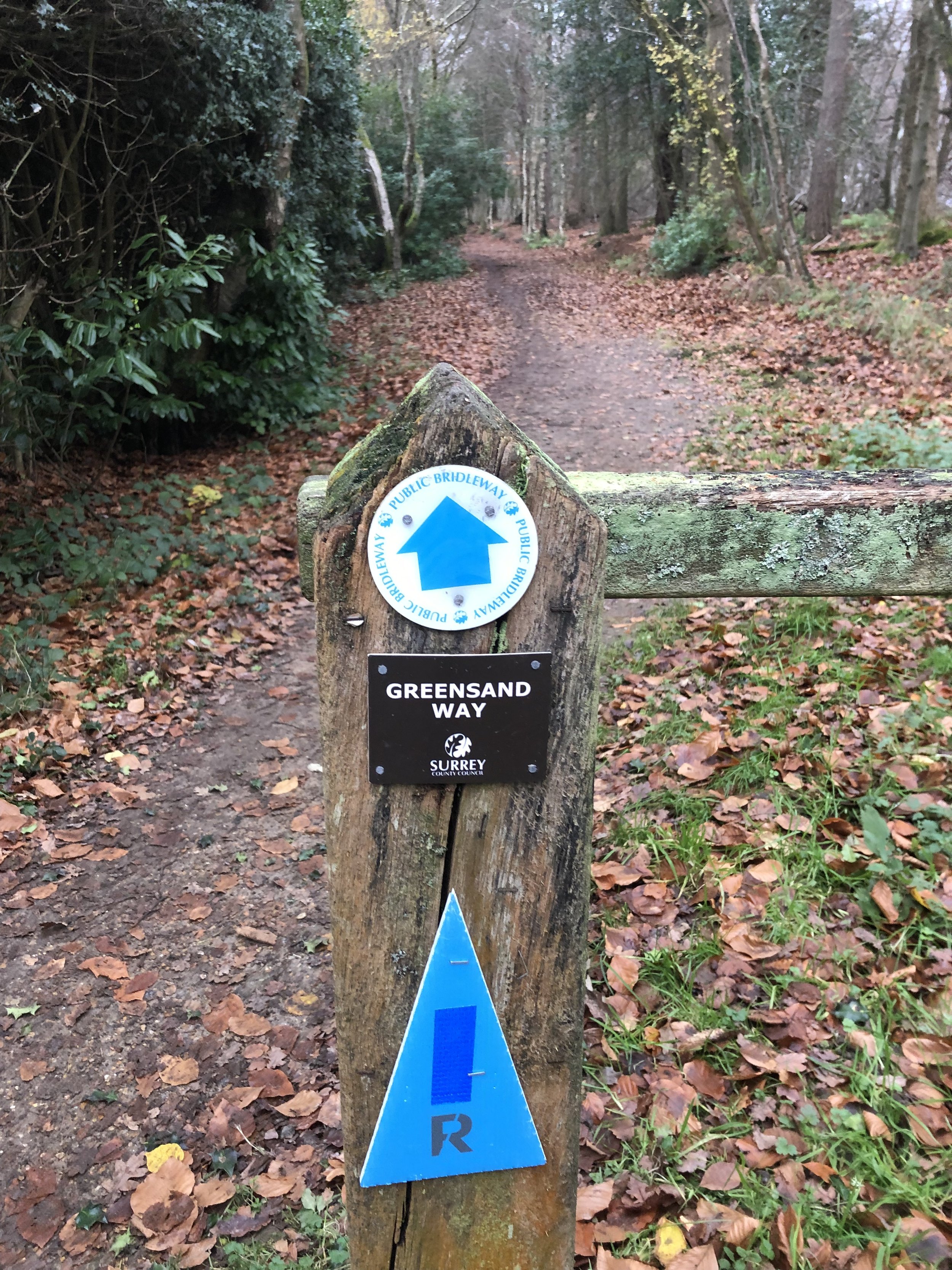
Completing the Surrey sections of the Greensand Way and North Downs Way
The Portsmouth Semaphore Line cycle route
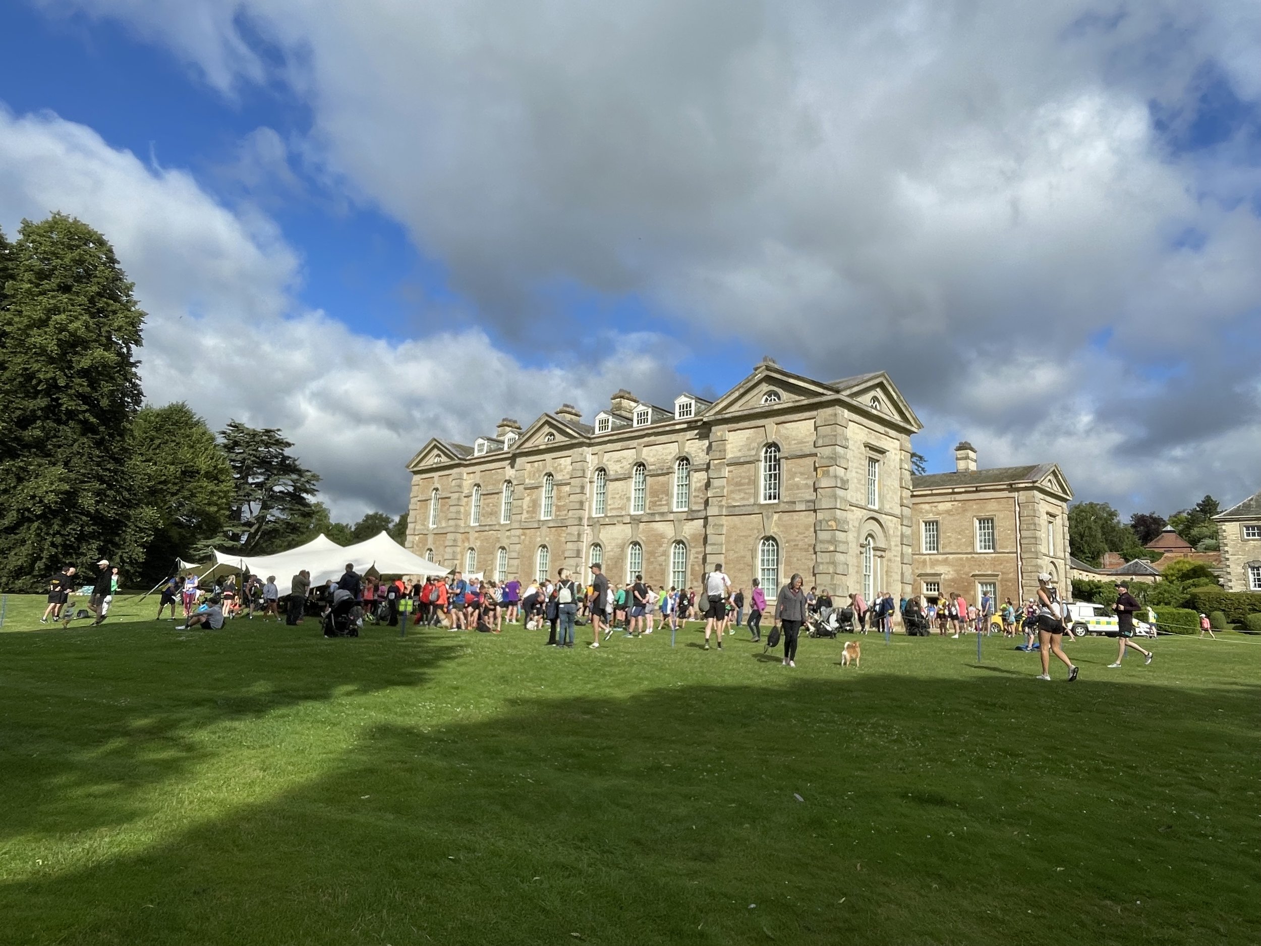
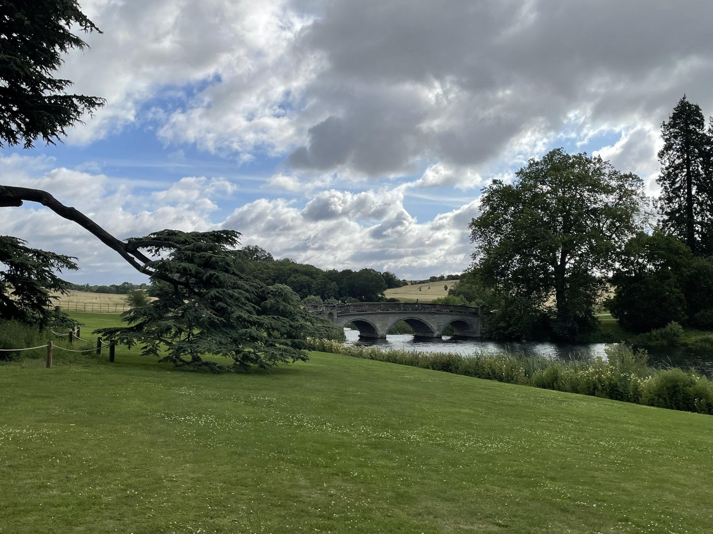
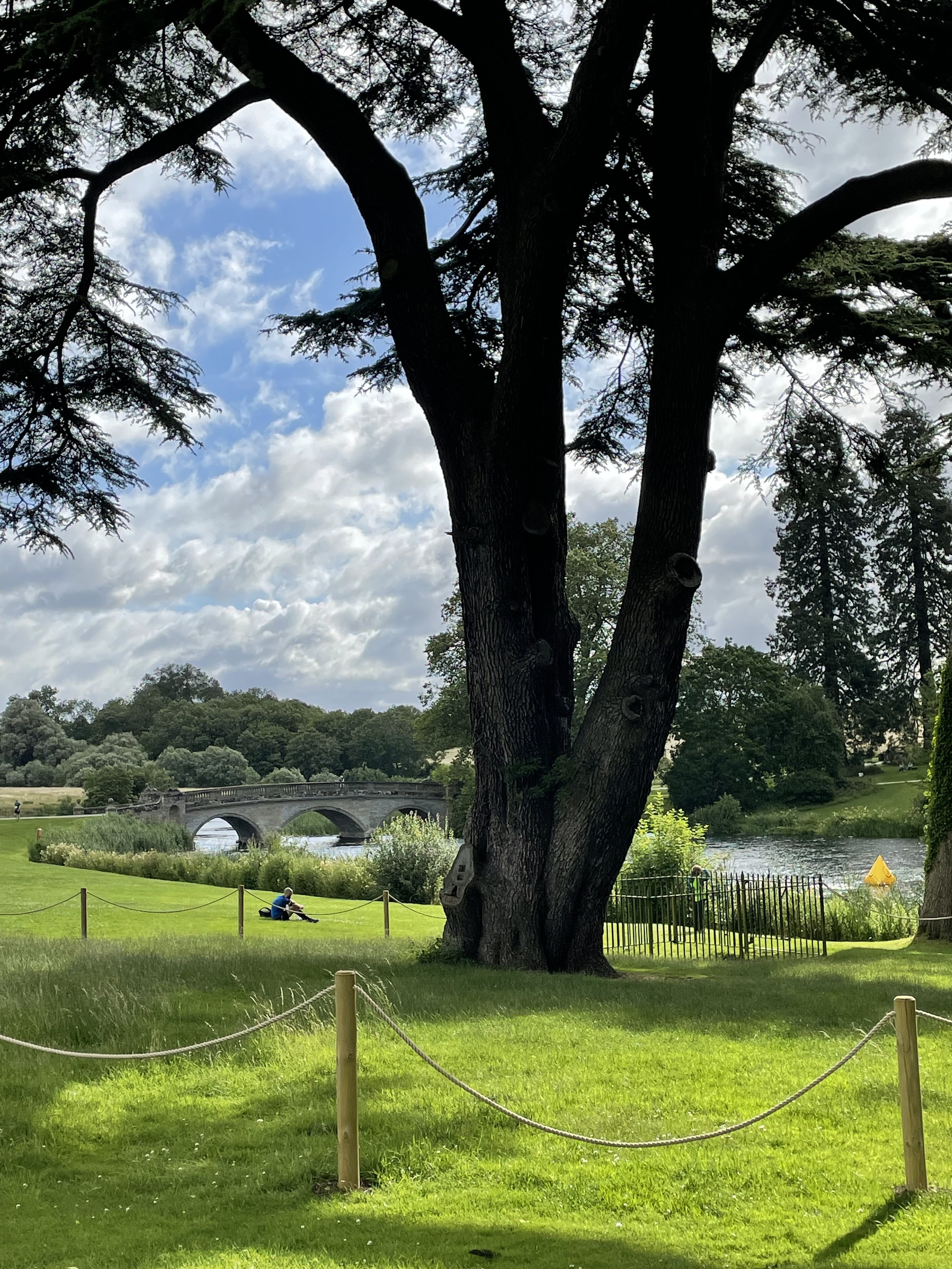
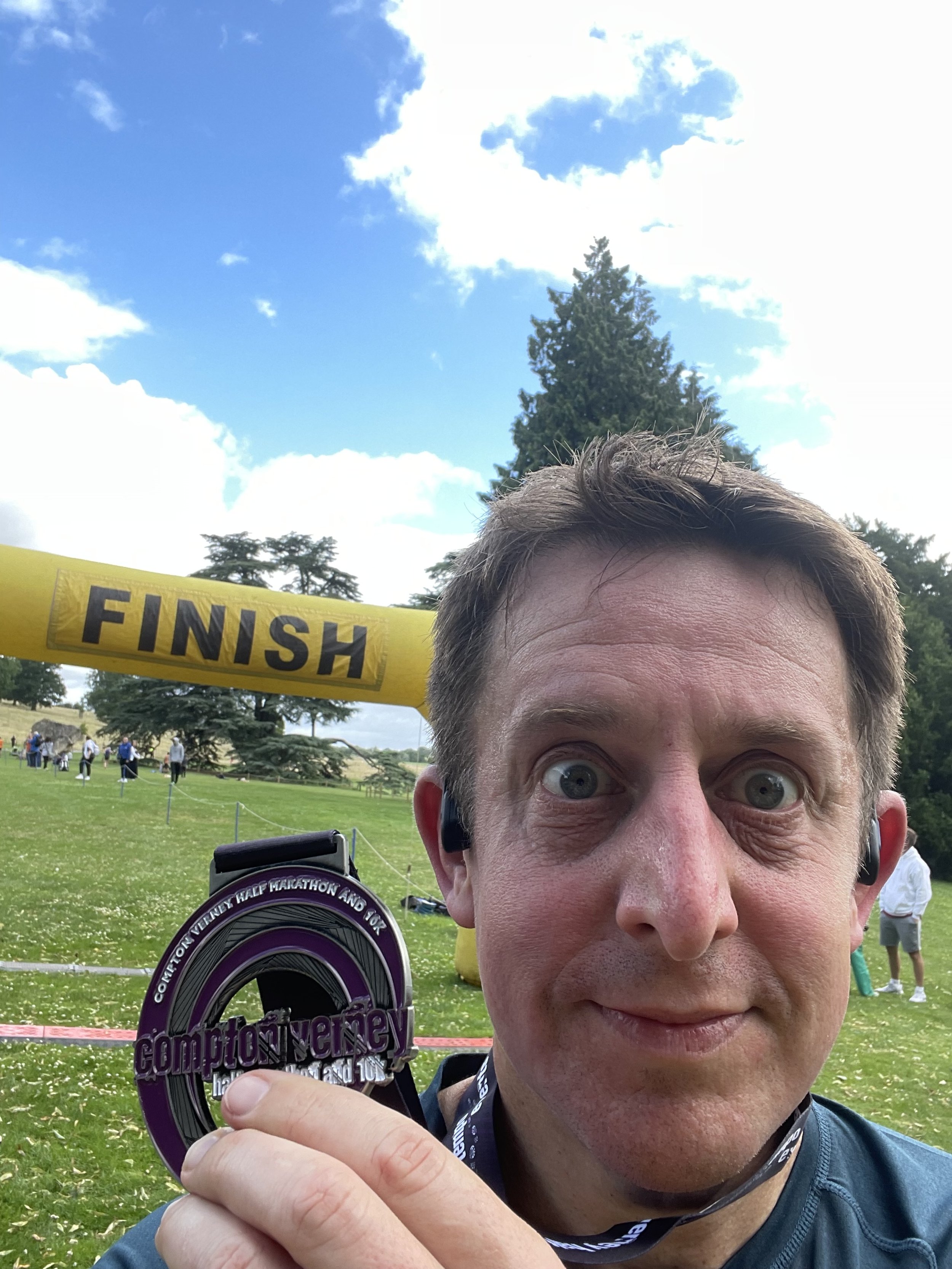
When: July 16th 2023
Where: Start/end at Compton Verney House
Course: Out to Lighthorne road, a loop to Kineton then back on the same route via Lighthorne Road
Other routes touched: N/A
Finish time: 57 minutes 37 seconds
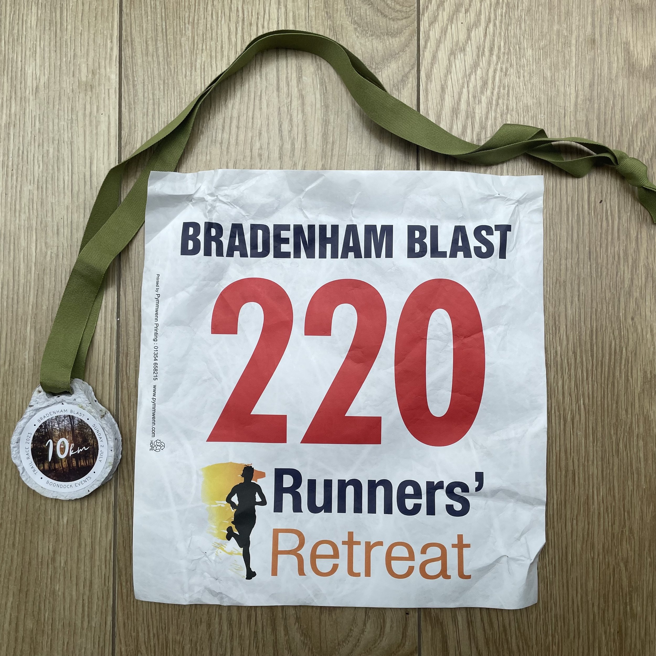
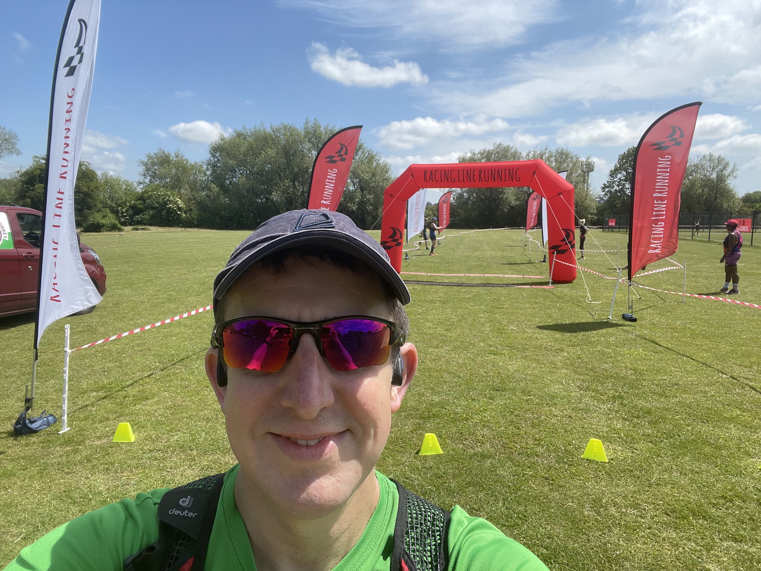
When: July 2nd 2023
Where: Start/end at the farm behind The Red Lion Pub, Bradenham, Buckinghamshire
Course: Meandering single loop of Bradenham Woods with a 2km out and back between the woods and the start/finish.
Other routes touched (walk): Saunderton and Bradenham Circular
Finish time: 1 hour 6 minutes

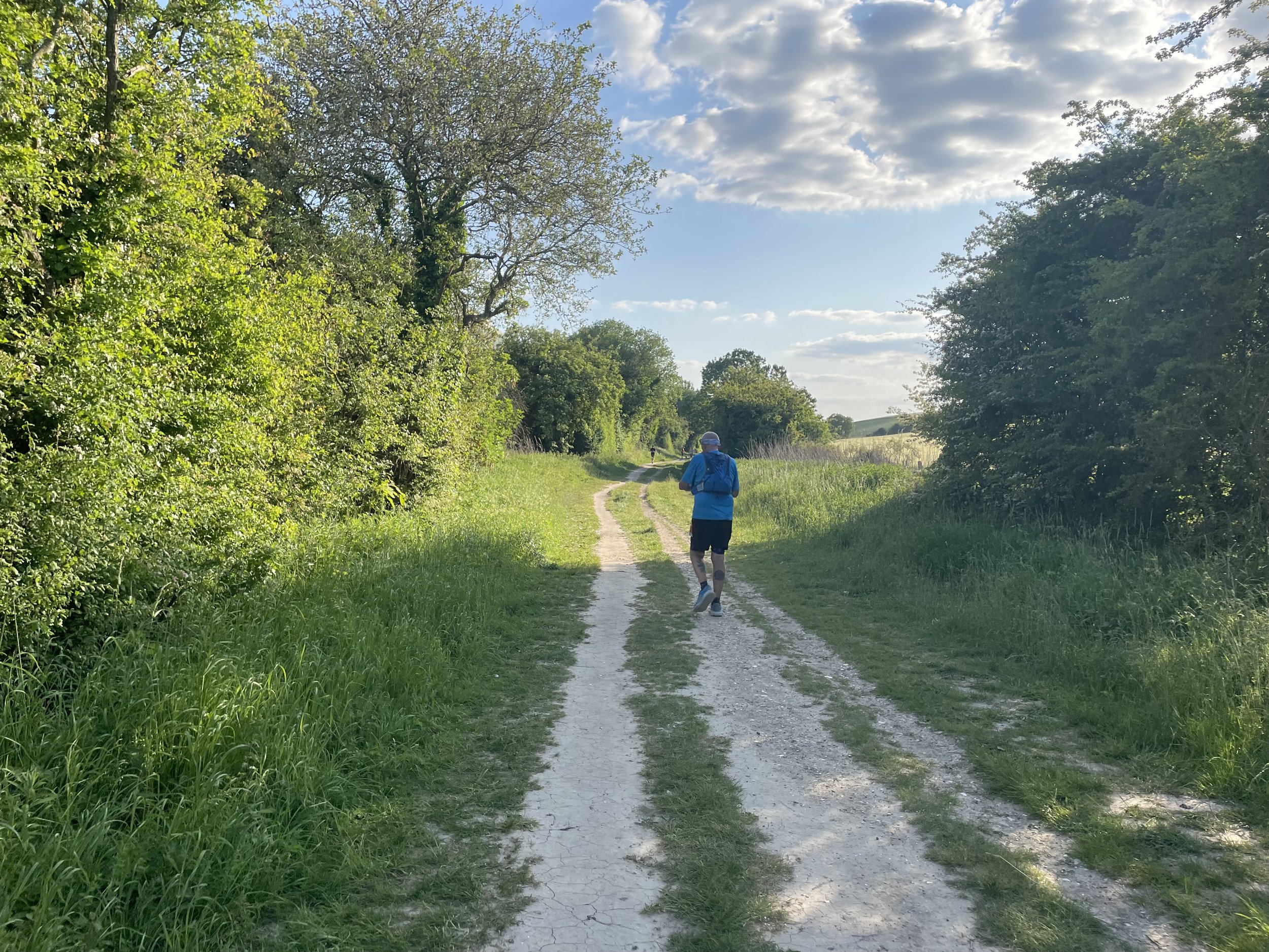
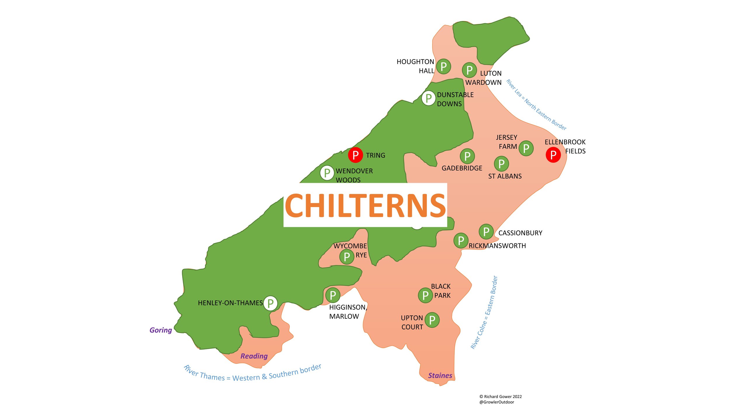
View North to the Chilterns from the top of the descent to Checkpoint 4 at Wooburn Town
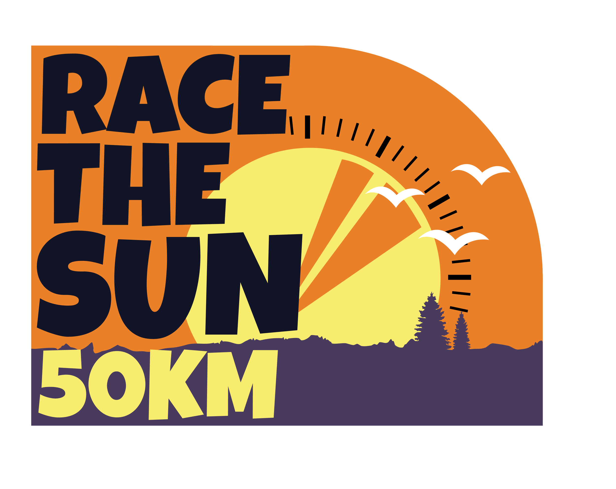
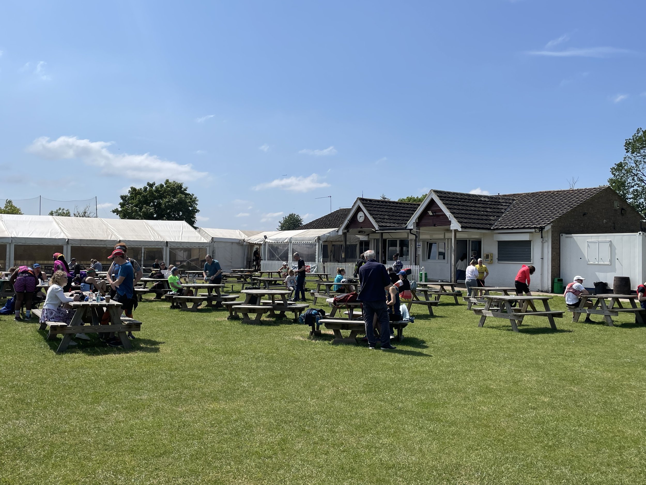
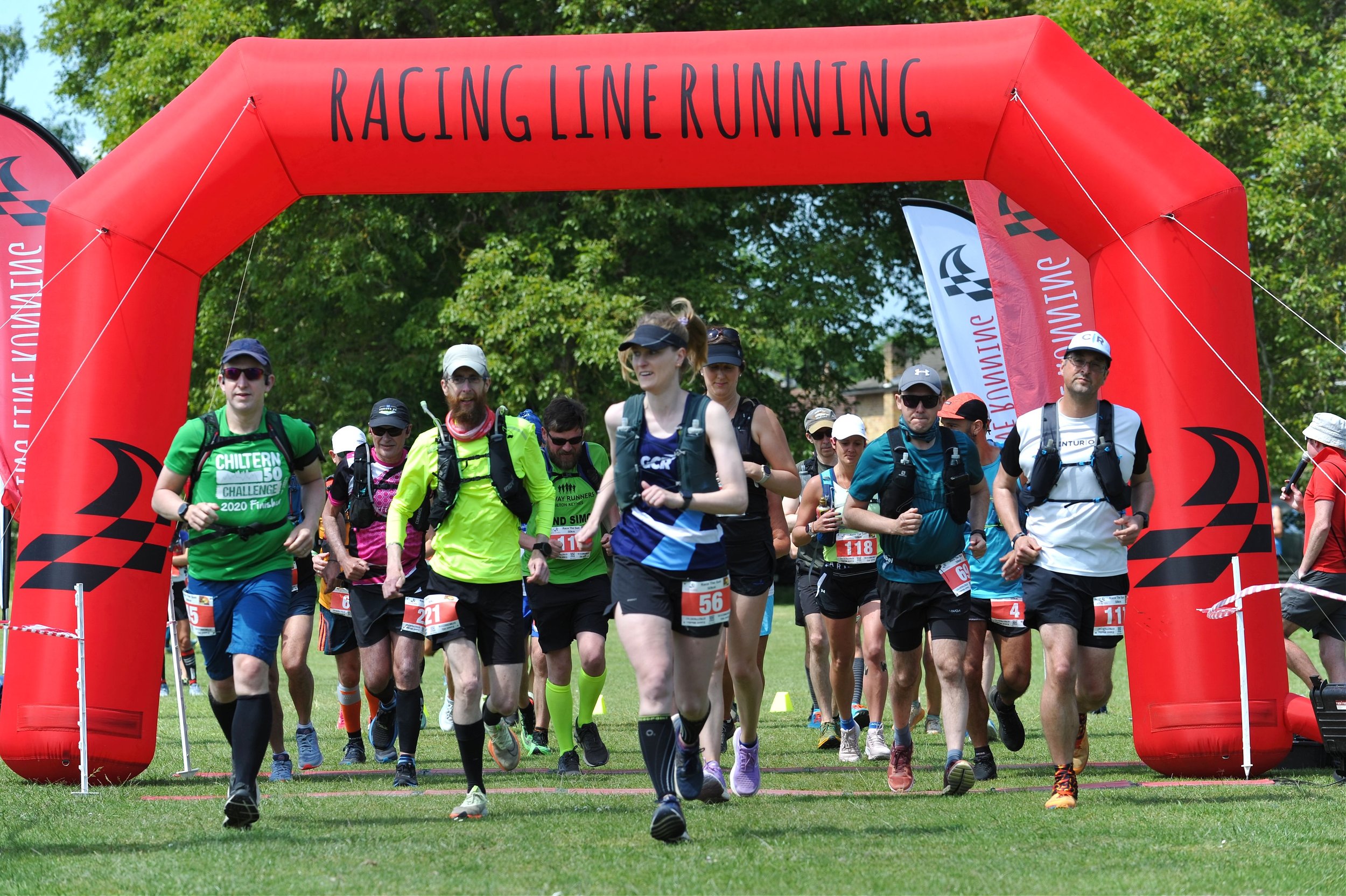
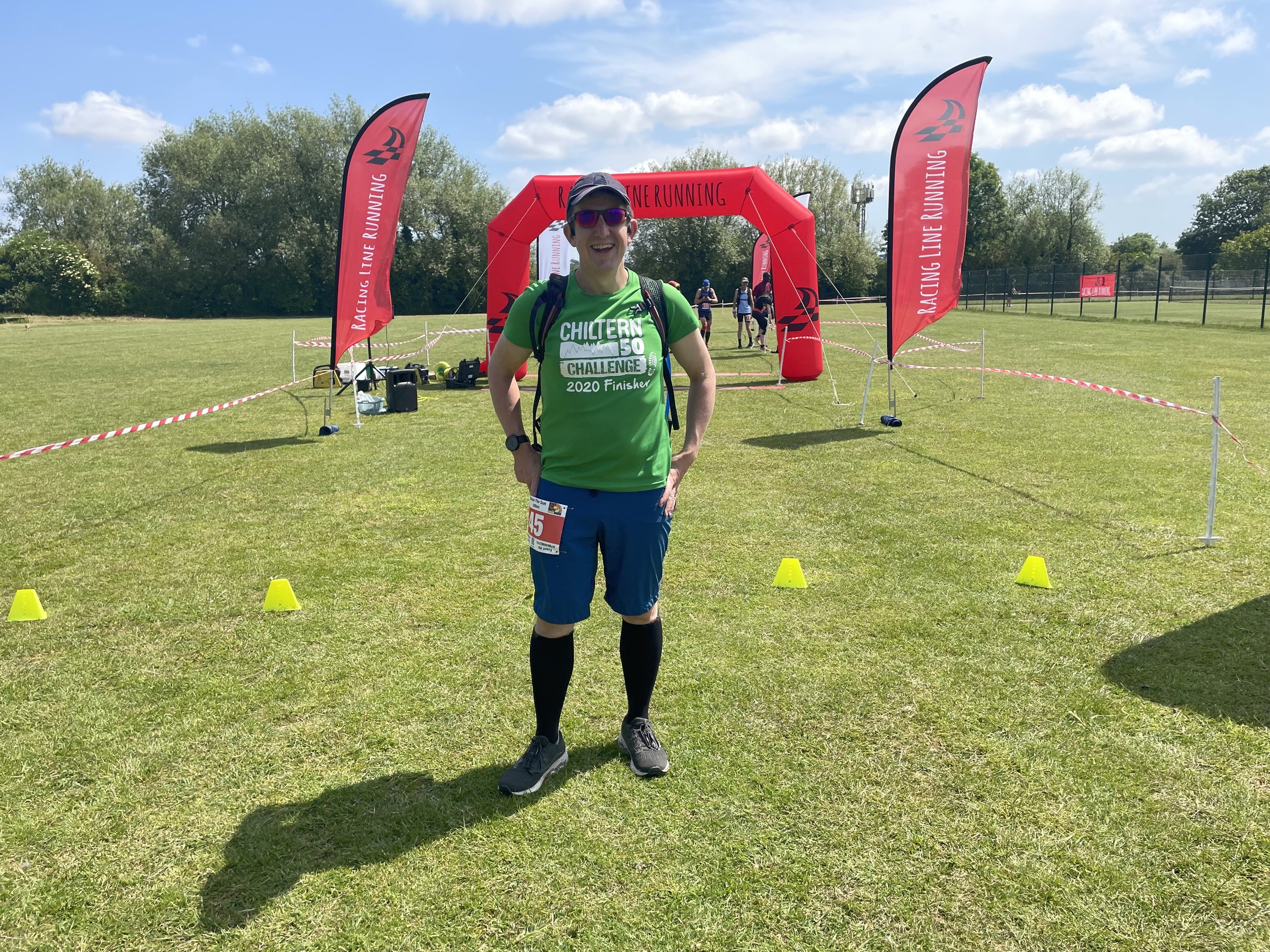
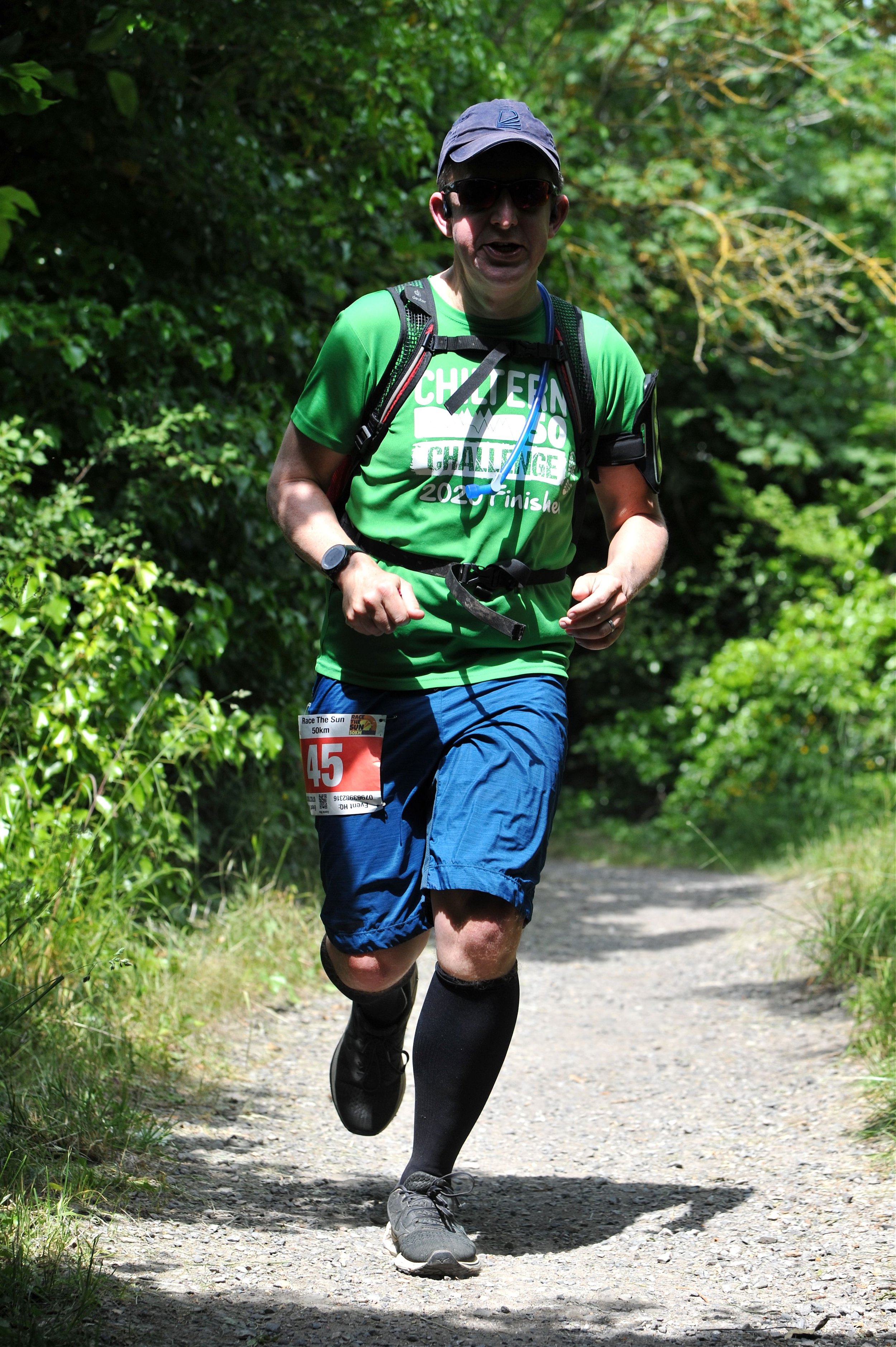
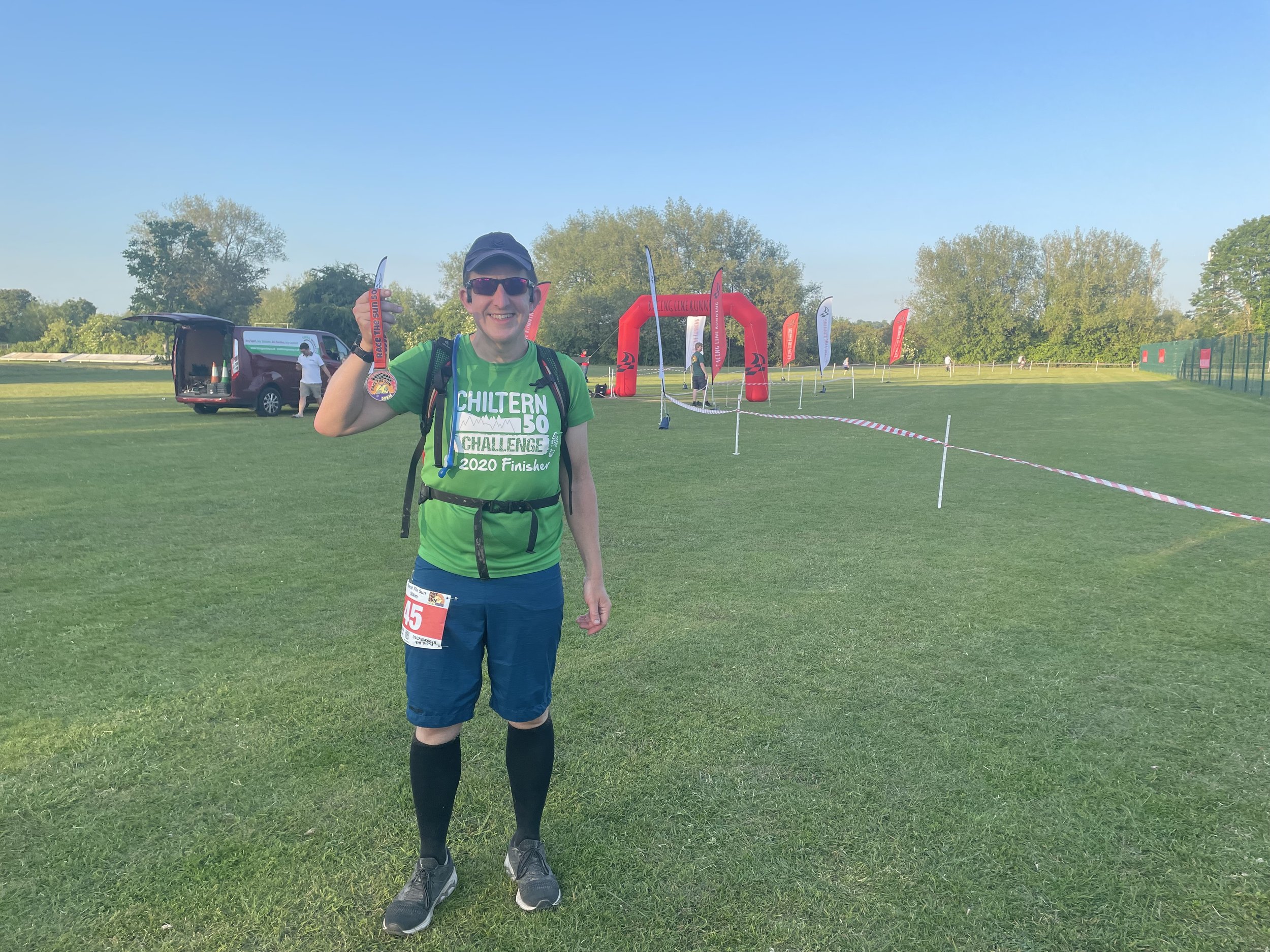
When: June 3rd 2023
Start and Finish: North Maidenhead Cricket Club, SL6 8SP
Distance: 51 km (32 miles)
Elevation change: +/- 207m
GPX File: get via Buy Me a Coffee
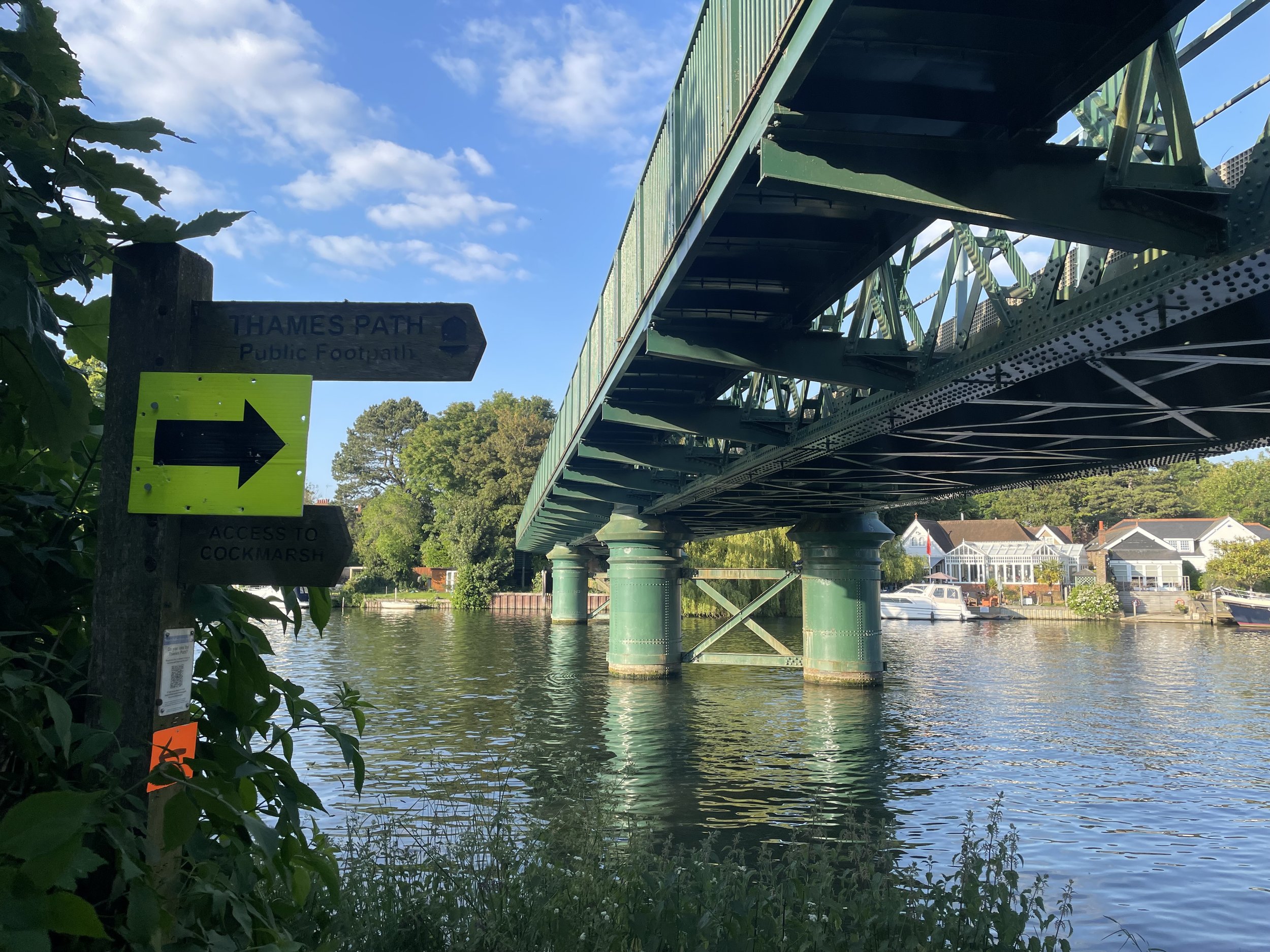
Other routes touched (walk): The Green Way, Maidenhead Boundary Walk, Thames Path, Jubilee River Path, Beeches Way, Shakespeare’s Way, Chiltern Way Berkshire Loop, Wycombe to Bourne End Disused Railway
Other routes touched (cycle): NCN 4, 50, 61, Round Berkshire Cycle Route, Beeches Cycleway
Maps:
- Chiltern Hills East Map | High Wycombe, Maidenshead & Rickmansworth | Ordnance Survey | OS Explorer Map 172
- Windsor, Weybridge & Bracknell Map | Thames Path | Ordnance Survey | OS Explorer Map 160
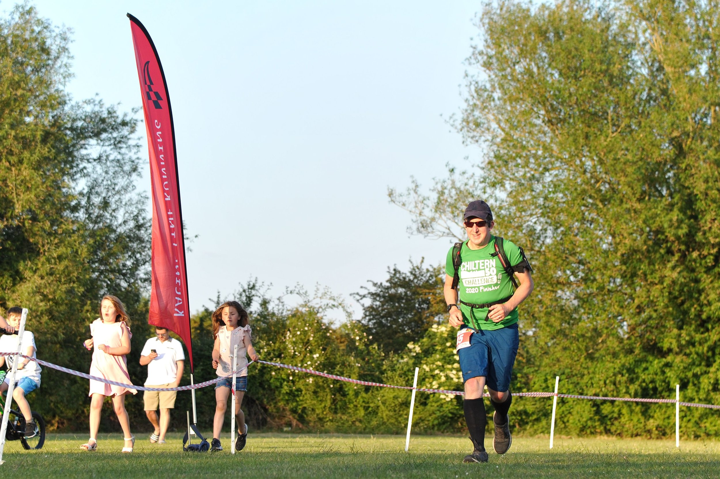
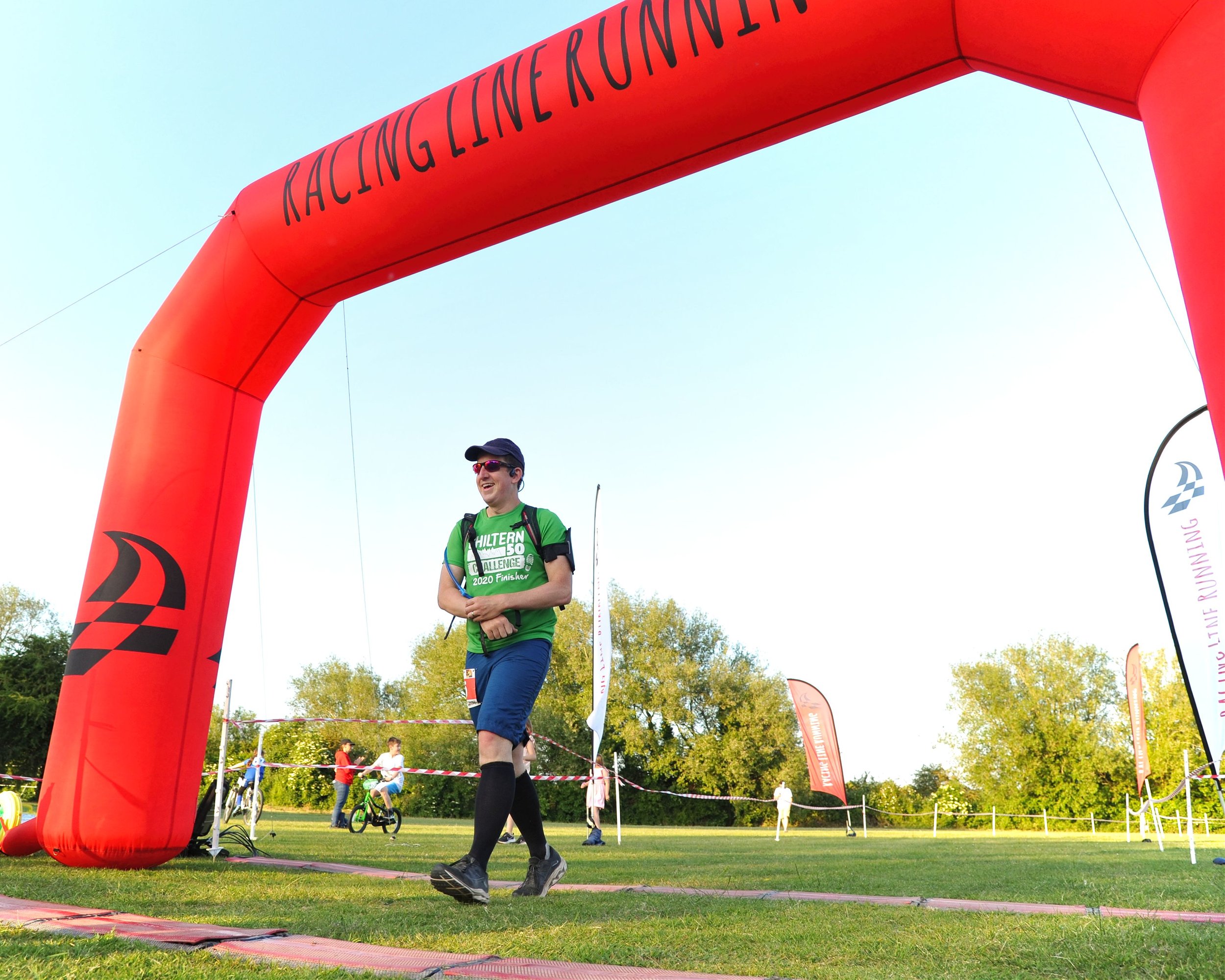
Finish time: 7 hours 52 minutes 28 seconds
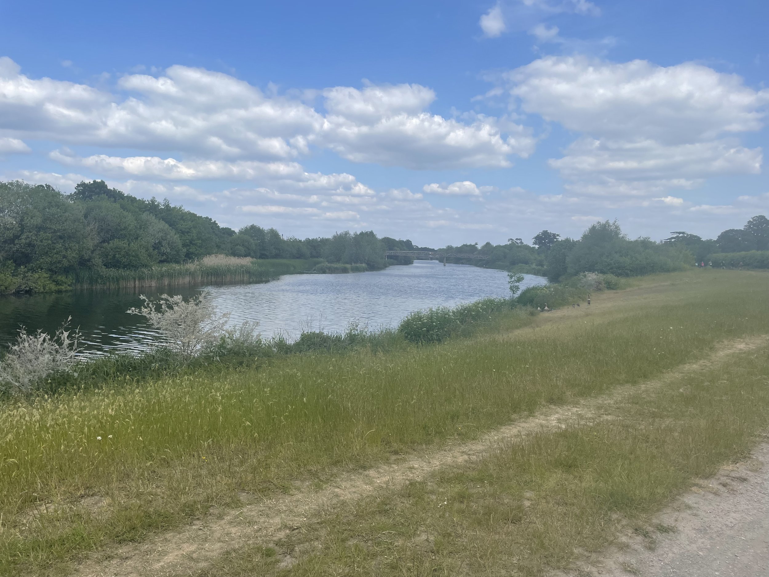
Links: Maidenhead, Cookham, River Thames, Bray, Jubilee River, Taplow, Burnham, Burnham Beeches, Wooburn, Bourne End
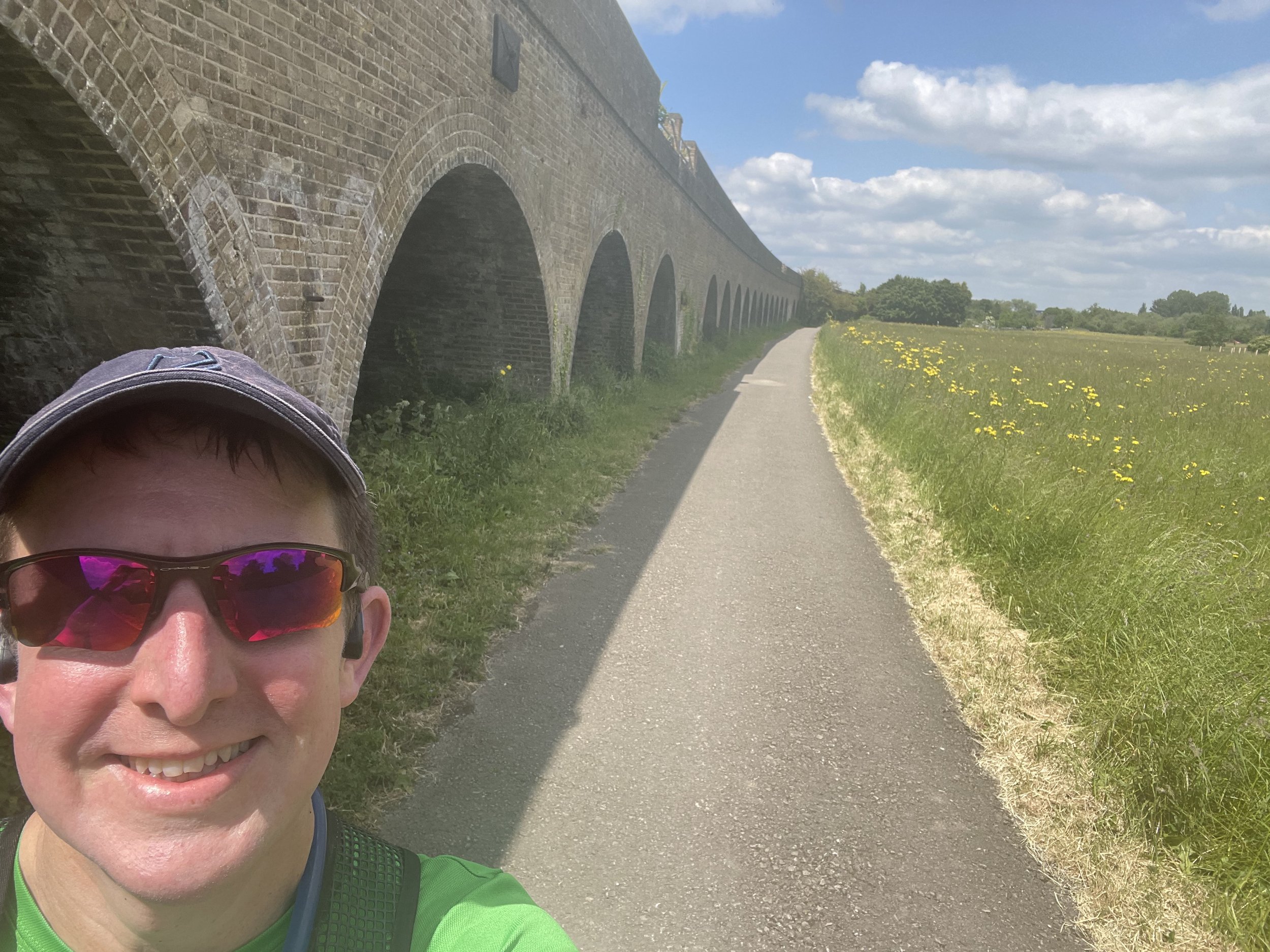
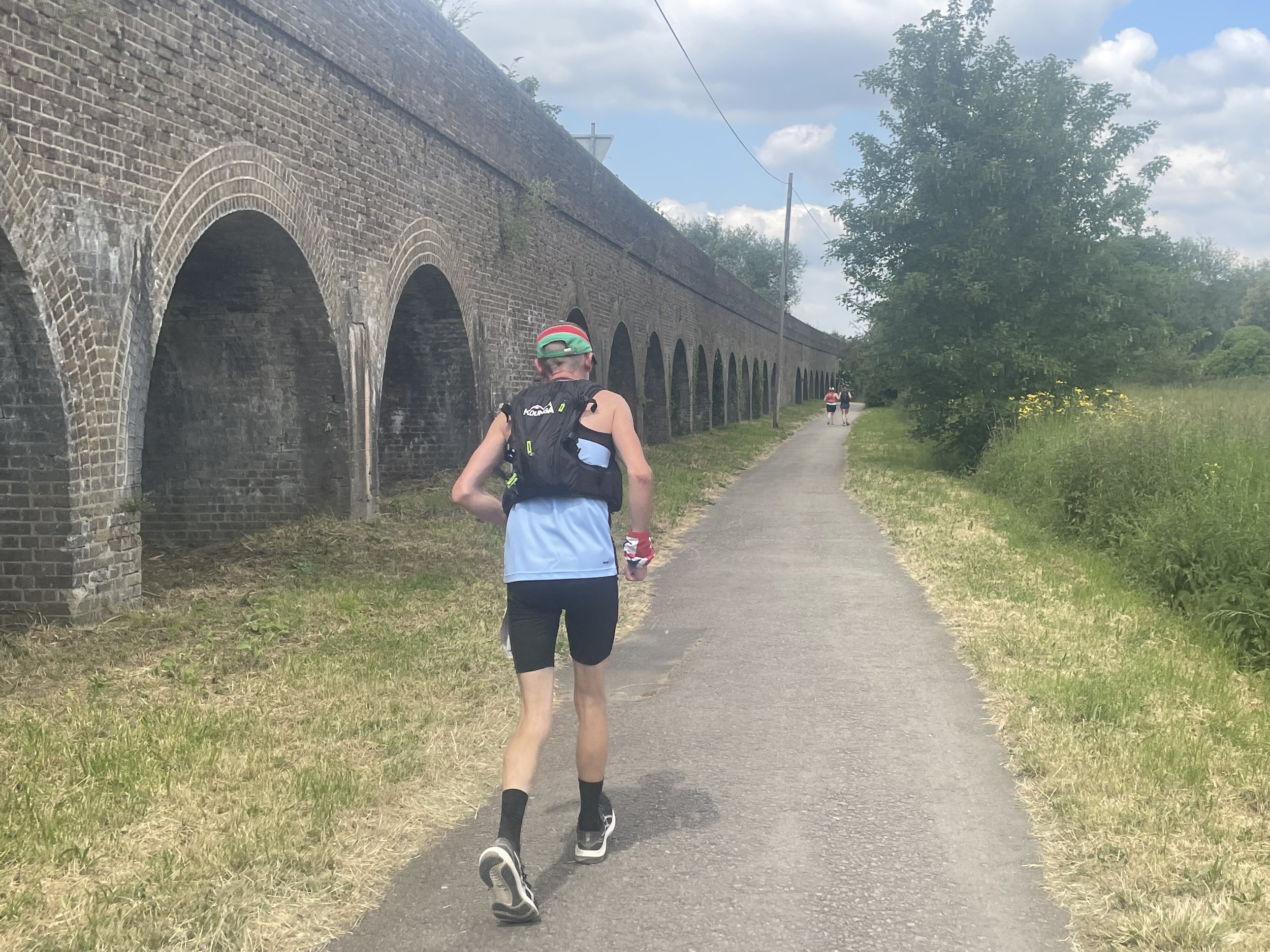
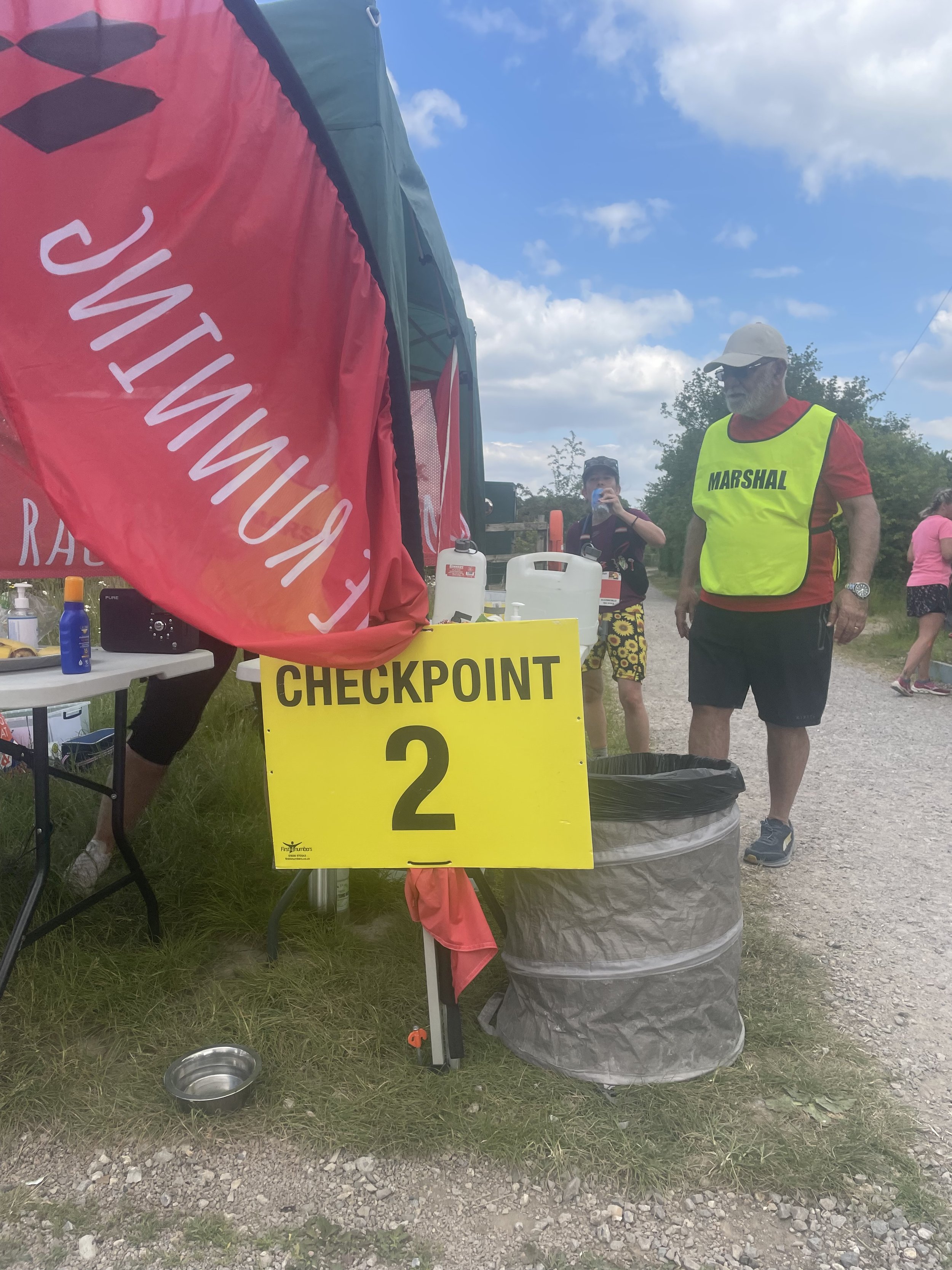
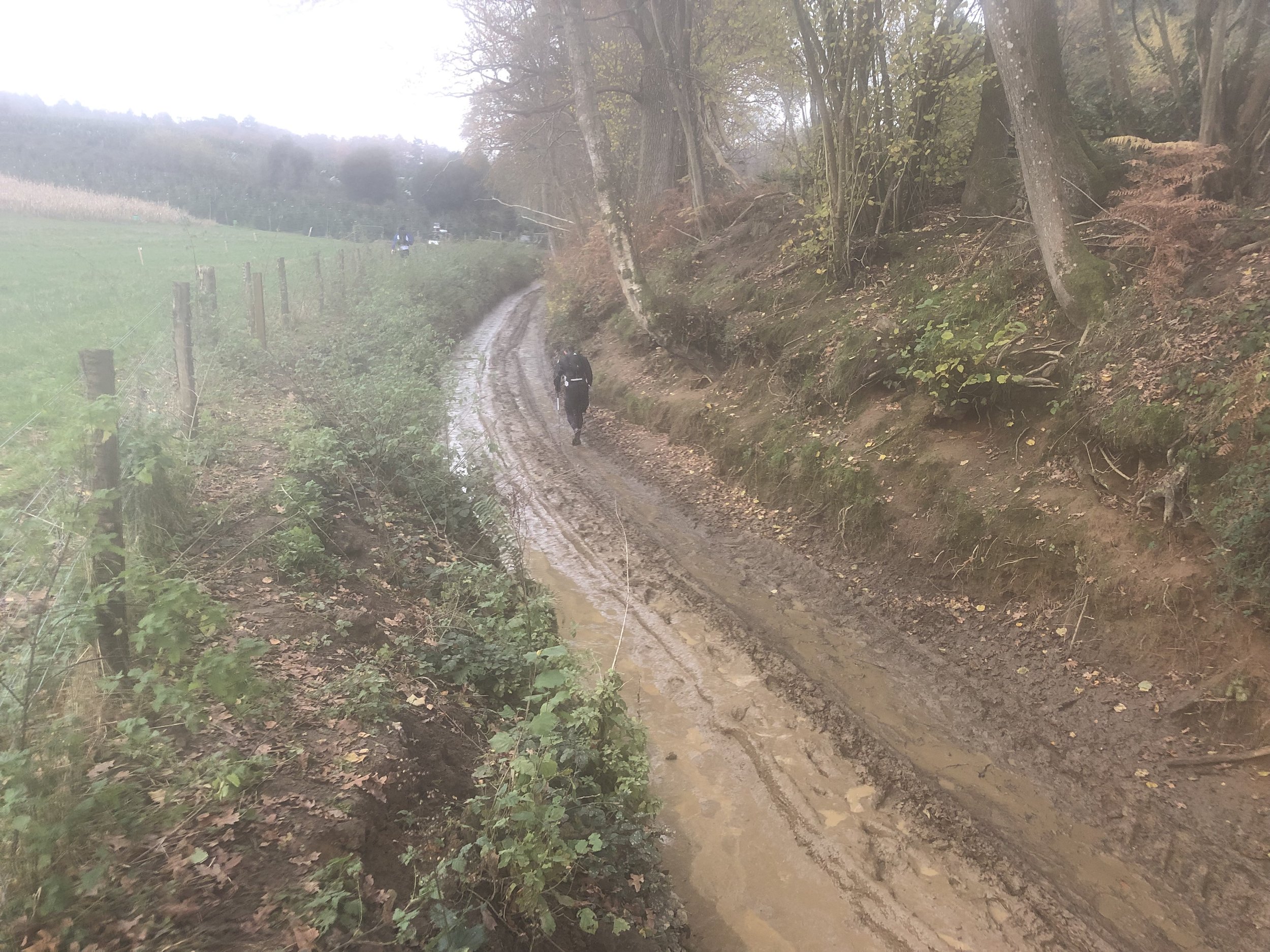
This was my 12th Ultra and the second of a 2-part series of local ~50 km Ultras with 3 weeks between them. My legs were back to normal after the recent Goring Gap Run and I was hoping to crack my sub-7 hour target for a 50 km. With a relatively flat course and dry conditions it should have been fine. However, my running nemesis: the sun was also out and it was a very hot one.
Signing up for this race was a no-brainer as it started and ended in Maidenhead where I grew up and took in trails that I’m very familiar with. The original route also went within 100 metres of my house. The final published course took a different route on the second half but still on home ground. My friend Mark wanted to join too as he grew up within half a mile of the start but other friends’ wedding plans took him away for the weekend.
The concept for this race was to start at midday on a Saturday and to finish before sunset at 21:24. This also meant that I could fit-in a parkun in the morning and get to the start line with time to spare to get showered and changed. Timea though this was a crazy idea but I did my best to explain that it was “perfectly normal”. I had done much longer Ultras in the past so the best way to think about it was that it was a 55 km Ultra with a long break between the first 5 km and the rest of it .
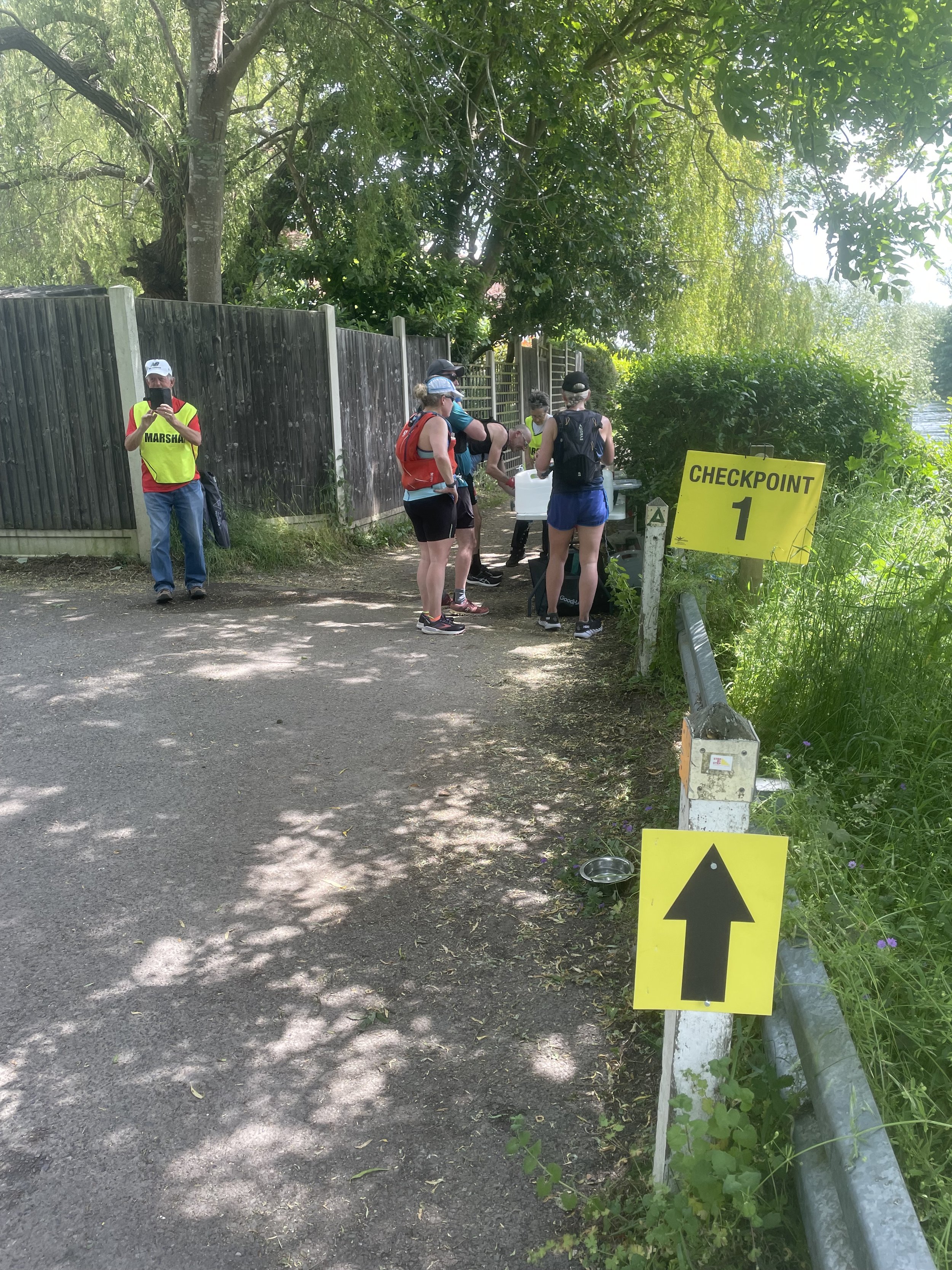
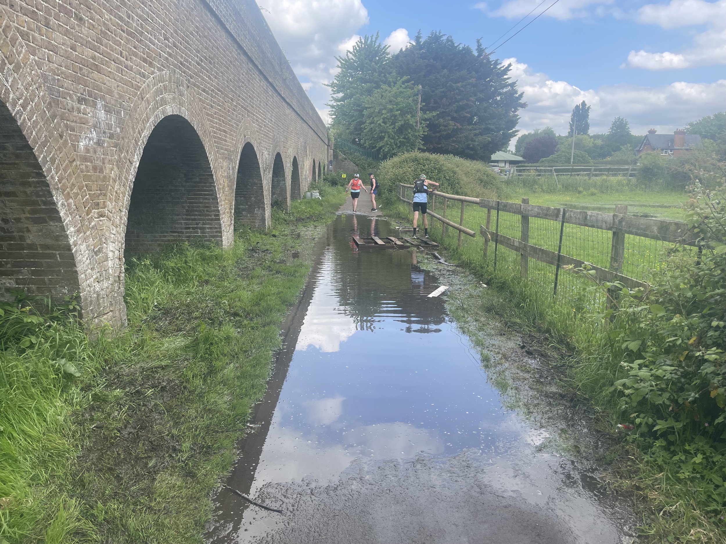
The first third of the race was pretty straightforward with a pleasant cross-country run to Cookham and a section of the Thames Path to Windsor. I kept a steady running pace and the heat wasn’t too bad. At 19 km, between the Thames and the Jubilee River, there was a flooded stream crossing the path with no means to keep dry. The only way through it was to get our feet wet. With very dry conditions for the few weeks before I didn’t think of bringing spare socks so I knew this would be trouble. My shoes and feet dried quickly but I knew that there would be trouble ahead.
From 20 km the heat kicked in and my running was over for the day, replaced by a power-march. Somewhere around 40 km I could feel the impact of getting my feet wet earlier with blisters forming on both feet. I knew that my sub-7 hour target wasn’t going to happen so it was now about finishing. It was a tough final 10 km but the finish line eventually came and I completed in 7 hours 52 minutes. I can never be disappointed with a finish time. Just completing is always enough and I was well within the sunset cut-off time.

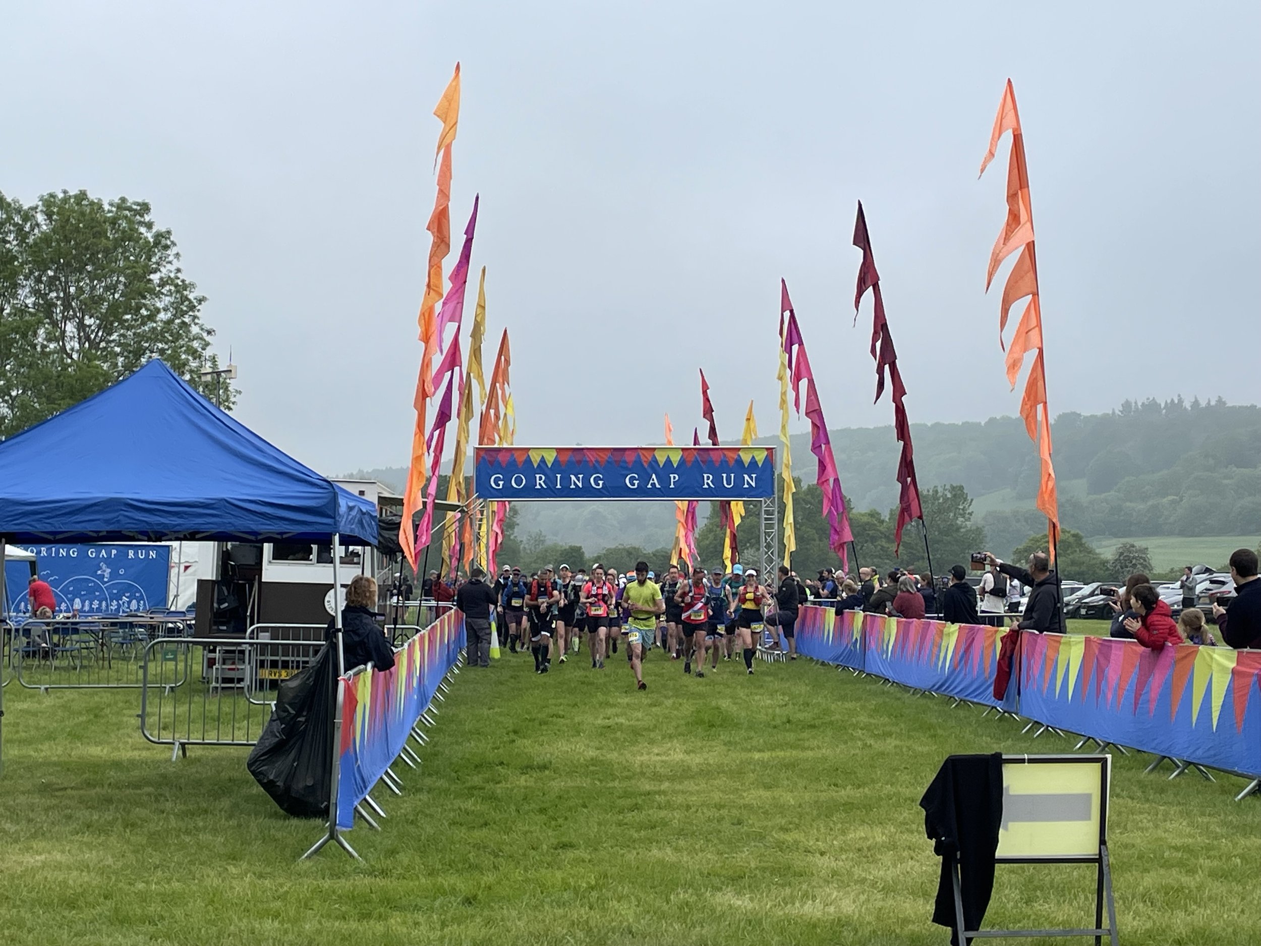
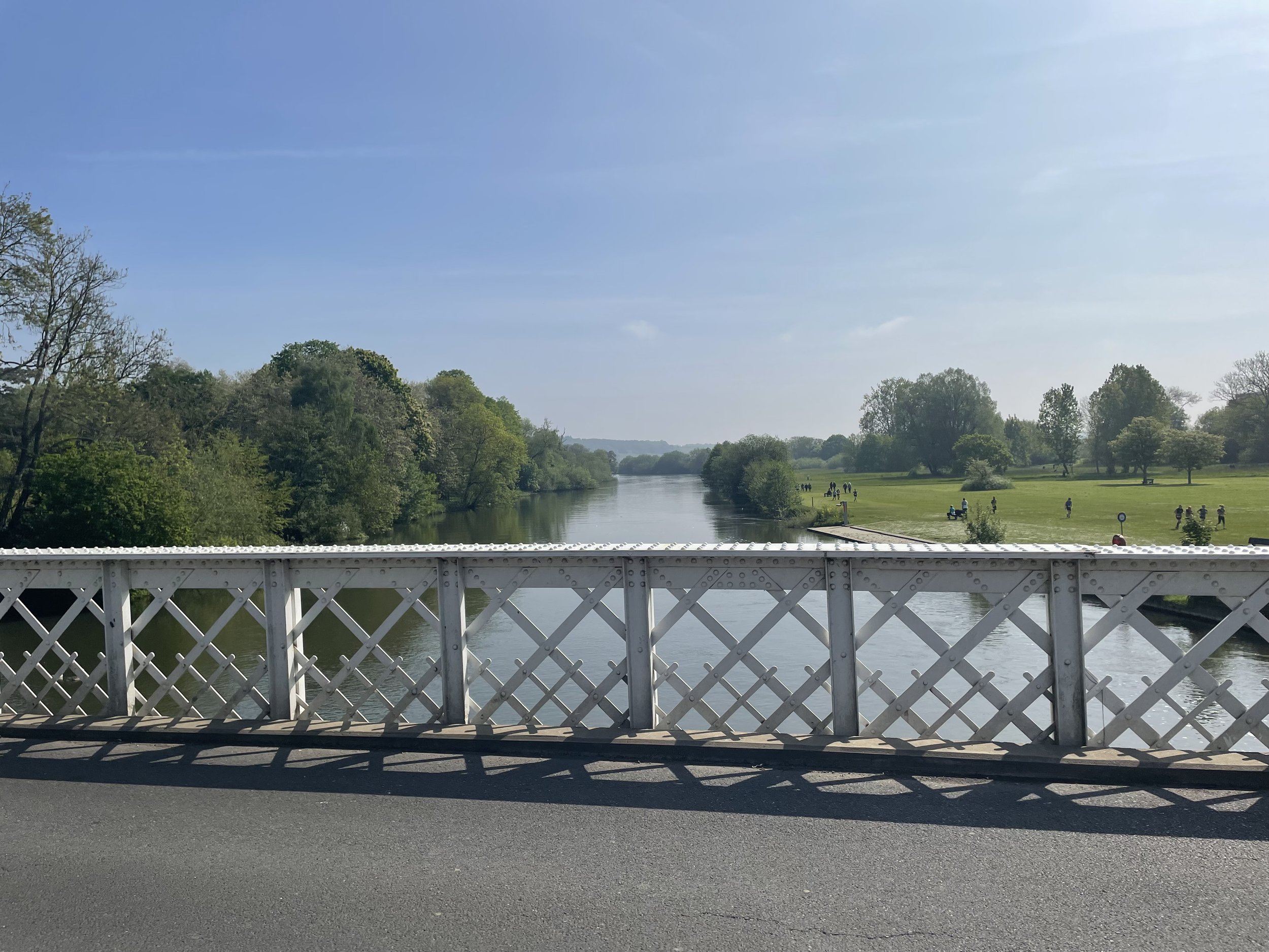
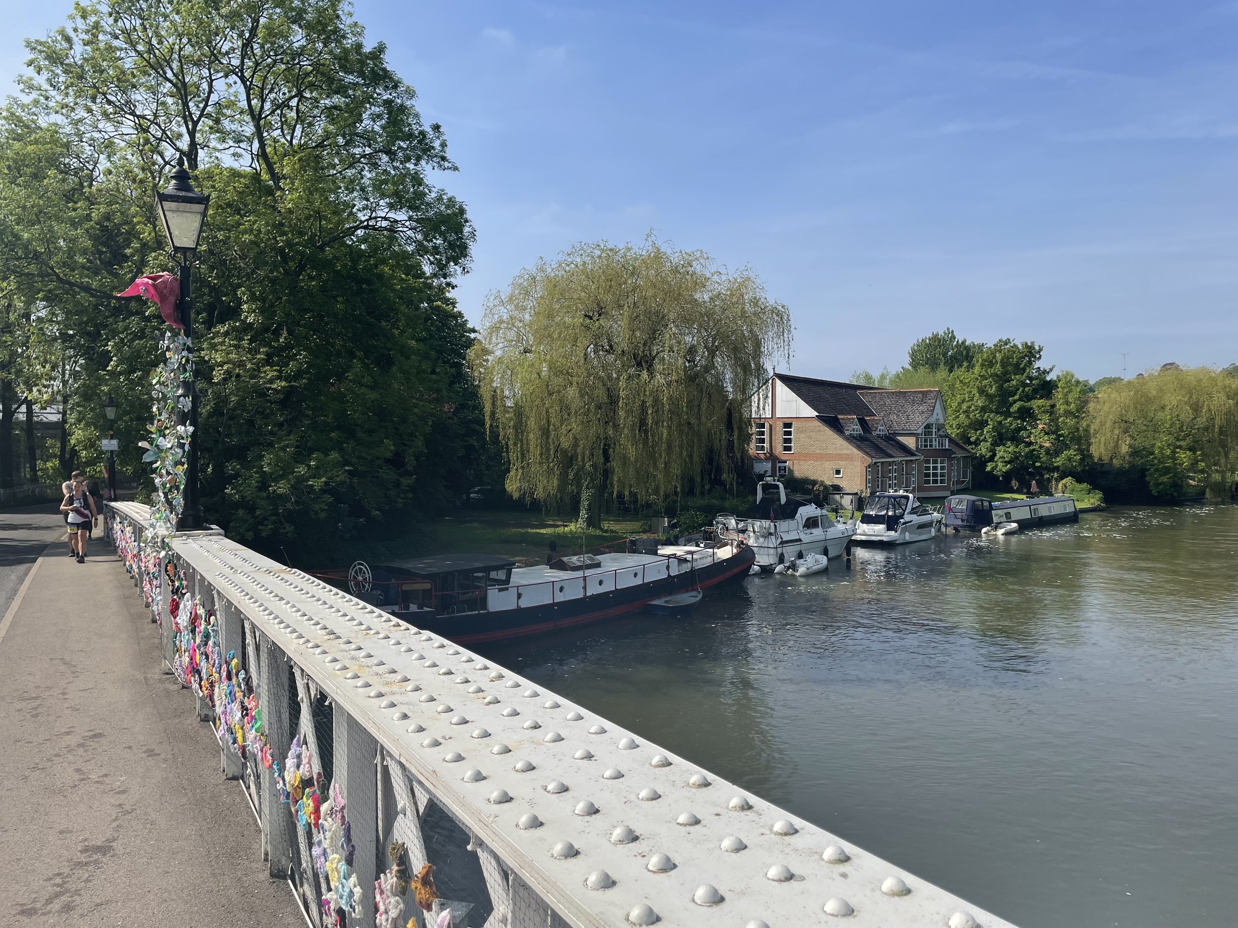
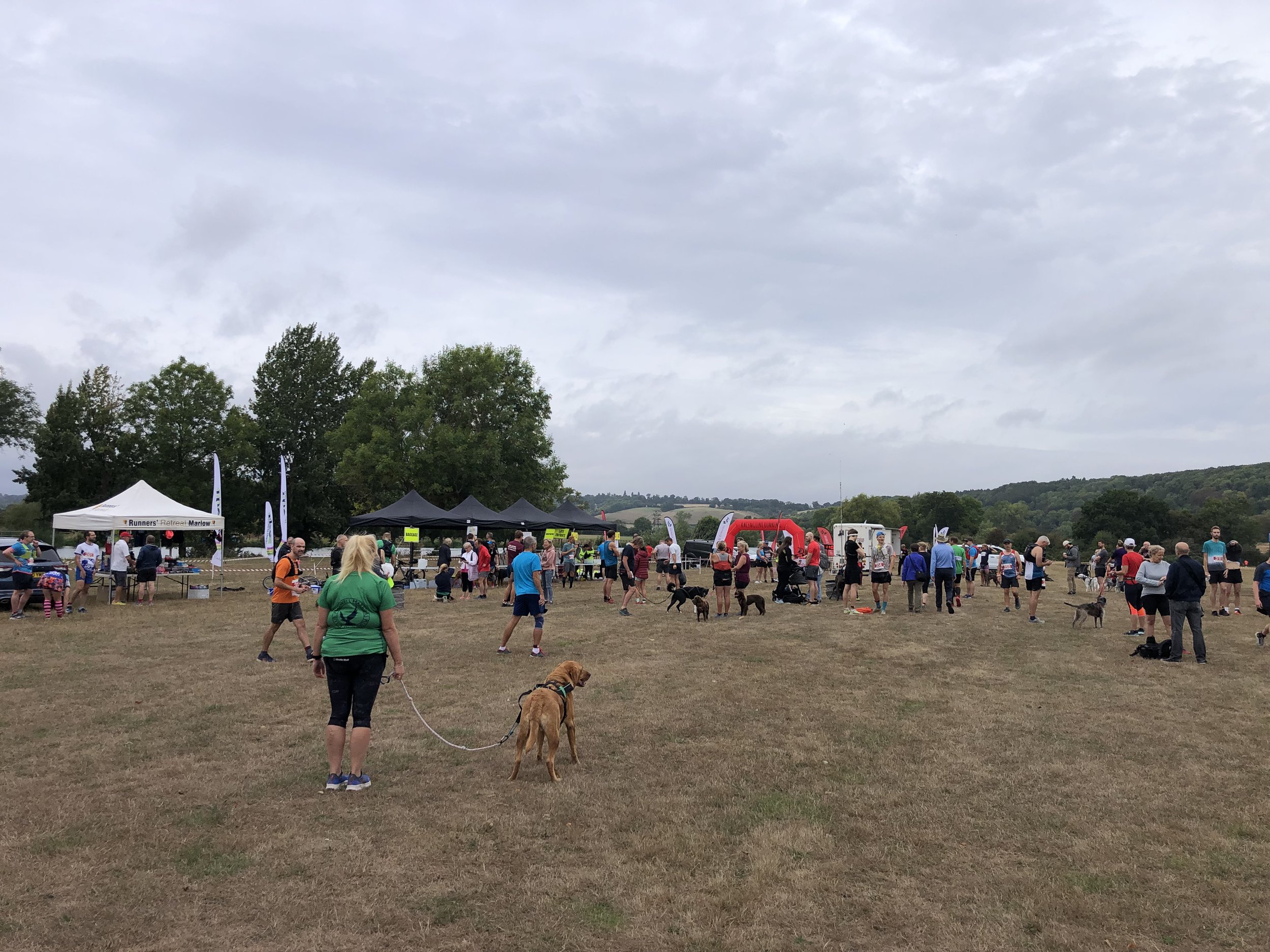
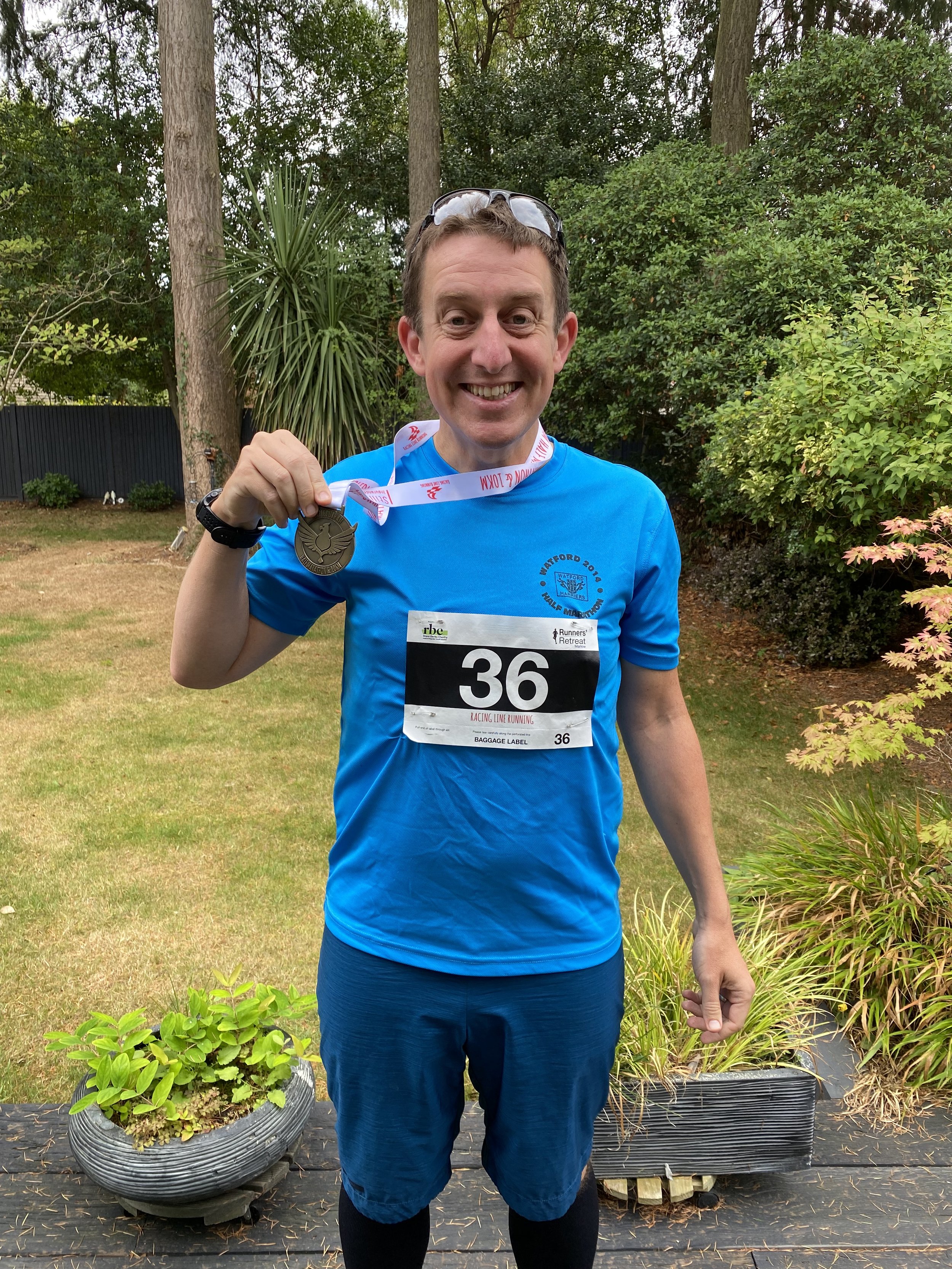
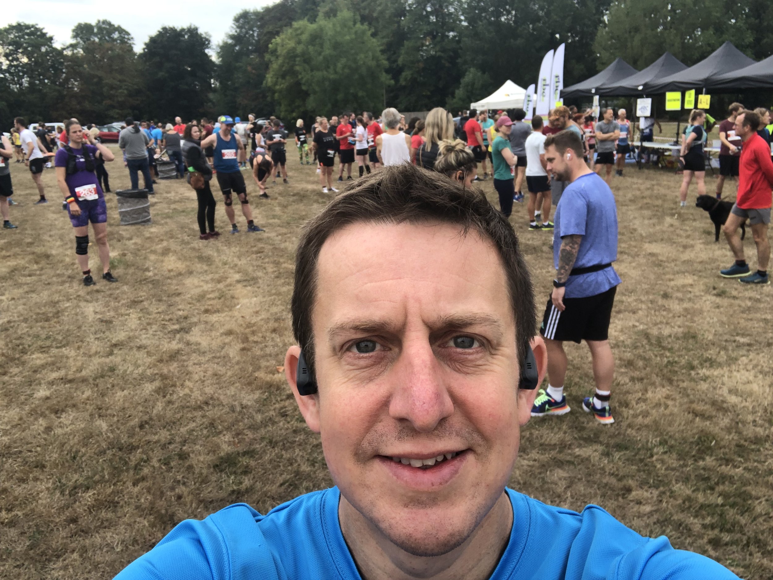
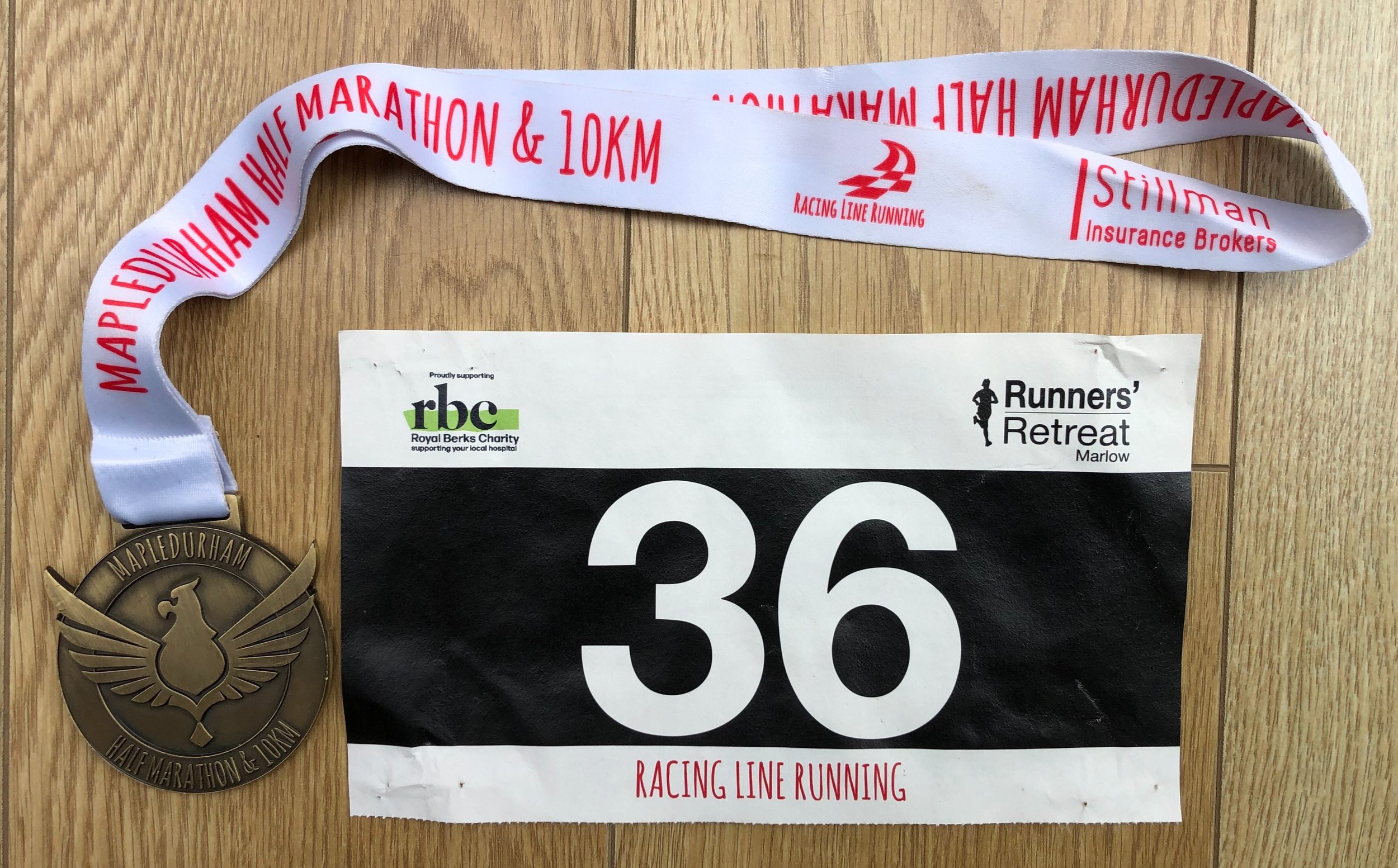
When: May 14th 2023
Start and Finish: Mapledurham House, Mapledurham, Reading, RG4 7TR
Distance: 52 km (32 miles)
Elevation change: +/- 313m
GPX File: get via Buy Me a Coffee
Other routes touched (walk): Chiltern Way, Thames Path, The Ridgeway
Map: Chiltern Hills West Map | Henley-on-Thames & Wallingford | Ordnance Survey | OS Explorer Map 171
Finish time: 7 hours 32 minutes 51 seconds
Links: River Thames, Mapledurham House, Caversham, Reading, Purley on Thames, Pangbourne, Whitchurch on Thames, Goring on Thames, South Stoke, North Stoke, Moulsford, Streatley
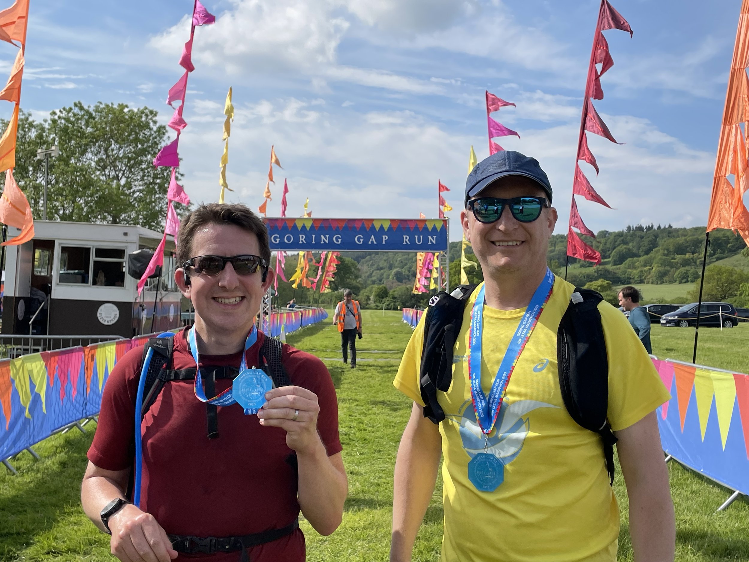
This was my 11th Ultra and my third with my friend Mark. It was also the first of a 2-part series of local ~50km Ultras with 3 weeks between them.
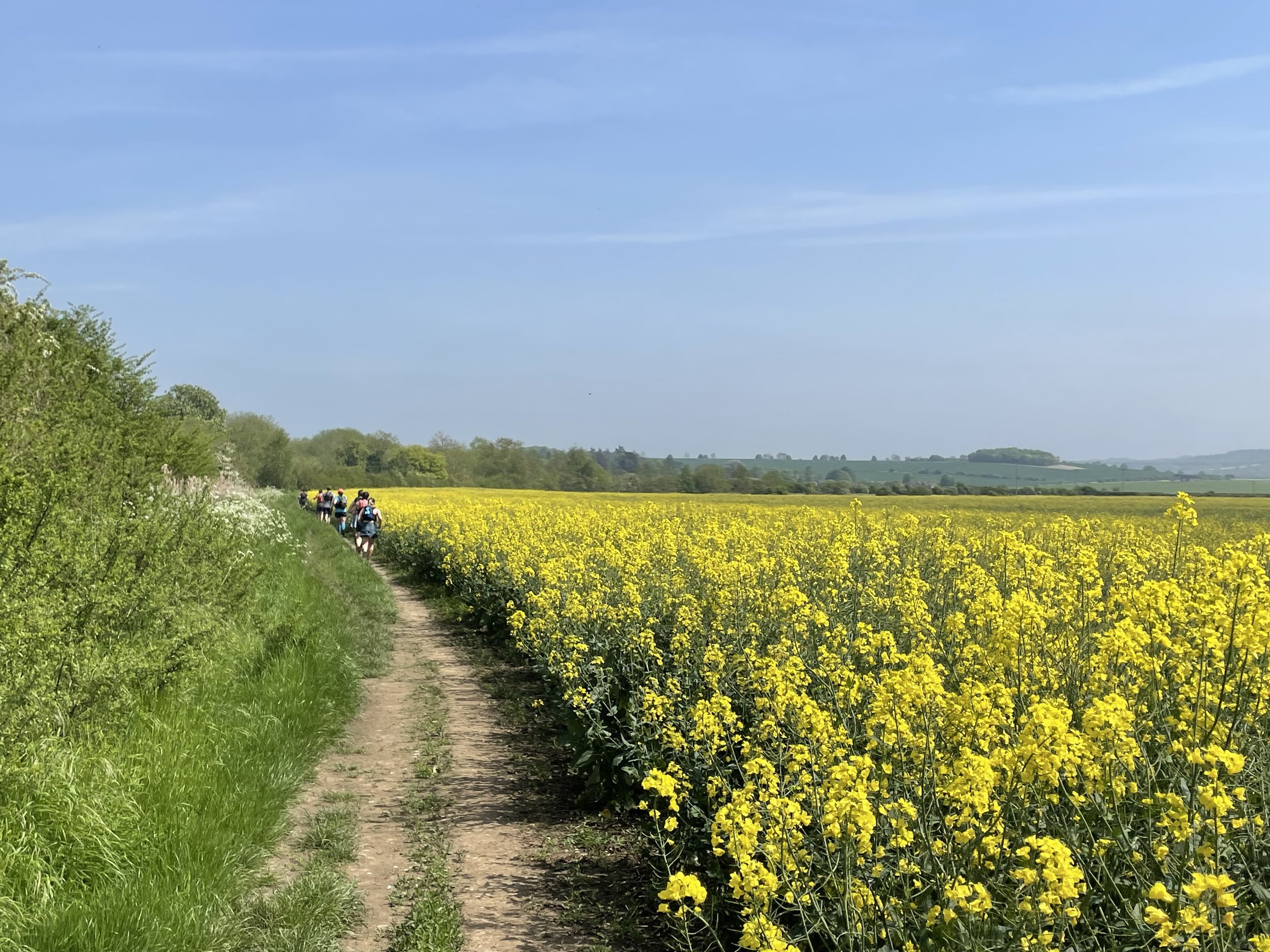
It was a beautiful course starting at Mapledurham House on the north bank of the Thames near Reading. From there we headed east to cross the Thames at Caversham to follow the Thames Path north towards Wallingford. I had covered most of the route before either on short Thames Path or Chilterns trips or on the Race To The Stones Ultra back in 2016.
It was a very nice early summer day which made the views over the Thames, and the villages on the way, stunning to run through. It was also hot though and, not being a fan of warm weather running, the heat slowed me down significantly. Mark and I kept together until around 12km then I started to lose sight of him. My slow run became a fast walk around the half-way point and I could feel that my sub-7 hour target would be challenging. I might have made it but 50km turned out to be actually 52km with a hill at the end so I missed by target by half an hour. Mark, on the other hand, had an excellent run and finished a full 50 minutes ahead of me.
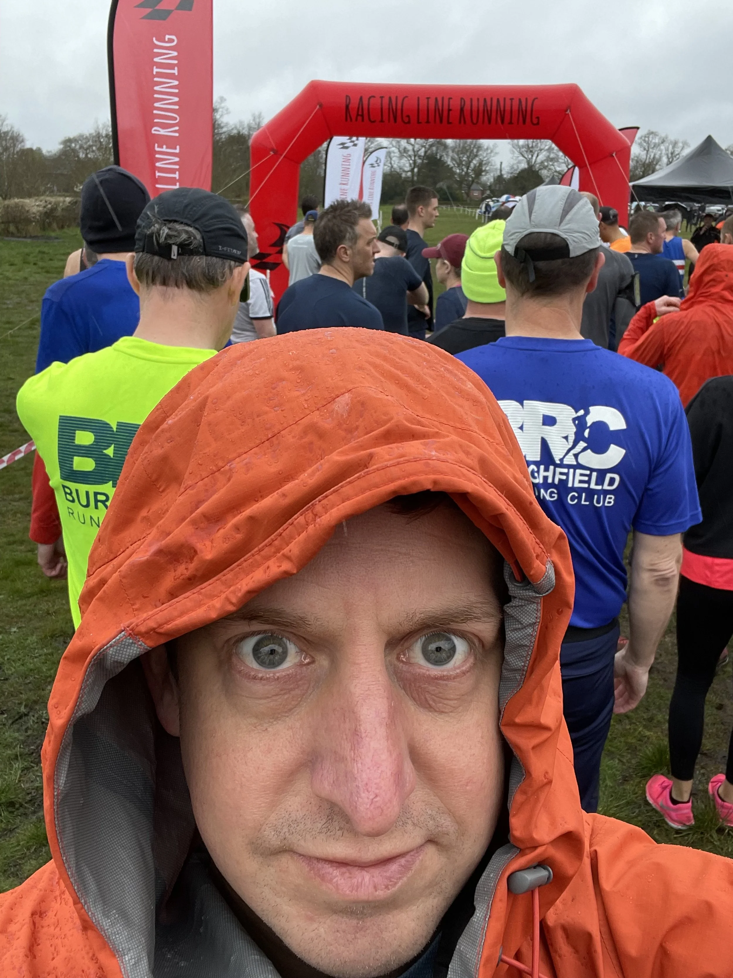
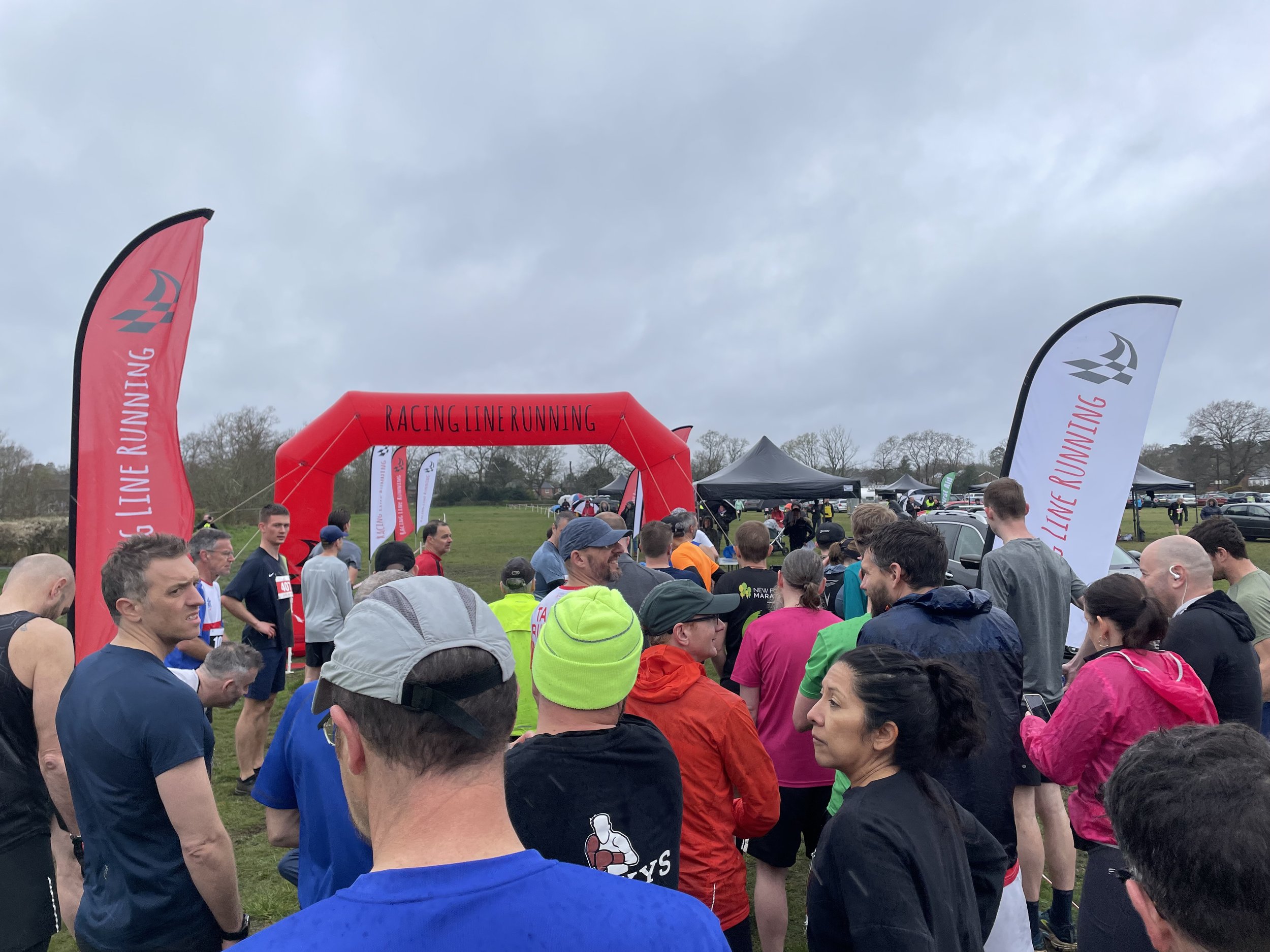
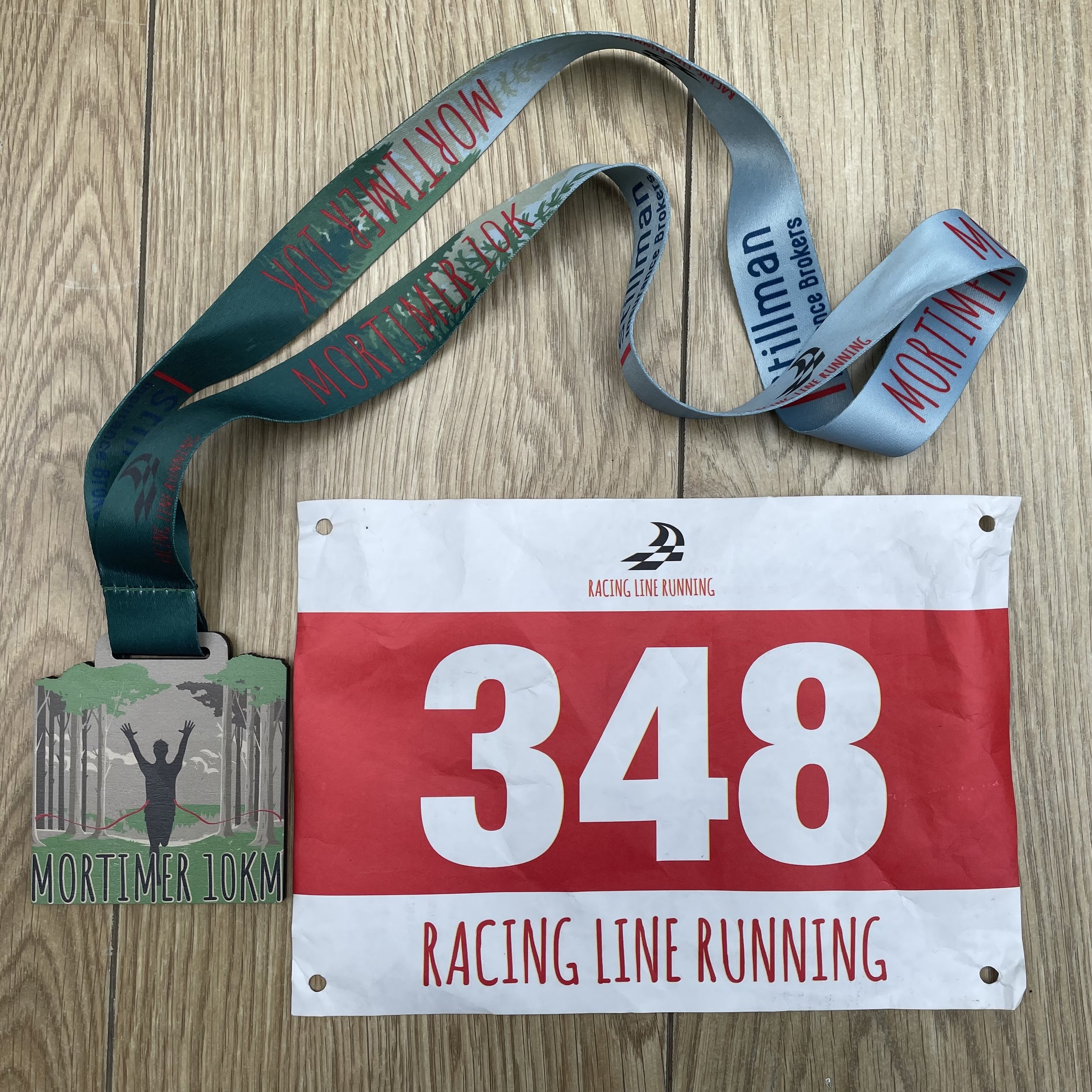
When: April 10th 2023
Where: Mortimer Common, Reading, RG7 3RG
Course: Two loops of woodland to the north-west of Mortimer with a >1km out and back from the start at Mortimer Fairground
Other routes touched: None
Finish time: 56:52
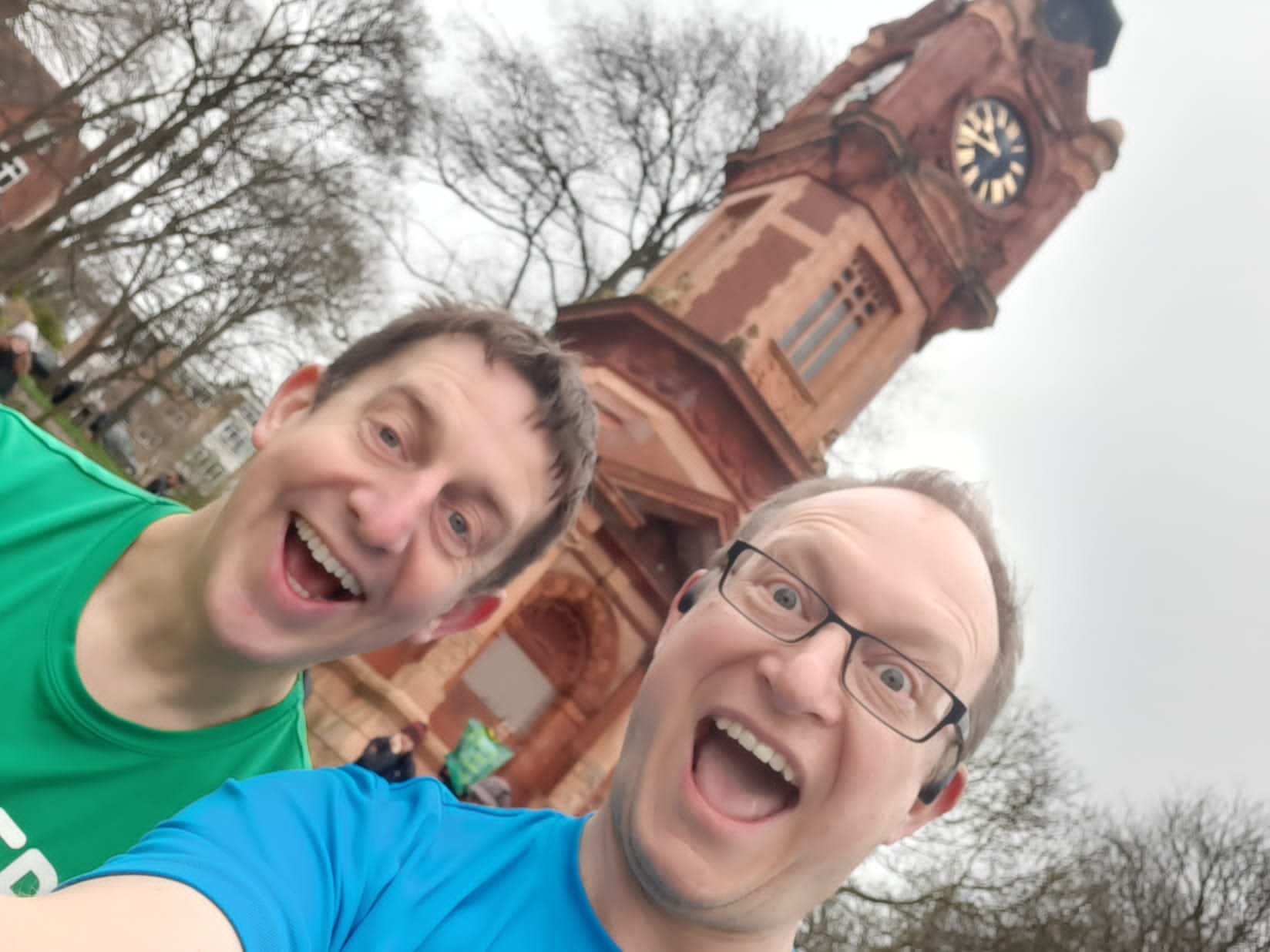
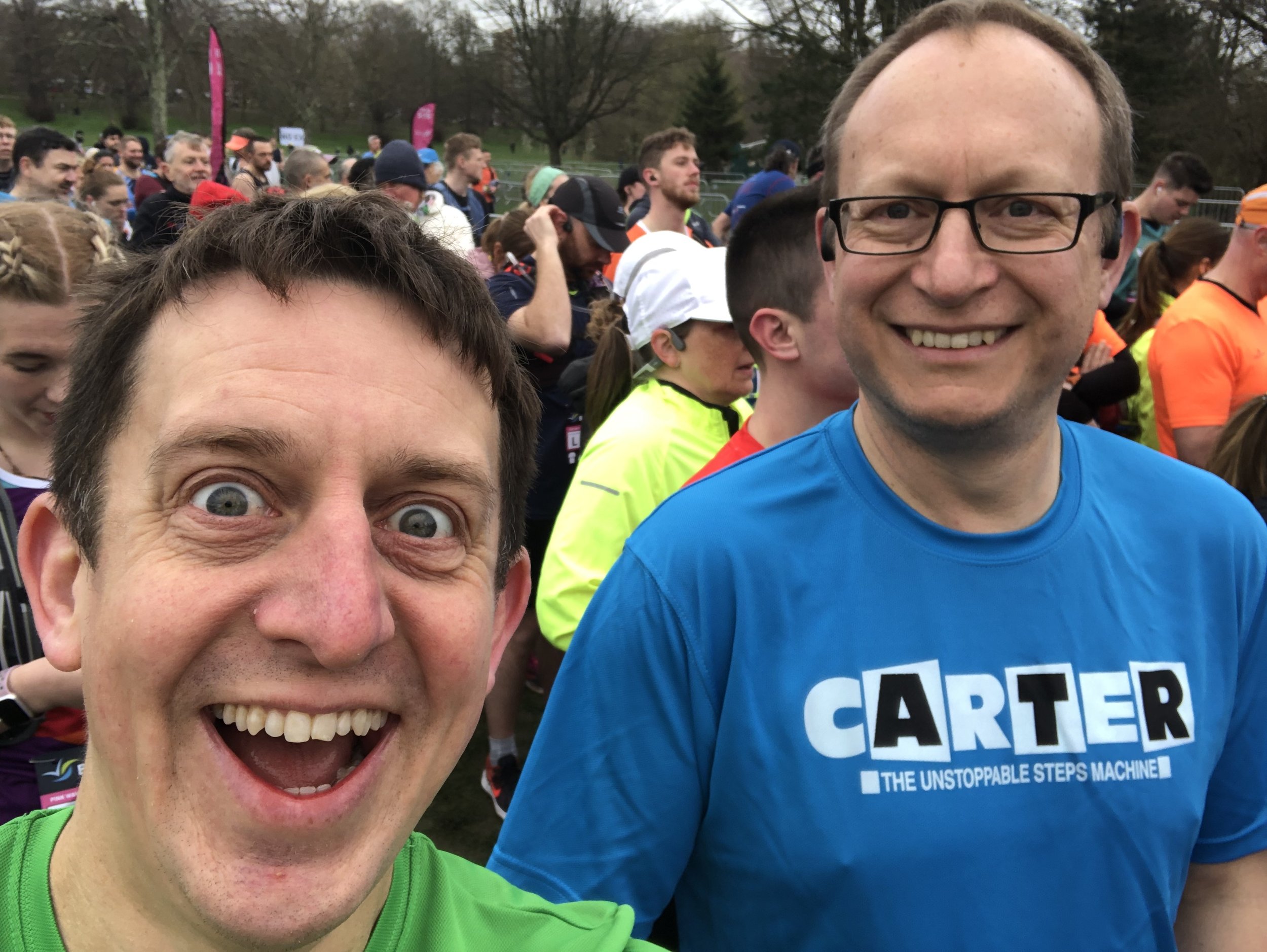
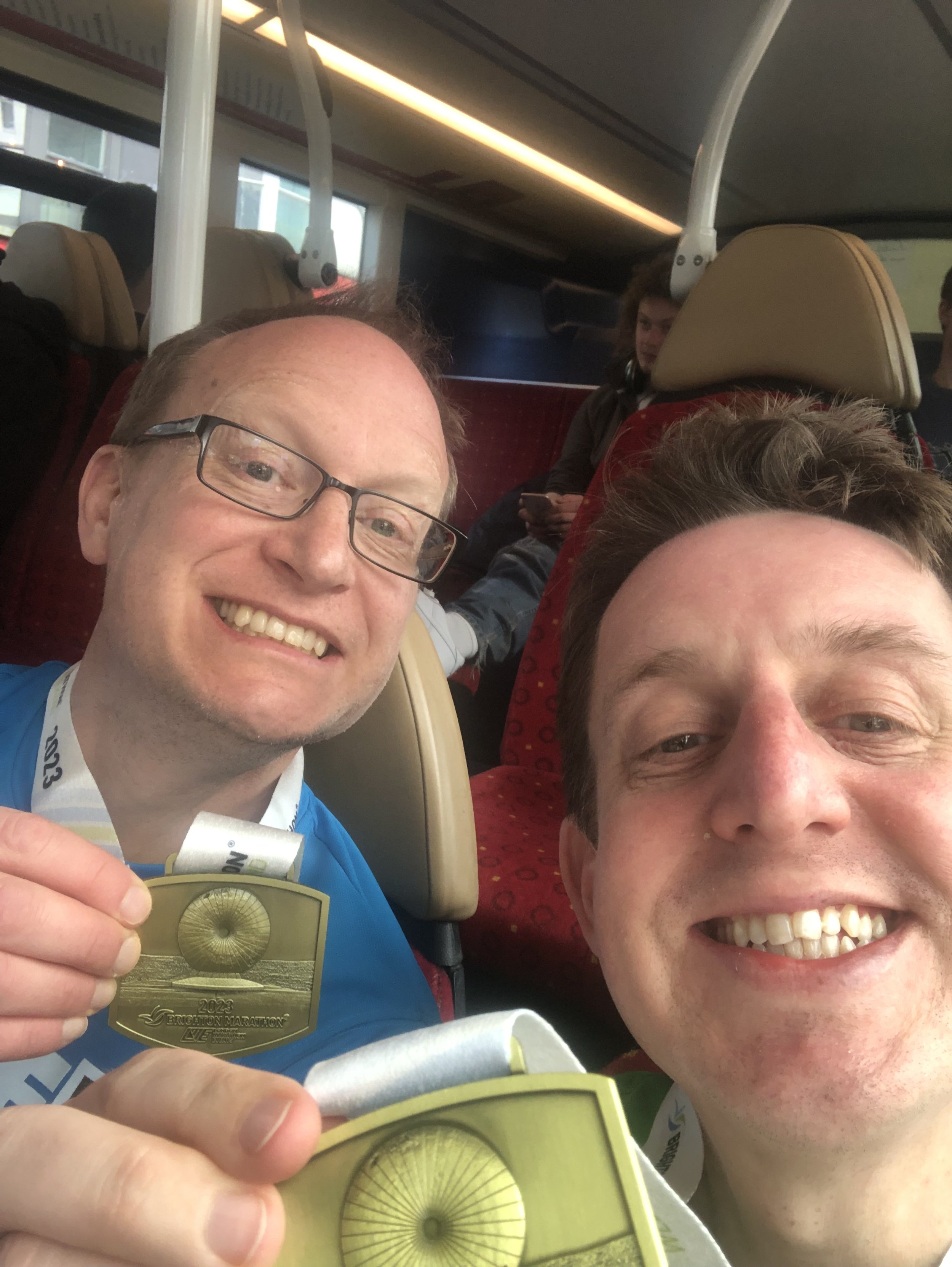
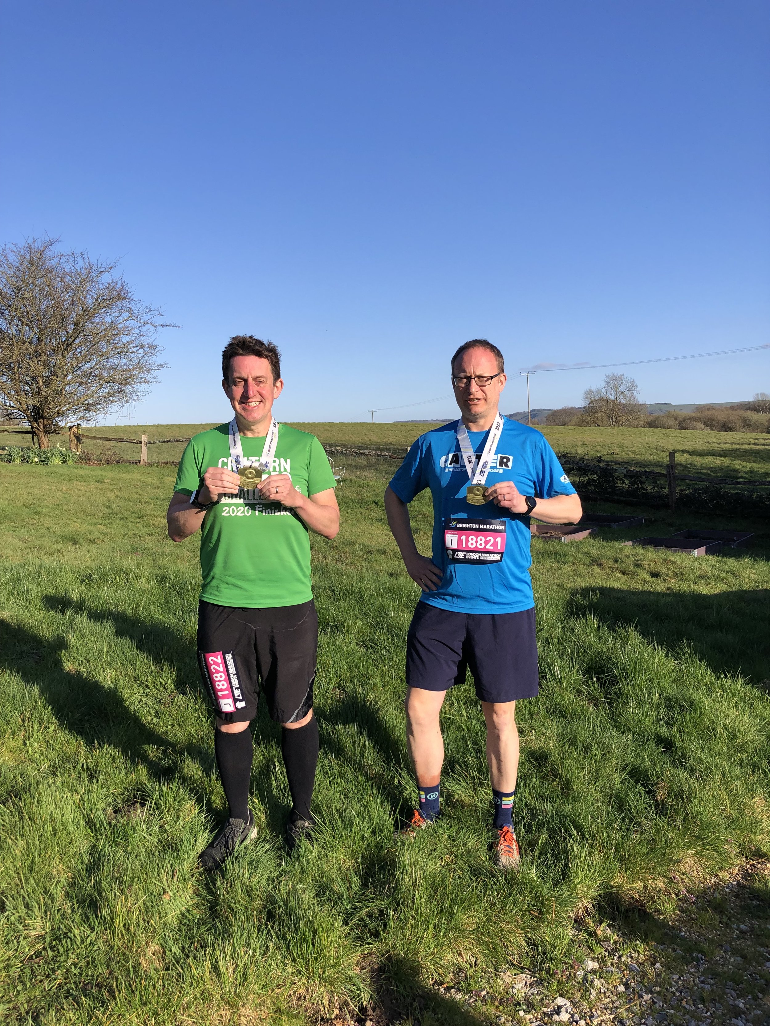
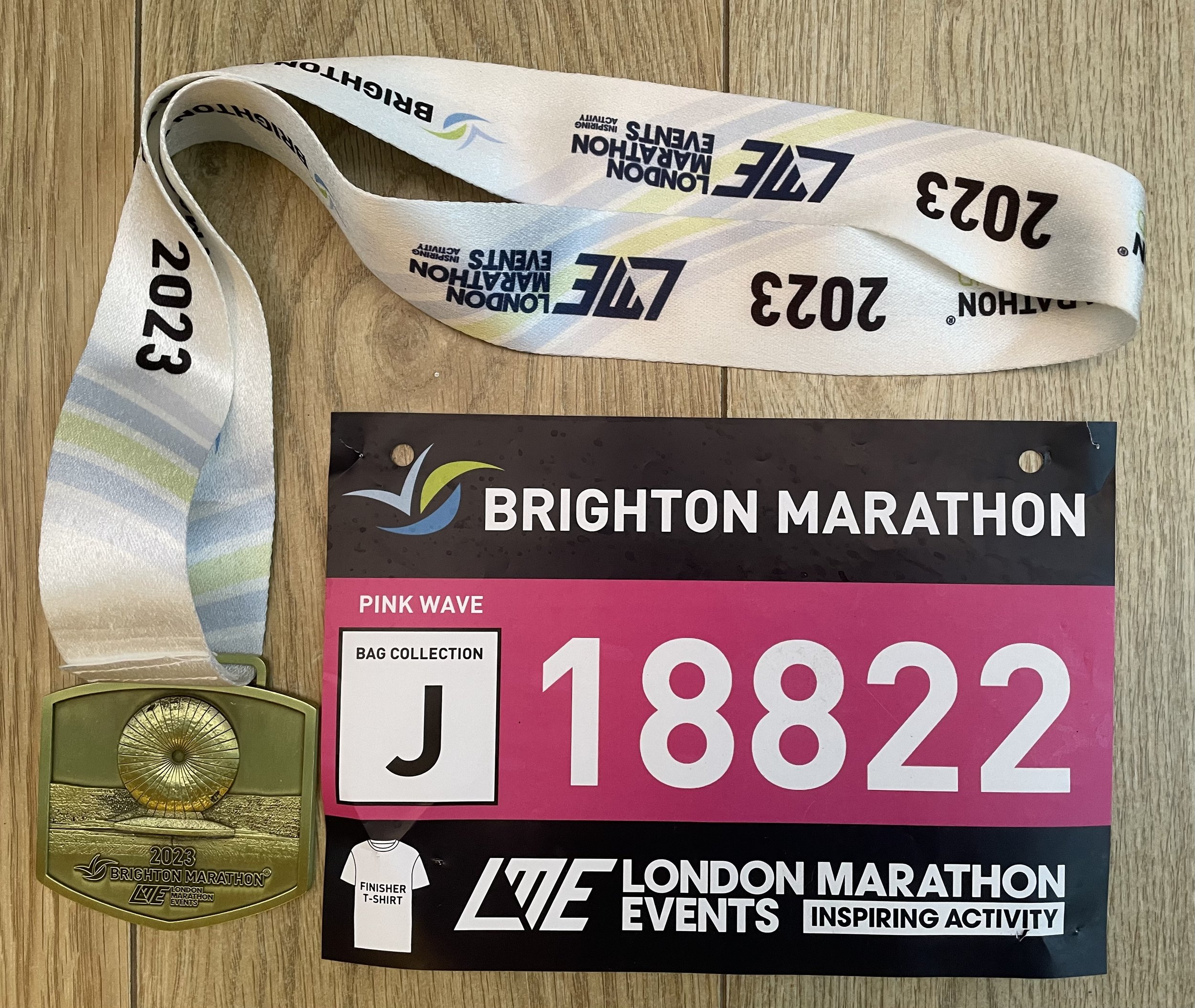
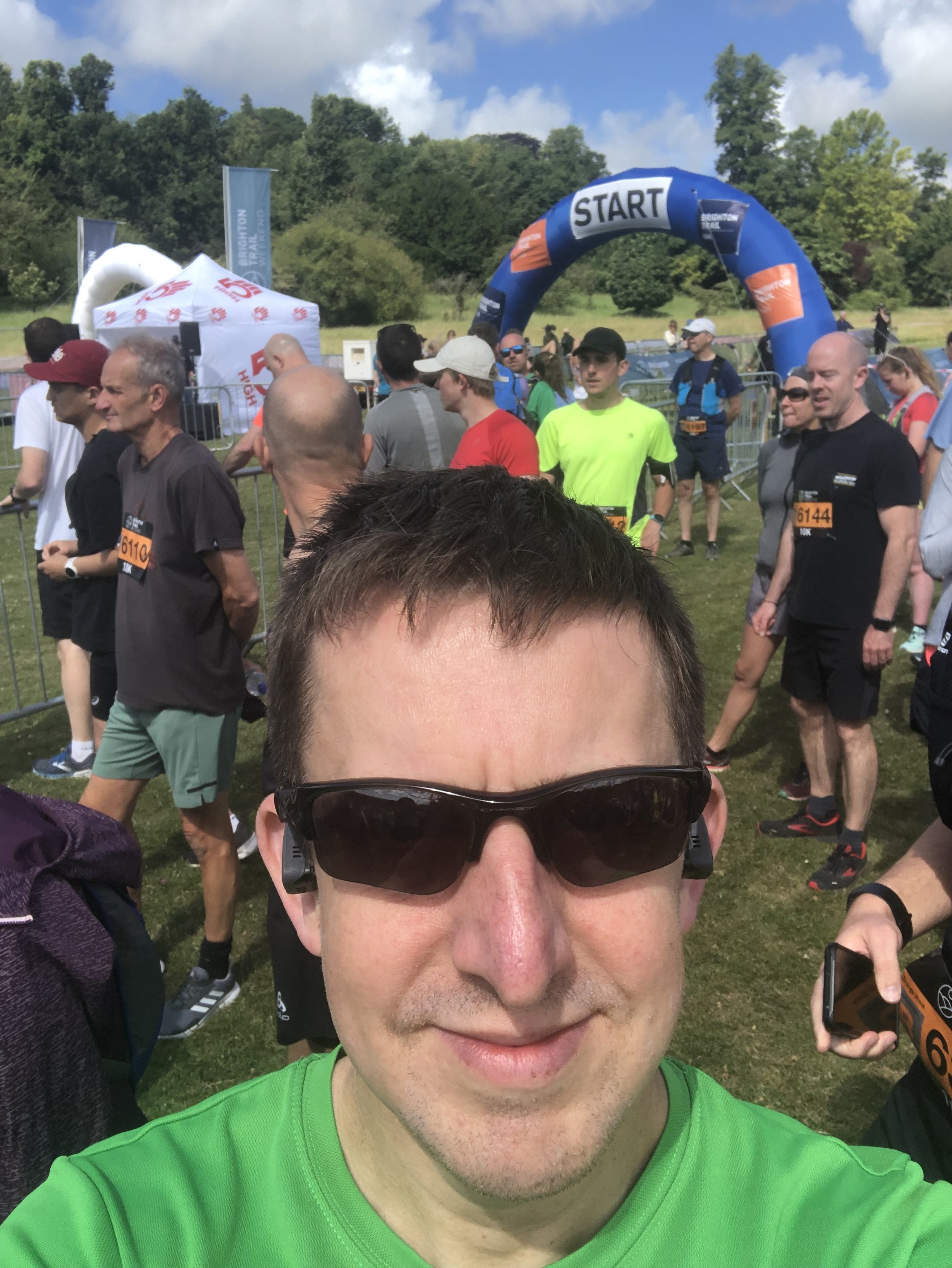
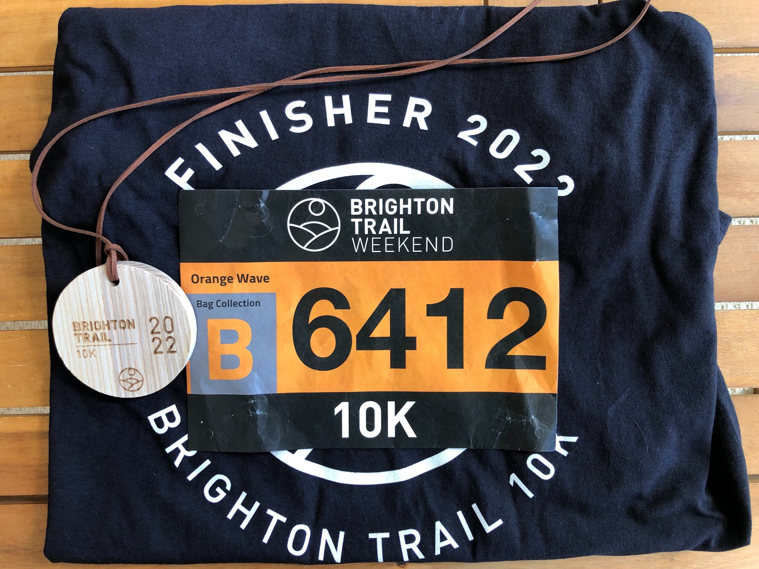
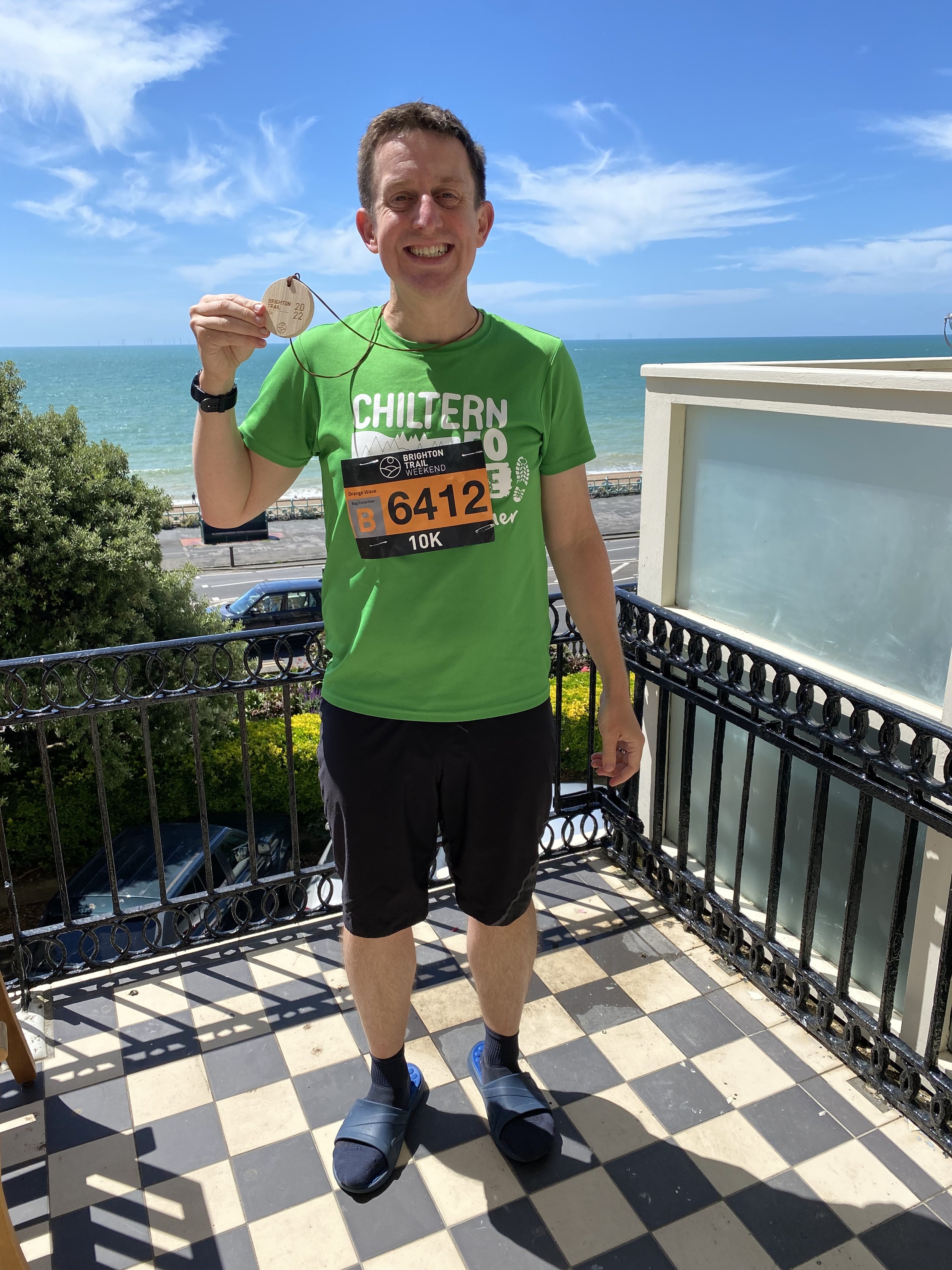
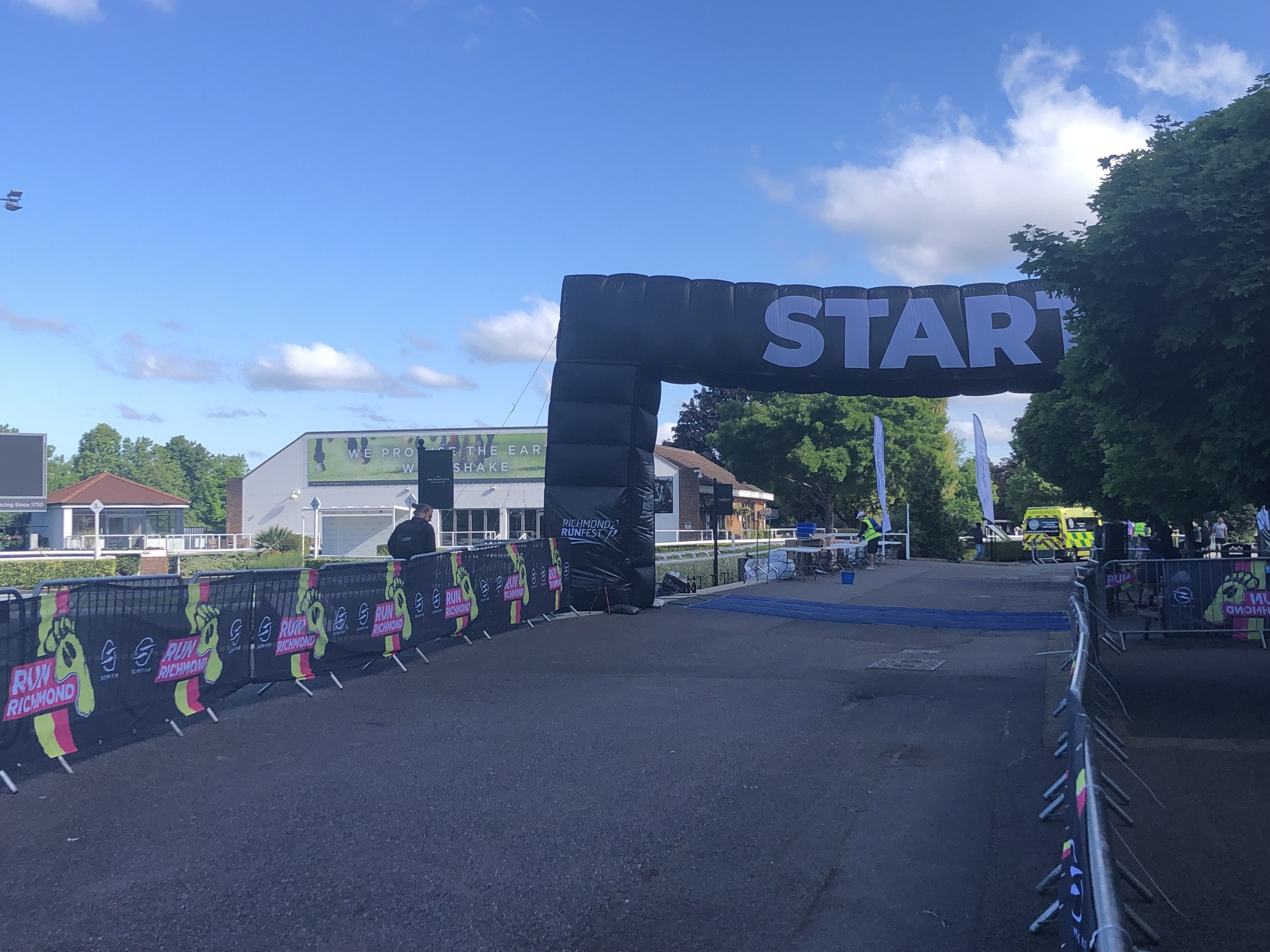
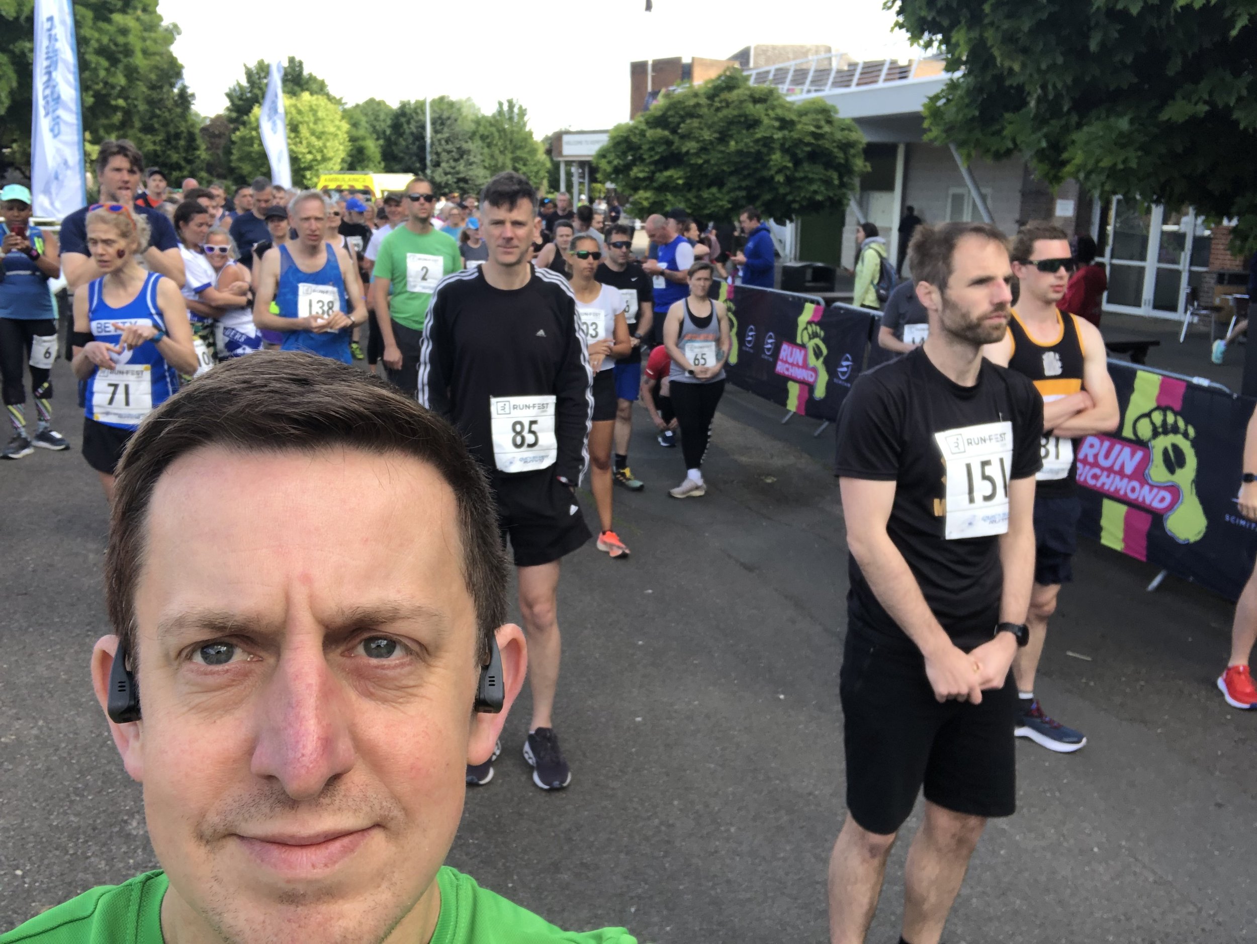
When: April 2nd 2023
Where: Brighton and Hove
Course: Road route from Preston Park to Hove Lawns, along the sea-front and some residential areas.
Start: Preston Park, Preston Road, Brighton and Hove, Brighton, BN1 6SD
Finish: Hove beach, Adelaide Crescent, Brighton and Hove, BN3 2JJ
Distance: 42.2 km (26.2 miles)
Elevation change: +285m / -385m. Net: -20m
Other routes touched (walk): Monarch’s Way, Mid Sussex Link, Newhaven-Brighton Clifftop Path
Other routes touched (cycle): NCN 2, 20
Finish time: 4:59
Links: Brighton Marathon, Brighton, Hove, Preston Park
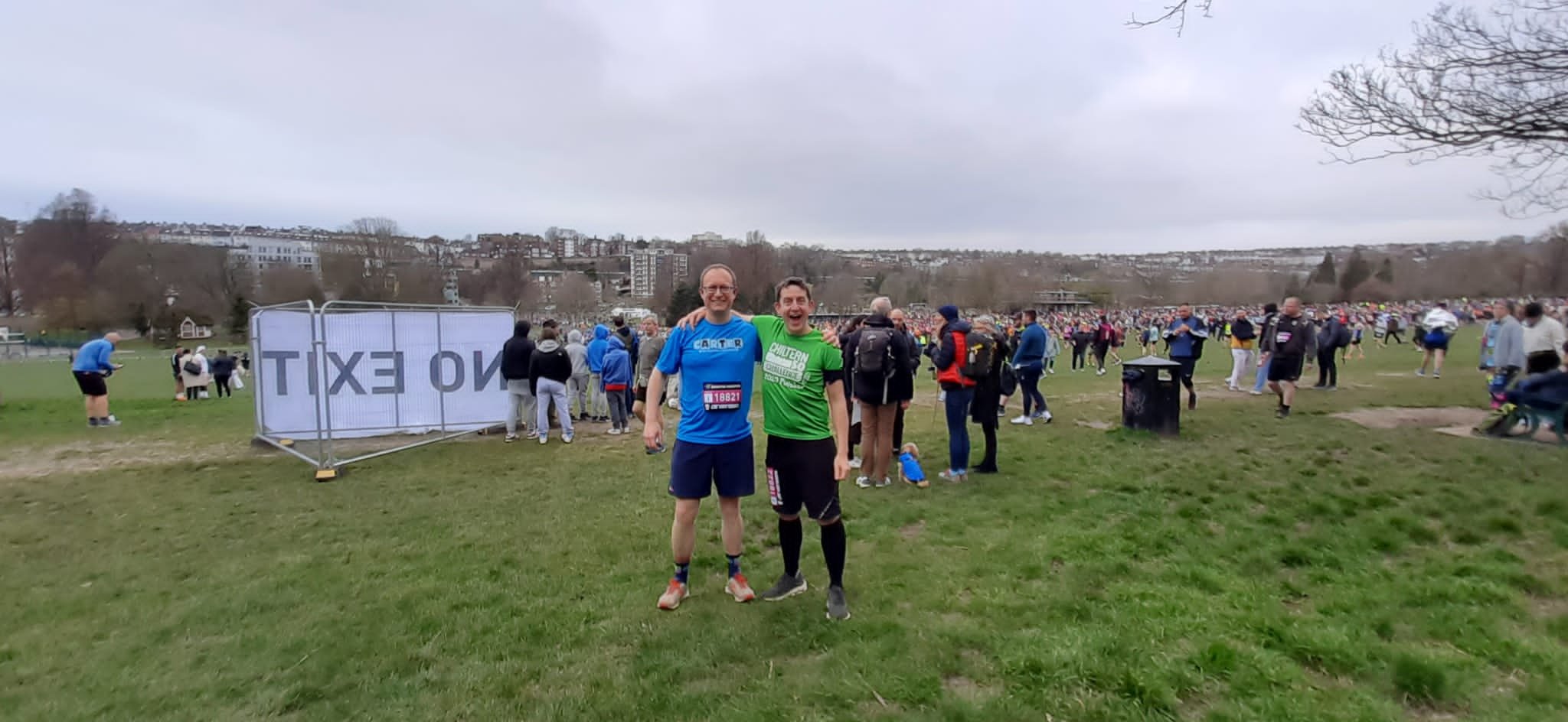
This was my first Marathon distance in 7 years and the first road Marathon since for 12 years. I much prefer trail Ultras now but I still felt that I hadn’t had my fill of the Marathon distance. I was also weirdly not happy with having done 4 Marathons and wanted a rounder number. When my friend Mark messaged me a month before to say that Brighton had released some extra tickets, I didn’t have to think too much about it.
The only thing that I had to think a bit more about was my predicted finish time when was I completing the entry form. My previous road Marathons were 4:41, 4:27 and 4:51, with the tougher trail Beachy Head Marathon at 5:36. Given that several years had passed and not having enough time to train and rest, I knew that I would be slower. I wanted to get in within 5 hours so I put down 4:59 on the entry form. Mark did the same and we were entered into the Pink Wave.
During the race the first third felt good. The chilly start was just right for me and I kept just ahead of my planned pace all the way. For the second third Mark went off ahead but not too far and I could see him whenever there was a turnaround on an out-and-back section. I was still just ahead of the 4:30 pacers and feeling good that I might finish at around 4:40, averaging my previous road Marathon times.
By 16 miles I was starting to feel the heat. There were a lot of water stations and I poured a lot of water over my head to cool me down but I was definitely feeling it. At 17 miles the route took a small loop around Brunswick Square with a slight incline and I “hit the wall”. I wasn’t able to run up the hill so did a fast walk. This broke my pace and I found it difficult to getting running again. The next 6 miles were tough as the route went through residential sections of Hove away from the coast. I tried some run/walk sections but got cramp whenever I tried to run, so I stayed at a determined fast walk. In the meantime, the 4:40 and 4:45 have both overtaken me by the time the route returned to the sea-front.
With 2km to go I could see the 5 hour pacer getting closer and closer over my shoulder. I found some new energy and motivation and was able to get back up to a run. I crossed the finish line at 4:59:23, just 37 seconds within the 5 hour mark. My friend Mark had an amazing 1st Marathon, finishing over half an hour head of me and beating my Marathon PB by 2 minutes.
I loved the day despite the tough last 9 miles. It did confirm, though, that I trail Ultras are more my thing. Maybe I’ll do another Marathon in the future but it will need to be an epic one.
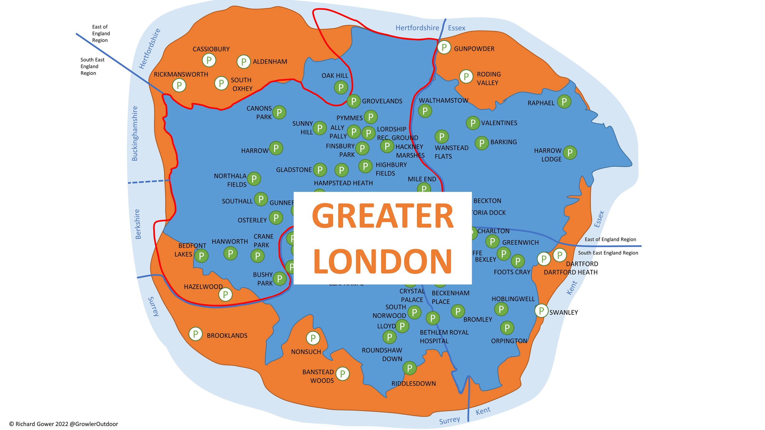
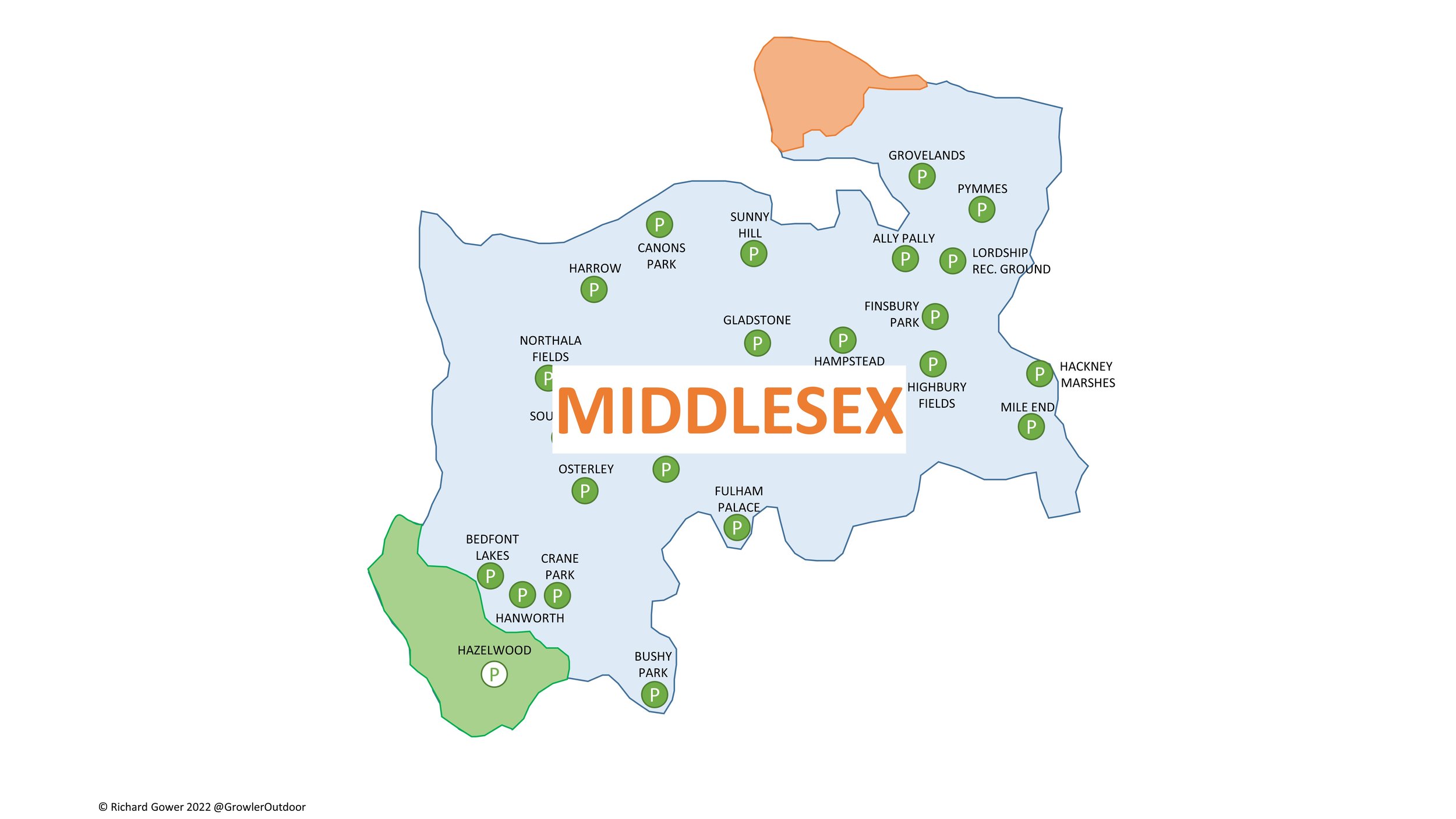
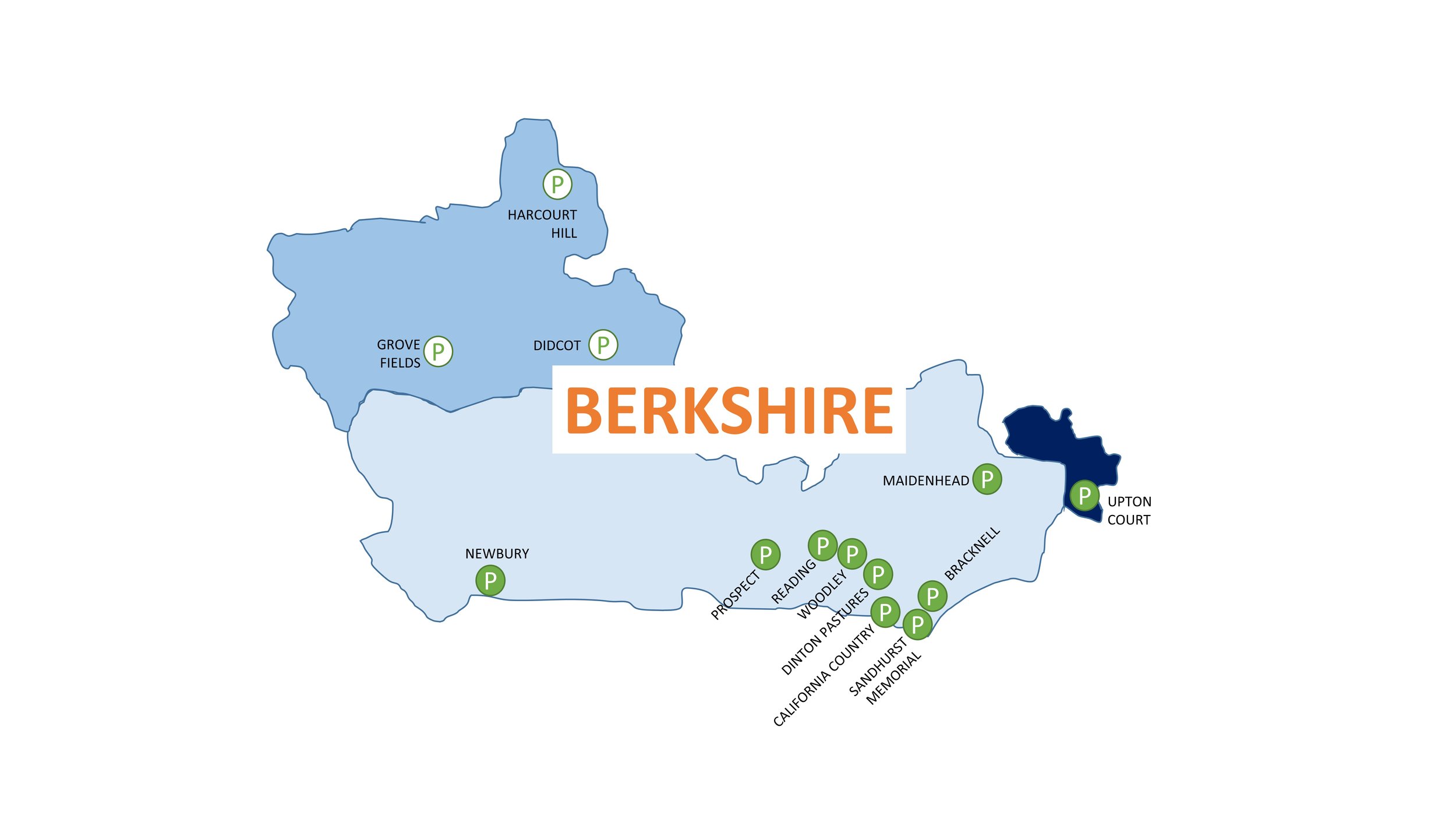
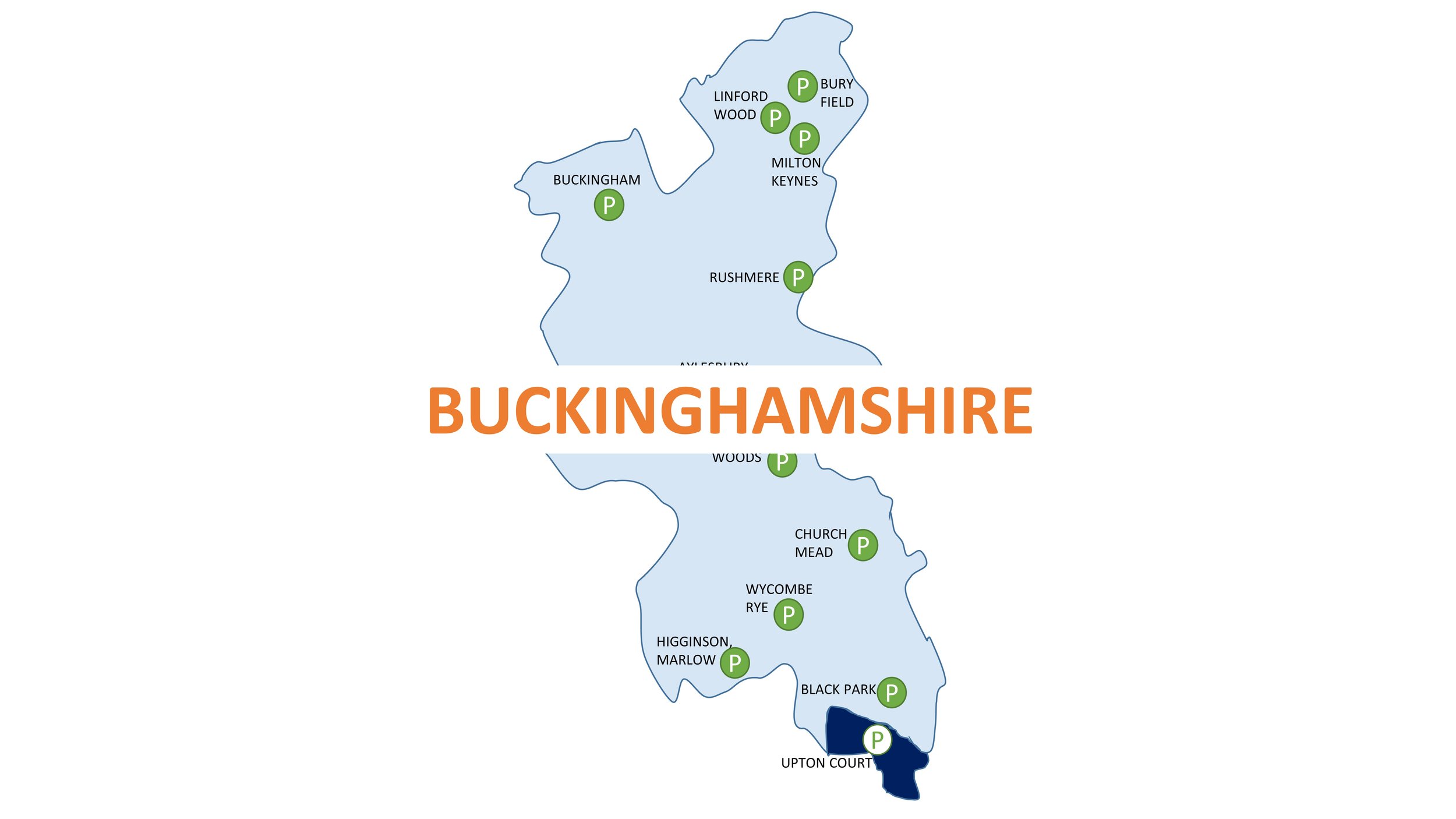
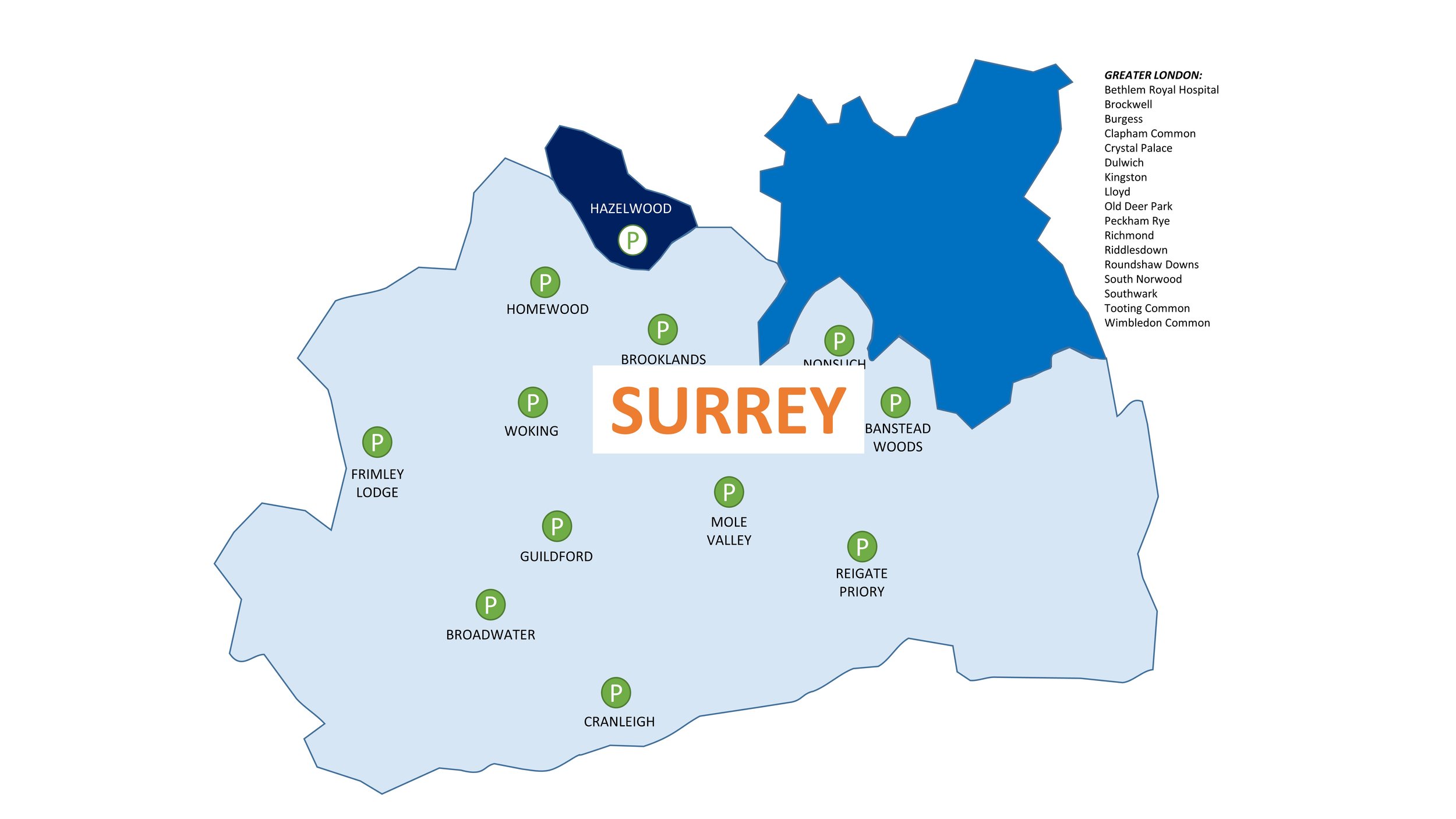
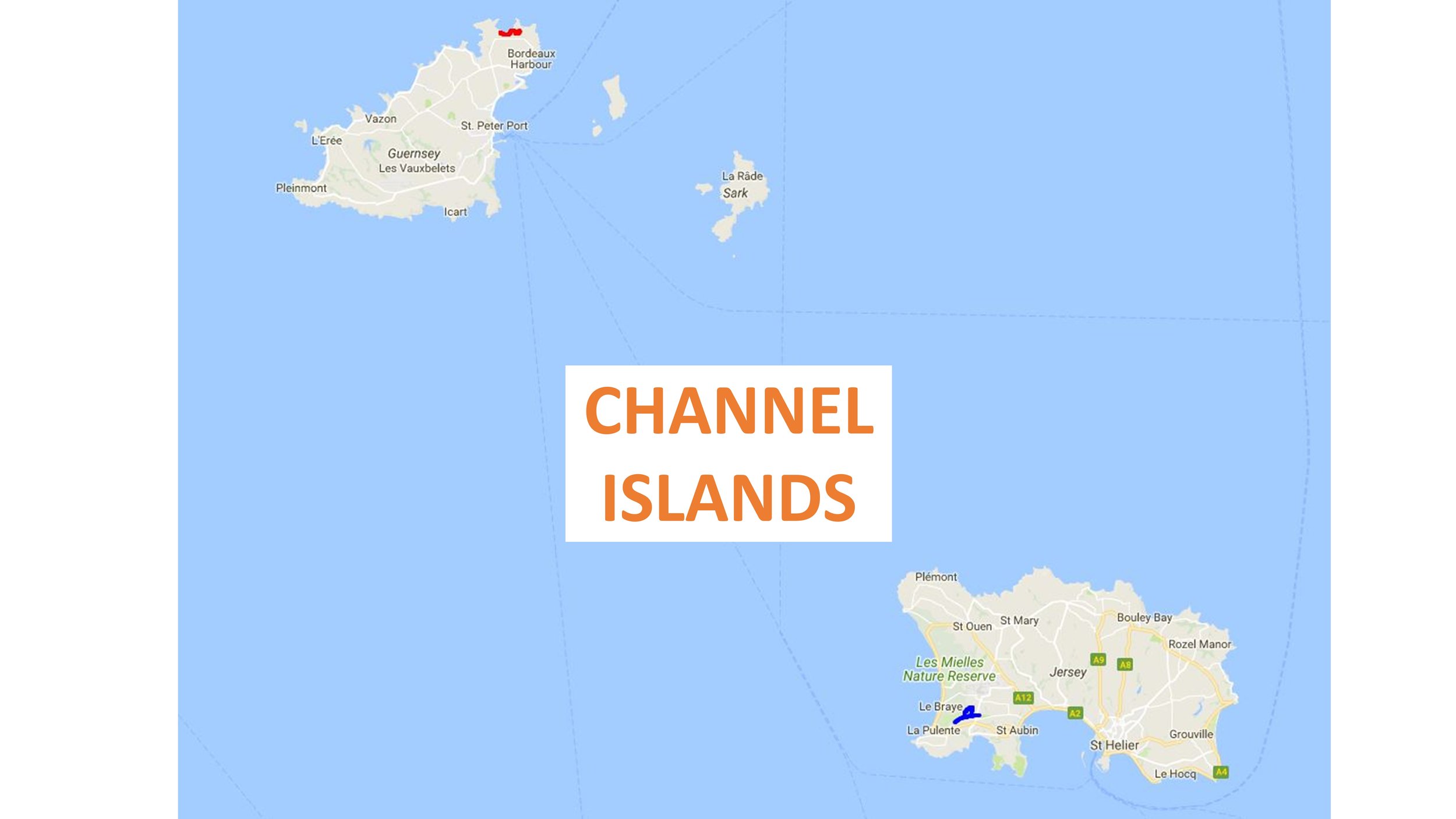
LonDone is the term for completing all parkrun events in Greater London. There are currently 62 parkrun events in Greater London. The first was Bushy Park which started on October 2nd 2004 and there’s typically a couple of new events added to the region each year. London is blessed with great public transportation links with most parkrun events within walking distance of a train, tube, tram or DLR stop. Travelling by bus gives you even more options.
Driving to the events is generally discouraged, but it will be the preferred option for some parkrunners for some events. Key considerations for drivers are parking options and whether the event is in, or the trip is through, the ULEZ or Congestion Charge zone.
Content on this page is sourced from the individual event pages, desktop research and input from the parkrun community. There make be some errors in the early release of this page and things can change. When planning your trip use this as a guide but always check the Course page of the relevant parkrun event and check other travel sites for any issues on your route for the day. Let me know if you spot any errors or have new information and I’ll make a quick update.
See my main parkrun LonDone page for more geekery on the Greater London parkrun events.
Notes:
Nearest station, excluding bus stops, is shown with a white background. Nearest alternative type shown with a light blue background.
Nearest and nearest alternative stations are all within walking distance of the start line. “Walking distance” is subjective but for the purposes of this I’ve determined it as “half-a-parkrun” (2.5 km).
Stations with an orange background are longer walks of between 2.5 km and 5 km.
“N/A” indicates that there’s no station of this type within a 5 km walk for the start line.
The Bus column shows the nearest stop to the start line. There’s normally several other stops nearby and on different routes.
Driving to London parkrun events is generally discouraged and it can often be expensive. I learned that the hard way when I running late for Victoria Dock had to pay £20 for a short stay in the nearest car park.
If you are driving the main three things to know are about parking, the ULEZ zone and Congestion Charge.
Most events have a car park either in the park or nearby. Some can be small so plan to arrive early to make sure you get a space and have time to pay (if needed) and walk to the start. If there’s a charge many car parks have pay-by-app options. This is great if you already have the app but takes time if you’re a first-time user and need to set it up. Northala Fields is an example of app-only parking with no options to pay by cash or card at a machine. I’ve made note of any specific details on parking, but let me know if you have additional local knowledge.
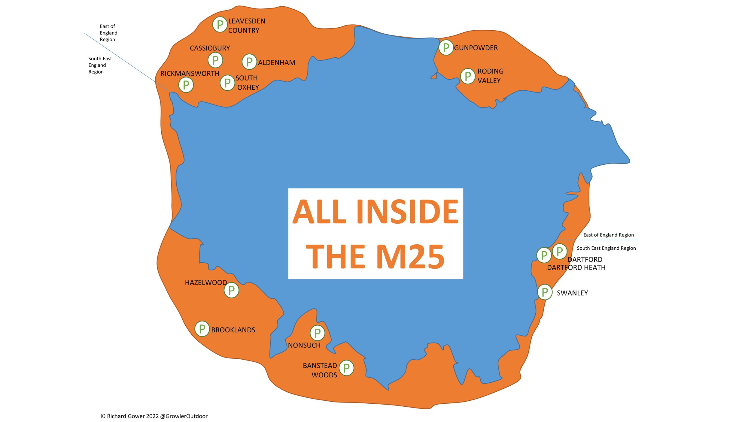
The Ultra Low Emission Zone (ULEZ) is a large area of London where you have to pay a charge if your car doesn’t meet certain emissions standards. You can find out if your car is exempt, see the area covered, and pay the fee on this TFL page. From August 29th 2023 the ULEZ zone was expanded to include most of Greater London, and all London parkruns are now in the zone. 2 events; Bedfont Lakes and Riddlesdown are right on the edge of the zone. It’s possible to reach these by car and park outside of the ULEZ zone, however be careful not to cross into it on the drive there.
There are currently no parkrun events inside the Congestion Charge zone. As with the ULEZ Zone, be careful when planning your drive as you may have to pass through the zone even if the parkrun event is outside of it.
Knowing whether there’s a toilet at the event is often important when planning your trip. Most events have one near the start line but if they don’t it’s worth checking to see what’s on your route, especially for long trips. The original information here is from the Course pages from each event. Let me know if you have additional information (e.g. opening times, disabled access) on each that would help other parkrunners.
The cafés shown here are either ones noted on the Course pages or the closest one if not mentioned. These are not recommendations.
There’s often chat in the Facebook parkrun groups about having a transport map showing the nearest stations to the London parkrun events. I’m certainly not the first to have this idea or to give it a go. Here’s my attempt at putting one together. Things to know are:
It shows nearest stations to parkruns and key interchanges, not all stations and lines.
Other stations may be more convenient for each parkrun, depending on where you’re coming from. Check the tables above for alternatives.
It’s intended to be an “artistic impression”, not for navigation.
There’s likely mistakes in this version. Please let me know if you spot any.
I’m guessing that parkrun’s encouragement of using public transport doesn’t include flying to events. This section is likely to be pretty niche, but I included it anyway. The map and table below shows the nearest major London airport to each parkrun event. “Nearest” is defined as the quickest route via public transport rather than as the crow flies.
The reality is that anyone flying to London for a parkrun is likely to choose whichever airport has the best cost and route options from wherever they are flying in from. Every parkrun event is accessibly from each of these airports within 90 minutes, so flying into any London airport on a Friday gives you lots of options to get to the event by parkrun o’clock on the Saturday.
A few notes on the exercise:
I included major commercial airports and excluded RAF or smaller airfields such as Northolt or Biggin Hill.
London Southend (SEN) was in-scope but there is no London parkrun that is closer to it by public transport than to a different airport. Harrow Lodge is the closest event to SEN but it’s quicker to get there by public transport from London City Airport (LCY).
Walthamstow is the only parkun event that is closer to London Stansted (STN) than any other London airport. This is mostly due to LCY being very well connected to many public transport routes with fewer options into London from STN.


parkruns are free, weekly, community 5k events all around the world. I started in December 2012 and have been obsessive about it ever since. See my parkrun Collection page for details.
Featured and popular parkrun posts:
My stats for the year:

TOTAL DISTANCE IN 2022
Run (outdoor): 519 miles (830 km)
Cycle (Outdoor): 651 miles (1,042 km)
Cycle (Zwift): 1,160 miles (1,857 km)
Trek: 642 miles (1,028 km)
Total = 2,976 miles (4,761 km)
Trek = recorded hiking & walking events, not general steps.
KEY EVENTS IN 2022
2 x Ultra Marathon: Serpent Trail and Hurtwood 50
7 x 10k events: Lee Valley, Kempton Park, Brighton Trail, Mapledurham Trail, Marlow 10 (Trail), Freith Hilly, Watlington Trail
125 x 5ks including 45 parkruns and 80 (not)parkruns
12 new County Tops:
- Ireland: Lugnaquillia Mountain, Mount Leinster, Brandon Hill, Cupidstown Hill, Kippure
- Scotland: West Lomond, Innerdouny Hill, Ben Cleuch, Cairnpapple Hill, Blackhope Scar, Meikle Says Law, Meikle Says Law - Southeast Slope
Completing the Finland Archipelago Trail Cycle Tour

In The Hurtwood between Checkpoints 2 and 3
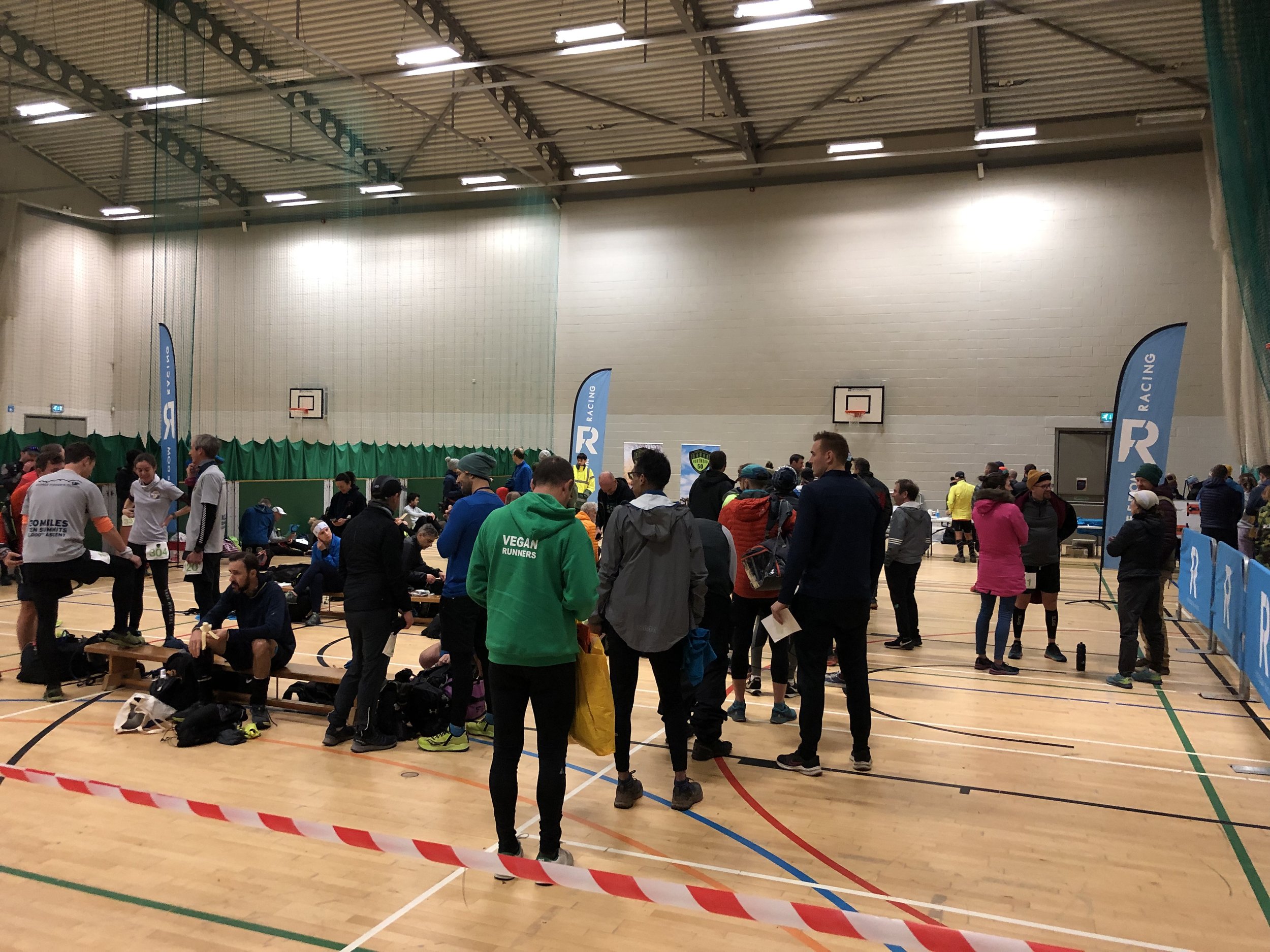
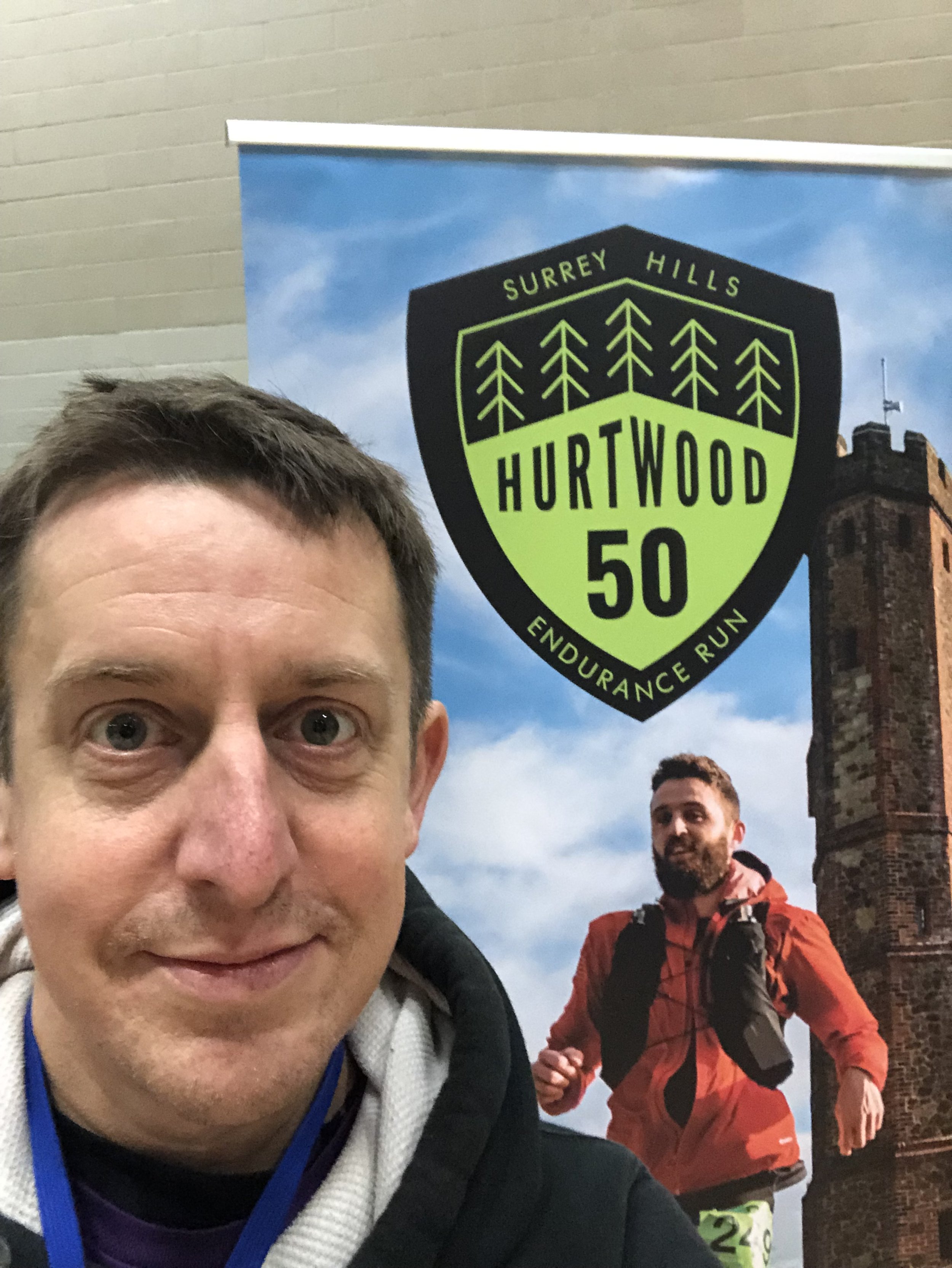
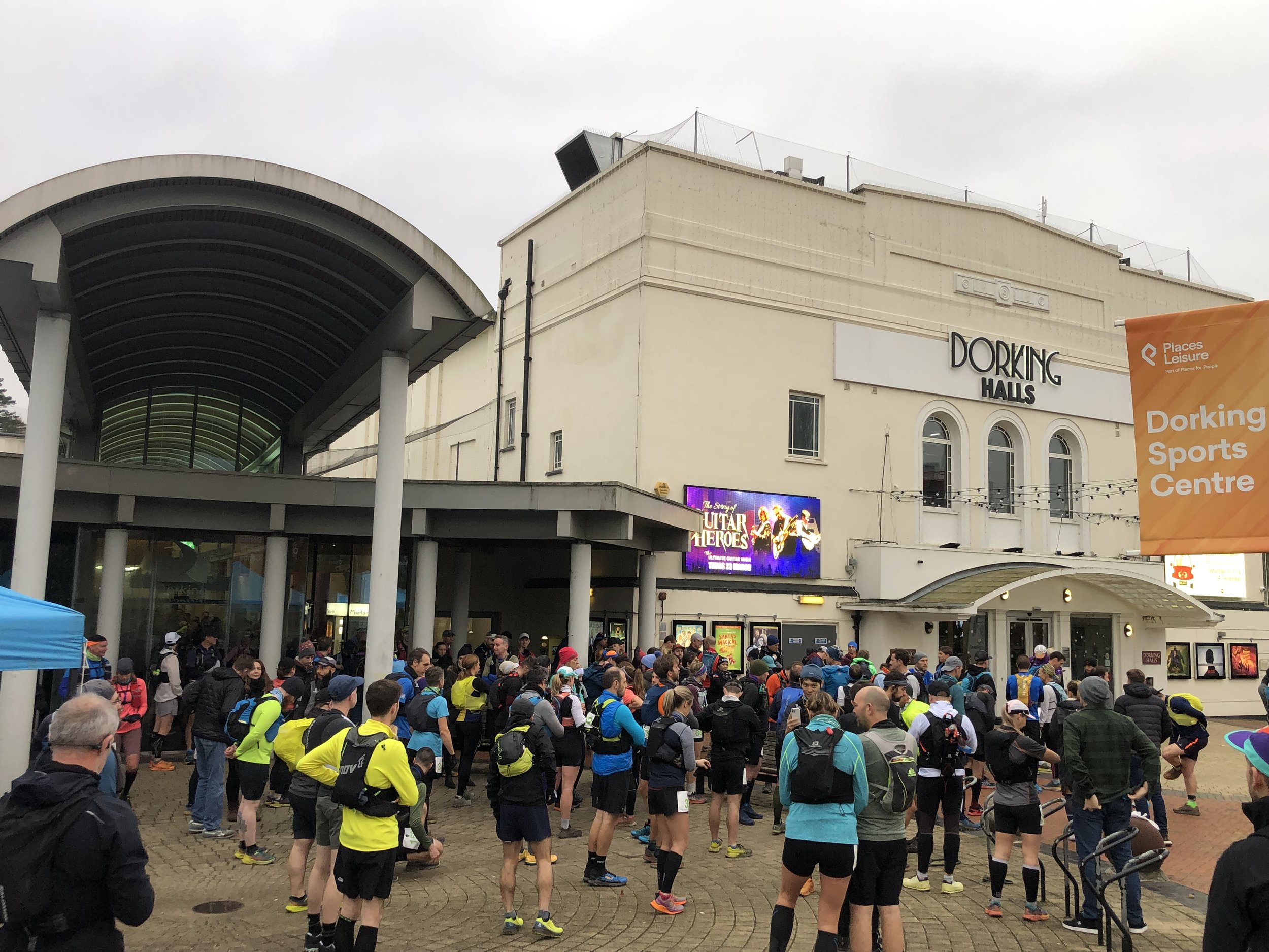
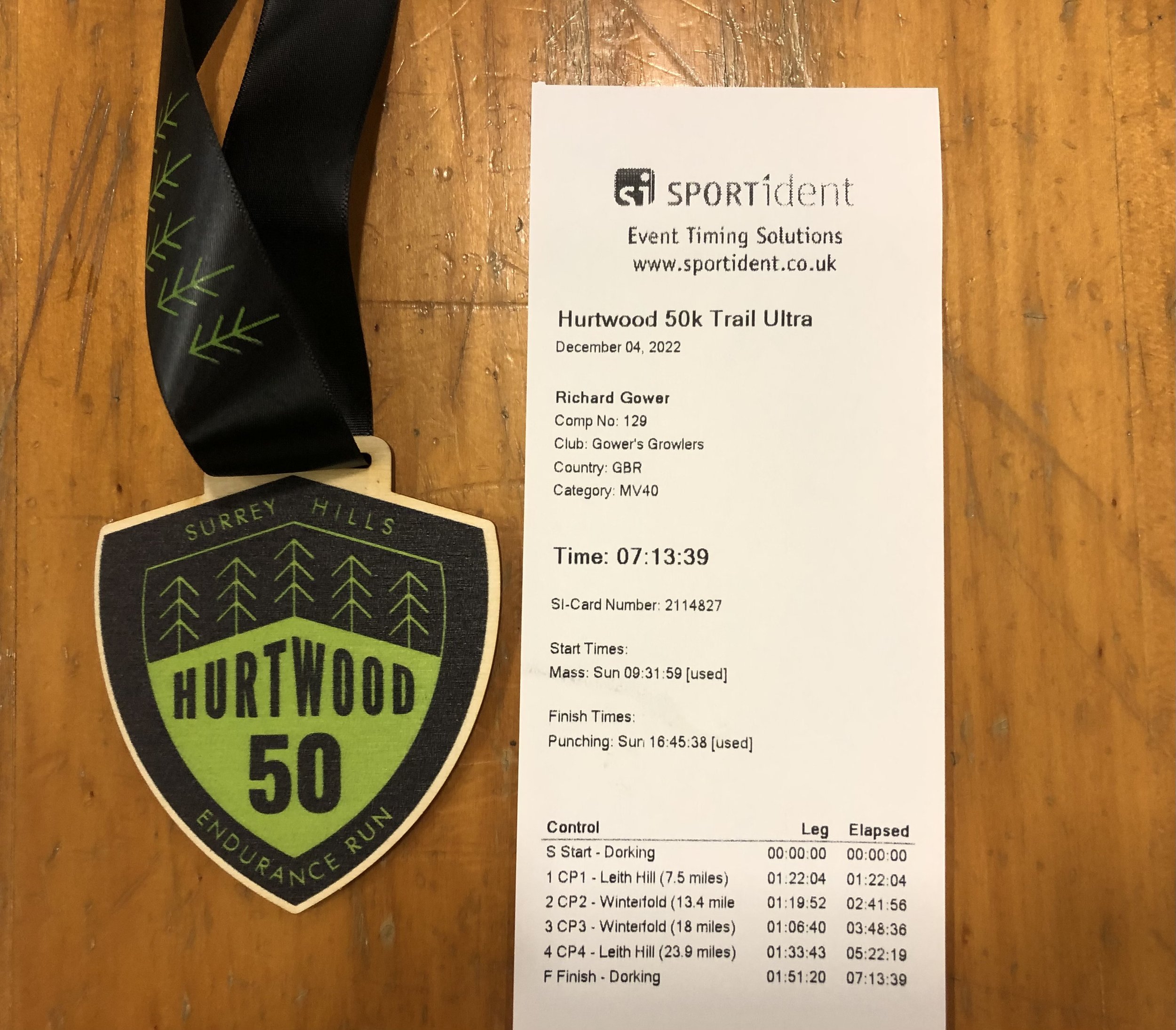
When: December 4th 2022
Start and Finish: Dorking Sports Centre, Reigate Road, Dorking, RH4 1SN
Distance: 50 km (31 miles)
Elevation change: +/- 1,084m
GPX File: get via Buy Me a Coffee
Other routes touched (walk): Leith Hill Greenway
Other routes touched (cycle): NCN 22, Surrey Cycleway
OS Trig Pillar:
- TP6411 - The Nower (2 km from start)
- TP2379 - Coneyhurst Hill (19 km from start)
Maps:
- Dorking, Box Hill & Reigate Map | Leatherhead & Caterham | Ordnance Survey | OS Explorer Map 146
- Guildford & Farnham Map | Godalming & Farnborough | Ordnance Survey | OS Explorer Map 145
Finish time: 7 hours 13 minutes
Links:
- Dorking, Milton Heath and The Nower, Wescott, The Hurtwood, Holmbury Camp, Holmbury St Mary, Winterfold Forest
- Leith Hill: Wikipedia, Peakbagger, Hillbagging, National Trust
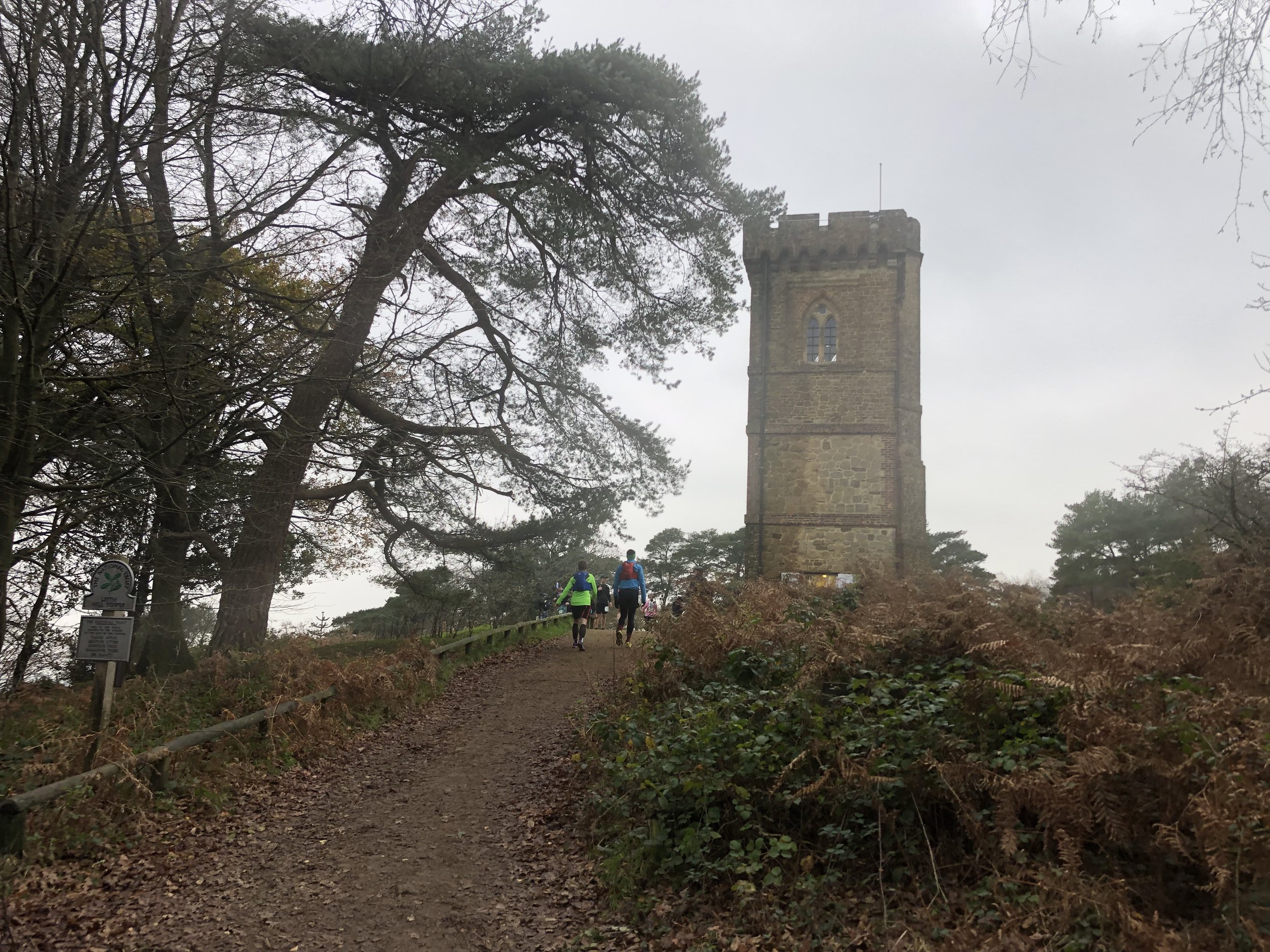
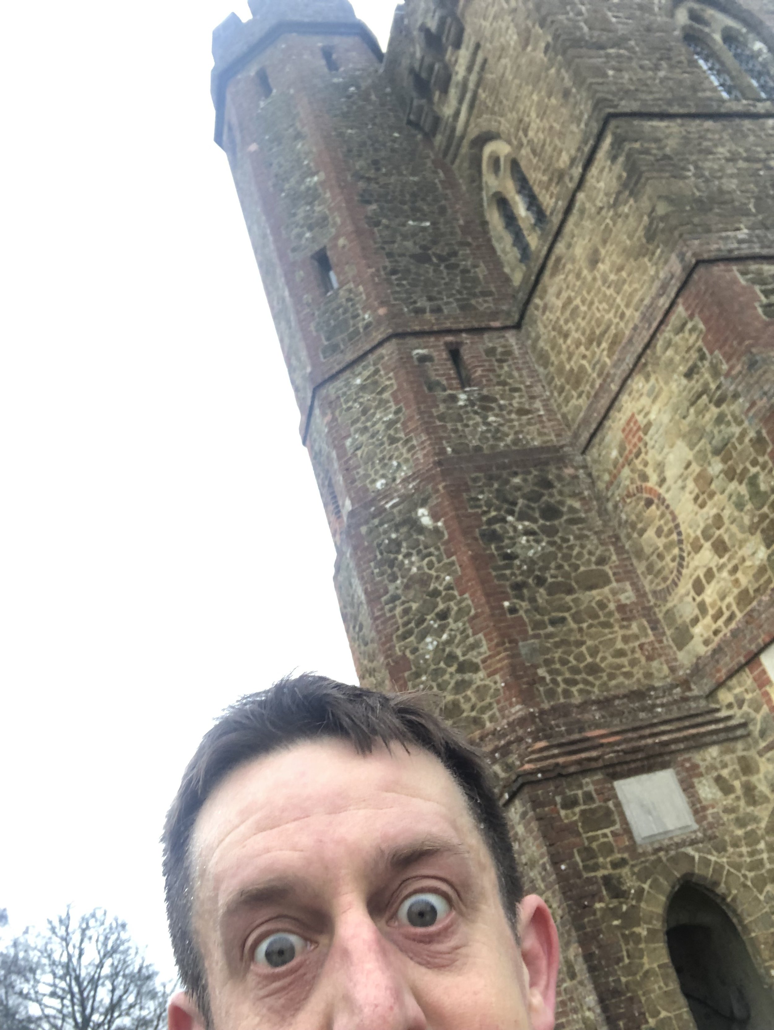
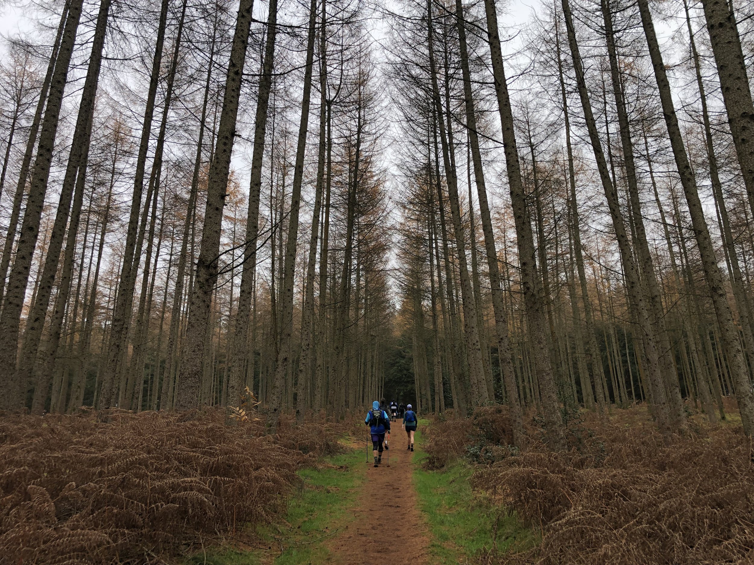
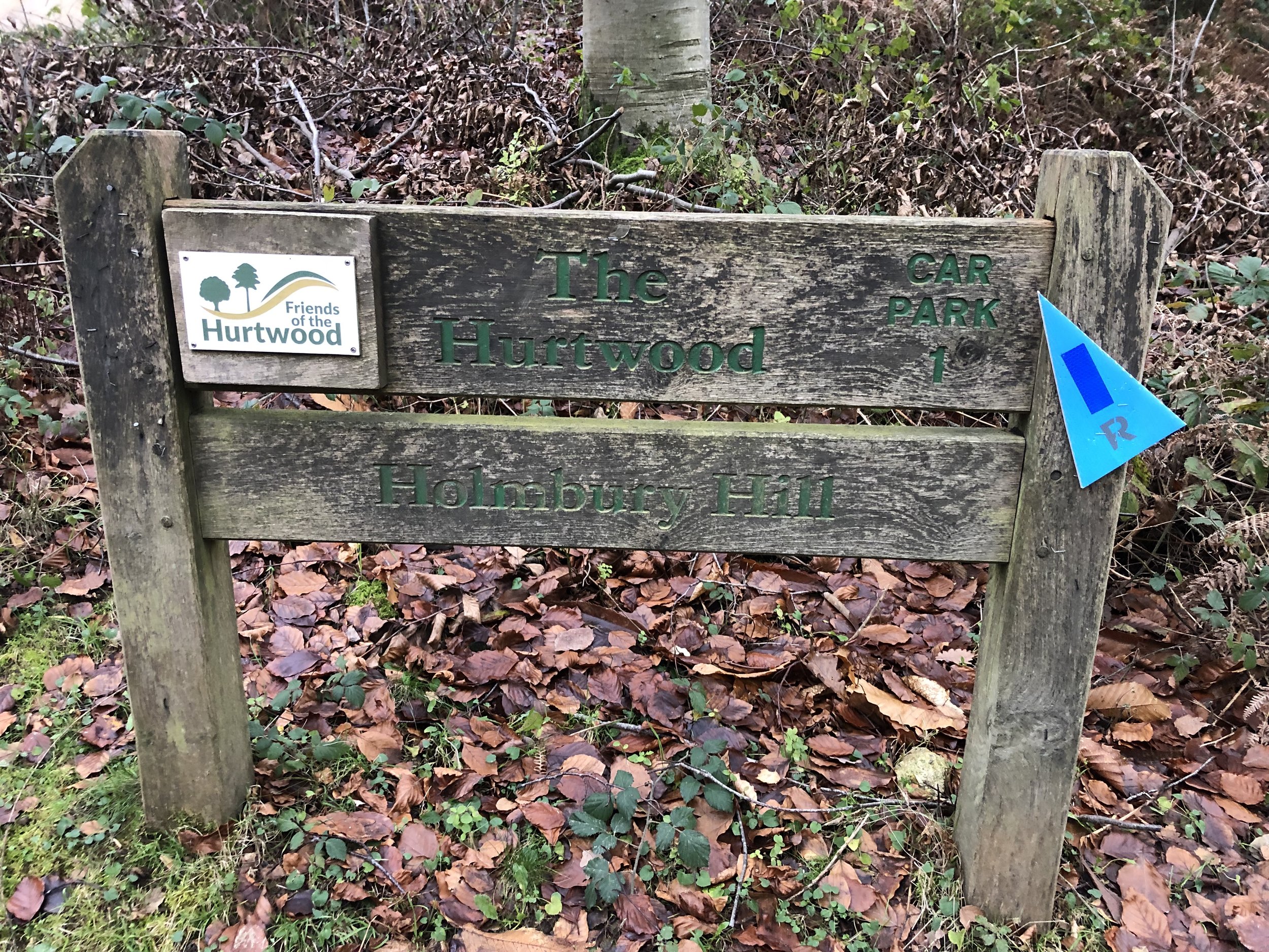
My 10th Ultra was on familiar ground. Timea and I had been walking the Greensand Way in the Surrey Hills in small sections this year. As the Autumn finished we made it as far as Dorking and decided to pause until the Spring. I had signed up the the Hurtwood 50k in the Summer but hadn’t realised that the start and finish would be in the exact place as we finished our walks.
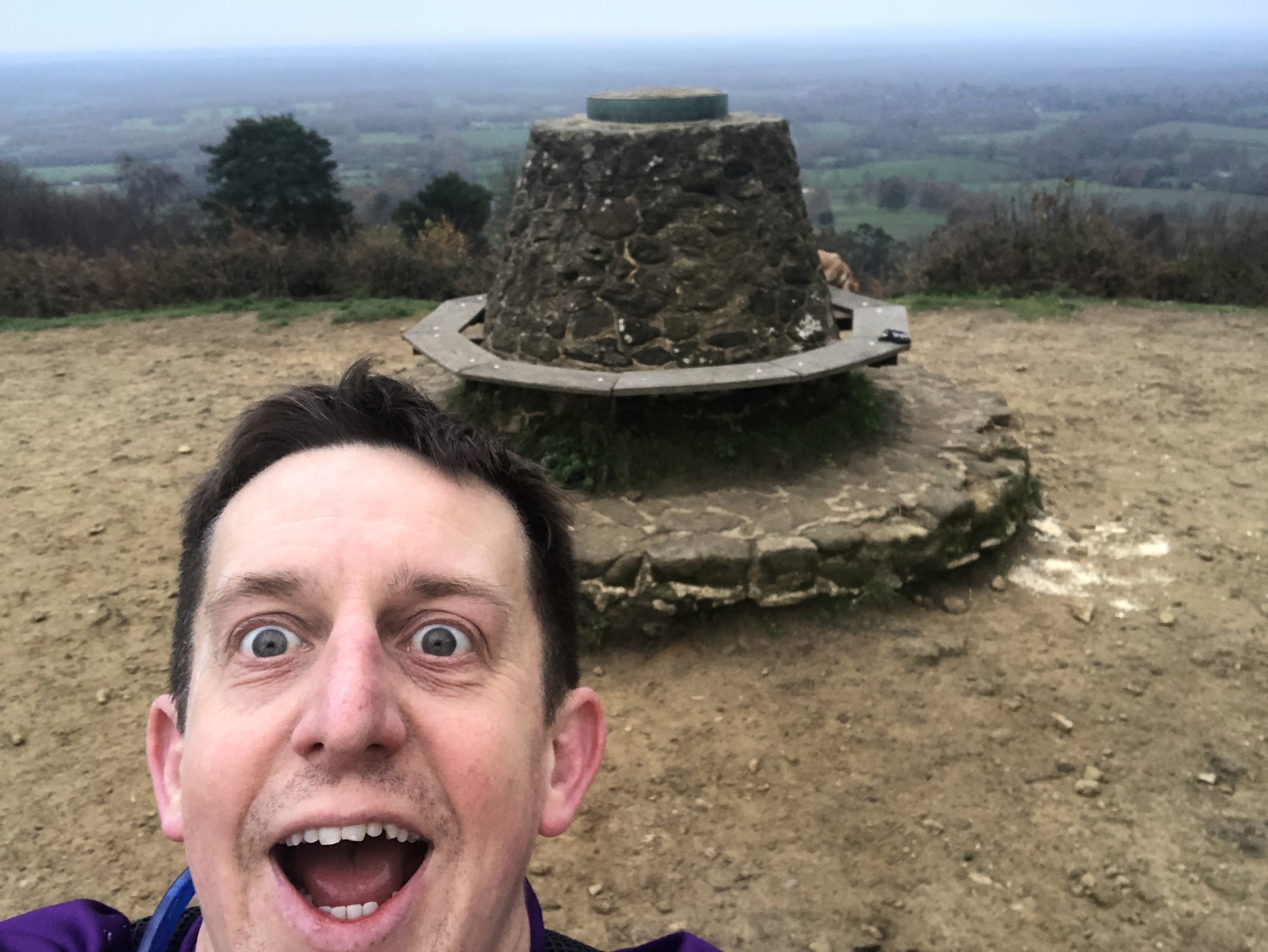
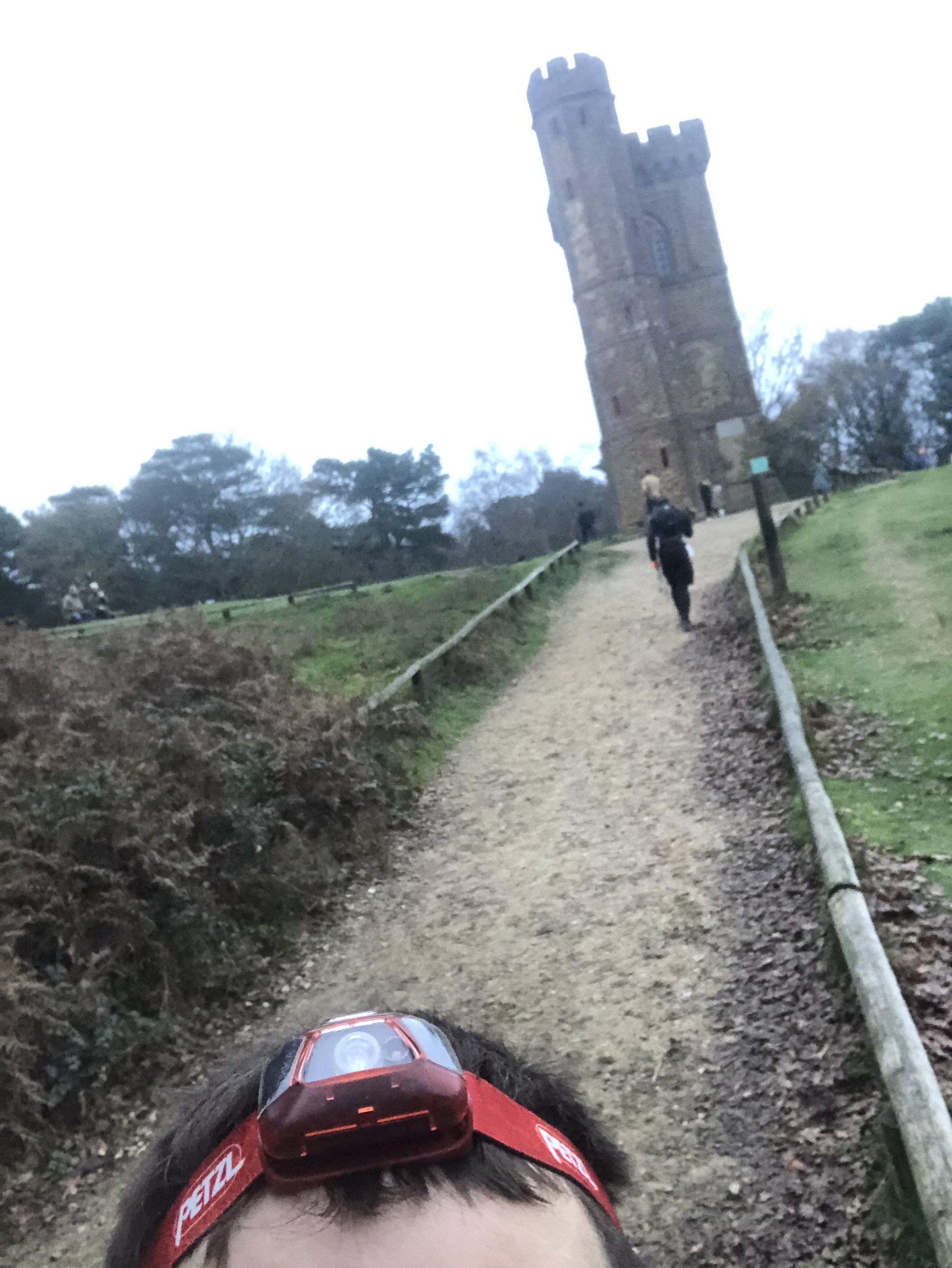
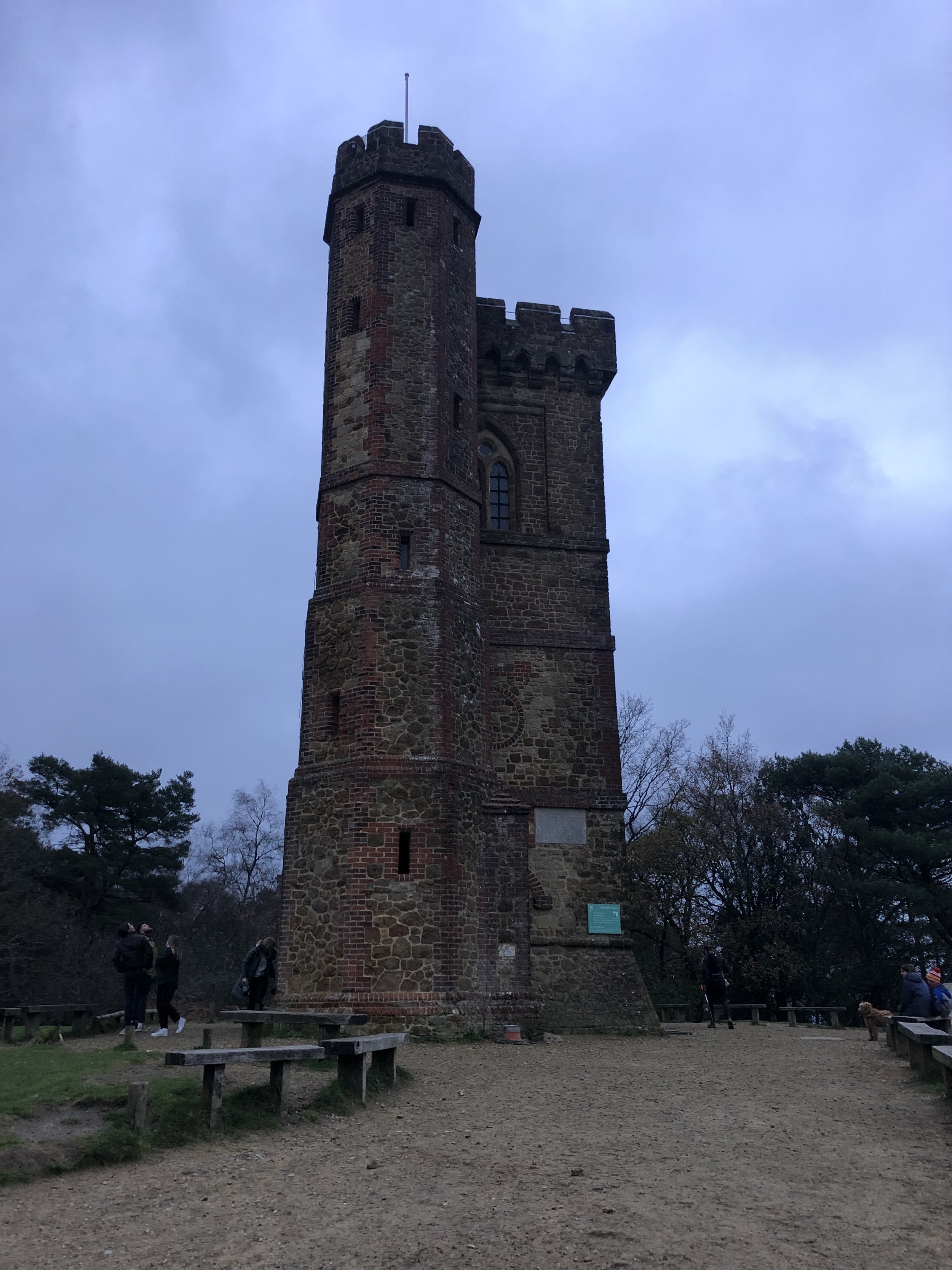
The course starts at Dorking Sports Centre and follows the high street for ~1km before reaching the Greensand Way. From here it follows the Greensand Way for 20km then takes an 8km circle around Winterfold Woods. After the circle the route retraces the Greensand Way back to Dorking. Along the way there’s >1000m metres of elevation, Leith Hill (Surrey’s County Top), Holmbury Hill, Pitch Hill, the Nower and 2 OS Trig Pillars. It felt like a Greatest Hits of the Surrey Hills walks that we had done over the Summer.
It was also the first winter Ultra that I attempted since my DNF on the Thames Path back in 2016. Wind and mud meant a very slow pace on that one and I had to pull out half way. That was a flat course too and I wasn’t confident in the weather or ground conditions for the Hurtwood after a wet autumn. As it turned out the ground was mostly dry, the air was nice and chilly and there was very little wind. These were perfect Ultra conditions for me.
This was my first out-and-back Ultra route. I wasn’t too excited about that as I normally prefer point-to-points. However, I found it to be a huge motivational advantage on the return stretch. It was still a long way but just seemed much easier as I was heading home. I found that I could run for longer stretches later in the race and the hills didn’t seem so tough. On the long descent from the summit of Leith Hill there was a moment when I thought I might beat my 50K PB of 6 hours 59 minutes.
The PB didn’t happen but I wasn’t bothered. I had forgotten about the return to The Nower, a steep hill on the approach to Dorking. In the end I finished in 7 hours 13 minutes, not far off my PB and not bad at all considering the more the double elevation of previous 50ks.
I’ll be doing some more distance events at this time of year. My mood dips from mid-November to mid-December due to a combination of a busy time at work and winter gloom. The focus on rest and nutrition leading up to this event kept me on track and the win of completing a very hilly winter Ultra will see me through till Christmas.
Thanks to Freedom Racing for hosting a well-managed, very rewarding event.
Walking The Greensand Way Part 8 - Winterfold Wood and Reynards Hill
Walking The Greensand Way Part 9 - Pitch Hill and Holmbury Hill
Walking The Greensand Way Part 10 - Leith Hill and Broadmoor
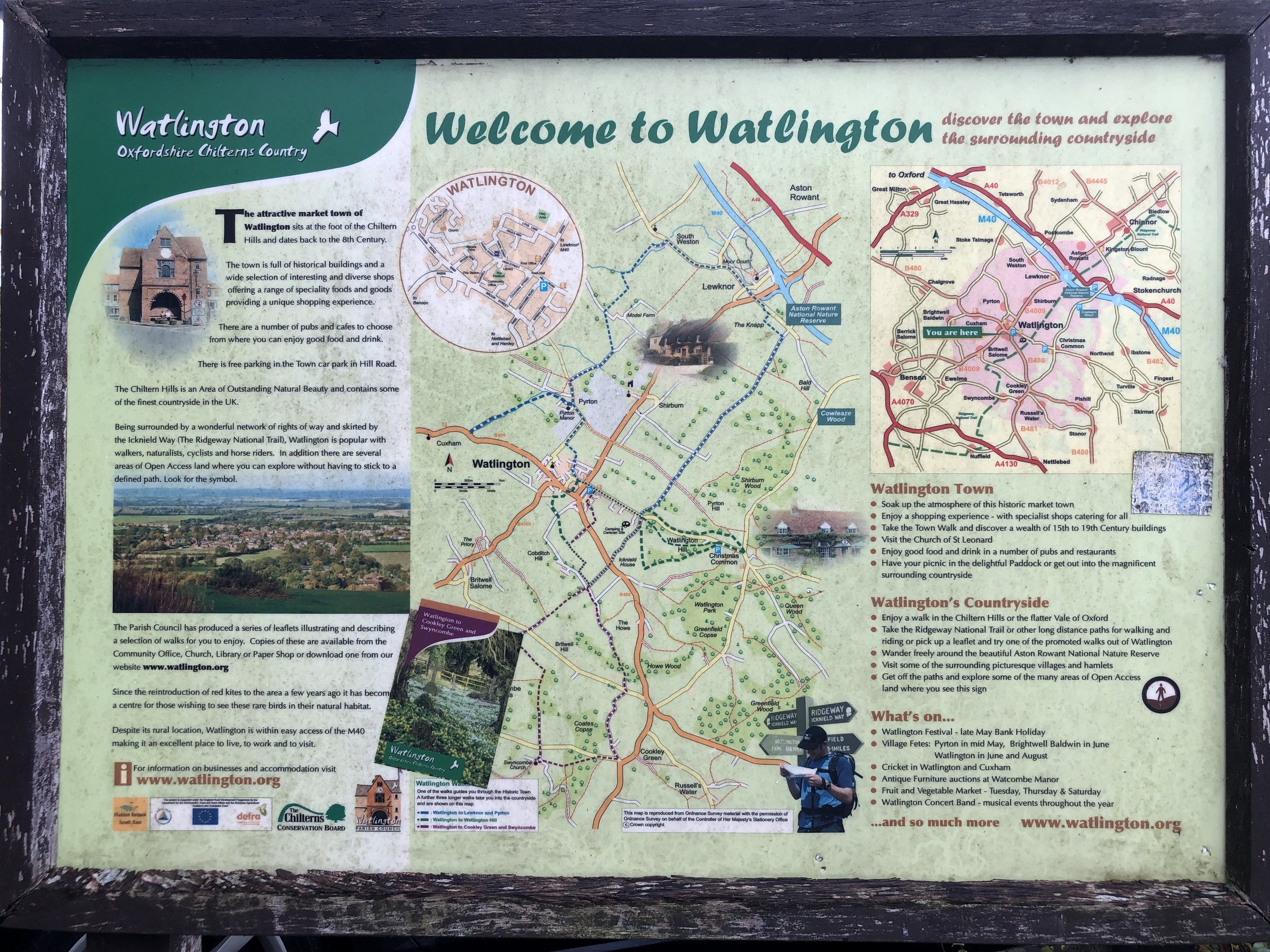
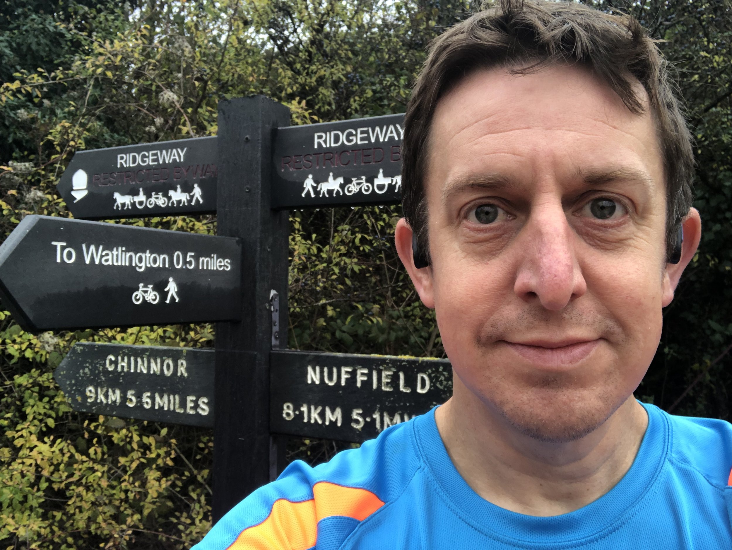
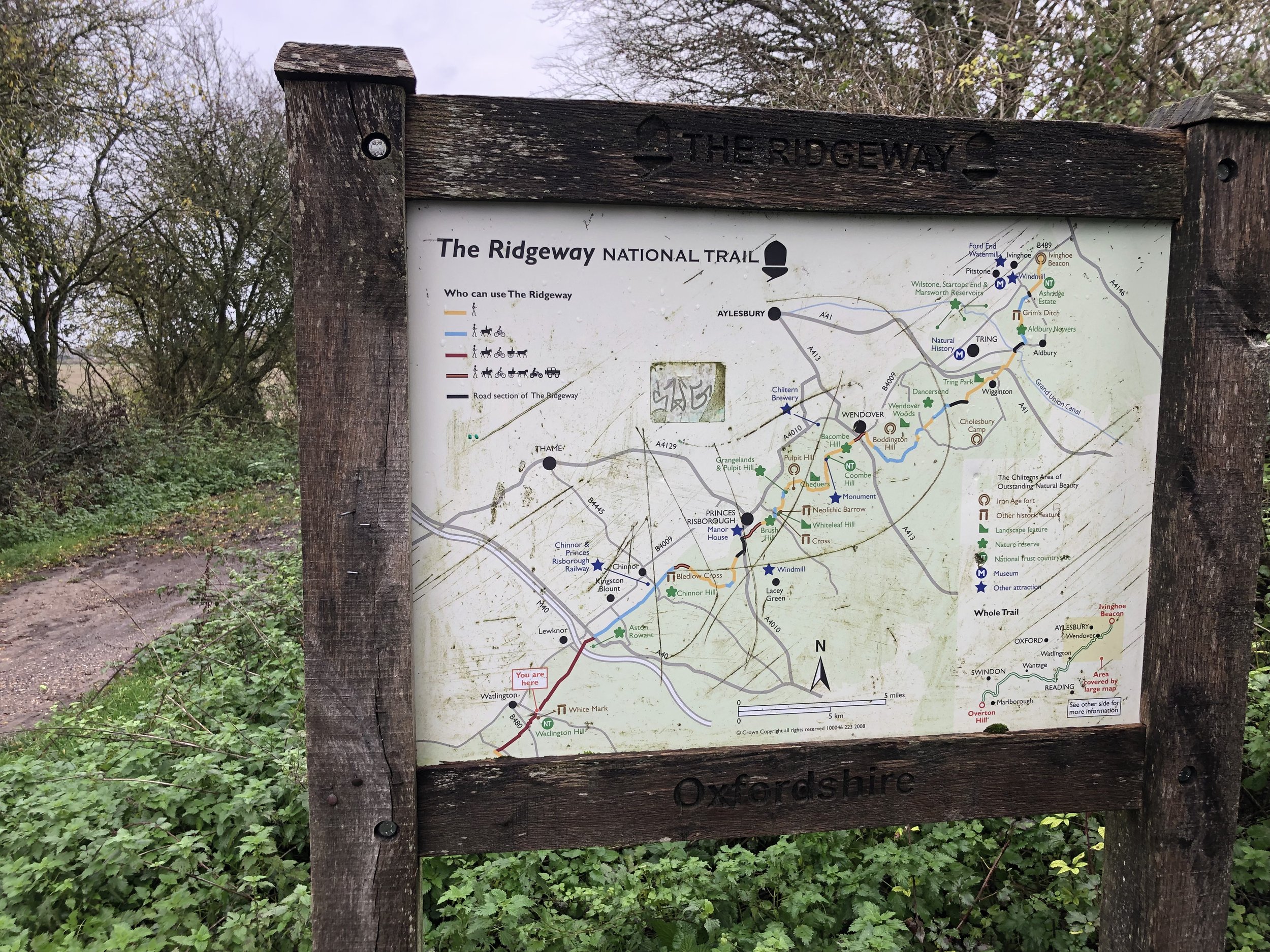
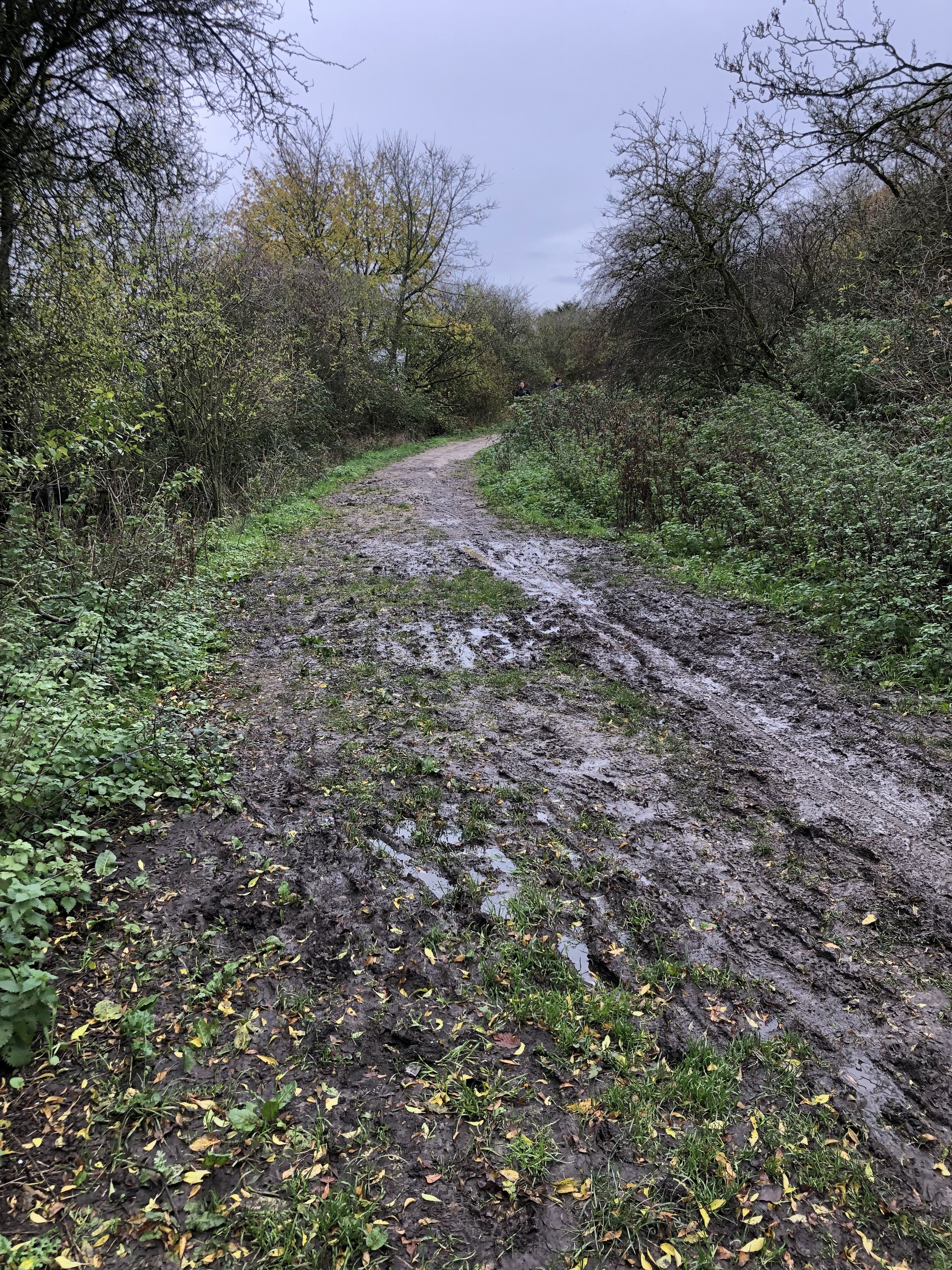
When: November 27th 2022
Where: Registration at The Spire and Spoke, 21 Hill Road, Watlington OX49 5AD. Start and finish at the junction of The Ridgeway and Hill Road.
Course: Single clockwise loop along The Ridgeway towards the M40, then a hilly return via Shirburn Wood and Watlington Hill.
Other routes touched (walk): The Ridgeway, Oxfordshire Way
Finish time: 1h 10mins
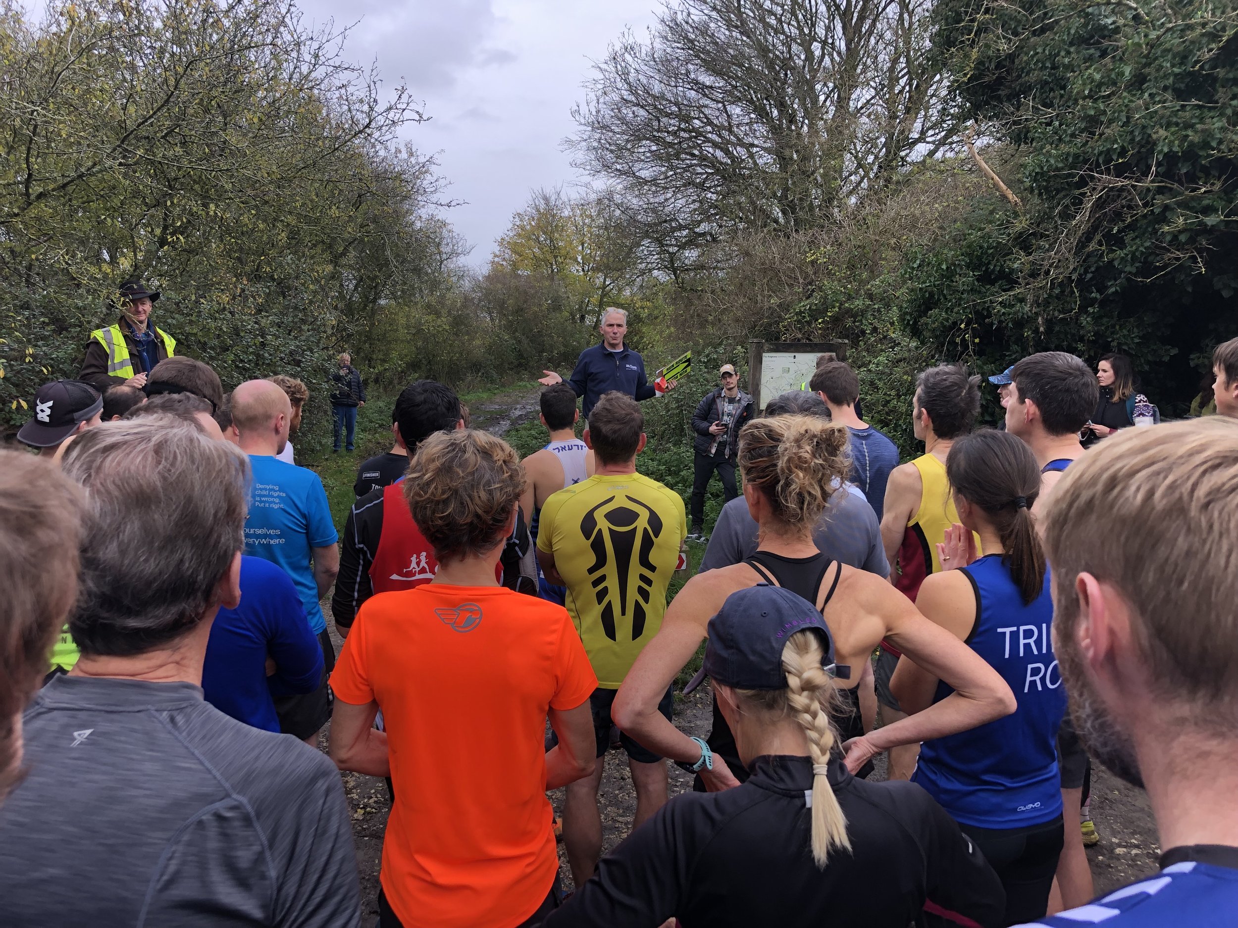
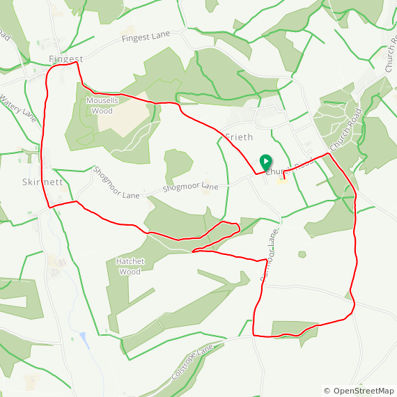
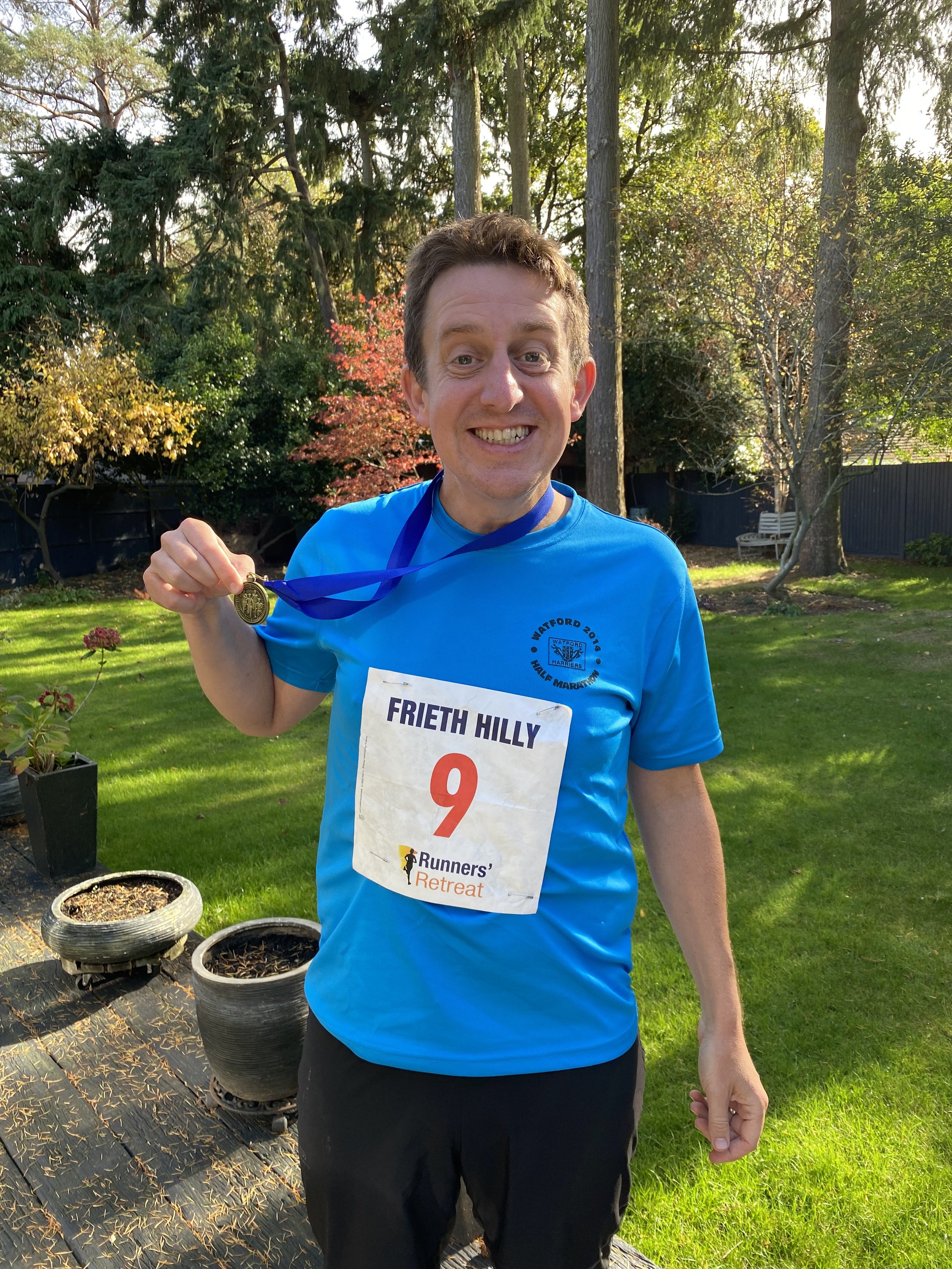
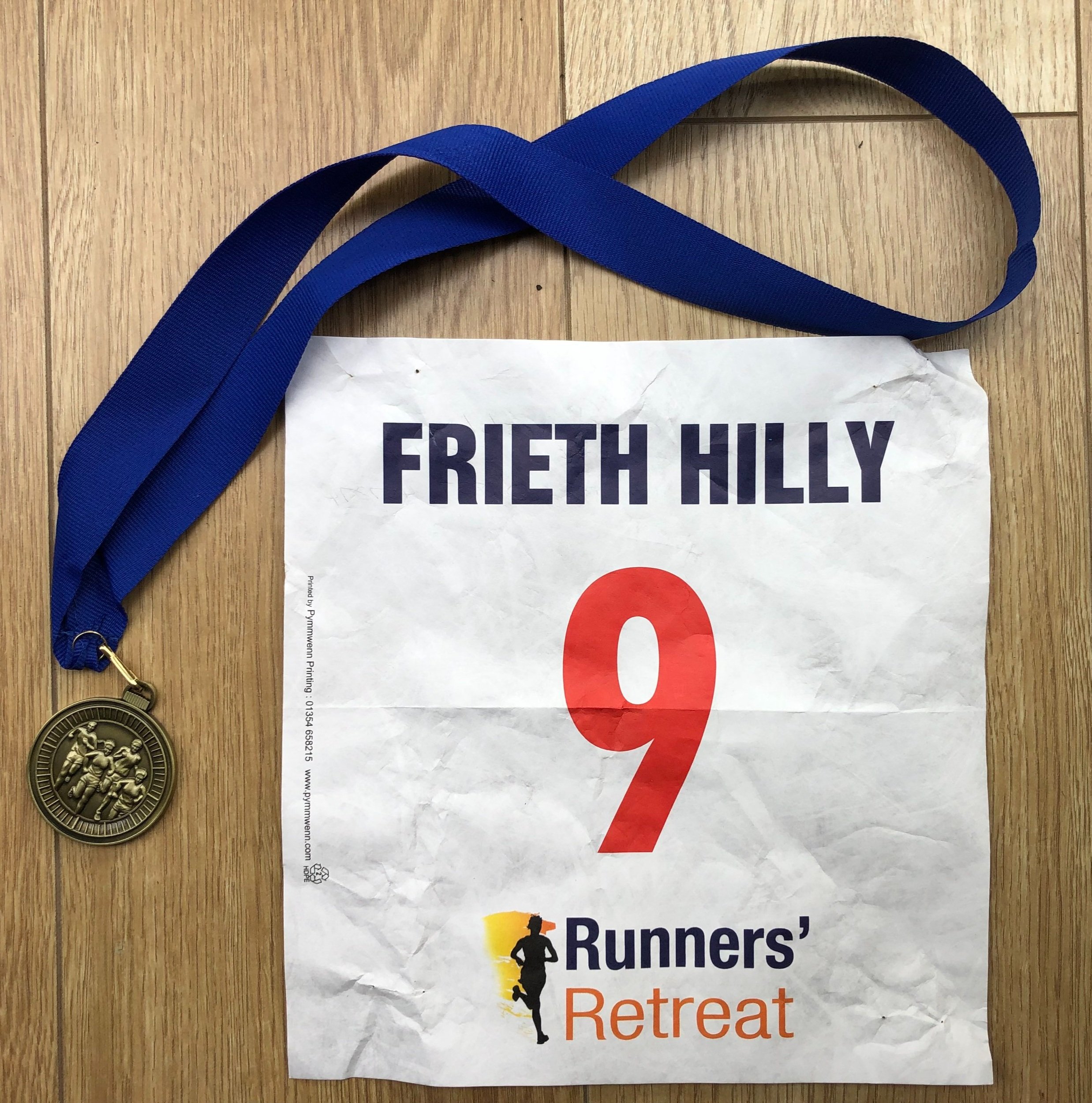
When: October 16th 2022
Where: Frieth Church of England Combined School, Henley-on-Thames, RG9 6PR
Course: Single loop from Freith through Fingest, Skirmett and Hatchet Wood
Other routes touched (walk): Chiltern Way
Finish time: 57:52
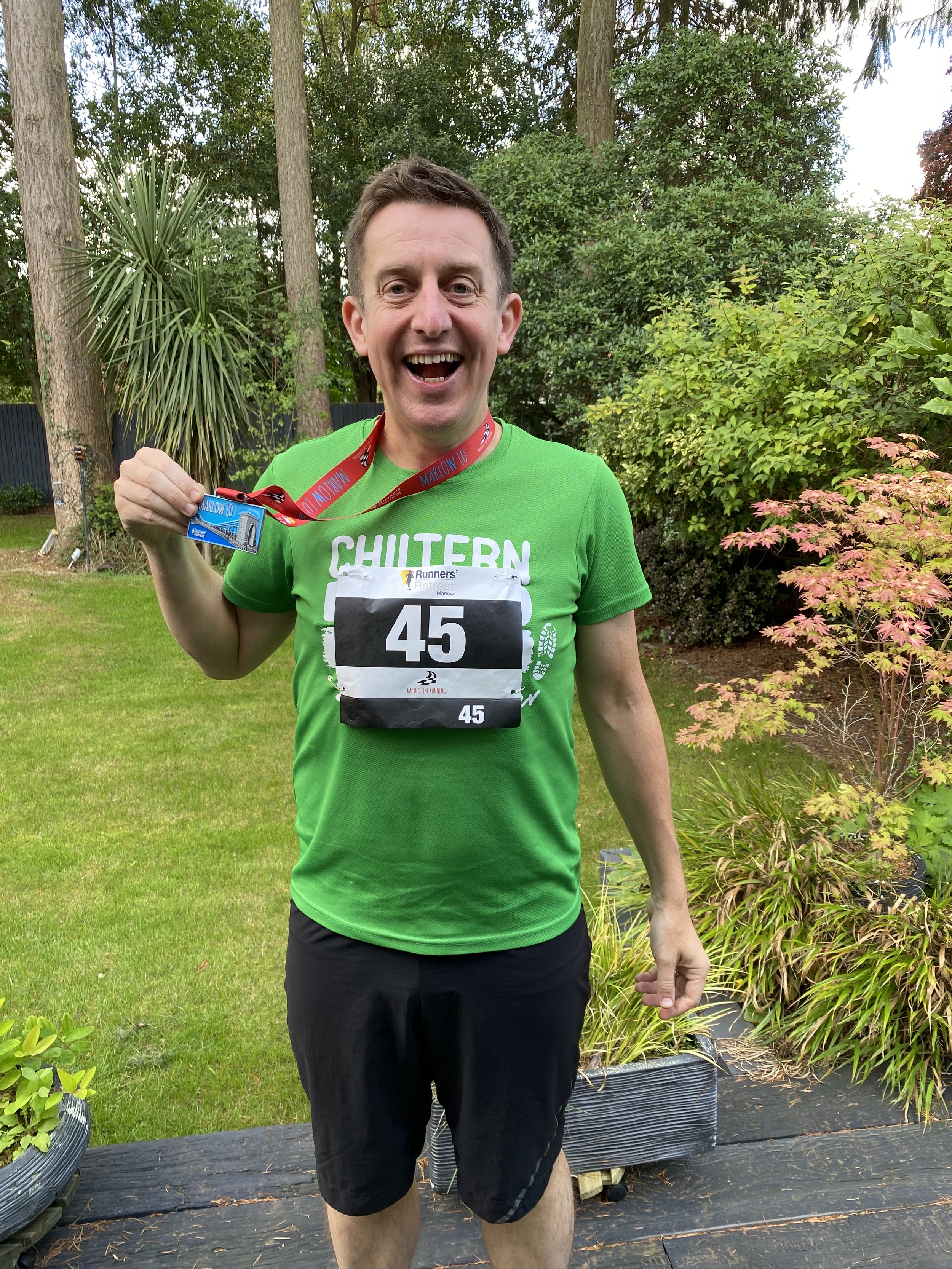
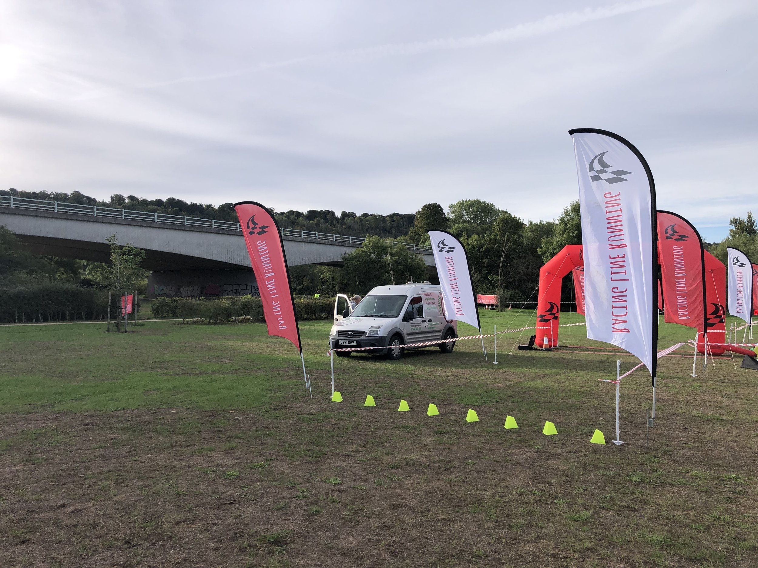
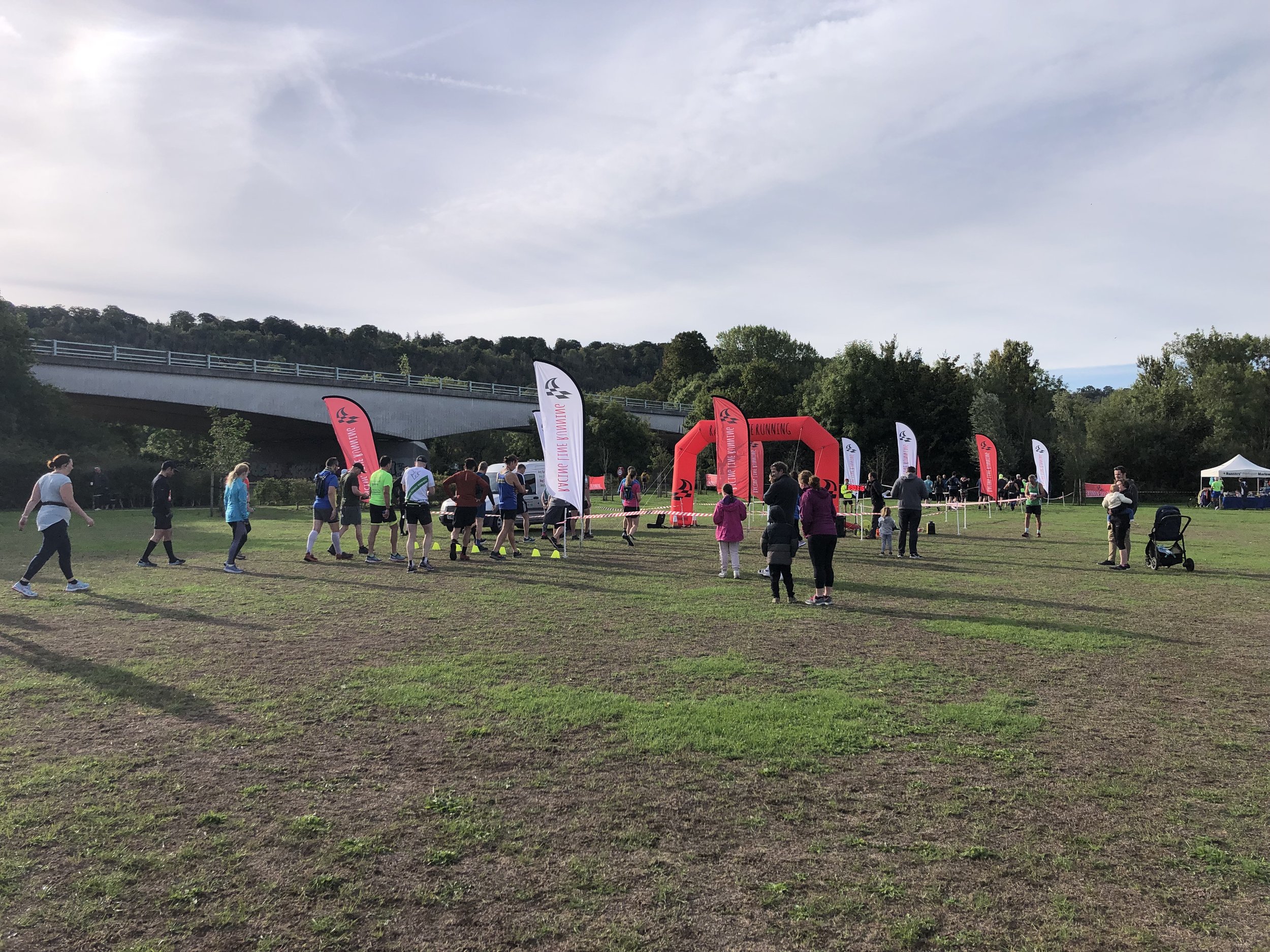
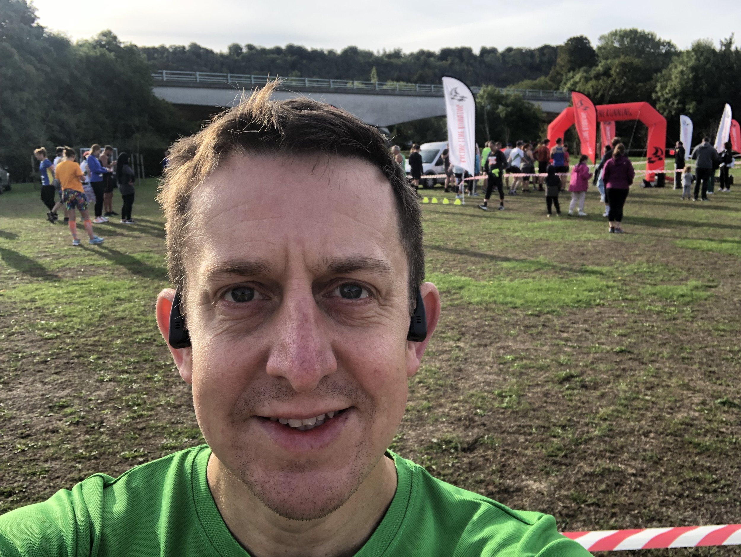
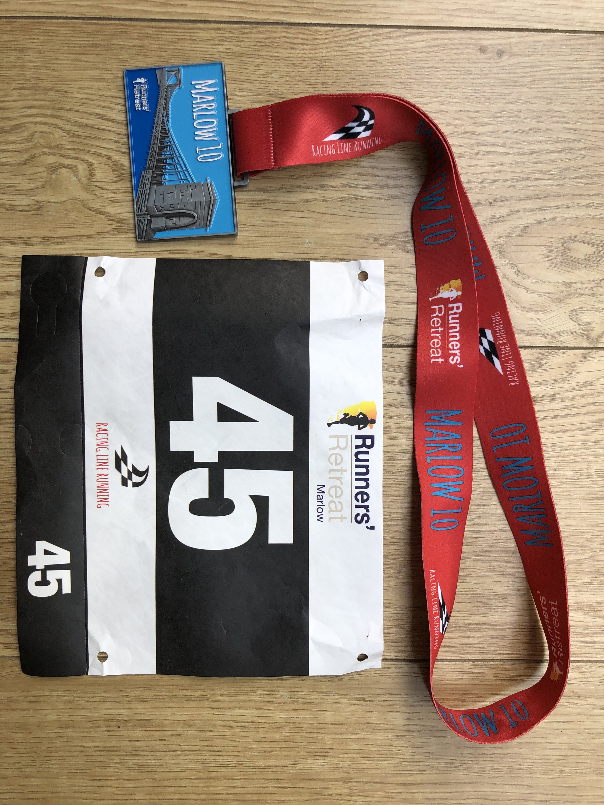
When: September 18th 2022
Where: Fieldhouse Lane, Marlow, SL7 1LU
Course: Single loop around the River Thames between Marlow and Bourne End. 10 mile option also available.
Other routes touched (walk): Thames Path, Walking The Marlow Donkey, Shakespeare’s Way, The Chiltern Way Berkshire Loop, Cookham Bridleway Circuit
Finish time: 59:25
When: September 4th 2022
Where: Mapledurham Country Park, RG4 7TR
Course: Single loop hilly course in the woods and fields around Mapledurham Country Park.
Other routes touched (walk): Chiltern Way Southern Extension
Finish time: 57:48
If something is outdoors, has variety, can be tracked and has challenges, it’s a fair bet that I’ll get obsessed with it. parkun ticks all of those boxes and it’s been an obsession of mine since 2012. A friend who had got the parkrun bug a few years before took me to a Boxing Day Freedom Run in December 2012. I was hooked straight away and returned to Black Park to do my first official one the following week. I started touring early, heading over to Wycombe Rye only a few weeks later. As it happened the event was called off due to ice but we did a Freedom Run anyway and returned the following week to do it properly.
Since then I’ve been touring as much as possible, collecting challenges and counties along the way. Here’s a selection of my blog posts on parkrun. Comment below or contact me if you spot any errors and I’ll donate £1 to the parkrun Forever fund for each correction made.
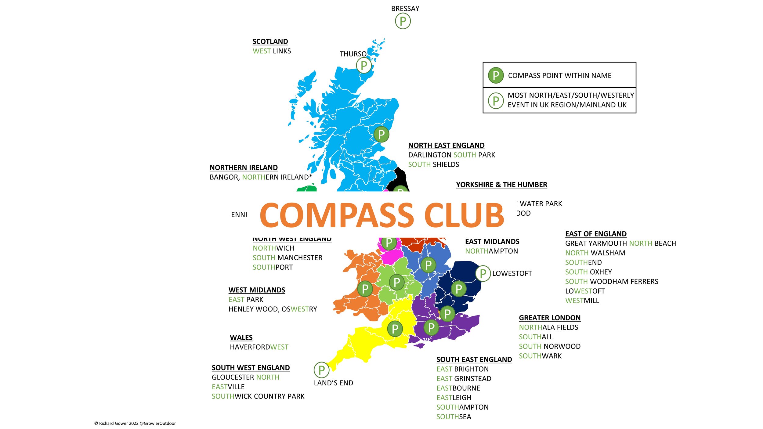
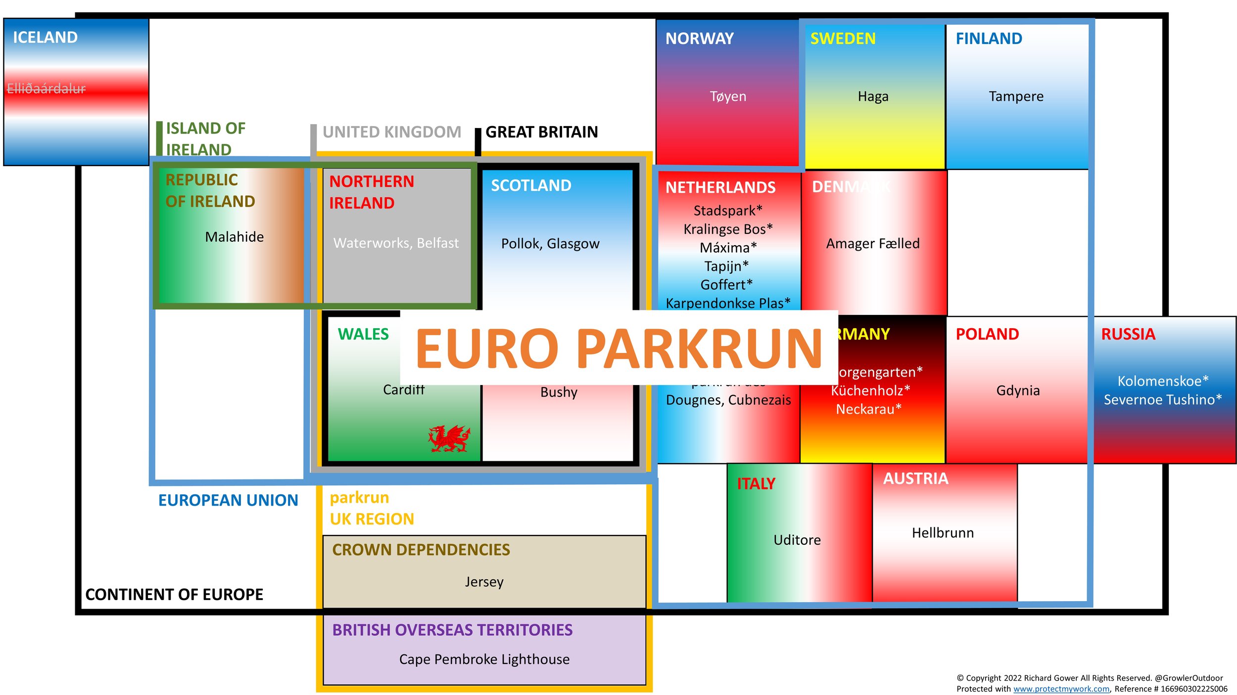
My completion year for the various parkrun clubs, challenges, countries and counties. There’s a few other smaller challenges that I’ve not shown here.

Green achievement badges sourced from the Running Challenges extension

Crossing the River Rother 2.5km to the finishing line at Petersfield
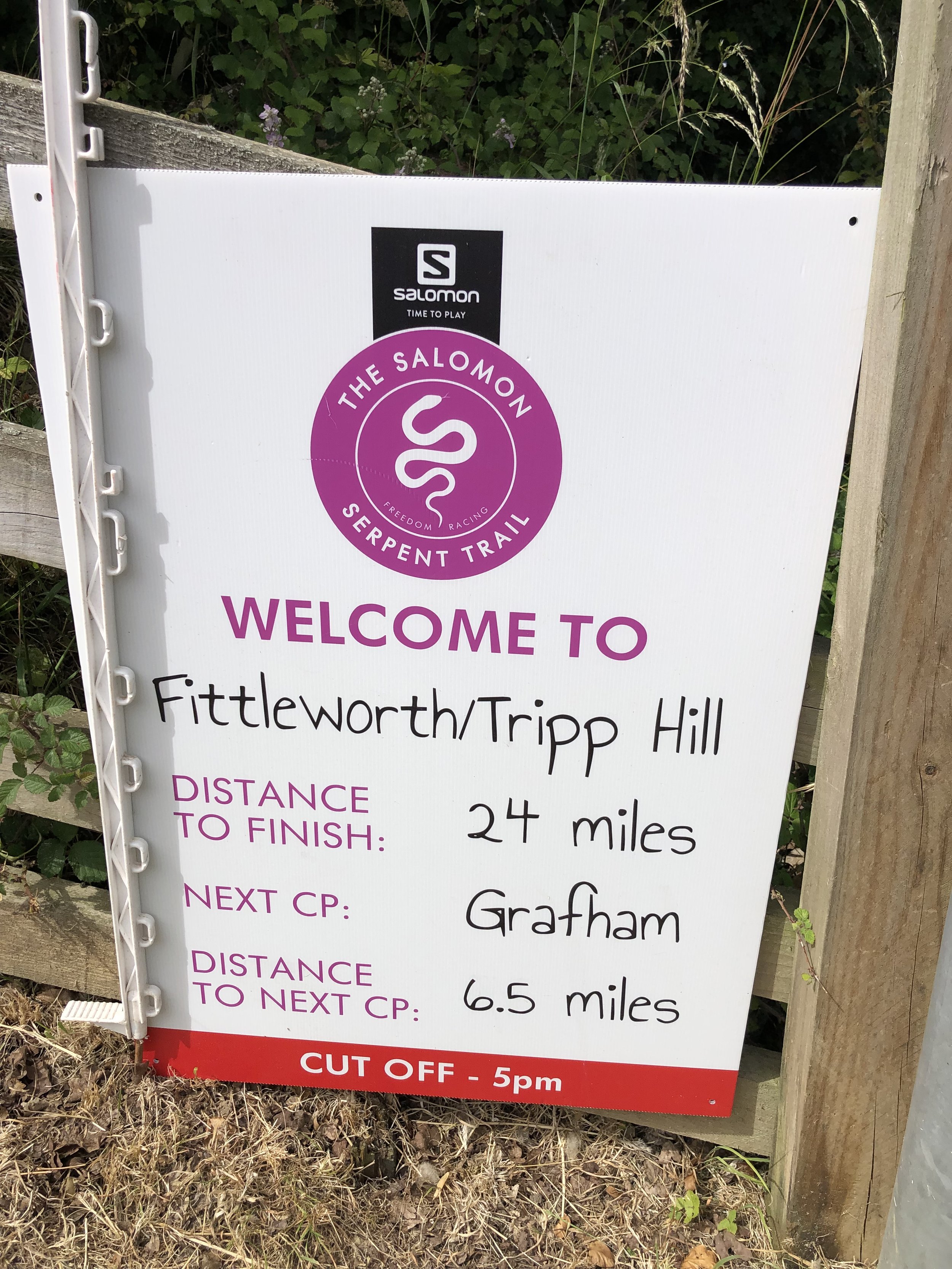
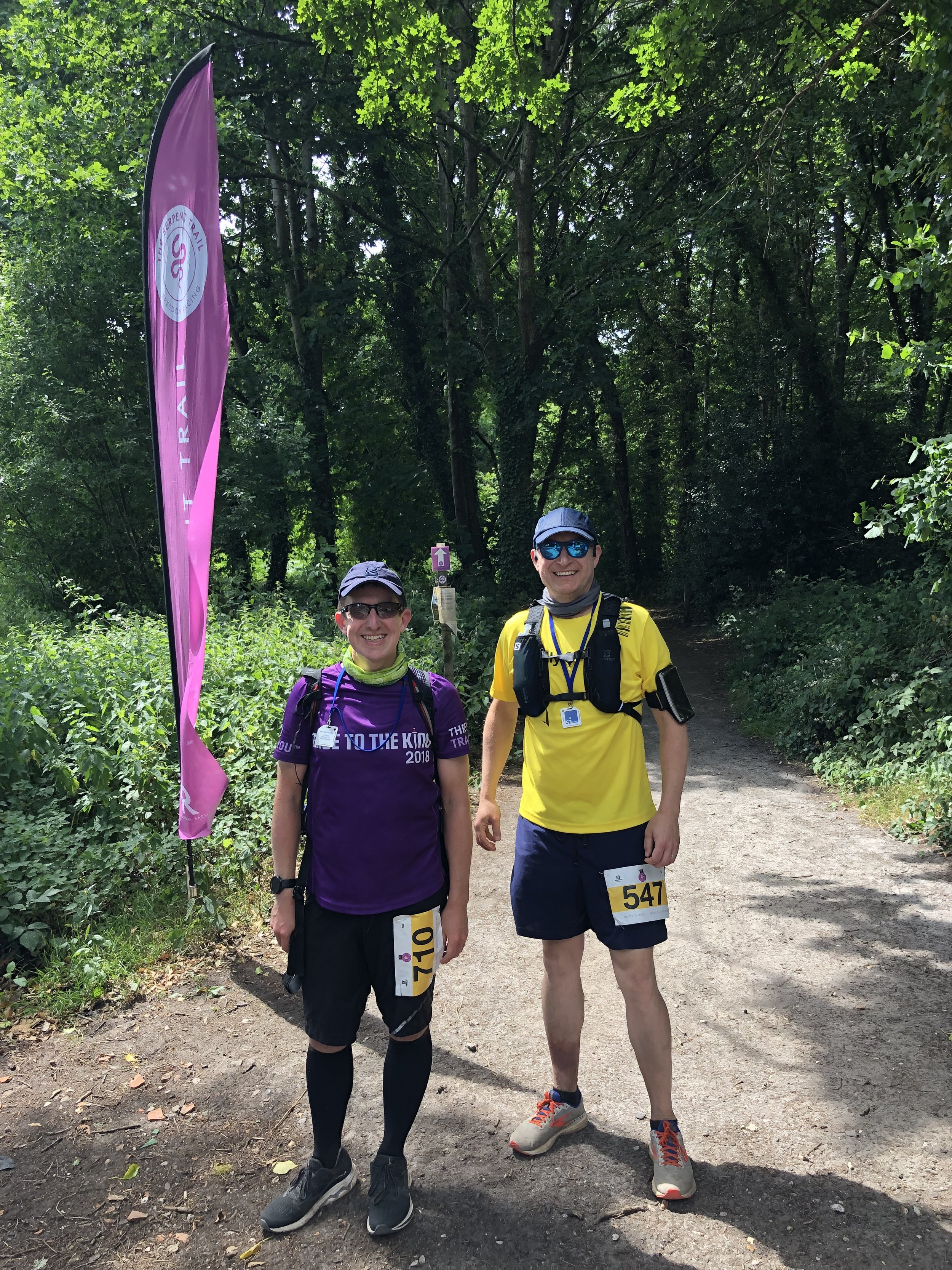
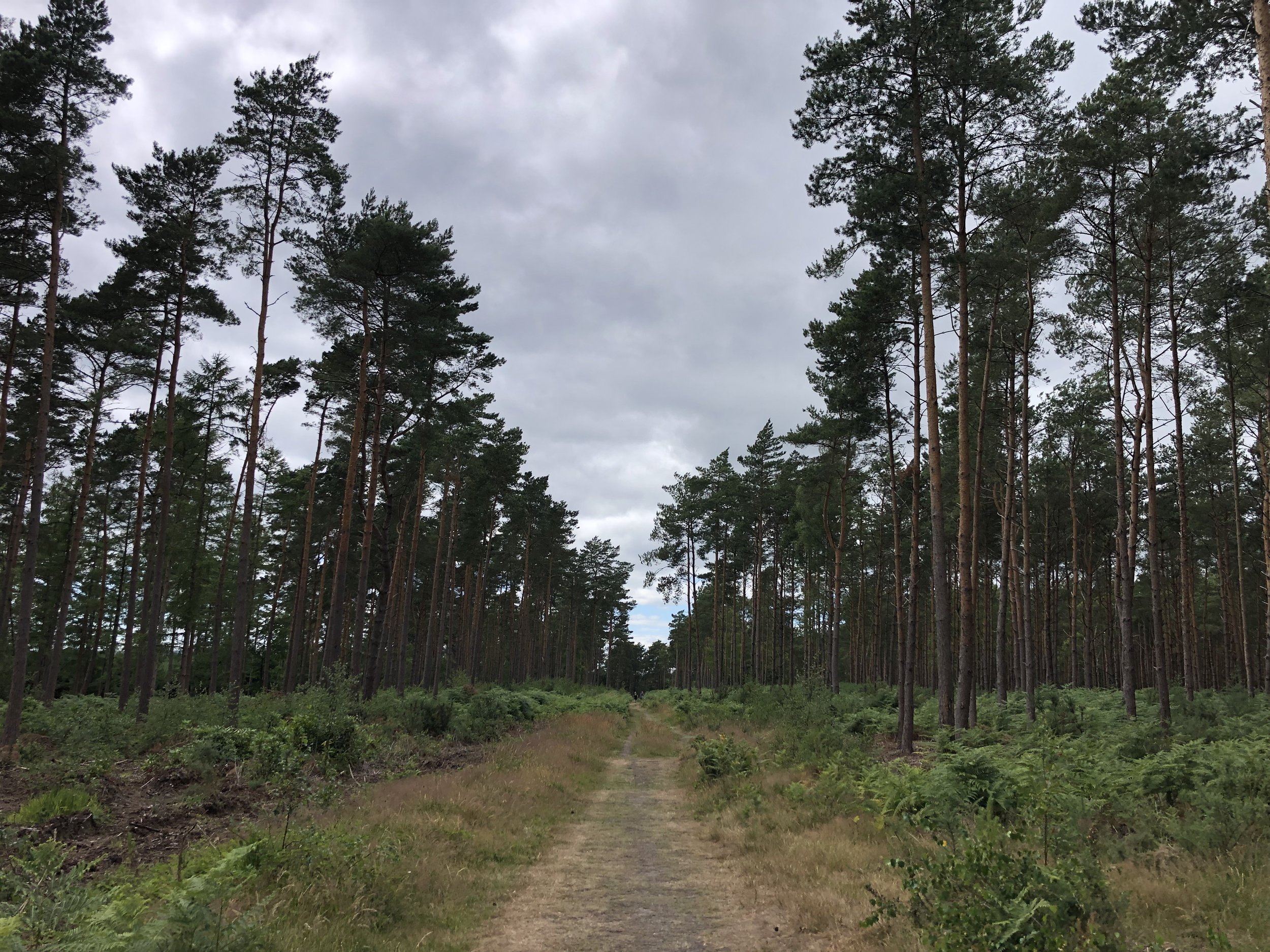
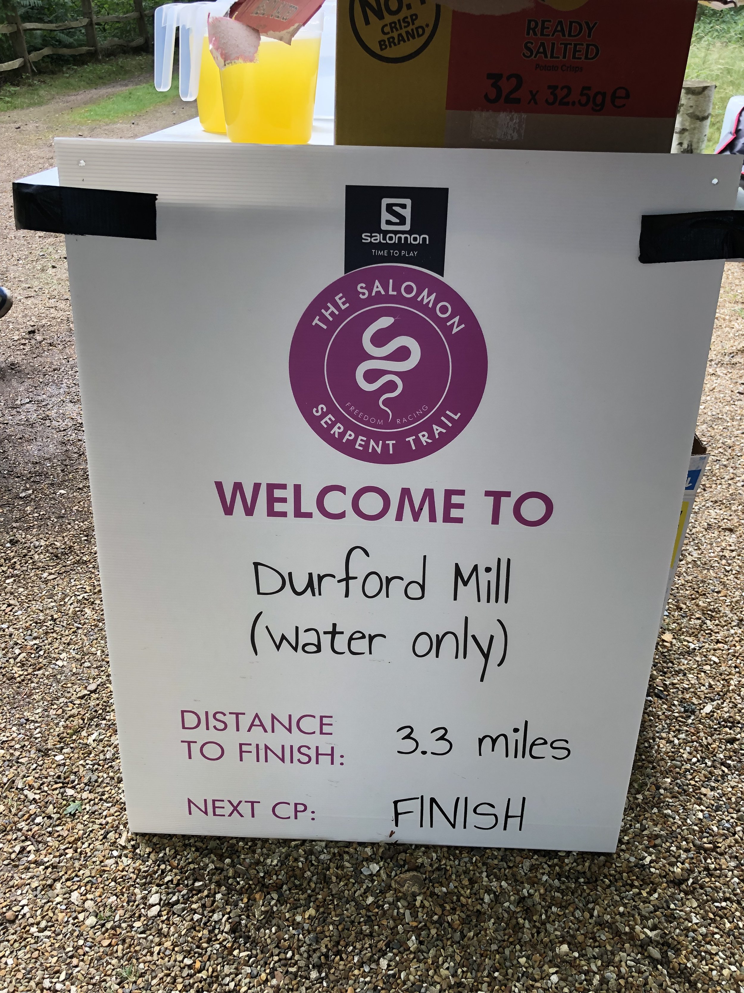
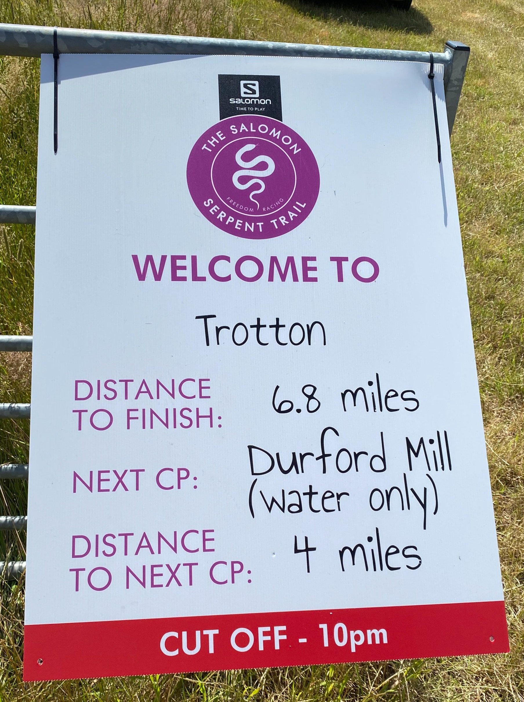
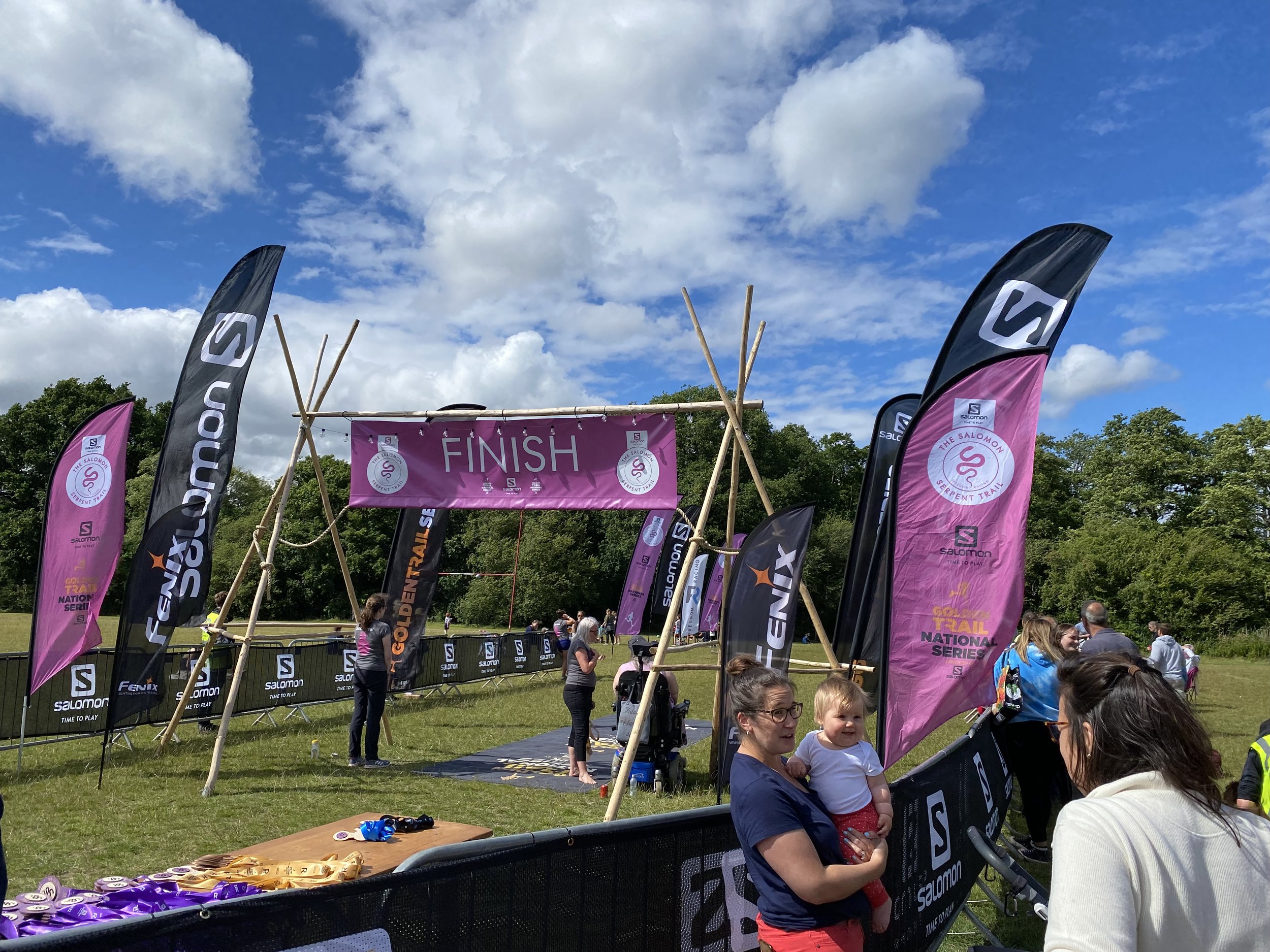
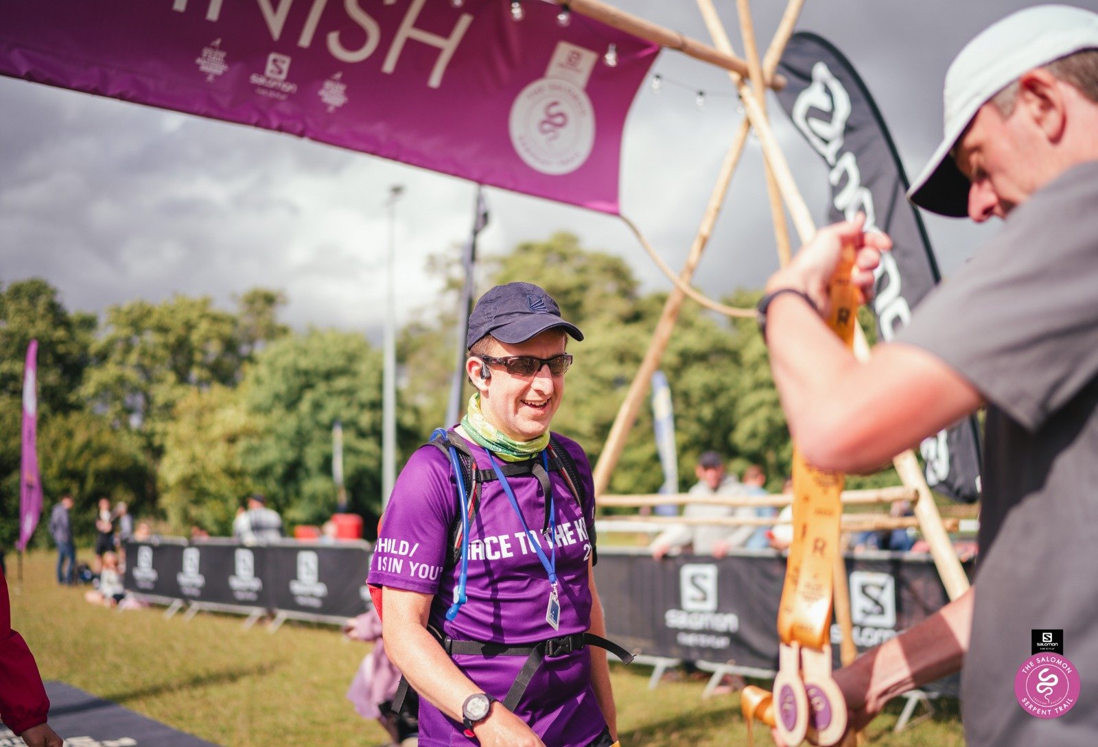
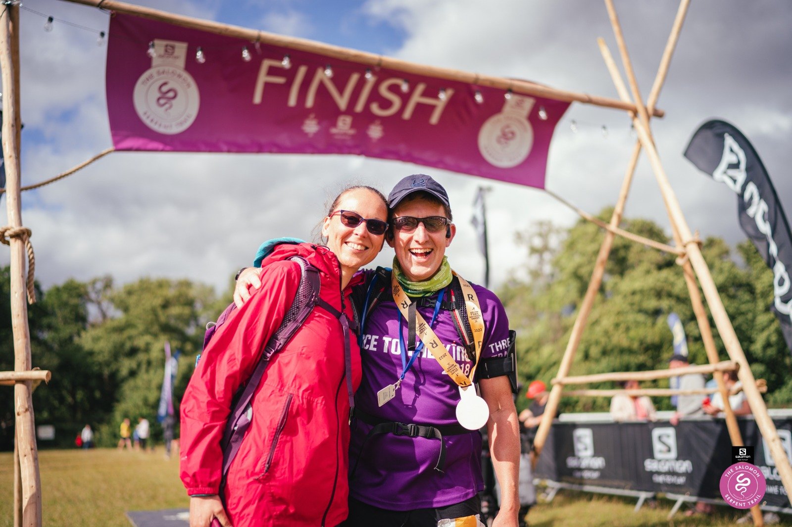
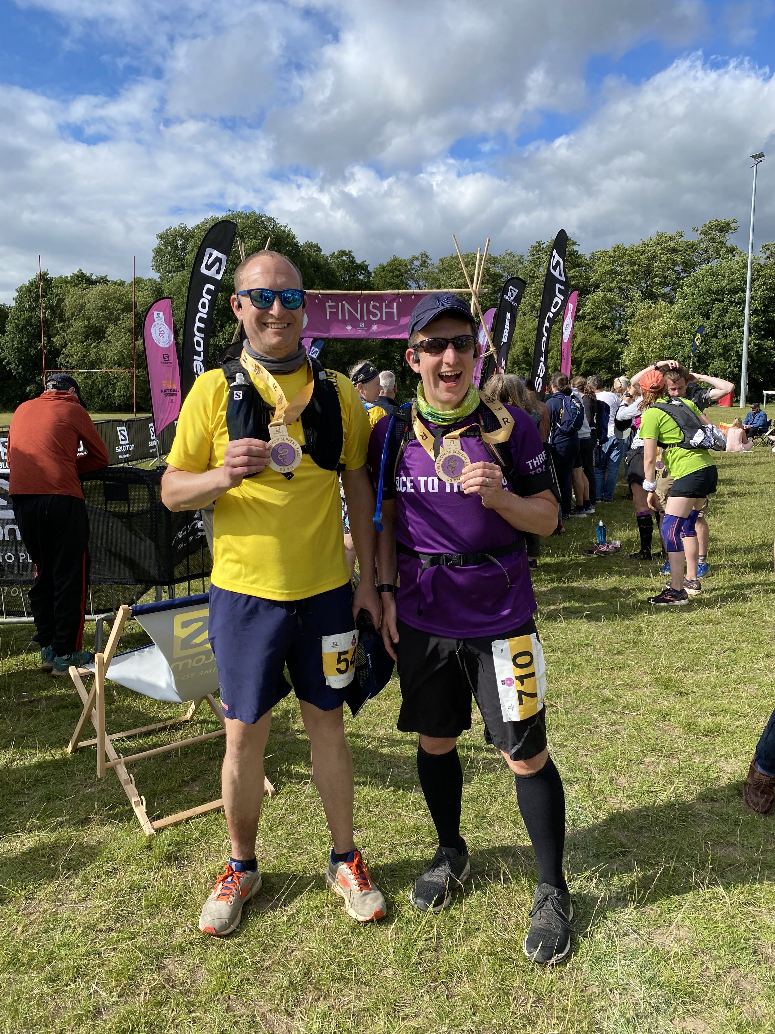
When: July 2nd 2022
Start: A field in Riverhill Farm, Petworth
Finish: Petersfield Rugby Football Club, Penns Place, Petersfield, GU31 4EP
Distance: 50 km (31 miles)
Elevation change: +611m / -685m (Net -74m)
GPX File: get via Buy Me a Coffee
Other routes touched (walk): Sussex Diamond Way, New Lipchis Way, Sussex Border Path
Other routes touched (cycle): None
OS Trig Pillar: TP3749 - Hesworth (at 9.2km from the start)
Maps:
- Arundel & Pulborough Map | Worthing & Bognor Regis | Ordnance Survey | OS Explorer Map OL10
- Haslemere & Petersfield Map | Midhurst & Selborne | Ordnance Survey | OS Explorer Map OL33
Finish time: 7 hours 03 minutes
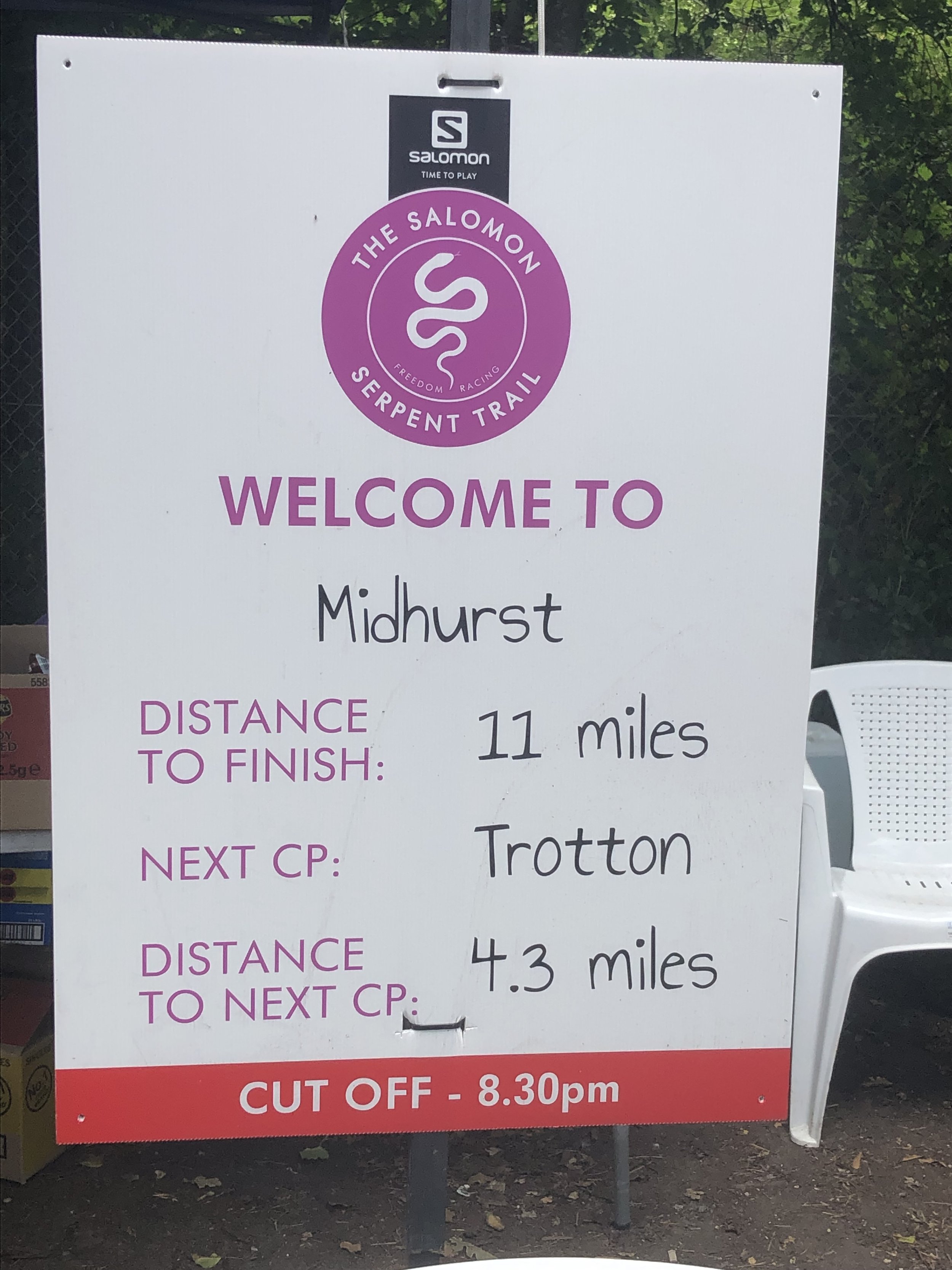
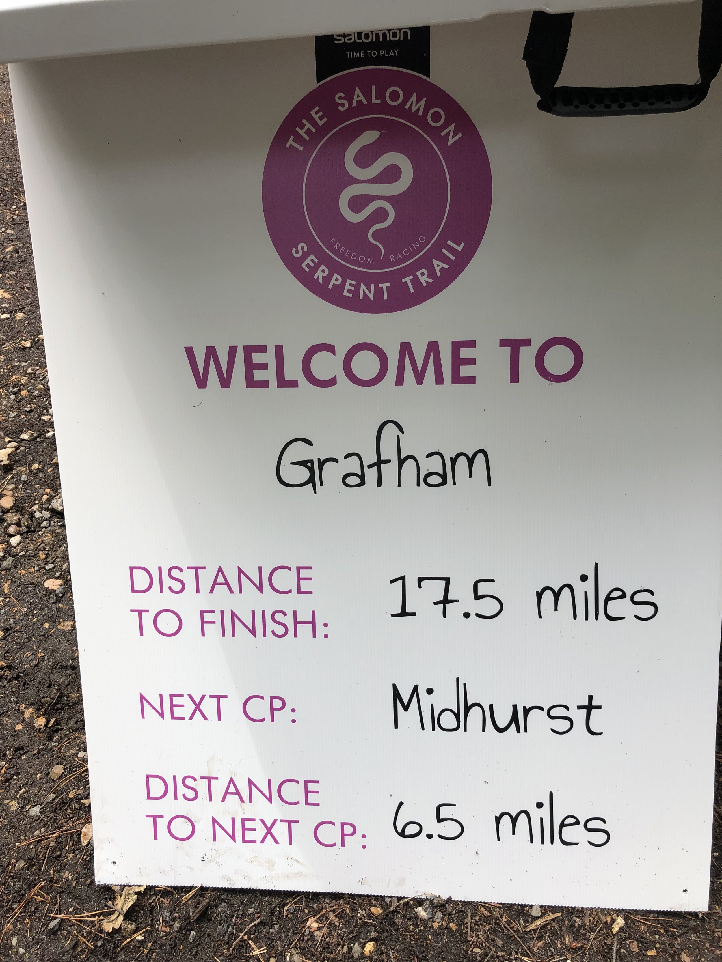
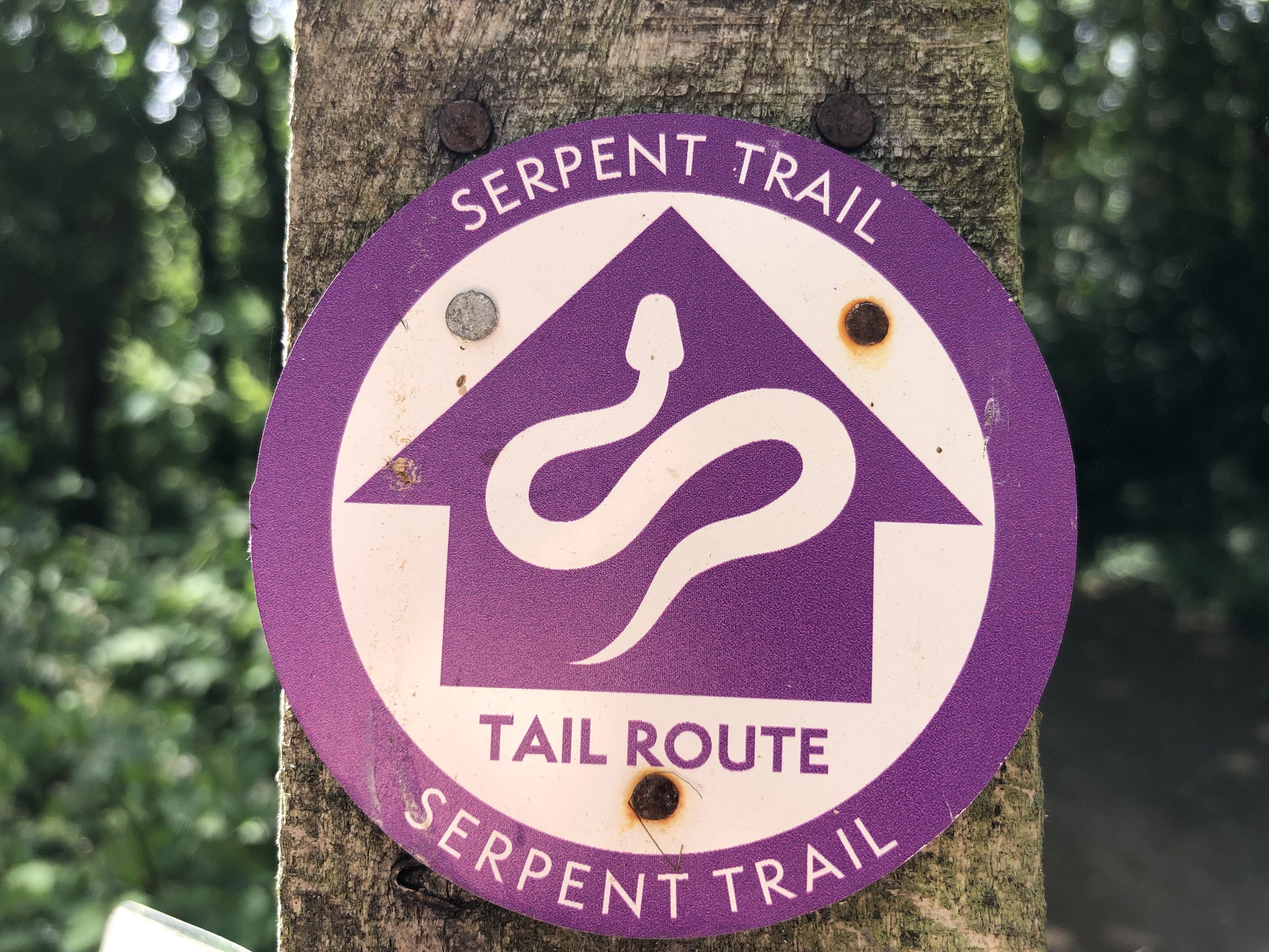
Links: Serpent Trail Guide, Serpent Trail Race, Fittleworth, Lavington Common National Trust, Midhurst, Petersfield
Following last summer’s brutal 100k on the Race To The Castle I was up for a shorter Ultra this year. It was also a good one to do with my friend Mark as his second Ultra after our Downs Link race in October.
The Serpent Trail is a 106k long distance path snaking through the greensand hills and heathland in the South Downs National Park. It’s north of the South Downs Way and connects Petersfield to Haslemere. The end point at Haslemere is also the start of the Greensand Way, a 174 km path across the North Downs to Kent. There was a 100k race option to cover the whole length of the Trail but 50k was definitely enough.
The 50k option started in a field near Petworth and joined the Serpent Trail after 2.5km. It was a dry day and there had been very little rain in the weeks leading up to it, so I managed to avoid the blisters and trench-foot of several of my previous Ultras. It was also hot too and I was feeling the effects of it from 12:00 to 14:00. I much prefer to run in the cold and by 14:00 the heat had taken my energy to go faster than a quick walk.
I thought that I was struggling due to the heat but ended up crossing the finish line at 7 hours and 3 minutes. That was 4 minutes slower than my previous 50k on the Chiltern Challenge in 2020. I decided to call it a tie though having wasted around 4 minutes getting off course on Ambersham Common having missed a very obvious signpost. Meanwhile Mark stormed it, finishing 14 minutes head of me with a time of 6 hours 49 minutes.
It was a great route with a bonus highlight of bagging a Trig Pillar that was right on the route at Hesworth Common. I still have the first half of the Trail to find a way to complete so I’m sure I’ll be back in the area soon.
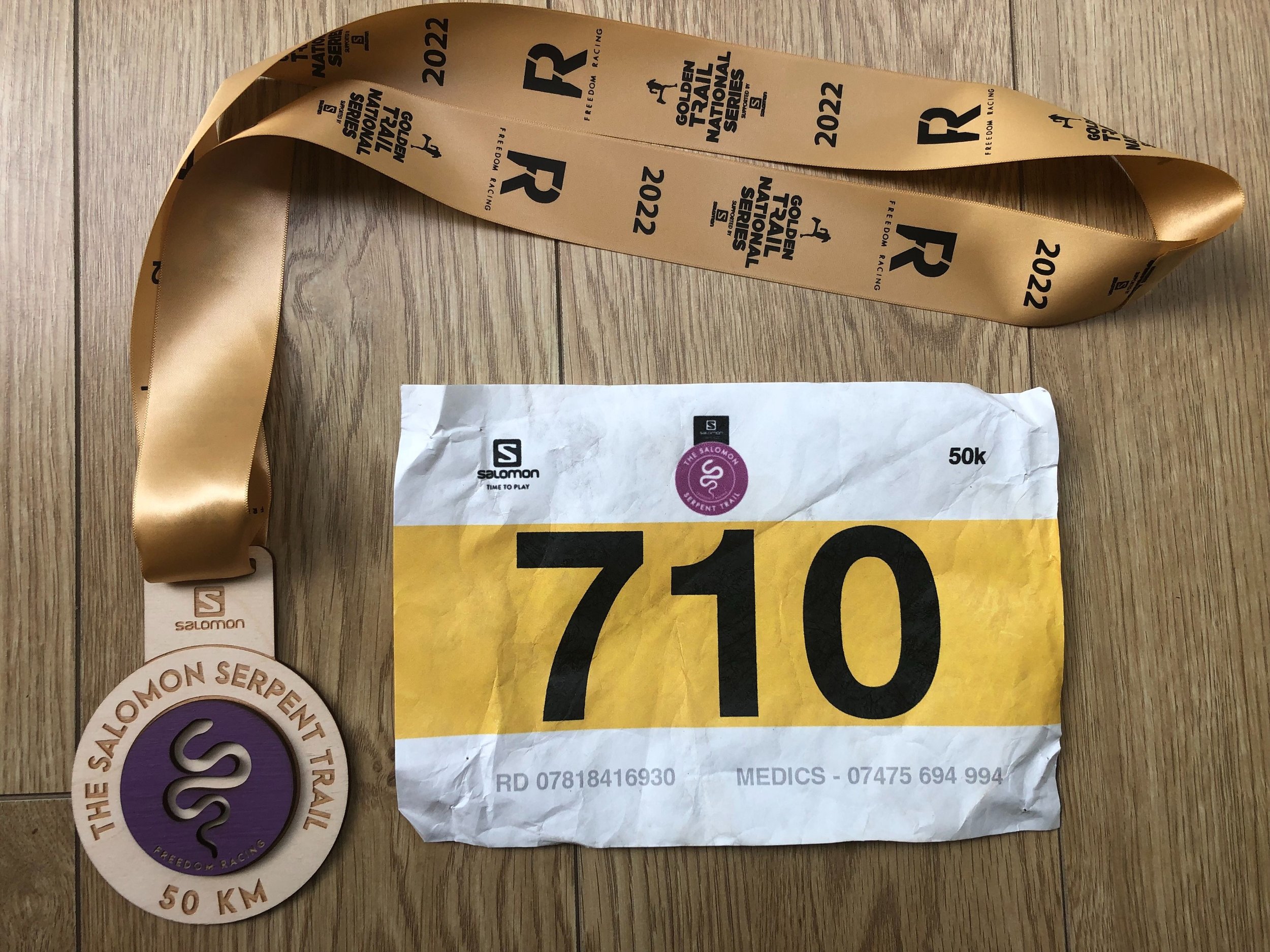
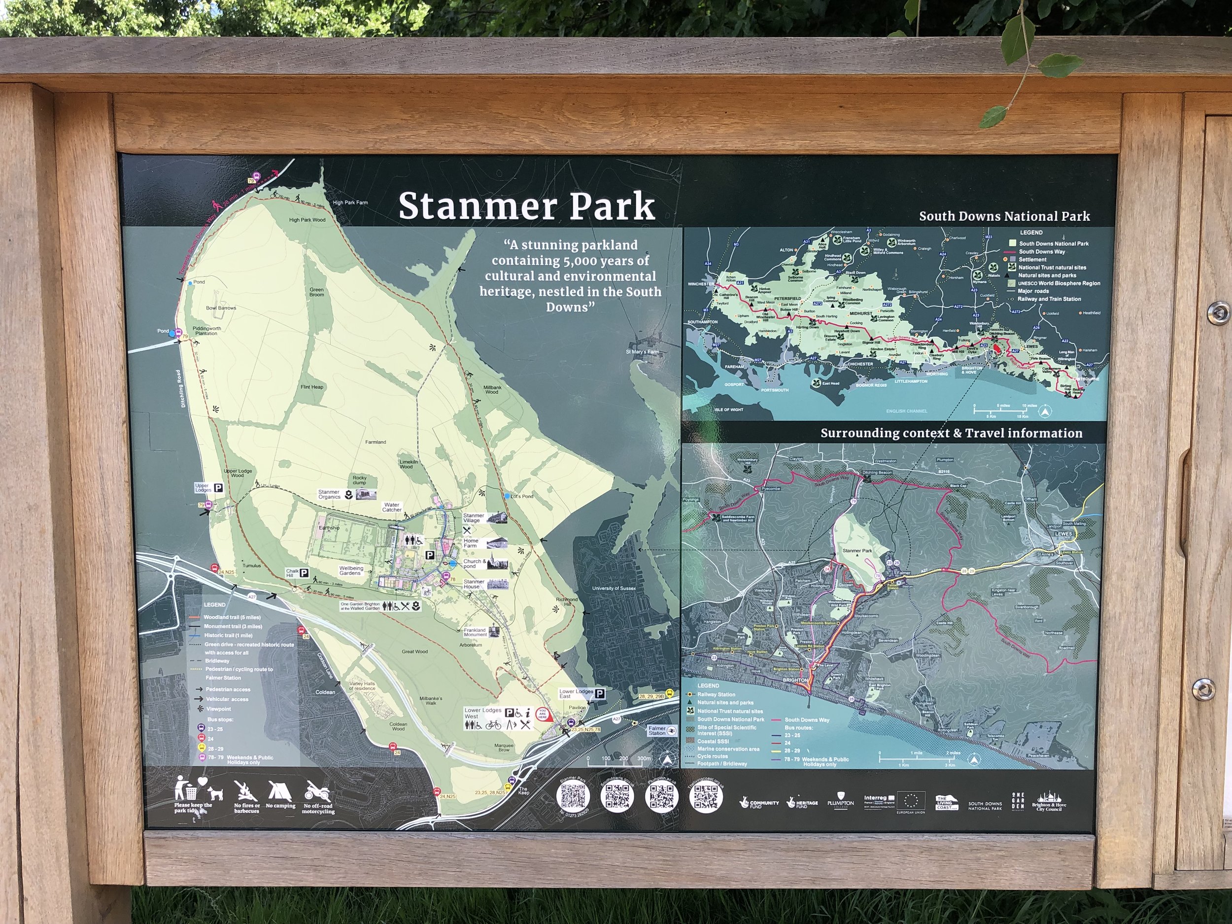
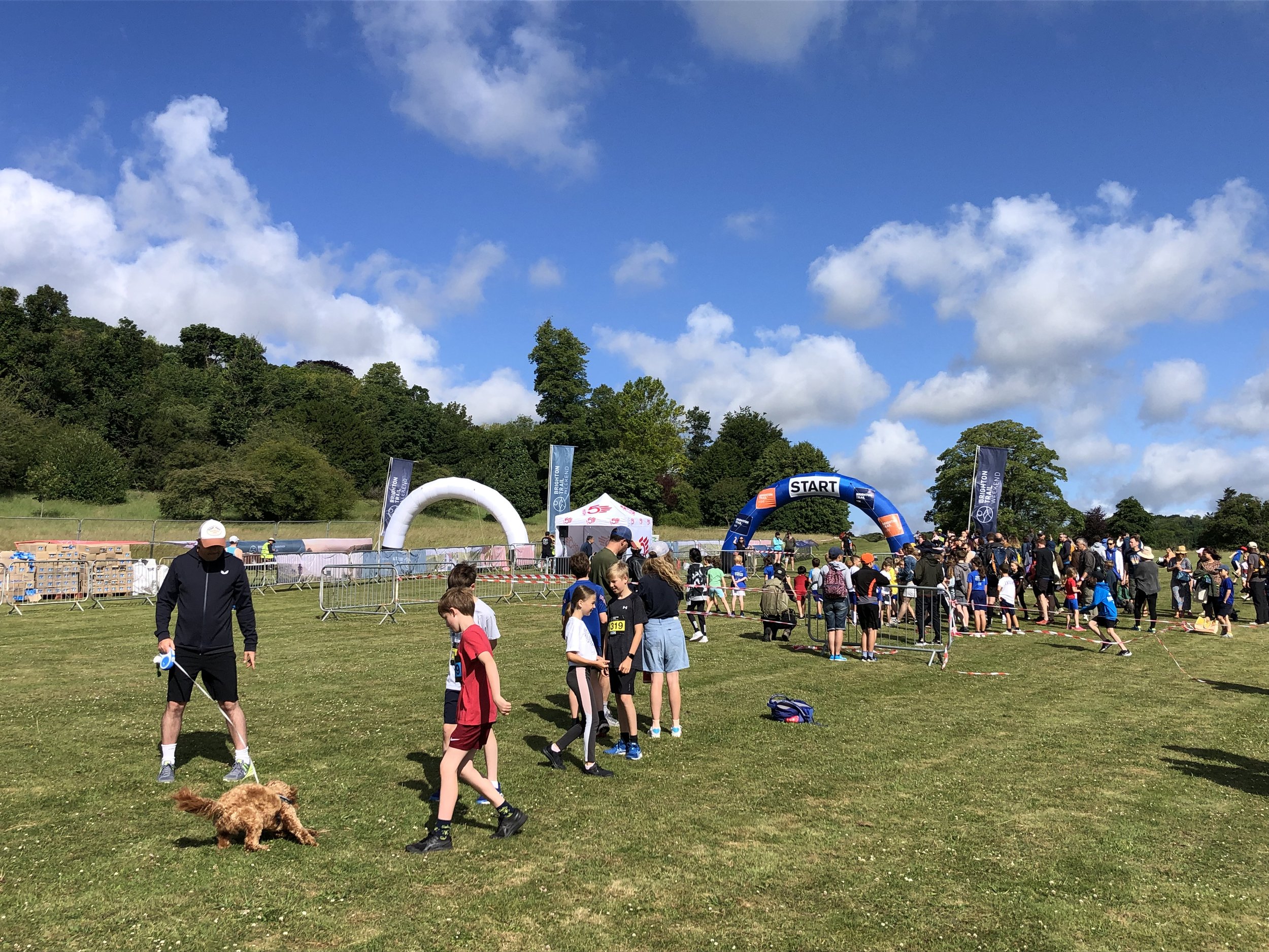
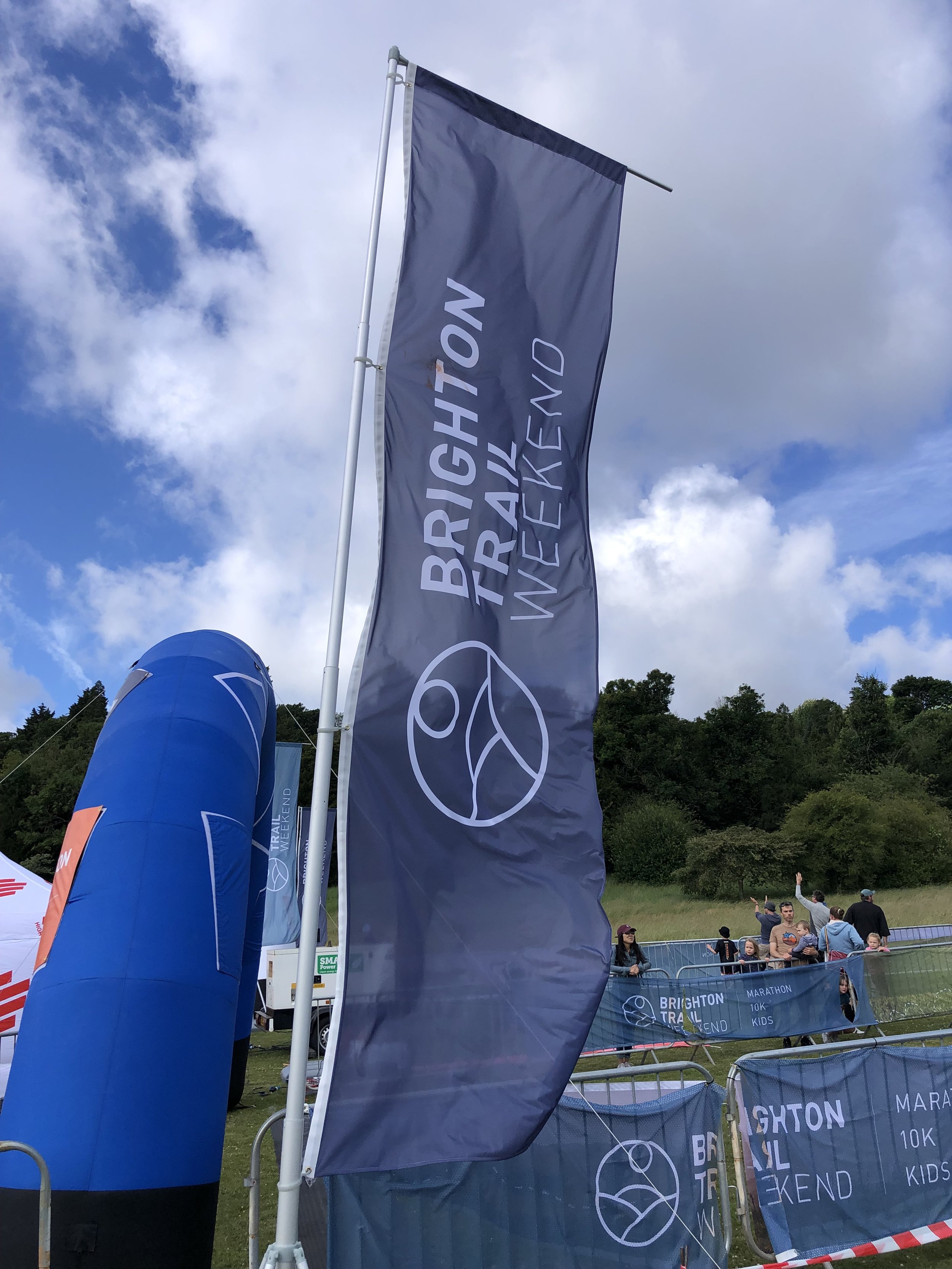
When: June 26th 2022
Where: Stanmer Park Nature Reserve, Falmer, Brighton, BN1 9RE
Course: Single loop hilly course in the woods and upper fields of Stanmer Park. Marathon distance also held.
Other routes touched (walk): none
Finish time: 58:56
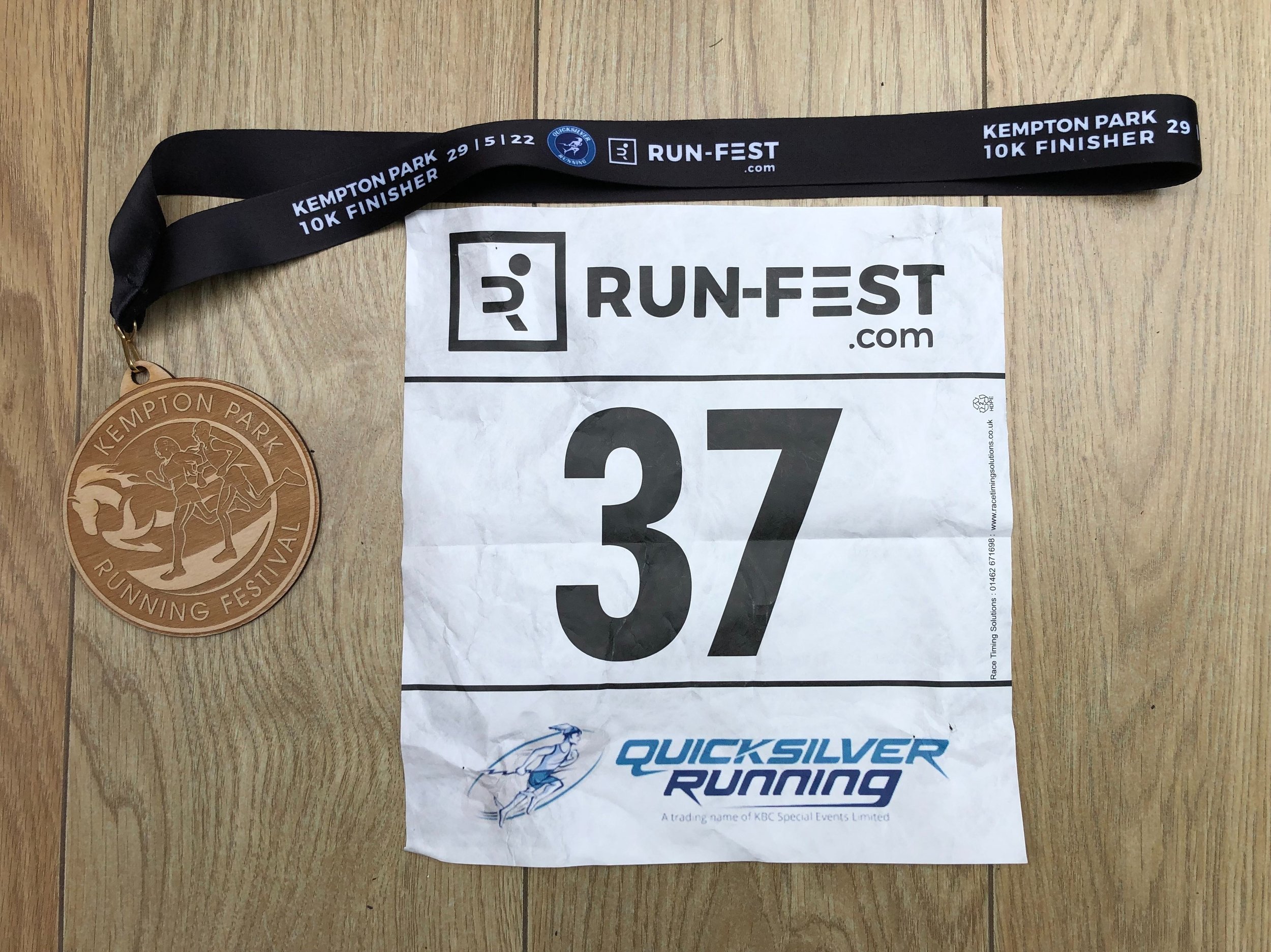
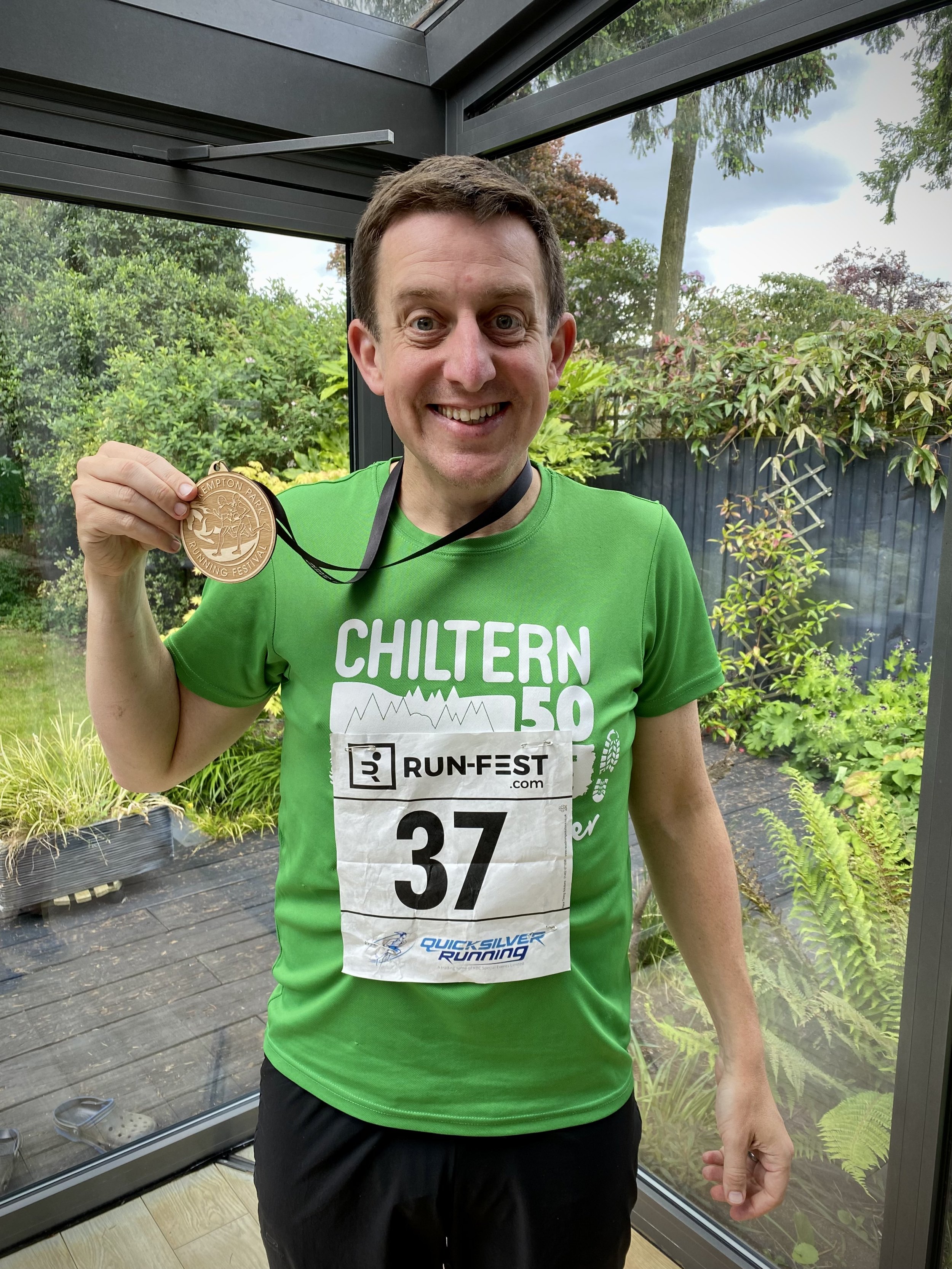
When: May 29th 2022
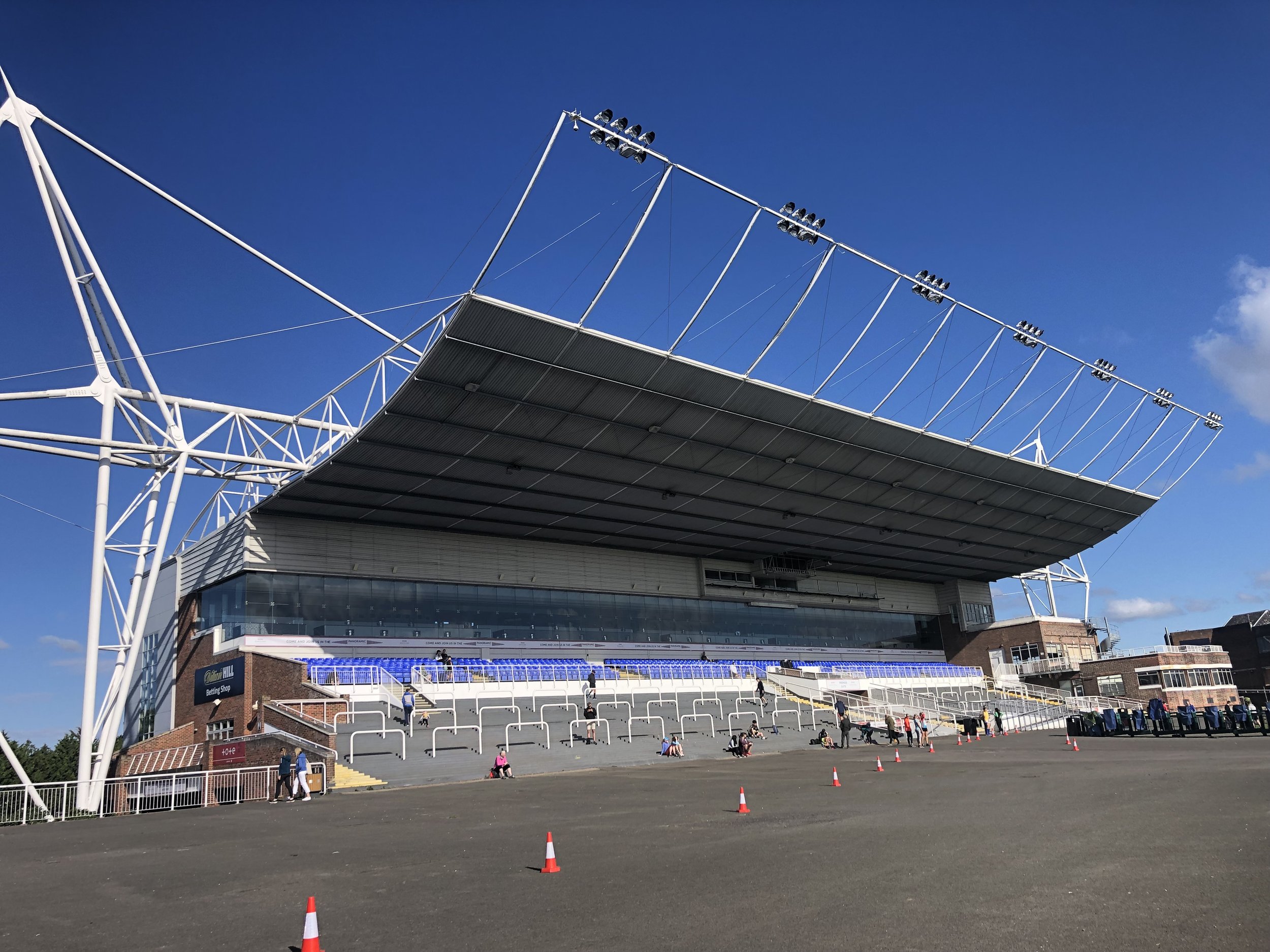
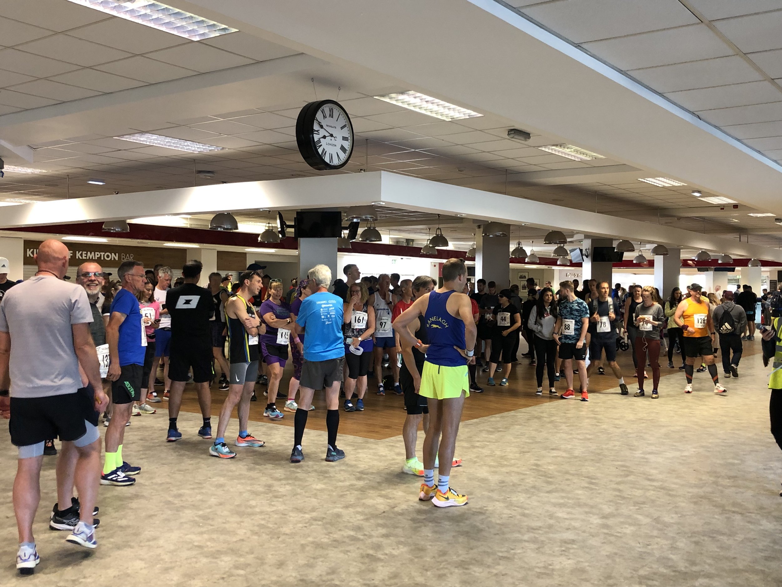
Where: Kempton Park Racecourse, Staines Road E, Sunbury-on-Thames TW16 5AQ
Course: Start and finish behind the main grandstand. Single lap snaking around the grounds of the racecourse. Half Marathon and Marathon options also running.
Other routes touched (walk): none
Finish time: 54:16