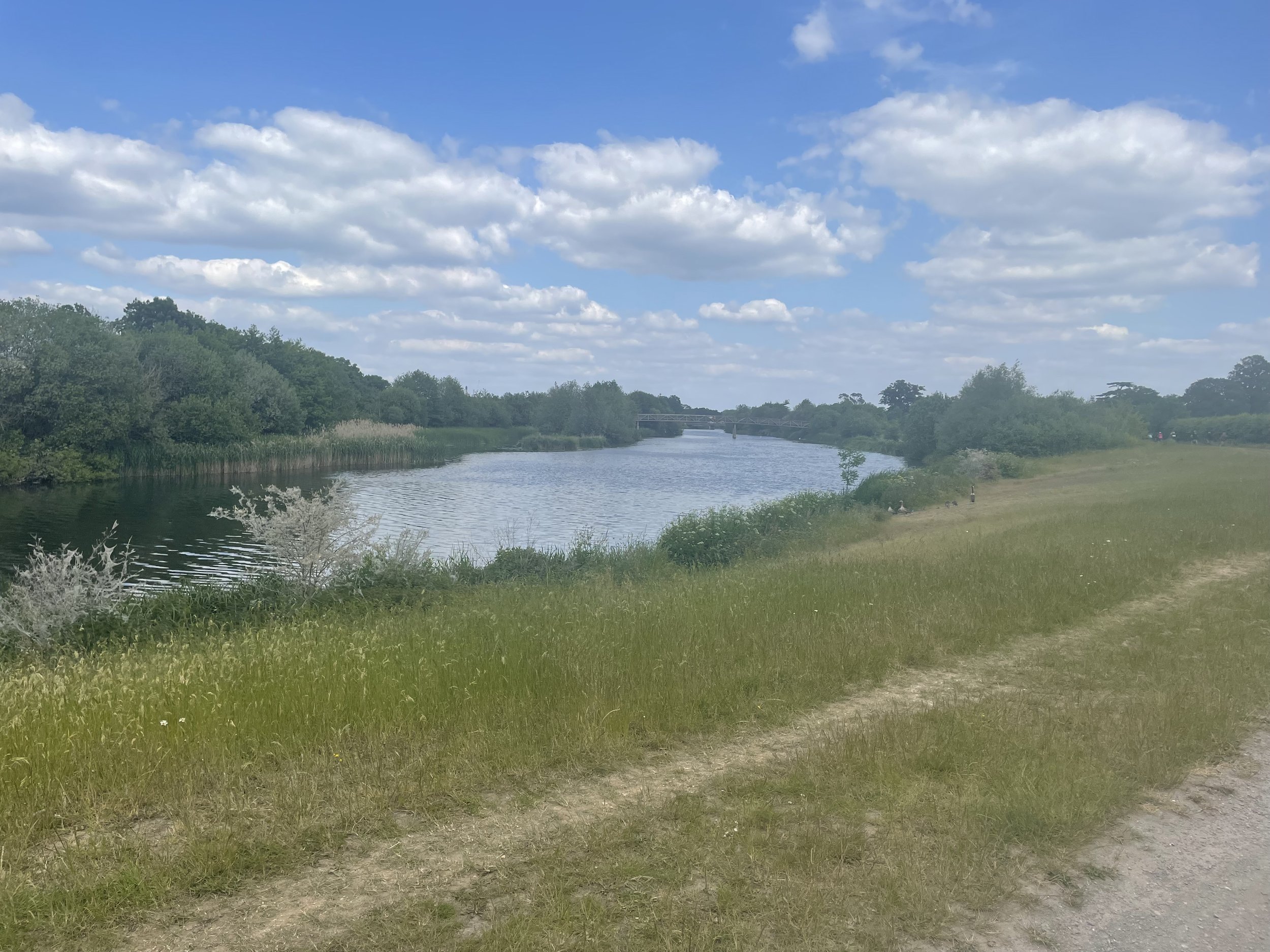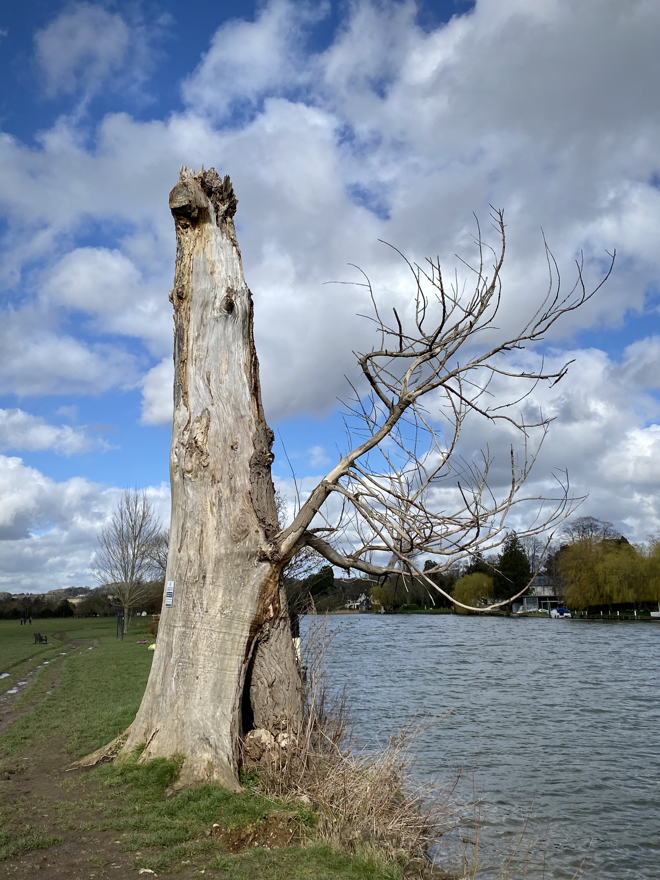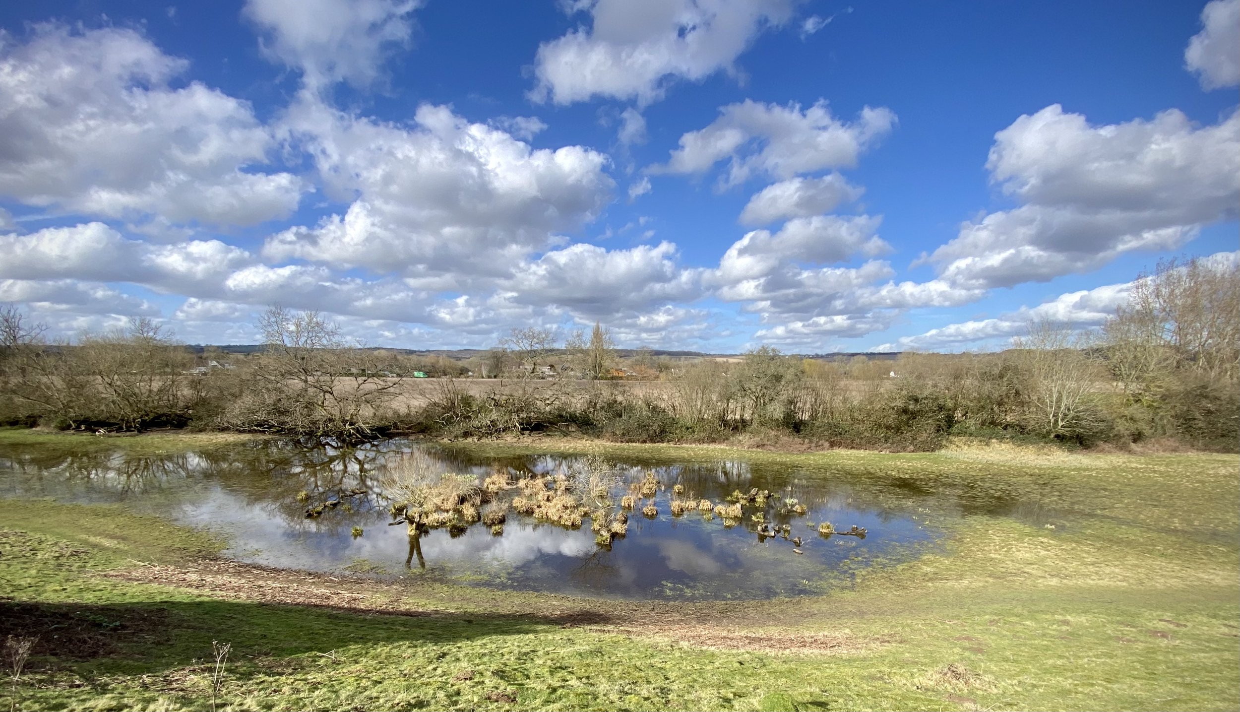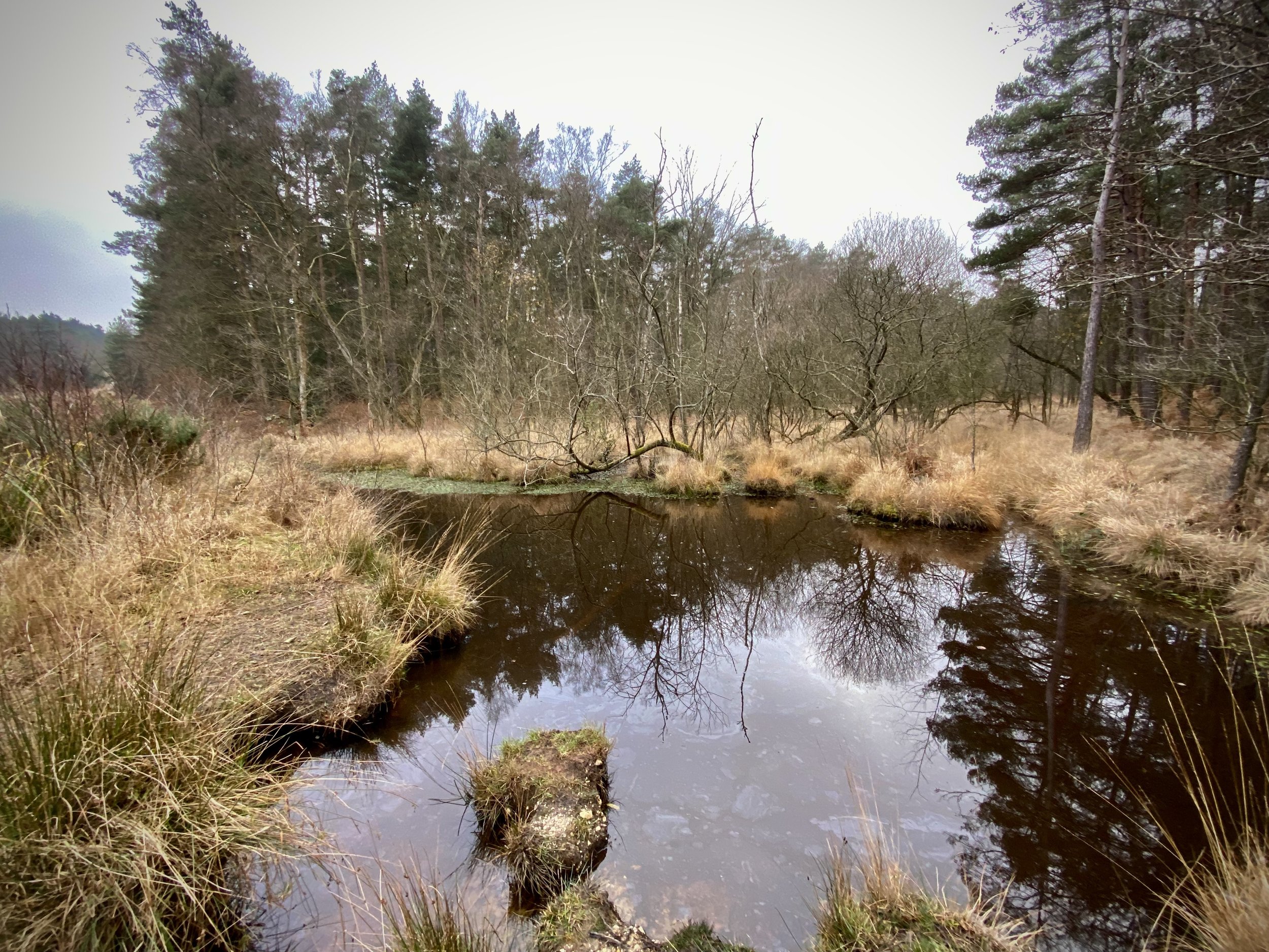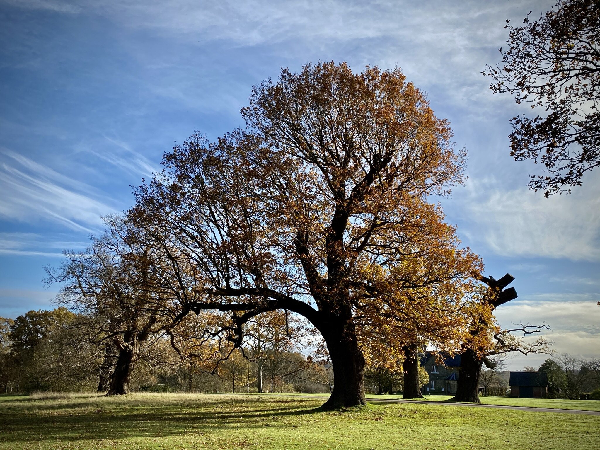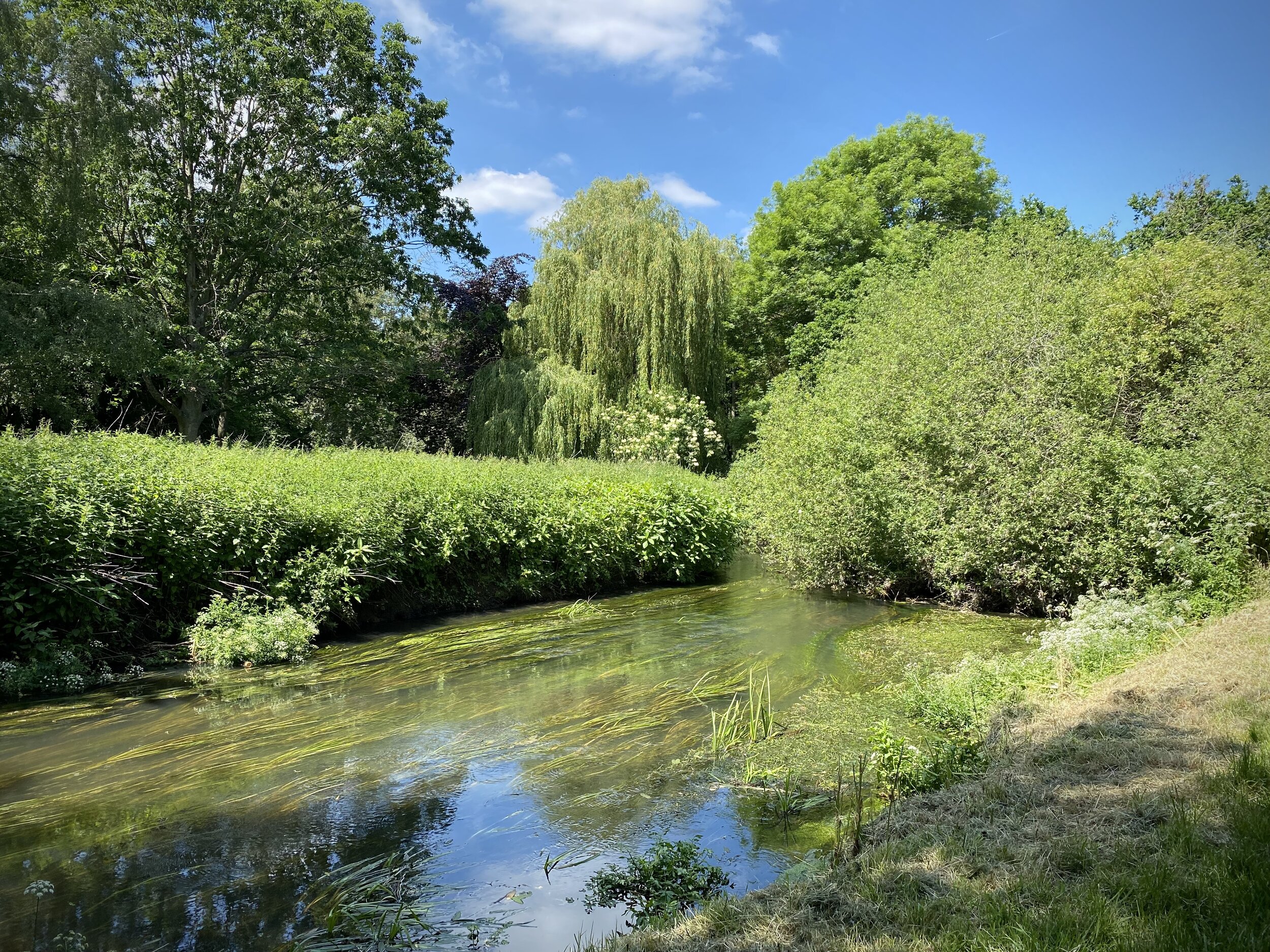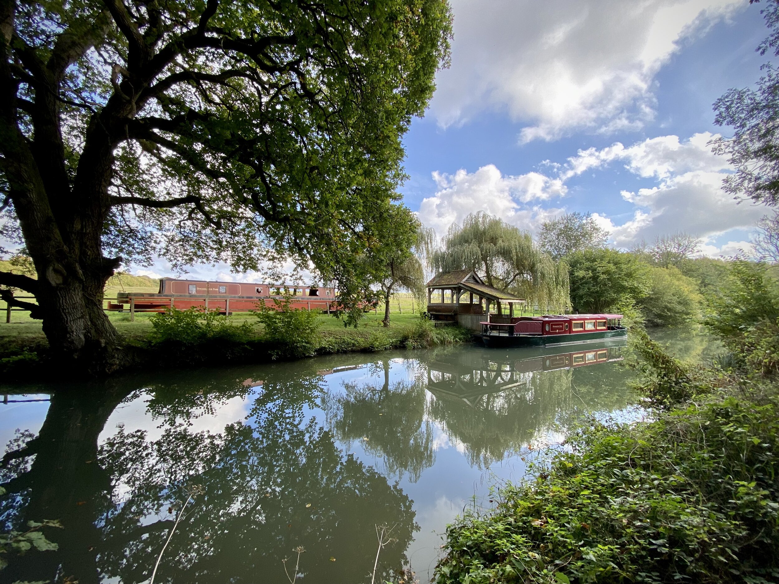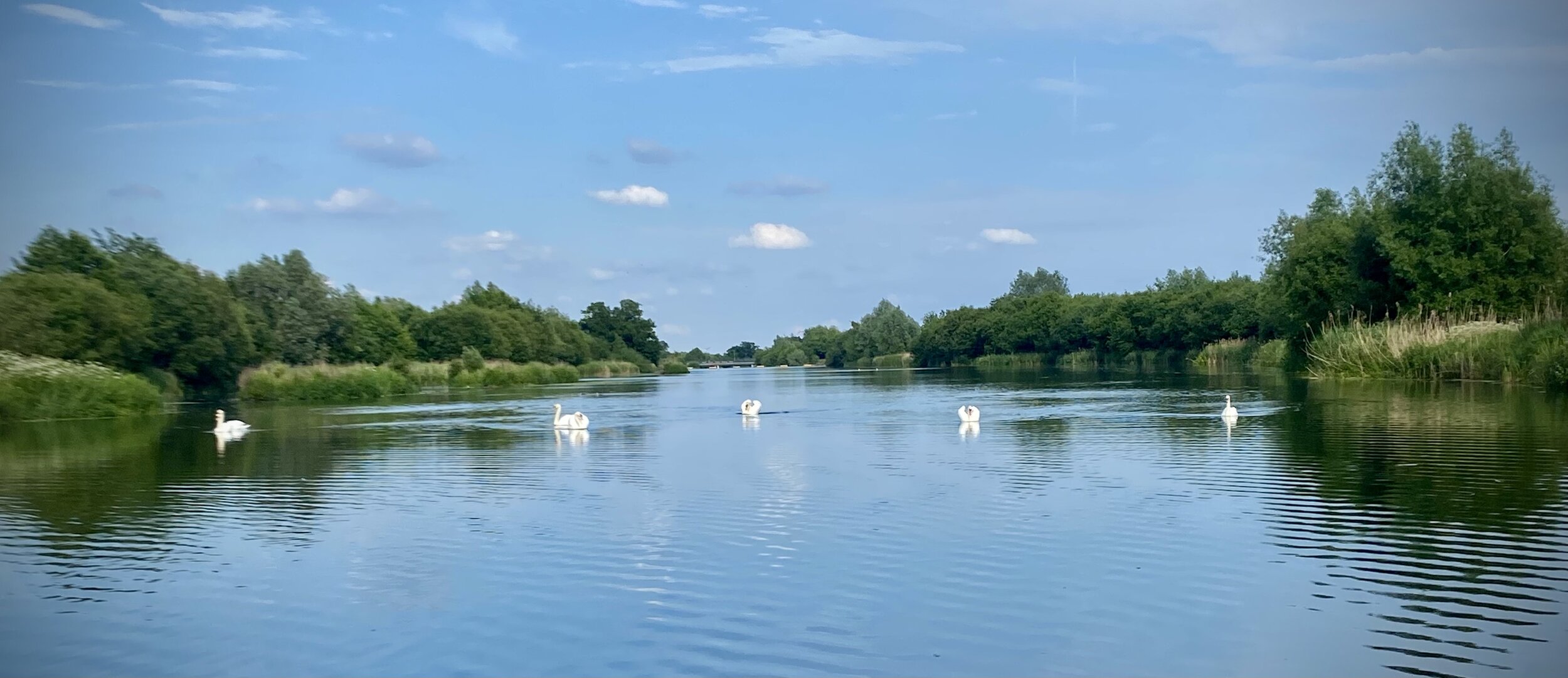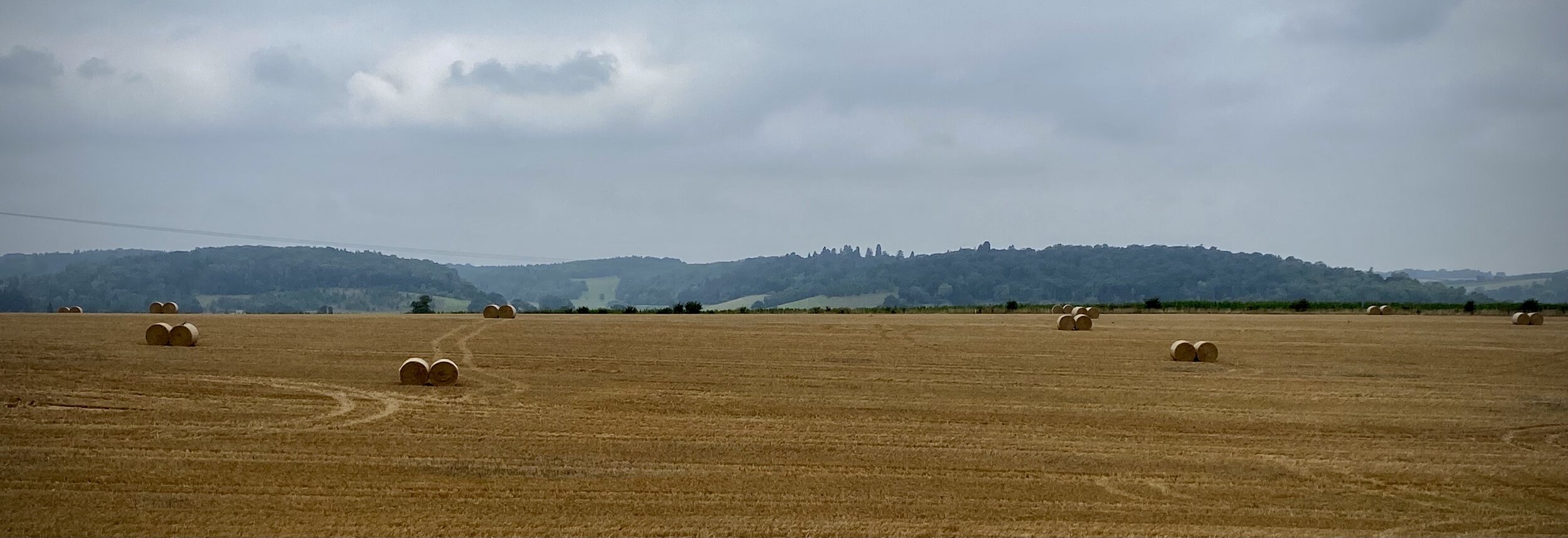
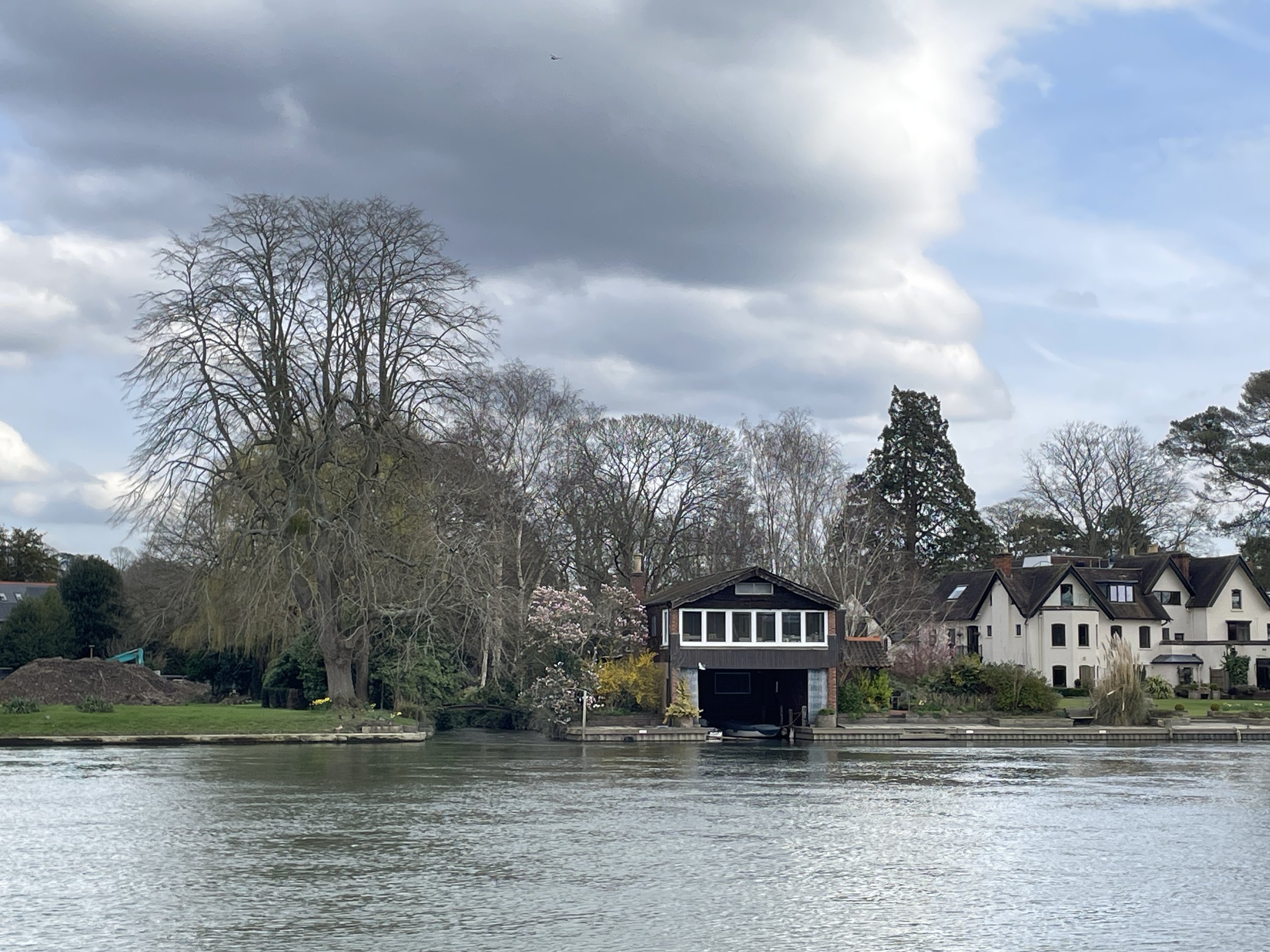
River Thames at Cookham
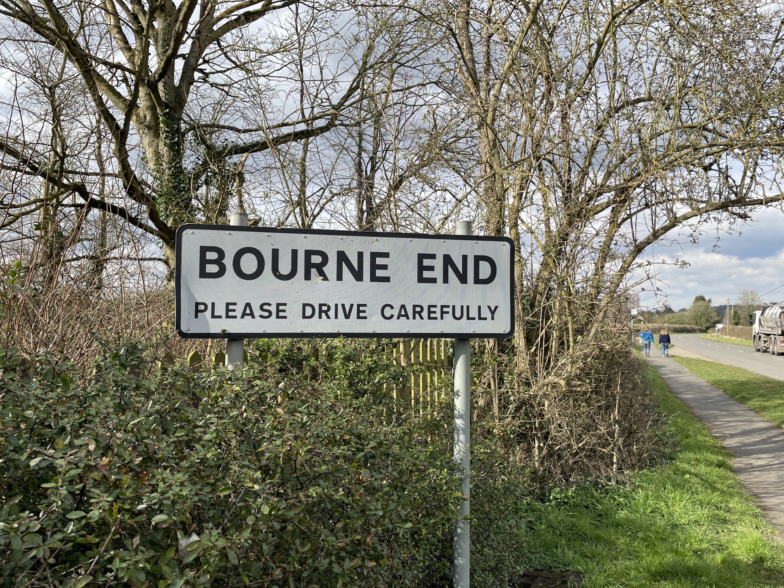
Start & Finish: Wakeman Road Car Park, 2A Wakeman Road, Bourne End, SL8 5SX
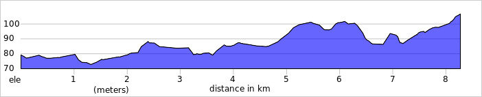
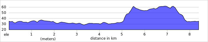
Distance: 8.2 km (5.1 miles)
Elevation change: +/- 83m
GPX File: get via Buy Me a Coffee
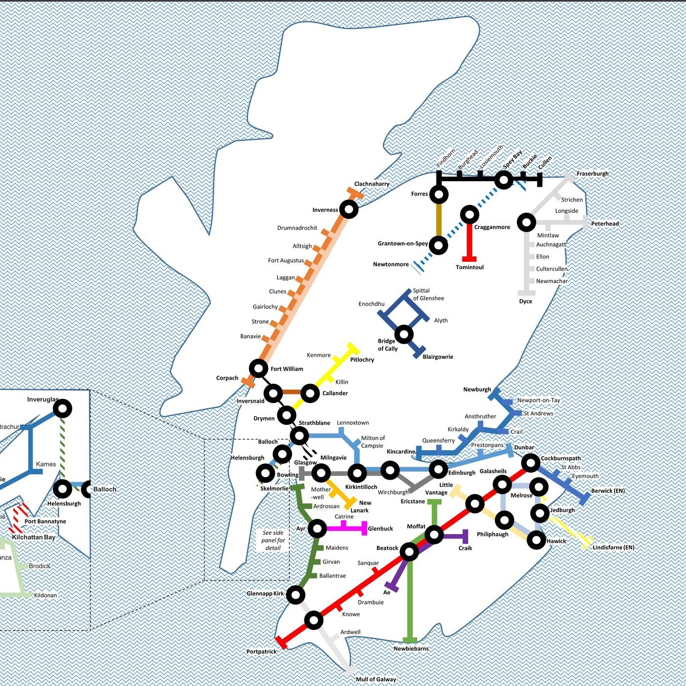
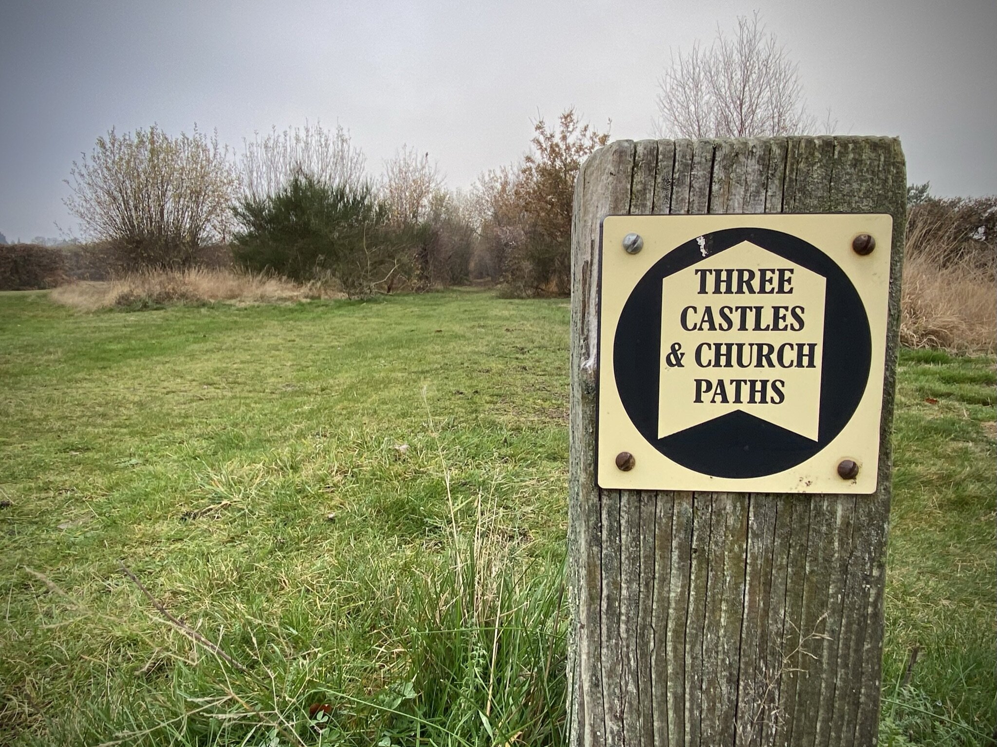
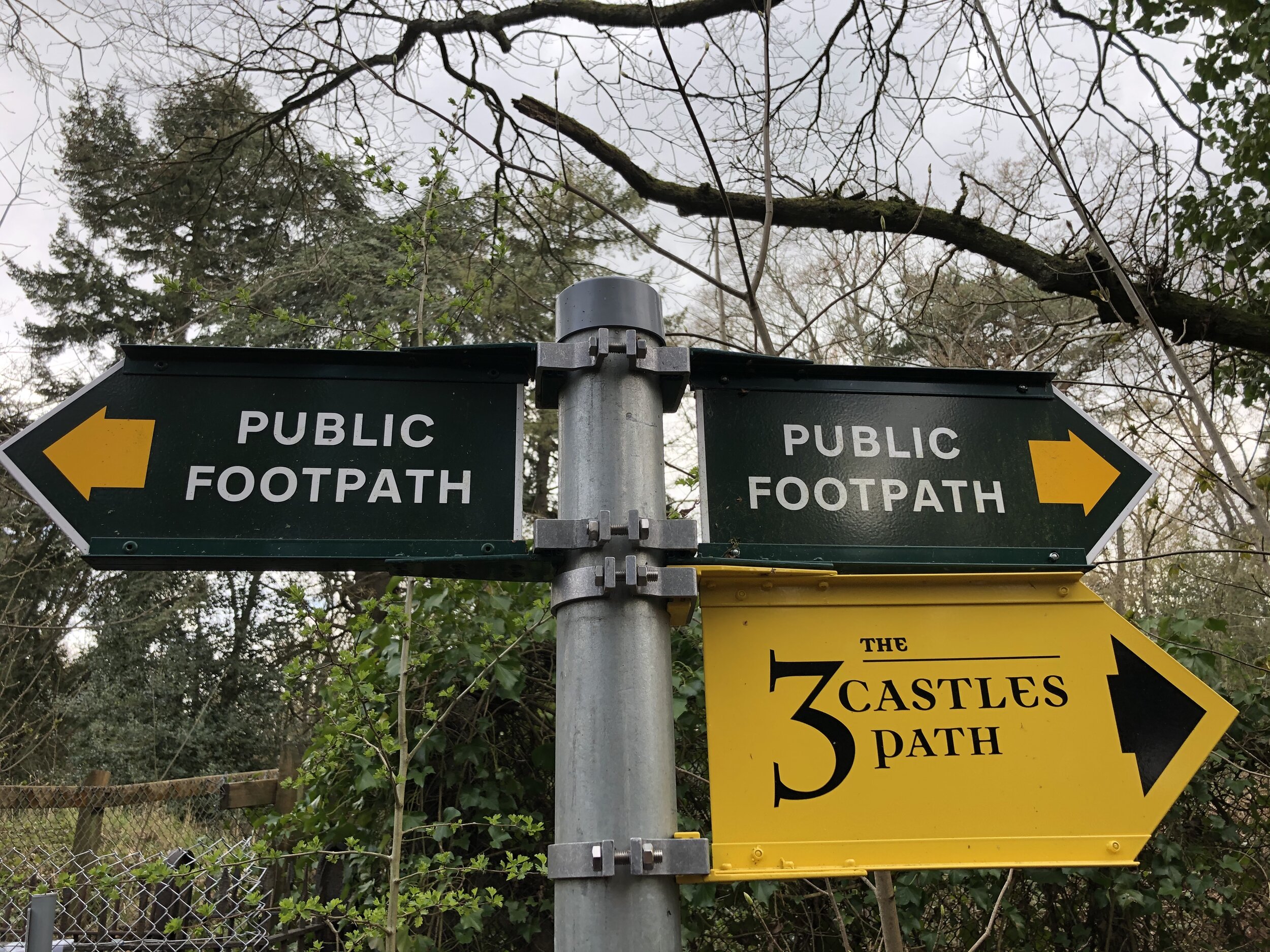
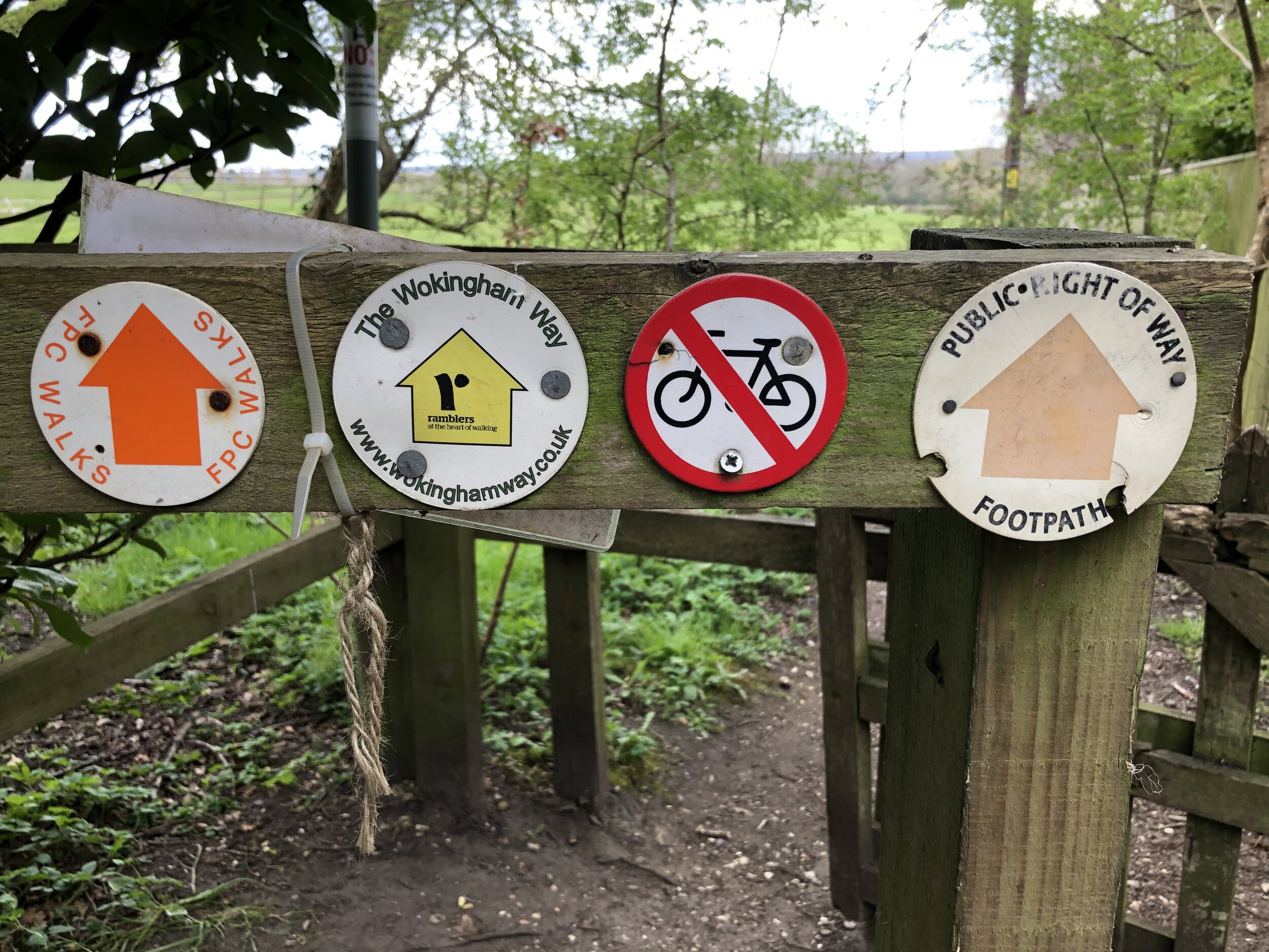
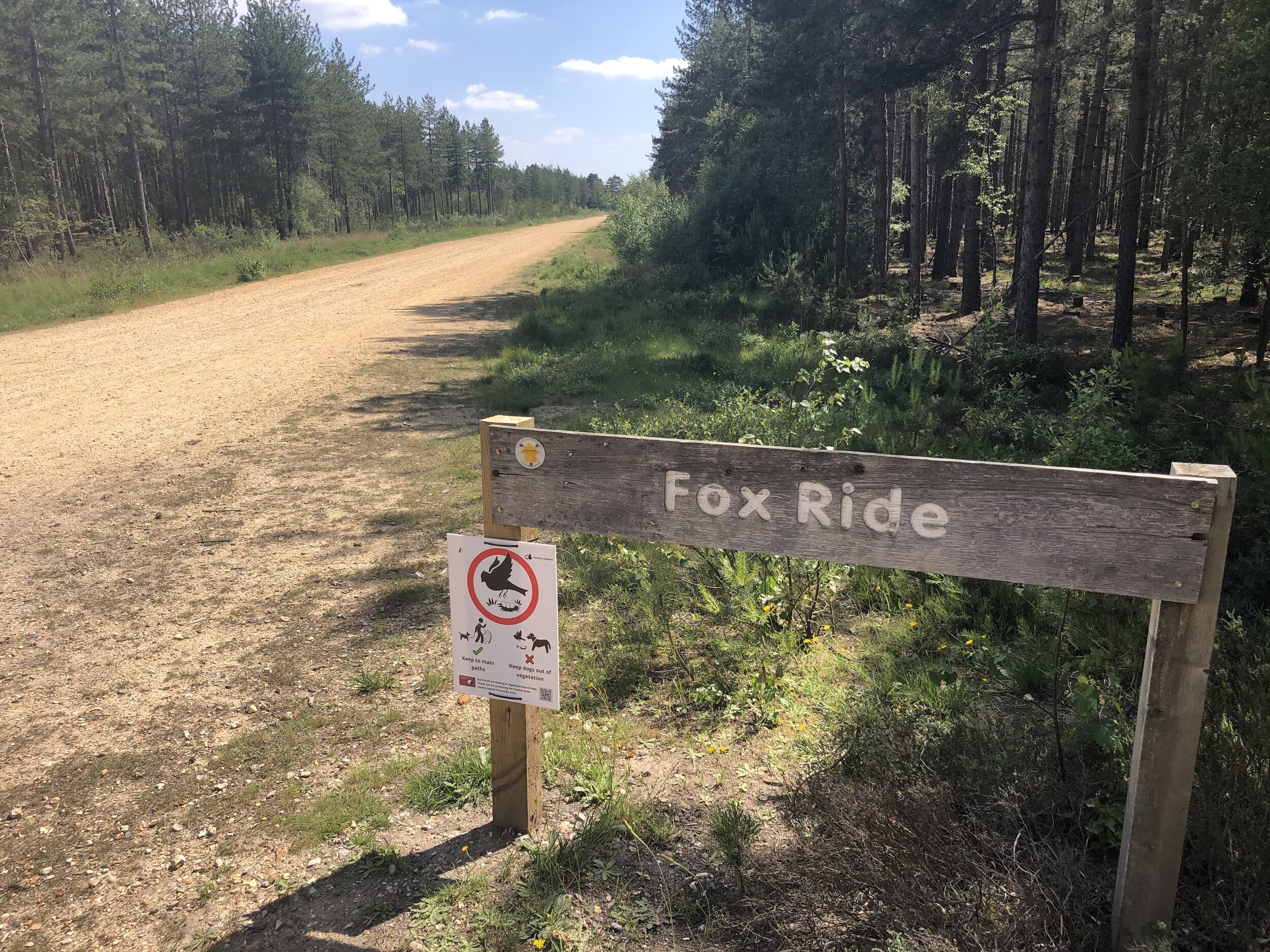
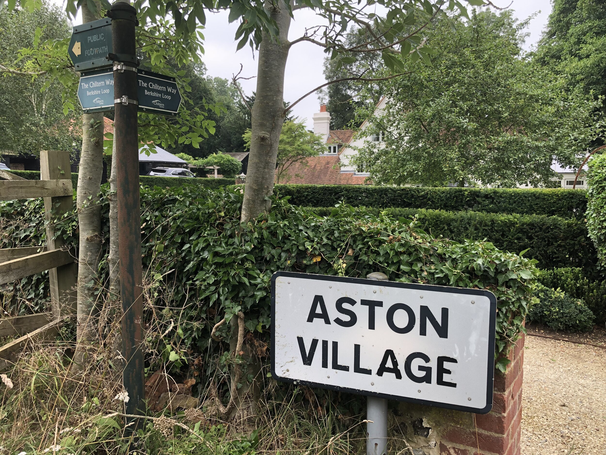
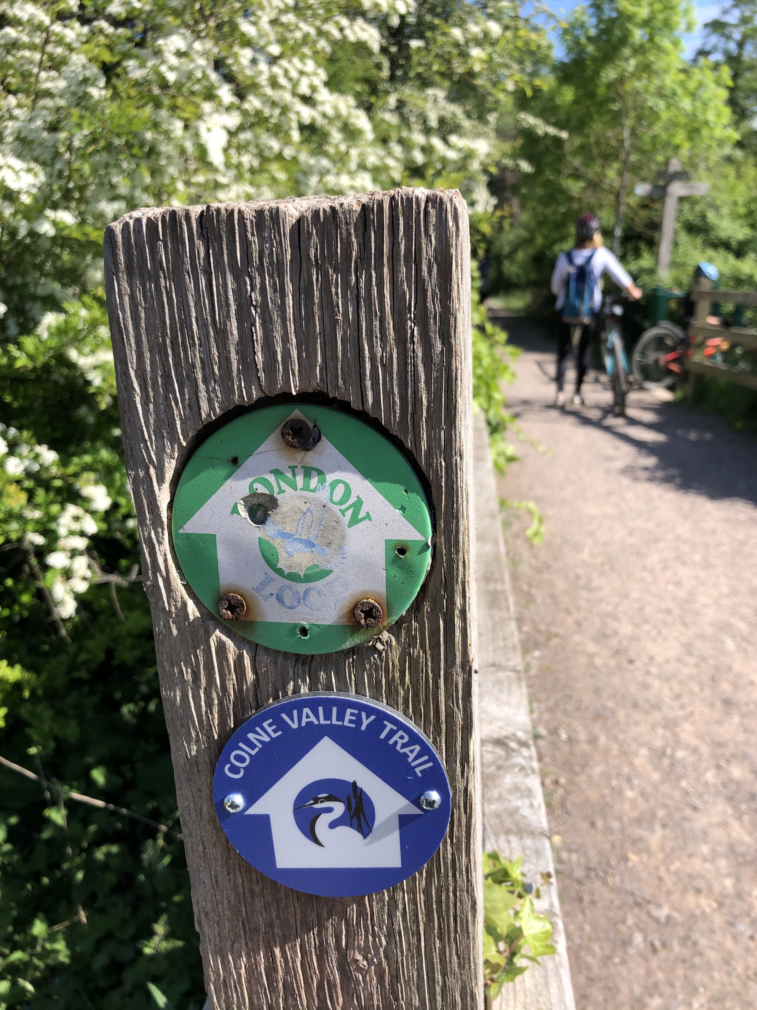
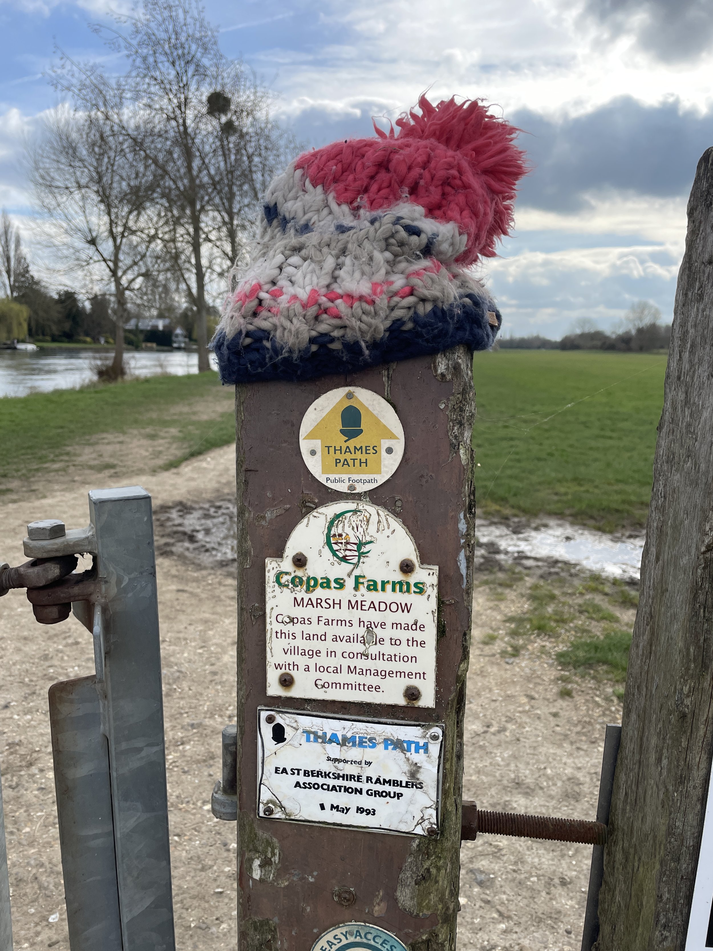
Other routes touched (walk): Thames Path, Shakespeare’s Way, Beeches Way, Chiltern Way Berkshire Loop, High Wycombe to Bourne End Disused Railway
Other routes touched (cycle): N/A
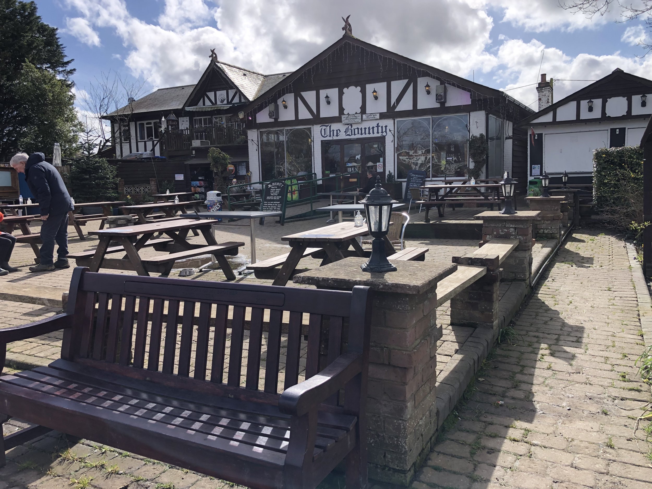
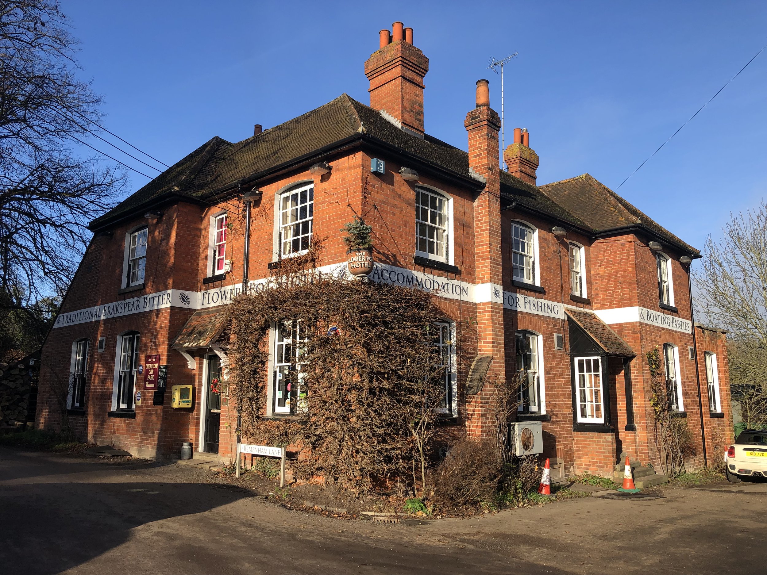
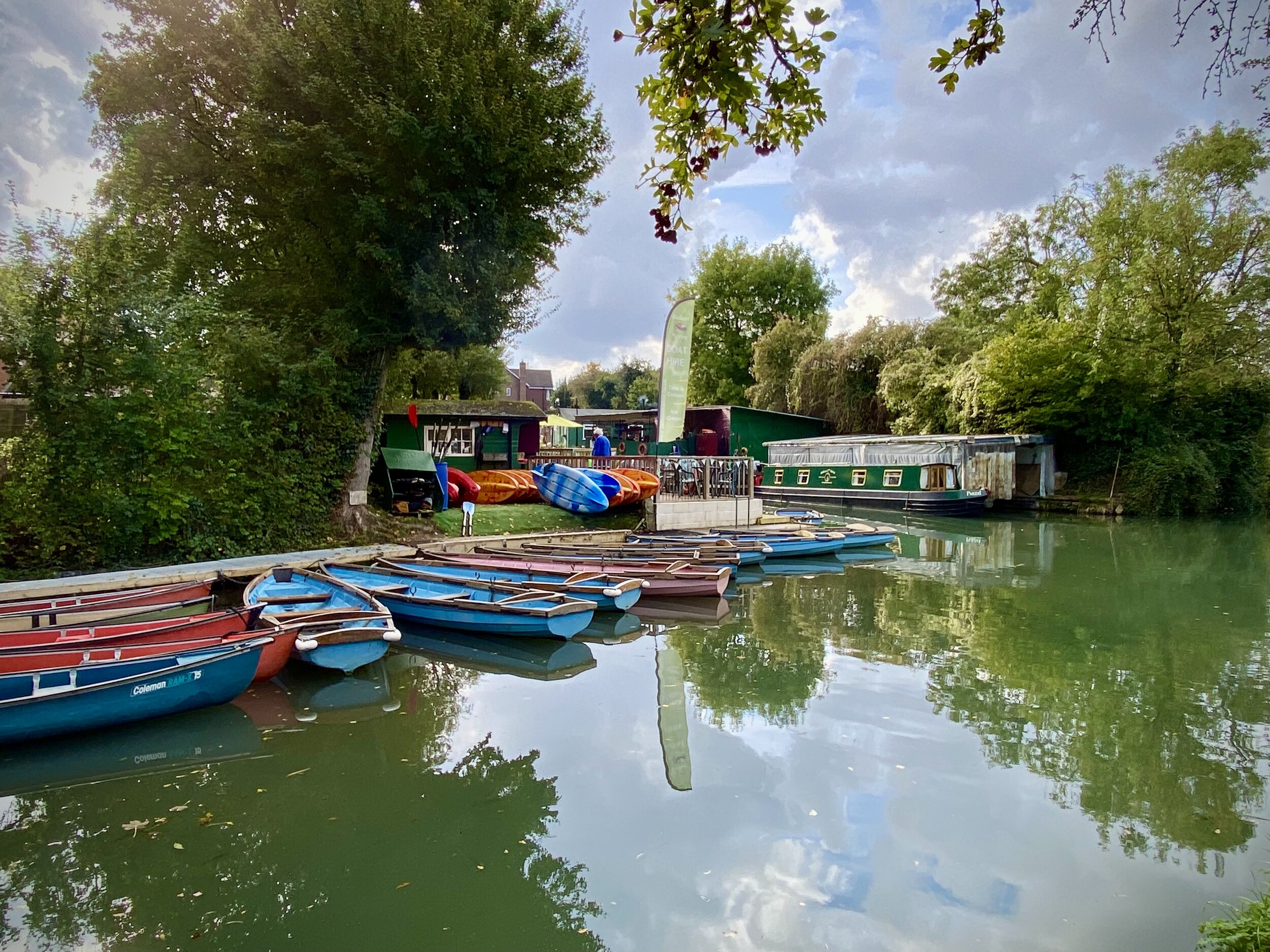
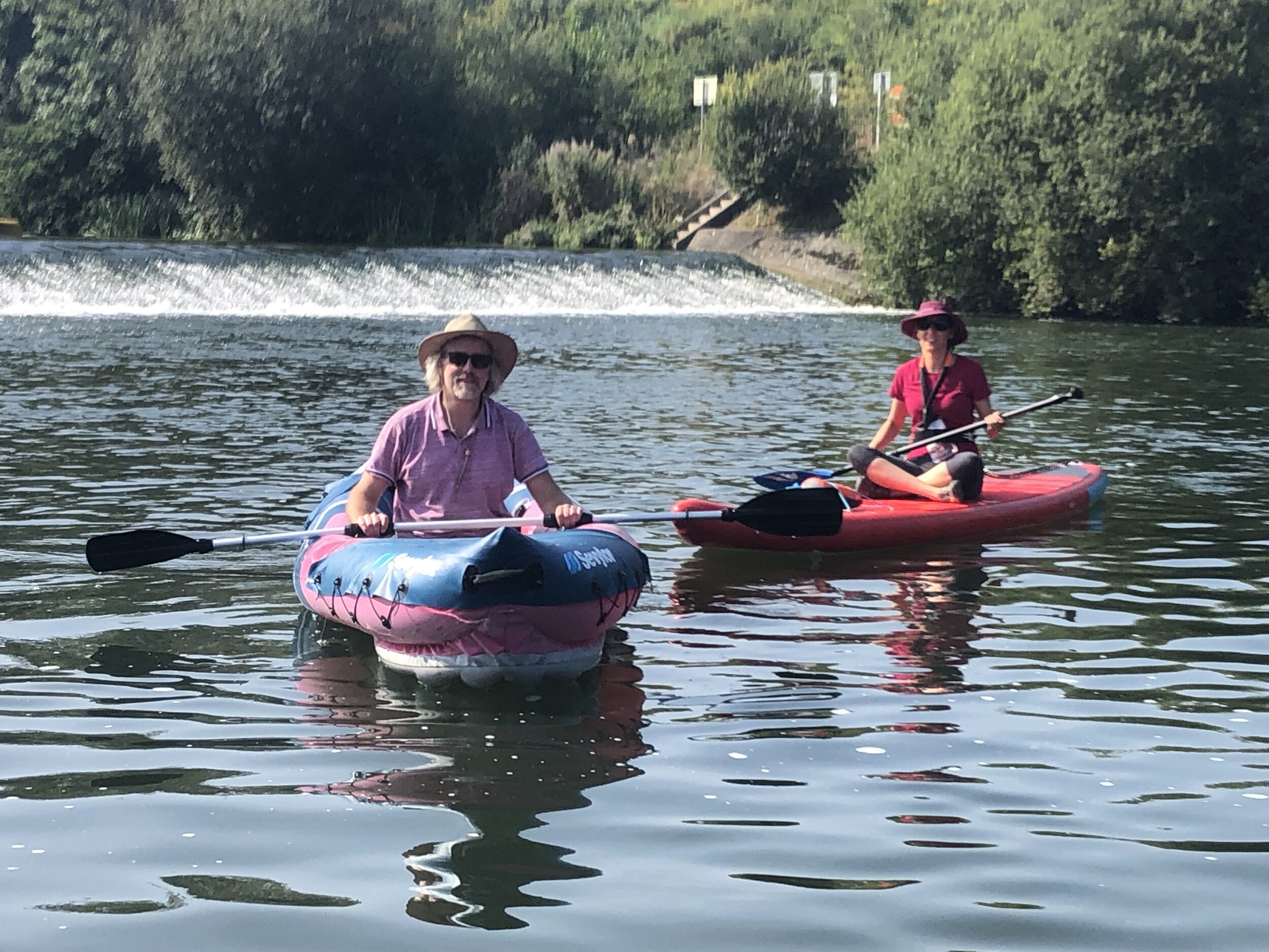
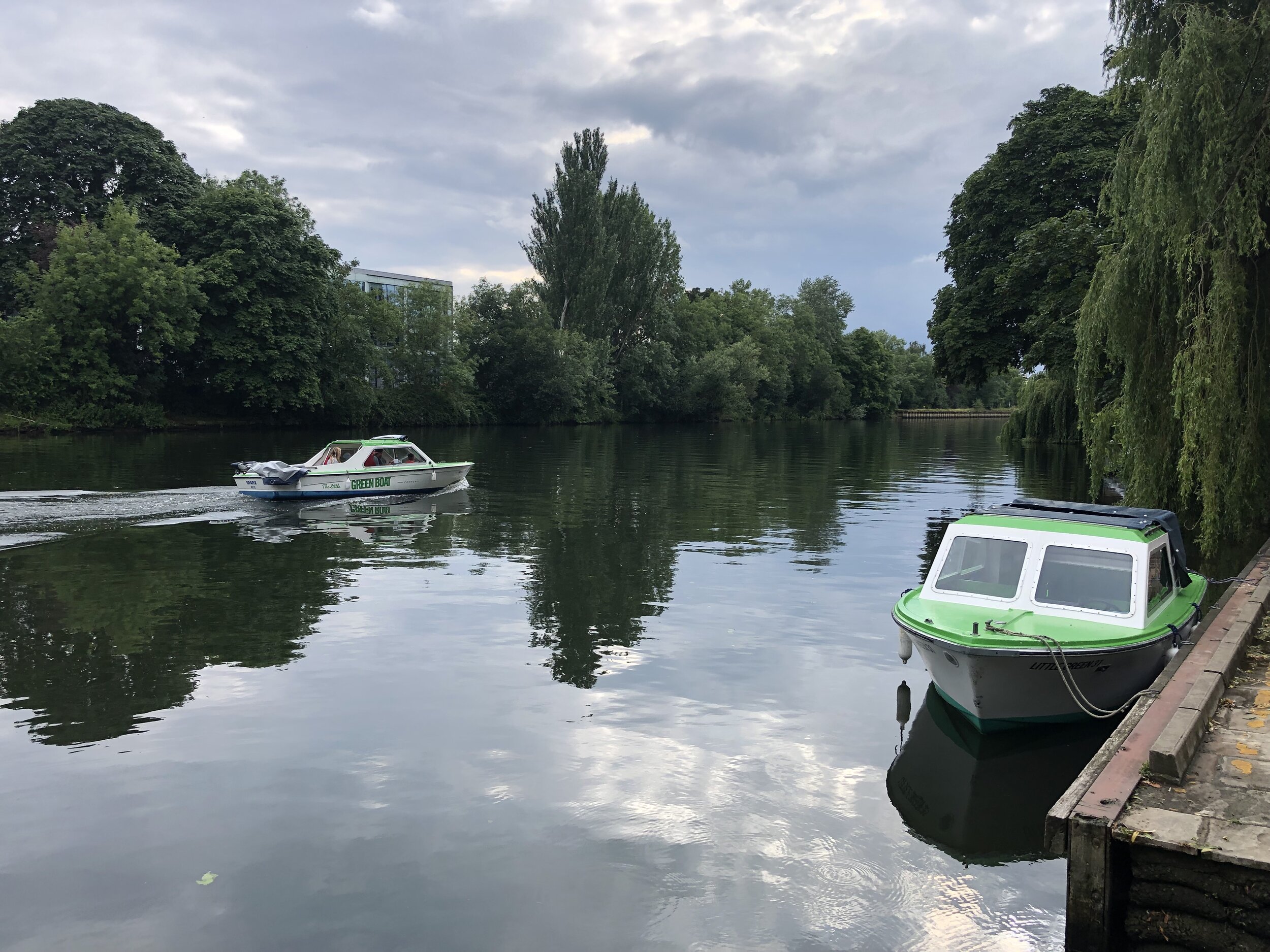
Pubs / Cafes on route: Several in Bourne End and Cookham village centres. Also The Ferry (2.4 km in), The Garibaldi (3.7 km in), Chequers Inn (5.3 km in),
Map: OS Explorer Map (172) Chiltern Hills East
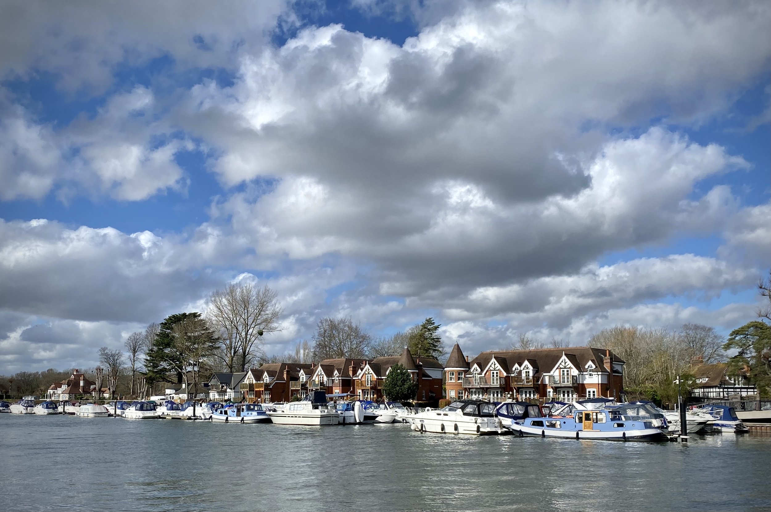
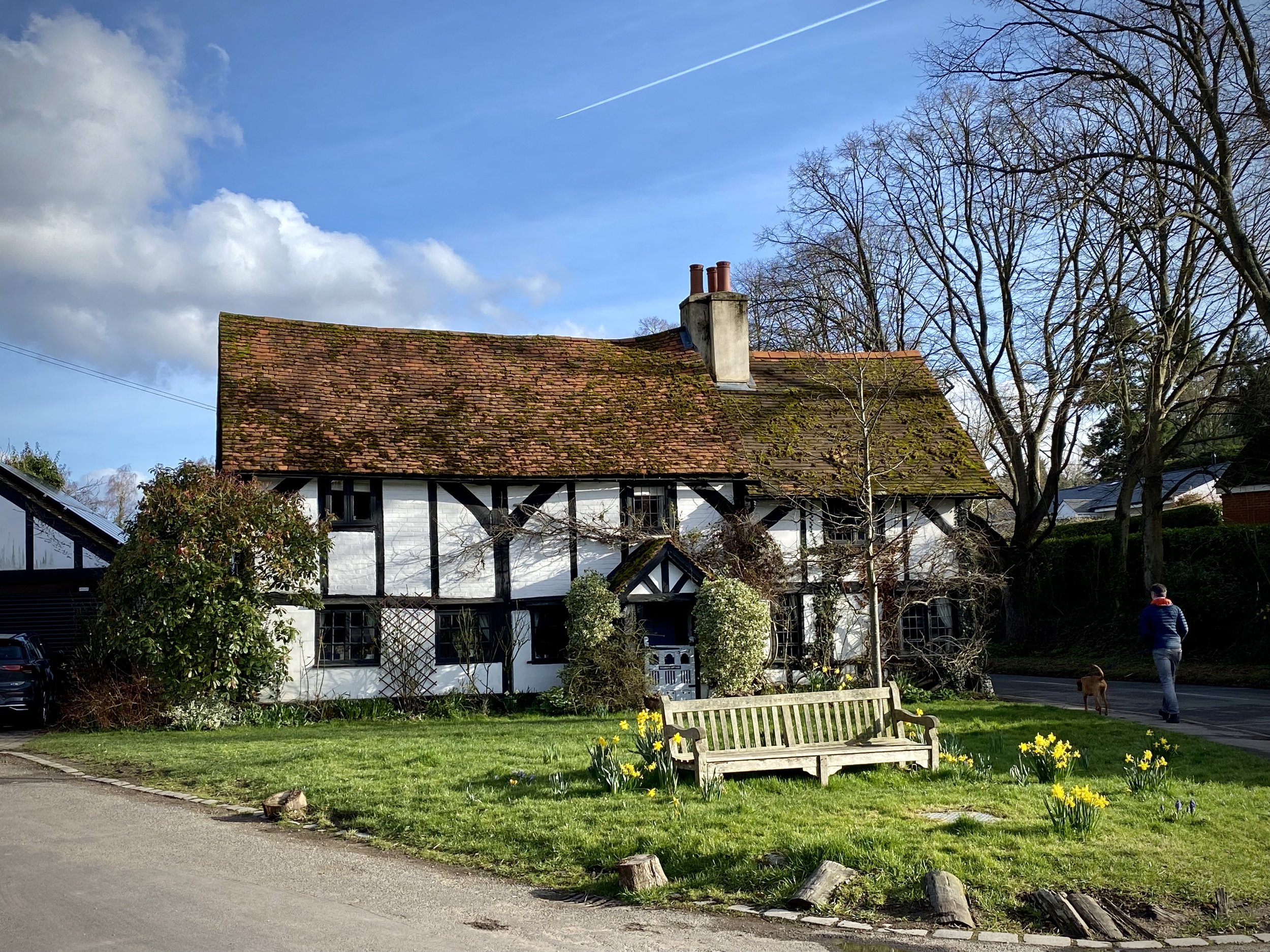
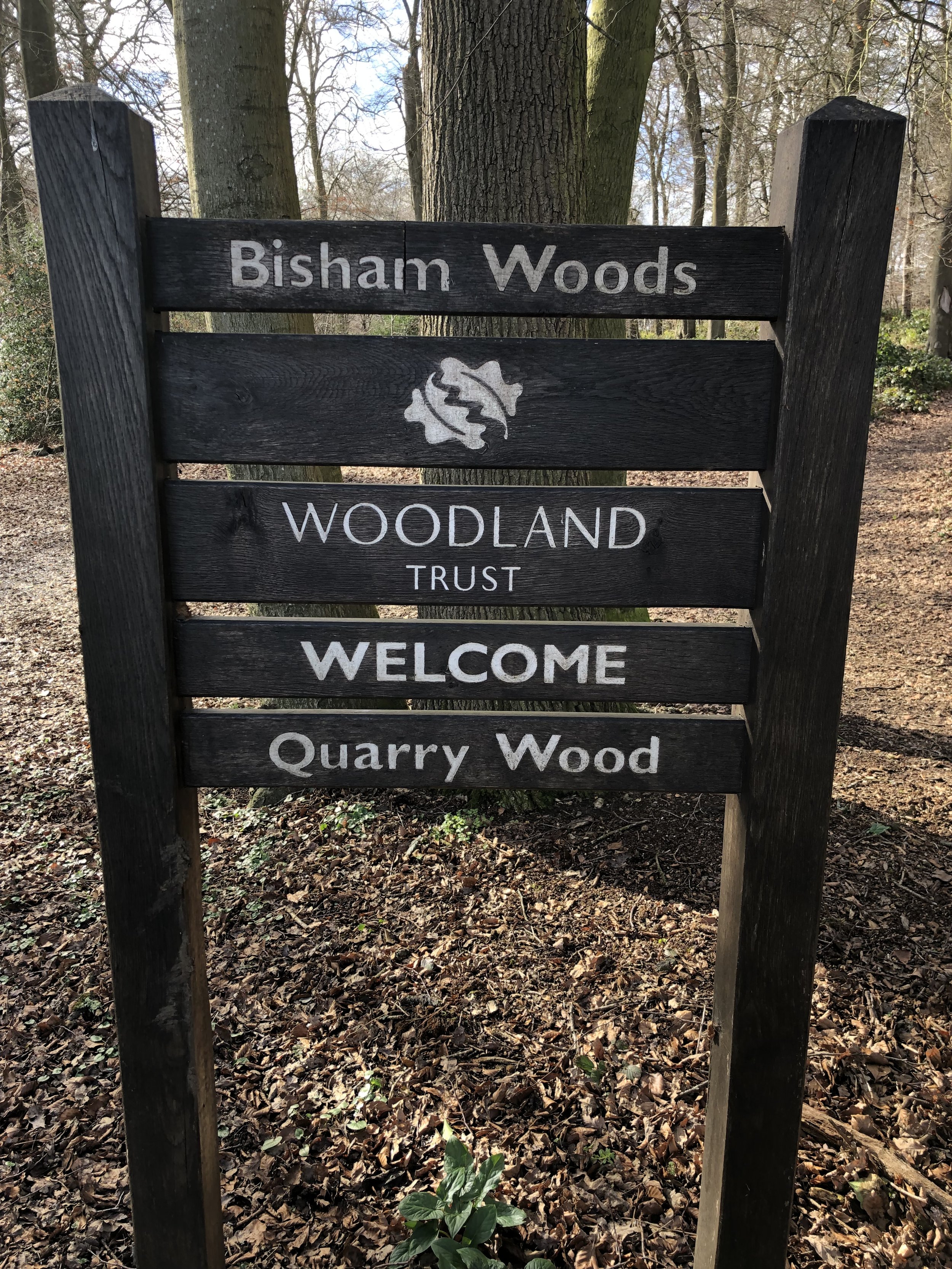
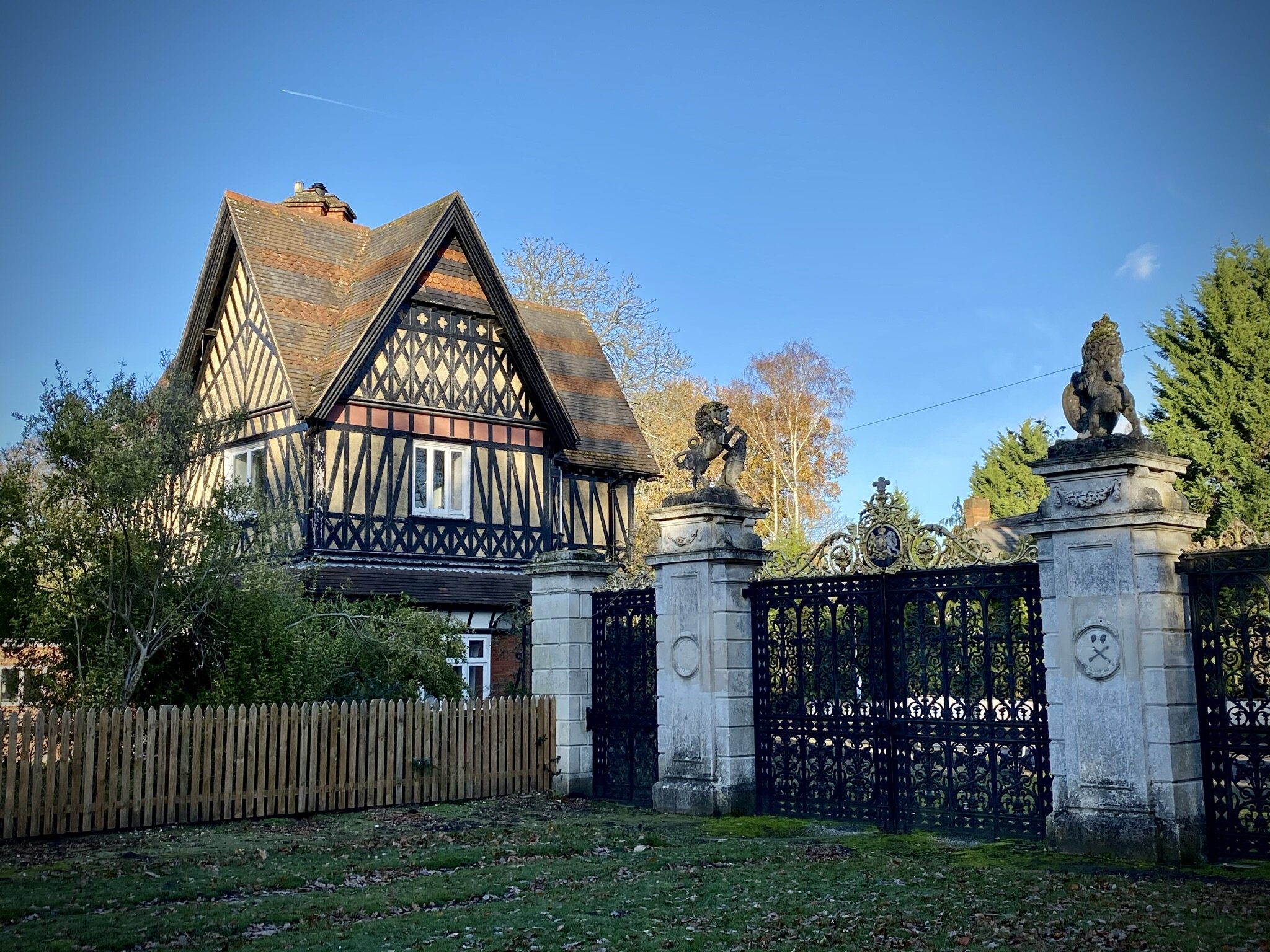
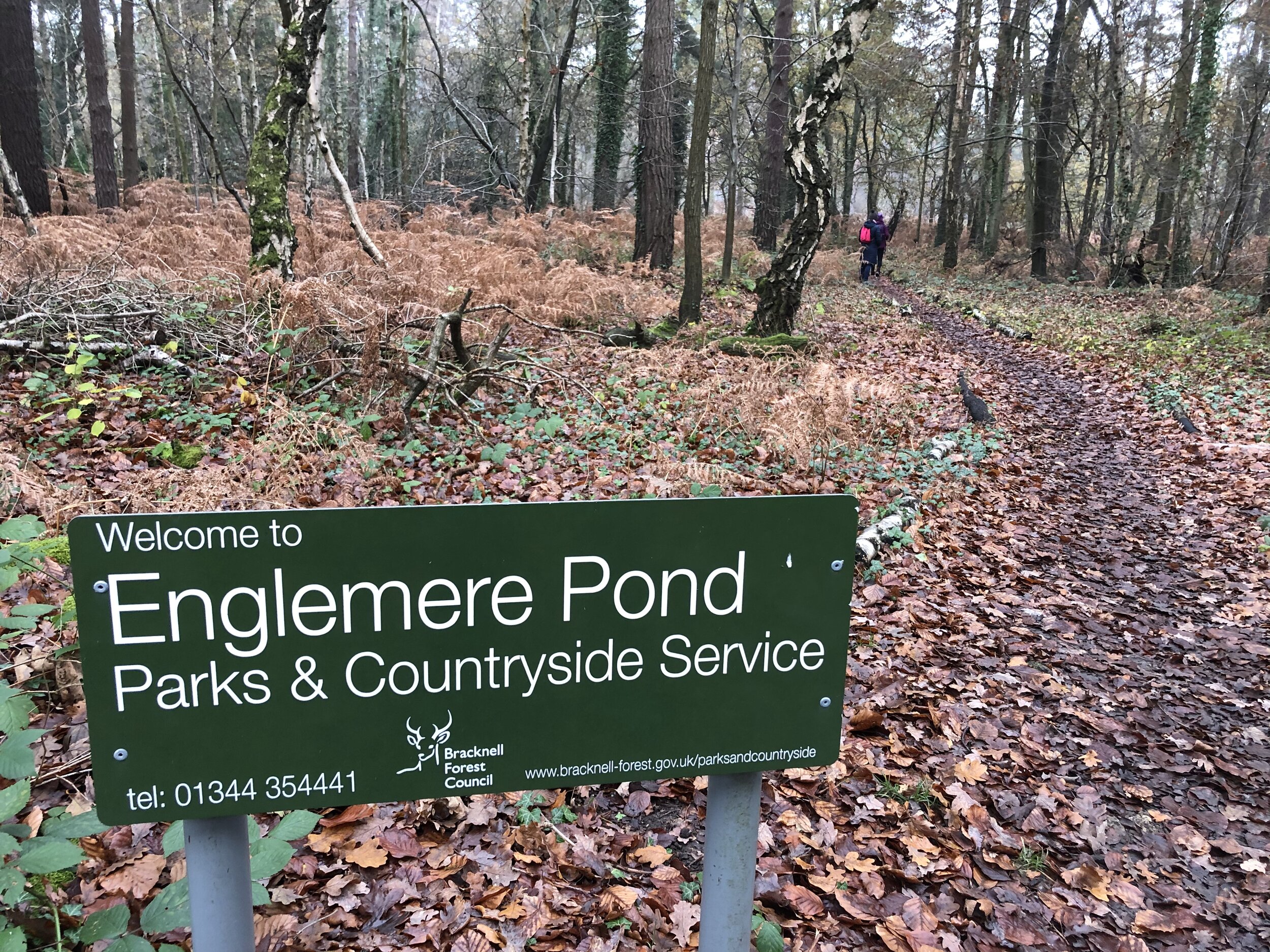
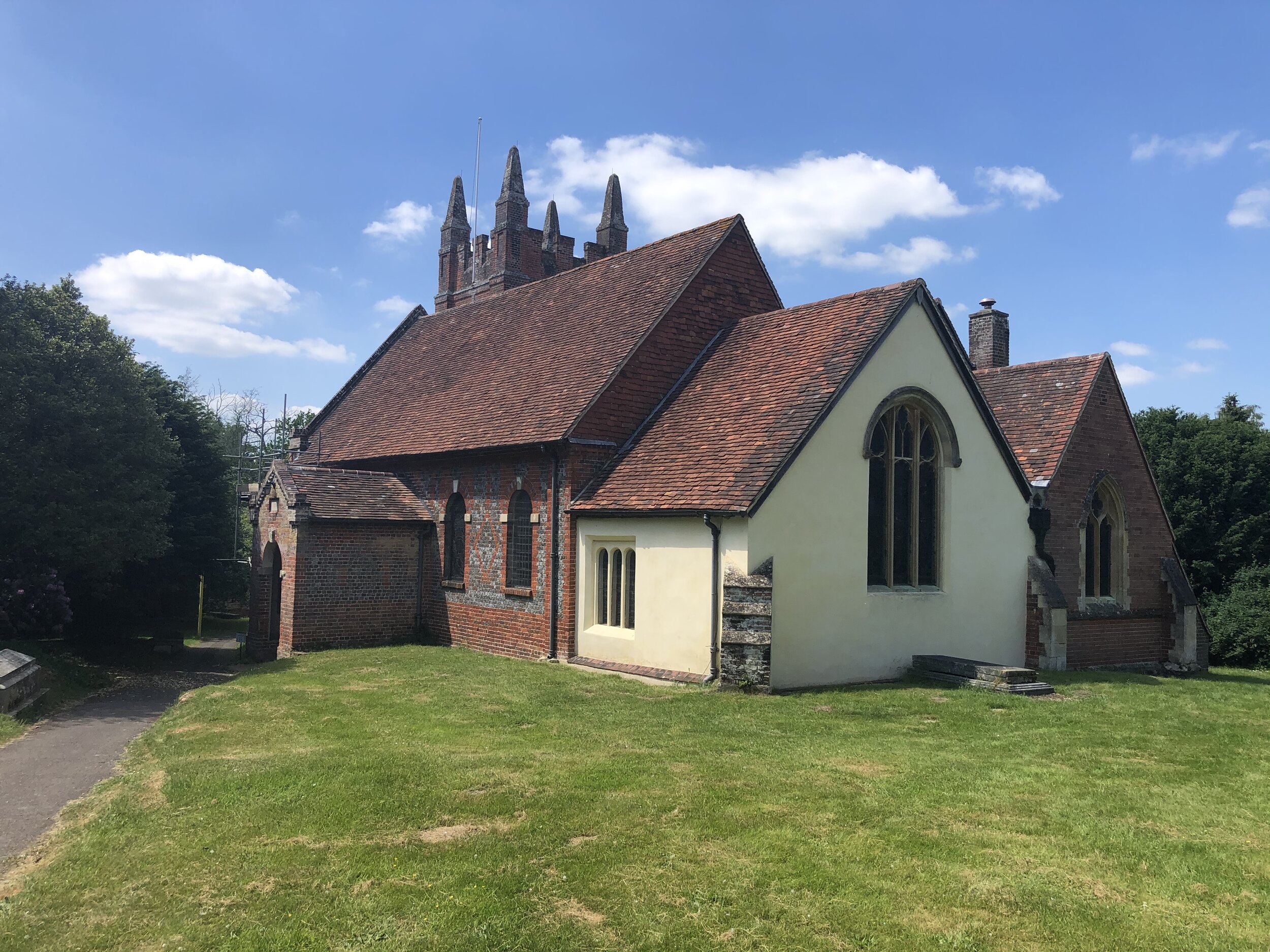
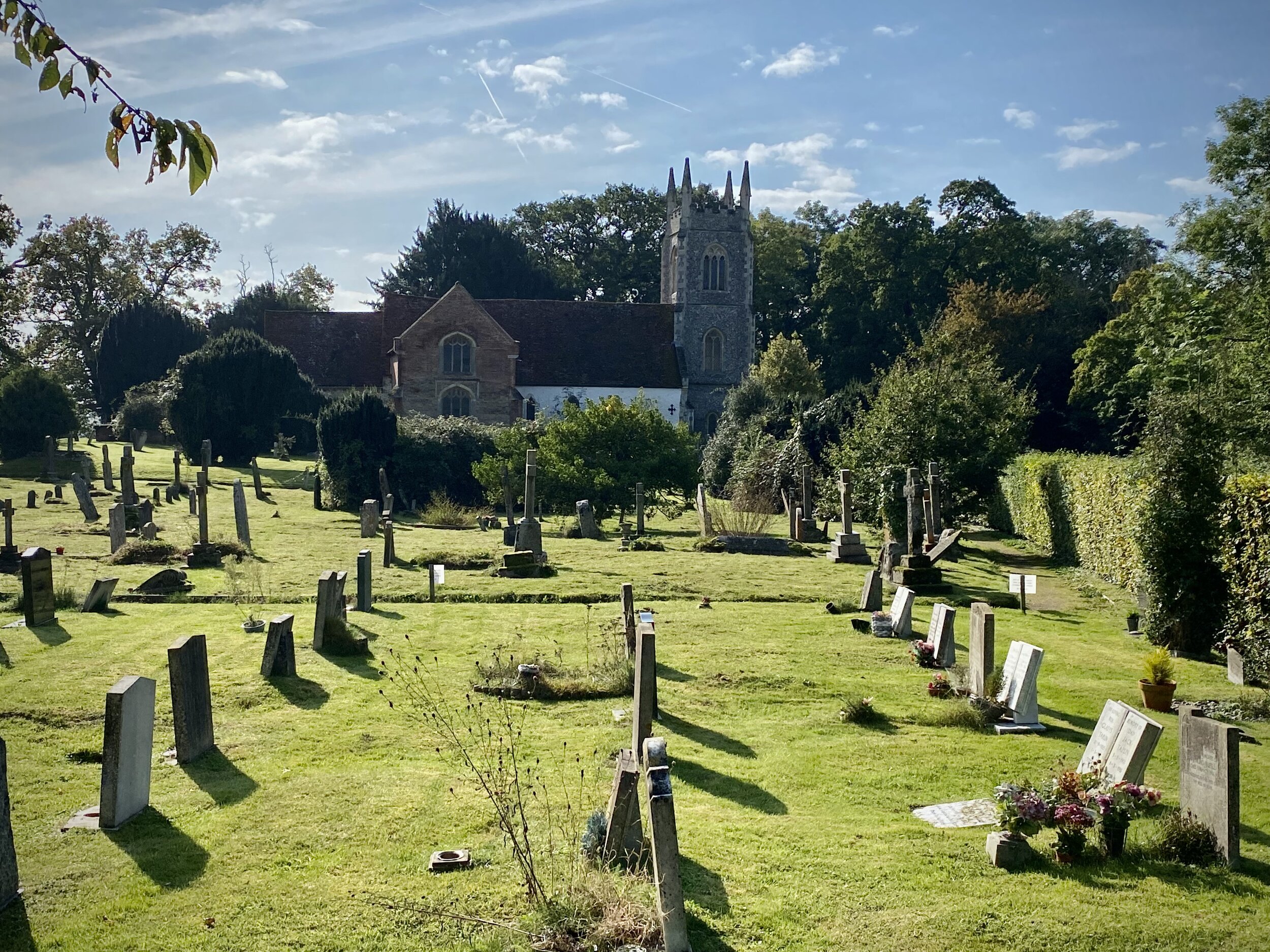
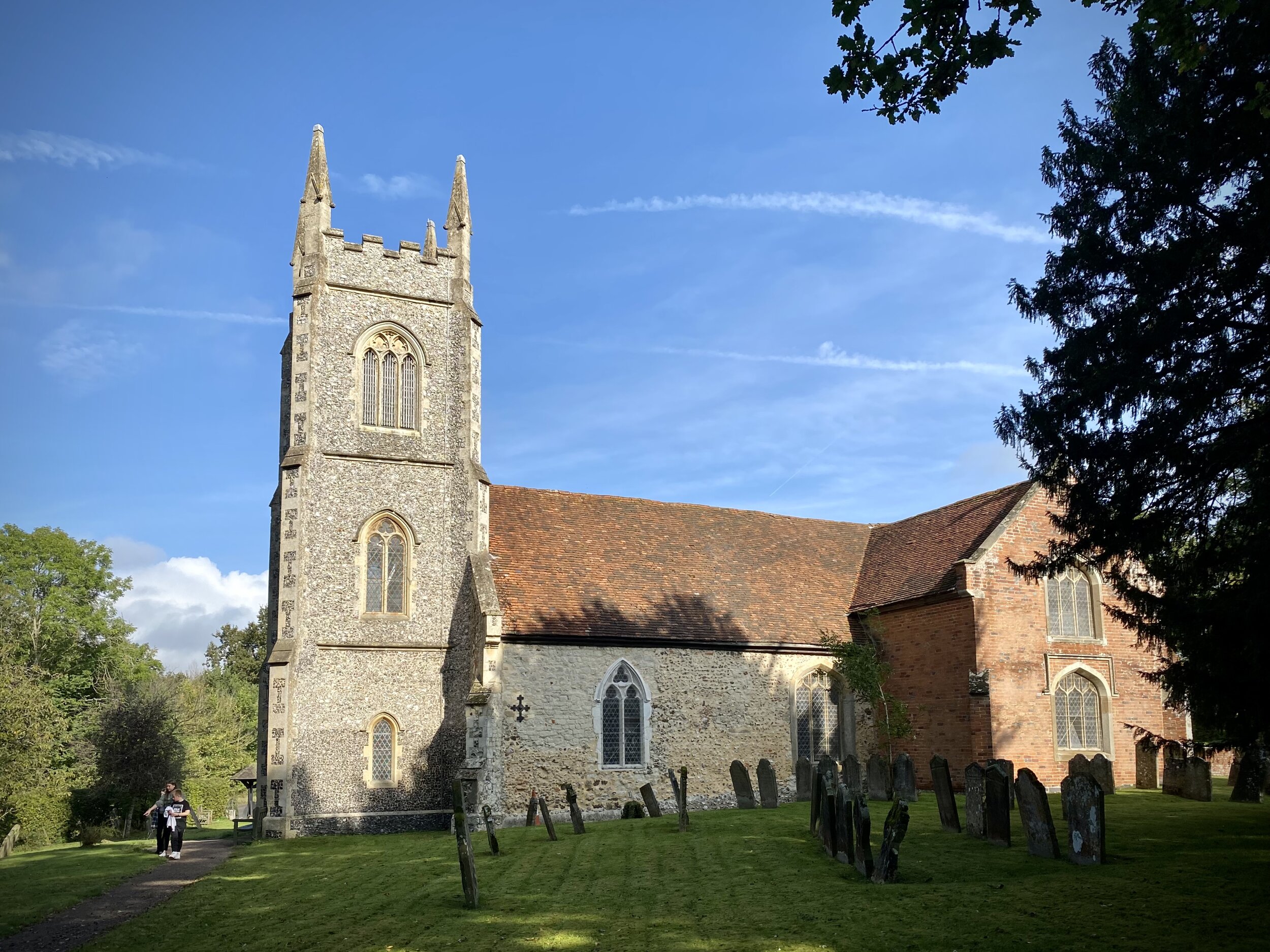
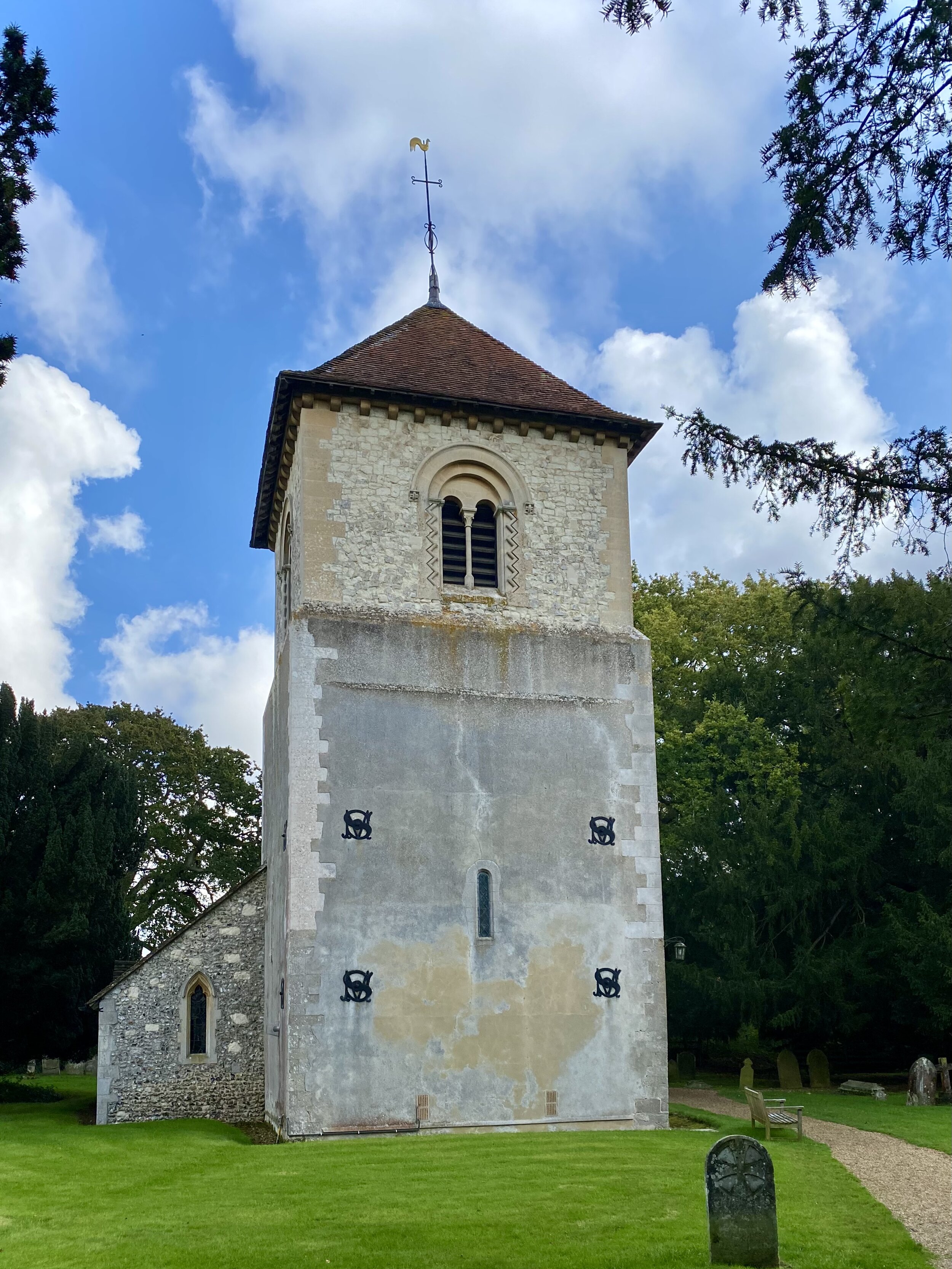
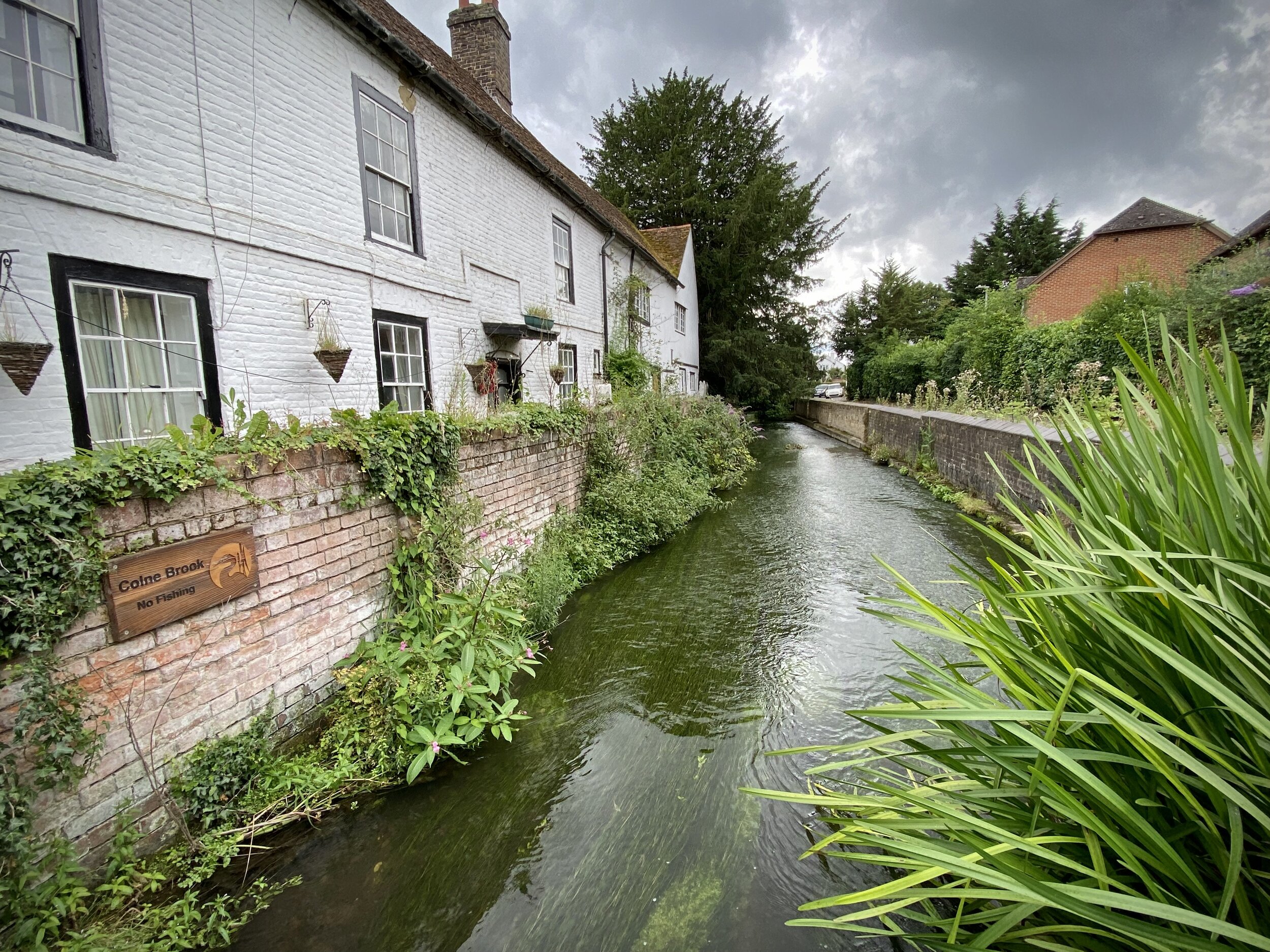
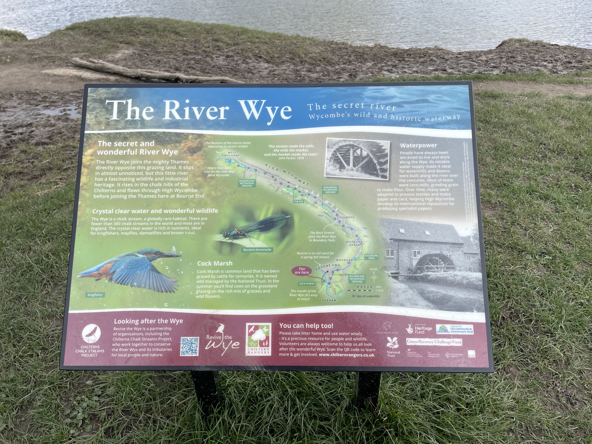
Links: Bourne End, Cookham, Wooburn
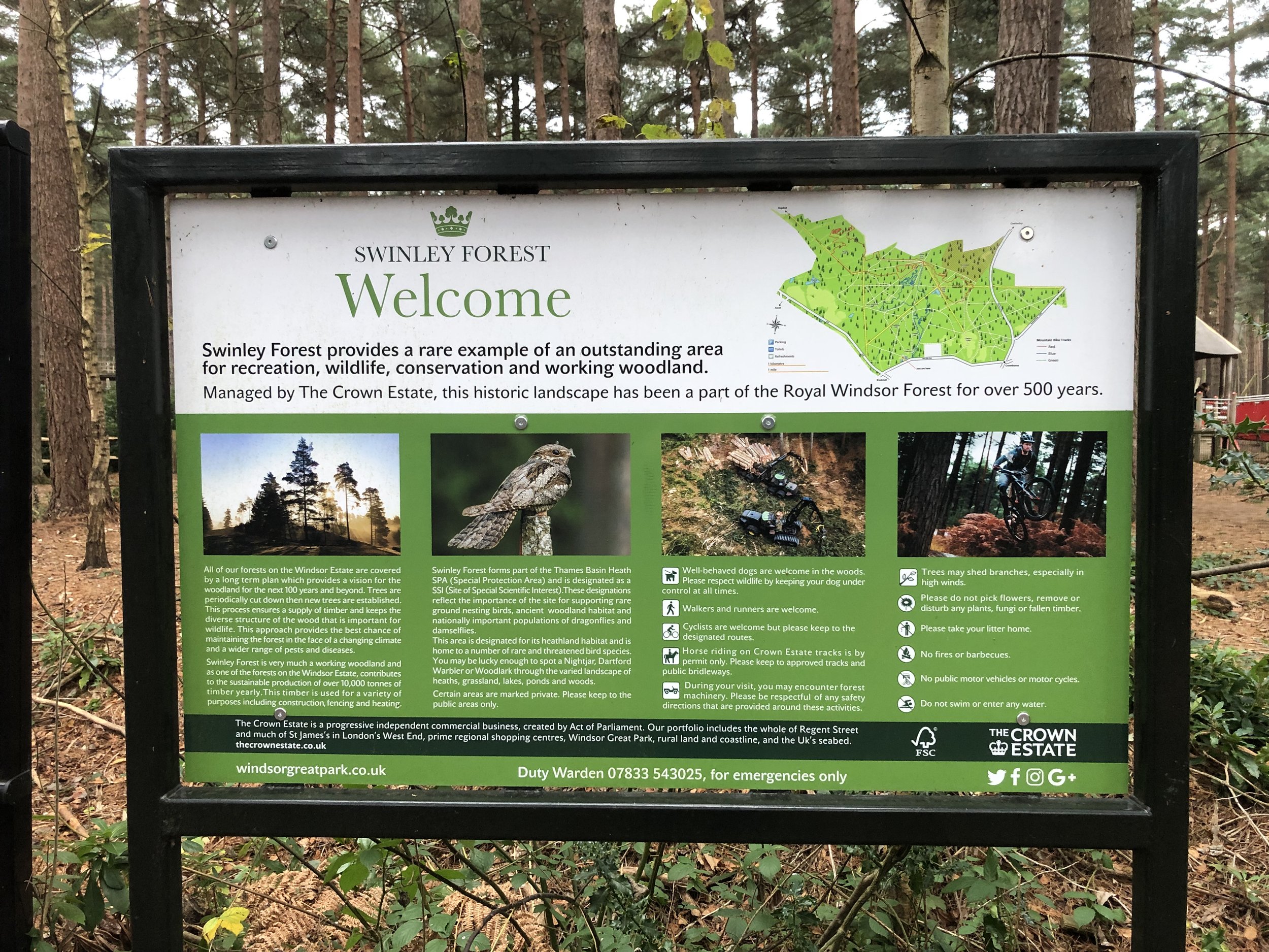
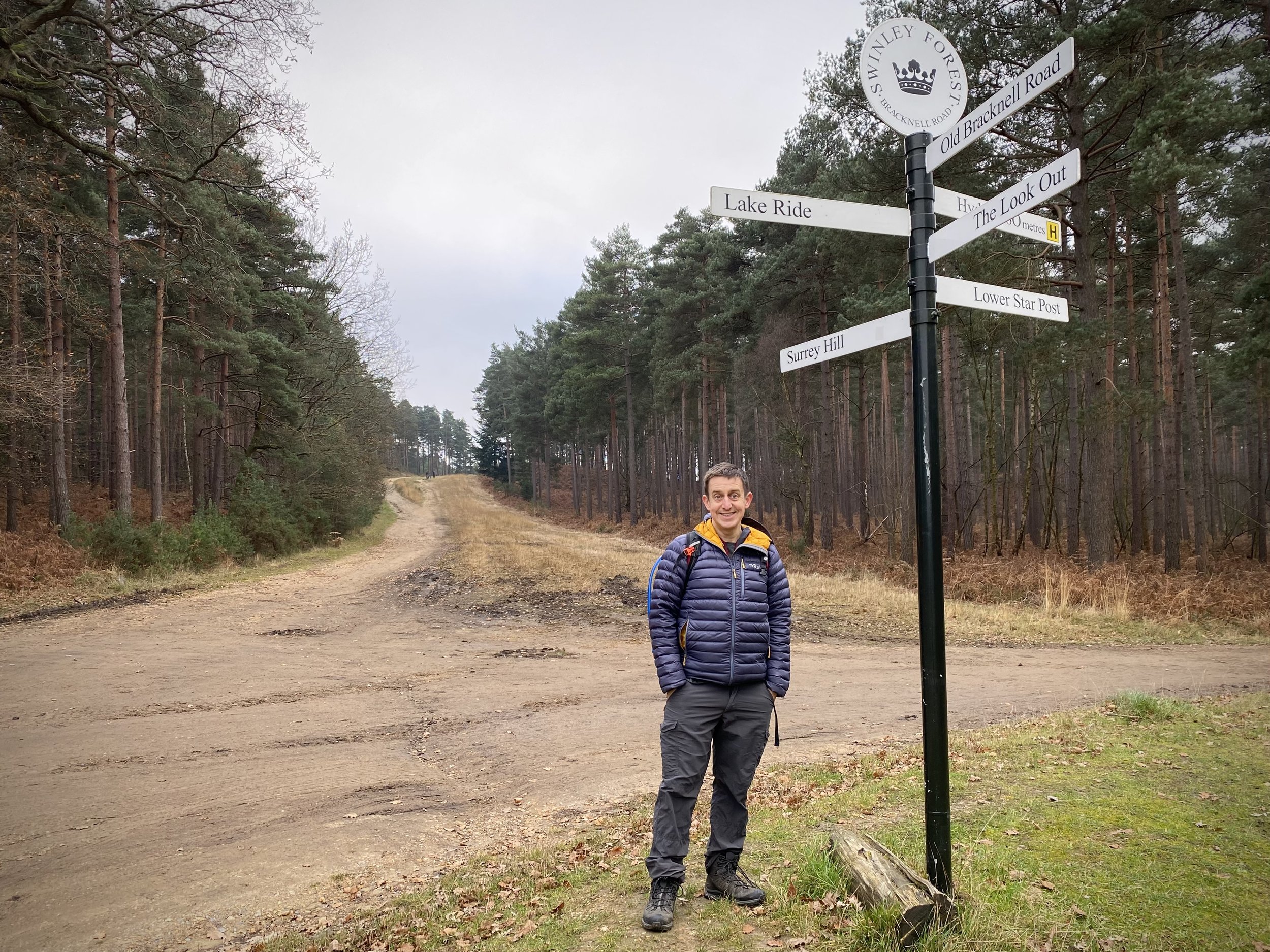
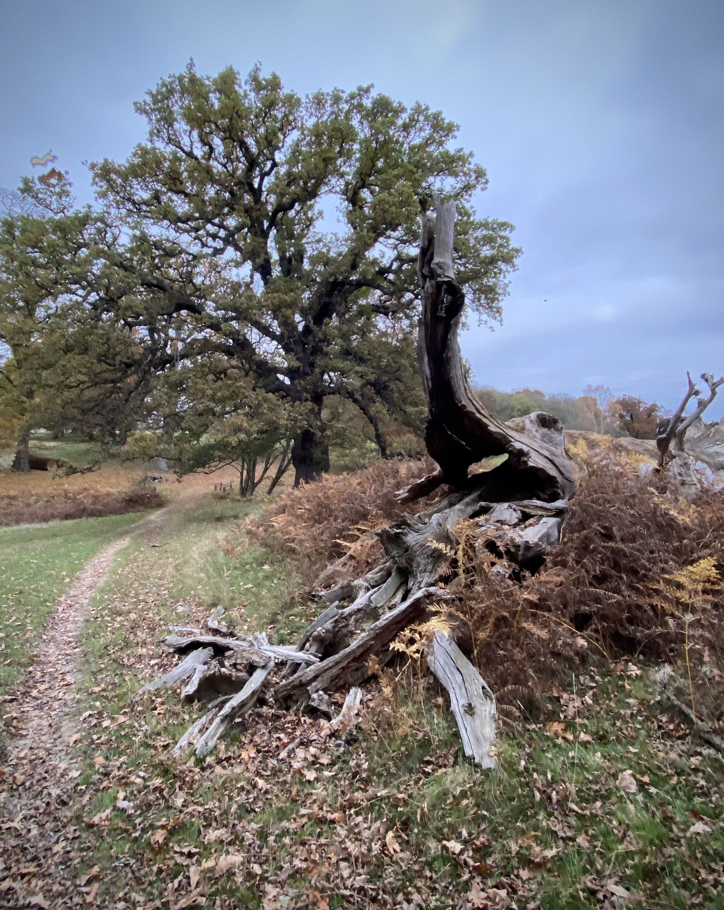
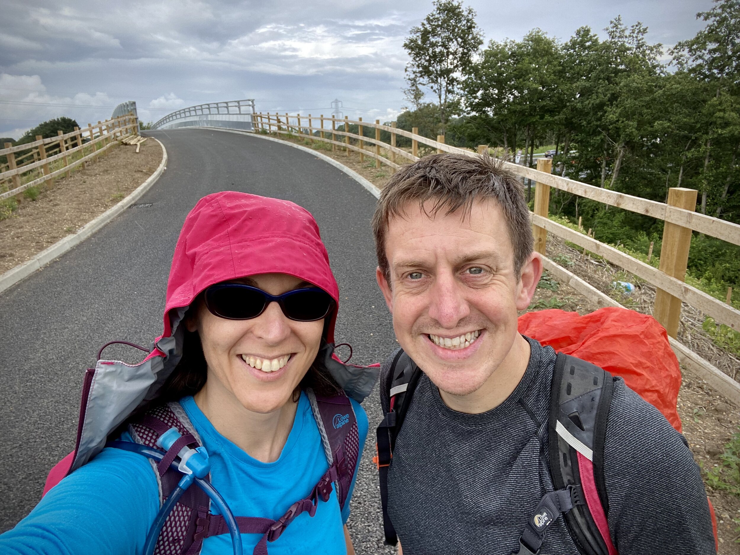
This is part of a series of short circular walks in the Chilterns. The guidance below will help you navigate but don’t use it as a fully accurate turn-by-turn guide. Always take a map and/or a GPX route and prepare well for the weather and terrain.
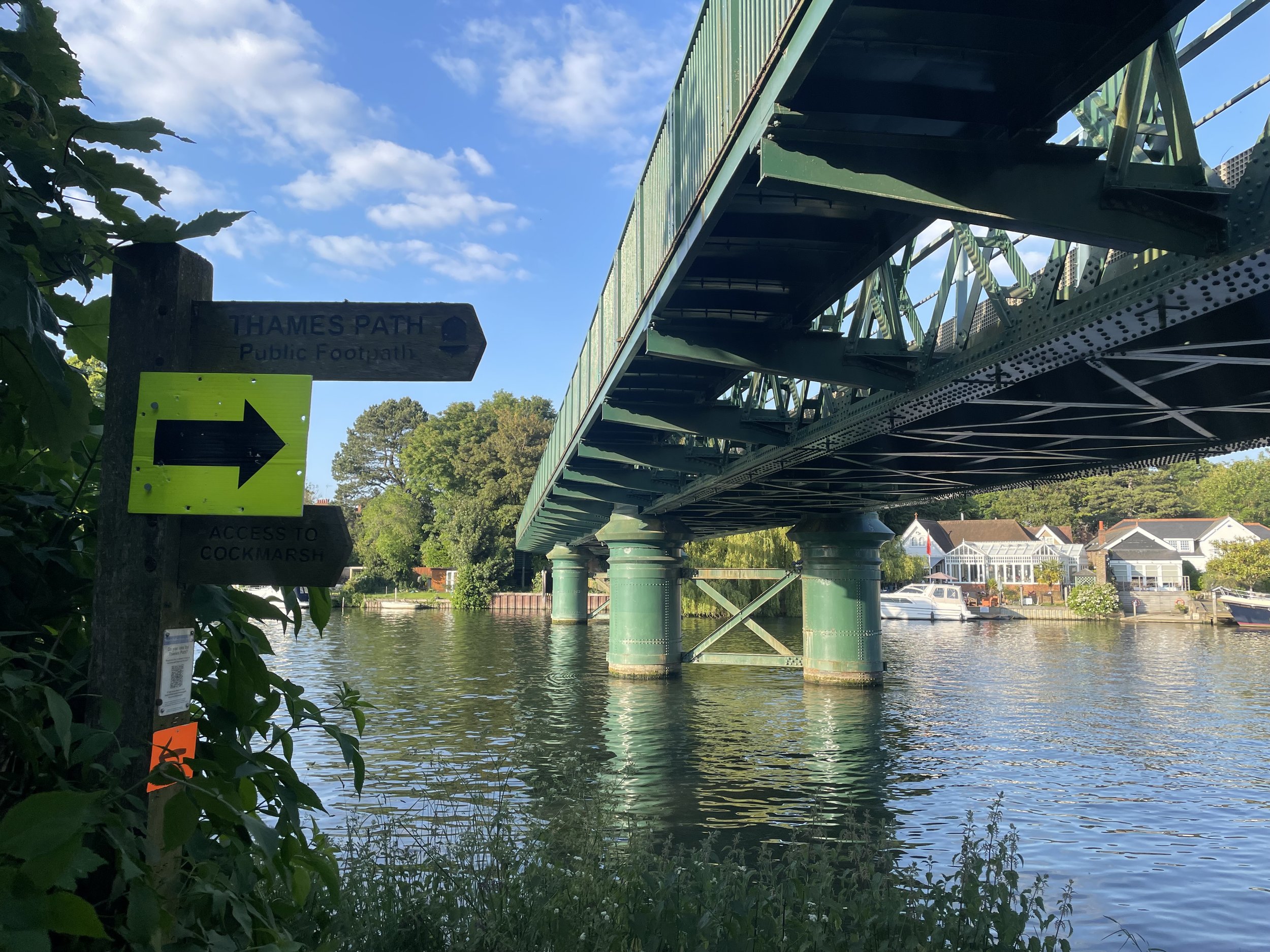
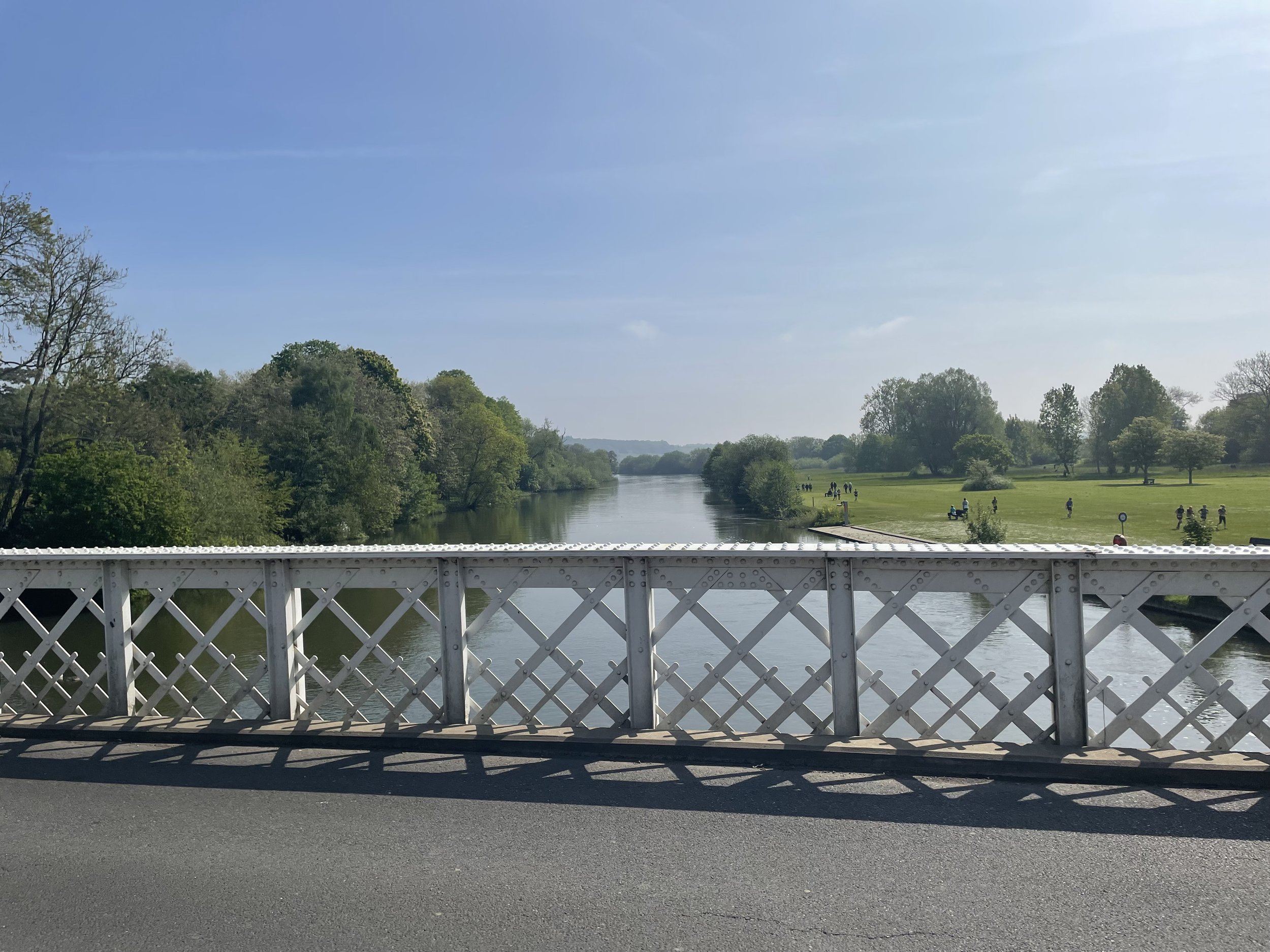
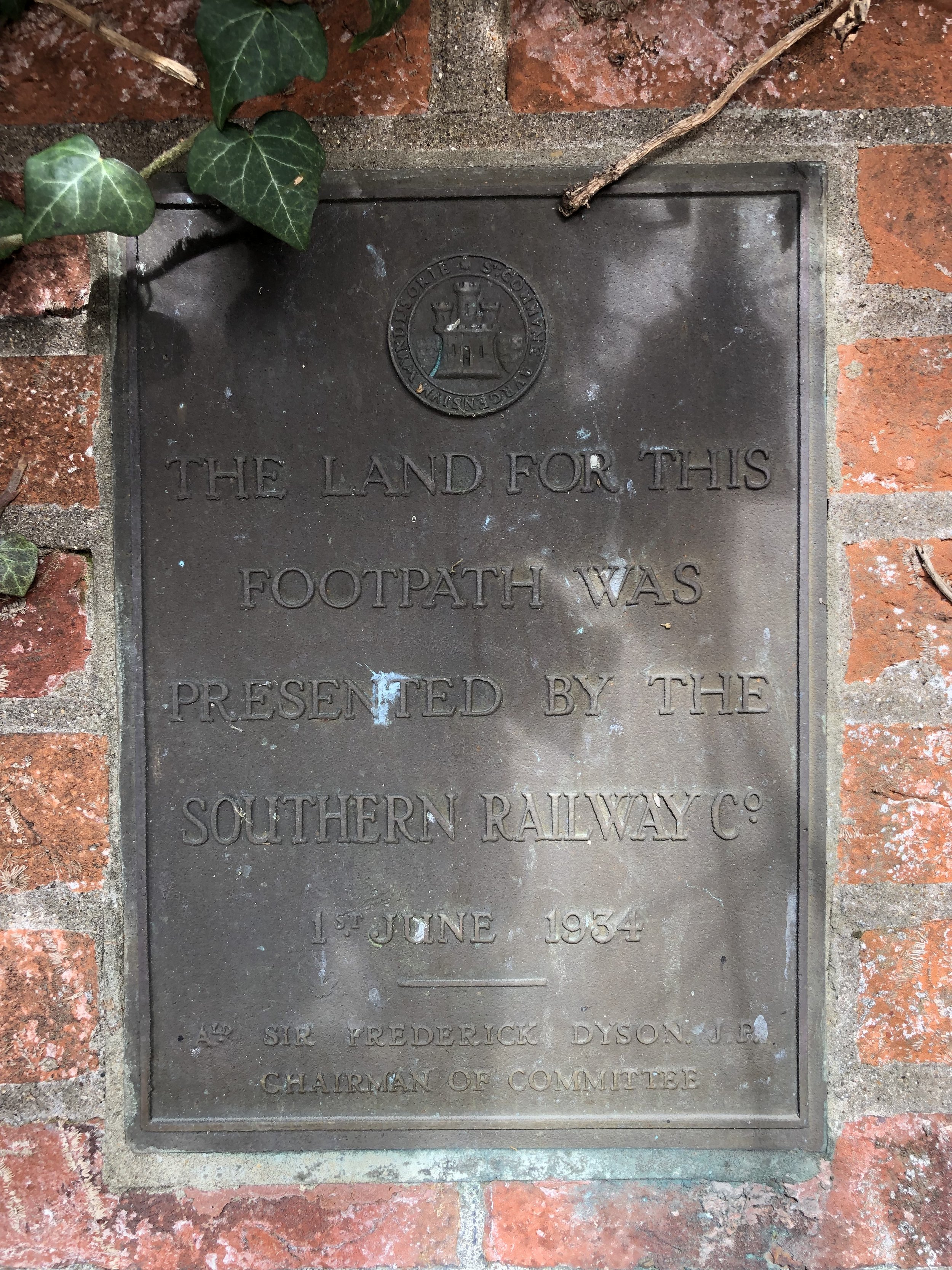
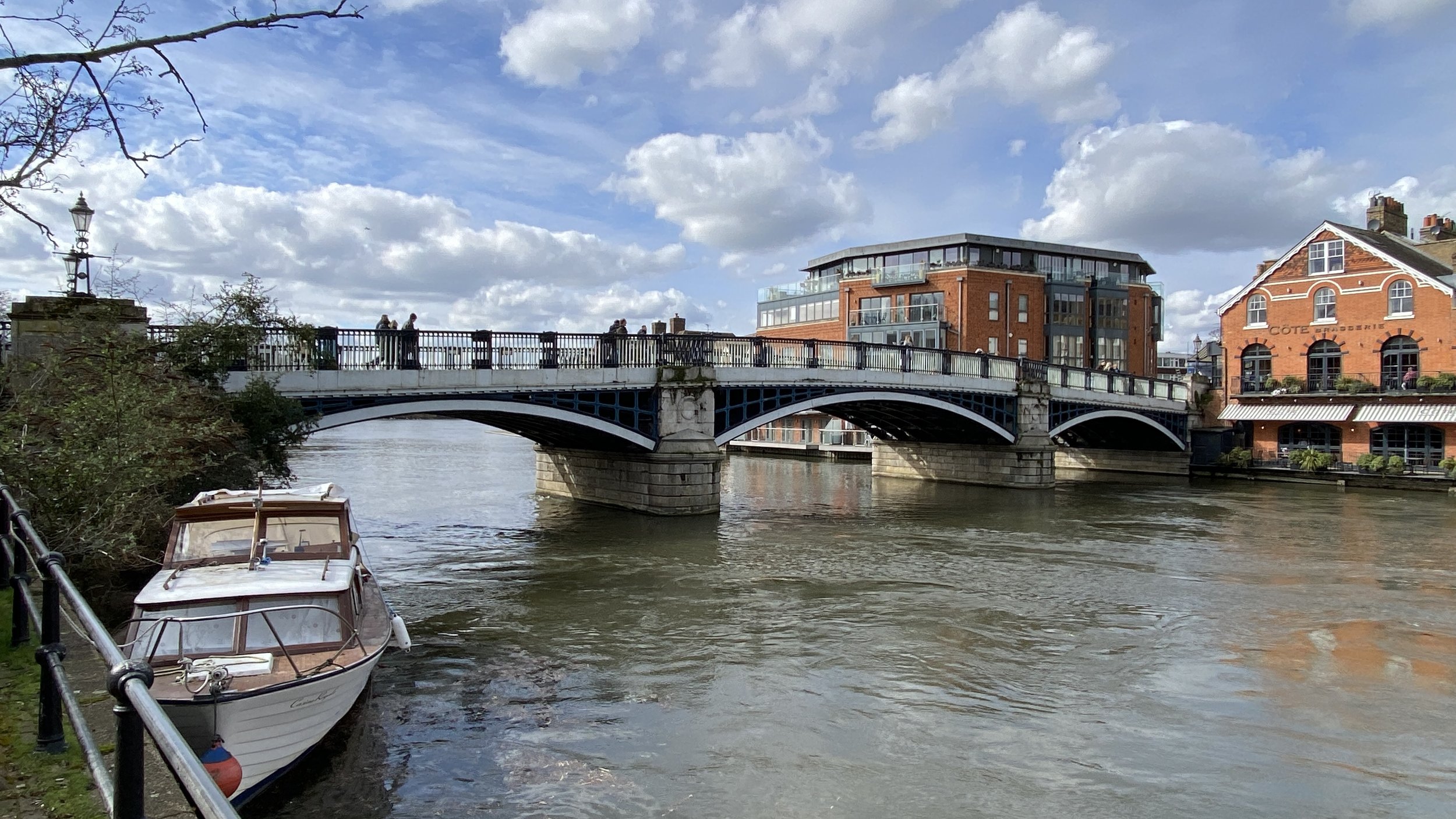
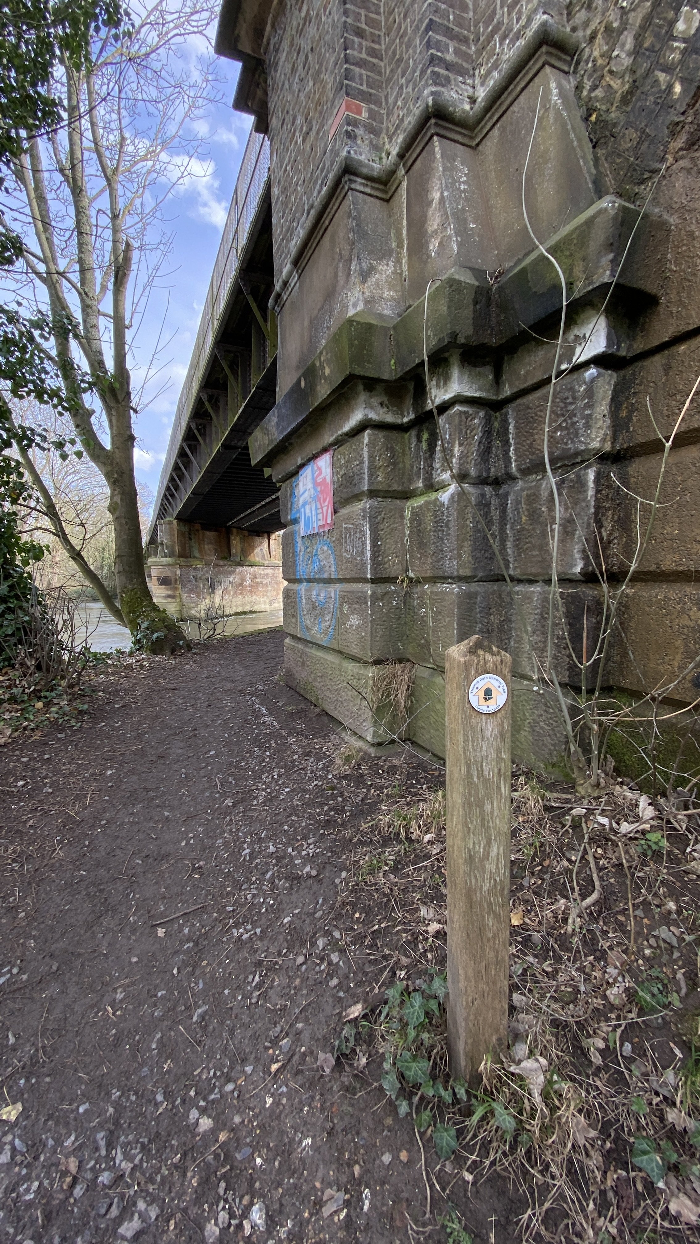
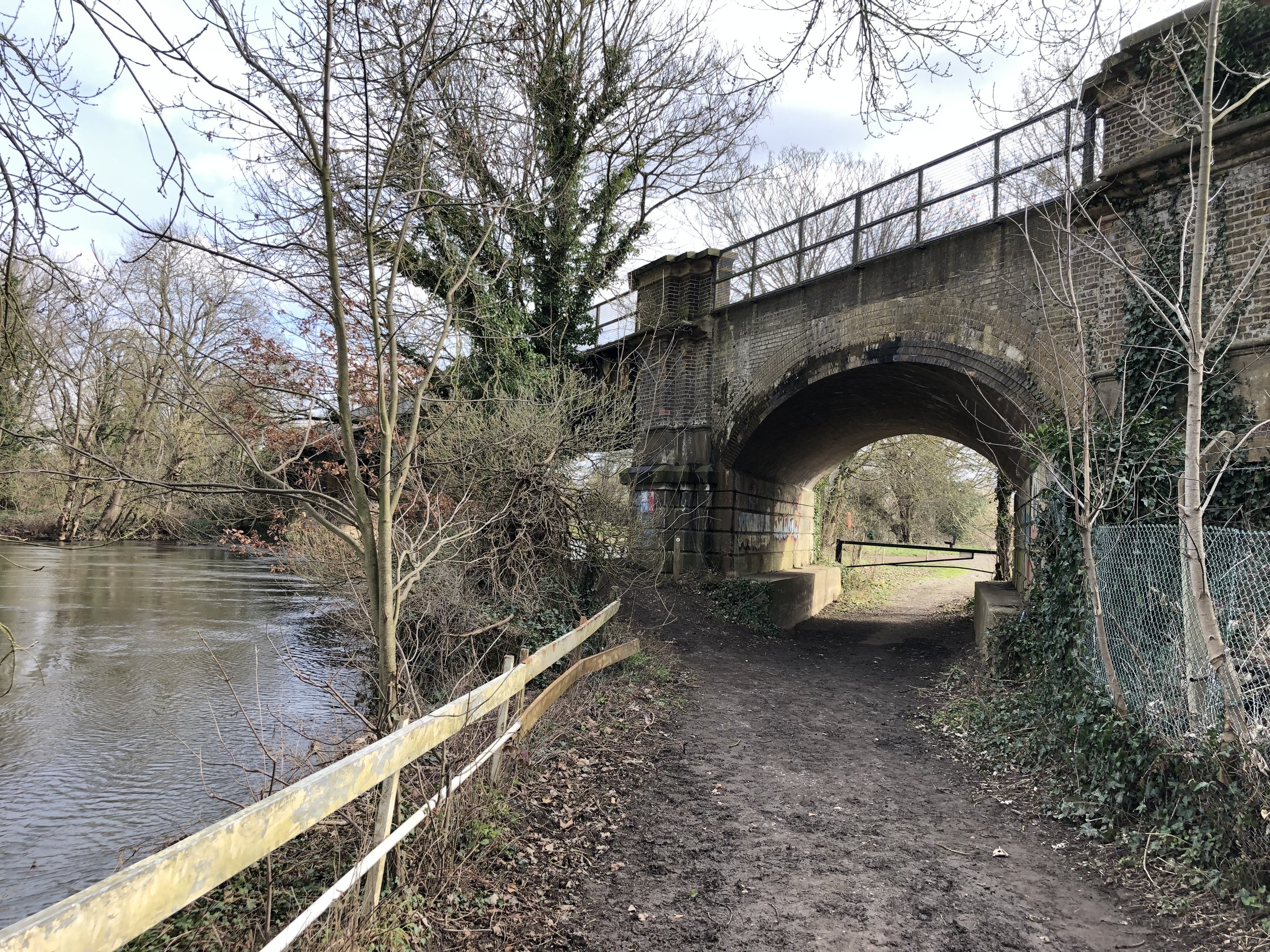
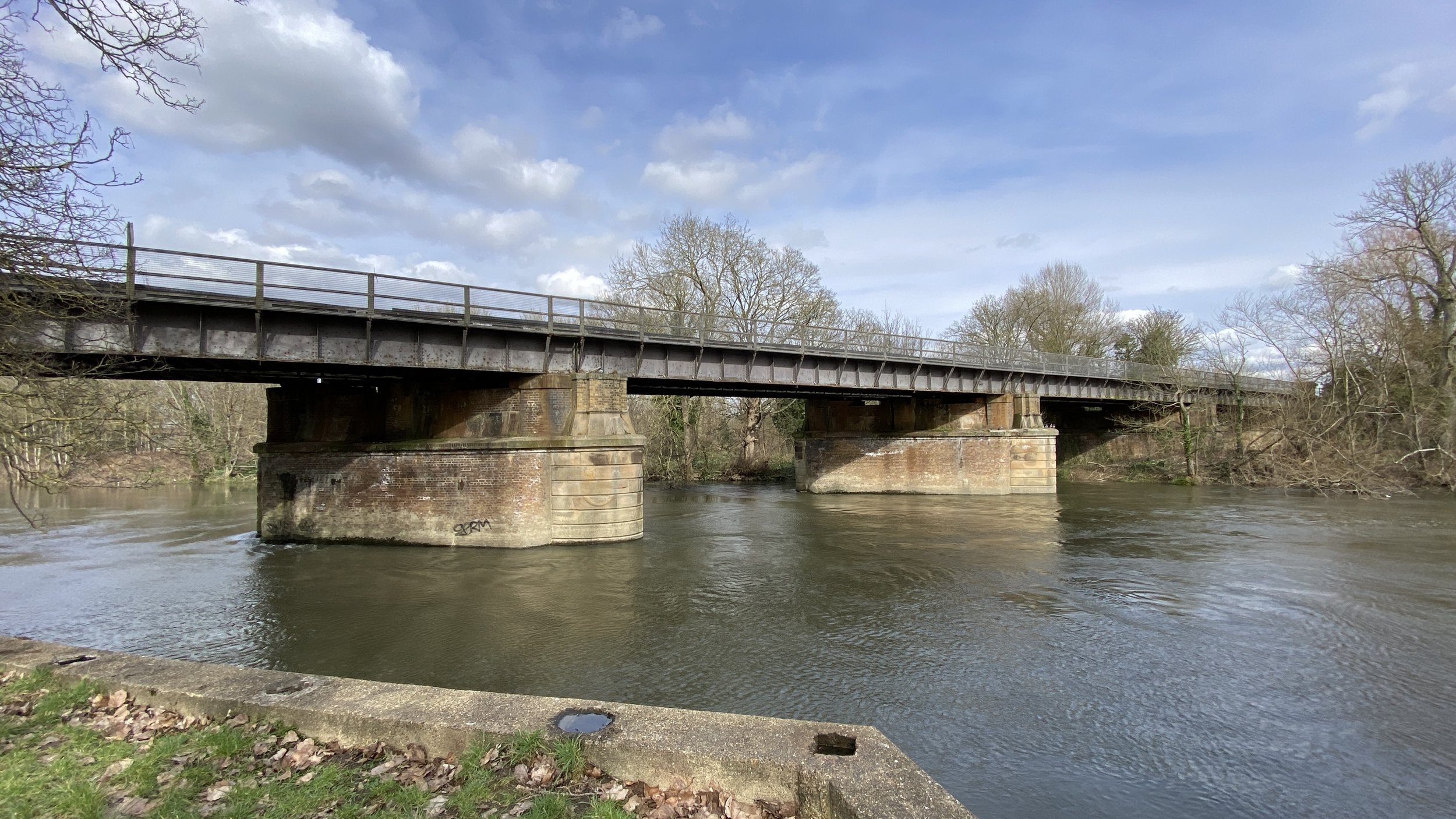
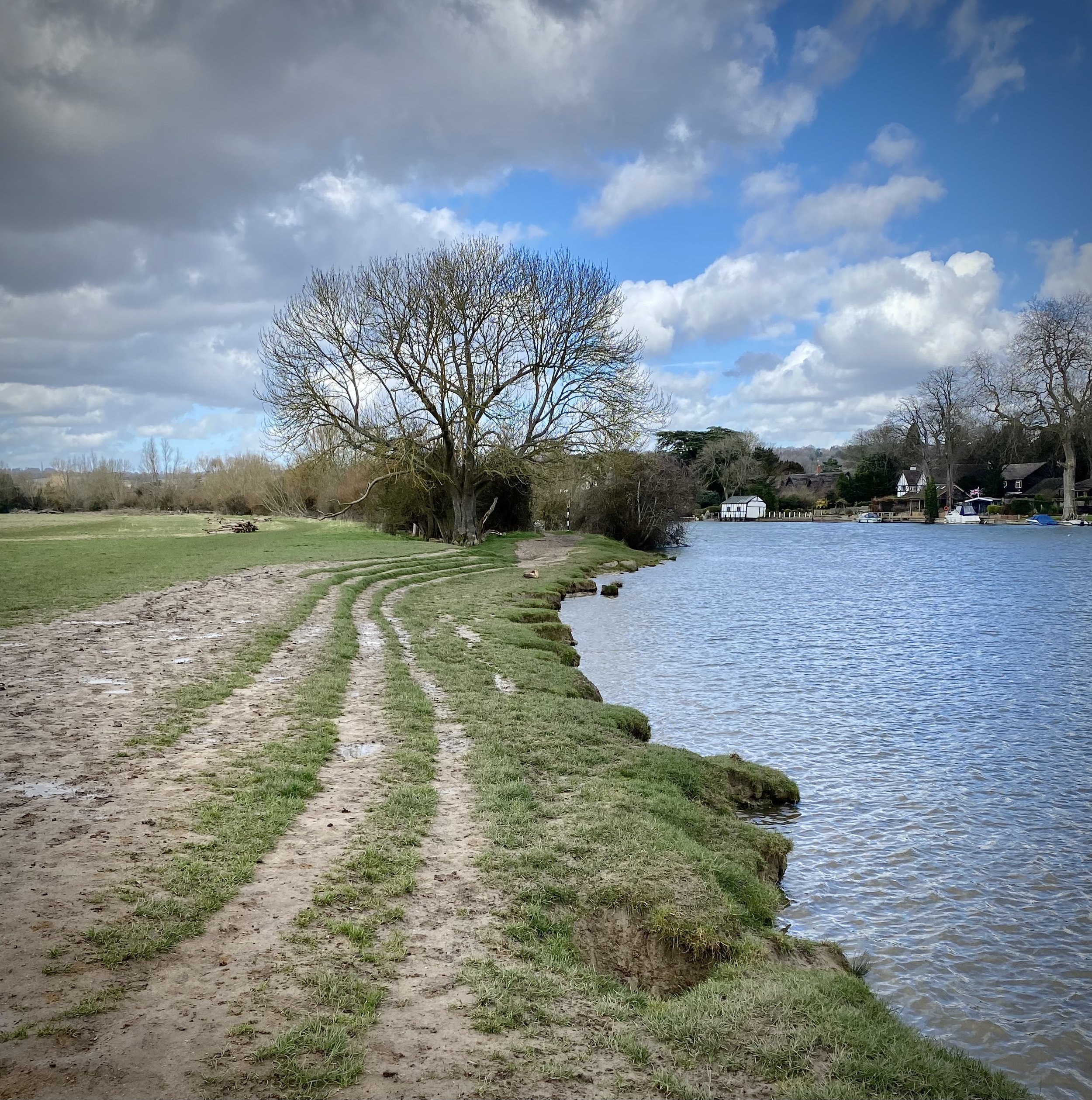
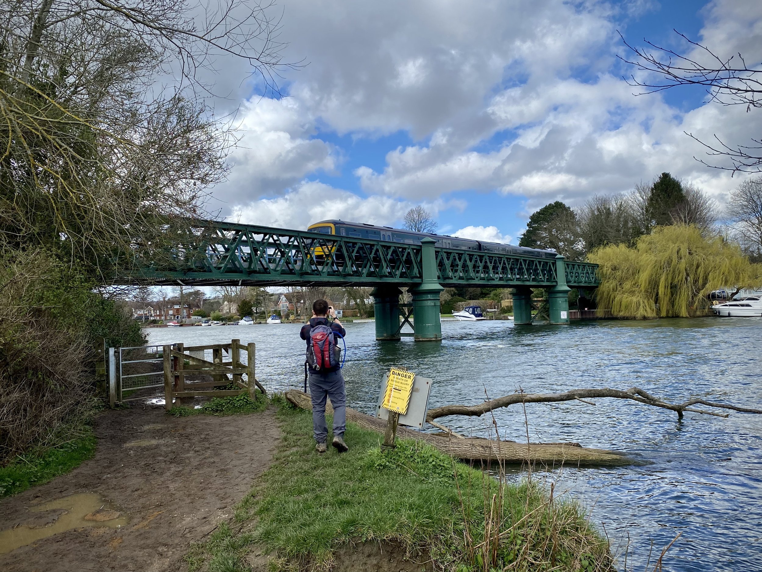
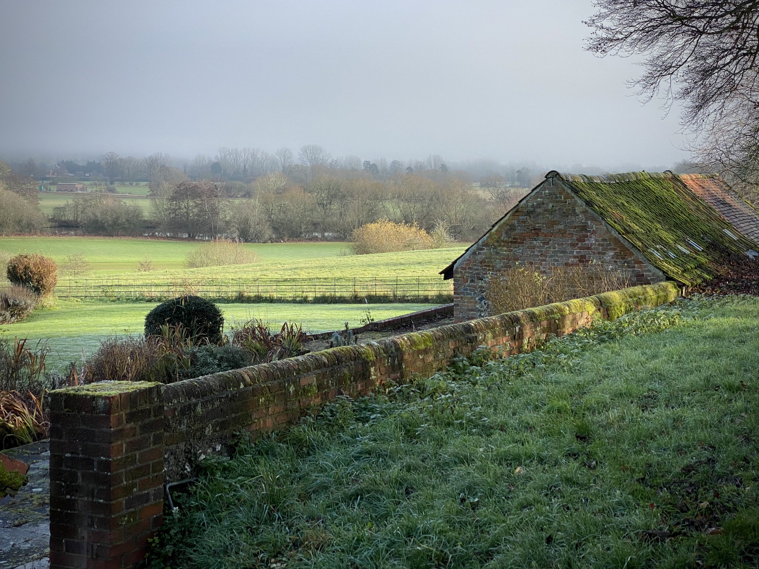
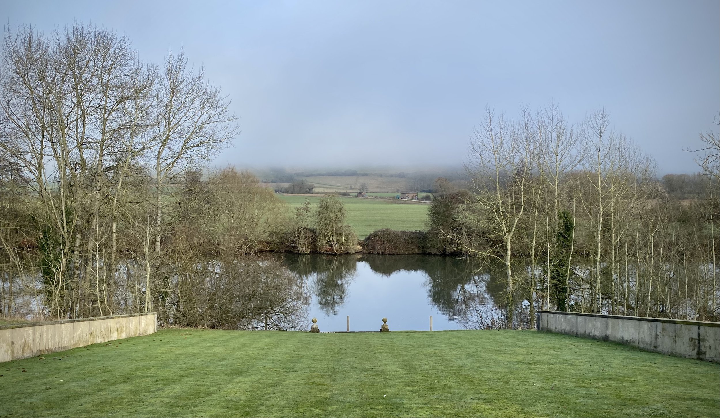
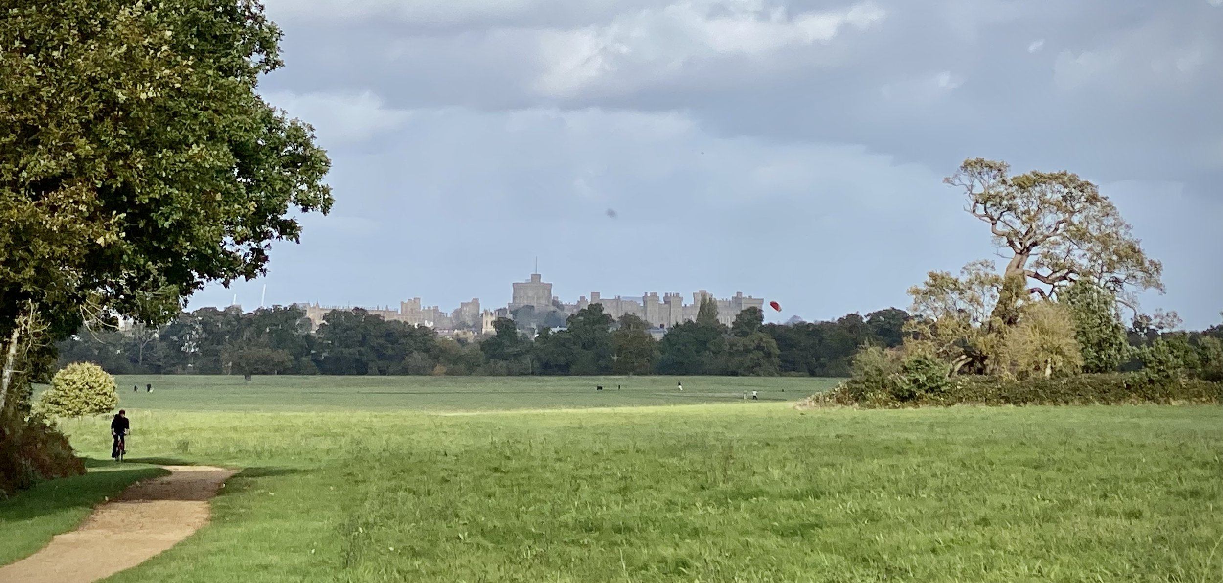
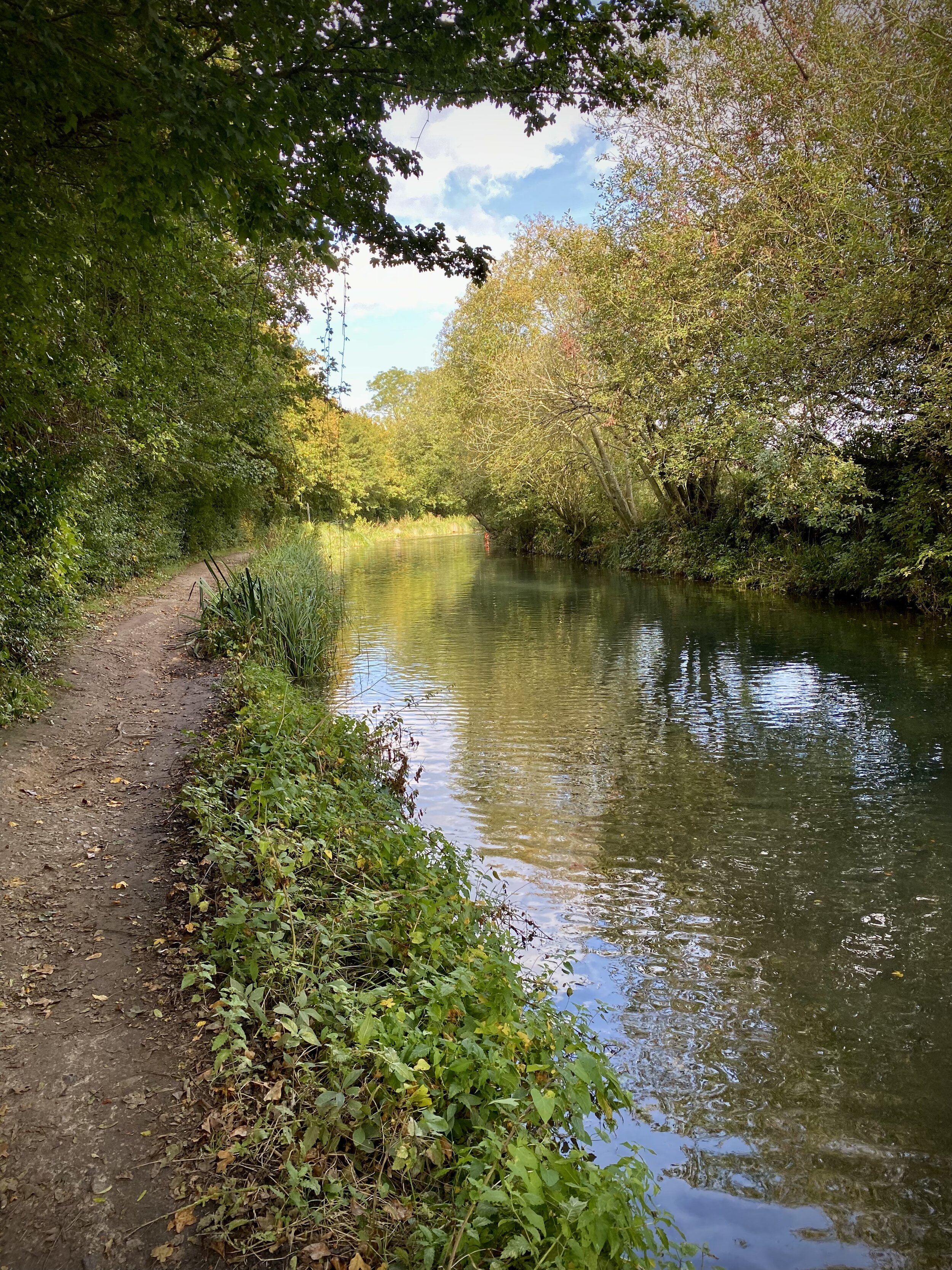
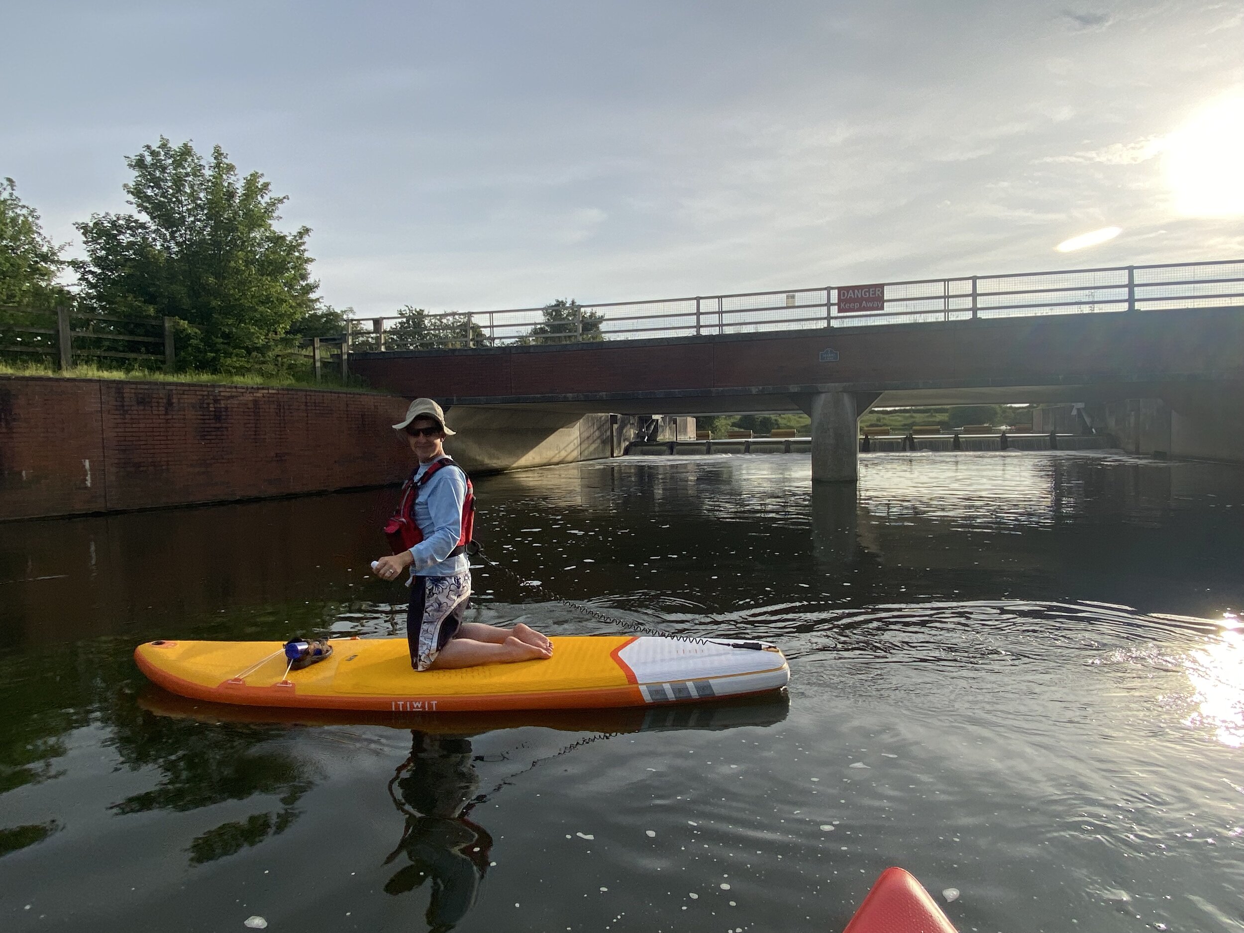
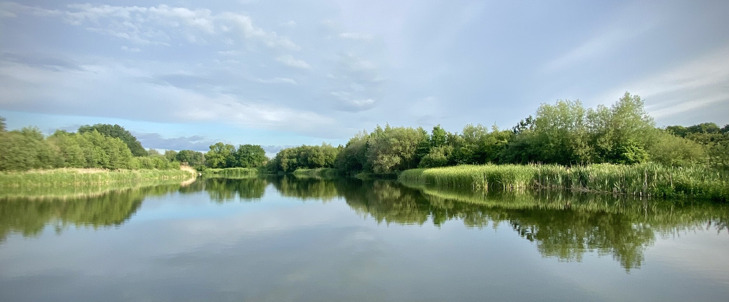
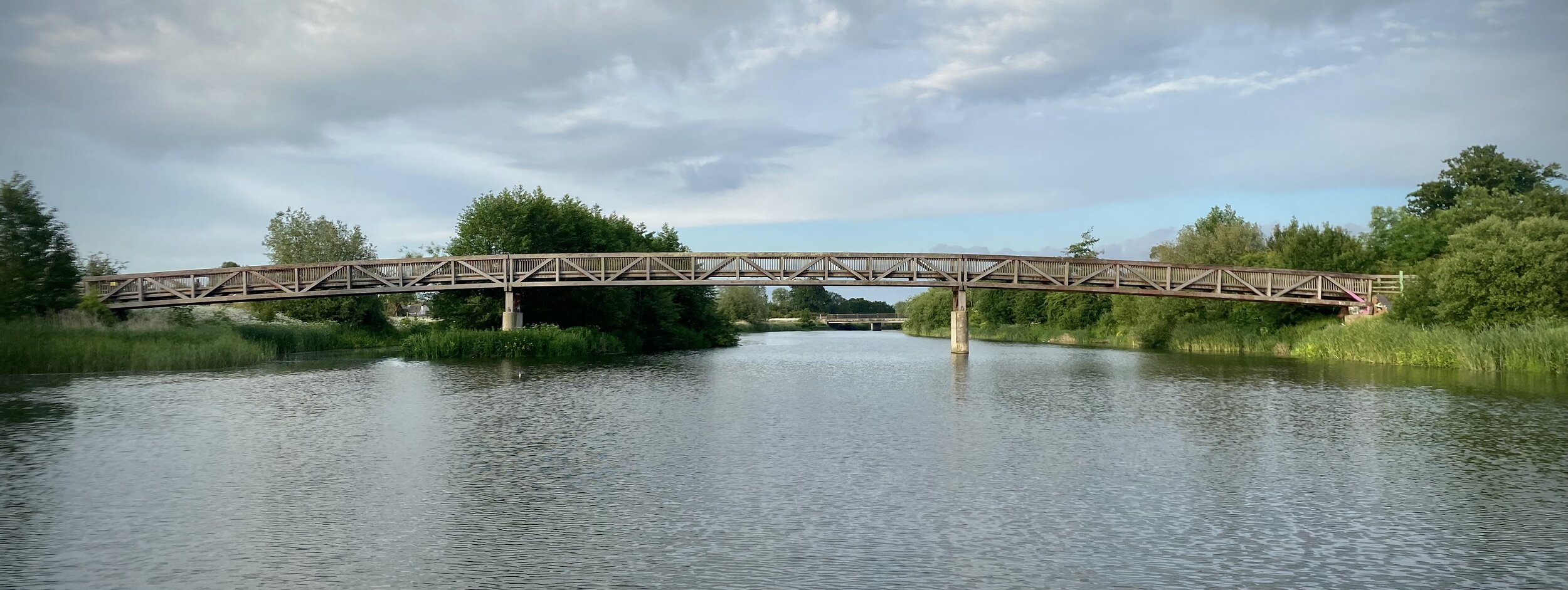
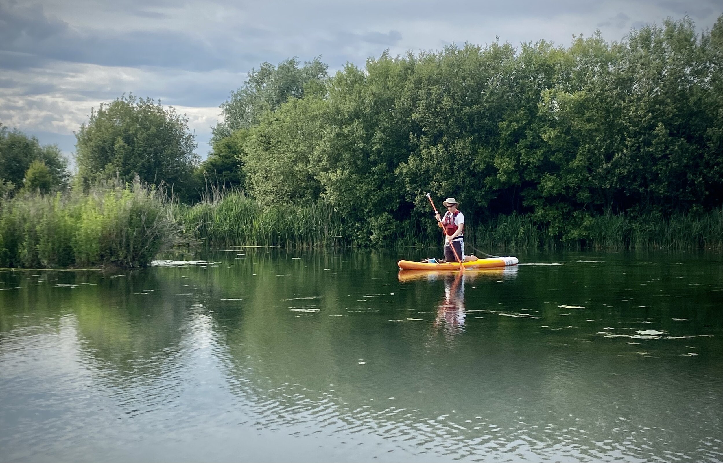
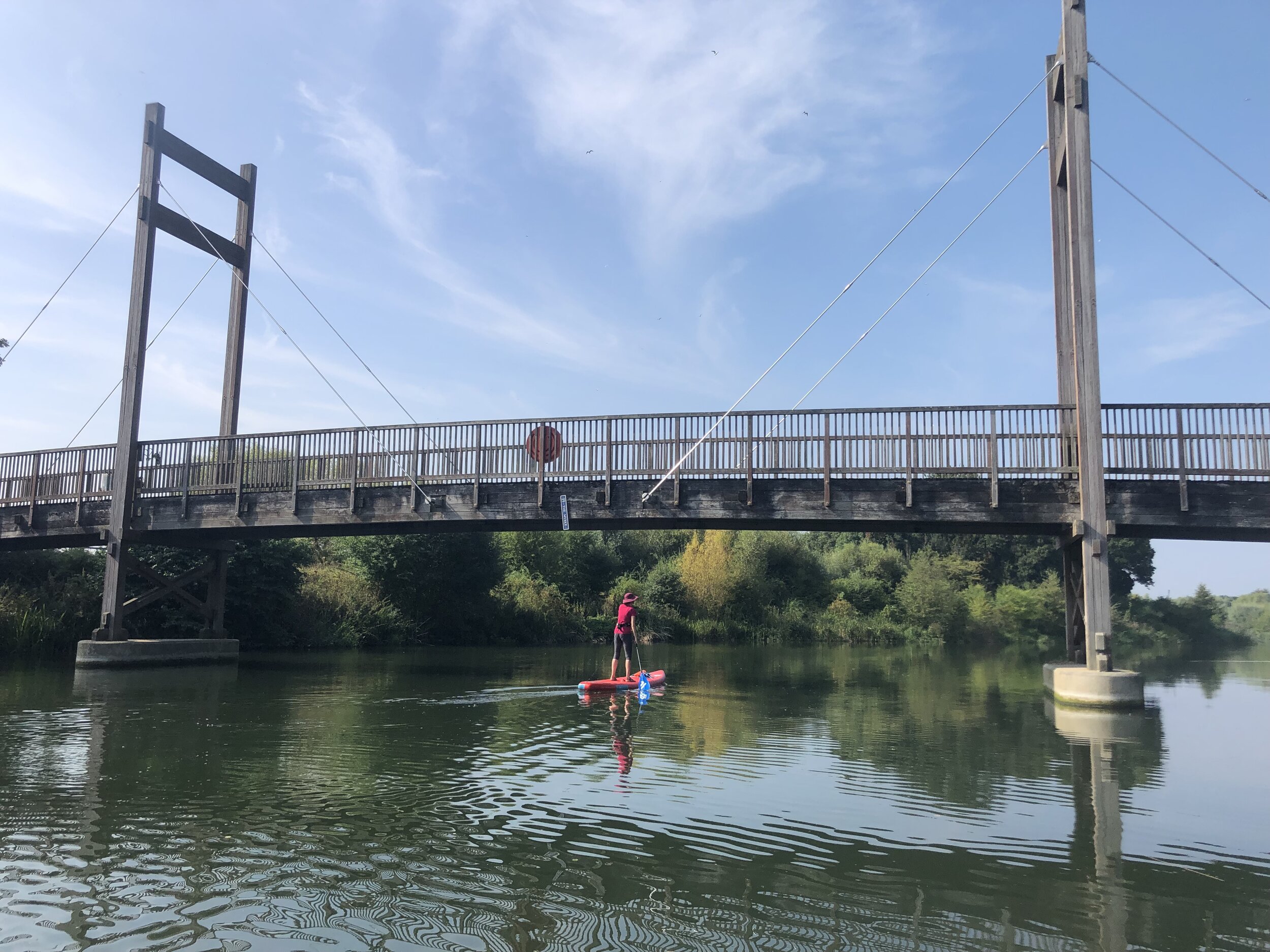
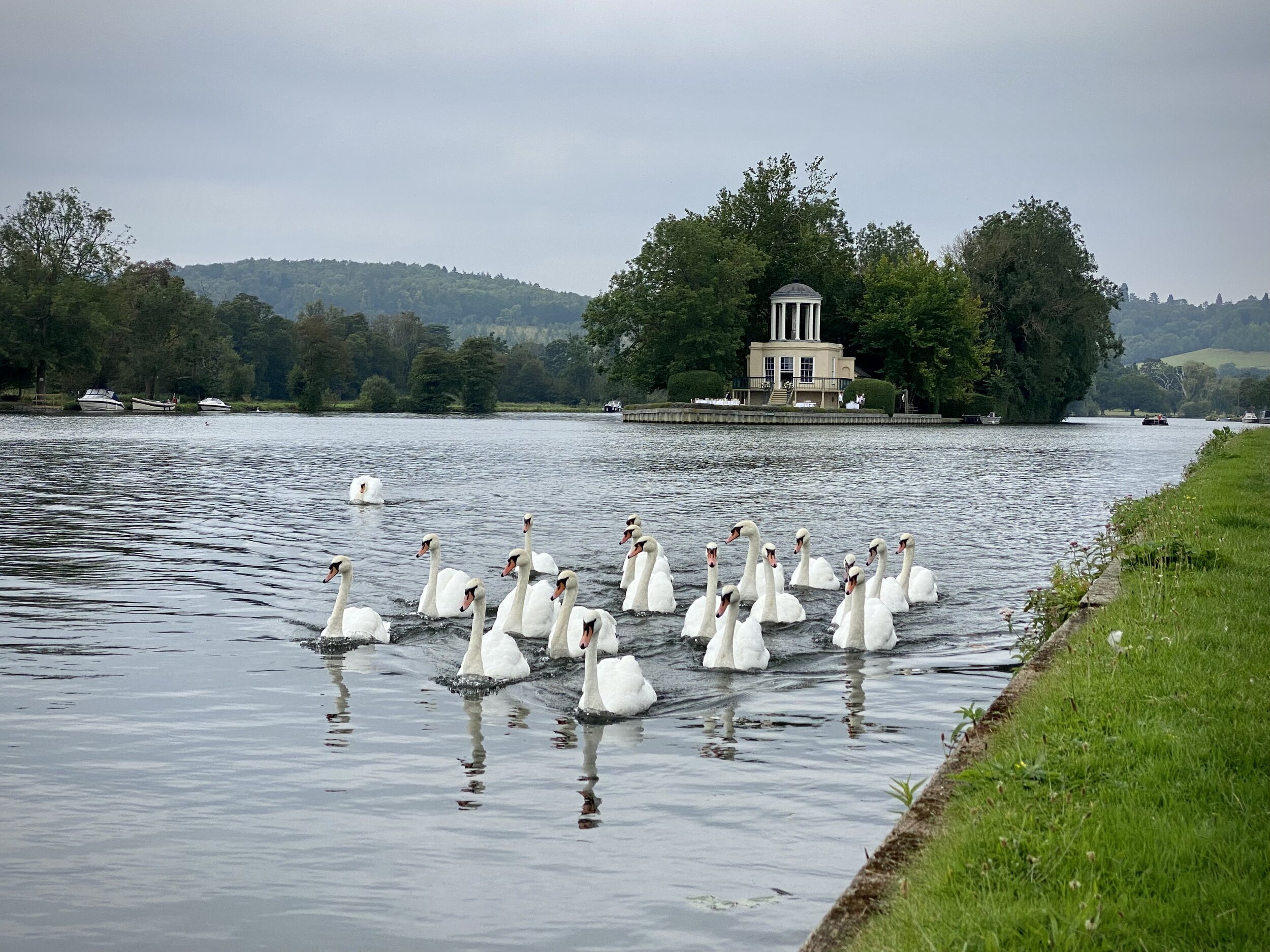
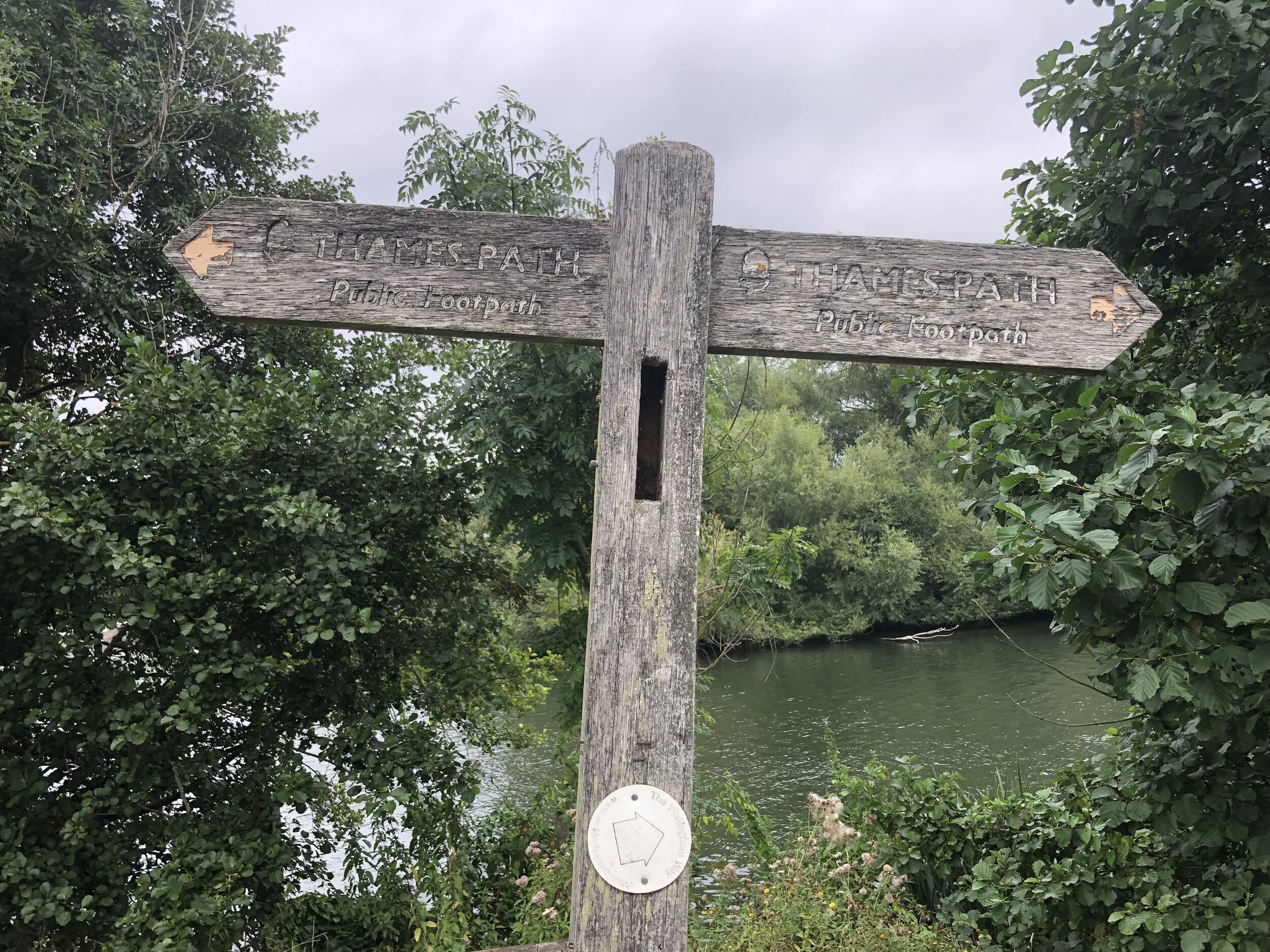
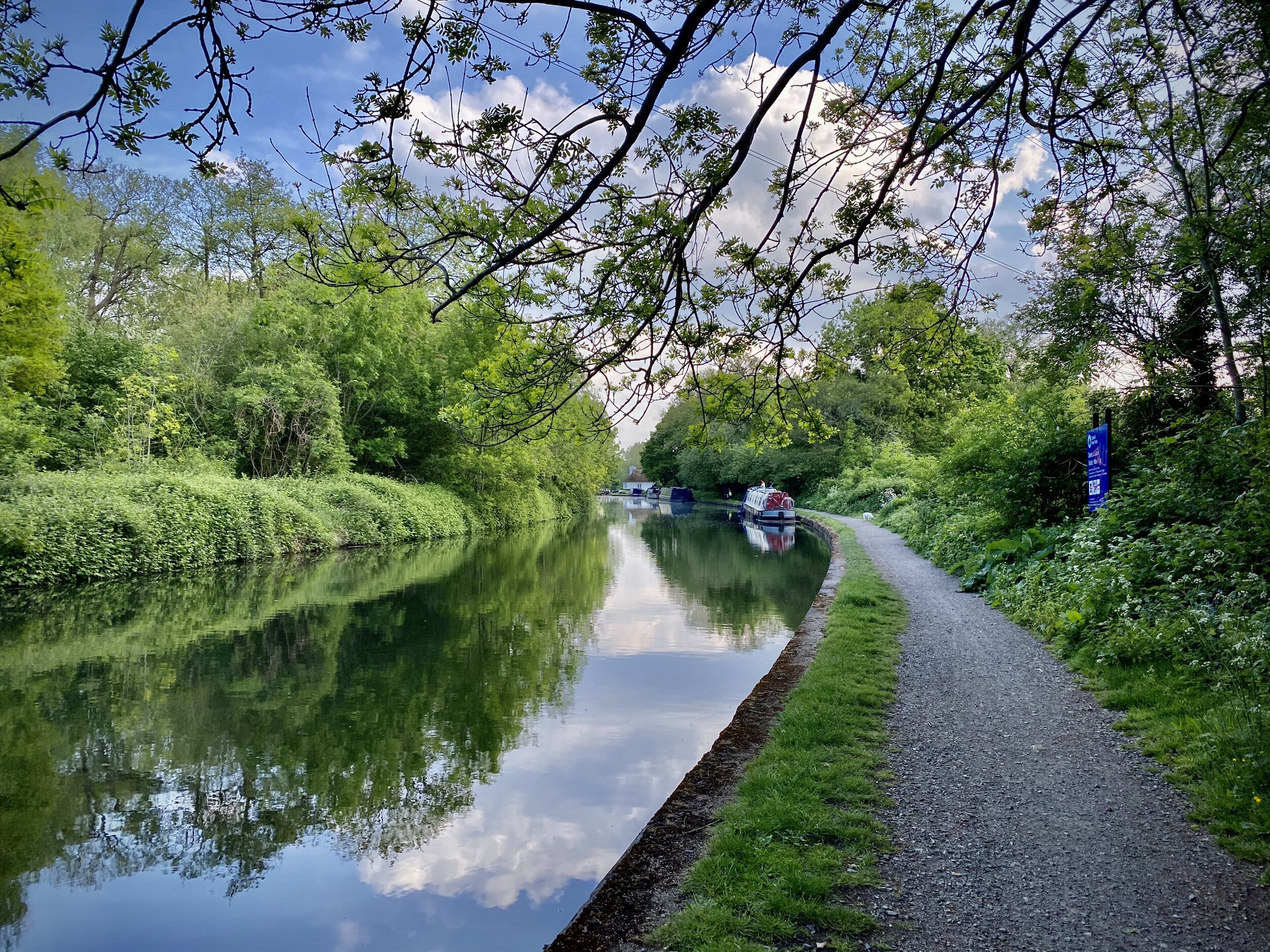
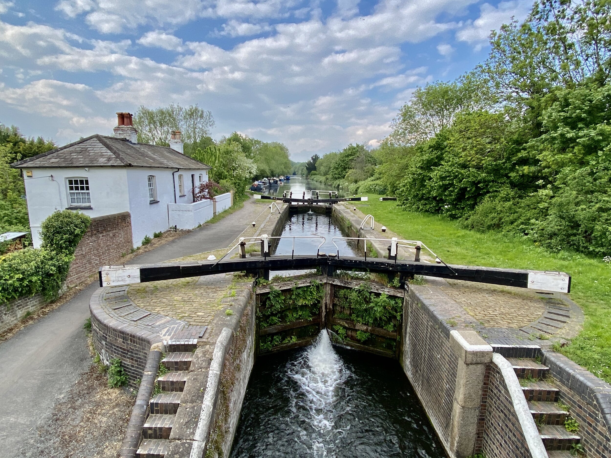
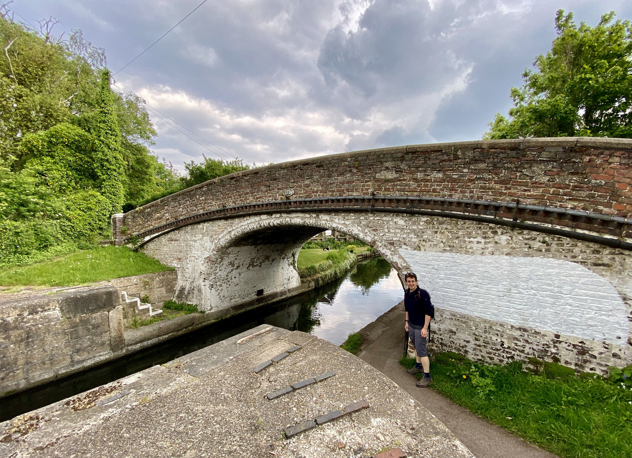
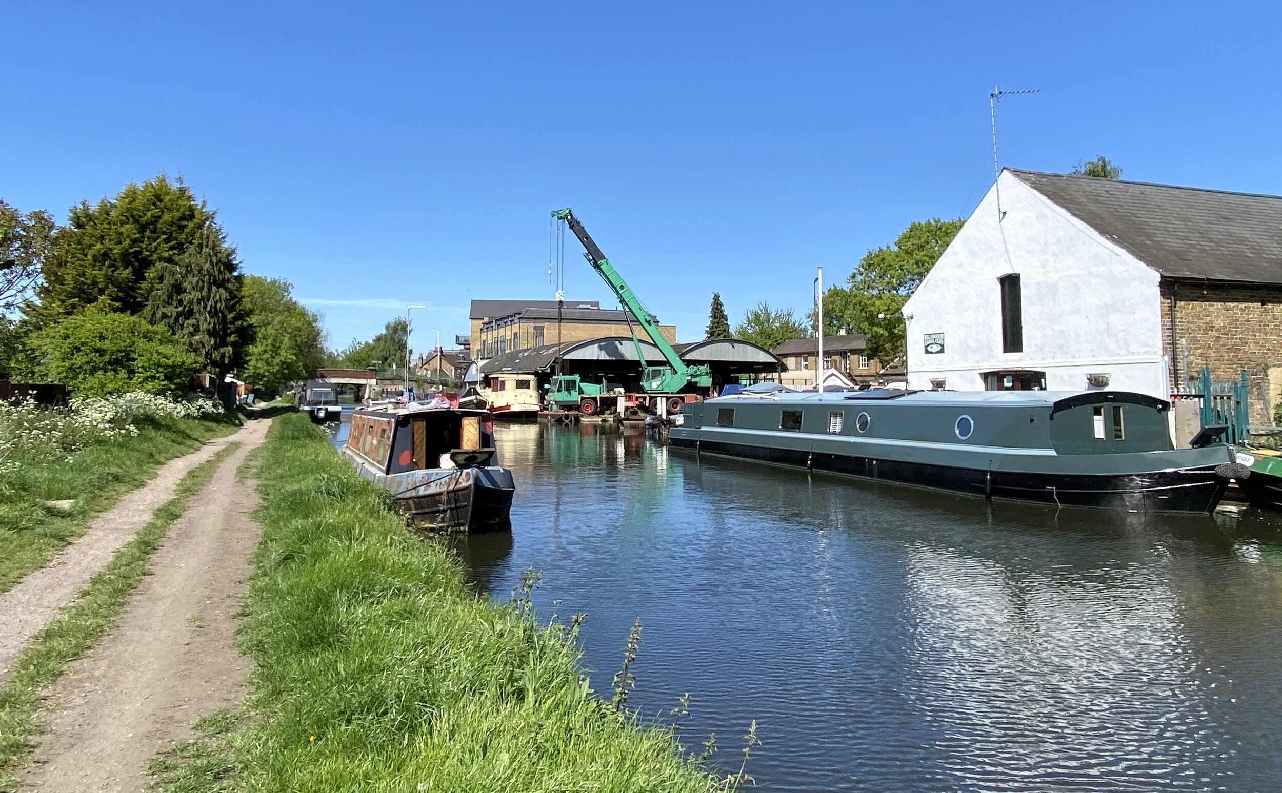
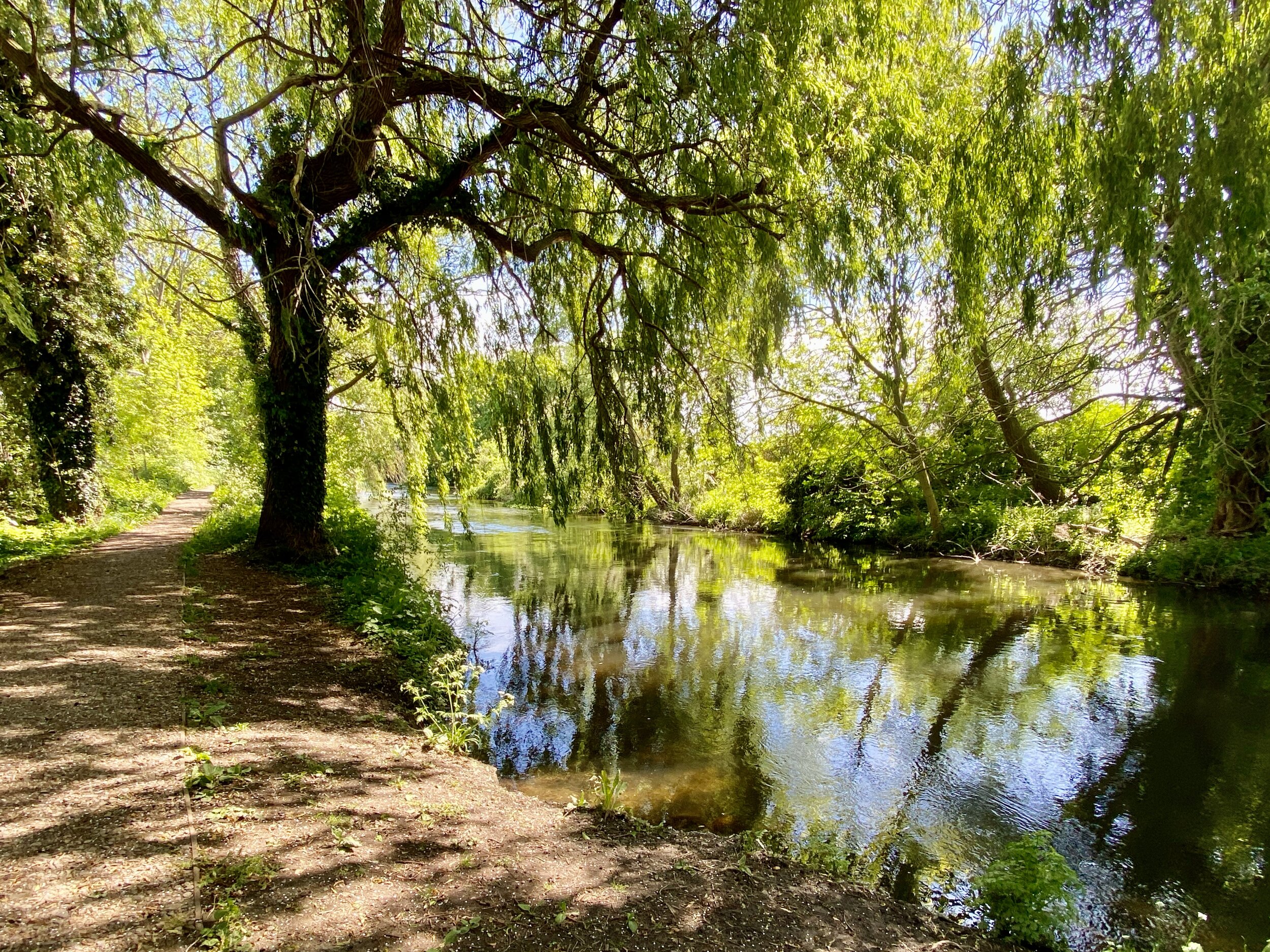
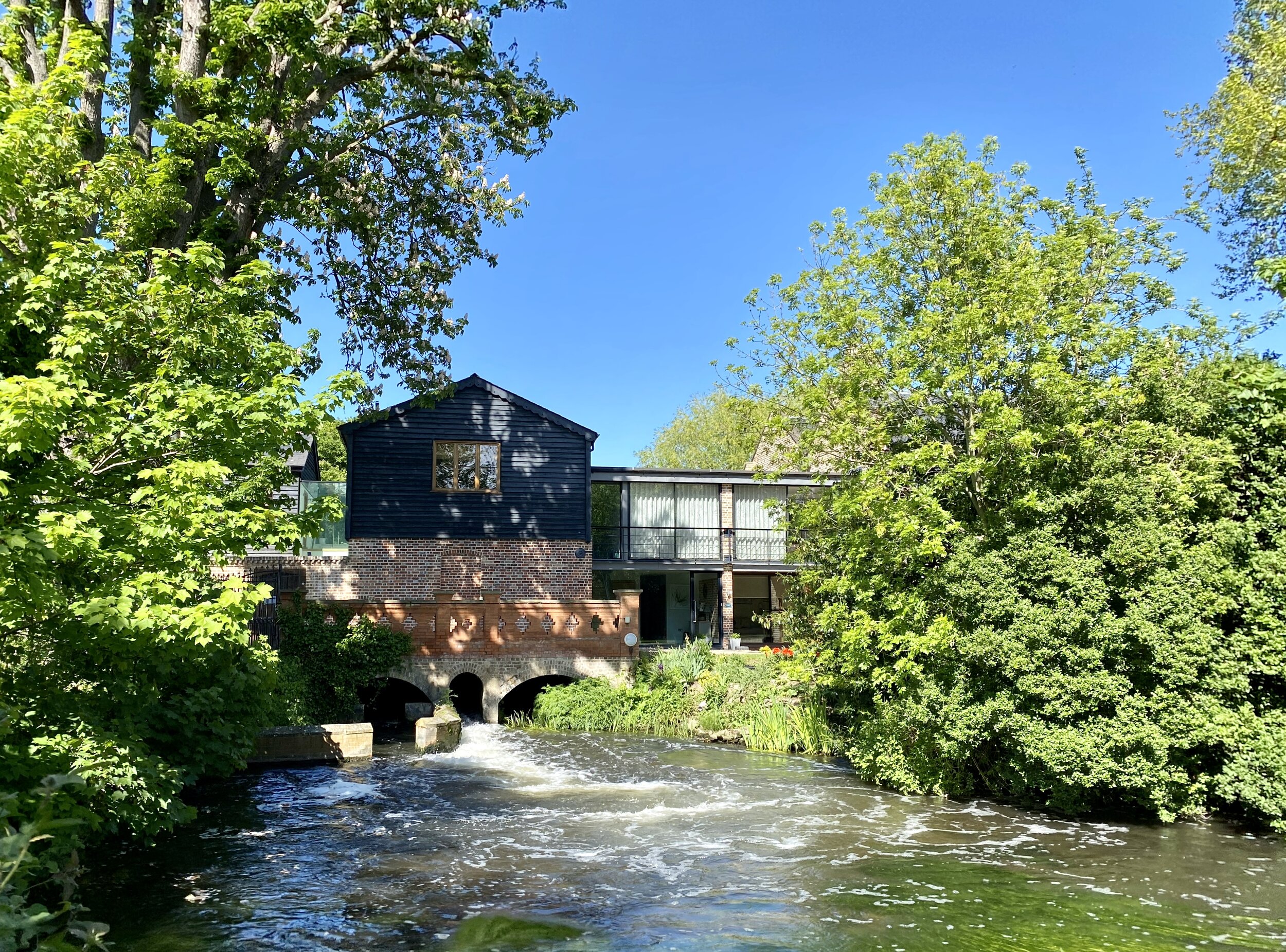
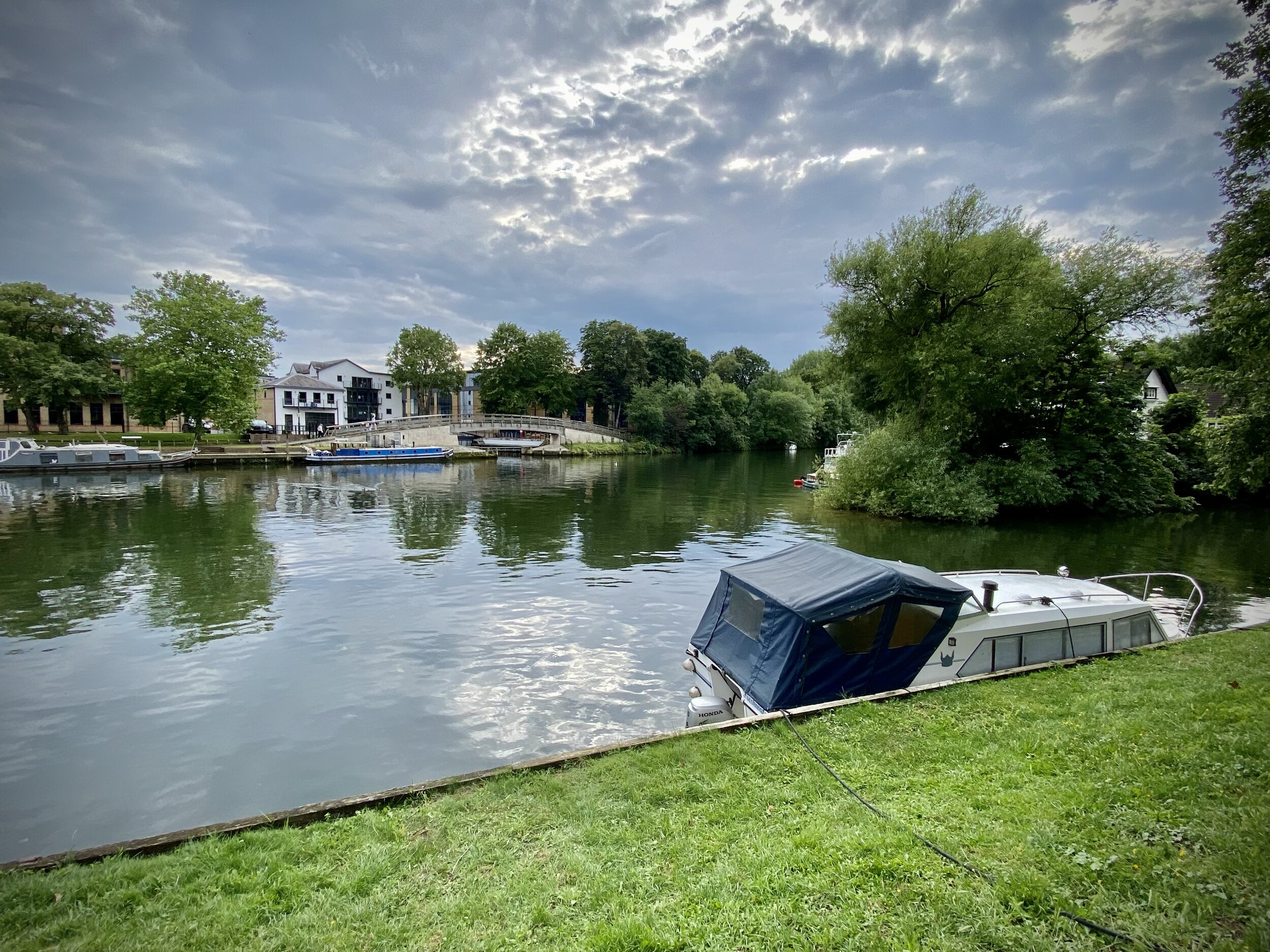
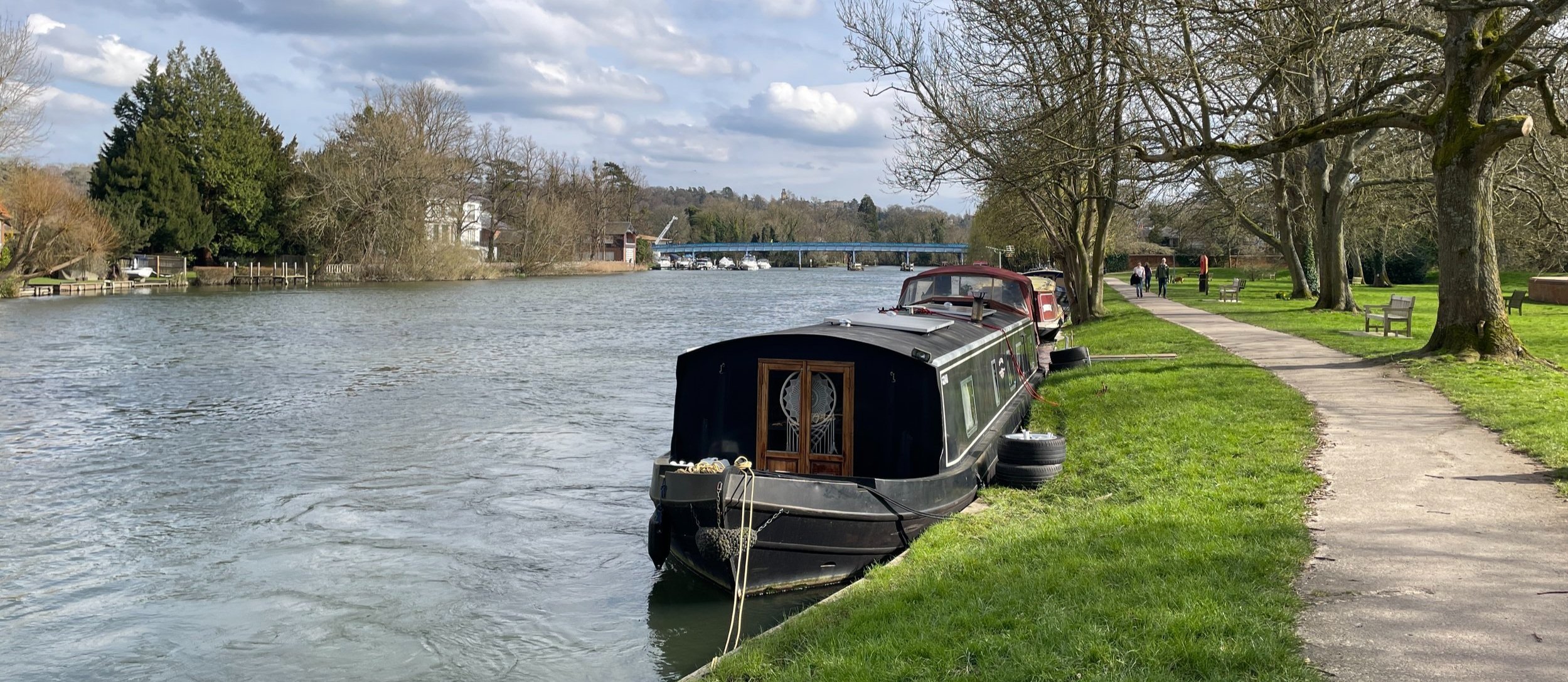
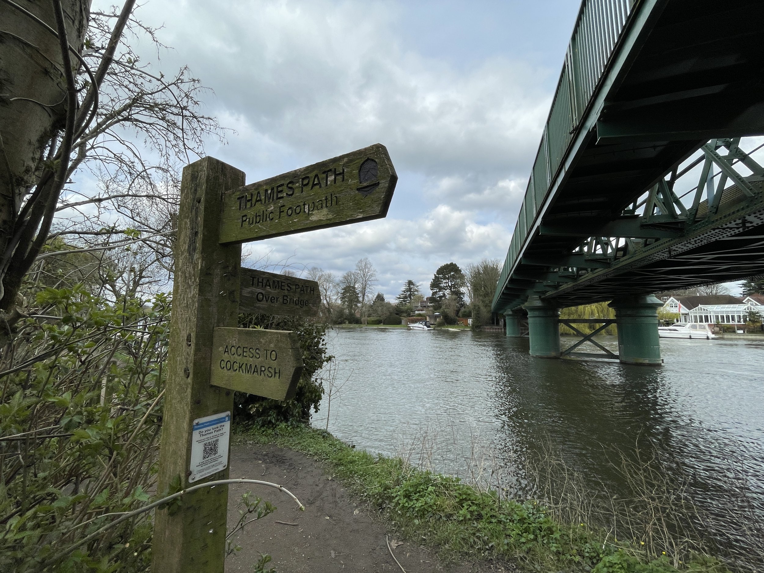
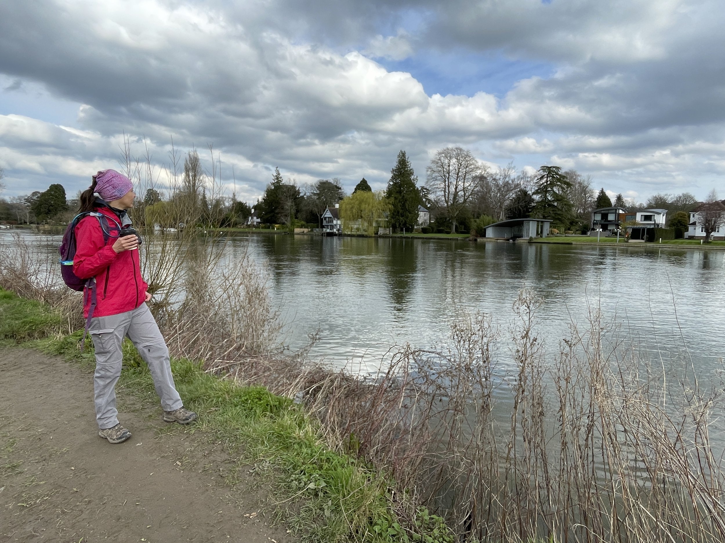
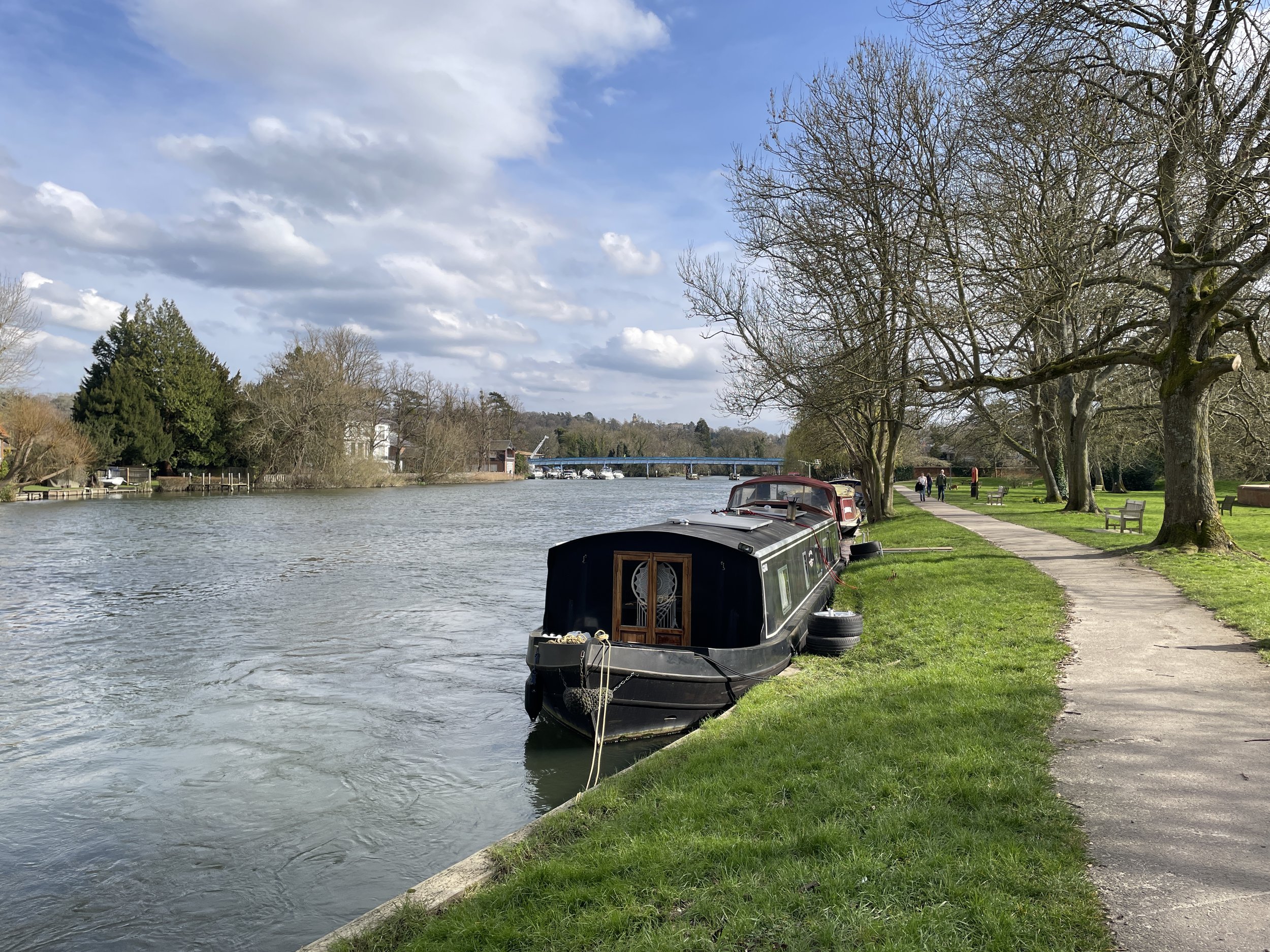
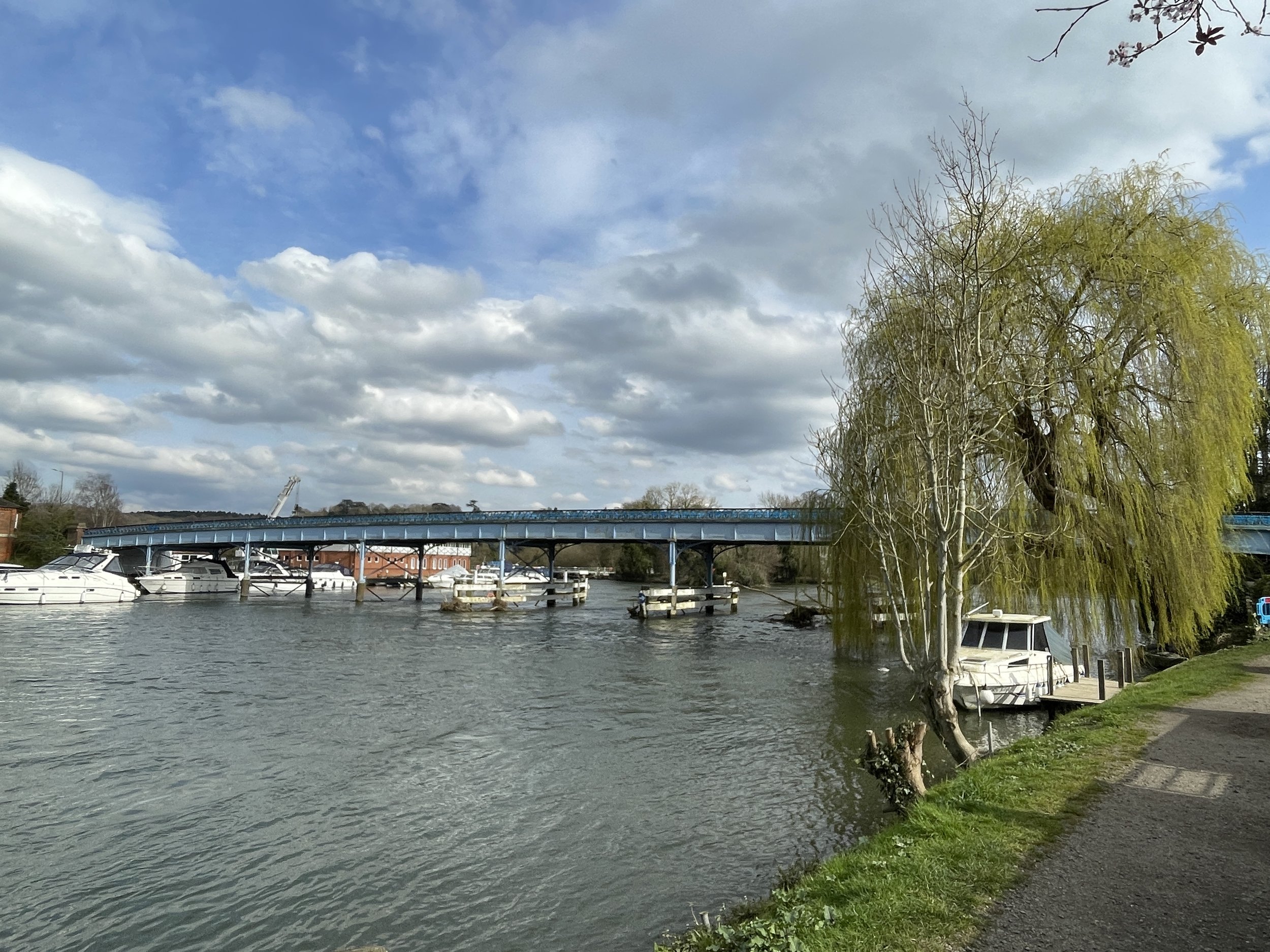
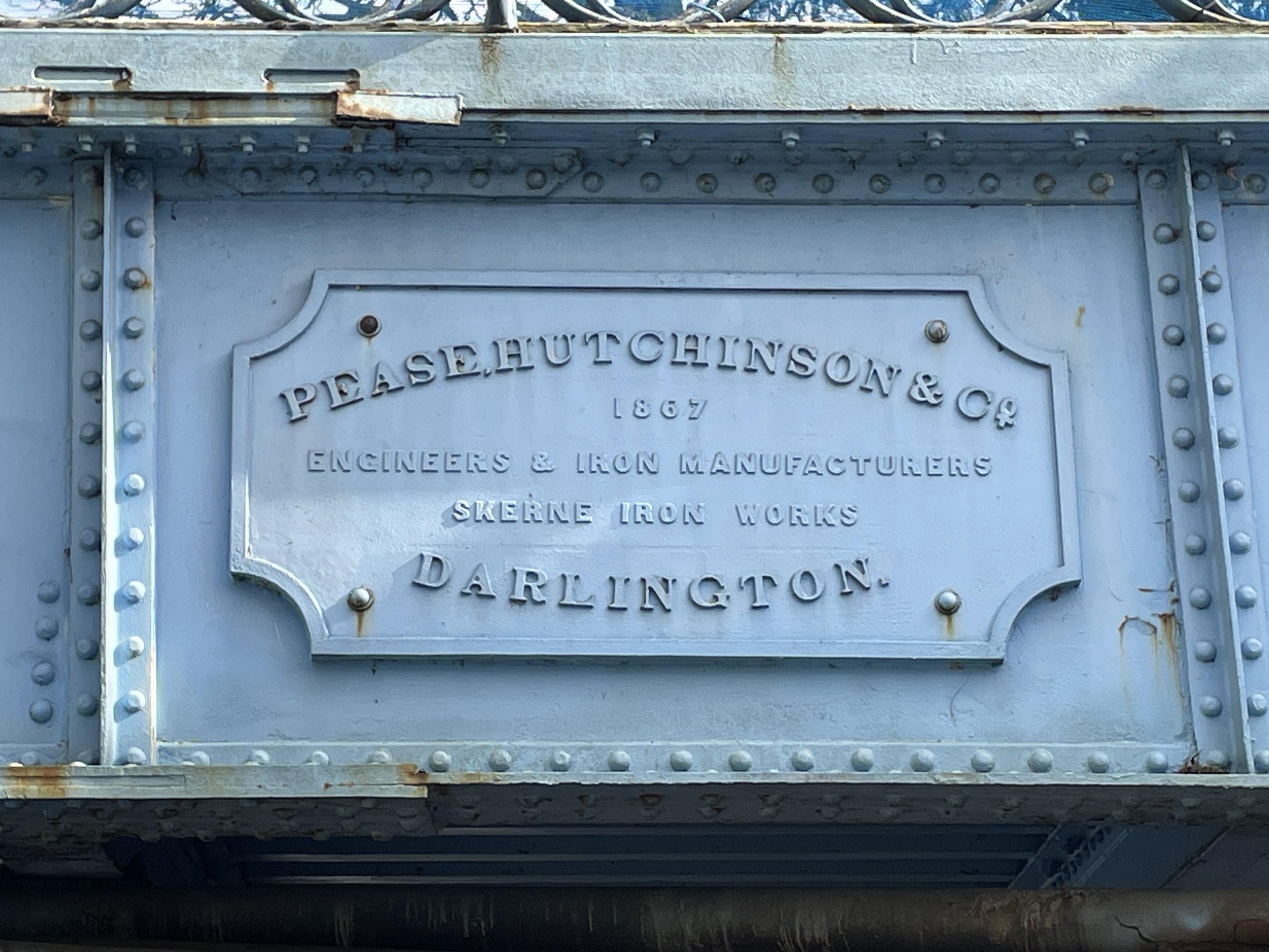
For this walk we parked at Wakeman Road Car Park in Bourne End and walked to the River Thames via the footpath to the left of the station. At the Thames cross over the railway bridge and, at the bottom of the steps, take a right to follow the Thames Path in a southerly direction.
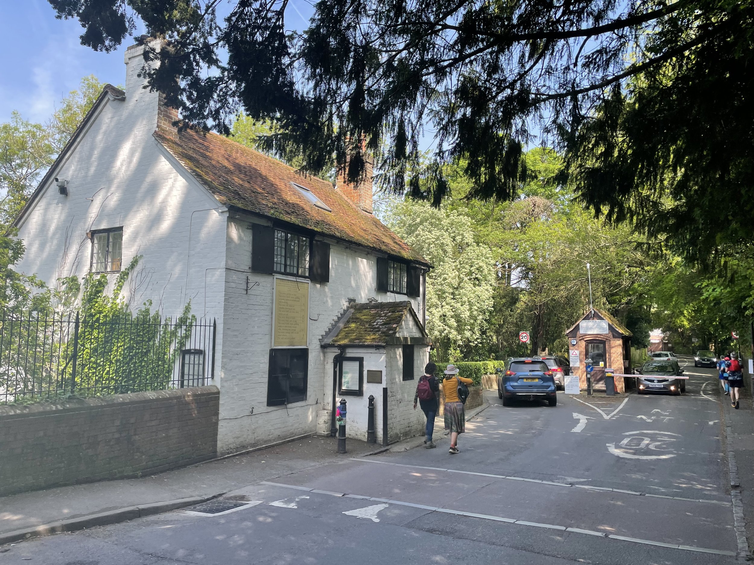
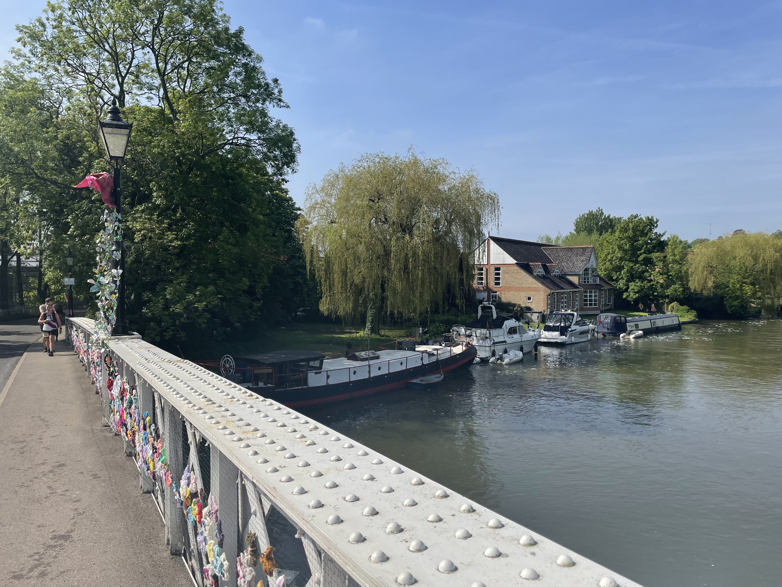
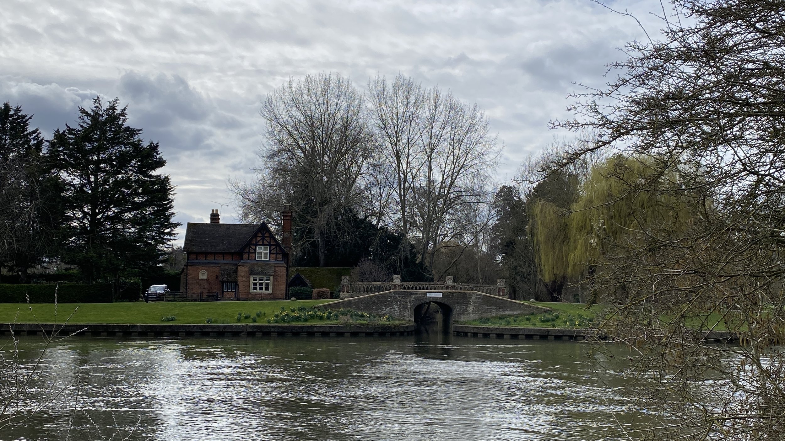
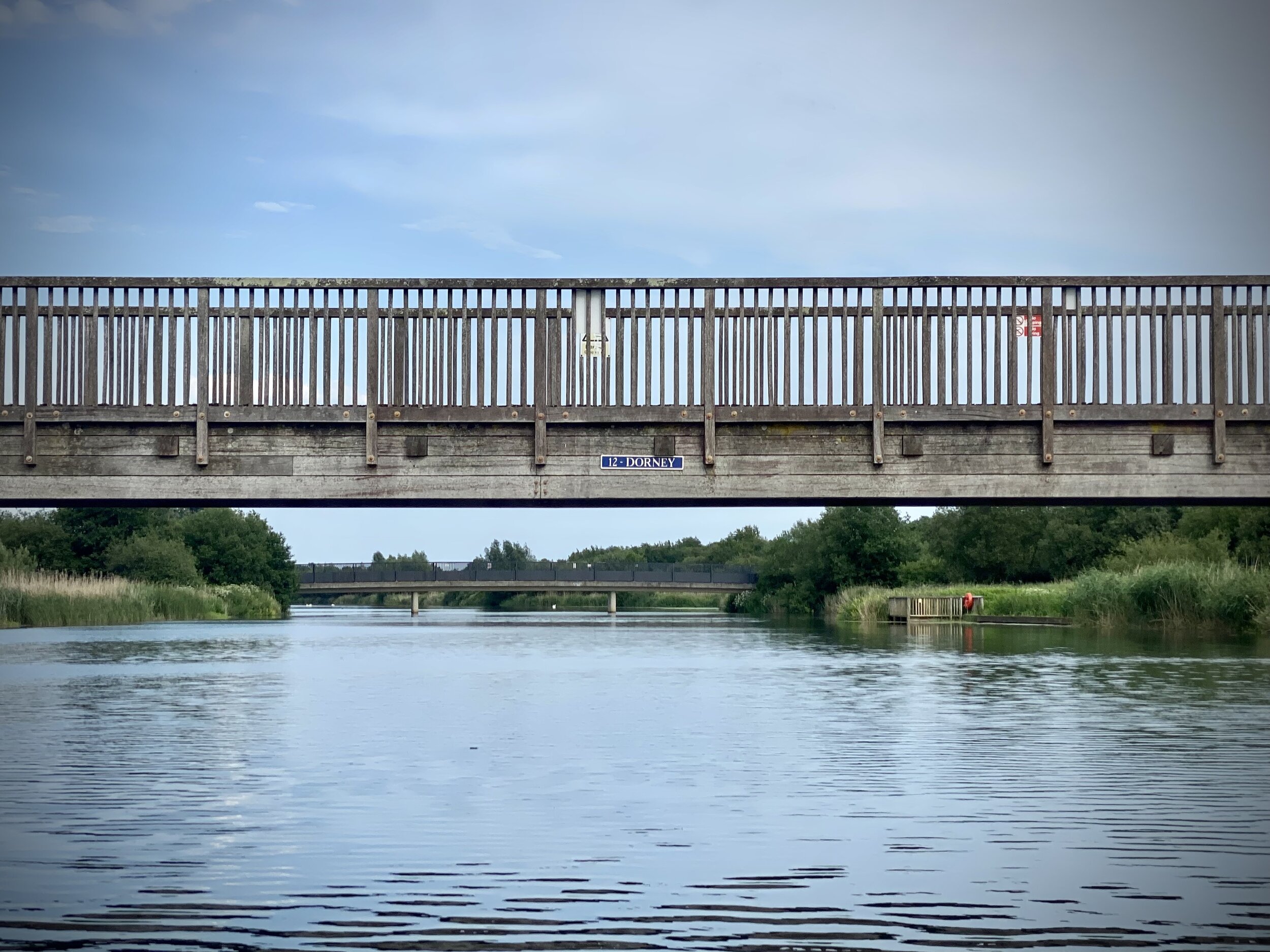
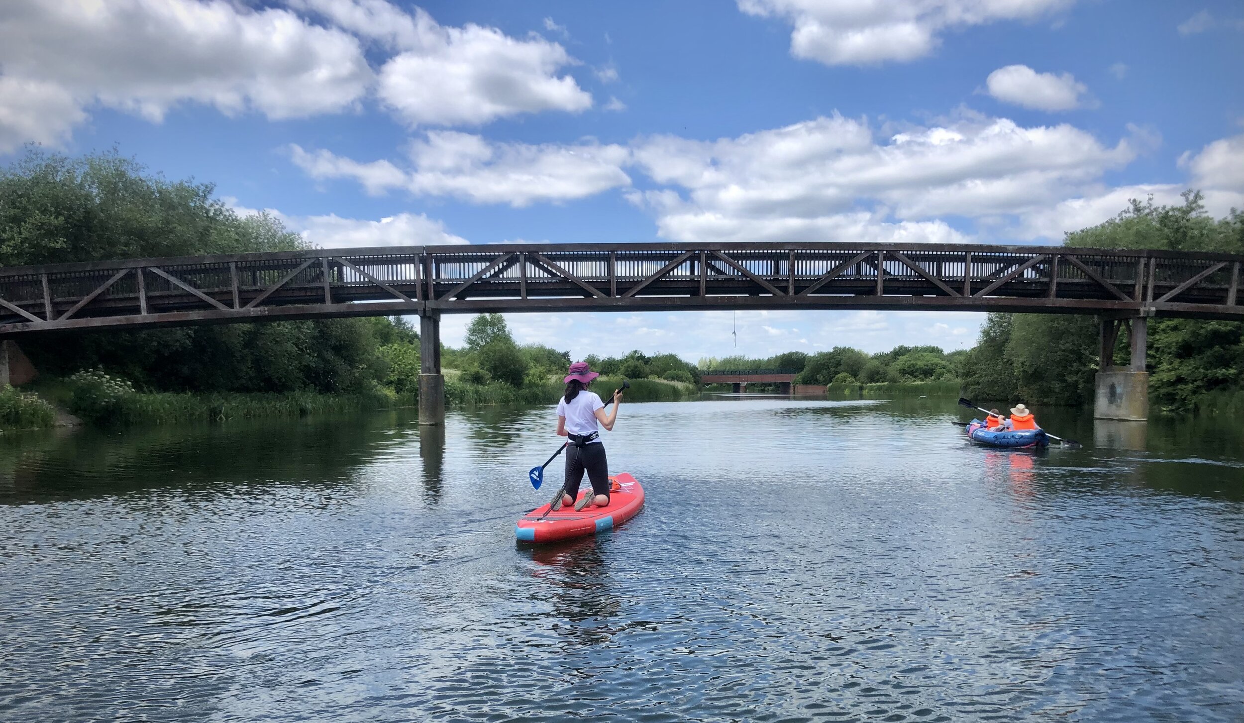
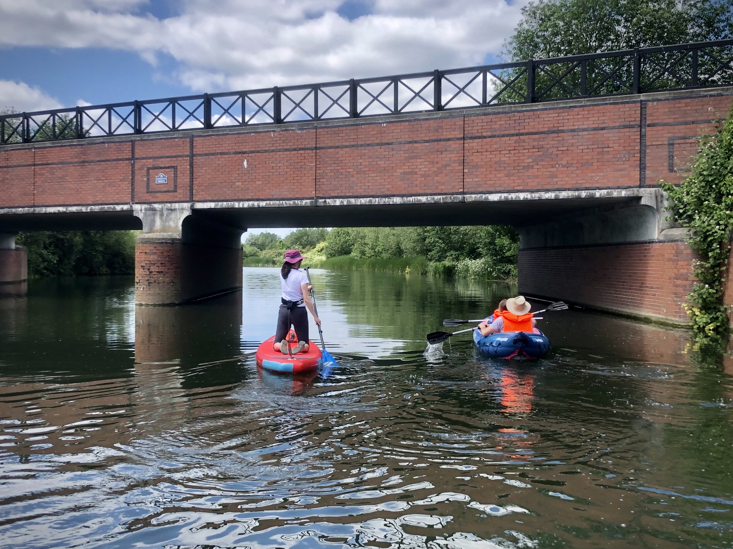
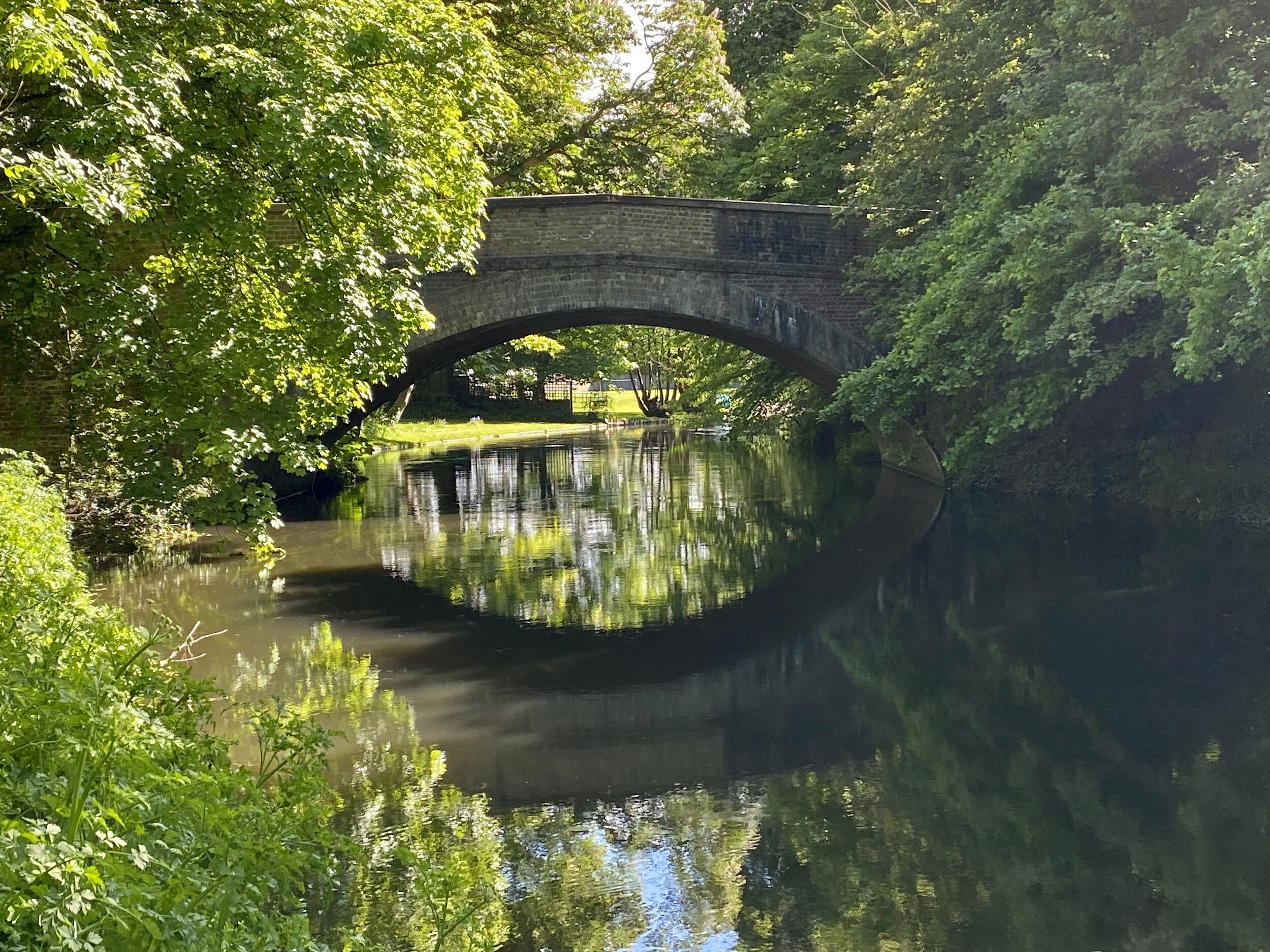
Leave the Thames Path at Cookham Bridge and cross over to the north side of the Thames to follow Ferry Lane north. Here you have 2 choices: to follow The Beeches Way by taking the first path on the right after the bridge or to take an alternative route via Hedsor Road. Both options come together around the 5km mark at the top of Harvest Hill. We had already done the Beeches Way option so we took the alternative described below.
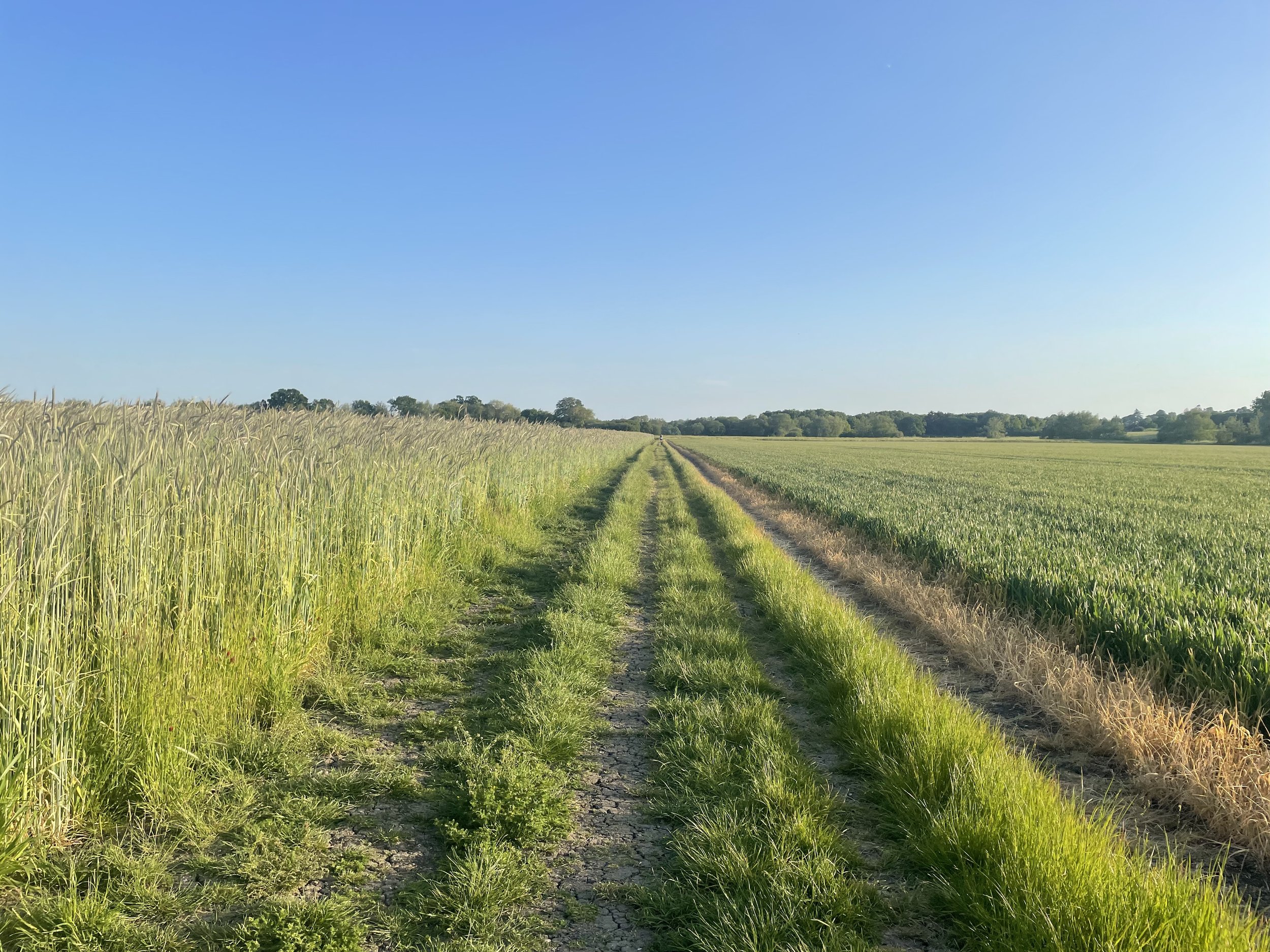
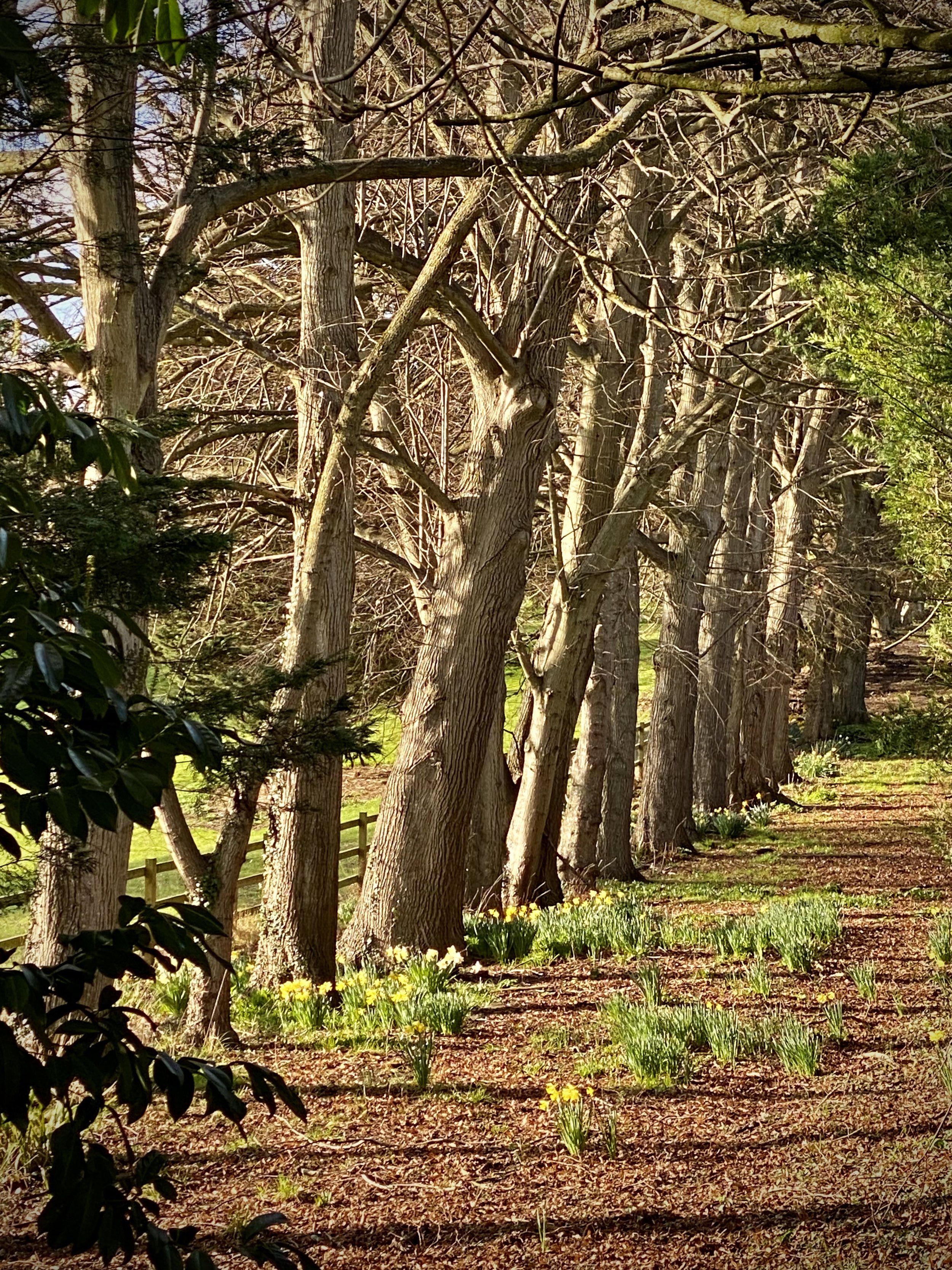
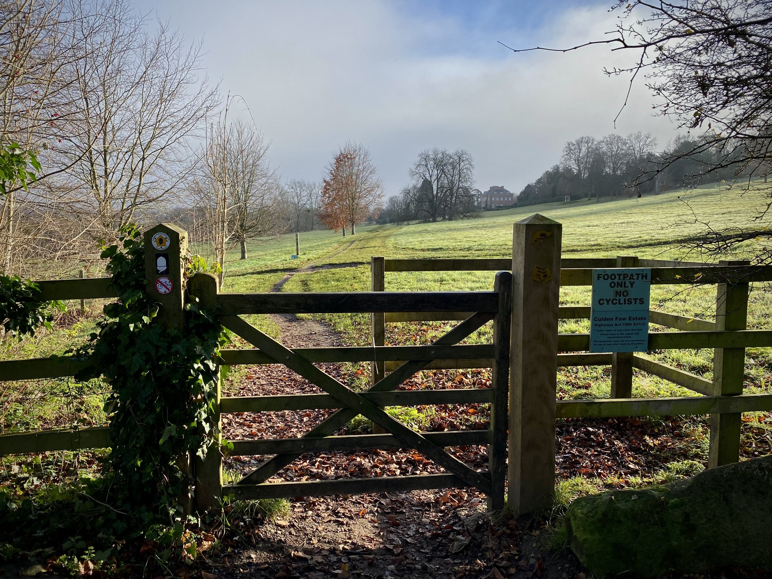
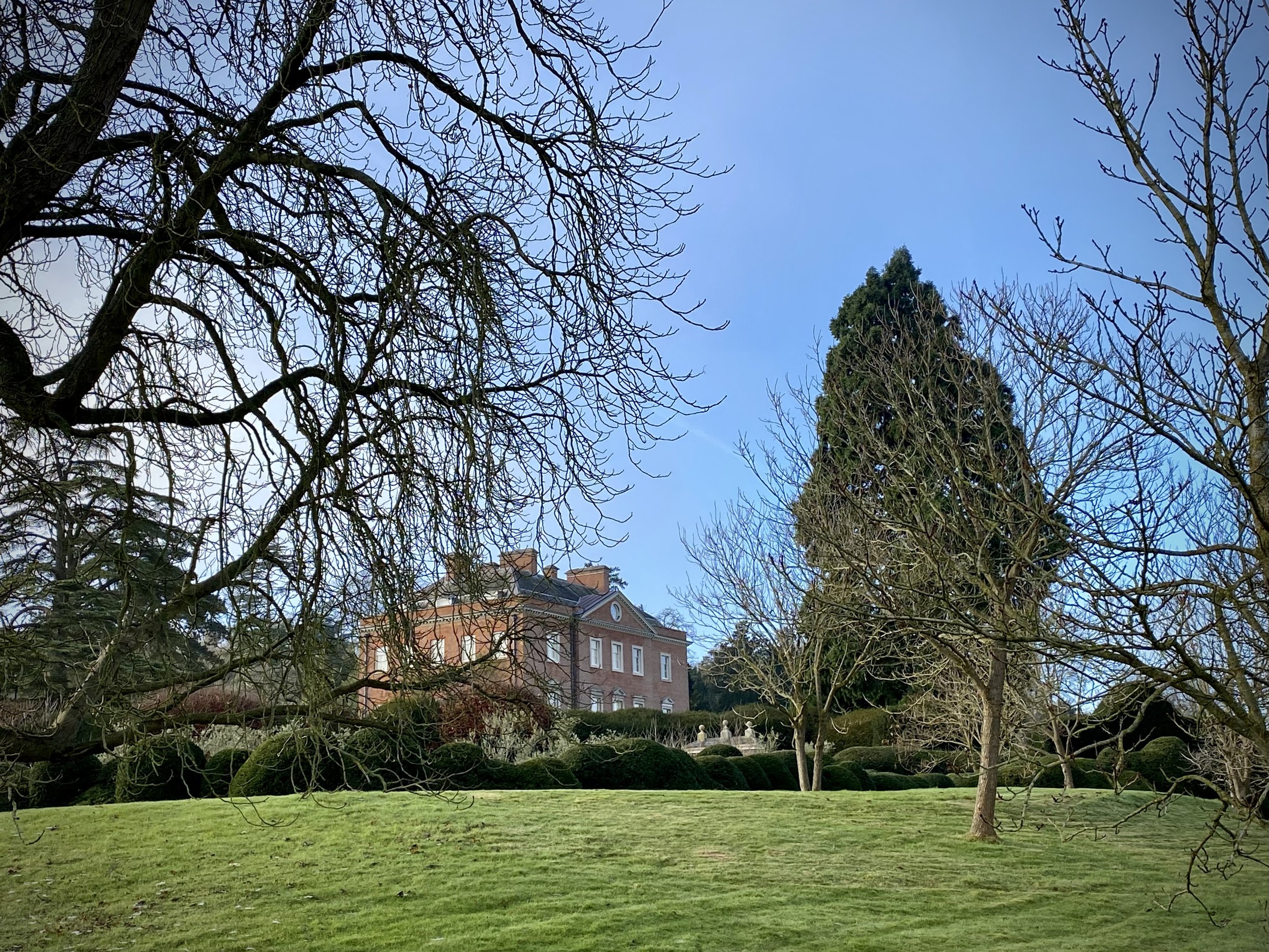
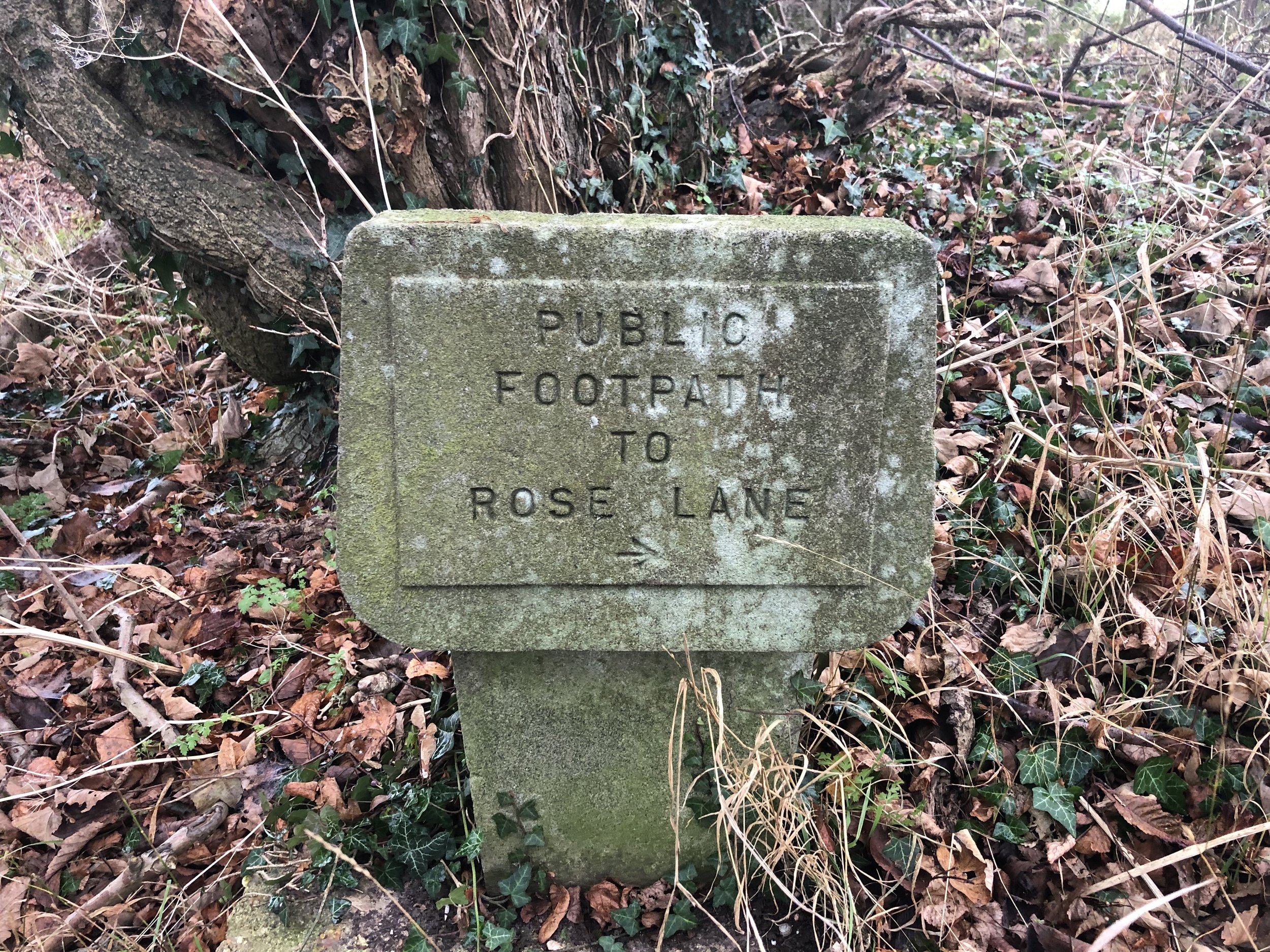
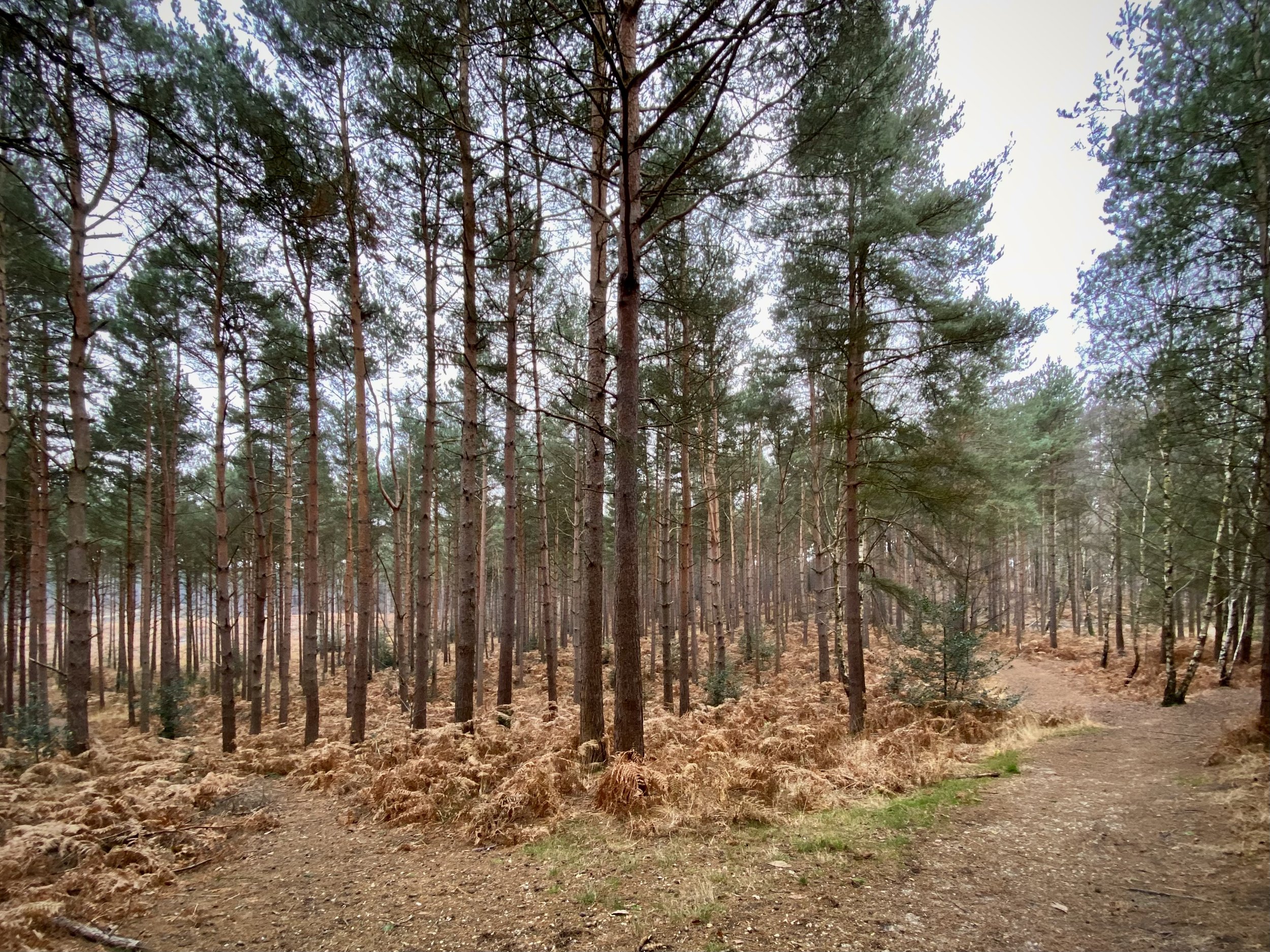
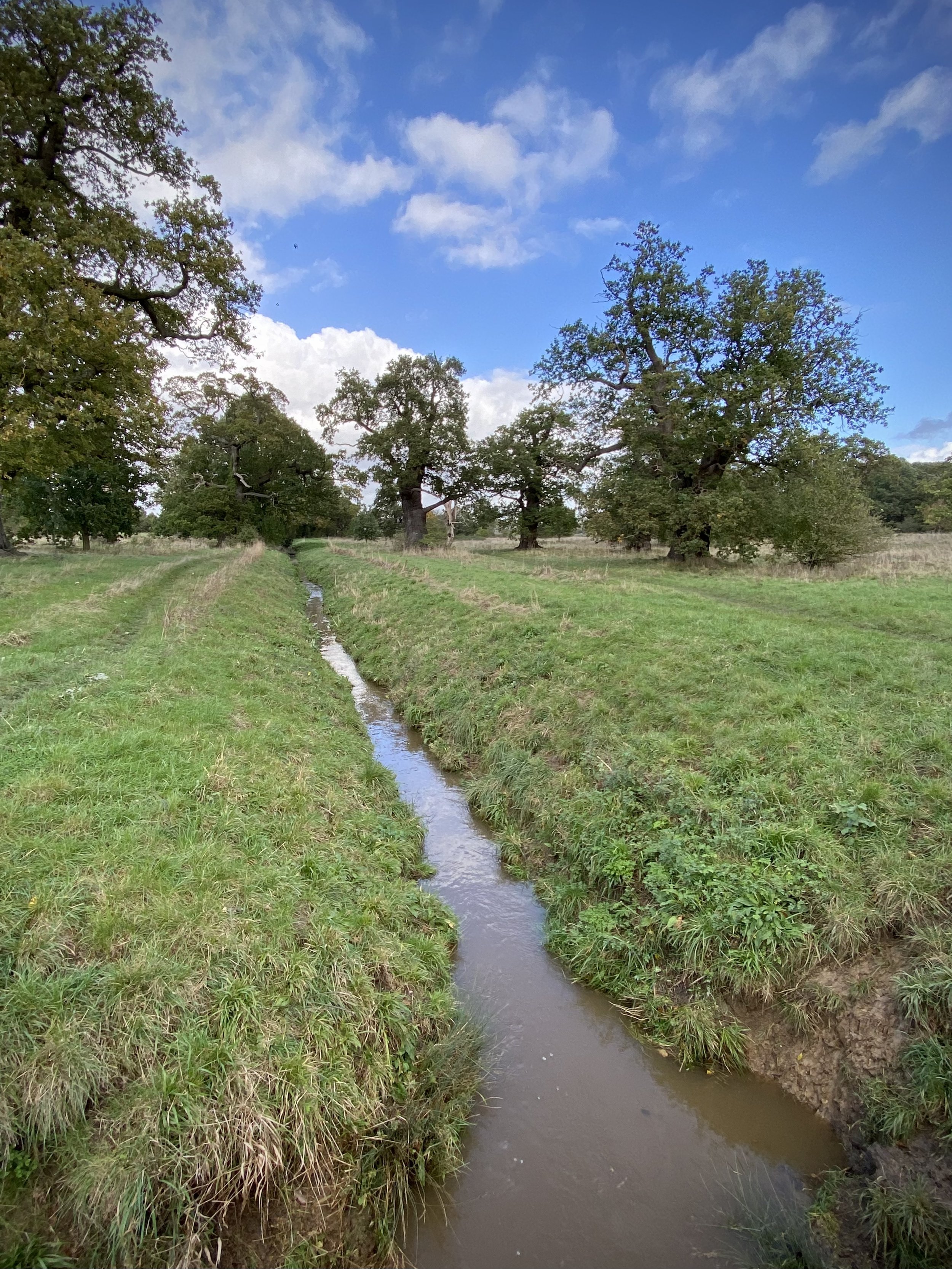
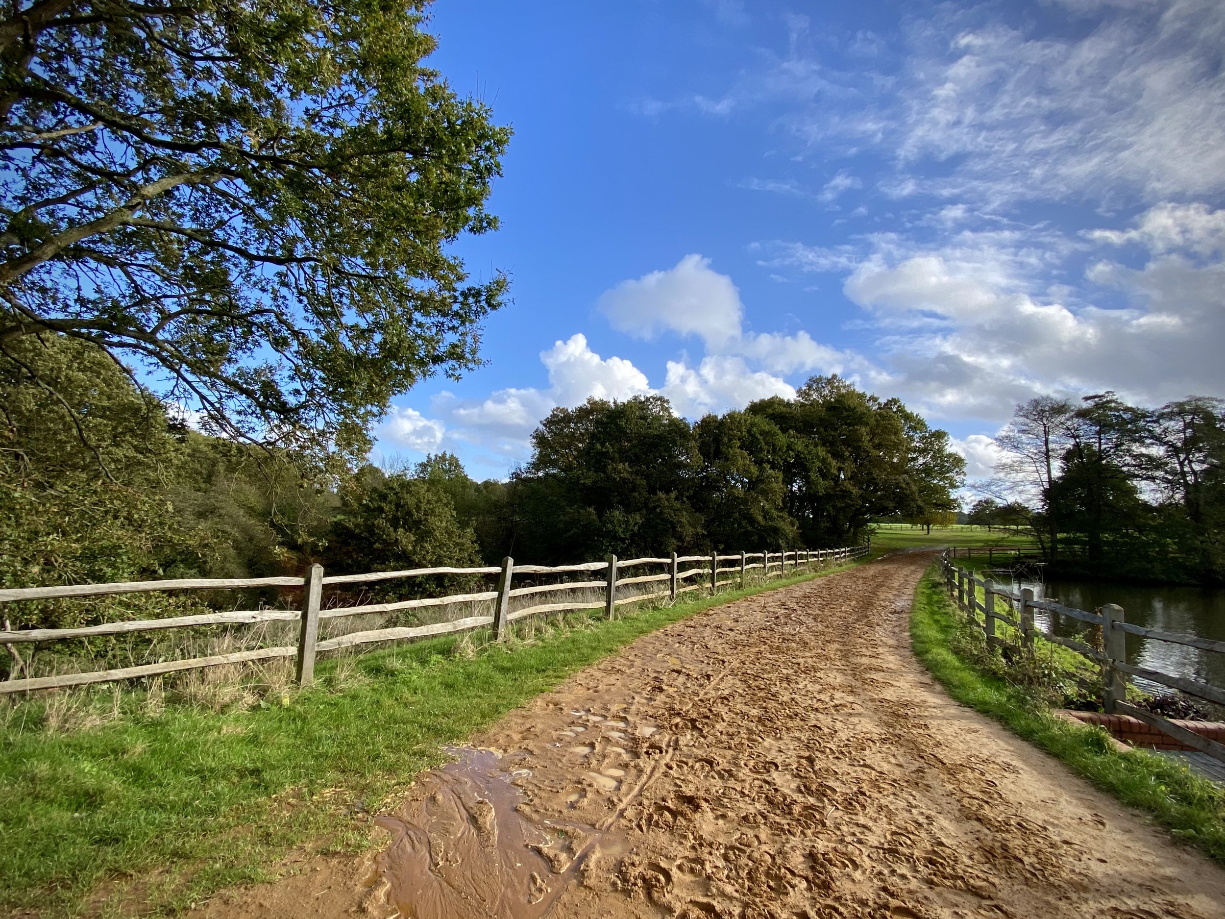
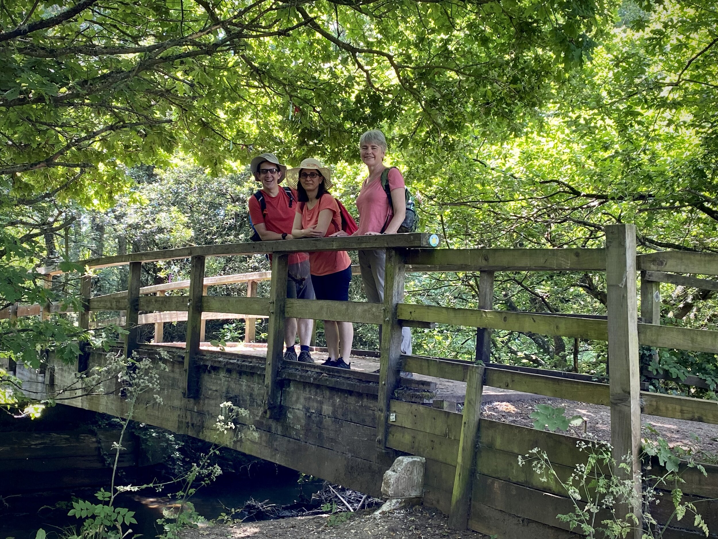
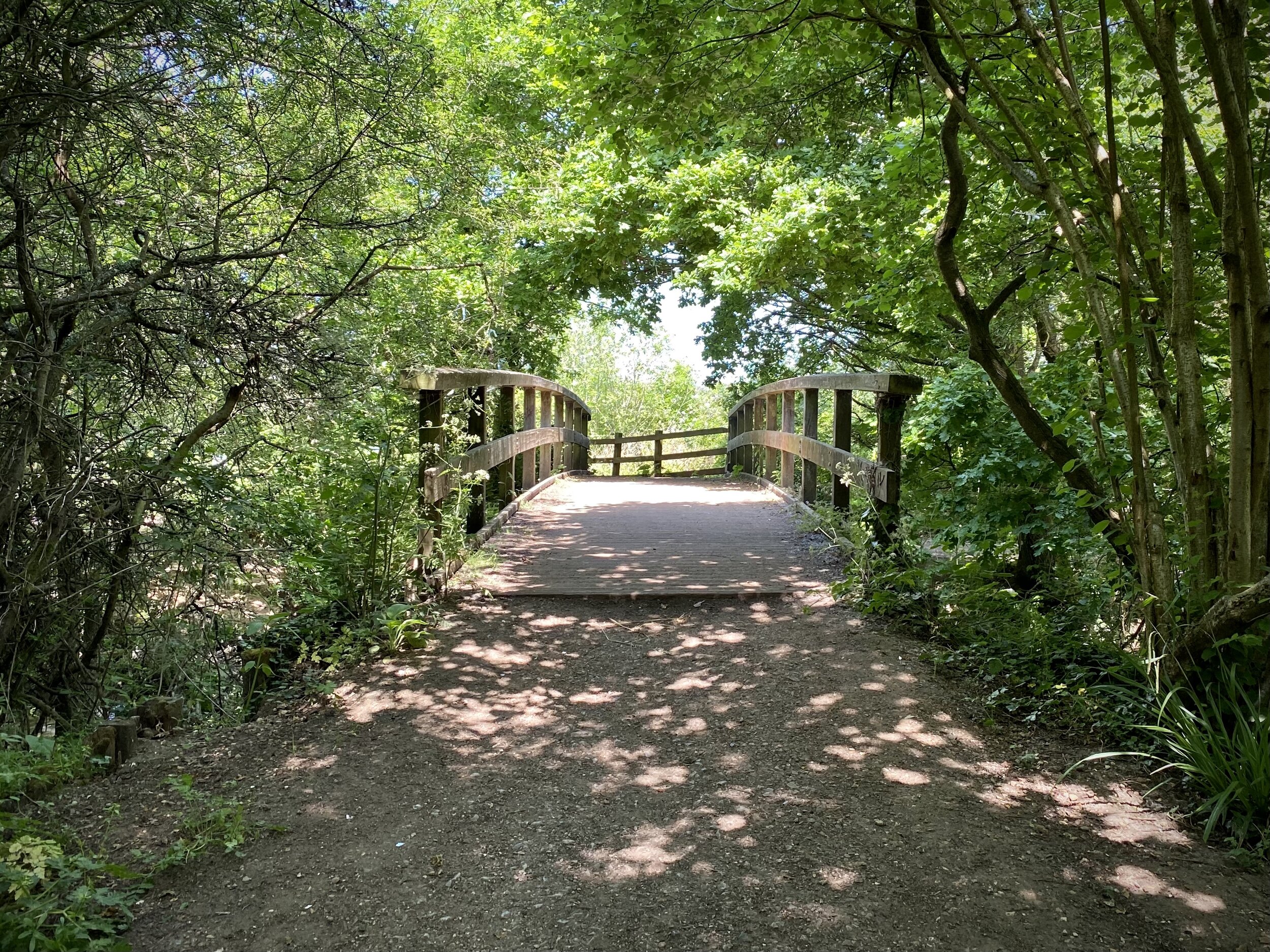
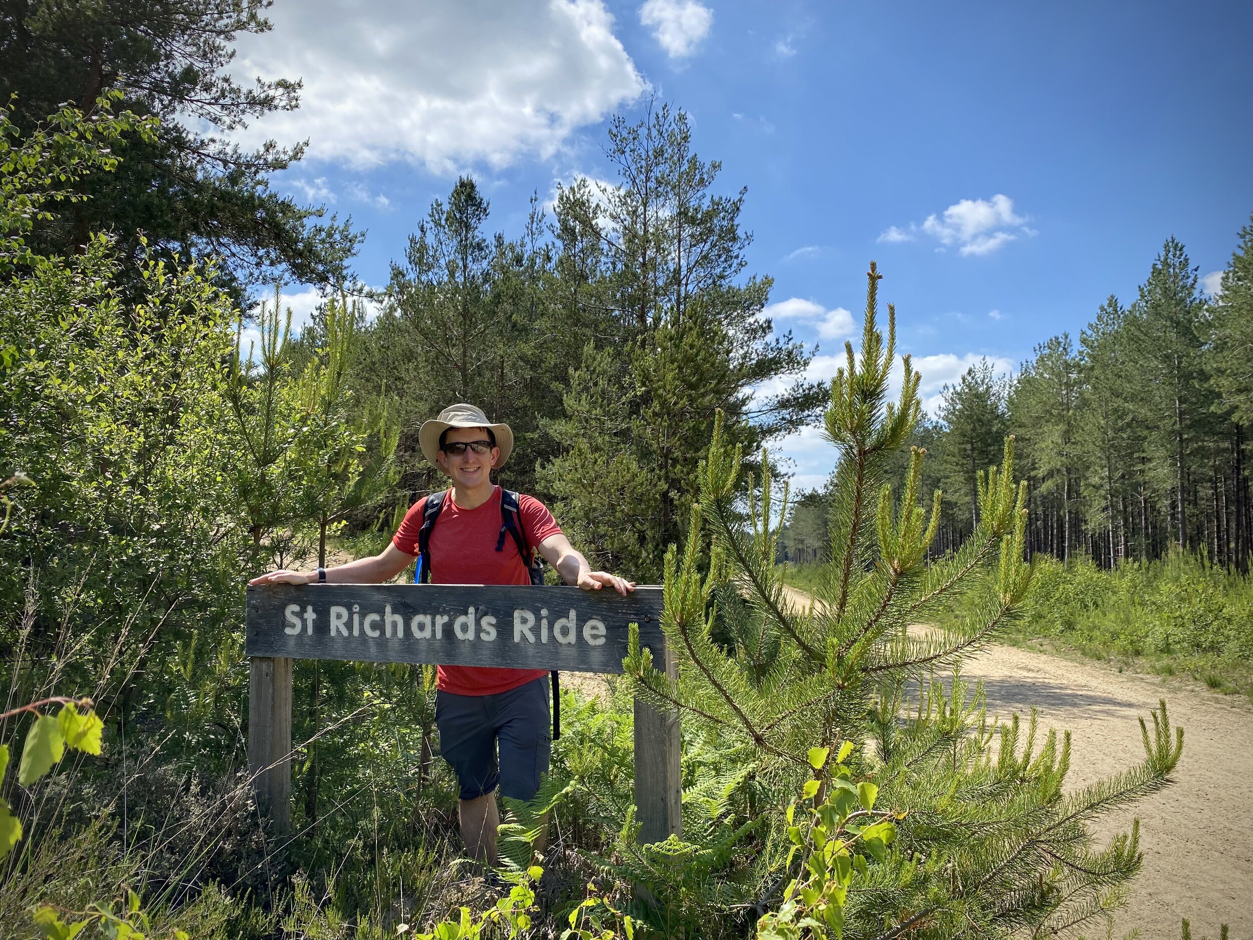
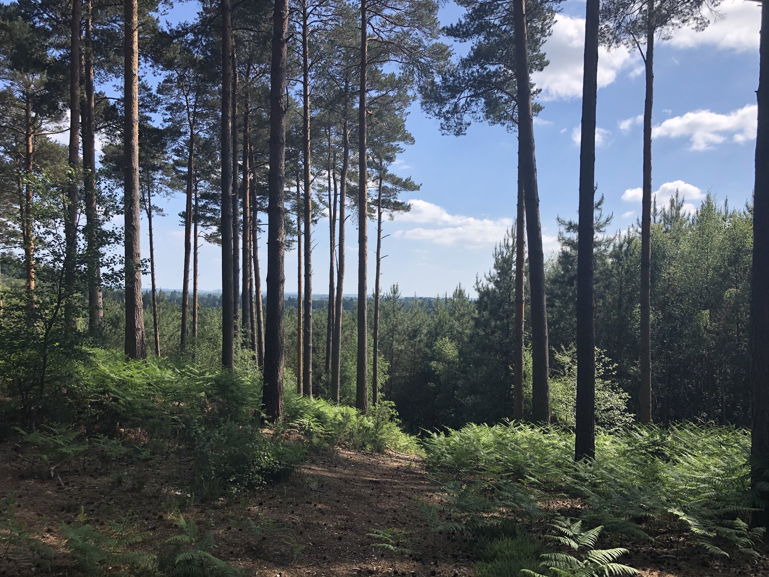
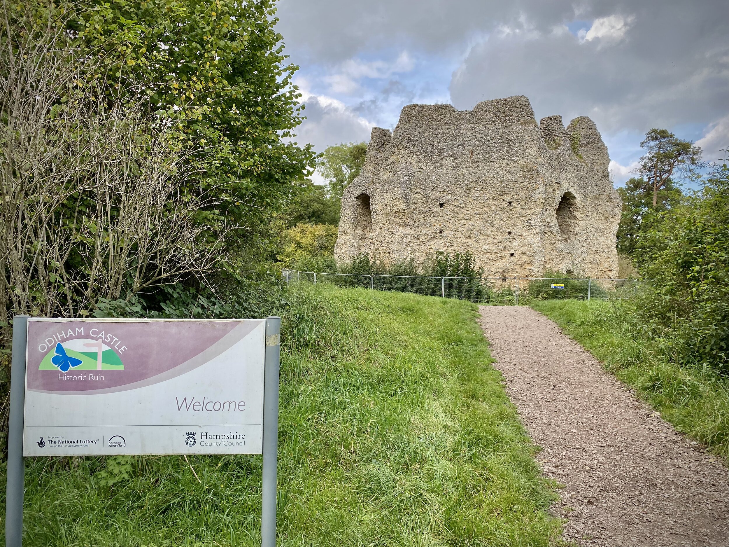
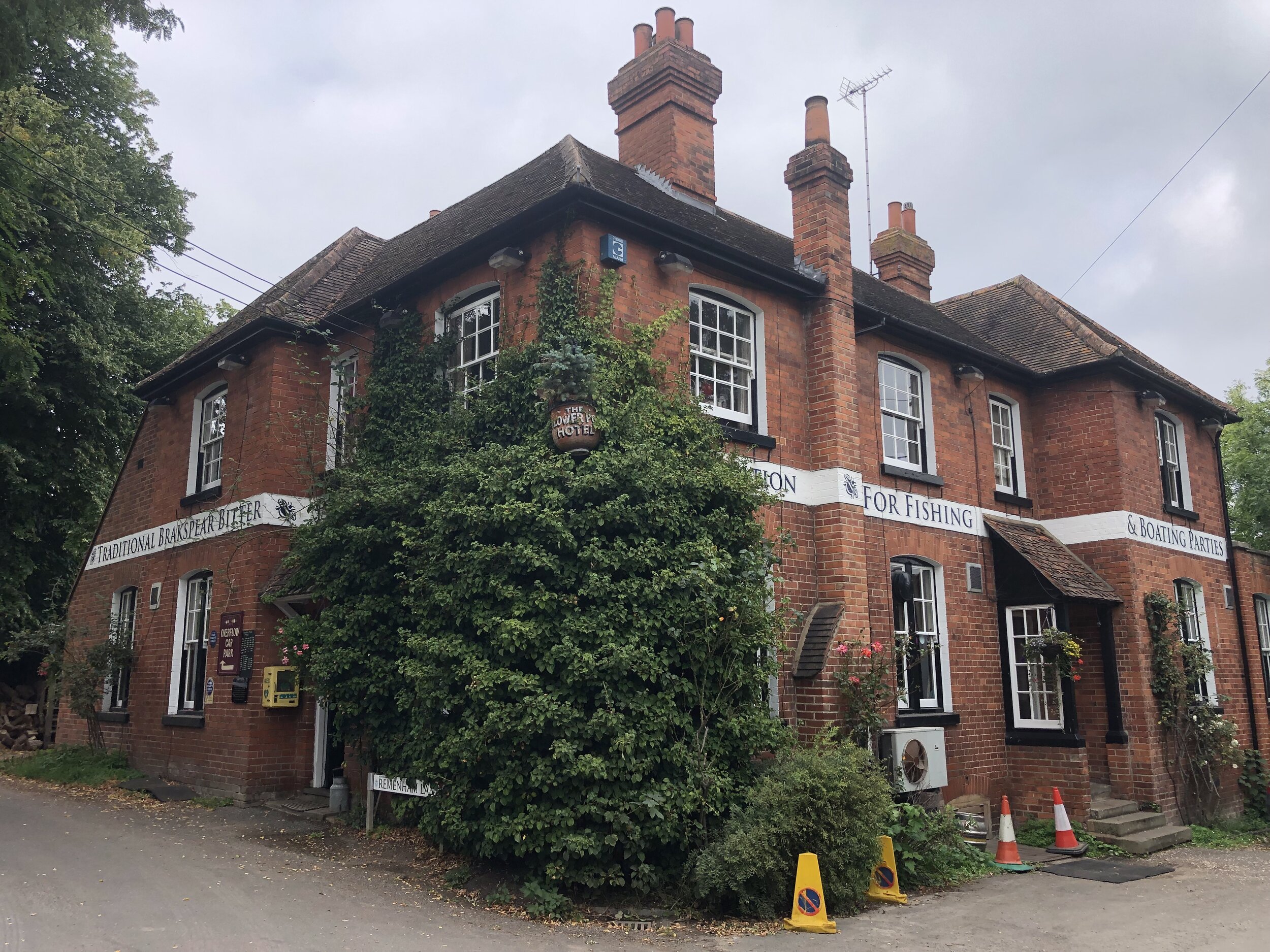
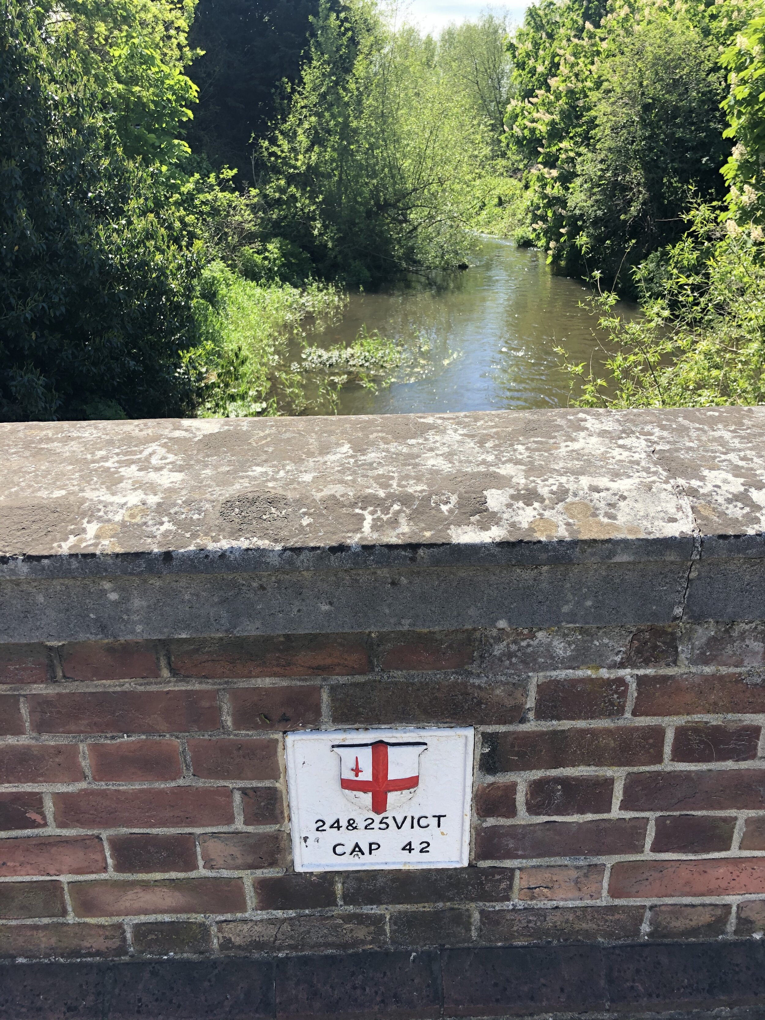
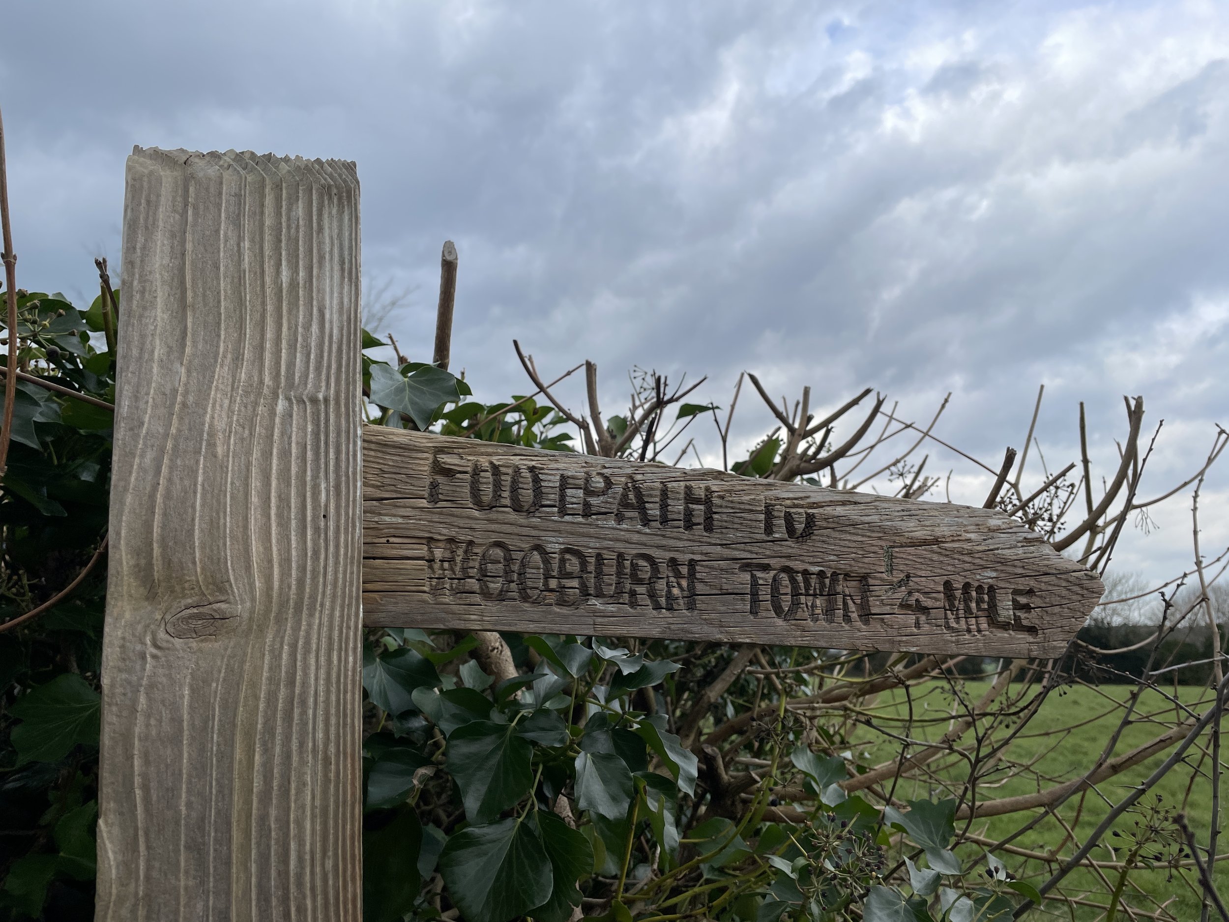
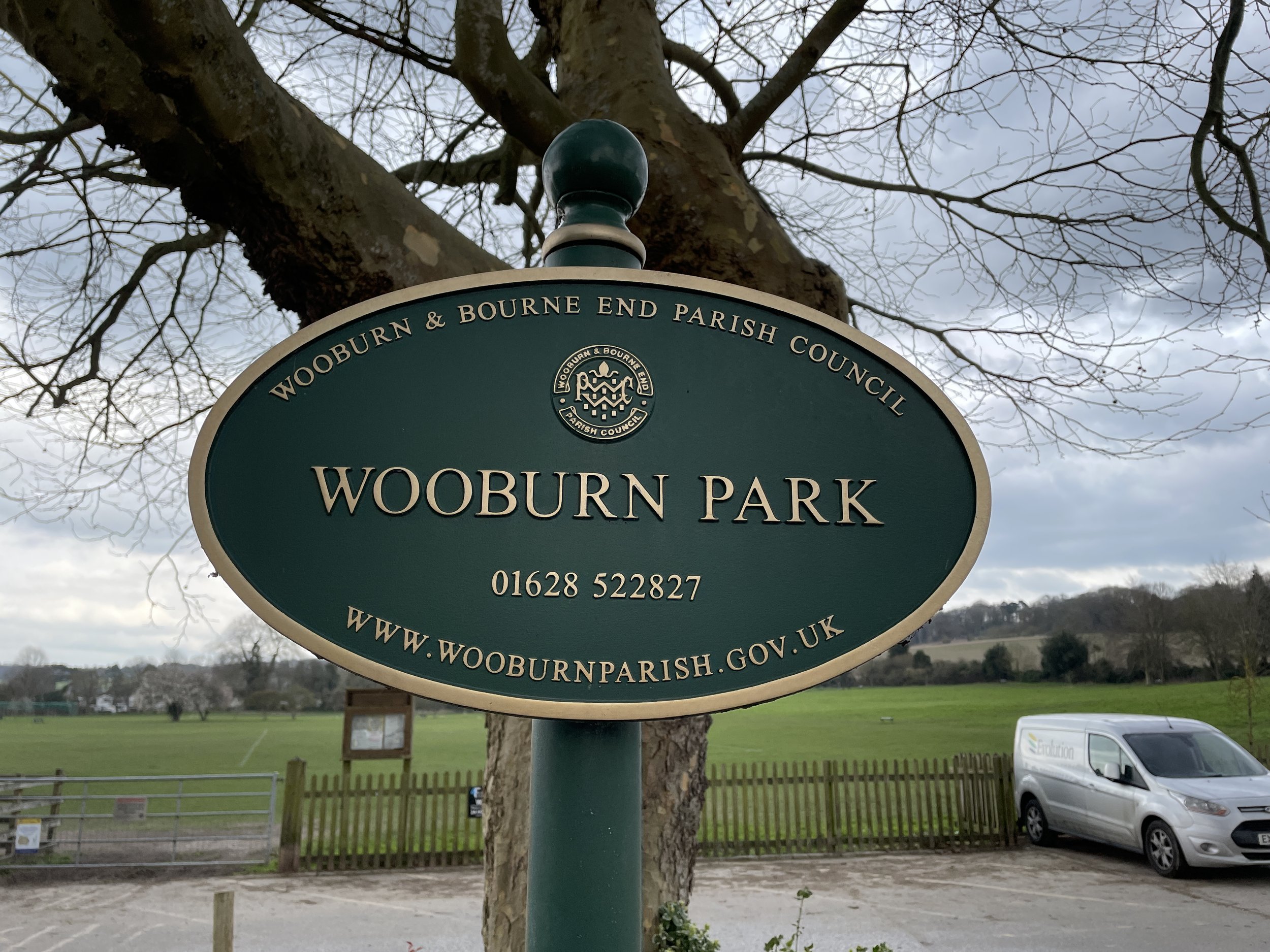
Continue north along Ferry Lane the take a right onto Hedsor Road, following it for ~500m to take a left onto Heavens Lea. Cross over Hedsor Hill (road) to follow Harvest Hill (road) in a north-easterly direction to Kiln Lane. Take a left onto Kiln Lane then a right onto a footpath just before the Chequers pub. Follow this footpath all the way down to Wooburn Park then cross over the River Wye and Town Lane.
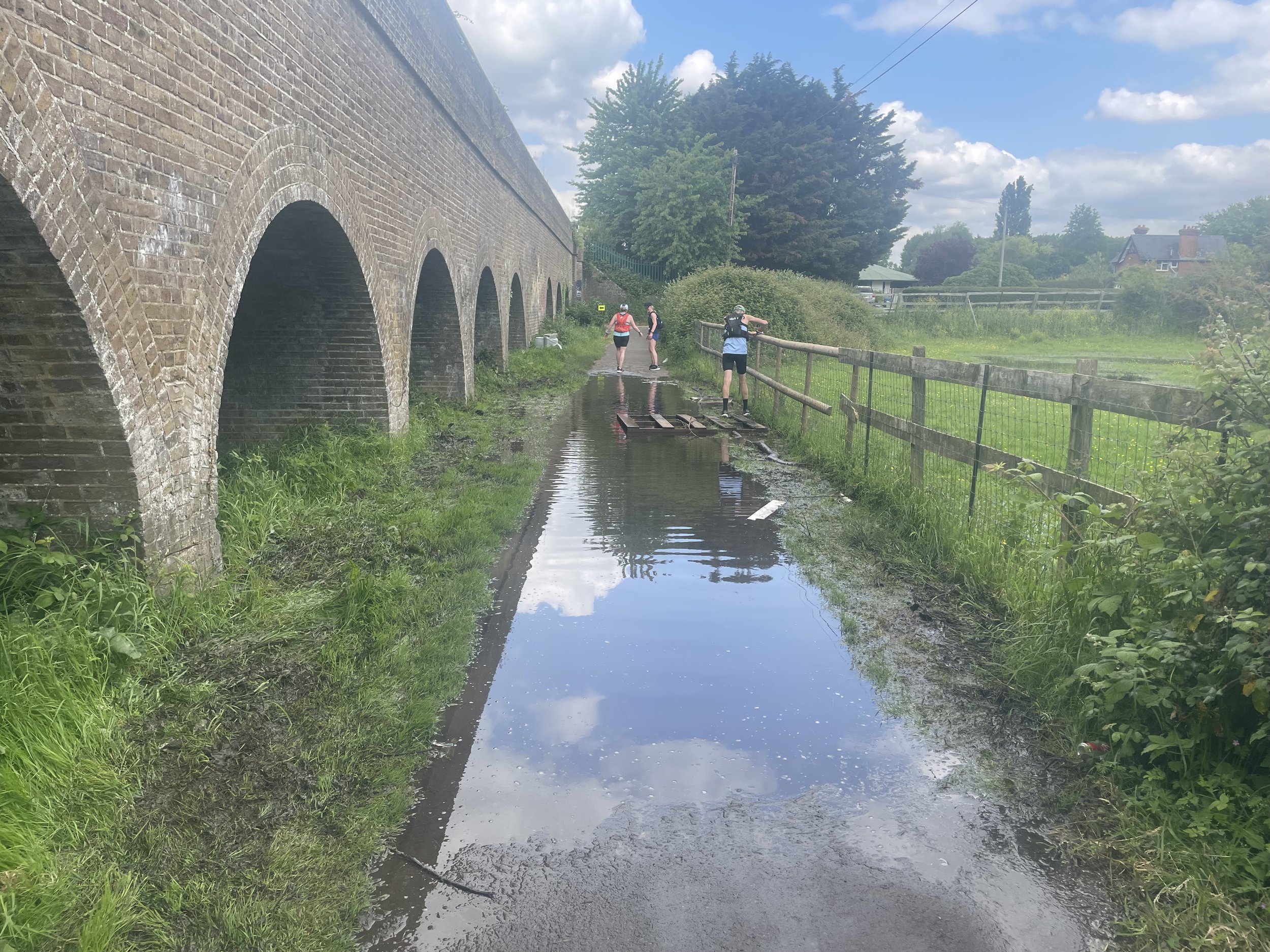
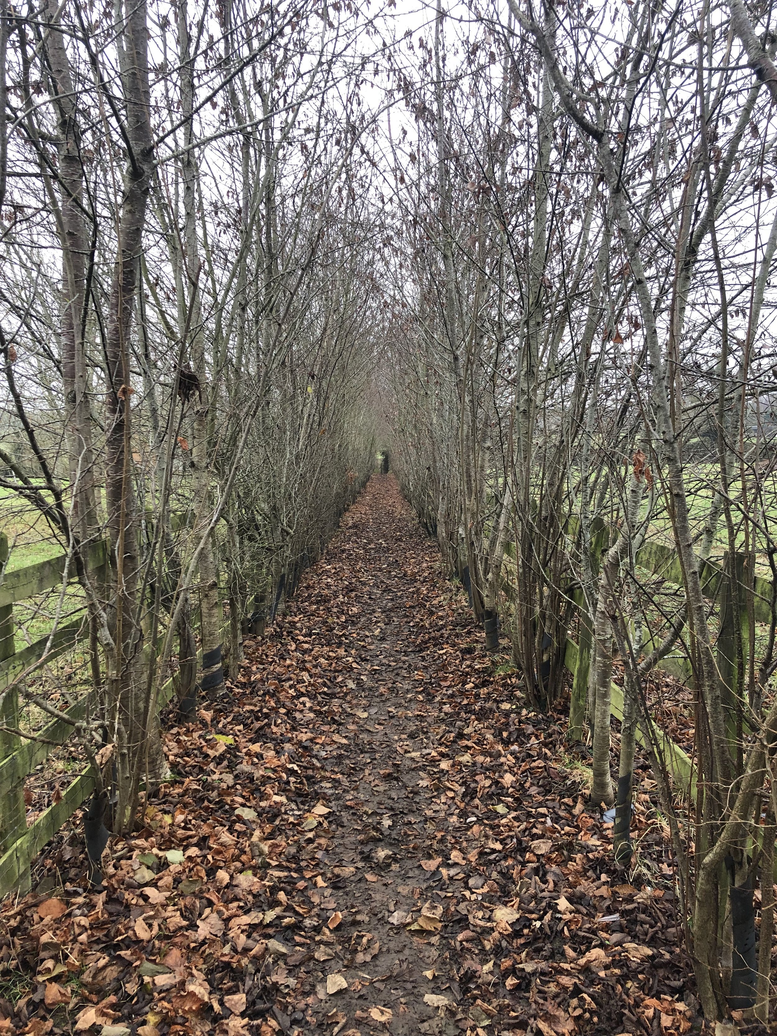
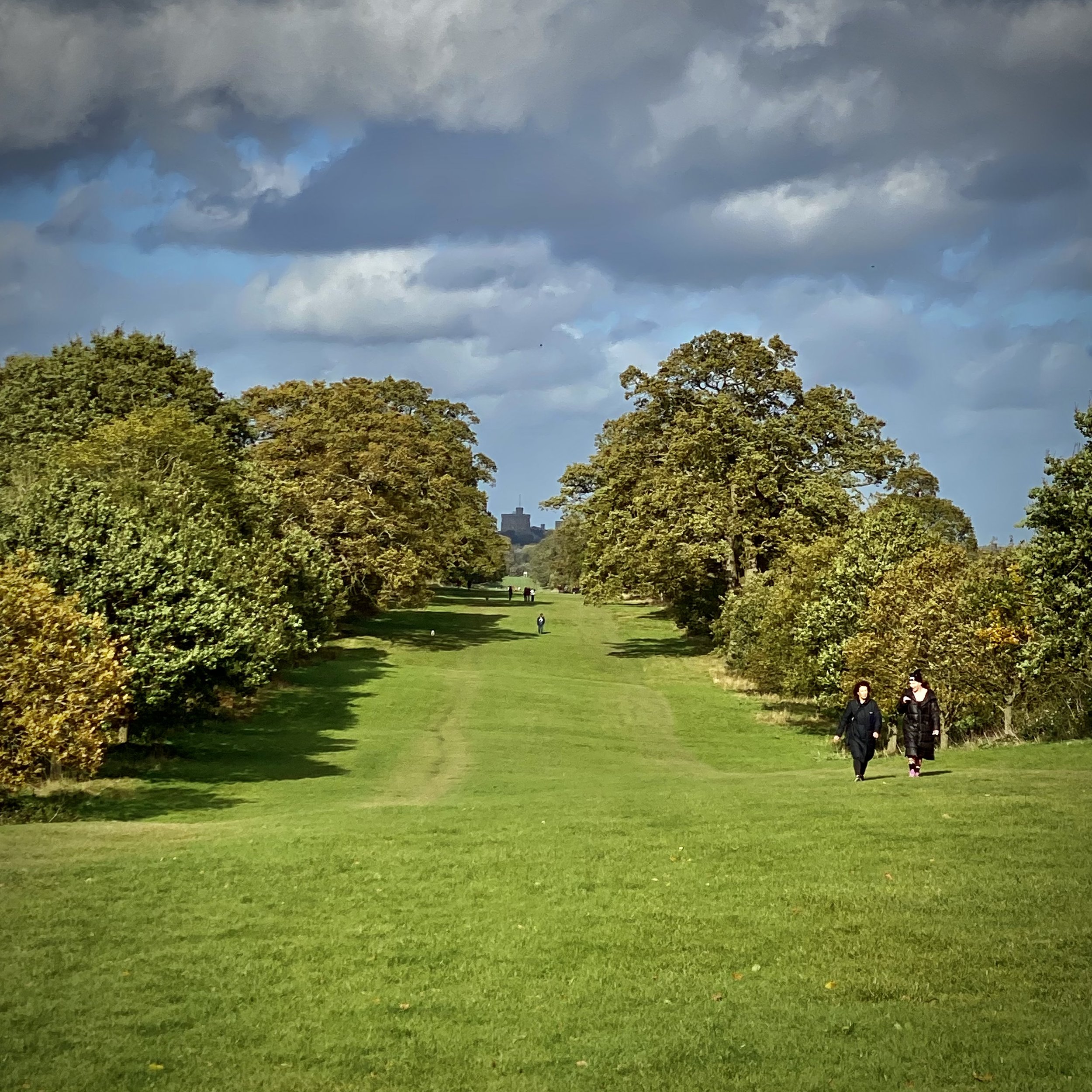
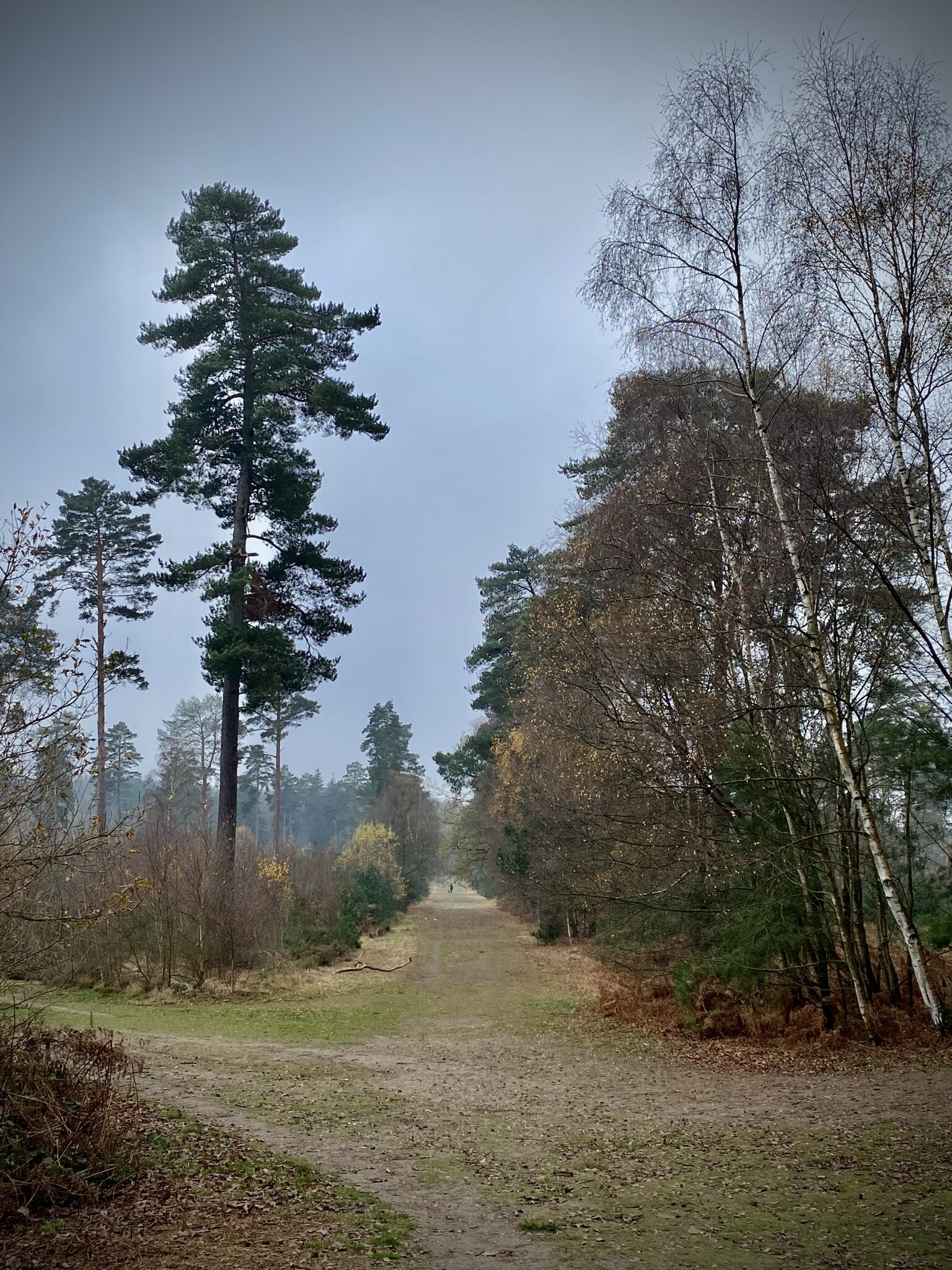
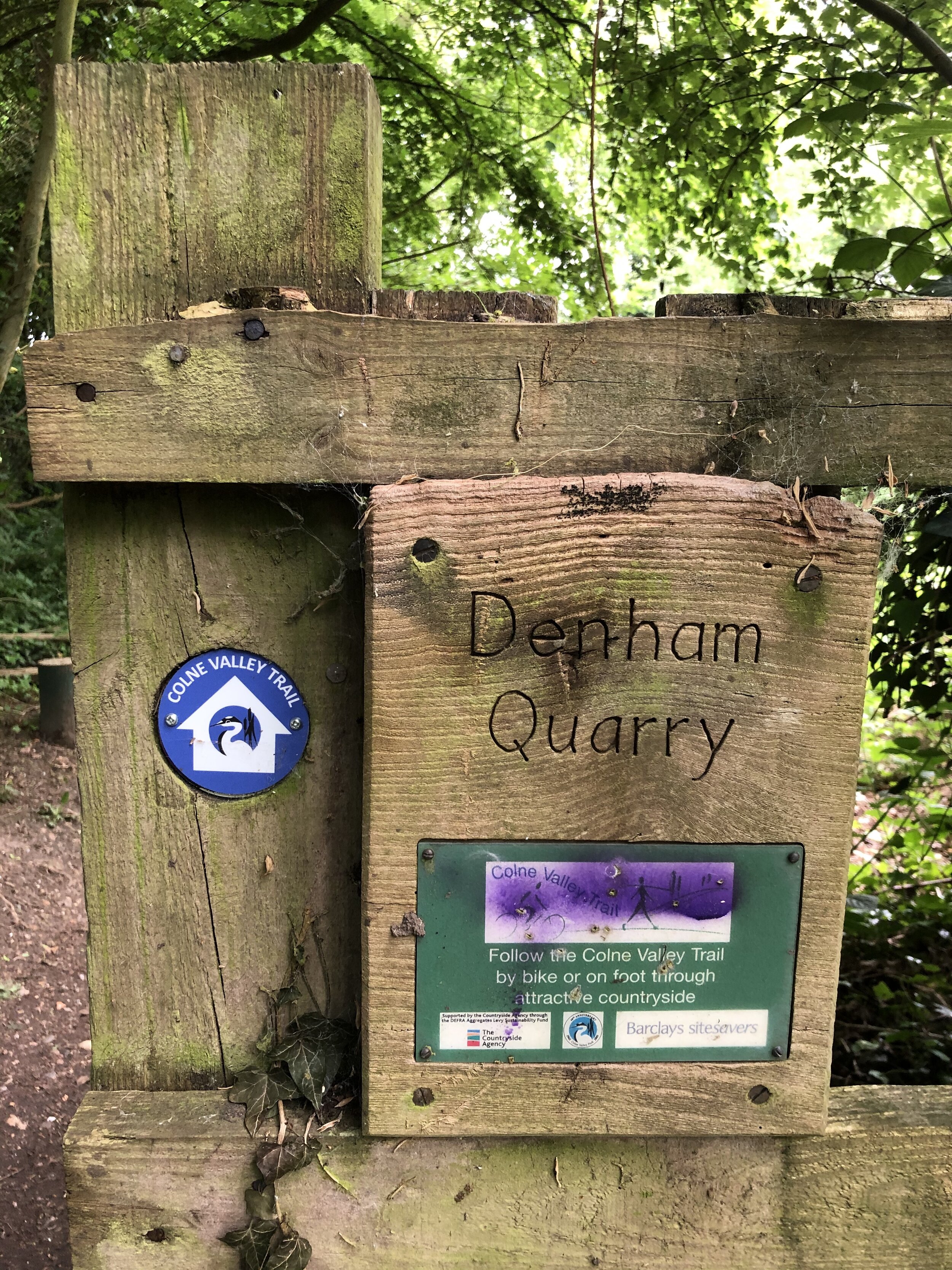
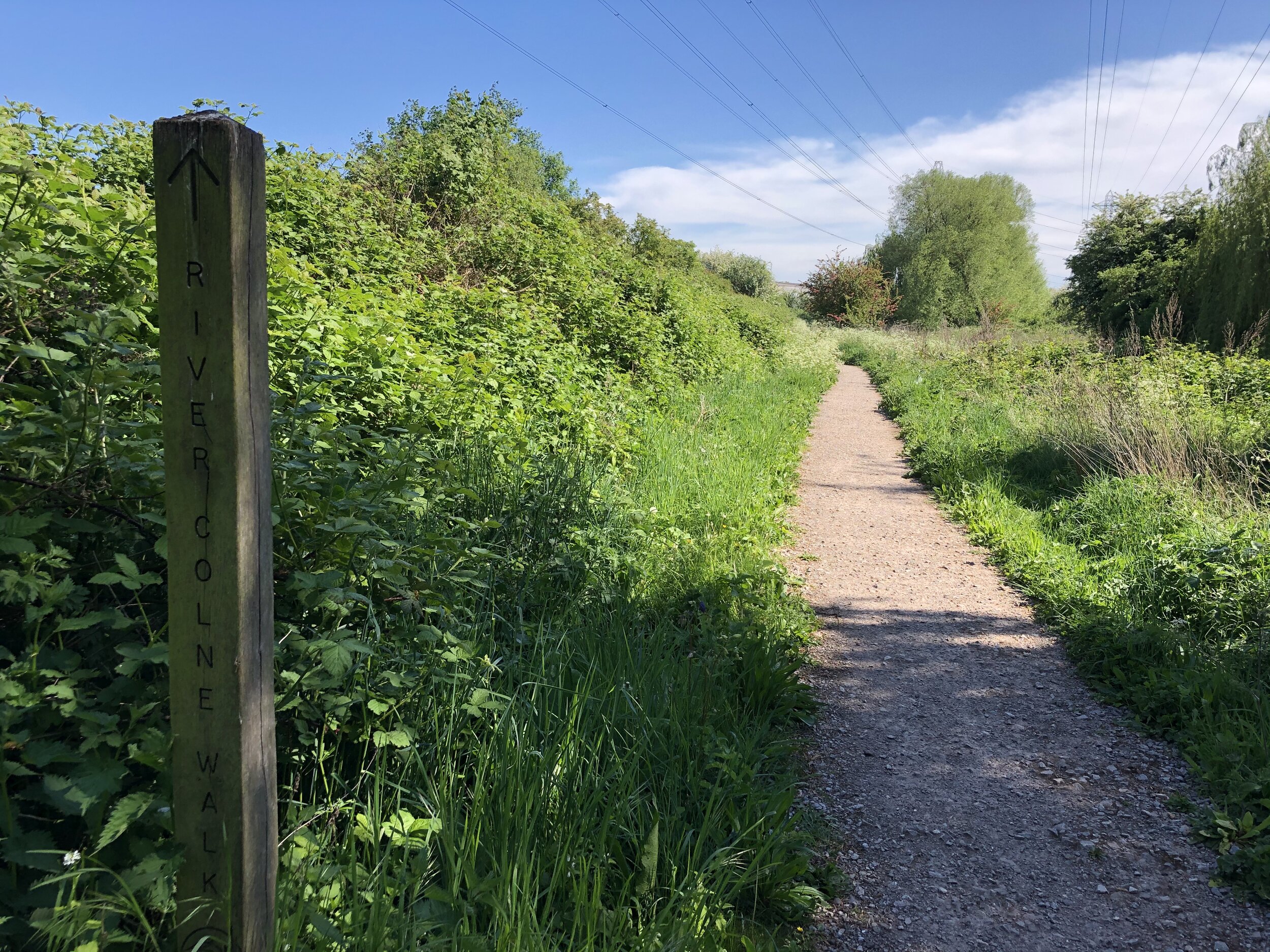
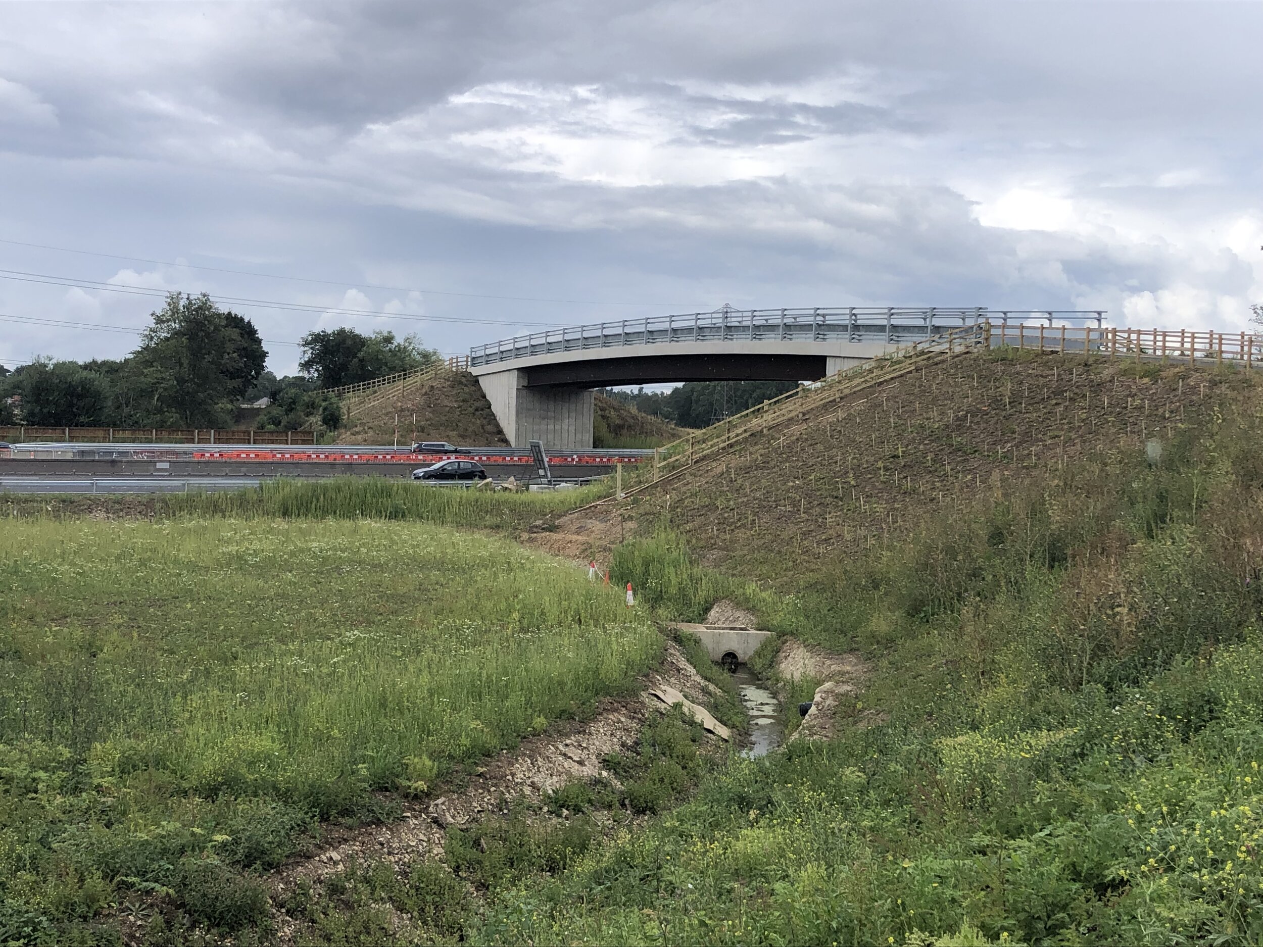
Take the path to the left of Spake Oak depot to reach the disused Wycombe to Bourne End Railway Line. Follow this in a south-westerly direction to the end at the A4155 Cores End Road. Follow this back to the car park in Bourne End.


Shakespeare’s Way Previous Section (west): Marlow Donkey
Shakespeare’s Way Next Section (east): Beeches Way