Posts tagged Ultramarathon
Race The Sun 50k Ultra Marathon

View North to the Chilterns from the top of the descent to Checkpoint 4 at Wooburn Town


When: June 3rd 2023
Start and Finish
: North Maidenhead Cricket Club, SL6 8SP
Distance: 51 km (32 miles)
Elevation change: +/- 207m
GPX File: get via Buy Me a Coffee
Other routes touched (walk): The Green Way, Maidenhead Boundary Walk, Thames Path, Jubilee River Path, Beeches Way, Shakespeare’s Way, Chiltern Way Berkshire Loop, Wycombe to Bourne End Disused Railway
Other routes touched (cycle): NCN 4, 50, 61, Round Berkshire Cycle Route, Beeches Cycleway
Maps:
- Chiltern Hills East Map | High Wycombe, Maidenshead & Rickmansworth | Ordnance Survey | OS Explorer Map 172
- Windsor, Weybridge & Bracknell Map | Thames Path | Ordnance Survey | OS Explorer Map 160
Finish time
: 7 hours 52 minutes 28 seconds
Links: Maidenhead, Cookham, River Thames, Bray, Jubilee River, Taplow, Burnham, Burnham Beeches, Wooburn, Bourne End


This was my 12th Ultra and the second of a 2-part series of local ~50 km Ultras with 3 weeks between them. My legs were back to normal after the recent Goring Gap Run and I was hoping to crack my sub-7 hour target for a 50 km. With a relatively flat course and dry conditions it should have been fine. However, my running nemesis: the sun was also out and it was a very hot one.

Signing up for this race was a no-brainer as it started and ended in Maidenhead where I grew up and took in trails that I’m very familiar with. The original route also went within 100 metres of my house. The final published course took a different route on the second half but still on home ground. My friend Mark wanted to join too as he grew up within half a mile of the start but other friends’ wedding plans took him away for the weekend.

The concept for this race was to start at midday on a Saturday and to finish before sunset at 21:24. This also meant that I could fit-in a parkun in the morning and get to the start line with time to spare to get showered and changed. Timea though this was a crazy idea but I did my best to explain that it was “perfectly normal”. I had done much longer Ultras in the past so the best way to think about it was that it was a 55 km Ultra with a long break between the first 5 km and the rest of it .

The first third of the race was pretty straightforward with a pleasant cross-country run to Cookham and a section of the Thames Path to Windsor. I kept a steady running pace and the heat wasn’t too bad. At 19 km, between the Thames and the Jubilee River, there was a flooded stream crossing the path with no means to keep dry. The only way through it was to get our feet wet. With very dry conditions for the few weeks before I didn’t think of bringing spare socks so I knew this would be trouble. My shoes and feet dried quickly but I knew that there would be trouble ahead.

From 20 km the heat kicked in and my running was over for the day, replaced by a power-march. Somewhere around 40 km I could feel the impact of getting my feet wet earlier with blisters forming on both feet. I knew that my sub-7 hour target wasn’t going to happen so it was now about finishing. It was a tough final 10 km but the finish line eventually came and I completed in 7 hours 52 minutes. I can never be disappointed with a finish time. Just completing is always enough and I was well within the sunset cut-off time.


Goring Gap 52k Ultra Marathon

When: May 14th 2023
Start and Finish
: Mapledurham House, Mapledurham, Reading, RG4 7TR
Distance: 52 km (32 miles)
Elevation change: +/- 313m
GPX File: get via Buy Me a Coffee
Other routes touched (walk): Chiltern Way, Thames Path, The Ridgeway
Map: Chiltern Hills West Map | Henley-on-Thames & Wallingford | Ordnance Survey | OS Explorer Map 171
Finish time
: 7 hours 32 minutes 51 seconds
Links: River Thames, Mapledurham House, Caversham, Reading, Purley on Thames, Pangbourne, Whitchurch on Thames, Goring on Thames, South Stoke, North Stoke, Moulsford, Streatley


This was my 11th Ultra and my third with my friend Mark. It was also the first of a 2-part series of local ~50km Ultras with 3 weeks between them.

It was a beautiful course starting at Mapledurham House on the north bank of the Thames near Reading. From there we headed east to cross the Thames at Caversham to follow the Thames Path north towards Wallingford. I had covered most of the route before either on short Thames Path or Chilterns trips or on the Race To The Stones Ultra back in 2016.

It was a very nice early summer day which made the views over the Thames, and the villages on the way, stunning to run through. It was also hot though and, not being a fan of warm weather running, the heat slowed me down significantly. Mark and I kept together until around 12km then I started to lose sight of him. My slow run became a fast walk around the half-way point and I could feel that my sub-7 hour target would be challenging. I might have made it but 50km turned out to be actually 52km with a hill at the end so I missed by target by half an hour. Mark, on the other hand, had an excellent run and finished a full 50 minutes ahead of me.


Hurtwood 50k Ultra Marathon

In The Hurtwood between Checkpoints 2 and 3


When: December 4th 2022
Start and Finish
: Dorking Sports Centre, Reigate Road, Dorking, RH4 1SN
Distance: 50 km (31 miles)
Elevation change: +/- 1,084m
GPX File: get via Buy Me a Coffee
Other routes touched (walk): Leith Hill Greenway
Other routes touched (cycle): NCN 22, Surrey Cycleway
OS Trig Pillar:
- TP6411 - The Nower (2 km from start)
- TP2379 - Coneyhurst Hill (19 km from start)
Maps:
-
Dorking, Box Hill & Reigate Map | Leatherhead & Caterham | Ordnance Survey | OS Explorer Map 146
- Guildford & Farnham Map | Godalming & Farnborough | Ordnance Survey | OS Explorer Map 145
Finish time
: 7 hours 13 minutes
Links:
- Dorking, Milton Heath and The Nower, Wescott, The Hurtwood, Holmbury Camp, Holmbury St Mary, Winterfold Forest
- Leith Hill: Wikipedia, Peakbagger, Hillbagging, National Trust


My 10th Ultra was on familiar ground. Timea and I had been walking the Greensand Way in the Surrey Hills in small sections this year. As the Autumn finished we made it as far as Dorking and decided to pause until the Spring. I had signed up the the Hurtwood 50k in the Summer but hadn’t realised that the start and finish would be in the exact place as we finished our walks.

The course starts at Dorking Sports Centre and follows the high street for ~1km before reaching the Greensand Way. From here it follows the Greensand Way for 20km then takes an 8km circle around Winterfold Woods. After the circle the route retraces the Greensand Way back to Dorking. Along the way there’s >1000m metres of elevation, Leith Hill (Surrey’s County Top), Holmbury Hill, Pitch Hill, the Nower and 2 OS Trig Pillars. It felt like a Greatest Hits of the Surrey Hills walks that we had done over the Summer.

It was also the first winter Ultra that I attempted since my DNF on the Thames Path back in 2016. Wind and mud meant a very slow pace on that one and I had to pull out half way. That was a flat course too and I wasn’t confident in the weather or ground conditions for the Hurtwood after a wet autumn. As it turned out the ground was mostly dry, the air was nice and chilly and there was very little wind. These were perfect Ultra conditions for me.

This was my first out-and-back Ultra route. I wasn’t too excited about that as I normally prefer point-to-points. However, I found it to be a huge motivational advantage on the return stretch. It was still a long way but just seemed much easier as I was heading home. I found that I could run for longer stretches later in the race and the hills didn’t seem so tough. On the long descent from the summit of Leith Hill there was a moment when I thought I might beat my 50K PB of 6 hours 59 minutes.

The PB didn’t happen but I wasn’t bothered. I had forgotten about the return to The Nower, a steep hill on the approach to Dorking. In the end I finished in 7 hours 13 minutes, not far off my PB and not bad at all considering the more the double elevation of previous 50ks.

I’ll be doing some more distance events at this time of year. My mood dips from mid-November to mid-December due to a combination of a busy time at work and winter gloom. The focus on rest and nutrition leading up to this event kept me on track and the win of completing a very hilly winter Ultra will see me through till Christmas.

Thanks to Freedom Racing for hosting a well-managed, very rewarding event.


Serpent Trail 50k Ultra Marathon

Crossing the River Rother 2.5km to the finishing line at Petersfield


When: July 2nd 2022
Start
: A field in Riverhill Farm, Petworth
Finish: Petersfield Rugby Football Club, Penns Place, Petersfield, GU31 4EP
Distance: 50 km (31 miles)
Elevation change: +611m / -685m (Net -74m)
GPX File: get via Buy Me a Coffee
Other routes touched (walk): Sussex Diamond Way, New Lipchis Way, Sussex Border Path
Other routes touched (cycle): None
OS Trig Pillar: TP3749 - Hesworth (at 9.2km from the start)
Maps:
- Arundel & Pulborough Map | Worthing & Bognor Regis | Ordnance Survey | OS Explorer Map OL10
- Haslemere & Petersfield Map | Midhurst & Selborne | Ordnance Survey | OS Explorer Map OL33
Finish time: 7 hours 03 minutes
Links: Serpent Trail Guide, Serpent Trail Race, Fittleworth, Lavington Common National Trust, Midhurst, Petersfield


Following last summer’s brutal 100k on the Race To The Castle I was up for a shorter Ultra this year. It was also a good one to do with my friend Mark as his second Ultra after our Downs Link race in October.

The Serpent Trail is a 106k long distance path snaking through the greensand hills and heathland in the South Downs National Park. It’s north of the South Downs Way and connects Petersfield to Haslemere. The end point at Haslemere is also the start of the Greensand Way, a 174 km path across the North Downs to Kent. There was a 100k race option to cover the whole length of the Trail but 50k was definitely enough.

The 50k option started in a field near Petworth and joined the Serpent Trail after 2.5km. It was a dry day and there had been very little rain in the weeks leading up to it, so I managed to avoid the blisters and trench-foot of several of my previous Ultras. It was also hot too and I was feeling the effects of it from 12:00 to 14:00. I much prefer to run in the cold and by 14:00 the heat had taken my energy to go faster than a quick walk.

I thought that I was struggling due to the heat but ended up crossing the finish line at 7 hours and 3 minutes. That was 4 minutes slower than my previous 50k on the Chiltern Challenge in 2020. I decided to call it a tie though having wasted around 4 minutes getting off course on Ambersham Common having missed a very obvious signpost. Meanwhile Mark stormed it, finishing 14 minutes head of me with a time of 6 hours 49 minutes.

It was a great route with a bonus highlight of bagging a Trig Pillar that was right on the route at Hesworth Common. I still have the first half of the Trail to find a way to complete so I’m sure I’ll be back in the area soon.


Downs Link Ultra Marathon
Crossing The Old Shoreham Toll Bridge on the last mile

Crossing The Old Shoreham Toll Bridge on the last mile


When: October 10th 2021
Start
: Church of St Martha-on-the-Hill, Halfpenny Lane, Guildford, GU4 8PZ
Finish: 3rd Shoreham Sea Scouts, Shoreham-by-Sea, BN43 5LT
Distance: 61.3 km (38.1 miles)
Elevation change: +456m / -622m (Net -166m)
GPX File: get via Buy Me a Coffee
Other routes touched (walk): North Downs Way, Tillingbourne At Work (SCC), Wey South Path, The Fox Way, Greensand Way, Sussex Border Path, West Sussex Literary Trail, South Downs Way
Other routes touched (cycle): NCN 22, 223
Maps:
- OS Explorer Map (145) Guildford and Farnham
- OS Explorer OL34 Crawley & Horsham
- OS Explorer OL11 Brighton and Hove
Finish time: 8 hours 32 minutes
Links: Downs Link (Wikipedia), The Cranleigh Line, The Steyning Line, St Martha’s Hill, Surrey Hills AONB, Wey and Arun Canal, South Downs National Park


This was a return to familiar territory for Mark and I. We’d cycled the Downs Link in July and passed by St Martha’s church on the Hardest of Snails 10k shortly after. Running the whole of the 38 mile trail was an altogether bigger challenge. This was also Mark’s first Ultra and my first running one with a friend.

I had worked out a plan to get us through it at a steady pace with 30 minutes contingency for the 10 hour cut-off. I have a consistent pace for Ultras, but not knowing how Mark would get on I didn’t know whether we would be able to stick together or not.

The first 6.4k to the old railway path is steep and hilly. With a lot of runners packed tightly into narrow paths you have to go at the speed of the group. This was a comfortable pace for a short race but faster than I had planned for this. I couldn’t see Mark at all in this first section and was worried that I was getting a long way ahead. I needn’t have worried as he arrived at the first Aid Station 30 seconds behind me.

This was the pattern for the first half of the race. I was slightly ahead on each section and we met up at the Aid Stations. Somewhere between Henfield and Steyning we’d both slowed to a fast walk and kept together to the end. By the finish point at Shoreham-by-Sea we were a hour ahead of our planned time and well within the official cut-off.

This is billed as a great Ultra for first timers and I’d argue that it’s a great one all round. After the first 6.4k it’s mostly flat and on good ground. There’s a few long straight stretches that got a bit boring but made up for by the remains of the old stations along the way. See my post on the cycle trip for more about these.

Running and crossing the finishing line with a friend made it special for me. Well done Mark on joining the Ultra club and huge thanks for Mark’s family for supporting us along the way.


route-37749906-map-full.png
elevation_profile.jpg

Race To The Castle Ultra Marathon
Bamburgh Castle. 1km from the Finish Line

Bamburgh Castle. 1km from the Finish Line


When: June 26th 2021
From: Kirkharle Courtyard, NE19 2PE
To:
Car Park, Radcliffe Road, Bamburgh, NE69 7AE
Distance
: 102.6 km (63.7 miles) based on my Garmin stats. Official distance = 100 km
Elevation Change: +1,141m / -1,591m. Net -450m
GPX File: get via Buy Me a Coffee
Other routes touched (walk): St Oswolds Way, Hadrian’s Wall Path, Northumberland Coast Path
Other routes touched (cycle): NCN 1
Maps:
- OS Explorer OL42 Kielder Water & Forest
- OS Explorer Map (325) Morpeth and Blyth
- OS Explorer Map 332 Alnwick and Amble, Craster and Whittingham
- OS Explorer Map (340) Holy Island and Bamburgh
Guidebook: St Oswald's Way and St Cuthbert's Way: With the Northumberland Coast Path (Cicerone)
Finish time: 17 hours 46 minutes
Links: St Oswolds Way, Northumberland National Park, Rothbury, River Coquet, Warkworth, Alnmouth, Craster, Seahouses, Bamburgh, Bamburgh Castle


I’d signed up for Race To The Castle as soon as tickets were open. This was the fourth and newest of the Threshold Trail series. Having done the other three, I needed to complete the set. It would take a while to get to the start line though. As with most 2020 events Covid pushed it back a year. So, 18 months after signing up, I was in the 08:30 start wave ready to run my second 100k ultra.

All the usual pre-race nerves were there. Although I do an ultra every year it has been five years since my last 100k. My preparation had gone well, but you never know how the day will go.

It was tough. Most of the elevation was in the first 35k, with a long slog up and down the Simonside Hills. By the end of that section my thighs had tightened up and my slow running become a fast walk. The weather didn’t help either. The whole day had low grey clouds with constant drizzle. I changed my socks for dry ones after the hills but nothing could stay dry for long.

The countryside was beautiful and likely much more so if it had been sunny. The route, mostly following St Oswald’s Way, took in forest, track, rivers, pretty villages and coastal paths. The coastal section would likely have been a highlight. By the time I got there is was getting dark so I didn’t see much of it. Although I always choose the 1 day non-stop option for these events, anyone doing the 2 day option would have seen the best of the coast.

My low point was at midnight on the National Trust land at Newton Links. It felt like high exposed moor but I only realised that it was next to the sea when I looked at the map the next day. It was completely dark, raining a lot and no other runners in sight. By now I’d already completed 88k and there was no stopping now. It still hurt though.

From the final pit stop at Beadnell I’d got some new motivation. Timea followed closely in the car and fed me cookies and Lucozade to keep up my energy. As Seahouses approached there was more streetlighting and people around. After Seahouses the route took an inland curve down a quiet country lane. From 97k Bamburgh Castle was in sight, lit up in the distance. I passed the castle at 99k with the final 1k along the coastal road to the finish line.

At 17 hours 46 minutes, I was 13 minutes off my 100k PB. I was more that happy with that though as this was much tougher than Race to the Stones. I now had the medal to complete the set of 4.

When you’re finishing an ultra on your own late at night it’s easy to think you’re the last to finish. There were still a lot of people coming in as we drove back to the hotel and even some when we got up the next morning. This has definitely proven that Race To The Stones wasn’t my 100k fluke. I’m not in a rush to do any more any time soon though. 50ks will do me for a while.

Thank you to the Threshold Crew for another very well organized event. Thanks especially for my awesome wife who is my personal support crew on the runs. Seeing her every 10k along the route and at the finish line is a big motivation. The cookies and pasties that she brings also help too :-)


route-36594558-map-full.png

Some photos taken by Sportograf, all others Richard Gower and Timea Kristof.

elevation_profile.jpg

Start: Kirkharle Courtyard


End: Bamburgh Castle


Chiltern Challenge Ultra Marathon
IMG_2205.jpg

When: September 26th 2020
Start & Finish: The Henley Showground, Marlow Road, Henley-on-Thames, RG9 3AP
Distance
: 50 km (31 miles)
Elevation Change: +/- 560m
Course: Figure of 8 with a western loop and an eastern loop intersecting at the Henley Showground Basecamp. Mix of Chiltern Way, Oxfordshire Way and Thames Path
GPX File: get via Buy Me a Coffee
Other routes touched (walk): Shakespeare’s Way, Chiltern Way, Oxfordshire Way, The Wokingham Way, Thames Path
Other routes touched (cycle): Chilterns Cycleway
Finish time: 6 hours 59 minutes
Links: Hambleden, Stonor, Bix Bottom,Middle Assendon, Henley-on-Thames, Bovingdon Green, Marlow, Hurley, Remenham


With most running events having been cancelled due to Covid this yet I’d pretty much written off doing my annual ultra. So, as soon as I saw that this one was on, and it was a local one, I signed up. Also, having not been well (not do to Covid) a few weeks’ before I still wasn’t sure if I was up to ultra fitness. I decided to take it slow and take advantage of the 2-loop course to give me the option of retiring after the first loop.

This was also my first Covid-secure event and the organisation on the day was really impressive. Ultras may be expensive, but this was great value considering the new protocols that had in place. The only down-side for me was that the hand-sanitizer they has was so slippery that my wedding ring slipped off somewhere between the start and the first rest stop. So far it’s not been found which is less than ideal. It sounds like I wasn’t the only participant to lose a ring so I strongly recommend runners on Covid-secure events to leave their rings at home.

Lost rings aside, the event was amazing. I am big fan of the Chilterns and this was a perfect day to do a big run there. It was sunny but not too warm and dry underfoot too. I also liked the combination of woods and hills in the north and the flat sections of the Thames Path to the south.

In the end it was a good test of my fitness as I completed the course in a good time (for me) and without any signs of my sickness a few weeks ago. Fingers crossed the postponed Race to the Castle, my original 2020 ultra pick will be back on in 2021.

elevation_profile.jpg

Race To The Tower Ultra Marathon
IMG_1470.JPG

When: June 8th 2019
From: Bird In Hand Farm, Whiteshill, Stroud
To:
Broadway Tower, Middle Hill, Broadway, WR12 7LB
Distance
: 84.5 km (52.5 miles)
Elevation Change: +1,939m / -1,880m. Net +59m
GPX File: get via Buy Me a Coffee
Other routes touched (walk): Bruce Trail Friendship Trail, Wysis Way, Gustaf Holst Way, Gloucestershire Way, Cheltenham Circular Footpath, Wynchcombe Way, Isbourne Way, Warden’s Way, Wychavon Way (old), Windrush Way, Donnington Way, Wyche Way
Other routes touched (cycle): None
Maps: OS Explorer OL45 The Cotswold Map and OS Explorer 179 Gloucester, Cheltenham & Stroud
Guidebook: The Cotswold Way National Trail Guidebook & Map Booklet - Cicerone
Trig Pillars: The Ring Trig Pillar on Trigpointing, Haresfield Beacon Trig Pillar on Trigpointing
Finish time: 14 hours 47 minutes
Links: Cotswold Way, Cotswolds AONB, Stroud, Painswick, Great Witcombe, Cleeve Hill Common, Winchcombe, Broadway, Broadway Tower


I wasn’t really up for this one. On previous Ultras I’d been mentally in top form, over excited and raring to go. I’d done my usual zero training, so no change there. What was different this time was that I also didn’t feel that I’d got enough rest or nutrition. Those were both my “keys to success” and I’d done neither. The problem was that Tower is renowned as being the toughest of the Race To The series.

Race To The Tower is 10 miles shorter than the Race to the Stones but it's significantly hillier. I got a reminder of this as my train pulled into Stroud through a steep valley. It was raining too. Booking a hotel right next to the train station was too tempting. I could just get on the first train back in the morning and not worry about it.

The thing is: that’s not me. I love Ultras and I never give up. It was still drizzling in the morning, but I woke up with my normal sense of puppy-like excitement. This would be an awesome day.

It was.

In the taxi ride to the start line I remembered my first Ultra. Back then I had absolutely no idea whether I could go that distance. It didn’t help that everyone I spoke to was on their 5th or more Ultra. The biggest tip that one of them told me that day was to run your own race. Don't change your plan on the day just because you’ve heard that someone else does it differently. Don’t worry about how fast, slow or gracefully other people are running. Just do your thing. I’ve always remembered that and it always works.

I was feeling good that I was now one of those that had done 5 Ultras. Then I met Gobi Man. Not only was this one of a long chain of Ultras, he’d also done several multi-day runs abroad. He’d done Marathon de Sables, a Peruvian Amazon Rain Forest Run and this race was just a warm up for a seven day Gobi race. I made a note of the company that runs these events (don’t tell my wife).

Suddenly it was race time and I snuck into an earlier wave to get off 10 minutes earlier. As usual I’d prepared a spreadsheet with detailed minutes-per-mile and checkpoint locations. After a few years of over-optimistic planning I’d refined my pace and stuck to 12 minute miles for the first half-marathon distance. After that I would drop a minute per mile every 10 miles.

As with previous Ultras, Timi (the wife) and my mum were my Support Crew. They drove to the Cotswolds late morning to meet me half-way. By then I was already an hour ahead of plan so we met further along the route. By then the damp start and a few misjudged puddles had soaked my trainers so my feet needed some attention. As much as Timi complains about the madness of the big runs, she does an outstanding job of patching me up and feeding me. It’s always a massive motivation to see both of them in the tough final stages.

The Cotswolds Way is stunning. Ultras tend to be in interesting areas but this was exceptionally beautiful. I love the UK National Trails and an Ultra is a great way to fully experience them. The varying terrain keeps you focused and helps you to be fully present in the environment in a way that road running often can’t. I did listen to some podcasts along the way, but for the majority of the 15 hours out there I was in "The Zone", fully present in the race.

I was surprised to see Gobi Man when I overtook him at mile 40. He’d started in the Wave before me and I’d assumed that he’d already be a couple of hours ahead. It turned out that he’d taken a wrong junction and gone 2km in the wrong direction. After that he’d lost his mojo and was having a tougher race. I felt bad for him but it secretly made me feel good about my own efforts.

In stark contrast to the evening before I felt on top form throughout the race. Even the long lonely twilight stretches were fine. These are the bits that can wear you down. Runners are now well spaced-out and you can go for a long time without seeing anyone. The long flat section towards Broadway was actually a bit of a slog. I could see Broadway Tower in the far distance from about 8 miles out. It didn’t seem too far but the final part was a curve into the town so it didn’t get closer for a few miles.

By Broadway it was fully dark and running through the High Street was a highlight. It’s a pretty village in daylight and magical when lit up at night. It was a warm Summer evening and the outside dining areas were packed. The claps and cheers of encouragement were much needed.

Just past the High Street it got quiet and dark again. The route turned right off the road and into fields again. This was the final mile and it was a bastard. There was no gentle finish, just a seemingly endless climb up to the top of the hill. Timi and mum had been there for half an hour. I was still 45 minutes ahead of time but slowing down. Finally, at the top of the hill and through the trees, the Broadway Tower appeared, lit up in lime green and marking the end of the double marathon. Timi was there at the final 100 metres and joined me to cross the finish line.

It’s a very different feeling crossing finish lines now. I used to get a wave of emotion about finishing something I didn’t think I could do. Now it’s not about proving anything so the feeling is more about satisfaction, enjoyment, excitement and just a bit of being absolutely bloody knackered.

elevation_profile.jpg

Start: Bird In Hand Farm


End: Broadway Tower

 
Race To The King Ultra Marathon

When: June 24th 2018
From: Slindon Estate, Arundel, West Sussex
To:
Winchester Cathedral, Winchester SO23 9LS
Distance: 86.1km (53.5 miles)
Elevation: +1,344m / - 1,380m. Net -36m
GPX File: get via Buy Me a Coffee
Other routes touched (walk): Monarch’s Way, South Downs Way, West Sussex Literary Trail, New Lipchis Way, Staunton Way, The Shipwrights Way, Long Woodland Trail, Wayfarers Walk, Allan King Way, Pilgrims’ Trail, Itchen Way, Clarendon Way
Other routes touched (cycle): NCN 22, 222, 224, 23
Maps:
- Ordnance Survey Explorer OL10 Arundel & Pulborough Map
- Ordnance Survey Explorer OL8 Chichester, South Harting & Selsey Map
- Ordnance Survey Explorer OL3 Meon Valley, Portsmouth, Gosport and Fareham Map
- Ordnance Survey Explorer OL32 Winchester, New Alresford & East Meon Map
Trig Pillars: TP1105 - Beacon Hill, TP5226 - Old Winchester Hill, TP3089 - Exton
Finish time: 14 hours 49 minutes
Links: South Downs Way, Harting Down National Trust, Queen Elizabeth Country Park, Beacon Hill Nature Reserve, Winchester


This was my 4th ultra and the 2nd in the Threshold Trail series. My first couple were a test, then reconfirmation, that I could do an Ultra. After the Gower I was happy to call myself an Ultra Marathon runner. From here on I’ll do them for the pure awesomeness of the events.

As a true introvert I’m not chatty on the events, defaulting to an inner game of getting through the run. Despite this I love the social aspect of the events. It’s the buzz of so many people taking on a major challenge, the support that everyone gives each other and the spectators cheering and helping anyone on the route.

Race To The King was a classic example of why I love these events. The South Downs Way is an iconic trail, the weather was amazing (albeit a little warm) and the organisation couldn’t be faulted.

The conditions couldn’t have been more different to October’s Gower Ultra. That was was damp and crippled my feet while this was bone dry. Despite being 3 miles long I’d completed this one nearly a hour quicker at 14 hours 49 mins. By the time I’d reached Winchester Cathedral I was in good shape and on a bit of a high.

Next Ultra: Race To The Tower 2019.


Start: Slindon Estate, Arundel


End: Winchester Cathedral


Gower Ultra Marathon
IMG_5278.jpg

When: October 7th 2017
Start & Finish: The St Madoc Centre, Llanmadoc, Swansea, SA3 1DE
Distance
: 79.8 km (49.6 miles)
Elevation: +/- 881m
GPX File: get via Buy Me a Coffee
Other routes touched (walk): Wales Coast Path, The Gower Way
Other routes touched (cycle): NCN 4
Map: OS Explorer Map (164) Gower, Llanelli 
Finish time: 15 hours 30 minutes
Links: Gower Peninsula, Rhossili & South Gower Coast National Trust, The Mumbles


After last year’s Race To The Stones I thought that I had scratched my Ultramarathon itch. That one was the event that first got me excited about doing an Ultra. Now that I had done 2 I was happy that I didn’t need to do more. That feeling lasted 6 weeks until I saw an ad for the Gower Ultra. It had my name all over it. I signed up straight away, 1 year before the race.

A year later and I was still excited. My usual support crew, Timi and Mum, were there. We drove down the night before, staying half a mile from the start. The plan was the same: I would run the first 20 or so miles on my own while they have a leisurely breakfast and we would meet around lunchtime.

The start was great, along sandy dunes leading down to Rhosilli Bay. The tide was half out but slowly coming inwards. Through much of the beach section there was an equal mix of stones and sand. The sand was easier to run on so I kept on it, only moving onto the stones every few minutes when the tide came in further. That worked well ... until it didn’t, with a sleepy lack of concentration resulting in a major soaking from a wave. I was only 3 miles into a 50 mile run and my feet were already drenched.

I was exactly on plan by Port Eynon where I met up with Timi and Mum for the first time. Mobile signal was poor and my texts calling for new socks hadn’t got through. I decided to carry on a get re-socked at the next meeting point at Oxwich Bay. By the time I got there I was already 30 minutes behind, not having factored the cliffs, mud and beach into the plan.

Having learnt from Race To The Stones I had increased my minutes-per-mile on my plan. I reckoned on 13 minutes-per-mile for the first 15 miles with an extra minute per mile for further 10 mile blocks. That seemed pretty realistic when sitting in from of my computer at home. The reality was that this was a tough course and the wettest weather in the event’s history.

By 20 miles the plan had gone out the window. At Langland, where the route leaves the coast, I was 2 hours behind. With a 16.5 hour cut-off I had enough time to take it slow. From here, it was only about finishing.

The inland section began with a marshy common, drenching me again. I had no more dry socks so I had to carry on. I even decided not to look at my feet at the checkpoints. I knew it wasn’t going to be pleasant and seeing them wouldn’t help my motivation.

By the time I reached the north coast it was dark. Something in my trainer popped painfully. Probably a blister, possibly a toe. I was still 15 miles off and now hobbling at a 23-minute-mile pace. Timi and Mum were now stopping every 2 miles, also directing other runners who were wandering off-route in the dark.

The trickiest part was at mile 40 where the route follows a tidal road. The instructions were clear that there was a higher ground alternative. It had been over 12 hours since anyone had read that and, after all, how bad could it be? Pretty bad as it turned out. The tide was coming in pretty fast and was already covering the road. I got to a point where it was up to my knees but decided to carry on as I could see the other side only a few metres away.

A couple of miles further on Timi and Mum were waiting at a junction. They had driven further but had to return as the water was now really deep. They were directing us half a mile up a small lane to the main road on higher ground. We heard later that one girl had attempted the tidal road and had water up to her chest.

The final few miles were a slow muddy slog. My head torch had run out of battery and all the spare batteries so I was using the light on my phone. Cars were roaming around the country lanes at the end looking for lost runners.

After a final steep cliff, I closed the 50 mile loop and crossed he finish line in 15.5 hours. It was by far the hardest and most painful thing I’ve ever done.

Back at the hotel we examined my feet. The burst blister was actually a burst toe and there were deep prune grooves all over. I’ve not posted the photos of them here. You’d not eat for days if you saw them. Needless to say Timi wasn’t impressed. Maybe I’ll leave it a few weeks before signing up for my next one ....


Race To The Stones Ultra Marathon

When: July 17th 2016
From: Field Farm, Shirburn Road, Lewknor, Oxfordshire
To:
Avebury, Wiltshire
Distance: 100.8 km (62.3 miles)
Elevation change: +640m / - 611m. Net +29m
GPX File: get via Buy Me a Coffee
Other routes touched (walk): The Ridgeway, Shakespeare’s Way, Chiltern Way, Chiltern Way South Extension, Thames Path, Lambourne Valley Way, D’Arcy Dalton Way, White Horse Circular Walk, White Horse Trail, Great Stones Way, Avebury Archaeology Walk, Wessex Ridgeway, Oxfordshire Way
Other routes touched (cycle): Chilterns Cycleway, NCN 254, 403, 45, 482
Maps:
- OS Explorer Map (171) Chiltern Hills West, Henley-on-Thames and Wallingford
- OS Explorer Map (170) Abingdon, Wantage and Vale of White Horse
- OS Explorer Map (169) Cirencester and Swindon, Fairford and Cricklade
- OS Explorer Map (157) Marlborough and Savernake Forest
Finish time
: 17 hours 33 minutes
Links: The Ridgeway, Lewknor, South Stoke, Goring, Streatley, Ogbourne St George, Avebury, Avebury National Trust


This was the one that I was really excited about. About 3 years ago I noticed an advert on the parkrun website for Race To The Stones. This is a 100km / 63 mile Ultra Marathon along the Ridgeway, the oldest path in the UK. Immediately I knew that I wanted to do it. For a couple of years the mid-July date of the event clashed with other things we were doing, so it wasn't until this year that I was able to fit it in. In the meantime I'd completed my first Ultra, the 45 mile Country To Capital, and an aborted attempt at the 50 mile Thames Trott earlier this year. By the day of the race I was over excited. As usual, I'd not done much in the way of specific training for the event, just my normal mix of events, parkruns and a single 20 mile run to break in my new trail shoes. Despite that, I'd got my nutrition right, slept enough and had upgraded my kit. I was ready to go and massively over excited. I arrived at the start line at Lewknor an hour before the run. Strangely none of my friends were interested in joining me on the race so I was on my own.

The first 30 miles to Goring were fairly straightforward. I kept to my game plan of 13 minute miles, resisting the urge to go faster through getting caught up in the buzz of all of the other runners. Watching a number of runners have nasty trips in the first 3 miles also kept me mindful of the rocks and roots on the trail.

The Thames crossing between Goring and Streatley is a natural milestone on the route. It's the part where the Ridgeway is at its lowest elevation and a good place to stop for a break. This was where I met Timi and my mum, my Ultra support crew. They had planned to meet me a couple of times through the afternoon but ended up following me right through to the end.

After Streatley the going got a bit tougher as the sun got stronger and the trail climbed up away from the Thames. My pace slowed but I'd build in some contingency around the checkpoints so I was able to stick to a 13 minute mile average pace.

My rule of running new events rather than repeating old ones means that I get to see a lot of the countryside. As a location the Ridgeway is hard to beat.  It's an ancient trail cutting through the Chilterns and North Downs passing beautiful villages, Iron Age Forts and Neolithic Burial Grounds. As with LEJOG, my last long distance event, I filled many hours making mental lists of places to come back to for a closer look.

By 21:00 I was approaching the 51 mile point where I'd agreed to meet Timi and Mum. The hill down to Ogbourne St George seemed to go on forever and I was slowing to 16 minute miles. Timi fed me a pasty and I turned on my head torch, ready for the night shift. For a lot of the day I'd alternated between listening to Podcasts and processing the random life thoughts that I now had enough time to work through. By the time I'd turned on my head torch my iPod battery was empty, as was my head. I'd got into a zen-like trance just focusing on the task at hand. My only thoughts were on the road surface ahead, my speed, cars and runners around me and was I taking on enough food and water.

By the final Pitstop there was less than 10k to go, but it was a long slog as I was down to around 3 miles per hour. Timi and Mum met me again at another car park just 2 miles from the Pitstop. I'd got really cold in those 2 miles, so the extra layer they gave me at the car park really helped.

The final 5k was especially tough. It was a long steep hill that eventually descended to the finish line at Avebury. It was also pitch black and foggy with visibility down to just a few metres. From the highest point I could just see the lights at the farm where the finish point was. By then I was feeling a bit dizzy and the path was really rutted so it was all I could do to keep upright. I could have quite happily have just laid down in the field and slept until morning.

At the bottom of the hill the course teases you. The route takes you into the stone circle in the middle of Avebury village then back up the same route before turning off toward the finish line for the final 1k. This means that you have to pass the final turn on the way to the village and deal with the temptation of cutting off a kilometre. As tired as I was, the completer-finisher in me kept me on track and I got my official photo by the standing stones.

Running back out of Avebury village you pass the runners who are running in, 10 minutes behind you. You also get a good view of the head torches equally spaced out, coming down the hill like stacked planes coming into Heathrow. At the final turn its 400 metres to go and a straight path to the finish. I found a bit more energy and ran the final 200 metres in. It was 01:34 and 17.5 hours from the start line.

My biggest surprise was how I felt at the end. In the early days of running I often felt a wave of emotion at the end of a big event. I would also take several days to recover. Despite this being my longest running event by a considerable distance, the feeling after was very different. I just felt Awesome. No big wave of emotion, just a feeling of joy and the tiredness suddenly vanishing at the Finish Line. I didn't even feel sore the next day. My main emotion was a feeling of calm, having cracked something that I wouldn't have thought possible before I started running less than 10 years ago. This will be a day that I'll remember for a very long time.


Thames Trott 50 Ultramarathon

Well, that was tough. The Thames Trott 50 was my 2nd Ultramarathon and my first DNF (Did Not Finish). On paper it was all looking good. Despite being 5 miles longer than last year's Country To Capital 45, the Thames Path route made it flatter and easier to navigate. In reality it was so much harder. The mud, wind and rain all conspired to make it a pretty grim day.

Mile 1 was fine. A nice, gentle downhill from the start line in Oxford down to the river. Then the mud started. Till then I'd been trying to avoid puddles hoping to keep my feet dry. The path reached a fence which created a bottleneck and split the pack across different gates and gaps, all of which opened into large puddles. There was nearly a fight when two runners got into a barney about Kissing Gate etiquette. "I'll punch you in the mouth if you grin at me again" shouted a rough looking older guy to another runner. After a few hundred metres of taunting each other they disappeared separately into the distance.

The next 18 miles to Checkpoint 2 were just a trail of mud. I was wearing my usual trainers rather than trail shoes which didn't help. Everyone was slipping though and it was all I could do to keep upright for most of it. By Checkpoint 1, nearly 10 miles in, I was on track to my planned timing but only just. By Checkpoint 2 I was half an hour behind and I had already decided that I wasn't going to finish. My original plan would have got me to the finish line in 10 hours 30 minutes, half an hour before the cut off time. I had already eaten my contingency and I wasn't going to get faster from here.

10 years ago I would have been determined to have finished no matter what. Since then I've lost any need to prove myself and now do these events for the joy of it. If you ever want a lesson on why stopping or turning back is always the best plan, see the movie Everest. After deciding not to finish and to make my own plan I could relax a bit and enjoy the rest of the run. Checkpoint 3, at 27 miles would be the end of my Trott. This would take me to 1 mile over a Marathon and technically (but only just) within Ultra distance.

The final 8 miles to checkpoint 3 were slow. Without the need for speed, I walked the rest but still found it tough as the wind was picking up and the rain started. The wind was so strong in parts I couldn't hear my iPod on top volume. By the end I was happy to give up my timing chip, get in the car and go home. Despite not finishing and the grimness of the course, it was still an awesome day and I loved it all.

elevation_profile.jpg
Country to Capital Ultra marathon
Bull’s Bridge

Bull’s Bridge


When: January 26th 2015
From: Shoulder of Mutton, 20 Pound St, Wendover, Aylesbury HP22 6EJ
To:
Little Venice, London W2 6ND
Distance
: 68 km (43 miles)
Elevation Change: +573m / -678m. Net +105m
GPX File: get via Buy Me a Coffee
Other routes touched (walk): Chiltern Link, The Ridgeway, Chiltern Way, Chiltern Heritage Trail, Chess Valley Walk, Grand Union Canal Towpath, London Loop, Colne Valley Trail, Beeches Way, Shakespeare’s Way, Hillingdon Trail, Capital Ring, Jubilee Greenway
Other routes touched (cycle): Hampden Route, Harding Route, Milton Route, NCN 57, 6, 61, Chilterns Cycleway
Maps:
- OS Explorer Map (181) Chiltern Hills North
- OS Explorer Map (172) Chiltern Hills East
- OS Explorer Map (160) Windsor, Weybridge & Bracknell
- OS Explorer Map (173) London North, The City, West End, Enfield, Ealing, Harrow & Watford
Finish time: 9 hours 54 minutes
Links: Wendover, Ballinger, Chesham, Latimer, Chenies, Chorleywood, Denham, Grand Union Canal, Uxbridge, West Drayton, Hayes, Greenford, Alperton, Little Venice


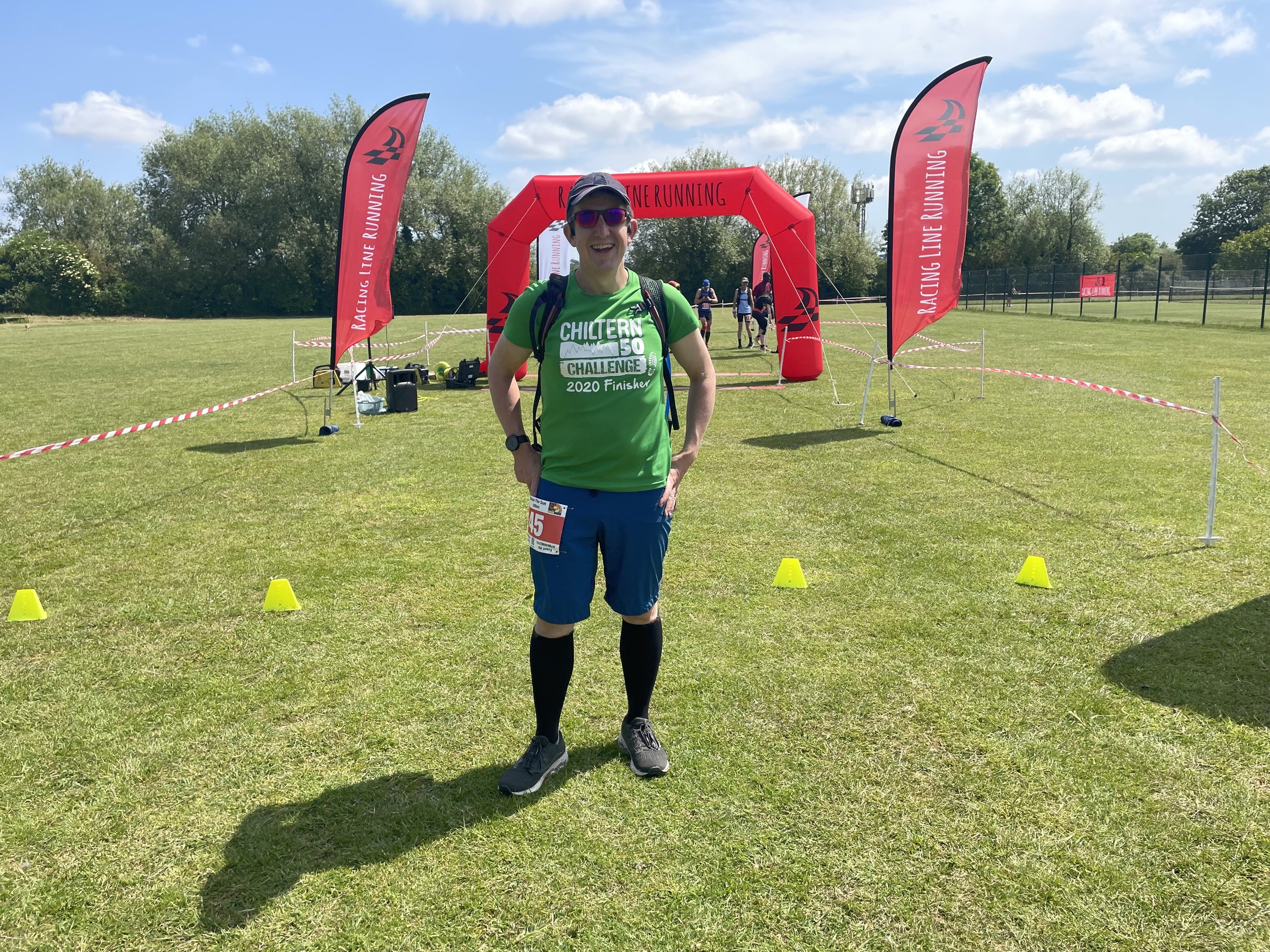
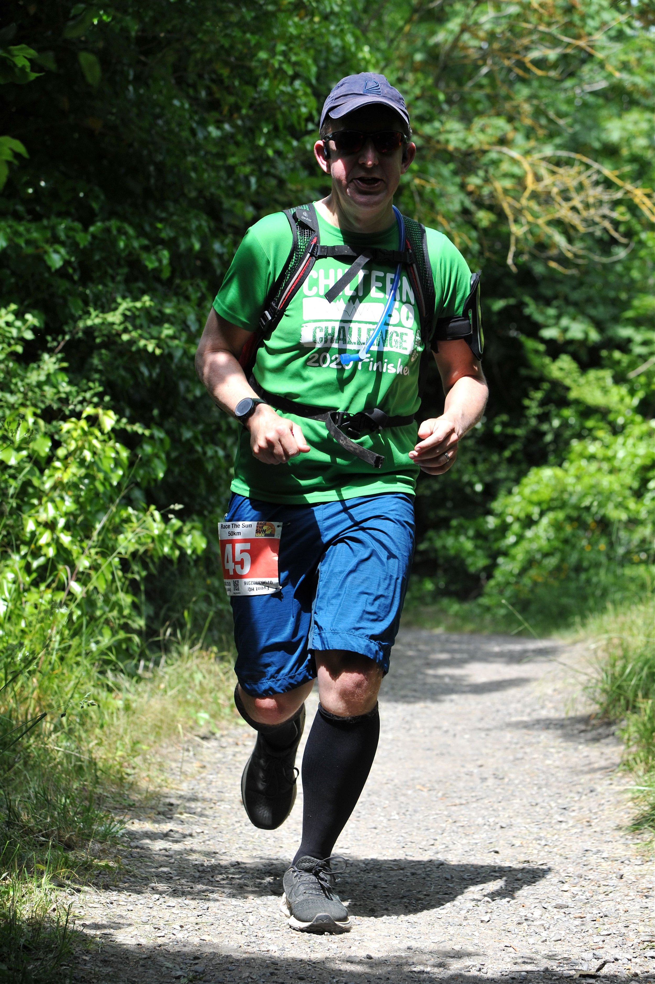
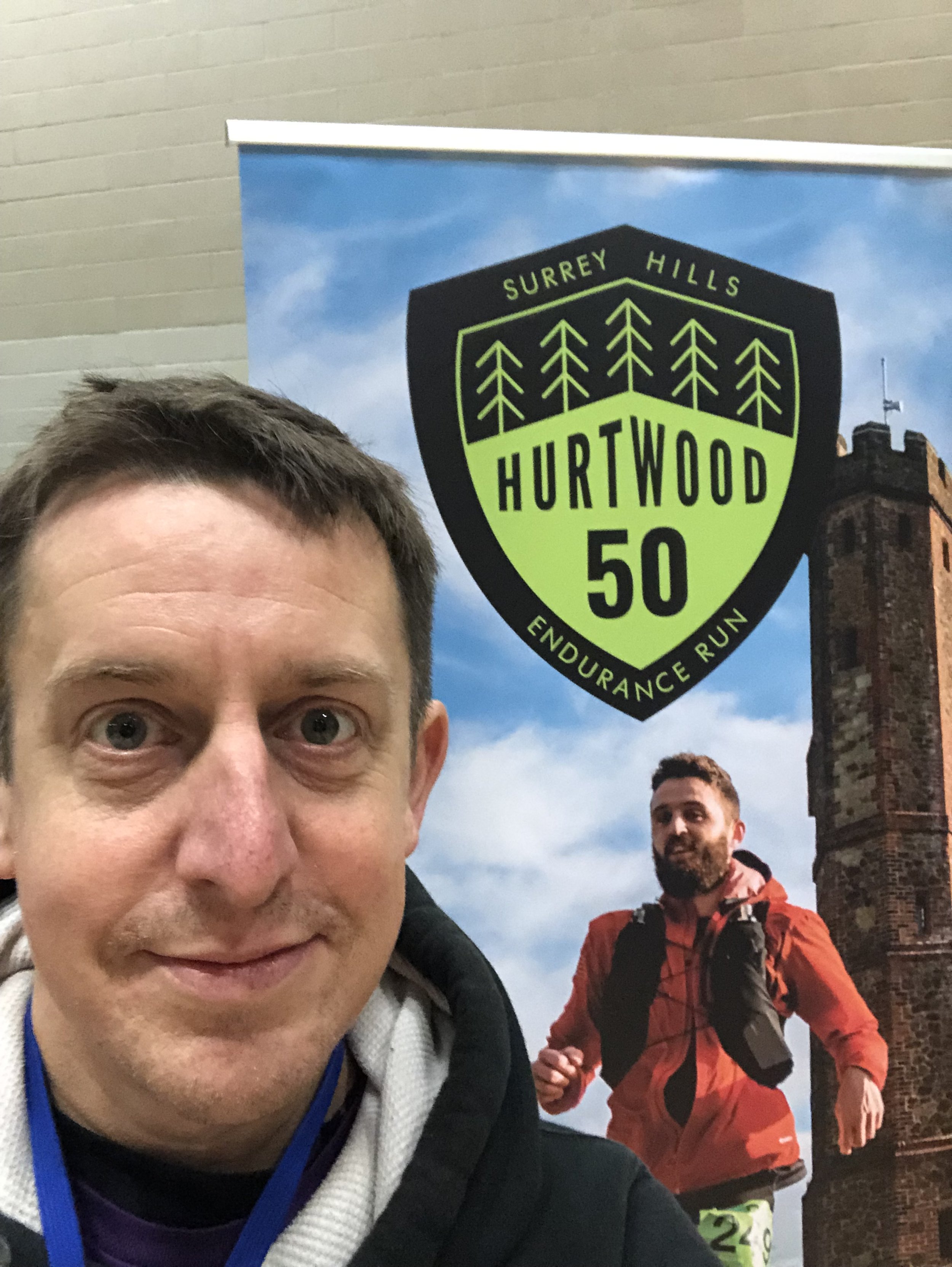
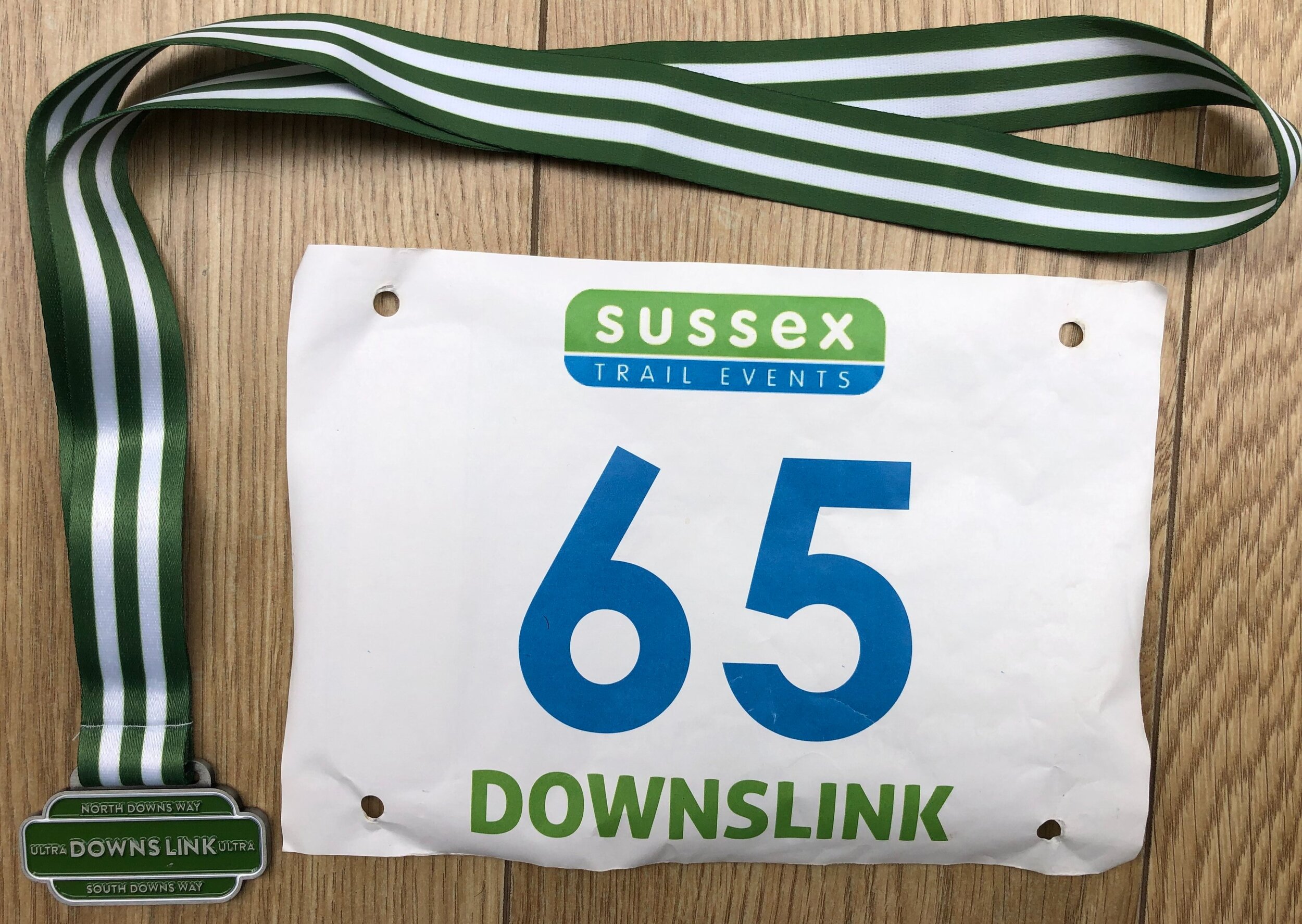
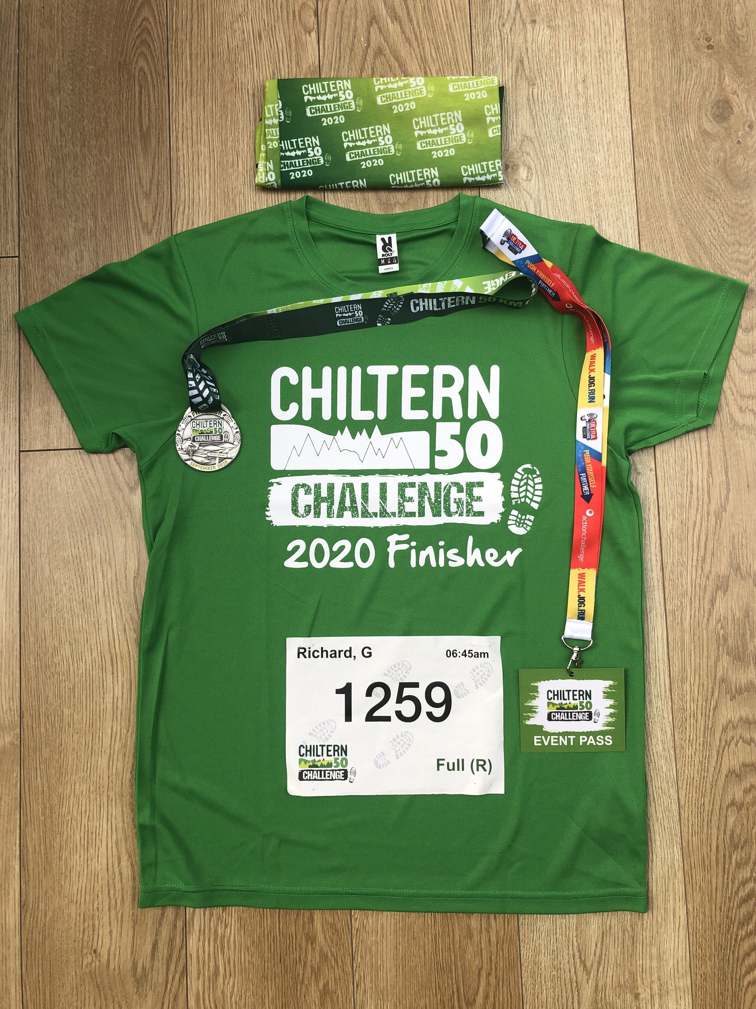
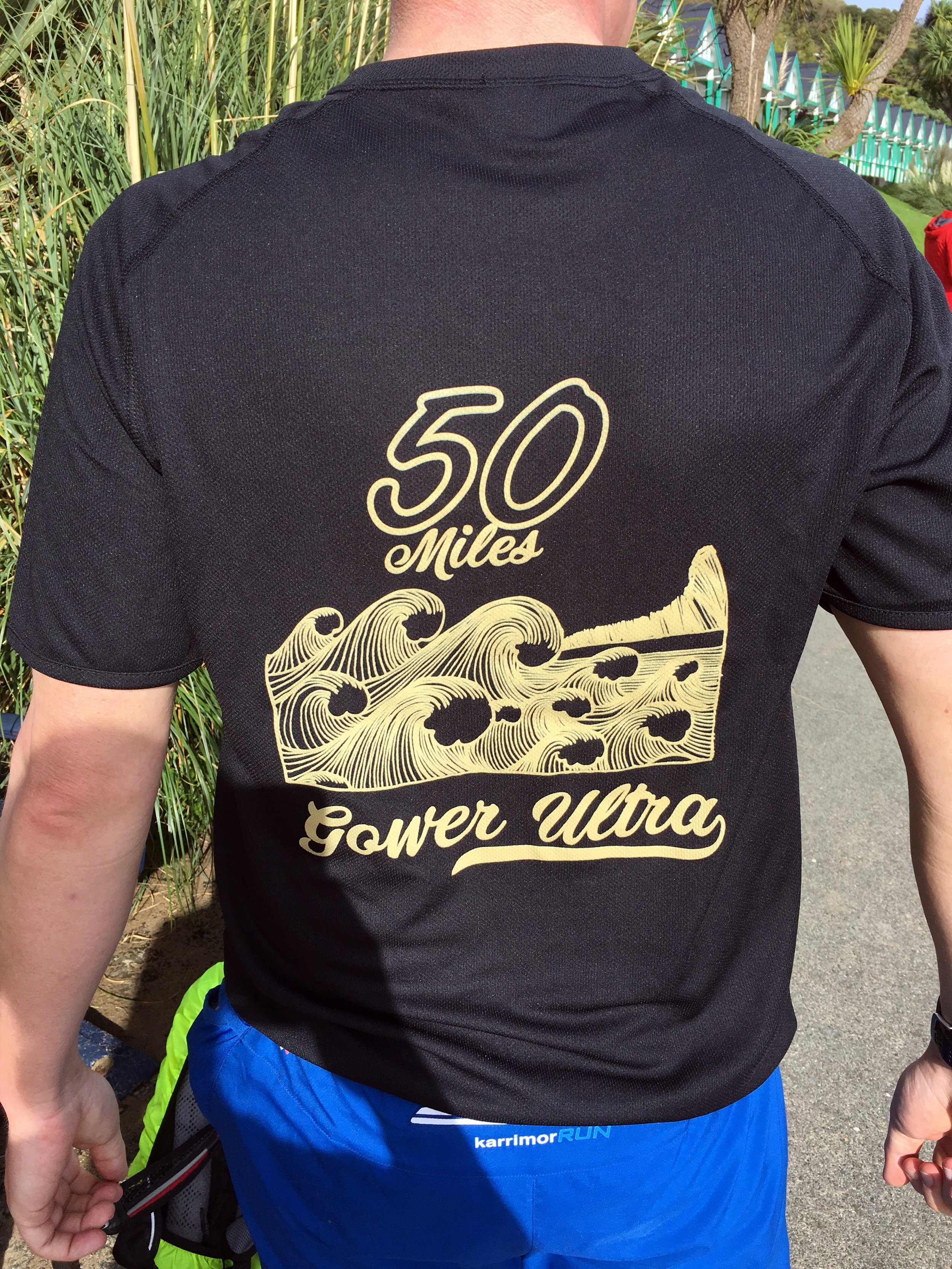
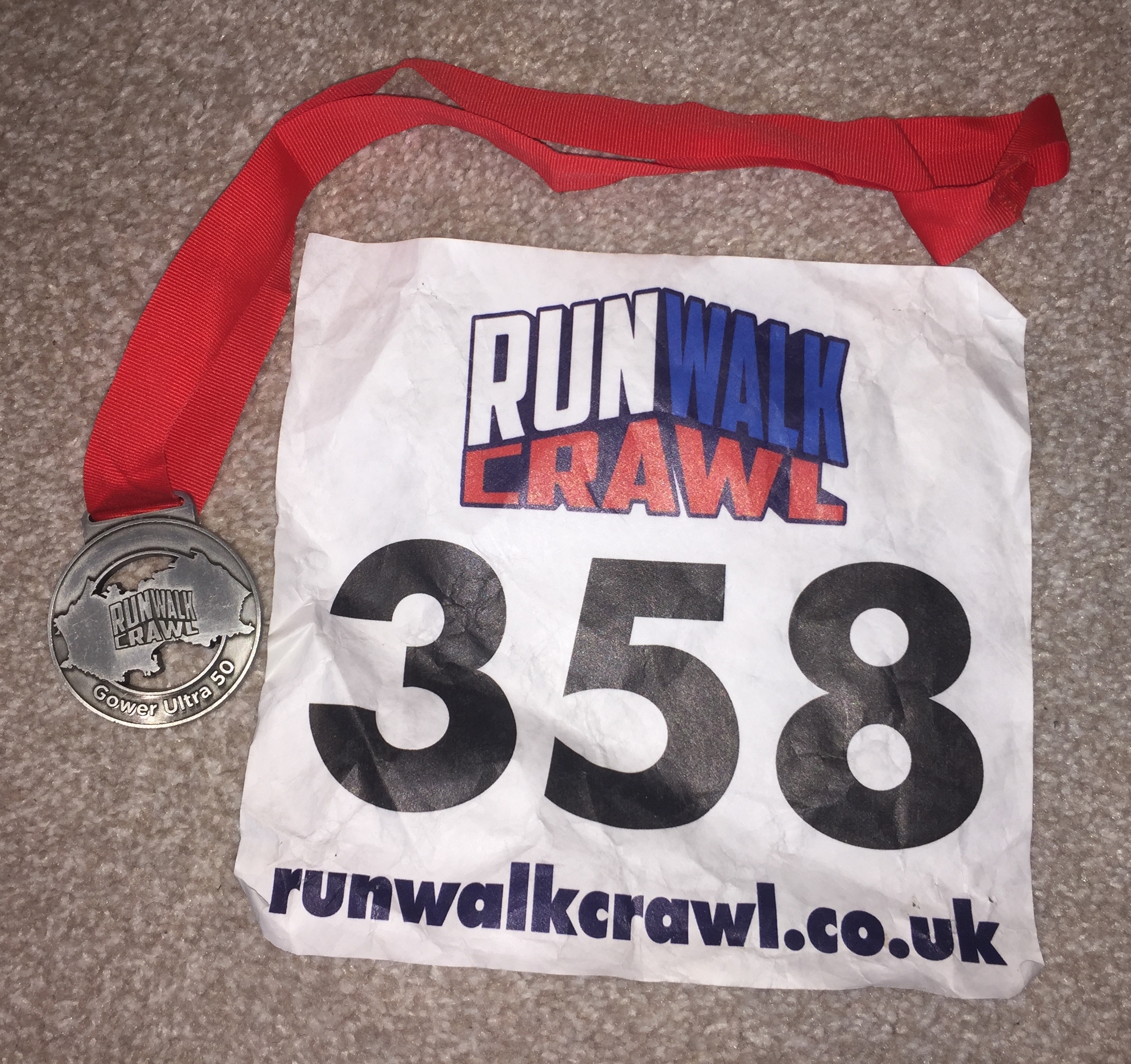
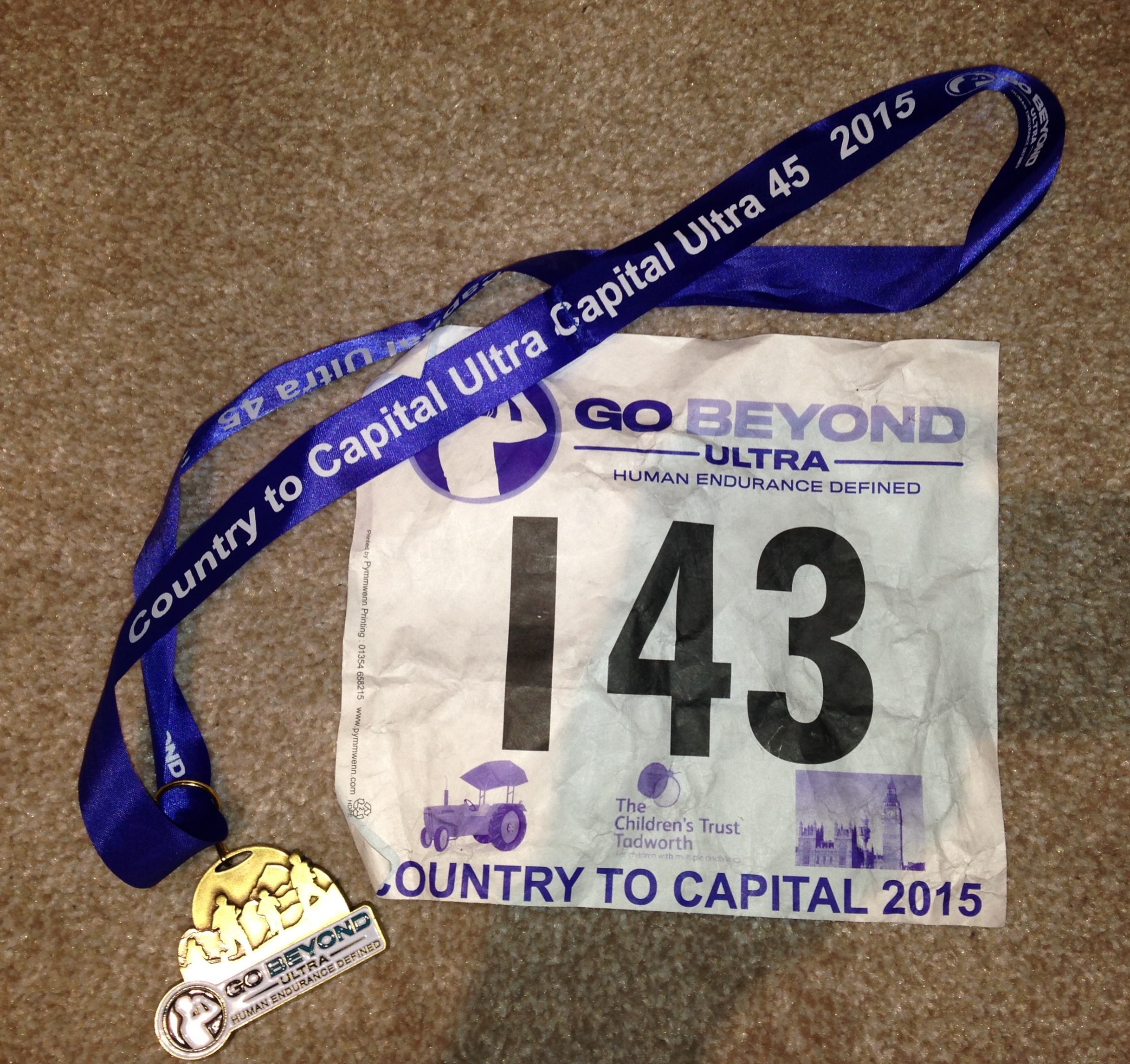
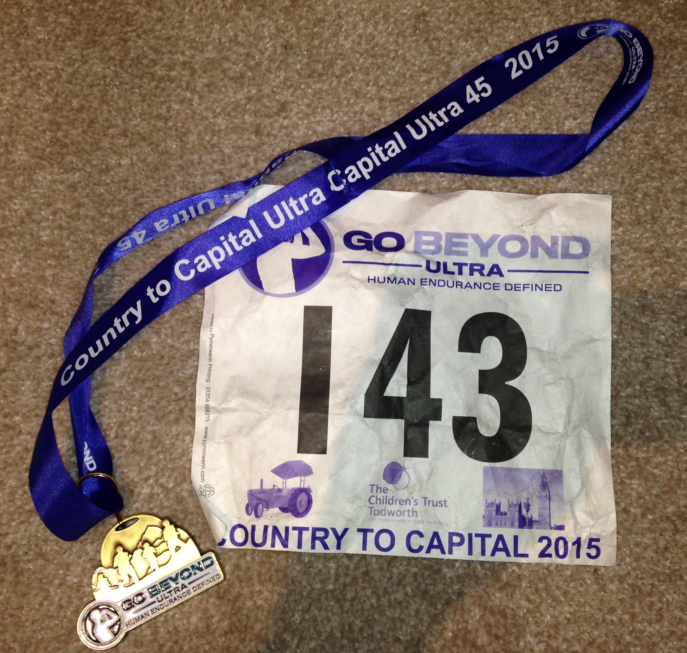
Of all of the events on the Growlerthon list for this year, the Ultra Marathon was the one I was most excited and nervous about. I was pretty confident that I could do the others but 45 miles was significantly further than any distance I had ever run before. It all seemed like a good idea last summer when I was talking to my friend, Mat, at a summer party, about his recent successful first Ultra. The next day I had signed up for “Country to Capital”, a 45 mile run from Wendover in the Chilterns to Little Venice in London.

Two days before the race I was wondering if the complete lack of long distance training was going to be a real problem or not. I was having dreams that week about “ultra disasters” such as getting off-course and lost in London or arriving to the start without running shoes and socks, and having to run in borrowed hiking boots.

Other than the lack of training, I felt pretty good on the morning of the event. I was halfway into “Dry January” so I had 2 weeks off alcohol as well as a week of carbing-up and some early nights. I stopped looking at the weather forecast days ago as it was only getting worse as the weekend got nearer.

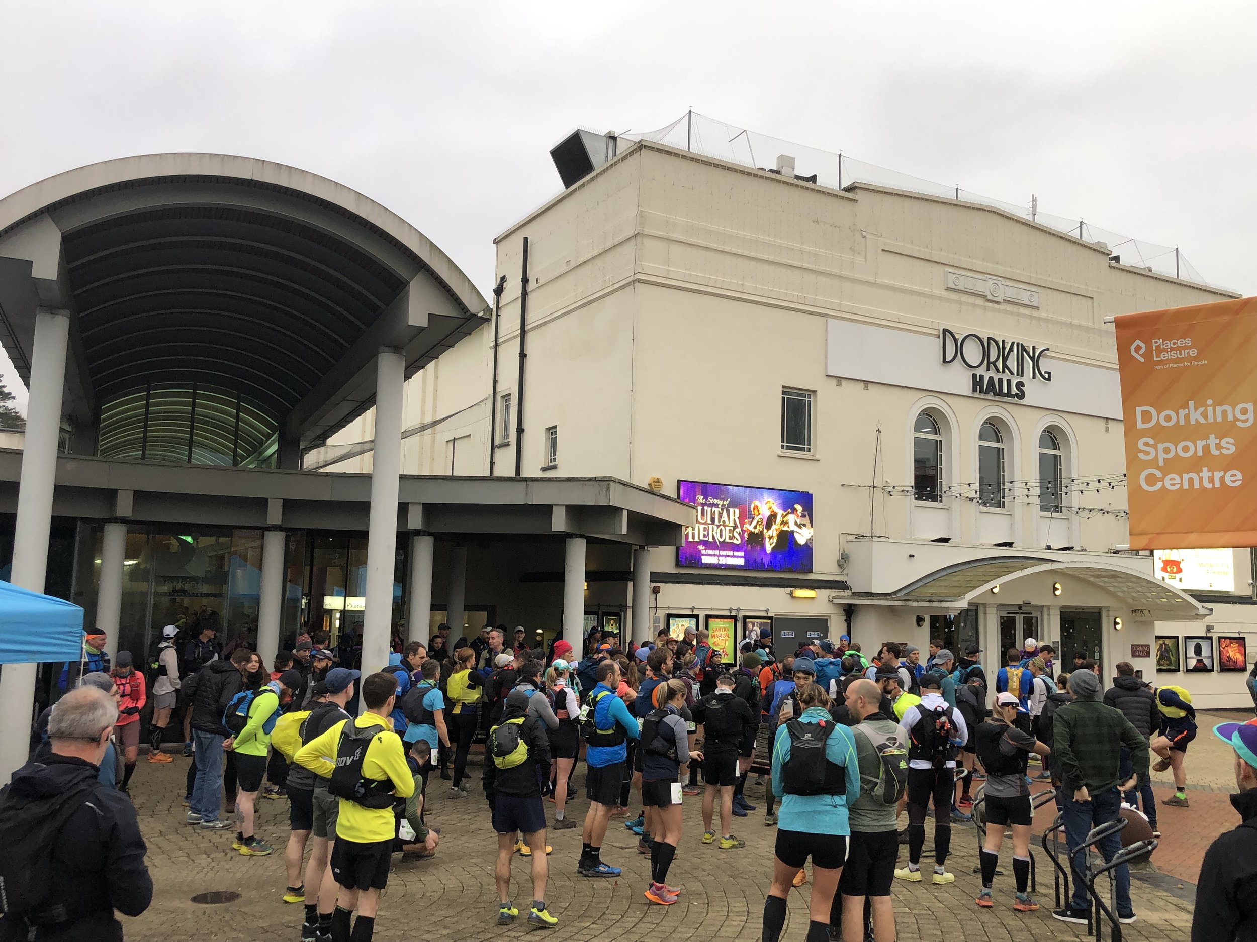
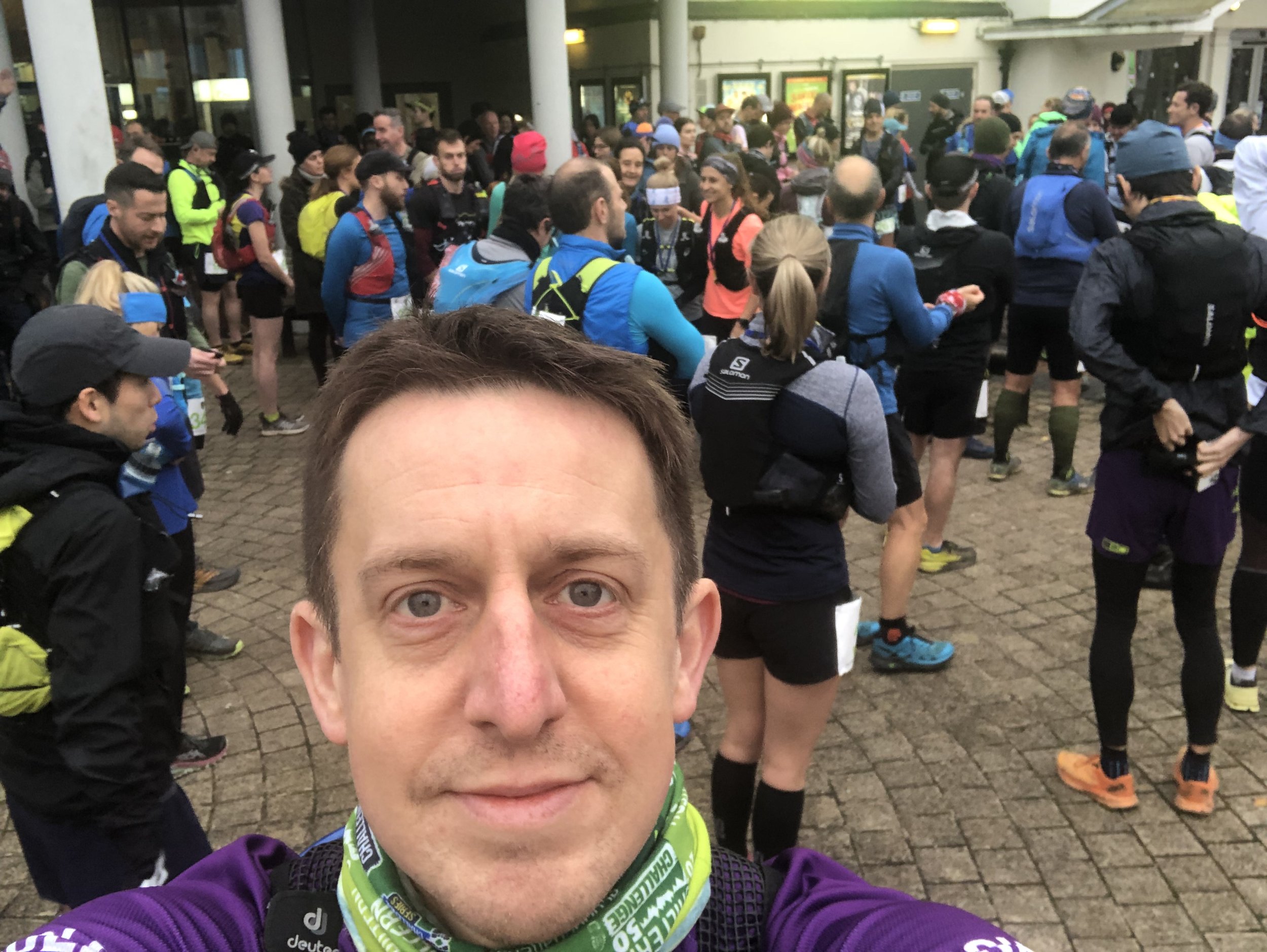
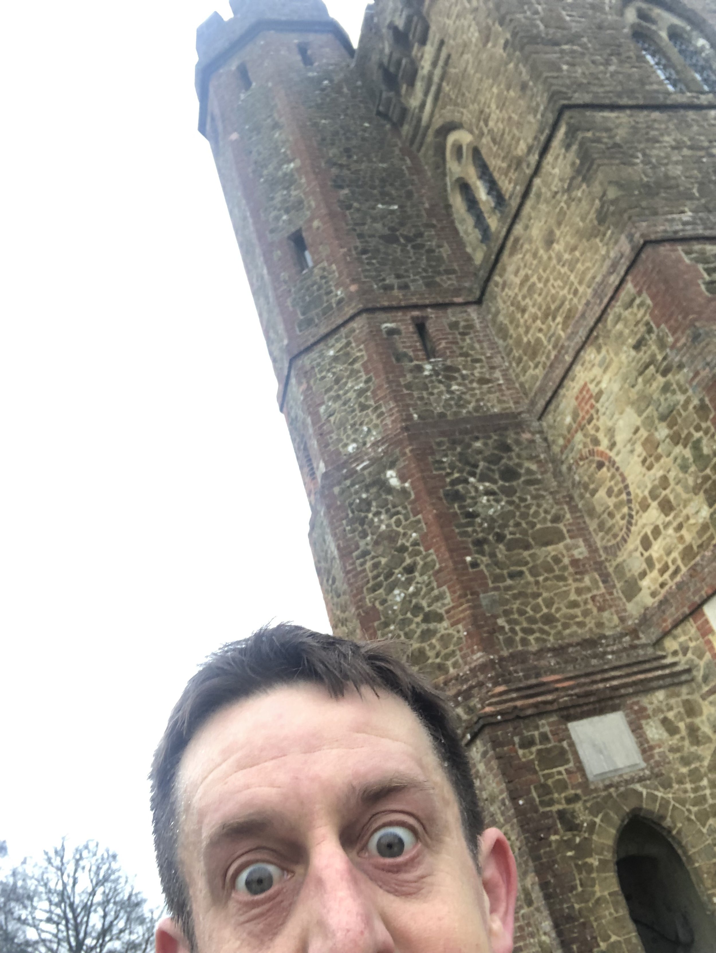
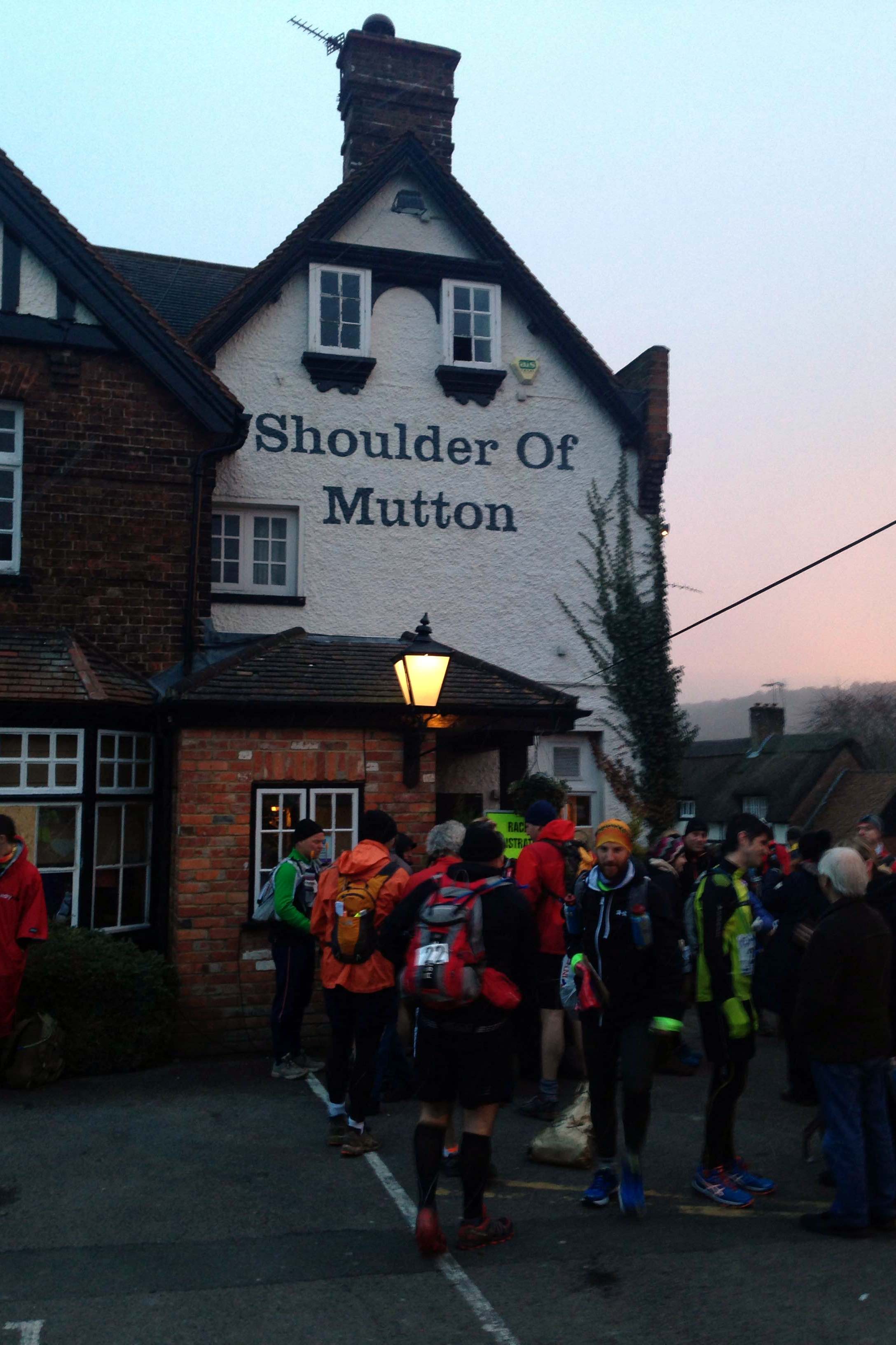
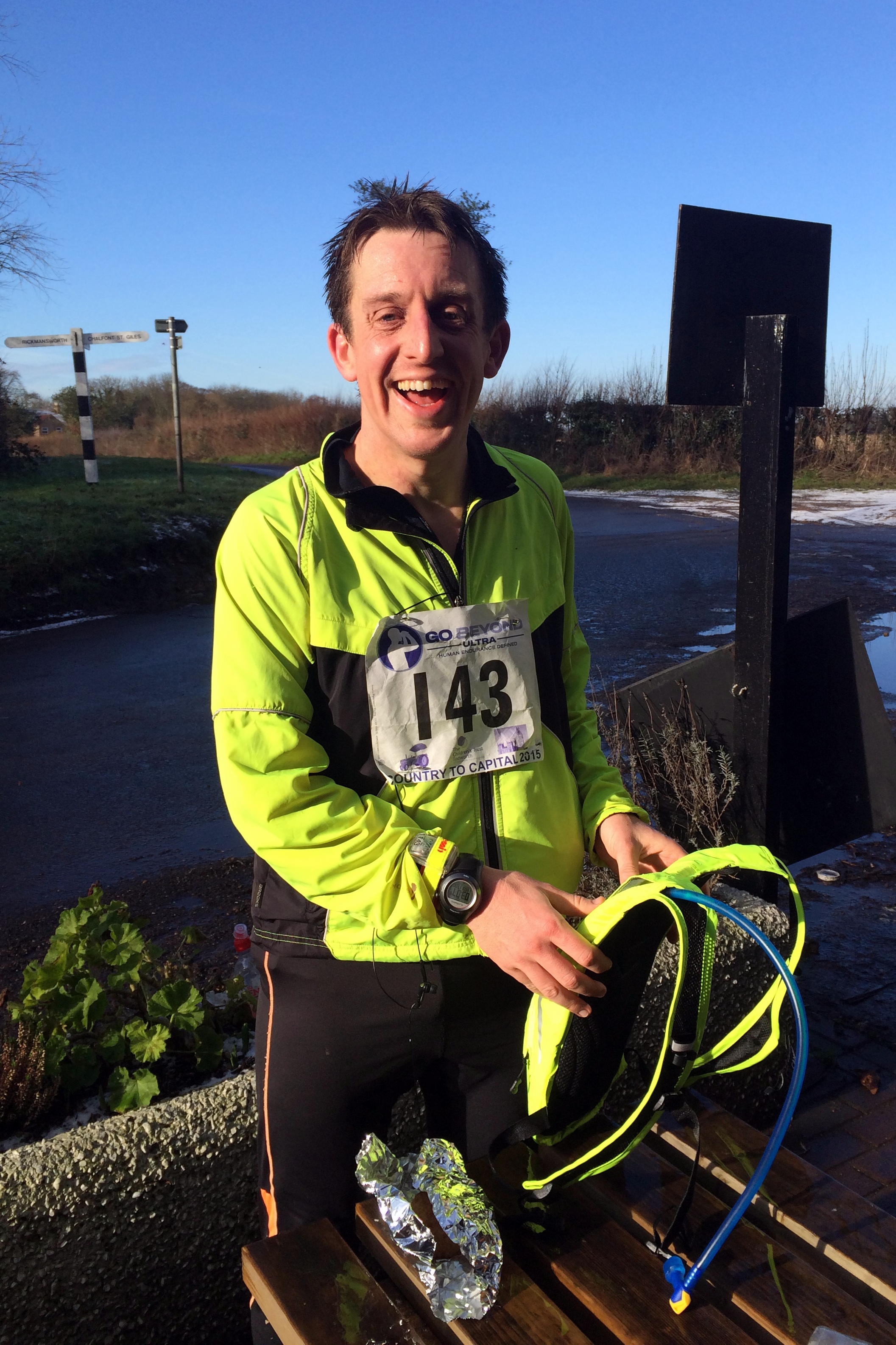
Arriving at the start at a pub in Wendover I was relieved that the forecasted snow hadn’t happened. About a second after I posted an update about it on Facebook the snow started.

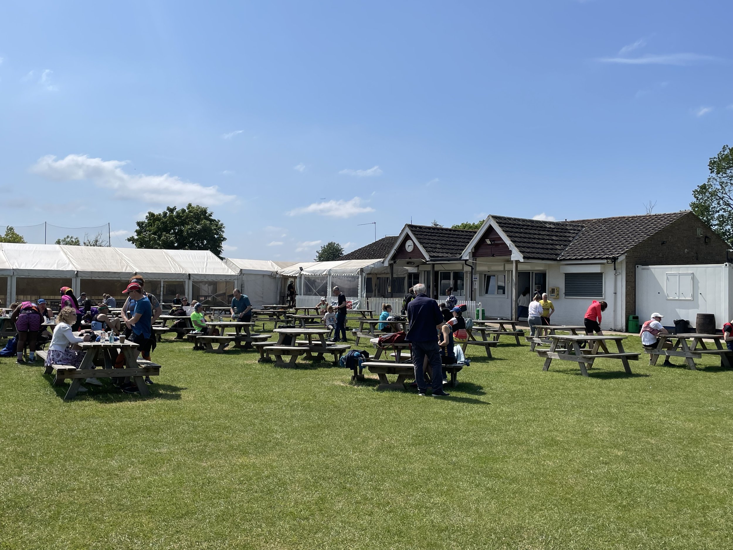
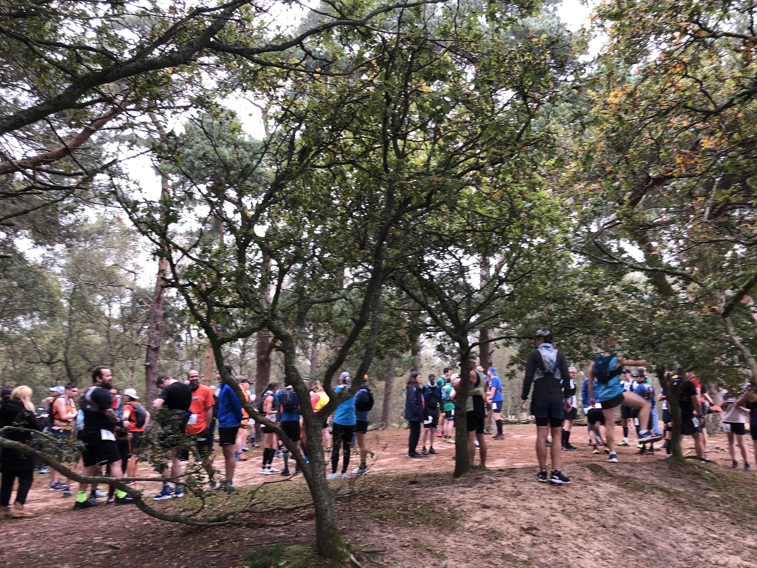
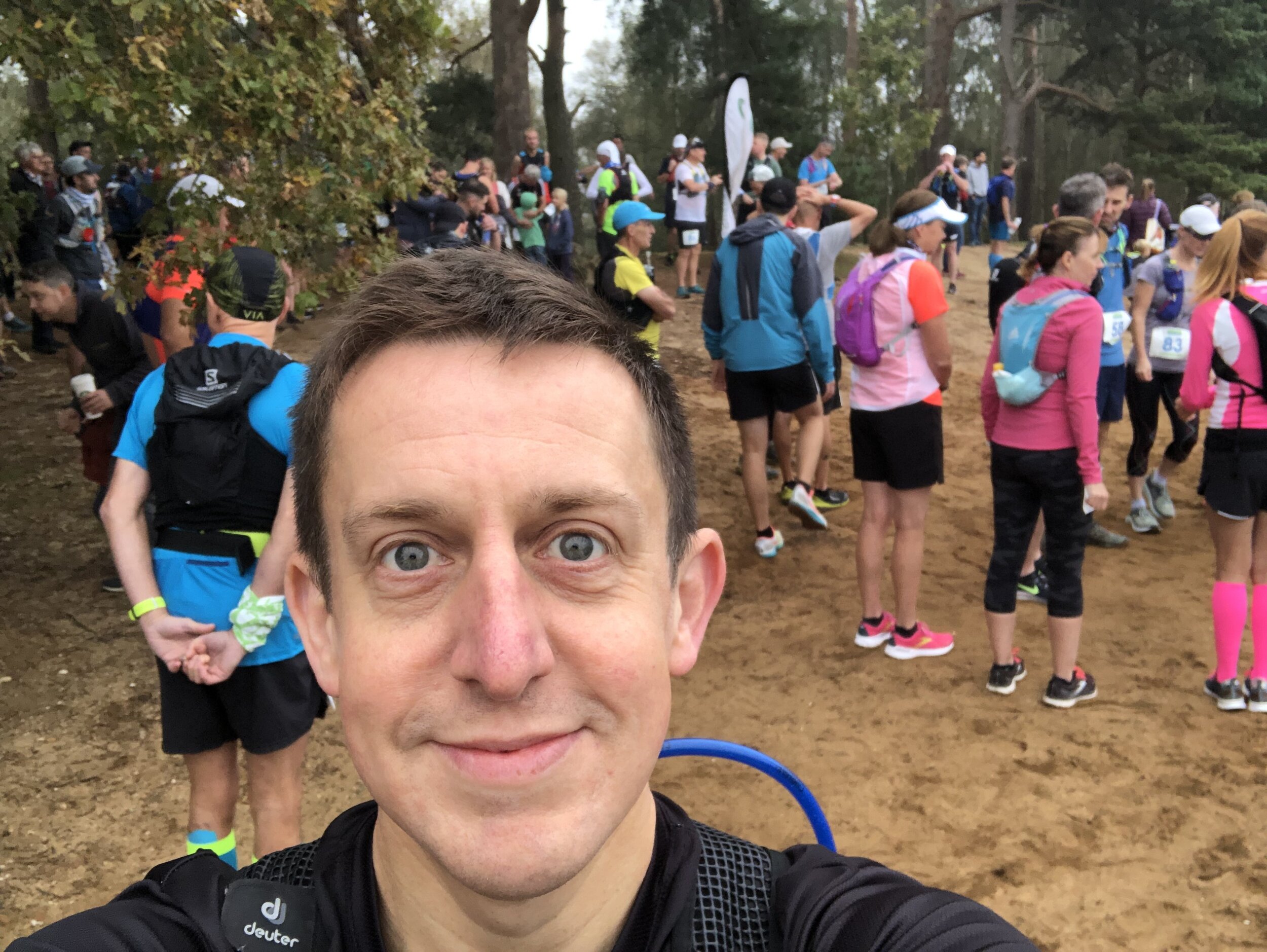
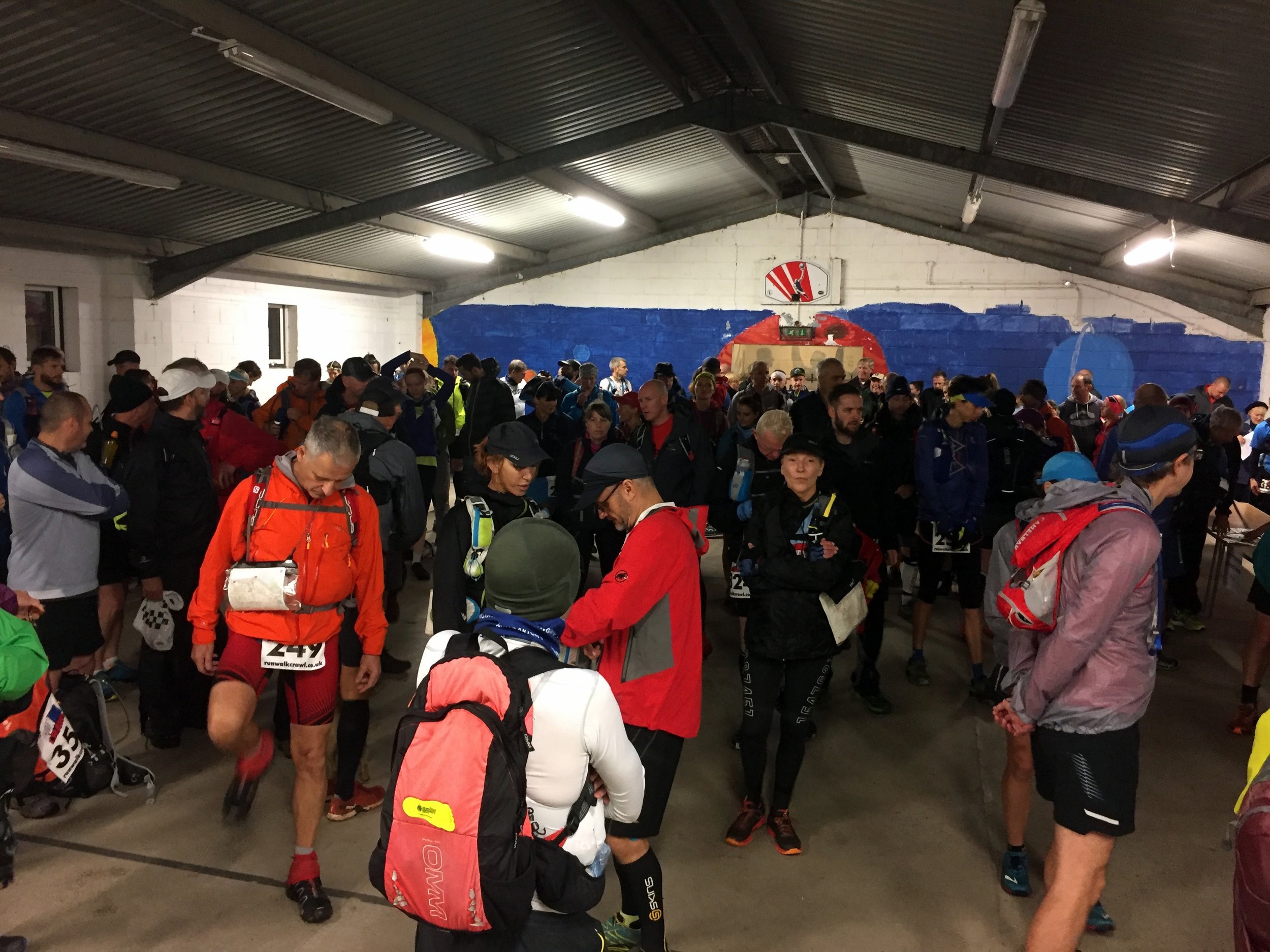
The pub was fairly chaotic, packed with scarily fit people checking-in, getting changed and filling up on bacon rolls. Everyone I spoke to was on top form and eager to share stories and advice about the run. Worryingly everyone I spoke to had done several Ultras before and no-one else appeared to be doing it for the first time.

Despite the warnings of my anxiety dreams I had a near miss when I accidentally checked my hat and gloves into the kit-van, which was going to be driven to the finish. Luckily I was able to fish them out before it was too late, much to the amusement of the organisers.

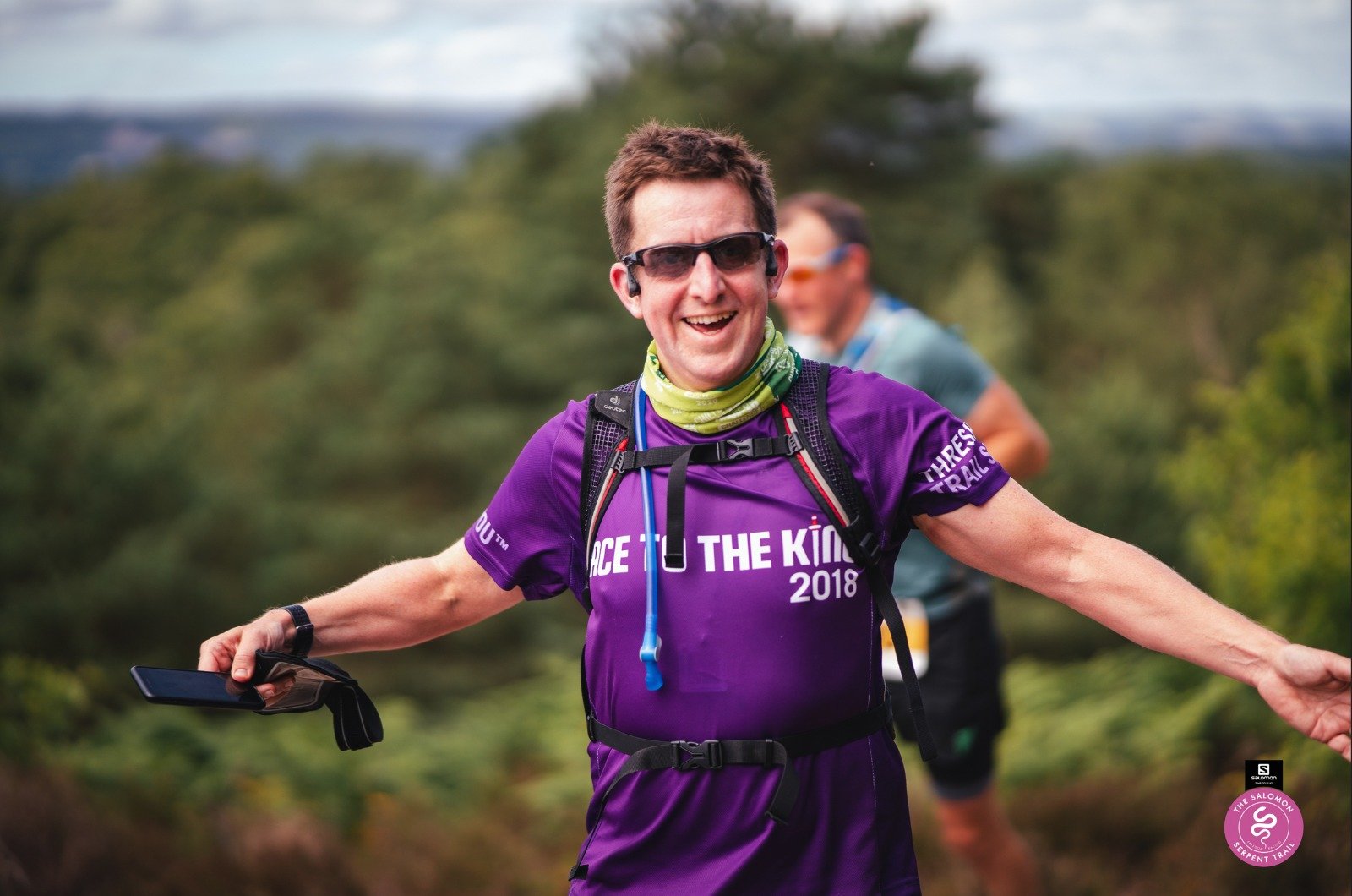
The best piece of advice came from a veteran Ultra runner at the start line: “Stick to your game plan” he said. “If you’ve planned a pace, don’t get overexcited or distracted by other runners. Just do what you planned for”. His other advice, echoed by several others during the day, was that these events would get addictive. One girl at the start told me she had done her first the previous summer and this was now her 4th. Given my obsessive nature with these kind of events I already had a feeling I would be back for others.

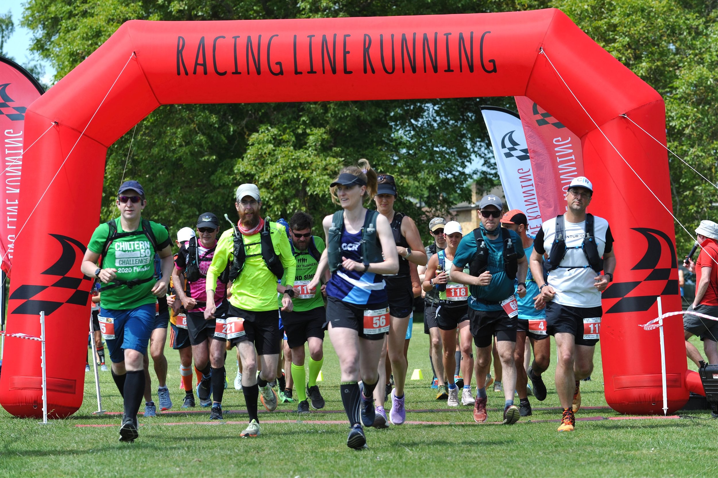
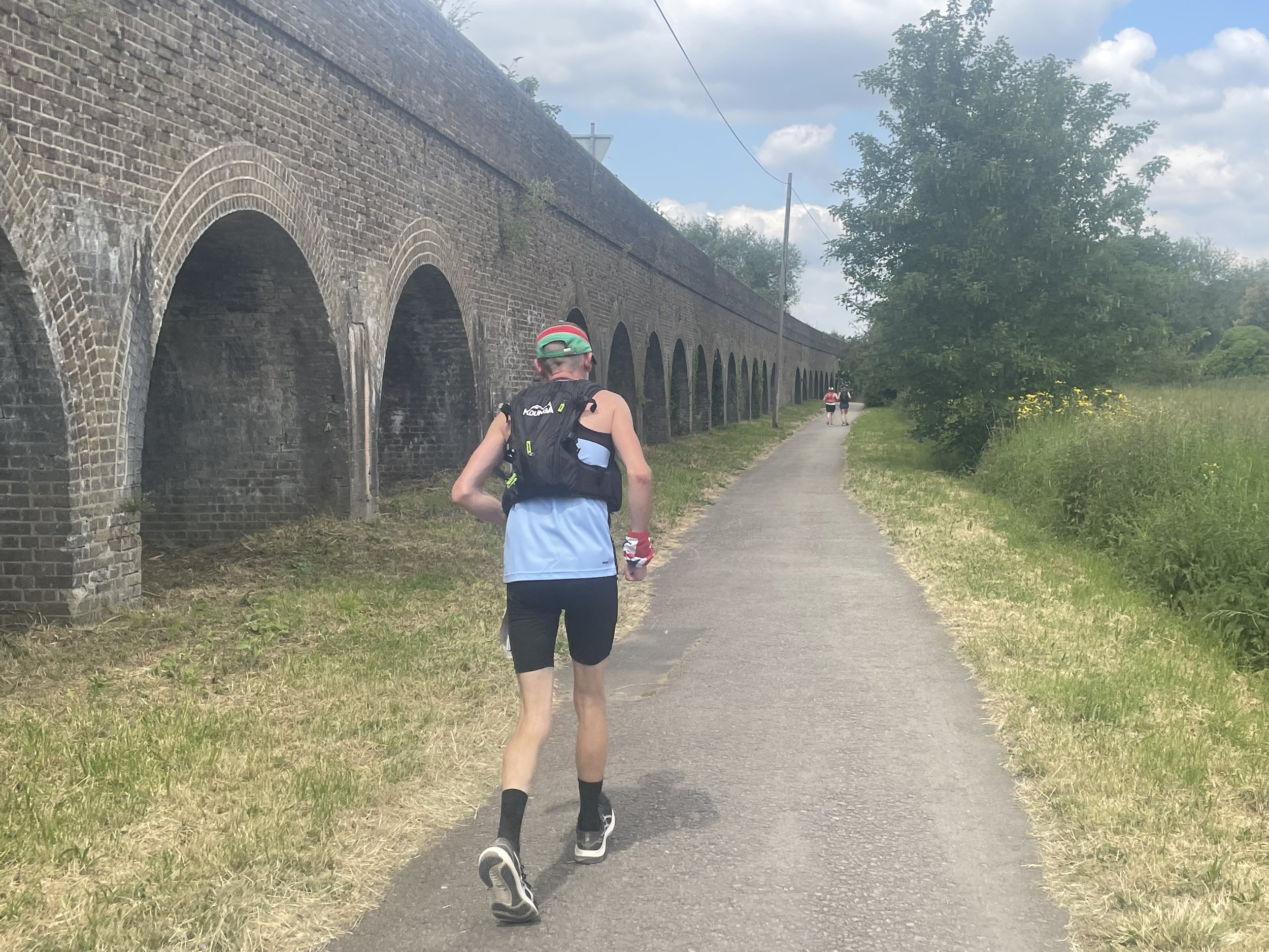
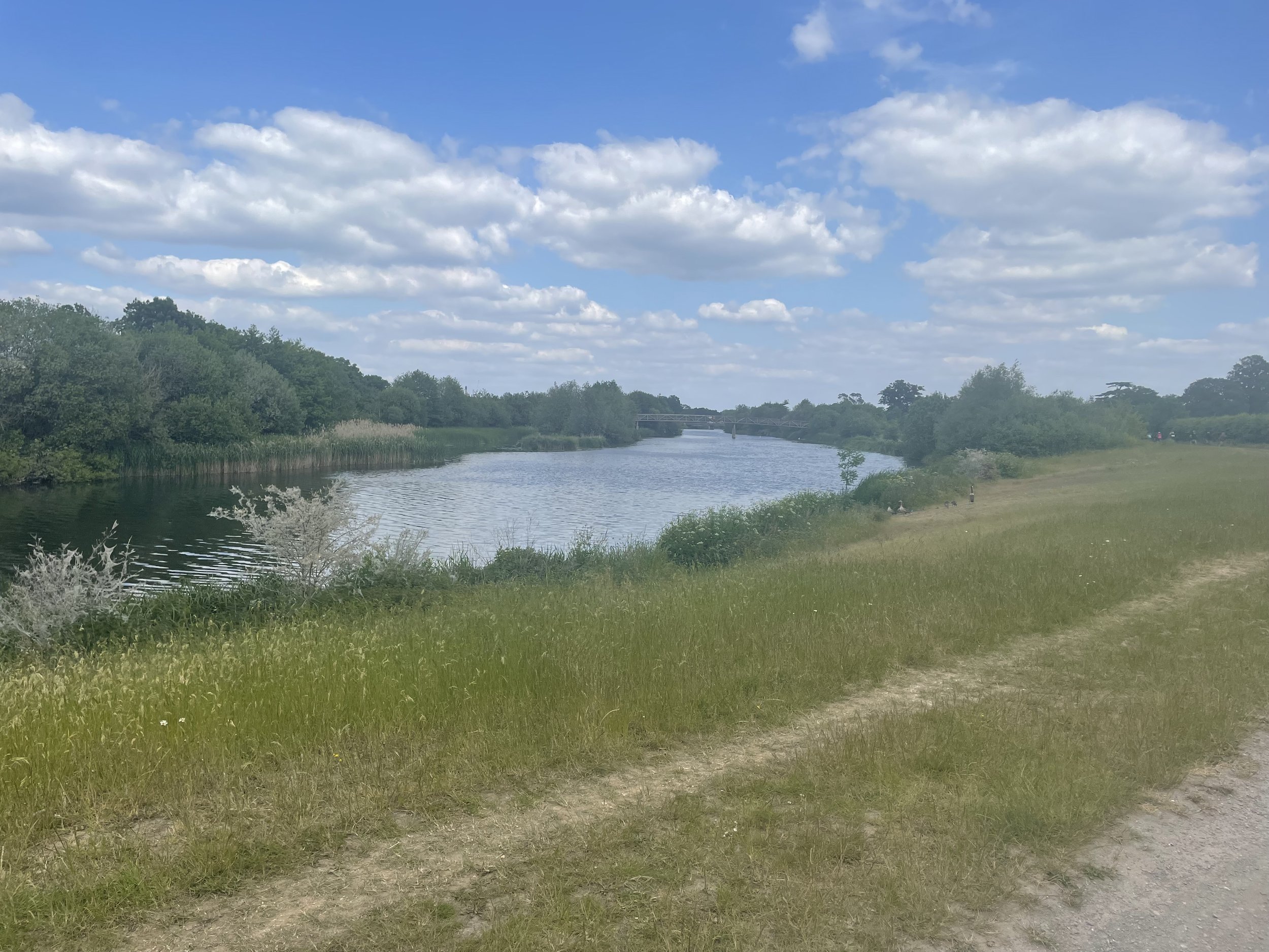
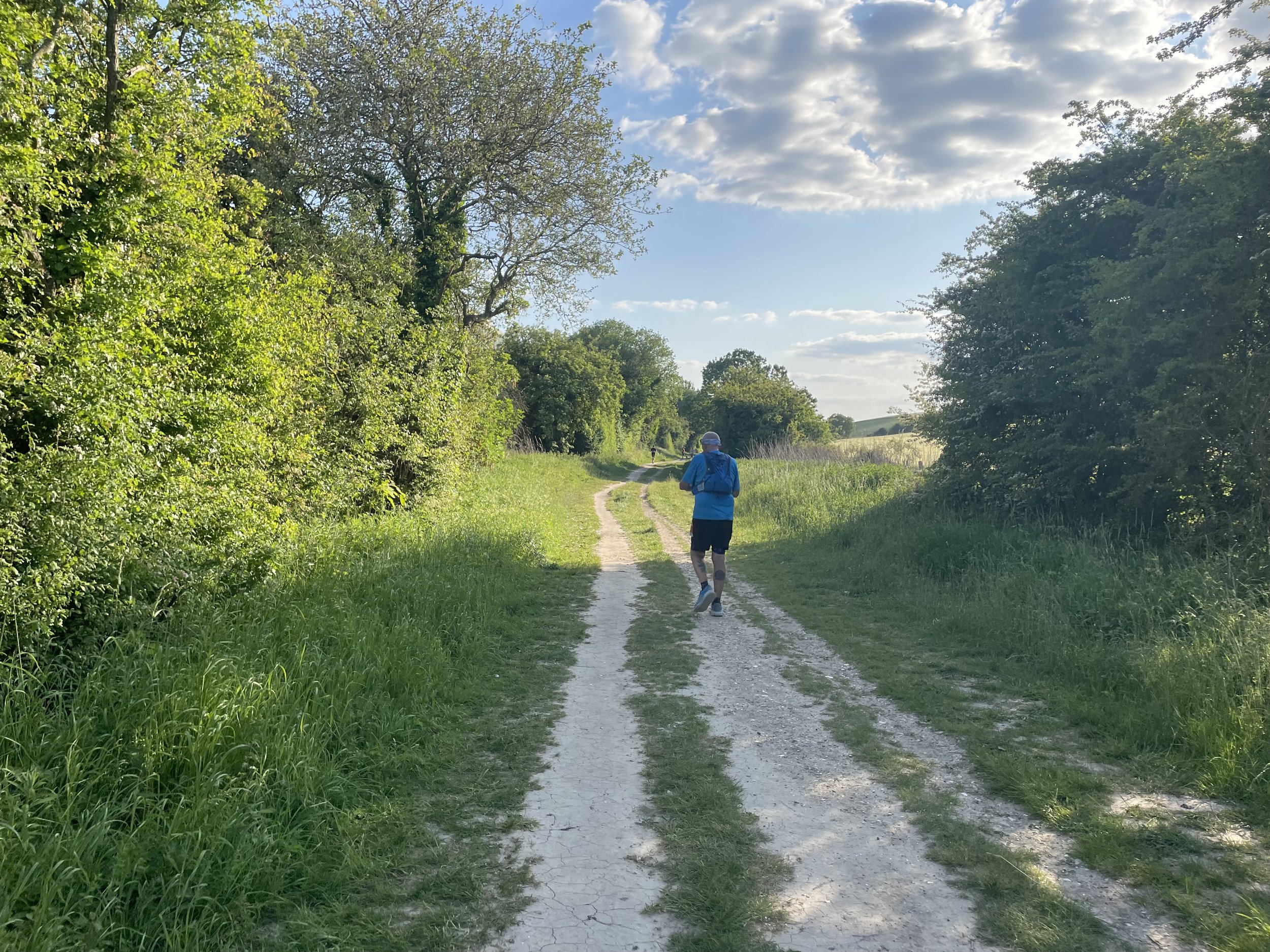
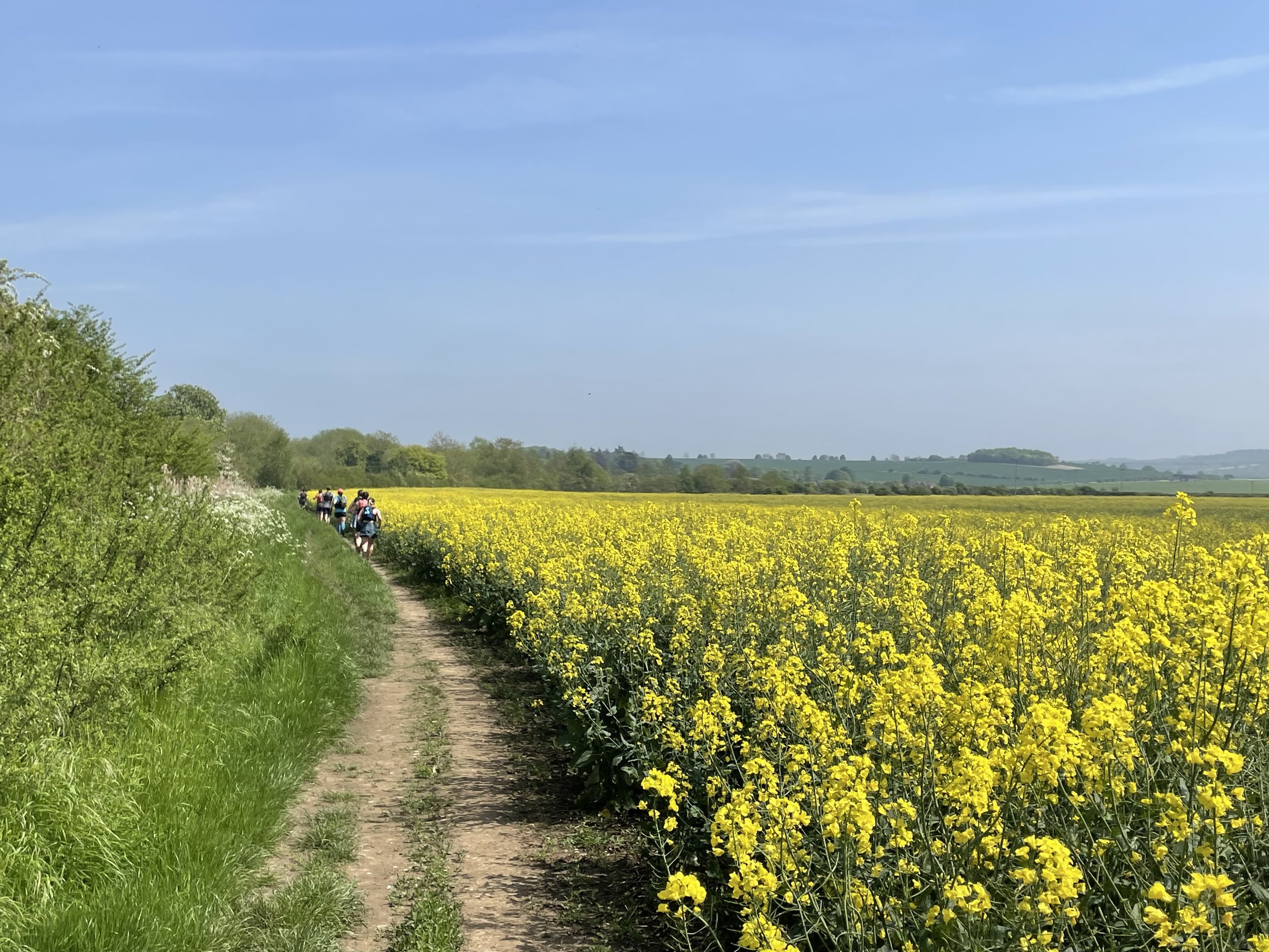
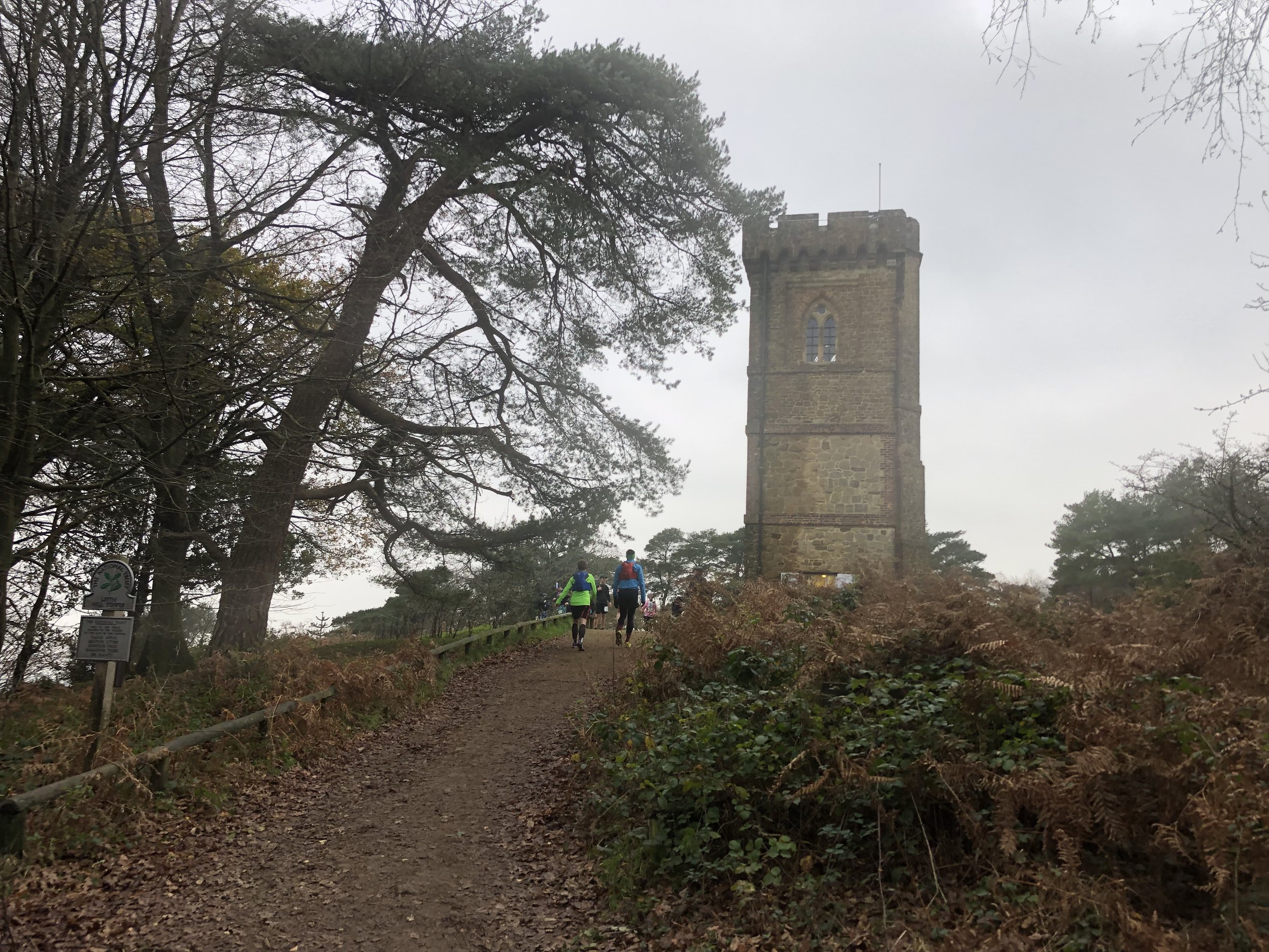
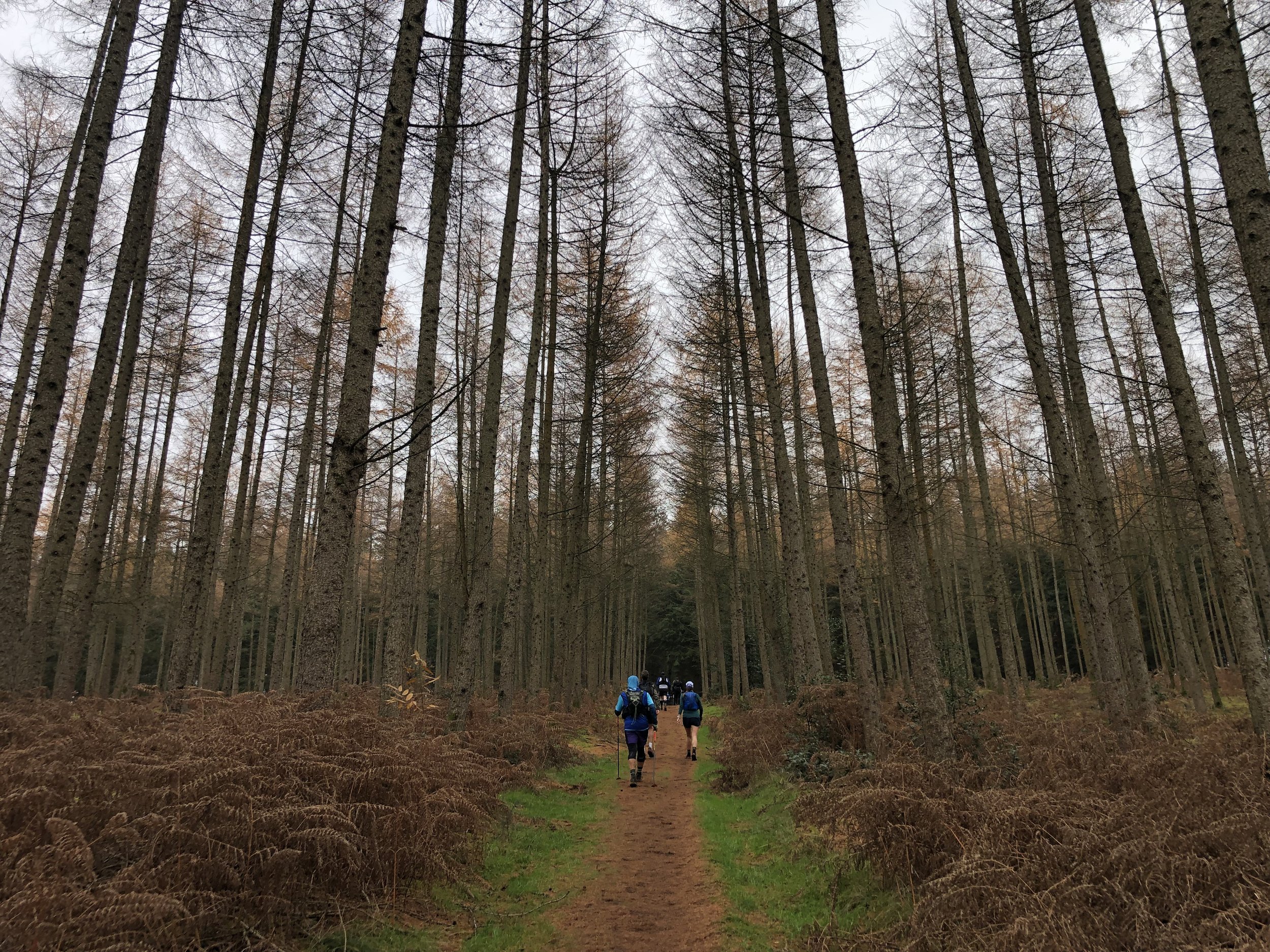
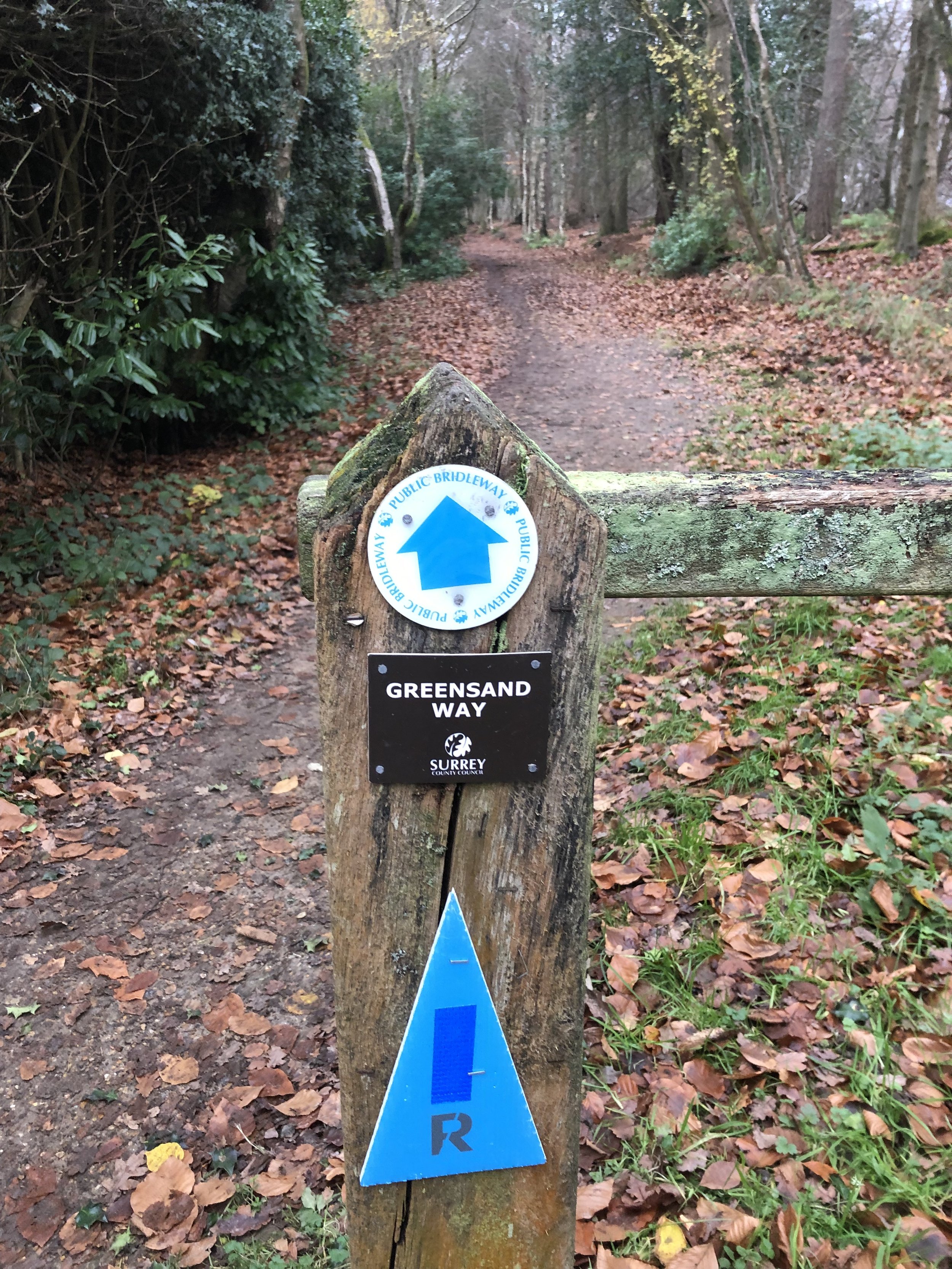
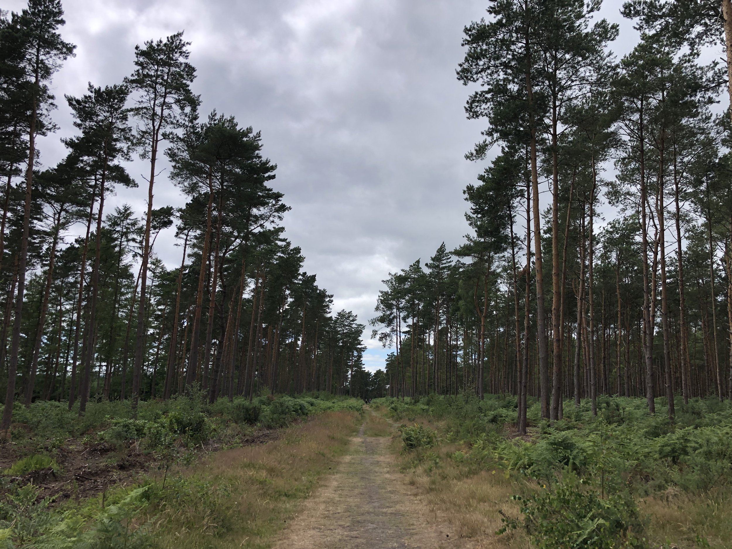
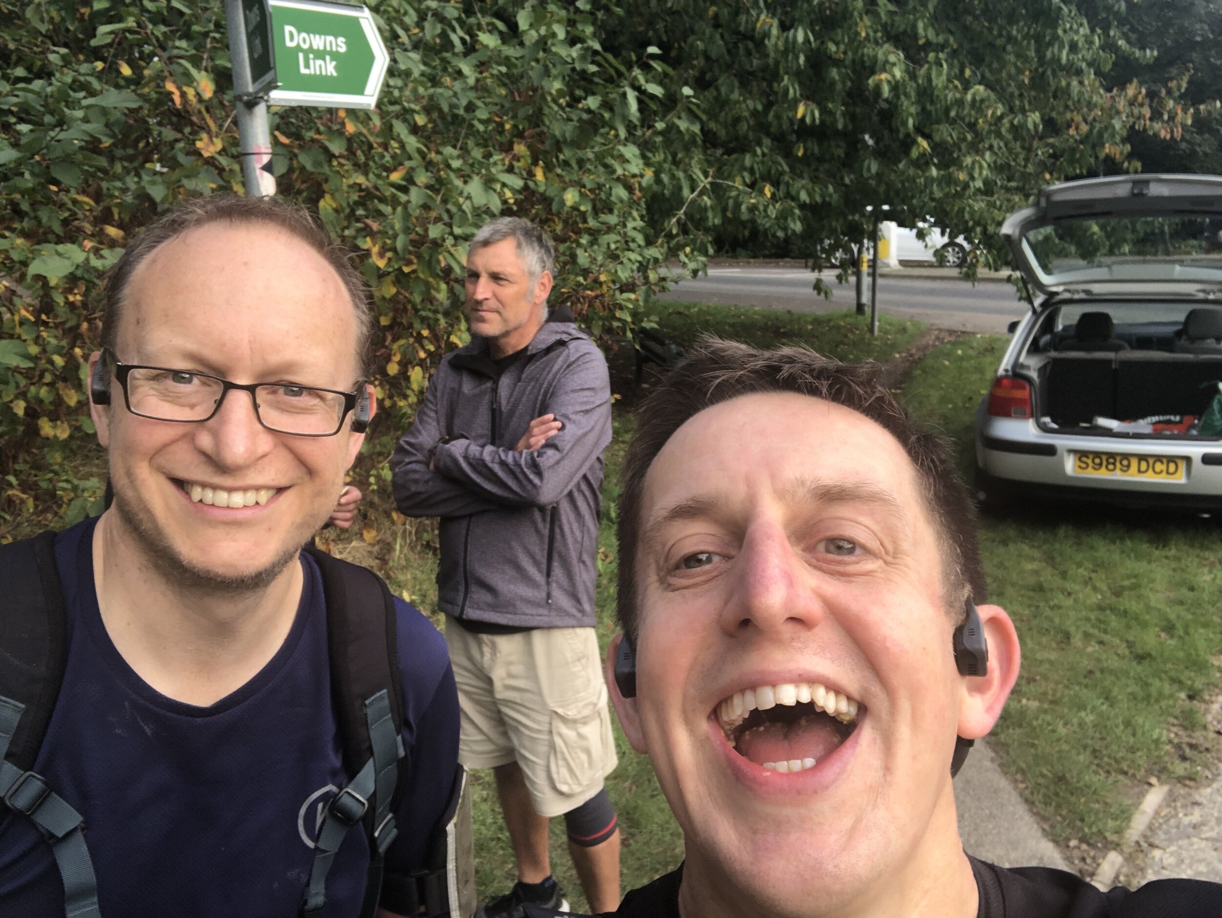
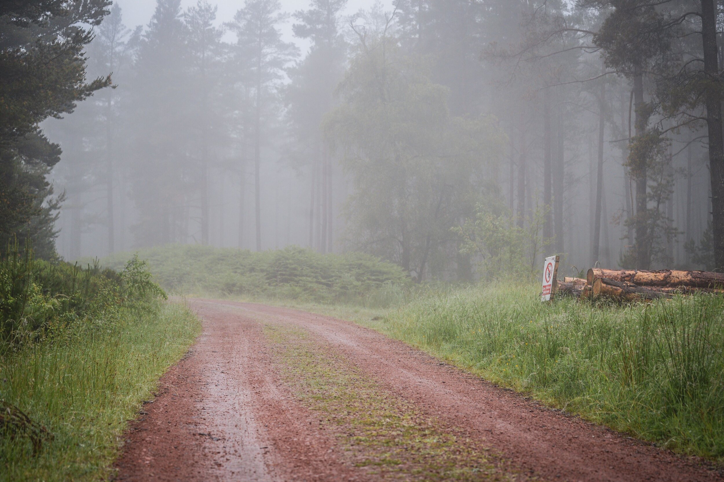
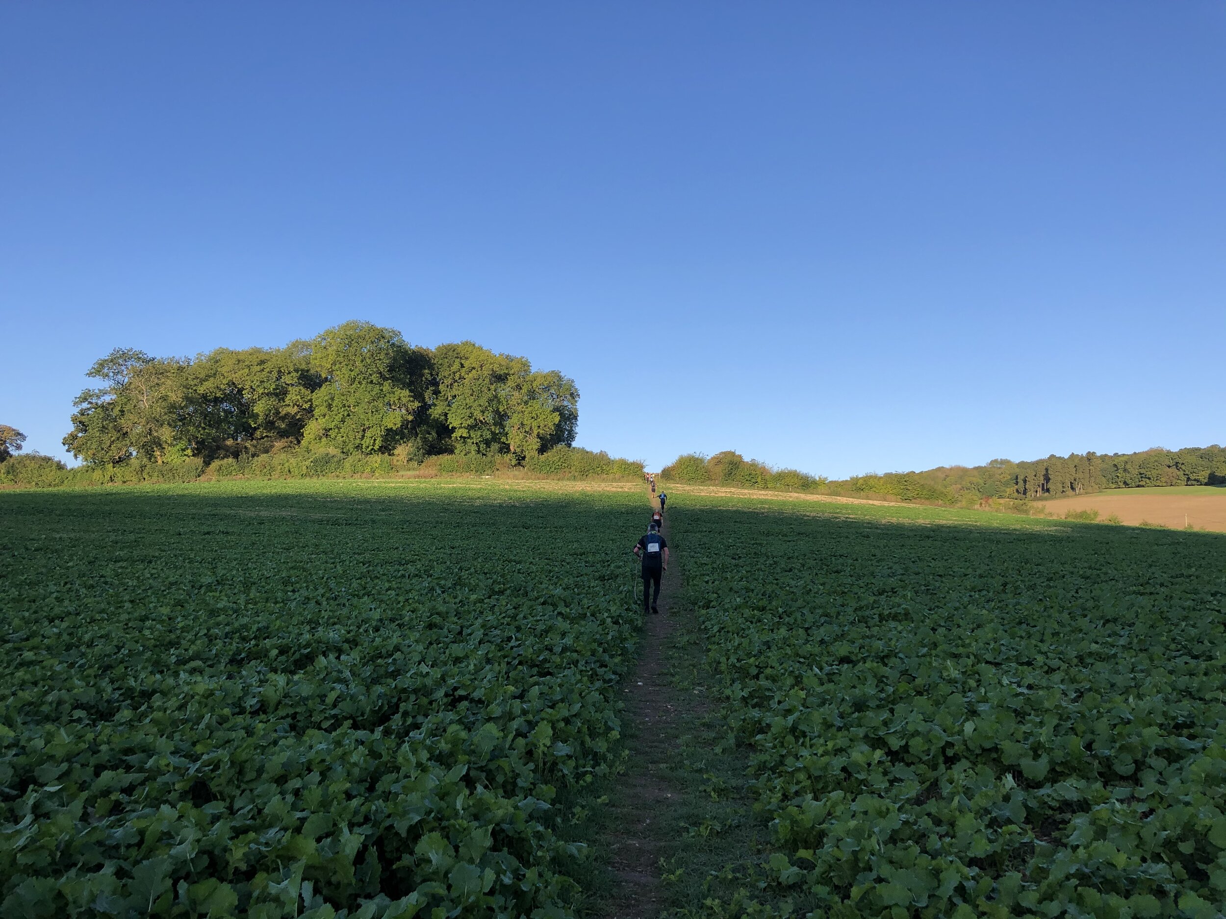
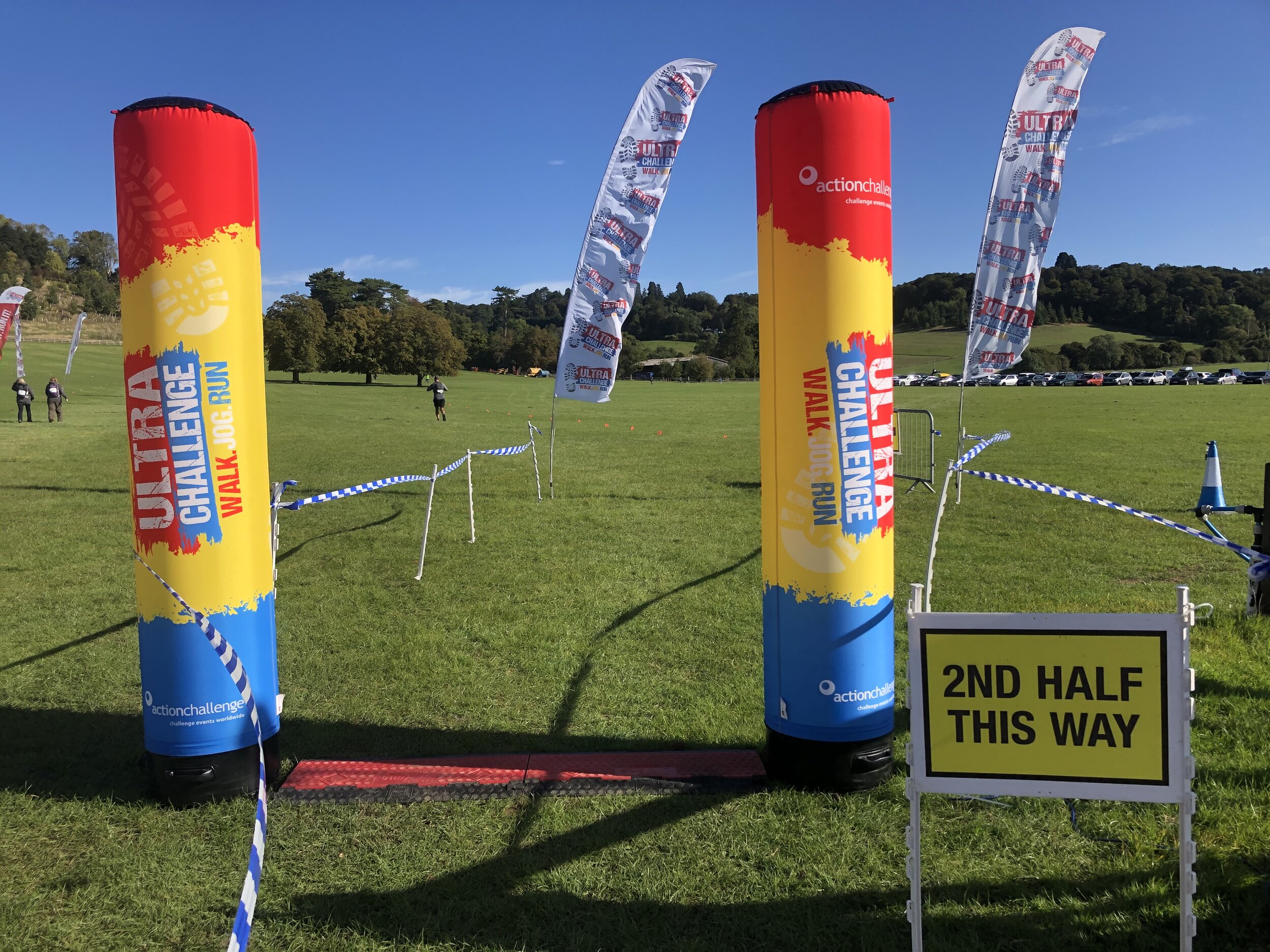
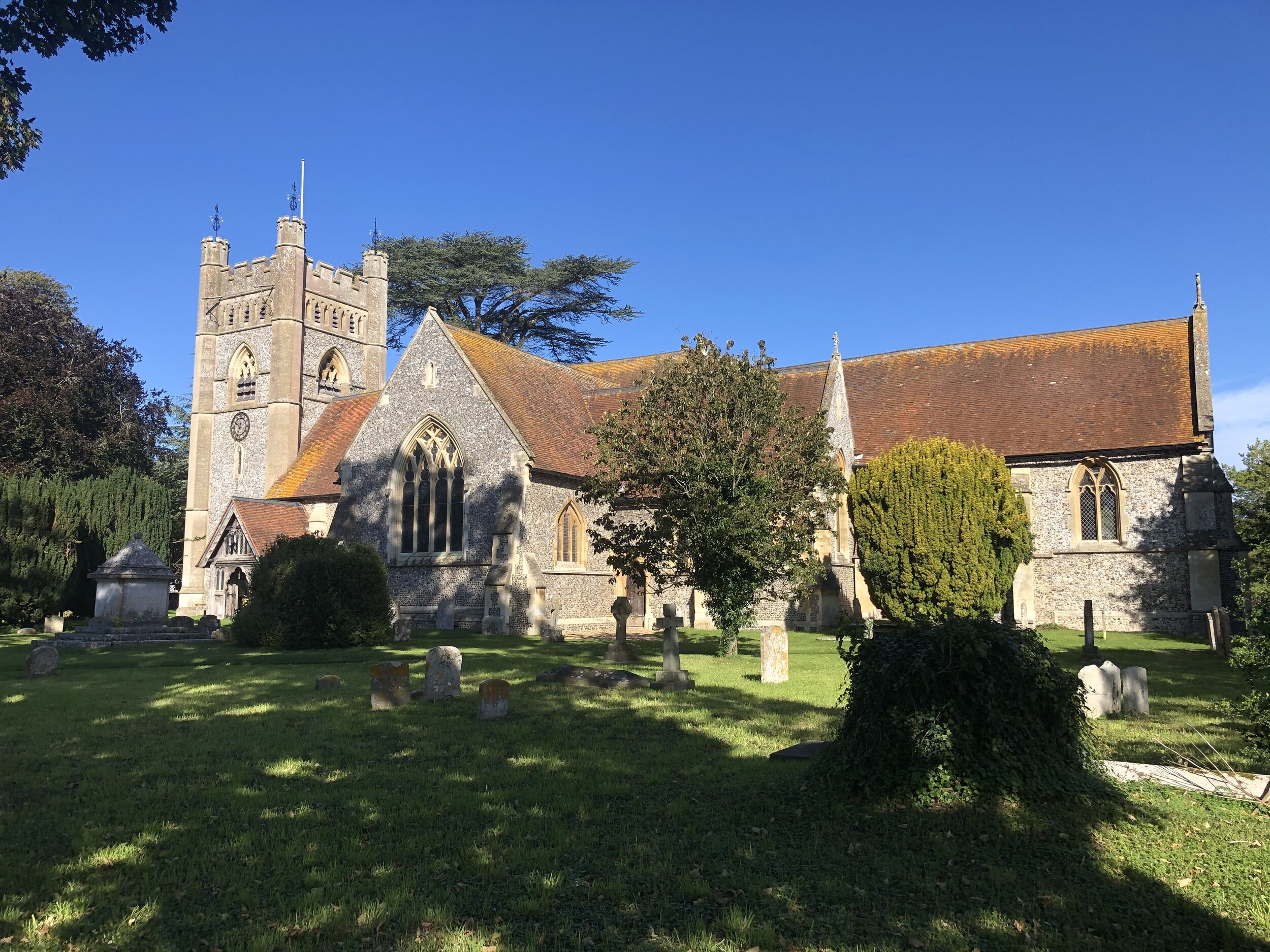
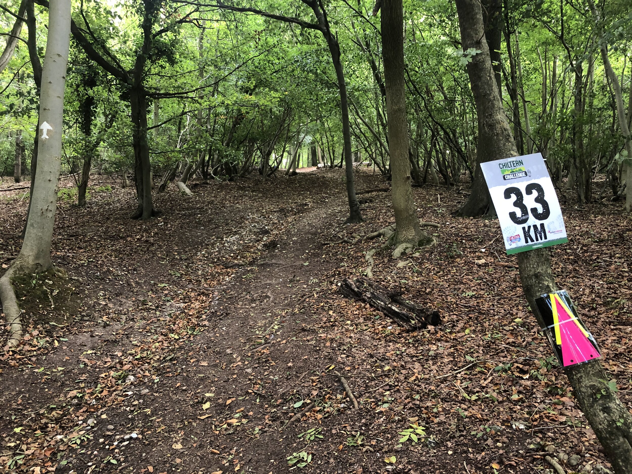
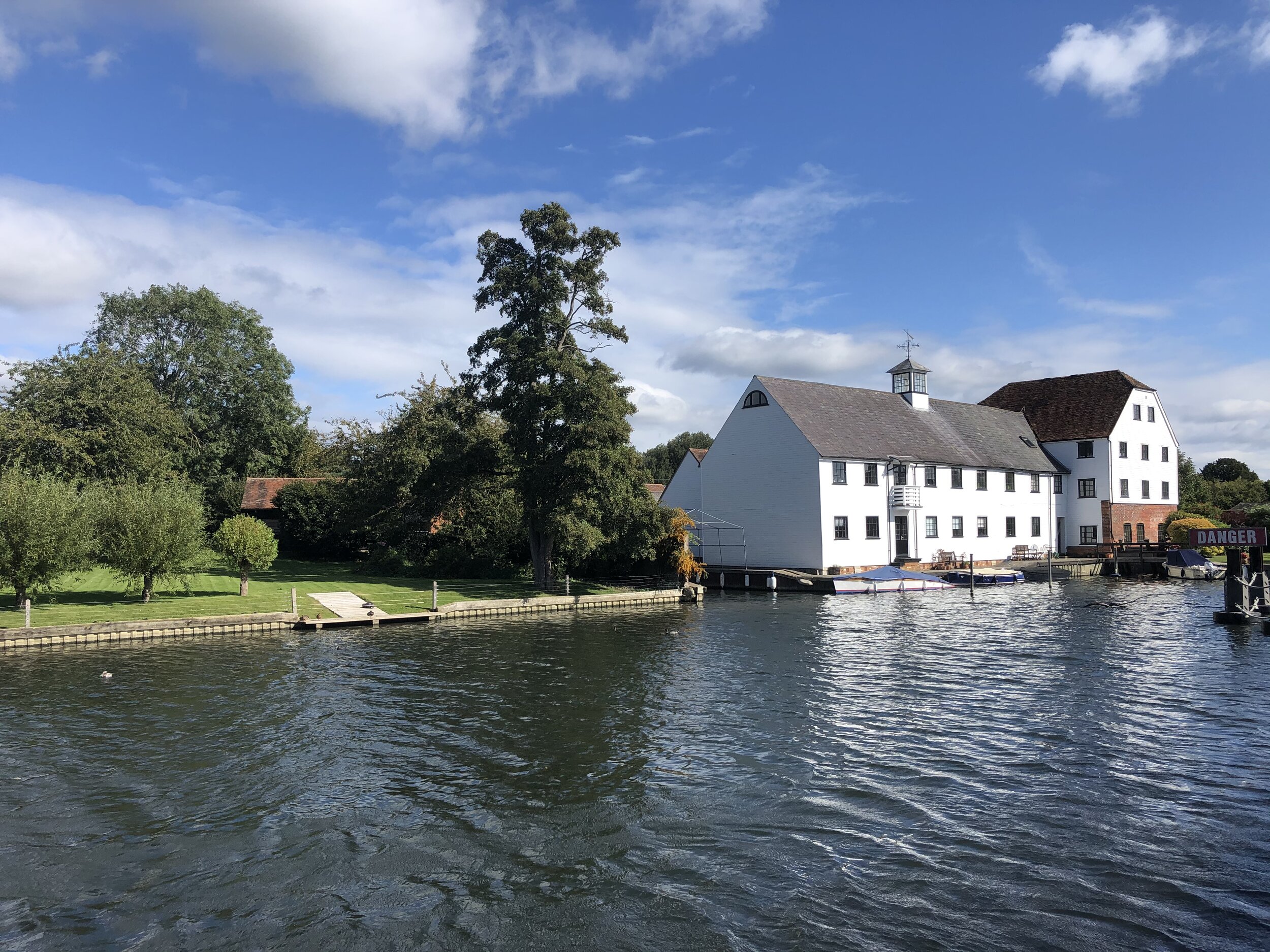
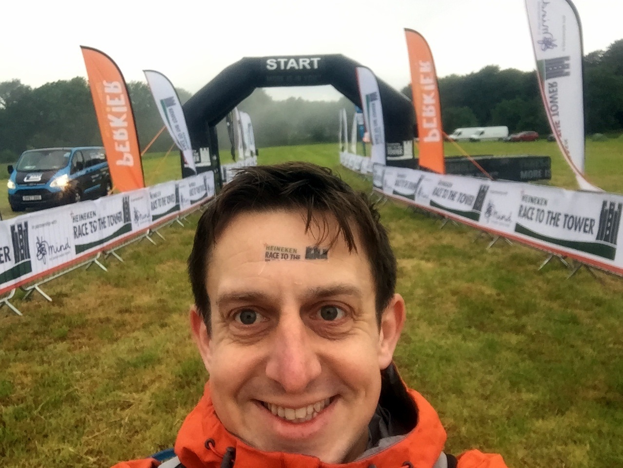
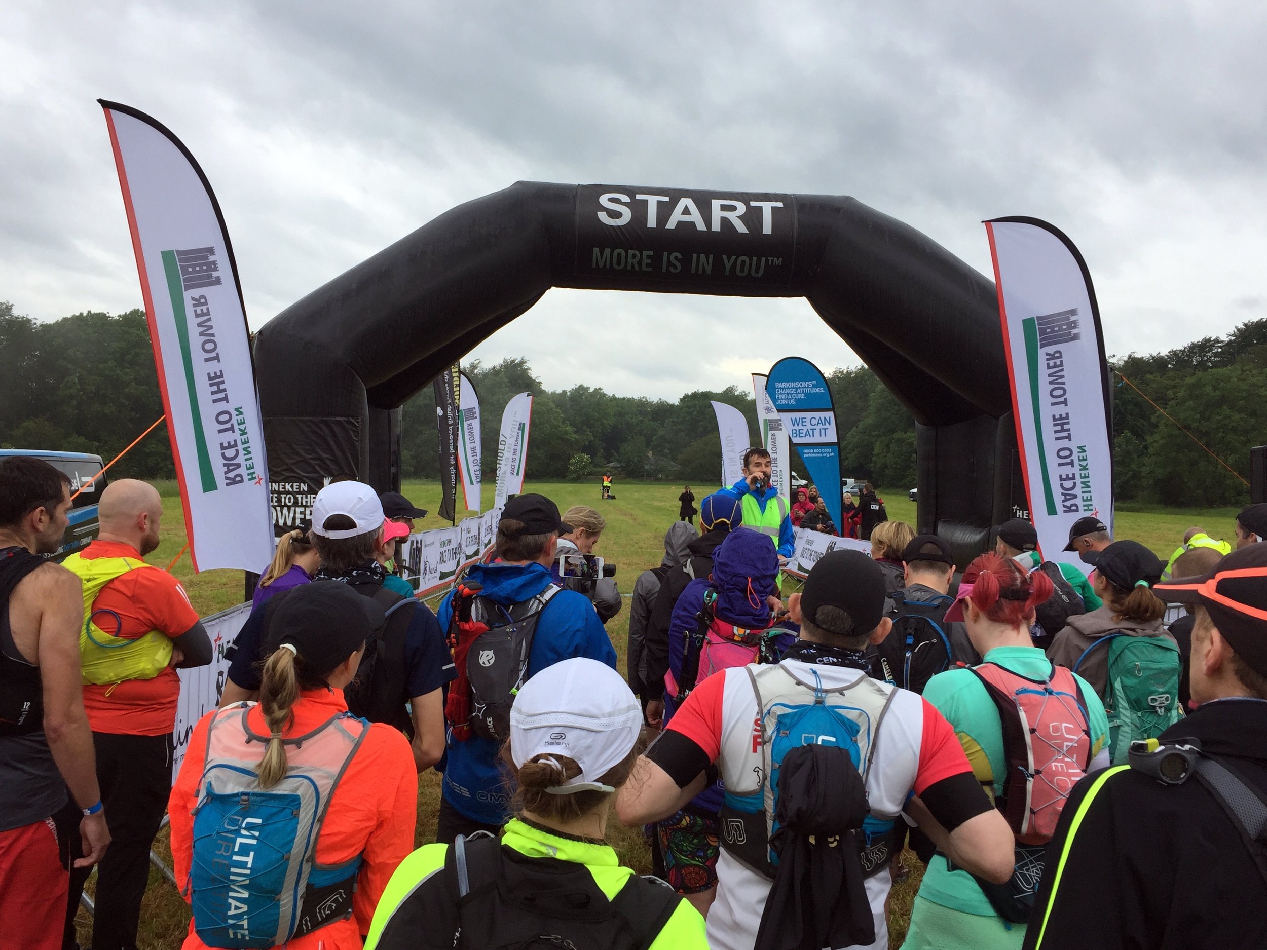
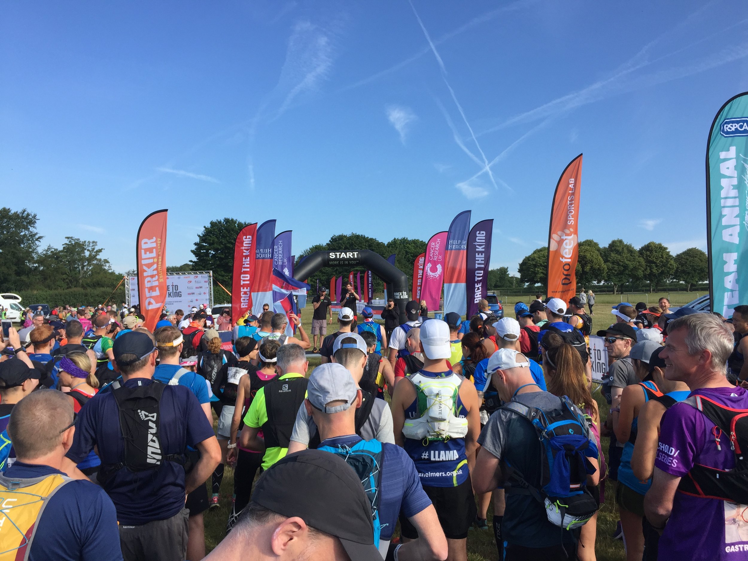
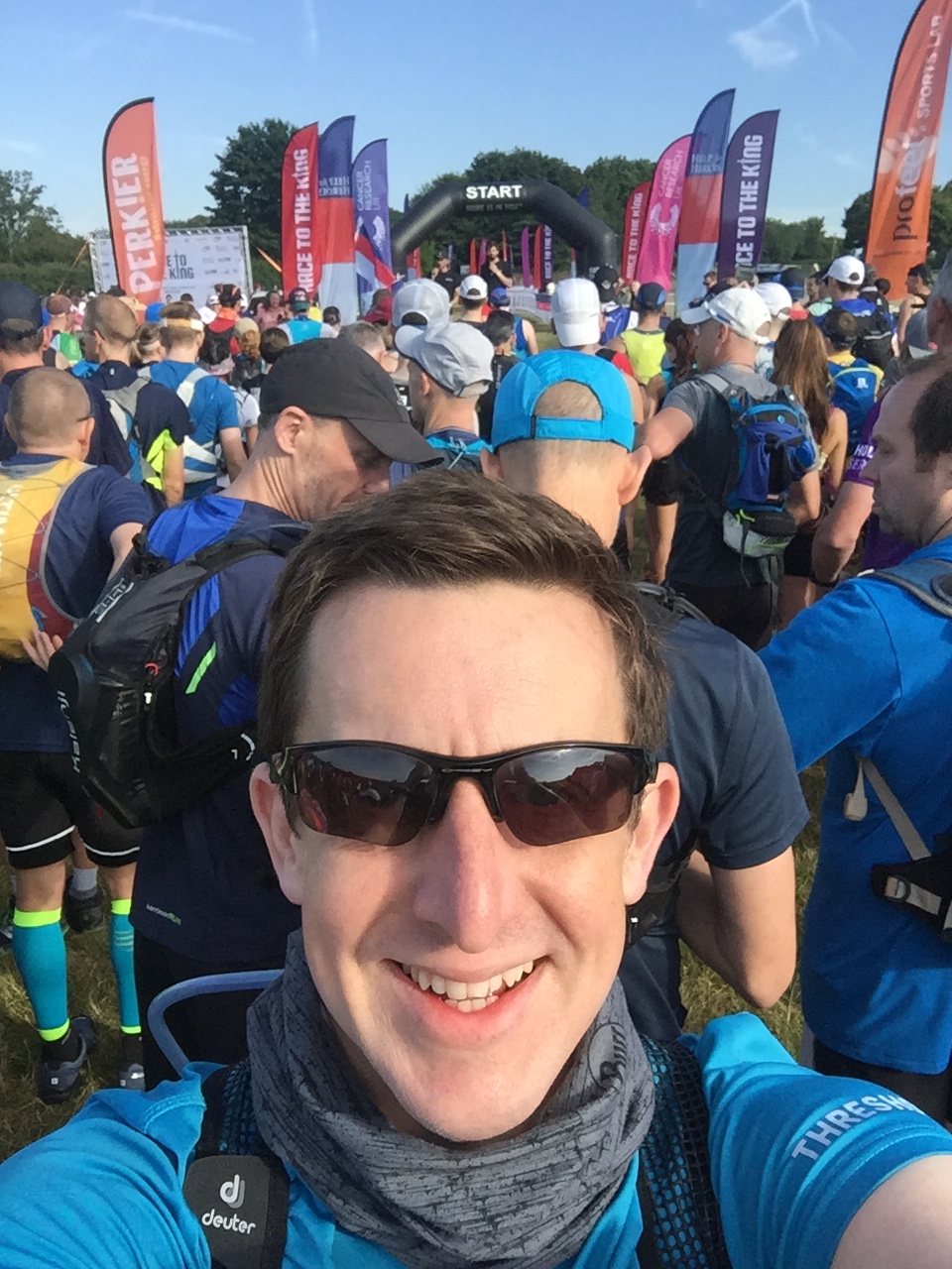
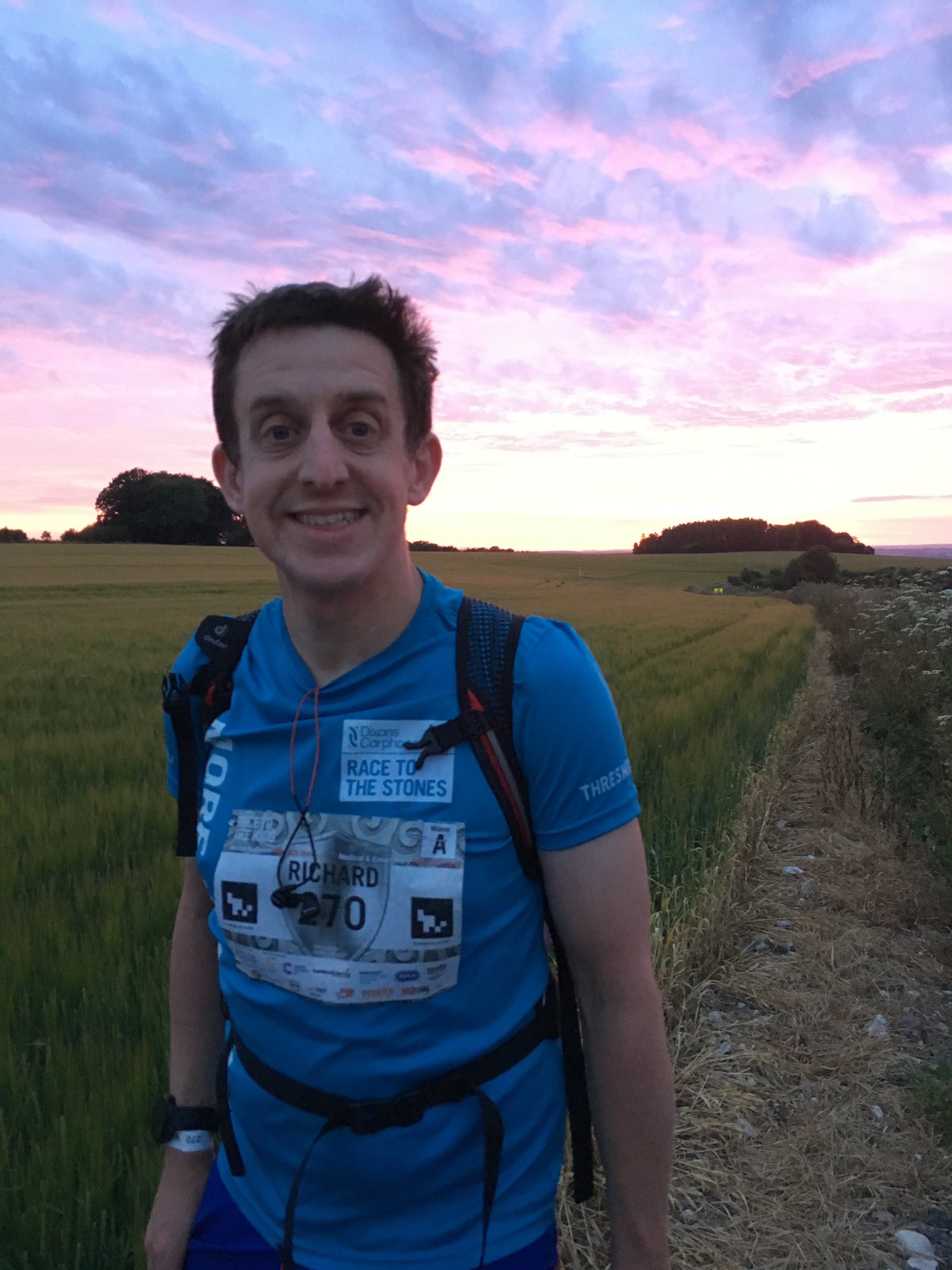
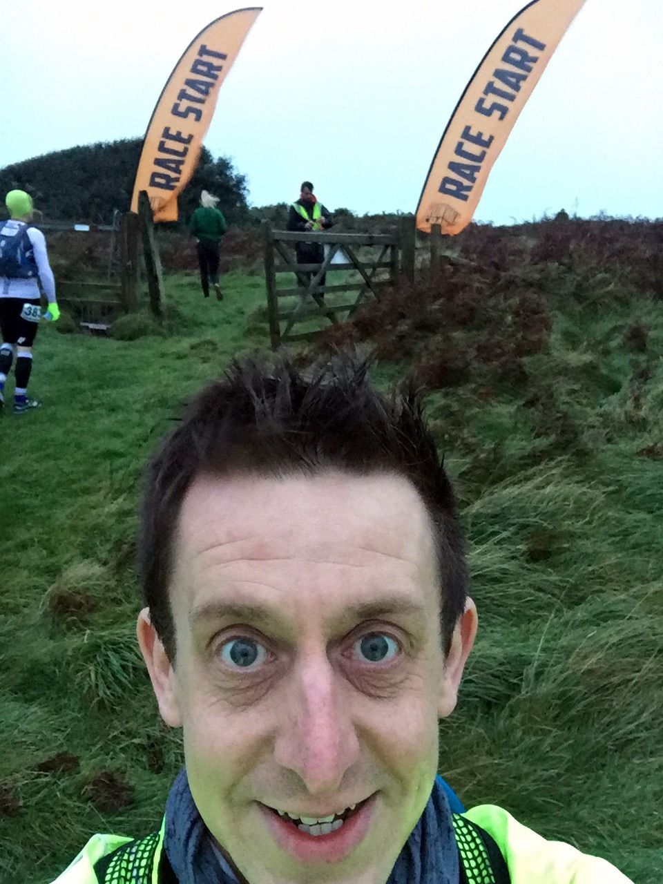
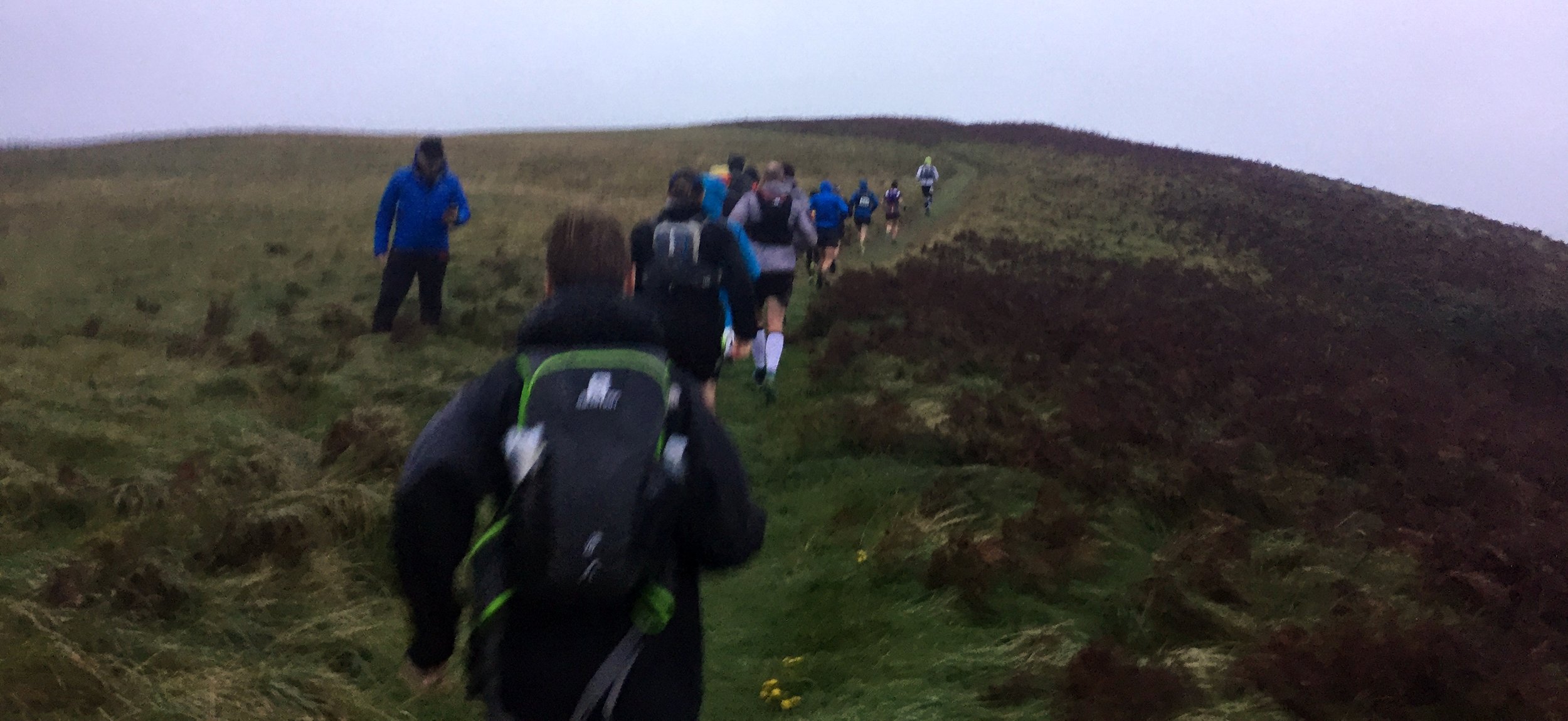
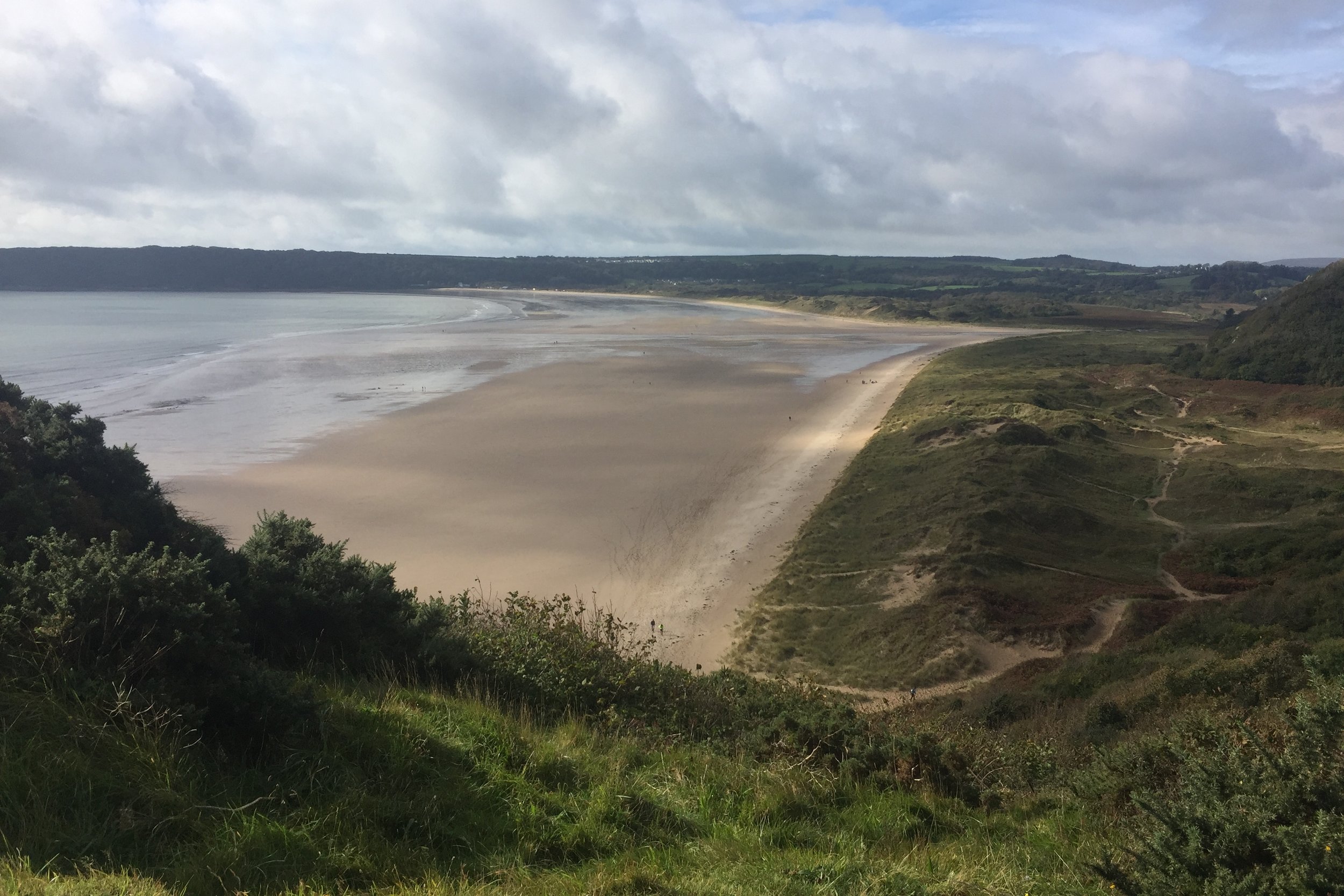
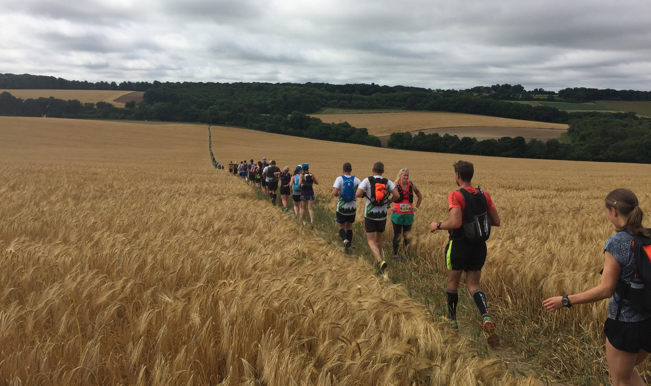
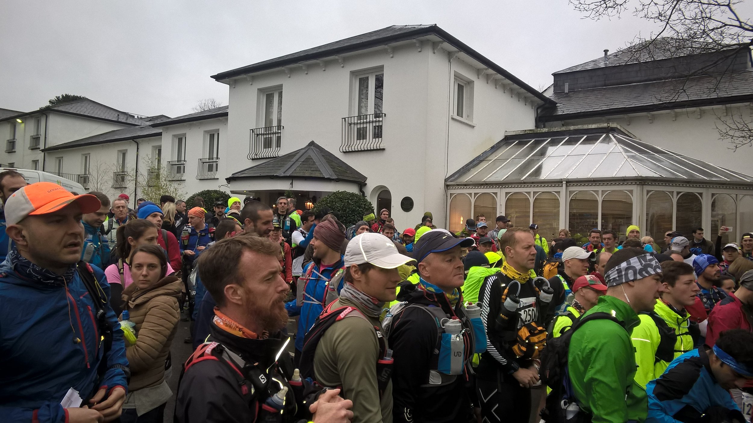
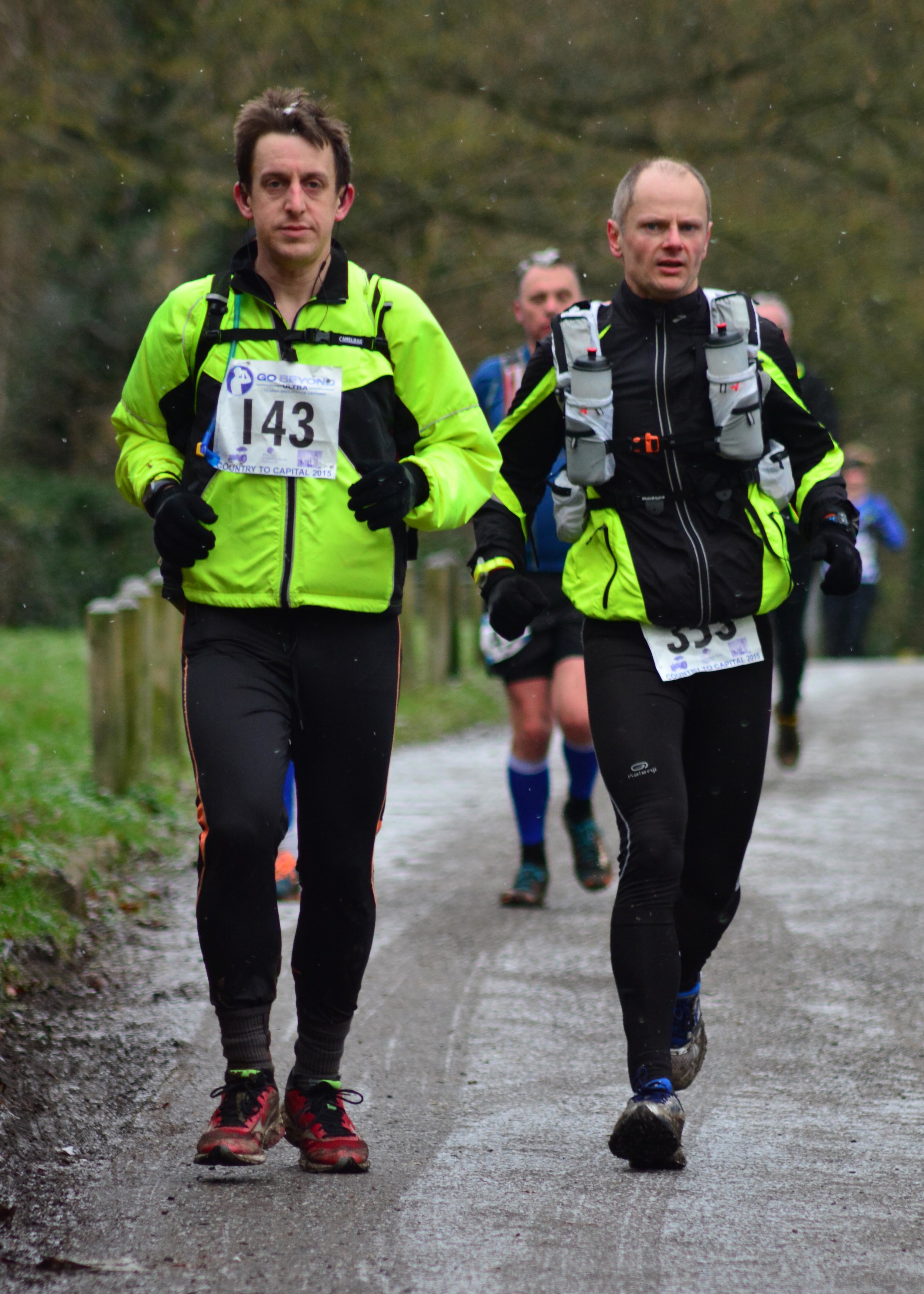
At 08:30 the clock started and 350 runners filled Wendover high-street. The pack soon thinned as the course headed along paths and tracks out of town and into the Chilterns. The first section from Wendover to Chesham was beautiful. The small villages and woodland were now more like Christmas card scenes with the snow settling due to a mini-blizzard at mile 2.

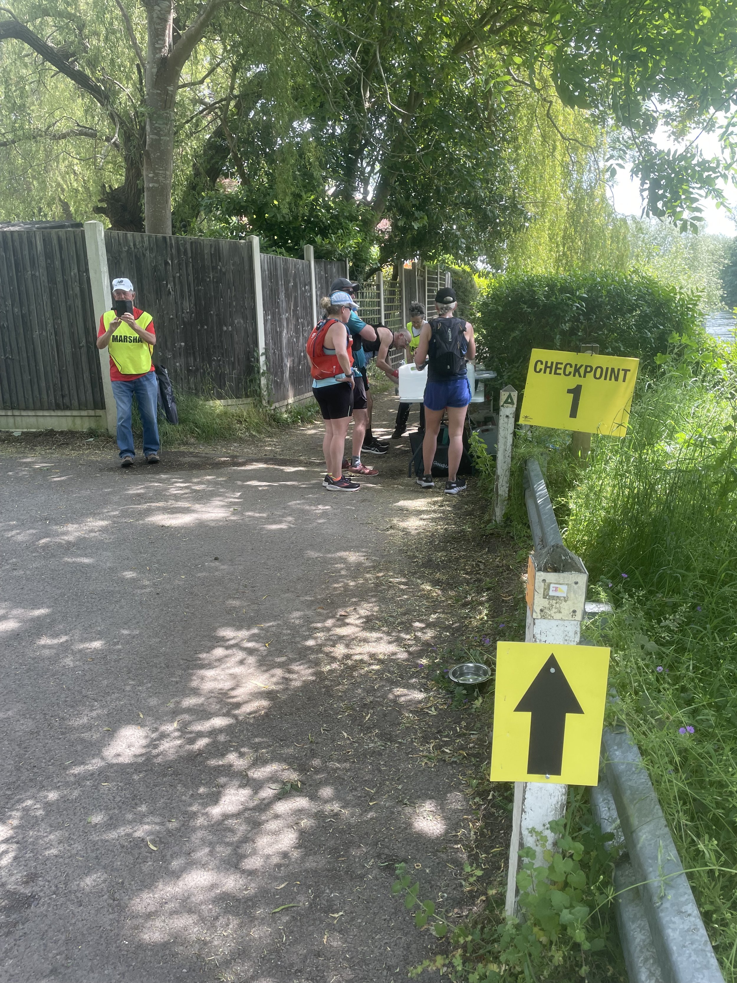
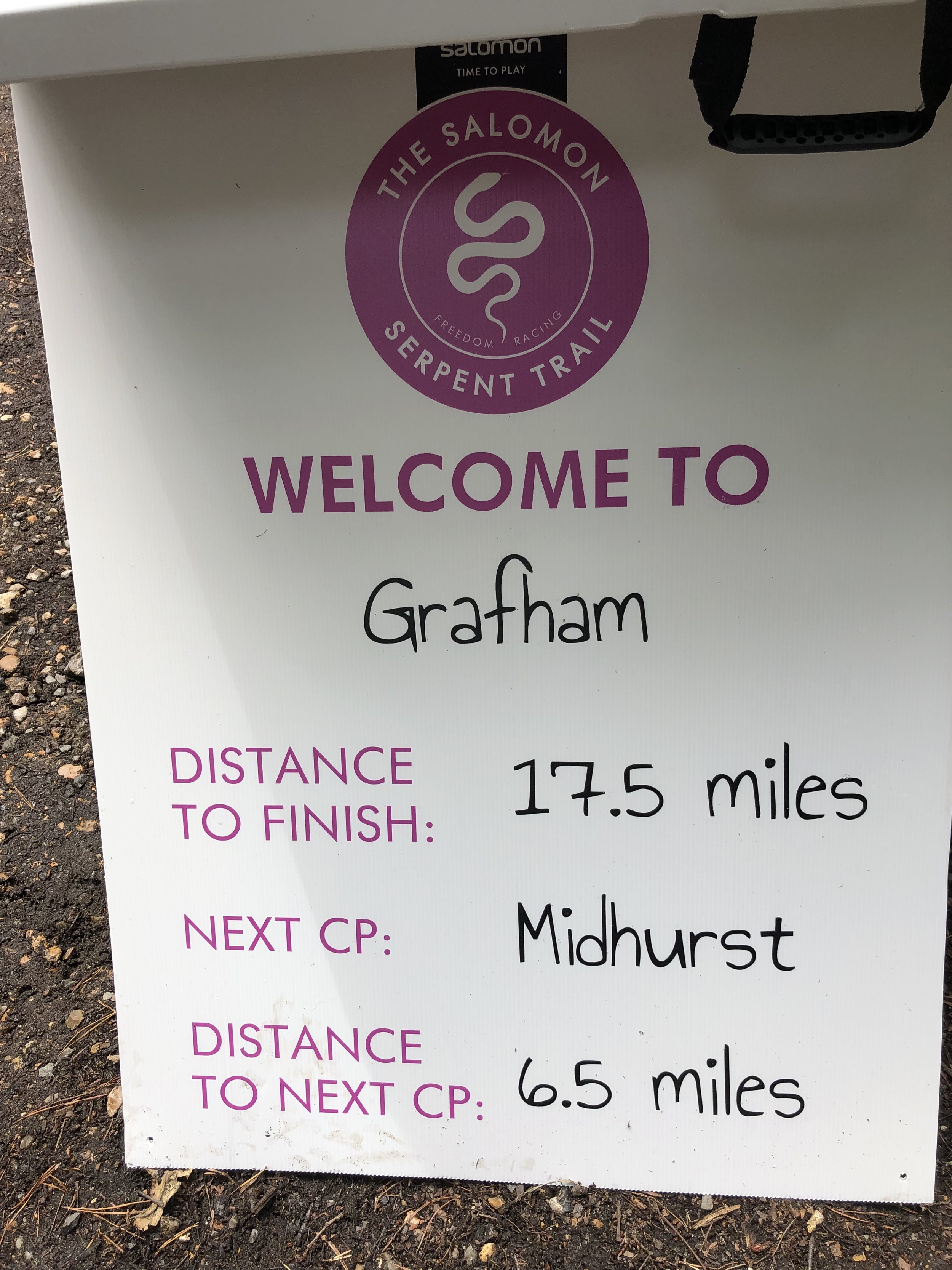
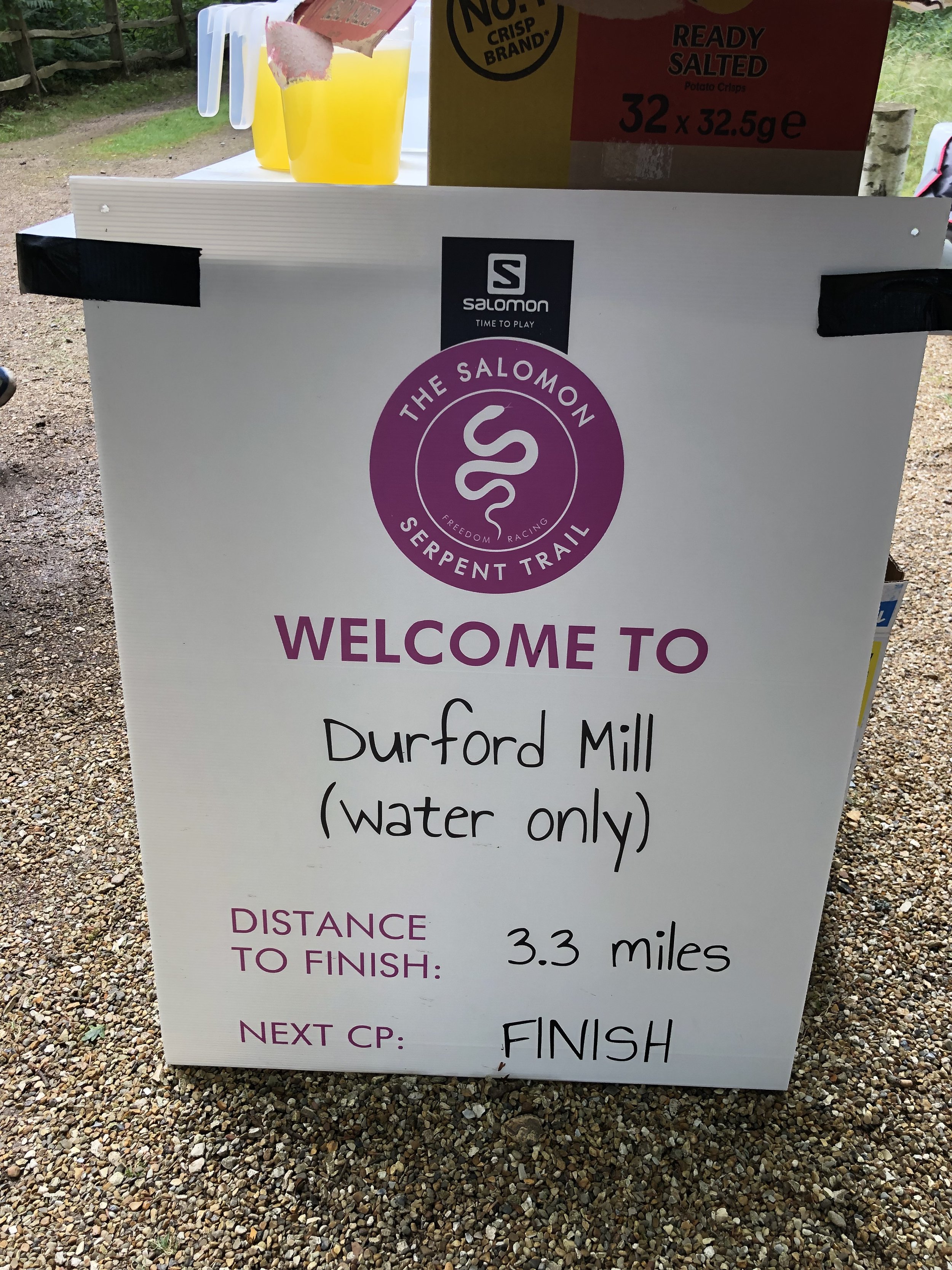
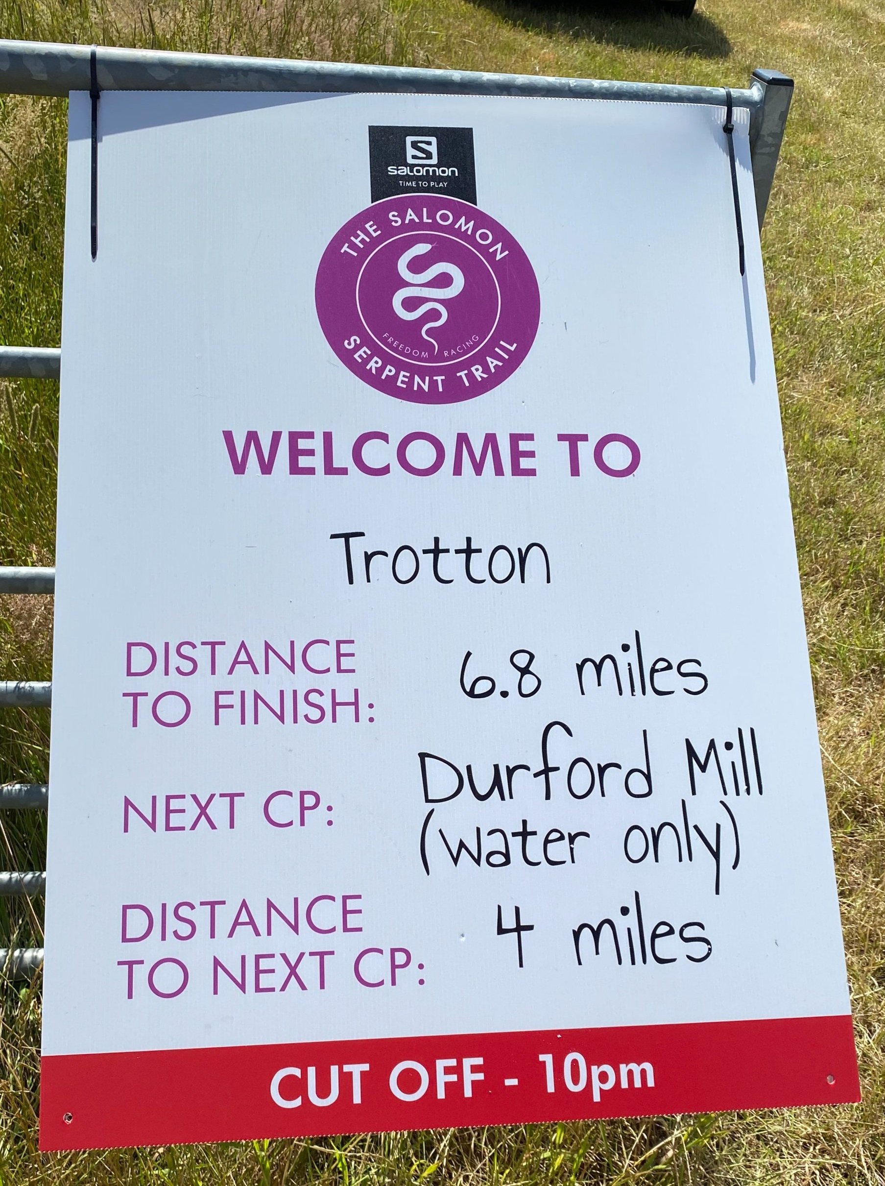
My plan, carefully worked out on a spreadsheet, was to run sets of 3 x 10 minute miles followed by a 15 minute fast-walk mile and a 15 minute rest at each check-point. At Checkpoint 1 at Chesham this was working well.

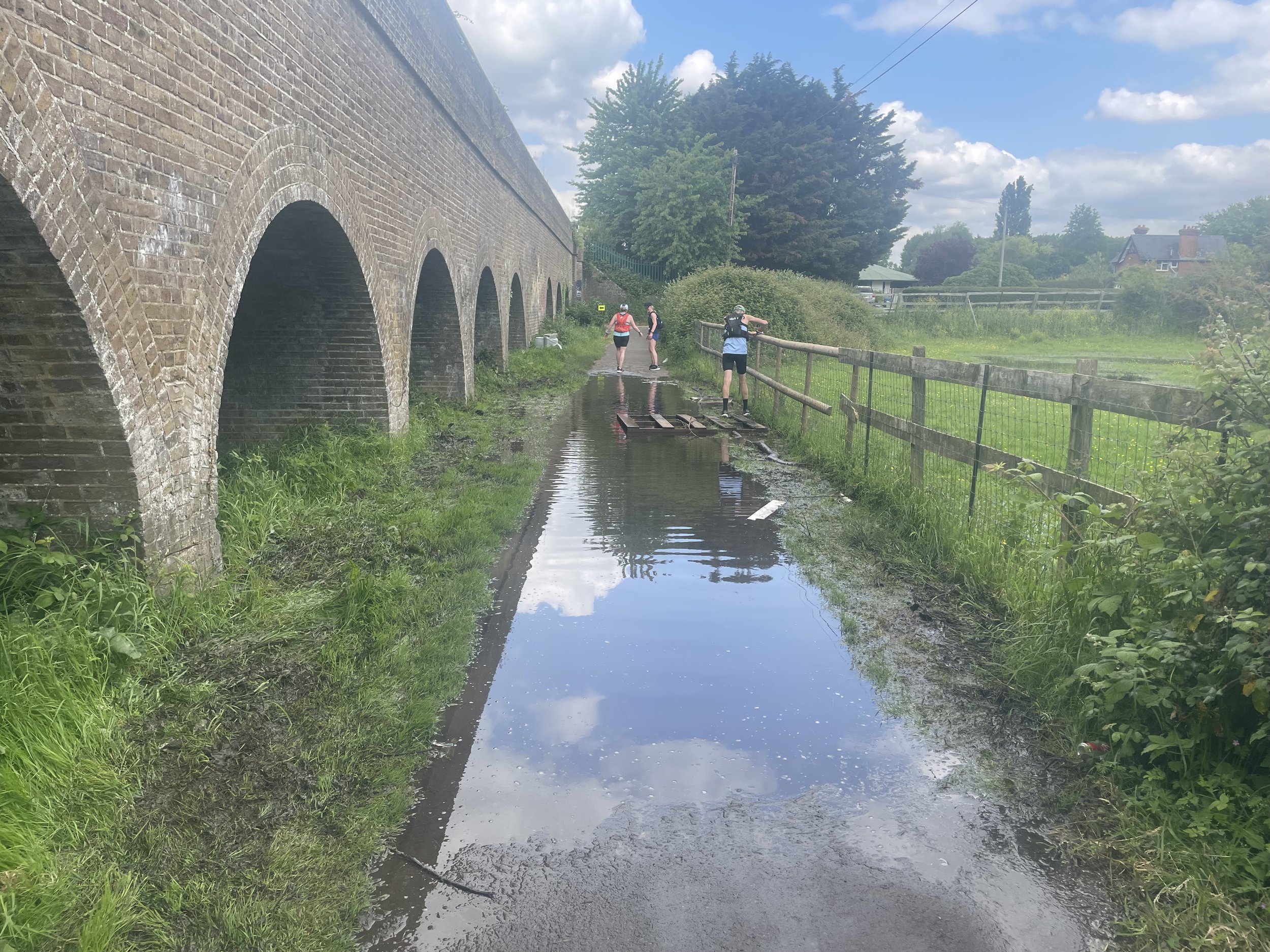
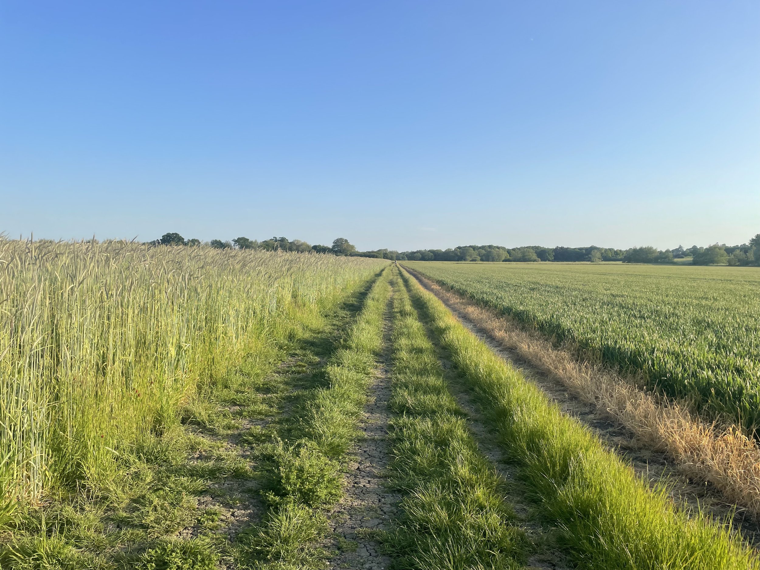
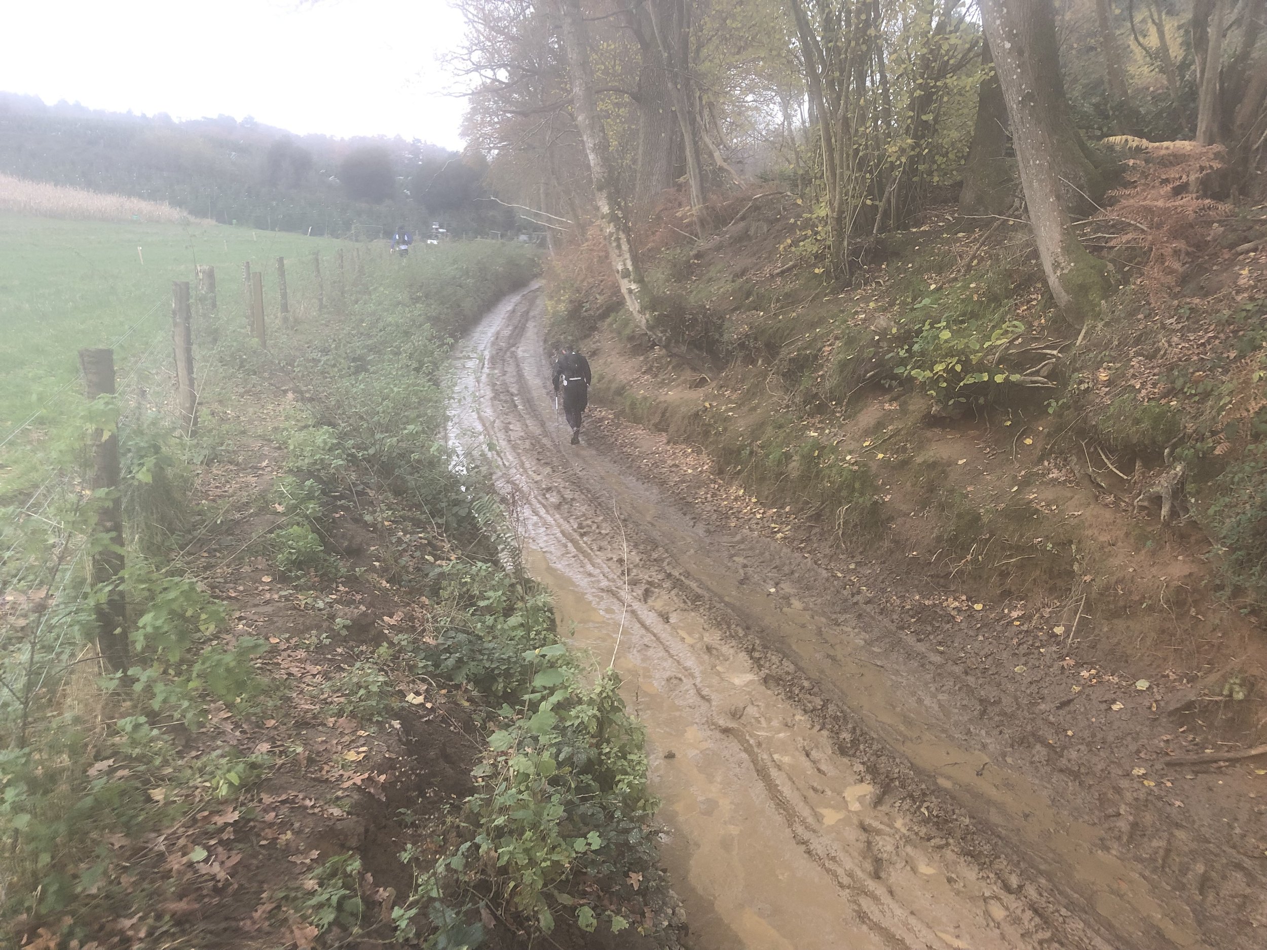
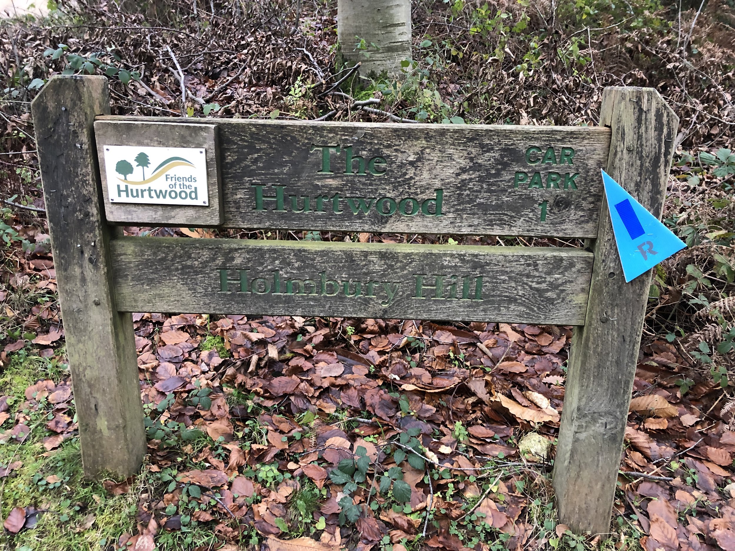
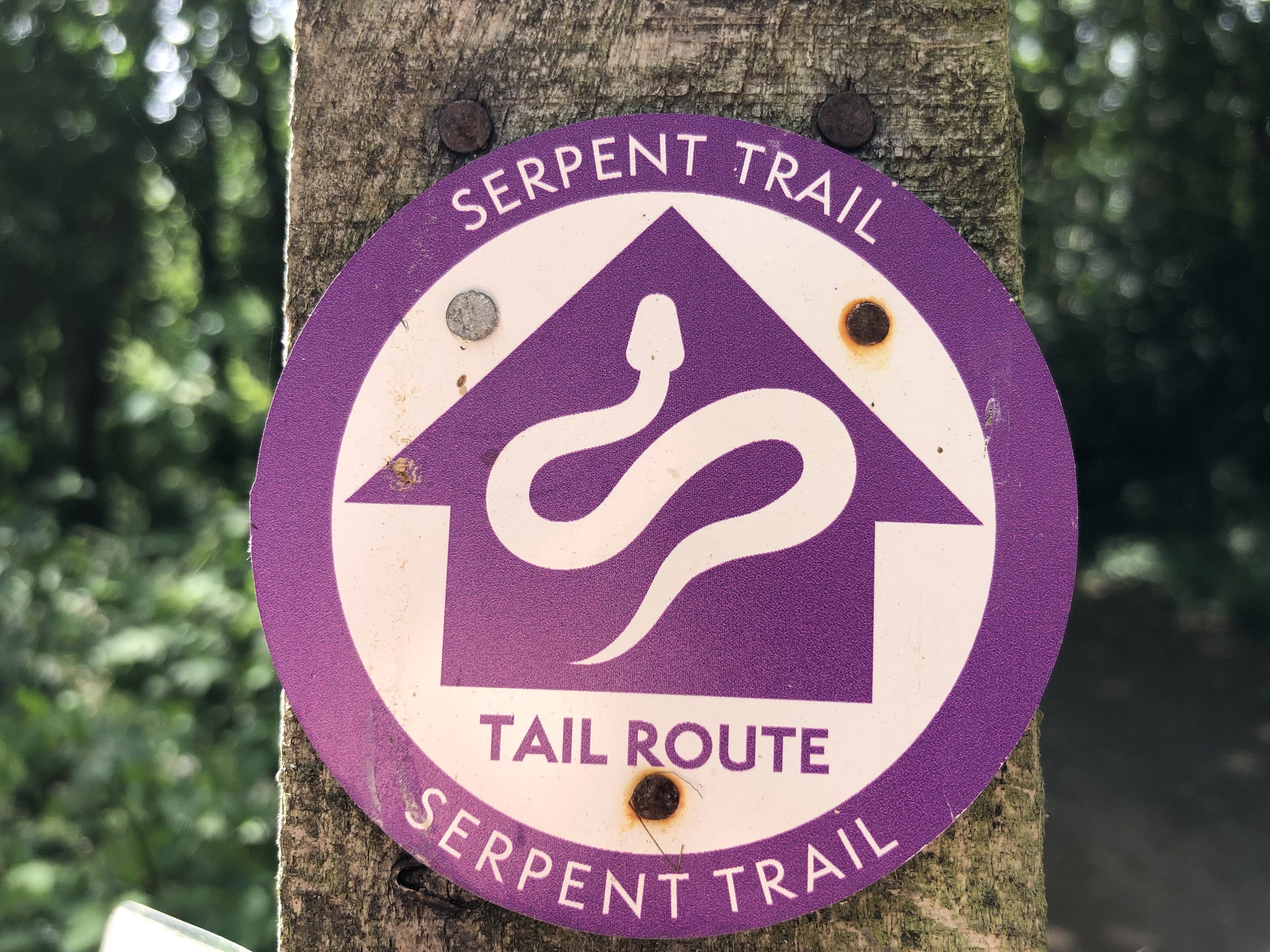
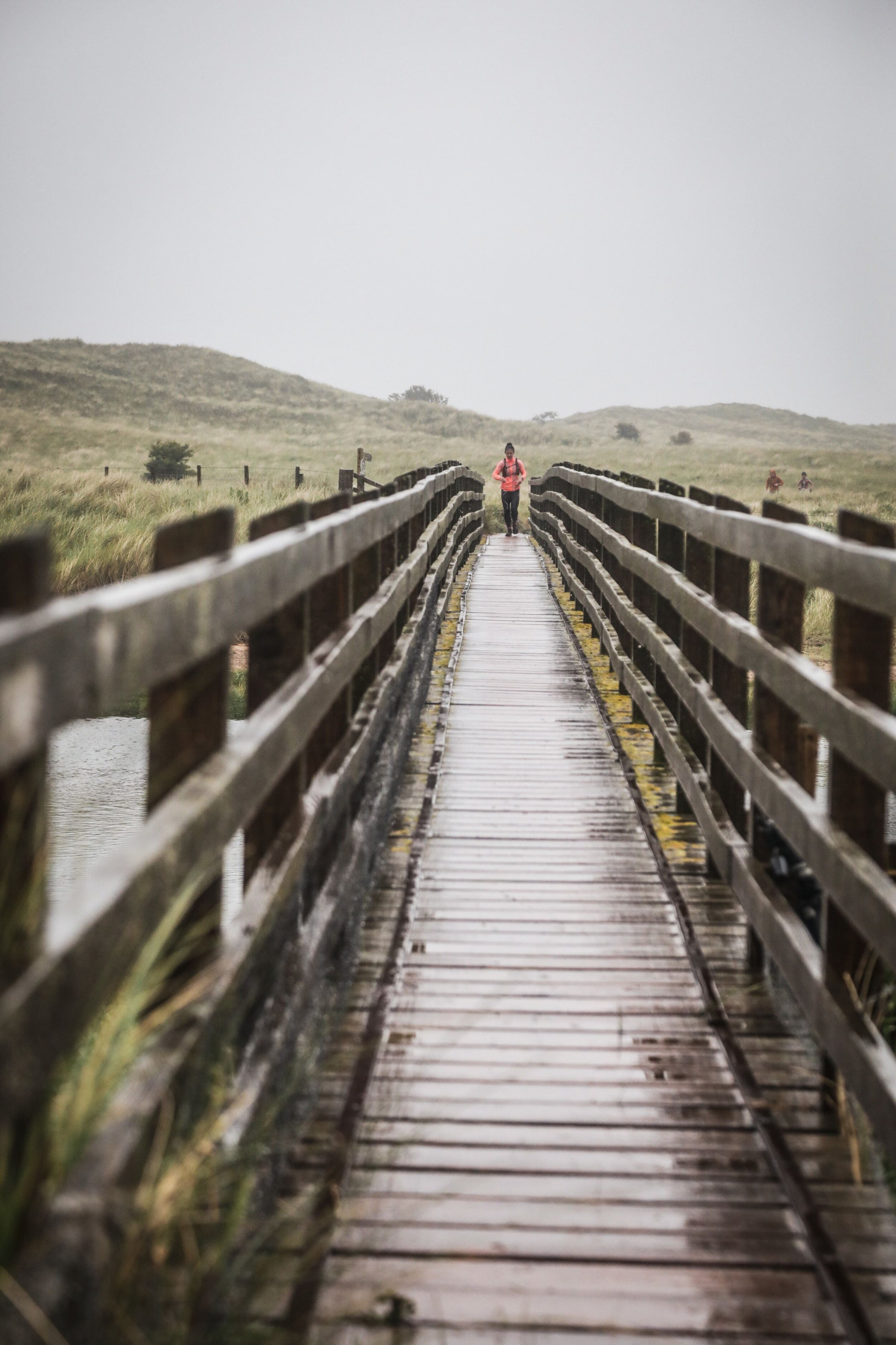
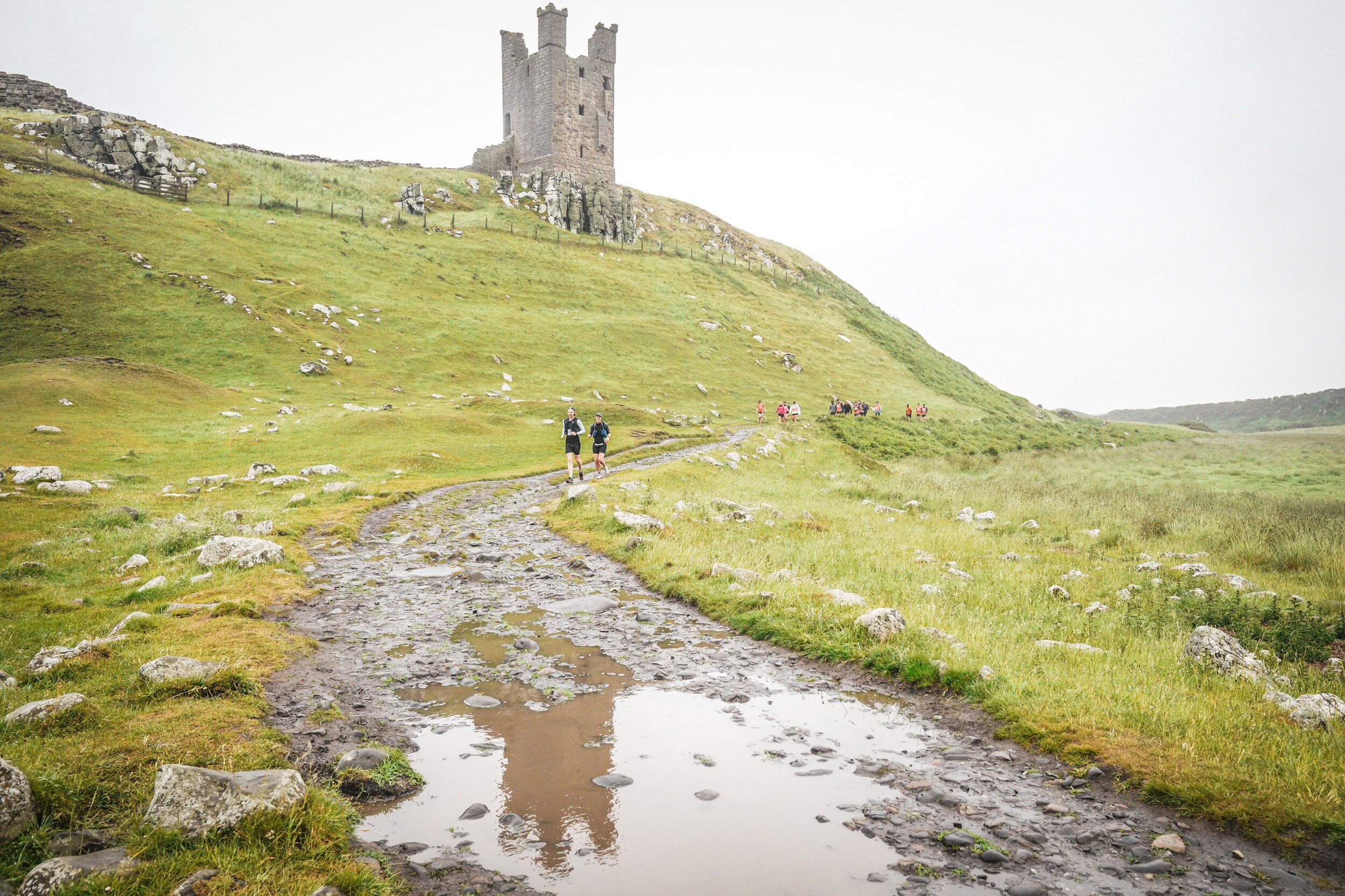
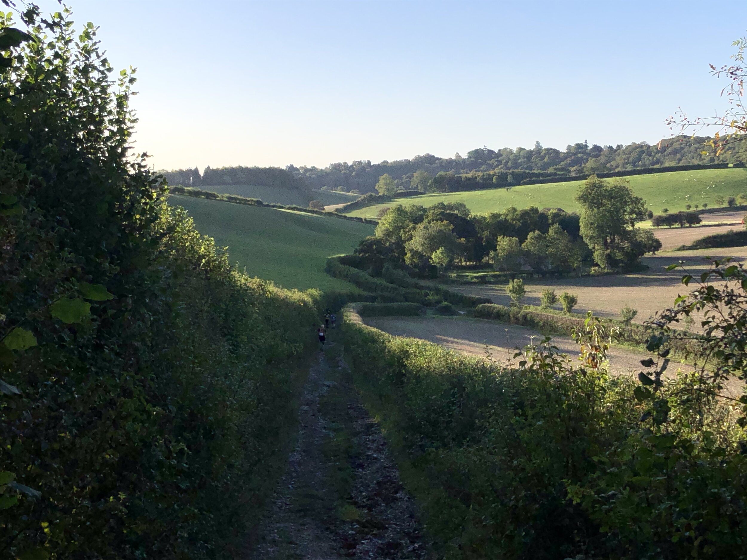
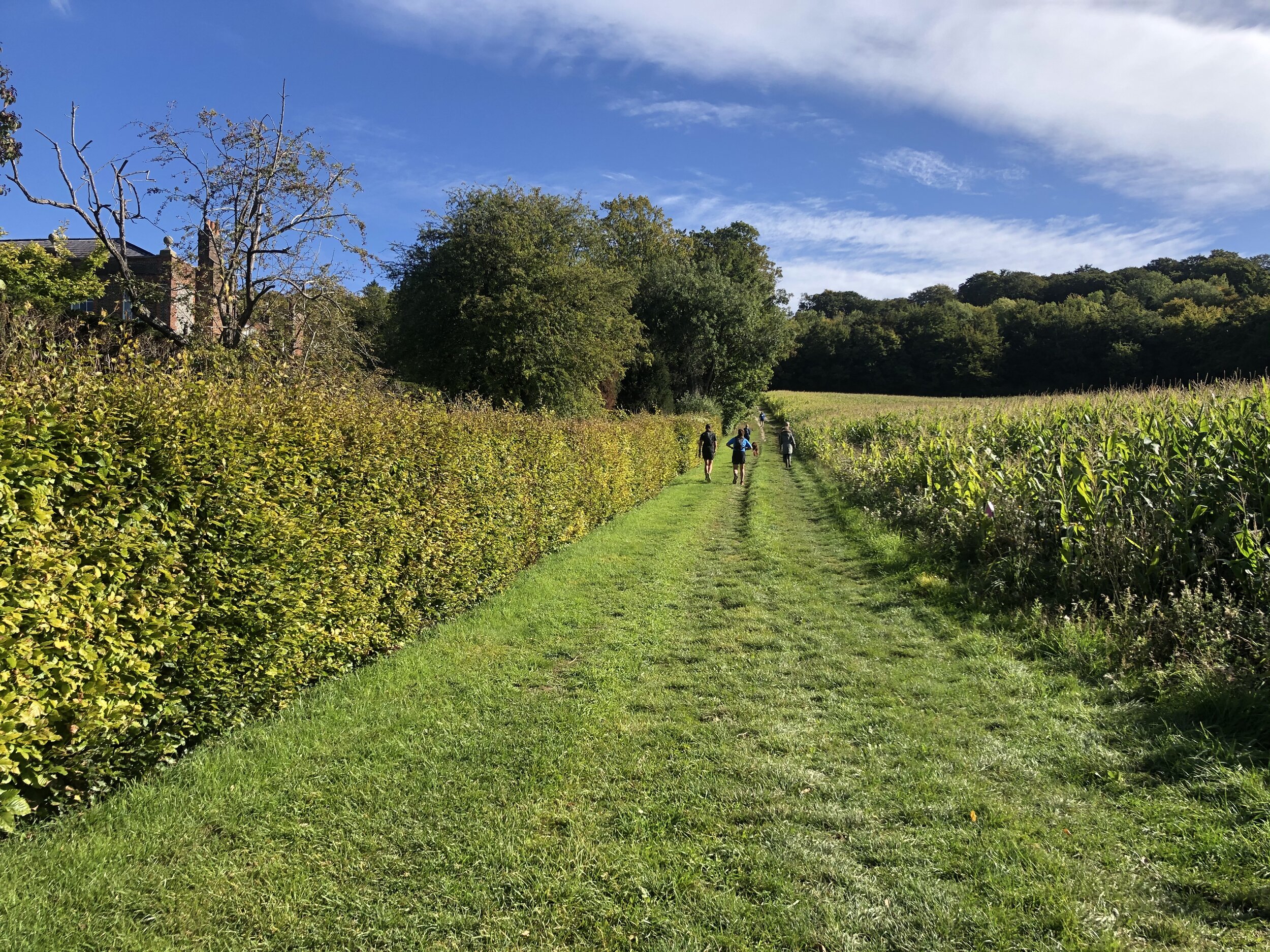
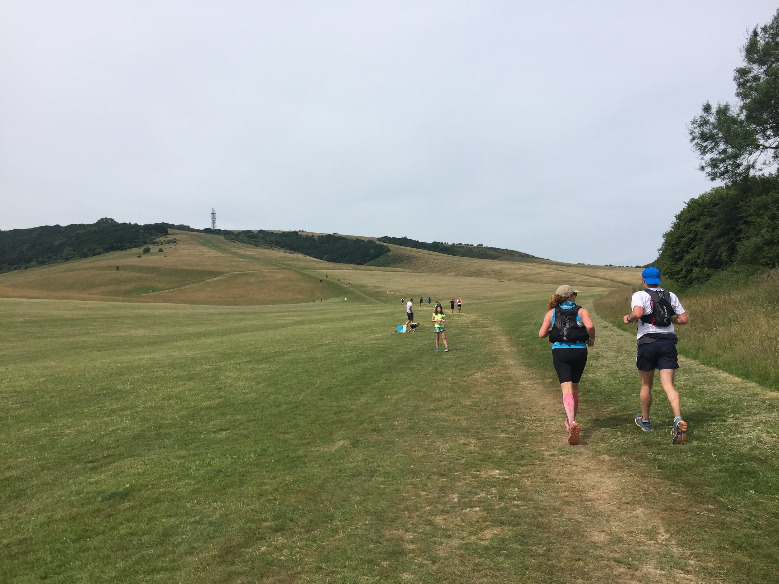
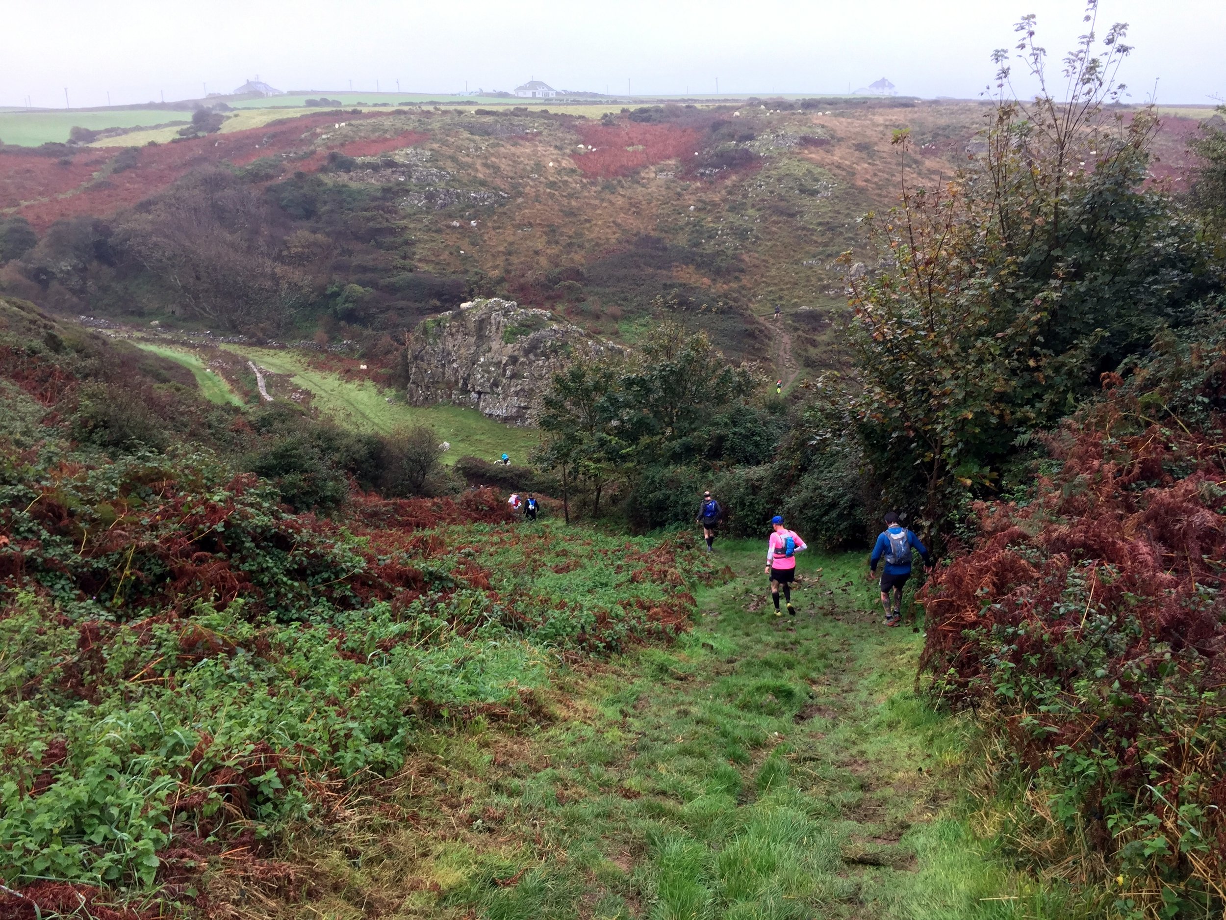
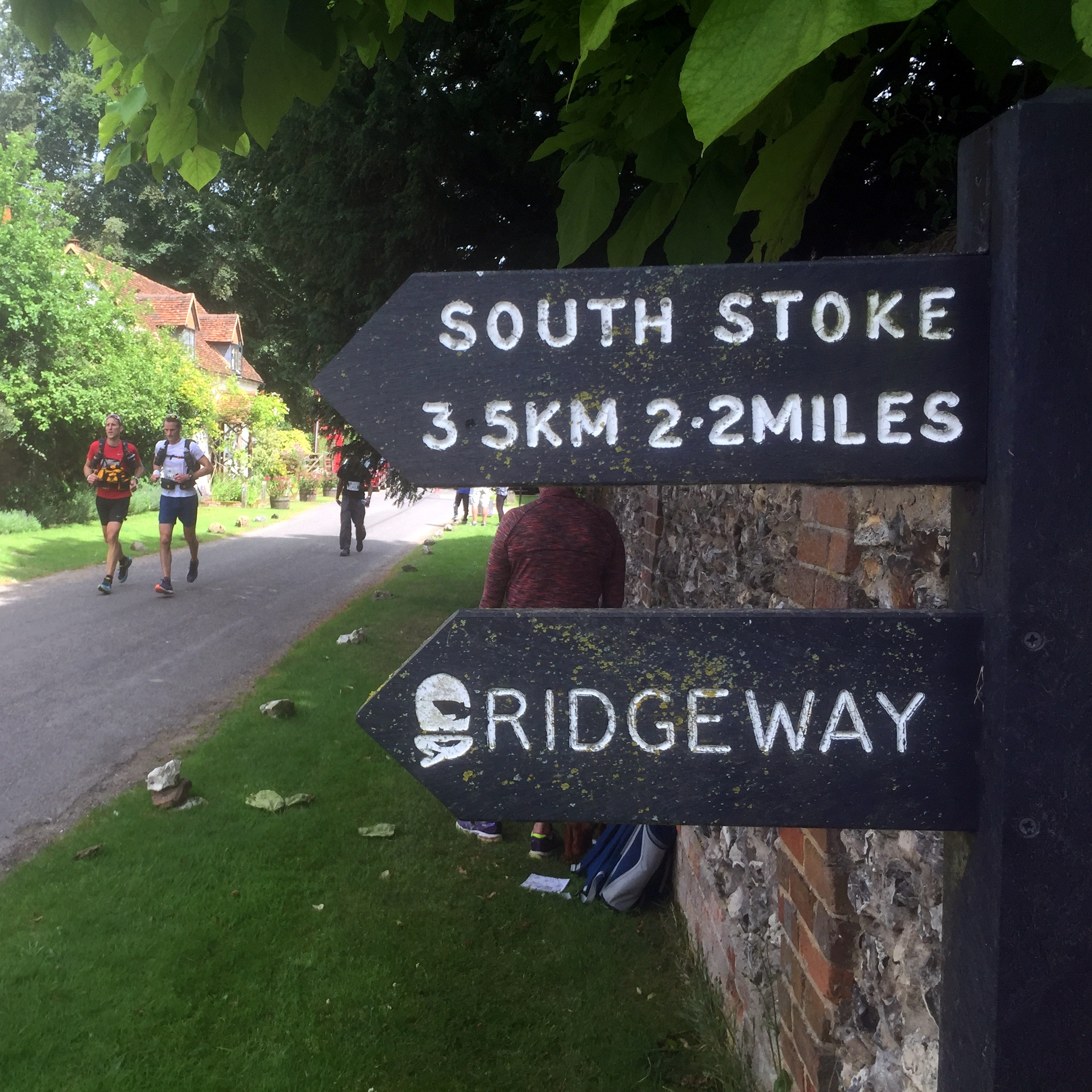
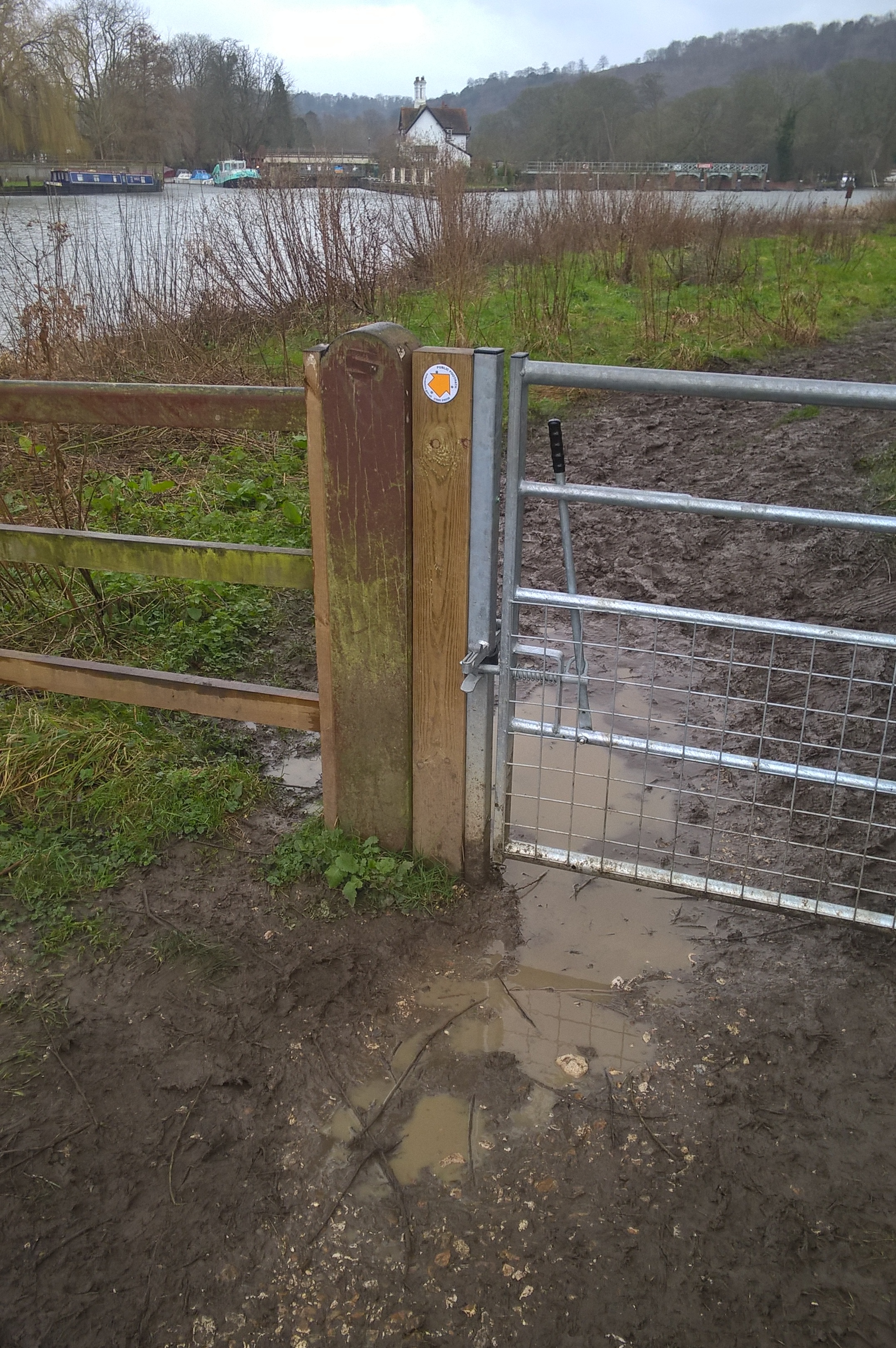
This second stage was both hillier and harder to navigate. There were no direction makers on the course, so we were all given maps to follow. For the first stage I kept at least 5 runners ahead of me in sight leaving the navigation up to those in front. By the second stage the group was thinning out a lot more and there were larger gaps between runners. There were several occasions where I arrived at a junction and a group of runners were returning back to the route having taken a wrong turn. I was pretty lucky to have kept on the right path throughout.

Just outside of Chesham the route went through a large playing field. This became quite disorientating for the group splitting it into 3 streams, one going down each side and one through the middle to find the path at the other end. The actual path then crossed a fast flowing stream passable only by slippery and wobbly logs laid out as stepping stones. Many slipped and got one foot soaked with at least one runner going all the way in.

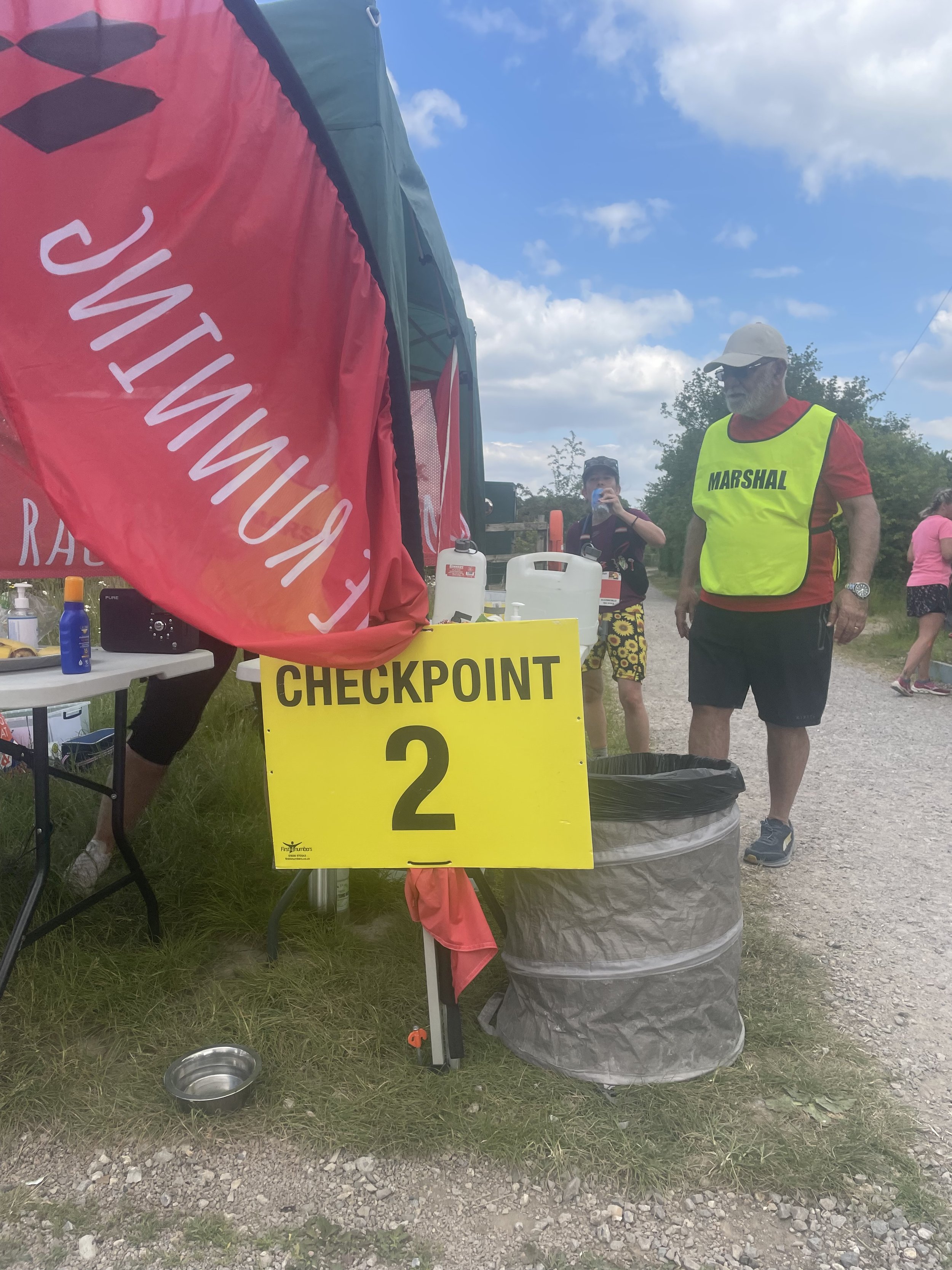
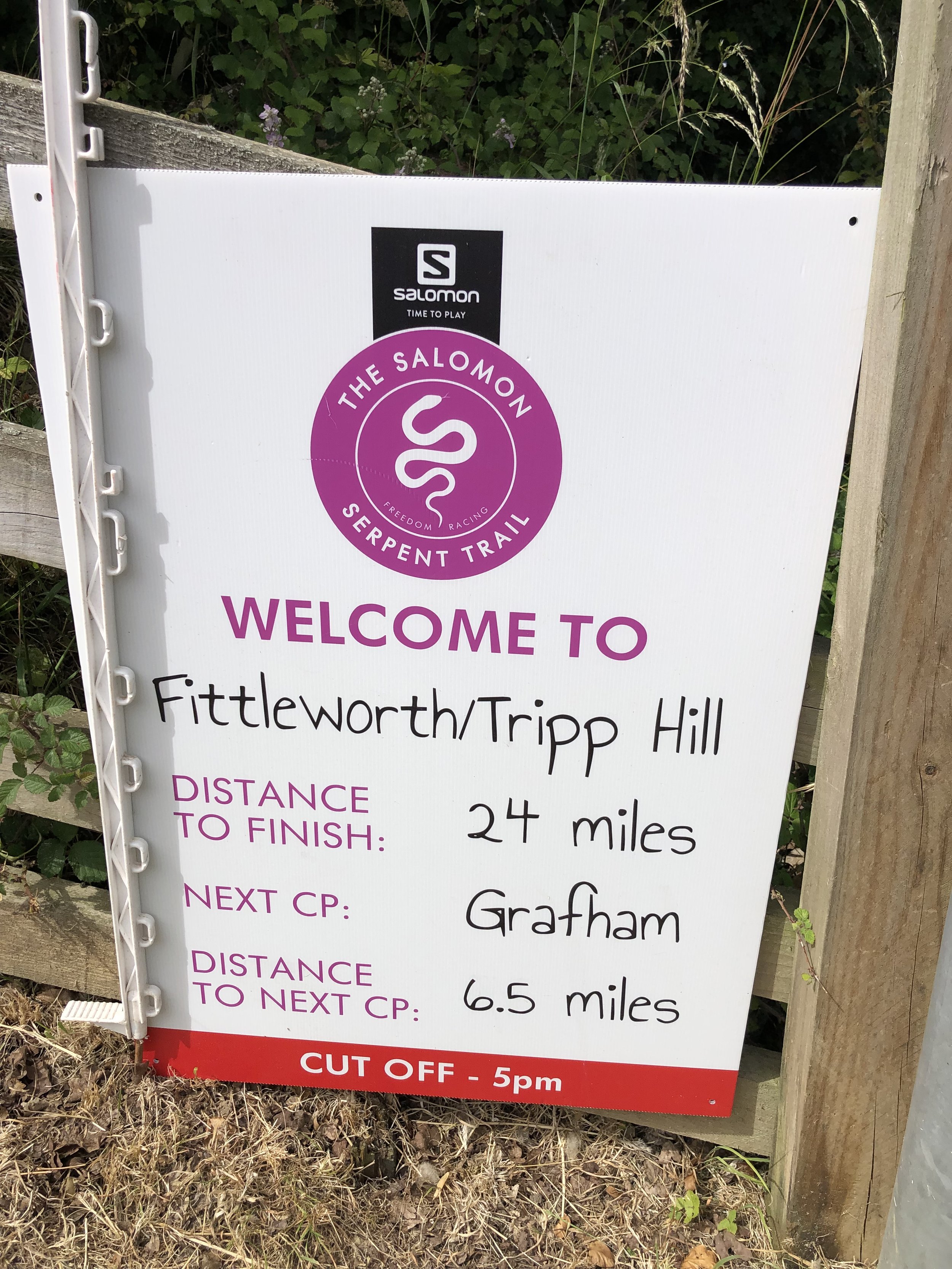
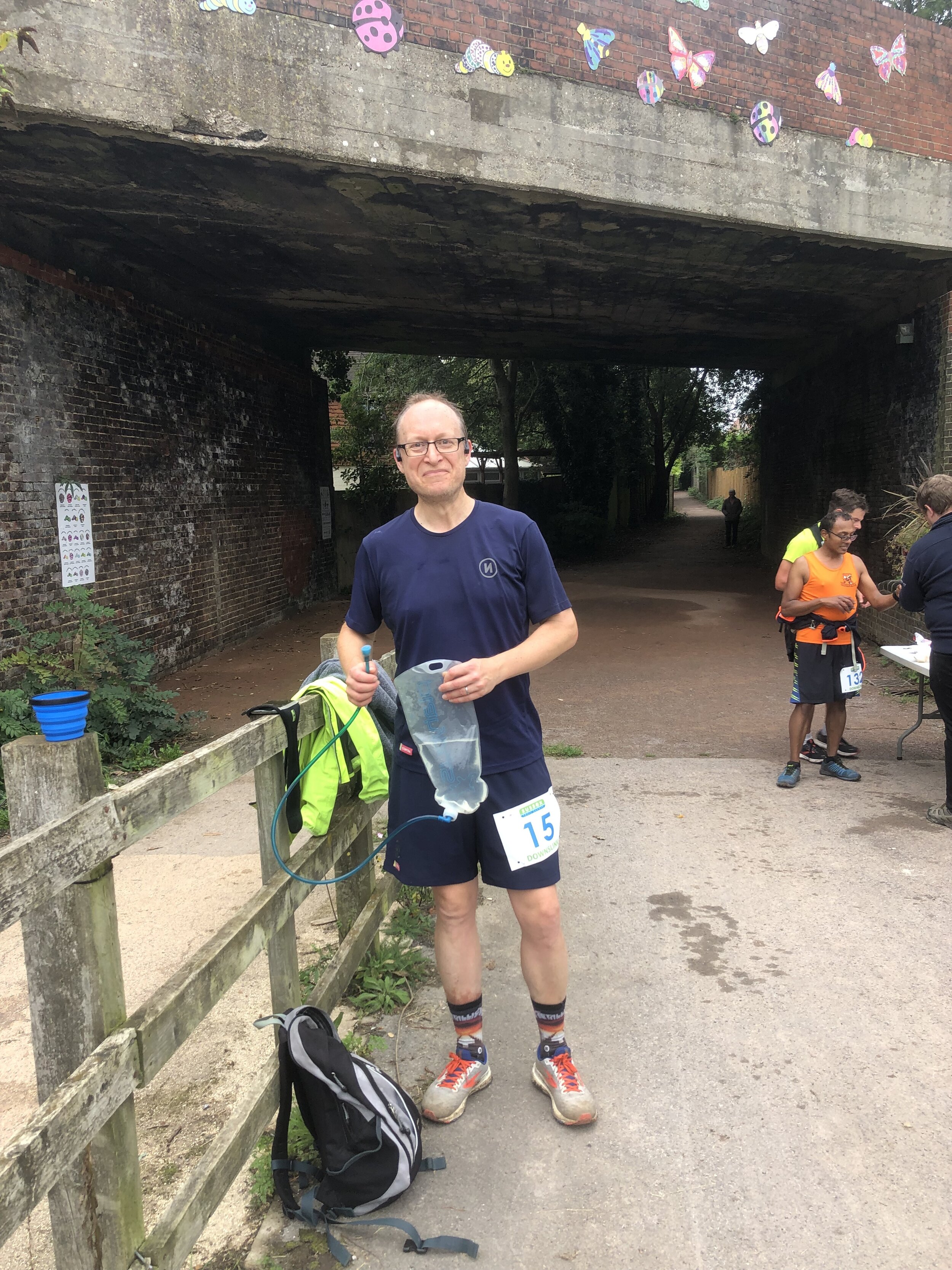
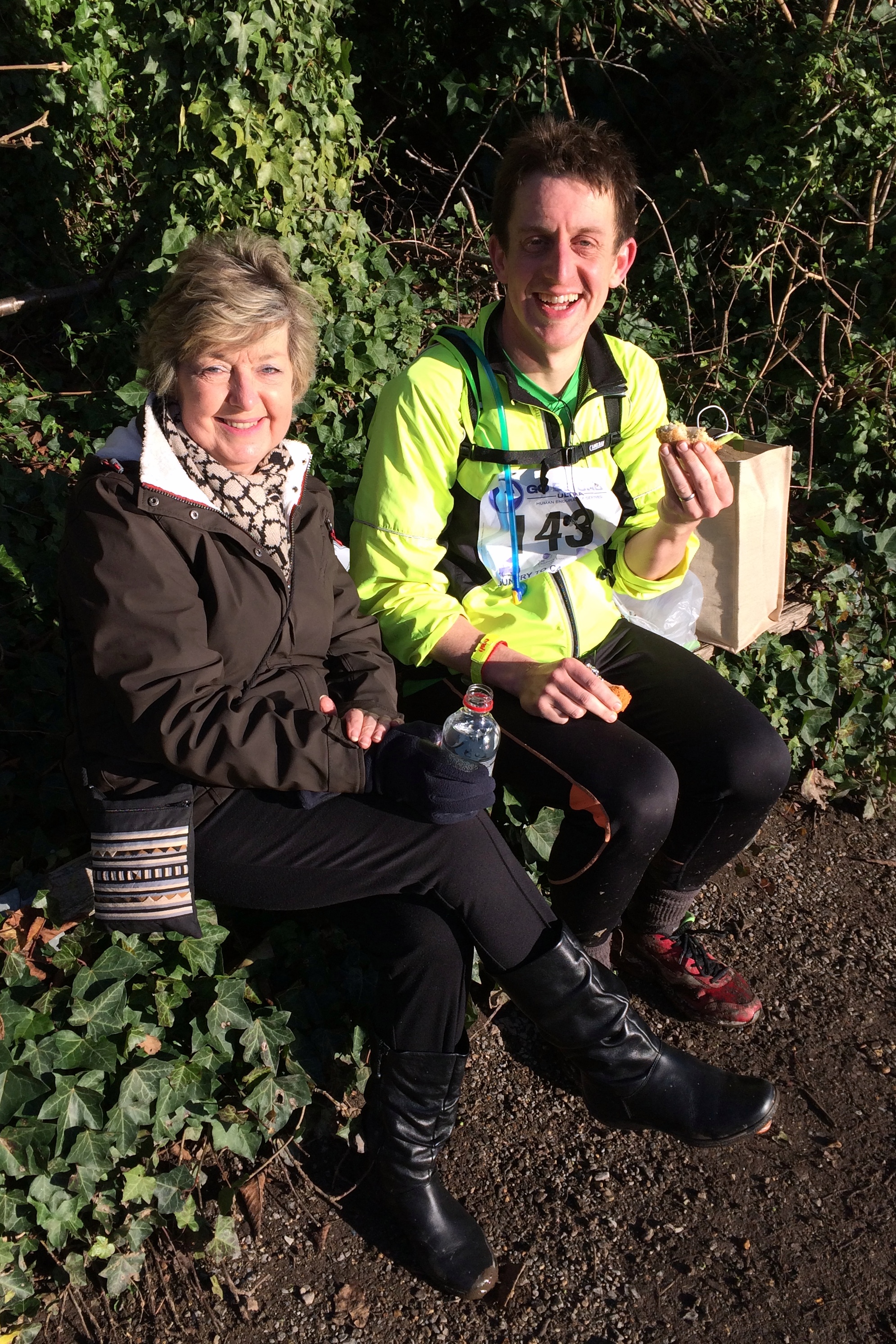
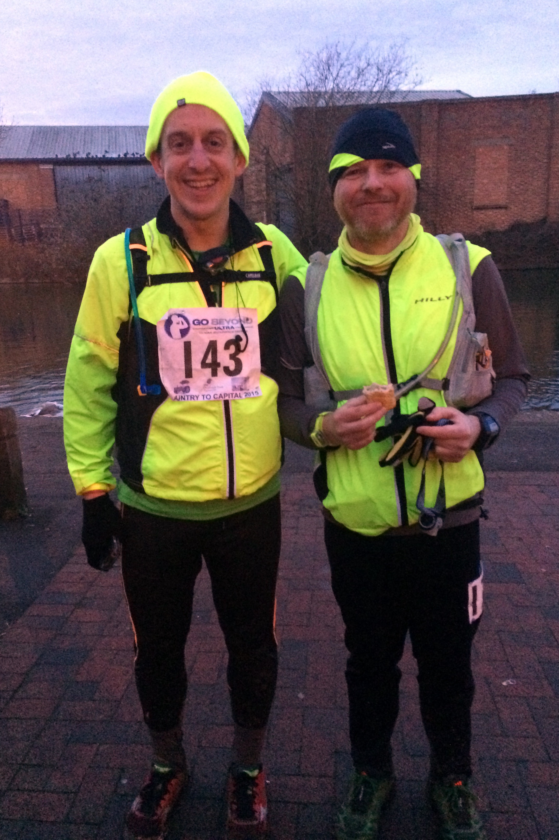
The second stage, Chesham to Chalfont via Chorleywood, was trickier overall but the plan was still working and I made it bang on time to Checkpoint 2, where my support crew (Timi and Mum) were waiting.

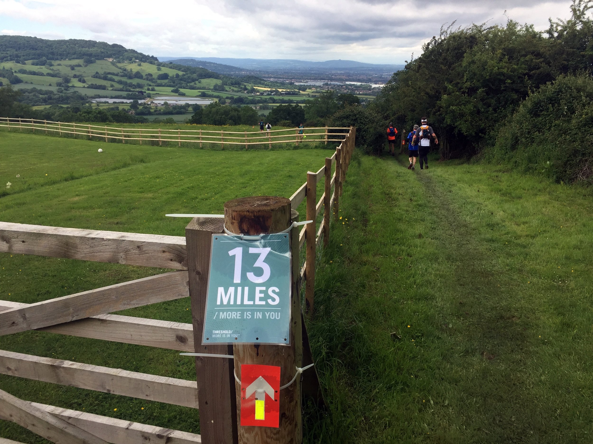
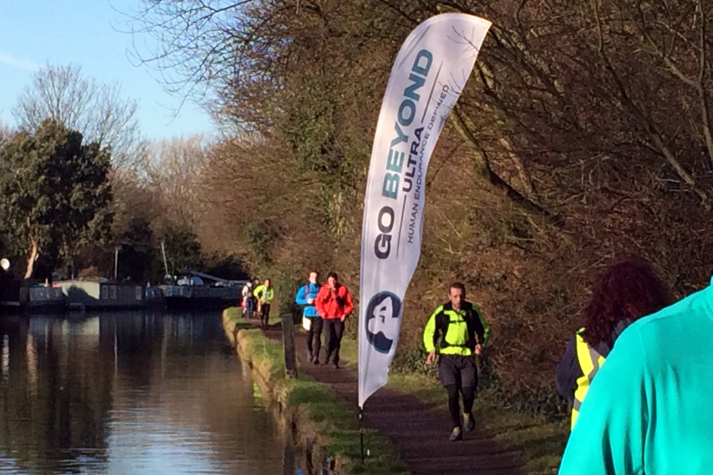
By Stage 3, Chalfont to Cowley, I was on home turf and navigation was easy as I’d ran and cycled every path around there in the last few years. By the time I hit the Grand Union Canal at Denham I had lost some time due to some really muddy hills after Checkpoint 2. The game plan that worked so well for the first half was proving too optimistic for the second and each mile was getting somewhat slower.

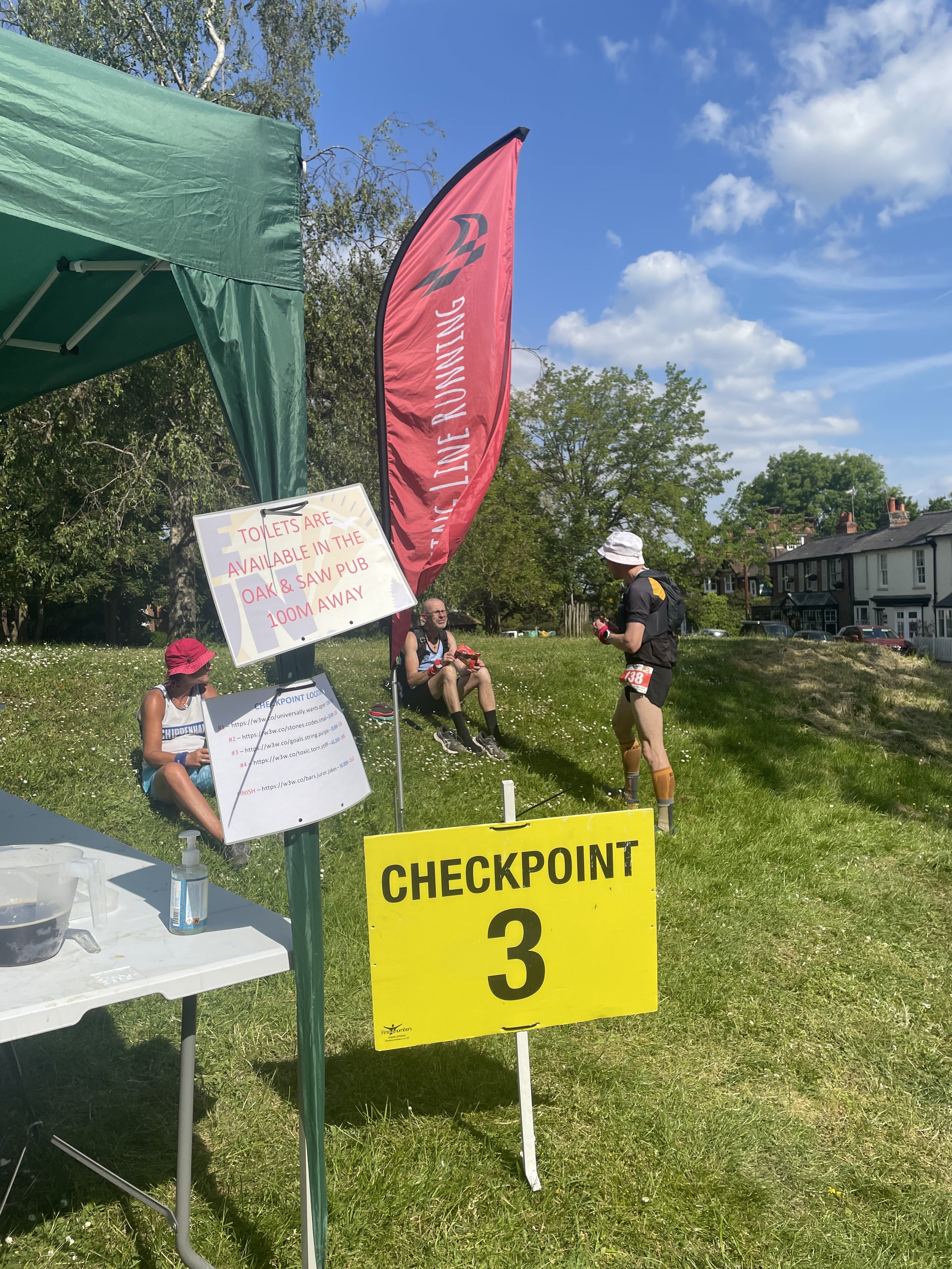
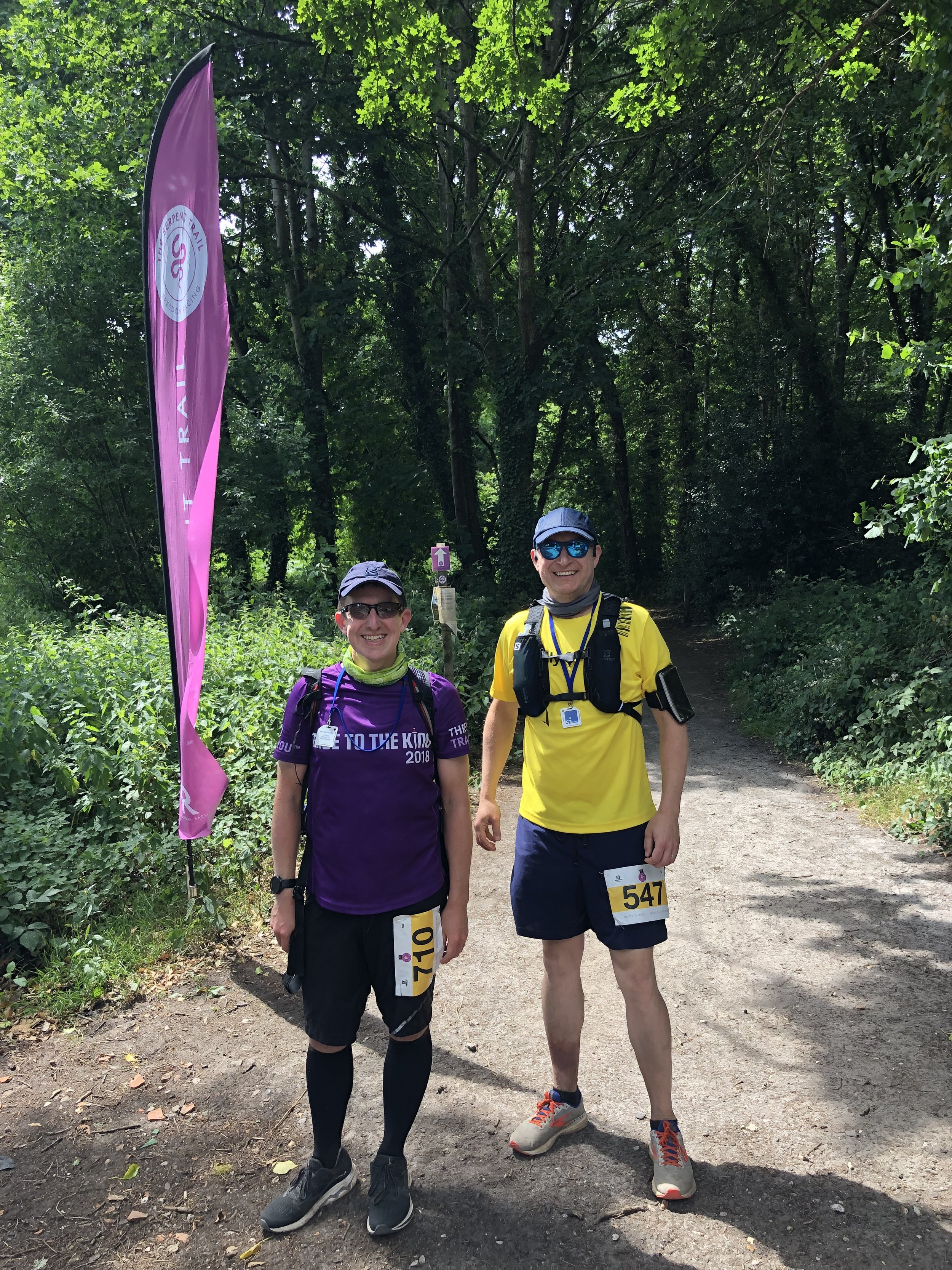
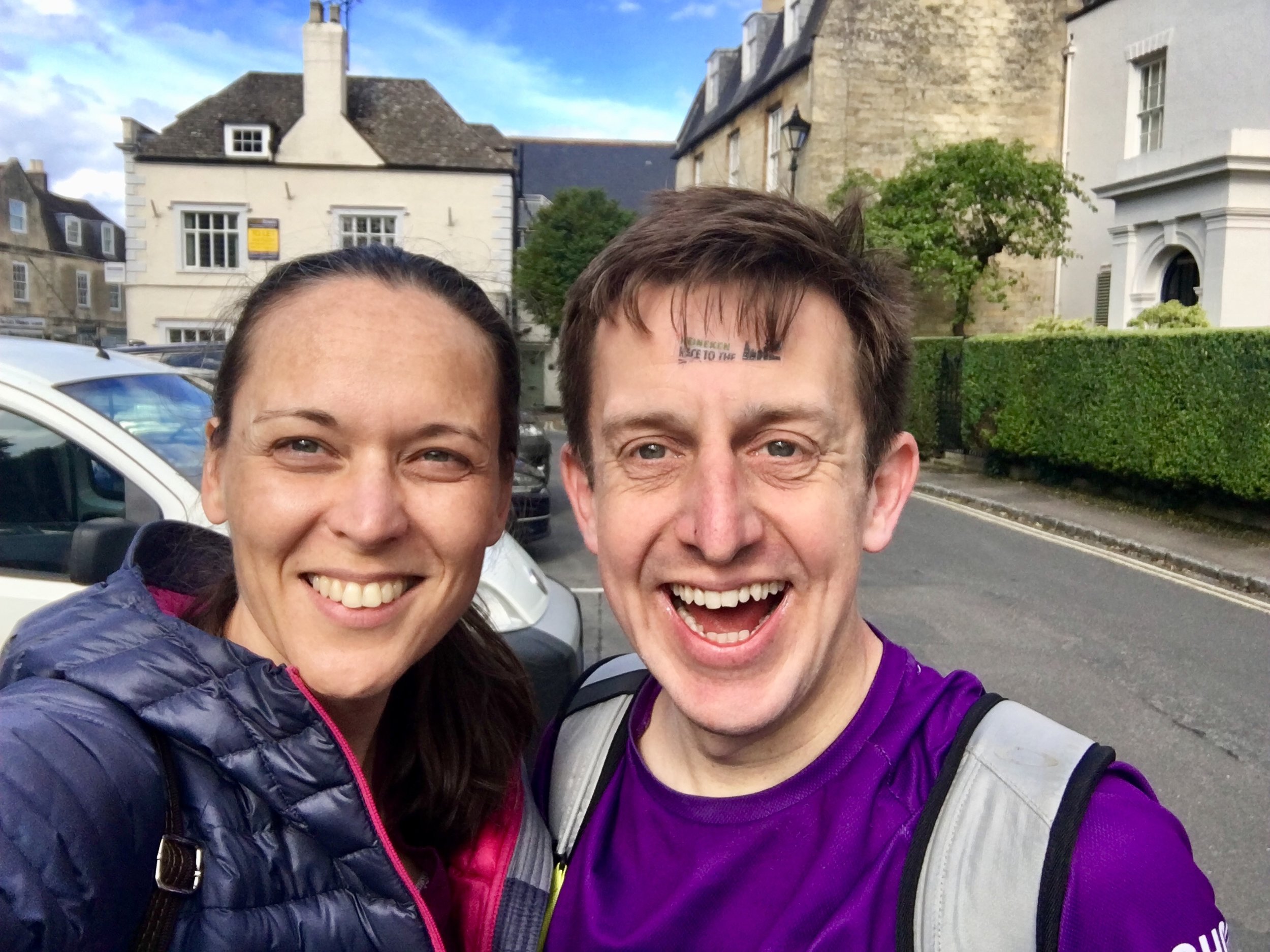
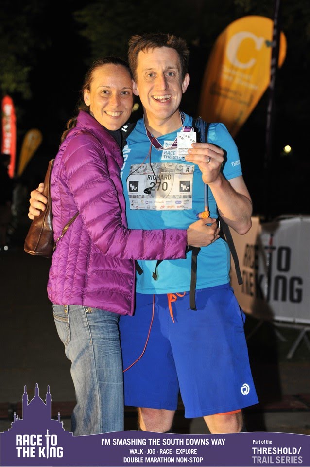
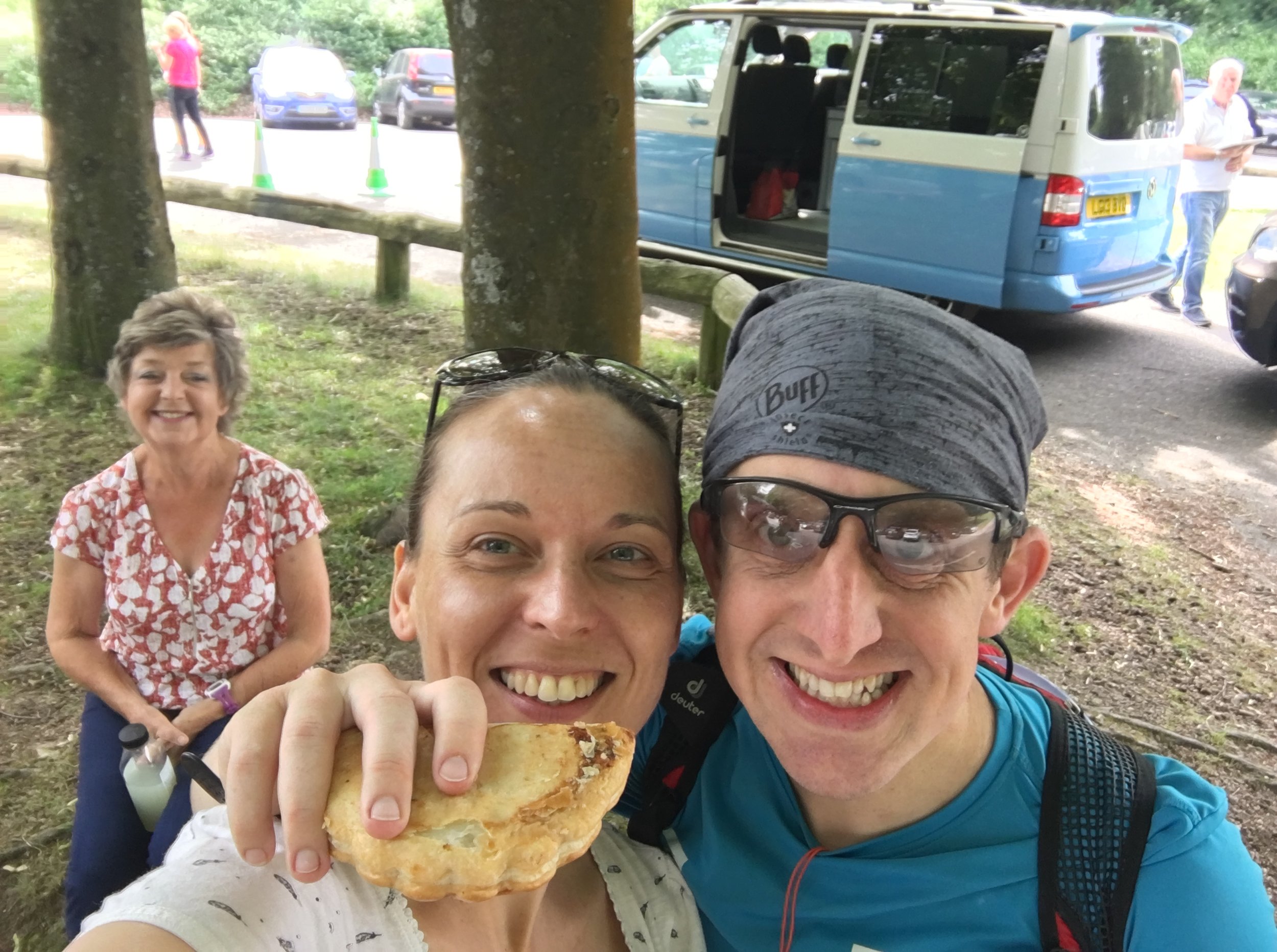
Timi and Mum were waiting for me at Checkpoint 3 just like at all of the following ones. This was a big morale boost and made a great day even more special. Timi had become my official social network agent for the day, posting my progress on Facebook throughout. Seeing the supportive likes and comments at each Checkpoint was another great motivator. By now I was 25 miles in, just under a full marathon and feeling good, despite slowing down.

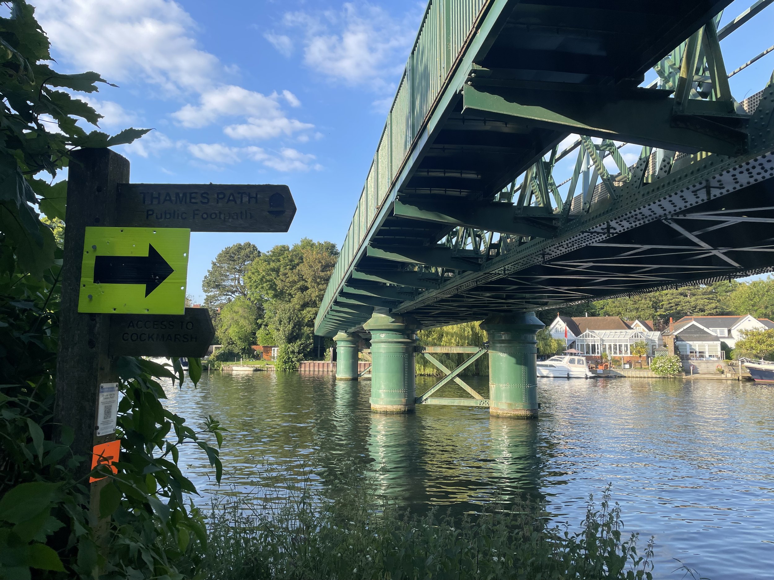
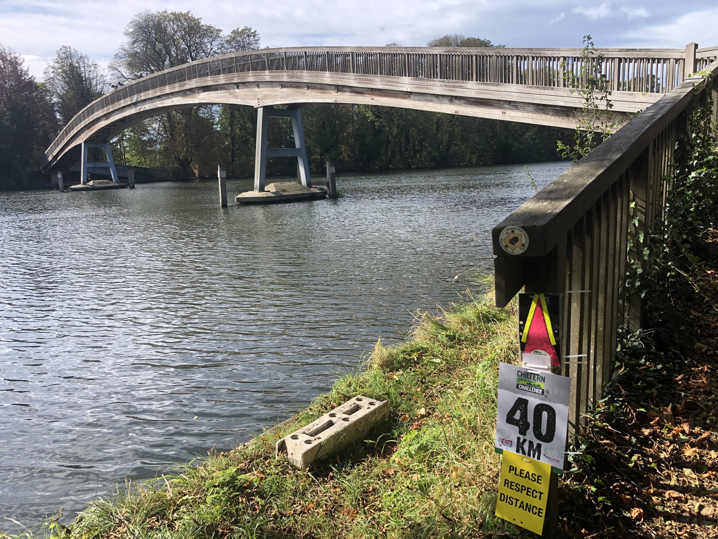
From here to the finish the navigation was easy: just follow the Canal and don’t forget to take the Paddington arm at Bulls Bridge. The group had really thinned out by now and for most of the time I could only see 1 other runner ahead in the distance and 1 behind me. This was the point where the iPod had become essential kit and I was ploughing through the Podcasts.

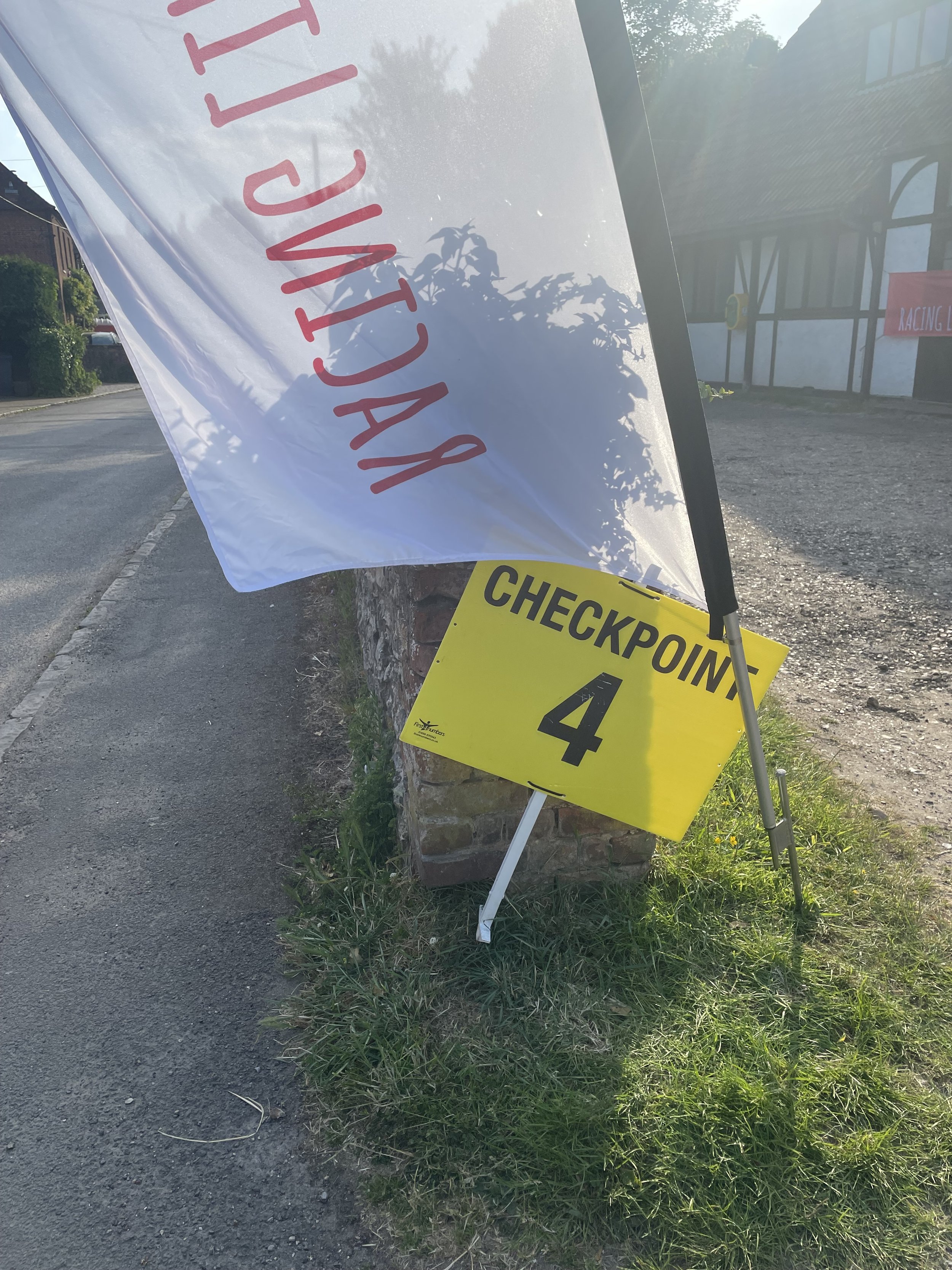
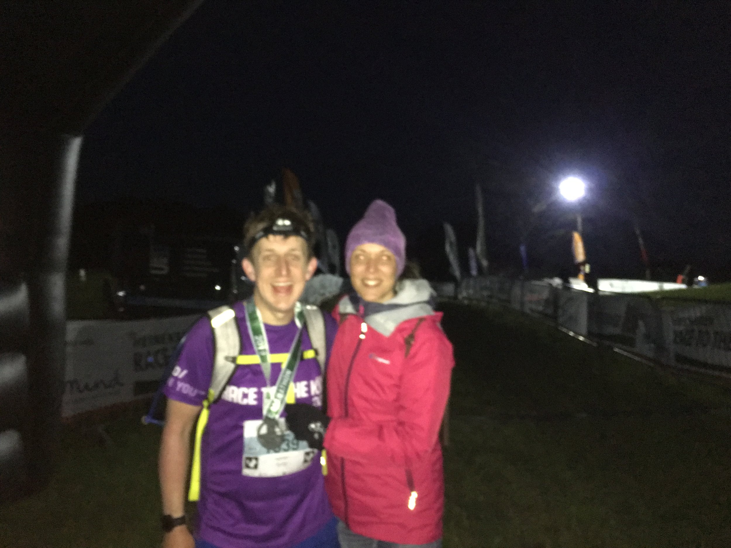
At Checkpoint 4, 31 miles in, it started to get dark and the marshalls made sure we had our head-torches on. We also got paired up with other runners for safety. This already seemed like a good idea as the canal becomes a magnet at night for groups of shifty looking people roaming around smoking and drinking. The frequent “missing person” notices stuck to trees and bridges weren’t a confidence booster either.

Julian, a friendly guy from Milton Keynes, became my running partner for the next 3 hours. He’d completed a few Ultras before and would probably have been faster than me but was suffering badly from stomach problems. He put it down to using the free carb gels they were giving out at each checkpoint rather than the ones he’d trained with. Whatever the reason, I was glad to have someone running at the same pace. I’m always concerned about running with someone either too fast or too slow, both not wanting to hold anyone back or feeling compelled to go faster than my own pace.

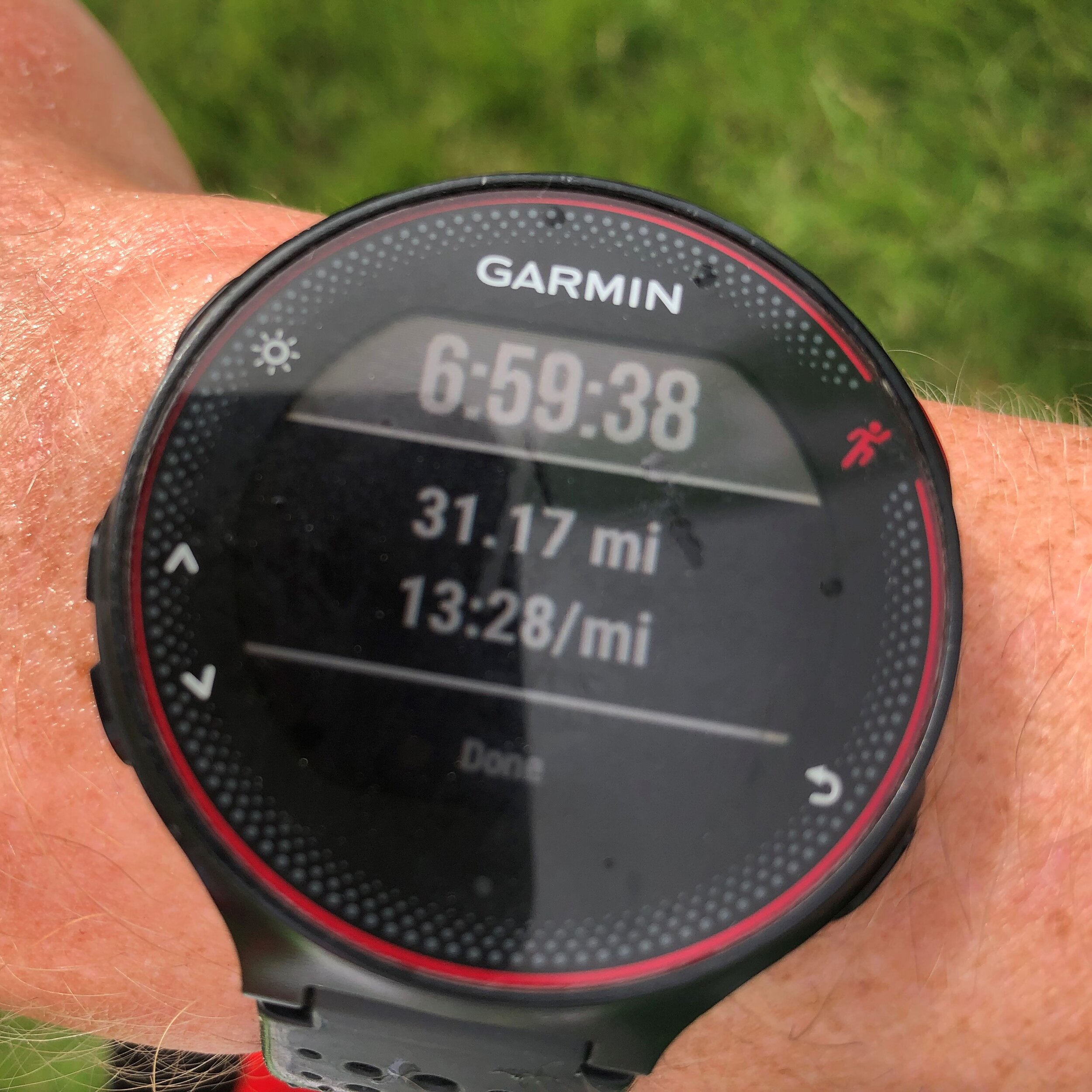
The final 10 miles was all about finishing, as a fast time at this stage was neither possible or wanted. We had slowed down to 16 minute miles of fast walking, finding a pace that was comfortable as long as we didn’t stop. At the last 2 Checkpoints we stayed only for a few minutes to get more food and water, fearful that if we stopped for longer we wouldn’t start again.

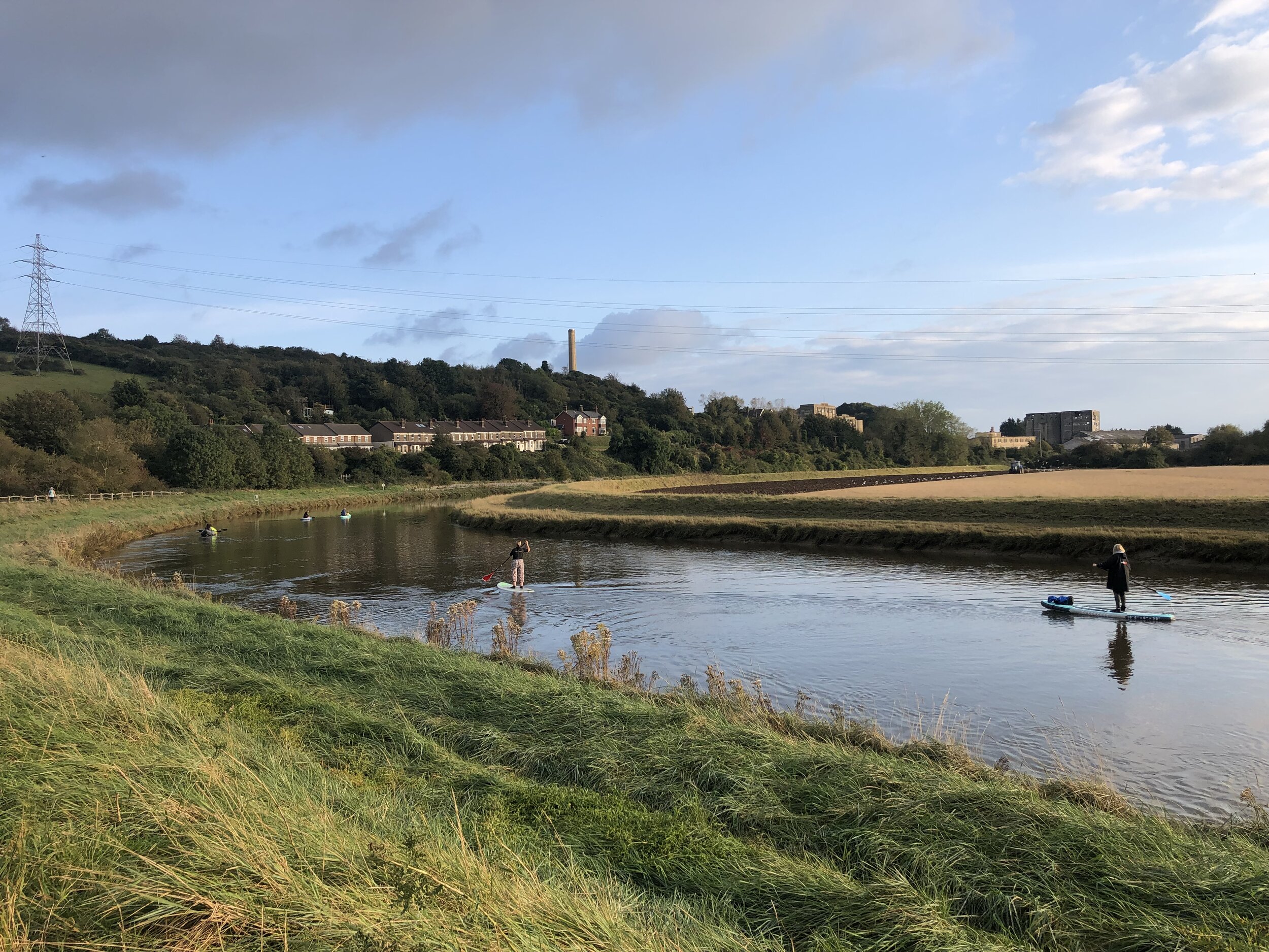
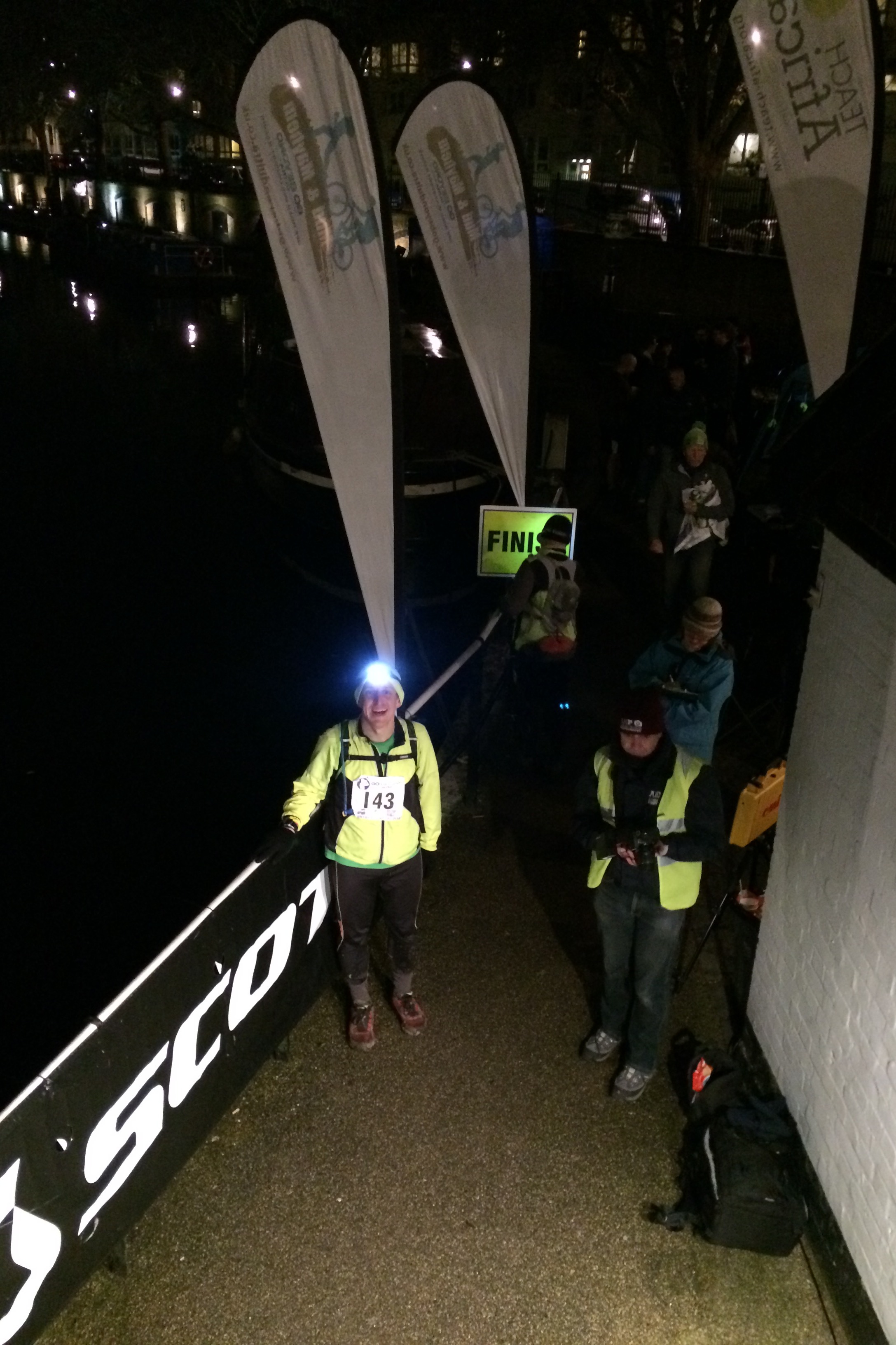
As the end got closer the route become darker and surroundings more industrial. I love cycling and running the canals as you get a diverse mix of country and industry. This part of London had little in the way of pleasant scenery, so the lack of light was mostly a blessing. The head-torch was now the essential kit, keeping us on the path and out of the canal.

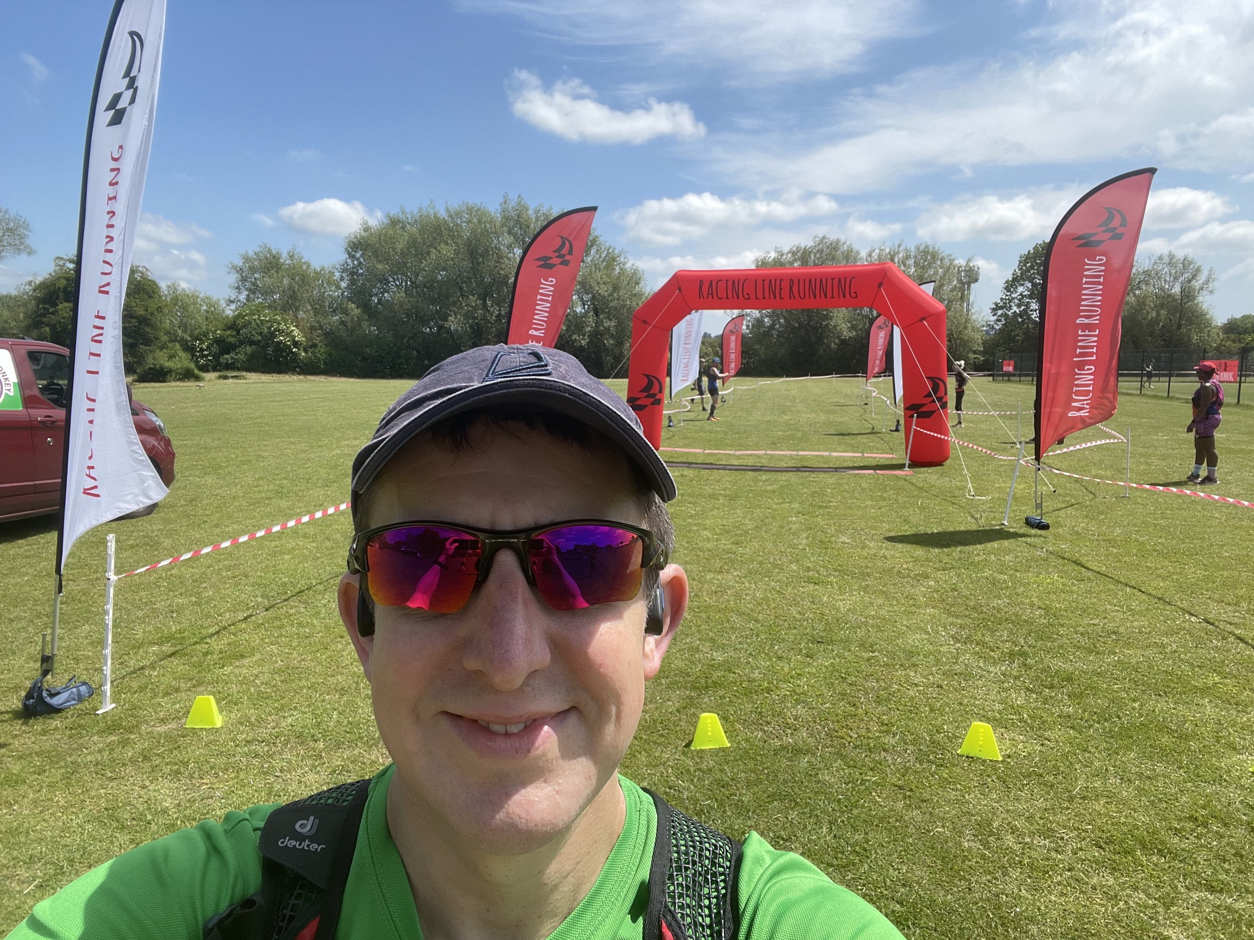
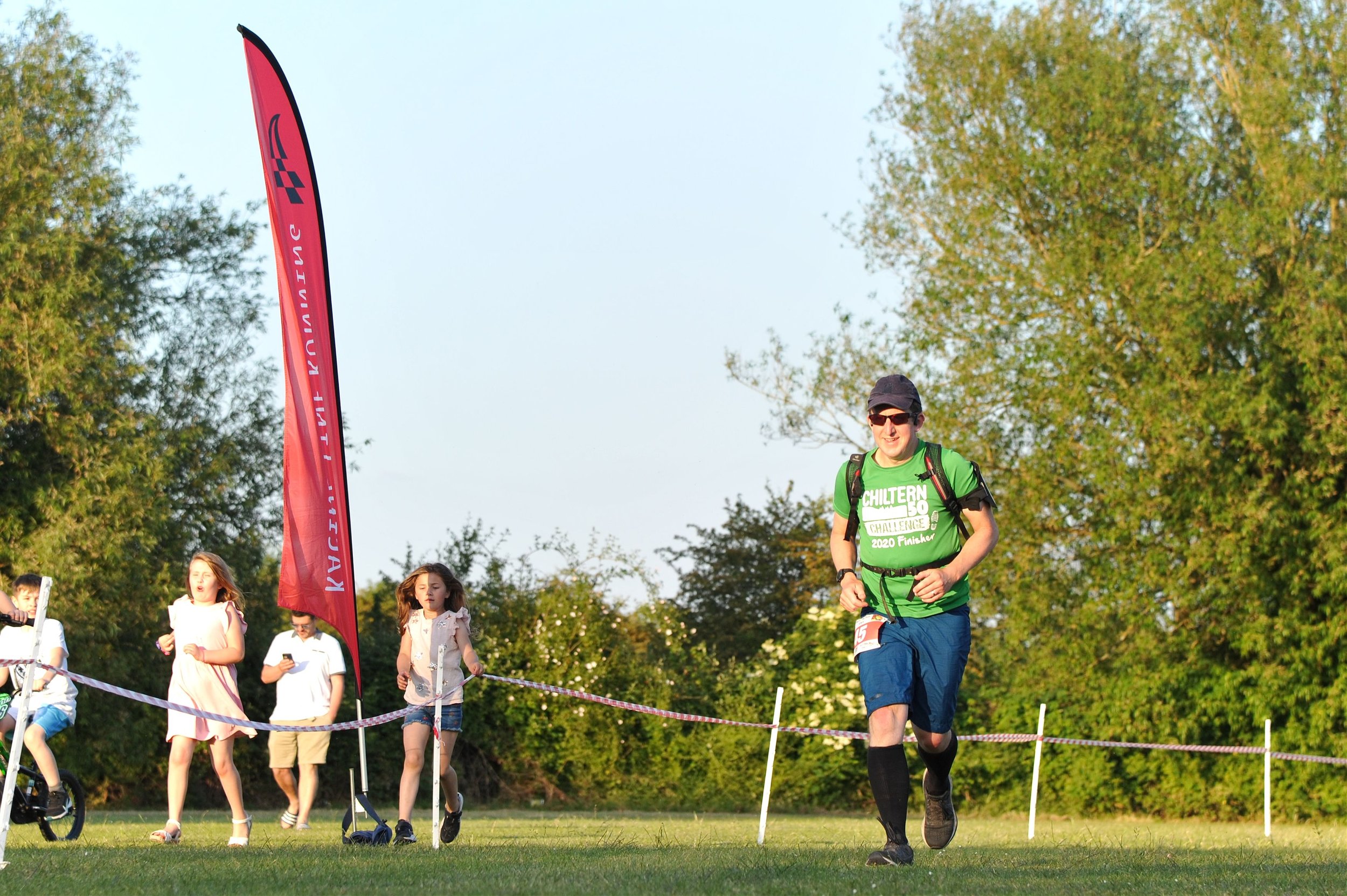
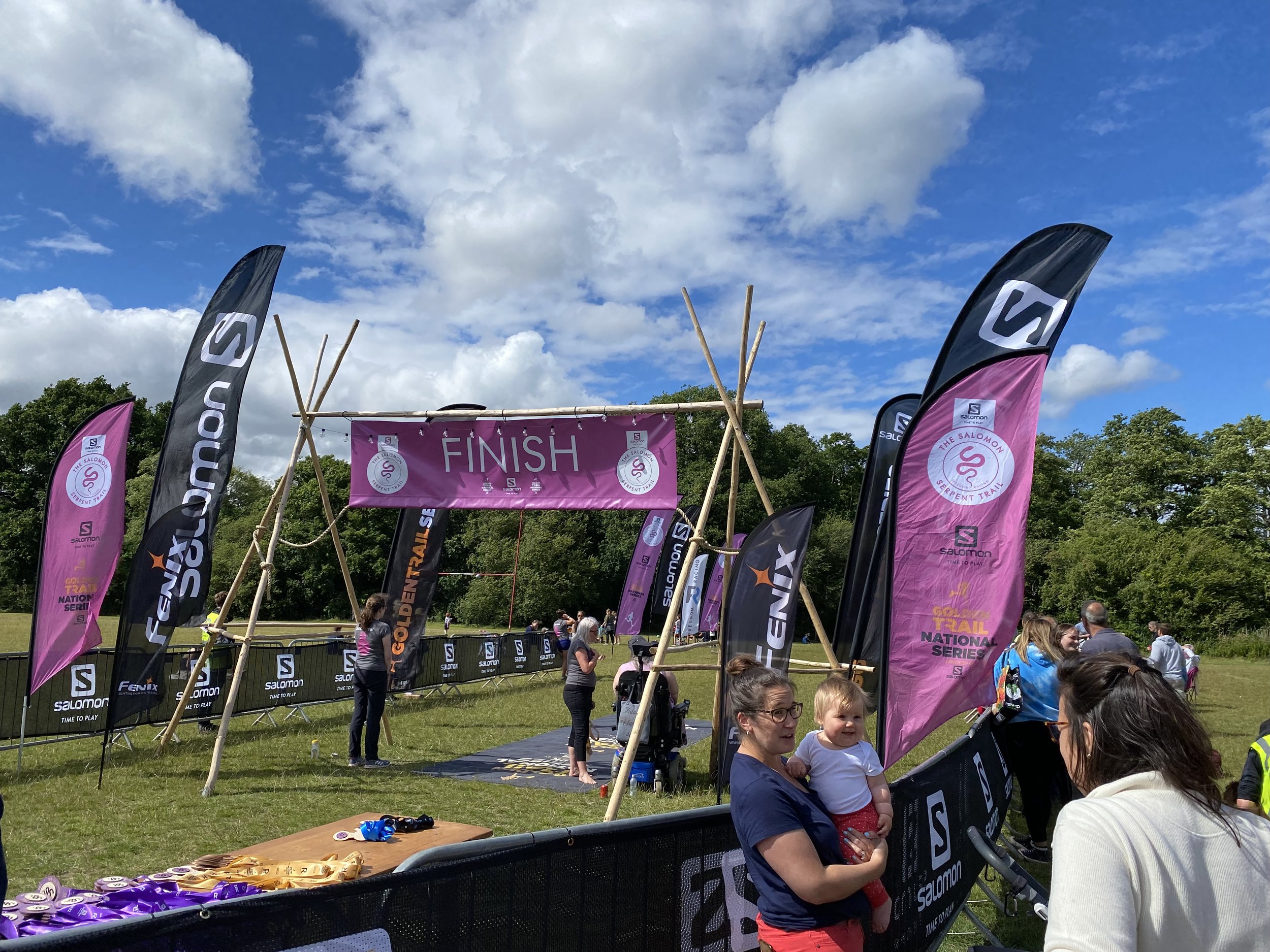
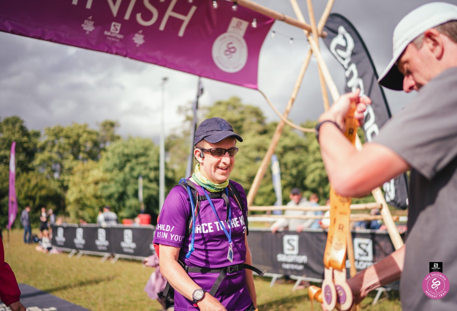
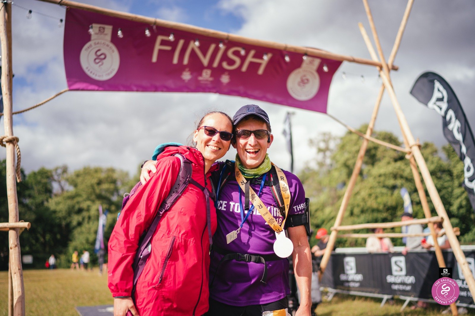
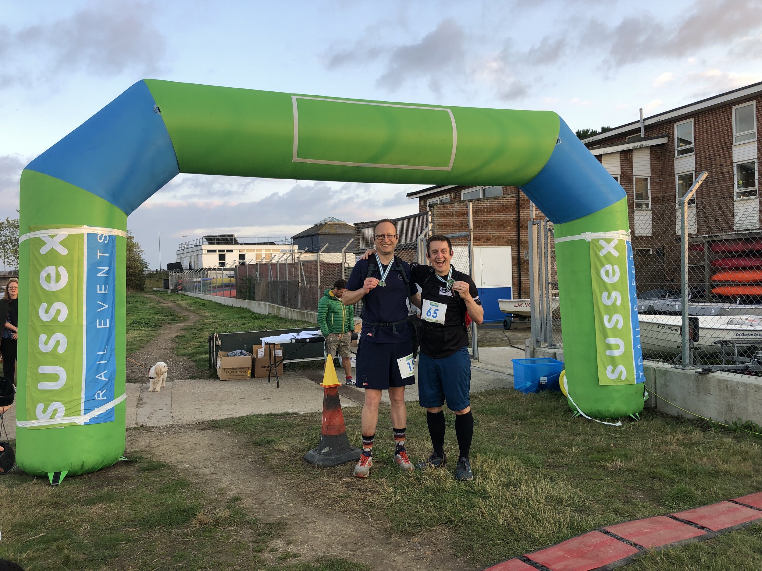
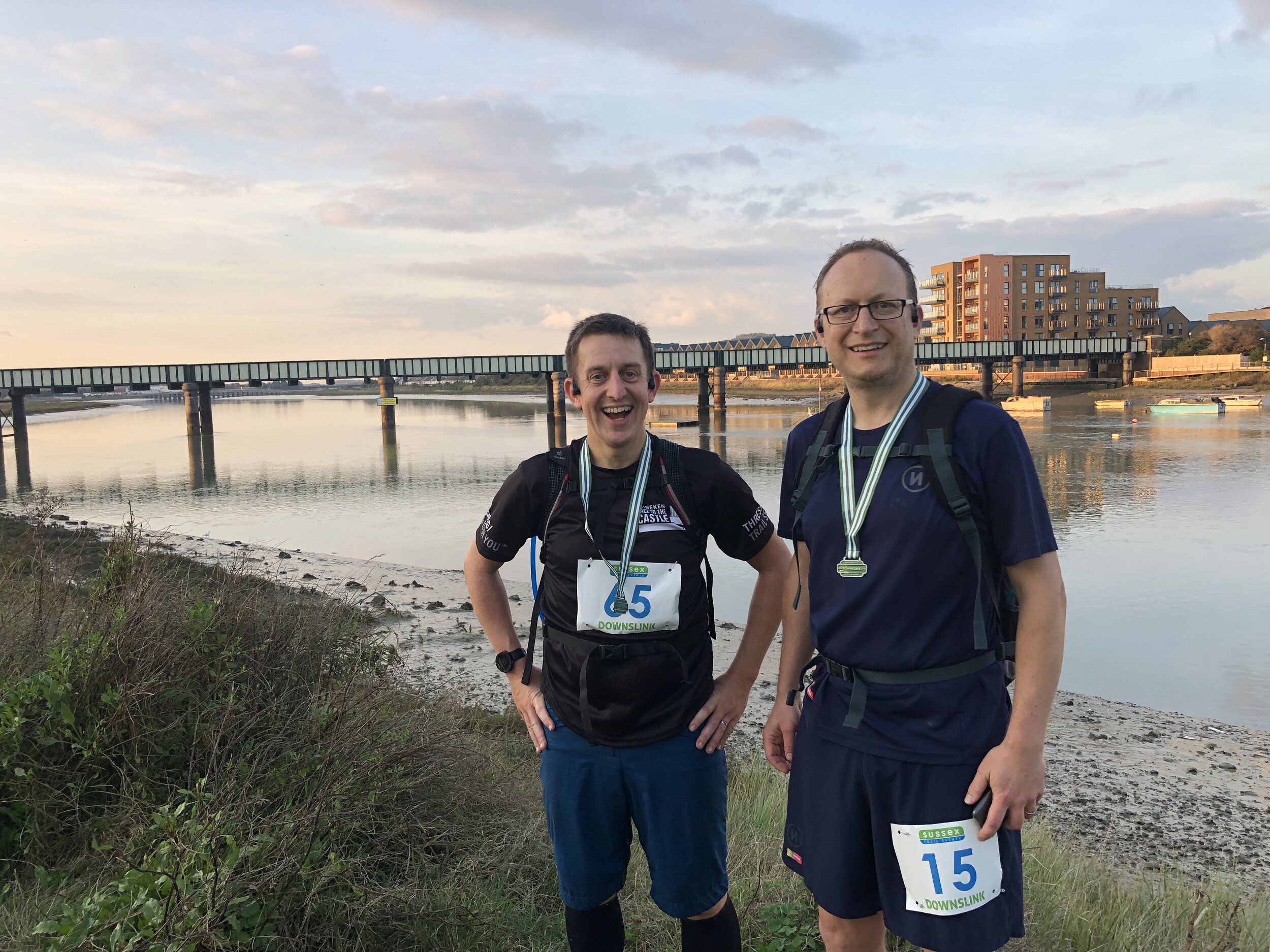
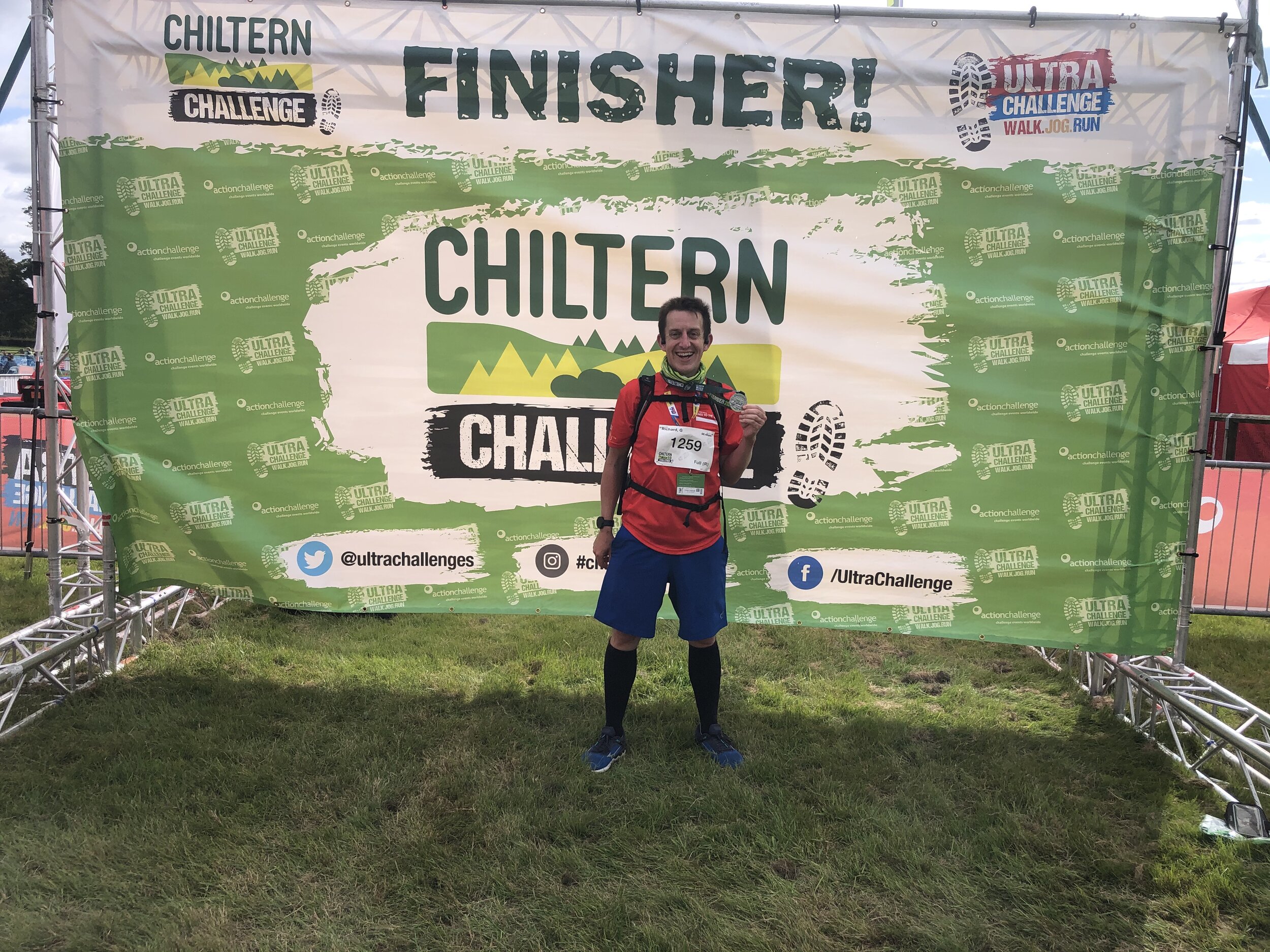
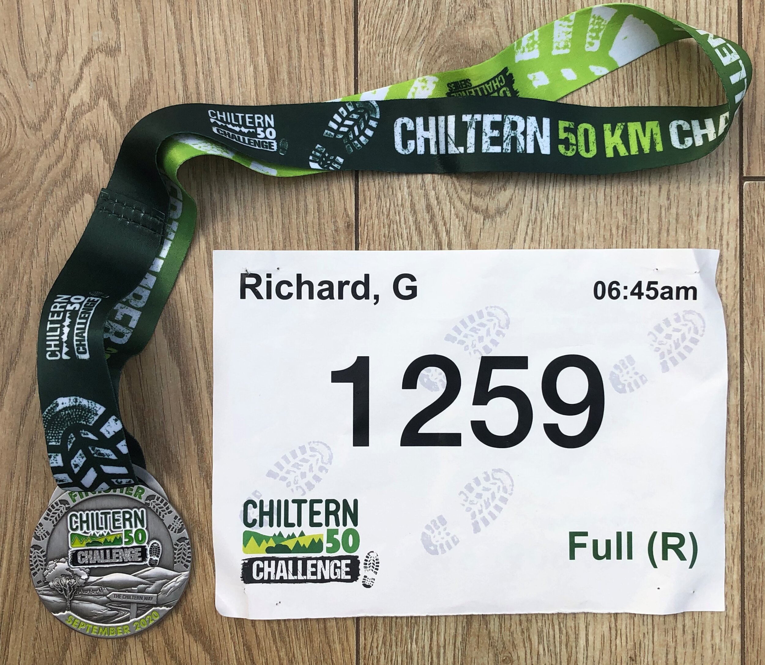
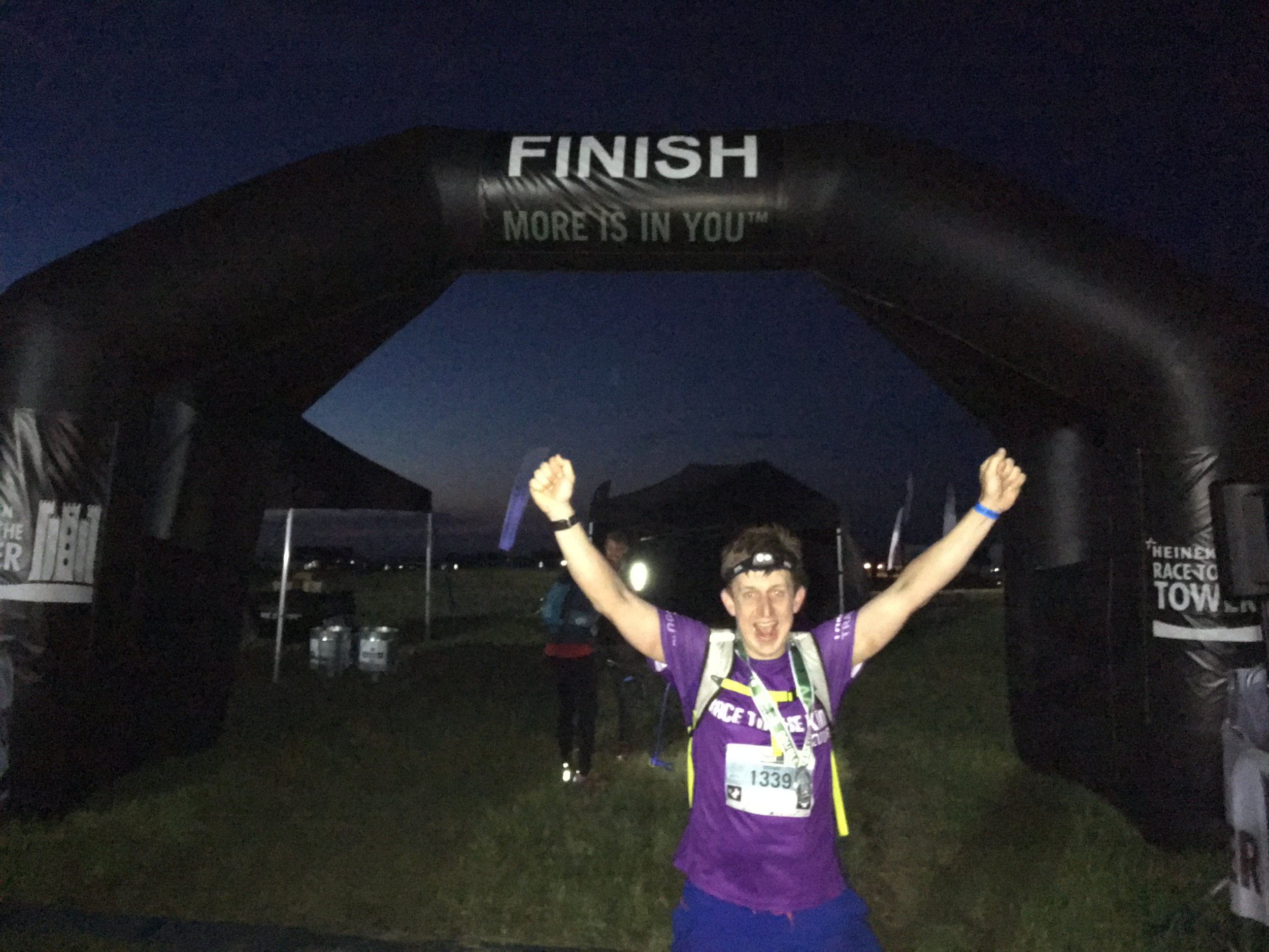
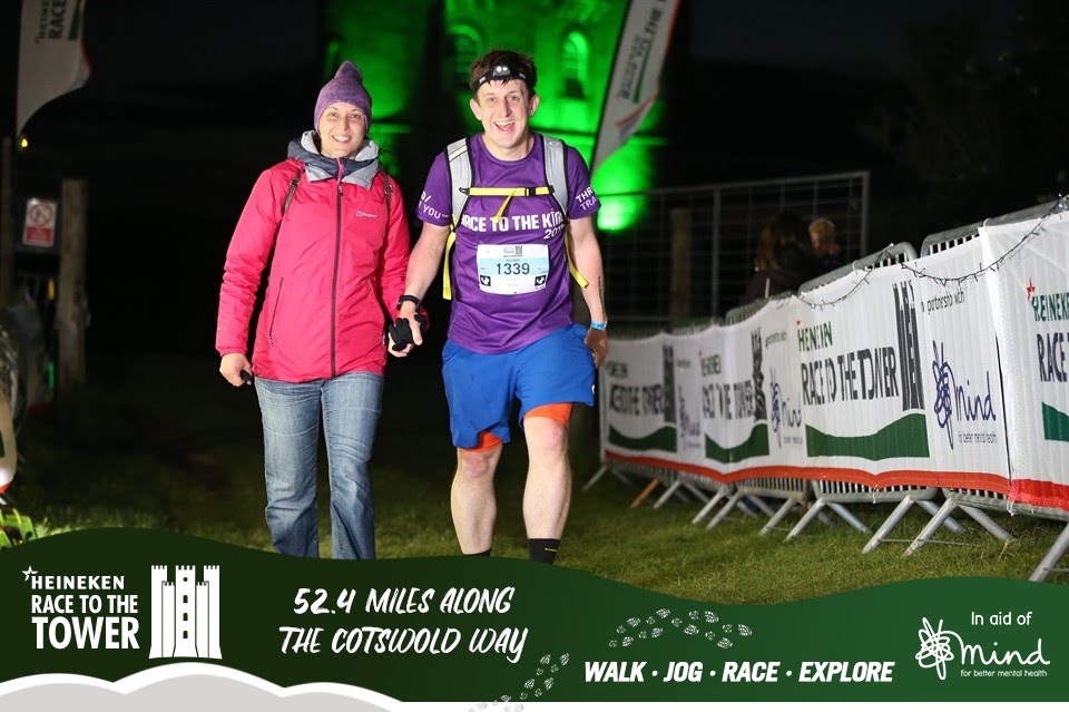
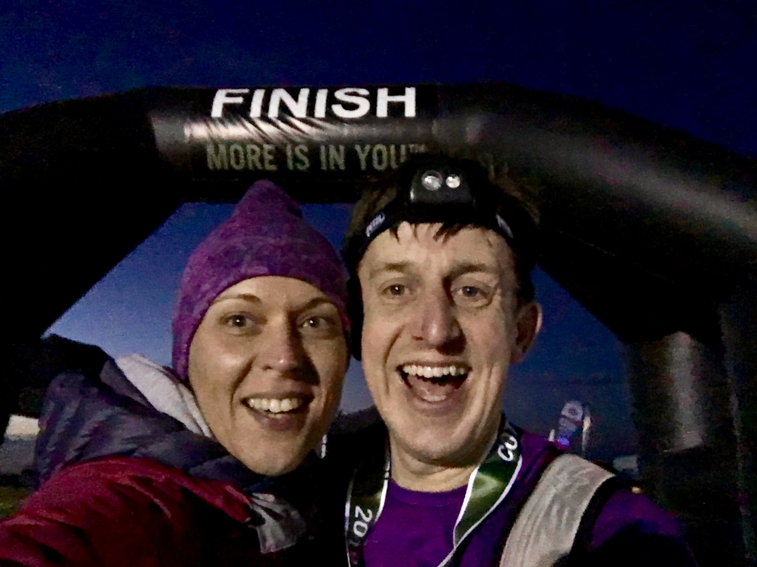
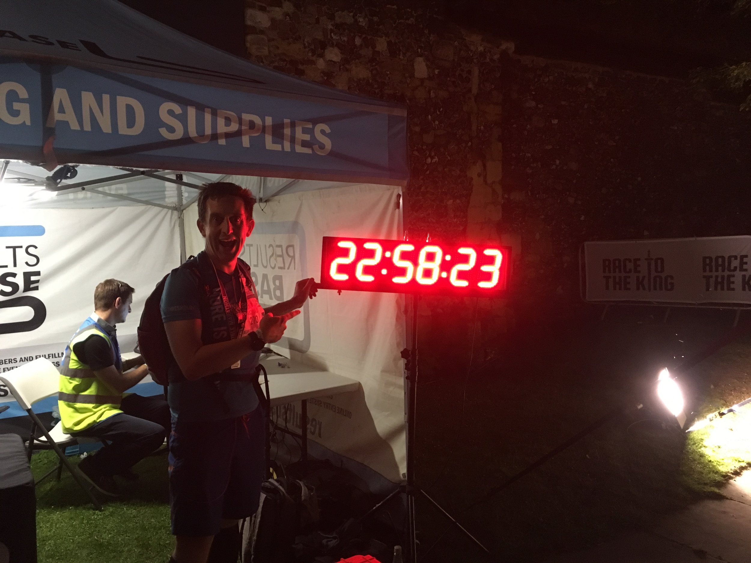
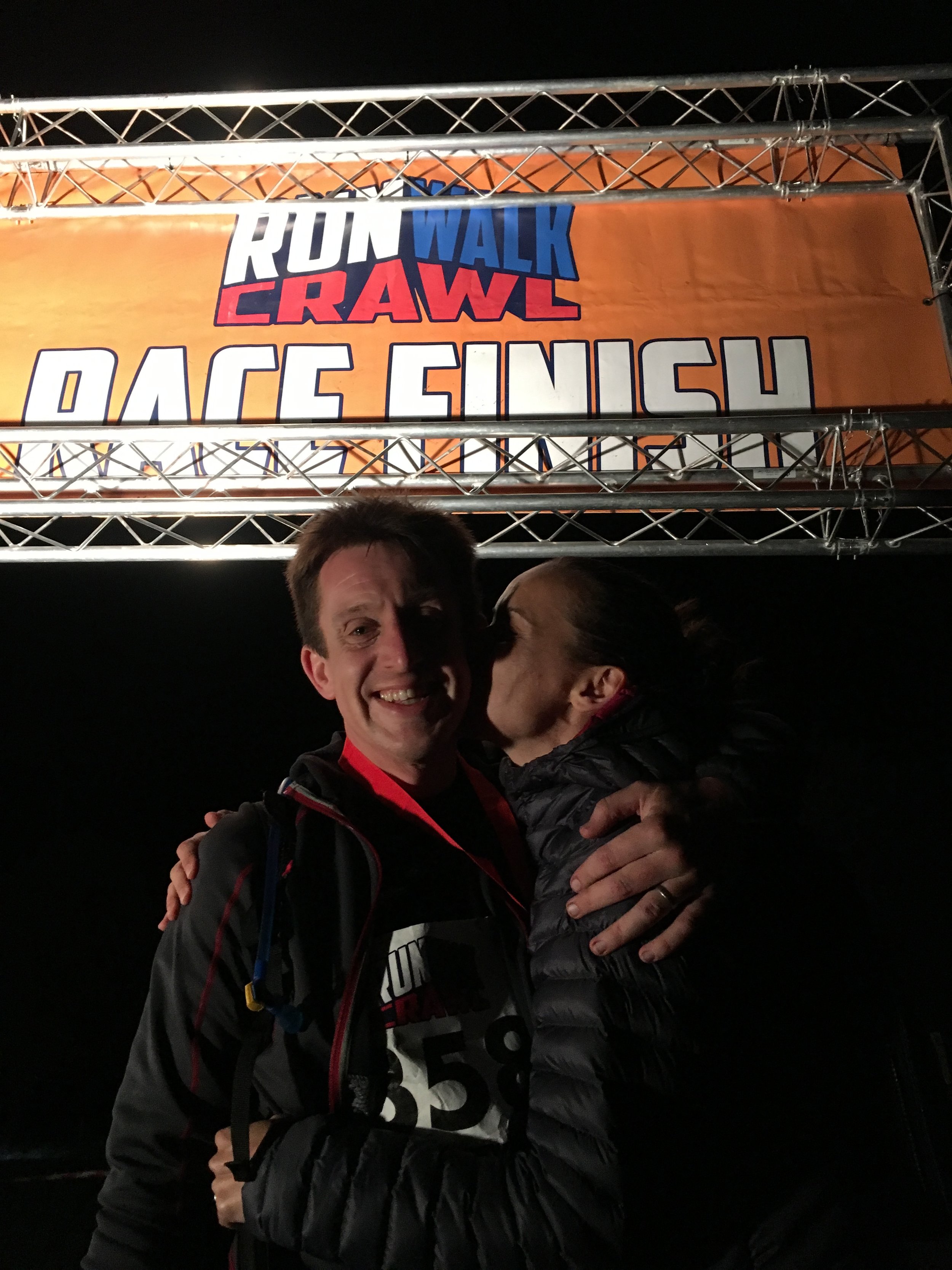
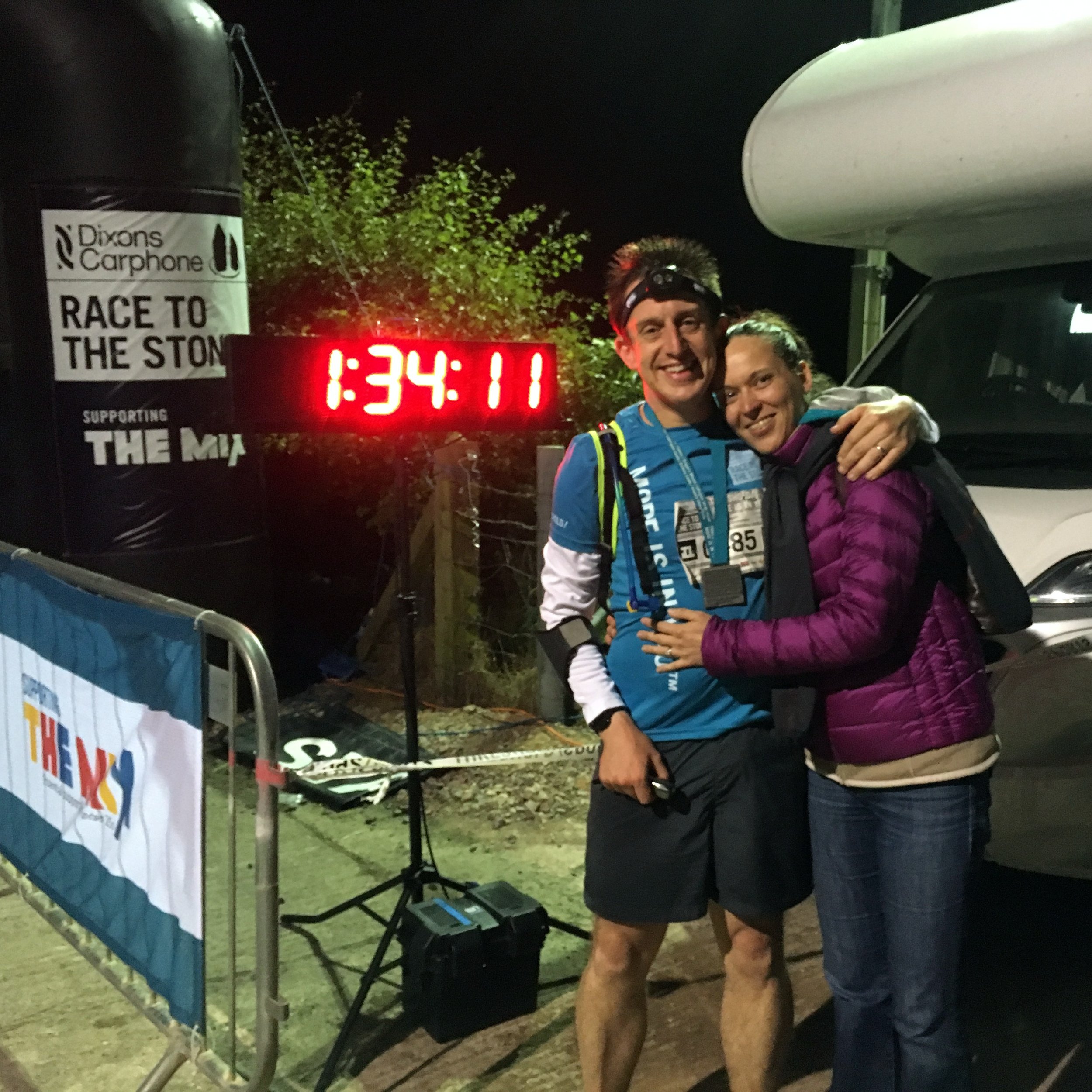
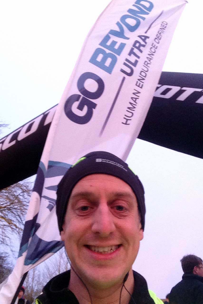
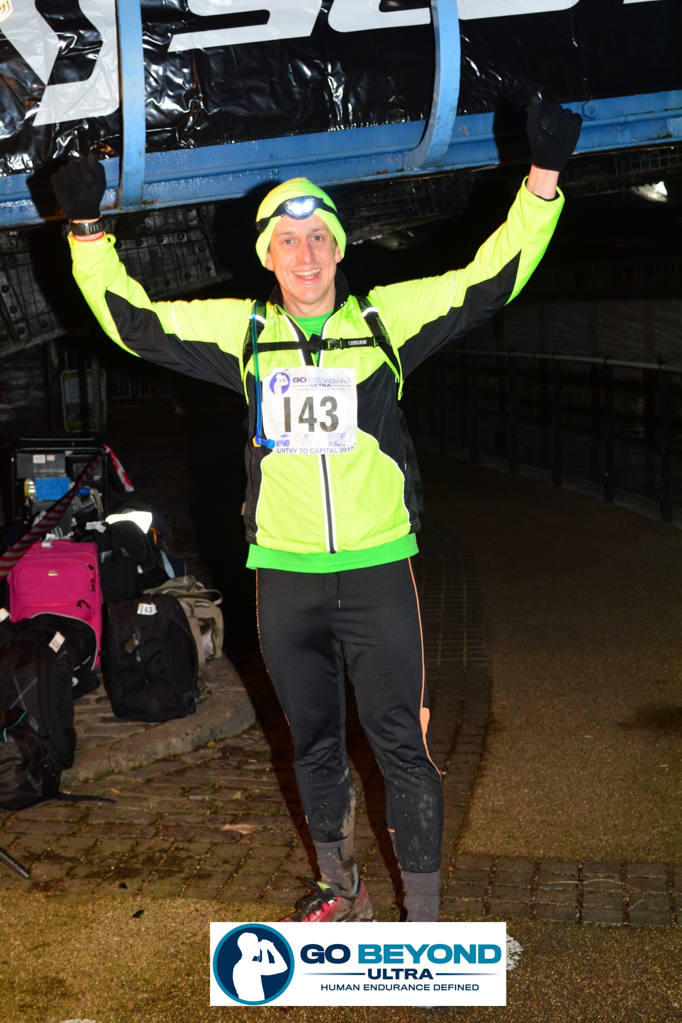
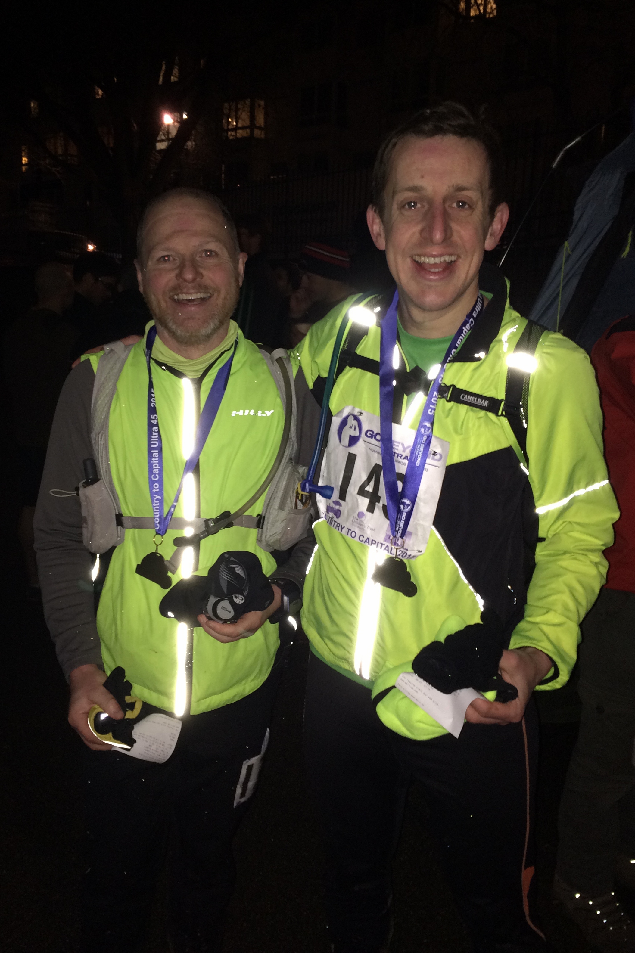
Eventually the tall buildings of the new development at Paddington came into sight and the end was near. Checkpoint 6, the Finish at Little Venice finally came after just under 10 hours since the start. A massage and an ice-bath would probably have been the right thing but a warm-bath and a long sleep was really the only thing that I wanted.

One week on and things are mostly back to normal with only an ache in my left knee as a physical reminder. The 2 days following the race were tricky with a point on the following day I thought I had permanently damaged myself. By the 3rd day I was able walk upright again and able to tackle stairs without sitting on them.

A lot of friends asked why I did it and other events like these. The normal answers of the “challenge” and “achievement” are true but its not really that. The simple truth is that I just love the outdoors. The routes these adventures take me on are amazing and there’s no better way to experience them than to travel under your own power. I also love the organised events as there’s always a buzz from so many people with the same goal, often doing so for good causes. In a society where inactivity and obesity are rising I find it highly motivating to spend a day with people on the other end of the health spectrum.

The 2 bits of advice from the runner at the start-line both turned out to be true: stick to your game plan and expect it to be addictive. I may need a few weeks off but this won’t be my last Ultra.

Thanks you very much to everyone who supported me, from Mat who gave me the idea, to the “likers” and “commenters” on Facebook, those who sponsored me for the Growlerthon course and especially to Timi and my Mum as my amazing support crew for the day.

elevation_profile.jpg