Posts tagged South Downs
Cycling The Semaphore Line: Portsmouth to London

HMS Warrior at the Portmouth Historic Dockyard


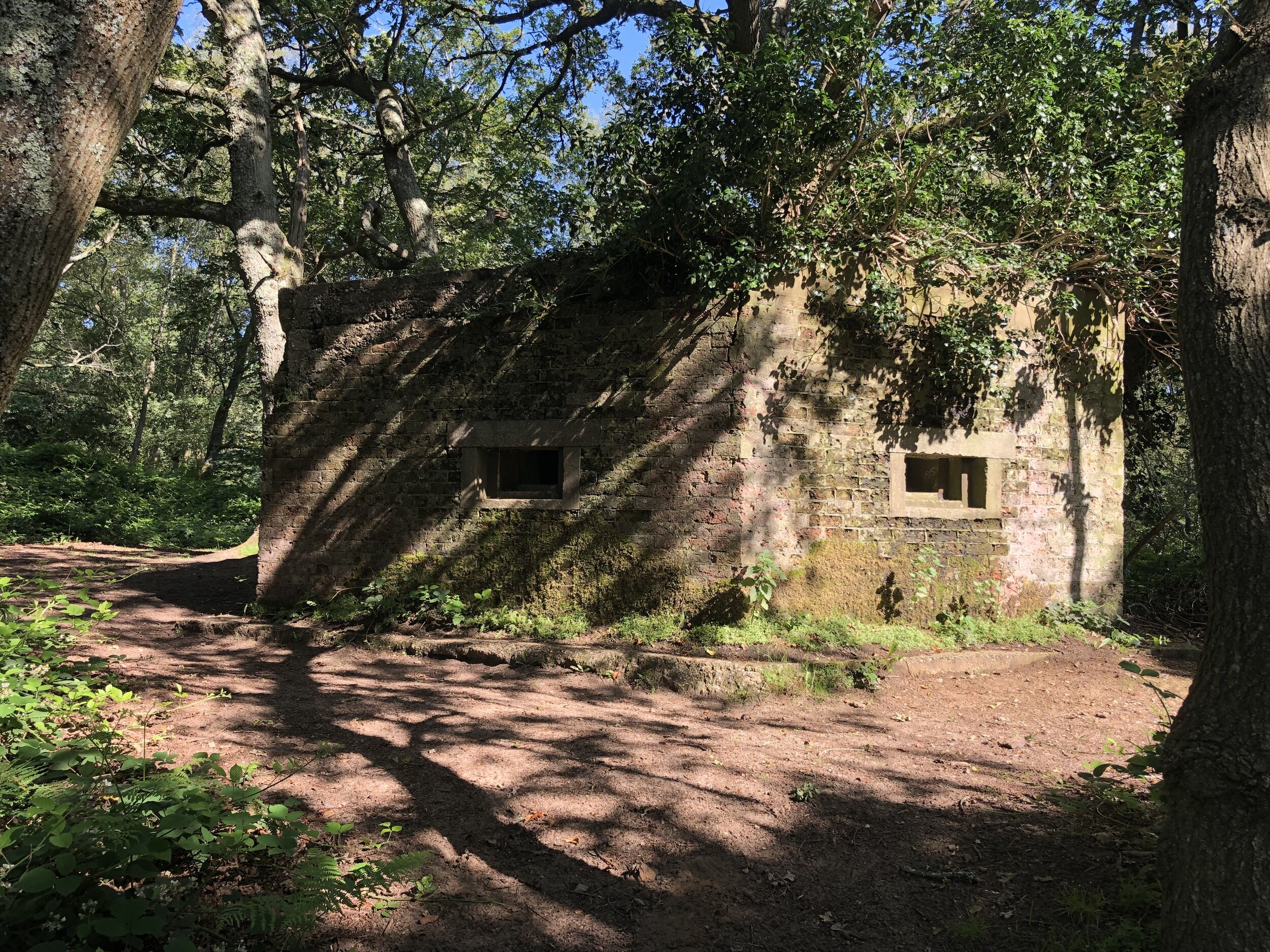
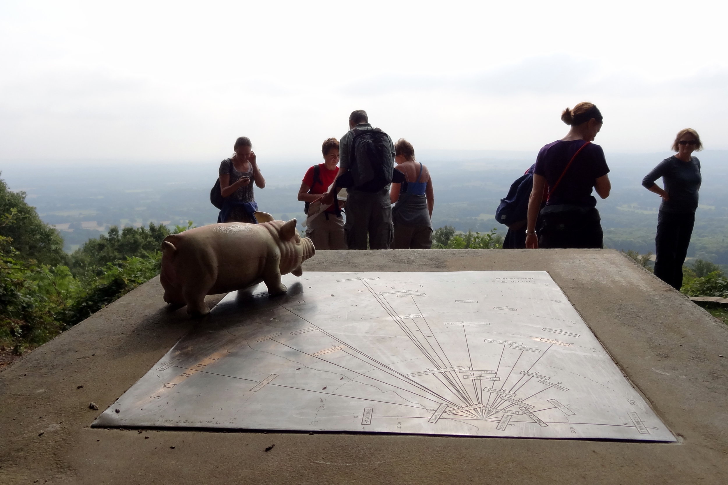
The idea for this trip came from a short walk that I did a few years ago in Surrey called Discover Downside. Half way through the walk we came across the Chatley Heath Semphore Tower, the best preserved of a series of towers that formed a line between London and Portsmouth in the 1800s. As I was reading the information board a new adventure started forming. I didn’t have to say anything I could almost hear my wife’s eyes rolling and wondering “what’s he up to now?”.

As described on the Chatley Heath information board: “In 1792, Frenchman Claude Chappe invented the Semaphore using moveable arms on a T-shaped mast. The British Initially stuck with their existing shutter or ball signalling systems even though they were less effective. In 1814 the Admiralty prematurely decommissioned their existing signalling stations. After Napoleon’s escape from Elba and the Battle of Waterloo in 1815, the governament decided to reinstate a signal line from London to Portsmouth Dockyard. They chose to use the semaphore system invested by Sir Home Riggs Popham, as the most advanced of the day.”

“The Chatley Heath Tower was the fifth station in the 75 mile long line, which started on the roof of the Admiraly in Whitehall. It was to have been the junction for a further line to Plymouth, but this was never completed. […] The invention of the electric telegraph in 1839 meant the end for the mechanical semaphore. New telegraph lines were laid alongside the railways and messages travelled instantly down the wires. In 1847 the semaphore line was decommissioned and the mast dismantled.”

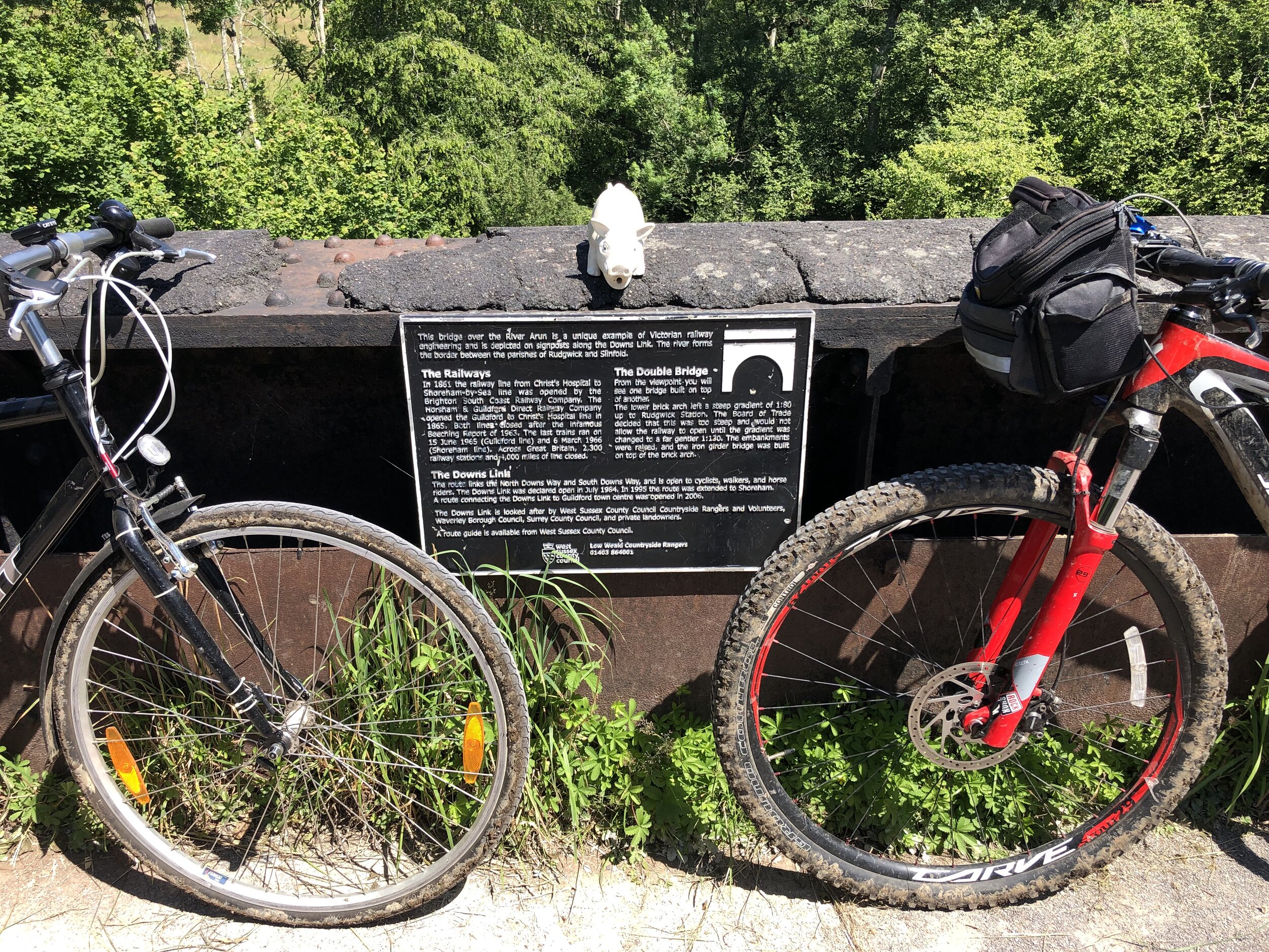
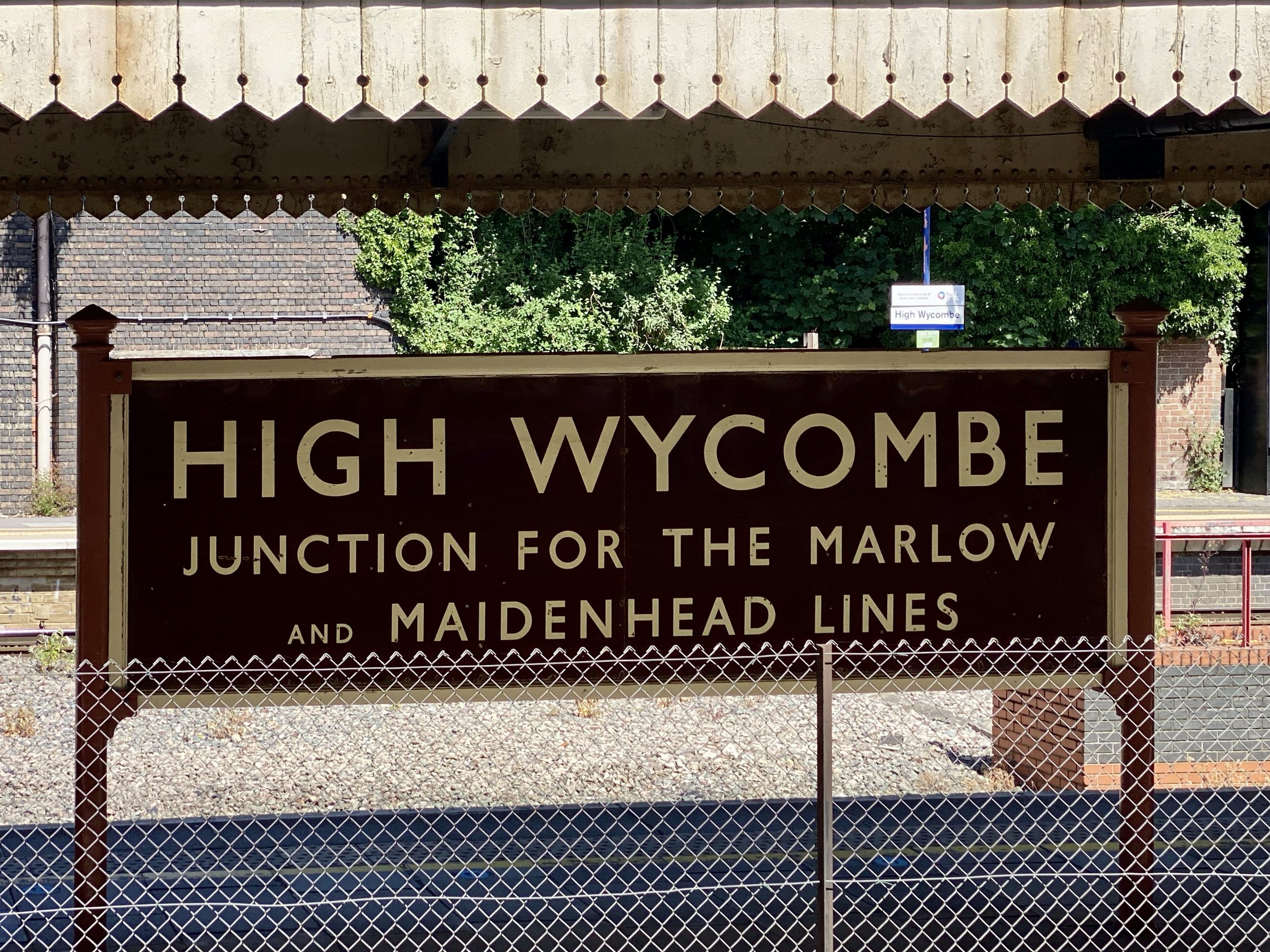
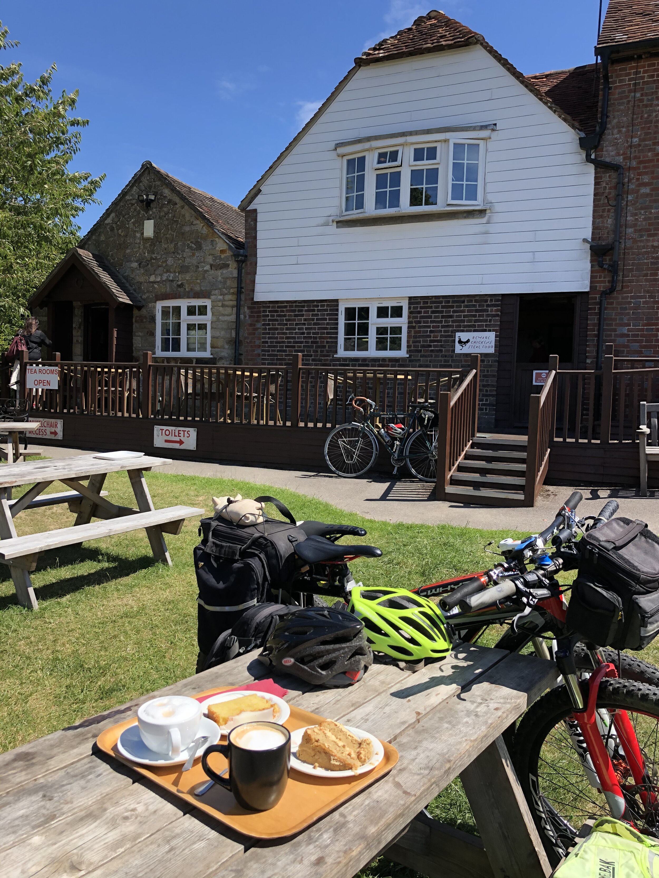
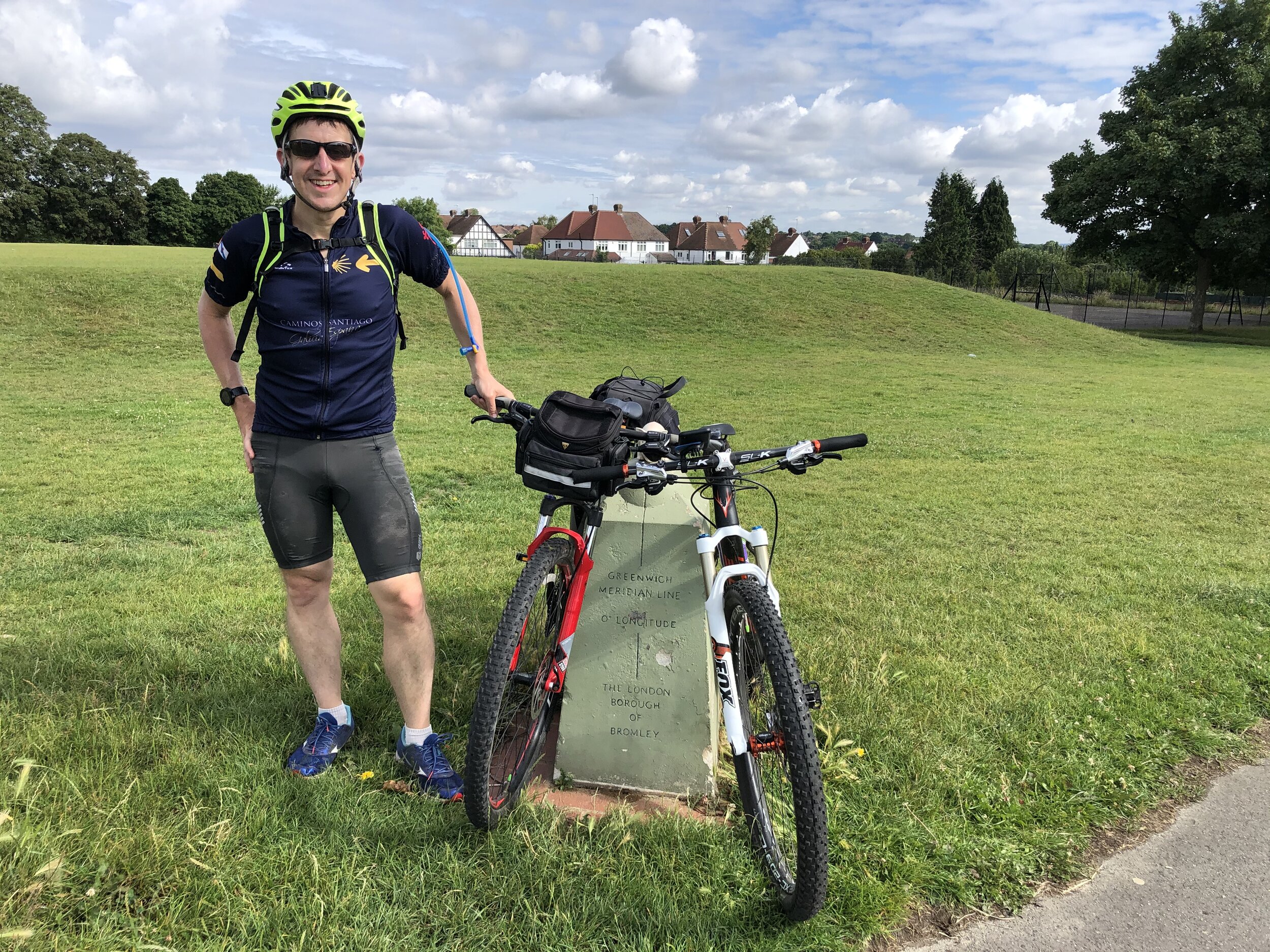
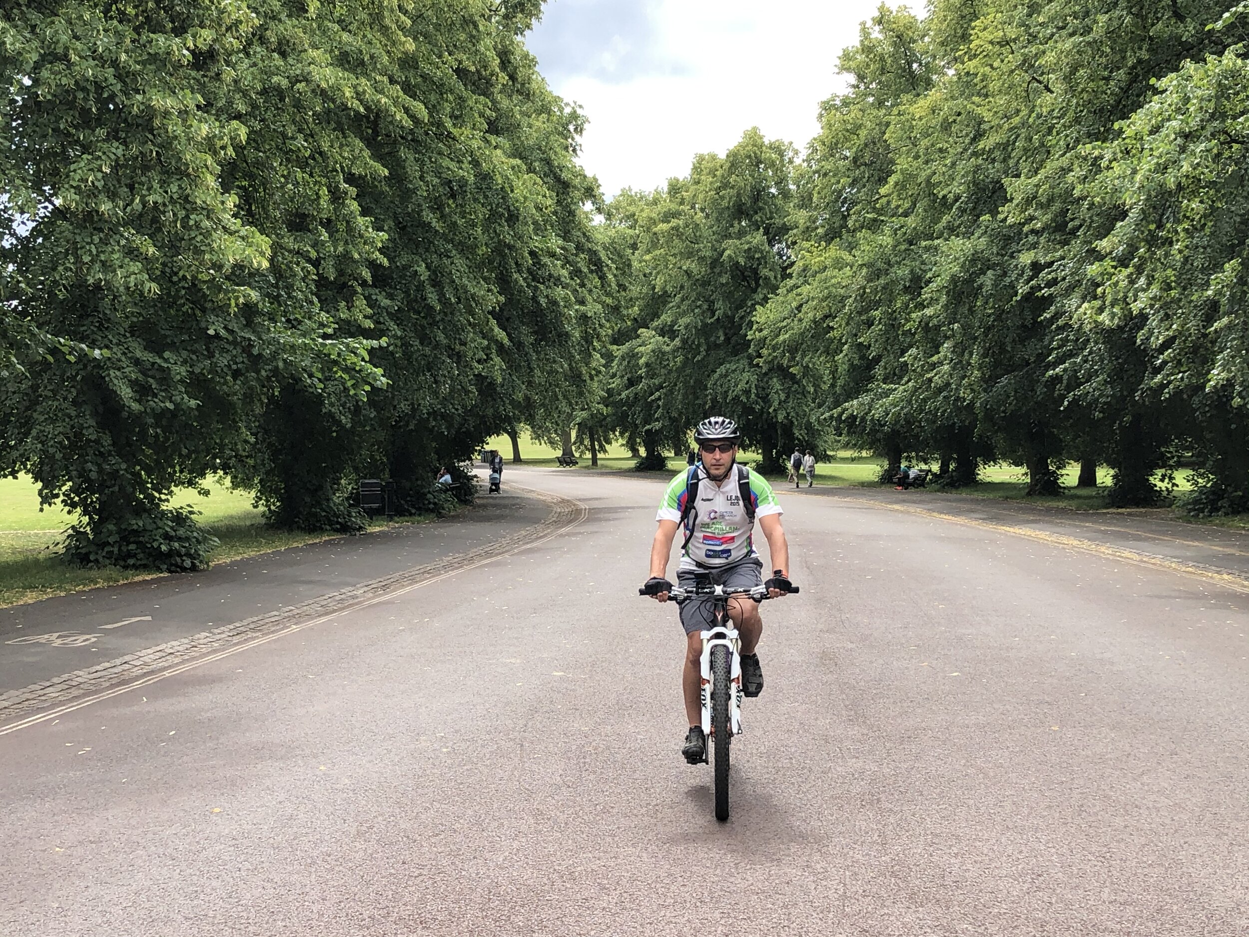
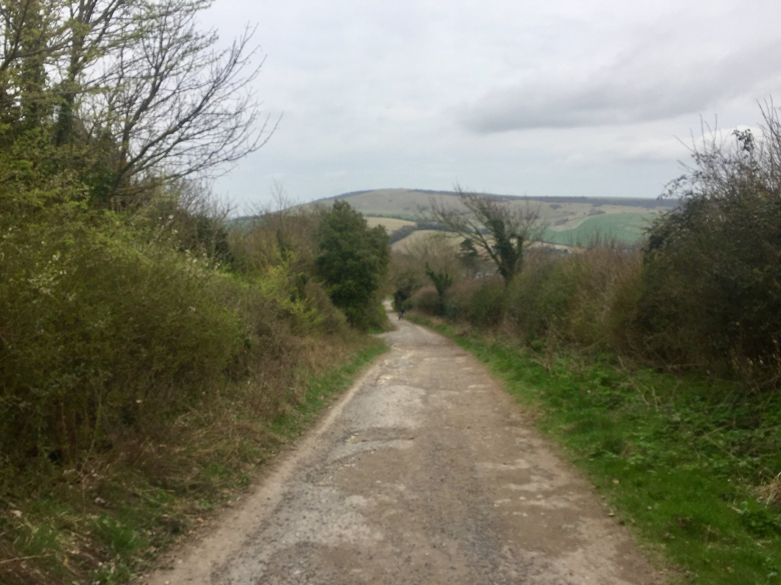
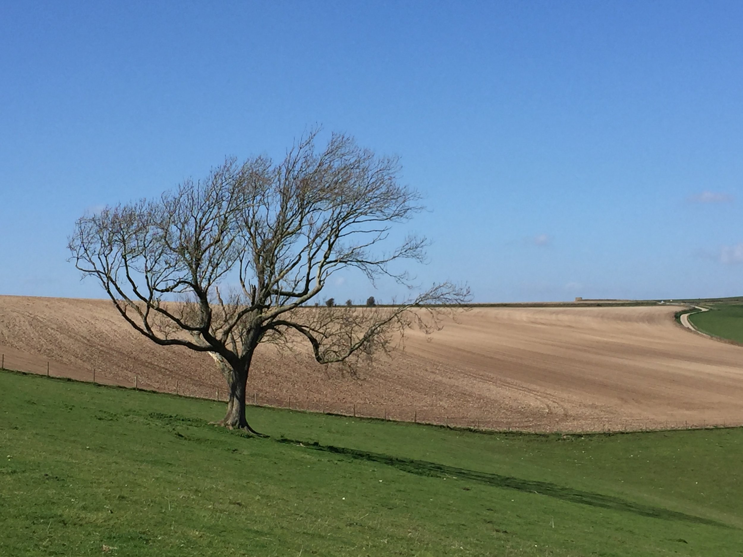
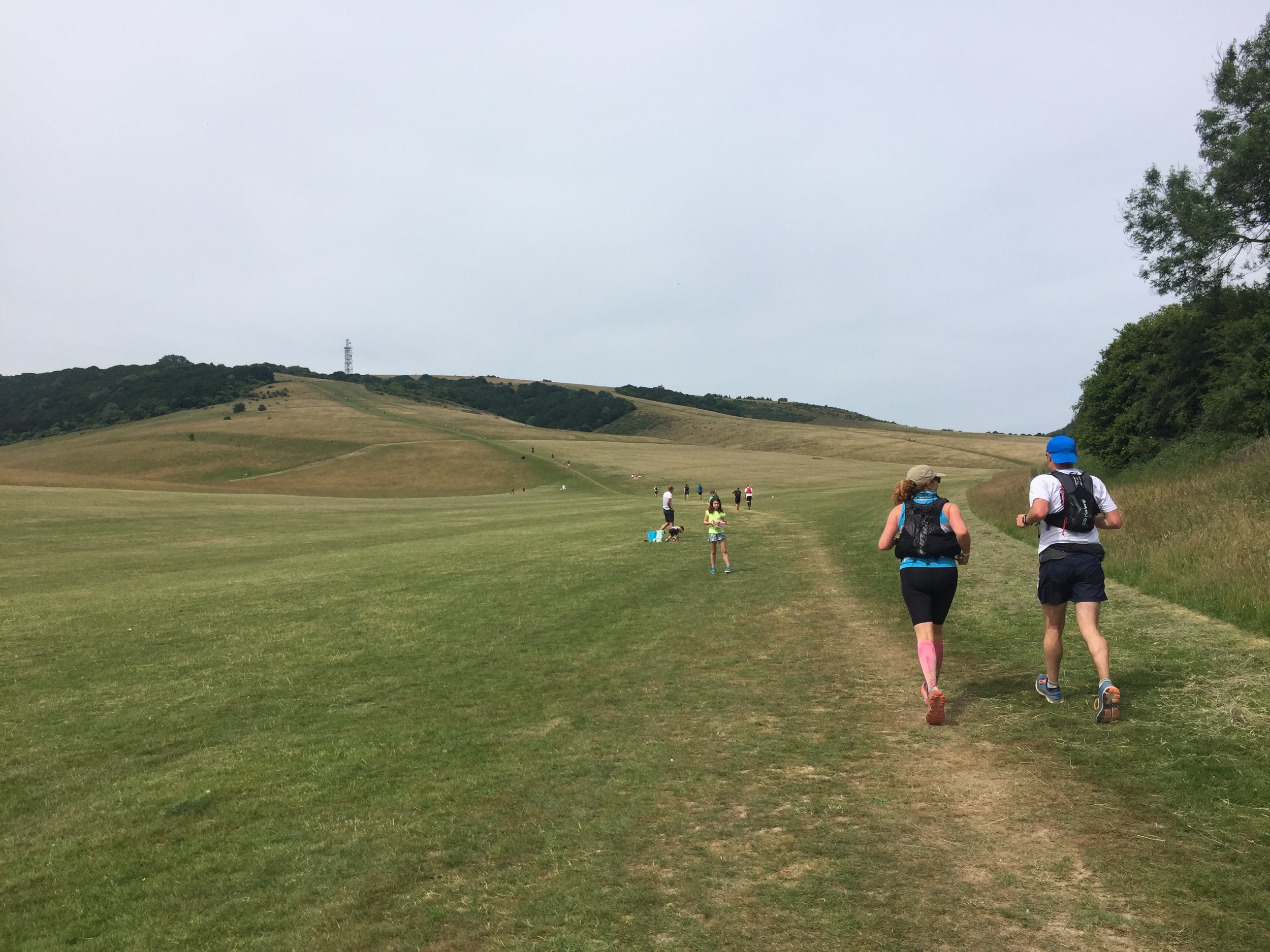
Over the next year the back-of-my-mind potential trip became a fully-planned weekend cycle trip for spring 2023. It turned out to be a weekend adventure with a Friday evening drive down to Portsmouth, a long Saturday ride to Godalming and a shorter section on the Sunday before heading back home. The original plan was to take the bikes down to Portsmouth by train but some organizational faffing meant that we left it too late to book and there we no bike spaces available. Instead we did a one-way van rental which was slightly more expensive than the trains would have been but got us there more quickly with less hassle.

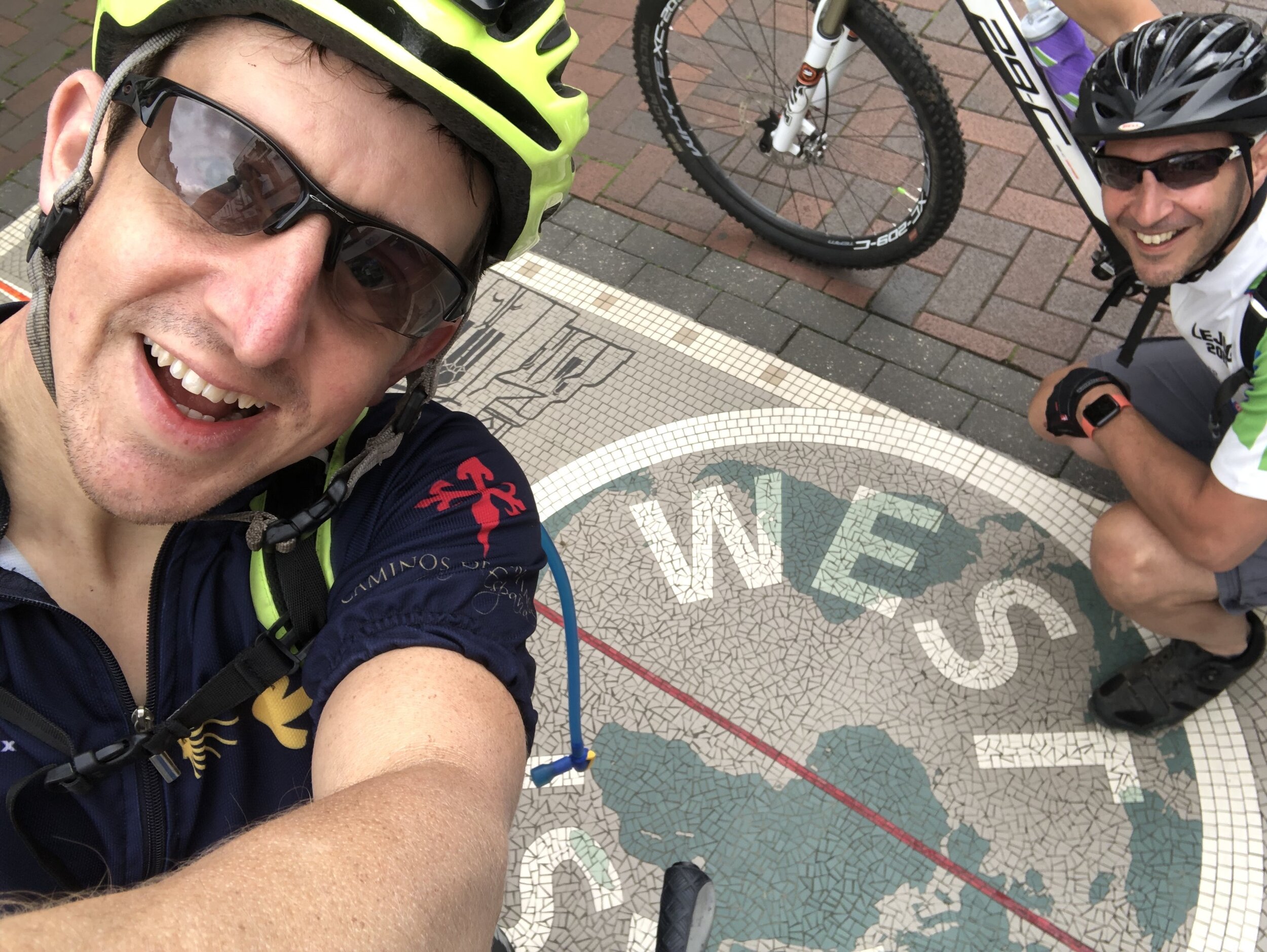
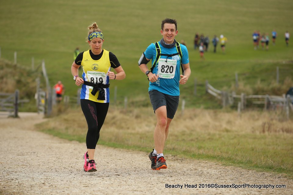
The choice of doing the trip from Portsmouth to London rather than the other way around was mostly based on getting in a new (for me) parkrun at Southsea on the Saturday morning. Arriving in London on Sunday afternoon also gave us a shorter journey home.

I need to credit the excellent account of walking the Semaphore Line in the Jont.org.uk blog. This blog was invaluable in the planning process and provides more detail on the stations and route between them than I have covered here. In my post below I’ve covered some key details of the semaphore stations it’s not intended to be a turn-by-turn route guide. I’ll be happy to share my GPX files for the 2 days in return for a virtual coffee.


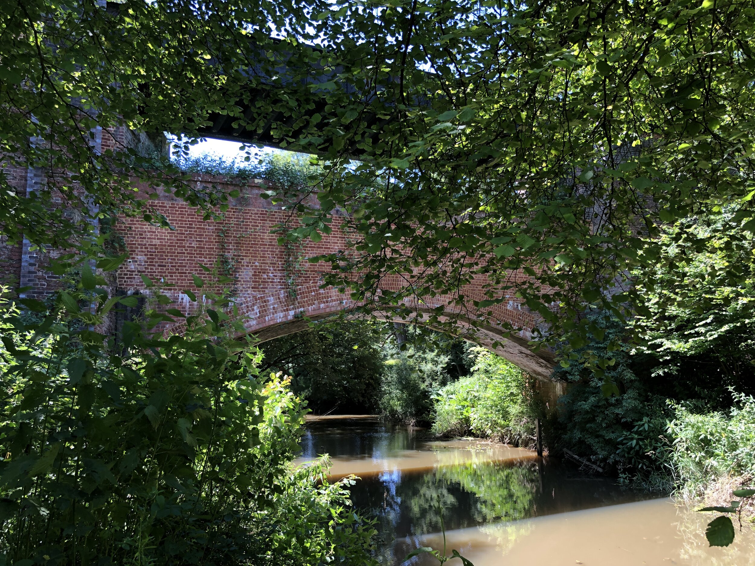
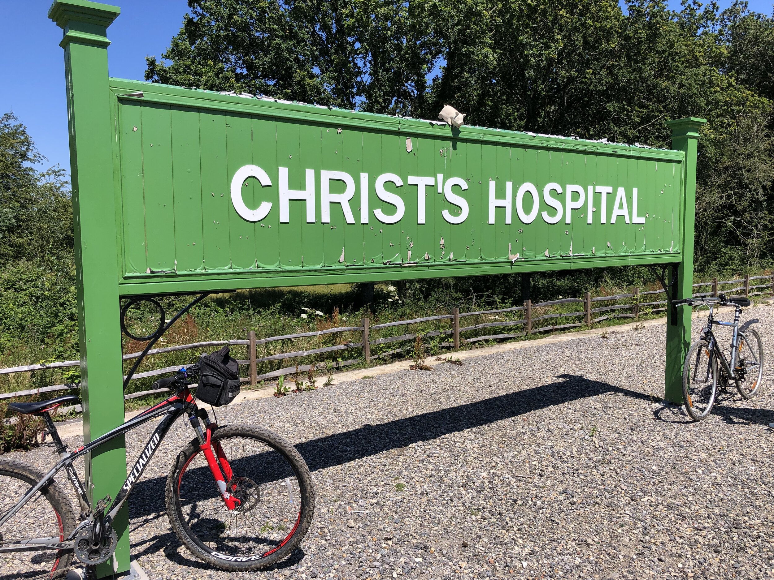
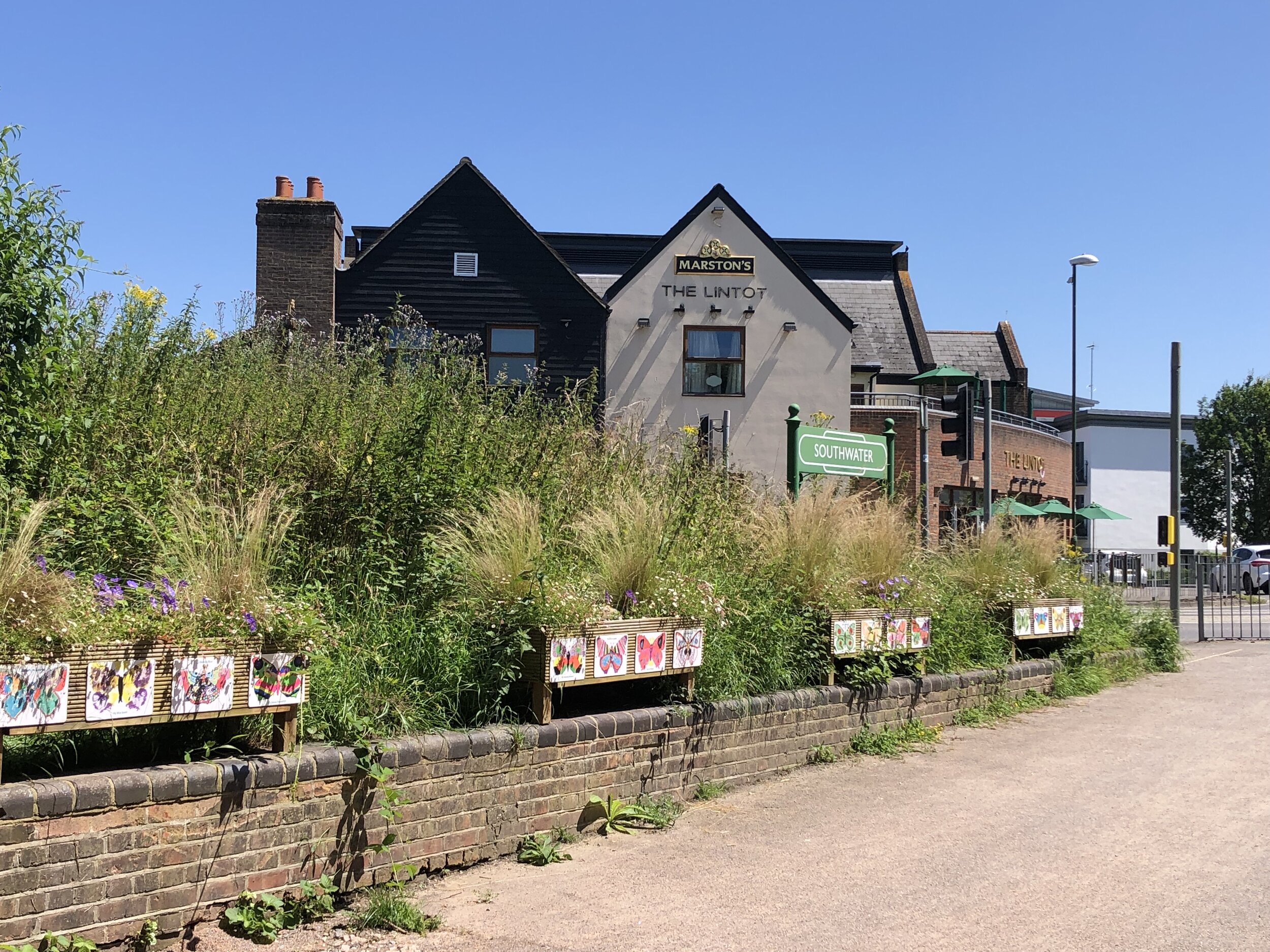
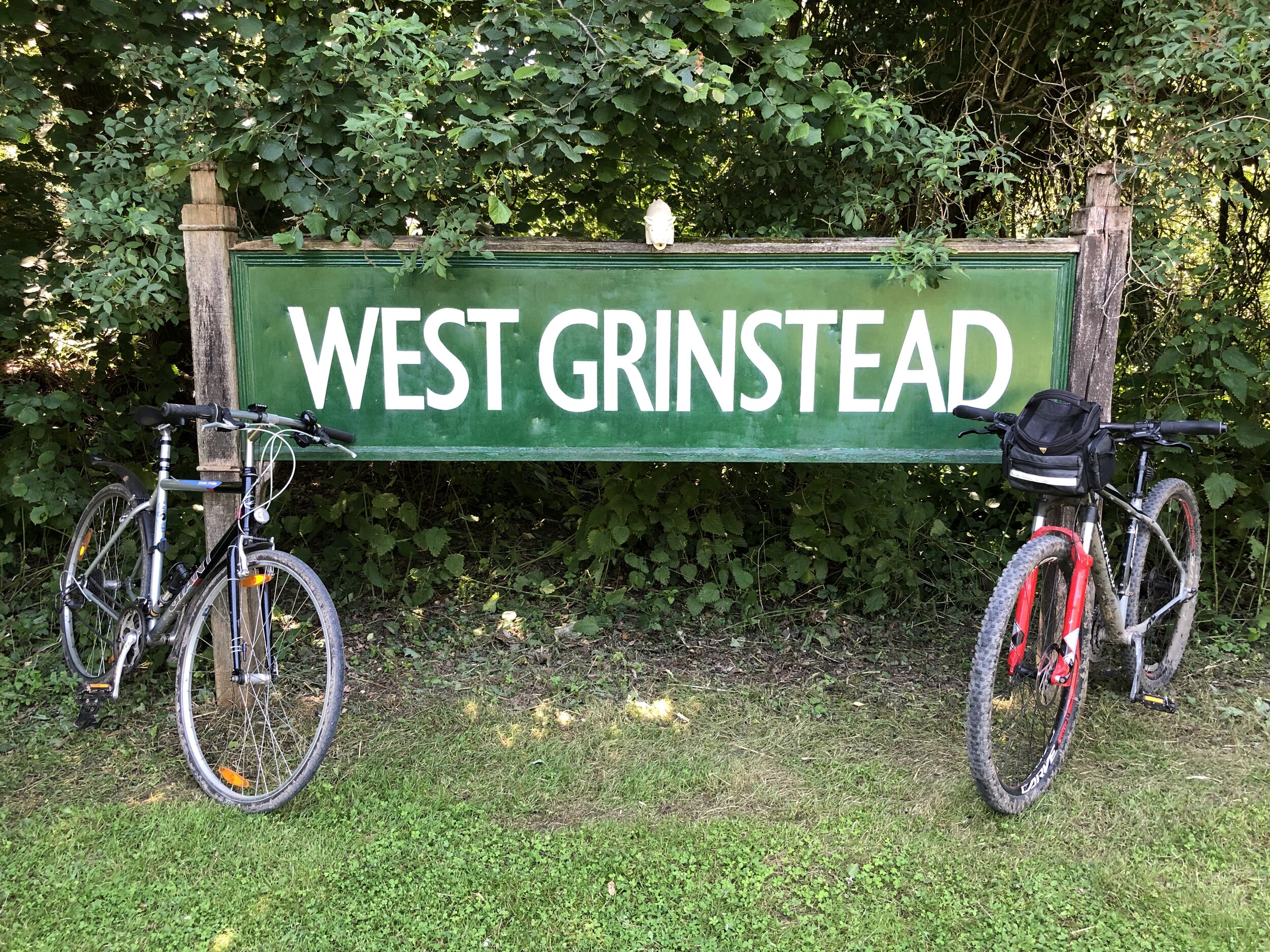
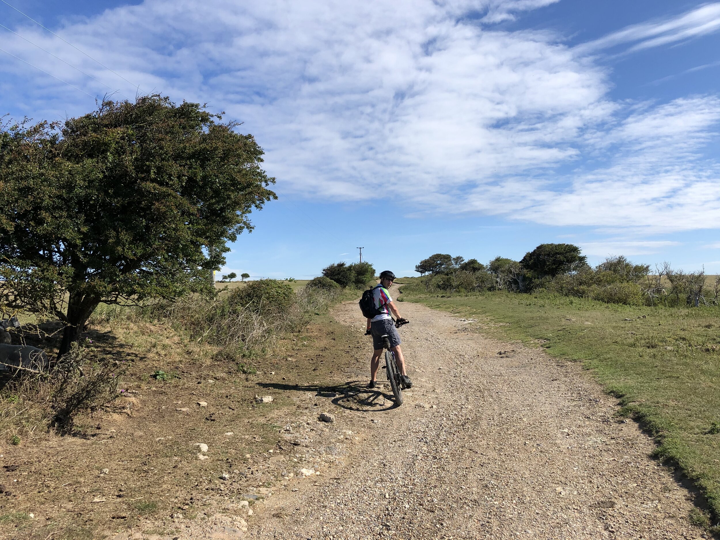
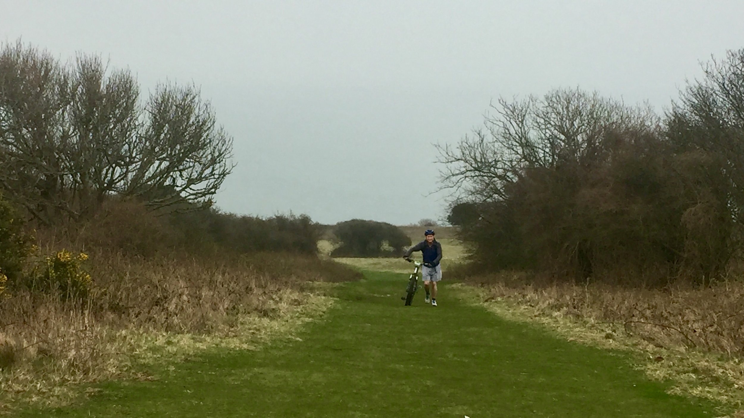
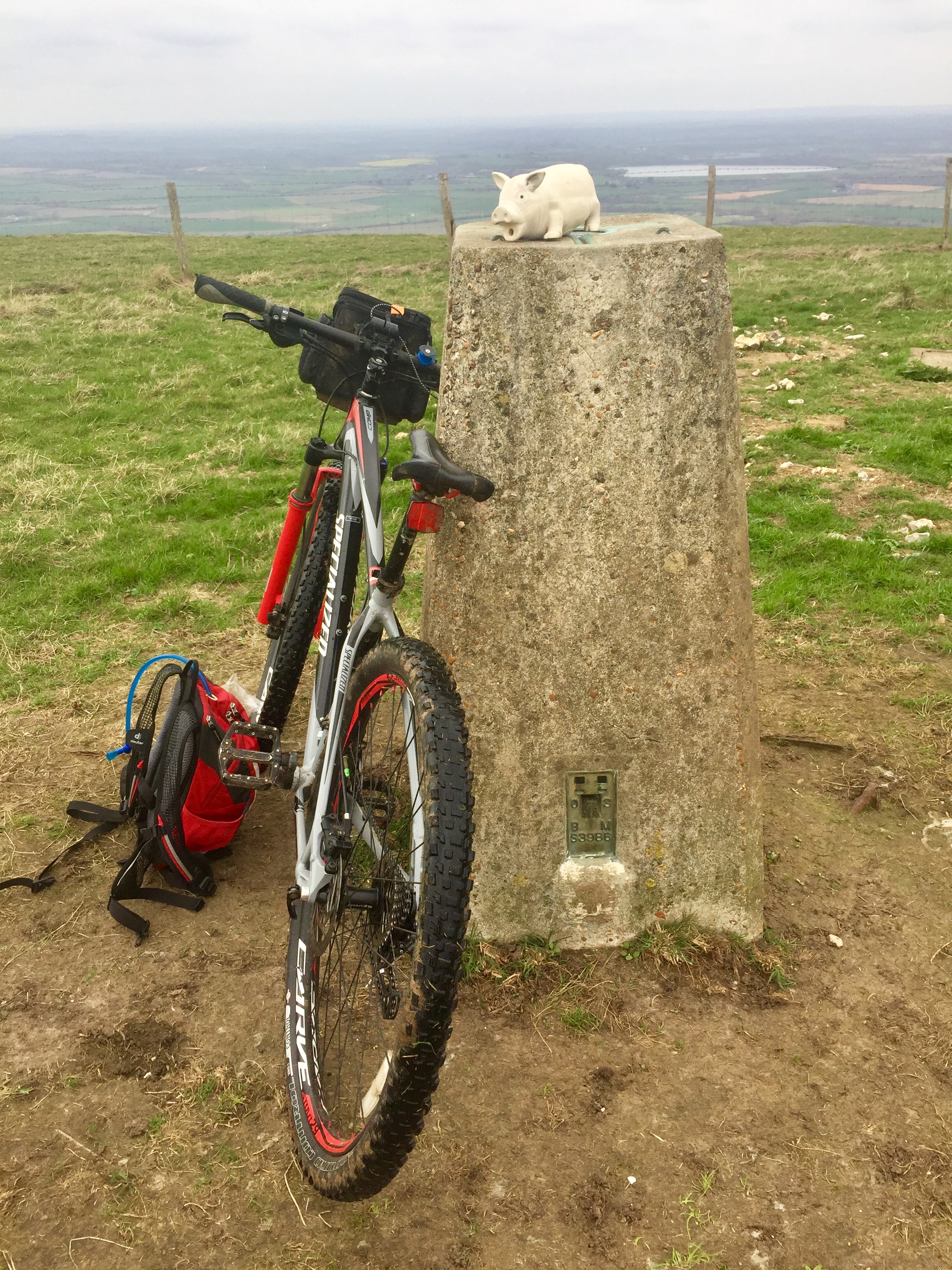
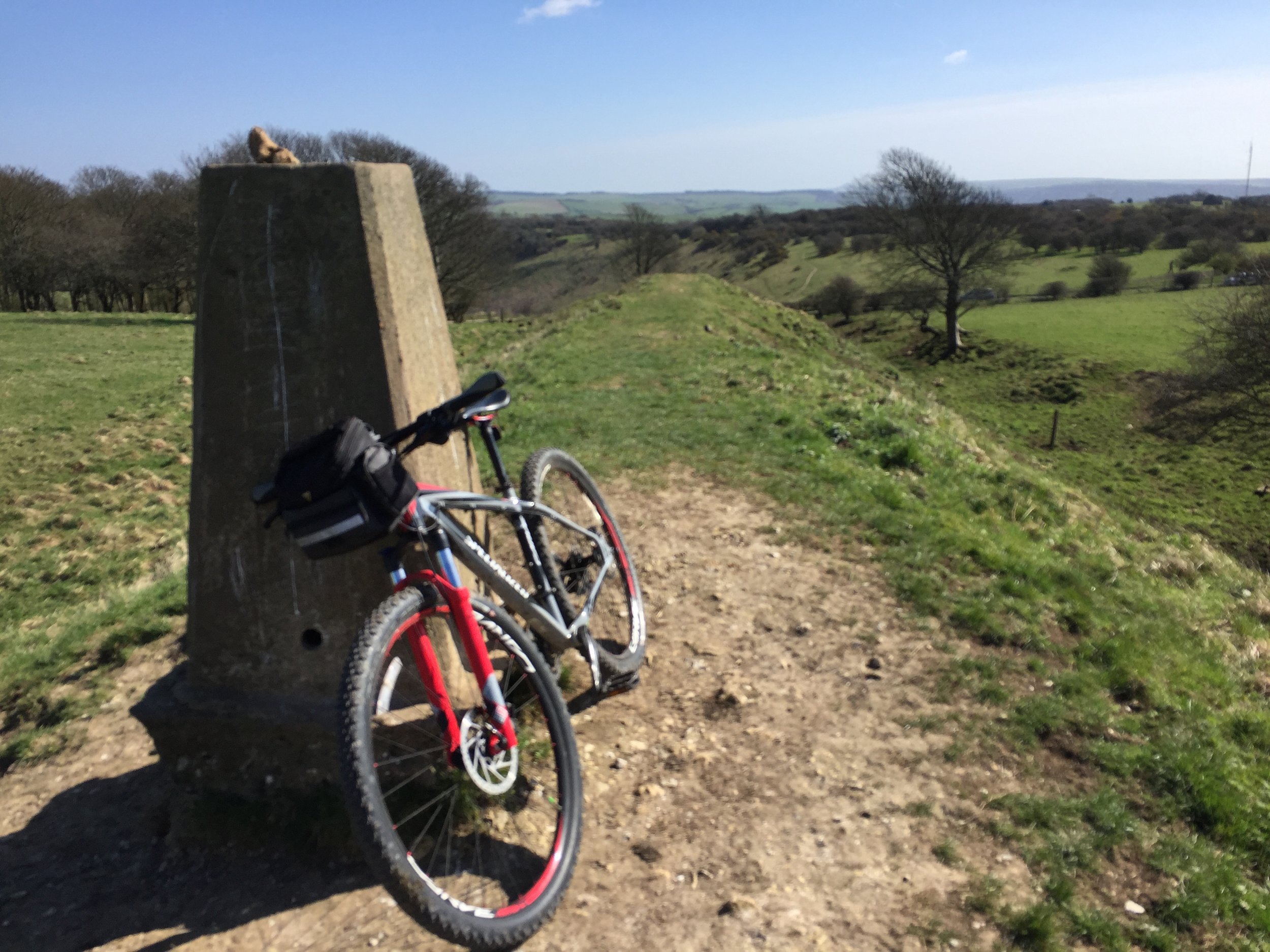
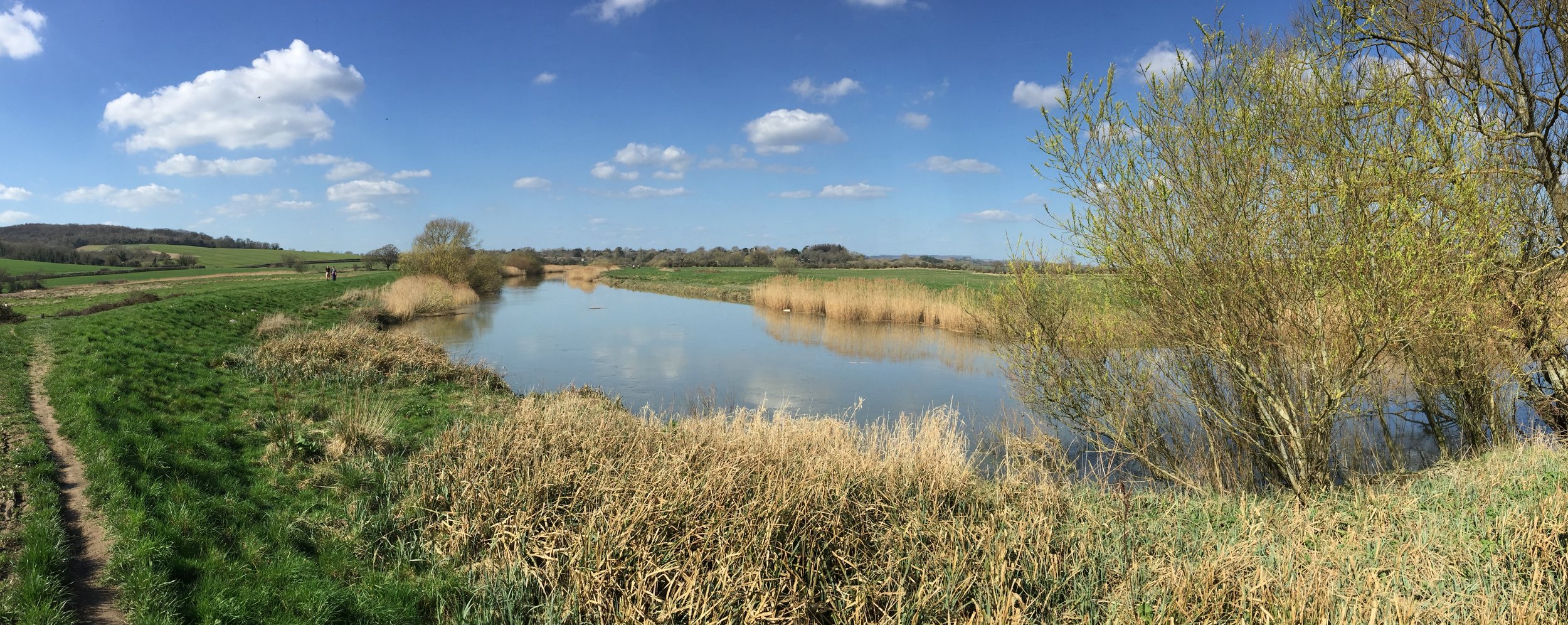
Day 1: Portsmouth to Godalming

Start: Semaphore Building, HMNB Portsmouth, Victory Gate, HM Naval Base, Portsmouth, PO1 3LJ
Finish: A3100 Meadrow (road), Godalming, GU7 3HS
Distance: 88 km (55 miles)
Elevation change: + 1,301m / -1265m (Net +36m)
GPX File: get via Buy Me a Coffee
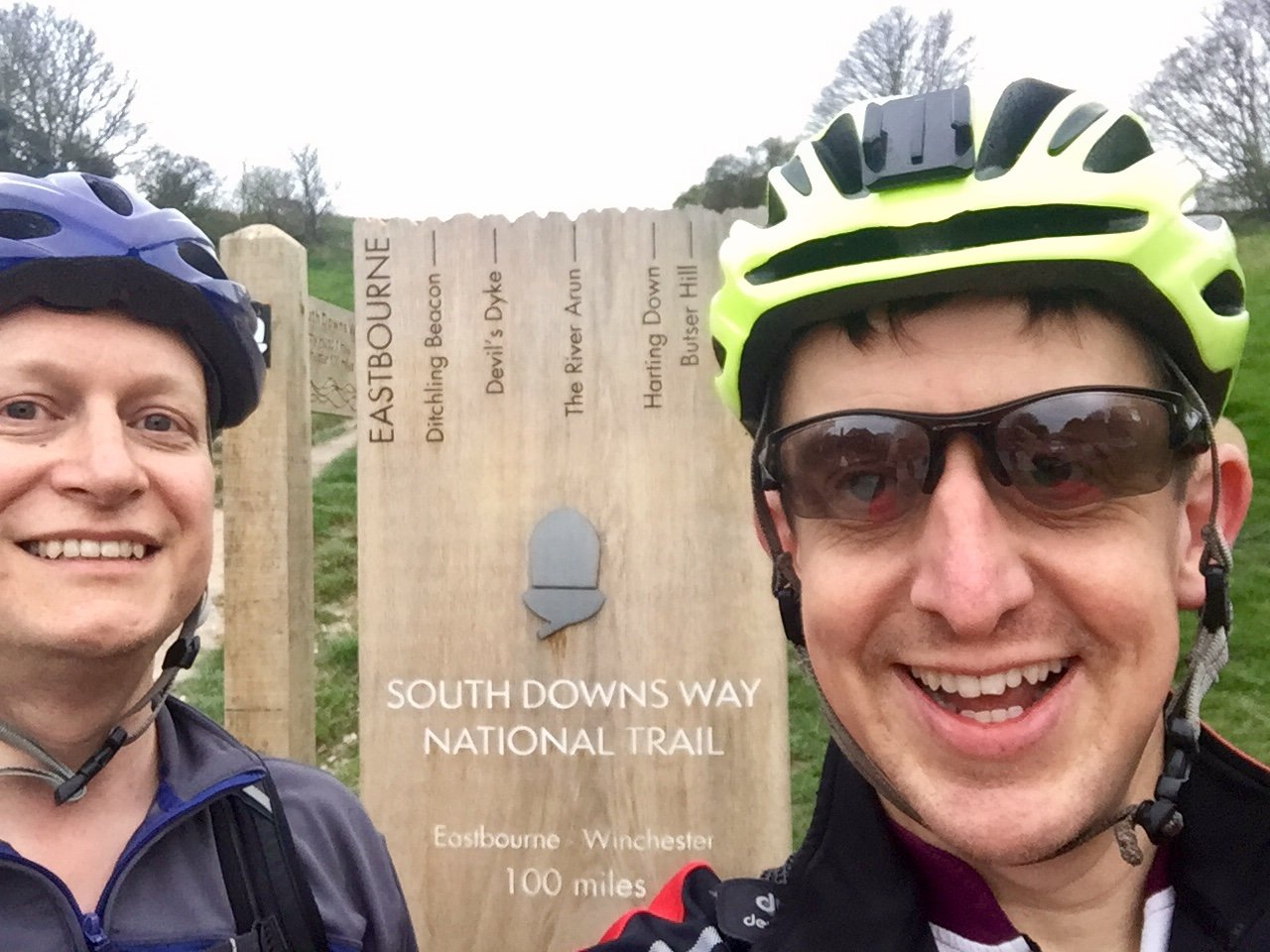
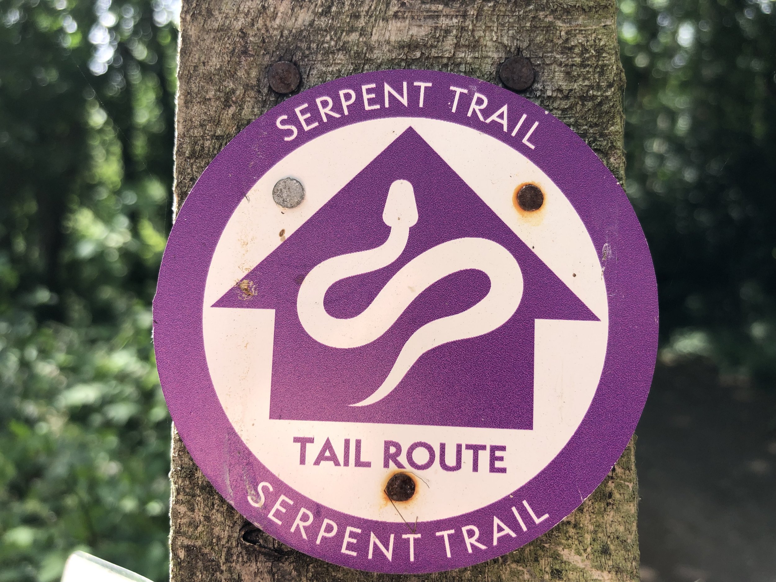
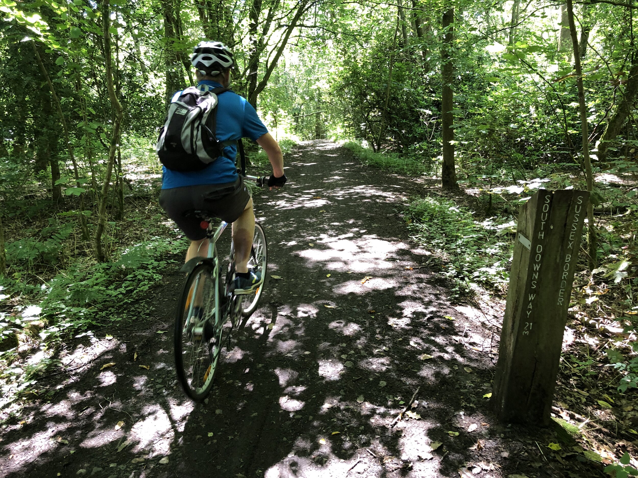
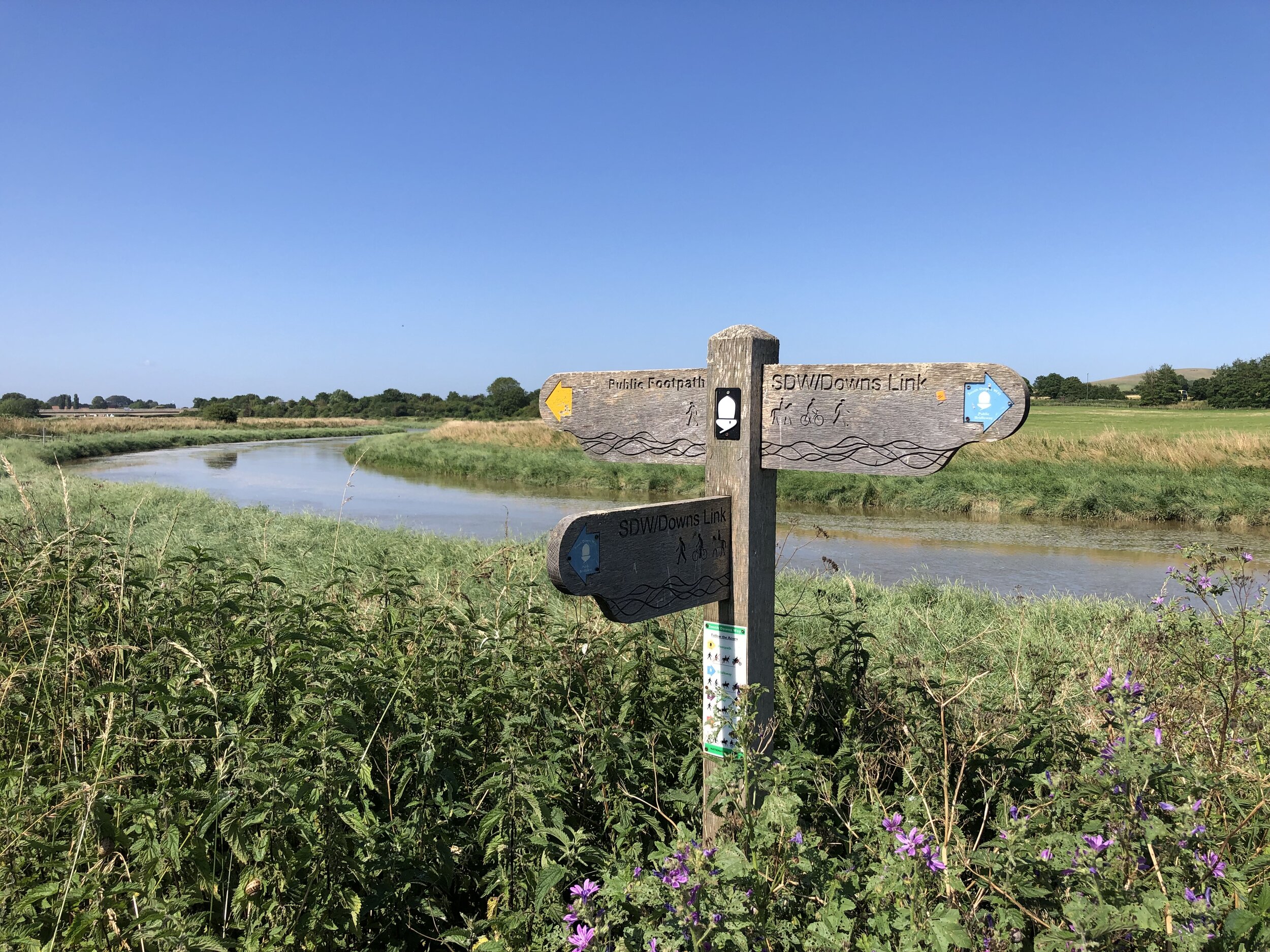
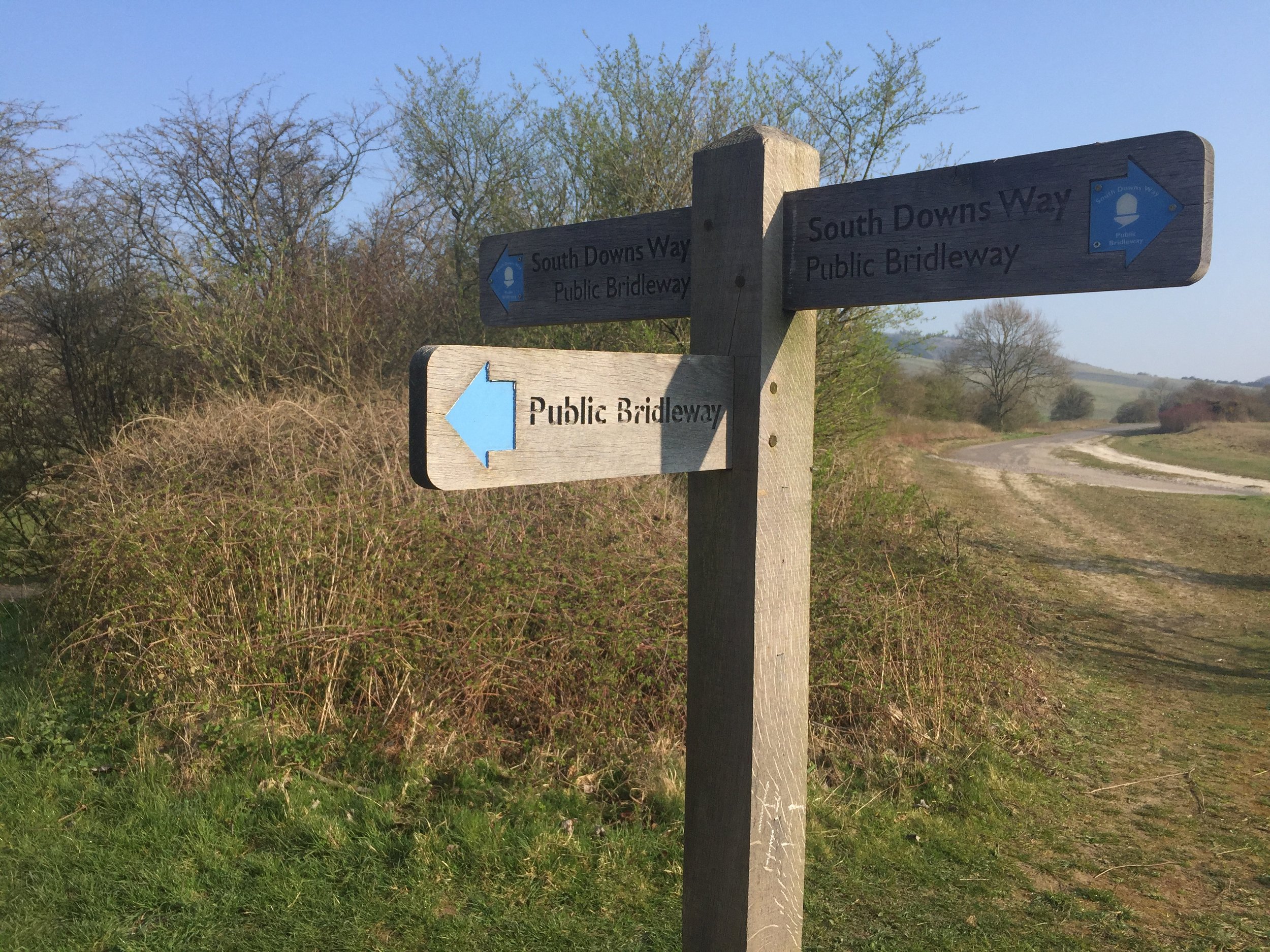
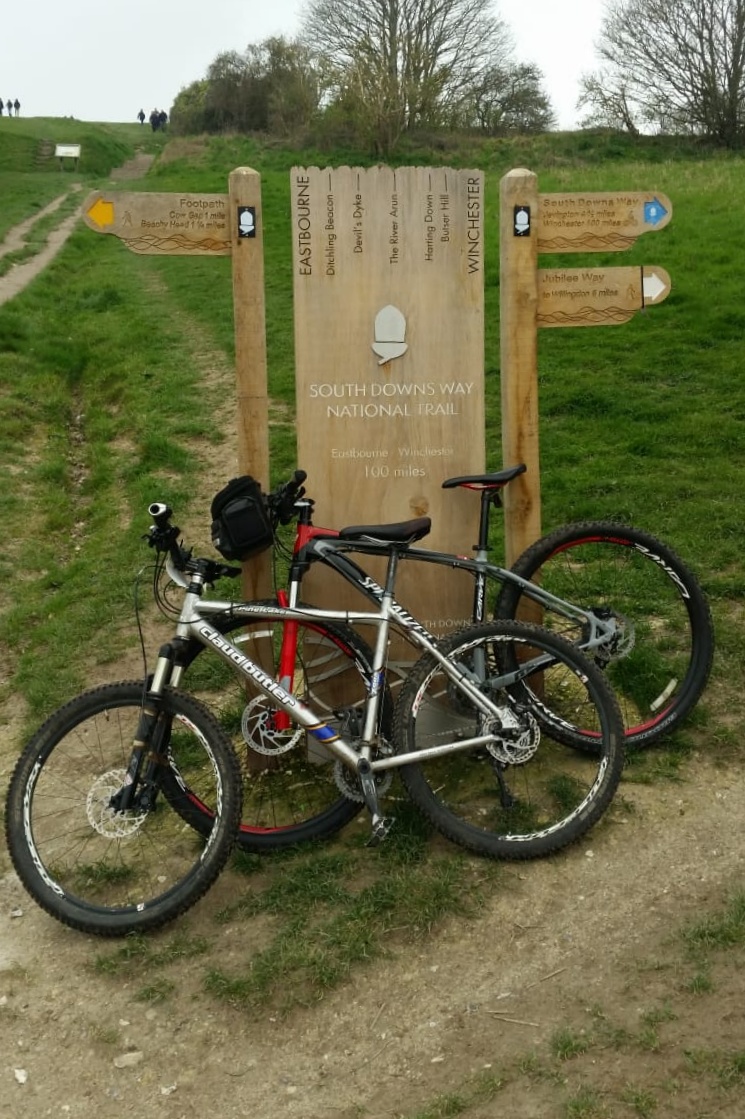
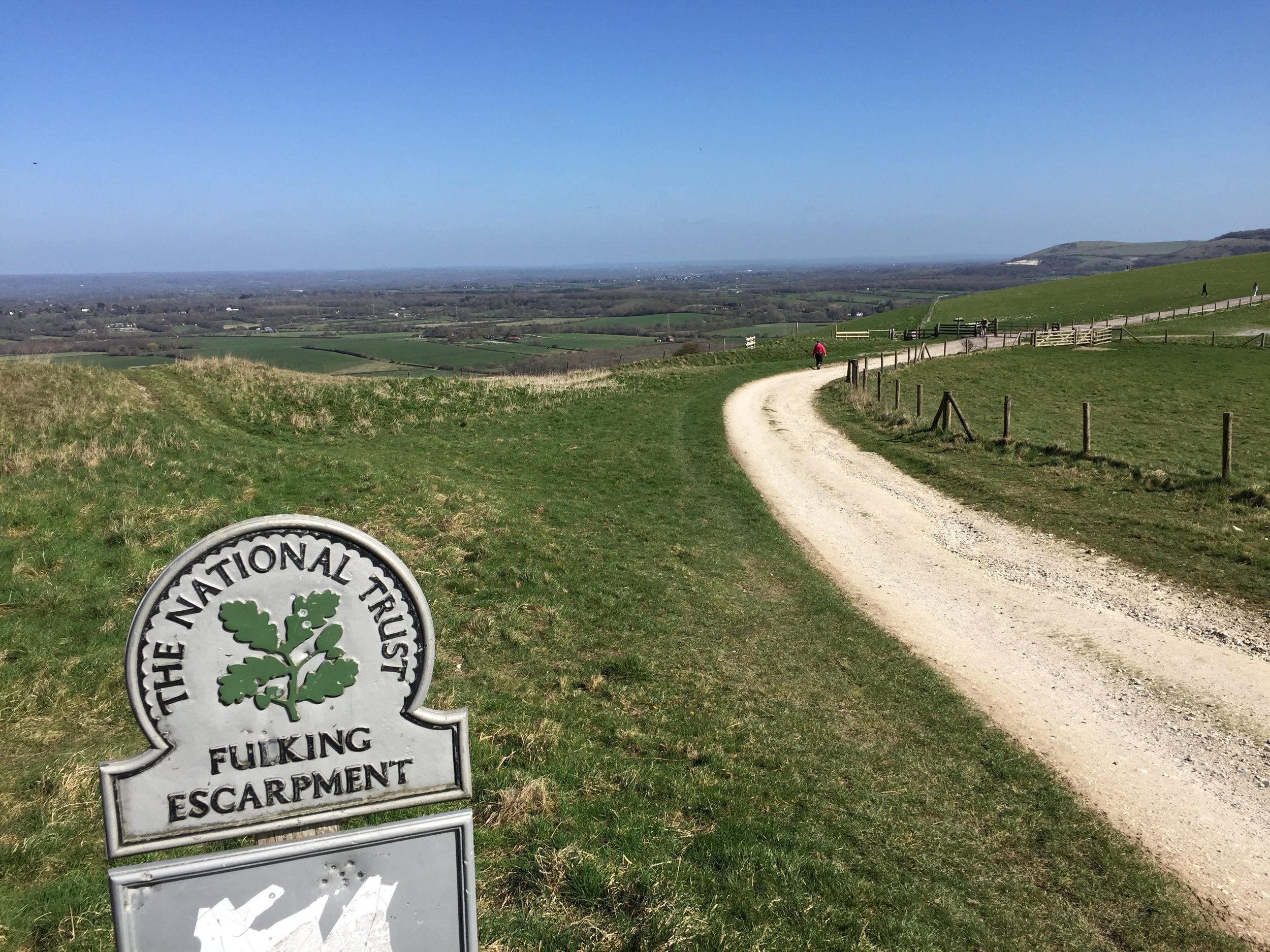
Other routes touched (walk): Solent Way, The Shipwright’s Way, Langstone Harbour Waterfront Route, Wayfarers Way, Sussex Border Path, Monarch’s Way, Octagon Way, South Downs Way, The Serpent Trail, New Lipchis Way, Grayswood Walk, Greensand Way, The Fox Way
Other routes touched (cycle): NCN 2, 22, 222, Surrey Cycleway


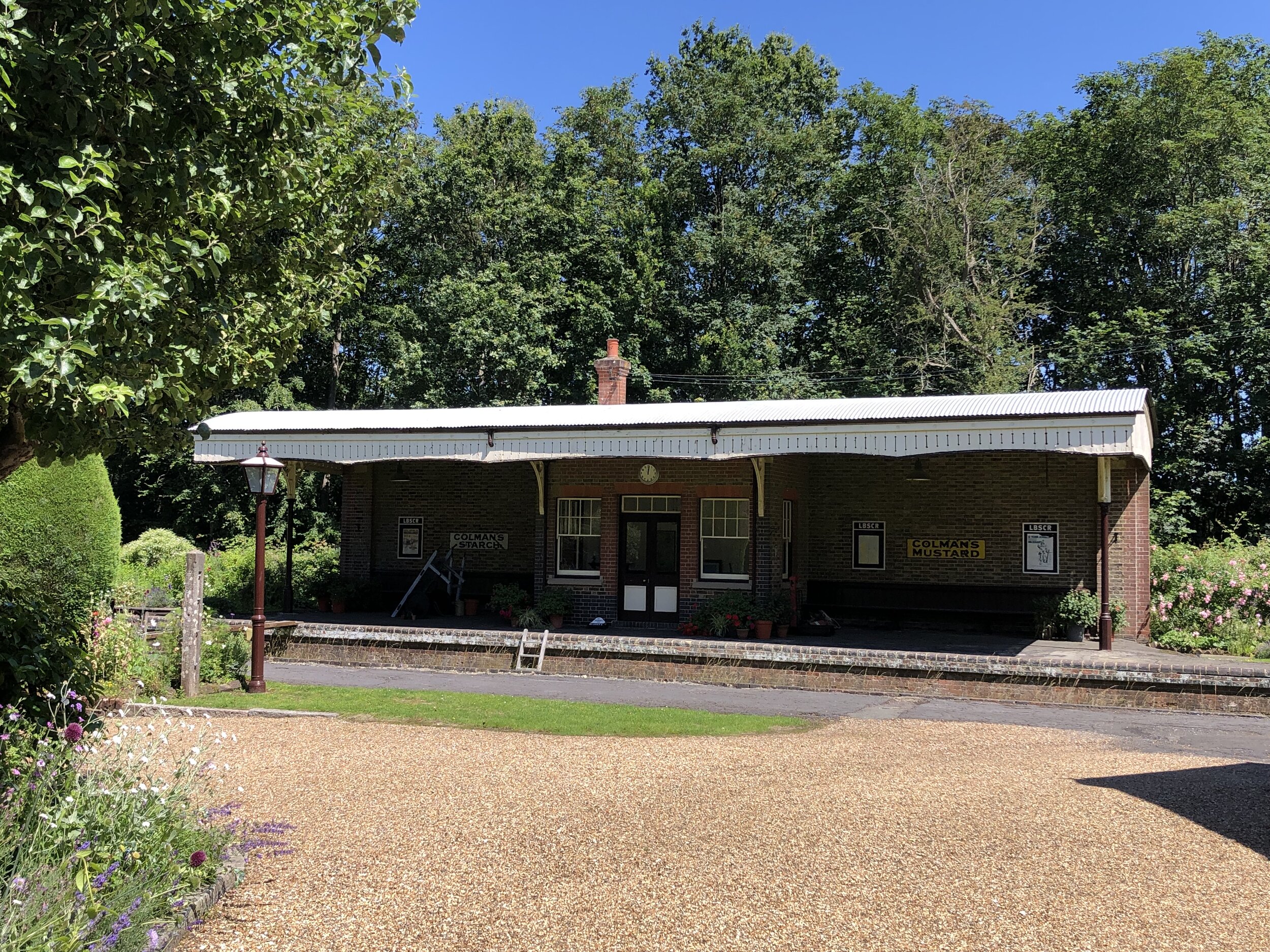
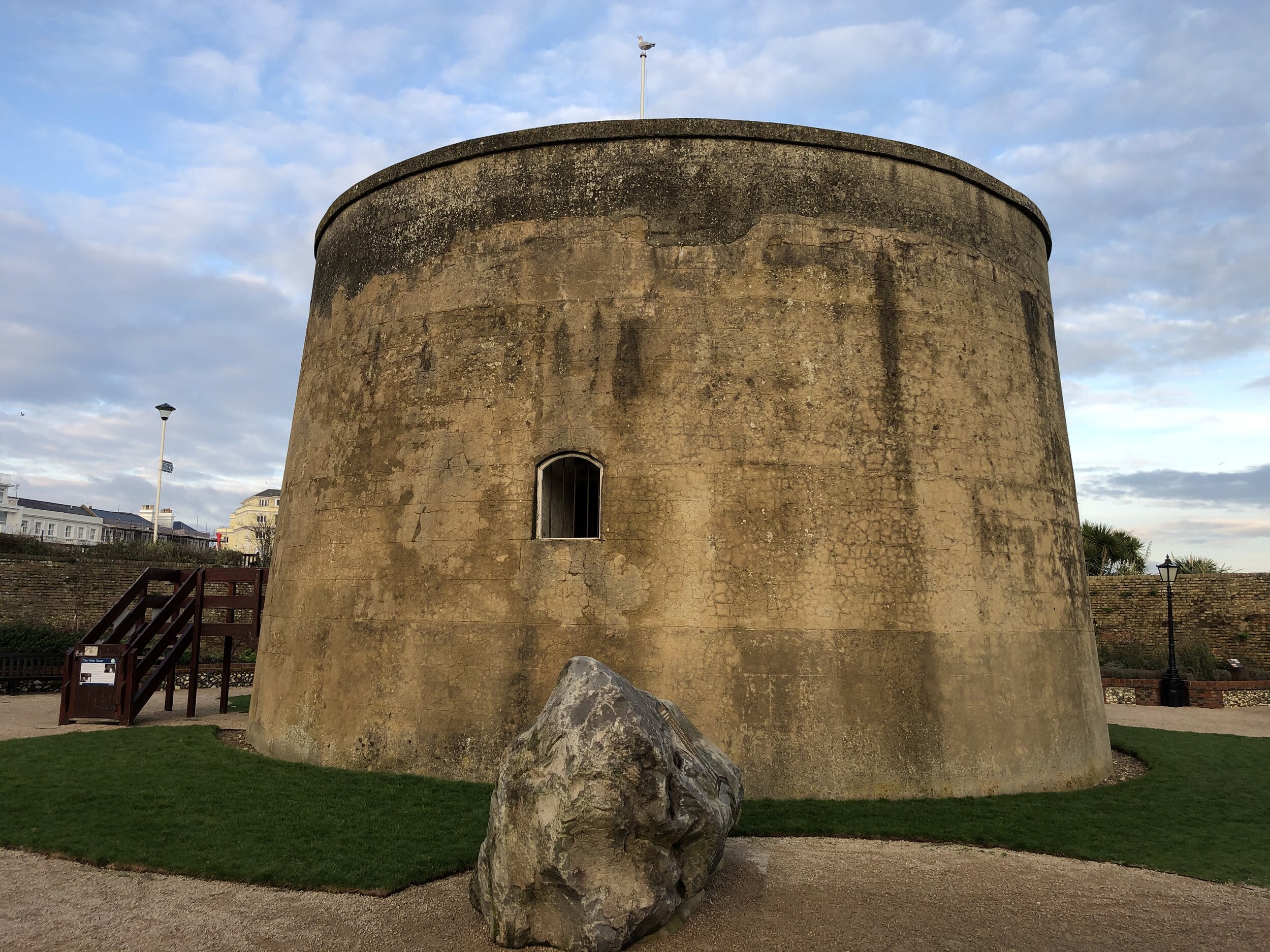
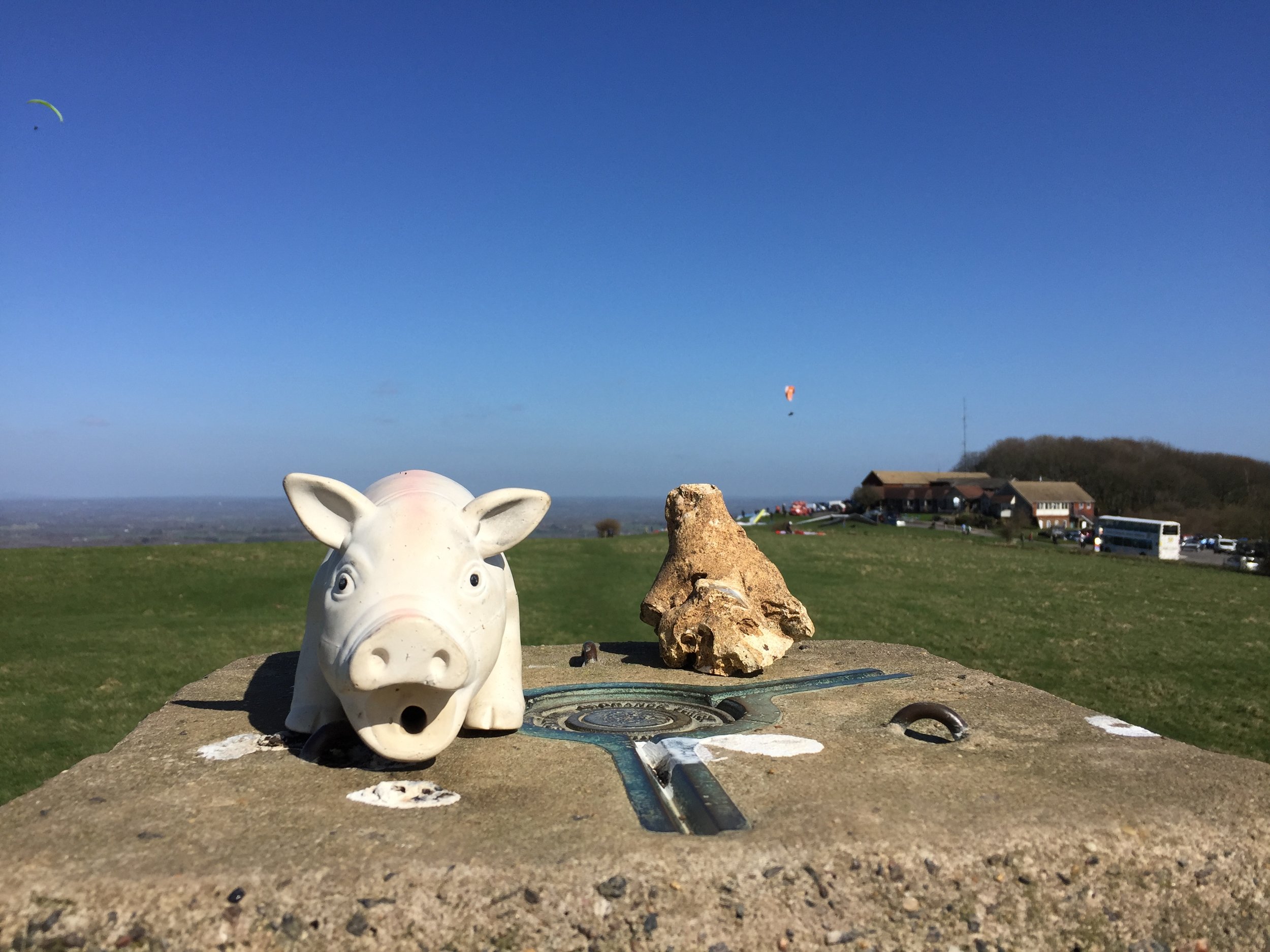
Semaphore Station 1: Portsmouth Historic Dockyard

Condition: The Semaphore Building was destroyed by fire in 1913, but it was rebuilt in 1930.
Distance into route
: 0 km
Address: Semaphore Building, HMNB Portsmouth, Victory Gate, HM Naval Base, Portsmouth, PO1 3LJ
Coordinates: 50°47'60"N 1°6'36"W
Grid Reference: SU 62826 00415
Elevation: 1m
Map: Meon Valley Map | Portsmouth, Gosport & Fareham | Ordnance Survey | OS Explorer Map OL3
Links: Jont Blog Post, Portsmouth, Portsmouth Historic Dockyard

To get close to the Semaphore Building you need to pay to enter the Historic Dockyard. It’s well worth visiting but I had been before a few years ago and didn’t need to go back. The tower is tall though and can be easily seen from outside of the Historic Dockyard.


Semaphore Station 2: The Square Tower

Condition: Well maintained and now used for hosting functions such as weddings, christenings and funerals.
Distance into route
: 1.7 km
Address: Broad St, Old Portsmouth, Portsmouth PO1 2ND
Coordinates: 50°47'22.0"N 1°06'23.0"W
Grid Reference: SZ 63076 99244
Elevation: 2m
Map:
Meon Valley Map | Portsmouth, Gosport & Fareham | Ordnance Survey | OS Explorer Map OL3
Links: Jont Blog Post, The Square Tower, Old Portsmouth

There seems to be some ambiguity about whether this was the first/last semaphore tower in the chain vs the one at Portsmouth Historic Dockyard. For the purposes of this trip there was no need to decide as it’s easy to visit both.


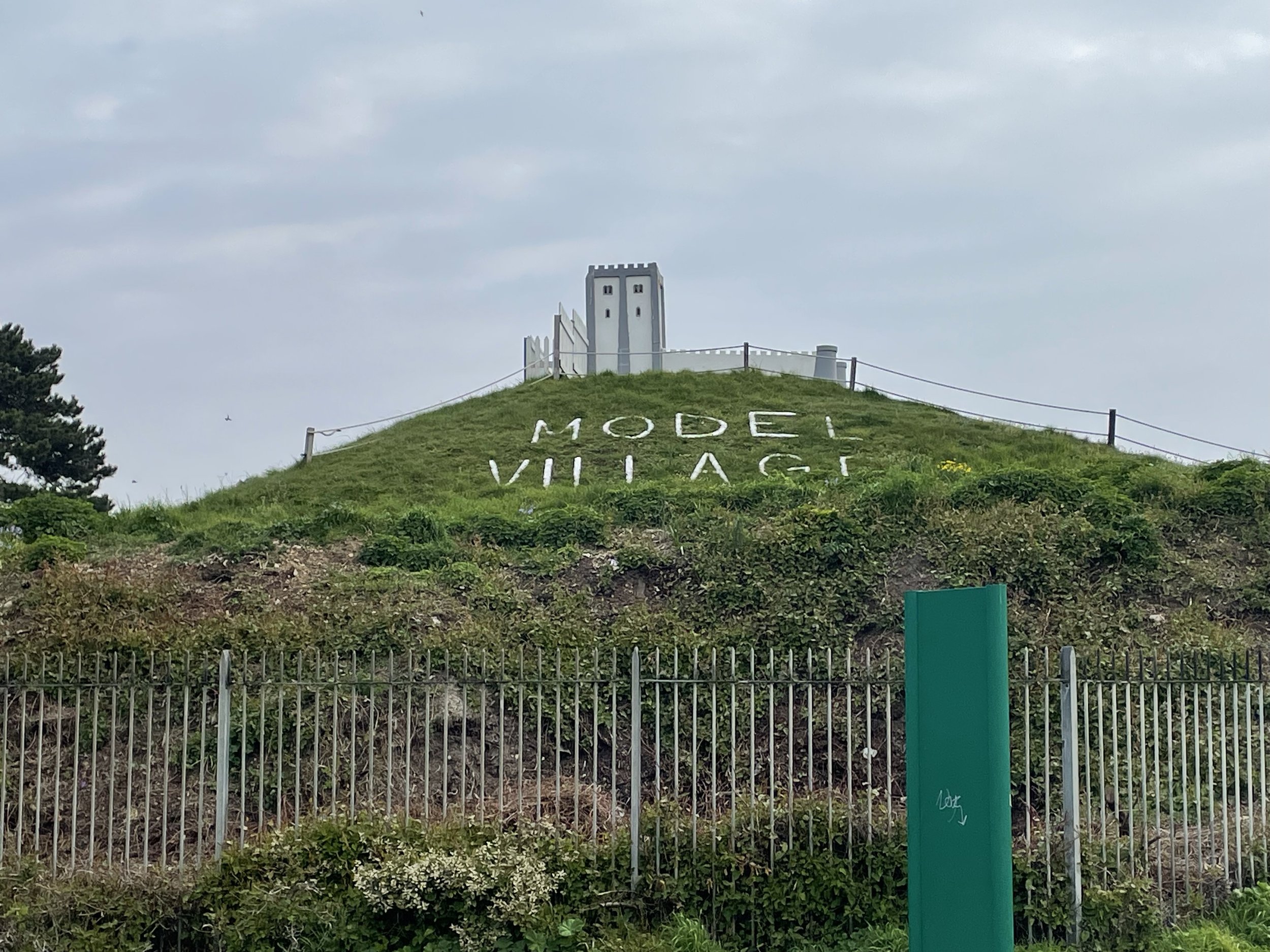
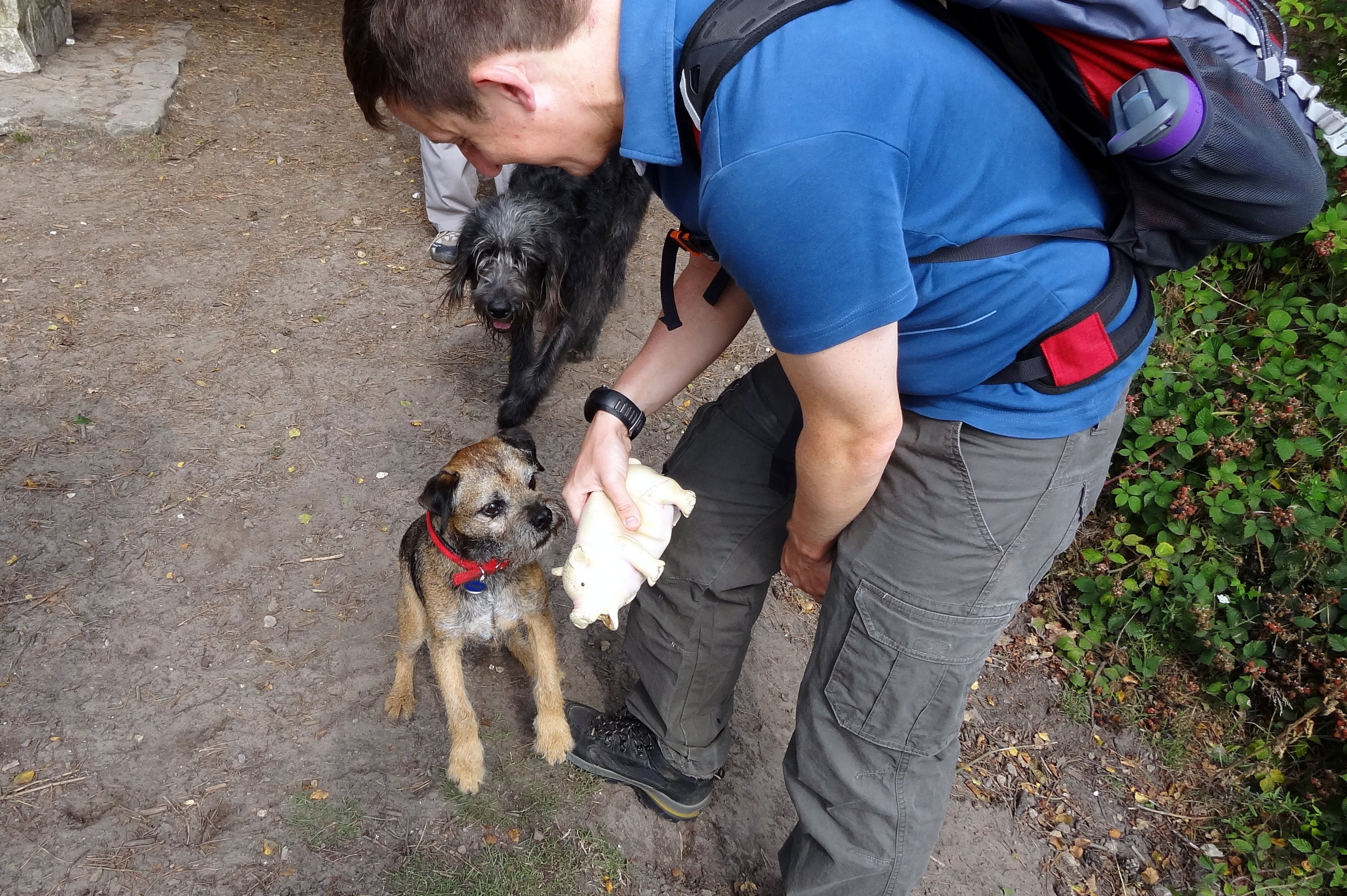
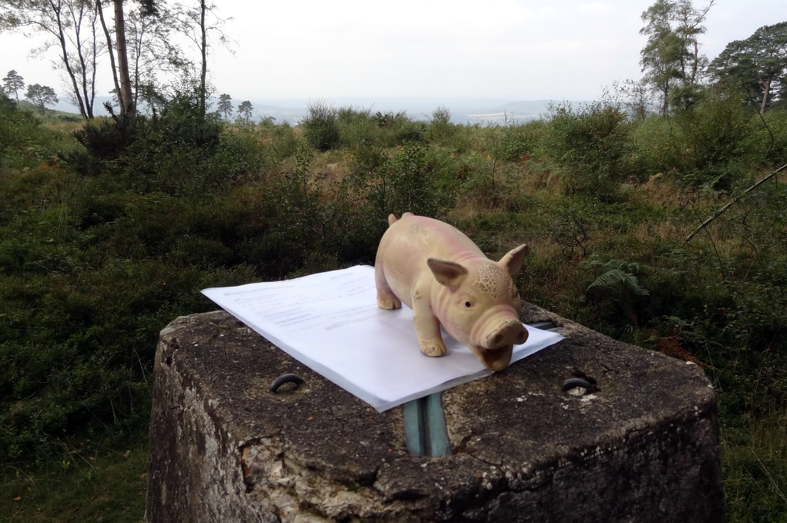
Semaphore Station 3: Lumps Fort

Condition: Demolished after World War 1, now a Japanese Rose Garden and a Model Village
Distance into route
: 5.0 km
Address: Japanse Garden, Southsea, Portsmouth, Southsea PO4 9RU
Coordinates: 50°46'52.0"N 1°04'04.6"W
Grid Reference: SZ 65807 98359
Elevation: 5m
Map: Meon Valley Map | Portsmouth, Gosport & Fareham | Ordnance Survey | OS Explorer Map OL3
Links: Jont Blog Post, Lumps Fort, Southsea


Semaphore Station 4: Camp Down

Condition: Demolished, now a waste transfer facility.
Distance into route
: 18.1 km
Address: L&S Waste Management Limited, Portsdown Hill Road, Farlington, Redoubt PO6 1BW
Coordinates: 50°51'13.0"N 1°01'34.0"W
Grid Reference: SU 68648 06449
Elevation: 60m
Map: Meon Valley Map | Portsmouth, Gosport & Fareham | Ordnance Survey | OS Explorer Map OL3
Links: Jont Blog Post, Camp Down, Portsdown Hill


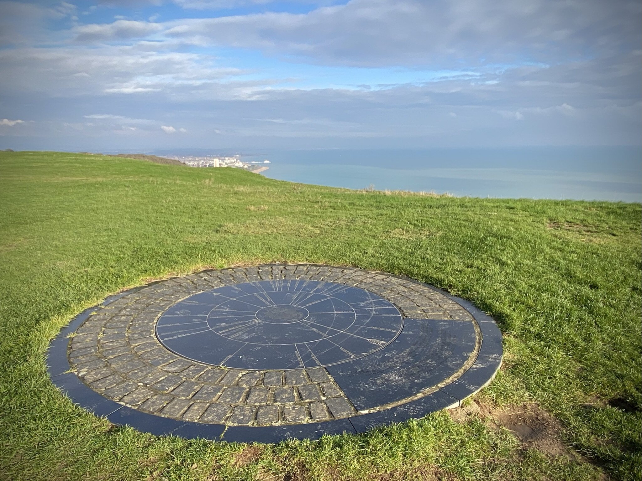
Semaphore Station 5: Compton Down

Condition: Building now a private house without a tower.
Distance into route
: 33.9 km
Address: Telegraph House, Telegraph Hill, Compton, Chichester, PO18 9QL
Coordinates: 50°55'40.0"N 0°53'12.0"W
Grid Reference: SU 78332 14861
Elevation: 161m
Map: Chichester Map | South Harting & Selsey | Ordnance Survey | OS Explorer Map OL08
Links: Jont Blog Post, Compton Down, Compton


Semaphore Station 6: Beacon Hill

Condition: Intact, now a private house visible from the lane.
Distance into route
: 43.4 km
Address: Telegraph House, North Marden, Chichester, PO18 9JX
Coordinates: 50°57'03.0"N 0°50'55.0"W
Grid Reference: SU 80980 17445
Elevation: 190m
Map: Chichester Map | South Harting & Selsey | Ordnance Survey | OS Explorer Map OL08
Links: Jont Blog Post, Beacon Hill, West Sussex


Semaphore Station 7: Older Hill (Holder Hill)

Condition: Building possibly still remains but within private property.
Distance into route
: 57.5 km
Address: Pine Hill House, Telegraph Hill, Midhurst, GU29 0BN
Coordinates: 51°01'50.0"N 0°45'34.0"W
Grid Reference: SU 87081 26429
Elevation: 203m
Map: Haslemere & Petersfield Map | Midhurst & Selborne | Ordnance Survey | OS Explorer Map OL33
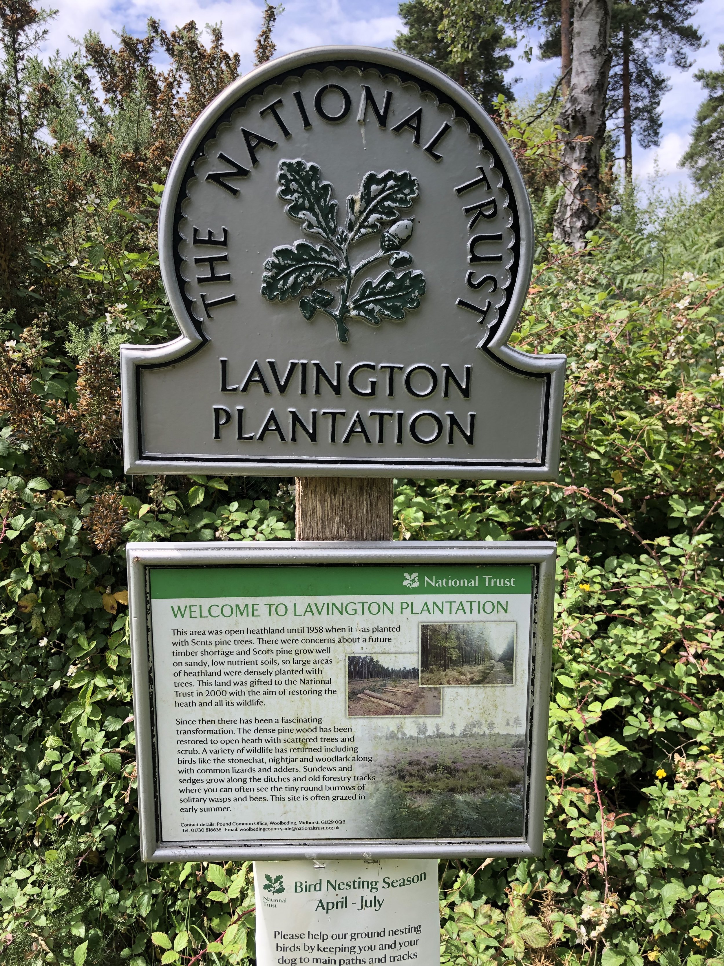
Links: Jont Blog Post, Woolbedding


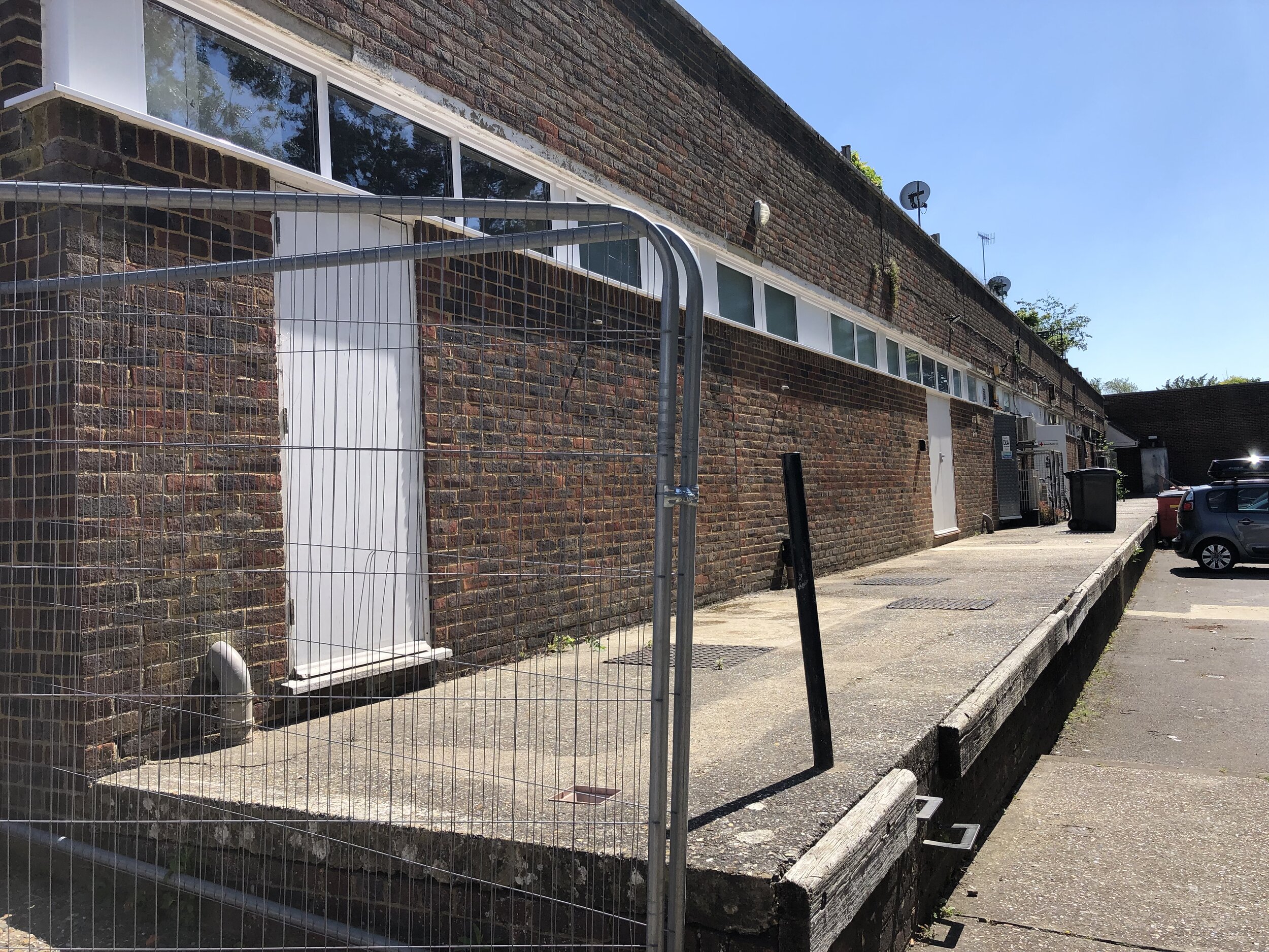
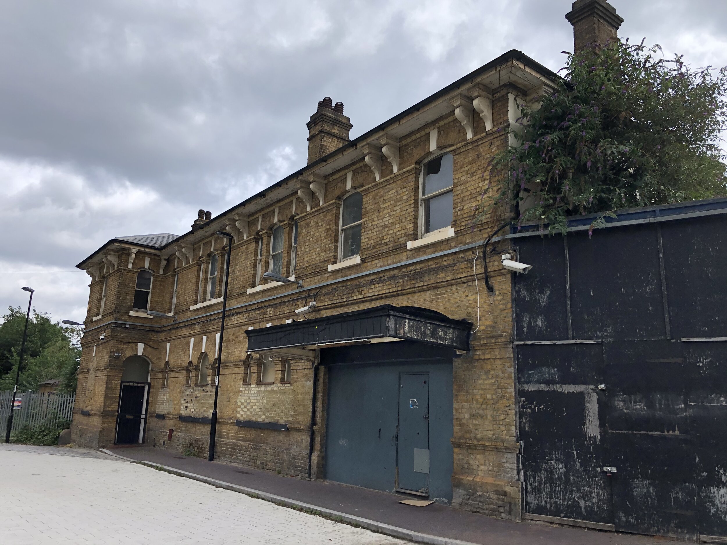
Semaphore Station 8: Haste Hill

Condition: Demolished. Property became the Royal Naval Signals School then Whitwell Hatch Hotel and now private apartments.
Distance into route
: 69.1 km
Address: Whitwell Hatch, Scotland Lane, Haslemere, GU27 3AW
Coordinates: 51°04'51.0"N 0°42'17.0"W
Grid Reference: SU 90828 32065
Elevation: 206m
Map: Haslemere & Petersfield Map | Midhurst & Selborne | Ordnance Survey | OS Explorer Map OL33
Links: Jont Blog Post, Haste Hill


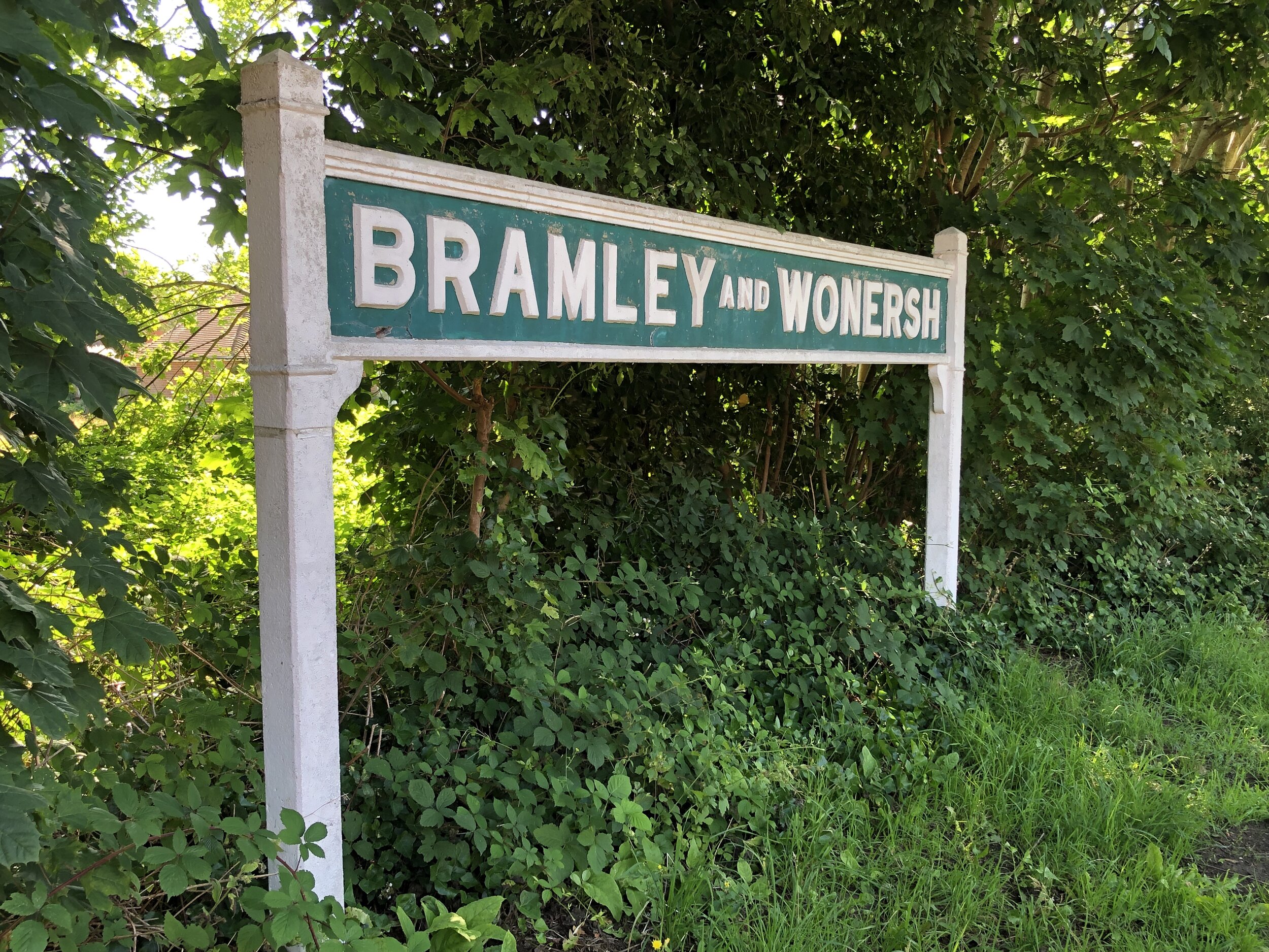
Semaphore Station 9: Bannicle Hill

Condition: Demolished, likely replaced by Hill House.
Distance into route
: 77 km
Address: The Hill House, Church Lane, Witley, Godalming
Coordinates: 51°08'12.0"N 0°39'36.0"W
Grid Reference: SU 93847 38347
Elevation: 147m
Map: Haslemere & Petersfield Map | Midhurst & Selborne | Ordnance Survey | OS Explorer Map OL33
Links: Jont Blog Post, Witley


Day 2: Godalming to The Admiralty, London

Start: A3100 Meadrow (road), Godalming, GU7 3HS
Finish: Admiralty House, Whitehall, London, SW1A 2AY
Distance: 62.3 km (38.7 miles)
Elevation change: + 435m / -458m (Net -23m)
GPX File: get via Buy Me a Coffee
Other routes touched (walk): Wey-South Path, The Scholar’s Trail, North Downs Way, The Fox Way, Hogsmill Valley Walk, Thames Down Link, Beverley Brook Walk, Thames Path, Jubilee Walkway
Other routes touched (cycle): NCN 2, 223, 4, Surrey Cycleway, C30, C3


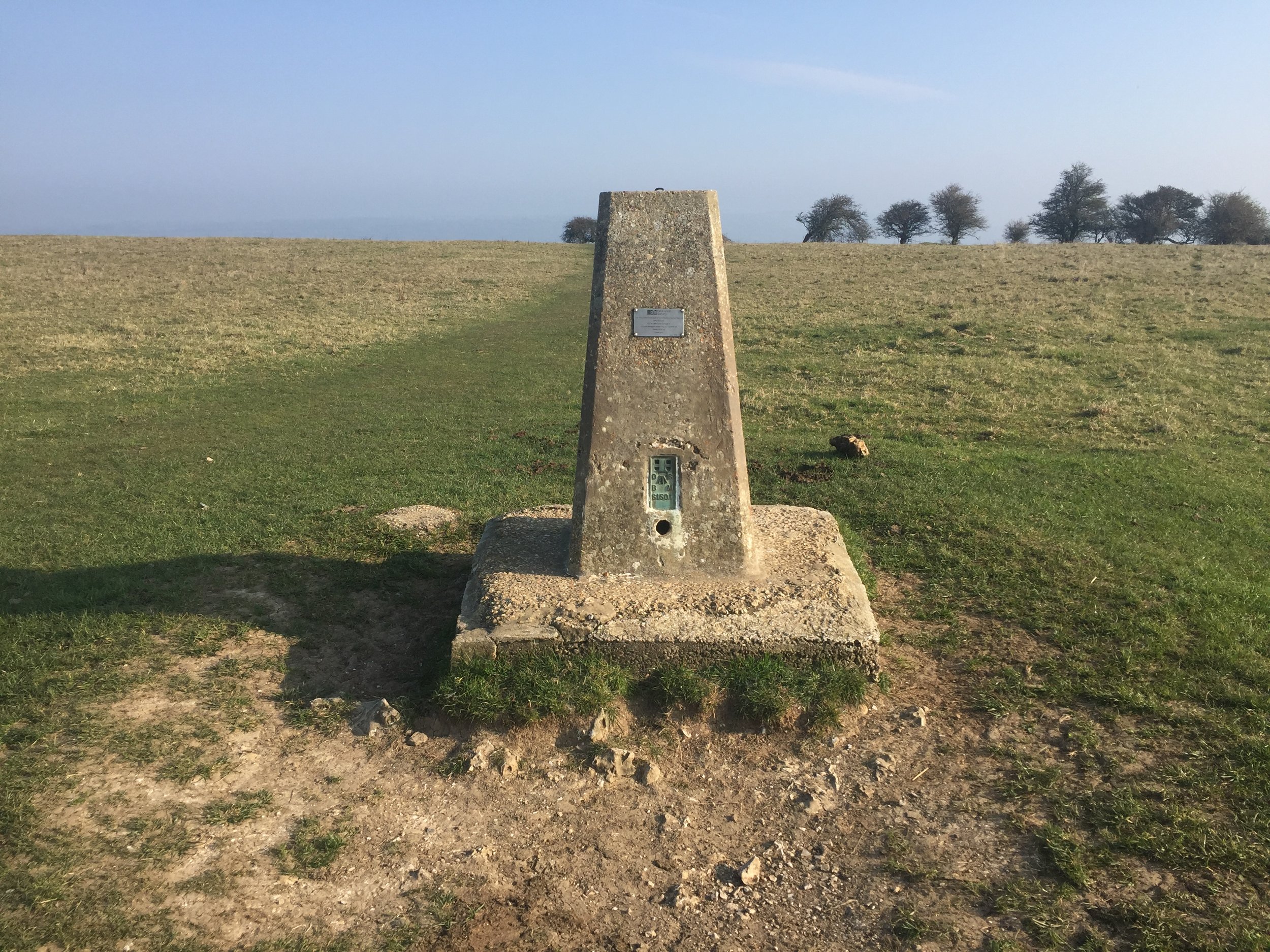
Semaphore Station 10: Pewley Hill

Condition: Restored and now a listed building and a private house.
Distance into route (Day 2)
: 7 km / Full Route: 95 km
Address: Semaphore House, Pewley Hill, Guildford, GU1 3SN
Coordinates: 51°13'59.0"N 0°33'57.0"W
Grid Reference: TQ 00231 49197
Elevation: 112m
Map: Guildford & Farnham Map | Godalming & Farnborough | Ordnance Survey | OS Explorer Map 145
Links: Jont Blog Post, Pewley Hill, Semaphore House (Historic England), Semaphore House (British Listed Buildings)


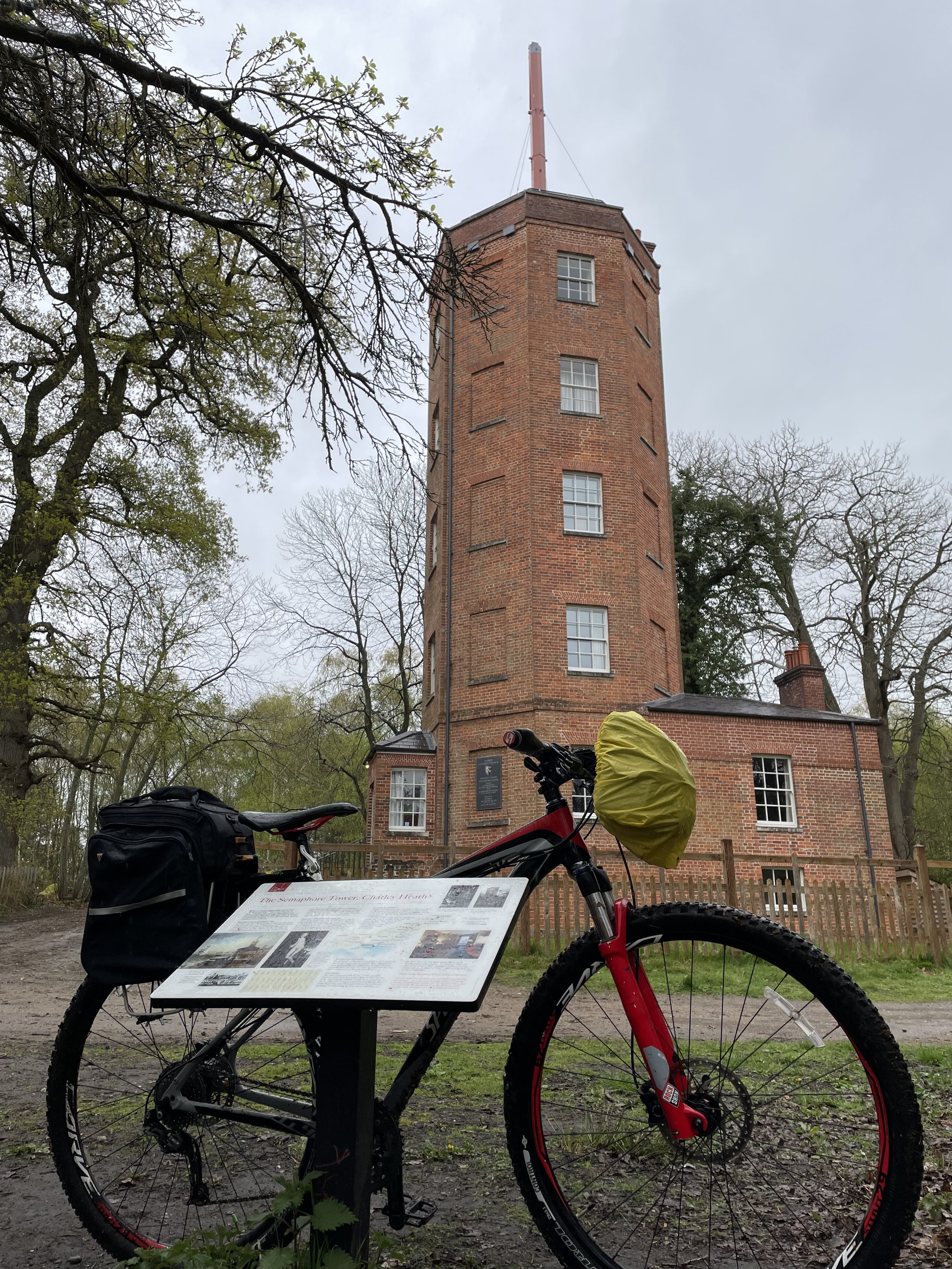
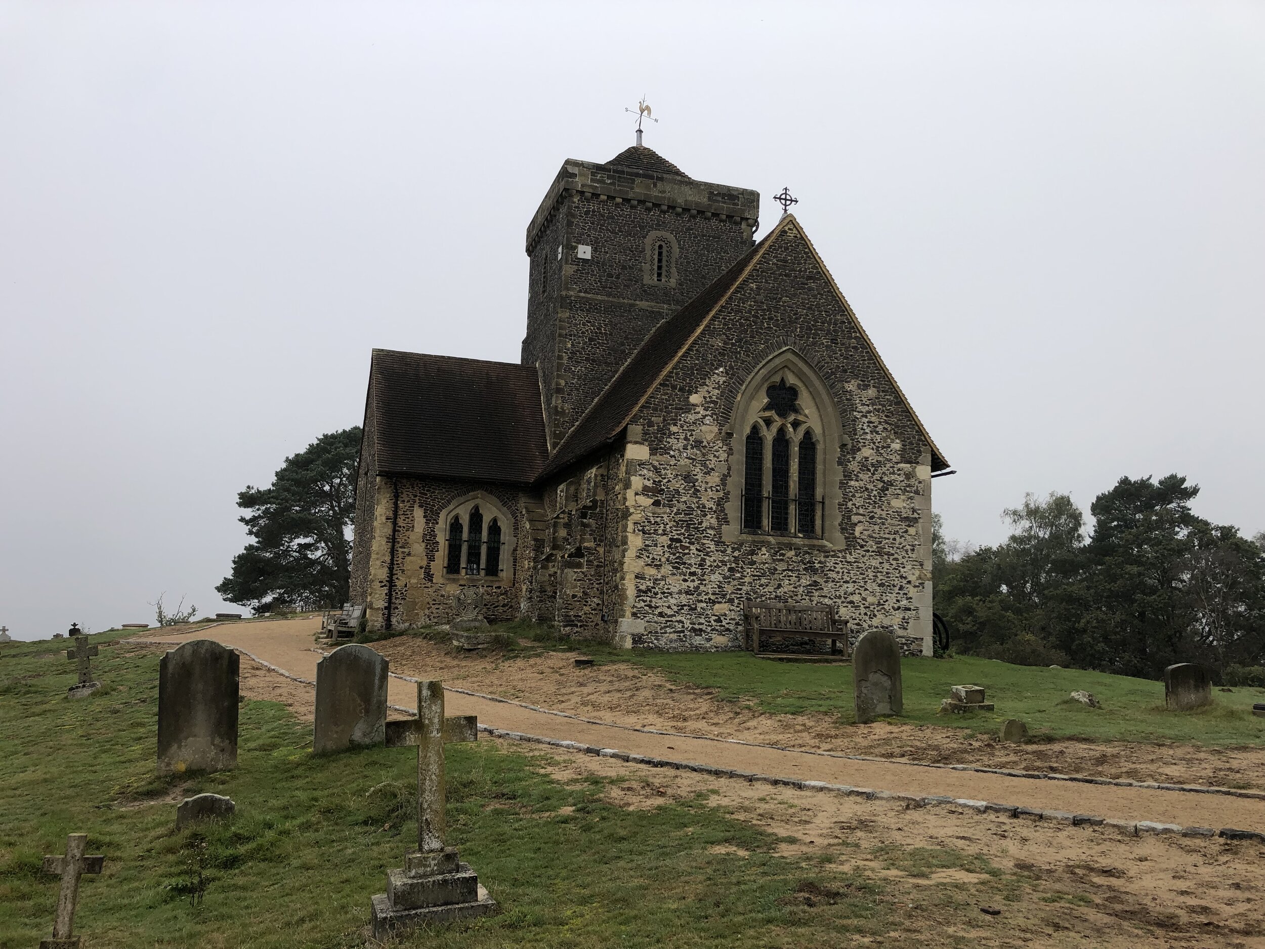
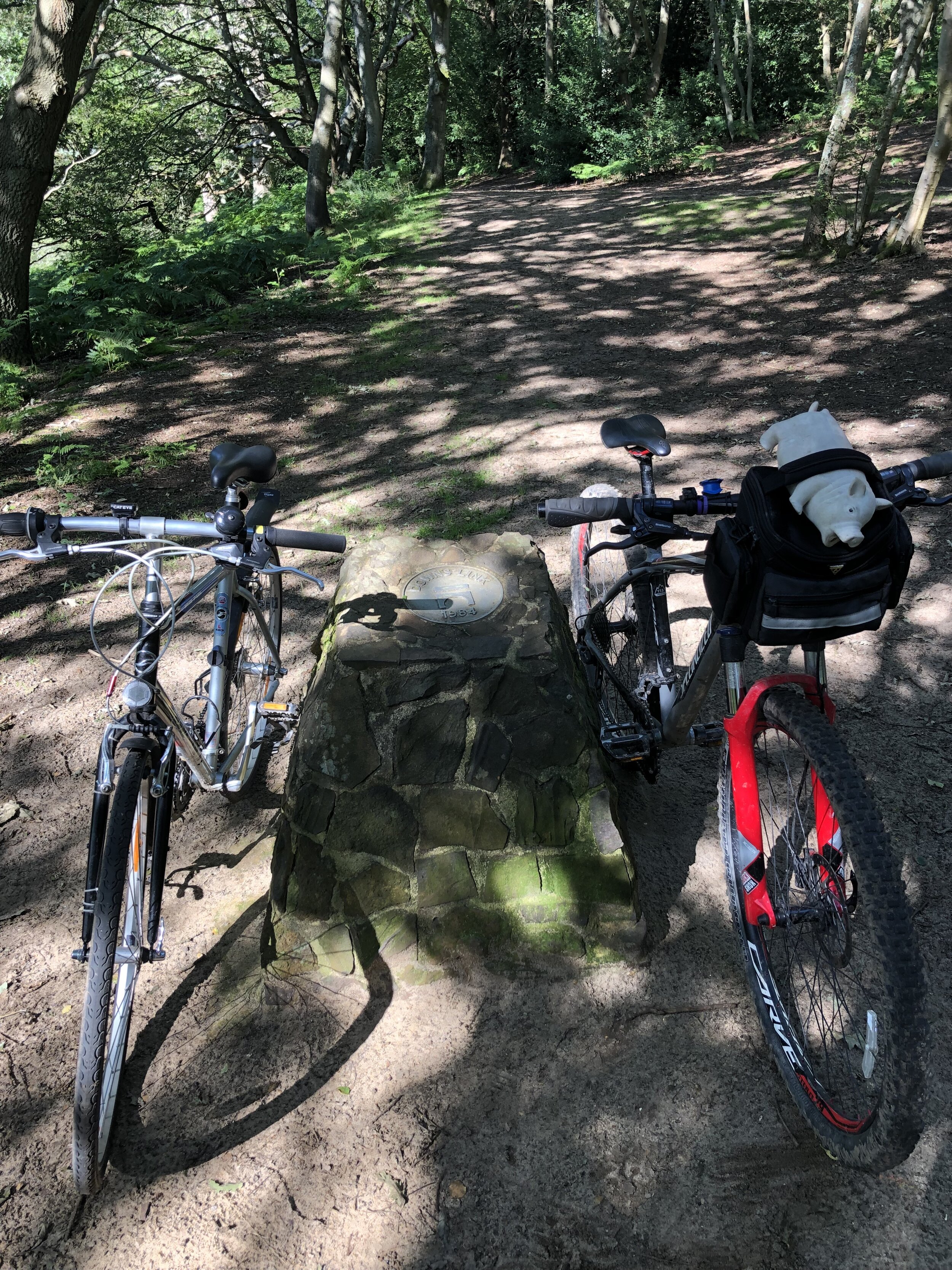
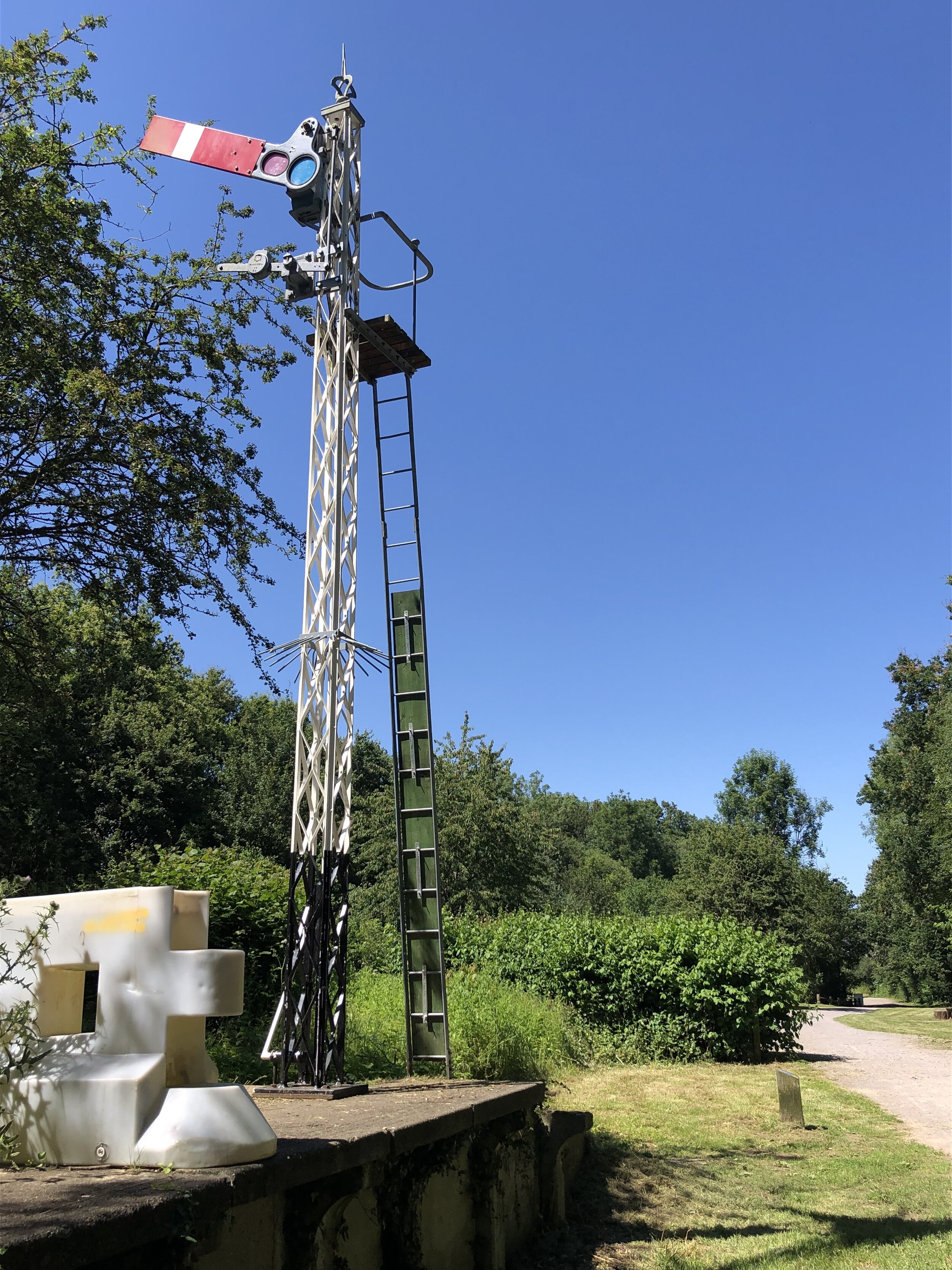
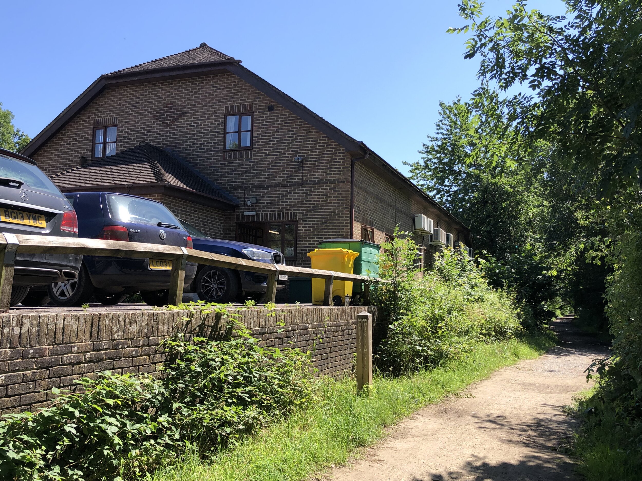
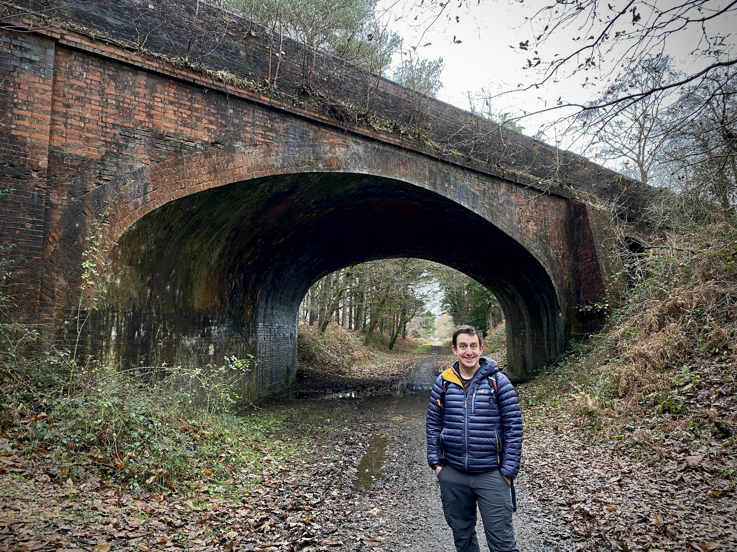
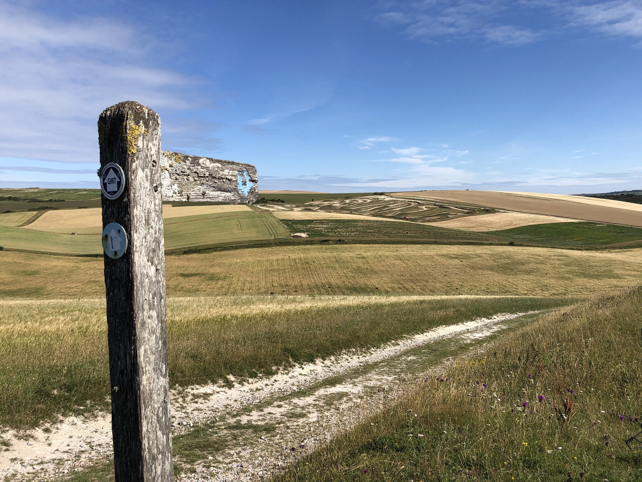
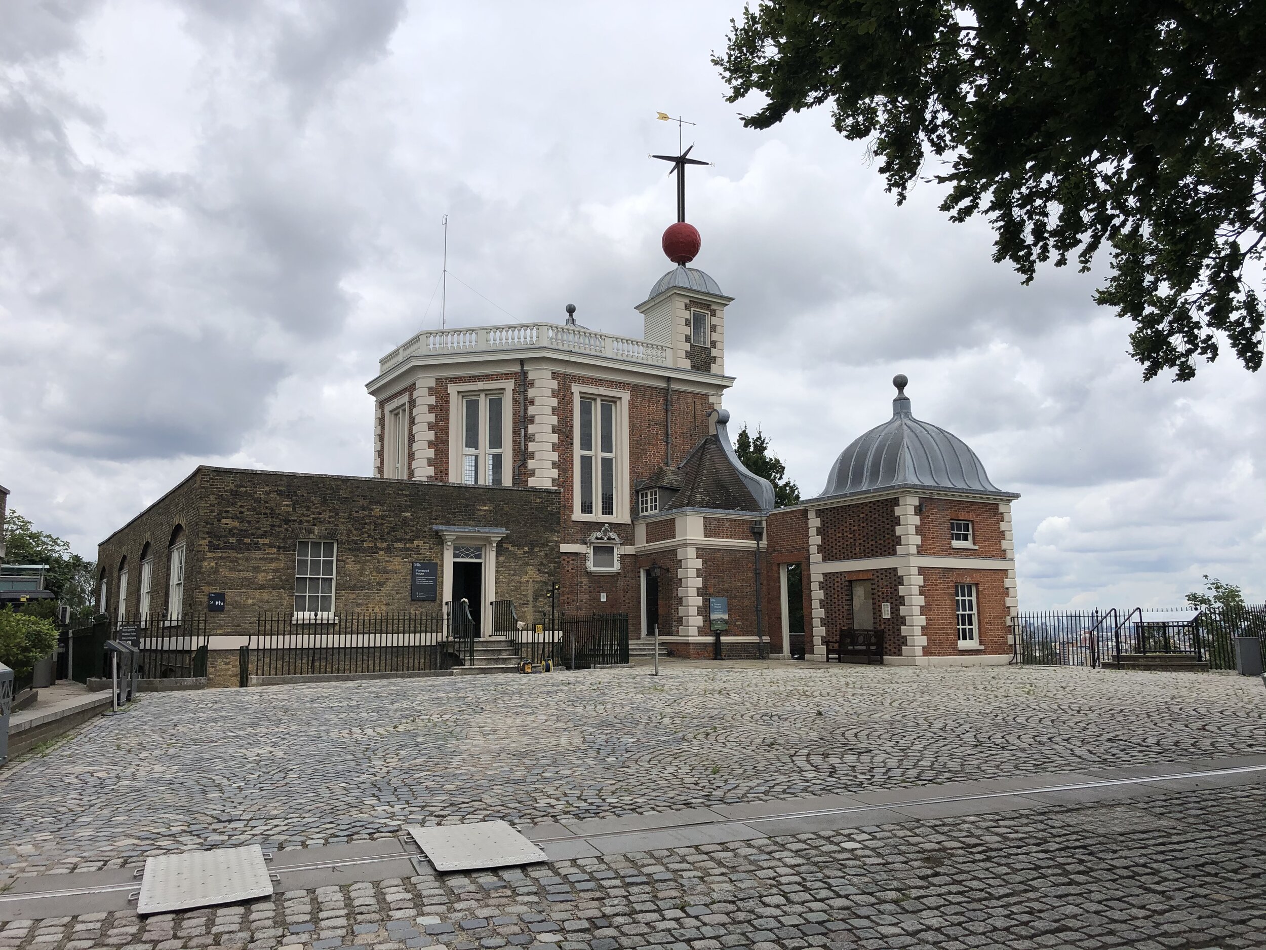
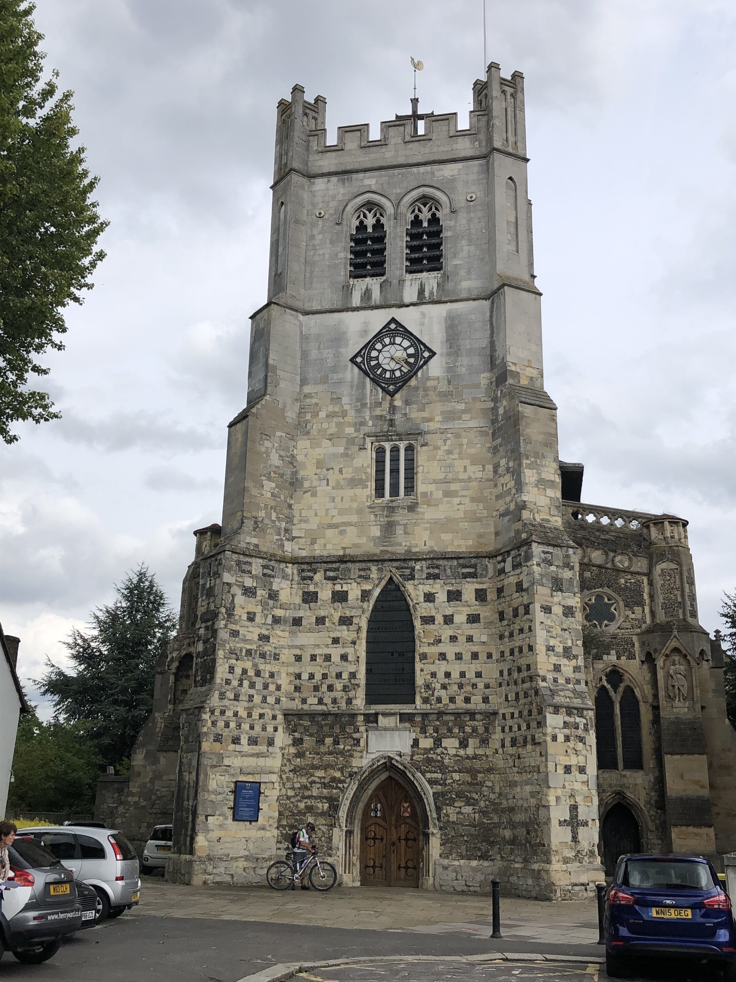
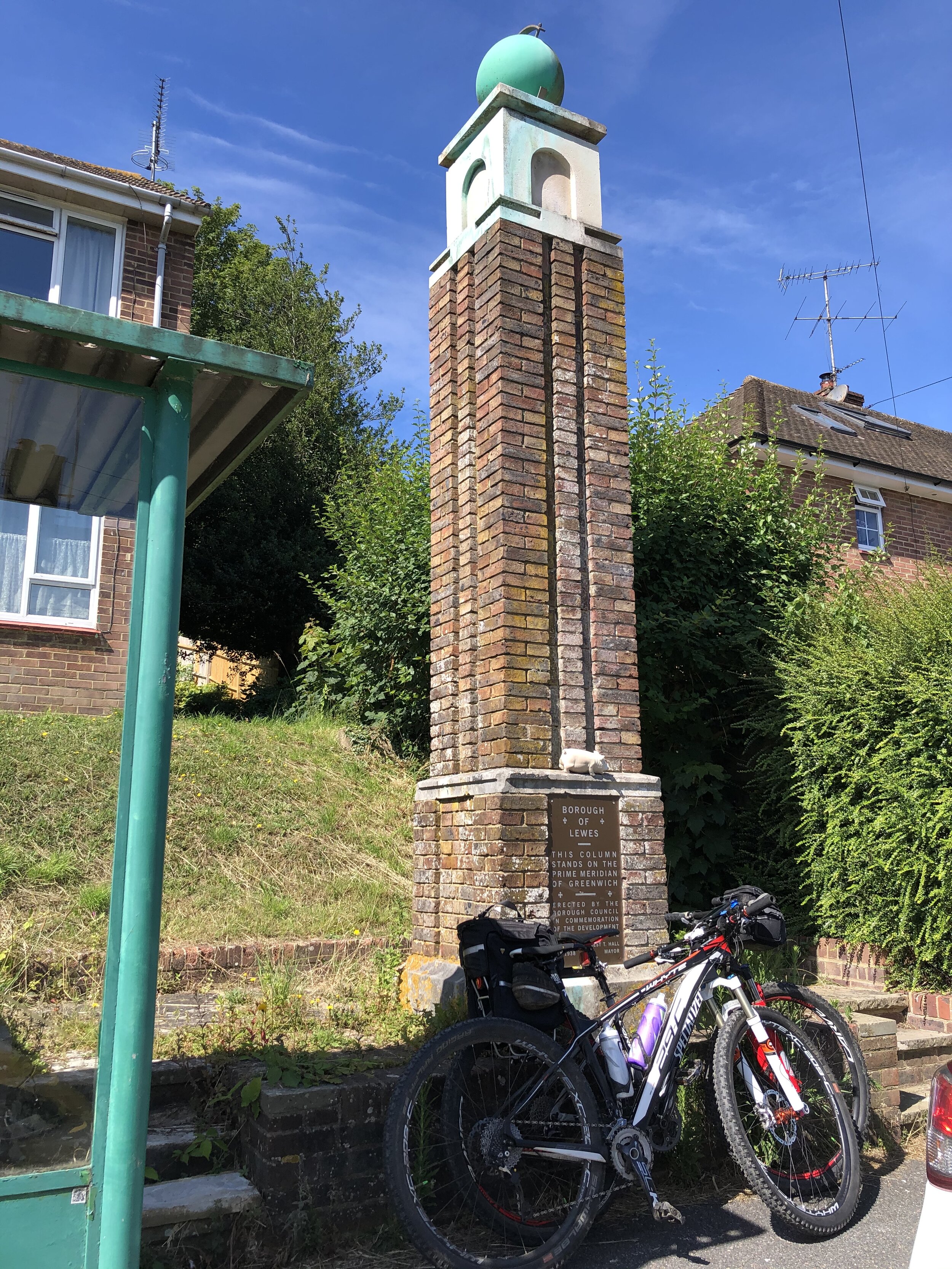
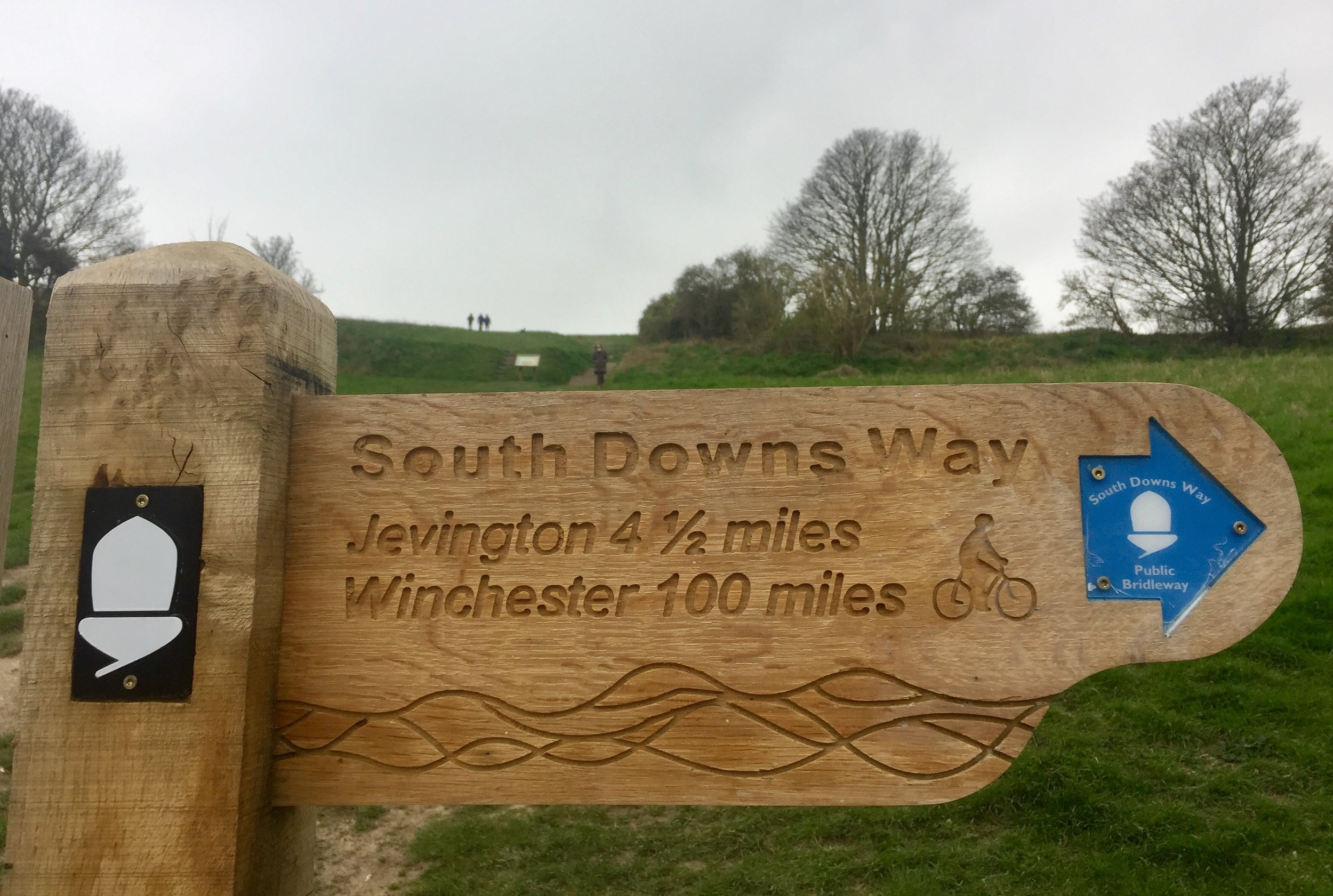
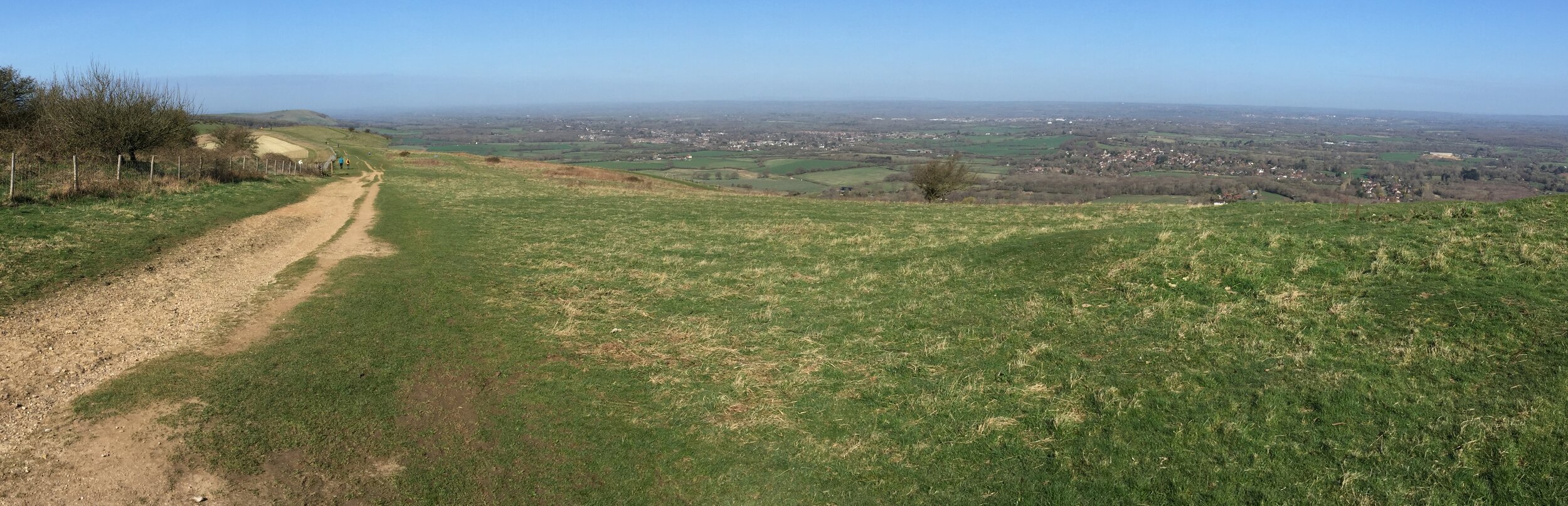
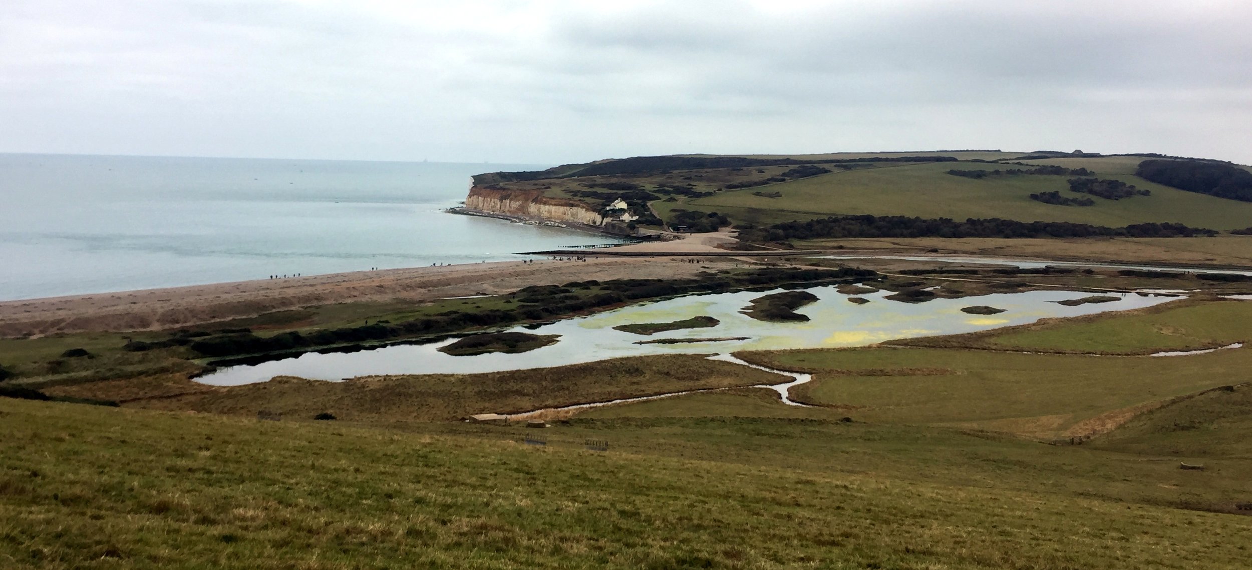
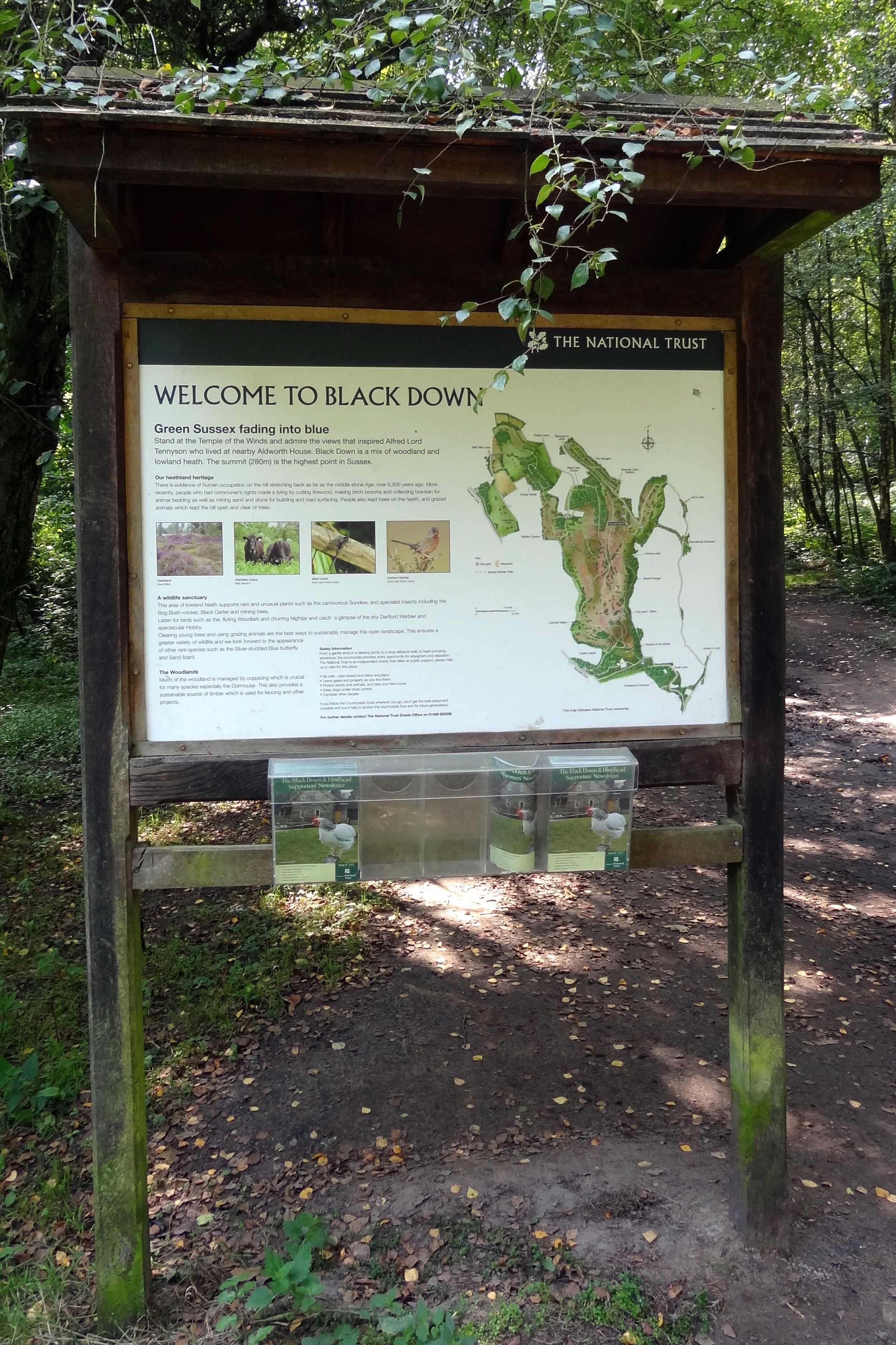
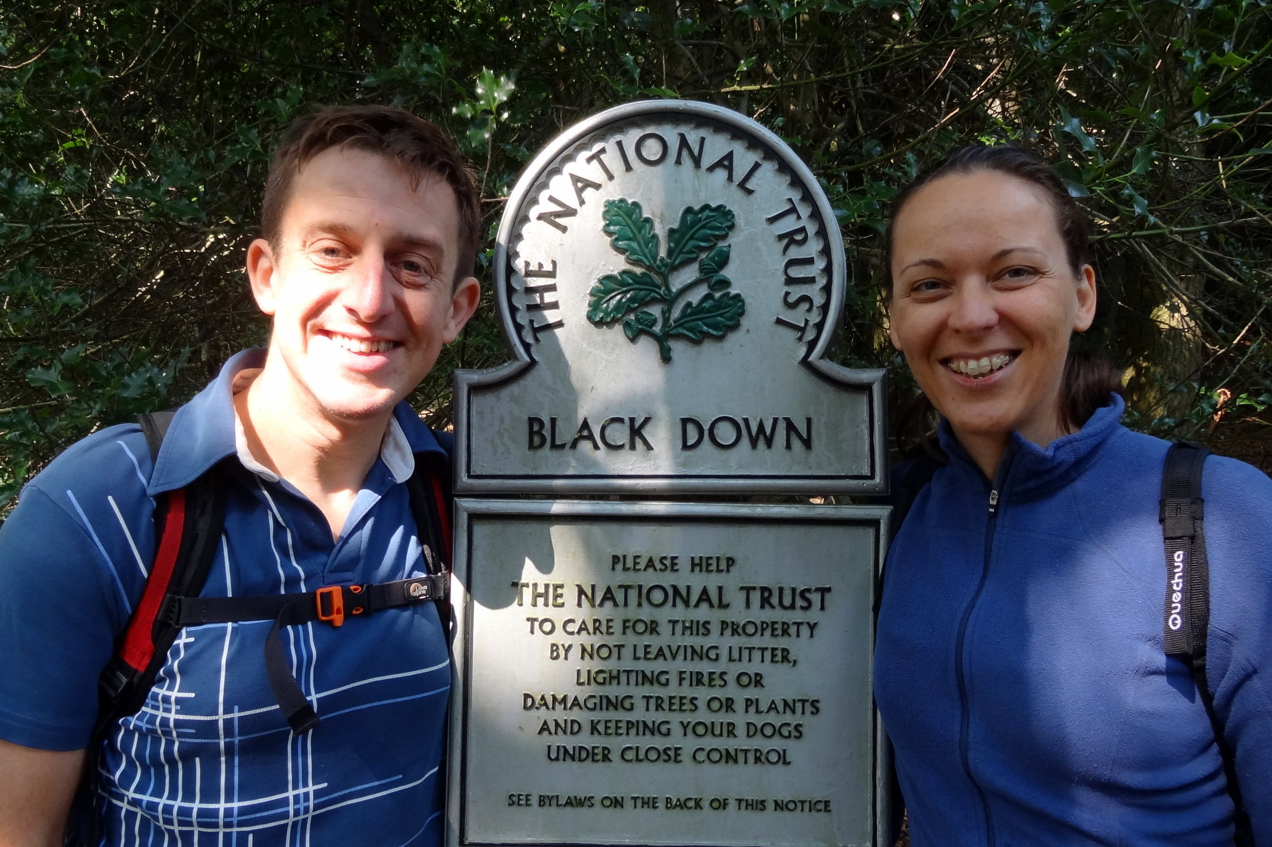
Semaphore Station 11: Chatley Heath

Condition: Restored and now managed by the Landmark Trust.
Distance into route (Day 2)
: 22.6 km / Full Route: 110.6 km
Address: Pointers Road, Cobham, KT11 1PQ
Coordinates: 51°18'55.0"N 0°26'18.0"W
Grid Reference: TQ 08941 58501
Elevation: 55m
Map: Guildford & Farnham Map | Godalming & Farnborough | Ordnance Survey | OS Explorer Map 145
Links: Jont Blog Post, Chatley Heath, The Semaphore Tower (Landmark Trust),


Semaphore Station 12: Coopers Hill

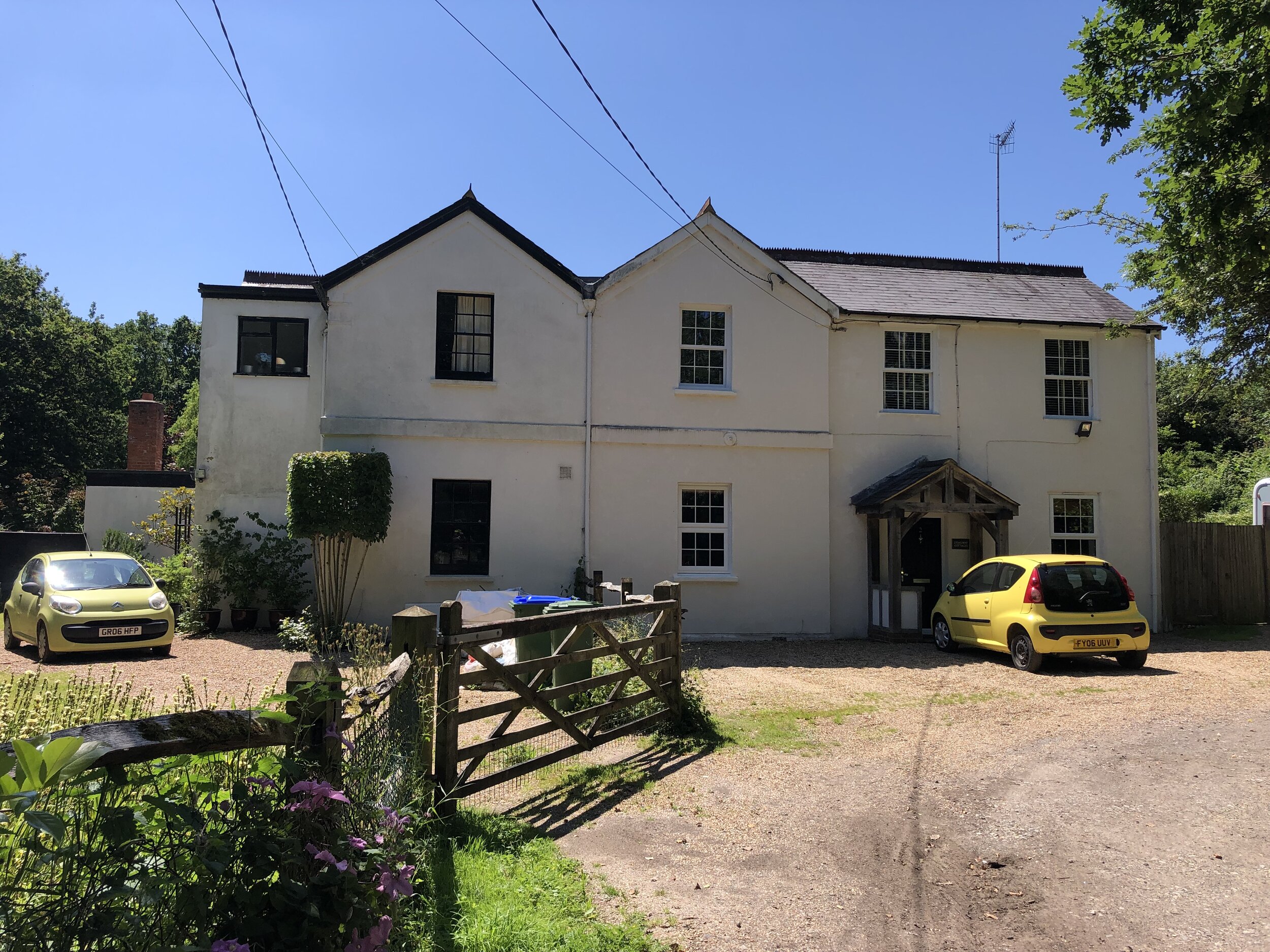
Condition: Restored, now a private house.
Distance into route (Day 2)
: 35.5 km / Full Route: 124.3 km
Address: Semaphore House, Esher, KT10 0DX
Coordinates: 51°22'11.0"N 0°20'17.0"W
Grid Reference: TQ 15793 64726
Elevation: 49m
Map: London South Map | Westminster, Greenwich, Croydon, Esher & Twickenham | Ordnance Survey | OS Explorer Map 161
Links: Jont Blog Post, Claygate, Esher


Semaphore Station 13: Coombe Warren

Condition: Demolished, replaced by a large private house called Telegraph Cottage.
Distance into route (Day 2)
: 45 km / Full Route: 133.8 km
Address: Telegraph Cottage, Warren Road, Kingston upon Thames, KT2 7LF
Coordinates: 51°25'15.0"N 0°16'05.0"W
Grid Reference: TQ 20523 70523
Elevation: 53m
Map: London South Map | Westminster, Greenwich, Croydon, Esher & Twickenham | Ordnance Survey | OS Explorer Map 161
Links: Jont Blog Post, Coombe, Kingston upon Thames


Semaphore Station 14: Putney Heath

Condition: Demolished, presumably replaced by the Telegraph Pub
Distance into route (Day 2)
: 50 km / Full Route: 138.8 km
Address: The Telegraph, Putney Heath, London SW15 3TU
Coordinates: 51°26'55.0"N 0°13'34.0"W
Grid Reference: TQ 23359 73661
Elevation: 53m
Map: London South Map | Westminster, Greenwich, Croydon, Esher & Twickenham | Ordnance Survey | OS Explorer Map 161
Links: Jont Blog Post, The Telegrpaph Pub,


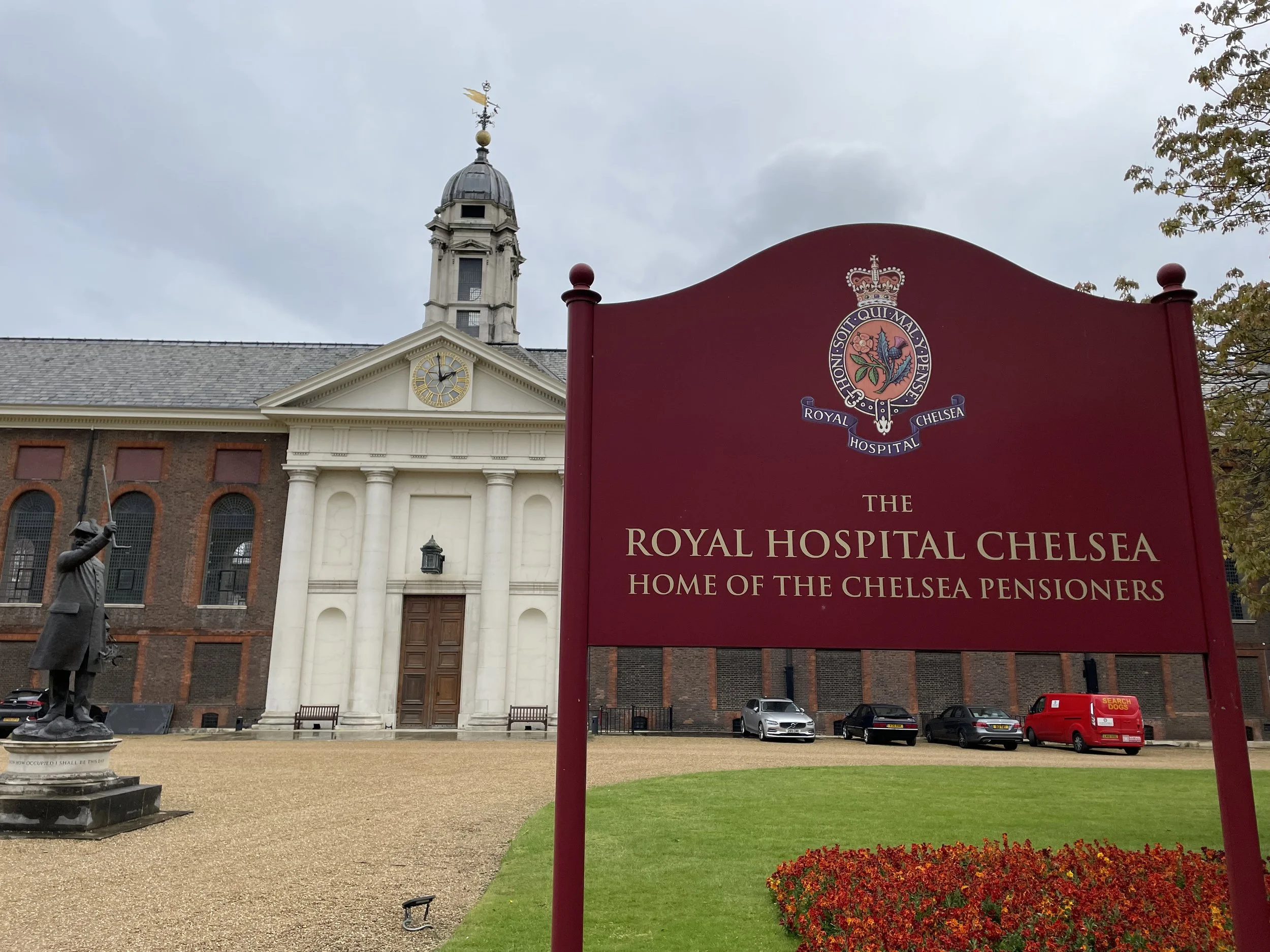
Semaphore Station 15: Chelsea

Condition: Tower no longer there / presumed site of this tower.
Distance into route (Day 2)
: 57.8 km / Full Route: 146.6 km
Address: Royal Hospital Chelsea, Royal Hospital Road, London SW3 4SR
Coordinates: 51°29'16.0"N 0°09'31.0"W
Grid Reference: TQ 27938 78142
Elevation: 6m
Map: London South Map | Westminster, Greenwich, Croydon, Esher & Twickenham | Ordnance Survey | OS Explorer Map 161
Links: Jont Blog Post, Royal Hospital Chelsea,

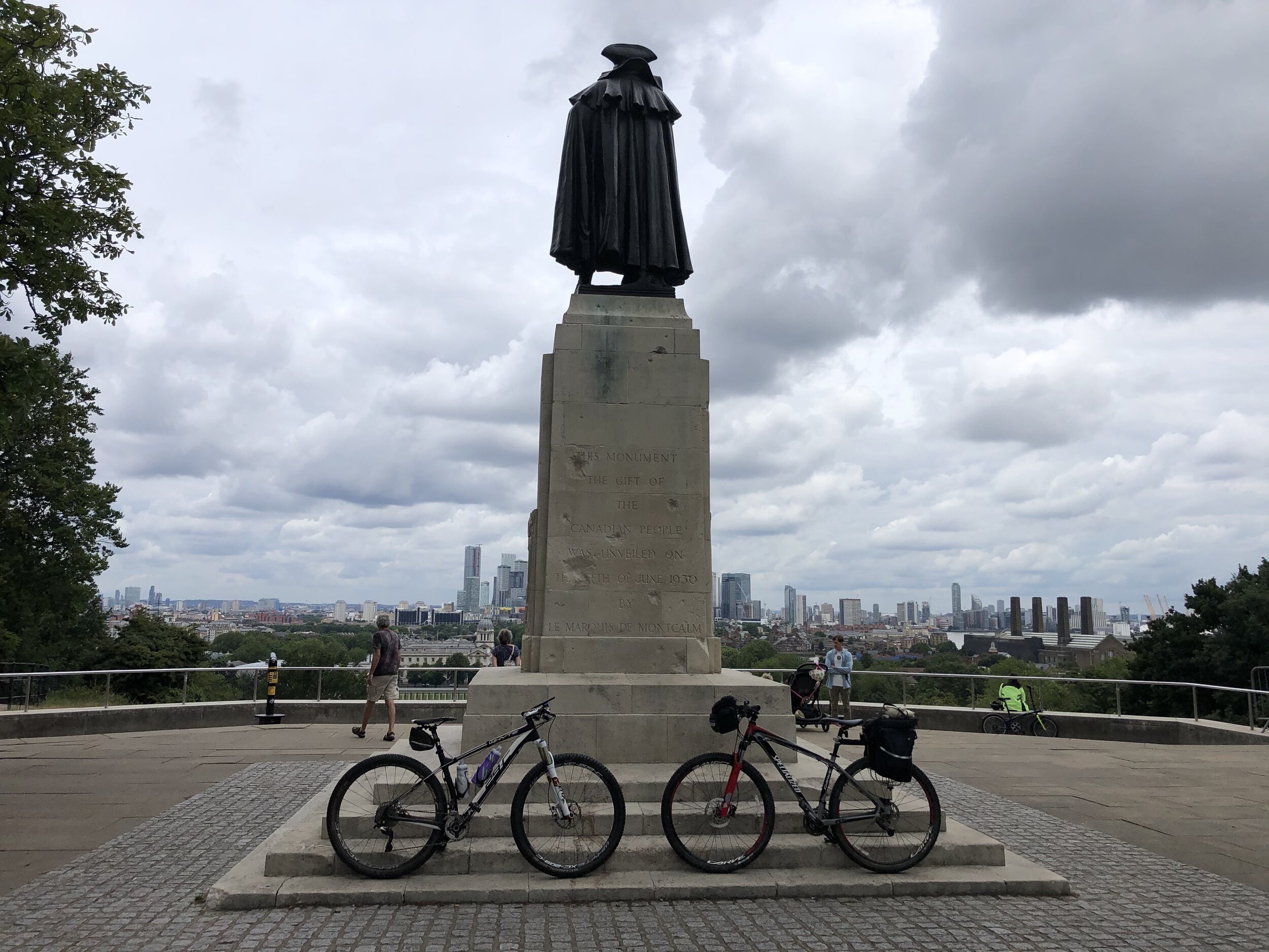
An alternative location of this telegraph station is the Duke of York's Headquarters, now the Saatchi Gallery. We dodged traffic on a very busy Sunday to visit both.


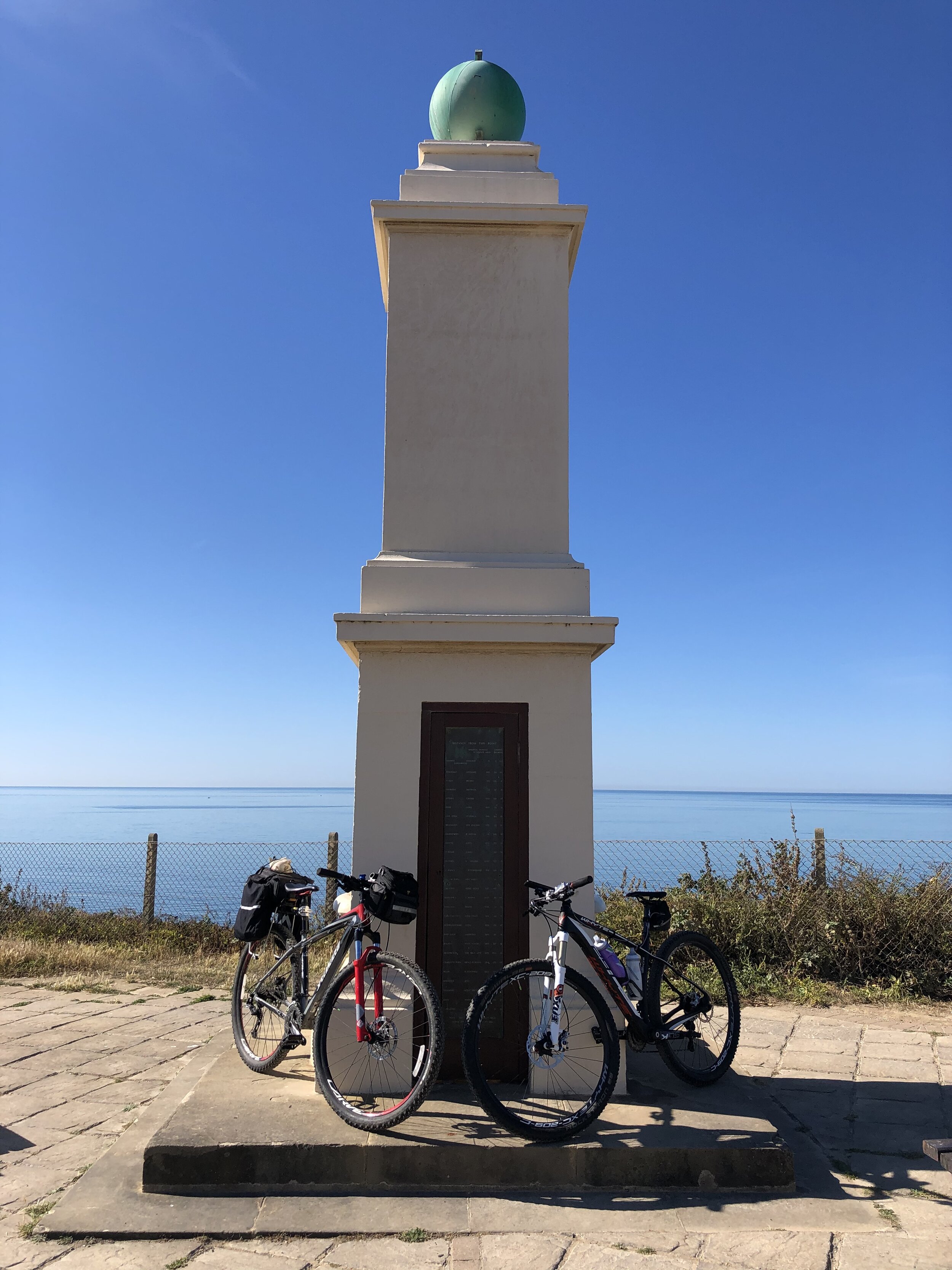
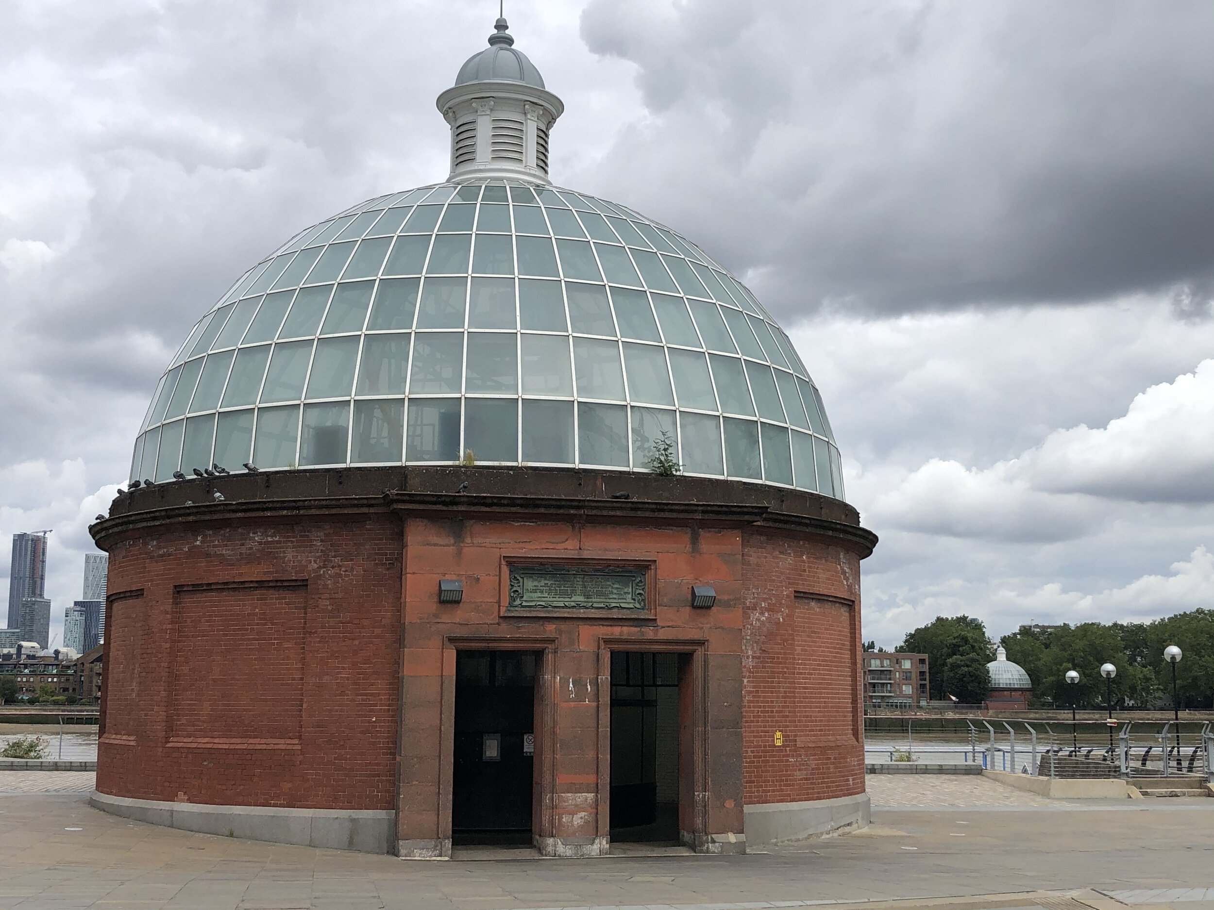
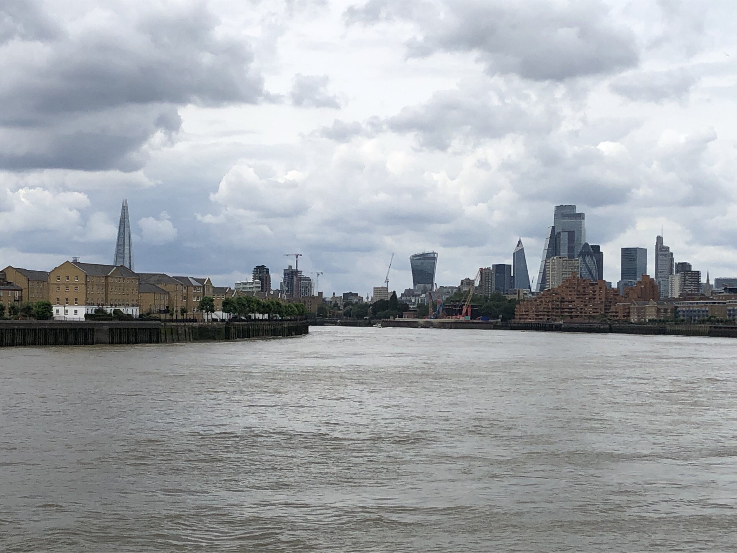
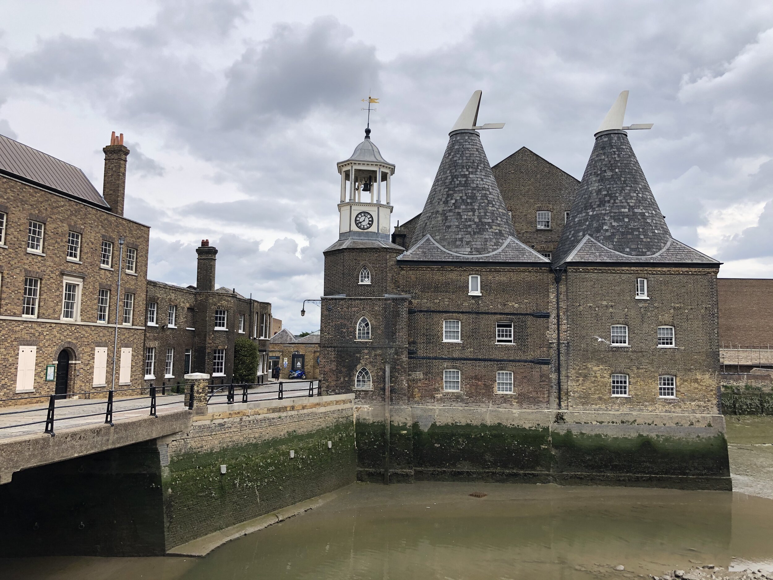
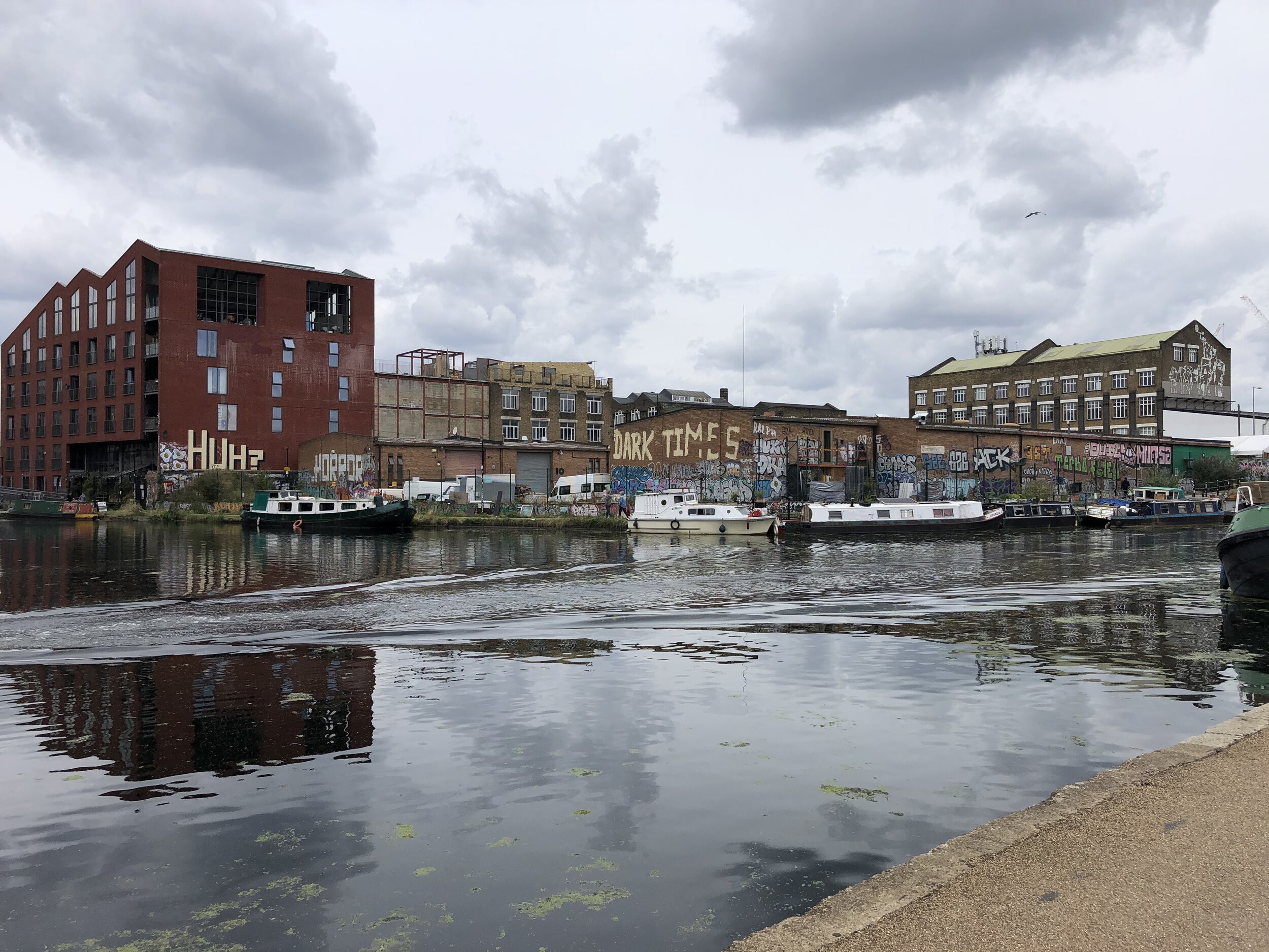
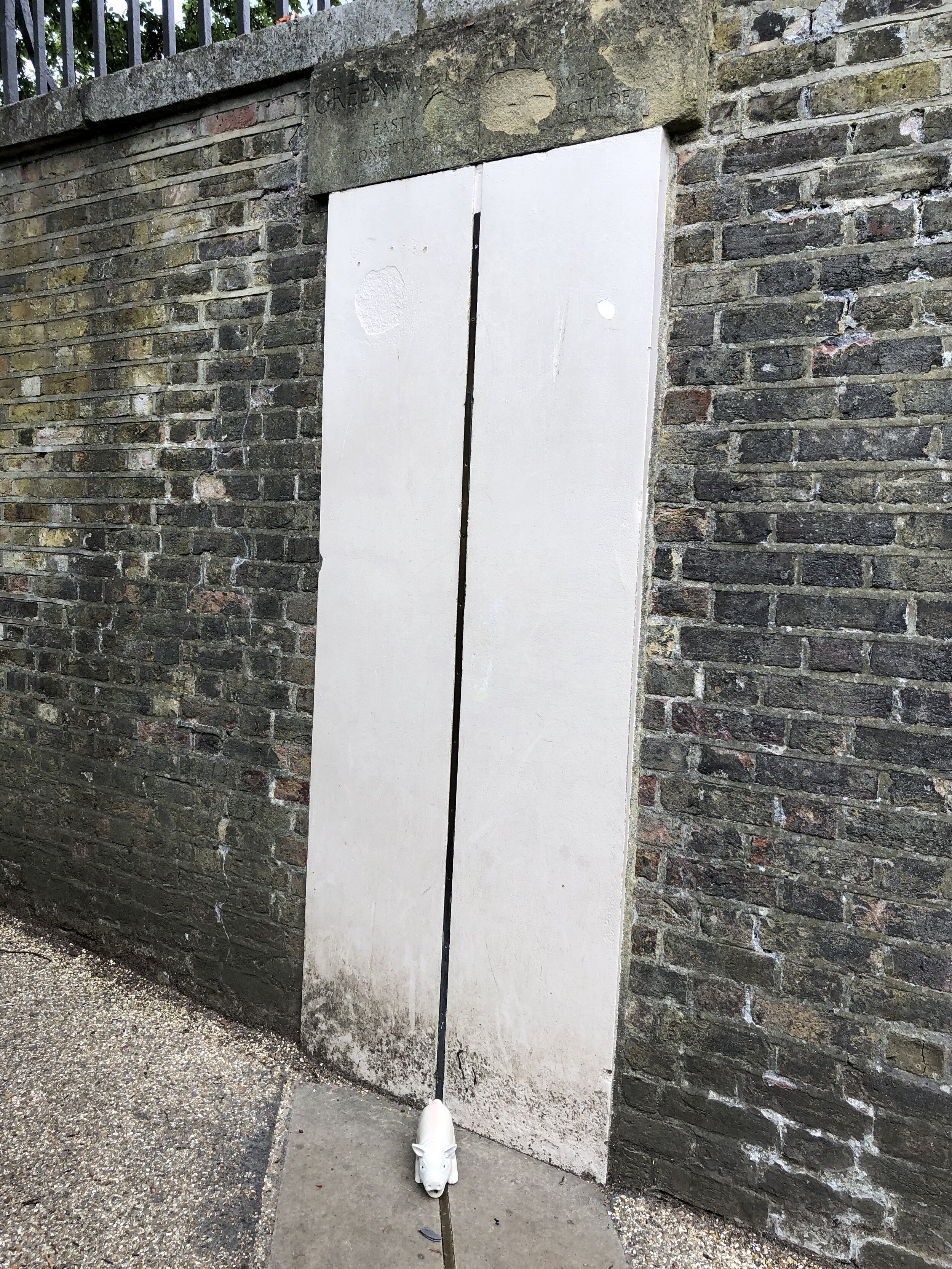
Semaphore Station 16: The Admiralty

Condition: Admiralty buildings still intact and in use by various government departments.
Distance into route (Day 2)
: 62.3 km / Full Route: 151.1 km
Address: Old Admiralty Building, London, SW1A 2AY
Coordinates: 51°30'22.0"N 0°07'43.0"W
Grid Reference: TQ 29979 80241
Elevation: 5m
Map: London South Map | Westminster, Greenwich, Croydon, Esher & Twickenham | Ordnance Survey | OS Explorer Map 161
Links: Jont Blog Post, Admiralty buildings, Horseguards Parade, Whitehall

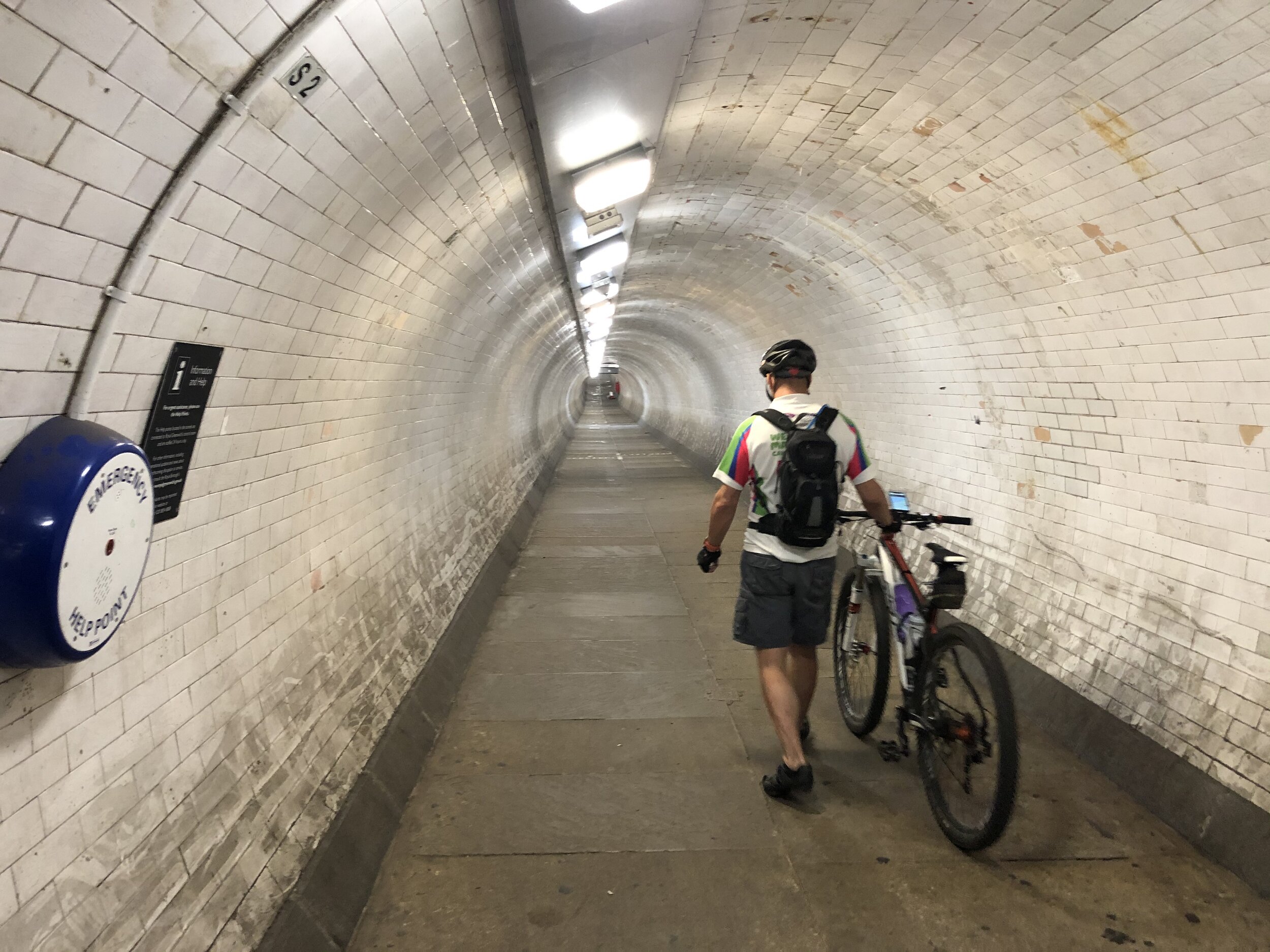
A good learning from us if you’re planning to end your ride at The Admiralty is to not do it just as the London Marathon is finishing. It was only a few days before our trip that I discovered the dates clashed. The London Marathon uses Horseguards Parade as a post-race meeting spot for family and friends so it’s really busy. We still managed to get to our finish spot though after a bit of navigation around blocked off streets.


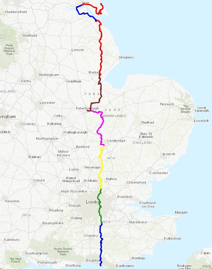
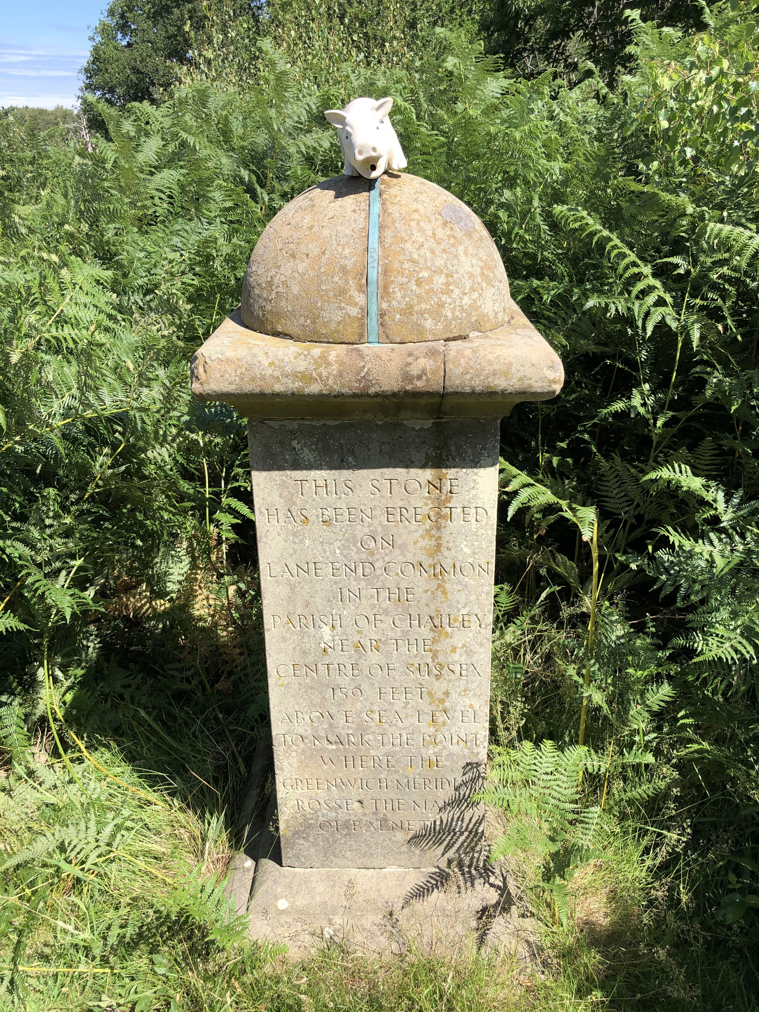
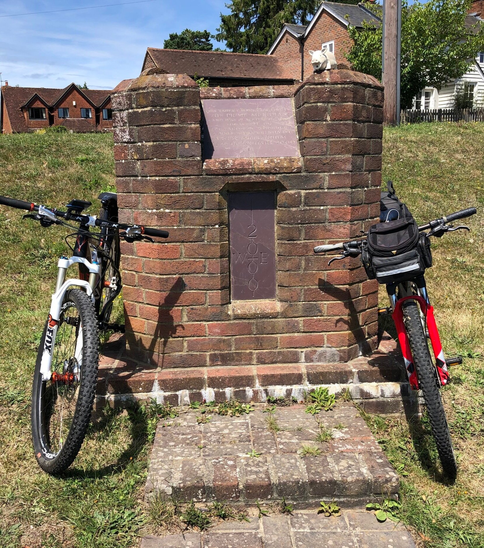
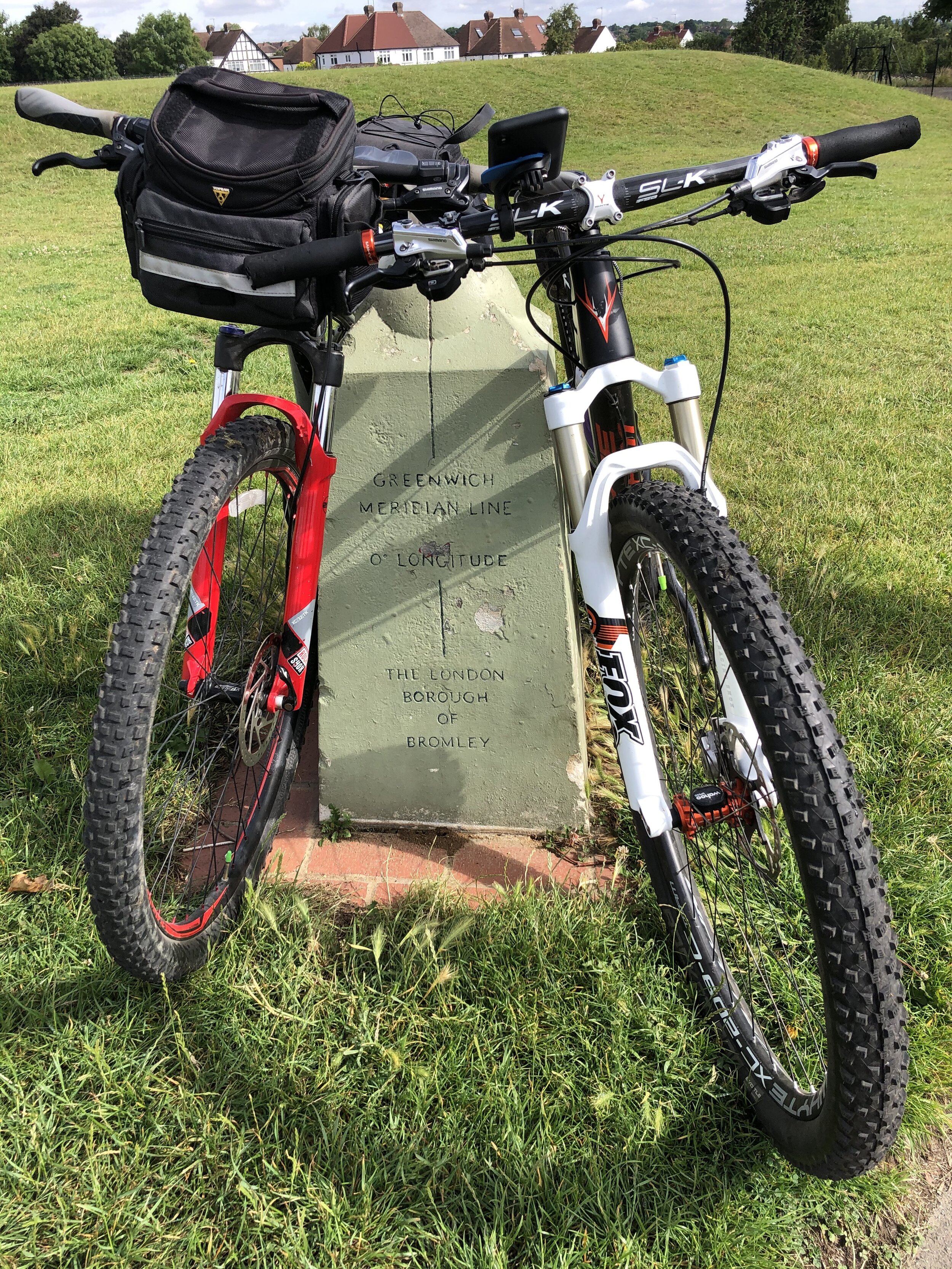
The Full 2-Day Route


Elevations of each Semaphore Station in metres

Day 2 cycling route elevation map

Day 2 cycling route elevation map


Serpent Trail 50k Ultra Marathon

Crossing the River Rother 2.5km to the finishing line at Petersfield


When: July 2nd 2022
Start
: A field in Riverhill Farm, Petworth
Finish: Petersfield Rugby Football Club, Penns Place, Petersfield, GU31 4EP
Distance: 50 km (31 miles)
Elevation change: +611m / -685m (Net -74m)
GPX File: get via Buy Me a Coffee
Other routes touched (walk): Sussex Diamond Way, New Lipchis Way, Sussex Border Path
Other routes touched (cycle): None
OS Trig Pillar: TP3749 - Hesworth (at 9.2km from the start)
Maps:
- Arundel & Pulborough Map | Worthing & Bognor Regis | Ordnance Survey | OS Explorer Map OL10
- Haslemere & Petersfield Map | Midhurst & Selborne | Ordnance Survey | OS Explorer Map OL33
Finish time: 7 hours 03 minutes
Links: Serpent Trail Guide, Serpent Trail Race, Fittleworth, Lavington Common National Trust, Midhurst, Petersfield


Following last summer’s brutal 100k on the Race To The Castle I was up for a shorter Ultra this year. It was also a good one to do with my friend Mark as his second Ultra after our Downs Link race in October.

The Serpent Trail is a 106k long distance path snaking through the greensand hills and heathland in the South Downs National Park. It’s north of the South Downs Way and connects Petersfield to Haslemere. The end point at Haslemere is also the start of the Greensand Way, a 174 km path across the North Downs to Kent. There was a 100k race option to cover the whole length of the Trail but 50k was definitely enough.

The 50k option started in a field near Petworth and joined the Serpent Trail after 2.5km. It was a dry day and there had been very little rain in the weeks leading up to it, so I managed to avoid the blisters and trench-foot of several of my previous Ultras. It was also hot too and I was feeling the effects of it from 12:00 to 14:00. I much prefer to run in the cold and by 14:00 the heat had taken my energy to go faster than a quick walk.

I thought that I was struggling due to the heat but ended up crossing the finish line at 7 hours and 3 minutes. That was 4 minutes slower than my previous 50k on the Chiltern Challenge in 2020. I decided to call it a tie though having wasted around 4 minutes getting off course on Ambersham Common having missed a very obvious signpost. Meanwhile Mark stormed it, finishing 14 minutes head of me with a time of 6 hours 49 minutes.

It was a great route with a bonus highlight of bagging a Trig Pillar that was right on the route at Hesworth Common. I still have the first half of the Trail to find a way to complete so I’m sure I’ll be back in the area soon.


Bullock Hill: Brighton and Hove High Point

Significance: Highest peak in the Unitary Authority of Brighton and Hove
Member of: N/A
Parent Peak: Ditchling Beacon, NHN = Newmarket Hill
Historic County: Sussex (of which Black Down is the County Top)
Elevation: 197m
Date “climbed”: 25th June 2022
Coordinates: 50° 50' 23'' N, 0° 3' 37'' W
OS Trig Pillar: TP1764 - Bullocks Hill
Map: Brighton & Hove Map | Lewes & Burgess Hill | Ordnance Survey | OS Explorer Map OL11
Links: Wikipedia (Brighton & Hove), Peakbagger, Hillbagging

Most Unitary Authority High Points that I’ve visited so far have been dull parts of large towns with little to write home about. Bullock’s Hill is a nice exception here with an OS Trig Pillar and great views across to Brighton and the Coast. Be careful not to damage crops in the summer though as there’s no public right of way directly to the summit.


The South Downs Rivers

Here’s a Tube-style map of the rivers of the South Downs National Park. Let me know if you spot any mistakes and I’ll donate £1 per correction to one of my causes. If you would like a printable PDF version, please Buy Me a Coffee and send me your e-mail via the Contact page. All copies for personal, not commercial use.


Note: the map shows rivers that start, end or pass through the South Downs National Park. There are some rivers that are not included as their source is south of the Park even though they flow into the English Channel or join another river on this map.


Other Posts for the South Downs


Tube-Style Maps


Downs Link Ultra Marathon
Crossing The Old Shoreham Toll Bridge on the last mile

Crossing The Old Shoreham Toll Bridge on the last mile


When: October 10th 2021
Start
: Church of St Martha-on-the-Hill, Halfpenny Lane, Guildford, GU4 8PZ
Finish: 3rd Shoreham Sea Scouts, Shoreham-by-Sea, BN43 5LT
Distance: 61.3 km (38.1 miles)
Elevation change: +456m / -622m (Net -166m)
GPX File: get via Buy Me a Coffee
Other routes touched (walk): North Downs Way, Tillingbourne At Work (SCC), Wey South Path, The Fox Way, Greensand Way, Sussex Border Path, West Sussex Literary Trail, South Downs Way
Other routes touched (cycle): NCN 22, 223
Maps:
- OS Explorer Map (145) Guildford and Farnham
- OS Explorer OL34 Crawley & Horsham
- OS Explorer OL11 Brighton and Hove
Finish time: 8 hours 32 minutes
Links: Downs Link (Wikipedia), The Cranleigh Line, The Steyning Line, St Martha’s Hill, Surrey Hills AONB, Wey and Arun Canal, South Downs National Park


This was a return to familiar territory for Mark and I. We’d cycled the Downs Link in July and passed by St Martha’s church on the Hardest of Snails 10k shortly after. Running the whole of the 38 mile trail was an altogether bigger challenge. This was also Mark’s first Ultra and my first running one with a friend.

I had worked out a plan to get us through it at a steady pace with 30 minutes contingency for the 10 hour cut-off. I have a consistent pace for Ultras, but not knowing how Mark would get on I didn’t know whether we would be able to stick together or not.

The first 6.4k to the old railway path is steep and hilly. With a lot of runners packed tightly into narrow paths you have to go at the speed of the group. This was a comfortable pace for a short race but faster than I had planned for this. I couldn’t see Mark at all in this first section and was worried that I was getting a long way ahead. I needn’t have worried as he arrived at the first Aid Station 30 seconds behind me.

This was the pattern for the first half of the race. I was slightly ahead on each section and we met up at the Aid Stations. Somewhere between Henfield and Steyning we’d both slowed to a fast walk and kept together to the end. By the finish point at Shoreham-by-Sea we were a hour ahead of our planned time and well within the official cut-off.

This is billed as a great Ultra for first timers and I’d argue that it’s a great one all round. After the first 6.4k it’s mostly flat and on good ground. There’s a few long straight stretches that got a bit boring but made up for by the remains of the old stations along the way. See my post on the cycle trip for more about these.

Running and crossing the finishing line with a friend made it special for me. Well done Mark on joining the Ultra club and huge thanks for Mark’s family for supporting us along the way.


route-37749906-map-full.png
elevation_profile.jpg

Cycling The Downs Link
Old carriage at West Grinstead Station

Old carriage at West Grinstead Station


Start: St. Martha’s Hill Guildford Lane Car Park, Guildford Lane, Albury, Guildford, GU5 9BQ
Finish: Shoreham-by-Sea Station, Station Approach, Shoreham-by-Sea, BN43 5WX
Distance: 61 km (38 miles)
Elevation change: +344m / -457m (Net -113m)
GPX File: get via Buy Me a Coffee
Other routes touched (walk): North Downs Way, Tillingbourne At Work (SCC), Wey South Path, The Fox Way, Greensand Way, Sussex Border Path, West Sussex Literary Trail, South Downs Way
Other routes touched (cycle): NCN 22, 223
Other routes touched (run): Downs Link Ultra
Pubs / Cafes on route:
Wild & Green Kitchen (Cranleigh), The Little Teahouse (Southwater), The Old Railway (Henfield) …and others
Maps:
- OS Explorer Map (145) Guildford and Farnham
- OS Explorer OL34 Crawley & Horsham
- OS Explorer OL11 Brighton and Hove
Links: Downs Link (Wikipedia), The Cranleigh Line, The Steyning Line, St Martha’s Hill, Surrey Hills AONB, Wey and Arun Canal, South Downs National Park


The Downs Link is a ~59k trail linking the North Downs Way at St. Martha’s Hill and the South Downs Way near Shoreham-by-Sea. Having recently completed the similarly sounding Thames Down Link, this was an obvious next trip. The first 6k is a hilly route through countryside around Blackheath and Chilworth. Once it connects to the Wey and Arun Canal it follows the route of the disused Cranleigh and Steyning Lines.

There’s no practical public transport connection between the start and the end (maybe they should build a train line to connect them?) … so we did a 2-car shuffle. Our total route was a bit longer than the actual Downs Link as we started from the Guildford Lane Car Park and finished at Shoreham-by-Sea station.

Navigation is very easy, especially once you’re on the old rail line. There were a couple of path junctions on the first 6k that we may have missed if we’d not had a GPX route to guide us.

There’s remains of the former stations along the route, some better preserved than others. West Grinstead is a particular highlight as there’s a British Rail Mark 1 coach on site, now used as an information centre. Others, like Partridge Green and Bramber have been completely demolished with no remaining evidence.

Don’t miss stopping at Rudgwick Bridge over the River Arun. The previous gradient up to Rudgwick Station was too steep for trains so the embankments were raised and an iron bridge was built on top of the brick arch. There’s a viewpoint just off the path where you can see the two layers. The logo on the Down Link signs along the route are based on this bridge.

If you’re an OS Trig Pillar bagger, you can find TP1686 - Broomhall Copse 5 minutes off the path at the intersection with the Sussex Border path.


route-36643420-map-full.png
elevation_profile.jpg

Downs Link Disused Stations

Pictures above: top row, left to right:

Pictures above: bottom row, left to right:

  • Southwater: Wikipedia. Replica sign only, road now covers site of original station.

  • West Grinstead: Wikipedia. Station building and cottages now in private hands. Platform remains with a British Rail Mark 1 coach on display.

  • Partridge Green: Wikipedia. Station buildings have been removed and replaced by housing and the Star Road Industrial Estate

  • Henfield: Wikipedia. Station demolished. Only evidence is Beechings and Station Road sign where station used to be.

  • Steyning: Wikipedia. Station demolished but old warehouse building remains, now converted into townhouses.

  • Bramber: Wikipedia. Station demolished and replaced by a roundabout (photo). No other evidence.


More Disused Railway Posts


Cycling The Prime Meridian
View to the north from the Greenwich Observatory: National Maritime Museum and Isle of Dogs in the background

View to the north from the Greenwich Observatory: National Maritime Museum and Isle of Dogs in the background


The Prime Meridian, also known as the Greenwich Meridian, is the line of longitude defined as 0°. It’s the line that divides East and West. It’s also a line that I asked myself one Christmas: “can that be cycled"?”. The answer is “no” as it’s a dead-straight line with buildings inconveniently built along it's path. You can cycle quite close to it though, so that’s what we did.

If you want to walk it, there’s a well-signed path called the Greenwich Meridian Trail. The Trail is also very well described in a series of 4 books by Graham and Hilda Heap. The cycle route that I designed stays as close to the Prime Meridian as possible but avoiding footpaths and opting for quieter country roads over busy main roads. Even if you’re cycling I highly recommend the Greenwich Meridian Trail books as they’re a great guide to the interesting things to see along the way.

Our cycle trip was 8 days in total, averaging 77k (48 miles) per day. That’s a gentler pace than our previous long distance trips such as LEJOG or Titanic Ireland. Although we could have gone further each day we opted for more coffee and cake stops. We also split it into 3 separate trips rather than a single end-to-end. This ended up taking us exactly a year to complete as Covid Lockdowns interrupted our plans and we had to fit the trips in where we could.

We based the start and end of each section based on access to train lines. Fortunately there’s good train connections along the route without significant diversions. The start at Peacehaven is close to Newhaven Station, although Brighton Station, 6.5 miles away, gives better connections to the North. For the end of Day 2 we wanted to get through London and Waltham Abbey is a natural stopping point. There’s a station nearby at Waltham Cross, or more north/south connections 12 miles west at Potters Bar.

For section 2, covering Days 3 and 4 we covered Waltham Abbey to Peterborough. This takes you quite a way off the Meridian but has a lot of north/south rail connections including to Potters Bar and Hull. Picking up from Peterborough on Day 5 for section 3, we cut diagonally north-east to rejoin the Meridian at Fleet. There’s not much to miss in the section between March and Fleet and the route takes in the main Meridian markers.

By the end of Day 6 the Meridian reaches the coast at Cleethorpes. From here the challenge is crossing the Humber Estuary to pick up the Meridian where it rejoins land at Sunk Island. The Greenwich Meridian Trail ends at Cleethorpes and a bus is the most practical means of picking up the route at Patringham on the northern side. For our cycle route we took a long diversion west to cross the Humber Bridge and return on the northern side via Hull. This gives you an unbroken cycle trip, but means that all of day 7 and half of day 8 are off the Meridian. It’s worth it for the crossing of the Humber Bridge and the Hull to Winestead Rail Trail.

The final point of the Prime Meridian at Sand Le Mere is quite different to the start at Peacehaven. There’s no monument to mark the end of your trip … at least not any more. This is one of the most eroded parts of the English coast and the previous marker is long gone. Instead we found a large lump of concrete that was more or less in the right position and decided it was the end point. From here it’s 28k ride back to Hull where you can get the train back home.

See the individual blog posts for each section for photos, maps and stats covering each day.

Links to each section:


The Complete Route

Two maps of the Prime Meridian. Above: Cycle route, each colour representing a different day of the trip. Right: tube-style map showing the cycle route, 0 degrees longitude and the Greenwich Meridian Trail

Two maps of the Prime Meridian. Above: Cycle route, each colour representing a different day of the trip. Right: tube-style map showing the cycle route, 0 degrees longitude and the Greenwich Meridian Trail


Eastbourne Pier and Beachy Head Circular Walk
Eastbourne Pier from the west

Eastbourne Pier from the west


Start & Finish: Eastbourne Pier, 3 Grand Parade, Eastbourne, BN21 3EL
Distance: 10 km (6.2 miles)
Elevation change: + / - 204m
GPX File: get via Buy Me a Coffee
Other routes touched (walk): South Downs Way, Weald Way
Other routes touched (cycle): None
Other routes touched (run): Beachy Head Marathon
Pubs / Cafes on route: Several on Eastbourne sea front, The Kiosk at the start of the SDW, The Beachy Head pub
Trig Pillar: TP0453 - Beachy Head
Map: OS Explorer OL25 Eastbourne & Beachy Head
Links: Eastbourne, Eastbourne Pier, Beachy Head


For me this was a walk largely designed to bag the OS Trig Pillar at the top of Beachy Head. I’d had a couple of near misses, most notably on the final stretch of the Beachy Head Marathon, but never got to touch it. The pillar is actually a very easy to get on a drive-by as it’s just behind the big pub on Beachy Head Road. It would be a shame to miss out on the walk though as it’s a South Downs classic.

This is definitely a walk of two halves with a central hill section bookended by the flat, coastal out-and back from the pier. If you just wanted to do the hilly part you can save 5k and do the big loop starting either from The Beachy Head pub or from the start of the South Downs Way on Dukes Drive. If you’ve got the time the full 10k route is well worth it and gives you a diverse “Down and Town” trip.

We started from the pier entrance on the B2106 Grand Parade with a circuit of the pier. A combination of it being December and just out of the latest Covid Lockdown meant that there was nothing going on there at the time. After the pier, follow the Promenade south, keeping to the higher path when you have an option. After ~2.5k you’ll reach the sign that marks the start of the 100 mile South Downs Way. Follow the South Downs Way up a steep hill and continue for a further 2km until you reach the cliff-edge RAF memorial. To visit the Trig Pillar walk a further 100m up hill to the north-west then retrace your steps back to the memorial.

To return, take the first footpath to the left of the memorial (as you face the sea). Descend on the steep path to the cliff edge (but not too far) and continue round heading north back to Eastbourne. When you reach the cliff edge look back to the south along the coast for a great view of Beachy Head Lighthouse. Keep the the cliff-edge path and you’ll end up back at the kiosk on Dukes Drive. From here return to the pier following the lower promenade along the top of the beach.


route-34801380-map-full.png
elevation_profile.jpg

Cycling The Prime Meridian Part 1 - Peacehaven to Waltham Abbey
Obelisk at Peacehaven

Obelisk at Peacehaven


The Prime Meridian, also known as the Greenwich Meridian, is the line of longitude defined as 0°. It’s the line that divides East and West. It’s also a line that I asked myself last Christmas: “can that be cycled"?”. The answer is “no” as it’s a dead-straight line with buildings inconveniently built along it's path. You can cycle quite close to it though, so that’s what we did.

If you want to walk it, there’s a well-signed path called the Greenwich Meridian Trail. The Trail is also very well described in a series of 4 books by Graham and Hilda Heap. The cycle route that I designed stays as close to the Prime Meridian as possible but avoiding footpaths and opting for quieter country roads over busy main roads. Even if you’re cycling I highly recommend the Greenwich Meridian Trail books as they’re a great guide to the interesting things to see along the way.

For the first stage of our cycle trip we started at Peacehaven, where the Meridian meets the sea at it’s most Southerly point. From there we headed north over 2 days to Waltham Abbey, just above the M25. The rest of it came in later trips covering 6 days. See the main Prime Meridian post for the full route


Day 1: Coast, Downs and Weald

Start: Prime Meridian Obelisk, 96 The Promenade, Peacehaven, BN10 8LN
Finish: The Bakery Restaurant and Rooms, Westmore Road, Tatsfield, Westerham, TN16 2AG
Distance: 75 km (47 miles)
Elevation change: + 1,013m / - 812m (Net +201m)
GPX File: get via Buy Me a Coffee
Other routes touched (walk): Greenwich Meridian Trail, Newhaven-Brighton Clifftop Path, South Downs Way, Sussex Ouse Valley Way, Forest Way, High Weald Landscape Trail, Mid Sussex Link, Sussex Border Path, Tandridge Border Path, Greensand Way, Vanguard Way, North Downs Way
Other routes touched (cycle): NCN 2, 21
Pubs / Cafes on route:
Lots, but I recommend The Stable Tea Rooms, Heaven Farm, Furner's Green, Uckfield TN22 3RG (at km 34)
Maps:
- OS Explorer OL11 Brighton & Hove Map
- OS Explorer Map (135) Ashdown Forest Map
- OS Explorer Map (146) Dorking, Box Hill and Reigate Map
- OS Explorer Map (161) London South, Westminster, Greenwich, Croydon, Esher & Twickenham Map
Guidebook: Greenwich Meridian Trail Book 1: Peacehaven to Greenwich
Links: Wikipedia: Prime Meridian, The Greenwich Meridian, Greenwich Meridian Trail, Peacehaven, Prime Meridian Obelisk, Tatsfield


Day 2: London

Start: The Bakery Restaurant and Rooms, Westmore Road, Tatsfield, Westerham, TN16 2AG
Finish: Waltham Abbey Church, 4 Church St, Waltham Abbey EN9 1DJ
Distance: 62.5 km (39 miles)
Elevation change: + 377m / - 585m (Net -208m)
GPX File: get via Buy Me a Coffee
Other routes touched (walk): Greenwich Meridian Trail, Tandridge Border Path, London Loop, Capital Ring, Waterlink Way, Lewisham Promenade, Thames Path, Lea Valley Walk, Jubilee Greenway, The Greenway.
Other routes touched (cycle): NCN 1, 13, 21, 4, CS2, CS3, CS16, CS23,
Pubs / Cafes on route:
Lots, but I recommend The Breakfast Club, Queen Elizabeth Olympic Park, 29 East Bay Lane Canalside Here East, London E15 2GW
Maps:
- OS Explorer Map (161) London South, Westminster, Greenwich, Croydon, Esher & Twickenham Map
- OS Explorer Map (162) Greenwich and Gravesend Map
- OS Explorer Map (174) Epping Forest & Lee Valley Map
Guidebook: Greenwich Meridian Trail Book 1: Peacehaven to Greenwich and Greenwich Meridian Trail Book 2: Greenwich to Hardwick
Links: Wikipedia: Prime Meridian, The Greenwich Meridian, Greenwich Meridian Trail, Tatsfield, Royal Observatory Greenwich, Waltham Abbey


Prime Meridian markers on the route


100 OS Trig Pillars

A Christmas Day walk in Swinley Forest, Bracknell was the event of my 100th bagged OS Trig Pillar. There was a bit of a debate, mostly with myself, about which Trig would count as my 100th. I’ve only logged pillars that I could either touch or get within a few metres of, not ones that I could only see from a distance. Of those some were listed as “remains” and have been replaced by new monuments. So, my 100th was:


UK Historic County Tops with differently named Trig Pillars


Trig Pillars near parkruns

Trig must be within 2,5km (half a parkrun) of the start line of the event.


Butser Hill

Significance: Parent Peak of (among others): Bowsey Hill
Member of: Marilyn
Parent Peak: Black Down. NHN = Black Down
Elevation: 270m
Date “climbed”: 30th March 2019
Coordinates: 50° 58' 40'' N, 0° 58' 49'' W
On route of: South Downs Way (just off)
OS Trig Pillar: TP0316 - Butser
Map: Chichester Map | South Harting & Selsey | Ordnance Survey | OS Explorer Map OL08
Links: Wikipedia (Butser Hill), Peakbagger, Hillbagging, Queen Elizabeth Country Park

I’d passed close by to the tops of Butser Hill on the Race To The King ultra marathon. It wasn’t close enough though to add some more distance to the 53 miles I had to run that day so I gave it a miss. Luckily it’s in warm-up distance of Queen Elizabeth parkrun at the Country Park of the same name so I returned a few months later.

Although Butser Hill is not the highest point in the South Downs National Park (it’s Blackdown at 280m), it is the highest point on the South Downs escarpment (source).


Cycling The South Downs Way - Eastbourne to Bury Hill

Having completed half of the South Downs Way on Race To The King, I was keen to do the rest. I’d also attempted a cycle trip on the Trail about 13 years ago but abandoned it after 30 miles. Deep mud had slowed us down and, in pre-GPS days, we didn't know where we were. Not being one to be happy with unfinished business, I needed to complete the first 50 miles.


Day 1: Destination Ditchling

Start: Eastbourne Railway Station, Terminus Rd, Eastbourne BN21 3QJ
Finish:
White Horse Inn, 16 West St, Ditchling, Hassocks BN6 8TS
Distance: 51km (32 miles)
Elevation Change: +1188m / -1140m. Net +48m
GPX File: get via Buy Me a Coffee
Other Routes Touched (walk): Weald Way, Vanguard Way, Sussex Ouse Valley Way, Mid Sussex Link
Other Routes Touched (cycle): NCN 2
Map: OS Explorer OL25 Eastbourne & Beachy Head and OS Explorer OL11 Brighton & Hove
Guidebook: South Downs Way: National Trail Guide (National Trail Guides), The South Downs Way: Winchester to Eastbourne, Described in Both Directions
Links: National Trails South Downs Way, National Trail South Downs Way Mountain Bike Guide, Eastbourne, South Downs National Trust

It was Saturday so a parkrun had to be included in the plan. We chose Tilgate as it was a new one for both Mark and I and he needed a new letter for his Alphabet Challenge. By the time we’d done the run, picked up the bikes and got 2 trains we were in Eastbourne for 13:30. It was getting on a bit for this time of year so we didn’t hang around.

The first 14 km to Alfriston were familiar as I’d already covered them on the Beachy Head Marathon. Unlike my previous cycling attempt the ground was dry and mud-free. Even so, we were making slow progress as it had been a while since we’d been out on the bikes.

This was also a Trig Pointing adventure and we took the opportunity to bag some Trig Pillars on the route. There are 14 Trig Pillars on or close to the route. See below for the full list.

All went pretty well until Southease when Mark's bike decided to break. Going over a small bridge his back wheel lost a spoke and buckled. It didn’t take long to decide that the bike was “buggered” (technical cycling term) so we needed a Plan B. Luckily we had just passed a station and a train would be passing through shortly. Not having many other options Mark headed back home by train and I continued alone.

By now I was concerned about the daylight. It was already 17:00 with max 90 mins of daylight and at least 2 hours to go. I took on some of my emergency Haribo and tried to cover as much ground as possible with the remaining light.

By the time I’d reached the bridge over the A27 it was completely dark and I still had Ditchling Beacon to climb. The next hour was a mix of slow cycling and pushing. At the top of the hill the trail was wide and relatively smooth. The sky was clear and the chalky trail was easy to see. I found it easier to turn my lights off and let my eyes adjust to the twilight.

I’d reached Ditchling Road by 20:00. The pub where I was staying was at the bottom of the hill and I wasn’t looking forward to taking the road down. Instead I discovered a path that goes parallel to the road. This was possibly more dangerous in the dark as it was steep and rutted. Even with carefully pushing the bike I still almost slipped over at least 3 times. By 20:30 I’d made it to the White Horse in Ditchling. After a shower, wine and fish and chips I took advantage of now having the twin room all to myself.


Day 2: Ditchling to Bury Hill

Start: White Horse Inn, 16 West St, Ditchling, Hassocks BN6 8TS
Finish:
Bury Hill Trig Point near Amberley
Distance: 45km (28 miles)
Elevation Change: +1147m / -1056m. Net +91m
GPX File: get via Buy Me a Coffee
Other Routes Touched (walk): Mid Sussex Link, Downs Link, Monarch’s Way, Wey-South Path, West Sussex Literary Trail
Other Routes Touched (cycle): NCN 20, 223
Map: OS Explorer OL11 Brighton & Hove and OS Explorer OL10 Arundel & Pulborough
Guidebook: South Downs Way: National Trail Guide (National Trail Guides), The South Downs Way: Winchester to Eastbourne, Described in Both Directions
Links: National Trails South Downs Way, National Trail South Downs Way Mountain Bike Guide, Ditchling, Amberley, South Downs National Trust

Day 2 started with a full English Breakfast at the pub. This was mainly so I could make a Ditchling Bacon joke on WhatsApp. I’m still not convinced that my mates found it as hilarious as it deserved though.

On leaving the hotel I cycled back through the village, this time in daylight. Turning onto Beacon Road you get a great view of the imposing wall that is Ditchling Beacon. I was determined to get to the top without stopping or pushing and I made it. Just. The Beacon was my first trig point of the day after a very sweaty 2 miles.

In contrast to the previous day's overcast grey skies, today was sunny and clear. This would be a very different day altogether. There were similar amounts of ups and downs but it felt easier with a lot more smooth downhill stretches to pick up speed.

My second trig pillar was Devil’s Dyke at 13 km in. In my original planning I’d wanted to stay here only for the amusement of spending a night on Fulking Hill. The fact that the Devil’s Dyke Inn isn’t a hotel put an end to that. It was just as well given how late Day 1 turned out to be.

The rest of the day was a joyous trip along the South Downs. The warm early spring weather had brought a lot of people out walking, cycling or horsing(?) their way along the trail. I made a plan to say a cheery "hello" to everyone I passed to see their reaction. Horse-riders won with 100% "Hello"s back while walkers came joint second with mostly pleasant responses. Cyclists and runners came about even with either no responses or awkward grunts.

Amberley would be the natural destination for the first 50 miles of the Trail. I needed to go a bit further though as I needed to join the route of last year's Race To The King. The Ultra started a few miles South at Slindon, meeting the South Downs Way at Bury Hill. There's a Trig Point just off the Trail there so I made it my destination for this 2-day trip.


Trig Pillars on or near the South Downs Way (Eastbourne to Bury Hill)

All visited on this trip unless stated. Numbers in brackets show approximate kilometres from the start of the Trail at Eastbourne.


South Downs Way: Done

Map below: Blue = Beachy Head Marathon, Green = This cycle trip, red = Race To The King Ultra Marathon


Ditchling Beacon: East Sussex County Top

Significance: Highest peak in East Sussex (Present Day CT)
Member of: Marilyn
Parent Peak: Leith Hill. NHN = Leith Hill
Historic County: Sussex (of which Black Down is the County Top)
Elevation: 248m
Date climbed: 24th March 2019
Coordinates: 50° 54′ 7.2″ N, 0° 6′ 25″ W
OS Trig Pillar: TP0760 - Ditchling
Map: OS Explorer OL11 Brighton & Hove
Guidebook: Walking the County High Points of England (David Bathurst)
Links: Wikipedia (East Sussex), Wikipedia (Ditchling Beacon), Peakbagger, Hillbagging, National Trust

Ditchling Beacon is the County Top of present-day East Sussex. The high point of the Historic County of Sussex is Black Down, now the present-day county Top of West Sussex.

I'd first bagged bagged Ditchling Beacon in 2012 as a drive by on the way back from Devil's Dyke. There's free parking near the summit so it's easy to reach. I'd also had a few close passes while on the BHF London To Brighton Cycle Ride which goes up and over the hill on Ditchling Road.

It wasn't until my South Downs Way cycle ride that I felt that I'd properly bagged it. The early morning slog up the hill from Ditchling Village made me feel like I'd earnt it. The long views on a clear spring morning made it worth the effort too.


Race To The King Ultra Marathon

When: June 24th 2018
From: Slindon Estate, Arundel, West Sussex
To:
Winchester Cathedral, Winchester SO23 9LS
Distance: 86.1km (53.5 miles)
Elevation: +1,344m / - 1,380m. Net -36m
GPX File: get via Buy Me a Coffee
Other routes touched (walk): Monarch’s Way, South Downs Way, West Sussex Literary Trail, New Lipchis Way, Staunton Way, The Shipwrights Way, Long Woodland Trail, Wayfarers Walk, Allan King Way, Pilgrims’ Trail, Itchen Way, Clarendon Way
Other routes touched (cycle): NCN 22, 222, 224, 23
Maps:
- Ordnance Survey Explorer OL10 Arundel & Pulborough Map
- Ordnance Survey Explorer OL8 Chichester, South Harting & Selsey Map
- Ordnance Survey Explorer OL3 Meon Valley, Portsmouth, Gosport and Fareham Map
- Ordnance Survey Explorer OL32 Winchester, New Alresford & East Meon Map
Trig Pillars: TP1105 - Beacon Hill, TP5226 - Old Winchester Hill, TP3089 - Exton
Finish time: 14 hours 49 minutes
Links: South Downs Way, Harting Down National Trust, Queen Elizabeth Country Park, Beacon Hill Nature Reserve, Winchester


This was my 4th ultra and the 2nd in the Threshold Trail series. My first couple were a test, then reconfirmation, that I could do an Ultra. After the Gower I was happy to call myself an Ultra Marathon runner. From here on I’ll do them for the pure awesomeness of the events.

As a true introvert I’m not chatty on the events, defaulting to an inner game of getting through the run. Despite this I love the social aspect of the events. It’s the buzz of so many people taking on a major challenge, the support that everyone gives each other and the spectators cheering and helping anyone on the route.

Race To The King was a classic example of why I love these events. The South Downs Way is an iconic trail, the weather was amazing (albeit a little warm) and the organisation couldn’t be faulted.

The conditions couldn’t have been more different to October’s Gower Ultra. That was was damp and crippled my feet while this was bone dry. Despite being 3 miles long I’d completed this one nearly a hour quicker at 14 hours 49 mins. By the time I’d reached Winchester Cathedral I was in good shape and on a bit of a high.

Next Ultra: Race To The Tower 2019.


Start: Slindon Estate, Arundel


End: Winchester Cathedral


Beachy Head Marathon

When: October 29th 2016
WhereEastbourne
Course: Hilly! Mostly South Downs Way & other trails starting and ending at Bede's preparatory School in Eastbourne
Start & Finish: Bede's Prep School, Dukes Drive, Eastbourne, BN20 7XL
Distance: 42.2 km (26.2 miles)
Elevation change: +/- 1,099m
Other routes touched (walk): South Downs Way, Weald Way, Vanguard Way
Other routes touched (cycle): NCN 2
Finish time
: 5:36
Links: Beachy Head Marathon, South Downs Way, Beachy Head, Eastbourne


trip-11708682-map-full.png
elevation_profile (1).jpg

Wiggle Sussex-Surrey Scramble Cycle Sportive

Start & Finish: Brinsbury College, North Heath, Pulborough, RH20 1DL
Distance: 162 km / 101 miles
Elevation Change: + / - 1,431m
GPX File: get via Buy Me a Coffee
Other Routes Touched (Walk): Wey-South Path, The Serpent Trail, South Downs Way, Monarch’s Way, West Sussex Literary Trail, New Lipchis Way, Sussex Border Path, Downs Link
Other Routes Touched (Cycle): NCN 223
Maps:
- OS Explorer OL10 Arundel & Pulborough
- OS Explorer OL8 Chichester, South Harting & Selsey
- OS Explorer OL33 Haslemere & Petersfield
- OS Explorer OL34 Crawley & Horsham


With 1 month to go before the epic Lands-End To John O'Groats (LEJOG) cycle trip, I needed some practice. I'd bought a new road bike 6 weeks before and had ridden a total of 20 miles on it. As much as I loved the bike, I didn't love riding it. Being more of a mountain bike man, the riding position felt all wrong and I just couldn't work out the gears. Today would be 101 miles of getting used to it.

Martyn, a fellow LEJOGger, had done a couple of Wiggle Sportives already. The sportives are long-distance cycle one-day events organised by the on-line sports shop. Martyn gave me some good advice a week before that its best to get there and set-off early. The organisers started everyone in groups of 25 and if you get there late you can get stuck waiting for the crowd to start.

The event had 3 distance options: "Short" at 50 miles; "Standard" at 76 miles and "Epic" at 101 miles. I chose the Epic mostly because I couldn't understand driving so far for an event and only doing a short version of it. It was on the start line that I realised that everyone else on the Epic was really fit. In most organised events I tend to finish in the middle of the pack, but I had a feeling that I would end up nearer the back.

The event was well organised with excellent signage. This was good as I had decided not to take a sat-nave with me. The only tricky bit came around half way when the route crossed with another cycle event that had almost exactly the same direction arrows, just pointing a different way. The big advantage of being slower than nearly everyone else is that getting regularly overtaken was a good sign that I was still on the right route.

As a practice ride it all worked out well. The new bike did its job and I had over 8 hours to get used to the riding position and how the gears worked. All but 1 of the LEJOG days will be shorter than this and we'll take more breaks during those rides, so I was feeling pretty confident by the end.

My premonition on the start line that I would finish near the end was pretty accurate as the car park was nearly empty by the time I finished. I think that everyone who finished after me either got lost or had a mechanical problem on route.

So, my first Wiggle was a success and I'll remember it mostly for the beautiful route through some amazing South Downs villages. I'm sure I'll be back for more Wiggles.

elevation_profile.jpg
Black Down: Sussex County Top
View from Black Down on a misty day

View from Black Down on a misty day


Significance: Highest peak in Sussex (Historic CT), Highest peak in West Sussex (Present Day CT), Highest Point in the South Downs National Park, Highest Peak in the Rape of Chicester
Member of: Marilyn
Parent Peak: Leith Hill. NHN = Leith Hill
Elevation: 280m
Date climbed: 26th August 2013
Coordinates: 51°03′30″N 0°41′24″W 
Route Start / End: National Trust - Black Down Car Park, Tennyson's Lane, Haslemere, GU27 3BJ
Route Distance: 4 km (2.5 miles)
Route Elevation Change: +/- 57m
Subsidiary tops on route: None
GPX File: get via Buy Me a Coffee
Other routes touched (walk): Sussex Border Path, The Serpent Trail
Other routes touched (cycle): none
OS Trig Pillar: TP1443 - Blackdown
Map: OS Explorer OL33 Haslemere & Petersfield
Guidebook: The UK's County Tops (Jonny Muir), Walking the County High Points of England (David Bathurst)
Links: Wikipedia (Sussex), Wikipedia (West Sussex), Wikipedia (Black Down), Rape of Chicester, Peakbagger, Hillbagging, National Trust


OTHER HIGH POINTS IN Sussex