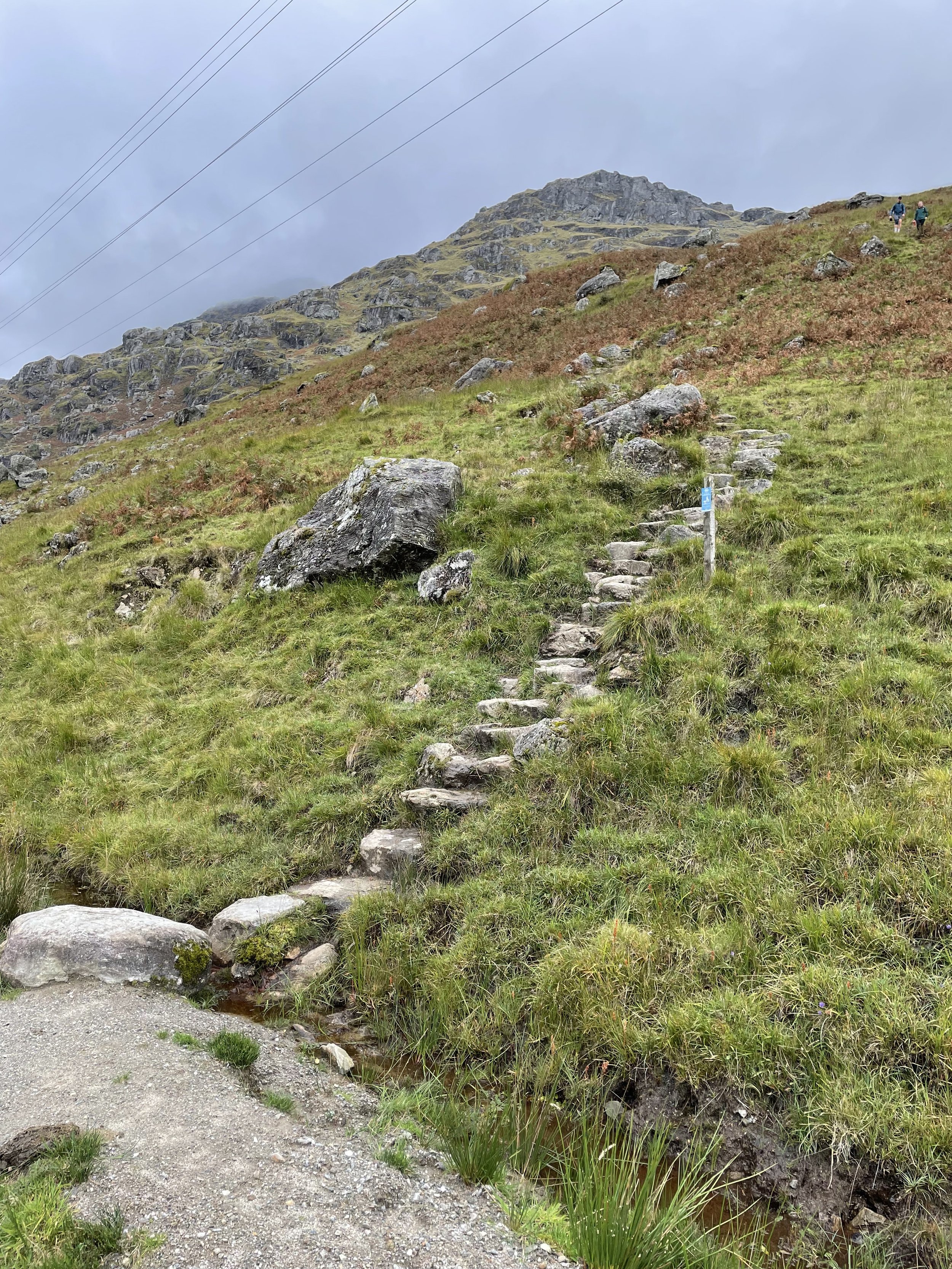
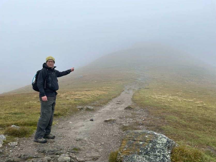
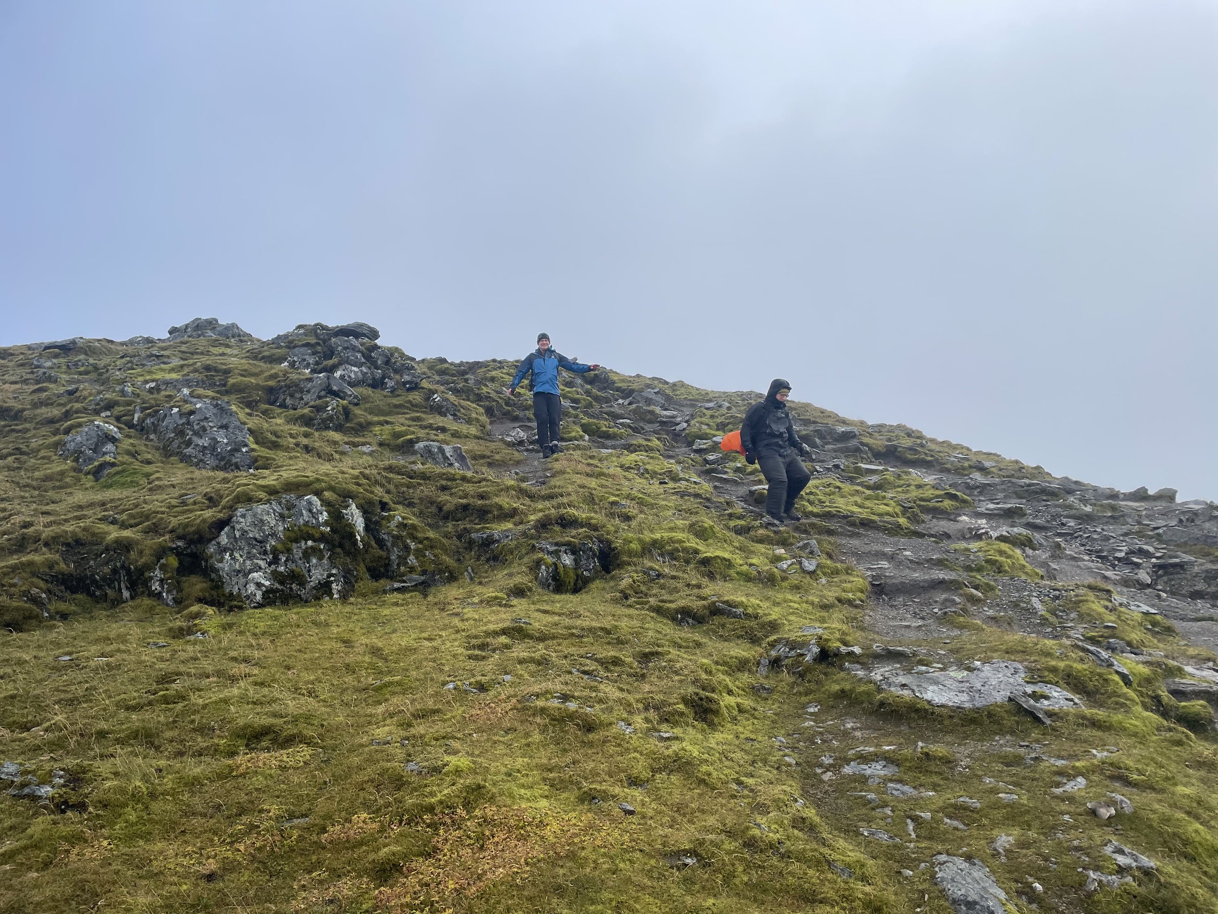
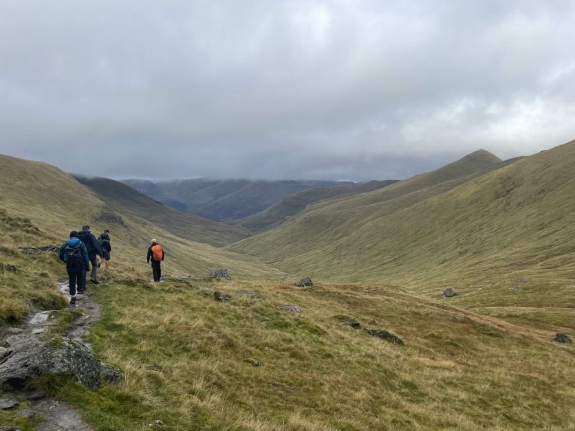
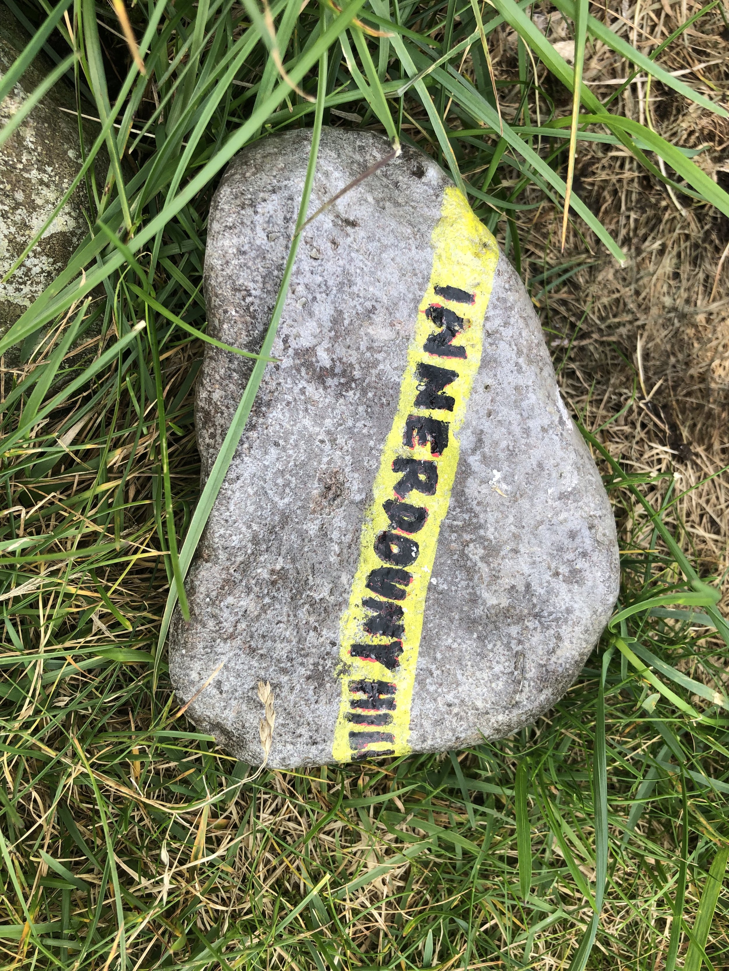
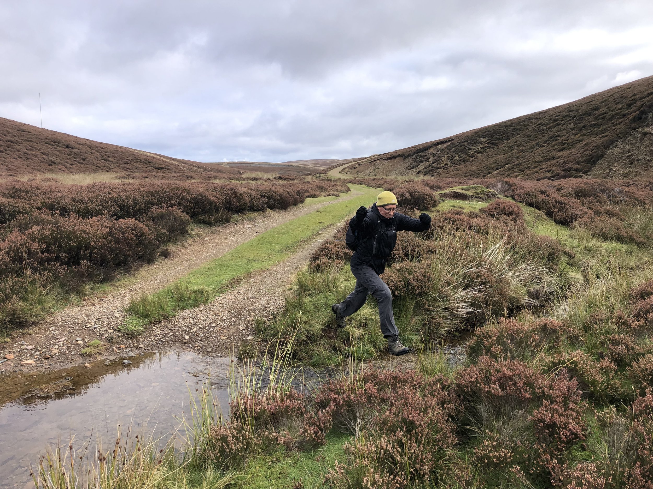
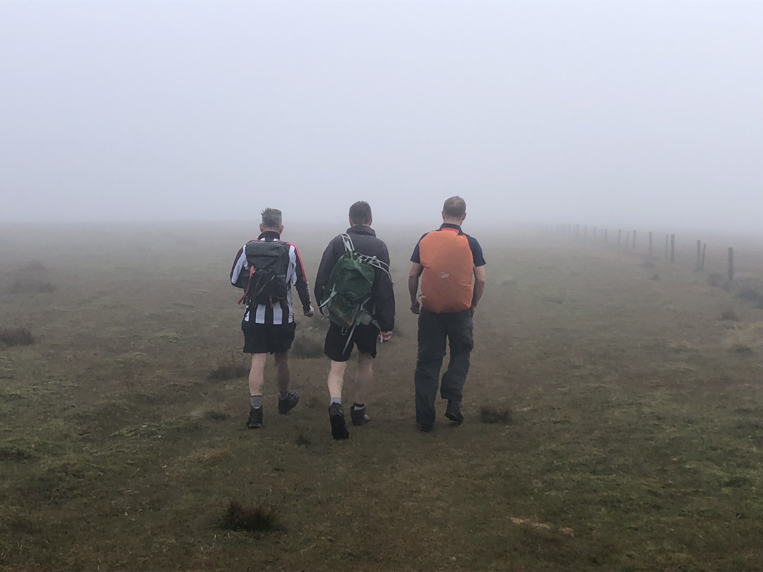
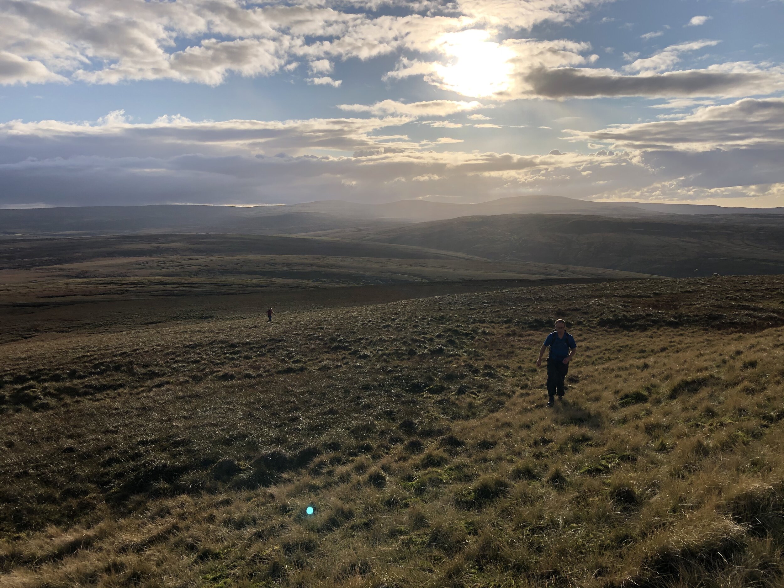
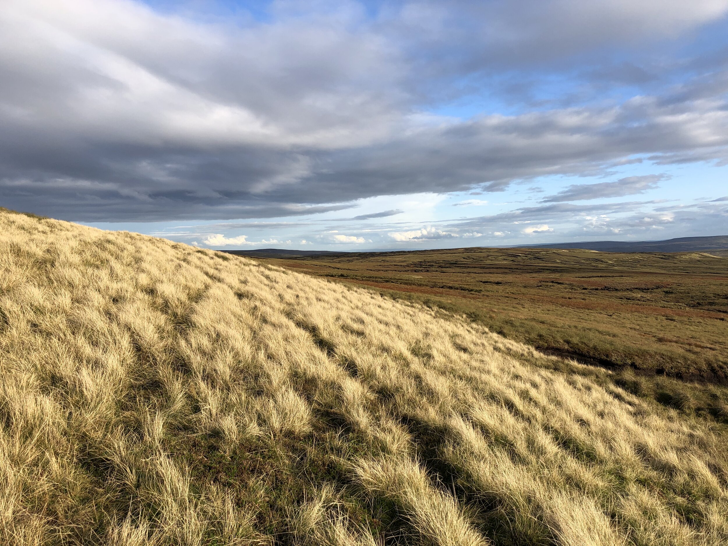
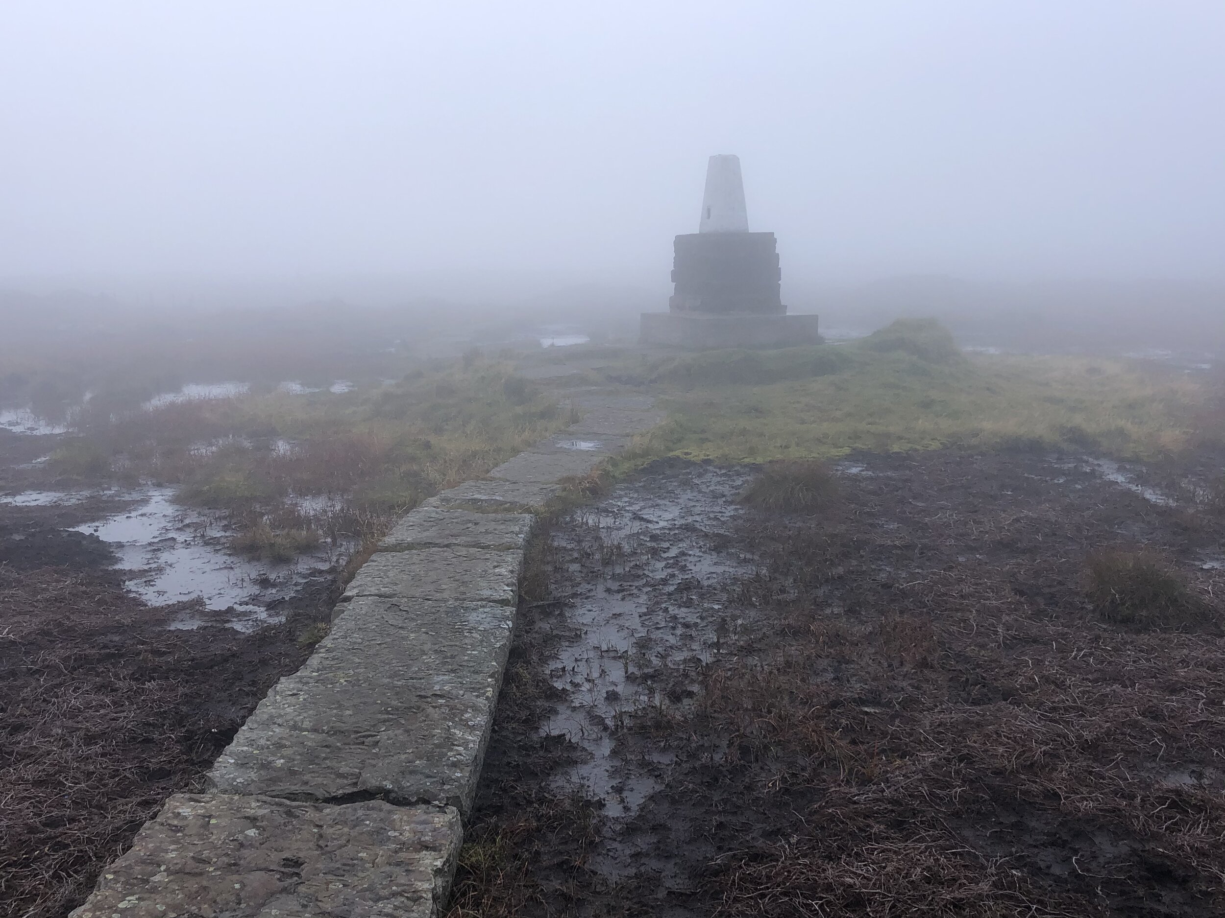
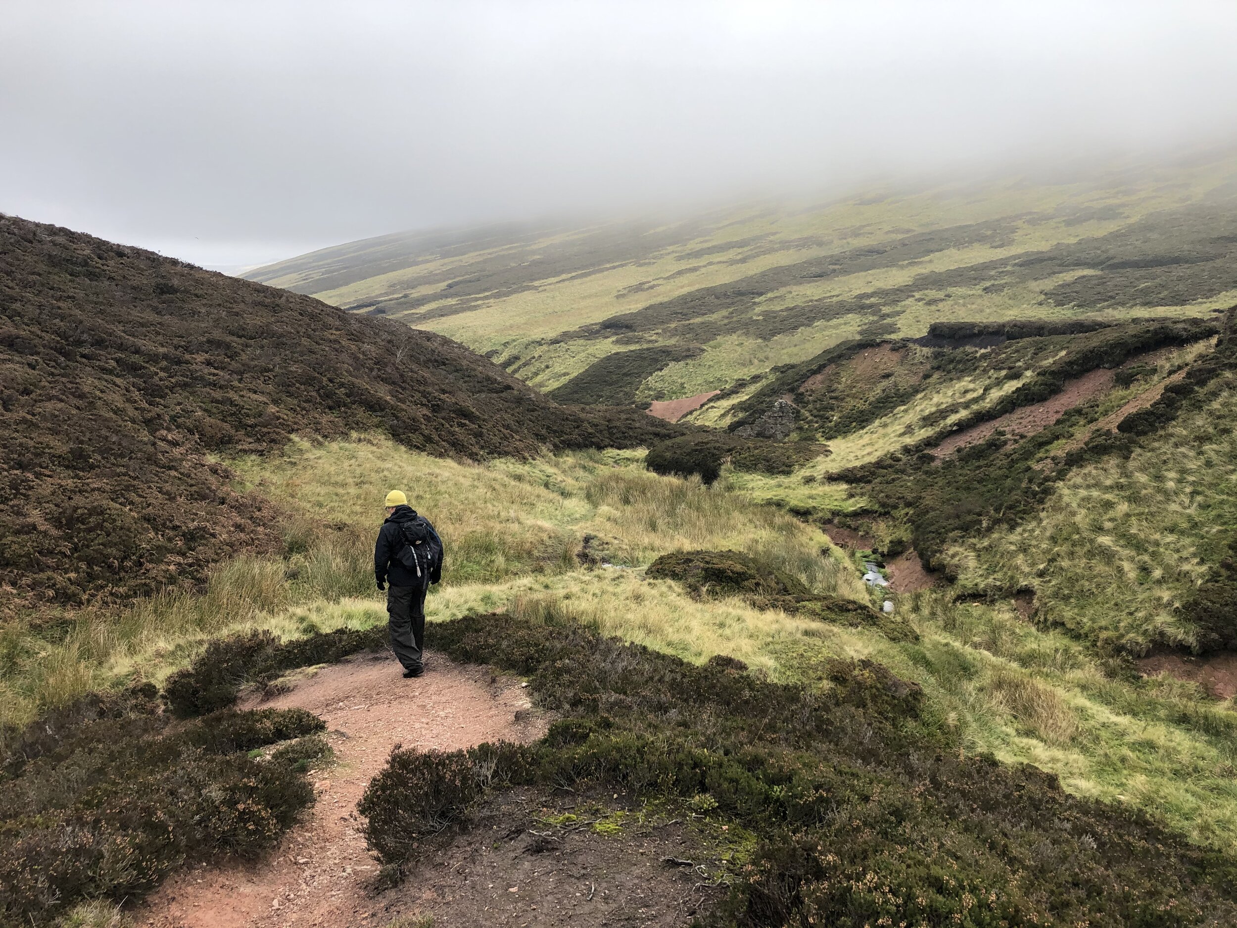
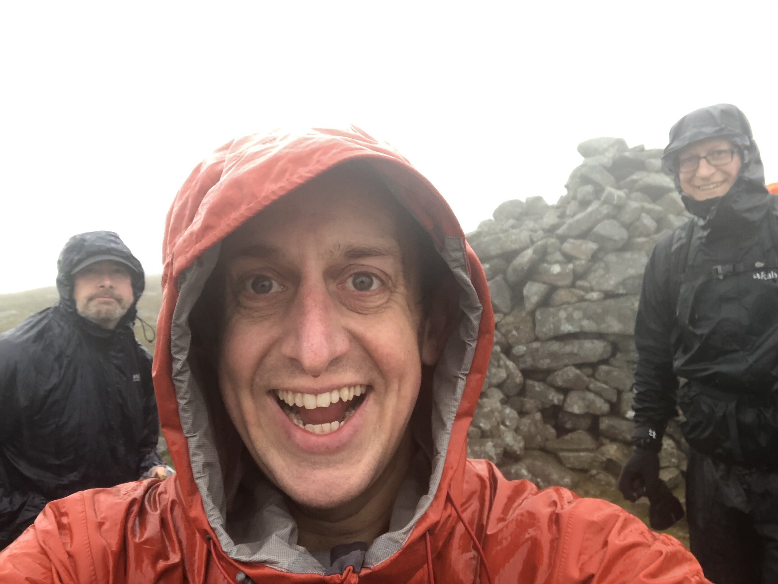
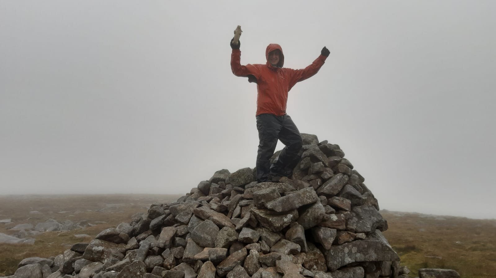
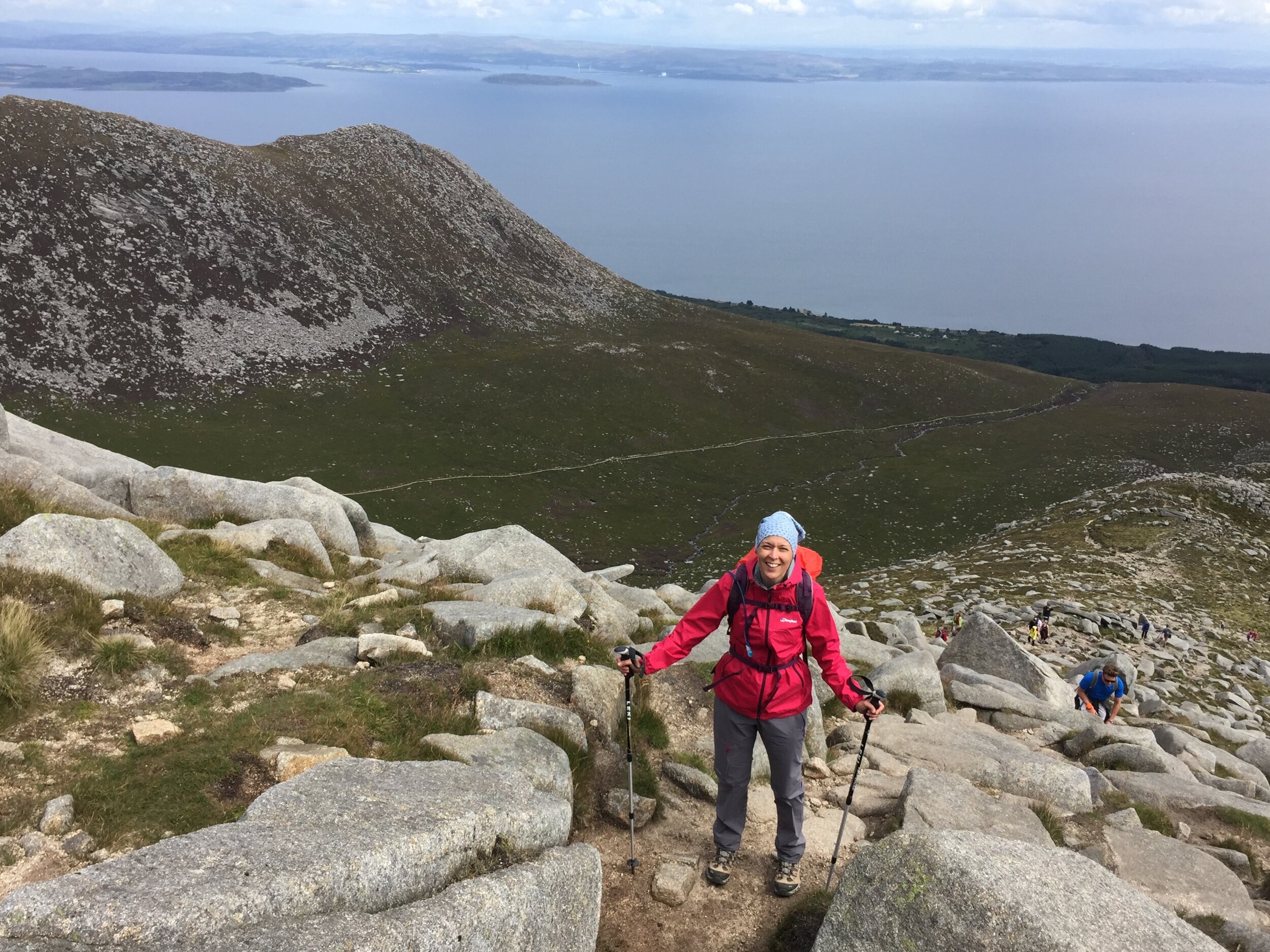
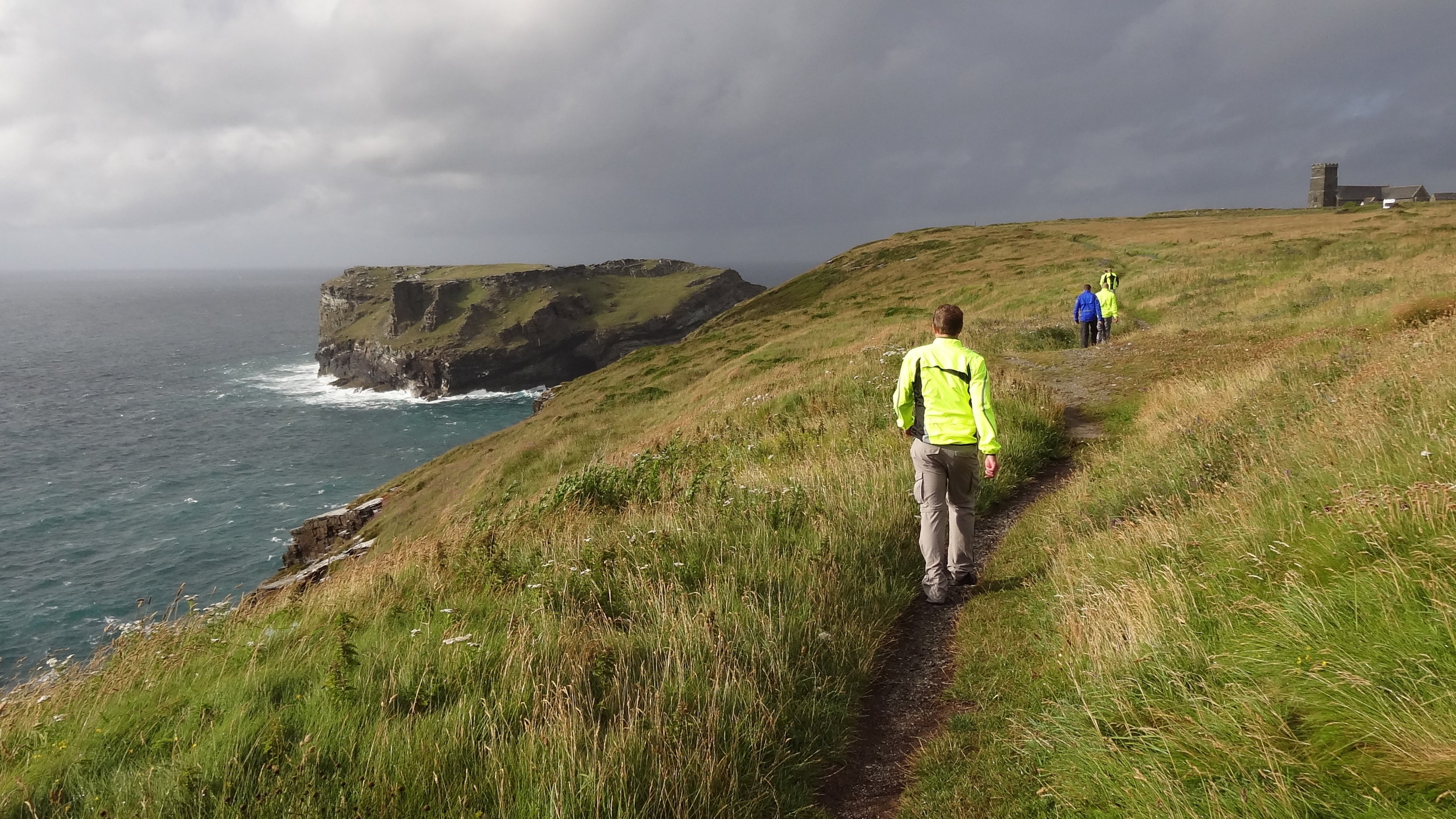
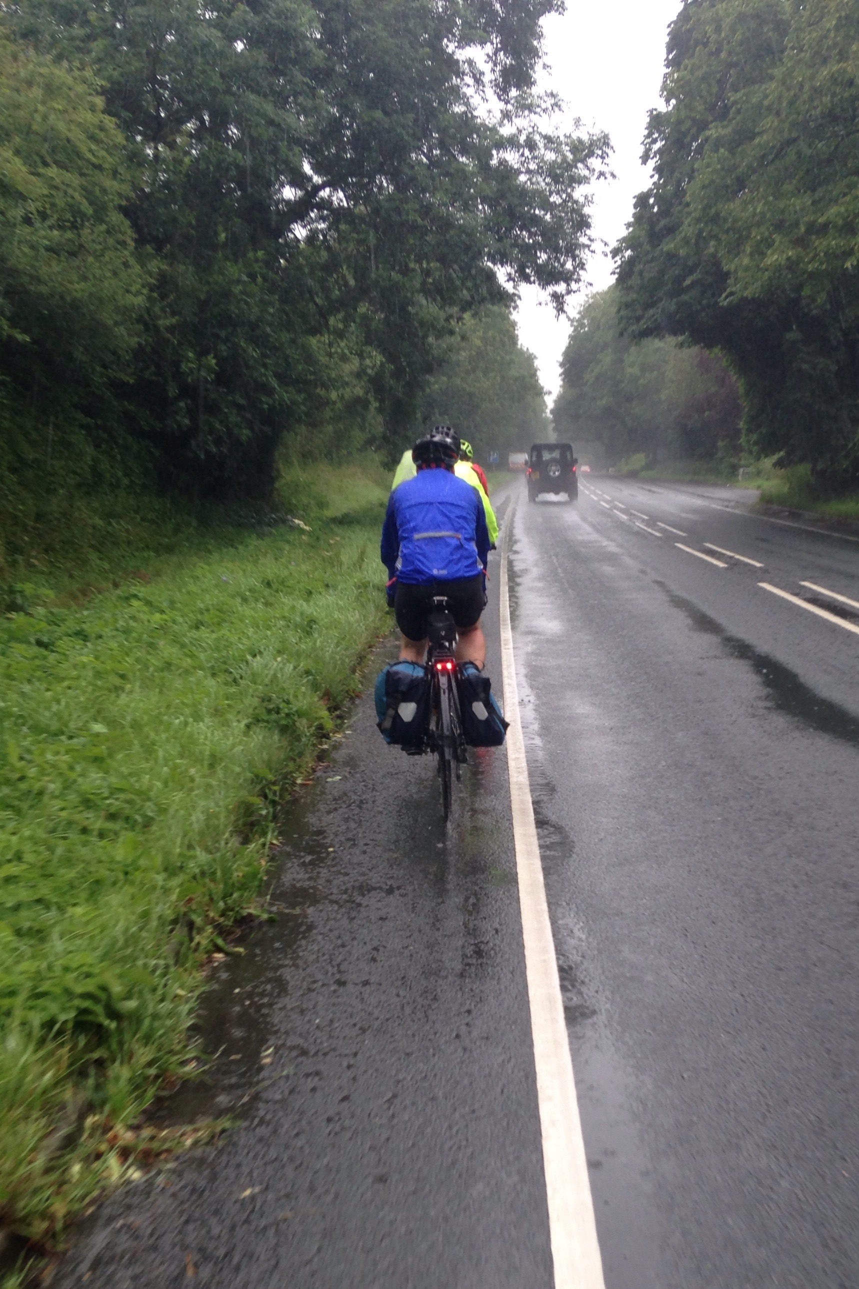
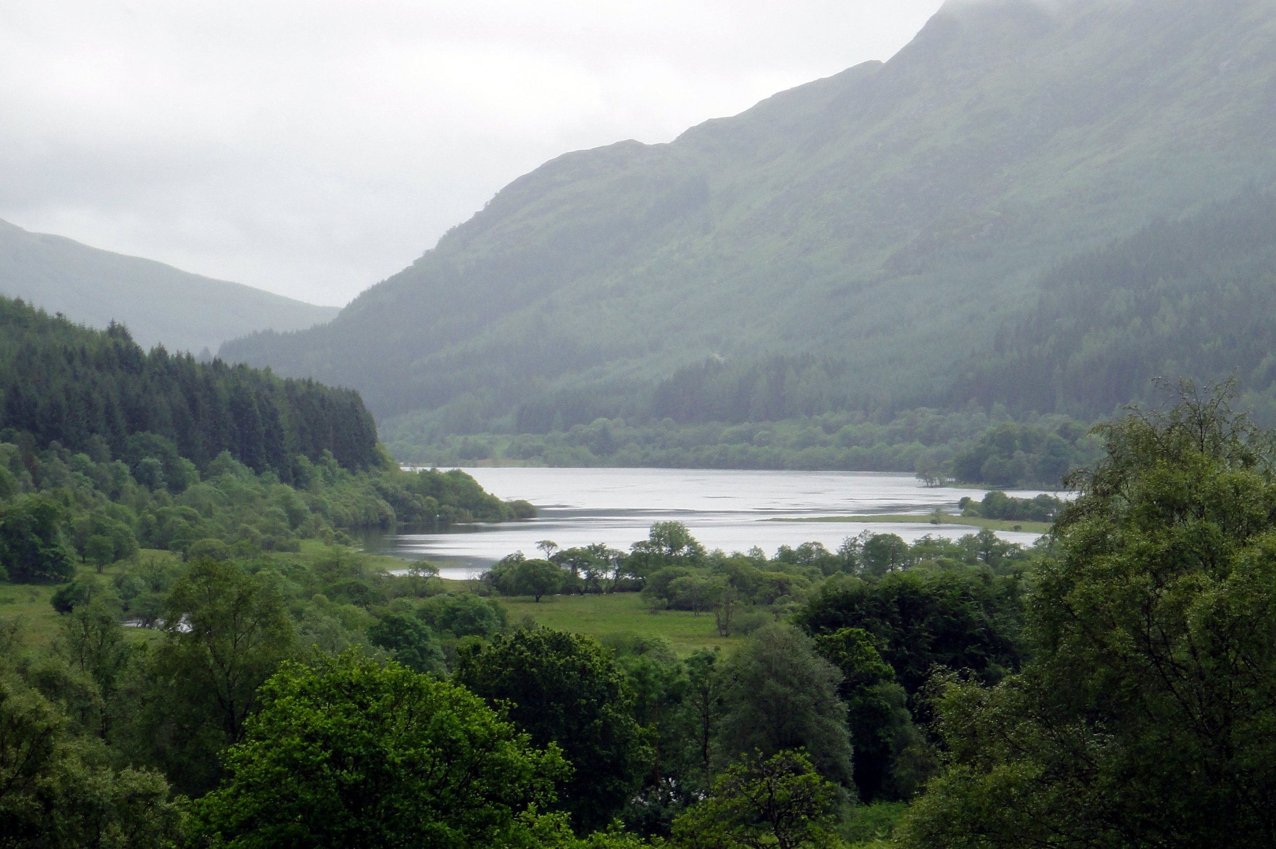
Navigating the bog near a misty Hill of Stake
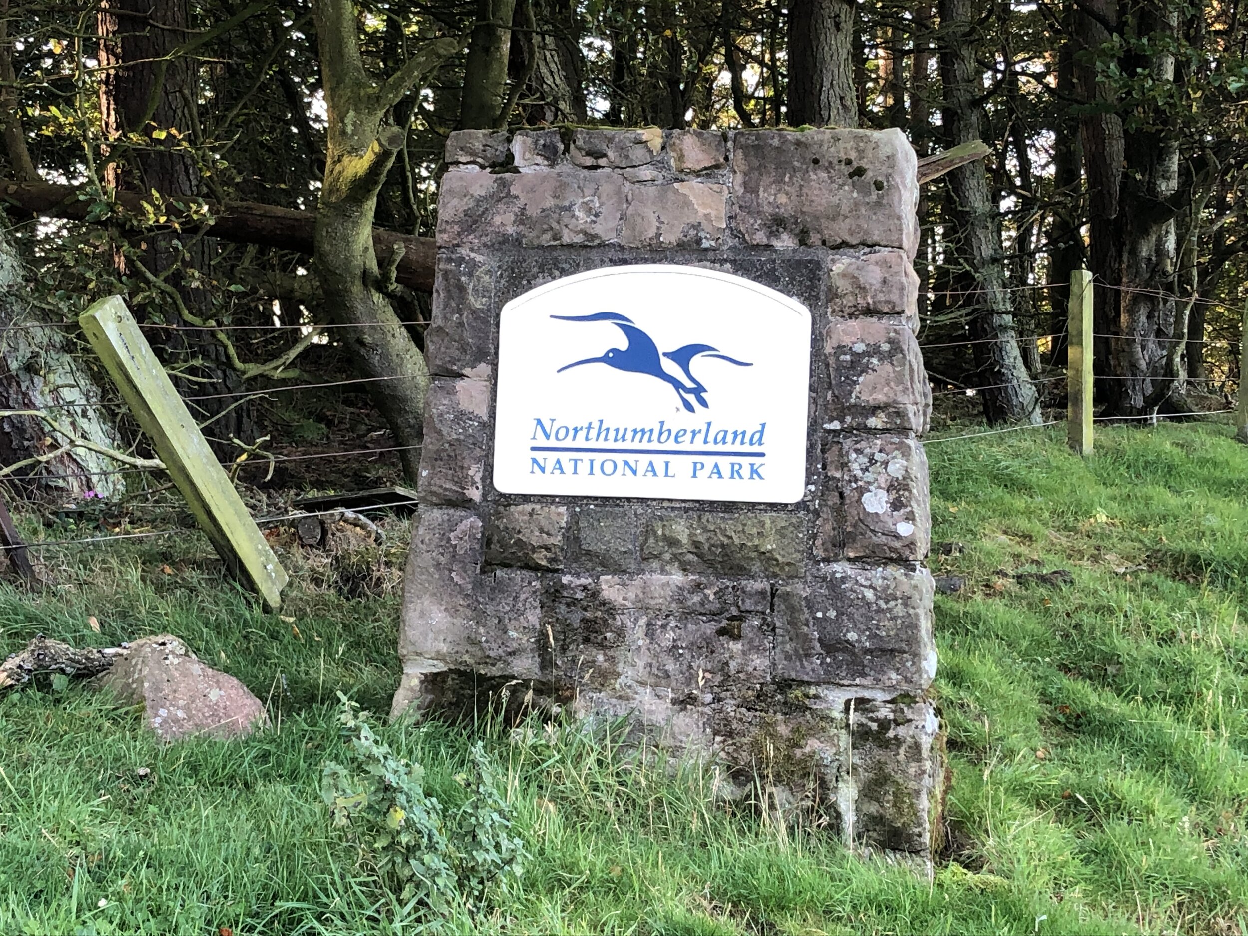
Significance: High Point for the Historic County of Renfrewshire, High Point of Muirshiel Regional Park
Member of: Marilyn
Parent Peak: TBC. NHN = Cruach nan Capull
Elevation: 522m
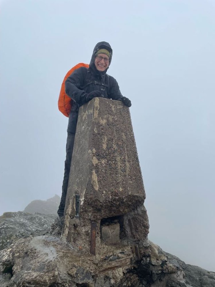
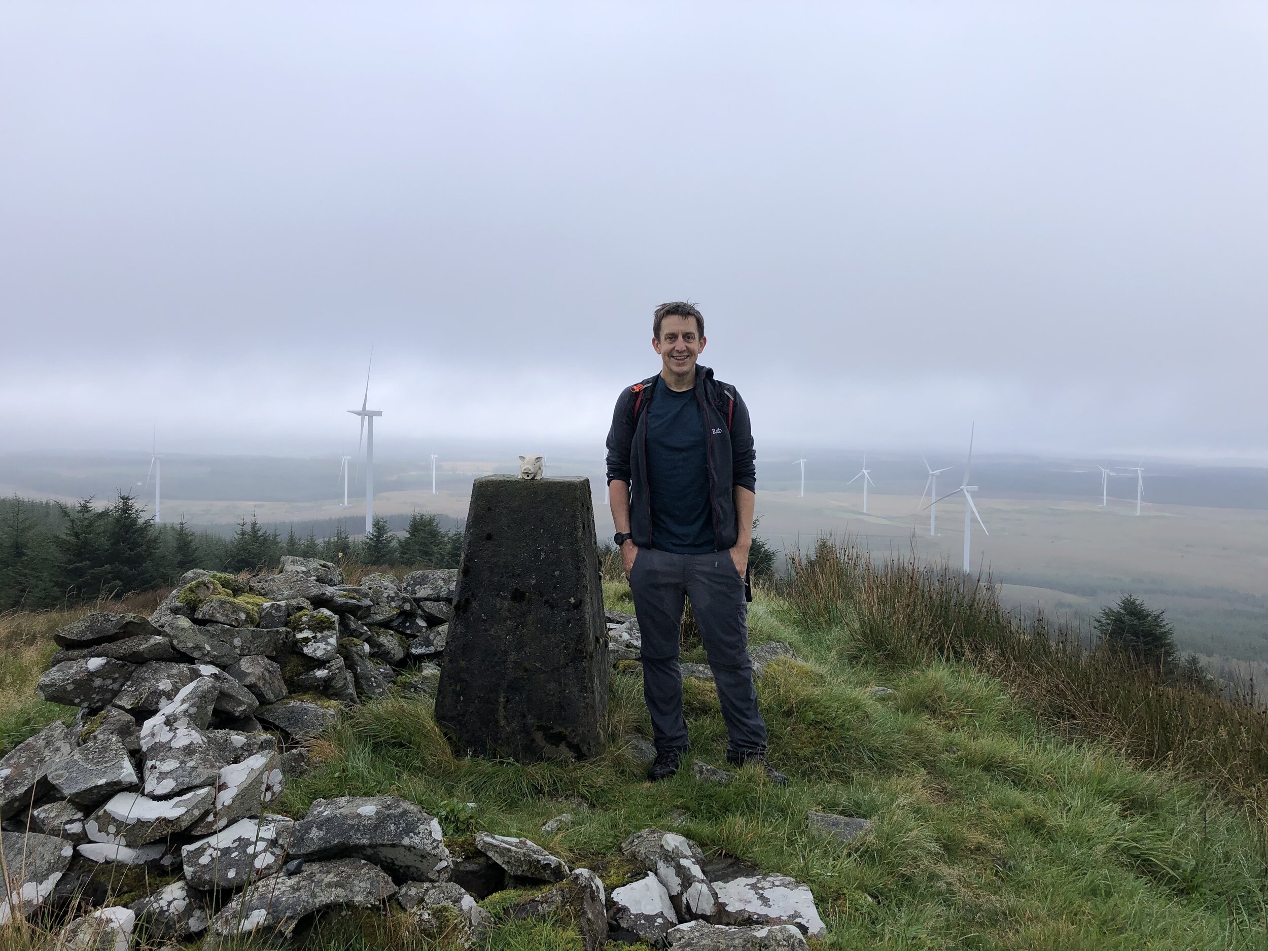
Date climbed: September 24th 2023
Coordinates: 55° 49' 45'' N, 4° 45' 28'' W
Route Start & Finish: Muirshiel Visitor Centre, Calder Glen Road, Lochwinnoch, PA12 4LB
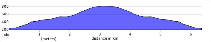
Route Distance: 12.8 km (8 mile)
Route Elevation change: +/- 429m
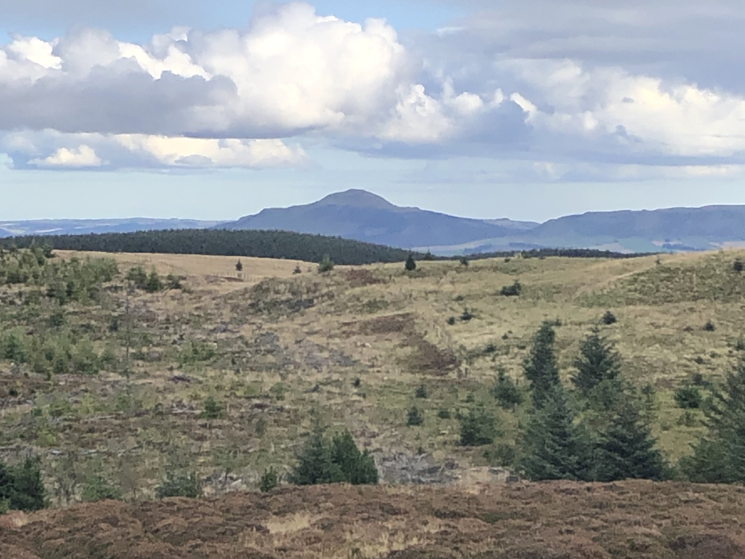
Subsidiary tops on route: Misty Law (510m)
GPX File: get via Buy Me a Coffee
Other routes touched (walk): None
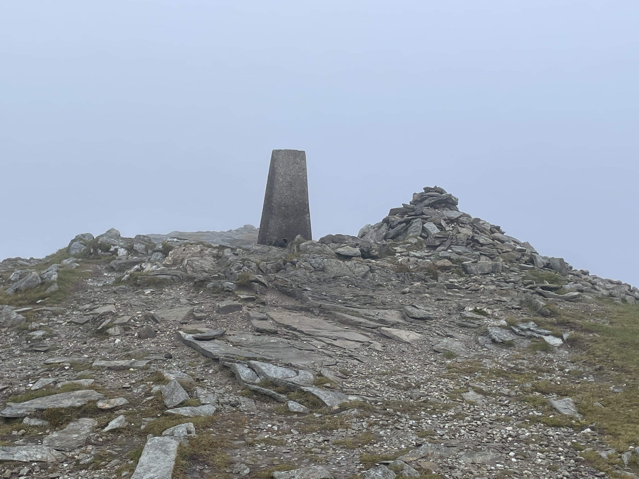
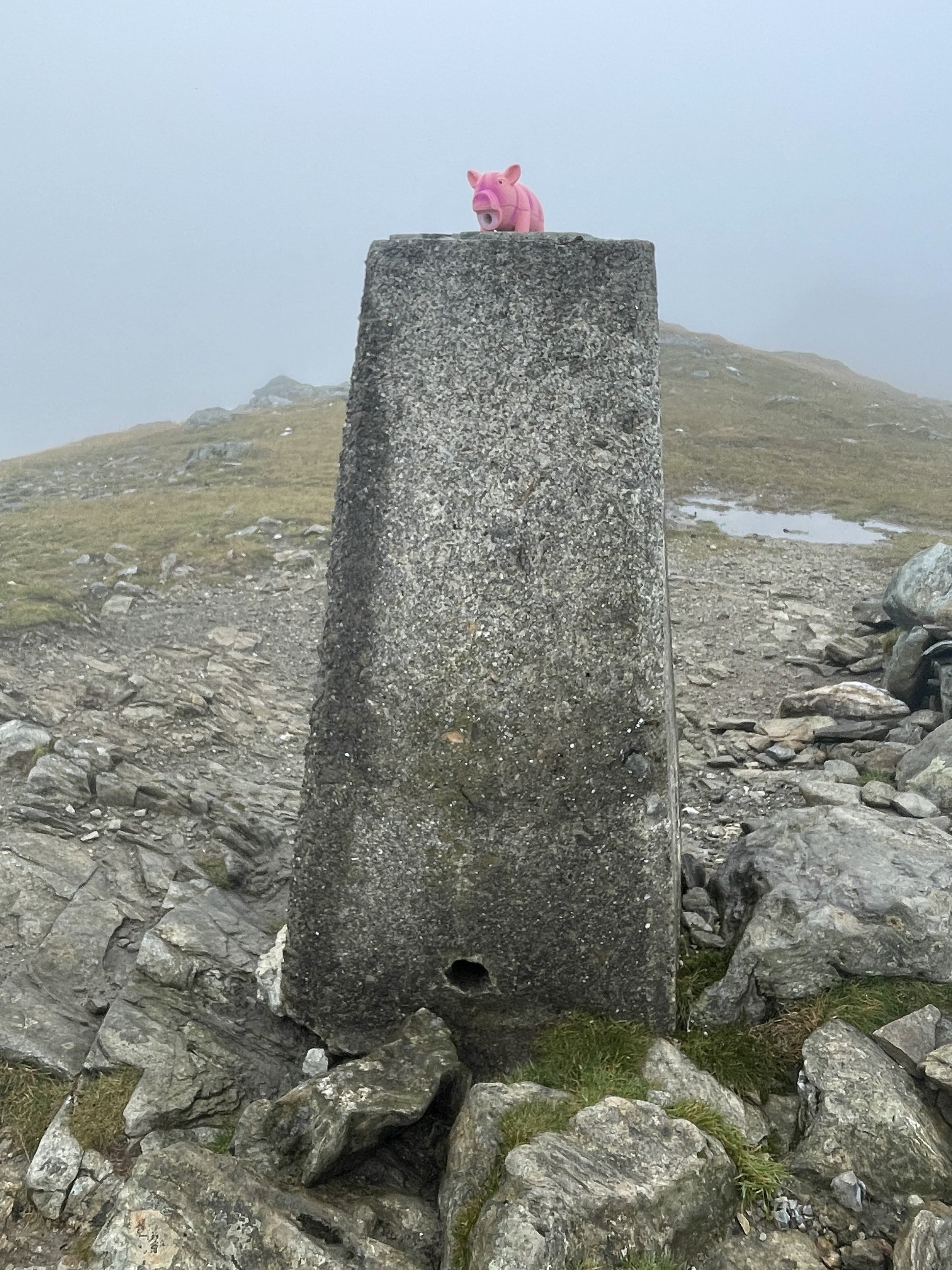
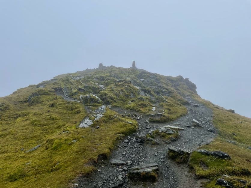
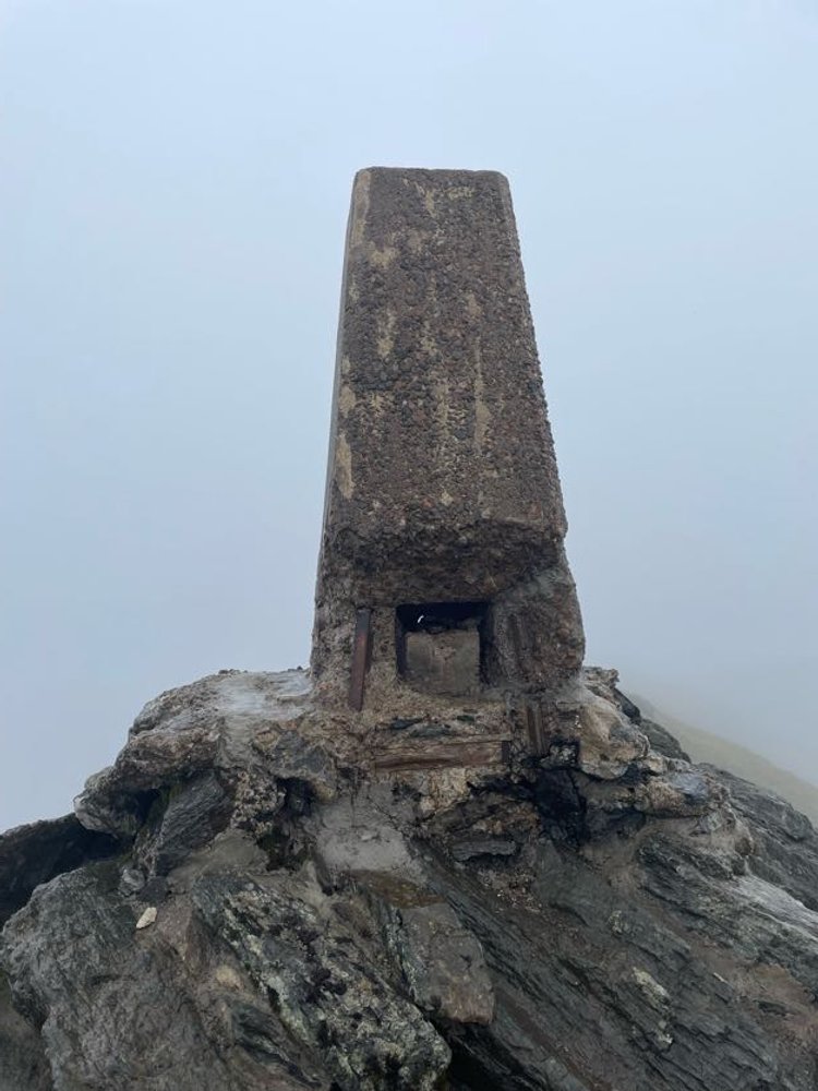
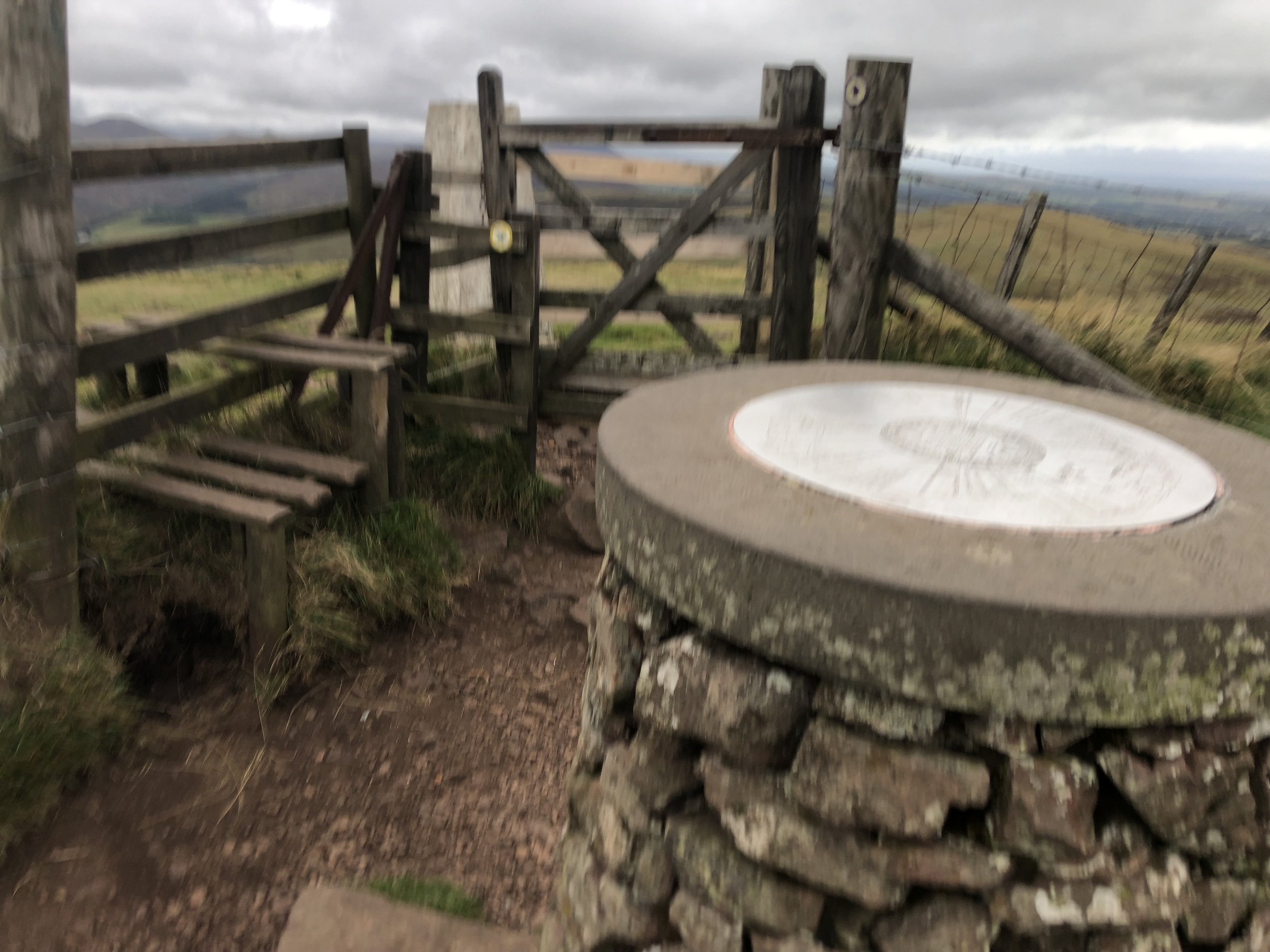
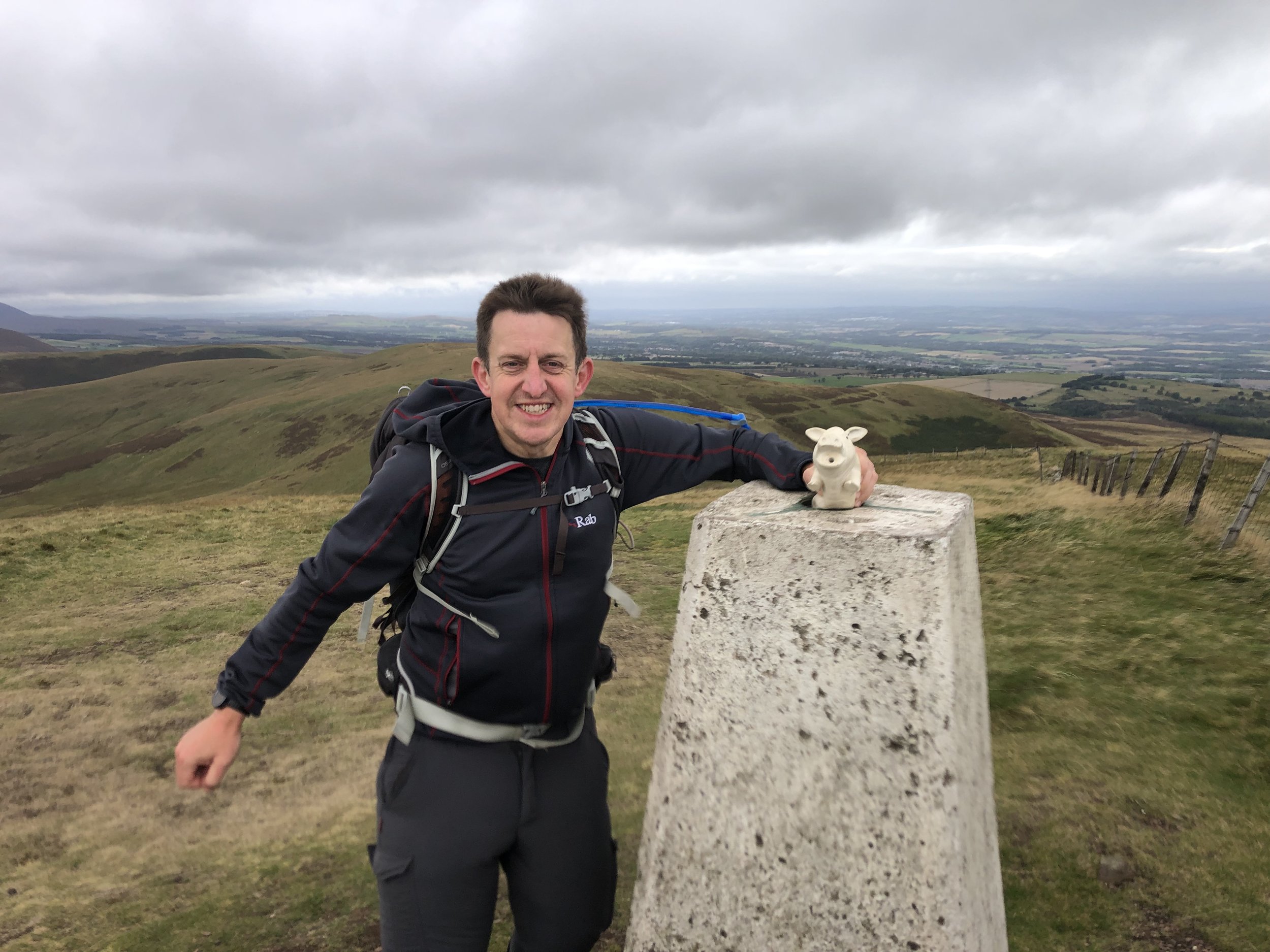
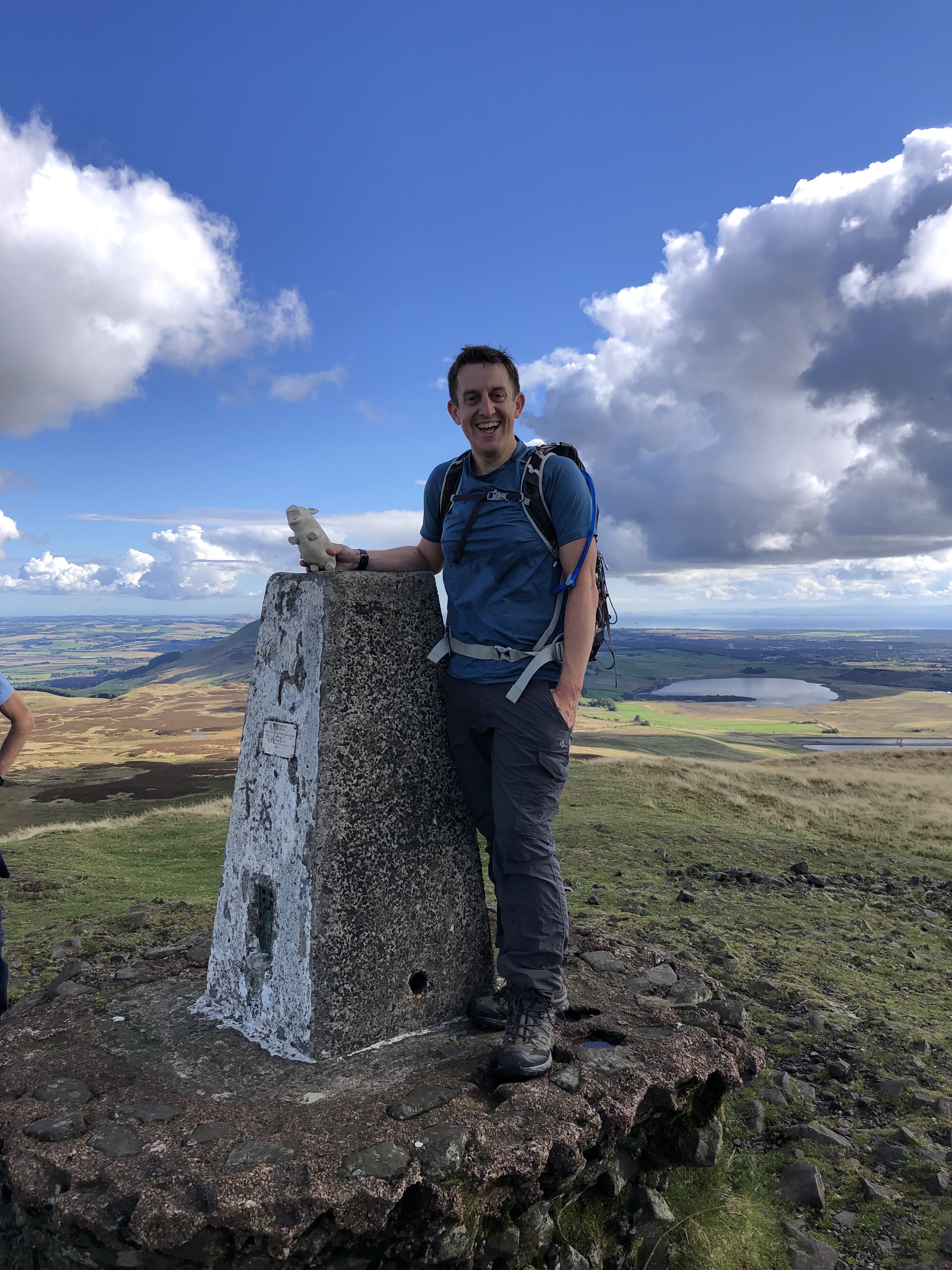
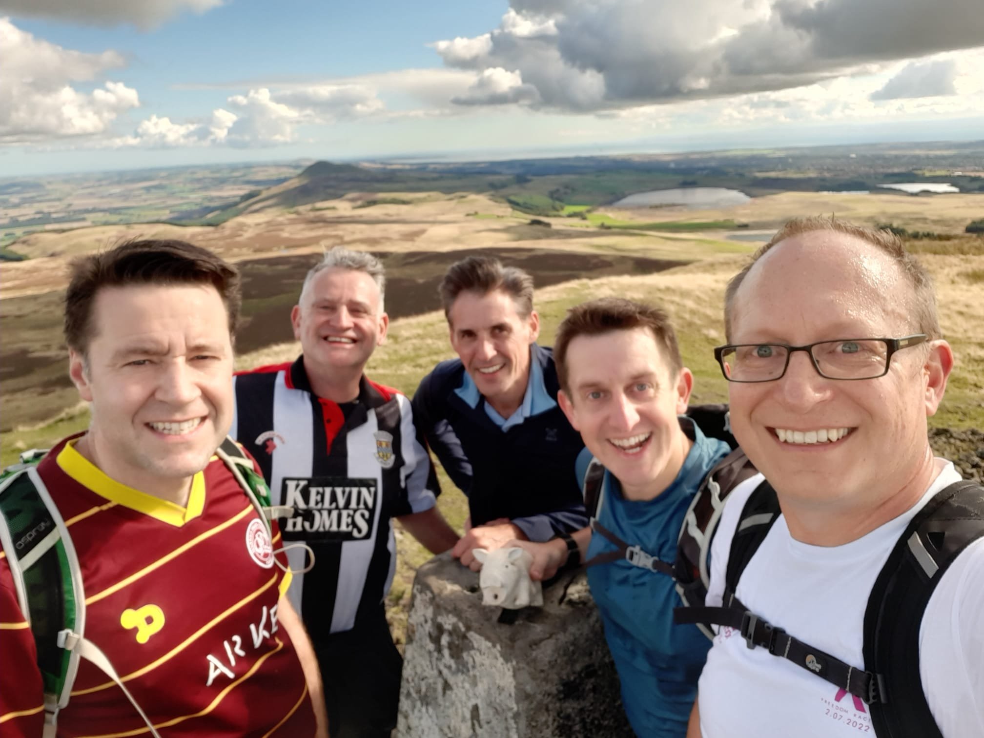
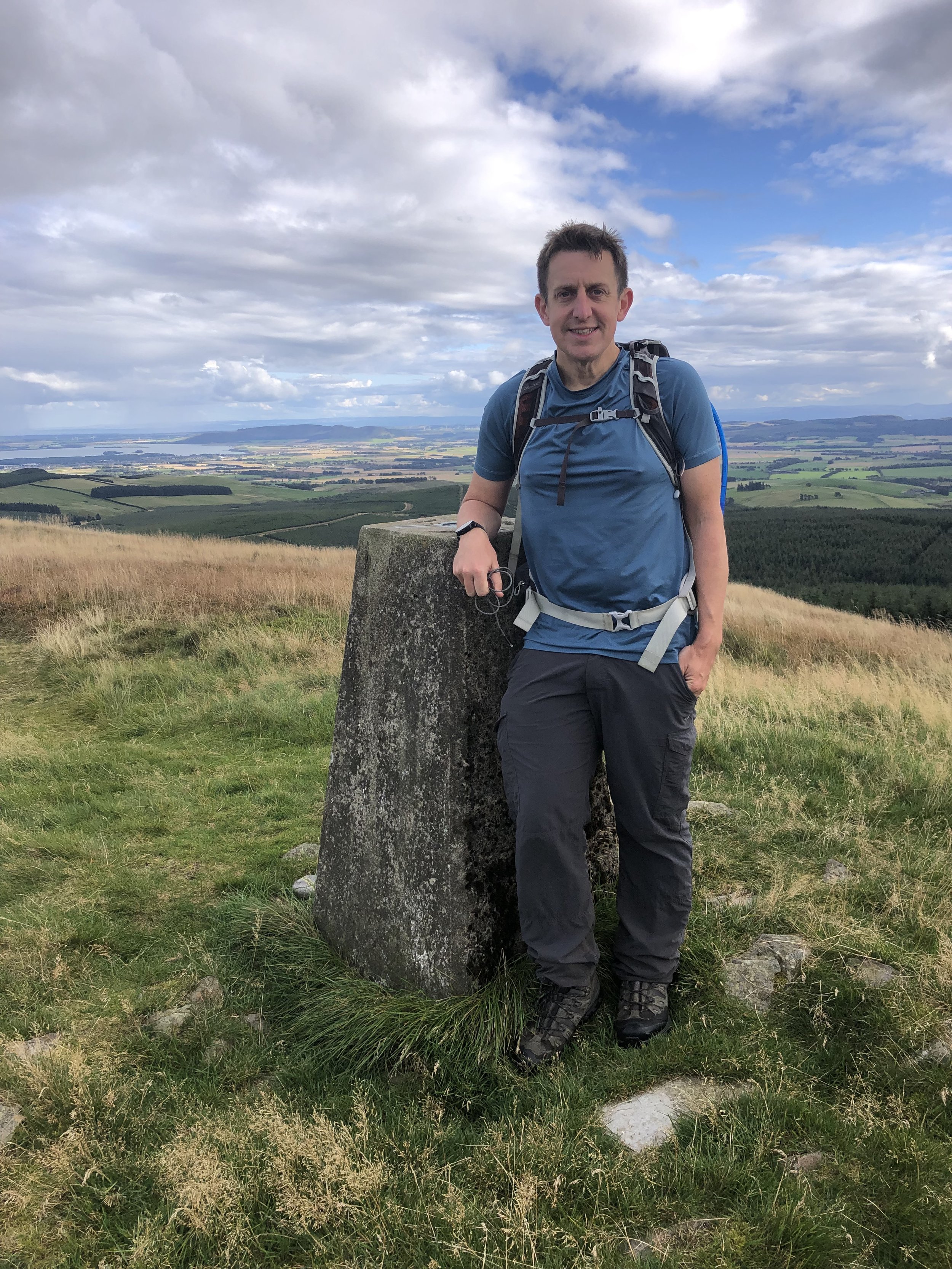
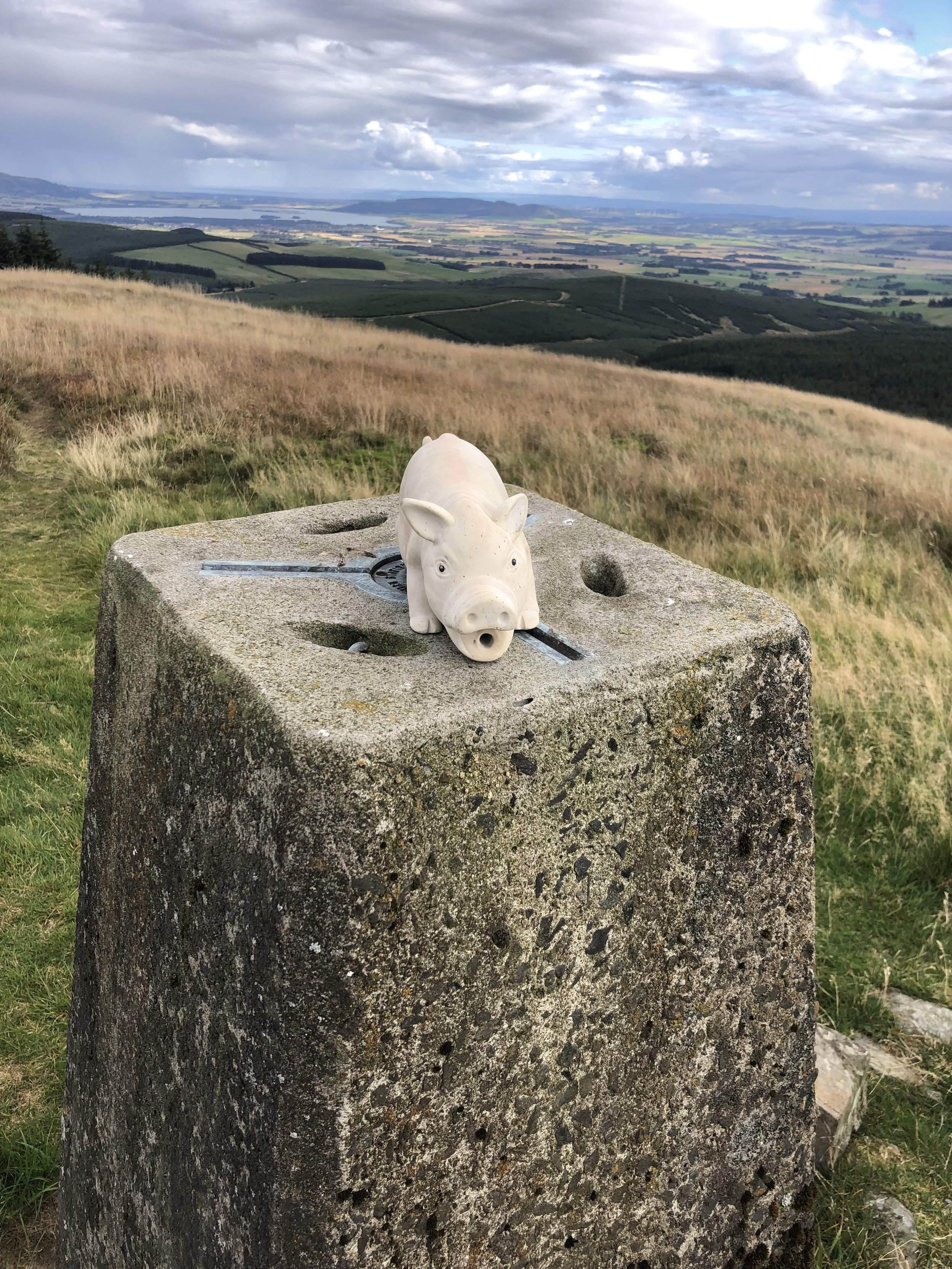
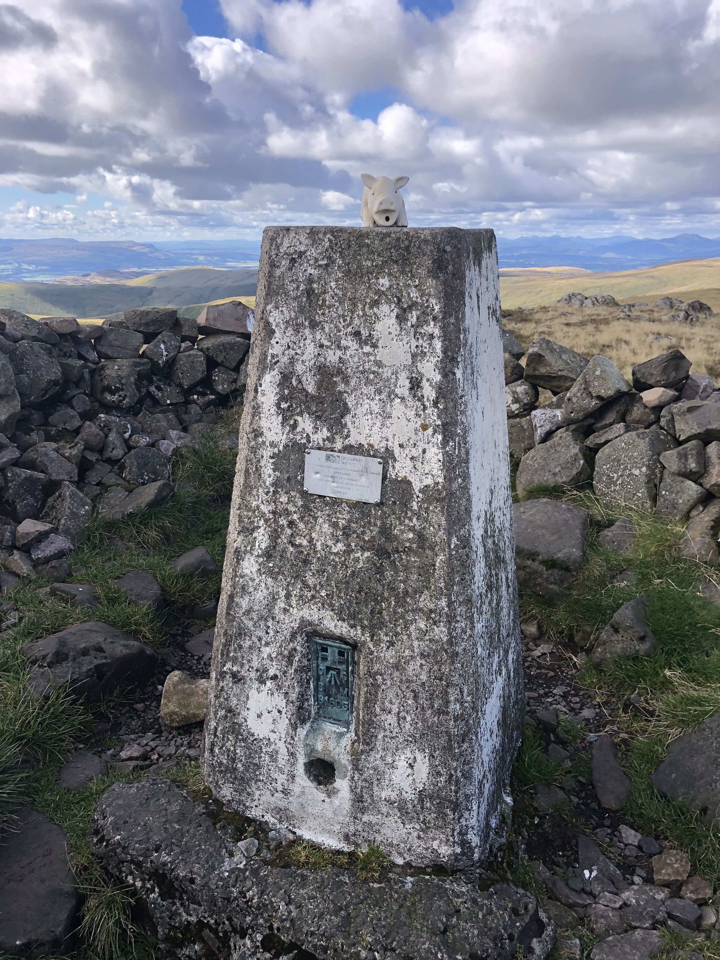
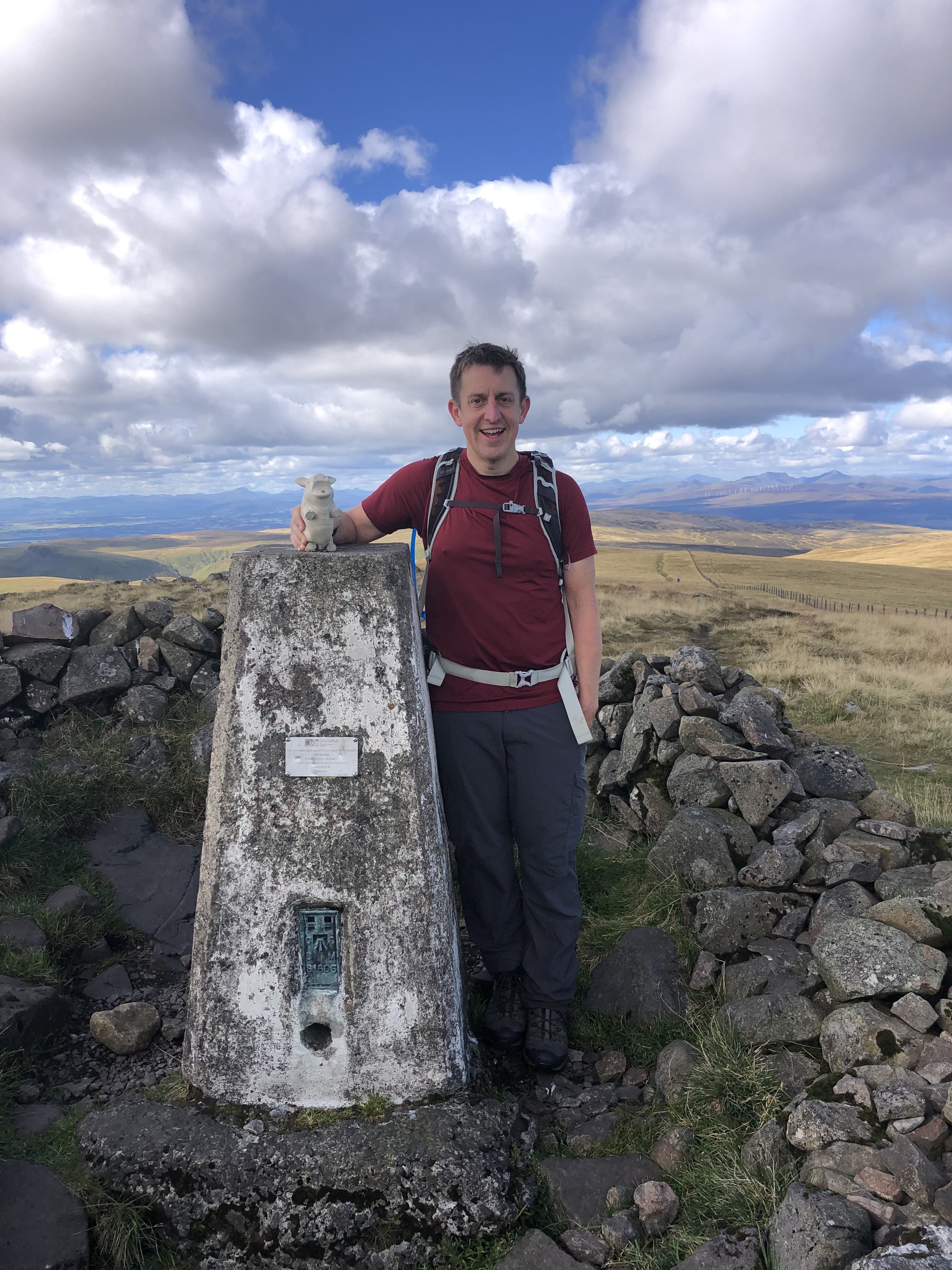
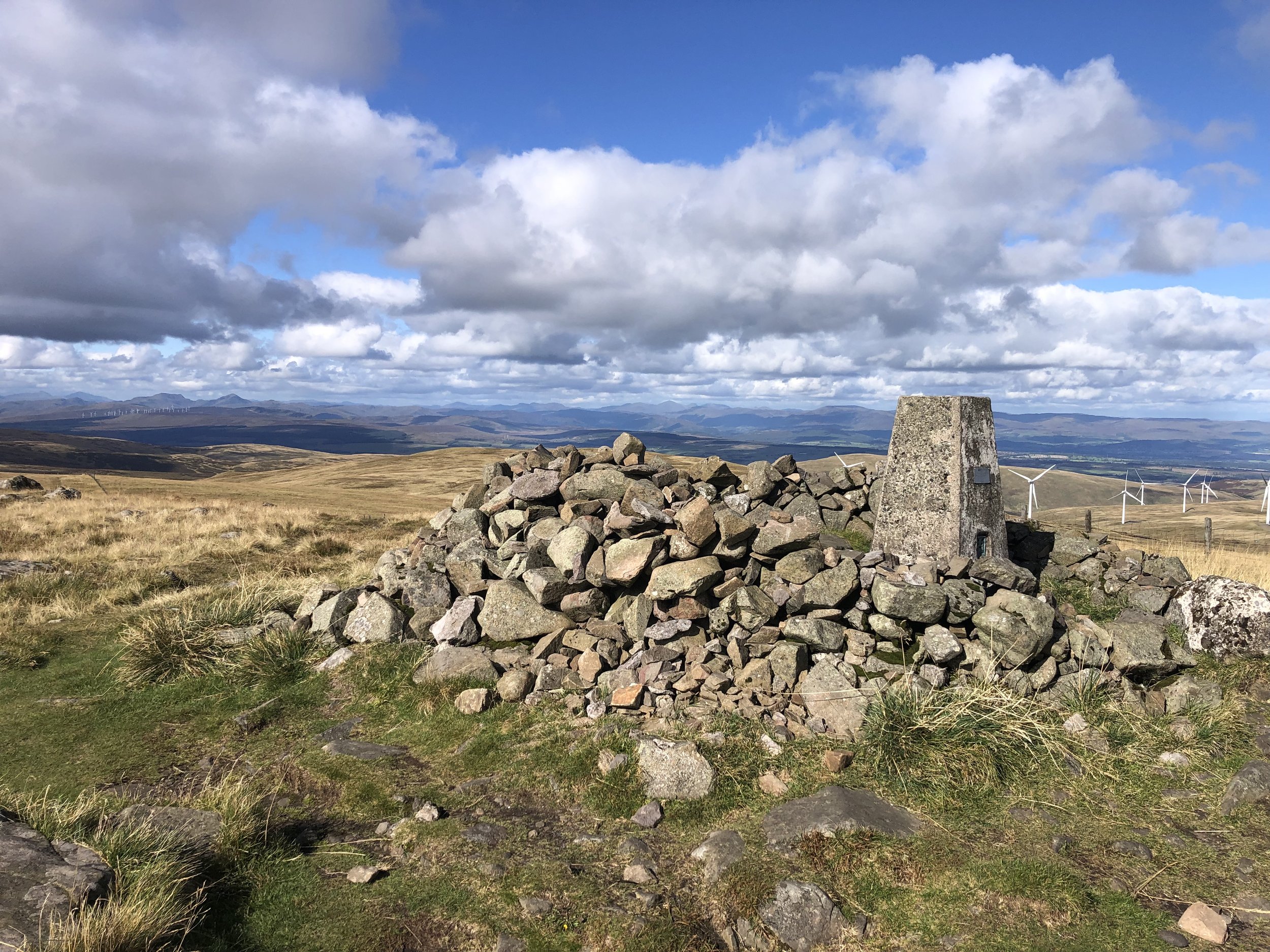
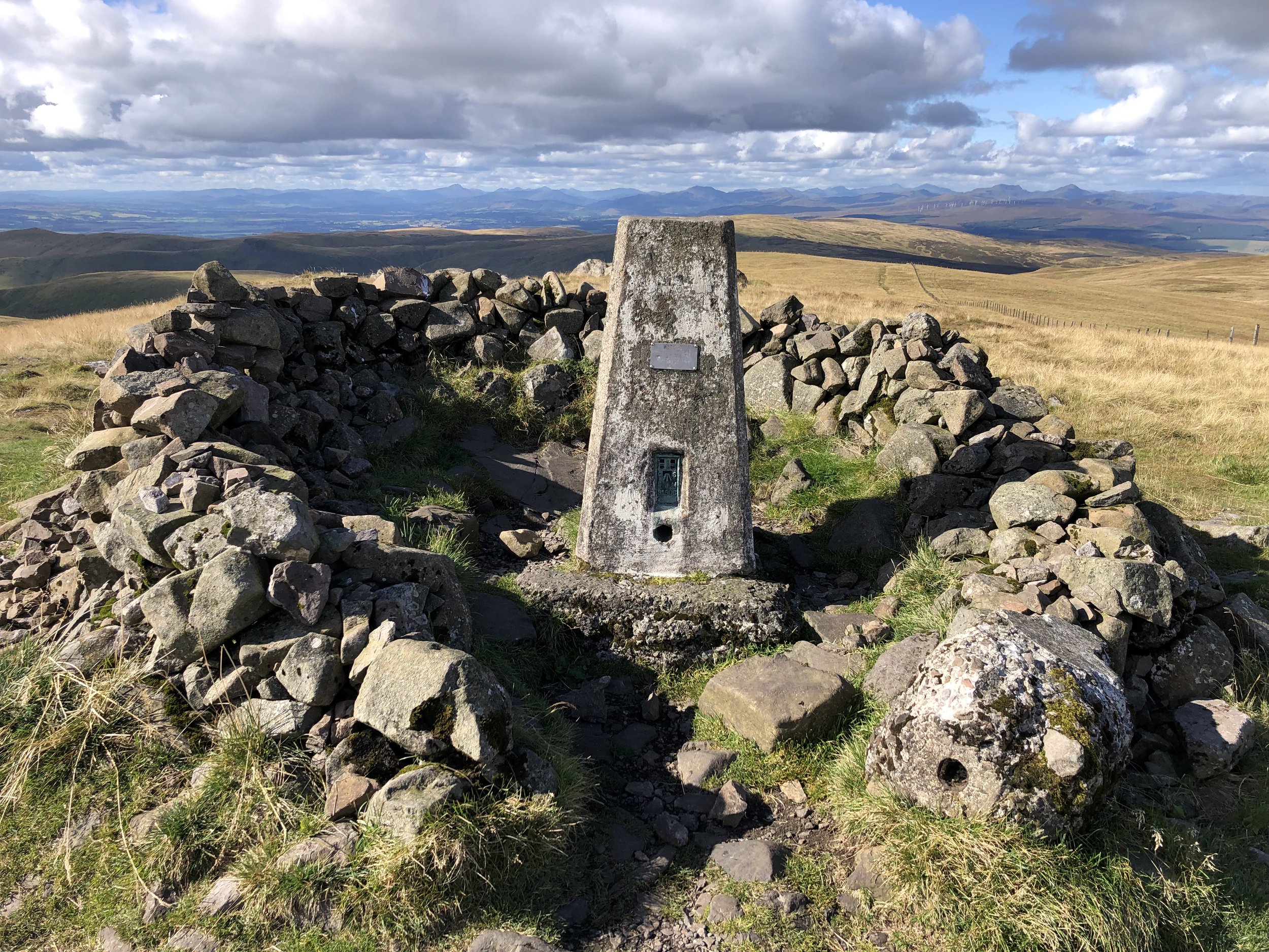
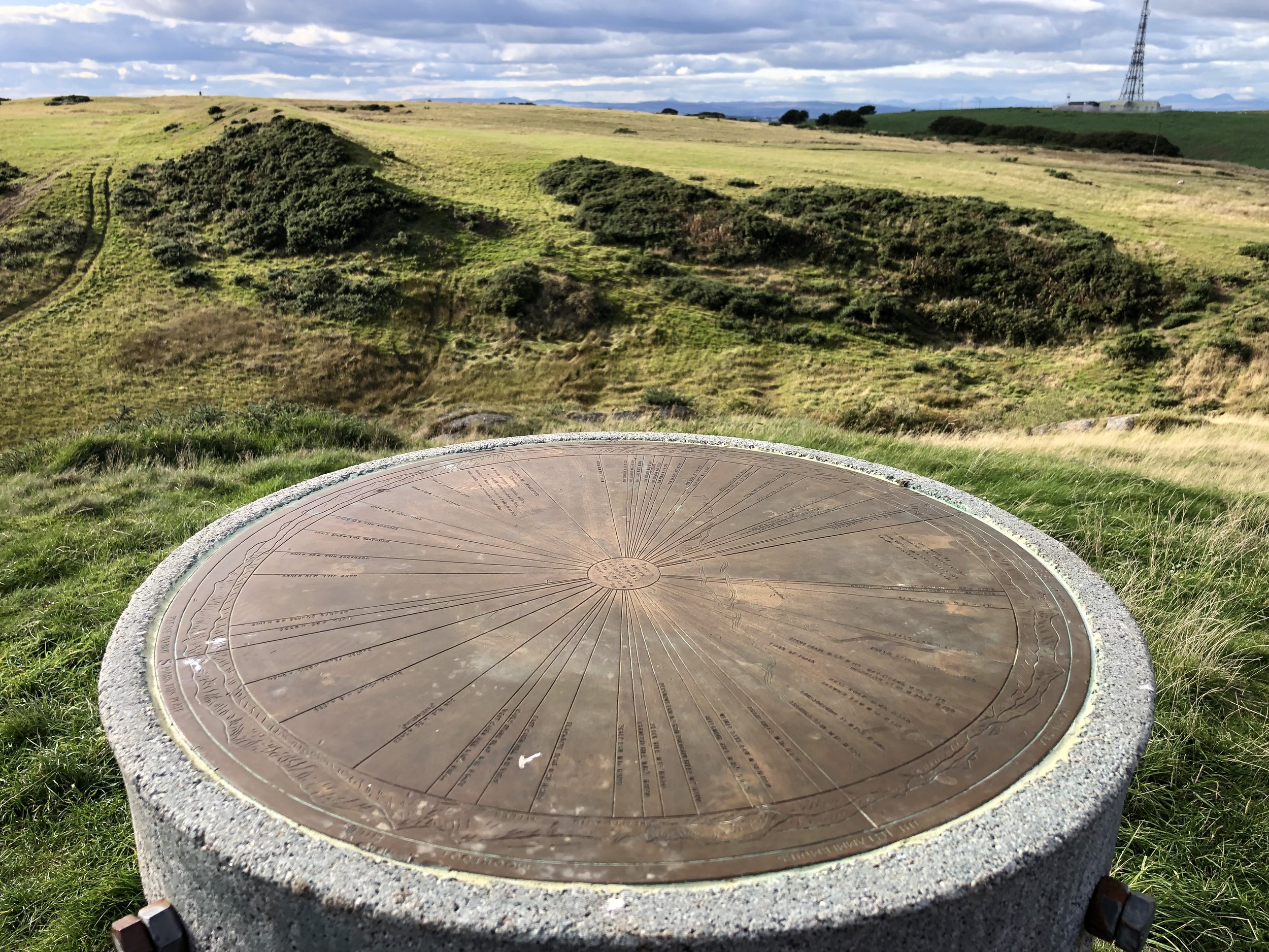
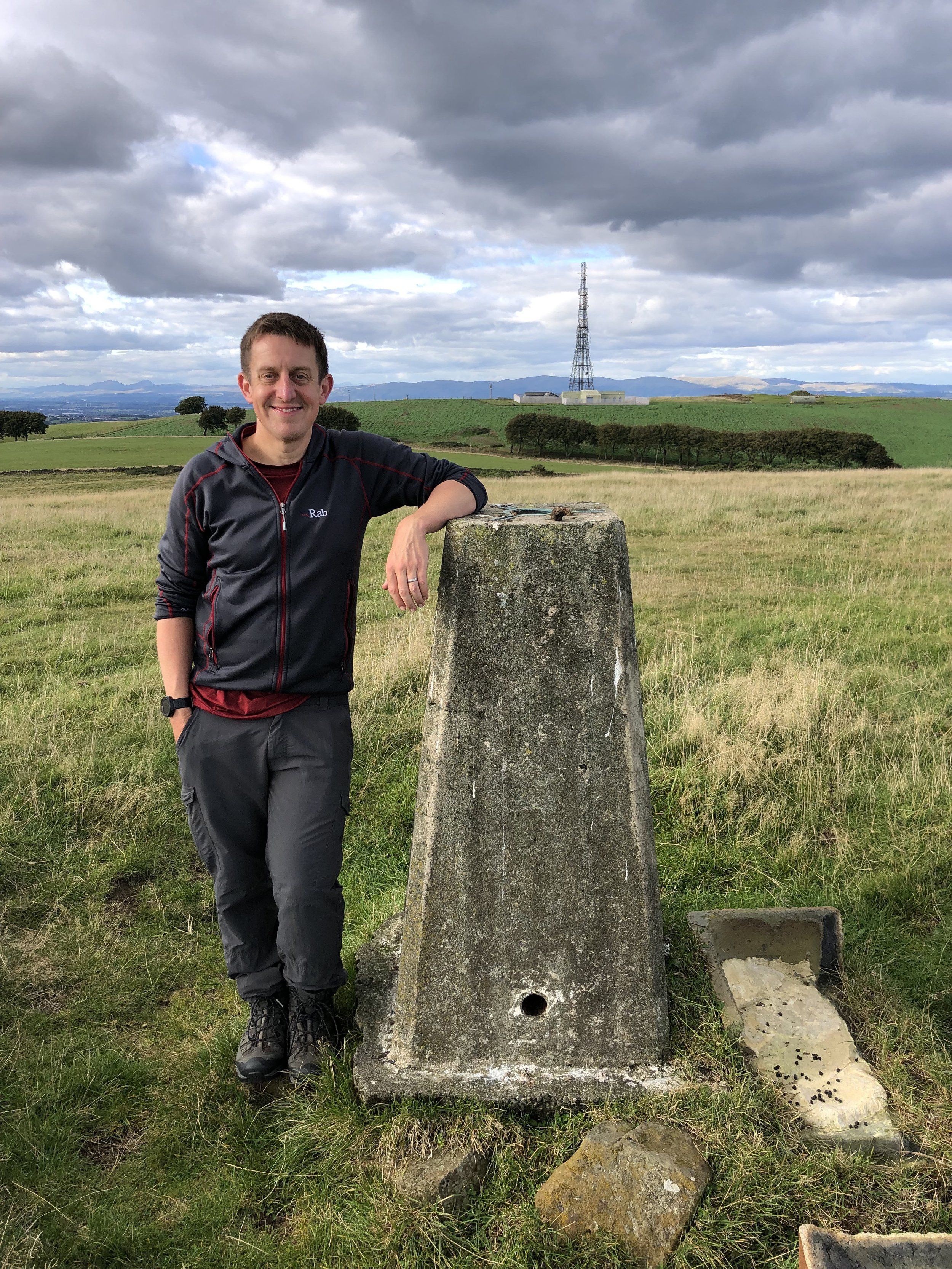
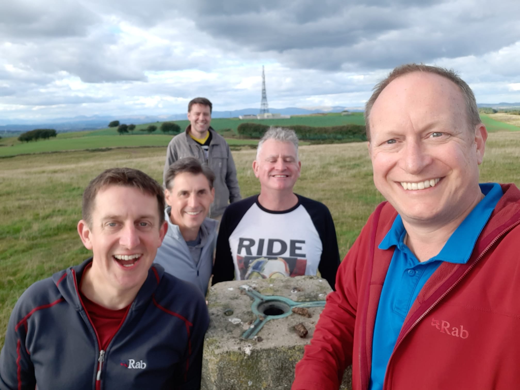
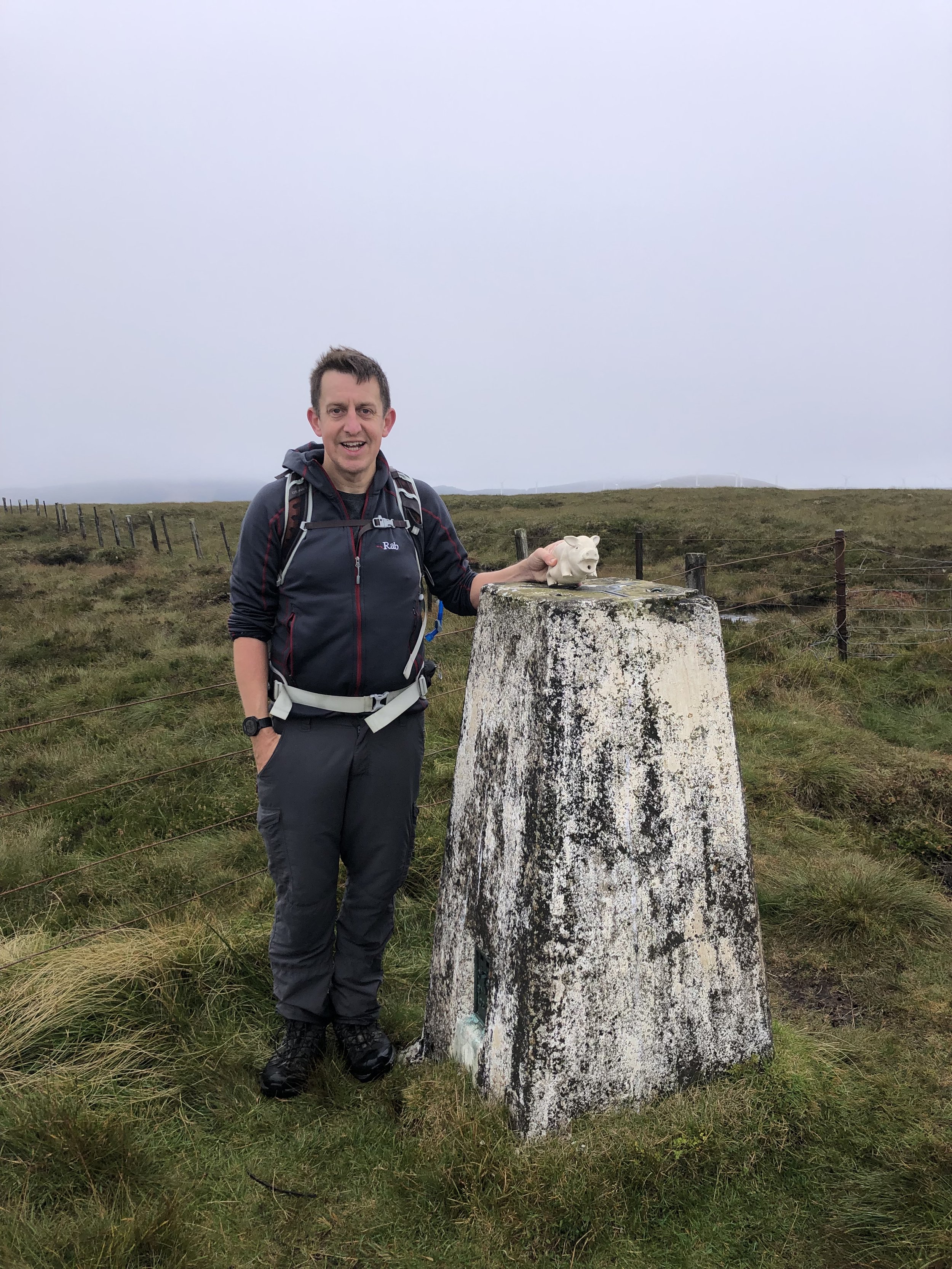
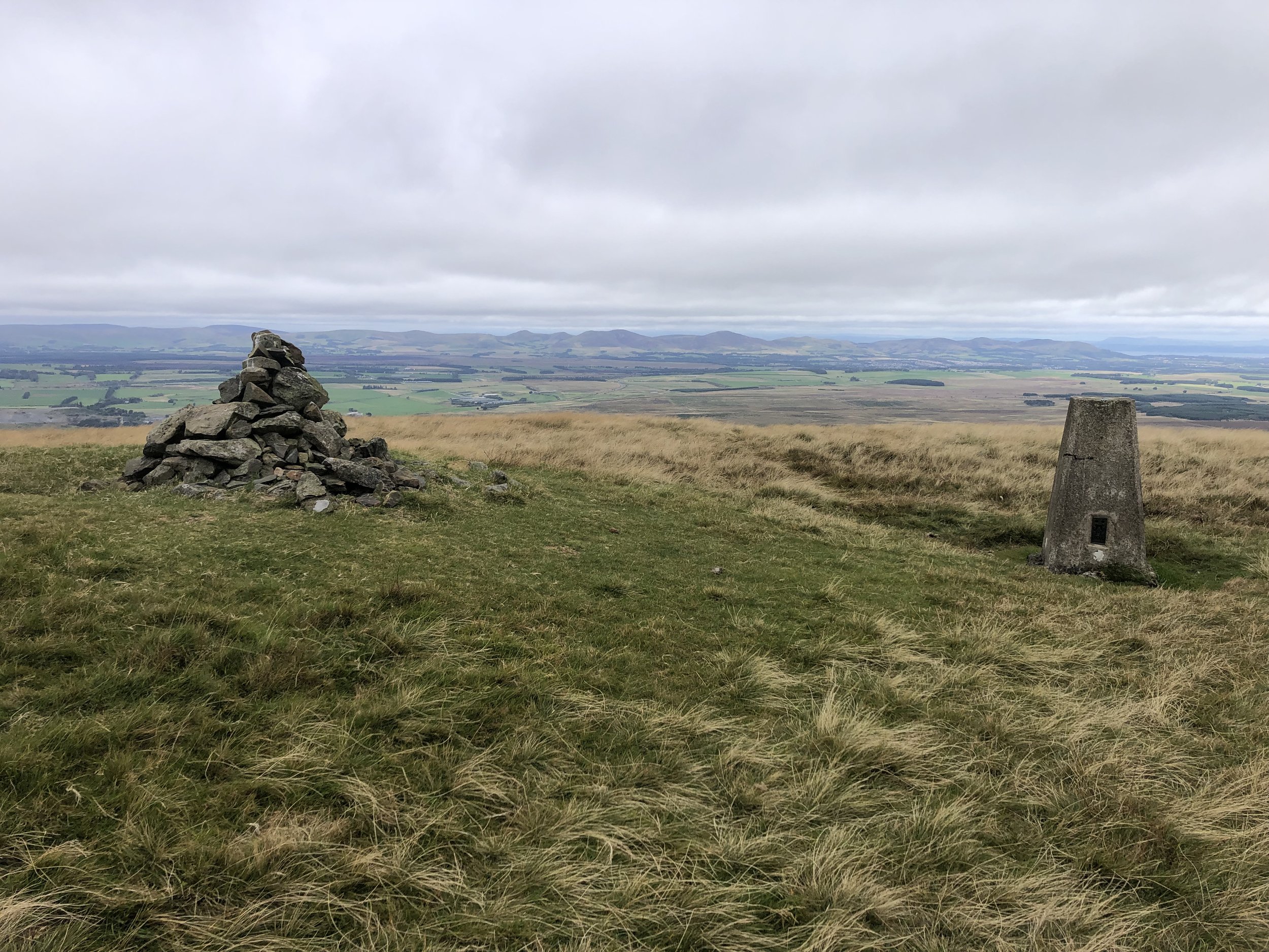
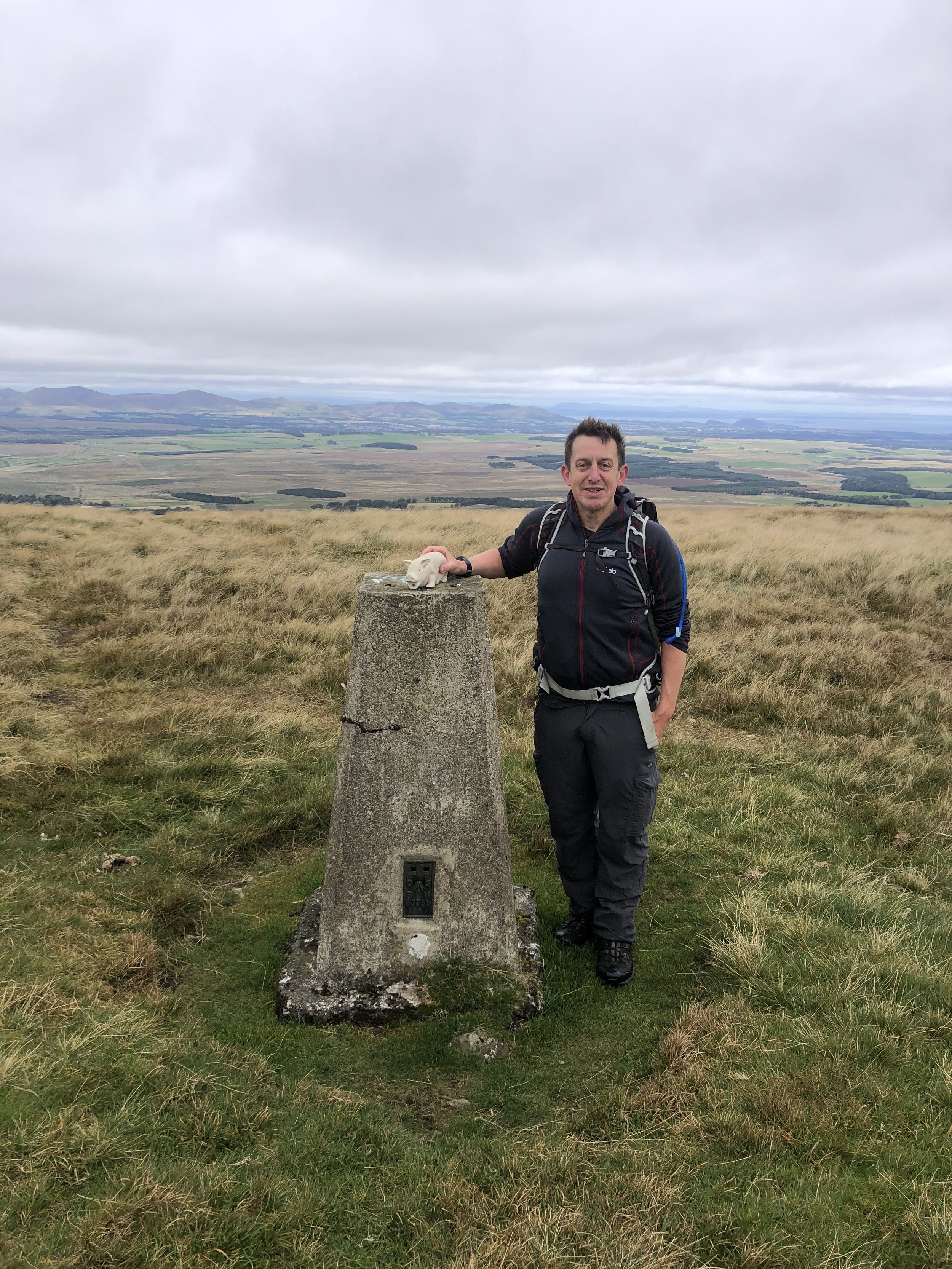
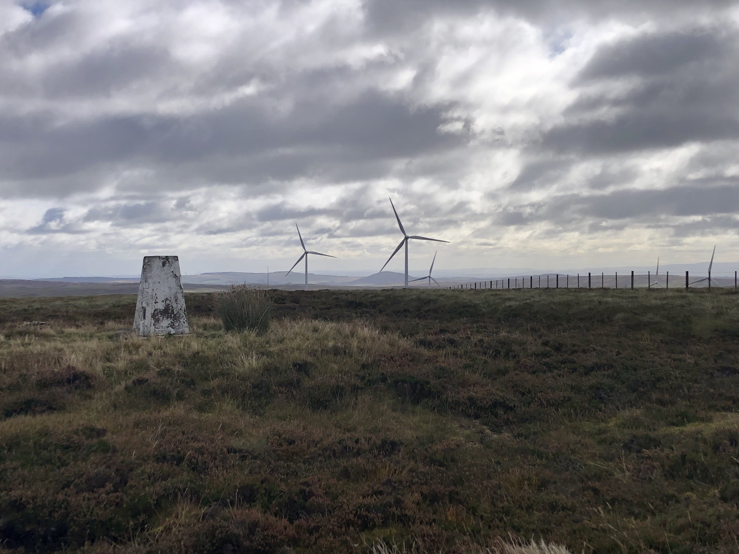
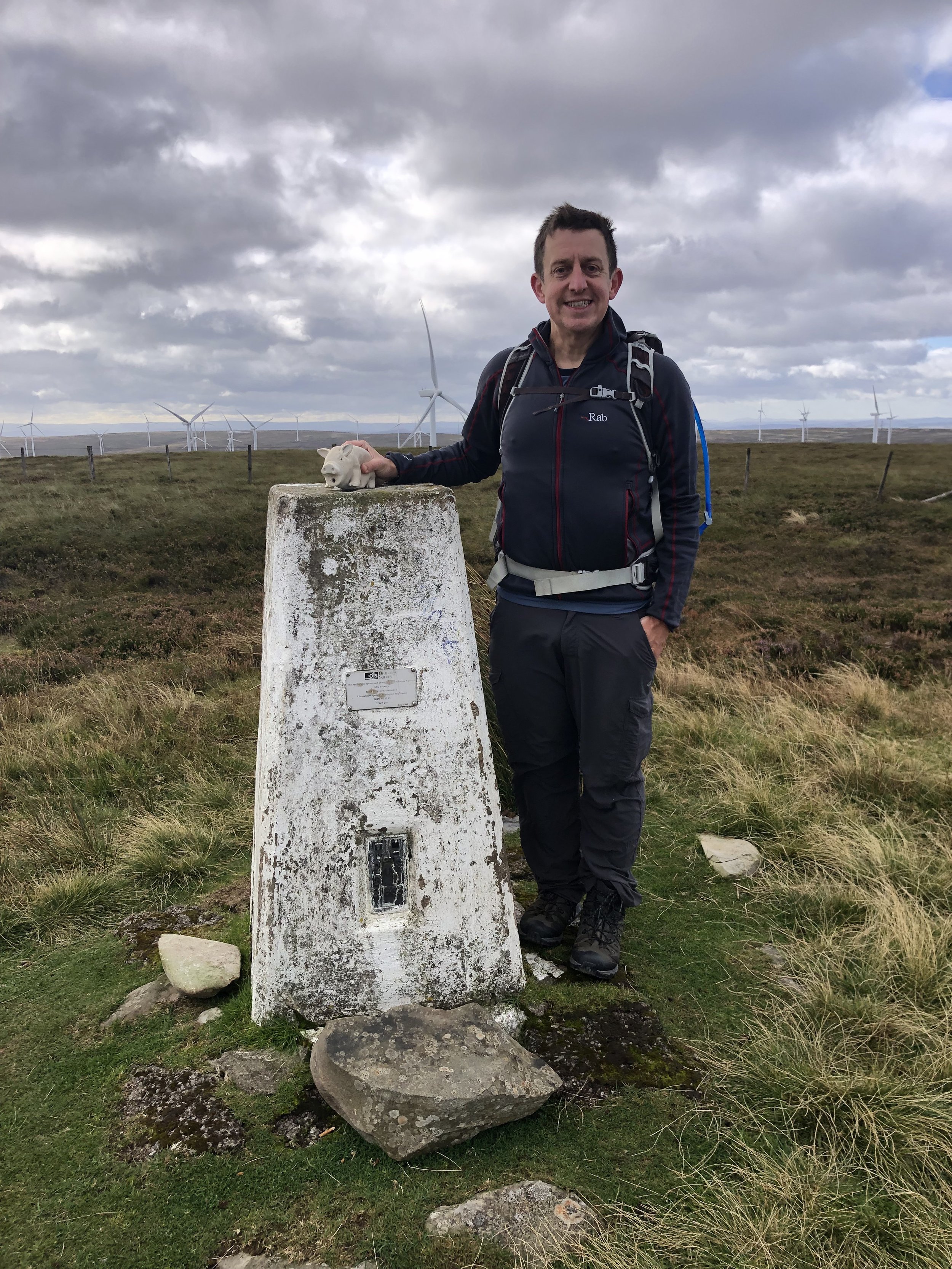
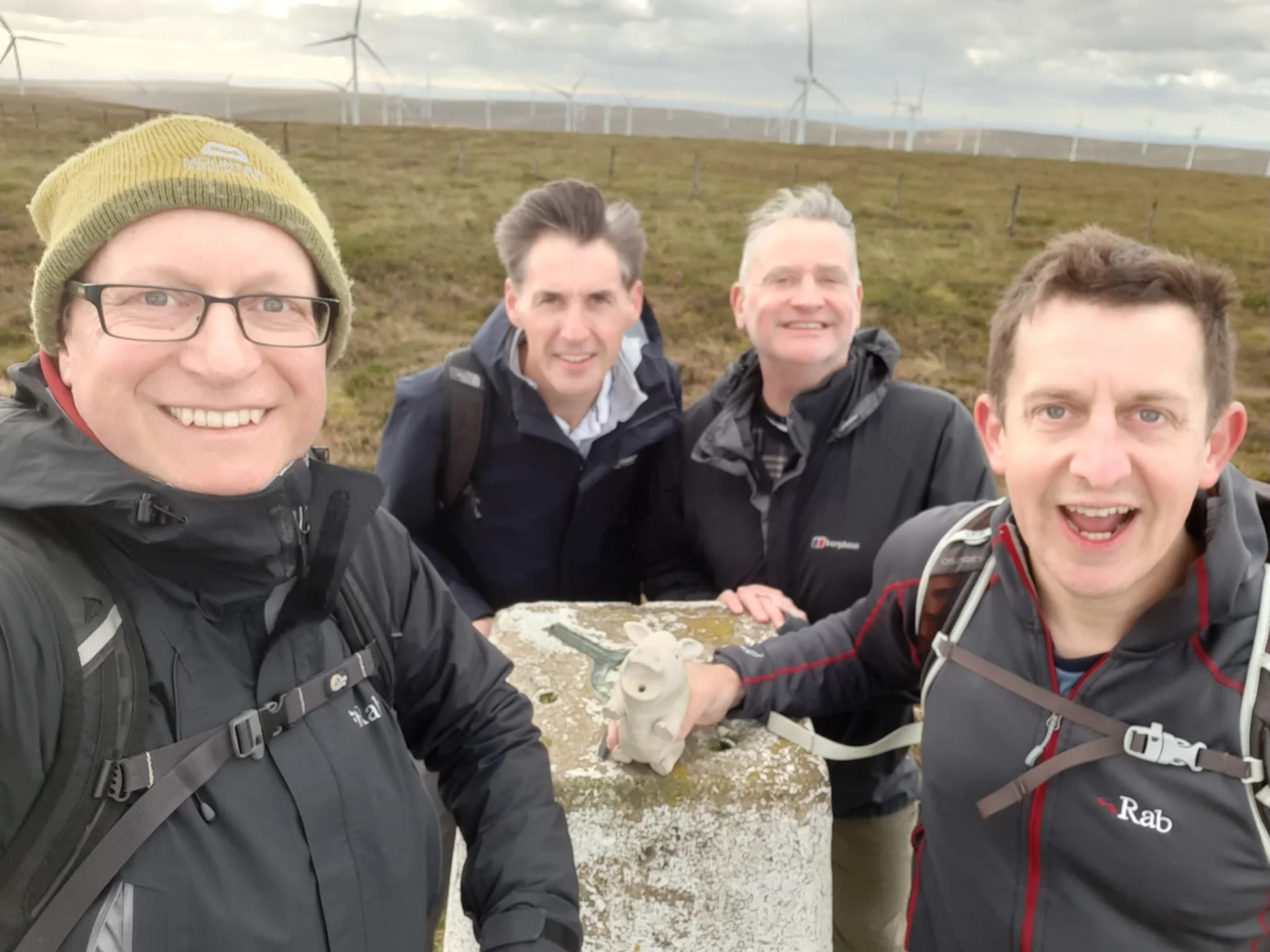
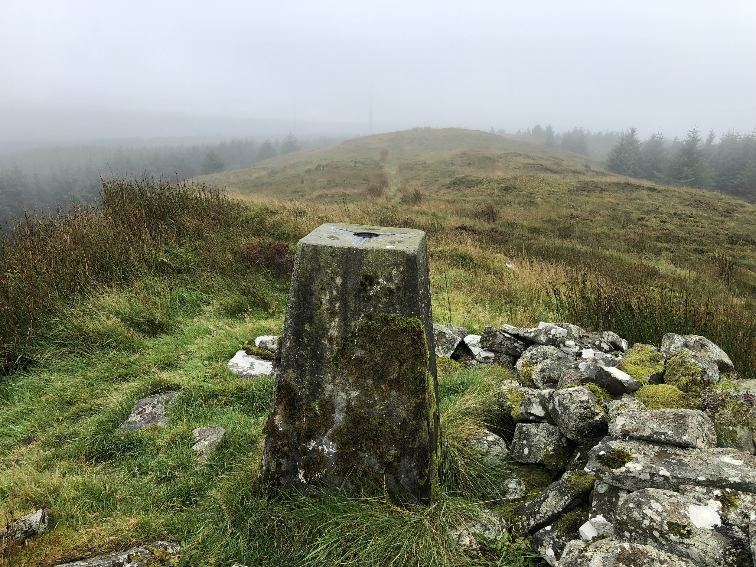
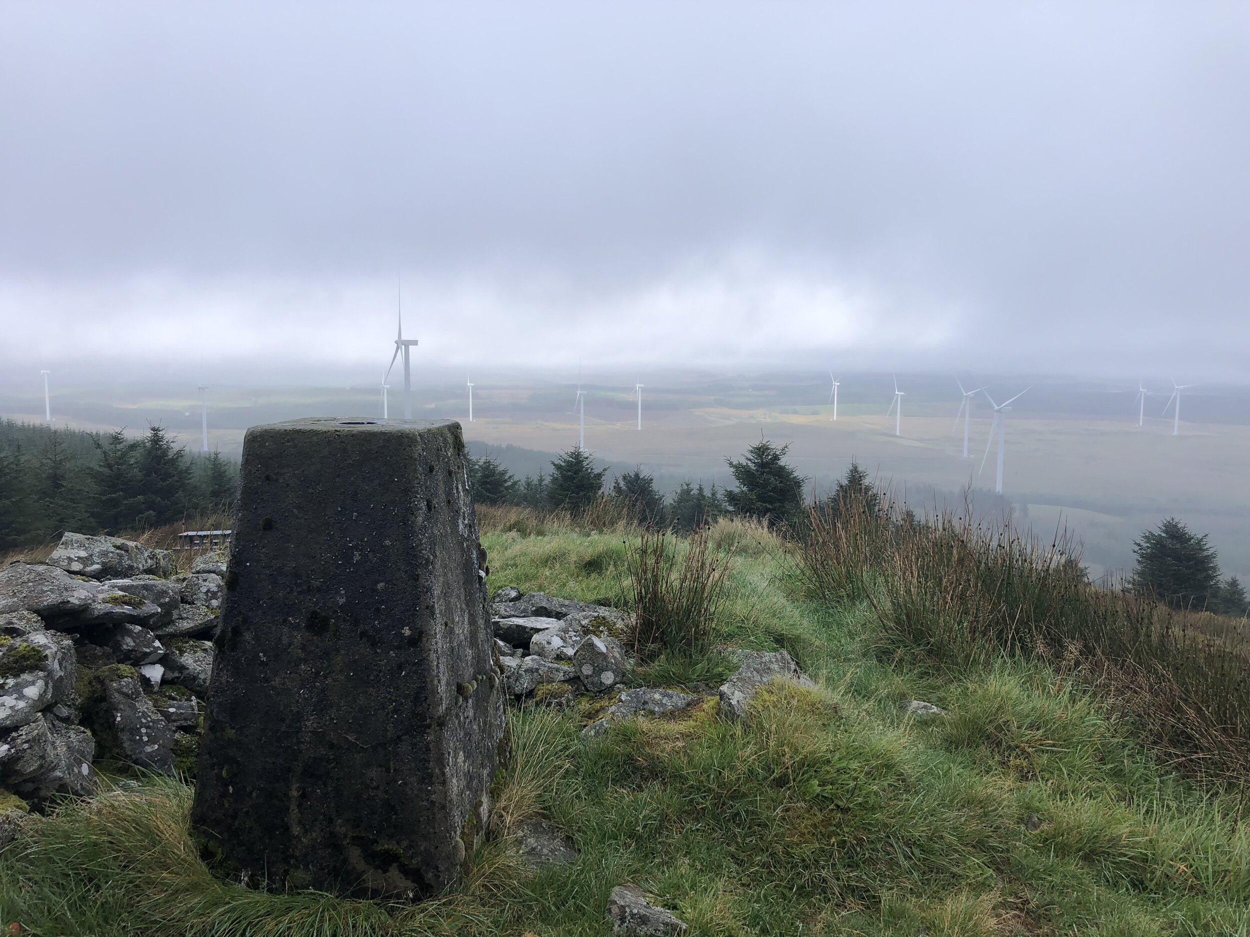
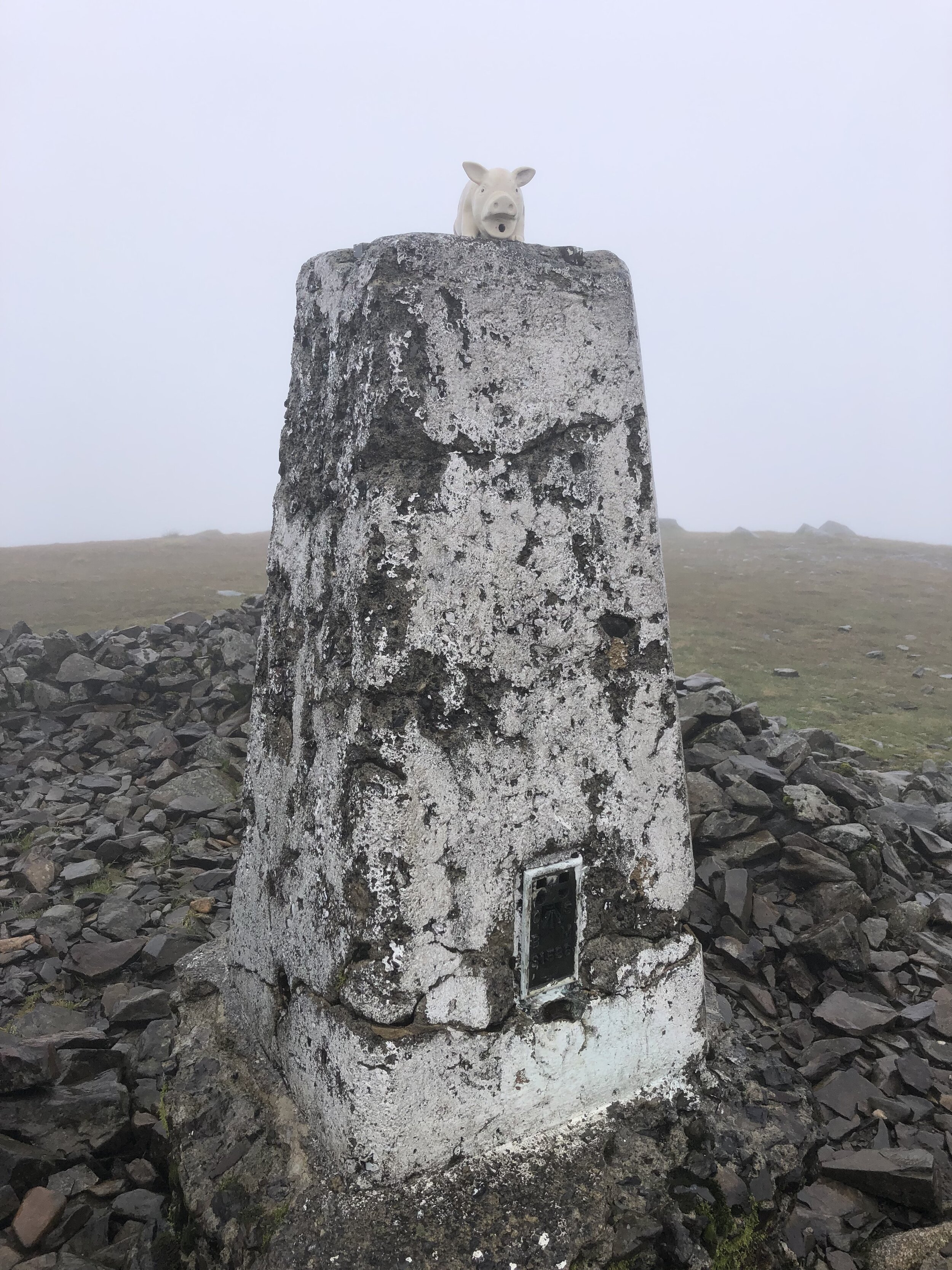
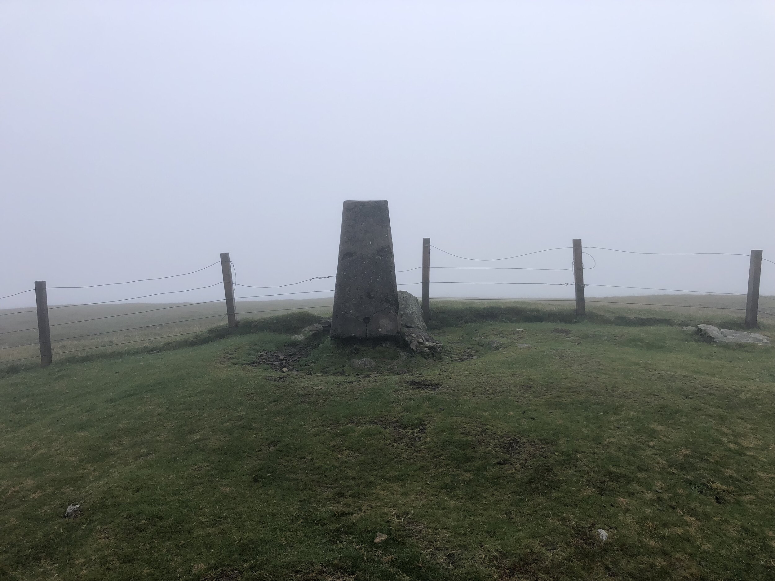
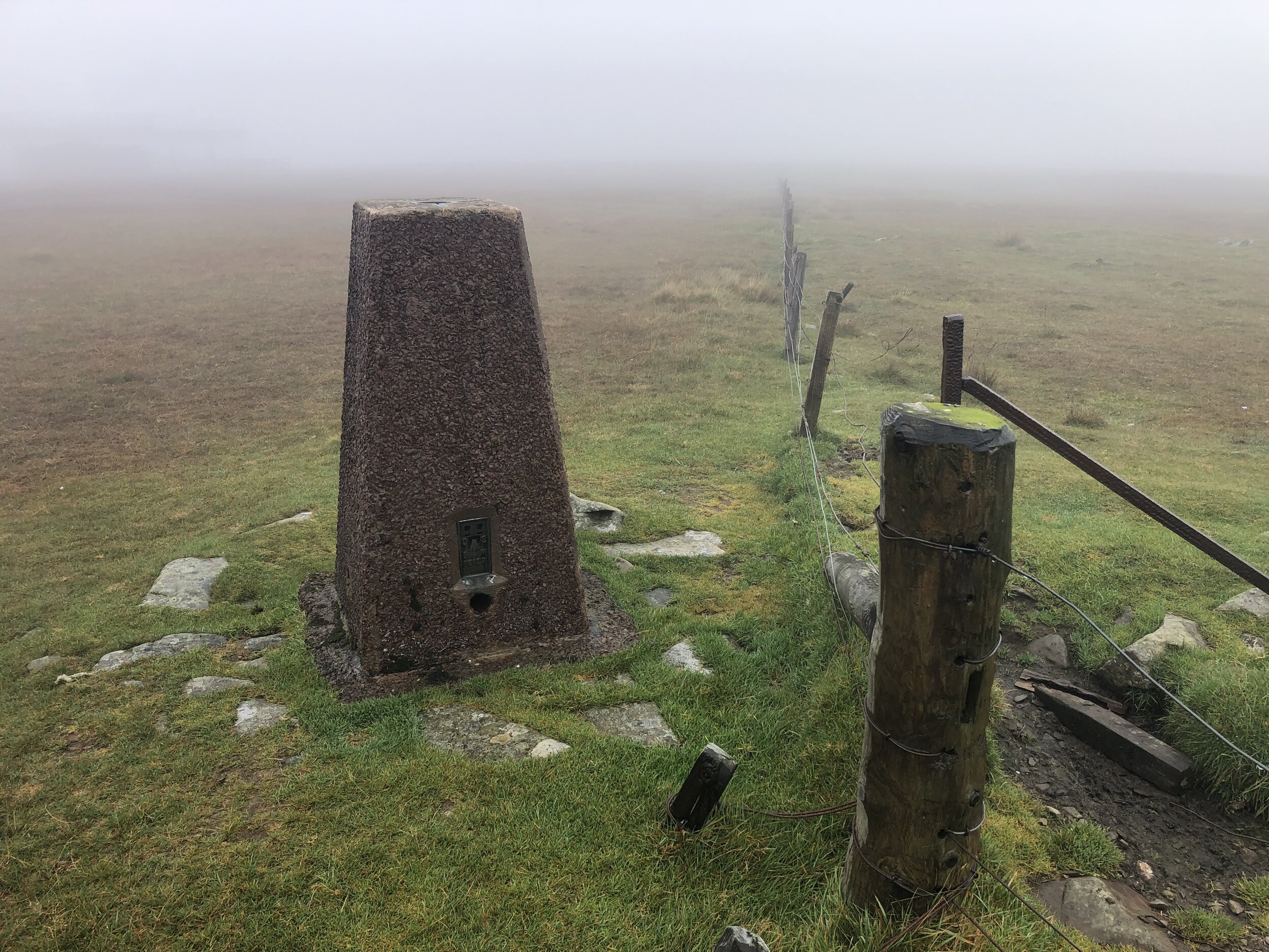
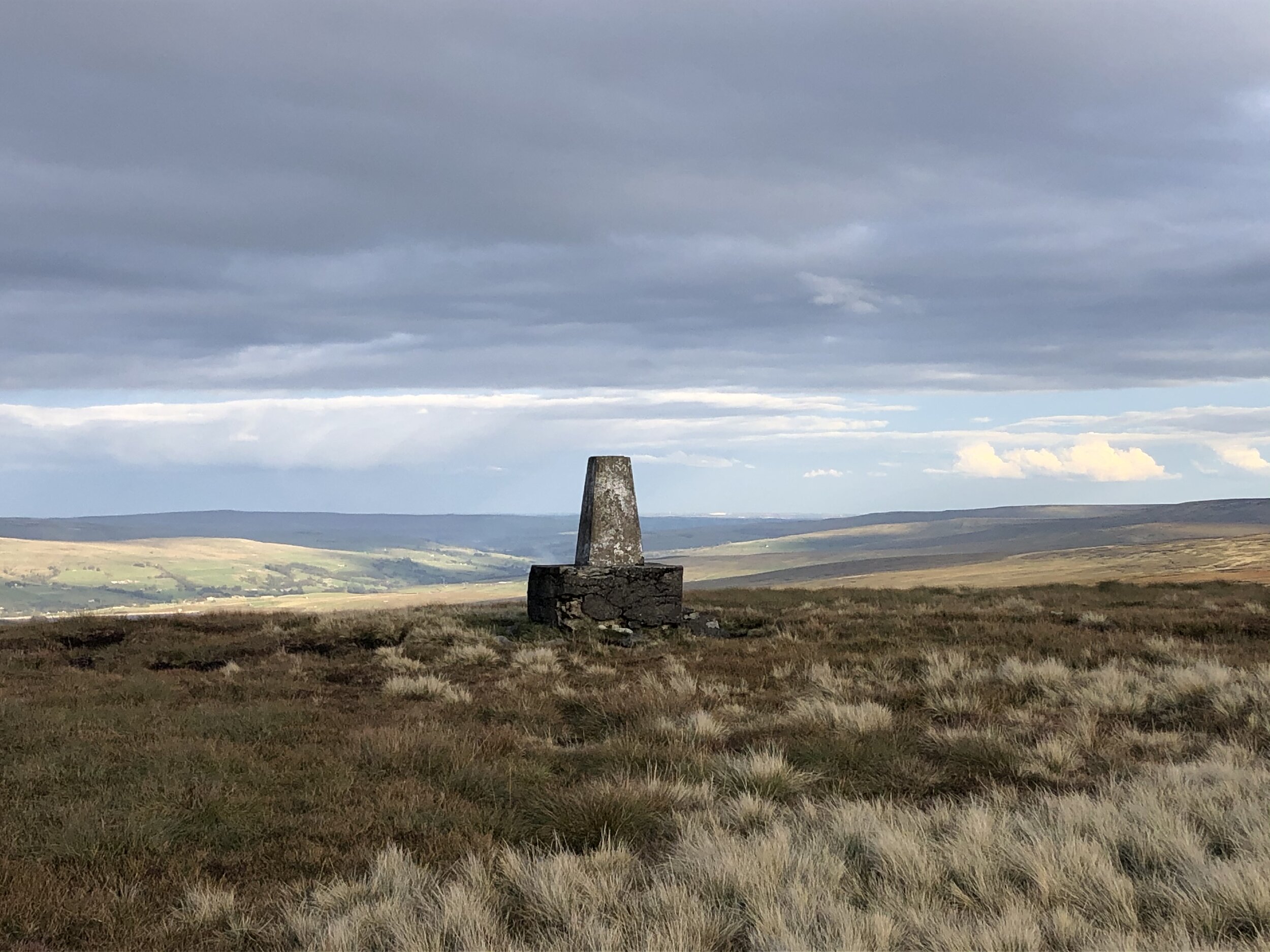
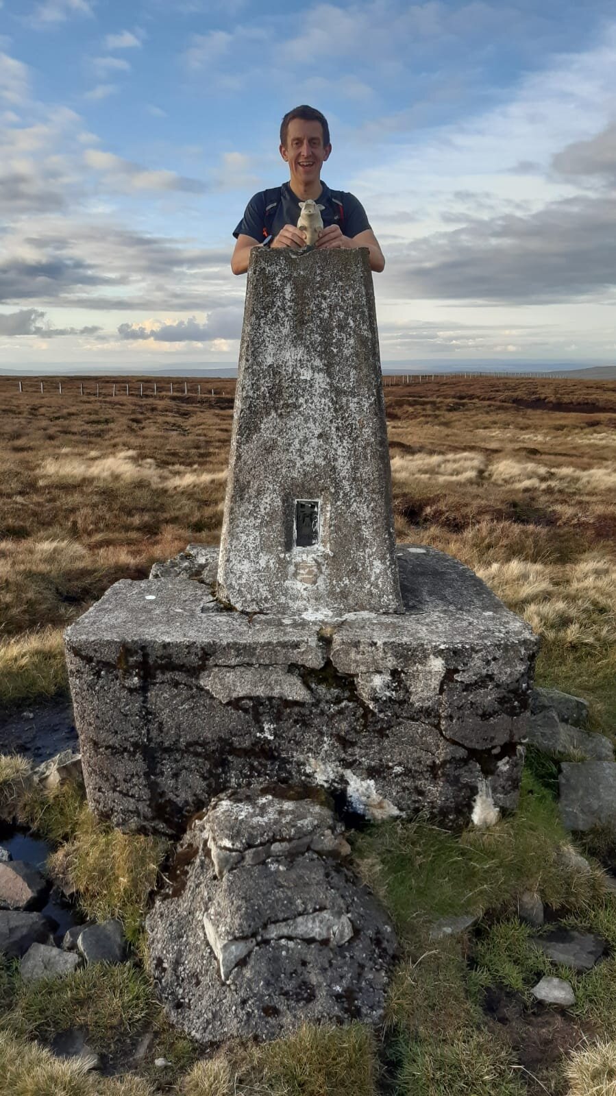
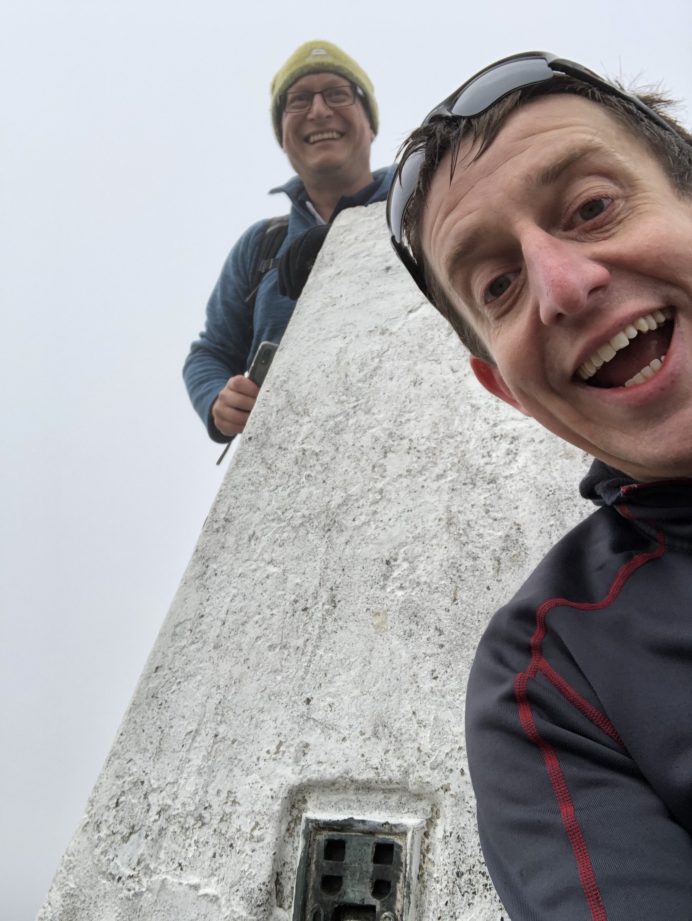
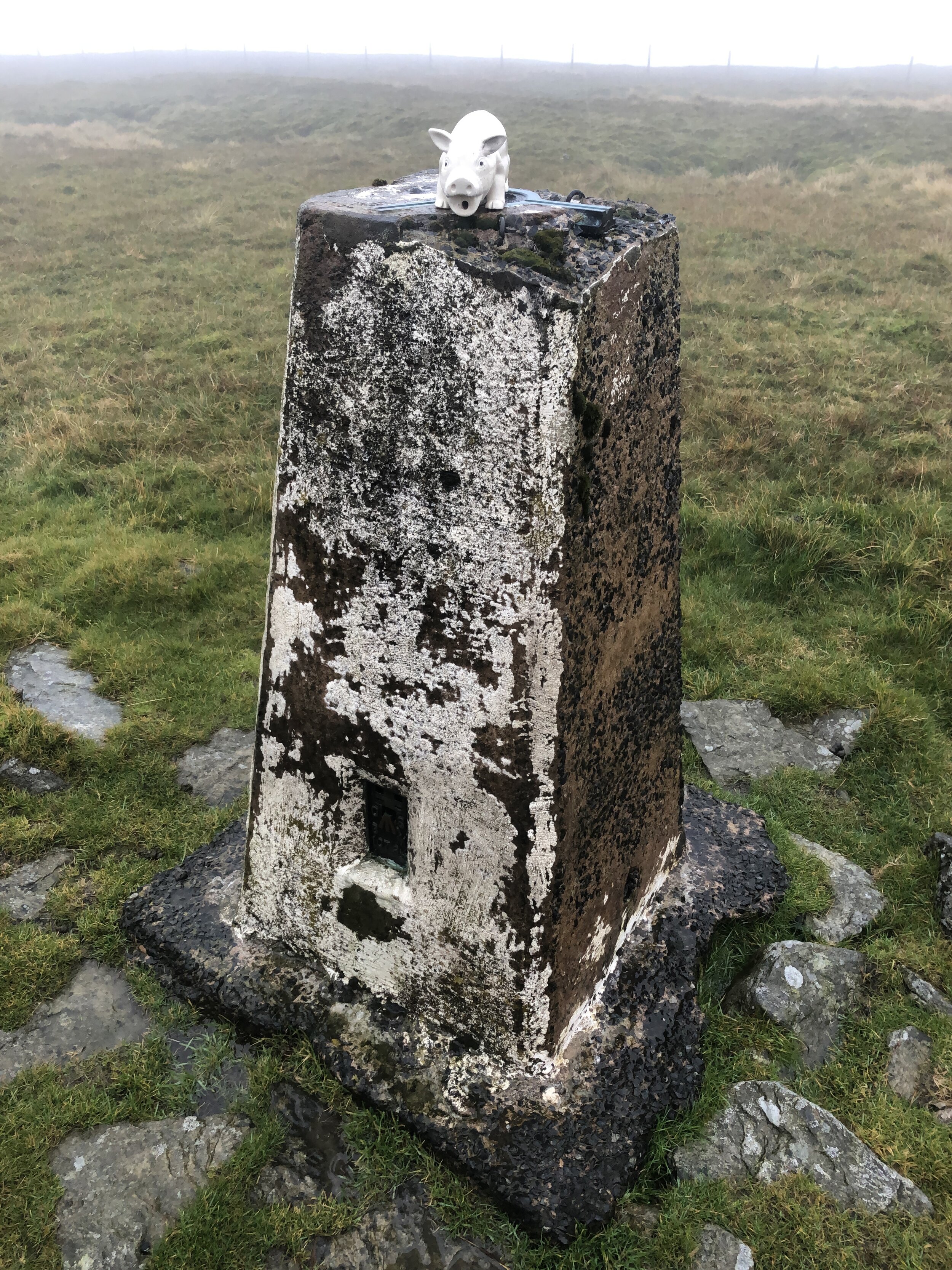
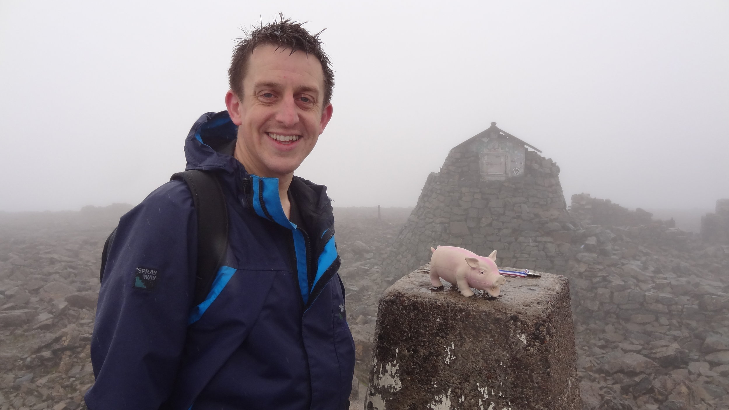
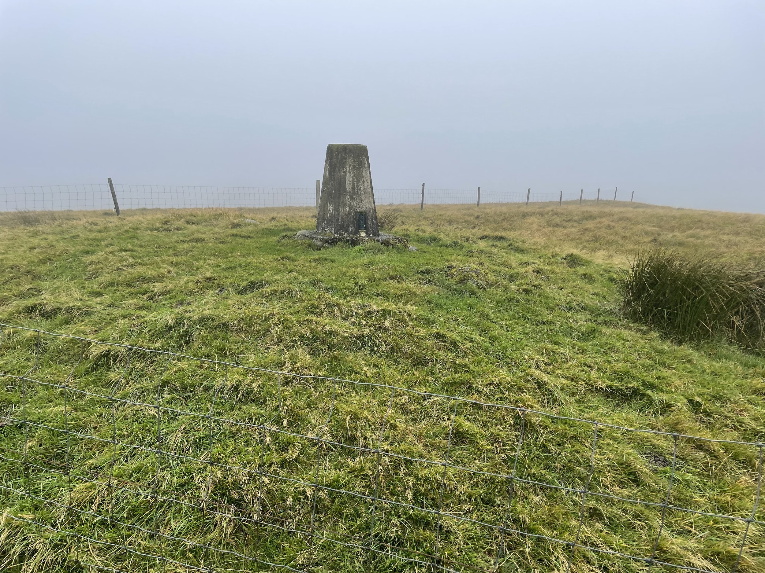
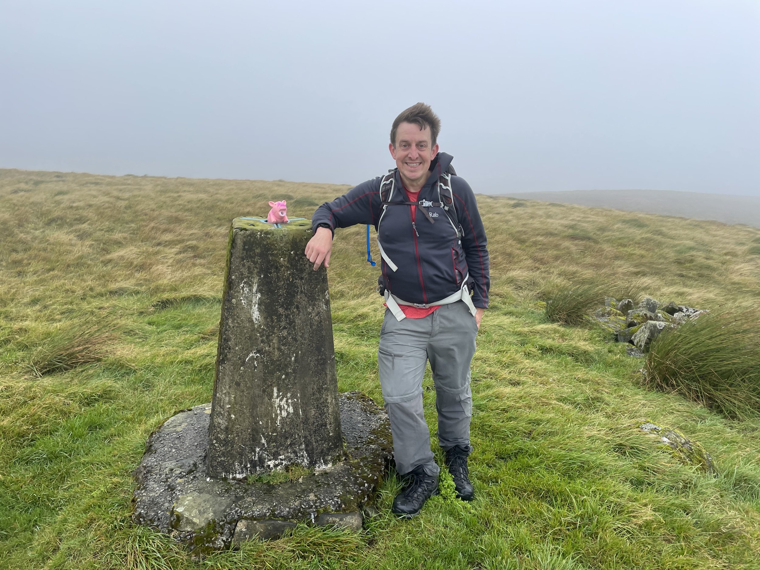
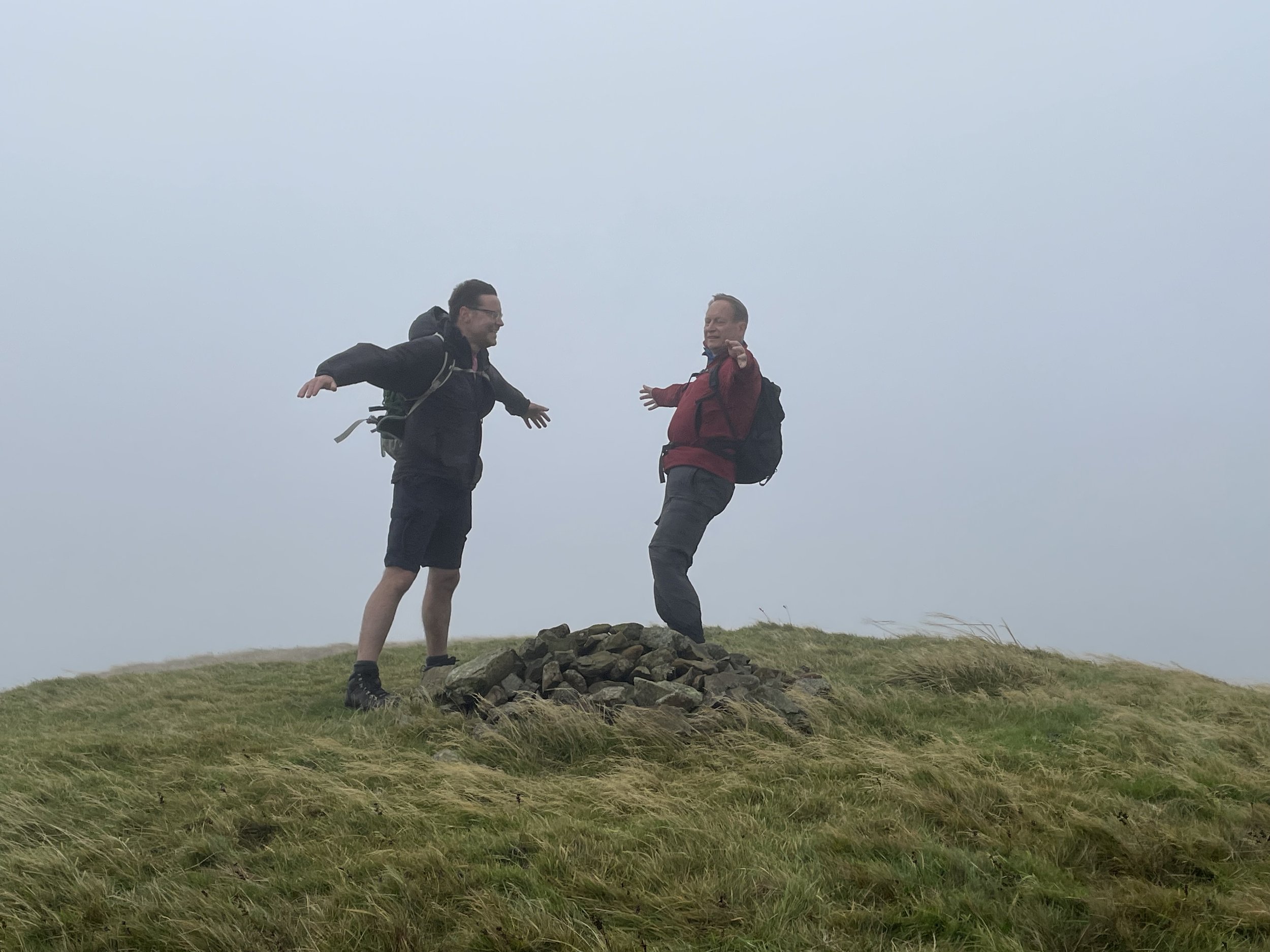
OS Trig Pillar: TP3902 - Hill Of Stake
Pubs / Cafes on route: Cafe at the Muirshiel Visitor Centre at start and finish
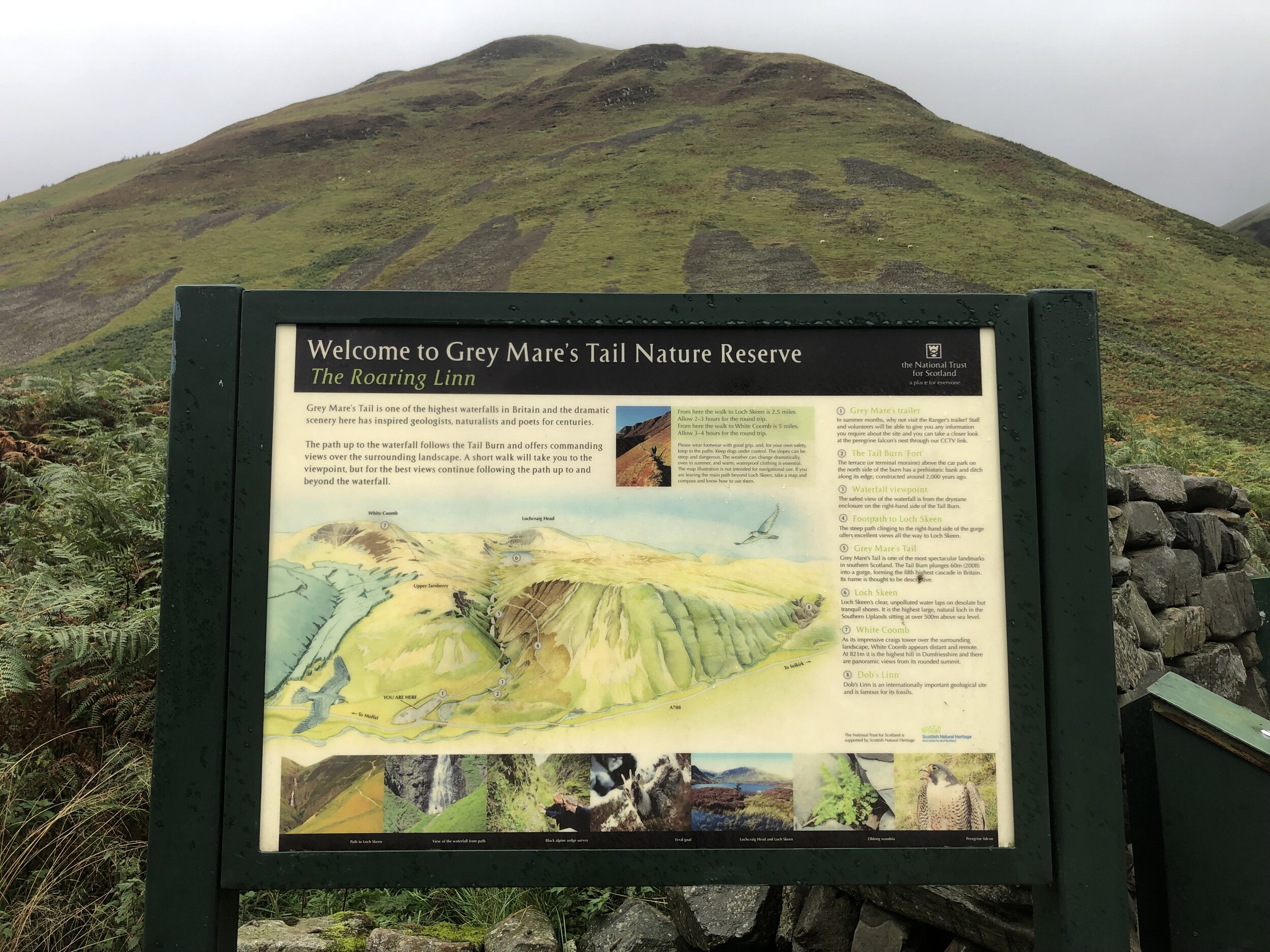
Map: Greenock, Largs & Millport Map | Clyde Muirshiel Regional Park | Ordnance Survey | OS Explorer Map 341
Guidebook: The UK's County Tops (Jonny Muir)
Links: Wikipedia: (Renfrewshire / Clyde Muirshiel Regional Park / Hill of Stake), Peakbagger, Hillbagging
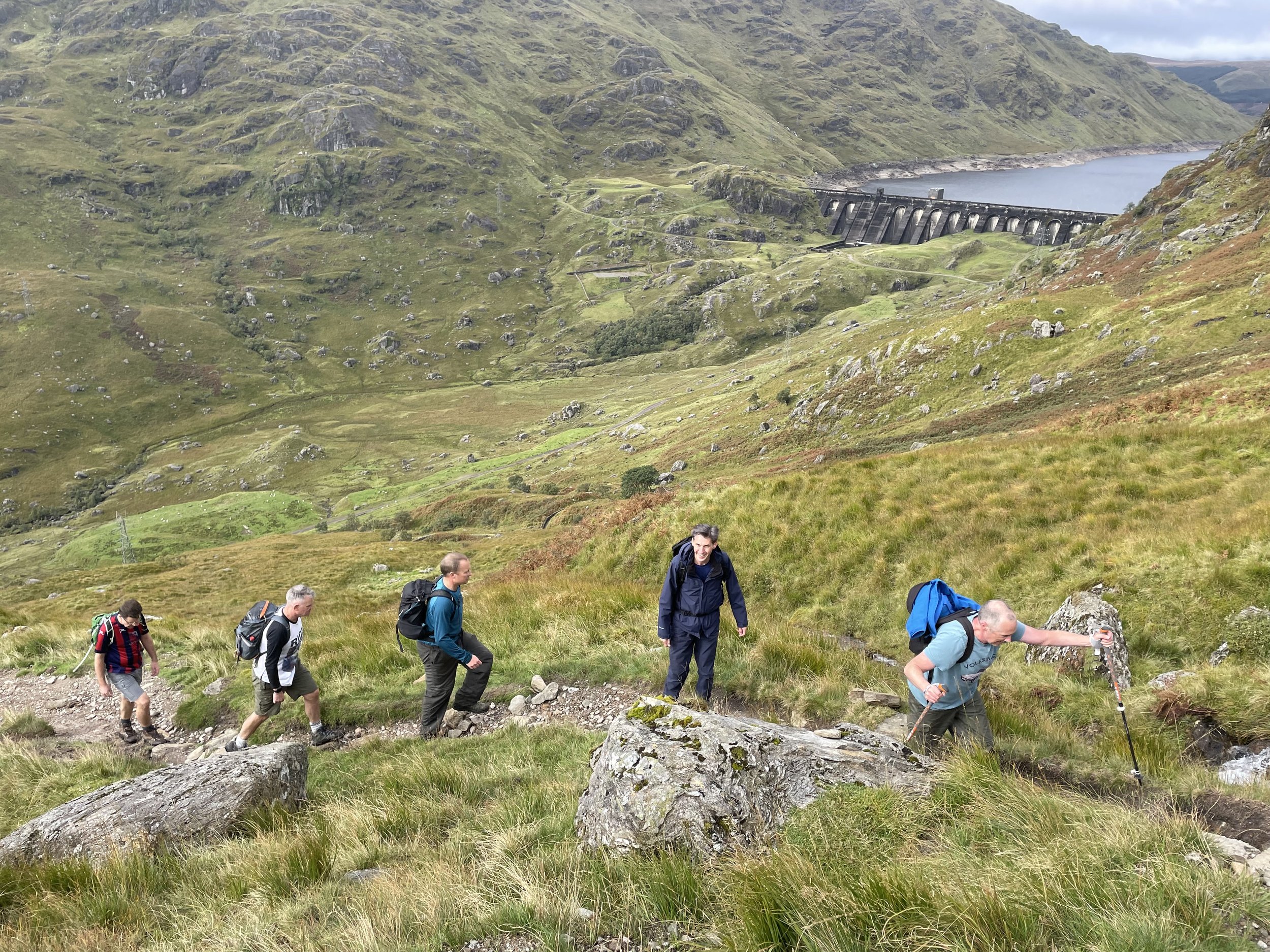
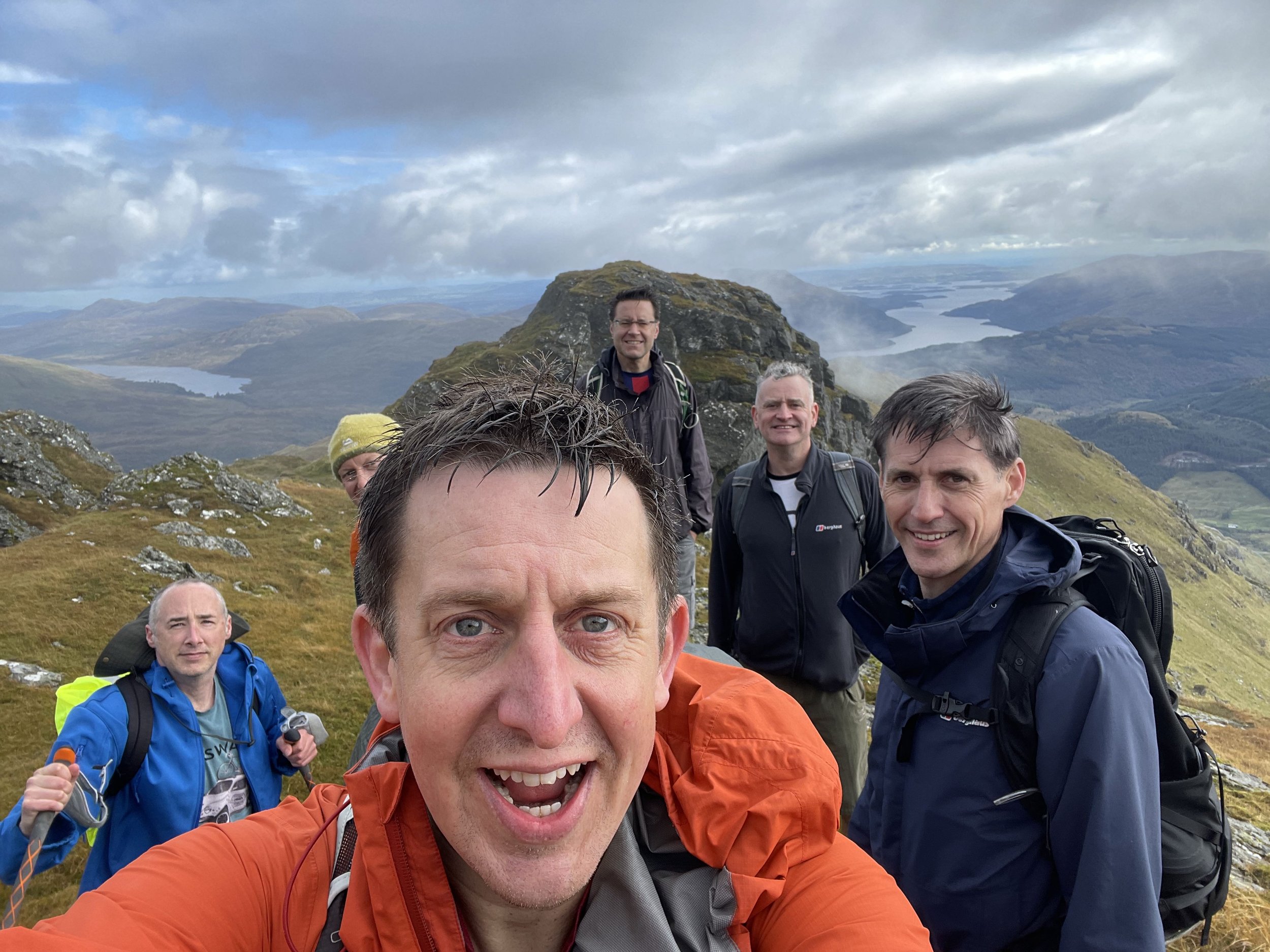
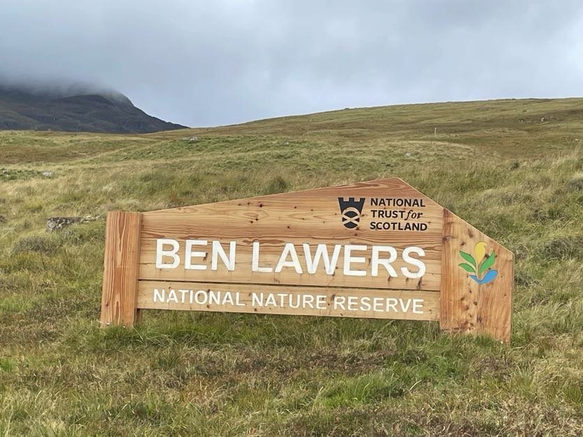
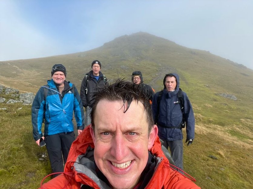
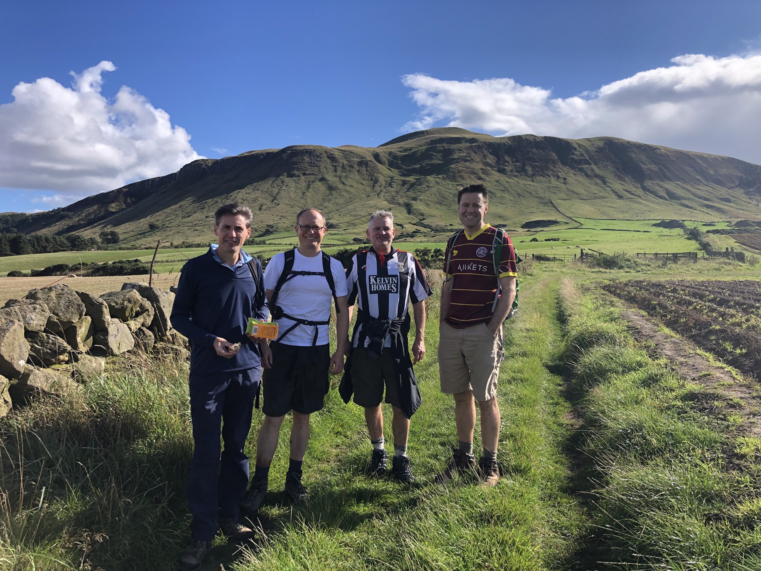
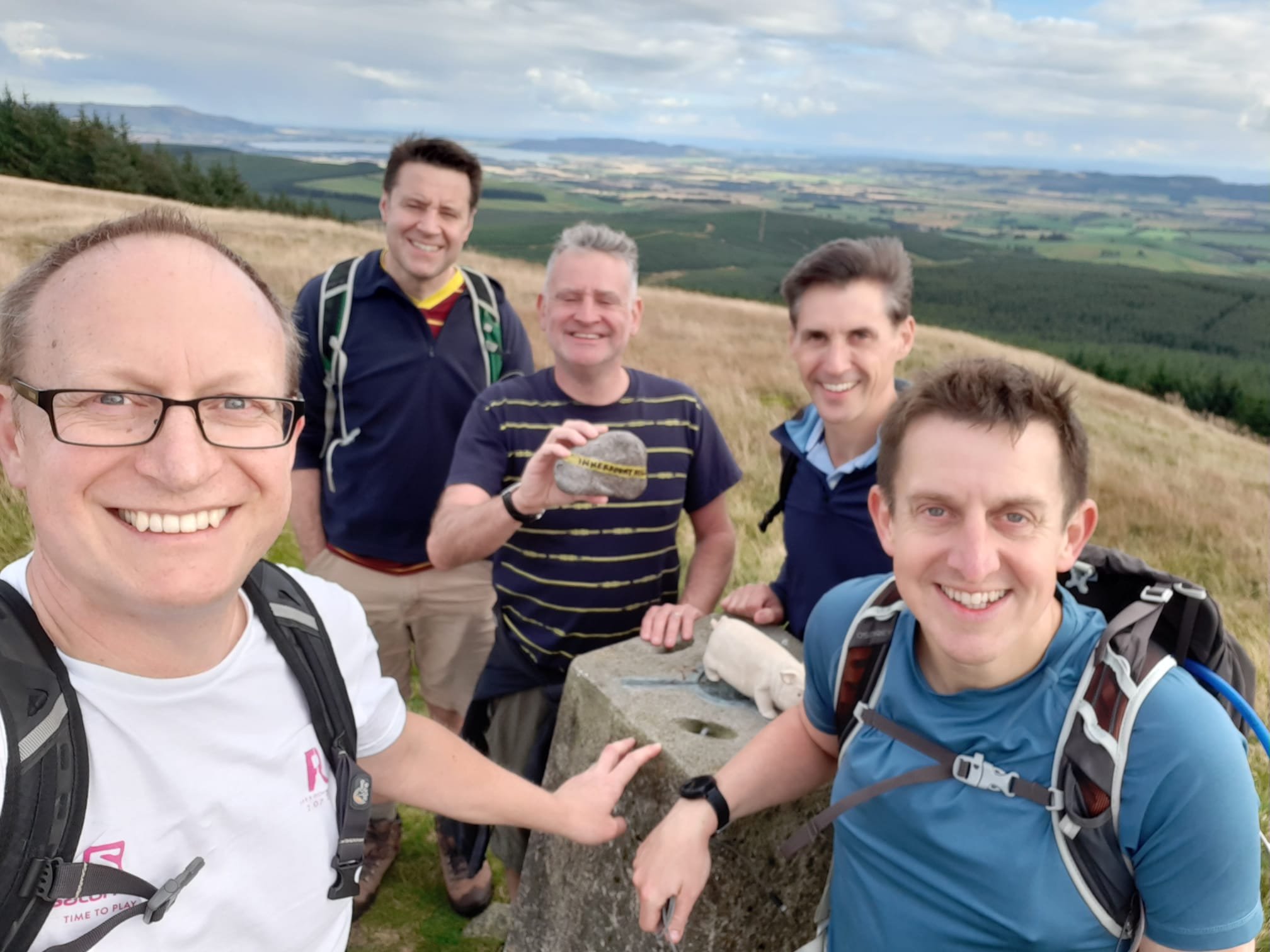
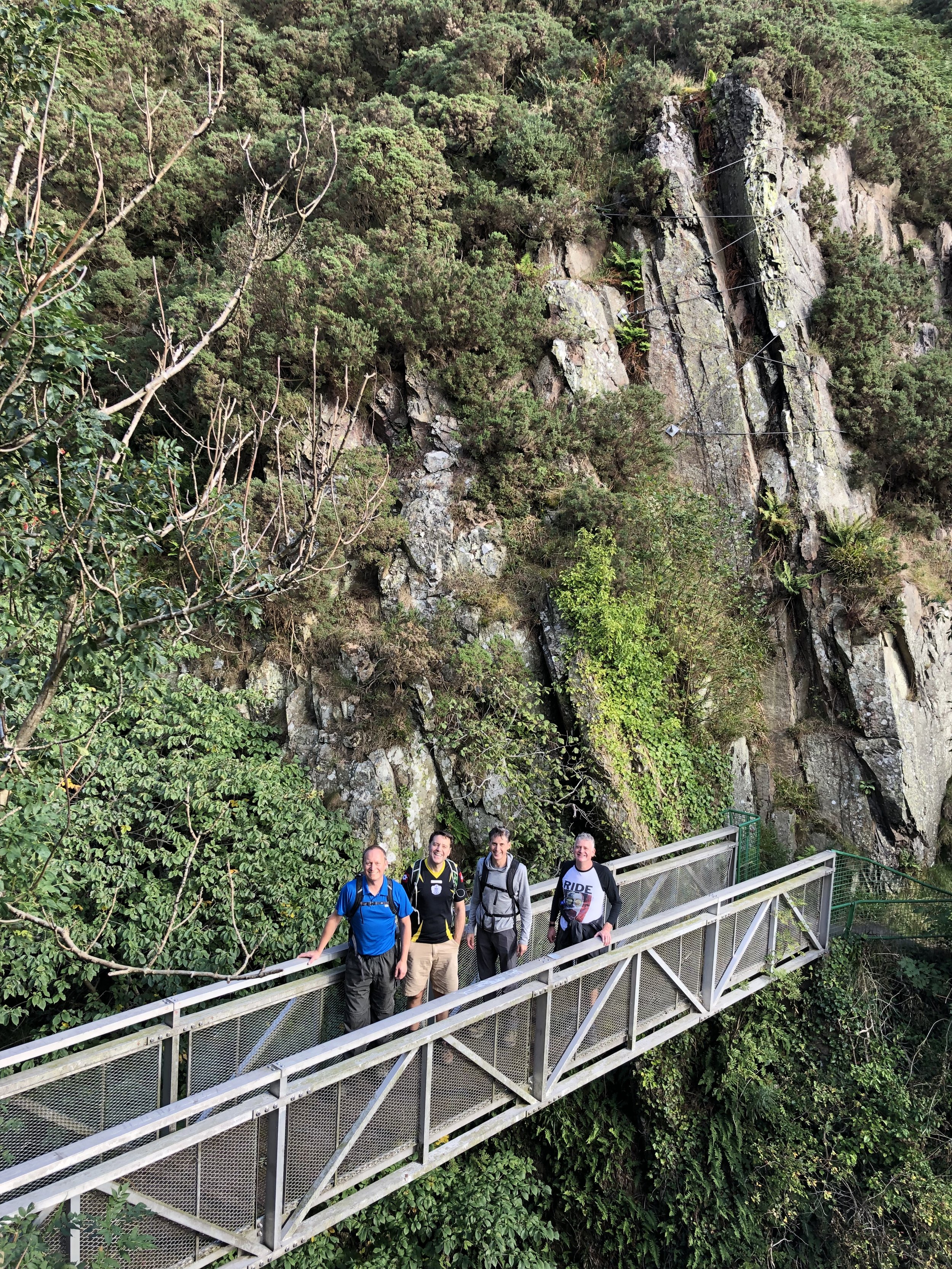
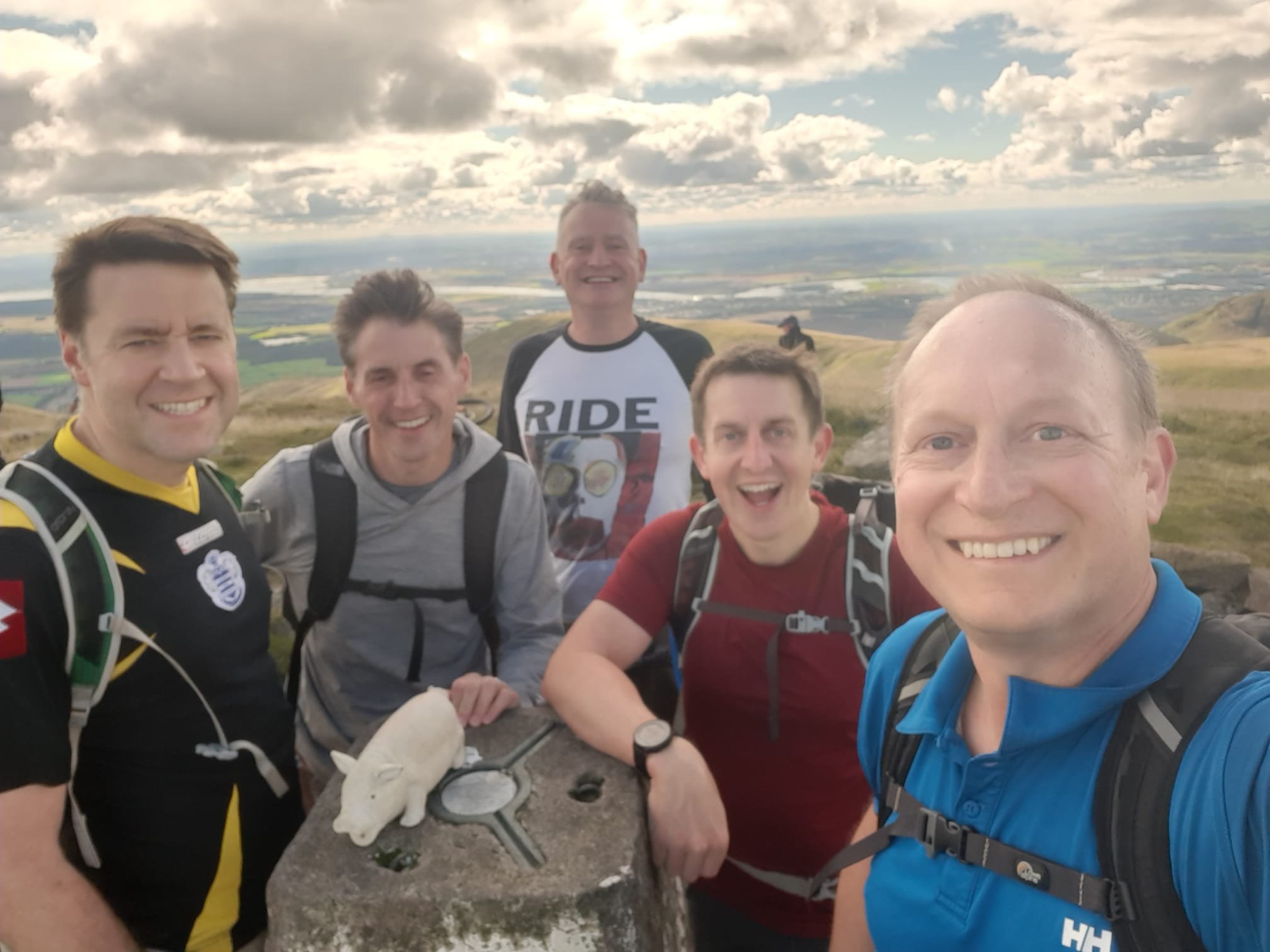
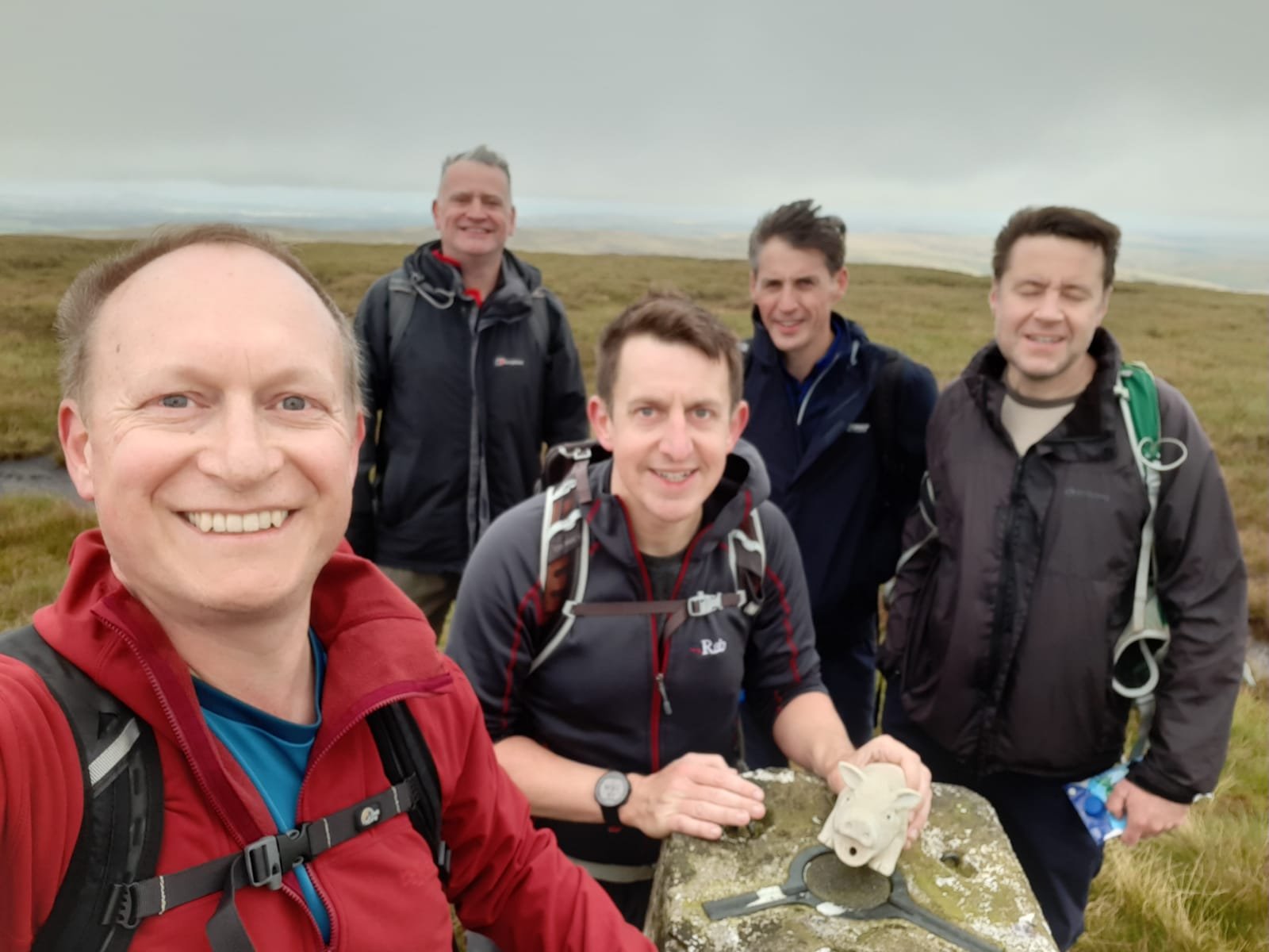
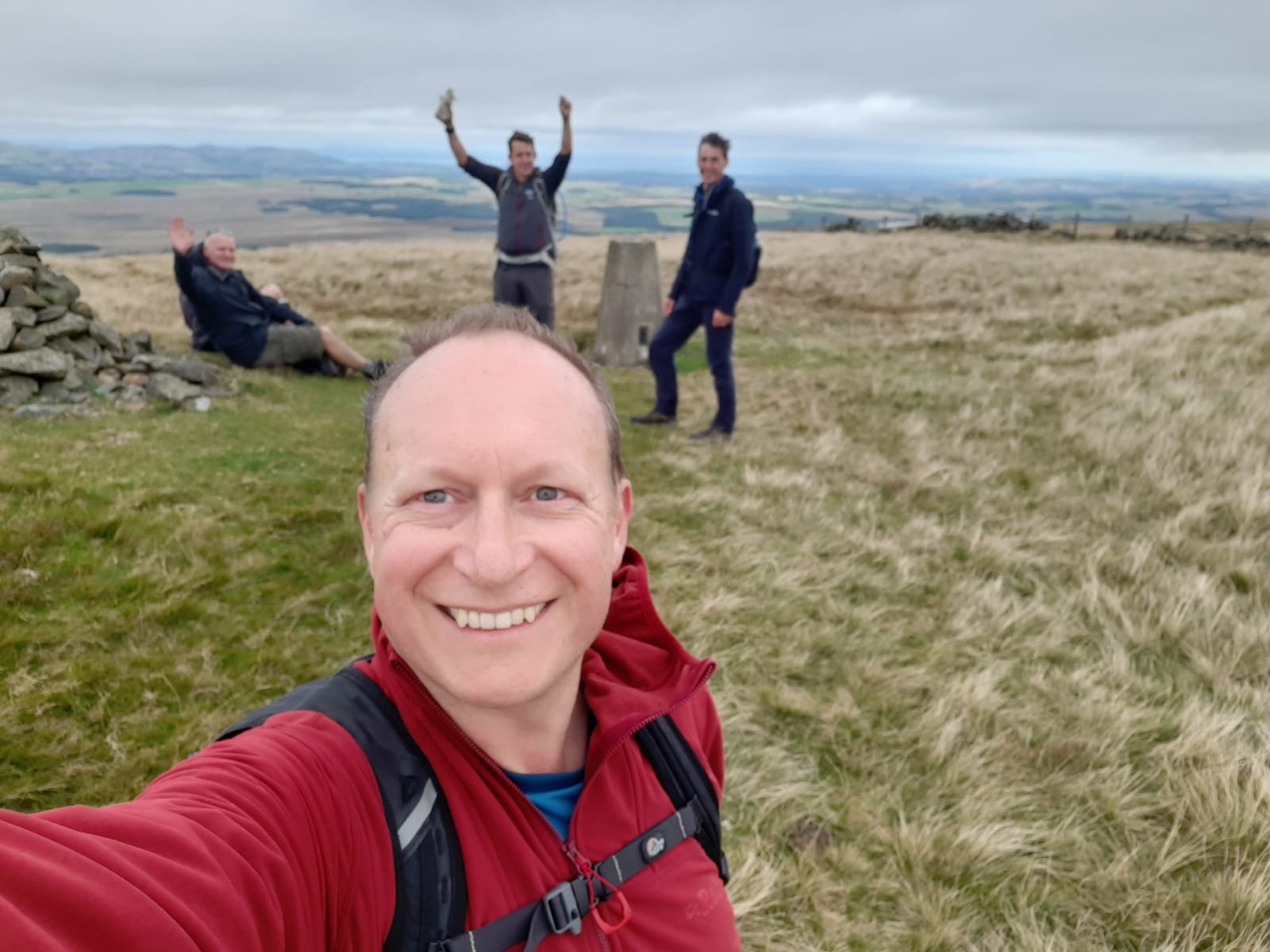
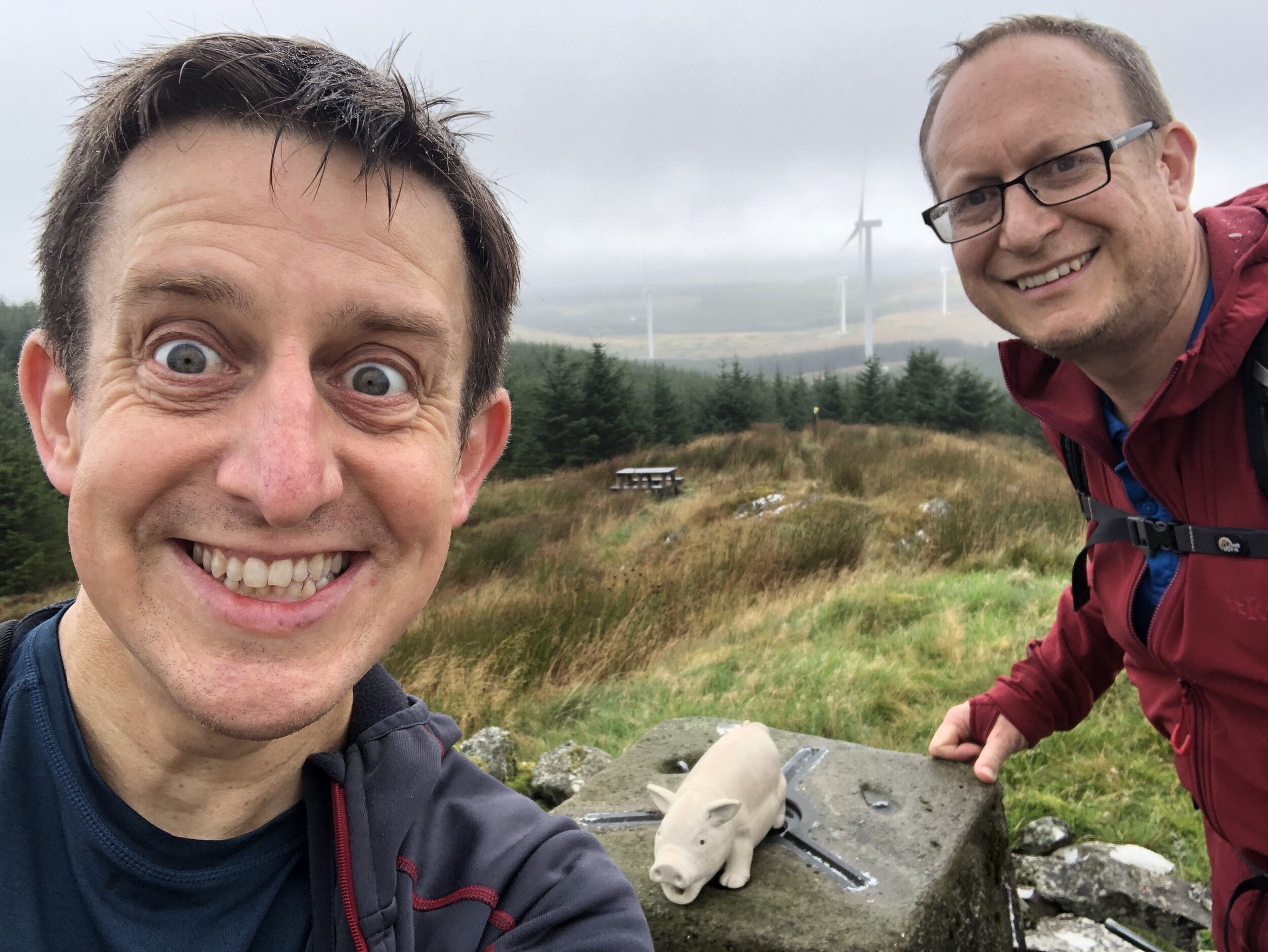
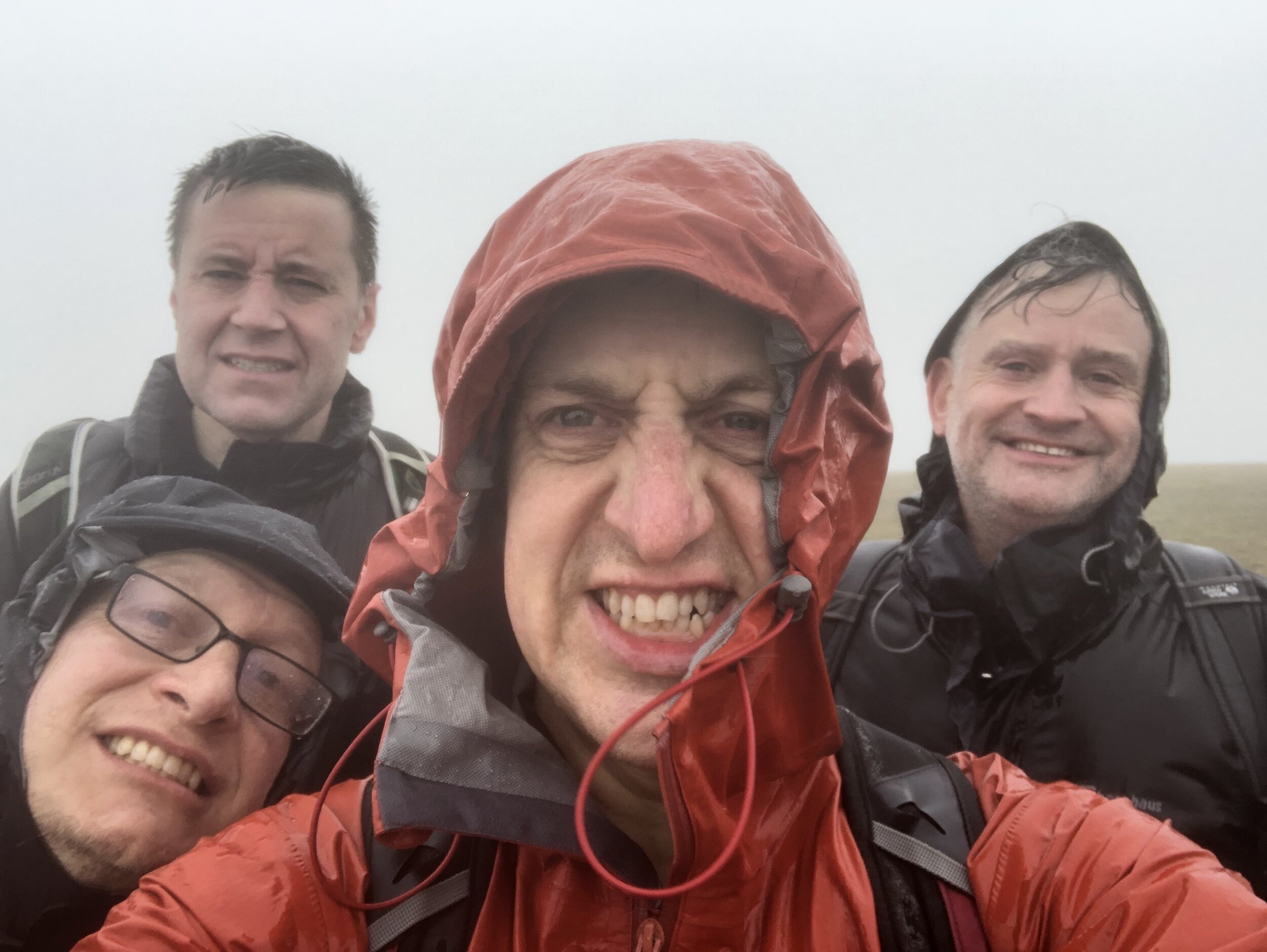
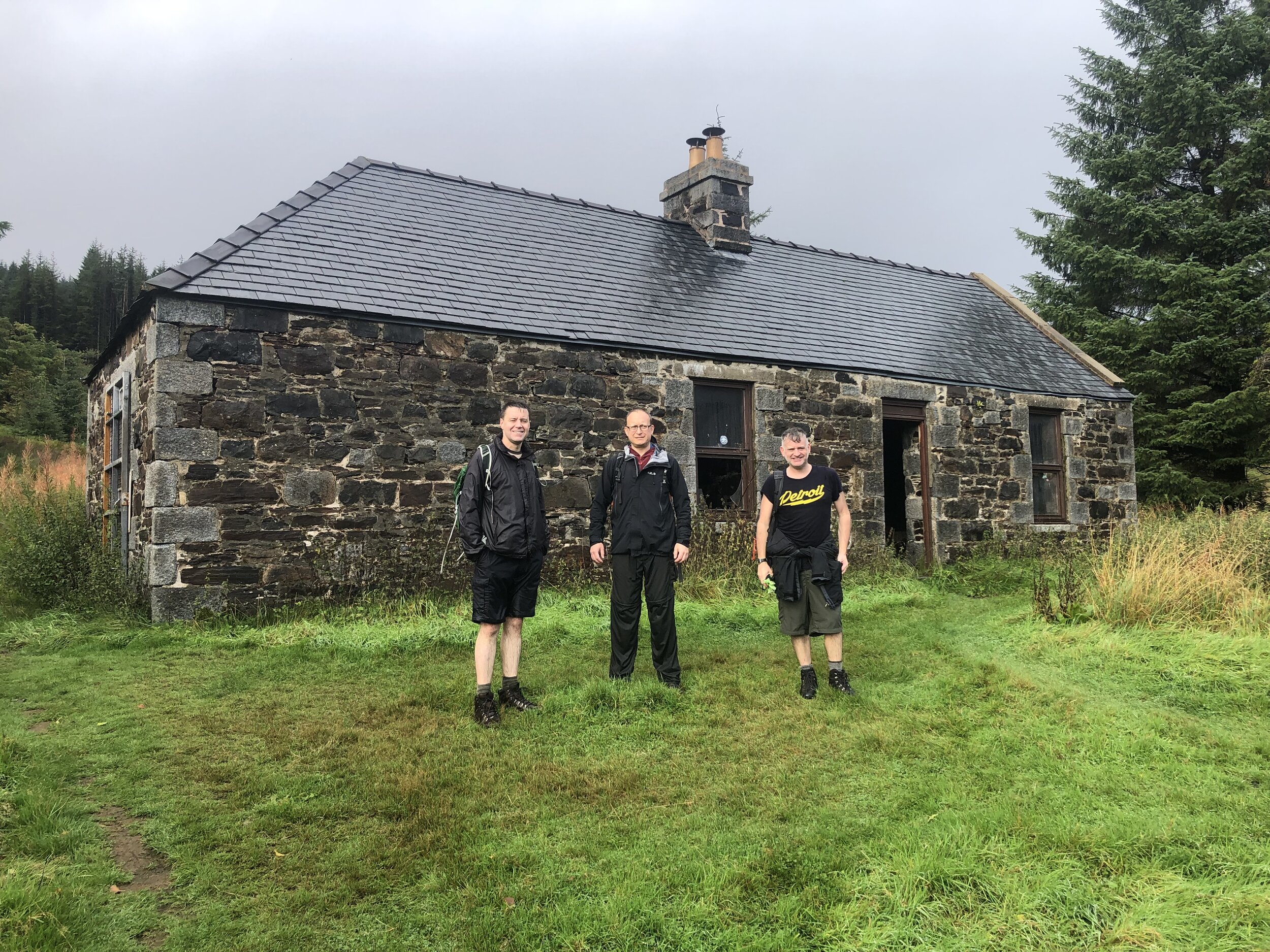
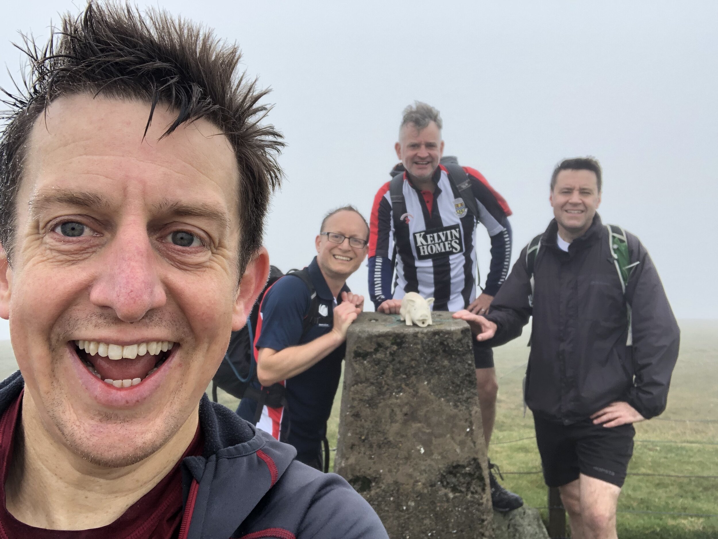
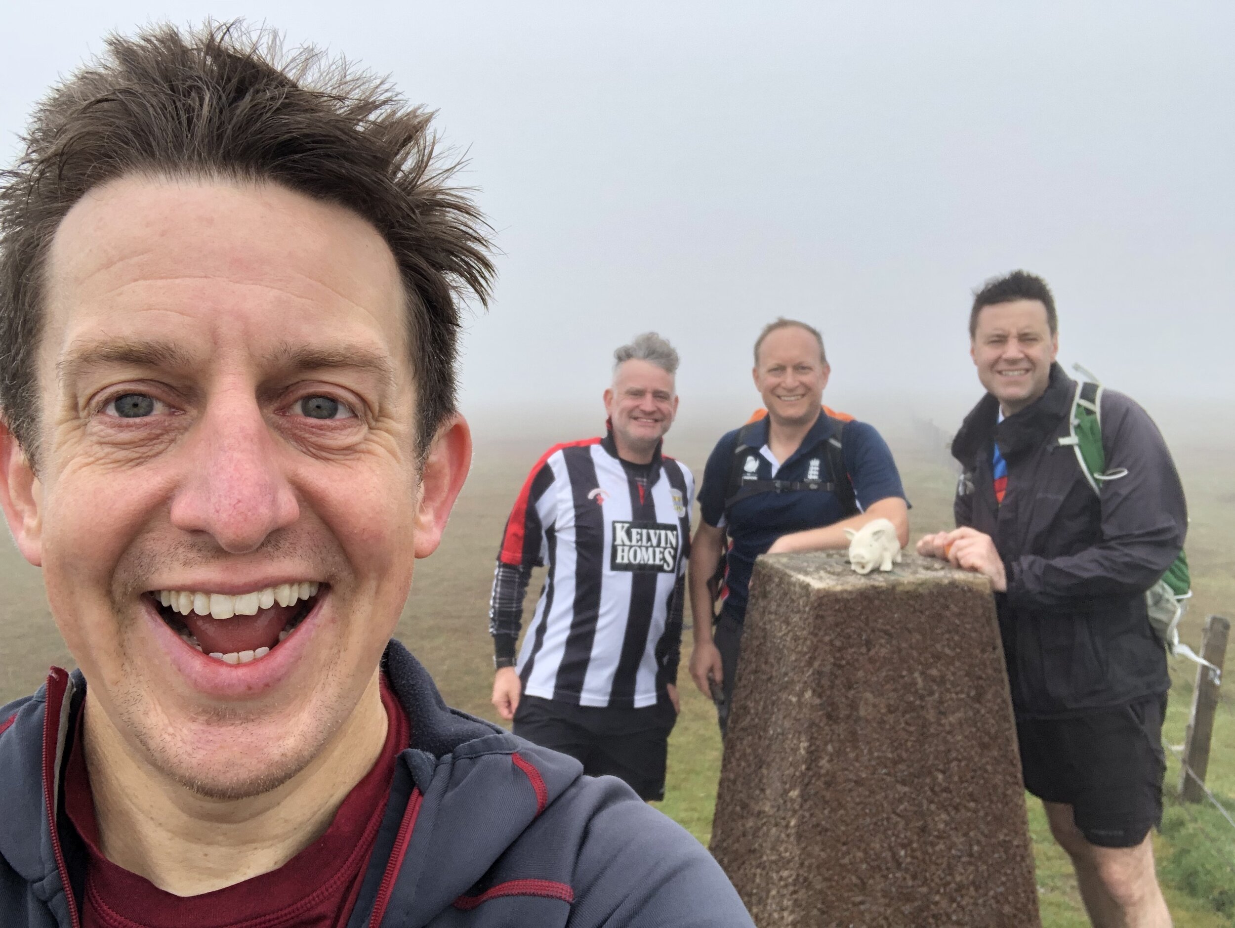
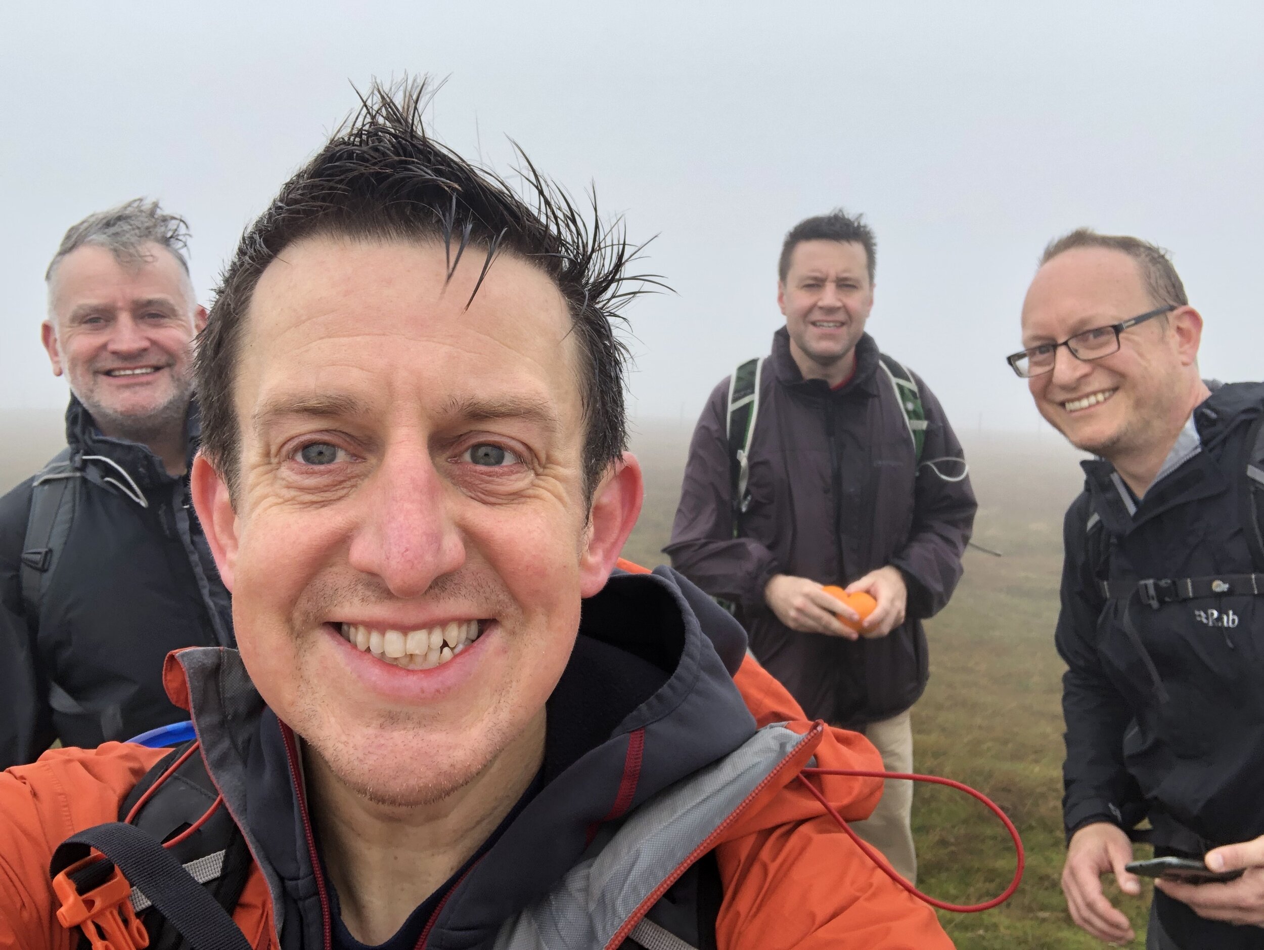
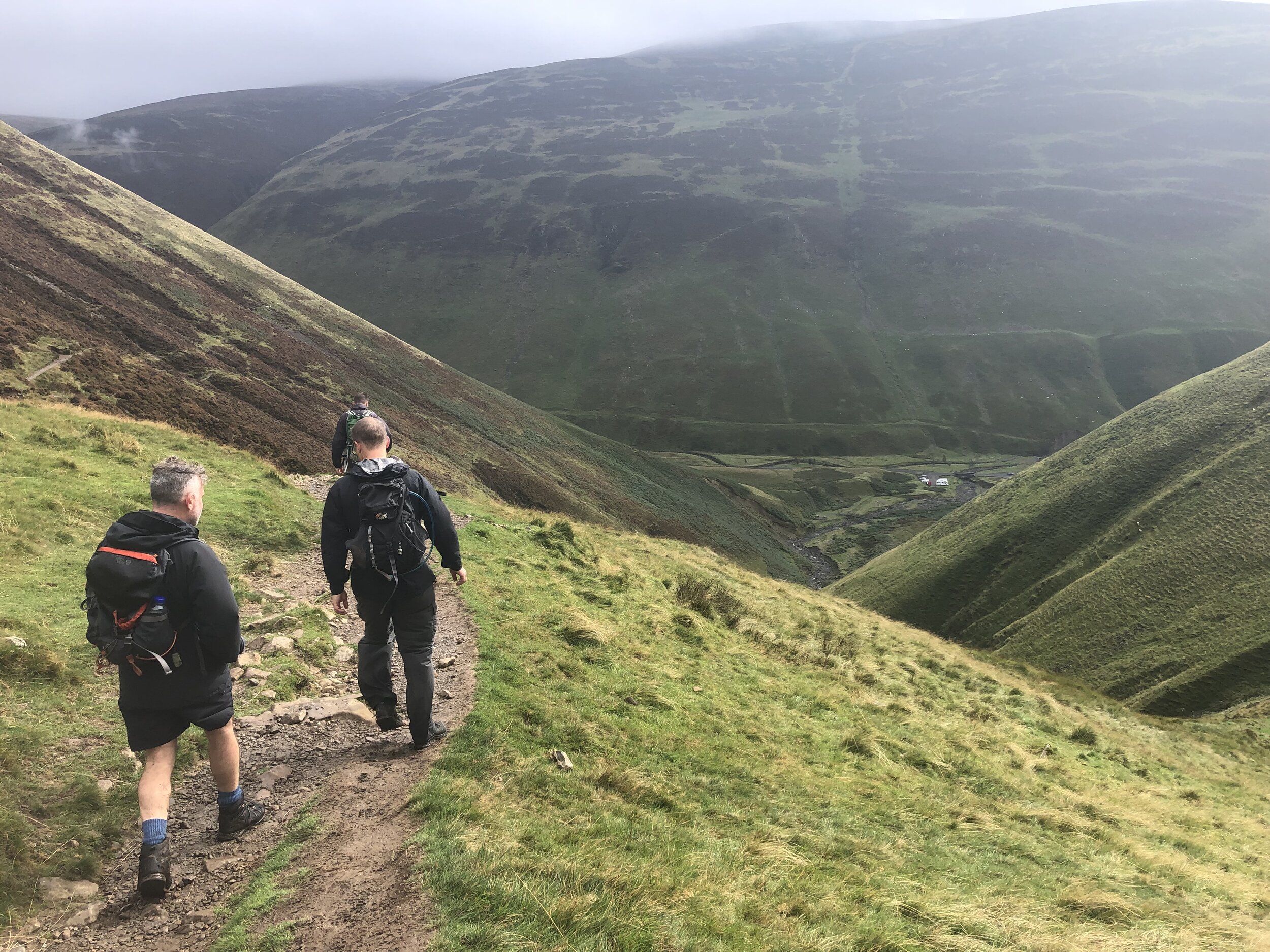
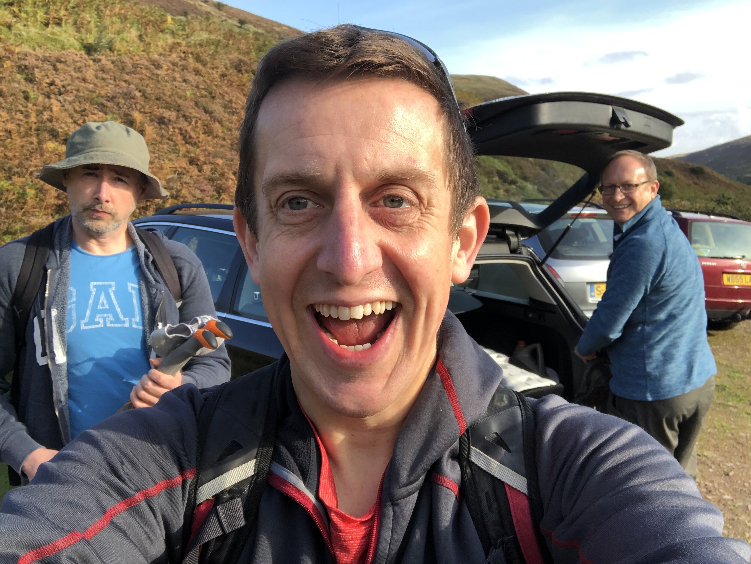
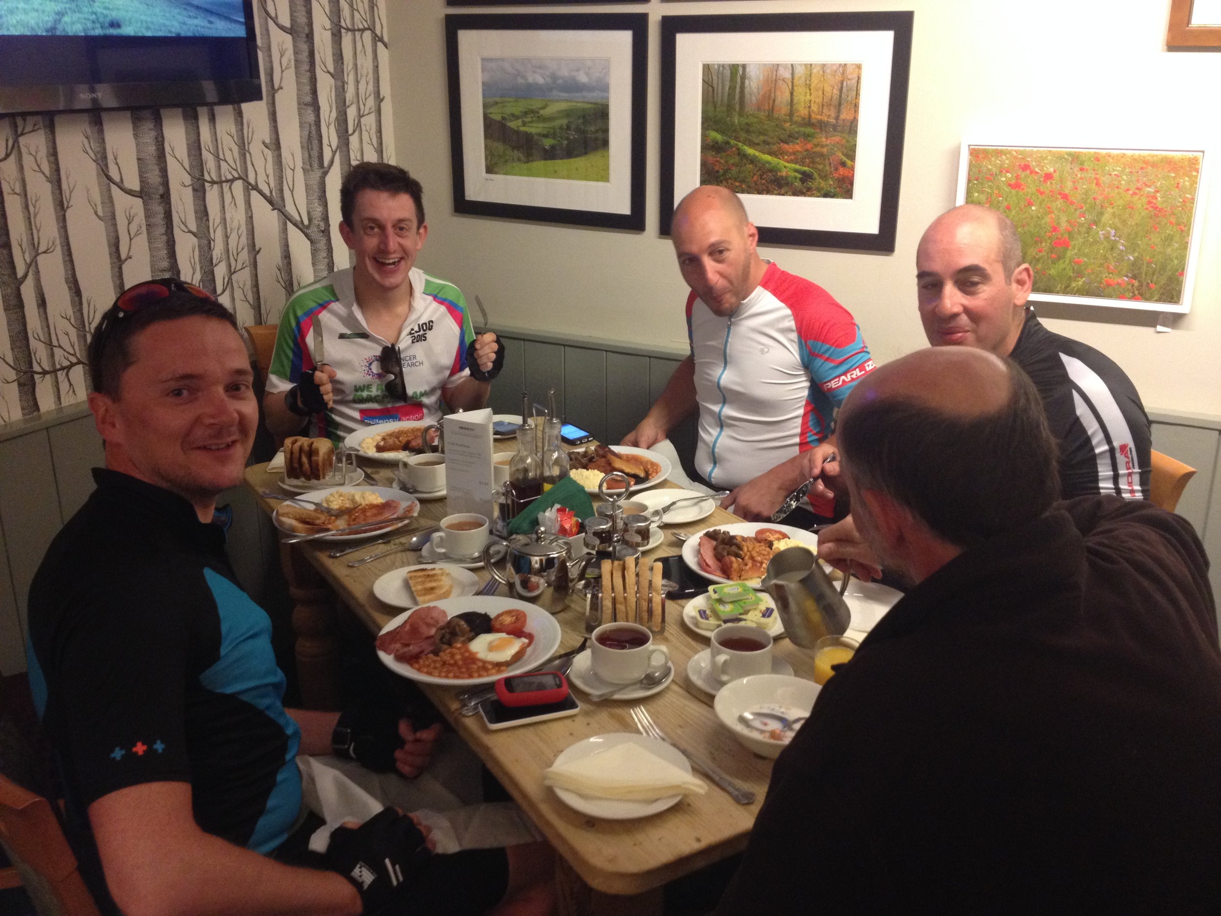
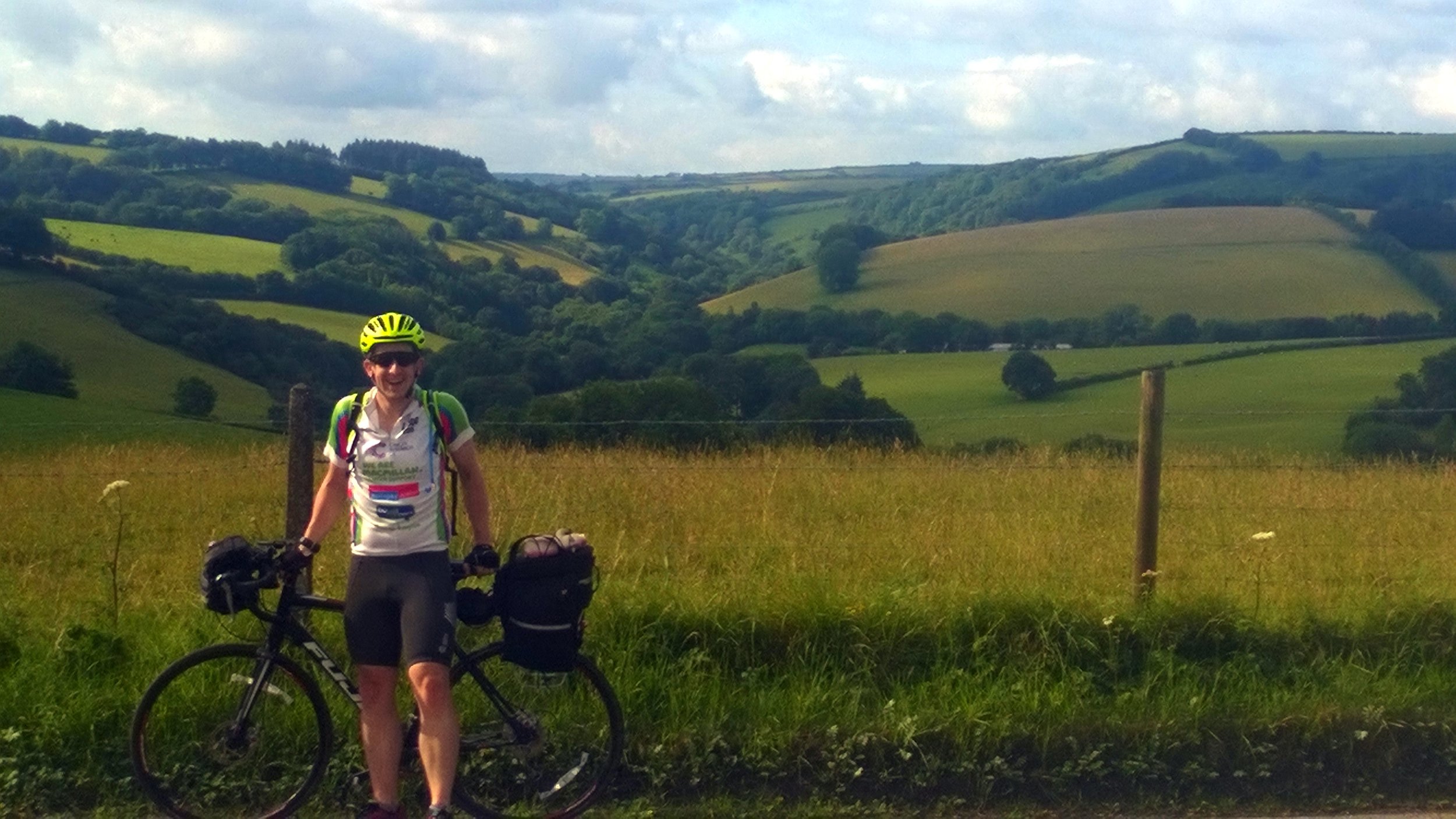
This was a day hike as a part of a 4-day Scottish County Top trip to bag Ben Lawers, Ben Vorlich, Ben Lomond and the Hill of Stake. It was our final day of the trip and, with the Bens ticked off, we just had Hill of Stake to complete.
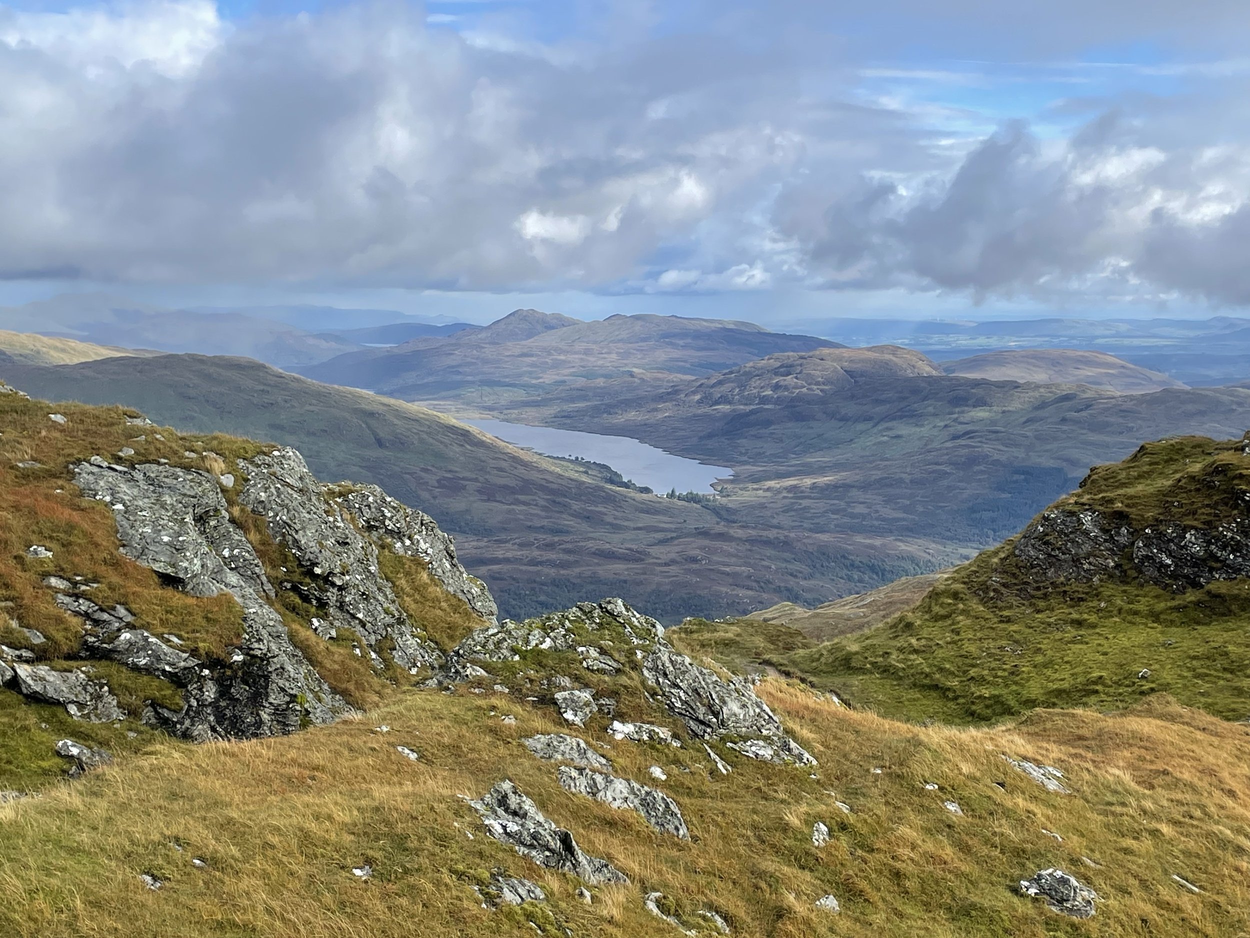
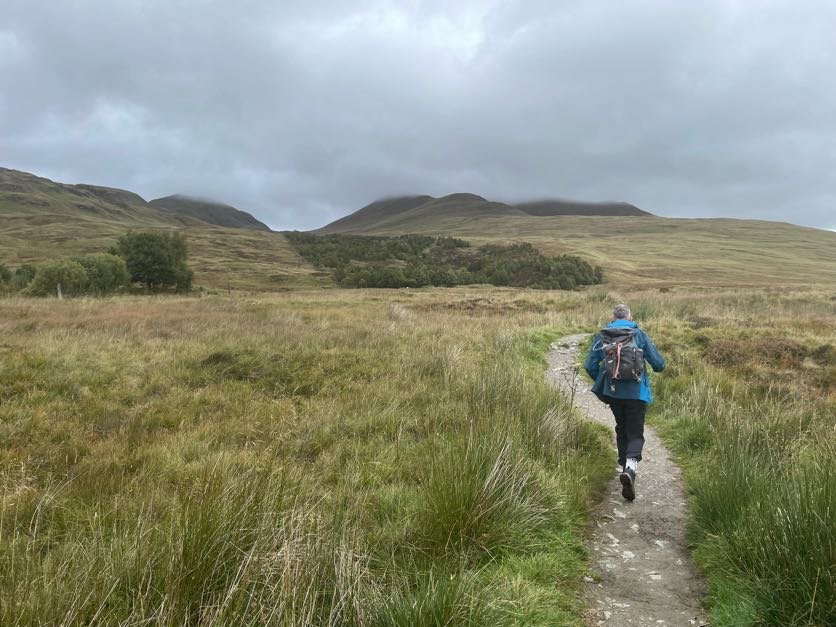
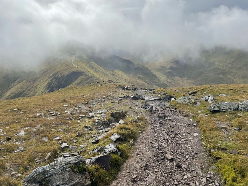
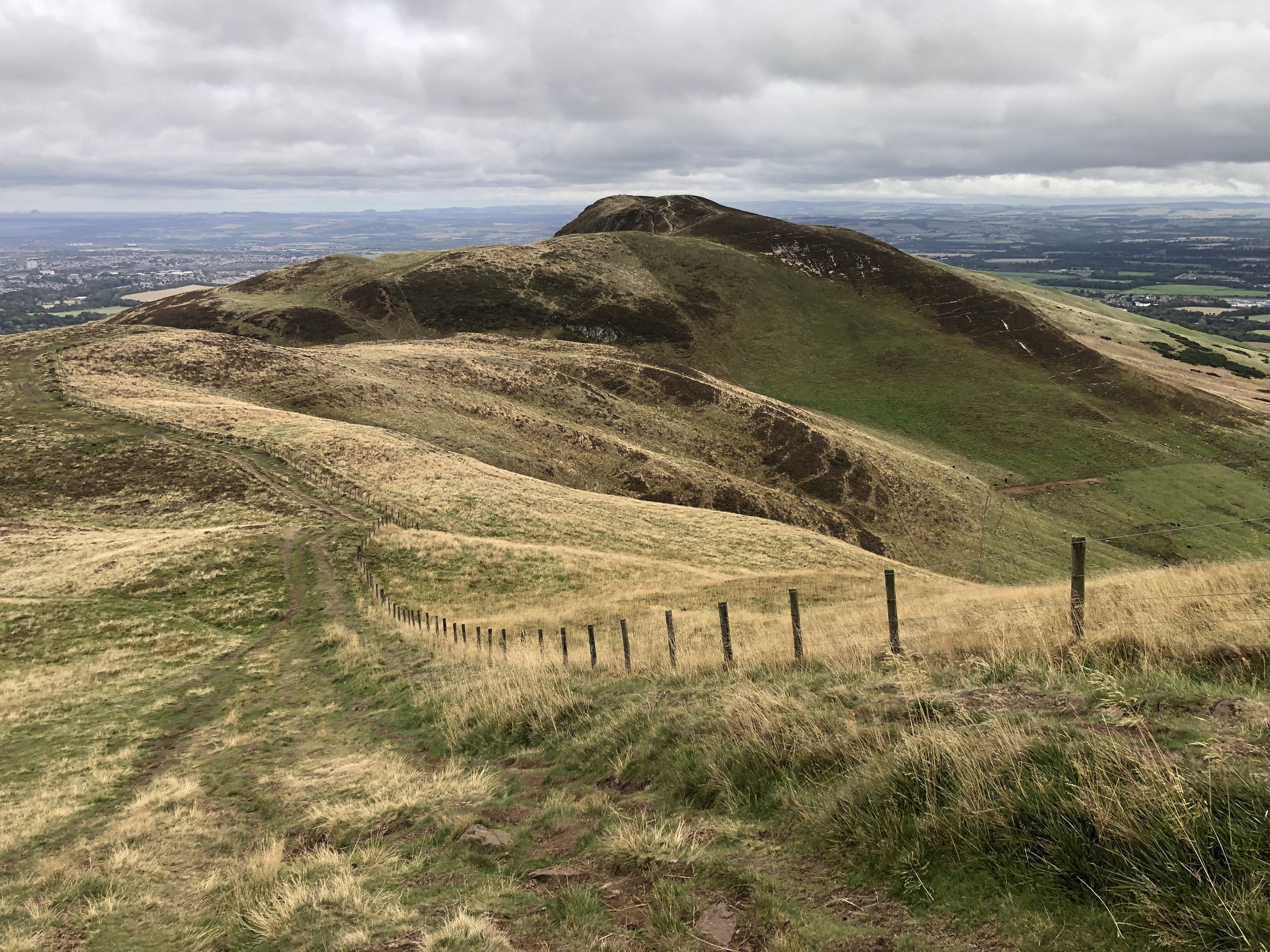
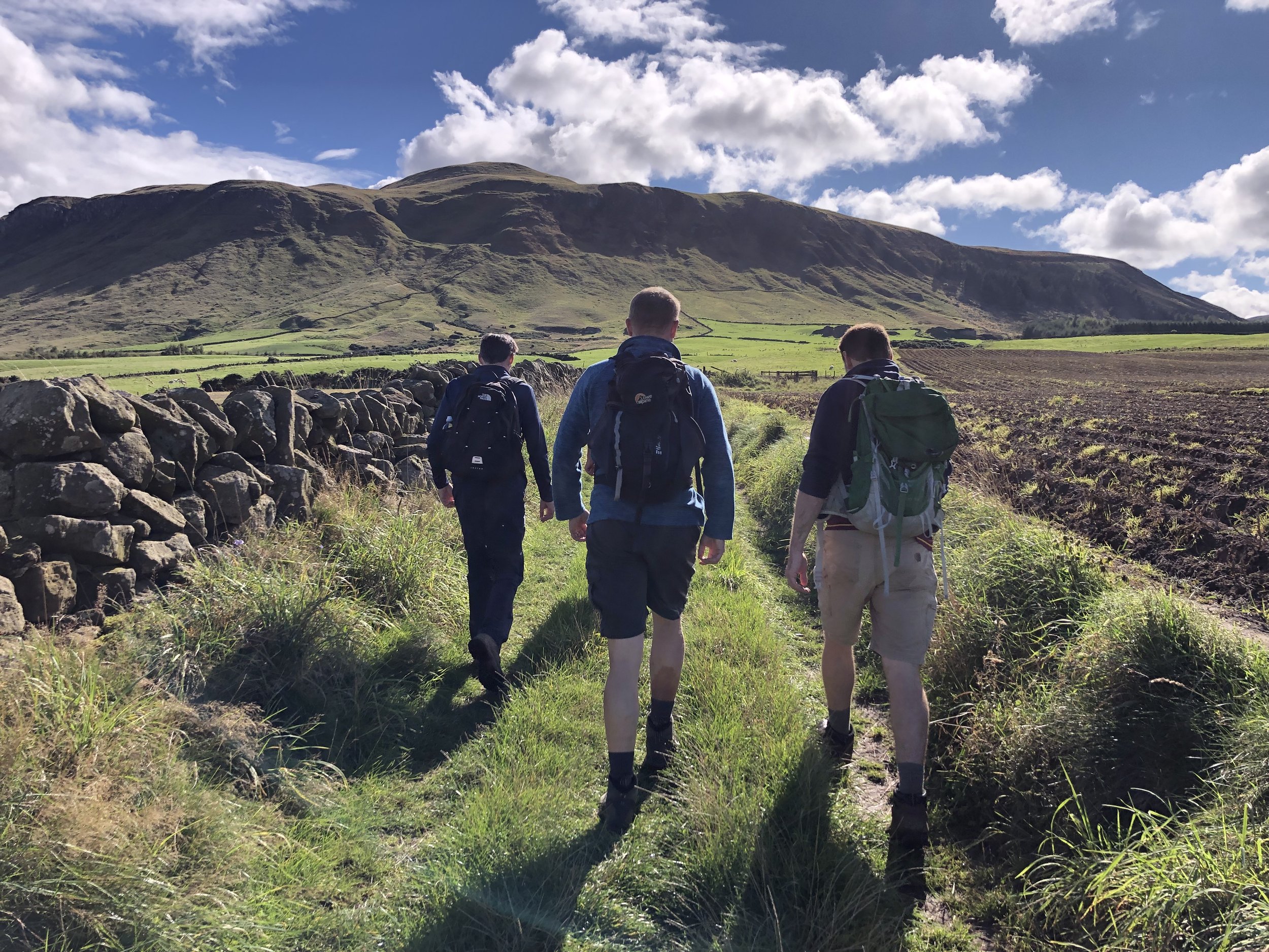
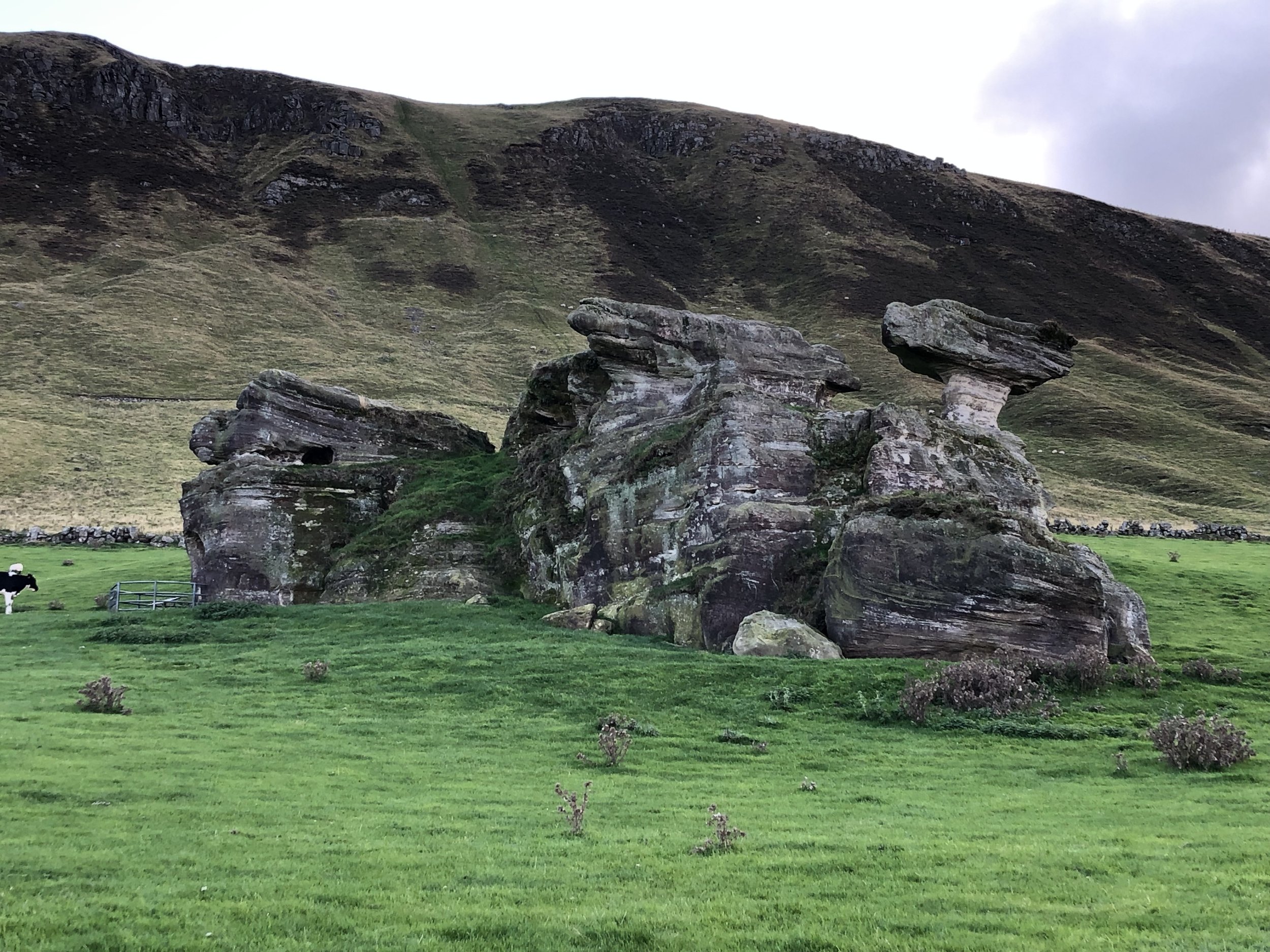
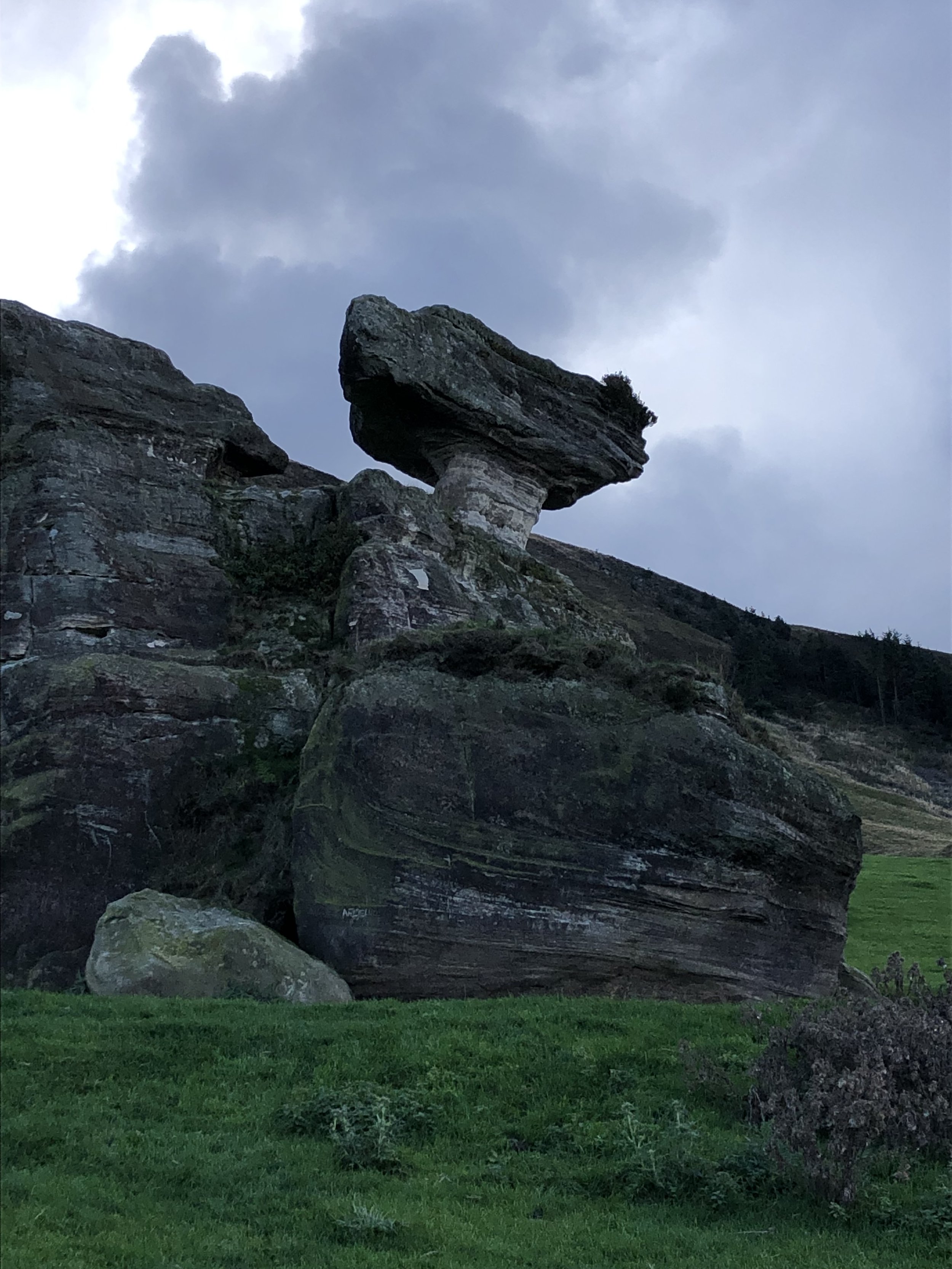
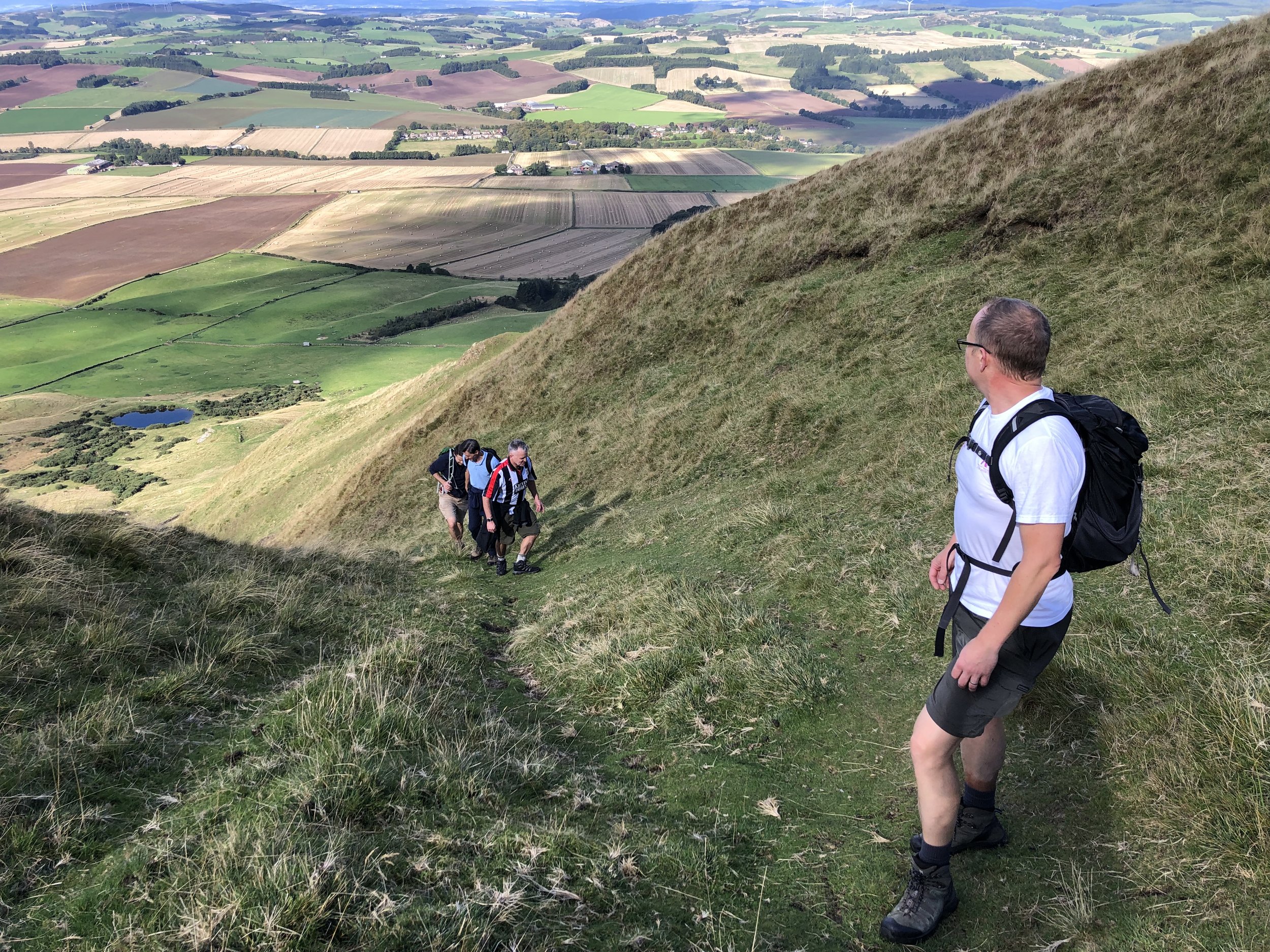
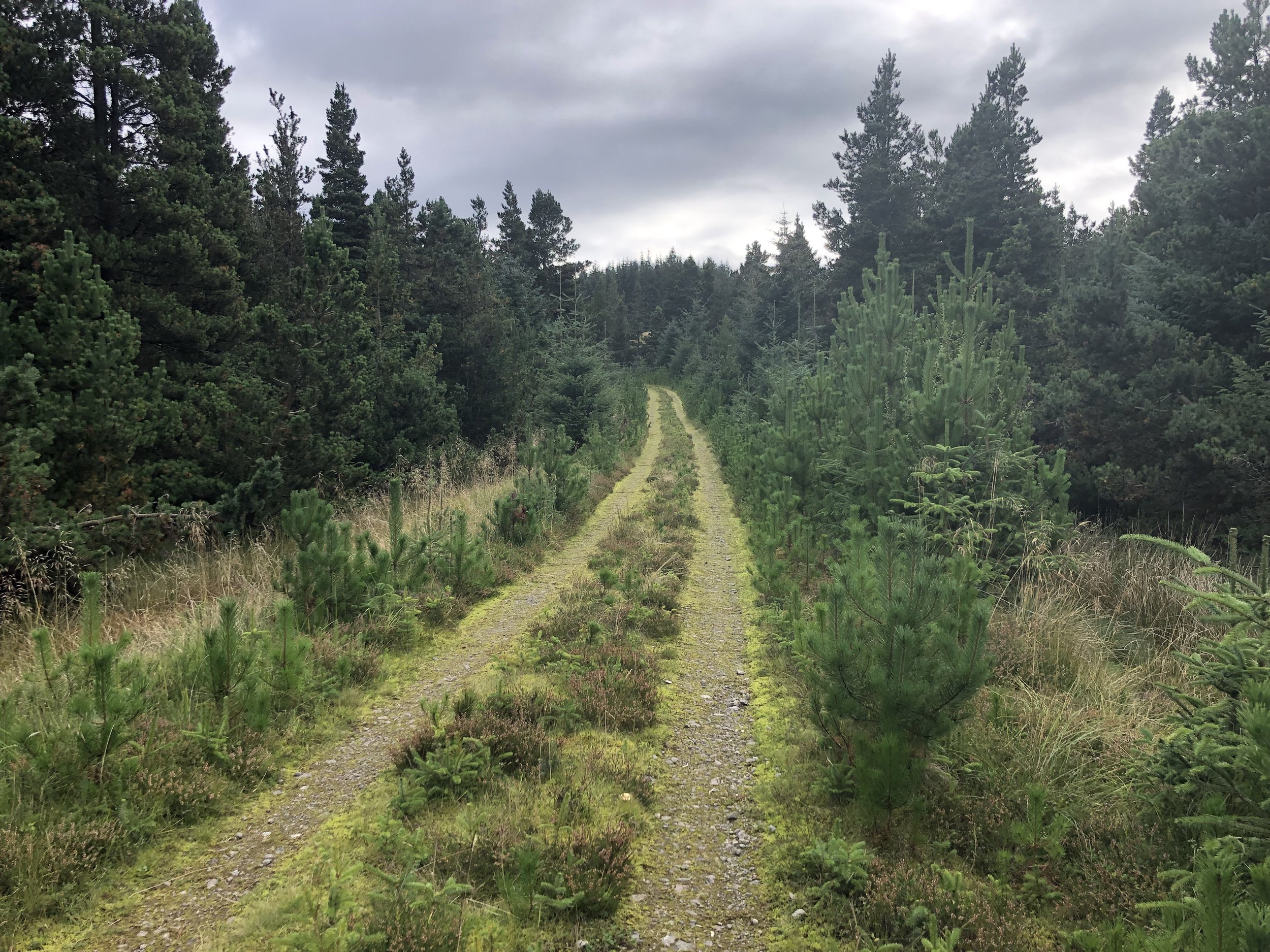
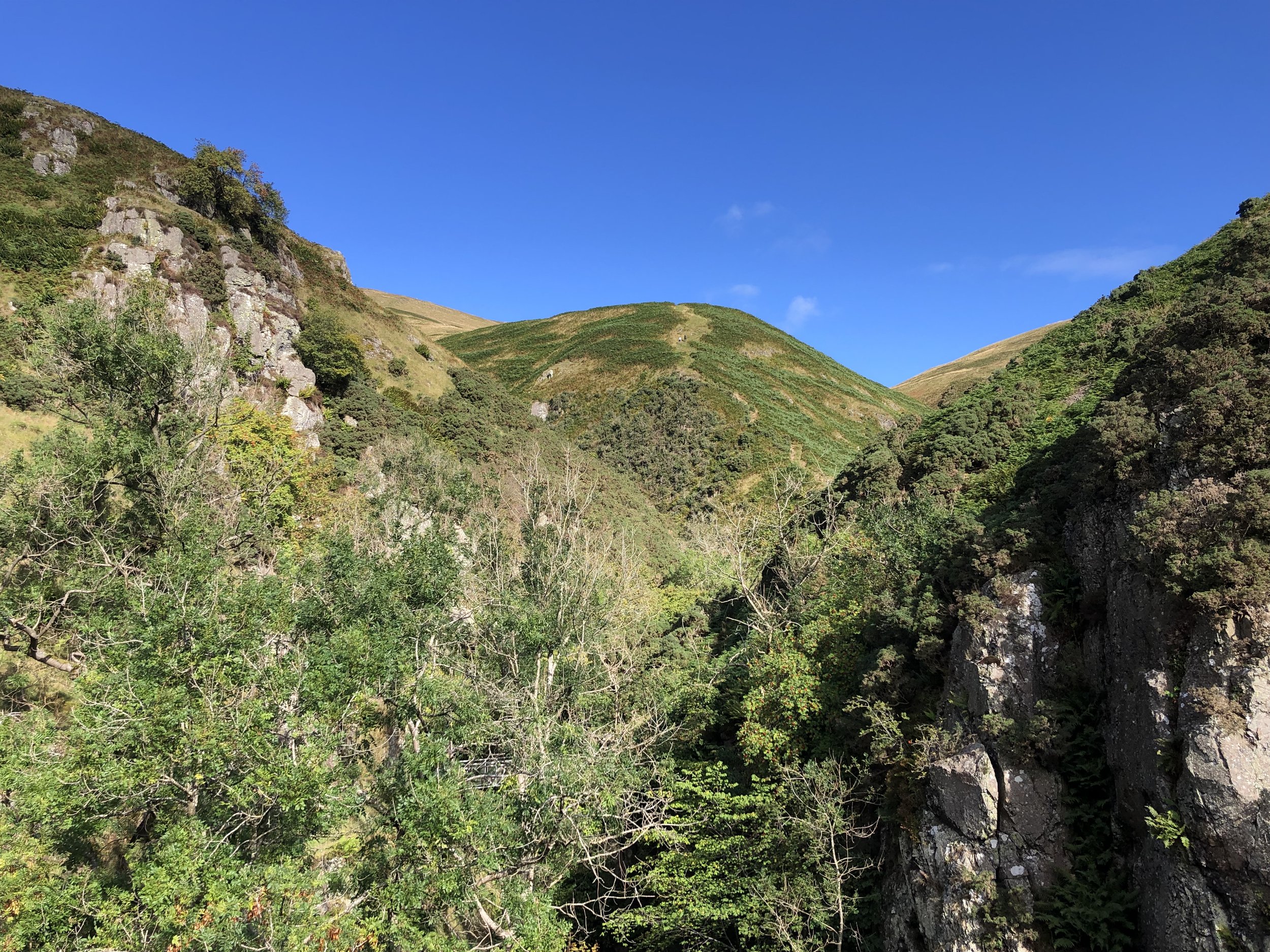
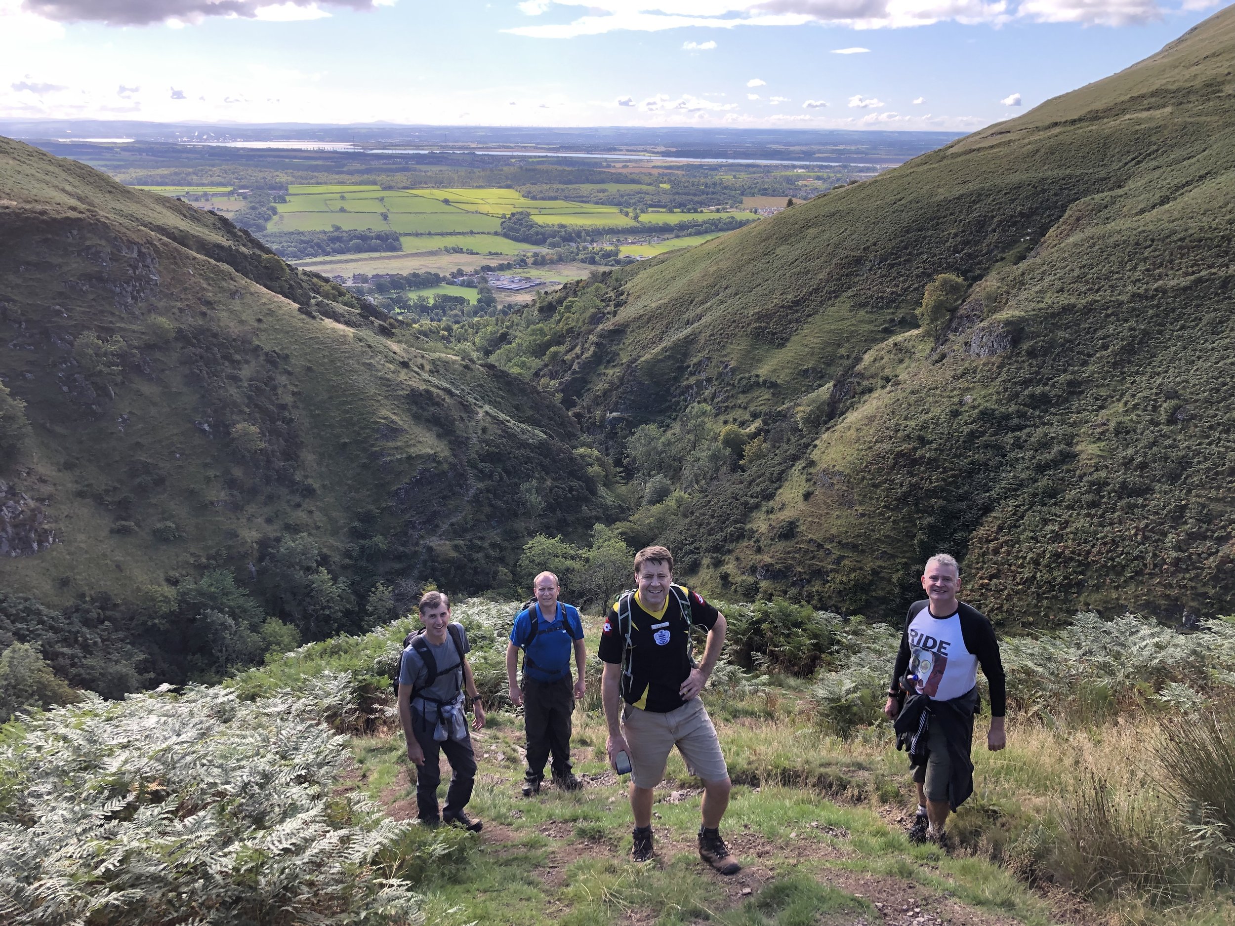
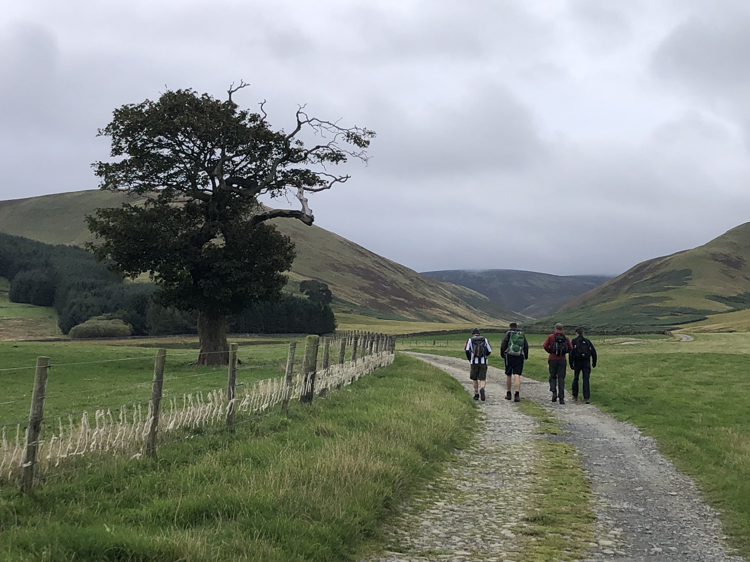
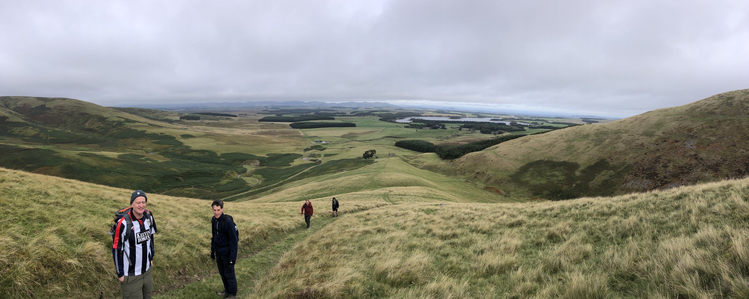
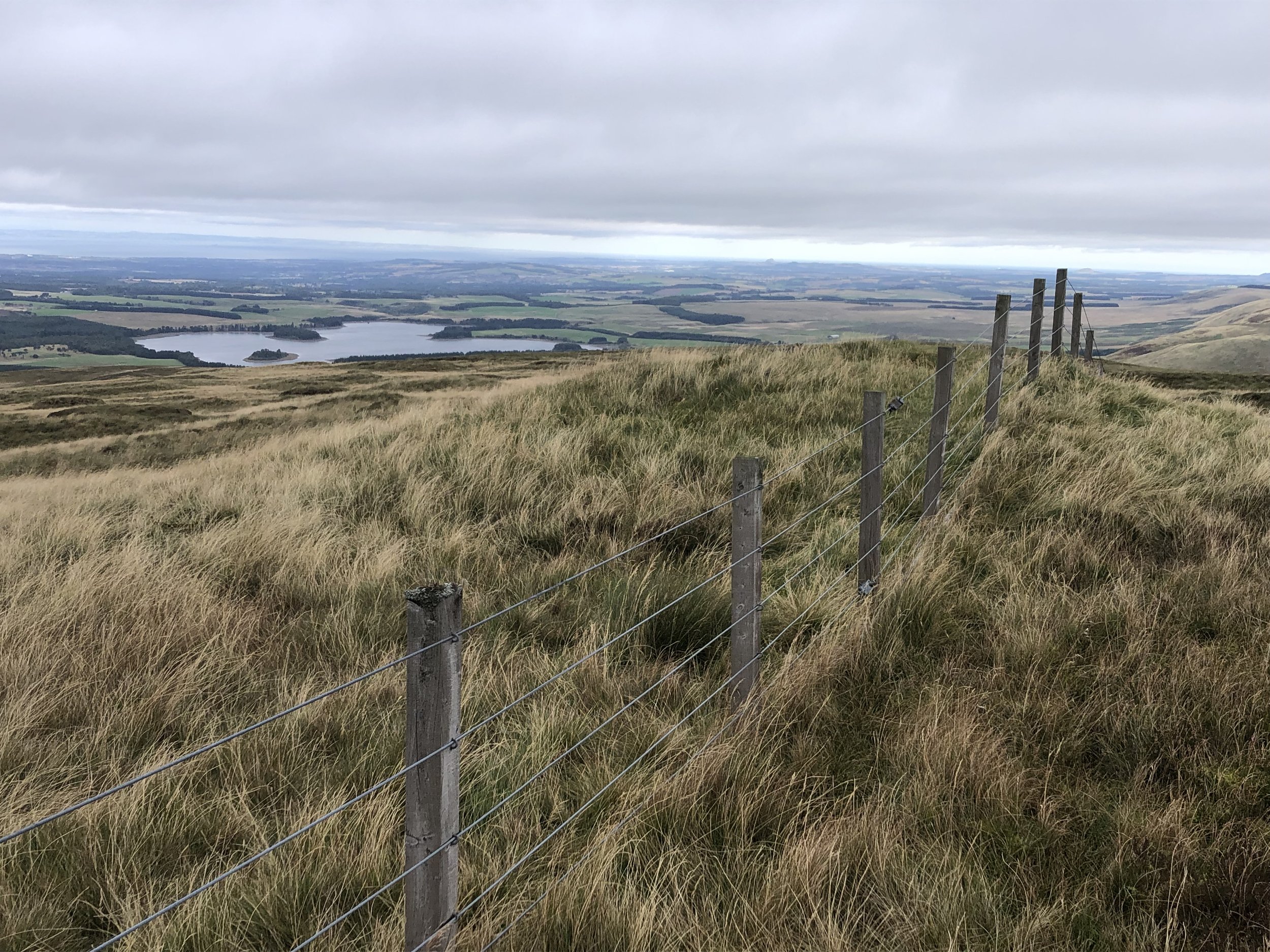
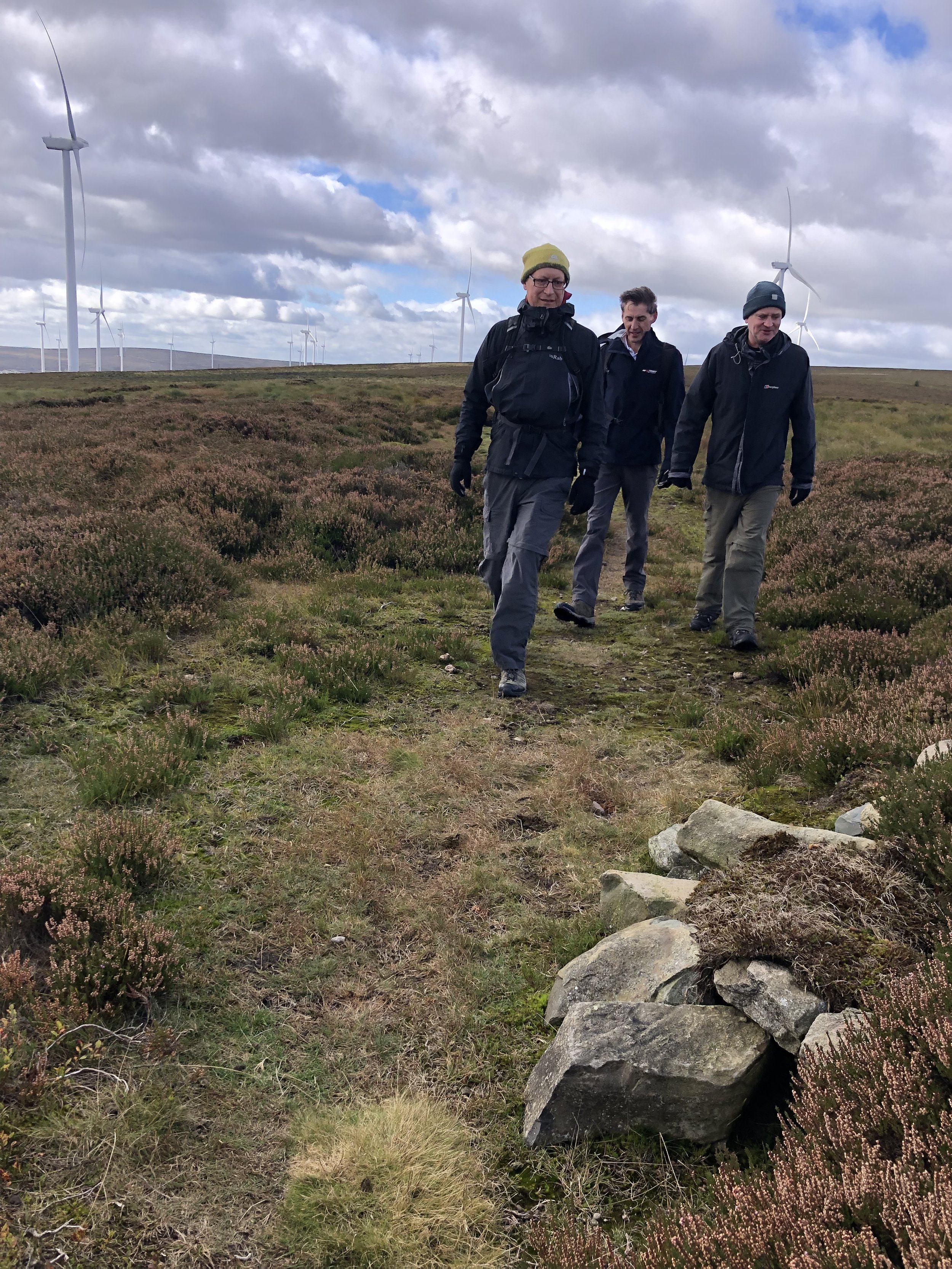
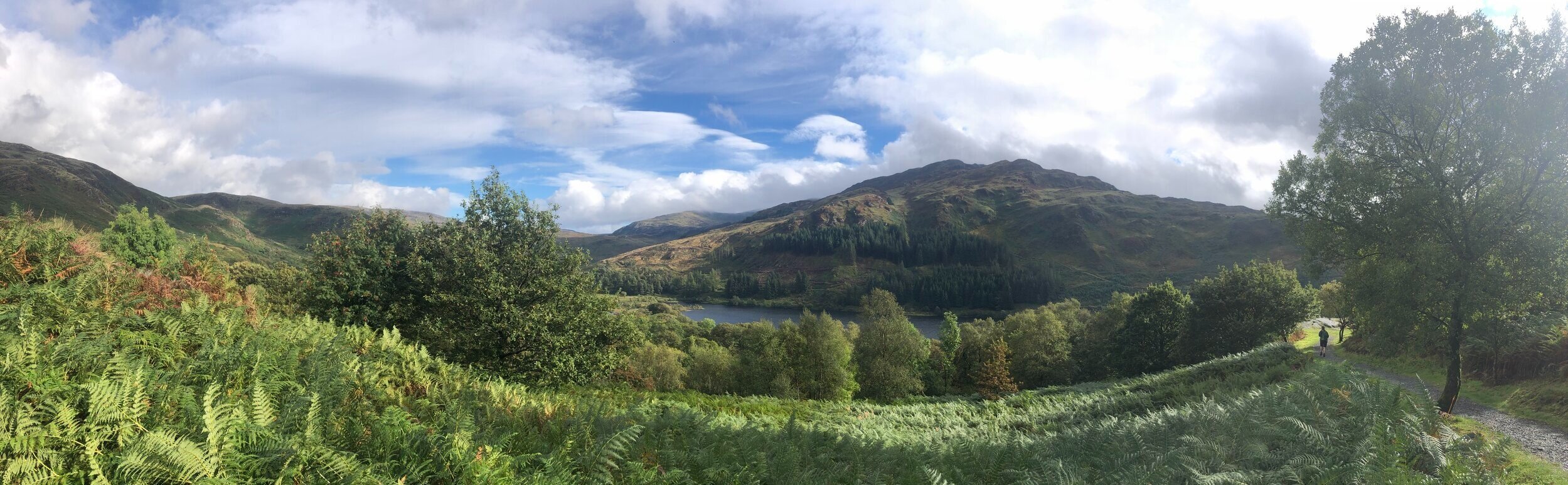
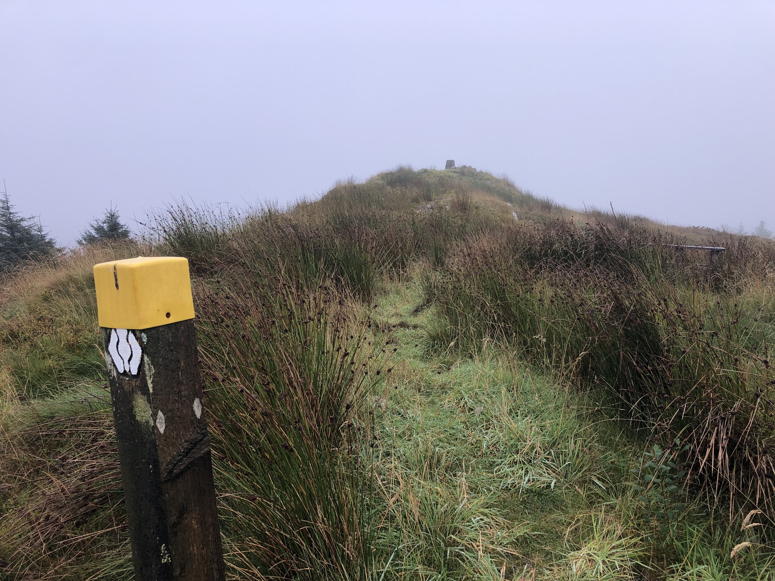
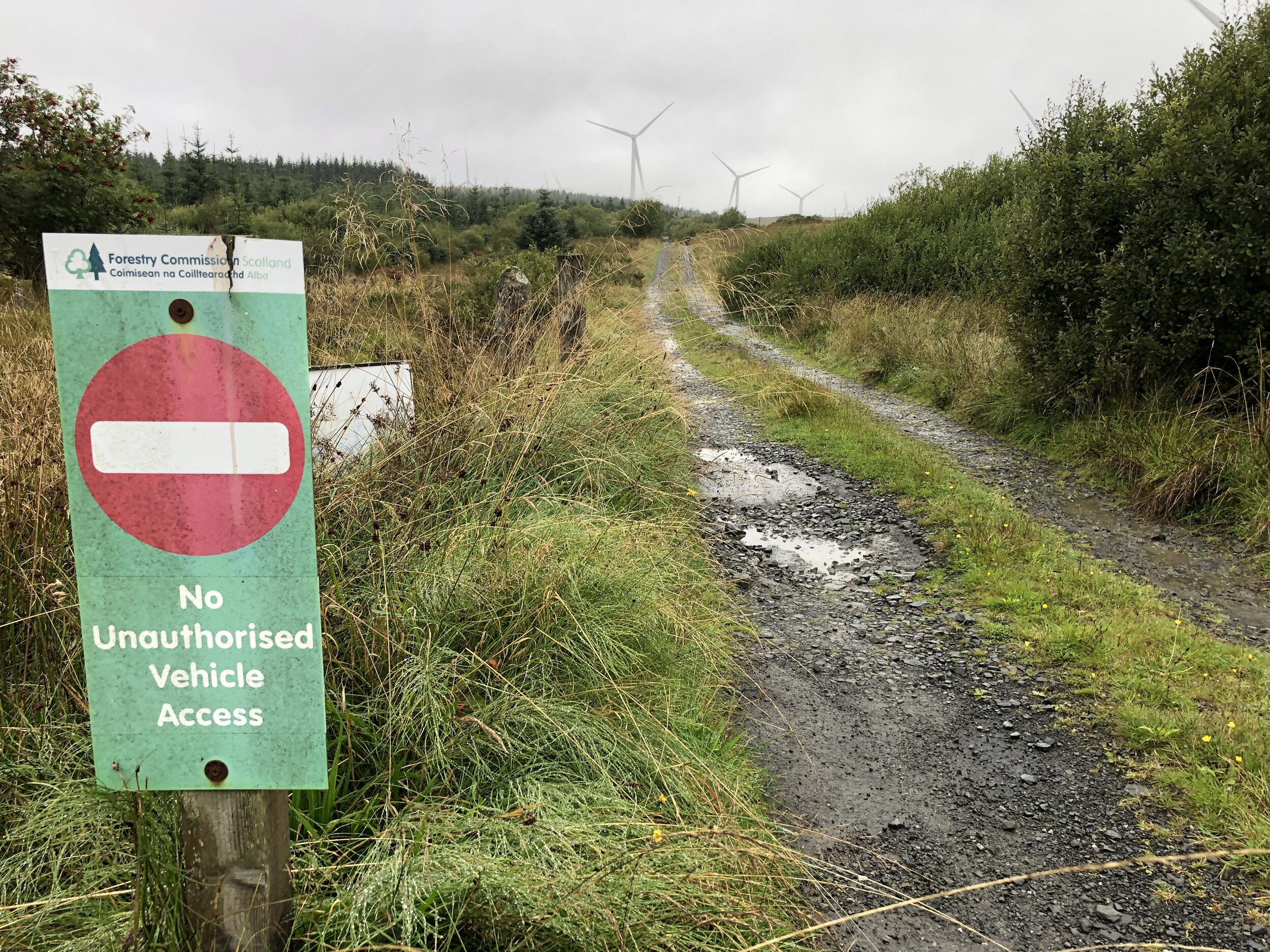
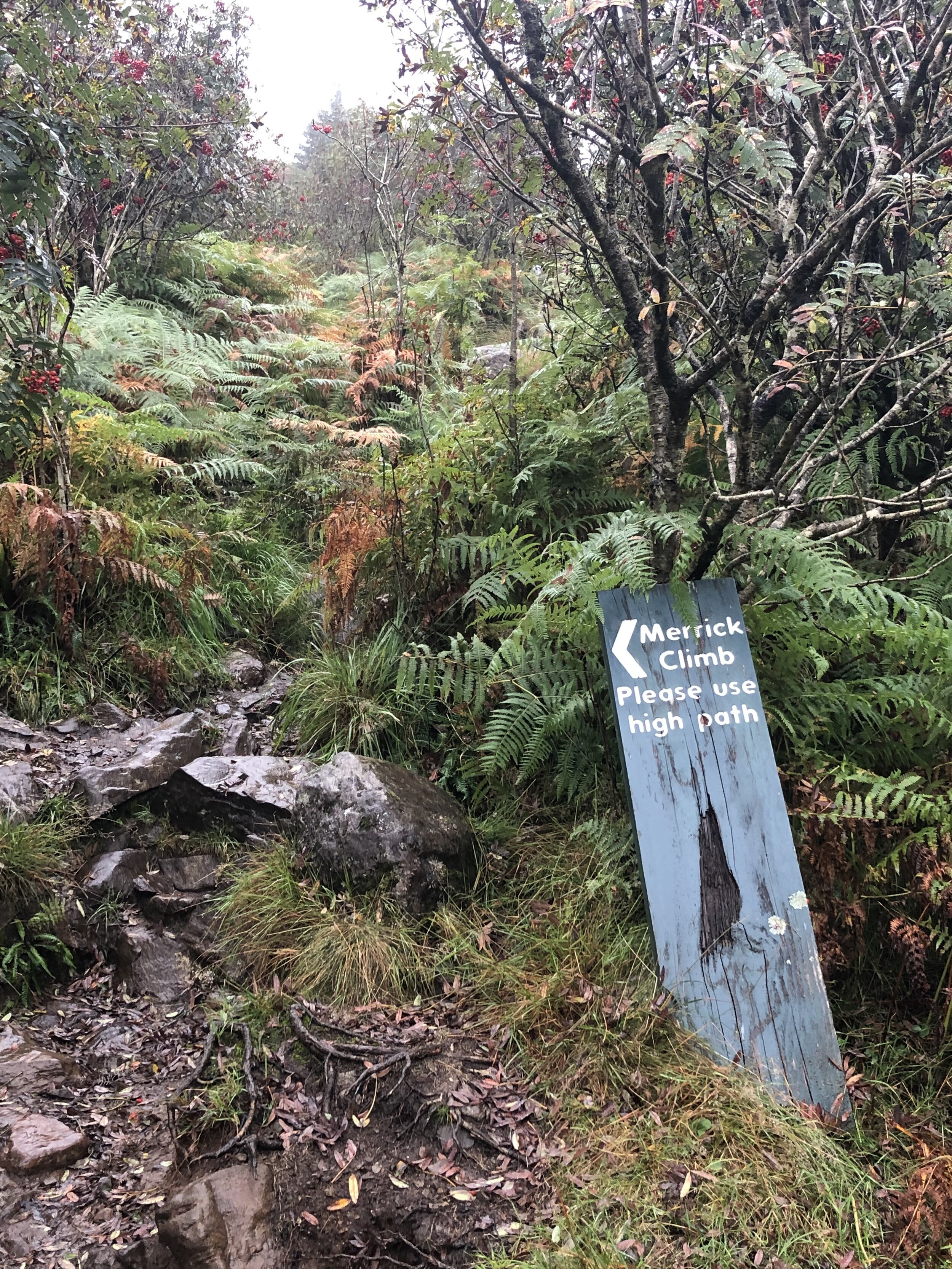
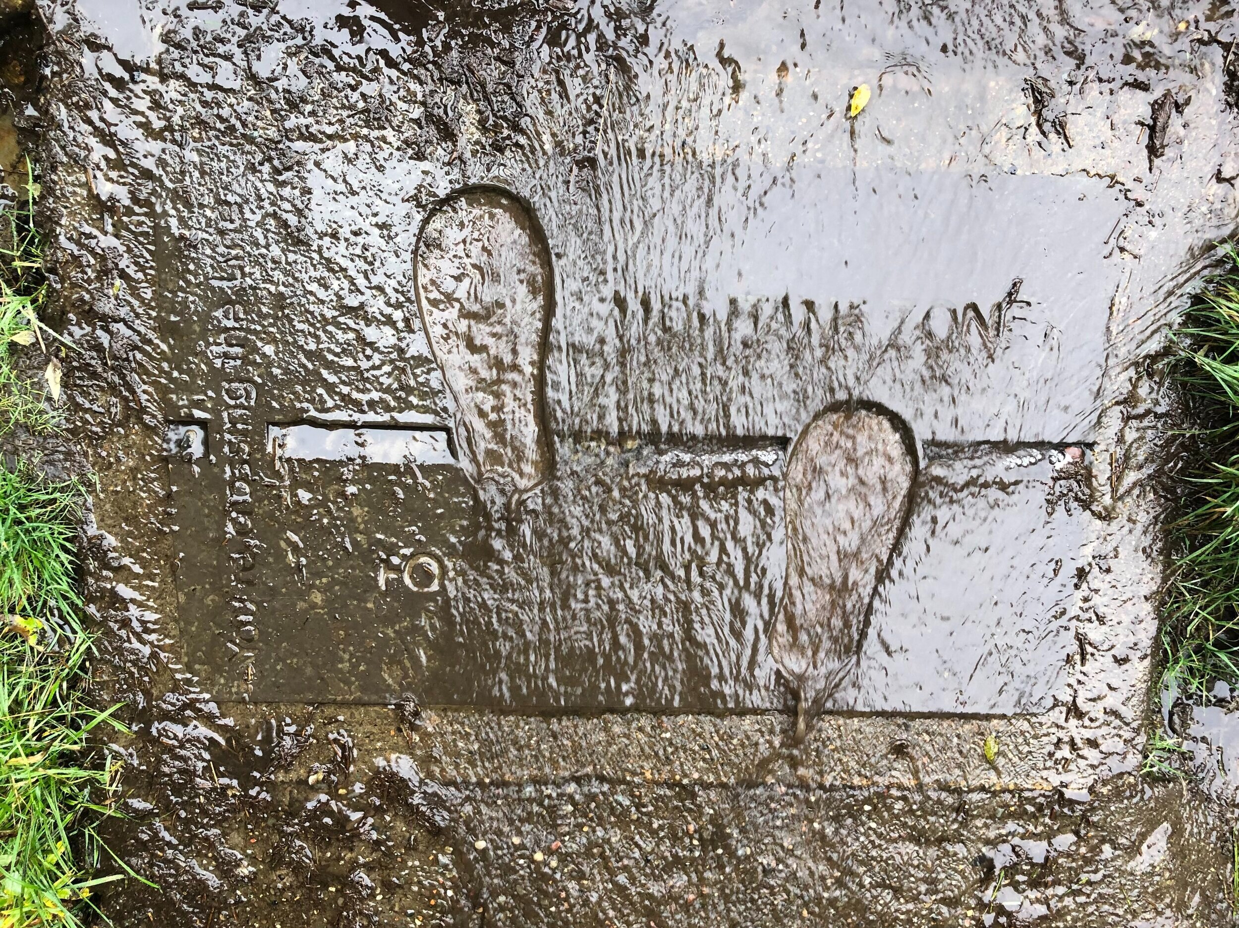
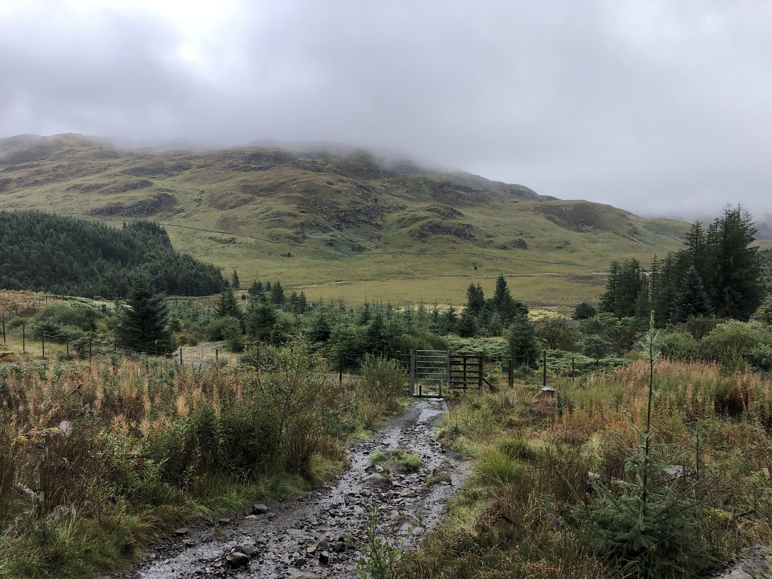
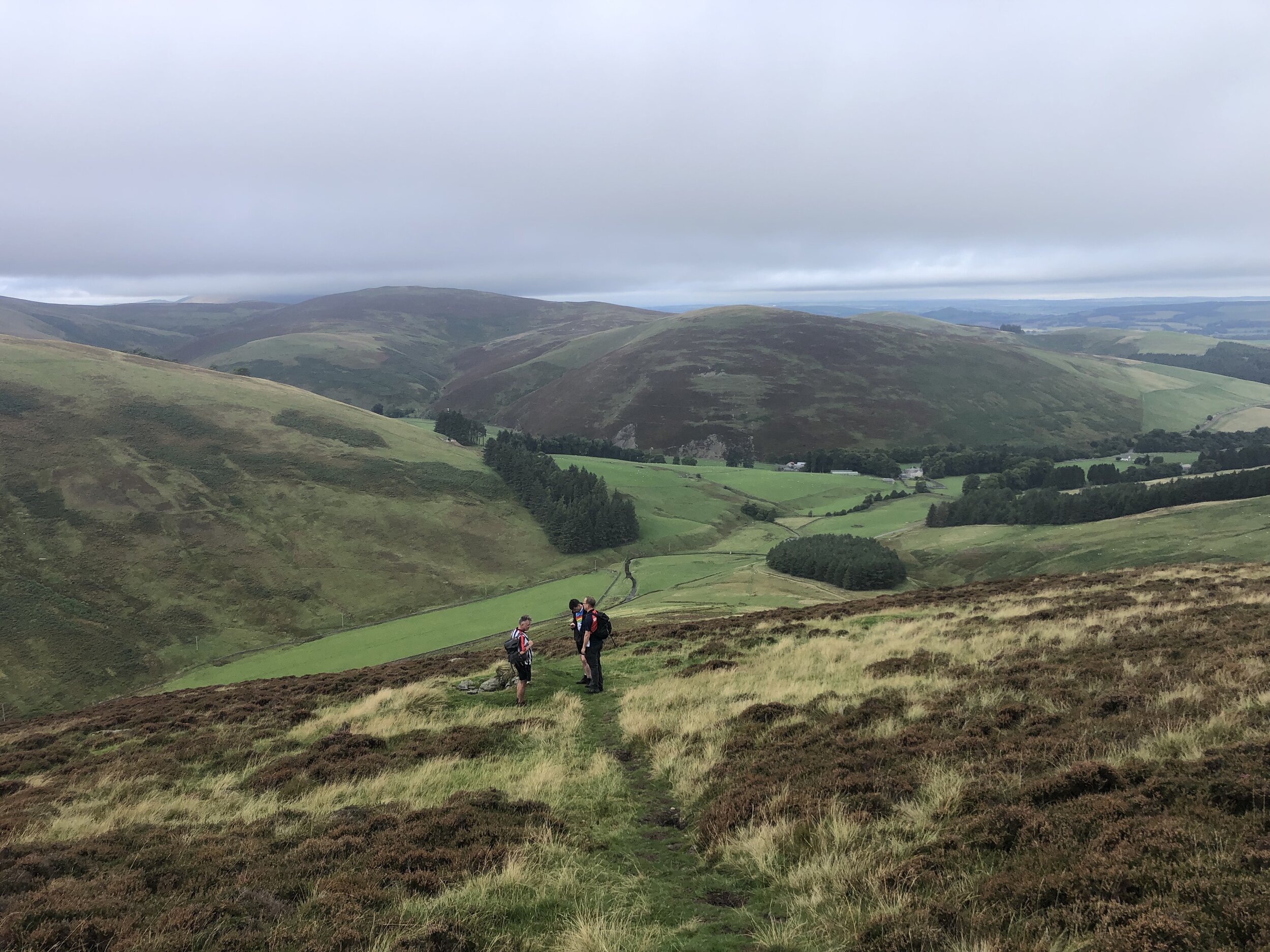
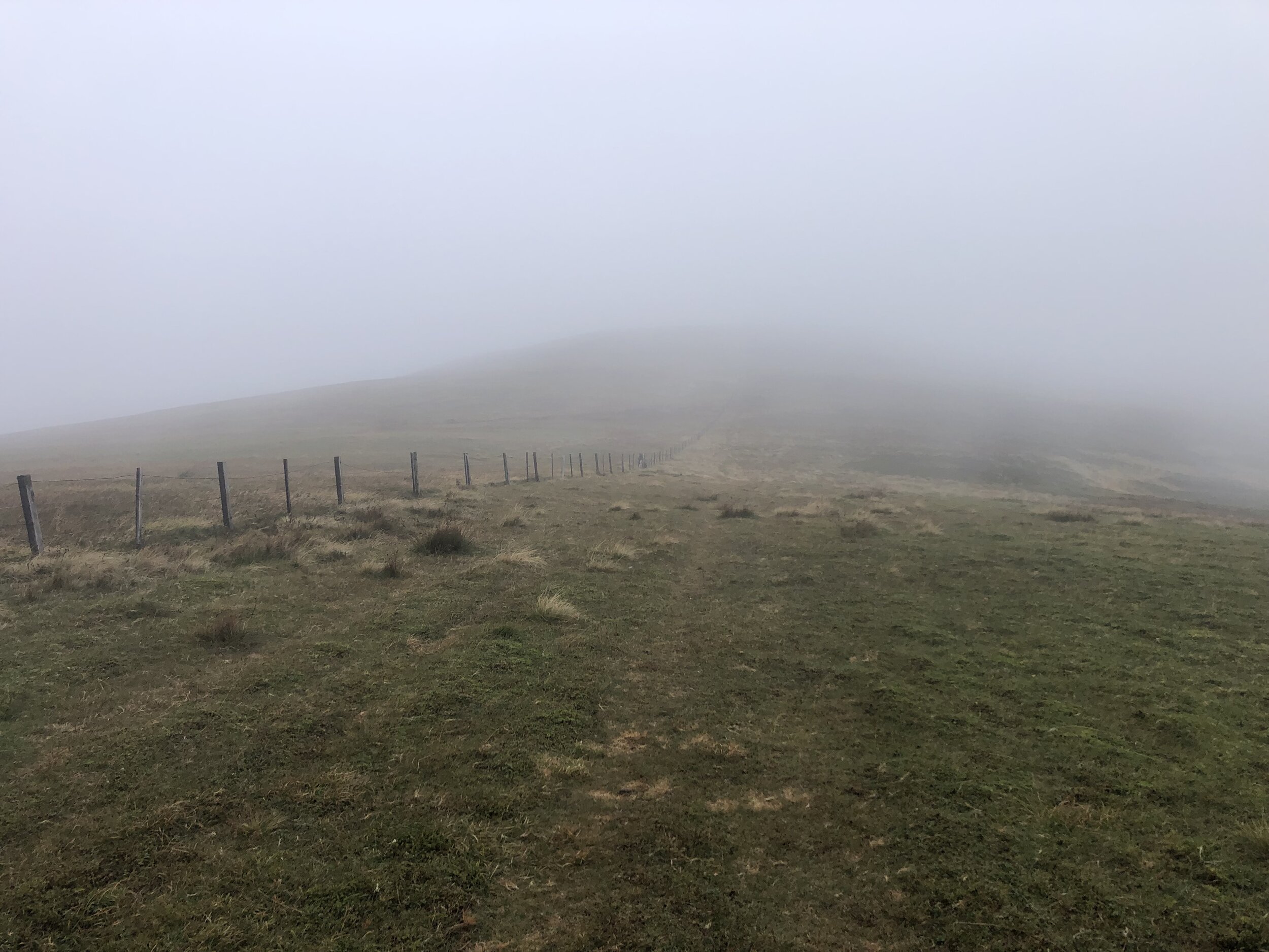
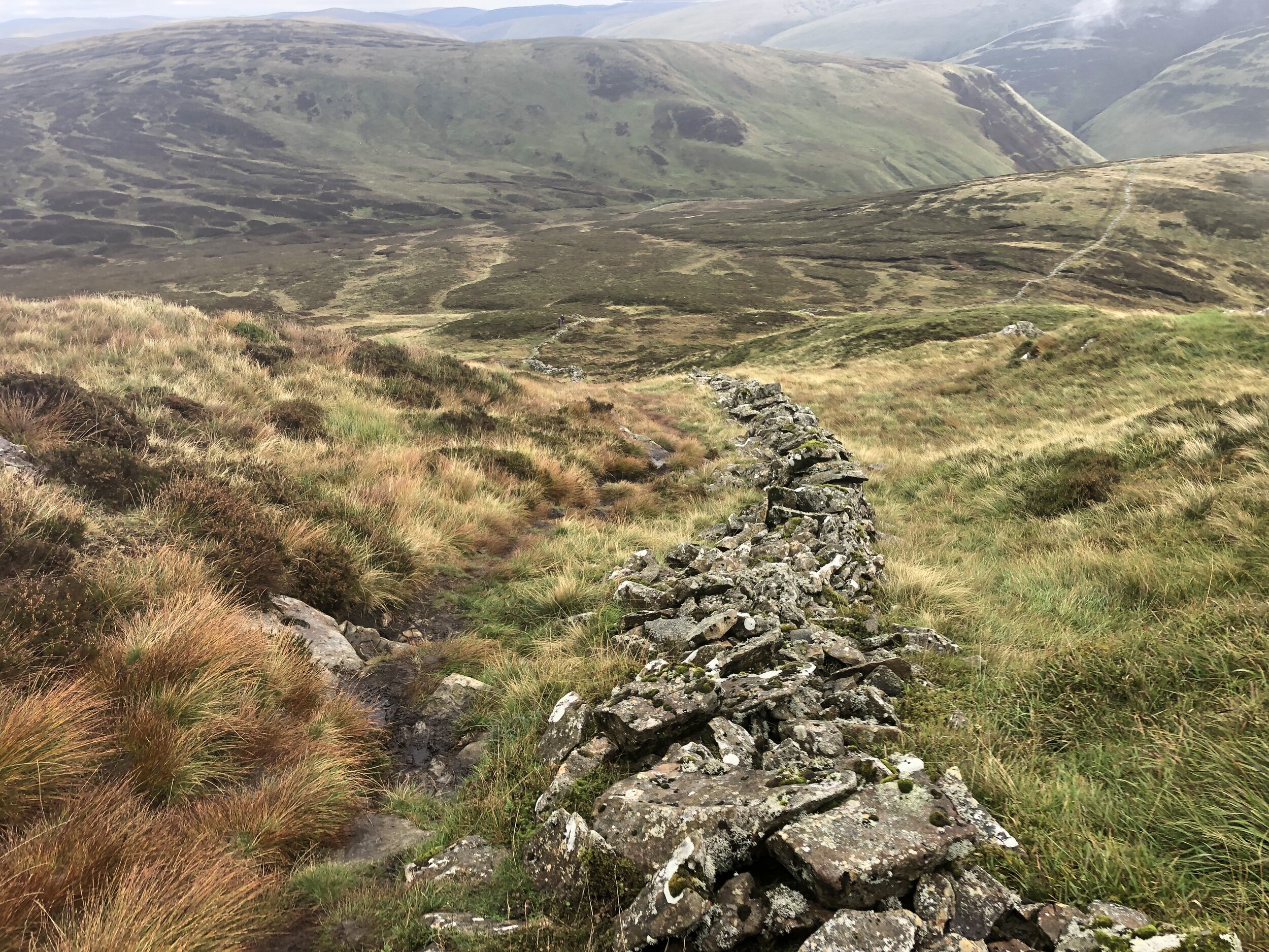
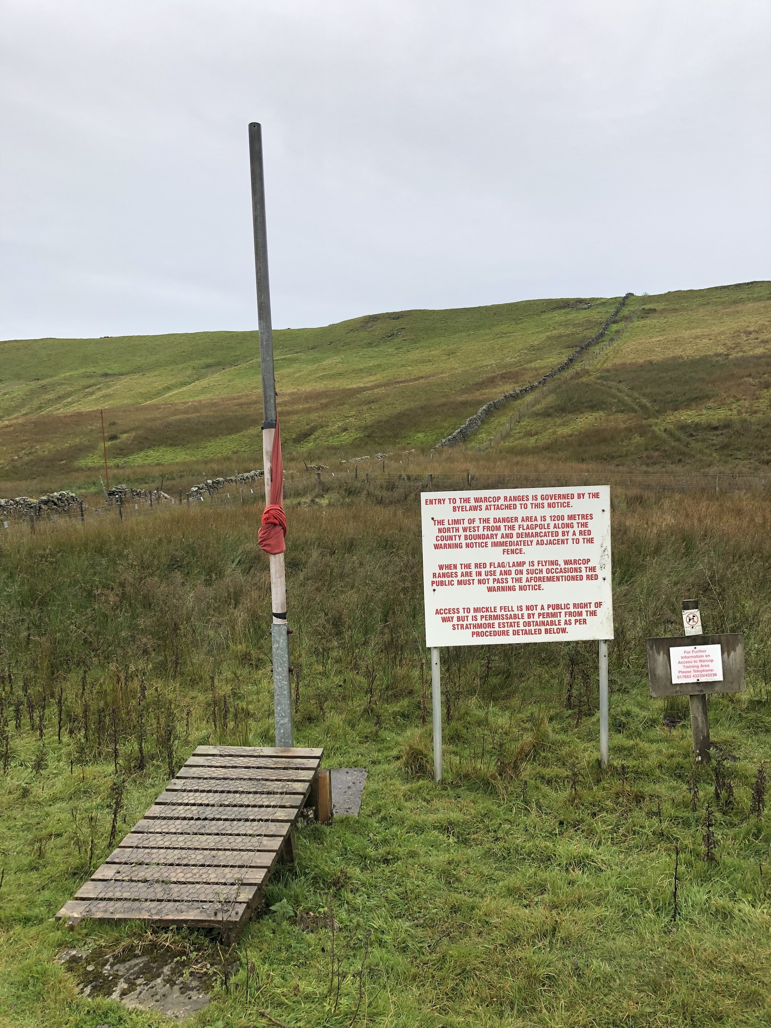
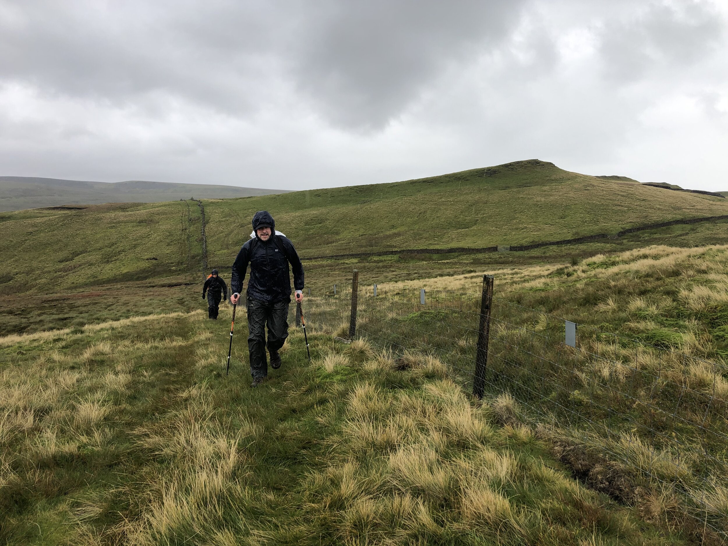
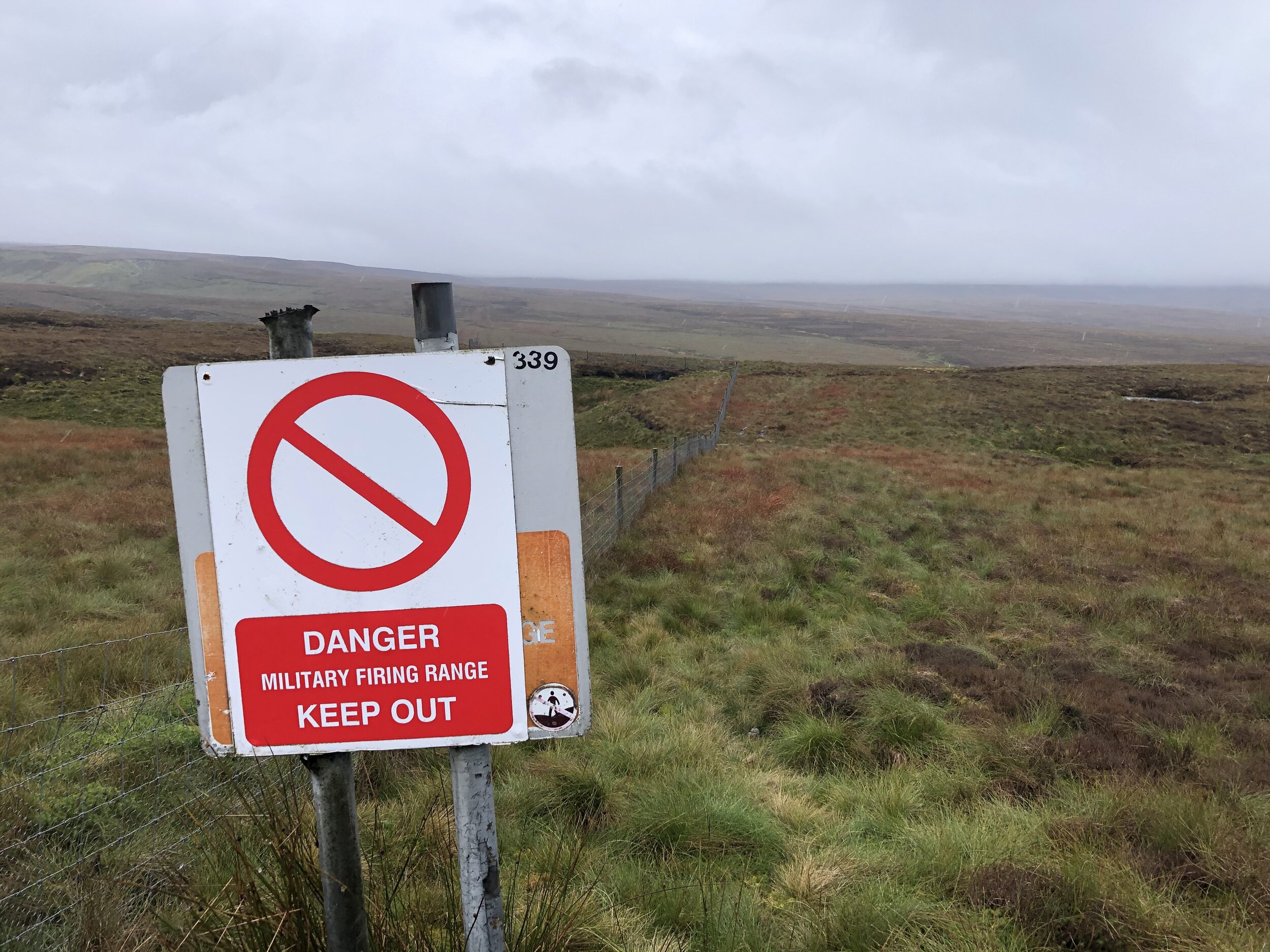
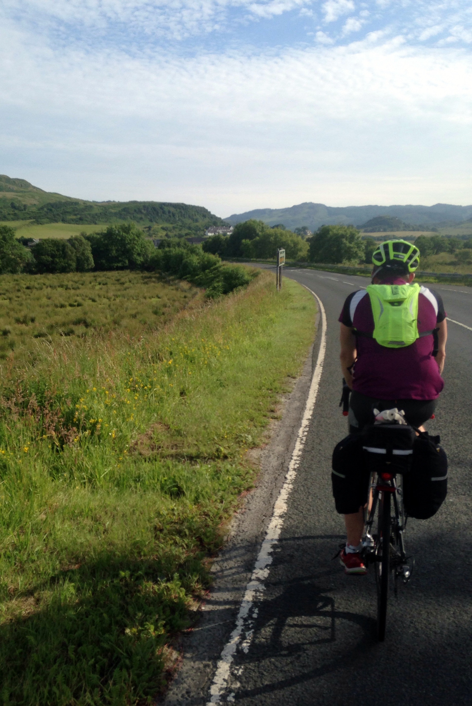
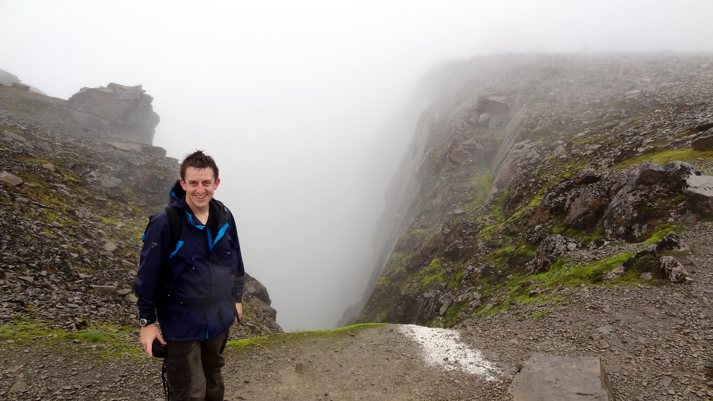
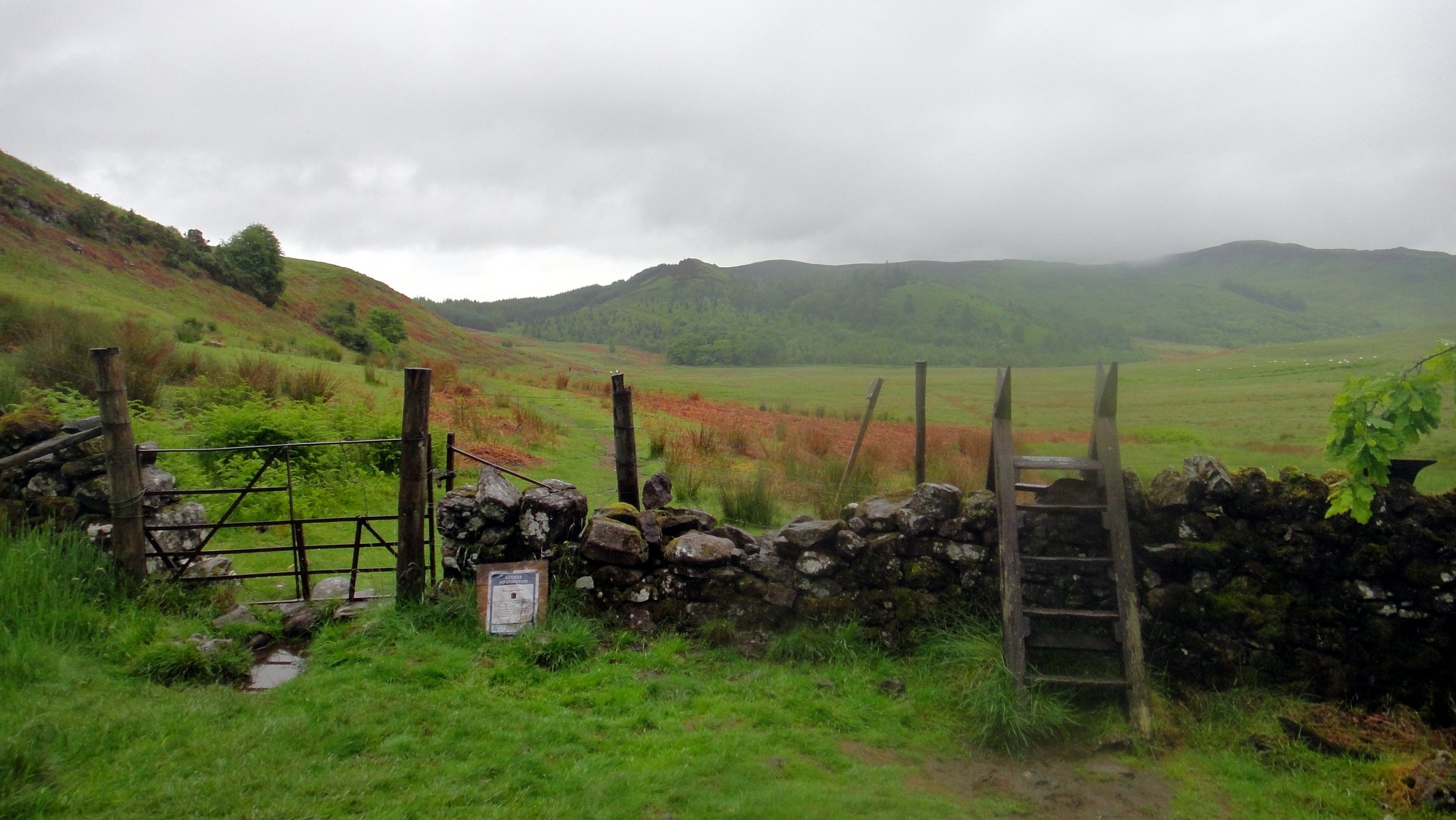
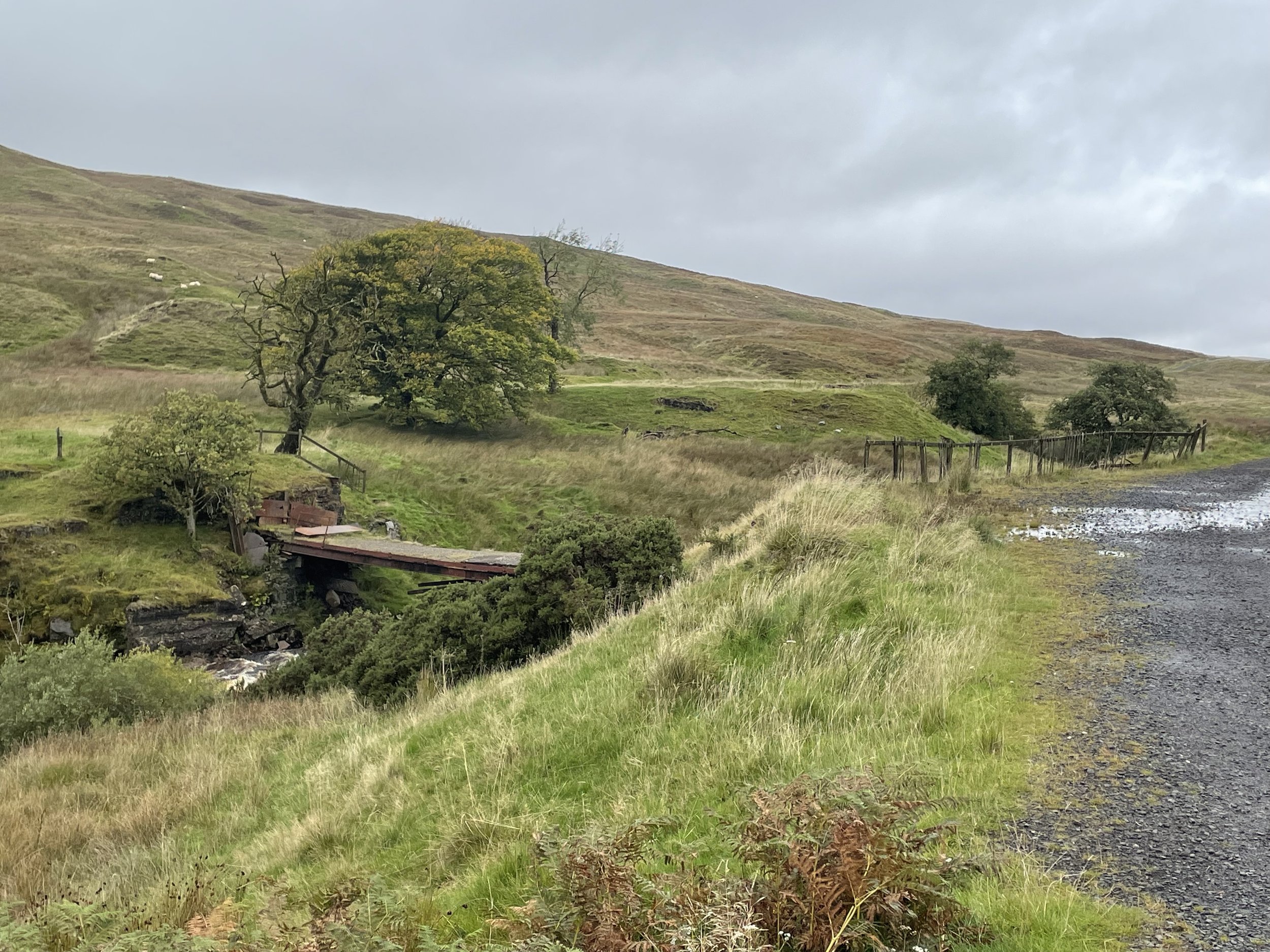
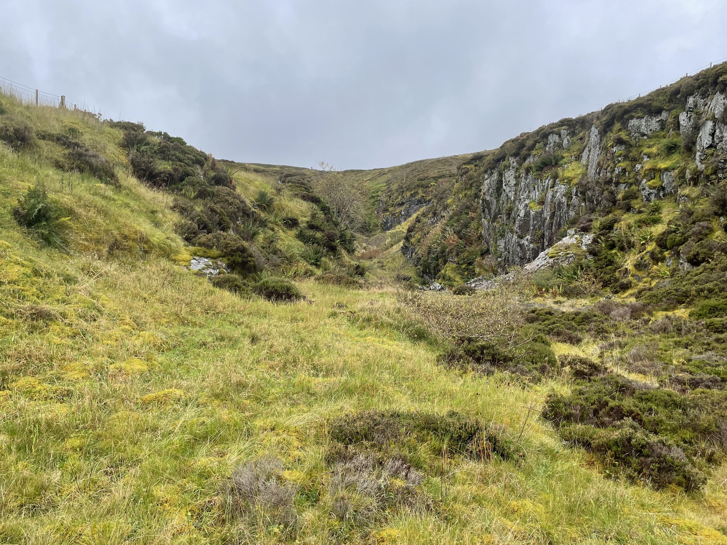
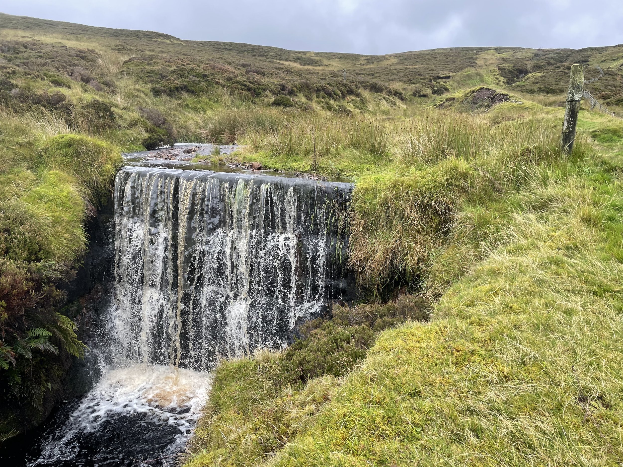
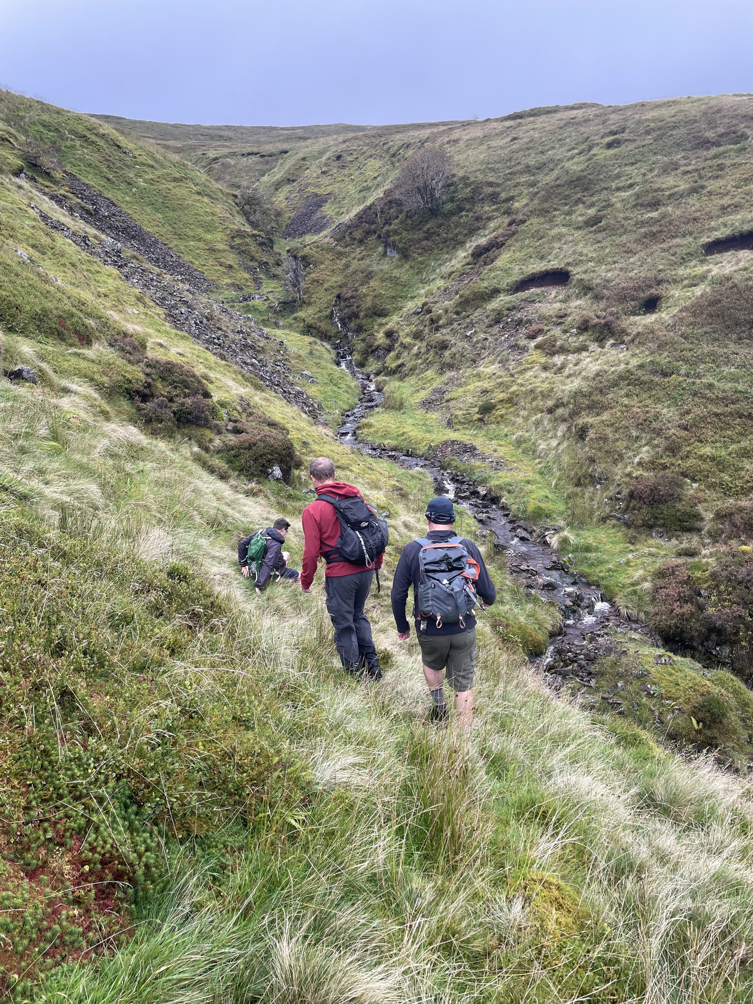
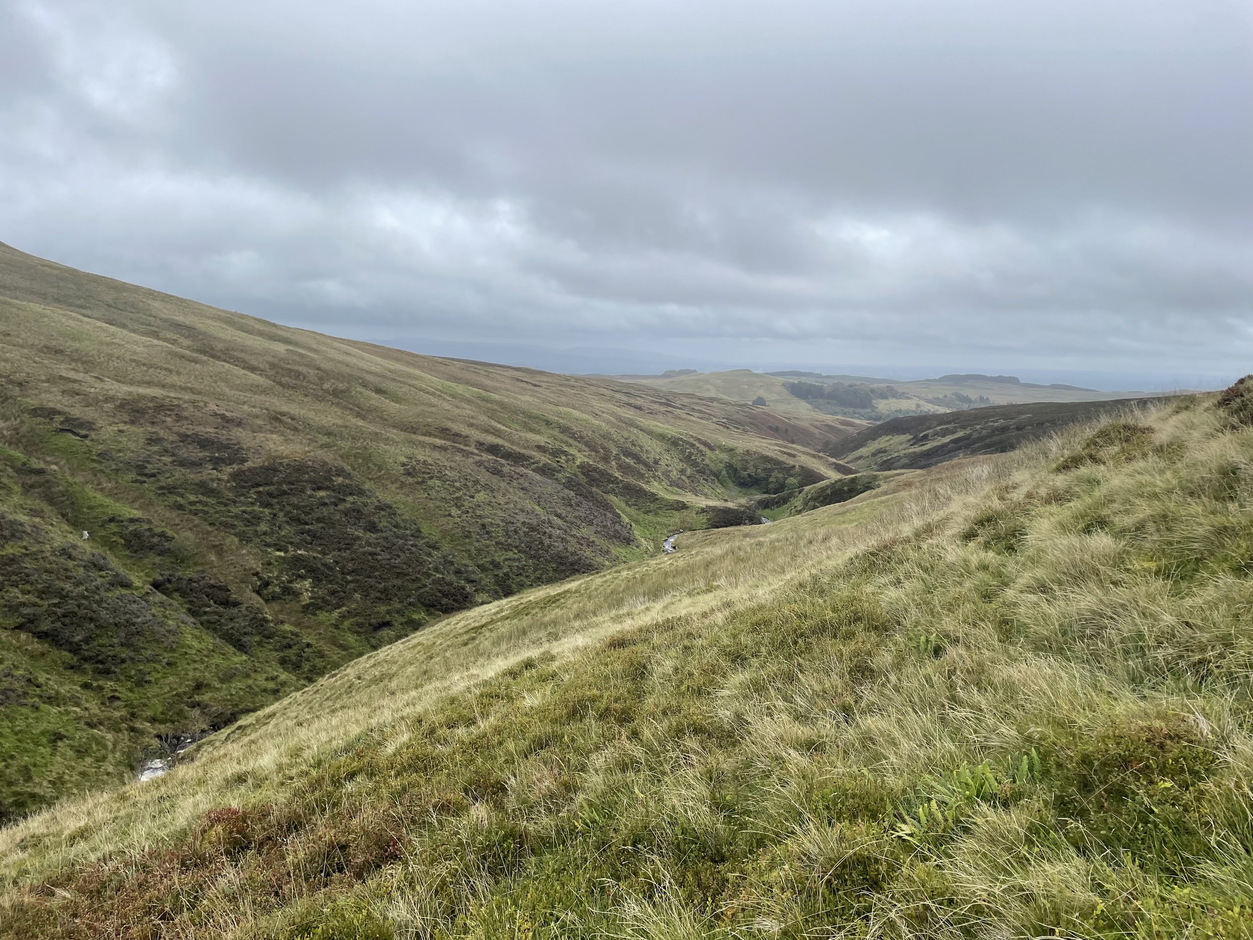
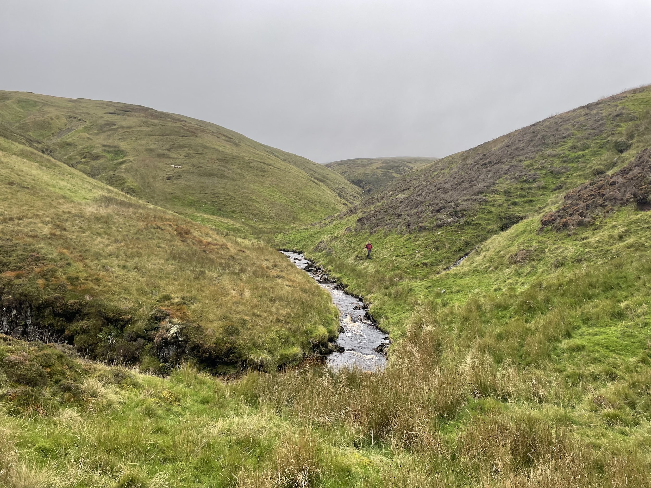
The 3 Bens were similar walks: steep, high mountains on popular well marked paths. Hill of Stake is in a remote part of the Muirshiel Regional Park on a route with occasional paths that disappear into the boggy ground.
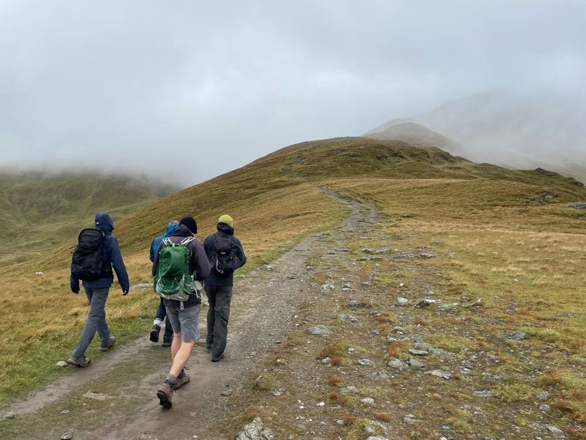
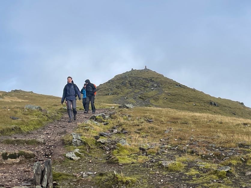
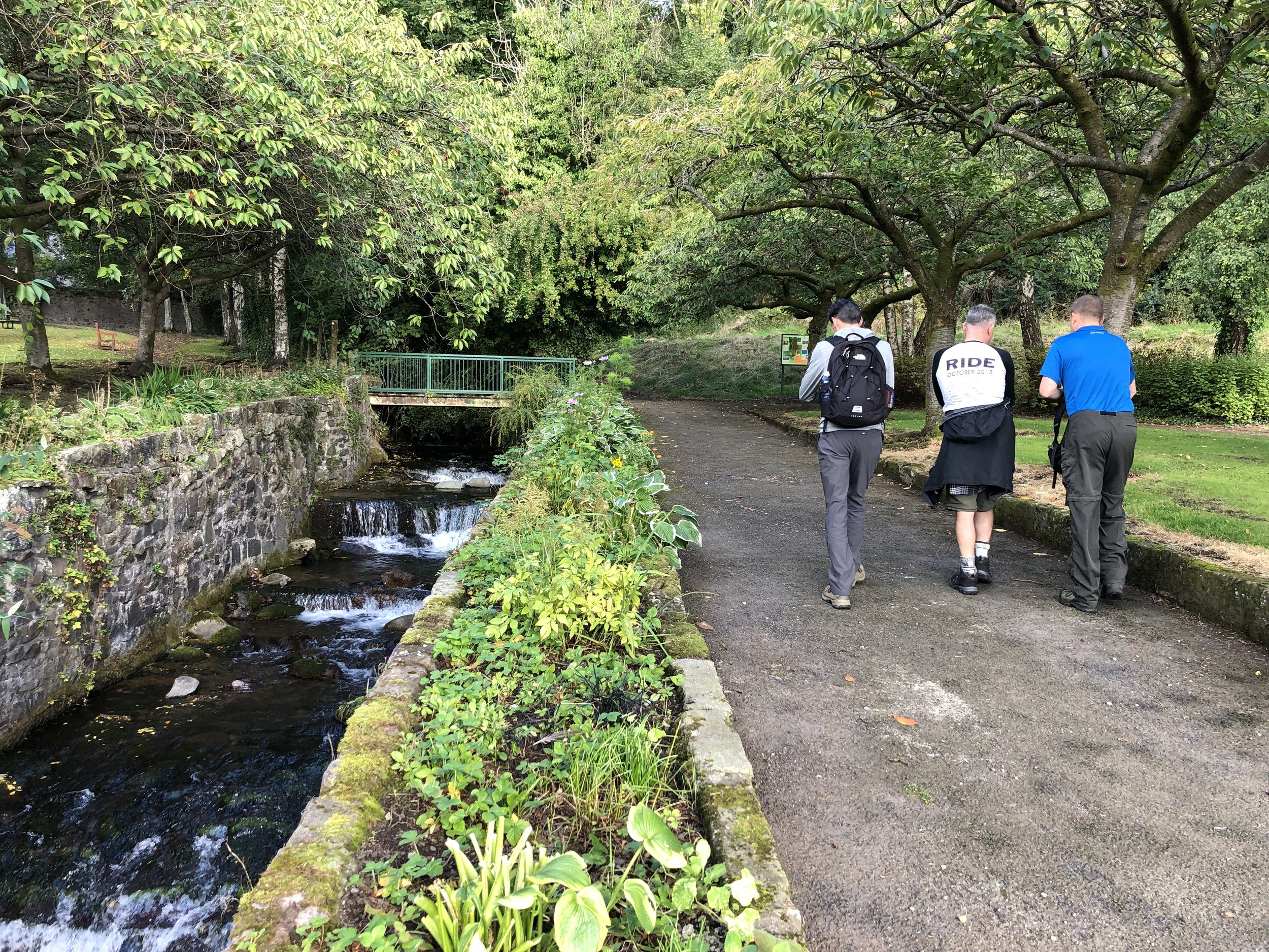
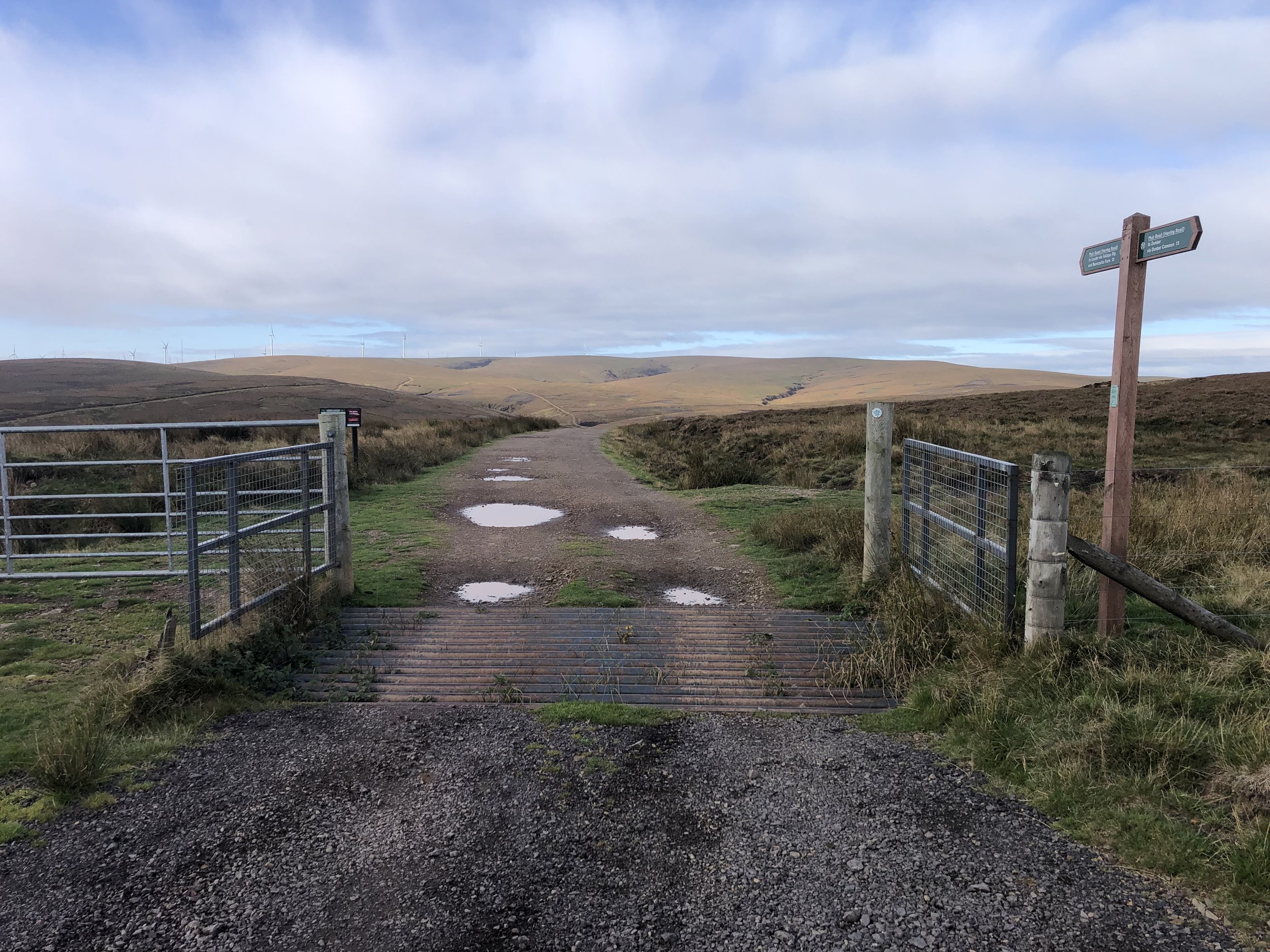
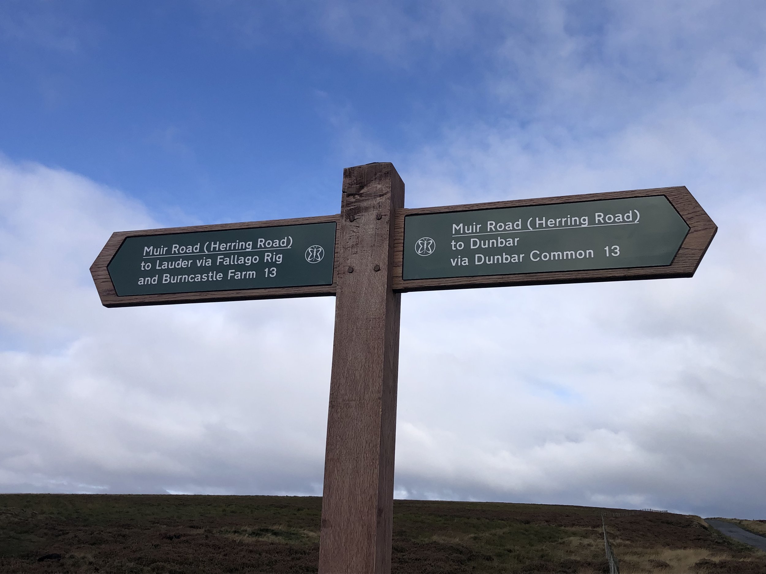
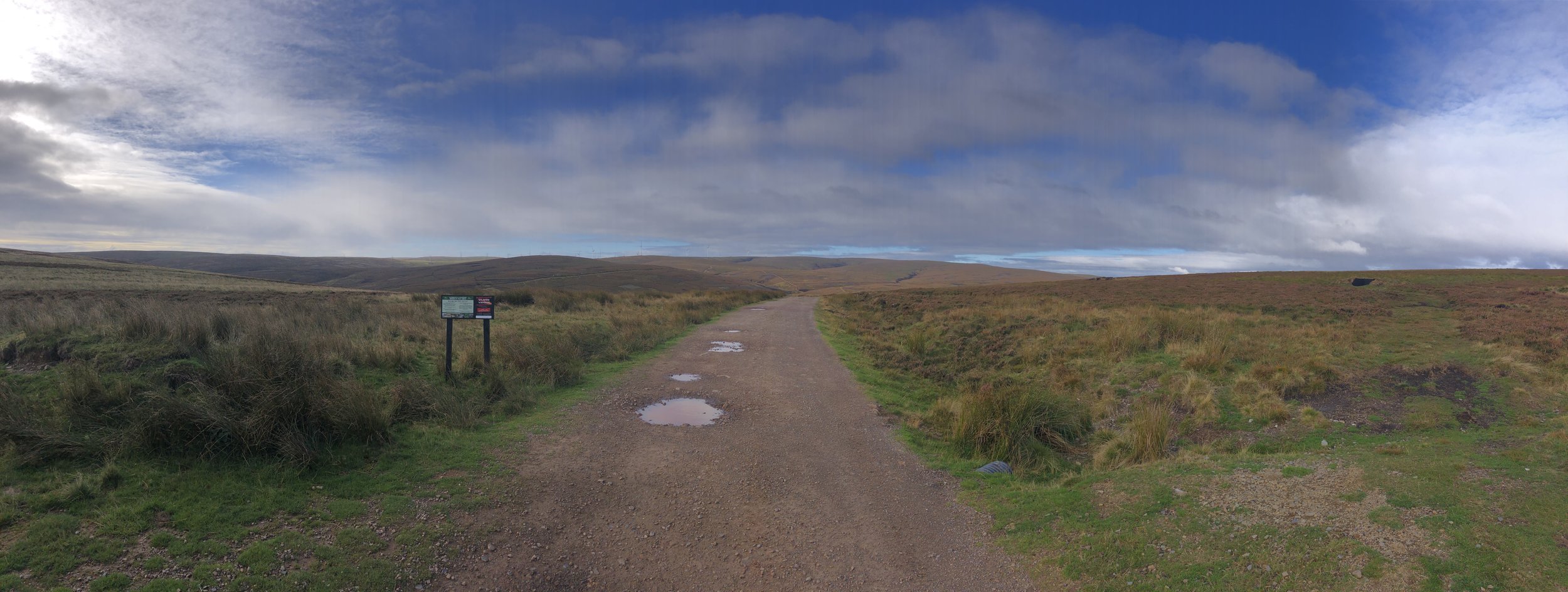
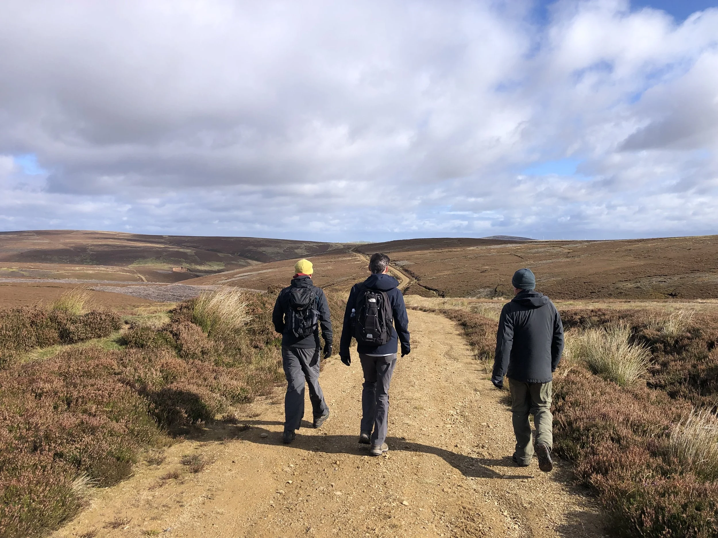
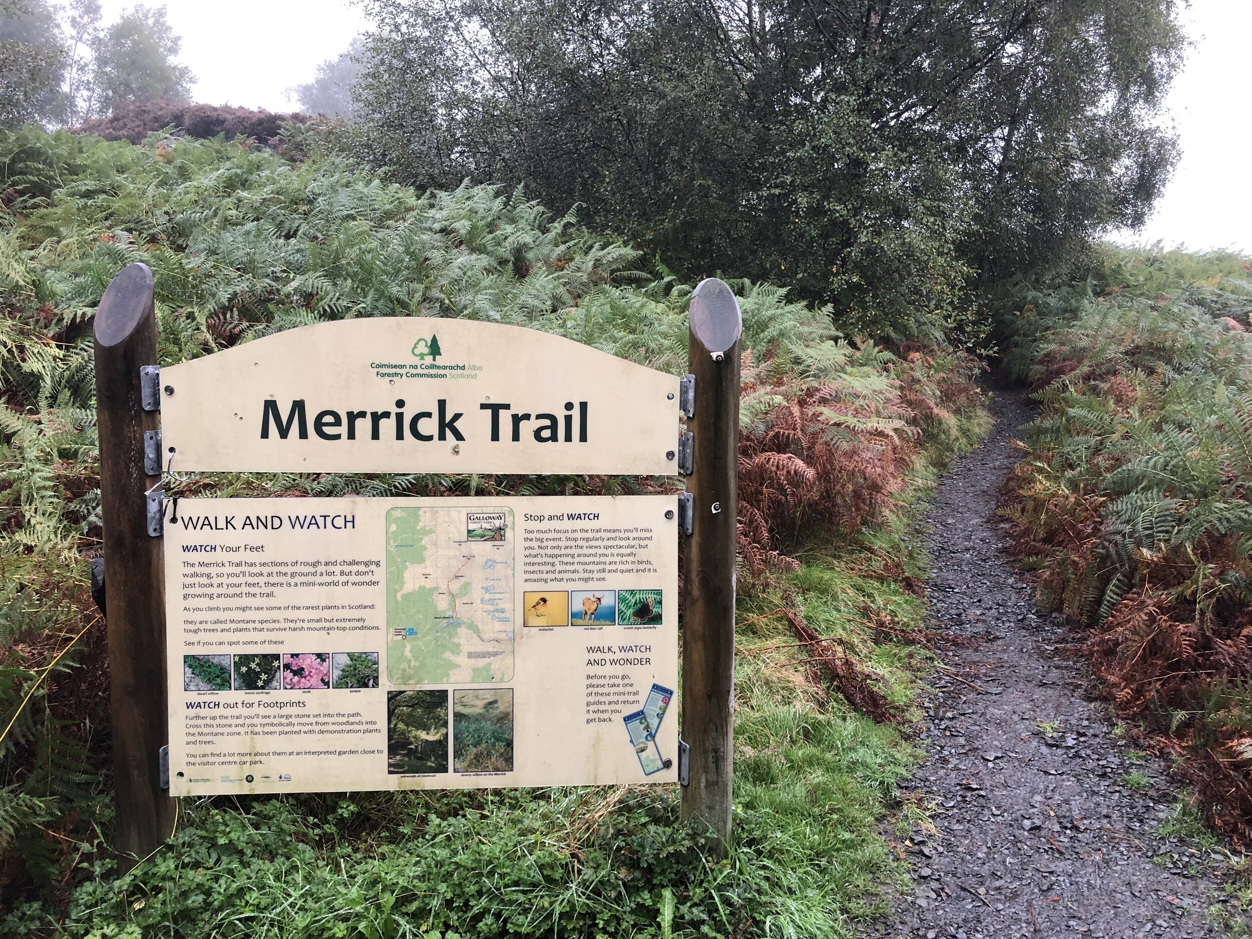
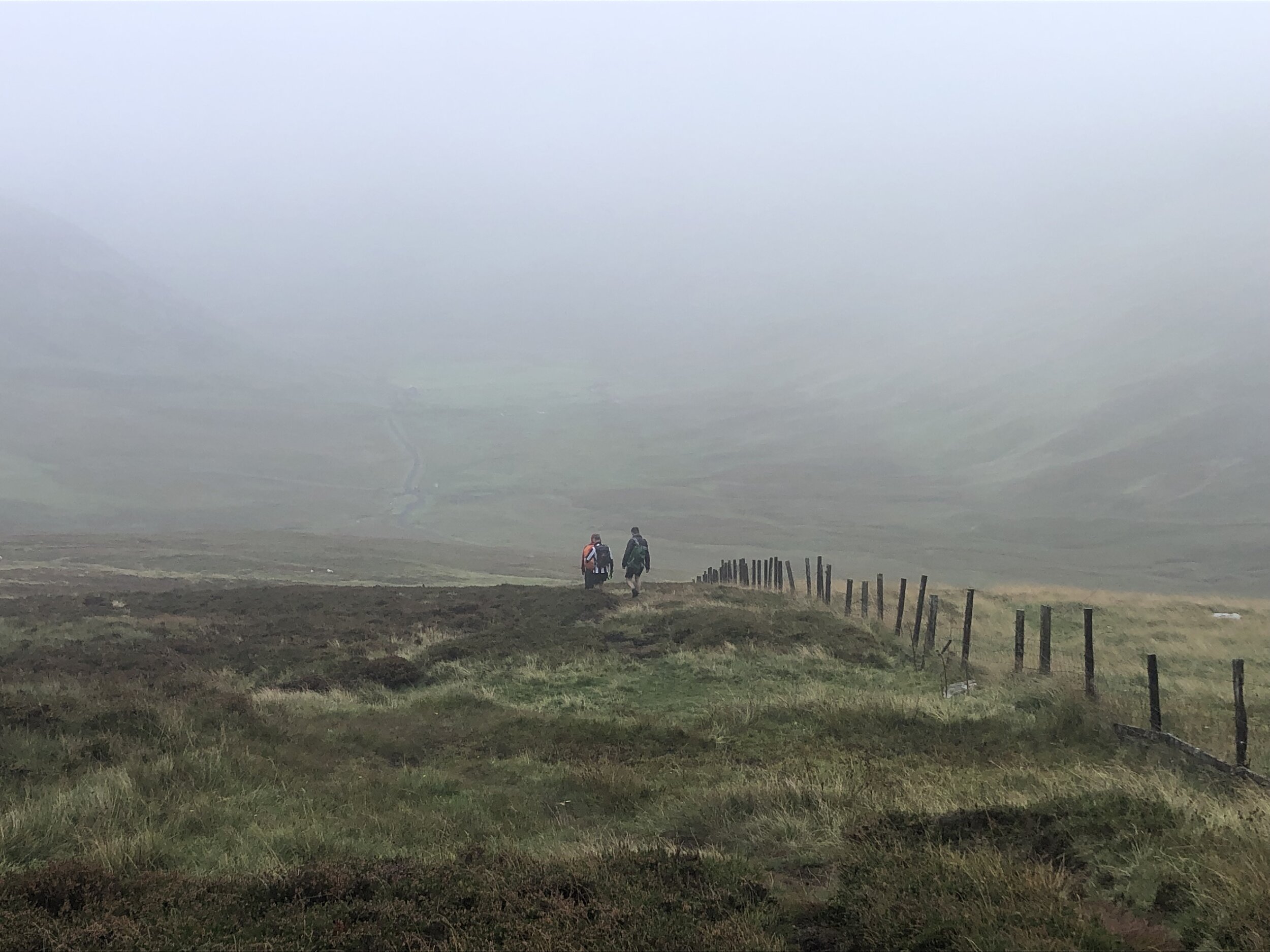
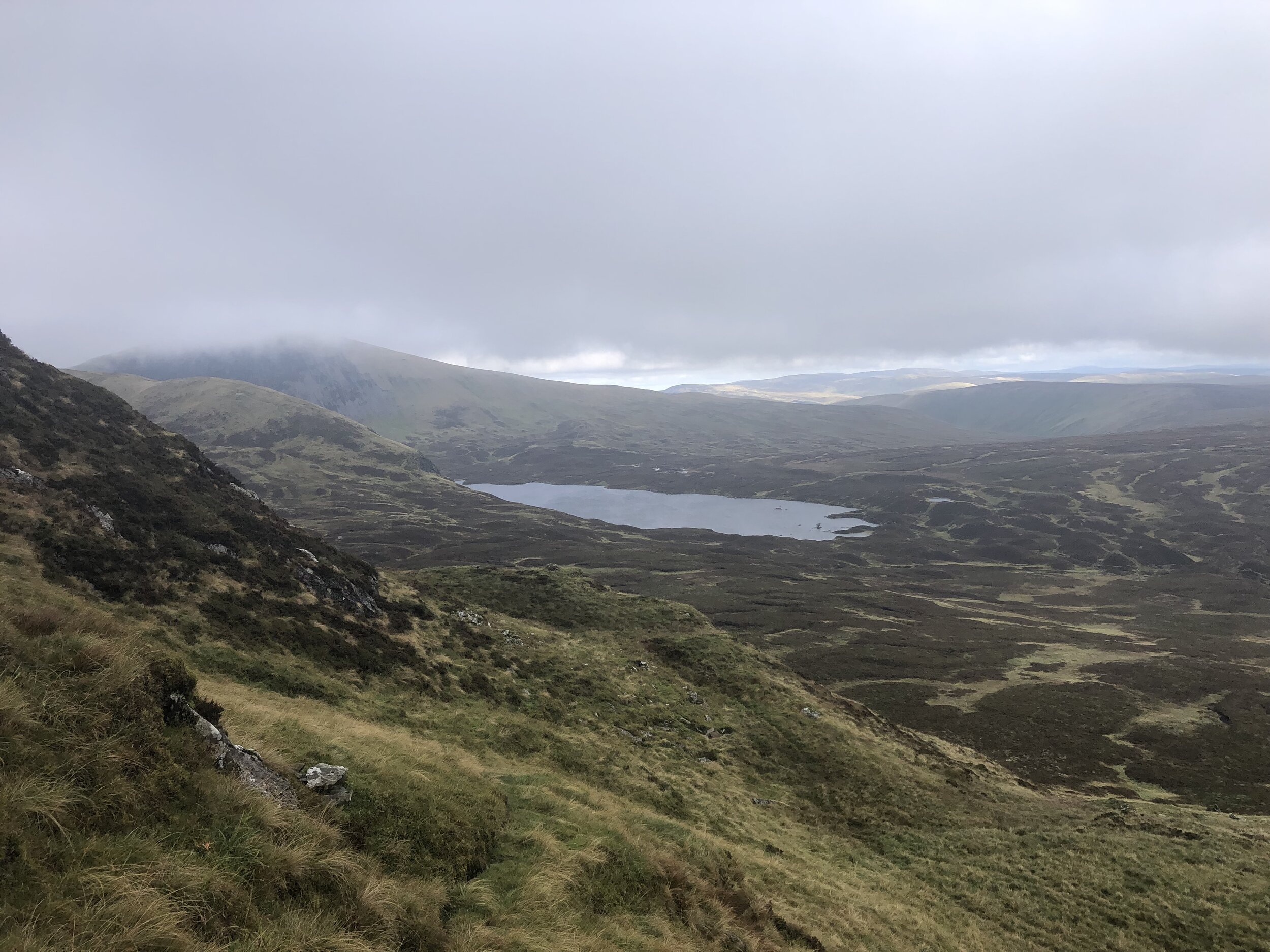
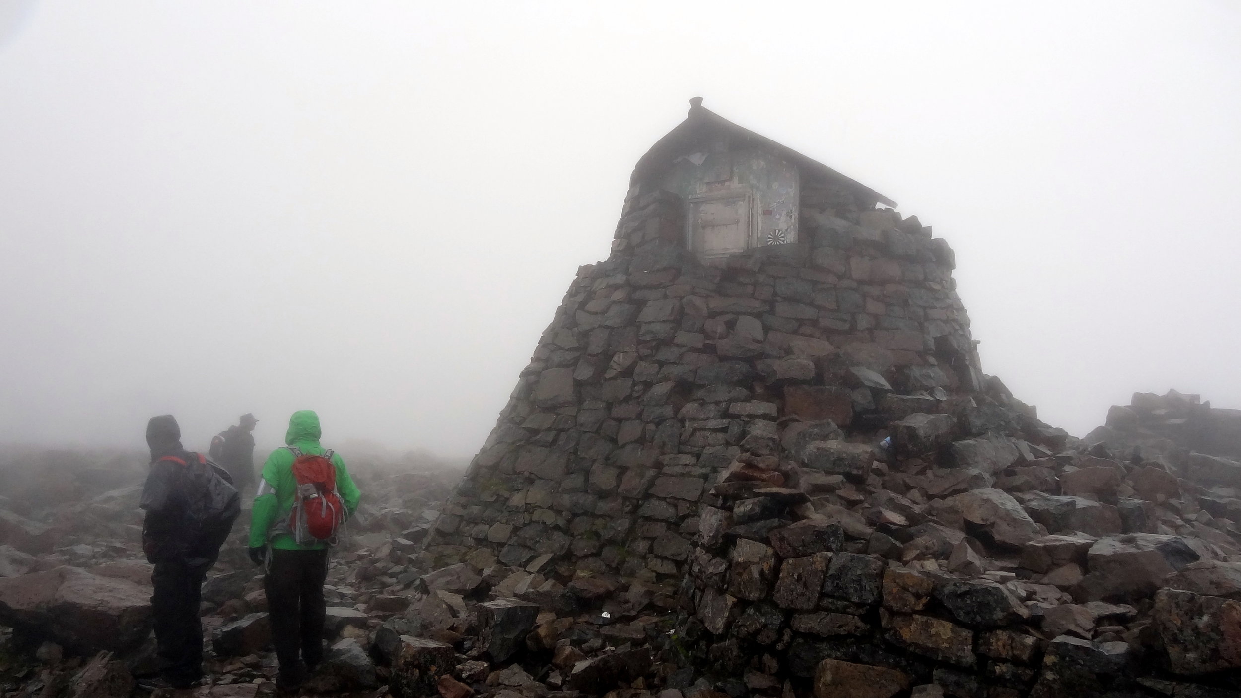
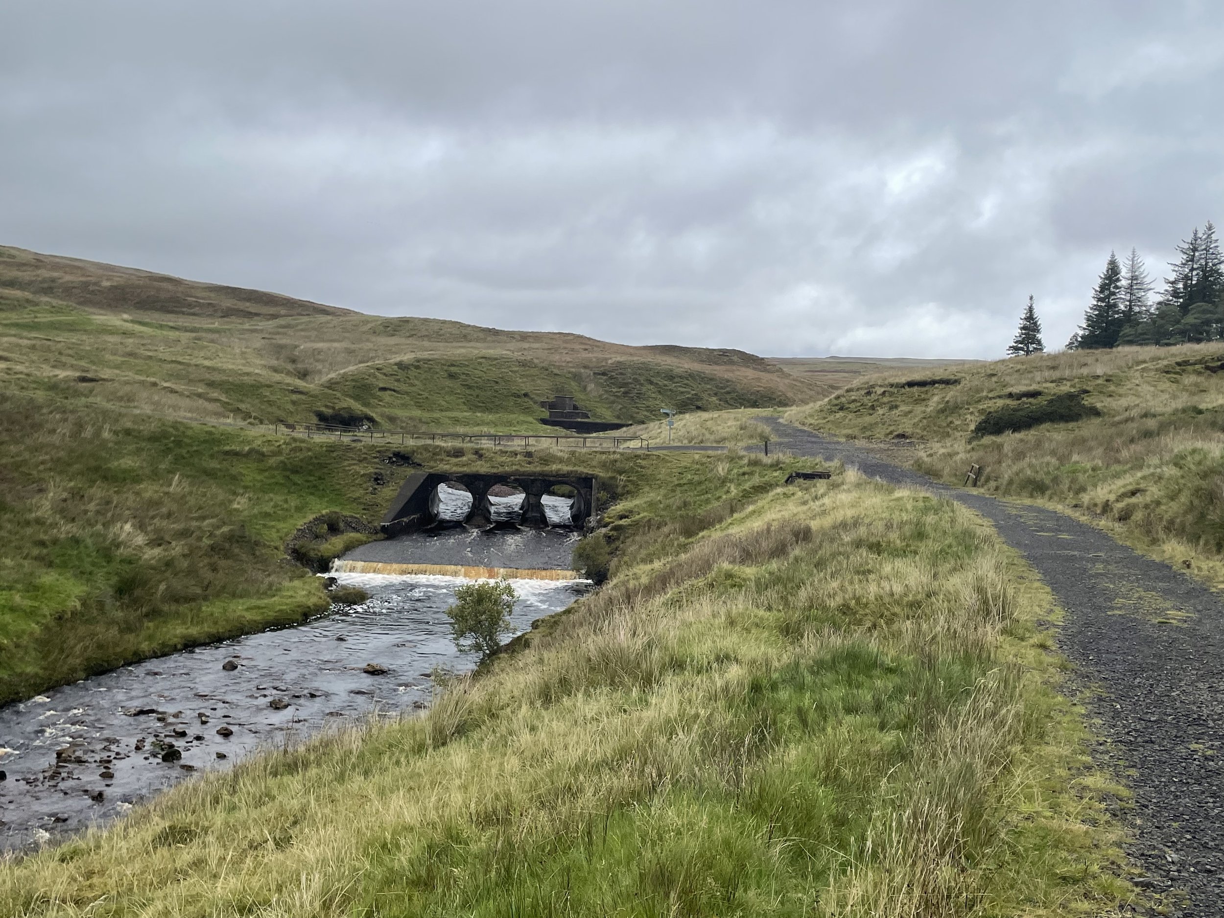
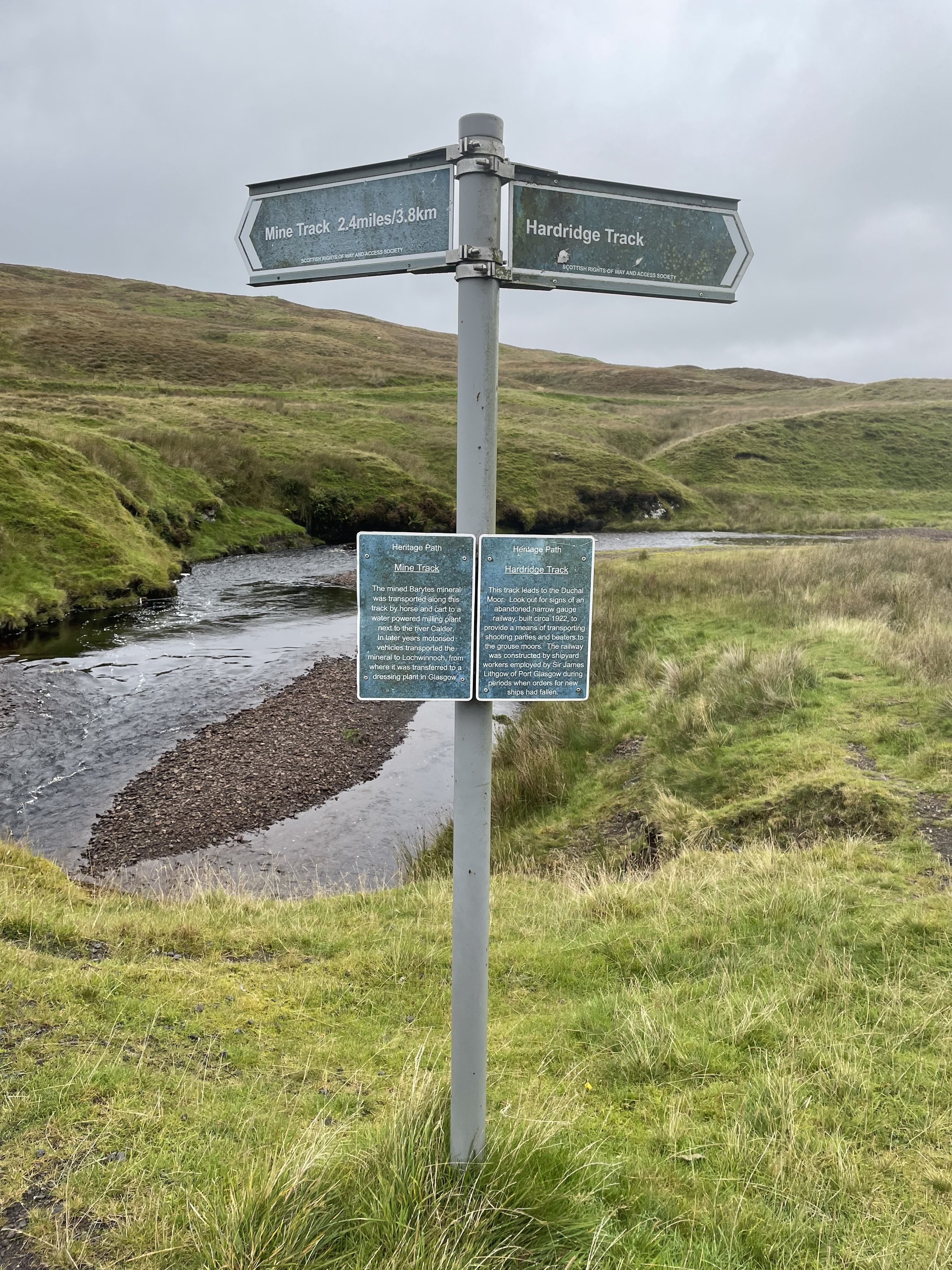
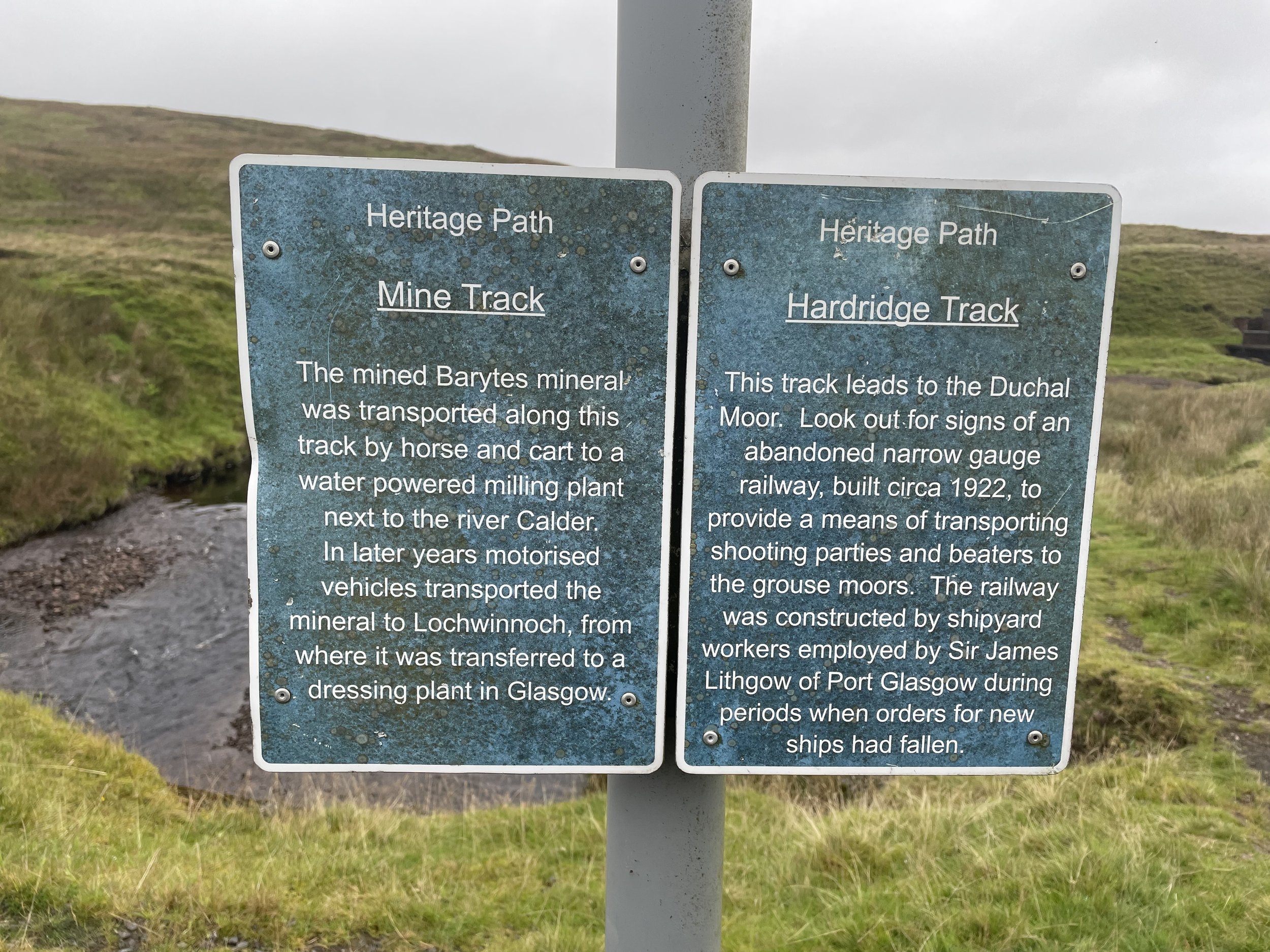
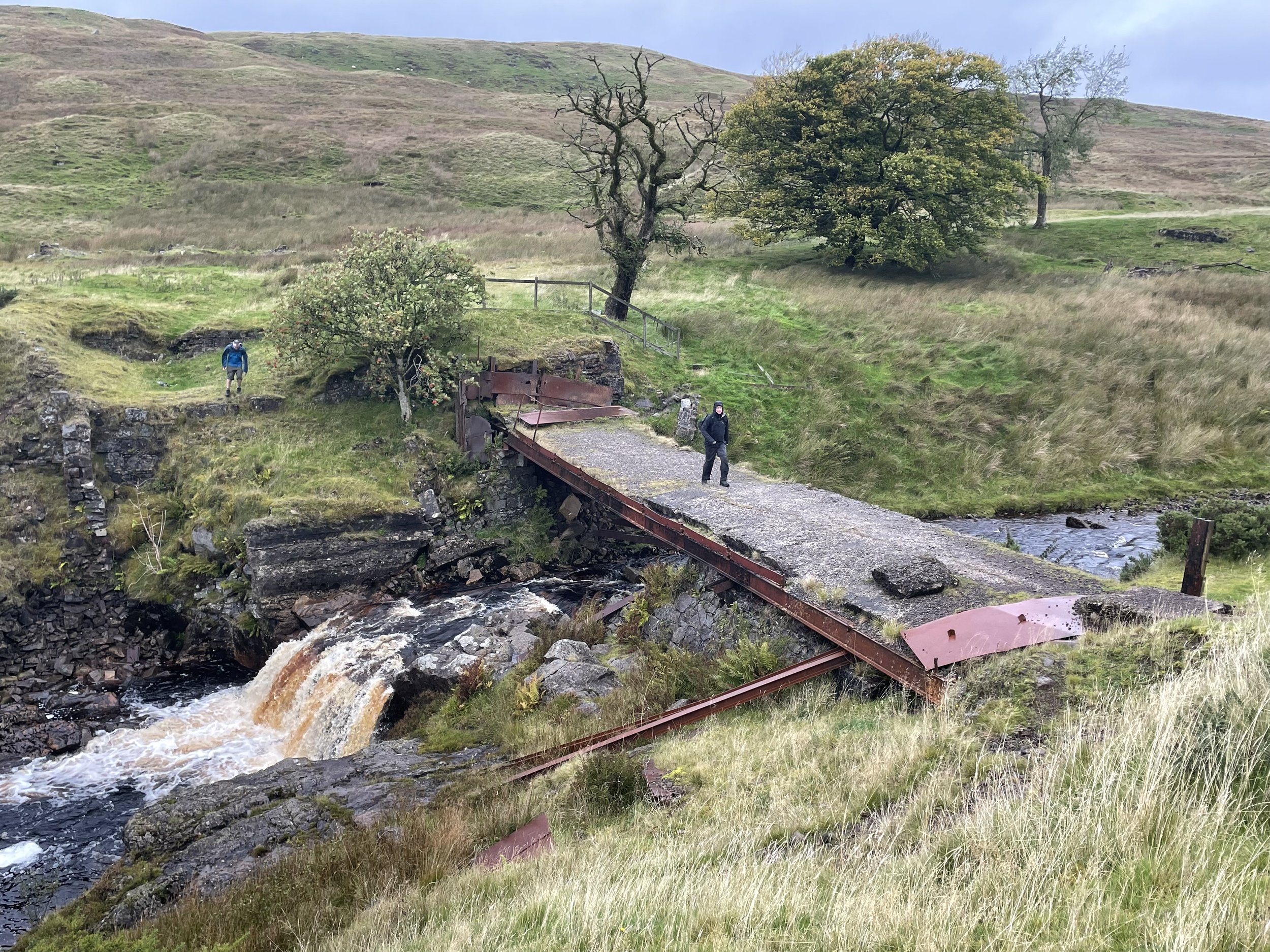
The first 4 km from the Visitor Centre is straightforward, following a well-signed track to the old mine. From the mine you can follow a path parallel to a stream in a south-westerly direction. You’ll need a compass or GPX route, especially in low visibility conditions as the path abruptly ends. By taking a bearing you can reach the Trig Pillar marking the lonely summit of Hill of Stake. From here you can either retrace your steps or, as we did, continue on an anti-clockwise route to also take in Misty Law.
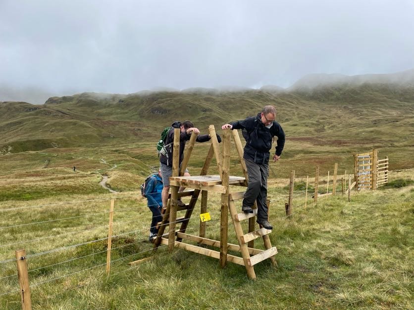
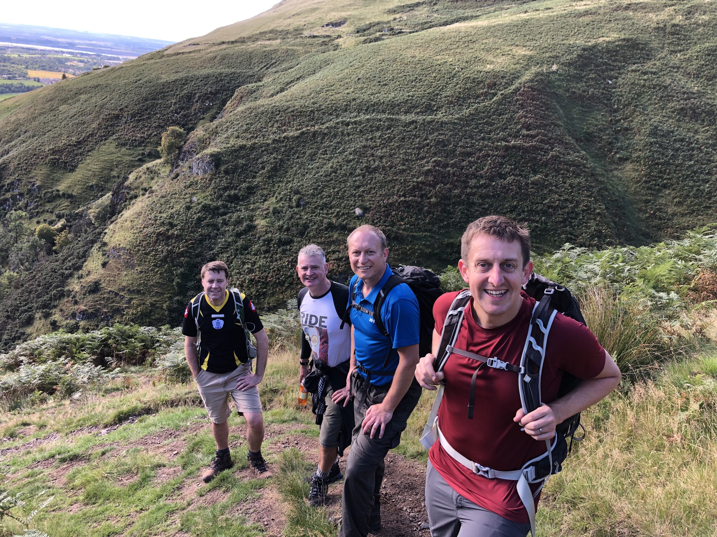
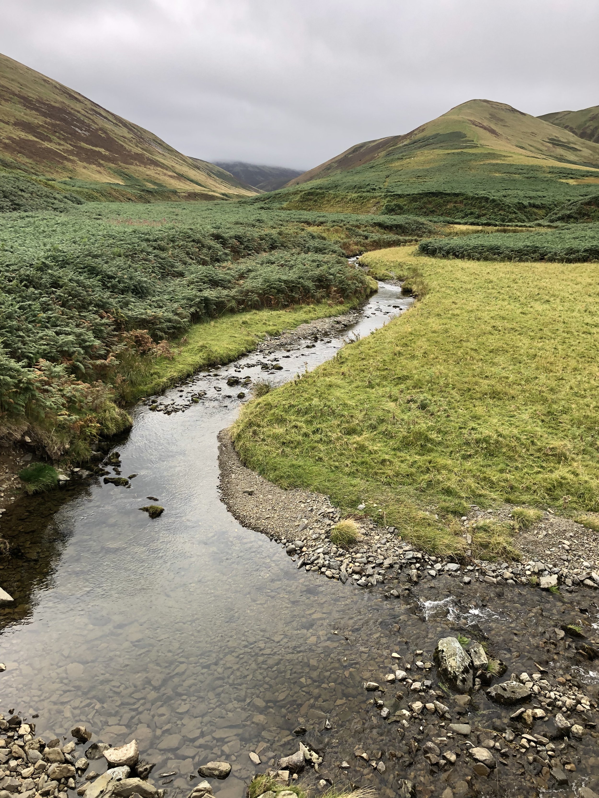
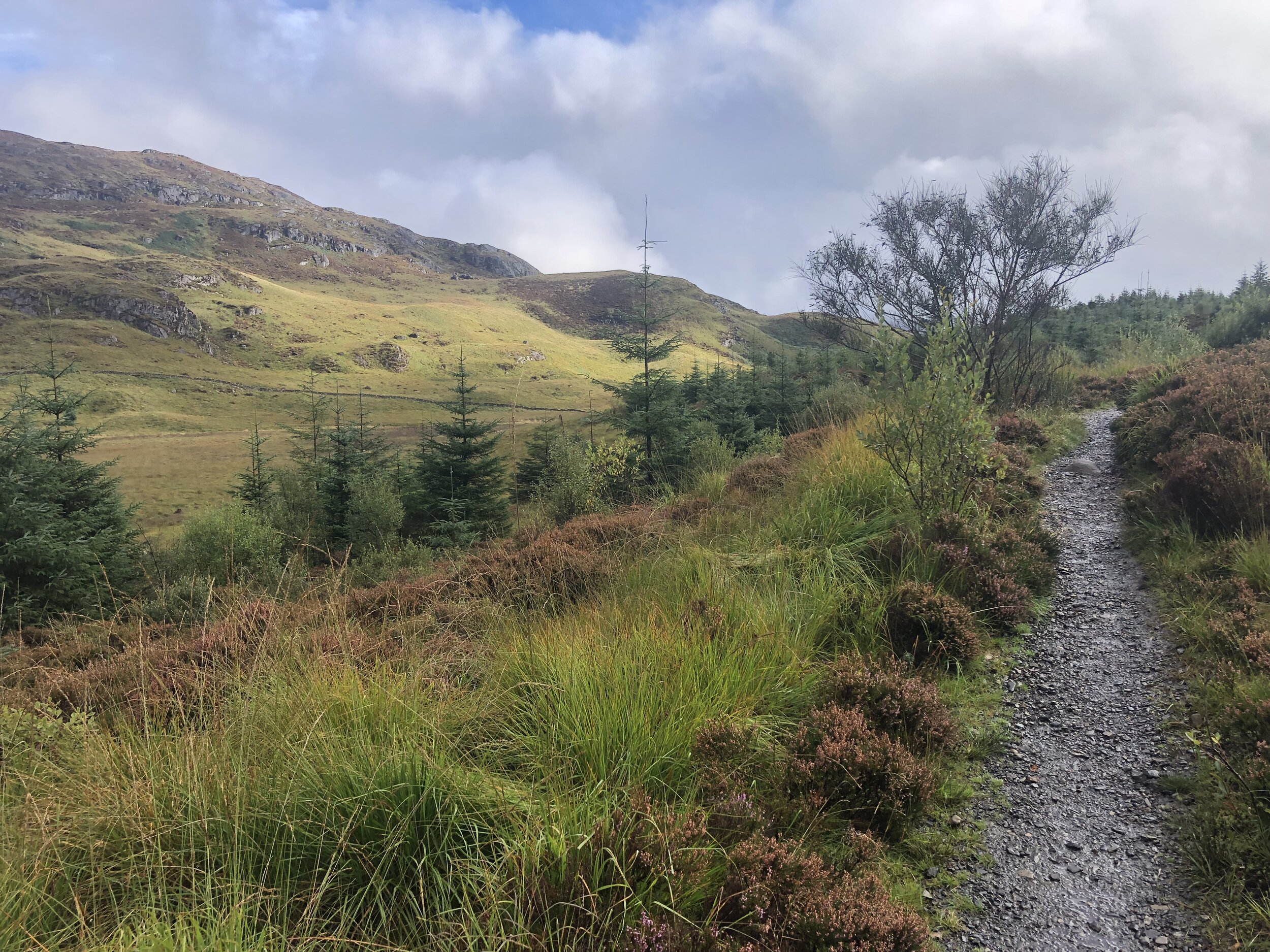
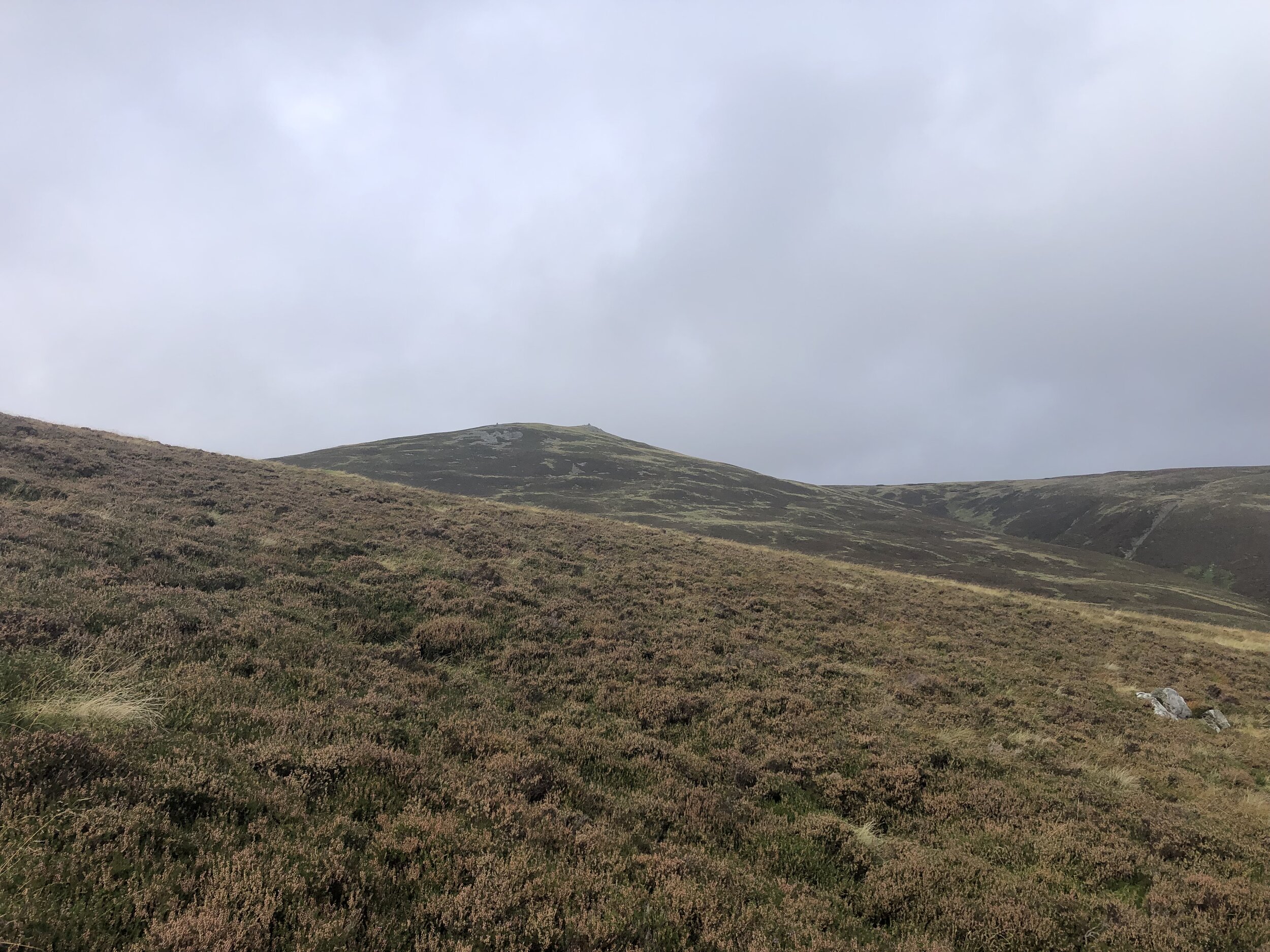
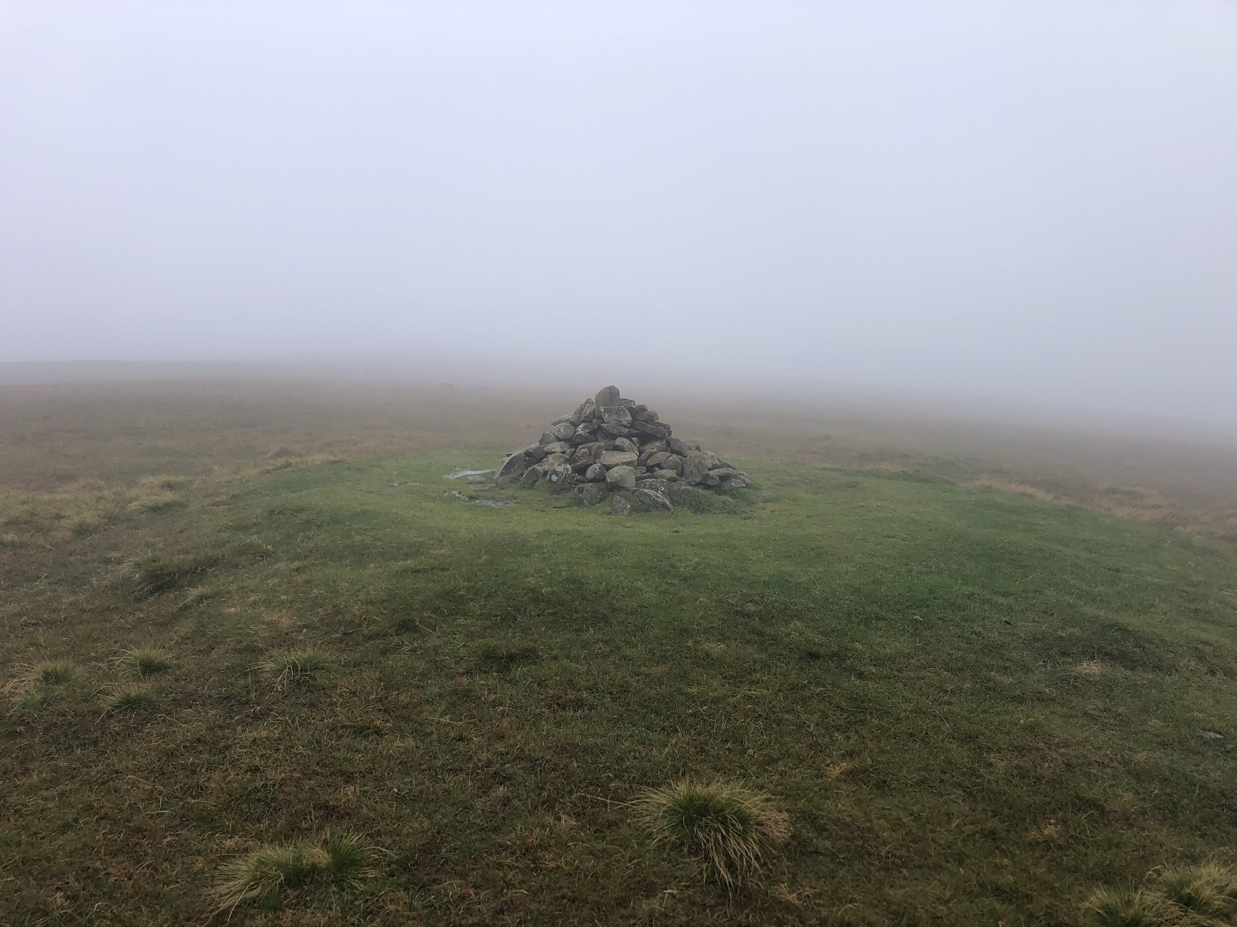
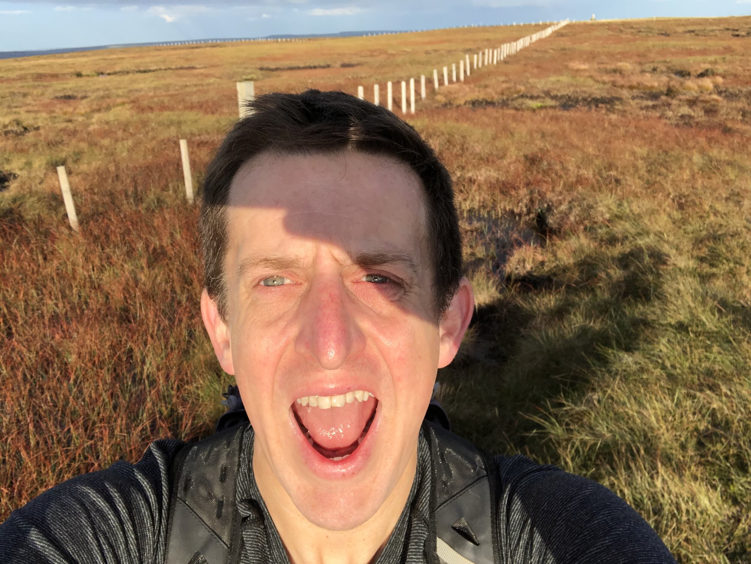
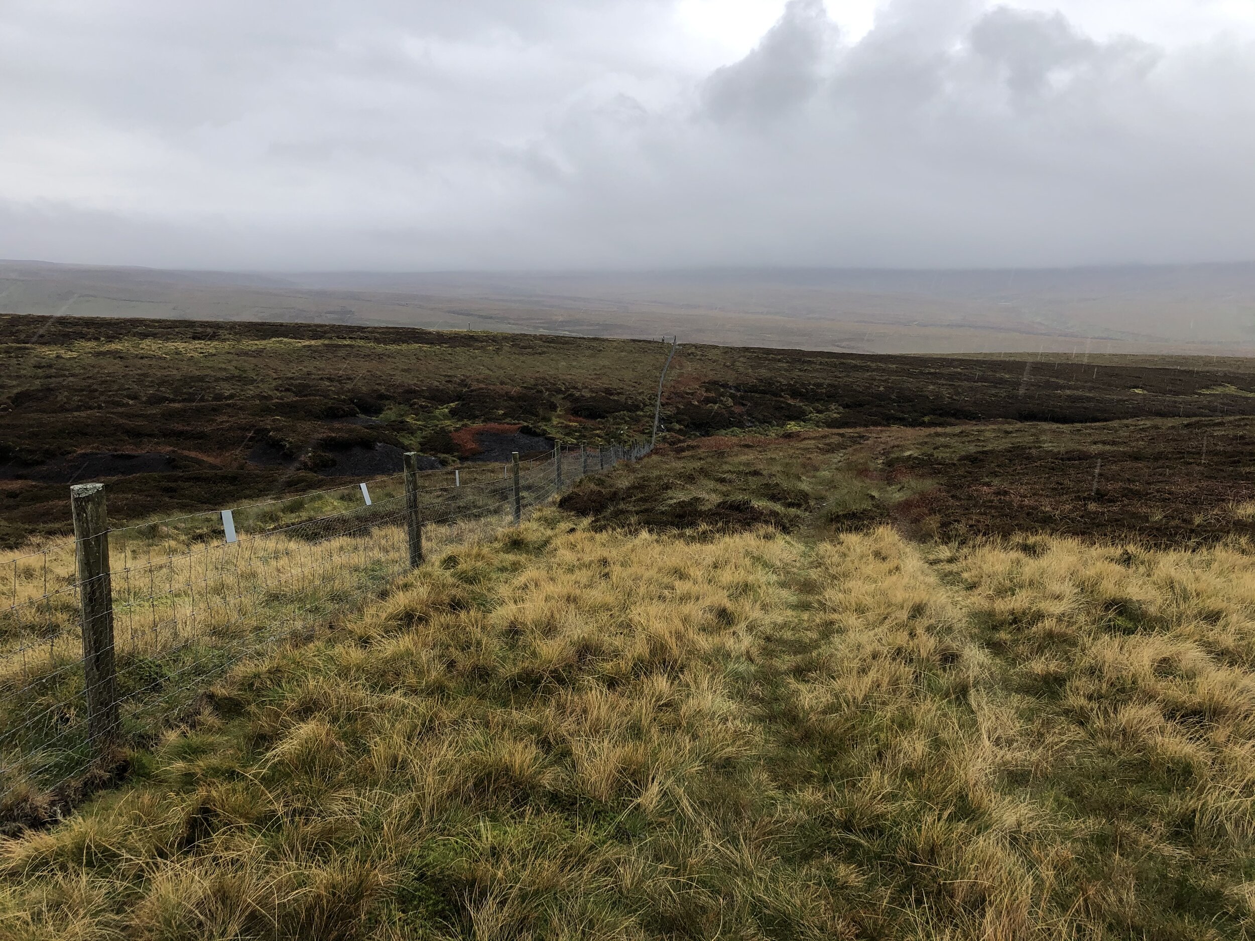
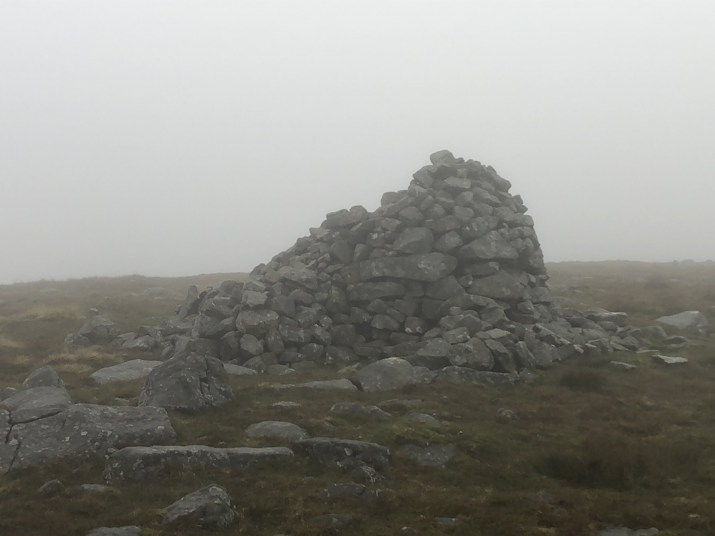
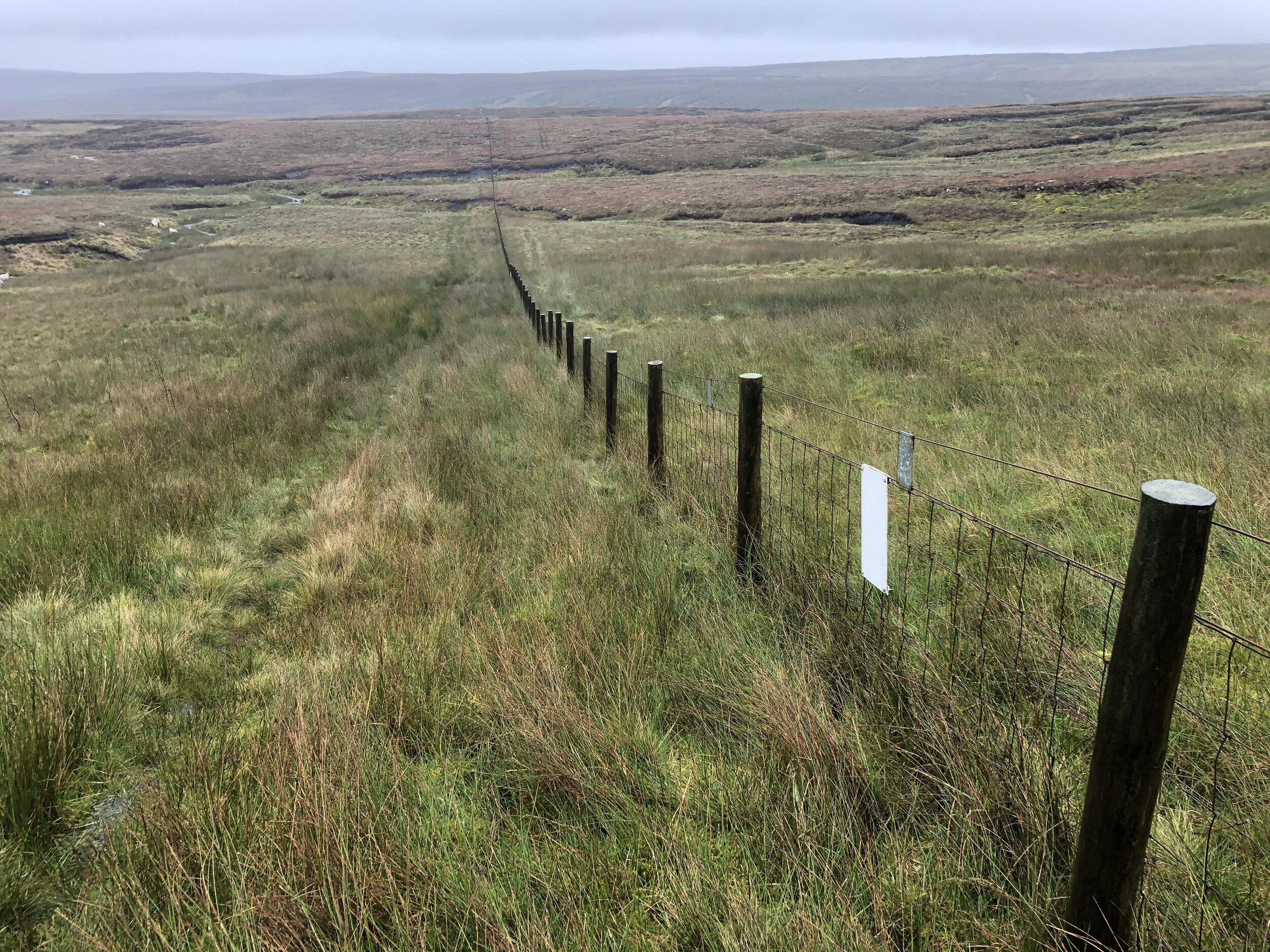
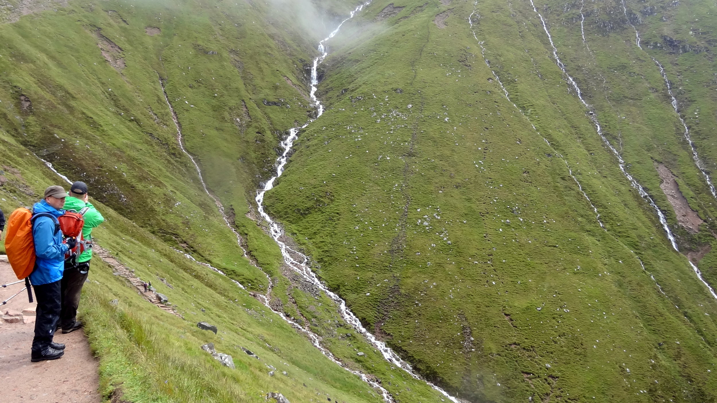
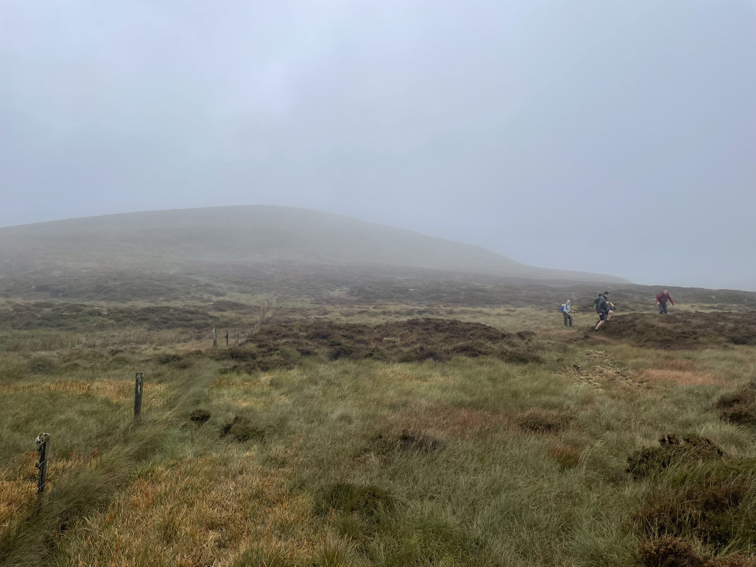
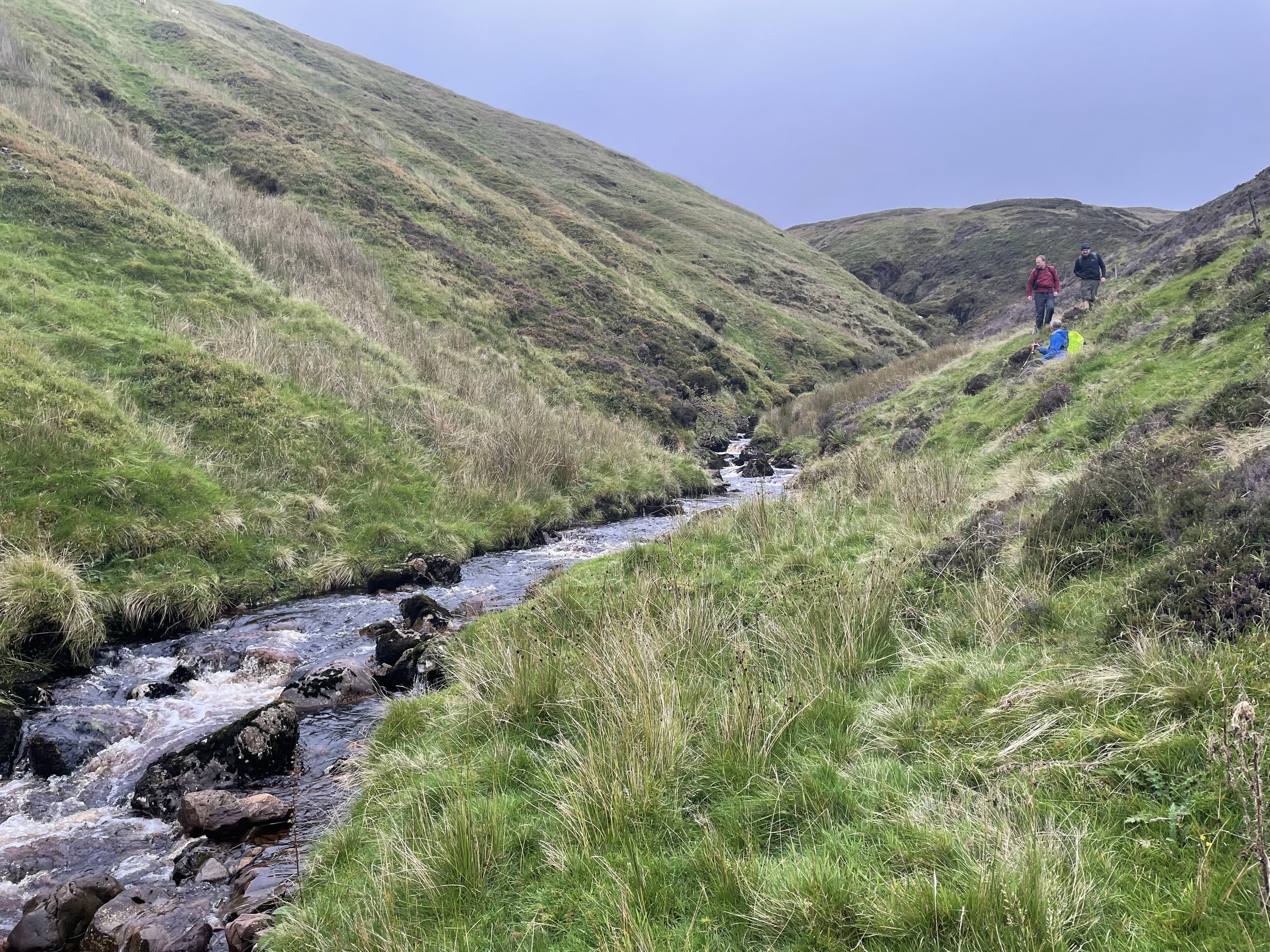
Navigation to Misty Law is simple if you follow the fence from the Hill of Stake summit. You’ll also pass over East Girt hill with its summit marked by a small pile of stones. The fence follows a curve and we thought we could outsmart it by following a direct line to Misty Law. It was extremely wet and boggy so we soon returned to the fence line. Near the top of Misty Law you’ll need to cross the barbed wire fence but there’s an obvious place to cross where blue plastic tubing saves your crotch from the barbs. Once you’ve bagged the Misty Law summit return to this spot on the fence then take a north-westerly bearing to the confluence of Black Grain Burn and Raith Burn.
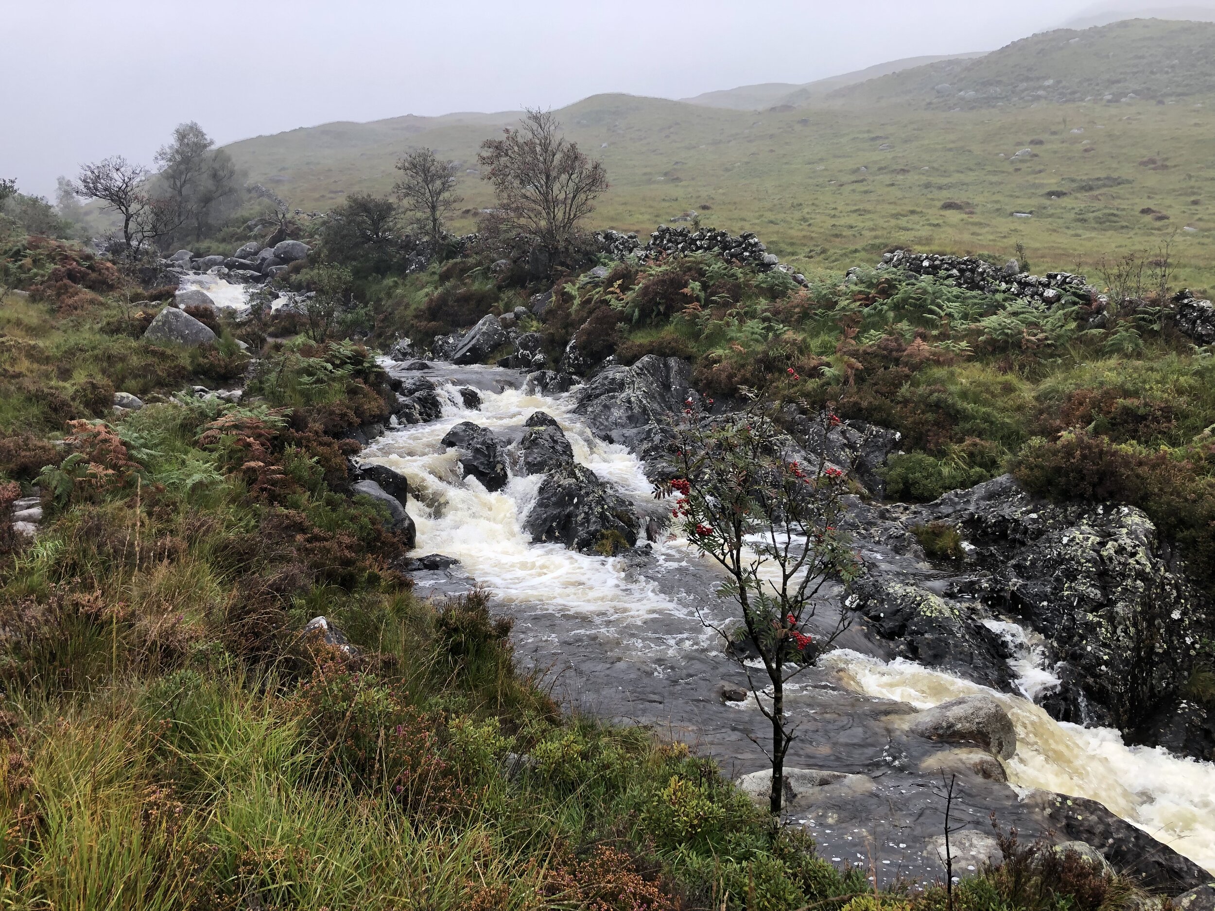
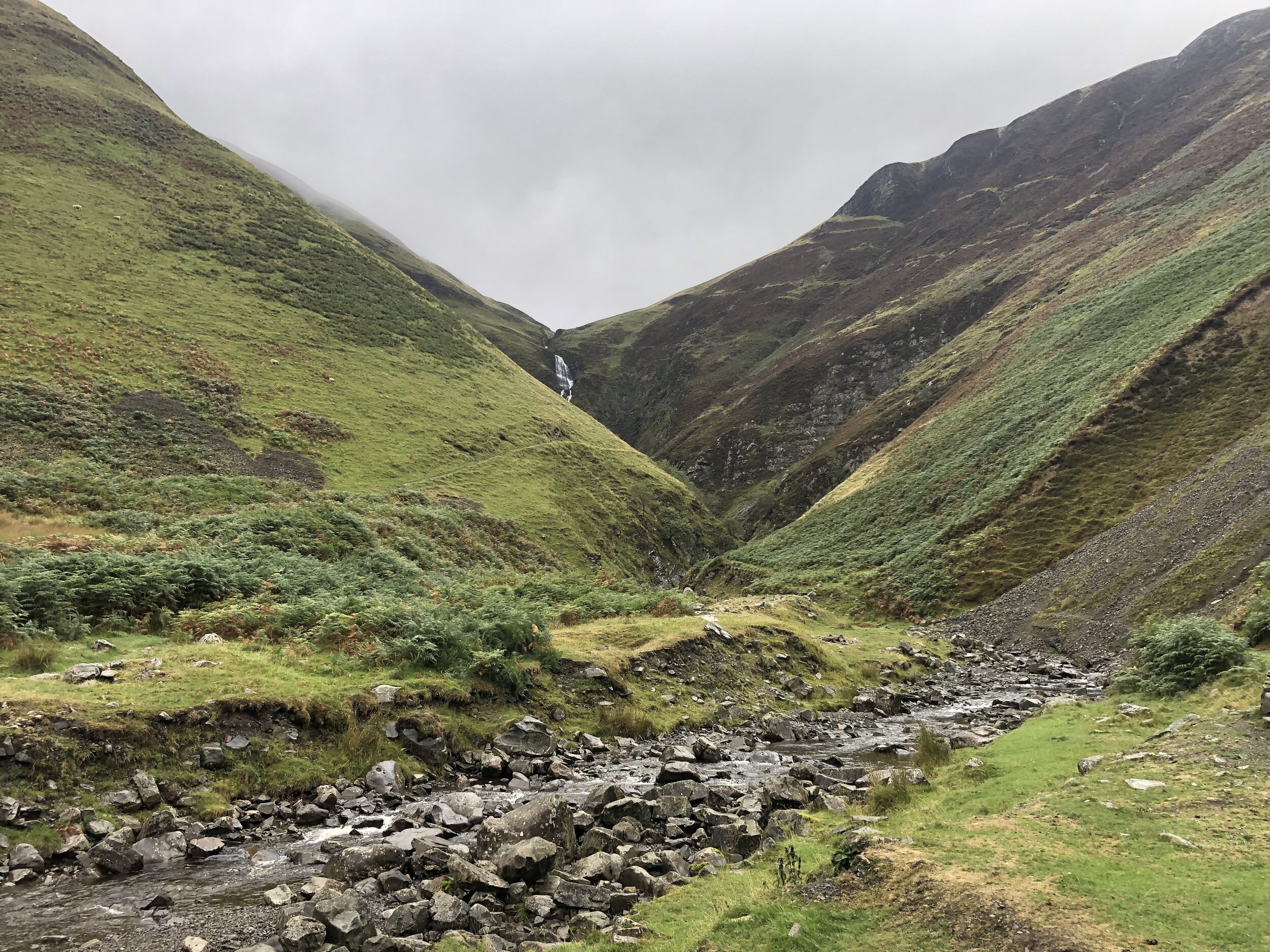
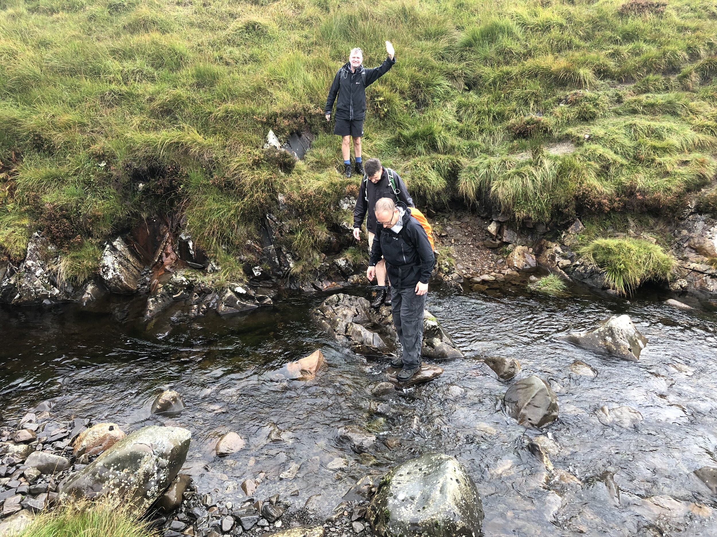
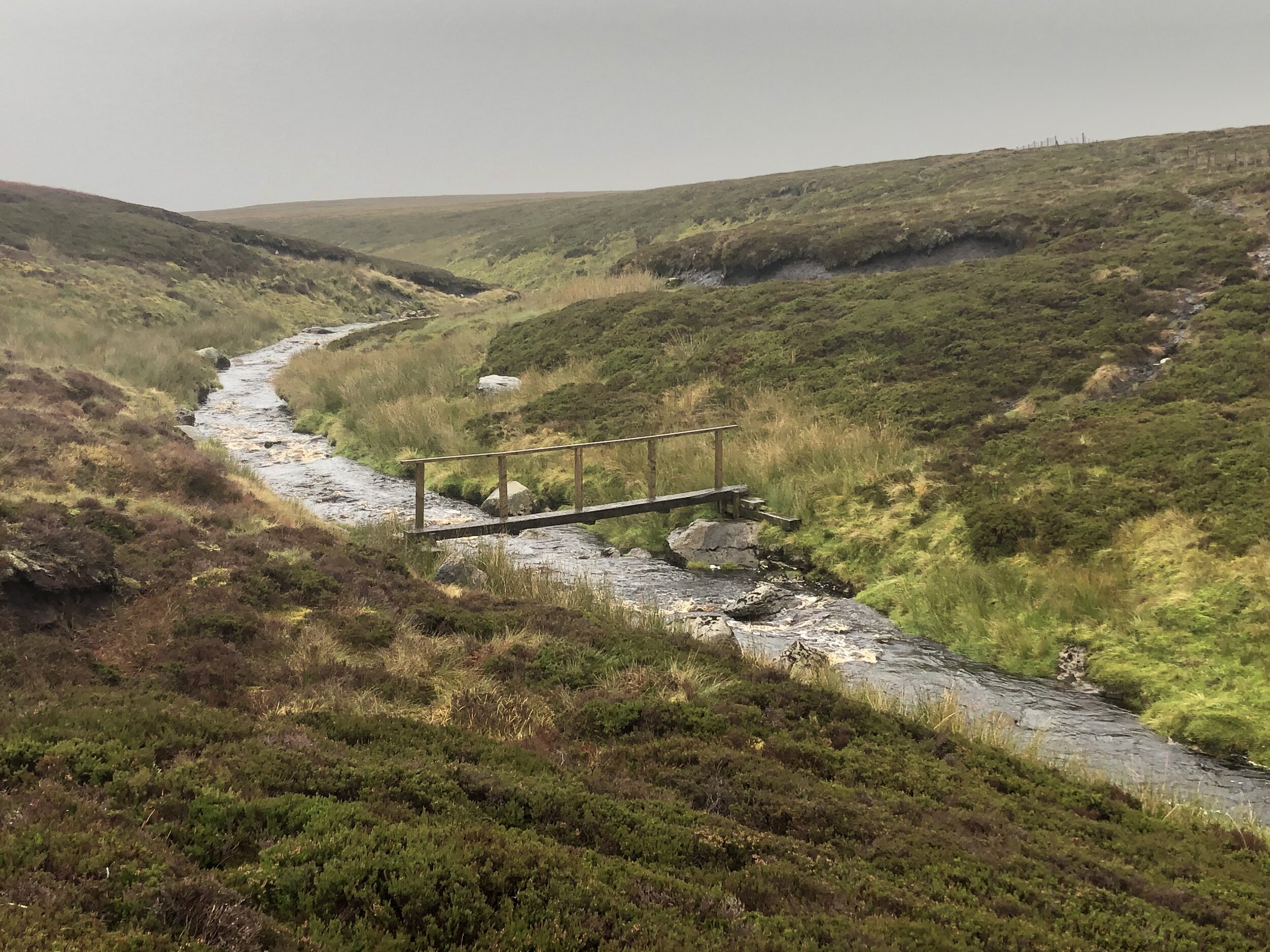
The main challenge of the walk is how to cross over to the northern side of Raith Burn. It’s a fast-flowing stream with narrow enough places to cross via rocks but very slippery. We sent Joel, the tallest member of the group over first. Not having his height and having a fear of slipping I decided against his chosen mid-stream rock and opted for a spot further down. All 5 of us managed to cross in different sections but somehow Joel managed to fall in having already crossed it.
After crossing the Raith Burn follow a path that runs alongside it for around 1 km before leaving it to take a bearing in a north-easterly direction to the bridge across the Calder Water. Once across take a right to follow the track back to the Visitors Centre.


Other High Points in the Historic County of Renfrewshire
Creuch Hill. 441 metres, Inverclyde Present Day County High Point: Peakbagger / Hillbagging
Corse Hill. 376 metres, East Renfrewshire Present Day County High Point: Peakbagger / Hillbagging
Cathkin Braes. 200m, Glasgow East Renfrewshire Present Day County High Point: Peakbagger / Hillbagging