Posts tagged Devon
Otterton Coastal Circular Walk

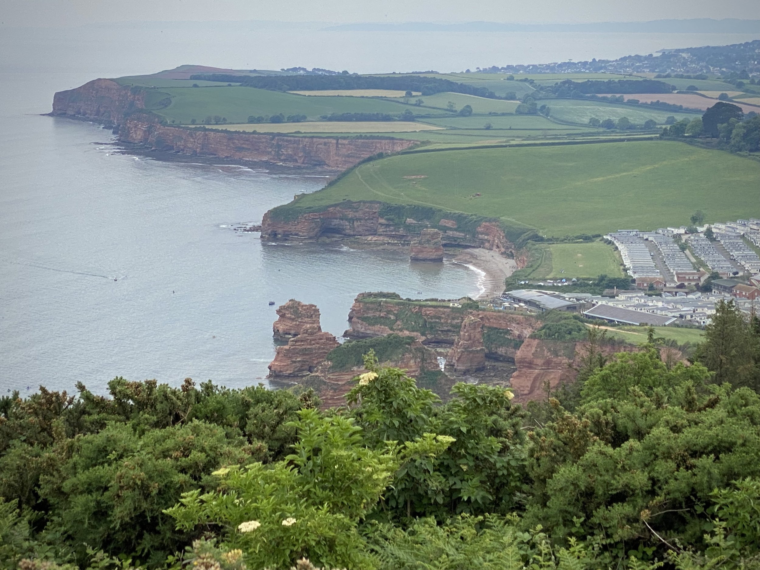
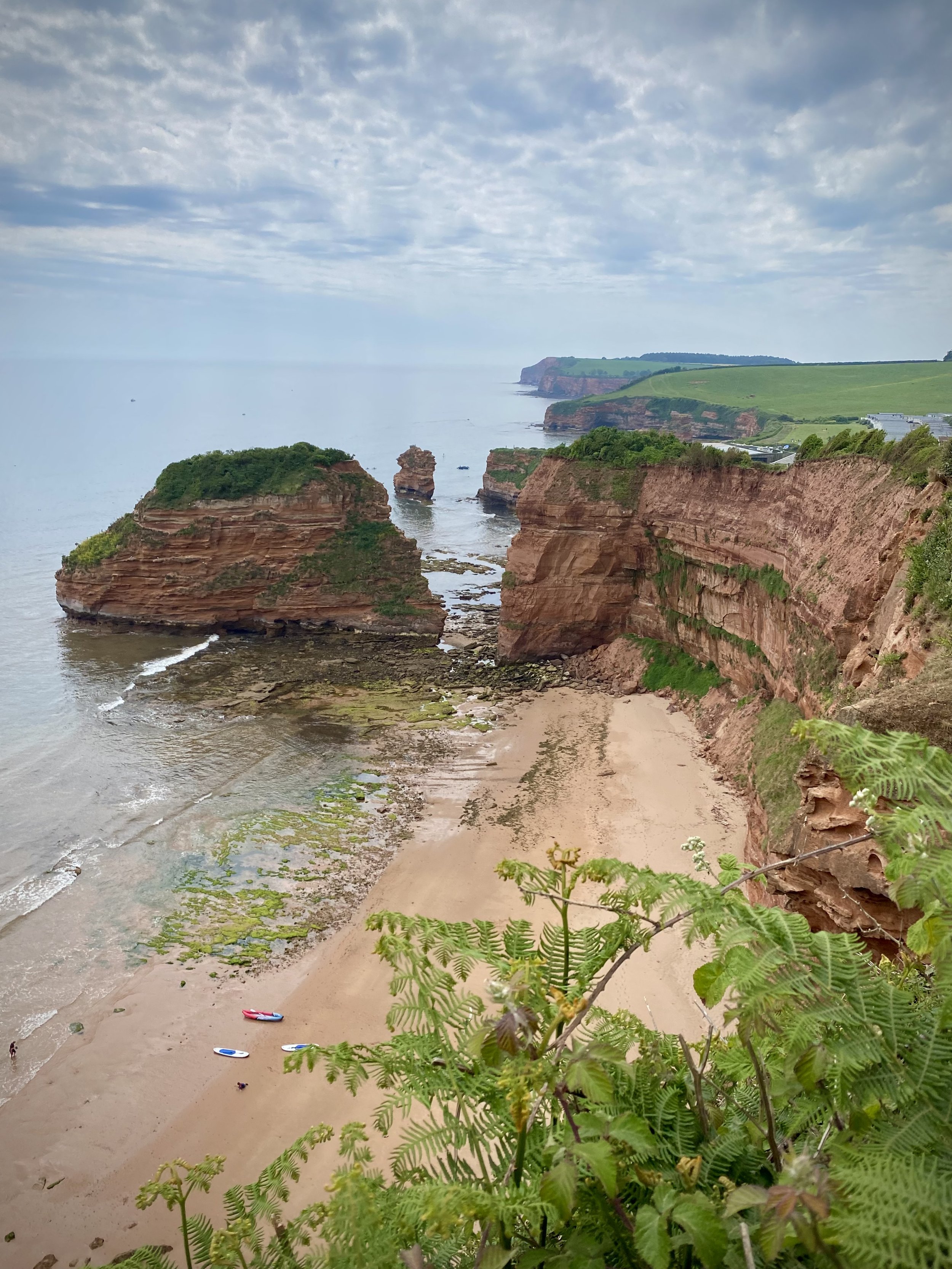
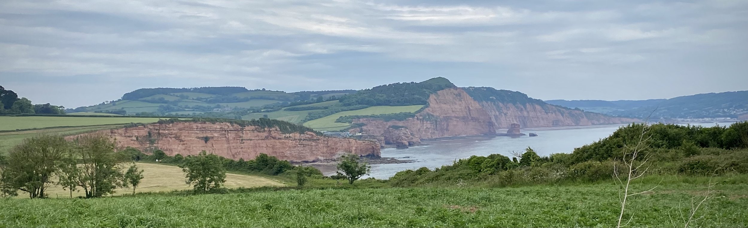
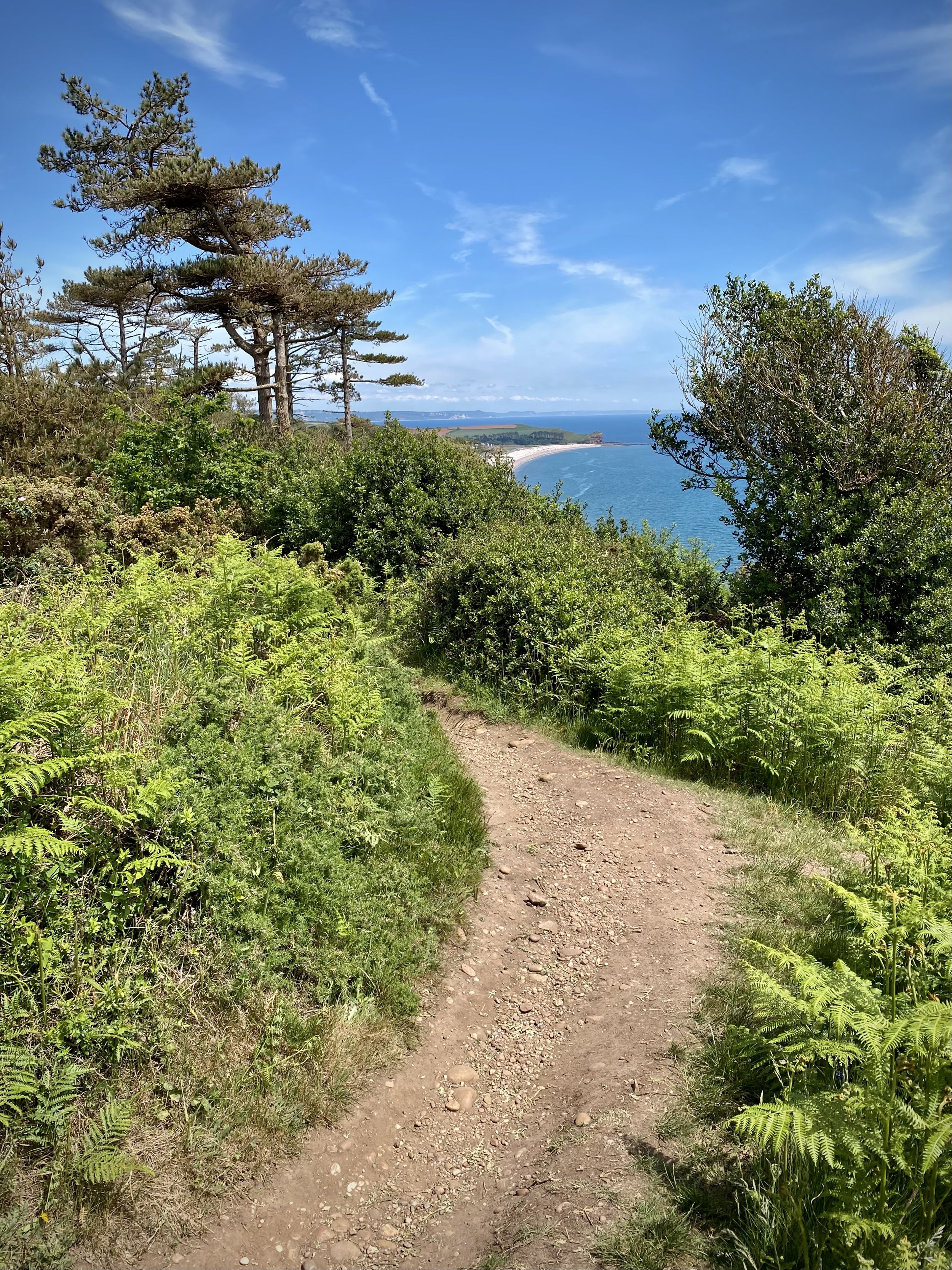
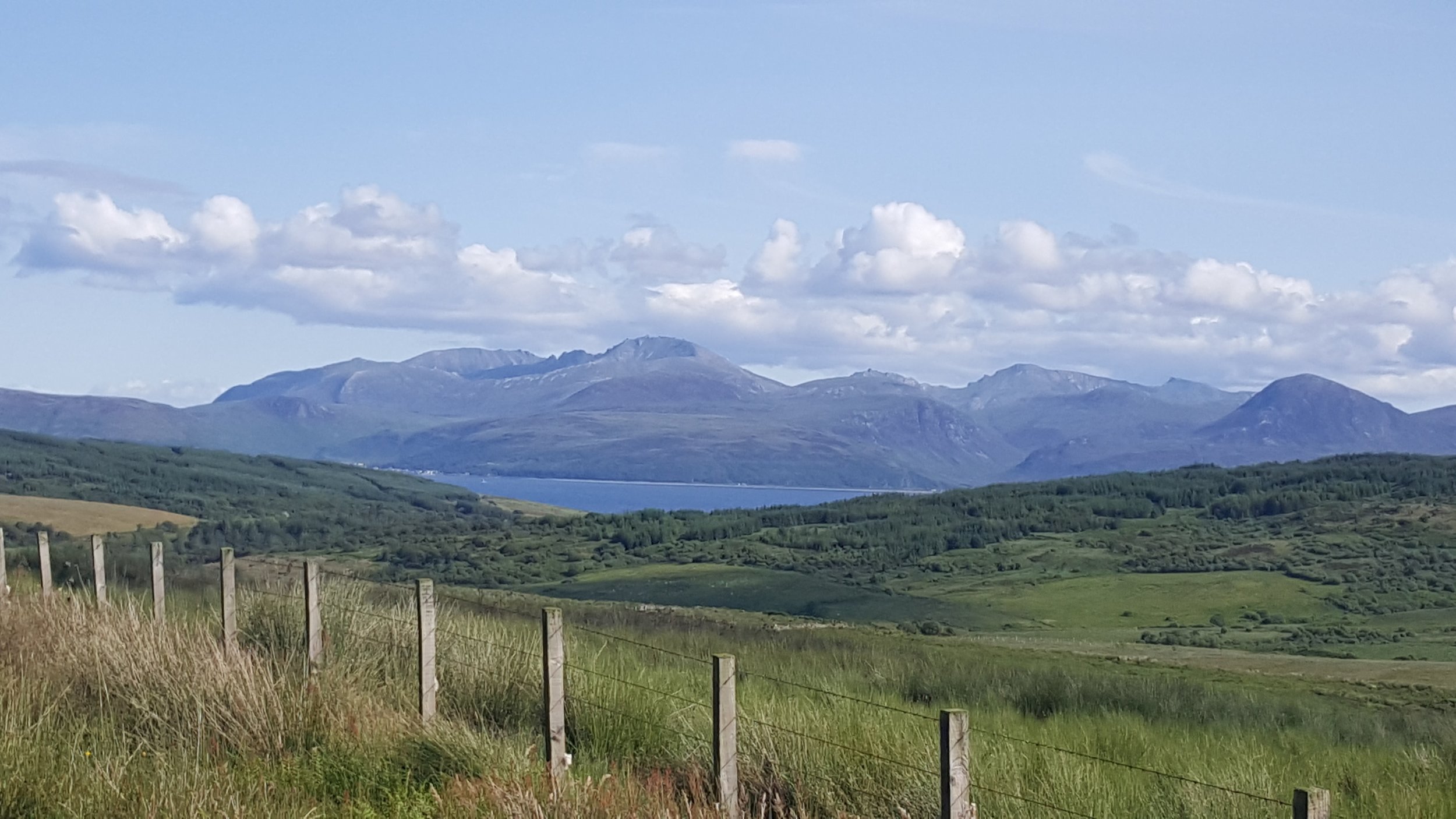
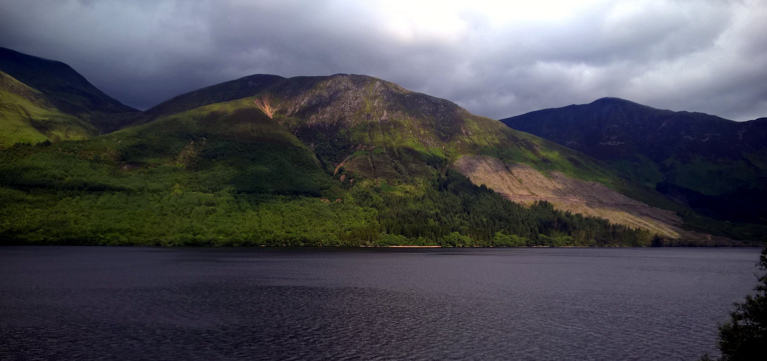
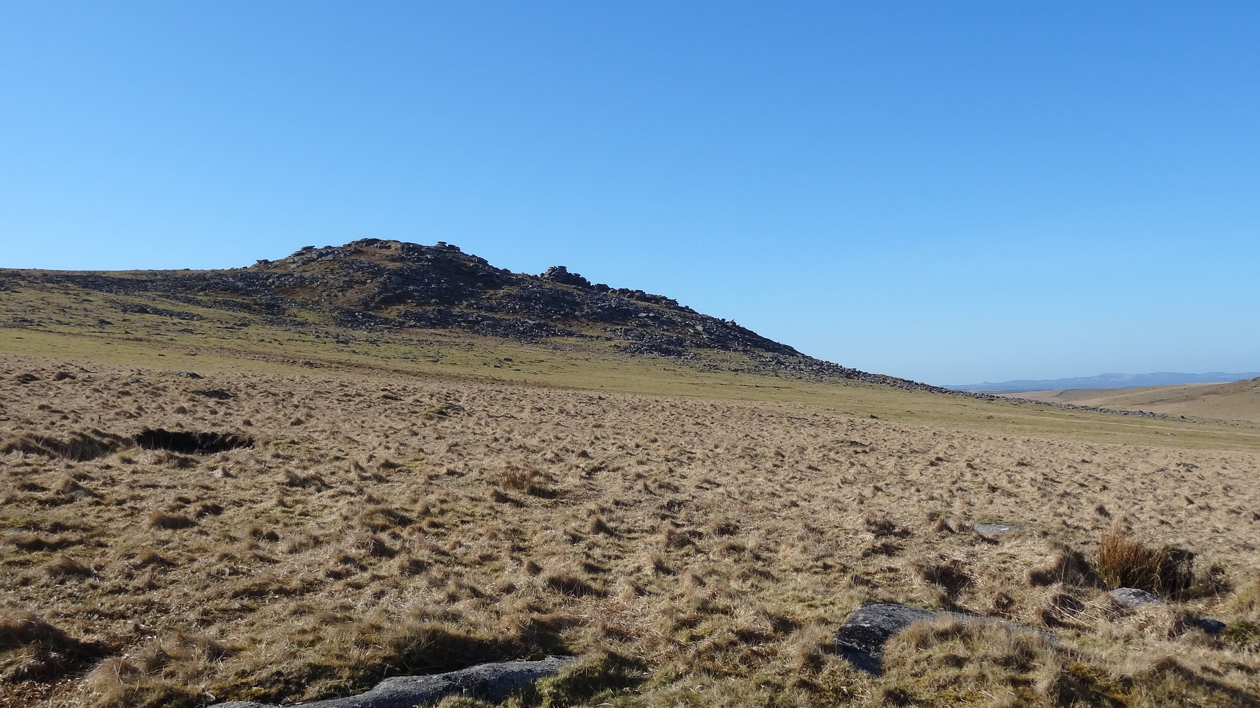
View south / west from High Peak across the East Devon AONB. Ladram Bay on the left.


Start & Finish: Fore Street, Otterton, Budleigh Salterton, EX9 7JF
Distance: 12.1 km (7.5 miles)
Elevation change: +/- 186m
GPX File: get via Buy Me a Coffee
Other routes touched (walk): English Coastal Path, Otter Valley Walk
Other routes touched (cycle): NCN 2
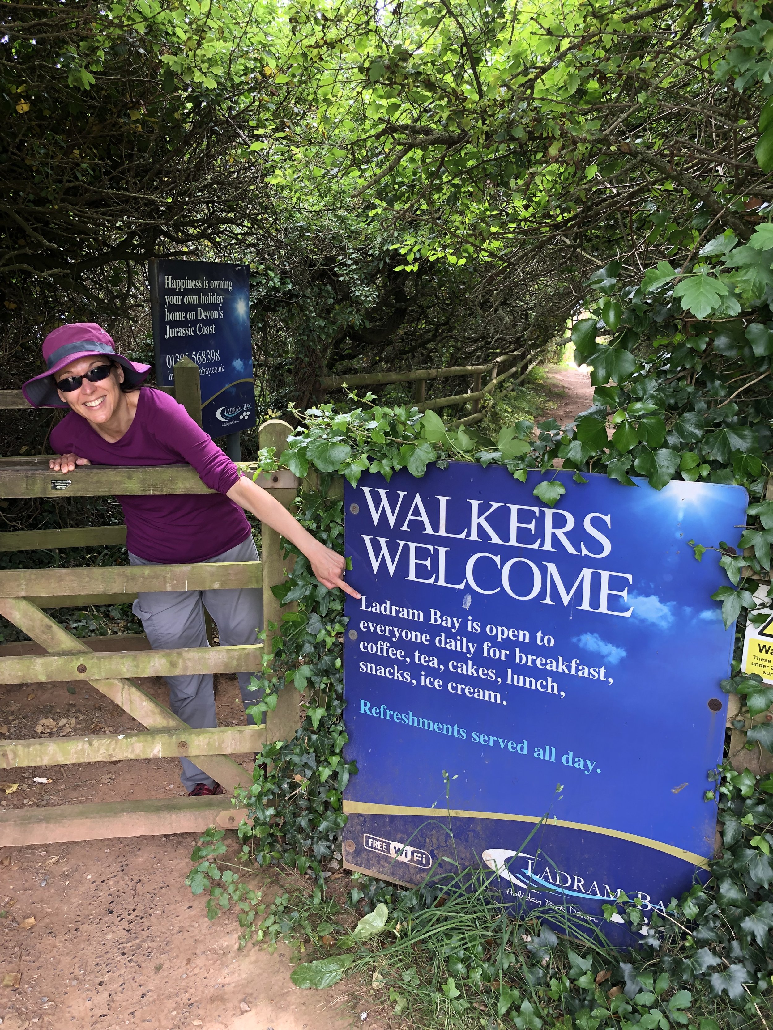
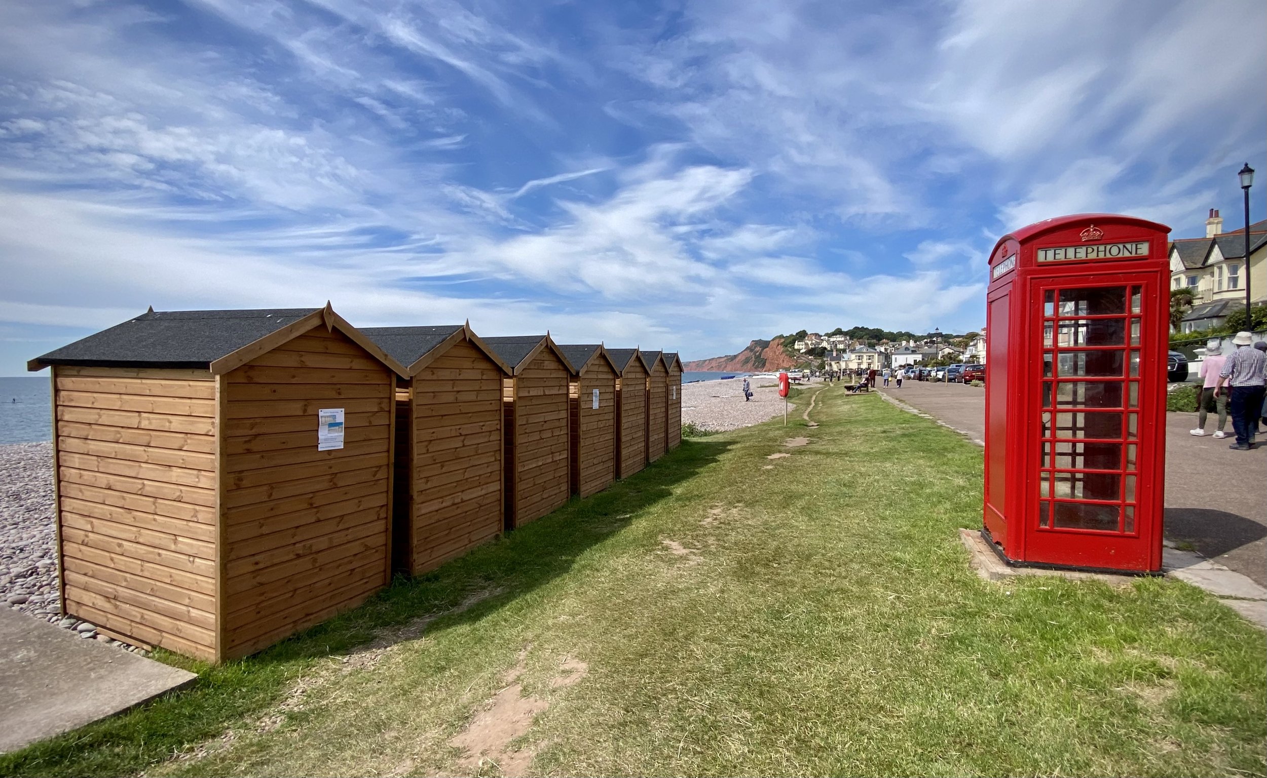
Pubs / Cafes on route: Cafe at Ladram Bay Holiday Park, Otterton Mill
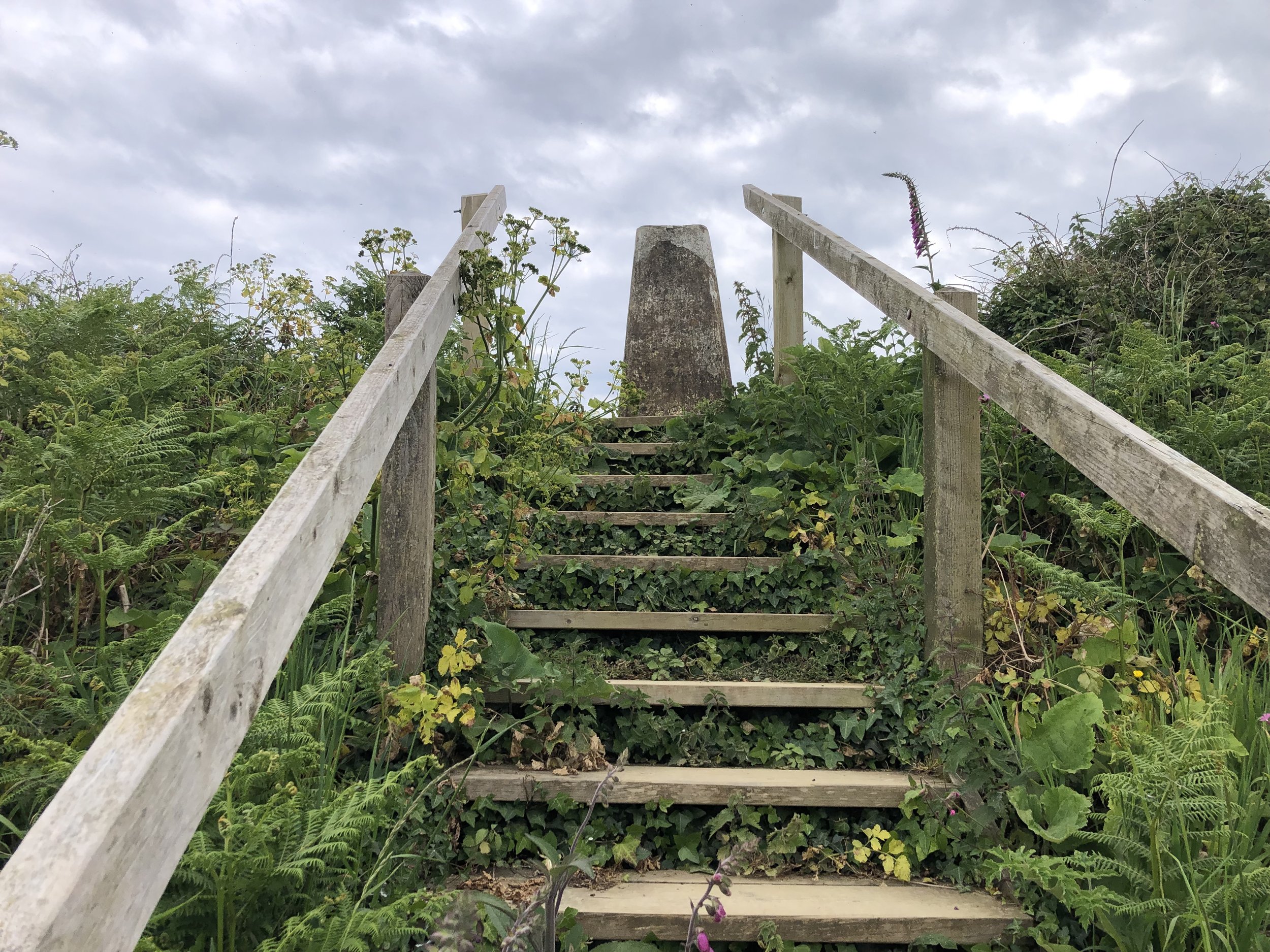
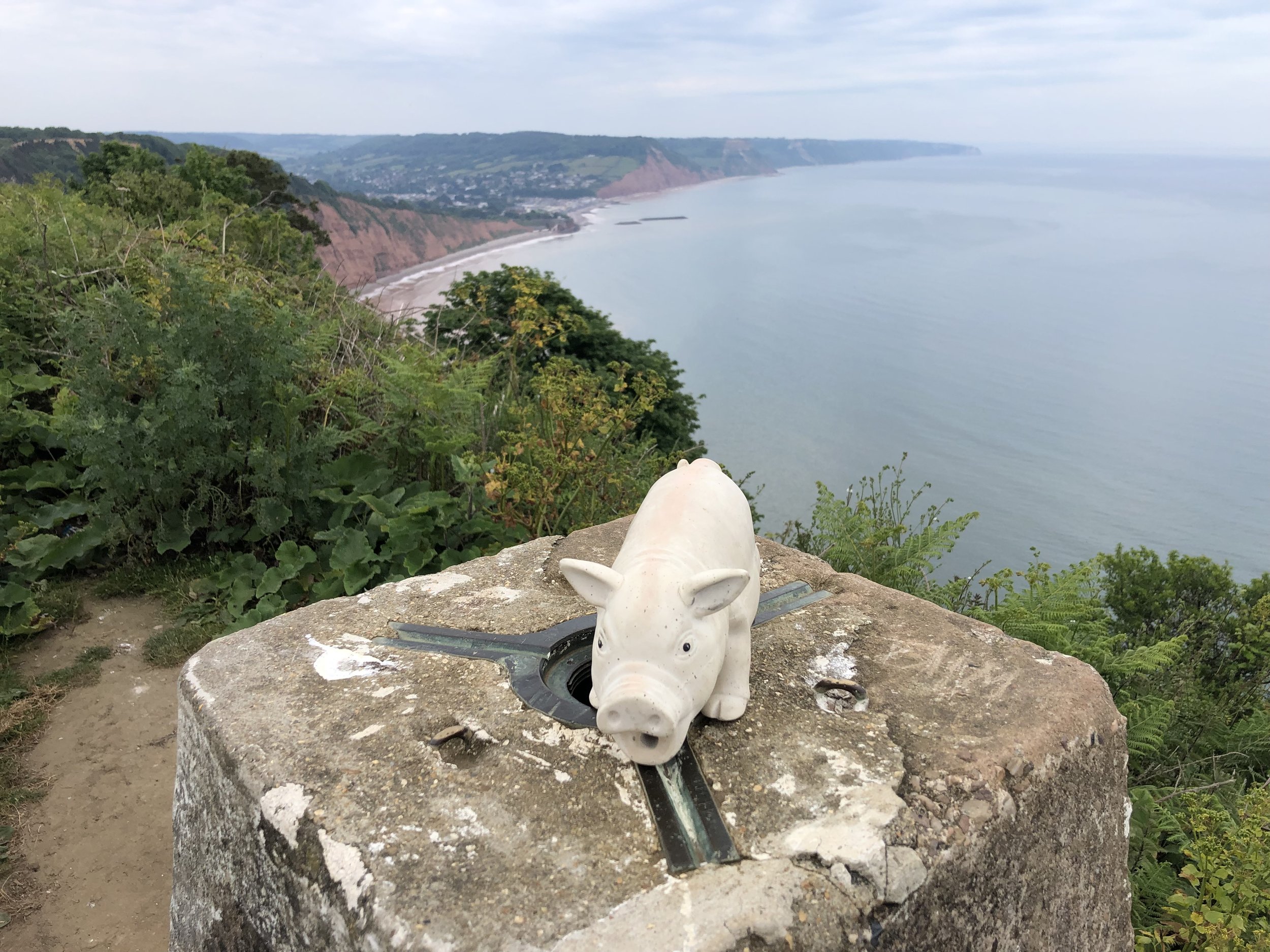
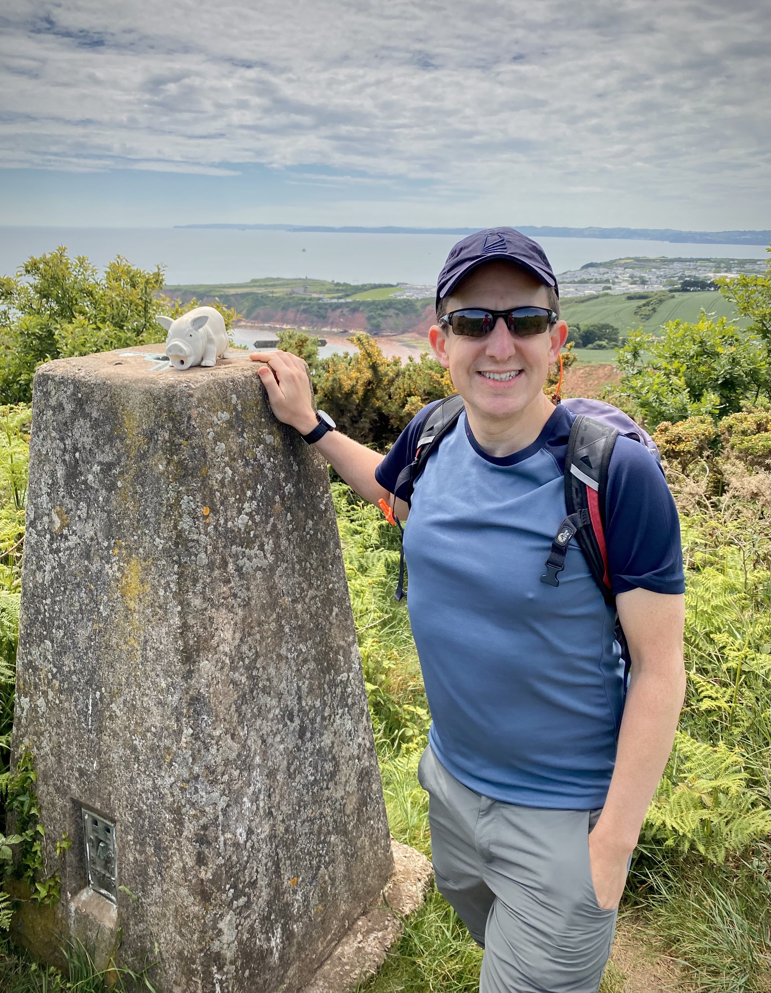
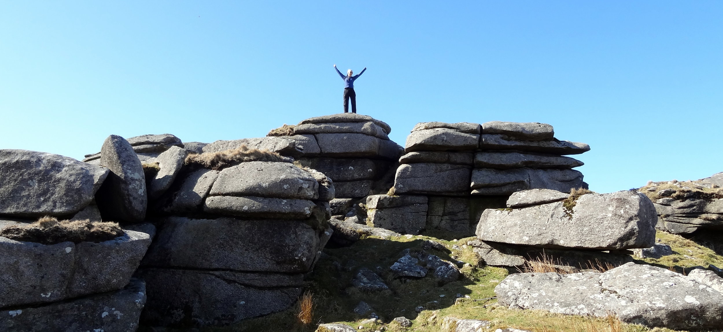
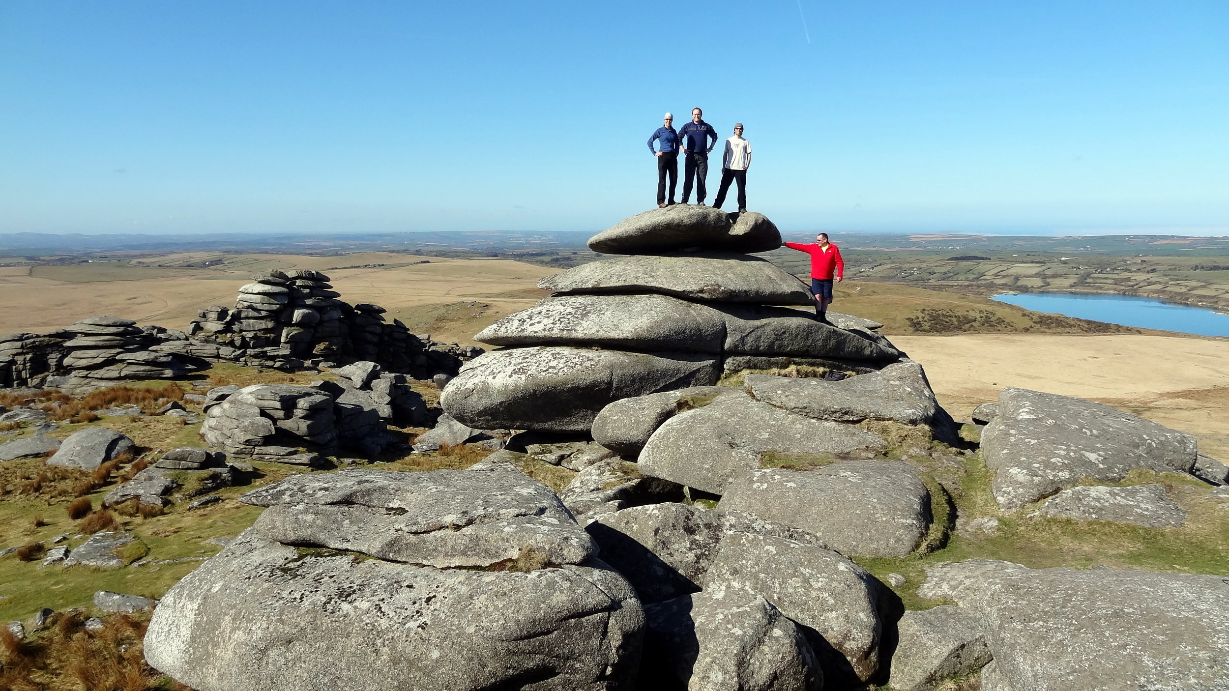
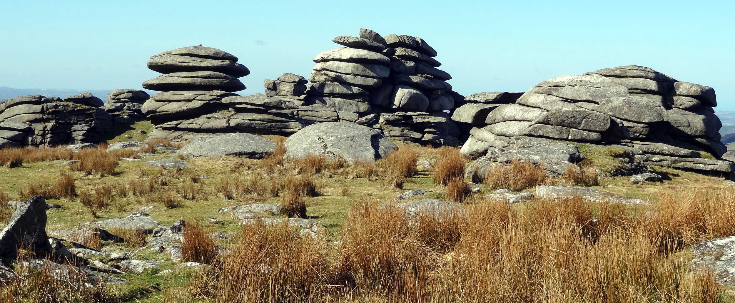
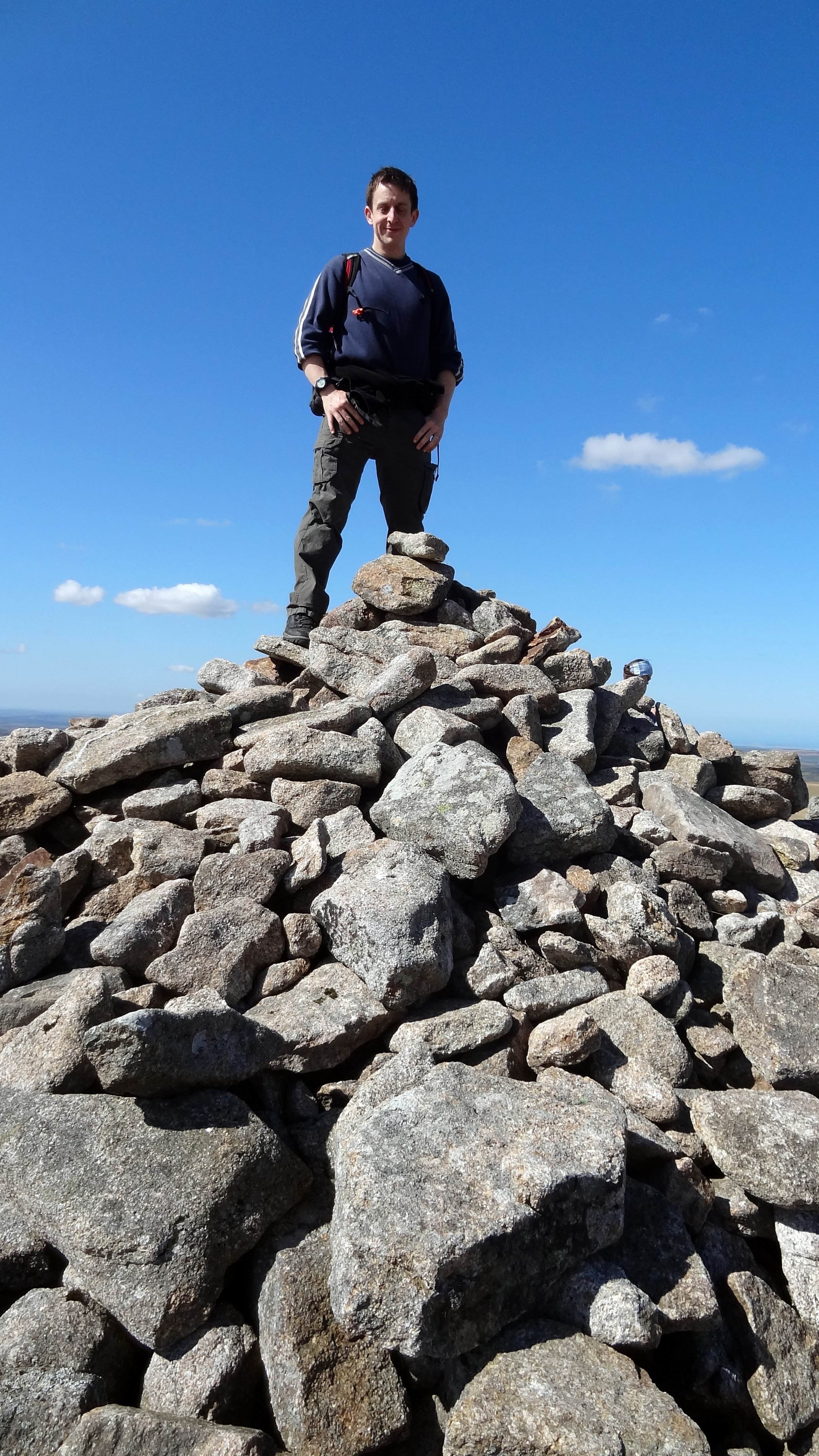
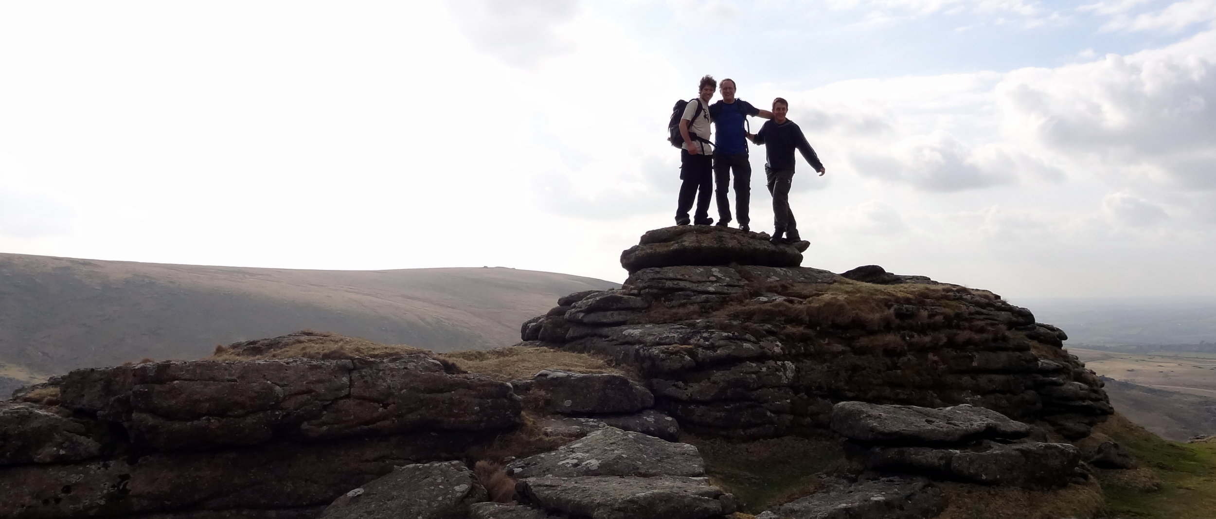
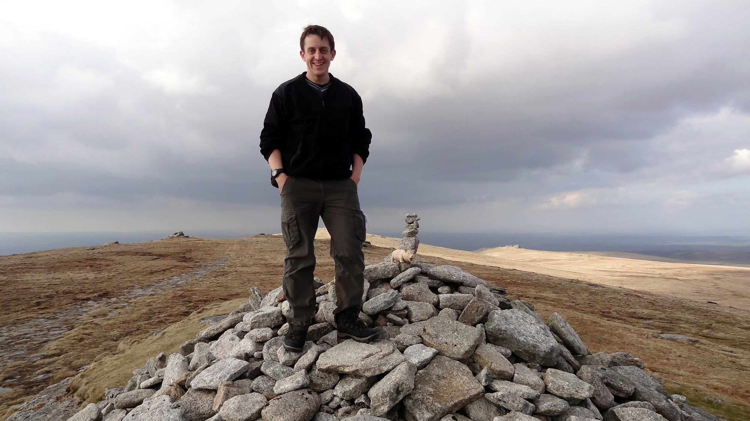
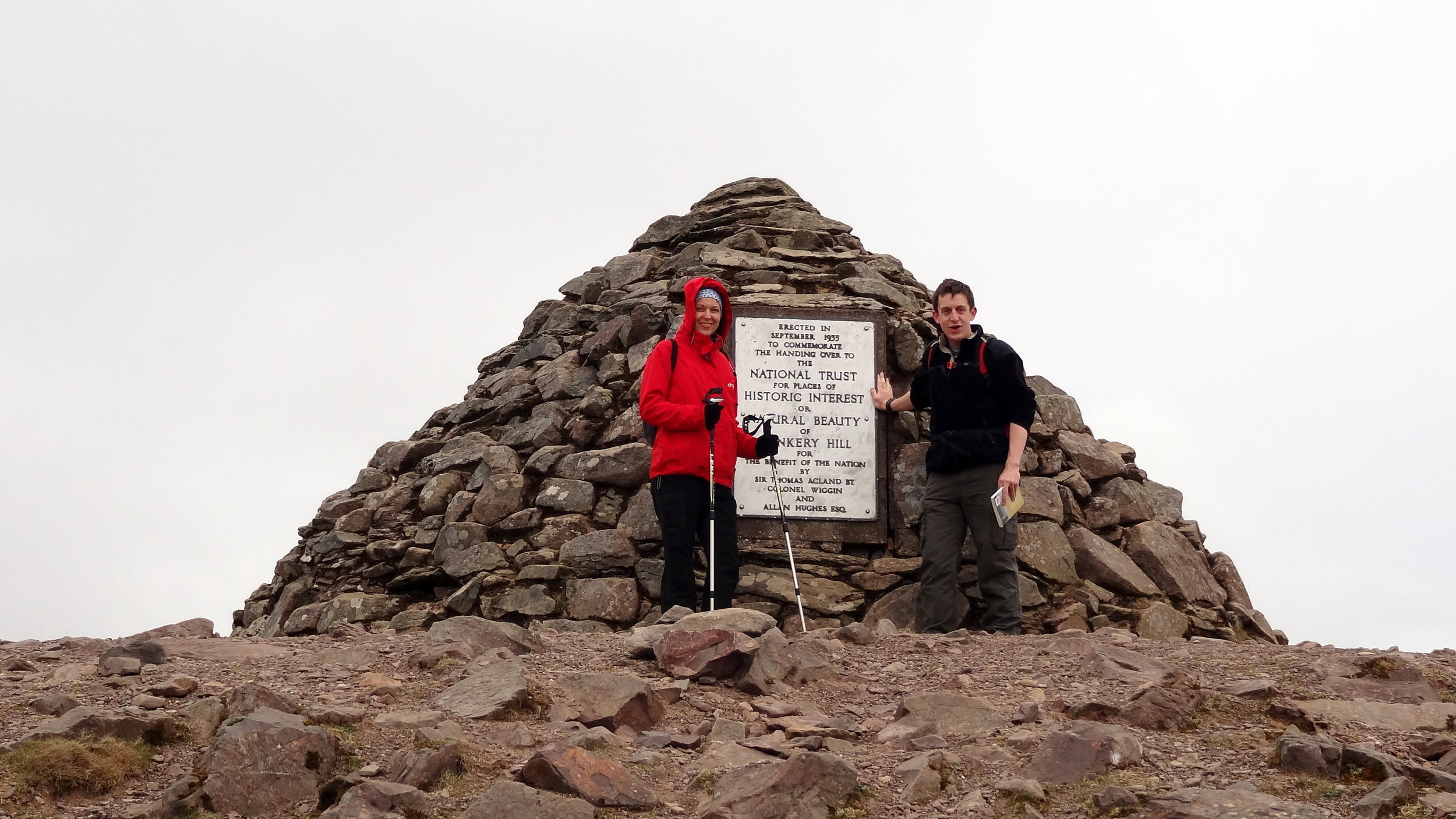
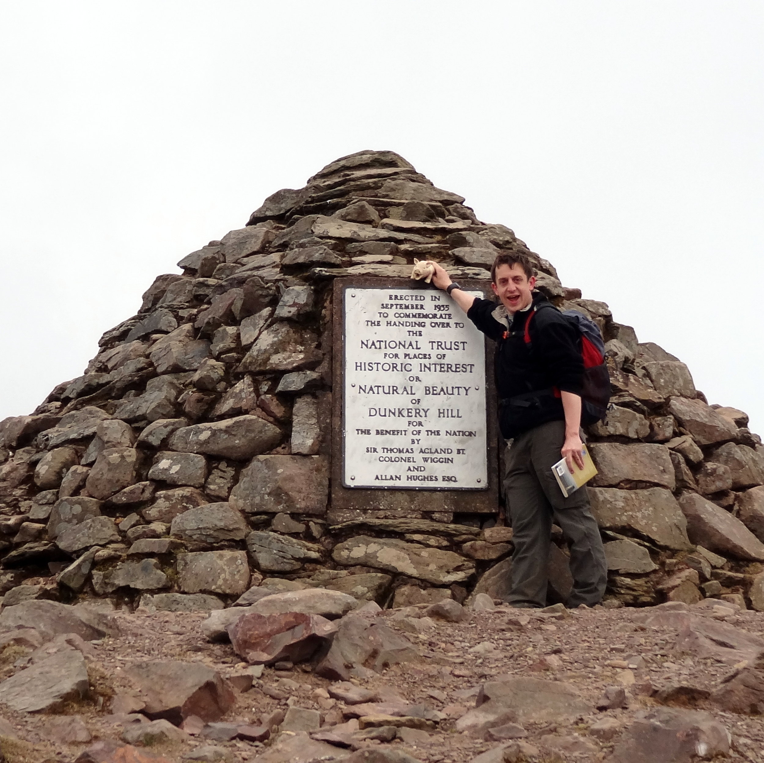
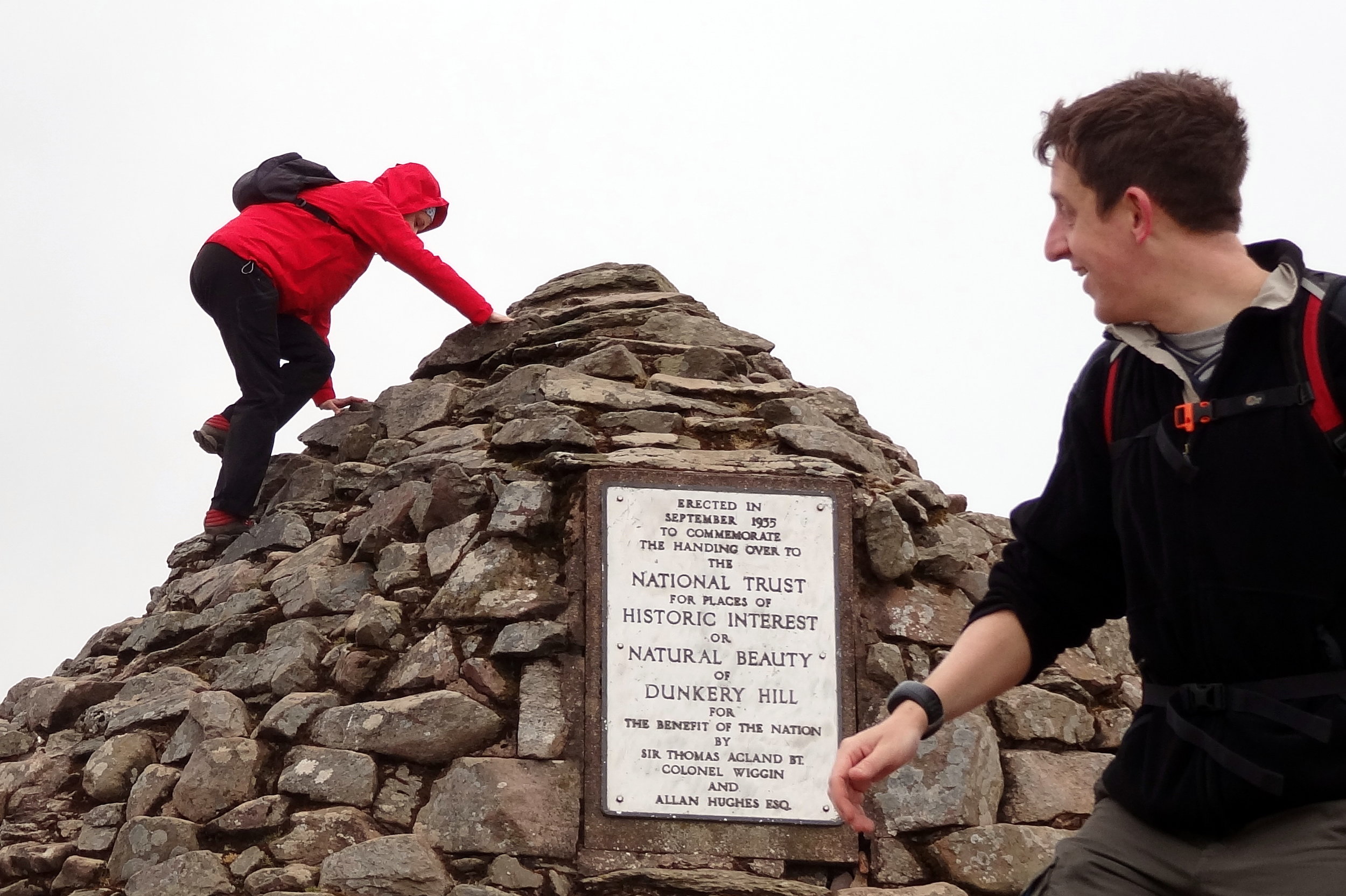
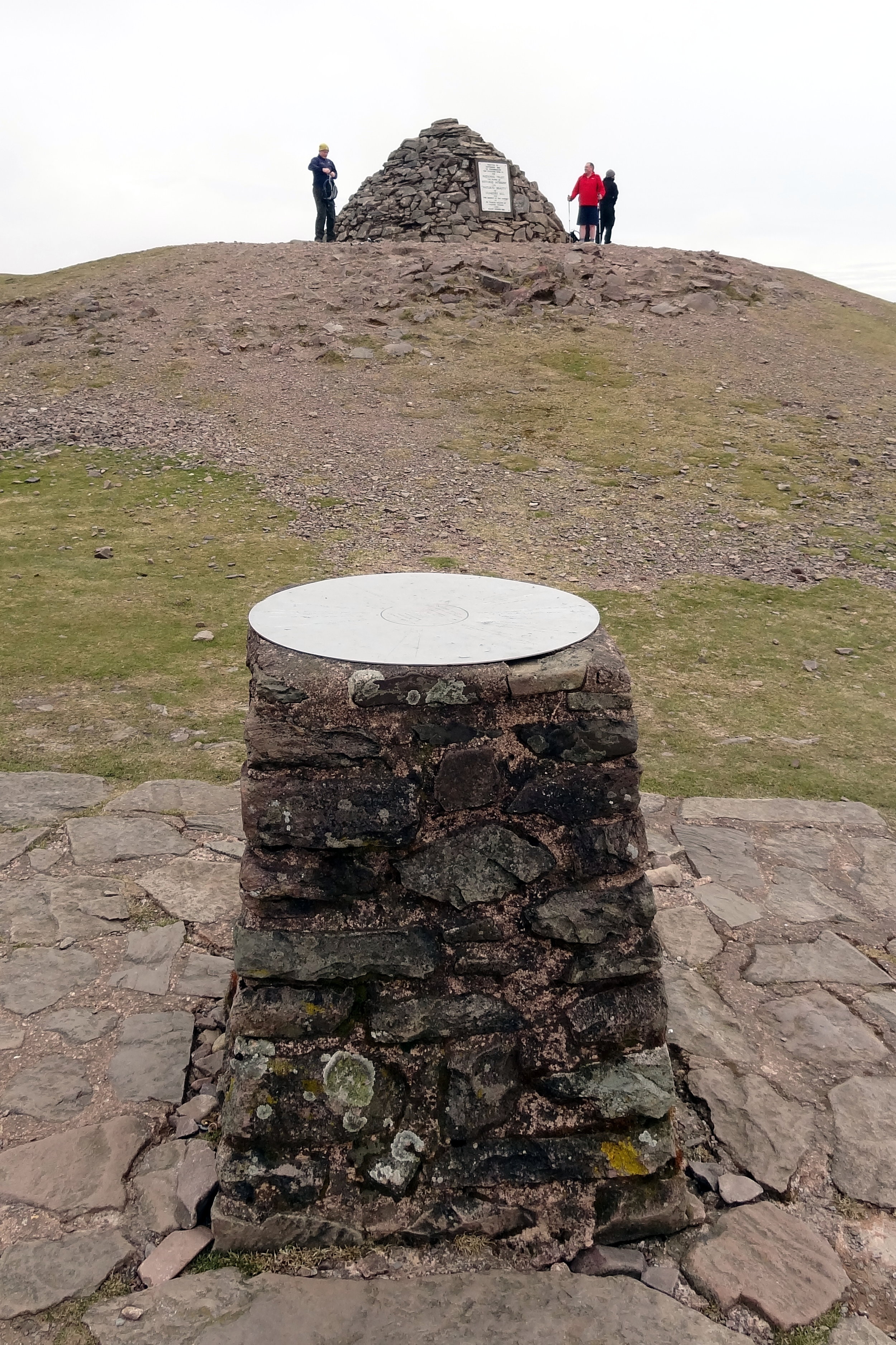
OS Trig Pillar: TP3799 - High Peak
Map: Exmouth & Sidmouth Map | Honiton | Ordnance Survey | OS Explorer Map 115
Links: Otterton, High Peak, Ladram Bay, Ladram Bay Holiday Park, East Devon AONB, Dorset and East Devon Coast UNESCO


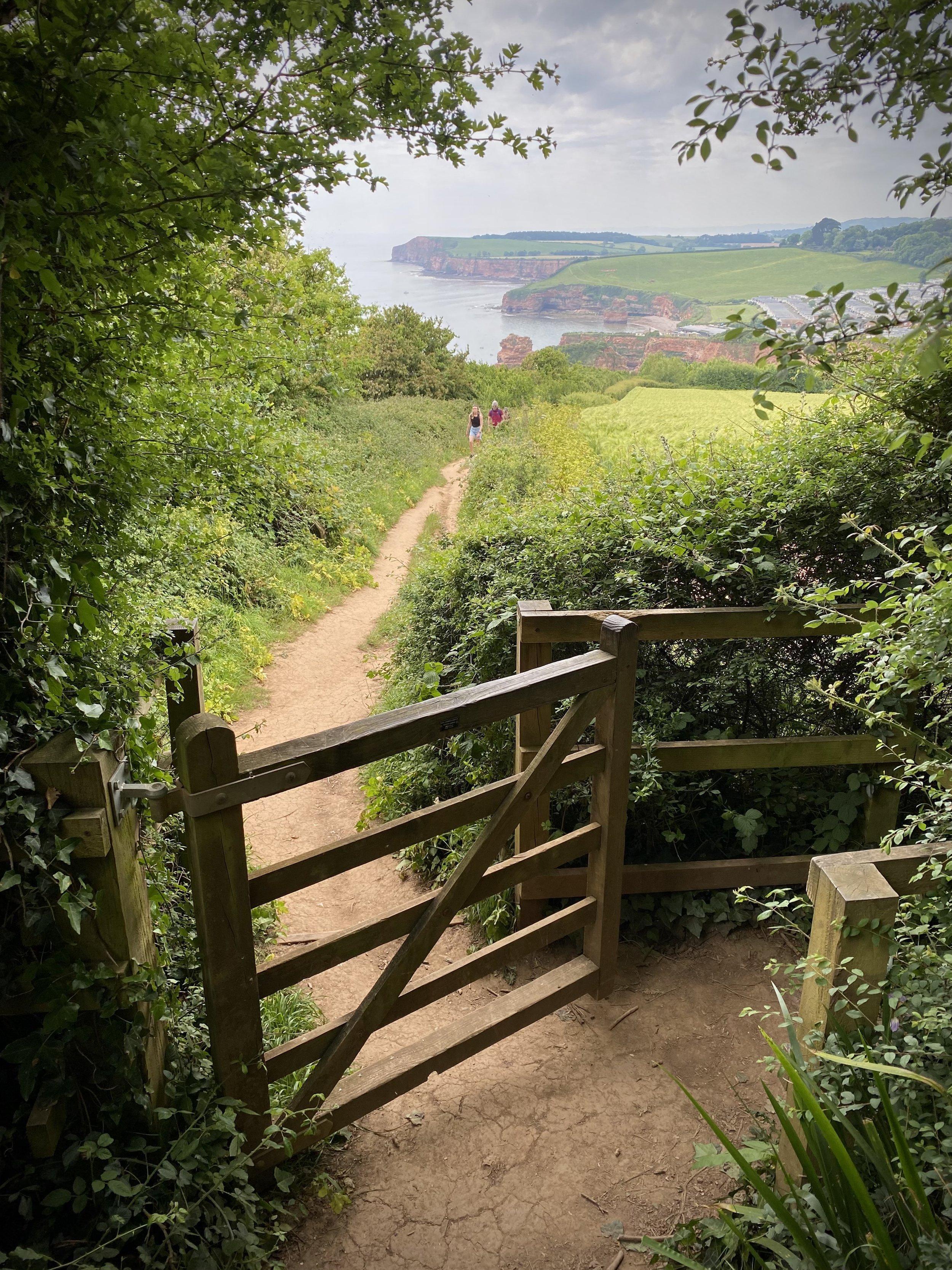
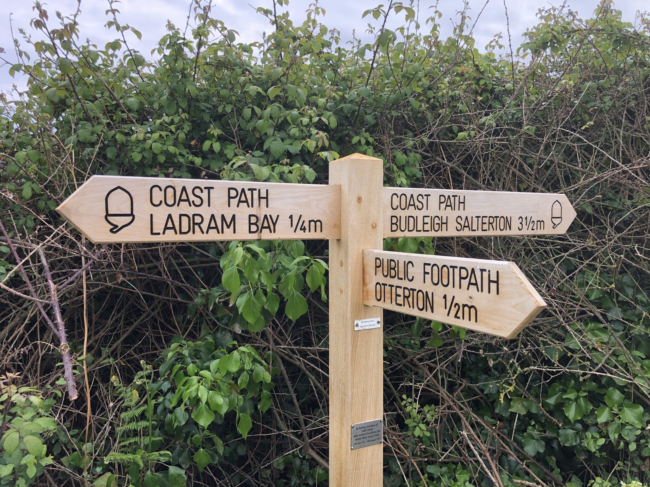
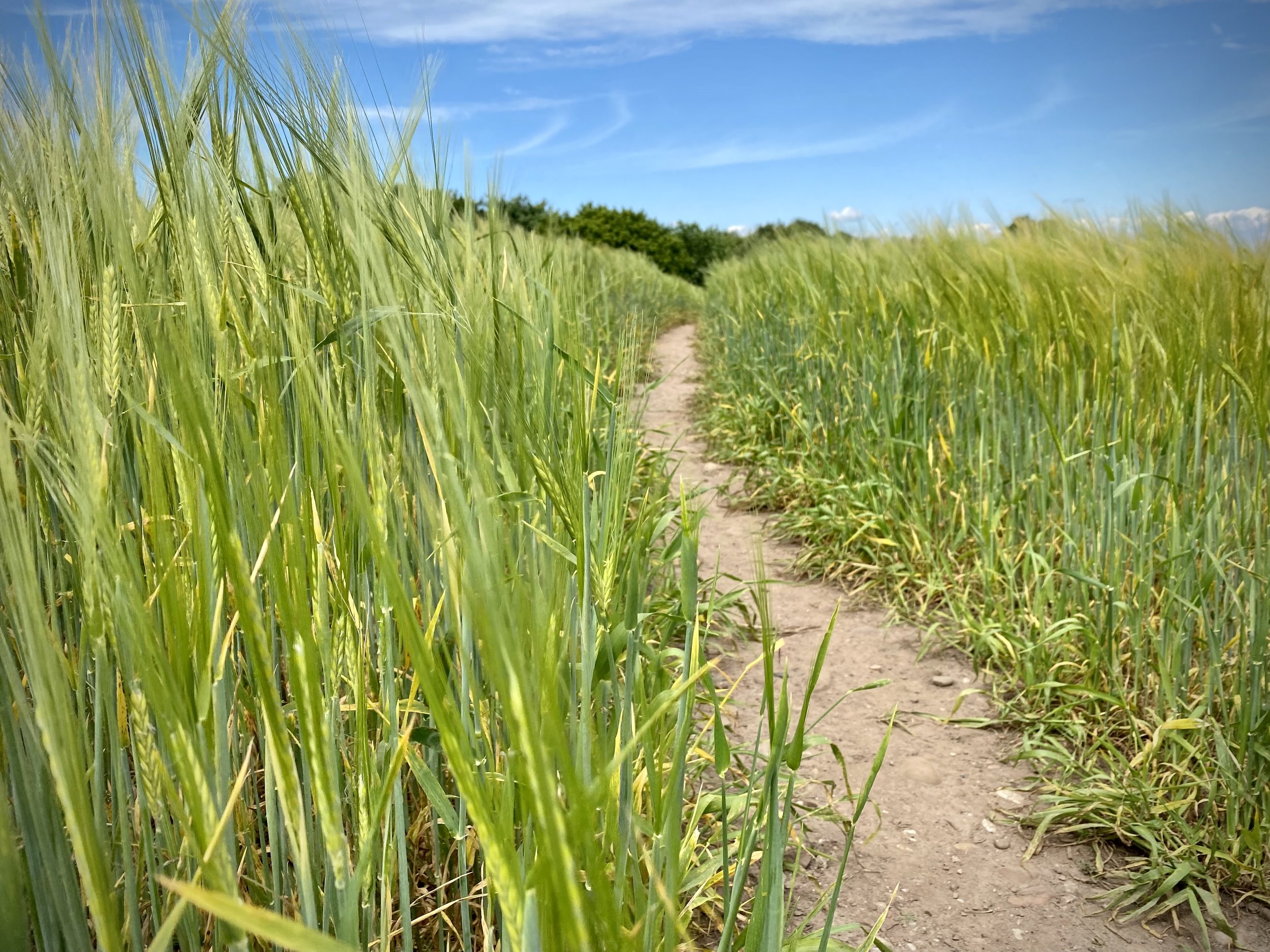
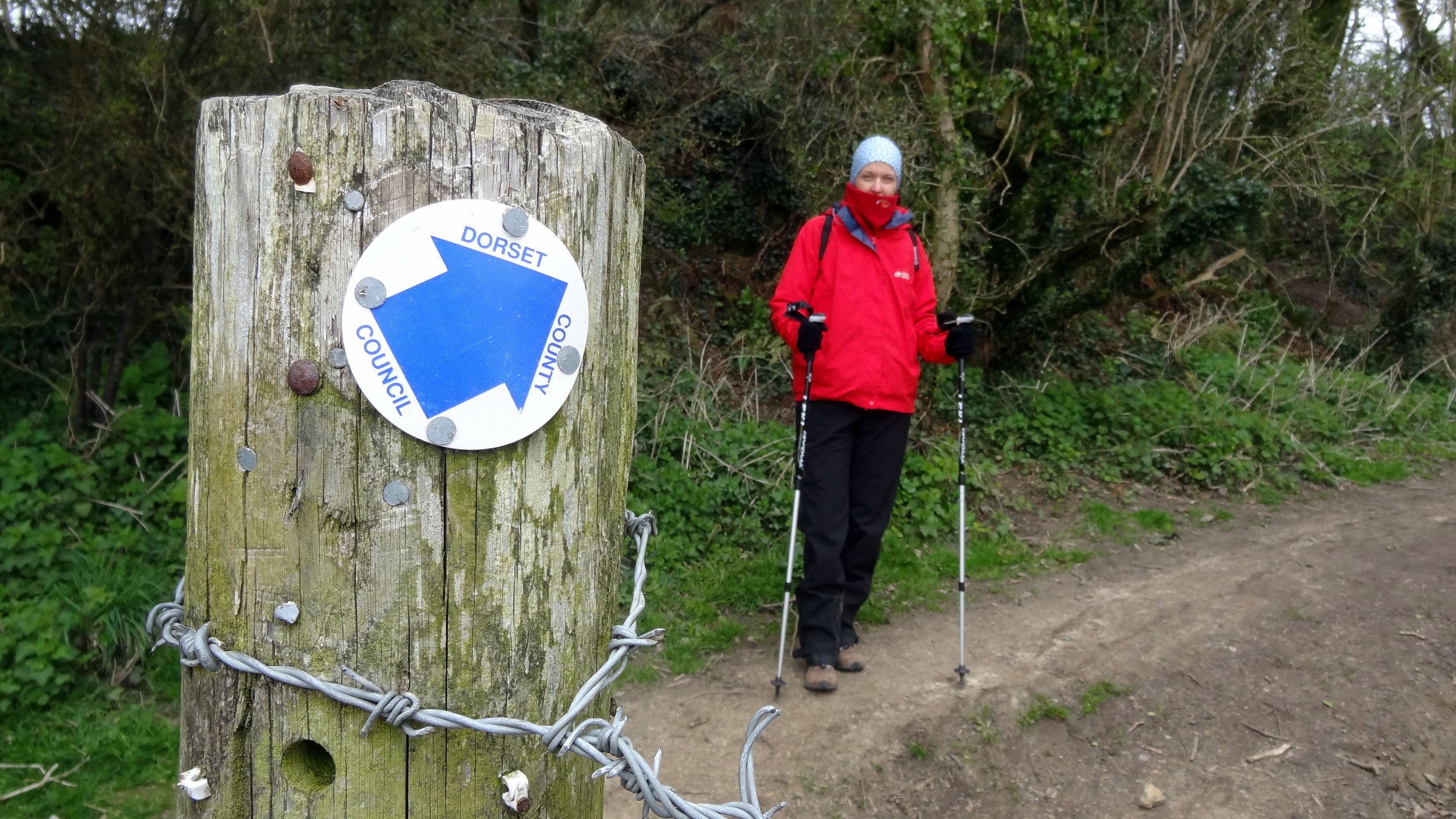
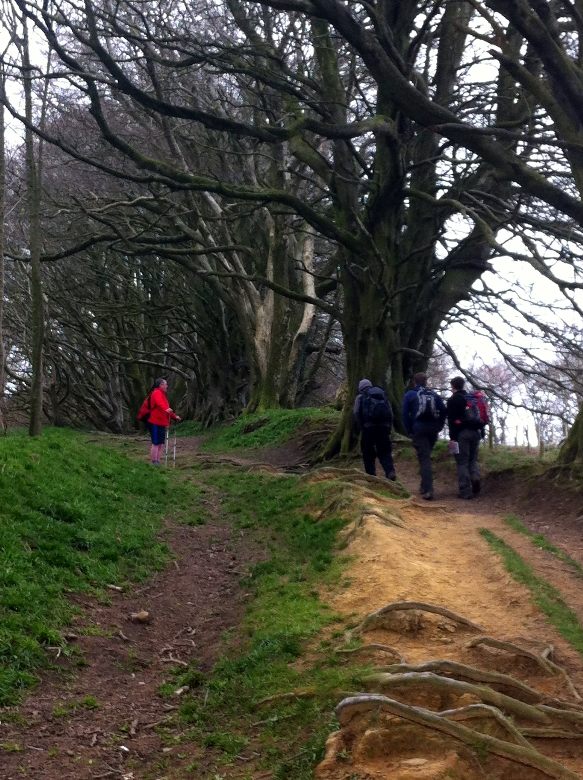
Following our short but stunning Budleigh Salterton walk the day before we took on a longer walk on the next section of the coast to the east. This one starts inland in the small village of Otterton where you’ll find plenty of free on-street parking. From Fore Street (the main street through the village), walk in an easterly direction and take a right onto Bell Street. Continue up the hill as it becomes Ladram Road then Barr’s Lane. Just over 1 km from the village you’ll pass the main entrance to Ladram Bay Holiday Park where the road ends and the route becomes a narrower path. Continue up the path until Just over 2.5km from Otterton where you’ll find a footpath fingerpost sign pointing to Sidmouth (1.5m) and to the coastal path and Ladram Bay (0.75m). Follow the path towards Ladram Bay.

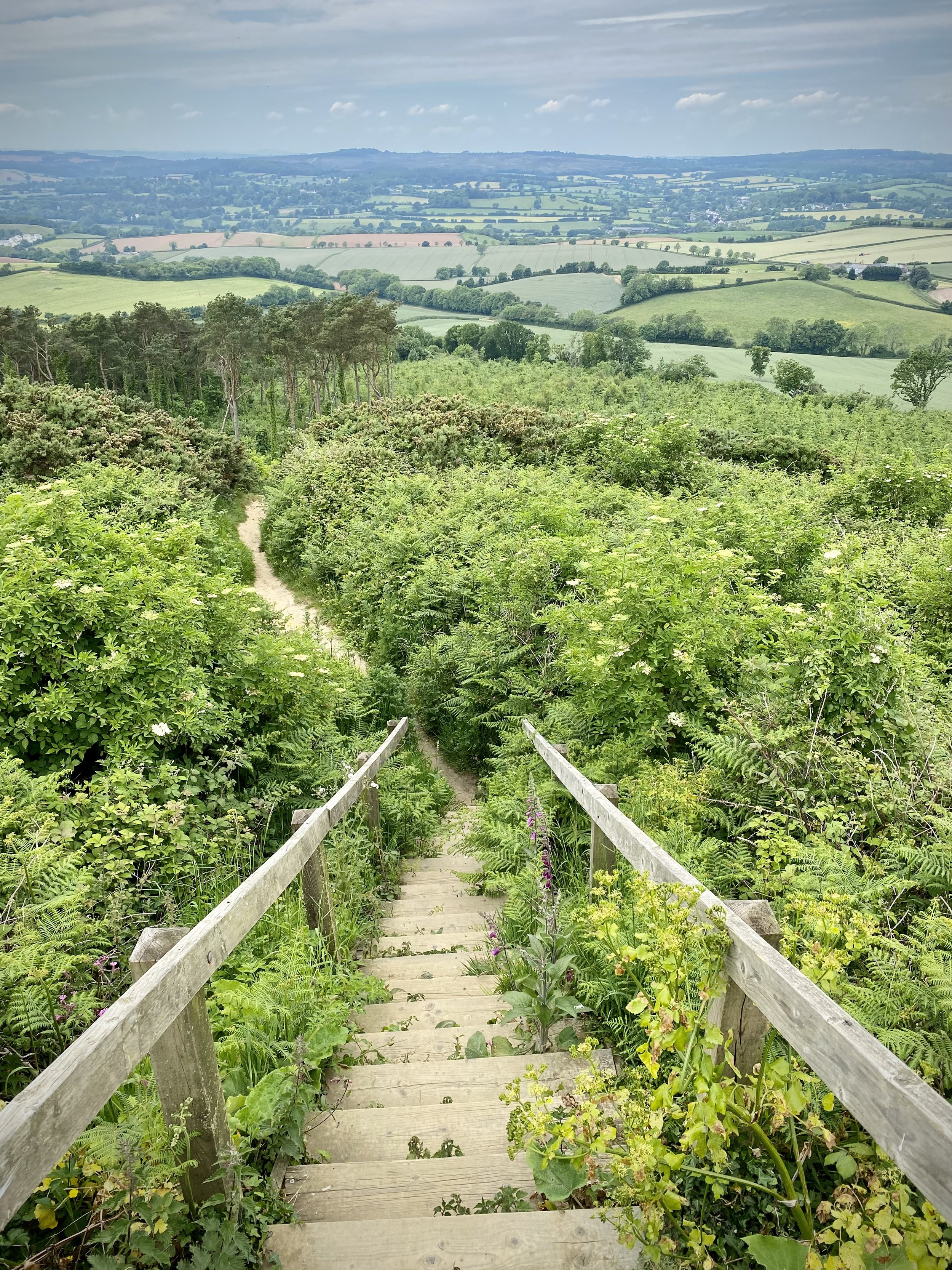
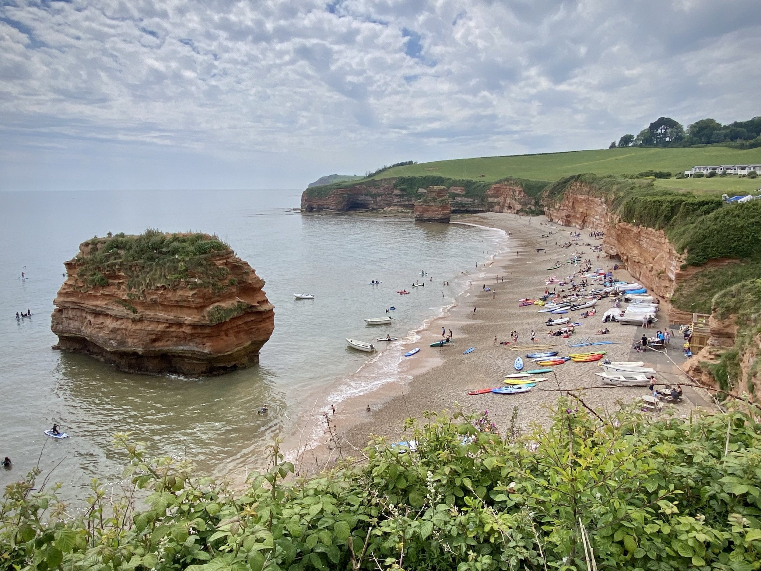
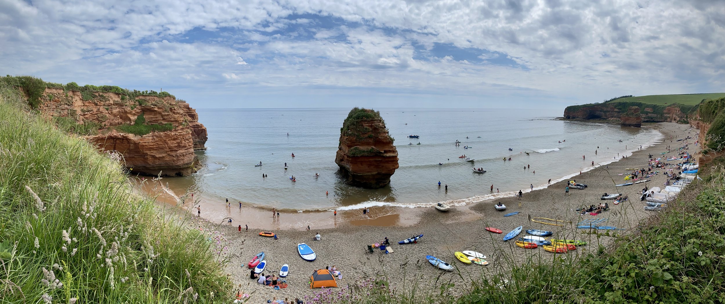
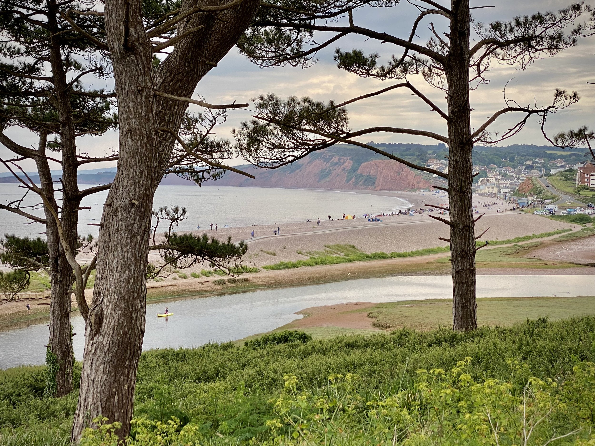
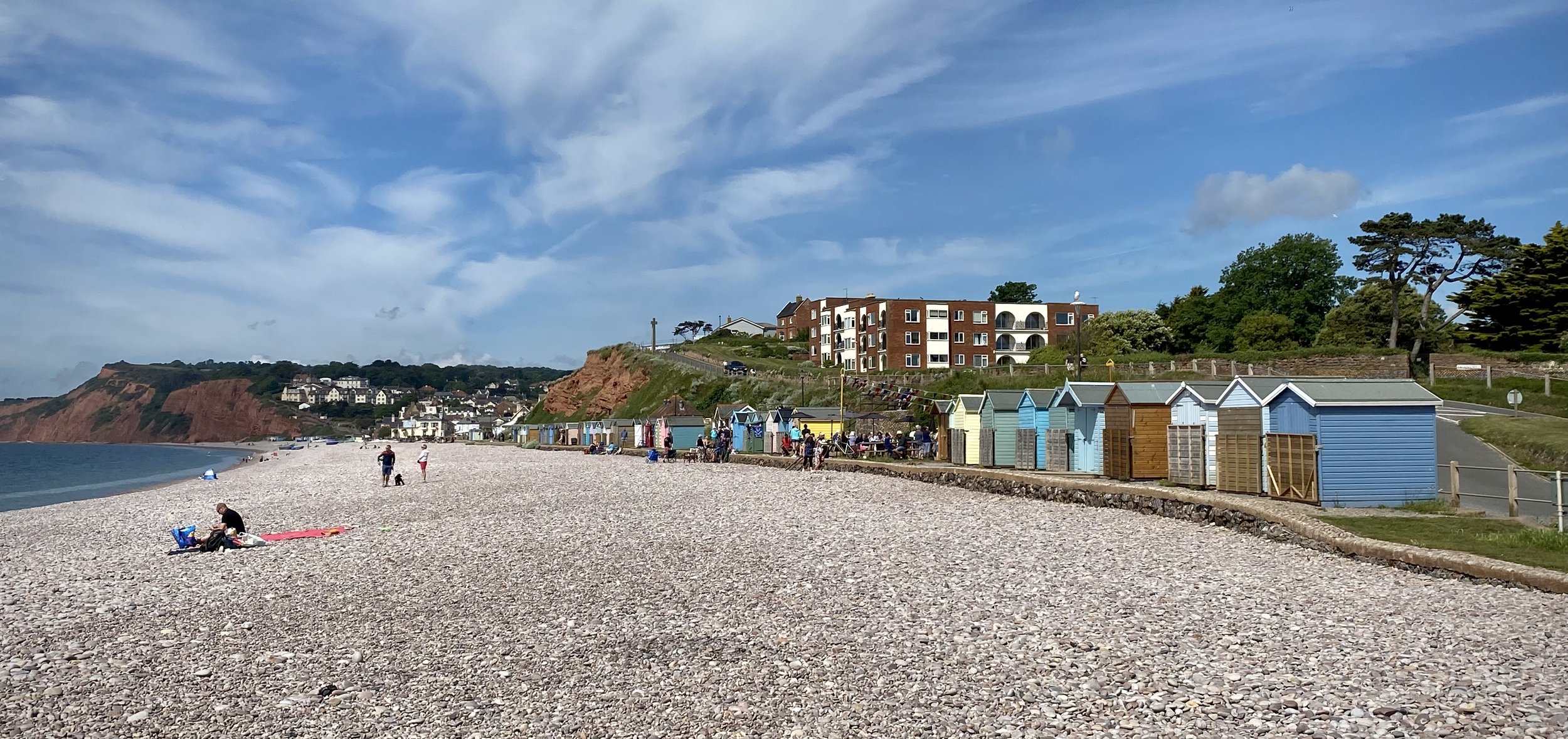
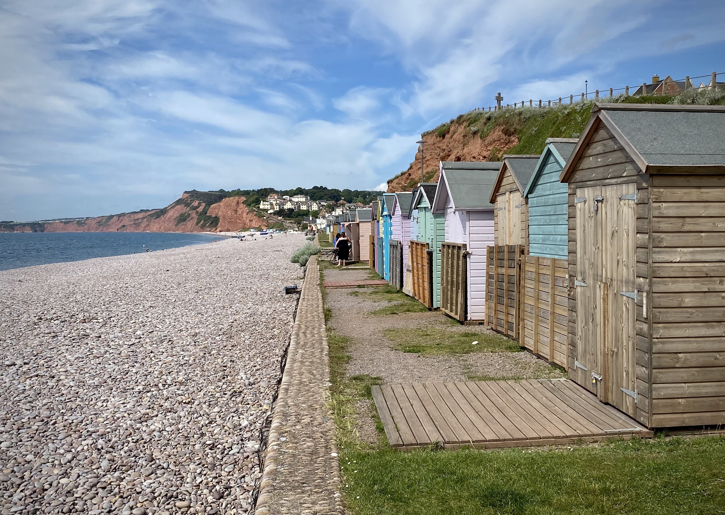
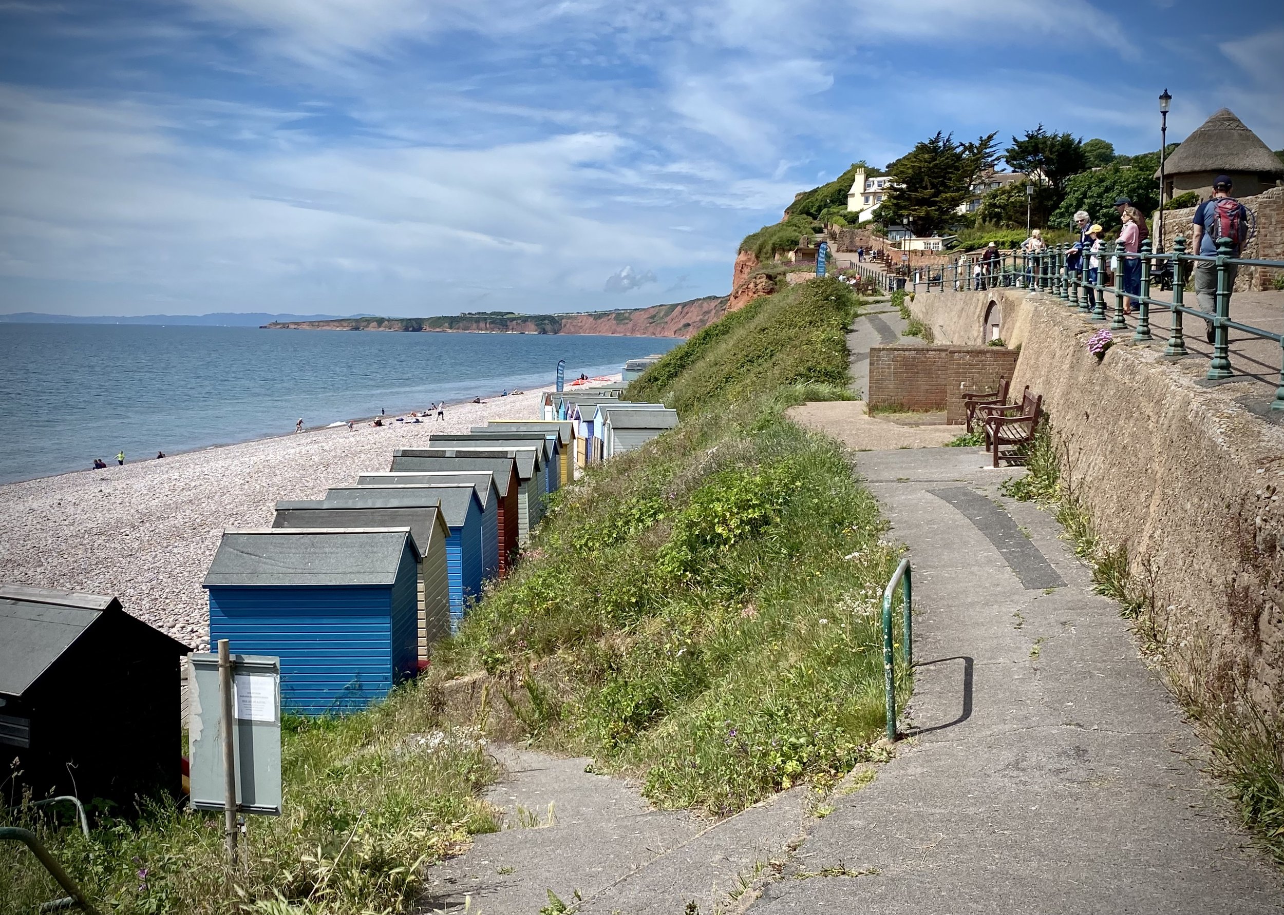
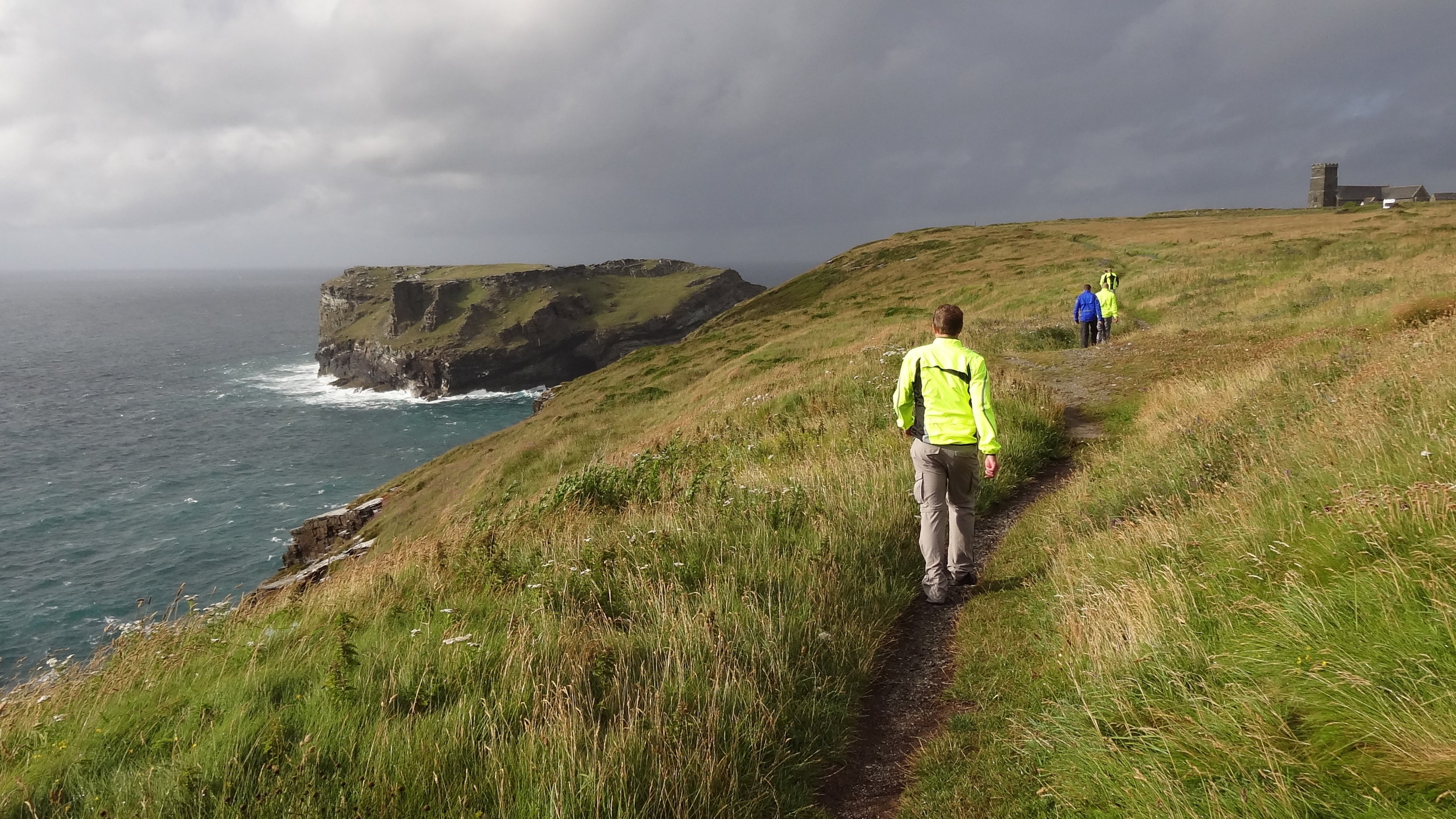
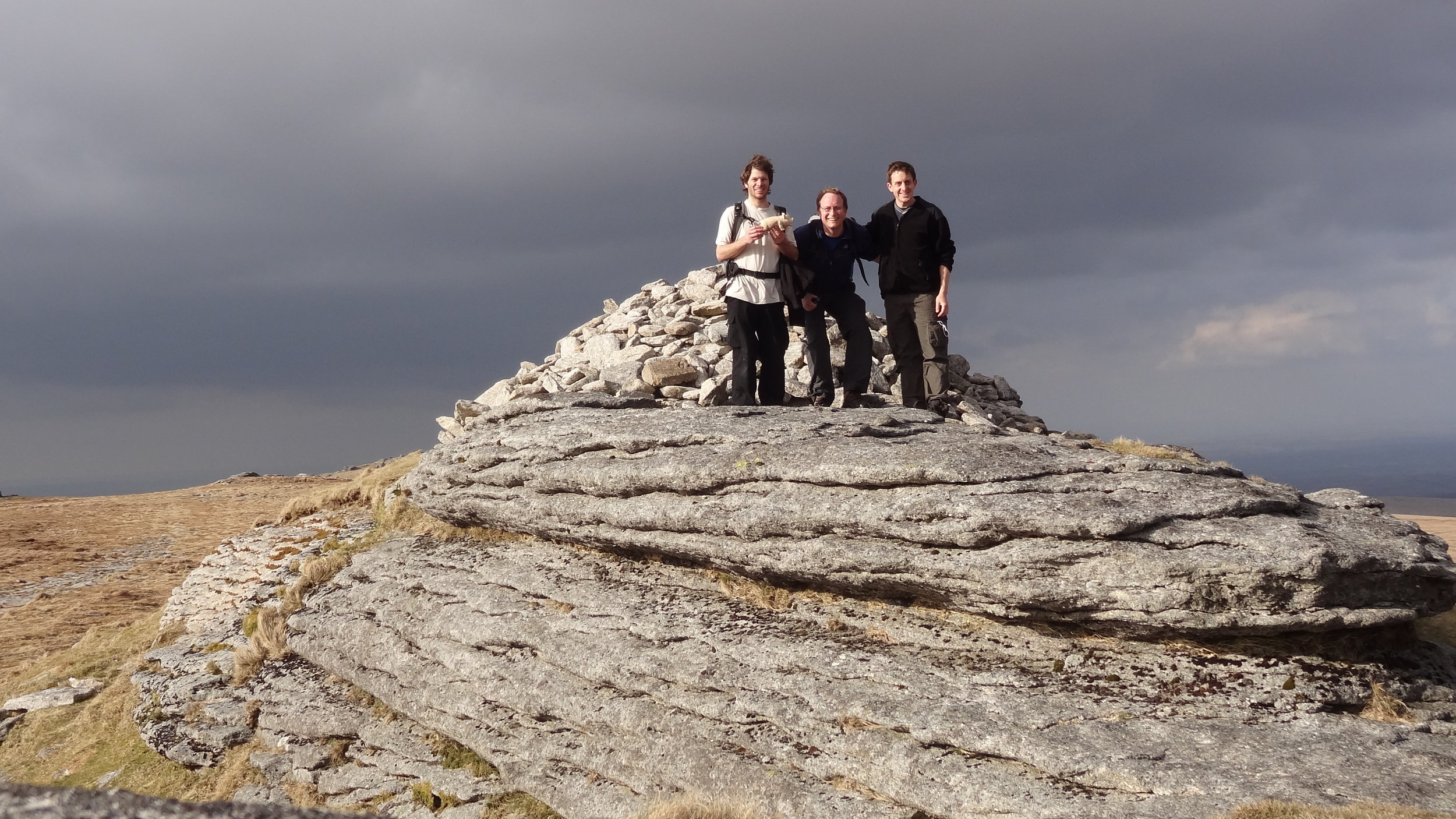
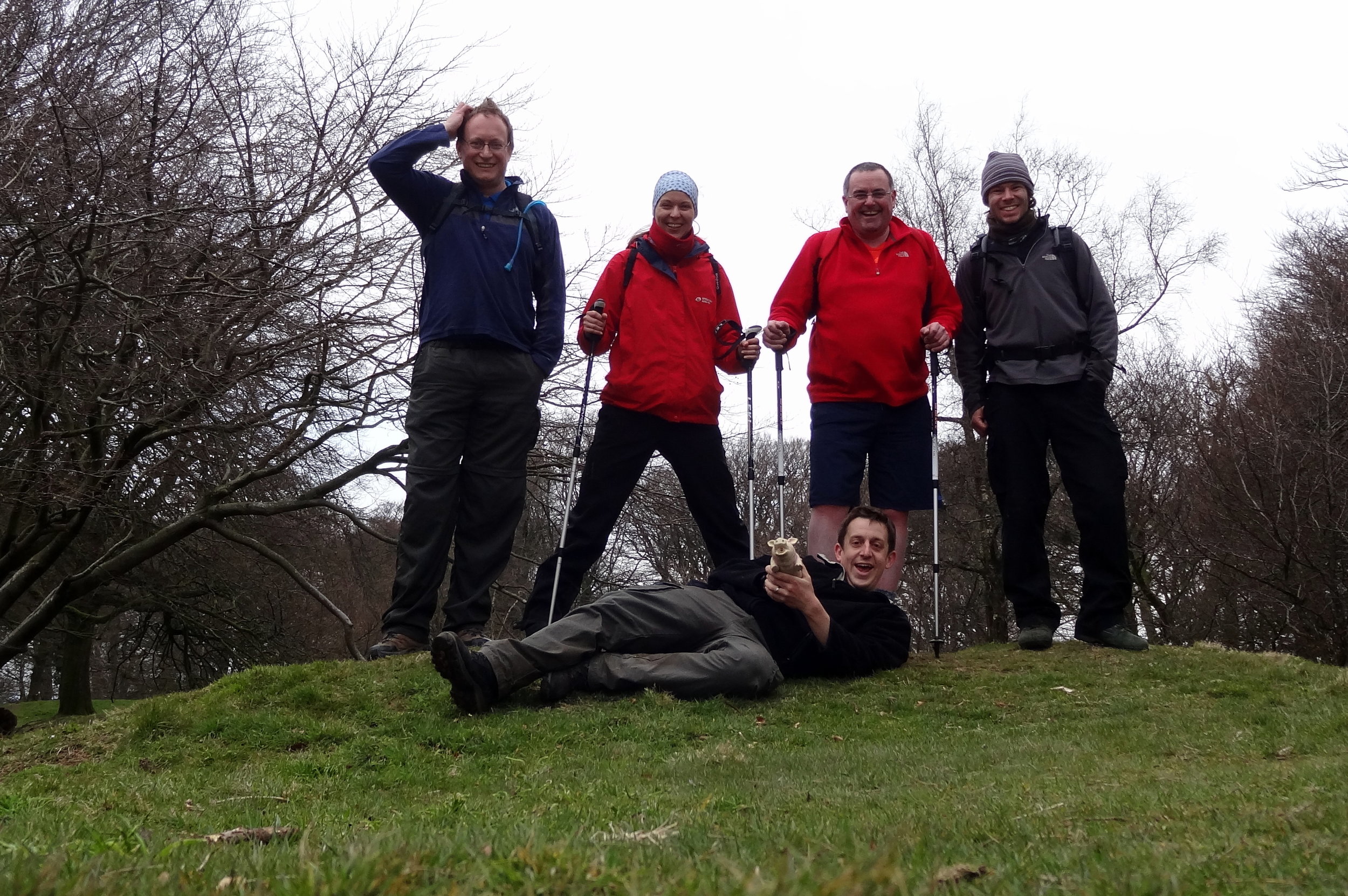
After 300m you can take a left hand path to climb the steep hill to the OS Trig Pillar at the top of High Peak. Here you get great views in all directions: Sidmouth to the north, Budleigh Salterton to the south and the East Devon AONB as you look inland. Carefully descend back to the Coastal Path from the Trig Pillar. Take a left oto the Coastal Path and follow it in a southerly direction down to Ladram Bay Holiday Park. The cliff top café is a good place to stop for a rest as it’s the only place to get food and drink before you return to Otterton.

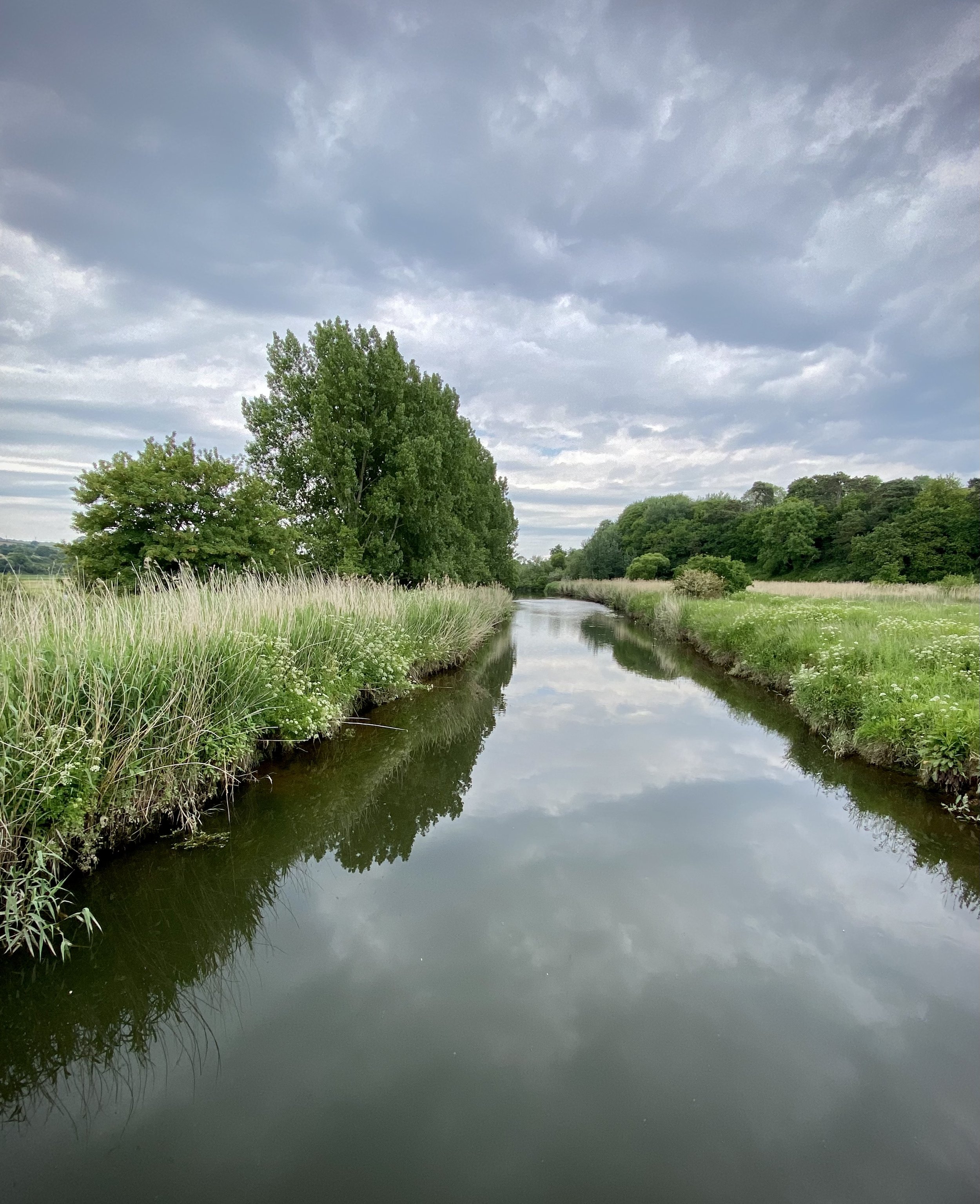
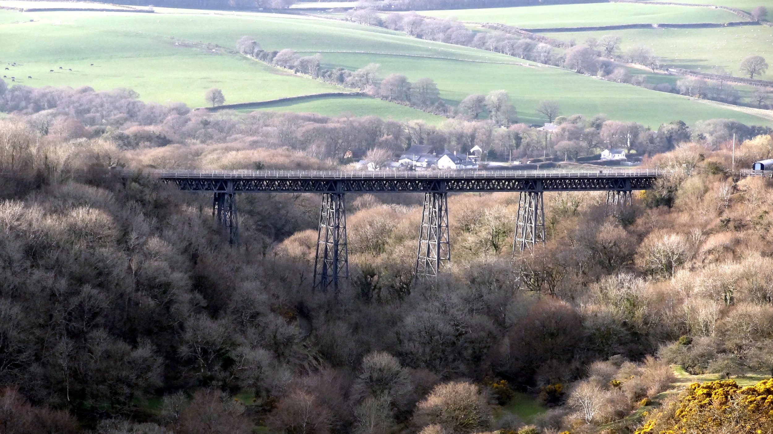
From Ladram Bay continue along the Coastal Path until you reach the River Otter just before Budleigh Salterton. Take a right and follow the path on the eastern side of the river until you reach the bridge on South Farm Road. Cross the bridge and take a right to follow the Otter Valley Walk path on the western side of the river. Continue until you reach Fore Street and the road bridge taking you back into Otterton. Before you reach Fore Street take look across the fields to the west where you’ll see a house on it’s own across the field next to a large tree. This was the old East Budleigh railway station, now converted into a private home. You can still see the platform edge and canopy.

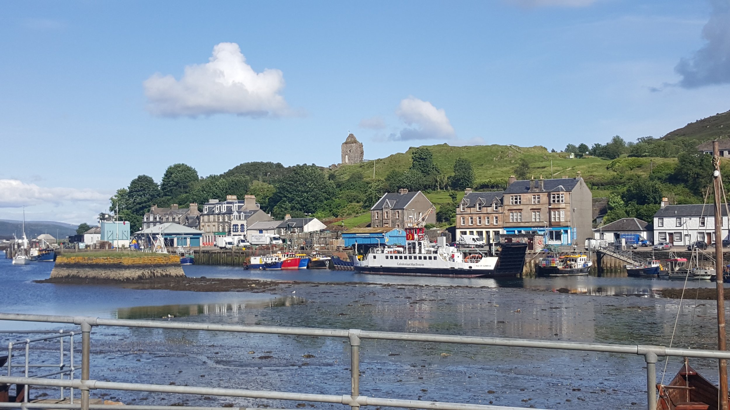
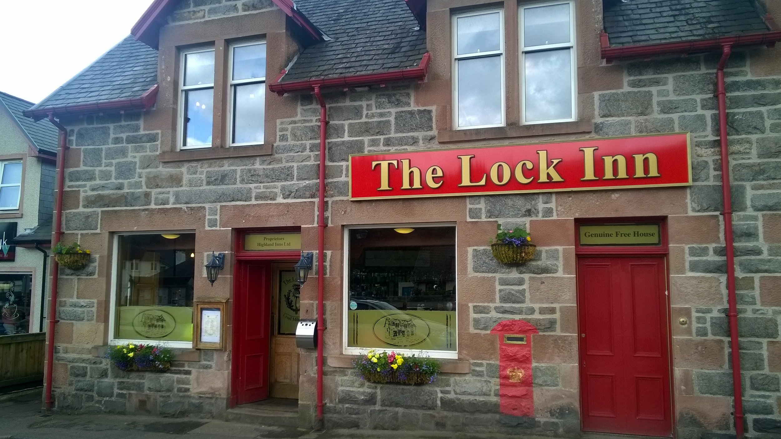
Otterton Mill, just over the bridge on Fore Street is a good place to stop for something to eat before you finish the walk. Go inside to see the old workings of the mill near the shop.


Budleigh Salterton and West Down Beacon Circular Walk

View to High Peak, Ladram Bay and Budleigh Salterton from West Down Beacon


Start & Finish: Lime Kiln Car Park, 1 Granary Lane, Budleigh Salterton, EX9 6JD
Distance: 6.4 km (4 miles)
Elevation change: +/- 117m
GPX File: get via Buy Me a Coffee
Other routes touched (walk): English Coastal Path, Otter Valley Walk,
Other routes touched (cycle): None
Pubs / Cafes on route: Lots in Budleigh Salterton town centre
OS Trig Pillar: TP6804 - West Down Beacon
Map: Exmouth & Sidmouth Map | Honiton | Ordnance Survey | OS Explorer Map 115
Links: Budleigh Salterton, East Devon AONB, Dorset and East Devon Coast UNESCO


This is a stunning short walk along the coastal path past Budleigh Salterton up to the West Down Beacon Trig Pillar. Start from the town’s main car park next to the beach on Granary Lane and follow the coastal path in a westerly direction. After 1km the path will climb steeply up to the top of the cliffs. Continue until approximately 3km from the car park where you’ll meet a footpath finger sign pointing to Knowle (1m). You’re now at the top of the hill where you’ll find the OS Trig Pillar in a small clearing just in from the sign. Here you get great views along the cost in both directions. To the west is Exmouth and the river Exe that leads inland to Exeter.

Leave the coastal path and follow the footpath through the golf course to Knowle for ~1km until you reach Littleham Church Path. Take a right onto this path and follow it down to Exmouth Road. Take a right onto Exmouth Road and follow it in an easterly direction as it becomes West Hill and Budleigh Salterton High Street. Here you’ll find a lot of cafes and restaurants for a rest before completing the walk back at Lime Kiln Car Park.


Cycling from Land's End To John O'Groats
DSC00540.jpg

The Land’s End To John O’Groats (LEJOG) cycle trip had been on my back burner for a very long time. It started 21 years ago when I was planning my Queen’s Scout Award. The Award was similar to the Duke Of Edinburgh Award and required a big expedition. I chose to do a cycling trip and needed to find a route greater than the 200 mile minimum requirement. Andrew, my expedition partner, and I briefly considered LEJOG but the distance was way more than required and, at the time, seemed like a bit too much effort. Maidenhead, our hometown, to Lands End at 350 miles was more like it.

1993: Maidenhead to Land's End

That summer was amazing. The years have probably erased all memories of the tough spots and any bad weather, so all I remember now is endless sunny days and pleasant glides through the South-West countryside. We cycled 60 miles a day, stayed in Youth Hostels and survived on Diet Coke and White Chocolate Magnum ice-creams. The 6 day trip to Land’s End was my first big adventure and it definitely wasn't going to be the last. Ever since then the full Land’s End To John O’Groats trip was something I had to do ... just not right now.

Right after that trip I started working for Mars and the next few years was all about work and socialising. 4 years living abroad was a whole different adventure in itself and the LEJOG idea sunk into the very back of my mind. It was only in my mid-30s that I started to get back into the outdoors in a big way. After the Kilimanjaro trek in 2013 I started planning my next big trip and the LEJOG idea started to bubble up again. Two more things then happened to bring it right to the front. The first was turning 40 and thoughts around finishing off things that I wanted to do. The second was planning the Growlerthon, my fundraising year in memory of my dad who was diagnosed with lung cancer shortly after Kili. Back burner no more .... I had to do LEJOG.

Putting the team together was relatively easy. Slobby did the trip 2 years before and was up for doing it again. Brian, my Kili buddy, was also an easy “yes”. Brian recruited the rest of the team: Martyn and Ray, both from our office and both with different personal charity and fitness goals, and Reggie, Brian's brother. By early January we had the team together and the next few months was all about training and route planning.

We had all heard of different routes, from the 41 hours record to a very sedate month-long LEJOG pub crawl. 2 weeks seemed the most obvious duration as it was about as much time as we could get off work and the 75 mile average day was very manageable. This plan meant we could stay off the busy A roads as much as possible and get as much scenery in as possible. By the time we all met up in Penzance the evening before the start, we had reached a peak of excitement. We had done all we could to prepare, train and fundraise. Now all we had to do was cycle.

We took Day 1 easy, just 35 miles to Falmouth. A little hilly, but nothing to complain about and a good dose of coastal route scenery. It was the next 2 days, Falmouth to Exford, that were the real test. Most people assume that Scotland is the toughest section for hills, but its actually Devon and Cornwall. This is part of the reason to start at Lands-End so that you can knock off the coastal hills while your legs are fresh. This would have been fine, except that I was still getting used to my new road-bike and I still wasn’t used to the gears. There were several points on the first few days when I thought I’d broken my bike by changing to the wrong gear at the wrong time up a hill.

By Day 4 we’d got into a flow, having got used to being together as a team and perfecting the routine of every day on the road. Each day we would get up at around 7:30, have breakfast, kit-up and tackle the first 15 to 20 miles. Then would come morning break, usually coffee and carrot cake, followed by another 20 miles before lunch. The afternoons were similar: 20 miles, then coffee and cake and the final push through to wherever we were staying that evening. We even got the evenings down to a fine art with some of us sorting out payment for the hostel, some sorting out clothes washing whilst the others showered.

Whilst a lot of the process of doing the trip became routine, the adventure was in the route itself. England, Wales and Scotland unfolded before us, showing us some of the best parts of the countryside. Towards the end of the trip we about our favourite parts but there were too many to bring it down to a short-list. Often we would post on Facebook about that day having been the best of the trip, only for the next day to be just a enjoyable or even better. My video of the highlights is probably the best way to explain how amazing the trip was.

One special moment for me was the evening in Wick, our final overnight stop after our longest day at 105 miles. We were less than 2 cycling hours from John O’Groats so there was already a feeling of celebration. We’d already been spared punctures or major injuries so getting to the end was inevitable, even if we had to walk. Wick really has a sense of being at the end of the country. It was fairly bleak, even in summer, and we wondered what people did there. Over a few pints a a curry we talked about the hilly South-West from 2 weeks ago, the exhilarating downhill rides into Exford, the Strawberry Line to Bristol, crossing the Severn Bridge, The Wye Valley, the ferry across the Mersey, the Lake District, Gretna, Arran, the Great Glenn and the Scottish coast. All very different experiences and even more special to have been able to join them up in one self-powered adventure.

After all of that, the final was a bit of an anti-climax. From Wick, we only had 17 miles to go, normally the distance till our first carrot cake stop. This 17 miles contained the most rain we'd had apart from the Lake District. John O’Groats quickly came and we were greeted by Martyn's family and friends who had followed us since Arran. The next part was ultra efficient, disassembling and boxing up the bikes, driving to Inverness airport and boarding the plane to Gatwick. After 2 weeks of being very present and fully focused on the trip, suddenly it was all over. I’d had a nice sense of completion for the adventure that I'd had in my mind for 21 years, but it didn't feel like an end, more the inspiration for something new. From John O’Groats, there's 2 ways to go, North by boat to Orkney or carry on West to Dunnet Head, the mainland’s most northerly point, then the wild Scottish coast. I'm sure I'll be back for both, but a lot sooner than 21 years.


Day 1: Land’s End to Falmouth

Date: July 6th 2015
Start:
Land’s End Visitors Centre, Sennen, Penzance TR19 7AA
Finish:
Falmouth Lodge Backpackers Hostel, 9 Gyllyngvase Terrace, Falmouth, TR11 4DL
Distance: 60.4 km (37.5 miles)
Elevation change: +757m / - 798 m / Net -41m
GPX File: get via Buy Me a Coffee
Other Routes Touched (Cycle): NCN 3
Other Routes Touched (Walk): South West Coast Path


Day 2: Falmouth to Tintagel

Date: July 7th 2015
Start:
Falmouth Lodge Backpackers Hostel, 9 Gyllyngvase Terrace, Falmouth, TR11 4DL
Finish:
YHA Tintagel, Dunderhole Point, Tintagel PL34 0DW
Distance: 88.8 km (55.2 miles)
Elevation Change: +1,333m / - 1,289 m / Net +44m
GPX File: get via Buy Me a Coffee
Other Routes Touched (Cycle): NCN 3, 32
Other Routes Touched (Walk): South West Coast Path


Day 3: Tintagel to Exford

Date: July 8th 2015
Start:
YHA Tintagel, Dunderhole Point, Tintagel PL34 0DW
Finish:
Exford Hostel, Exemead Stables, Exford, Minehead TA24 7PU
Distance: 118.6 km (73.7 miles)
Elevation change: : +1,641m / - 1,457 m / Net -184m
GPX File: get via Buy Me a Coffee
Other Routes Touched (Cycle): NCN 27, 277, 3, 33
Other Routes Touched (Walk): South West Coast Path, Tarka Trail, Macmillan Way West, Two Moors Way, Exe Valley Way


Day 4: Exford to Bristol

Date: July 9th 2015
Start:
Exford Hostel, Exemead Stables, Exford, Minehead, TA24 7PU
Finish:
YHA Bristol, 14 Narrow Quay, Avon, Bristol BS1 4QA
Distance: 122 km (76 miles)
Elevation change: : +875m / - 1,120 m / Net -245m
GPX File: get via Buy Me a Coffee
Other Routes Touched (Cycle): NCN 26 (The Strawberry Line), 3, 33, 334, 41, 410
Other Routes Touched (Walk): Exe Valley Way, Coleridge Way, Macmillan Way West, River Parrett Trail, The Mendip Trail, West Mendip Way, Round Yatton Walk, River Avon Trail,

route-31000079-map-full.png

Day 5: Bristol to Hereford

Date: July 10th 2015
Start:
YHA Bristol, 14 Narrow Quay, Avon, Bristol BS1 4QA
Finish:
East Friars B&B, 33 Greyfriars Avenue, Hereford, HR4 0BE
Distance: 84 km (52.2 miles)
Elevation change: +1,047m / - 1,007 m / Net +40m
GPX File: get via Buy Me a Coffee
Other Routes Touched (Cycle): NCN 4, 41, 410, 42, 423, 46,
Other Routes Touched (Walk): Bristol Triangular City Walk, Severn Way, Wales Coast Path, Wye Valley Walk, Offa’s Dyke Path, Gloucestershire Way, Herefordshire Trail,


Day 6: Hereford to Chester

Date: July 11th 2015
Start:
East Friars B&B, 33 Greyfriars Avenue, Hereford, HR4 0BE
Finish:
Grotty hotel in Chester City Centre, CH1 3DU
Distance: 149.4 km (92.8 miles)
Elevation change: +1,035m / - 1,066 m / Net -31m
GPX File: get via Buy Me a Coffee
Other Routes Touched (Cycle): NCN 44, 45, 455, 81,
Other Routes Touched (Walk): Herefordshire Trail, Shropshire Way, Jack Mytton Way, Severn Way, Llangolen Canal Towpath, Maelor Way, Marches Way, Baker Way, Two Saints Way, Shropshire Union Canal Towpath,


Day 7: Chester to Morecambe

Date: July 12th 2015
Start:
Grotty hotel in Chester City Centre, CH1 3DU
Finish:
The Morecambe Bay Hotel, 317-318 Marine Rd Central, Morecambe LA4 5AA
Distance: 122.9 km (76.4 miles)
Elevation change: +627m / - 642 m / Net -15m
GPX File: get via Buy Me a Coffee
Other Routes Touched (Cycle): NCN 56, 568, 6, 62, 622, 69, 810,
Other Routes Touched (Walk): Shropshire Union Canal Towpath, Longster Trail, North Cheshire Way, Ribble Way, Lancaster Canal Towpath,


Day 8: Morecambe to Carlisle

Date: July 13th 2015
Start:
The Morecambe Bay Hotel, 317-318 Marine Rd Central, Morecambe LA4 5AA
Finish:
YHA Carlisle (now permanently closed), Bridge Ln, Carlisle CA2 5SR
Distance: 123.2 km (76.5 miles)
Elevation change: +1,172m / - 1,161 m / Net +11m
GPX File: get via Buy Me a Coffee
Other Routes Touched (Cycle): NCN 10, 6, 69, 7, 70, 71, 700
Other Routes Touched (Walk): Lancashire Coastal Way, Cumbria Coastal Way, Coast To Coast Walk, Cumbria Way,


Day 9: Carlisle to New Cumnock

Date: July 14th 2015
Start:
YHA Carlisle (now permanently closed), Bridge Ln, Carlisle CA2 5SR
Finish:
Old School B&B, Dalleagles, New Cumnock, East Ayrshire, KA18 4QW
Distance: 126.5 km (78.6 miles)
Elevation change: +921m / - 707 m / Net -214m
GPX File: get via Buy Me a Coffee
Other Routes Touched (Cycle): NCN 10, 7, 72
Other Routes Touched (Walk): Hadrian’s Wall Path, Annandale Way, Southern Upland Way,


Day 10: New Cumnock to Lochgilphead

Date: July 15th 2015
Start:
Old School B&B, Dalleagles, New Cumnock, East Ayrshire, KA18 4QW
Finish:
Empire Lodge B&B, Union St Lochgilphead, Lochgilphead, PA31 8JS,
Distance: 131.8 km (81.9 miles)
Elevation change: +1,213m / -1,437 m / Net -224m
GPX File: get via Buy Me a Coffee
Other Routes Touched (Cycle): NCN 7, 73, 78
Other Routes Touched (Walk): River Ayr Way, New Town Trail, Arran Coastal Way, Kyntire Way

elevation_profile Day 10C.jpg


Day 11: Lochgilphead to Fort William

Date: July 16th 2015
Start:
Empire Lodge B&B, Union St Lochgilphead, Lochgilphead, PA31 8JS,
Finish:
Glen Nevis Youth Hostel, Glen Nevis, Fort William PH33 6SY
Elevation change: 135.6 km (84.3 miles)
Ascent: +1,554m / -1,535 m / Net -19m
GPX File: get via Buy Me a Coffee
Other Routes Touched (Cycle): NCN 78
Other Routes Touched (Walk): Great Glen Way, West Highland Way


Day 12: Fort William to Inverness

Date: July 17th 2015
Start:
Glen Nevis Youth Hostel, Glen Nevis, Fort William PH33 6SY
Finish:
Inverness Youth Hostel, Victoria Dr, Inverness IV2 3QB
Elevation change: 107.9 km (67 miles)
Ascent: +1,197m / -1,206 m / Net -9m
GPX File: get via Buy Me a Coffee
Other Routes Touched (Cycle): NCN 1, 7, 78
Other Routes Touched (Walk): West Highland Way, East Highland Way, Great Glen Way


Day 13: Inverness to Wick

Date: July 18th 2015
Start:
Inverness Youth Hostel, Victoria Dr, Inverness IV2 3QB
Finish:
Harbour House B&B, 12 Harbour Terrace, Wick KW1 5HB
Distance: 167.1 km (103.8 miles)
Elevation change: +1,471m / - 1,486 m / Net -15m
GPX File: get via Buy Me a Coffee
Other Routes Touched (Cycle): NCN 1
Other Routes Touched (Walk): none


Day 14: Wick to John O’ Groats

Date: July 19th 2015
Start:
Harbour House B&B, 12 Harbour Terrace, Wick KW1 5HB
Finish:
John O’ Groats Visitors Centre, John O' Groats, Wick KW1 4YR
Distance: 27.6 km (17.1 miles)
Elevation change: +203m / - 213 m / Net -10m
GPX File: get via Buy Me a Coffee
Other Routes Touched (Cycle): NCN 1
Other Routes Touched (Walk): none


The South West England County Tops

Dunkey Beacon, Somerset County Top


Having 6 County Tops in the bag, I was now ready for a longer multi-day trip to climb a few more remote ones. We went with a group of friends, some in it for the County Tops, others along for the ride. We headed down to Cornwall on a Friday afternoon for the start of the peaks of the South West. We started in Cornwall with the furthest away peak and worked our way back towards home.


Brown Willy

Significance: Highest peak in Cornwall (Historic CT)
Member of: Marilyn
Parent Peak: High Willhays. NHN = Cox Tor
Elevation: 420m
Date climbed: 20th April 2013
Coordinates: 50°35′20″N 4°36′08″W 
Route Start / End: Rough Tor Car Park, Roughtor Road, Camelford, PL32 9QJ
Route Distance: 8 km (5 miles)
Route Elevation Change: +/- 400m
Subsidiary tops on route: Showery Tor (385m), Little Rough Tor (373m), Rough Tor (400m)
GPX File: get via Buy Me a Coffee
Other routes touched: N/A
OS Trig Pillar: TP1710 - Brown Willy
Map: OS Explorer 109: Bodmin Moor
Guidebook: The UK's County Tops (Jonny Muir), Walking the County High Points of England (David Bathurst)
Links: Wikipedia (Cornwall), Wikipedia (Brown Willy), Peakbagger, Hillbagging

Brown Willy is in a remote patch of Bodmin Moor, roughly in the centre of the county. By the time you’ve reached the car park you’re already at 260m elevation so the walk only adds another 160m. It’s a fairly quick out and back to bag the summit but worth a couple of diversions to Rough Tor, Little Rough Tor and Showery Tor in the way.


High Willhays

Significance: Highest peak in Devon (Historic CT)
Member of: Marilyn, Hewitt, Nuttall
Parent Peak: Cross Fell. NHN = Garreg Las
Elevation:
 621m
Date climbed: 20th April 2013
Coordinates: 50°41′06″N 4°00′36″W 
Route Start / End: Meldon Reservoir Car Park, Okehampton, EX20 4LU
Route Distance: 6.4 km (4 miles)
Route Elevation Change: +/- 395m
Subsidiary tops on route: Yes Tor (619m)
GPX File: get via Buy Me a Coffee
Other routes touched (walk): Mary Michael Pilgrims Way
OS Trig Pillar: TP7101 - Yes Tor
Map: OS Explorer OL28: Dartmoor
Guidebook: The UK's County Tops (Jonny Muir), Walking the County High Points of England (David Bathurst)
Links: Wikipedia (Devon), Wikipedia (High Willhays), Peakbagger, Hillbagging

High Willhays is the highlight of this collection of four peaks. It’s the highest and it’s a great circular walk. Note that the summit is on a Military firing range so check firing times before you leave to make sure that access is open.

From the Meldon Reservoir car park walk in a south easterly direction across the top of the reservoir dam wall. Take a right and follow the path on the southern edge of the reservoir and continue south on the path following the West Oke River. At ~5km from the car park you can take a path that climbs up the hill in a north-westerly direction to Fordlands Ledge. Here you'll join the Mary Michael Pilgrims Way. Continue up the hill until you reach the summit of High Willhays. From High Willhays continue north to Yes Tor.

From Yes Tor we took a bearing and followed a direct line in a north-westerly direction to meet the track at 50°41'51.3"N 4°01'39.2"W. This track takes you in a northerly direction, curving to the west and returns to the reservoir then back to the start.

elevation_profile (1).jpg

Dunkery Beacon

Significance: Highest peak in Somerset (Historic CT)
Member of: Marilyn
Parent Peak: High Willhays. NHN = Werfa
Elevation:
 519m
Date climbed: 21st April 2013
Coordinates: 51.16197°N 3.58736°W
Route Start / End: Dunkery Beacon Parking, Cutcombe, Minehead, TA24 7AT
Route Distance: 2.7 km (1.7 miles)
Route Elevation Change: +/- 120m
Subsidiary tops on route: none
GPX File: get via Buy Me a Coffee
Other routes touched (walk): Macmillan Way West
OS Trig Pillar: TP7321 - Dunkery
Map: OS Explorer OL9: Exmoor
Guidebook: The UK's County Tops (Jonny Muir), Walking the County High Points of England (David Bathurst)
Links: Wikipedia (Somerset), Wikipedia (Dunkery Beacon), Peakbagger, Hillbagging

Like Brown Willy, Dunkery Beacon is a quick out and back from a convenient car park. The Trig Pillar at the summit is long gone but it’s been replaced by a massive pile of stones and a plaque commemorating the handover of the hill to the National Trust.

From the car park it's only a 1.5km route to the summit. We made a small circle of it by taking the westerly path up and easterly down. The hill is also on the Macmillan Way so can be bagged on a longer trek


Lewesdon Hill

Significance: Highest peak in Dorset (Historic CT)
Member of: Marilyn
Parent Peak: Staple Hill (Somerset). NHN = Staple Hill
Elevation:
 185m
Date climbed: 21st April 2013
Coordinates: 50°48′28″N 2°47′59″W 
Route Start / End: Parking spot on junction of B3162 and Coombe Lane
Route Distance: 2.2 km (1.4 miles)
Route Elevation Change: +/- 112m
Subsidiary tops on route: none
GPX File: get via Buy Me a Coffee
Other routes touched: none
Map: OS Explorer 116: Lyme Regis and Bridport
Guidebook: The UK's County Tops (Jonny Muir), Walking the County High Points of England (David Bathurst)
Links: Wikipedia (Dorset), Wikipedia (Lewesdon Hill), Peakbagger, Hillbagging, National Trust

We unintentionally saved the least interesting of the four peaks til last. Lewesdon Hill, the high point of Dorset is most easily done on a short out-and-back walk from parking spaces on the B3162 near Bucks Head Cottage. From here walk ~200m along Coombe Lane then take a footpath on the right. The summit is approximately 1km from where you parked. We didn't find anything of interest to mark the summit.

Slightly further to the north is the Wessex Ridgeway which gives you options to bag this hill as a part of a more interesting longer distance trek.


Other High Points In Cornwall

  • Telegraph Tower, Higher Newford (51m) Isles of Scilly Administrative County High Point: Peakbagger / Hillbagging

Other High Points In Devon

Other High Points In Dorset

Other High Points In Somerset