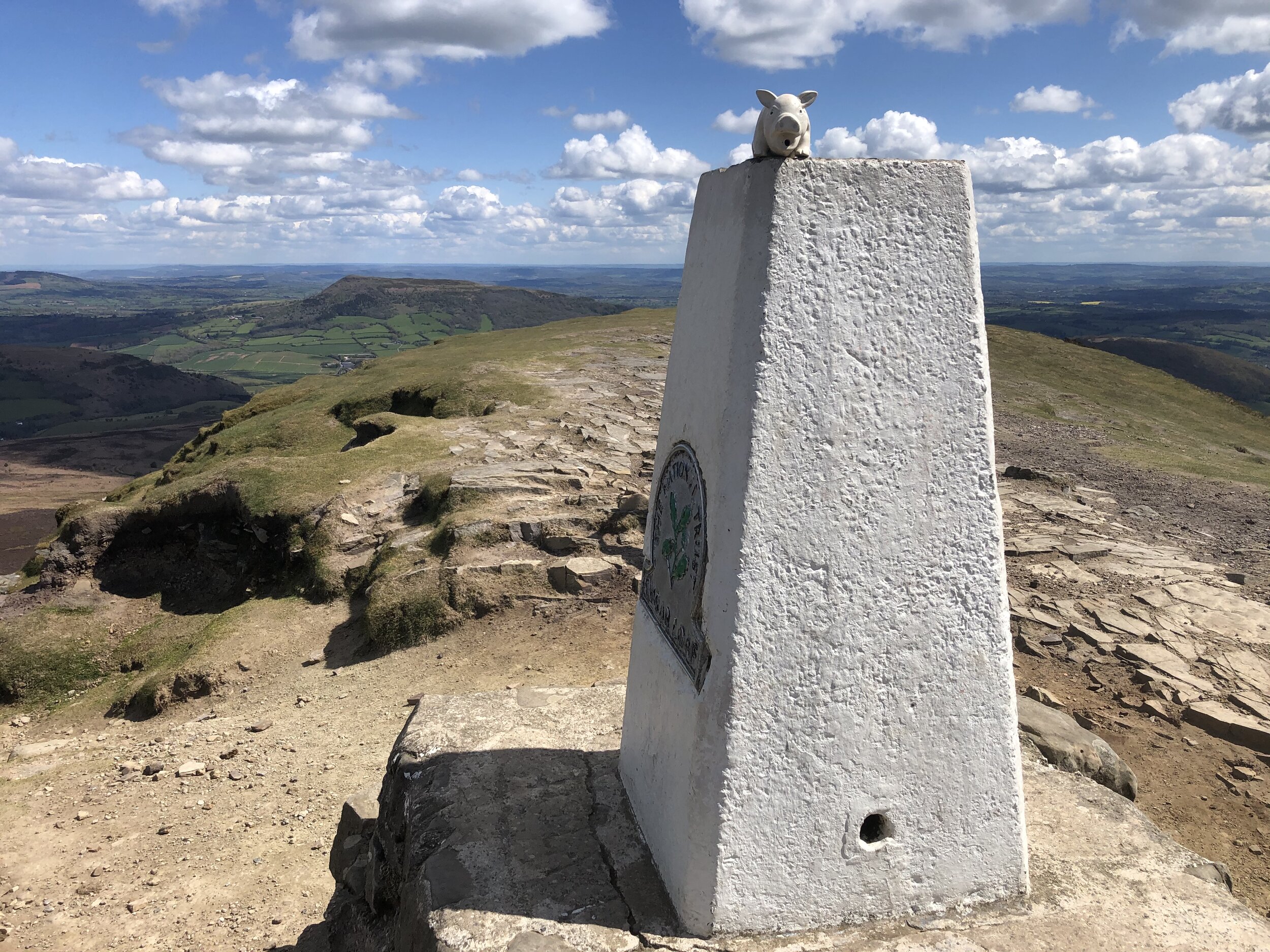
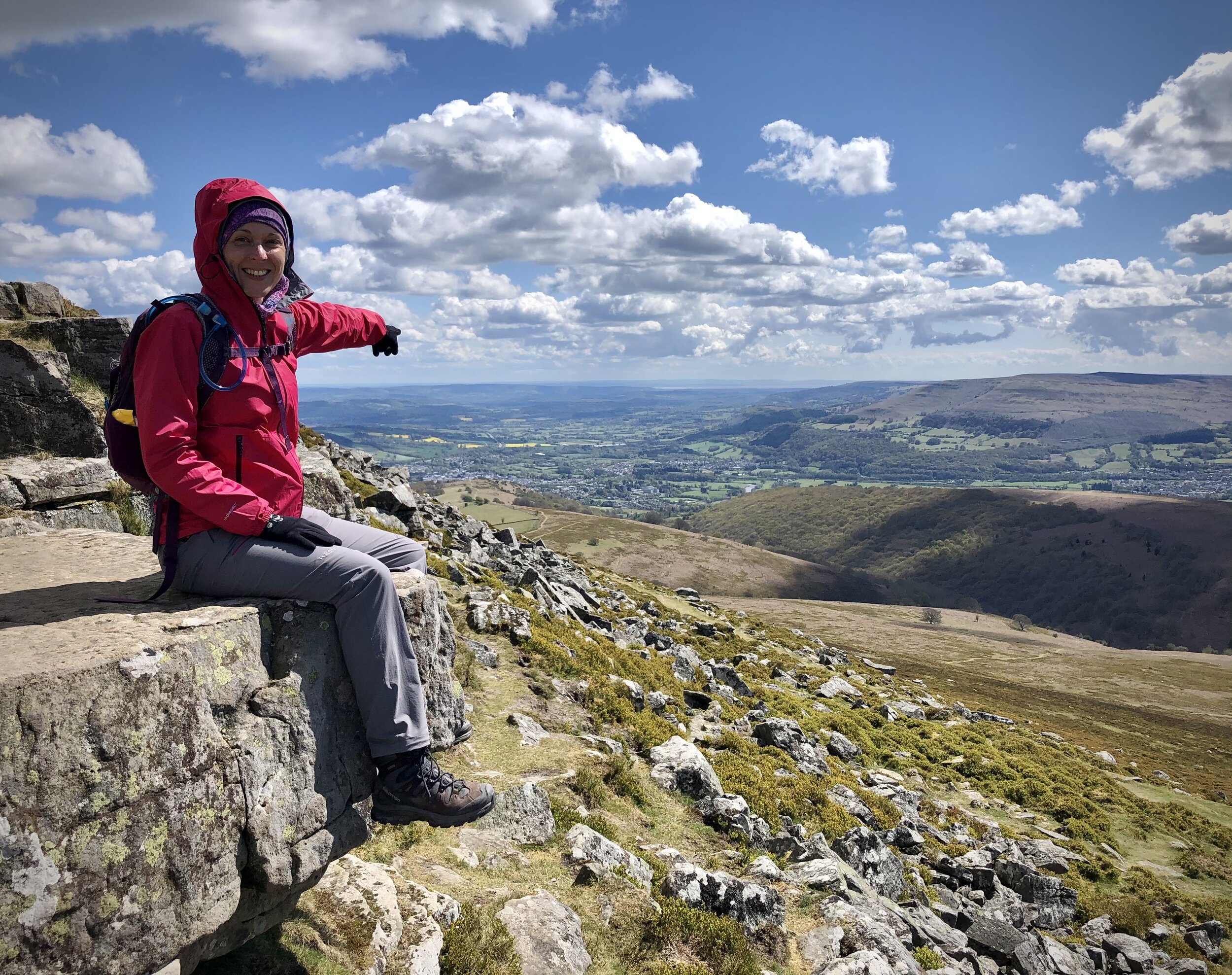
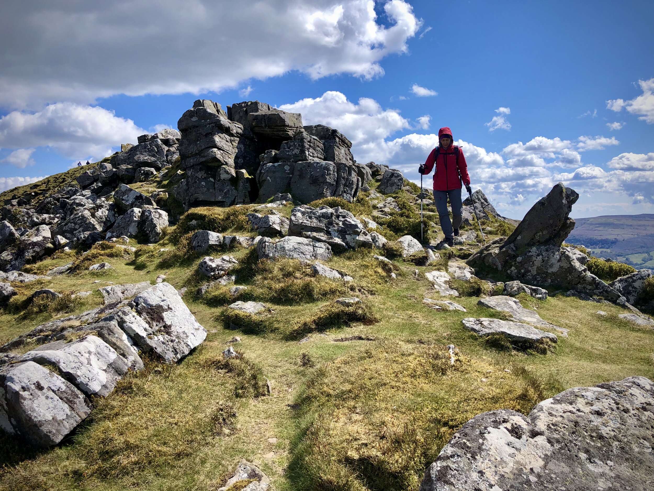
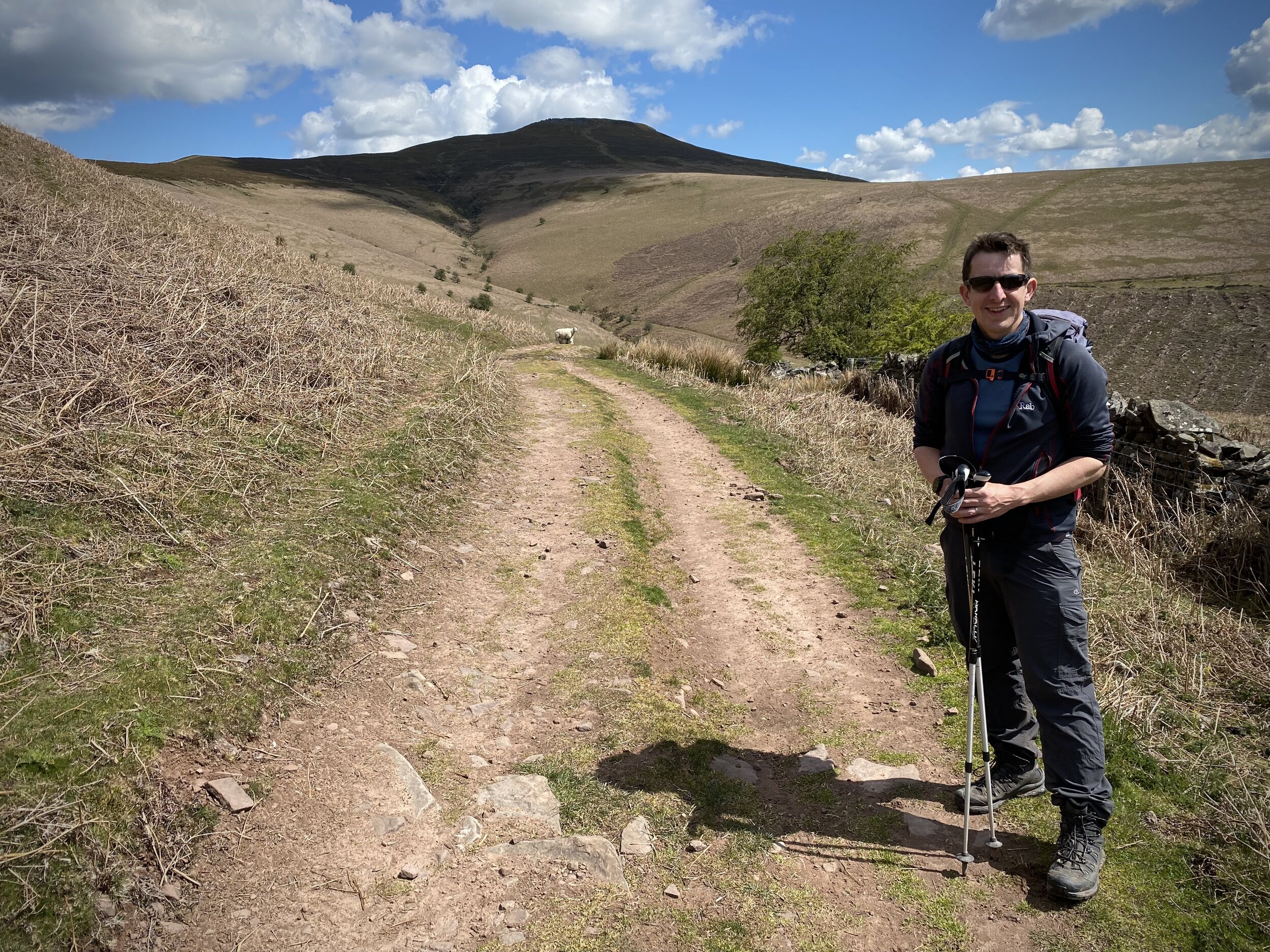
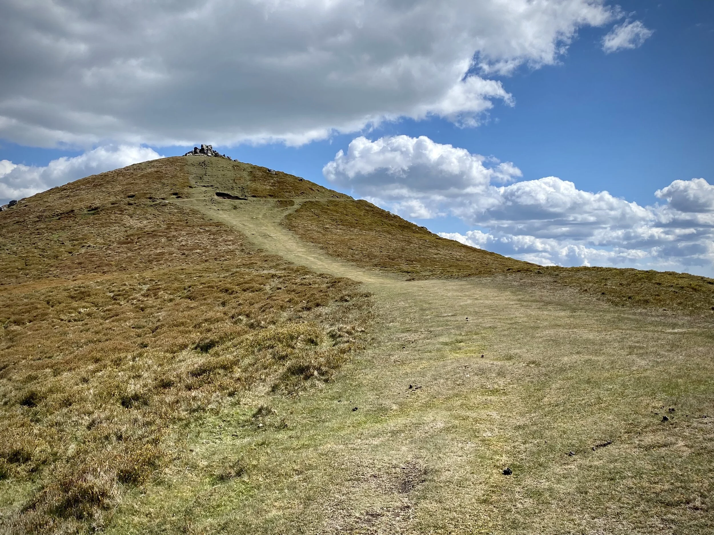
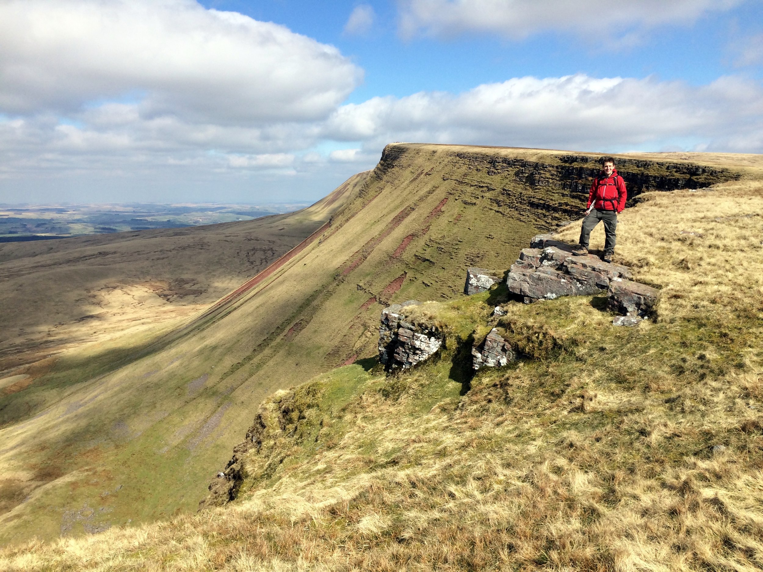
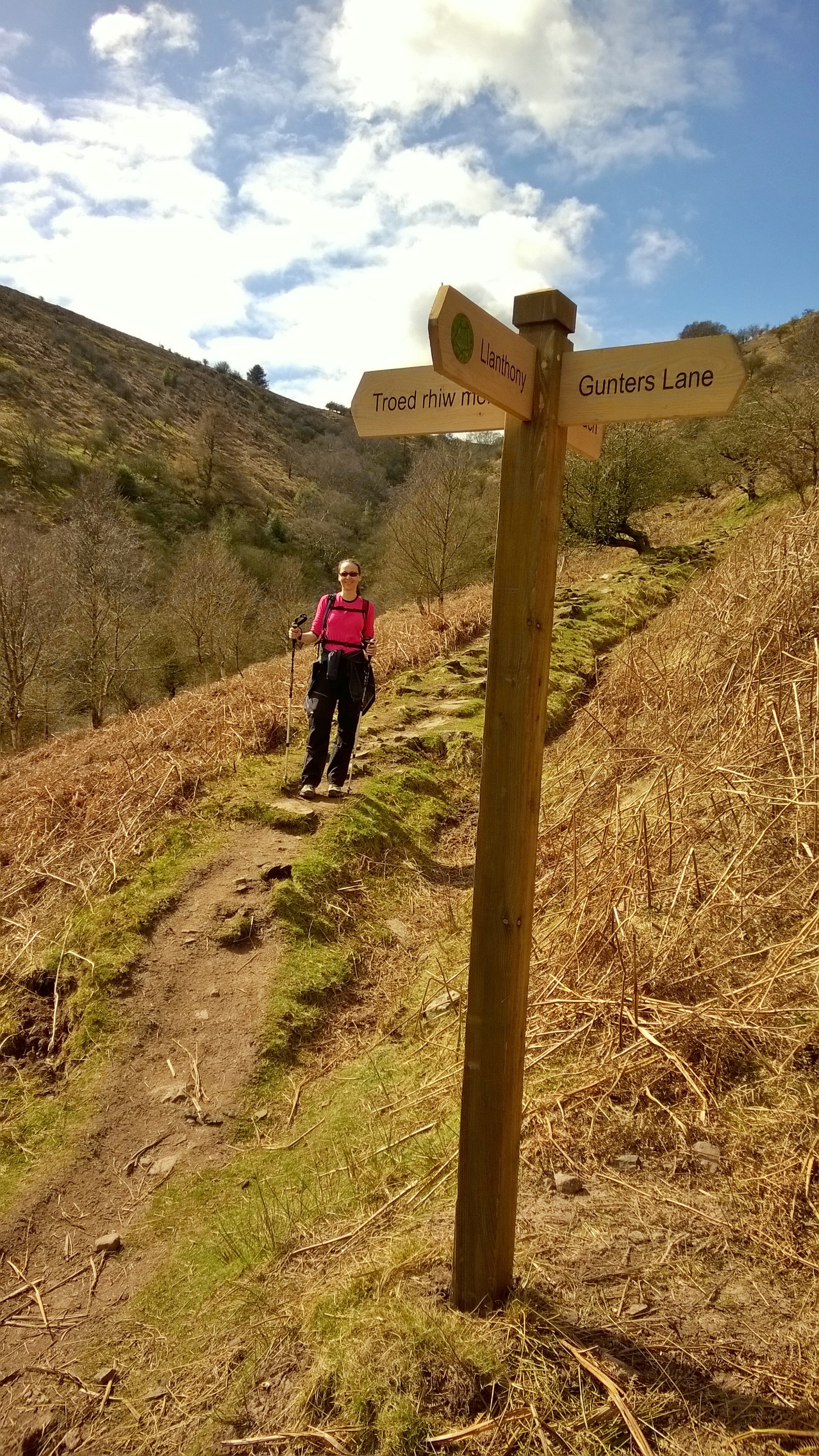
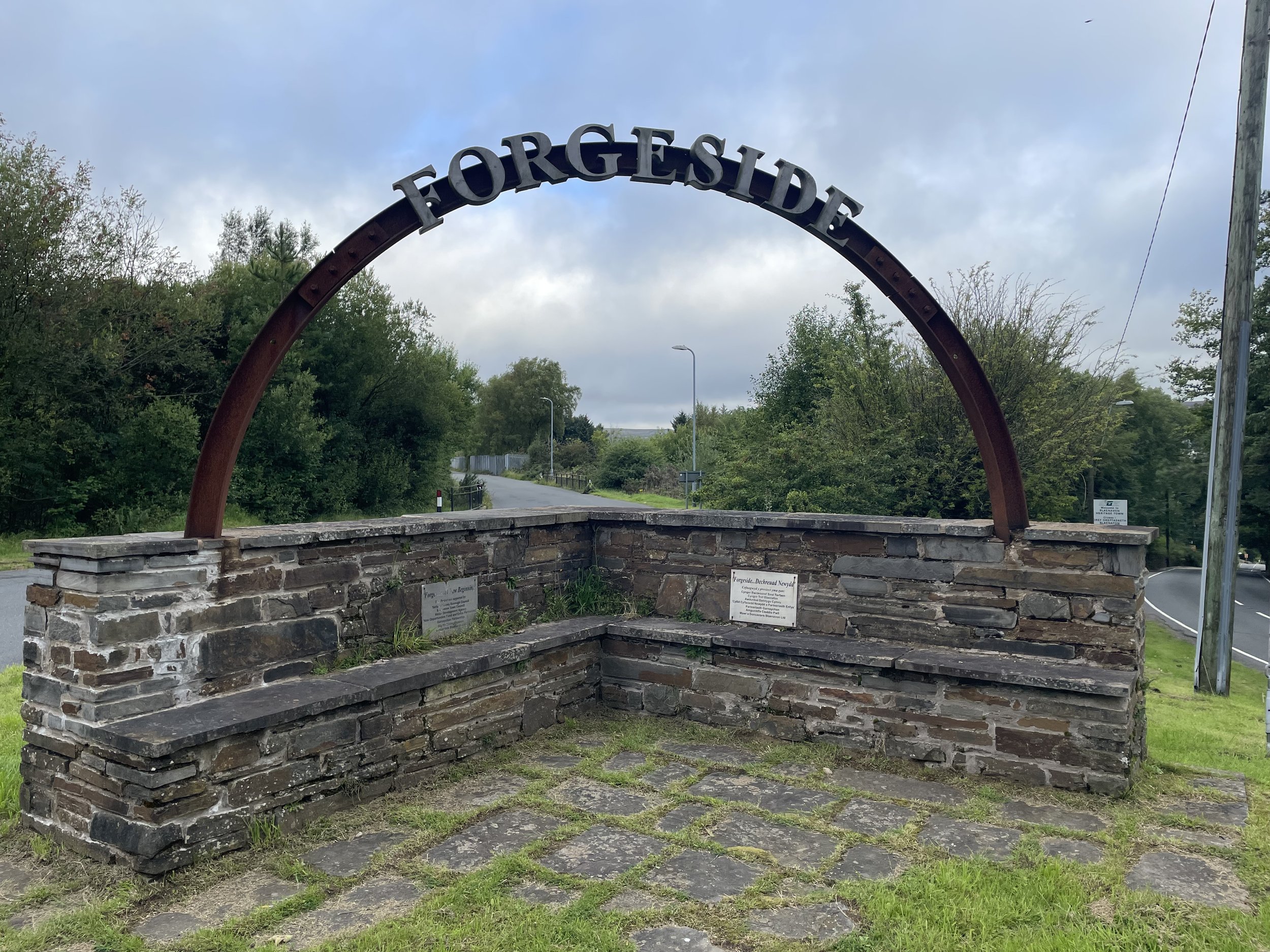
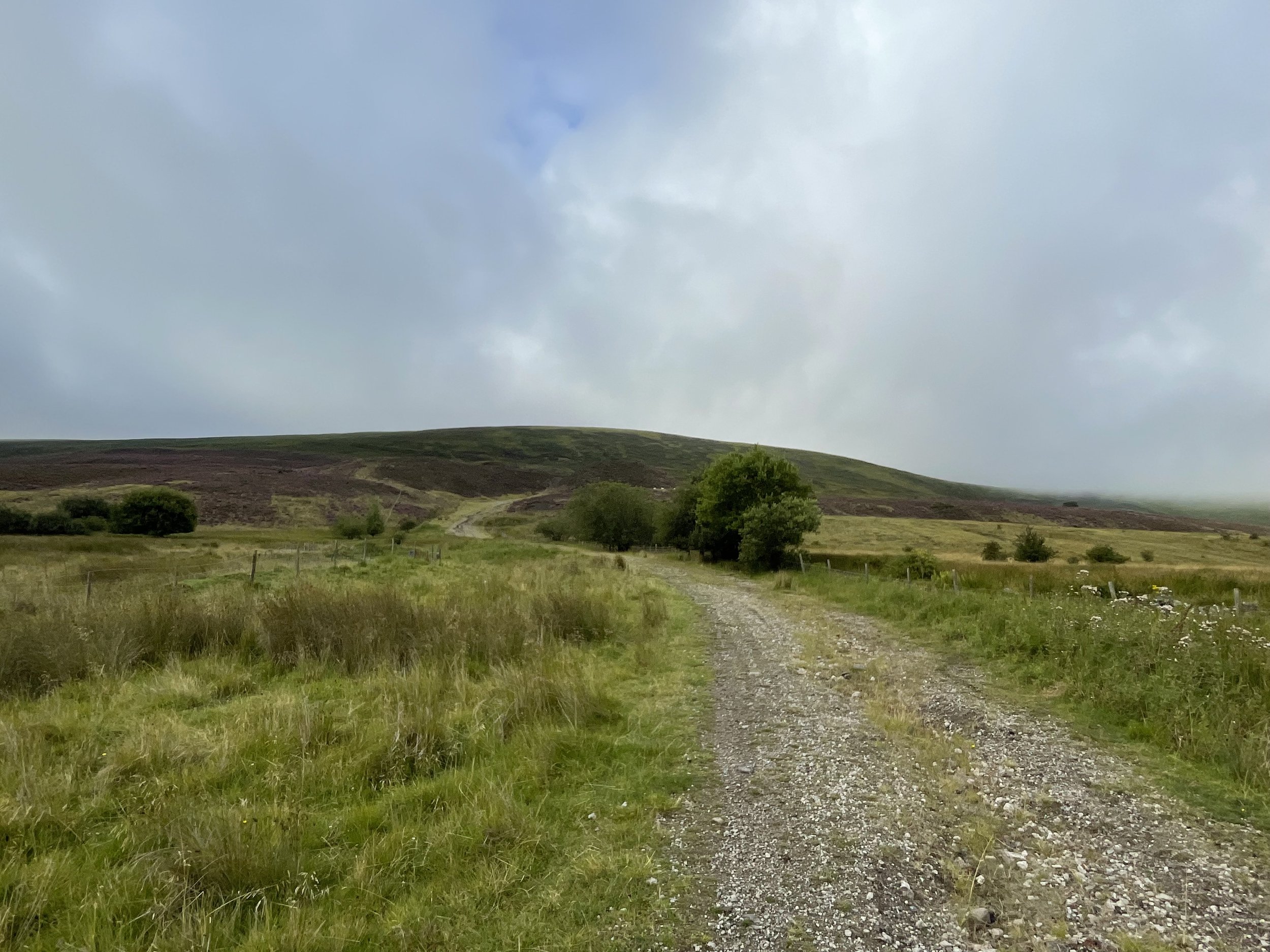
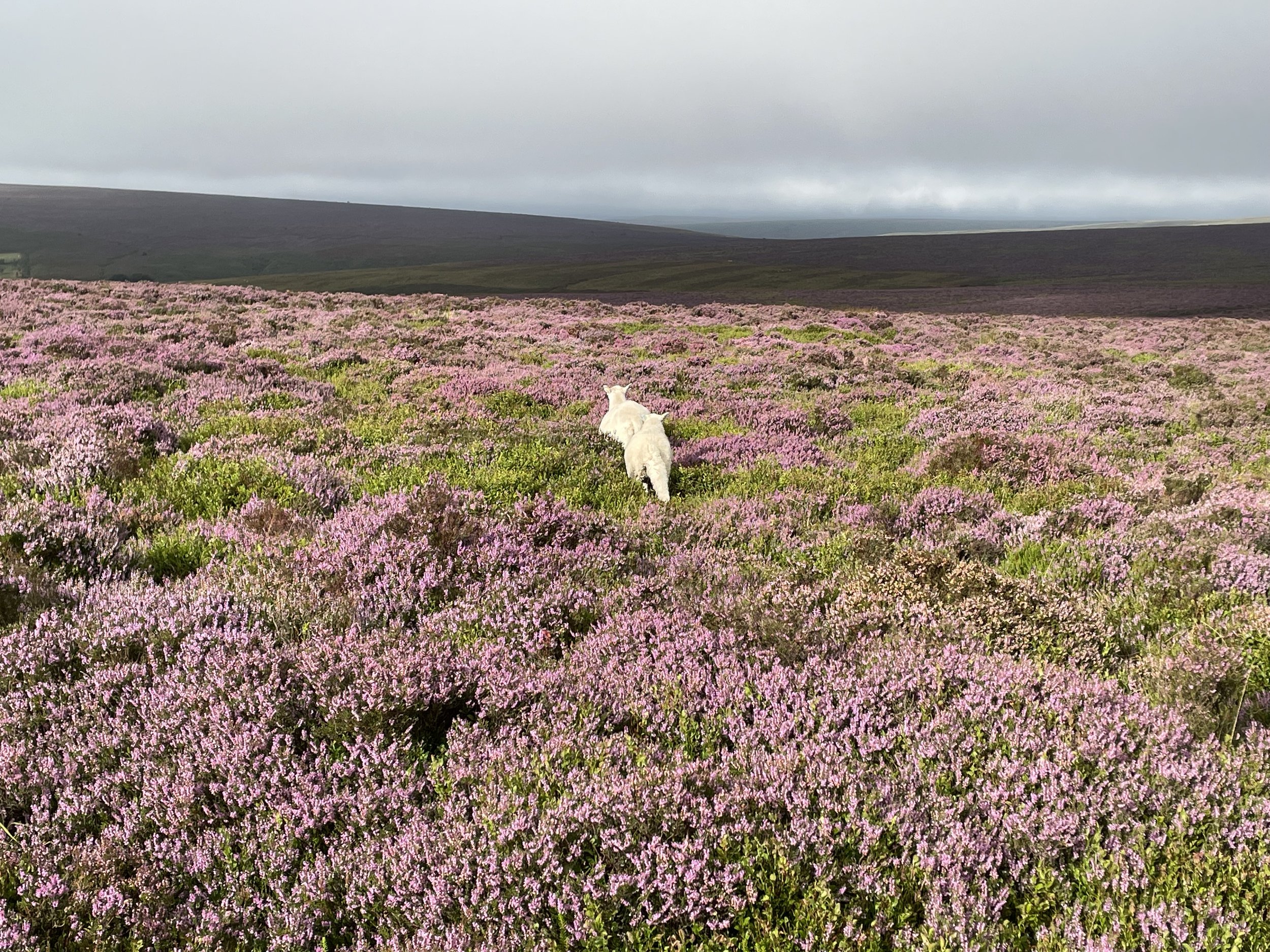
Approach to Coety Mountain from Forge Side Road
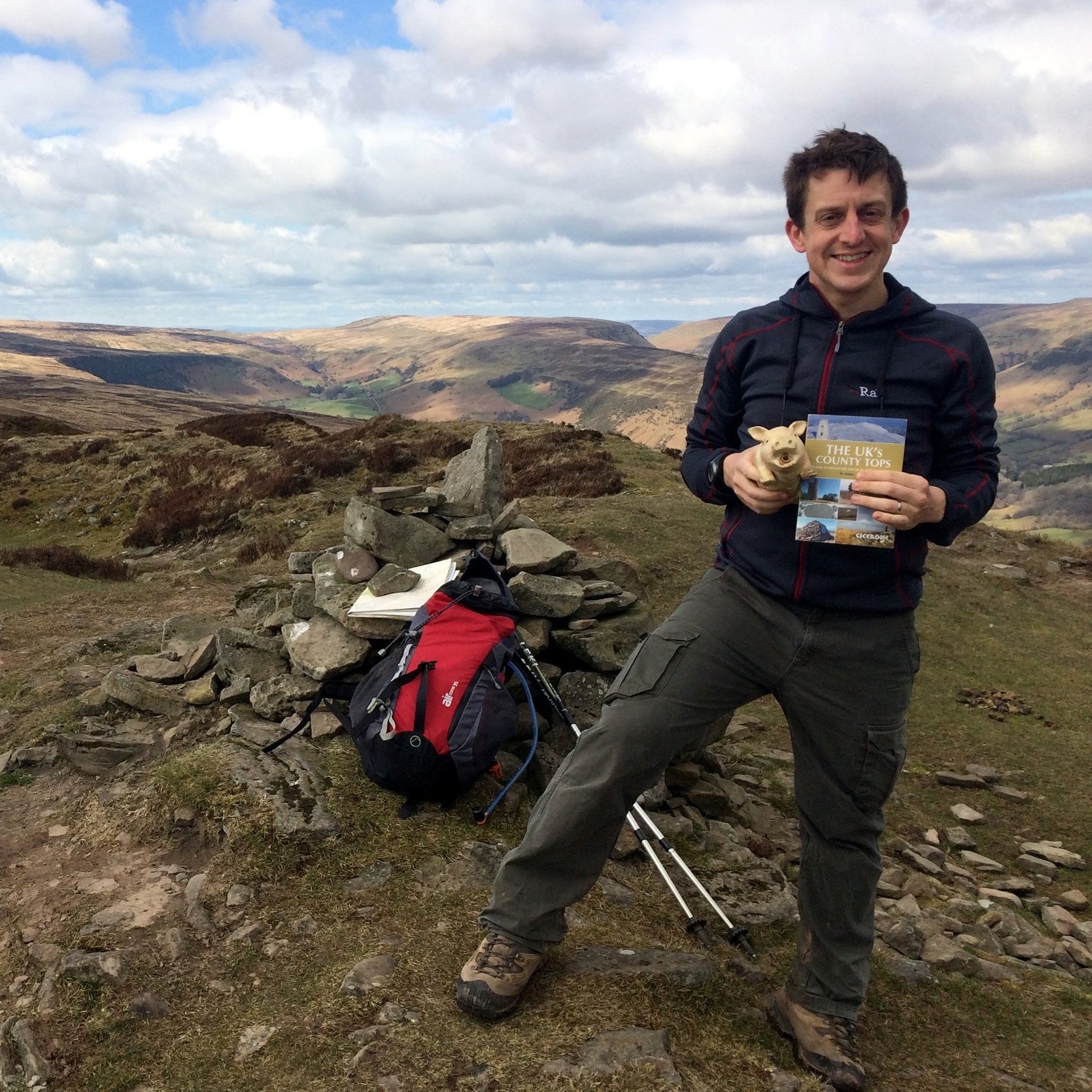
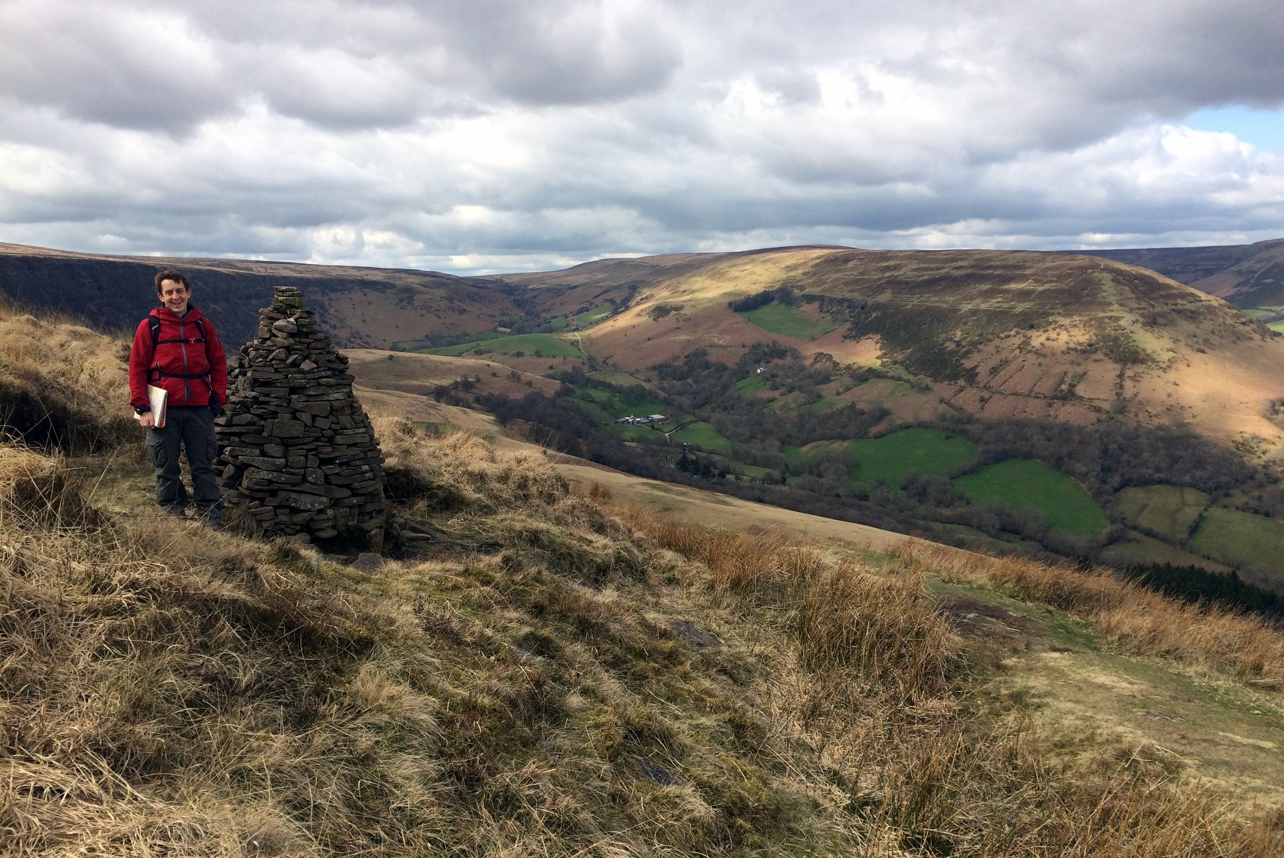
Coety Mountain
Also known as: Coity Mountain / Mynydd Coety (Welsh)
Significance: High Point for the Welsh Principal Area of Blaenau Gwent
Member of: Marilyns
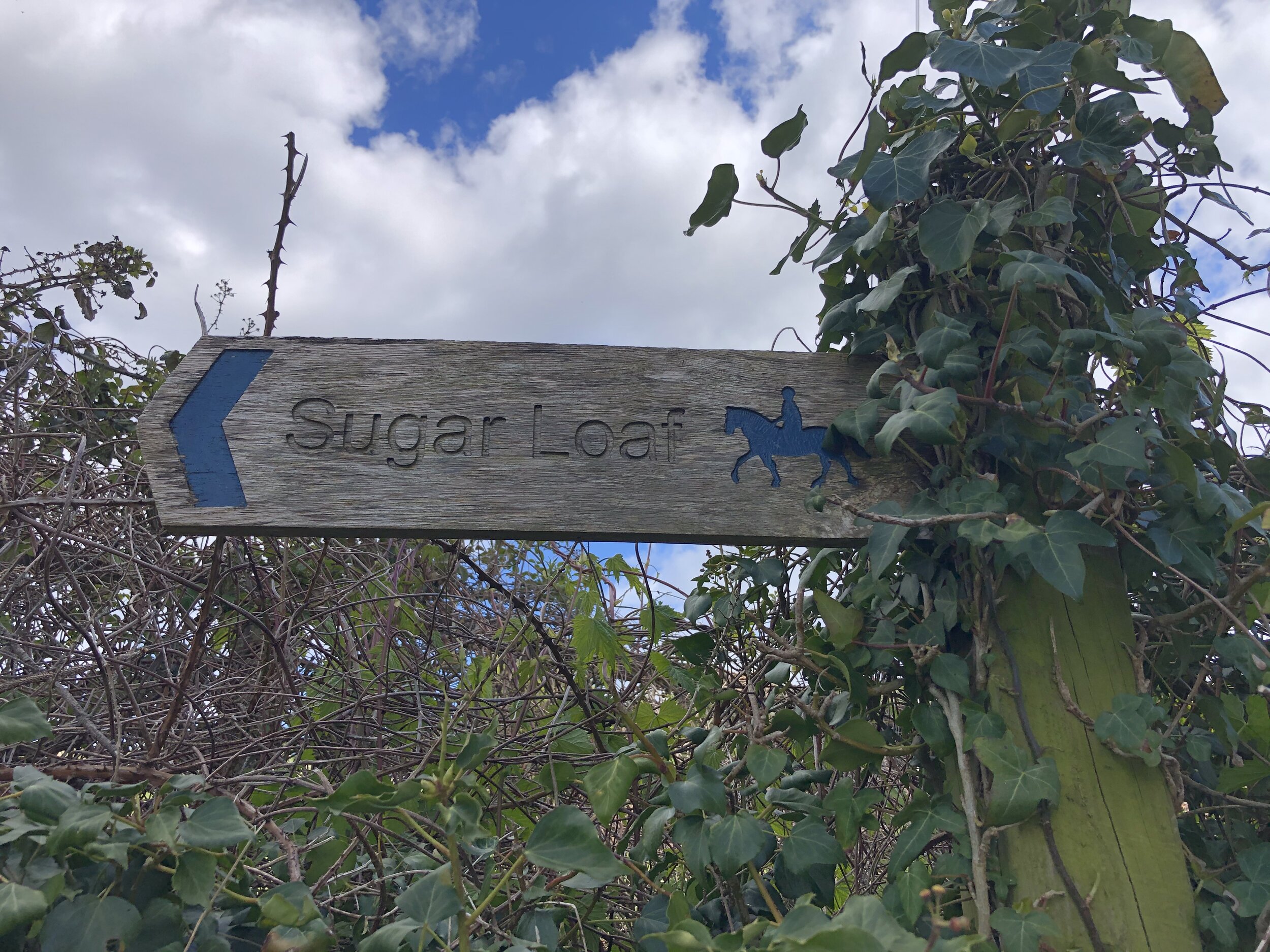
Parent Peak: Pen y Fan. NHN = Sugar Loaf
Elevation: 578m
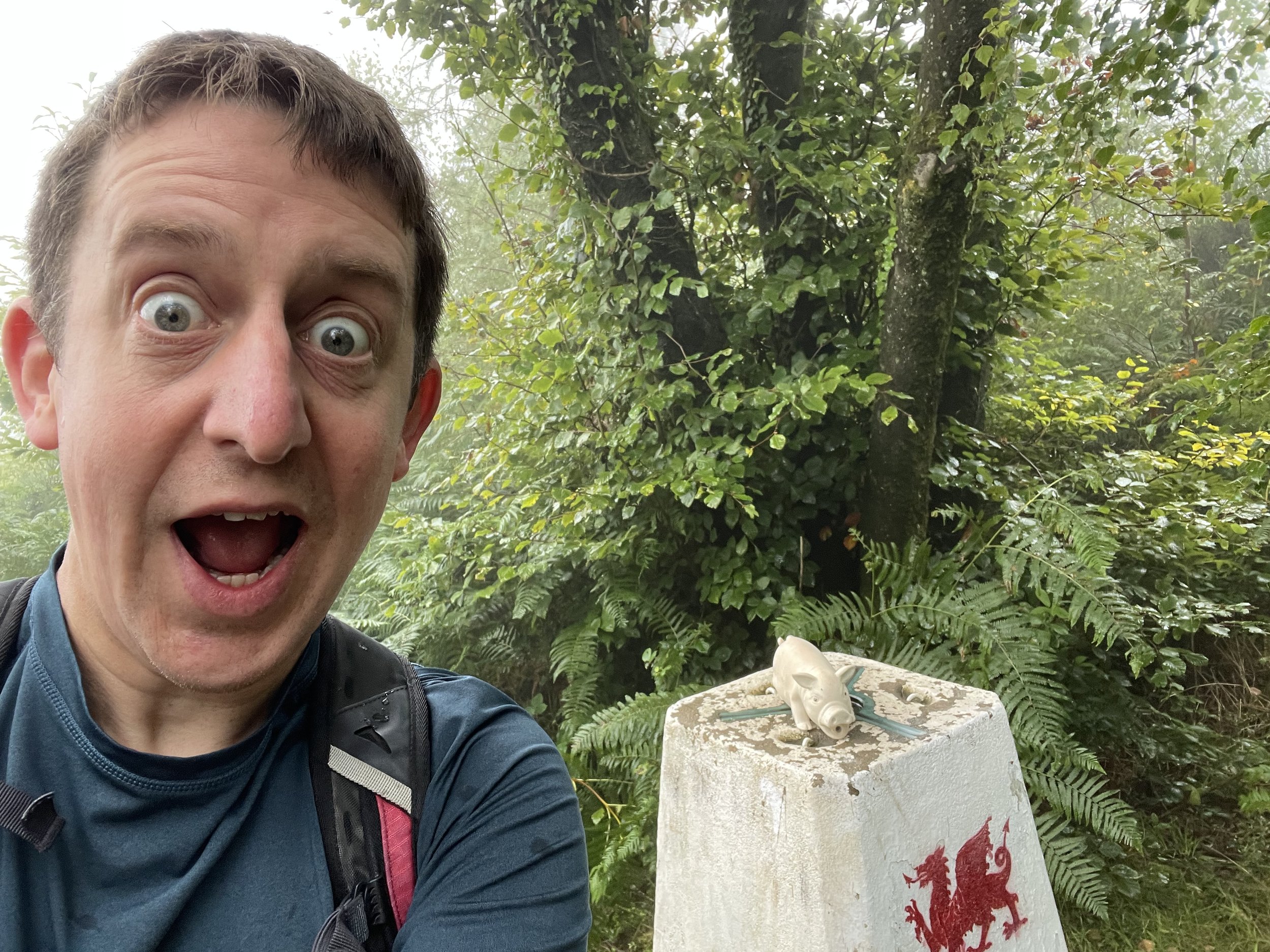
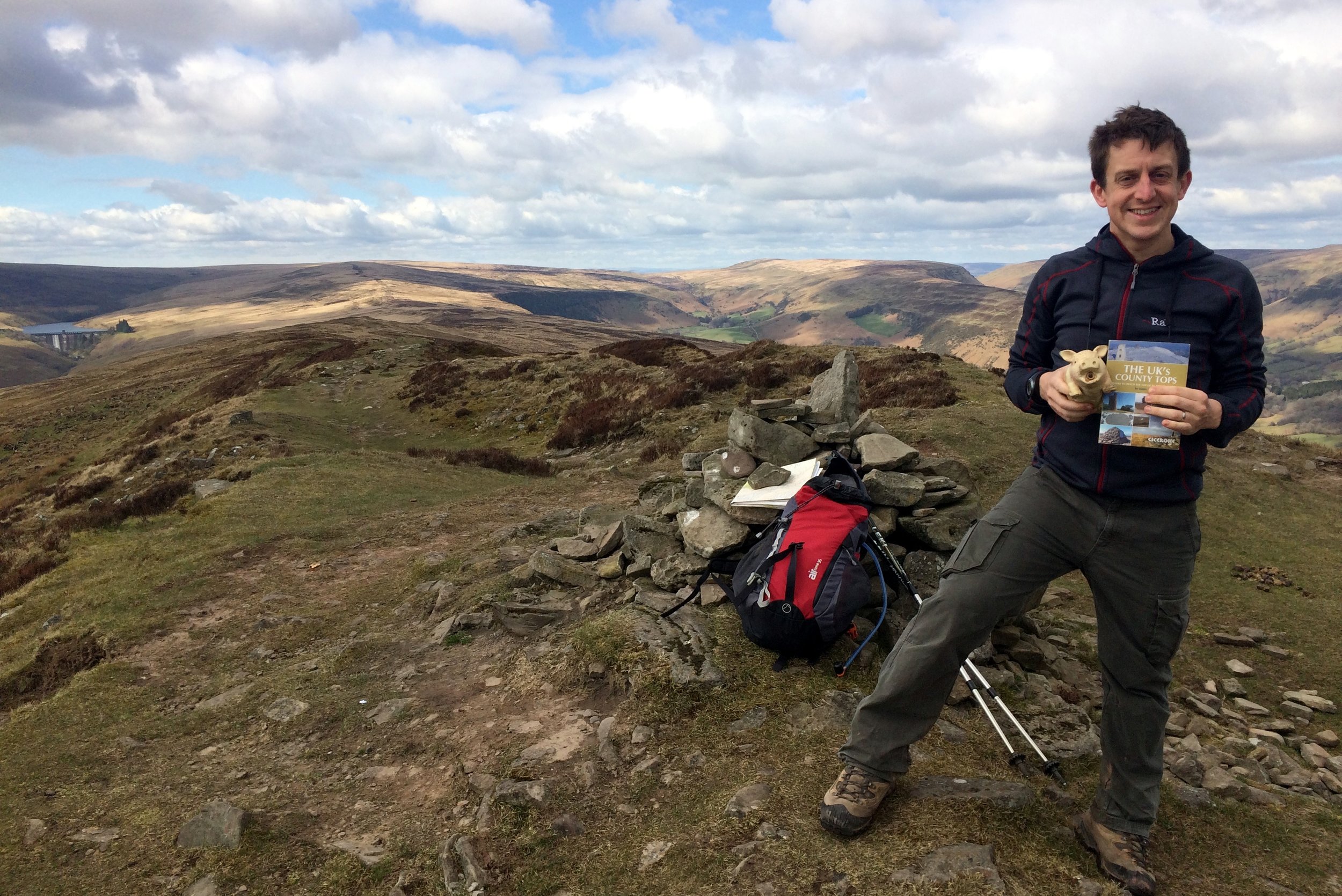
Date climbed: August 19th 2023
Coordinates: 51° 45' 55'' N, 3° 6' 53'' W
Links: Wikipedia: Blaenau Gwent, Coety Mountain, Peakbagger, Hillbagging
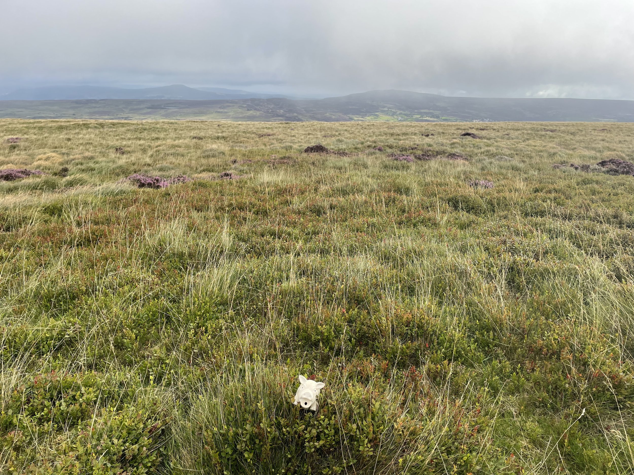
Coety Mountain East Slope
Significance: Unitary Authority High Point for Torfaen
Member of: N/A
Parent Peak: Coety Mountain. NHN = Coety Mountain
Elevation: 574m
Date climbed: August 19th 2023
Coordinates: 51° 45' 56'' N, 3° 6' 50'' W
Links: Wikipedia (Torfaen), Peakbagger, Hillbagging
For both peaks:
Route Start & Finish: Parking space before the cattle grid near Varteg Road Cemetery, Varteg Road, Pontypool, NP4, UK
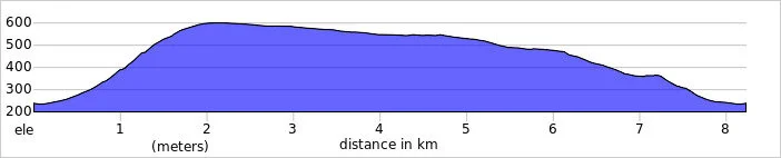
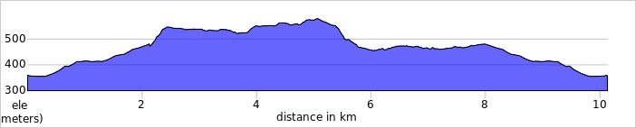
Route Distance: 10.1 km (6.2 miles)
Route Elevation change: +/- 276m
GPX File: get via Buy Me a Coffee
Other routes touched (walk): N/A
Other routes touched (cycle): N/A but NCN 492 passes very close to the start of the walk.
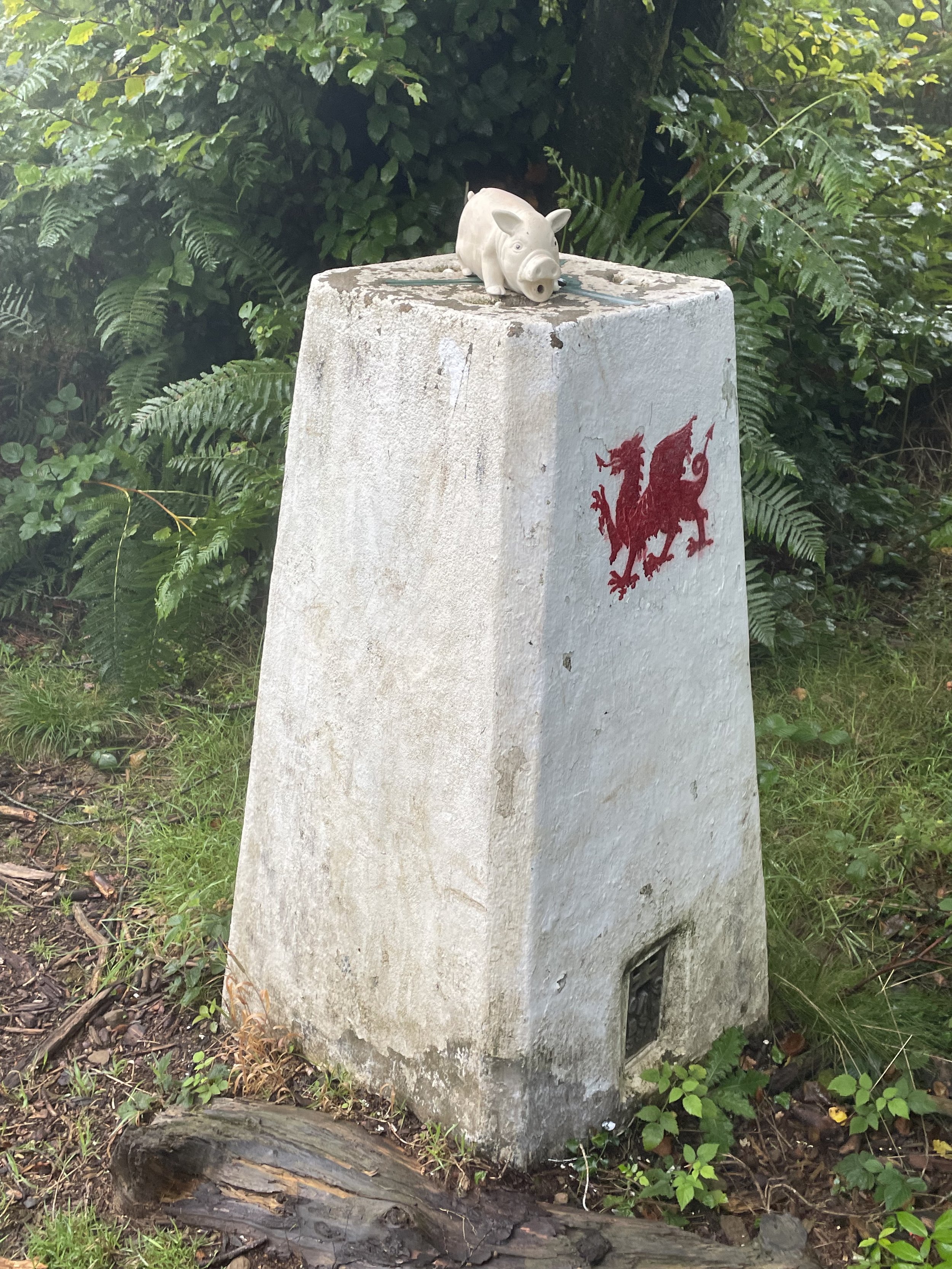
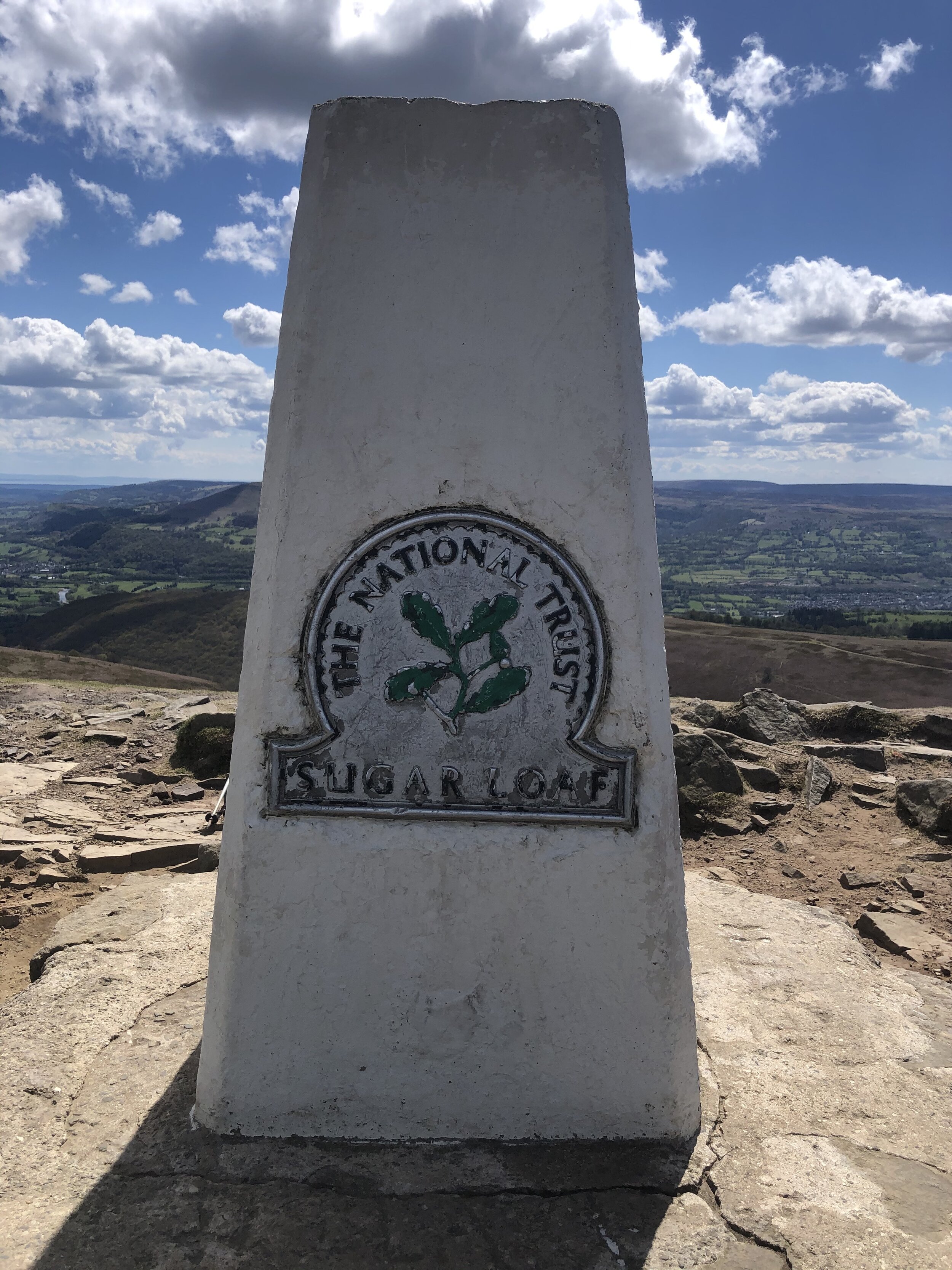
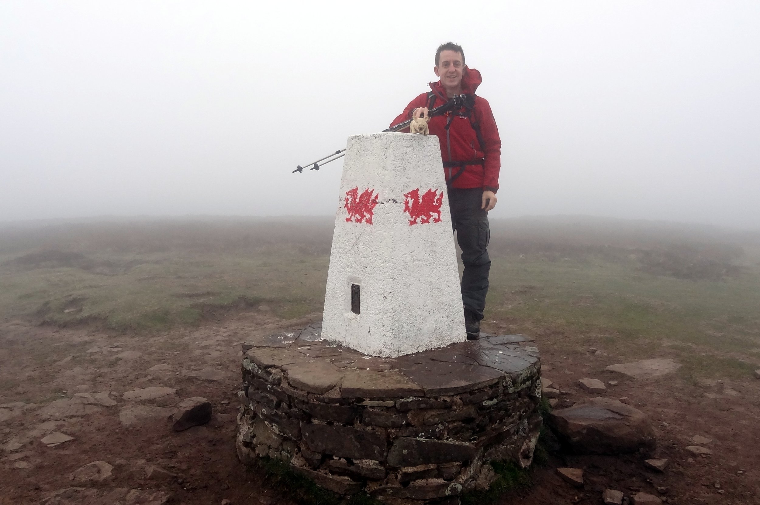
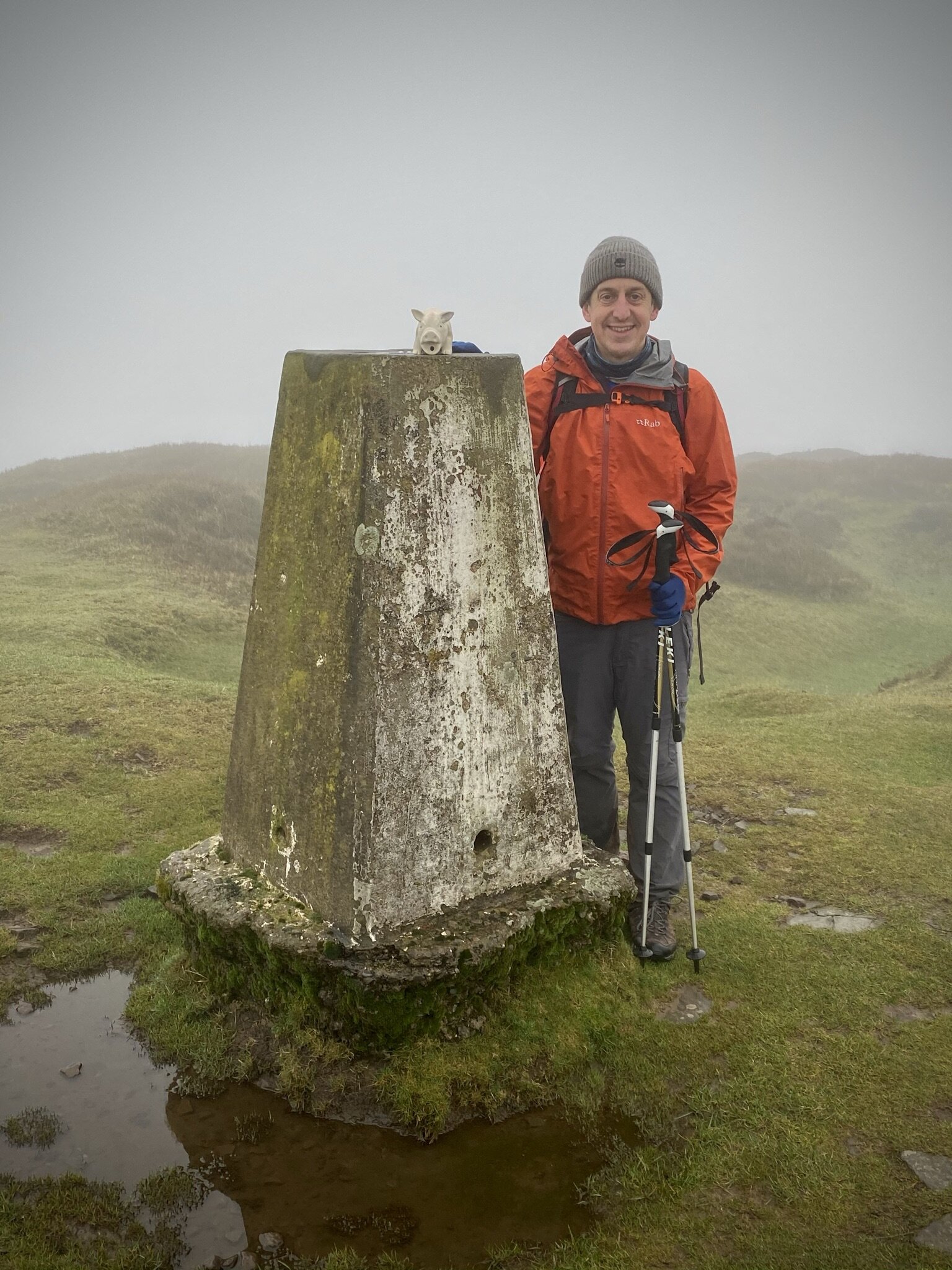
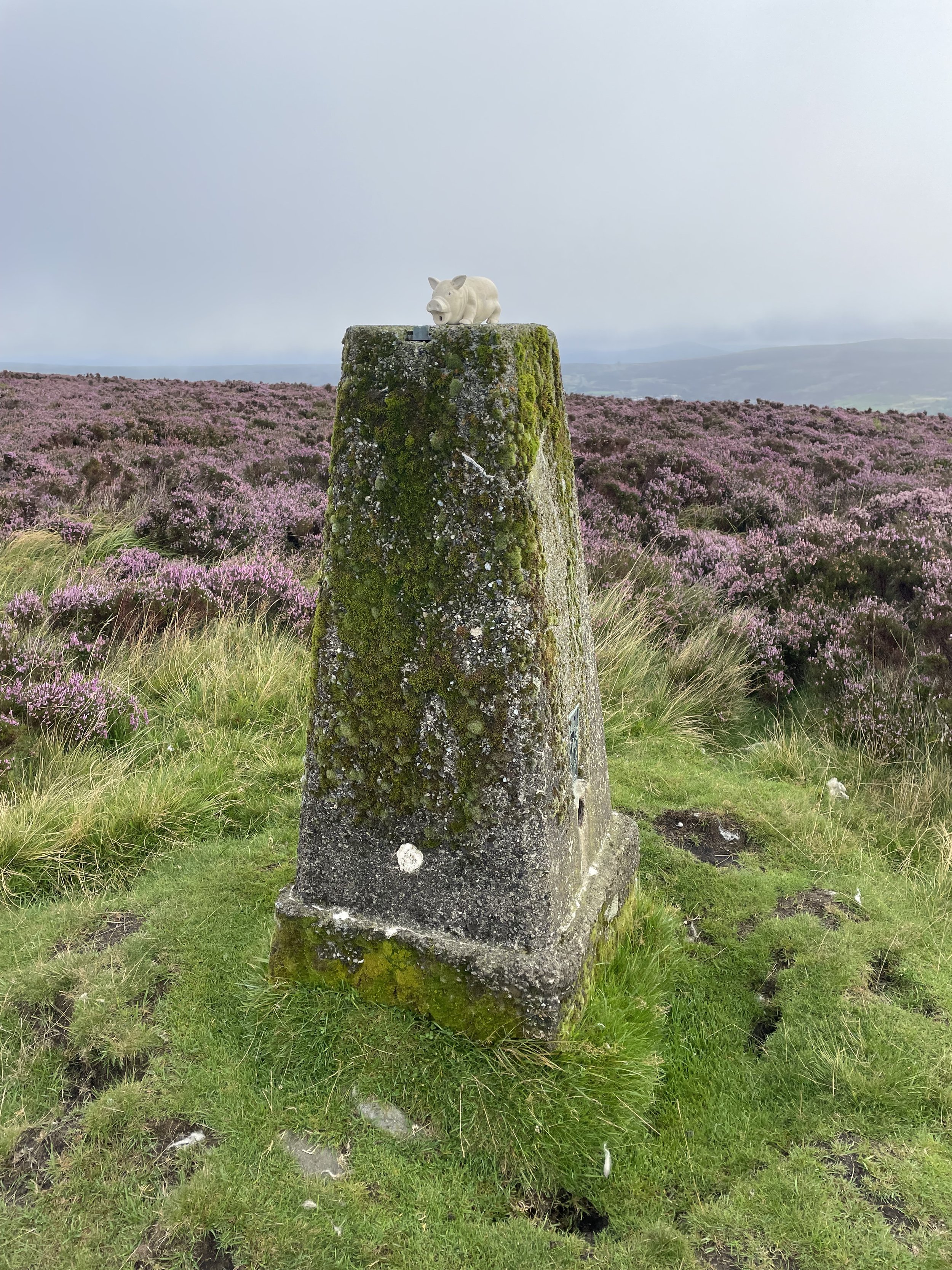
OS Trig Pillar: TP5042 - Mynydd Varteg Fawr
Pubs / Cafes on route: N/A
Map: Ordnance Survey OS Explorer OL13 Brecon Beacons National Park - Eastern Area Map
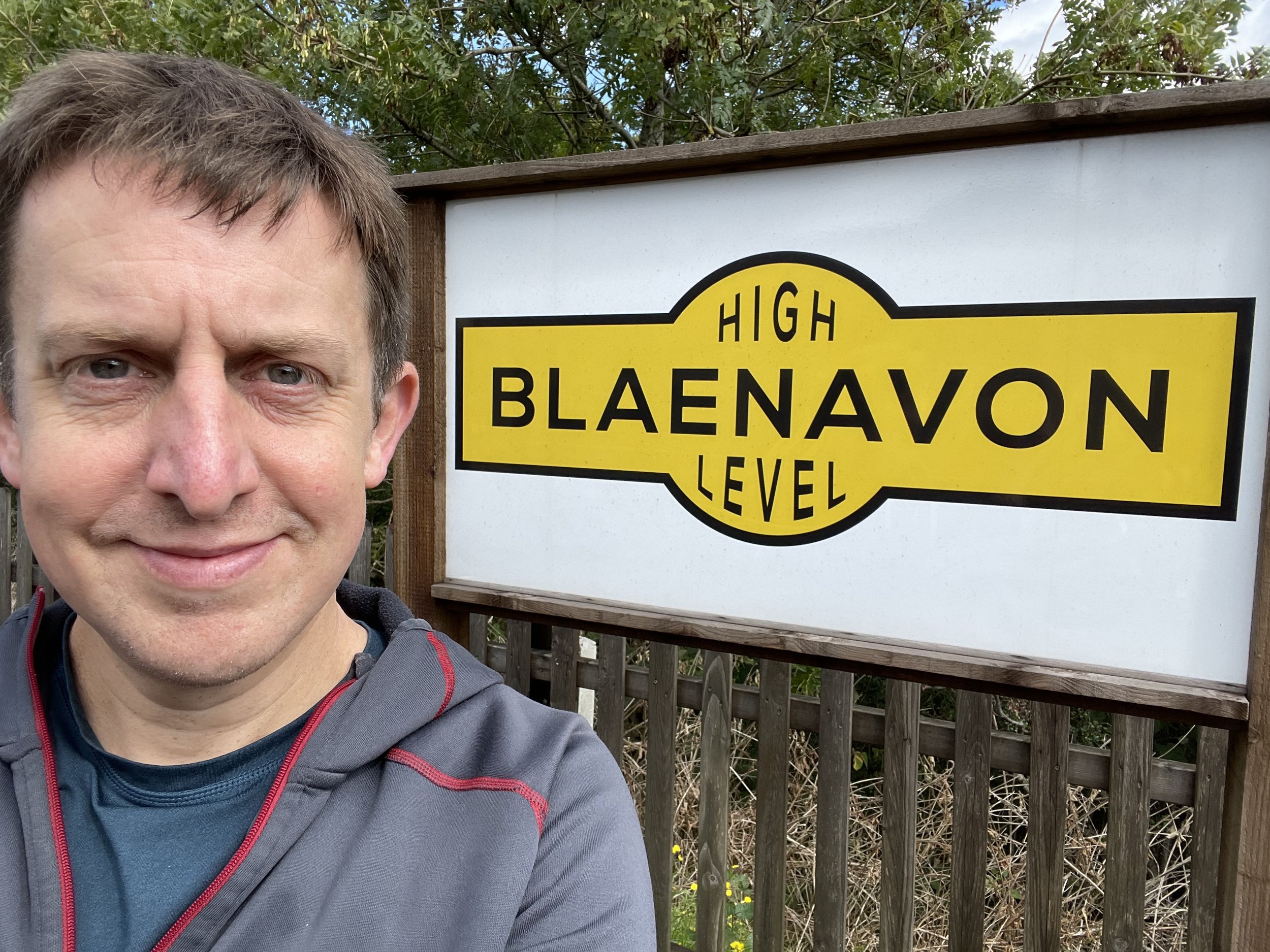
Links: Blaenavon, Blaenavon World Heritage Site
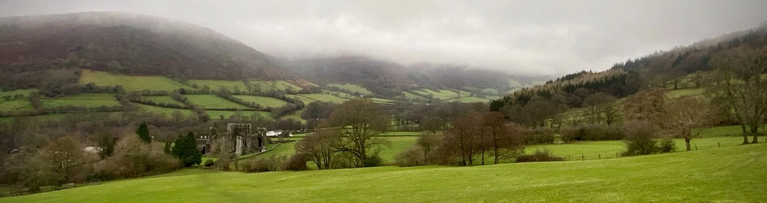
Coety Mountain is the high point of the Welsh Principal Areas of Blaenau Gwent and Torfaen within the Historic County of Monmouthshire. The Blaenau Gwent / Torfaen border runs along the ridge of the mountain with the 2 high points very close together.
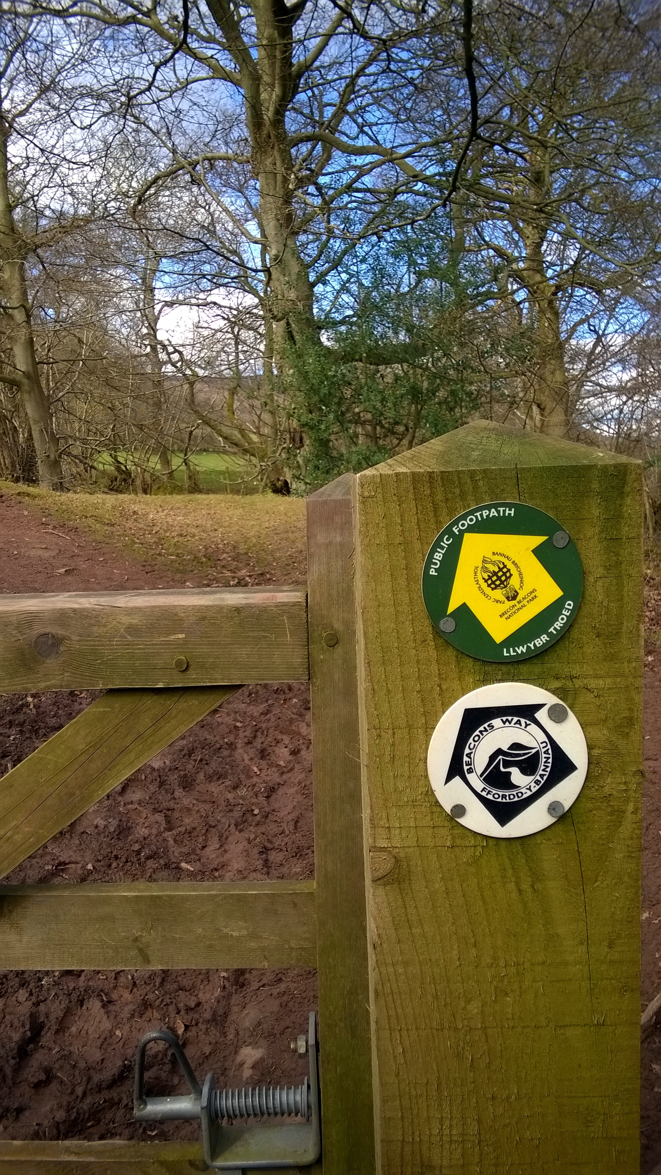
The quickest way to bag the high points is an out-and-back from the Whistle Inn Halt at the north-western end of Blaenavon. Instead I chose a longer circular route from the south-eastern end of town to include the Mynydd Farteg Fawr Trig Pillar. There’s a parking space for a couple of cars near the cattle grid by the cemetary on Varteg Road, or, if not available you can also park along Forge Side Road.
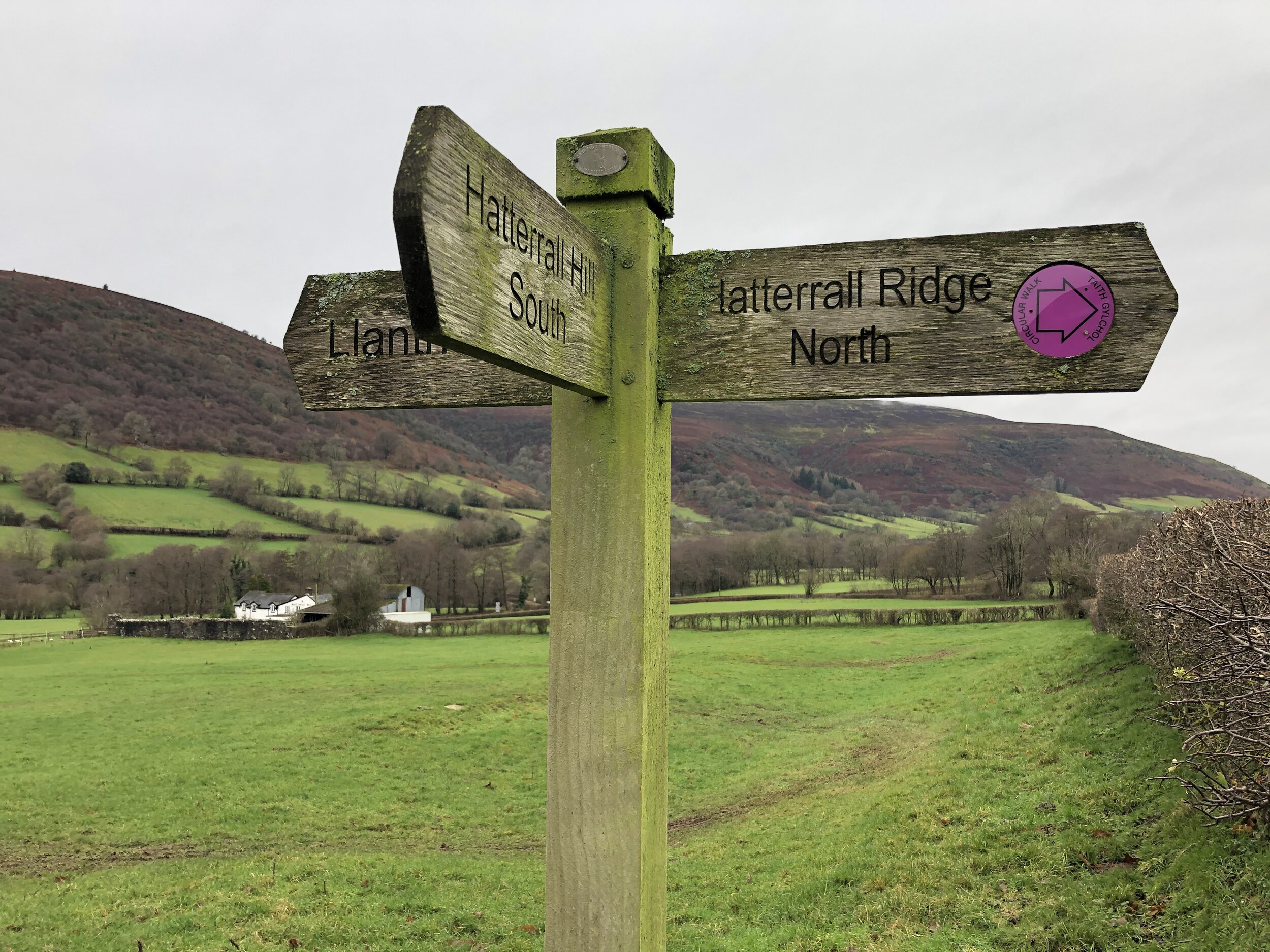
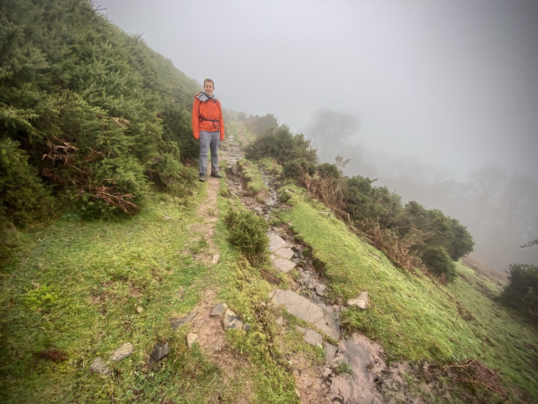
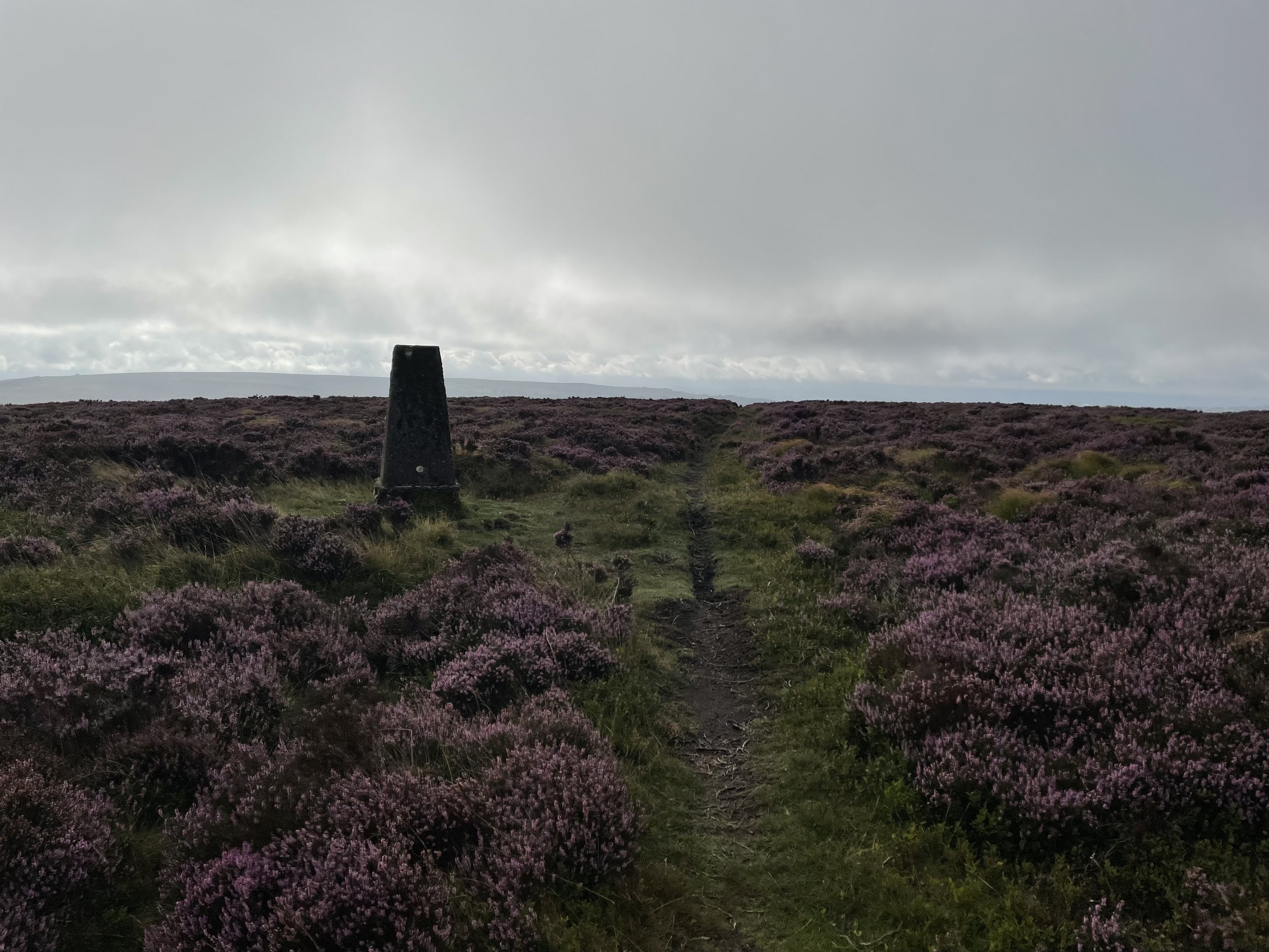
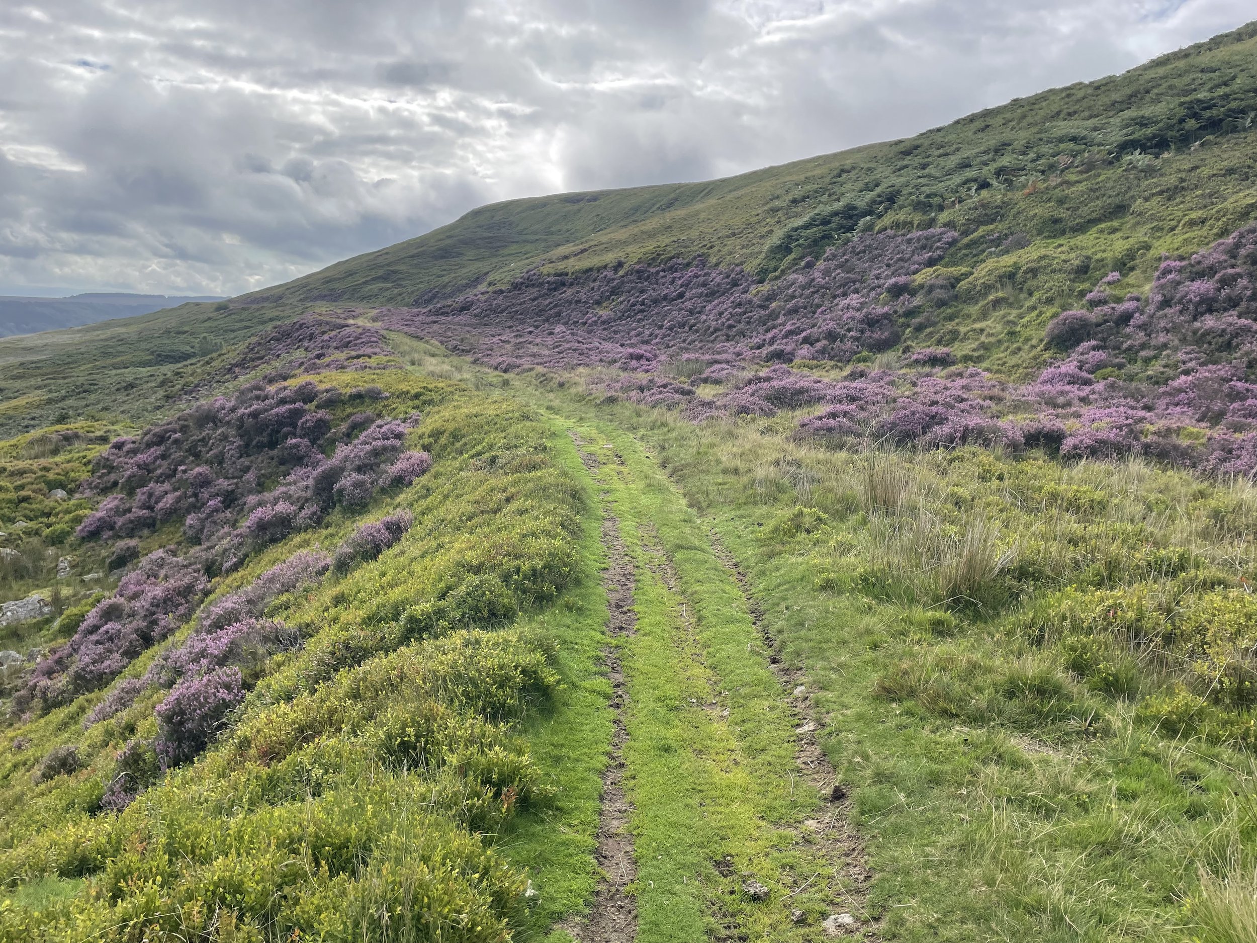
From Varteg Road follow Forge Side Road in a north-westerly direction until you reach a footpath on the left by an old access road to a mine. Follow the path to the left of the mine as it curves up the hill towards the south-east. At a path junction take the path that leads to the north-west and follow that for about 250m. There’s no direct path from here to access the top of the ridge so I found a safe spot and headed up through the bracken. When you reach the top of the ridge take a left to follow the path to the Trig Pillar.
After the Trig Pillar retrace your steps to where you reached the top and continue following the path for ~2.4 km to the top of Coety Mountain. Keep an eye on the GPS though as the path disappears before the summit. The top of Coety Mountain is obvious but you’ll need to follow the GPS to reach the East Slope which is the high point of Torfaen.
After the high points make your way down to a track that leads to an old mine. Around 100m to the north-west of the mine you can pick up a path that leads to the south-east. Follow this for ~3.6km until you reach the point where you left the path earlier to reach the Trig Pillar. From here retrace your steps to the start of the walk at Varteg Road.
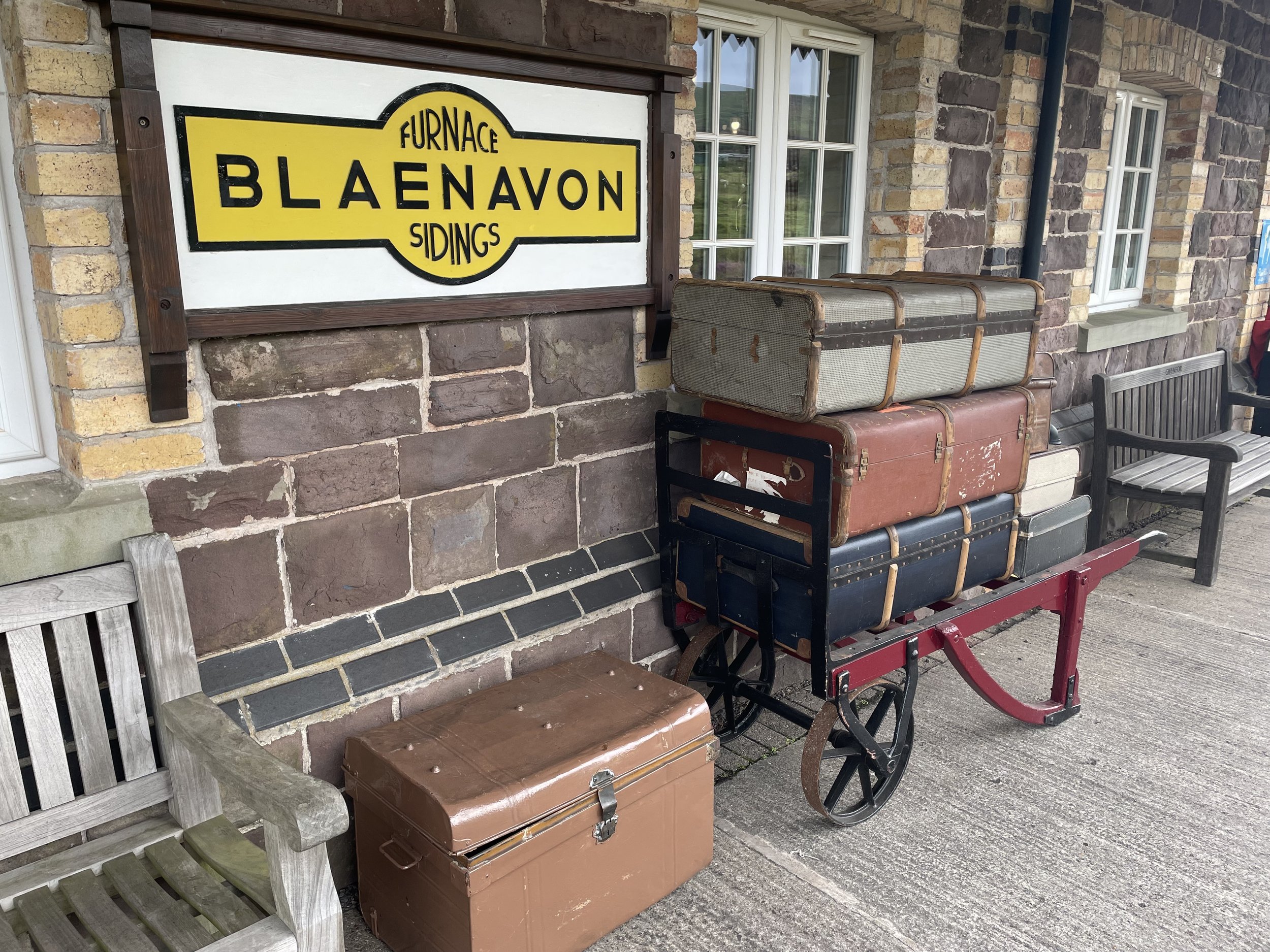
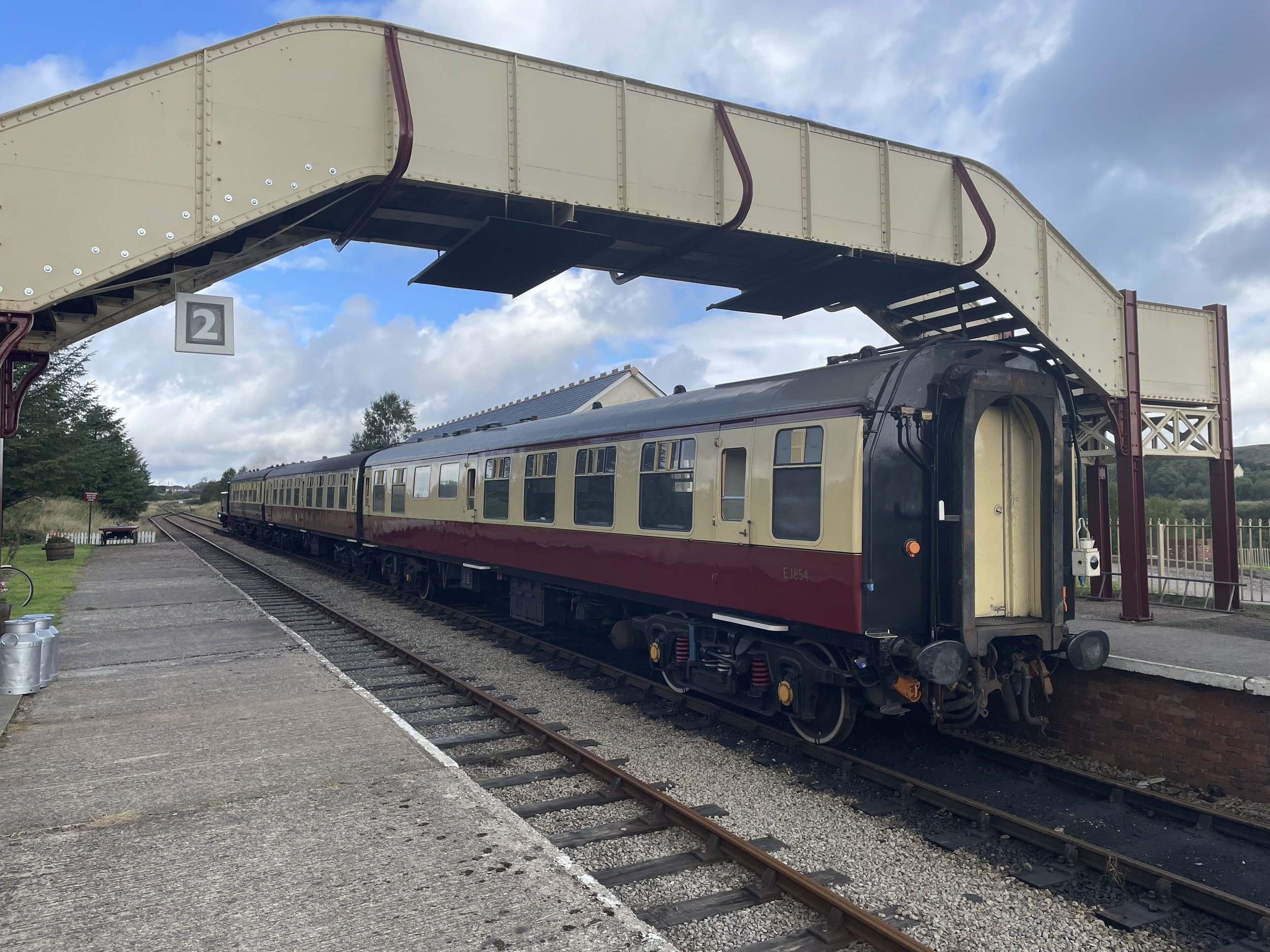
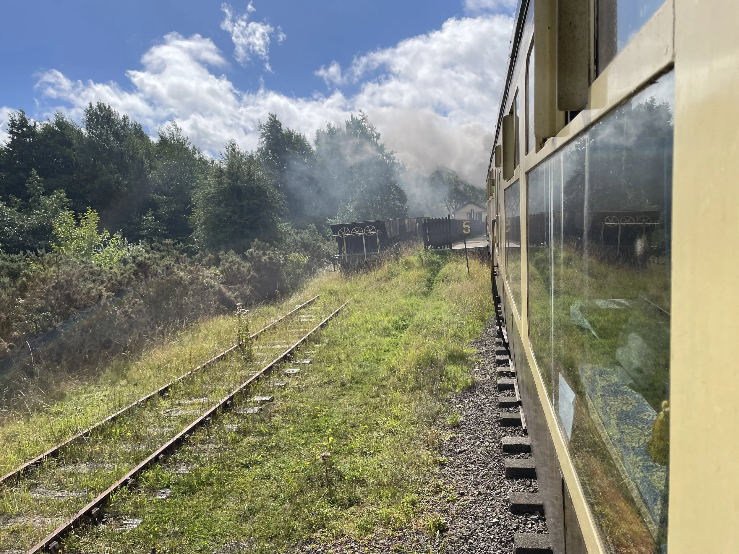
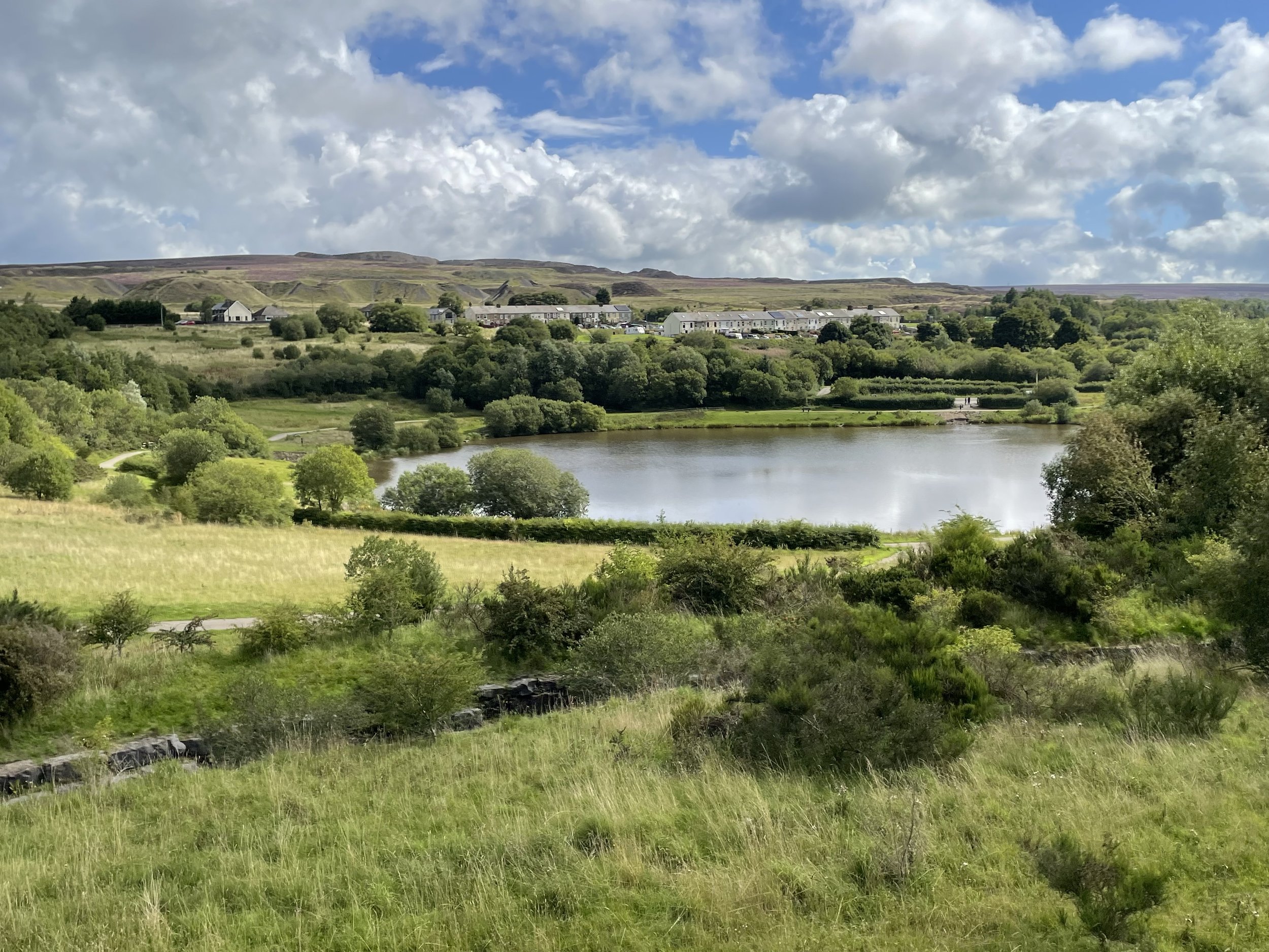
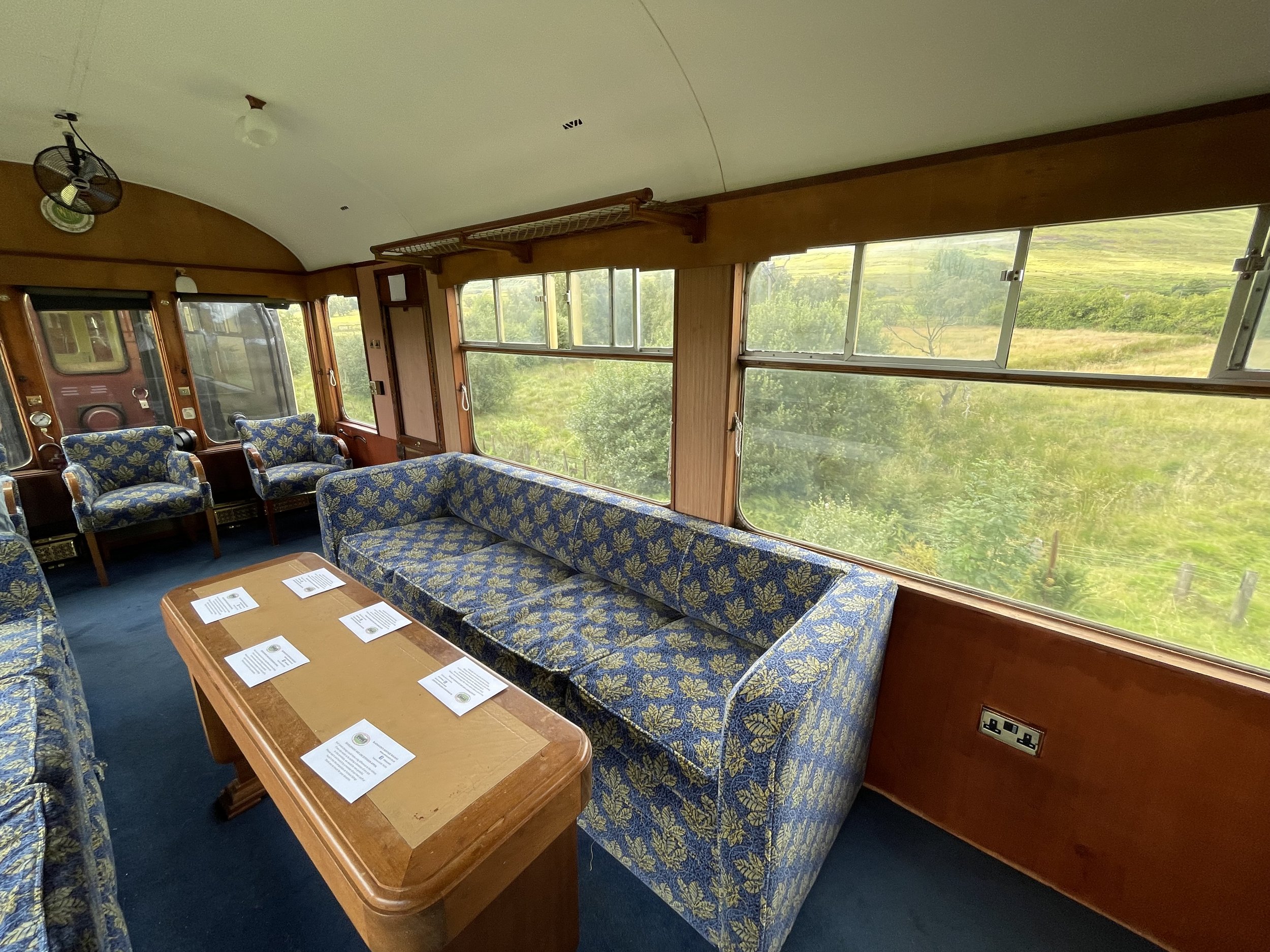
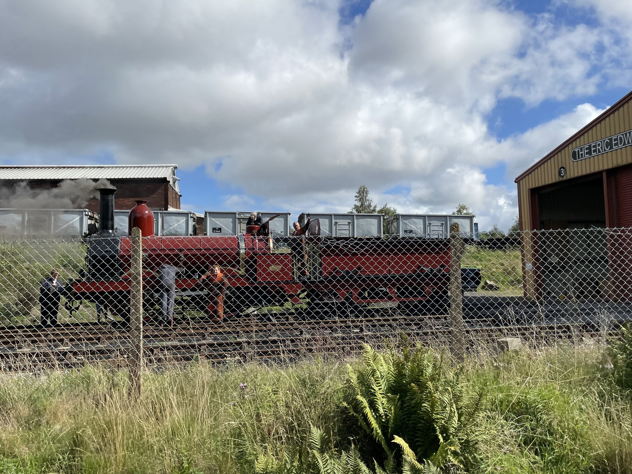
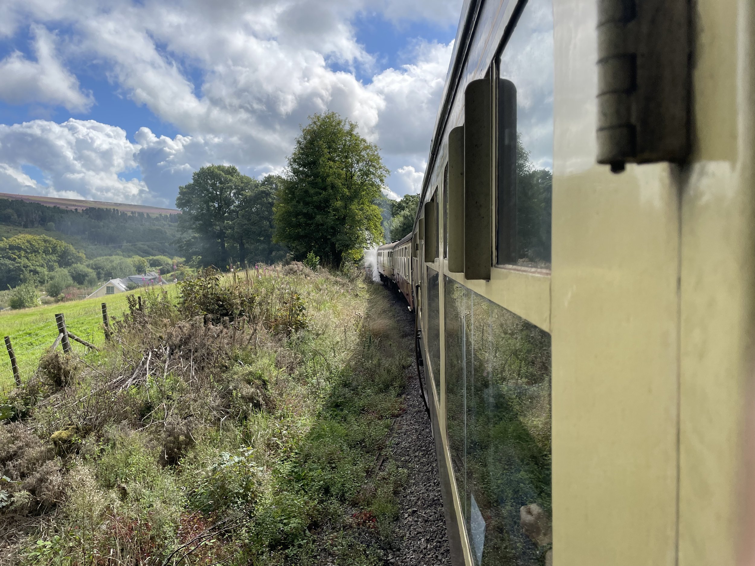
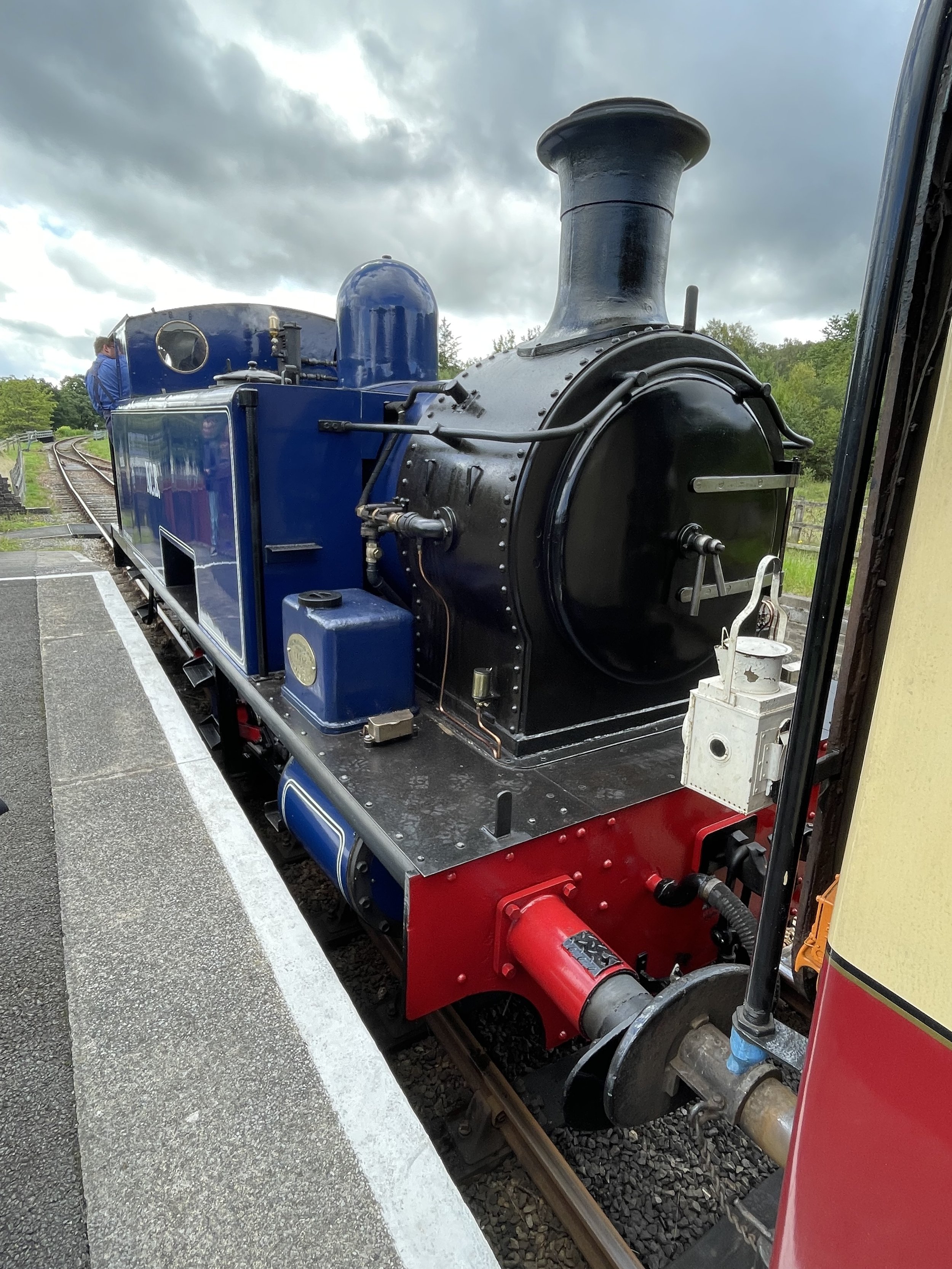
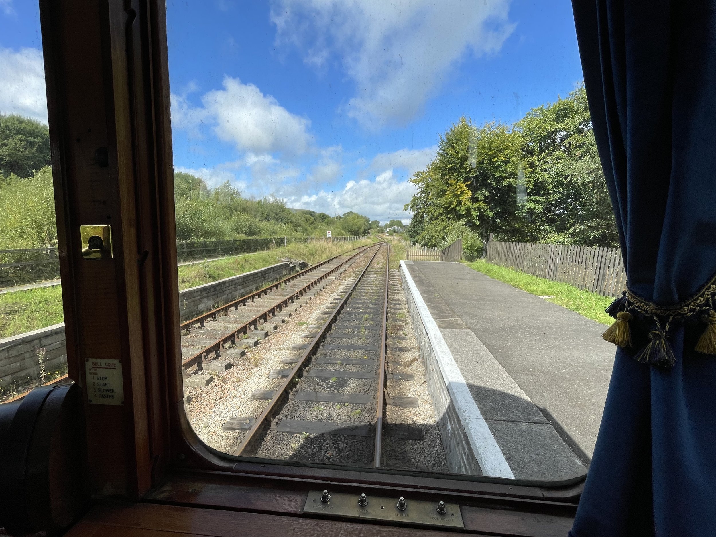
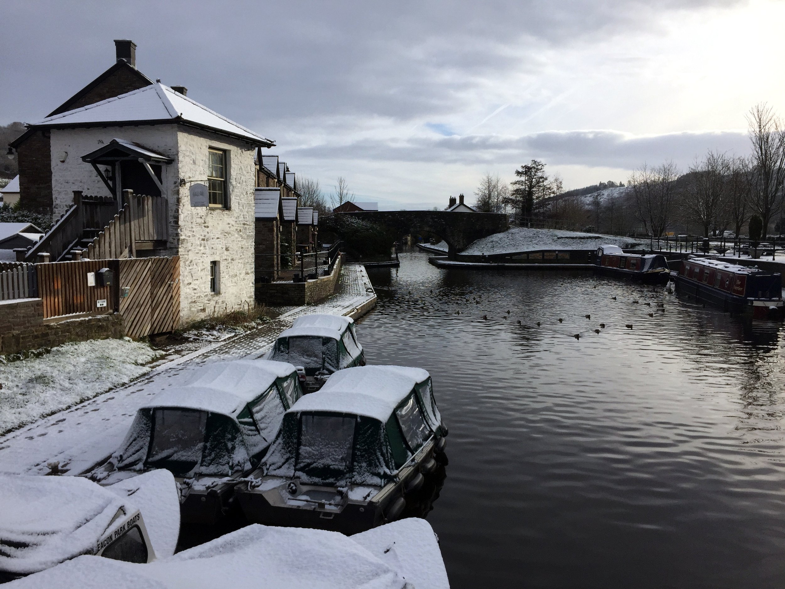
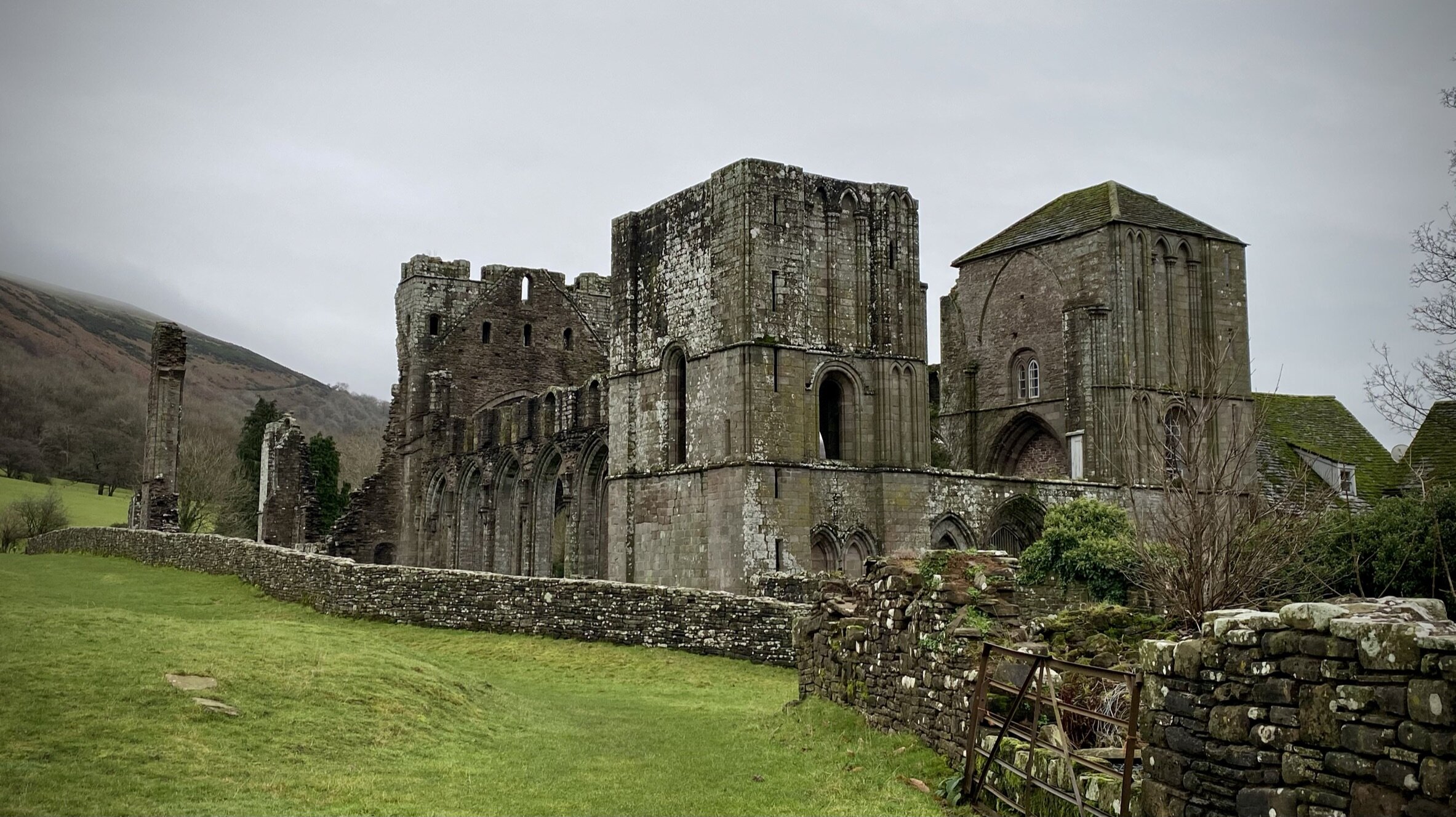
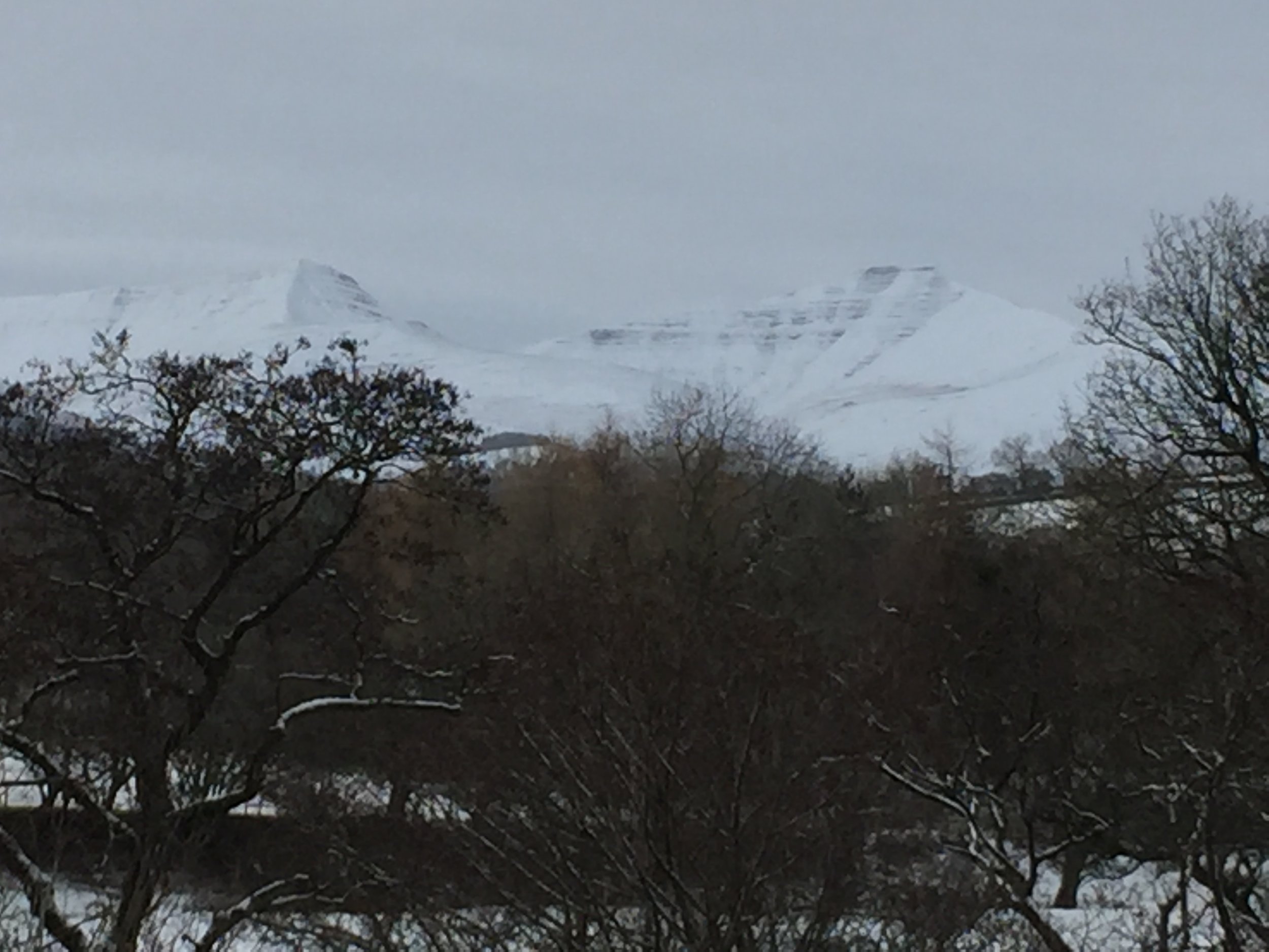
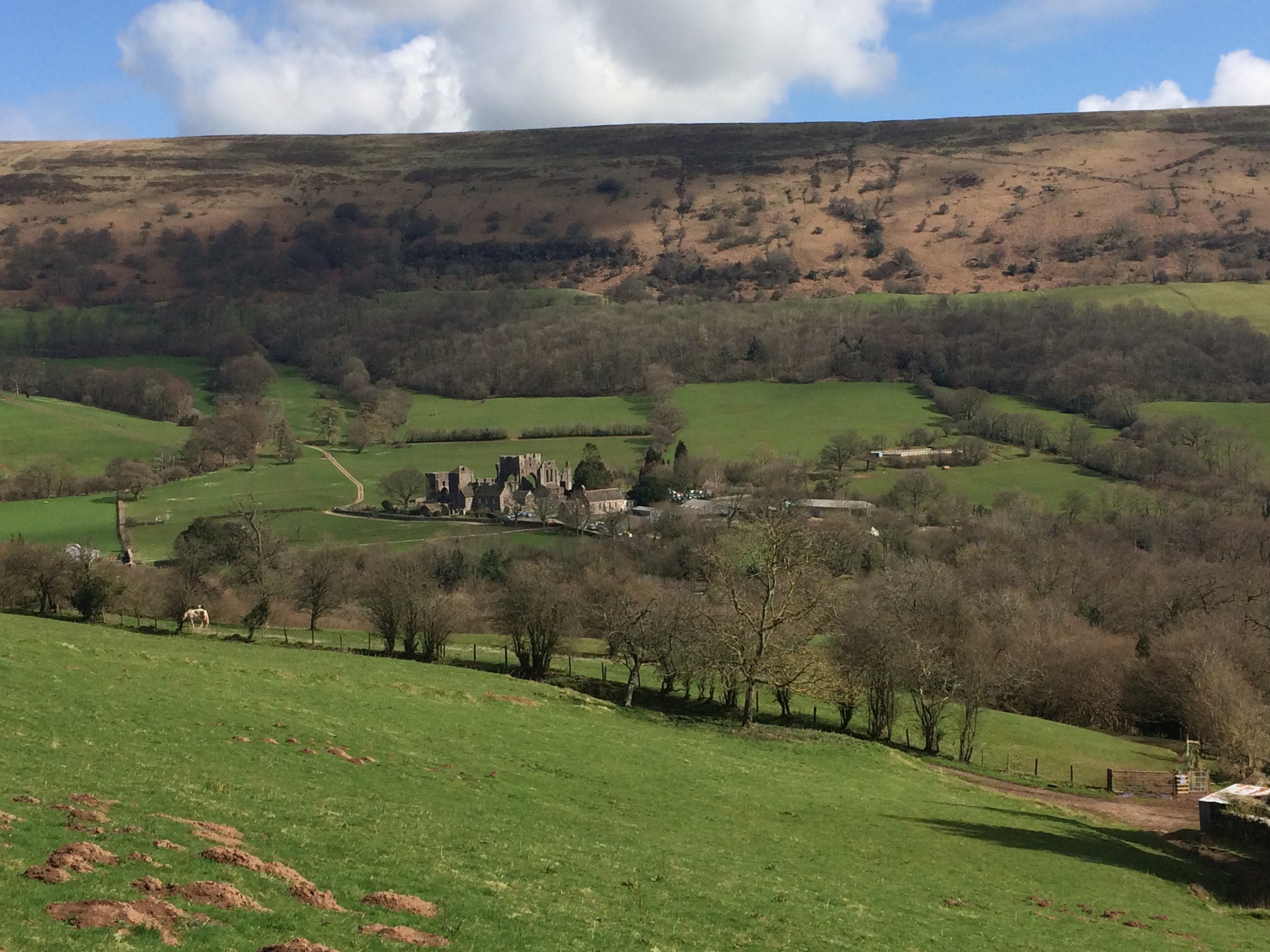
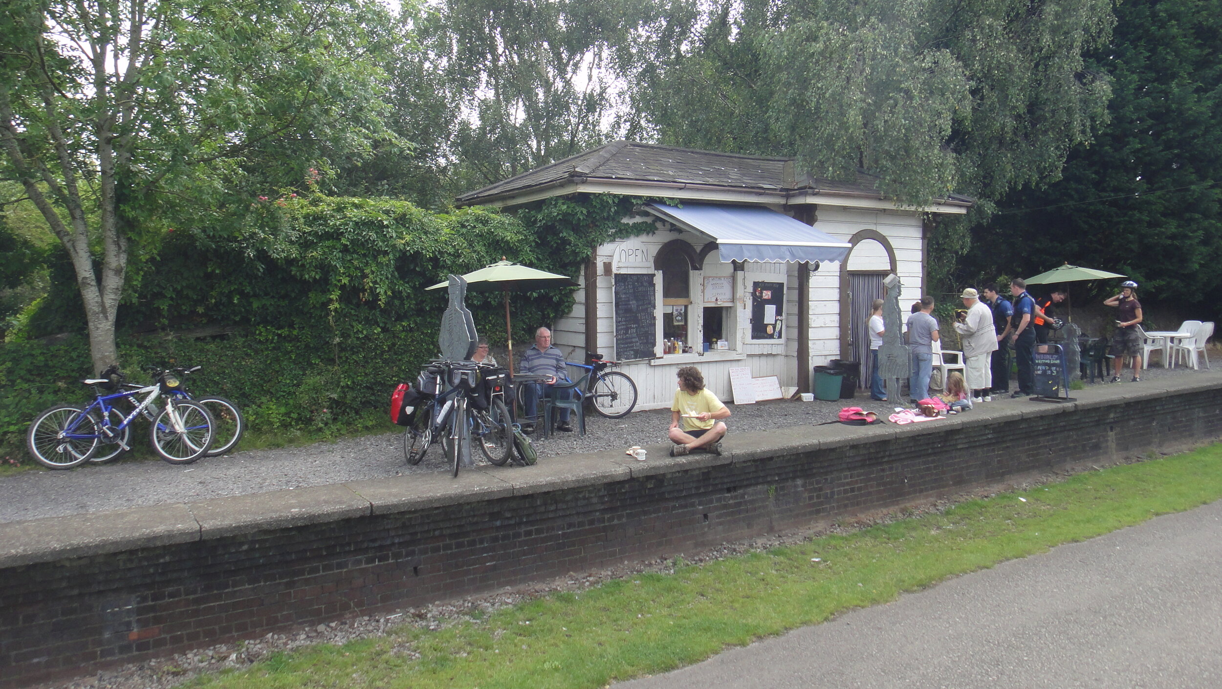
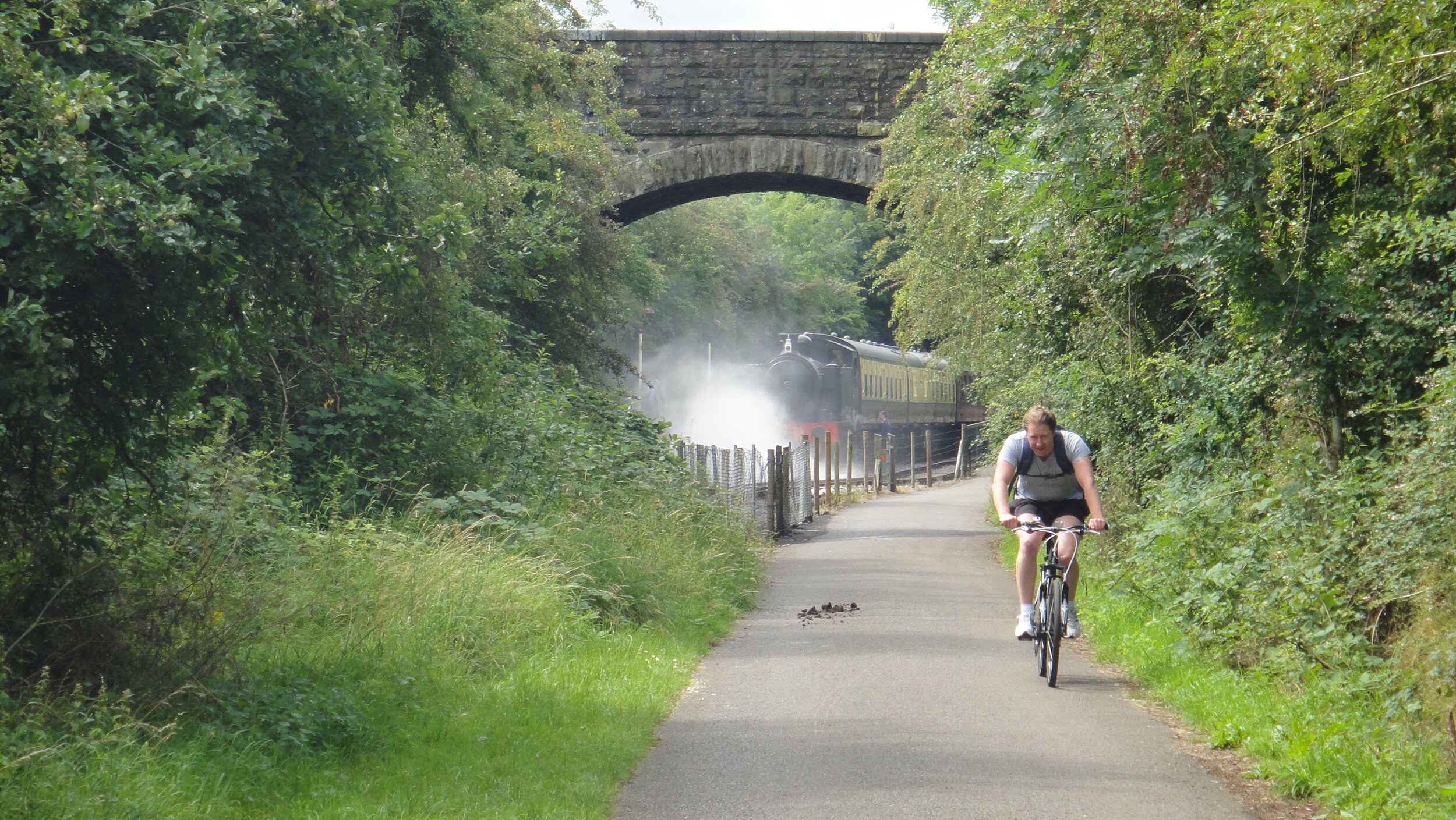
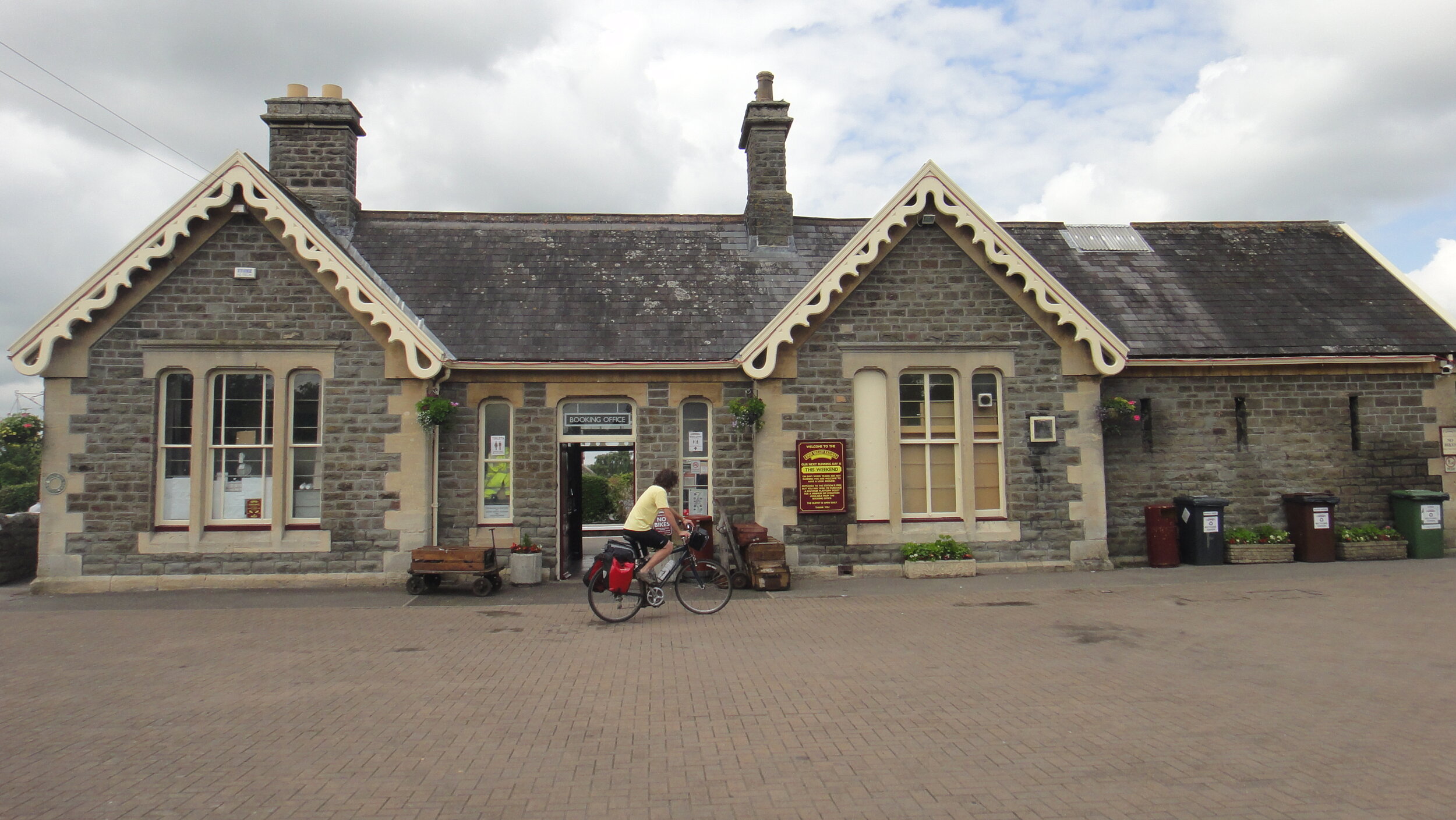
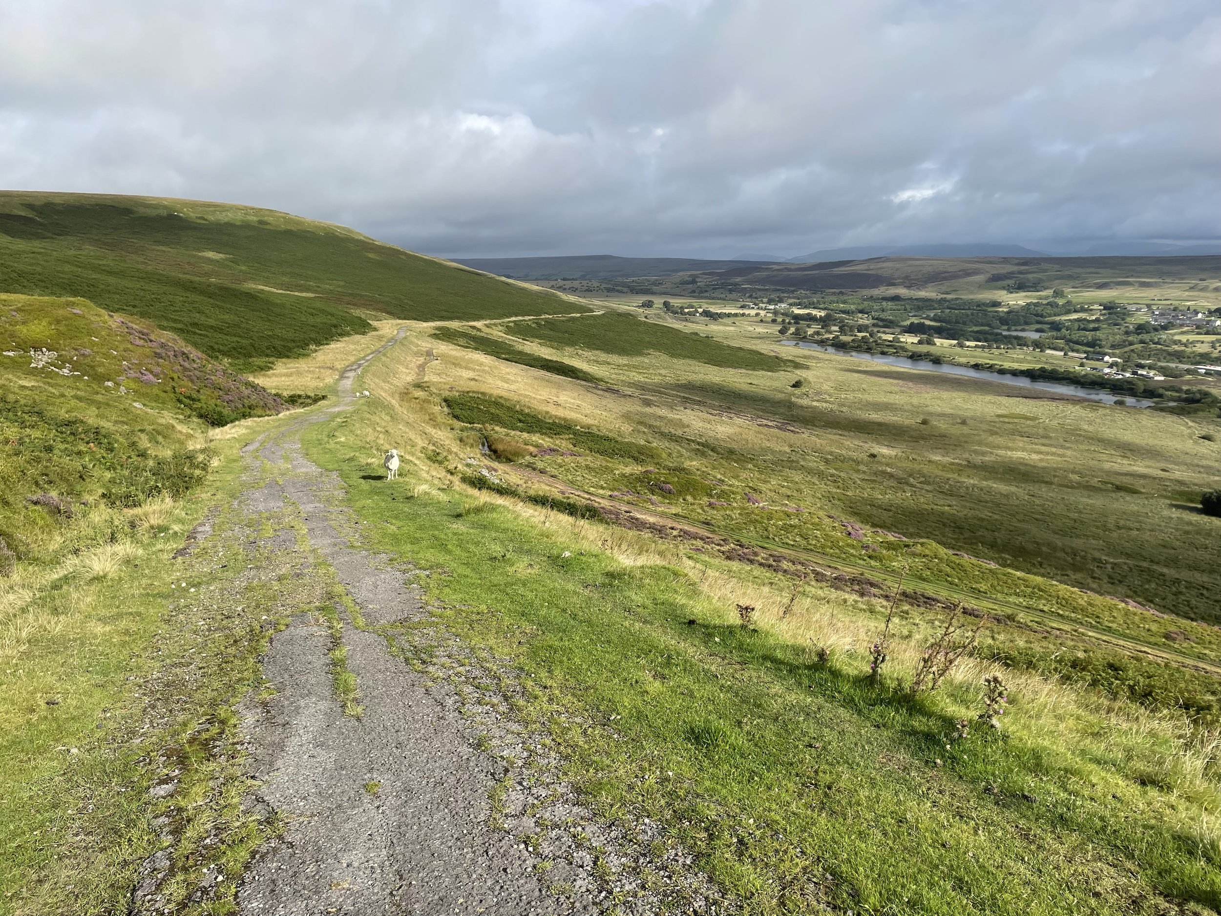
While in Blaenavon it’s worth spending a bit more time there to visit the UNESCO World Heritage Site attractions and the Historic Railway. I completed the walk just in time to take a ride on the old steam train that follows the track connecting the Whistle Inn Halt and Varteg Road. You’ll get a great view of Coety Mountain and Mynydd Farteg Fawr on the trip.

Blaenavon's Heritage Railway