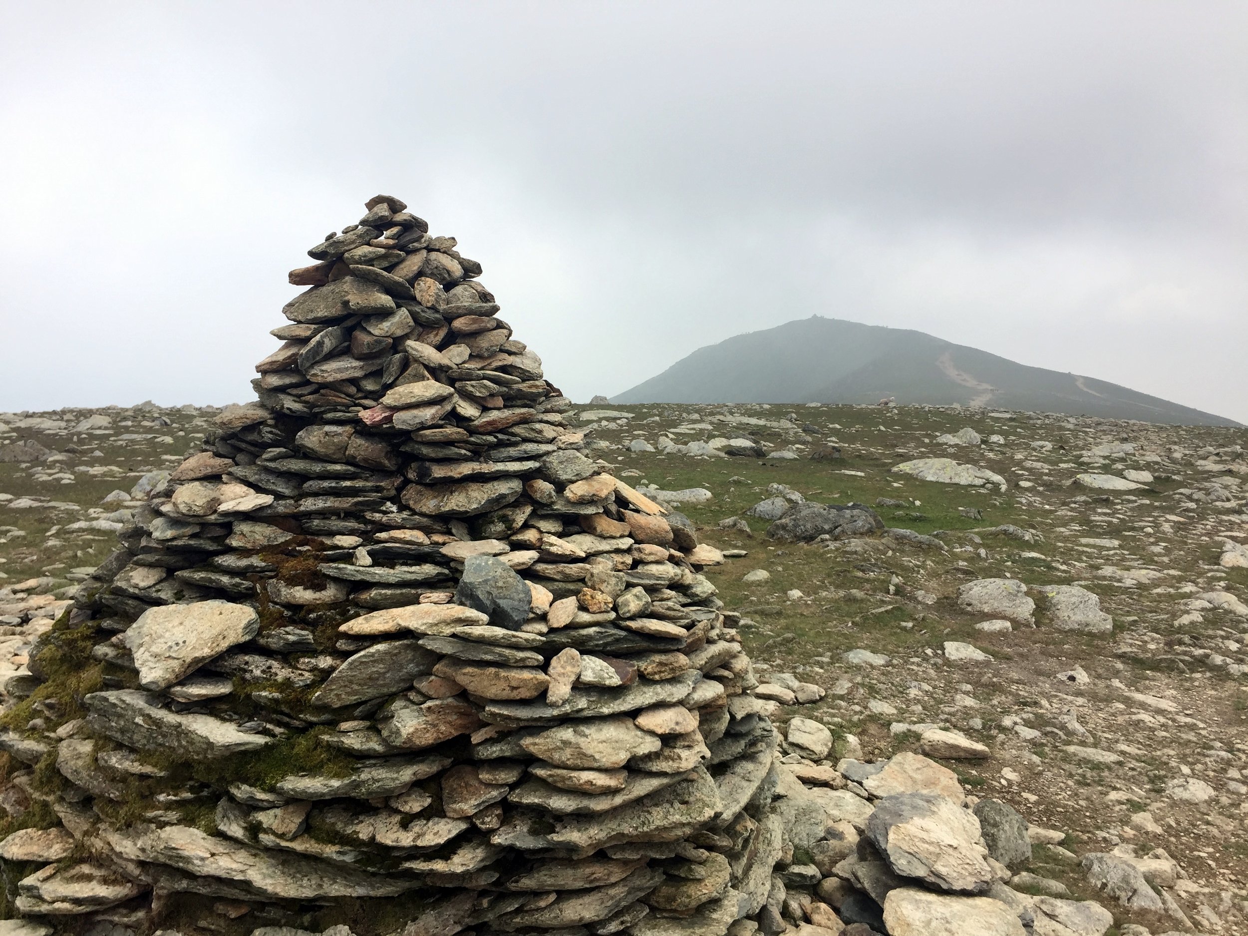
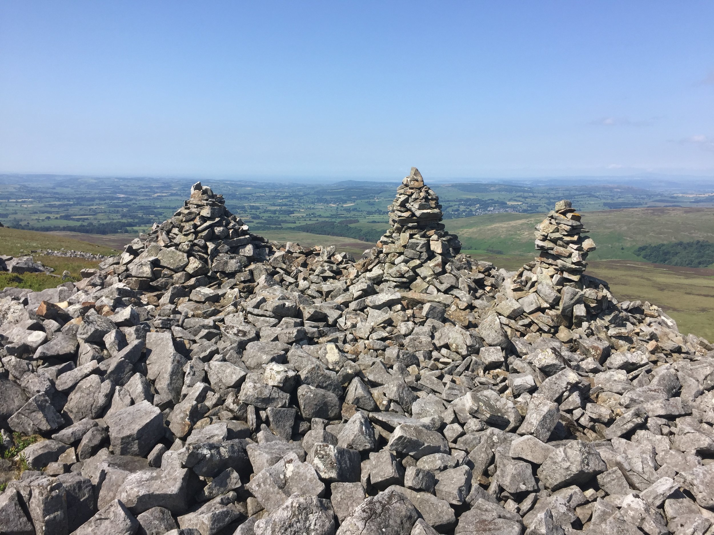
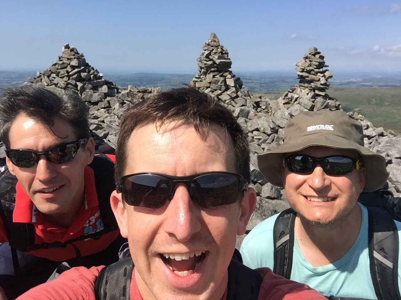
Three Men of Gragareth
Significance: Present Day County Top of Lancashire
Member of: Hewitt
Parent Peak: Great Coum. NHN = Crag Hill
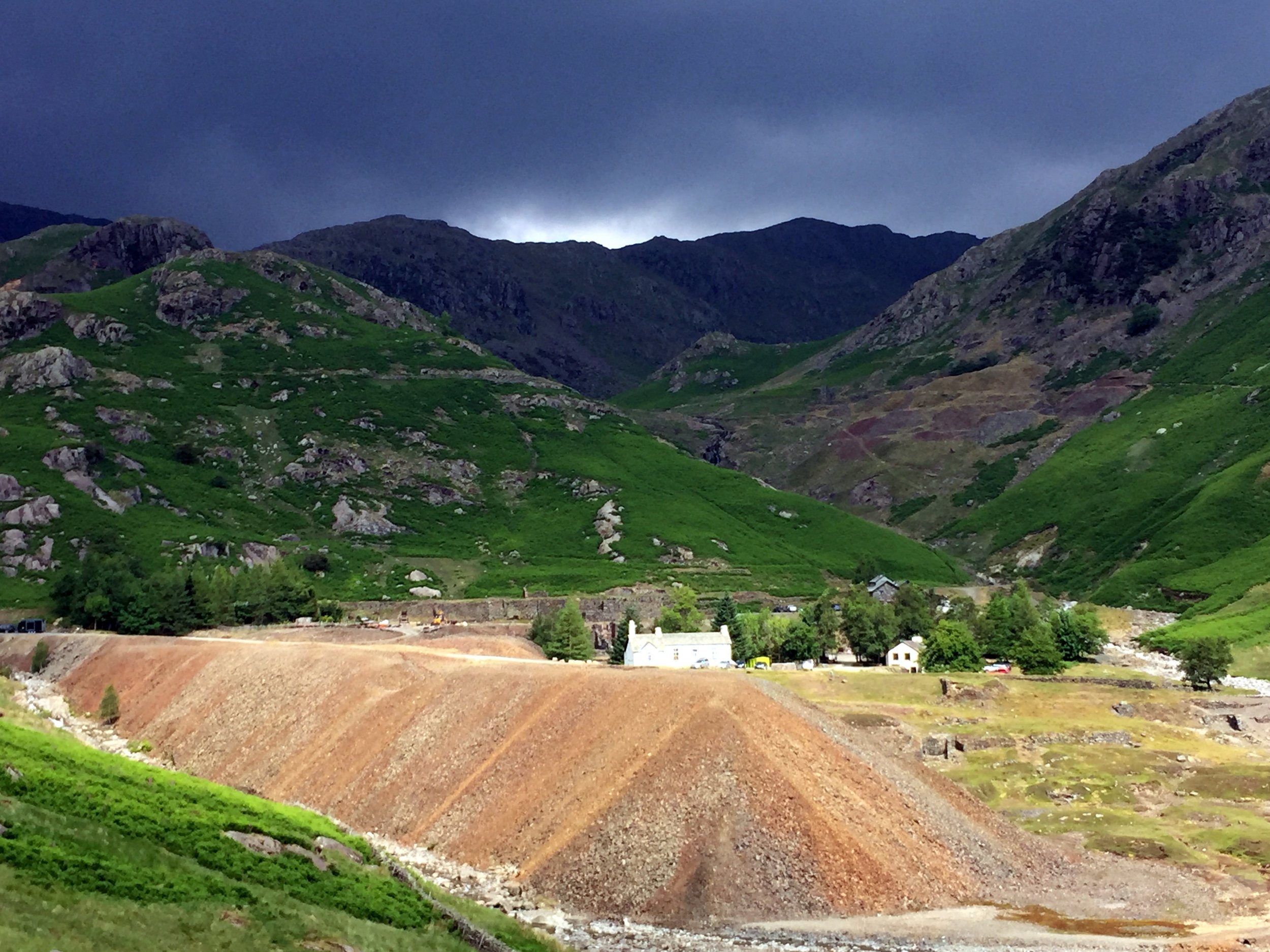
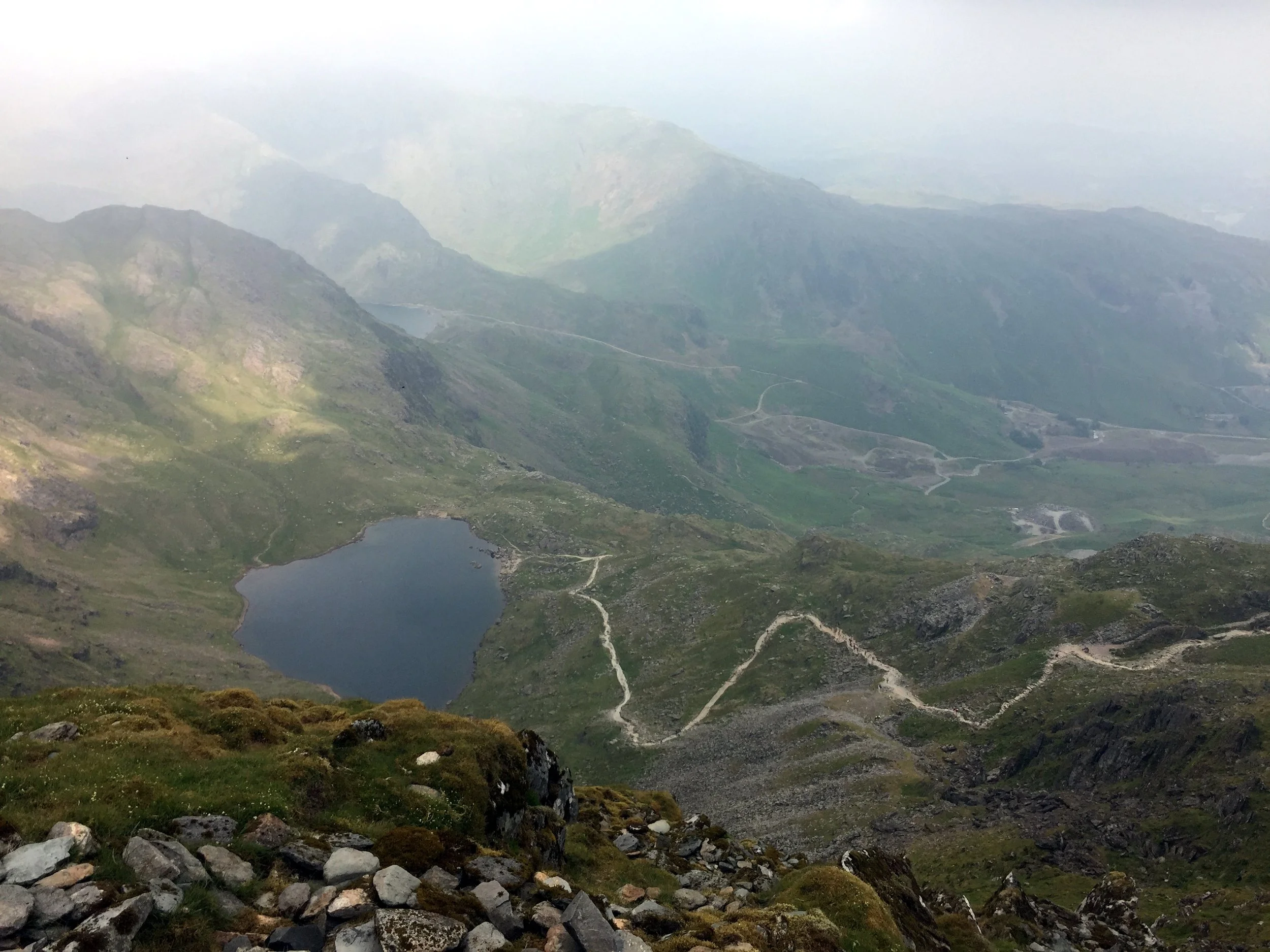
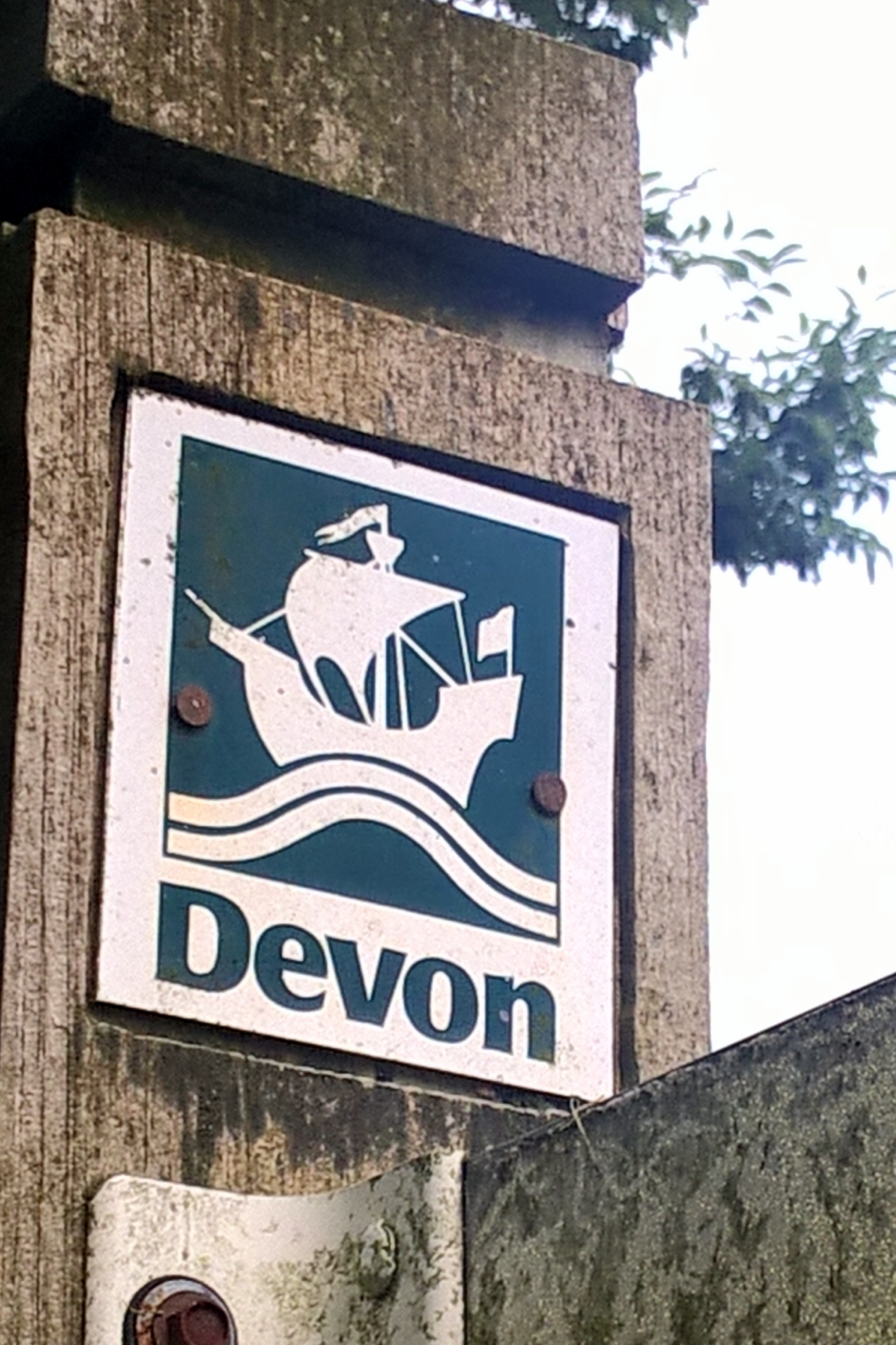
Historic County: Lancashire (of which Old Man of Coniston is the County Top)
Elevation: 628m
Date climbed: 11th June 2018
Coordinates: 54.2085° N, 2.4814° W
Route Start / End: Circular from Leck Fell House
Route Distance: 5 km (3.1 miles)
Route Elevation Change: +/- 207m
Subsidiary tops on route: none
GPX File: get via Buy Me a Coffee
Other routes touched: None
OS Trig Pillar: TP3427 - Gragareth Fell
OS Map: Yorkshire Dales Map | Southern & Western | Ordnance Survey | OS Explorer Map OL2
Guidebook: Guidebook: Walking the County High Points of England (David Bathurst)
Links: Wikipedia (Lancashire), Wikipedia (Gragareth), Peakbagger, Hillbagging
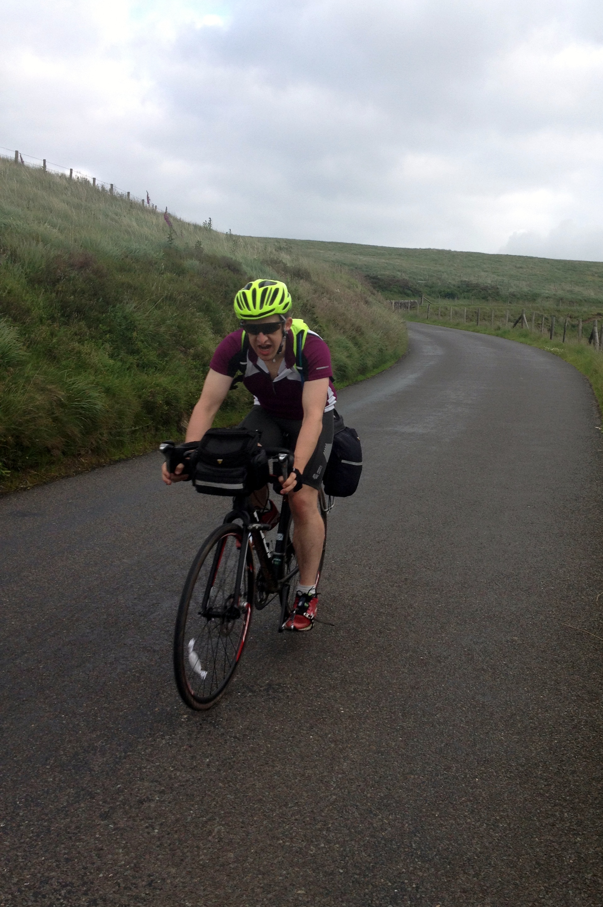
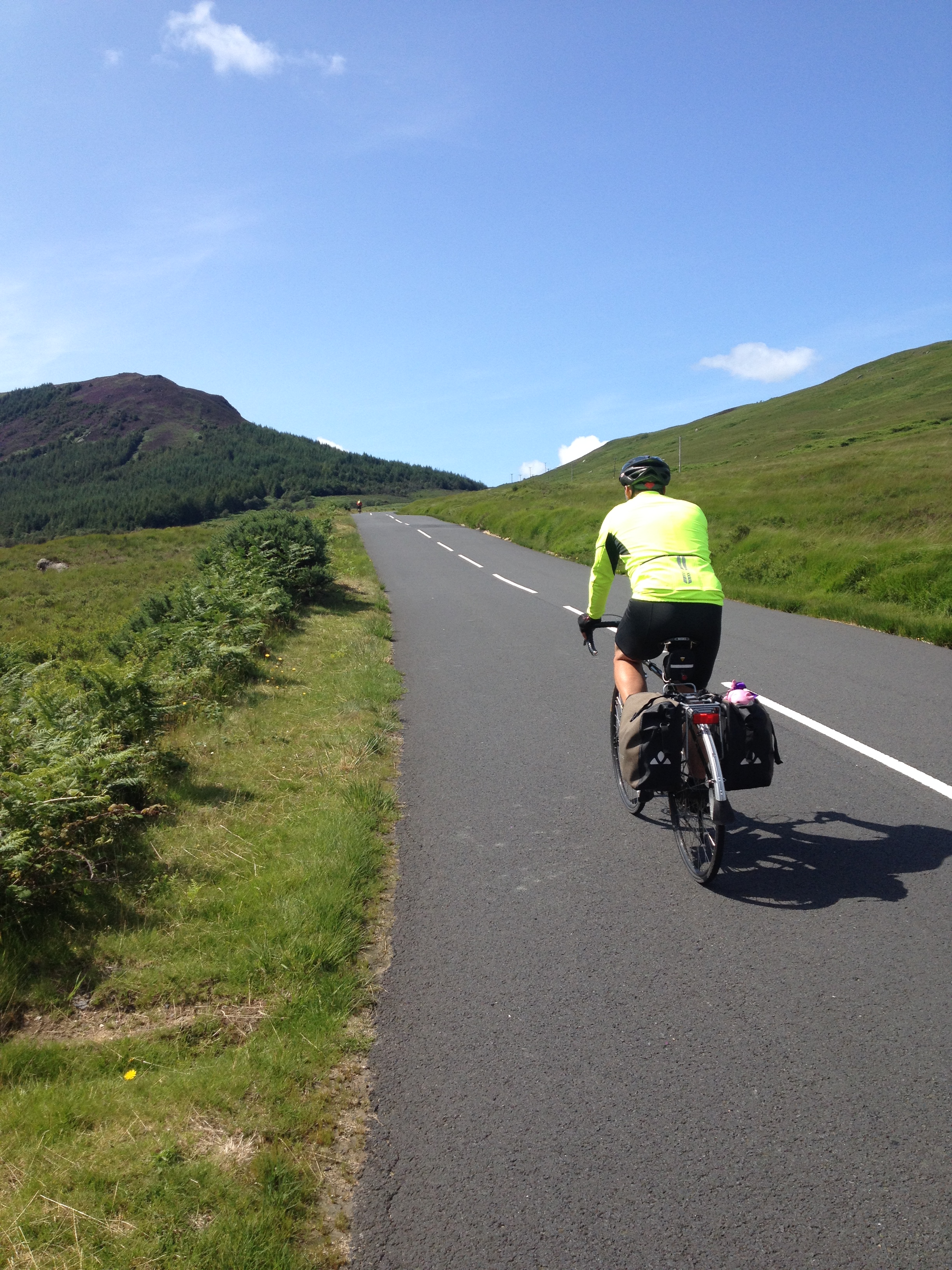
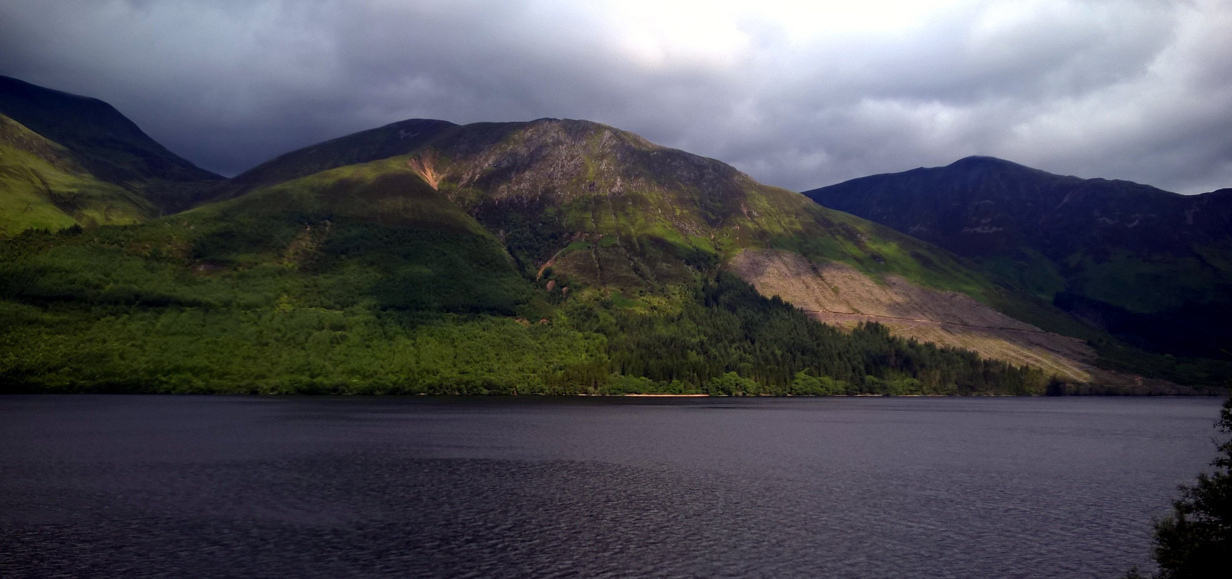
This was a sneaky bonus tick. After a weekend in the Lake District tackling the Old Man and Helvellyn we were heading home. The trip is nearly 5 hours at best so I was looking for a convenient mountain en route to break up the trip. Gragareth fitted the bill as it was a decent mountain and only 15 minutes off the M6. It was also pretty obscure and, on a Monday morning, we had the walk to ourselves.
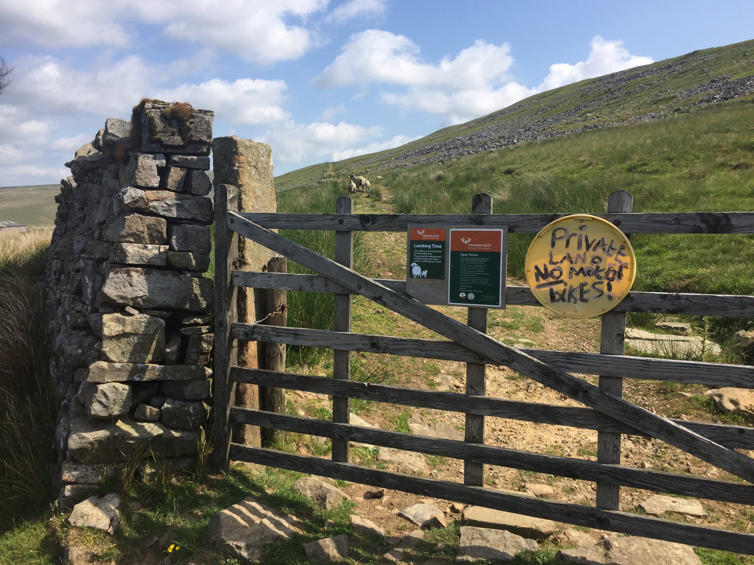
The best place to start the walk is from a small parking bay just before the gate to Leck Fell House. Go through this gate and the second gate on the junction before the driveway for the farm. After this you’re on Yorkshire Dales Open Access land.
The first part is fairly straightforward. Continue along the path beyond the gate, keeping to the right side of the wall. After ~1 km, there’s a path (according to the map I was using) that doubles back roughly southwards up across the hill. We couldn’t see any path so just followed the GPS direction across some very rocky lava flow-like patches. At the top of the hill you’ll get to the Three Men Of Gragareth. From here, head east and follow an actual path all the way to the summit.
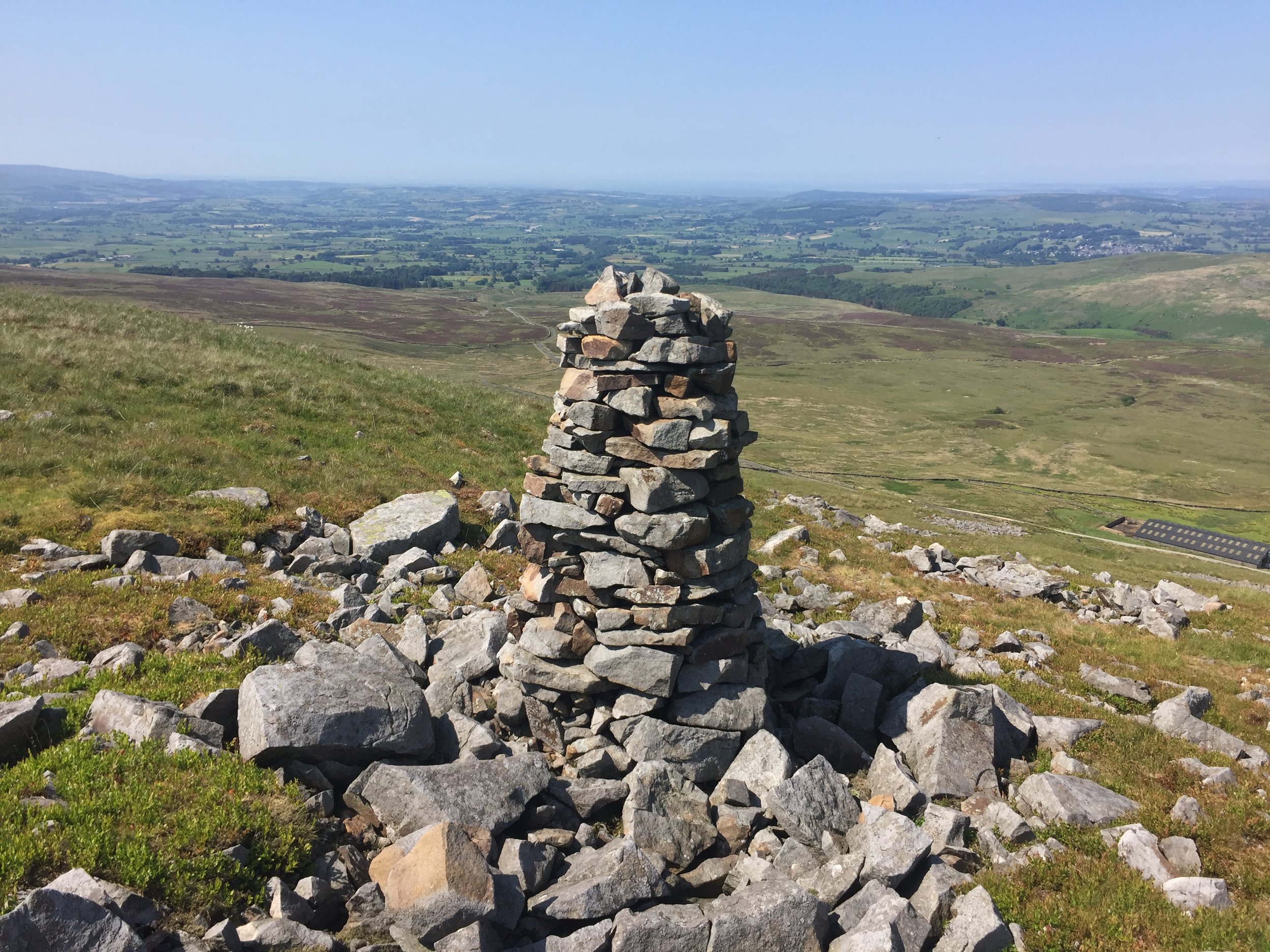
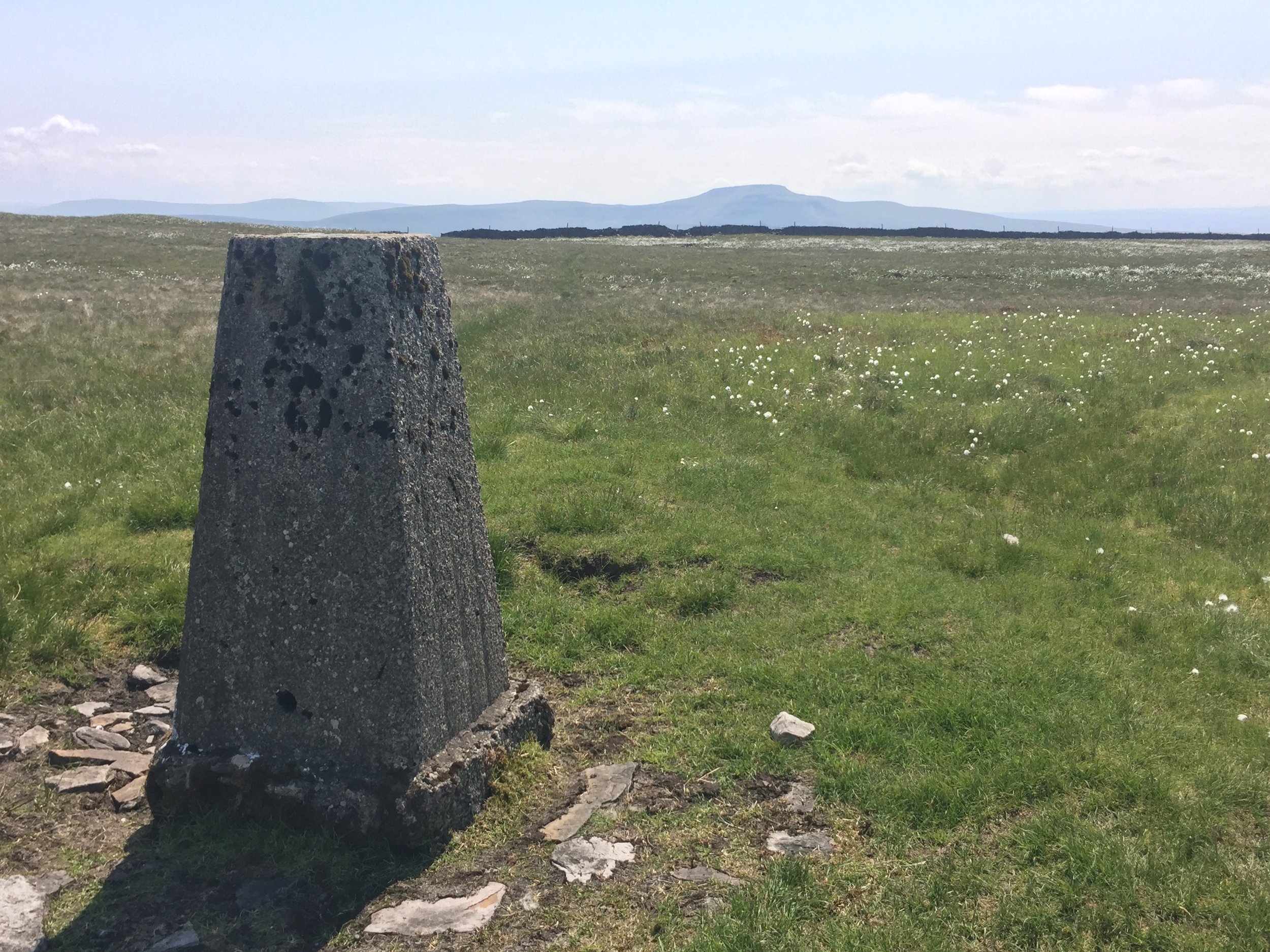
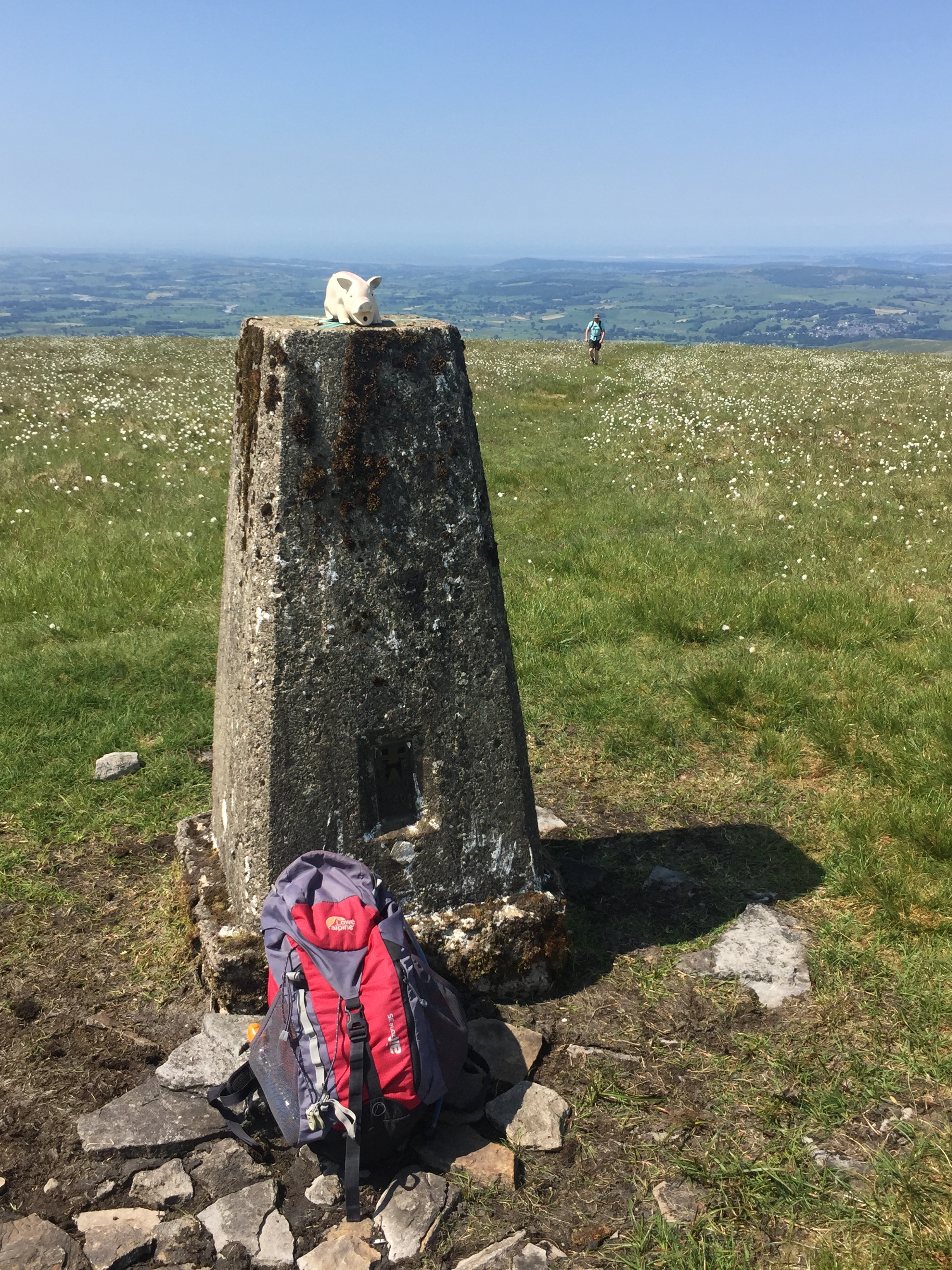
The summit is a black Trig point on a large plateau with views to Whernside. From here, take the path heading south(ish) towards a stone wall. Don’t climb over the ladder, but continue following the wall all the way to the 2nd gate by Leck Fell House.
Despite not being the most exciting walk in the world, it’s a pleasant diversion from a long drive home from the Lakes.


There’s some dispute about the high point in Present-Day Lancashire. Peakbagger lists Gragareth as the high point at 628 meters (2060 feet) and Green Hill at 627 meters (2057 feet). Hillbagging has Gragareth at the same height but shows Green Hill at 628.2 metres (2061 feet). Even so, Hillbagging has the comment “Lancashire county top transferred to hill 2793 Gragareth in 2014. All higher ground on Green Hill is in Cumbria. Bridge summit 560m S at SD701815. Nuttall summit at SD701820”. In David Bathurst’s book, Walking The High Points of England, he shows Gragareth at 627 metres (2056 feet) and Green Hill at 628 metres (2059 feet). Wikipedia has similar elevations to David’s book with Gragareth at 627 m (2,057 ft) and Green Hill at 628 m (2,060 ft).
Elevations in the list are based on Peakbagger.
OTHER HIGH POINTS IN LANCASHIRE
Old Man of Coniston (803m) Lancashire Historic County Top: Peakbagger / Hillbagging
Gragareth (628m) Lancashire Ceremonial County (alternative): Peakbagger / Hillbagging
Green Hill (627m) Lancashire Ceremonial County (alternative): Peakbagger / Hillbagging
Blackstone Edge (474m) Rochdale Unitary Authority High Point (alternative): Peakbagger / Hillbagging
Hail Storm Hill-Southeast Slope (474m) Rochdale Unitary Authority High Point (alternative): Peakbagger / Hillbagging
Winter Hill (456m) Blackburn with Darwen Unitary Authority High Point: Peakbagger / Hillbagging
Winter Hill Boundary (447m) Bolton Unitary Authority High Point: Peakbagger / Hillbagging
Scholes Height (415m) Bury Unitary Authority High Point: Peakbagger / Hillbagging
Billinge Hill (179m) Merseyside Ceremonial County and St Helens Unitary Authority High Point: Peakbagger / Hillbagging
Billinge Hill - North Top (169m) Wigan Unitary Authority High Point: Peakbagger / Hillbagging
Greenheys (Newcombe Drive) (116m) Salford Unitary Authority High Point: Peakbagger / Hillbagging
Heaton Park (108m) Manchester Unitary Authority High Point: Peakbagger / Hillbagging
Appleton Park (105m) Warrington Unitary Authority High Point: Peakbagger / Hillbagging
Knowsley Park (100m) Knowsley Unitary Authority High Point: Peakbagger / Hillbagging
Woolton Hill (89m) Liverpool Unitary Authority High Point: Peakbagger / Hillbagging
Melling Mount (36m) Sefton Unitary Authority High Point: Peakbagger / Hillbagging
Warbreck Reservoir (34m) Blackpool Unitary Authority High Point: Peakbagger / Hillbagging