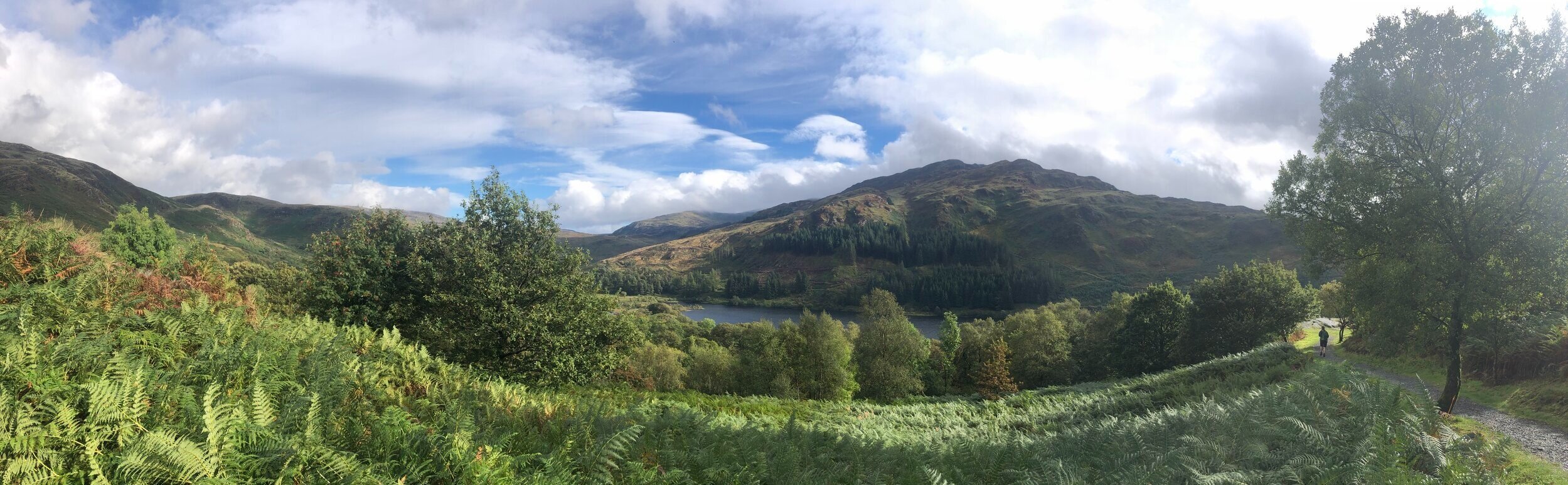
View to Loch Trool from Bruce’s Stone at the start of the Merrick Trail
With all of the County Tops in England, Wales and Northern Ireland in the bag, I “just” have Scotland to do. The problem is that they’re now a long way from home and getting taller. Before this trip I’d only done 3 of the 33 Historic County Tops of Scotland. I’d done Ben Nevis a couple of times, Goatfell once and, most recently Hangingstone Hill as an add-on to the Cheviot walk.
The remaining 30 would need to be grouped into longer weekends around natural groupings. With easy access from Glasgow Airport, the 6 summits of this trip was an obvious place to start. Broad Law covers 2 counties each giving a total of 7 historic counties over a 4-day trip.
Craigairie Fell
Significance: Highest peak in Wigtownshire (Historic CT)
Member of: N/A
Parent Peak: Beneraird
Elevation: 321m
Date climbed: 23rd September 2021
Coordinates: 55° 1' 34'' N, 4° 45' 40'' W
Route Start / End: Parking space at end of road west from Polbae (DG8 6RZ)
Route Distance: 7.5 km (4.6 miles)
Route Elevation Change: +/- 159m
Subsidiary tops on route: None
GPX File: get via Buy Me a Coffee
Other routes touched (walk): Southern Upland Way
Other routes touched (cycle): None
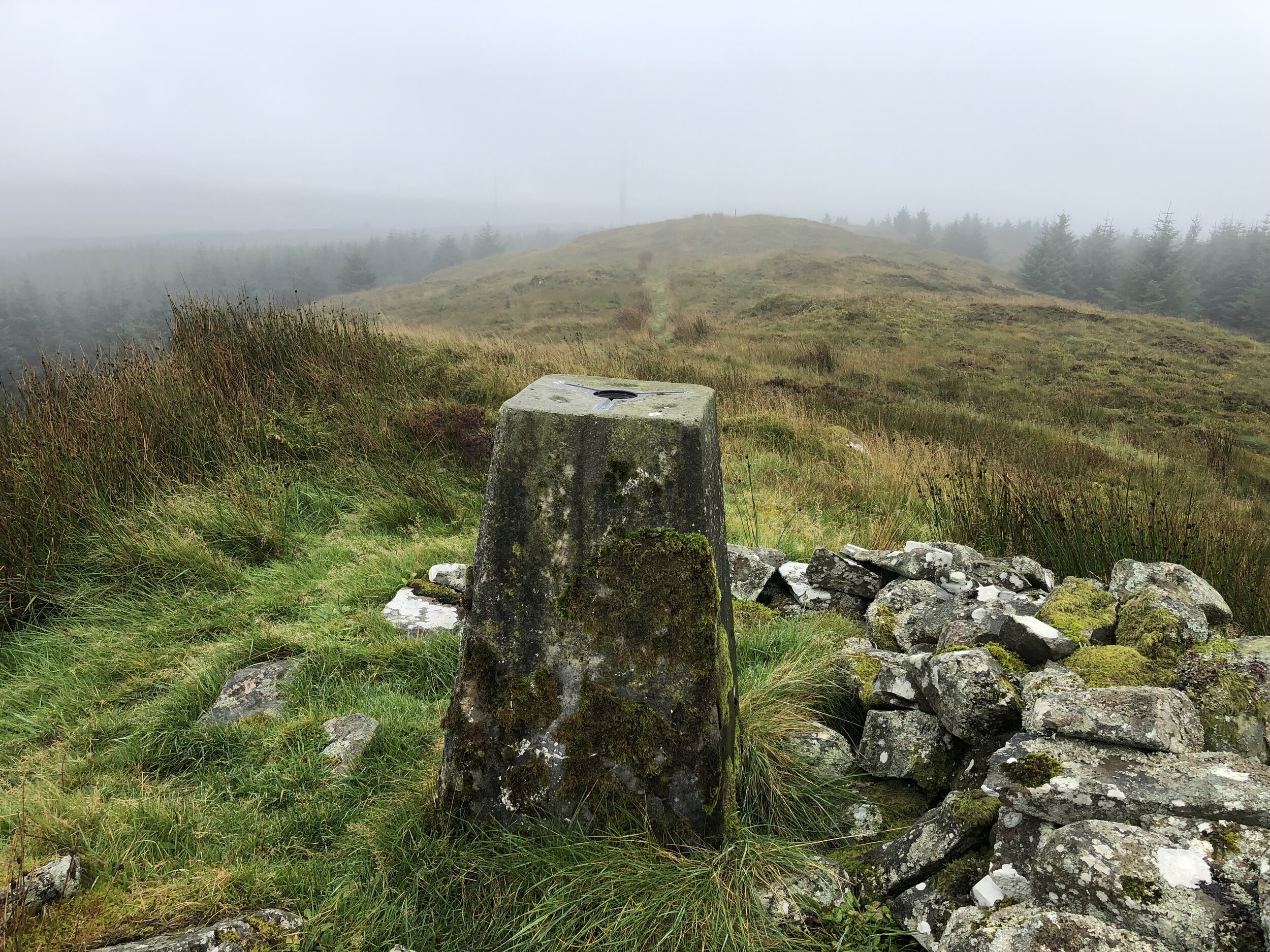
OS Trig Pillar: TP2507 - Craigairie Fell
Map: OS Explorer Map (310) Glenluce and Kirkcowan
Guidebook: The UK's County Tops (Jonny Muir)
Links: Wikipedia (Wigtownshire), Peakbagger, Hillbagging
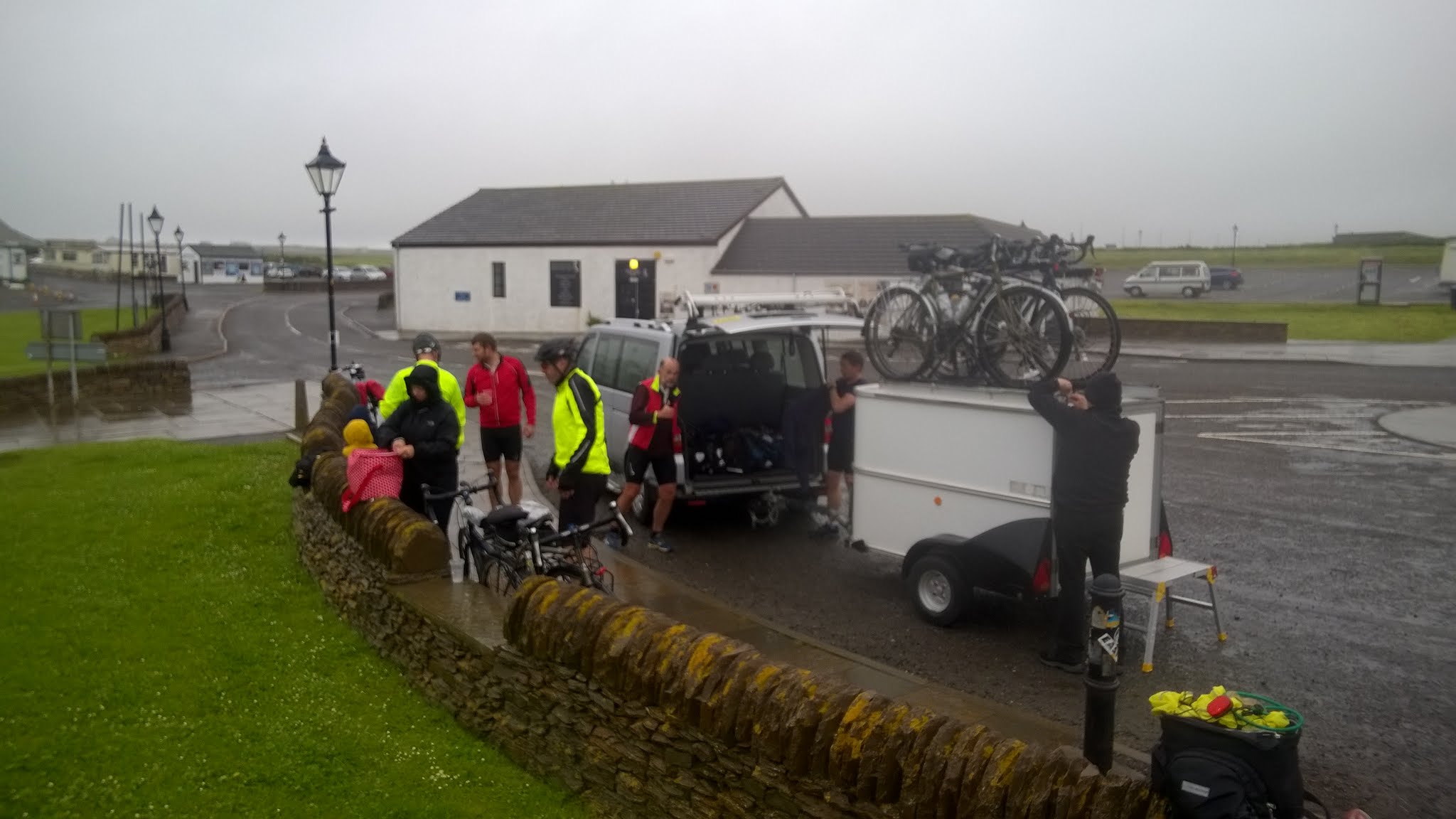
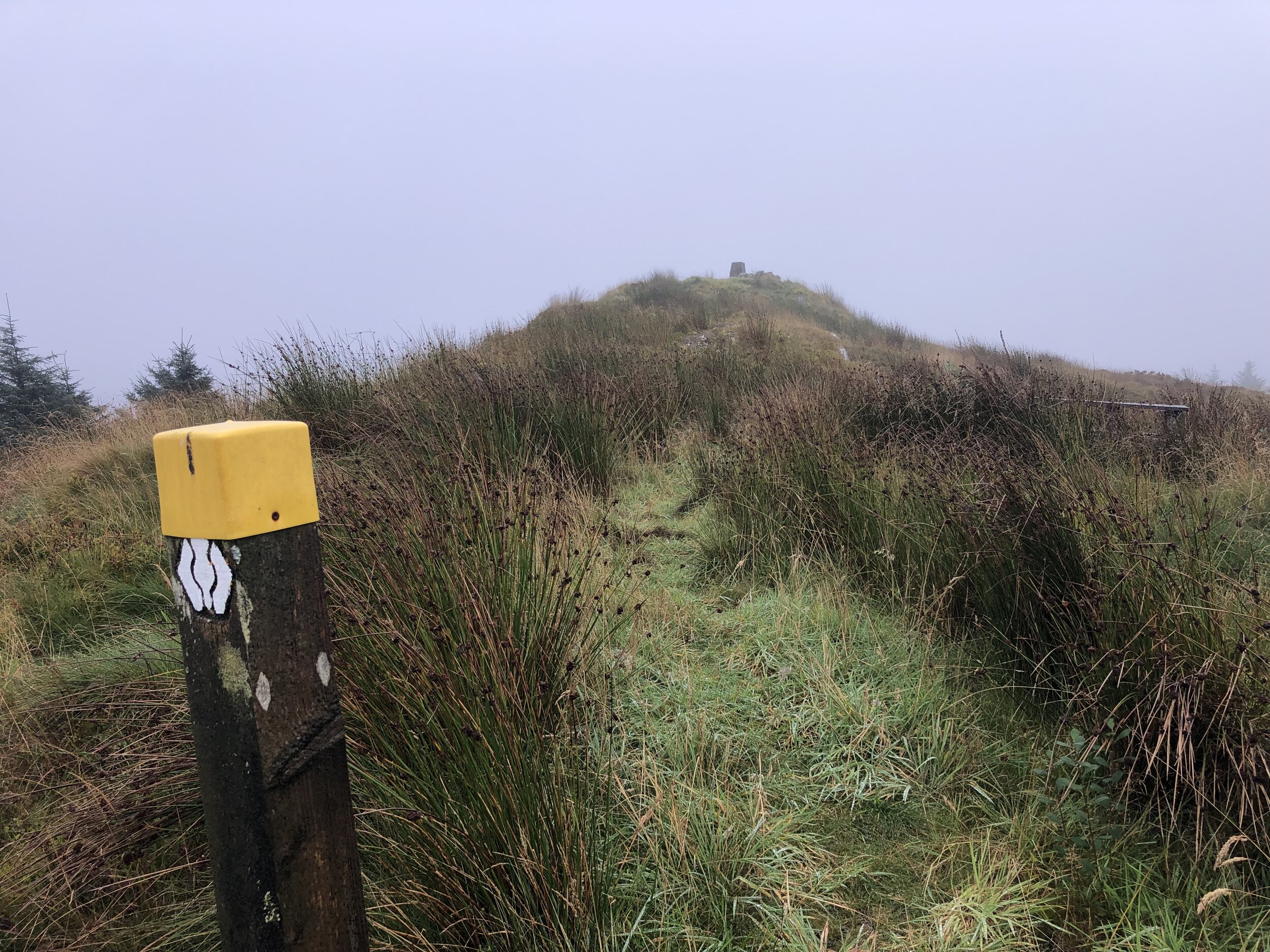
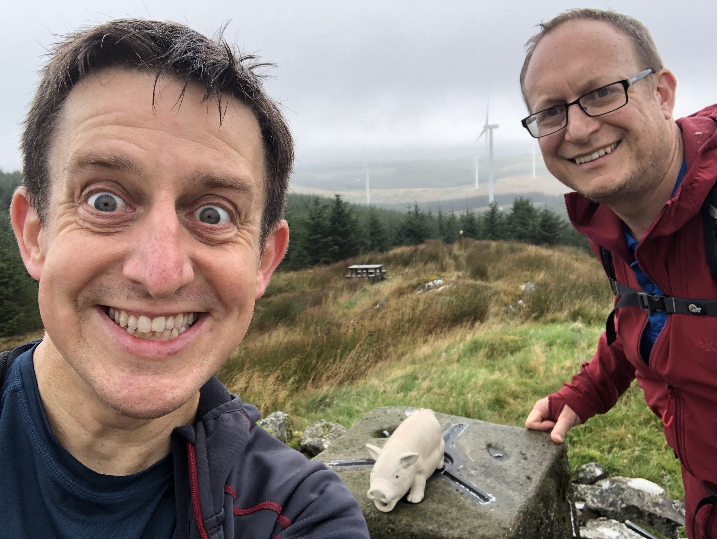
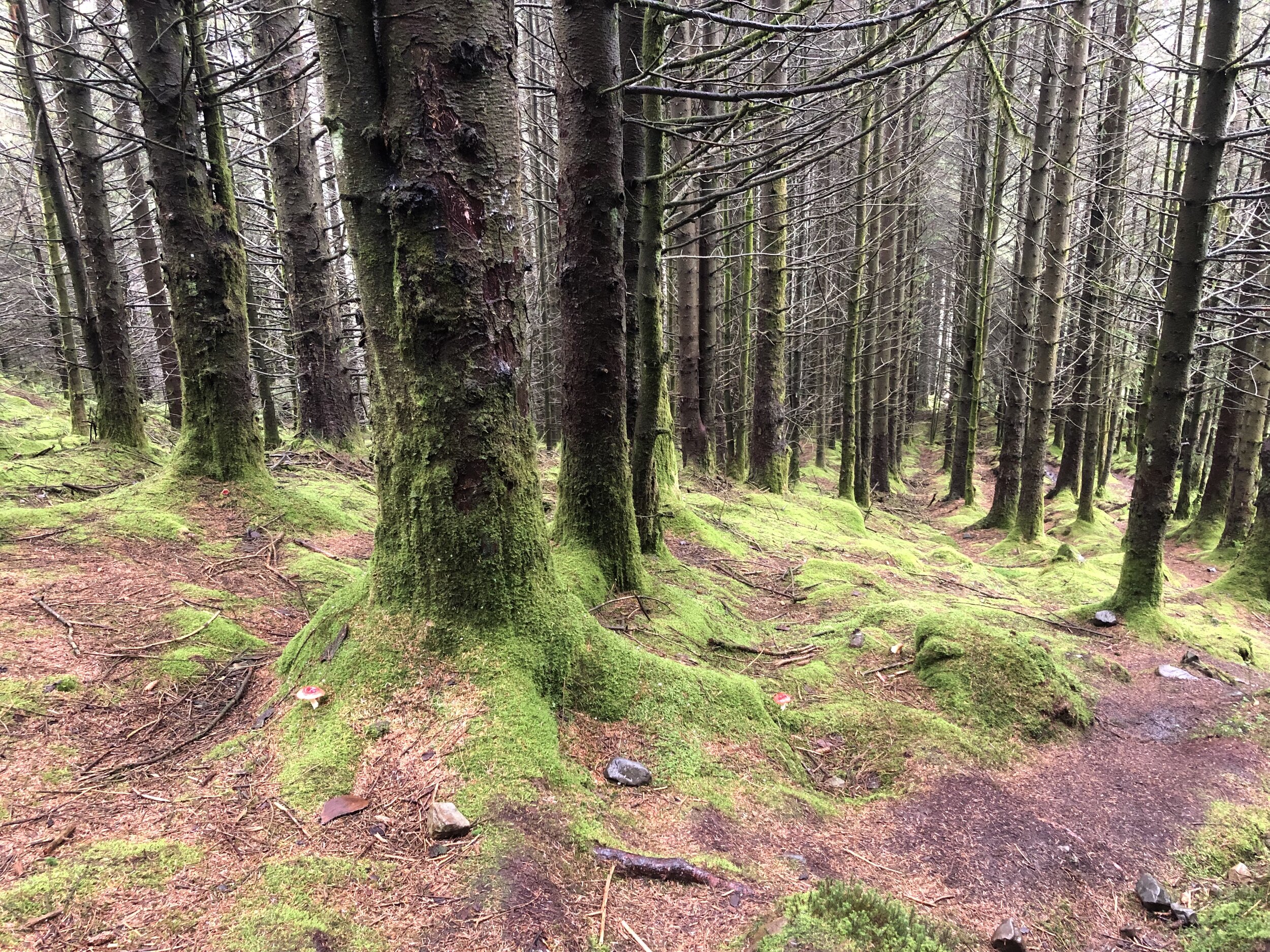
Craigairie Fell was our warm-up peak for the trip. With a total elevation of 321m, it’s a hill rather than a mountain and can be bagged in less than 2 hours. We tackled this one first as we flew into Glasgow in the morning and it was a 2-hour drive to the start of the walk.
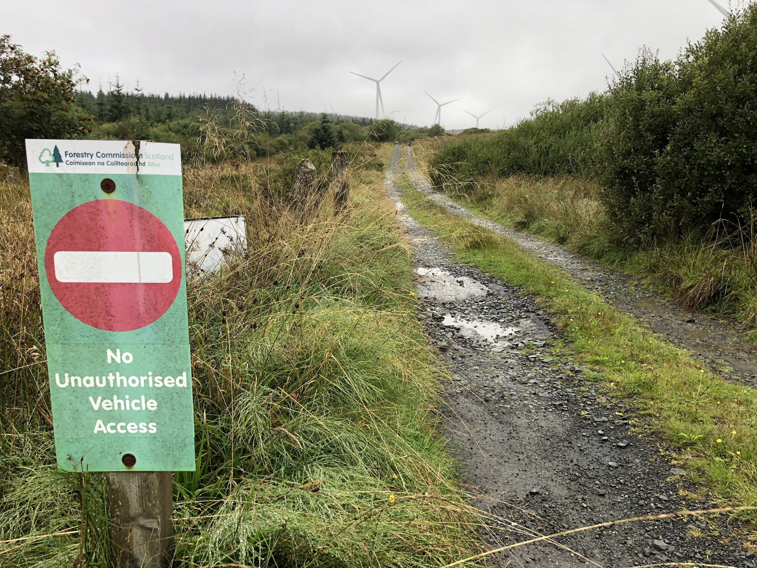
There’s a good parking spot about a mile west along the road from Polbae. It’s more of a track than a road so don’t attempt it in a car with low clearance. You’ll notice it soon after the Forestry Commission sign saying “No Unauthorized Vehicle Access”. It’s an odd place to have the sign as it’s on a random part of the road with no place to turn around. The first place to turn further along is a junction with a track to a farm where the obvious parking spot is.
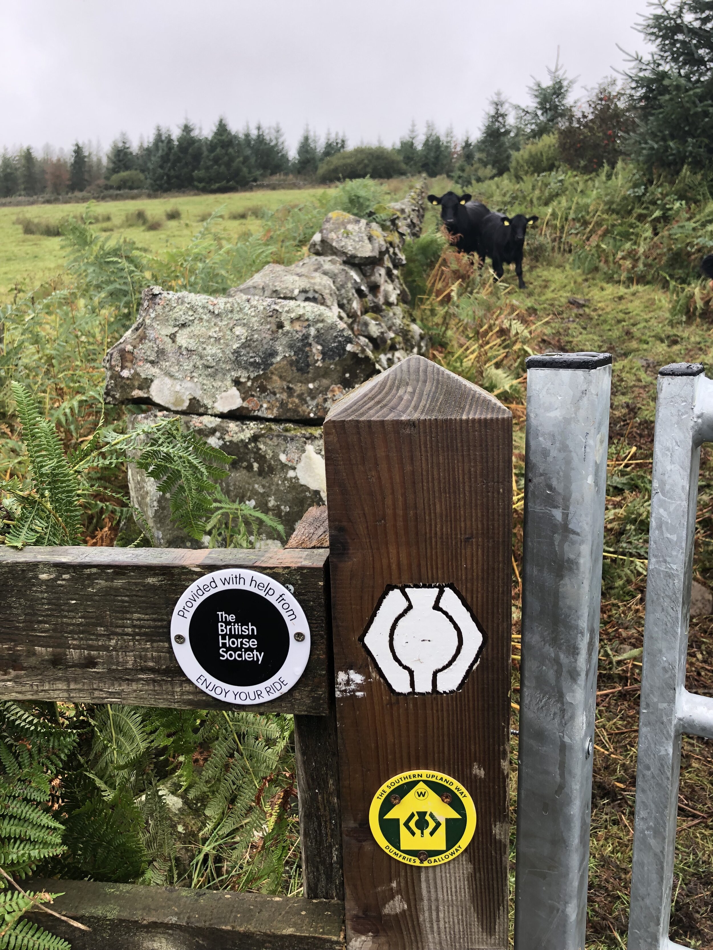
From the parking spot, navigation is very easy as you follow the Southern Upland Way all the way to the Trig Pillar at the top. The actual route is slightly shorter than the one on the map as there’s a short-cut of the Southern Upland Way that cuts off the hairpin bend near the D of Derry on the map.
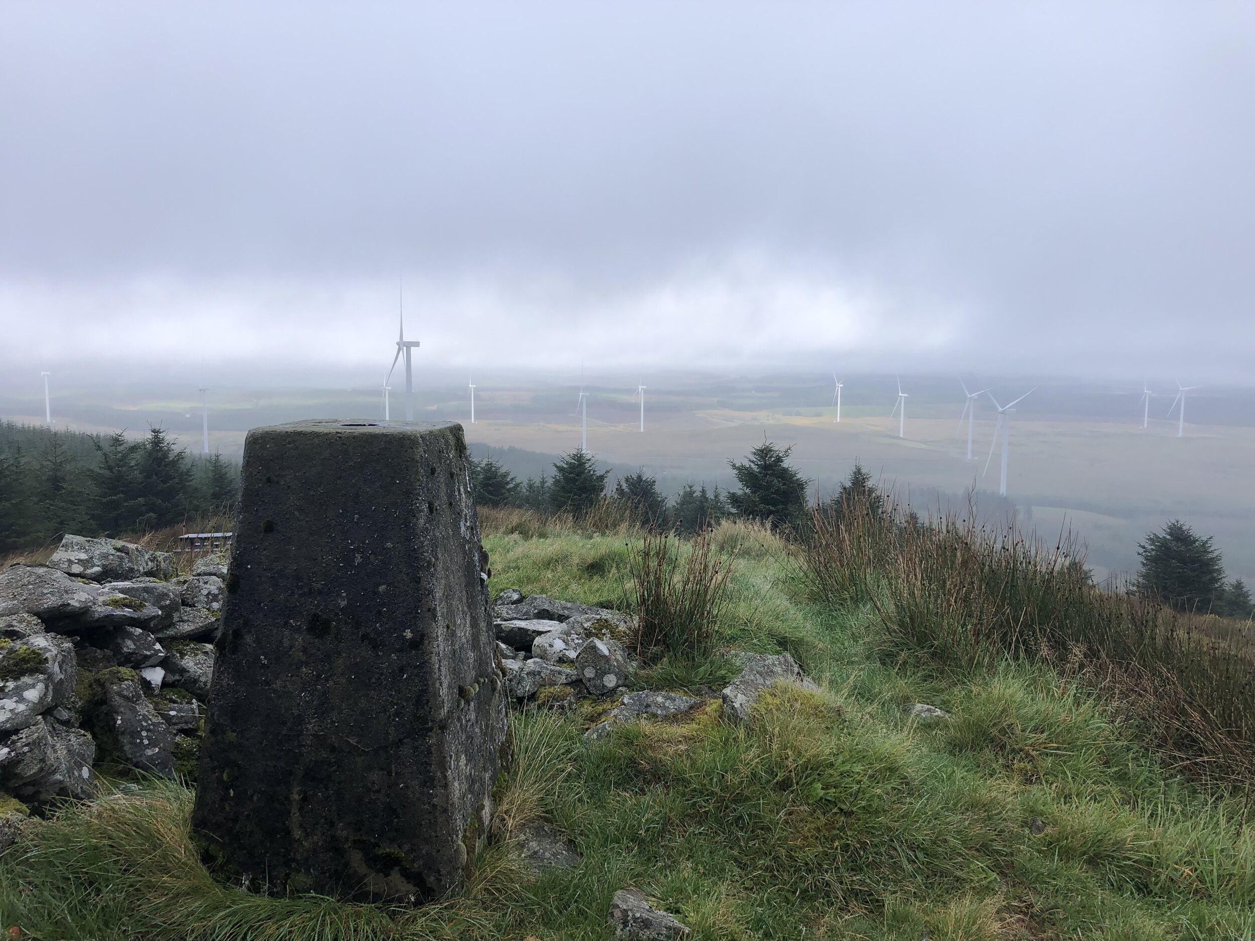
Although our views from the top were a little misty, it was significantly better than the other summits in the trip with no views at all.


Merrick
Significance: Highest peak in Kirkcudbrightshire (Historic CT), Highest peak in Dumfries and Galloway (Present Day CT)
Member of: Marilyn, Corbett, Donald
Parent Peak: Helvellyn (NHN = Goatfell)
Elevation: 843m
Coordinates: 55° 8' 21'' N, 4° 28' 6'' W
OS Trig Pillar: TP4777 - Merrick
Links: Wikipedia Kirkcudbrightshire), Wikipedia (Dumfries and Galloway), Wikipedia (Merrick), Peakbagger, Hillbagging
Kirriereoch Hill-Northwest Slope
Significance: Highest peak in Ayrshire (Historic CT), Highest peak in South Ayrshire (Present Day CT)
Member of: N/A
Parent Peak: Kirriereoch Hill
Elevation: 782m
Coordinates: 55° 9' 11'' N, 4° 28' 53'' W
Links: Wikipedia (Ayrshire), Wikipedia (South Ayrshire), Wikipedia (Kirrieroch Hill), Peakbagger, Hillbagger
For both peaks:
Date climbed: 24th September 2021
Route Start / End: Upper Bruce's Stone Car Park, Newton Stewart, DG8 6SU
Route Distance: 16.7 km (10.4 miles)
Route Elevation Change: +/- 1,114m
Subsidiary tops on route: Benyellary (719m), Kirriereoch Hill (786m)
GPX File: get via Buy Me a Coffee
Other routes touched (walk): Merrick Trail
Other routes touched (cycle): NCN 7 passes through Upper Bruce’s Stone Car Park
Map: OS Explorer Map (318) Galloway Forest Park North
Guidebook: The UK's County Tops (Jonny Muir)
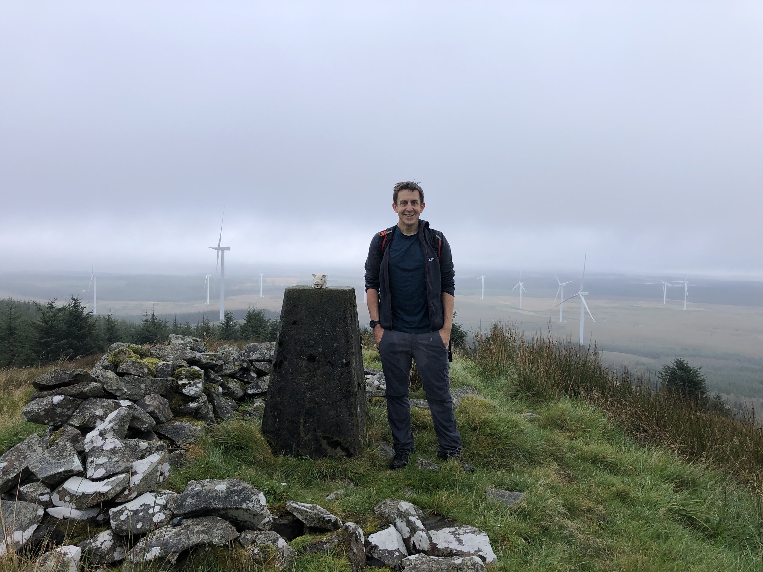
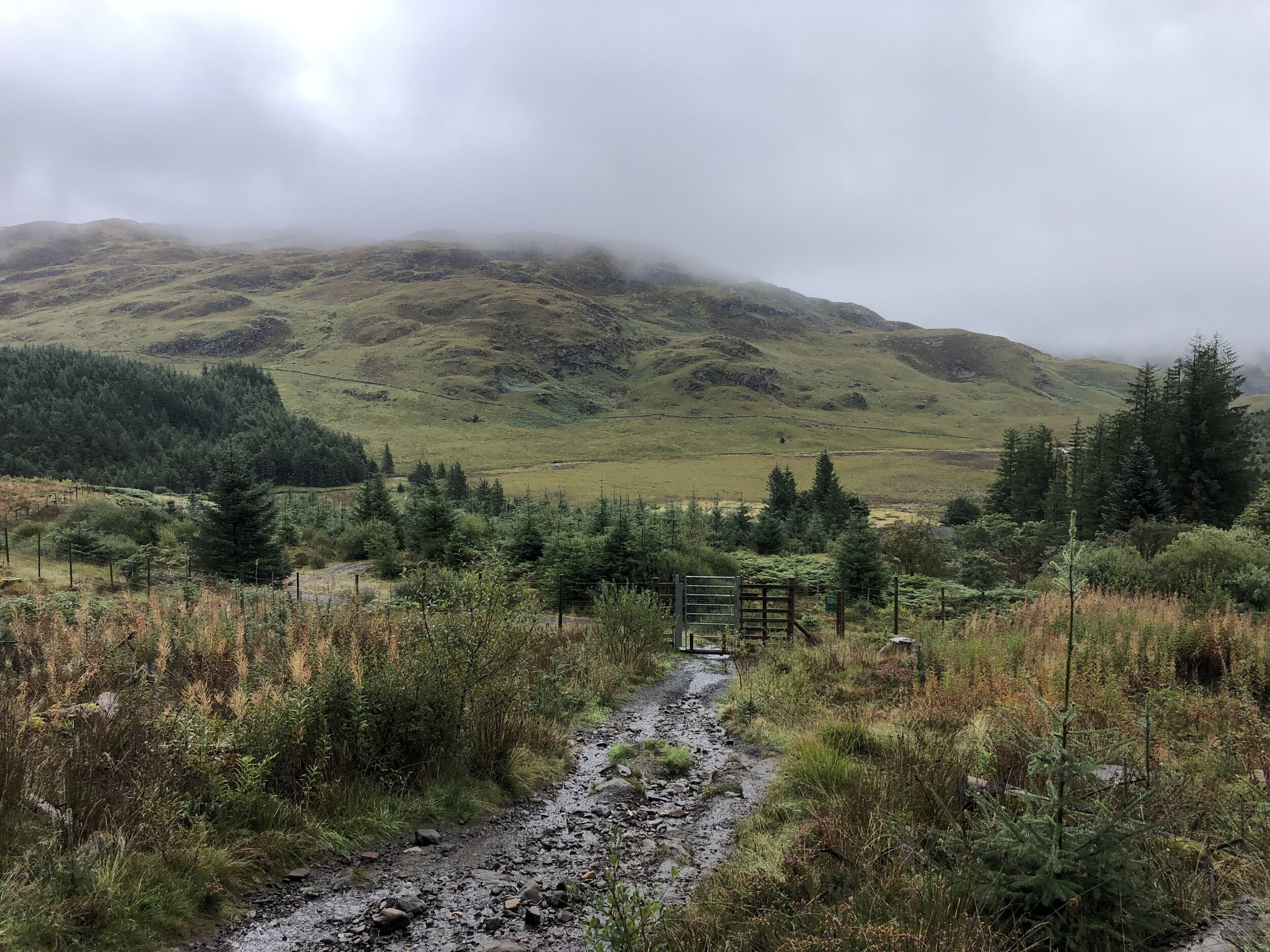
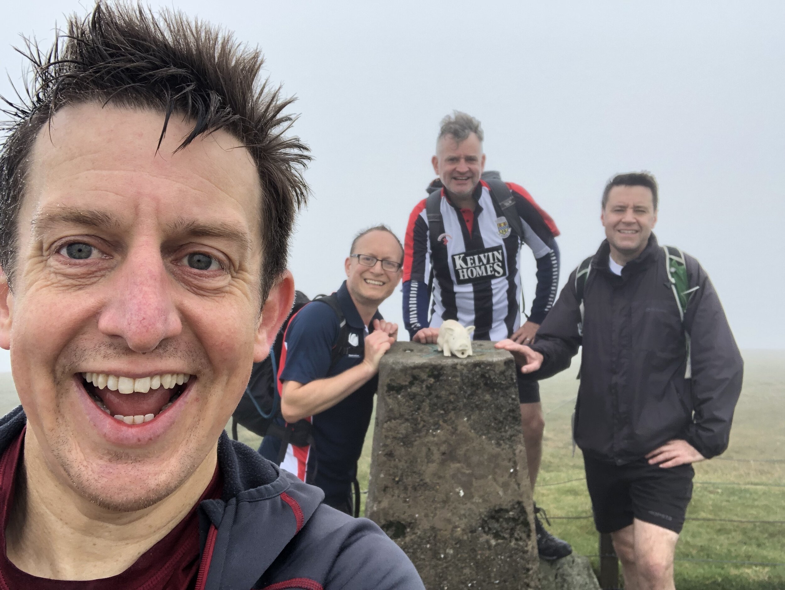
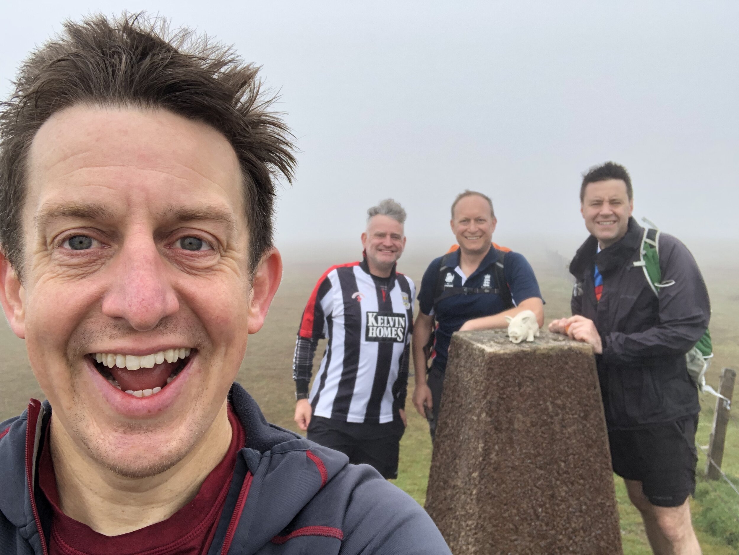
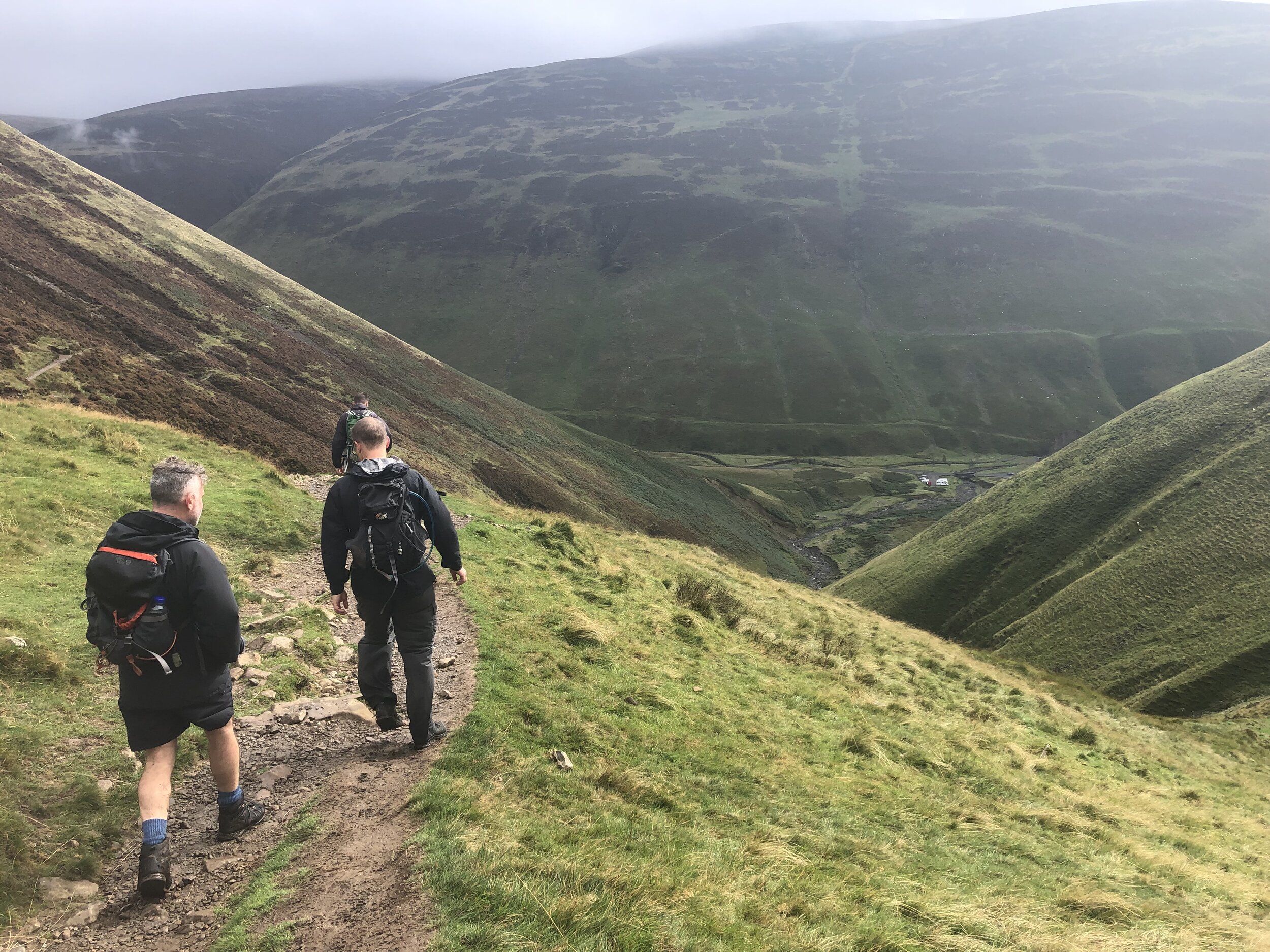
After an overnight in nearby Newton Stewart we tackled the big climb of the trip. Merrick is the highest point in the Historic County of Kirkcudbrightshire, the Present-Day County of Dumfries and Galloway and both the highest peak in the Southern Uplands and Southern Scotland.
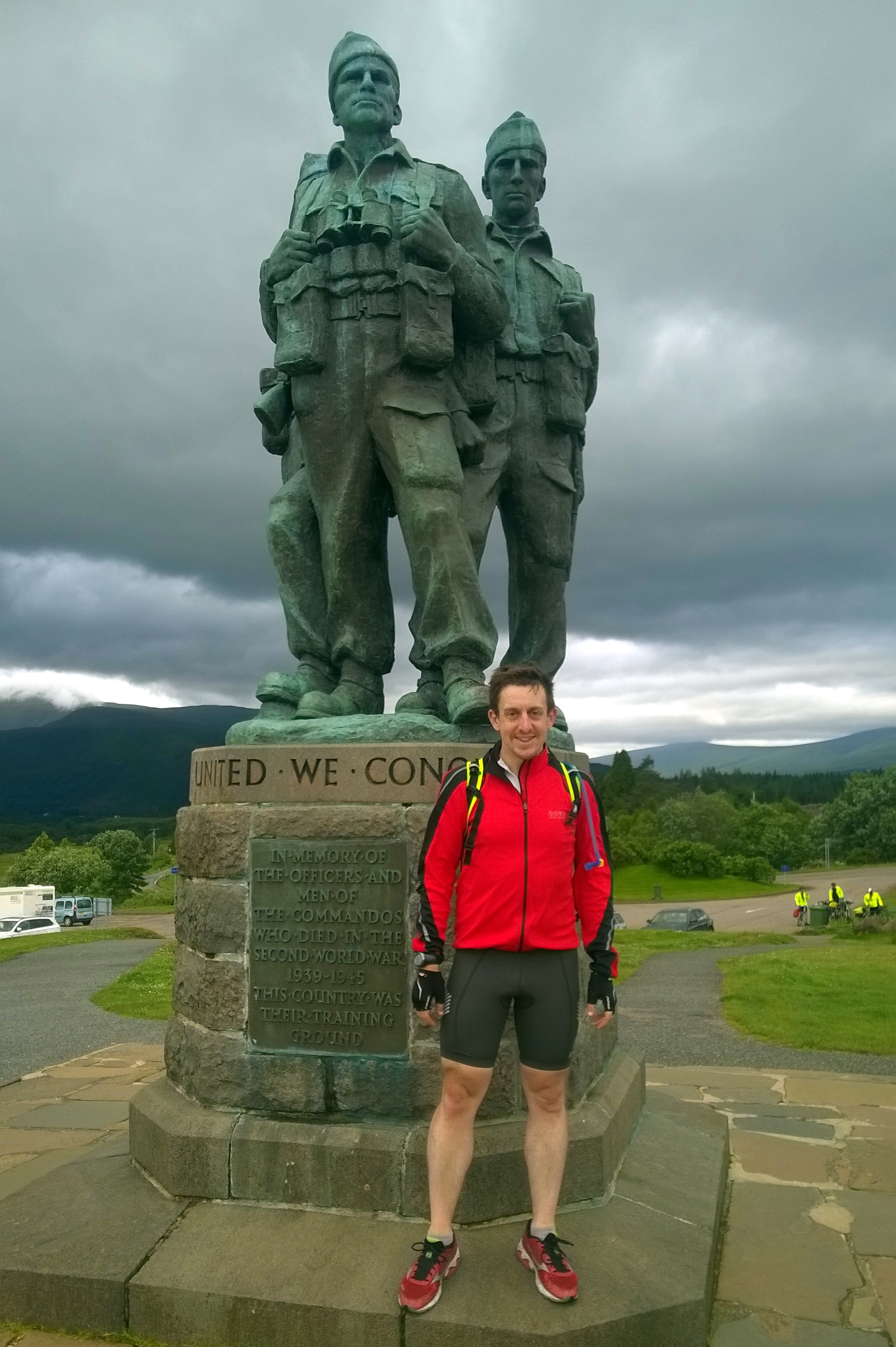
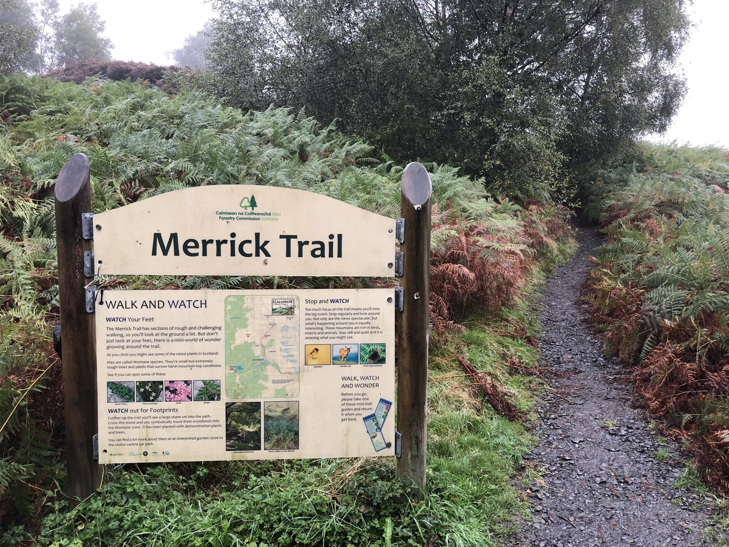
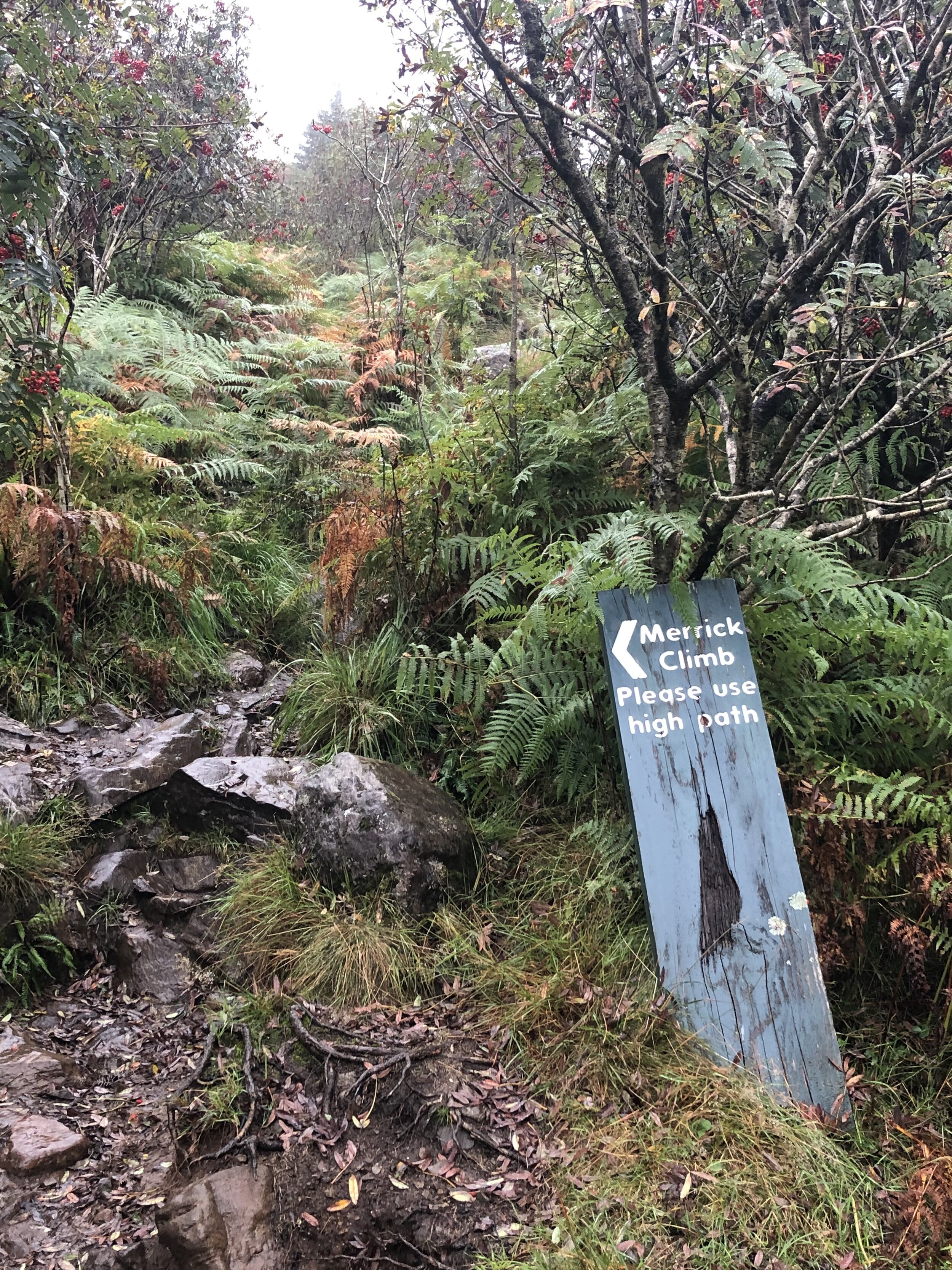
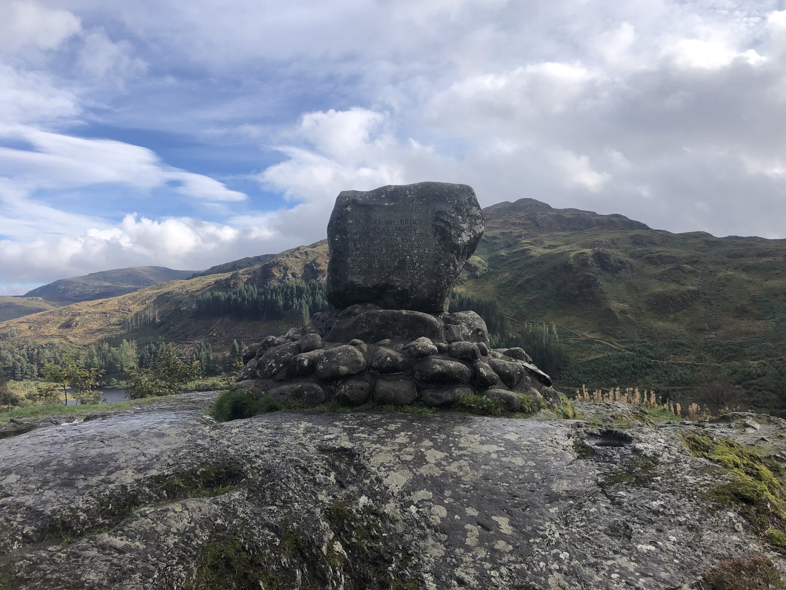
The Merrick Trail is a well marked path leading from Upper Bruce’s Stone Car Park to the summit. Before you start the walk, take 10 minutes to see the carved granite stone that commemorates victory over an English army during the Scottish Wars of Independence in 1307.
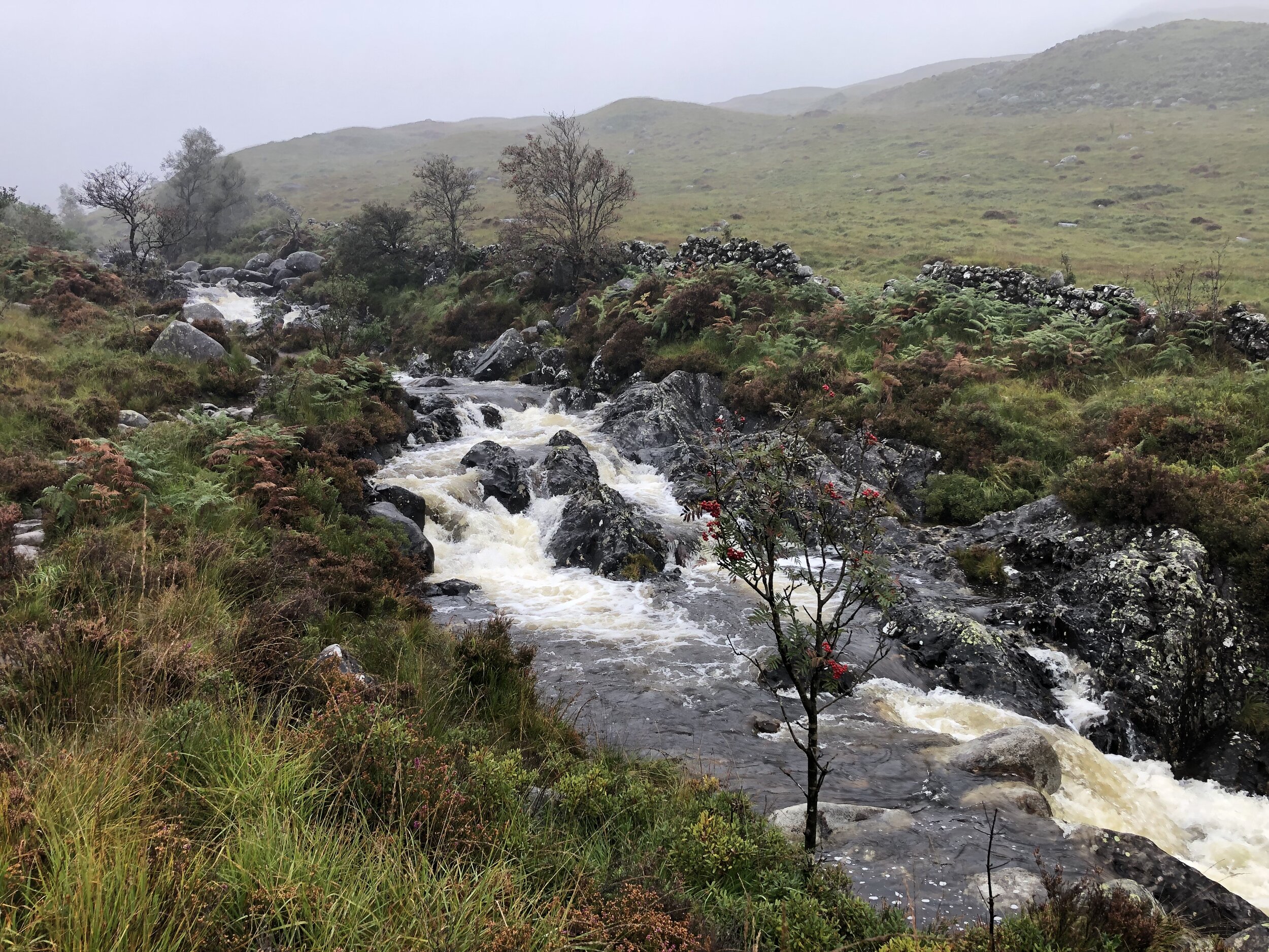
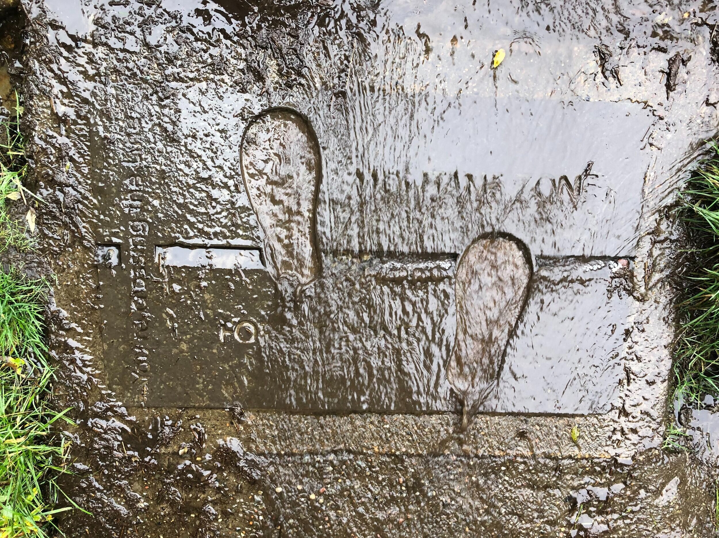
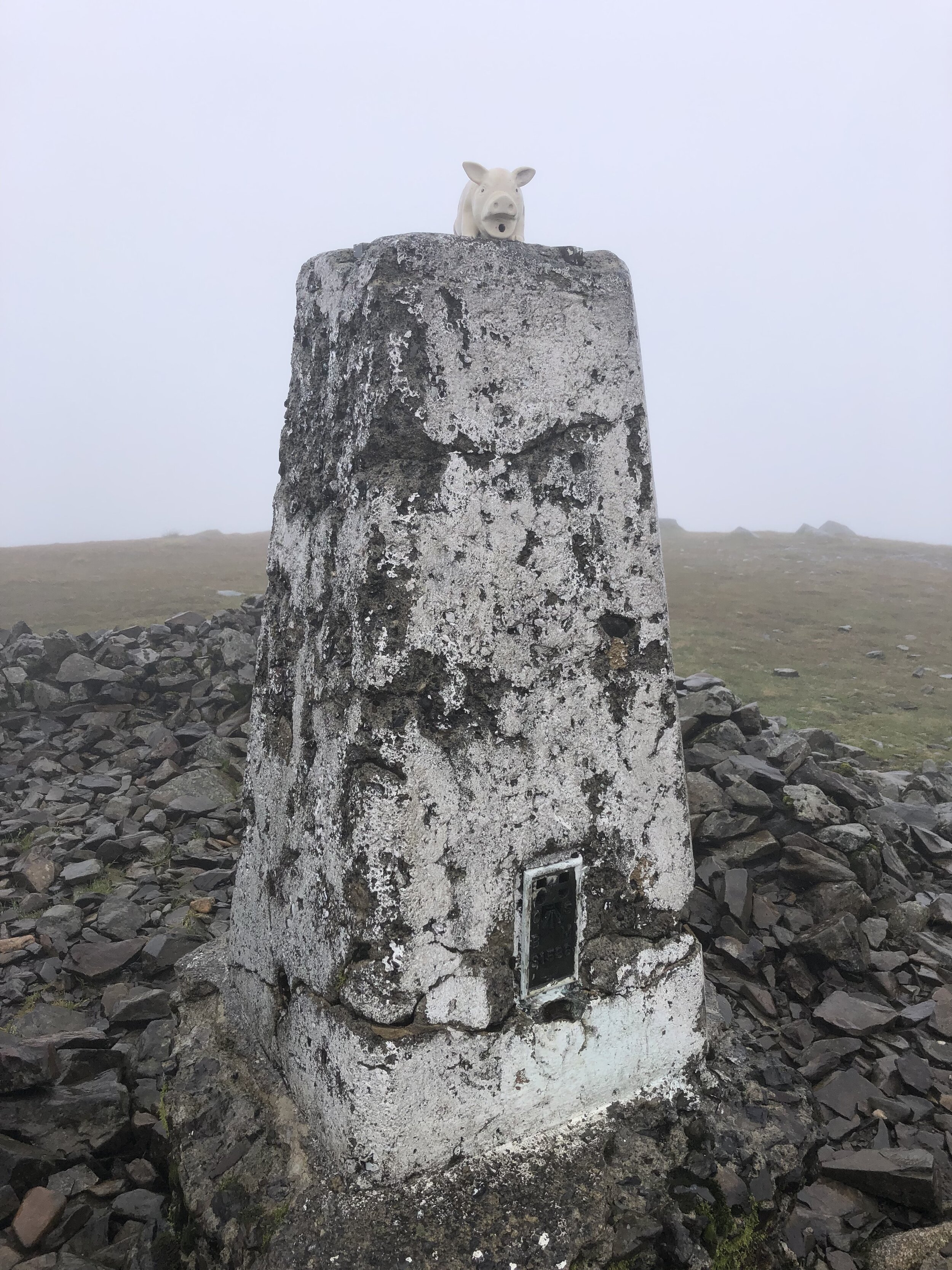
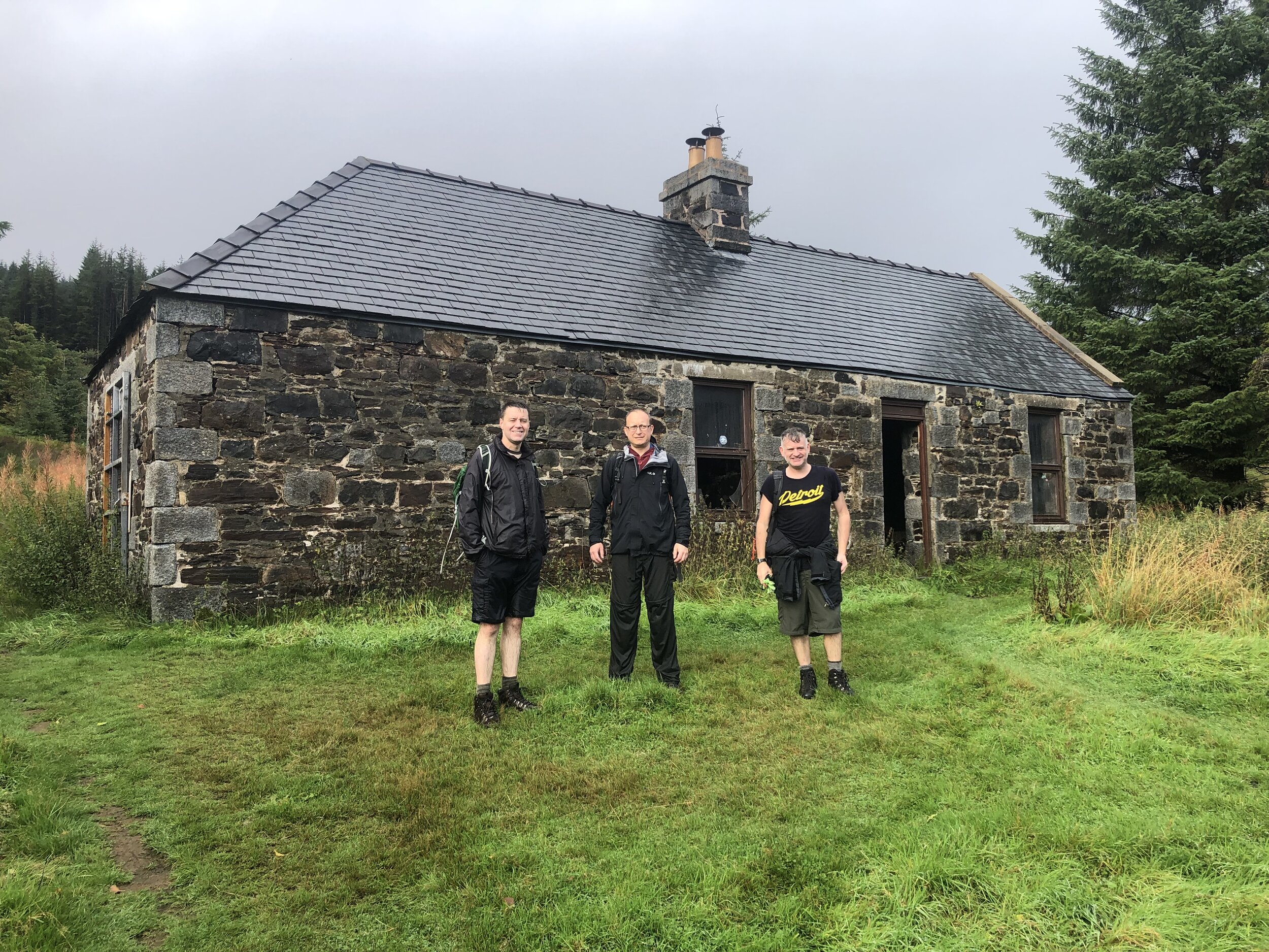
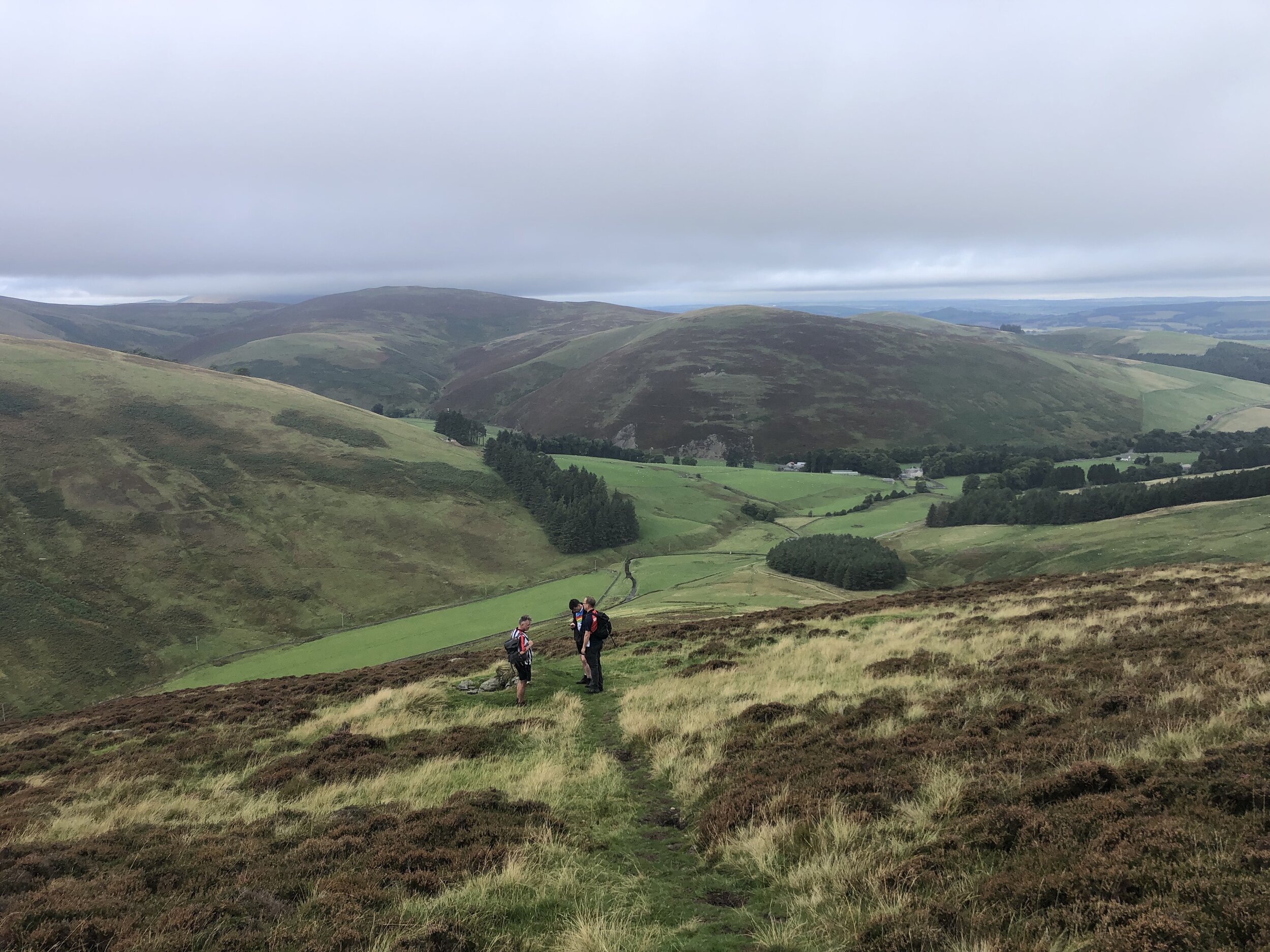
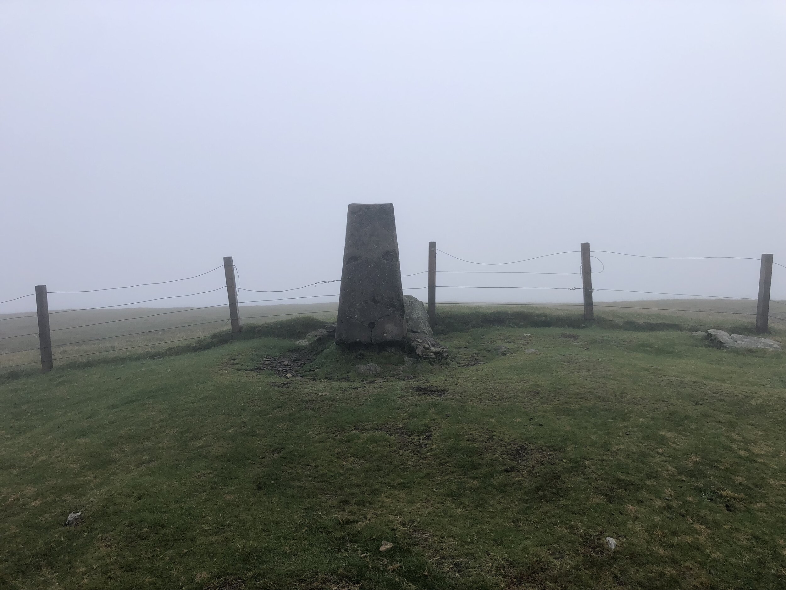
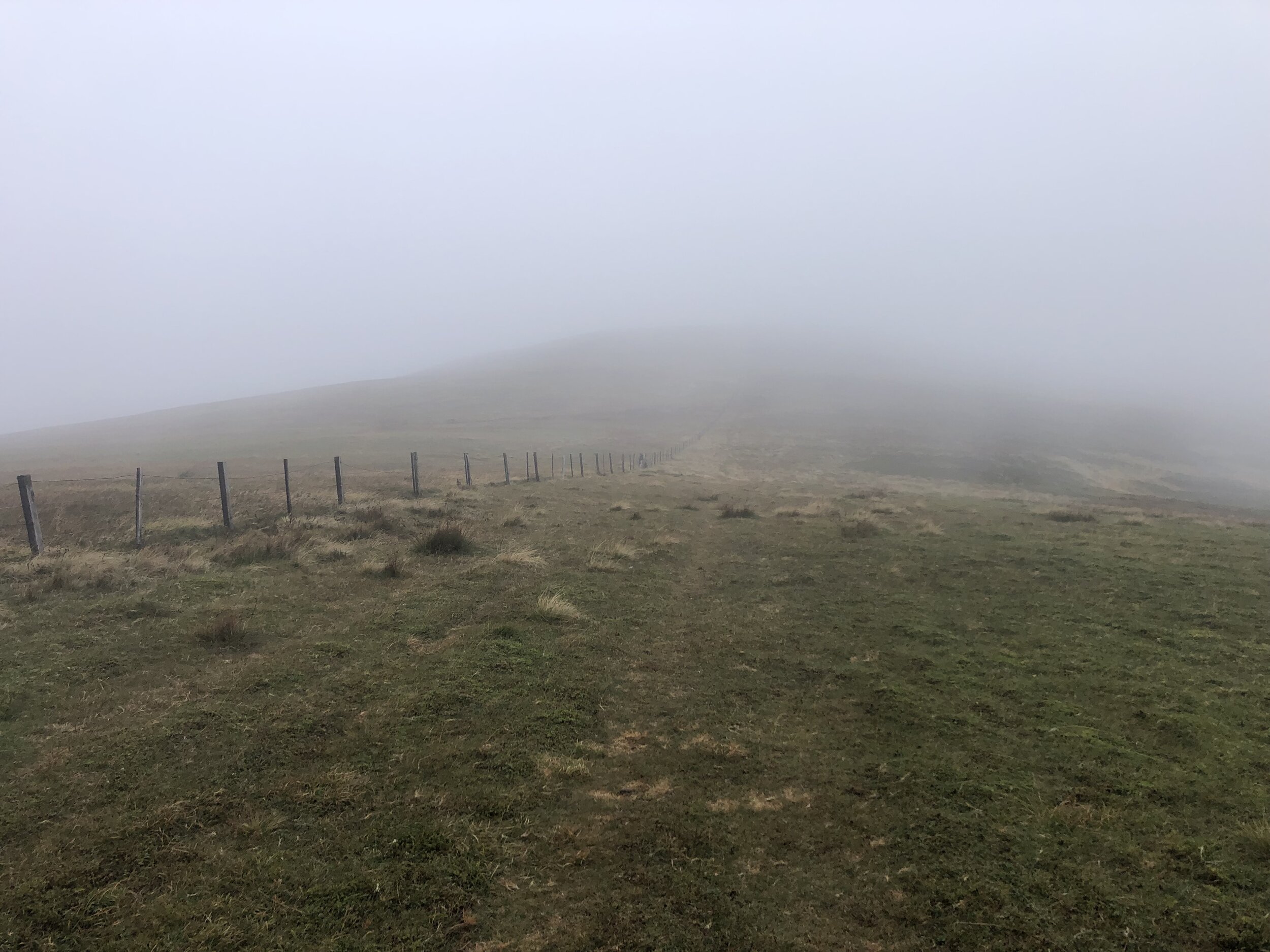
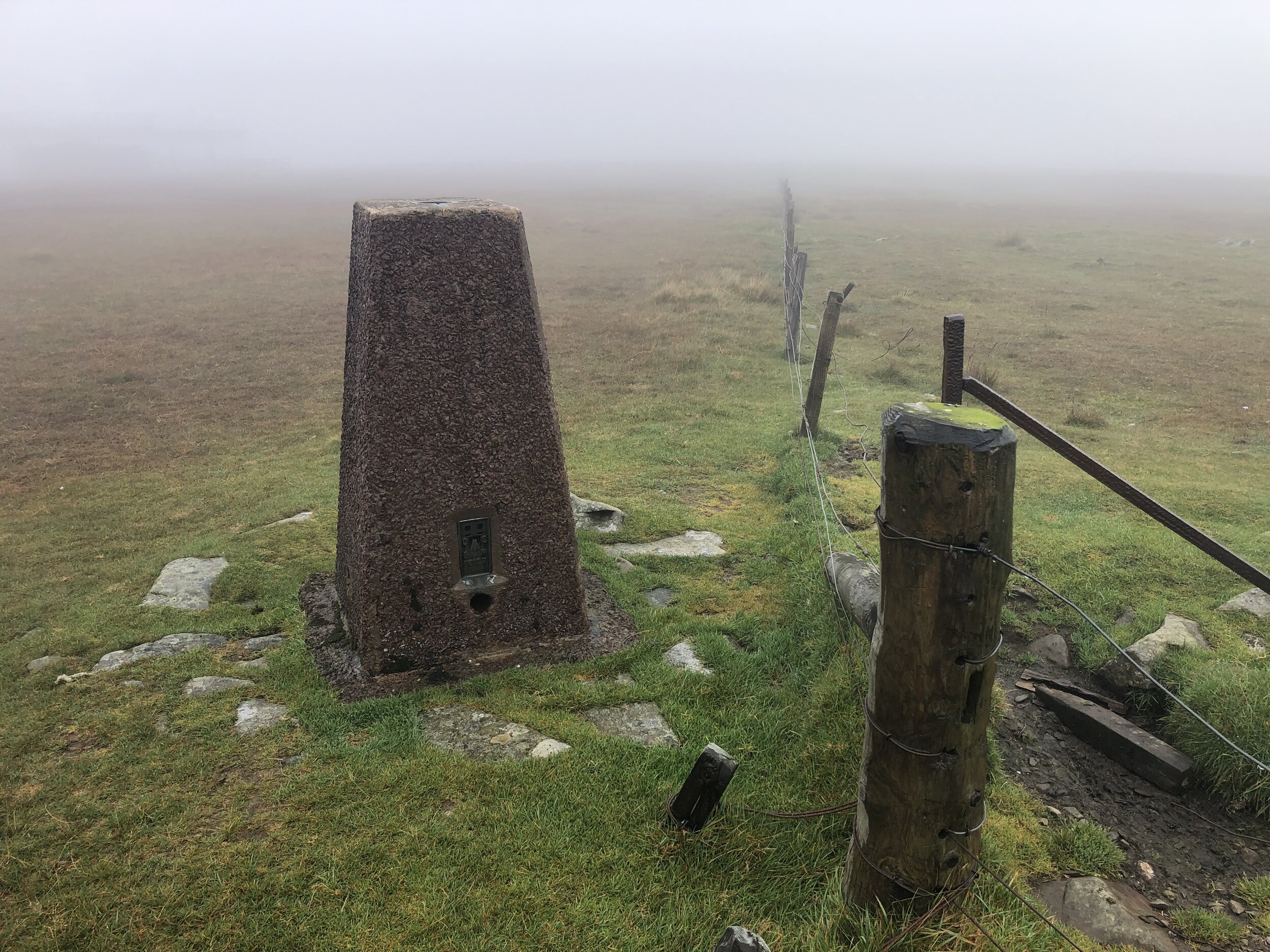
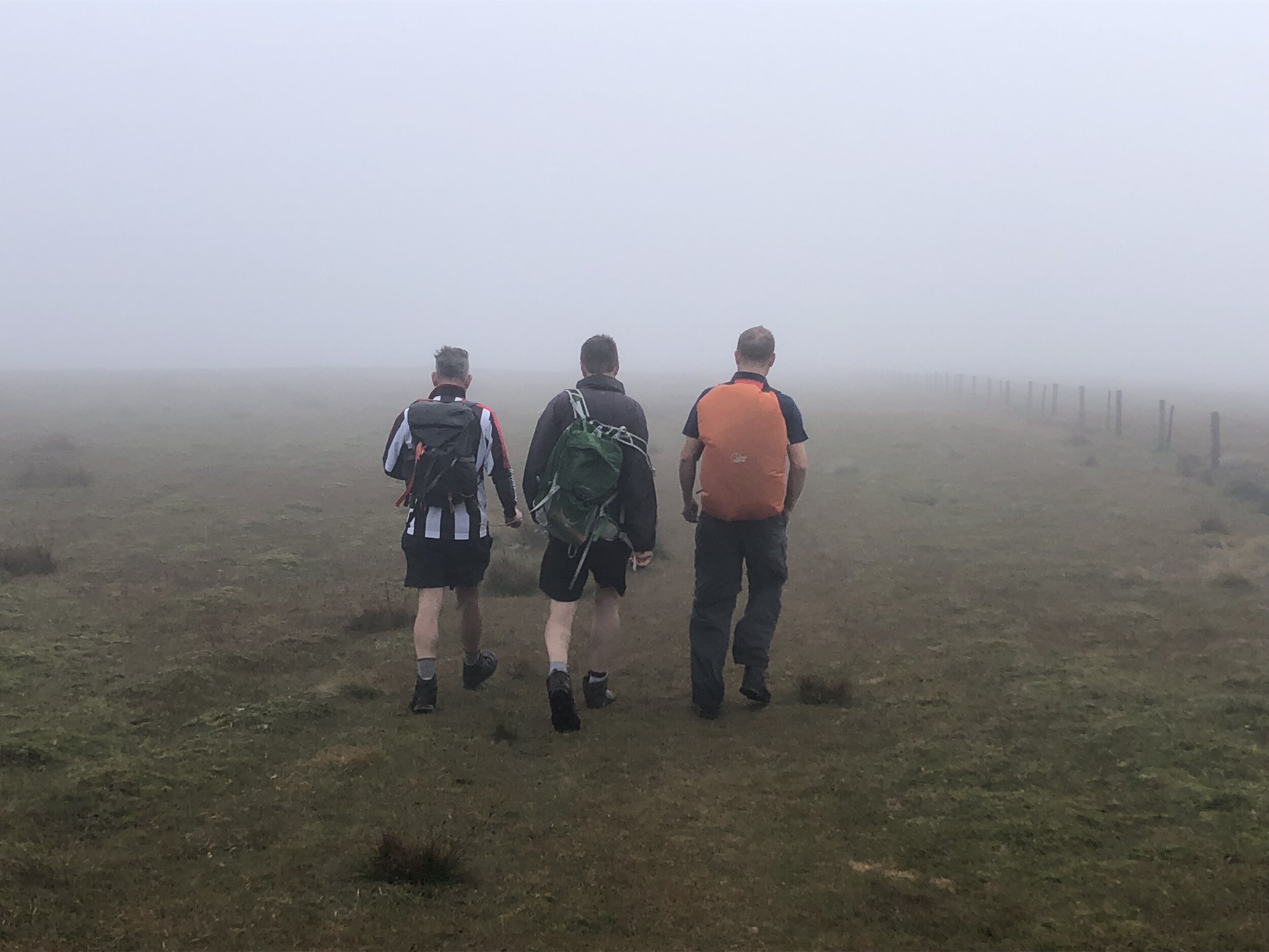
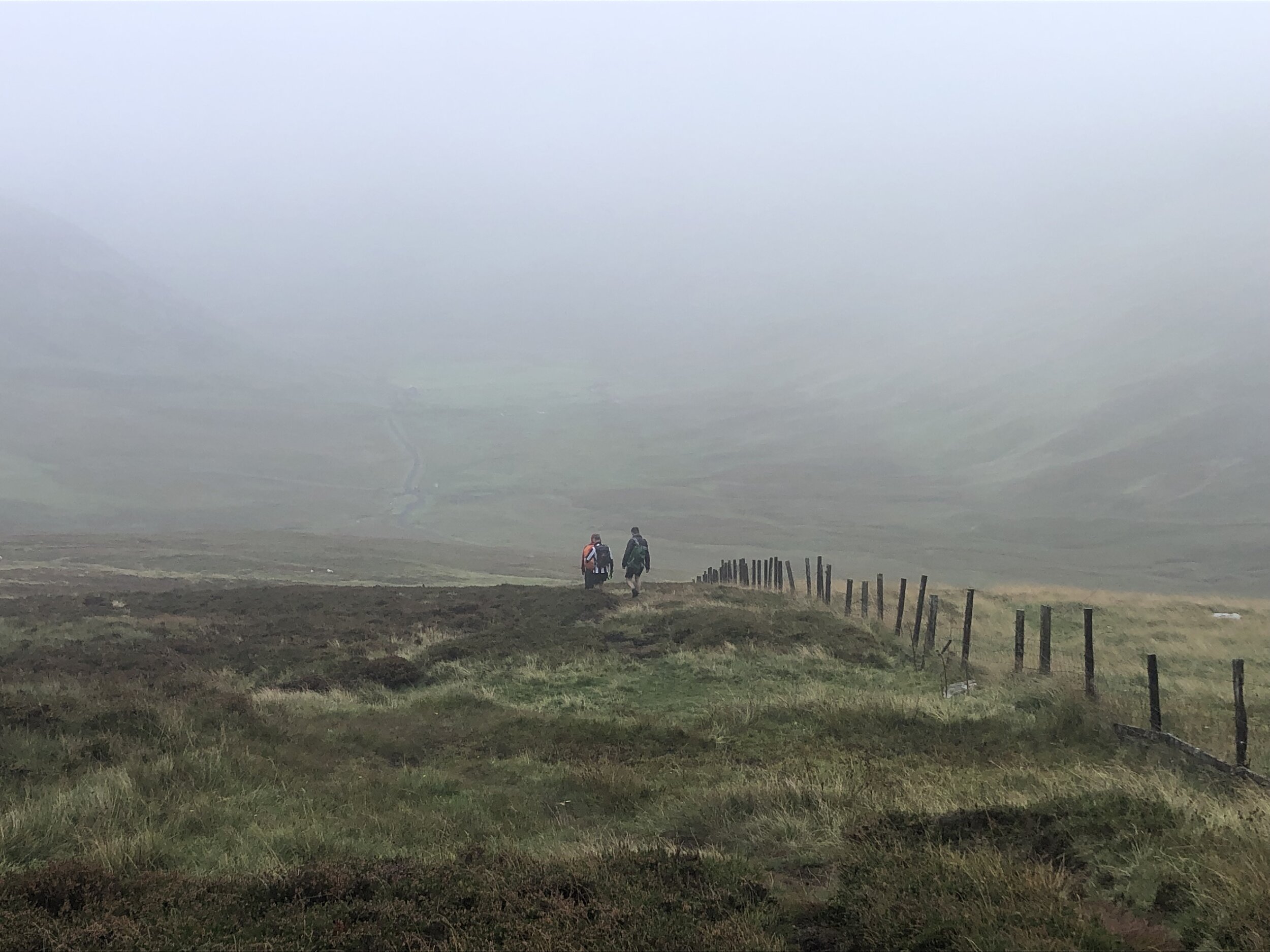
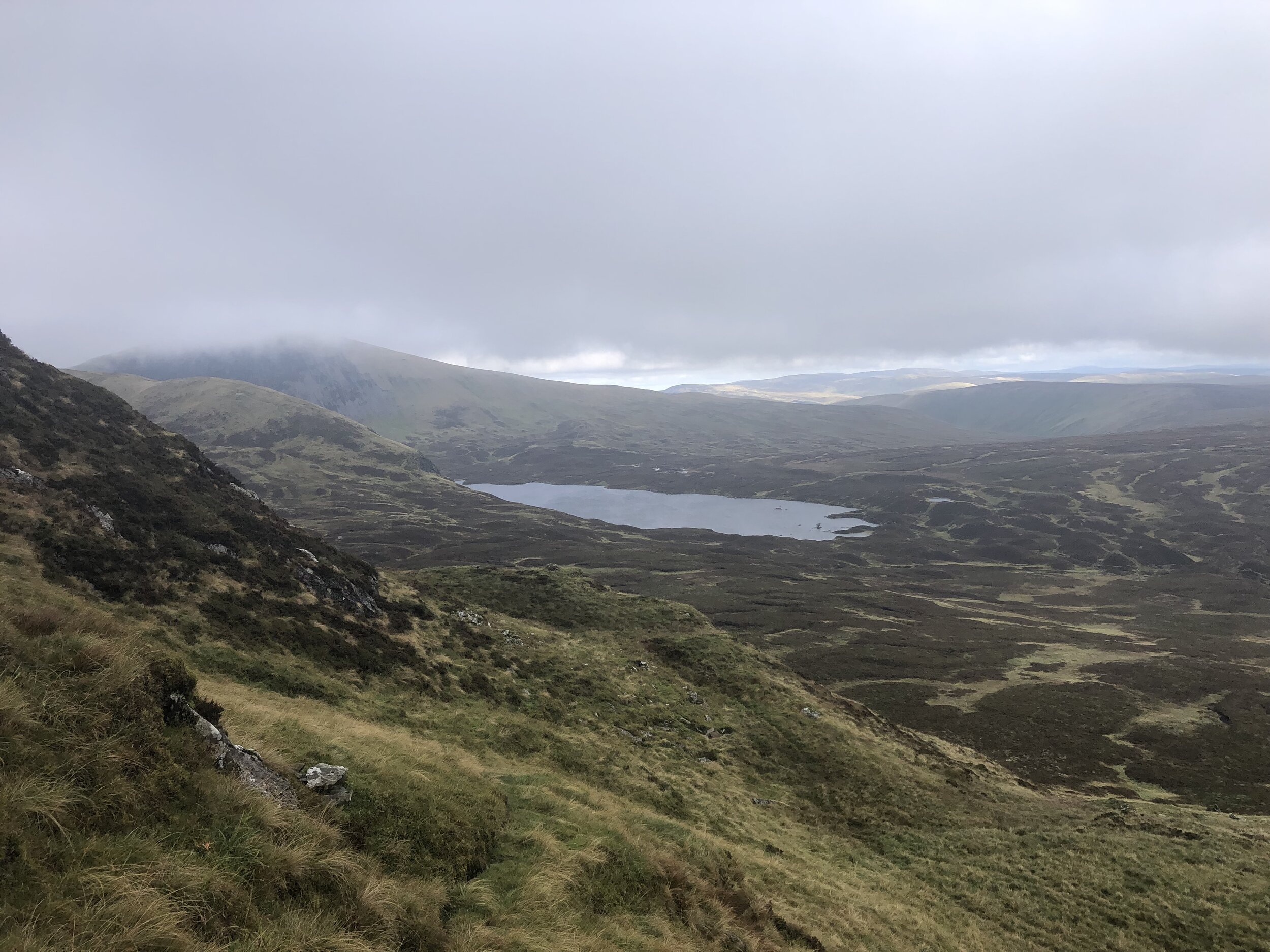
On a clear, warm day this would have been a wonderful walk. From the summit you can see Snowdon, 144 miles away on the longest line of sight in the British Isles. This wasn’t the day to see anything. After the bothy and the forest section, the mist turned to cloud and we only saw what was 10m in front of us. By the time we reached the Trig Pillar at the summit there was also strong wind and rain. This would have been a great time to turn back and head down to a warmer, clearer elevation.
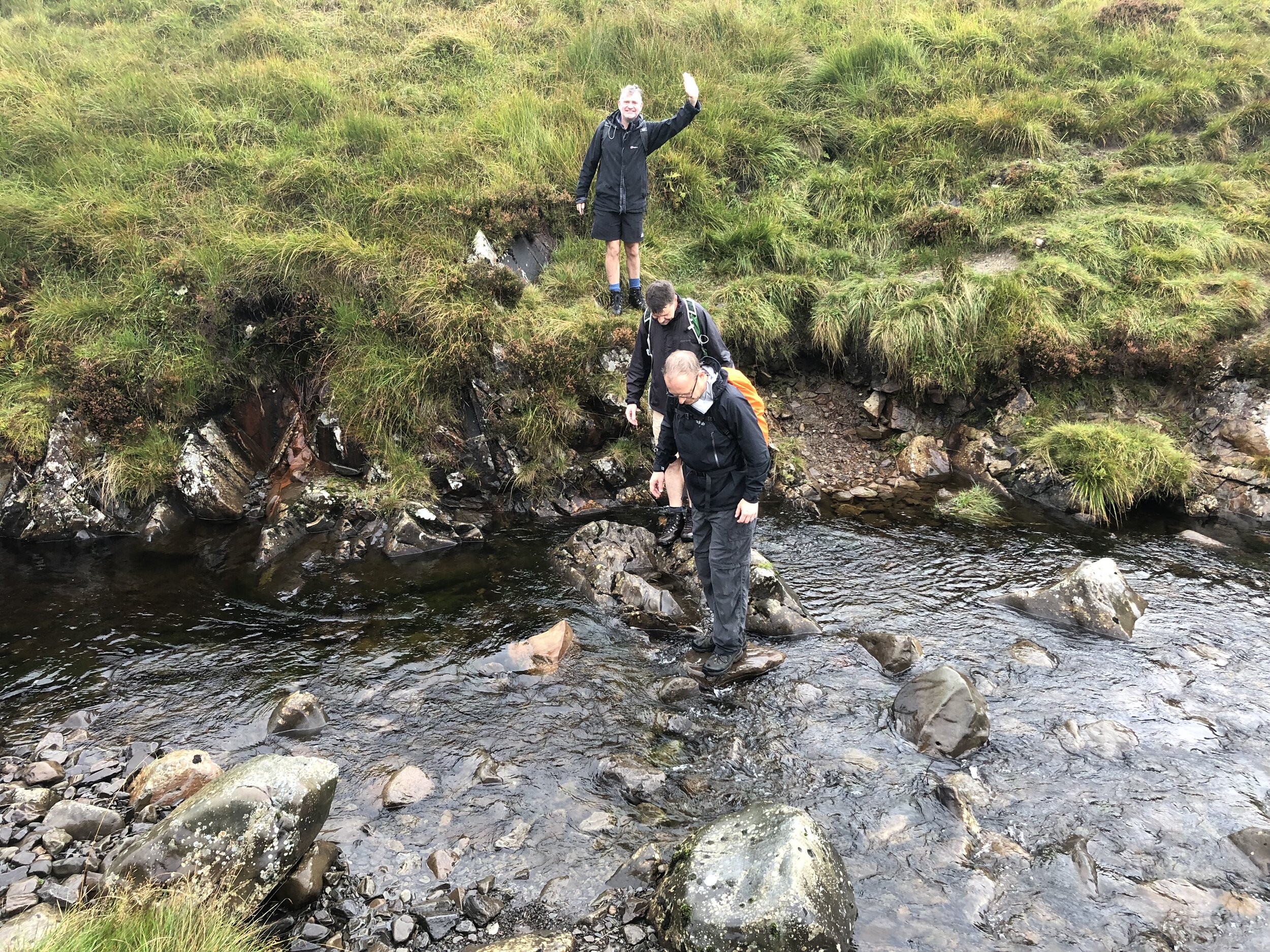
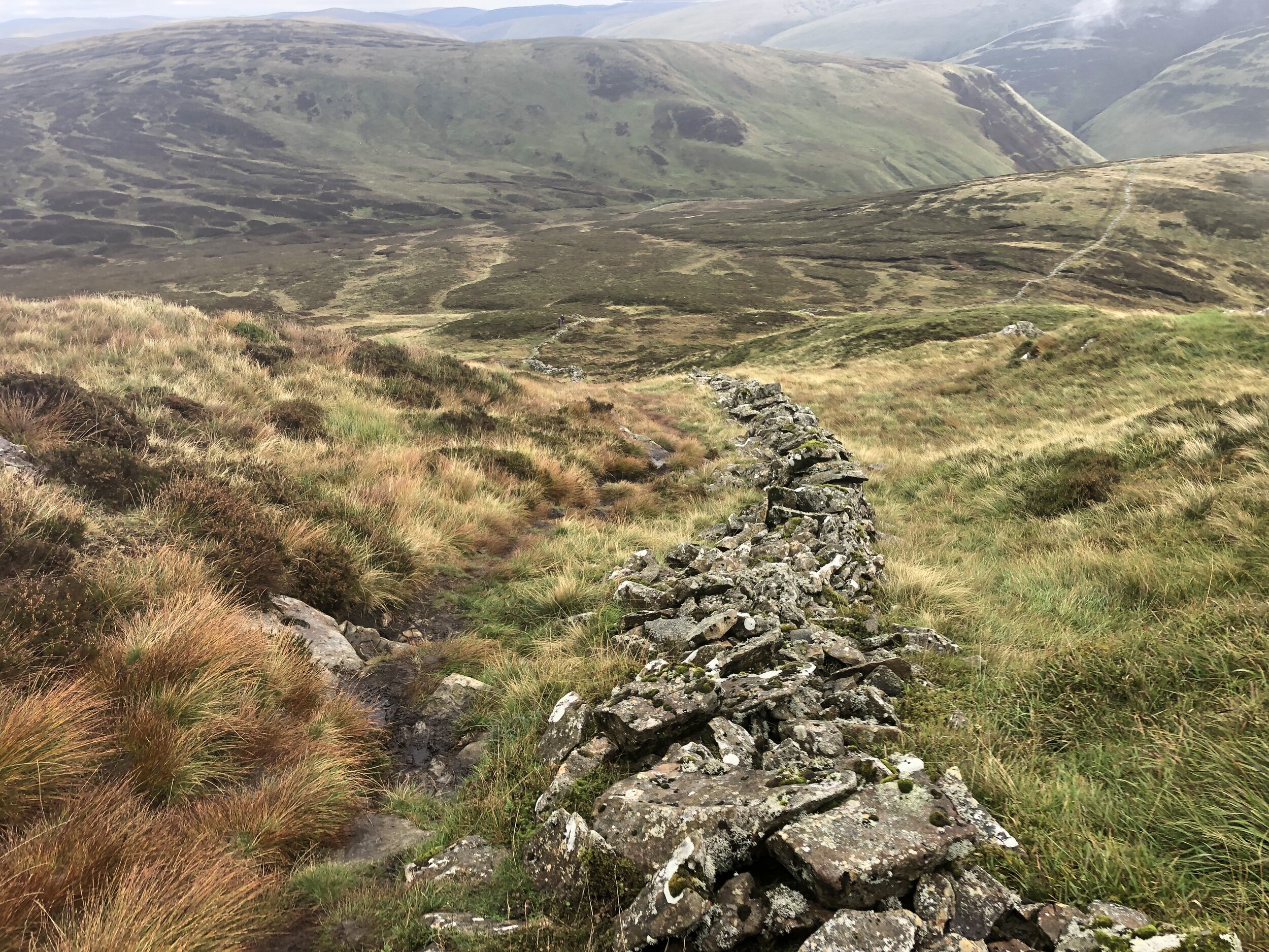
There was no turning back though as we still had another County Top to visit. The high point of Ayrshire is just beyond the summit of Kirriereoch Hill approximately 2km from the summit of Merrick. We relied on the GPX track as the path was hard to make out in the fog. Kirriereoch Hill’s summit is well marked by a pile of stones. From here, the County Top of Ayrshire is 100m to the north just beyond the remains of an old stone wall. The map on my phone showed the county boundary about 20m beyond the wall. Although it wasn’t completely clear exactly where the County Top was, we at least stopped by several possibilities.
From Kirriereoch Hill, the path continues north to a series of other summits. We had already got what we came for and turned back to re-trace our steps back over Merrick and down to the Bruce’s Stone. With the big one done, we drove 2 hours north-east to Strathaven, our overnight stop before the next set of peaks.


Culter Fell
Significance: Highest peak in Lanarkshire (Historic CT), Highest peak in South Lanarkshire(Present Day CT)
Member of: Marilyn, Graham, Donald
Parent Peak: Broad Law
Elevation: 748m
Date climbed: 25th September 2021
Coordinates: 55° 32' 46'' N, 3° 30' 10'' W
Route Start / End: Layby on right hand side of minor road south of Culter Allers Farm
Route Distance: 7.1 km (4.4 miles)
Route Elevation Change: +/- 484m
Subsidiary tops on route: None
GPX File: get via Buy Me a Coffee
Other routes touched (walk): None
Other routes touched (cycle): None
OS Trig Pillar: TP2681 - Culter Fell
Map: OS Explorer Map 336 Biggar and Broughton
Guidebook: The UK's County Tops (Jonny Muir)
Links: Wikipedia (Lanarkshire), Wikipedia (South Lanarkshire), Wikipedia (Culter Fell), Peakbagger, Hillbagging
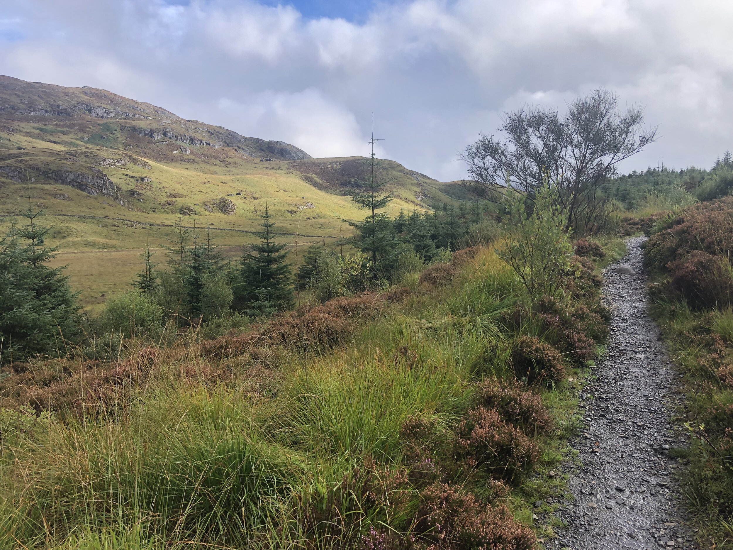
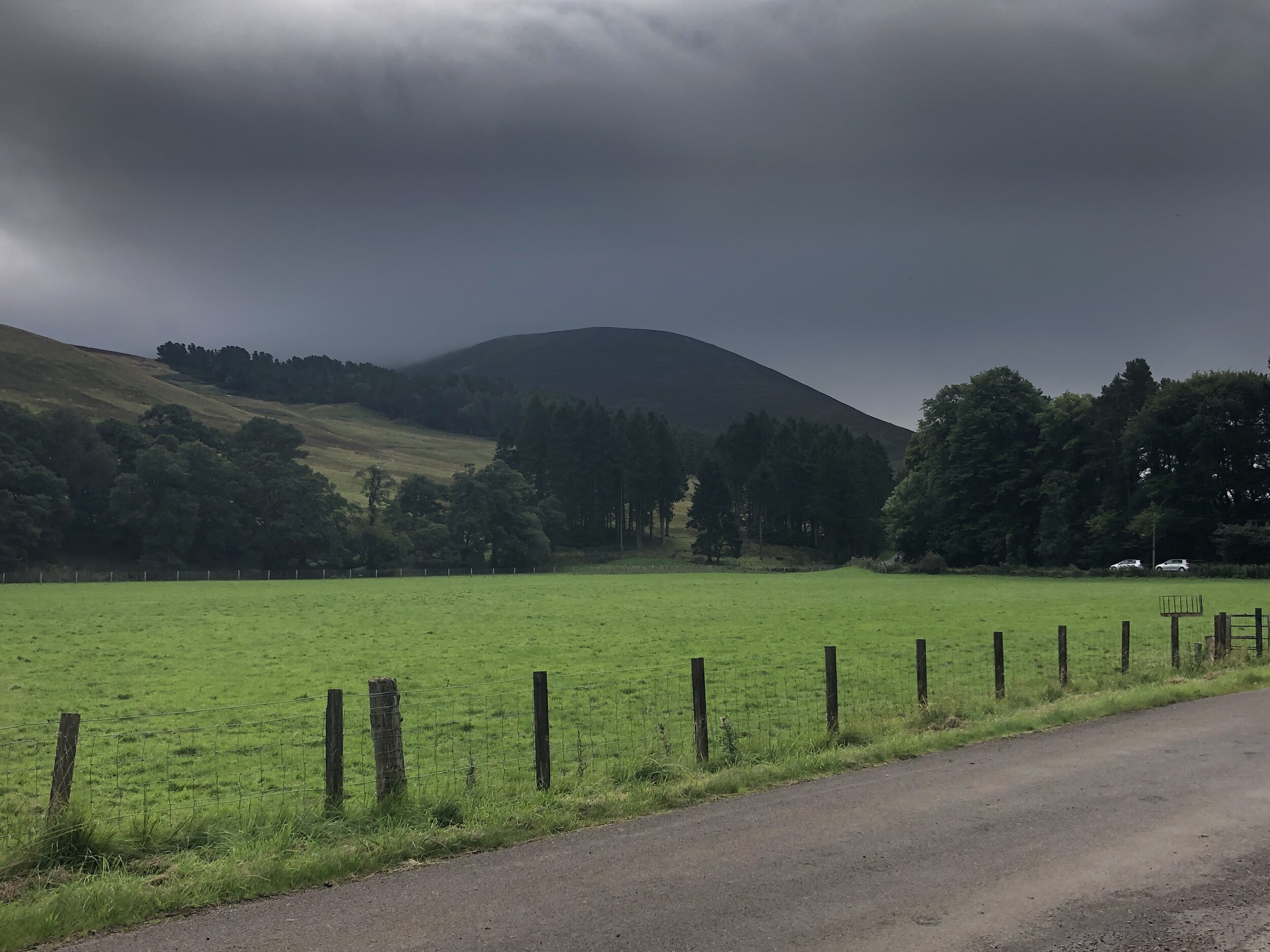
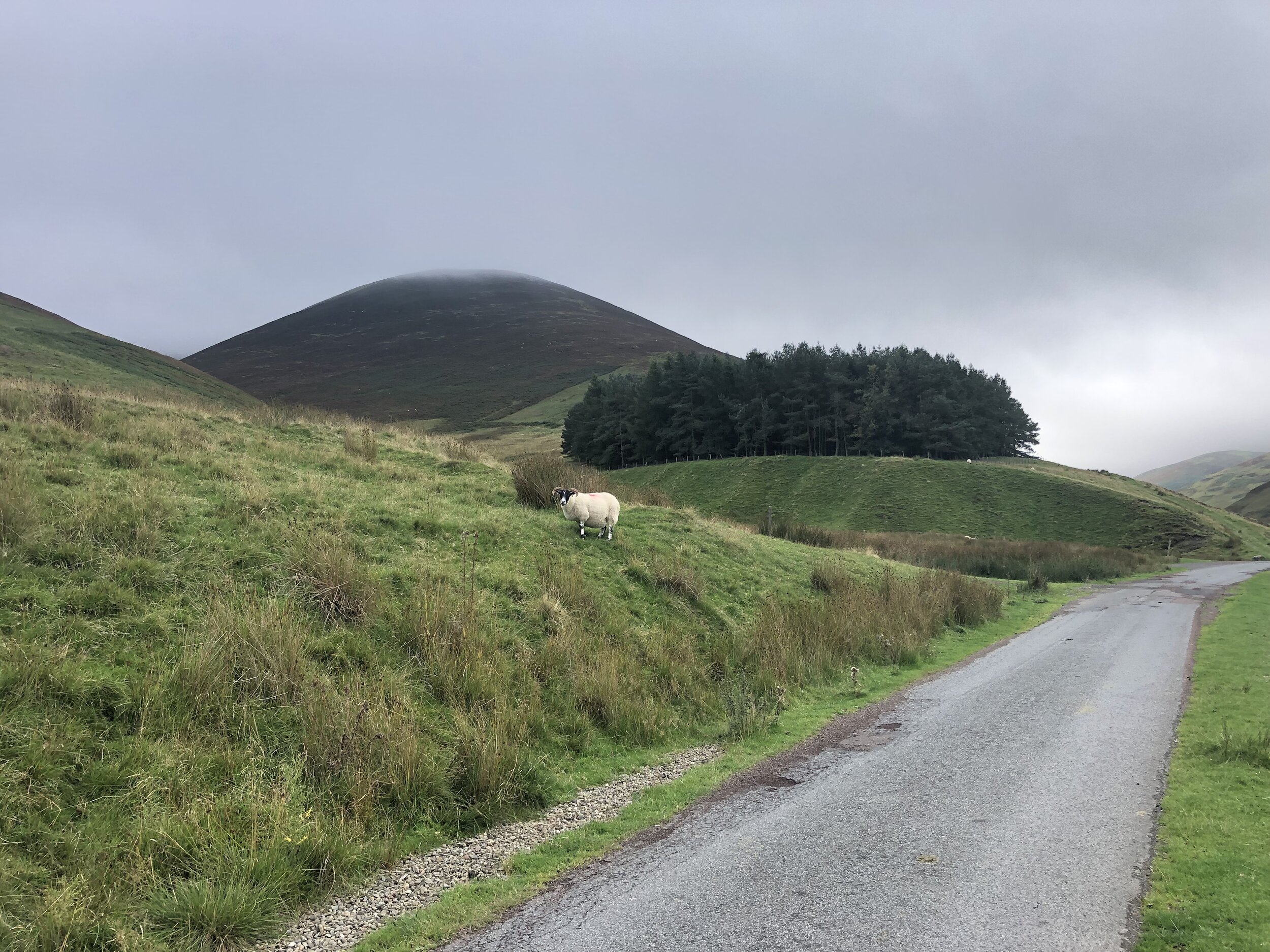
Culter Fell was our first of 3 peaks, covering 4 counties, located close together to the north-east of Moffat. It’s possible to do all three on a single day with an early start and enough light. It was a Saturday and we also needed to get in a parkrun, so we did a combination of Lanark Moor parkrun, with Culter Fell and Broad Law.
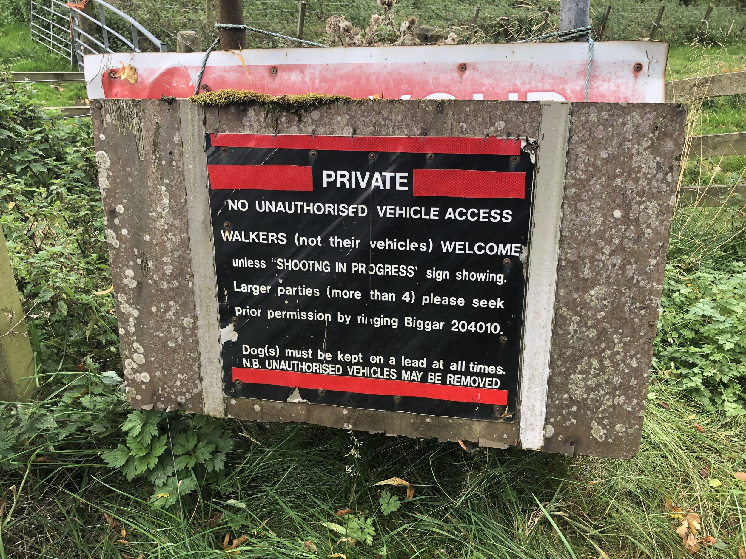
There’s enough parking for several cars on a large layby near Culter Allers Farm. From here you can follow the road south, crossing over Culter Water stream. You’re now on private land which is open to walkers but occasionally closed for shooting. You can call 01899 204010 to check access or to request permission for groups of over 4.
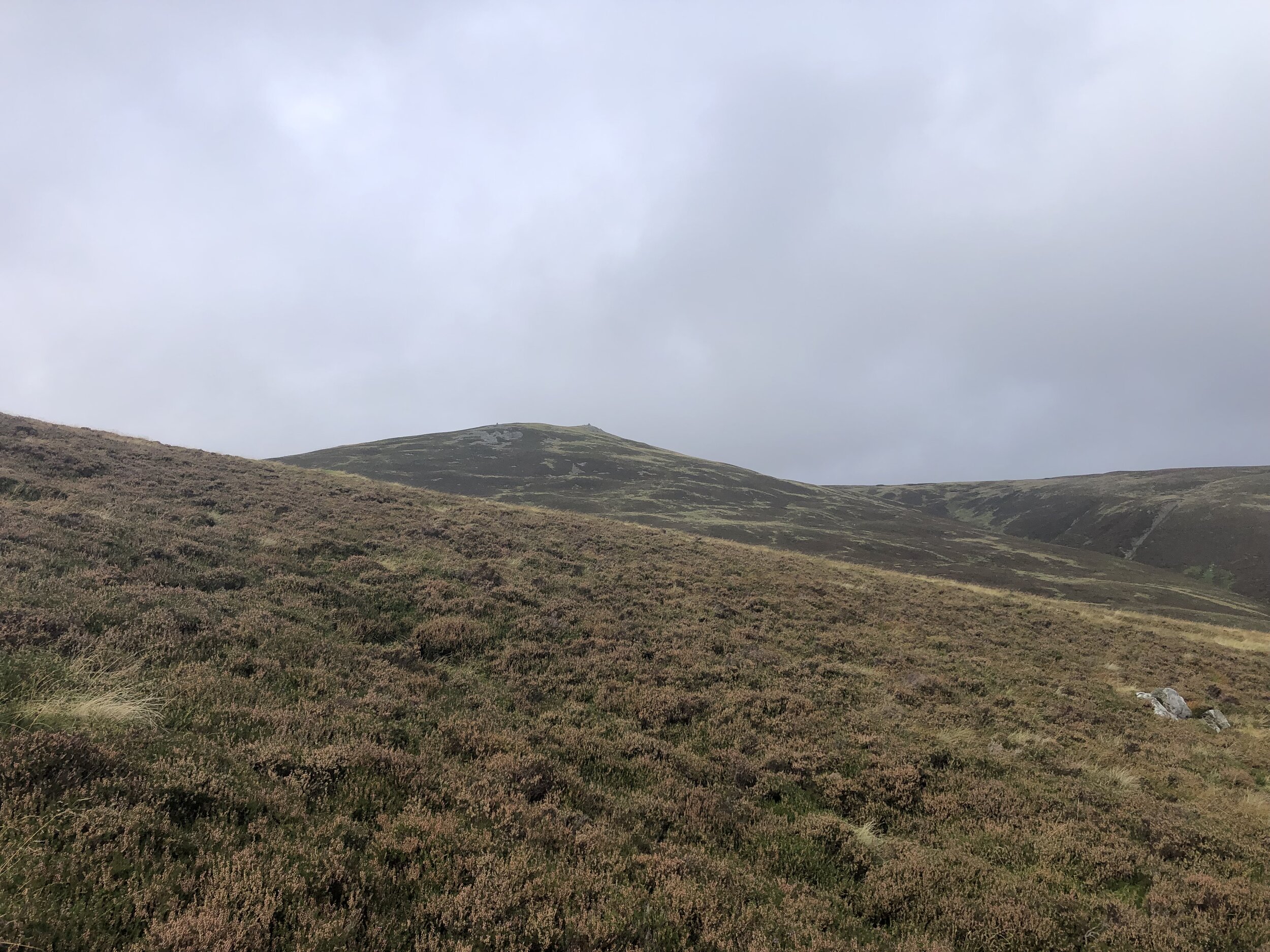
Approximately 1km from the layby leave the road and follow a track, then a path, ascending to the south-east. The path to the Trig Pillar at the summit is well marked and difficult to miss even in low visibility as we had. Options at the summit are to return the same way, as we did, or continue south, then south-west to Coulter Head Reservoir and return back along the road.


Broad Law
Significance: Highest peak in Peeblesshire and Selkirkshire (Historic CT)
Member of: Marilyn, Corbett, Donald
Parent Peak: Merrick
Elevation: 840m
Date climbed: 25th September 2021
Coordinates: 55° 29' 53'' N, 3° 21' 10'' W
Route Start / End: Layby next to Megget Stone, Biggar, ML12 6QR
Route Distance: 7.4 km (4.6 miles)
Route Elevation Change: +/- 372m
Subsidiary tops on route: None
GPX File: get via Buy Me a Coffee
Other routes touched (walk): None
Other routes touched (cycle): None
OS Trig Pillar: TP1647 - Broad Law
Map: OS Explorer Map 330 Moffat and St Mary's Loch
Guidebook: The UK's County Tops (Jonny Muir)
Links: Wikipedia (Peeblesshire), Wikipedia (Selkirkshire), Wikipedia (Broad Law), Peakbagger, Hillbagging
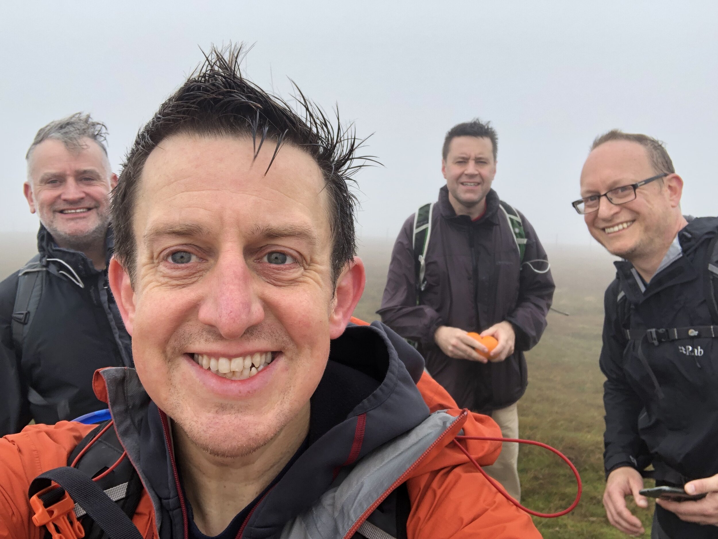
Looking back on our Broad Law walk a week after we did it, it’s hard to distinguish it from our Culter Fell walk. With a similar distance, elevation change and exactly the same thick fog, both have blurred into one. With better visibility I’m sure the view from Broad Law would have been impressive given its height, just 3m lower than Merrick. We couldn’t even see the large air navigation beacon close to the Trig Pillar on the summit.
Navigation is very easy as the path follows the boundary fence all the way from the road to the summit. The fence is low at the top making it very easy to cross the border to make sure you’ve bagged both of the County Tops on this peak.
White Coomb, our next peak is less than 9km as the crow flies from the Broad Law summit or a 30 minute drive between each parking spot. We’d had enough adventure for one day so came back the following day for the final peak of the trip.
Note that Dun Rig is another contender for the Historic County Top of the former county of Selkirkshire. See the reference to this in the Wikipedia article for Broad Law for details. Although I might return to bag that one later for completeness, I’m happy to claim Selkirkshire for now based on following the list in Jonny Muir’s UK County Tops book.


White Coomb
Significance: Highest peak in Dumfriesshire (Historic CT)
Member of: Marilyn, Corbett, Donald
Parent Peak: Broad Law
Elevation: 821m
Date climbed: 26th September 2021
Coordinates: 55° 25' 21'' N, 3° 19' 25'' W
Route Start / End: National Trust for Scotland Car Park, Grey Mare's Tail Nature Reserve, Moffat Water Valley, DG10 9LP
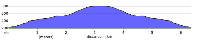
Route Distance: 6.3 km (3.9 miles)
Route Elevation Change: +/- 575m
Subsidiary tops on route: None
GPX File: get via Buy Me a Coffee
Other routes touched (walk): None
Other routes touched (cycle): None
Map: OS Explorer Map 330 Moffat and St Mary's Loch
Guidebook: The UK's County Tops (Jonny Muir)
Links: Wikipedia (Dumfriesshire), Wikipedia (White Coomb), Peakbagger, Hillbagging

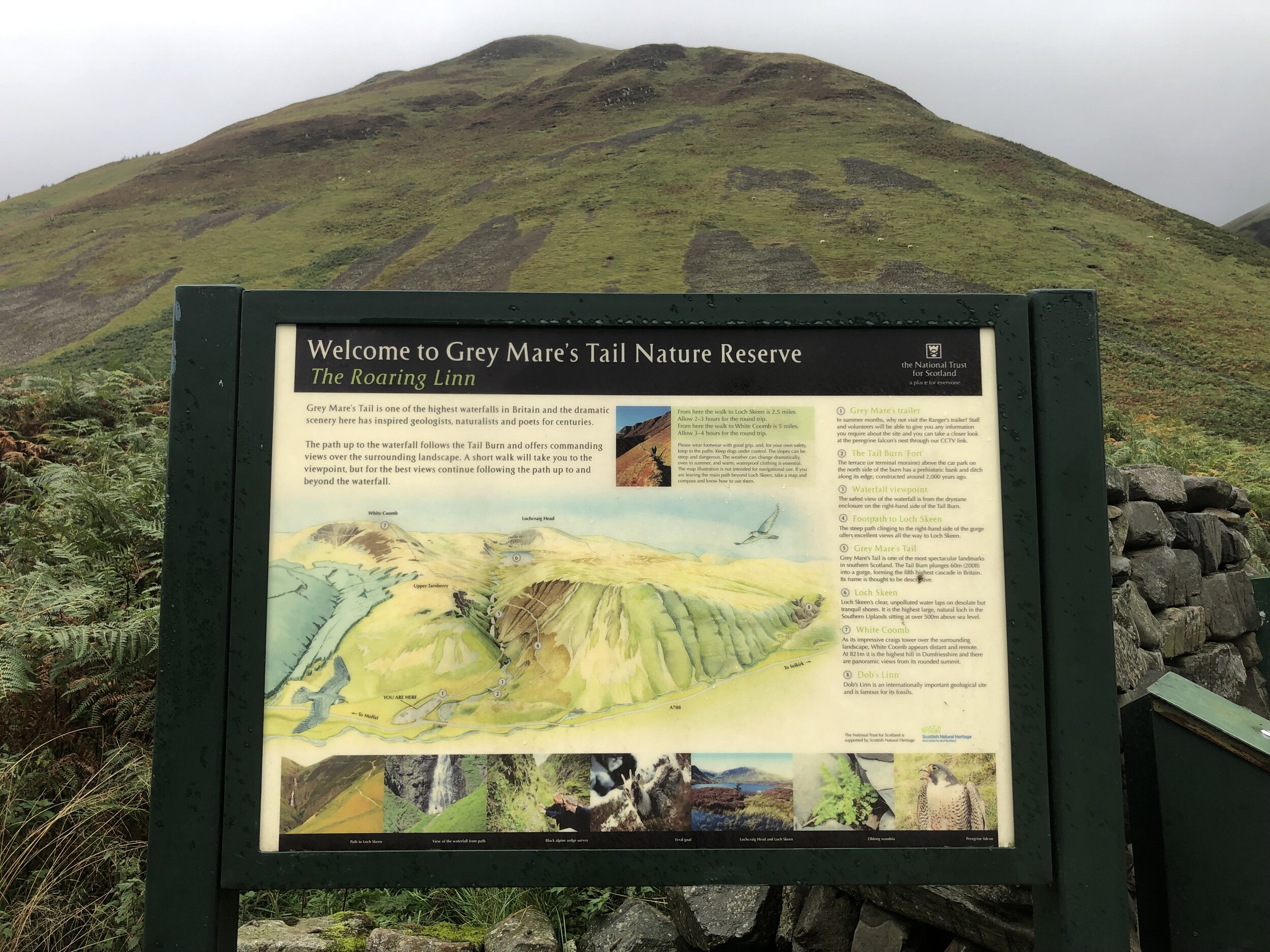
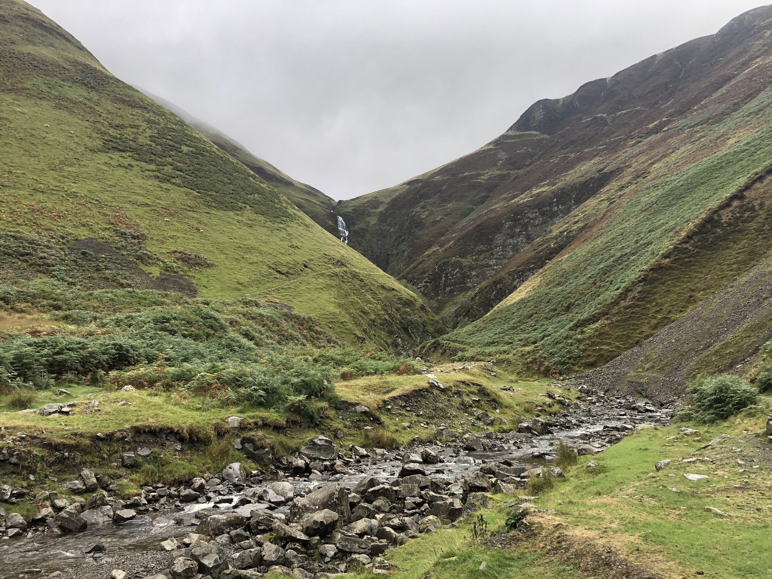
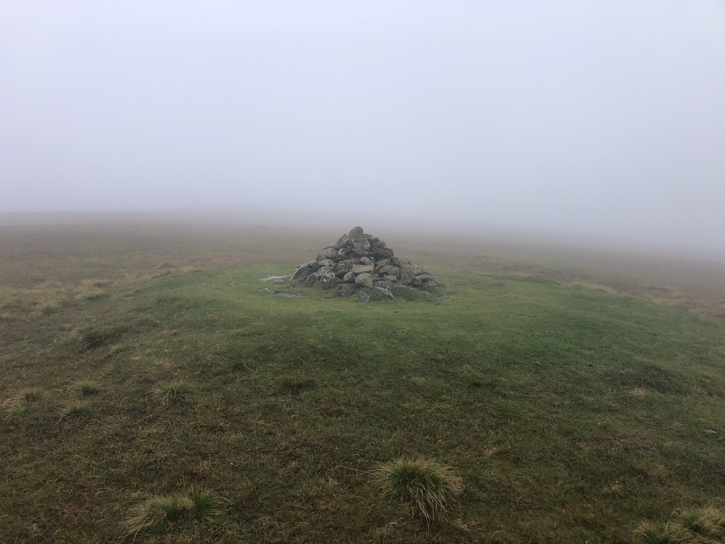

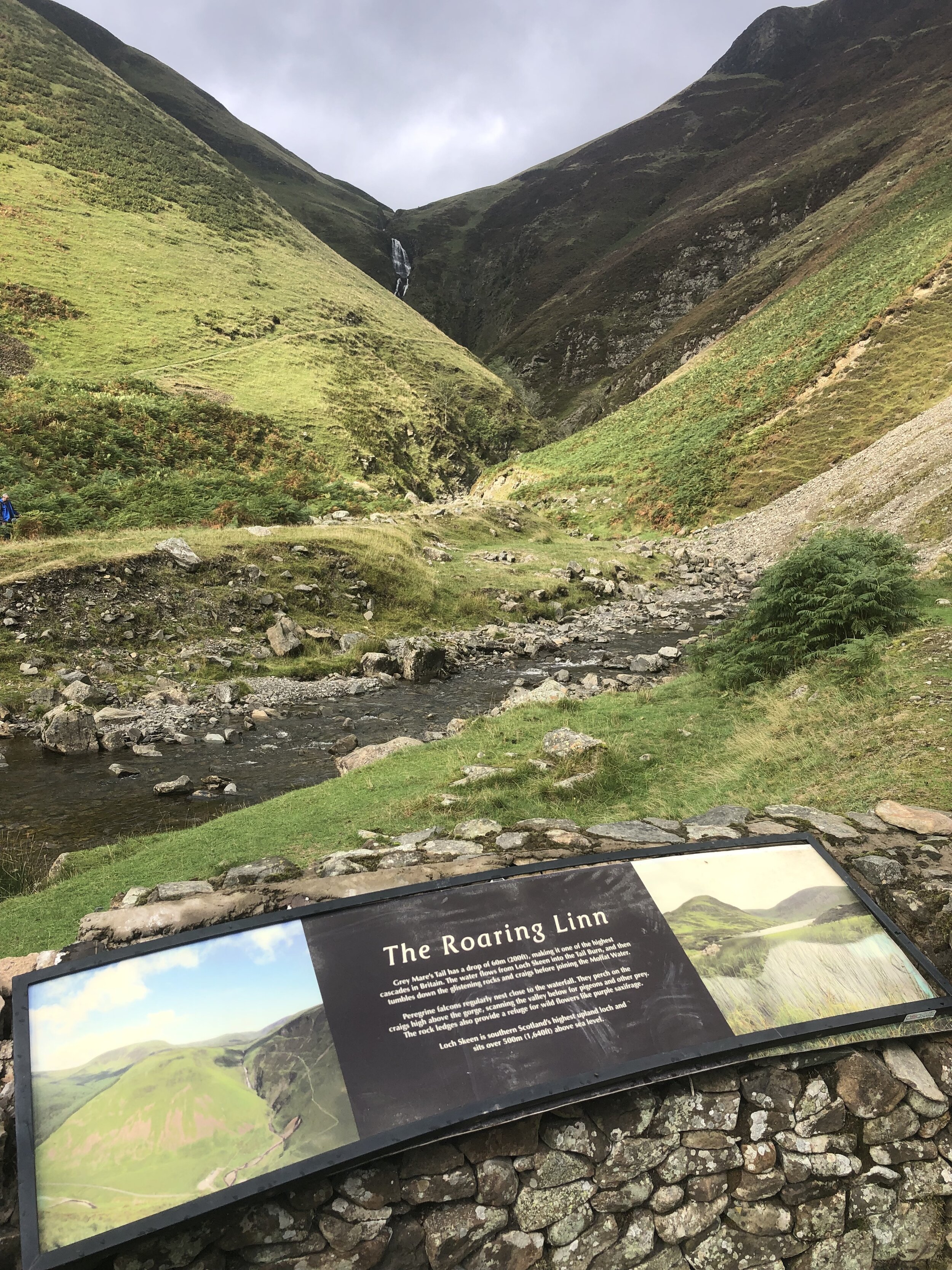
The walk to White Coomb starts at the busy National Trust Car Park at Grey Mare’s Tail. From here the steep path to the right hand side of Tail Burn stream takes most walkers up to Loch Skeen. Follow this for 1.25km to the top of the waterfall where you can cross the stream via some stepping stones. You’ll see a faint path leading down to the stepping stones and the stone dyke wall on the other side. Once crossed, follow the well marked path to the right of the wall to the flat grassy top of White Coomb. You’ll need to leave the path and cross the dyke for the final 20m to the summit which is marked by a pile of stones.
A return option from the summit would be to return to the path and continue on it in a clockwise direction around the loch then back to the car park. With only a few hours until our flight back from Glasgow we returned by the same route, completing the walk within 2 hours.

Other High Points in the Scottish Borders Area
Blackcraig Hill. 700 metres, East Ayrshire Present Day County High Point: Peakbagger / Hillbagging
Cort-ma Law East Top. 527 metres, North Lanarkshire Present Day County High Point: Peakbagger / Hillbagging
Corse Hill. 376 metres, East Renfrewshire Present Day County High Point: Peakbagger / Hillbagging
Other High Point in the Historic County of Lanarkshire
Cort-ma Law - East Top 527m, North Lanarkshire Present Day County High Point: Peakbagger / Hillbagging