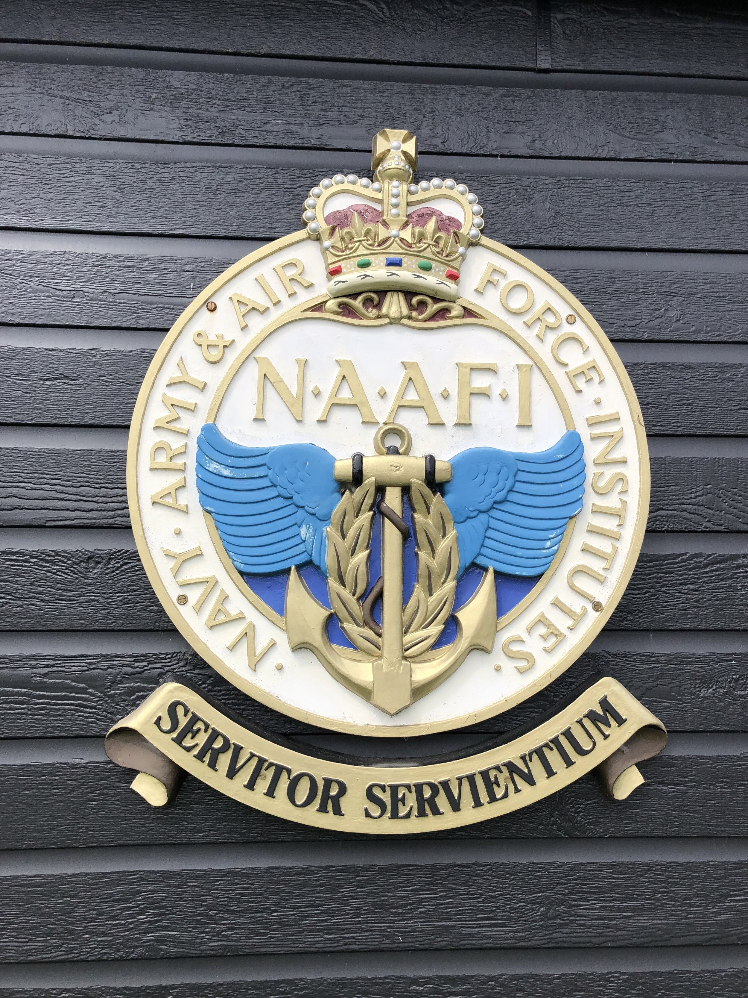
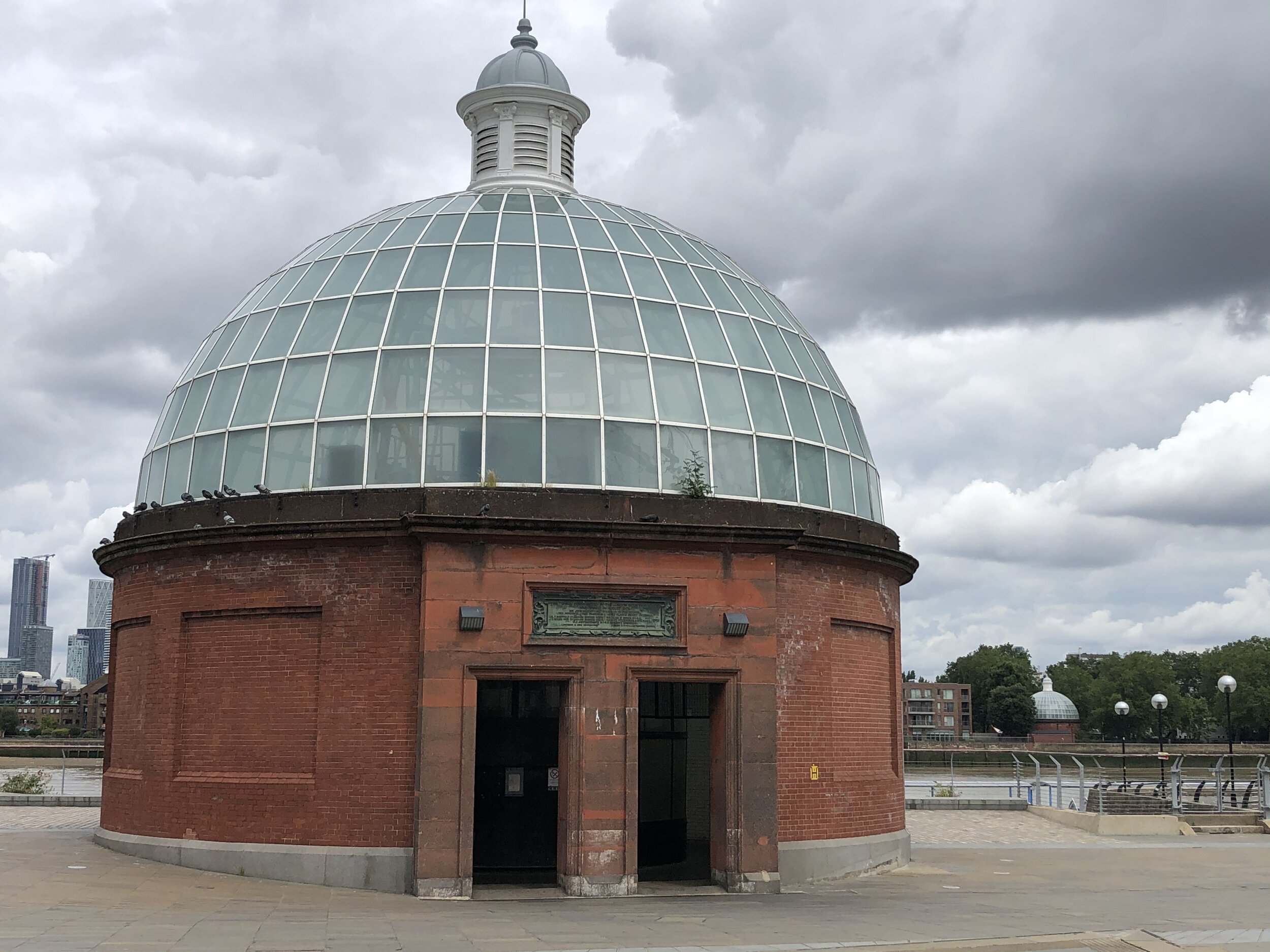
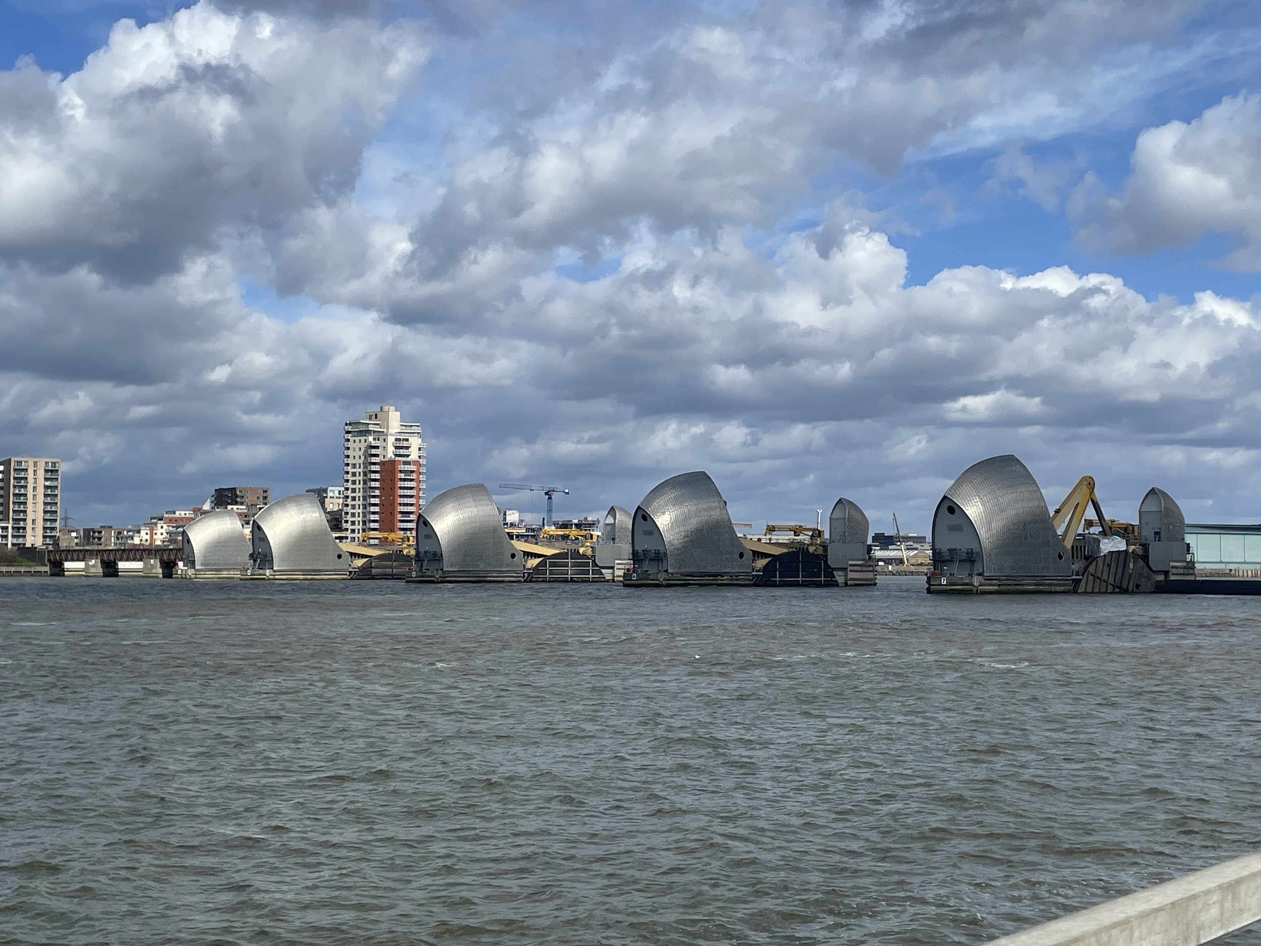
The Thames Barrier, London
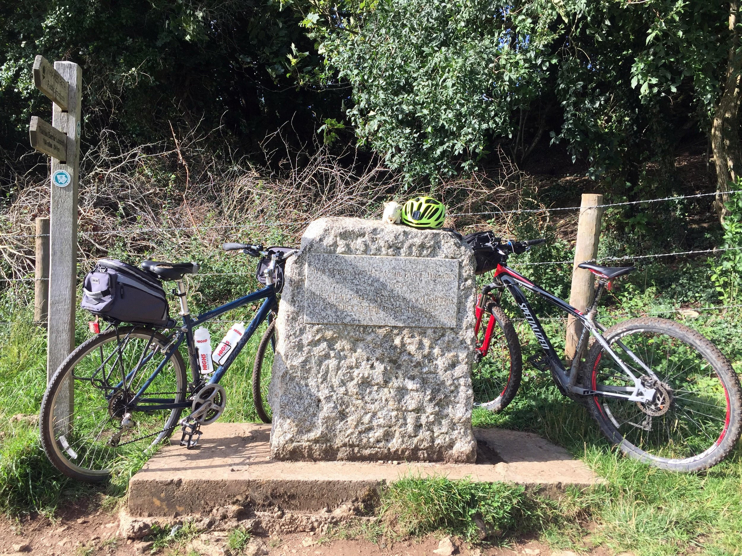
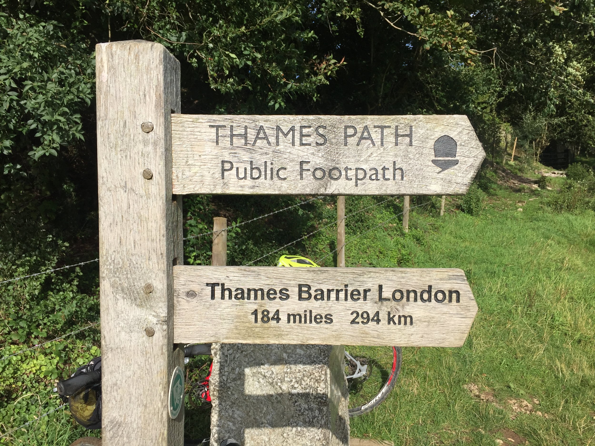
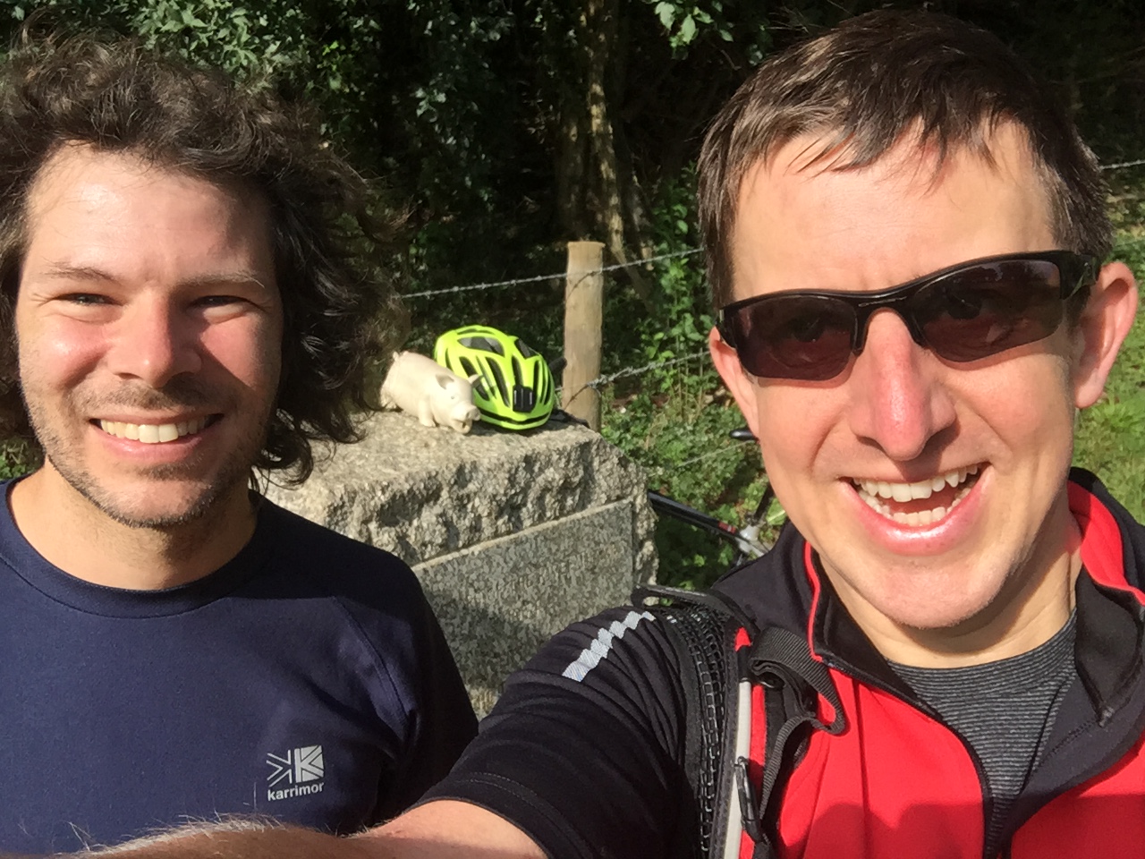
This was a trip that had been at the back of my mind for 30 years. Back in the summer of 1994 I cycled the length of the Thames from the source near Kemble in Gloucestershire to the Thames Barrier near Woolwich, London. The last day was a long one and we ended up at the Barrier after dark. At the time we had considered the adventure to be complete. A few years later I started to plan a second part: from the Barrier east along the Thames Estuary to Margate.
Over the intervening years I got more excited about other trips. I also either lost contact with a few of the old Thames Path gang or they got preoccupied with having babies. Early in 2024 the stars aligned and the Estuary adventure popped up to the top of my cycling backlog.
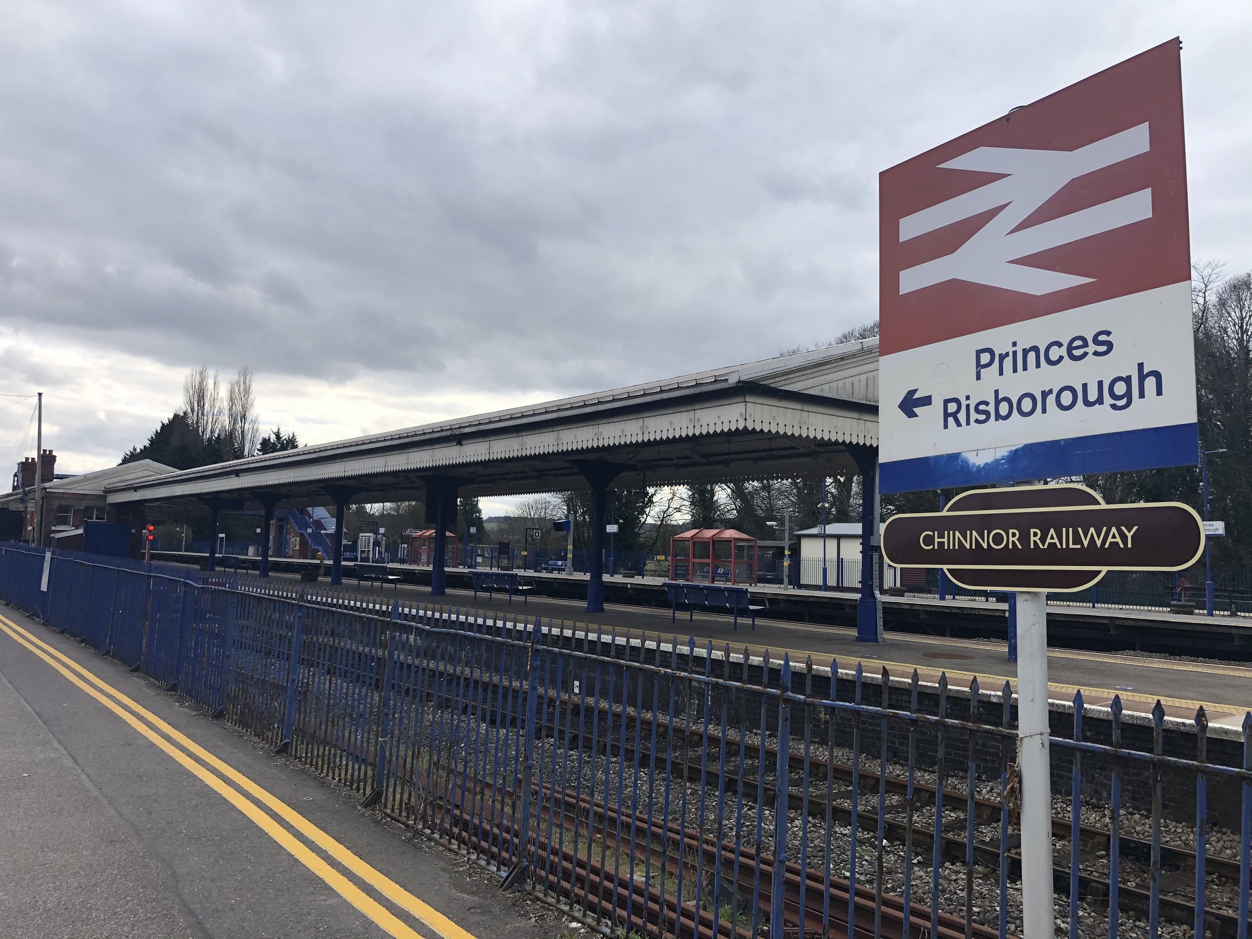
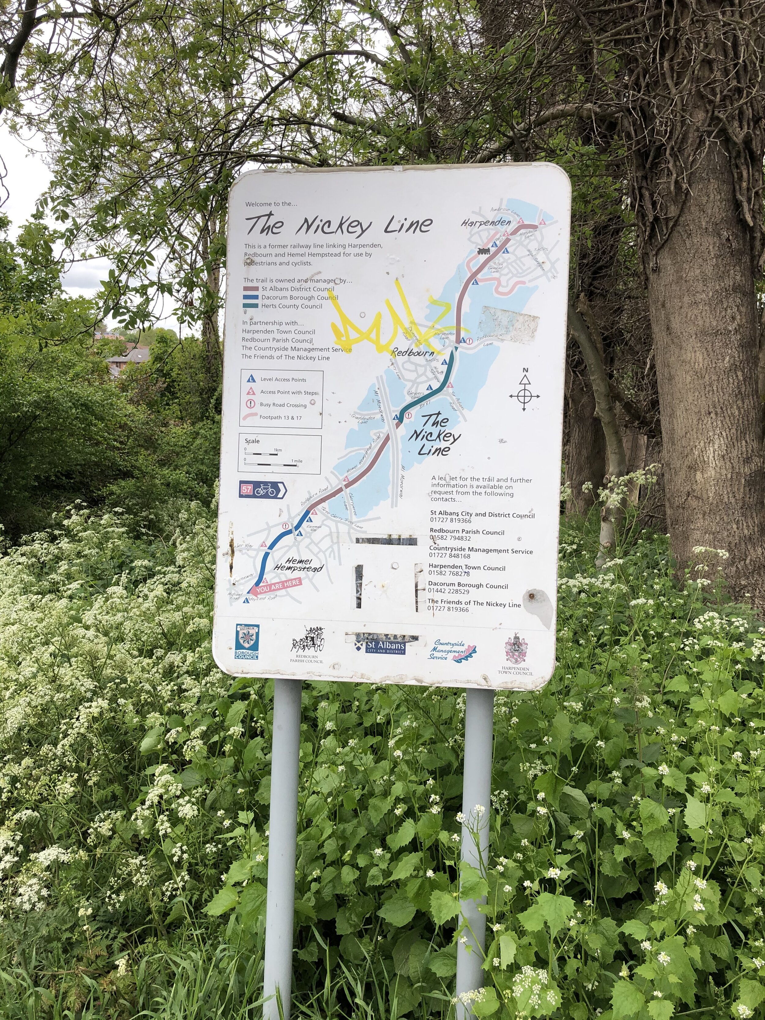
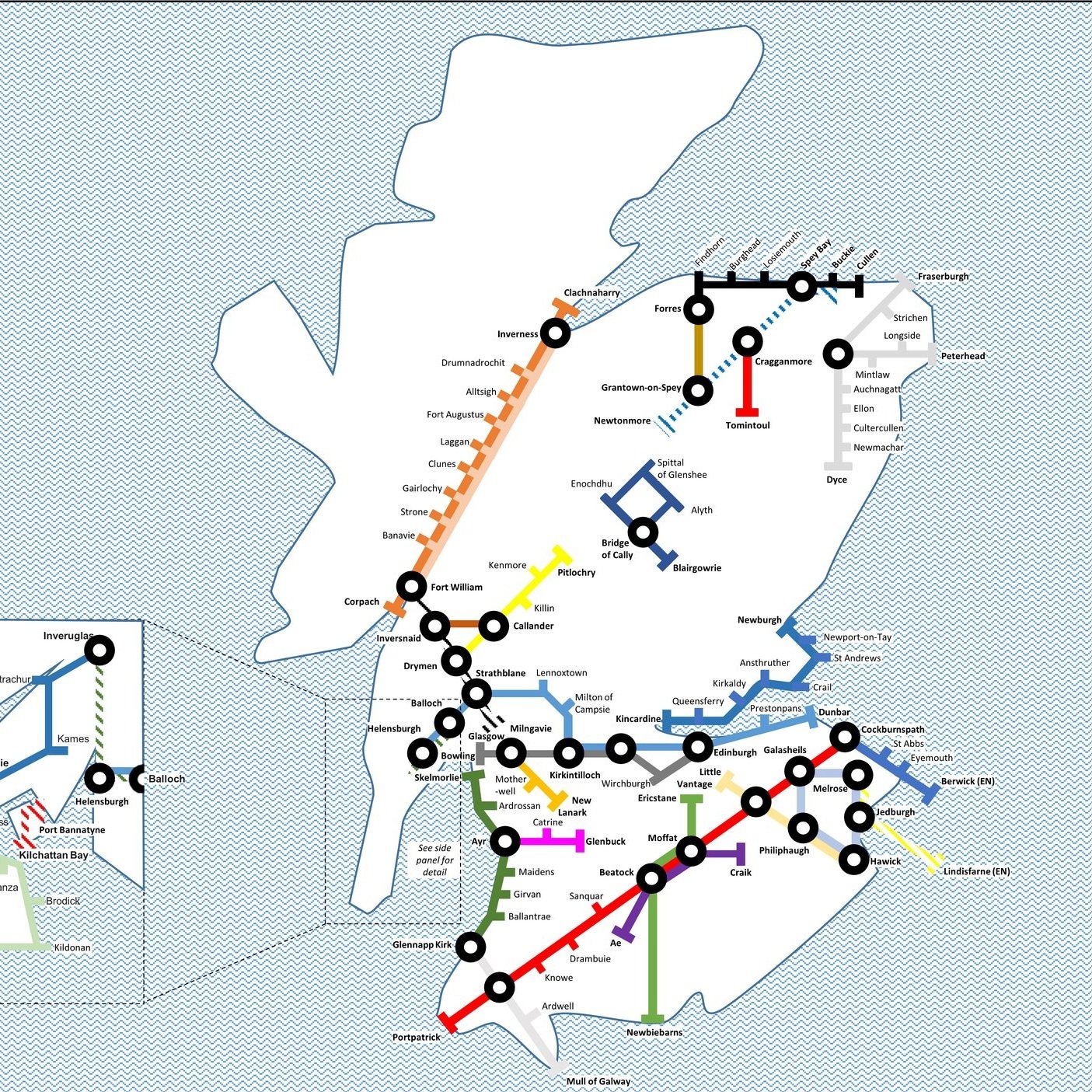
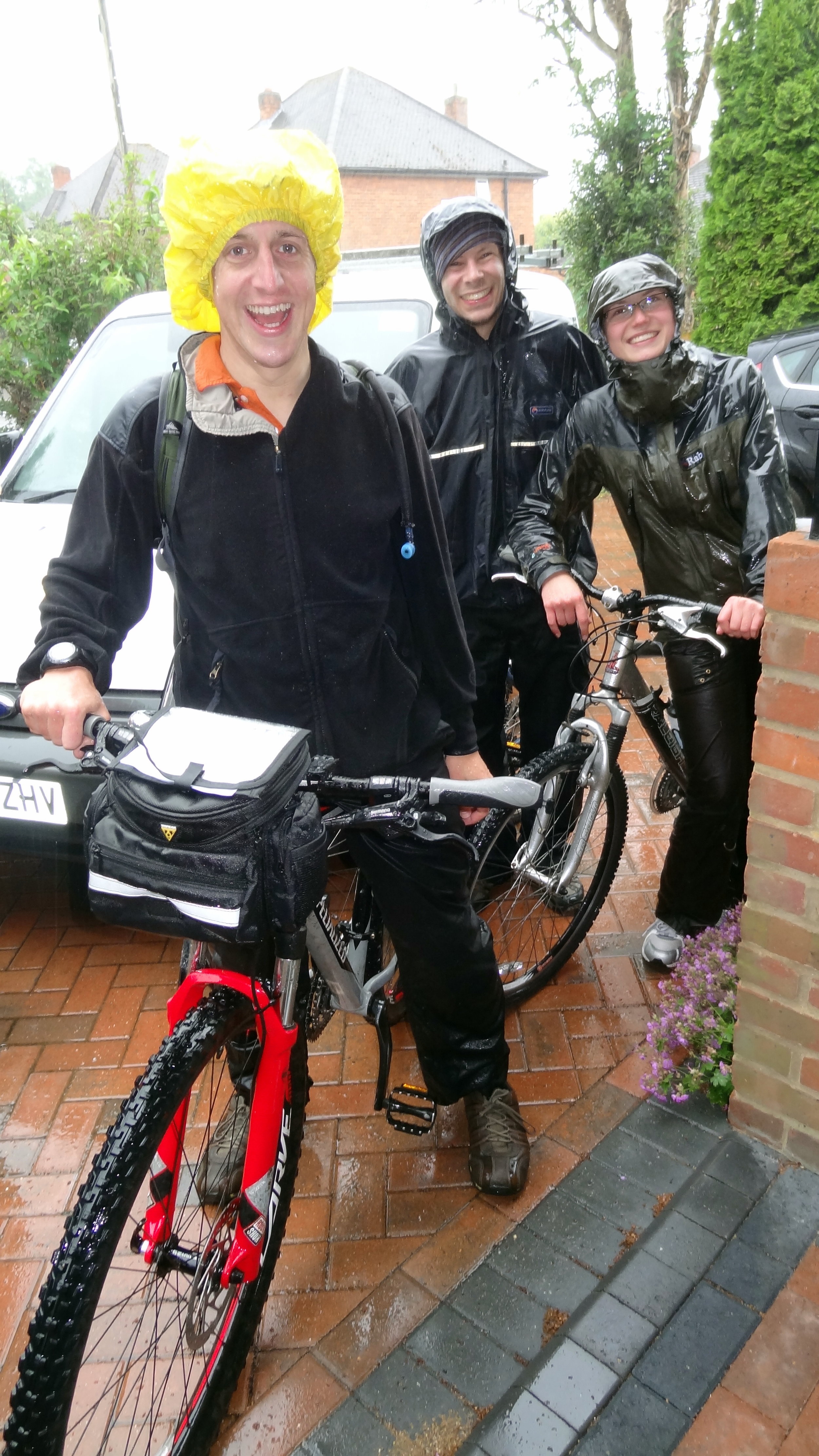
The route to Margate mostly follows NCN Route 1 with a bit of the Route 15 Viking Way at the end. It also runs parallel to the main rail line between London and Margate making trip logistics fairly simple. We did it over a weekend, staying both the Friday and Saturday night at the Chatham/Gillingham Victory Pier Premier Inn.
Day 1: Thames Barrier to Chatham
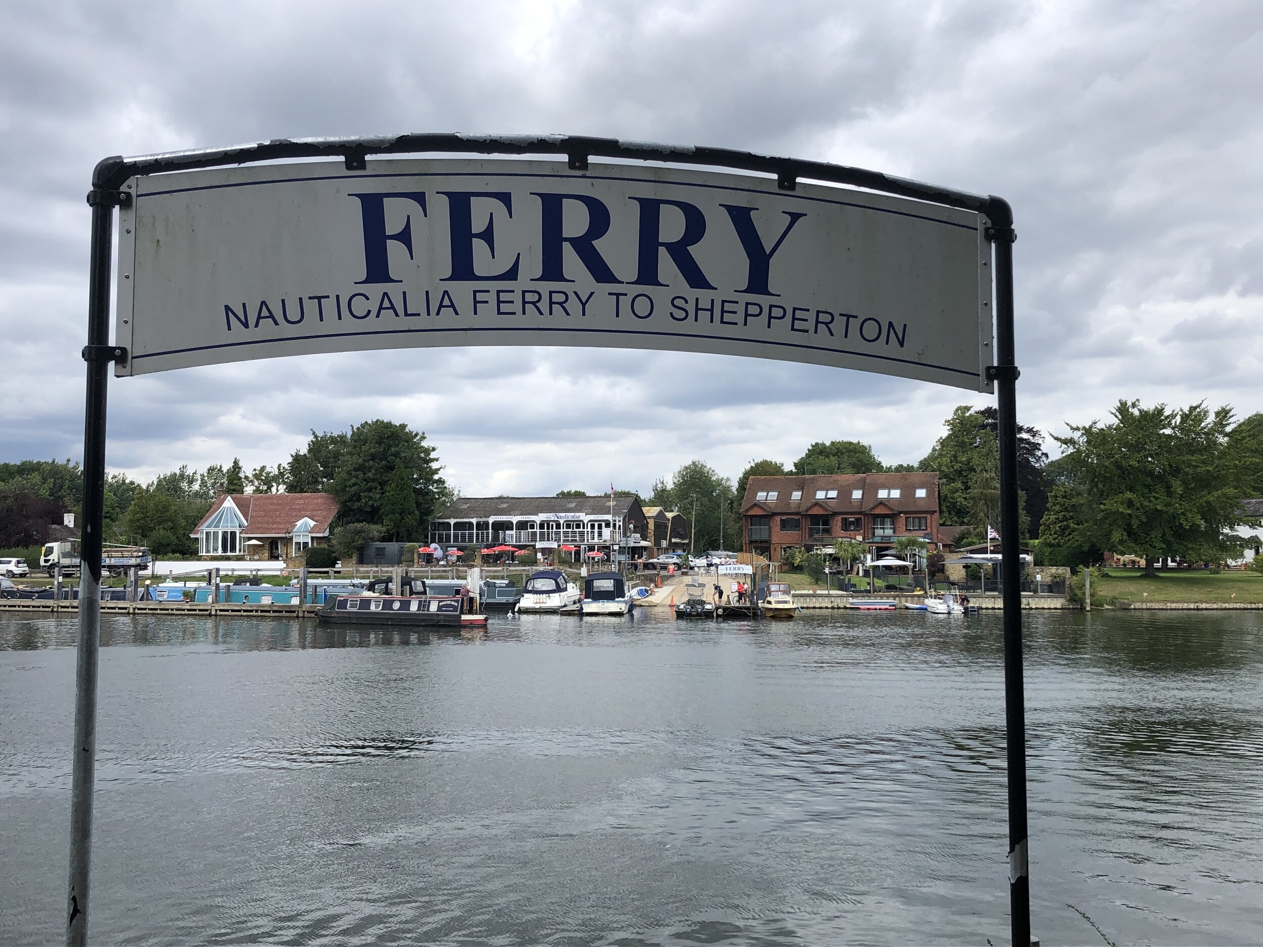
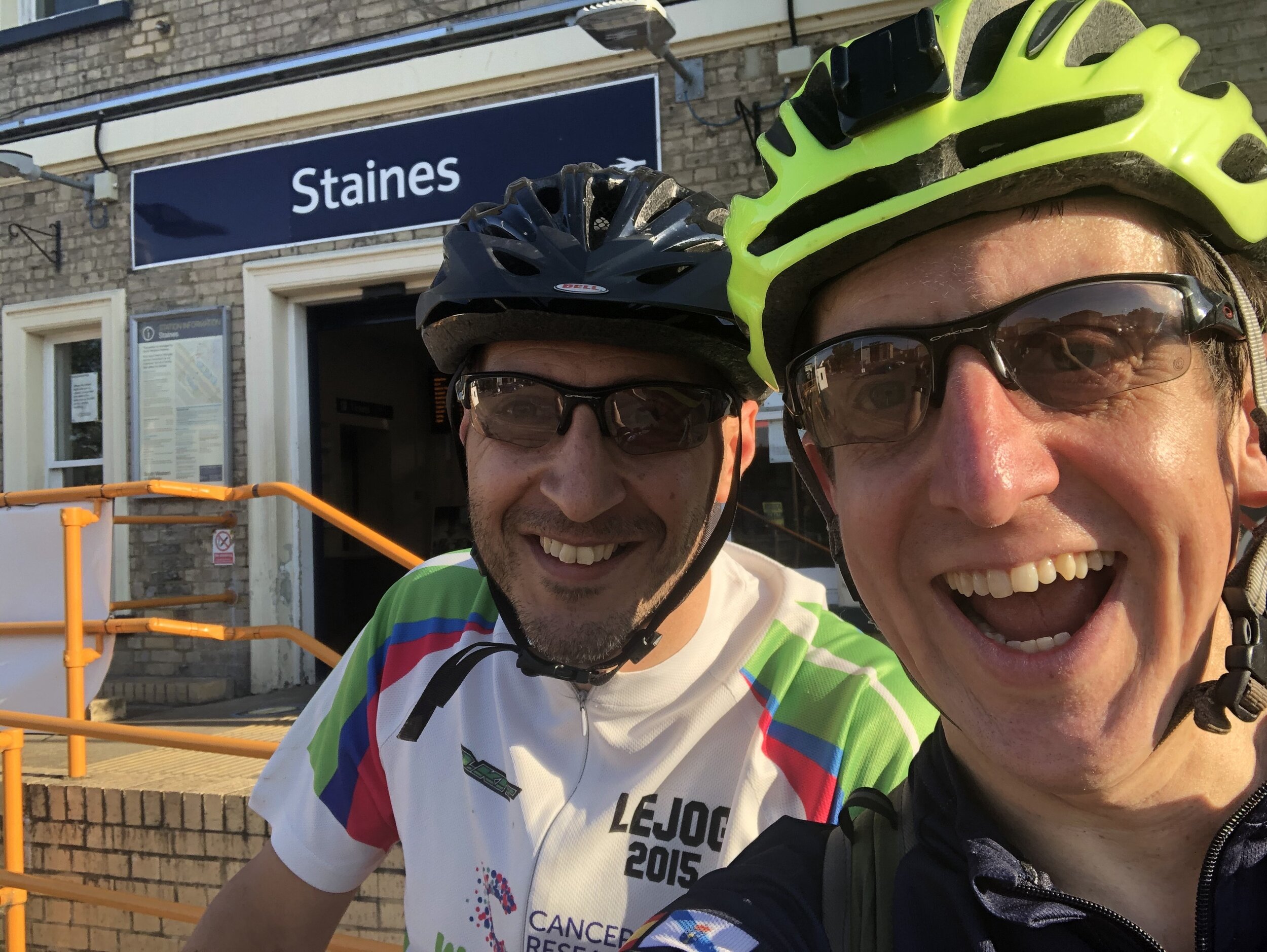
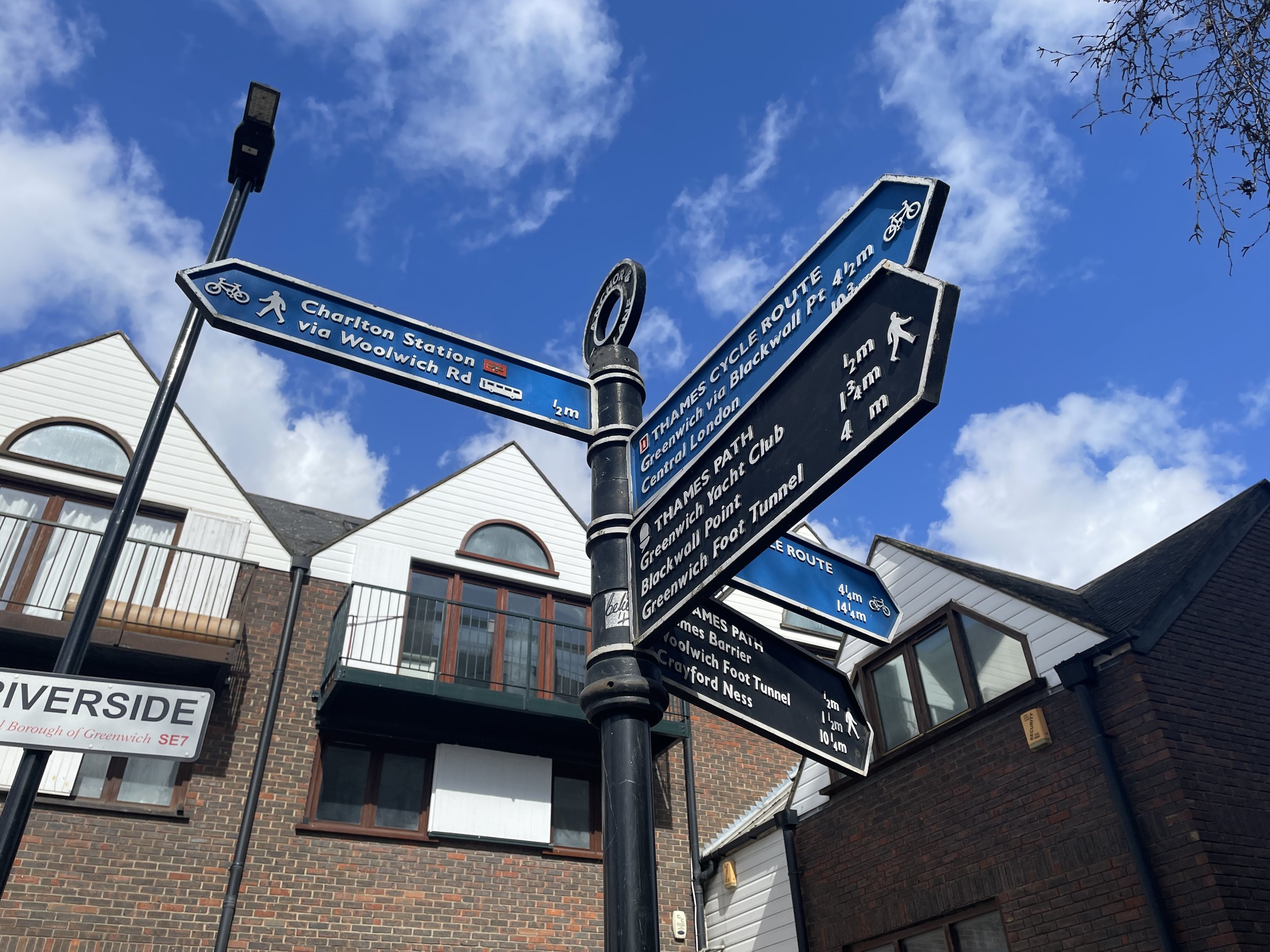
Start: Charlton Railway Station, London, SE7 7QG, United Kingdom
Finish: Premier Inn Chatham/Gillingham (Victory Pier) hotel, Blake Avenue, Gillingham, ME7 1GB, United Kingdom
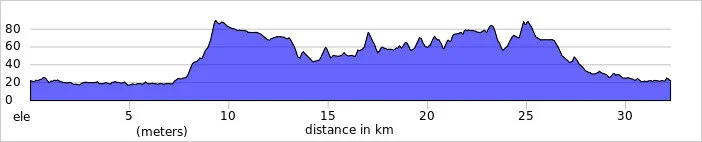
Distance: 62.8 km (39 miles)
Elevation change: + 408m / -409m (Net +1m)
GPX File: get via Buy Me a Coffee
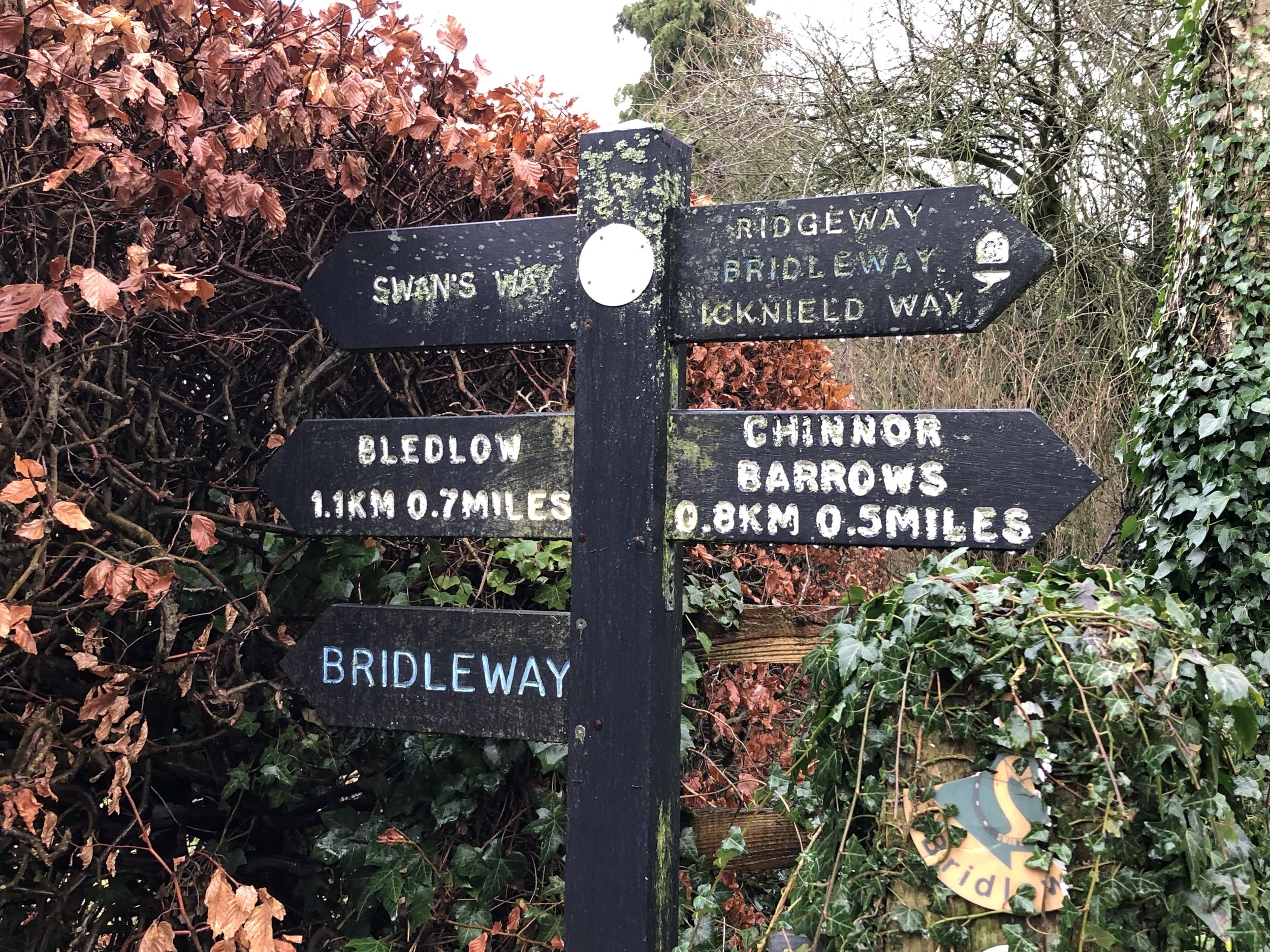
Other routes touched (walk): Thames Path, Capital Ring, Jubilee Greenway, Green Chain Walk, London Loop. Cray River Way, Hoo Peninsula Path, Weald Way, Thames and Medway Canal Towpath, Saxon Shore Way, England Coast Path, Strood Community Trail,
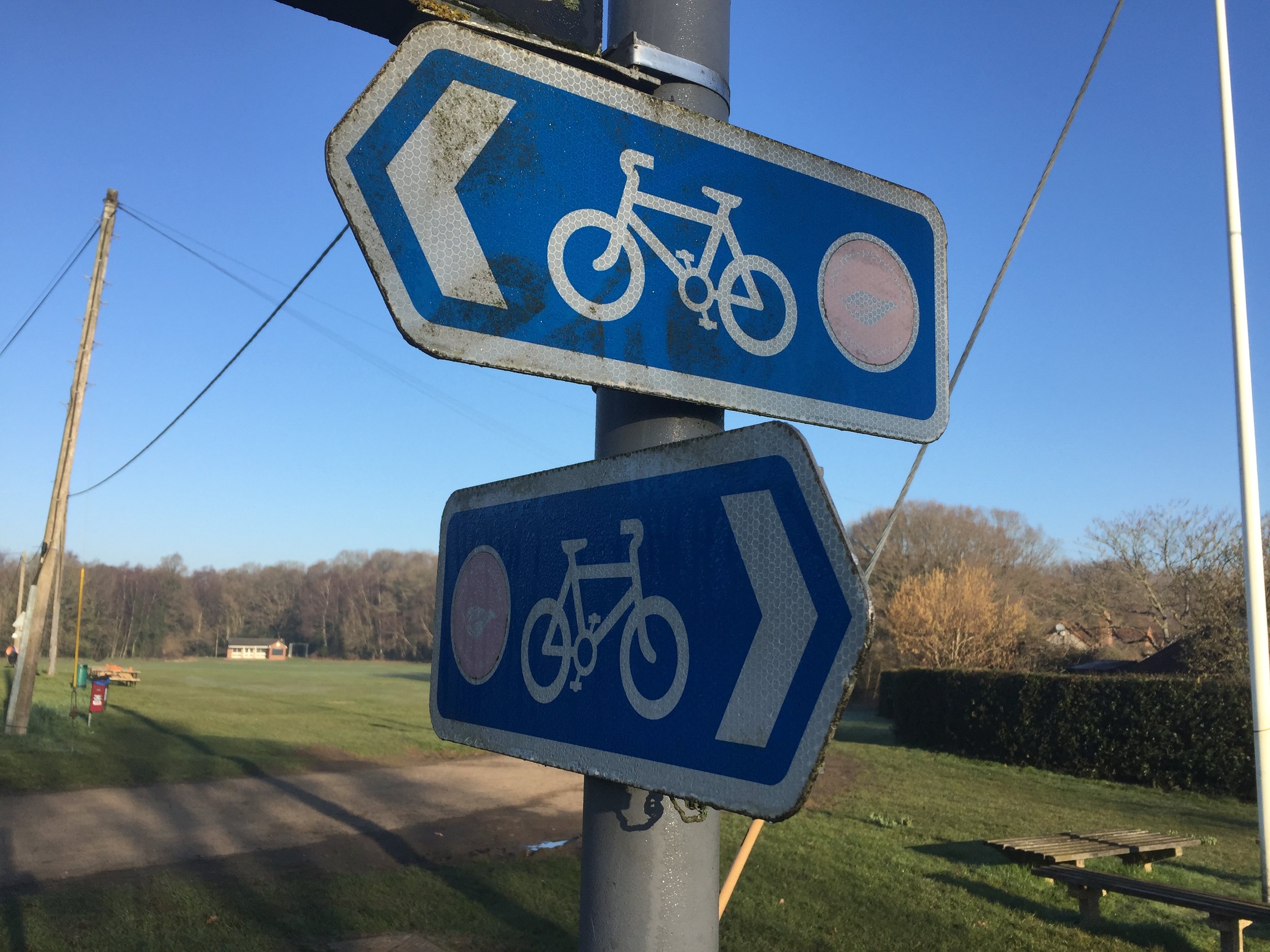
Other routes touched (cycle): NCN 1, 125, 179, Q14
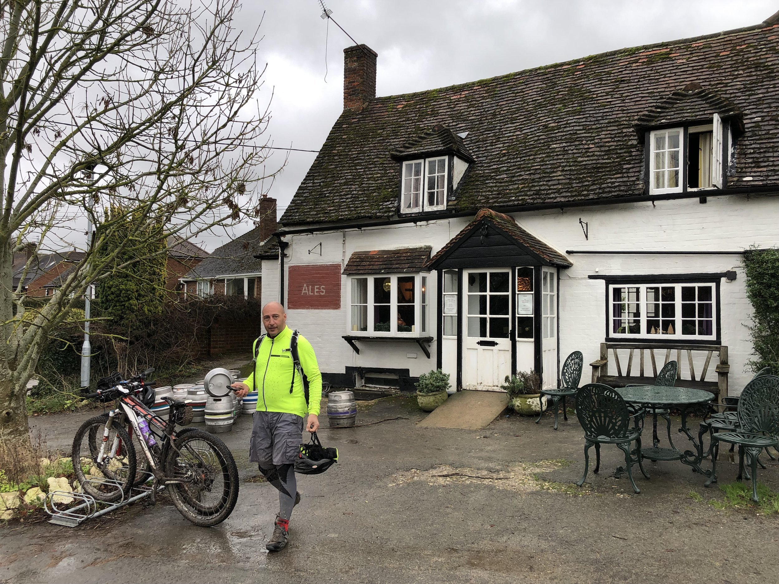
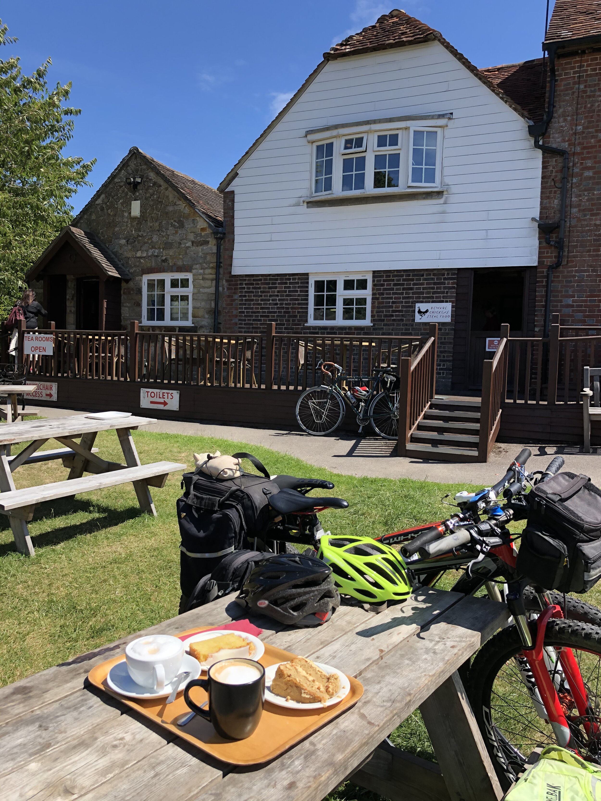
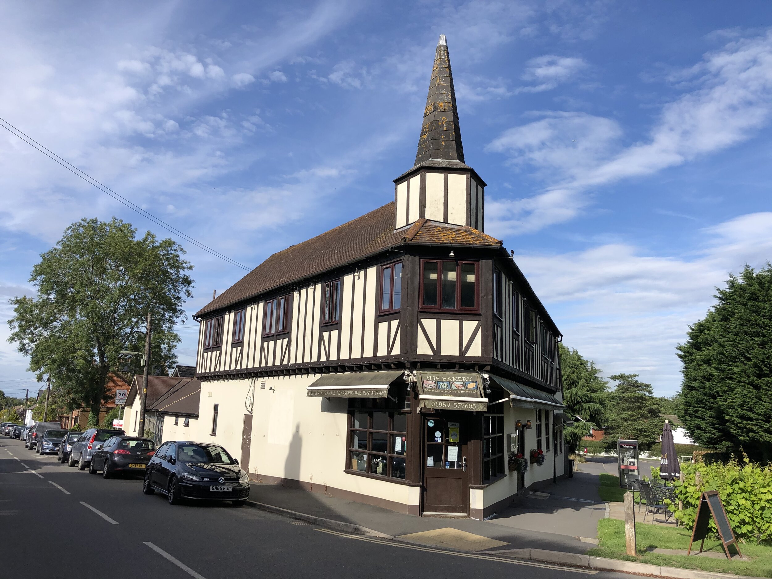
Pubs / Cafes on route: At Woolwich Arsenal (4km in), Erith (15km in), Dartford (25km in), Gravesend (39 km in), Rochester (57km in), Chatham (59km in)
Maps:
- Greenwich & Gravesend Map | East End, Docklands, Bromley, Sidcup & Thurrock | Ordnance Survey | OS Explorer Map 162
- Gravesend & Rochester Map | Hoo Peninsula | Ordnance Survey | OS Explorer Map 163
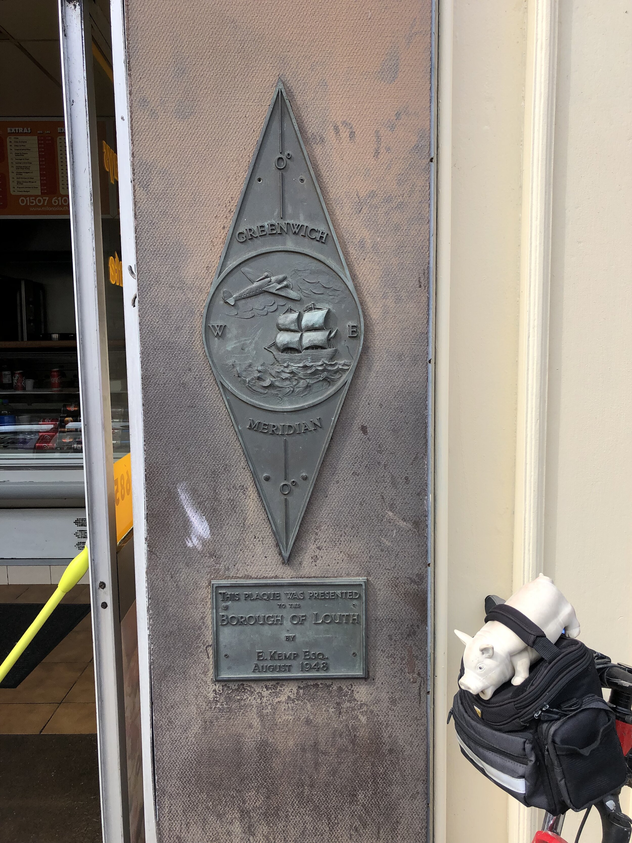
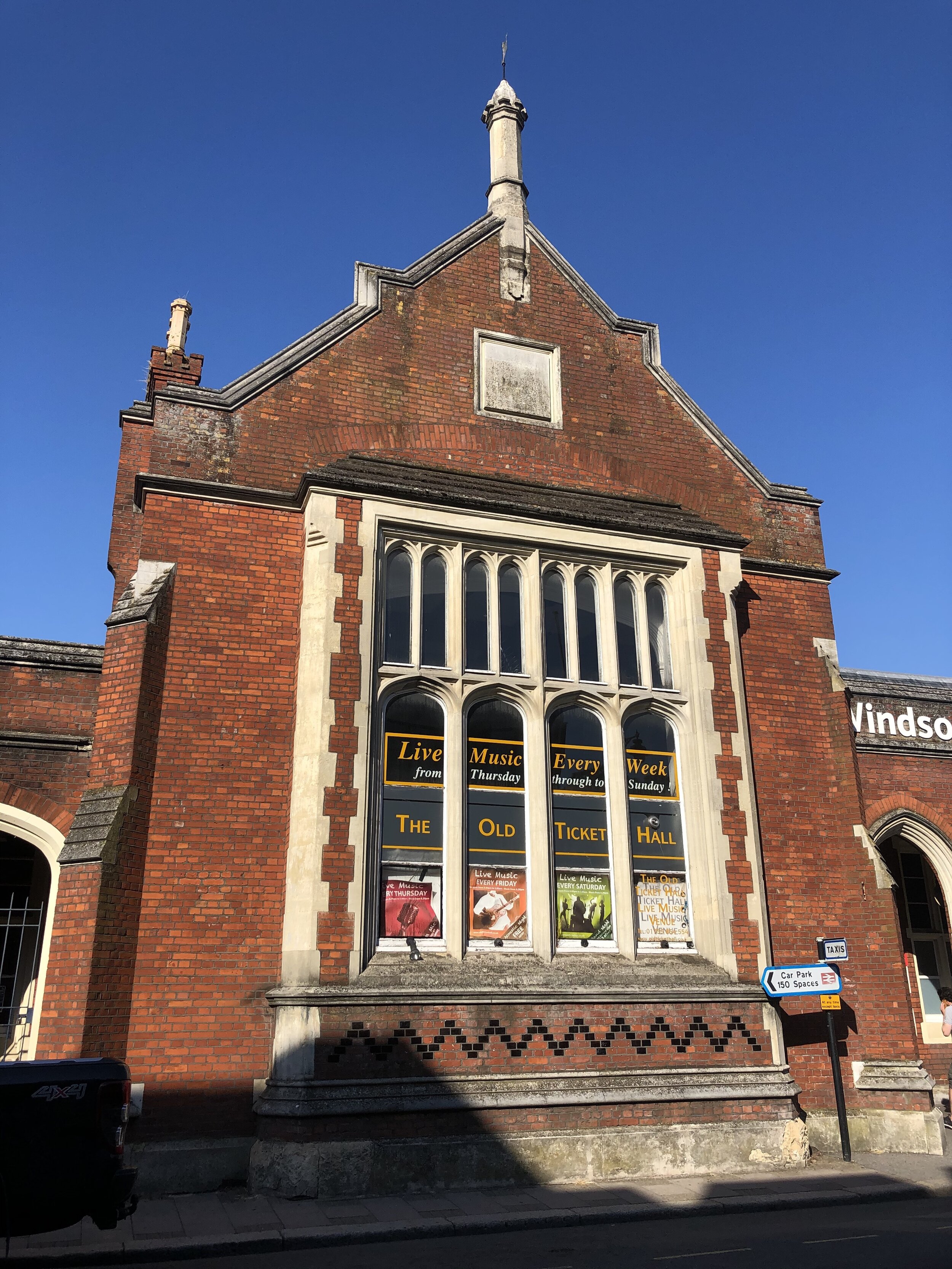
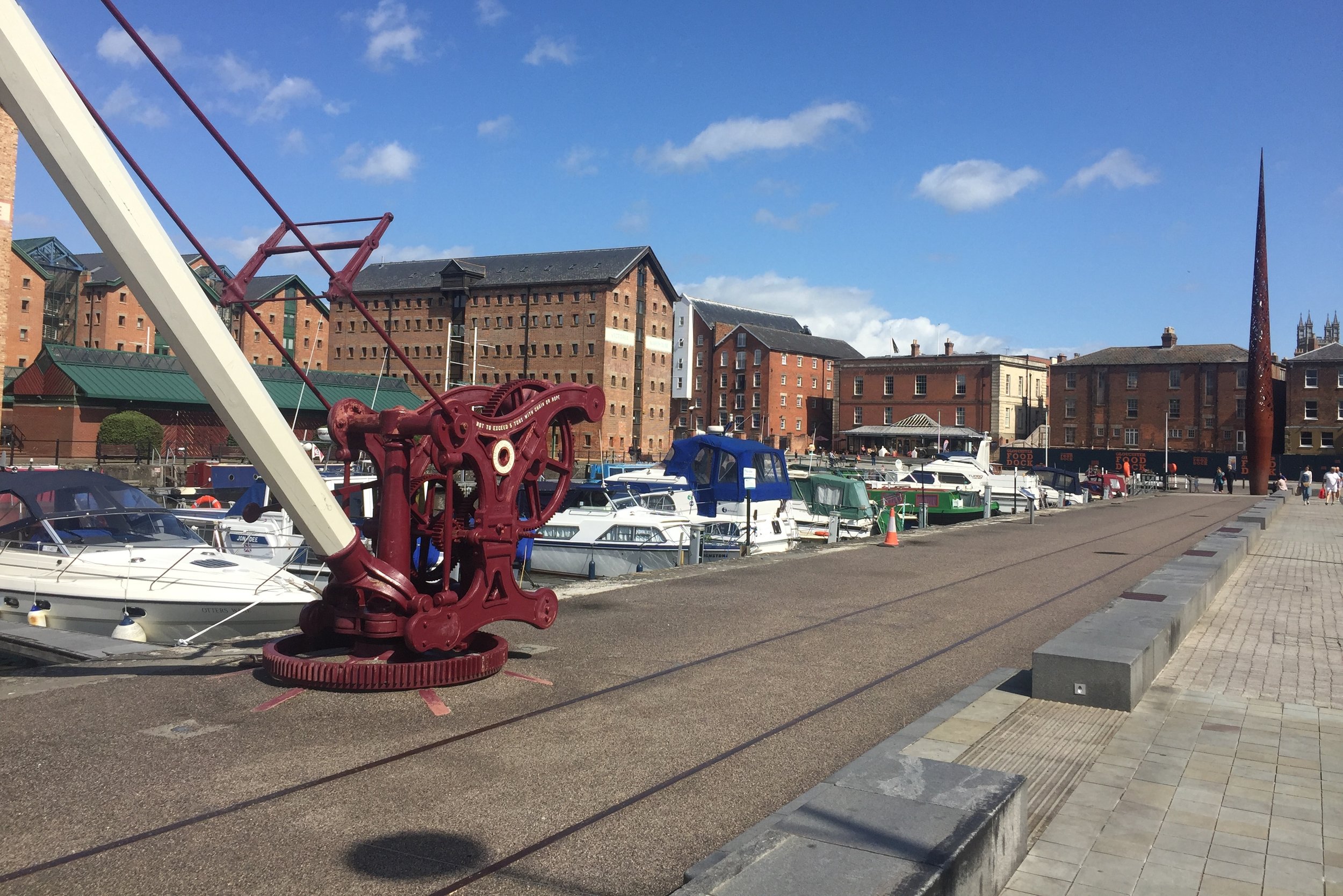
Links: Charlton, Thames Barrier, Woolwich Arsenal, Erith, Dartford, Gravesend, Thames and Medway Canal, Rochester, Chatham, Gillingham
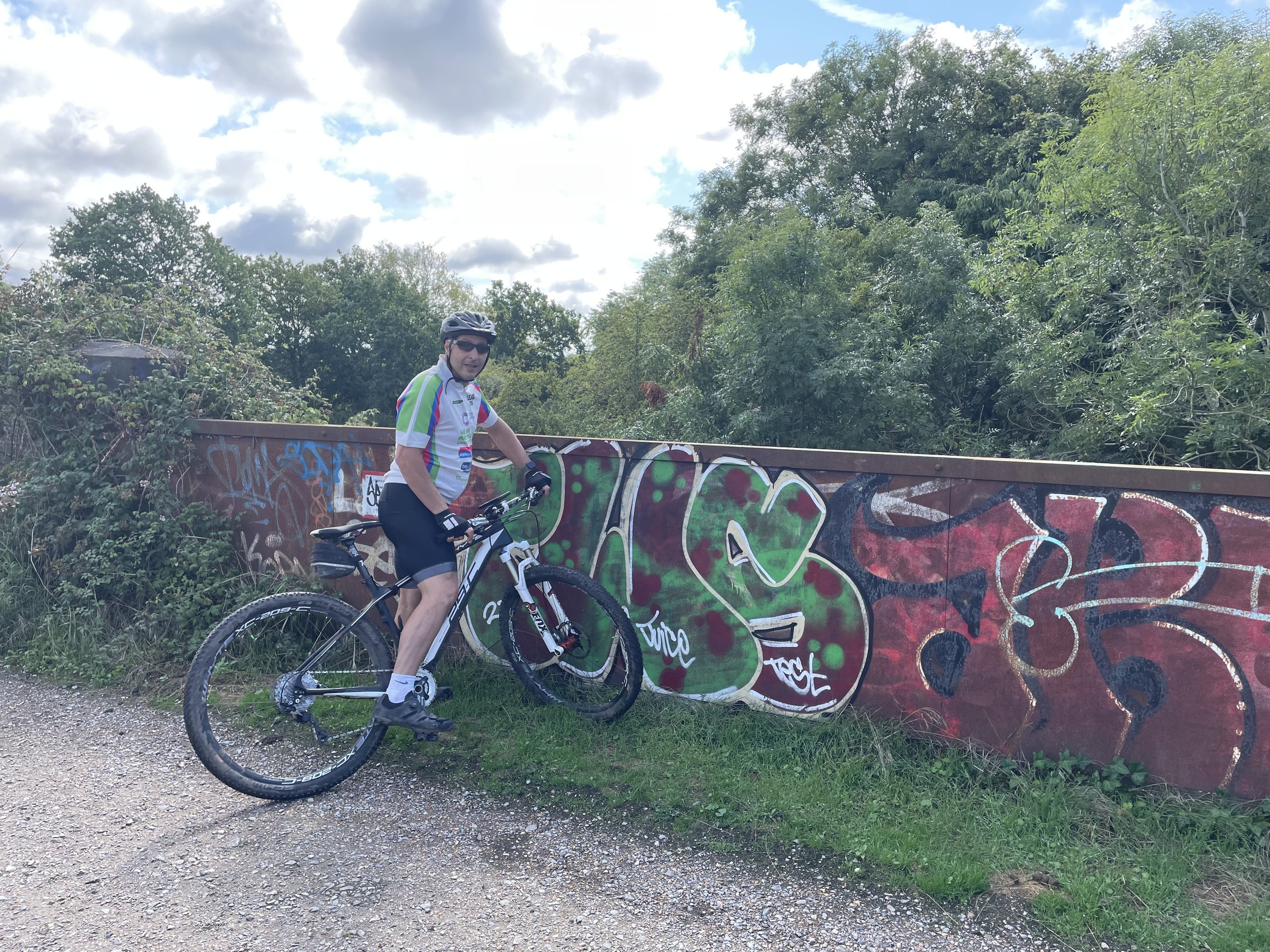
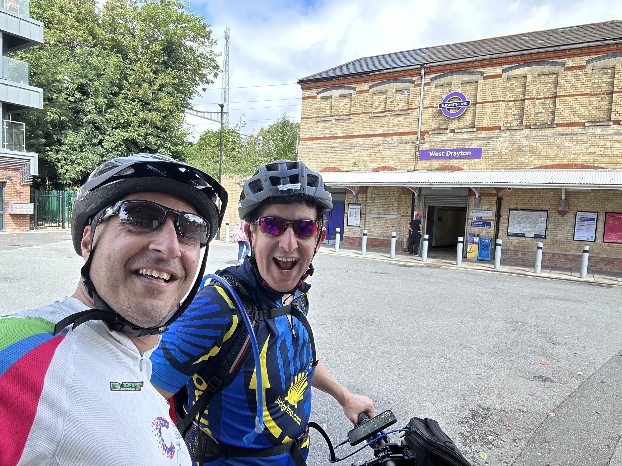
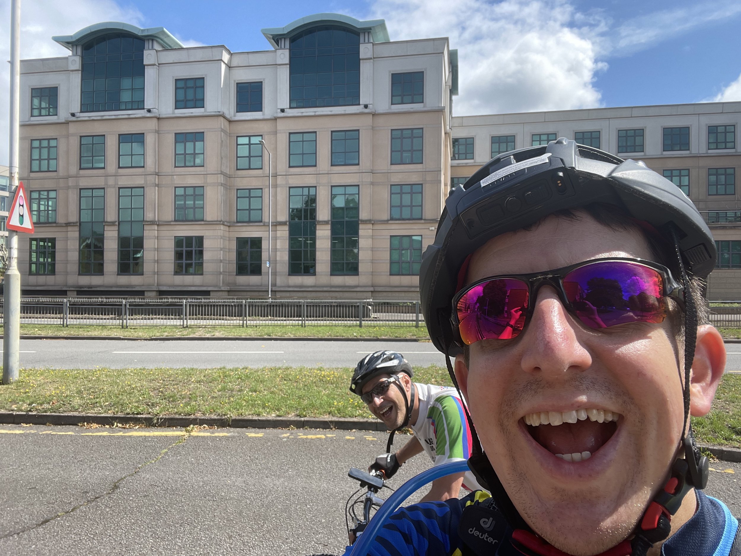
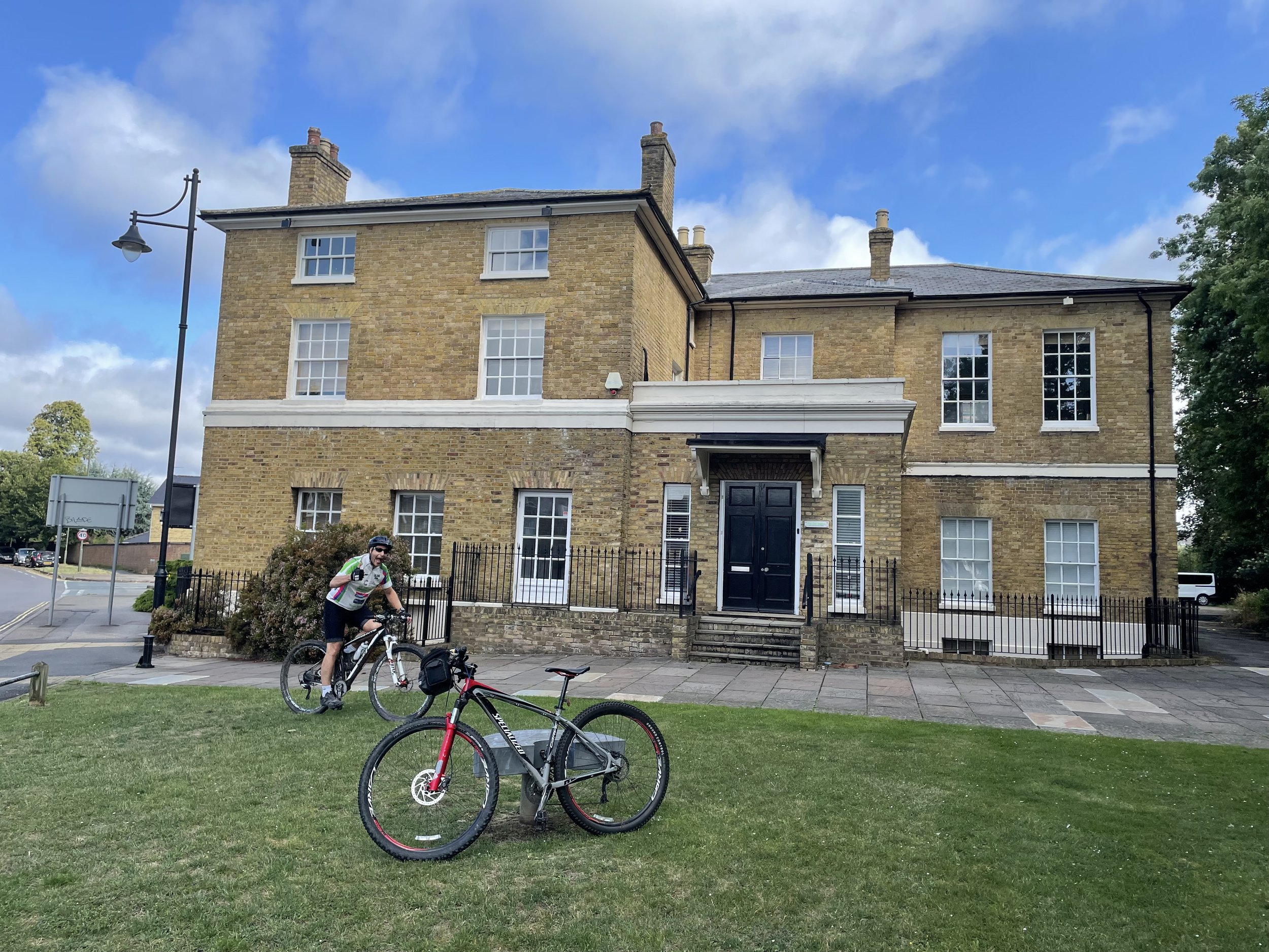
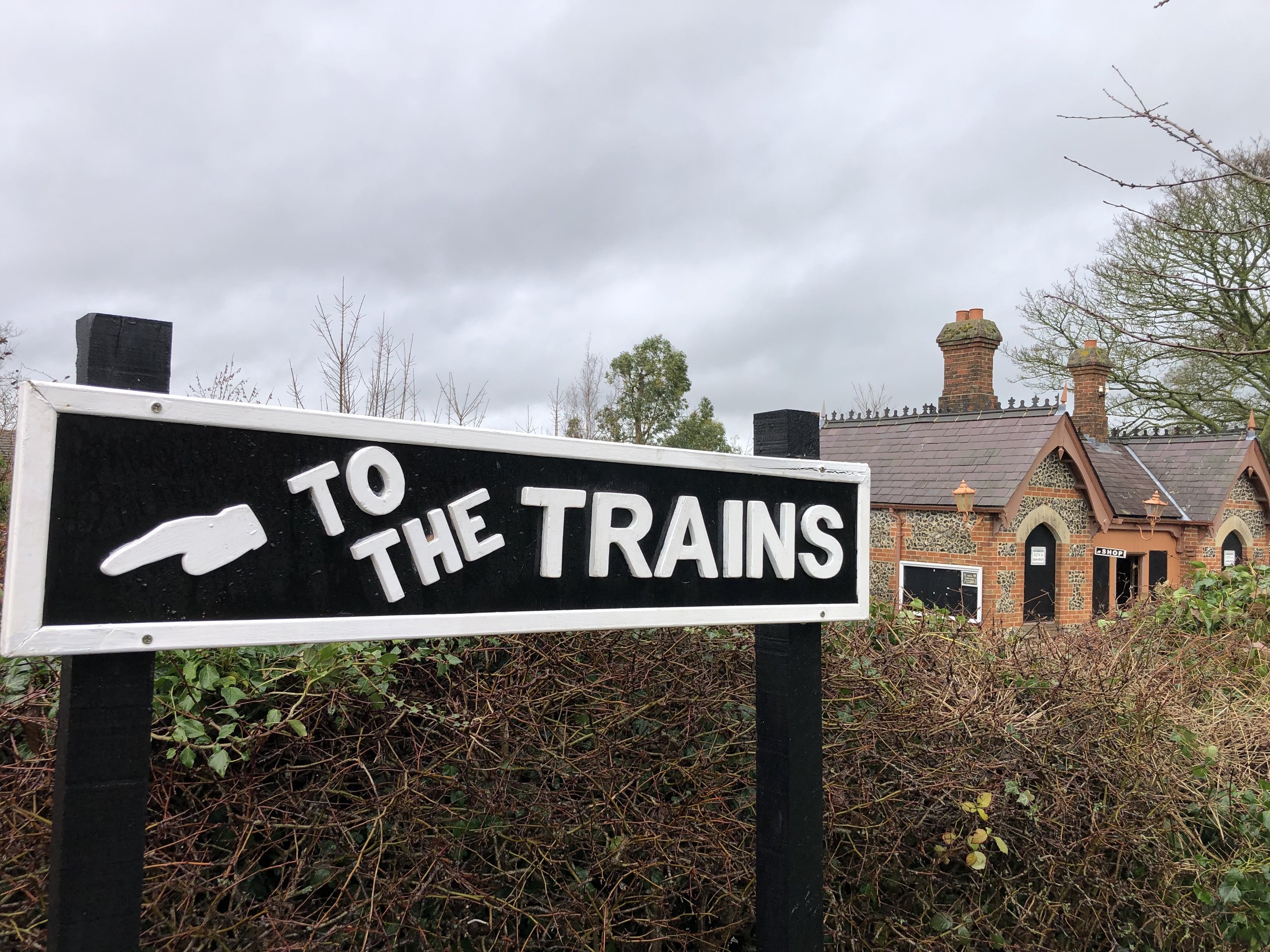
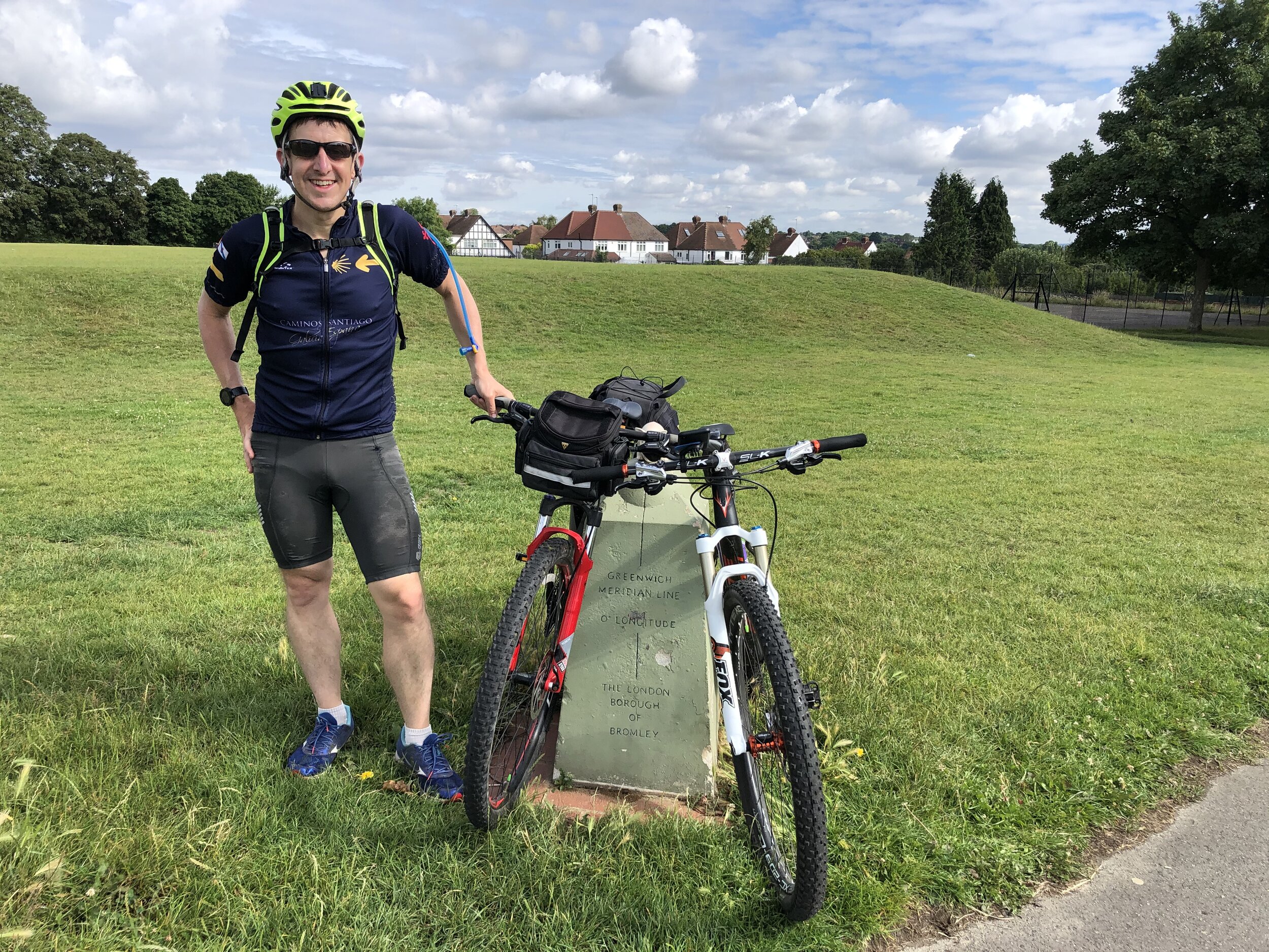
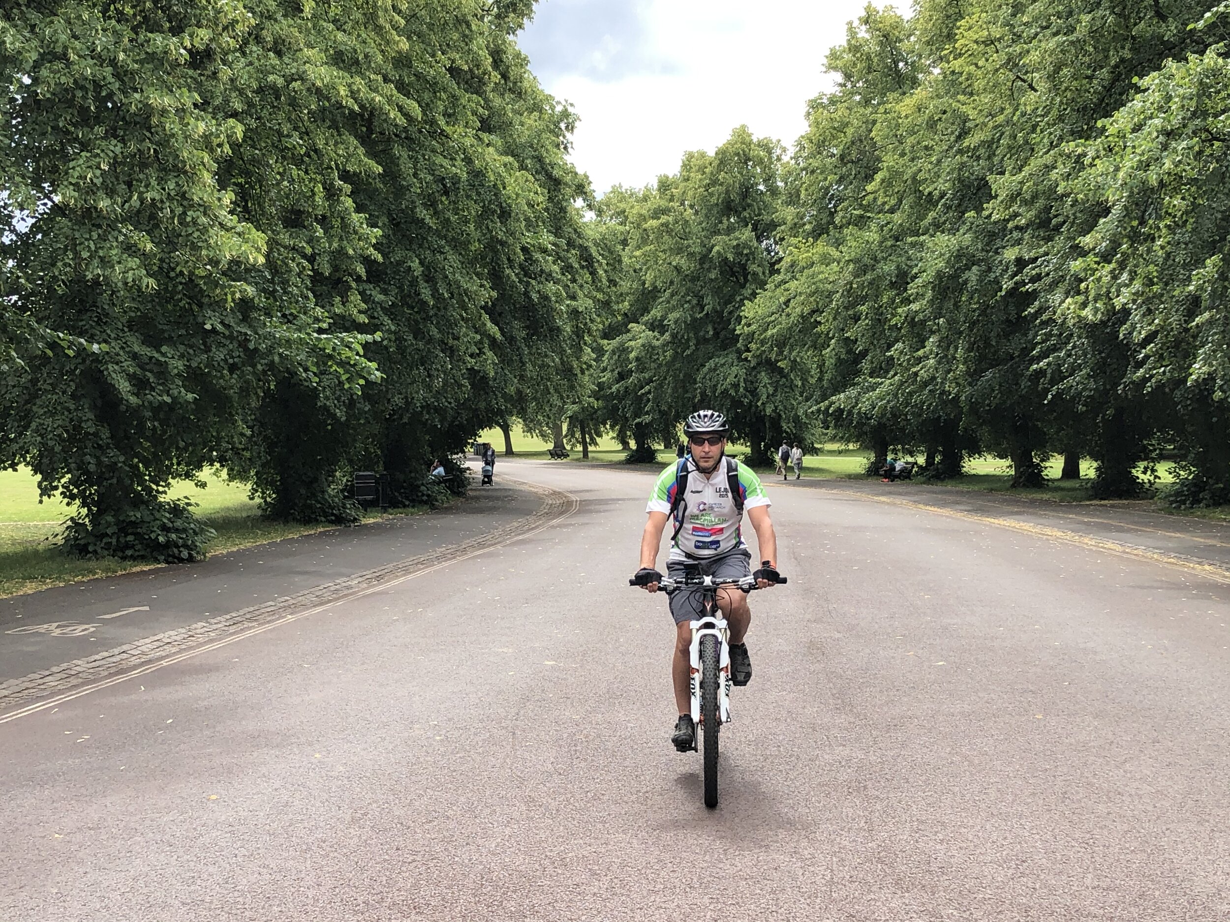
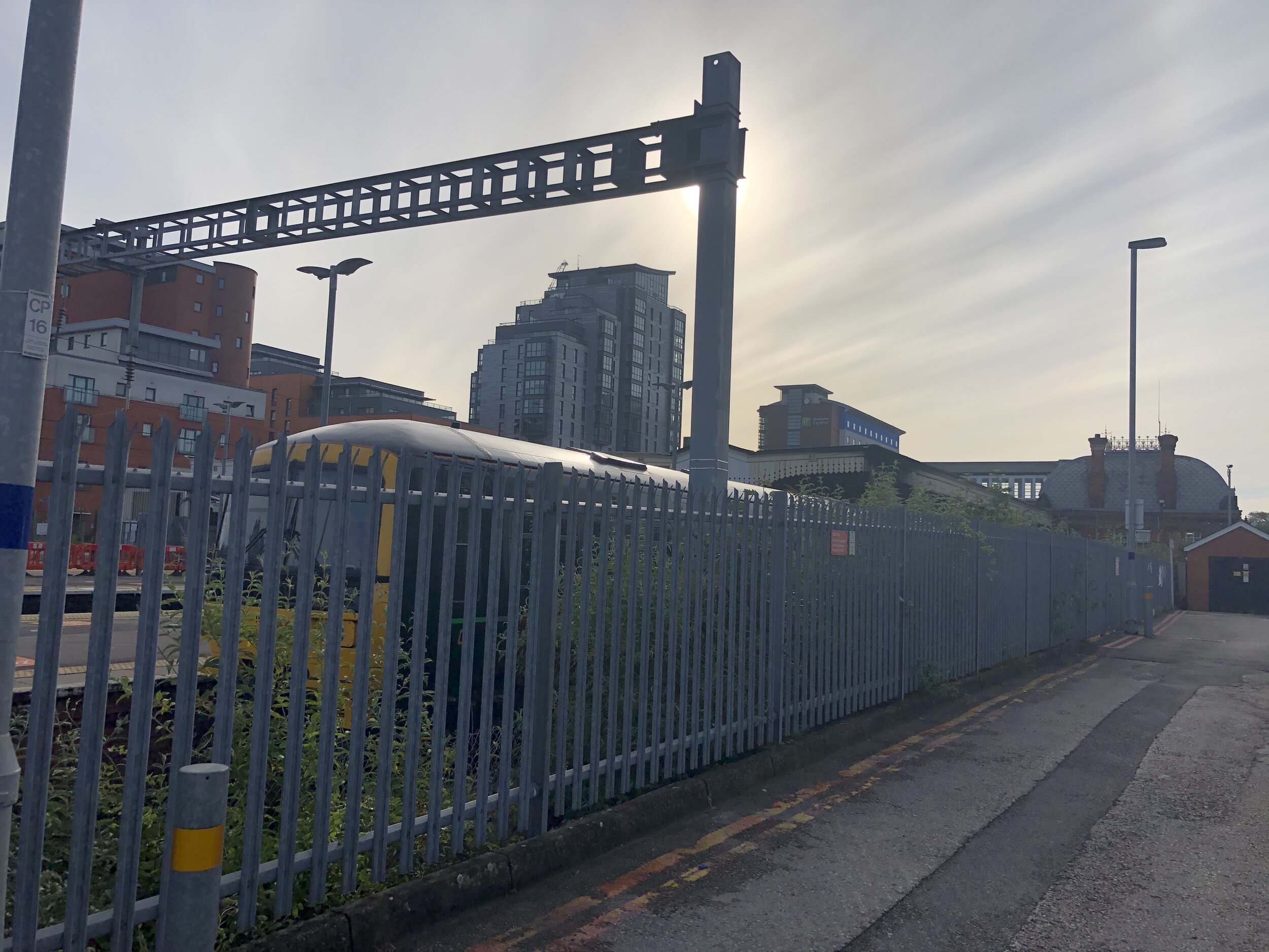
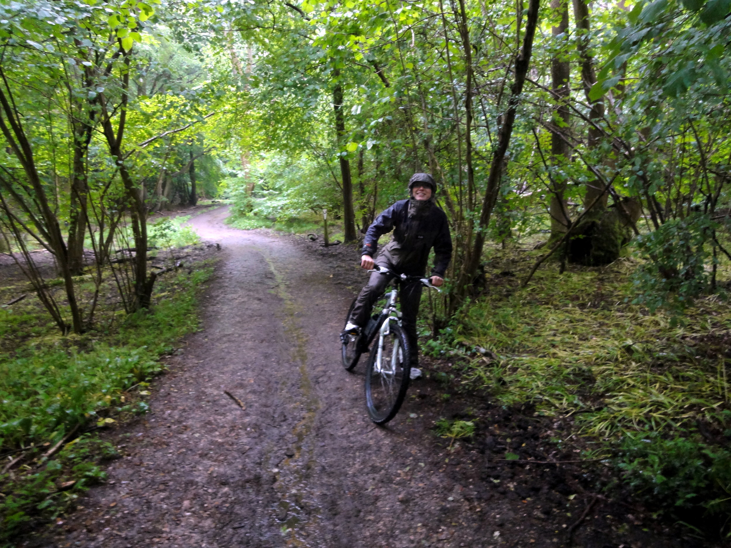
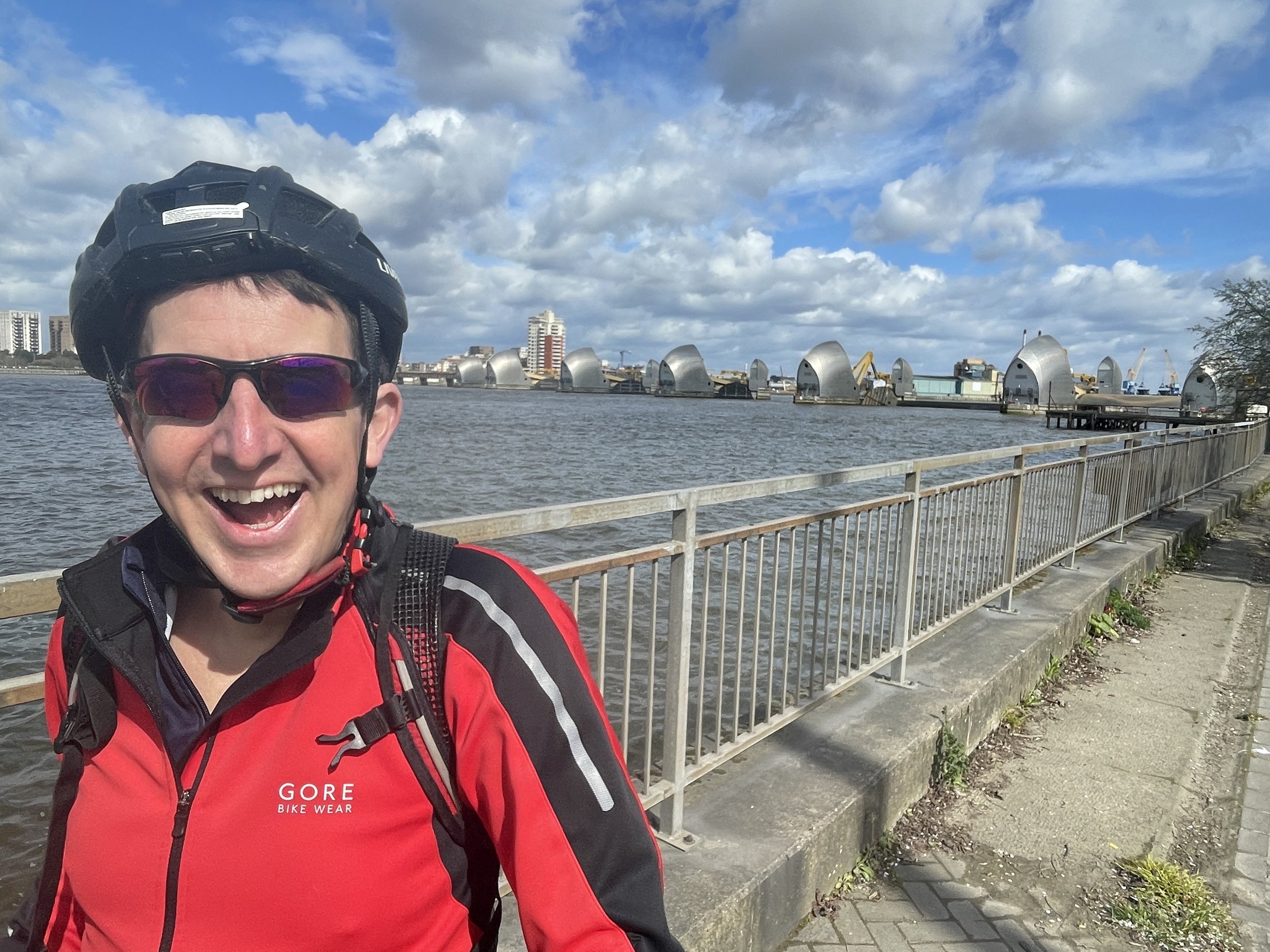
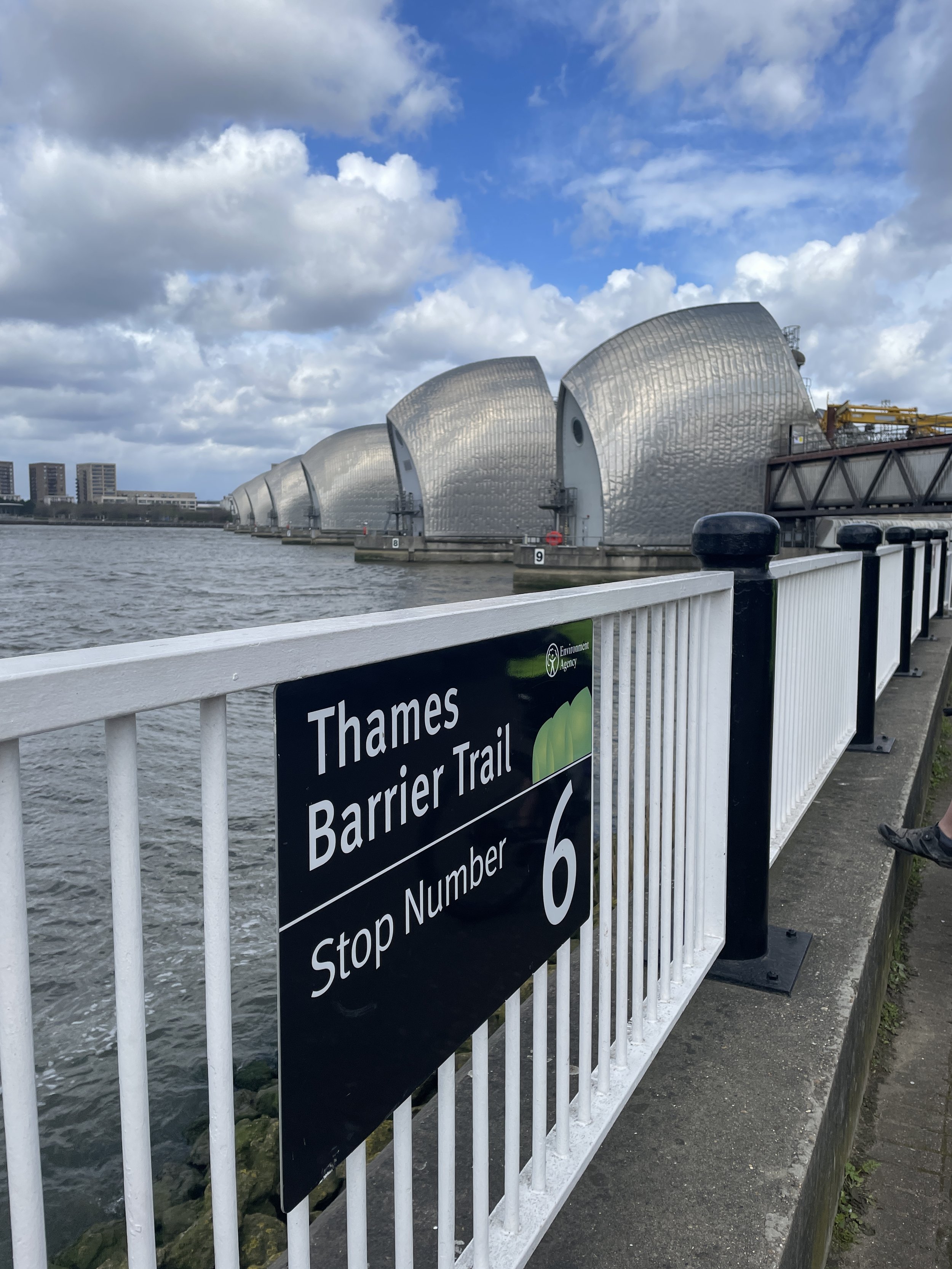
Like all Saturdays the day started with a parkrun, this time at Great Lines Heritage park, just over a mile from from the hotel. From there we headed to Chatham Station to get the train to Charlton. The Thames Barrier is a 1.4km ride from Charlton Station.
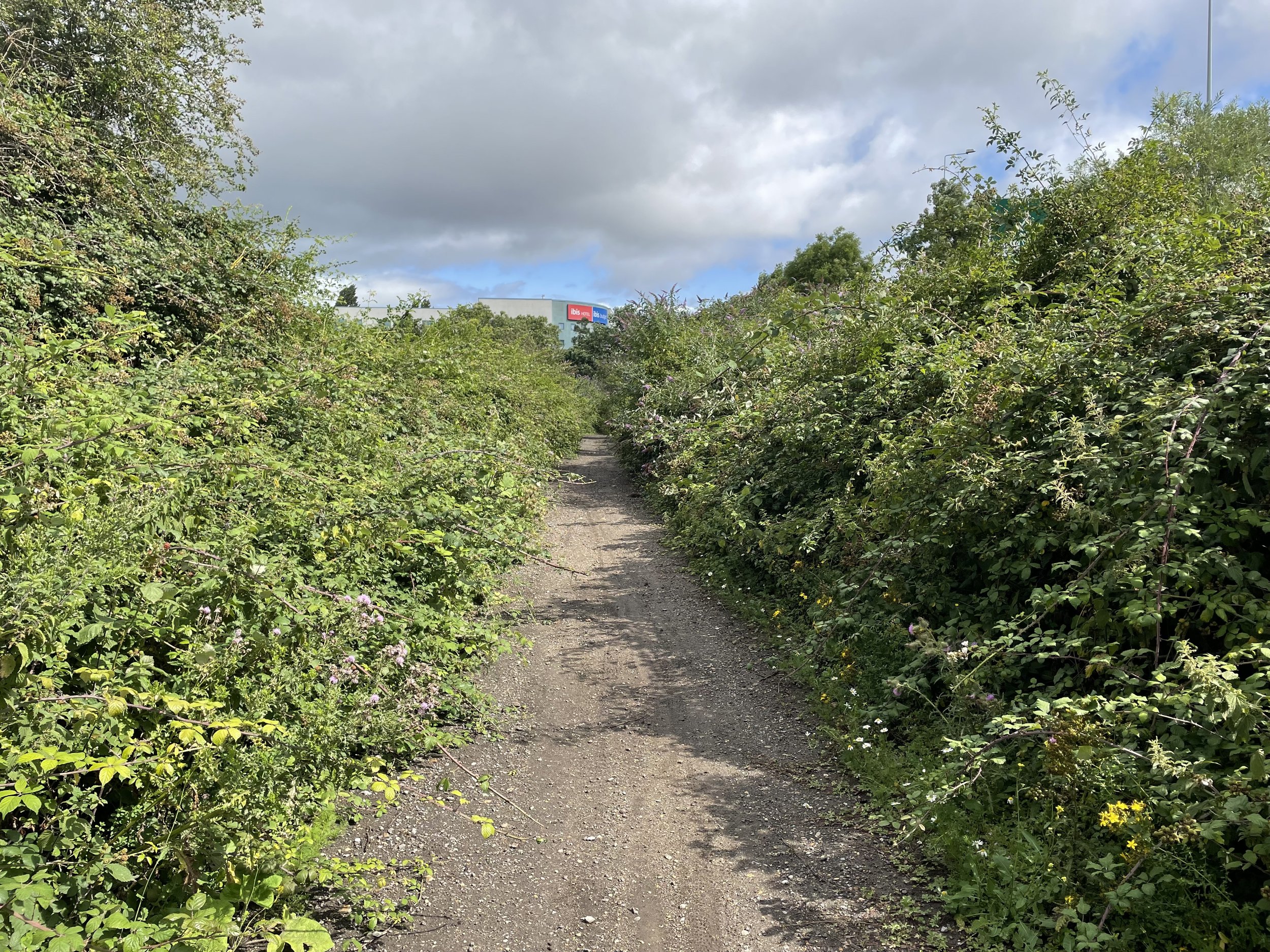
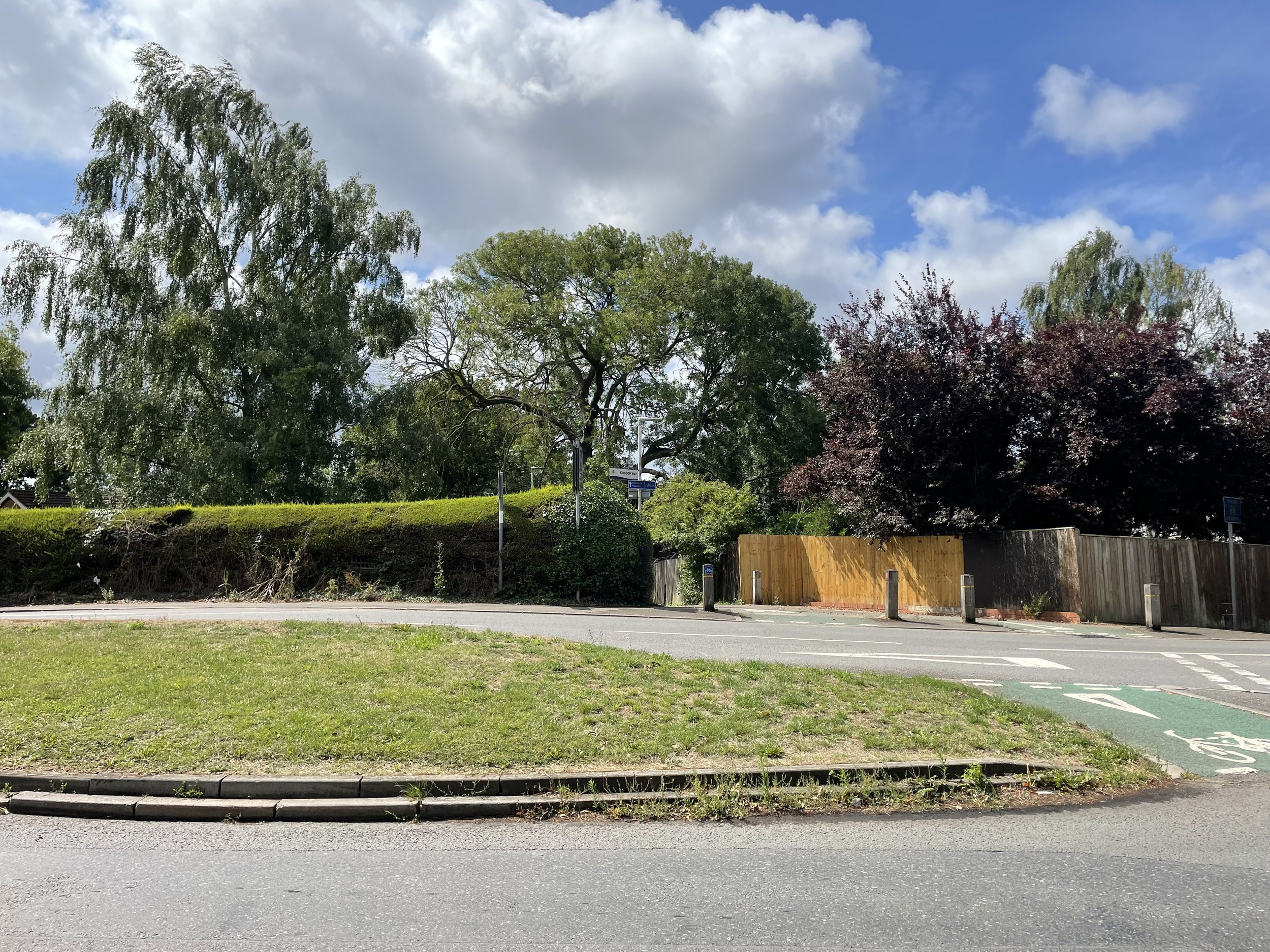
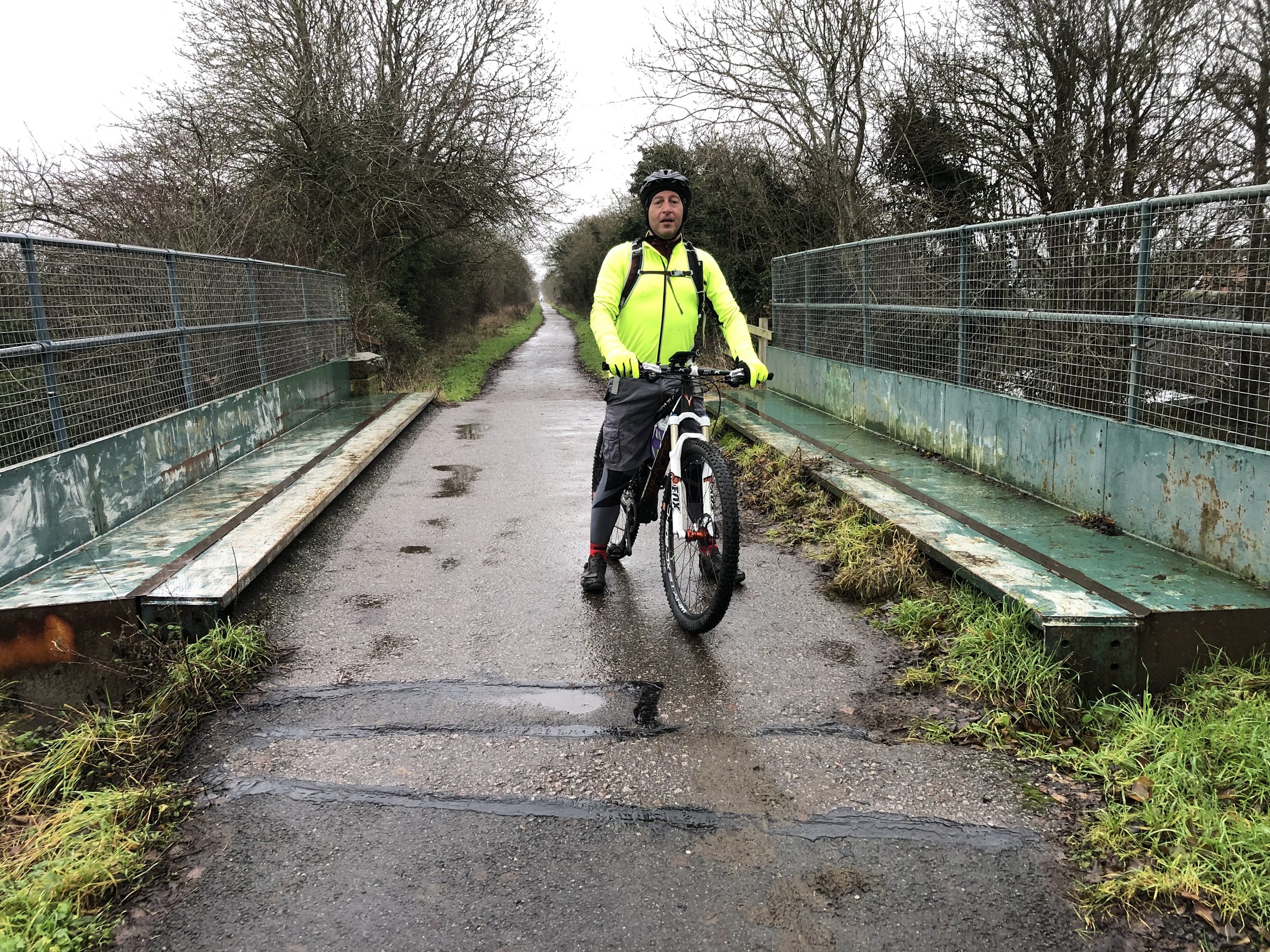
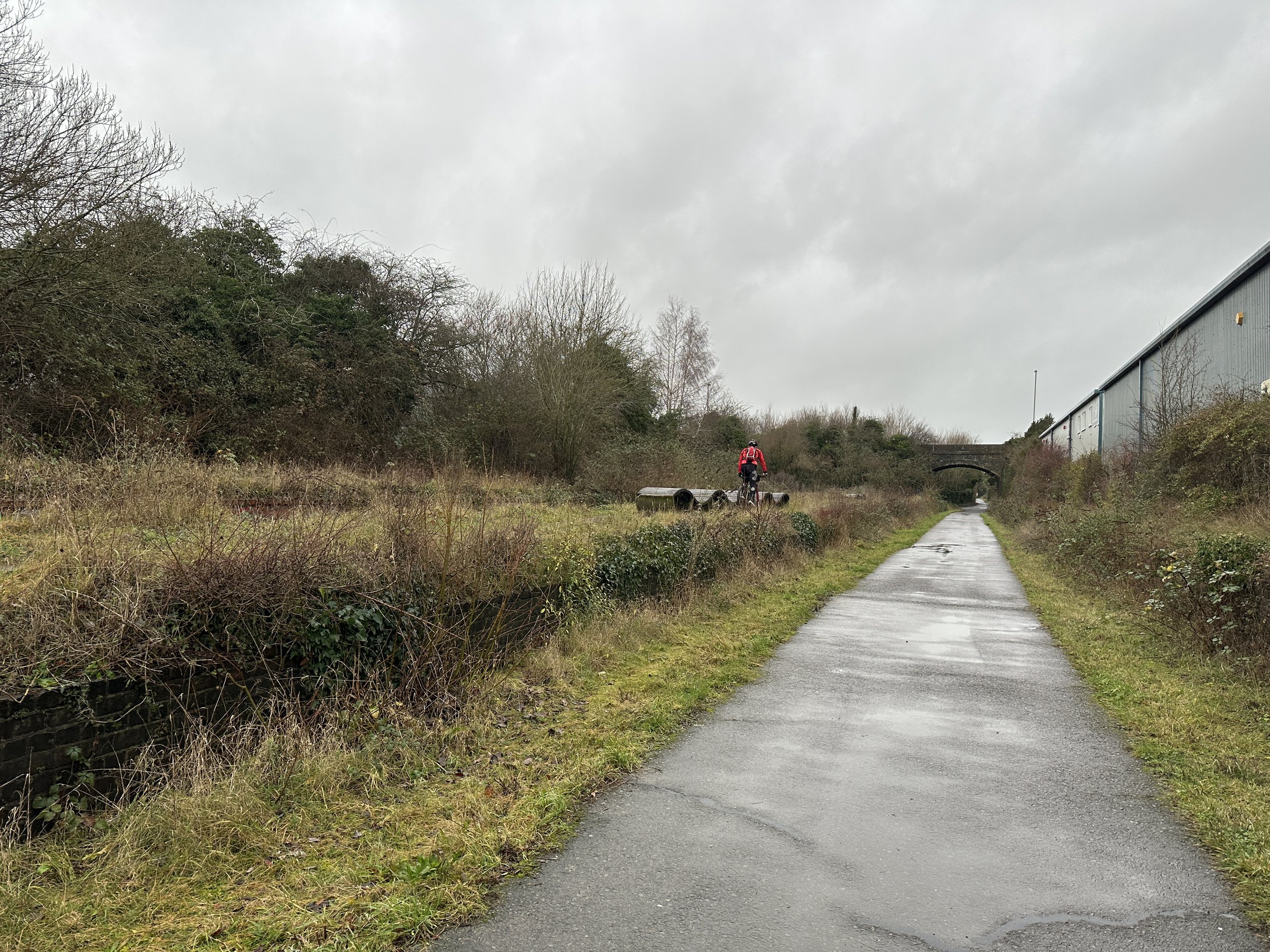
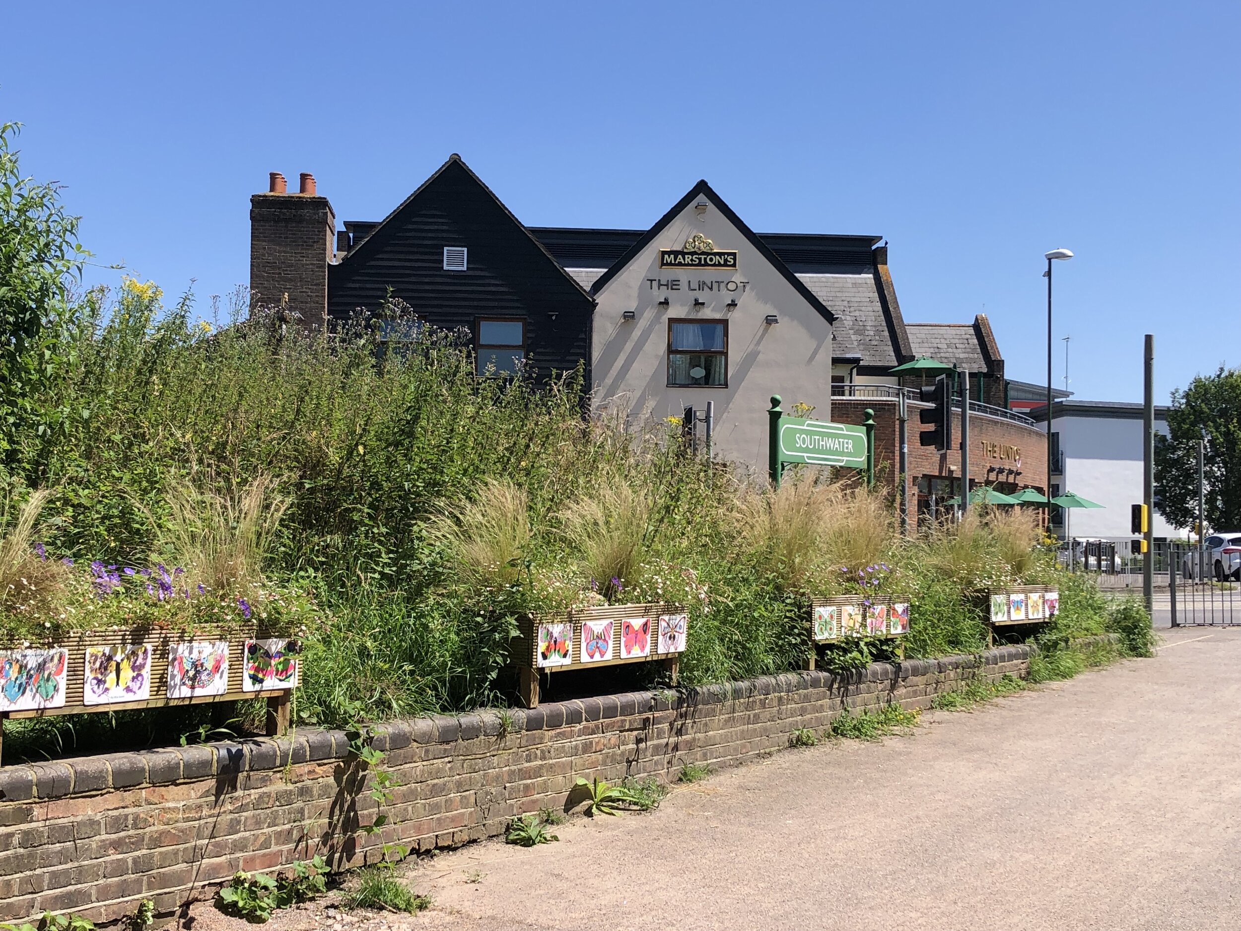
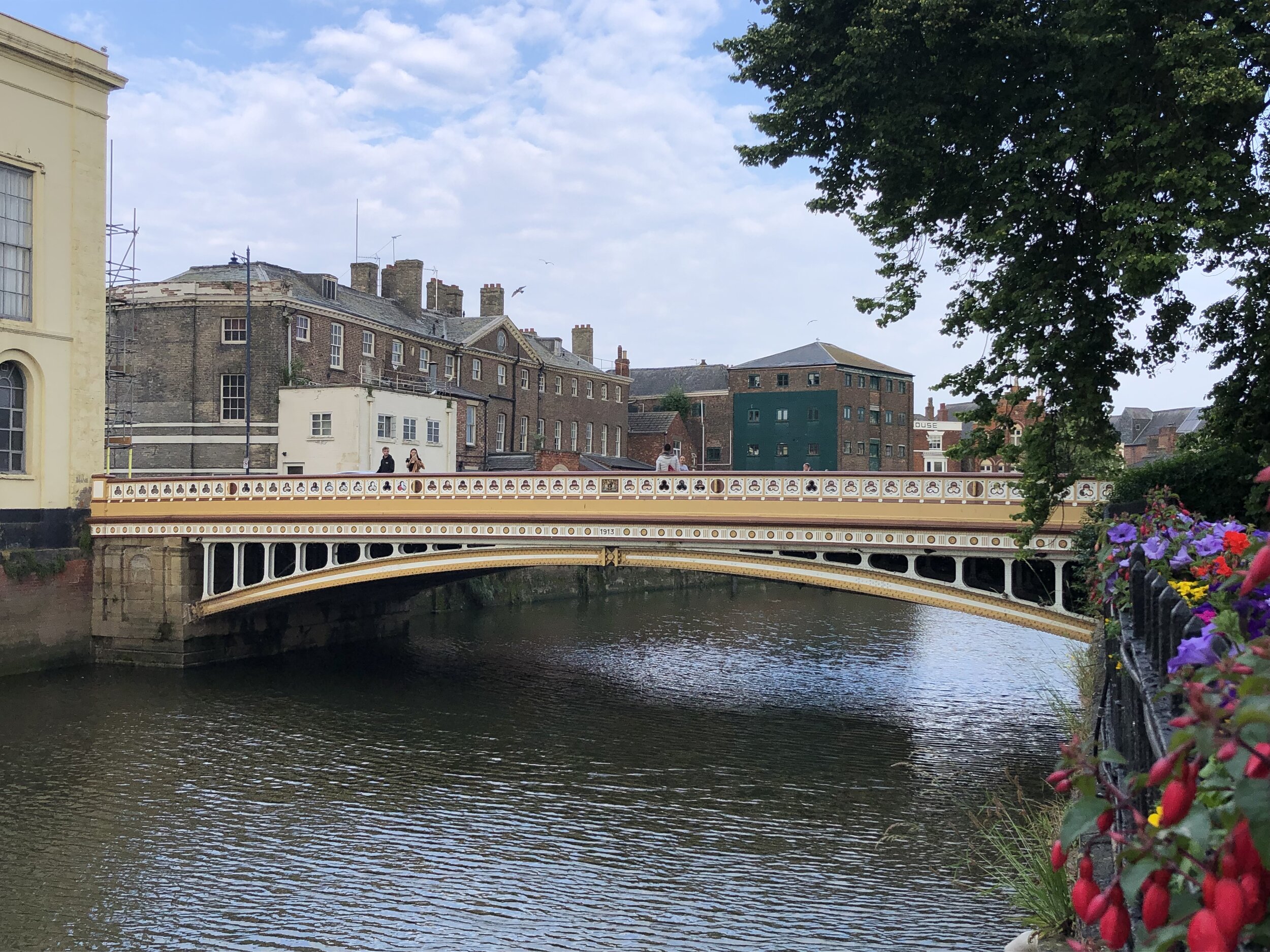
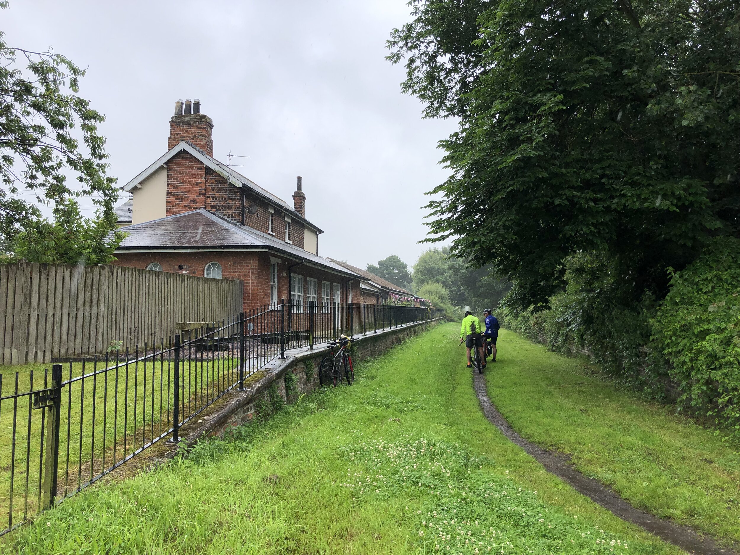
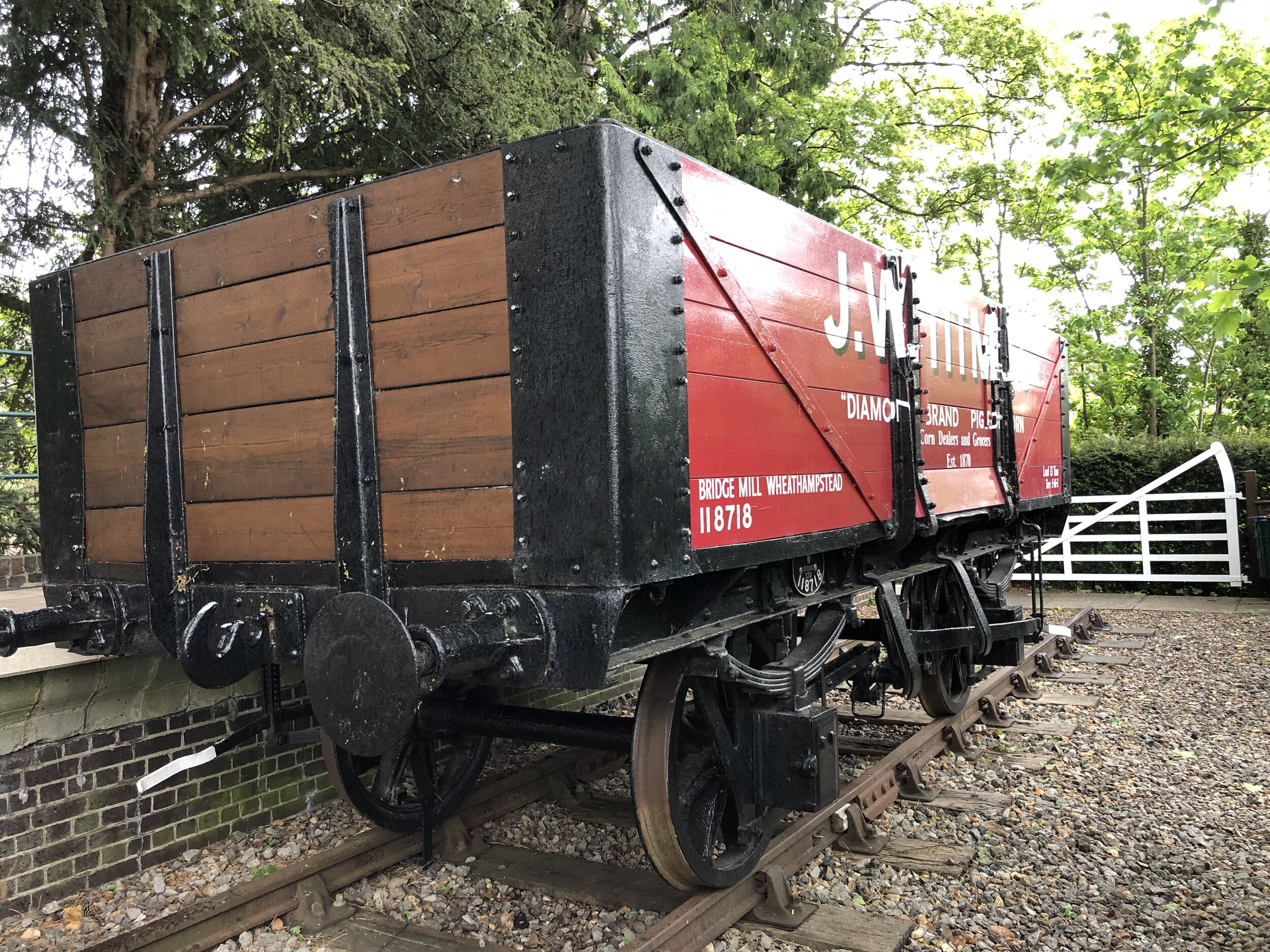
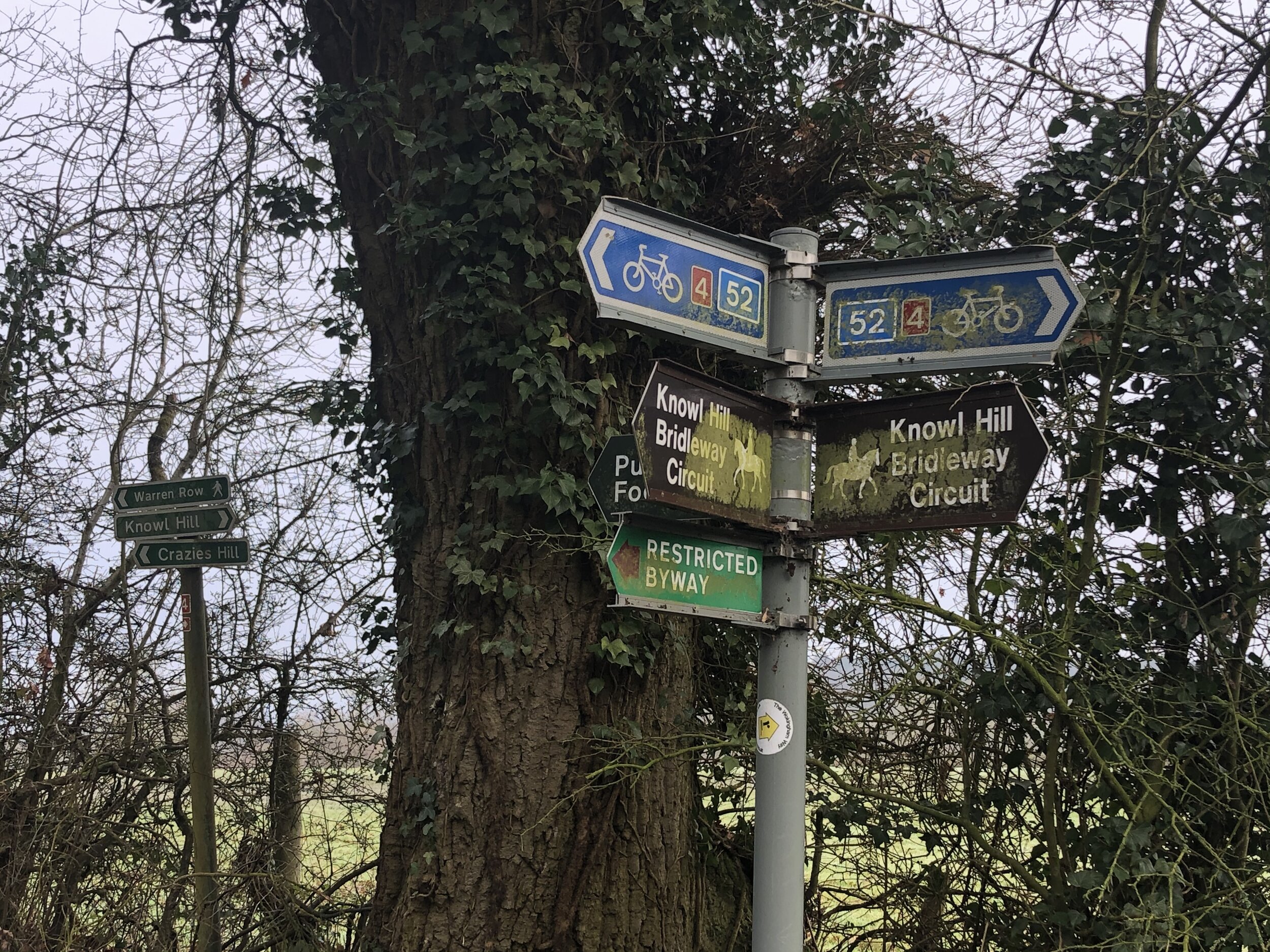
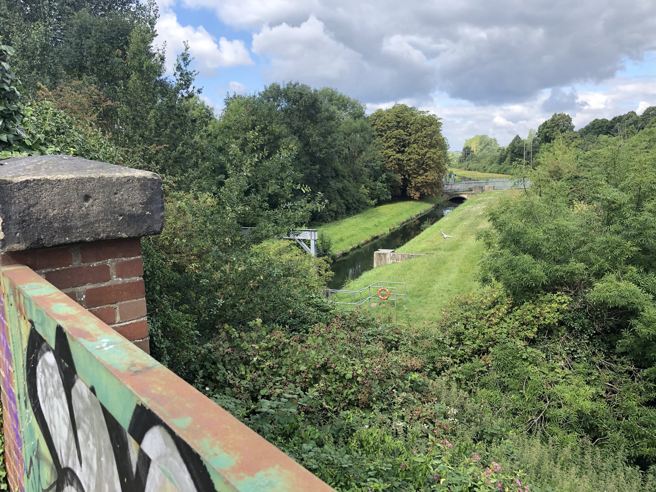
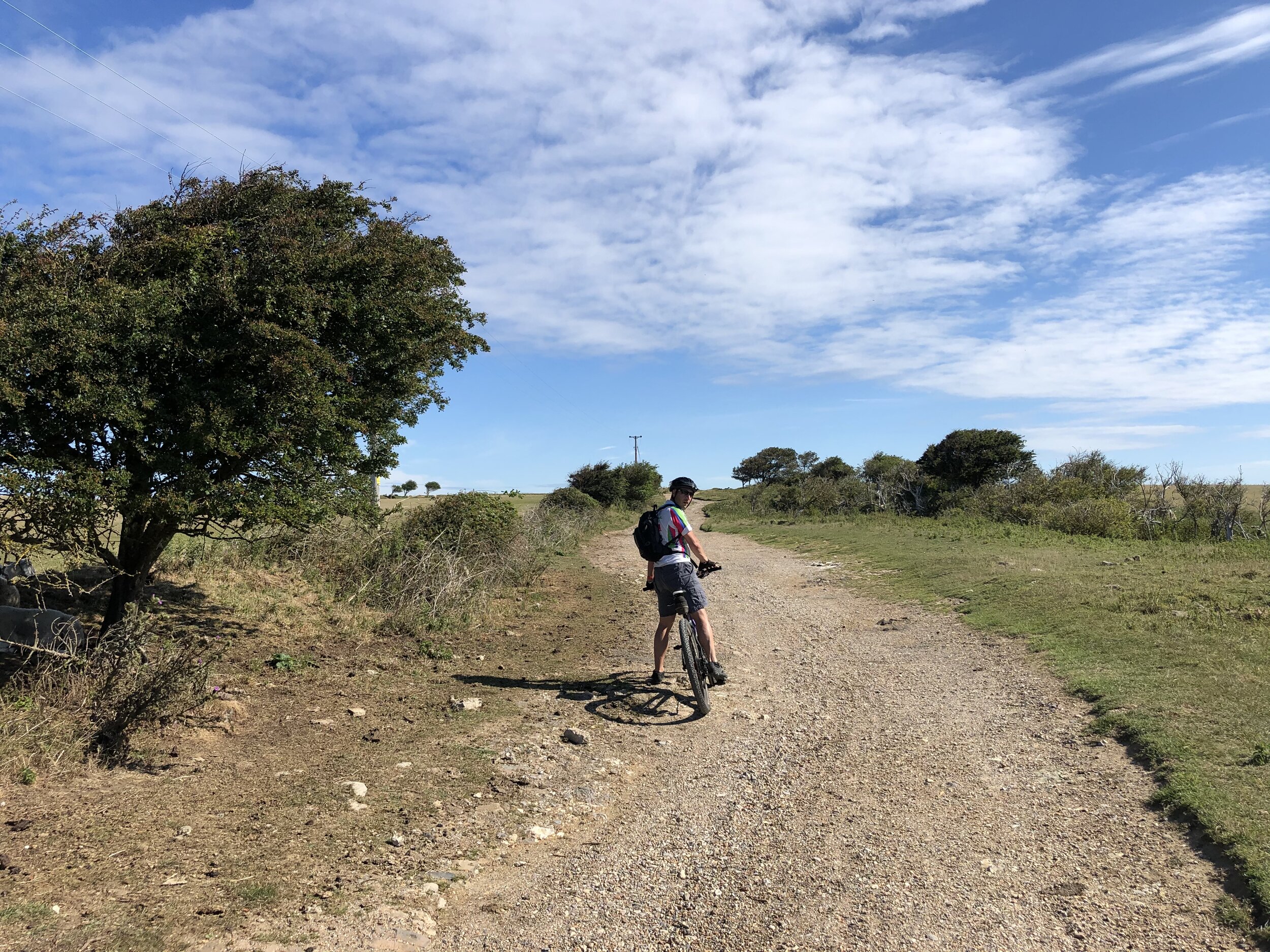
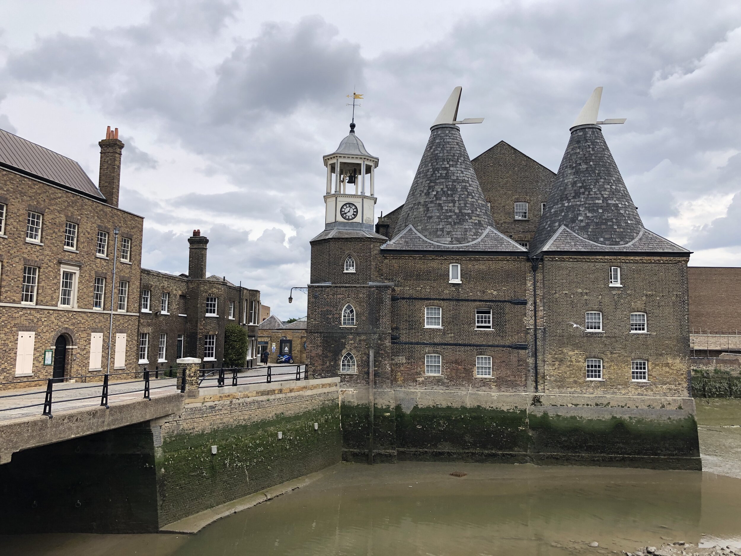
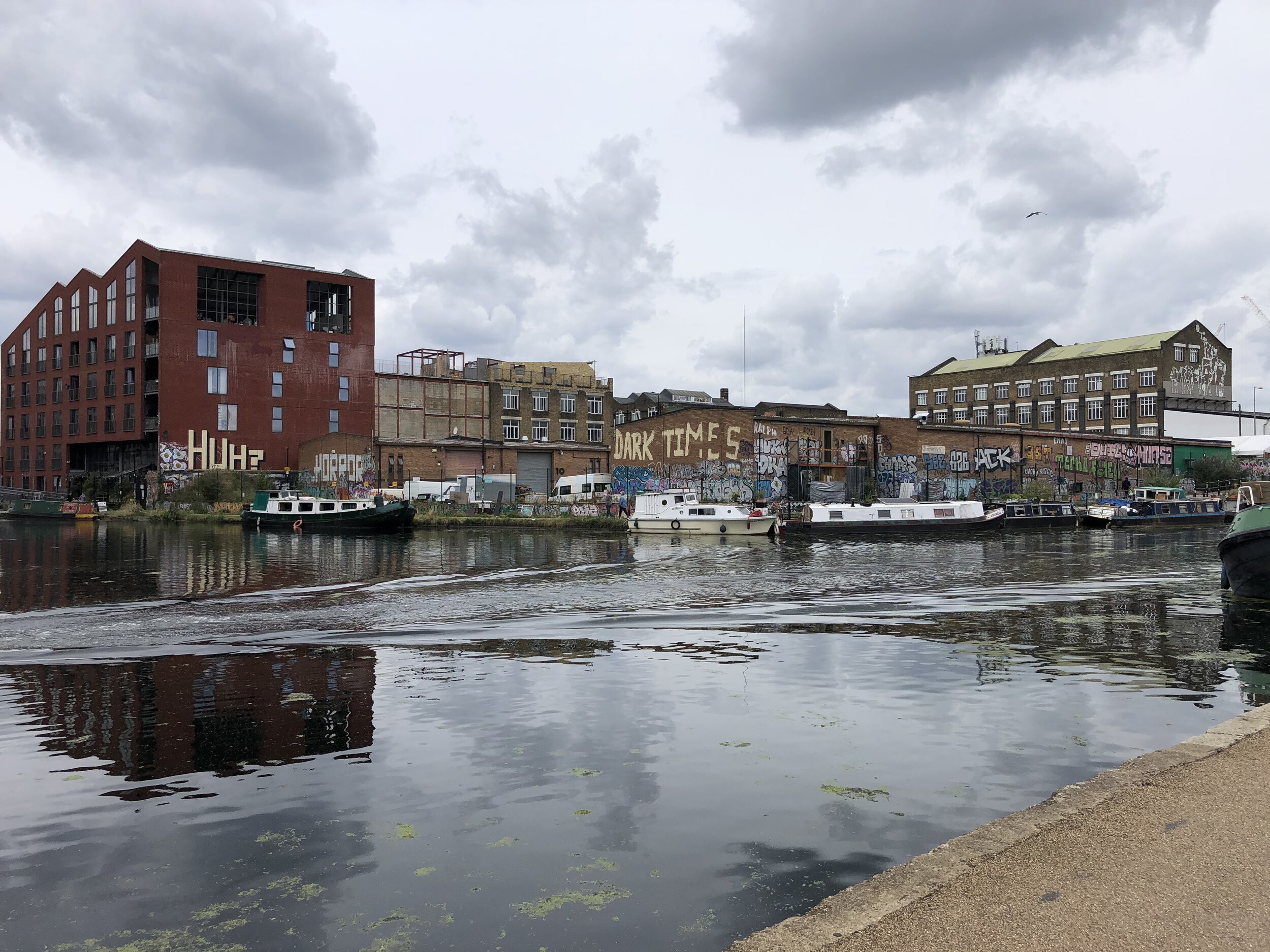
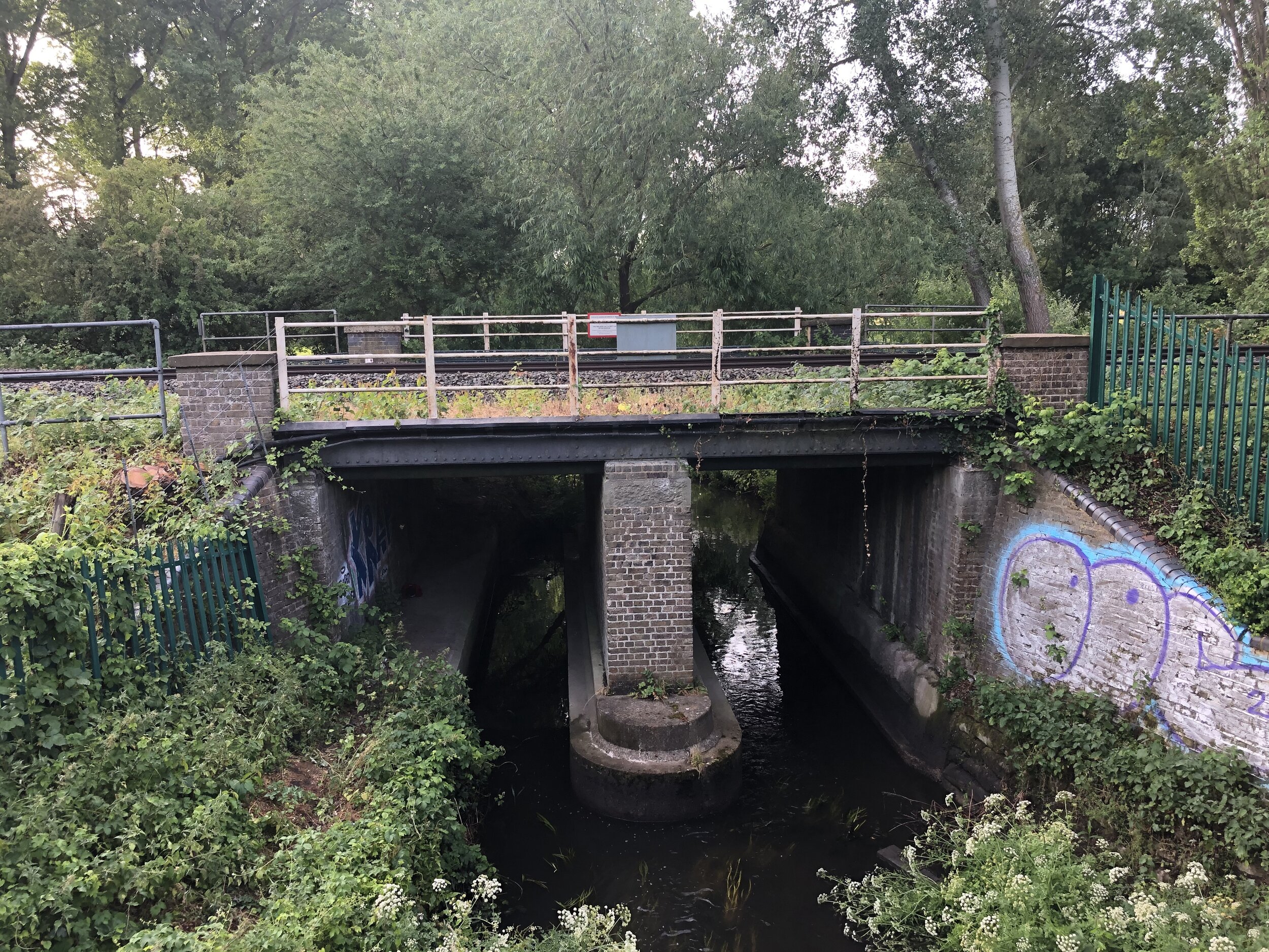
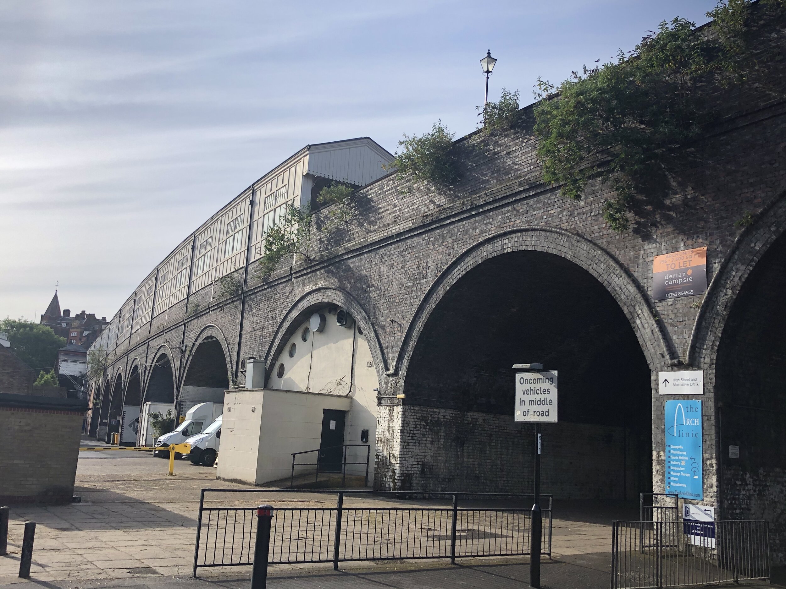
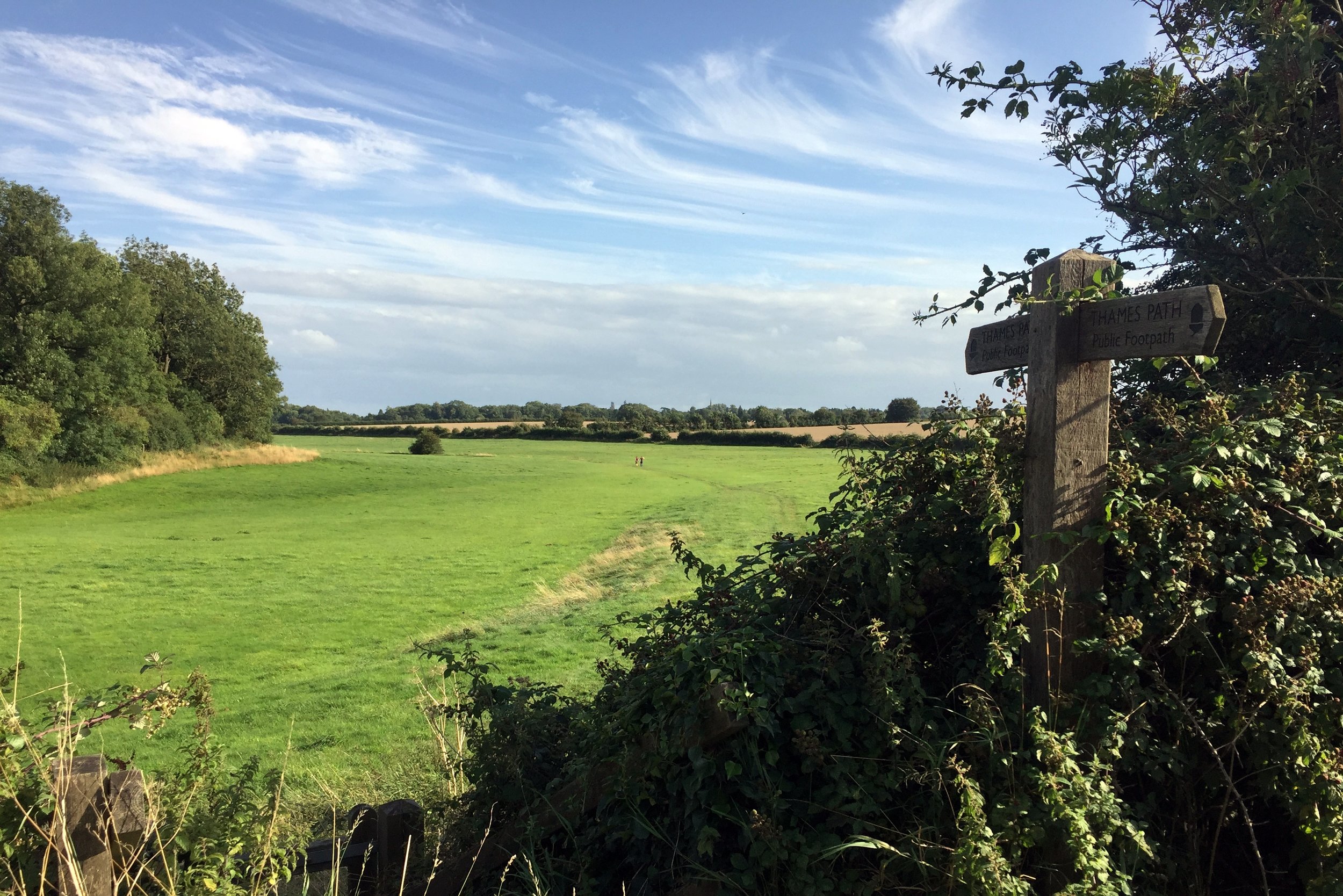
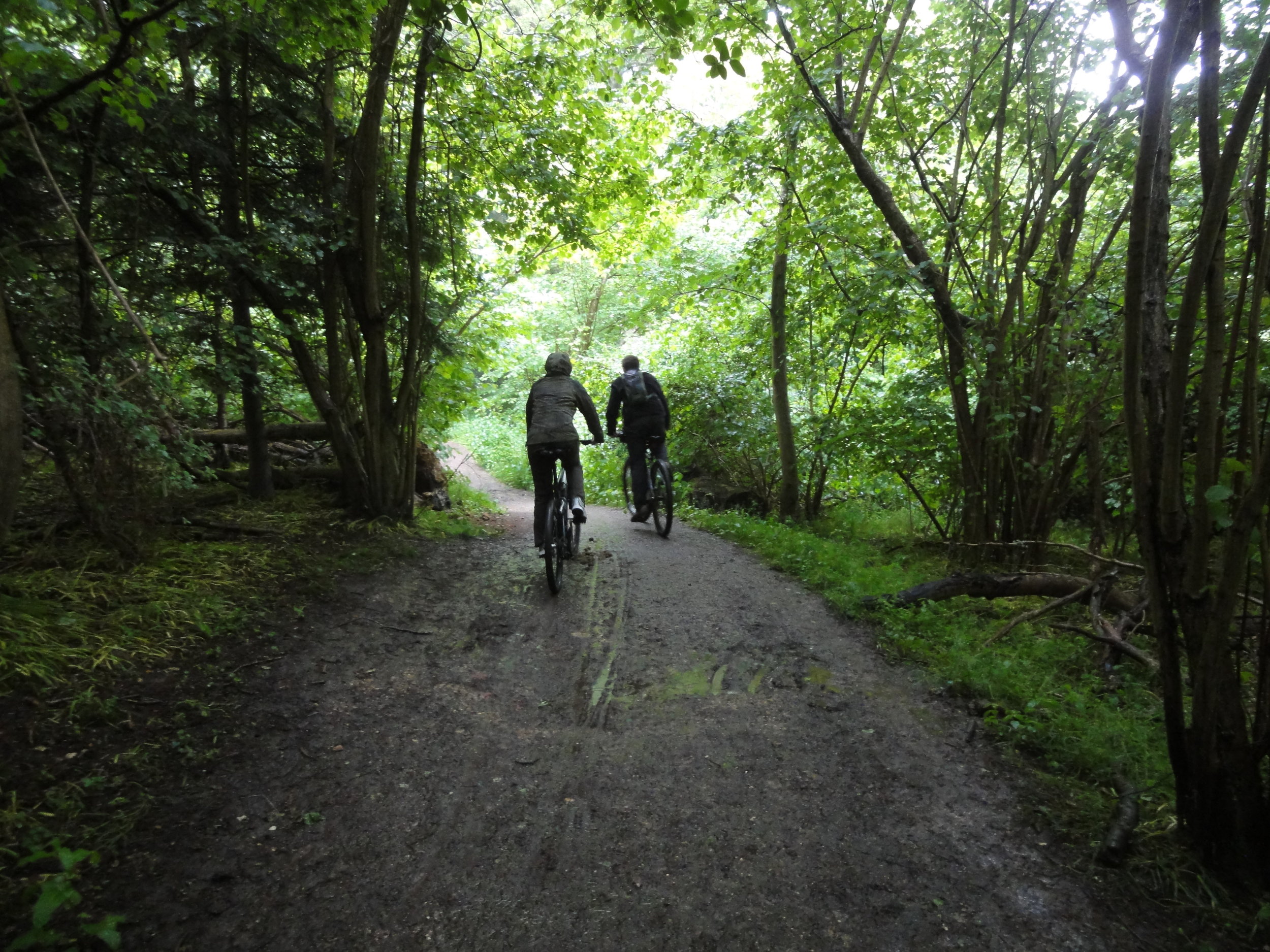
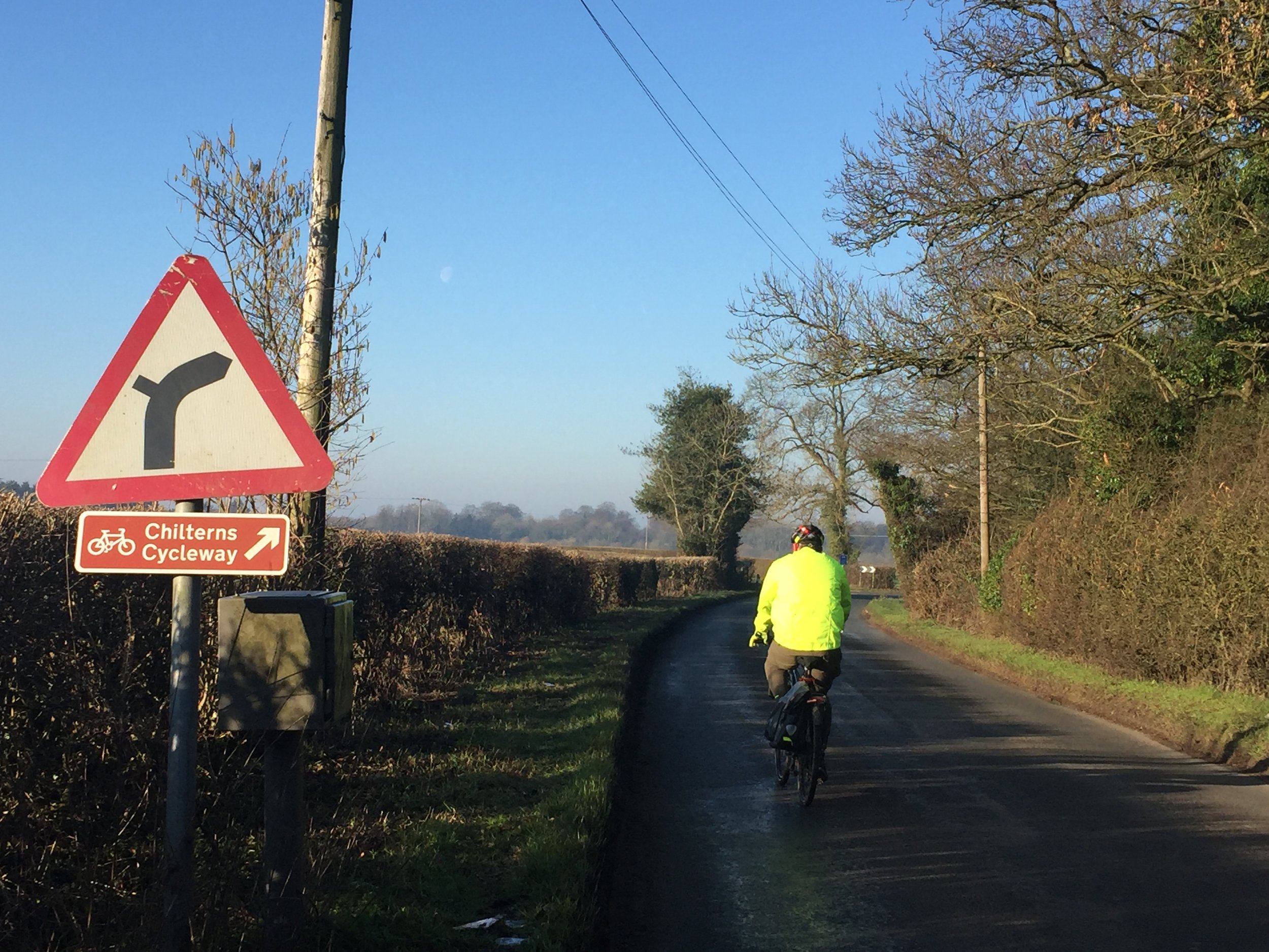
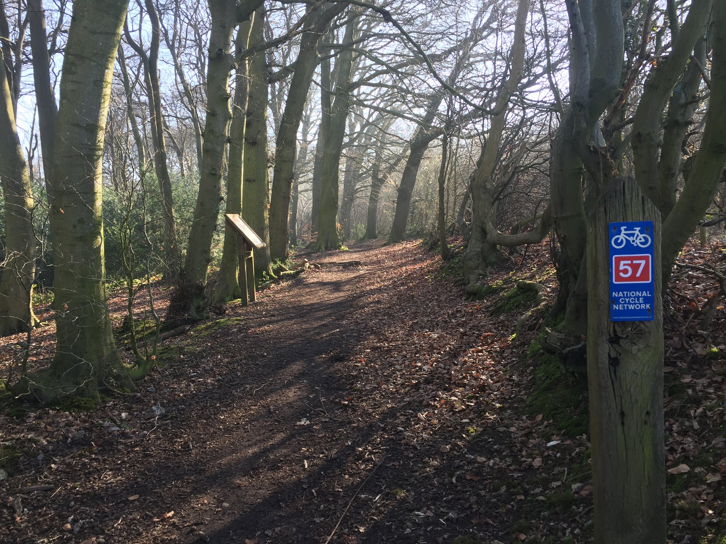
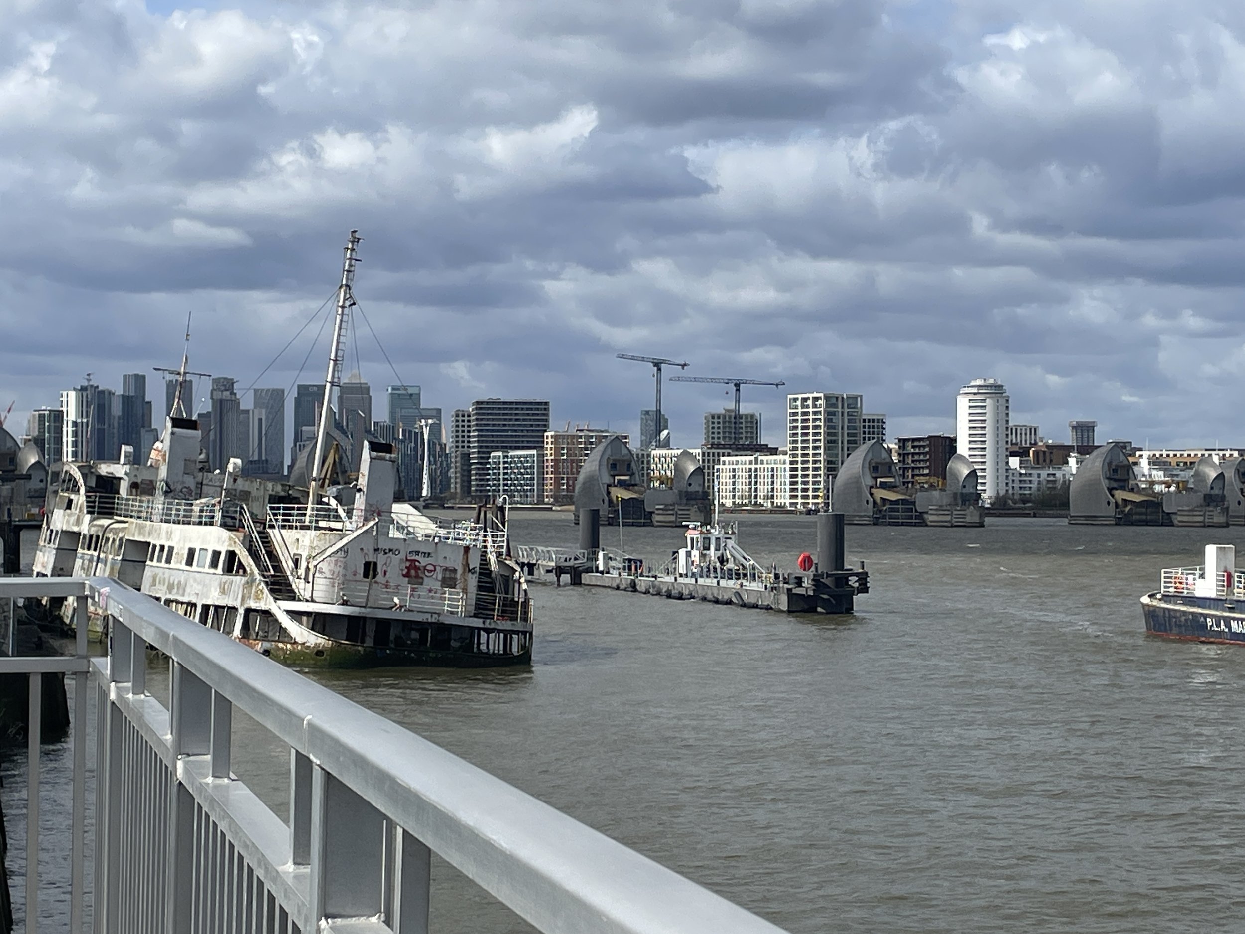
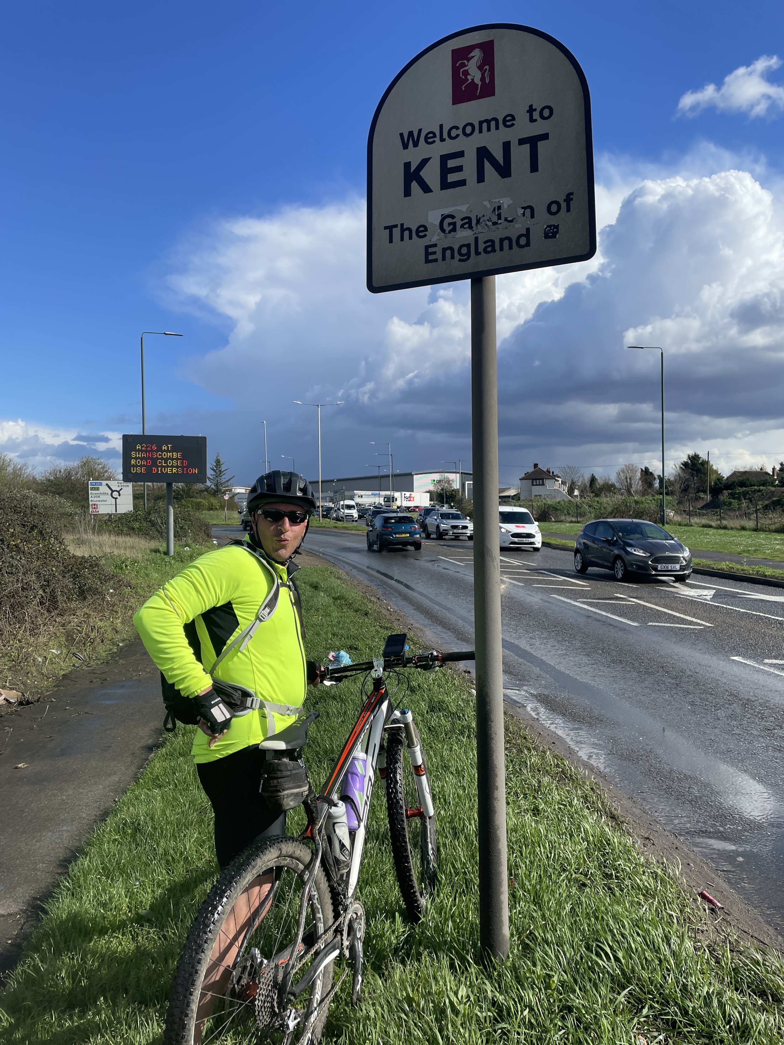
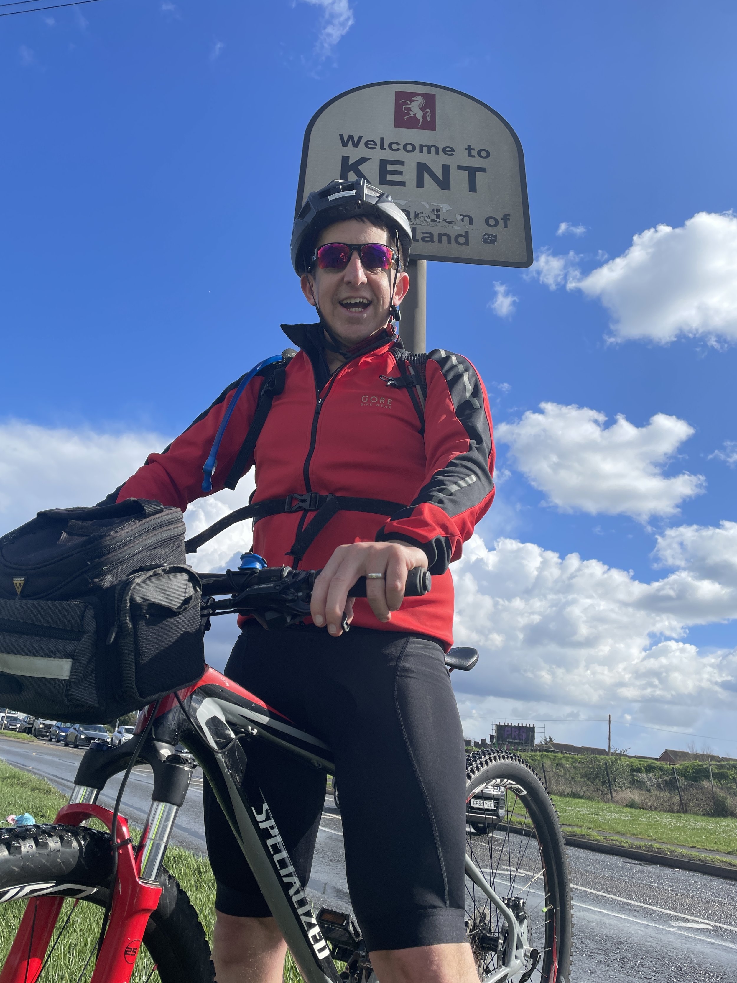
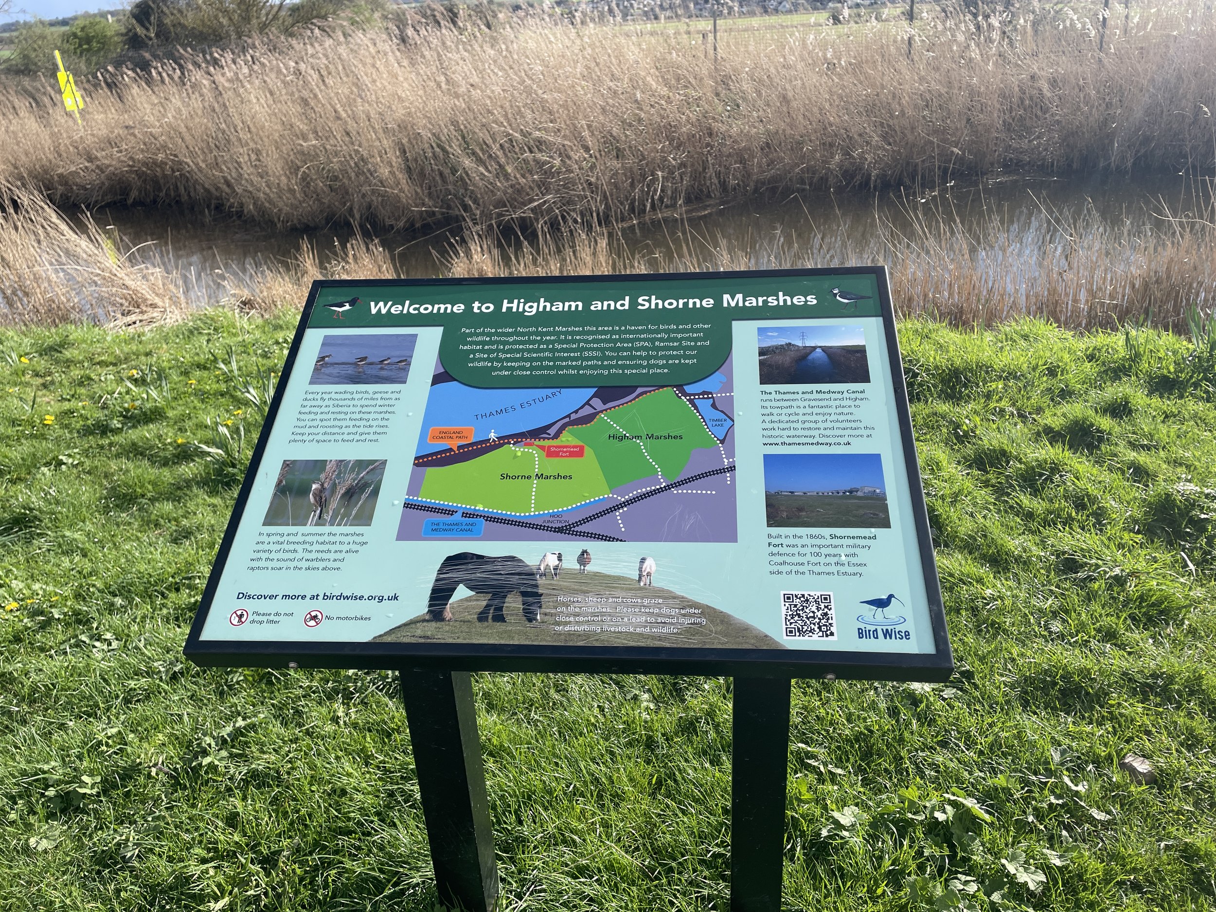
Navigation is straightforward, keeping to the NCN Route 1 all the way to Chatham. The first 20km hugs the riverside passing a mix of pleasant gentrified areas like Woolwich Arsenal and ugly industrial parts. After Erith the Route 1 cuts south away from the river to Dartford avoiding the entrance to the Queen Elizabeth Bridge. We had planned a coffee and cake stop in Dartford but nothing inspired us so we carried on. By the time we reached Gravesend we were really hungry and, as pubs were open by then, were optimistic about finding food. We found Gravesend equally inspiring so didn’t stop there either.
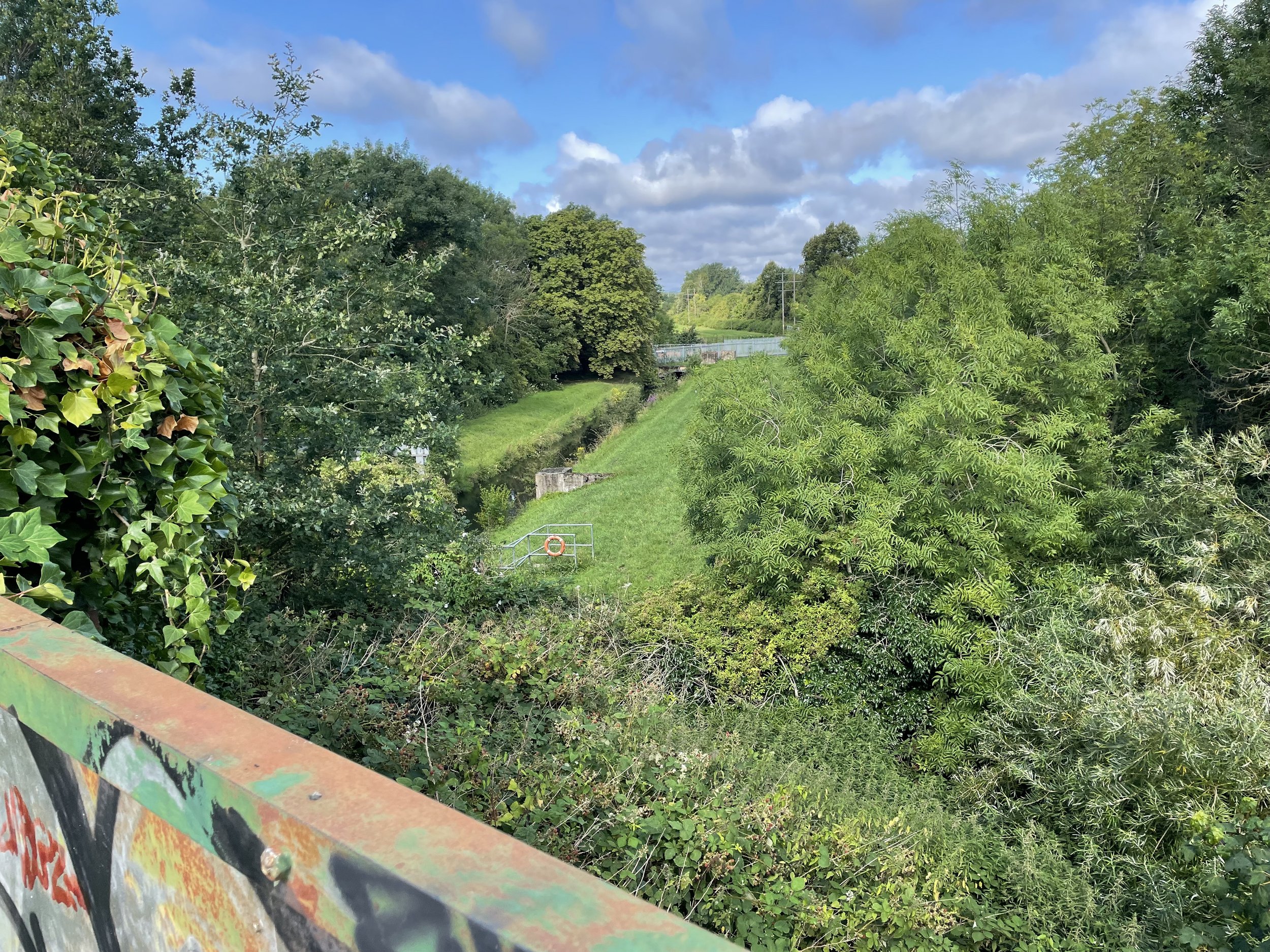
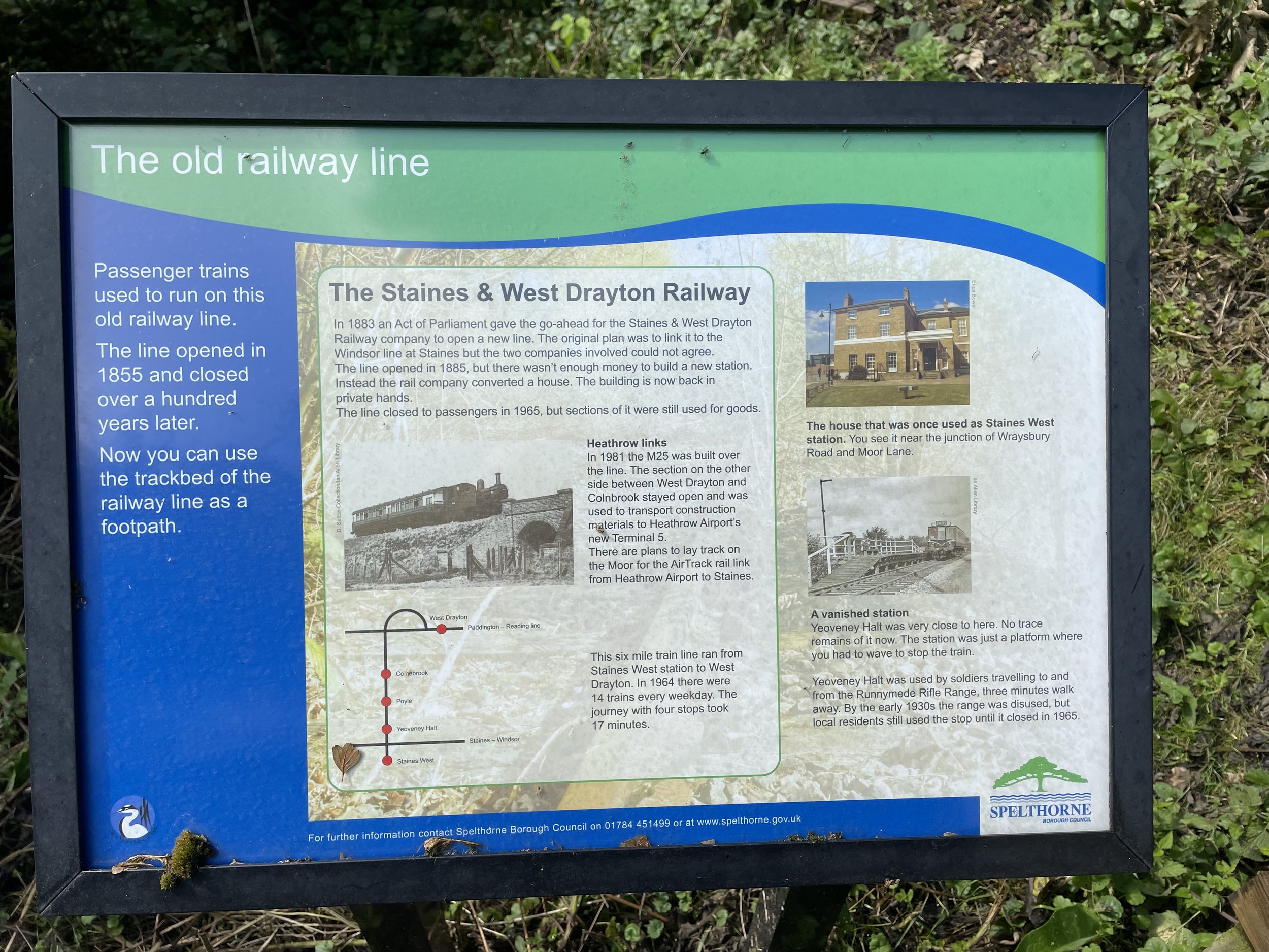
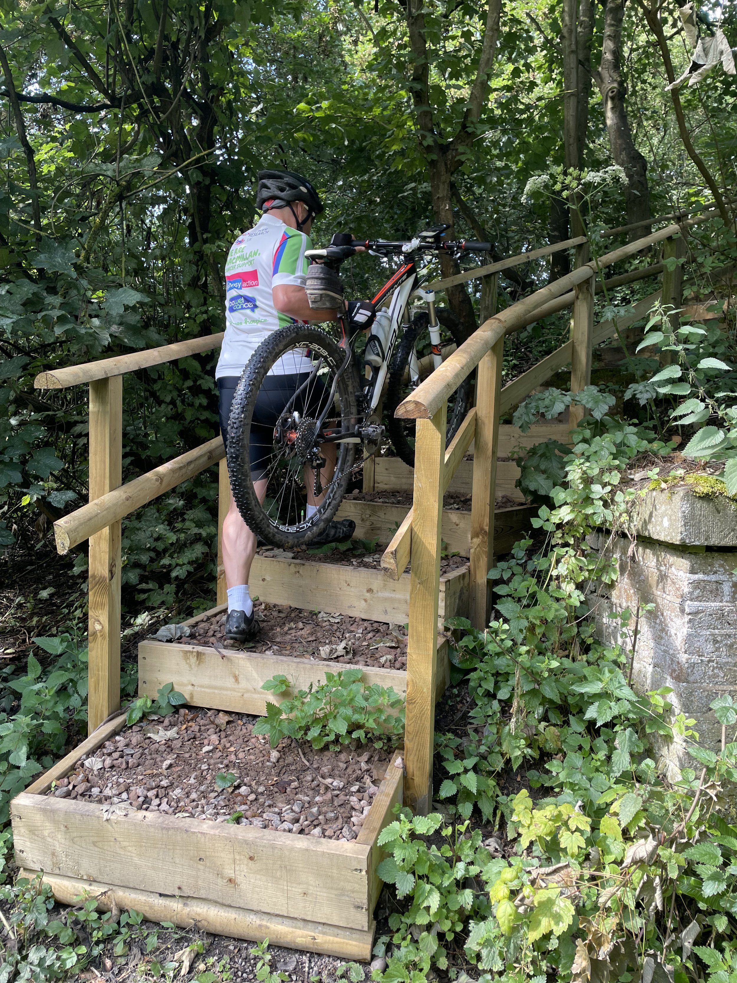
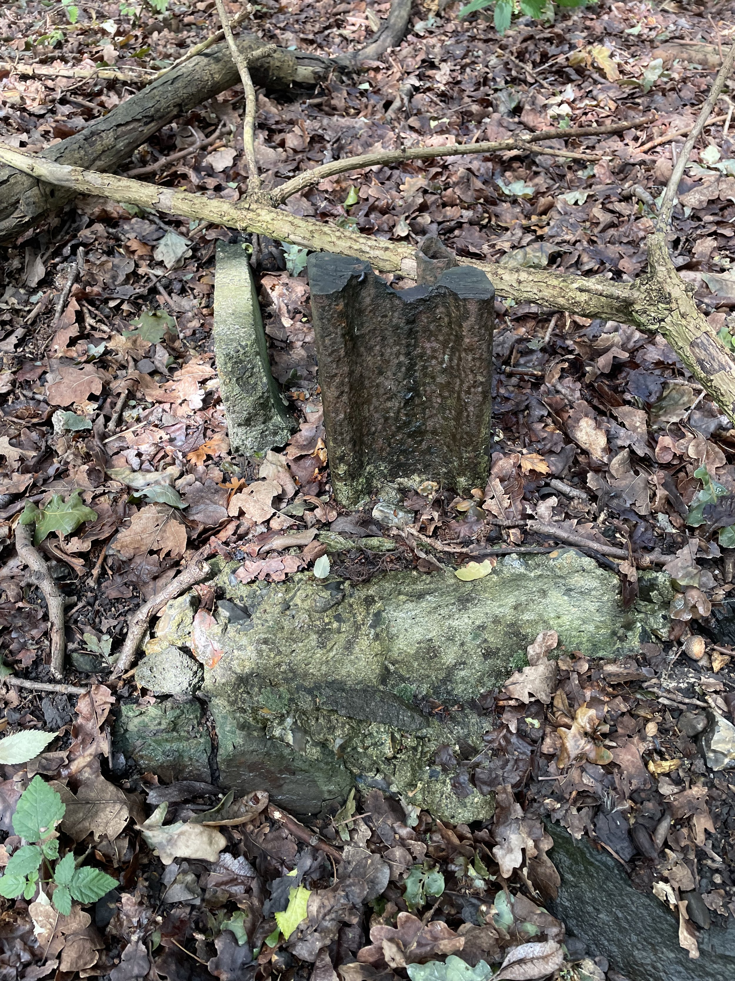
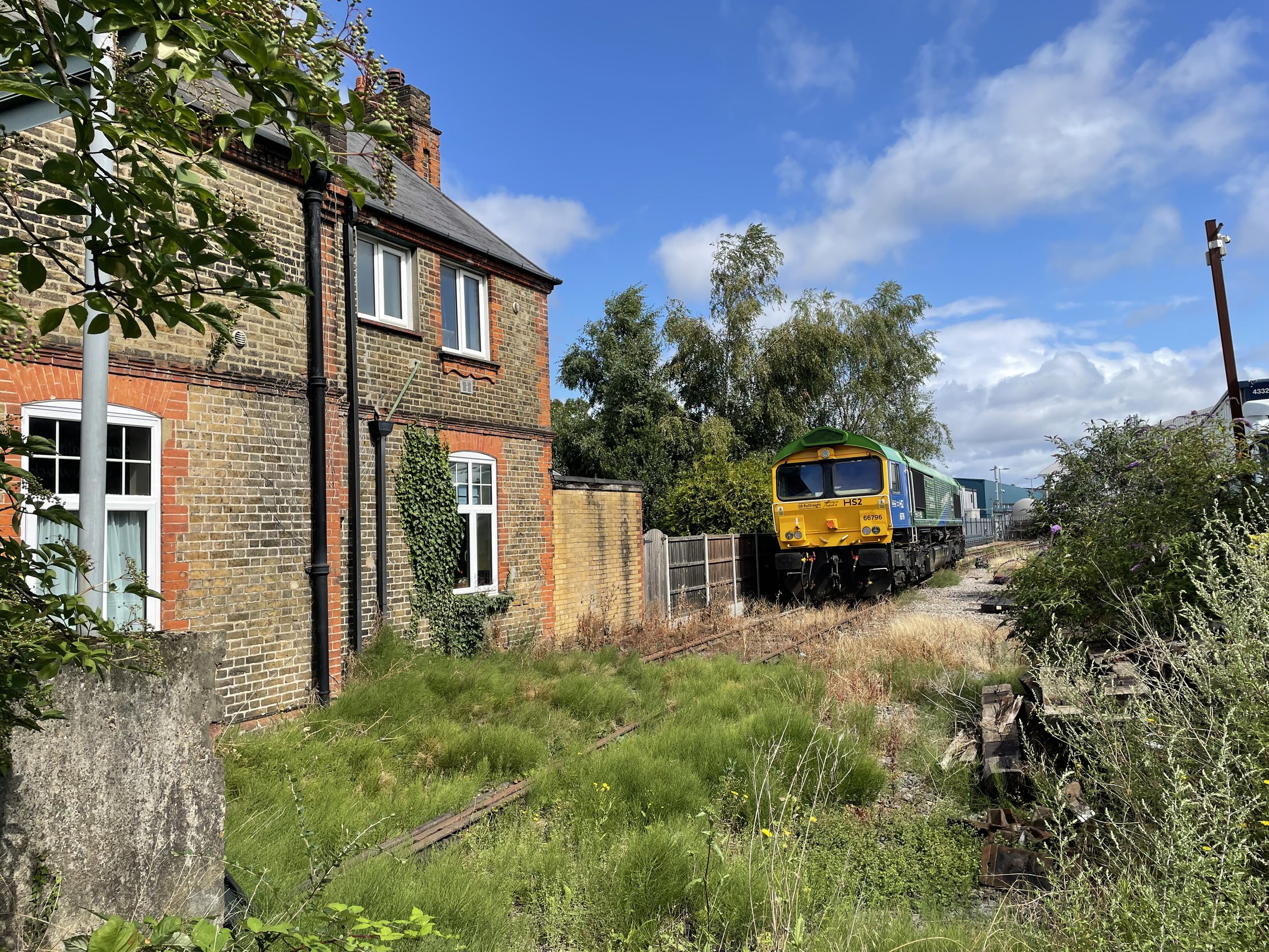
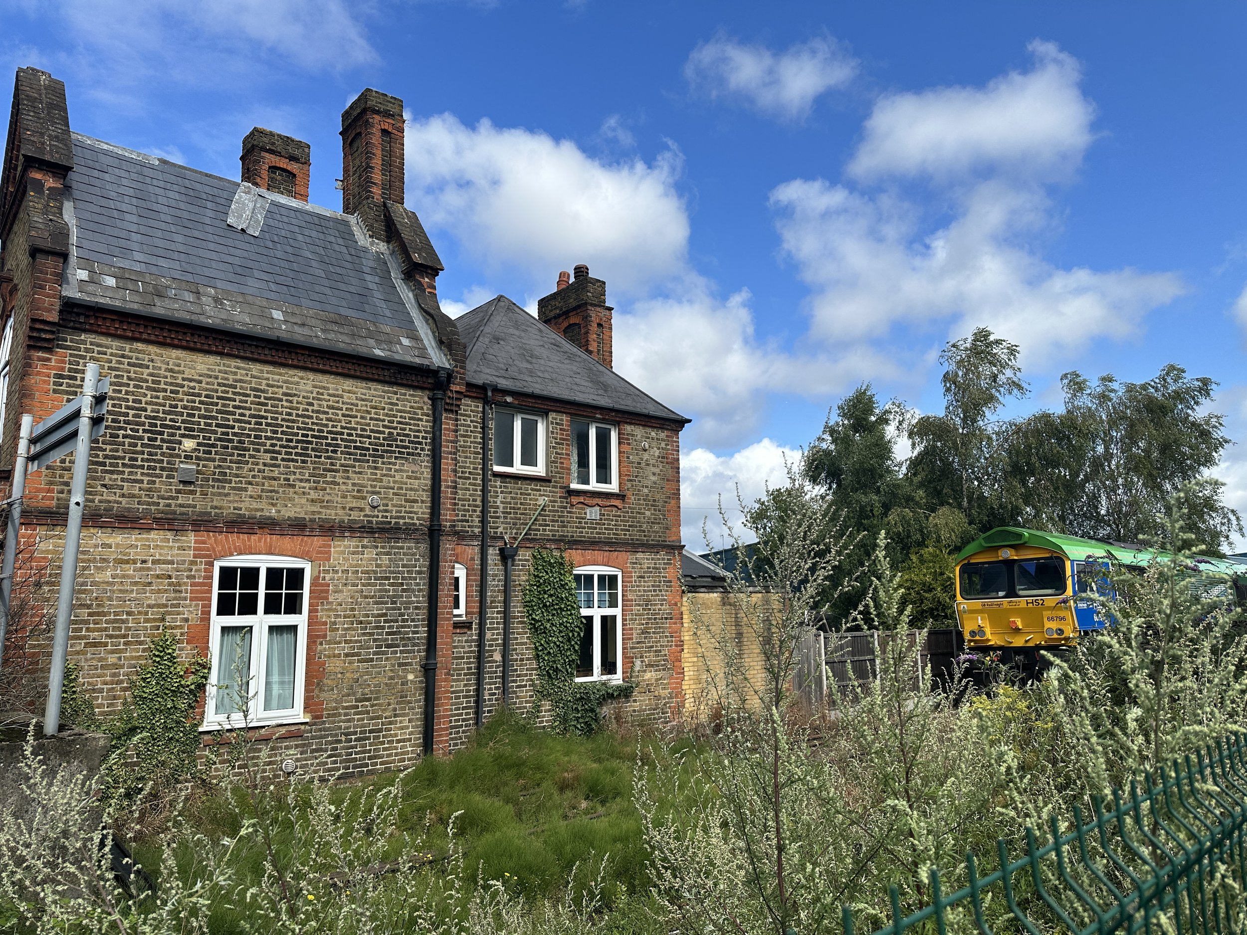
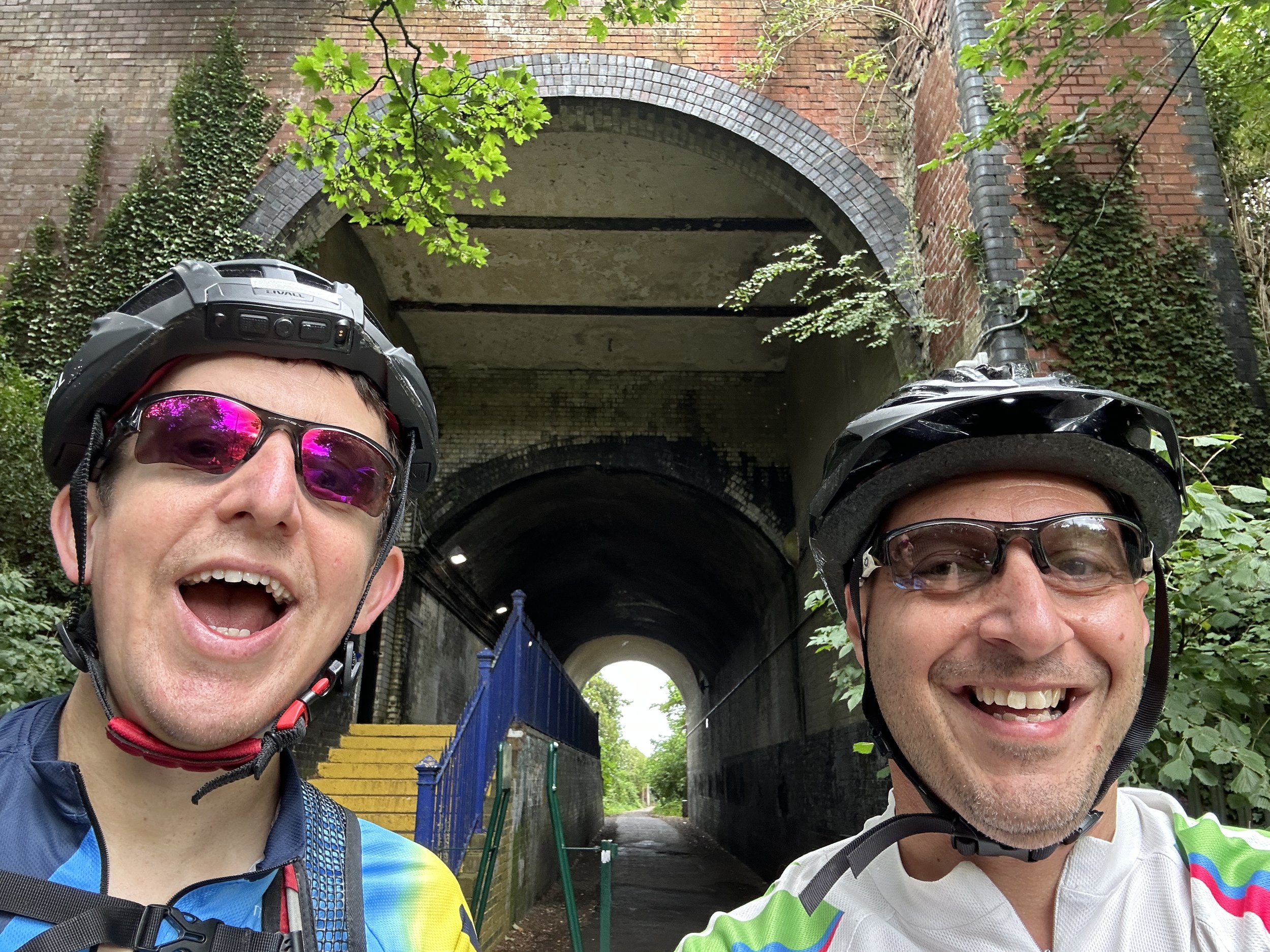
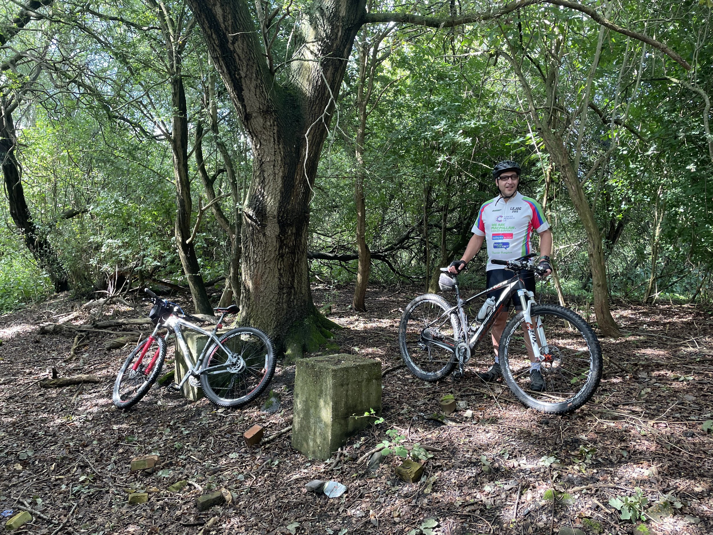
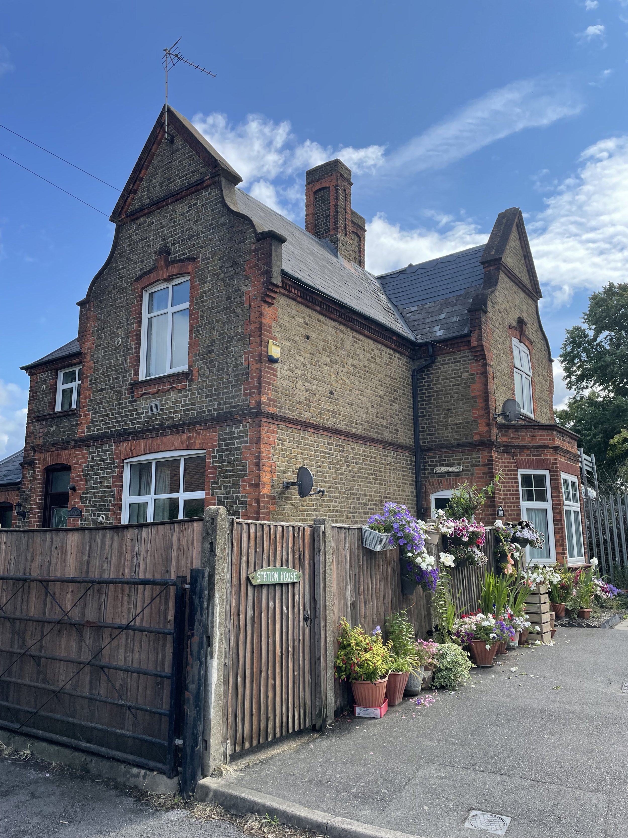
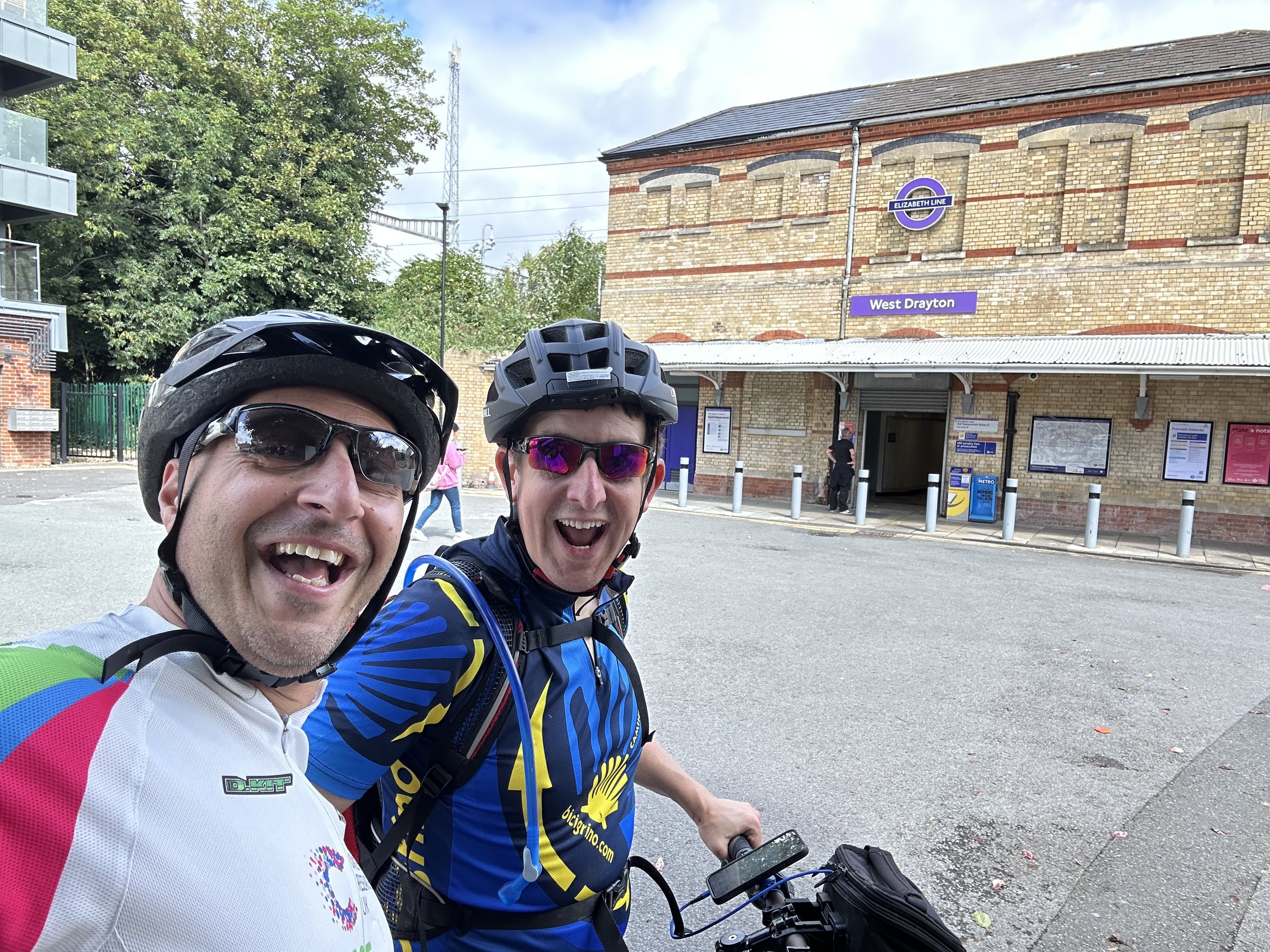
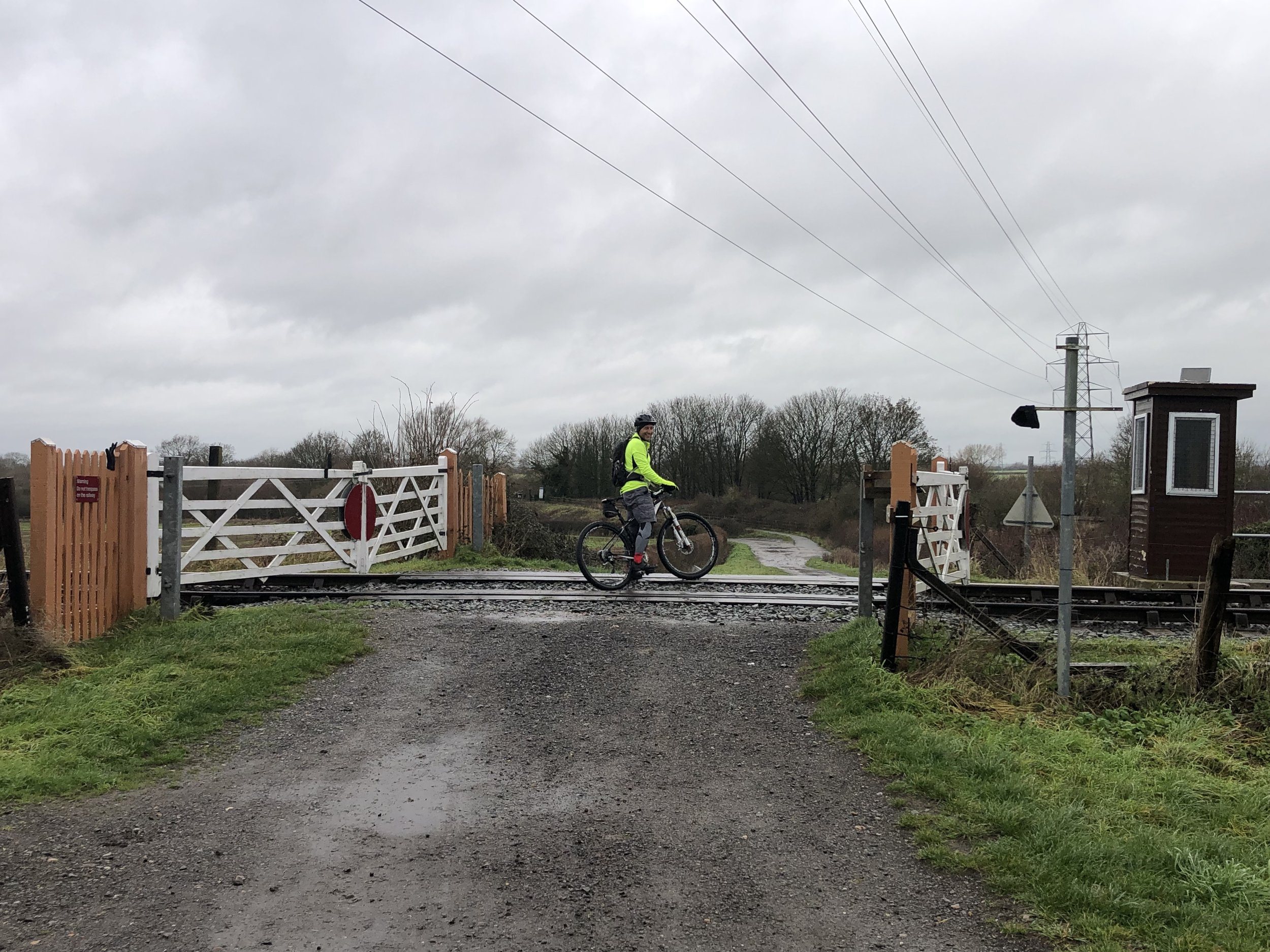
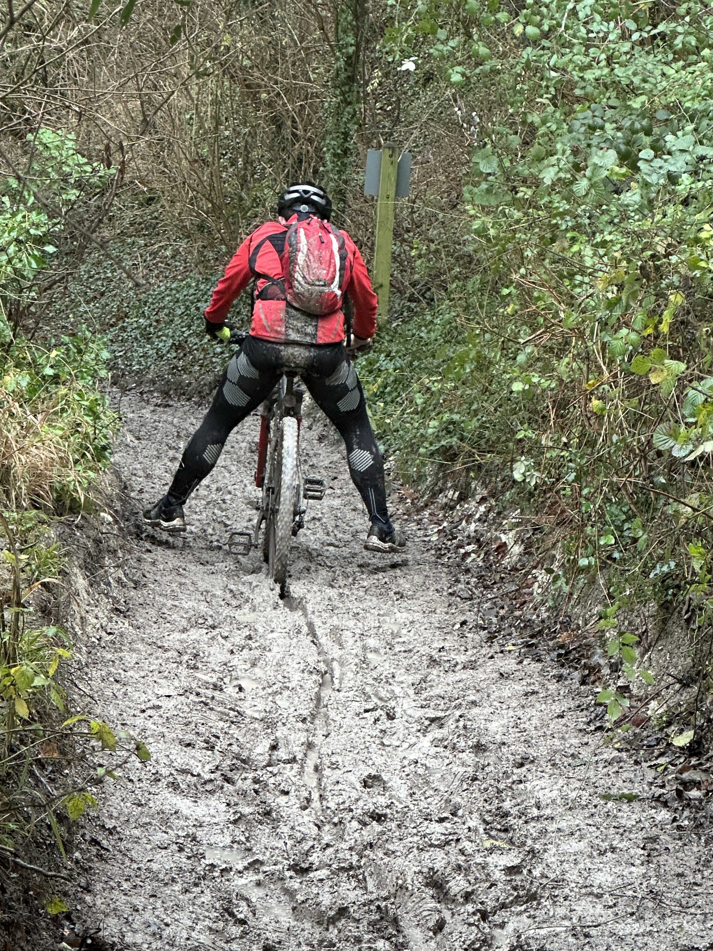
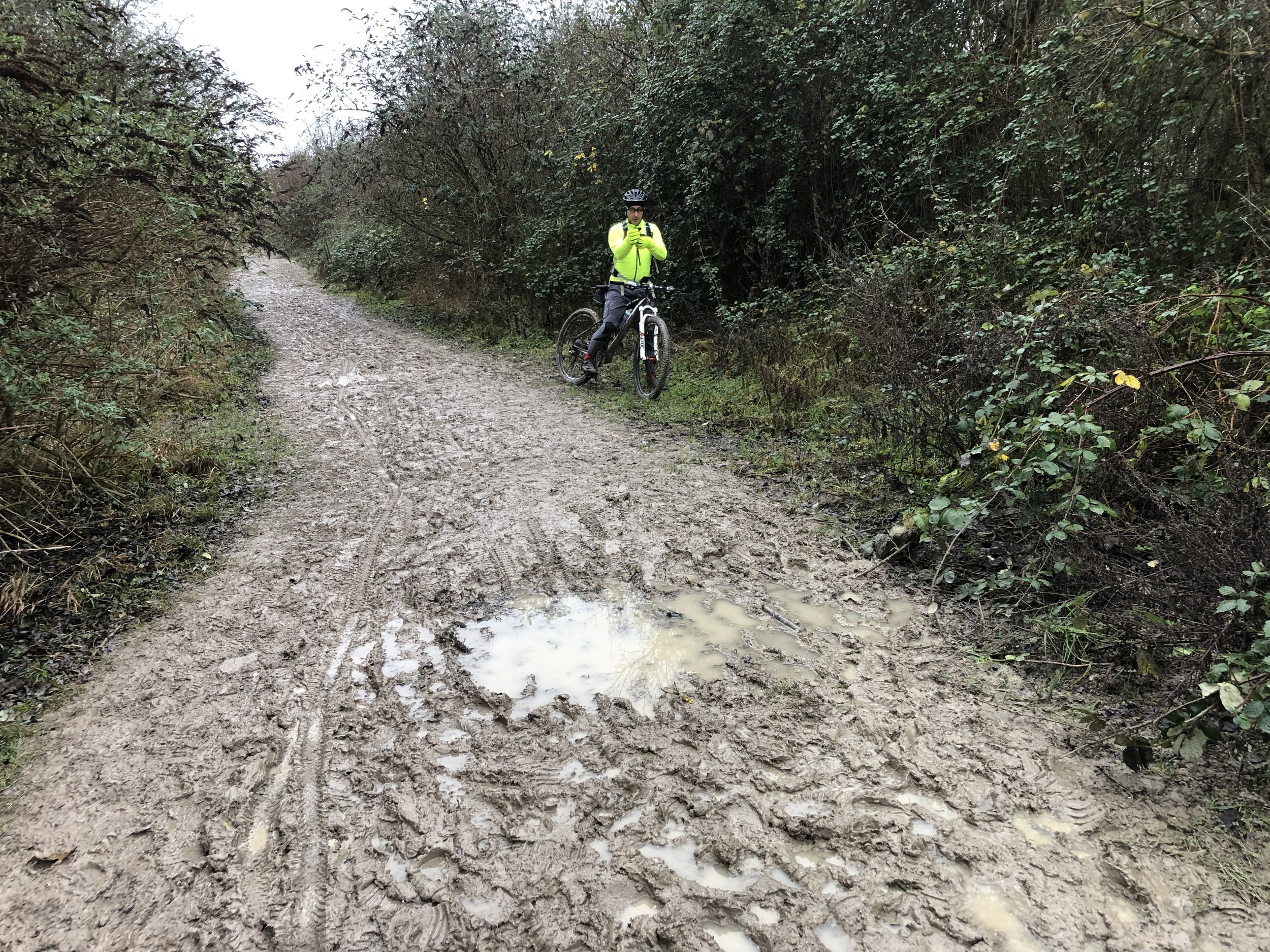
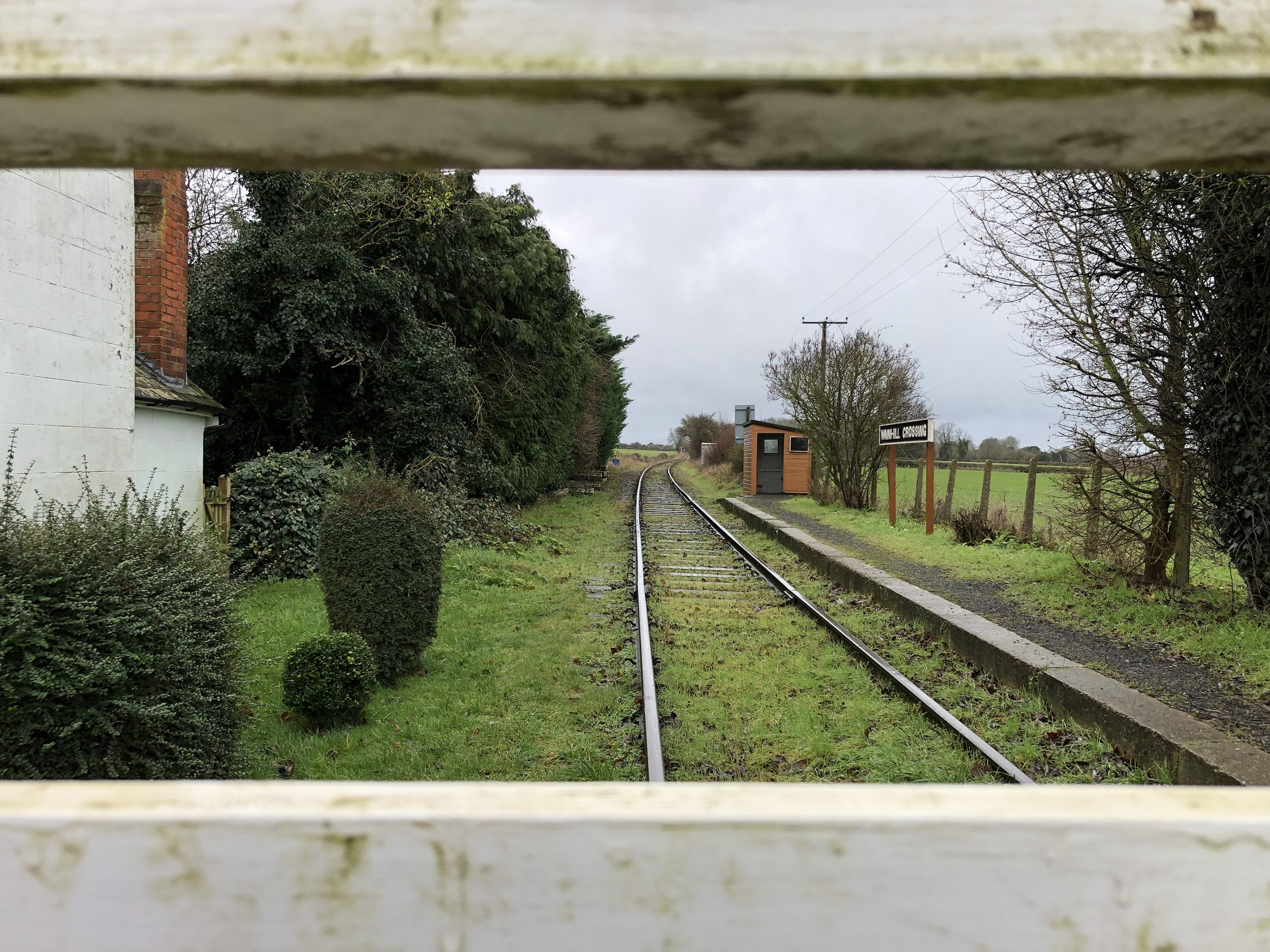
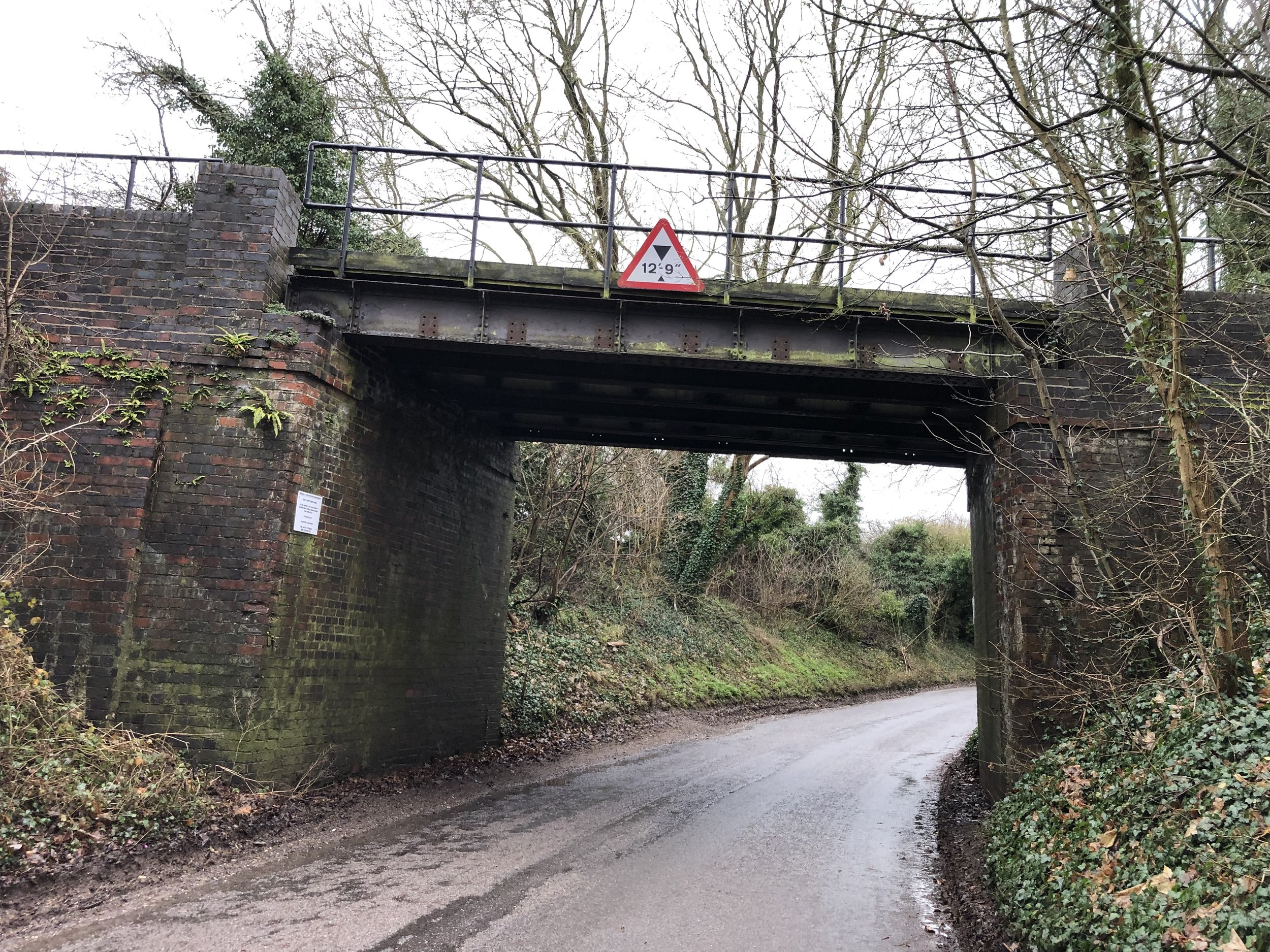
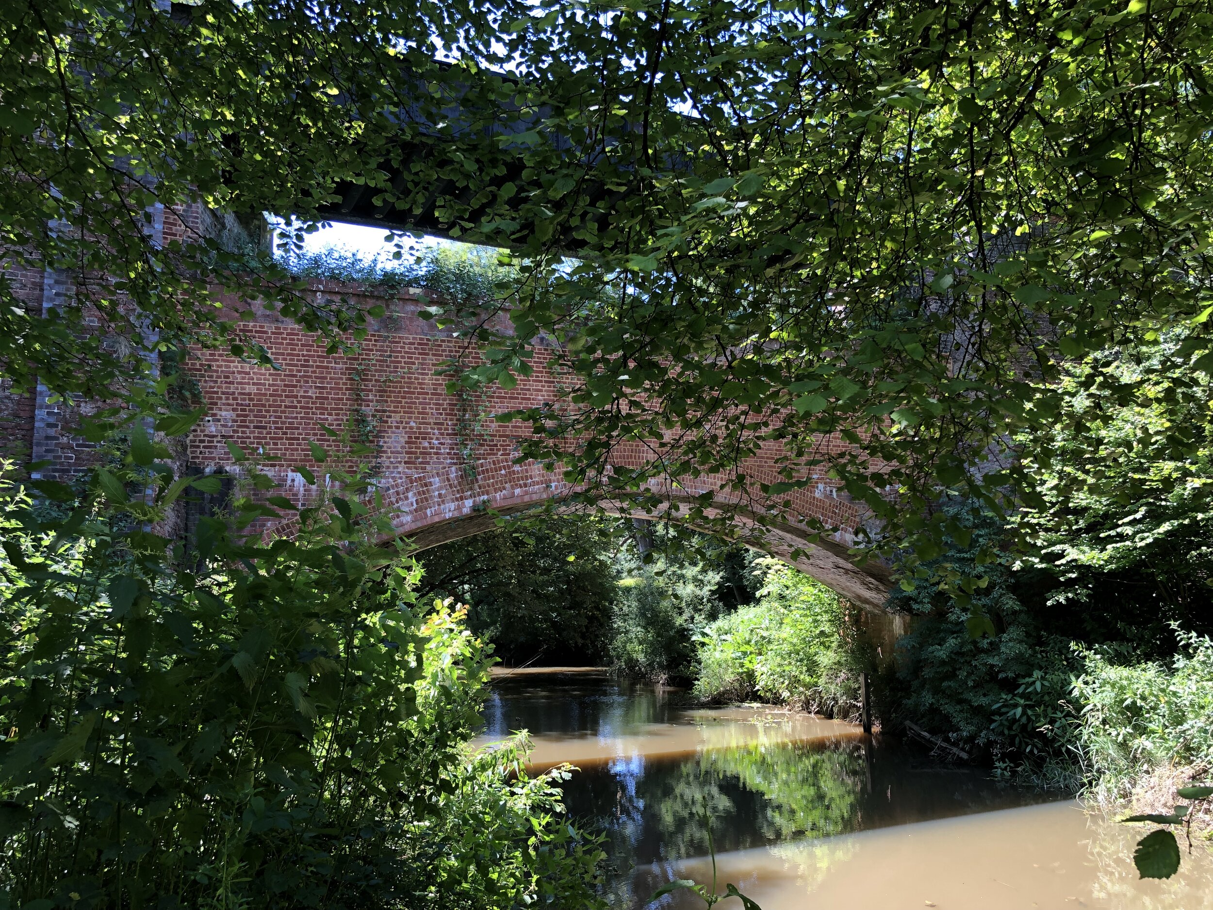
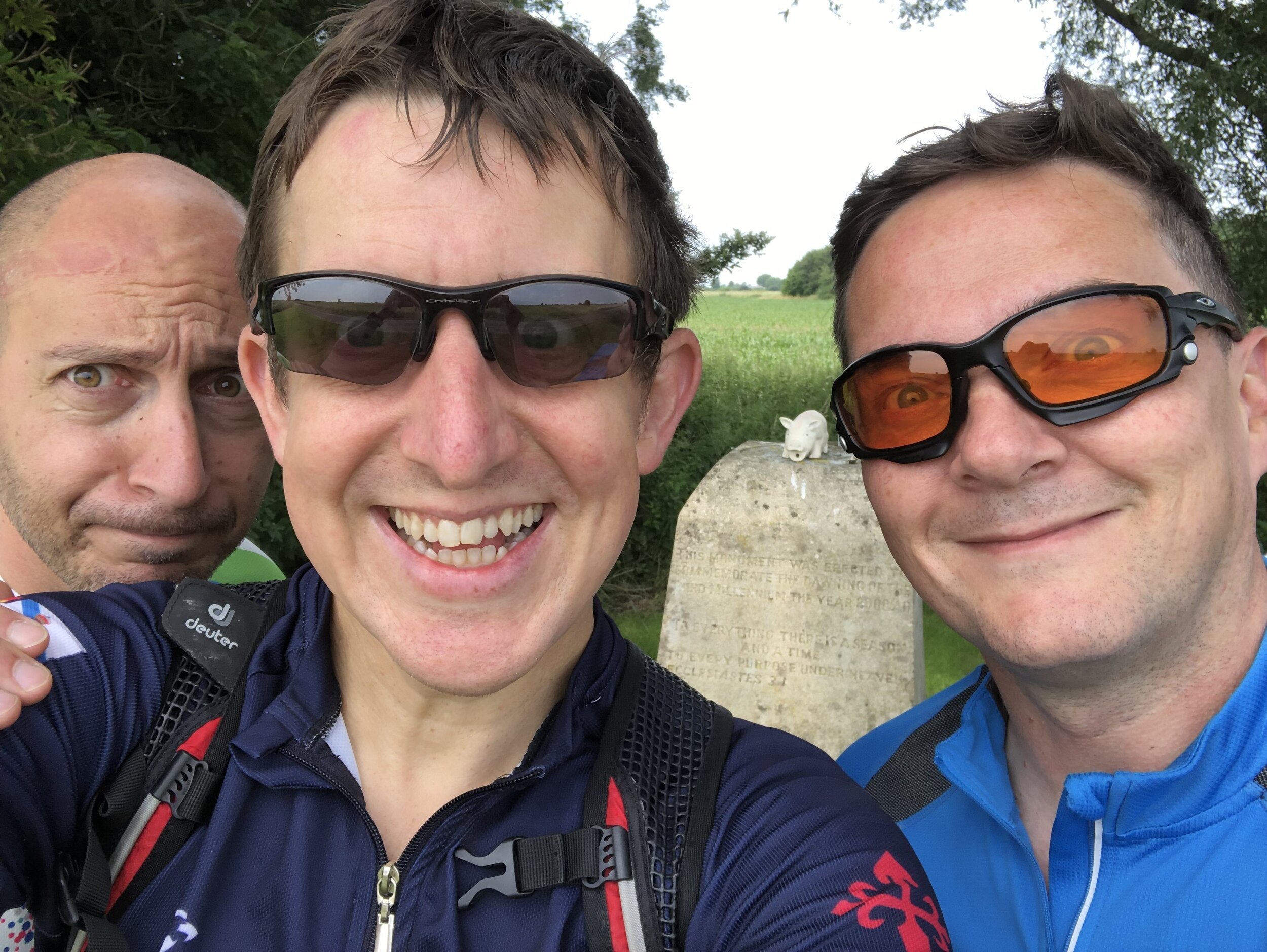
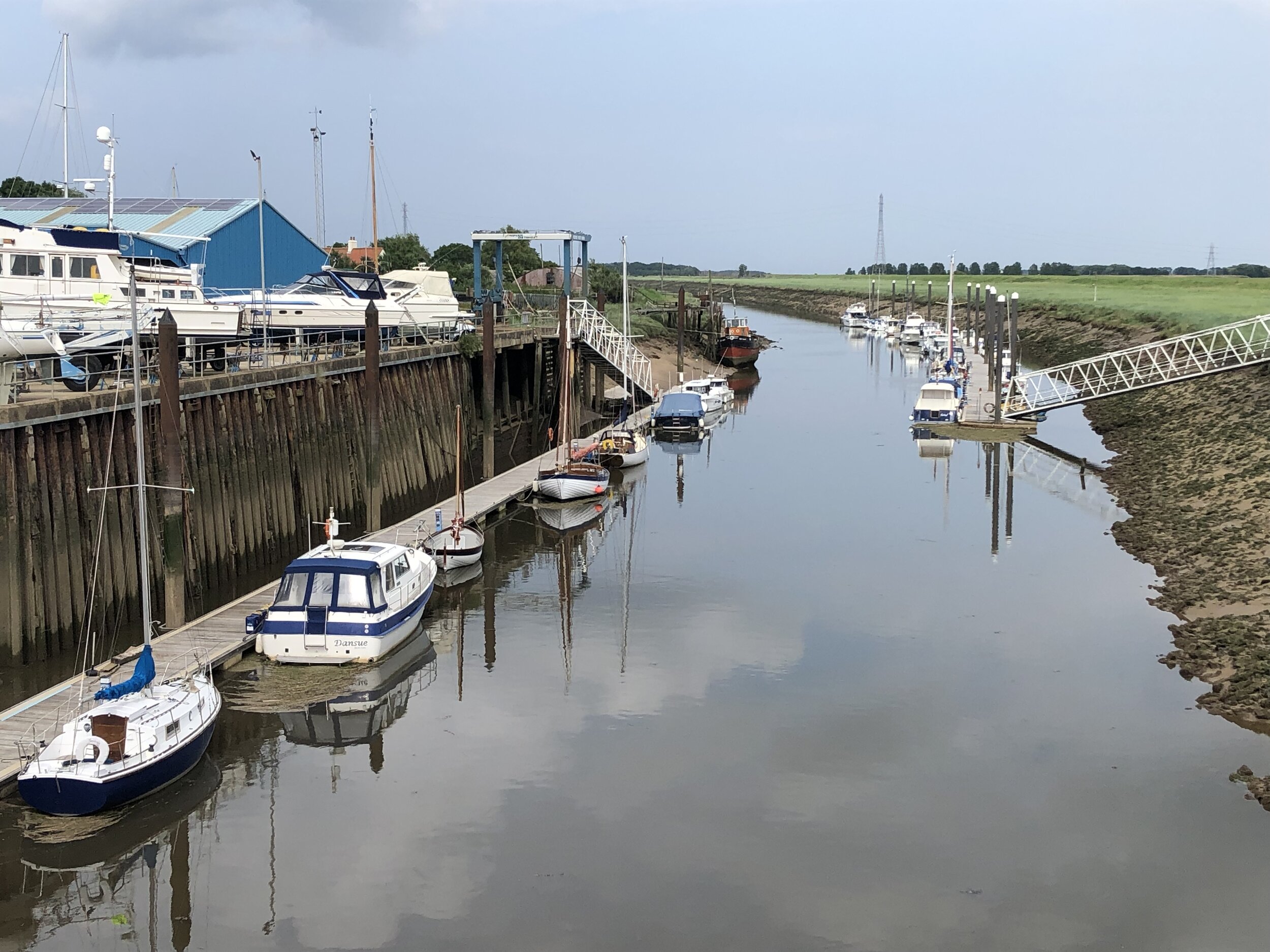
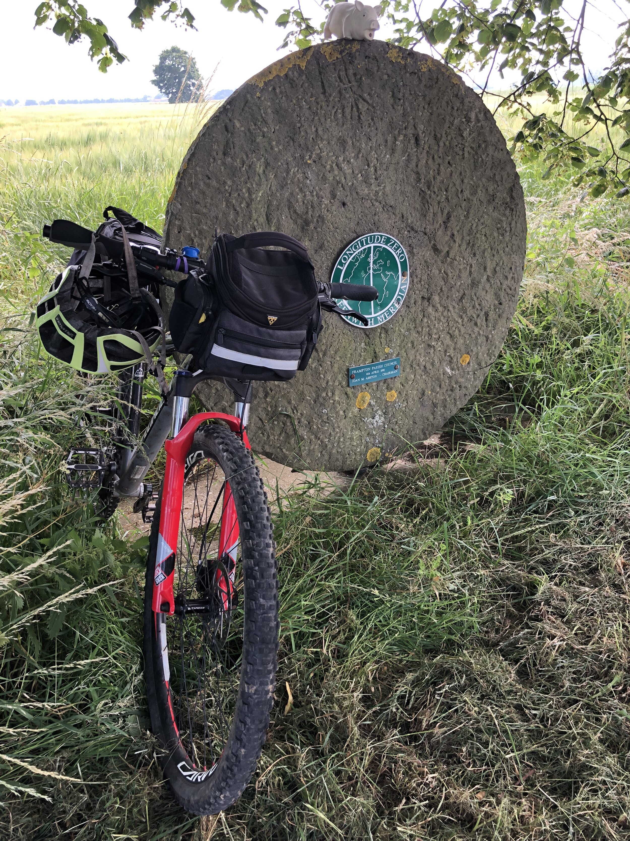
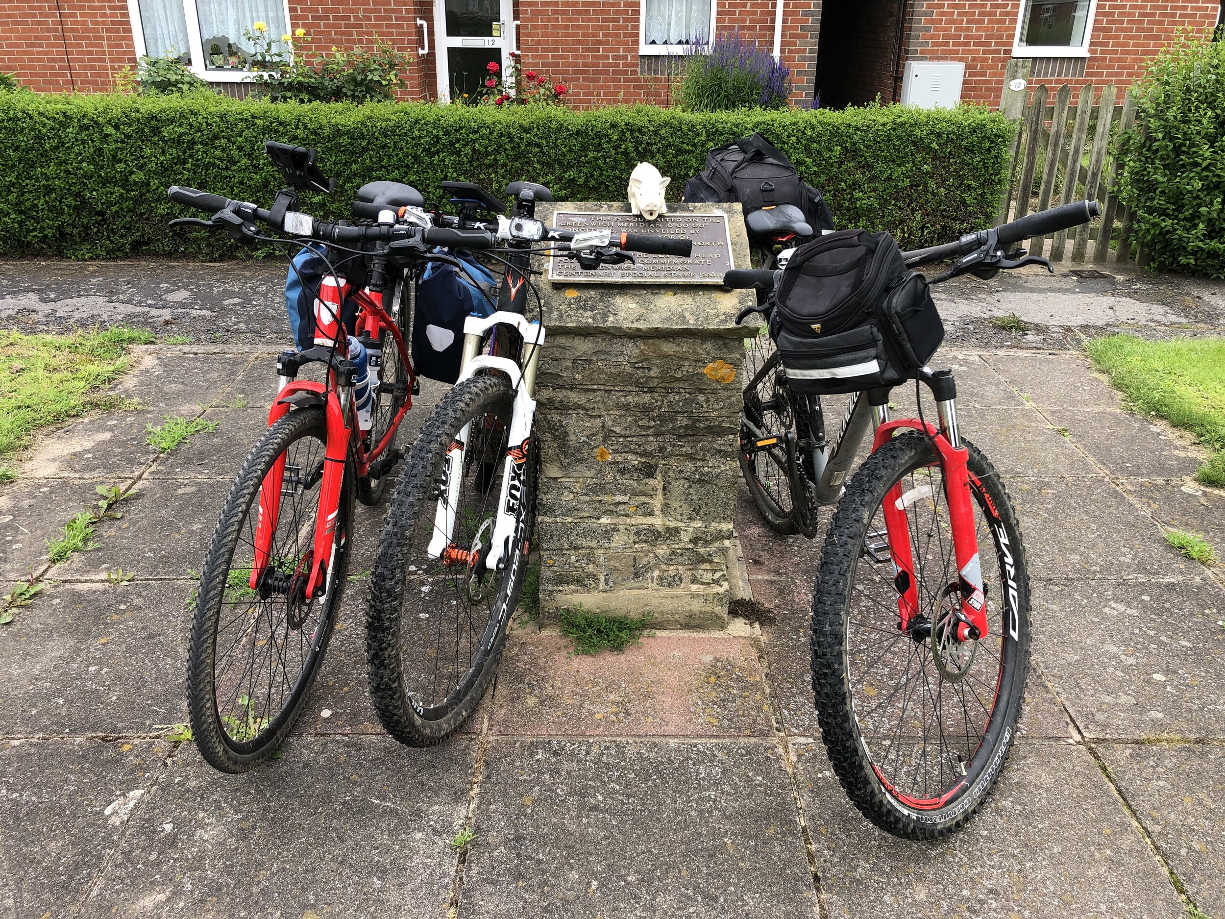
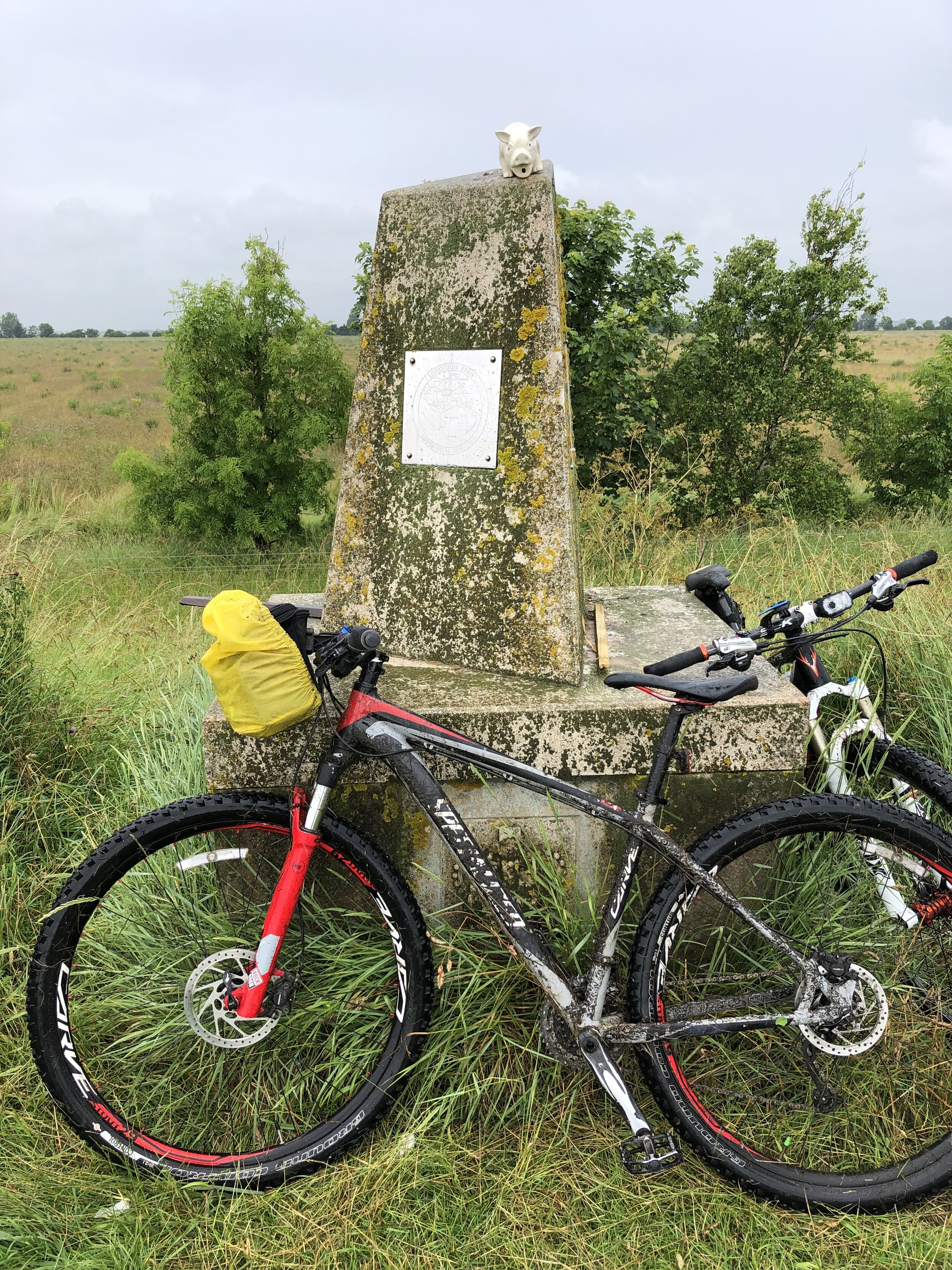
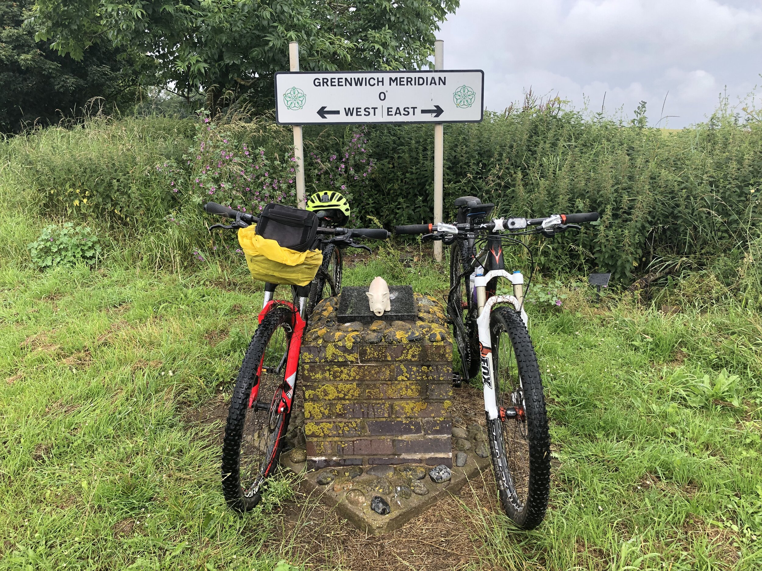
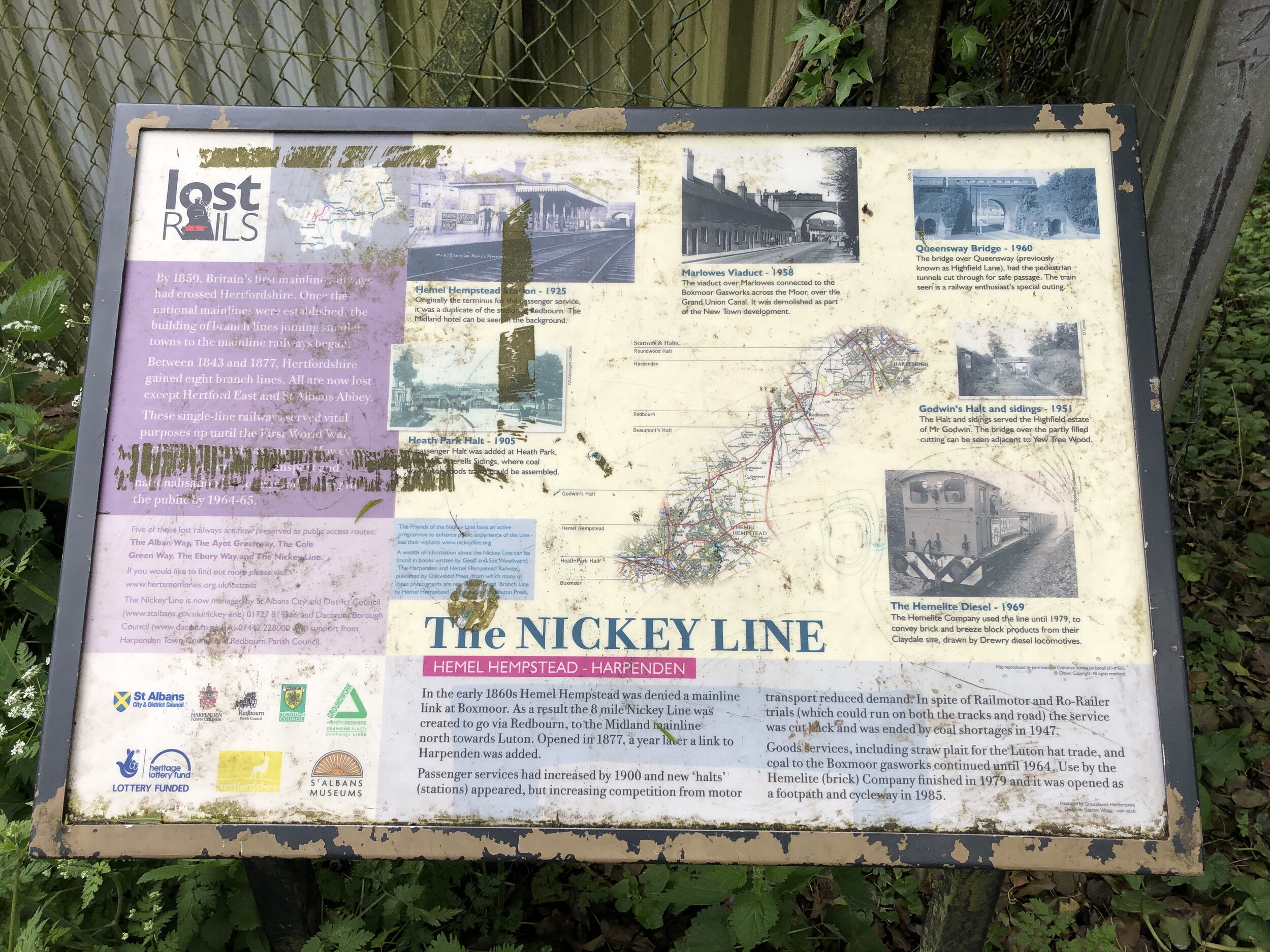
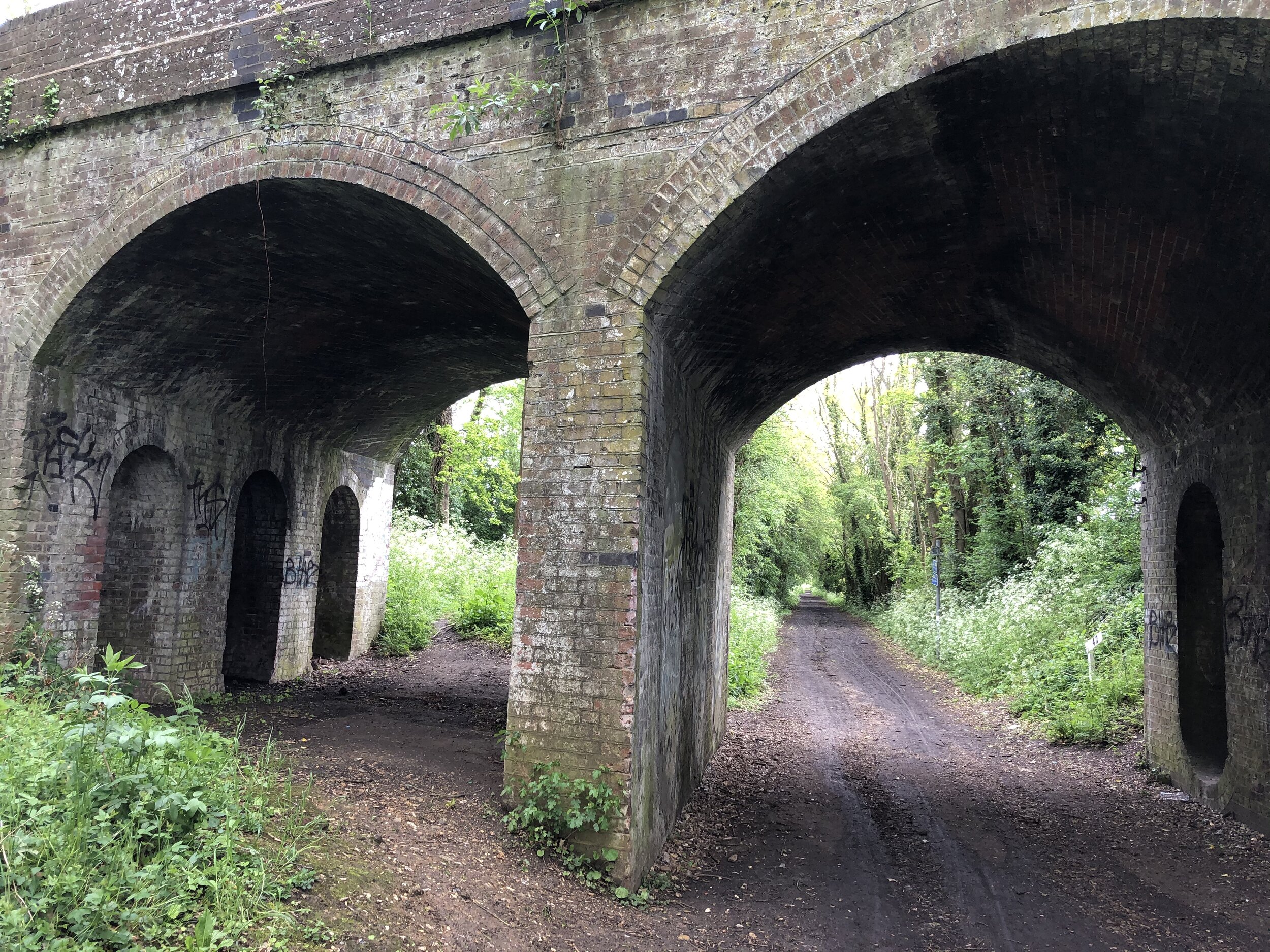
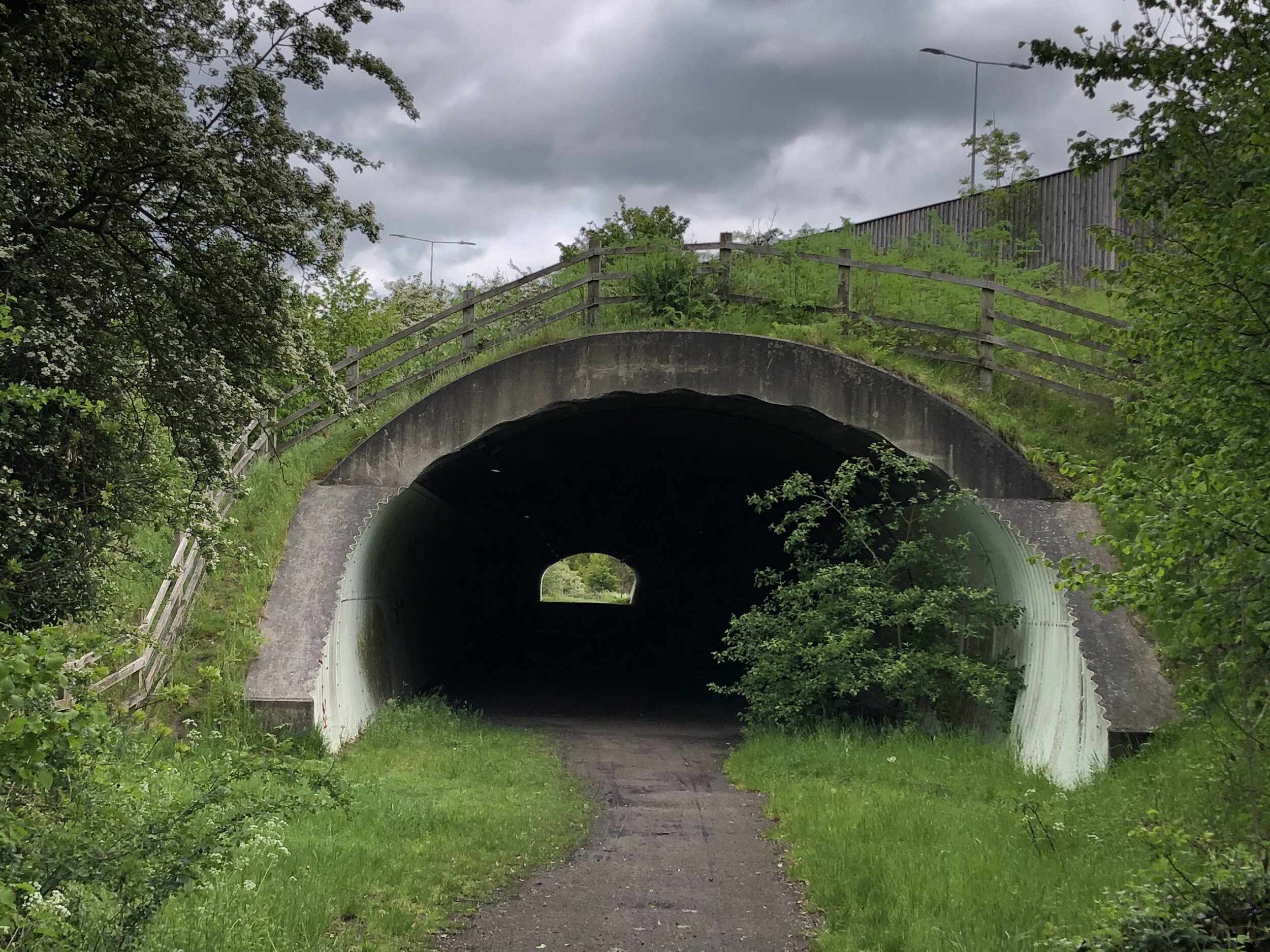
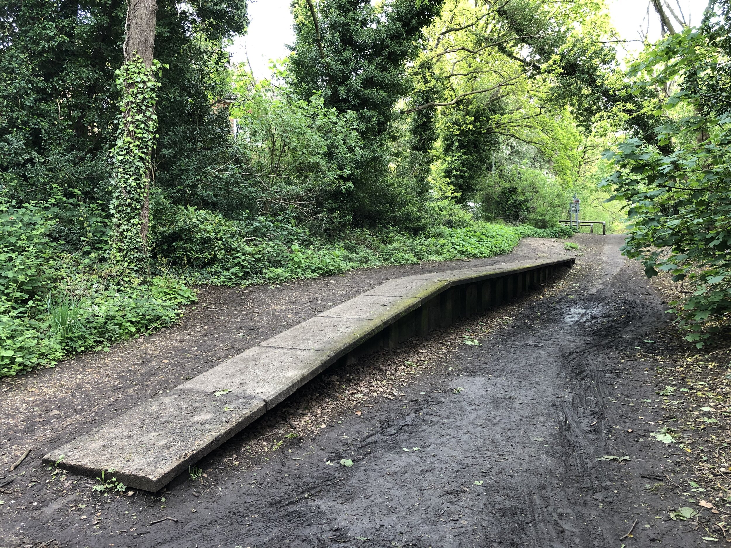
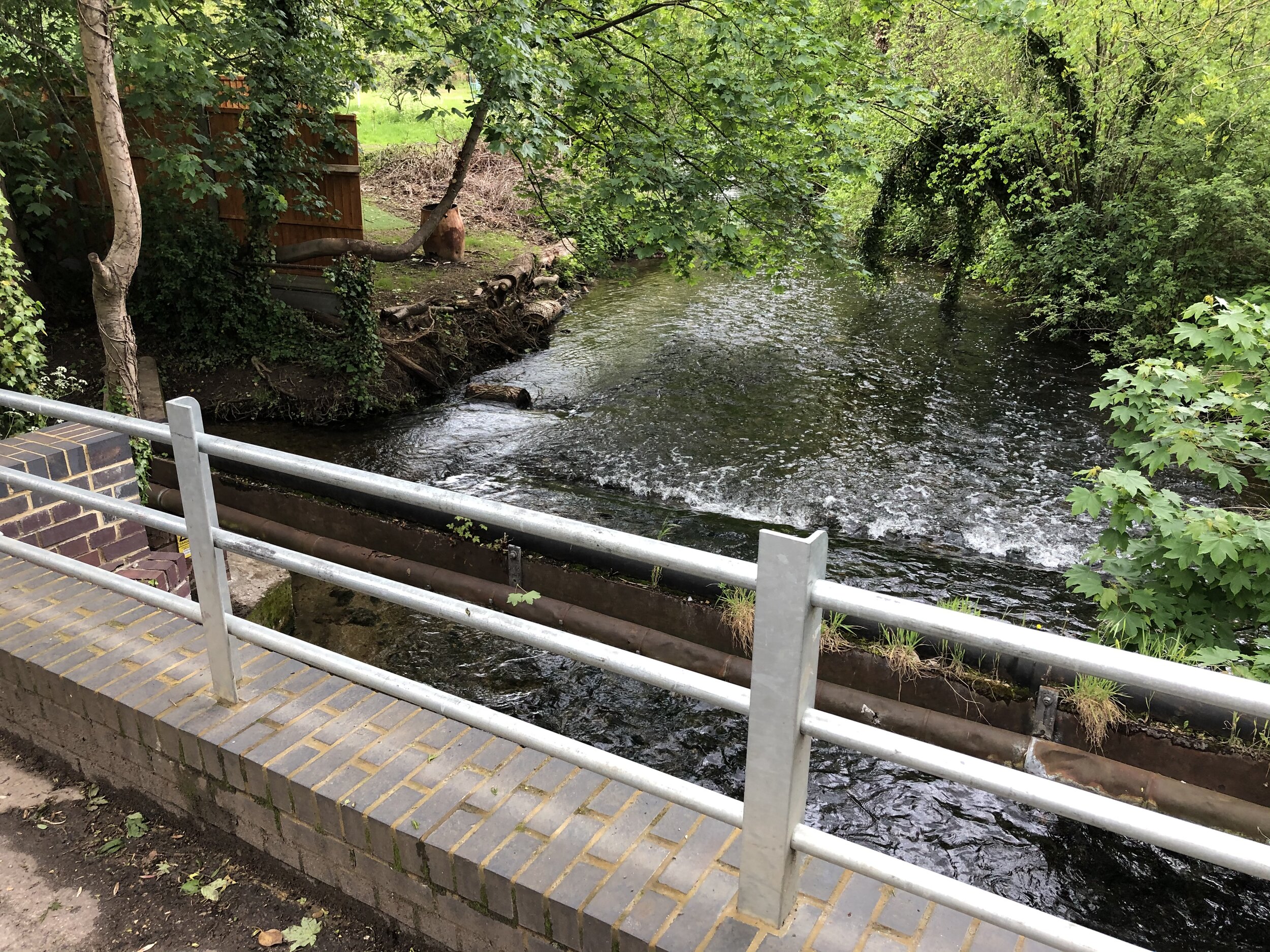
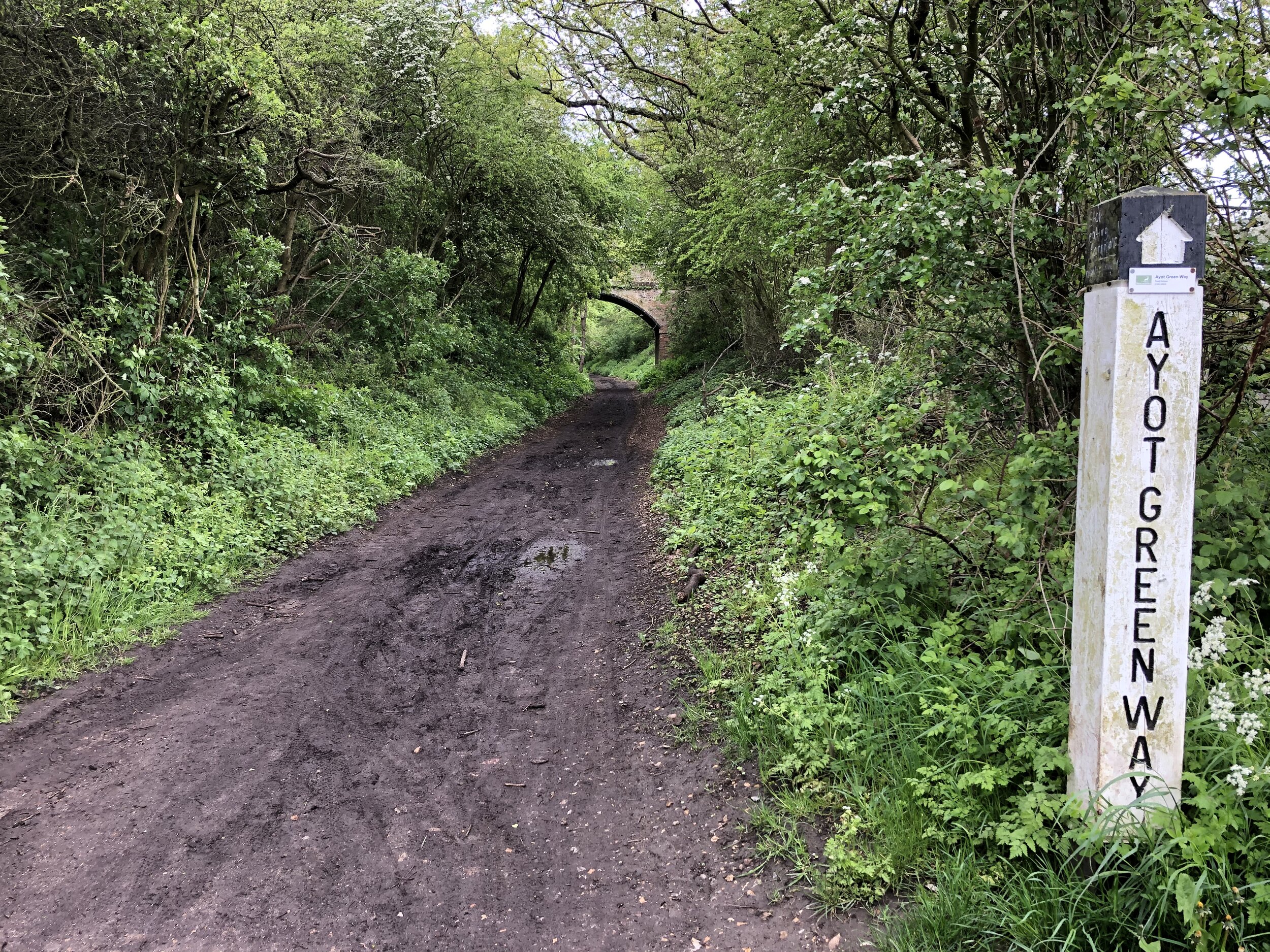
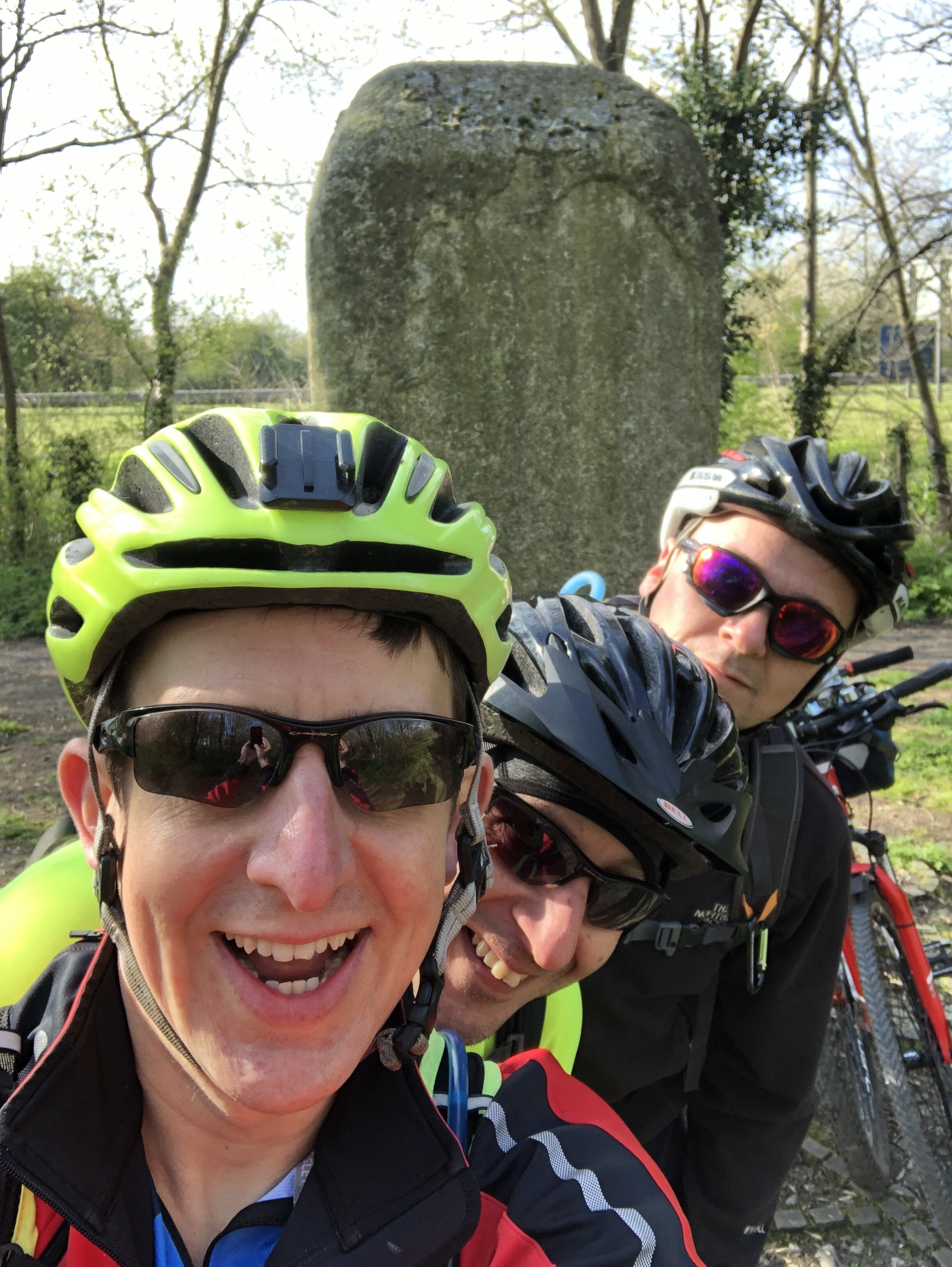
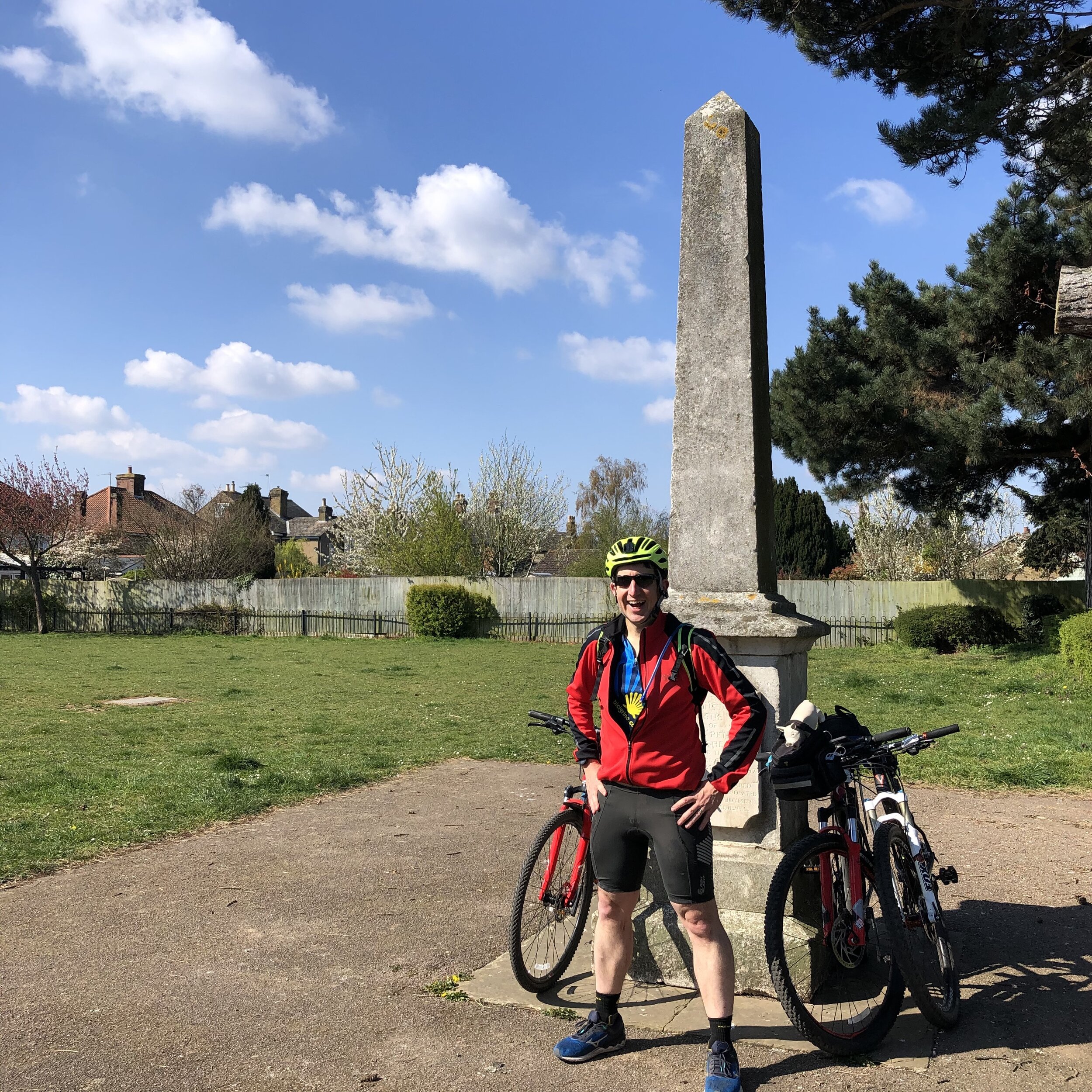
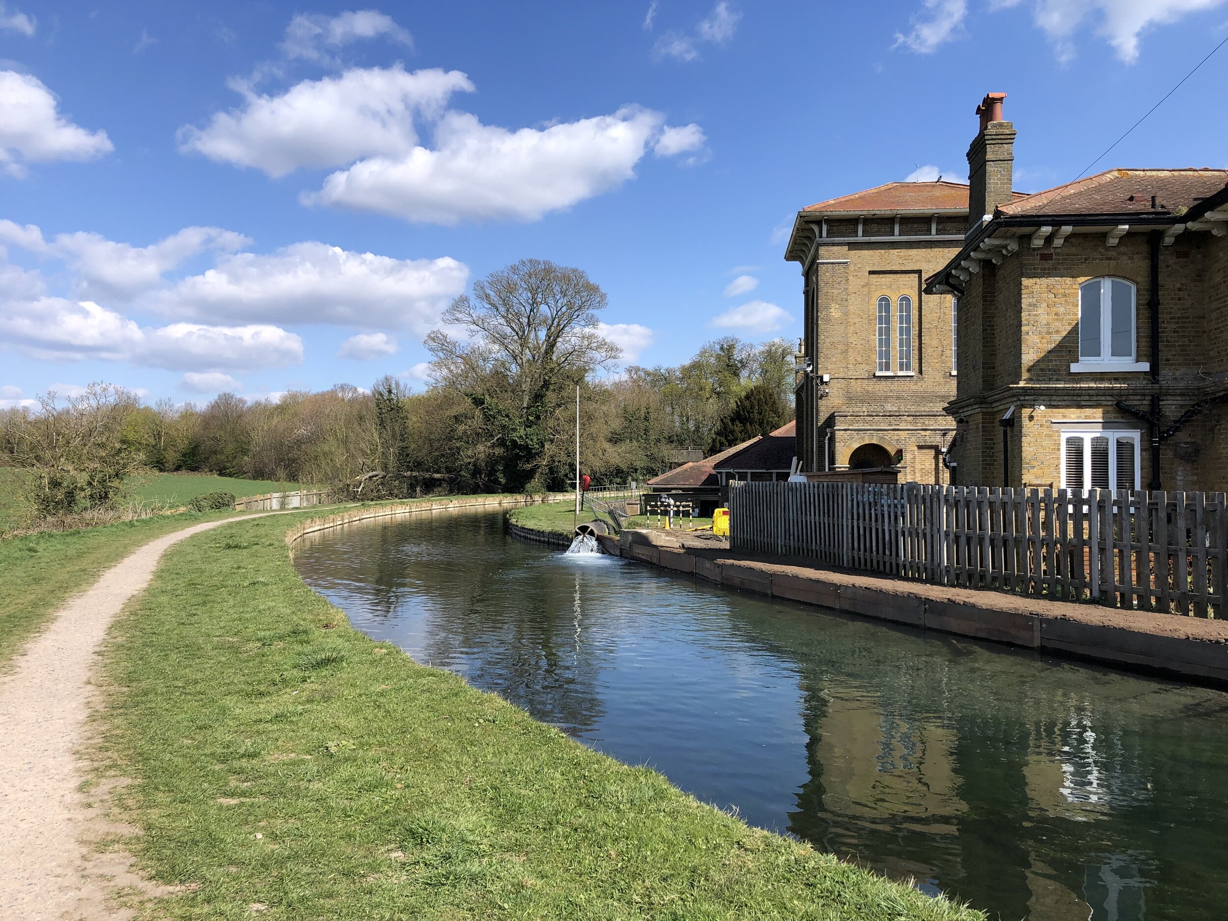
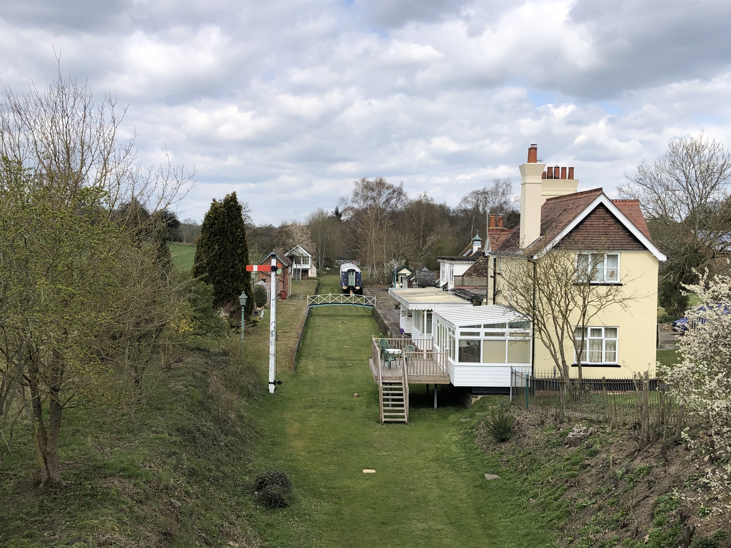
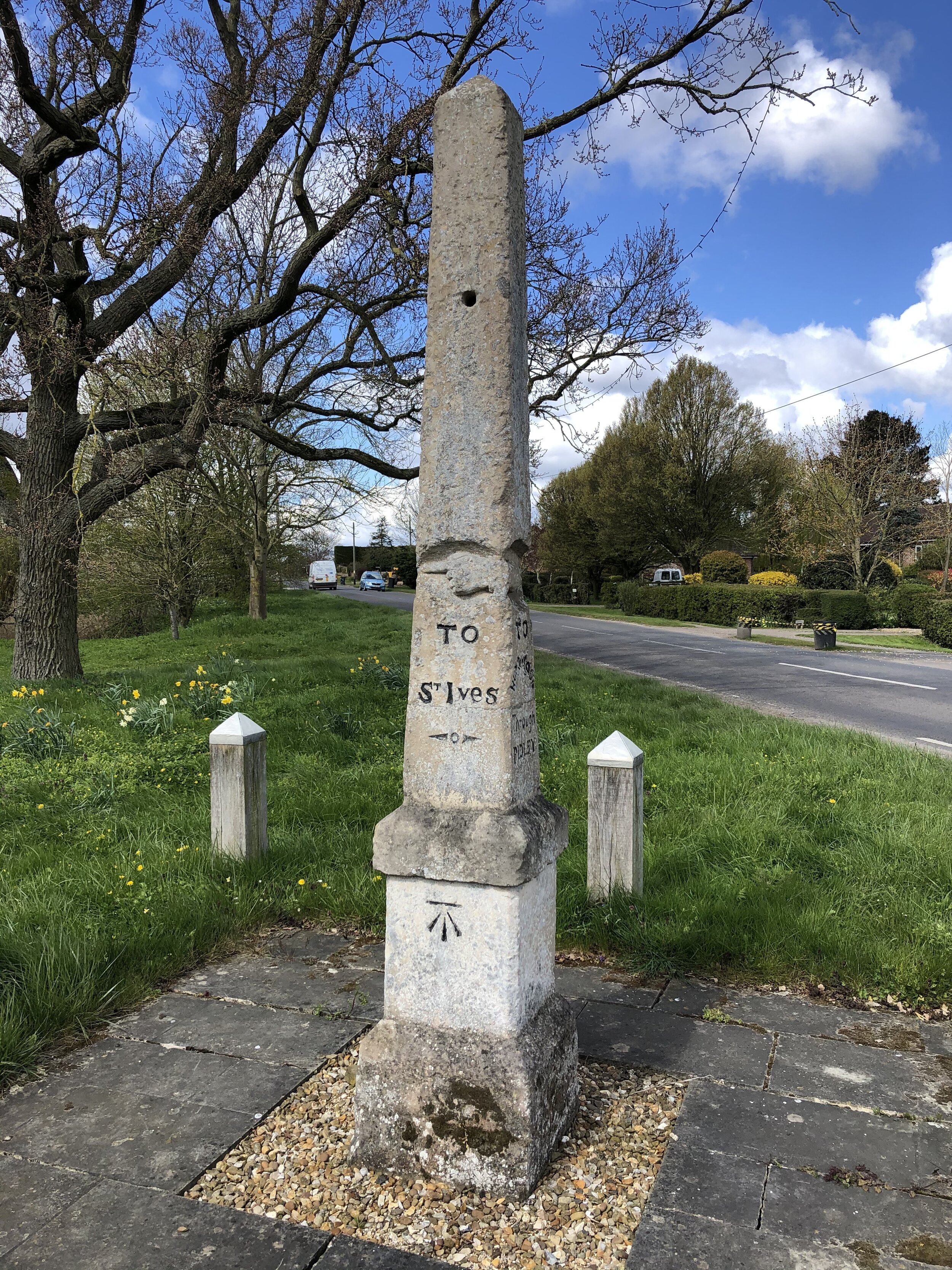
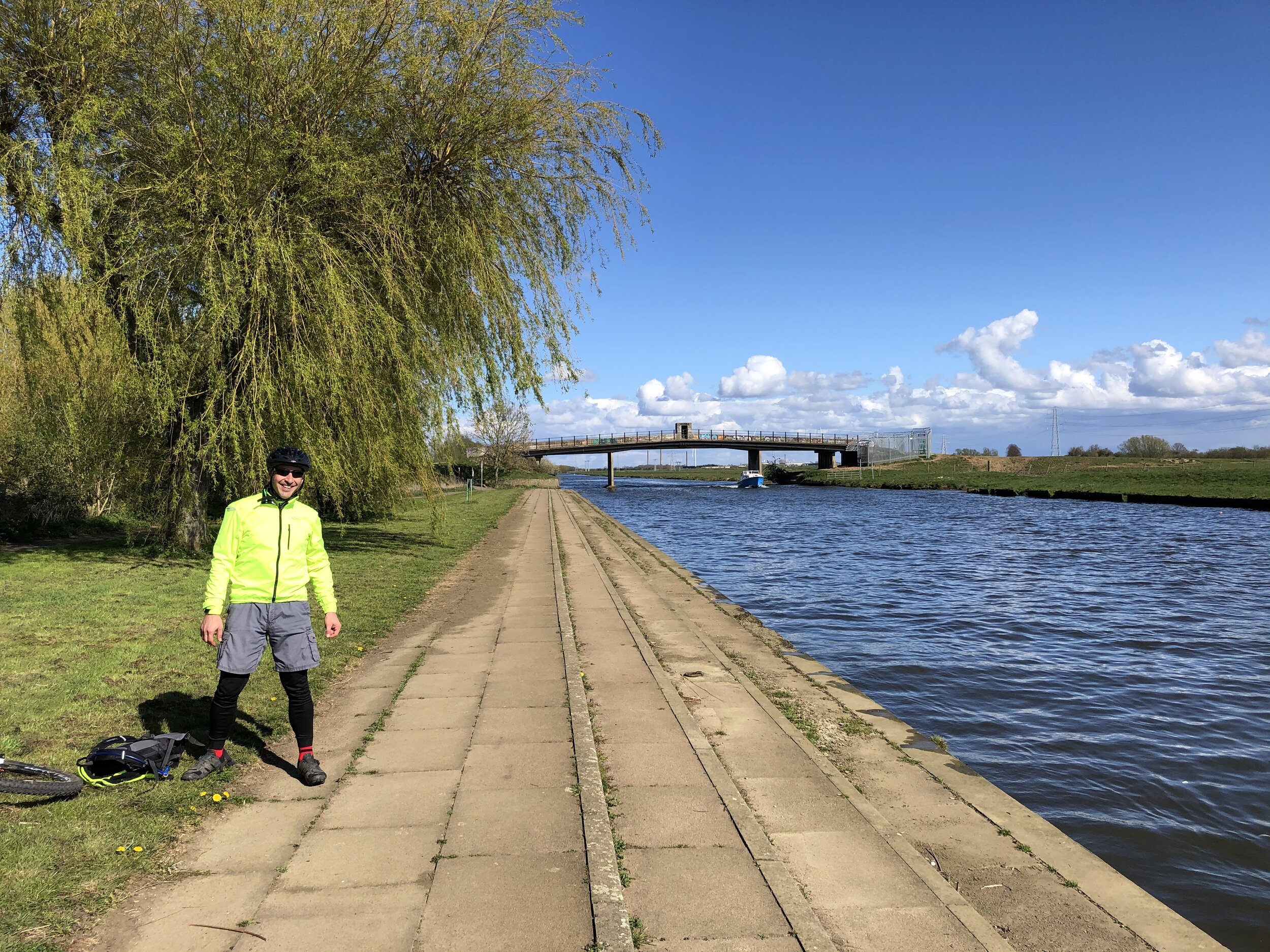
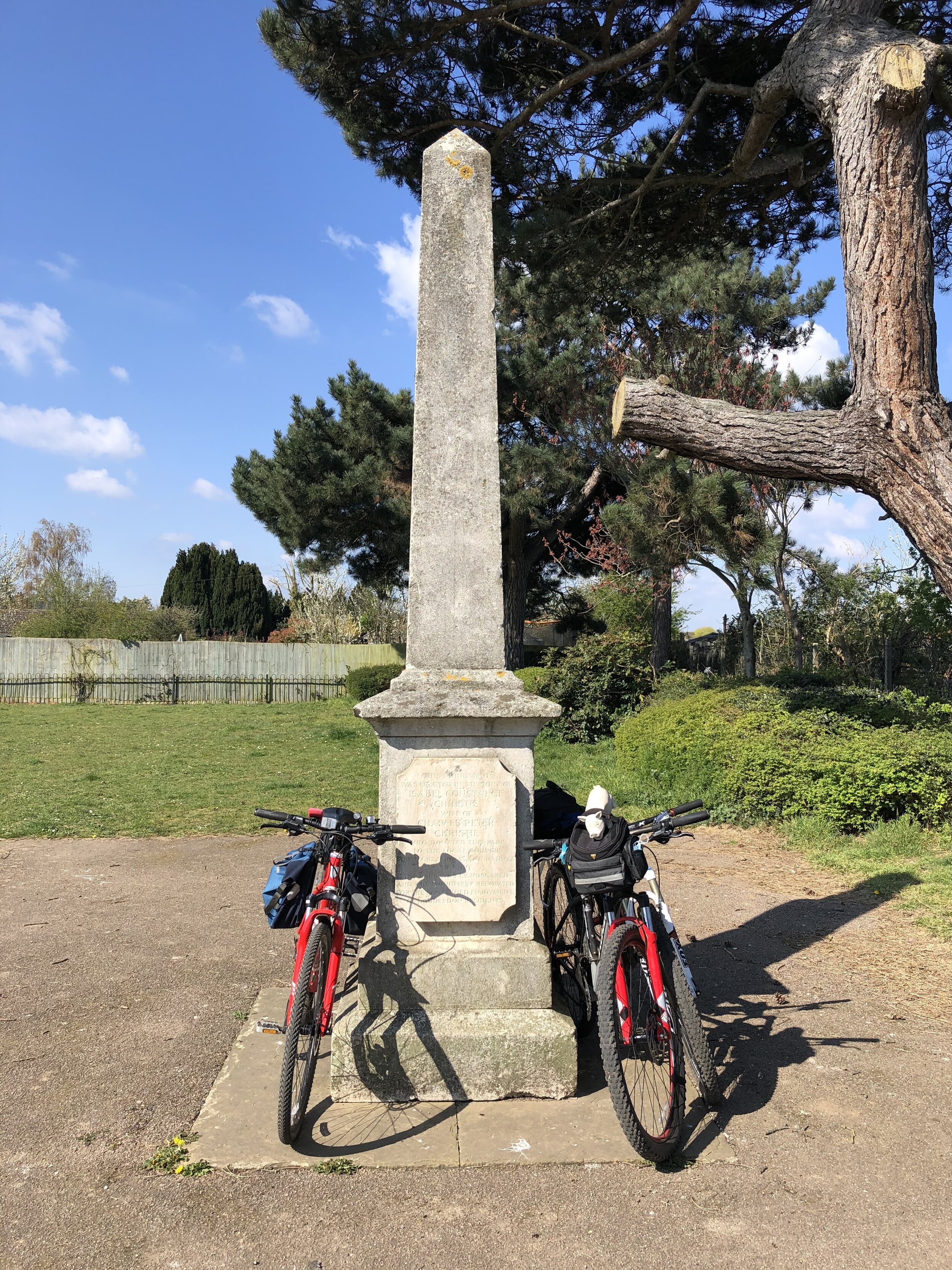
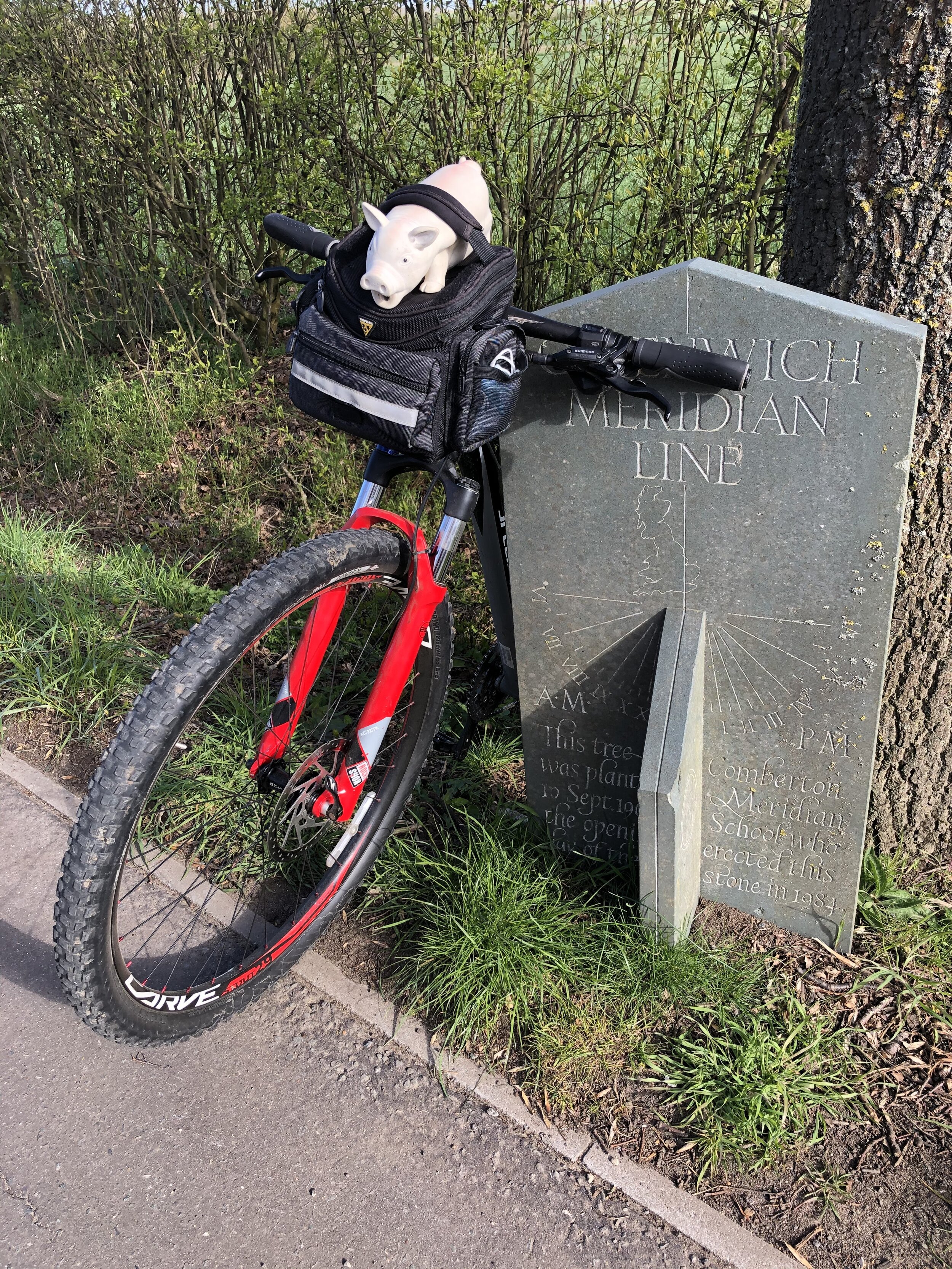
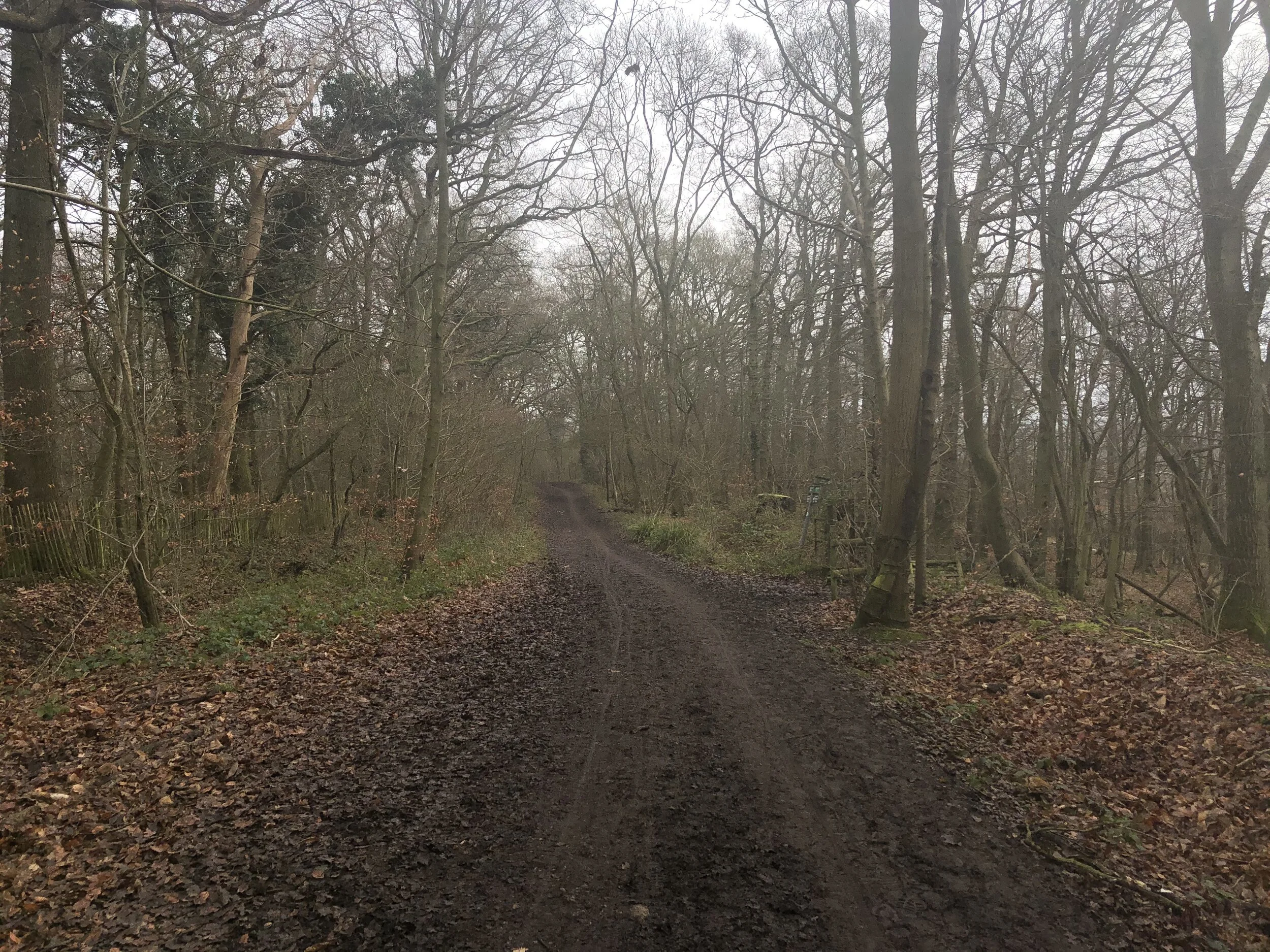
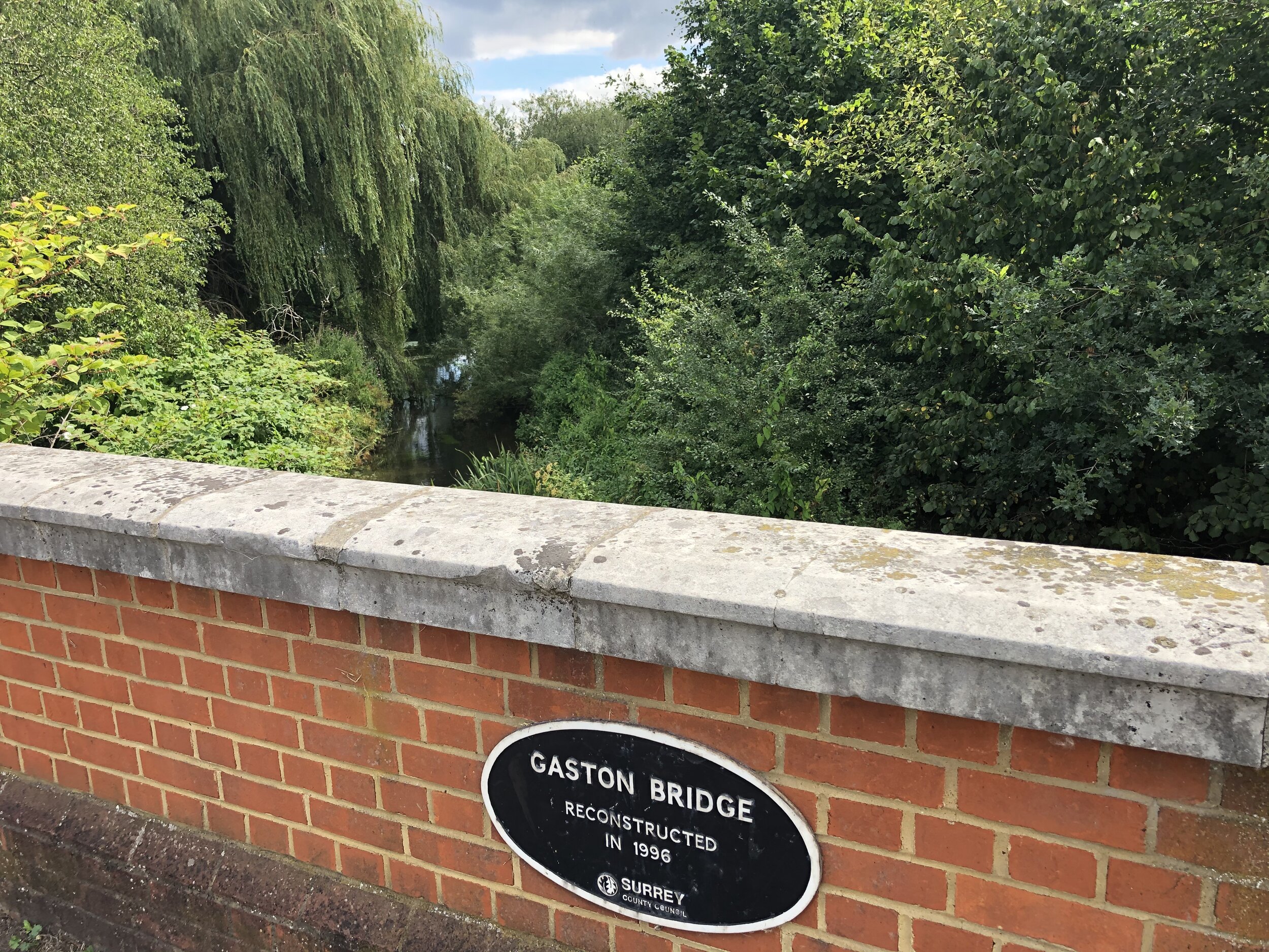
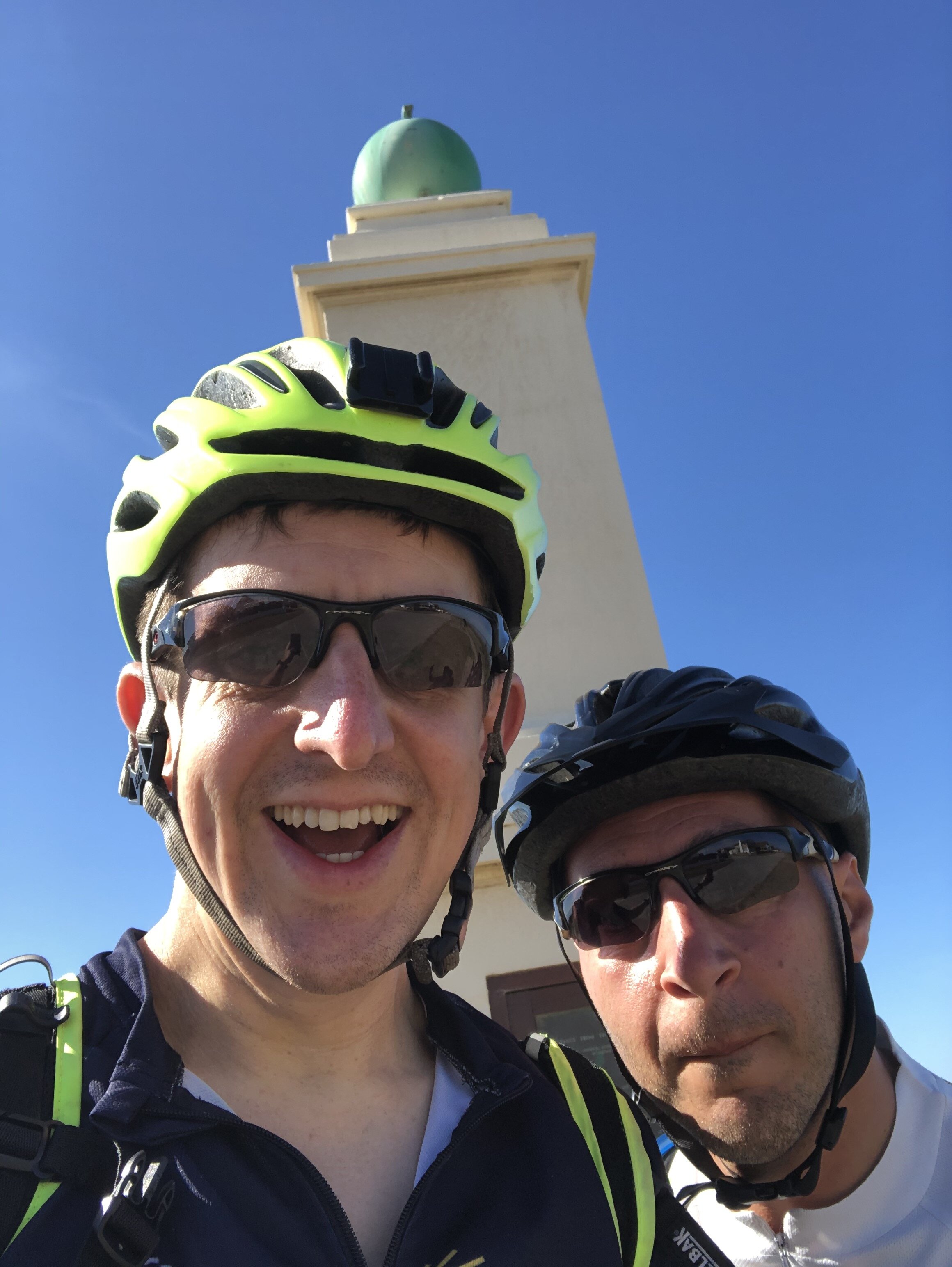
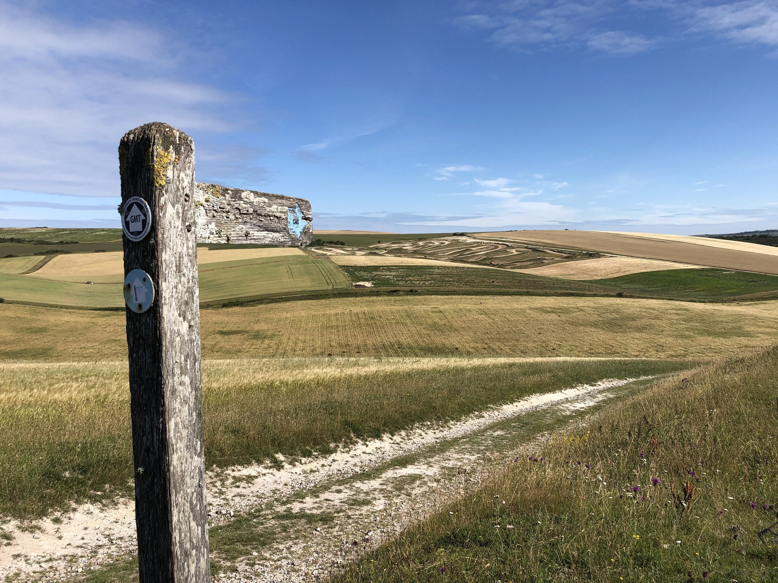
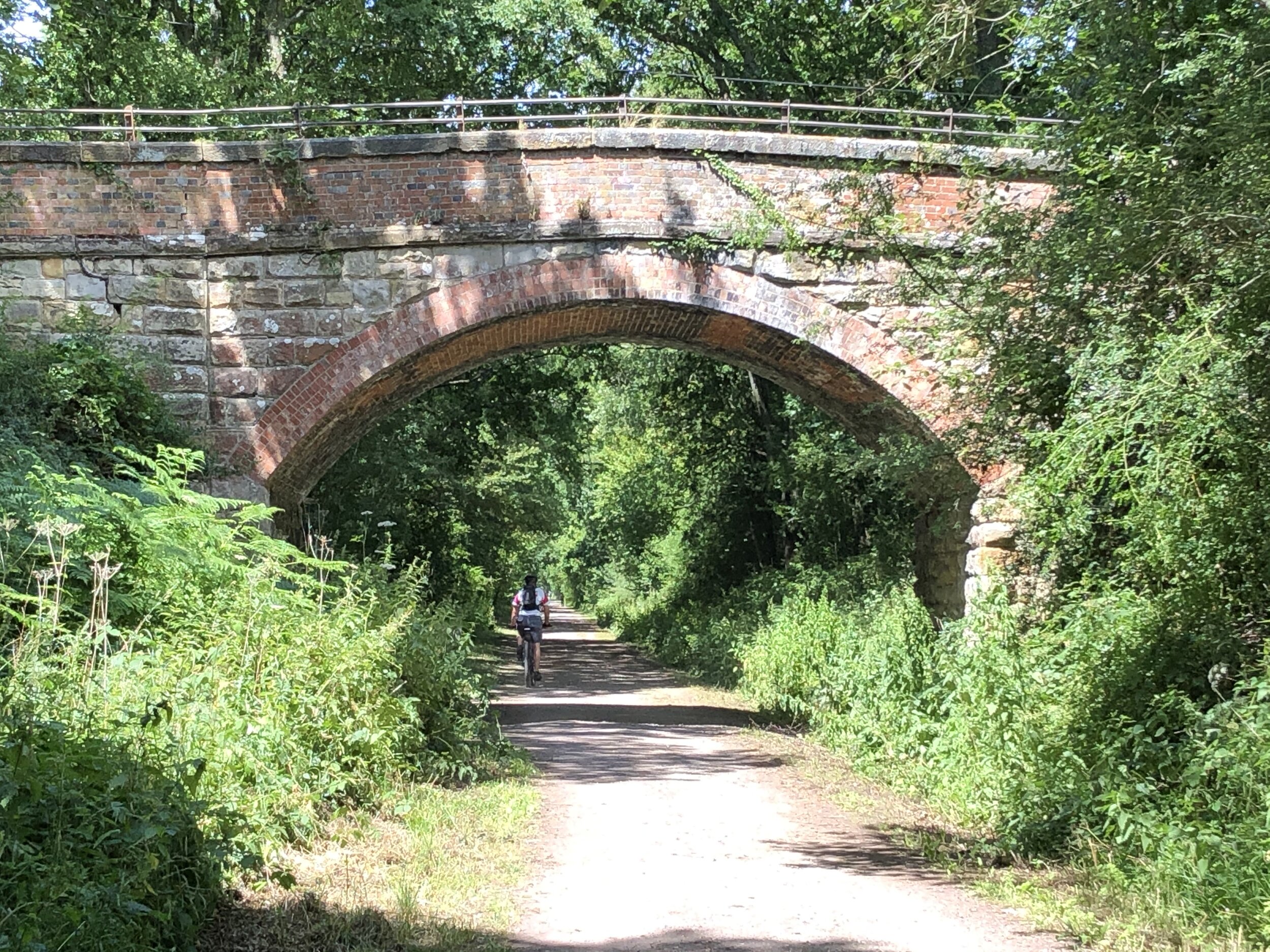
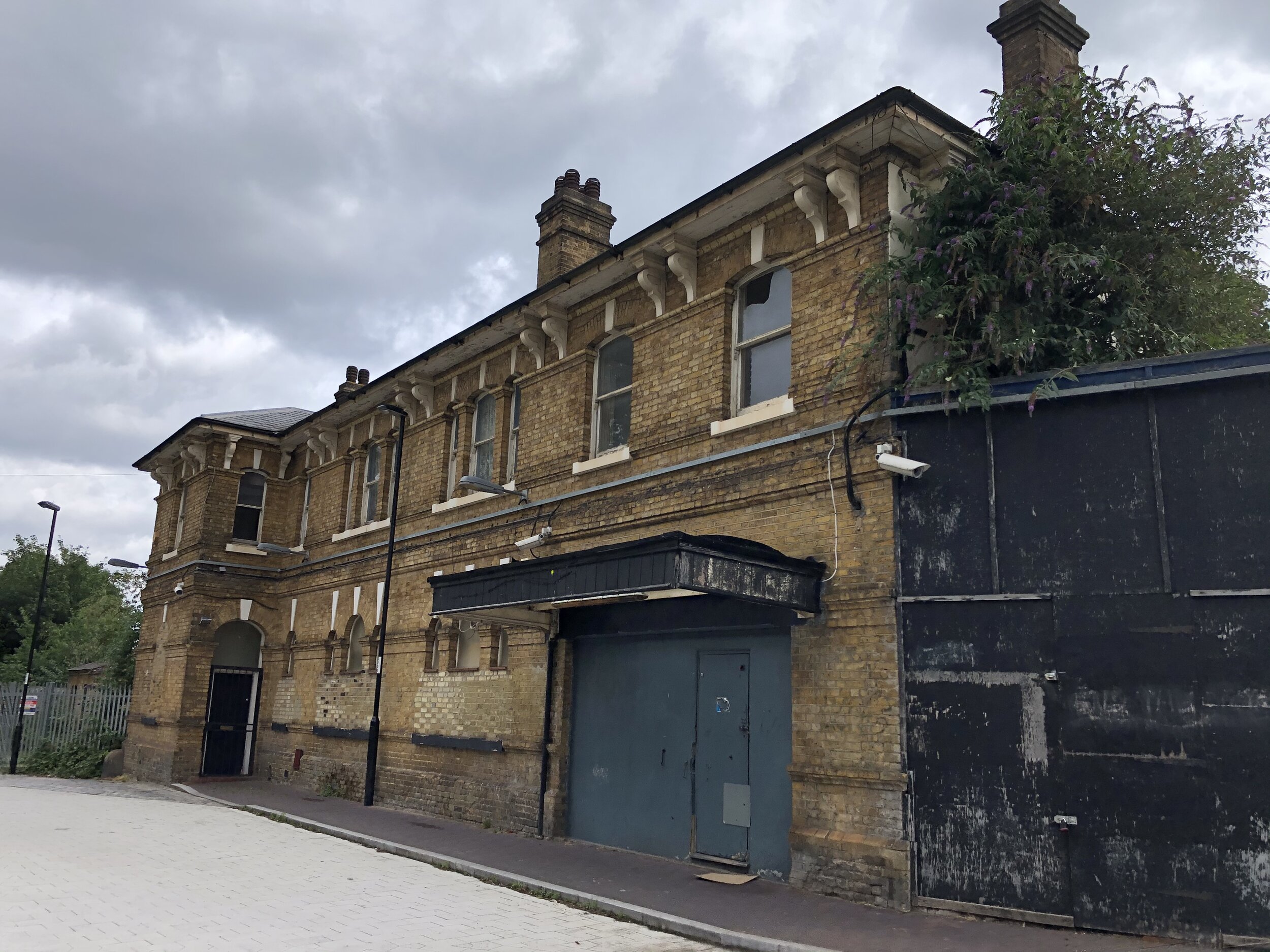
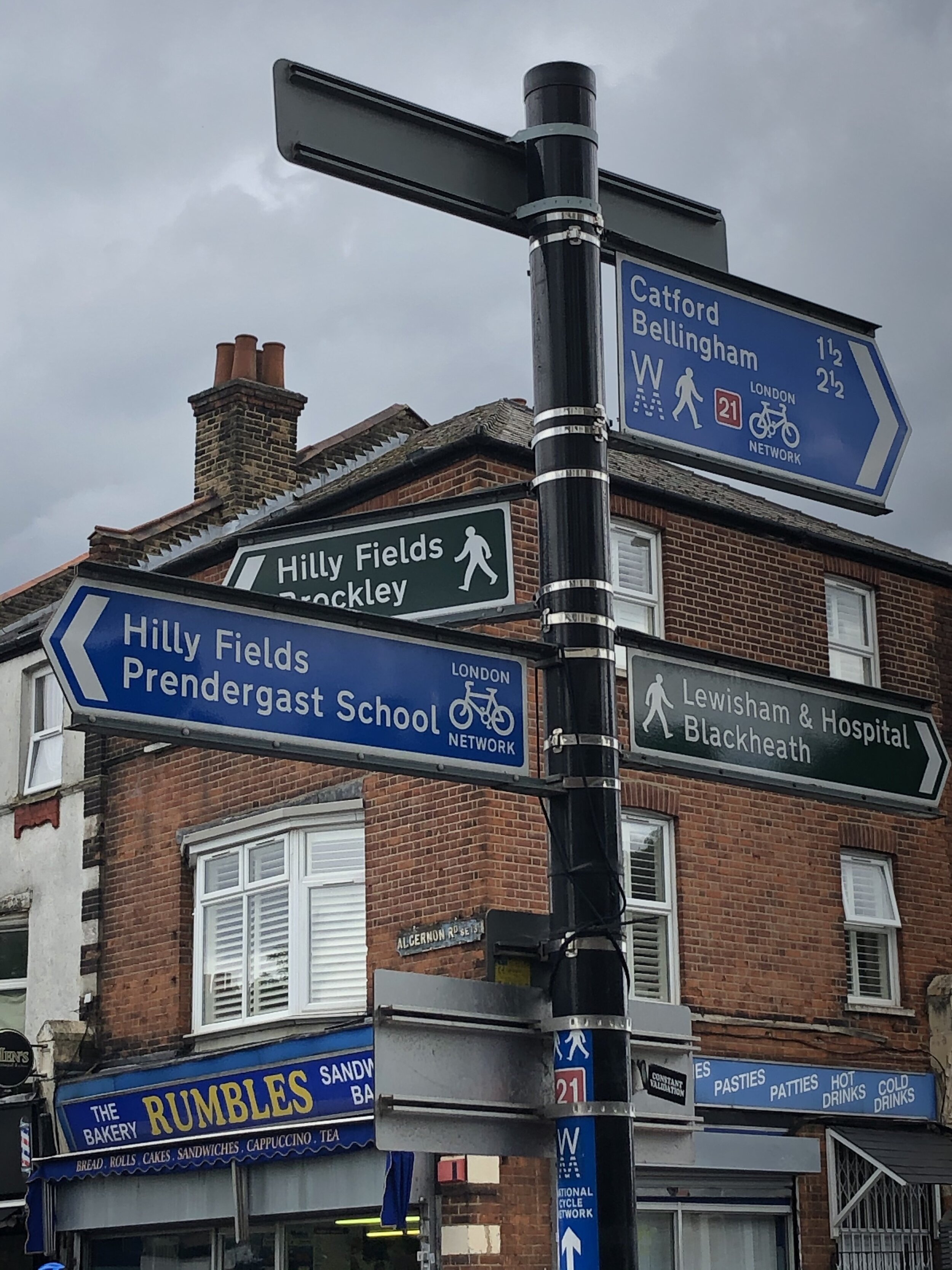
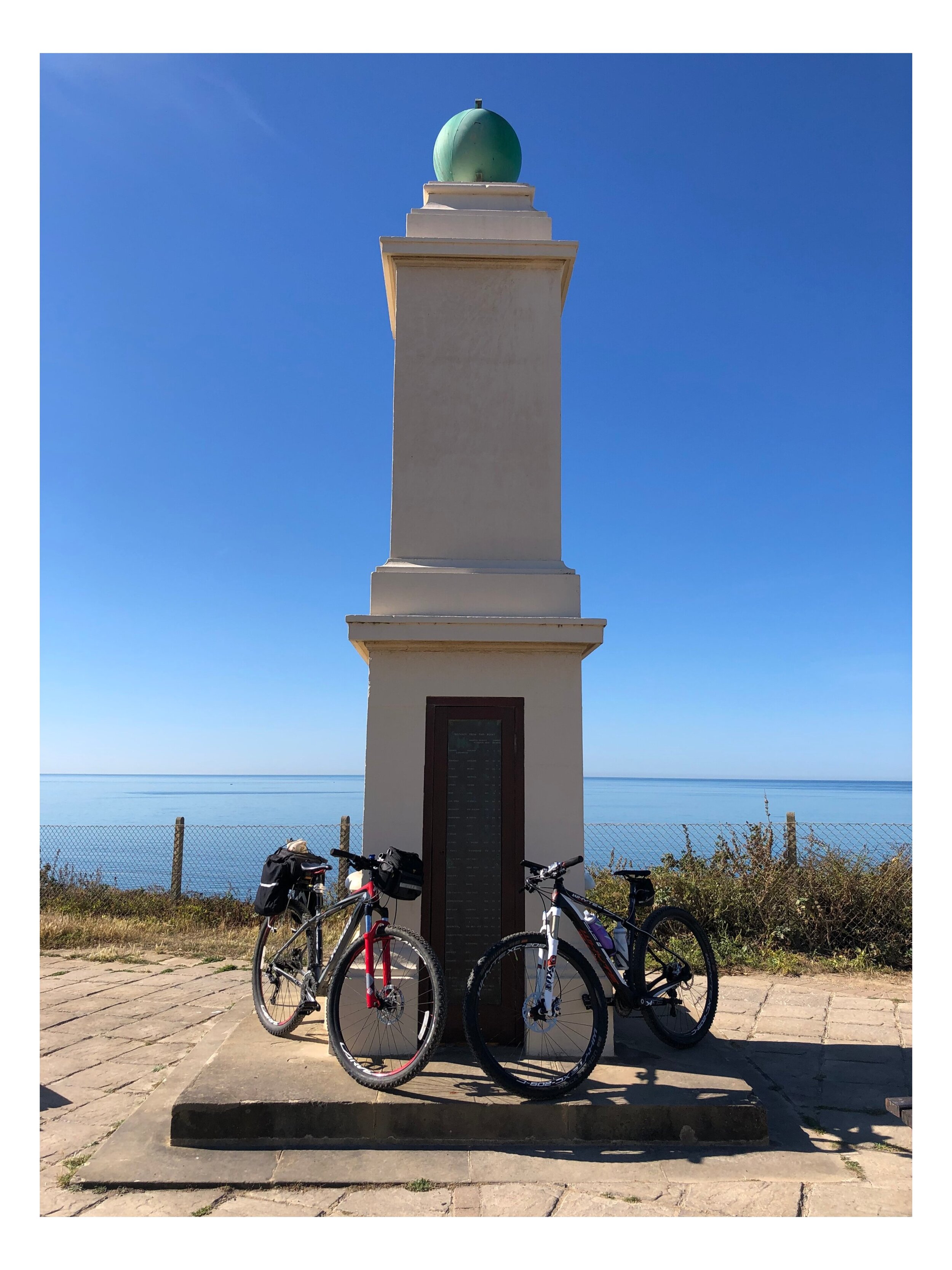
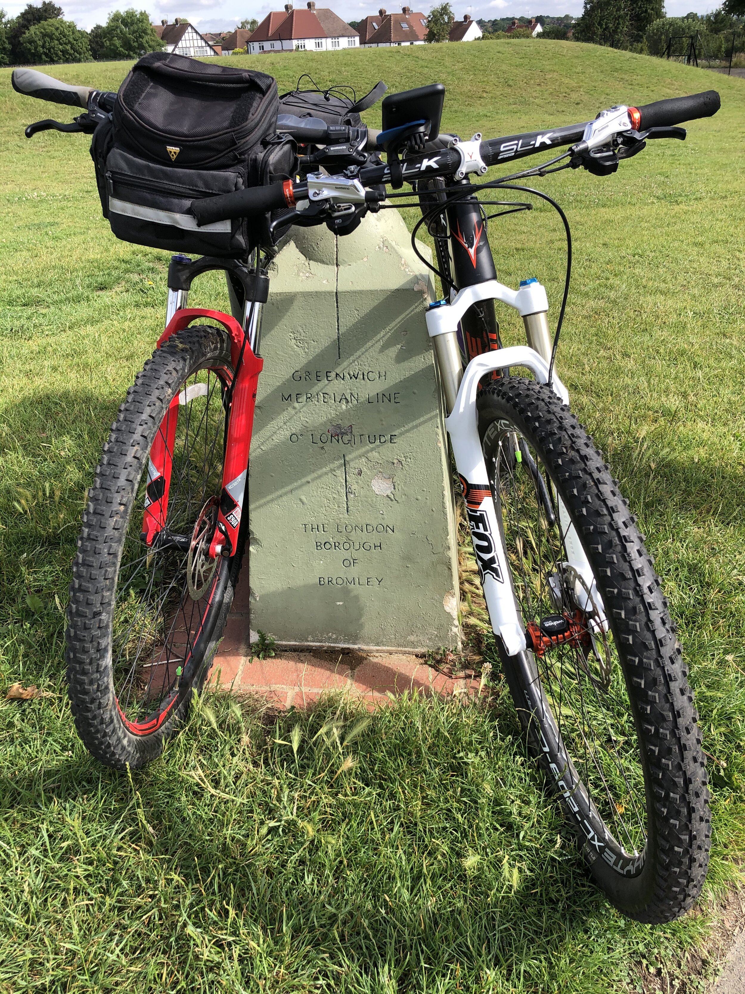
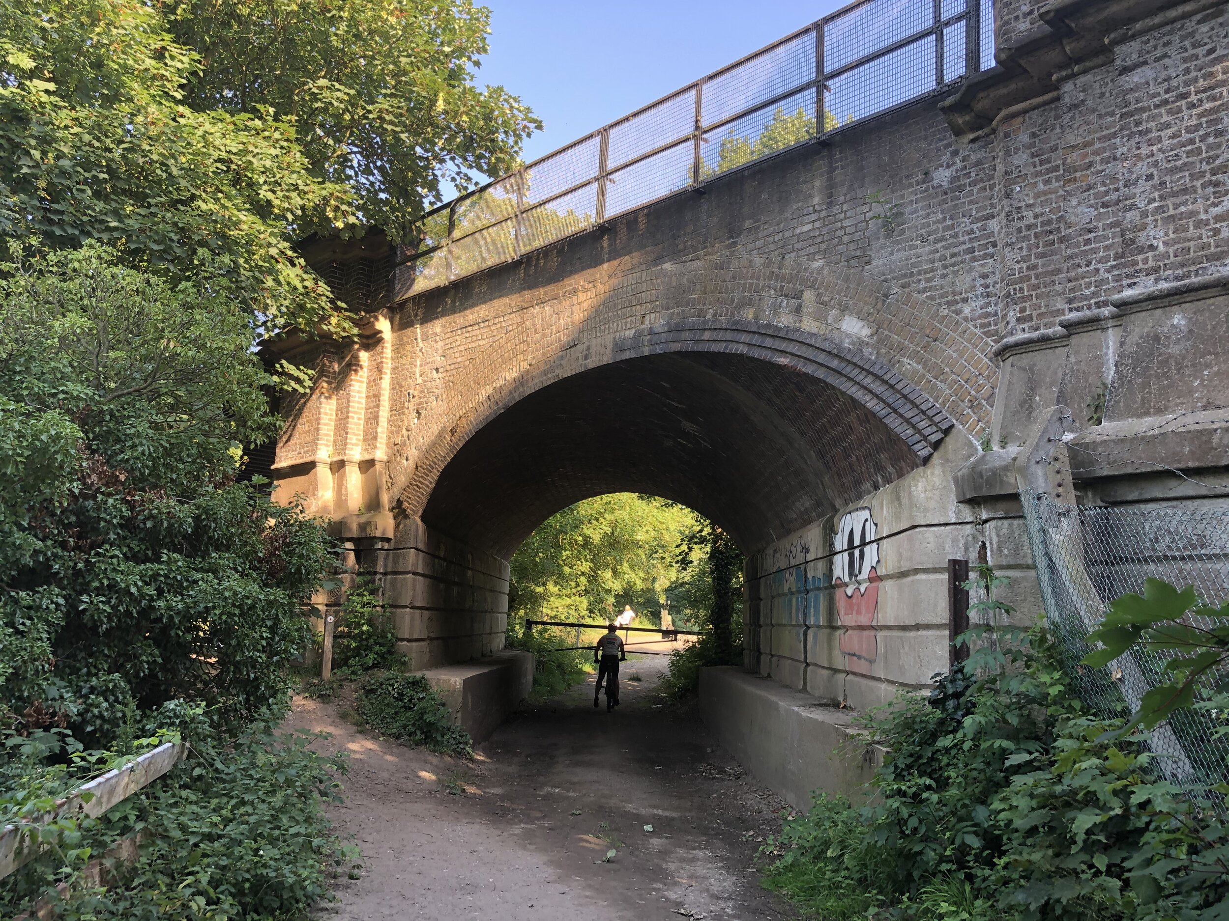
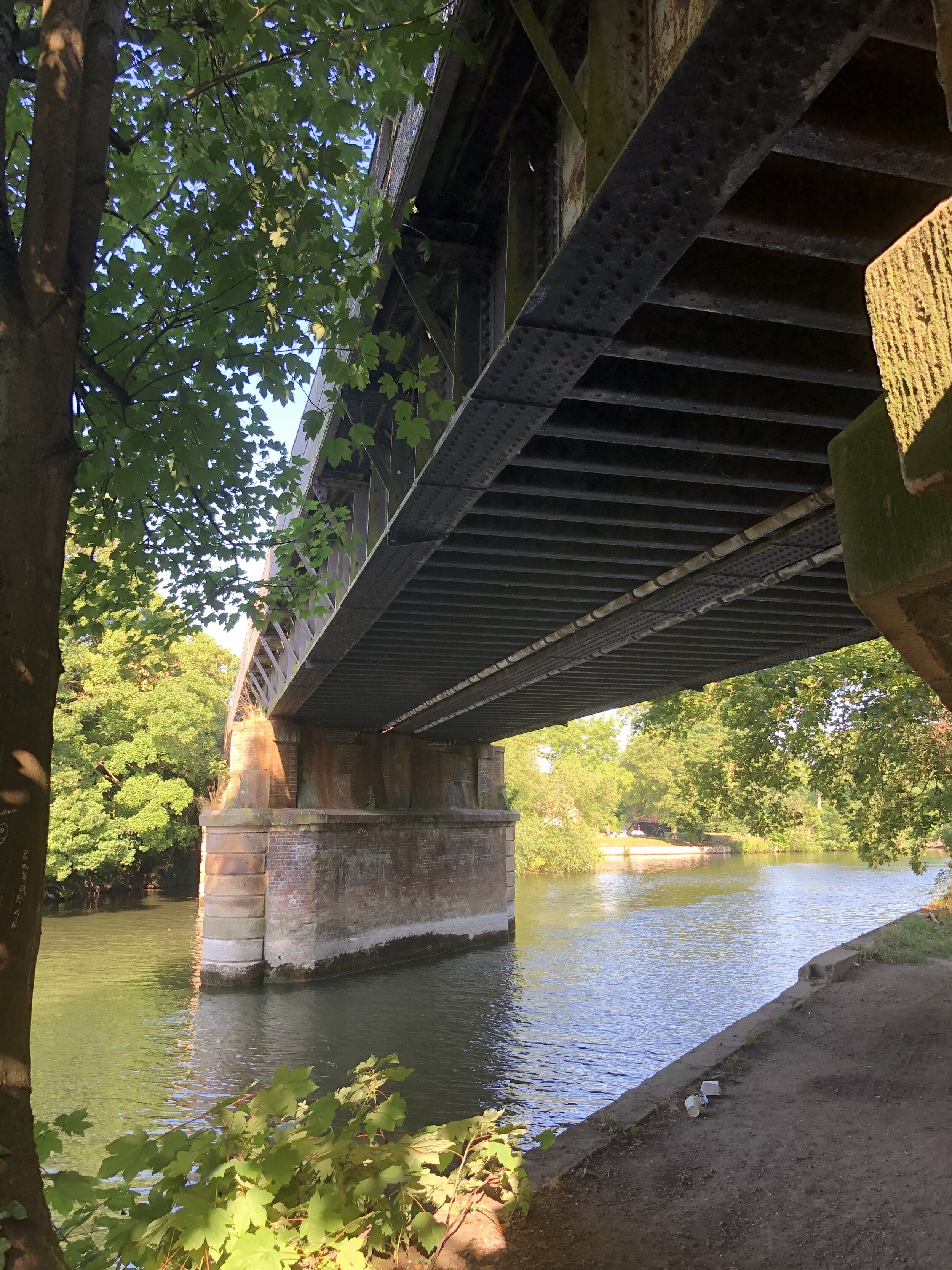
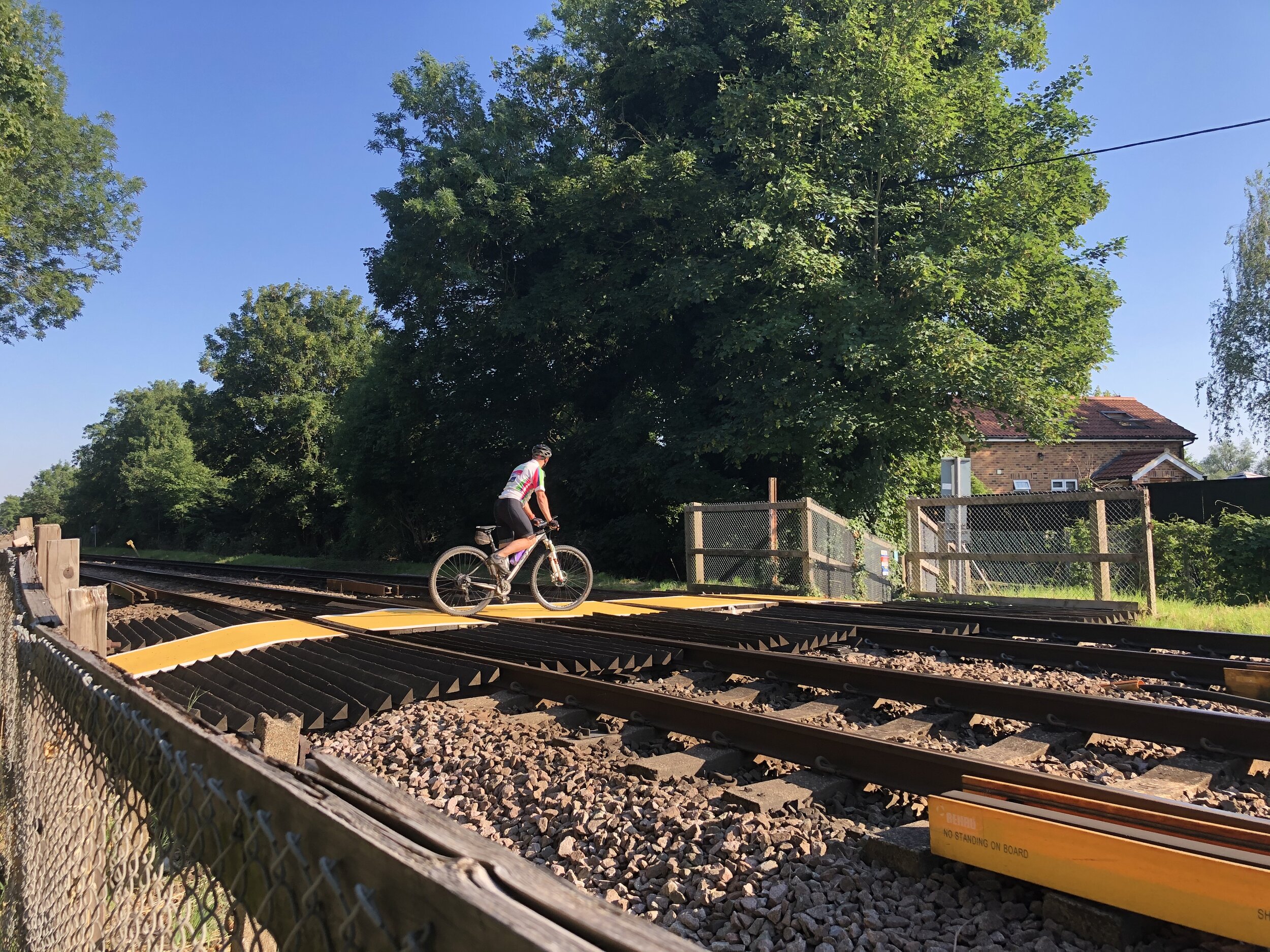
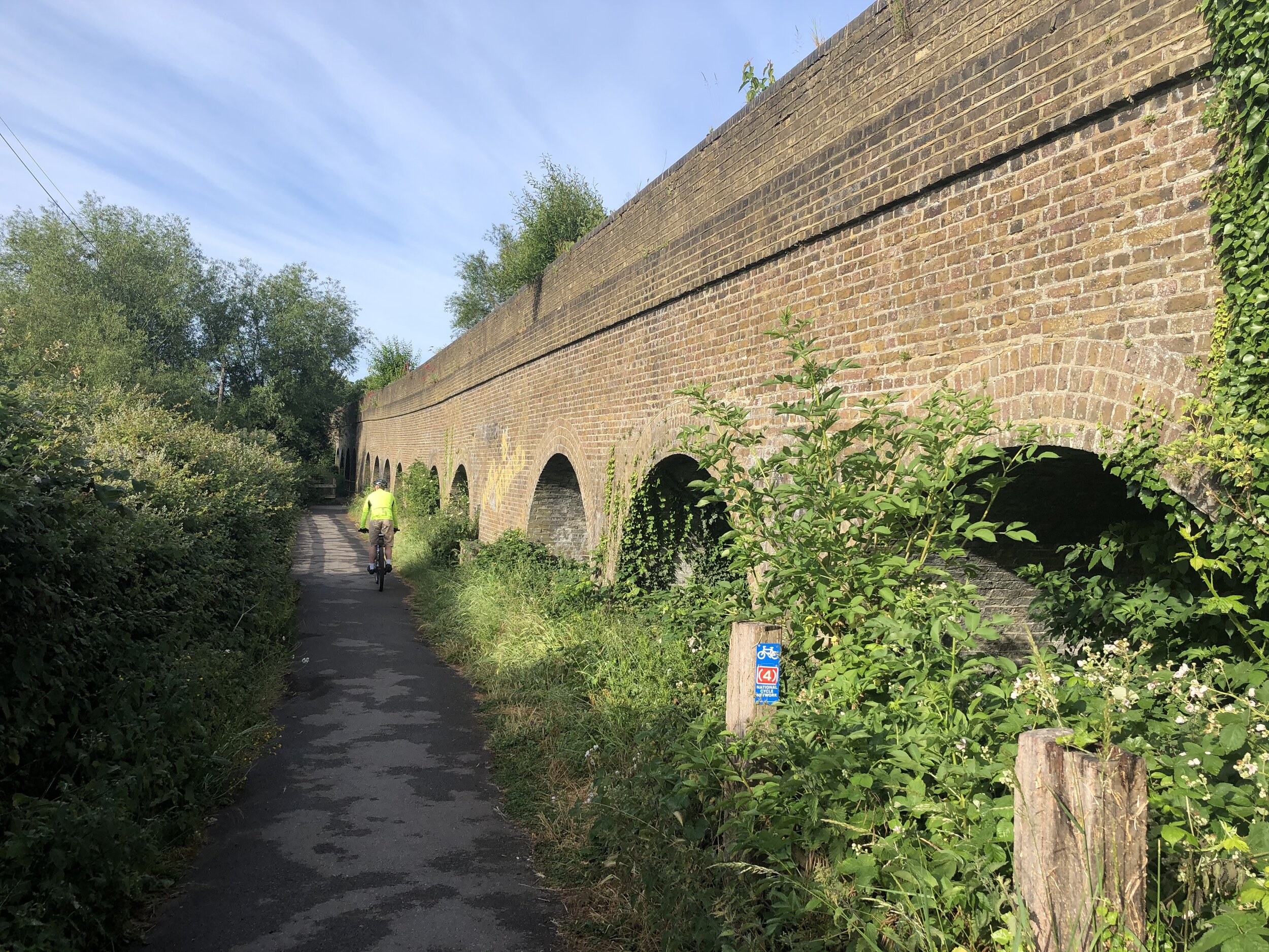
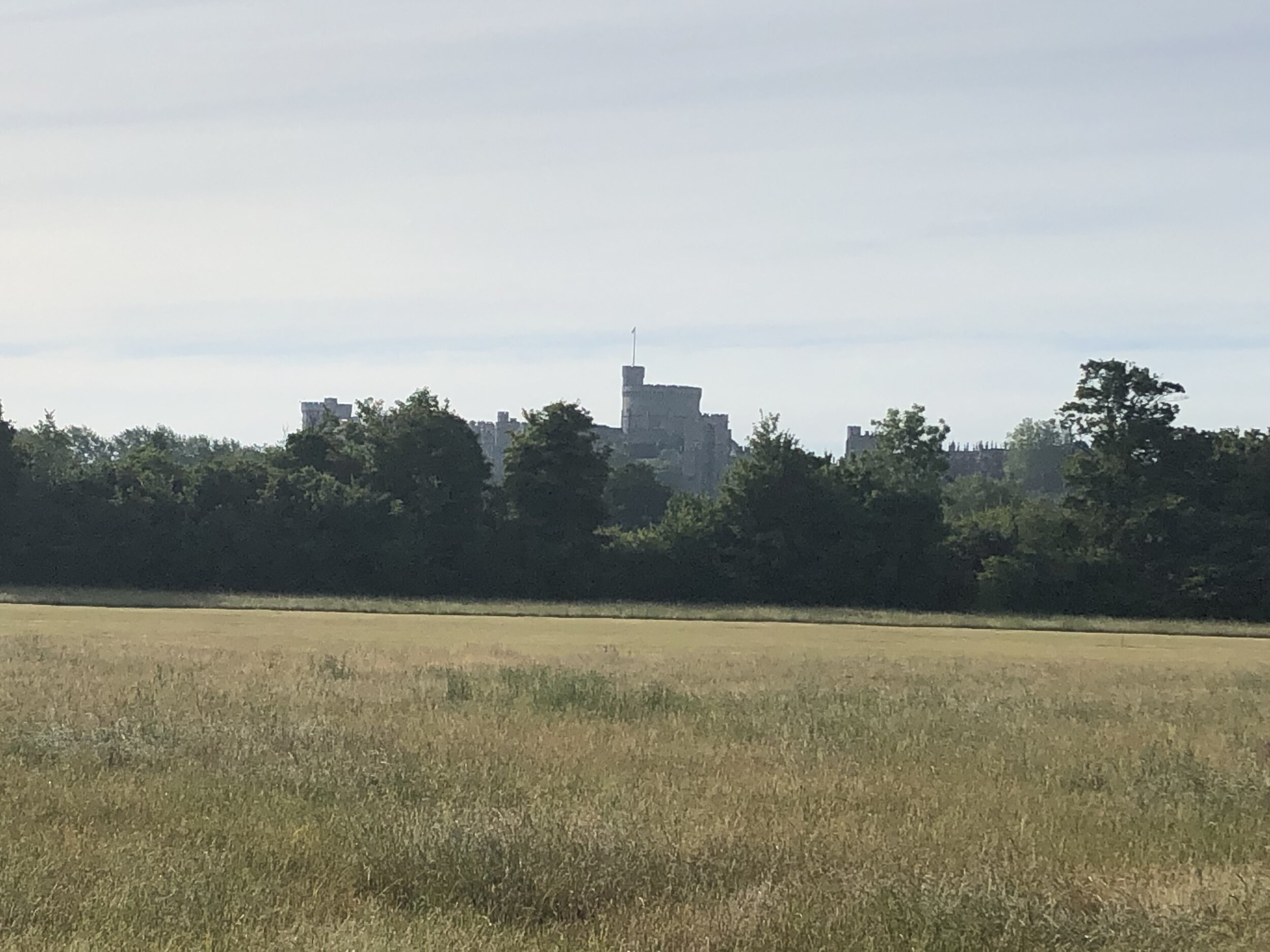
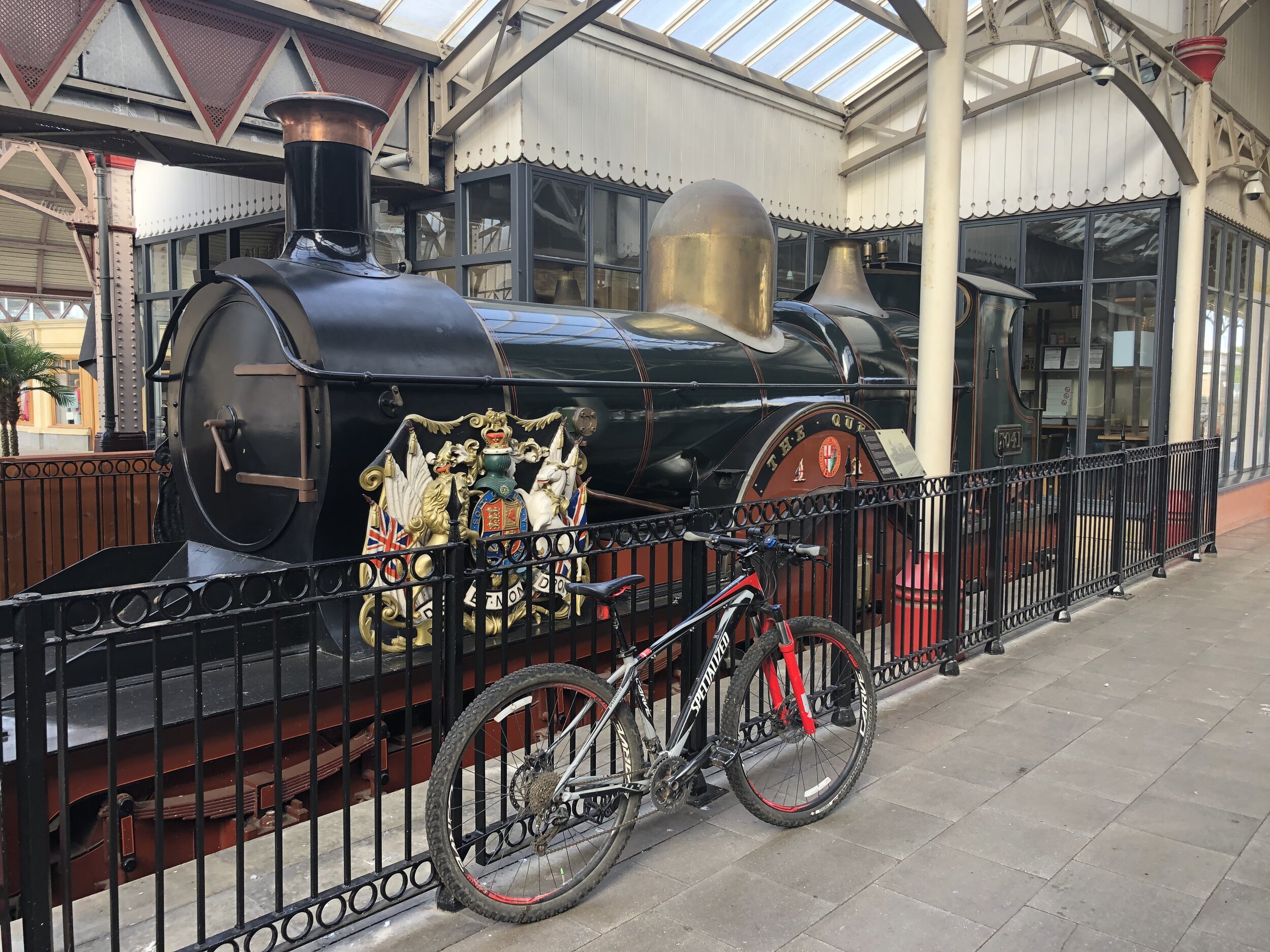
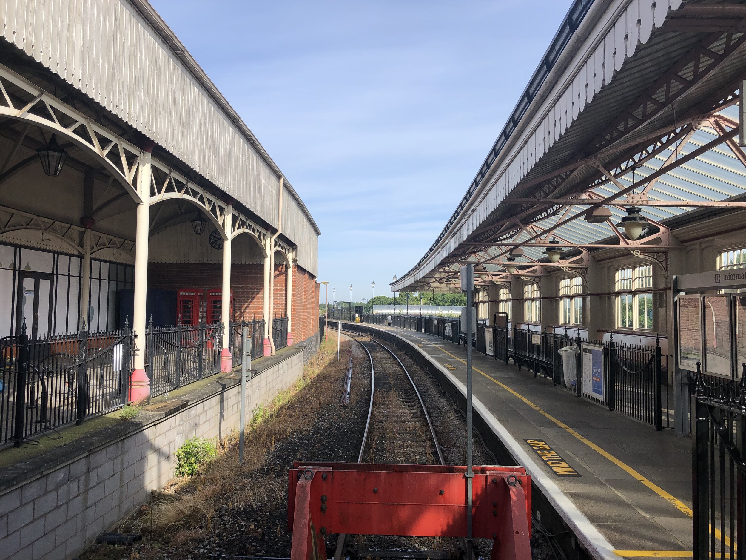
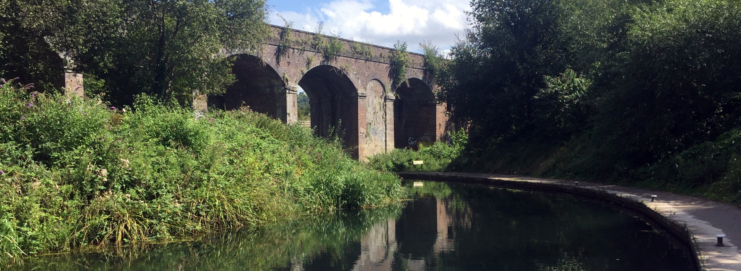
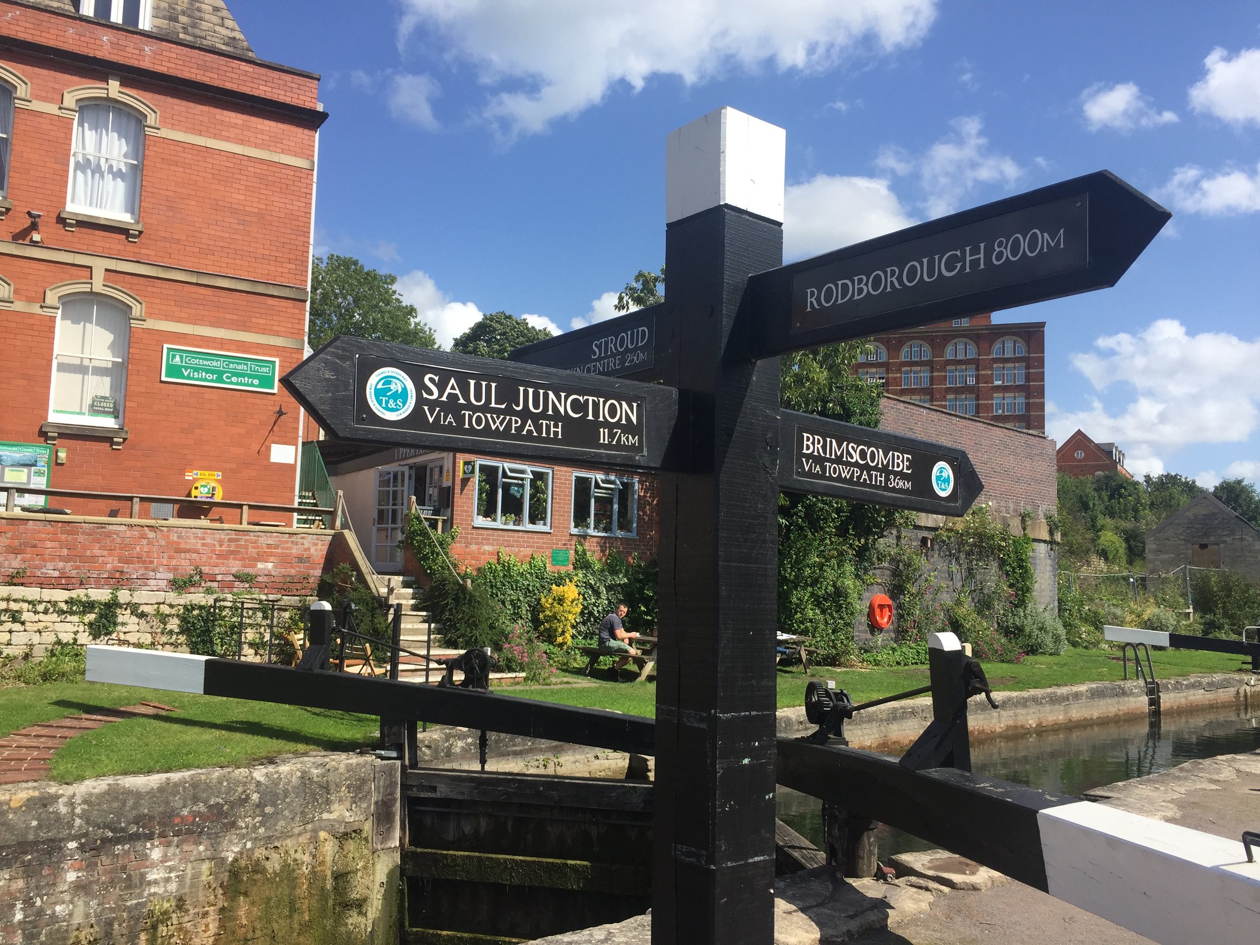
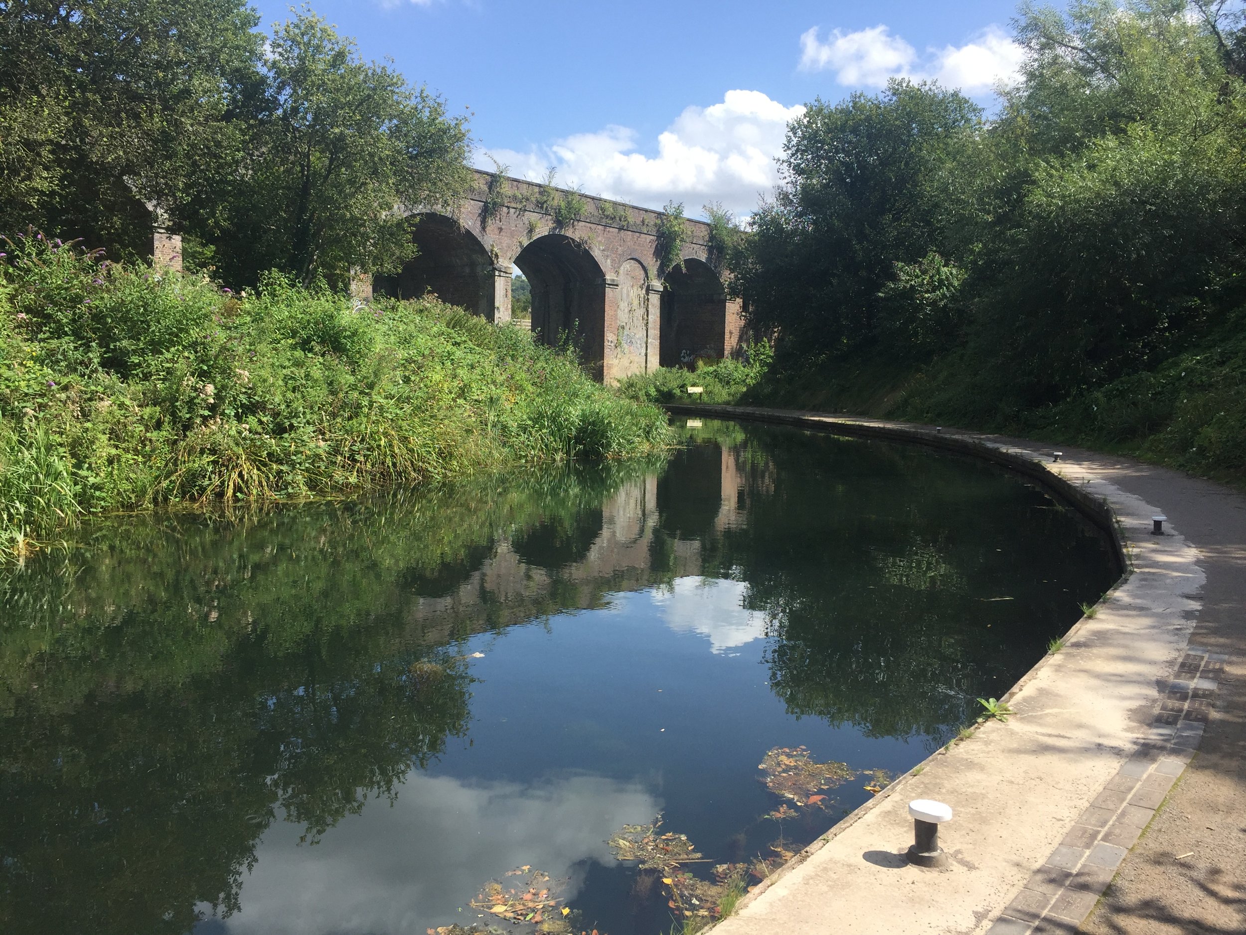
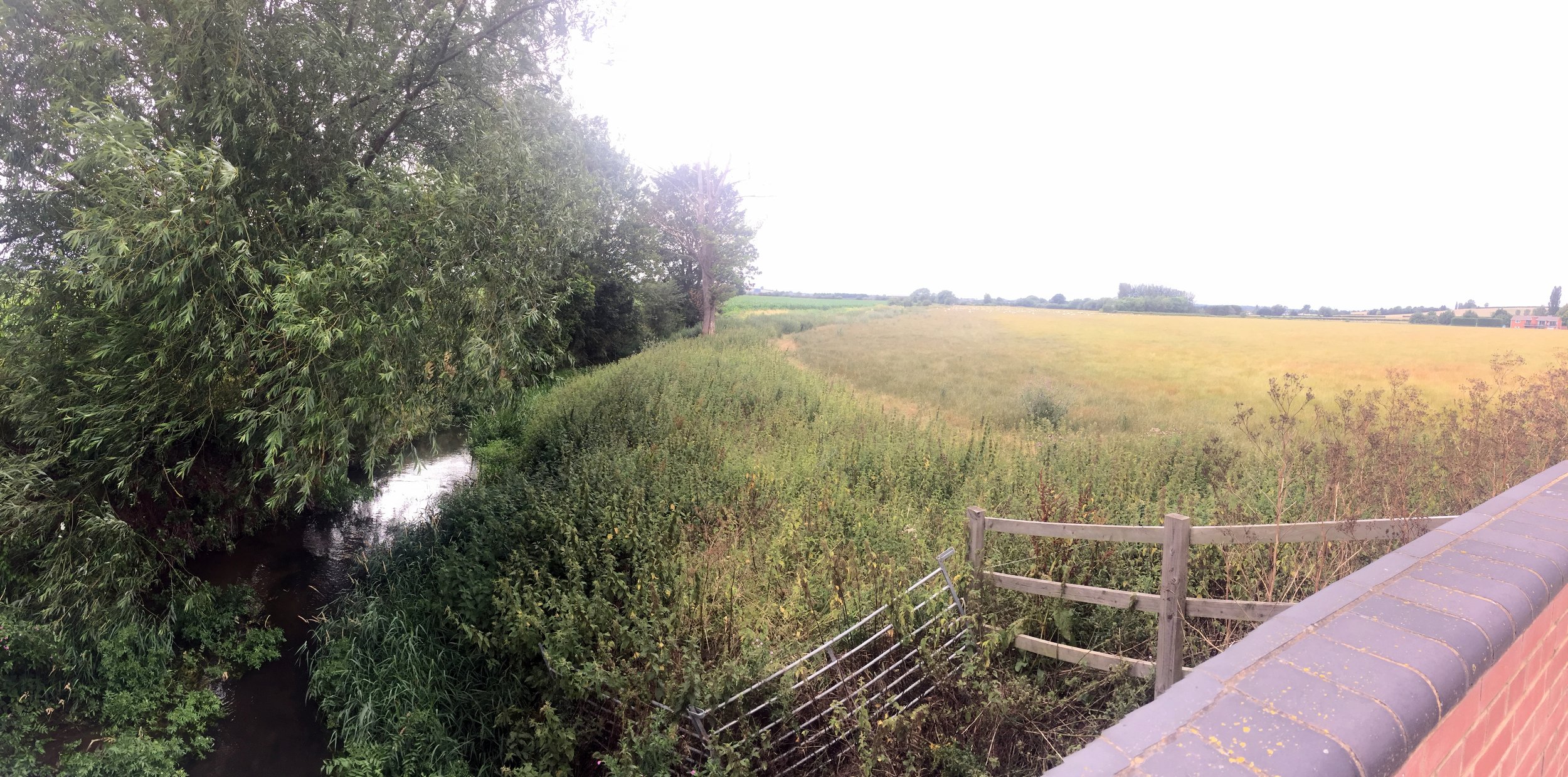
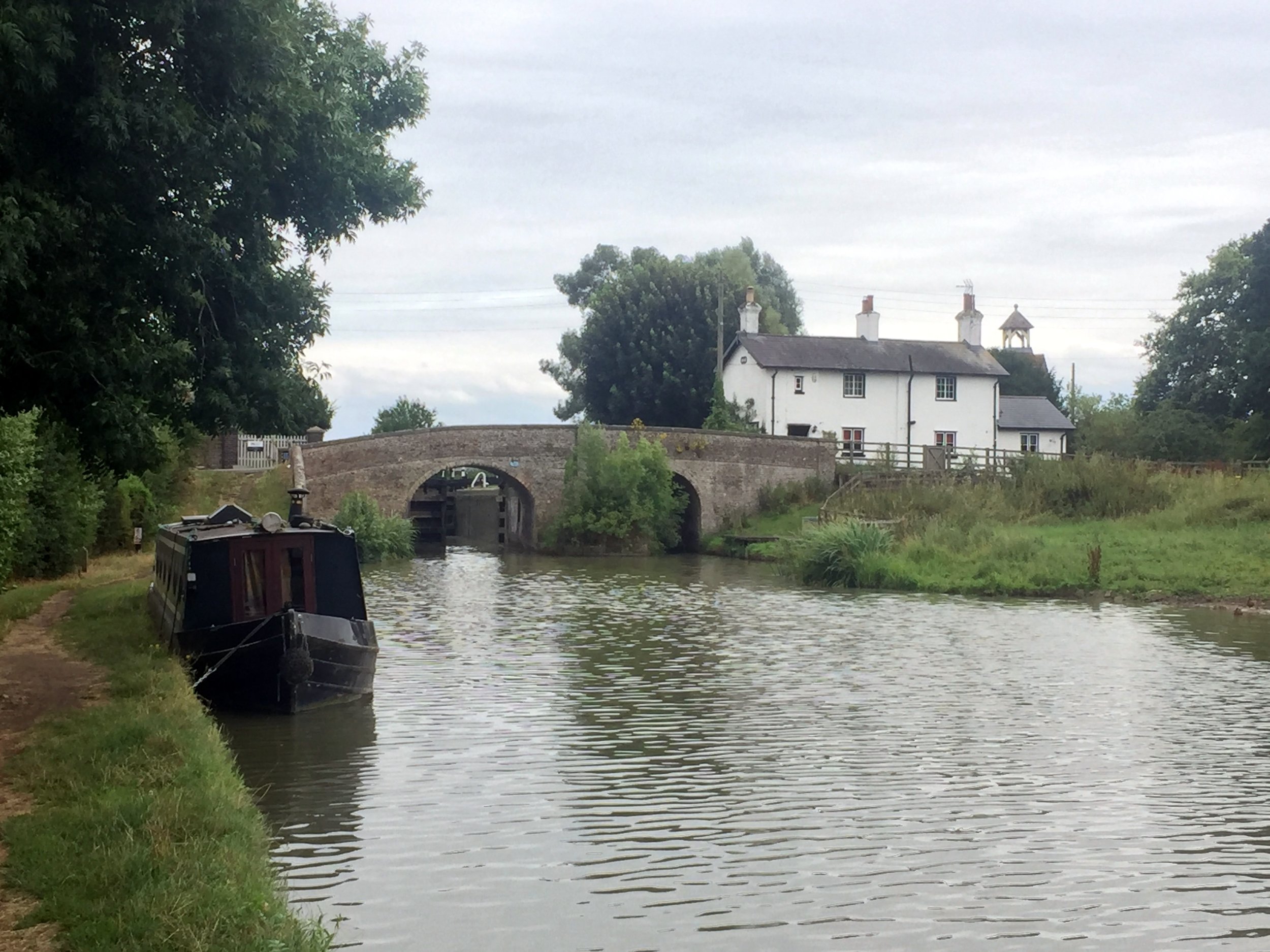
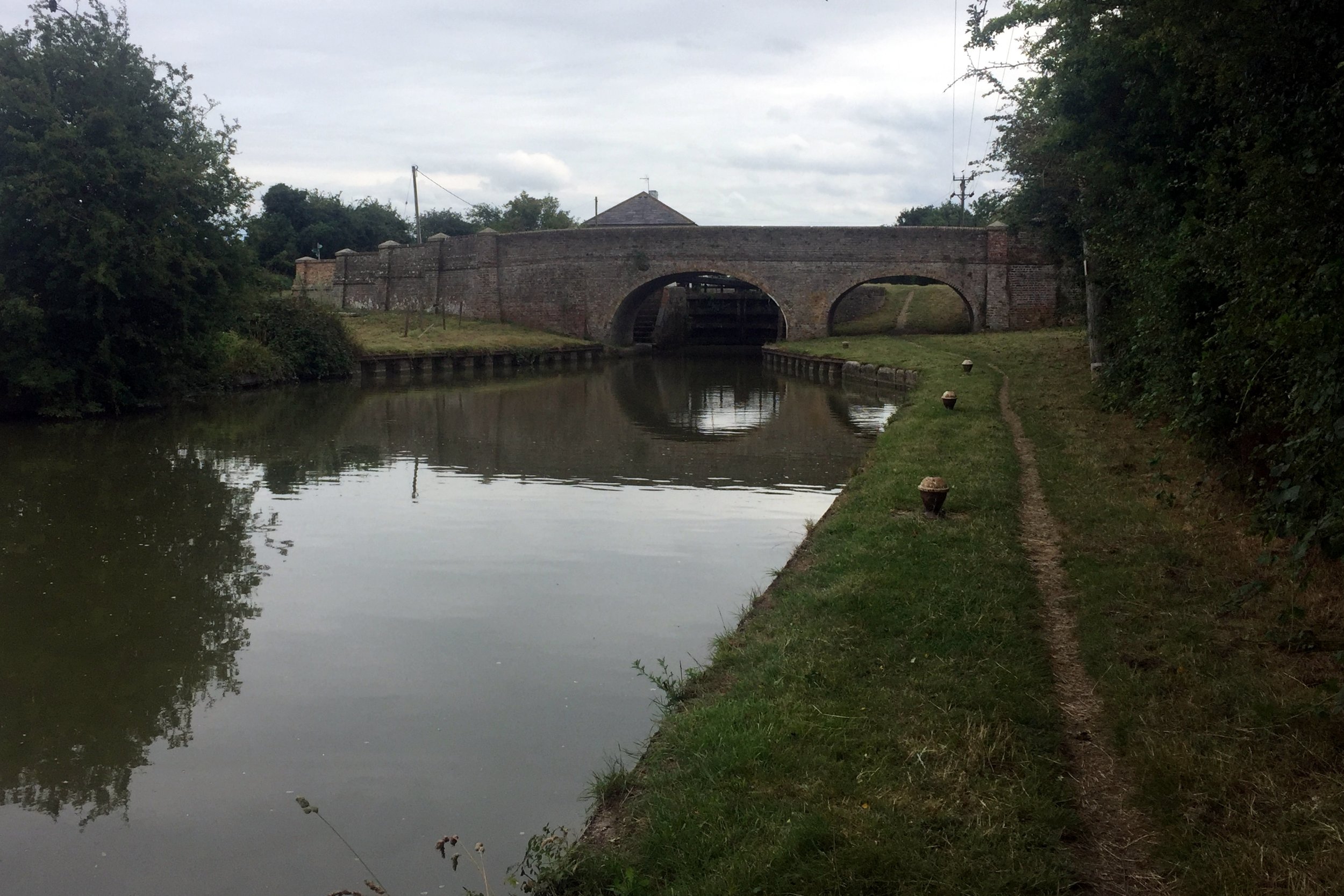
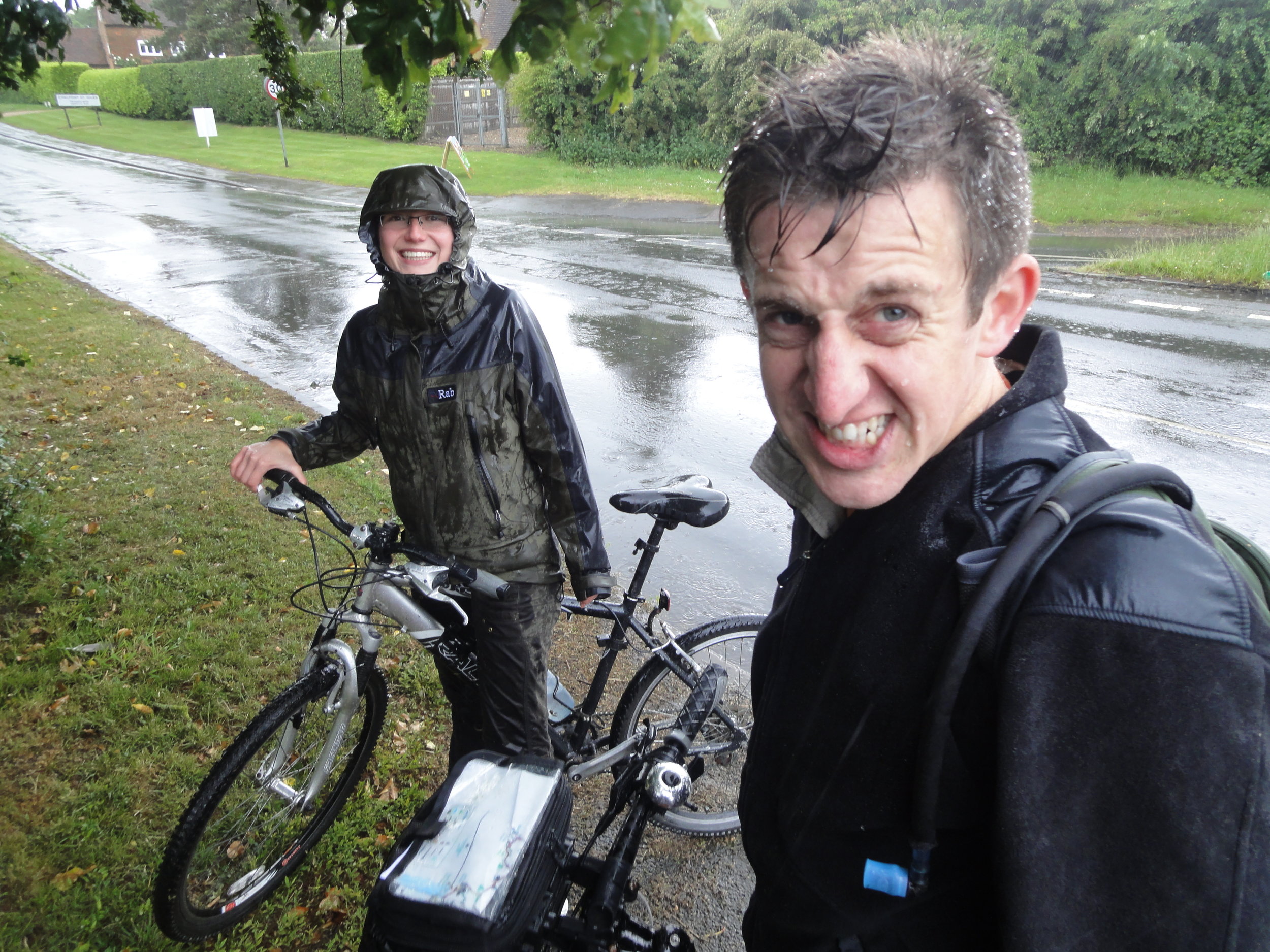
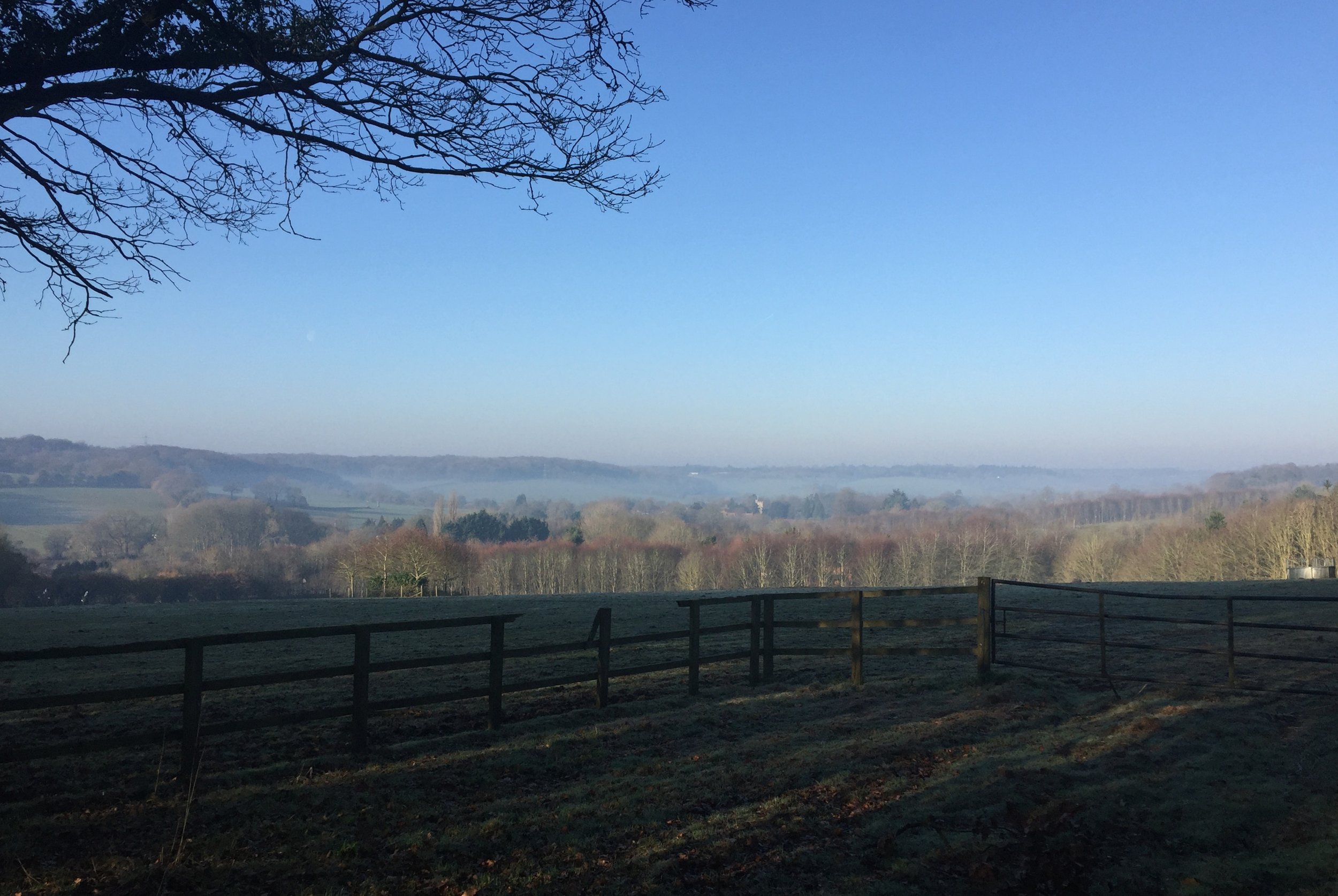
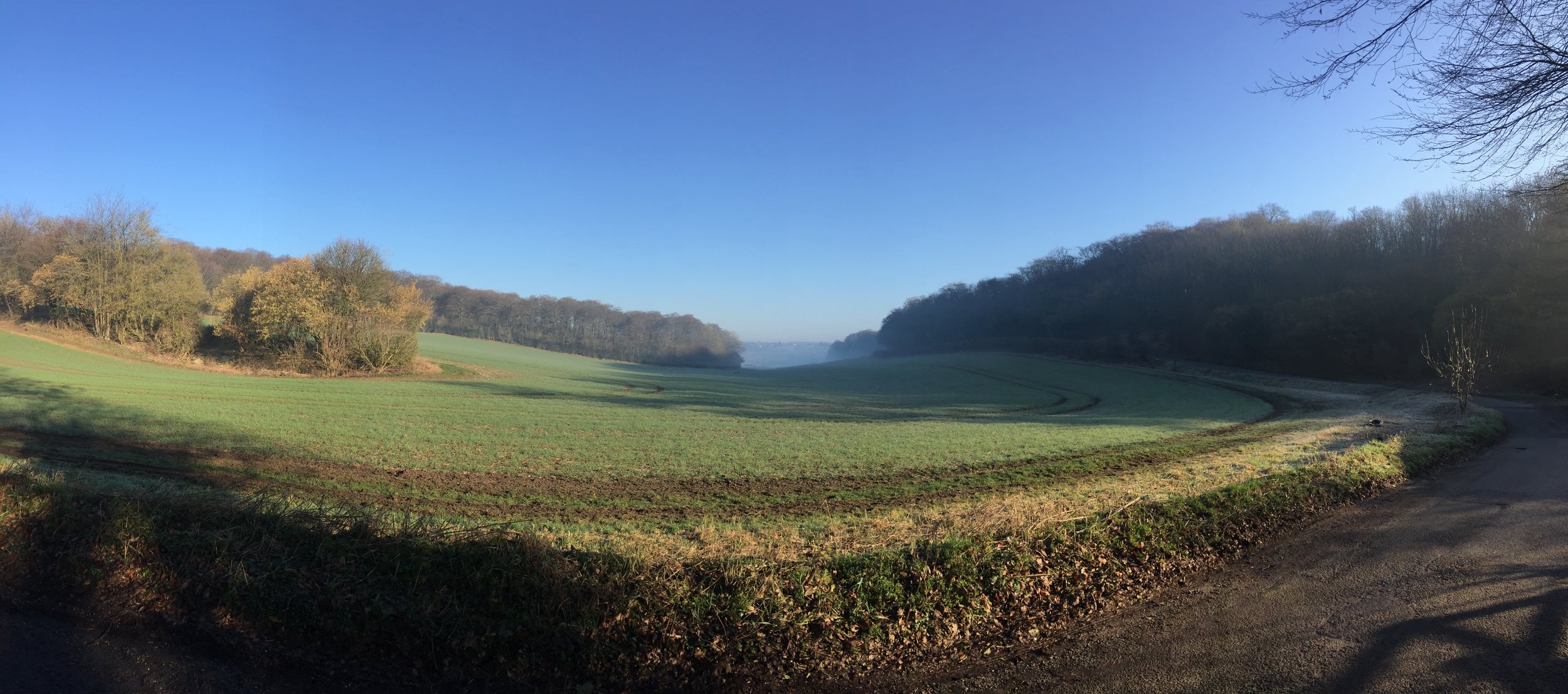
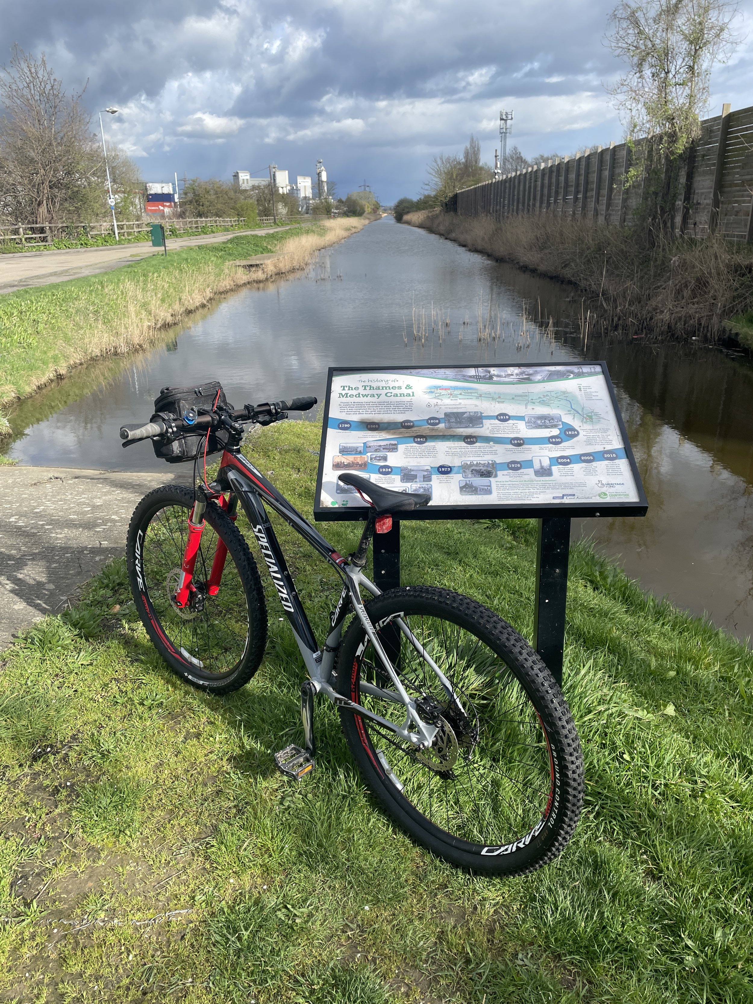
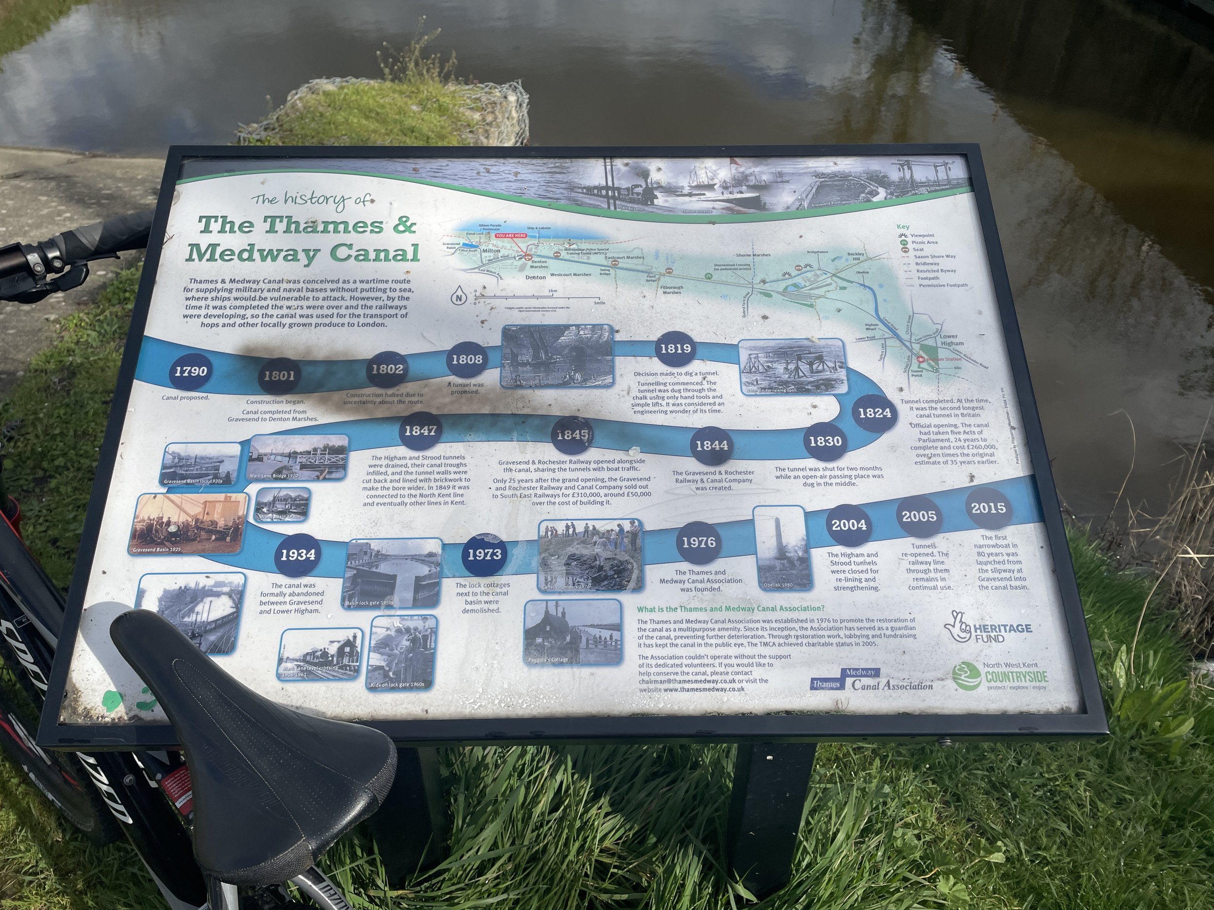
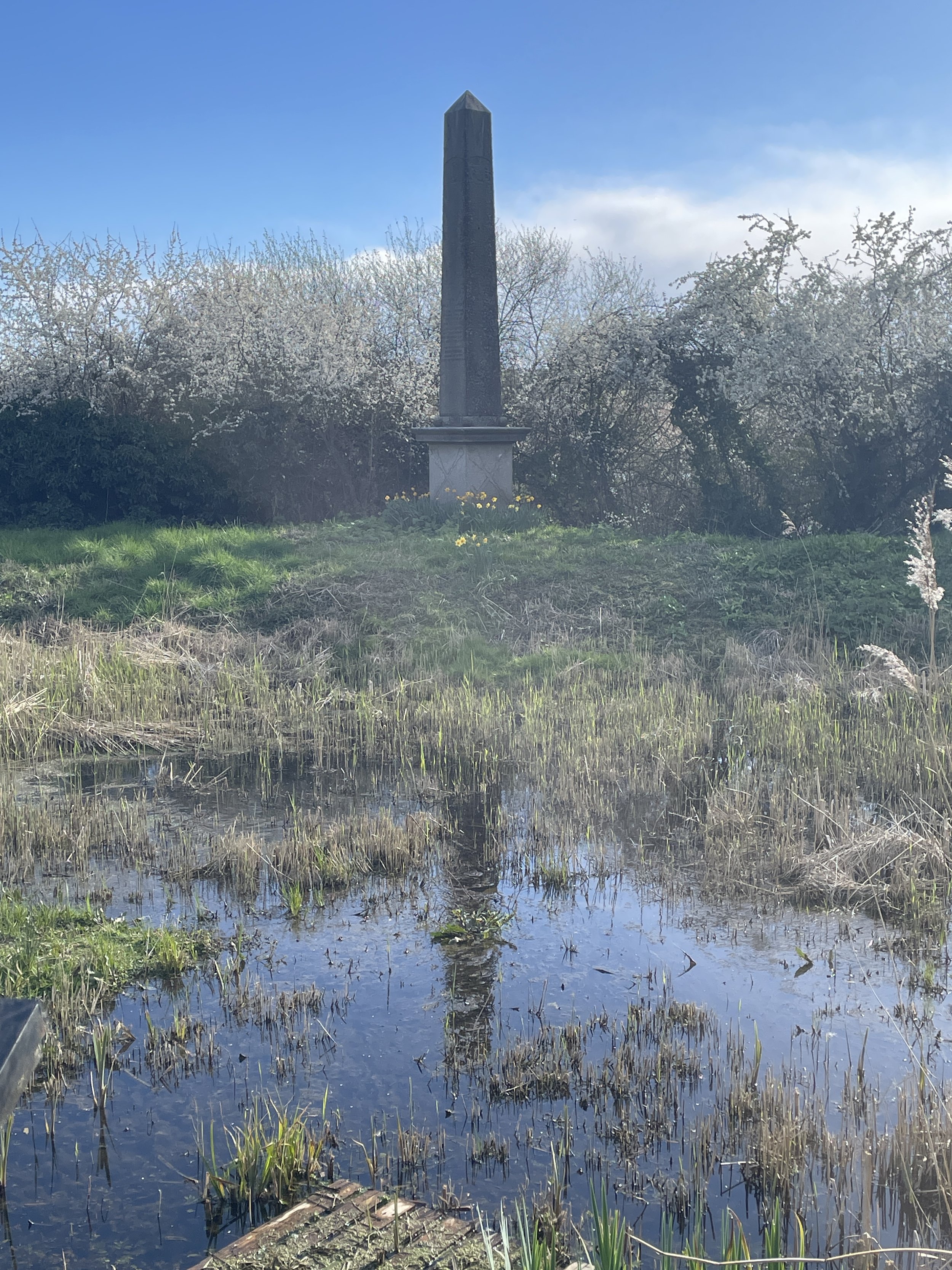
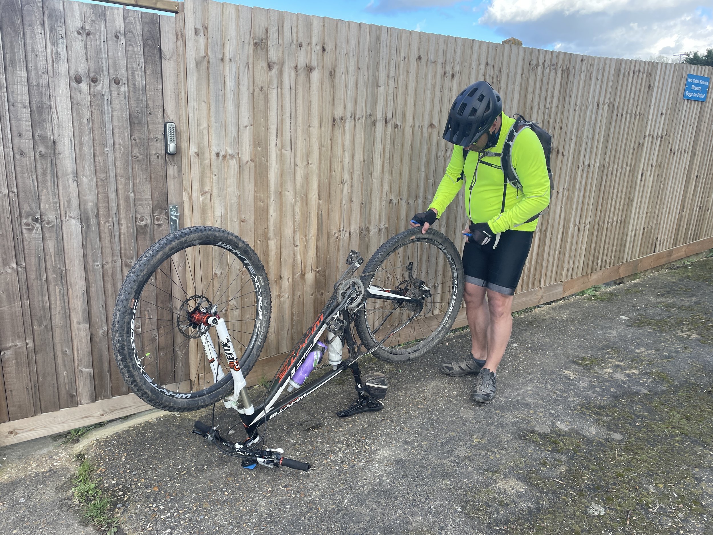
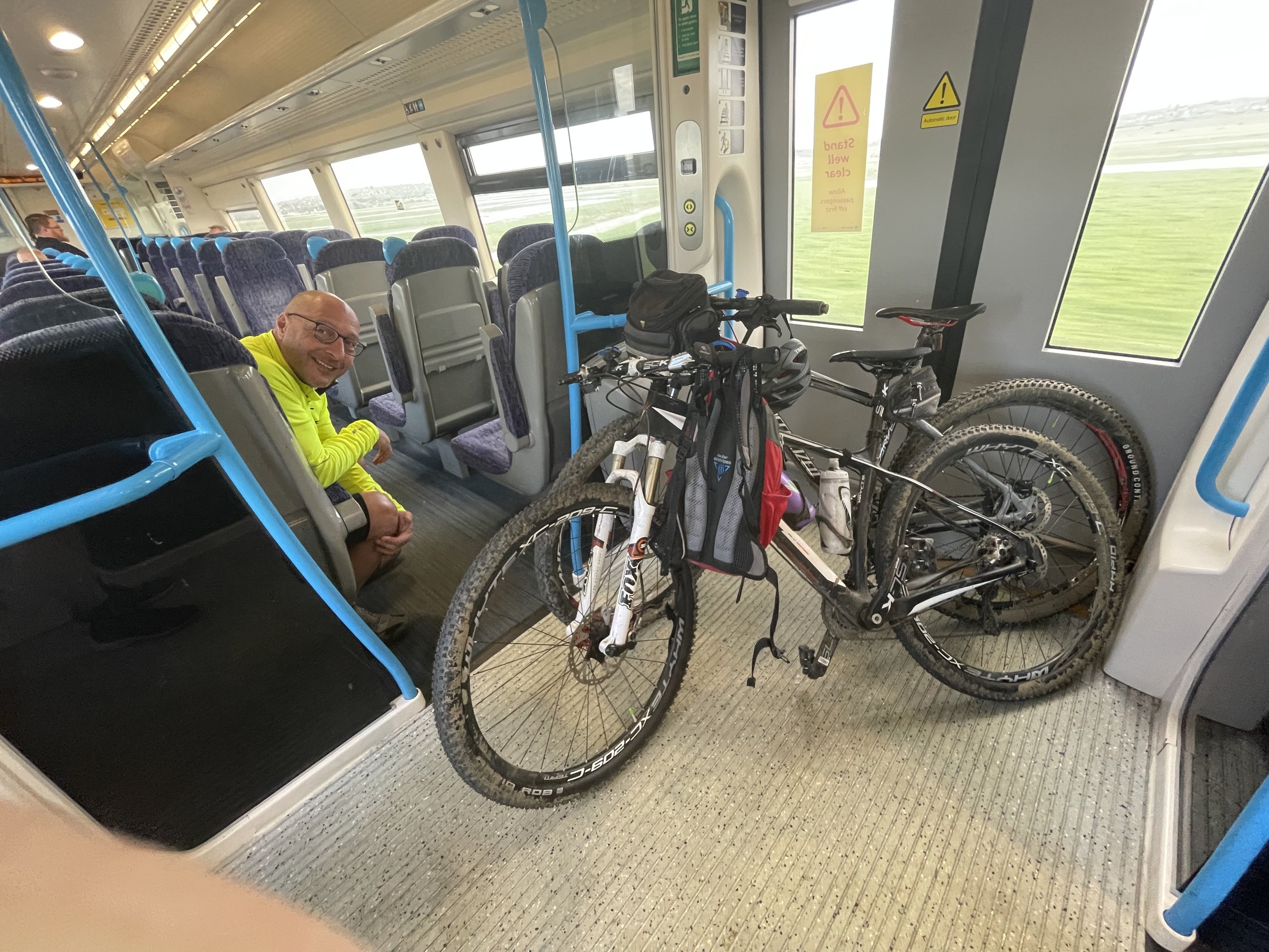
After Gravesend the scenery becomes much more pleasant. With the Route 1 following the disused Thames and Medway Canal. Watch out for the obelisk that marks the half-way point between the cities of London and Rochester. The Route 1 leaves the canal at Lower Higham which, conveniently for us, also has a train station. Brian was having problems with his wheel after several punctures and we’d run out of options to fix it at the road-side. Here we decided that Brian would head to Chatham by train and I would finish the first day on my own.
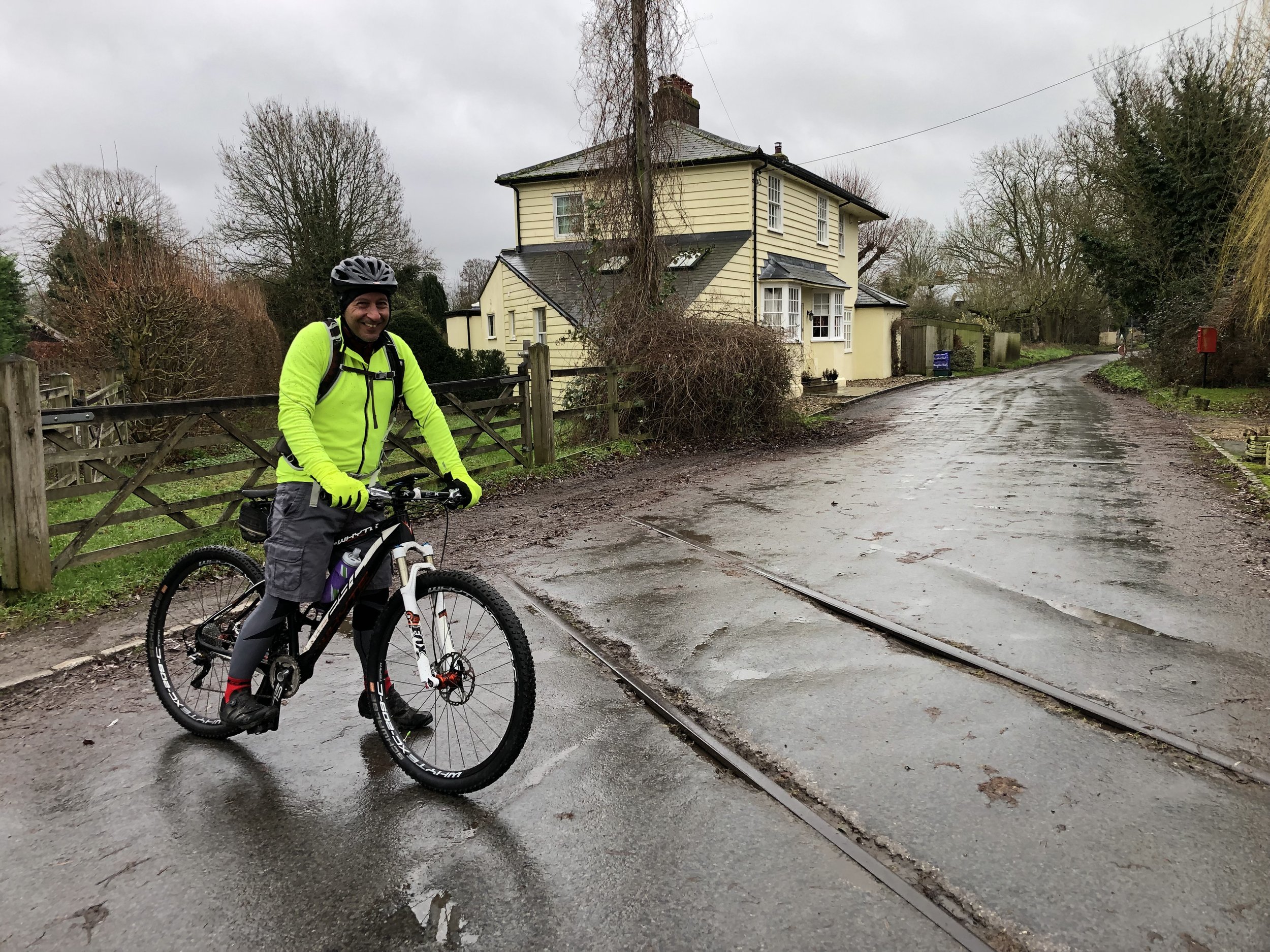
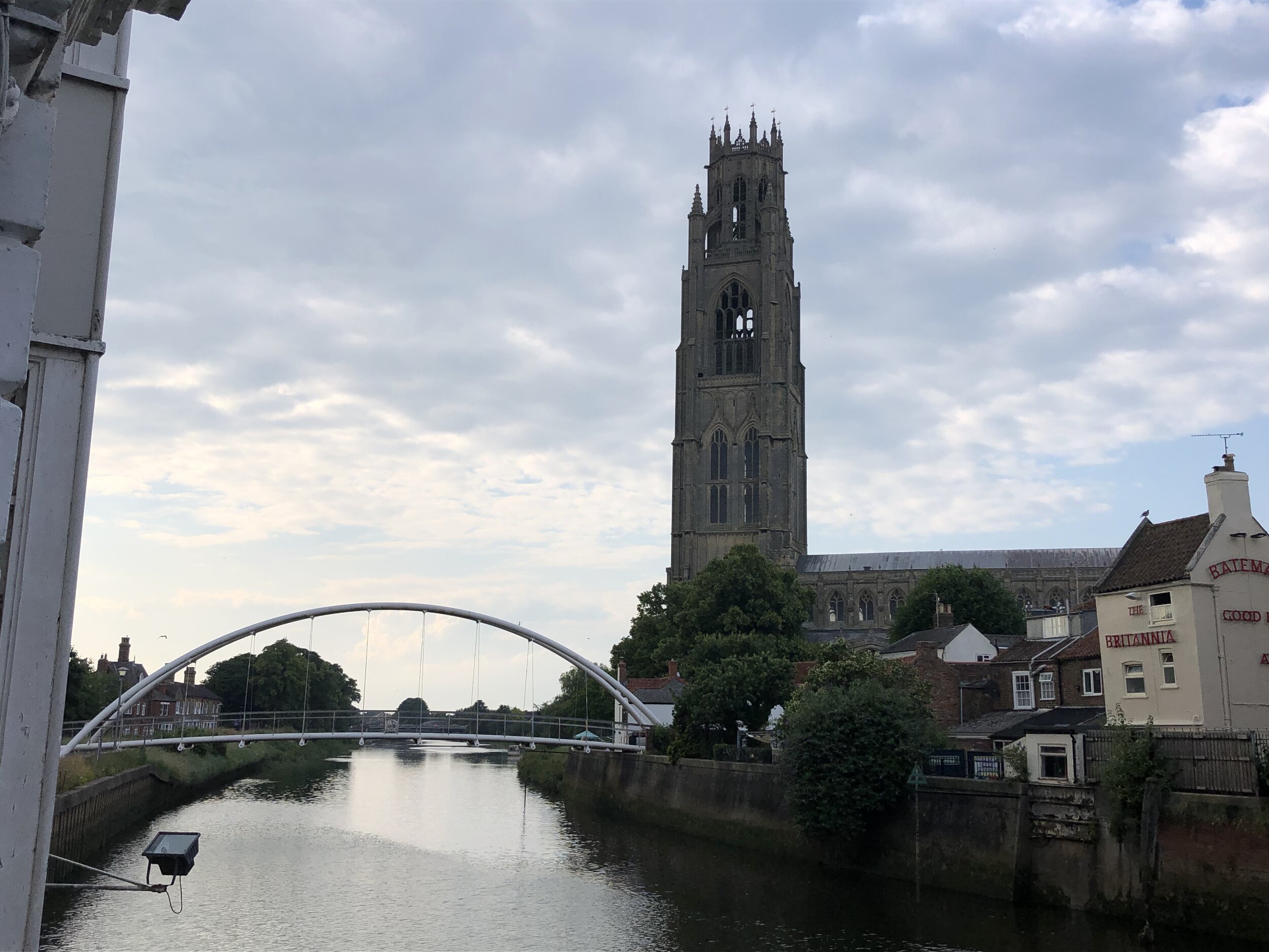
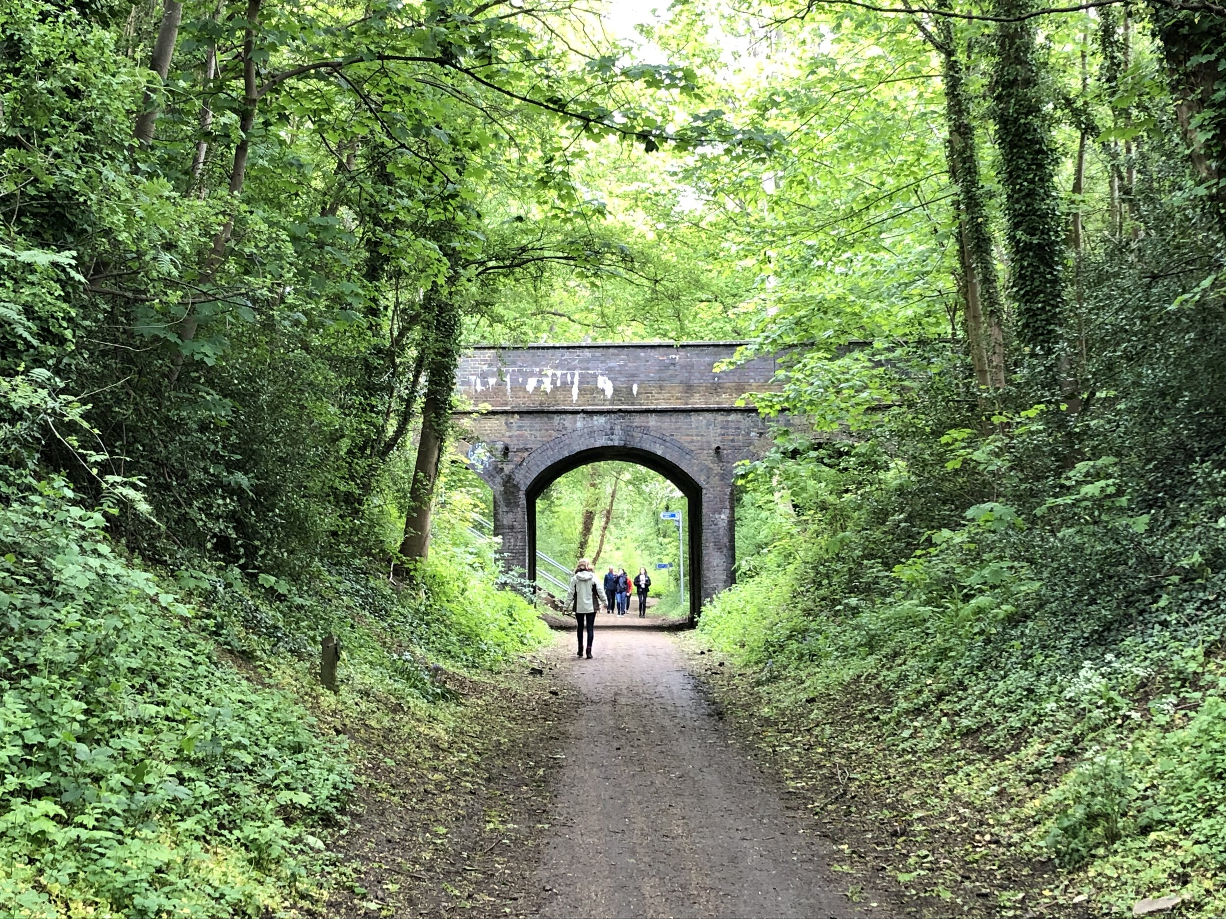
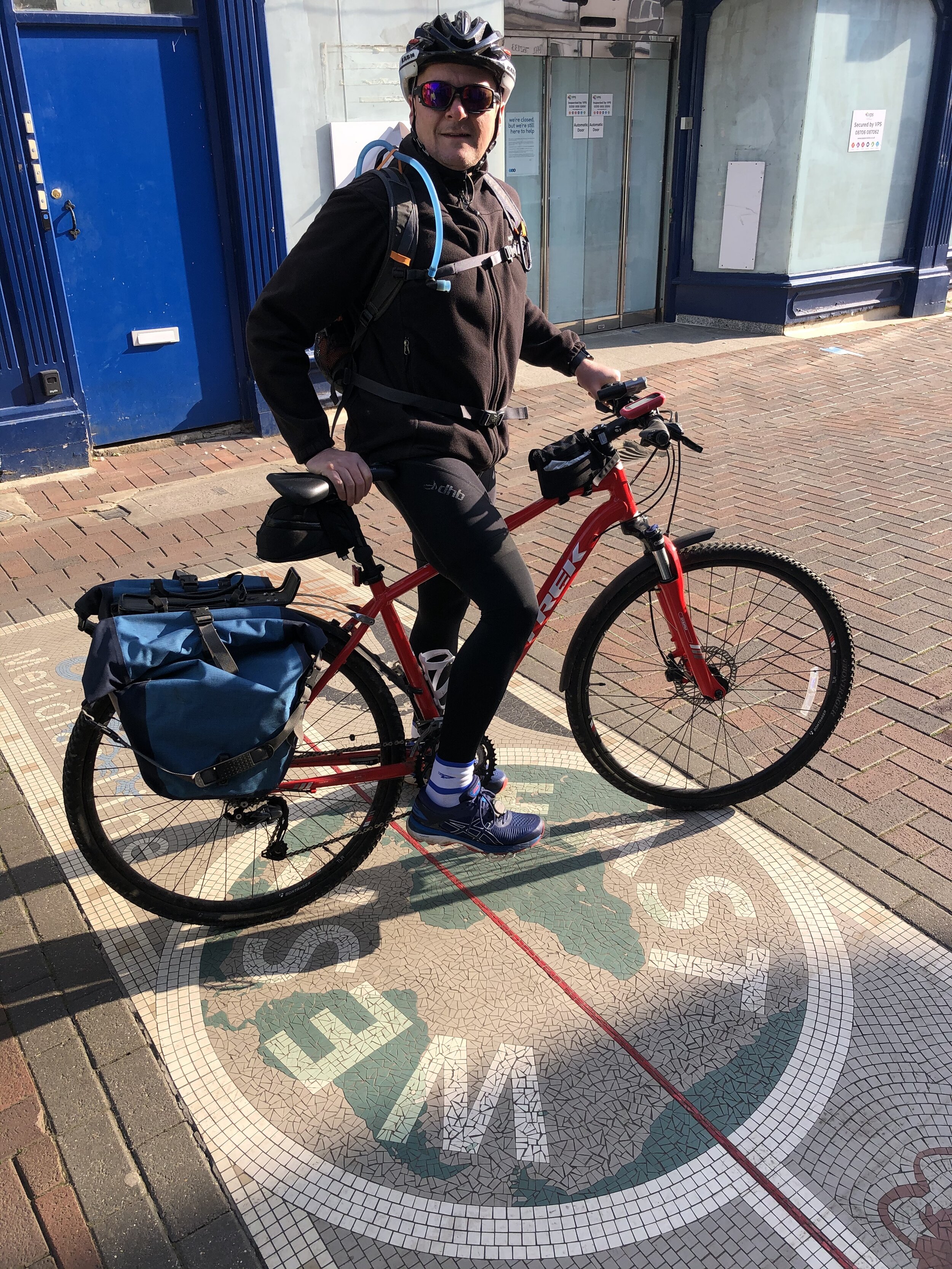
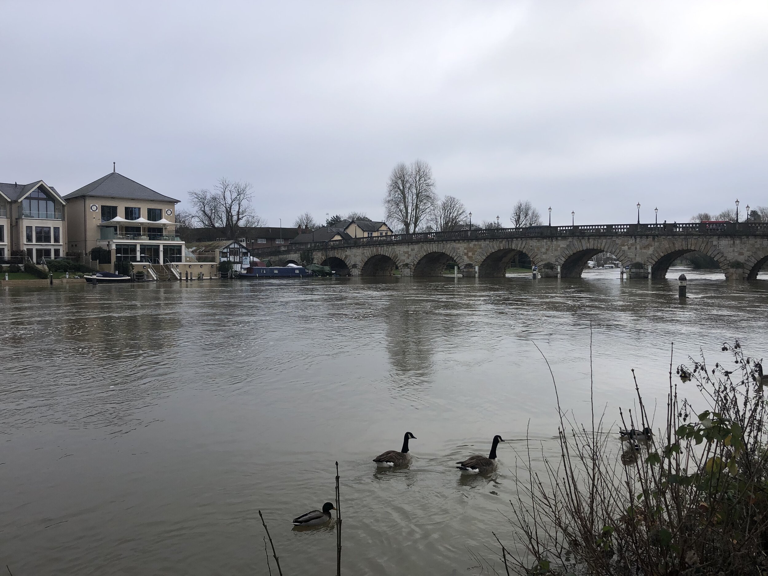
As it turned out Brian missed one of the best parts of the first day. The final section included quiet countryside and a descent down to Rochester. Had we kept together we would have stopped in Rochester for food ahead of the final few miles. I decided that I was on a mission to beat Brian’s train journey back to Chatham so I wasn’t hanging around. A 20 minute wait for the train meant that I was back at the hotel before Brian arrived at Halfords in Chatham. With a newly fixed wheel and fresh supplies of inner-tubes we were now ready for Day 2.


Day 2: Chatham to Margate
Start: Premier Inn Chatham/Gillingham (Victory Pier) hotel, Blake Avenue, Gillingham, ME7 1GB, United Kingdom
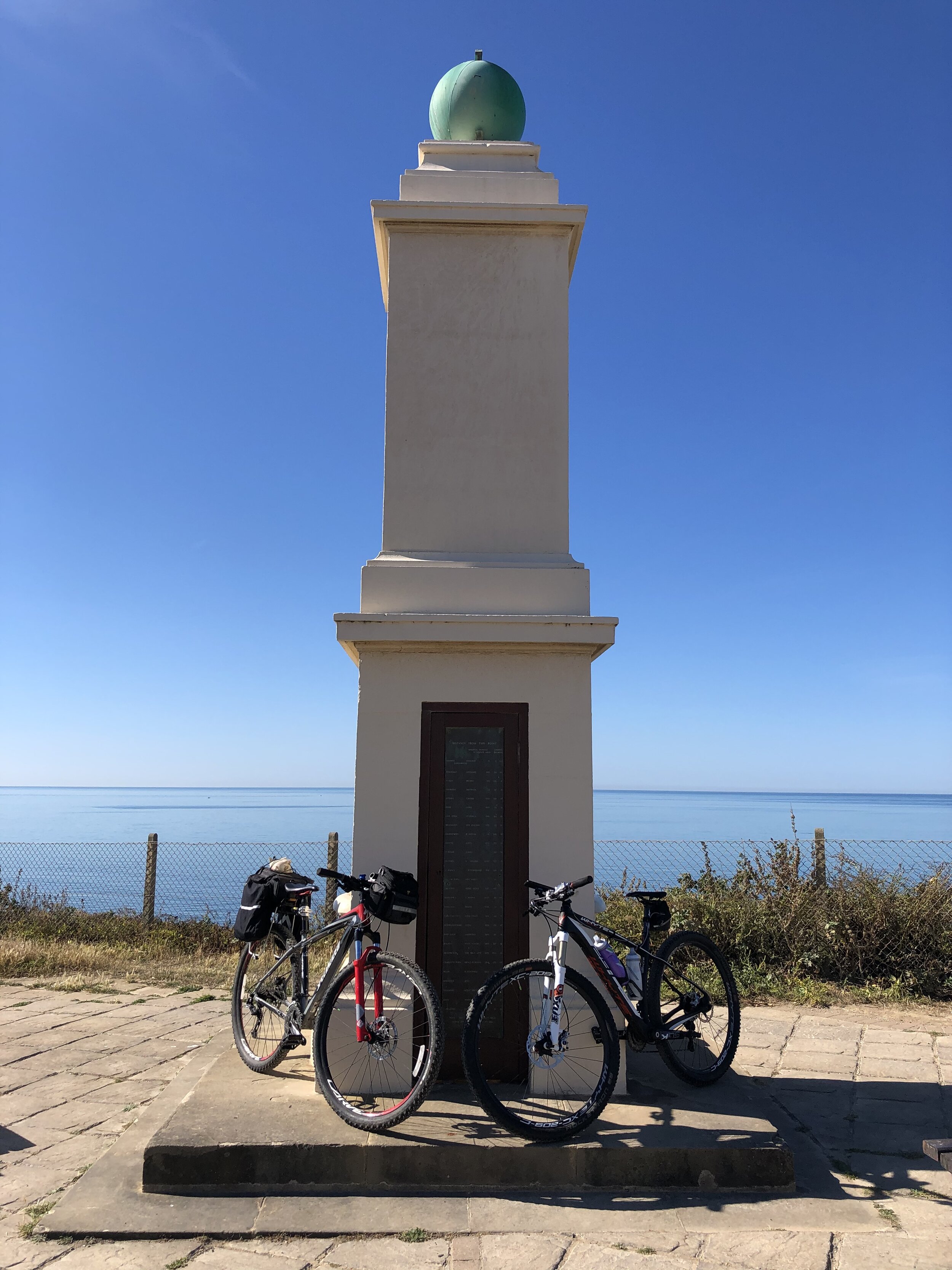
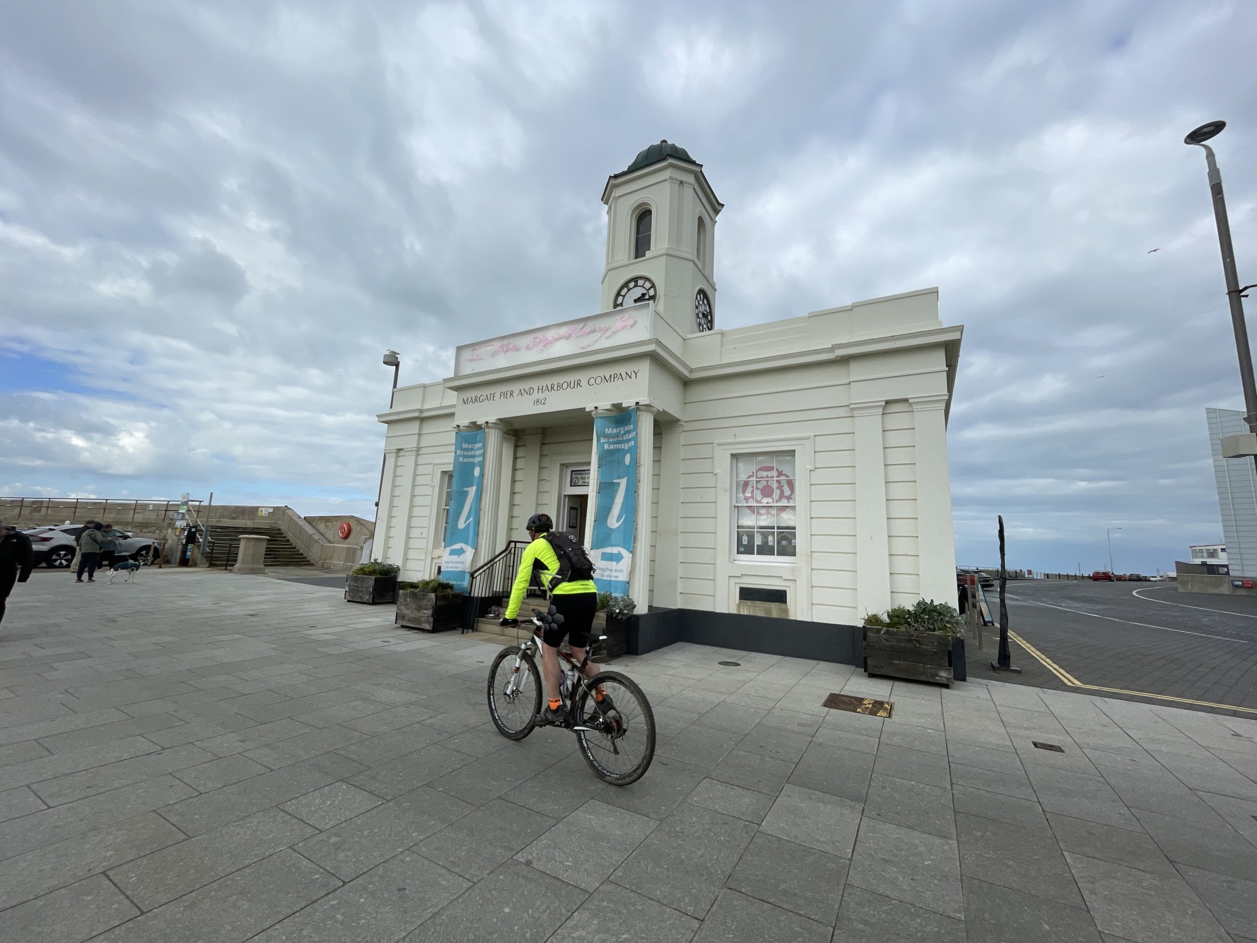
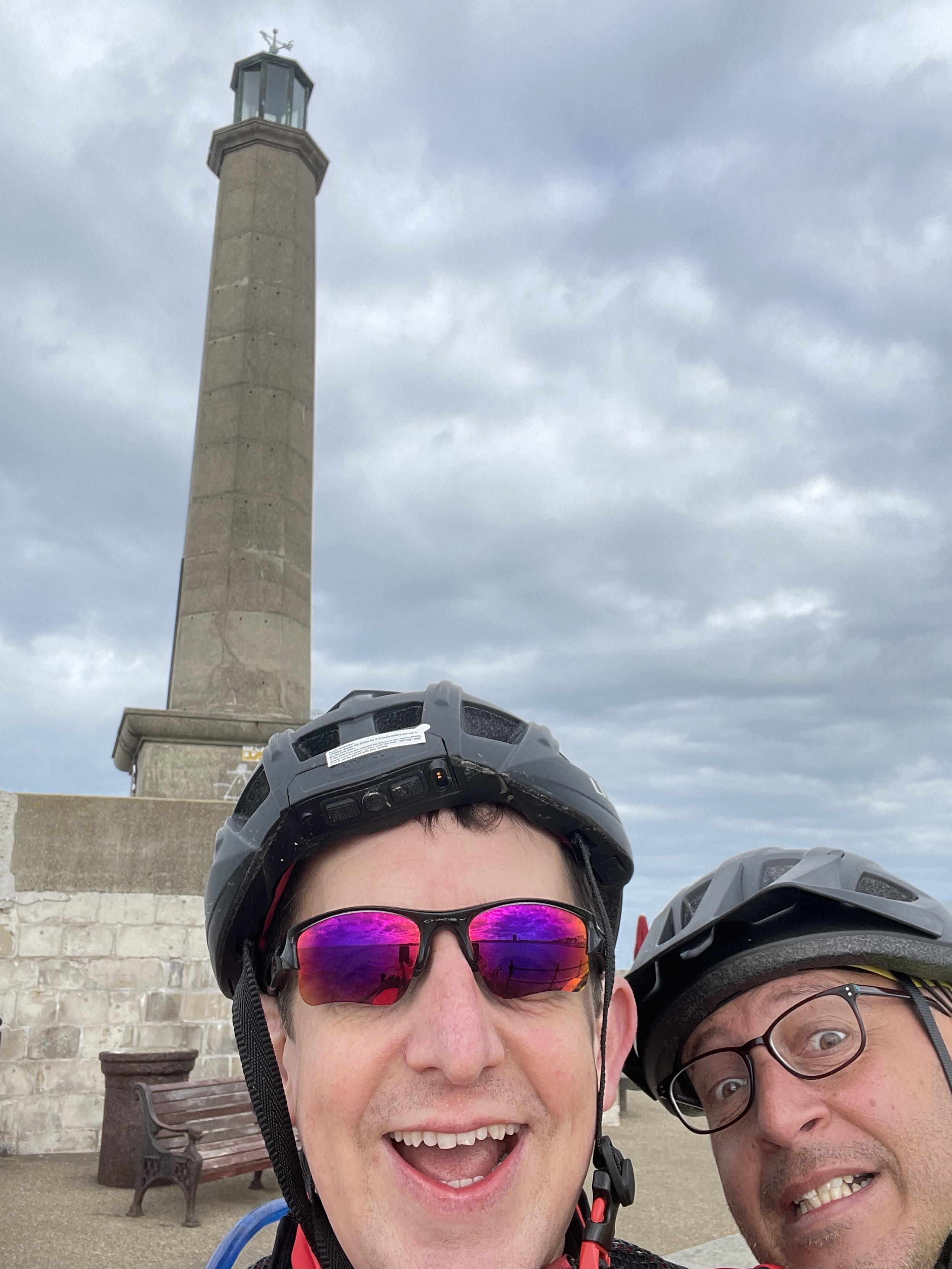
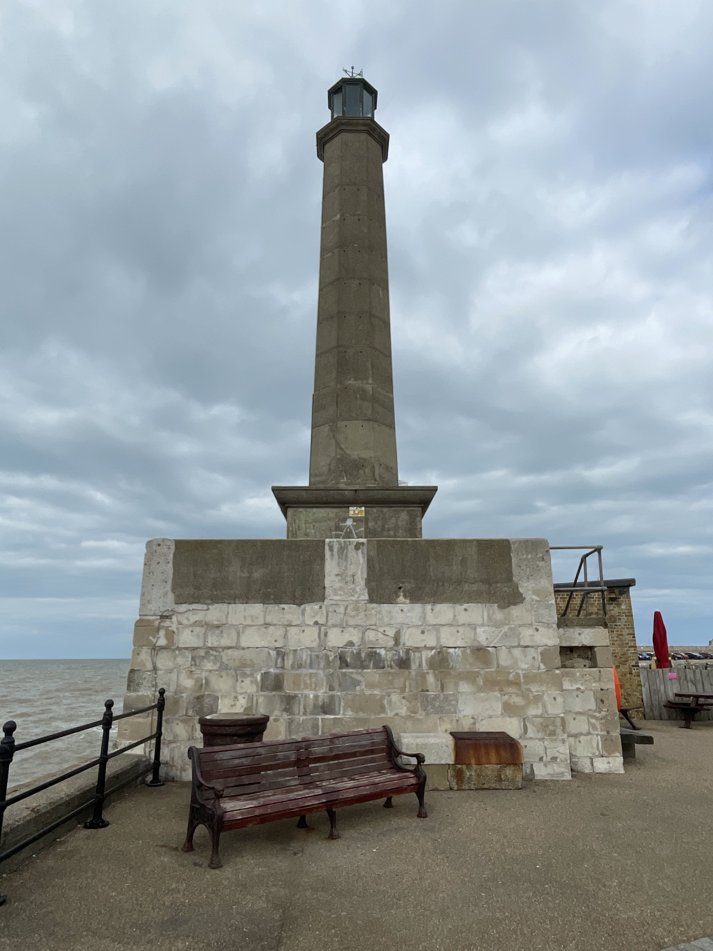
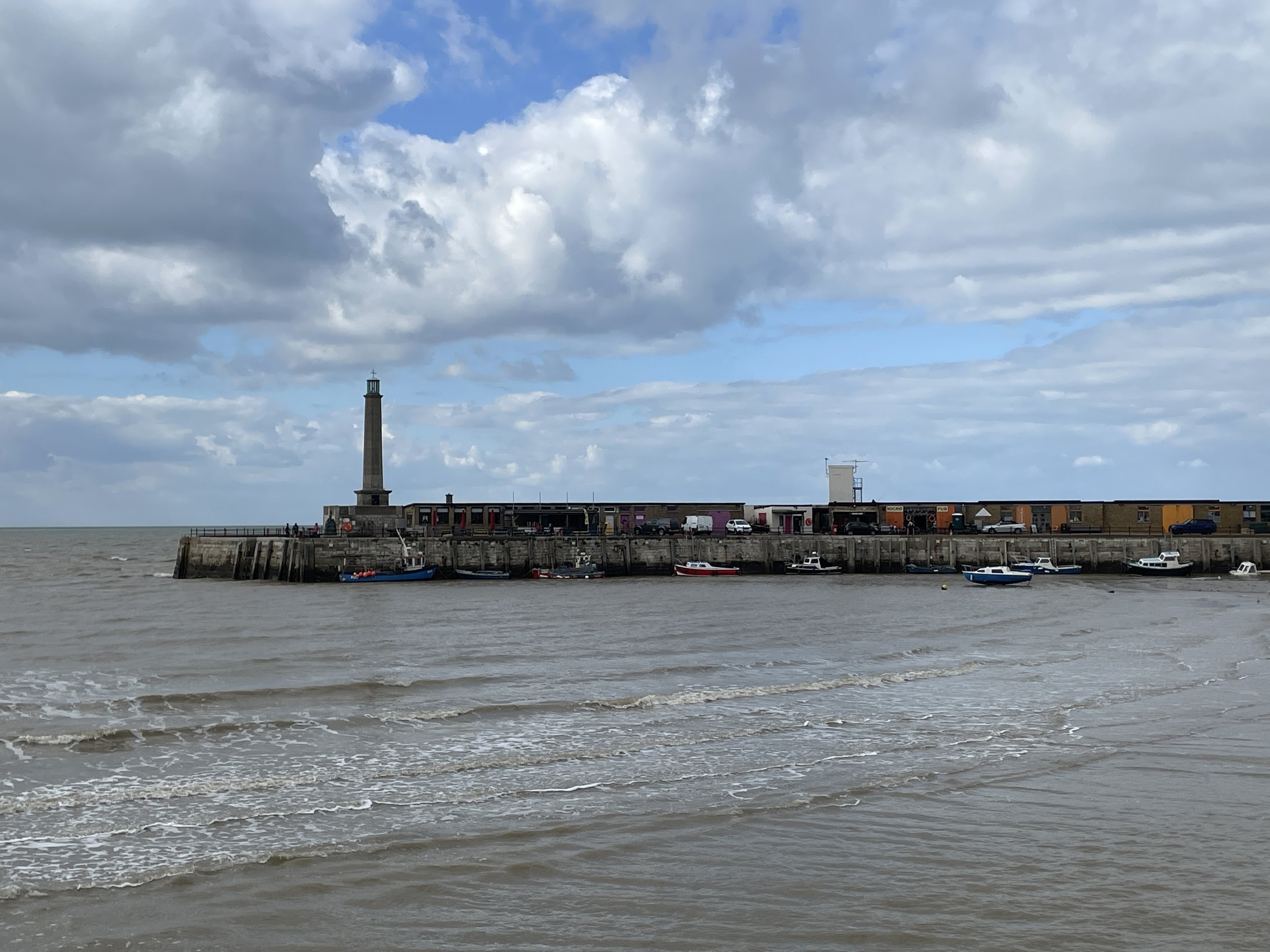
Finish: Margate Lighthouse, Harbour Arm, Margate, CT9 1AP
Distance: 87 km (54 miles)
Elevation change: + 514m / -513m (Net -1m)
GPX File: get via Buy Me a Coffee
Other routes touched (walk): Saxon Shore Way, England Coast Path, Swale Heritage Trail, Invicta Way, Wantsum Walk,
Other routes touched (cycle): NCN 1, 174, 15: Viking Coastal Trail
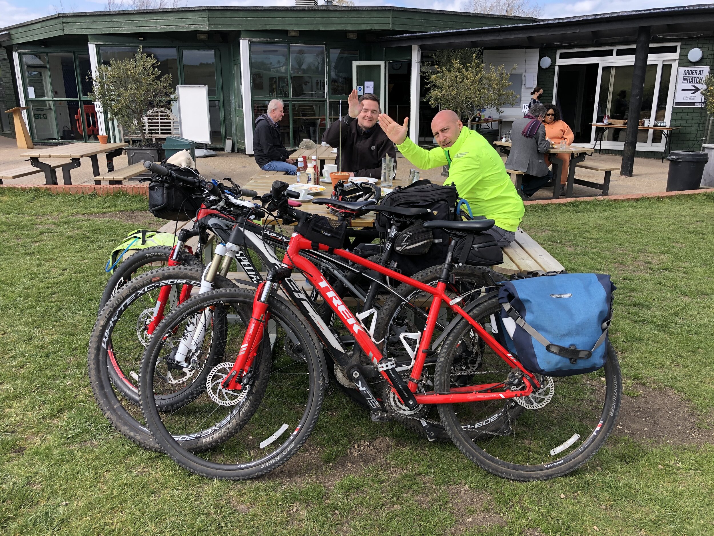
Pubs / Cafes on route: At Sittingbourne (22km in), Faversham (40km in), Whitstable (59km in), Herne Bay (66km in), Westgate-on-Sea (83km in) and Margate.
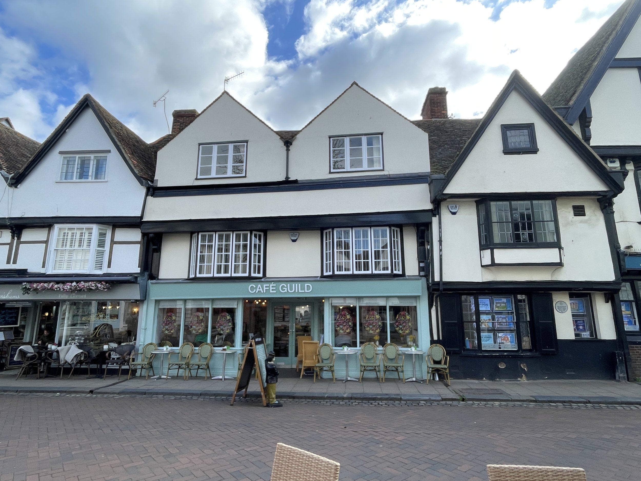
- We stopped at Cafe Guild in Faverham (40 km in) and The Ship Inn, Herne Bay (66km in)
Maps:
- Gravesend & Rochester Map | Hoo Peninsula | Ordnance Survey | OS Explorer Map 163
- Sittingbourne & Faversham Map | Isle of Sheppey | Ordnance Survey | OS Explorer Map 149
- Canterbury & Isle of Thanet Map | Herne Bay, Deal & Whitstable | Ordnance Survey | OS Explorer Map 150
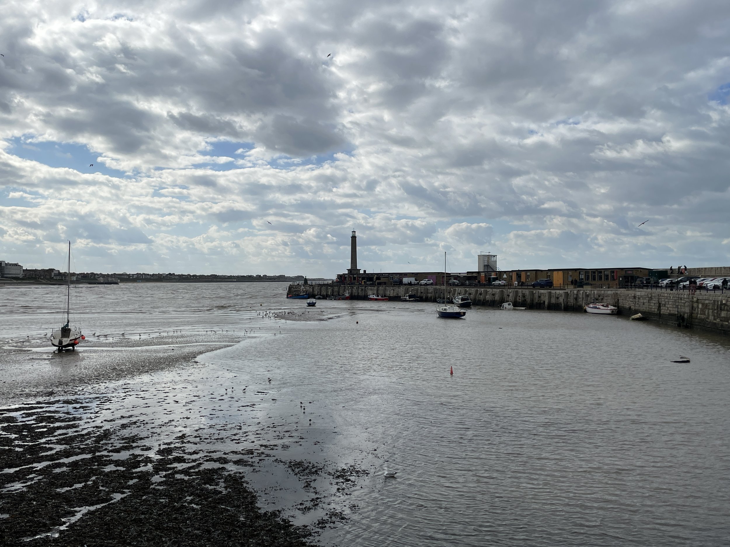
Links: Sittingbourne, Faversham, Crab & Winkle Way, Whitstable, Herne Bay, Reculver, Westgate-on-Sea, Margate, Margate Lighthouse
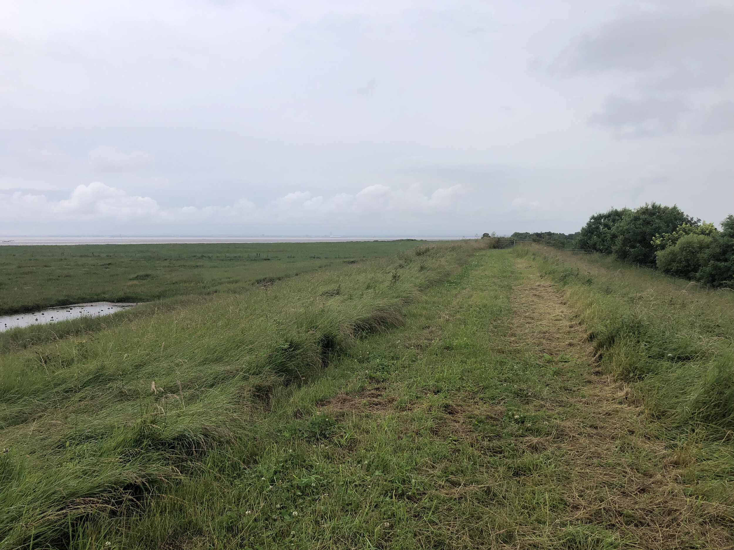
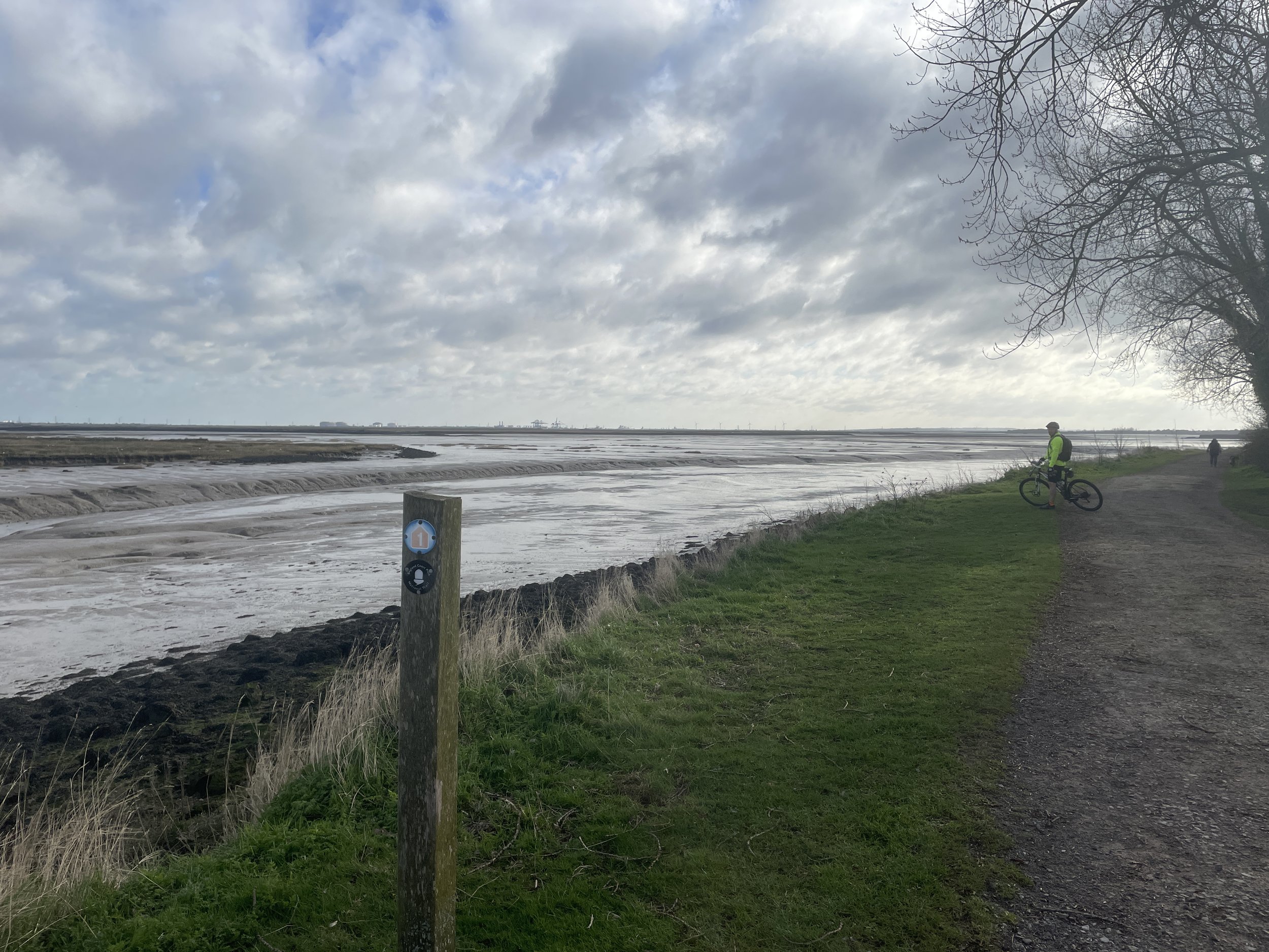
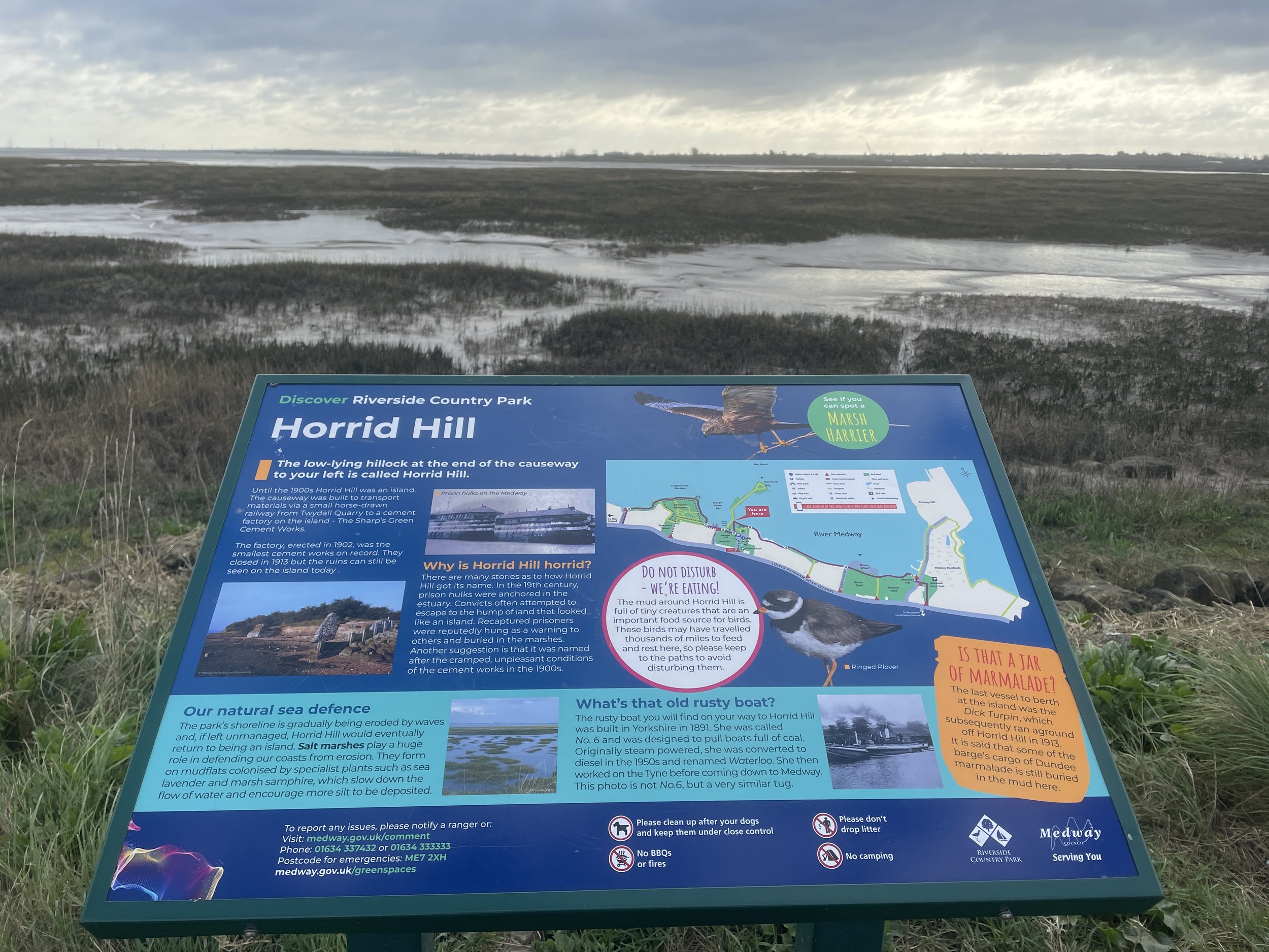
Shortly after leaving the Chatham/Gillingham area, the Route 1 passes through Riverside Country Park. It was very popular with dog walkers early that Sunday morning so it was a good chance to take it slow as we warmed up for the day. After the Country Park the route cuts away from the estuary from Rainham to Sittingbourne.
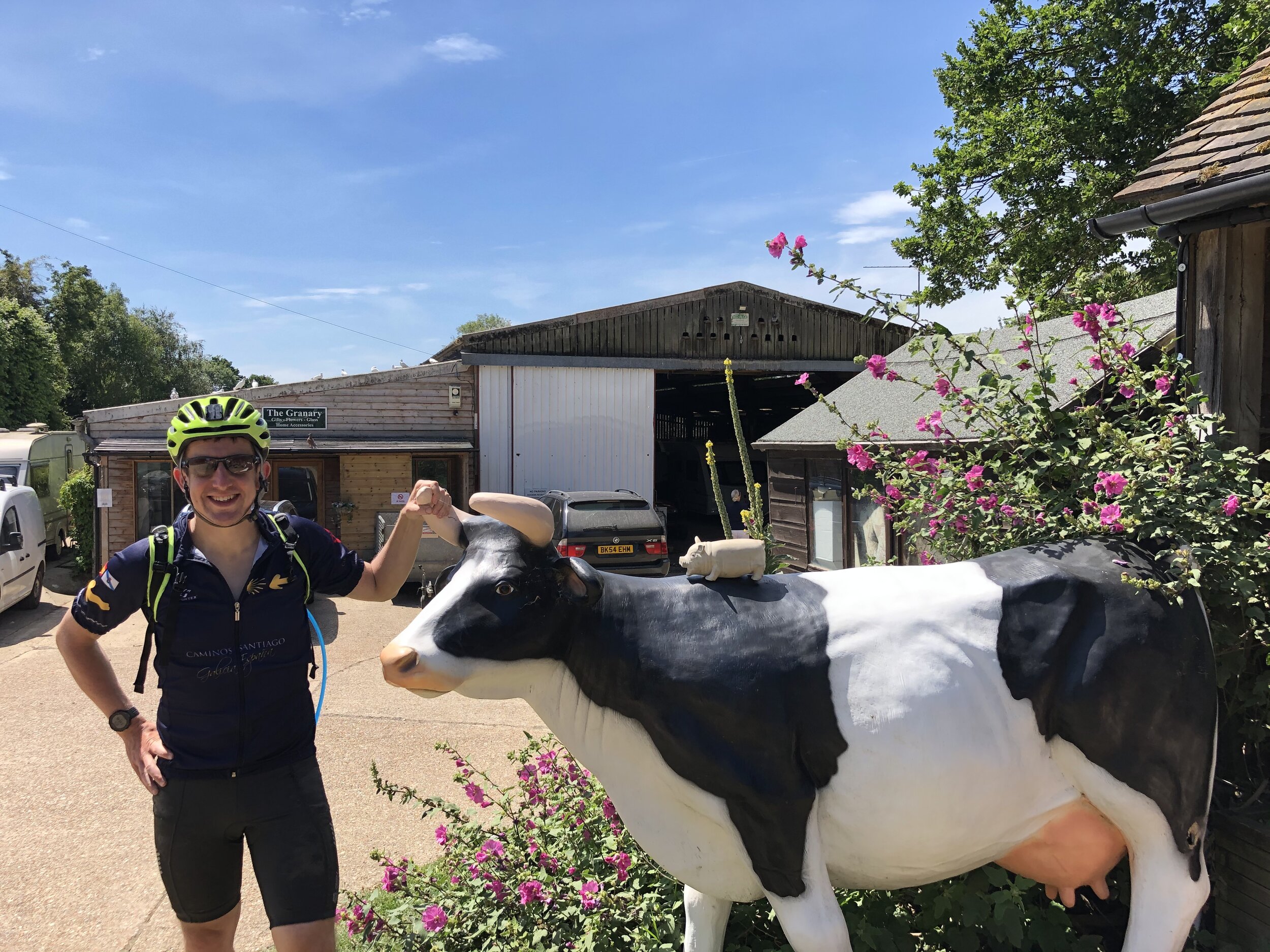
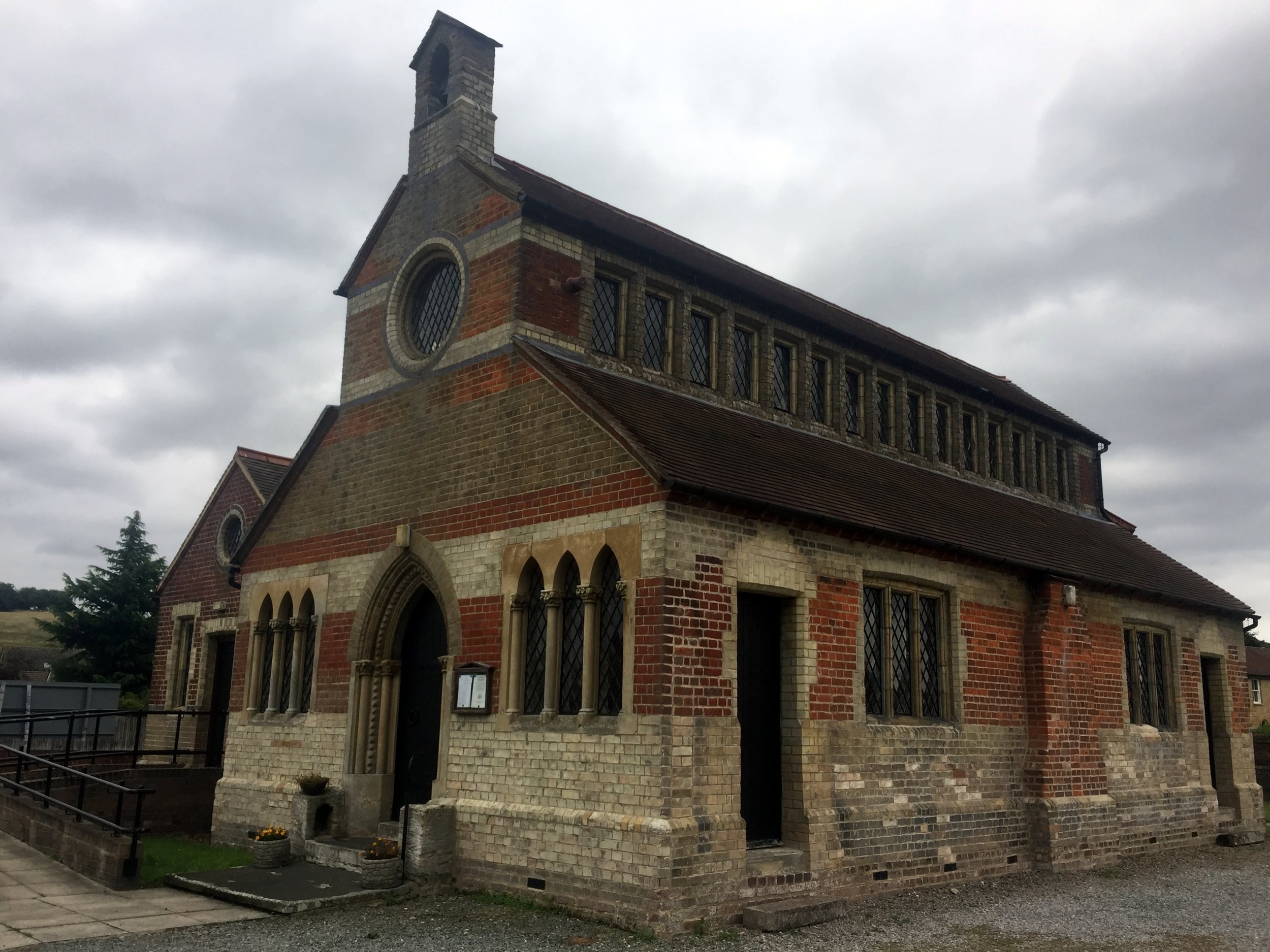
Sittingbourne was our original plan for a breakfast stop but we were similarly uninspired by food options as we were on day 1. By the time we arrived in Faversham with 40km down we were starving. It was worth the wait though as Faversham is a very nice old Kent market town with several good cafes.
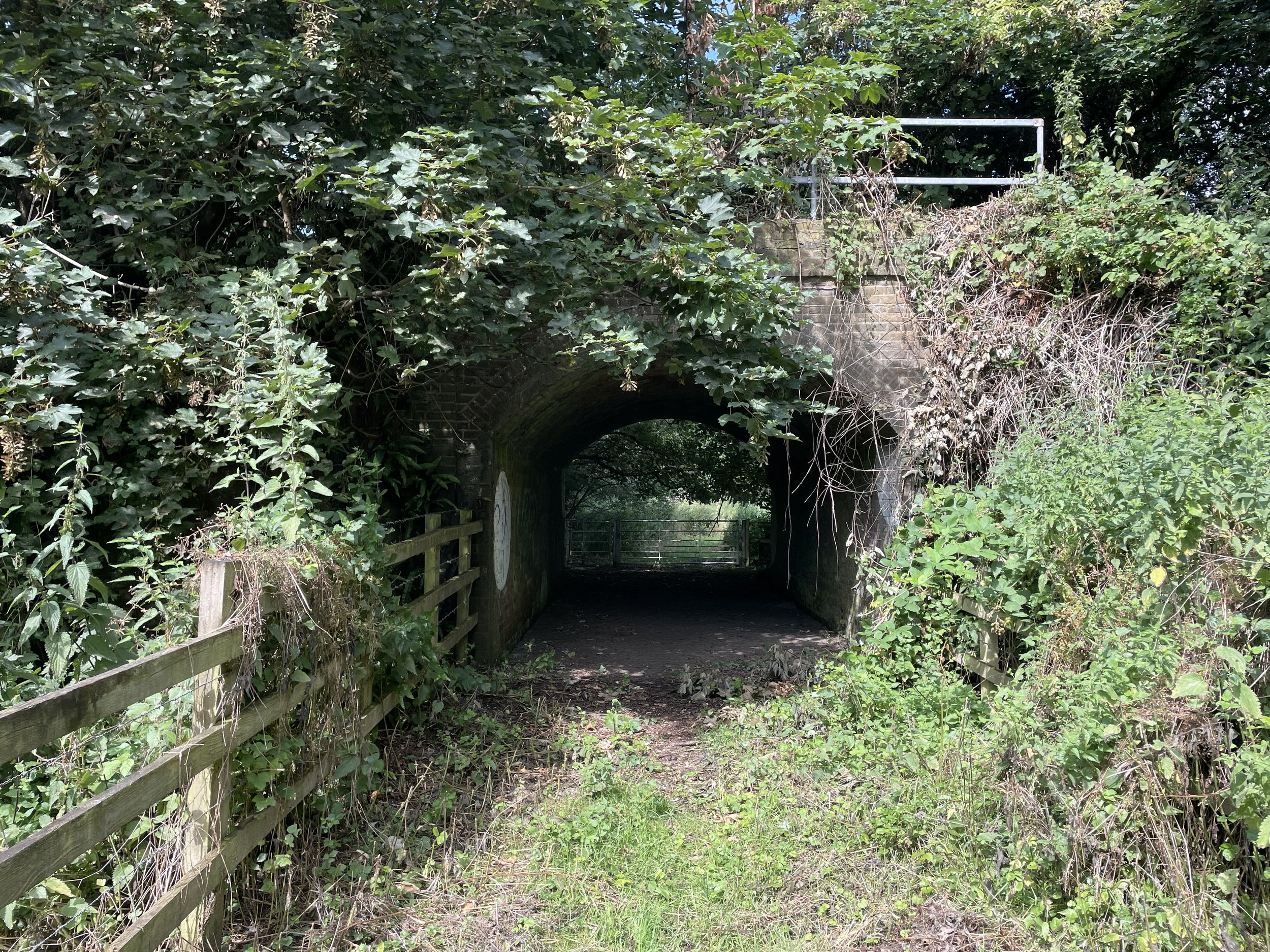
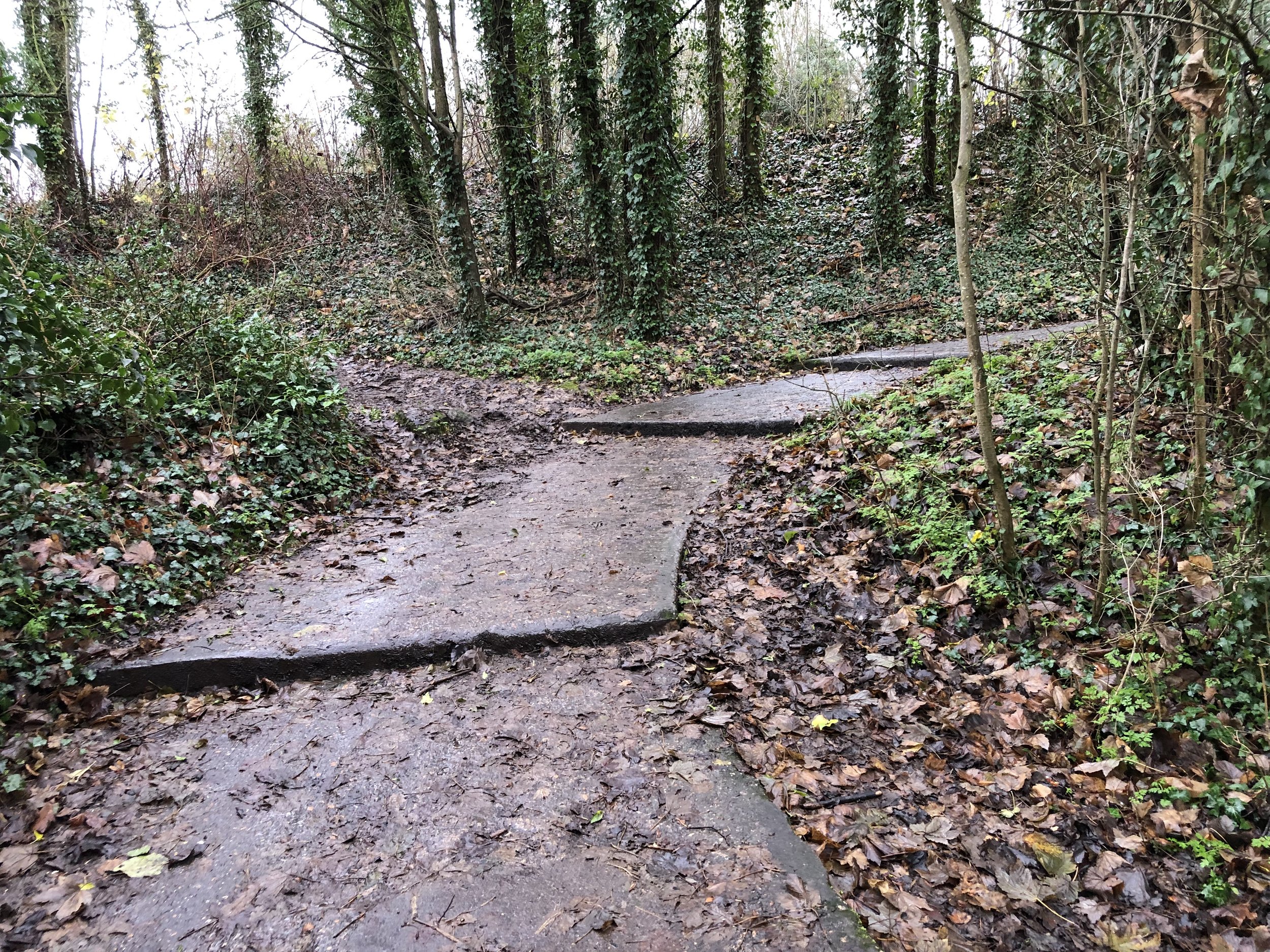
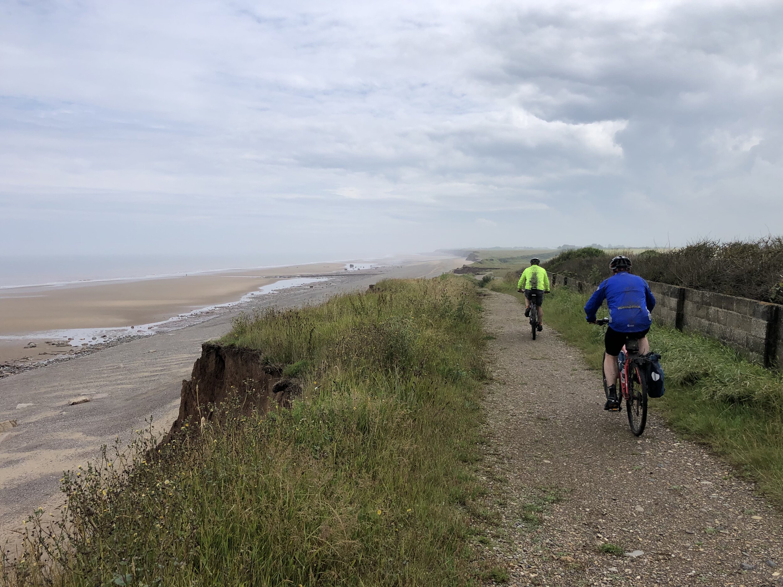
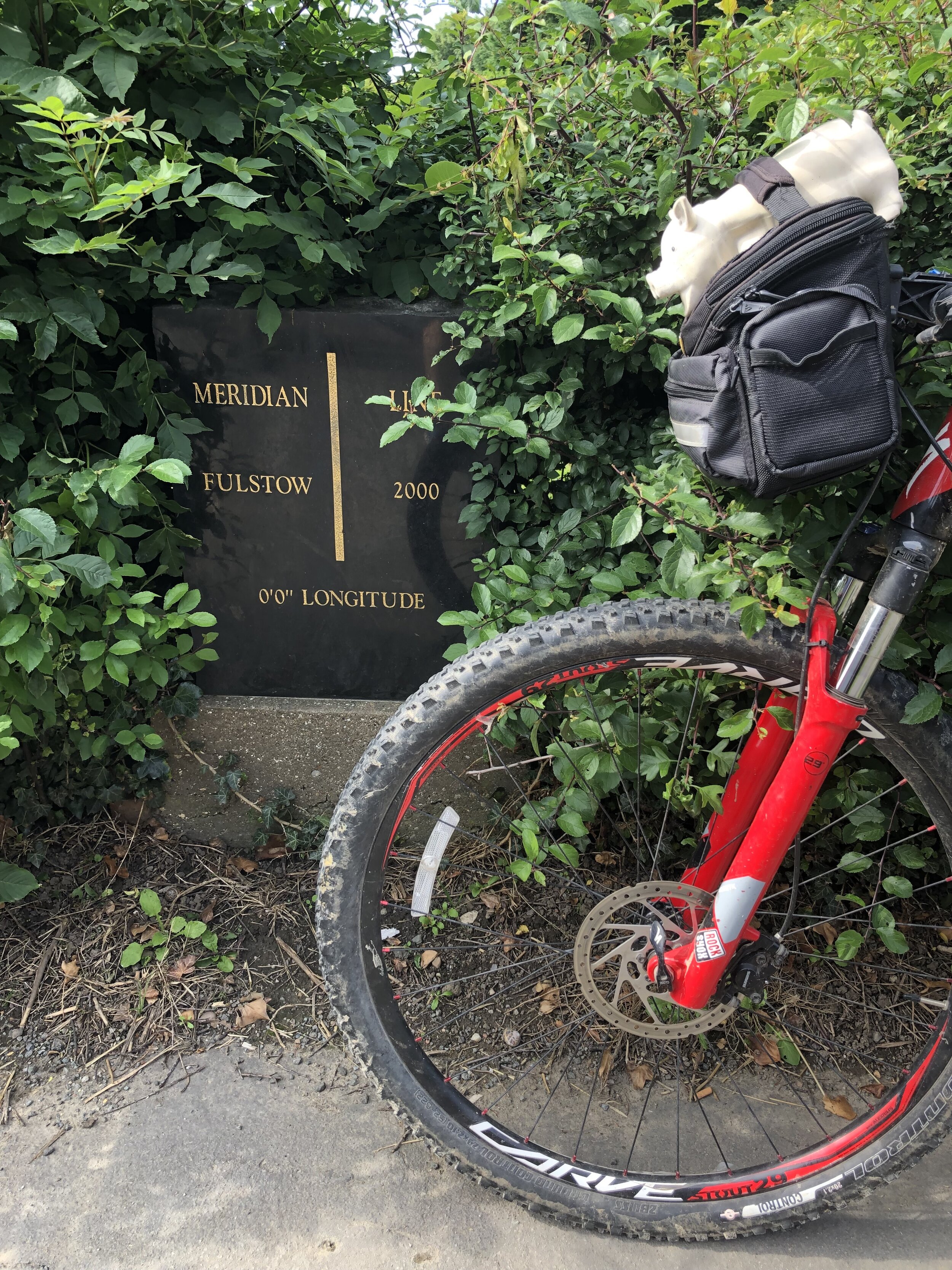
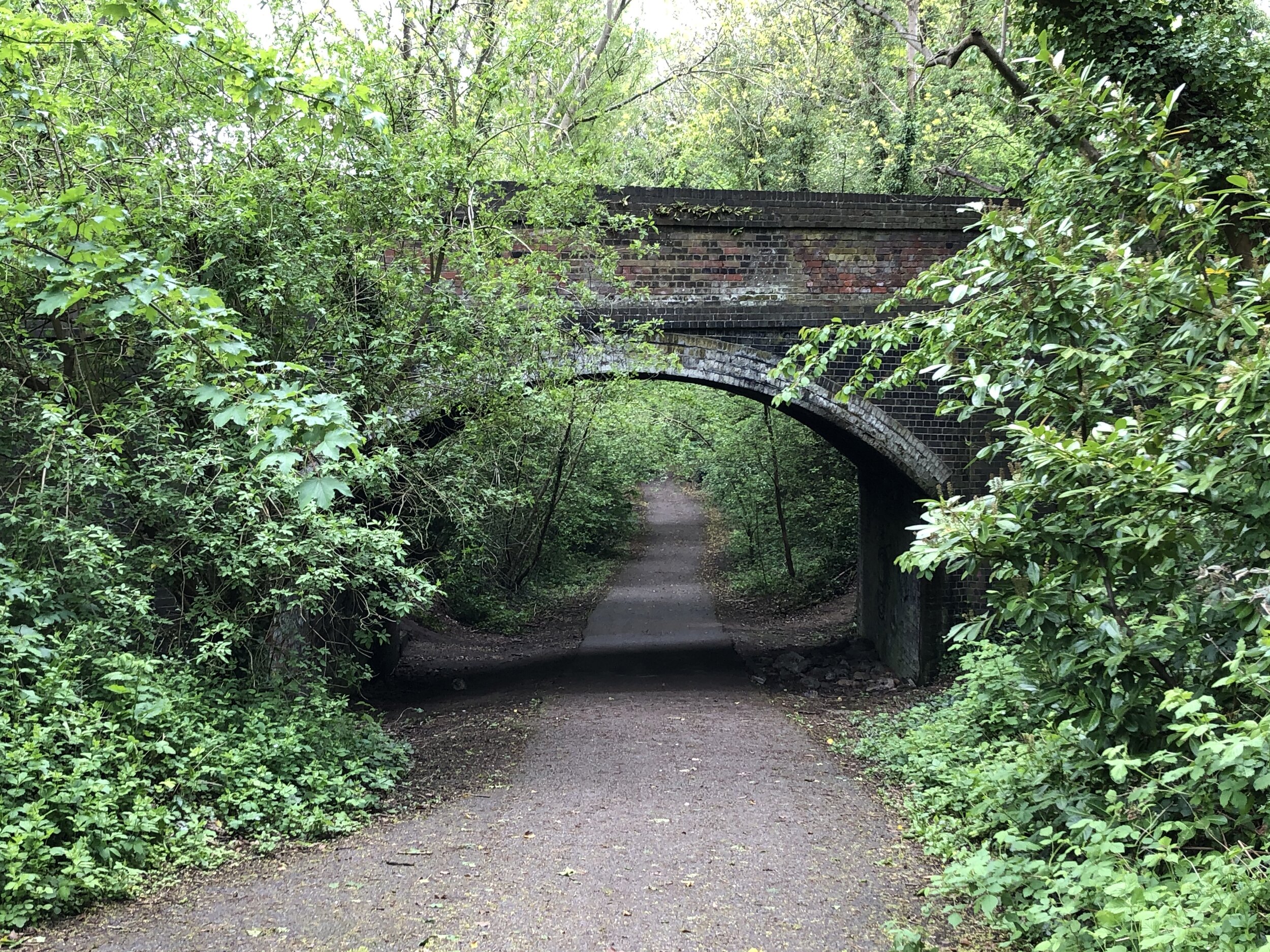
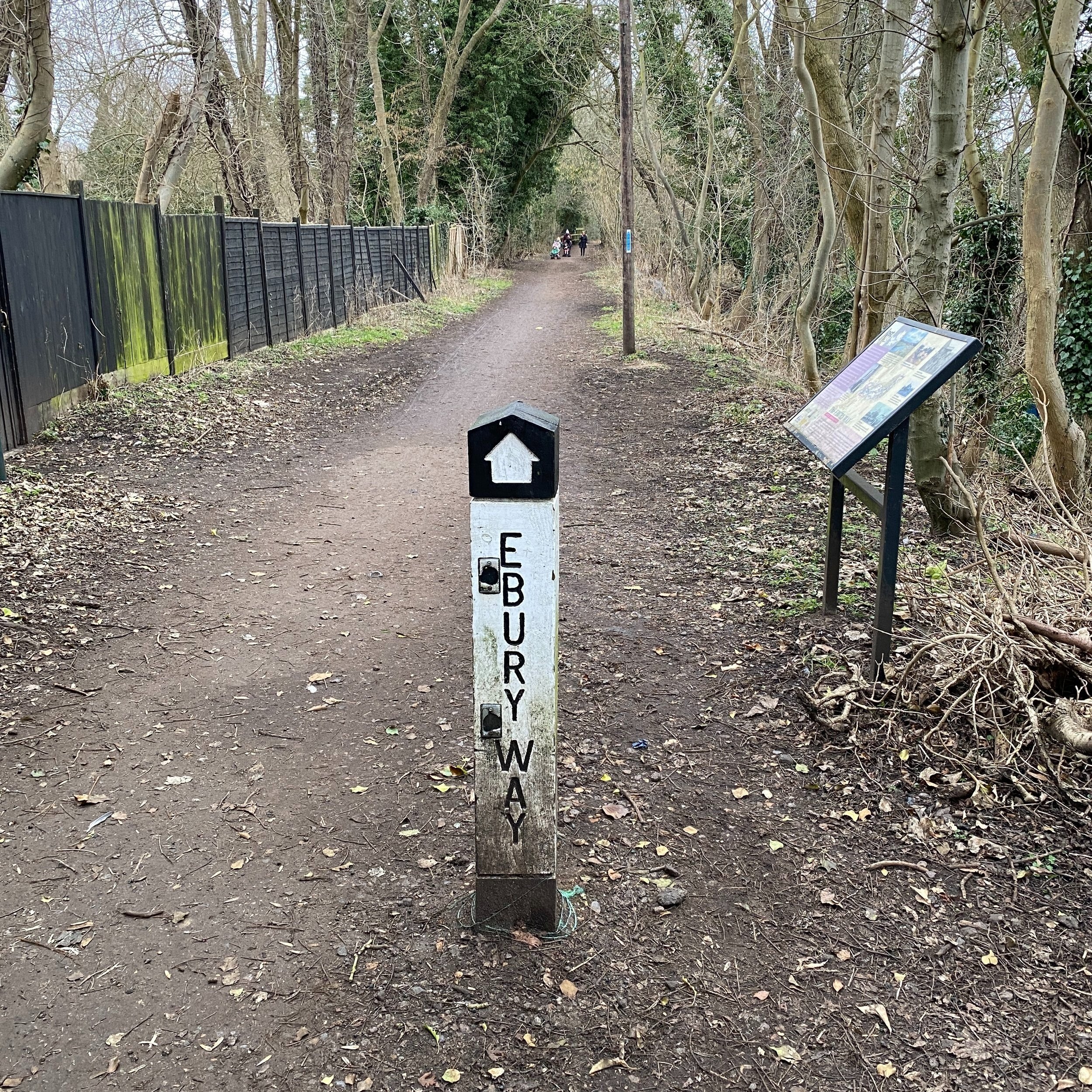
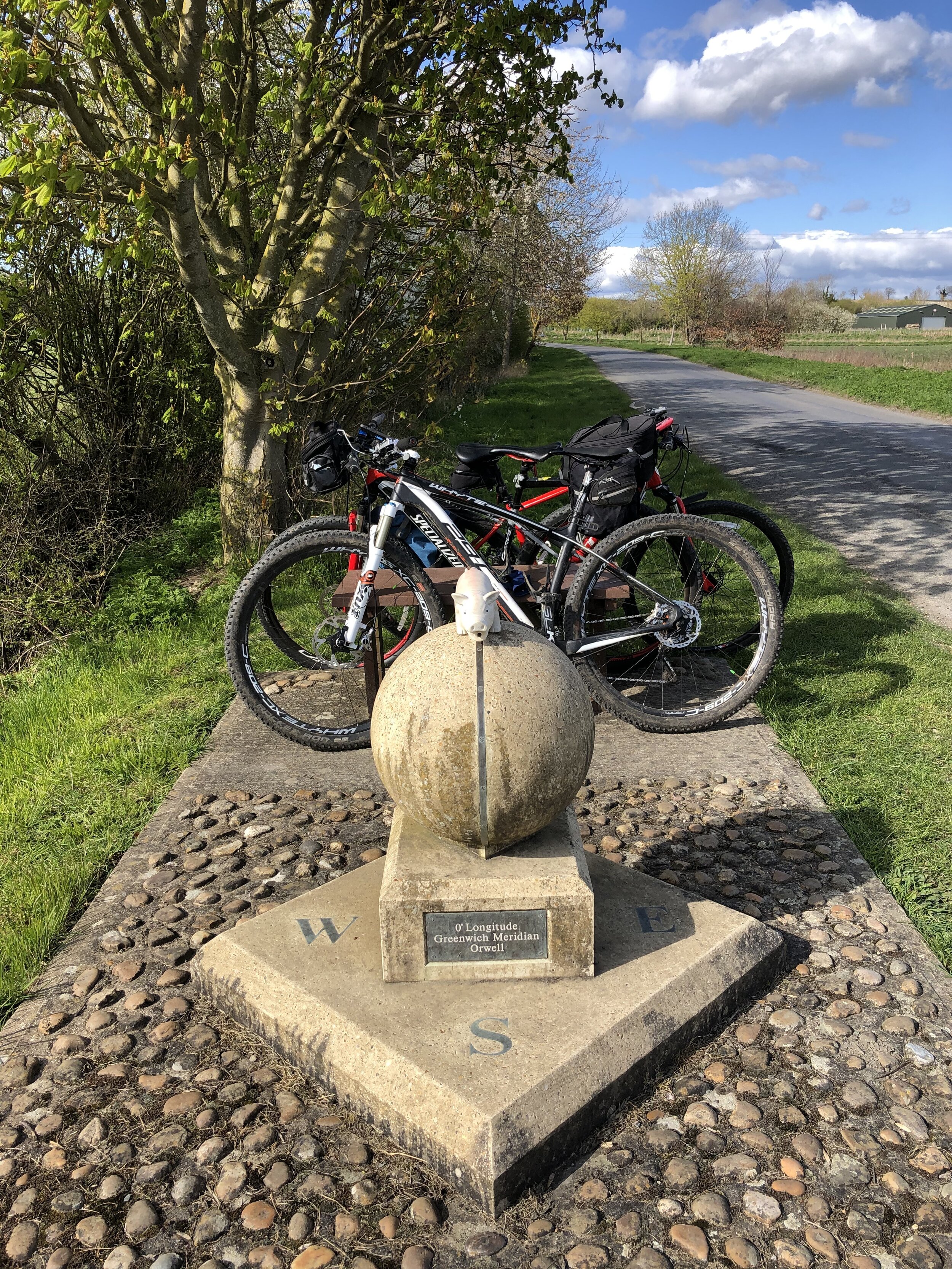
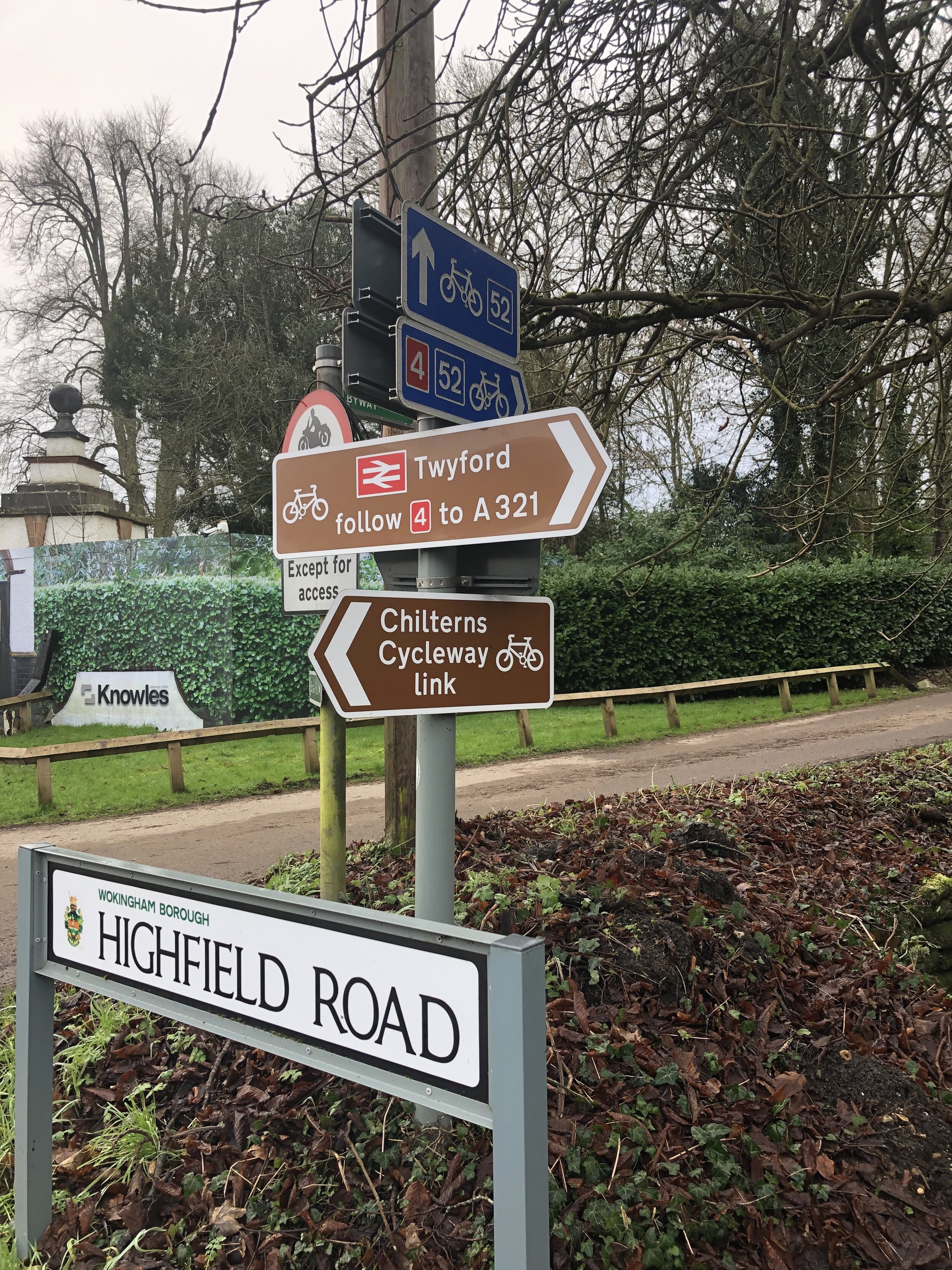
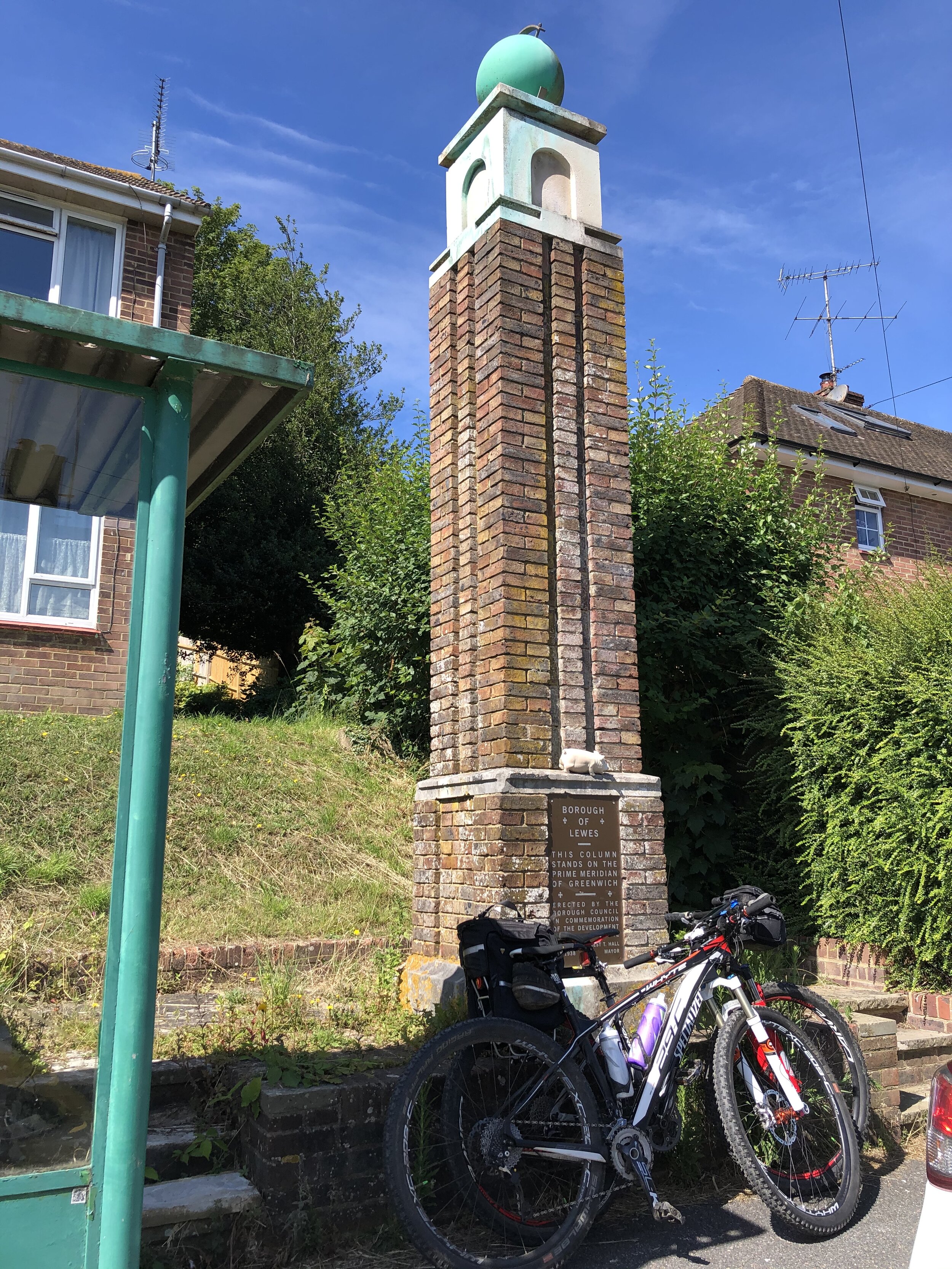
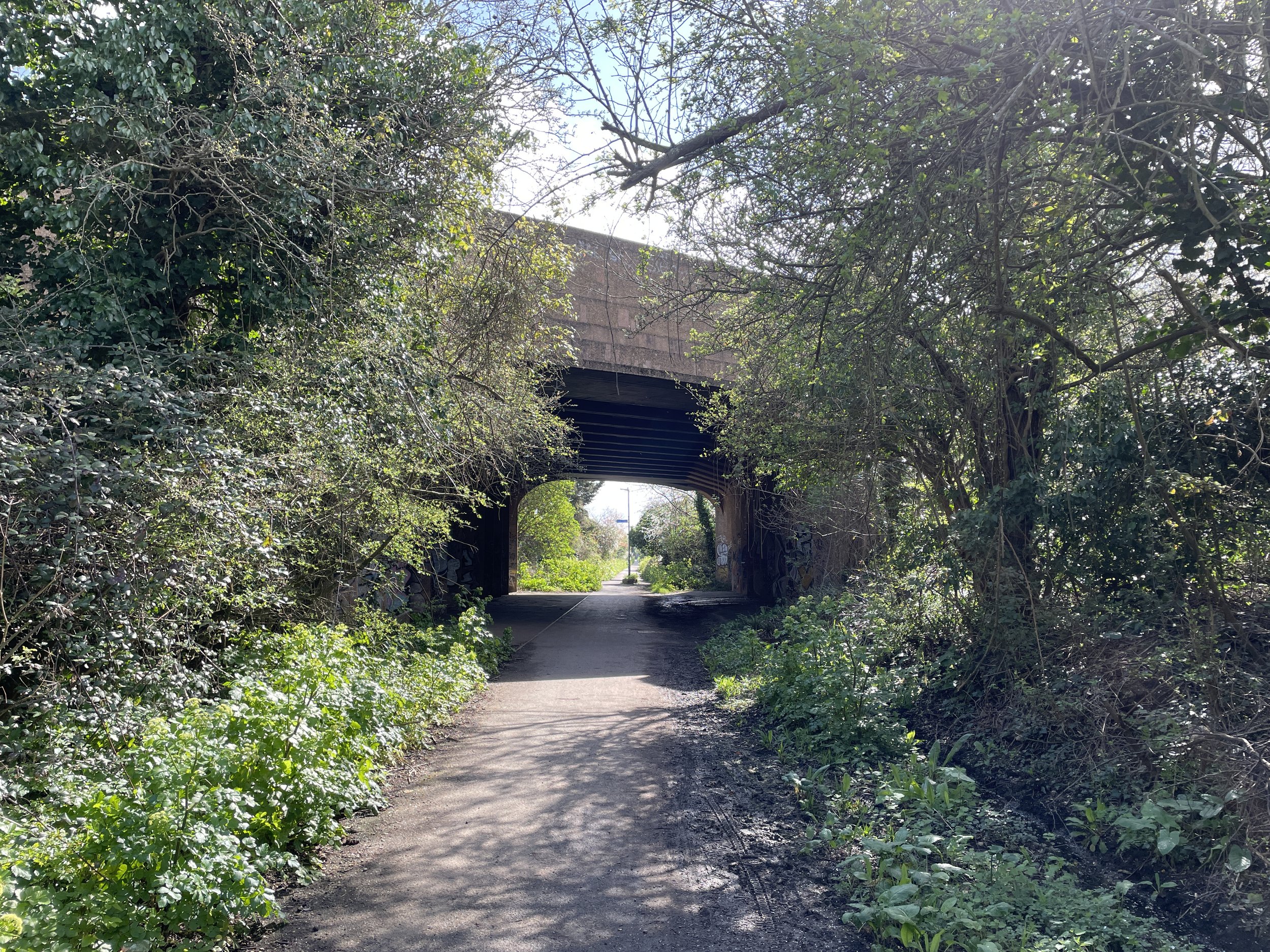
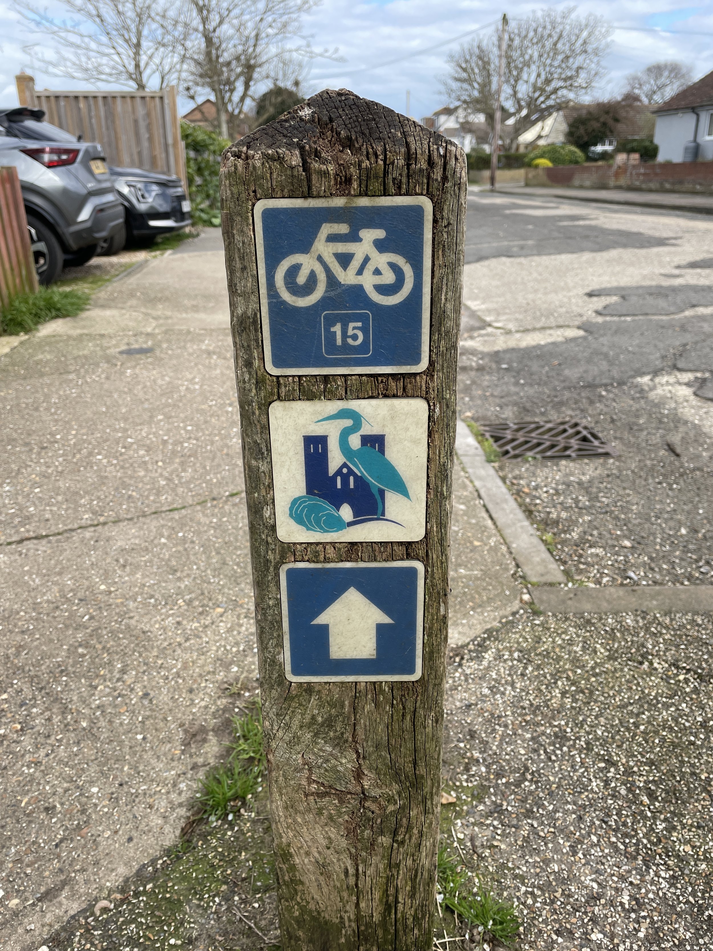
After Faversham the route heads back towards the coast then takes a detour up the steepest hill of the route to bypass Whitstable Town Centre. After a well-earned descent we reached the Crab & Winkle Way, a disused railway that once connected Whitstable to Canterbury. This was the point where we left the NCN 1, which follows the old railway line to the south. Instead we followed the Crab & Winkle Way north to join the Route 15 Viking Way at the Whistable coast.
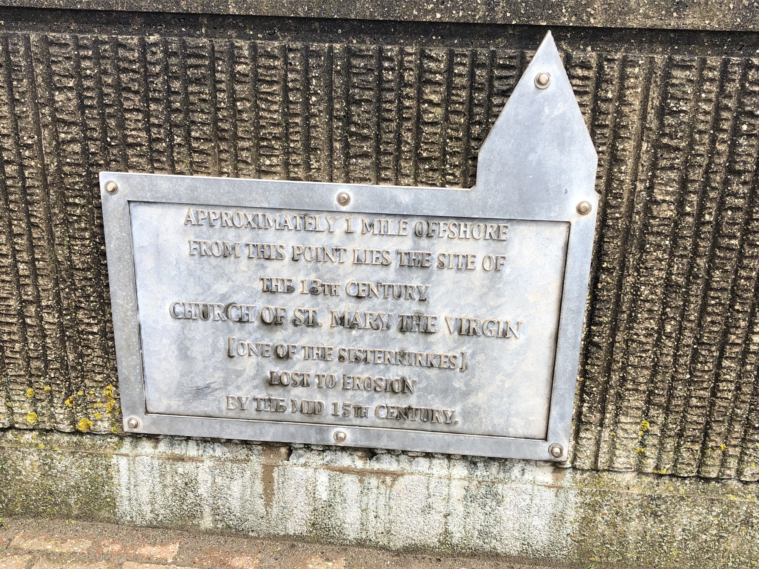
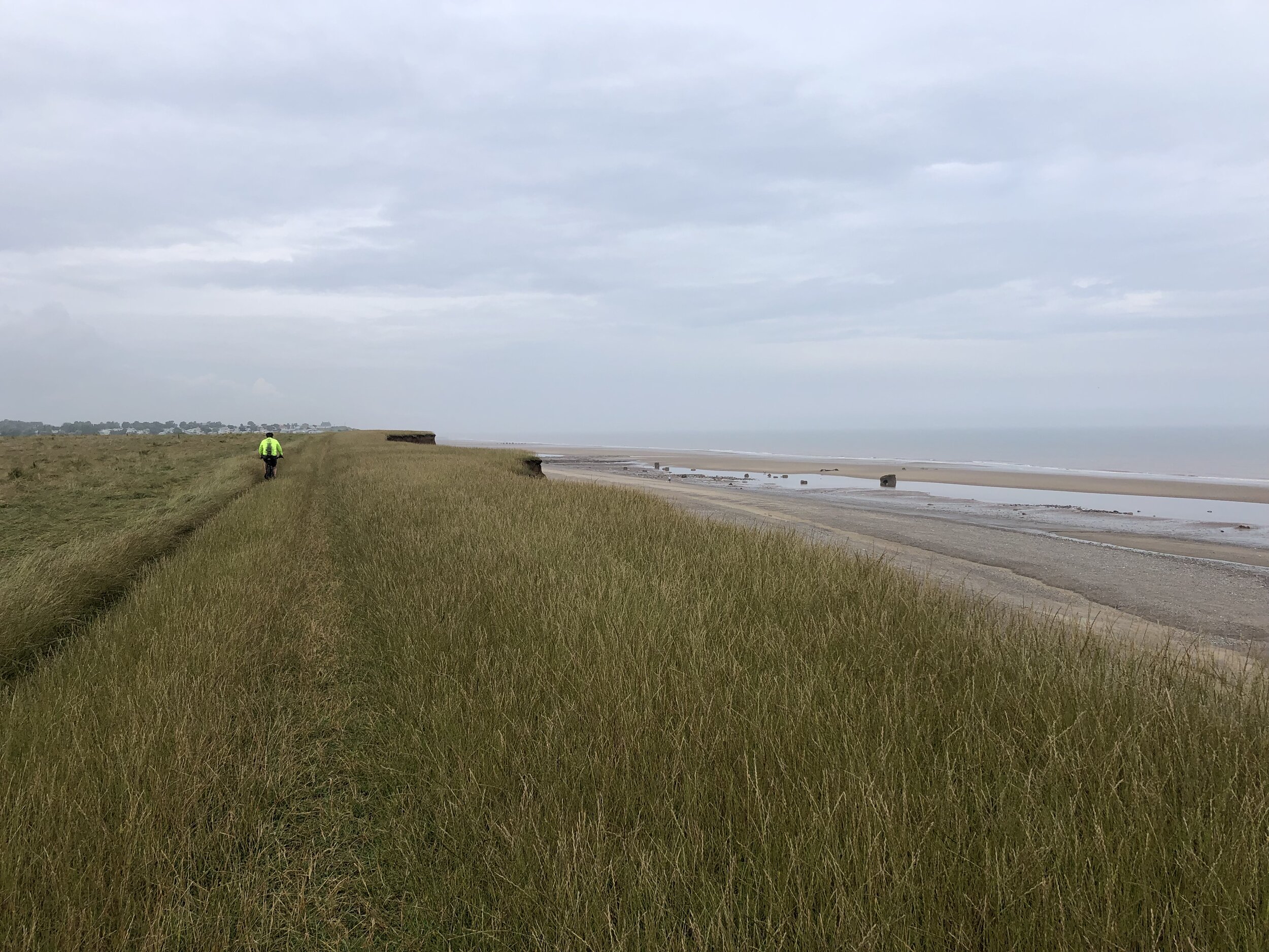
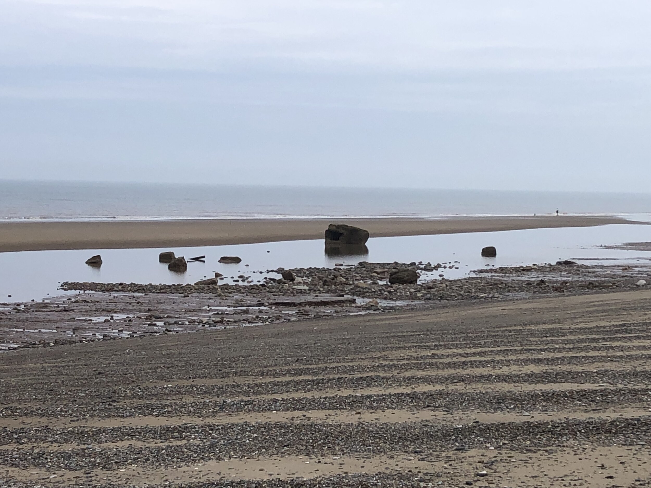
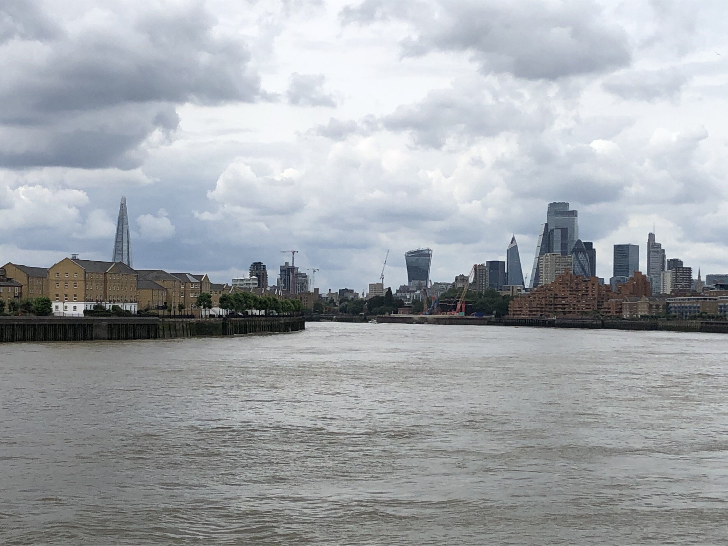
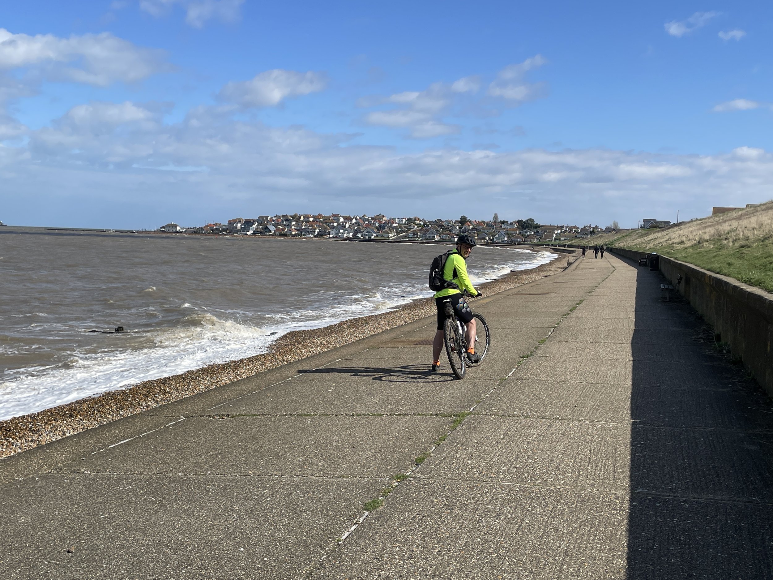
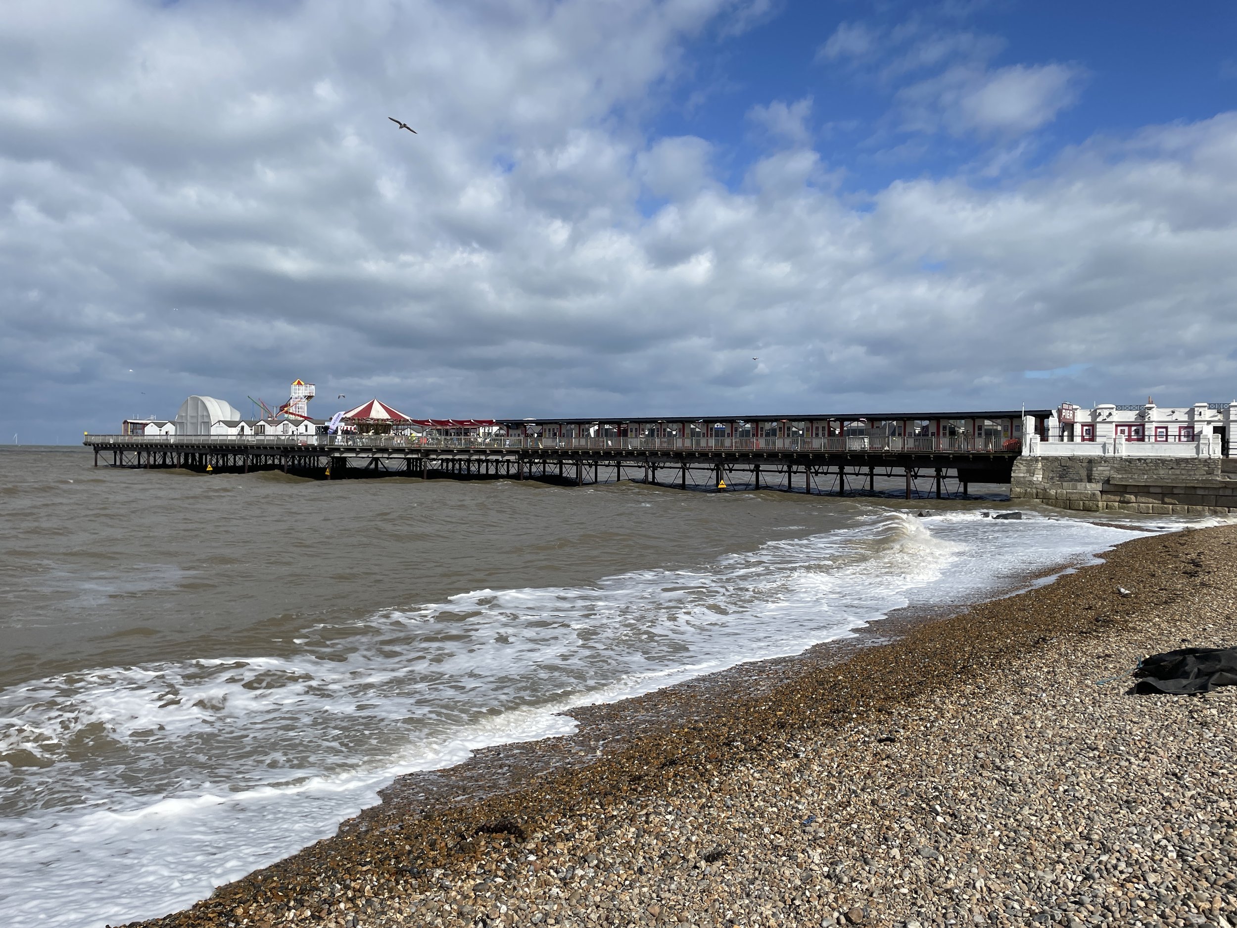
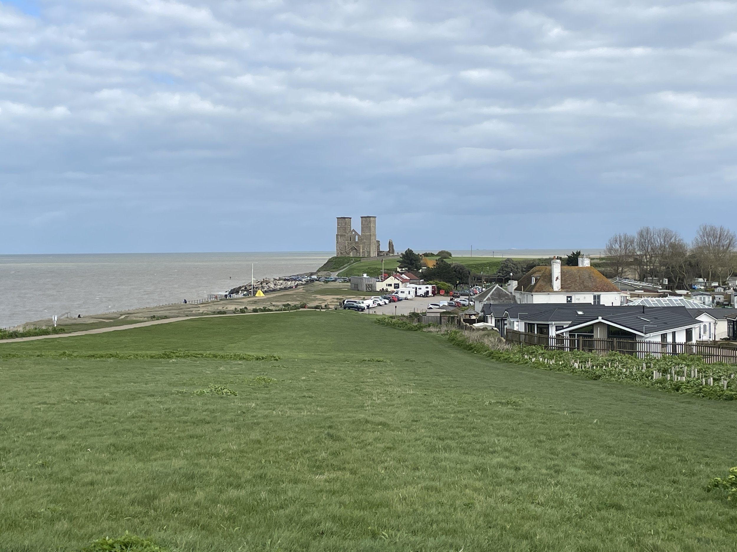
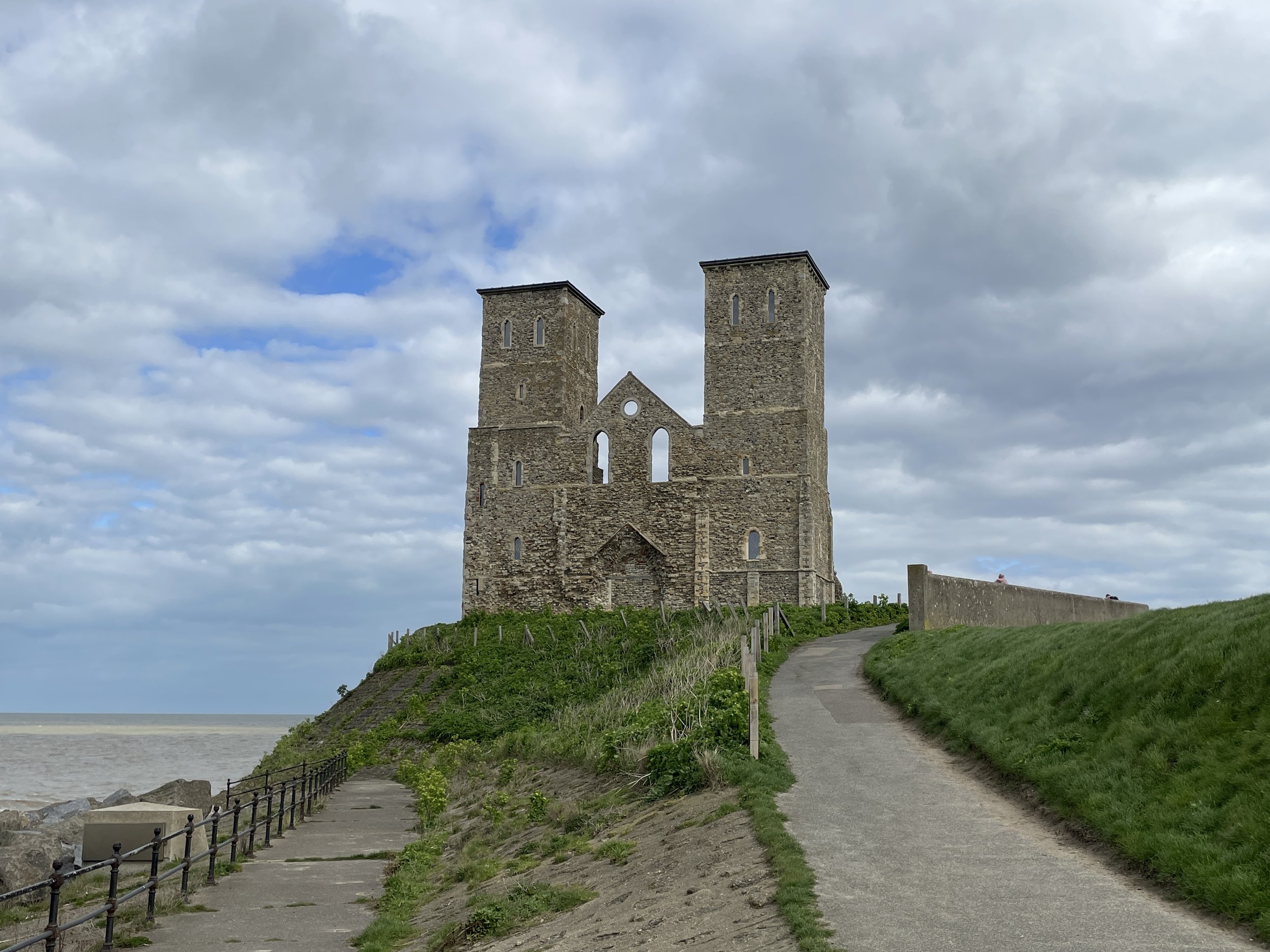
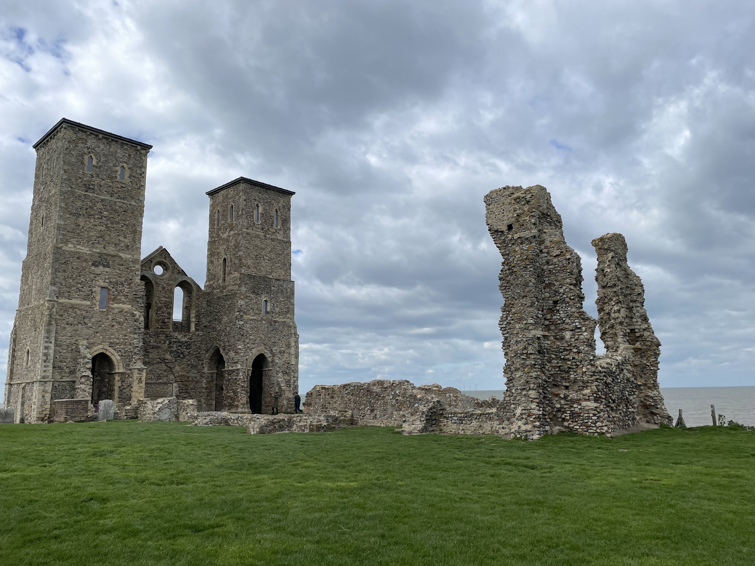
The last 28km along the Viking Way from Whitstable to Margate was my favourite section of the whole route. This section keeps to the coast along flat boulevards passing seaside towns and the remains of Reculver Towers. We had made good time so we stopped for a while at a pub in Herne Bay to gaze across the estuary and contemplate future adventures.
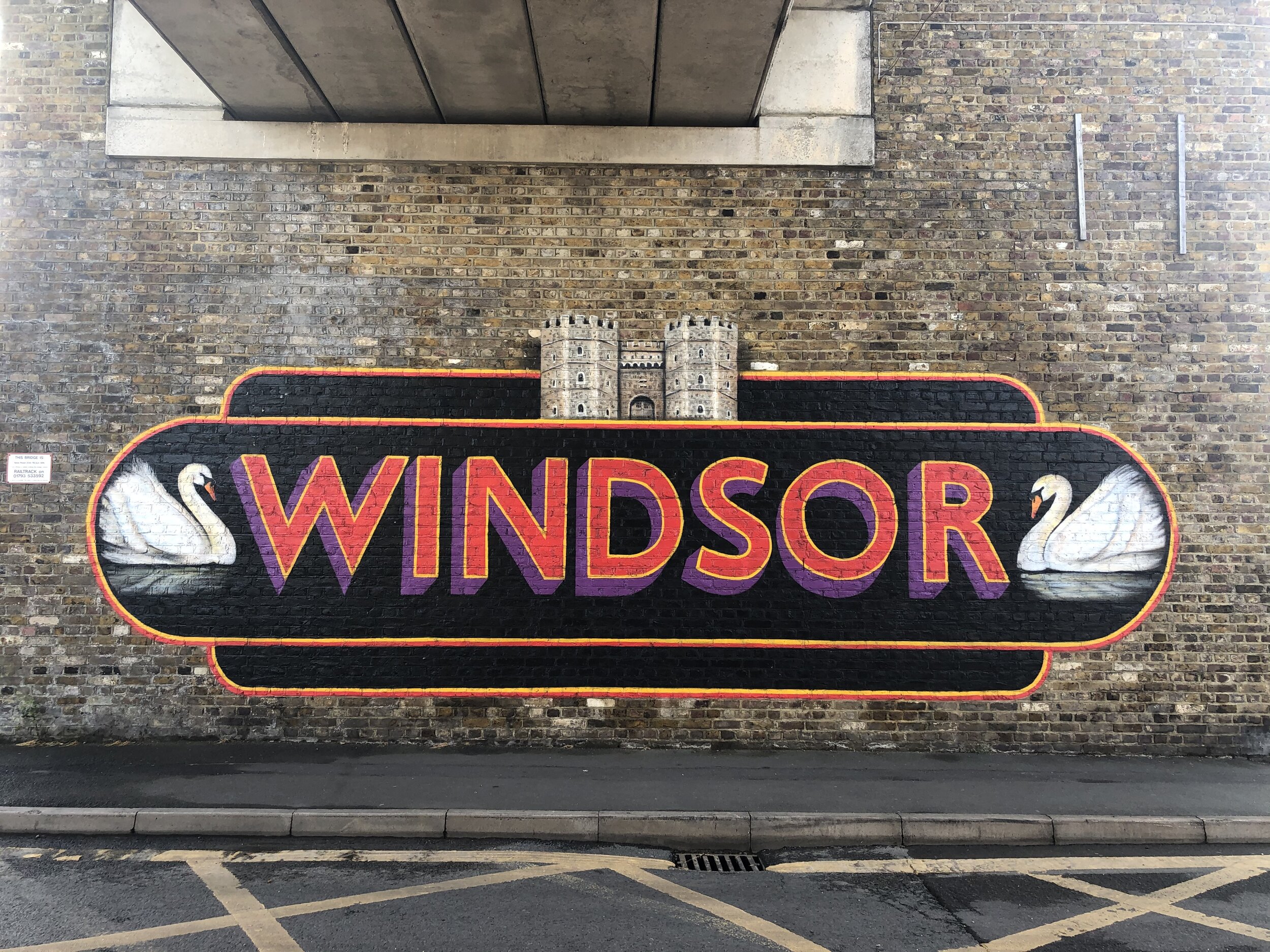
Our 2-day adventure finished at Margate Lighthouse, an obvious place to mark the end of the Estuary adventure. We really enjoyed the trip and, baring the wheel & puncture issues at the end of day one, found it pretty easy going. I still didn’t get the sense of completion though. Yes, we had cycled the estuary to complete the Thames Path, but we had now left the southern section of the NCN Route 1 uncompleted. Within a couple of days I was already planning the next 2 day adventure to complete both the NCN Route 1 from Whitstable to Dover and the rest of the Viking Way.


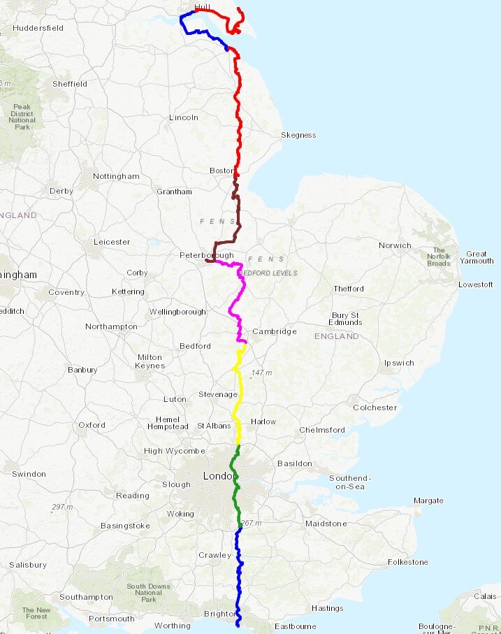
The Full 2-Day Route

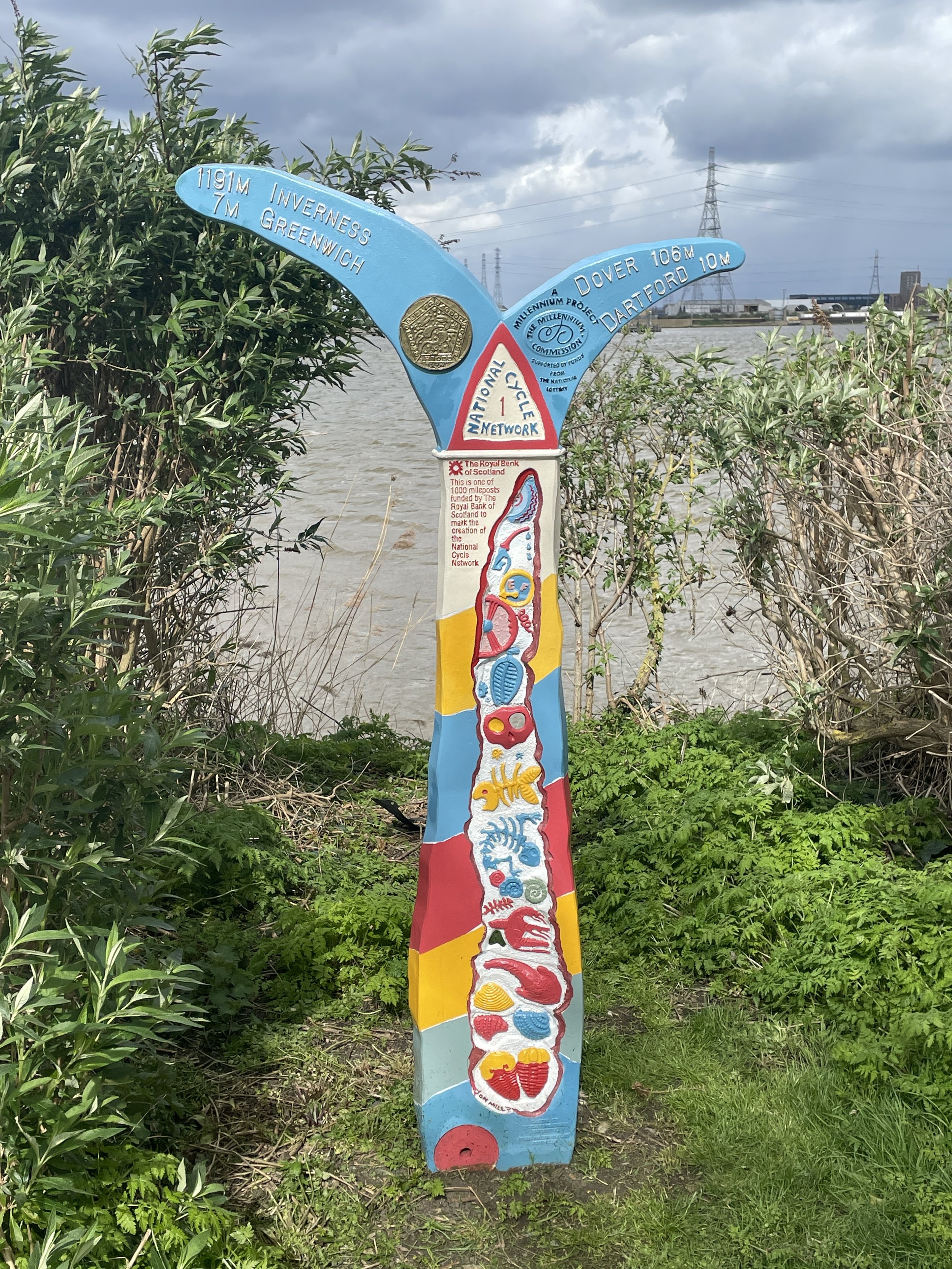
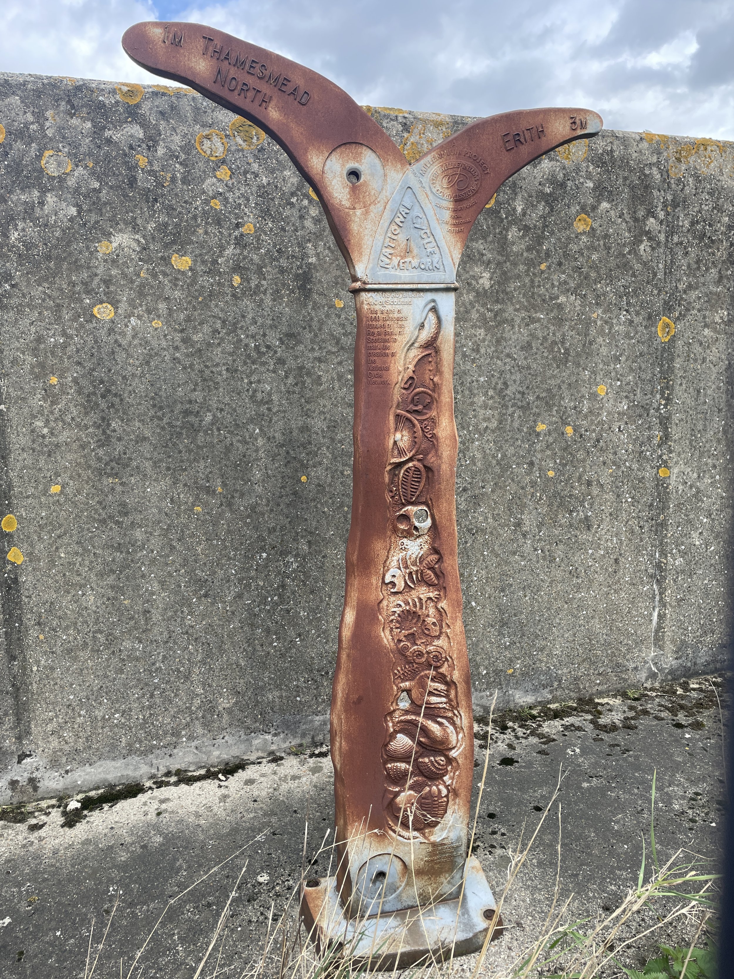
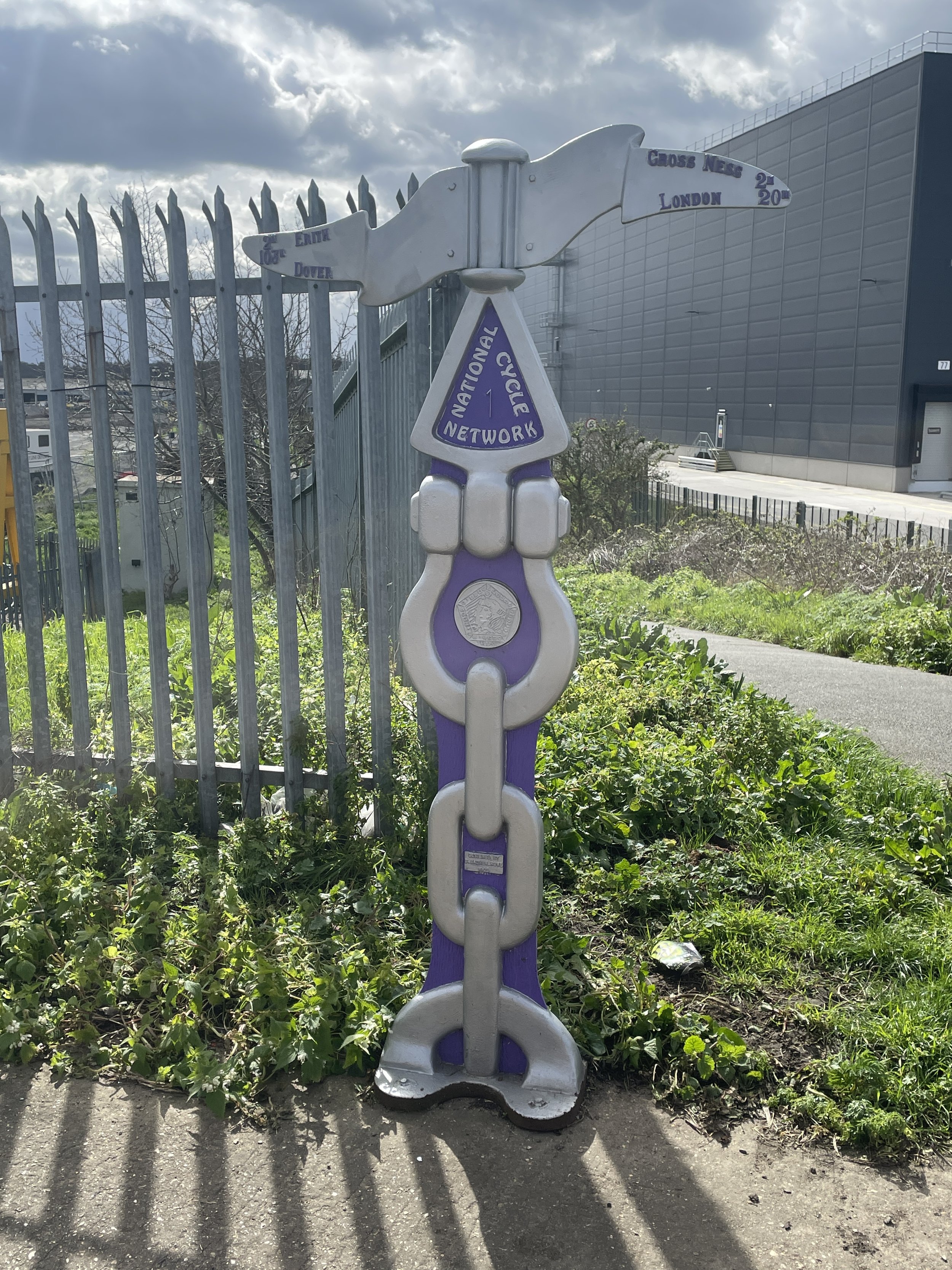
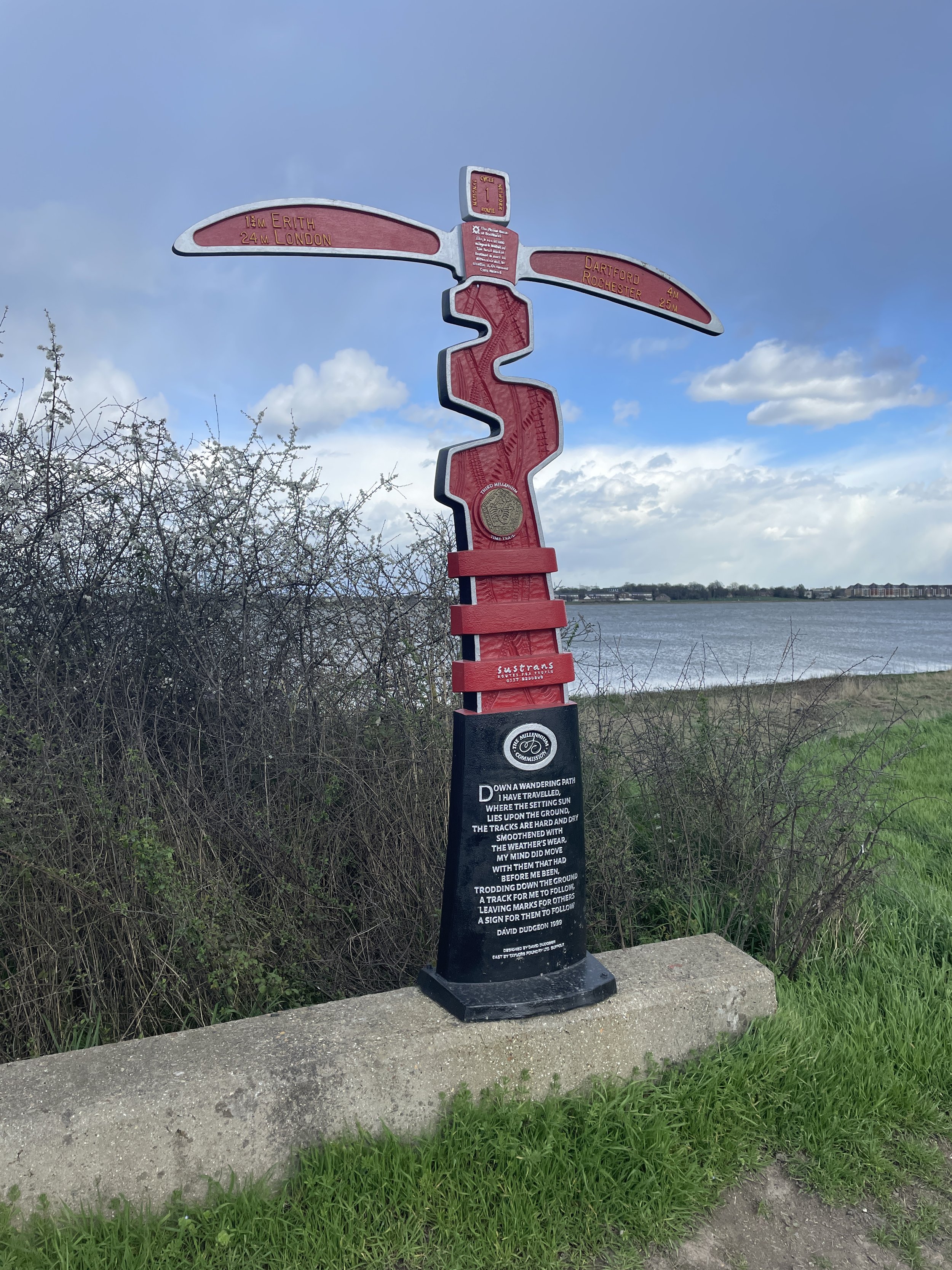
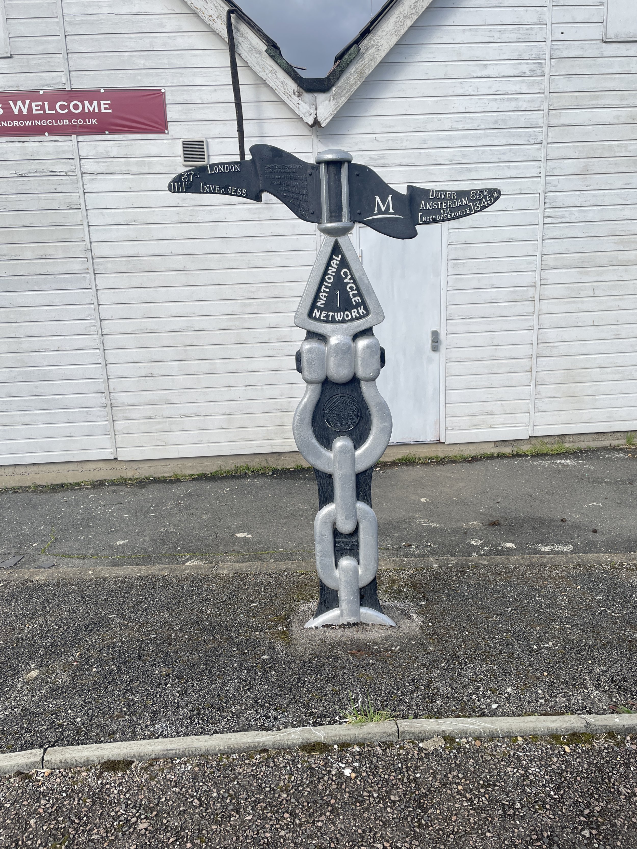
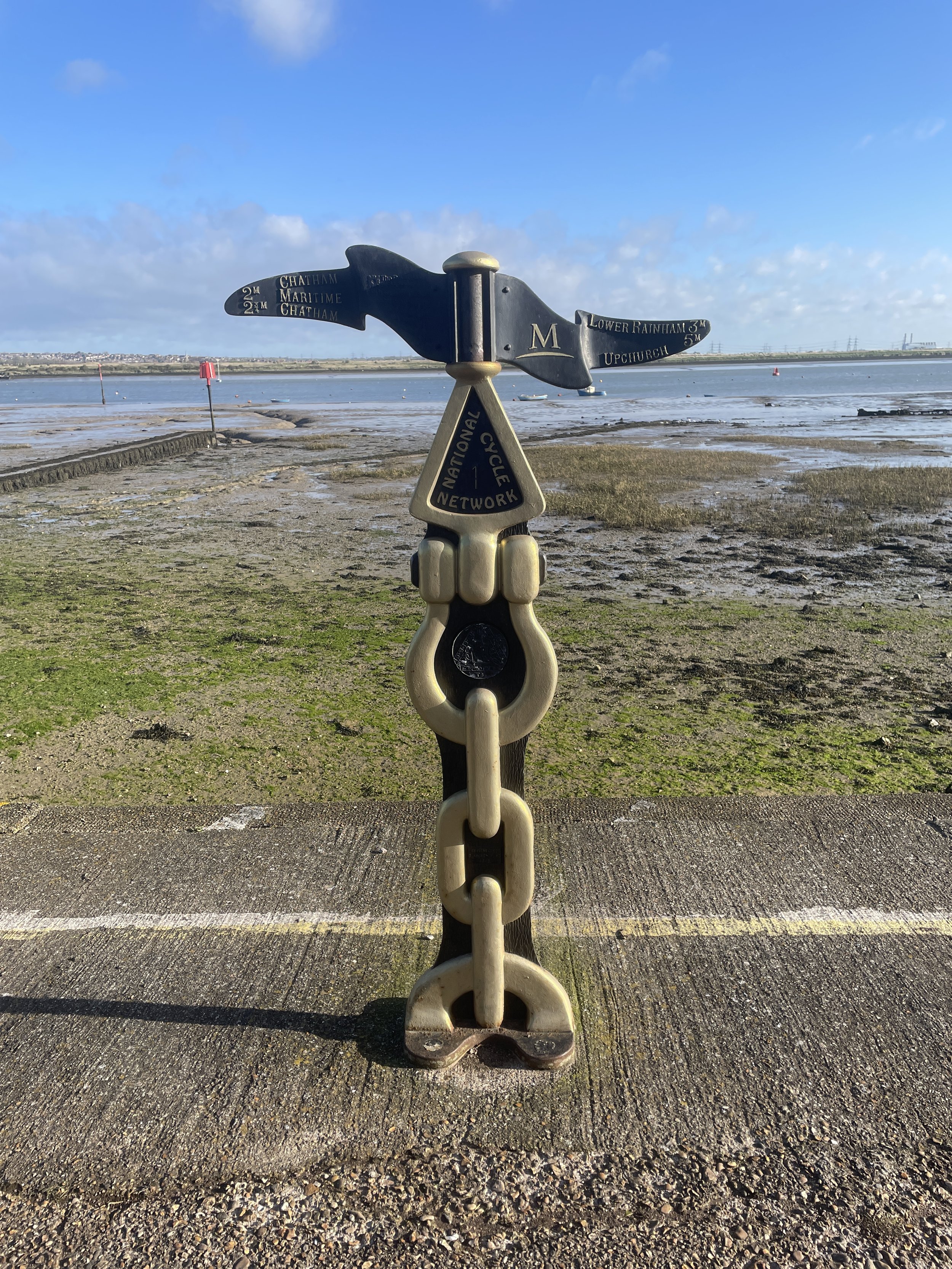
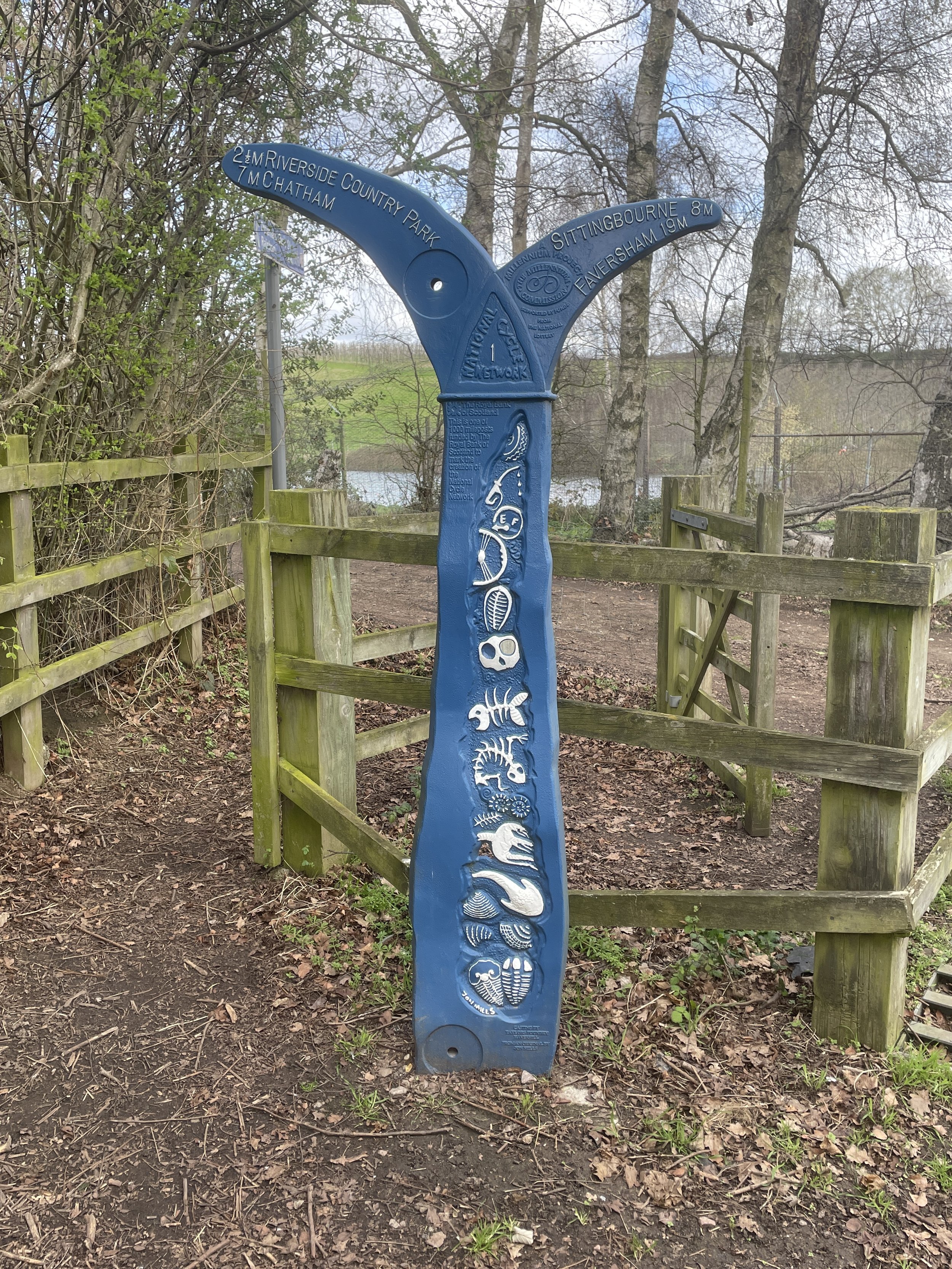
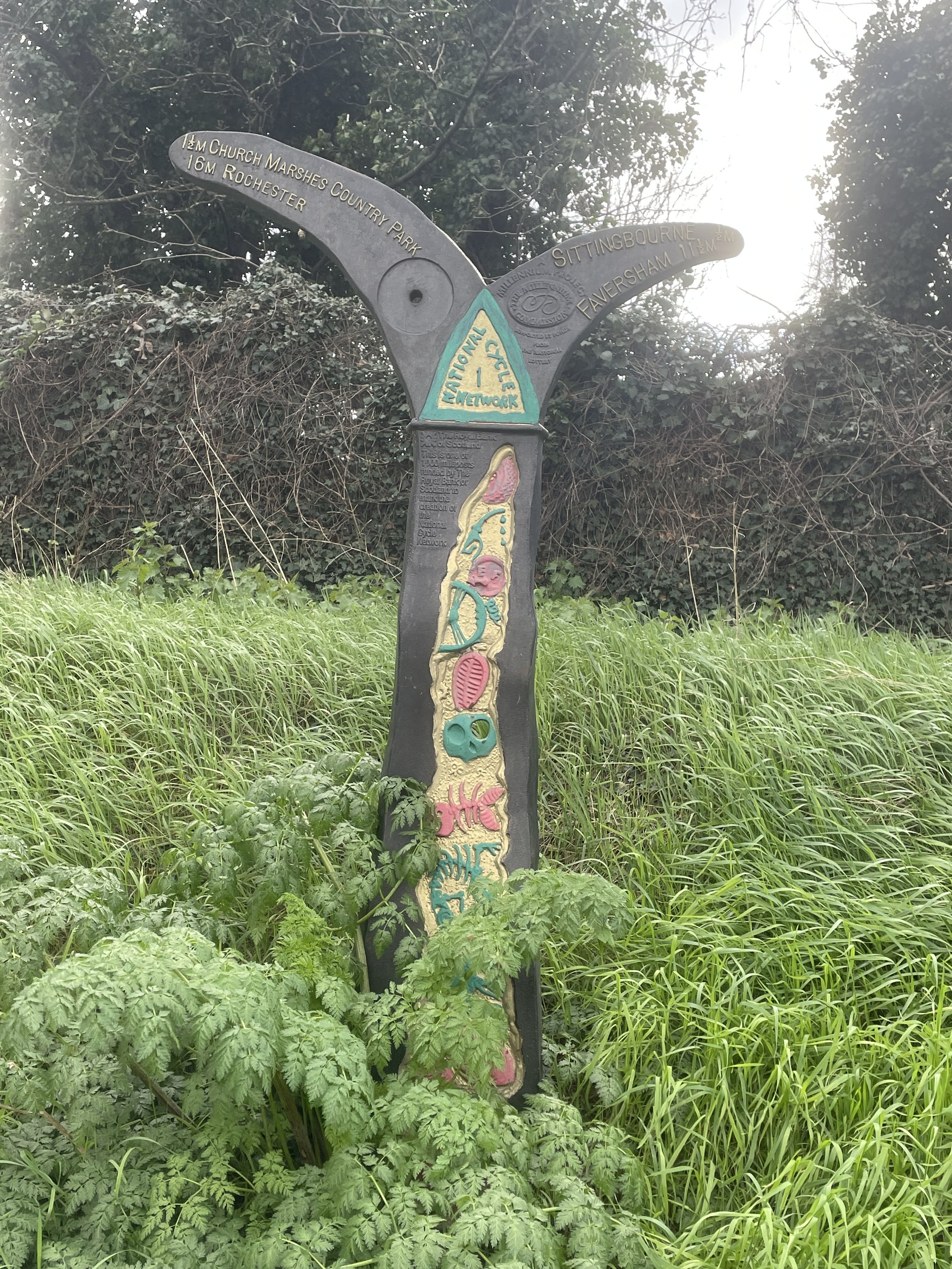
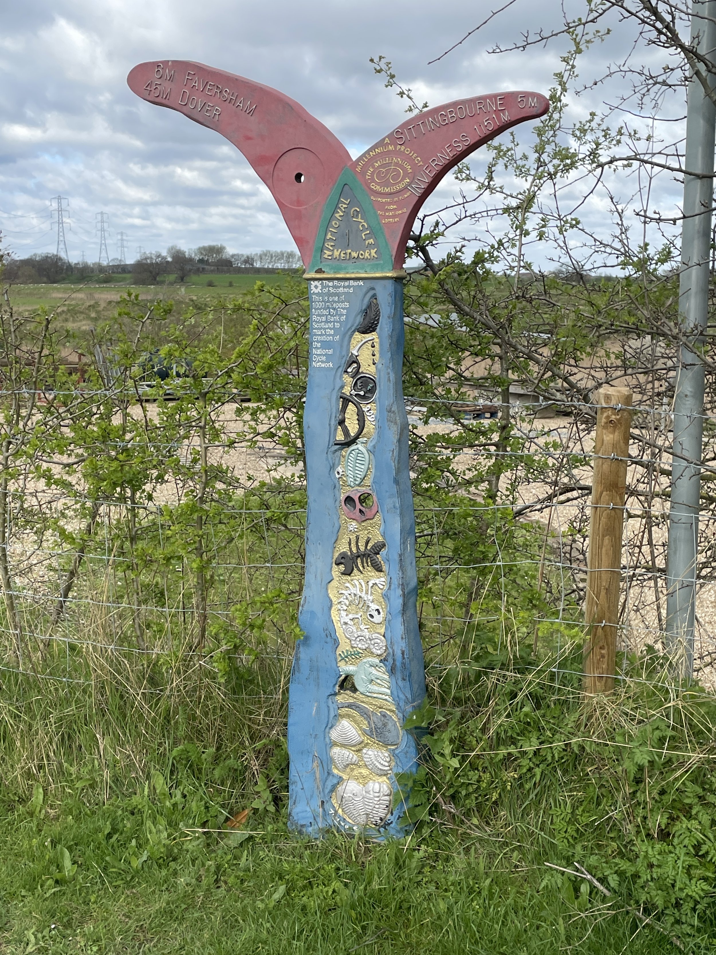
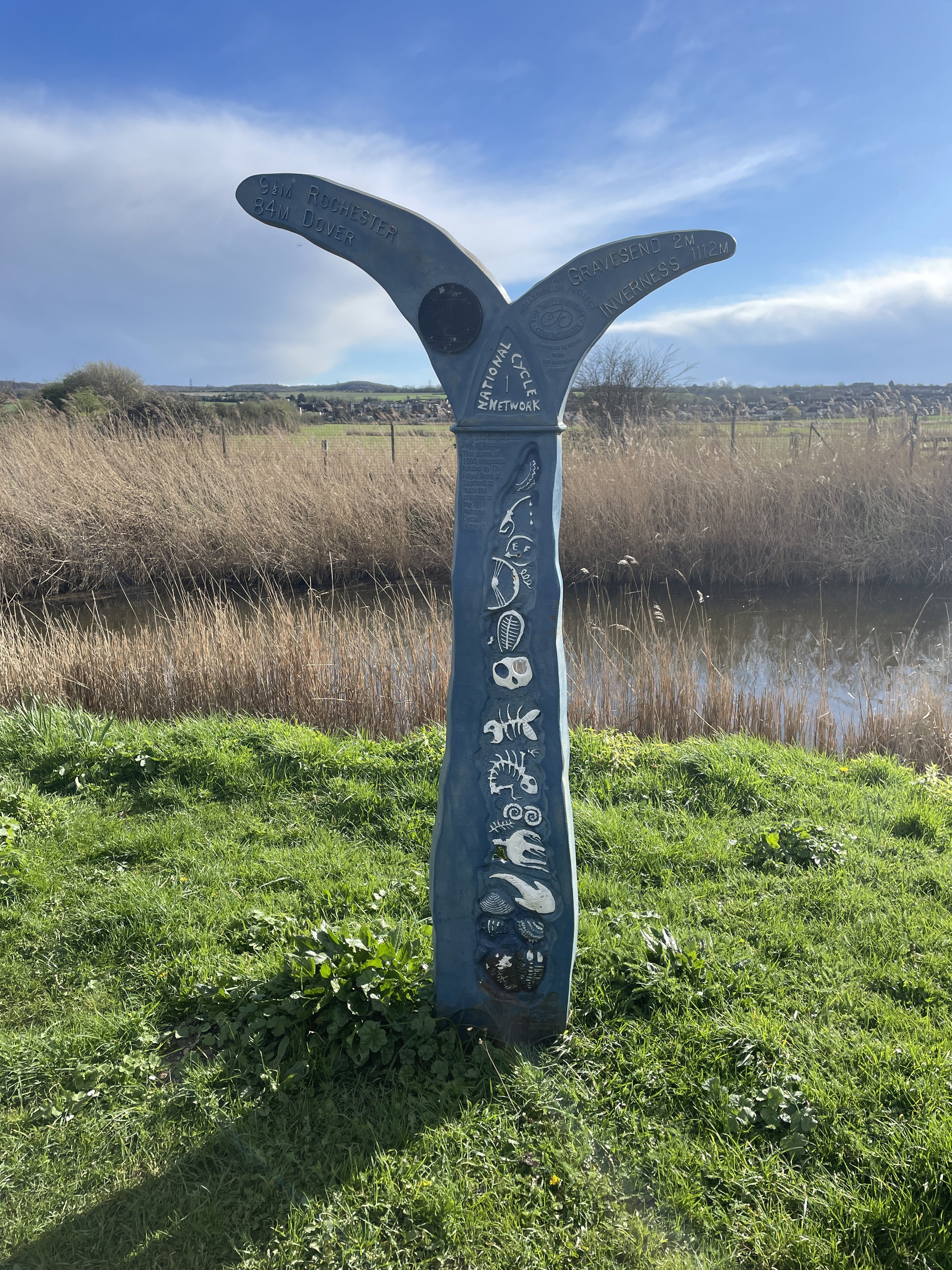
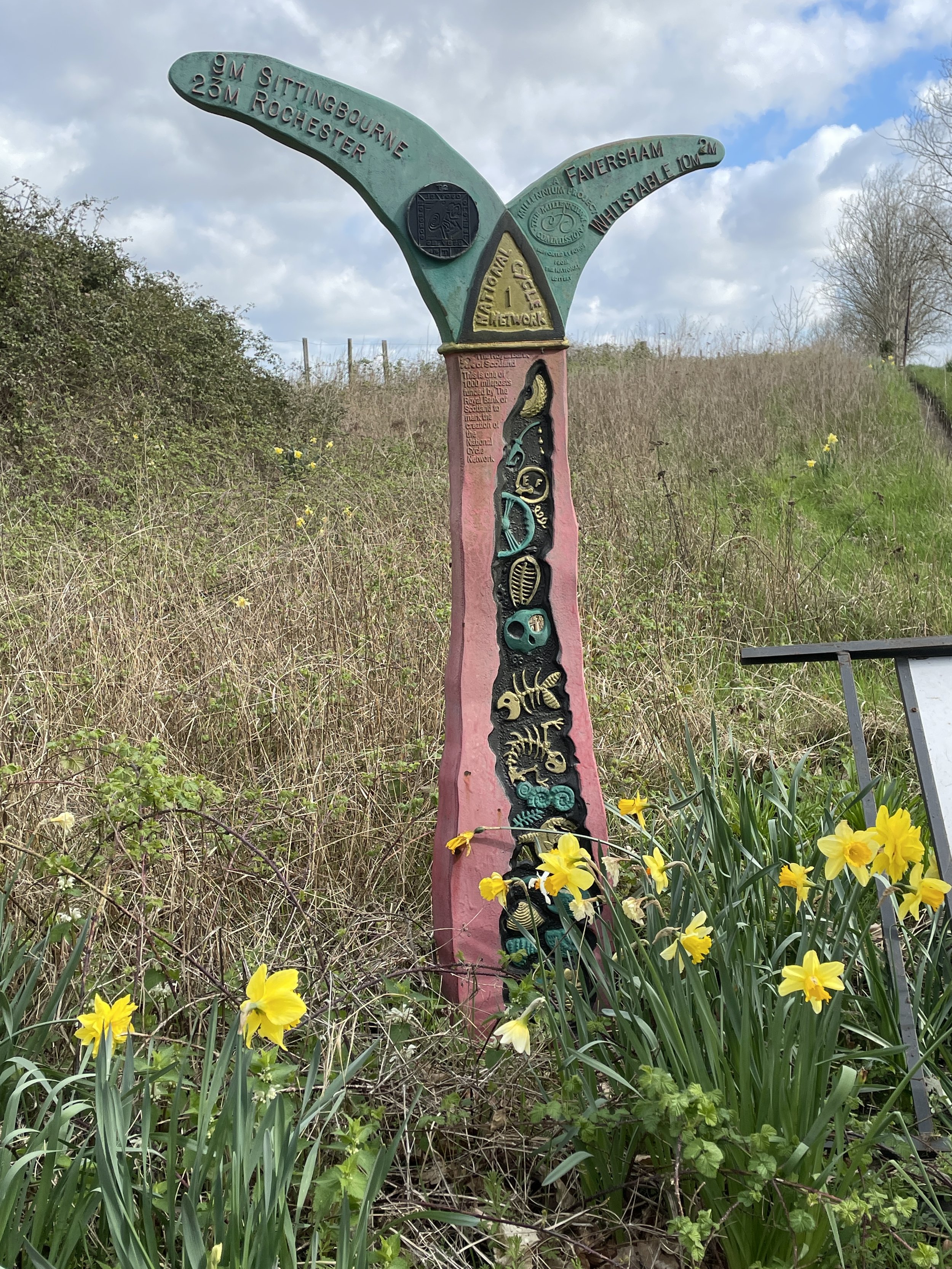
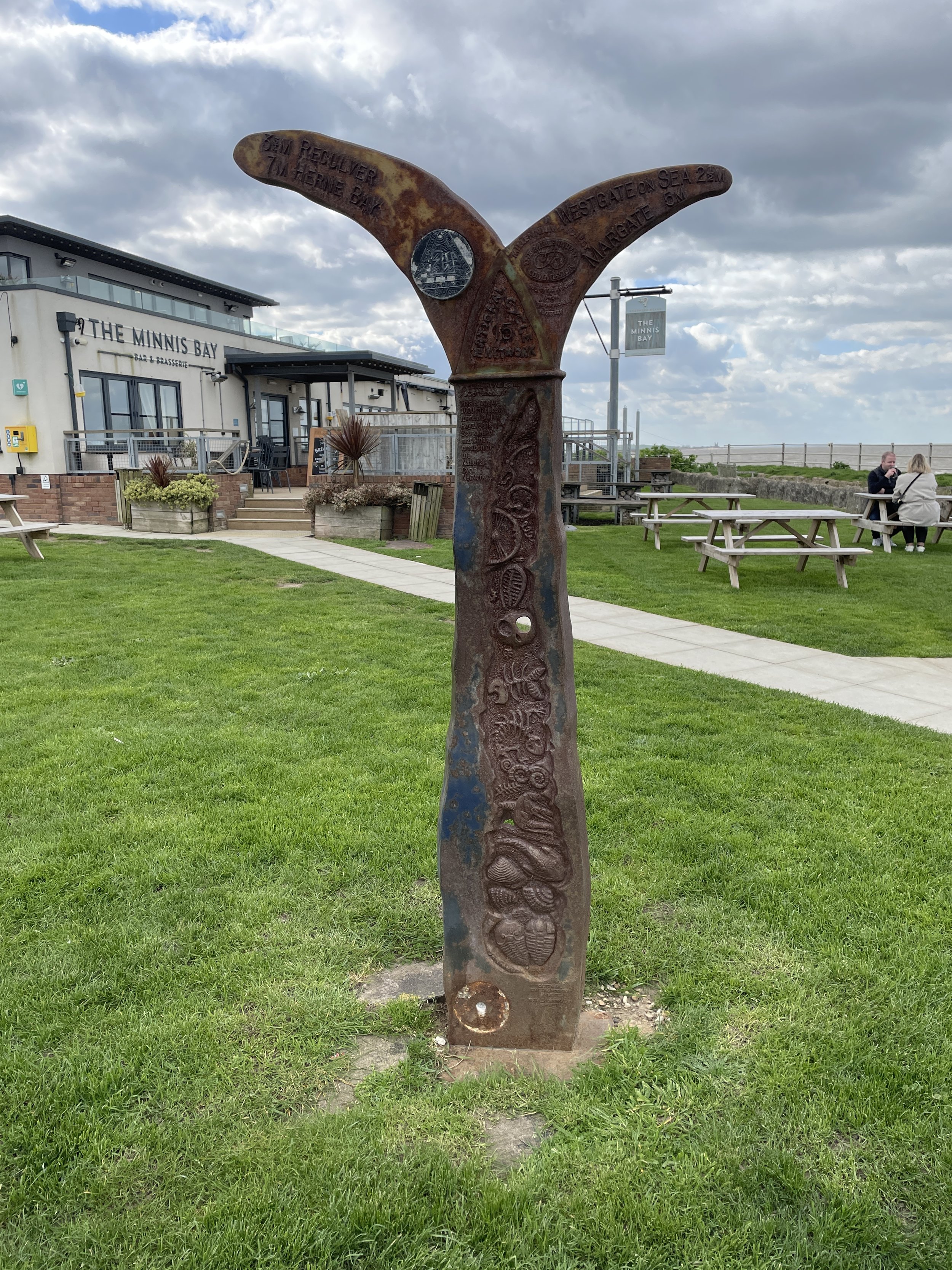
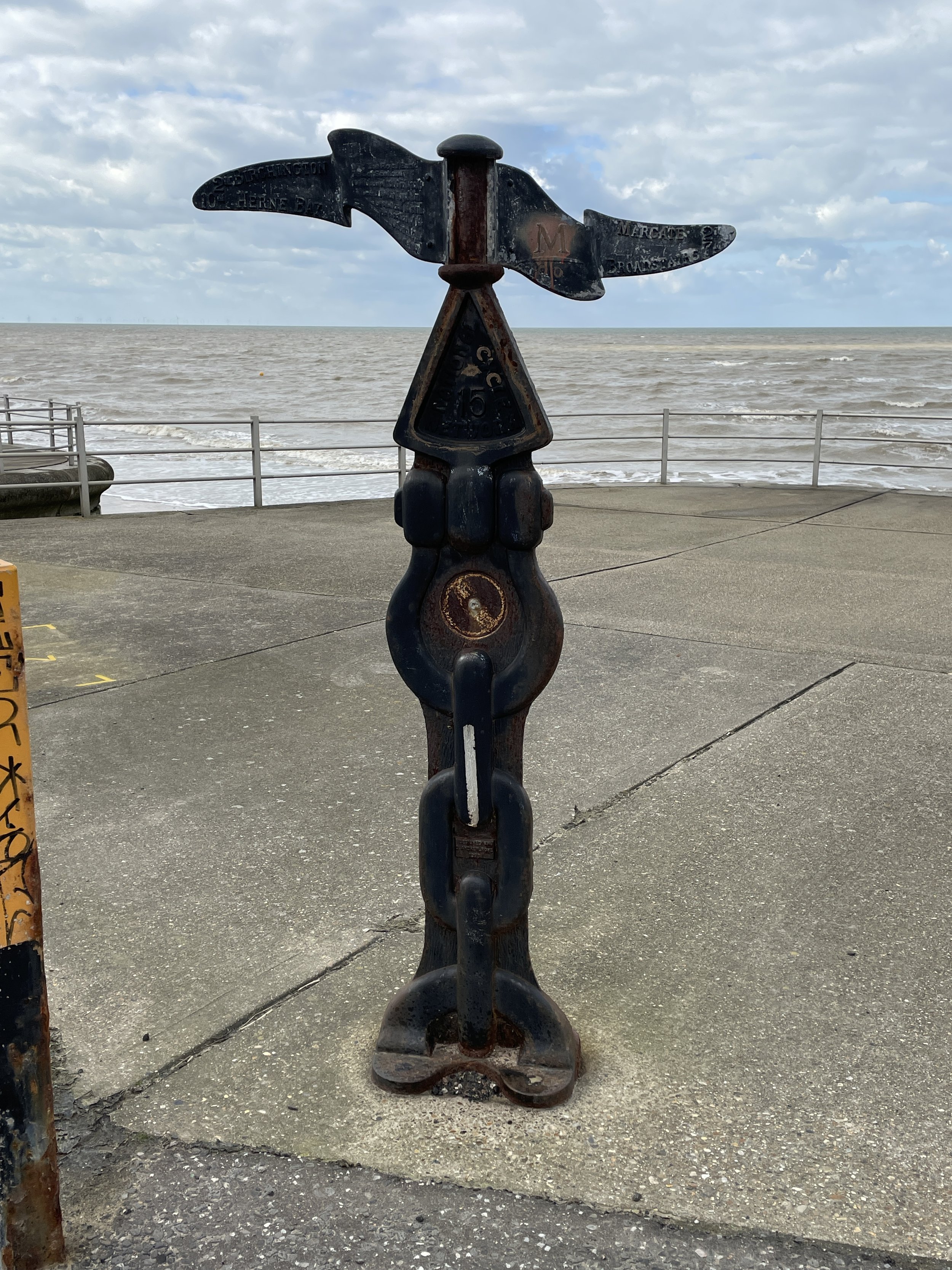
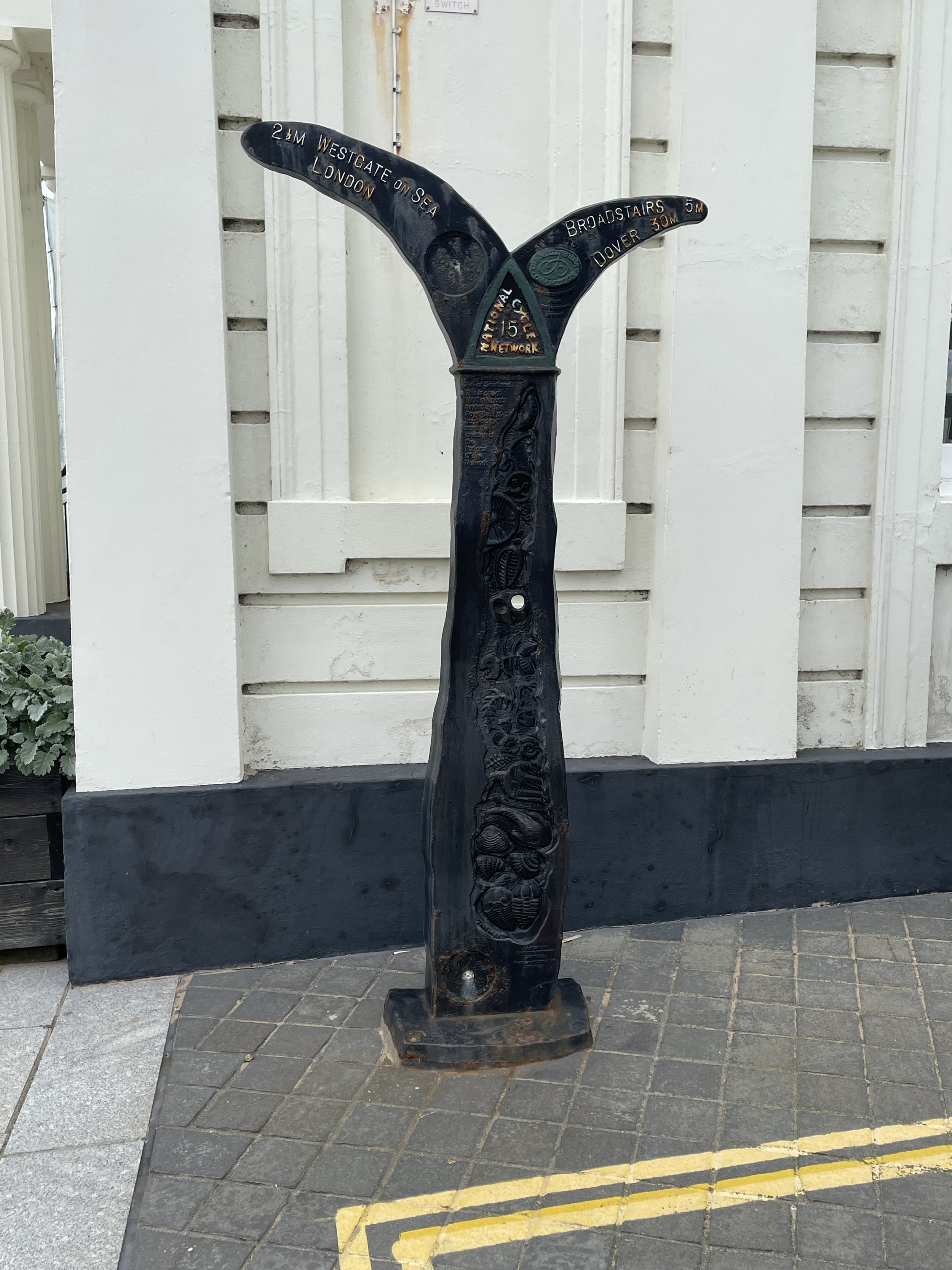
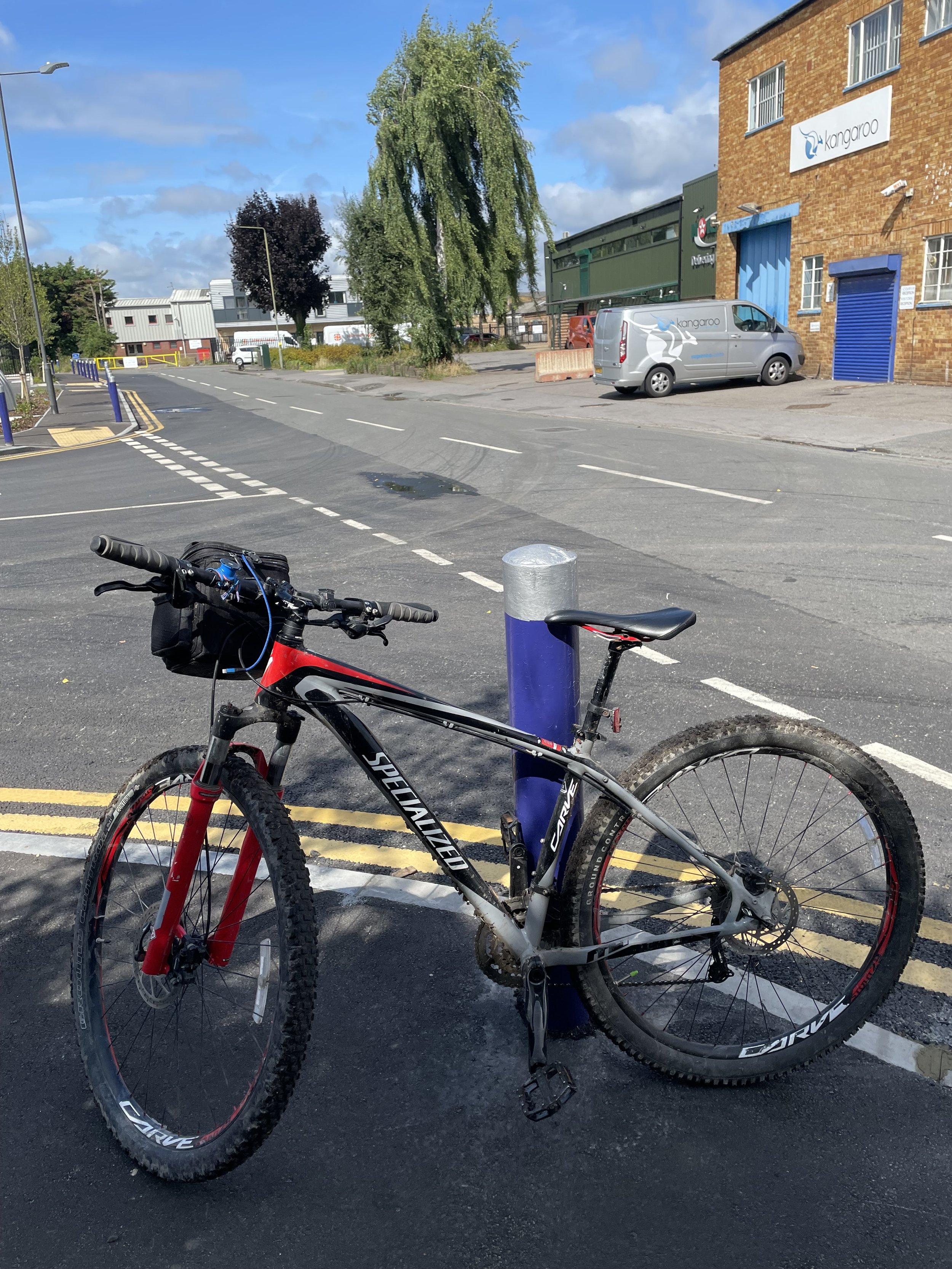
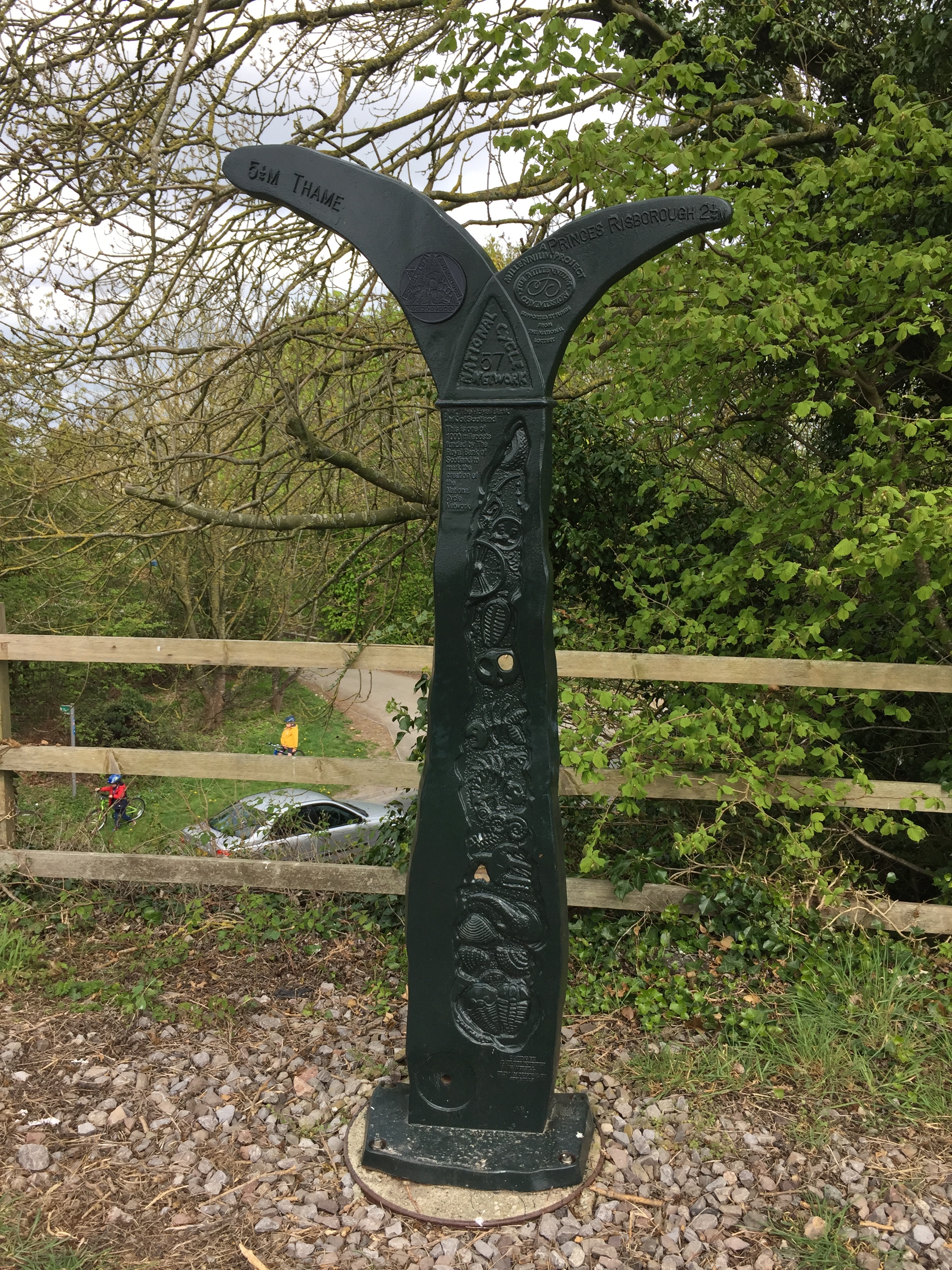
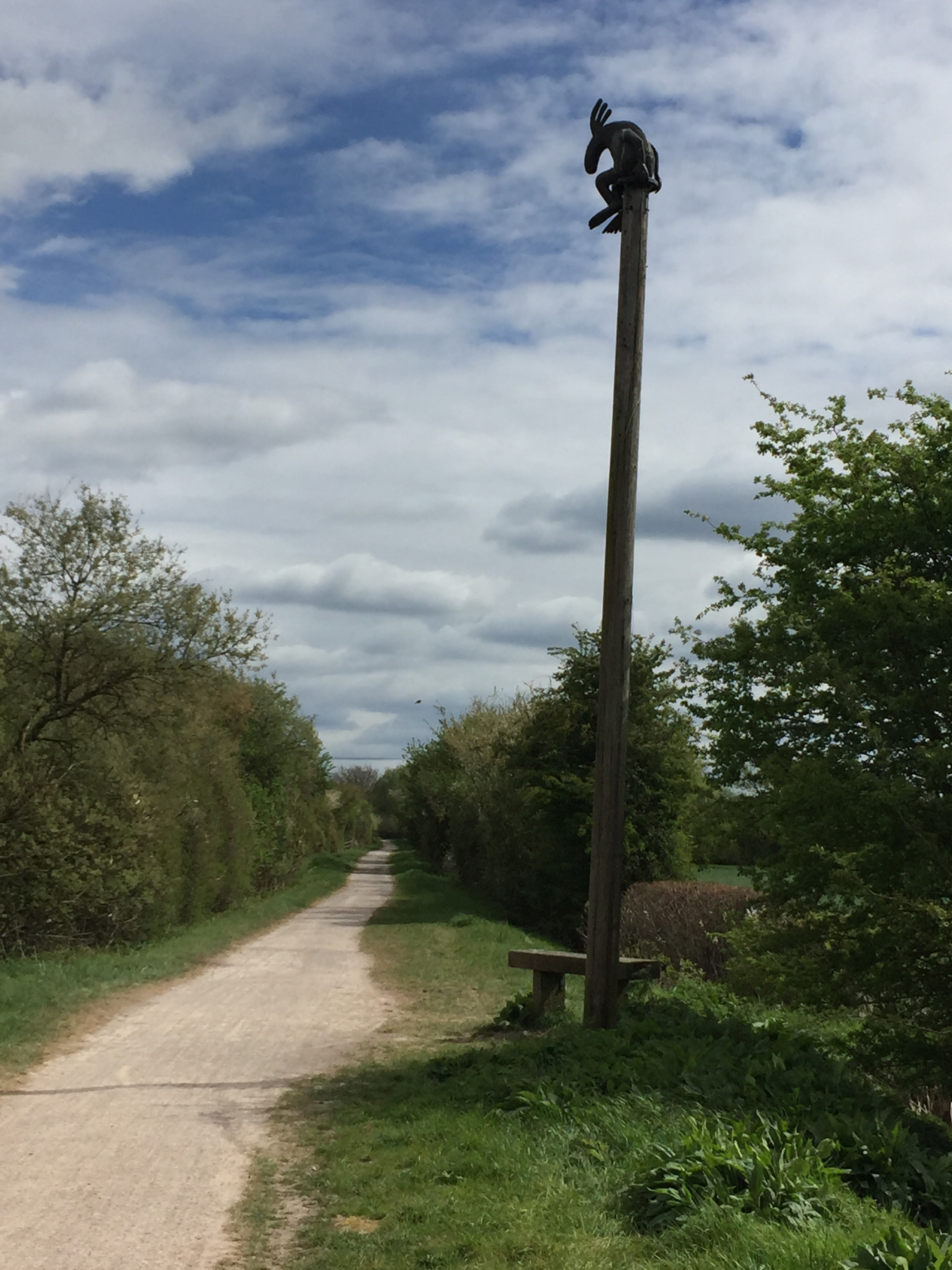
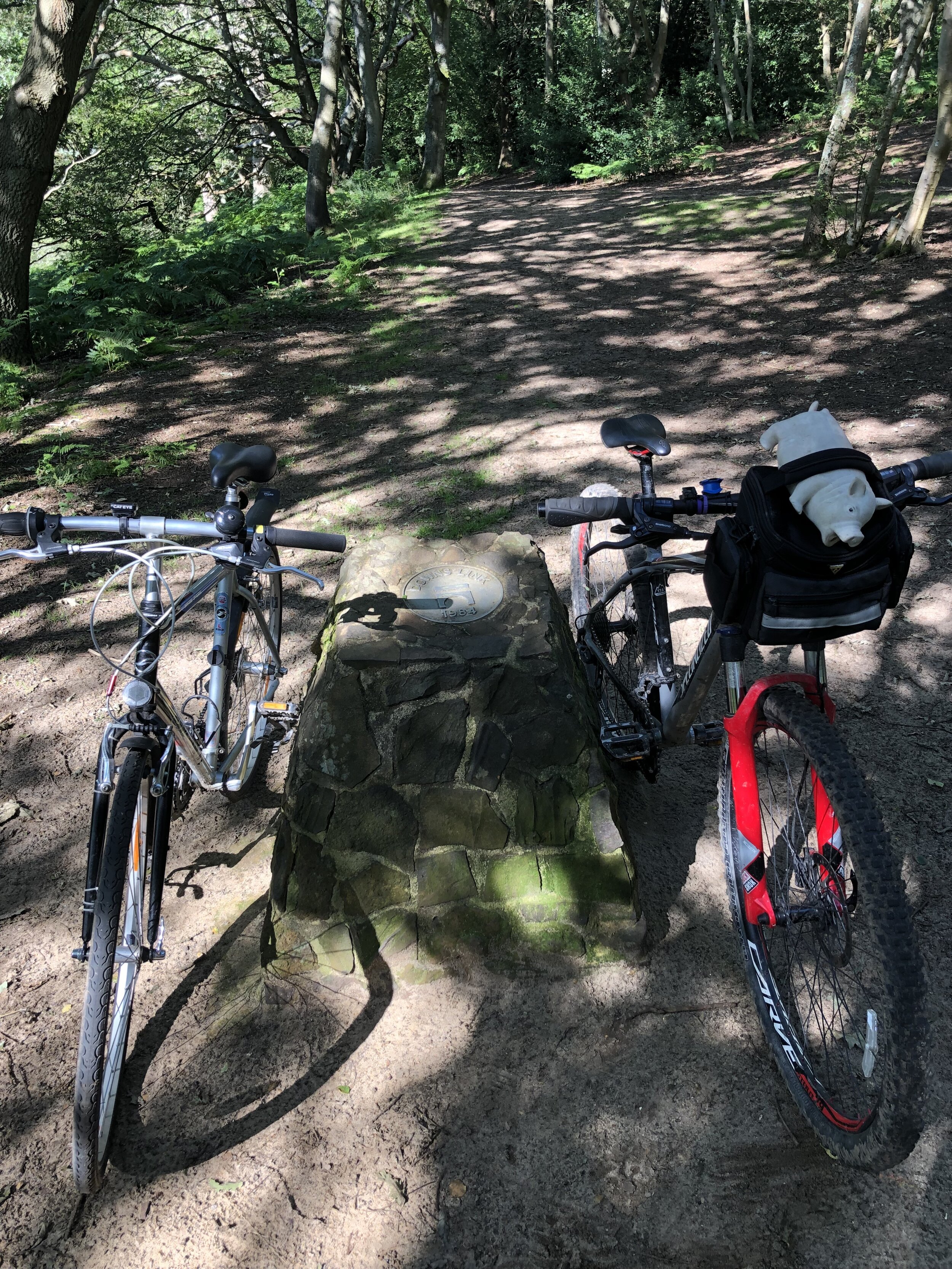
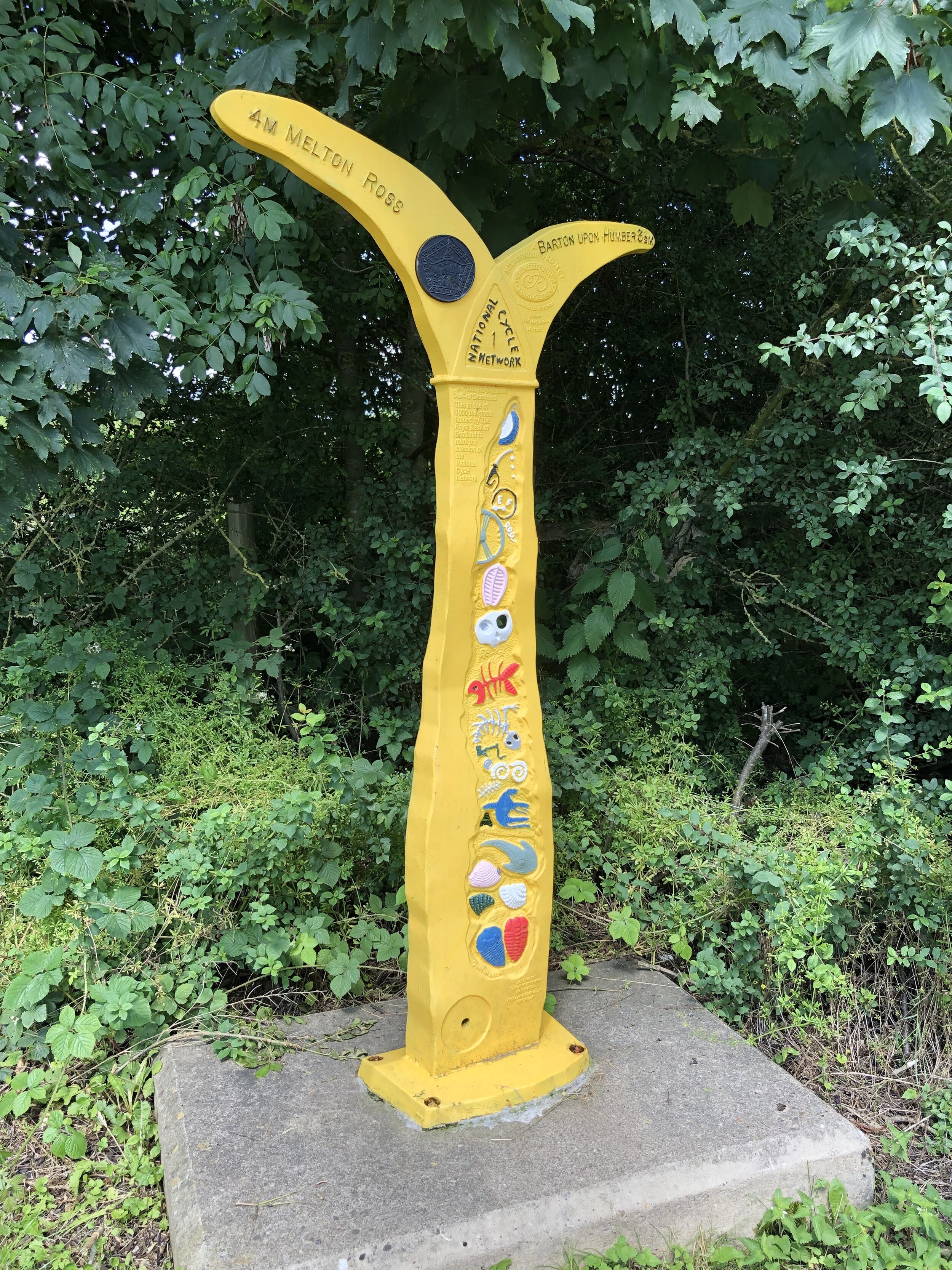
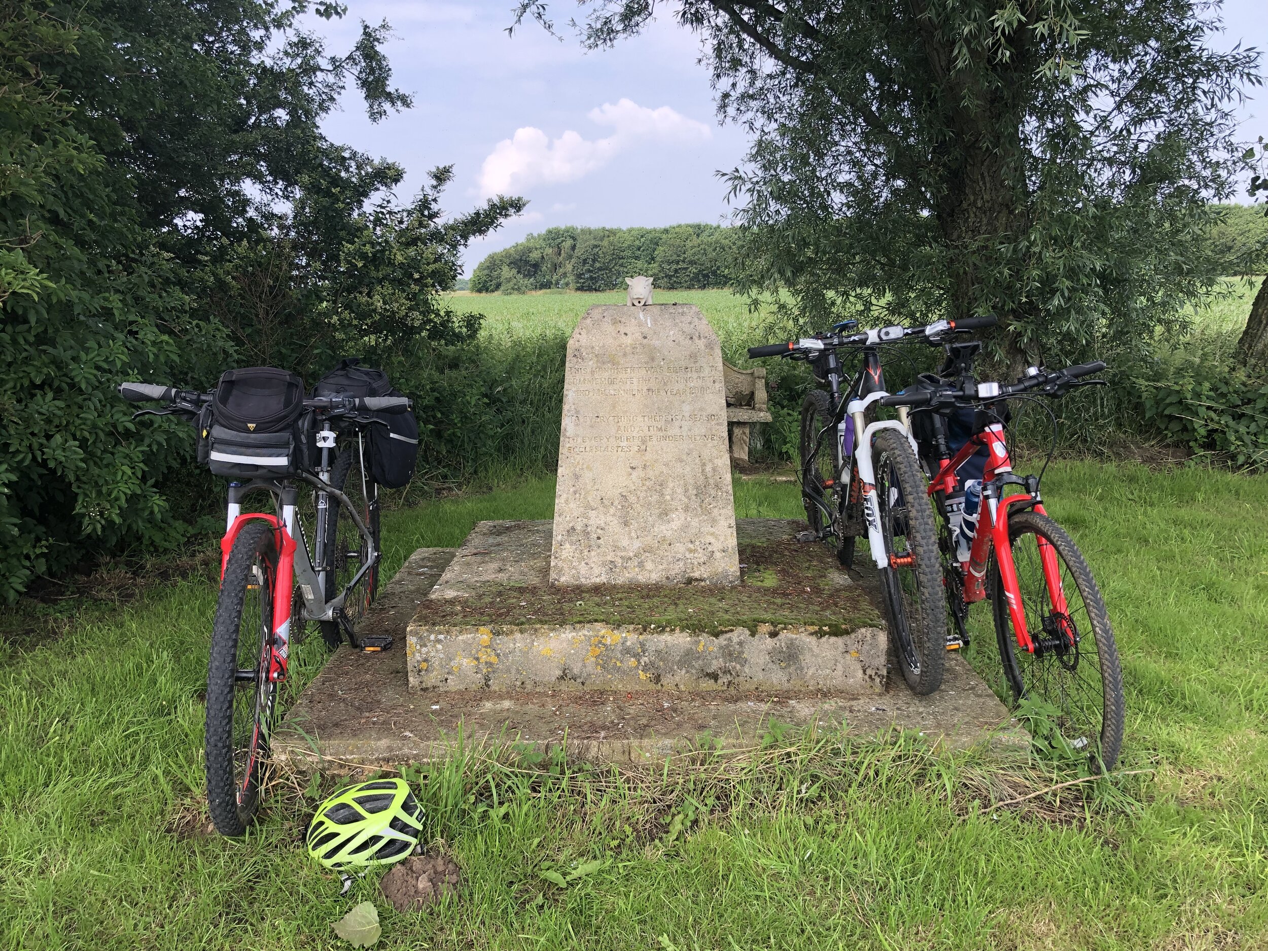
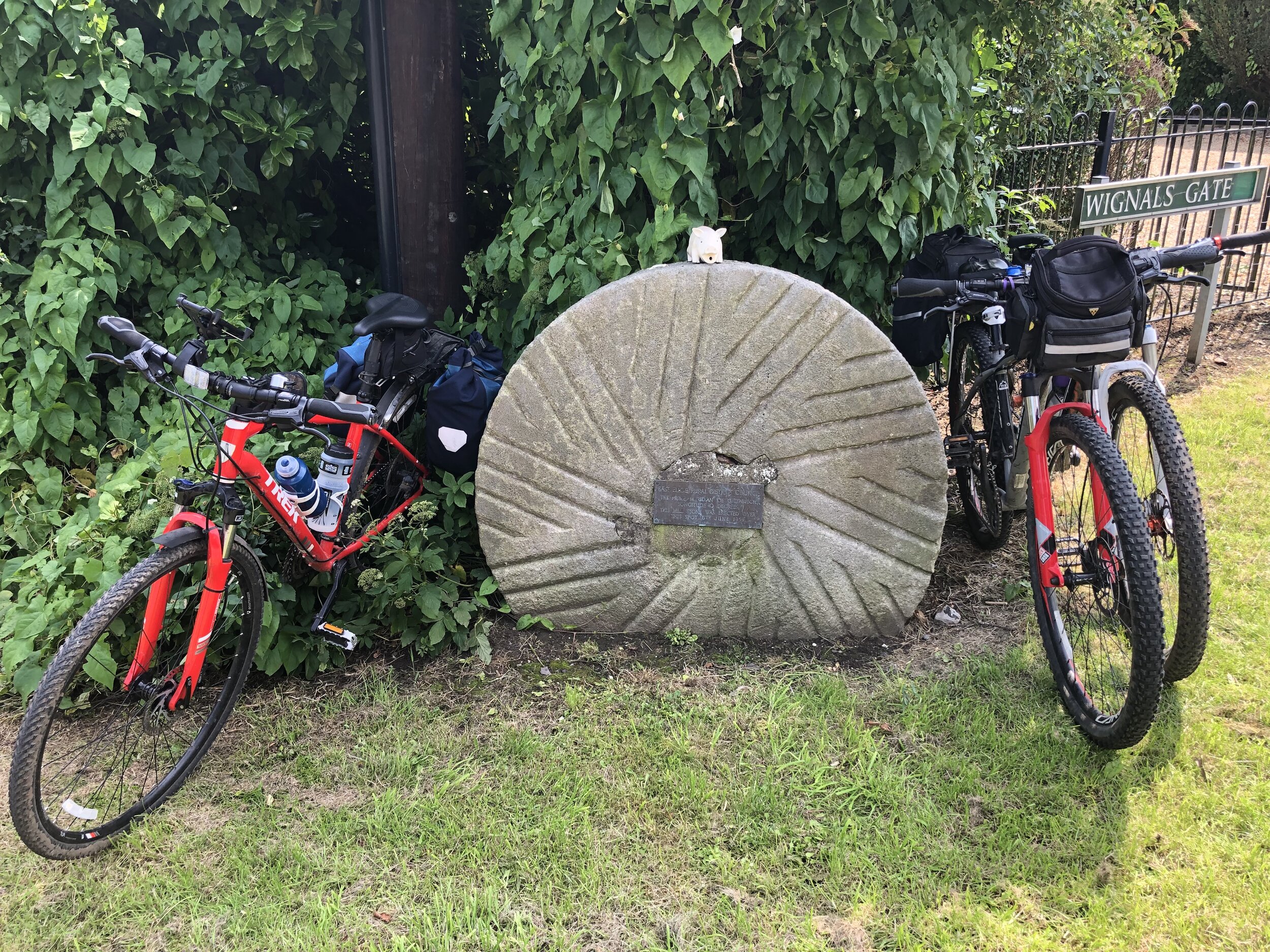
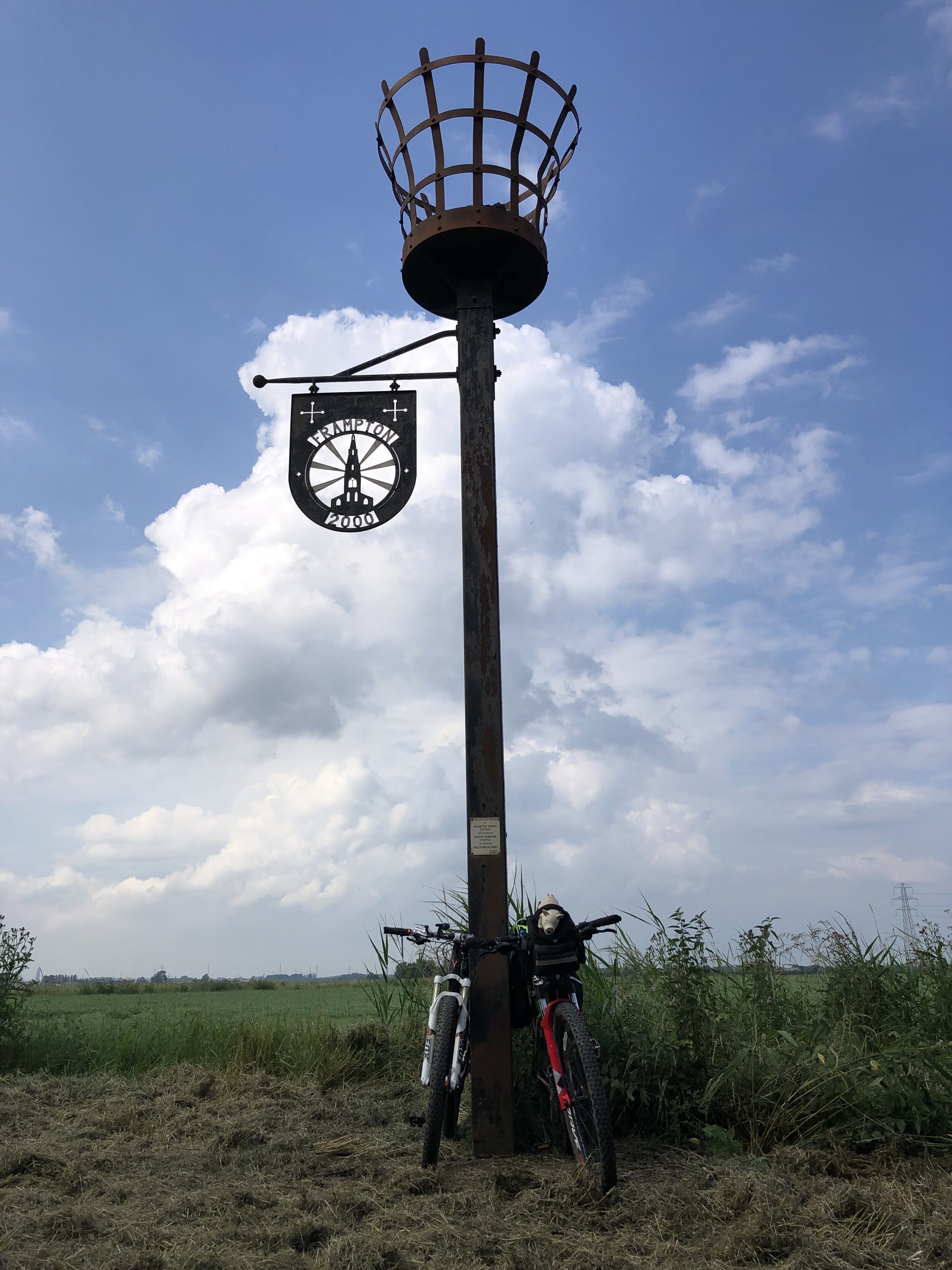
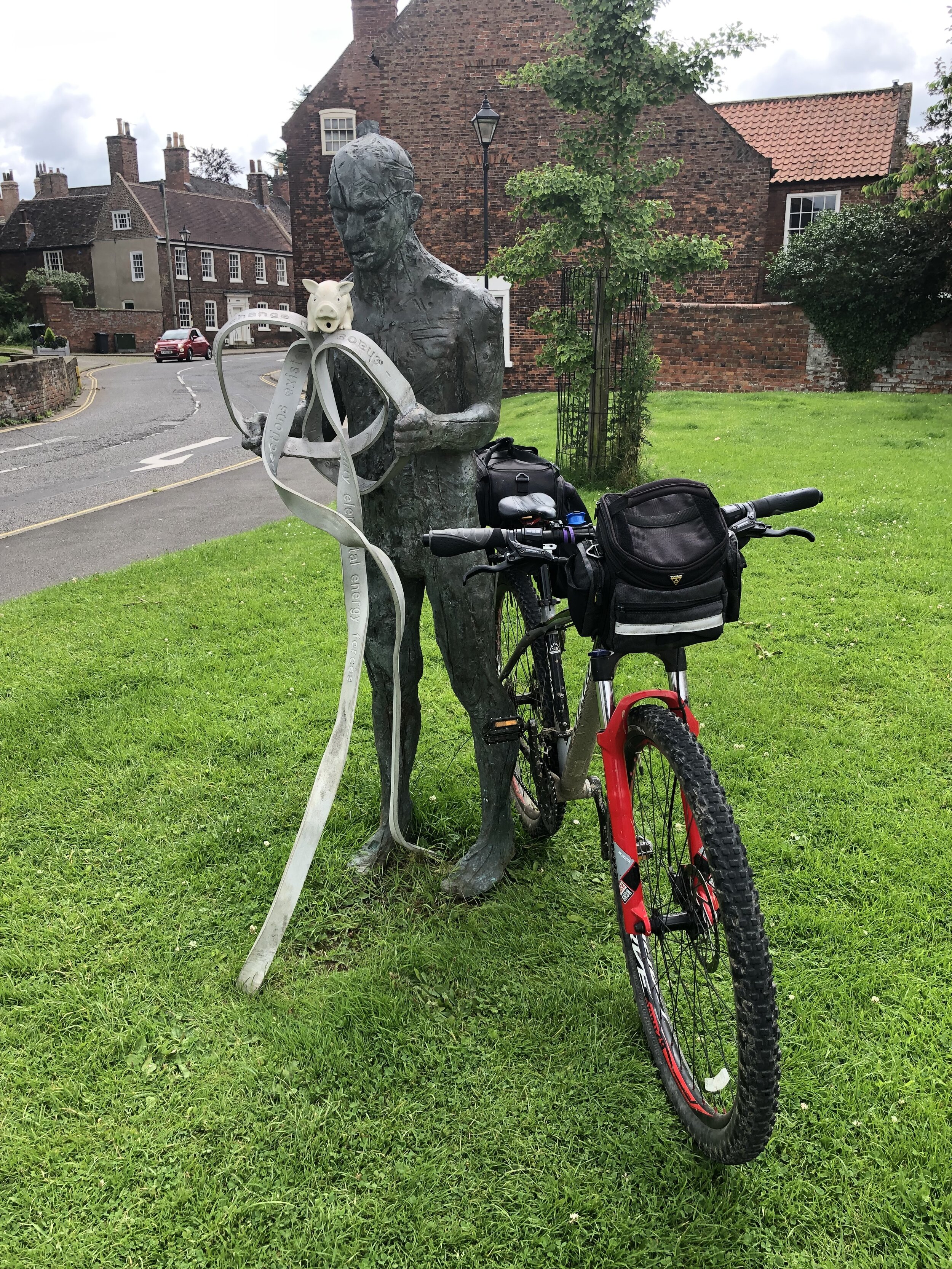
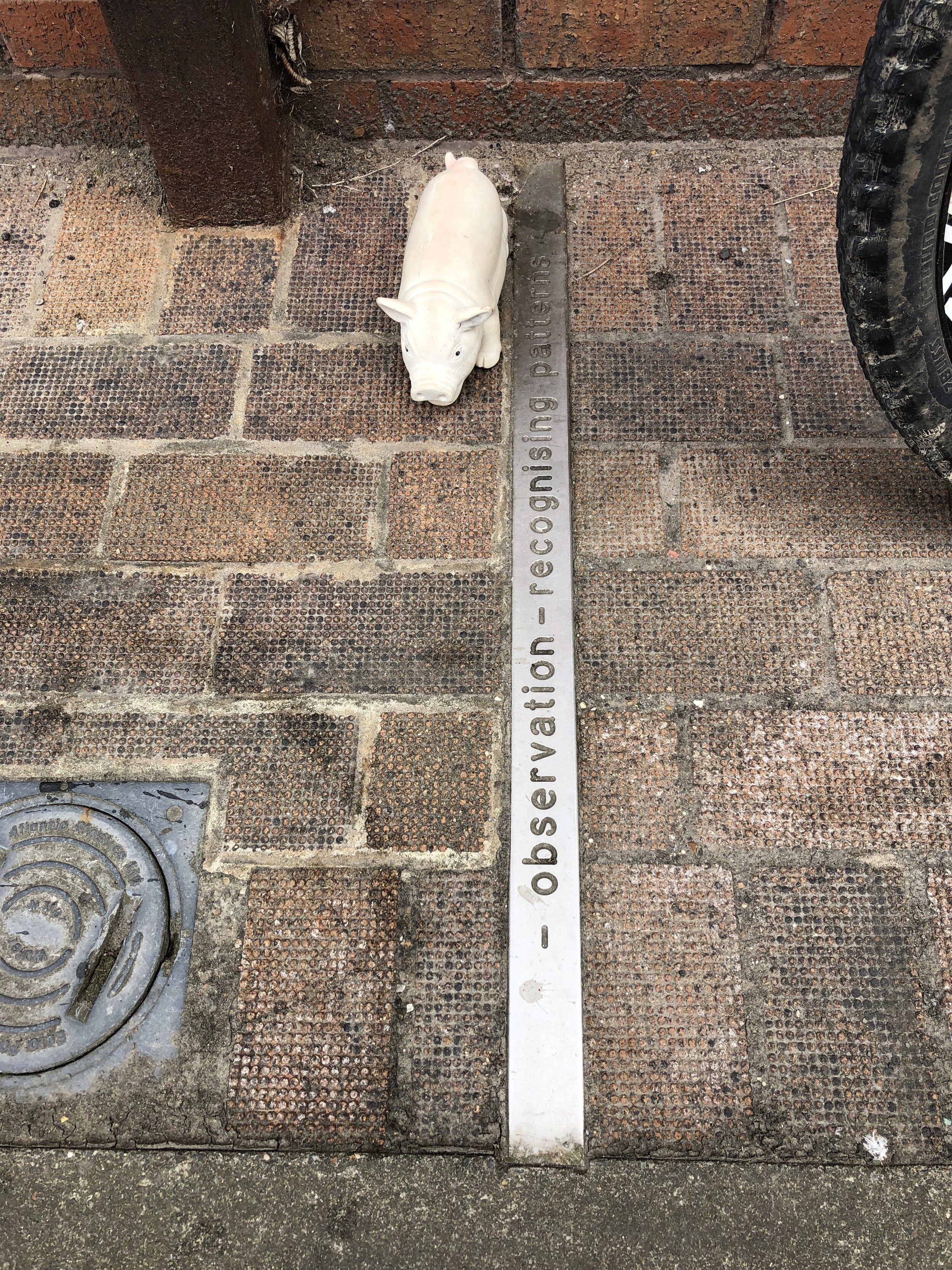
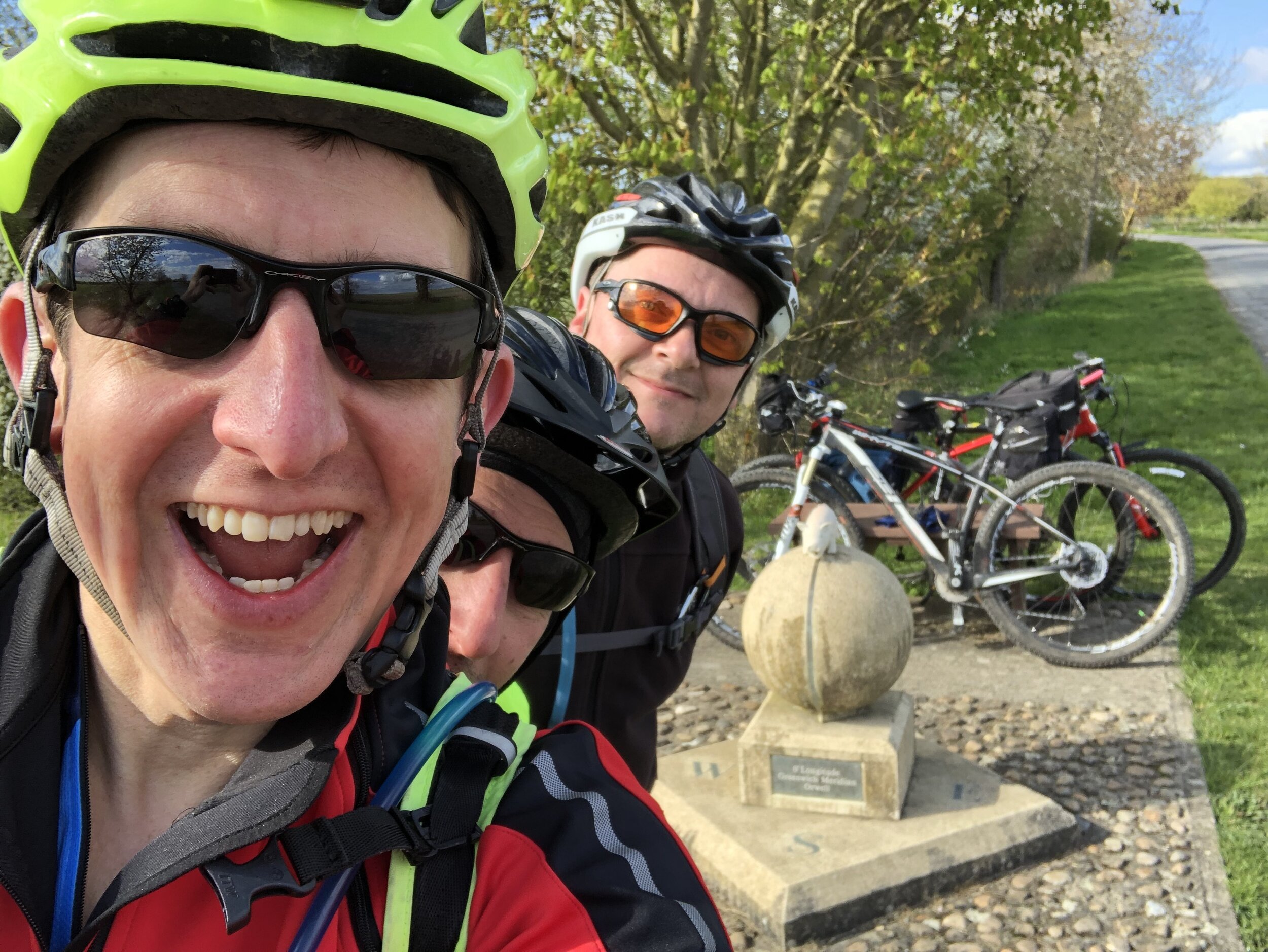
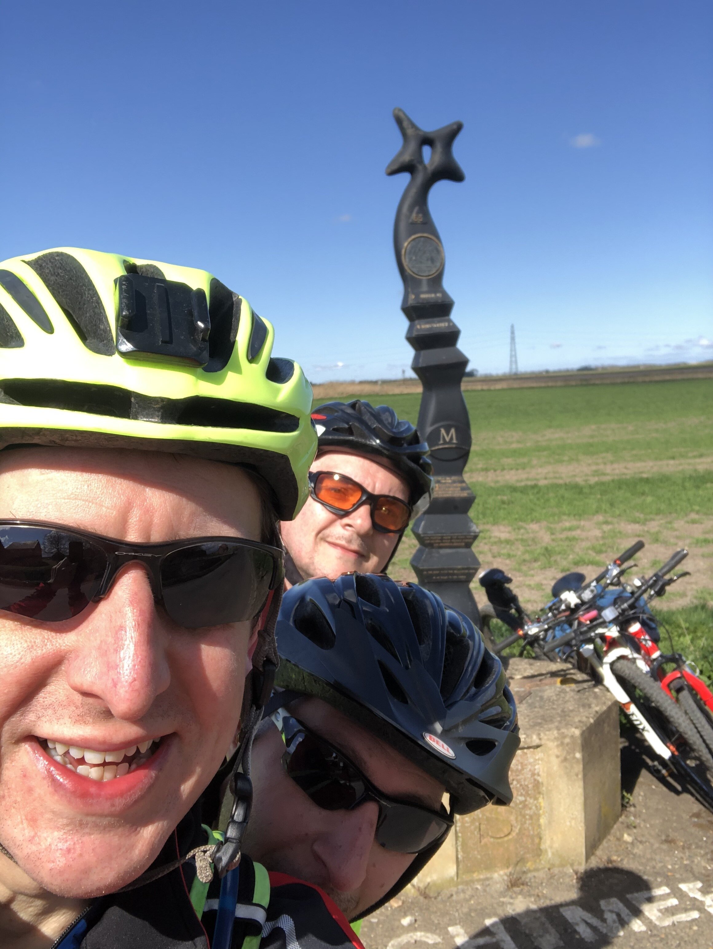
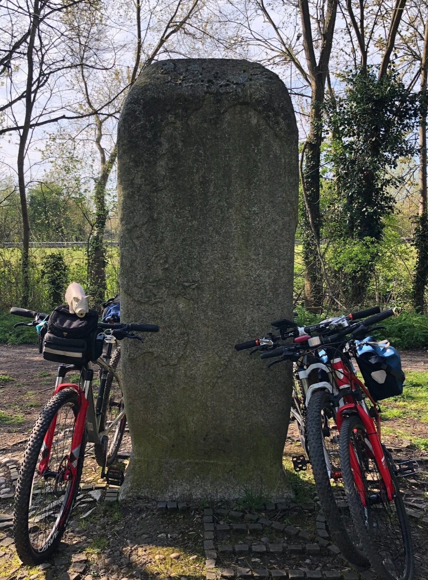
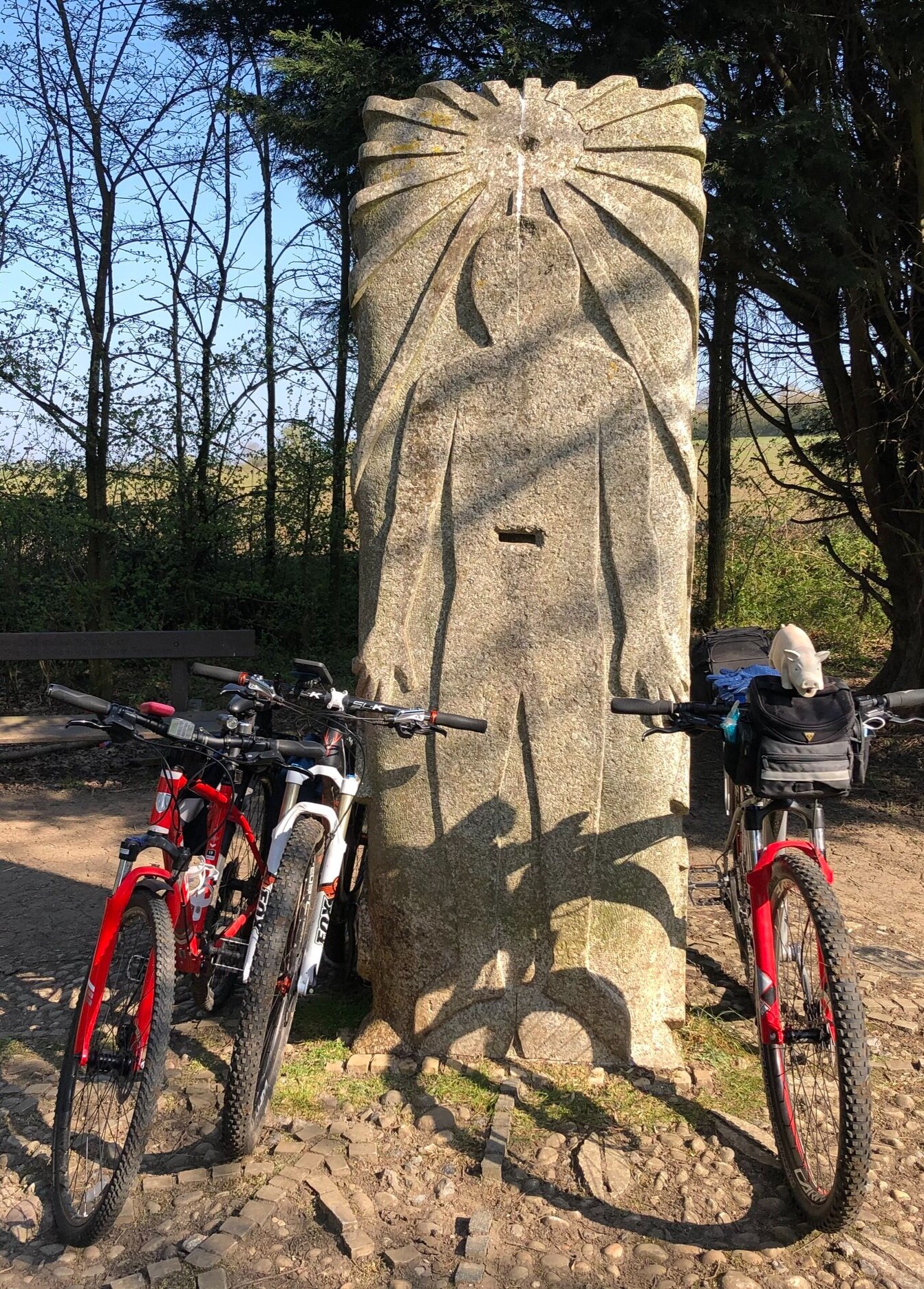
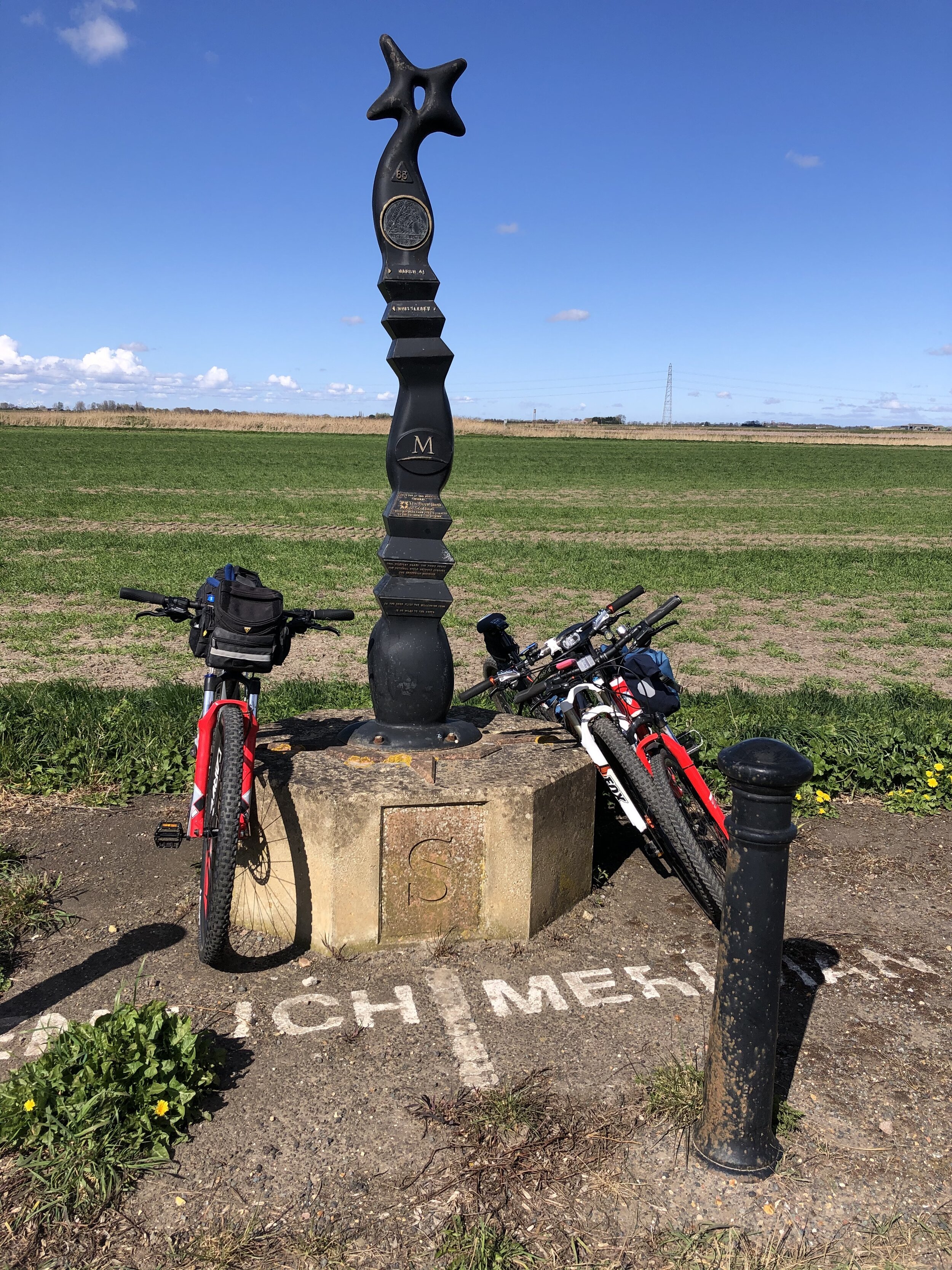
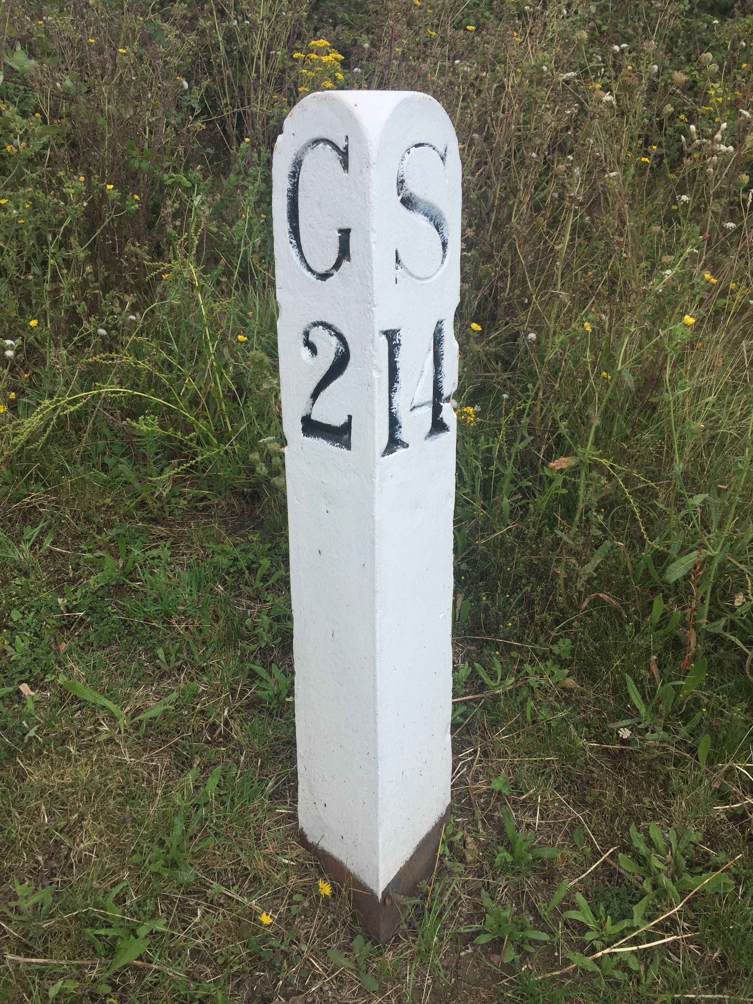
The Millennium Mileposts
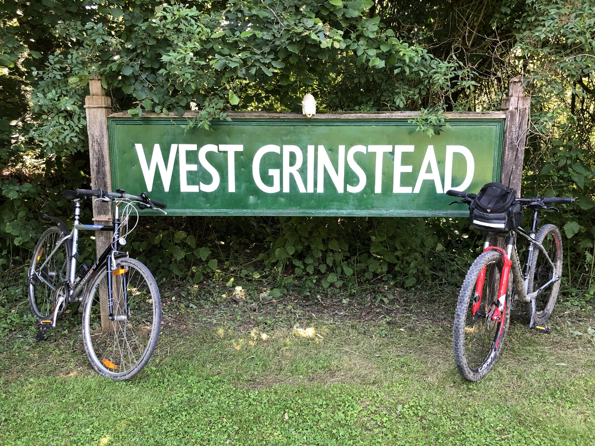
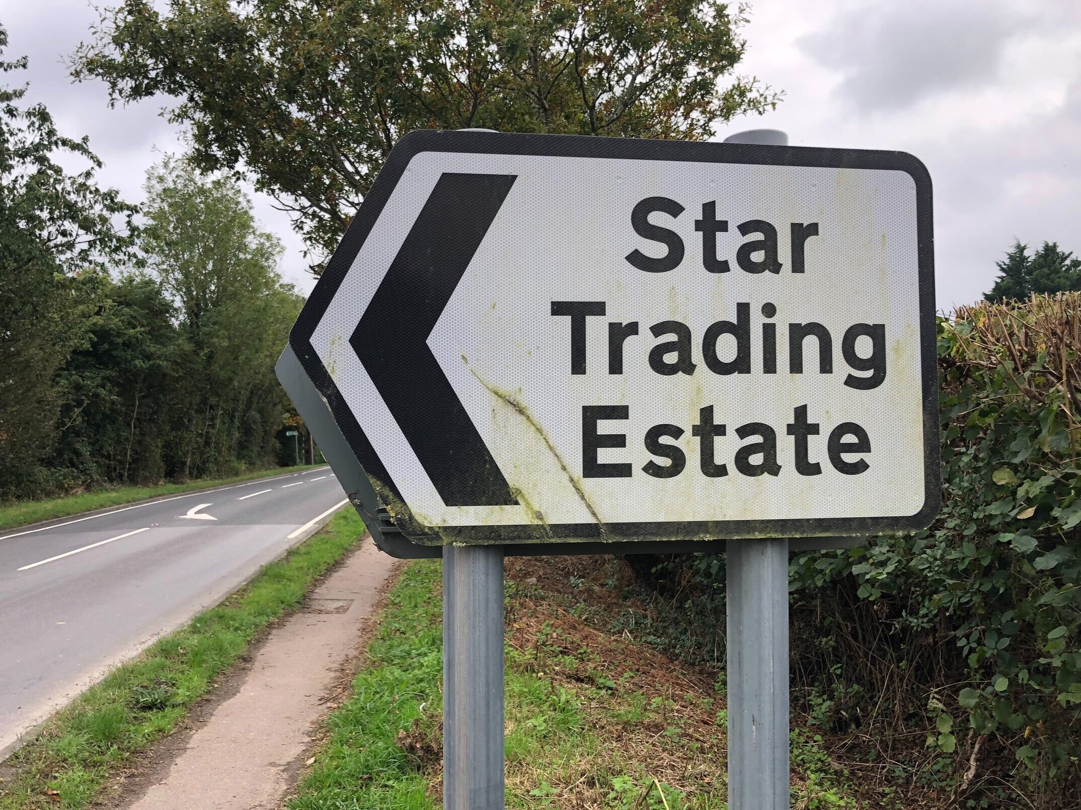
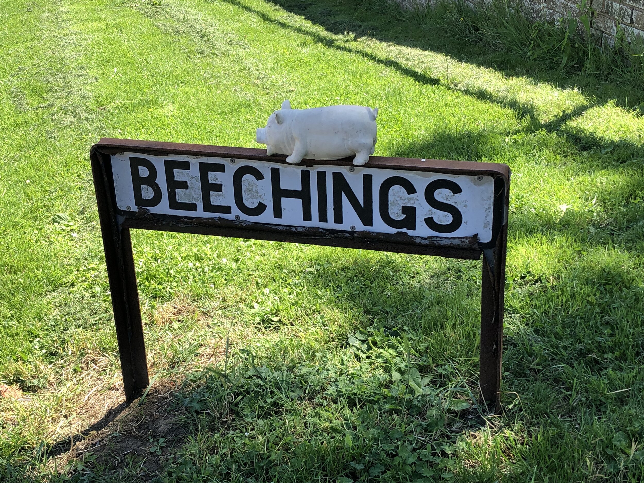
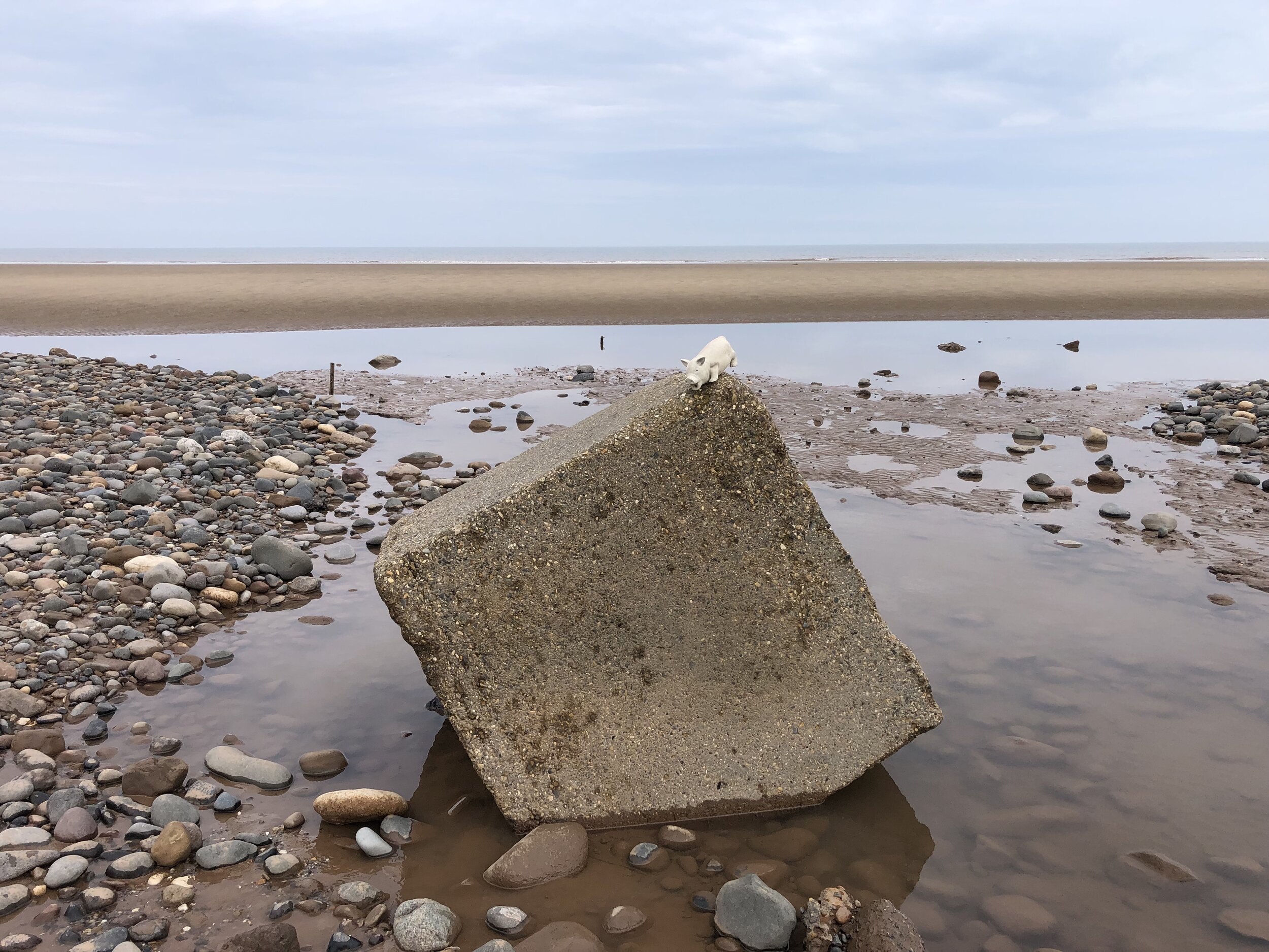
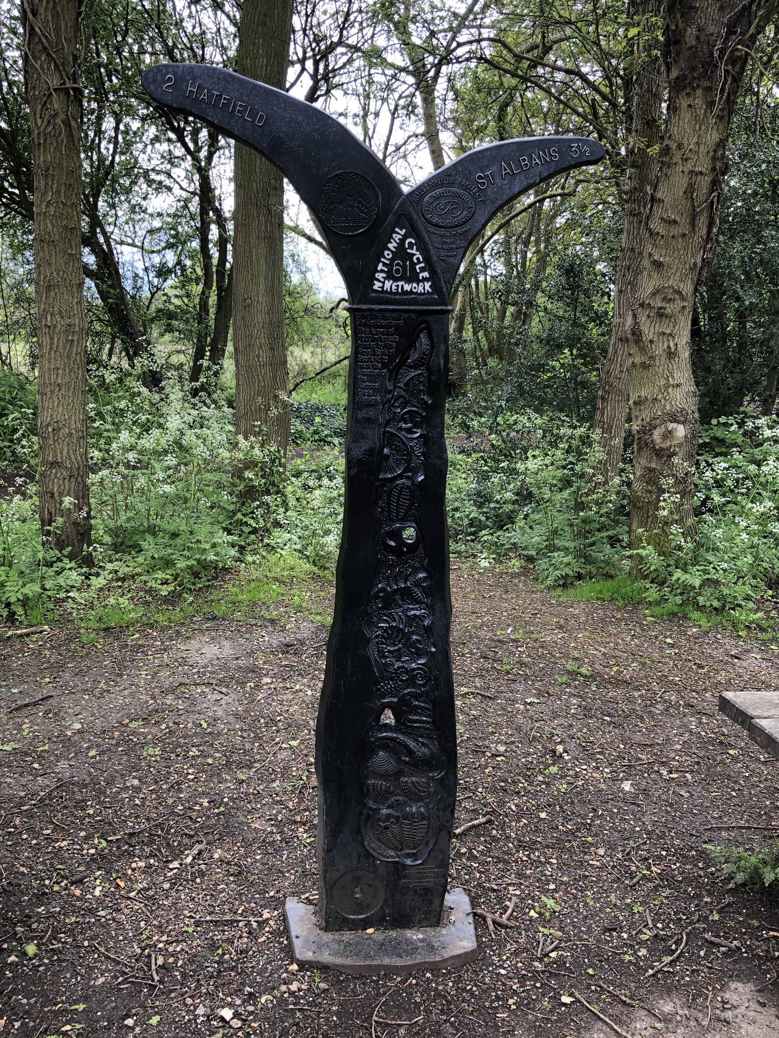
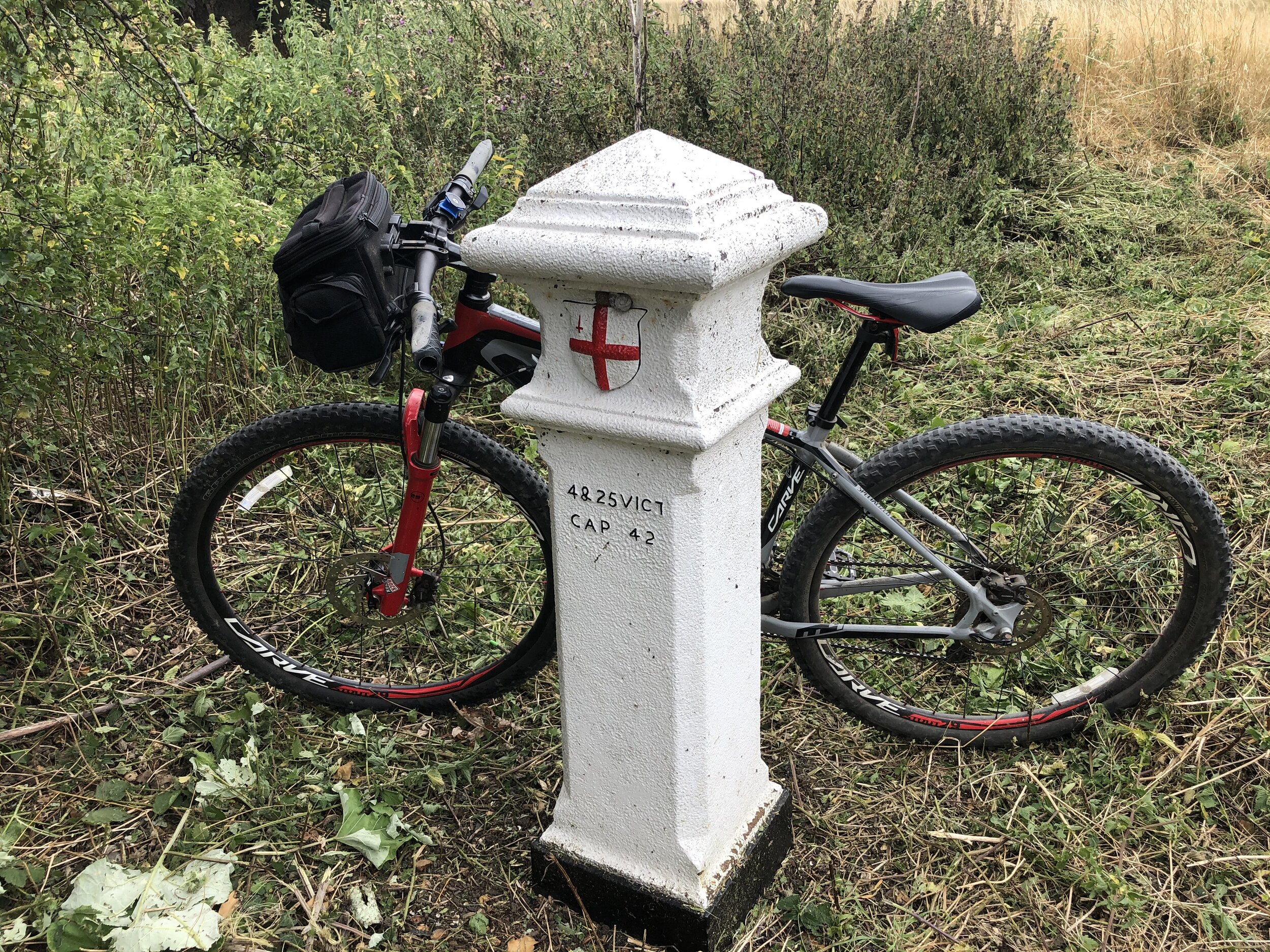
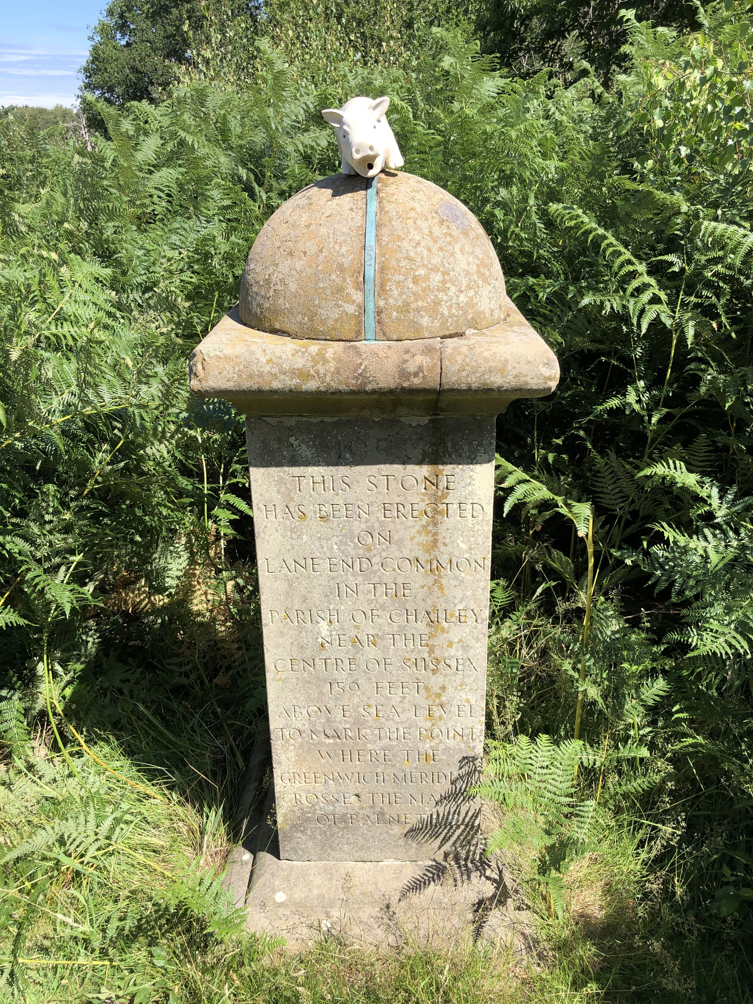
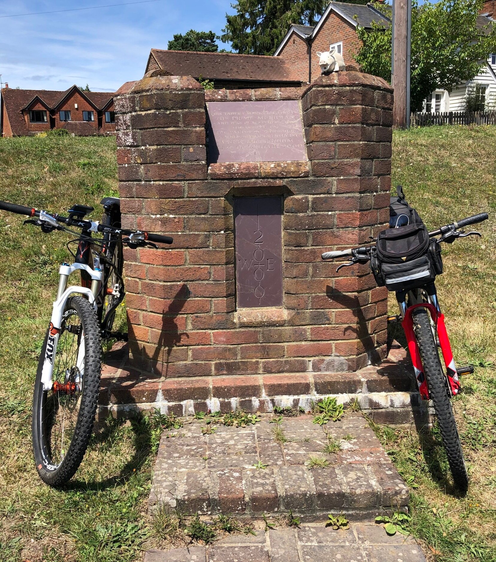
Dotting the UK's National Cycle Network are over 1,000 unique markers known as the Millennium Mileposts. Unveiled in 2000, these cast-iron sculptures are more than just waymarkers. Designed by four artists, one from each nation of the UK, they celebrate the diversity of the cycling routes. These artistic mileposts come in various shapes and can be found in both bustling towns and scenic landscapes, adding a touch of artistic charm to a cycling adventure. Here’s the 14 Mileposts that I spotted on the 2 day estuary adventure.