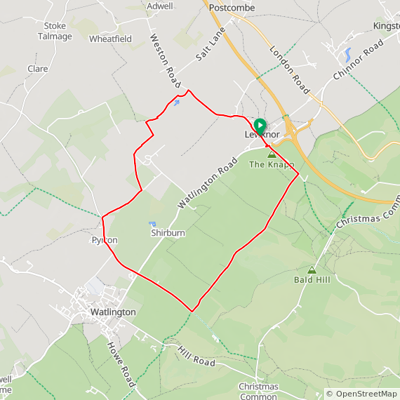
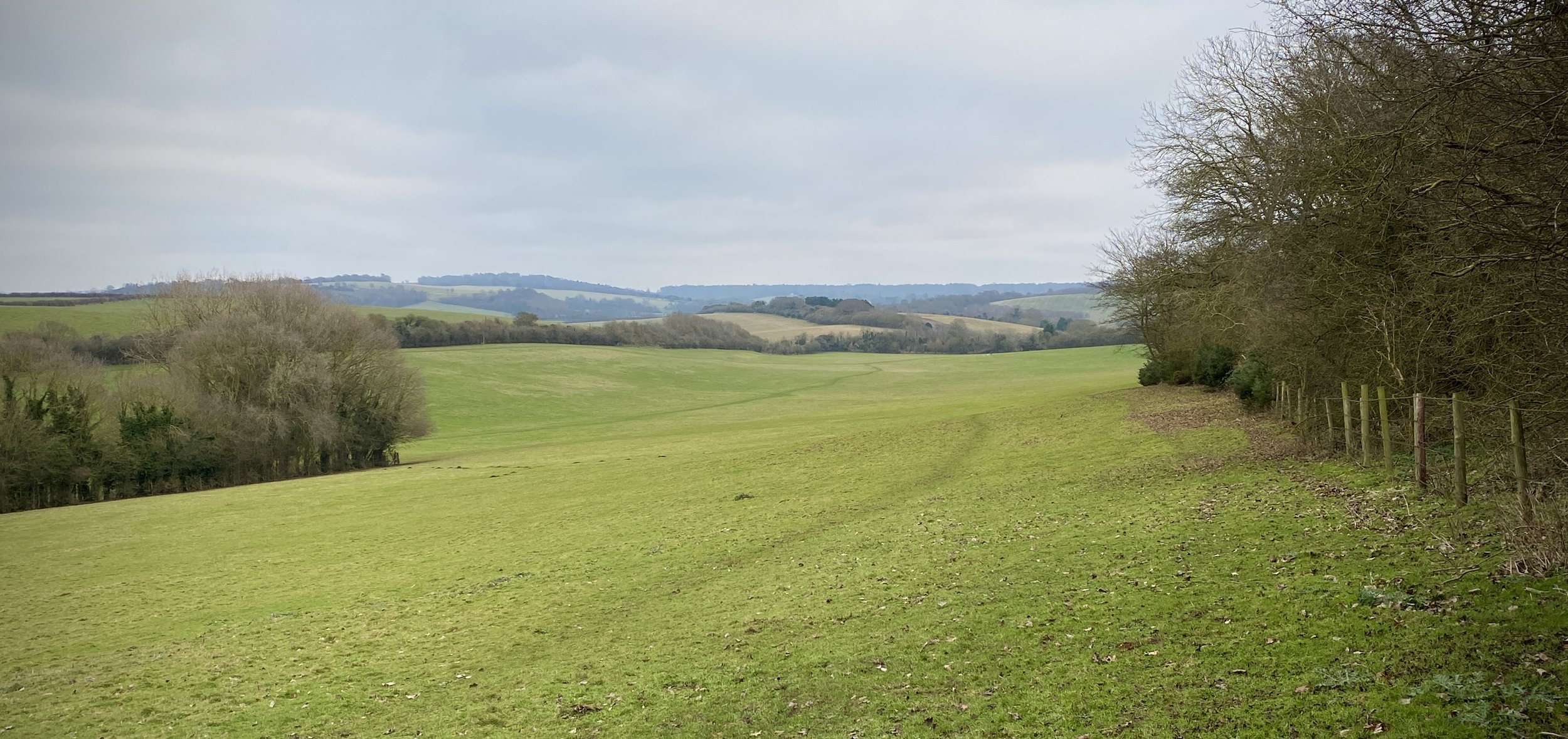
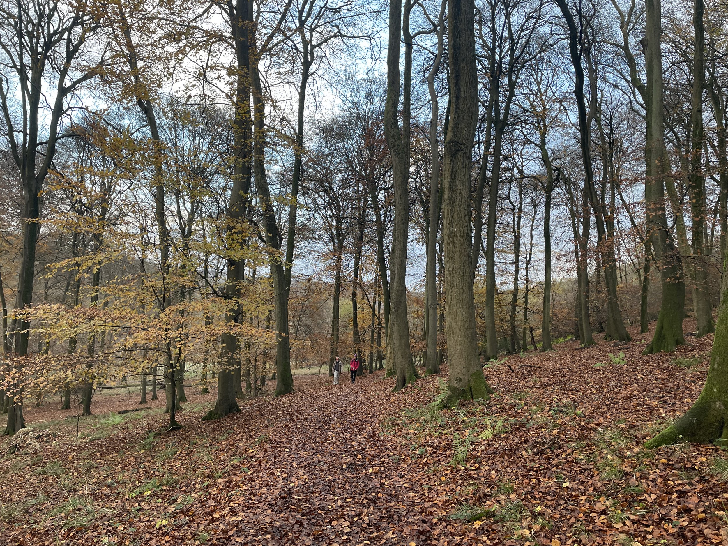
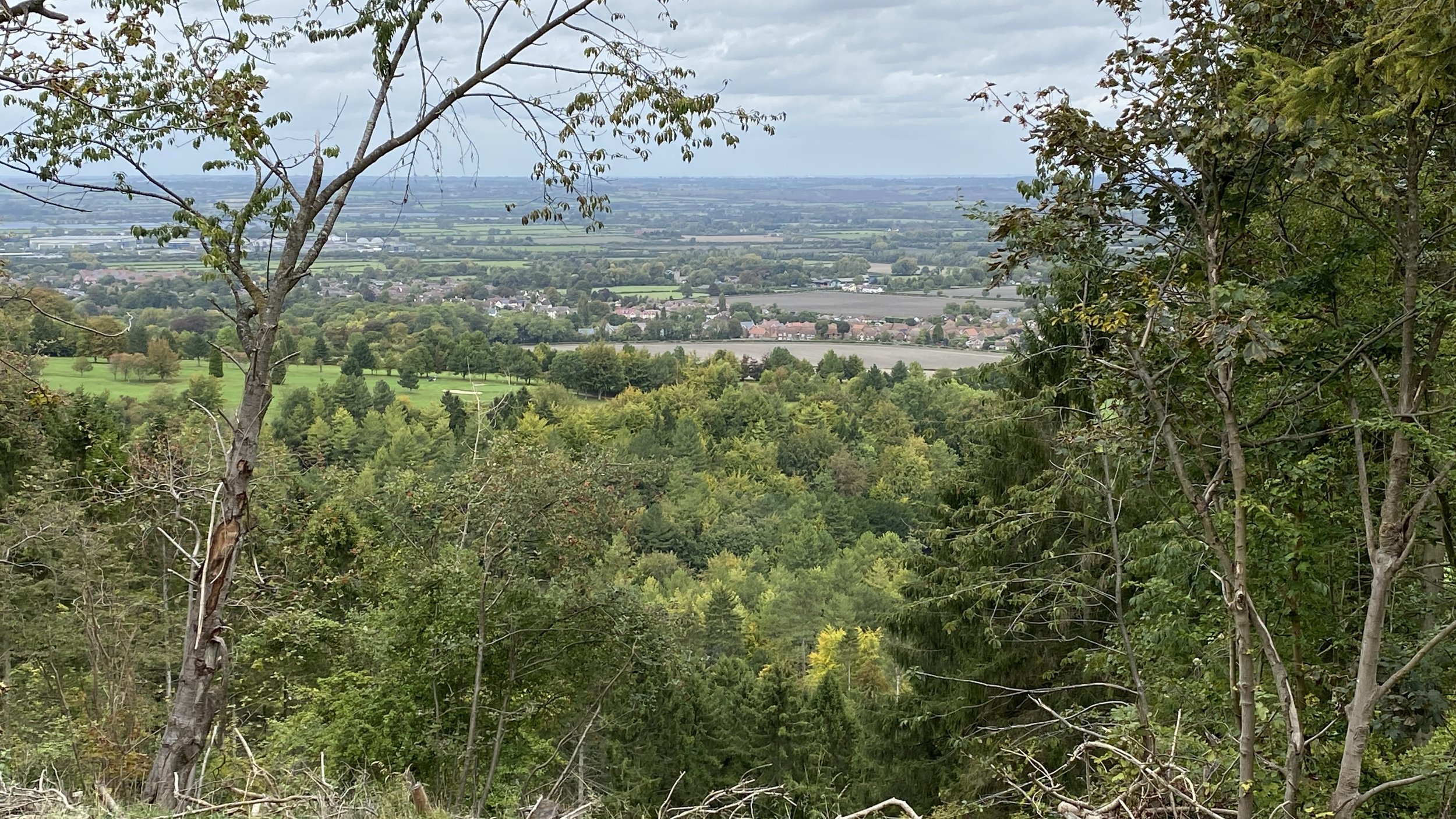
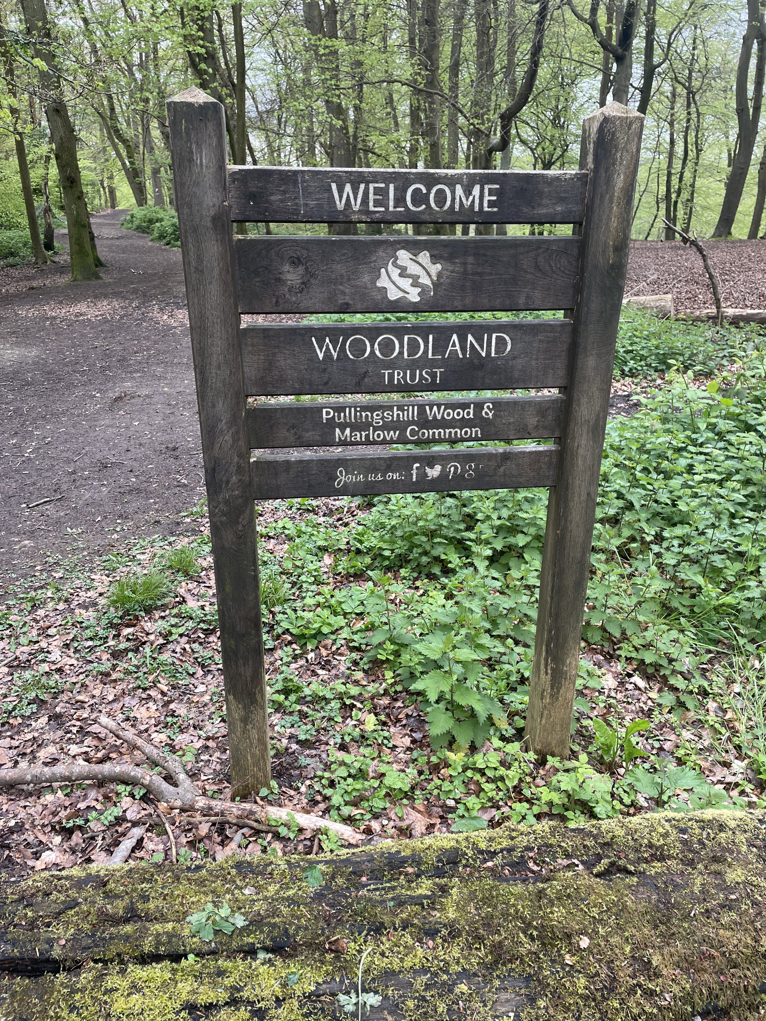
Pullingshill Wood
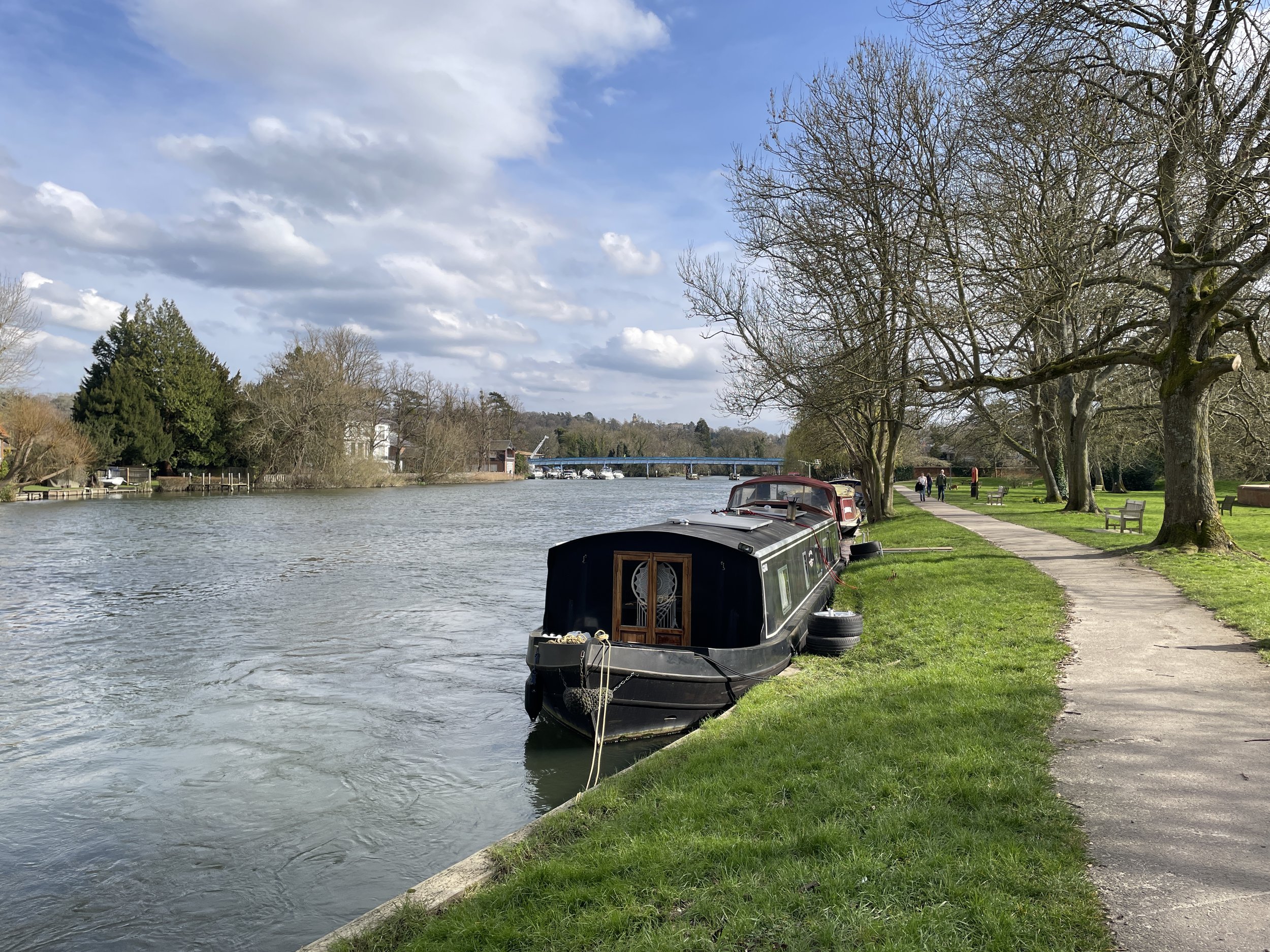
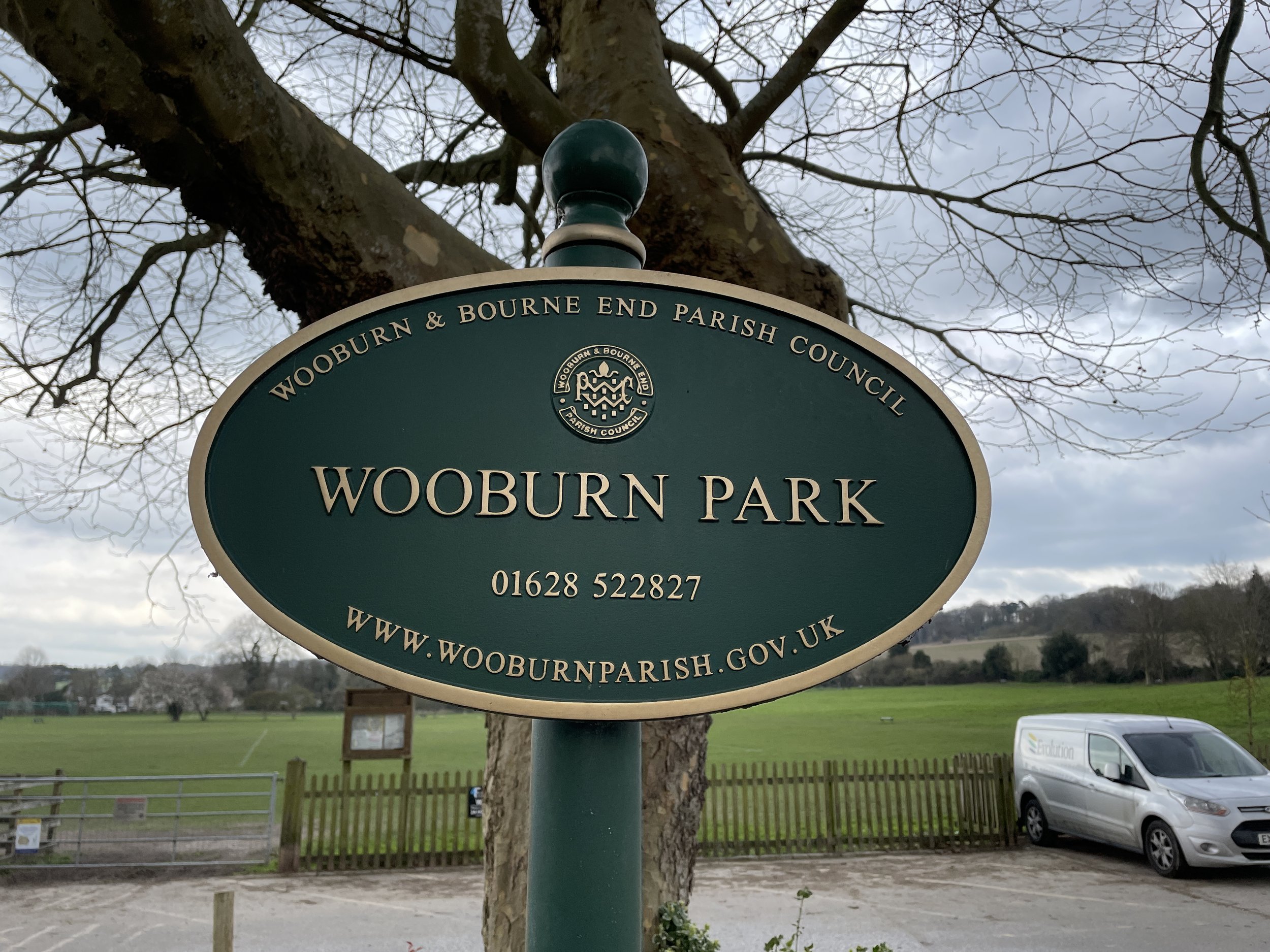
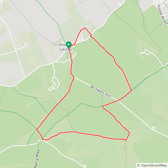
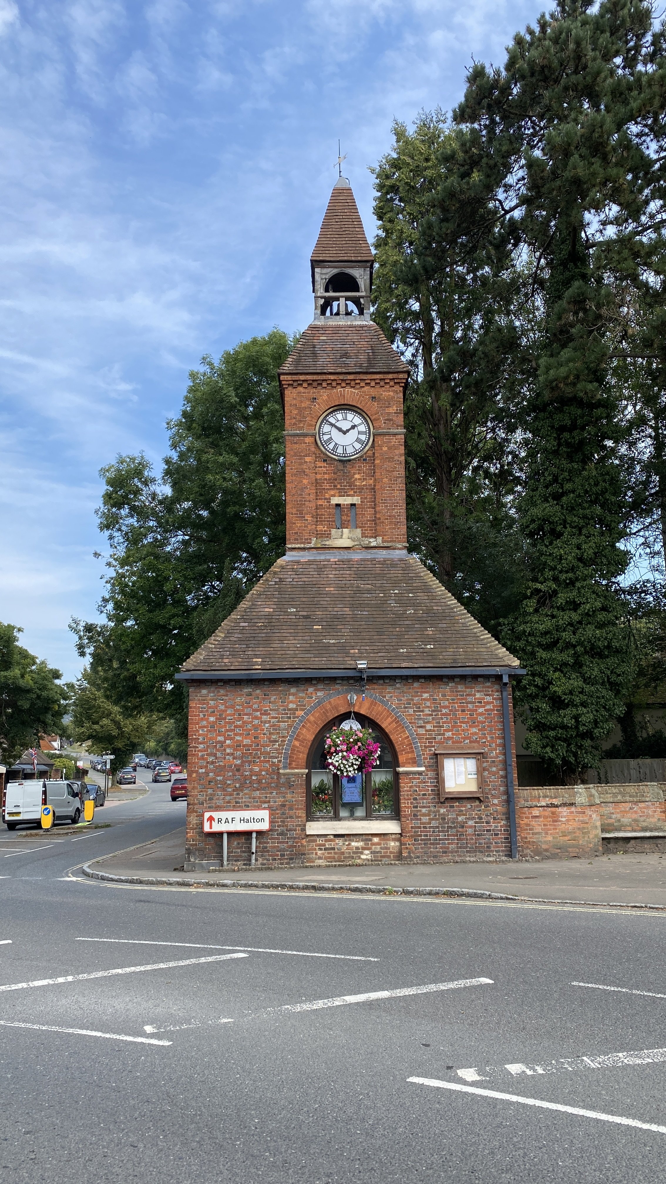
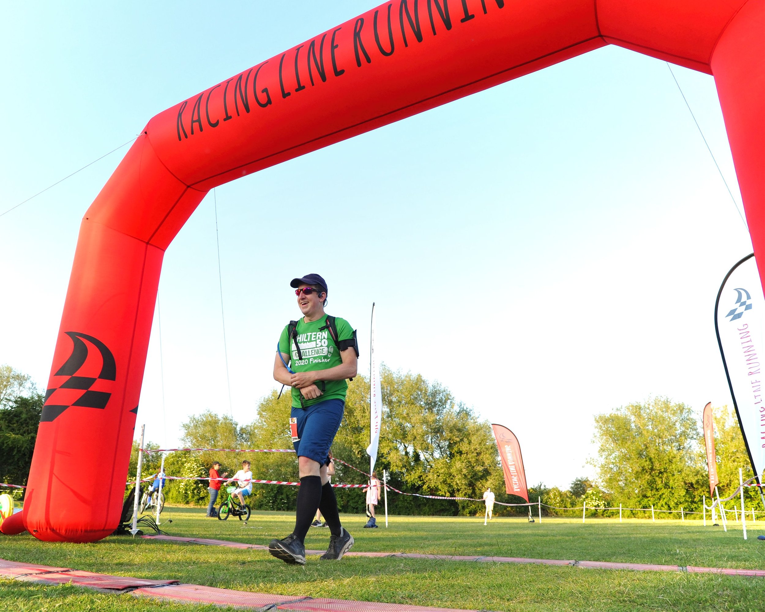
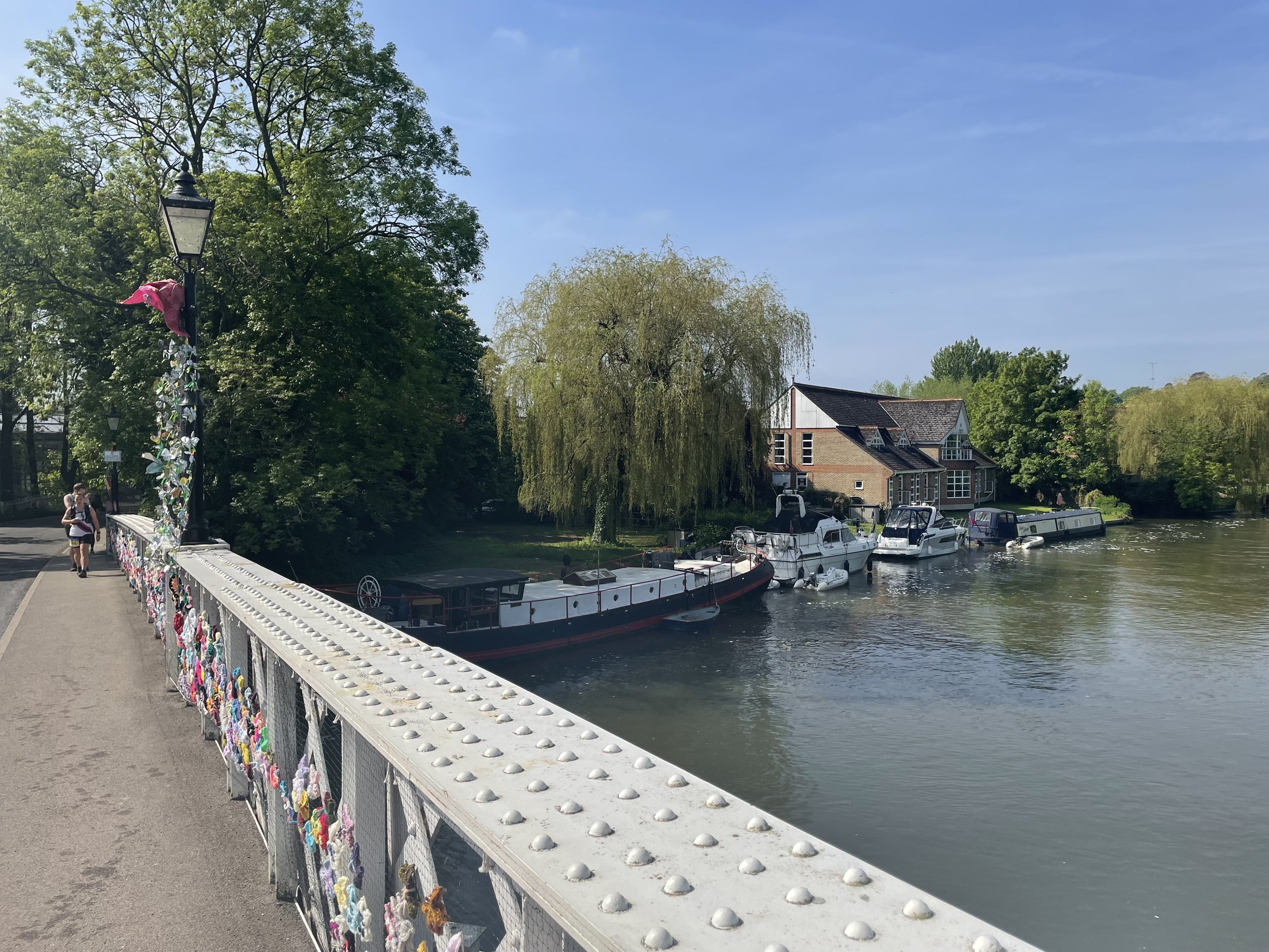
Start & Finish: Entrance to Higginson Park off High Street, Marlow, SL7 2AB
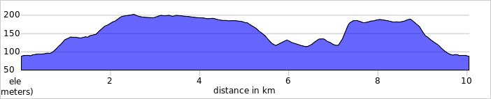
Distance: 10.2 km (6.3 miles)
Elevation change: +/- 94m
GPX File: get via Buy Me a Coffee
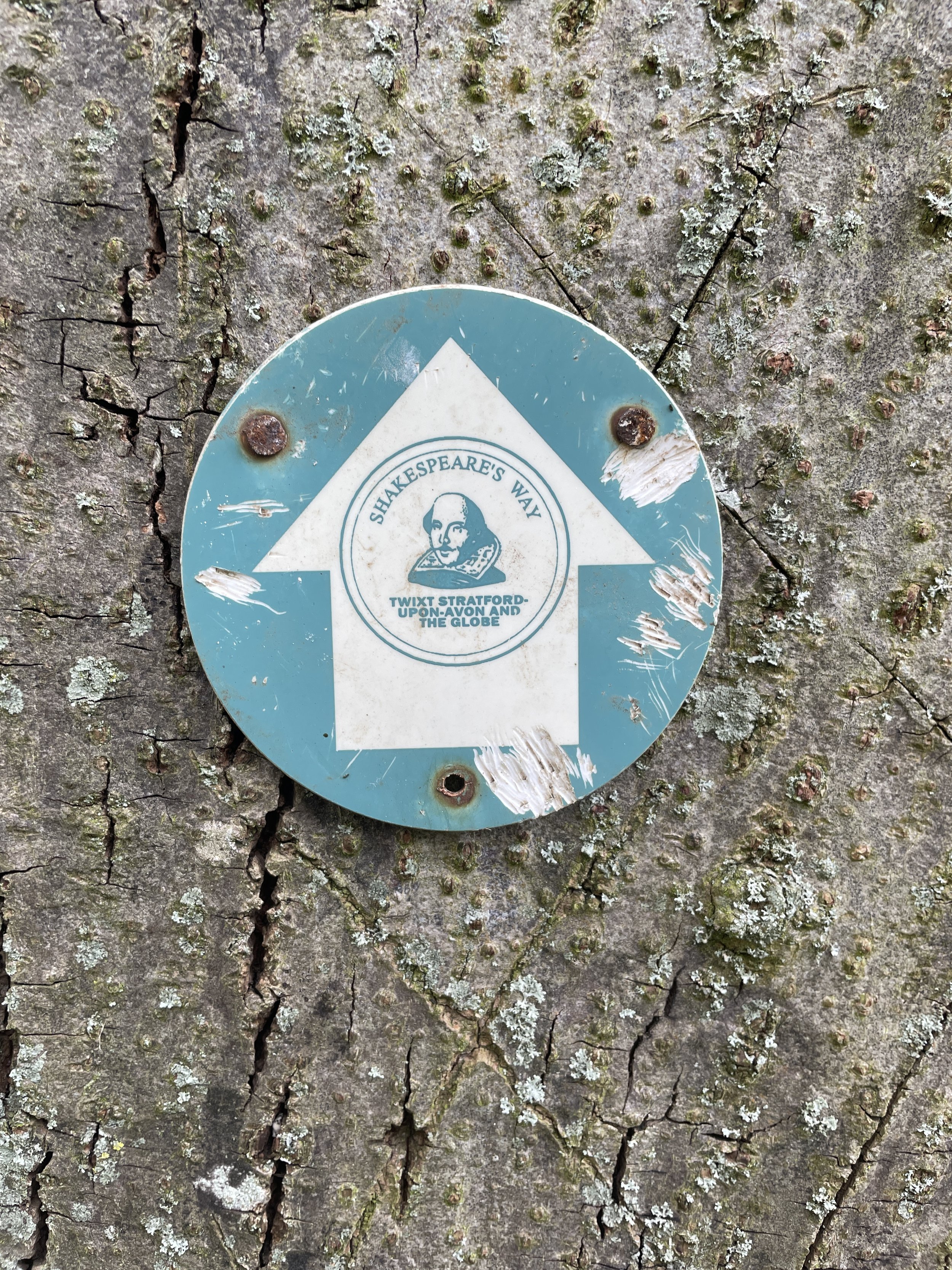
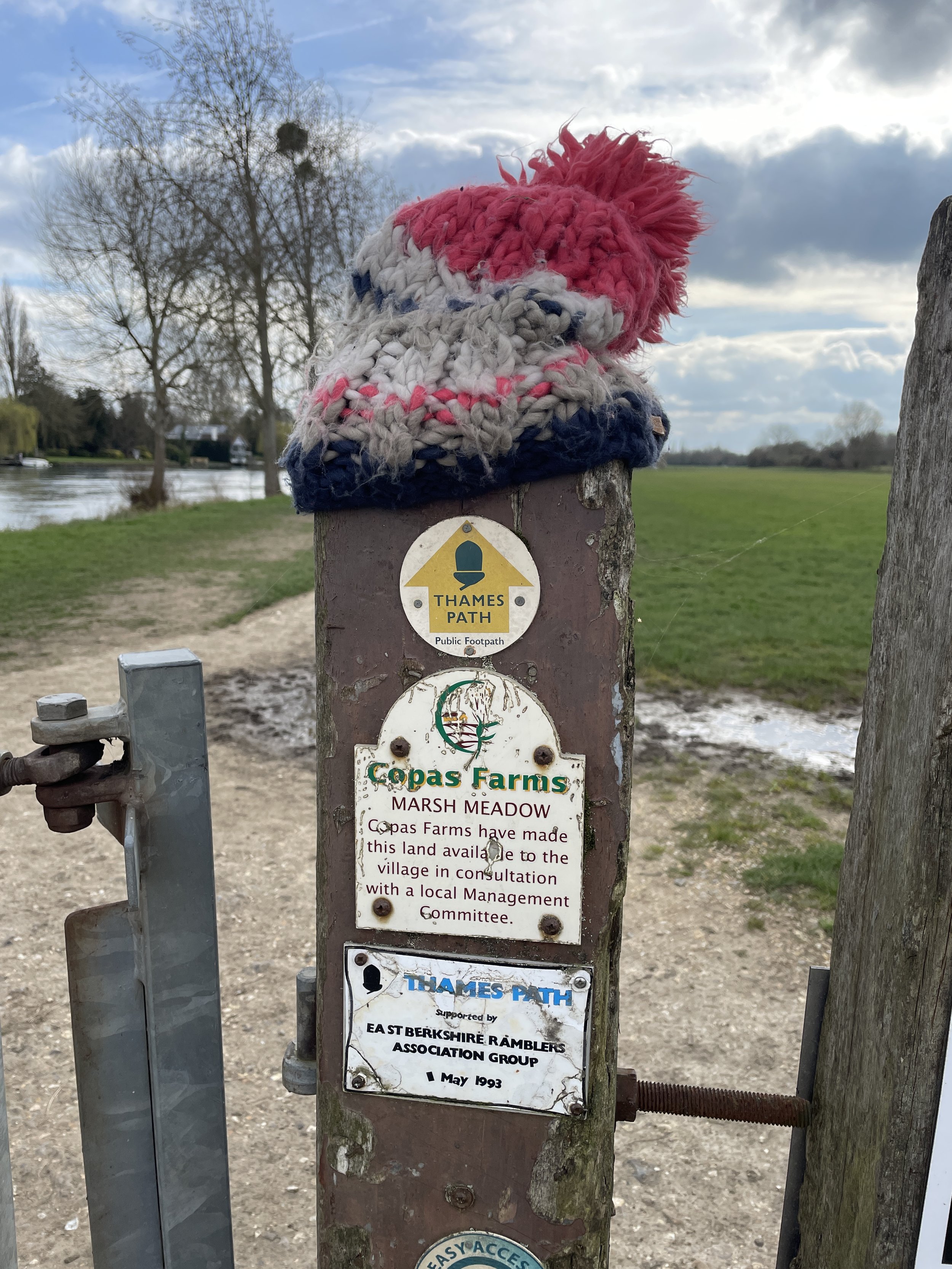
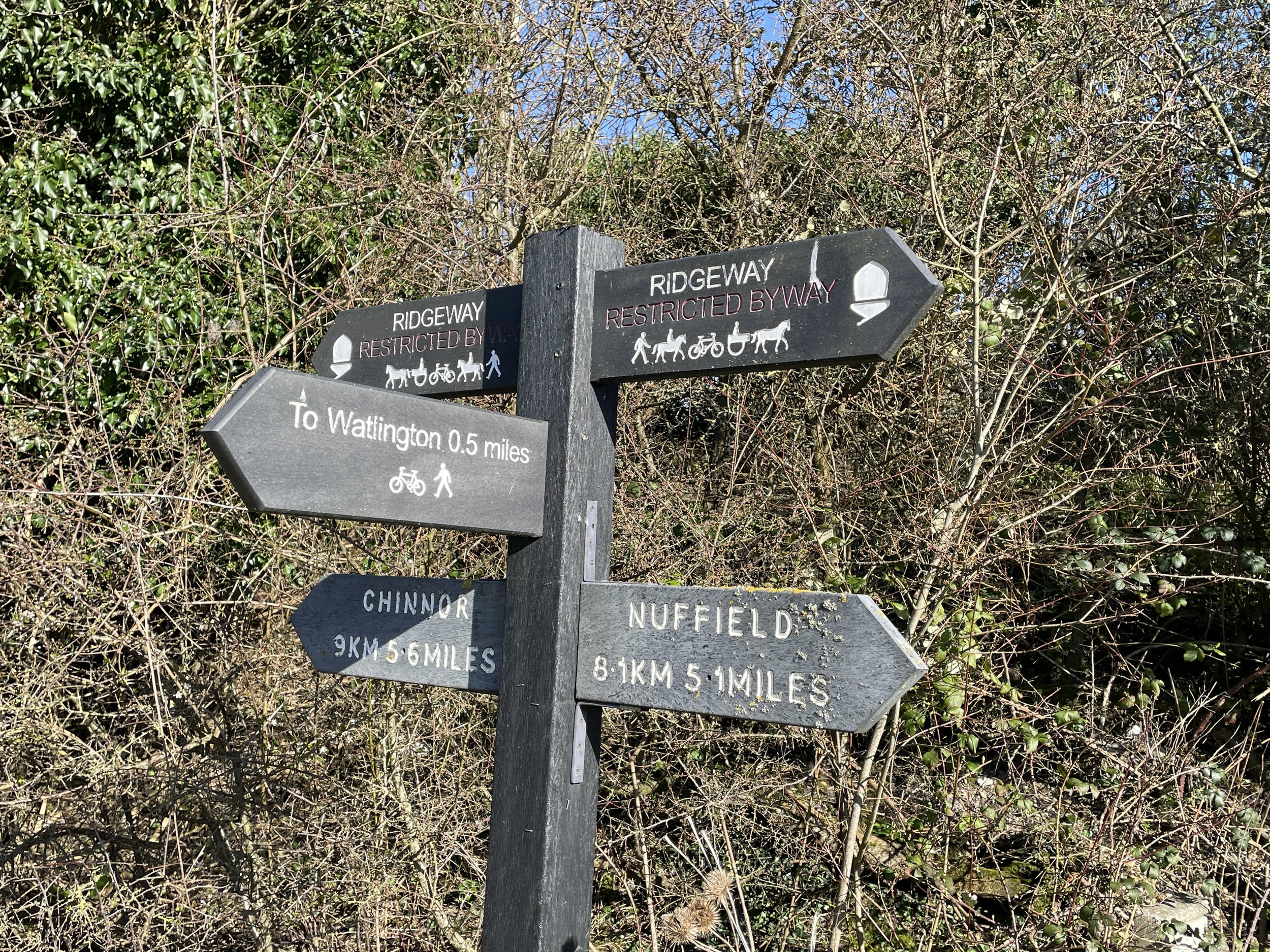
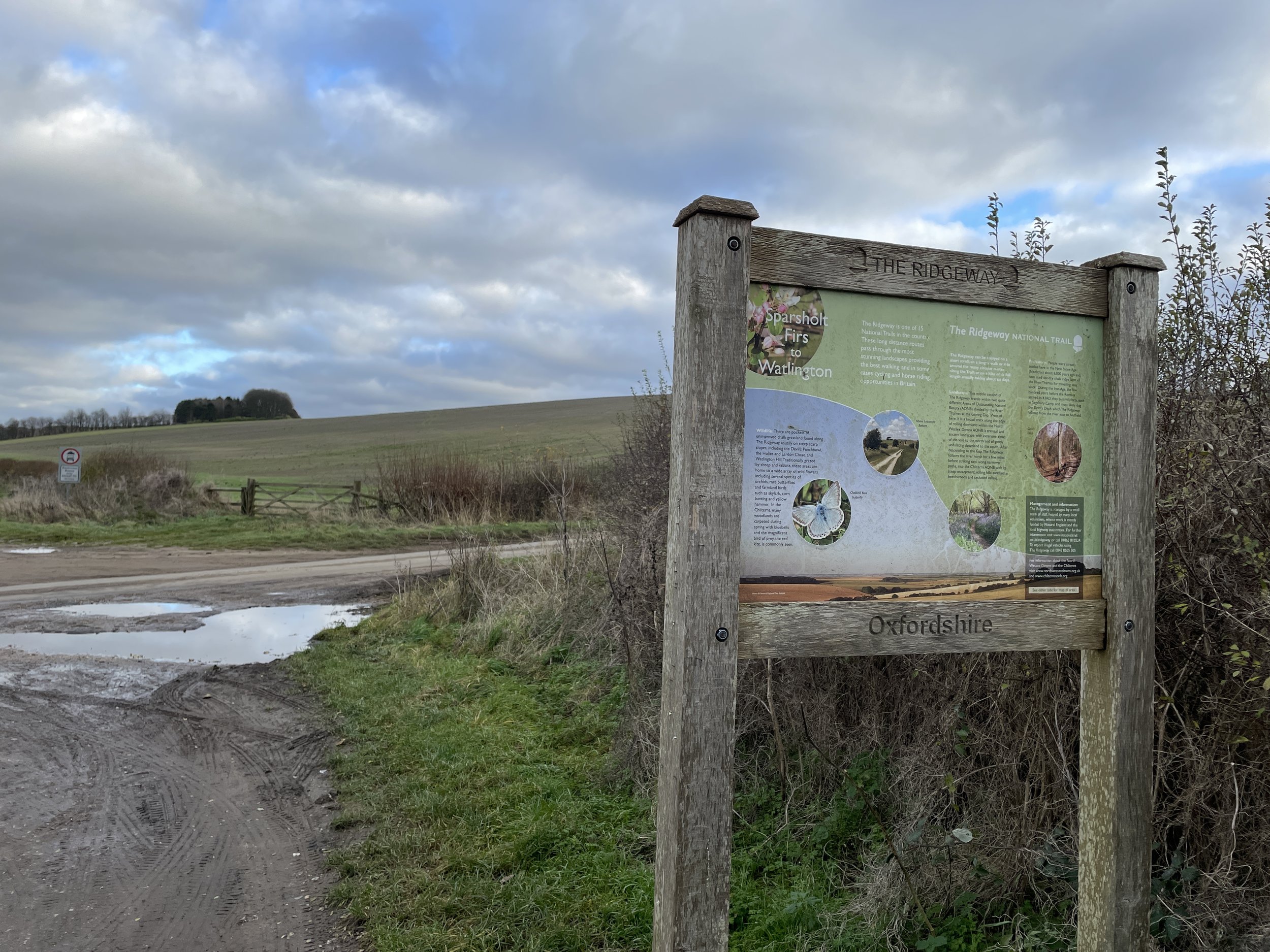
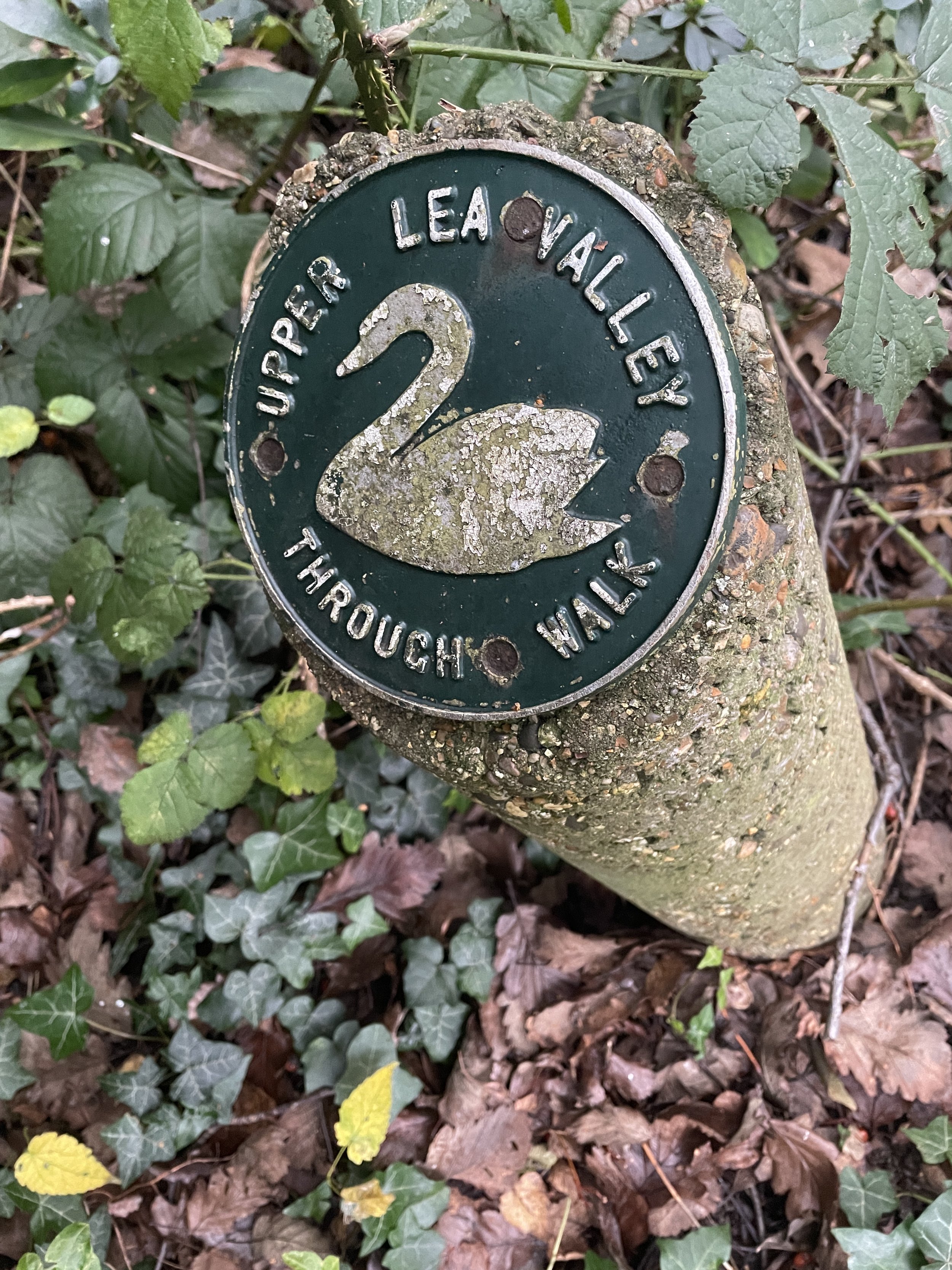
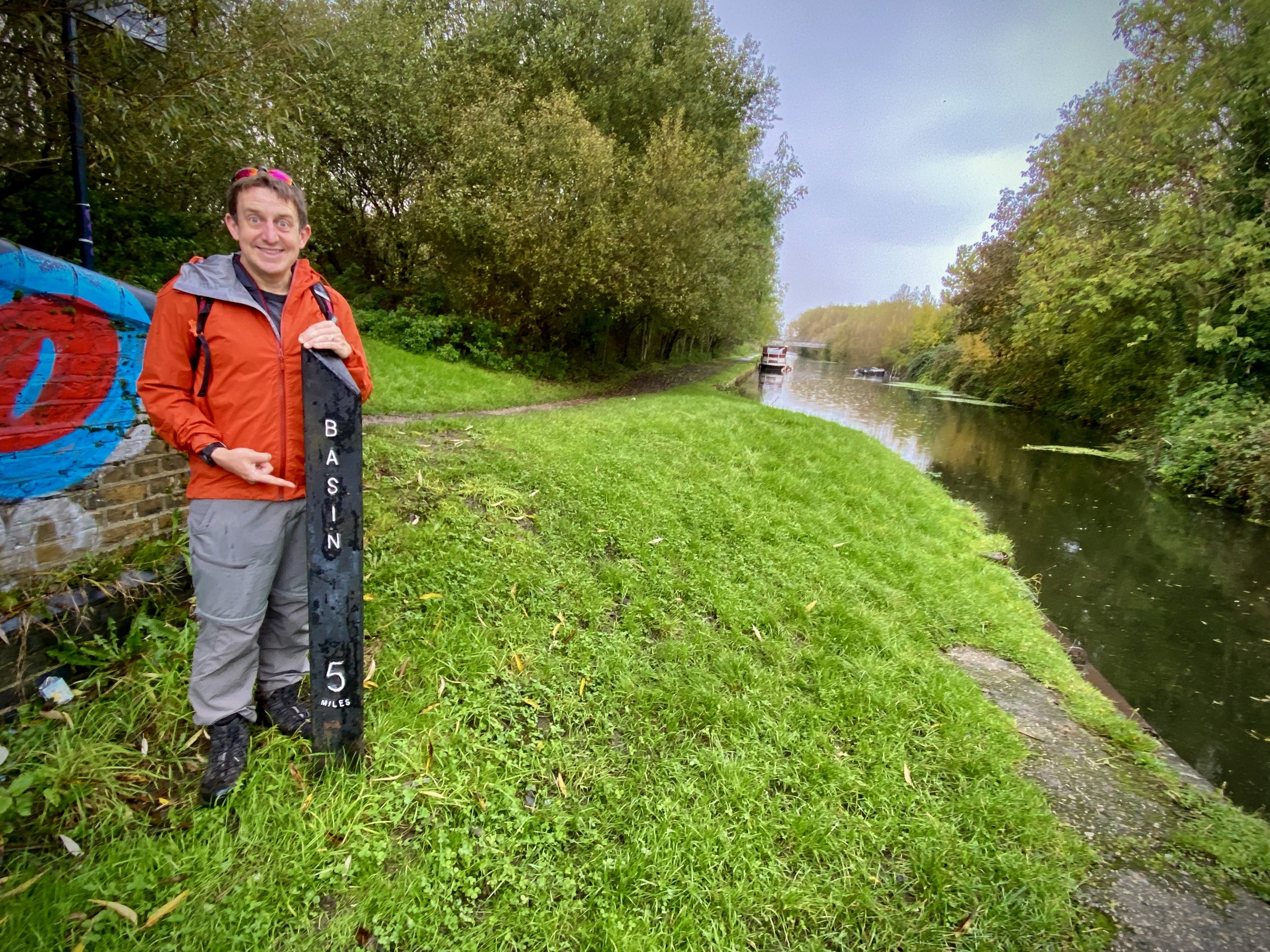
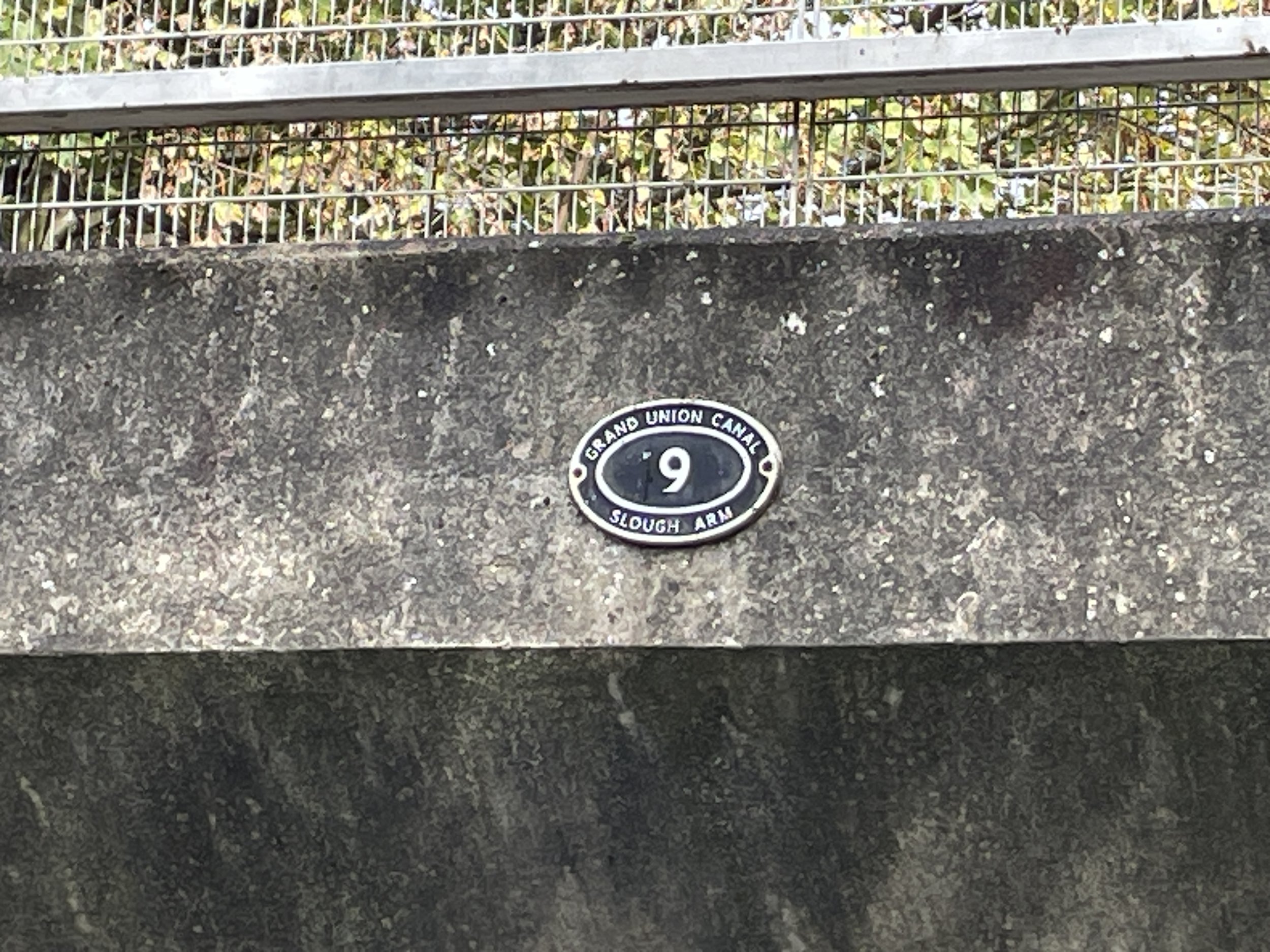
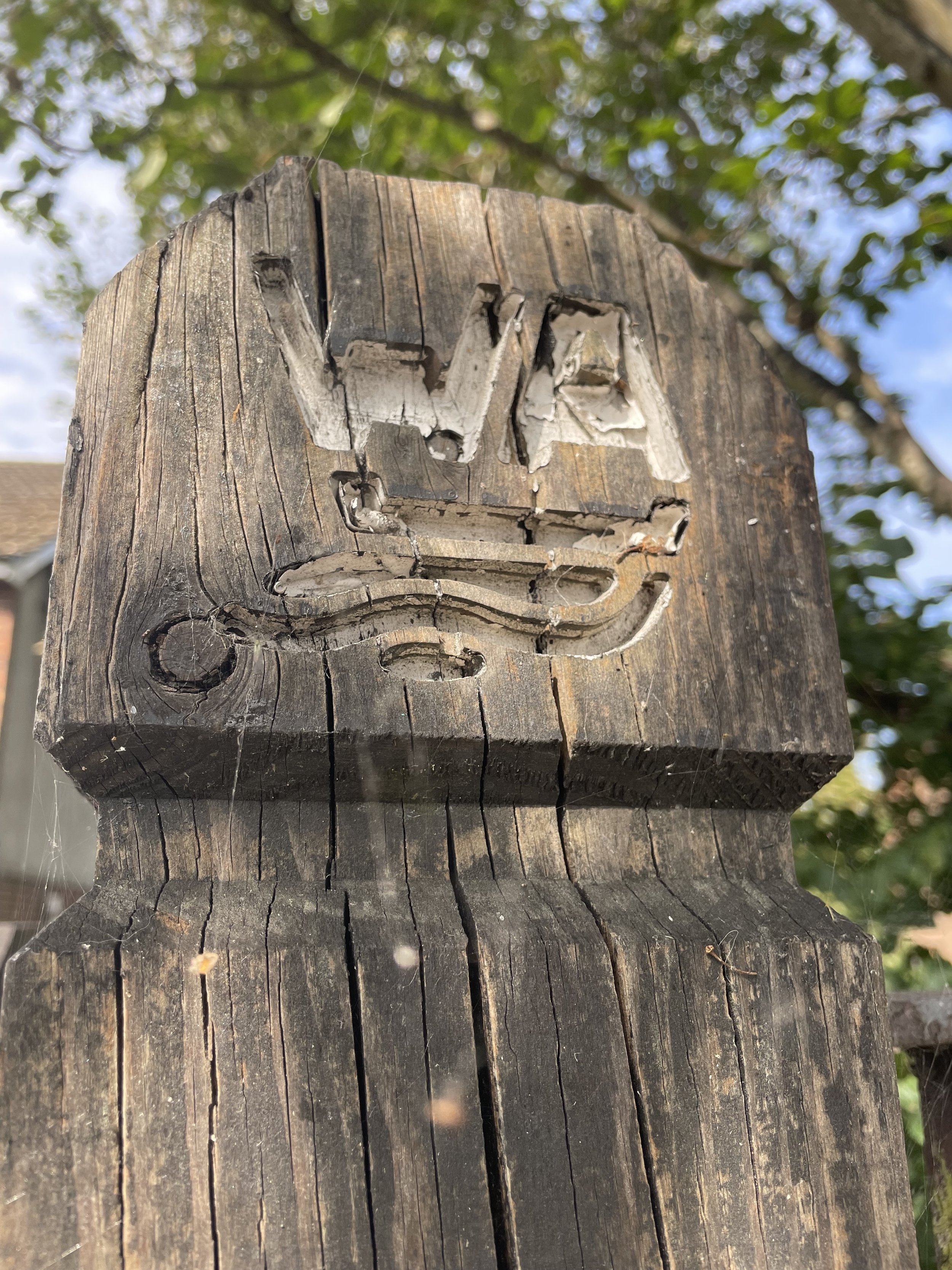
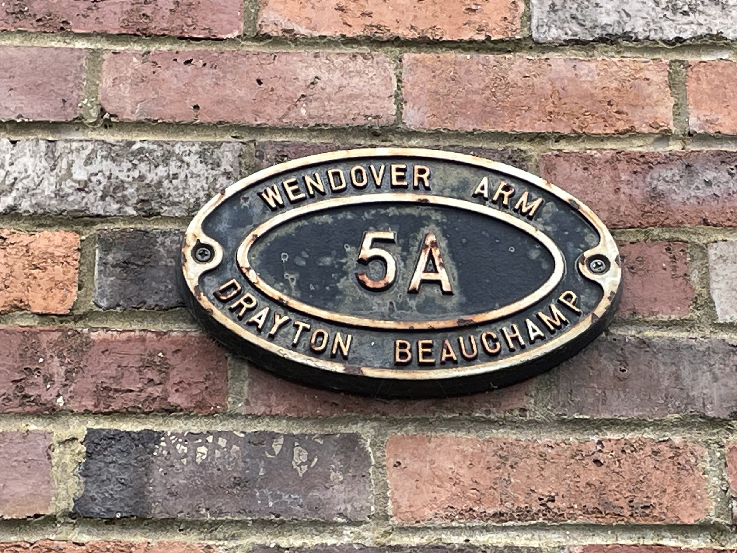
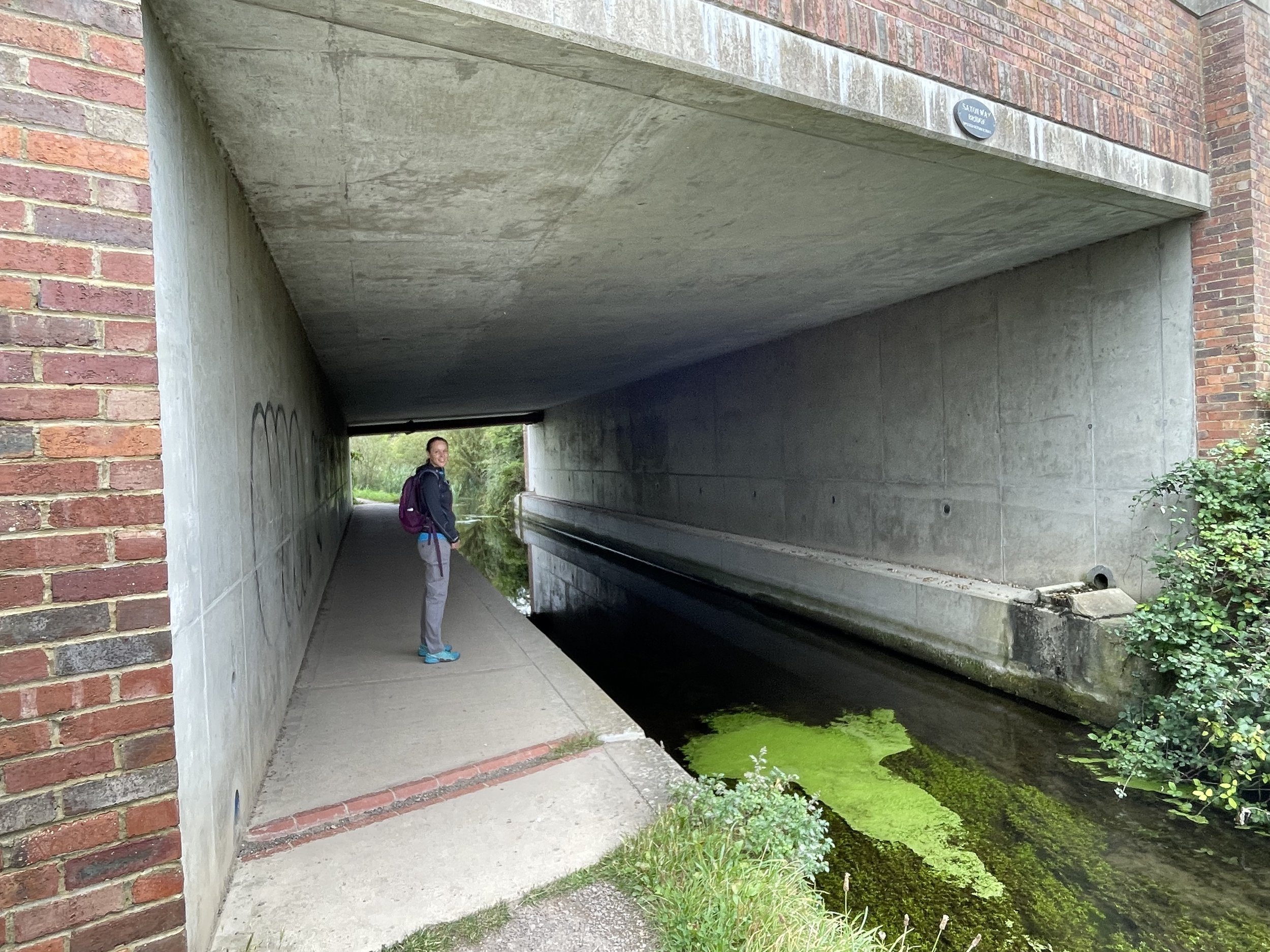
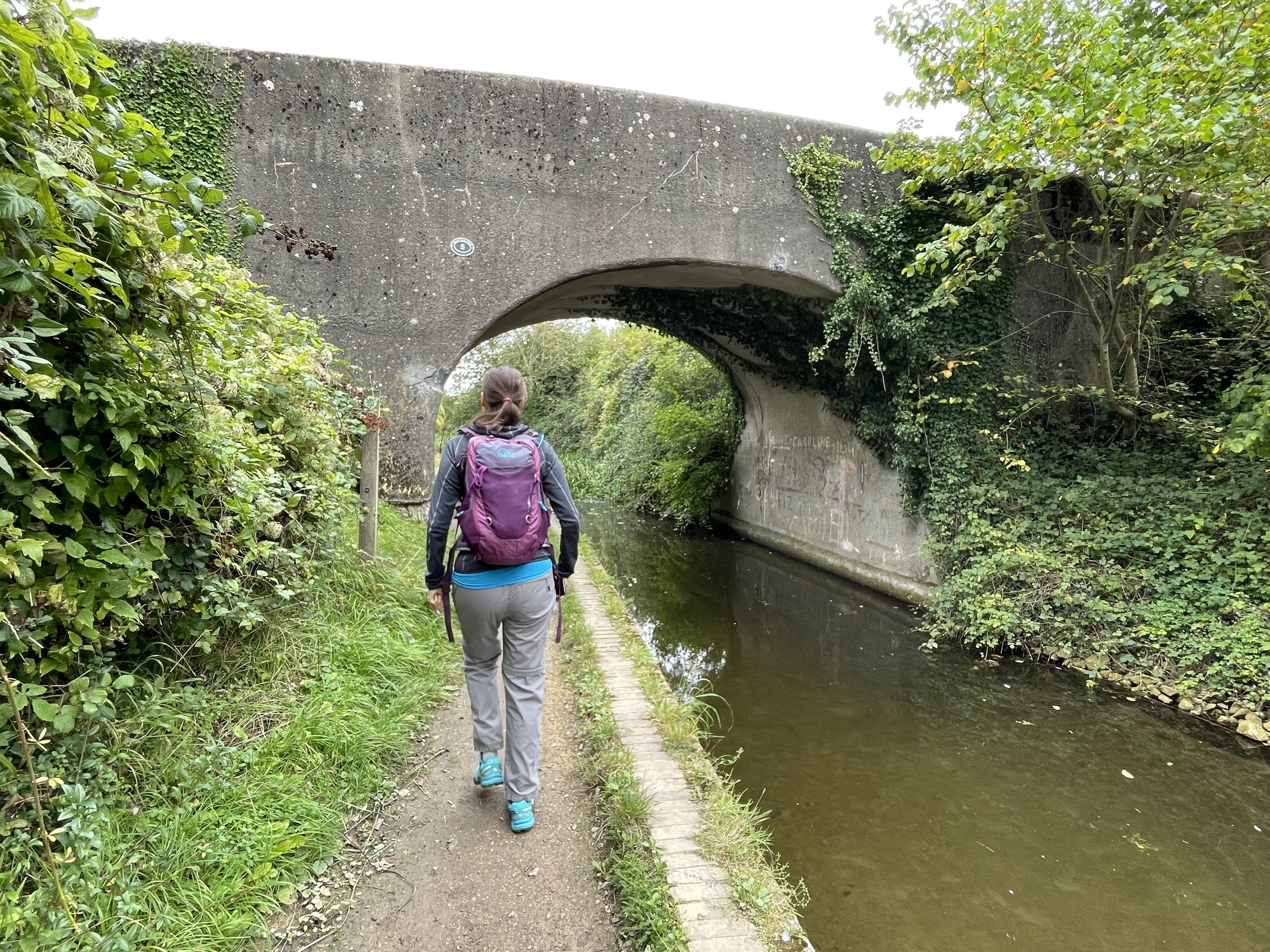
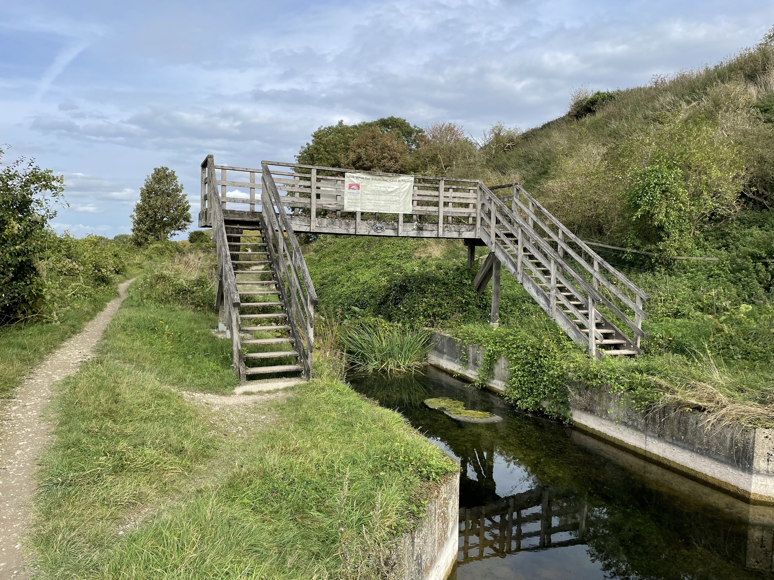
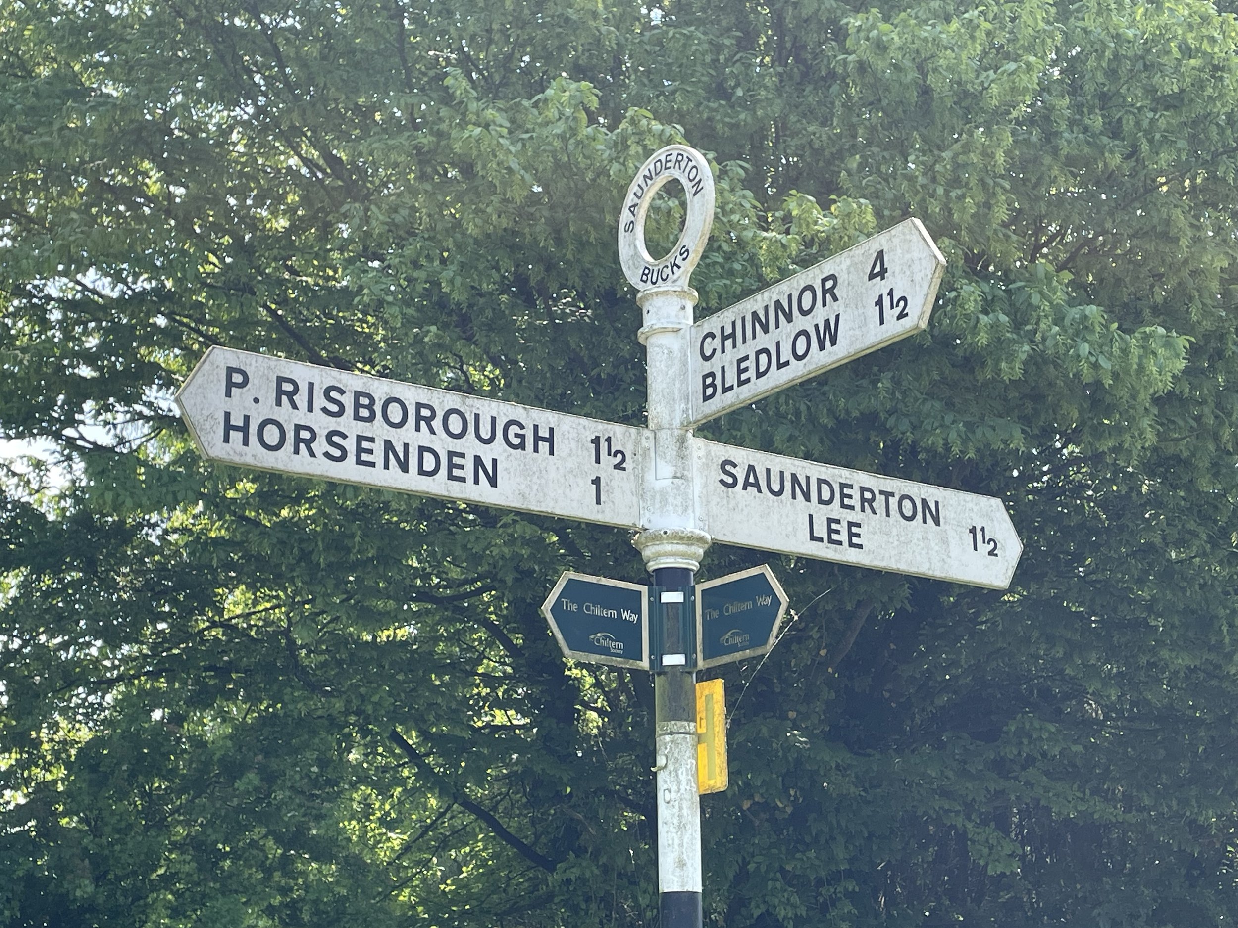
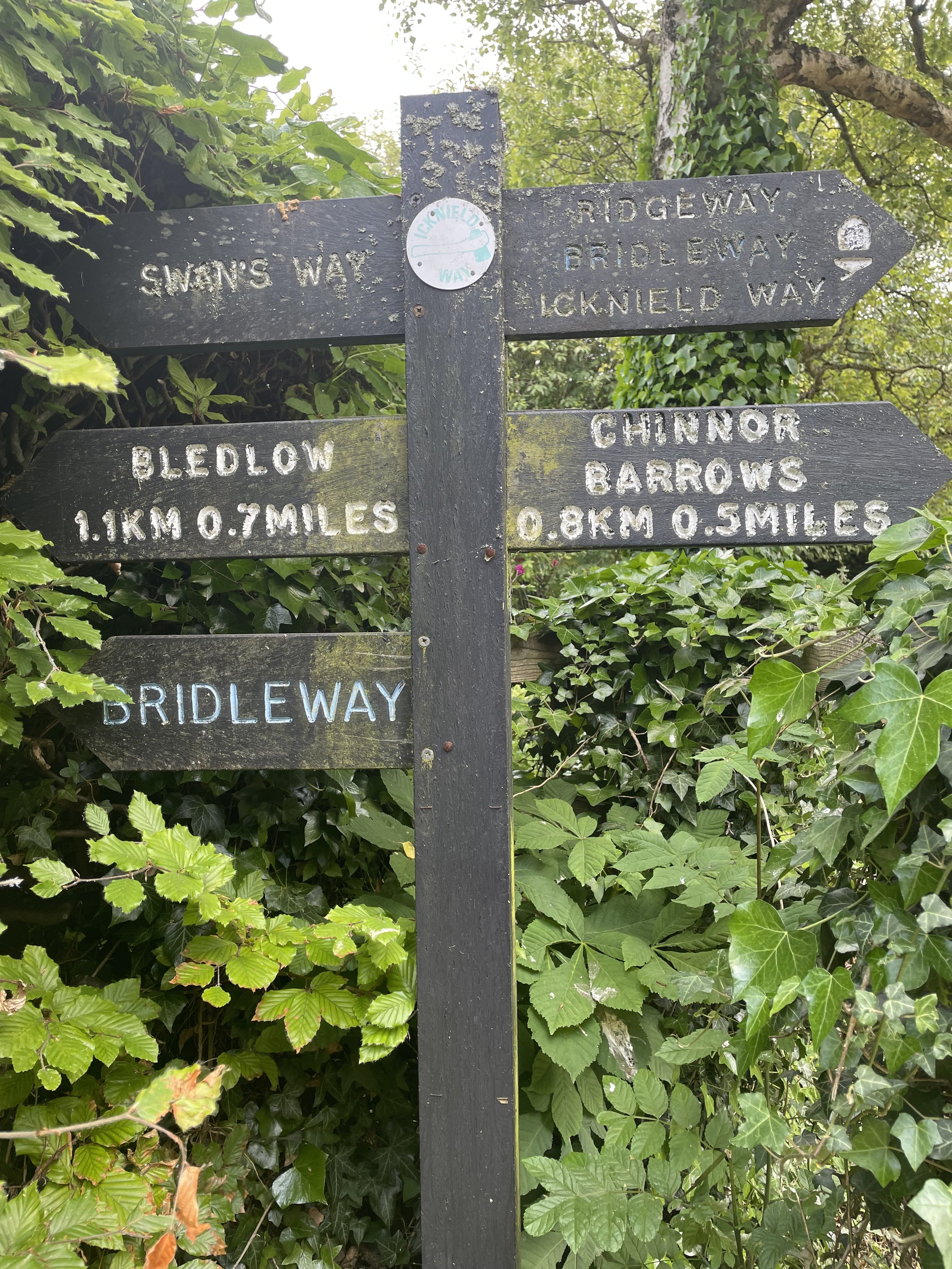
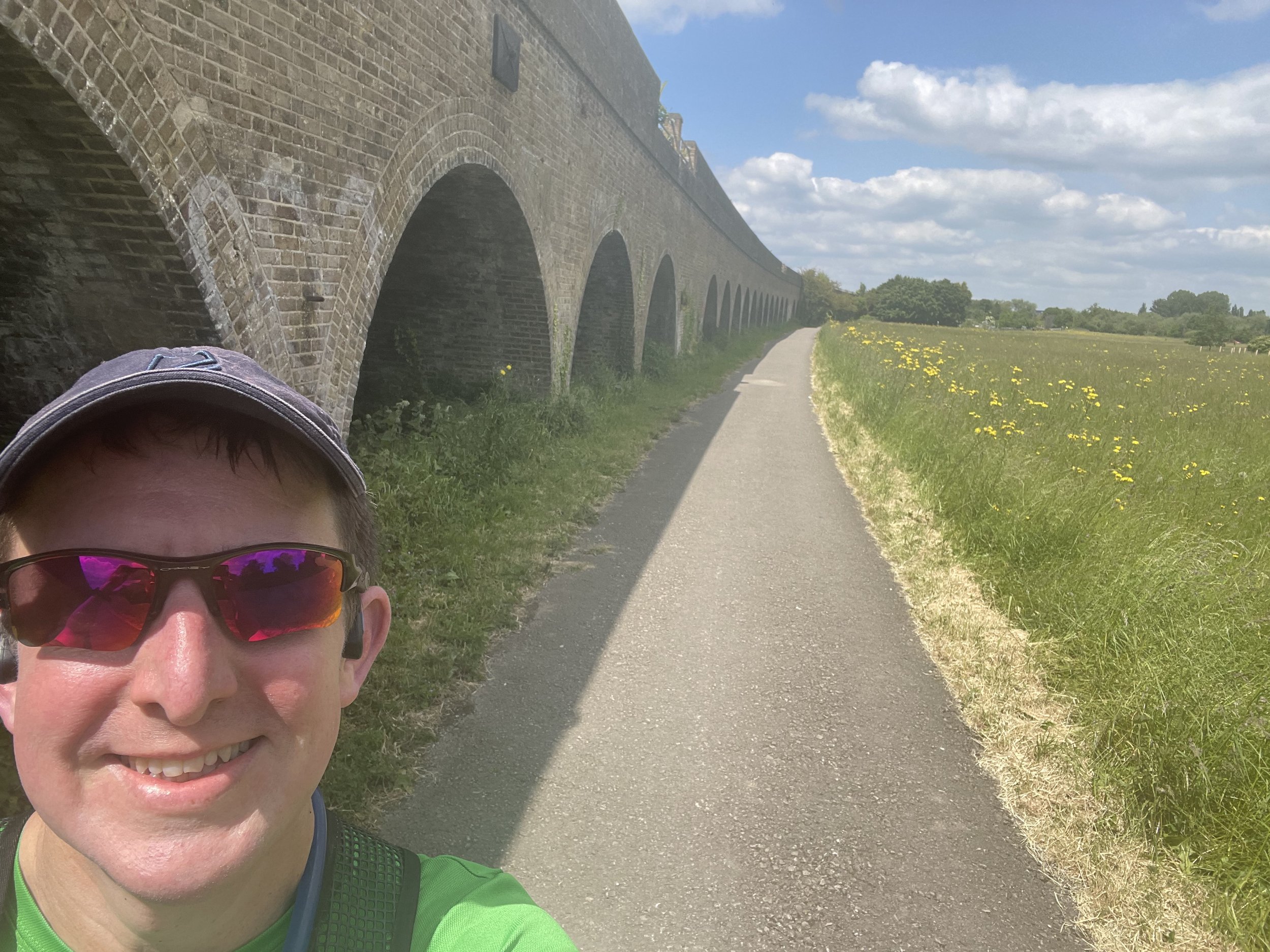
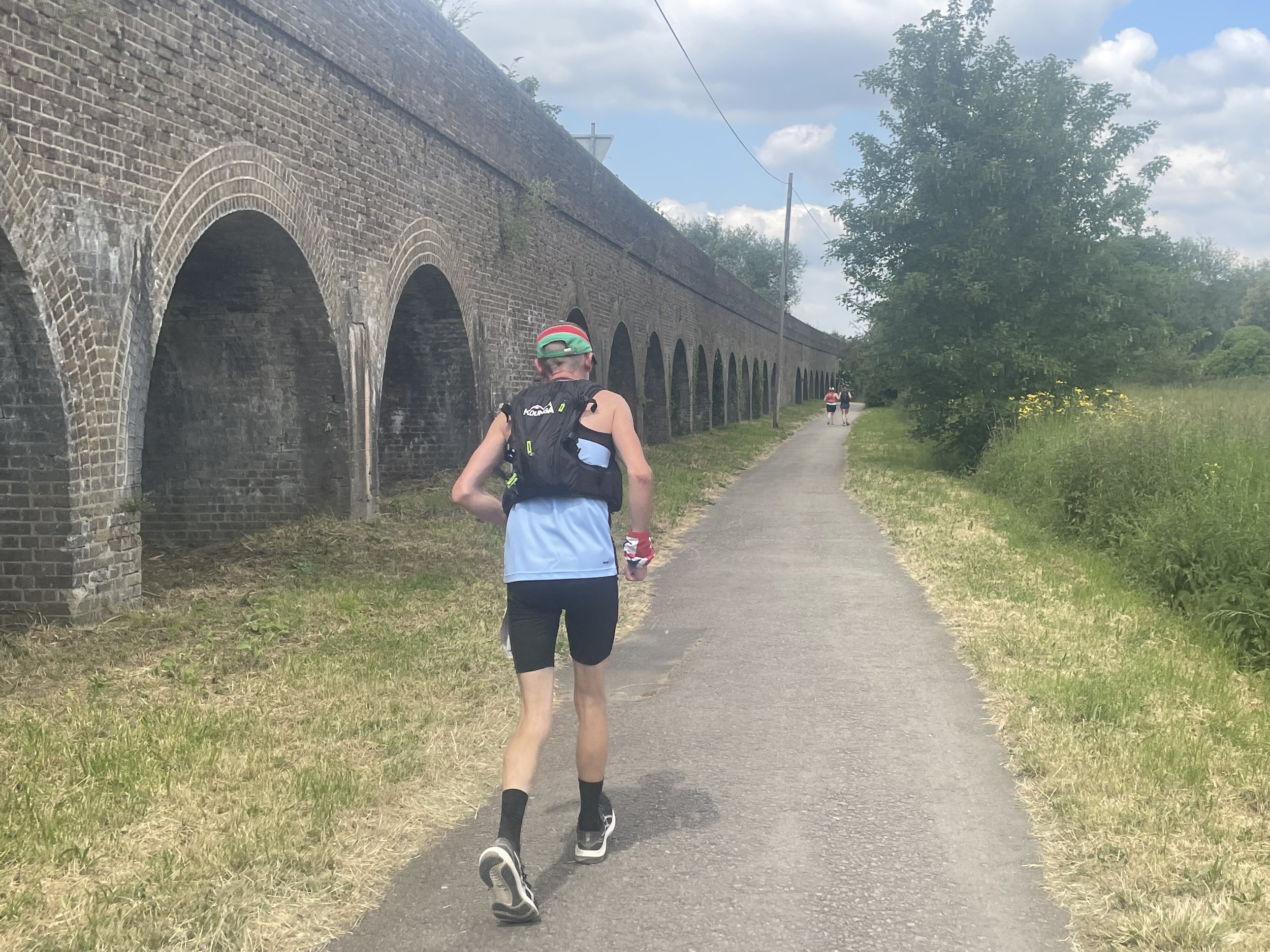
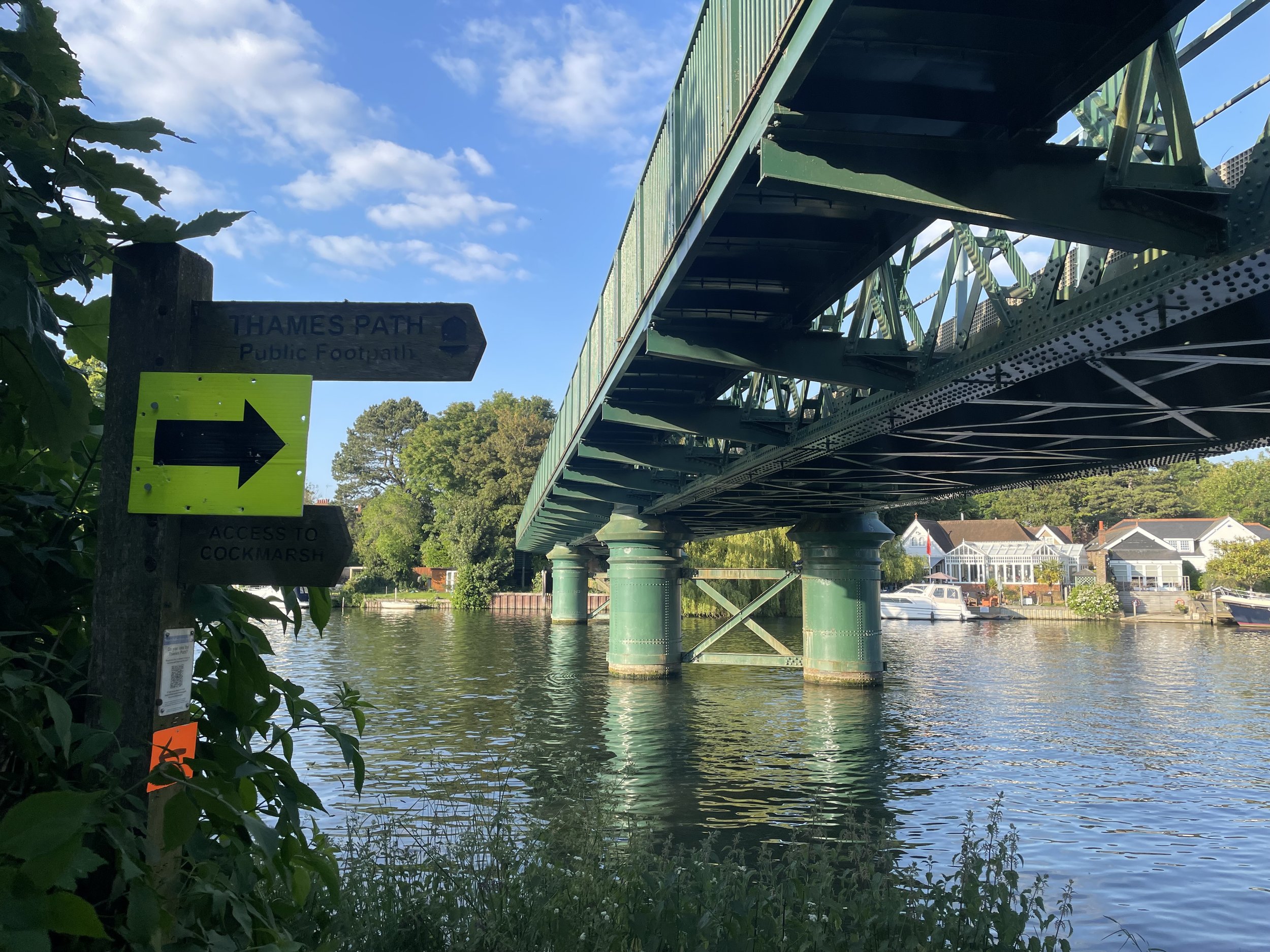
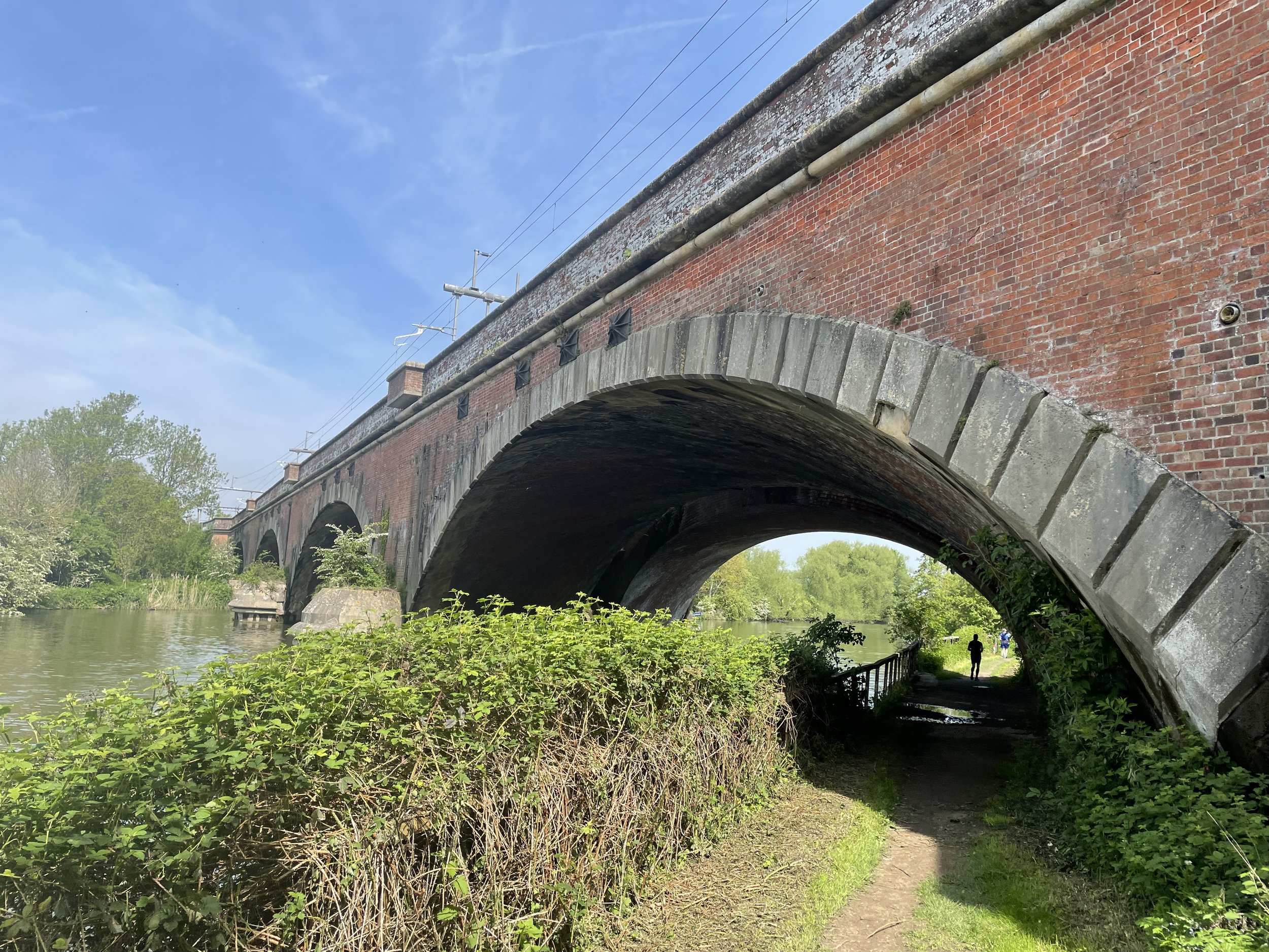
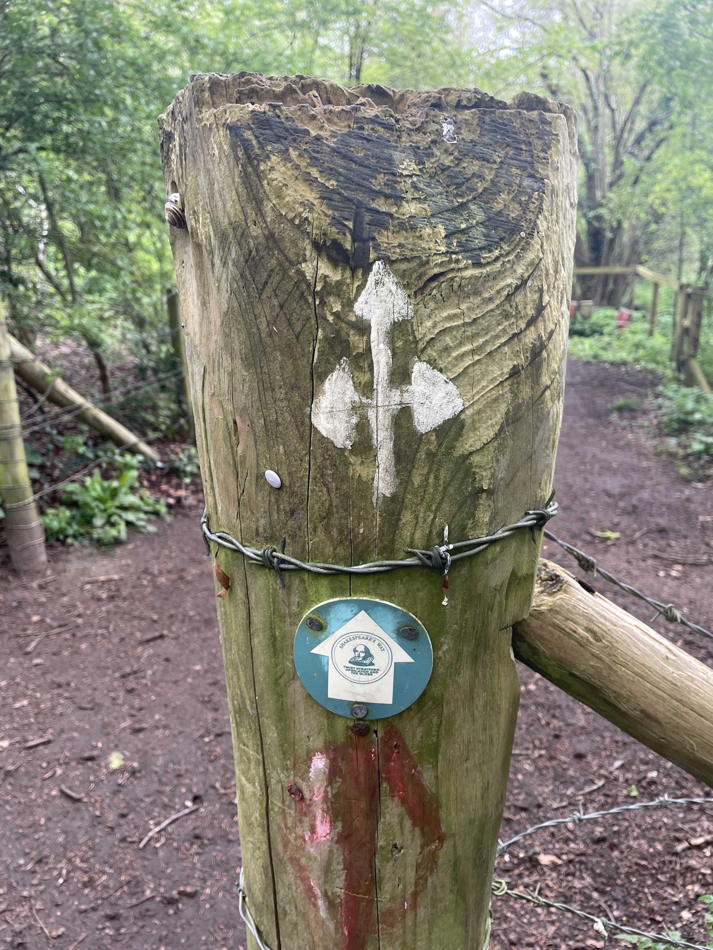
Other routes touched (walk): Thames Path, Shakespeare’s Way, Chiltern Way
Other routes touched (cycle): None
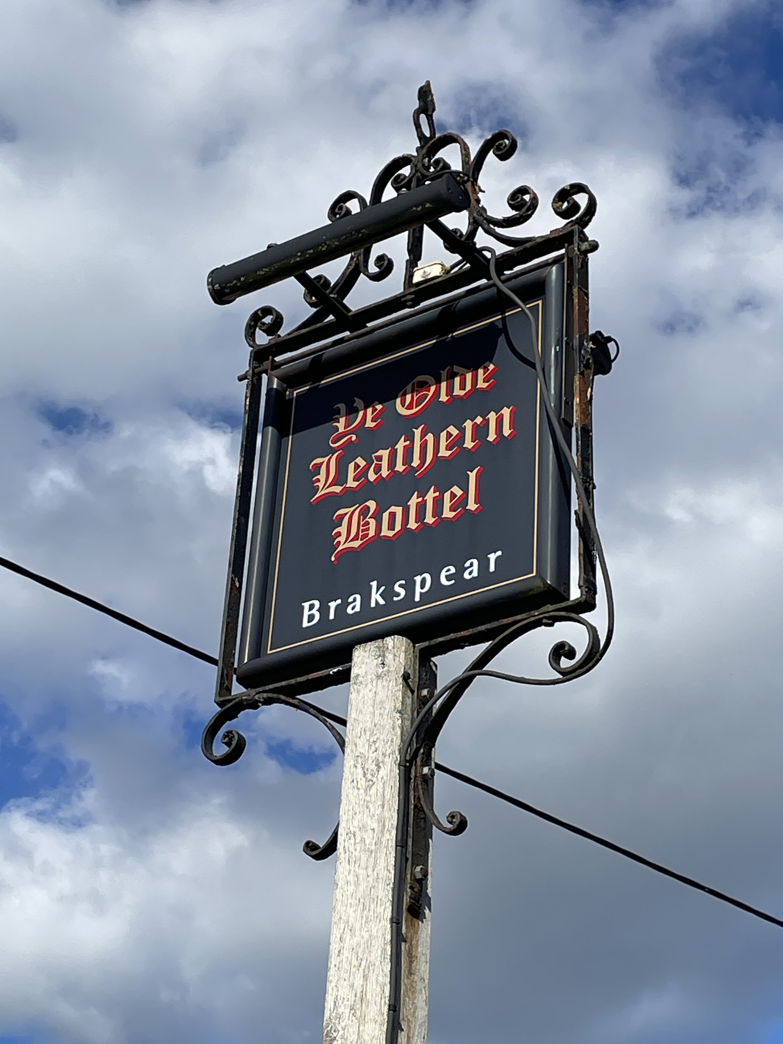
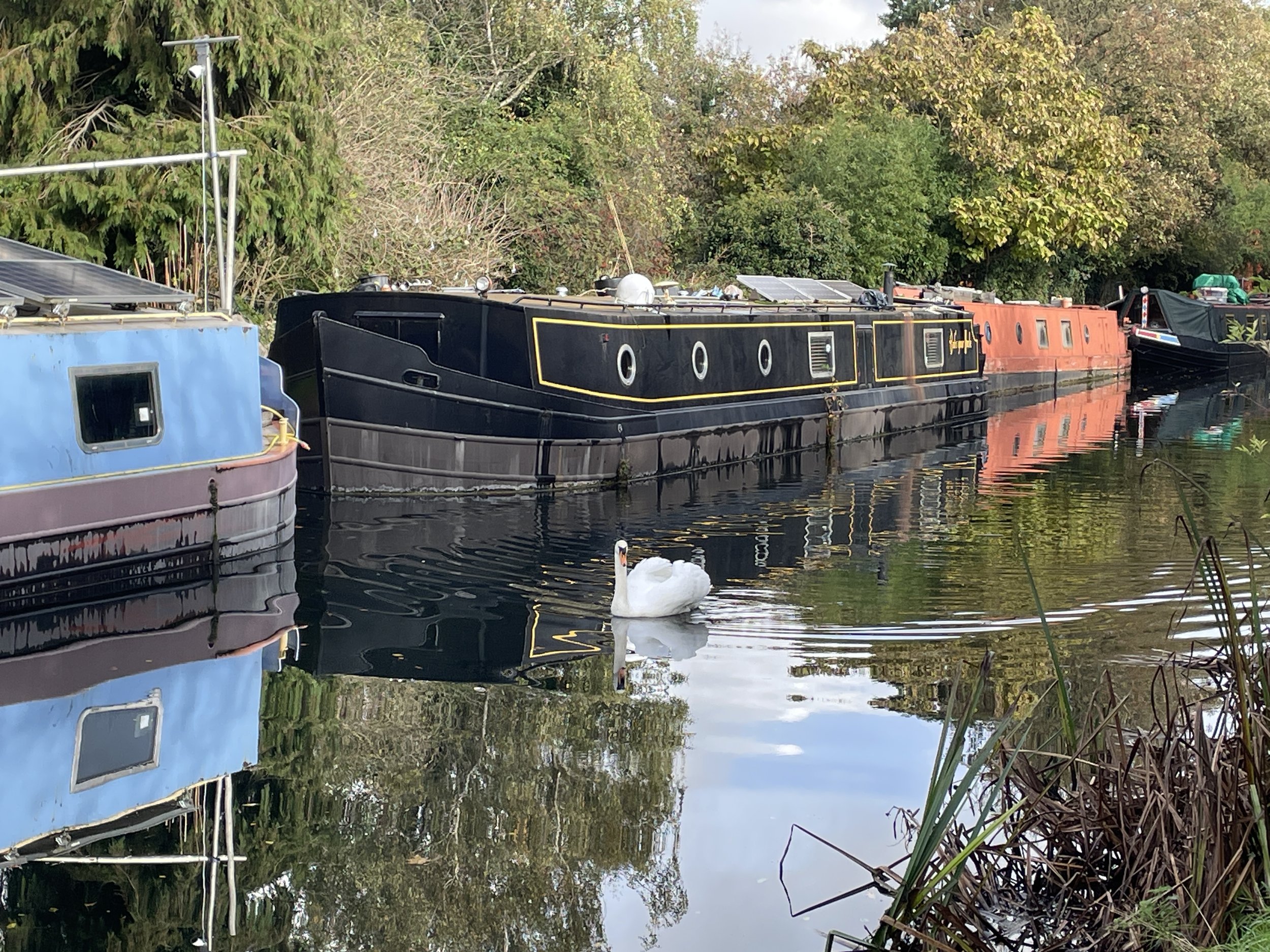
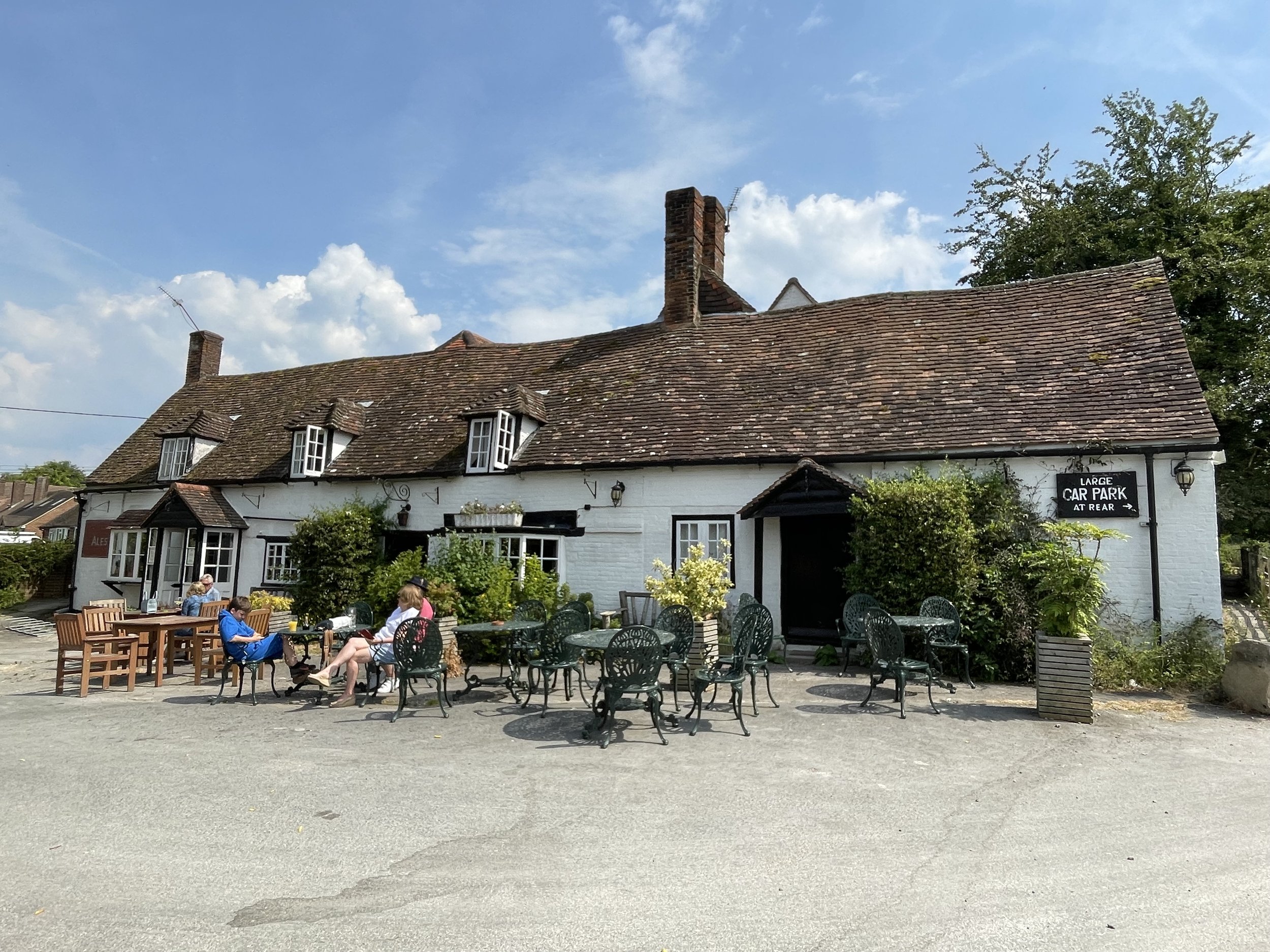
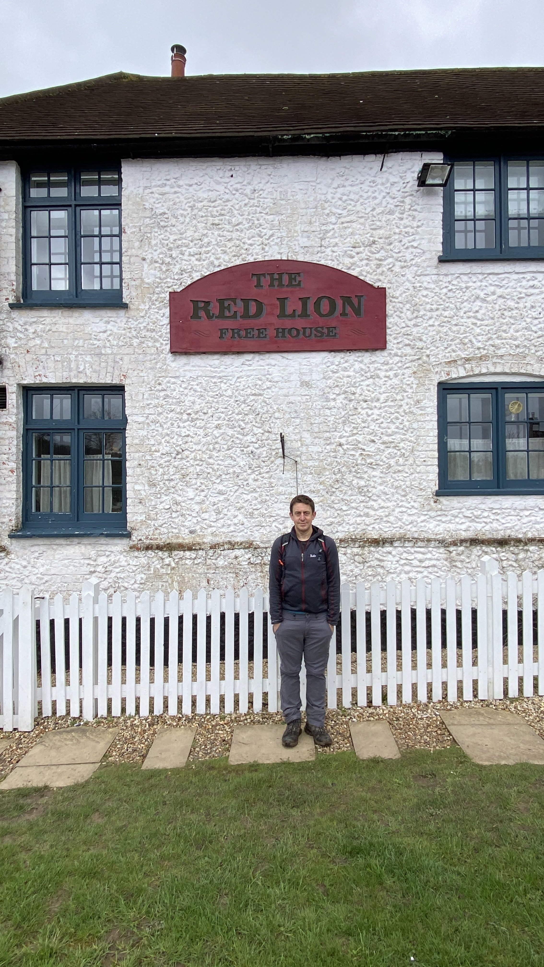
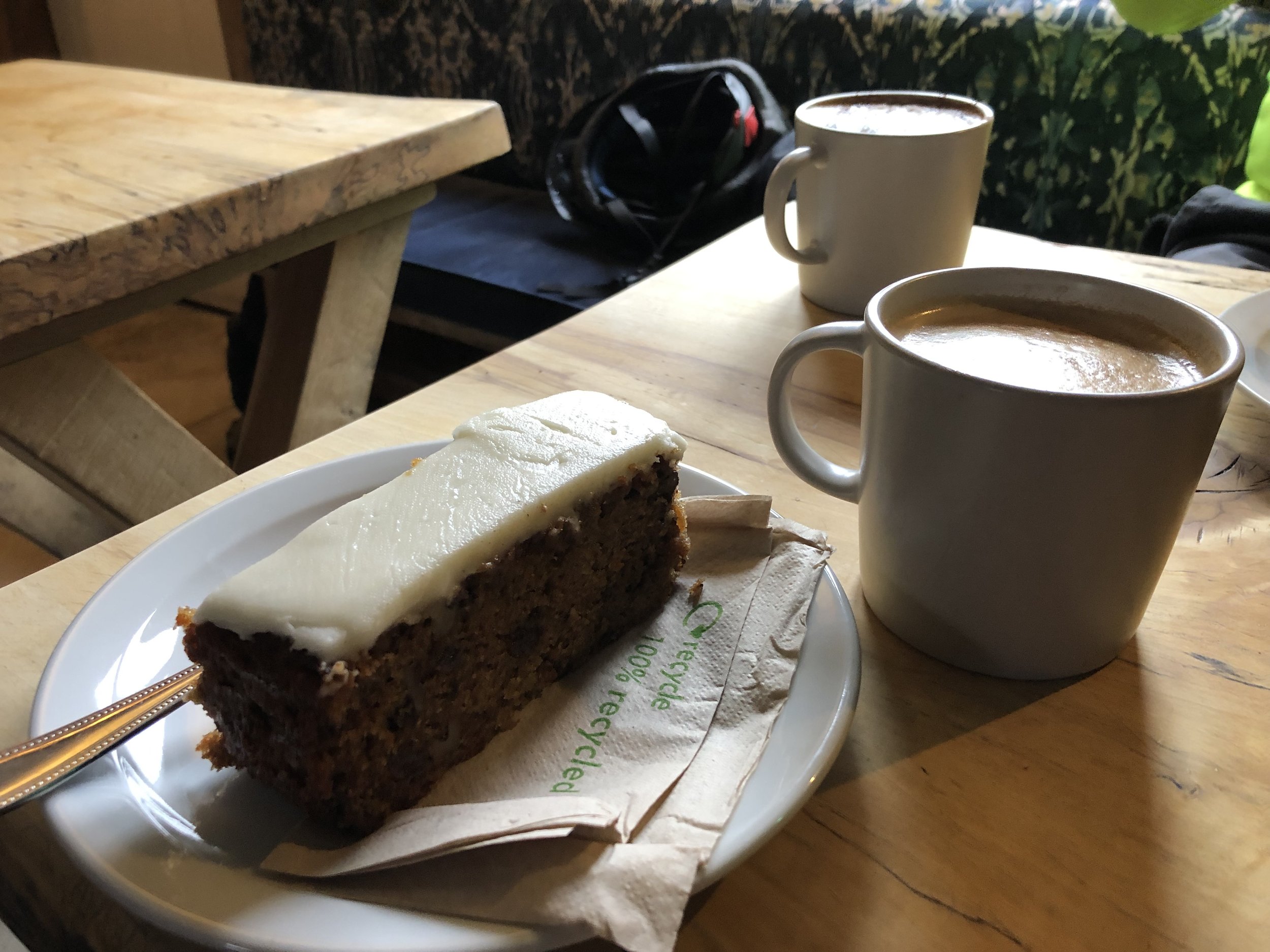
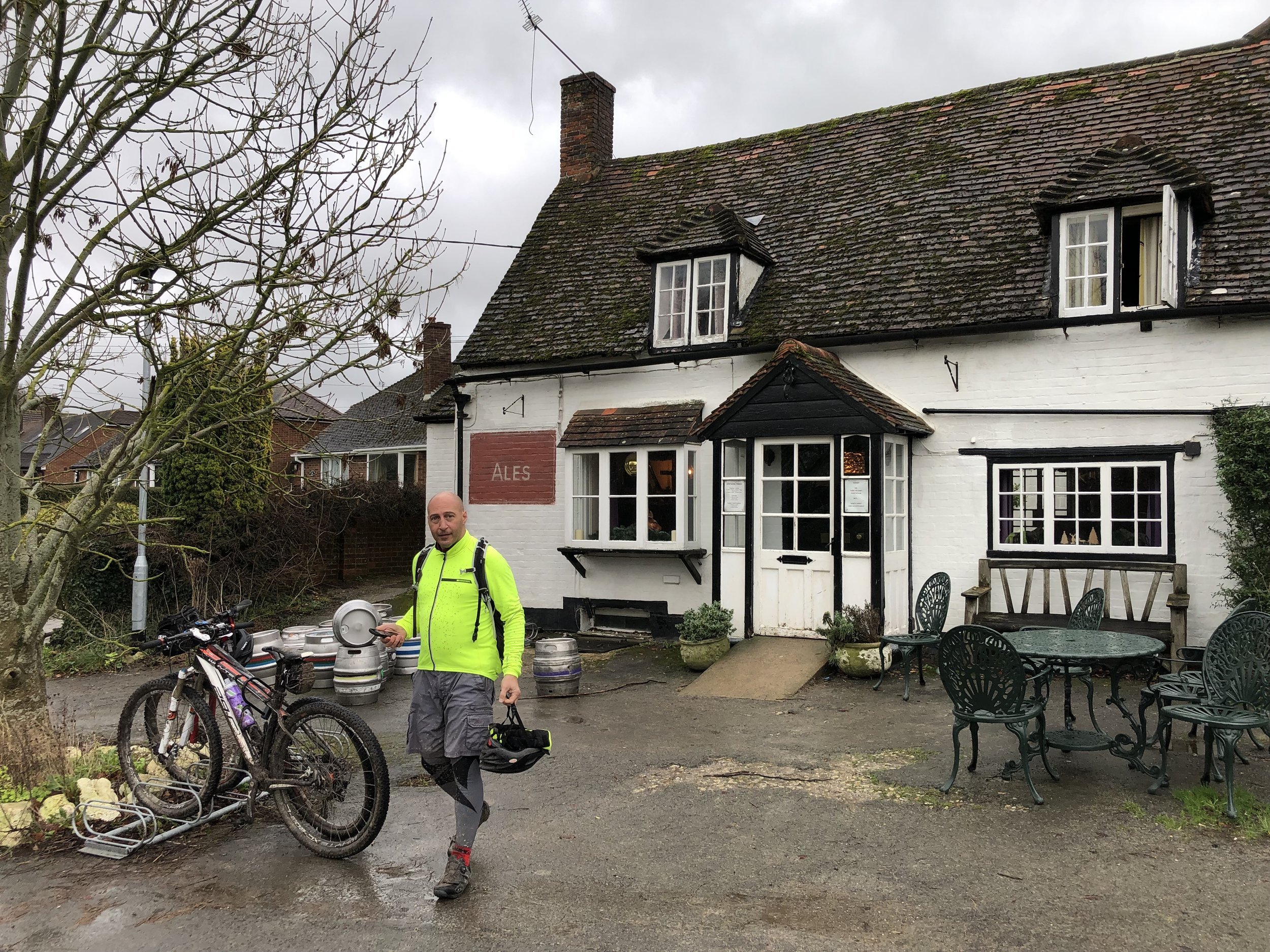
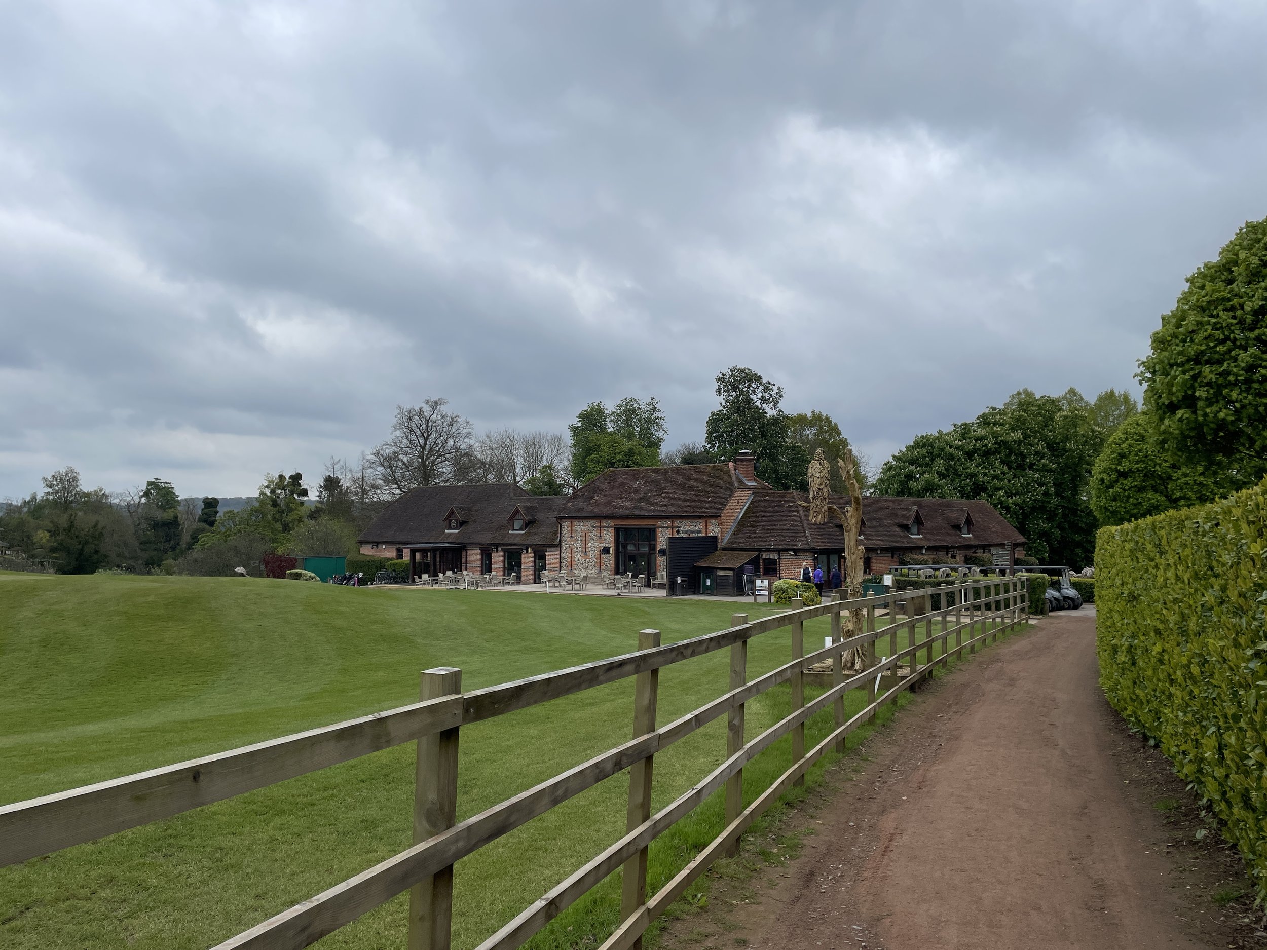
Pubs / Cafes on route: Cafe in Higginson Park at start and finish. Harleyford Golf Club bar (4km in). Many in Marlow High Street.
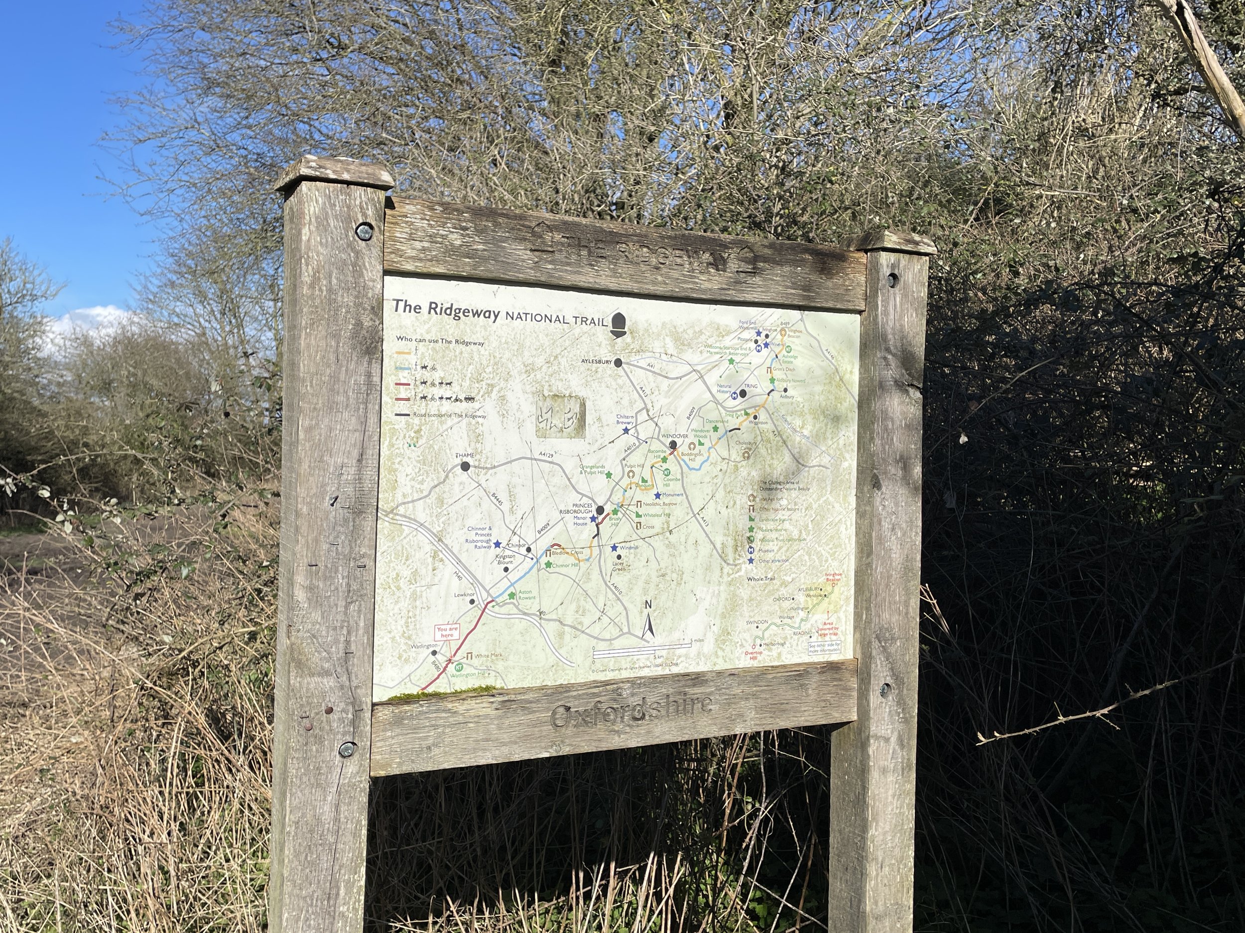
Map: Chiltern Hills East Map | High Wycombe, Maidenshead & Rickmansworth | Ordnance Survey | OS Explorer Map 172
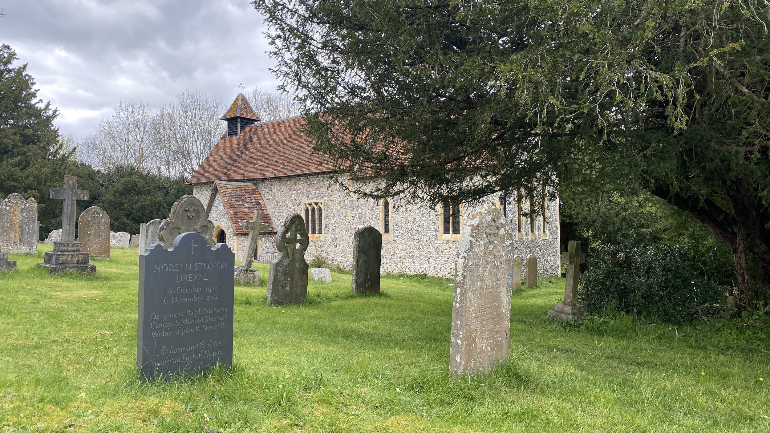
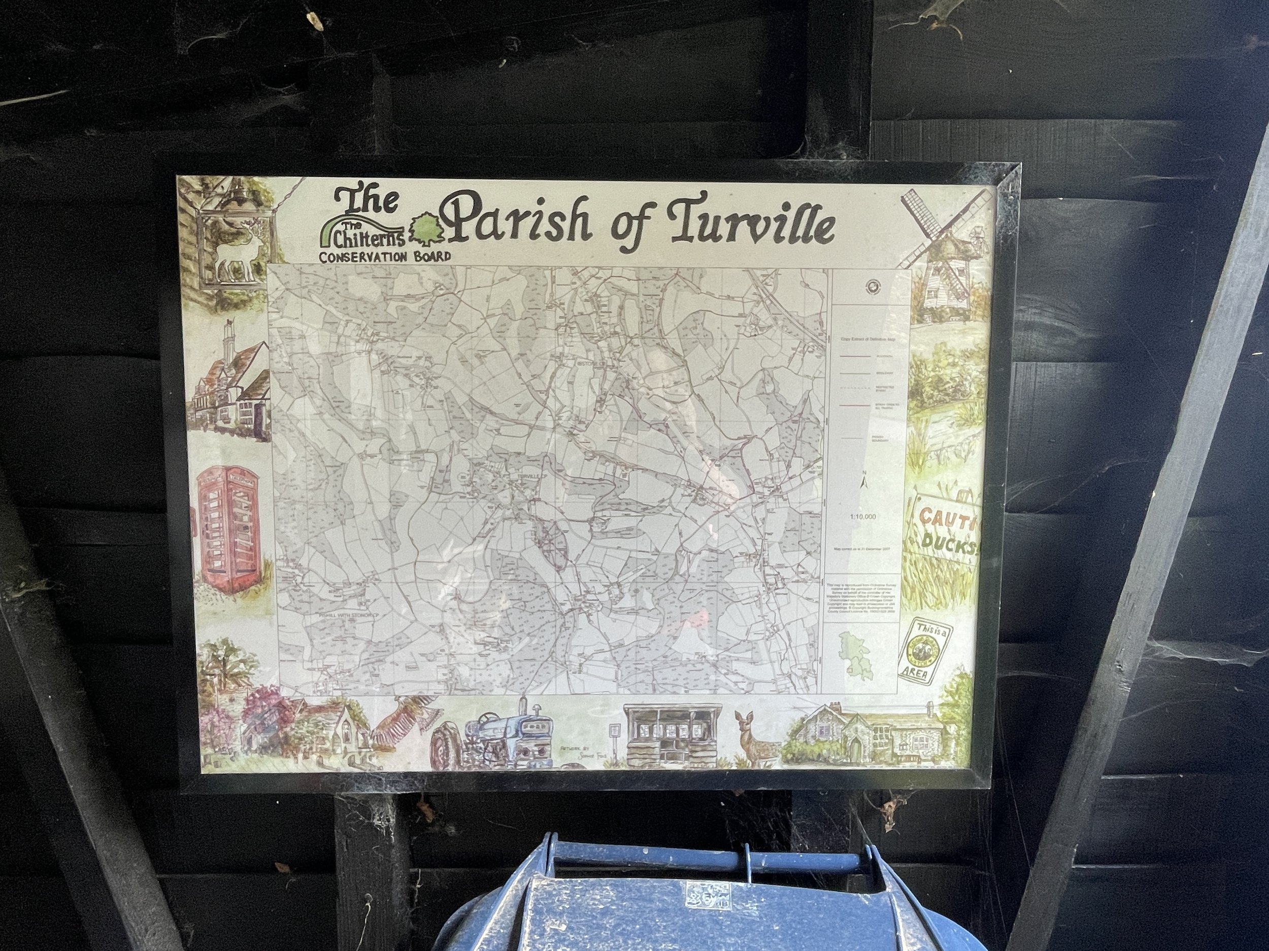
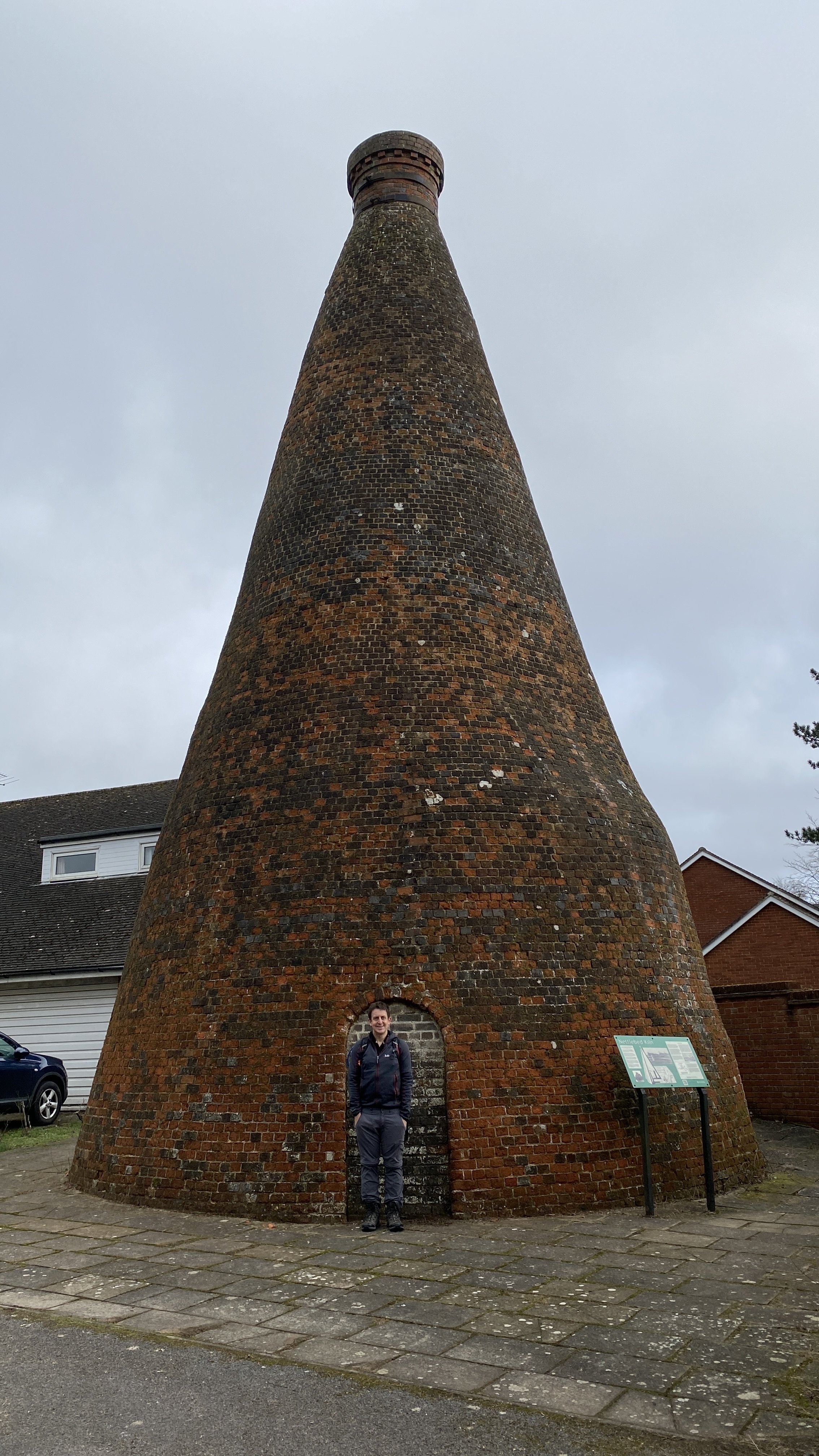
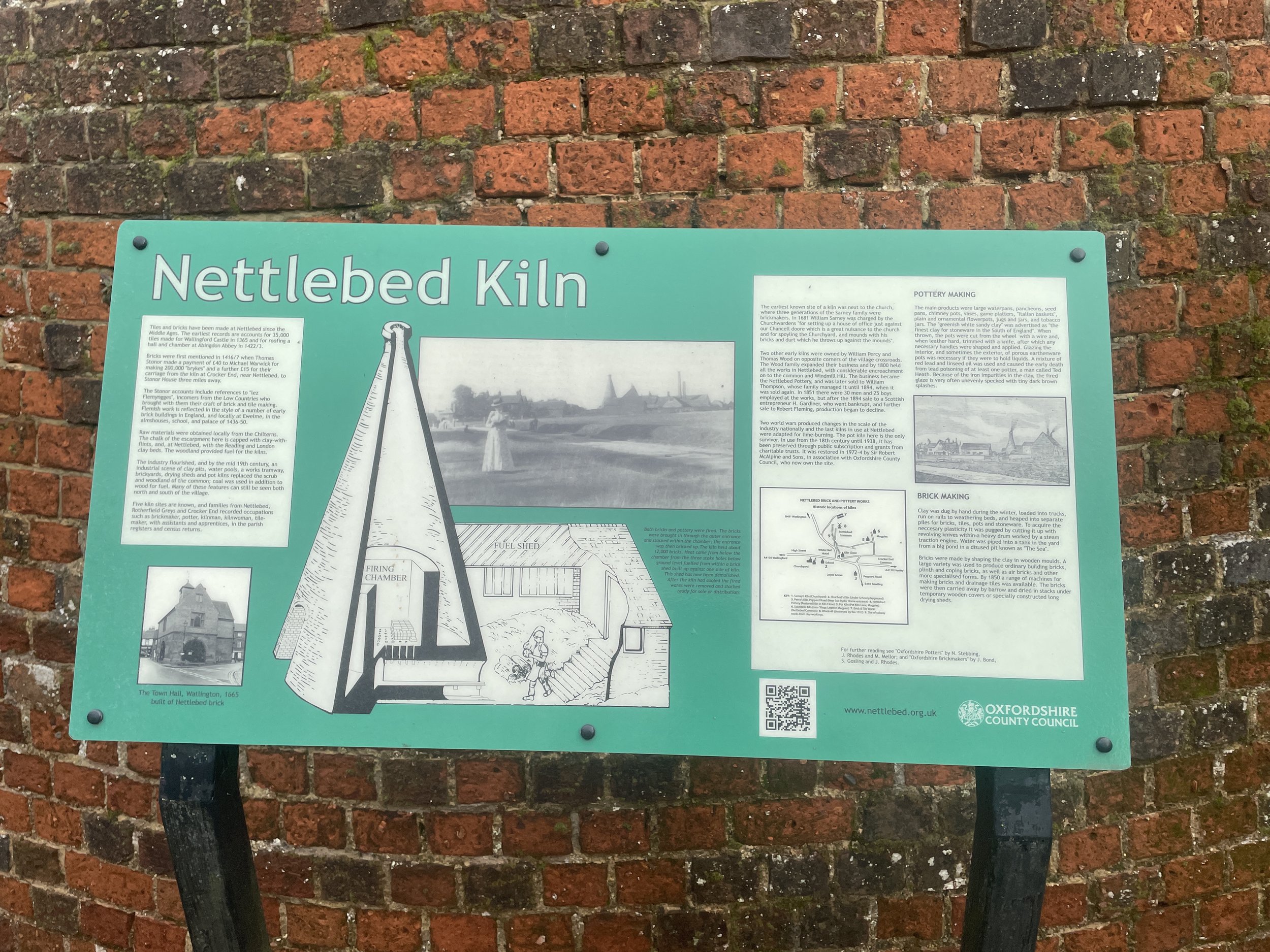
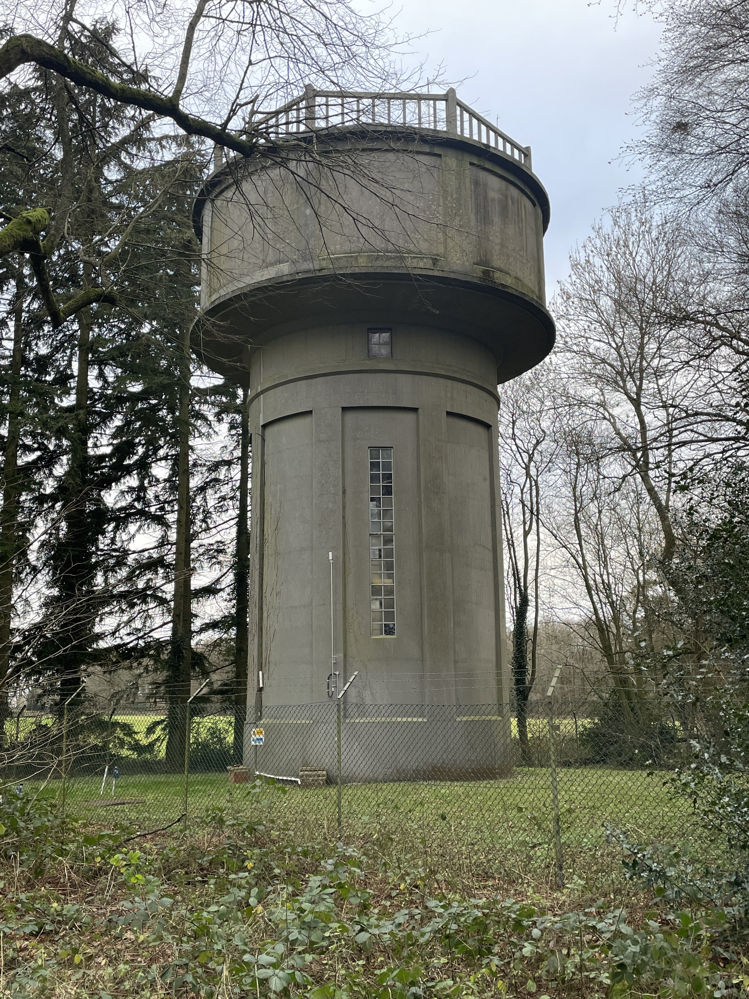
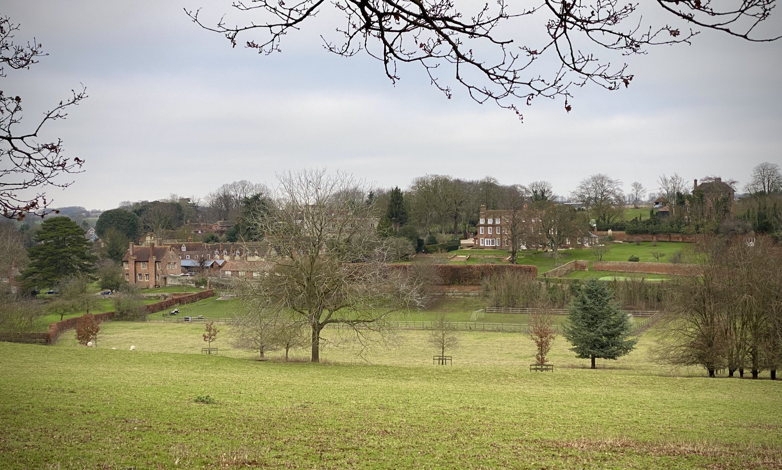
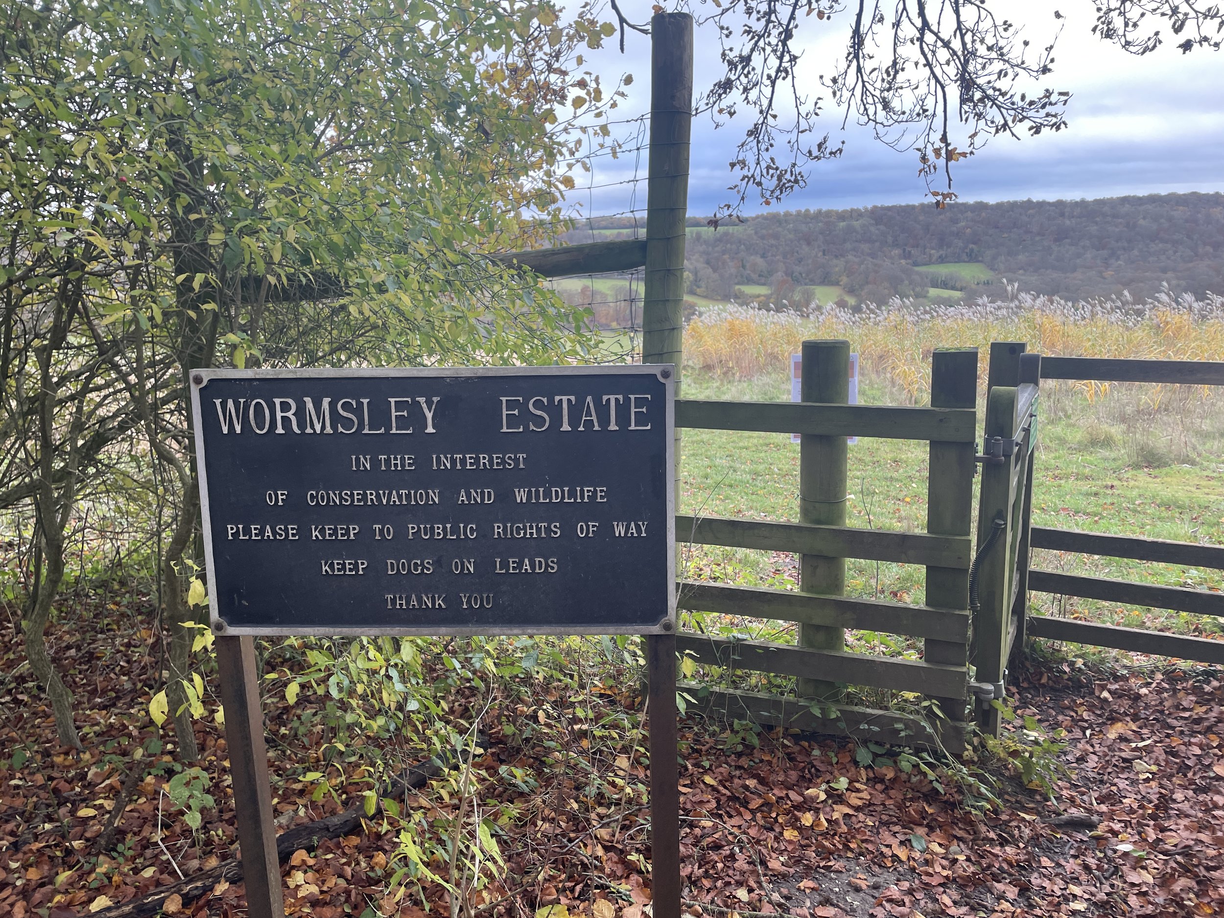
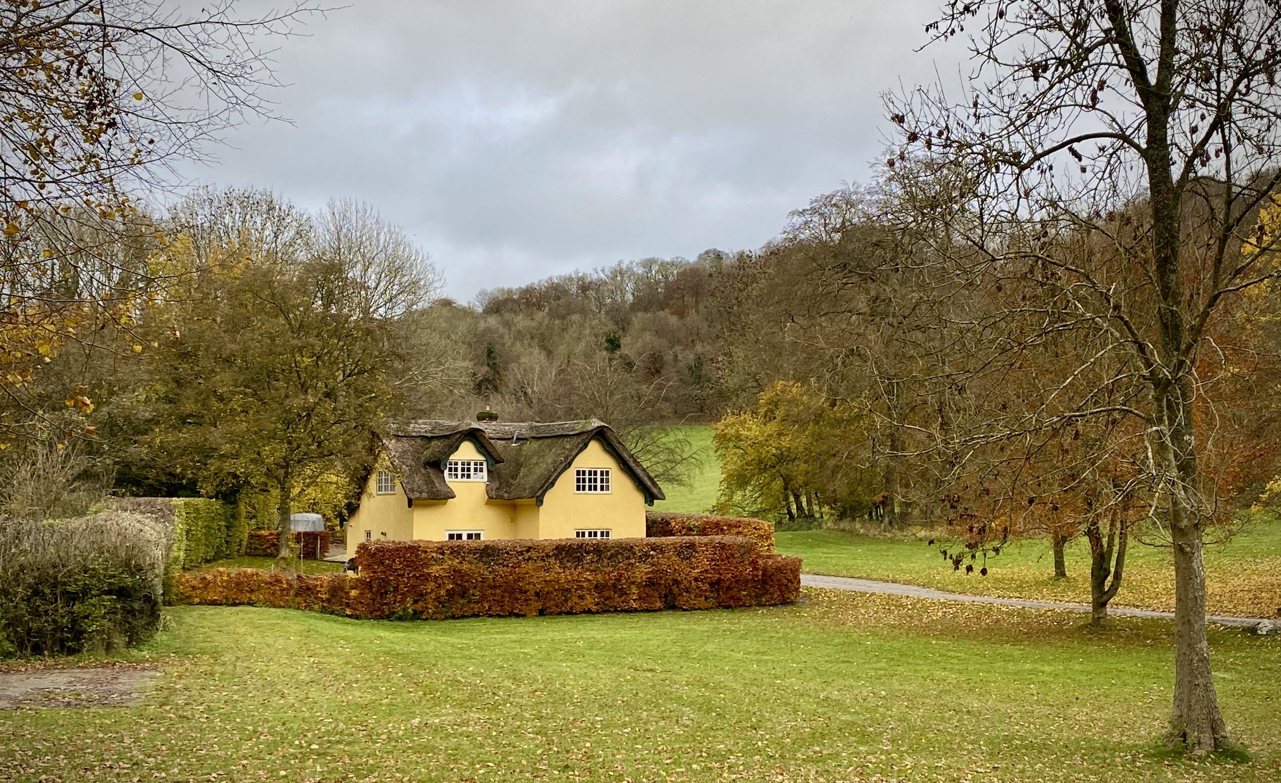
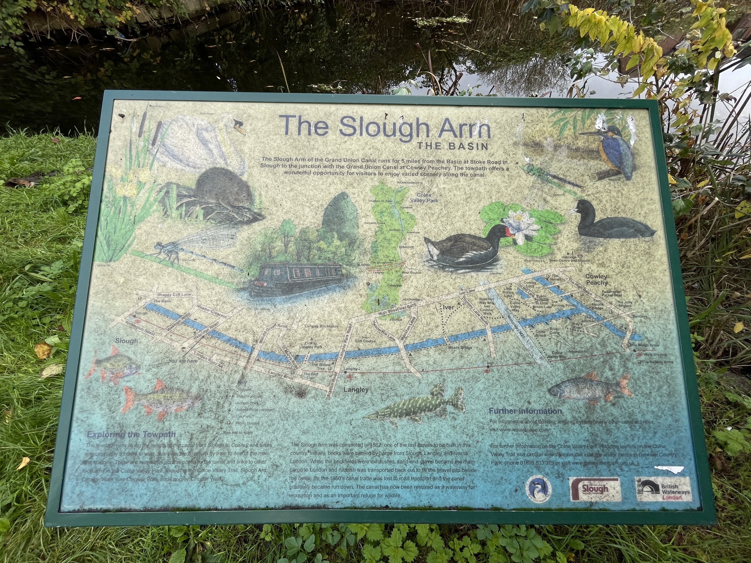
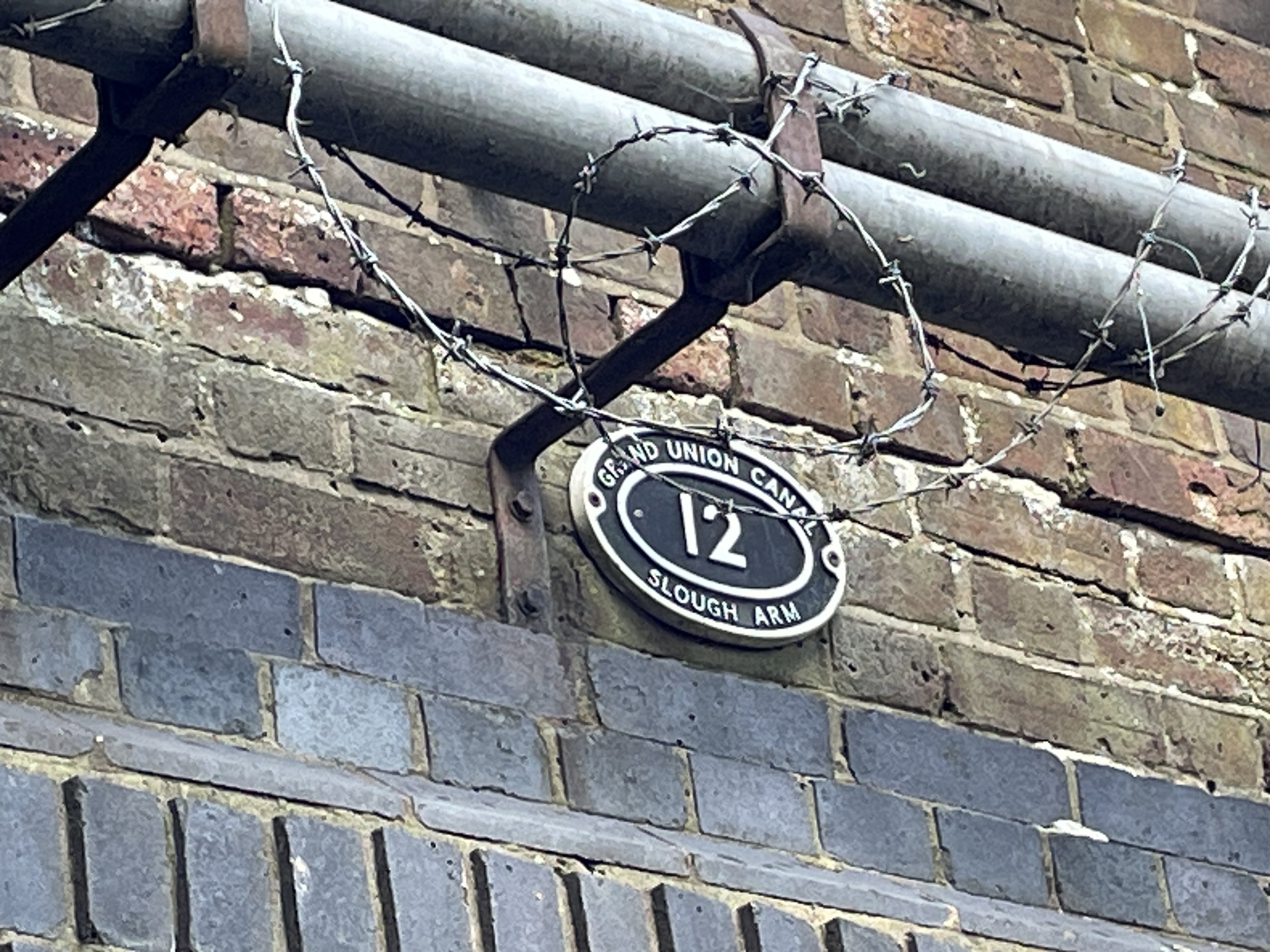
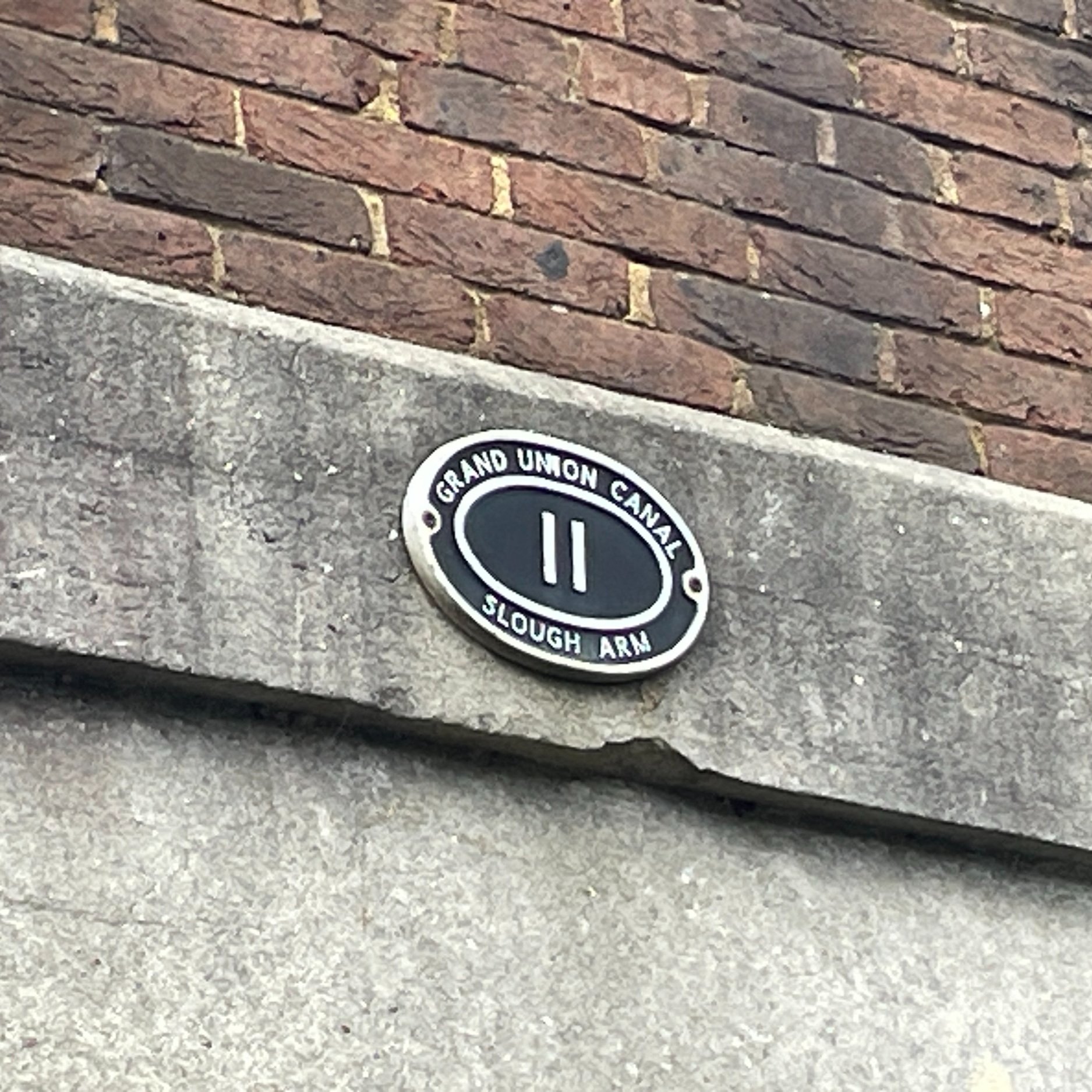
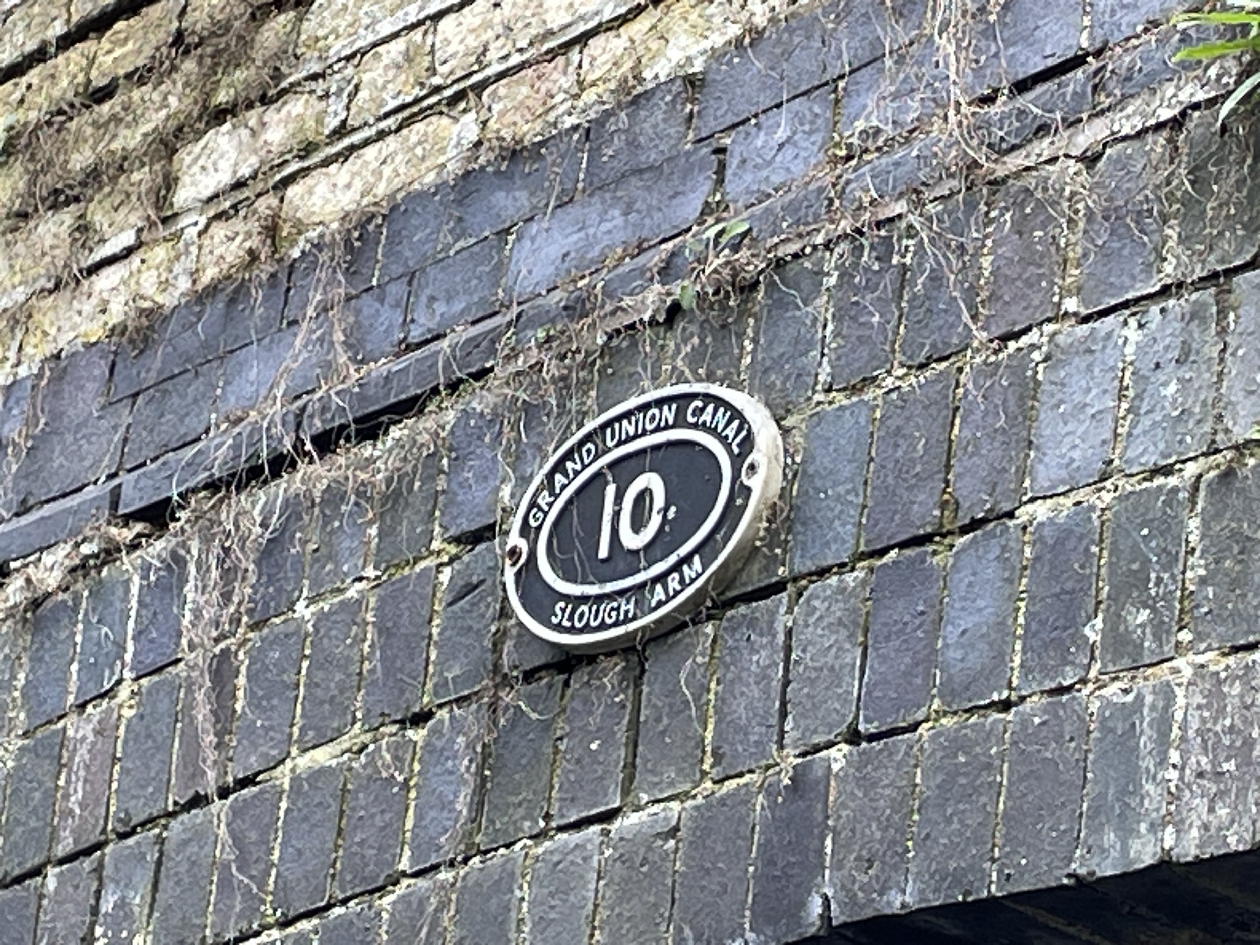
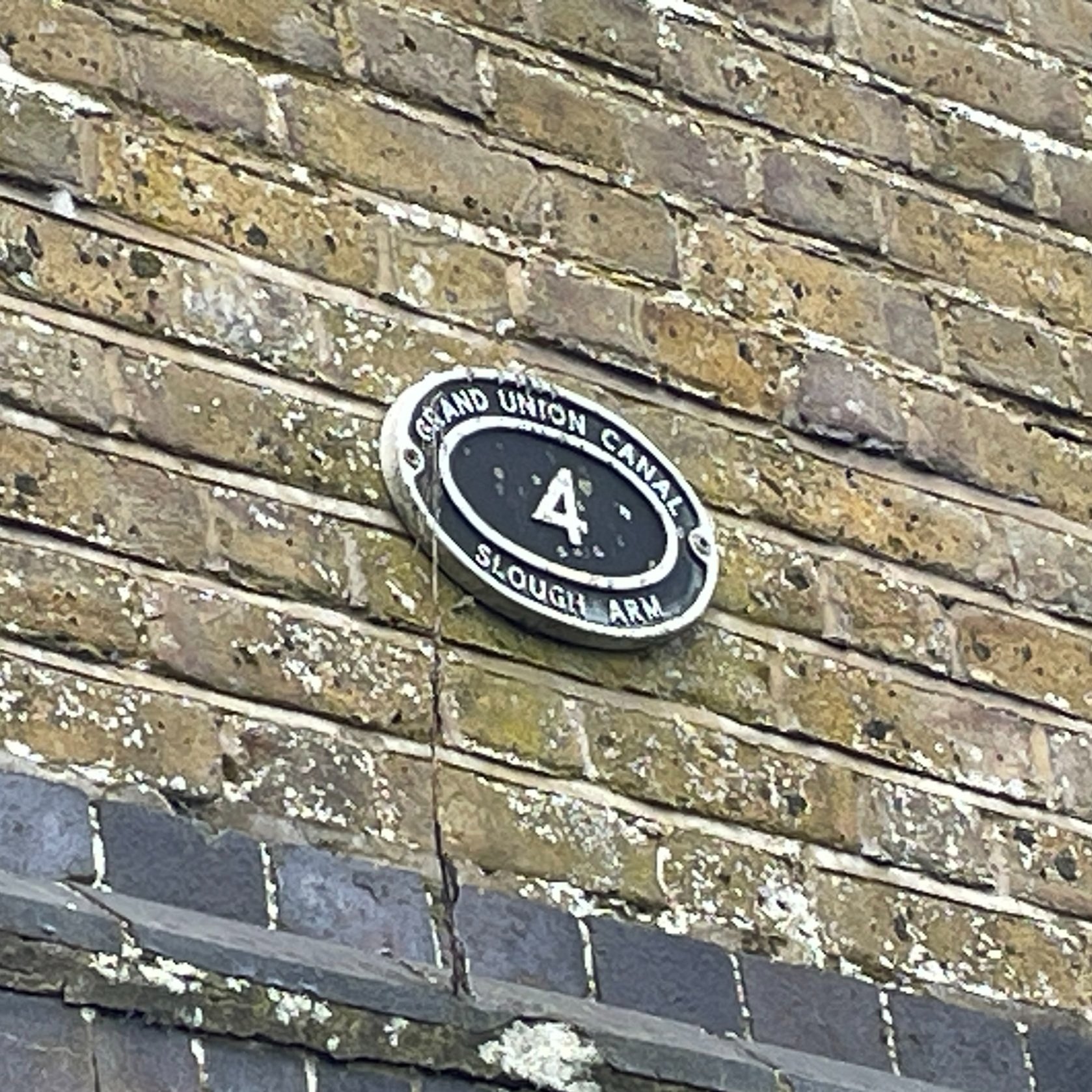
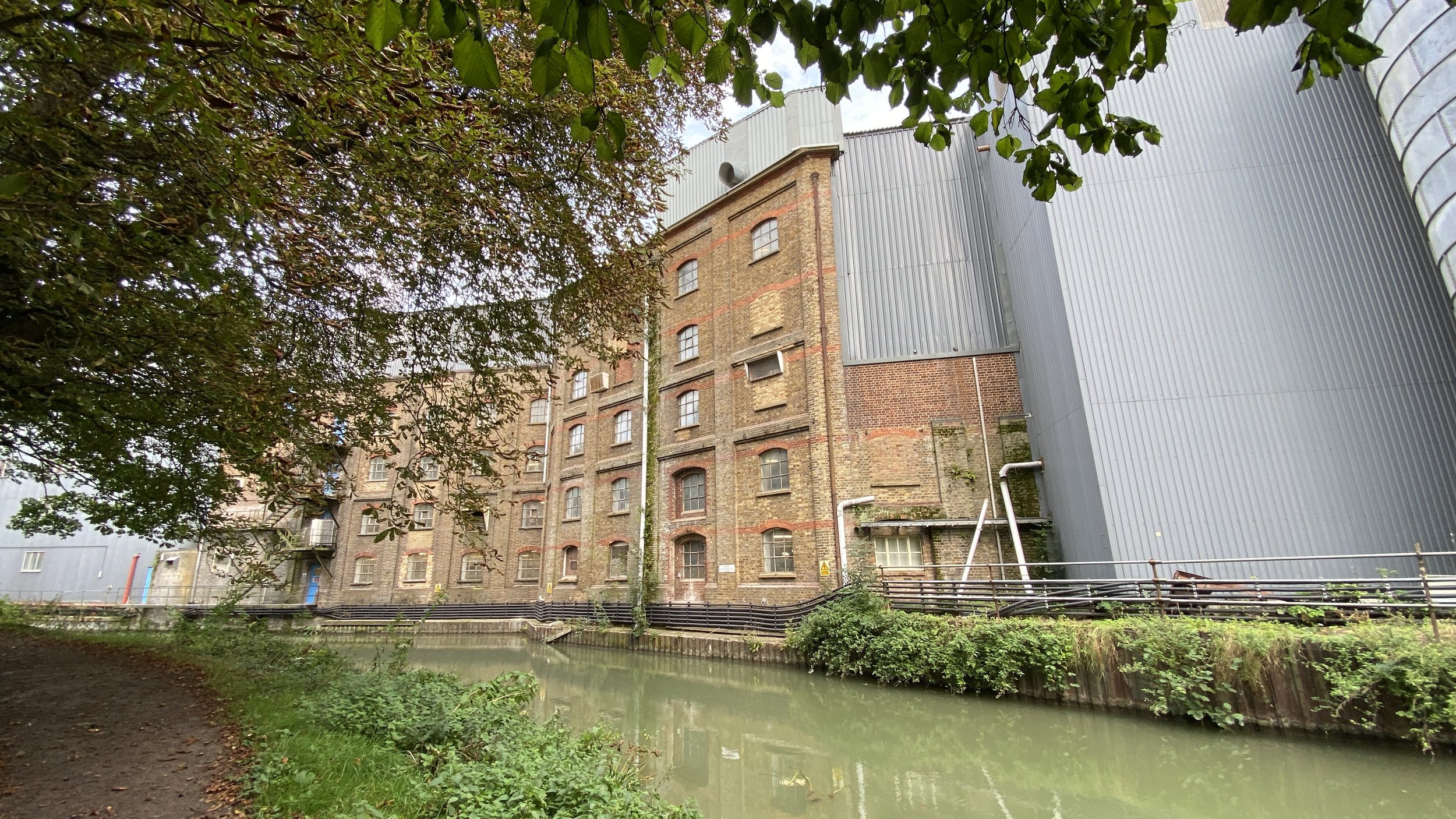
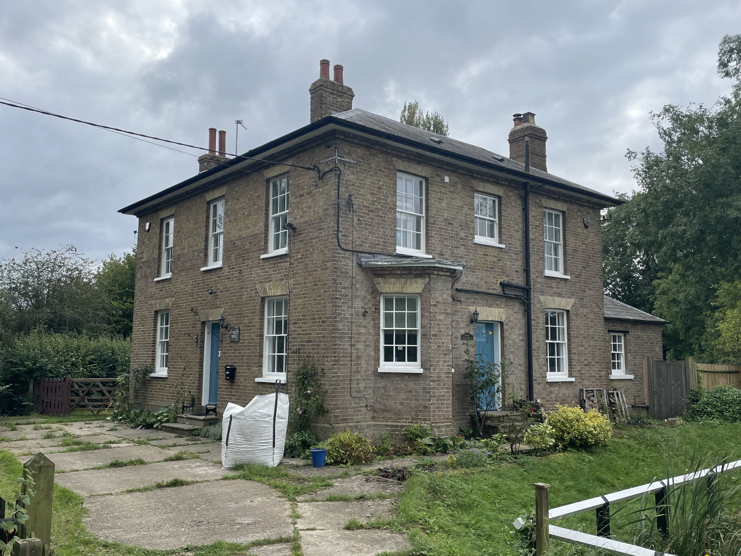
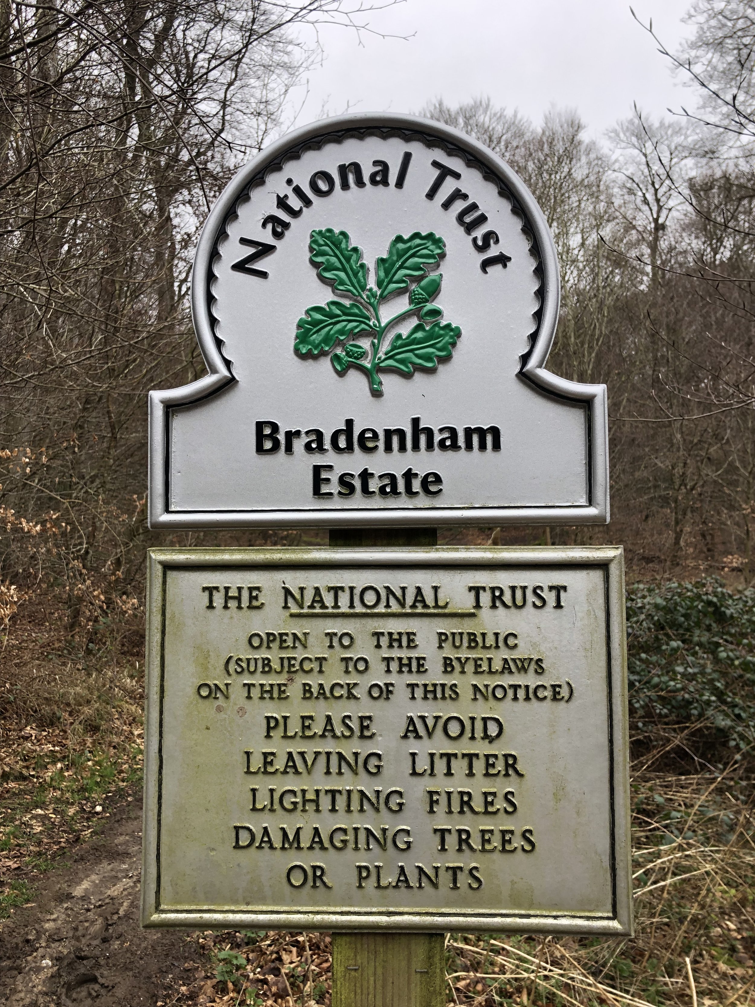
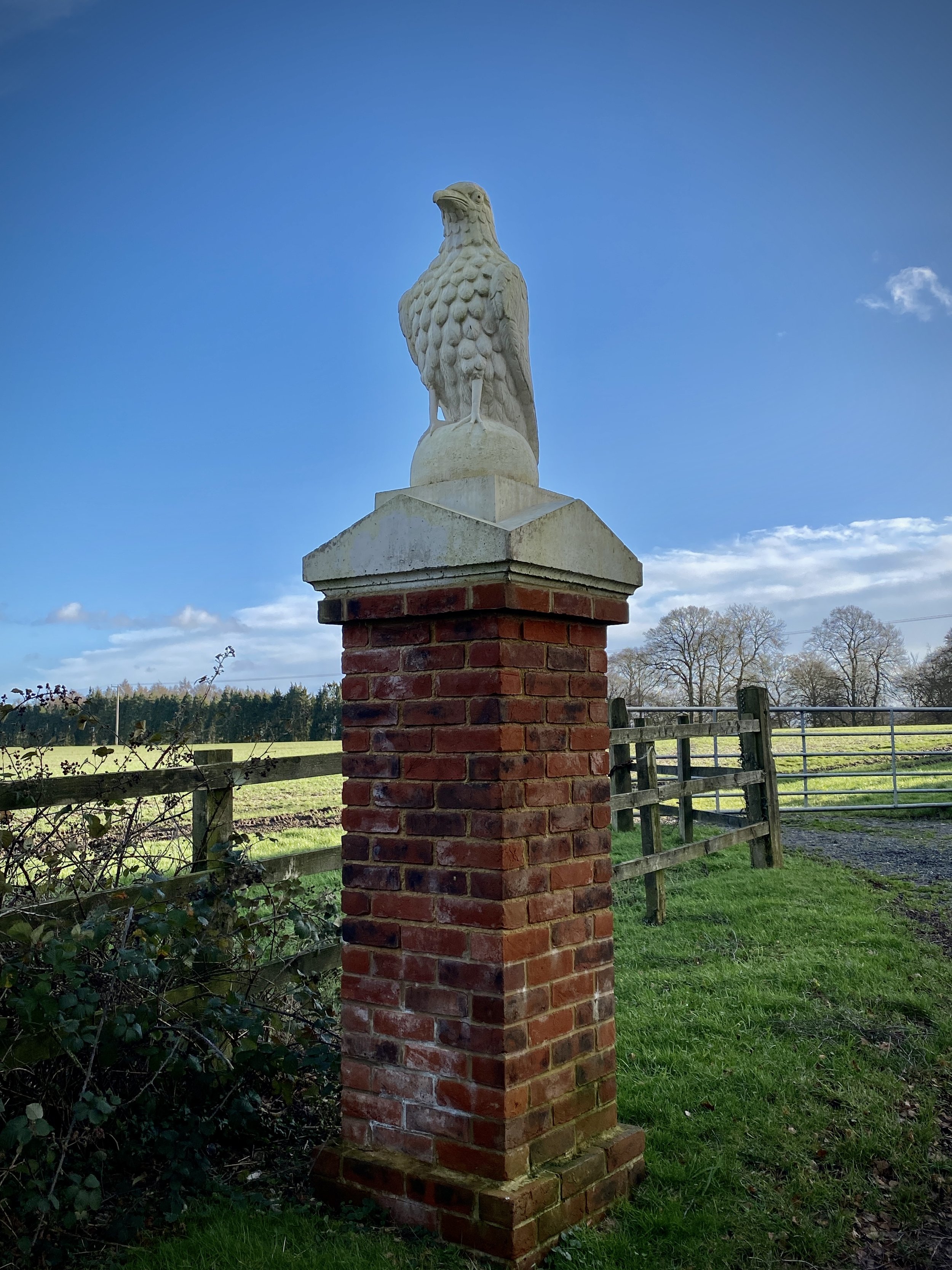
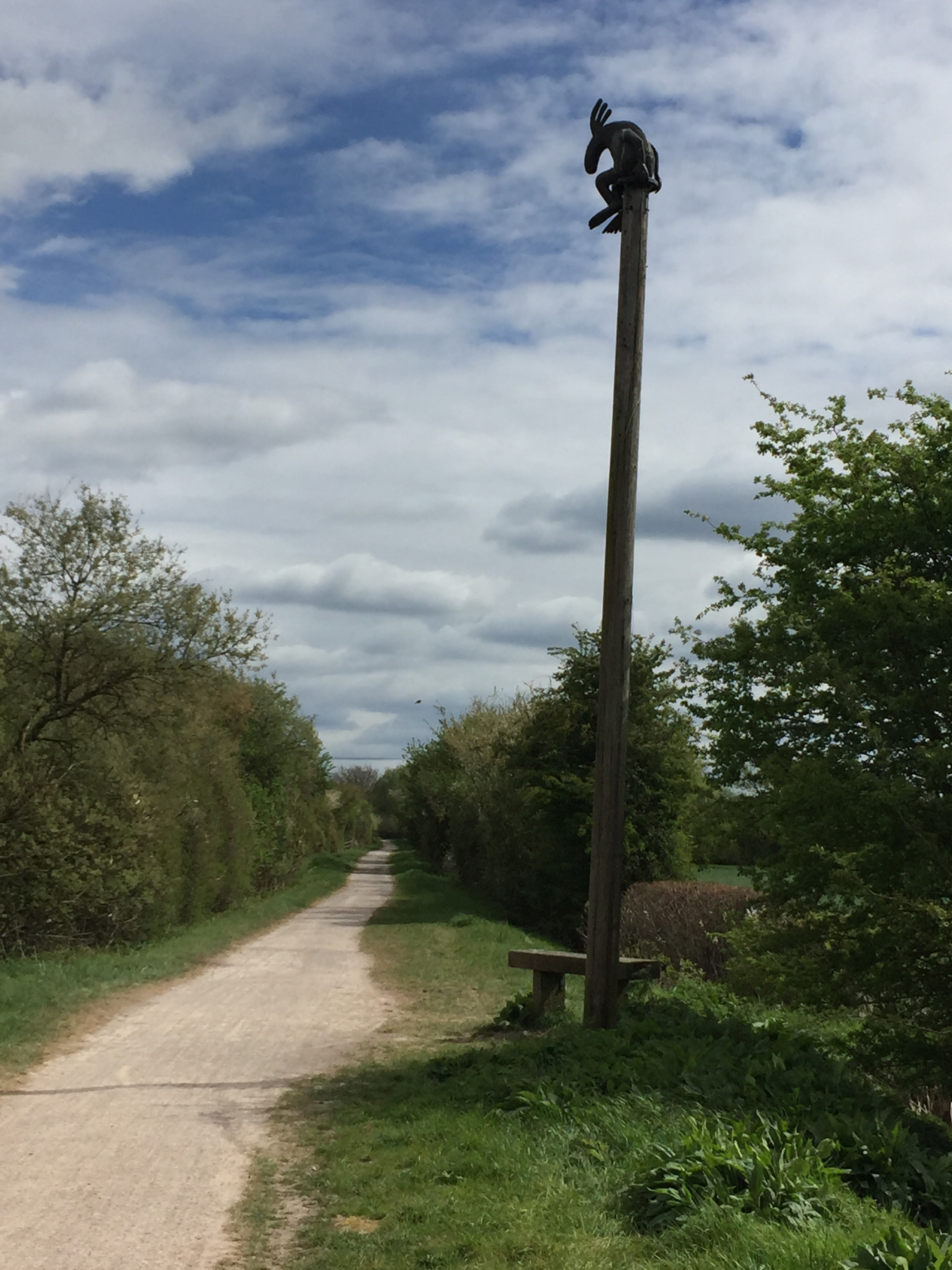
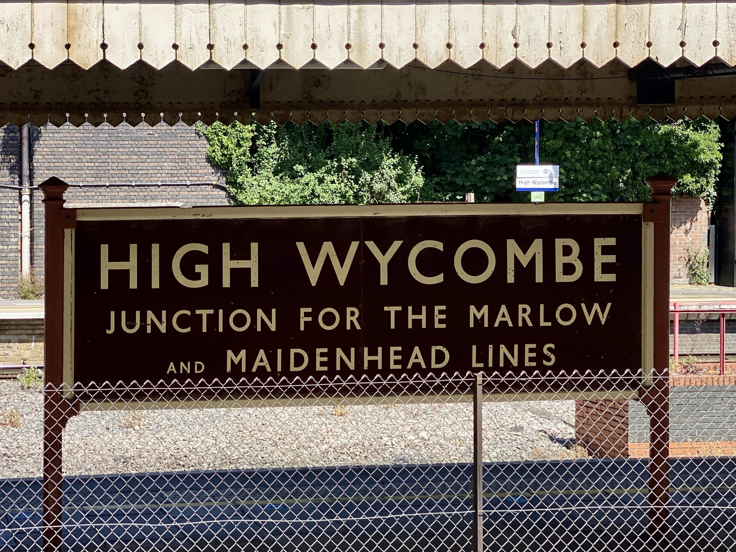
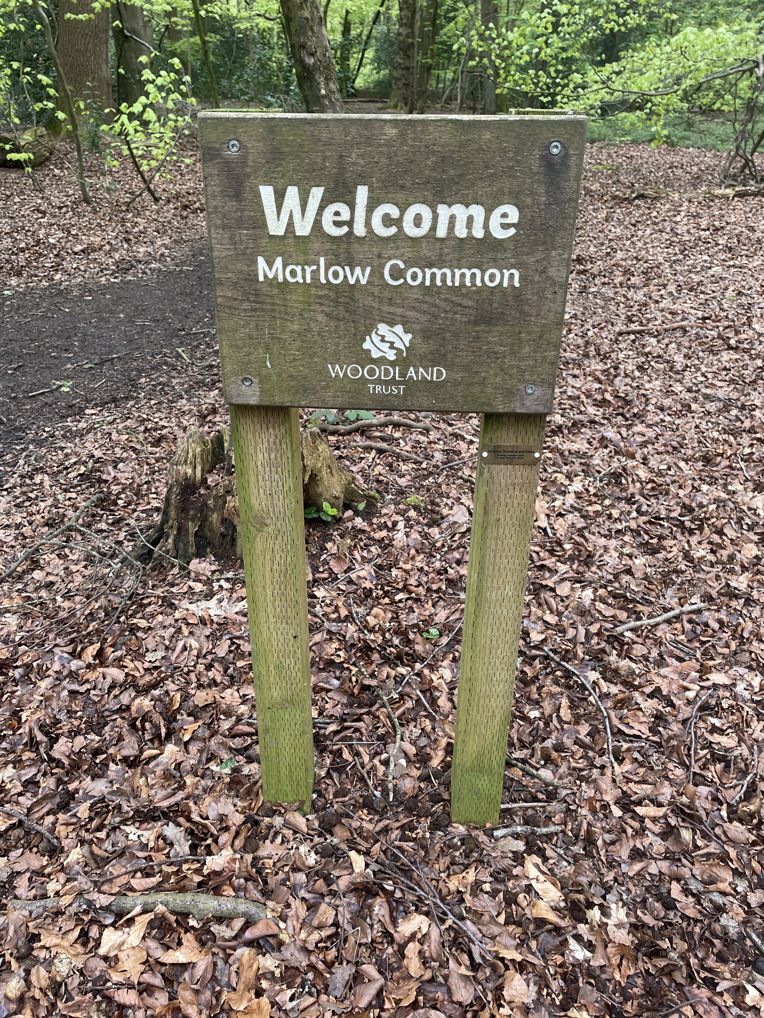
Links: Marlow, Harleyford, Harleyford Estate, Pullingshill Wood & Marlow Common
This is part of a series of short circular walks in the Chilterns. The guidance below will help you navigate but don’t use it as a fully accurate turn-by-turn guide. Always take a map and/or a GPX route and prepare well for the weather and terrain.
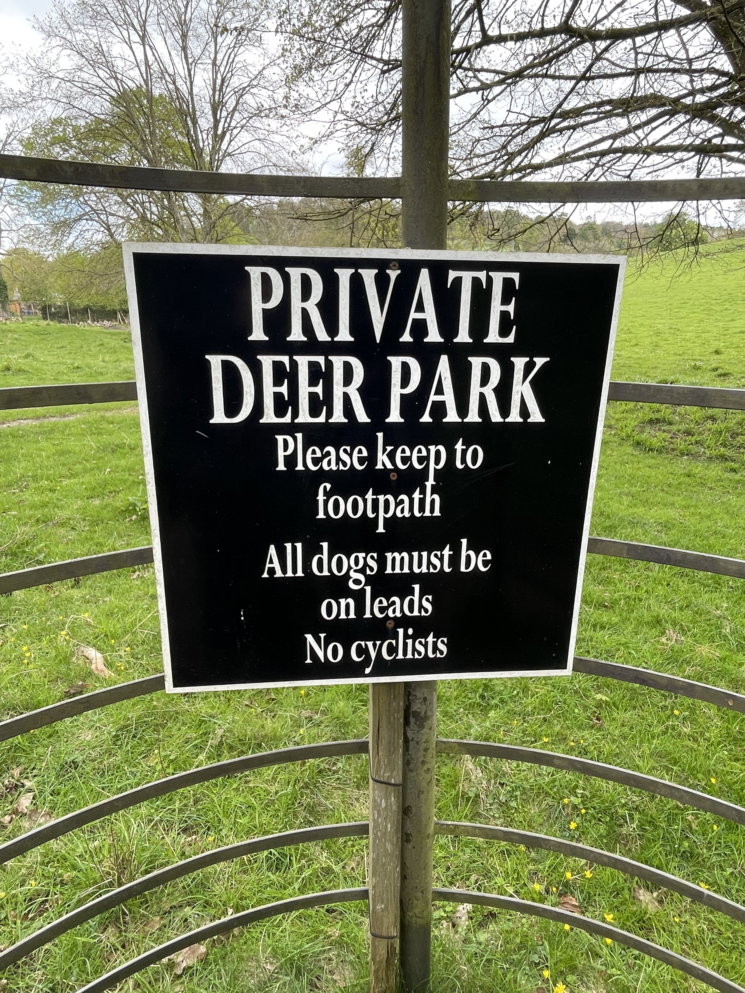
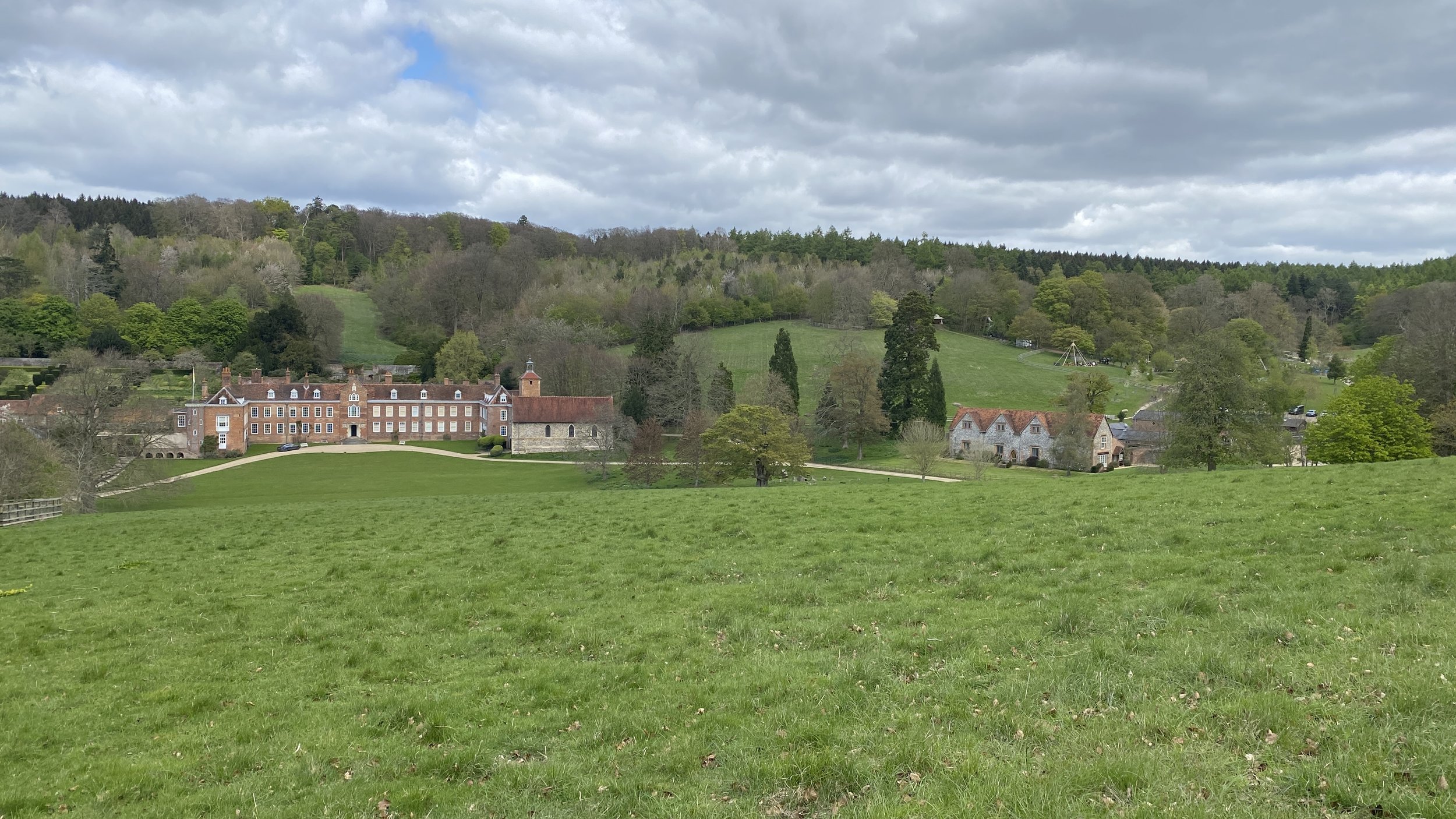
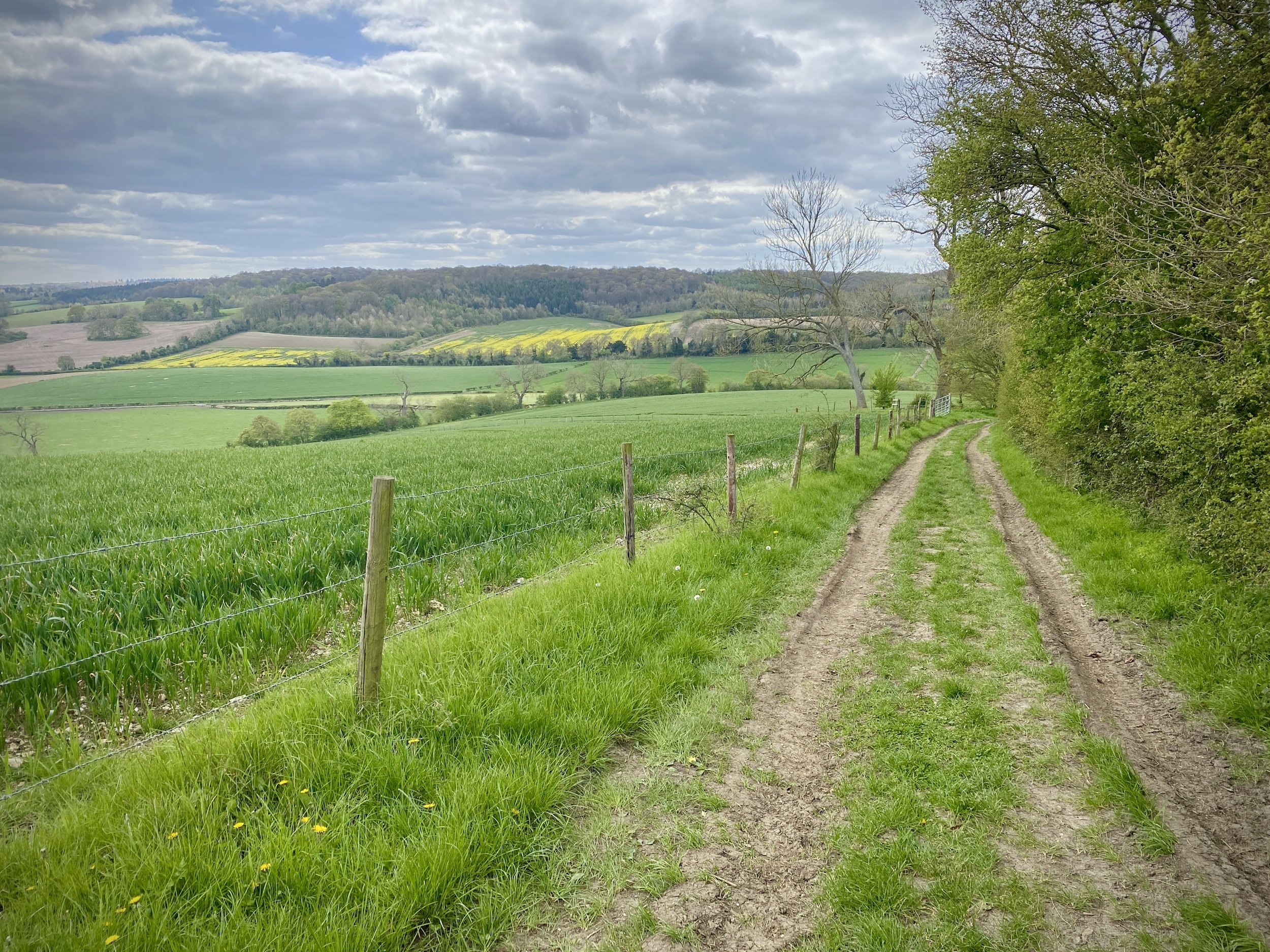
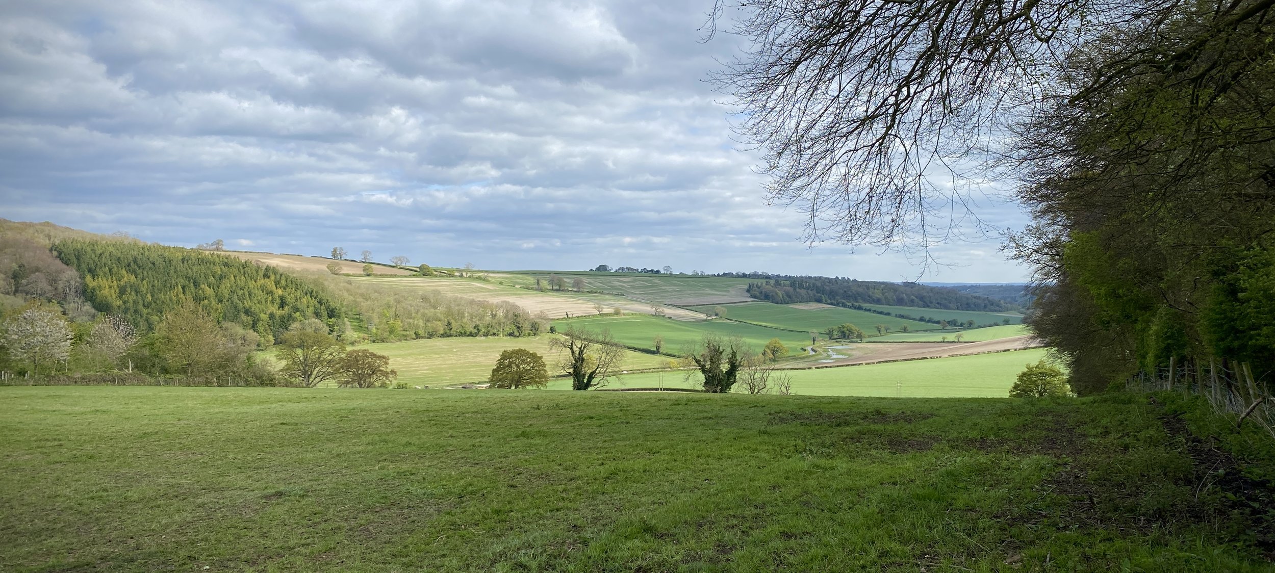
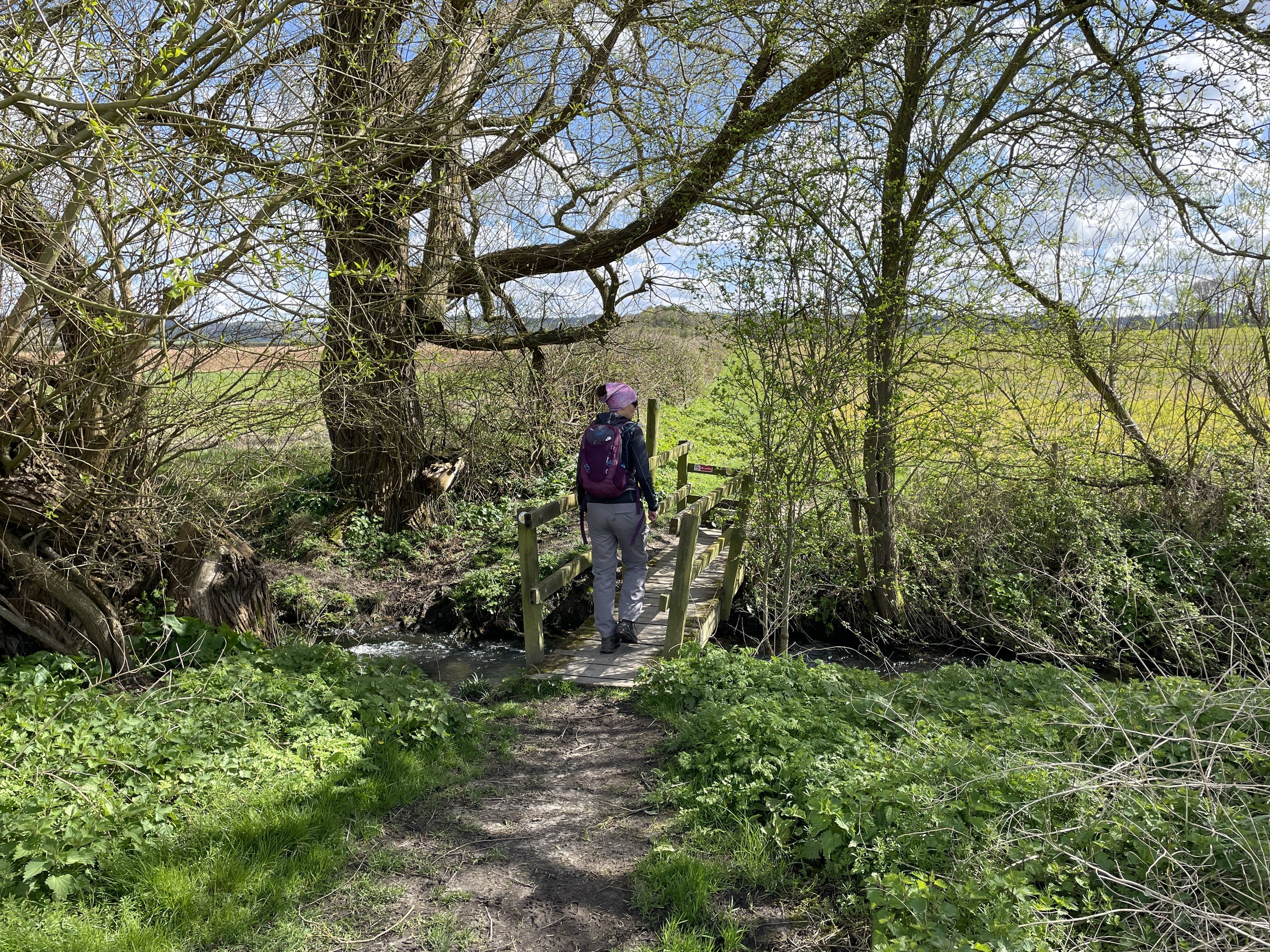
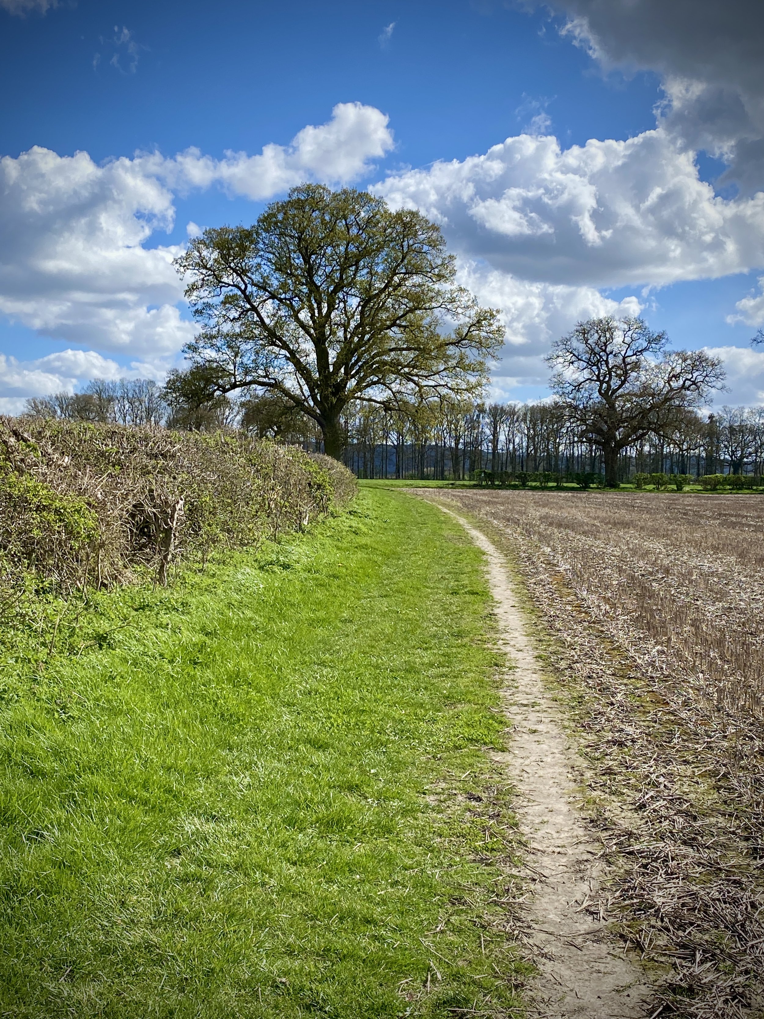
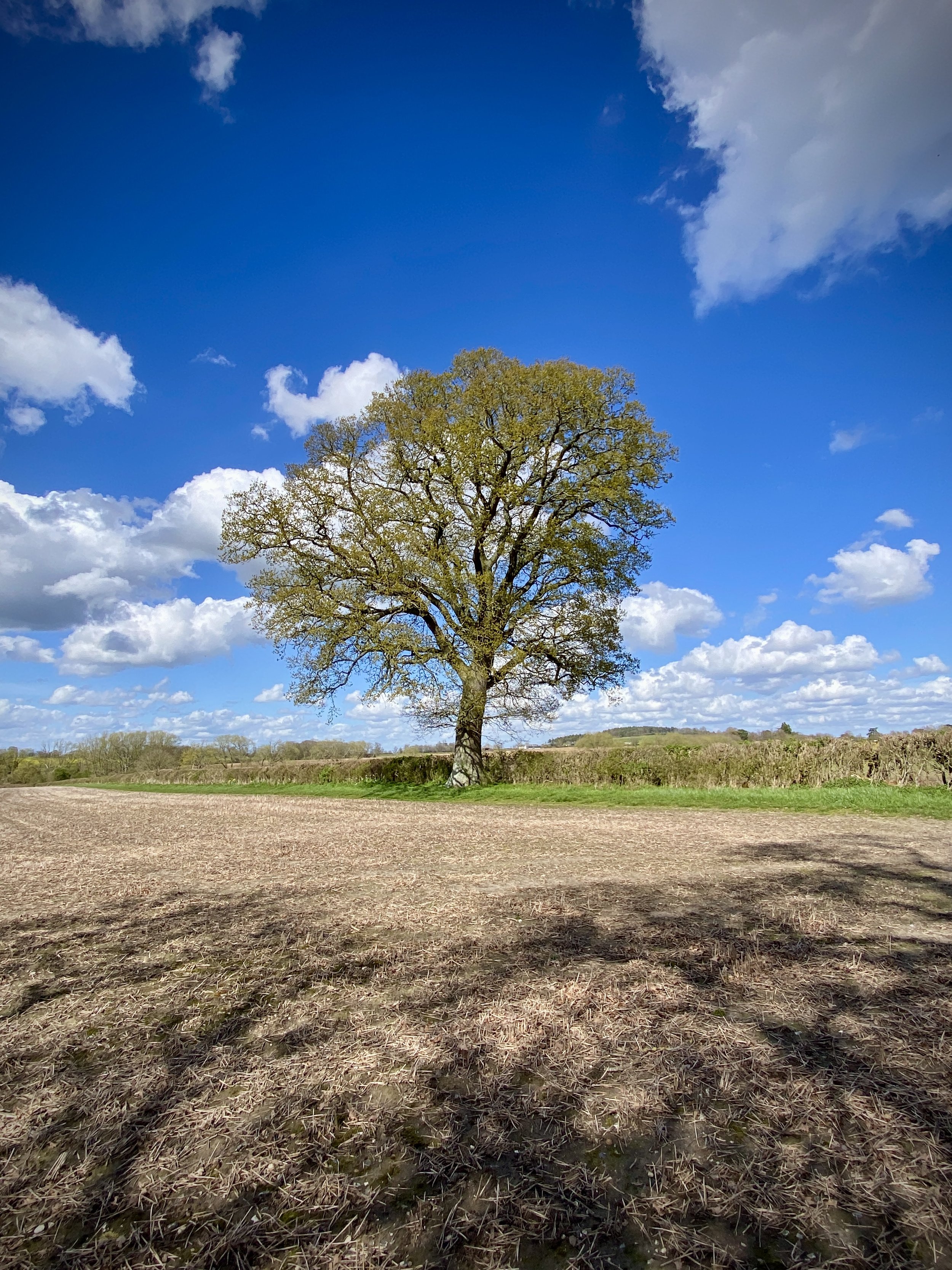
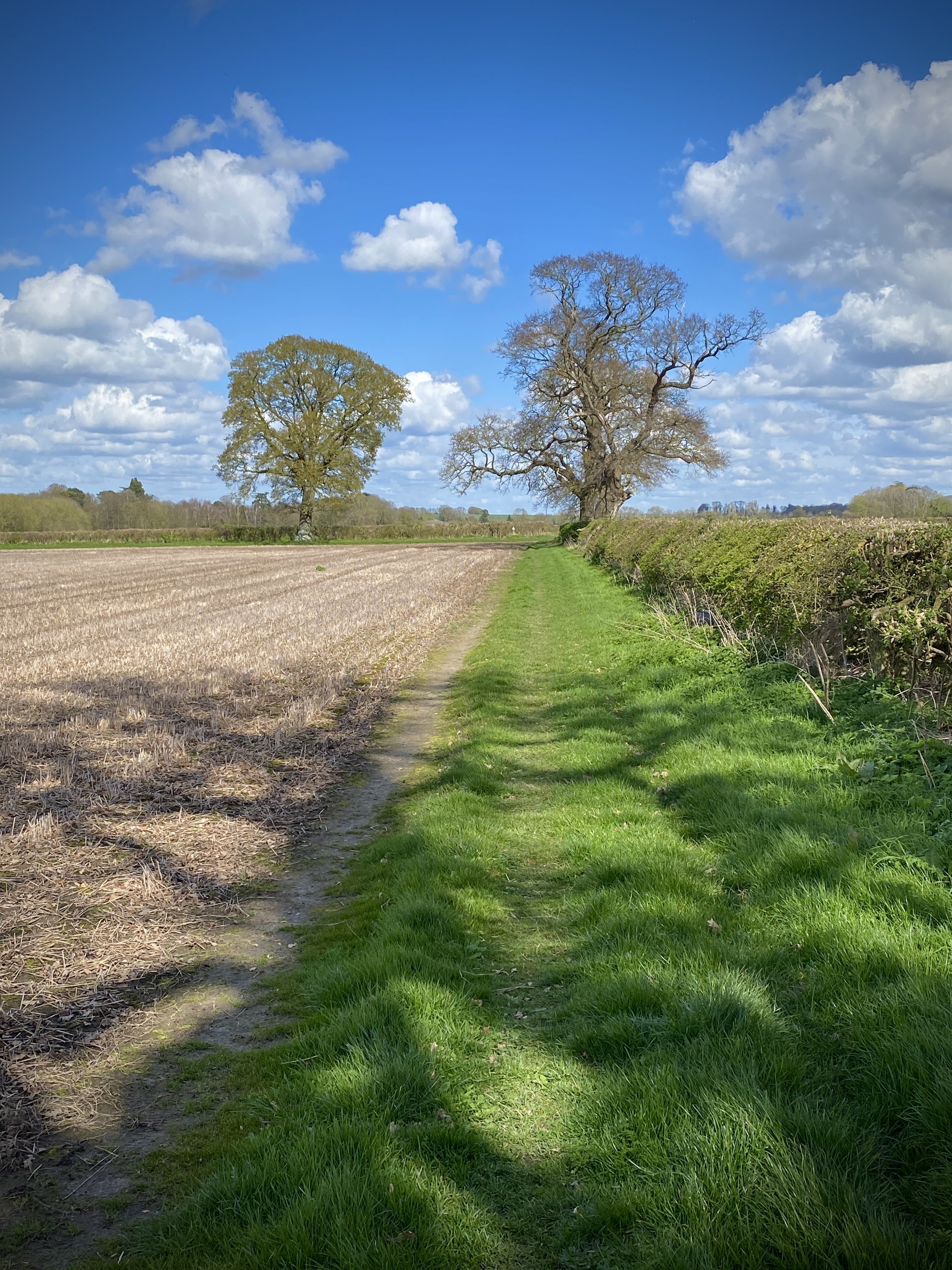
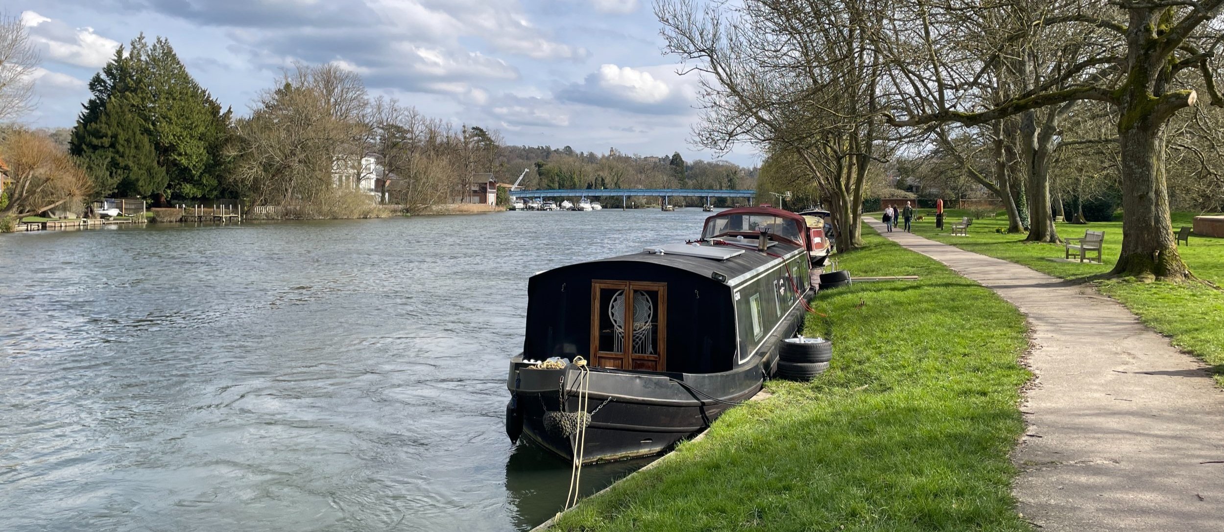
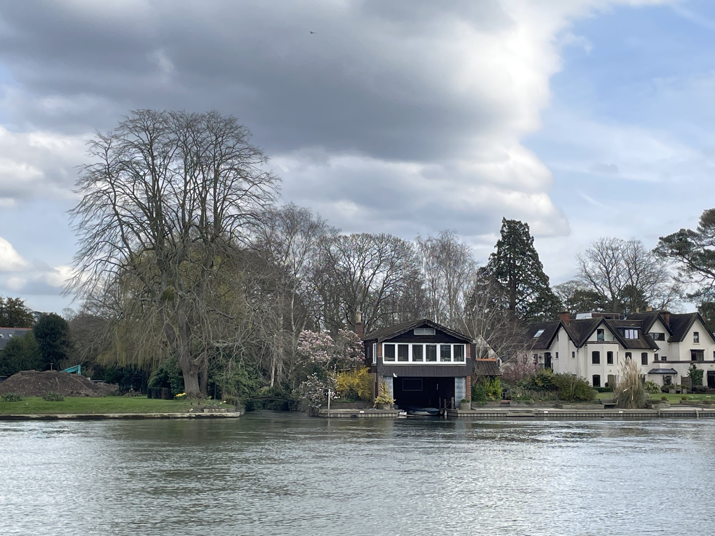
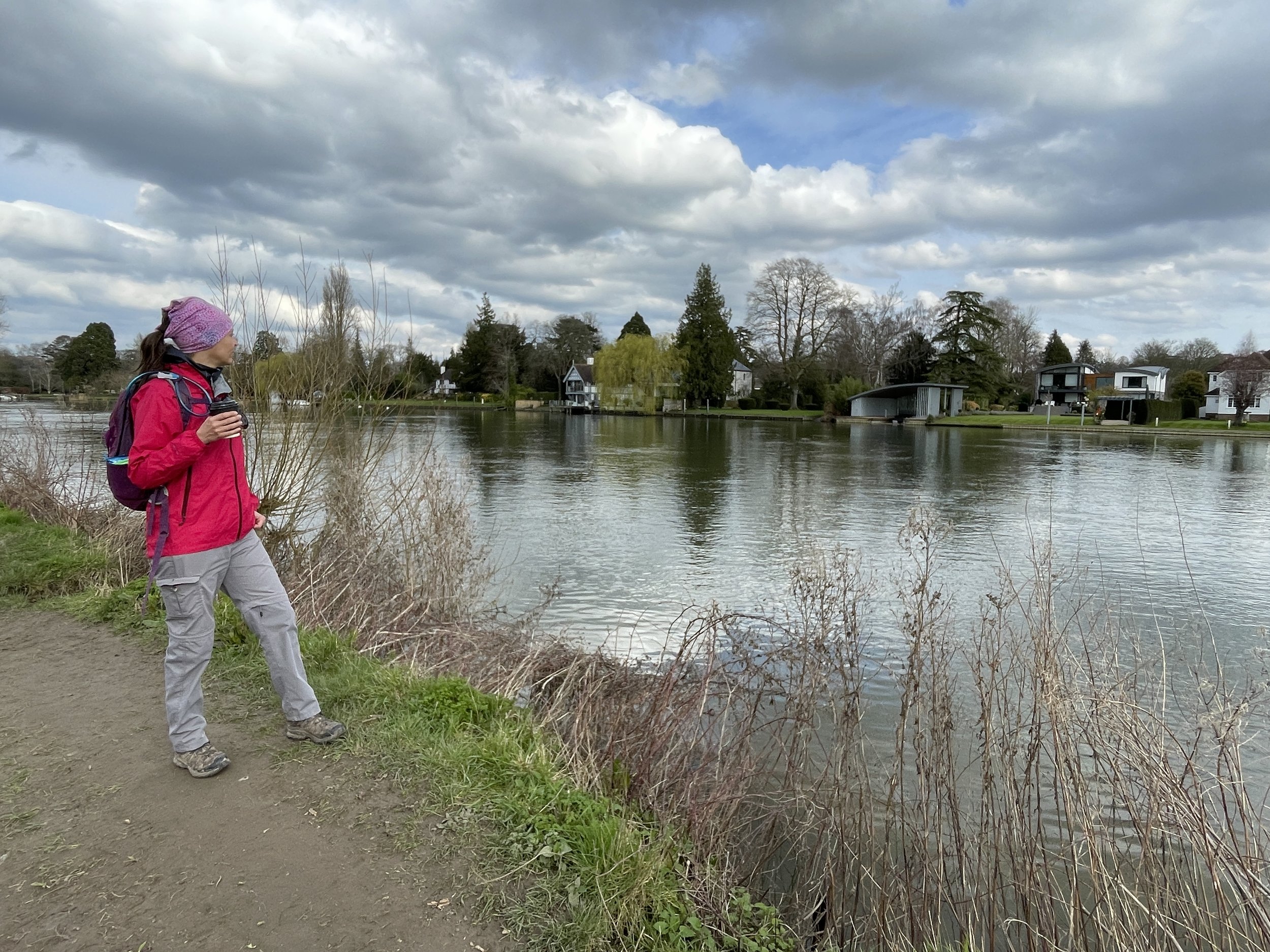
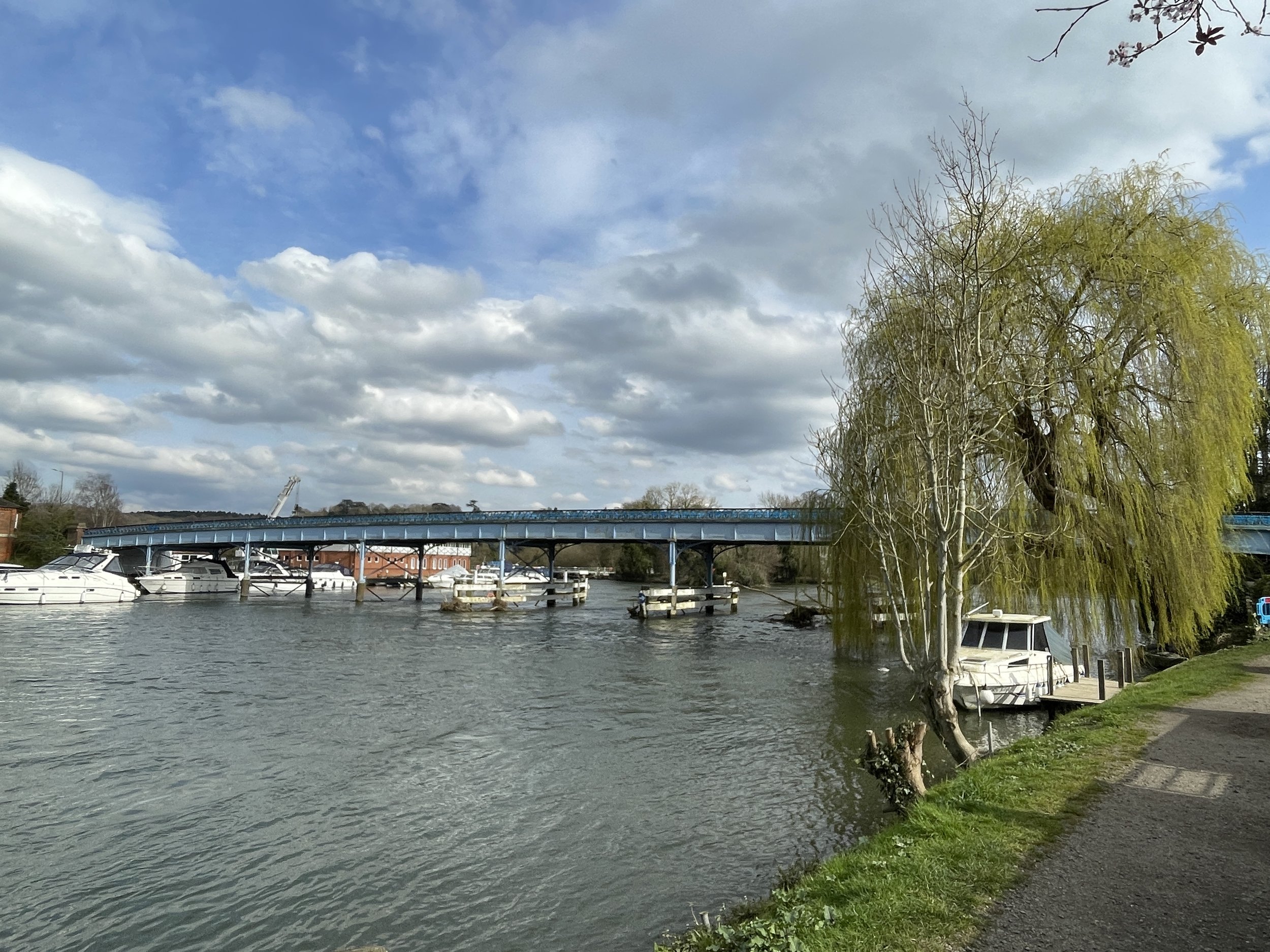
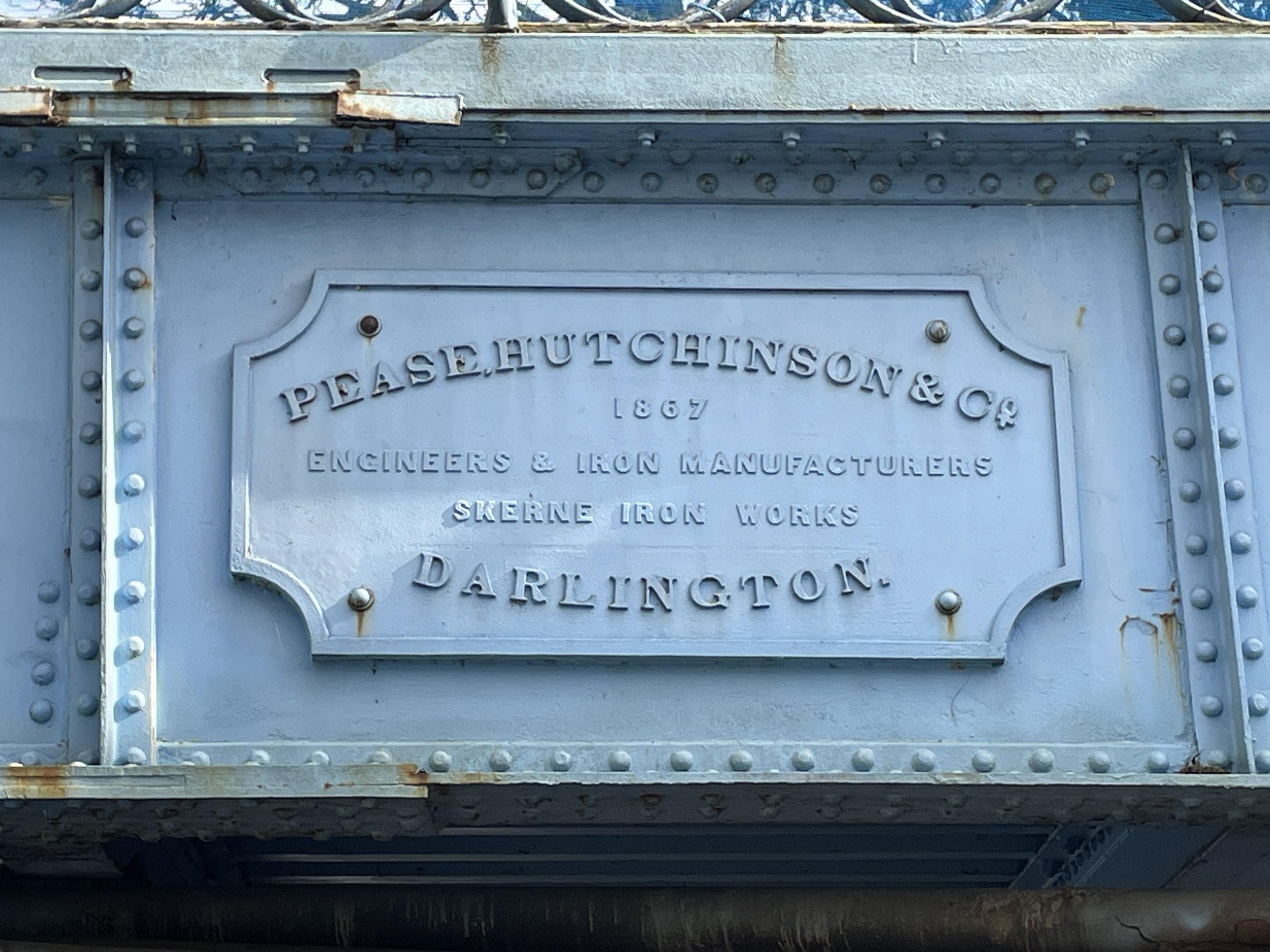
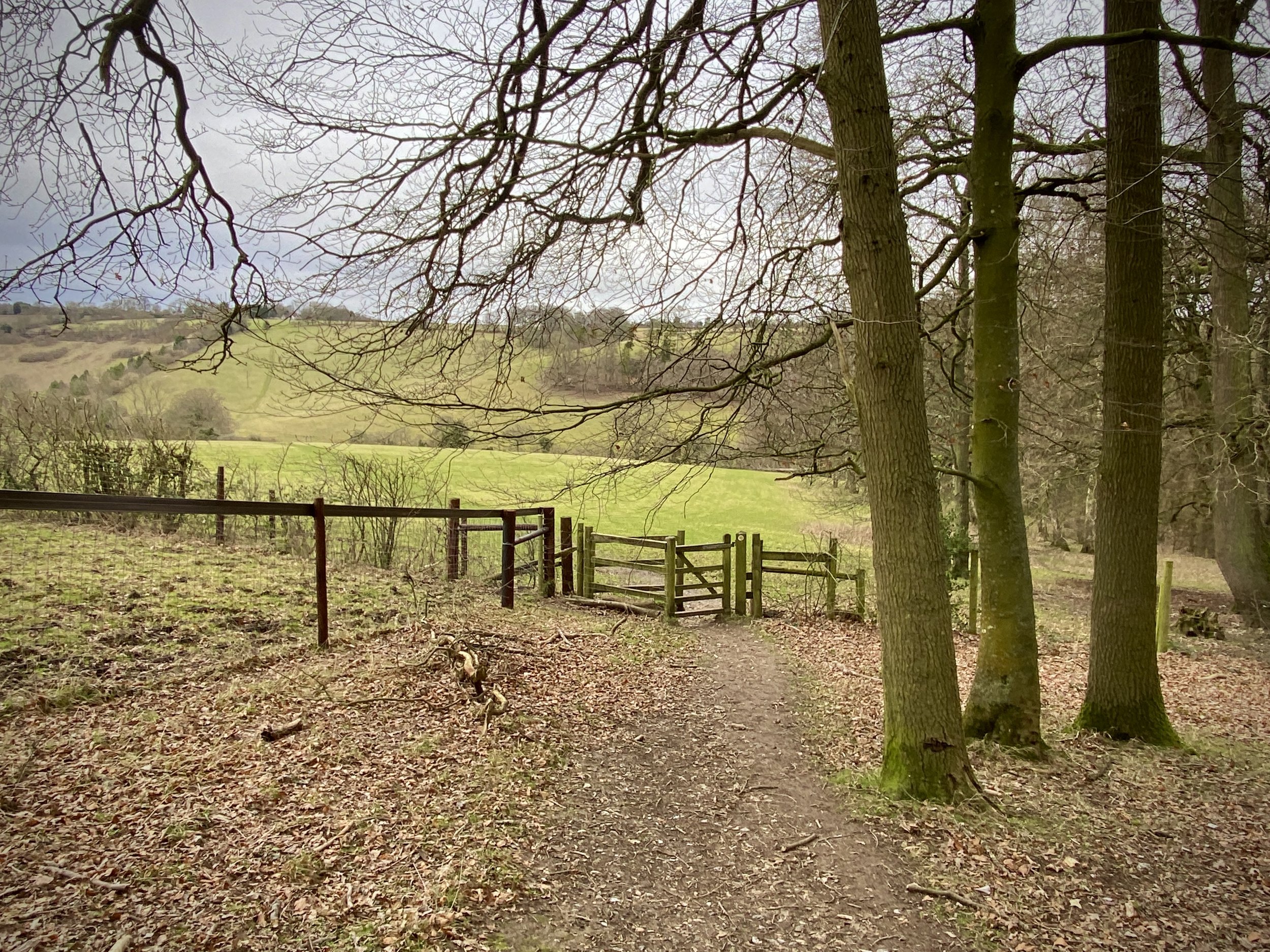
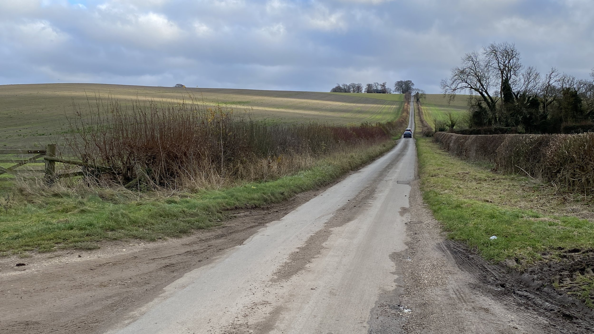
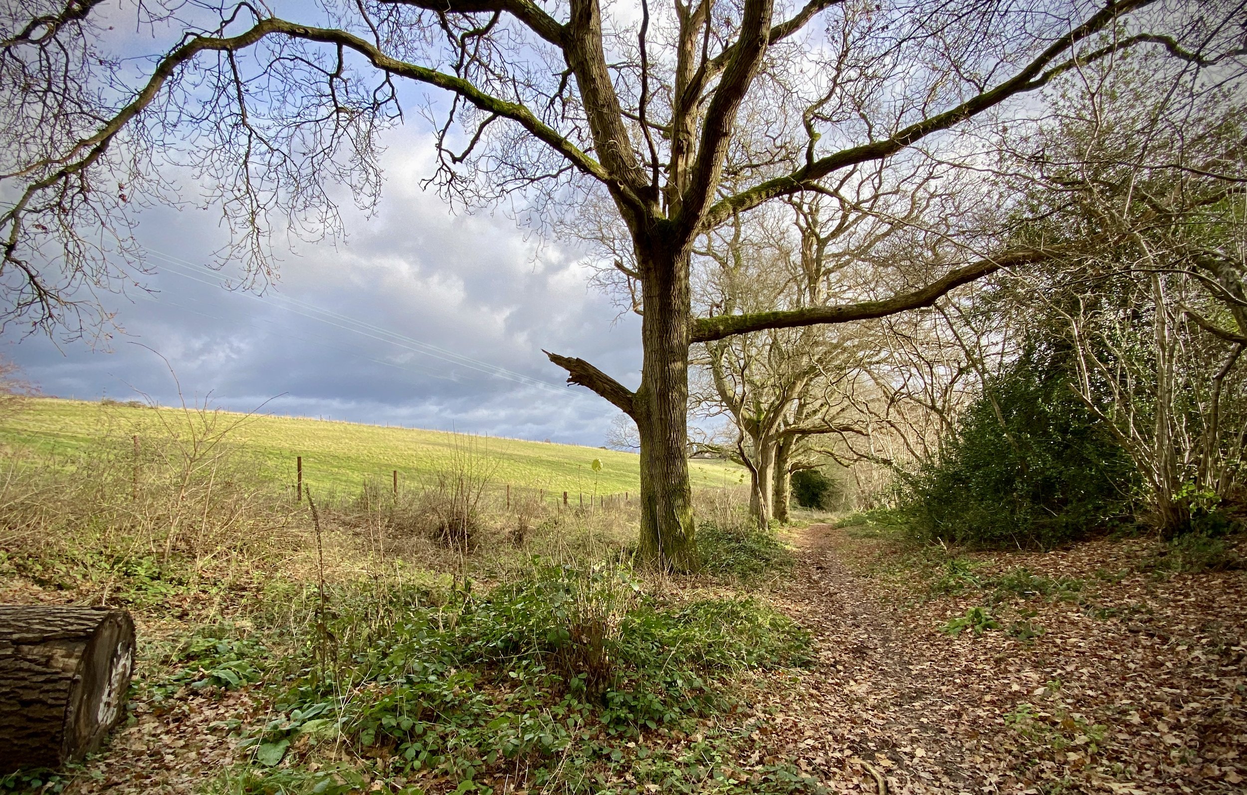
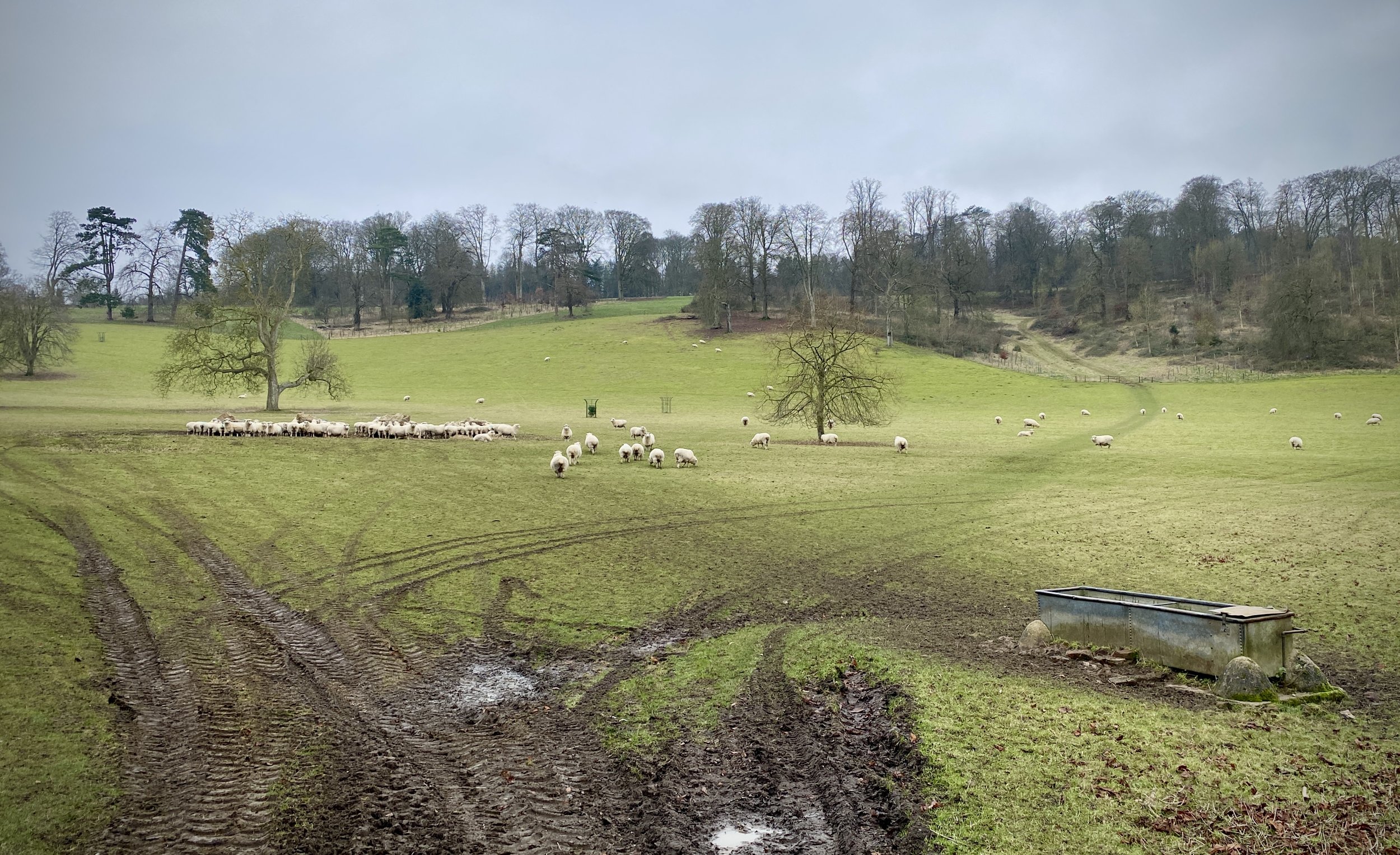
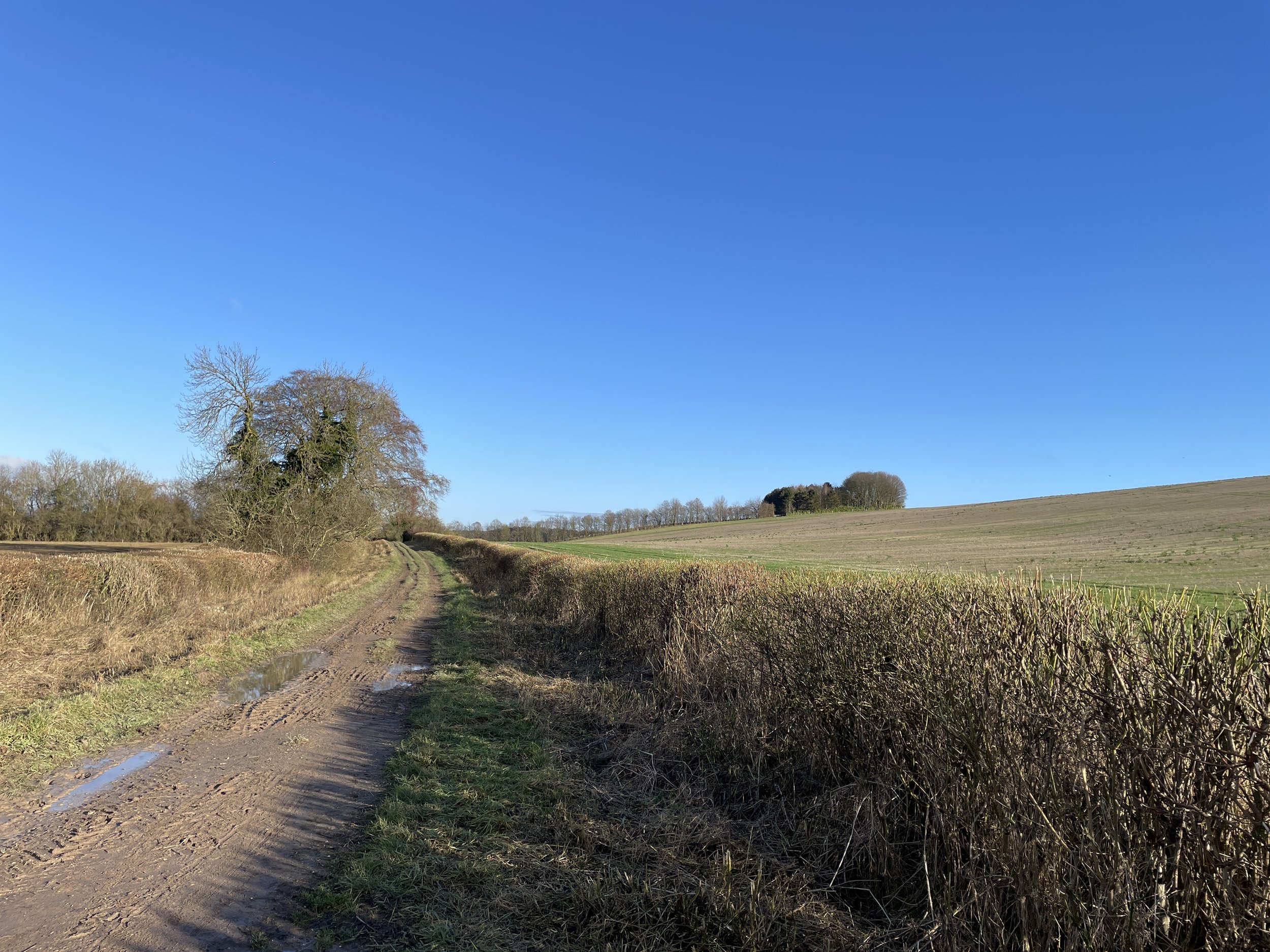
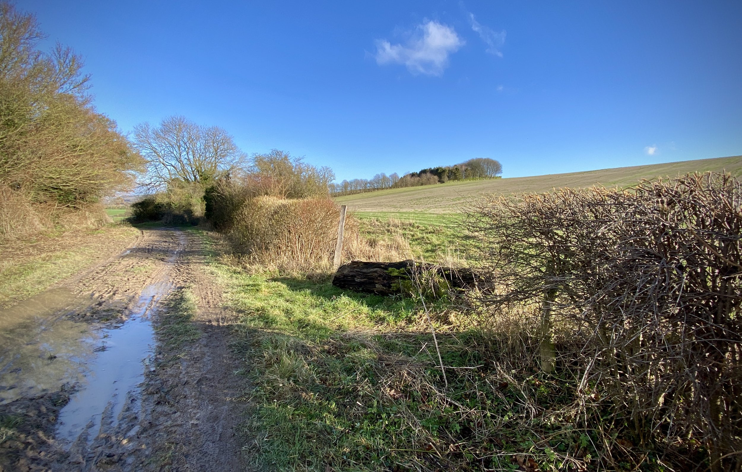
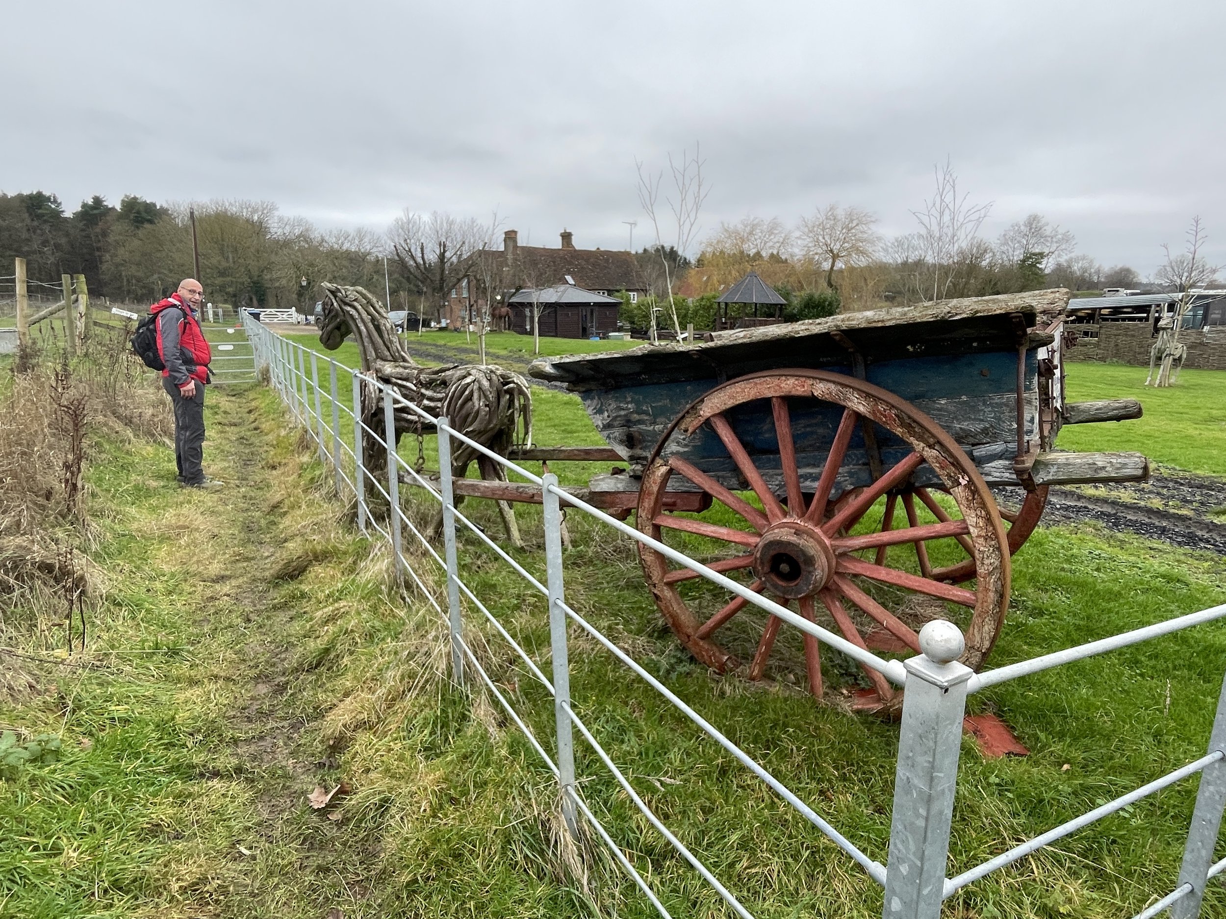
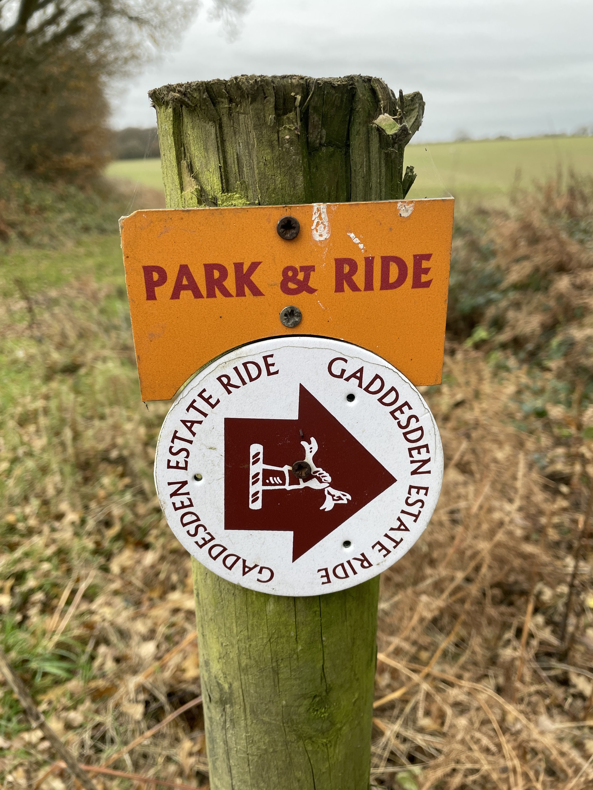
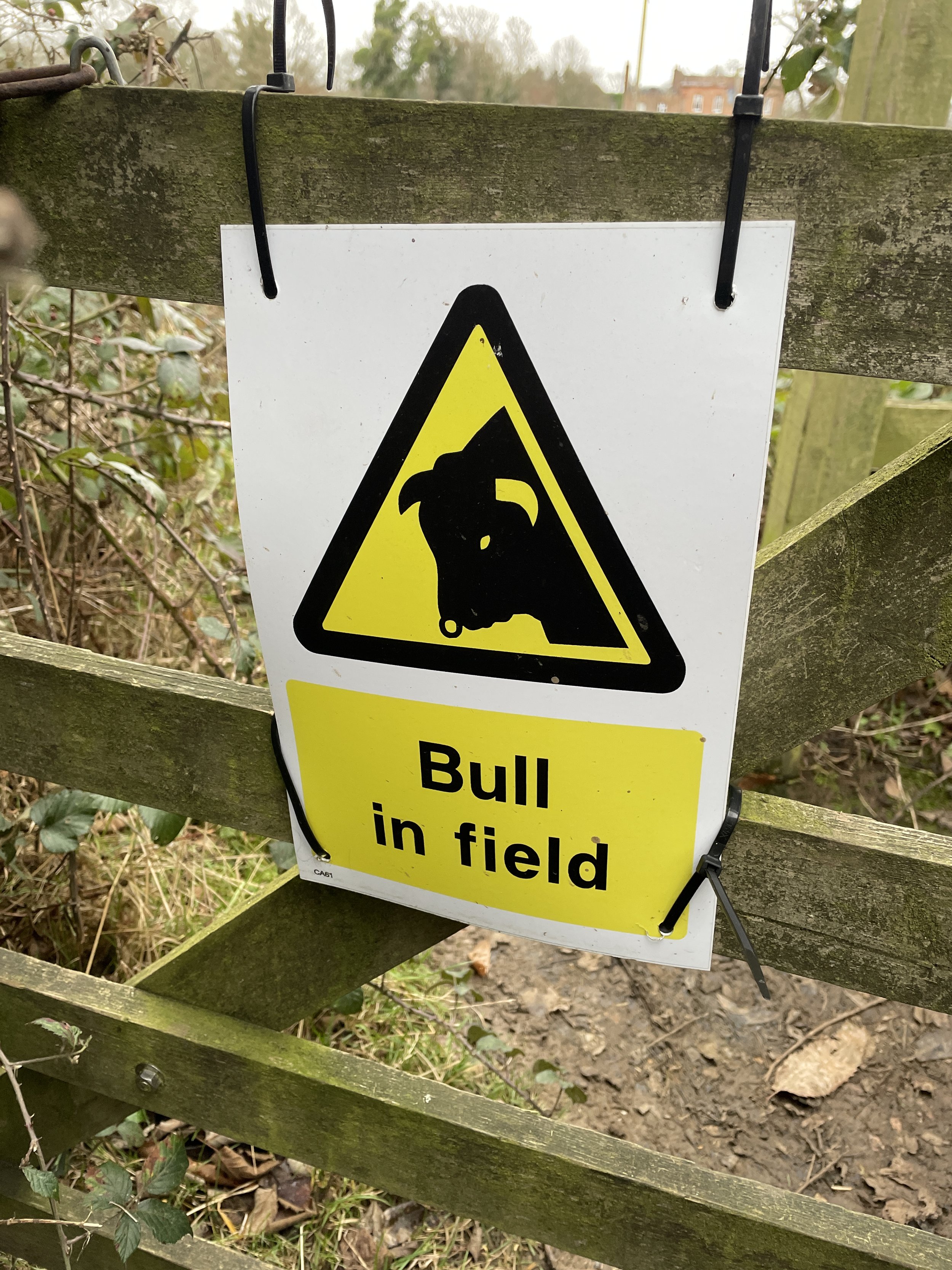
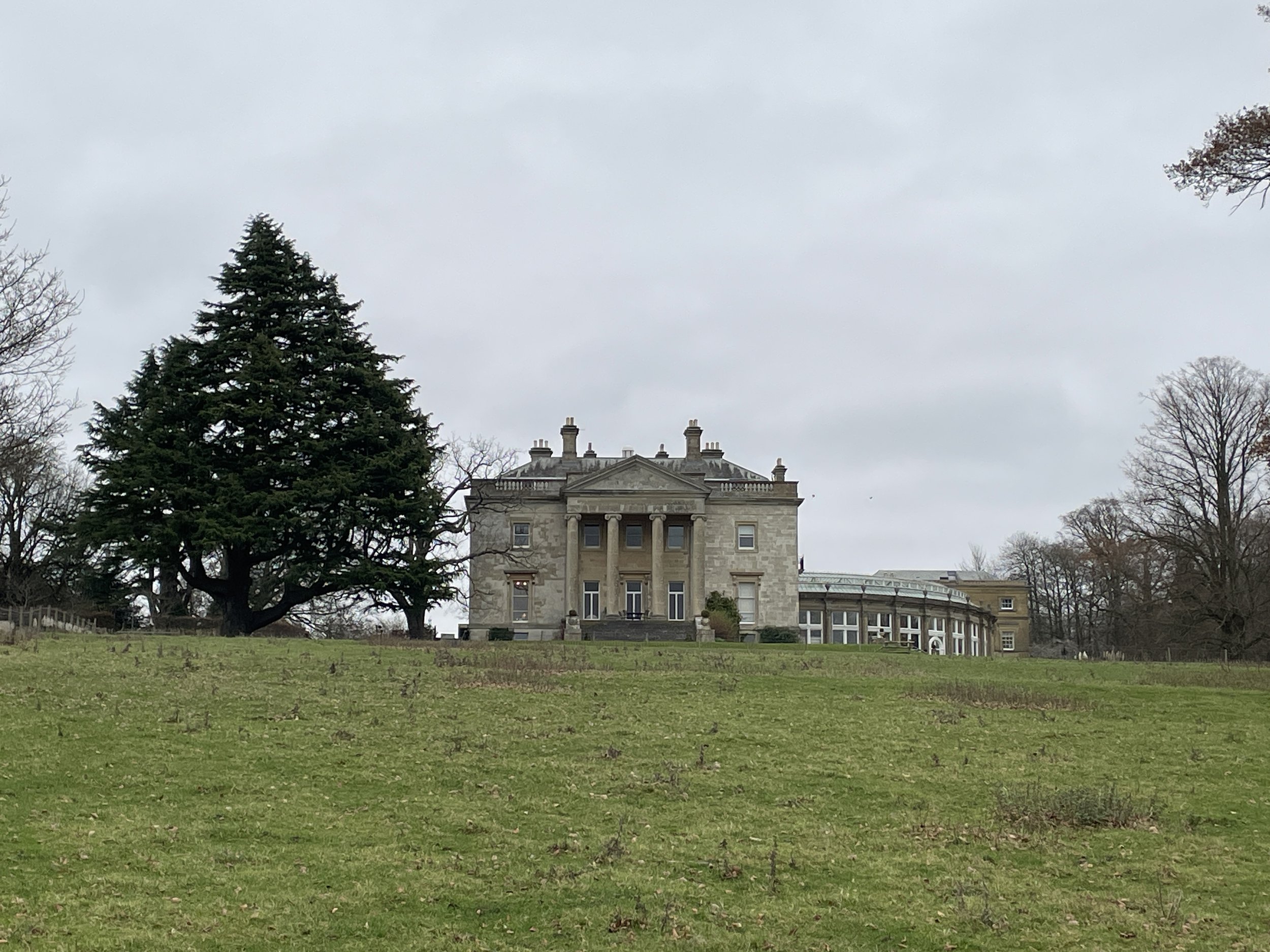
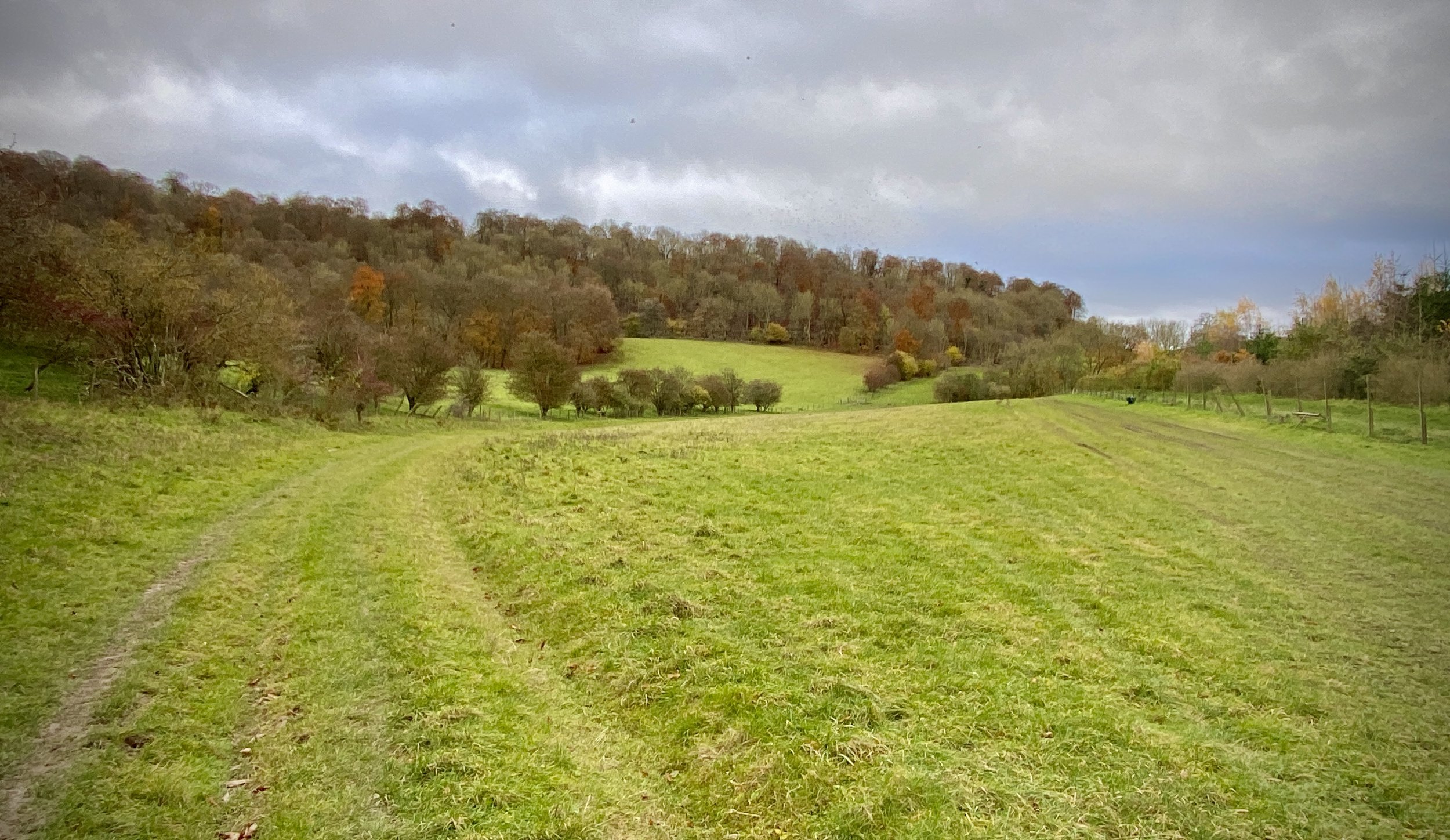
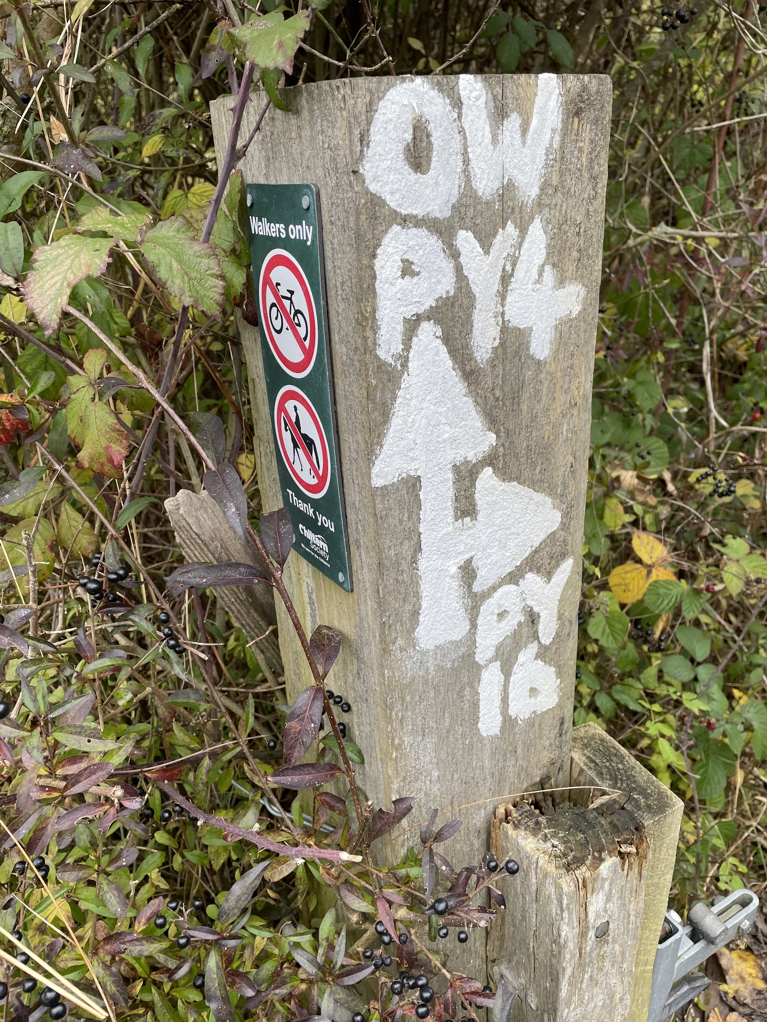
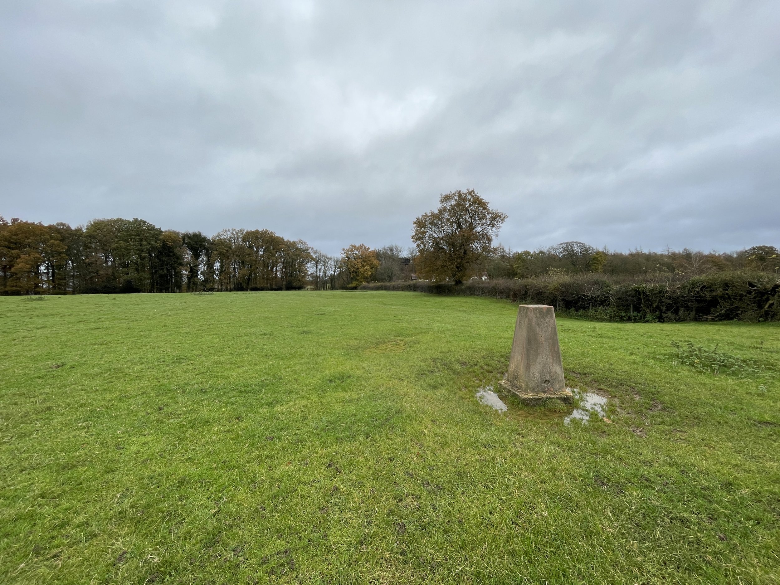
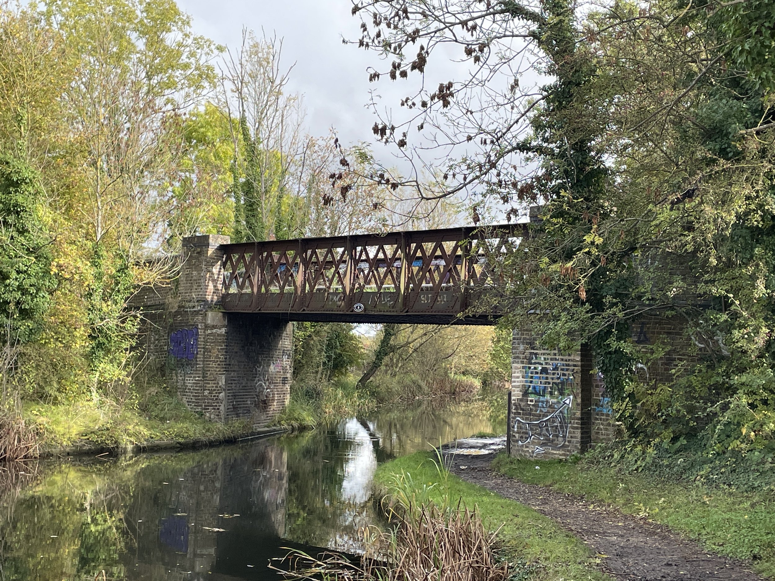
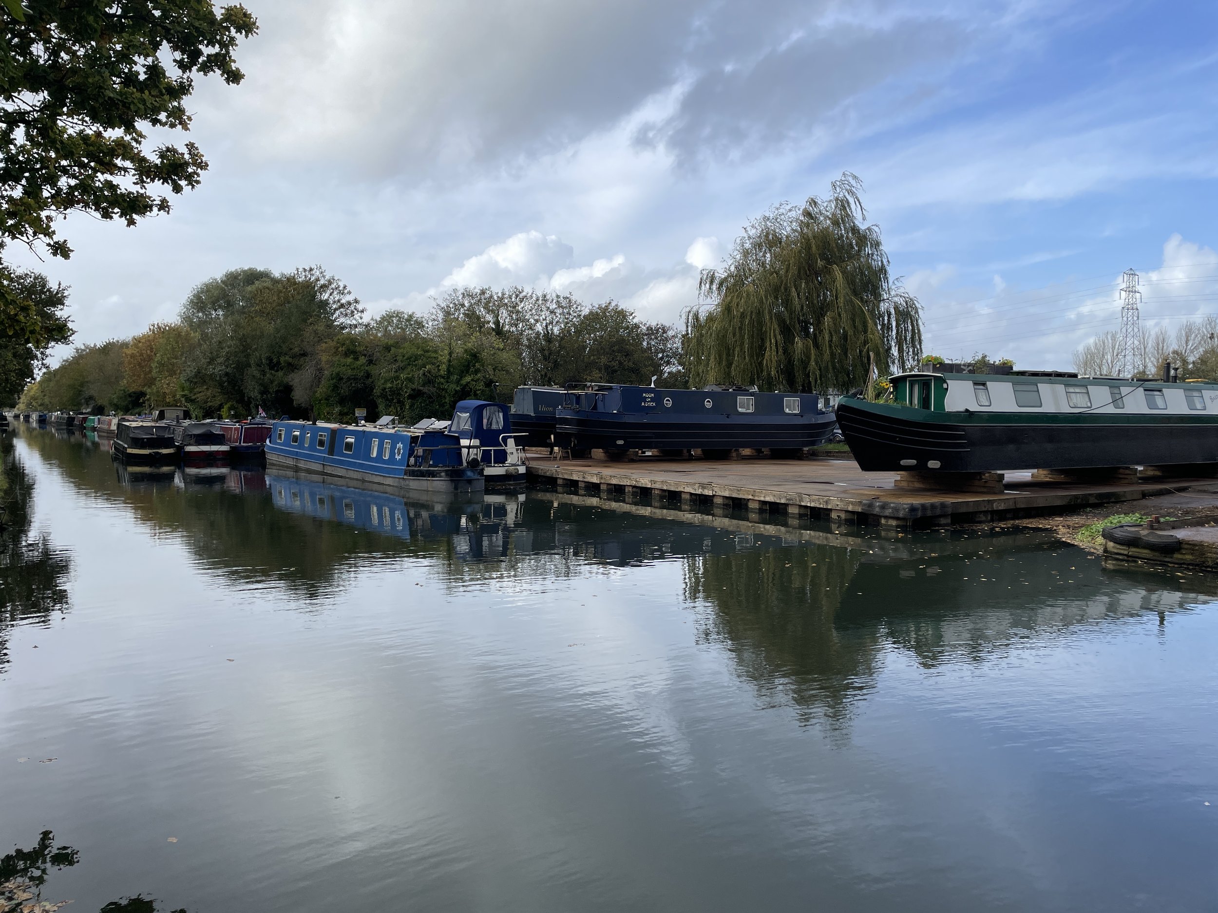
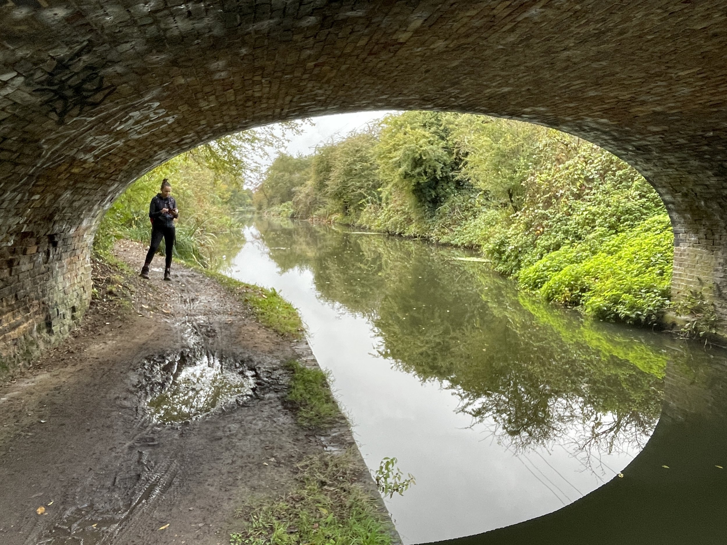
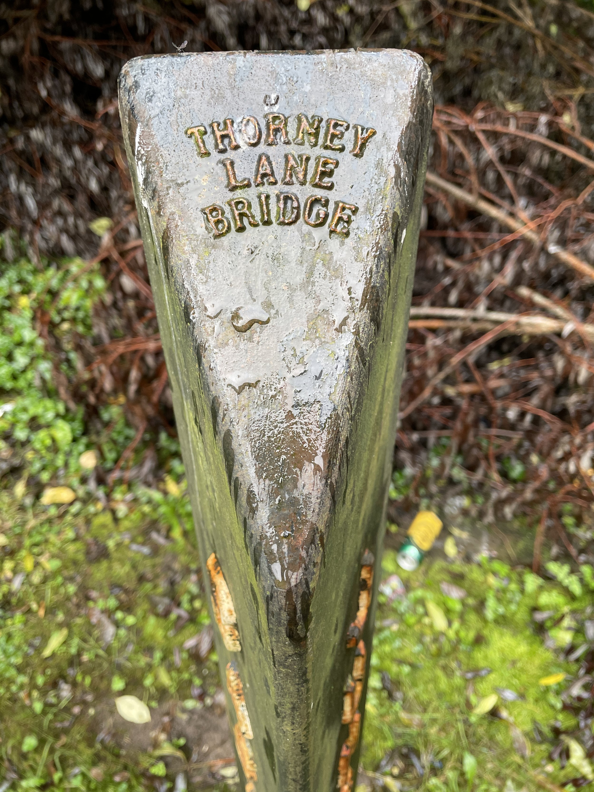
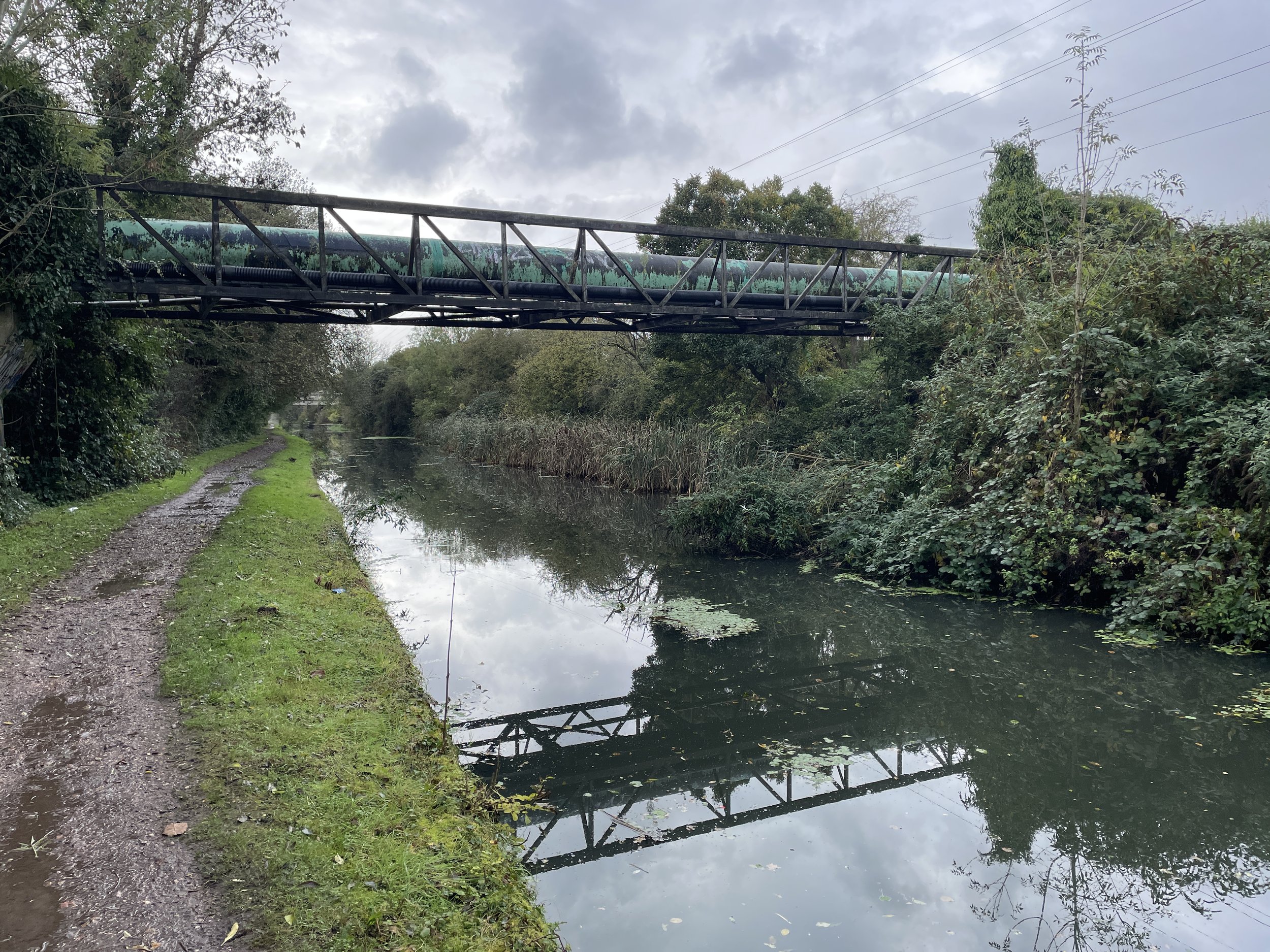
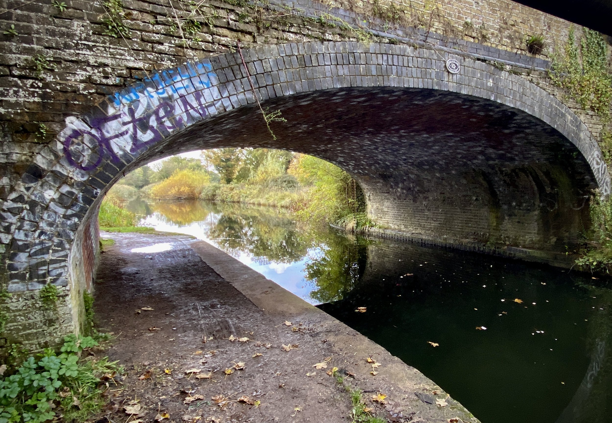
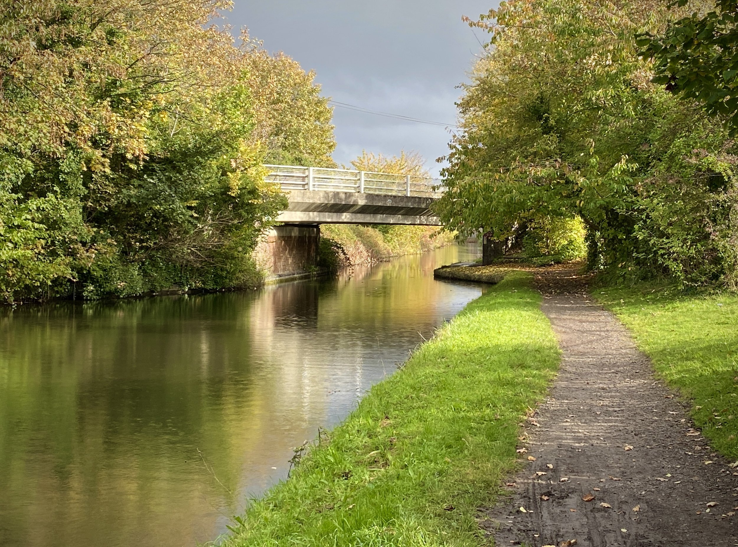
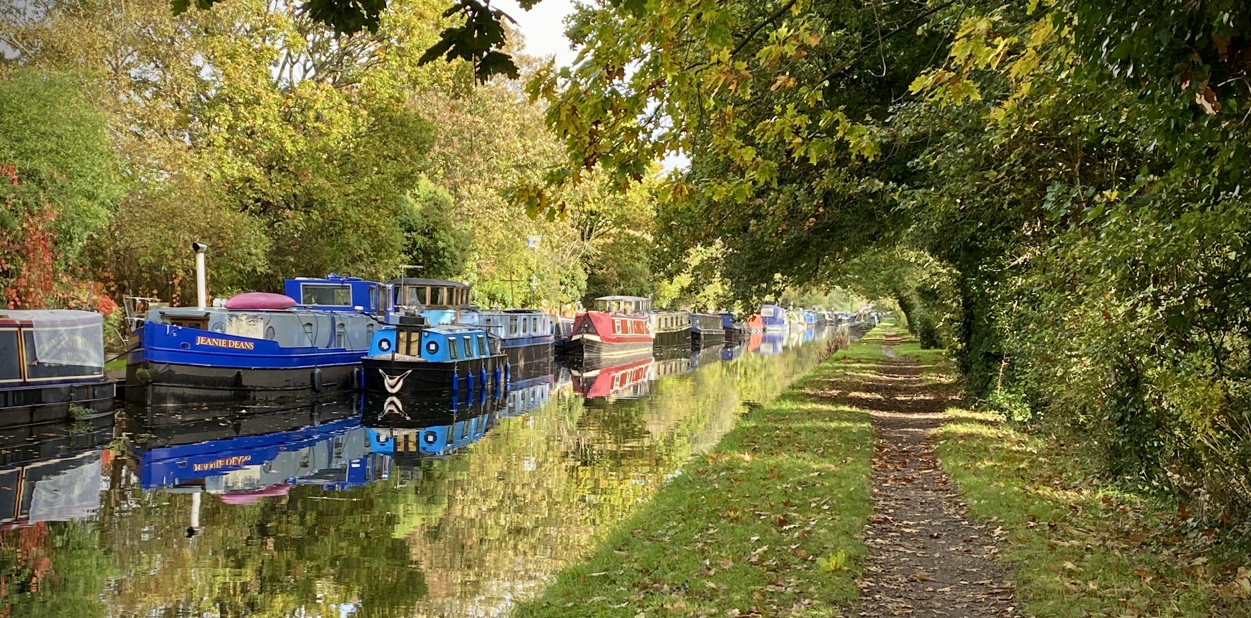
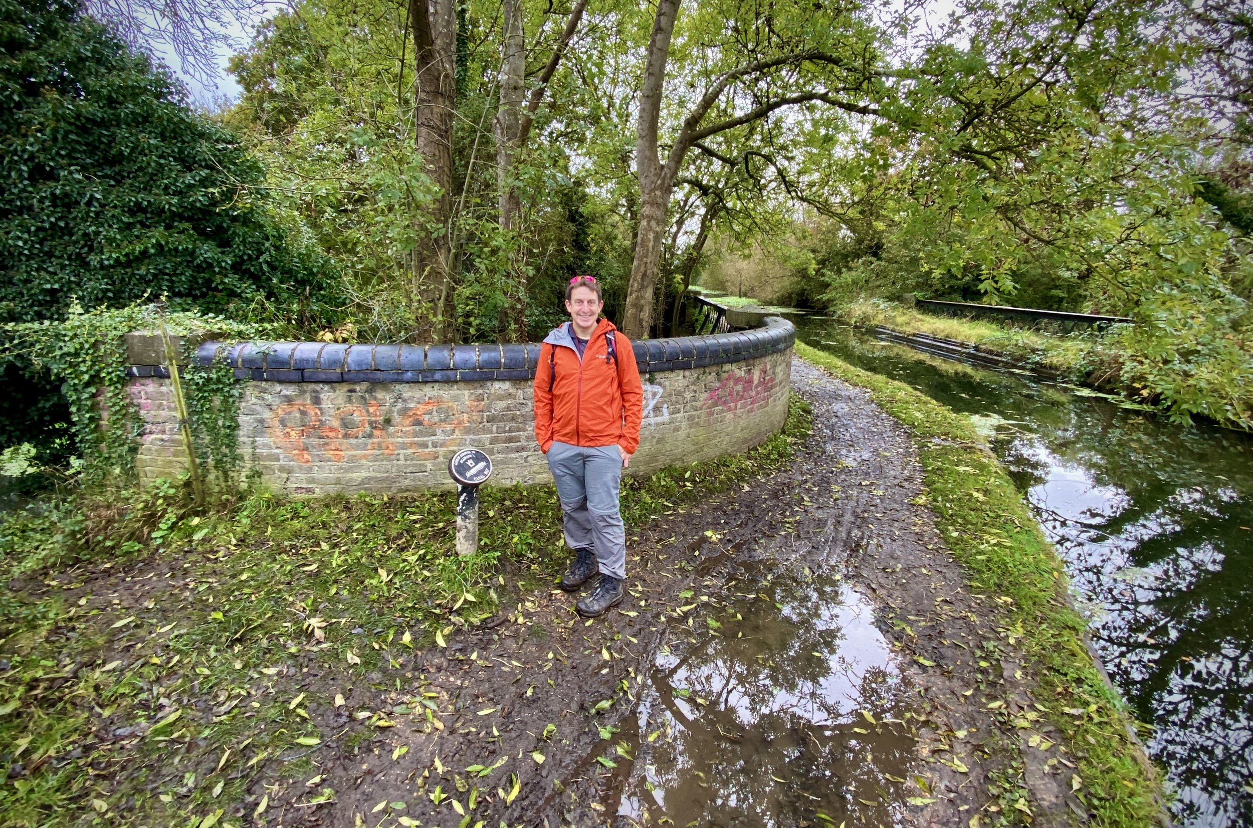
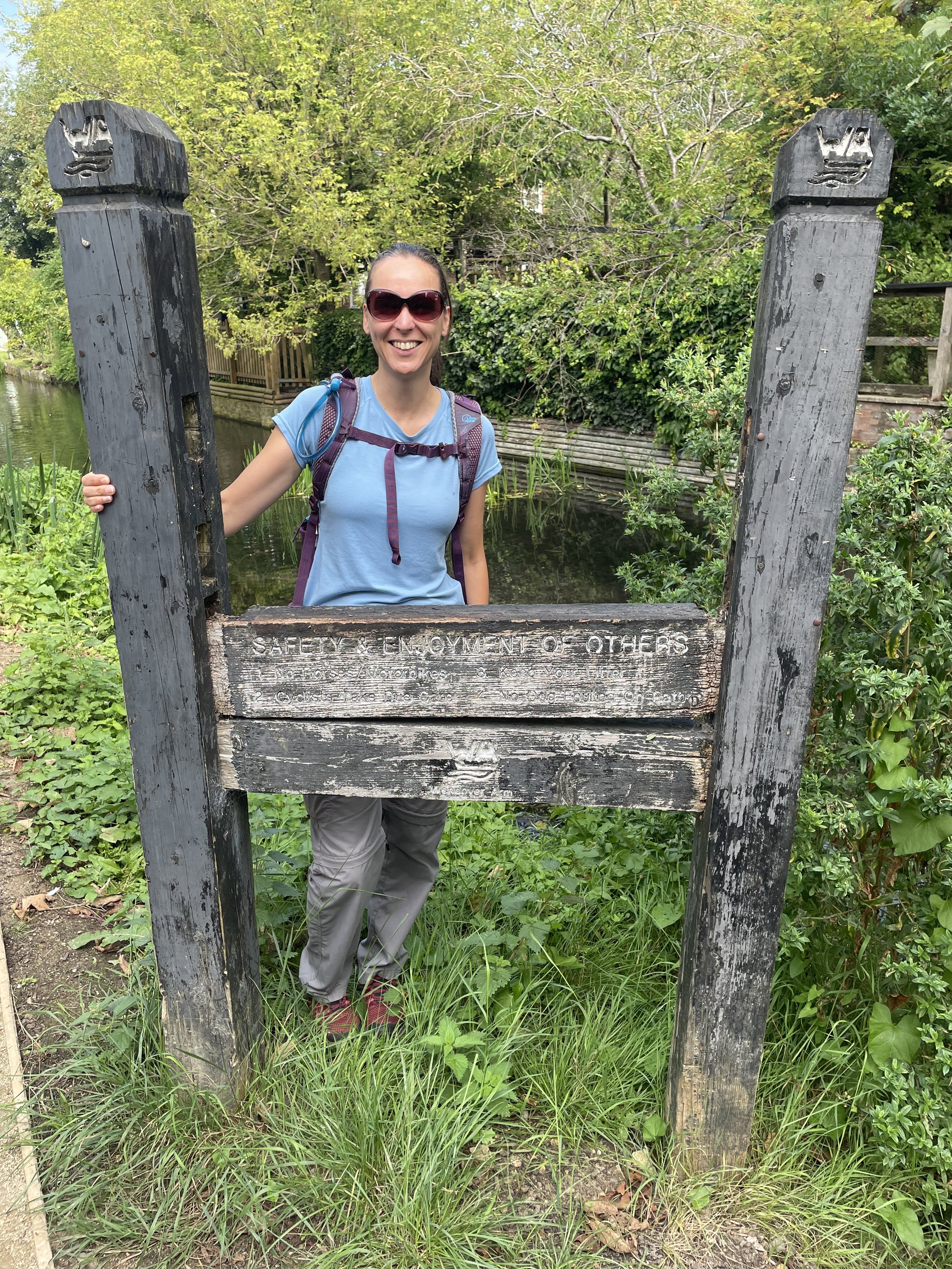
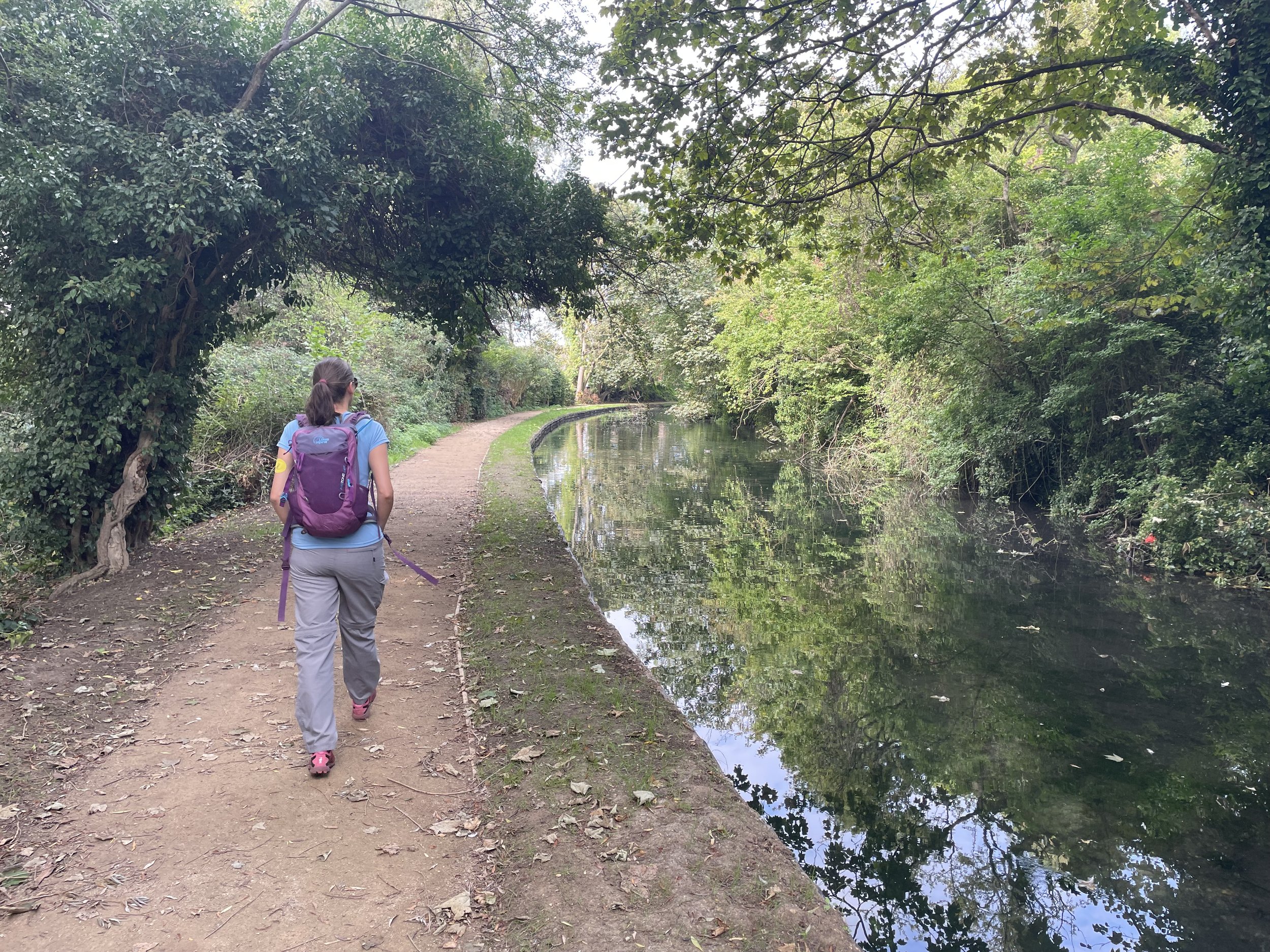
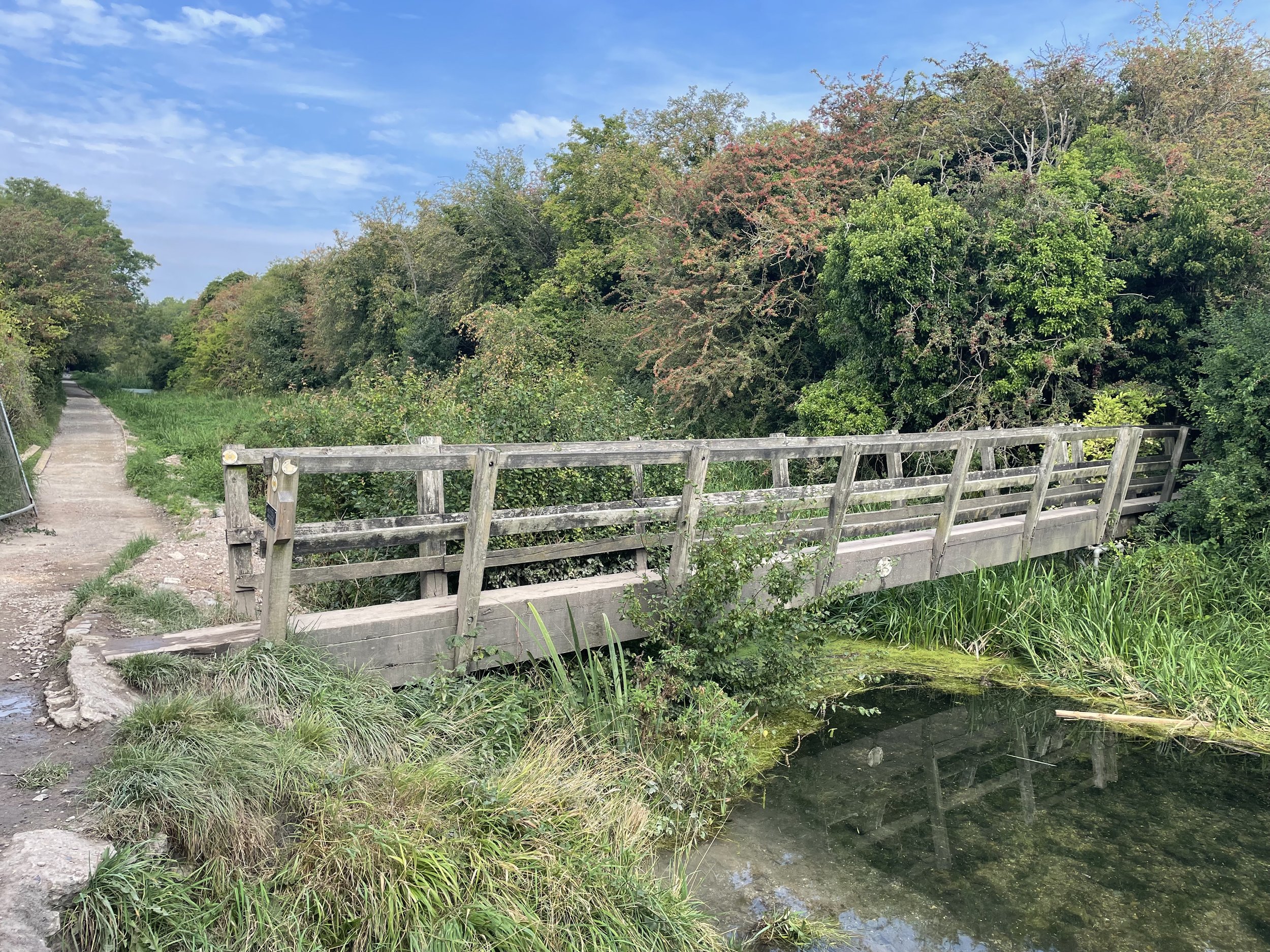
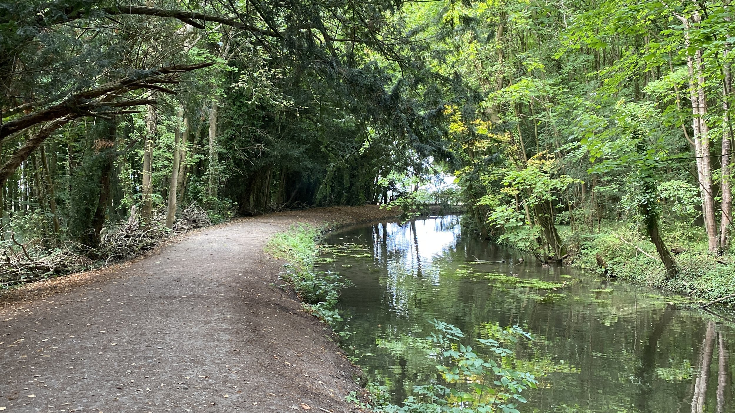
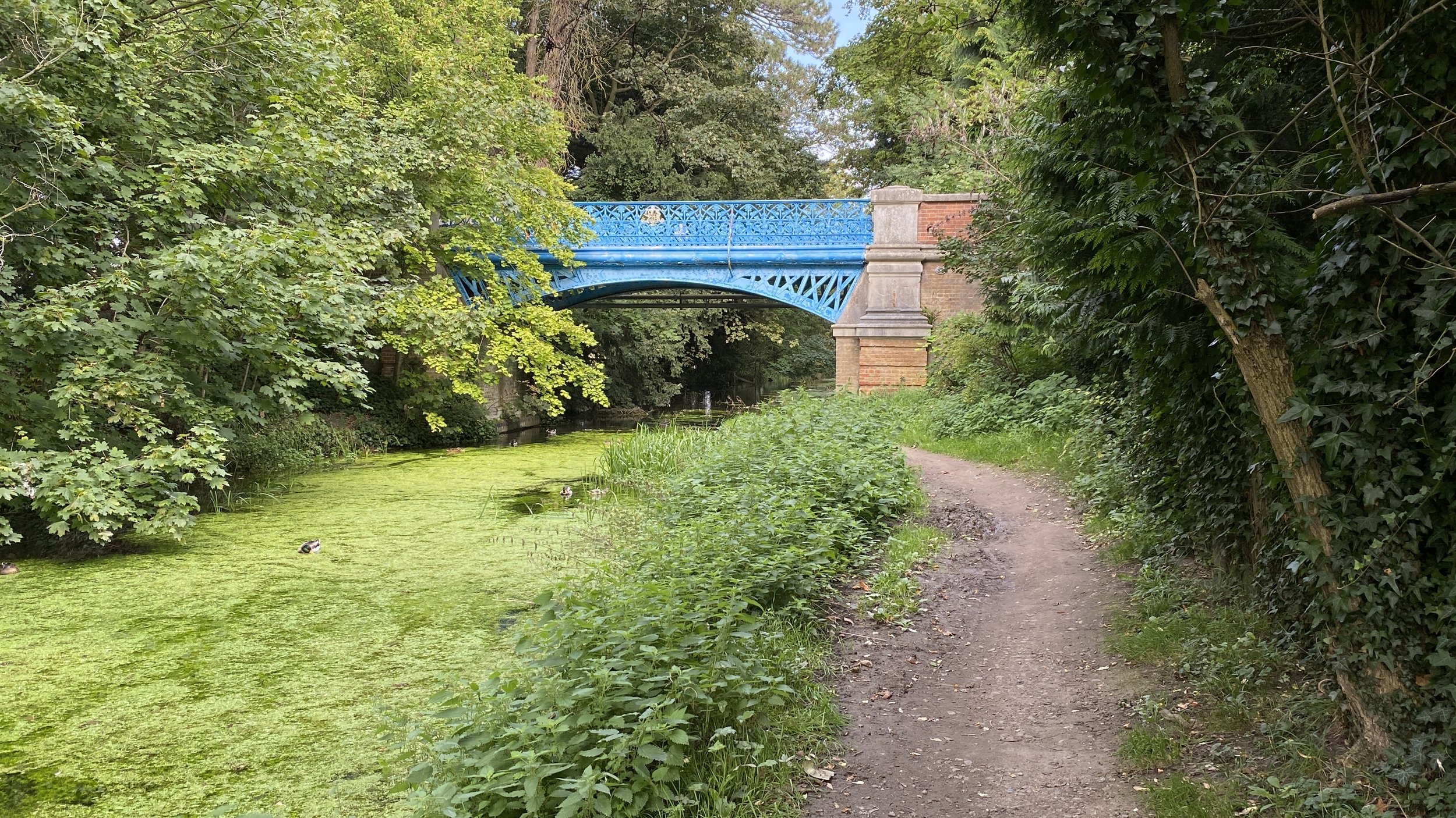
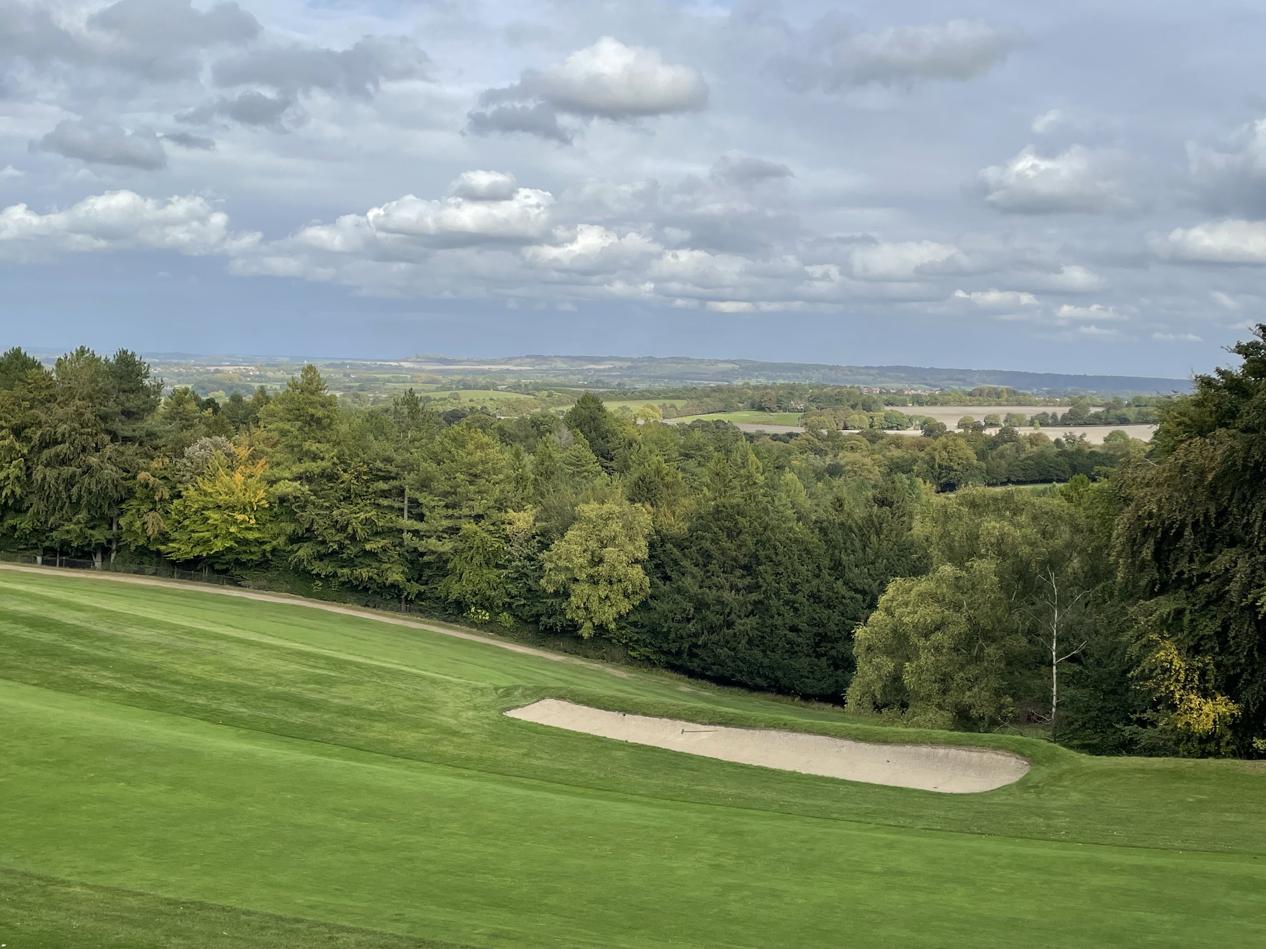
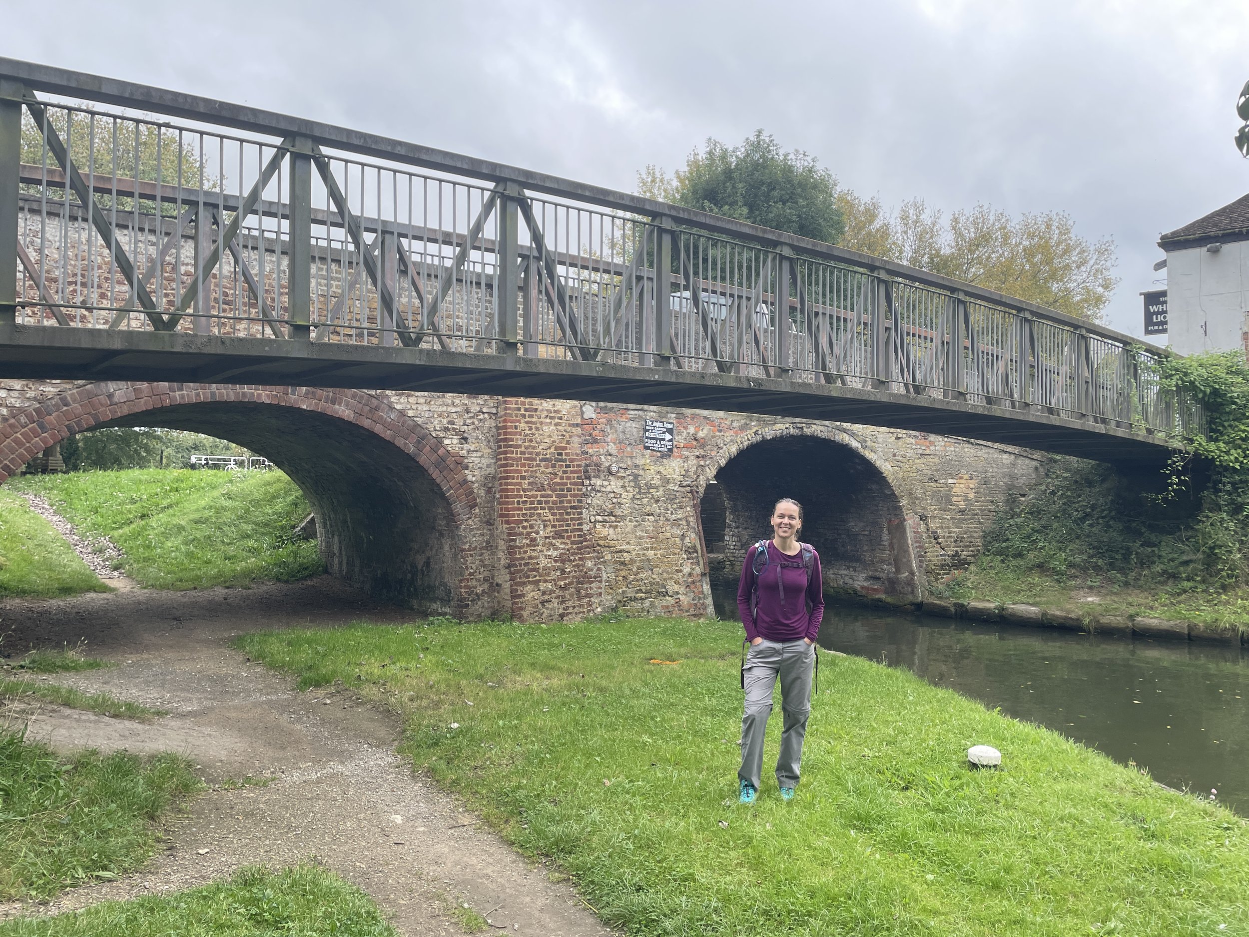
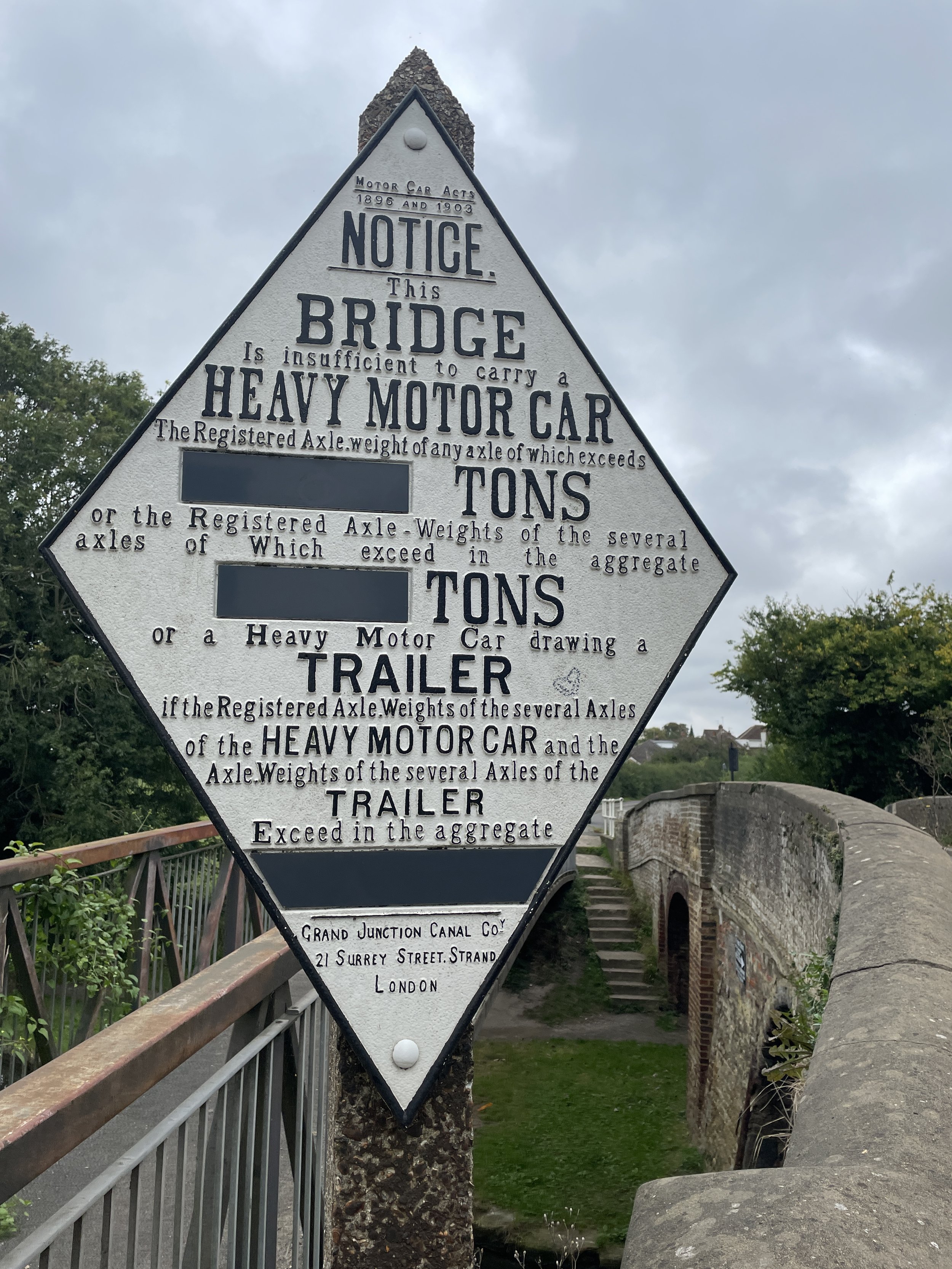
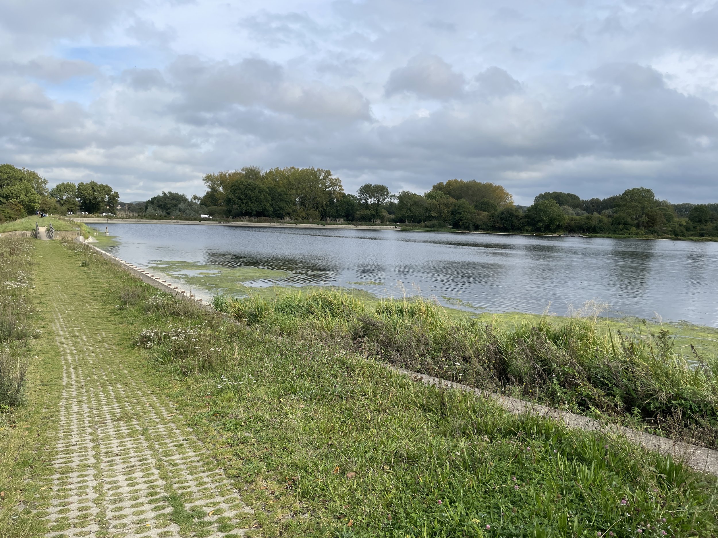
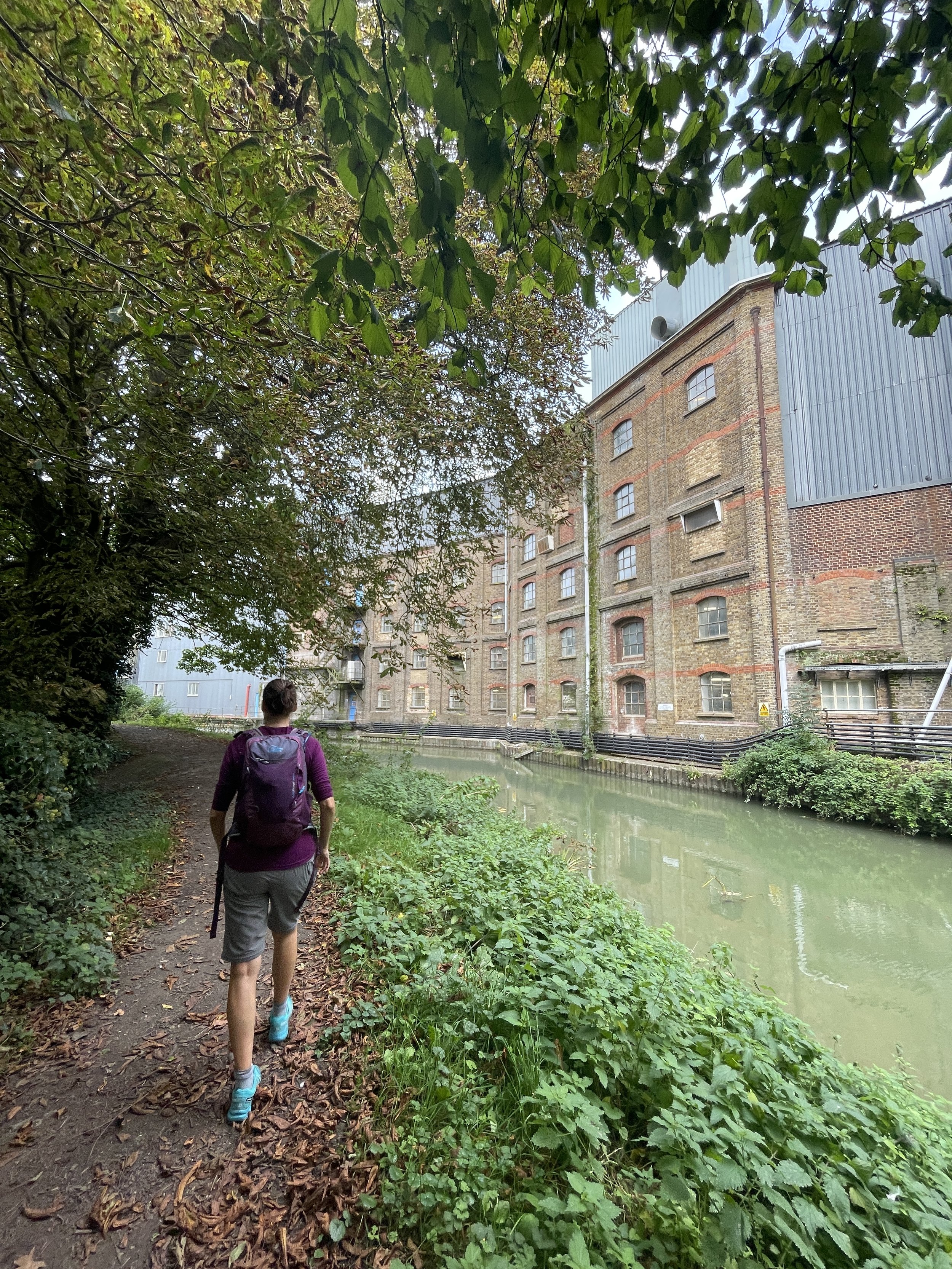
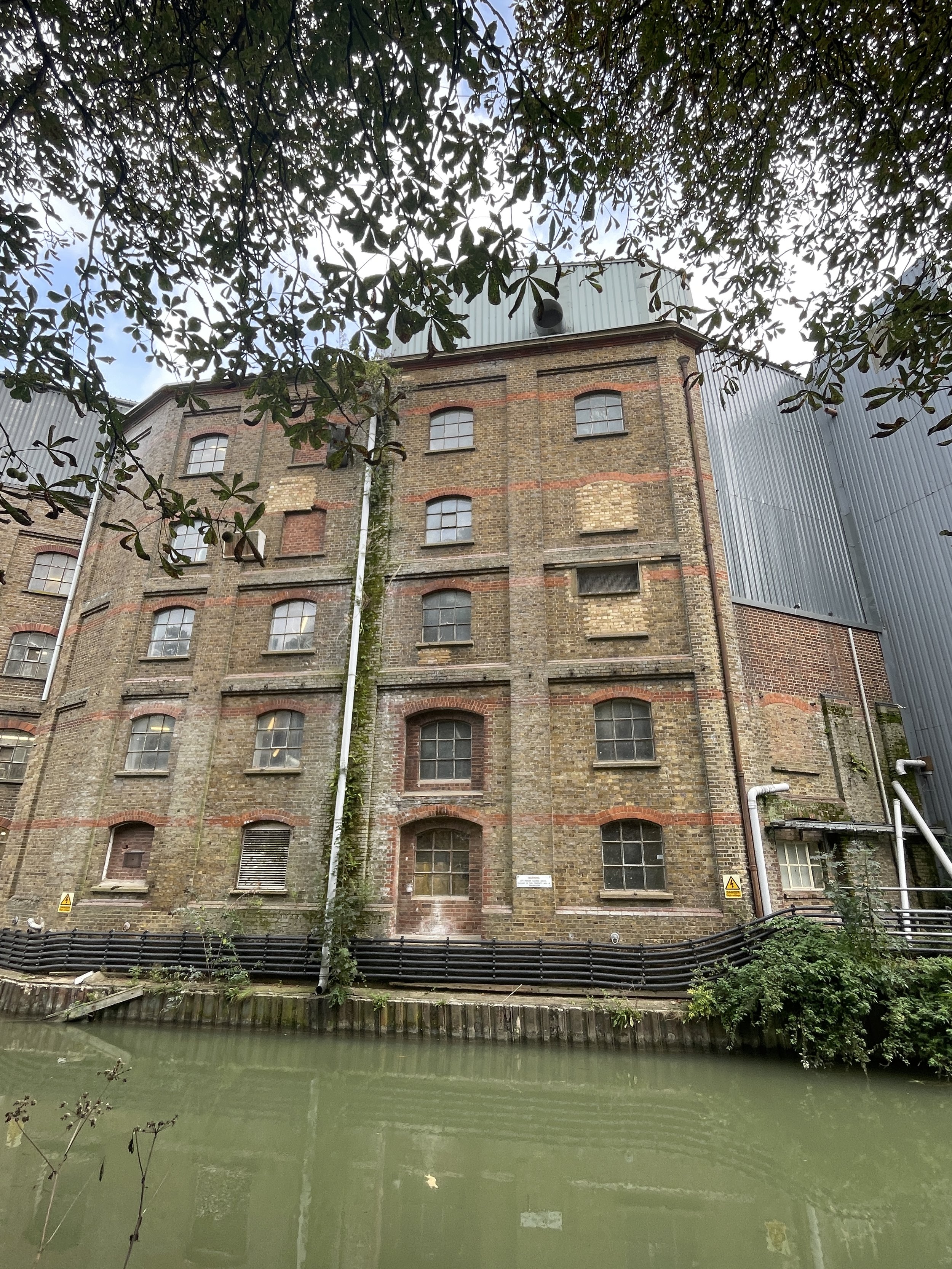
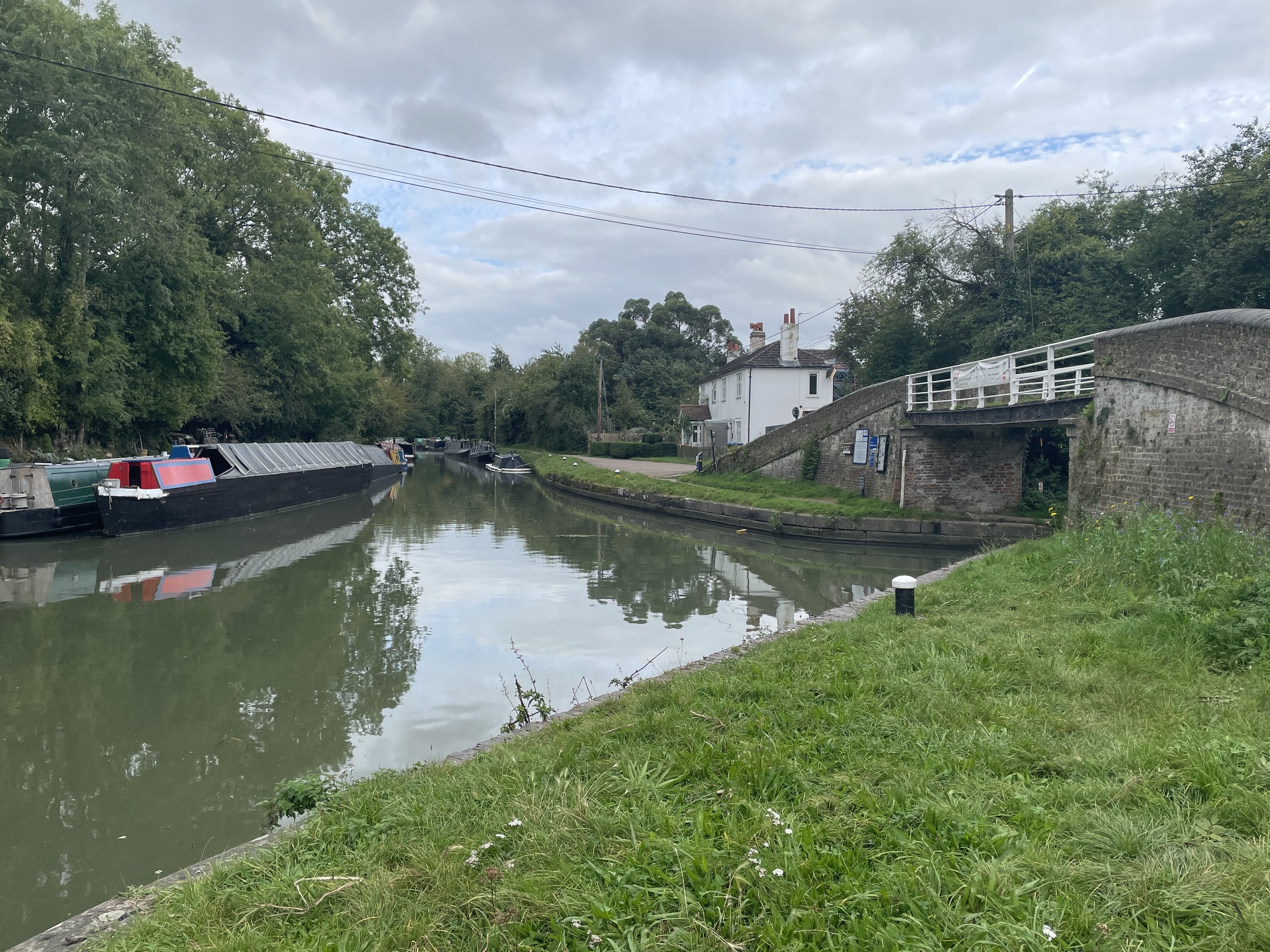
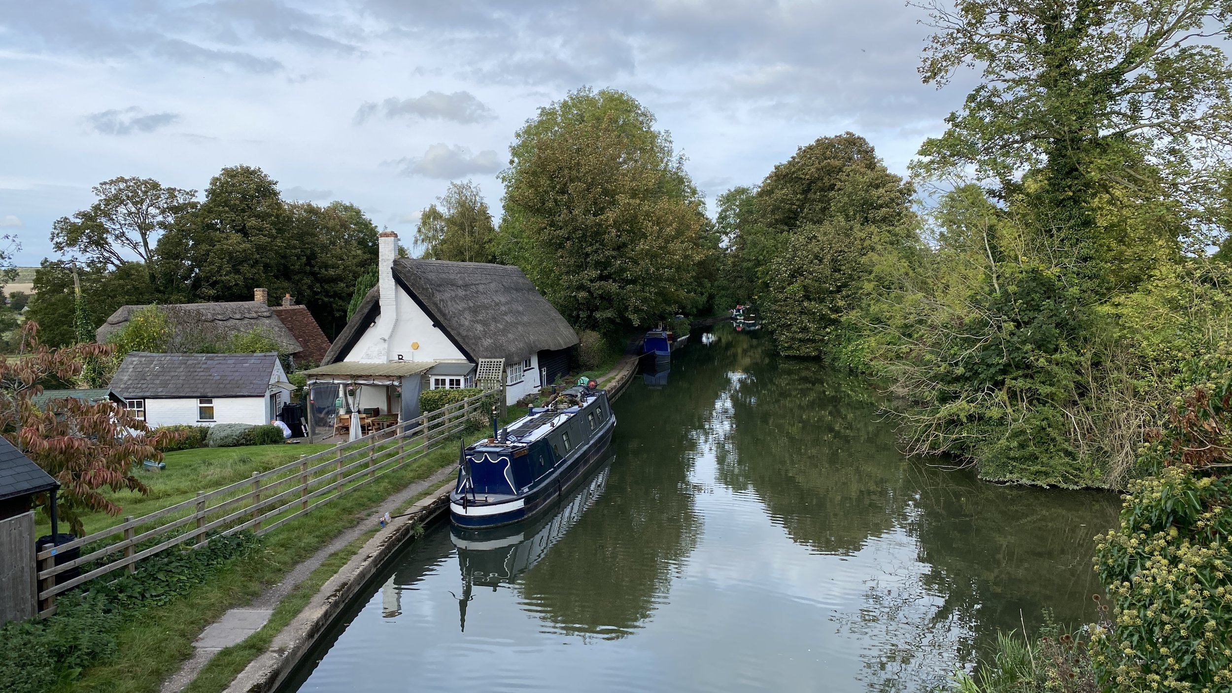
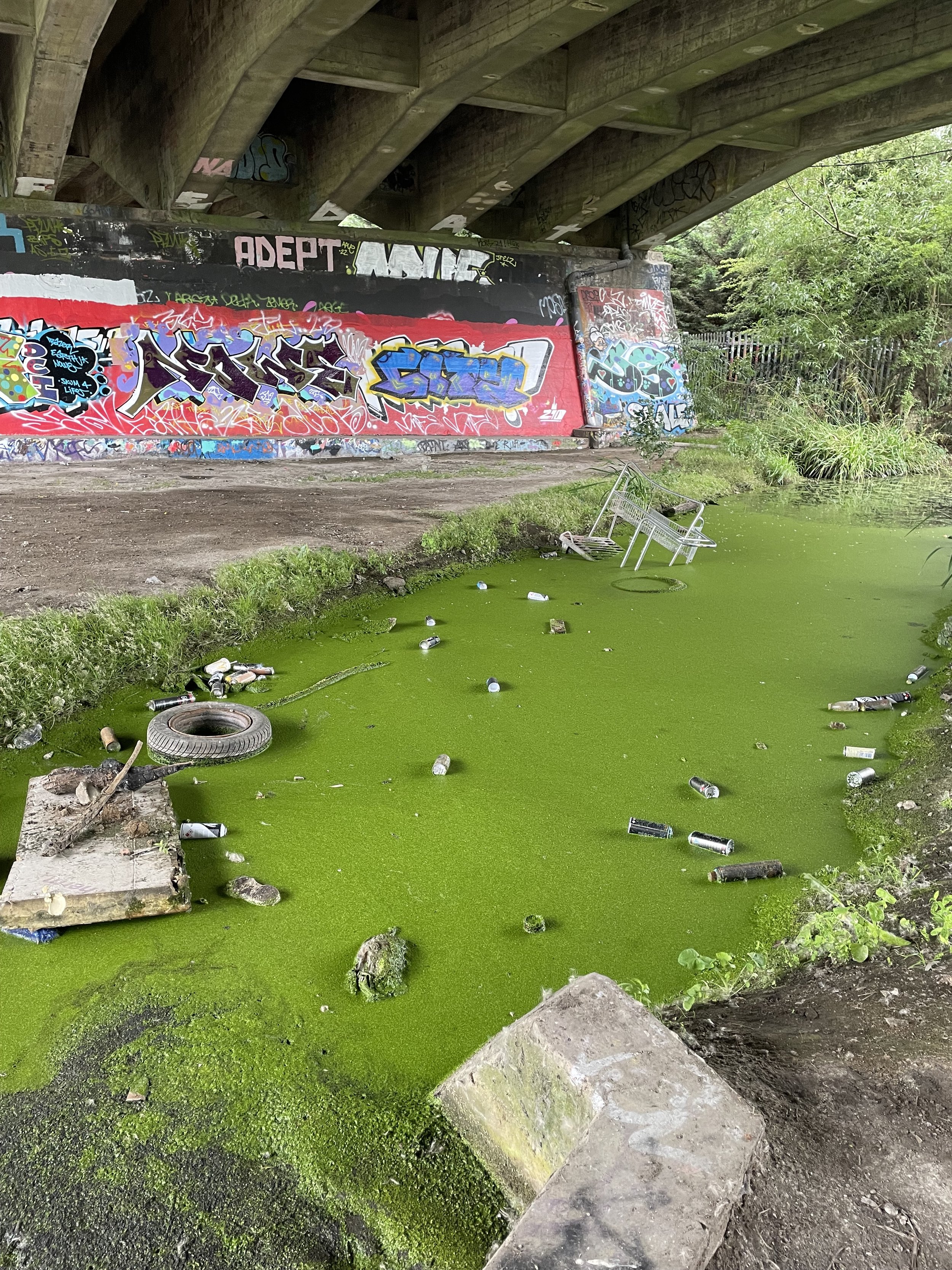
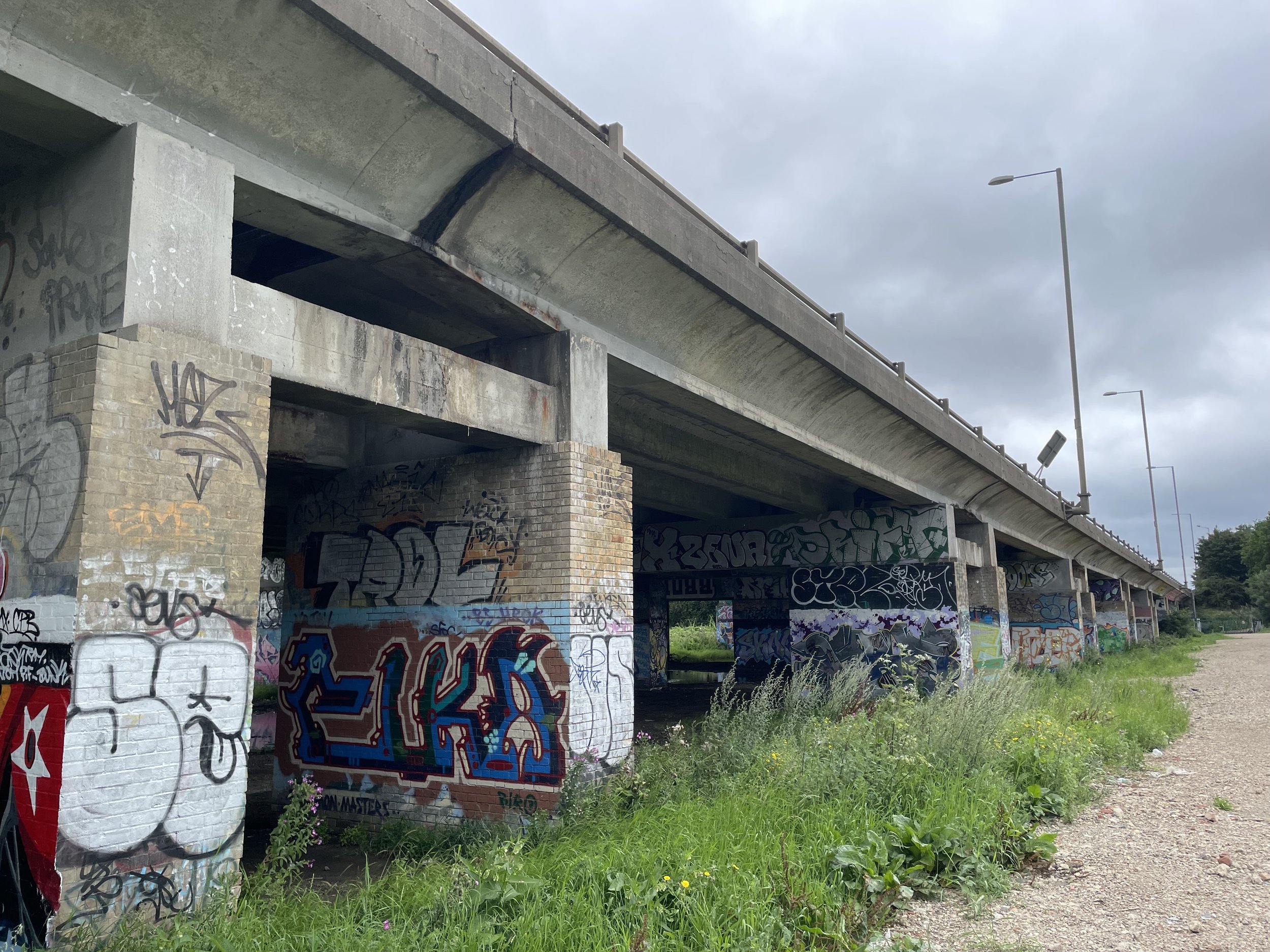
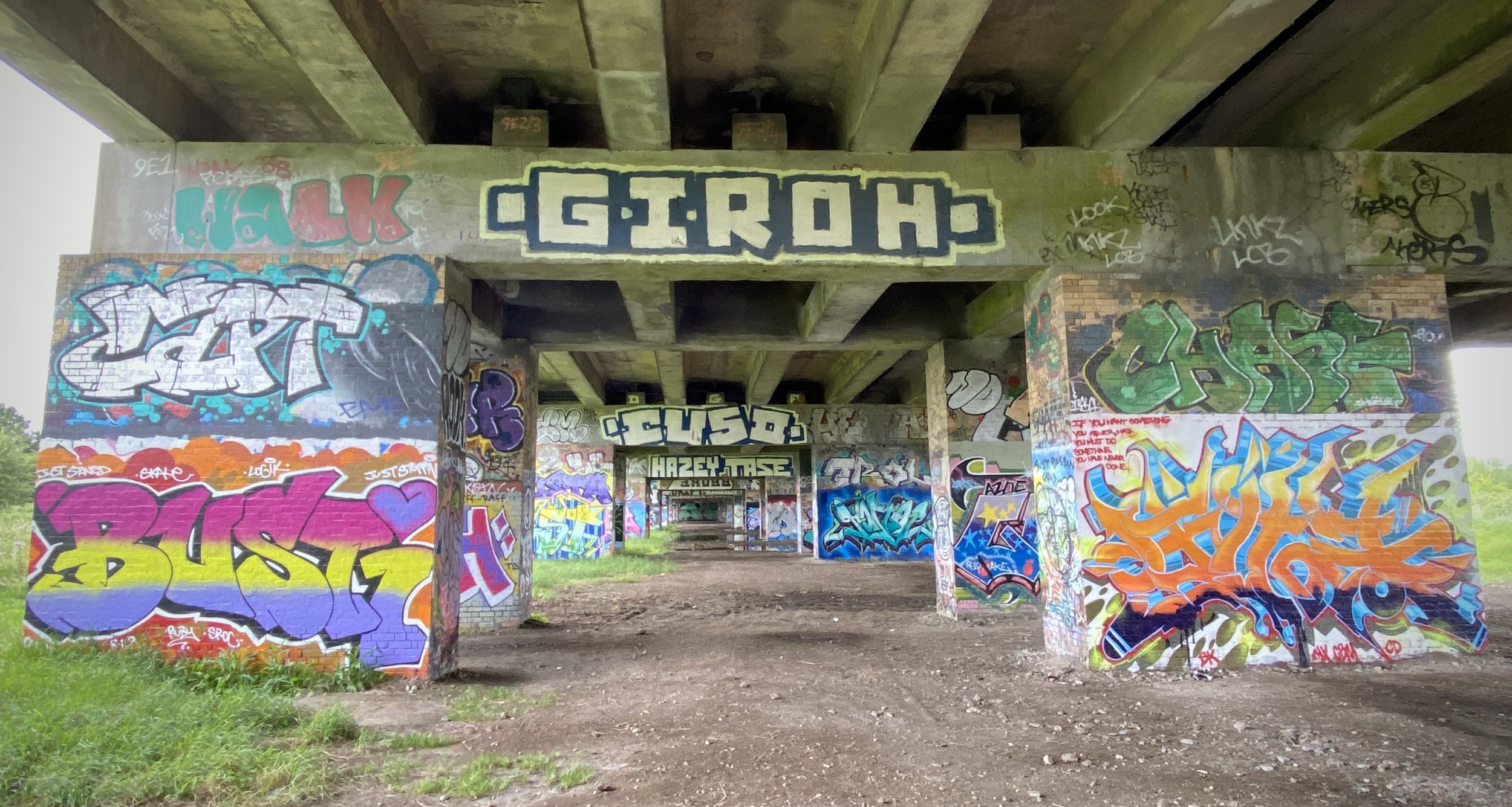
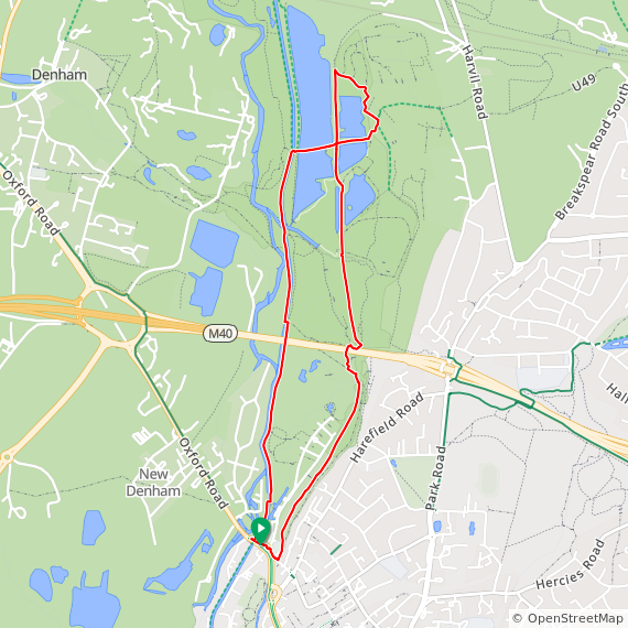
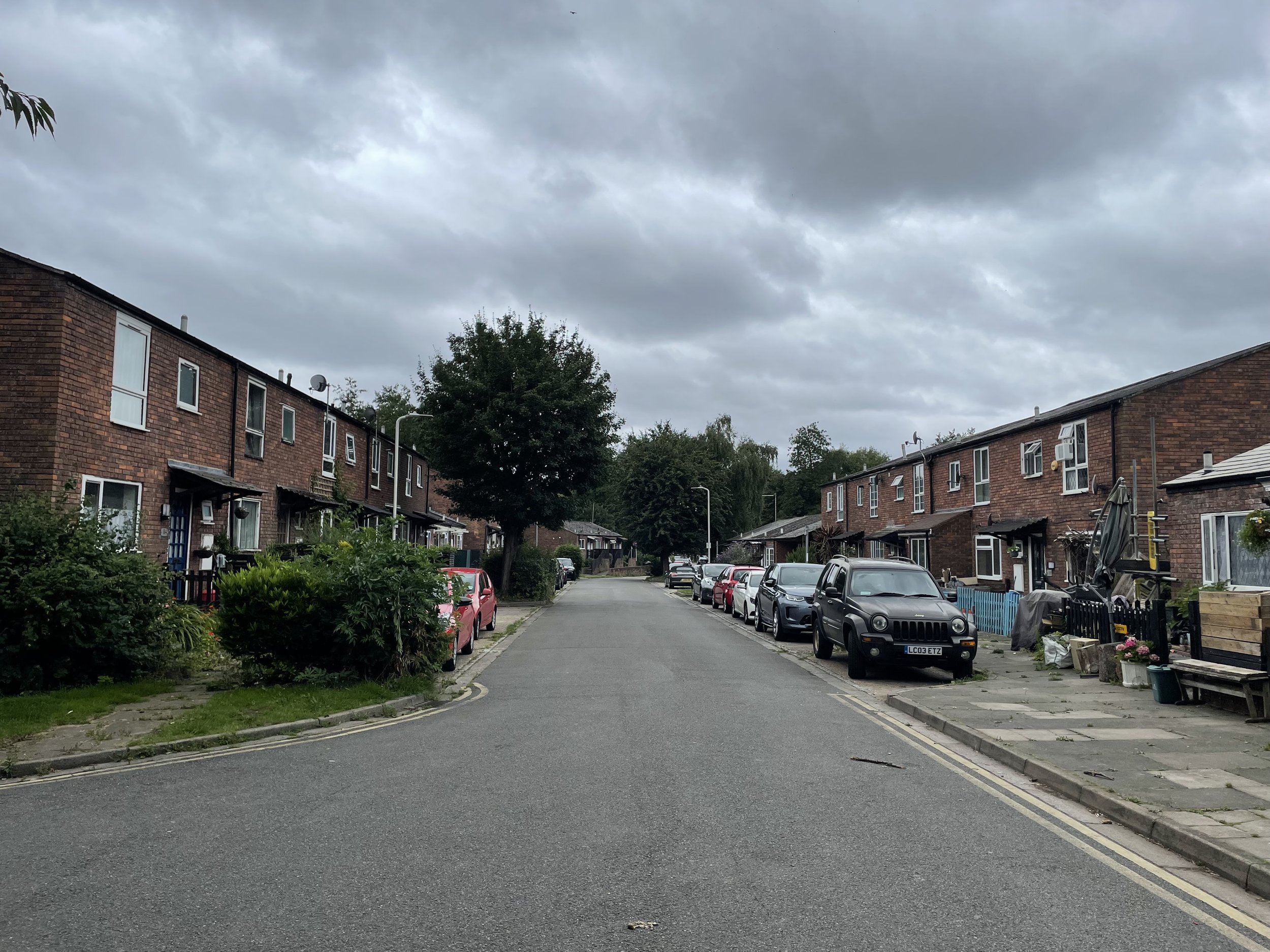
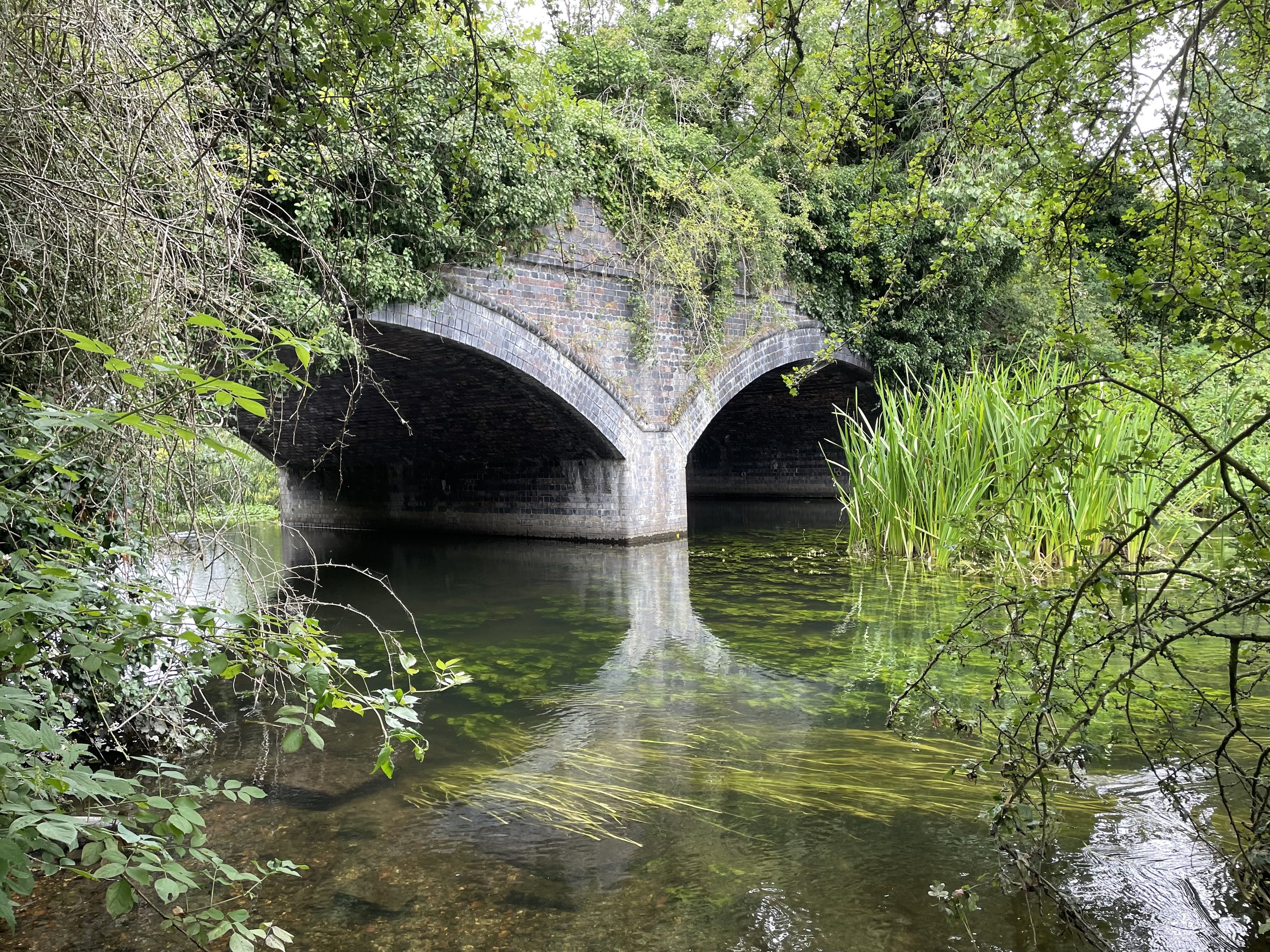
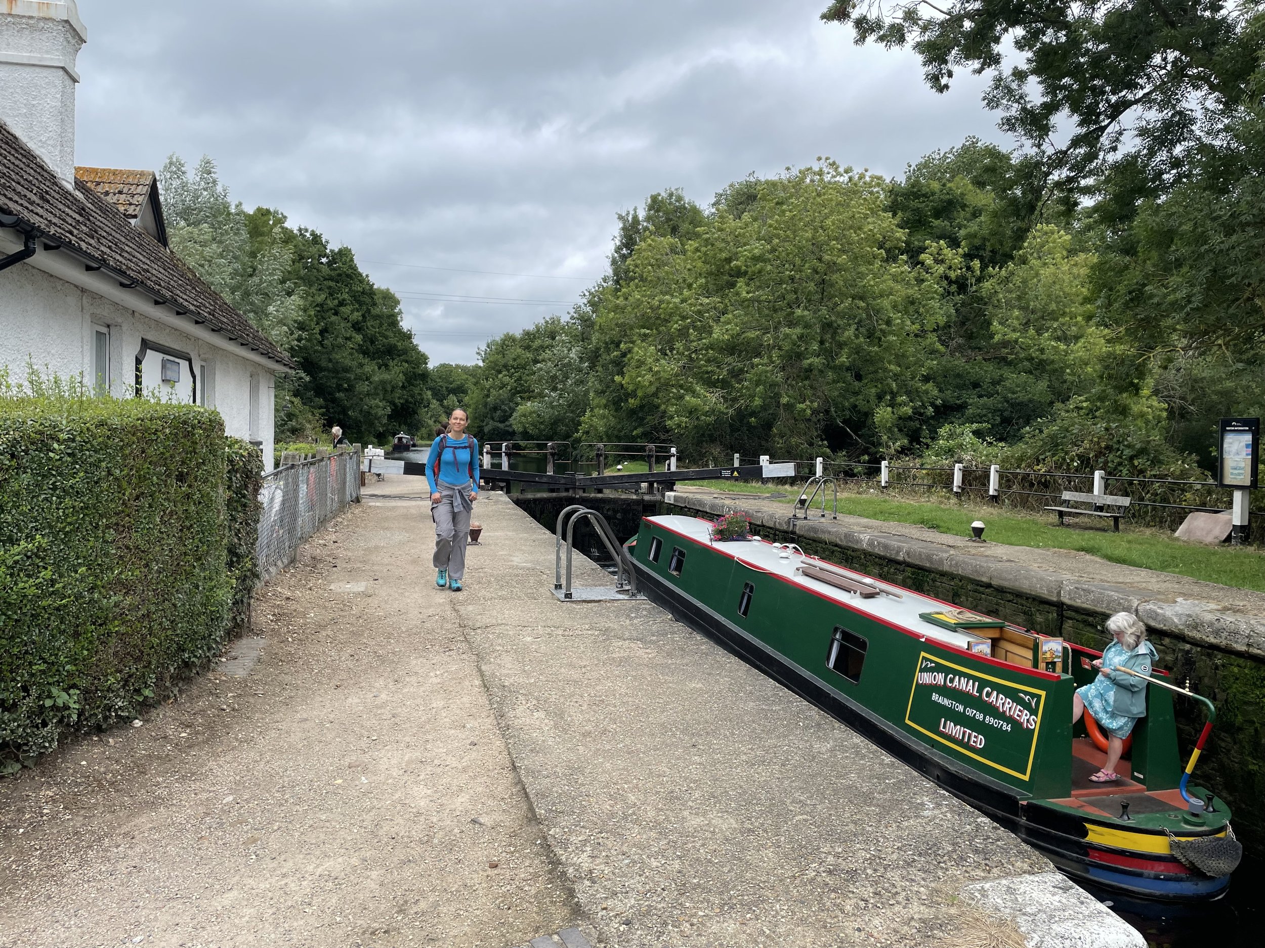
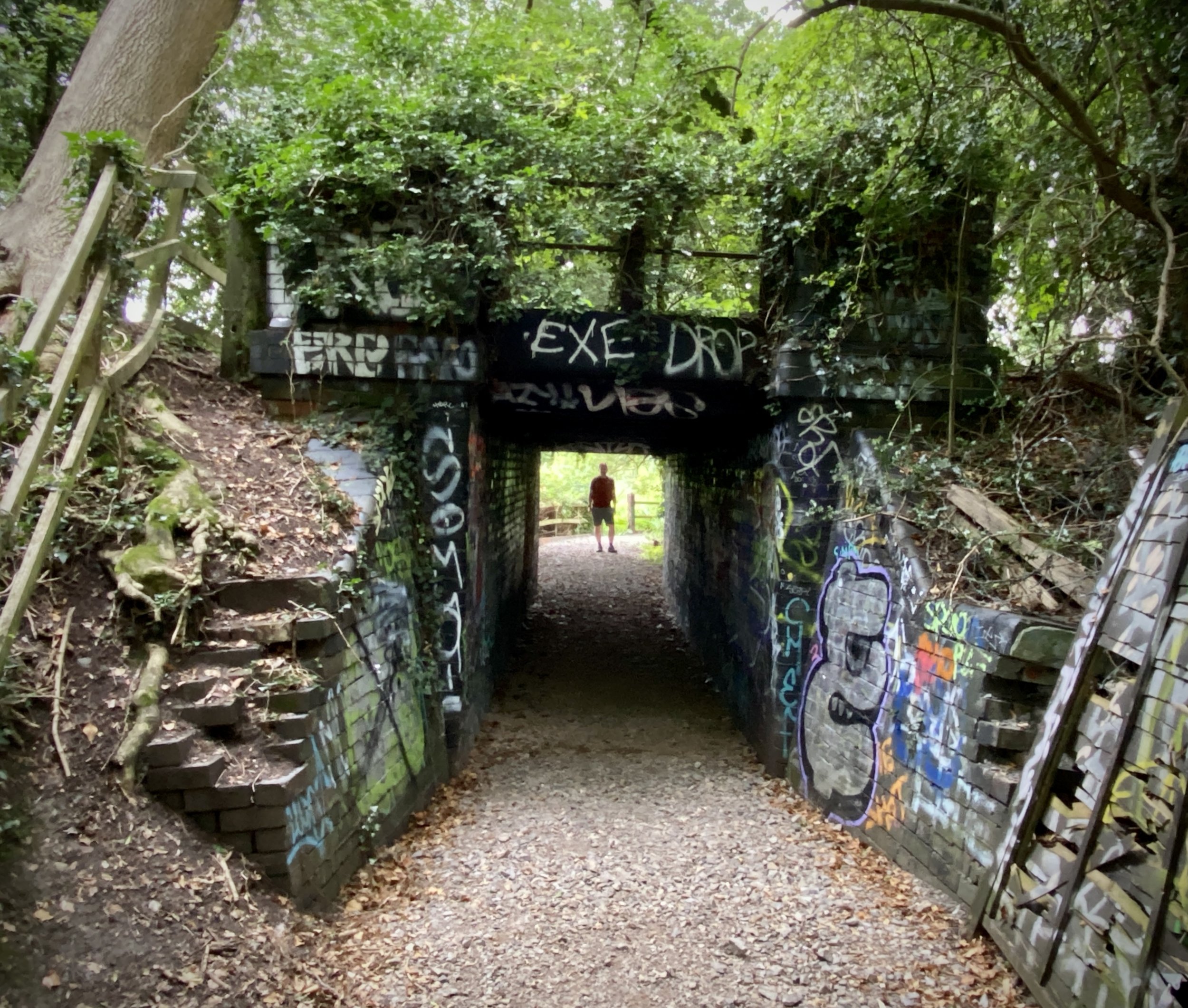
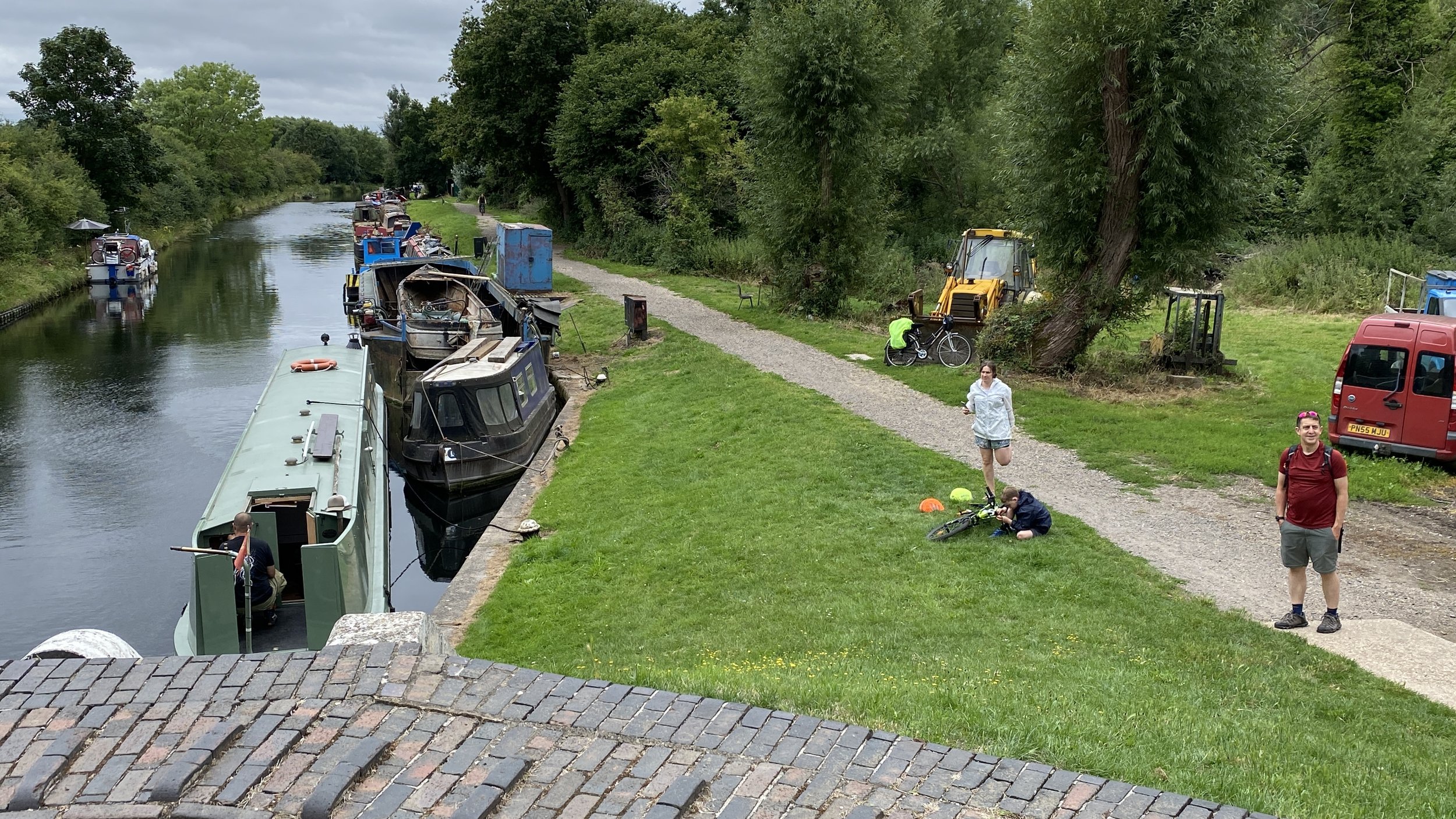
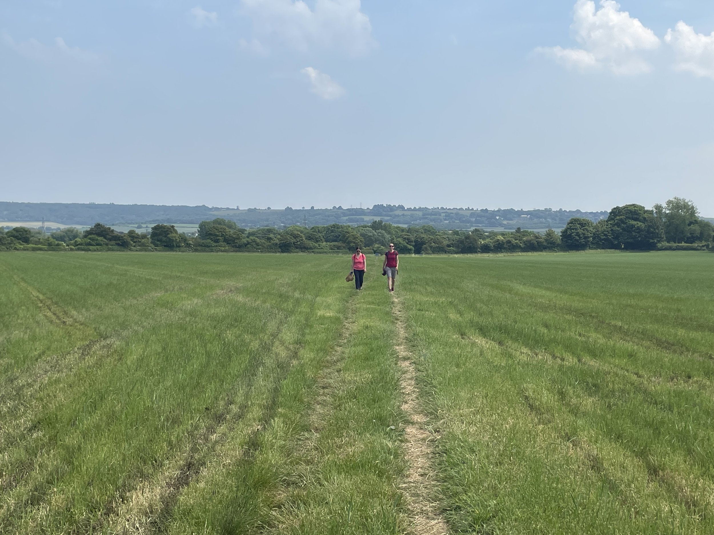
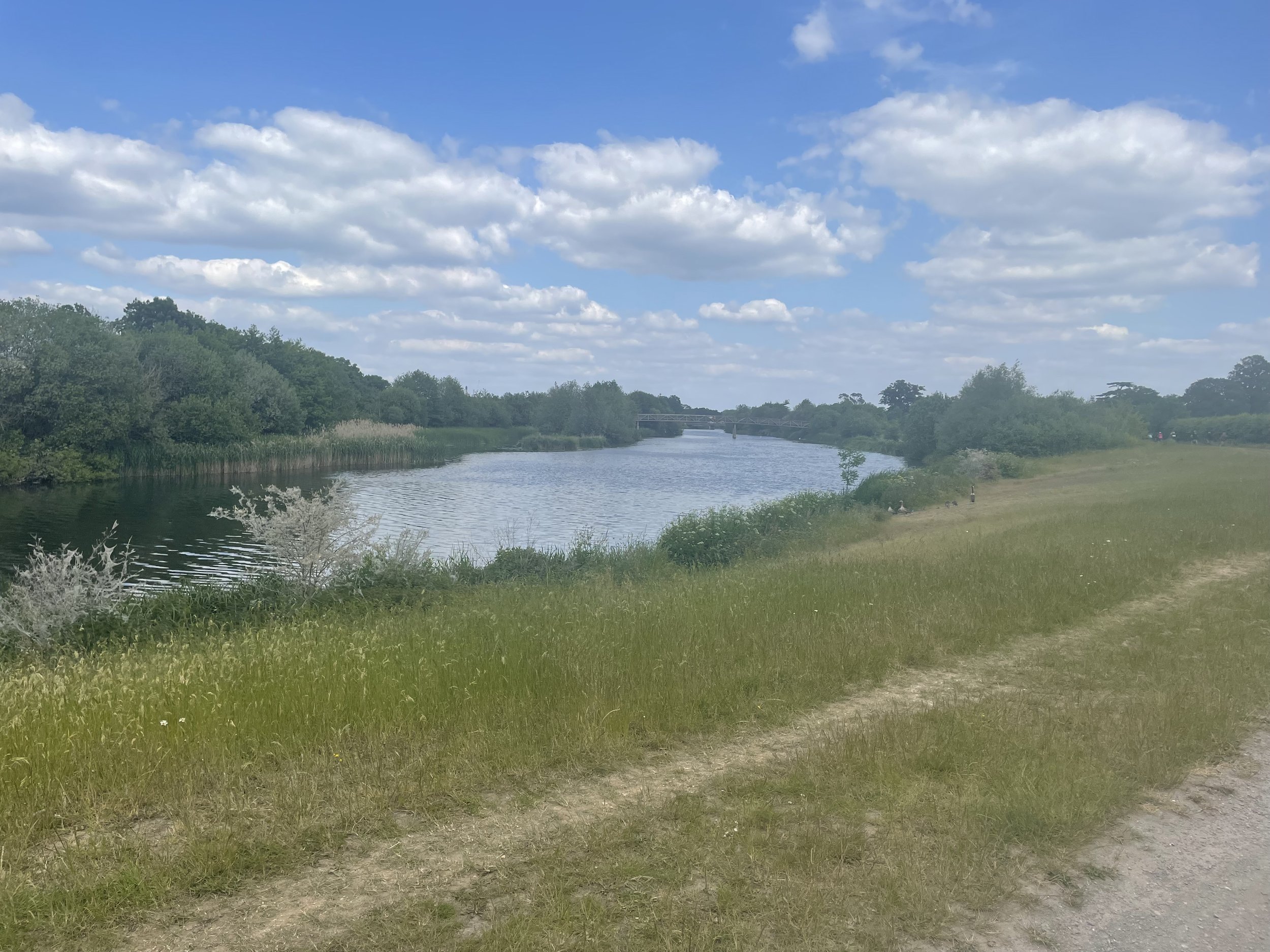
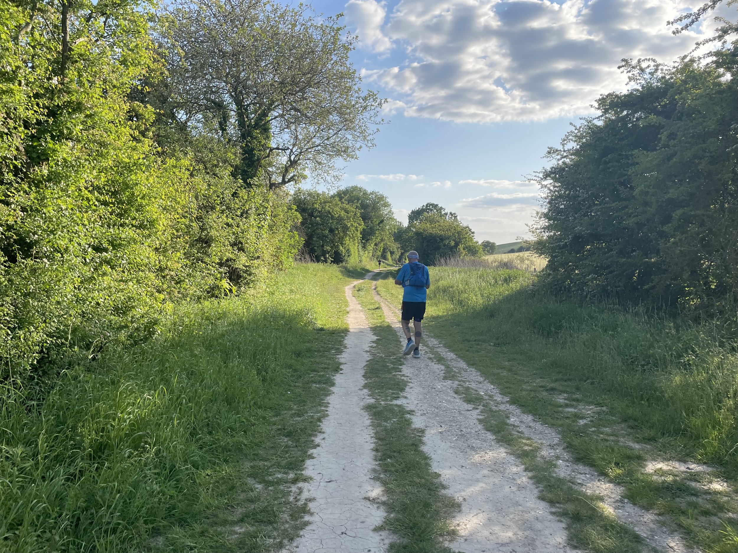
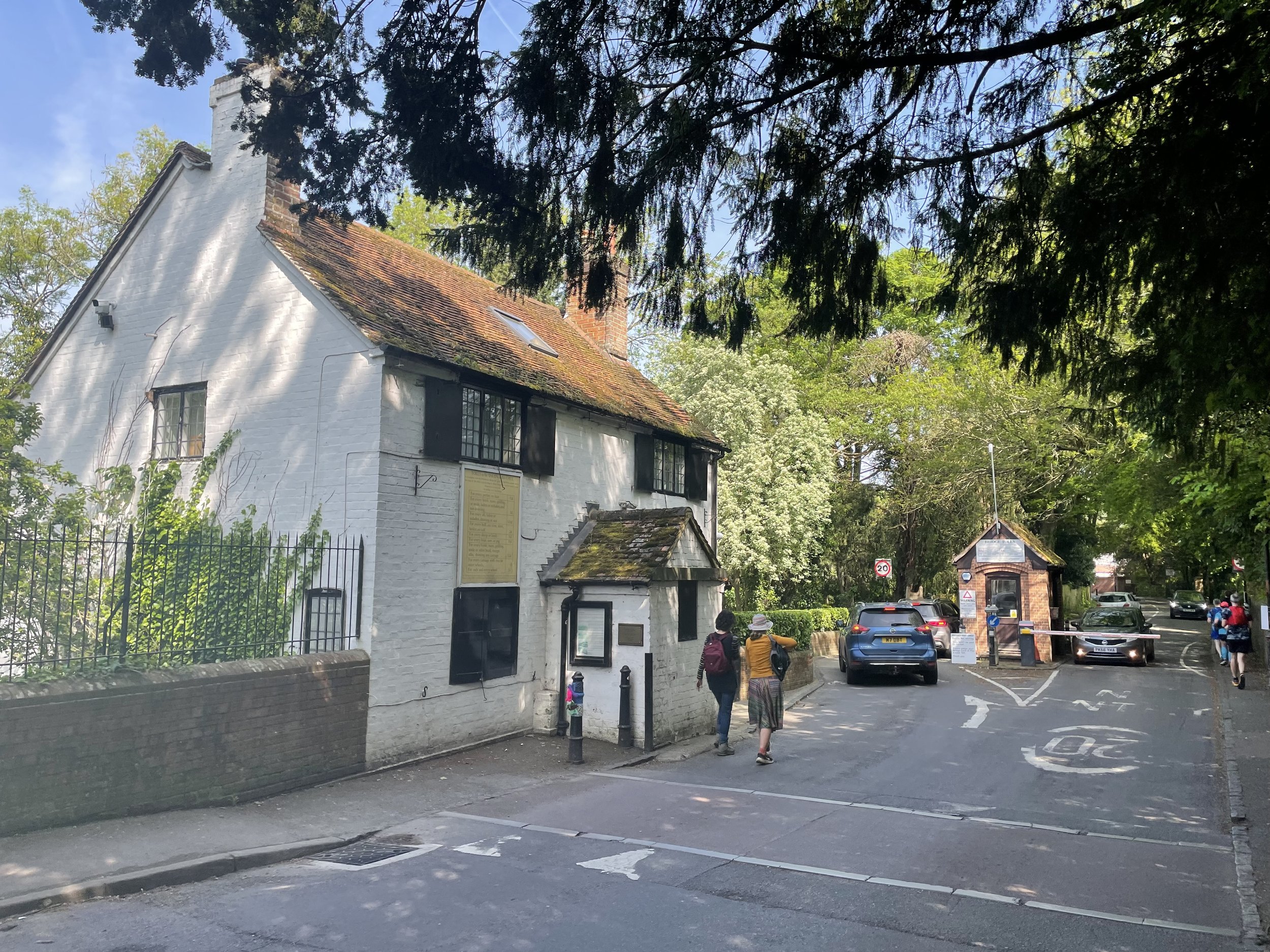
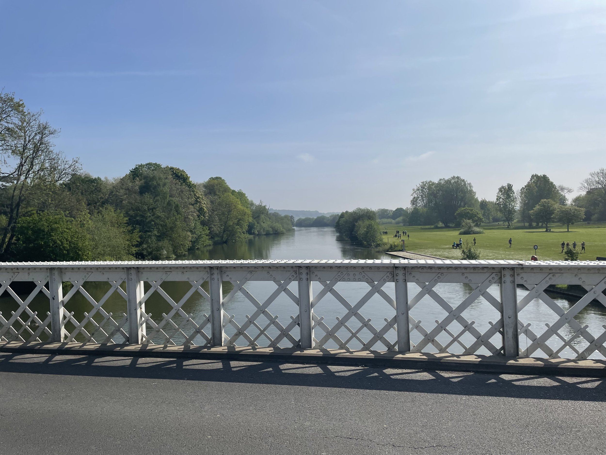
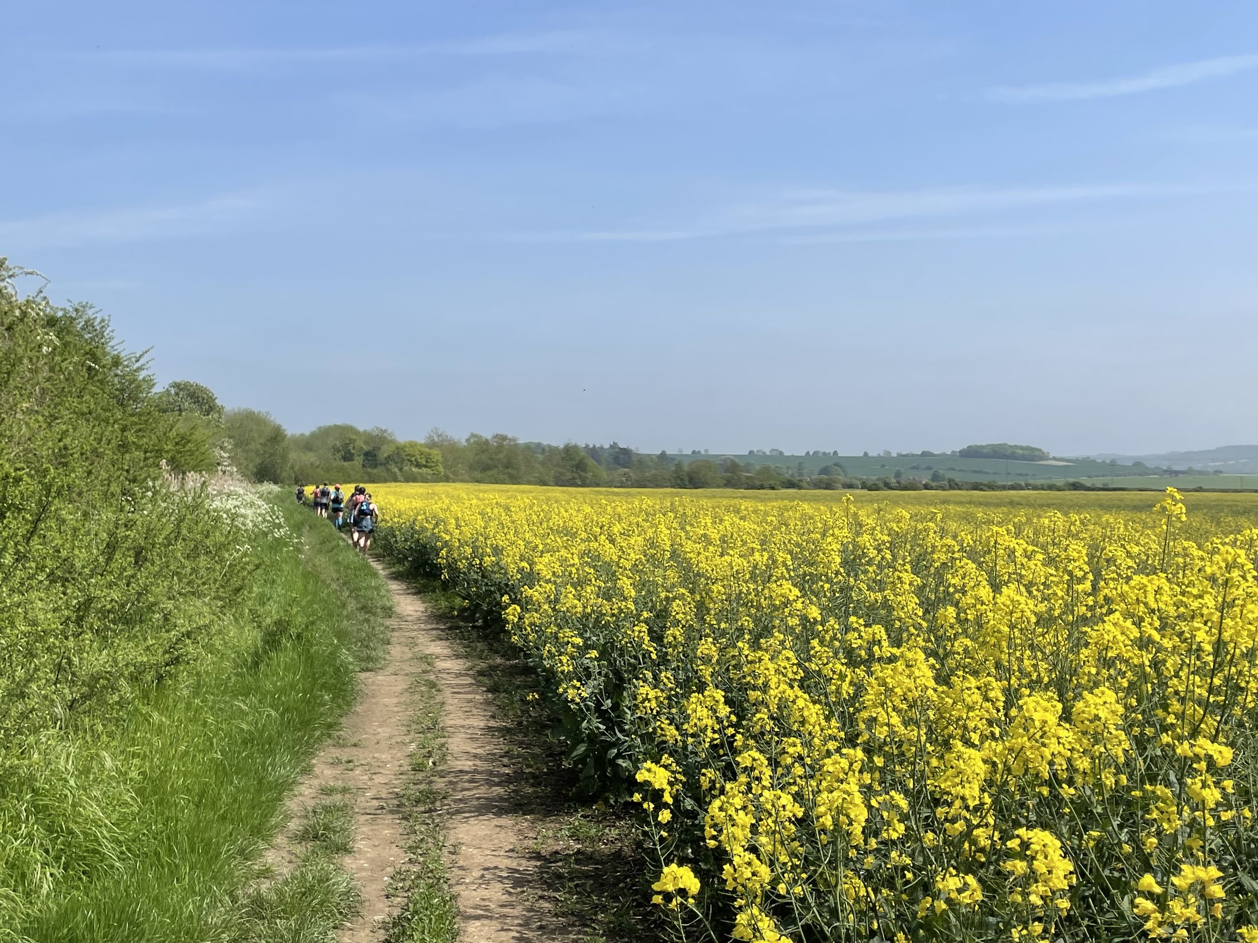
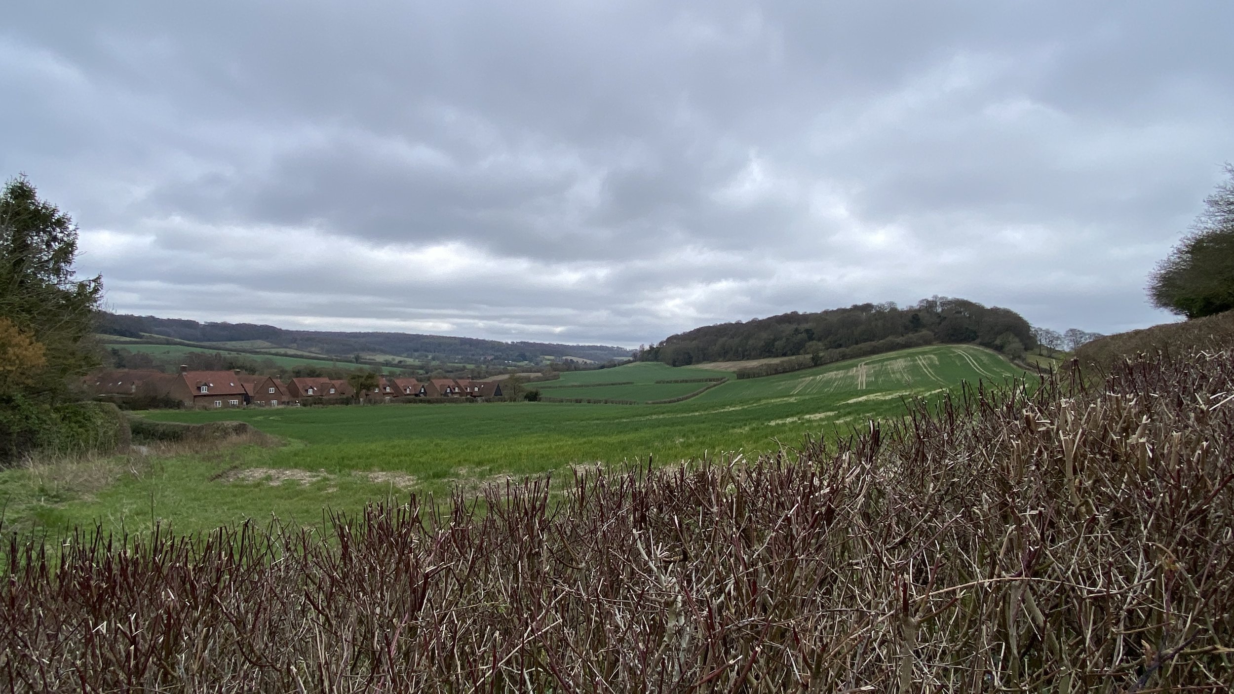
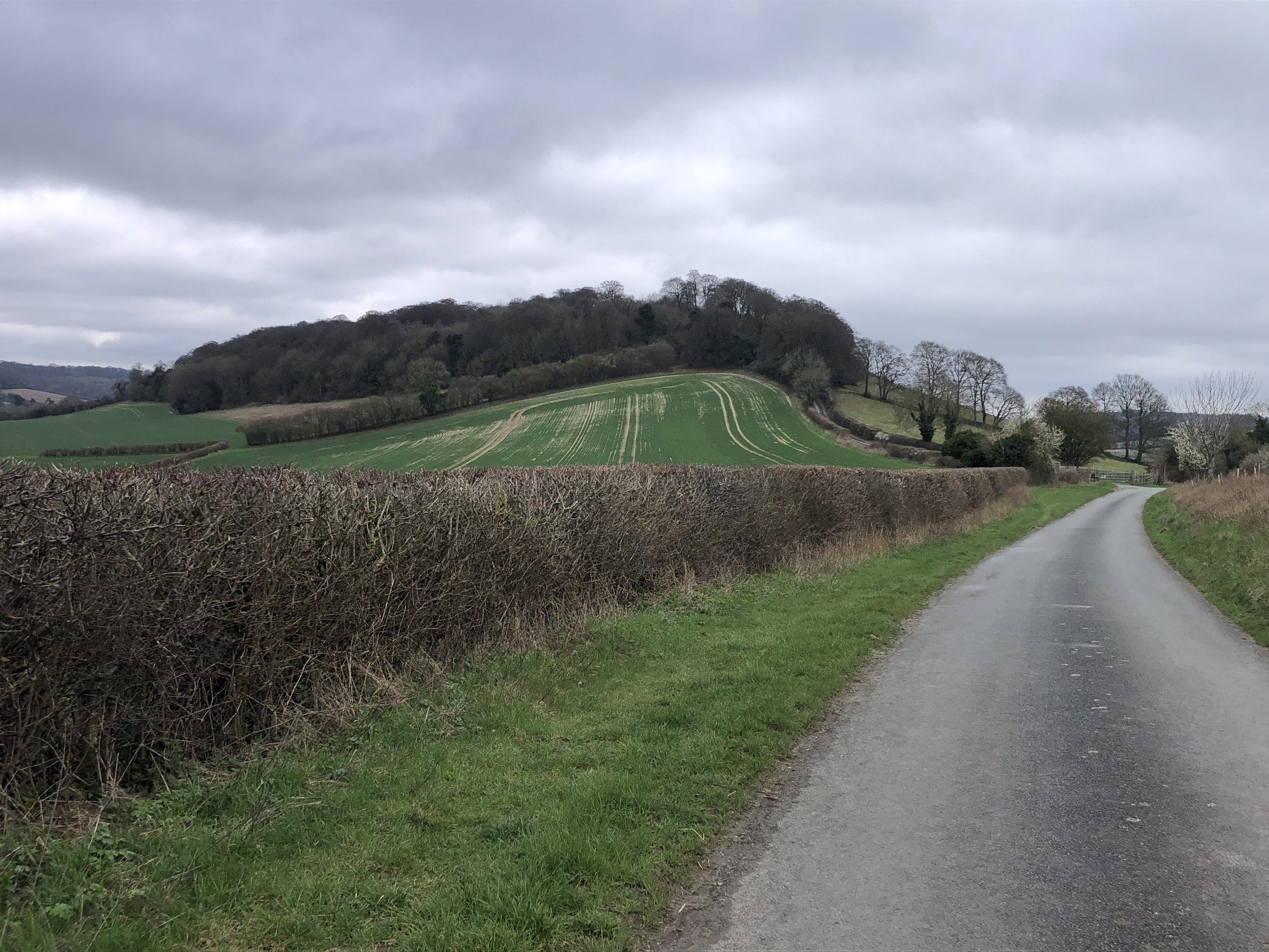
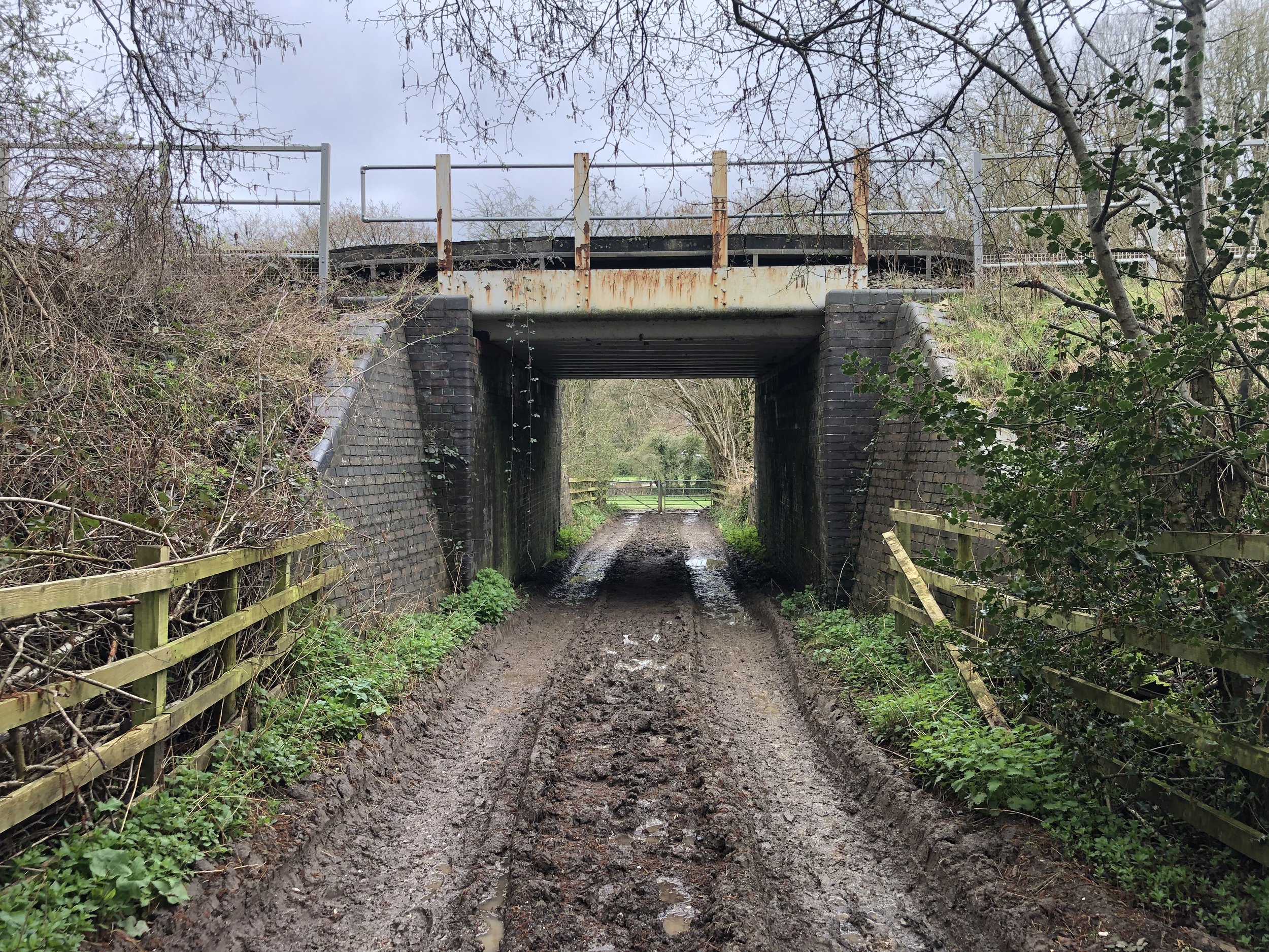
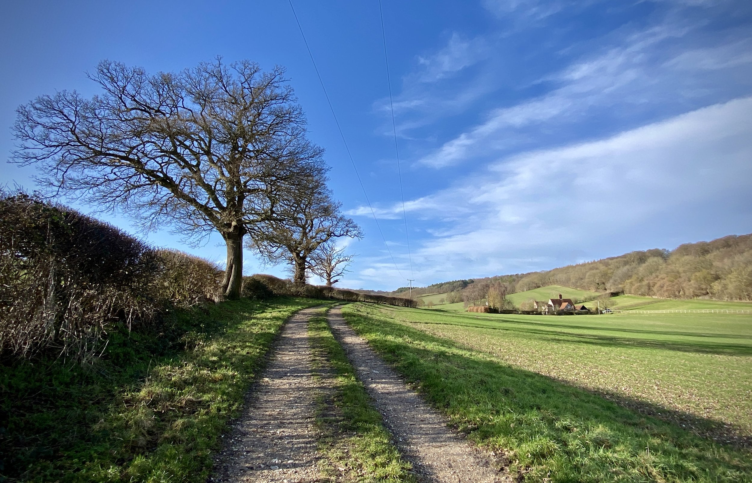
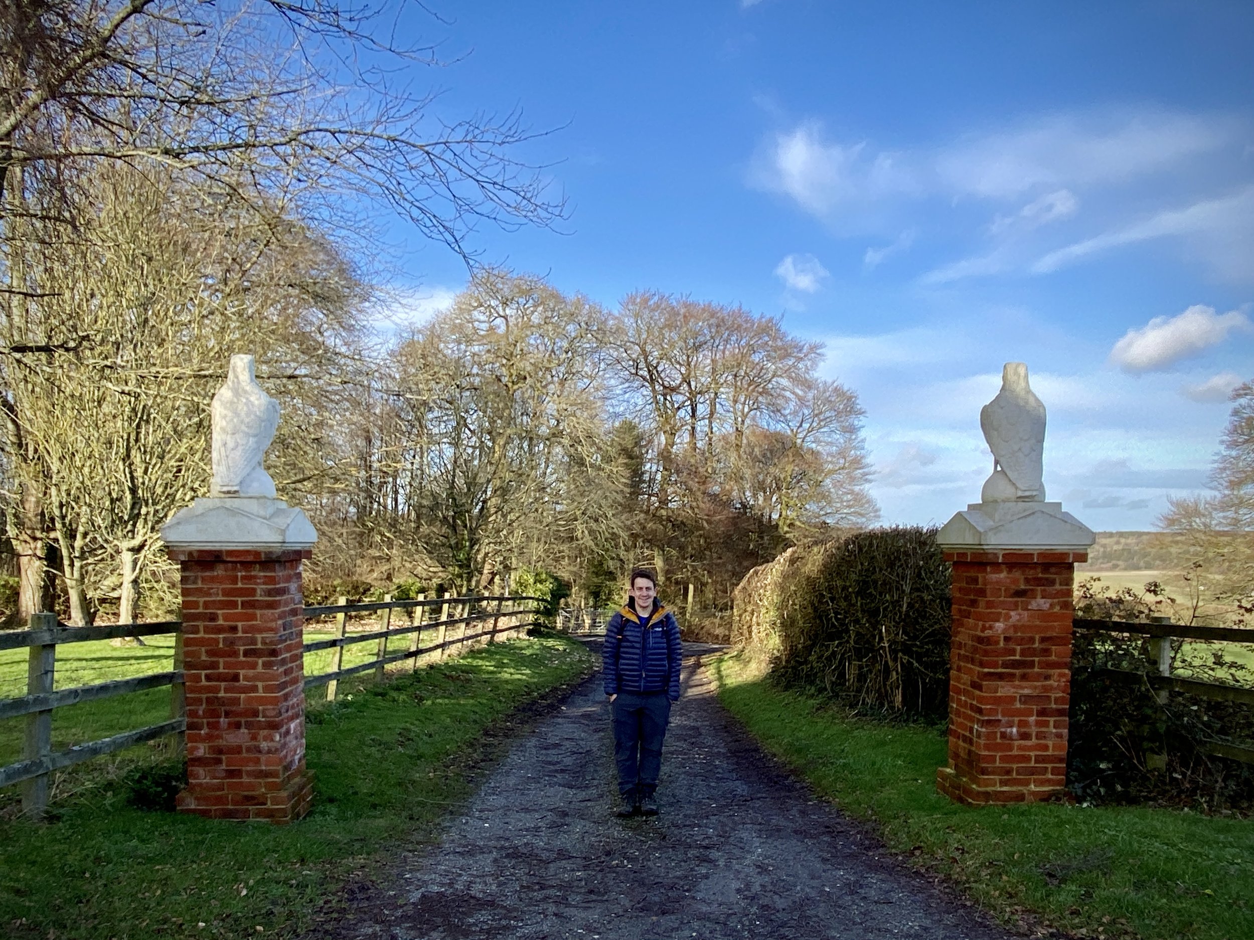
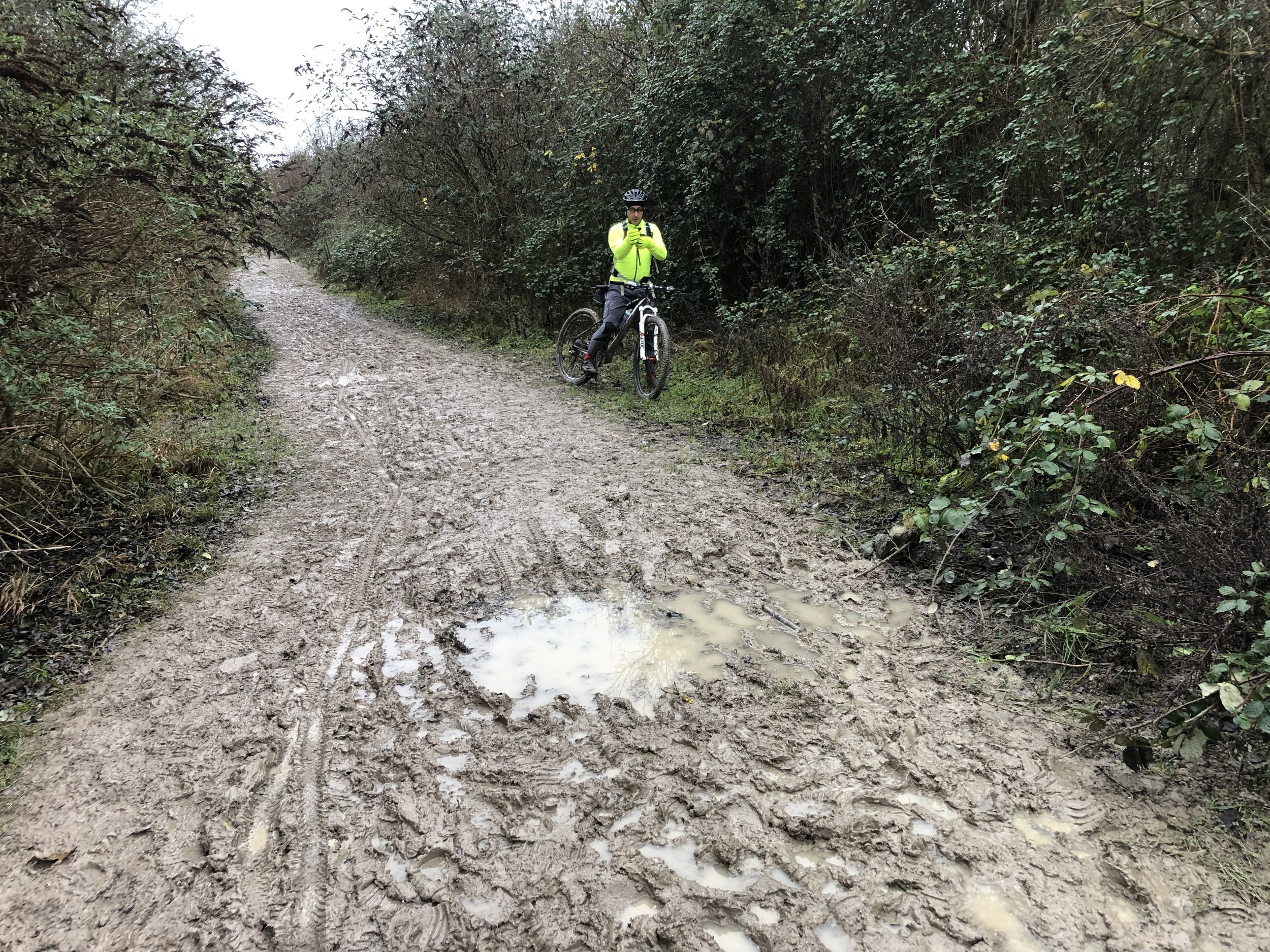
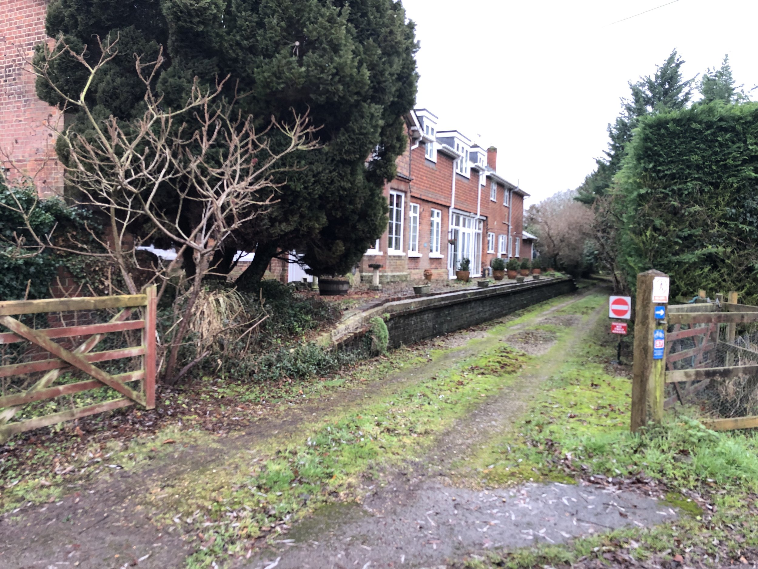
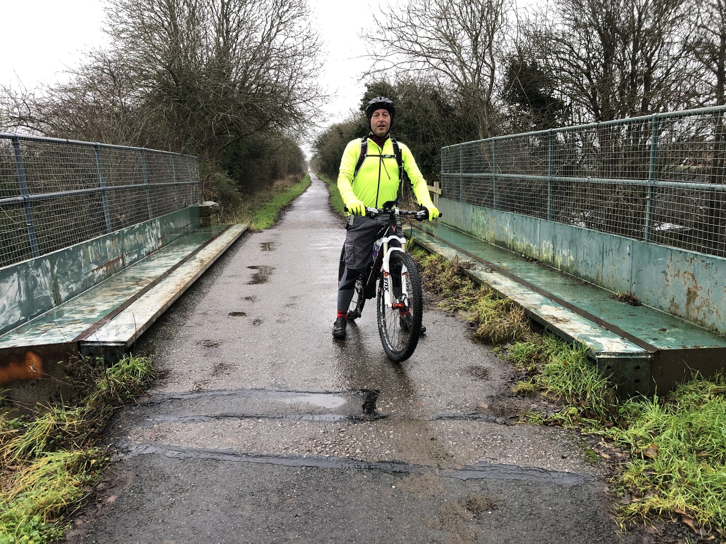
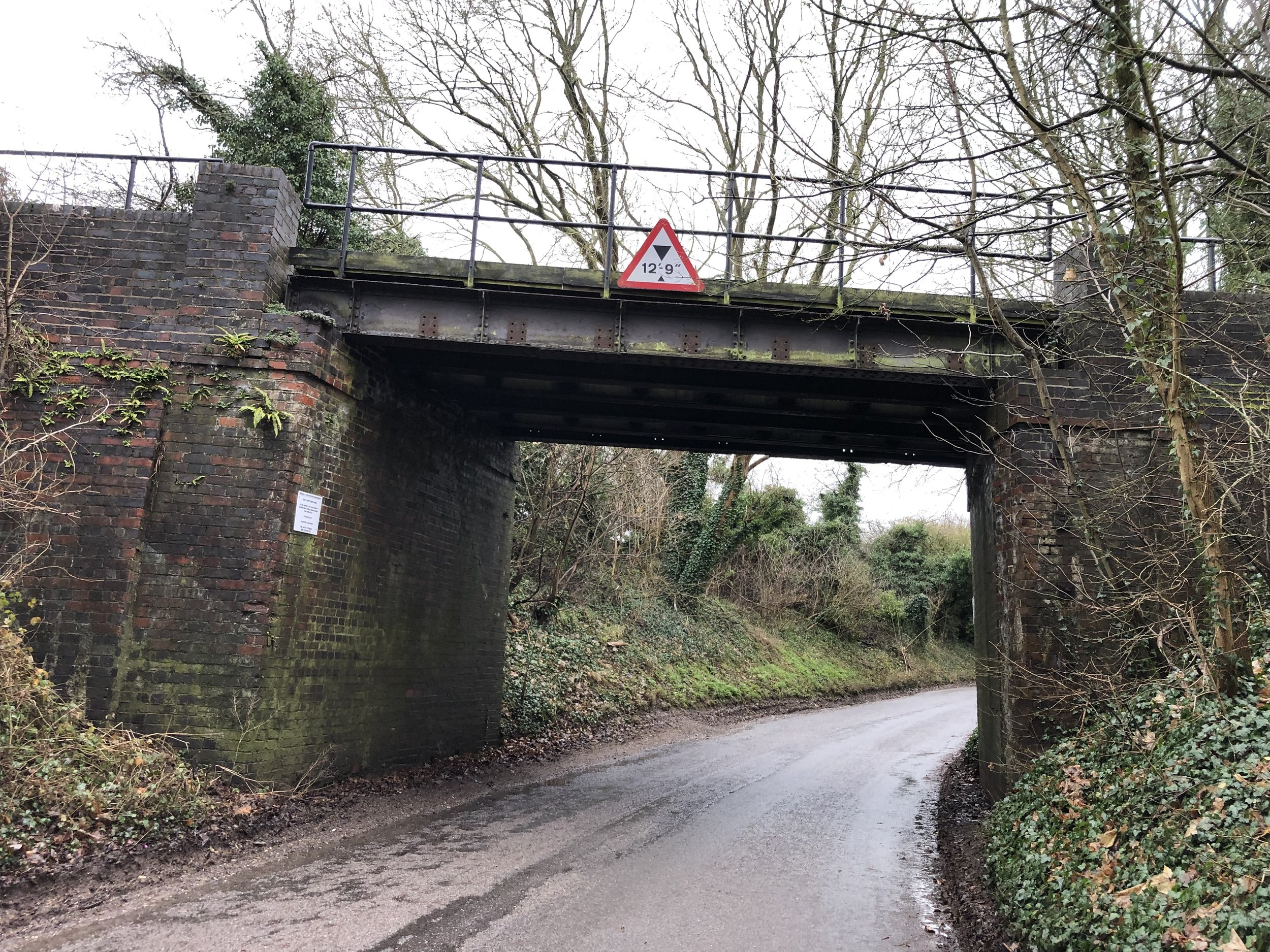
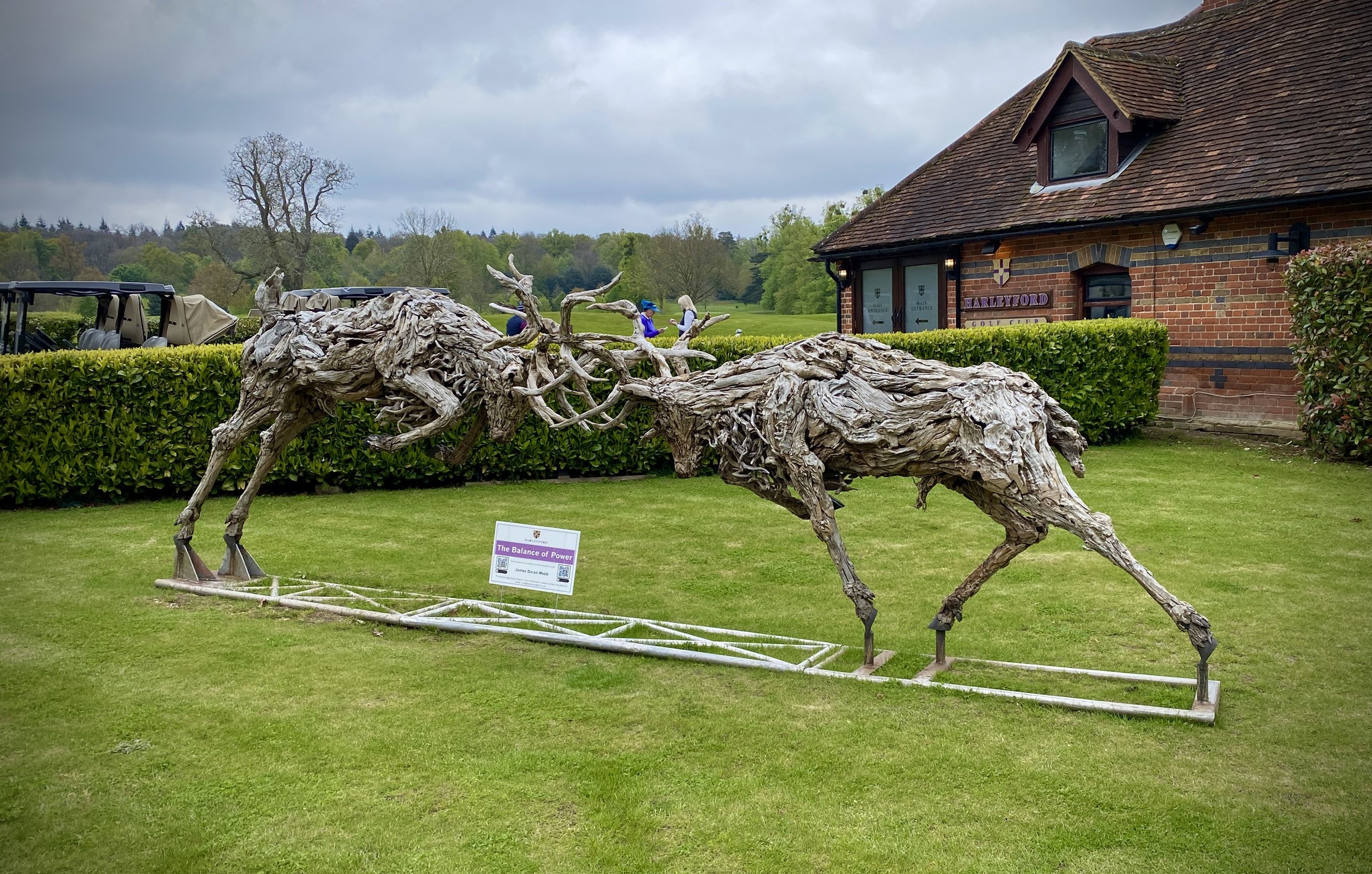
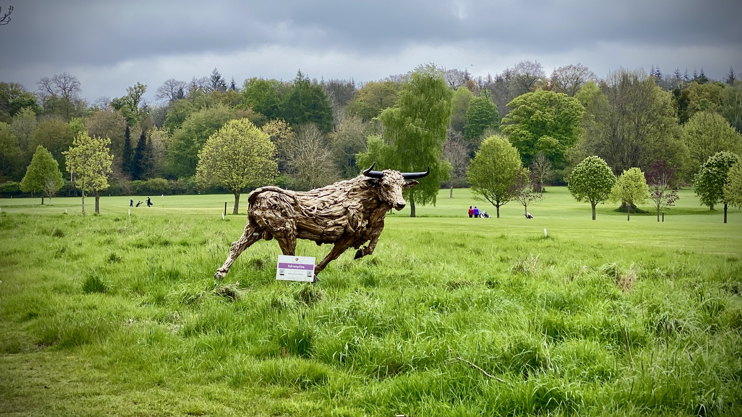
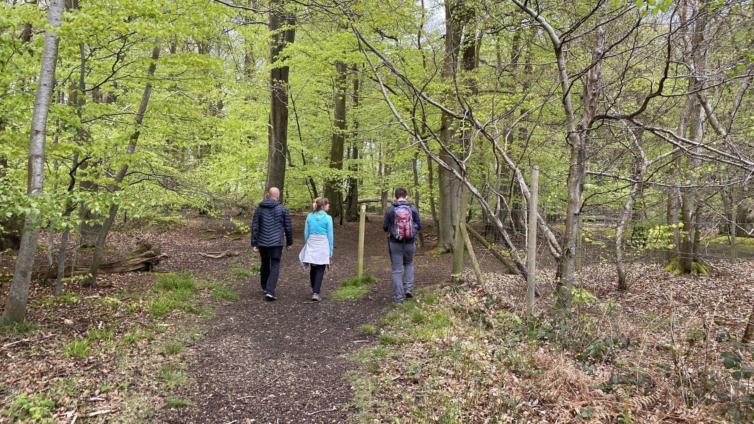
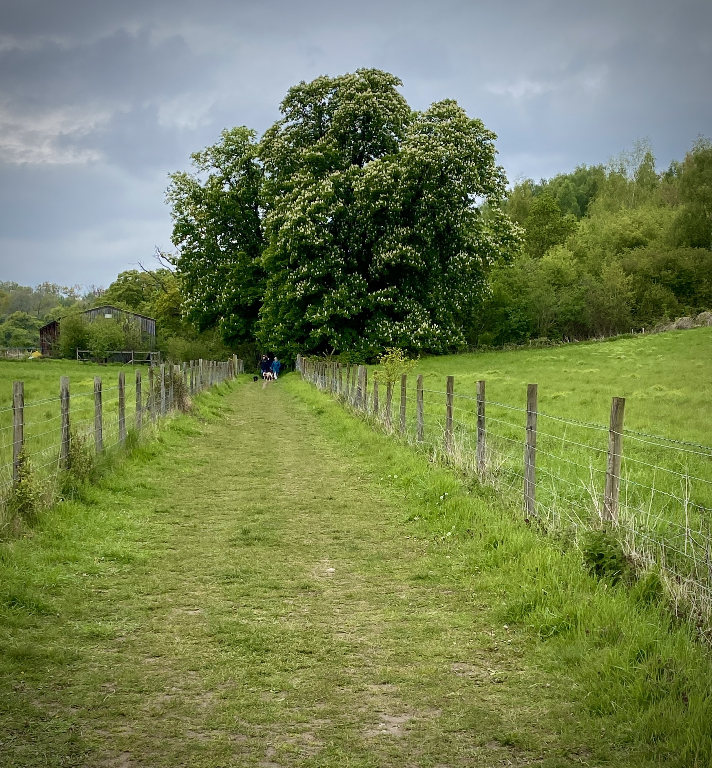
For this walk we parked at Pound Lane car park at the northern end of Higginson Park. From here follow the Thames Path in a south-westerly direction for just over 2km. Take a right onto Harleyford Lane and follow it for 1km to to a T junction. Take a left and follow the footpath in a westerly direction through the Harleyford Estate. Approximately 600m past the Golf Course Club House you’ll reach a path junction in the woods. Take a right here and follow the path to the A4155 Henley Road. Cross over the A4155 and take a right onto Thames Reach. This will curve round to the north through RAF housing.
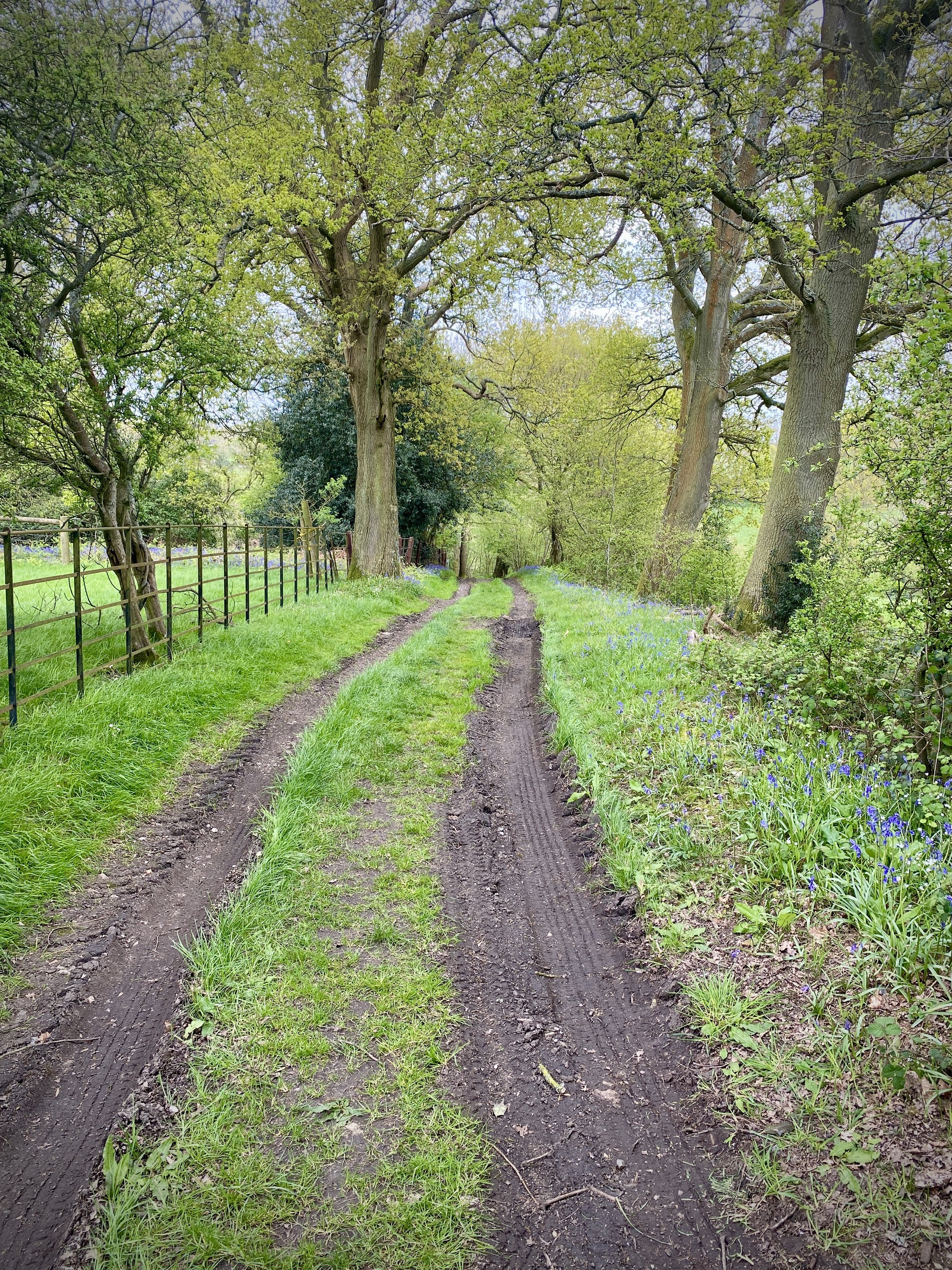
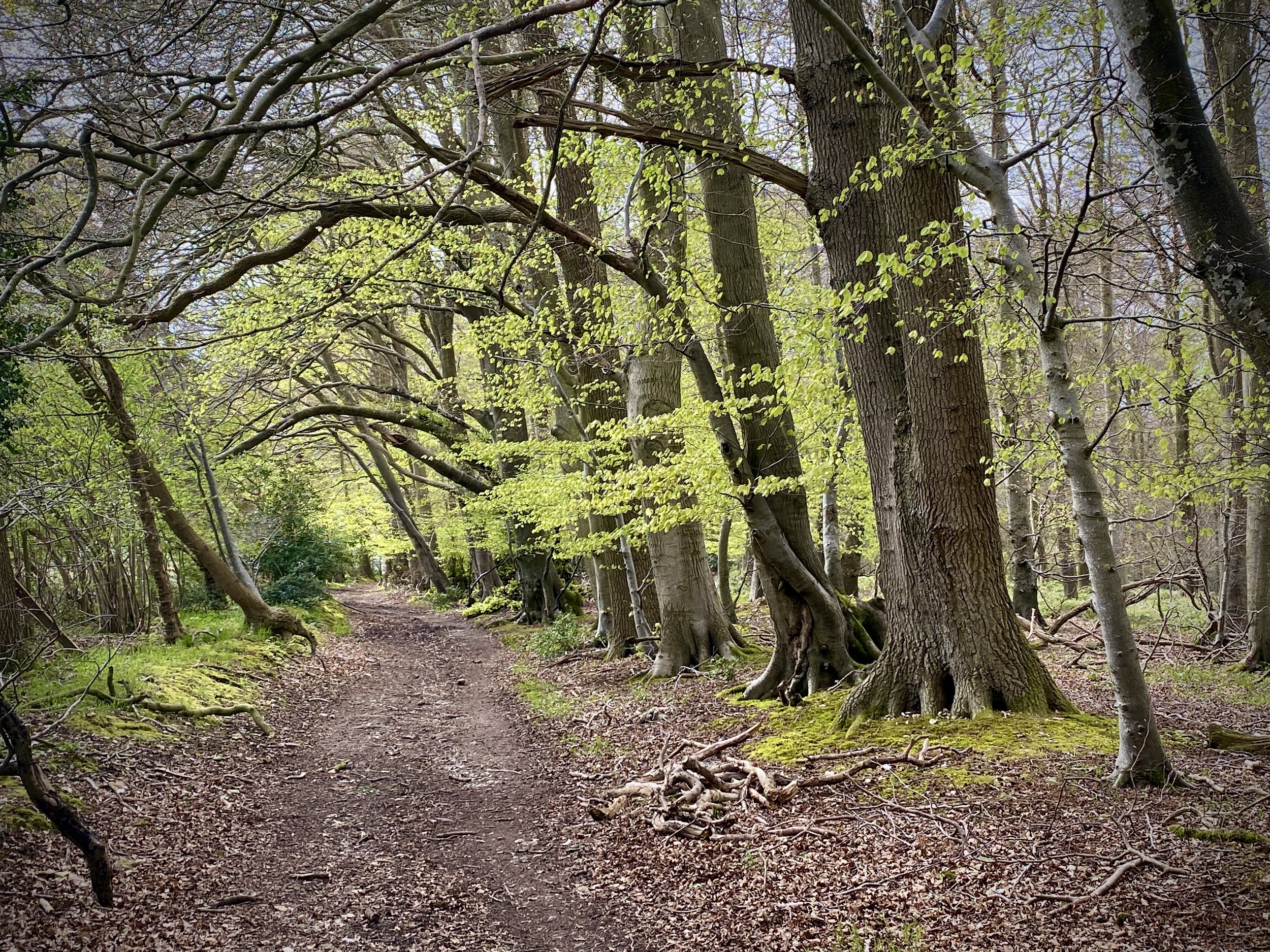
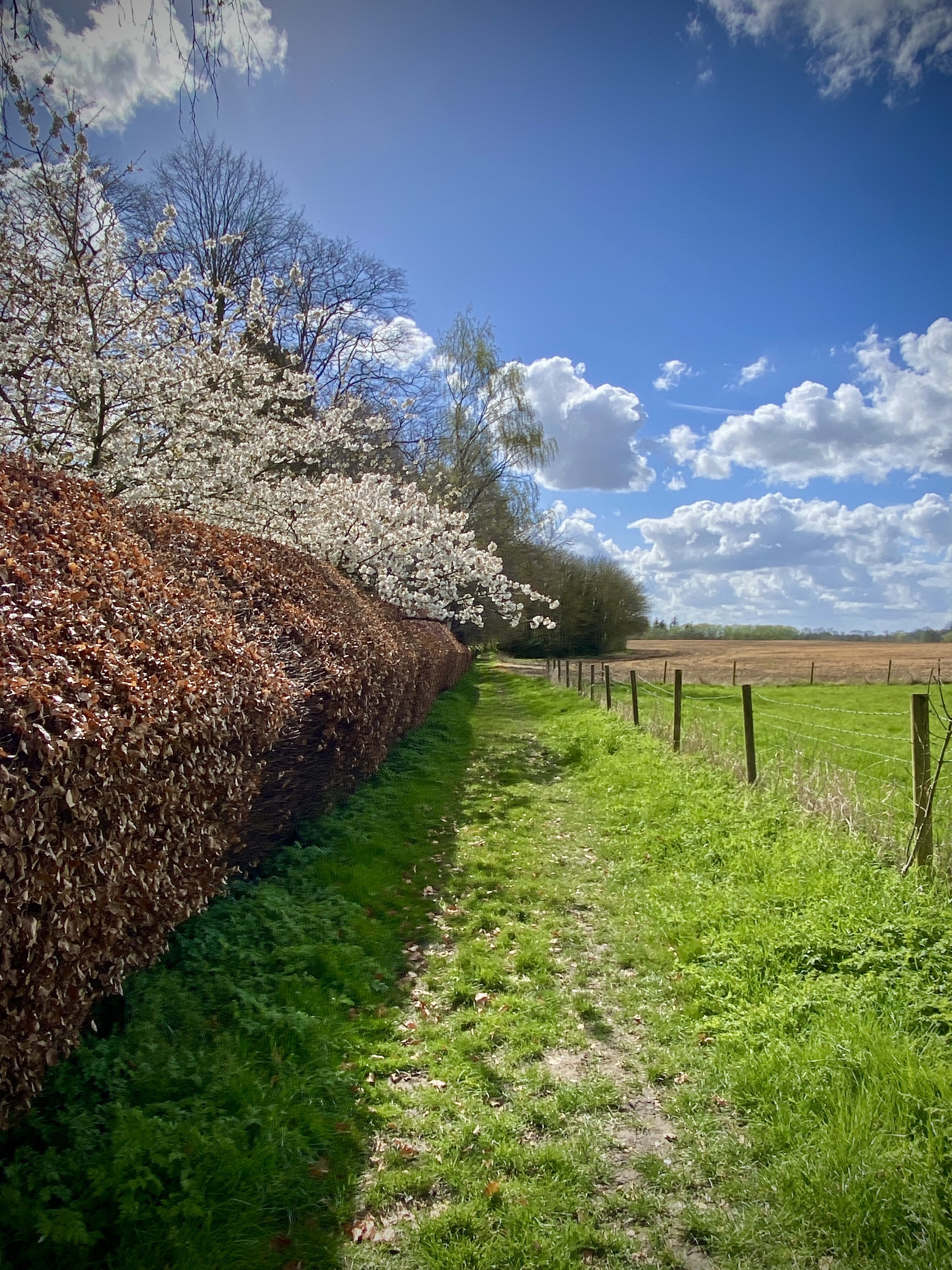
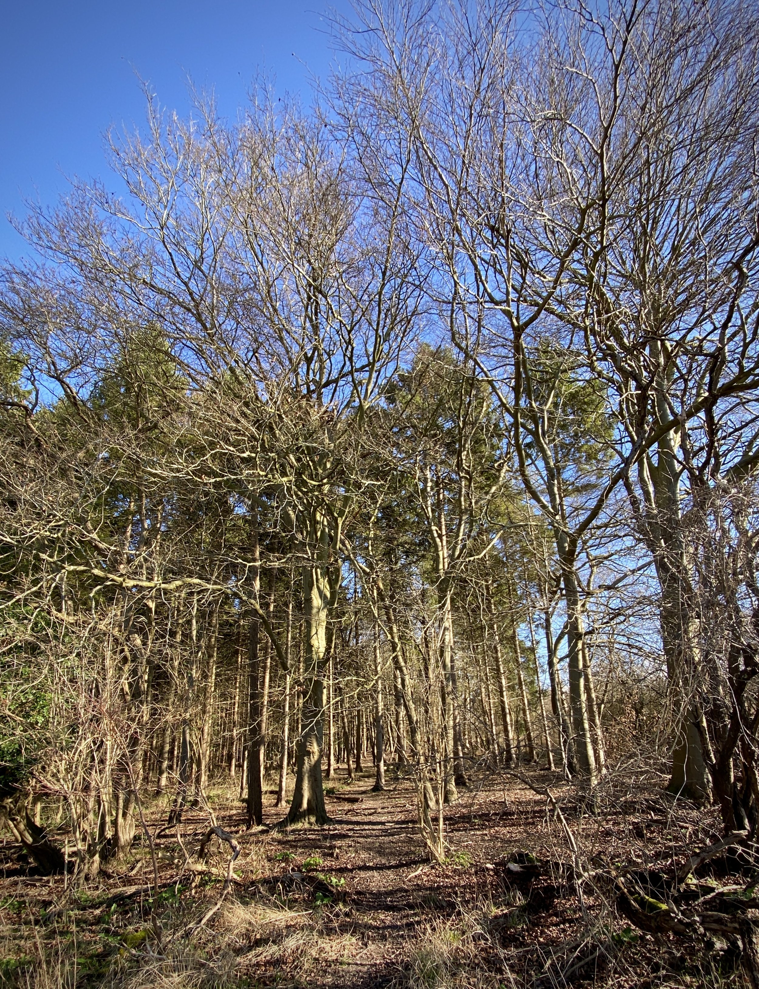
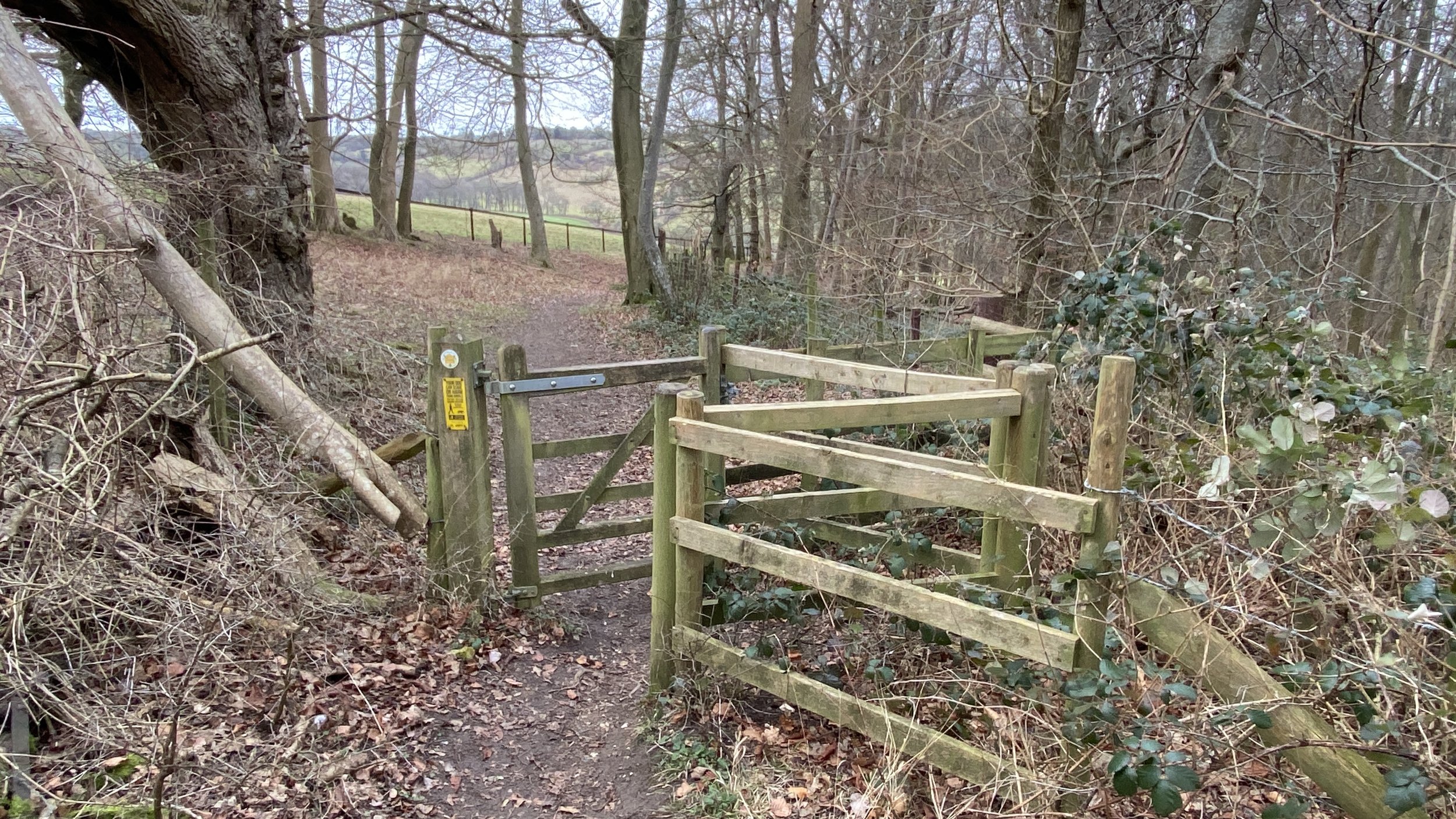
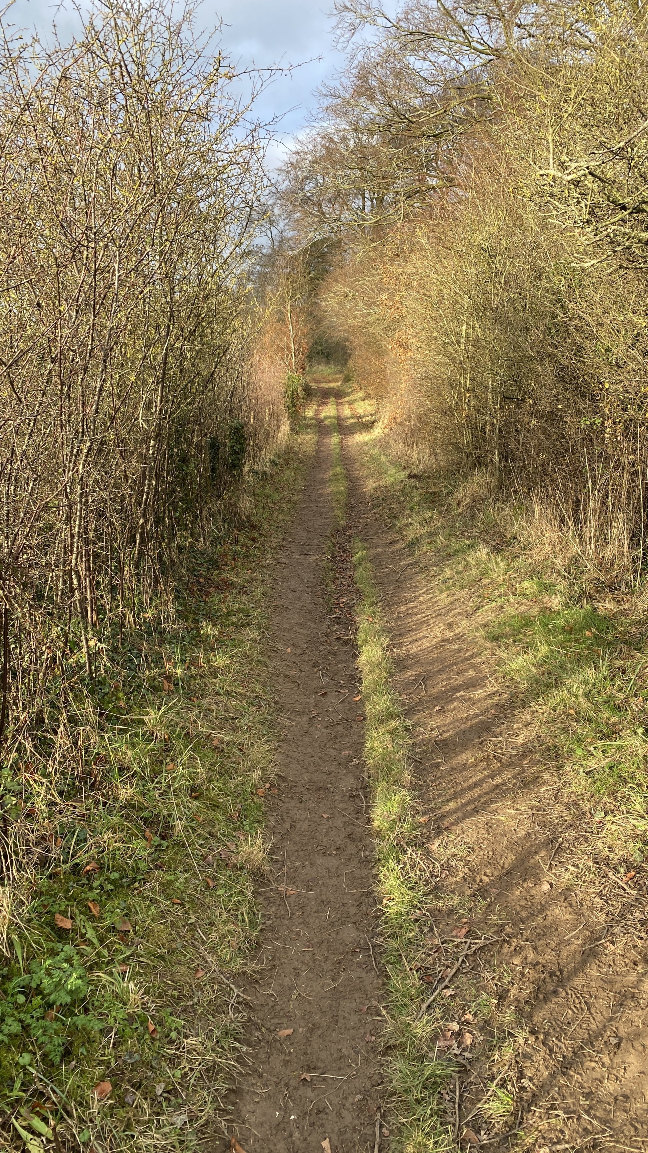
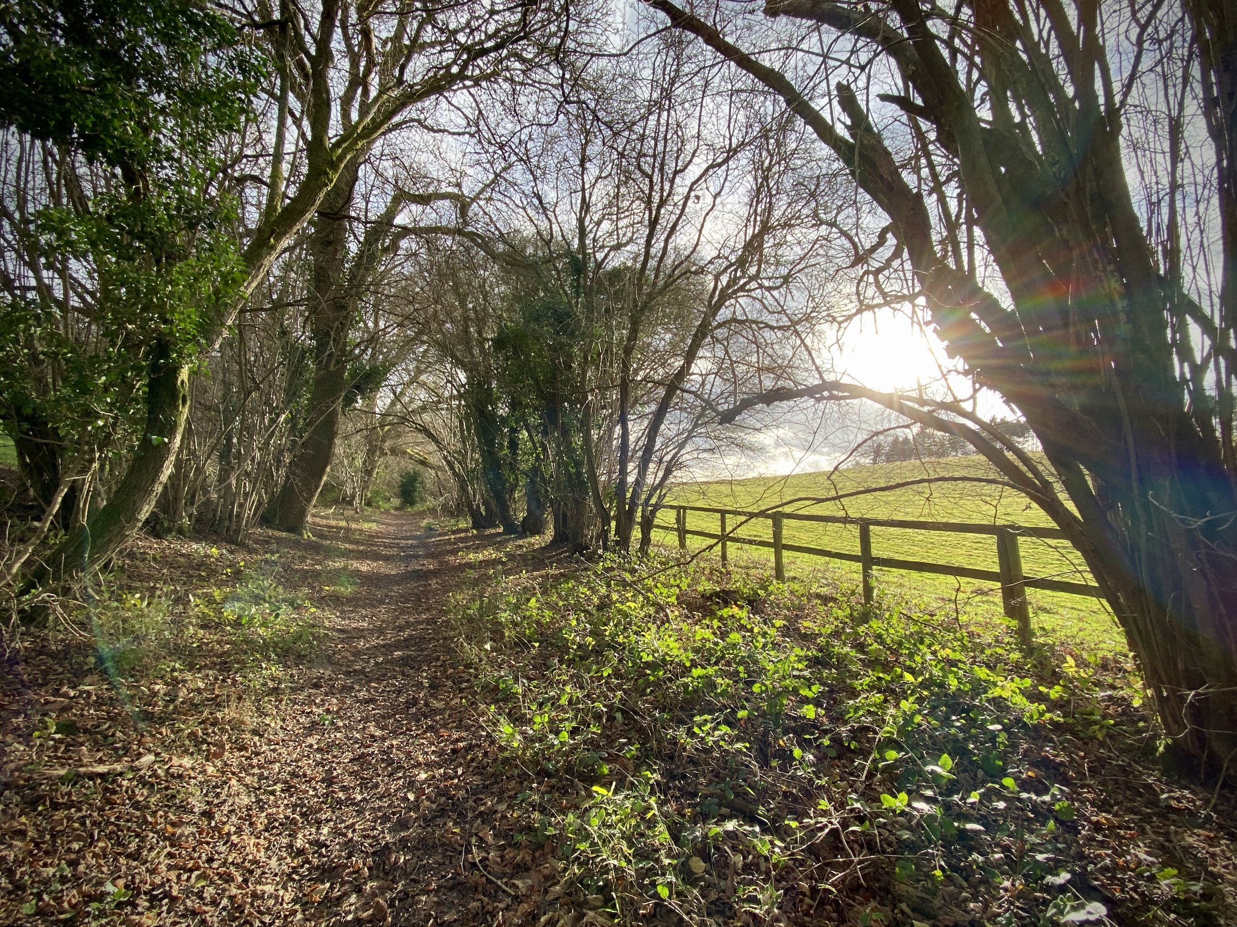
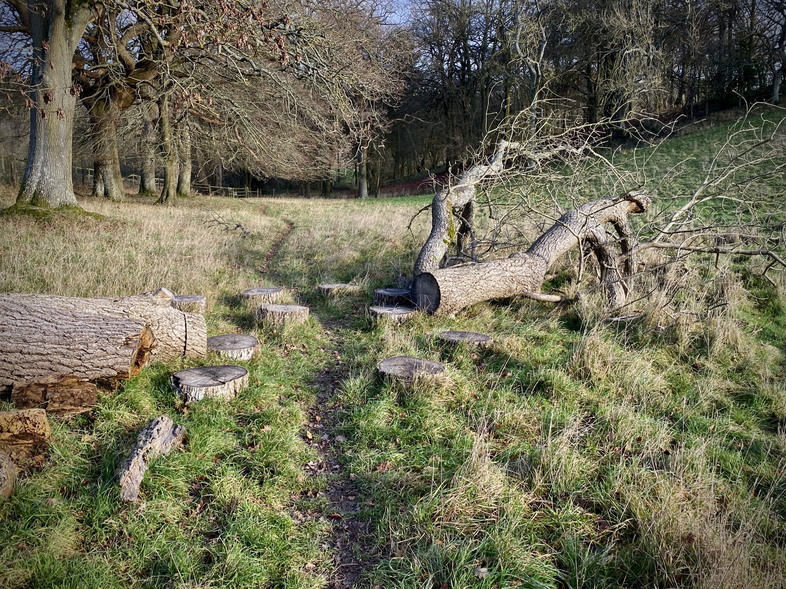
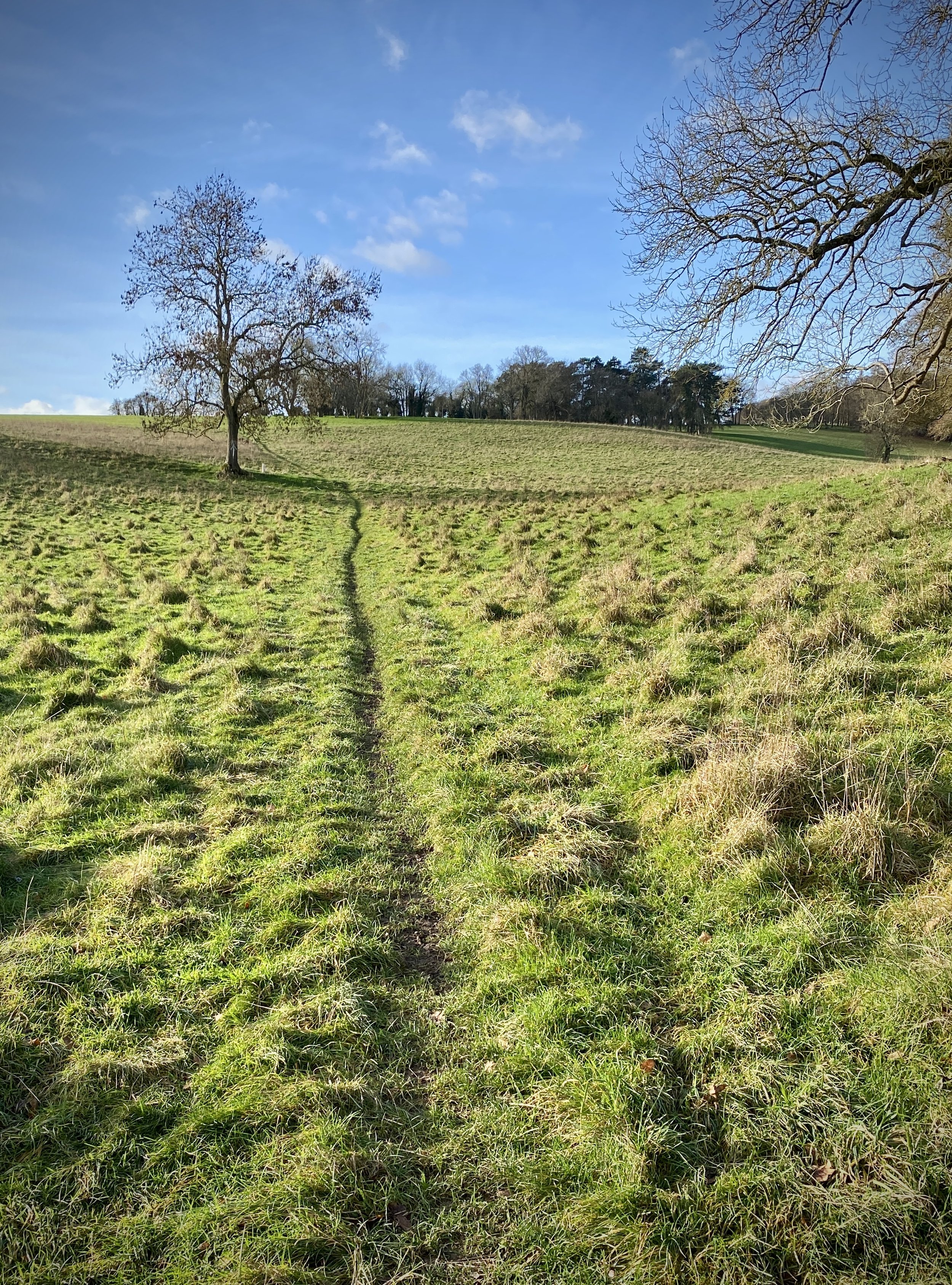
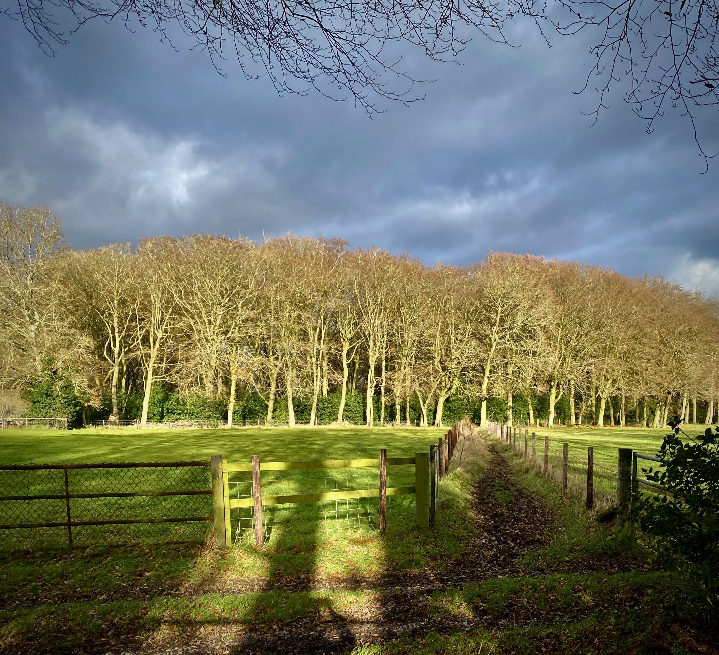
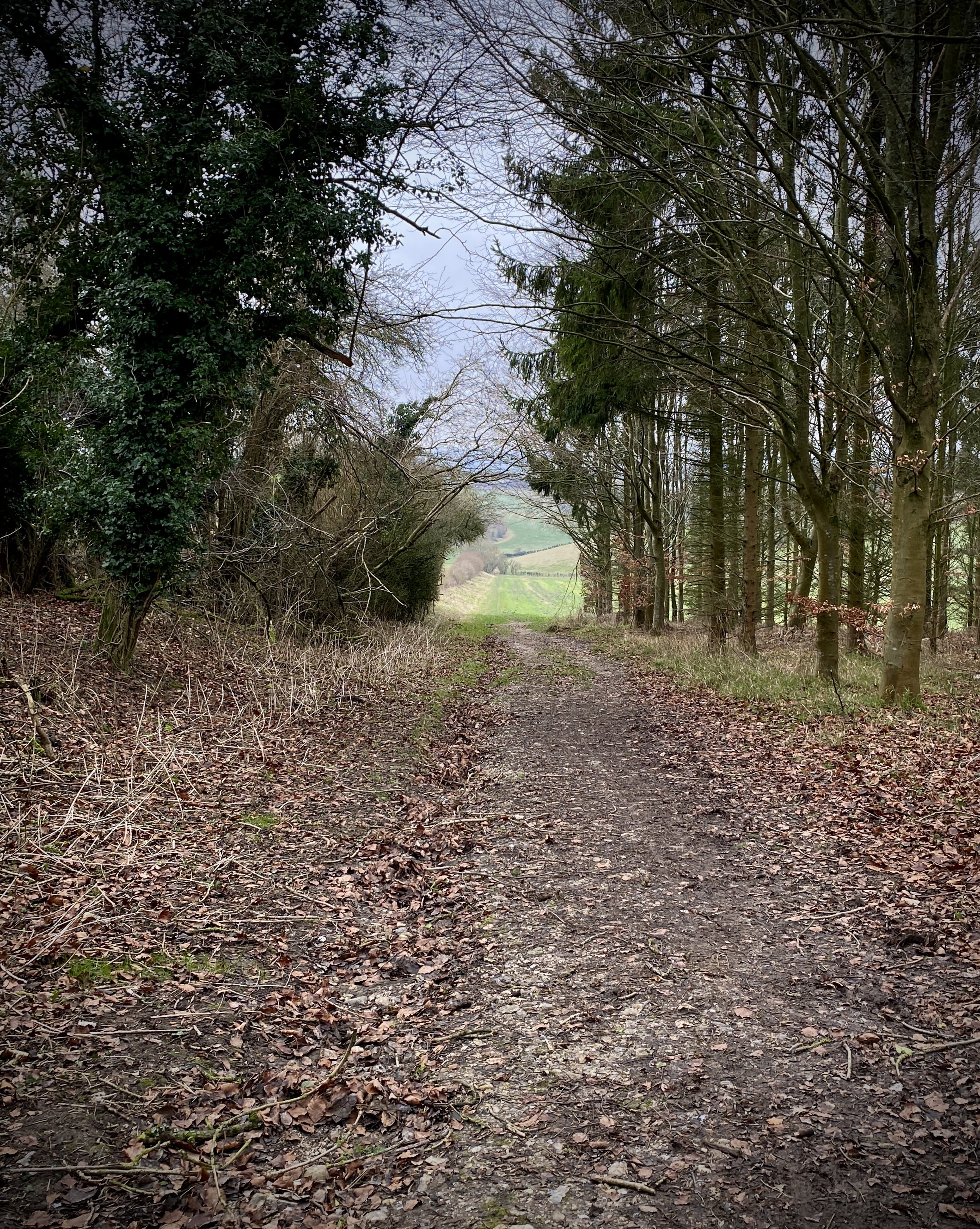
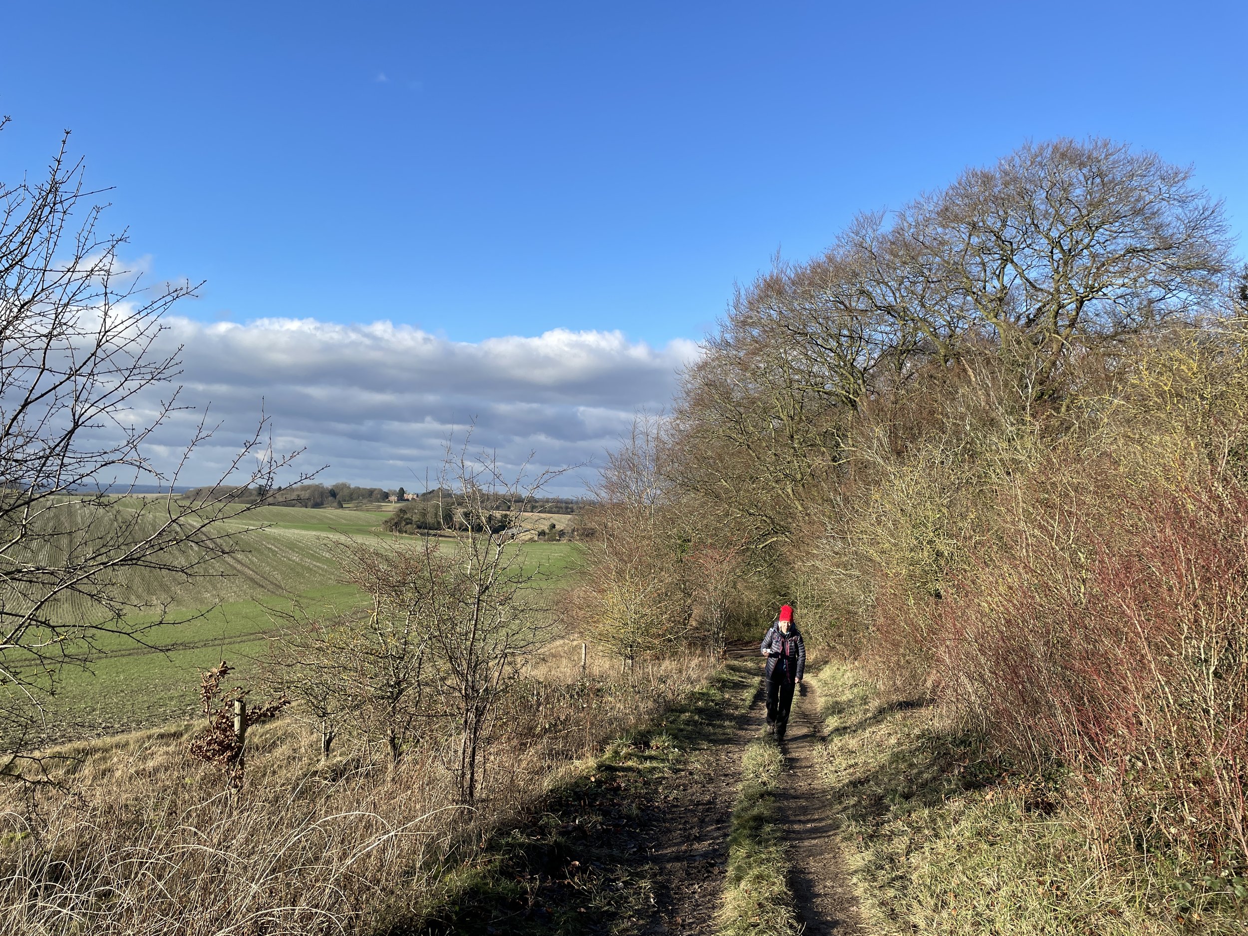
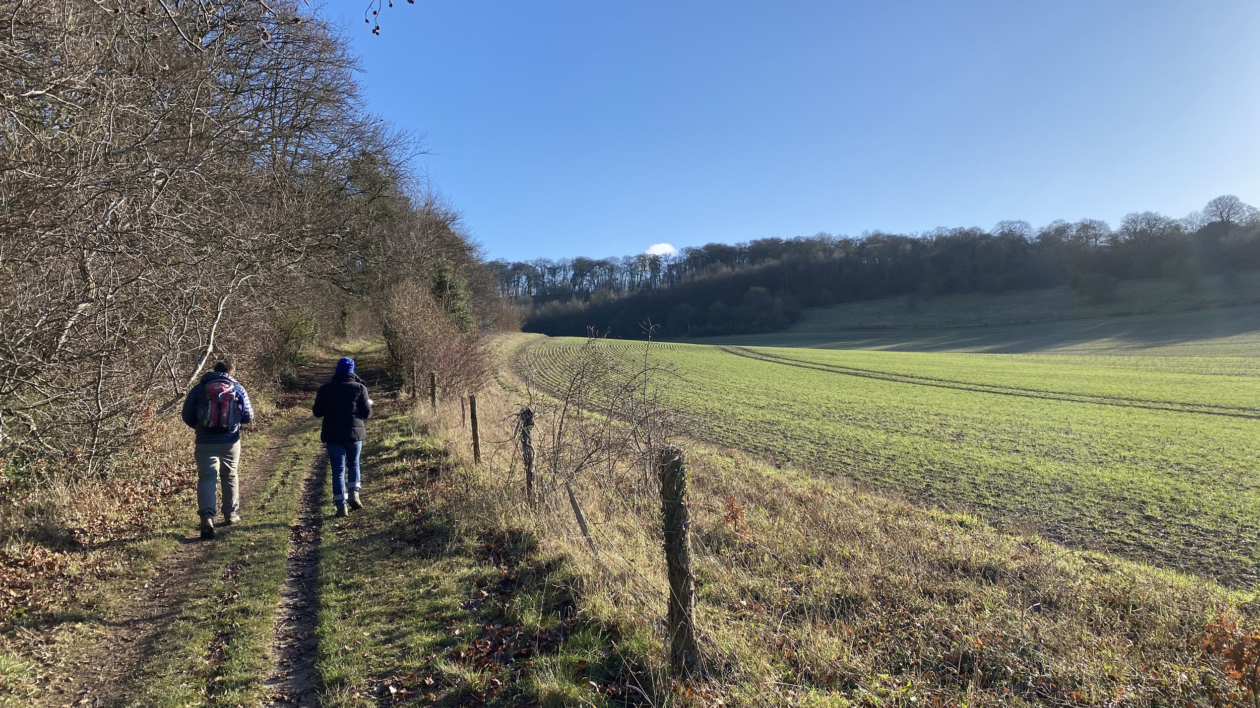
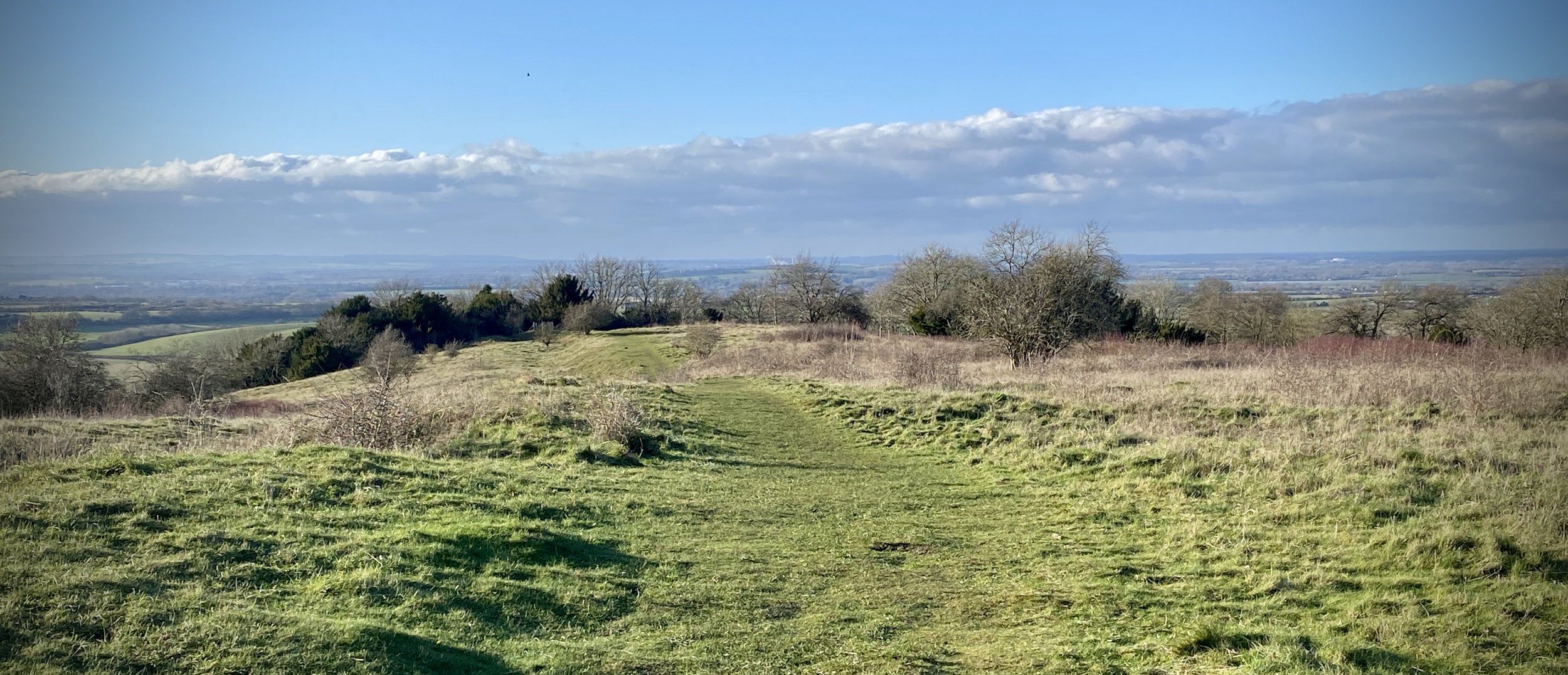
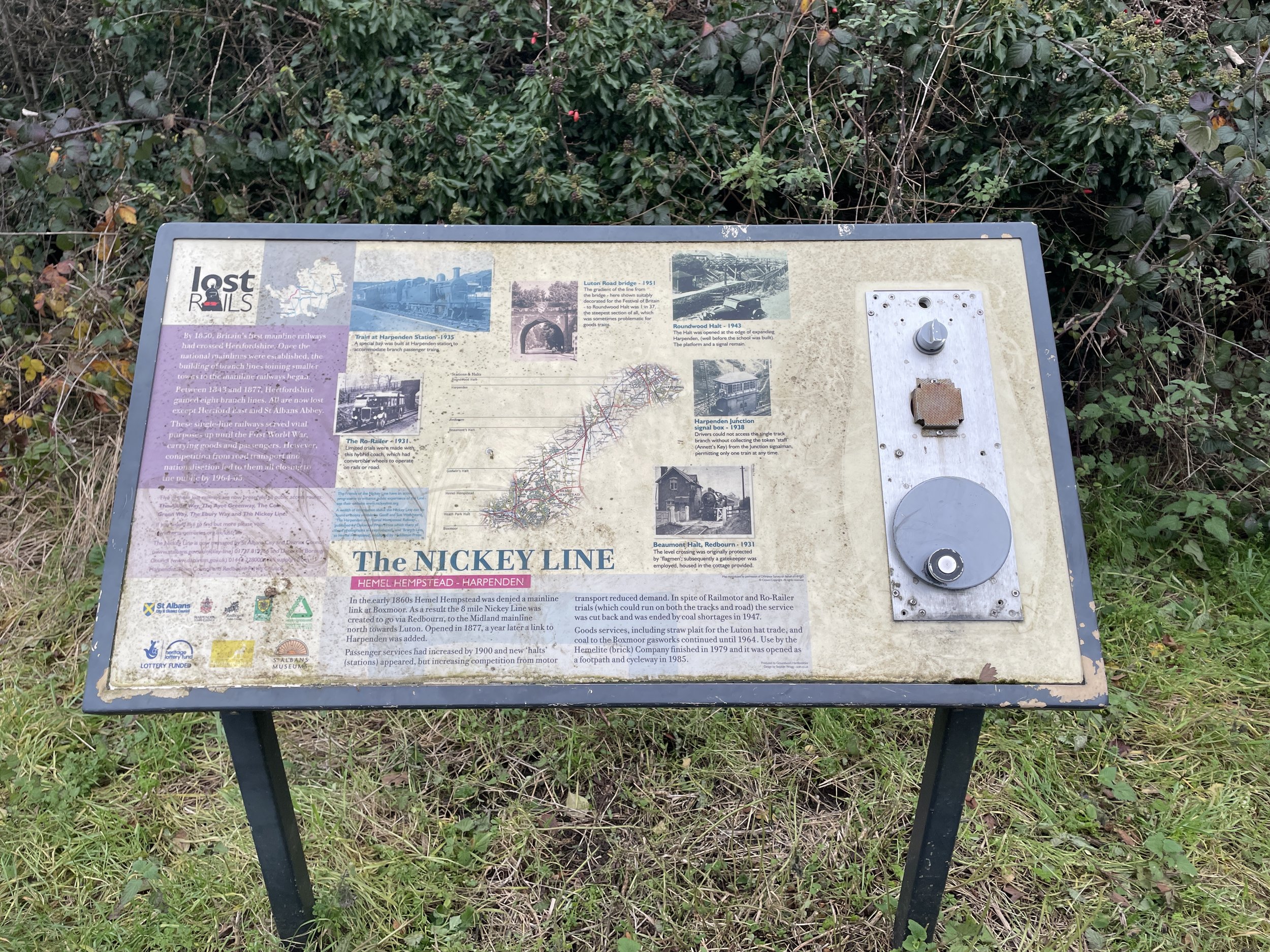
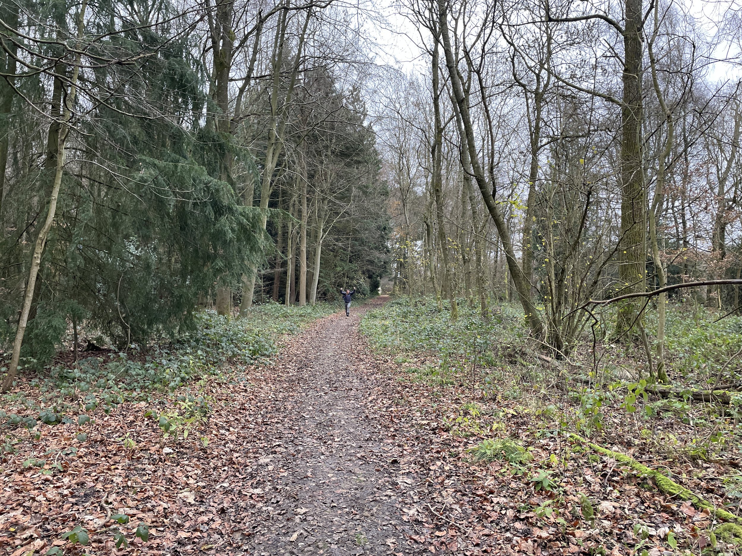
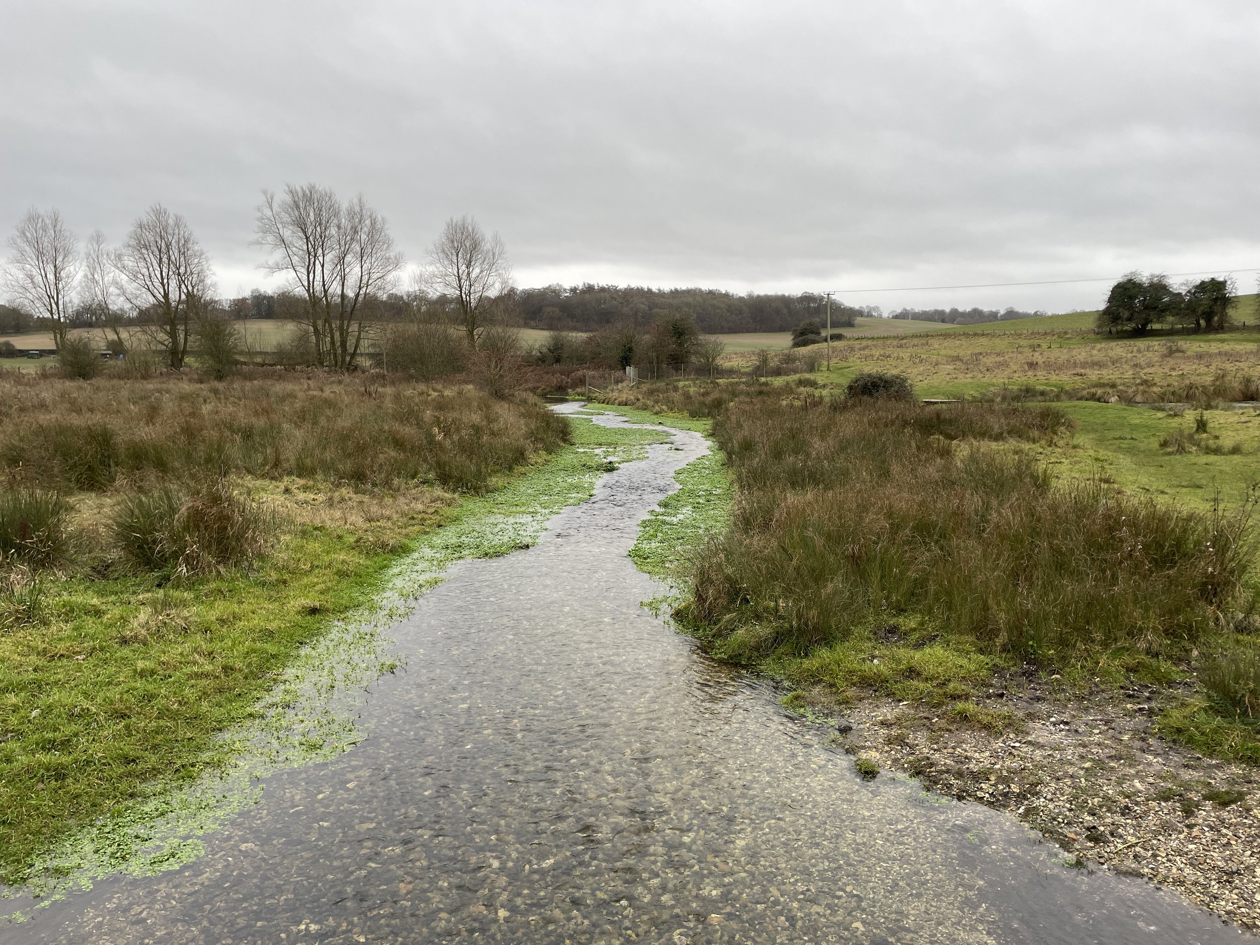
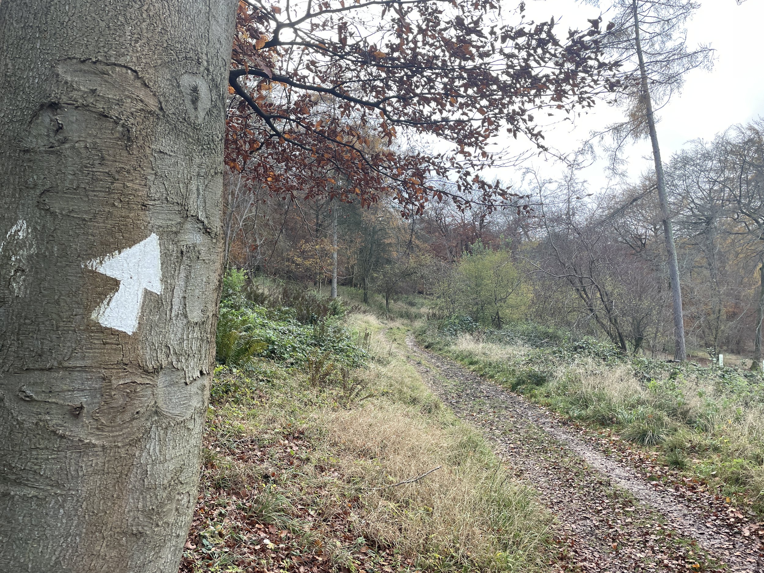
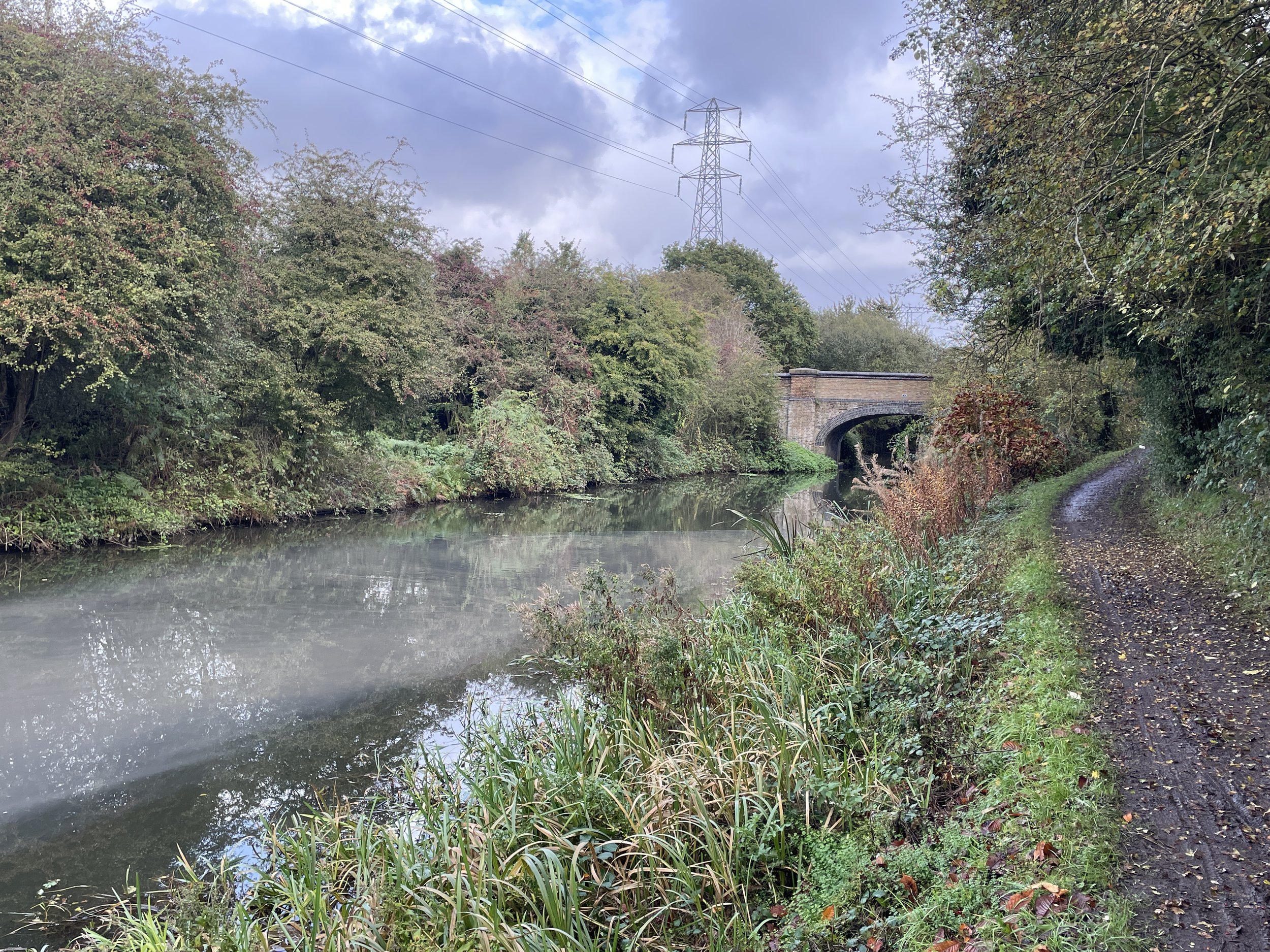
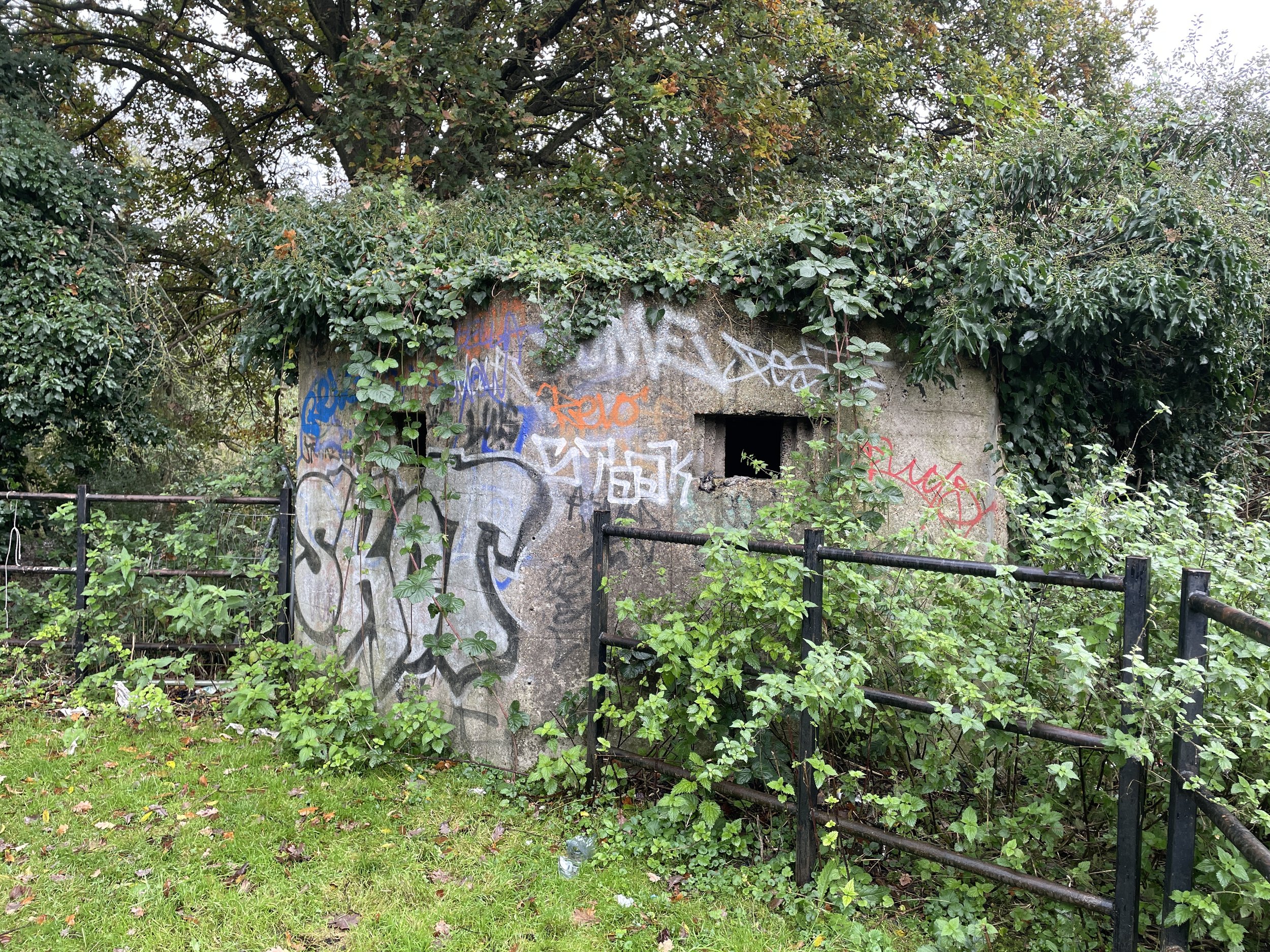
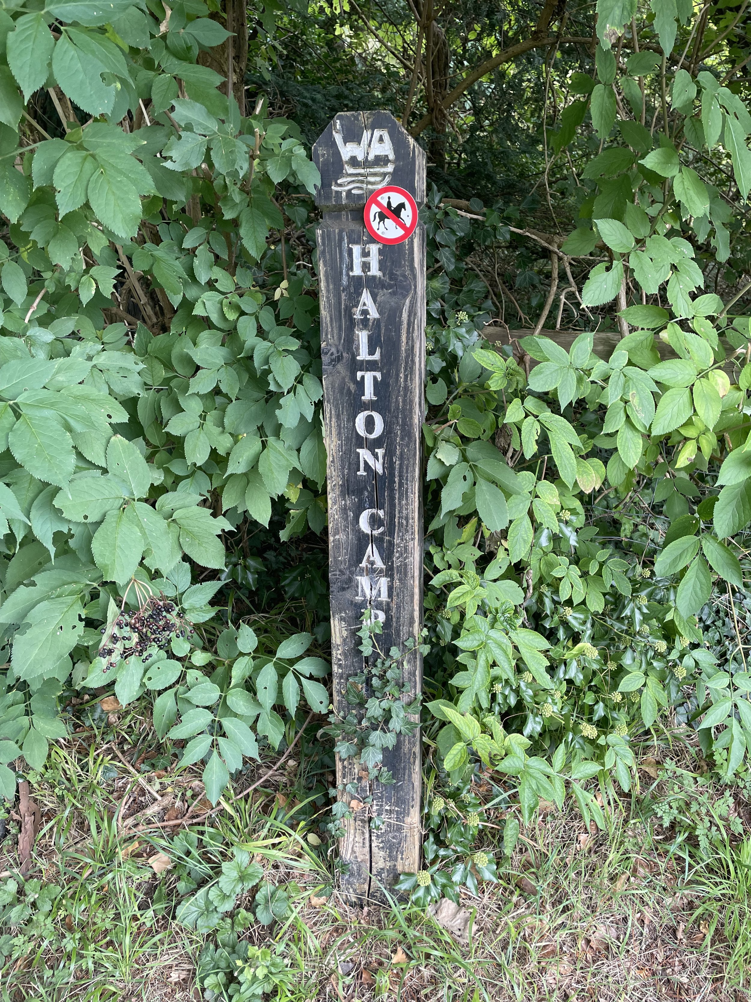
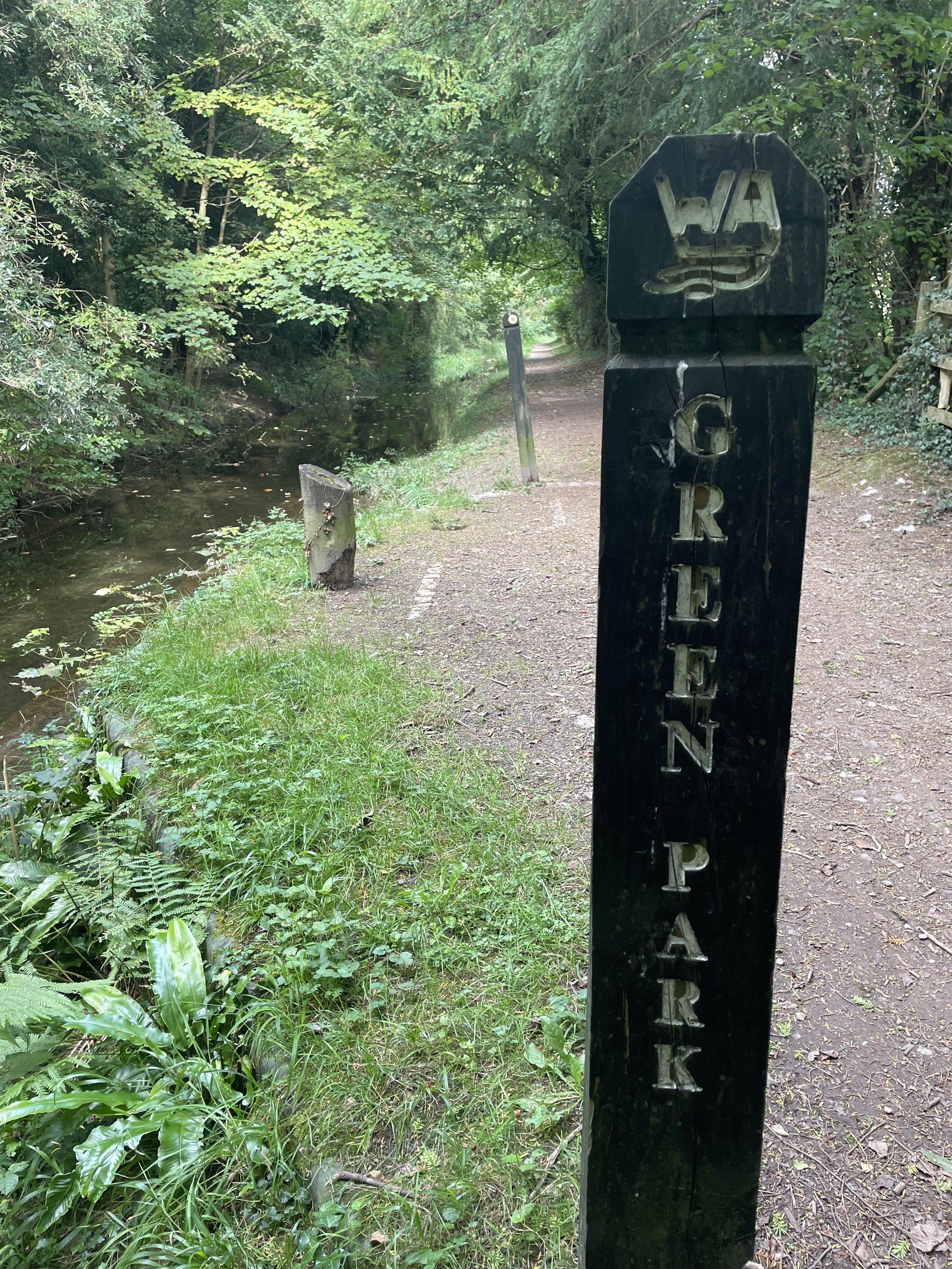
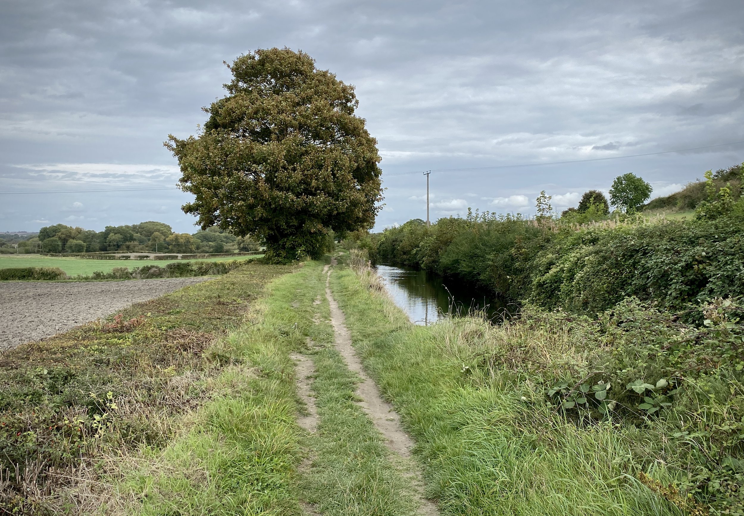
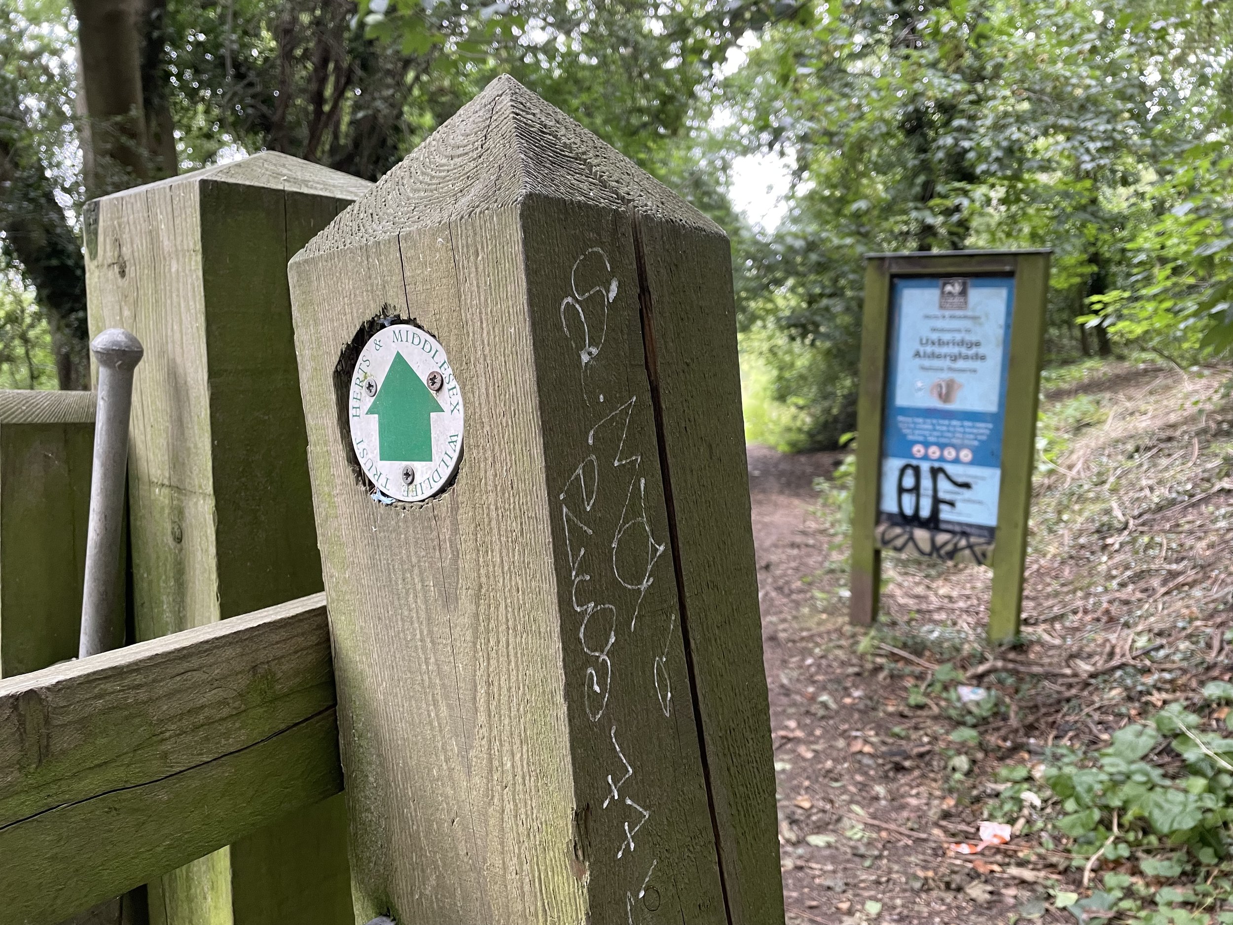
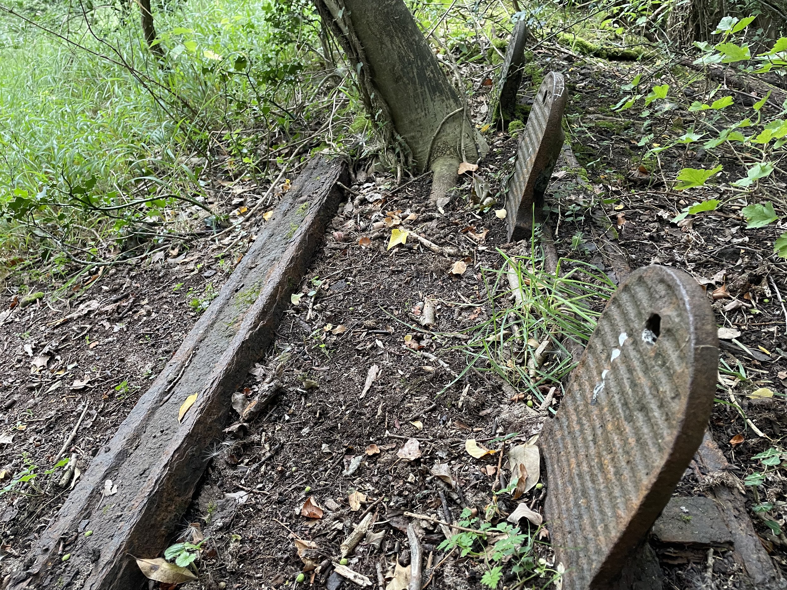
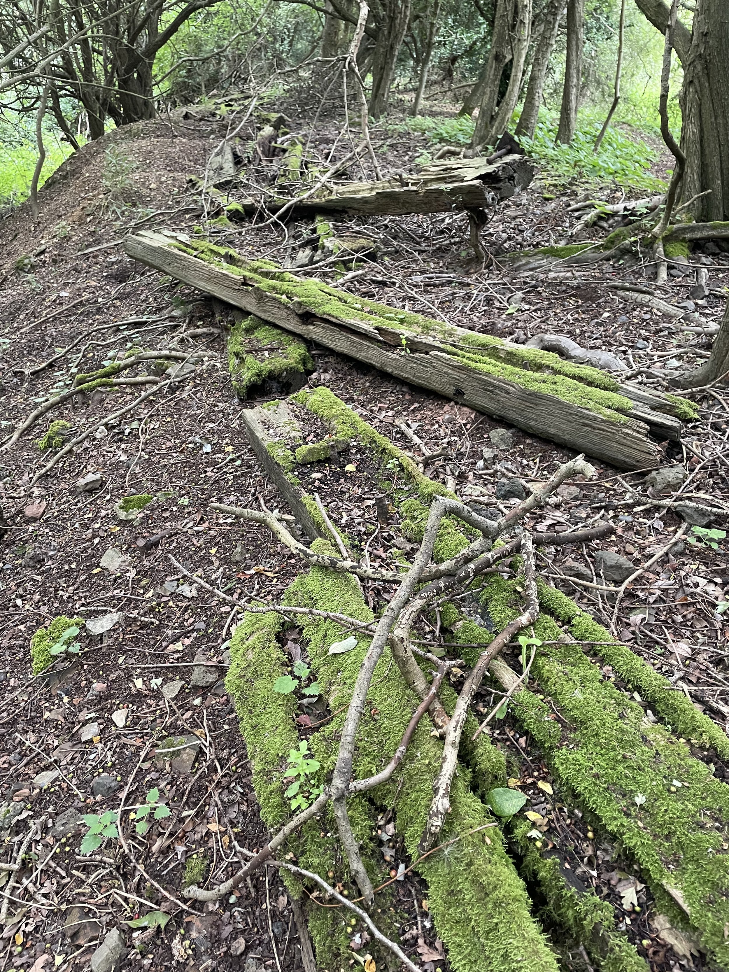
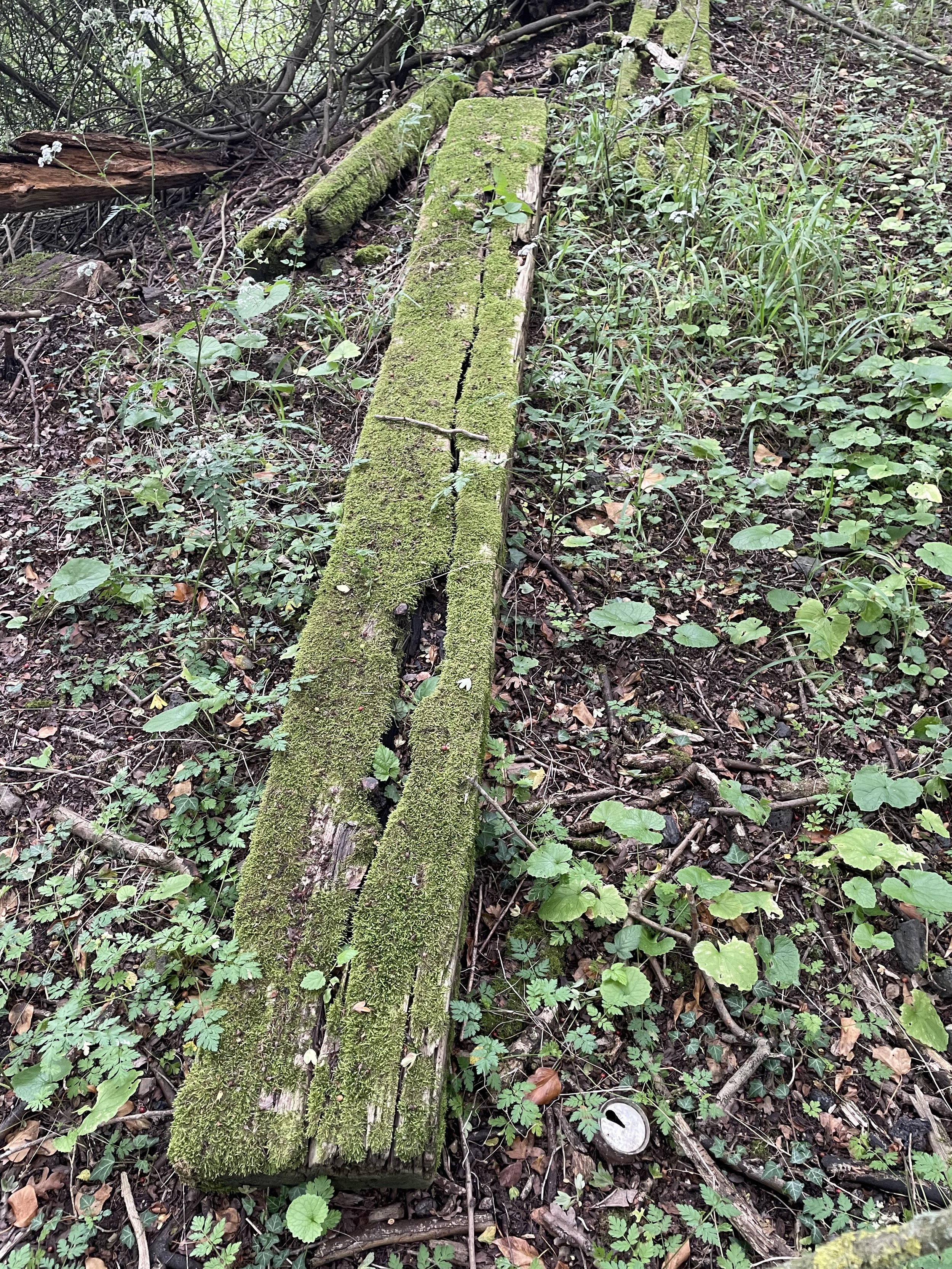
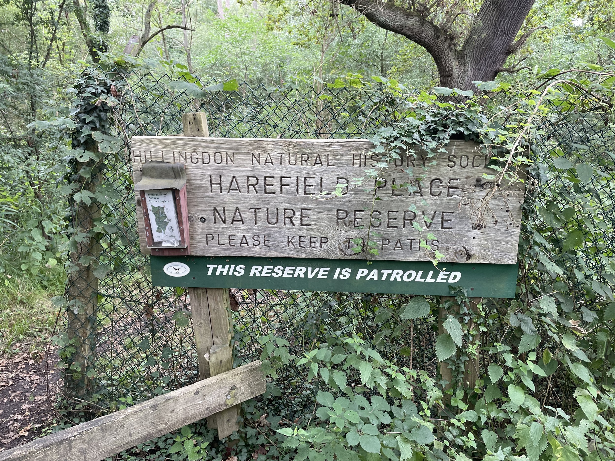
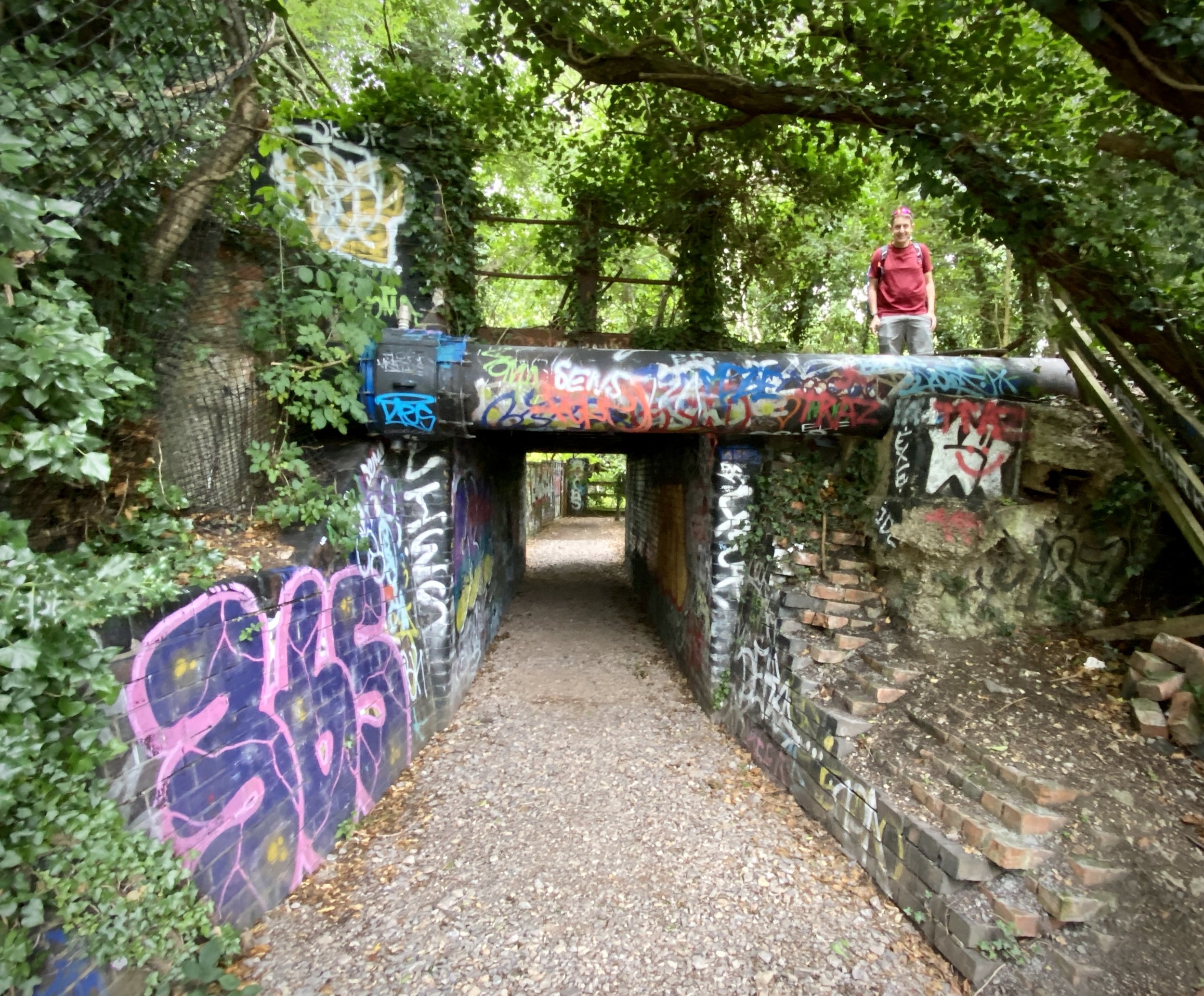
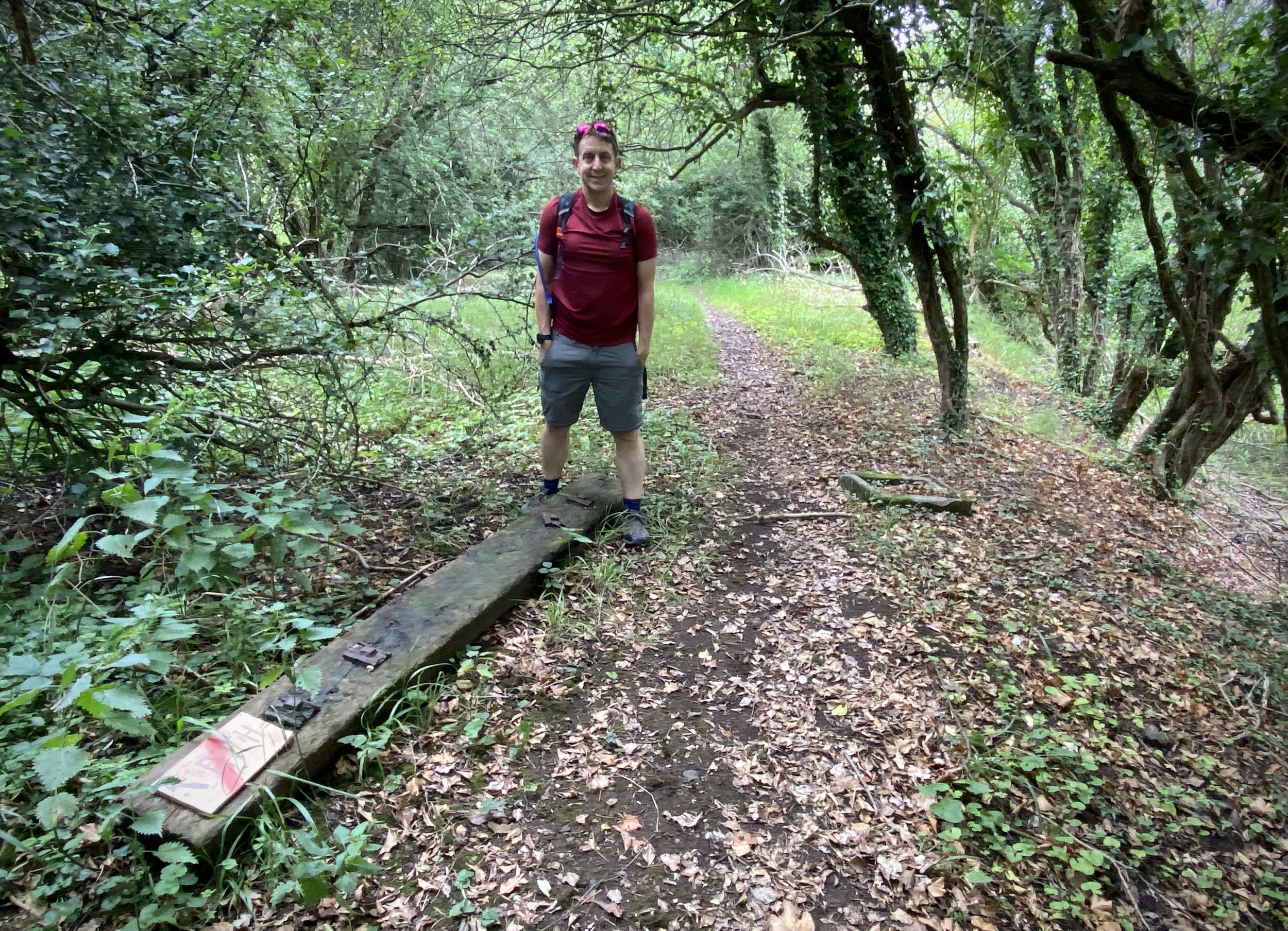
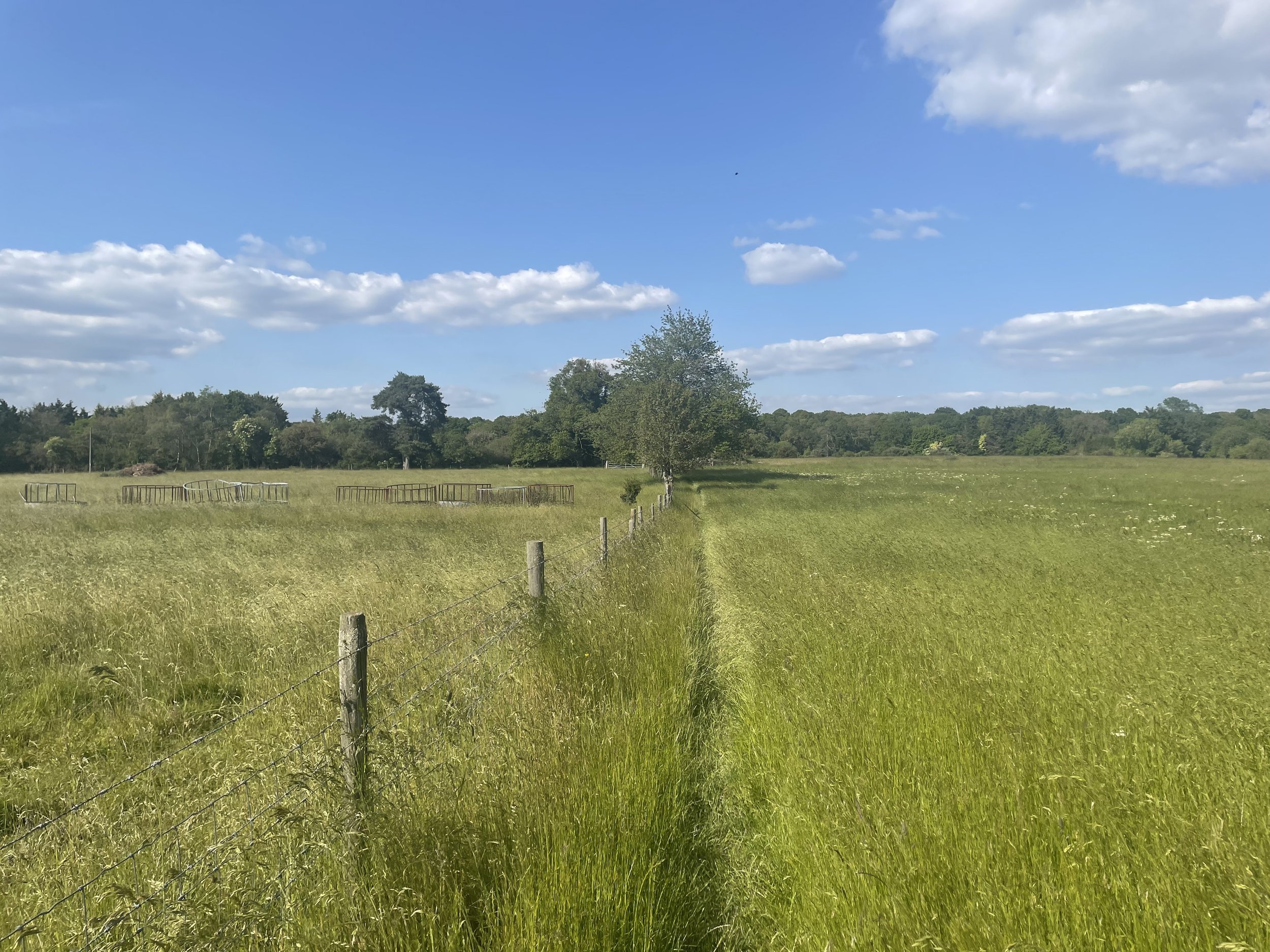
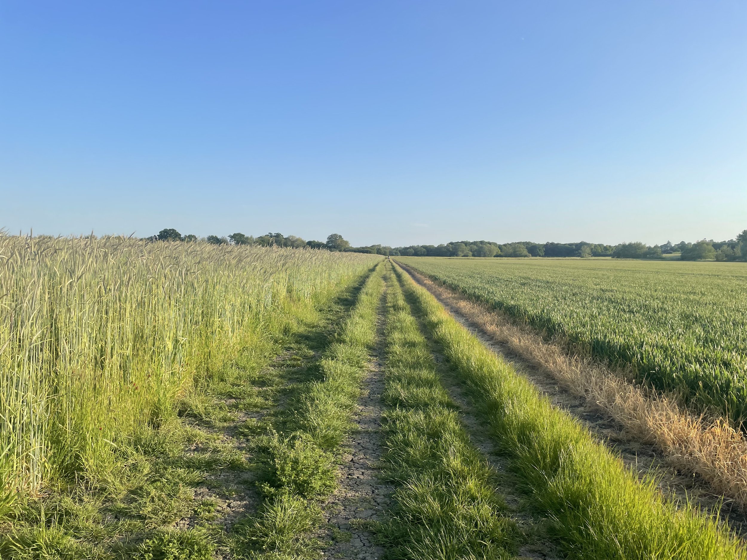
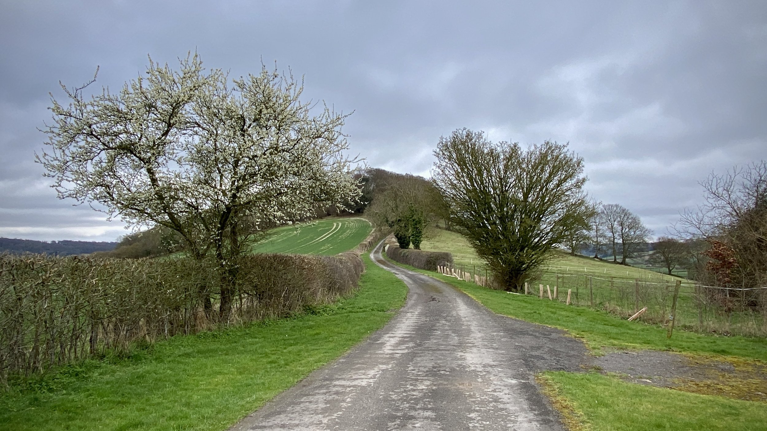
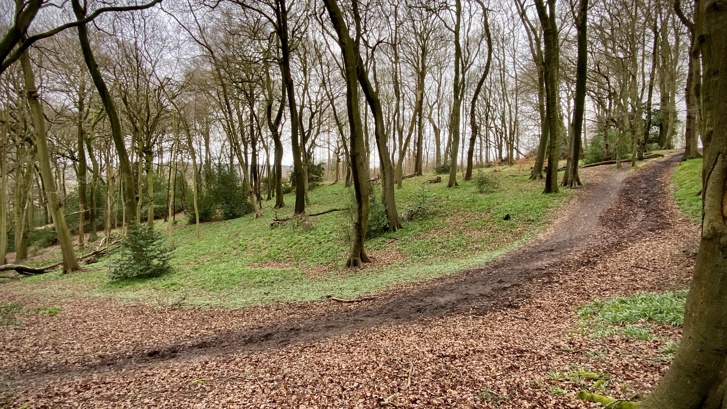
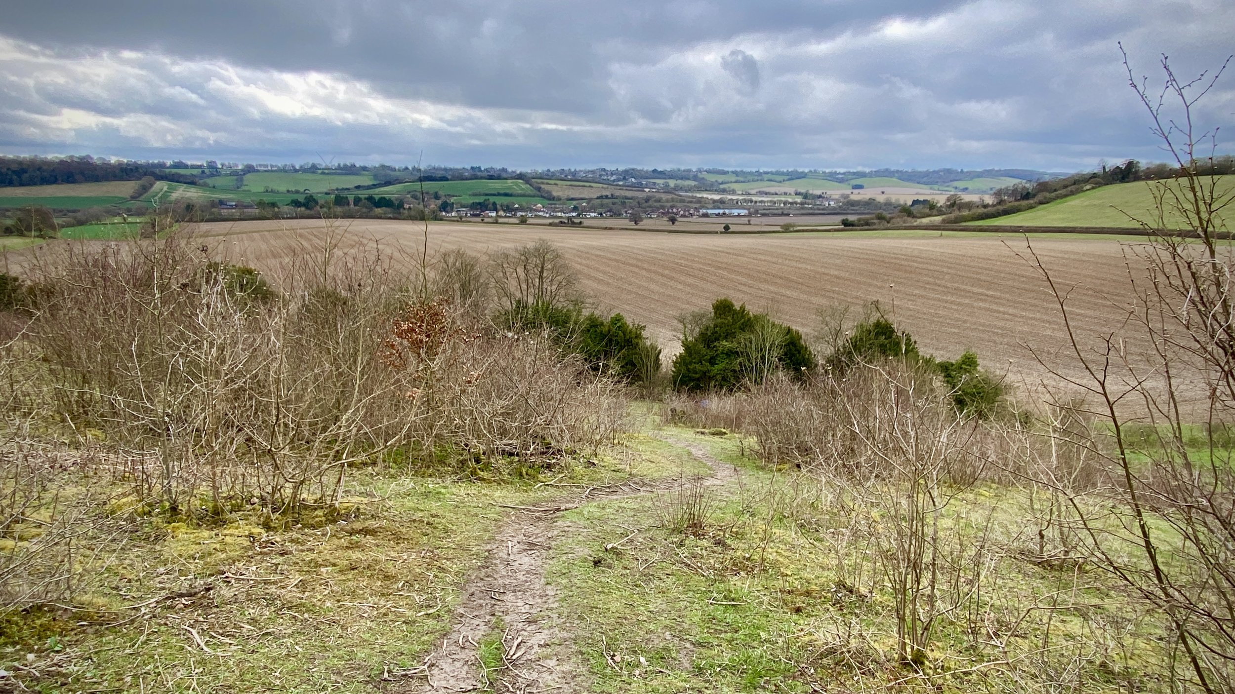
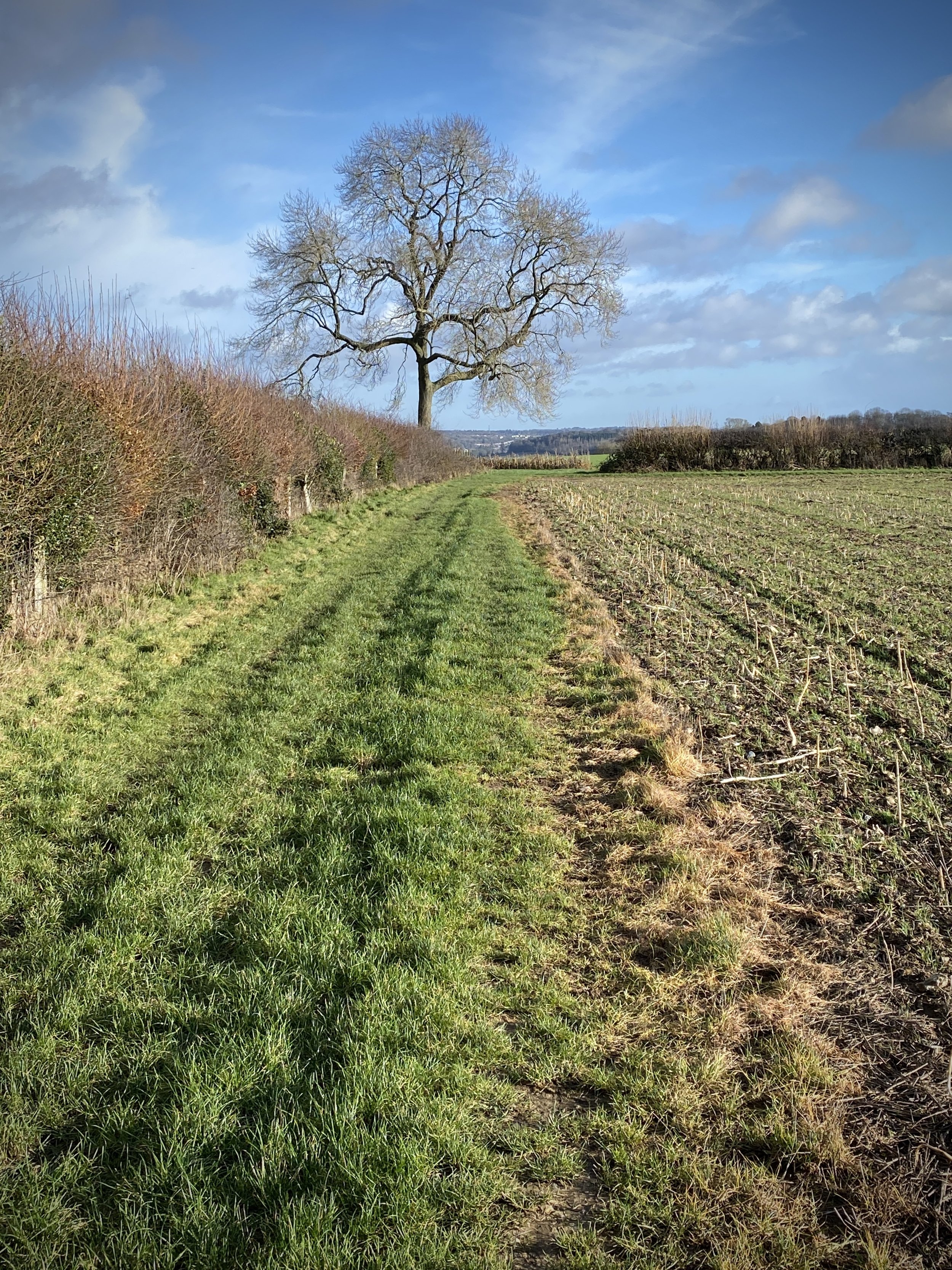
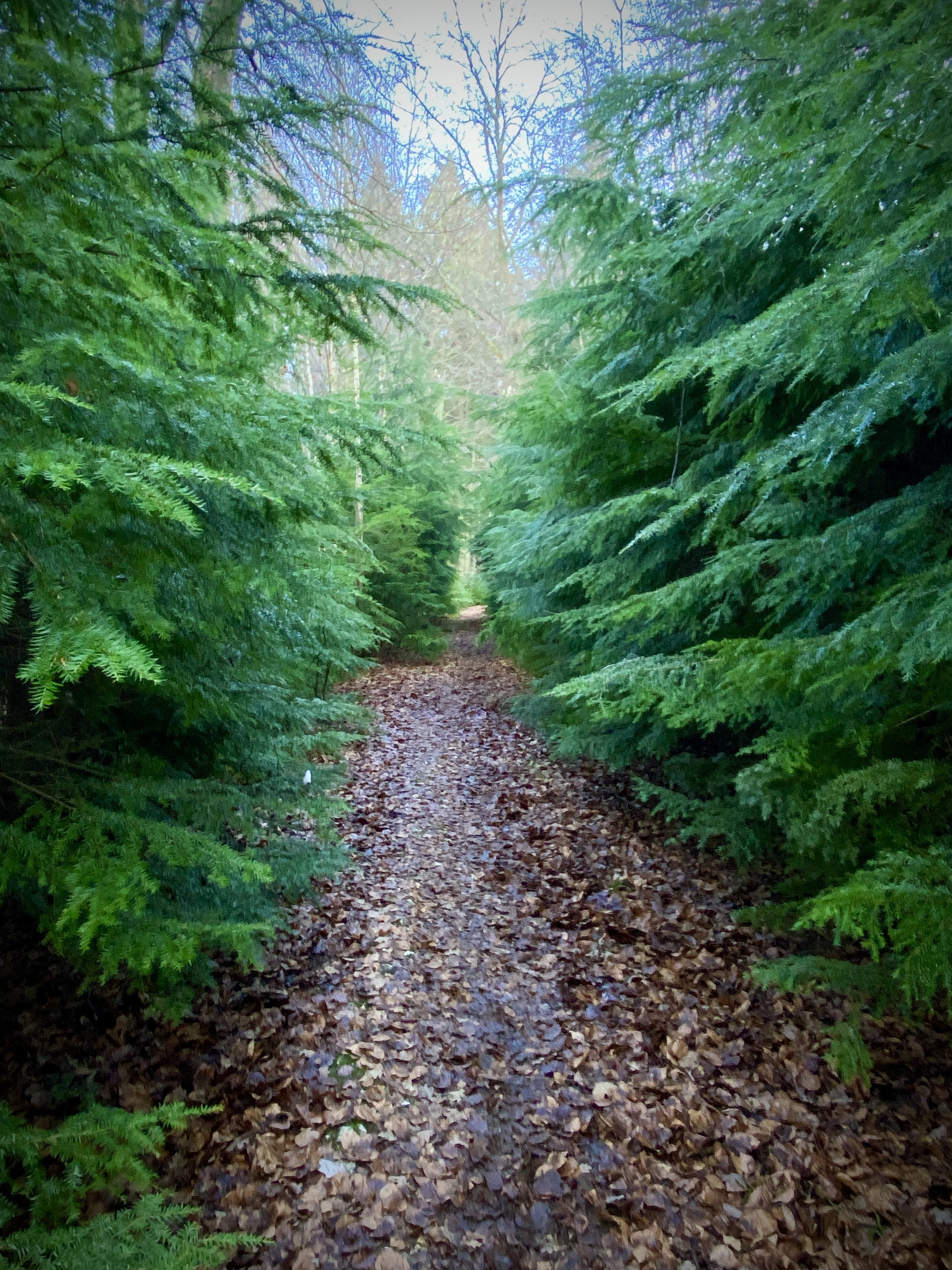
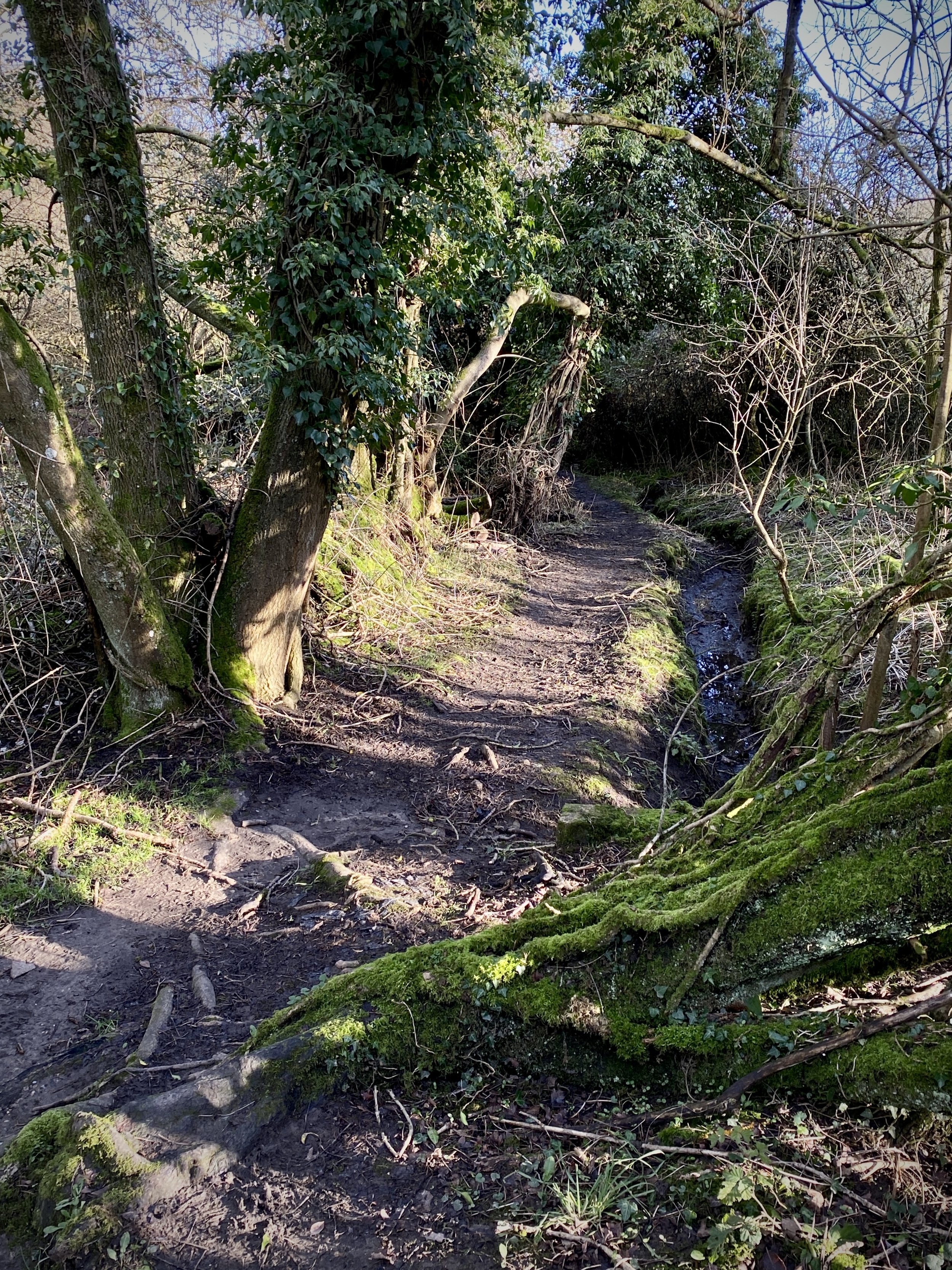
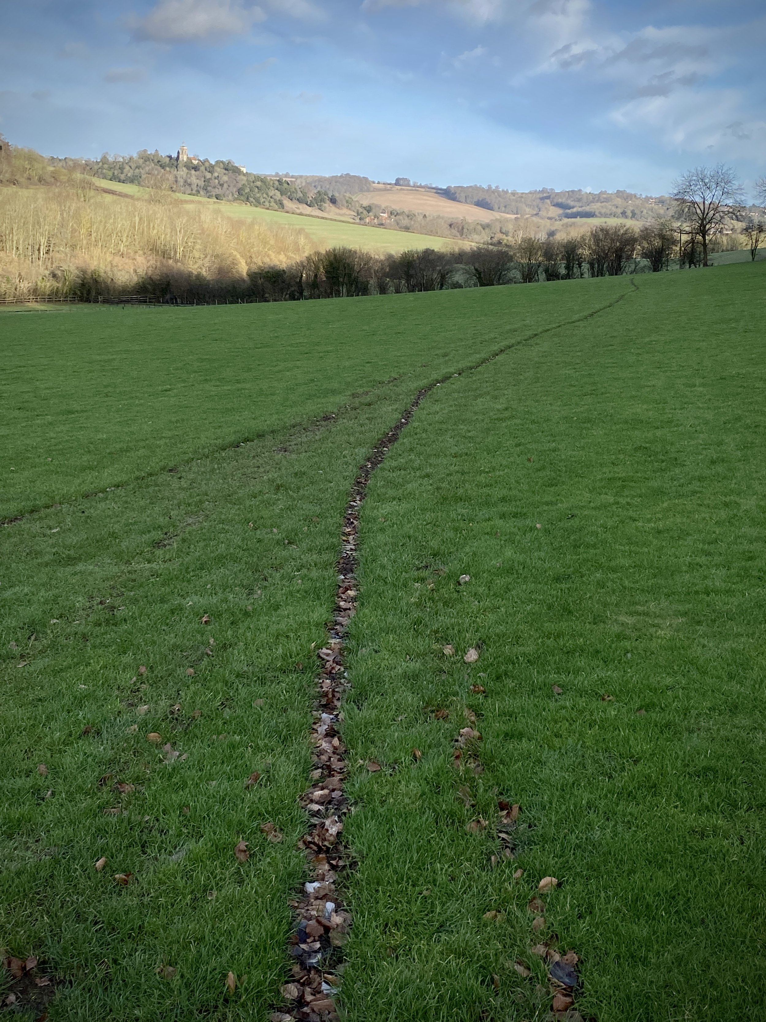
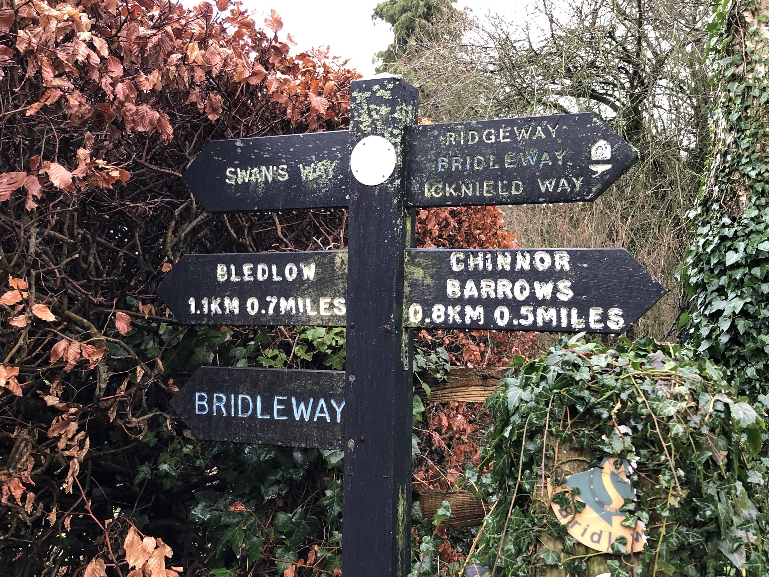
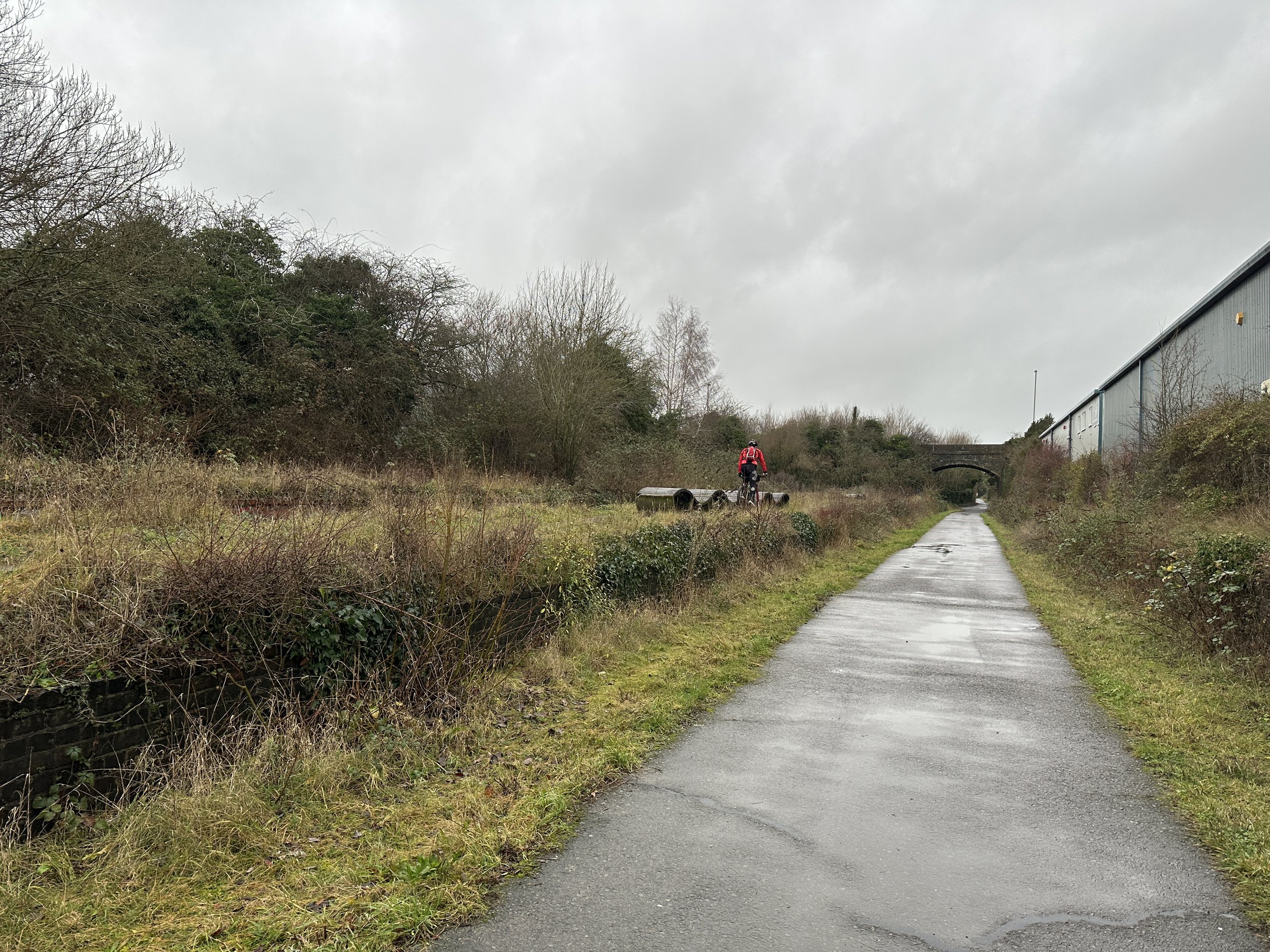
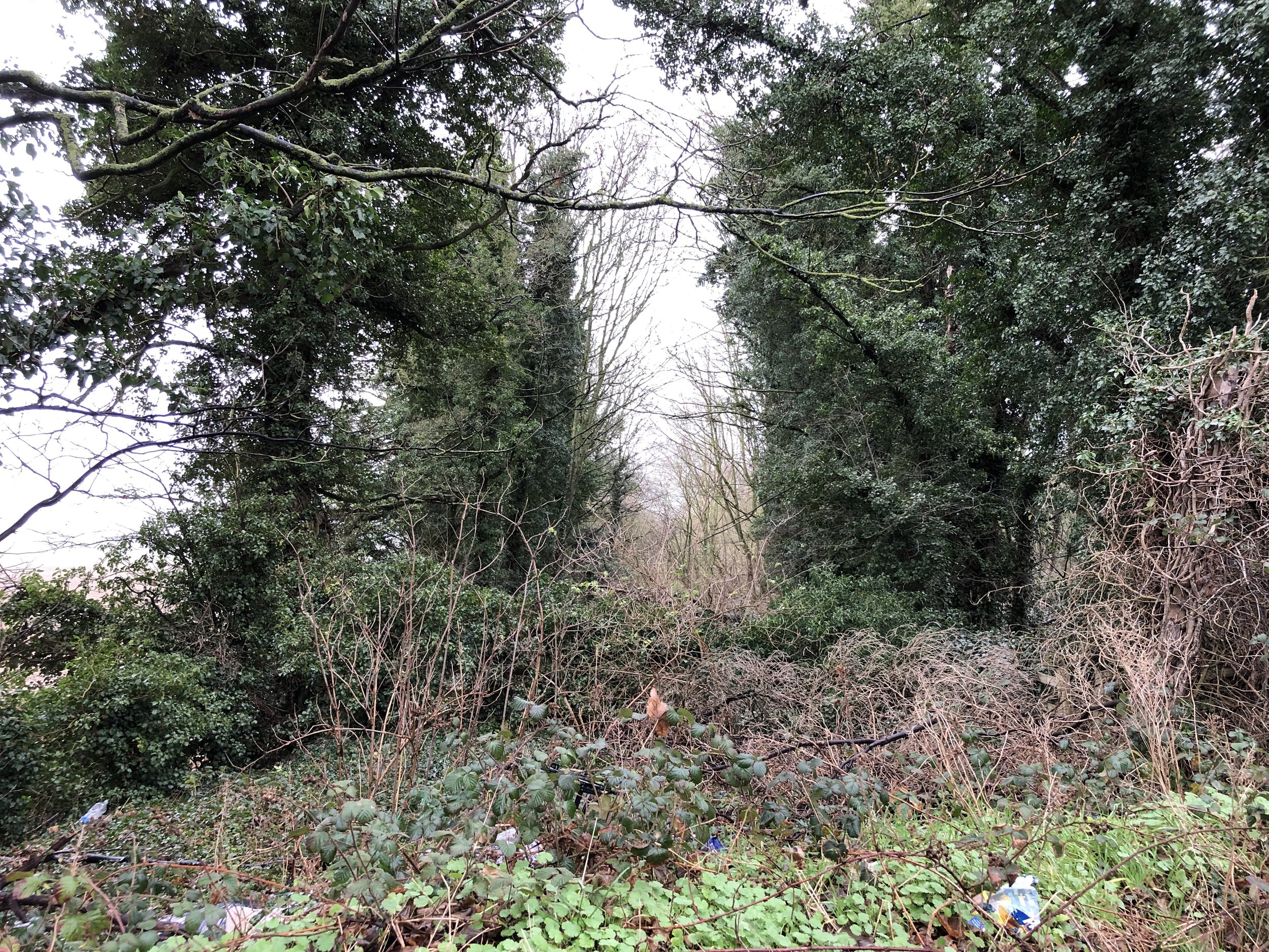
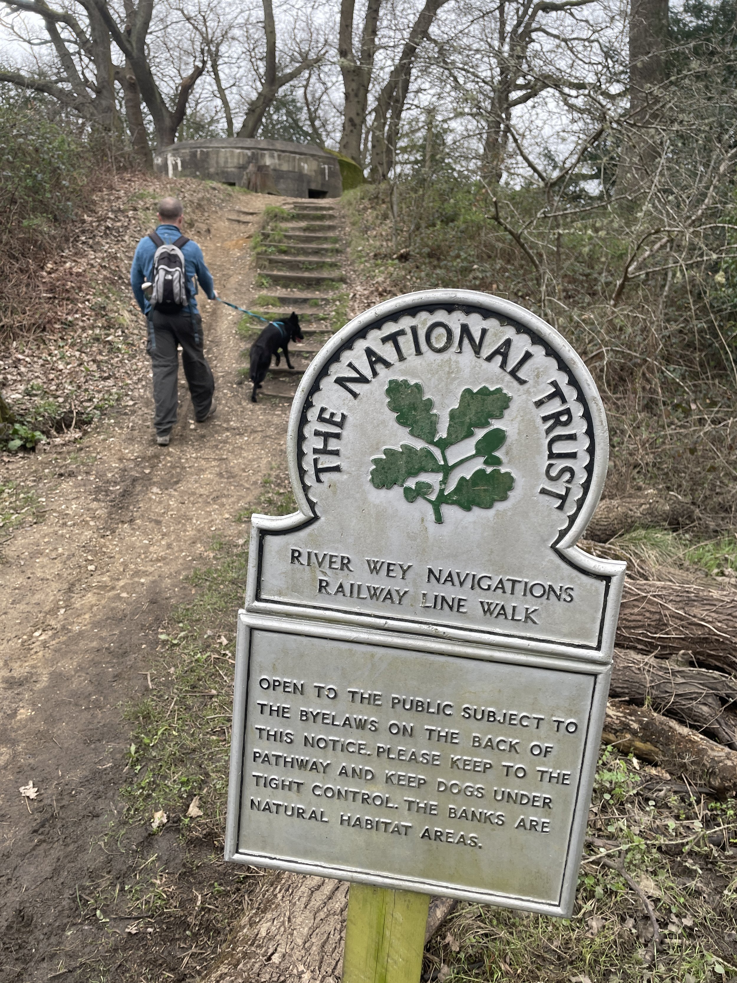
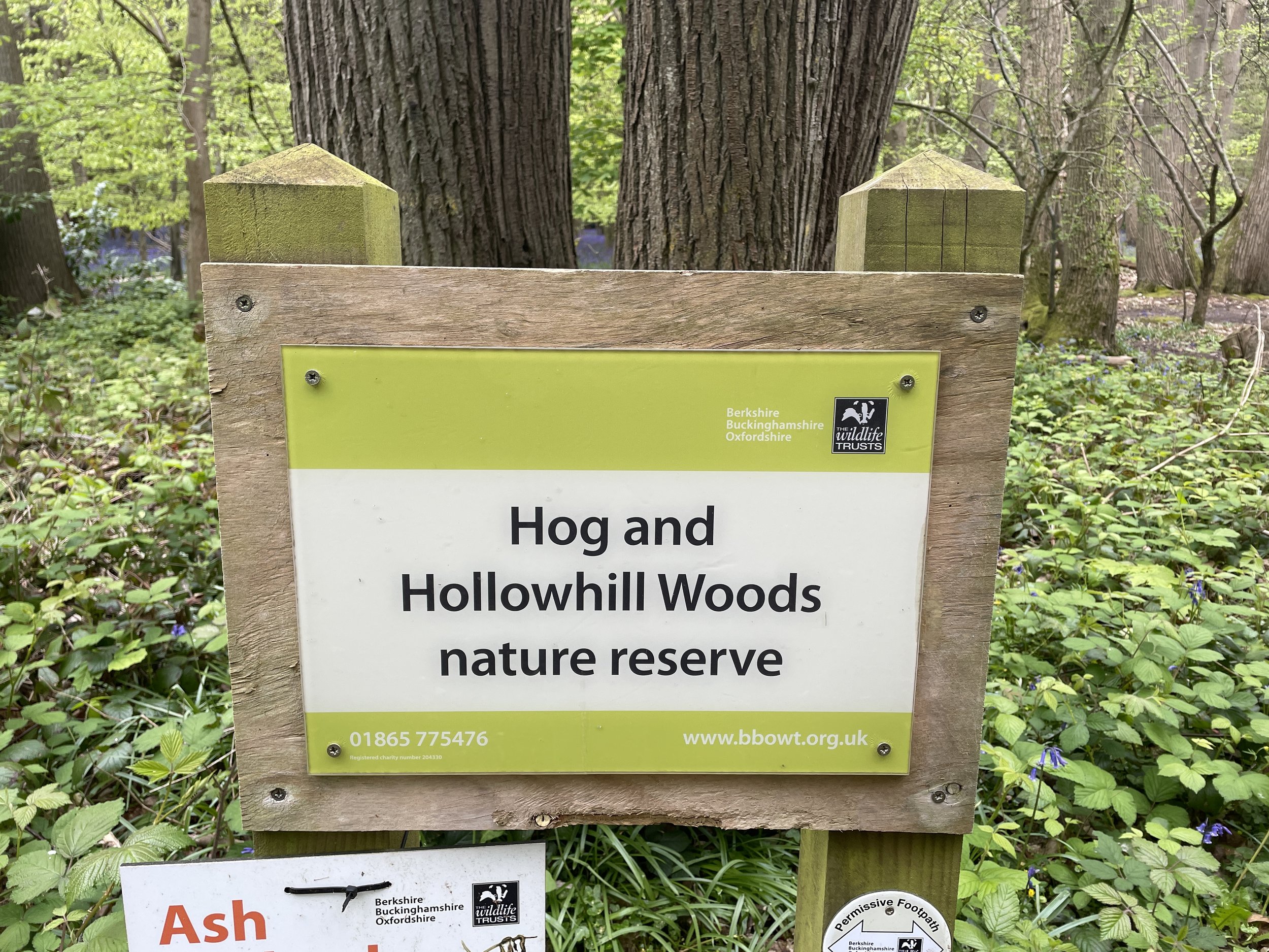
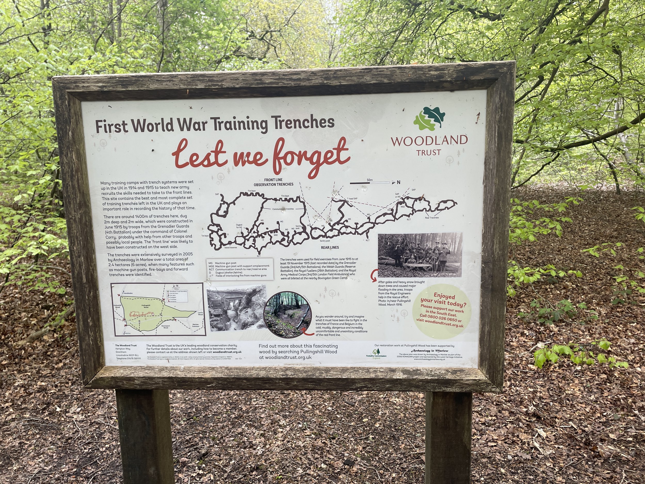
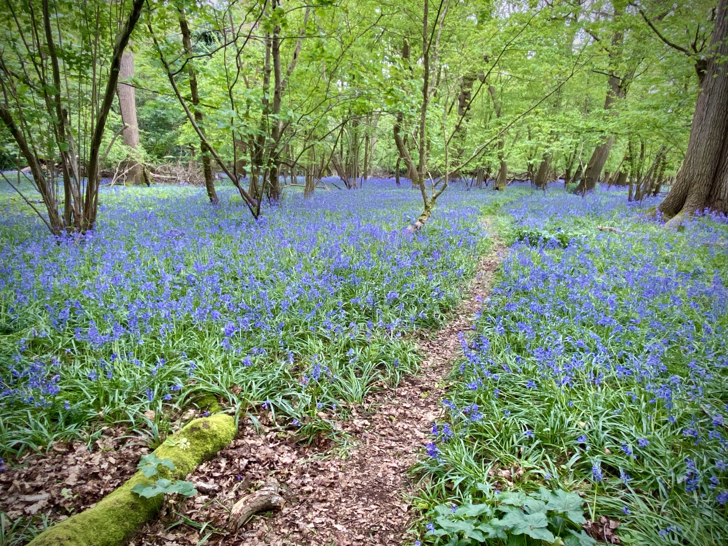
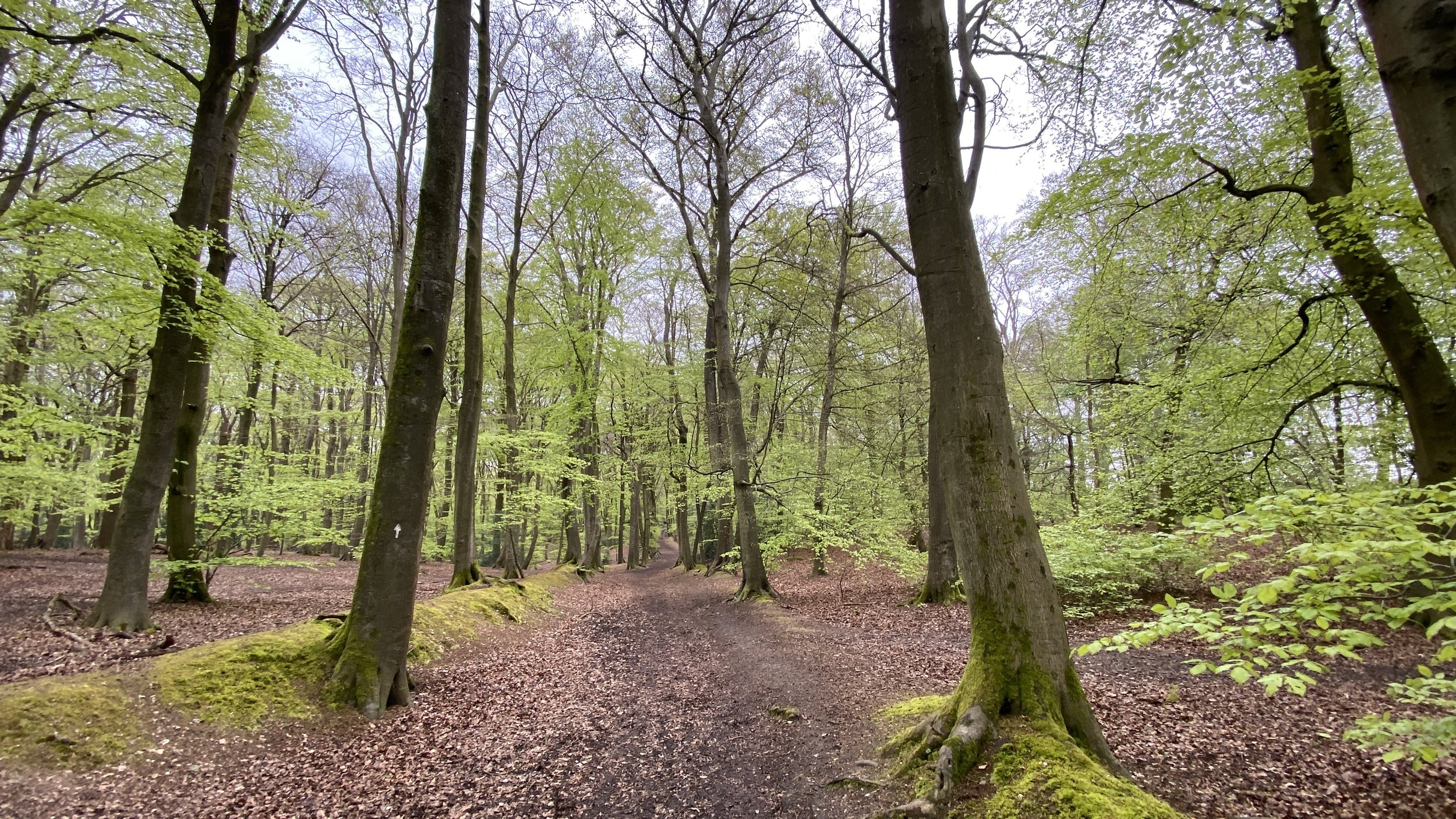
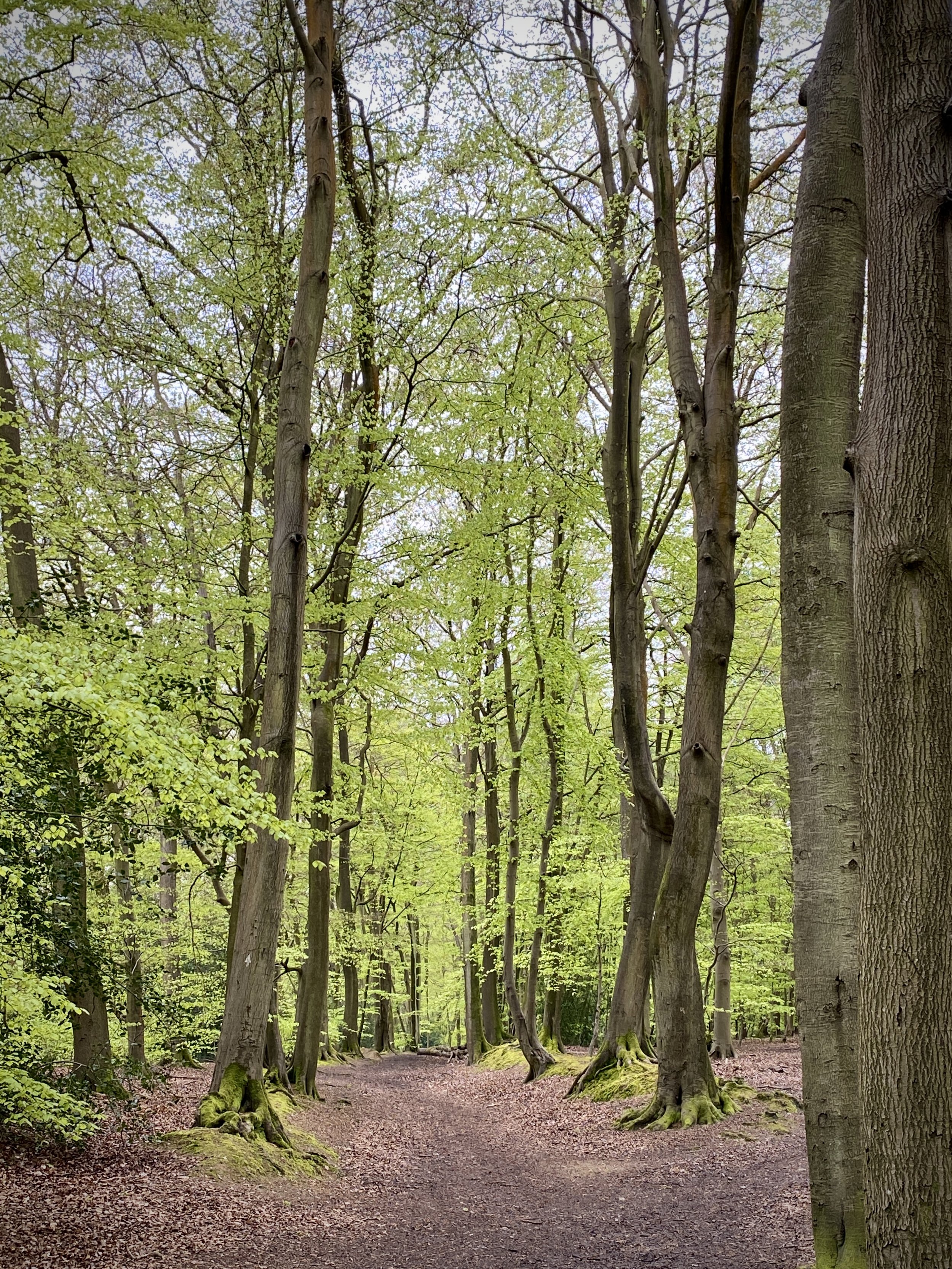
Continue along Thames Reach then North Close and into the footpath into Hog and Hollowhill Nature Reserve. Continue in a northerly direction into Pullingshill Woods. Look out for the information board detailing the woods’ history as a WW1 trench training. Shortly after the information board you’ll reach the junction with the Chiltern Way/Shakespeare’s Way.
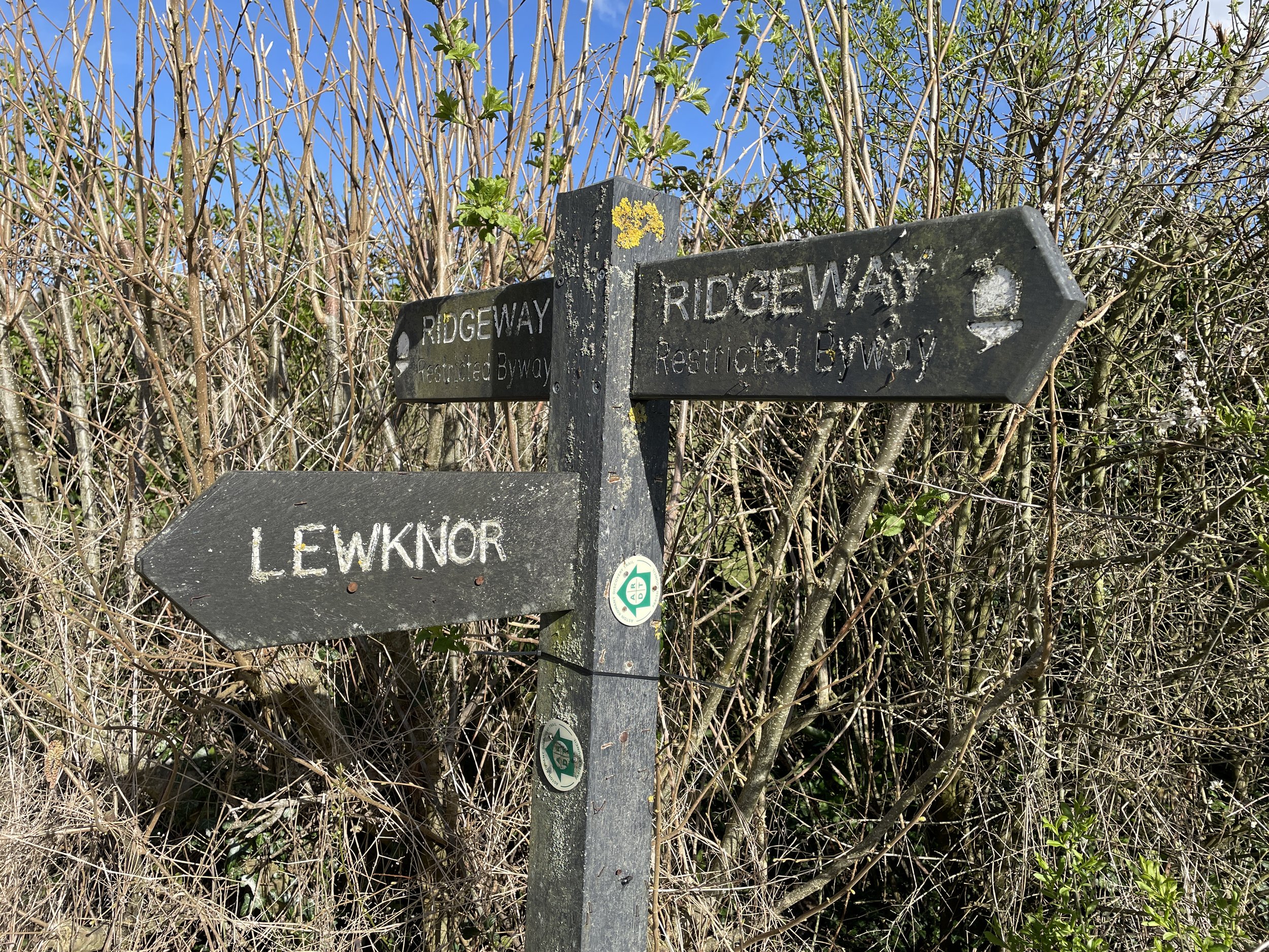
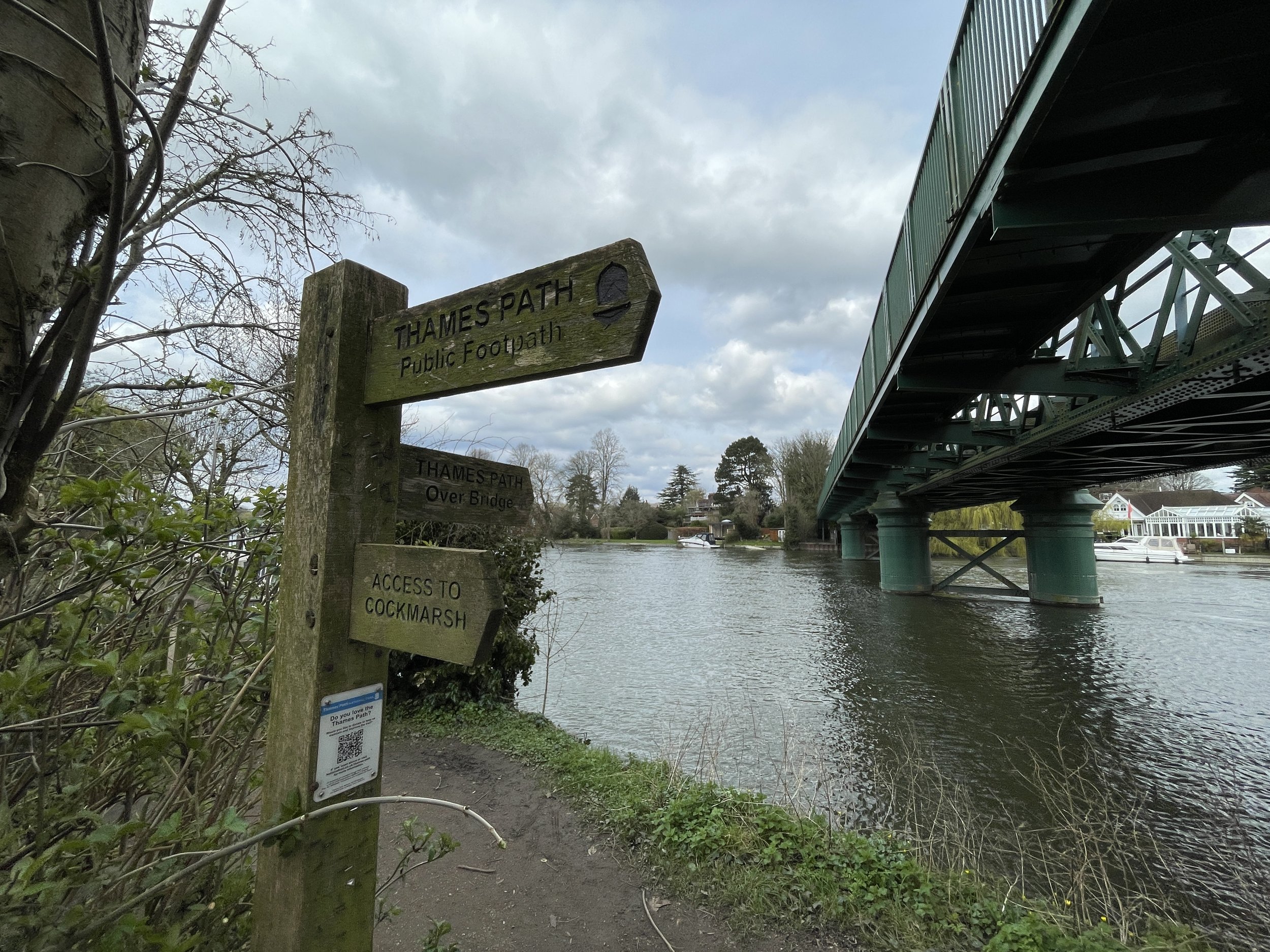
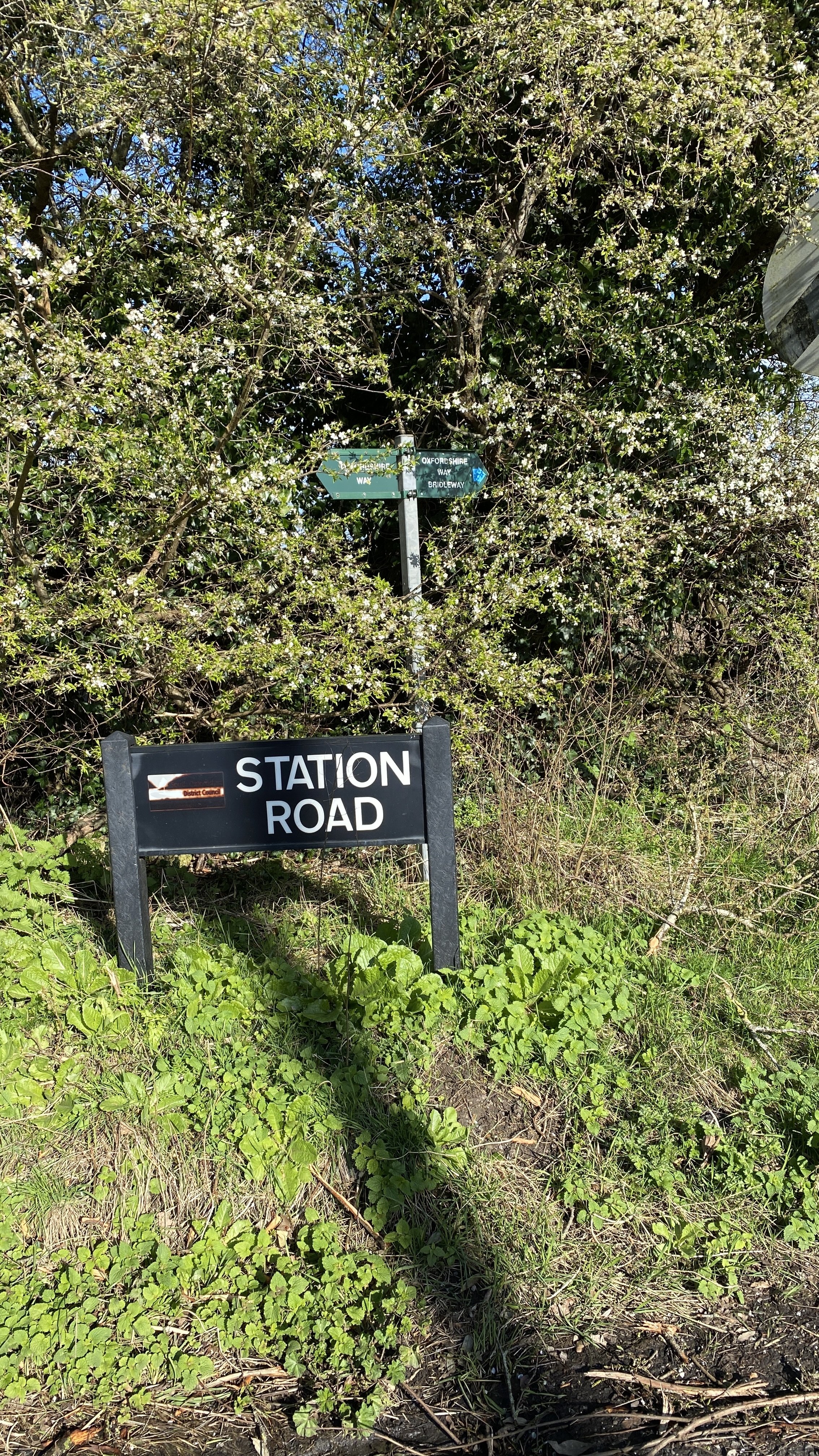
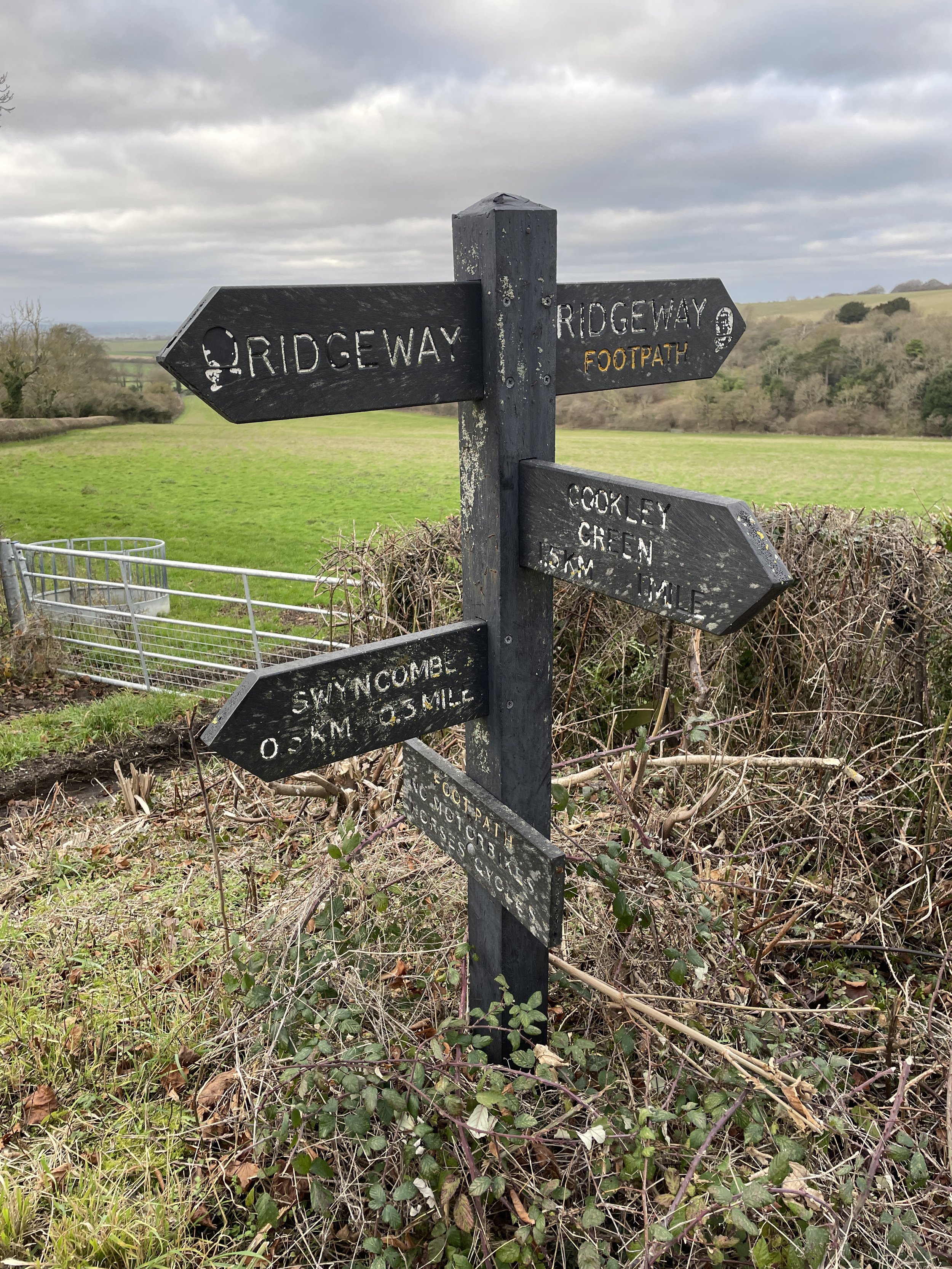
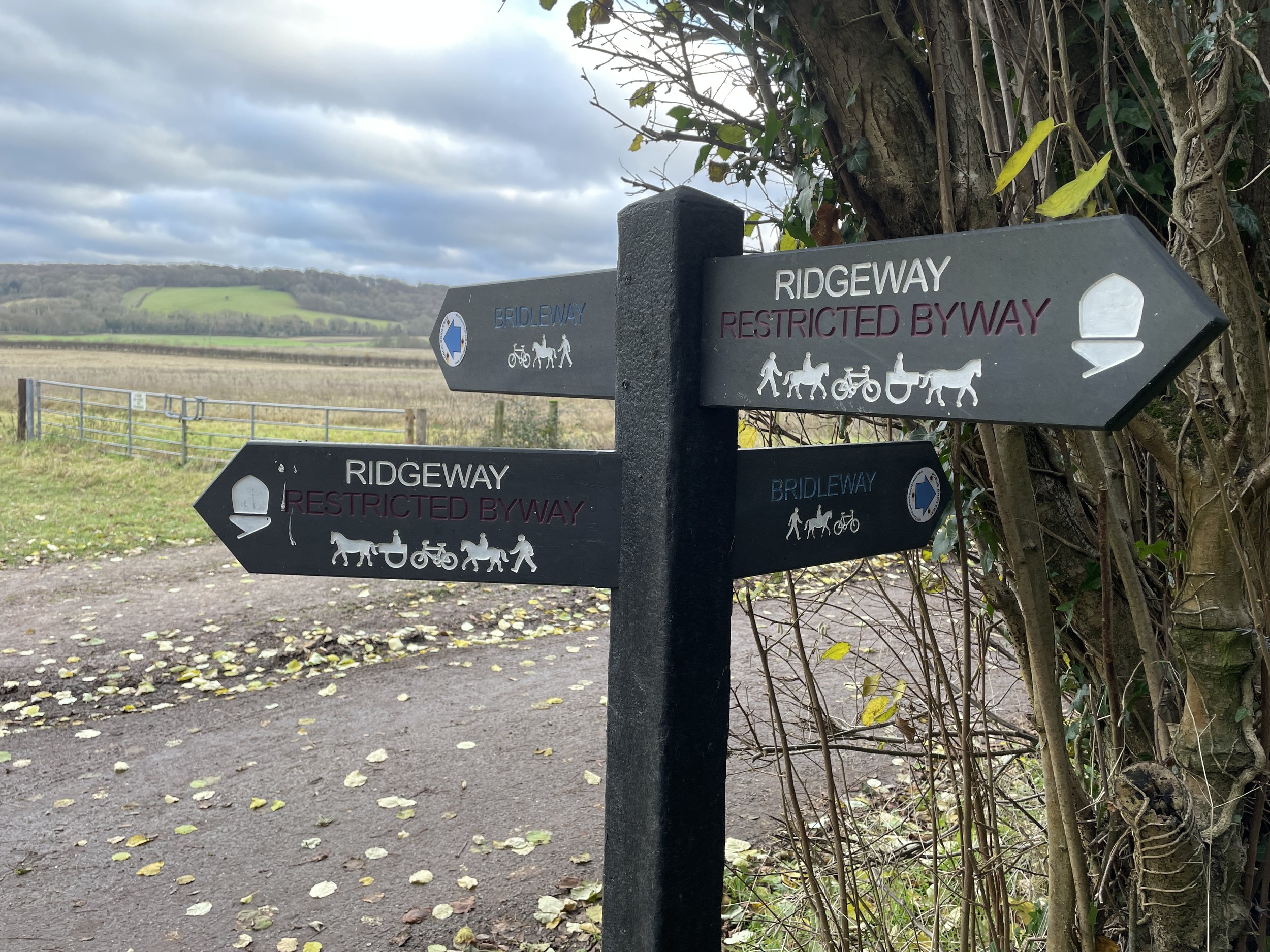
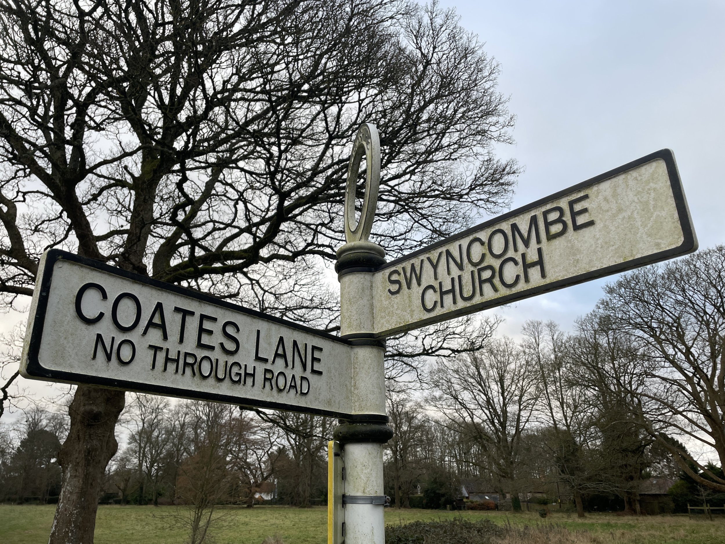
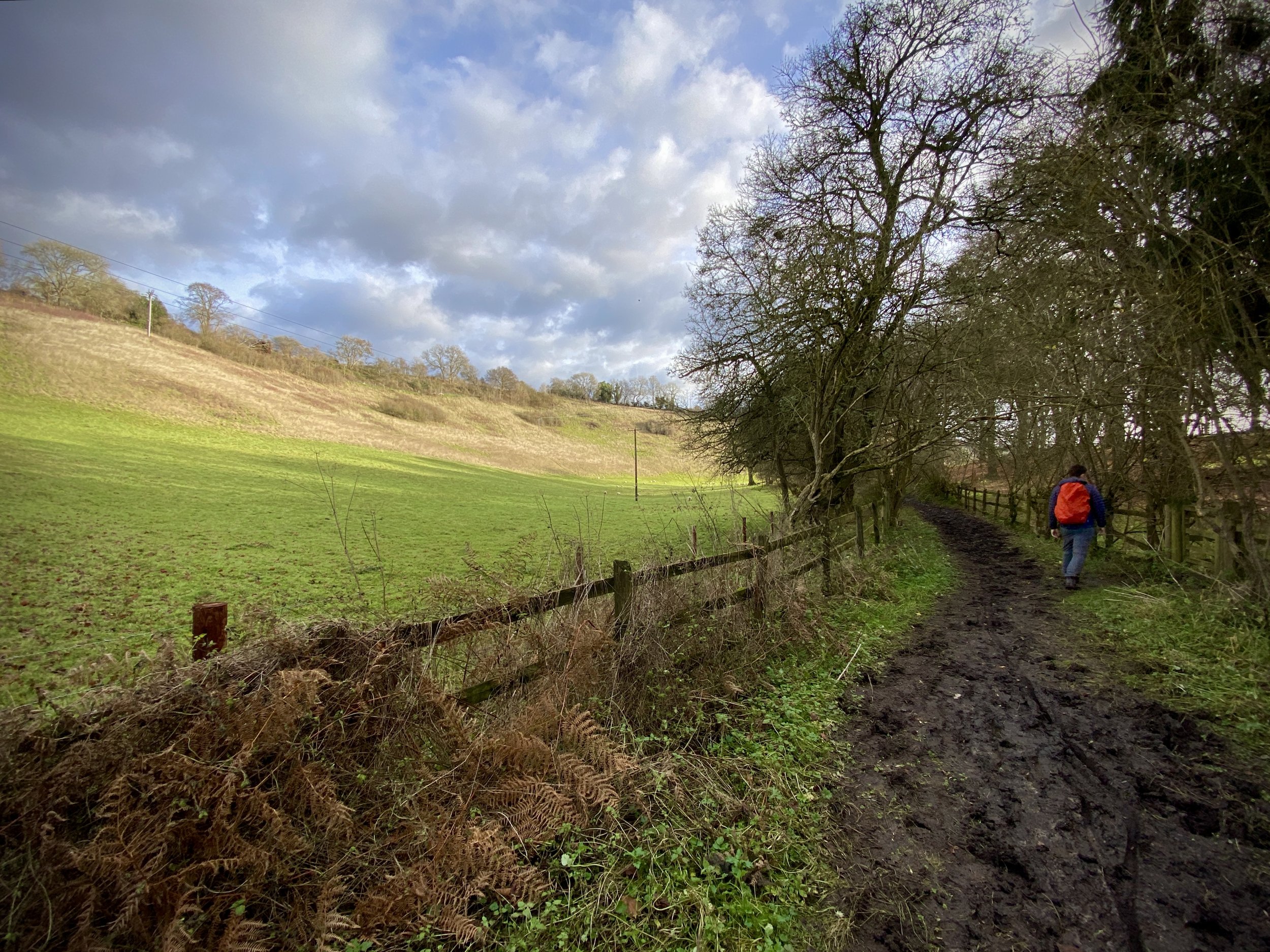
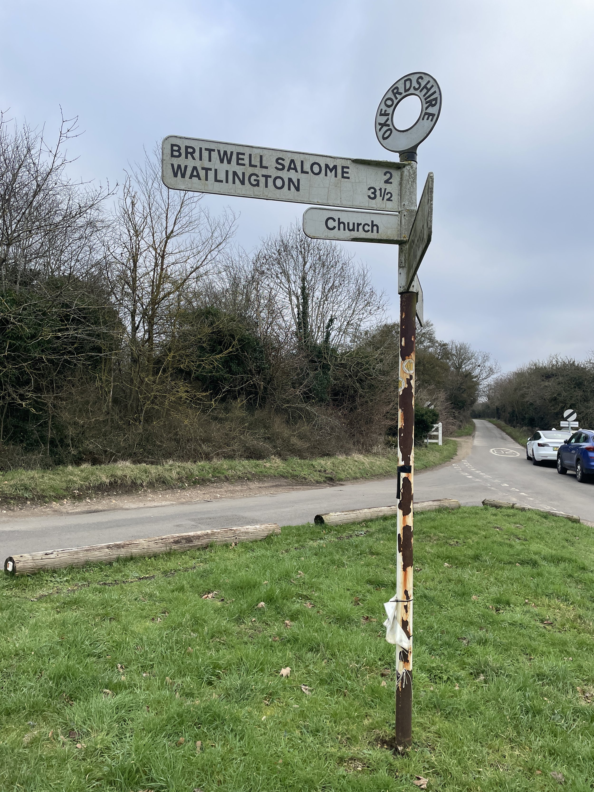
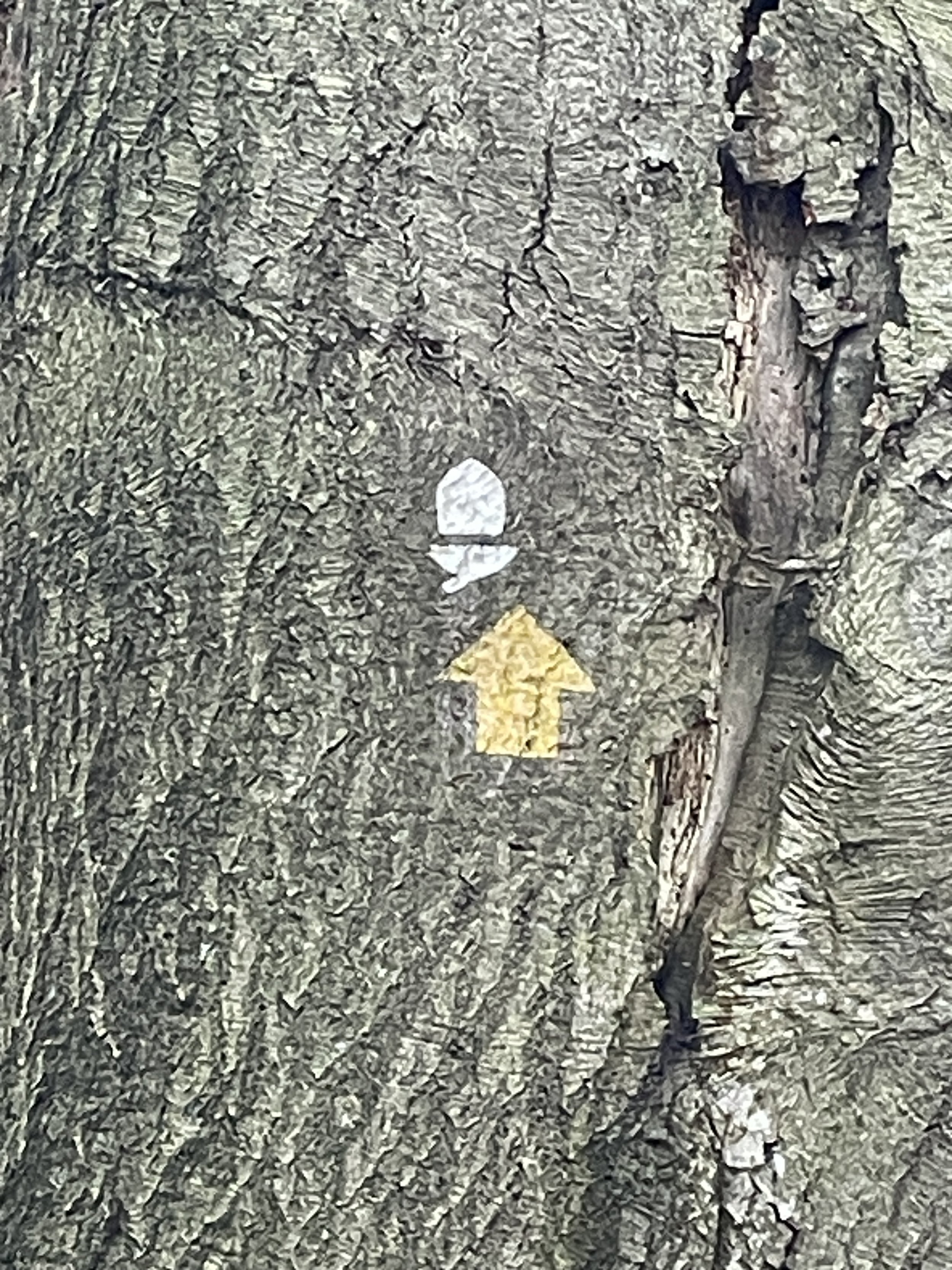
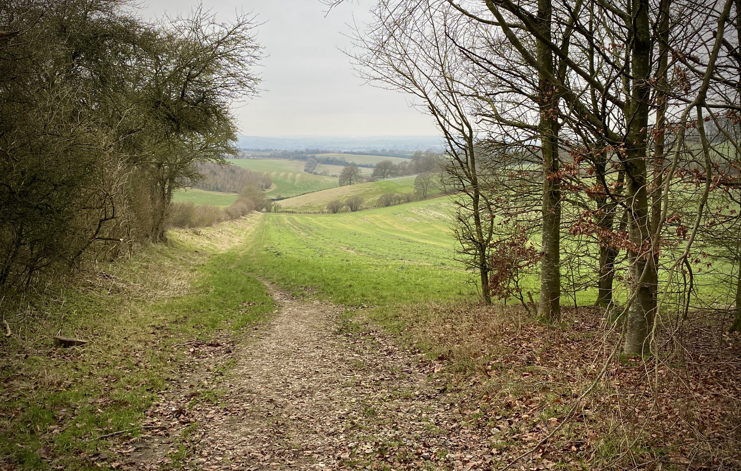
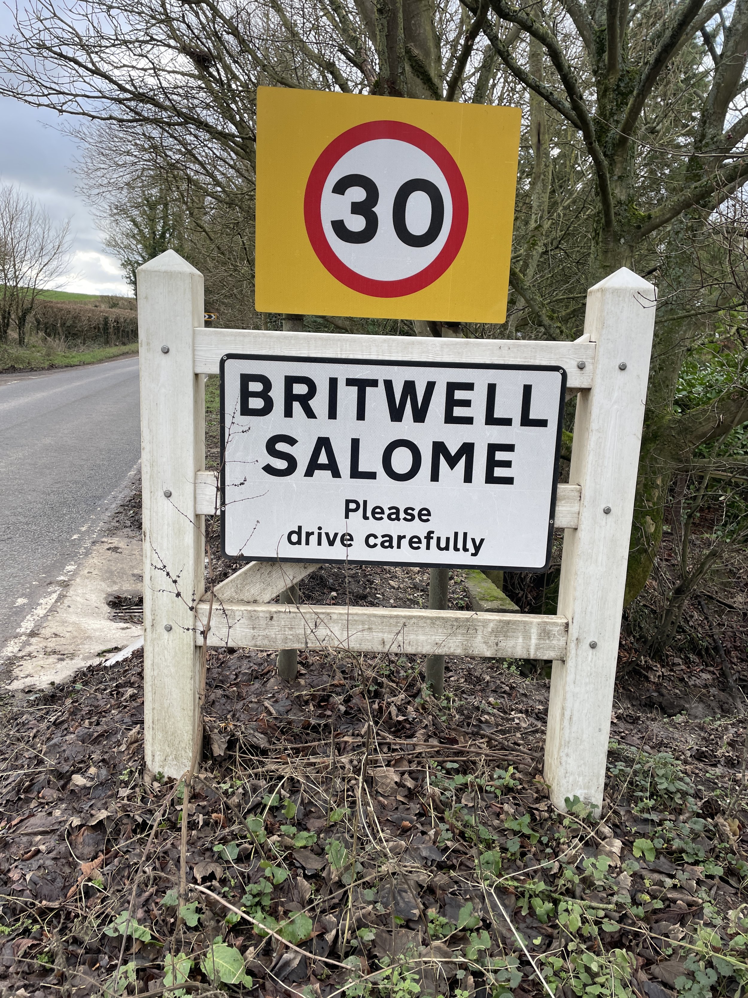
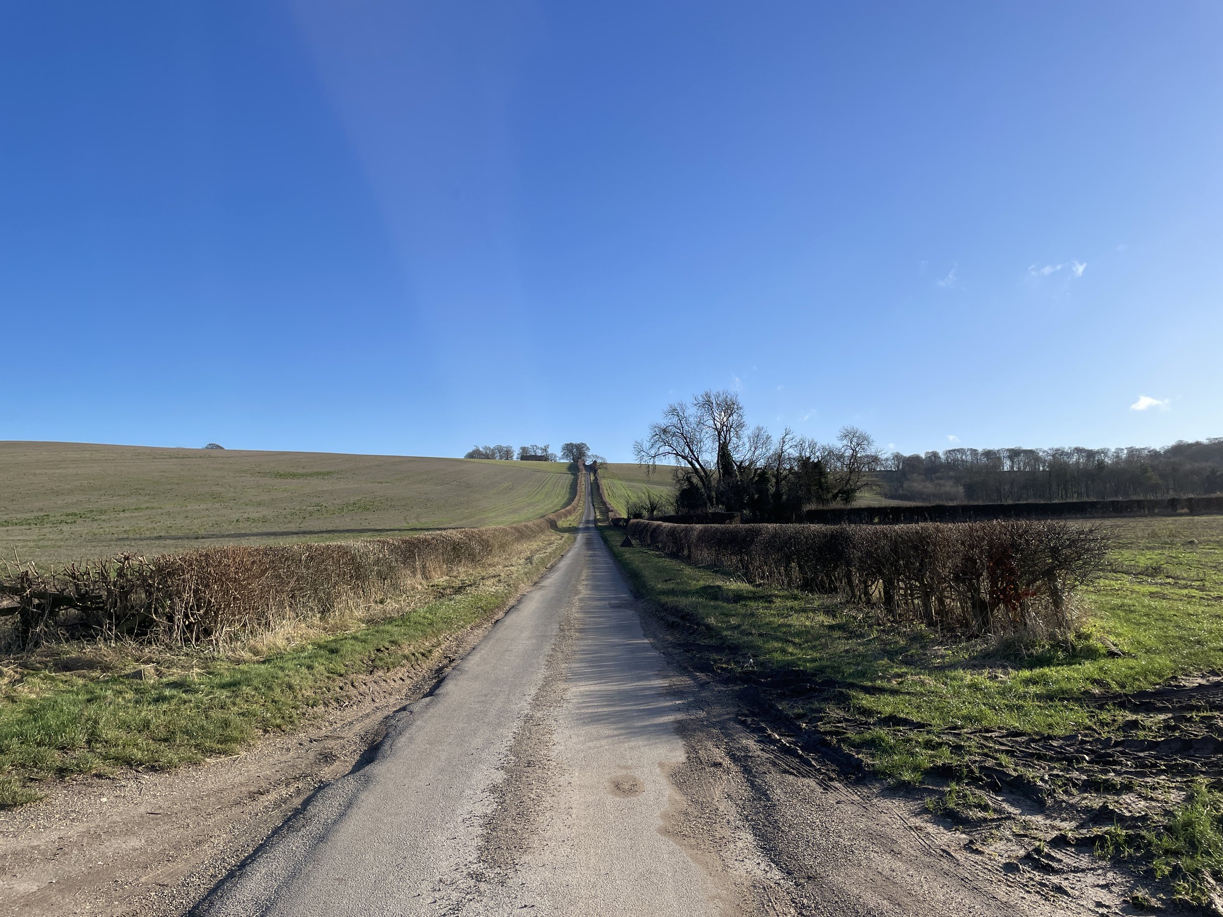
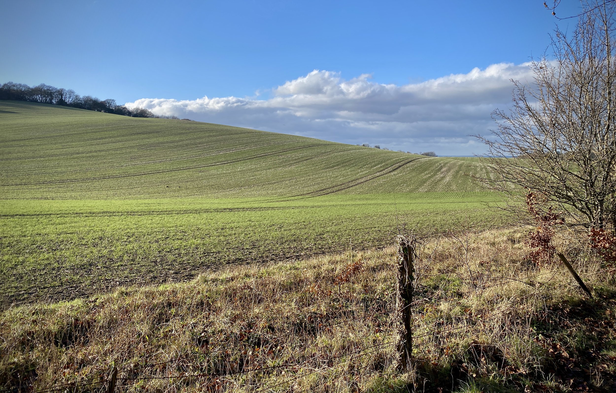
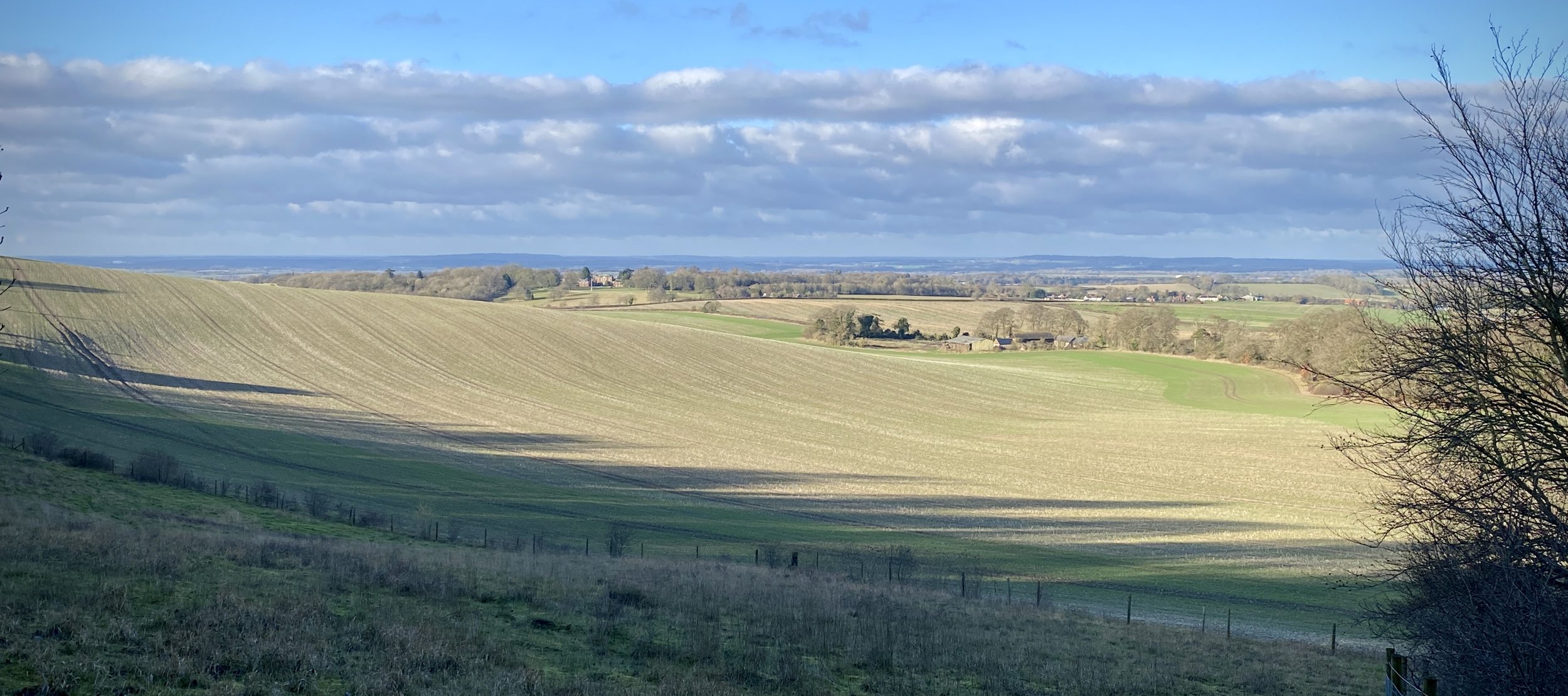
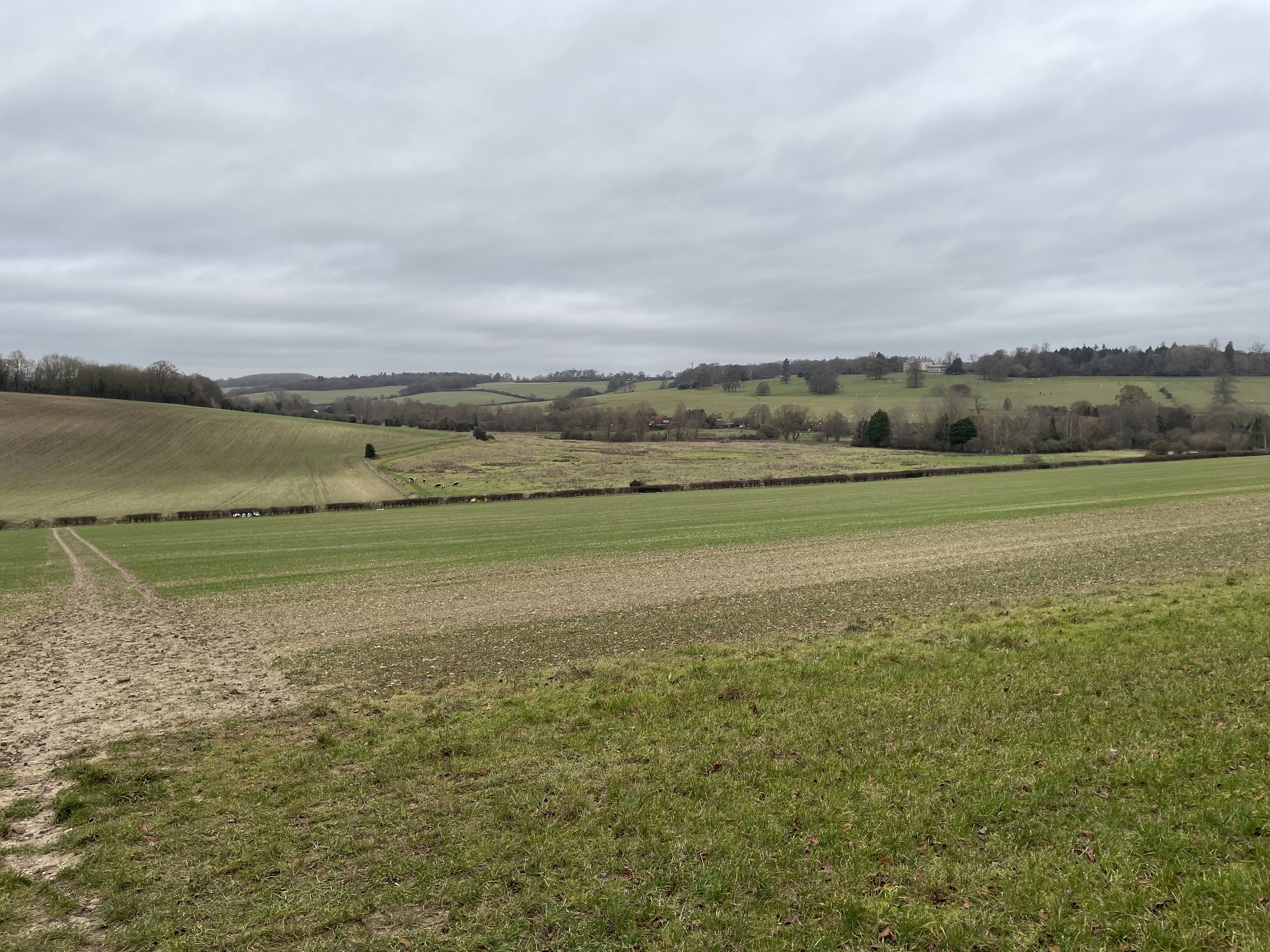
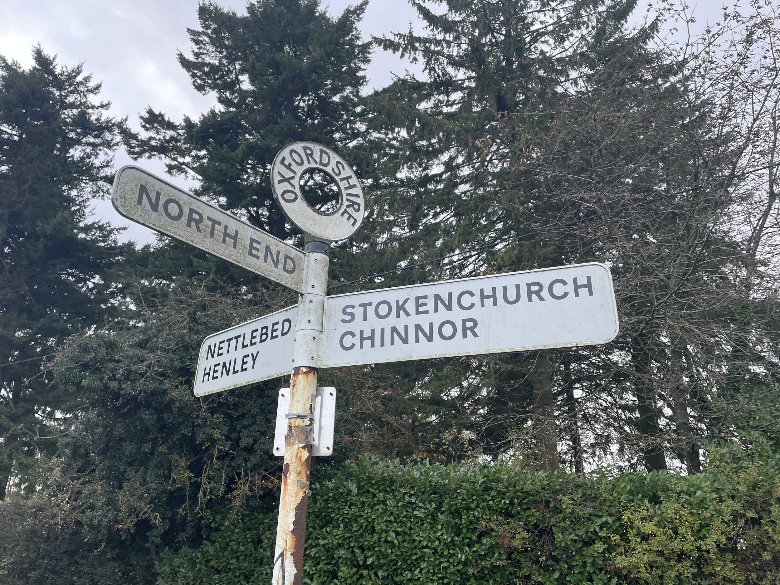
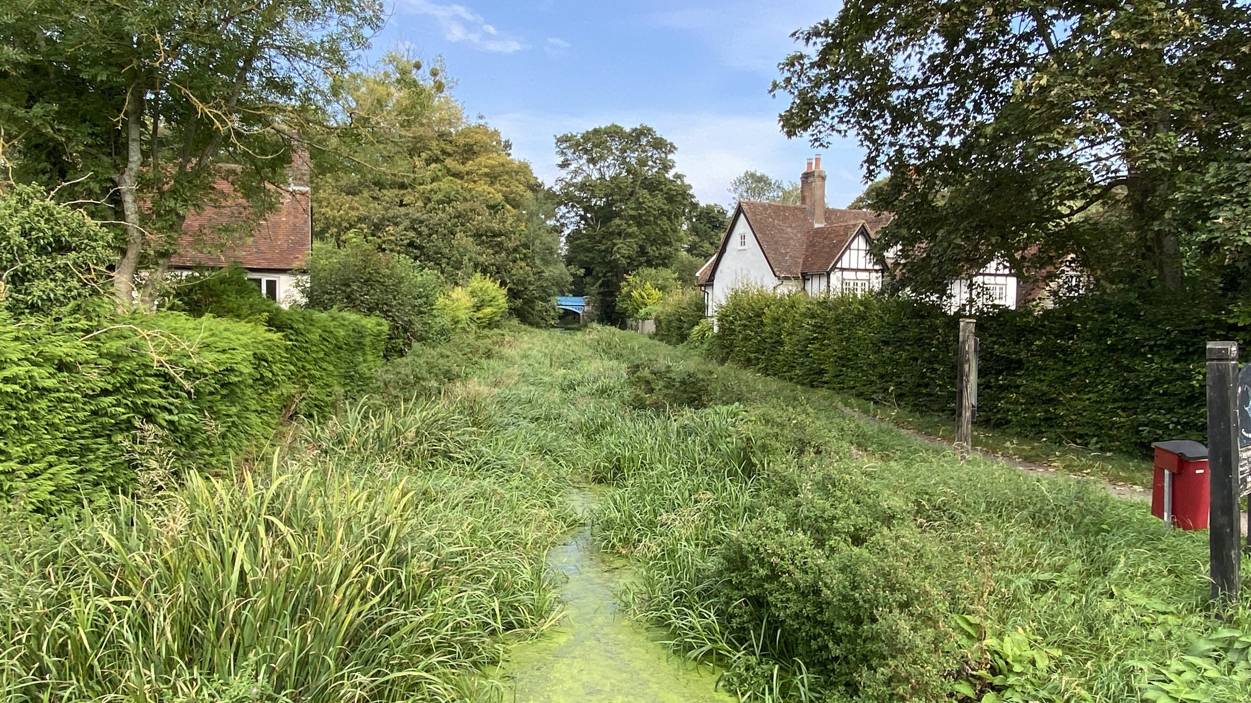
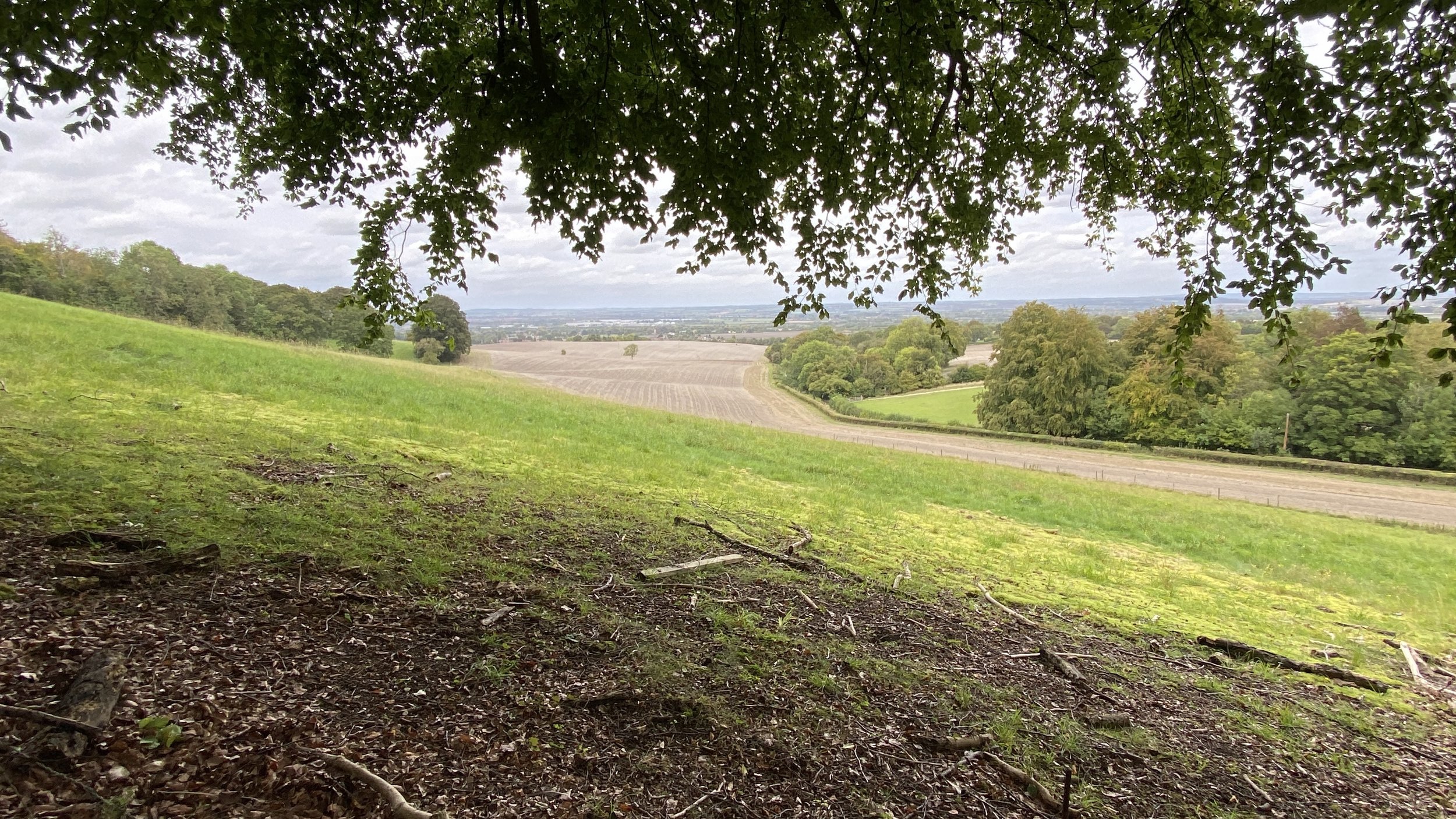
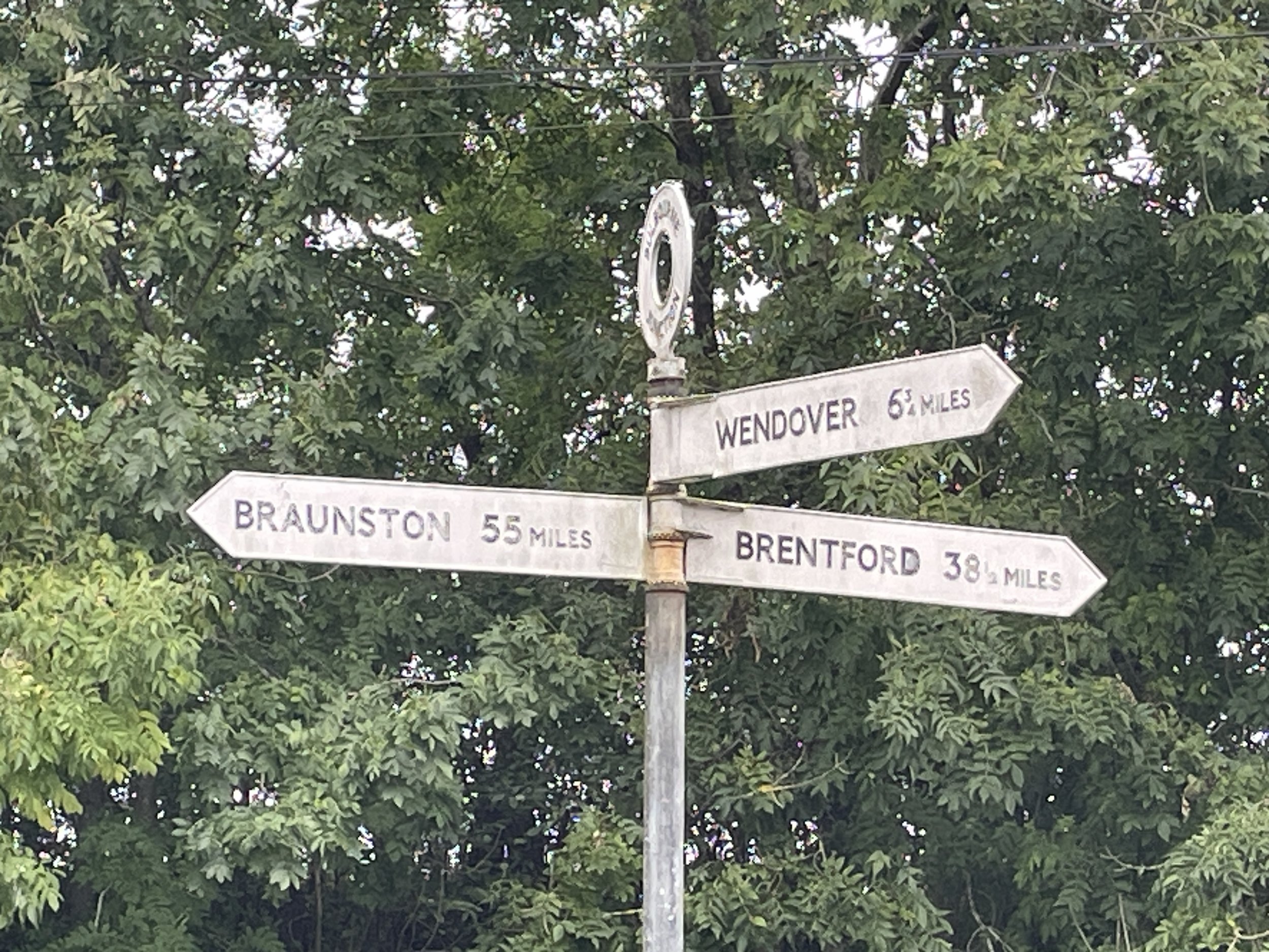
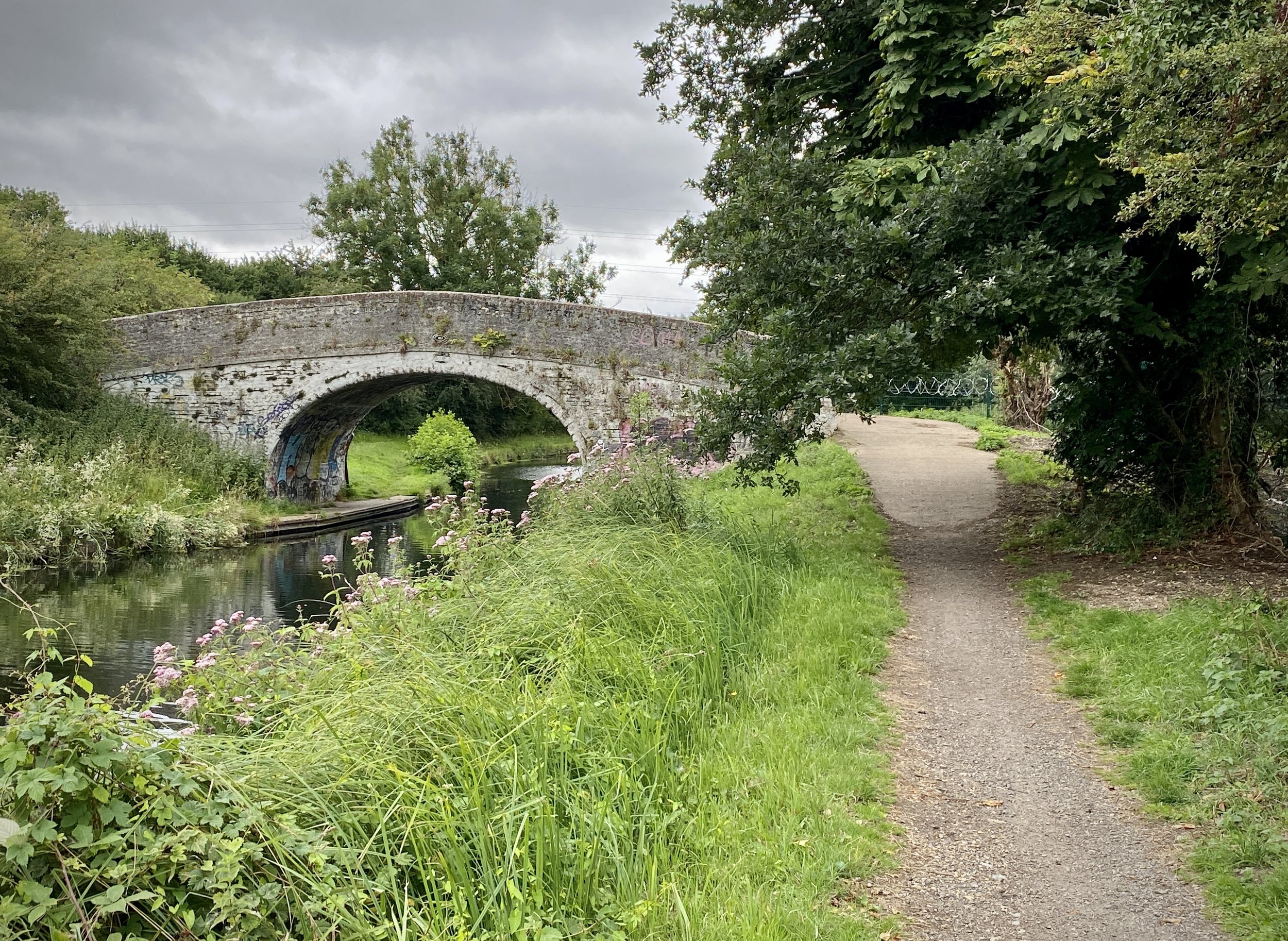
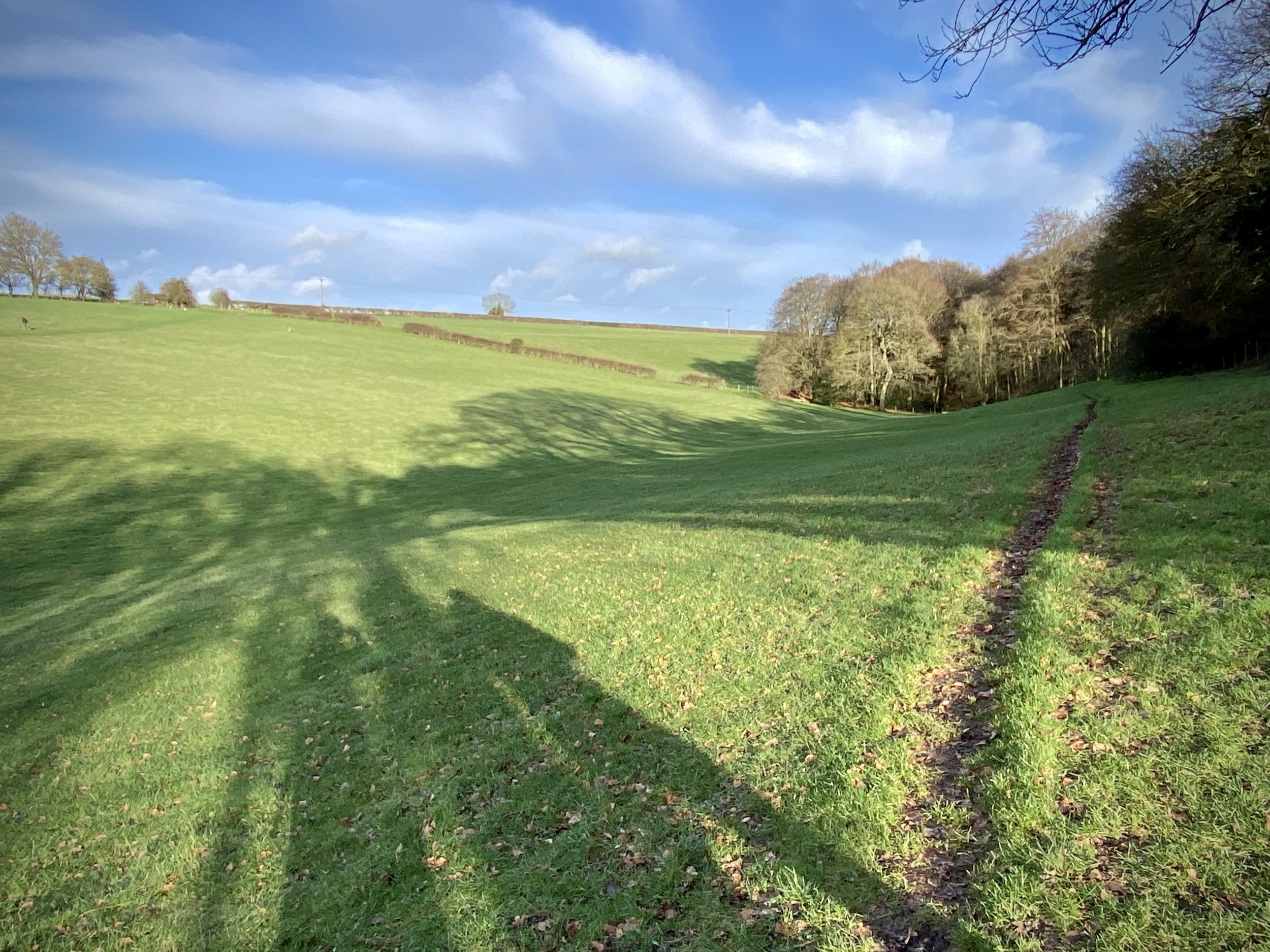
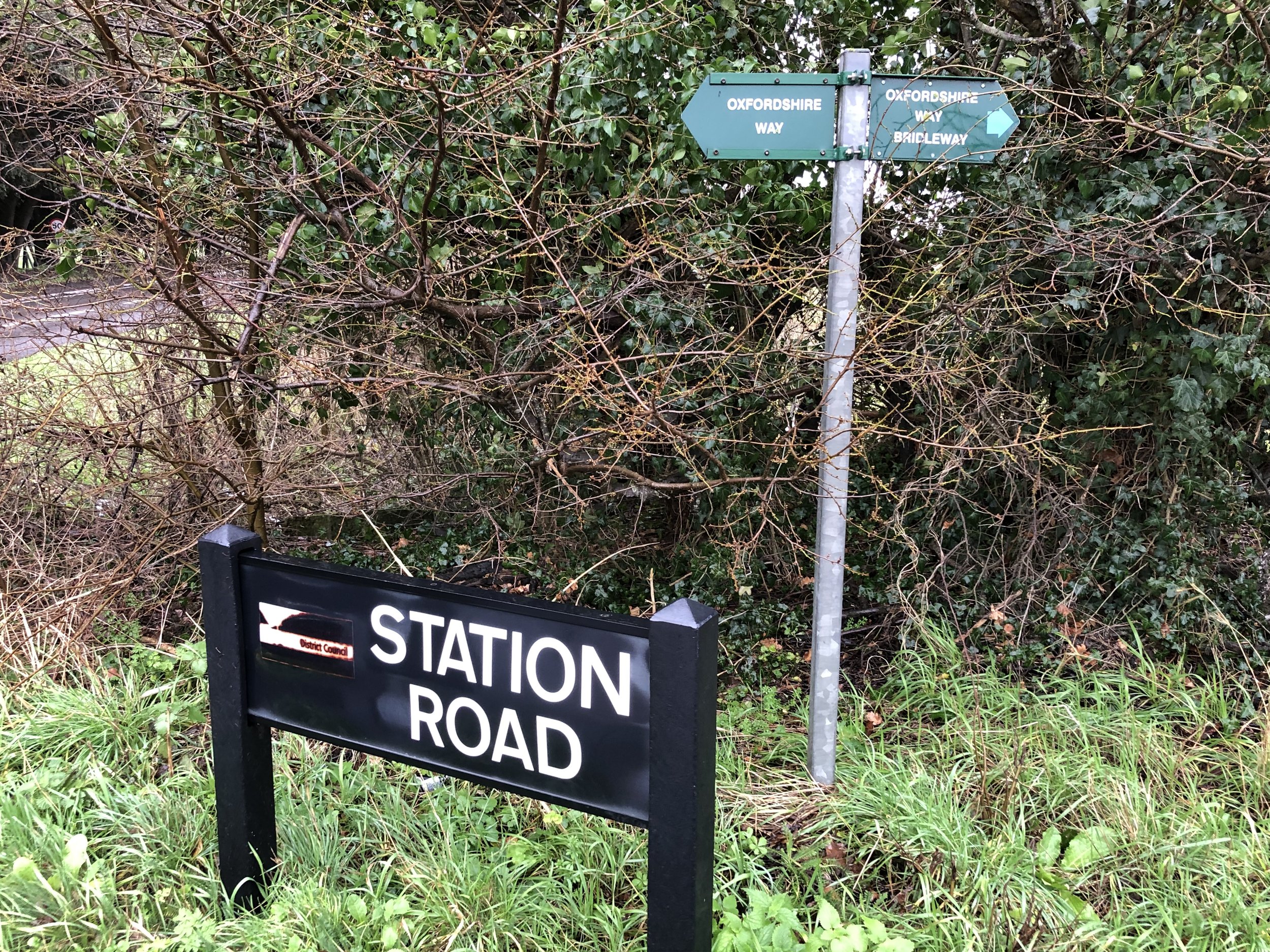
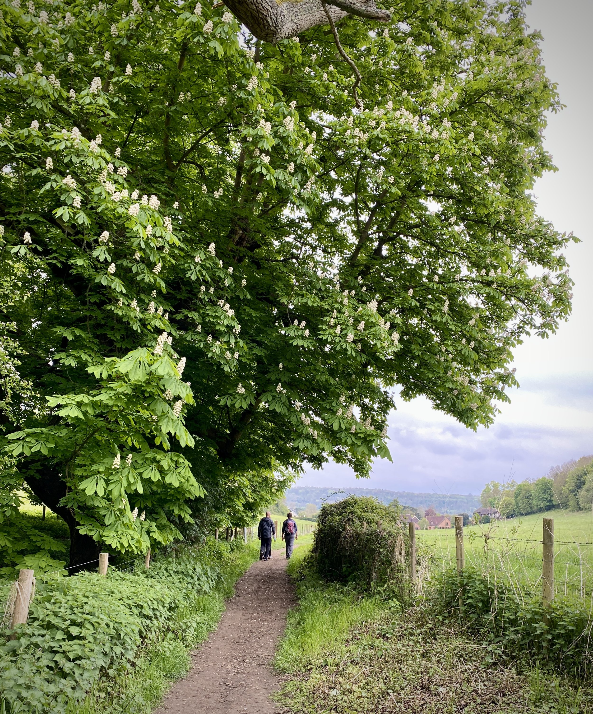
Take a right onto Chiltern Way/Shakespeare’s Way and follow the path in a south-easterly direction. After ~300 the Chiltern Way and Shakespeare’s Way split. Leave the Chiltern Way and keep on the Shakespeare’s Way continuing in a south-easterly direction. When you reach the A4155 Henley Road, cross over and follow Pound Lane all the way back to the Pound Lane car park at Higginson Park.


Shakespeare’s Way Previous Section (west): Bovingdon Green and Shillingridge Wood (Blog post coming soon)
Shakespeare’s Way Next Section (east): Marlow Donkey