Bald Hill: Oxfordshire Historic County Top

Ascending Shirburn Hill
Significance: Highest peak in Oxfordshire (Historic County Top)
Member of: N/A
Parent Peak: Haddington Hill. NHN = Haddington Hill
Elevation: 257m
Date climbed: 24th August 2013 and 19th November 2023
Coordinates: 51° 39' 21'' N, 0° 56' 53'' W
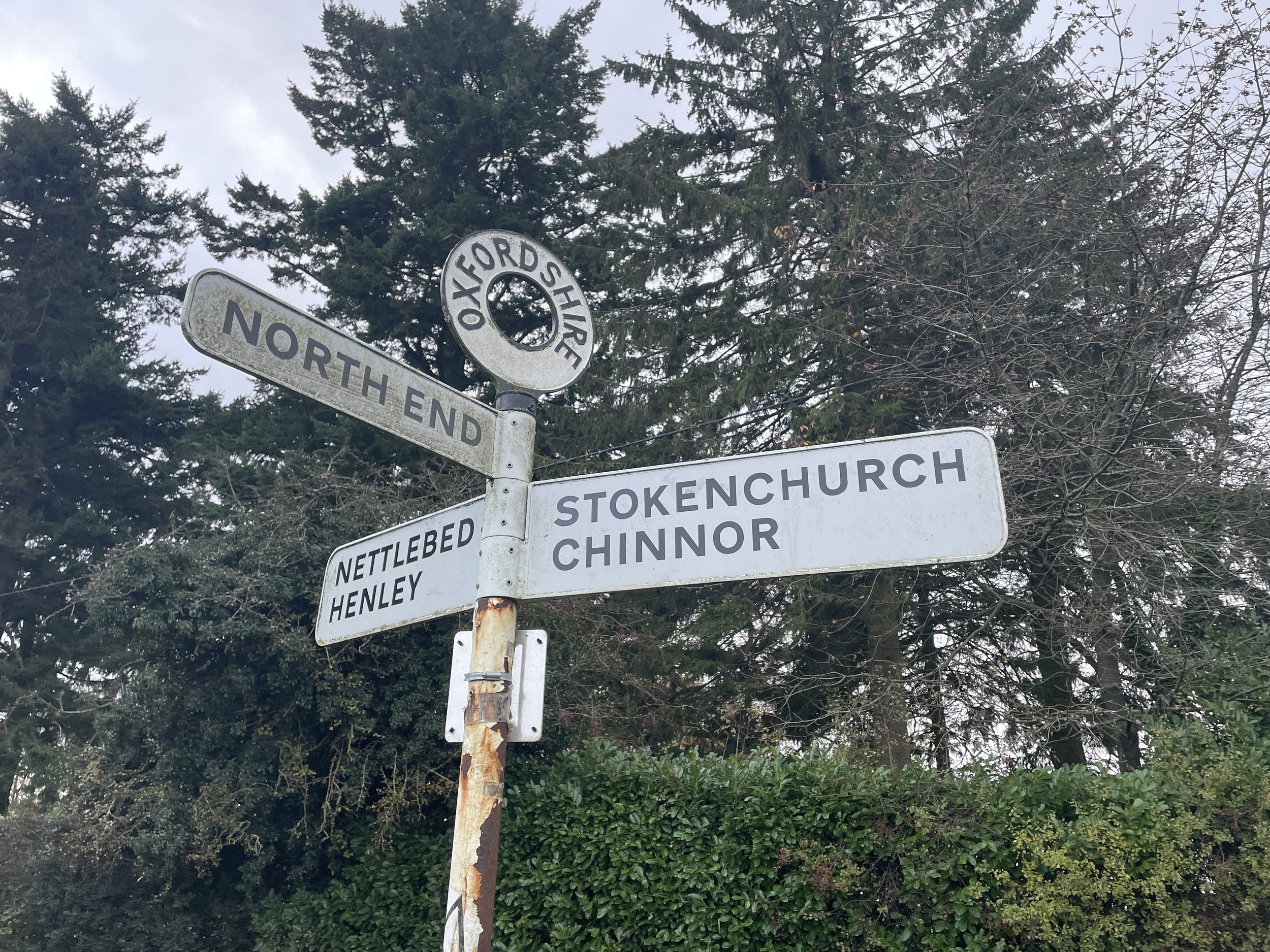
Route Start & Finish: Christmas Common Road, Lewknor, Oxfordshire, OX49 5HL
Distance: 12.1 km (7.5 miles)
Elevation change: +/- 270m
GPX File: get via Buy Me a Coffee
Other routes touched (walk): Chiltern Way, Oxfordshire Way
Other routes touched (cycle): Chiltern Cycleway
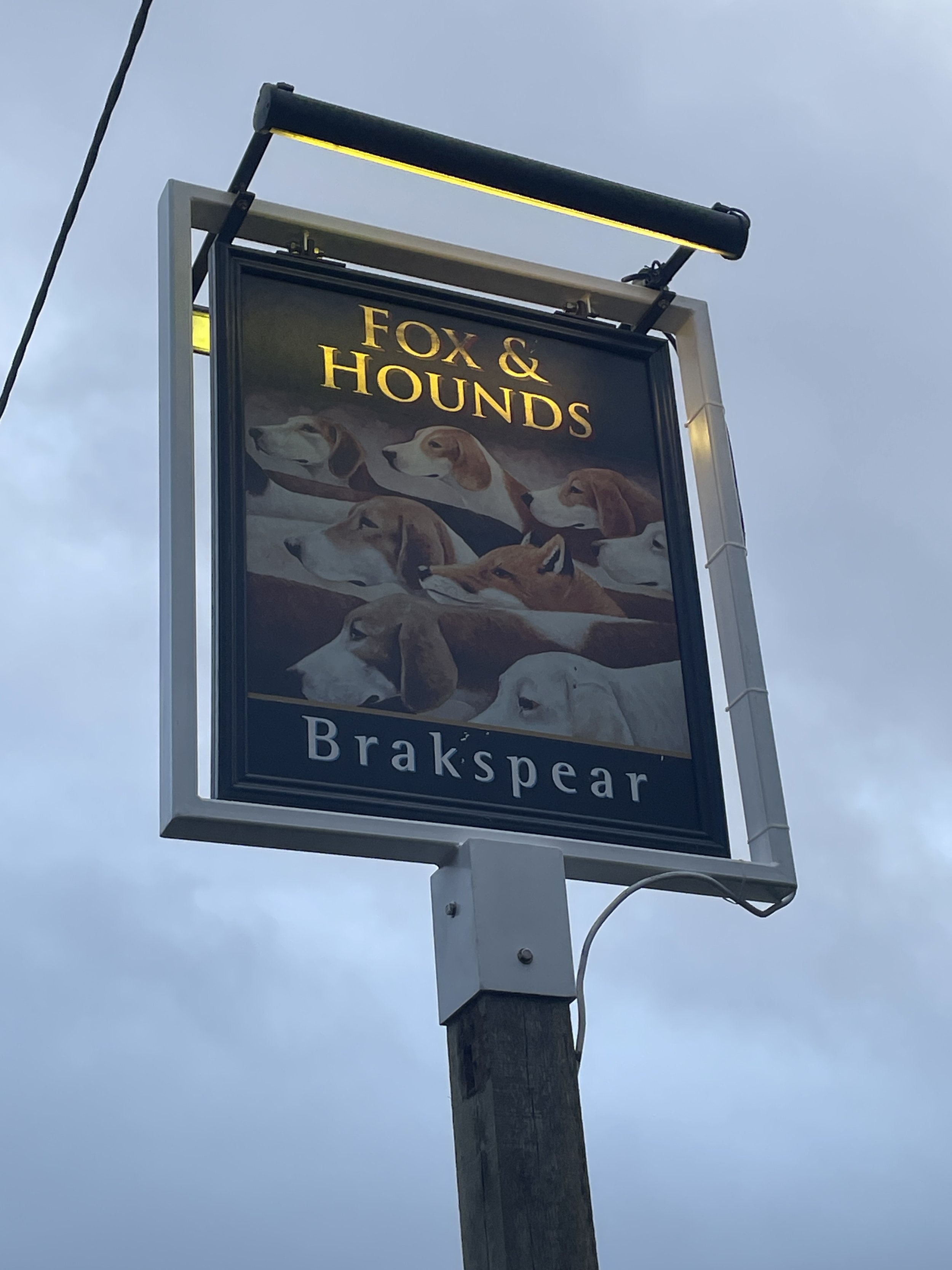
Pubs / Cafes on route: The Fox & Hounds (8 km in)
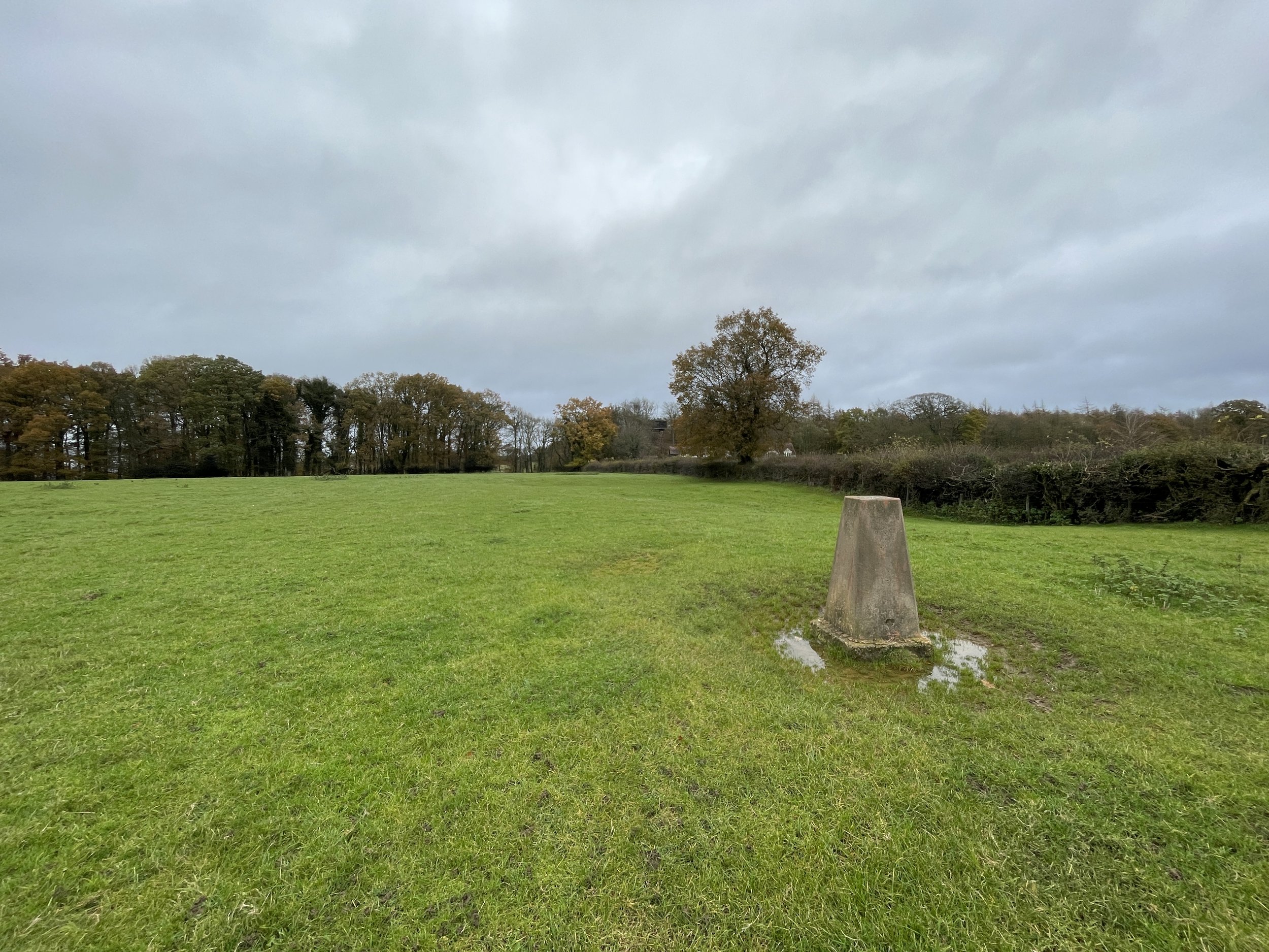
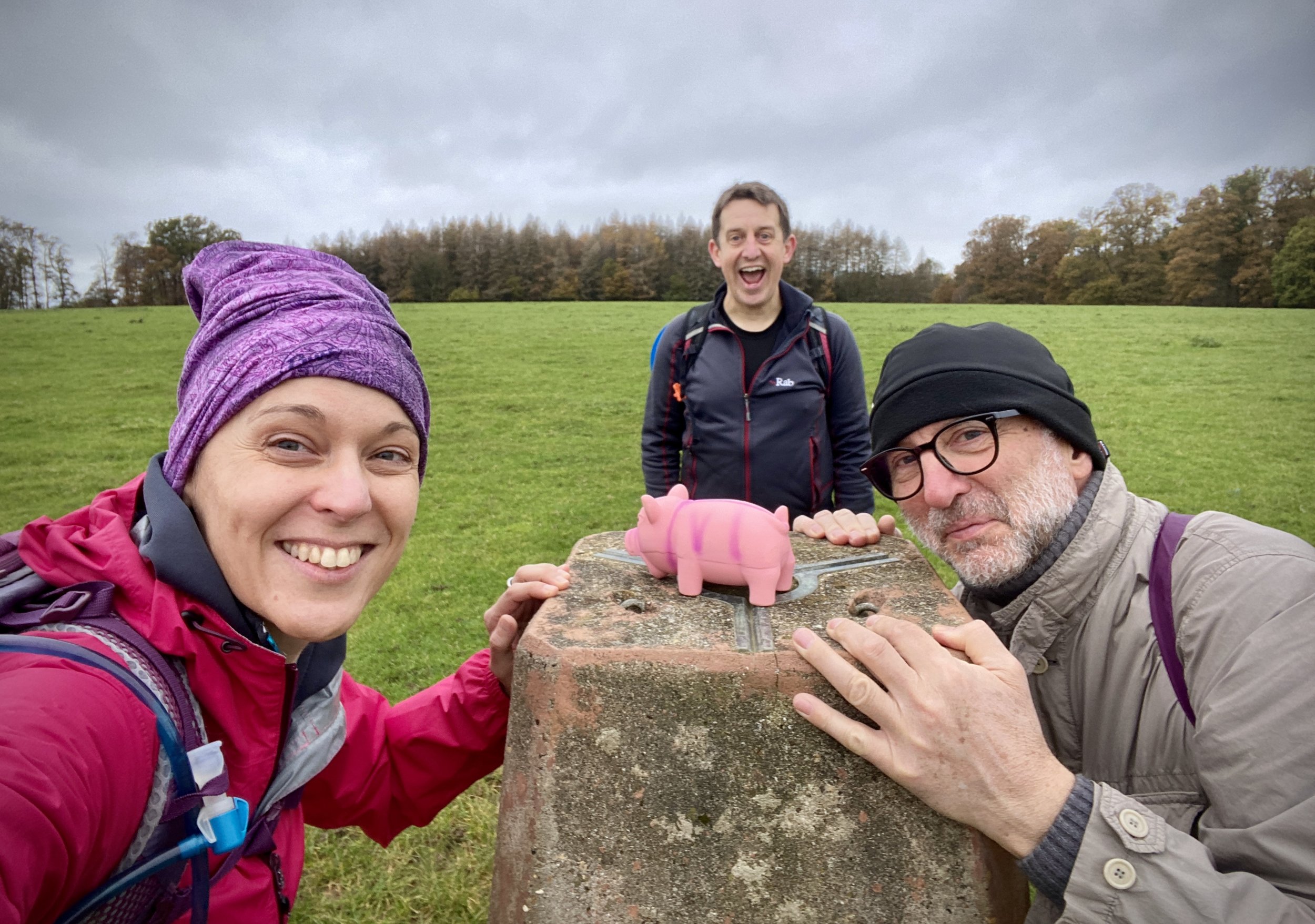
OS Trig Pillar: TP0317 - Shirburn Hill
Map: OS Explorer Map Active (171) Chiltern Hills West, Henley-on-Thames and Wallingford
Guidebook: The UK's County Tops (Jonny Muir), Walking the County High Points of England (David Bathurst)
Links: Wikipedia (Oxfordshire), Wikipedia (Cowleaze Wood), Peakbagger, Hillbagging, Cowleaze Wood, Halifax LW579 51 Squadron RAF Memorial, Wormsley Estate, Christmas Common
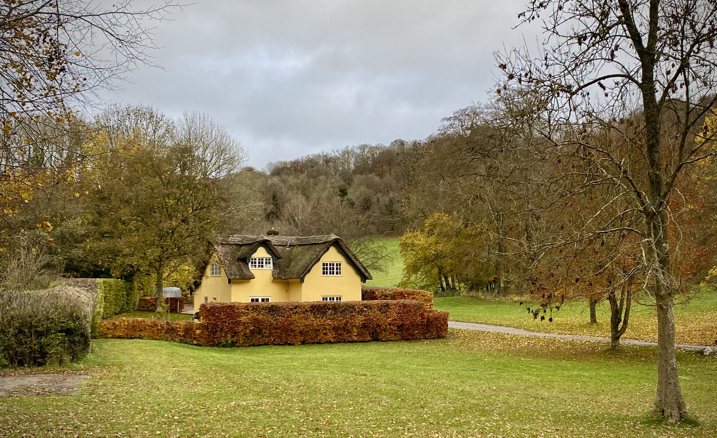
This is classic Chiltern walk with rolling hills, an Historic County Top, an OS Trig Pillar and an old English pub along the way. Timea and I had visited Bald Hill, the Oxfordshire Historic County Top, as a drive-by 10 years before but we wanted to revisit it as a part of a longer walk. With a friend visiting for the weekend and needing to find a great Chilterns experience so we headed off towards Christmas Common.
The guidance below will help you navigate but don’t use it as a fully accurate turn-by-turn guide. Always take a map and/or a GPX route and prepare well for the weather and terrain.
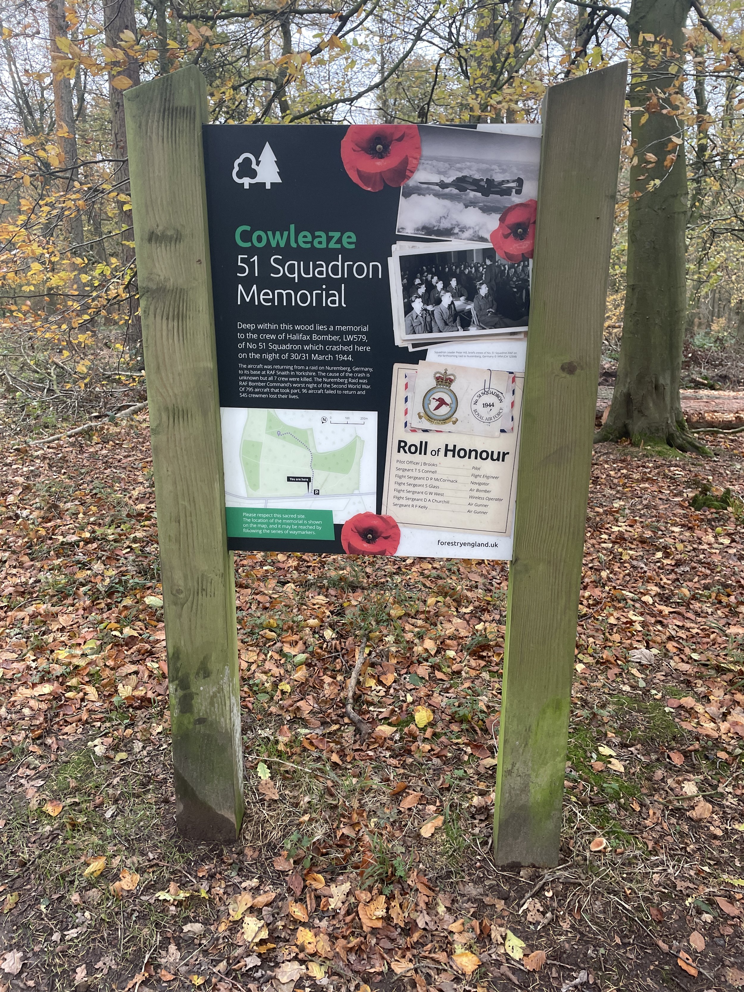
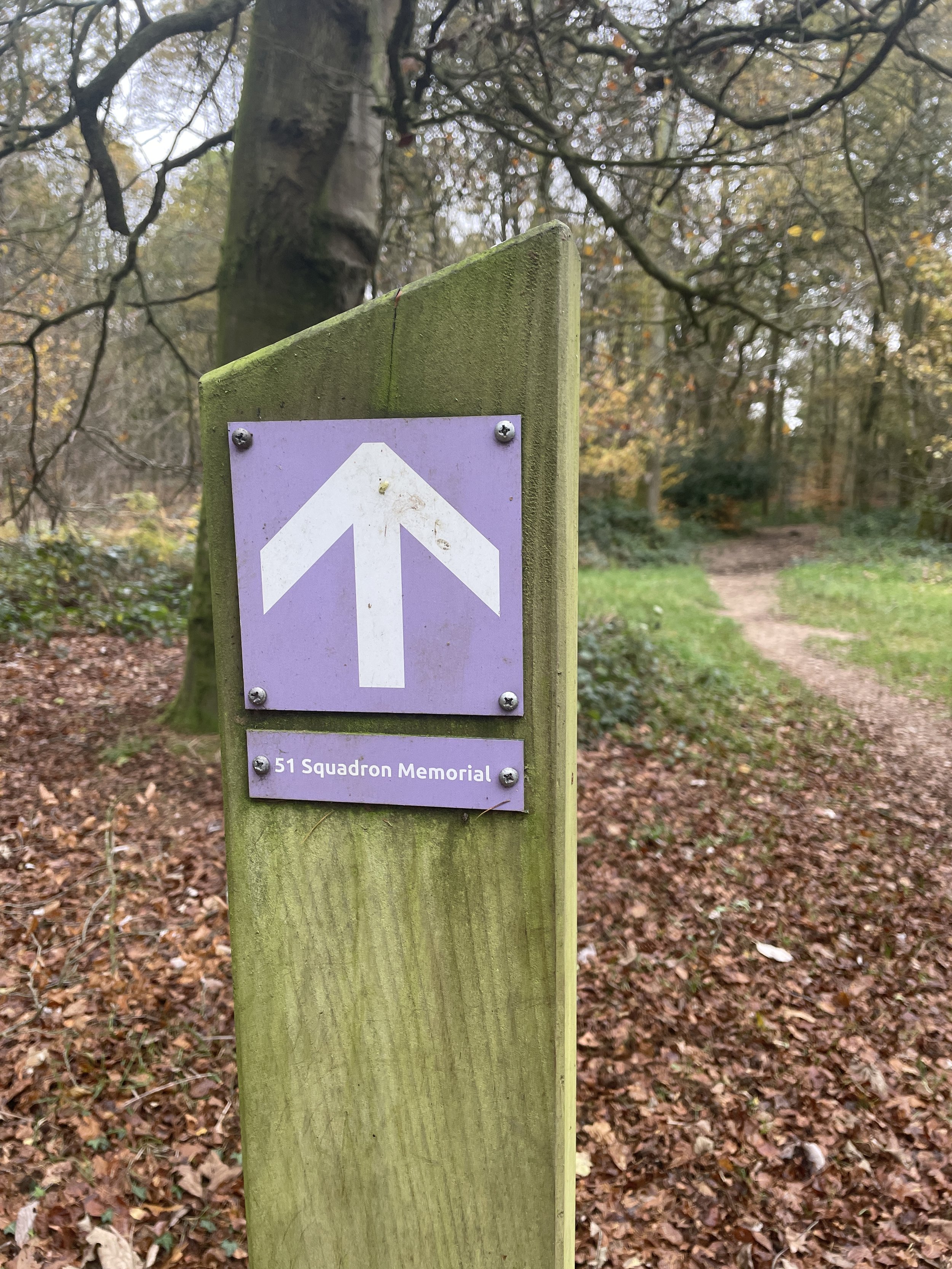
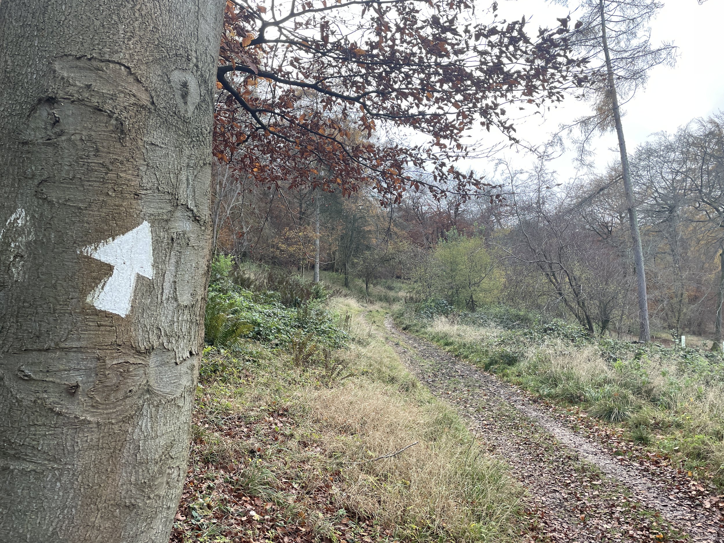
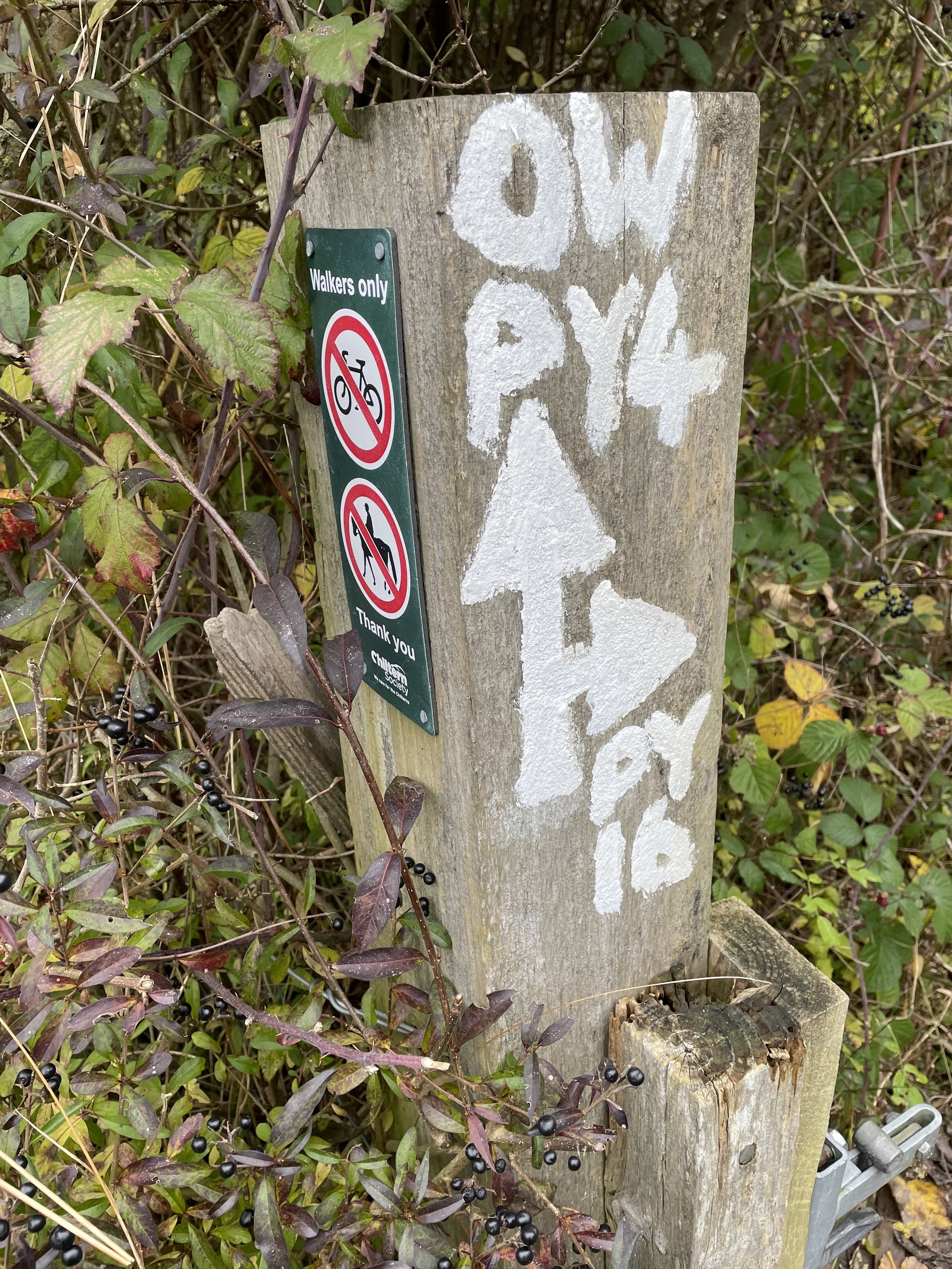
The best place to start the walk is at the free car park at Cowleaze Woods. At the start of the central trail from the car park you’ll find an information board about the nearby RAF Memorial. This tells the story of a Halifax bomber that crashed into the woods in March 1944 killing its 7 crew. From this board you can follow waymarkers to the crash site.
Follow these markers for 100m to reach a junction in the path then take a left. This is where you’ll leave the trail to the crash site to visit the Oxfordshire County Top. The unmarked “summit” is ~300m from the junction. It’s pretty underwhelming especially when compared to the present-day Oxfordshire County Top at Whitehorse Hill near Swindon.
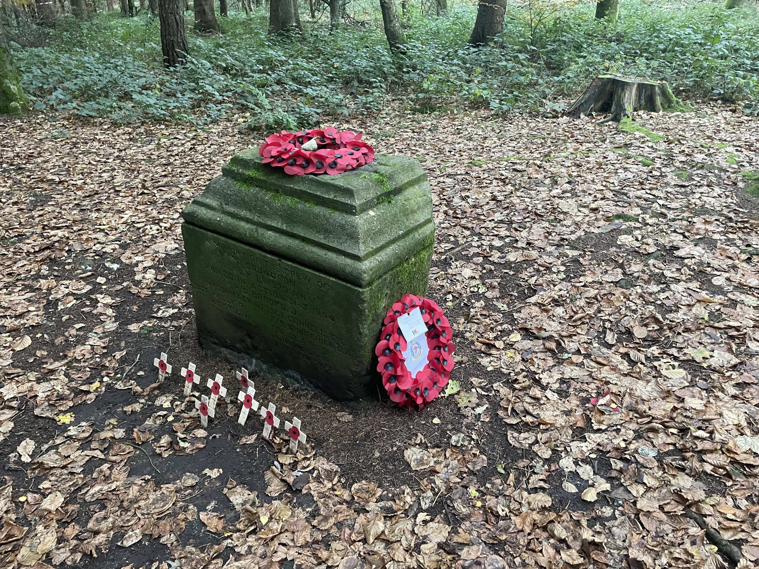
After the County Top take the next right and follow paths that curve to the south to find the Halifax bomber crash site. Here you’ll find a memorial stone and a small information board. We visited soon after Remembrance Day so there were fresh poppies and wreaths around the memorial.
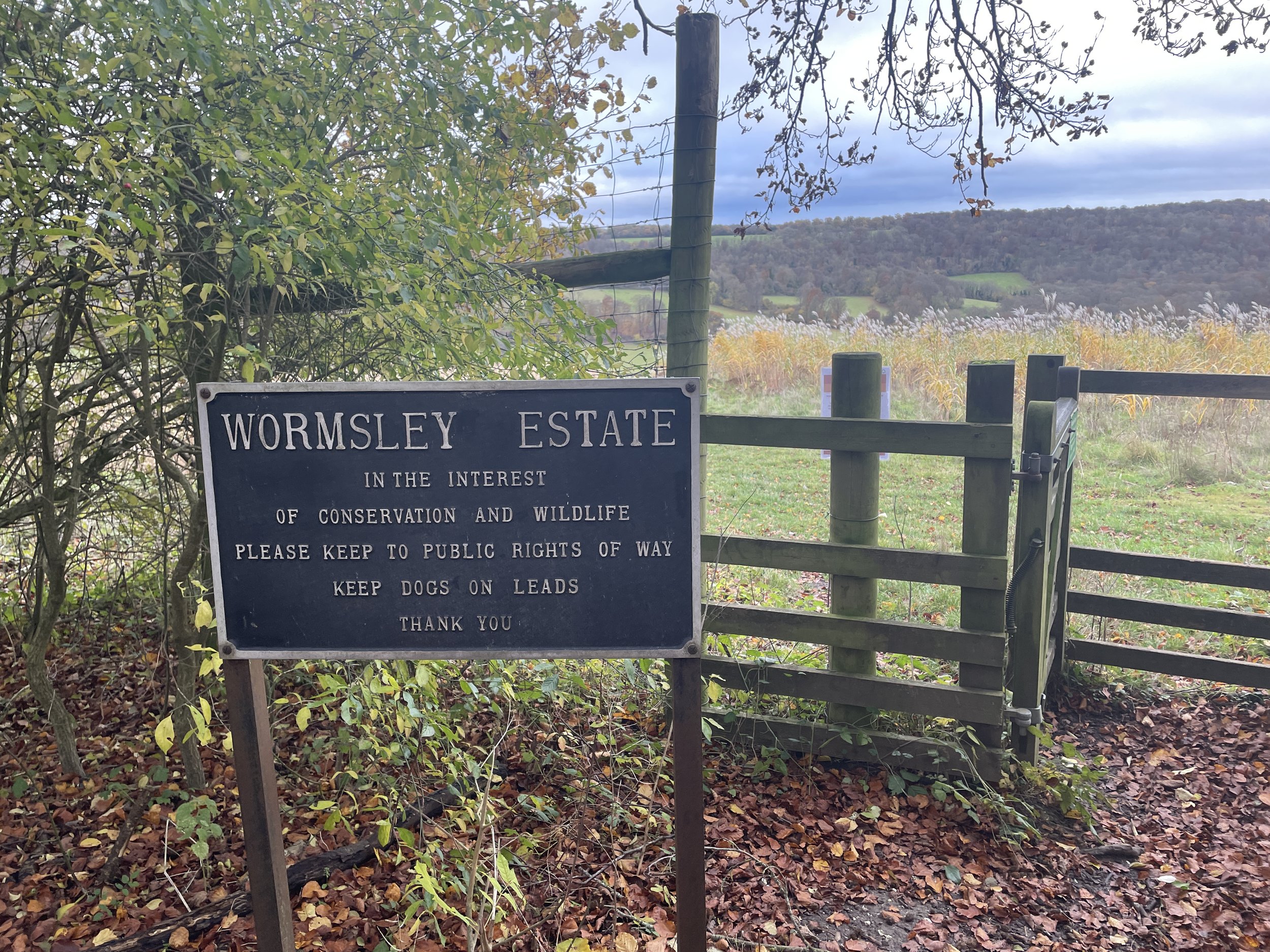
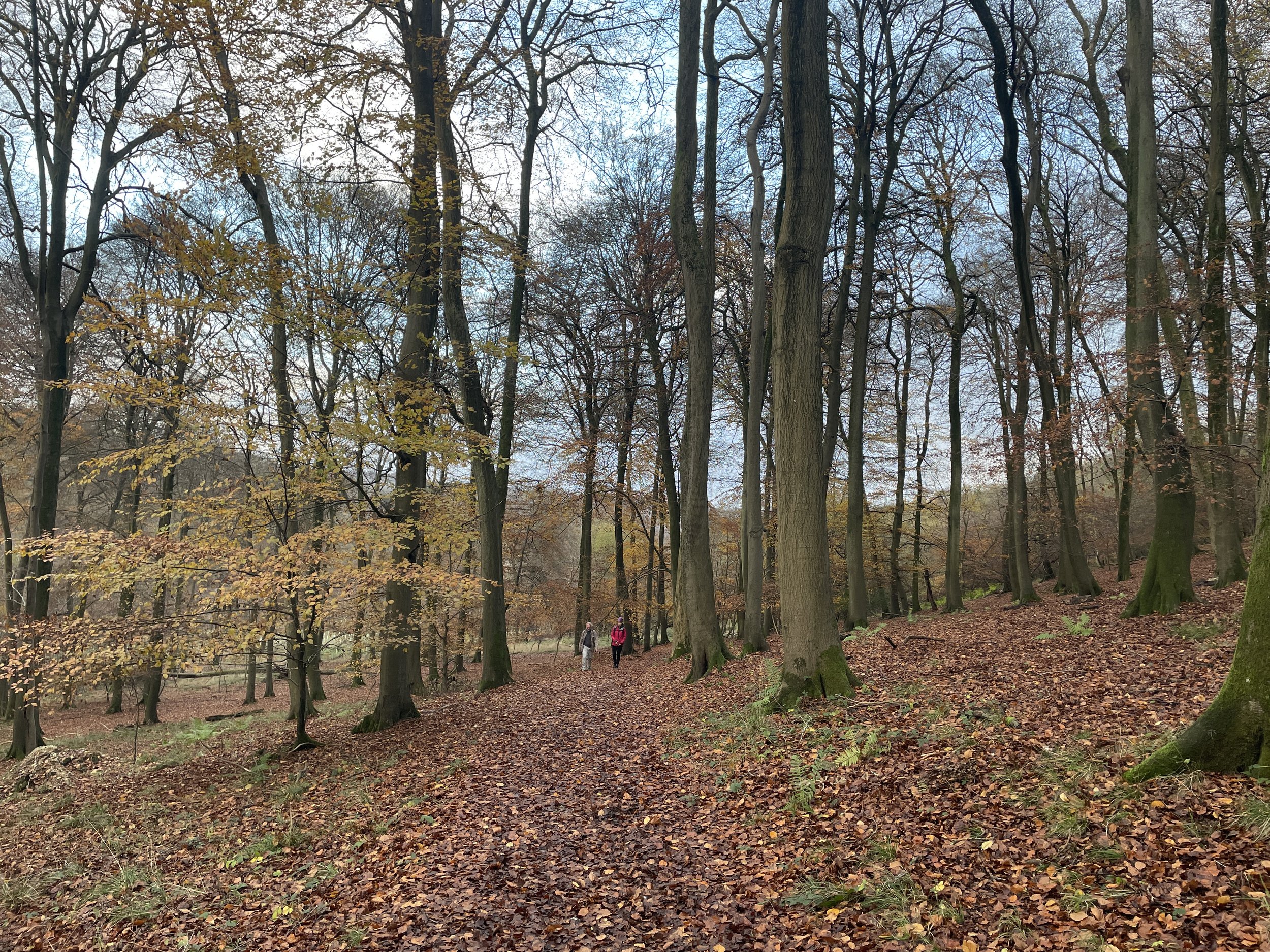
After the memorial find and follow a path that runs east through Cowleaze Woods and into the Wormsley Estate. When you reach a small road take a left then leave the road on a path on the right to ascend into woods at Highfield Shaw. Here you’ll take a right onto a path that will lead you down to the Chiltern Way. Take a right onto the Chiltern Way and follow it for 700 metres to a junction in the woods. Here leave the Chiltern Way and continue heading west, ascending through Charley Shaw to Christmas Common.
The Fox and Hounds at Christmas Common is a great place to stop for a rest before the final 4km. It’s a popular pub and gets very busy at weekends so it’s best to book a table if you’re planning to eat there.
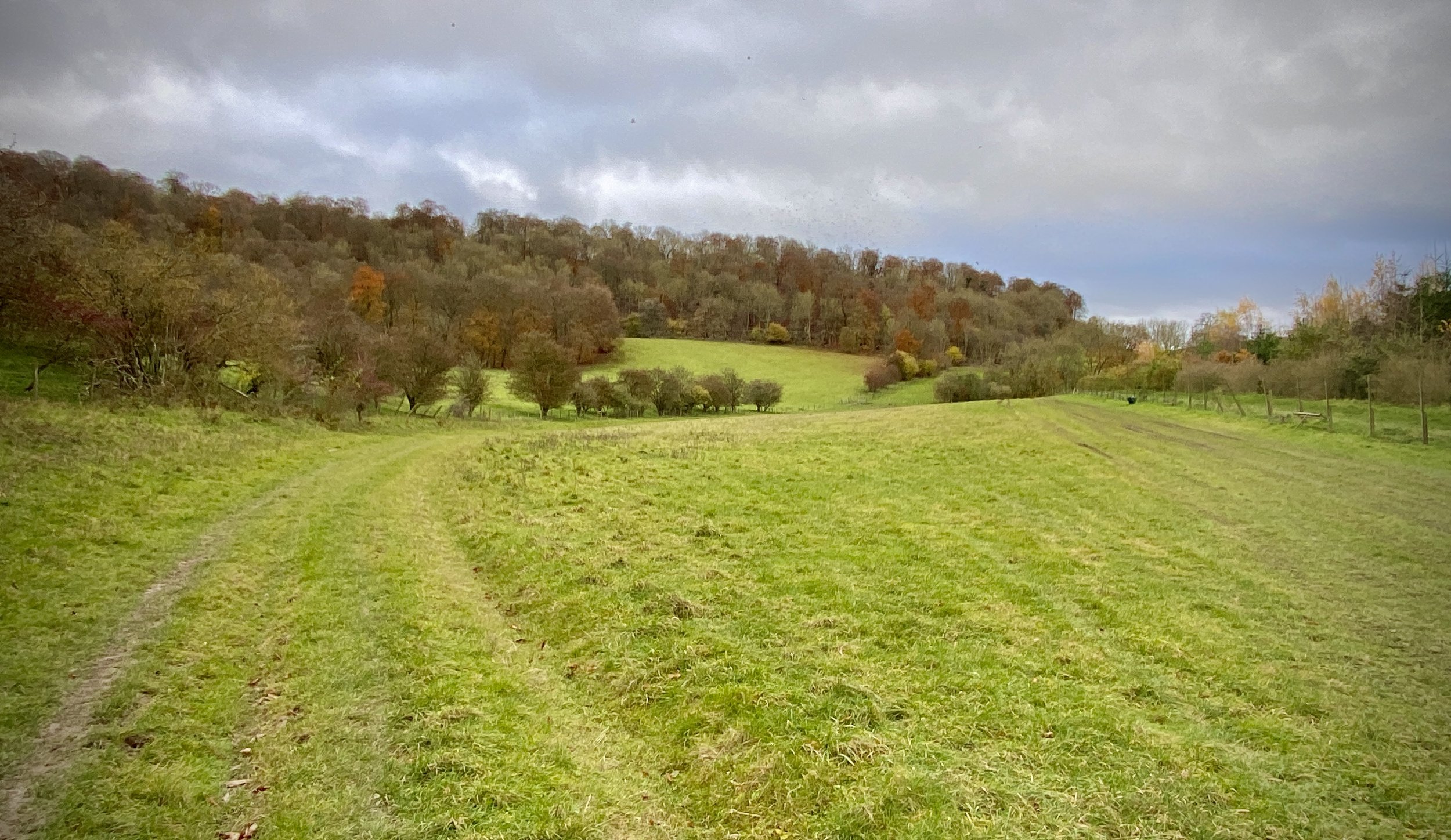
After visiting the Fox and Hounds take a left and follow the Oxfordshire Way as it curves to the west, descending between Watlington Hill and Shirburn Hill. At the bottom of the hill the path becomes a road and you’ll pass farm buildings on the left before taking a footpath on the right. Follow this path, gradually ascending Shirburn Hill until you reach the field next to Christmas Common Road. The path crosses diagonally across the field towards Cowleaze Water Tower, however if you take a right half-way across the field directly to the hedge you can visit the Shirburn Hill OS Trig Pillar.
After the Trig Pillar head north to the gate in the corner of the field. Cross over the road to the Water Tower and follow the footpath back into Cowleaze Woods car park and the completion of the walk.


OTHER HIGH POINT IN OXFORDSHIRE
Whitehorse Hill (261m) Oxfordshire Ceremonial County High Point, previously part of Historic Berkshire: Peakbagger / Hillbagging