Walking The Monmouthshire & Brecon Canal - Part 1
Start: Brecon Canal Basin, Brecon, LD3 7EY
Finish: Crickhowell High Street, Crickhowell, NP8 1BE
Distance: 25 km (15.5 miles)
Elevation change: +134m / -201m. Net -67m
GPX File: get via Buy Me a Coffee
Other Routes Touched (walk): Taff Trail, Usk Valley Walk
Other Routes Touched (cycle): NCN 8
Maps:
- OS Explorer OL12 Brecon Beacons National Park - Western & Central areas
- OS Explorer OL13 Brecon Beacons National Park - Eastern area
Links: Monmouthshire & Brecon Canal, River Usk, Brecon, Talybont on Usk, Crickhowell
I’d only seen the Monmouth & Brecon Canal a few times before and that was only the basin at Brecon. It’s where I started the Taff Trail many years ago and was the venue for a Landscape Photography course I did in 2012. I never thought about where it went to until recently. Timi and I were staying in the Valley of Ewyas on the Welsh border and I needed a one-day adventure while she spent time with her coaching friends.
I looked at a few options from cycling the whole length of its to walking or running a section. The 16-mile Brecon to Crickhowell section was an obvious choice for a short winter day. There’s an infrequent bus between the towns which helped the logistics for a point-to-point walk.
After a thwarted attempt on Pontypool parkrun I arrived at Crickhowell at 09:30. I’d driven over an hour to get there from our isolated farmhouse only to find that the run was cancelled due to ice. It was especially annoying as I had checked the run’s homepage the day before to see if it was on. It must have been cancelled overnight and, without internet at the farm, I had no way of checking that morning.
With the bus leaving at 10:20 I had a while to fill up on coffee and carrot cake at the Latte-Da cafe next to the bus stop. The last time I’d spent any time in the town was 25 years ago. I remember a cafe there that was a shrine to Cliff Richard. His songs were on constant rotation and there were photos of him all over the walls. It was a quirky place that I hoped was still there but it was now long gone in the history of the town.
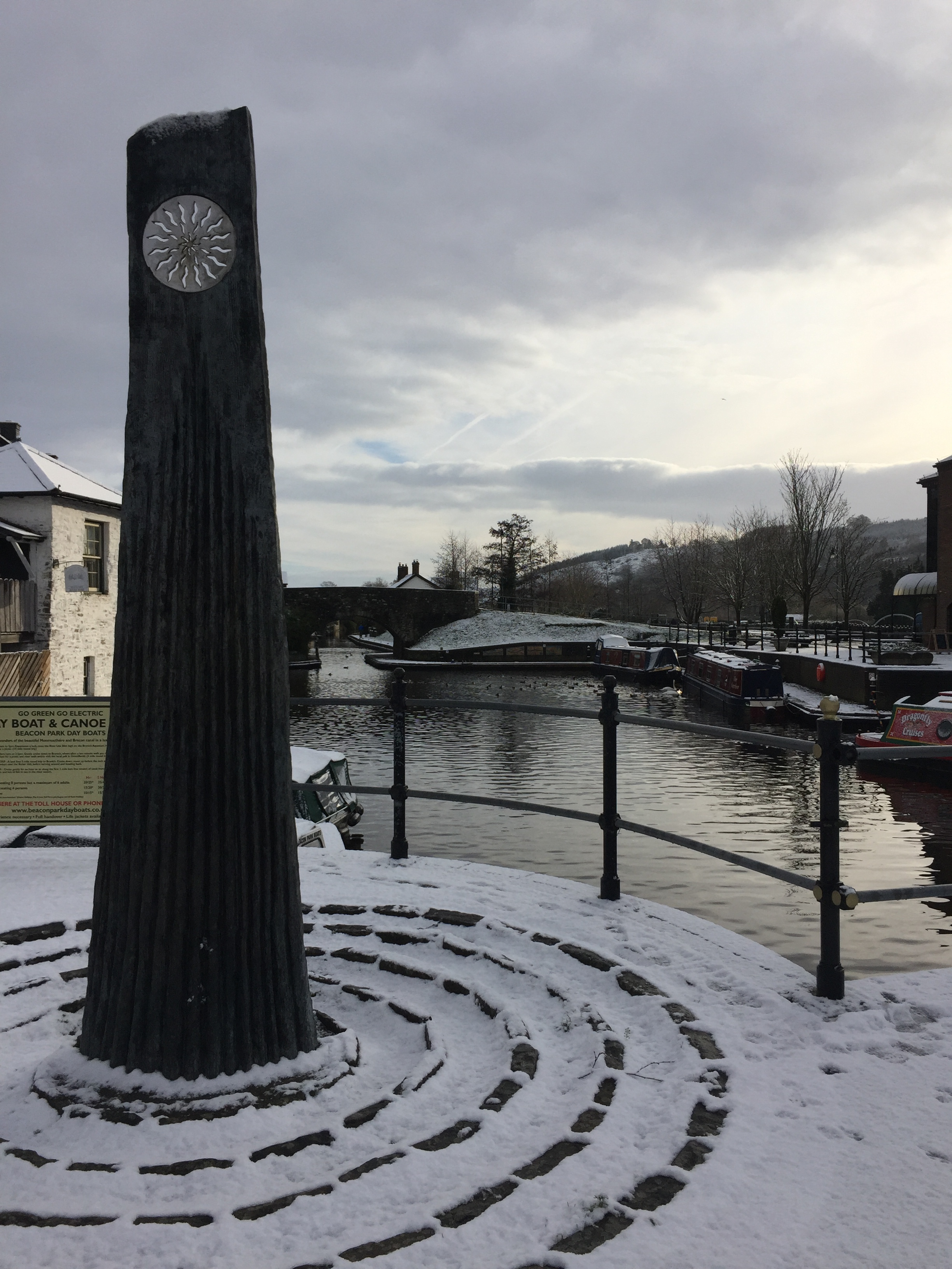
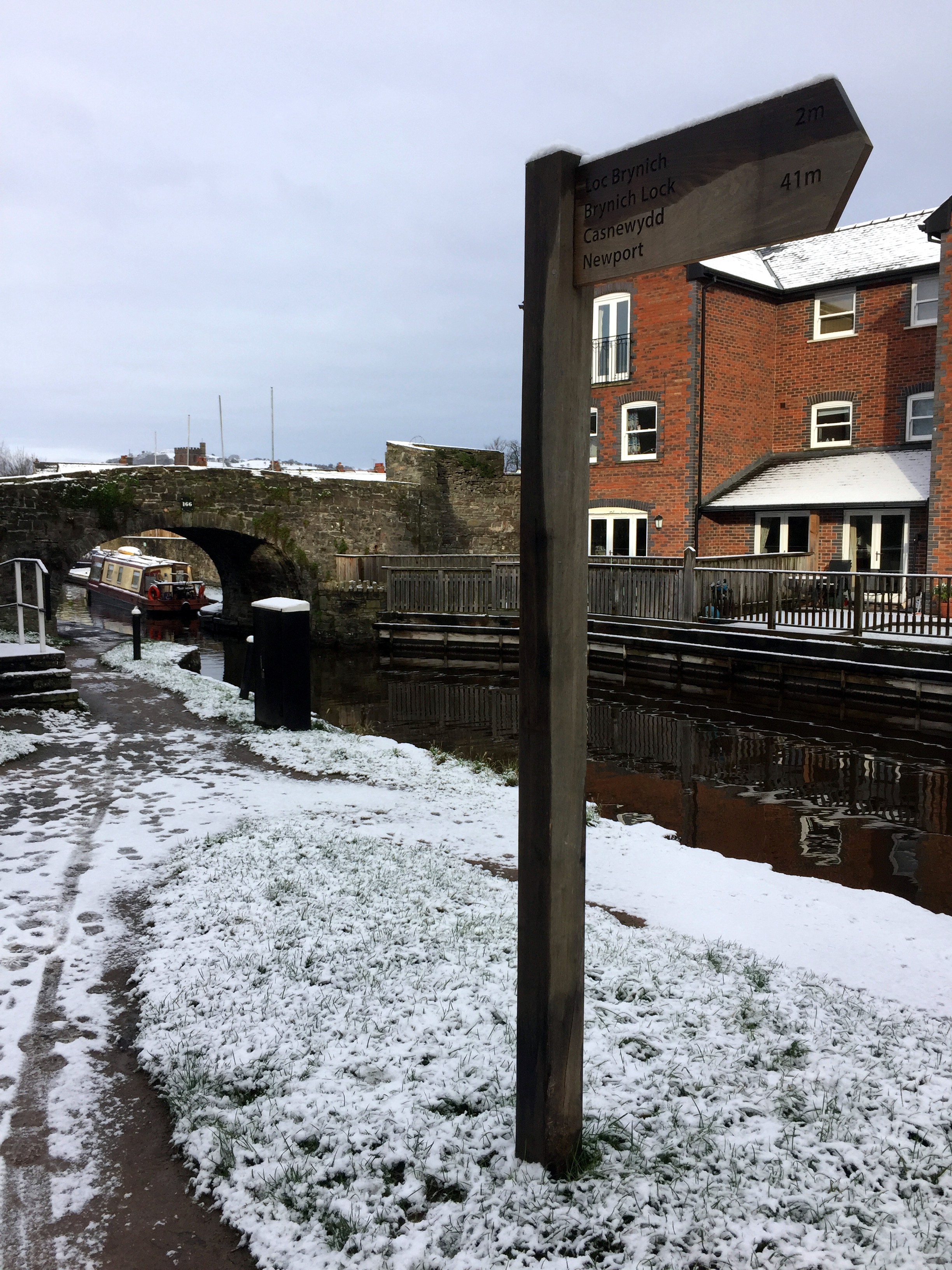
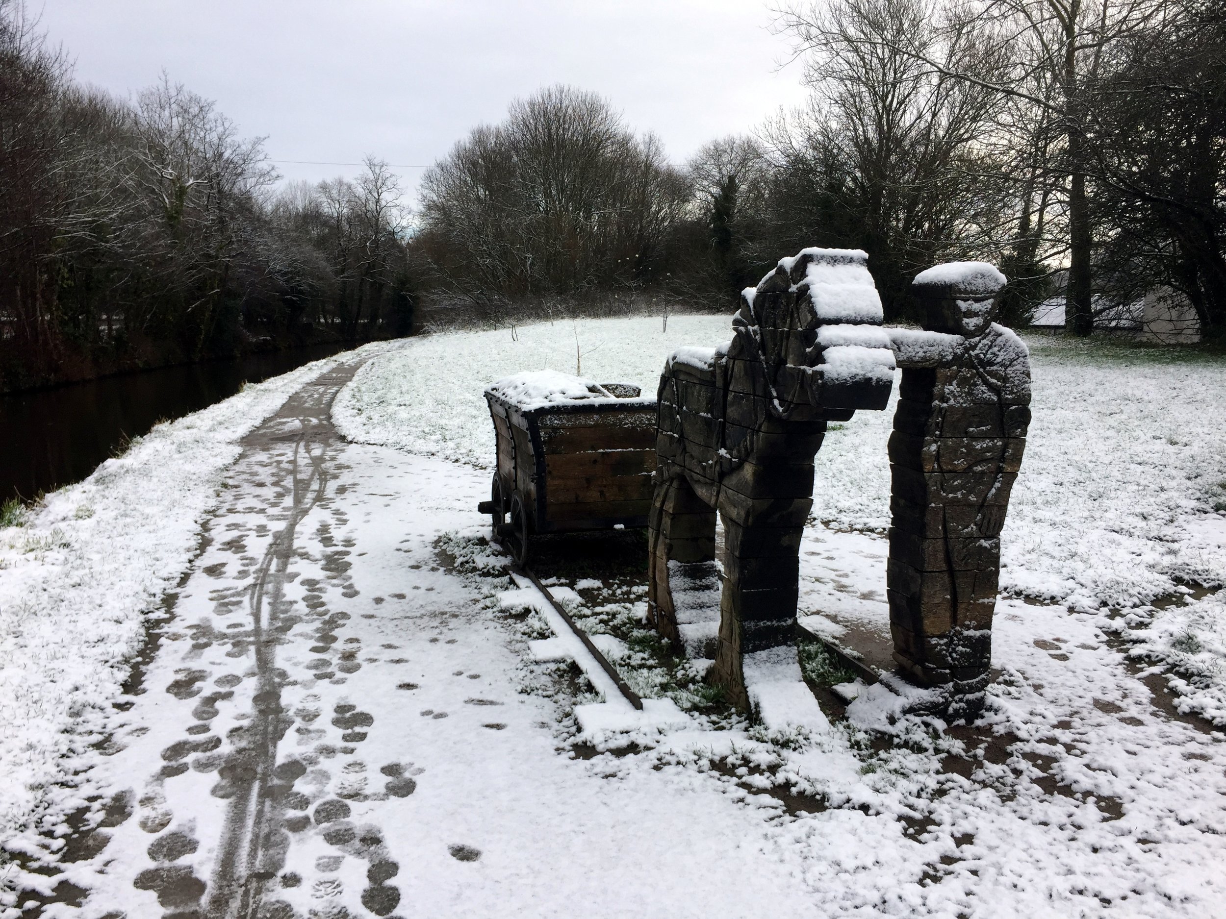
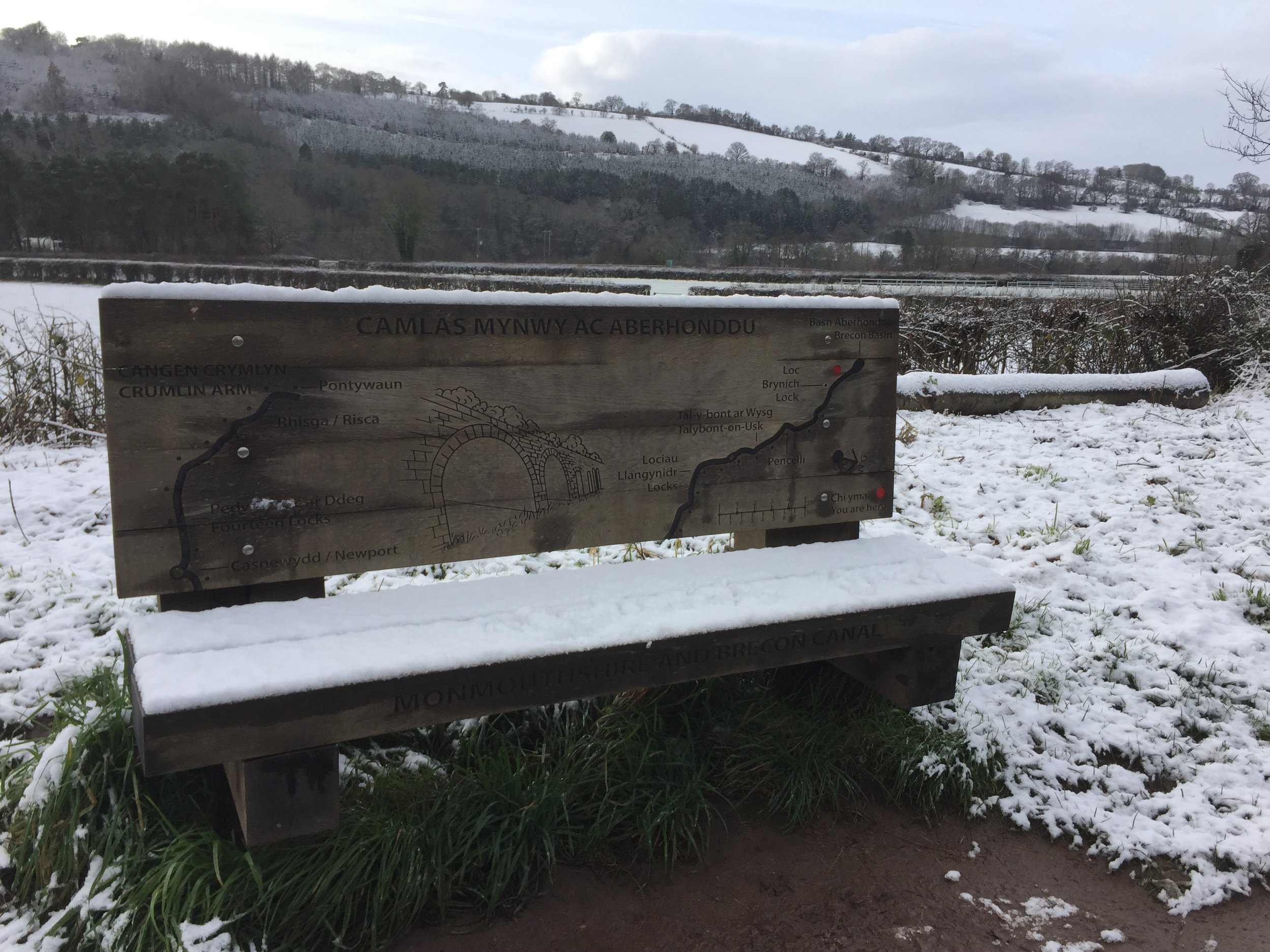
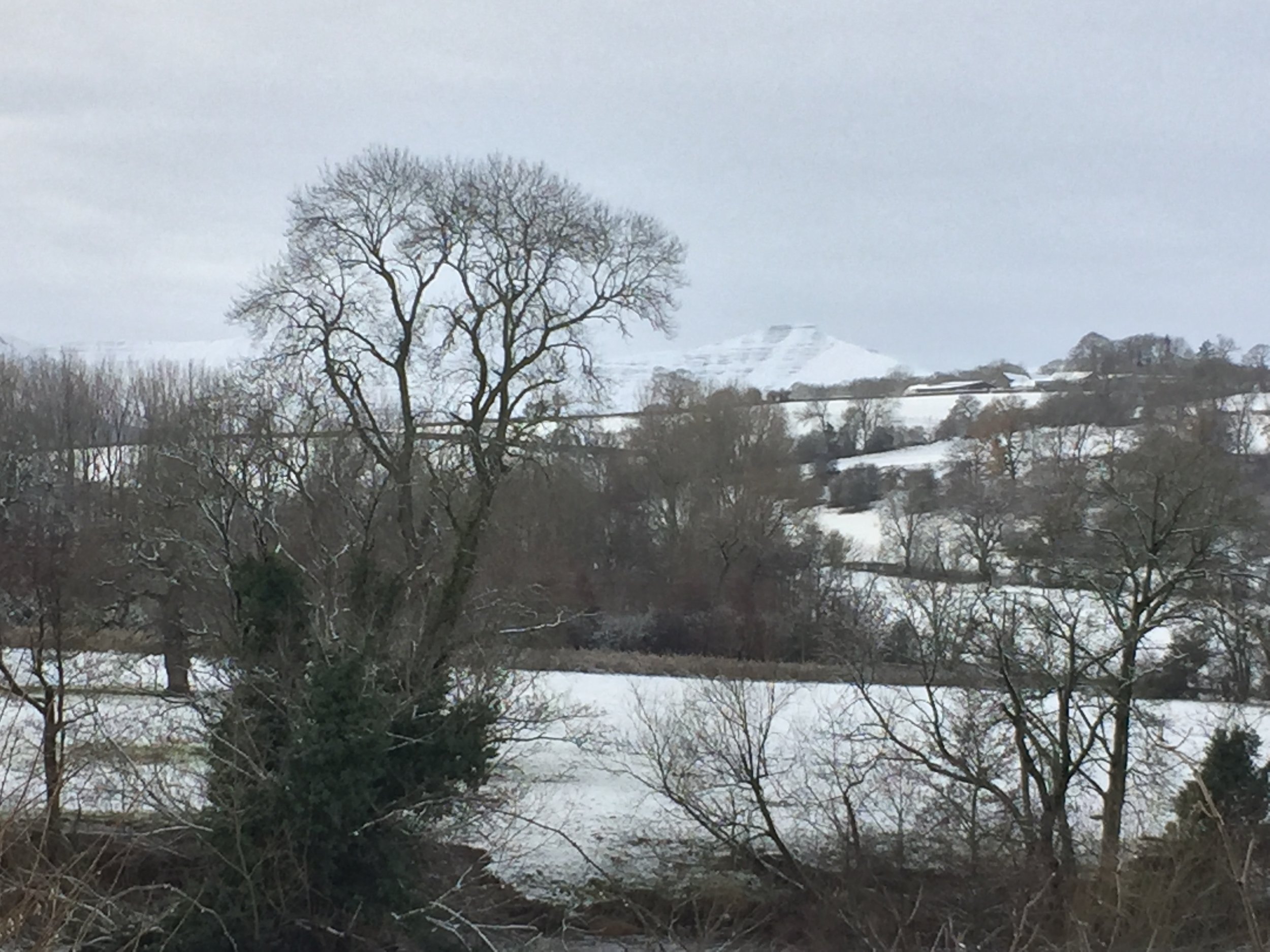
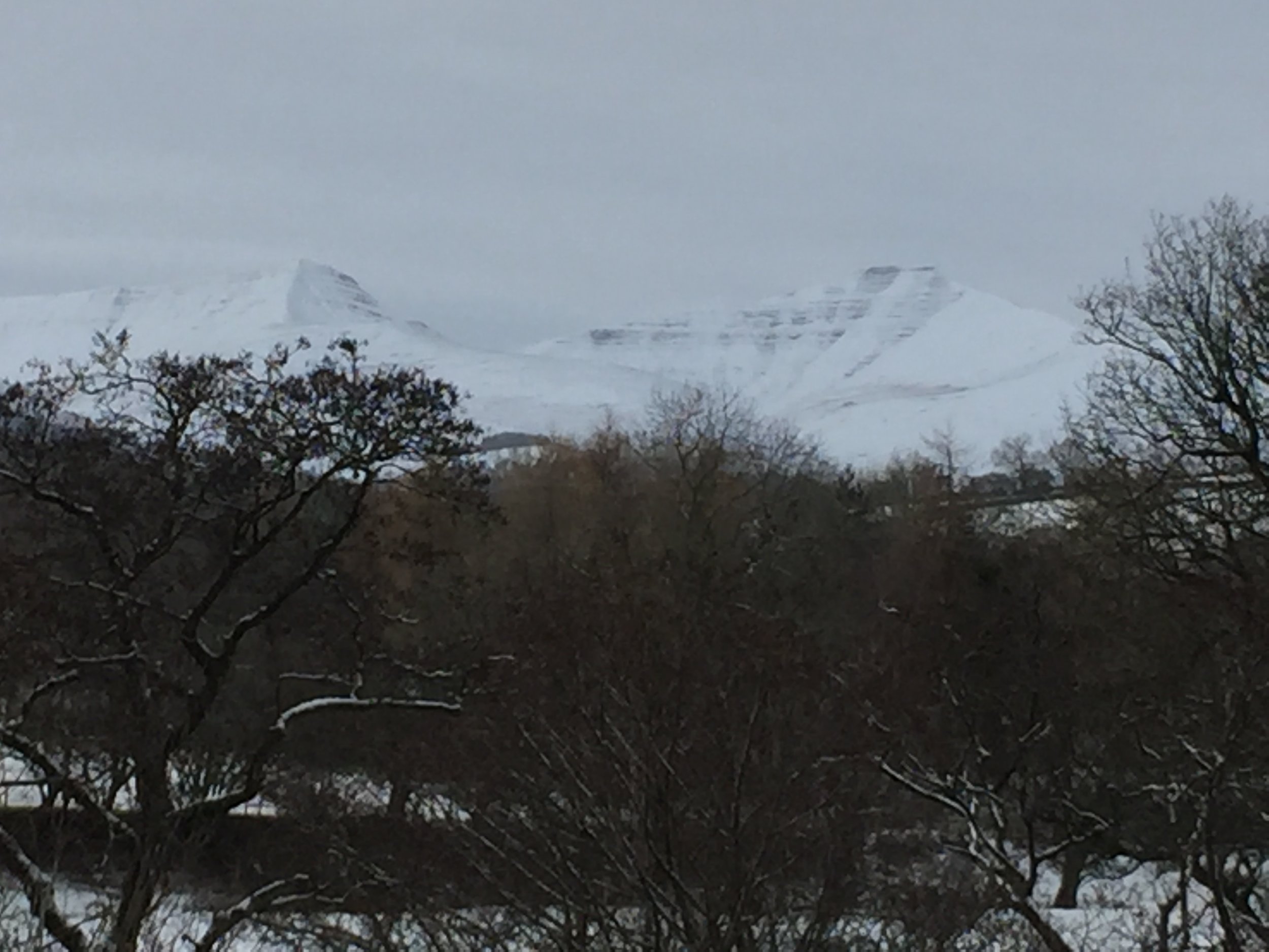
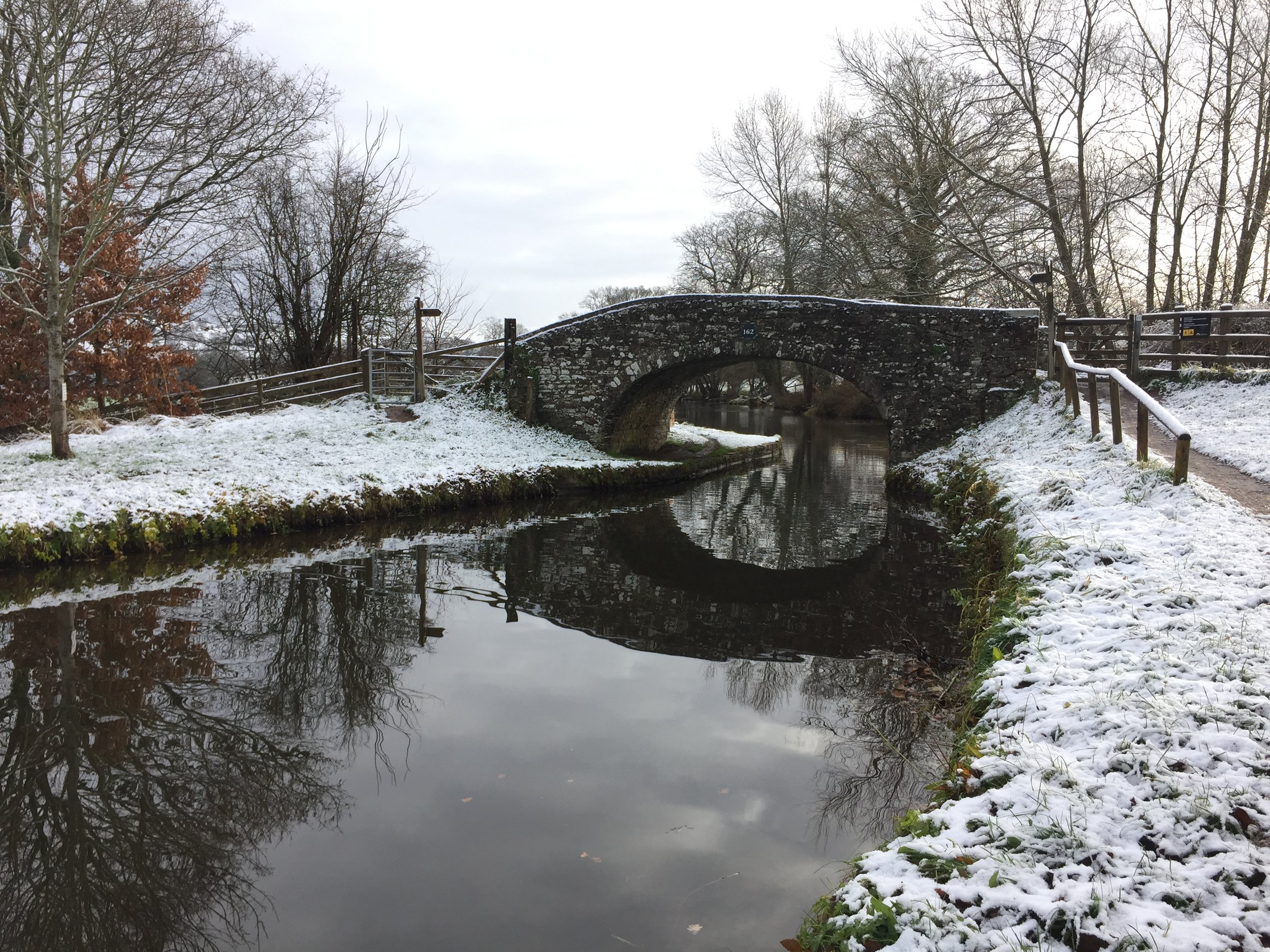
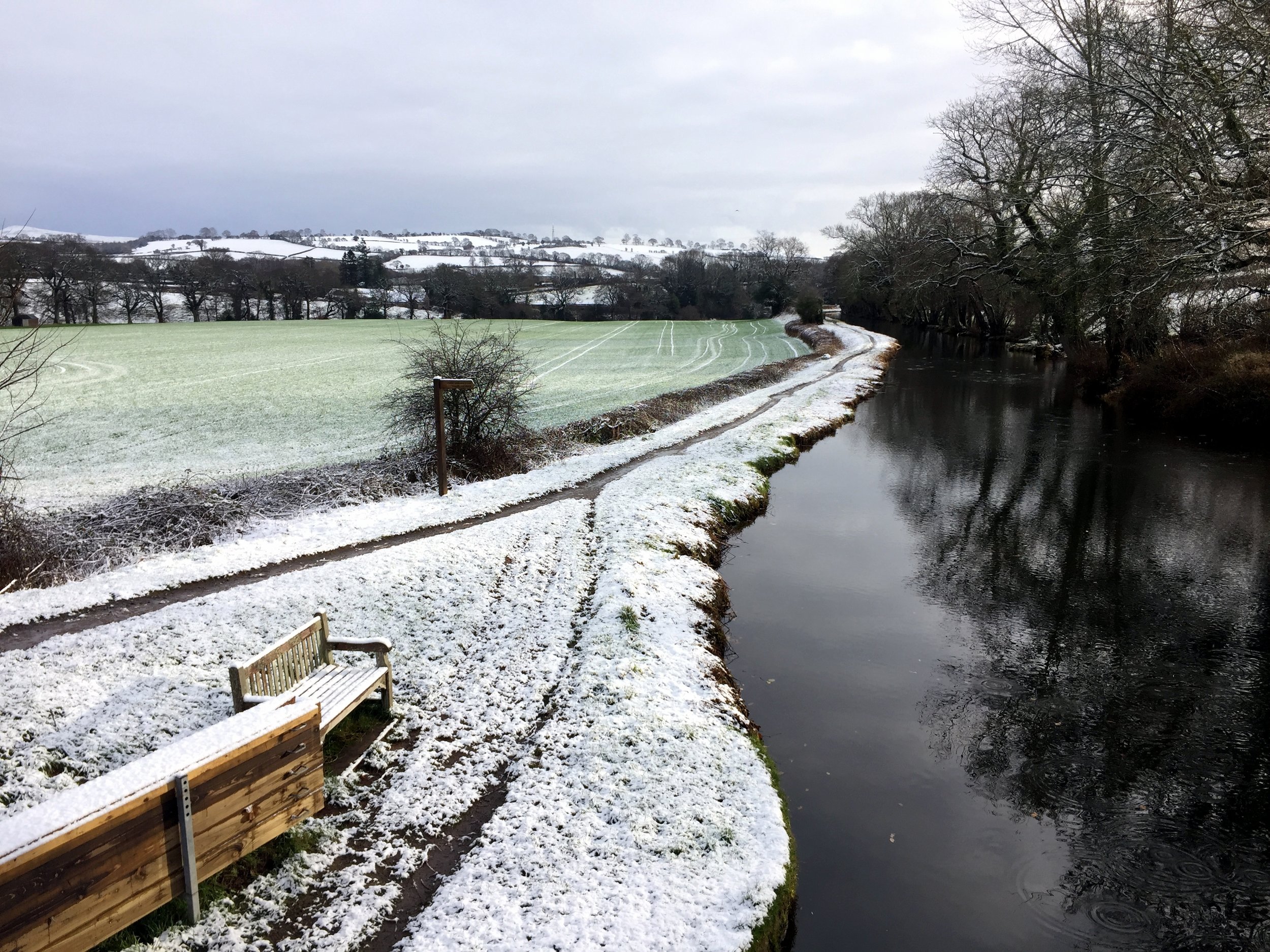
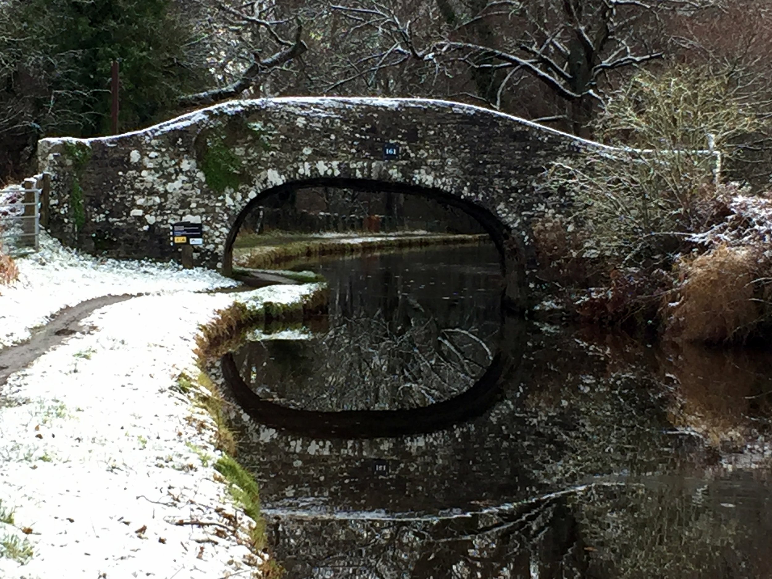
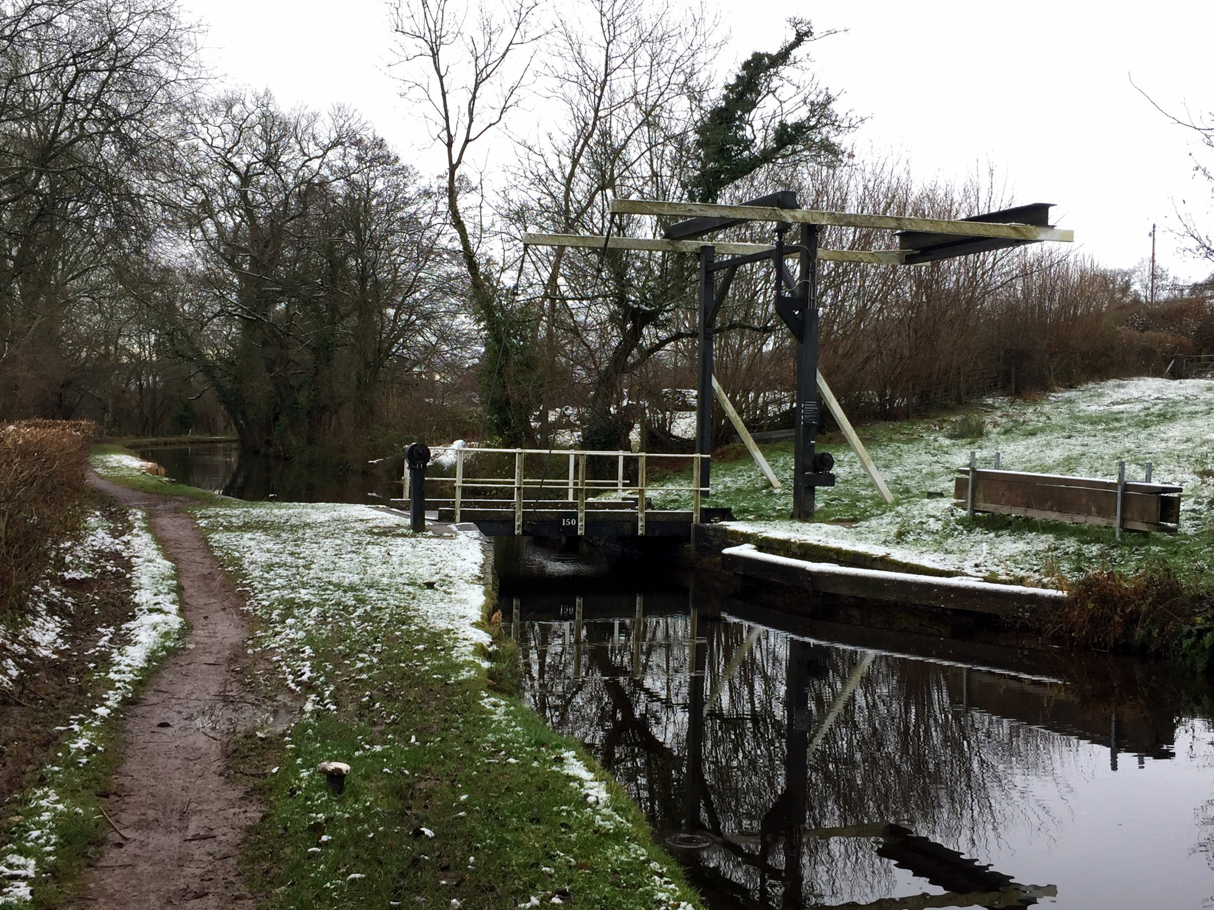
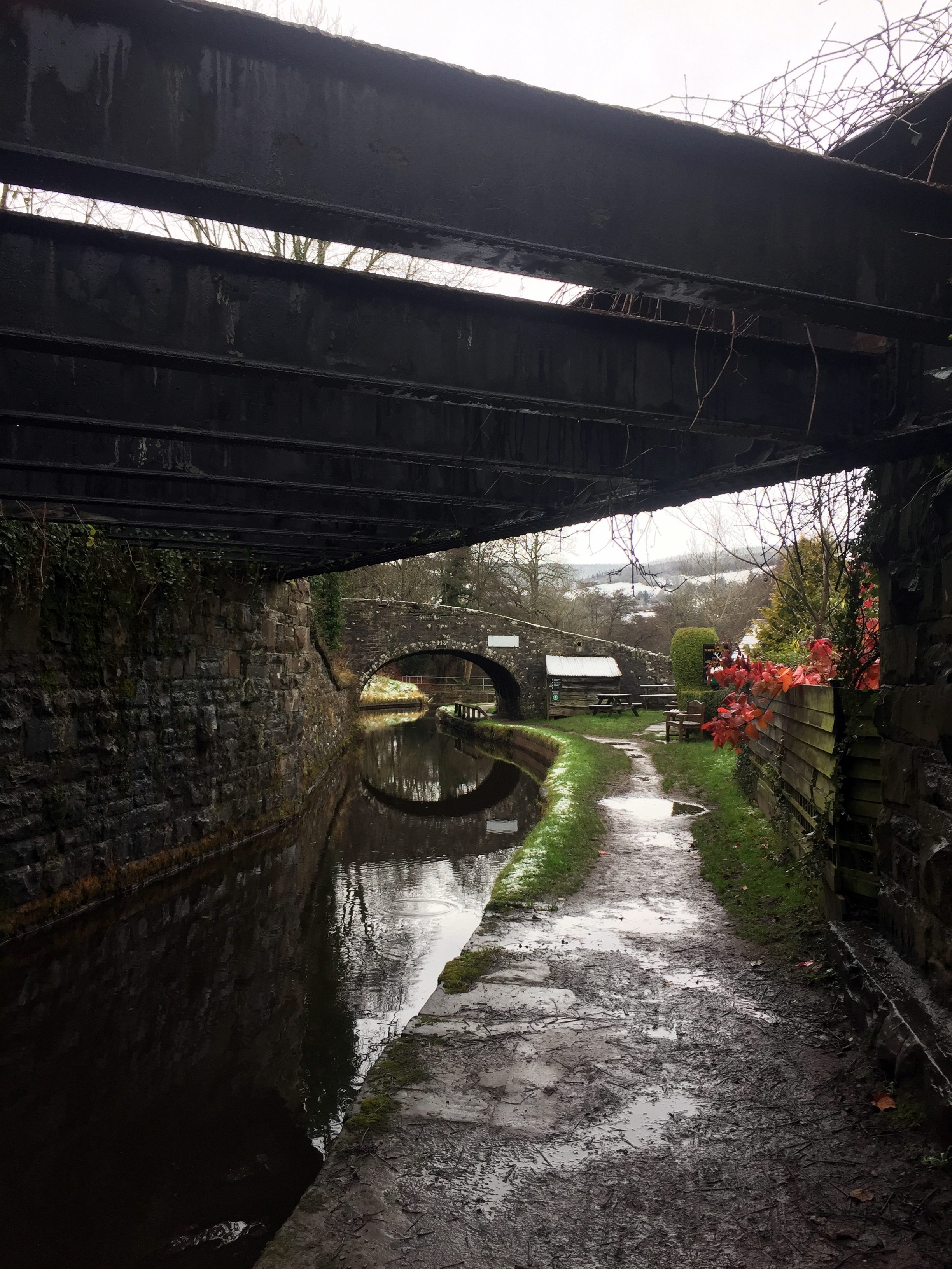
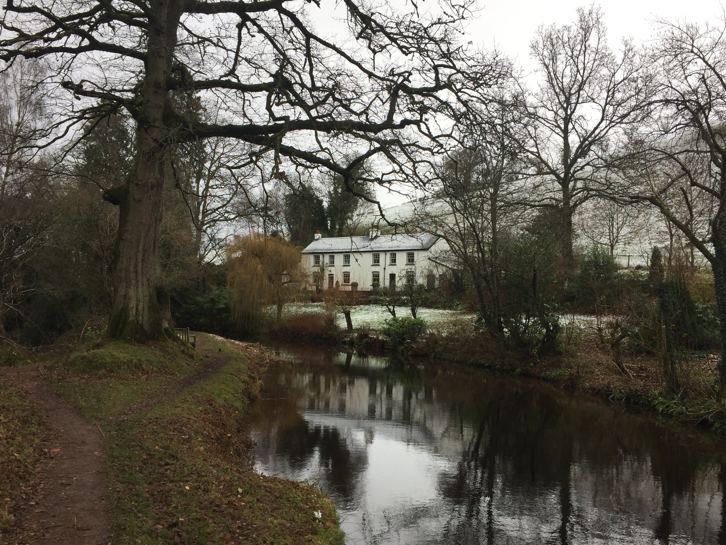
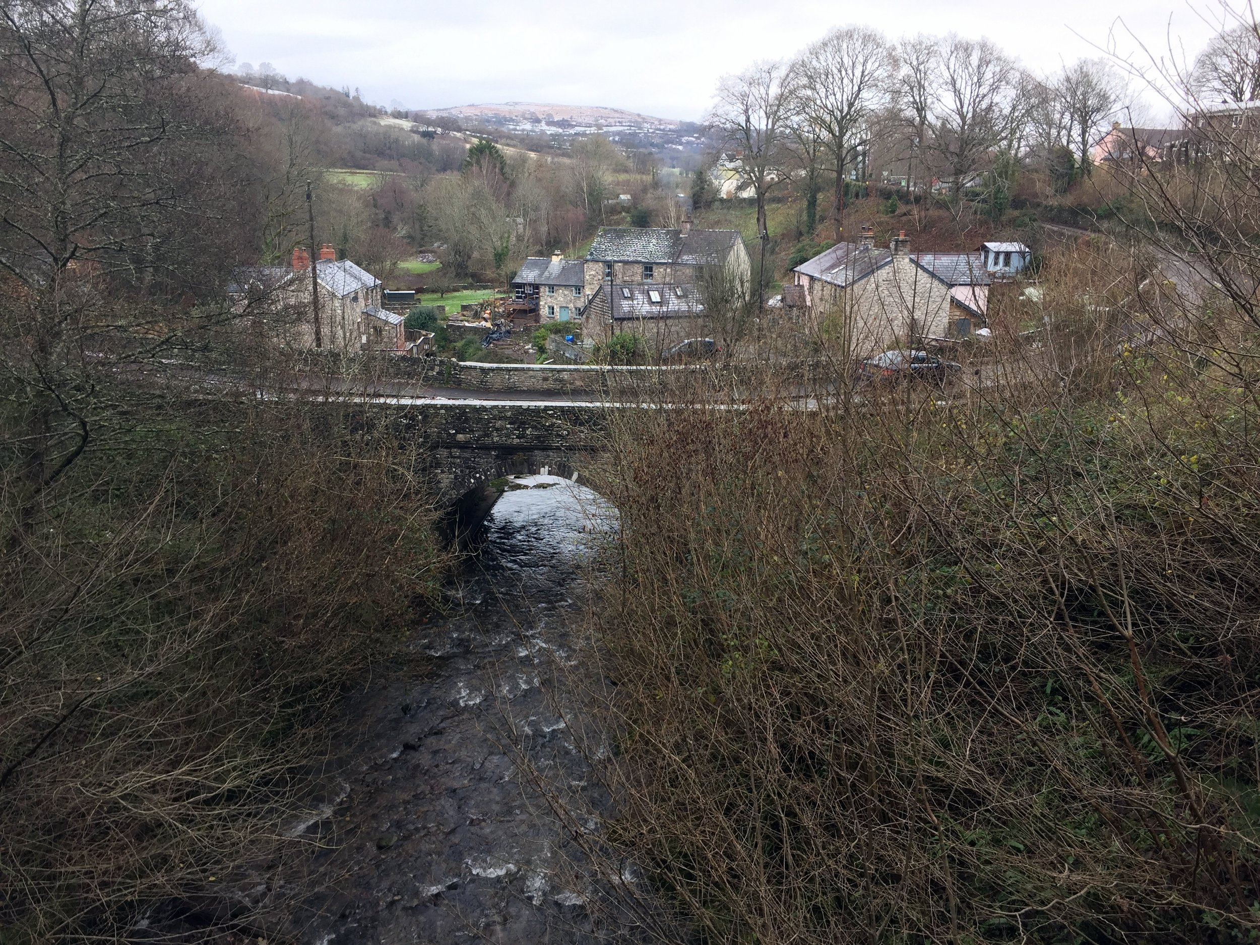
After a short bus ride and a 5 minute walk to the canal basin I started my walk. The first section was pretty snowy with some amazing views of Pen-y-fan and its sisters on the first 3 miles. The well kept towpath is dotted with wooden sculptures and information boards depicting the history of the canal.
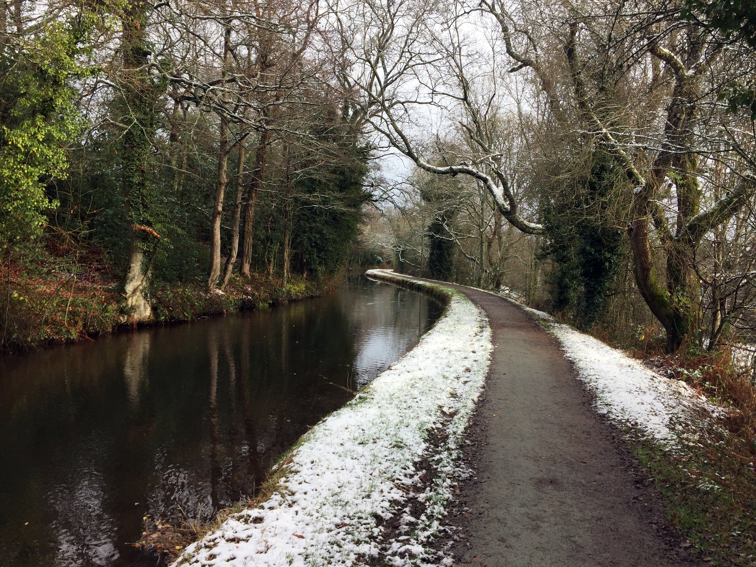
The route follows the River Usk remaining higher than the river in most parts and crossing it on viaducts several times. The A40 is also close by and, apart from the first couple of miles out of Brecon, it’s distant enough not to spoil a quiet walk.
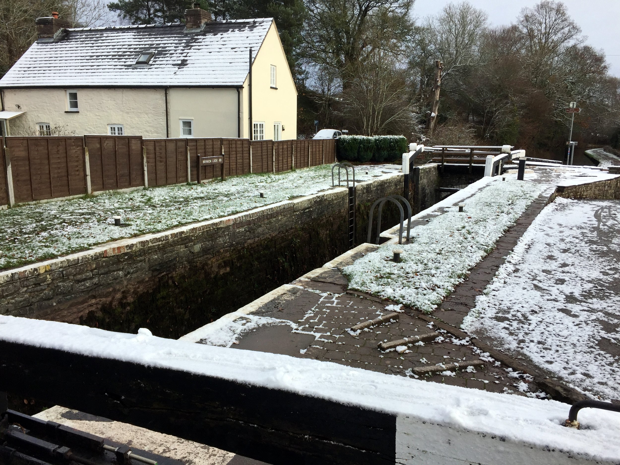
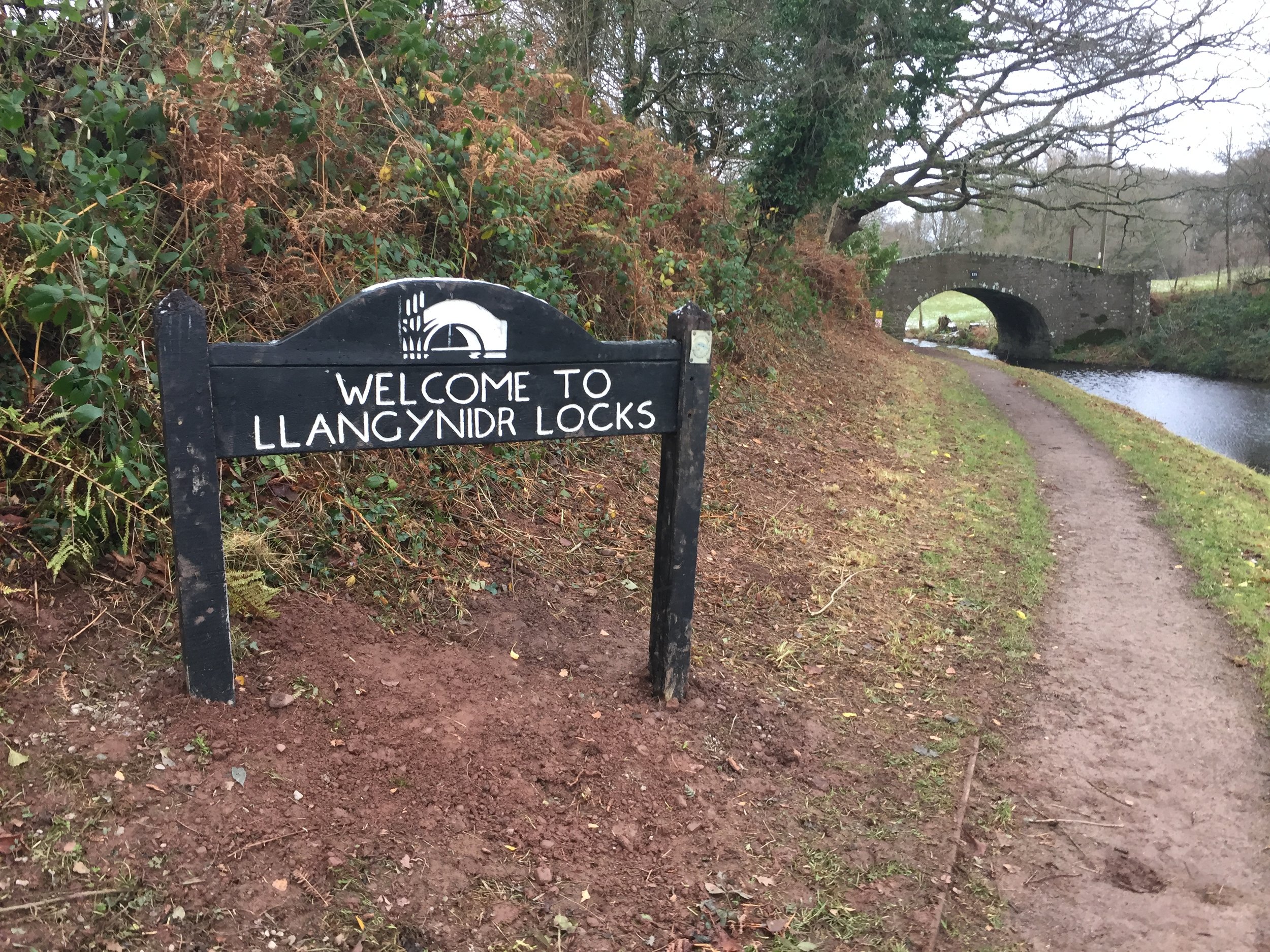
There were a couple of places, like Talybont on Usk and Llangynidr, with canal-side pubs that would have been nice stops. As it happened I decided to plough on so I could be back at the farm before it got dark.
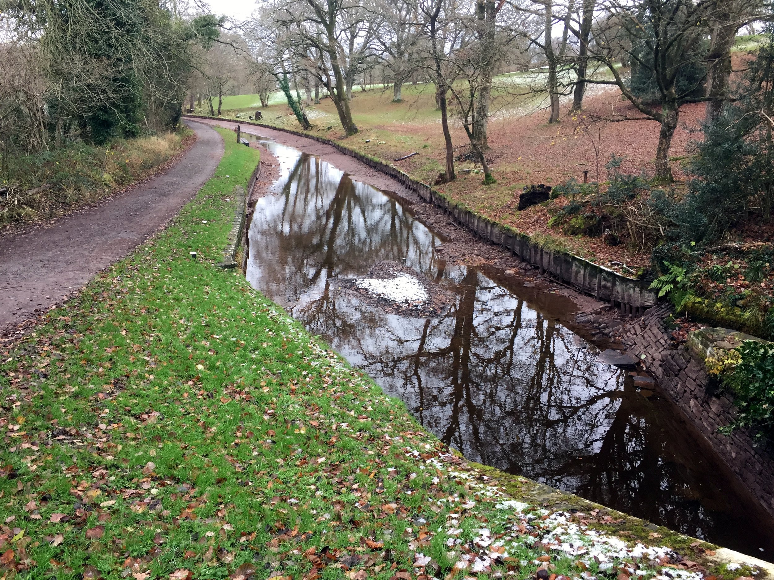
The first 5 miles were the most interesting then a lot of the route was much the same. That’s why I prefer to cycle along canal towpaths as they’re often a bit samey for the slower speed of walking. Even so, it was a lovely walk and a good use of a chilly winter day.