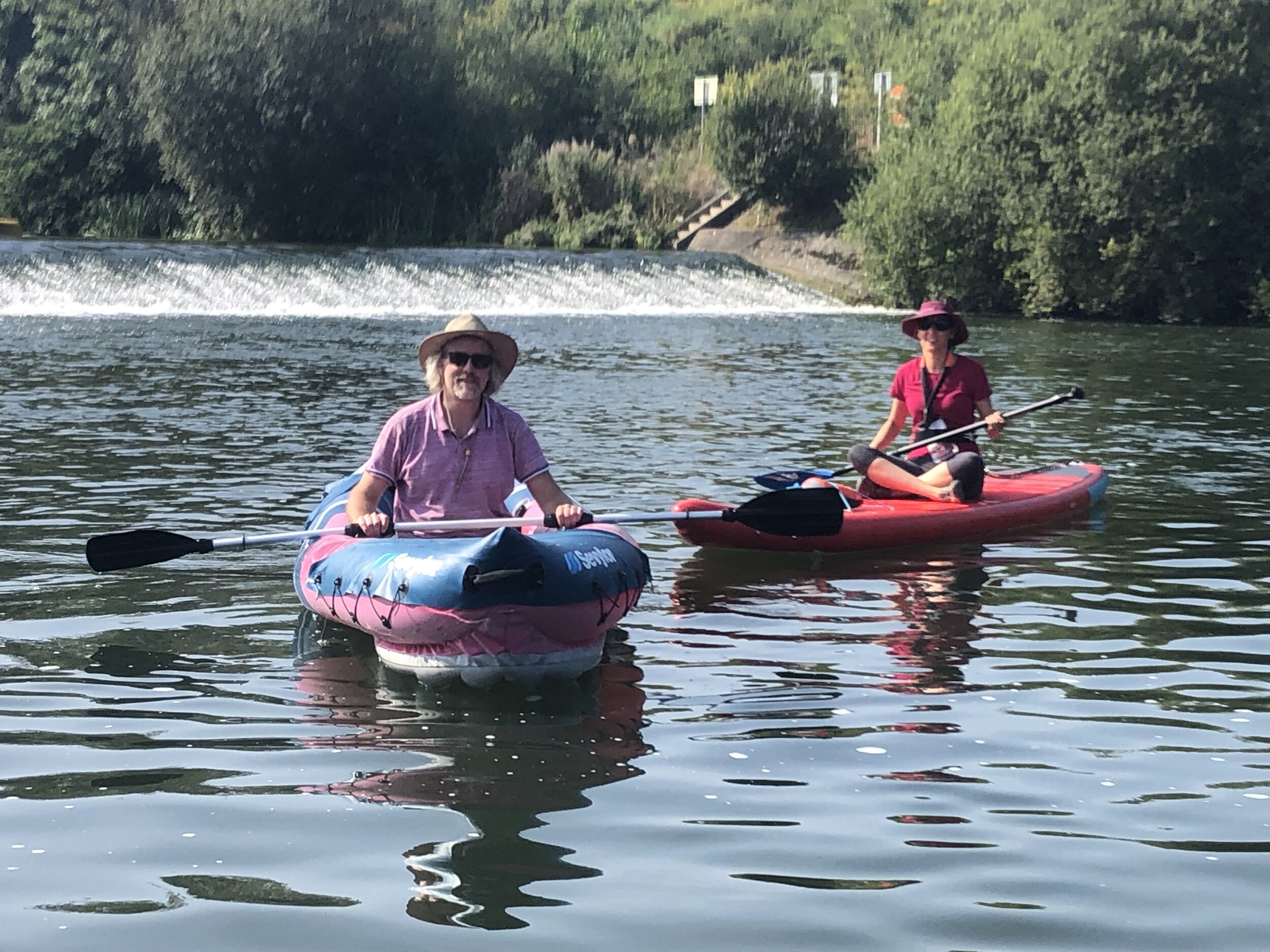
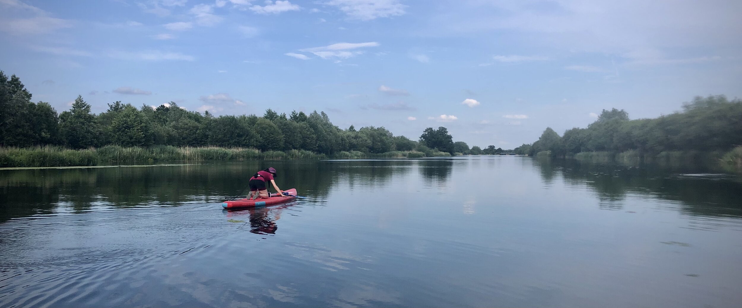
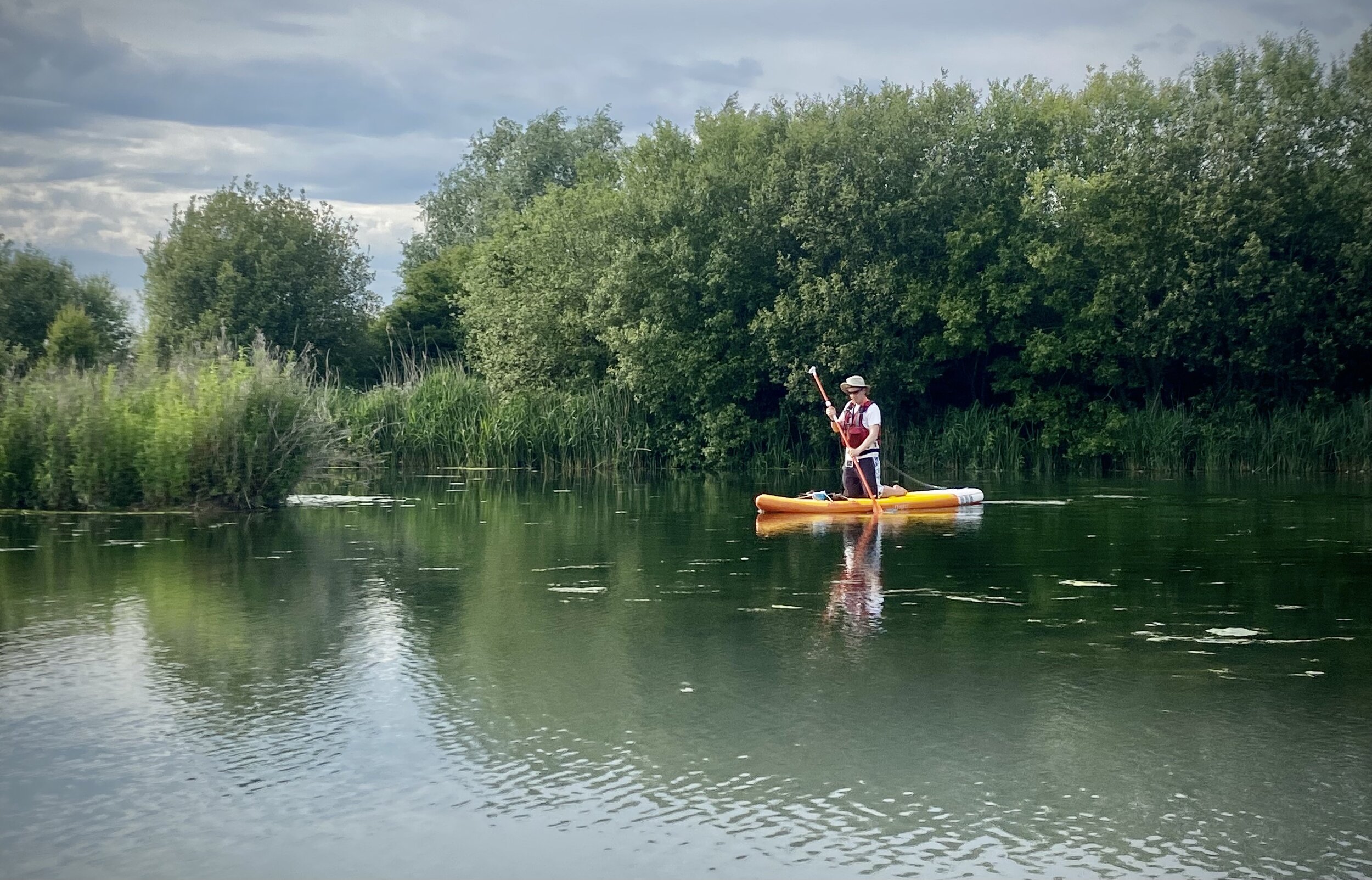
Paddleboarding on The Jubilee River

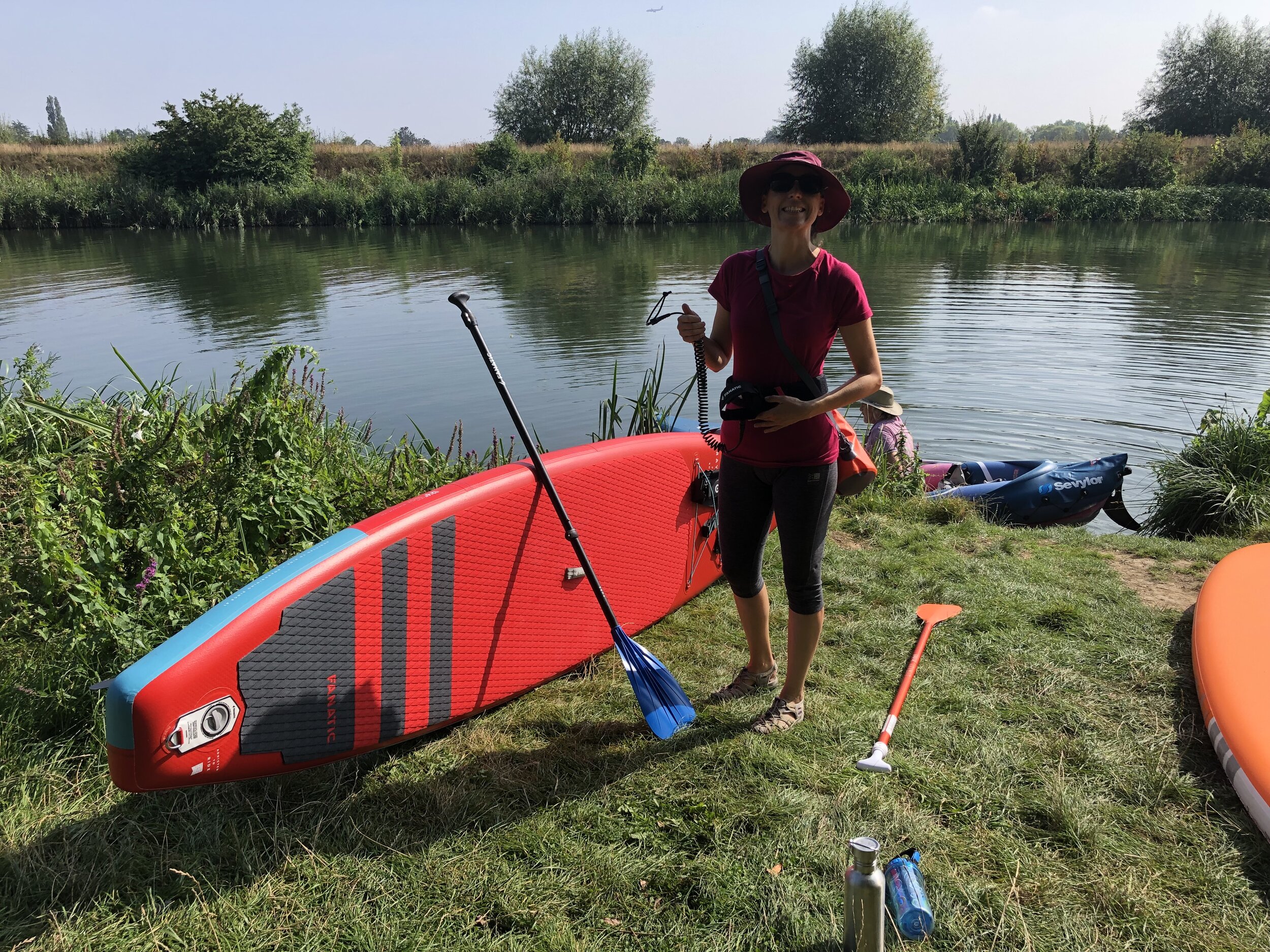
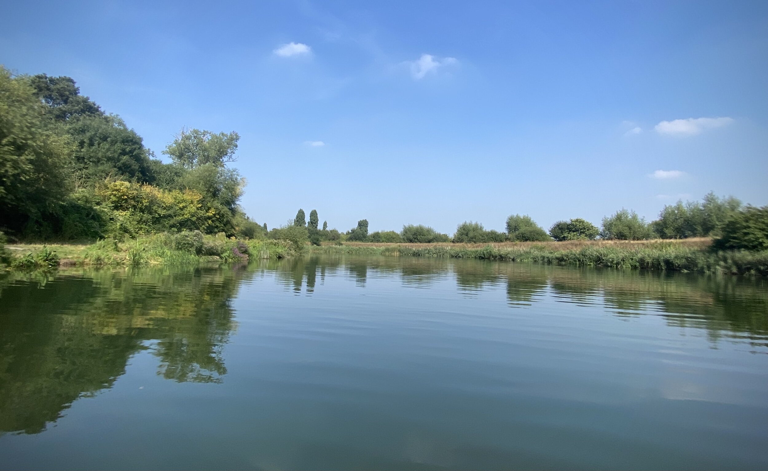
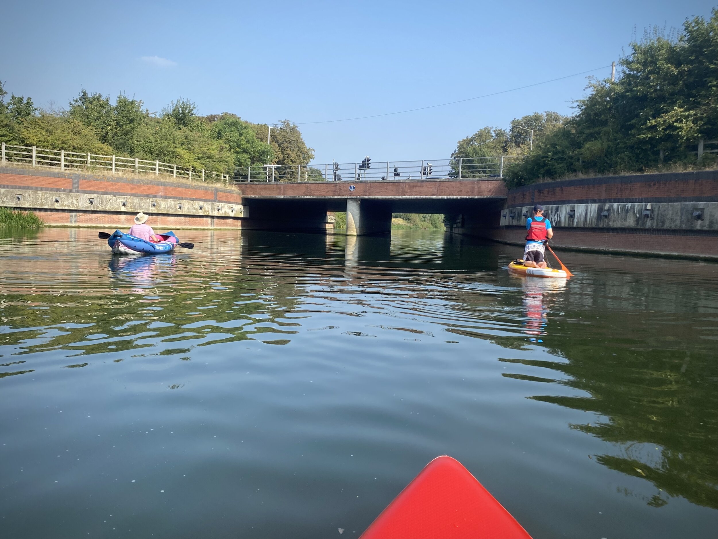
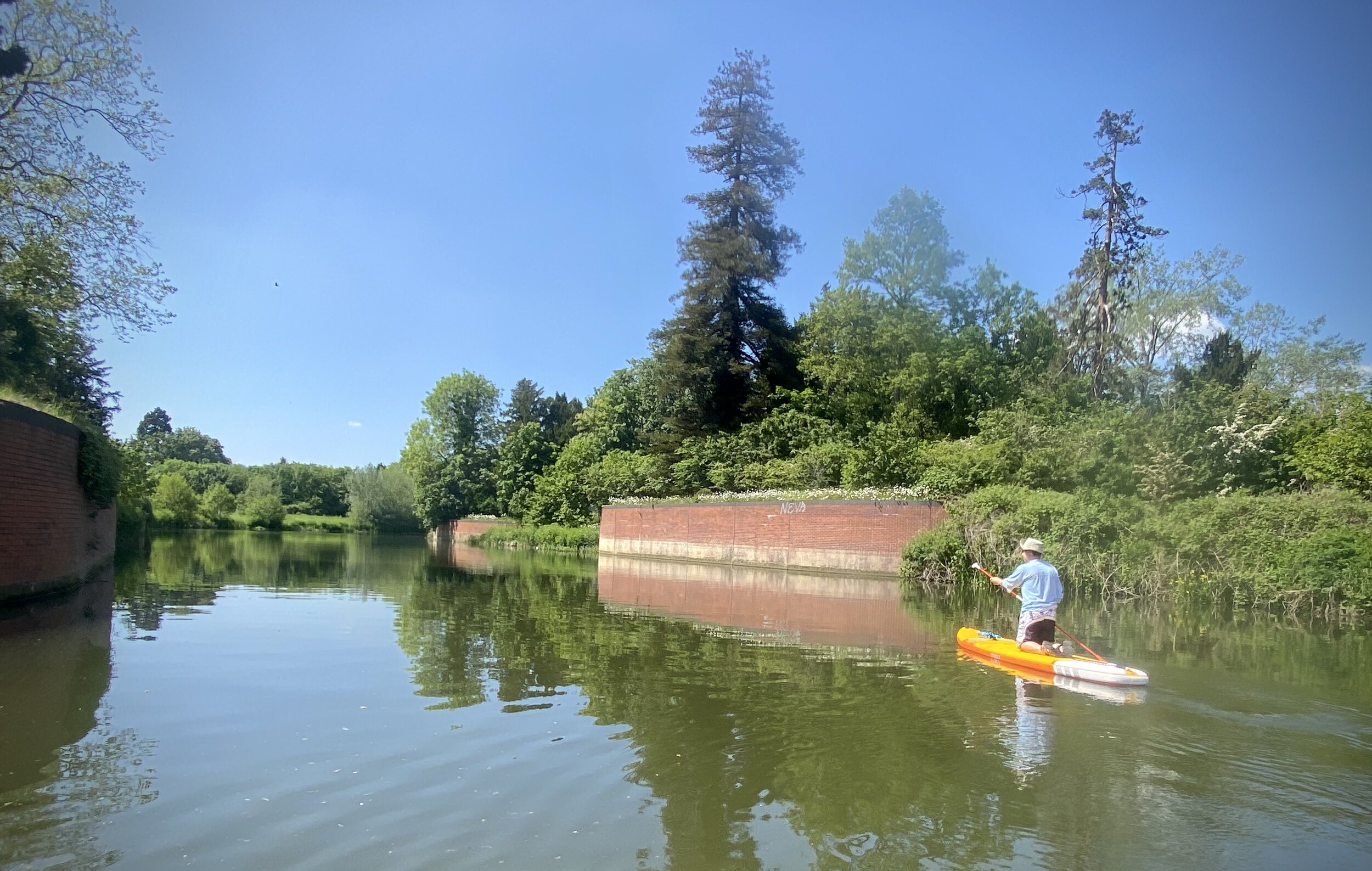
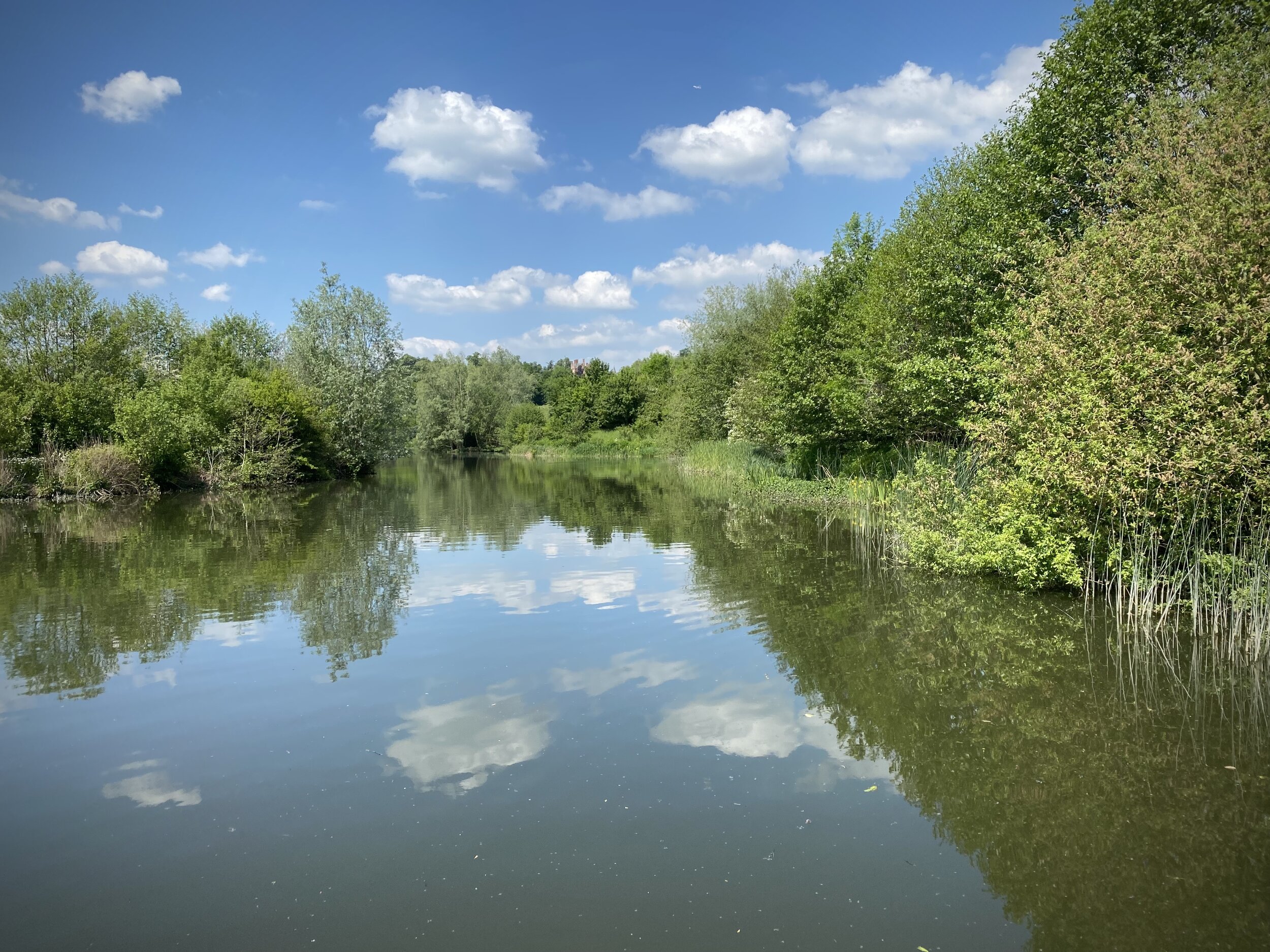
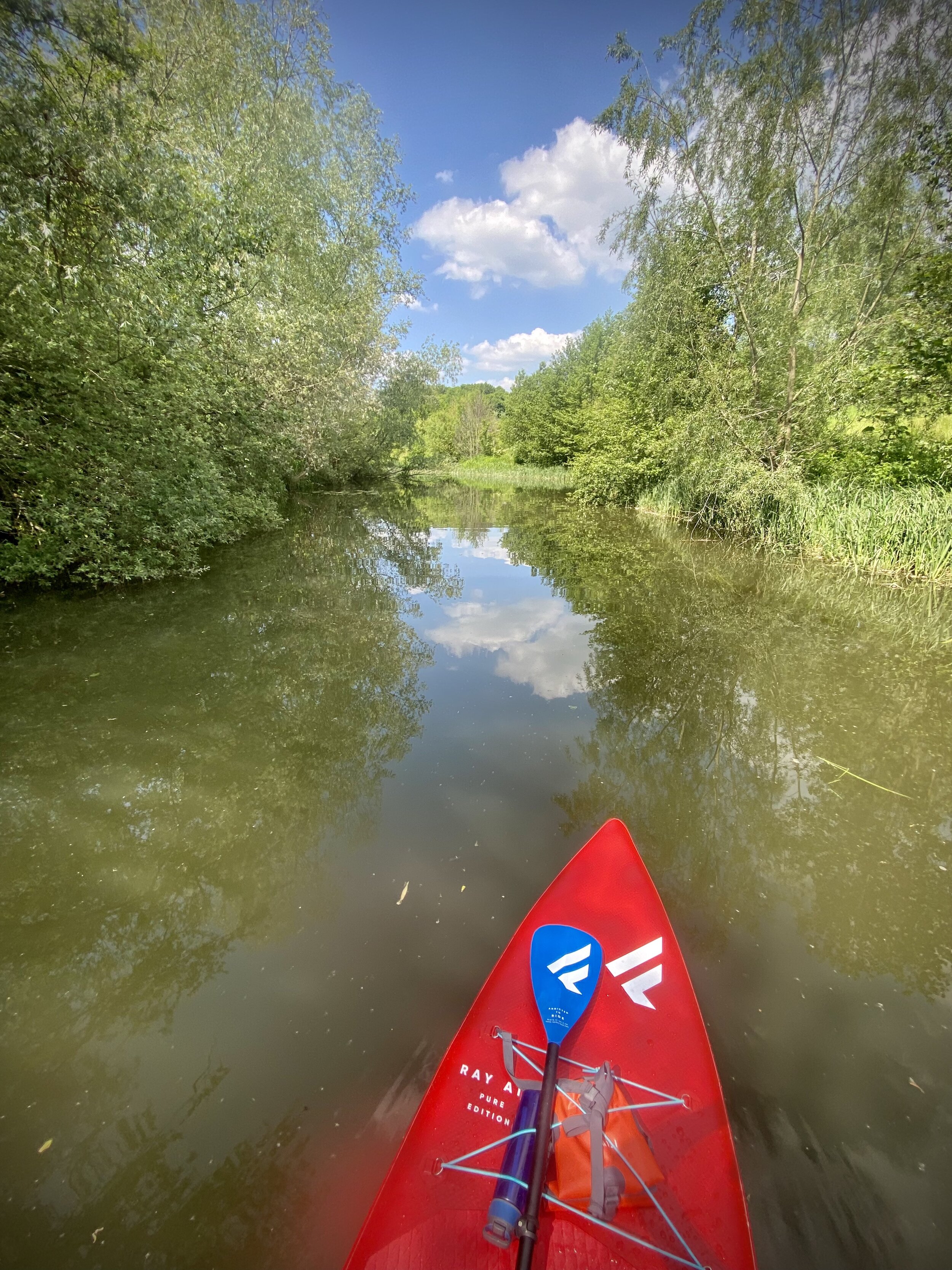
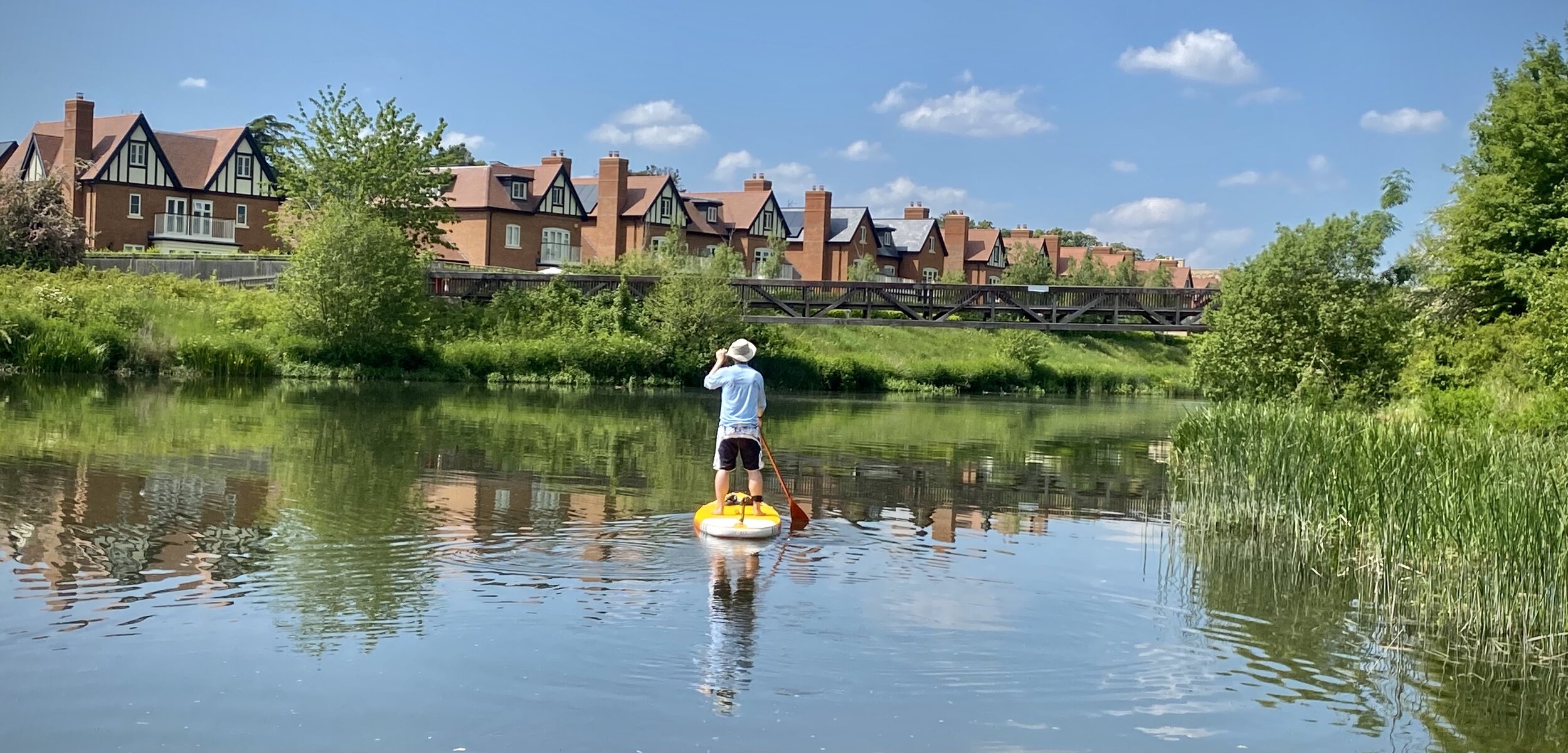
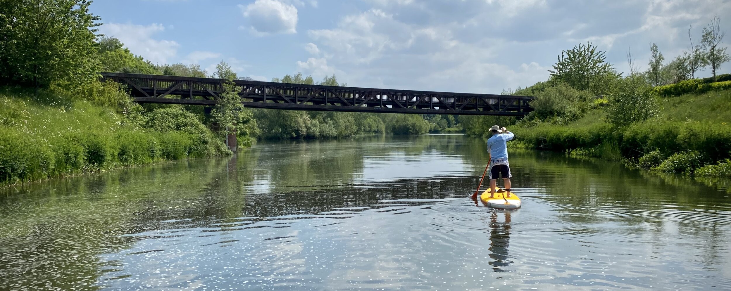
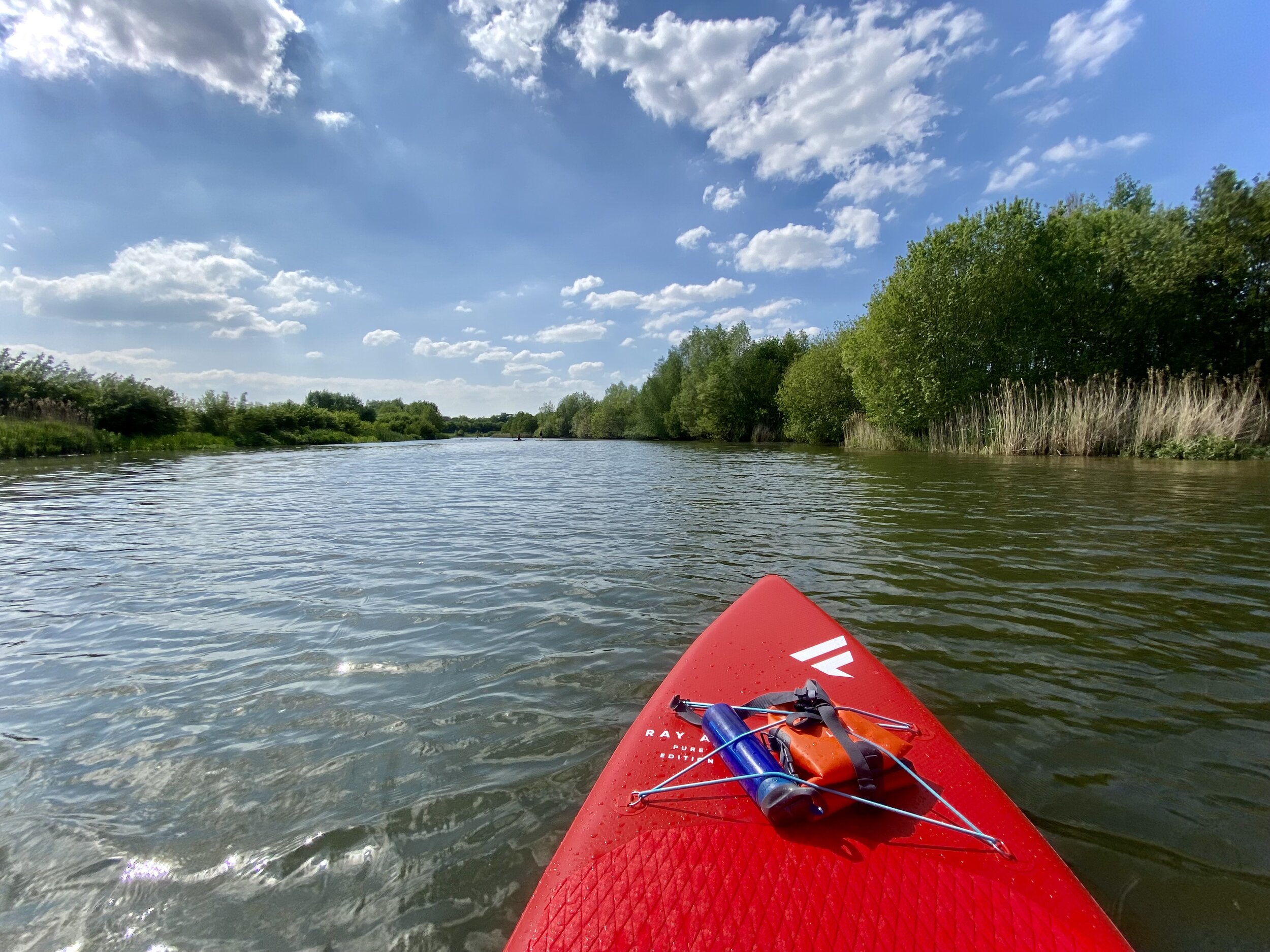
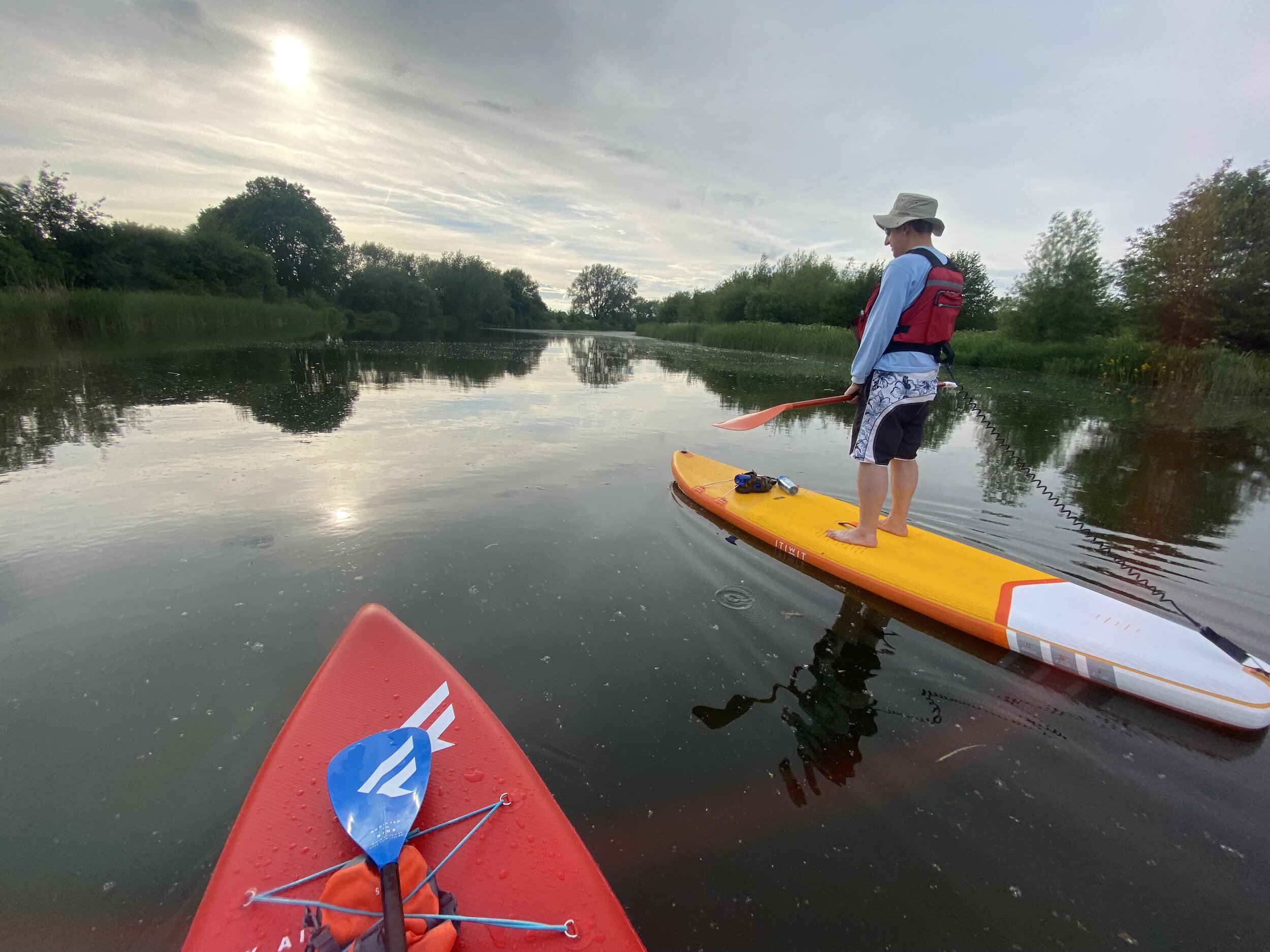
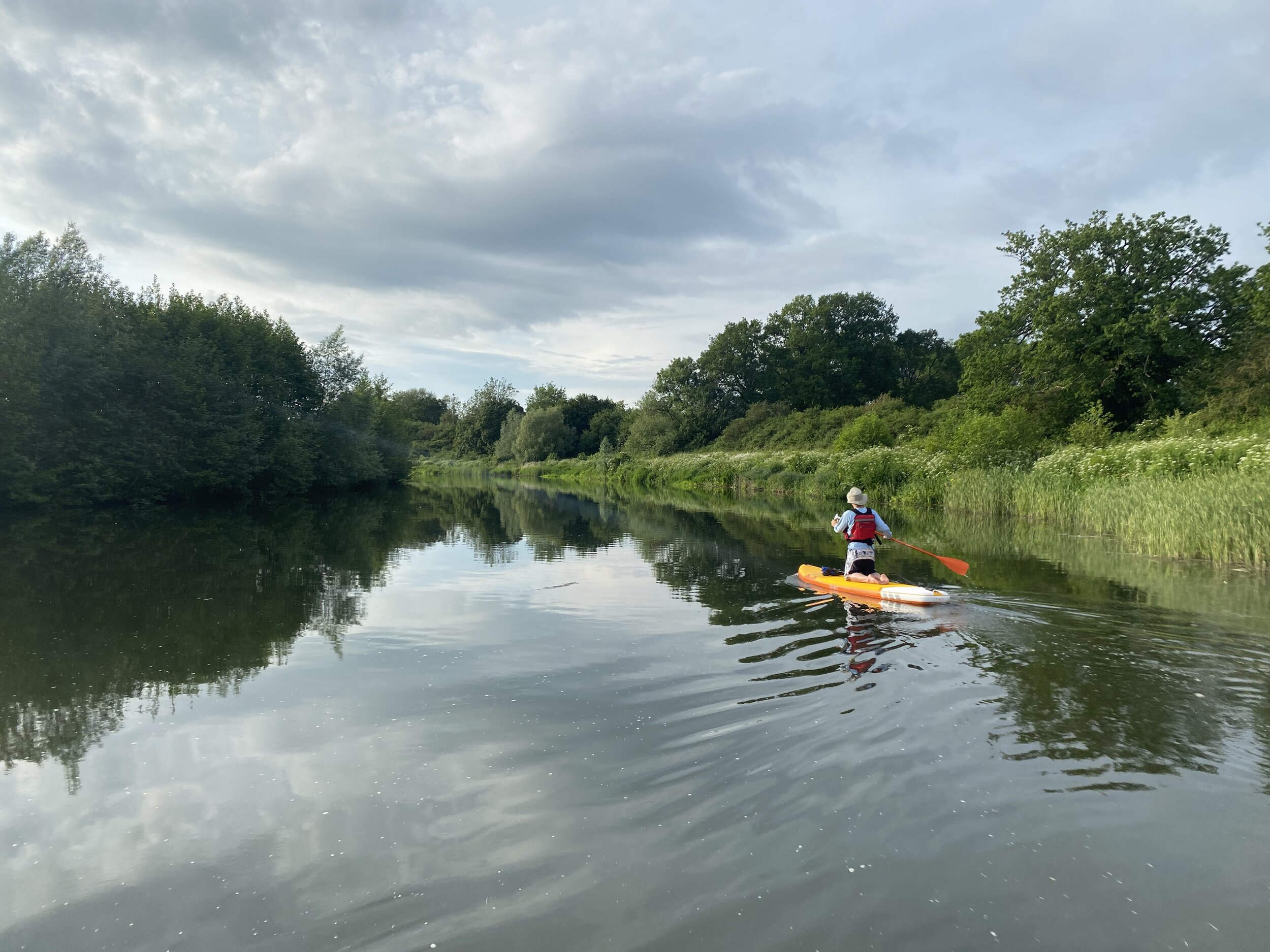
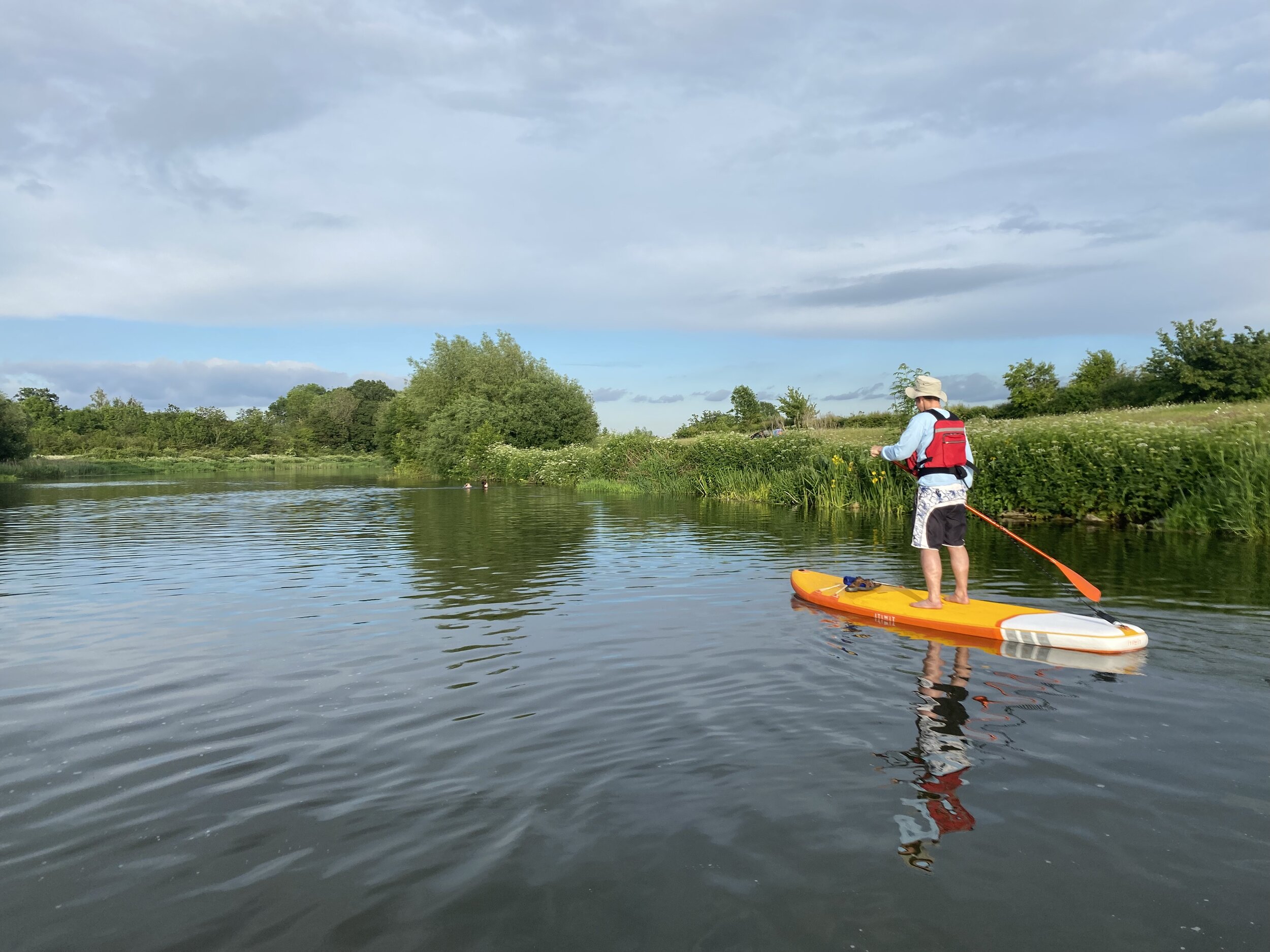
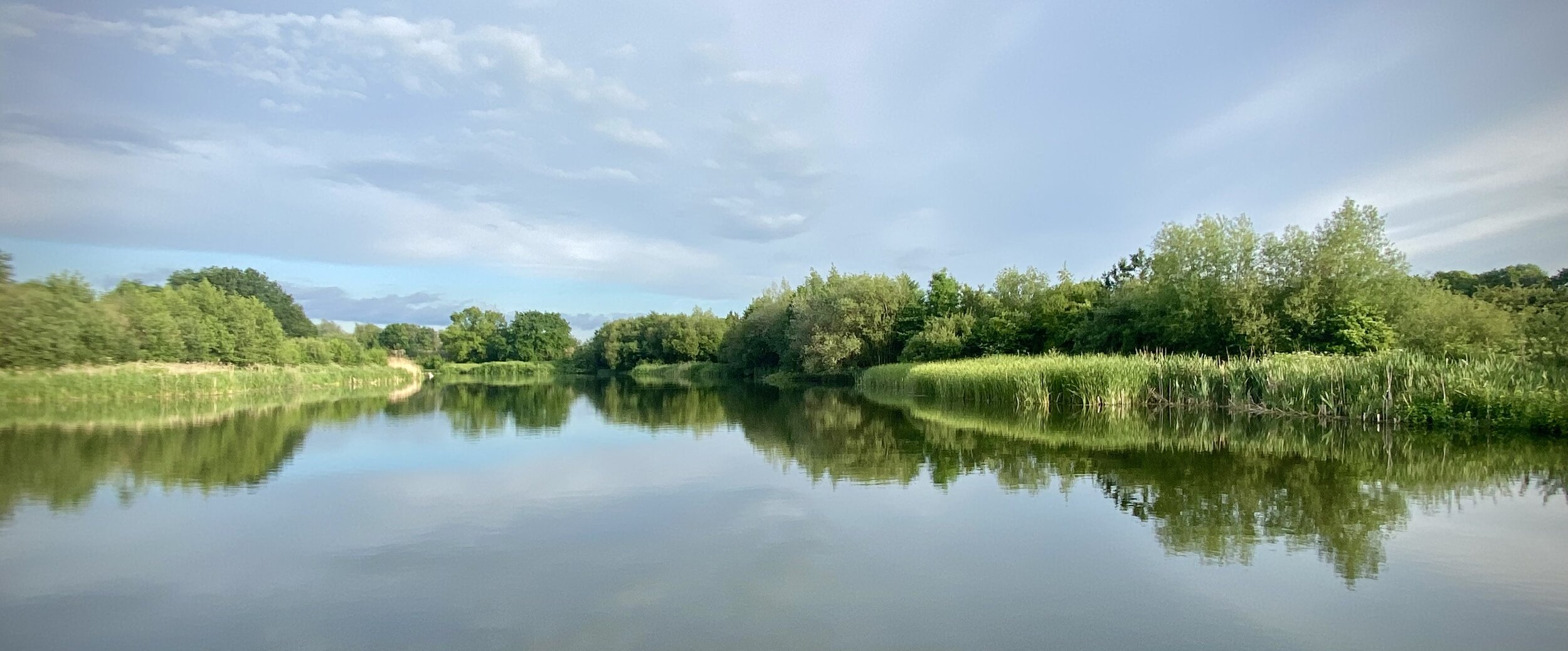
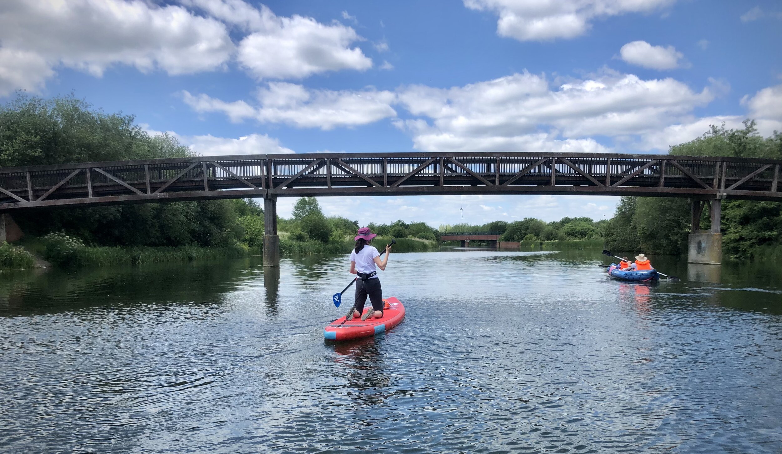
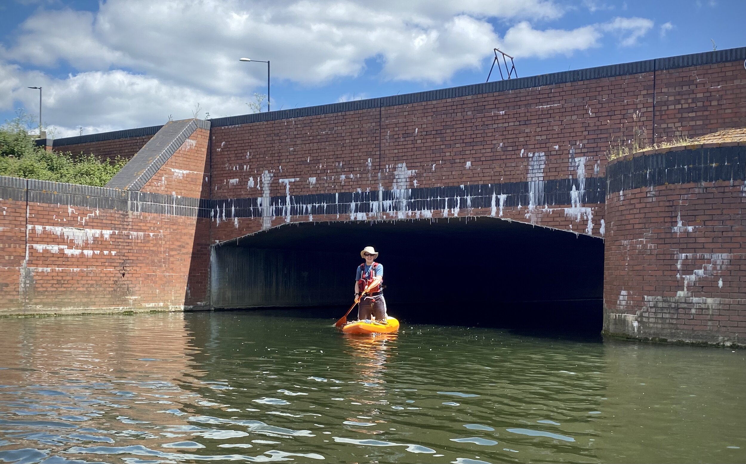
The Jubilee River is an artificial channel built in the late 1990s and early 2000s to take overflow from the River Thames to prevent flooding around Maidenhead, Windsor, and Eton. I know it very well having ran, walked and cycled every part of the paths around it. It was the obvious place to try out our new SUPs. There’s a very gentle flow and no motorised boats allowed on it.
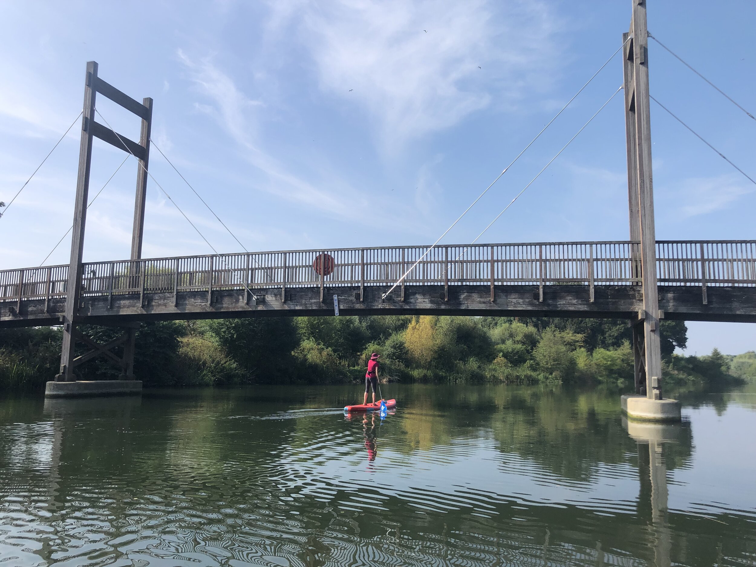
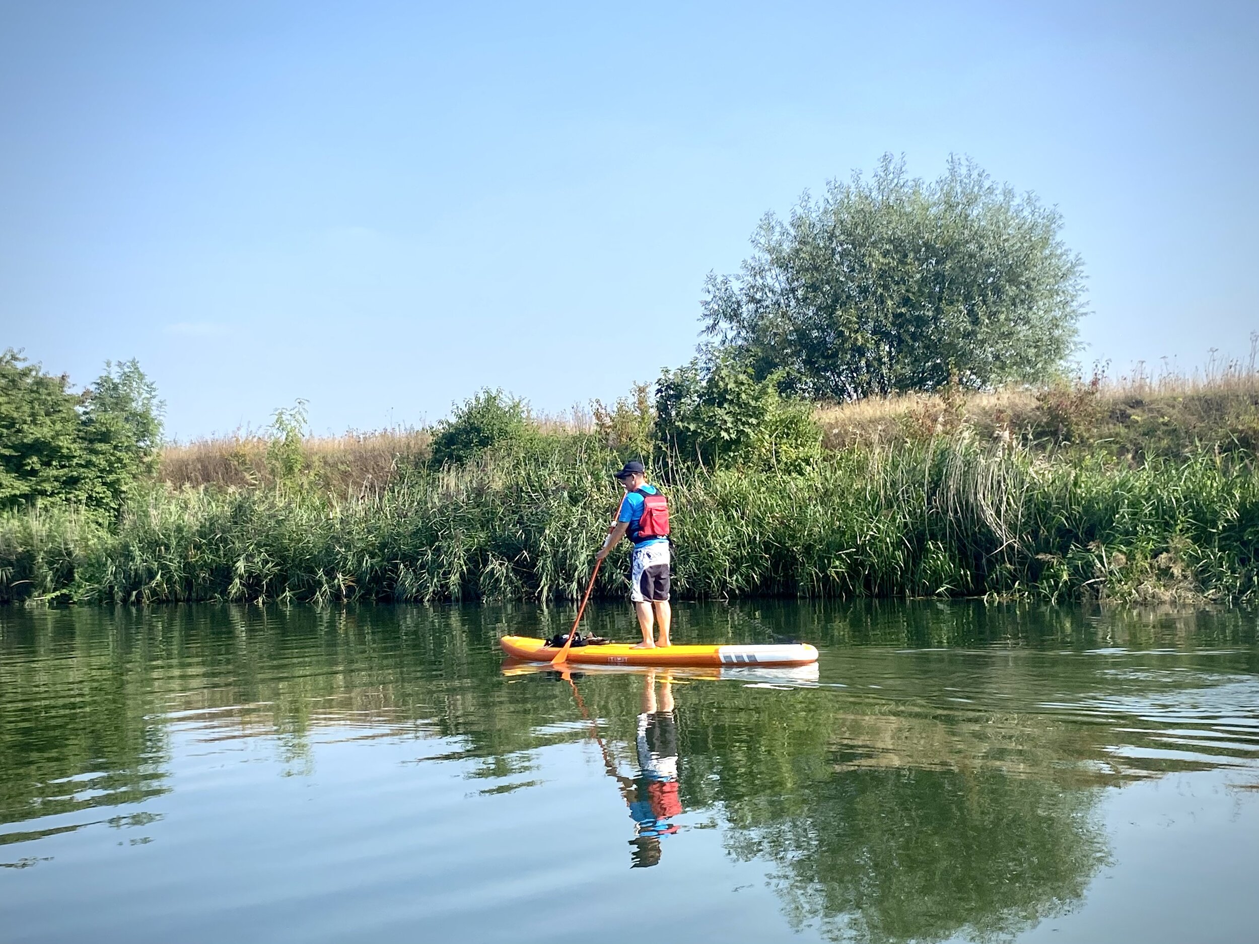
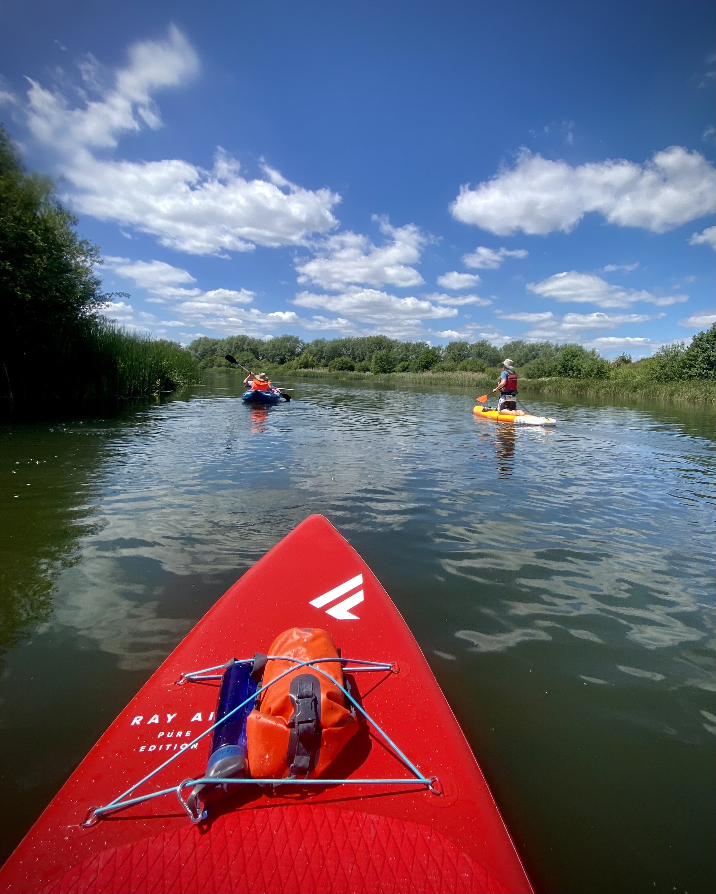
Here’s a guide to paddleboarding the Jubilee River in five short sections. We did full loops of each section for a total of 20km. The obvious alternative would be a 10km point-to-point trip but with a lot of portaging around the weirs.
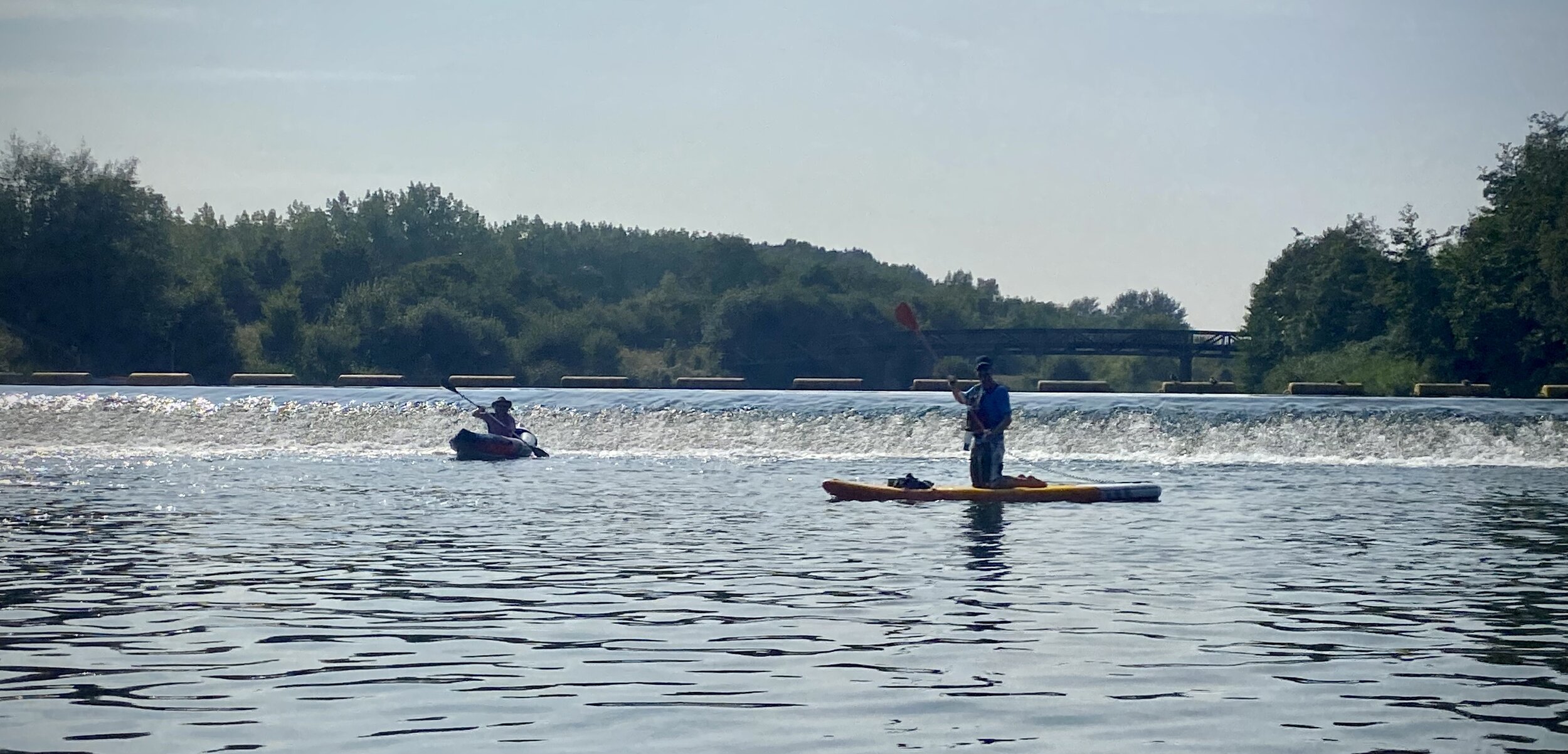
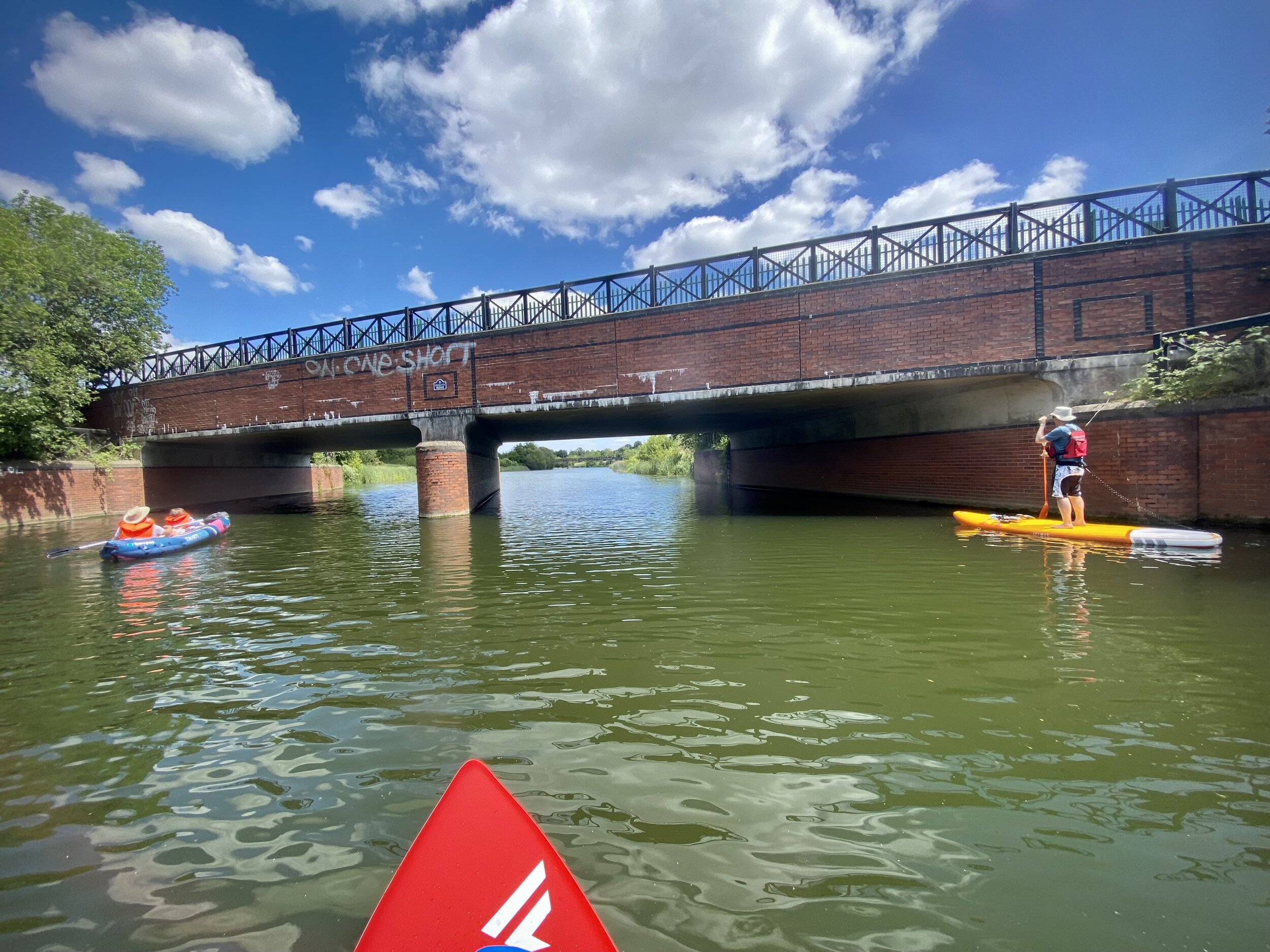
The Jubilee River diverts from the River Thames just north of Ray Mill Island, Maidenhead. This first section isn’t accessible and the navigable part starts from Taplow Weir. For this section, the first access point is Amerden Lane. There’s not much in the way of parking here although you can park at nearby Engage Watersports only if you are renting equipment from them. Better parking is at the far end of this section at Marsh Lane Car Park.
For the other sections, there’s car parks at Marsh Lane, Lake End, The Riverside Centre and the Thames Valley Athletics Centre. Some have height restriction barriers so be careful if you are carrying your SUPs on a roof-rack. Each car-park has a good entry point to the river within a few minutes walk.
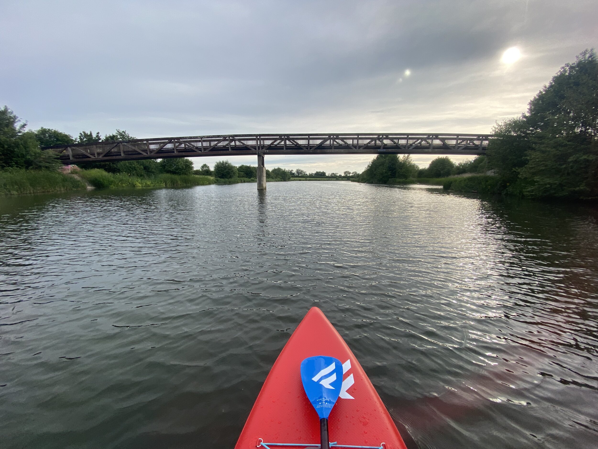
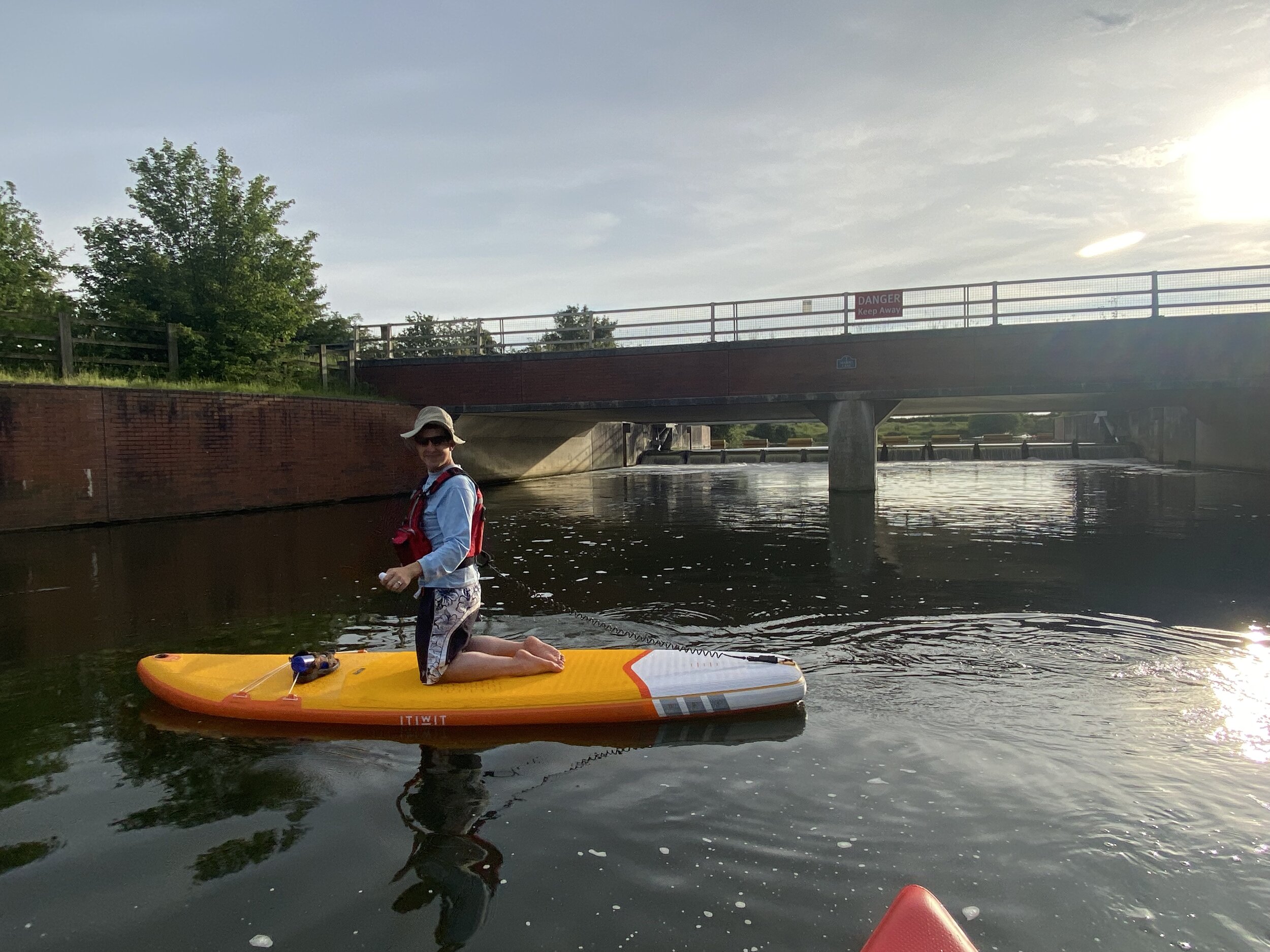
The final navigable section ends at Black Potts Weir just to the south of the Thames Valley Athletics Centre in Eton. Beyond this there’s a very short part of the Jubilee before it connects to the Thames at Home Park, Windsor. You can access this final part via the Thames but there was construction happening on this section during 2021. I’ll return another year to check this section out.
Paddleboarding The Jubilee River In 5 Sections
GPX Files: get via Buy Me a Coffee
Map: OS Explorer Map (172) Chiltern Hills East and OS Explorer Map (160) Windsor, Weybridge & Bracknell
Links: Jubilee River, Maidenhead, Taplow, Dorney, Eton Wick, Eton, Datchet, Engage Watersports, The Riverside Centre, Thames Valley Athletics Centre
Each colour below represents a different section described below. Top left is Taplow, bottom right is Black Potts Weir.
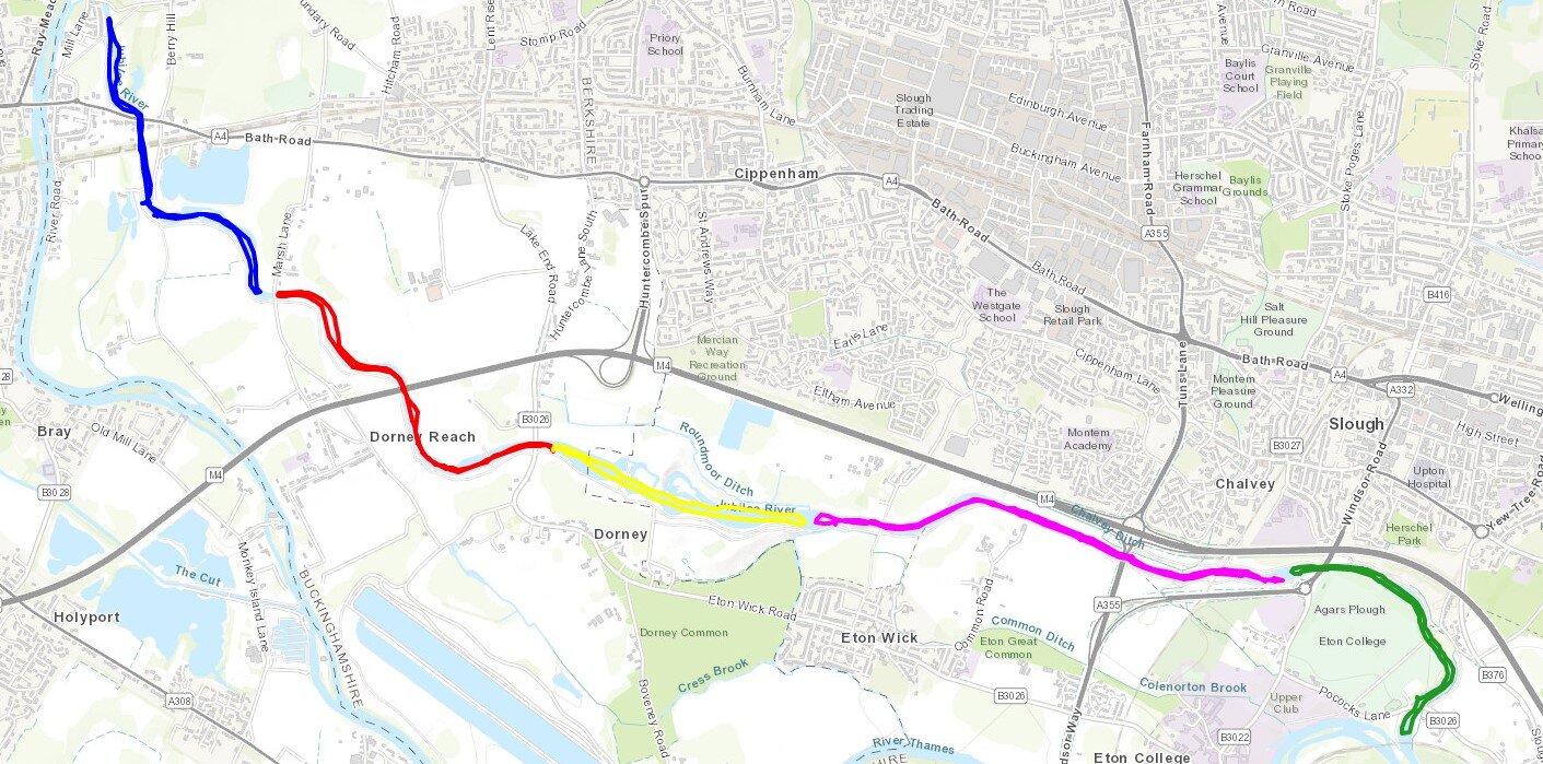
map source: Esri Topo via RideWithGPS

Section 1: Taplow Weir to Marsh Lane Weir
Entry and Exit Point: Marsh Lane Car Park, Taplow, SL6 0DH (SU 91412 80317) or on Amerden Lane (SU 90761 80915)
Section Length (one way): 2.1 km (1.3 miles)
Nearby pubs and Cafes: Lake House Cafe, Amerden Lane, Taplow, SL6 0EA


Section 2: Marsh Lane Weir to Lake End Car Park
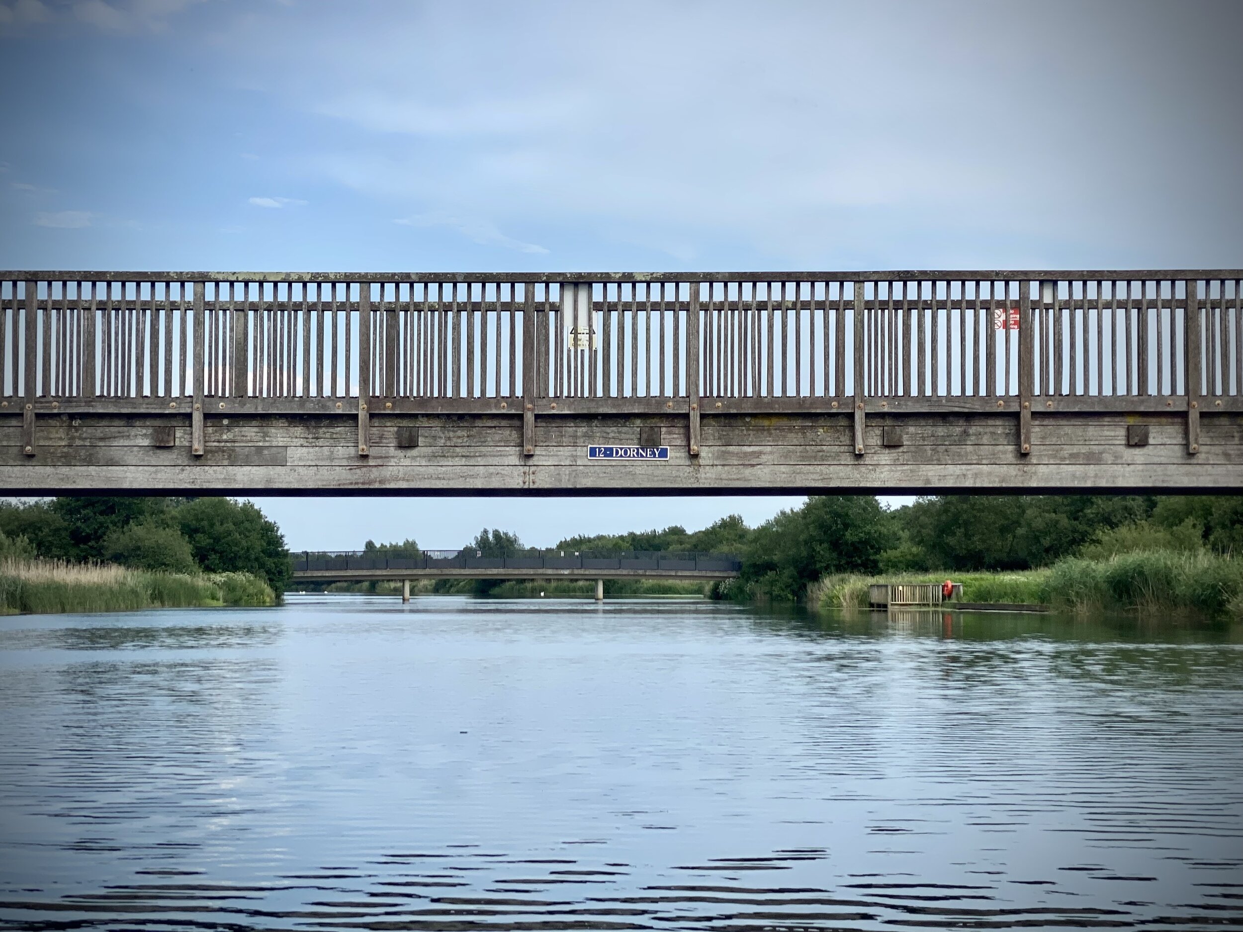
Entry and Exit Point: Marsh Lane Car Park, Taplow, SL6 0DH (SU 91412 80317) or Lake End Car Park, Dorney, SL4 6QT (SU 92888 79519)
Section Length (one way): 2.1 km (1.3 miles)
Nearby pubs and Cafes: The Pineapple, Lake End Road, Dorney, SL4 6QS

Section 3: Lake End Car Park to Manor Farm Weir
Entry and Exit Point: Lake End Car Park, Dorney, SL4 6QT (SU 92888 79519)
Section Length (one way): 1.5 km (0.9 miles)
Nearby pubs and Cafes: The Pineapple, Lake End Road, Dorney, SL4 6QS


Section 4: Manor Farm Weir to Slough Weir
Entry and Exit Point: The Jubilee River Riverside Centre Car Park, Slough Road, Slough SL1 2BP (SU 97021 78863)
Section Length (one way): 2.7 km (1.6 miles)
Nearby pubs and Cafes: Several on Eton High Street

Section 5: Slough Weir to Black Potts Weir
Entry and Exit Point: Near Thames Valley Athletics Centre, Pococks Lane Eton, Windsor, SL4 6HN (OS Grid Ref: SU 97700 78264)
or Jubilee River Riverside Centre Car Park, Slough Road, Slough SL1 2BP (SU 97021 78863)
Section Length (one way): 1.75 km (1.1 miles)
Nearby pubs and Cafes: Several on Eton High Street