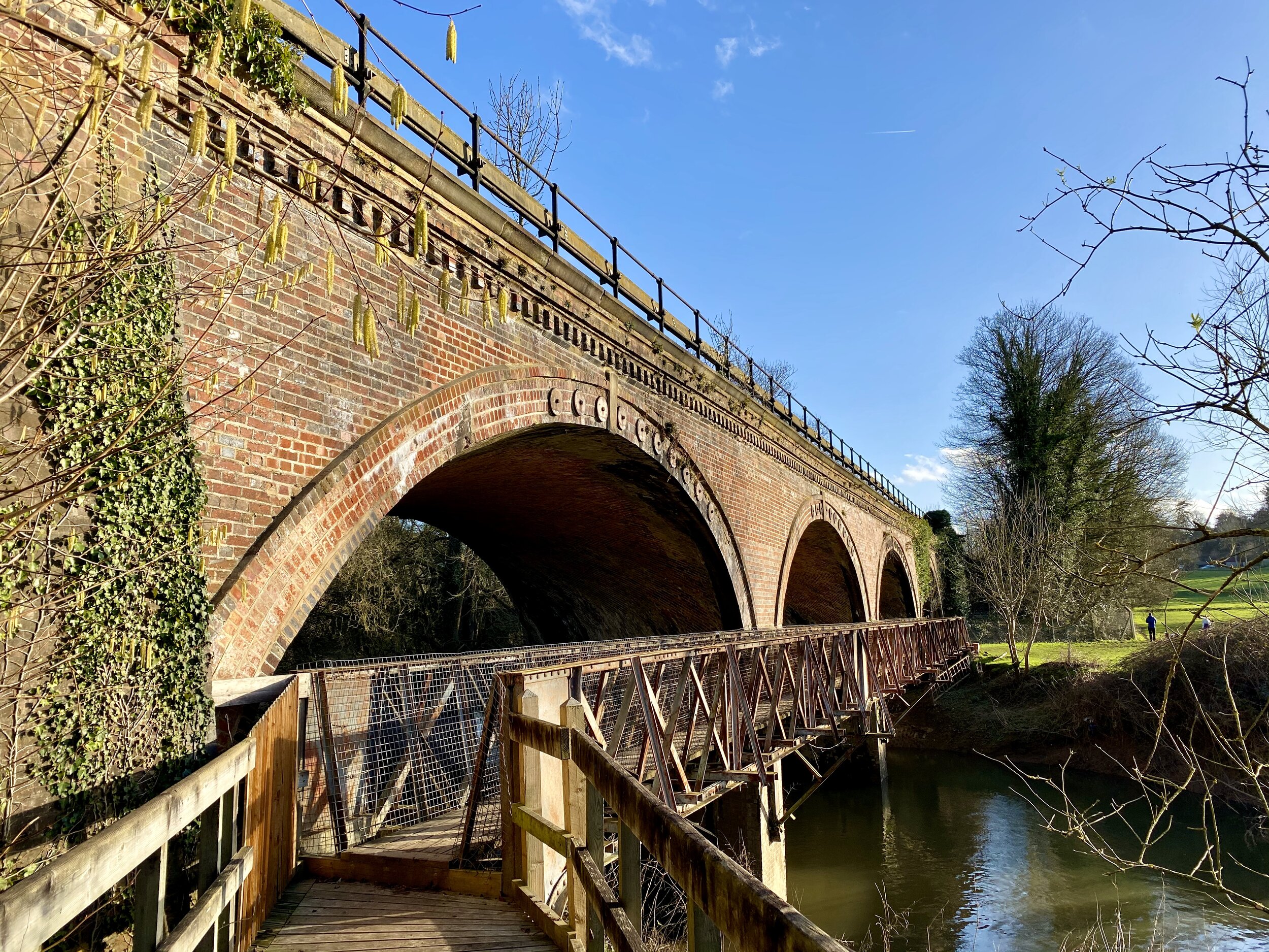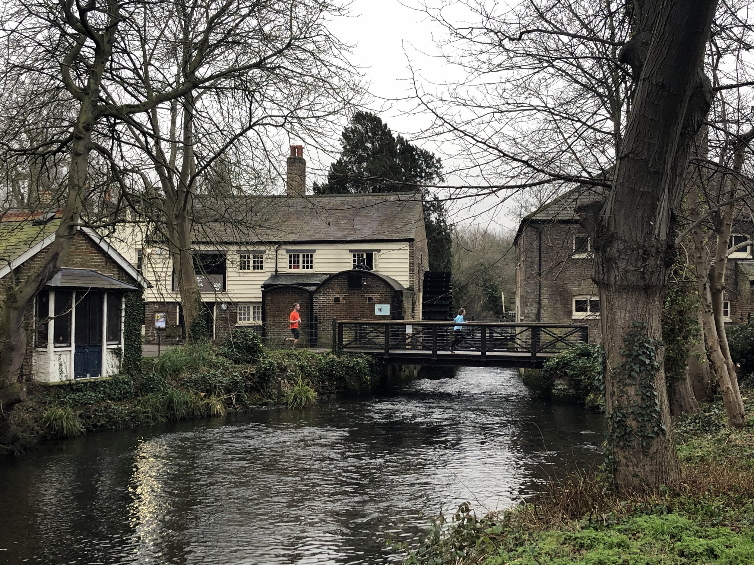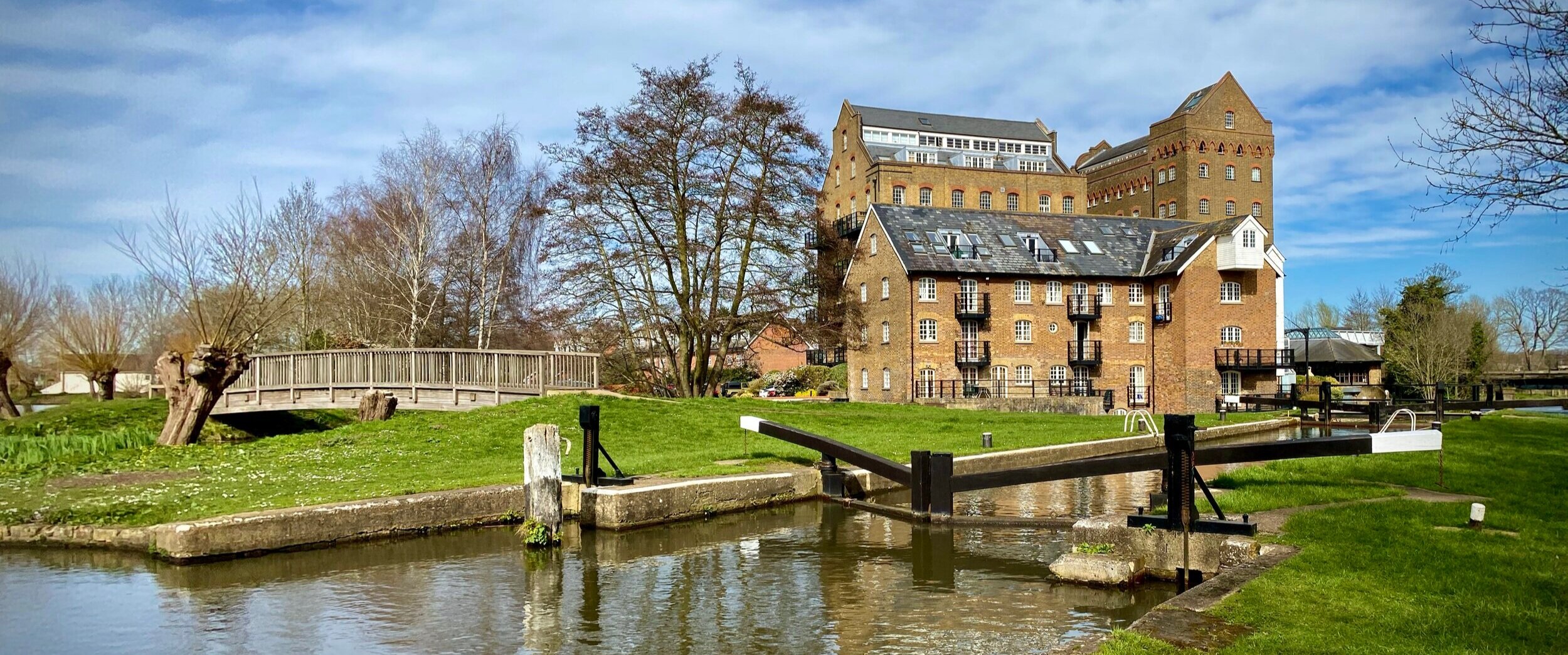
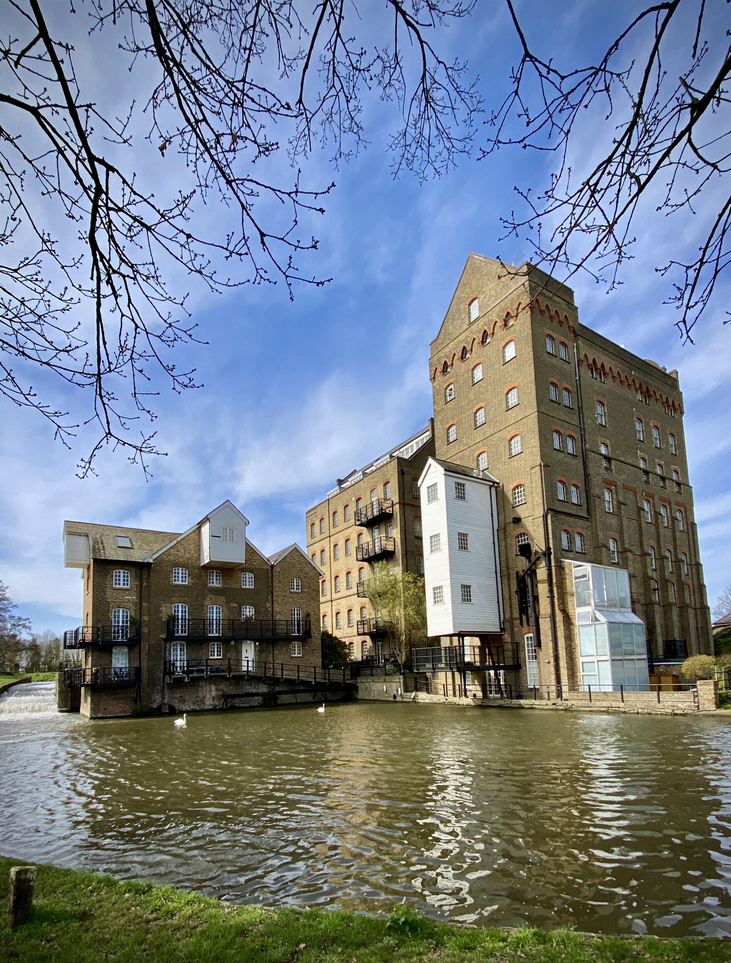
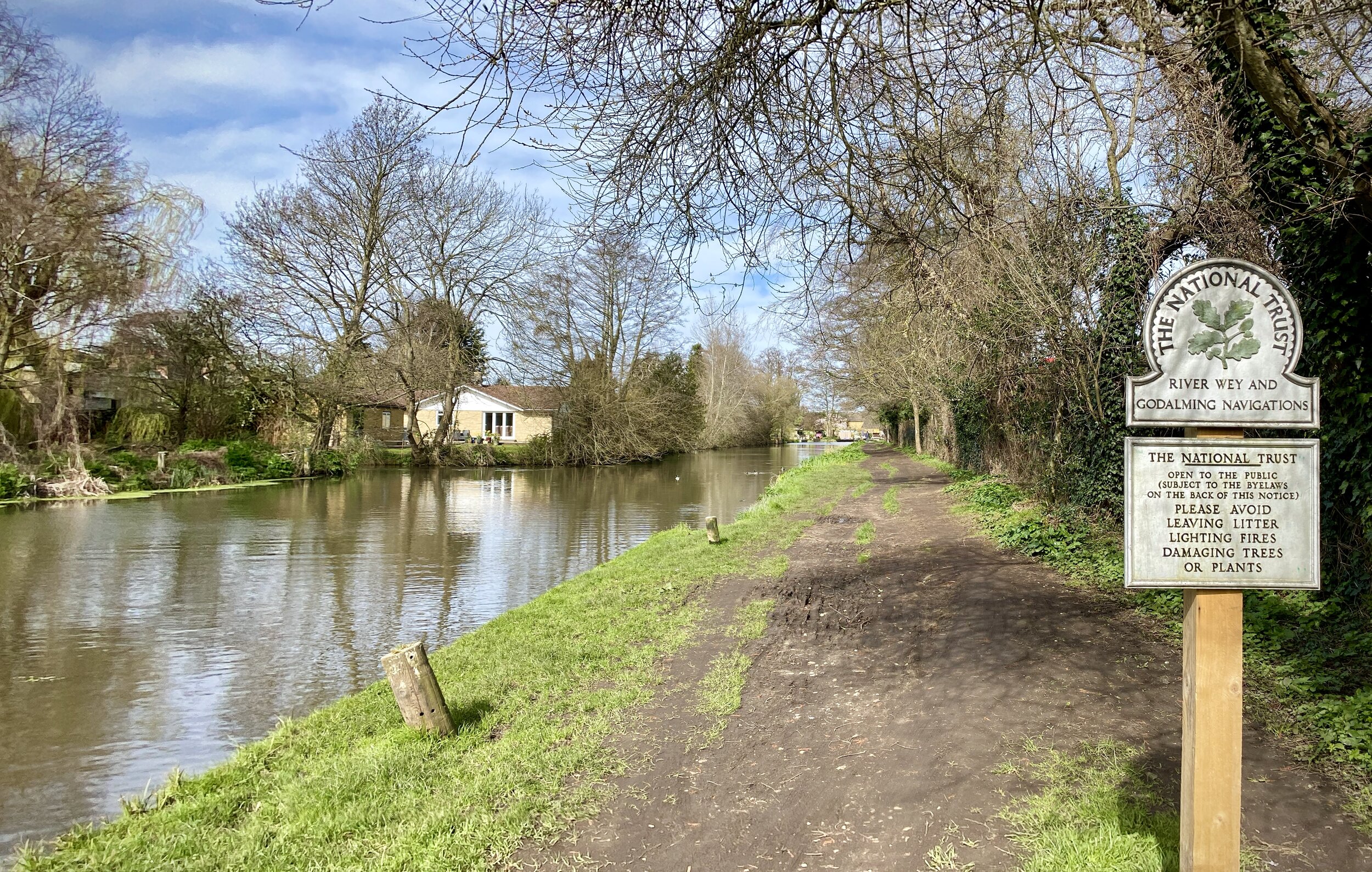
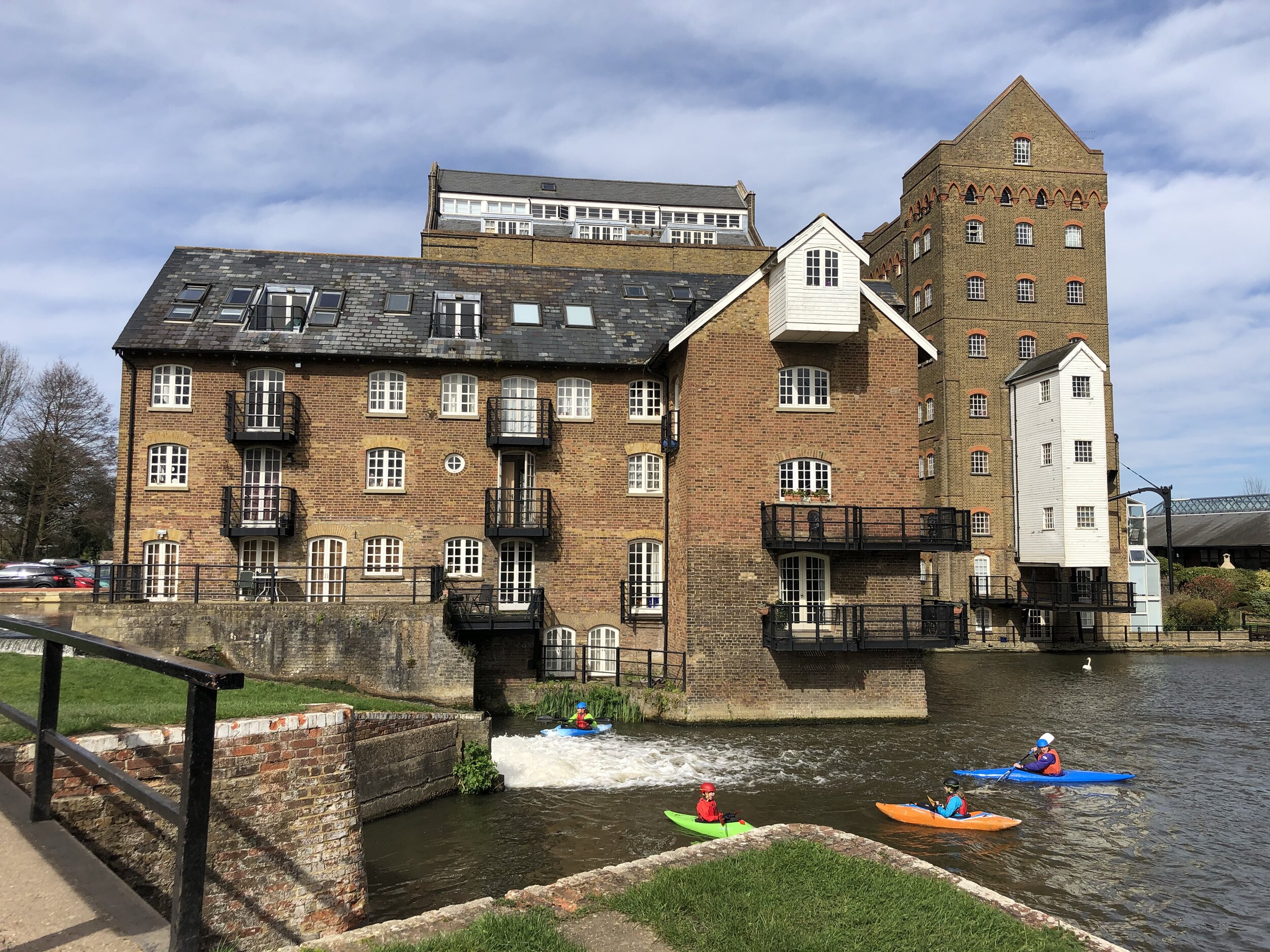
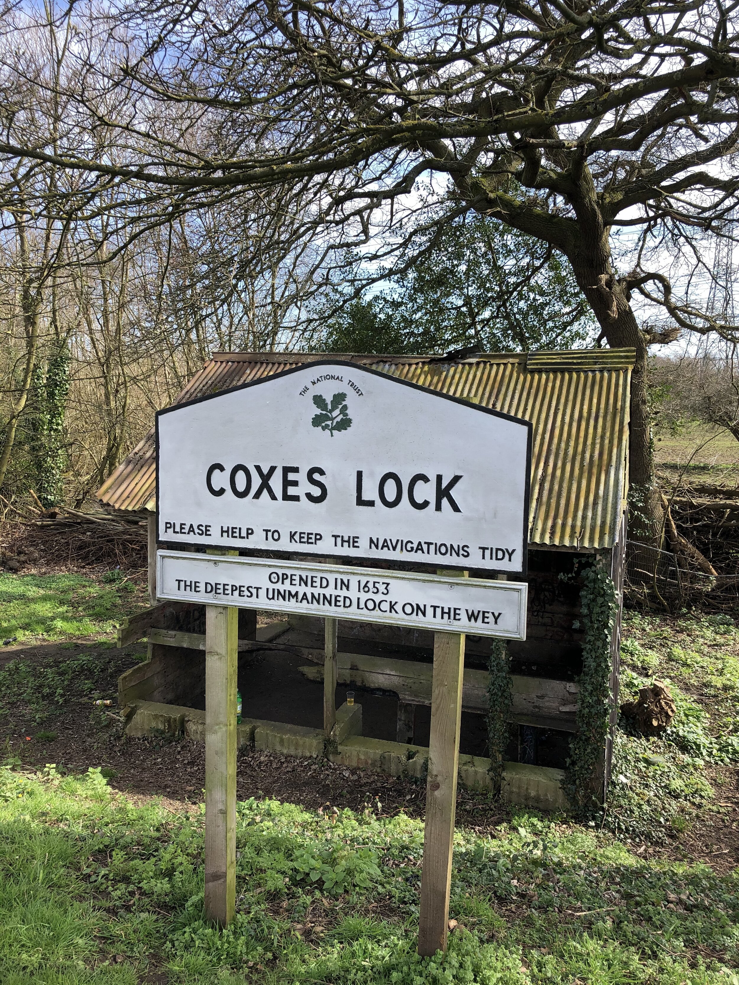
Coxes Lock on the Wey Navigation
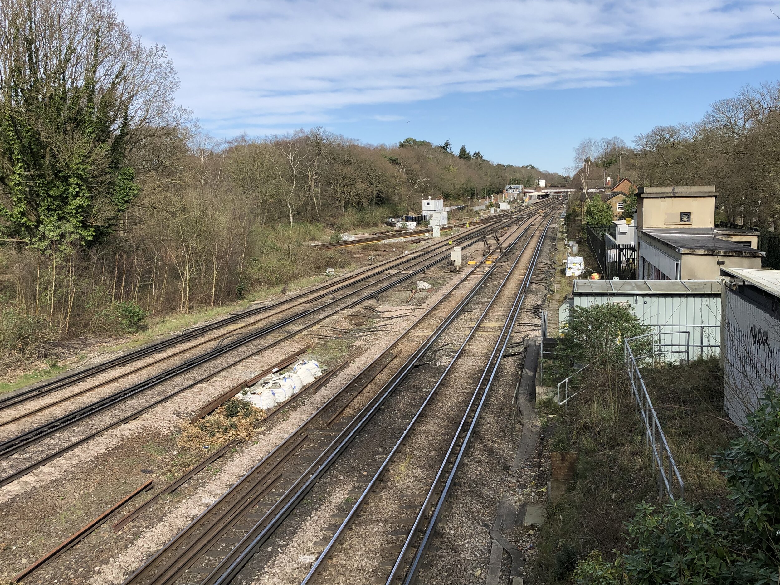
Start / Finish: Weybridge Railway Station, Station Approach, Weybridge, KT13 8UD
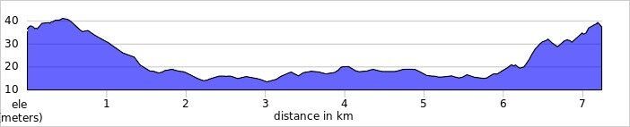
Distance: 7.3 km (4.5 miles)
Elevation Change: +/- 43m
GPX File: get via Buy Me a Coffee
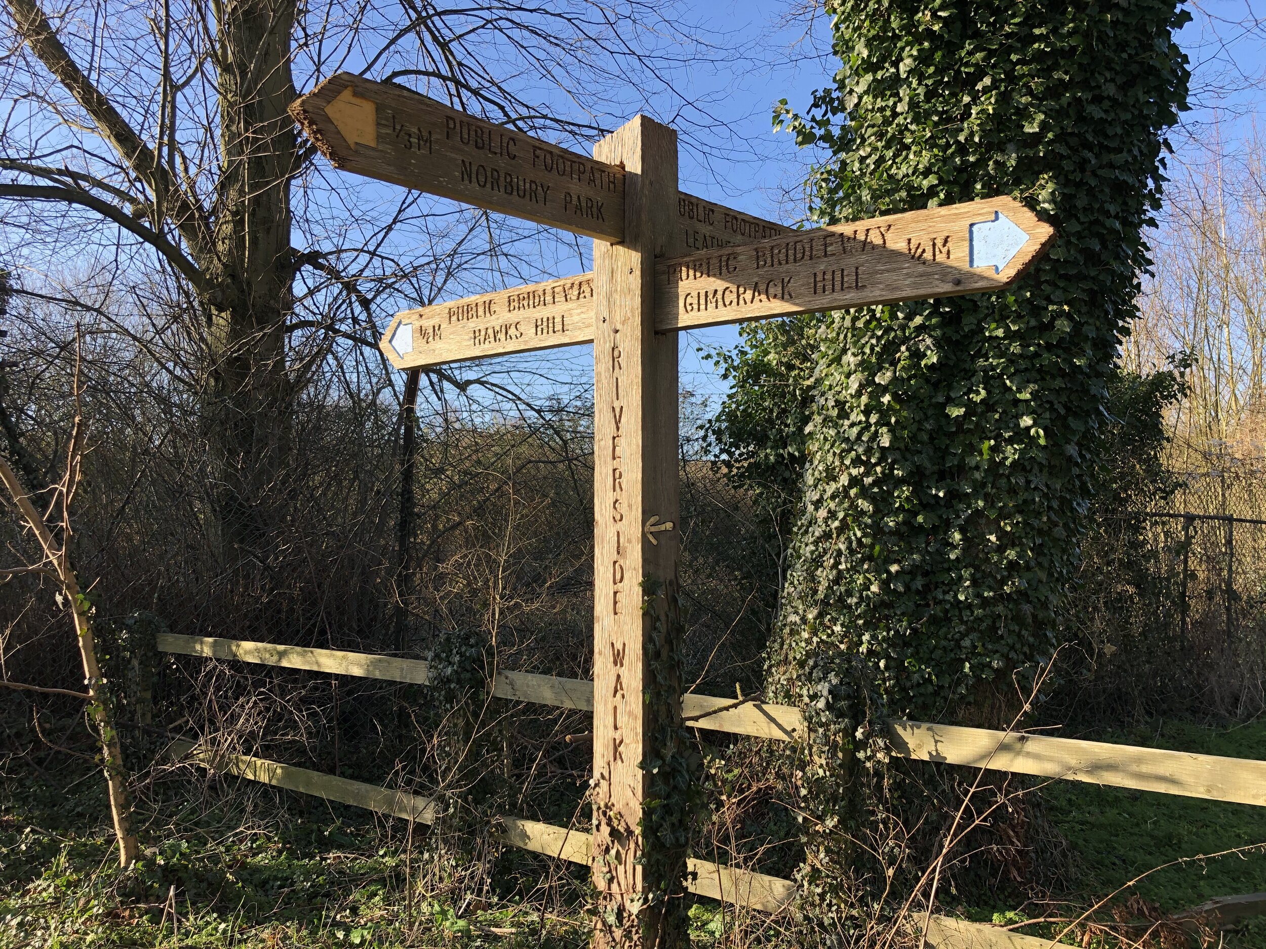
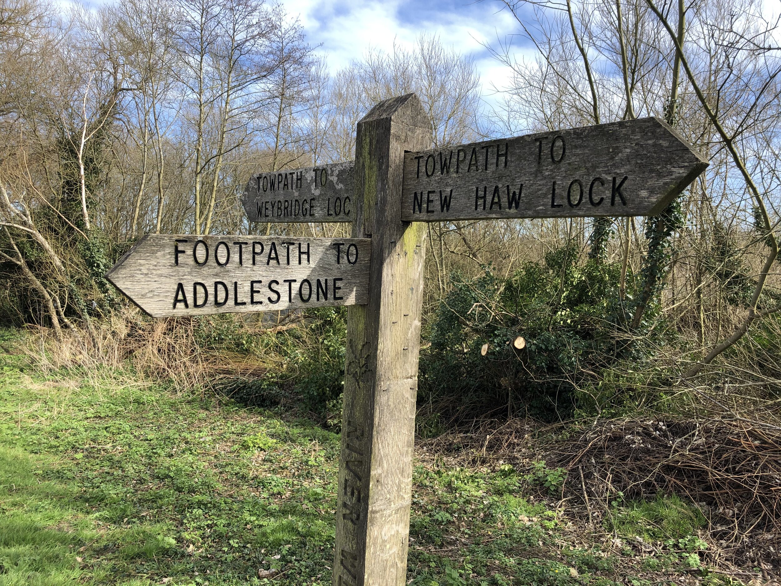
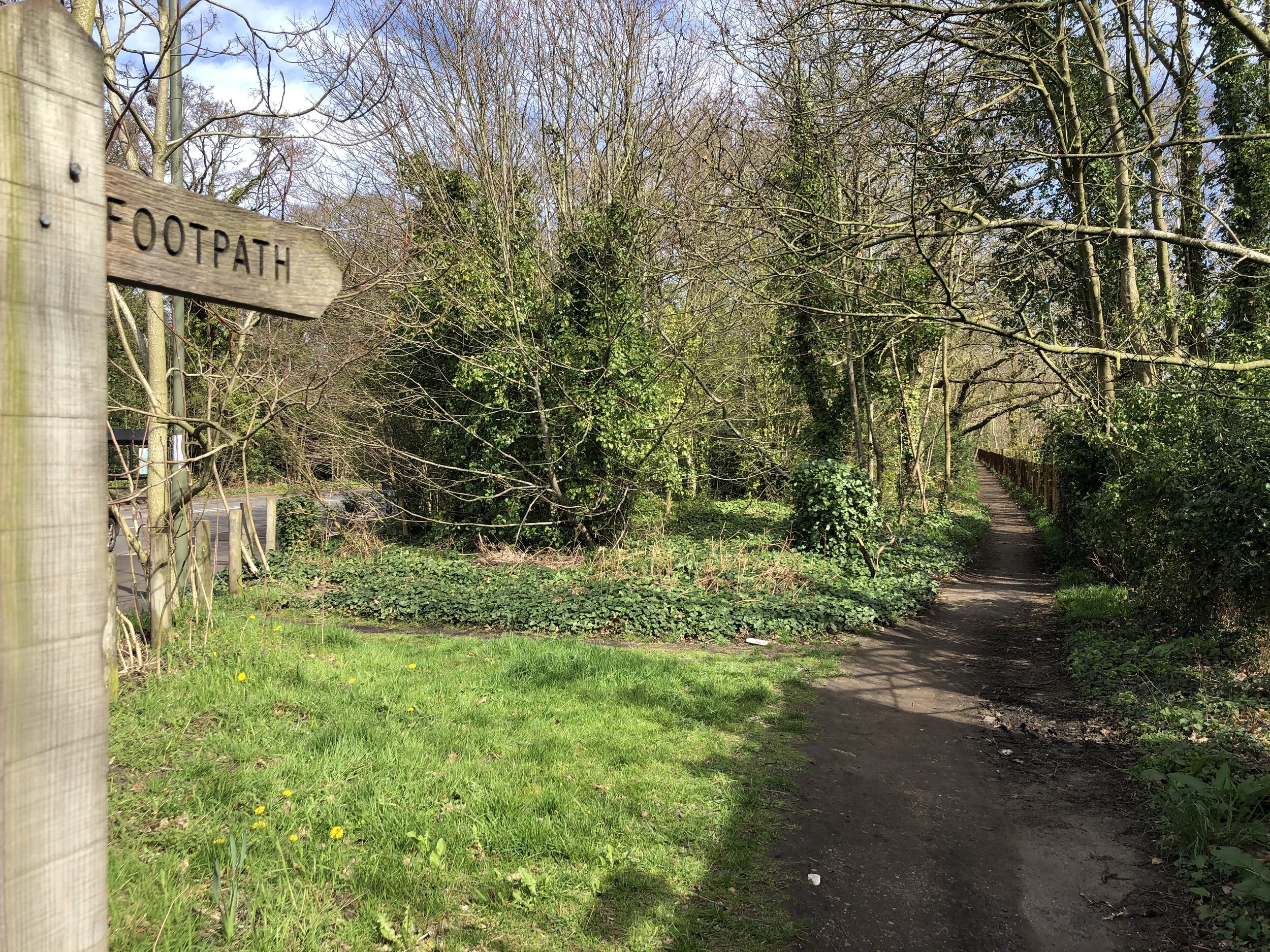
Other Routes Touched (walk): Wey Navigation Footpath
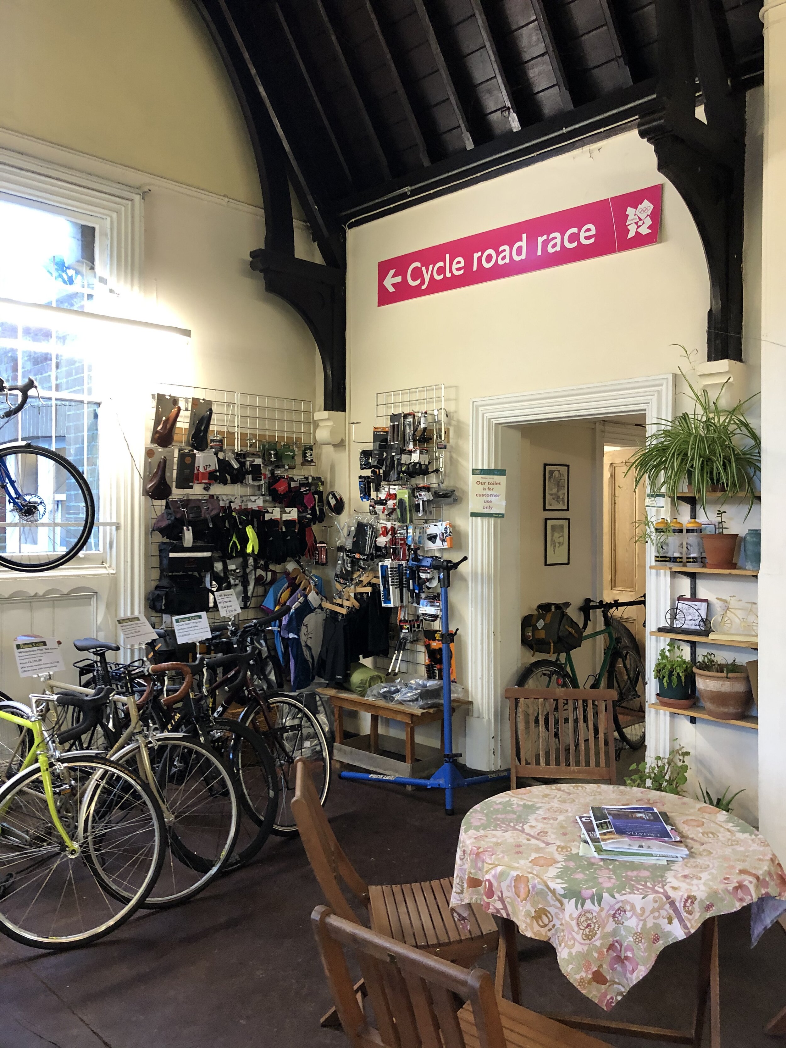
Cafe / pub on route: Several in Weybridge Town Centre.
Map: OS Explorer Map (160) Windsor, Weybridge & Bracknell
Links: Explore Surrey - Weybridge Locks and Levels, Weybridge, Weybridge Station, Wey Navigation
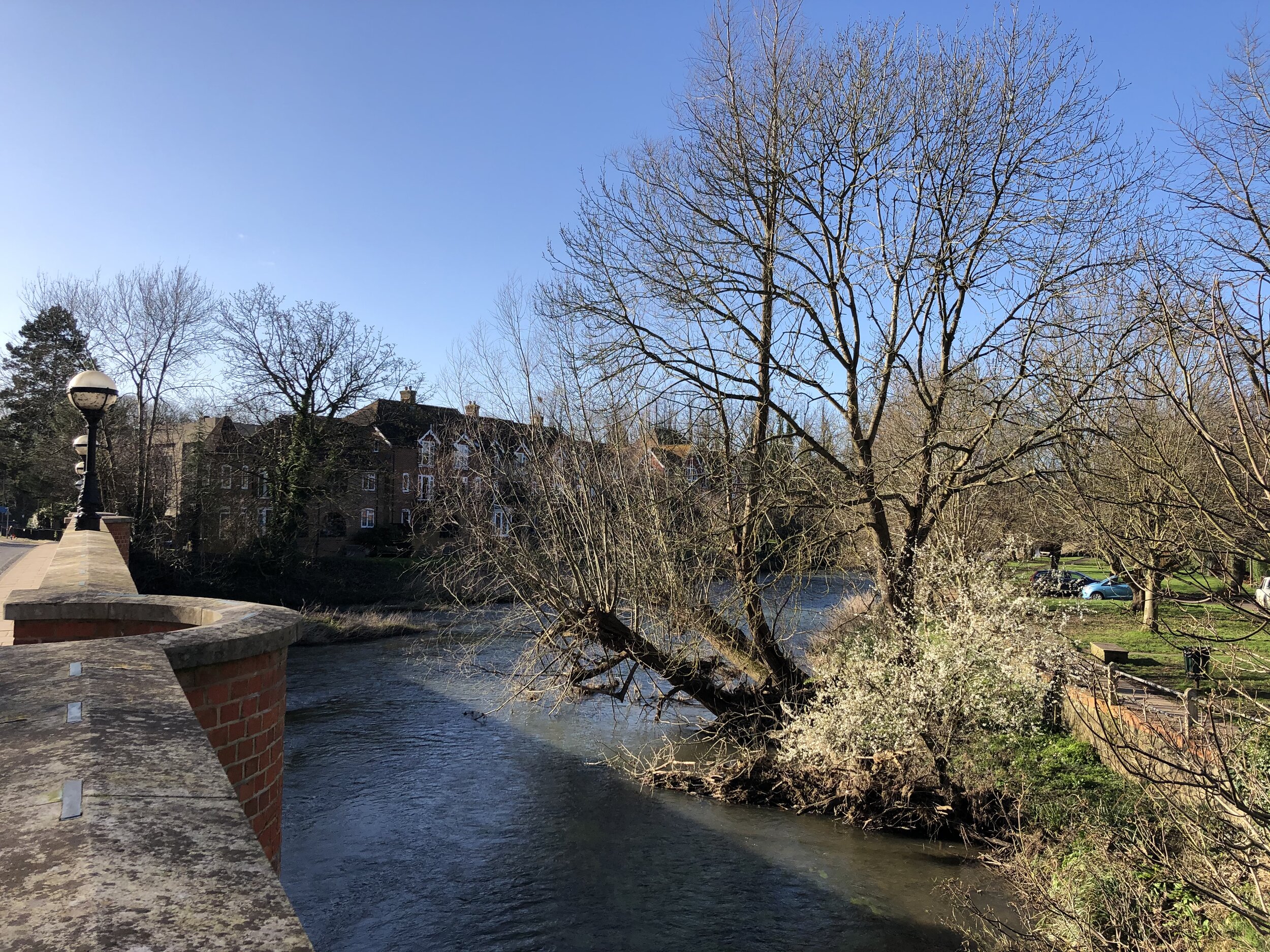
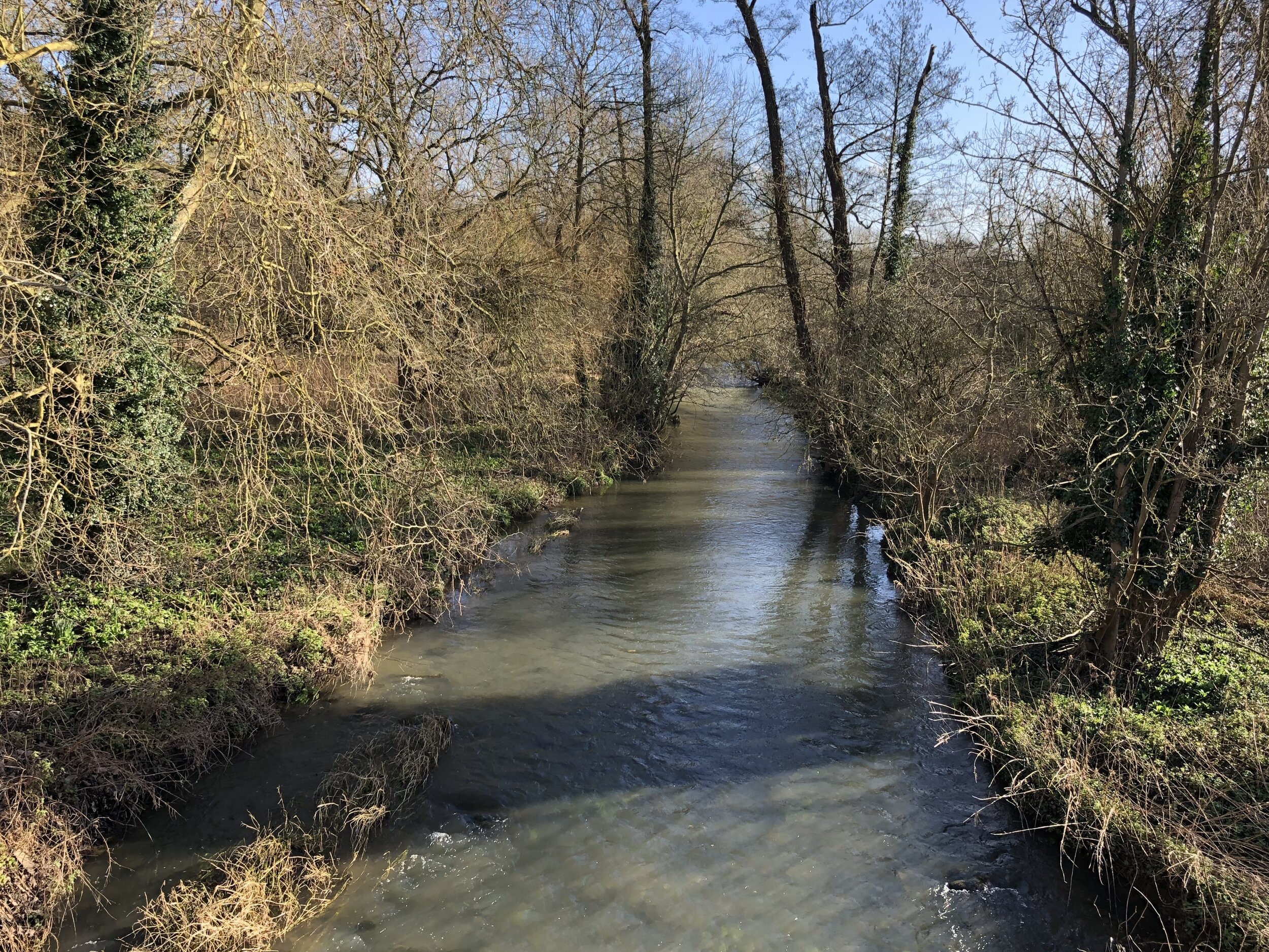
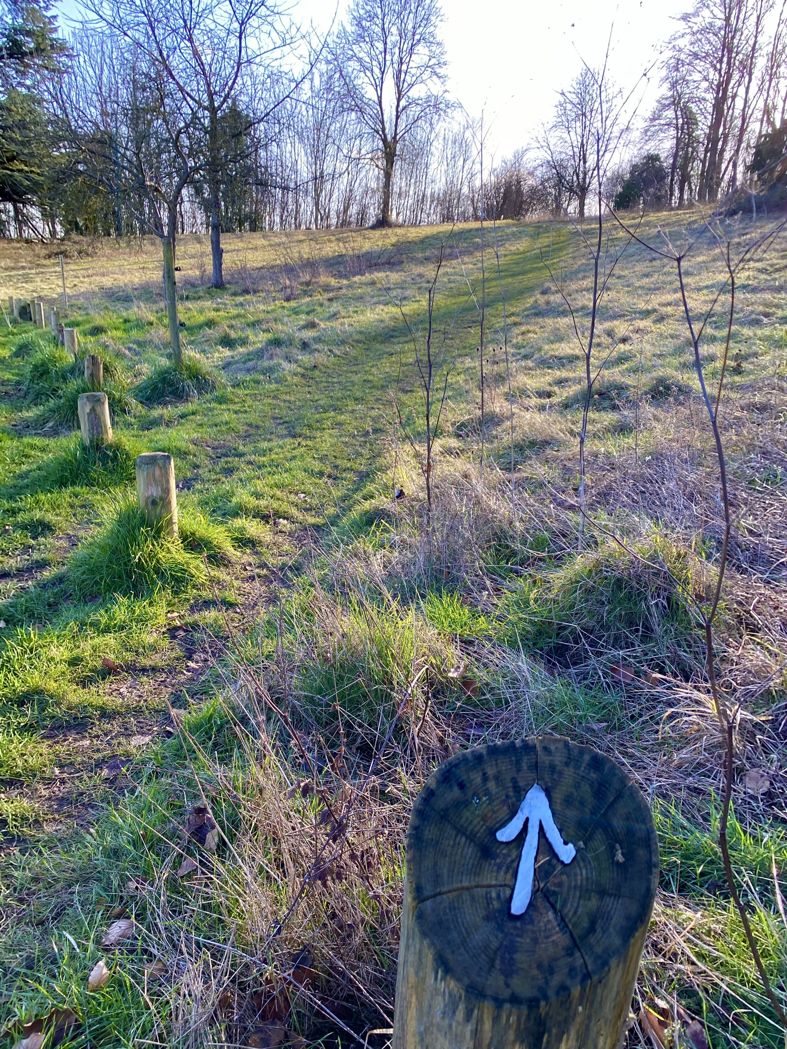
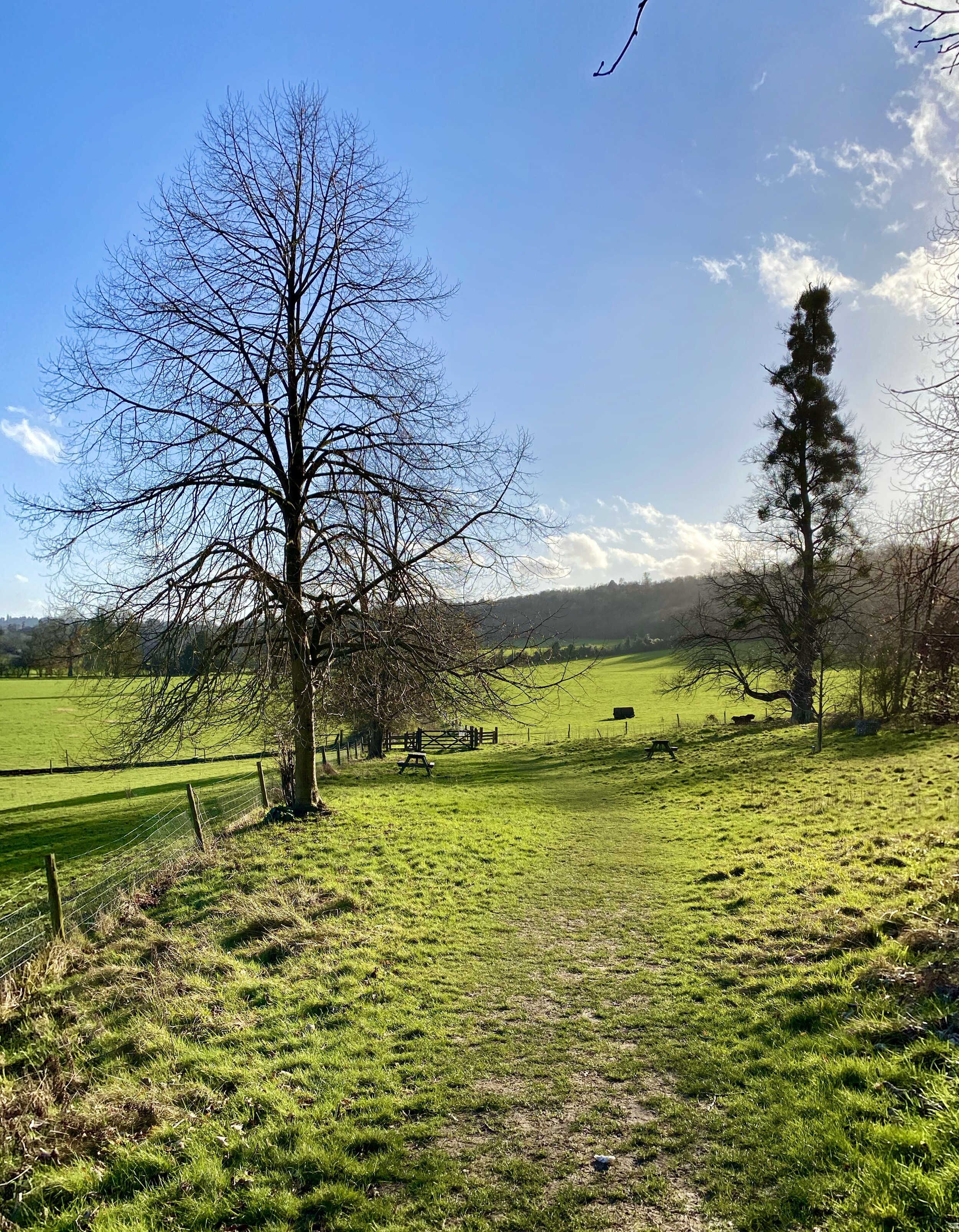
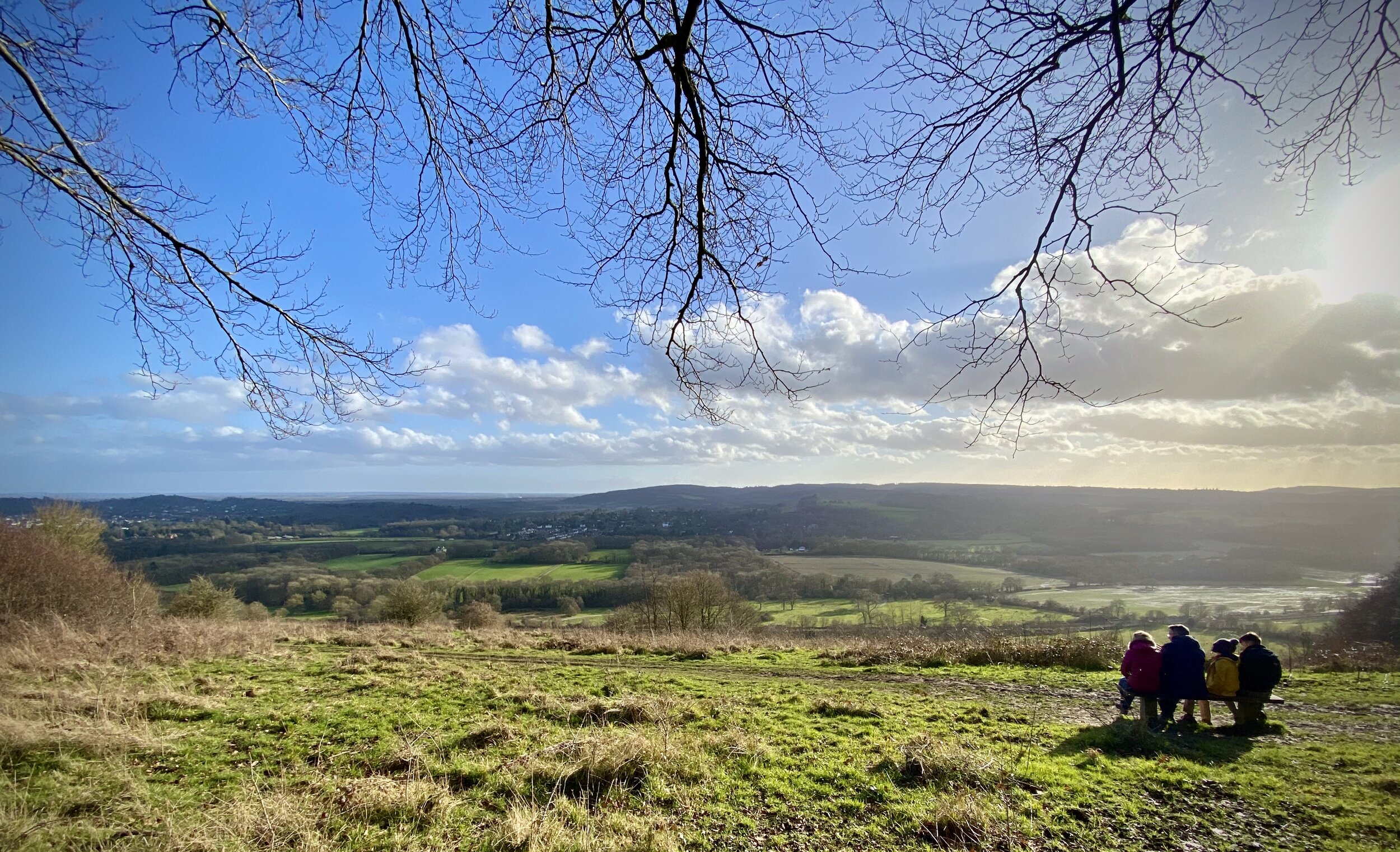
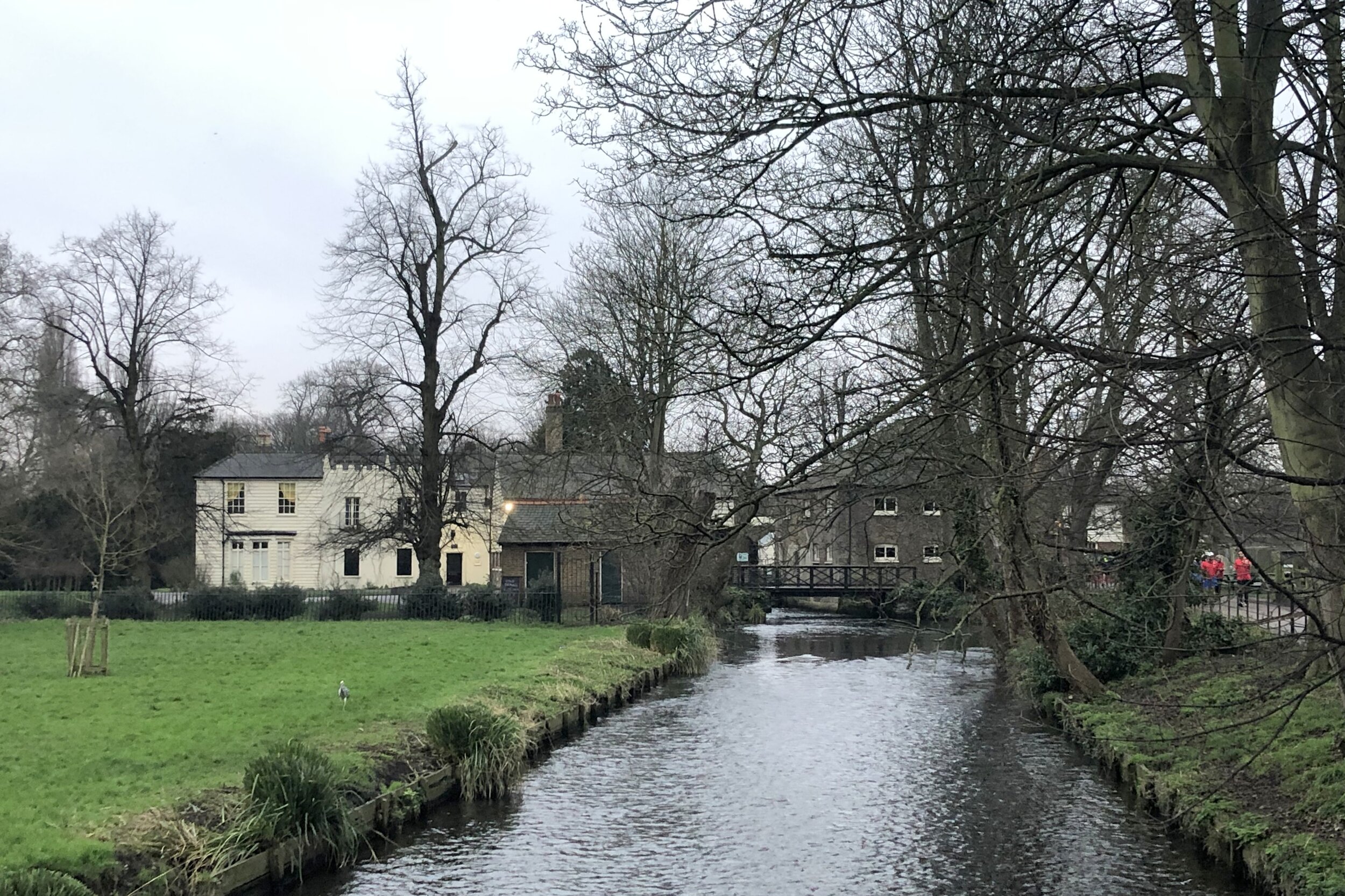
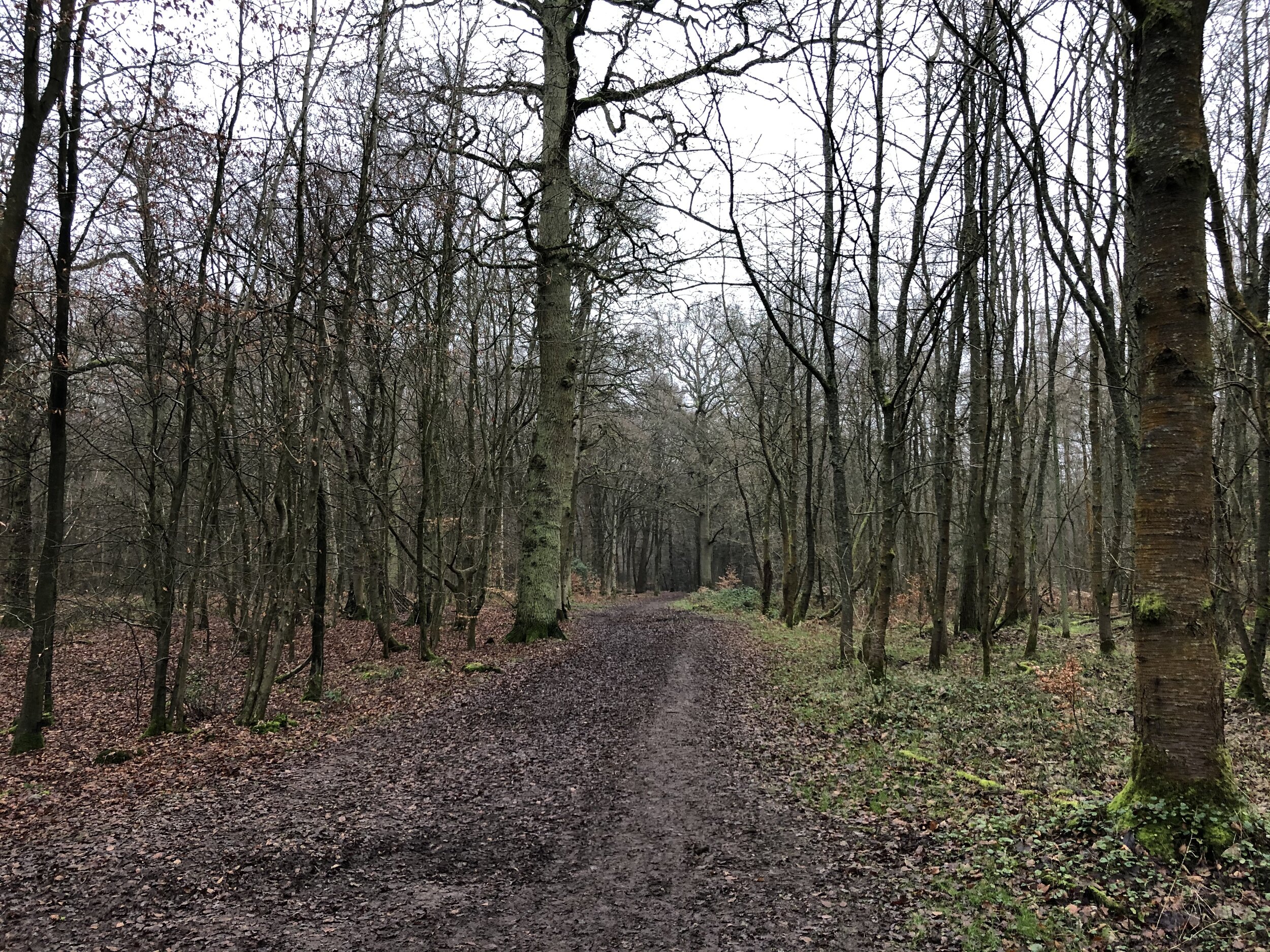
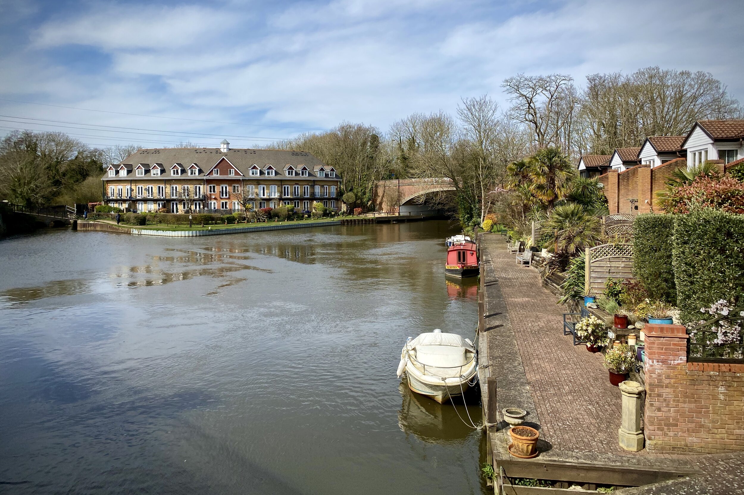
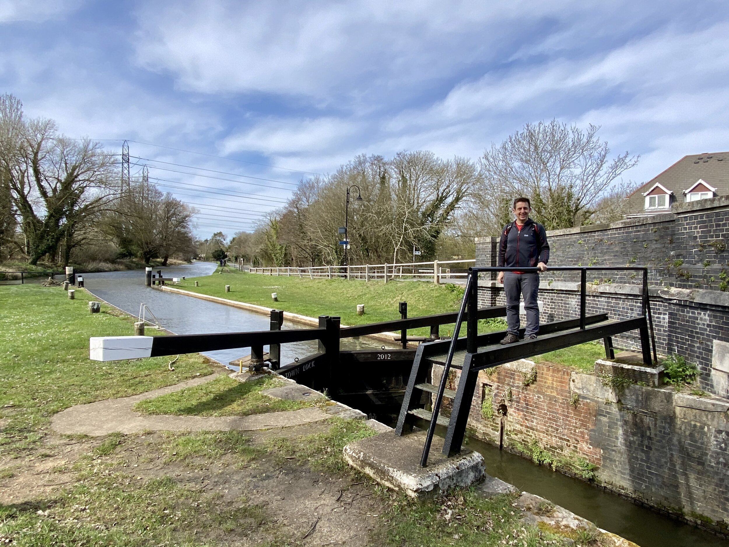
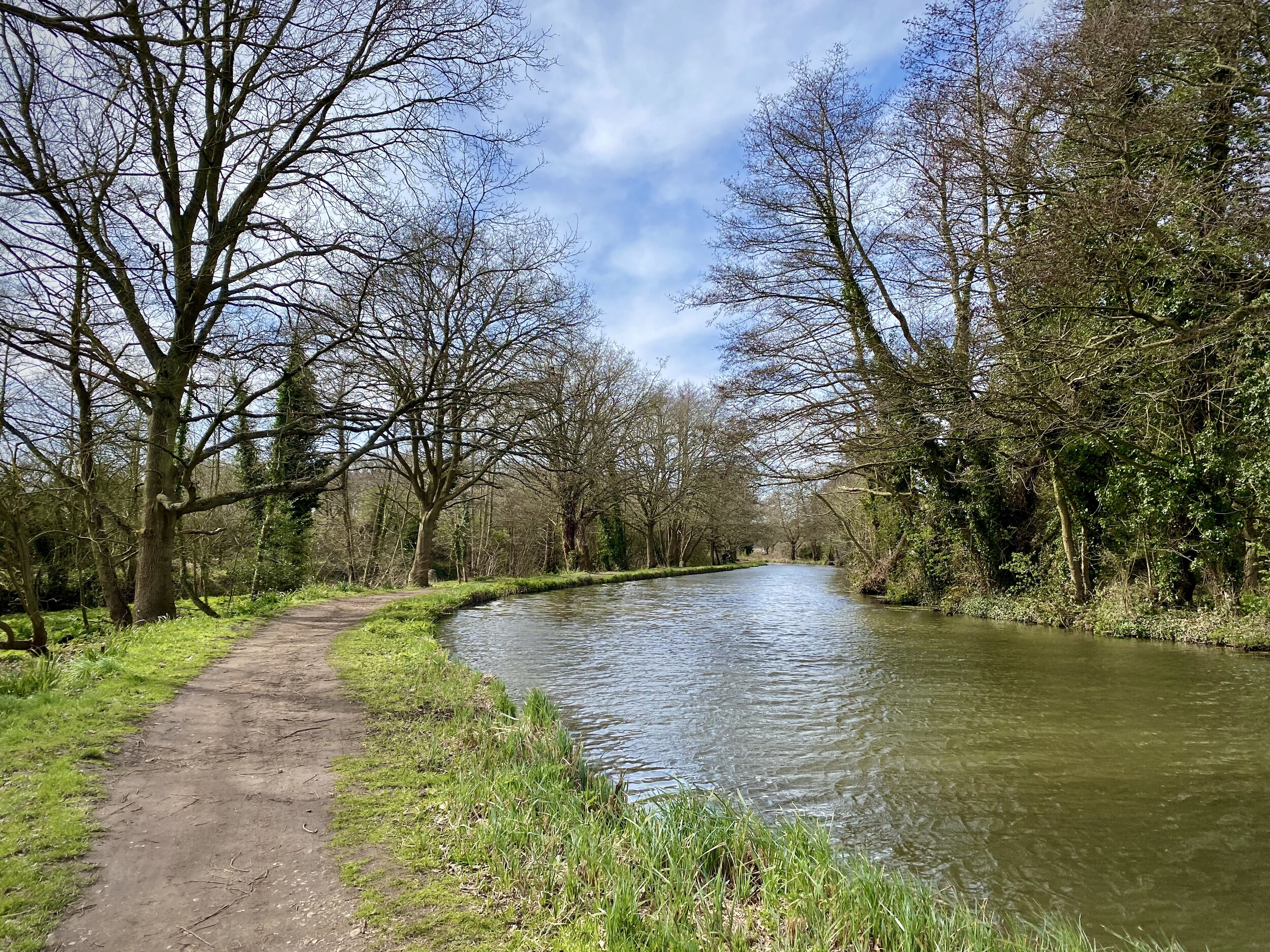
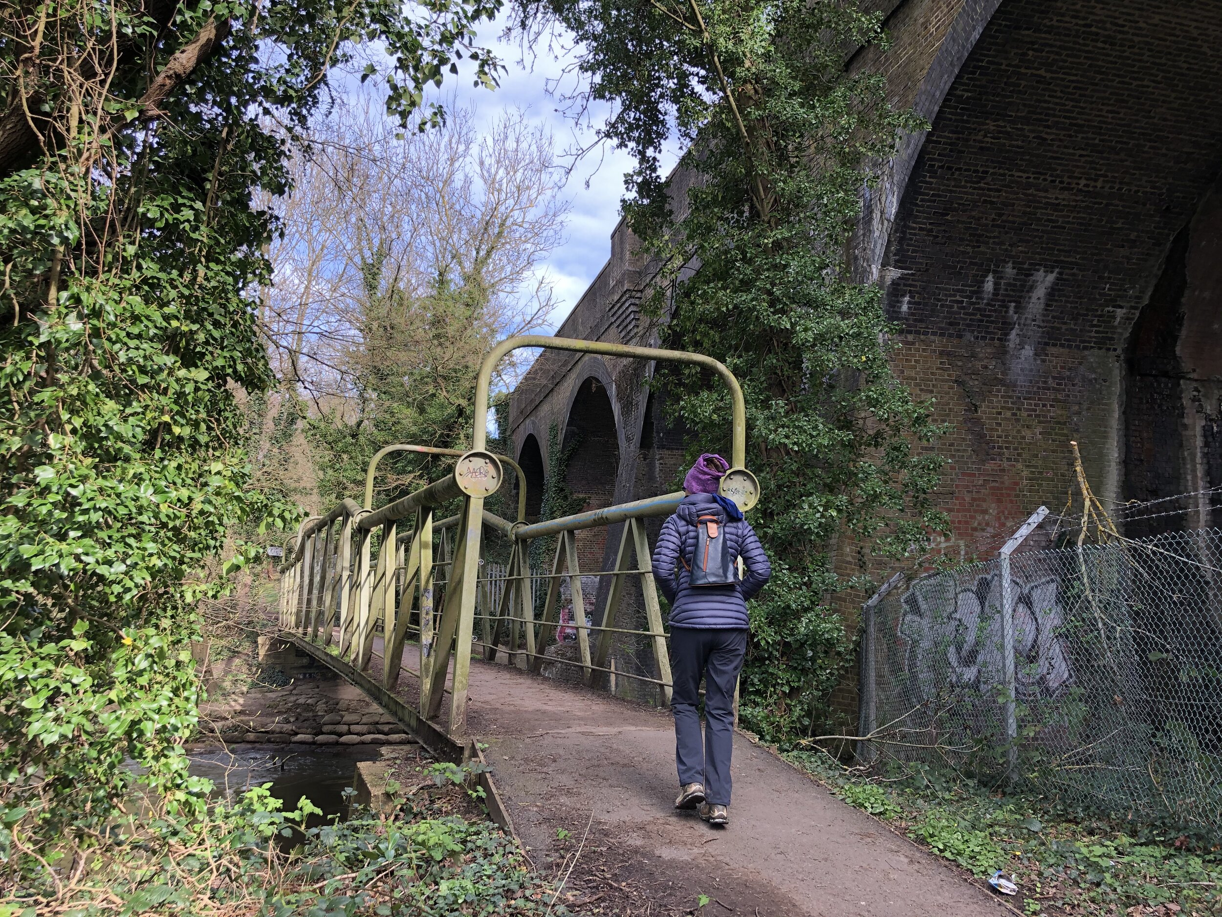
This is the second of a series of short circular walks along the River Wey and the Wey Navigation canal in Surrey. The guidance below will help you navigate but don’t use it as a fully accurate turn-by-turn guide. Always take a map and/or a GPX route and prepare well for the weather and terrain.
This walk is also part of the the Explore Surrey series whose website is a rich source of information about getting out and about in the county. As with all of their routes, their PDFs have all the details so I won’t cover them again here. The only additional thing to note is that the PDF guide starts and end the walk at Weybridge station. If you’re driving there’s alternative car parking in Weybridge Town Centre or free-on street parking on parts of the route between the station and Church Street.


Previous section (north): Walking the River Wey Part 1: Weybridge and Desborough Island
Next section (south): Walking the River Wey Part 3: New Haw and Byfleet