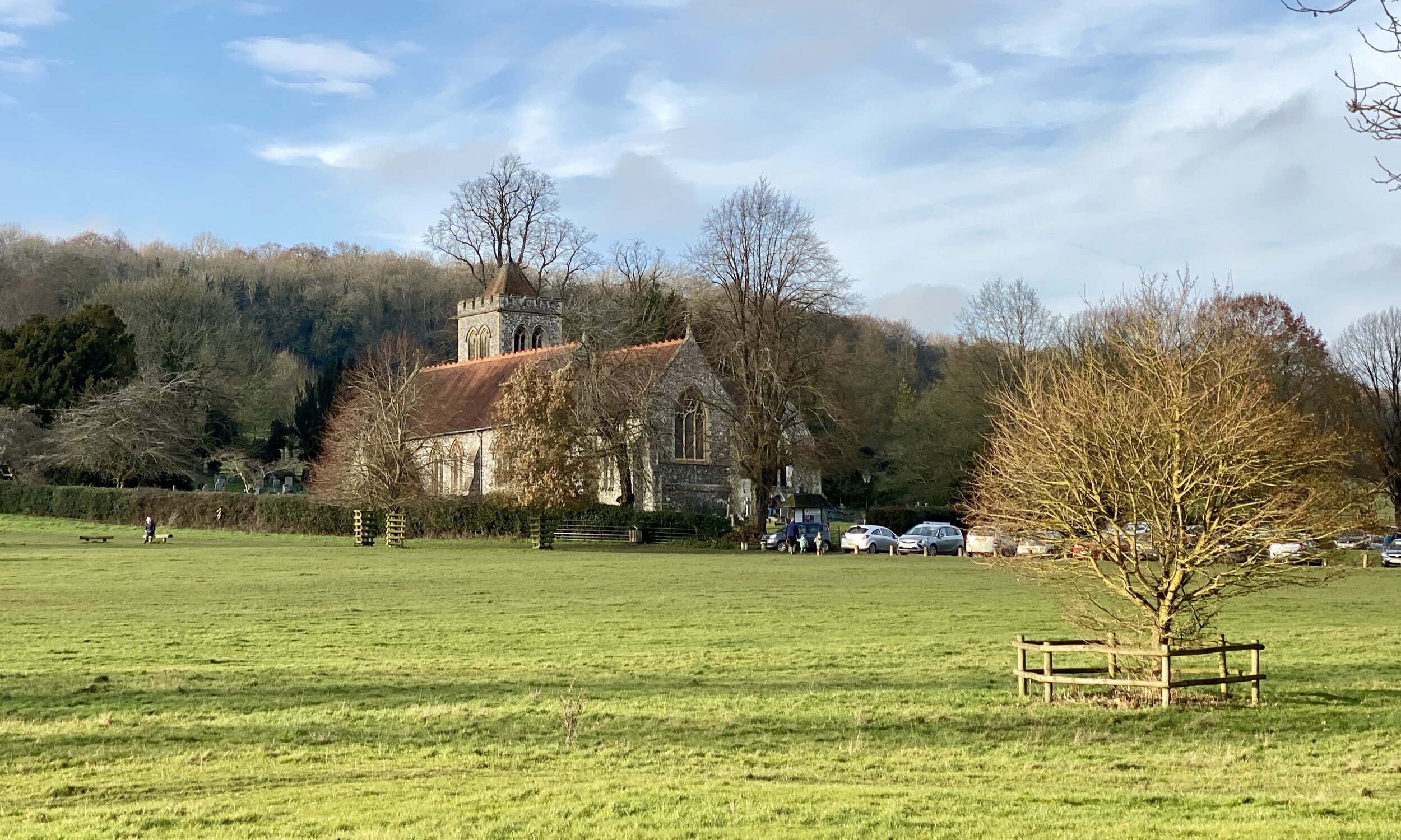
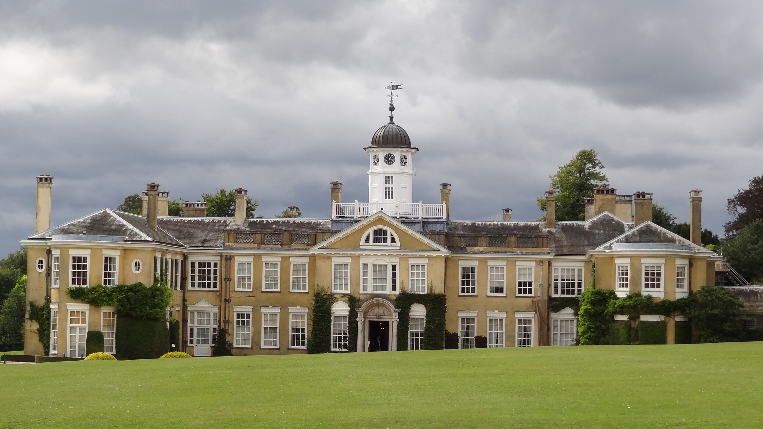
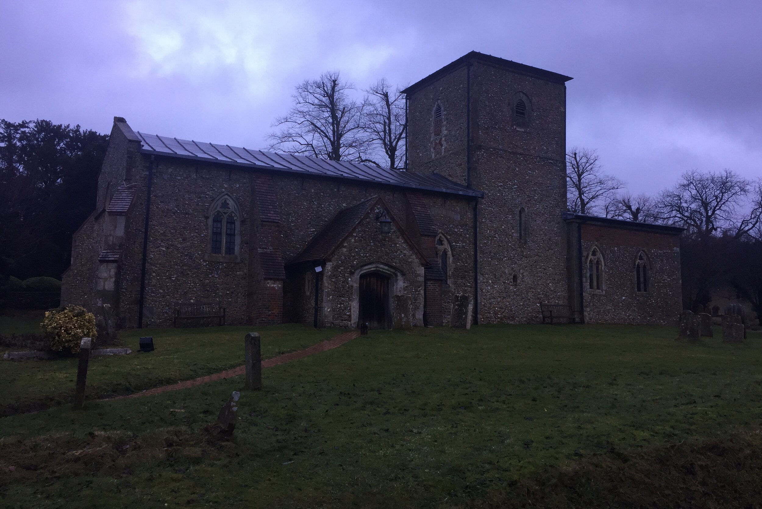
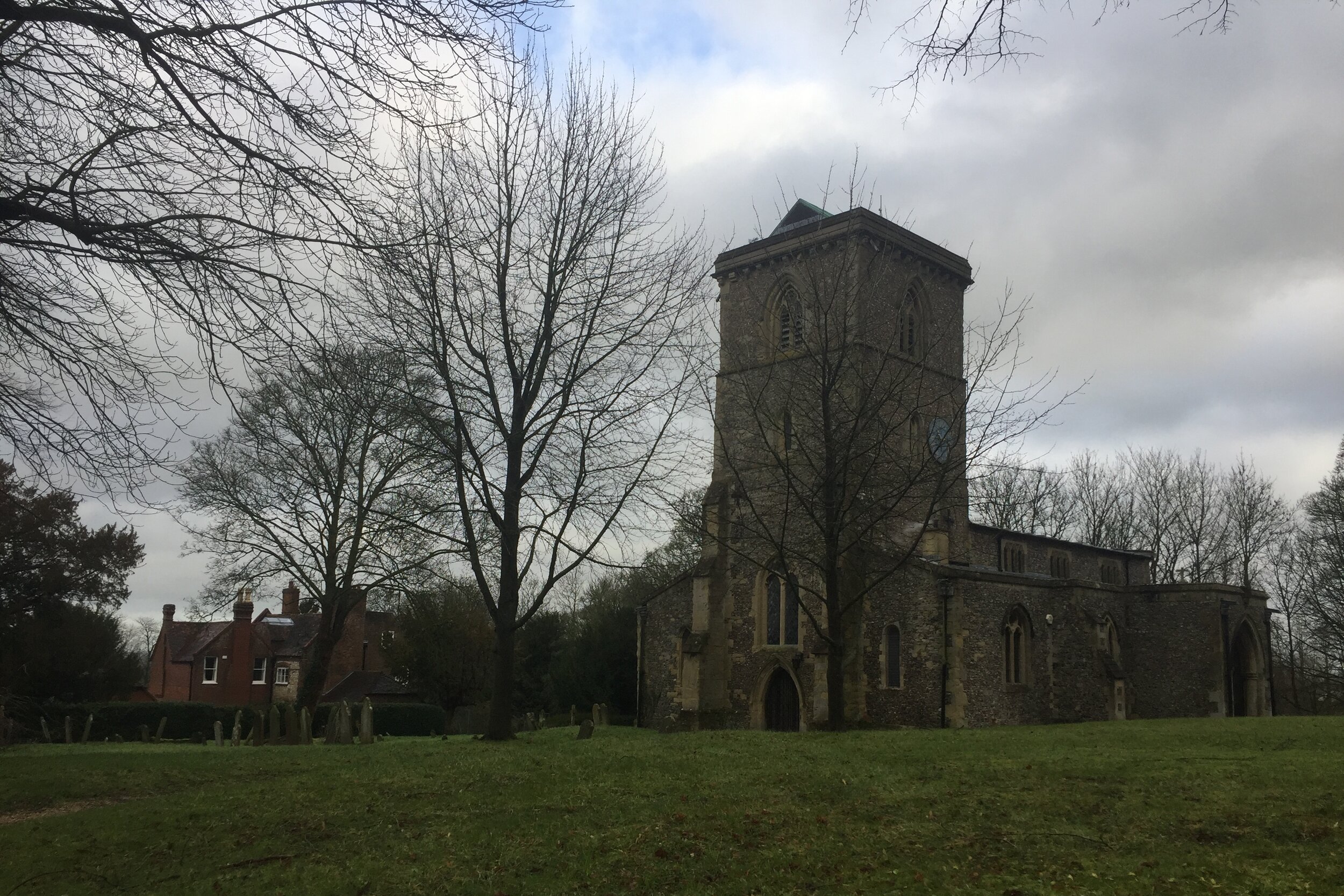
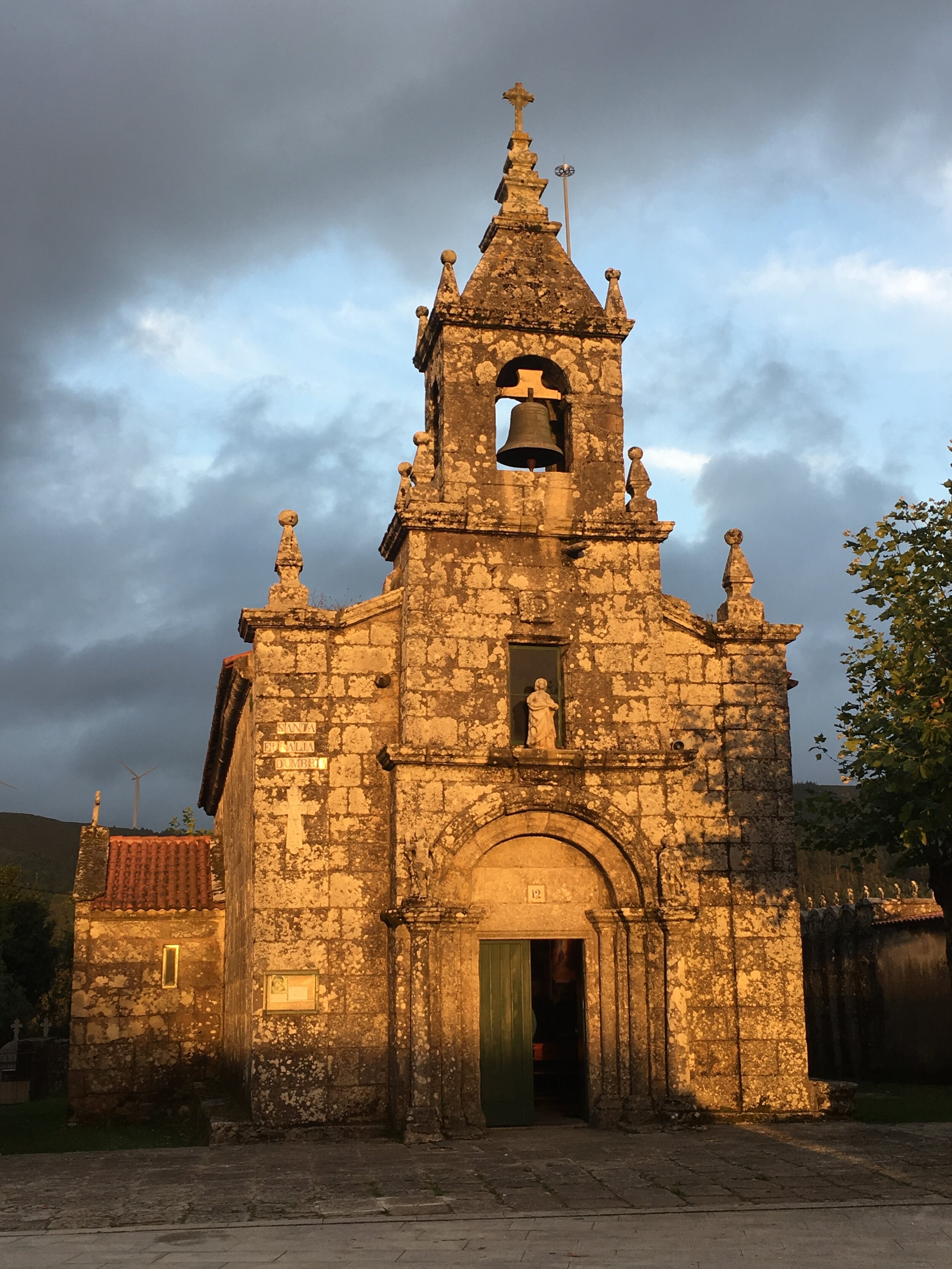
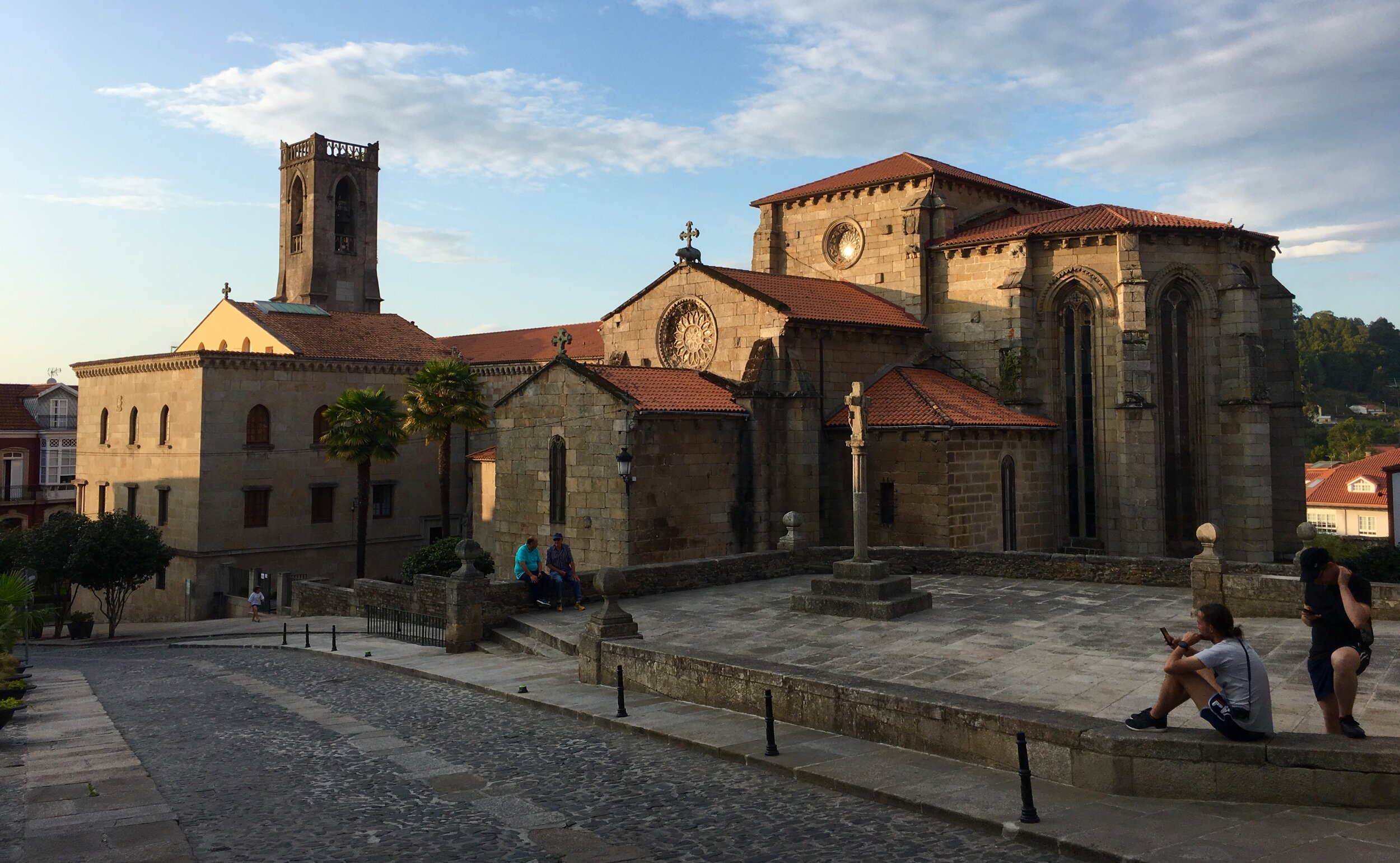
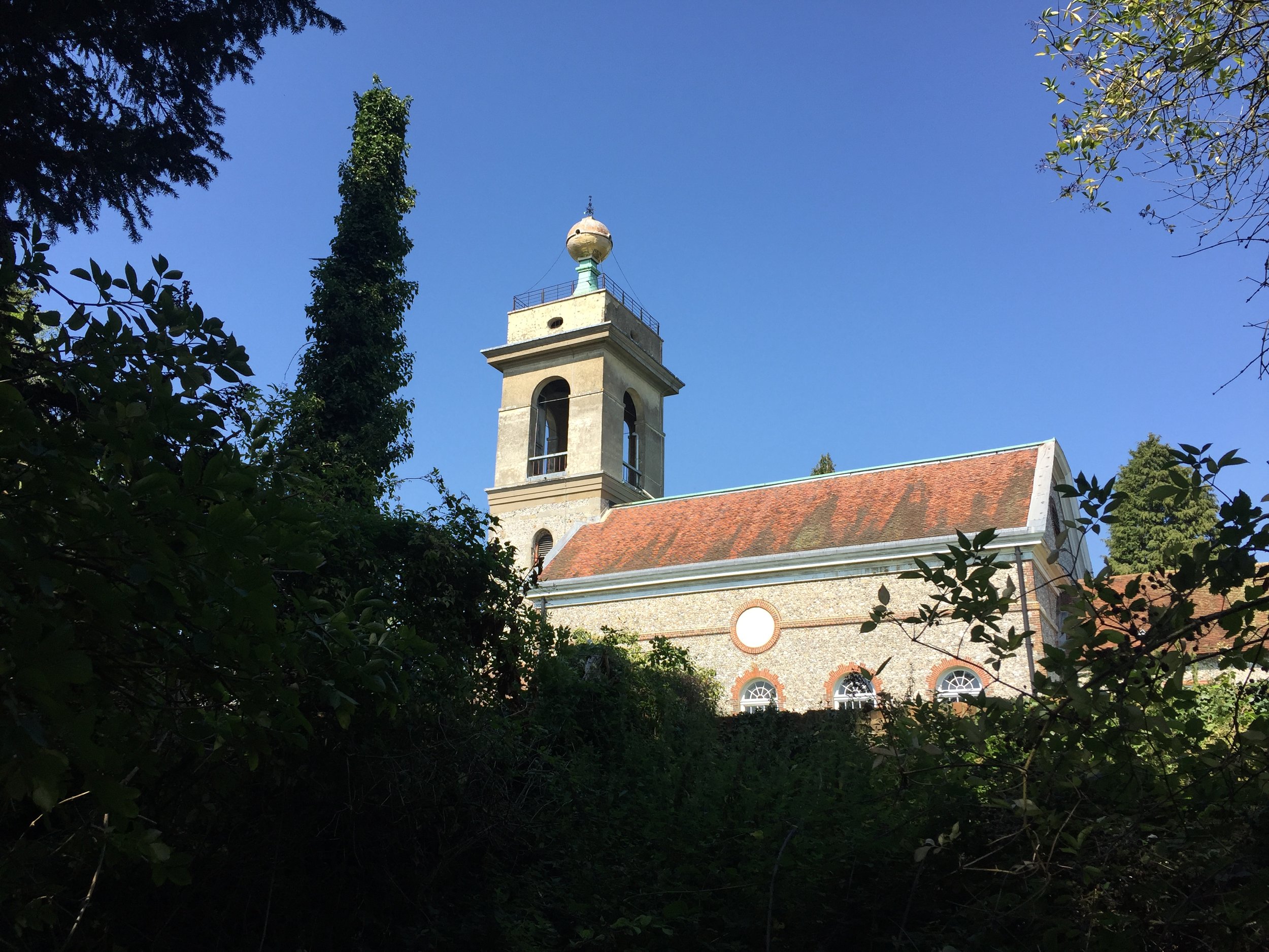
View of St Michael & All Angels, Hughenden Parish Church from the Hughenden Stream
Part of the Chiltern Rivers Series
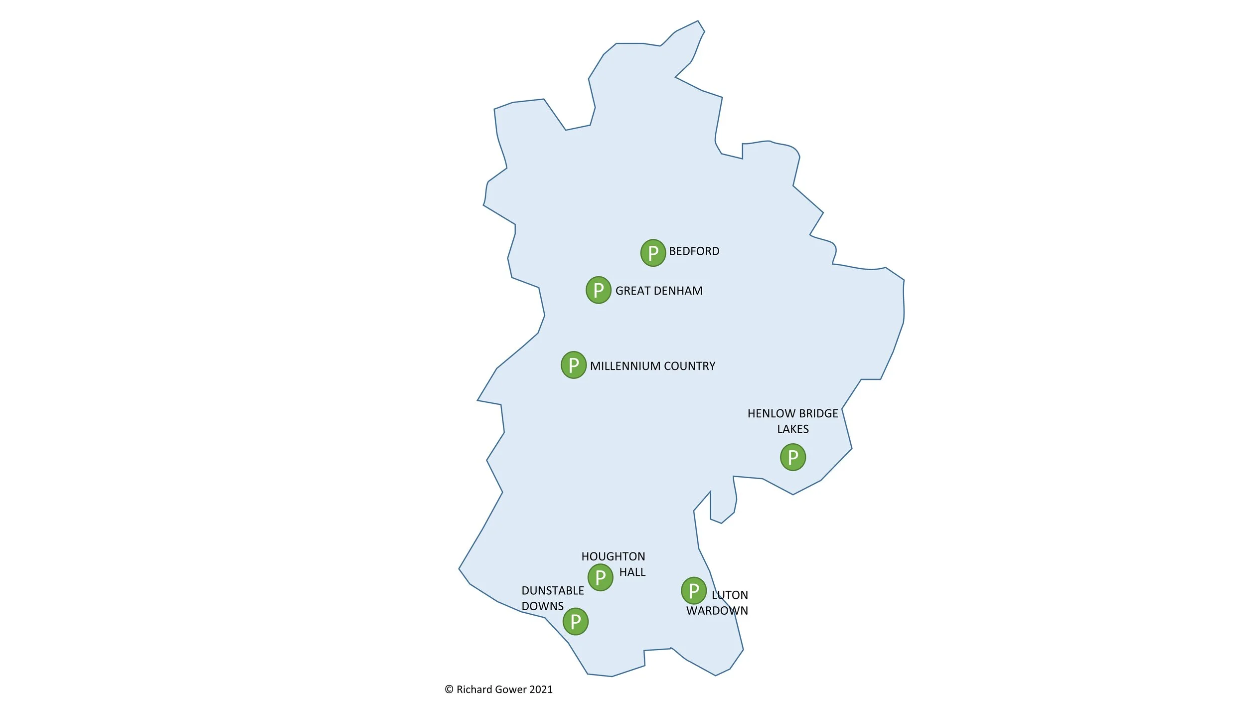
River start: Springs in the Hughenden Valley
River end: Confluence with River Wye in High Wycombe Town Centre
River length: 3.5 km (2.2 miles)
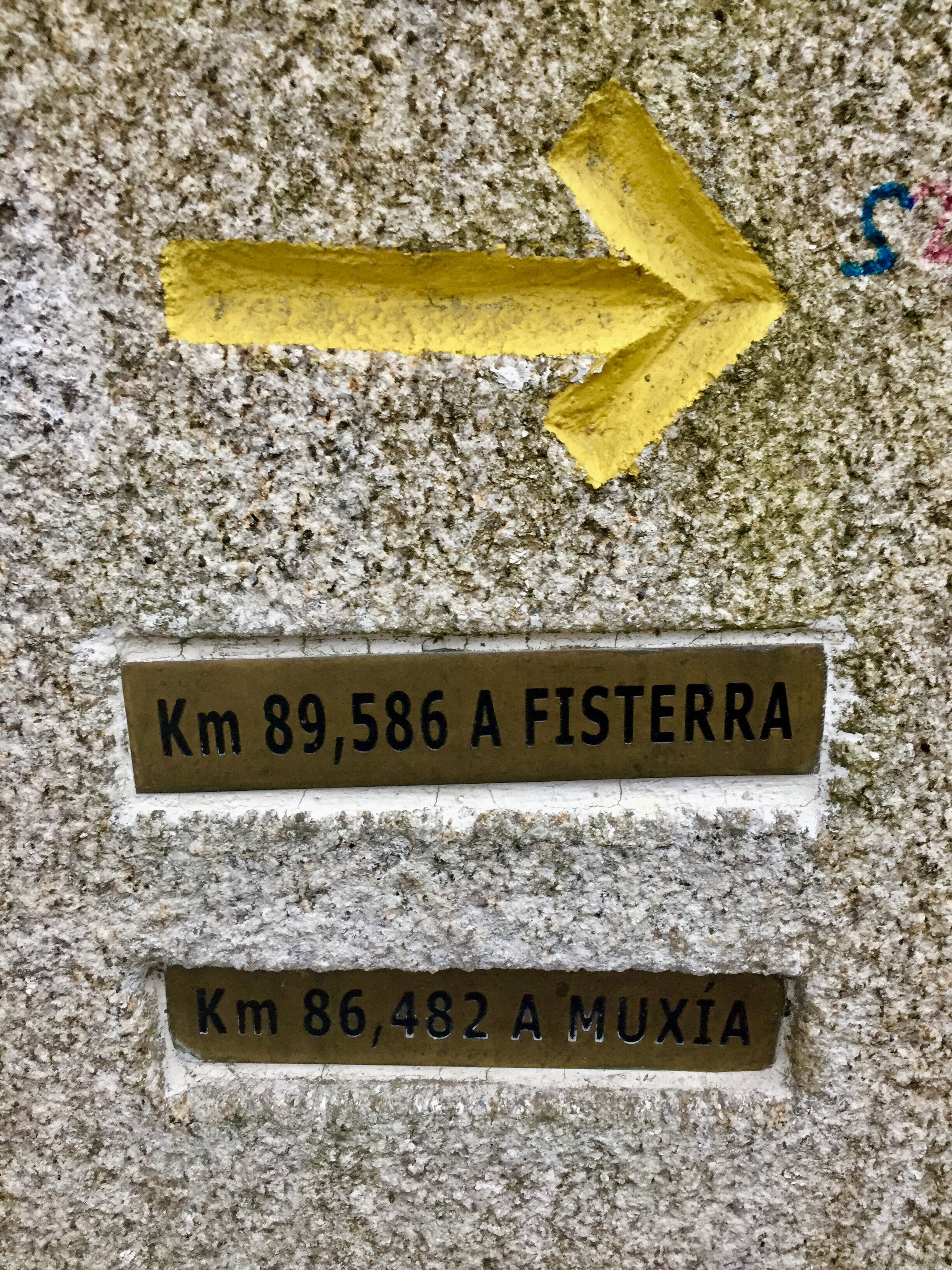
Walking route start: Hughenden Village Hall, HP14 4NX
Walking route end: Eden Shopping Centre, HP11 2DQ
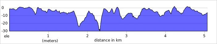
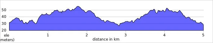
Walking route length: 4.1 km (2.5 miles)
Walking route elevation change: +15m /- 42m. Net -27m
GPX File: get via Buy Me a Coffee
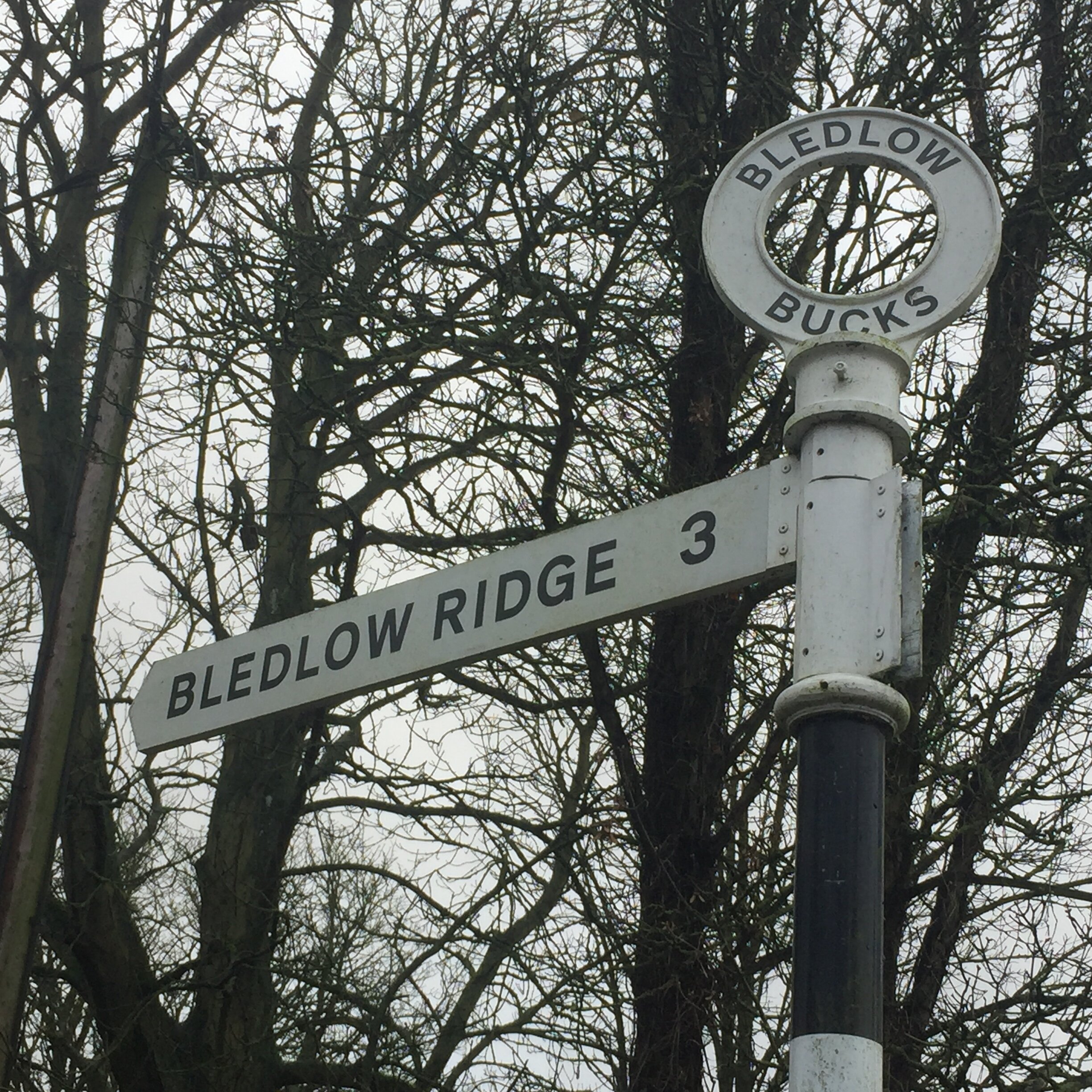
Other routes touched (walk): Hughenden Park Boundary Walk
Other routes touched (cycle): N/A
Map: OS Explorer Map (172) Chiltern Hills East
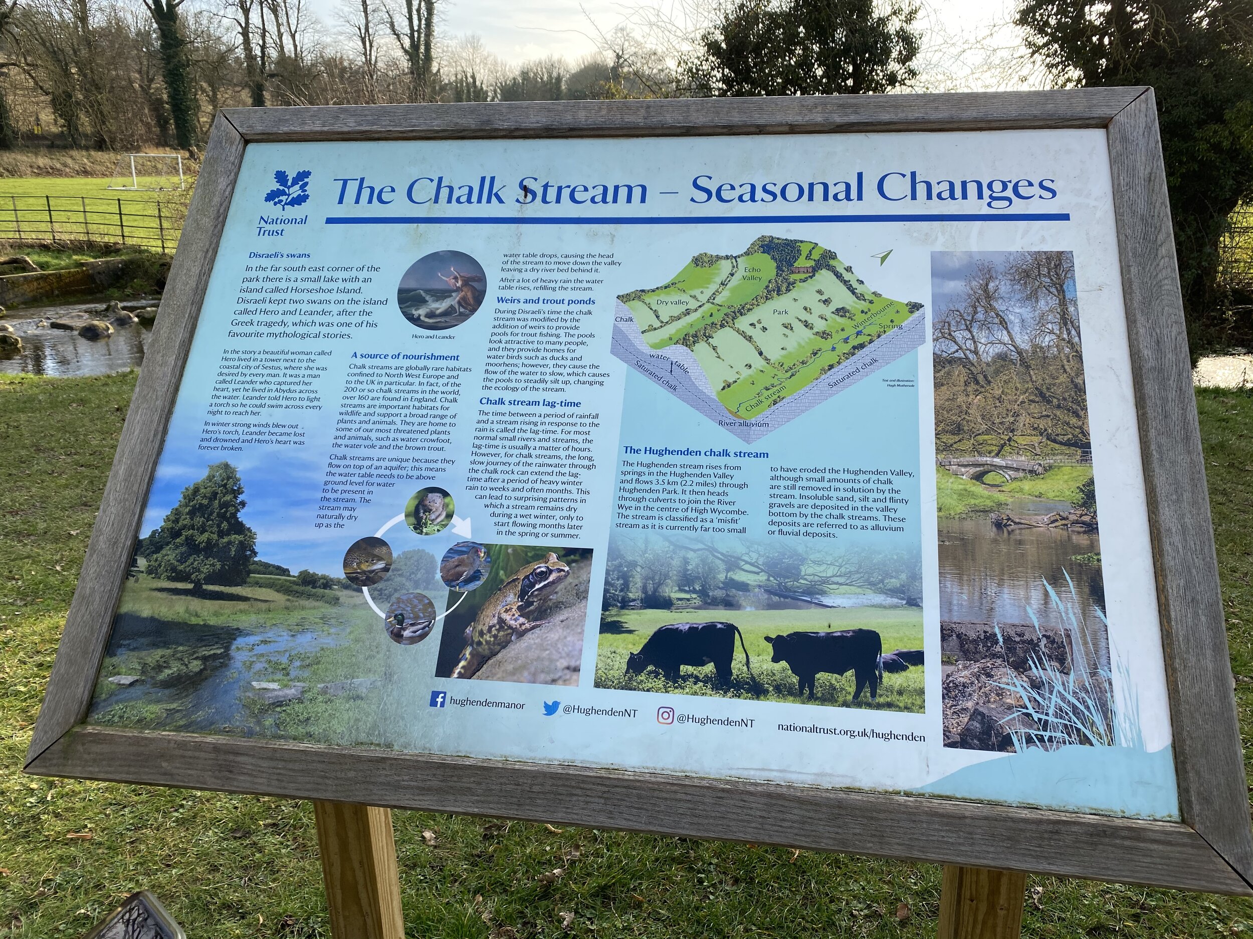
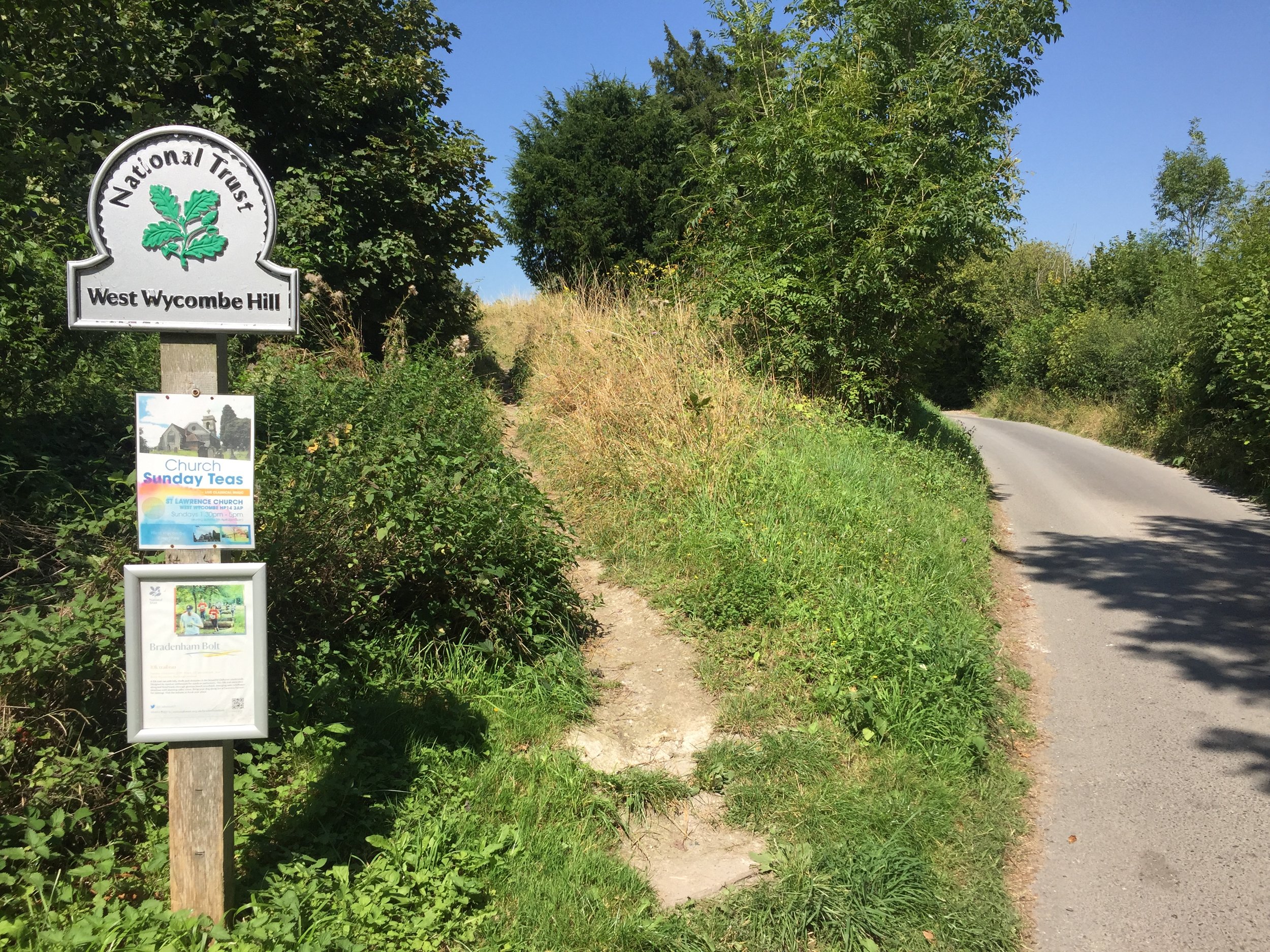
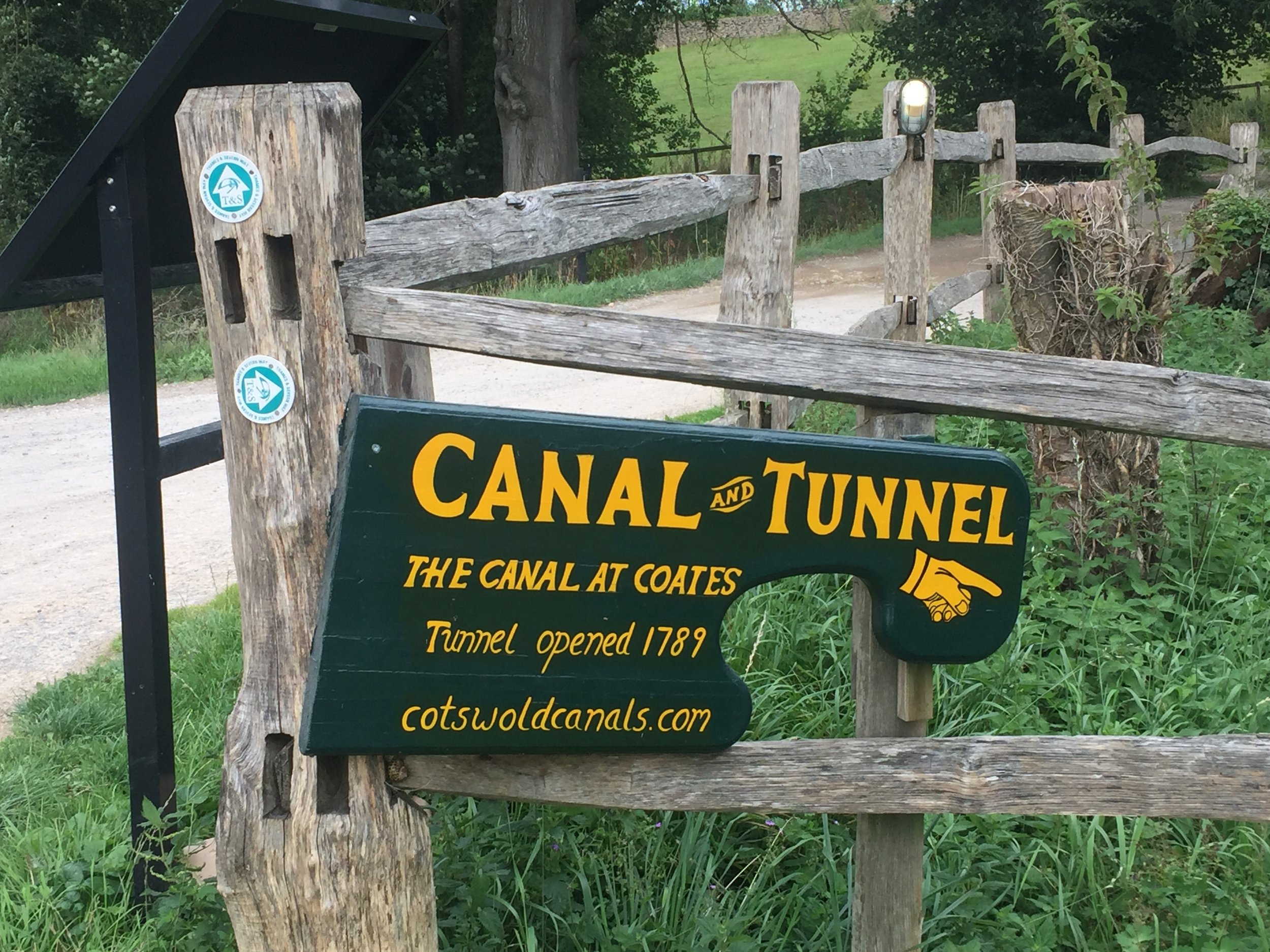
Links: Hughenden Valley, Hughenden National Trust, High Wycombe, Dry valleys and the chalk stream at Hughenden (National Trust)
Our walk along the Hughenden stream marked the final stage of my Chiltern Rivers Adventure. I’ve been saying this for about a year and a half and keep finding streams that I didn’t know about. I’m sure that I’ll find more and I’ll do them when I find them, but for now I’m calling this done. The guidance below will help you navigate but don’t use it as a fully accurate turn-by-turn guide. Always take a map and/or a GPX route and prepare well for the weather and terrain.
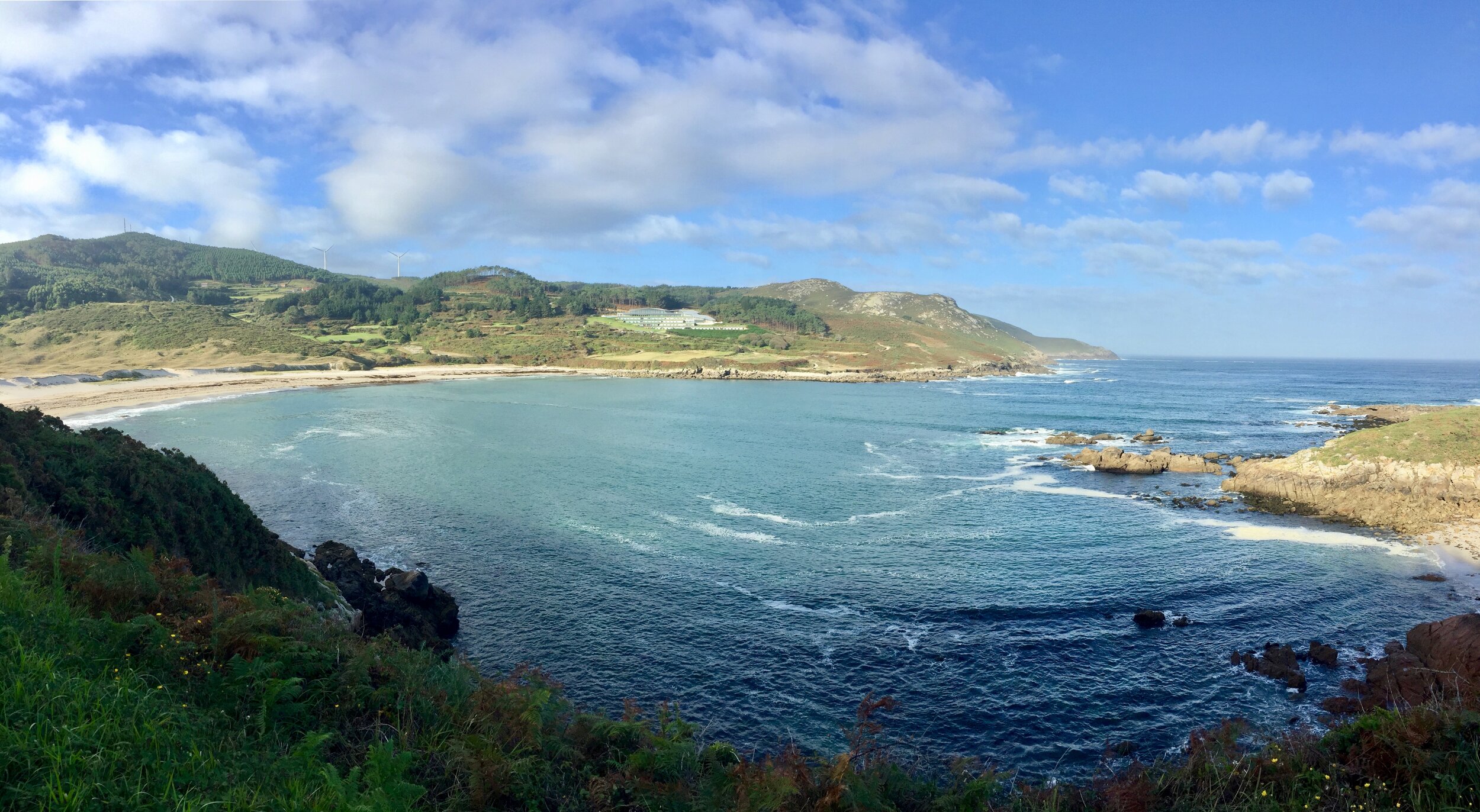
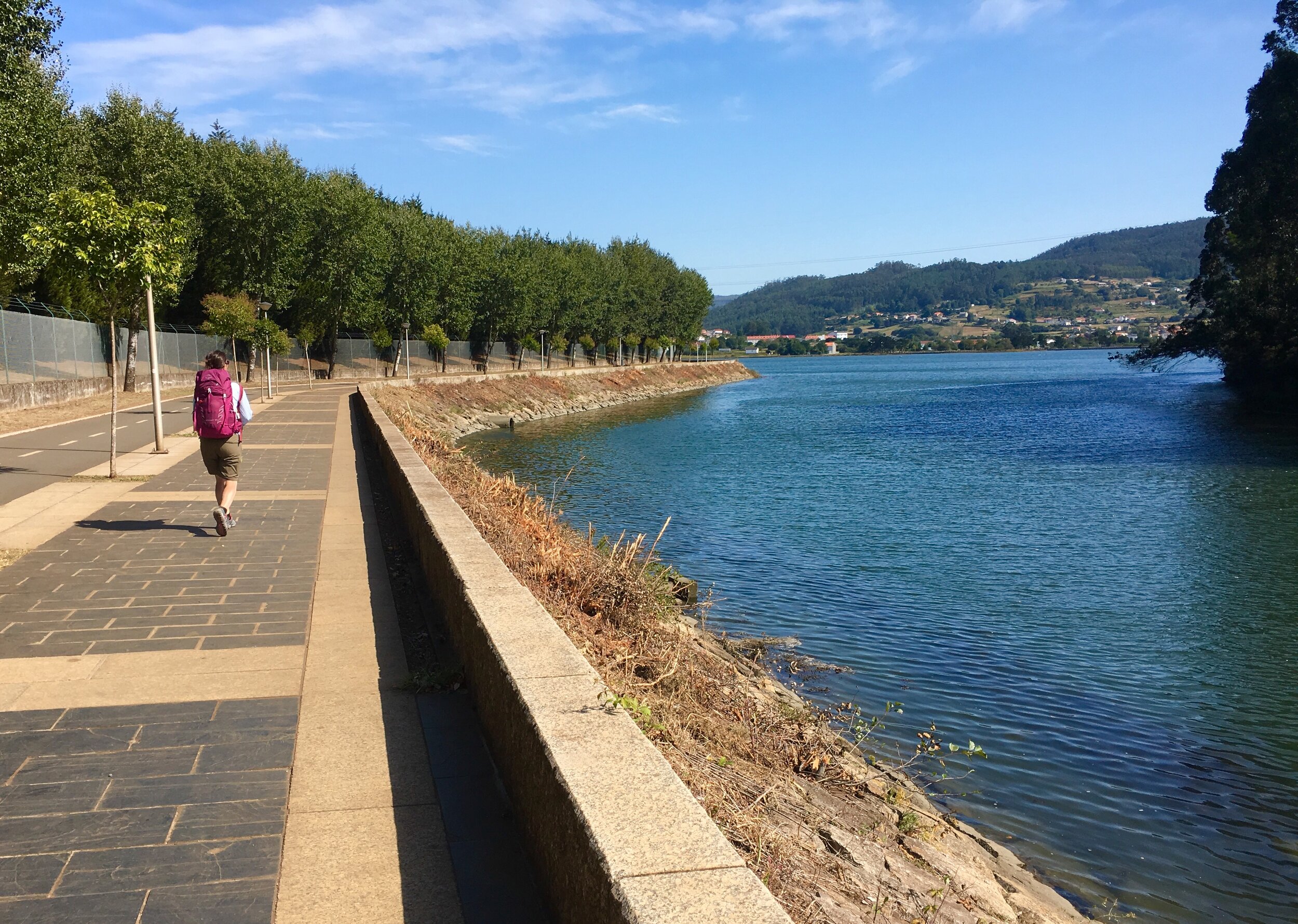
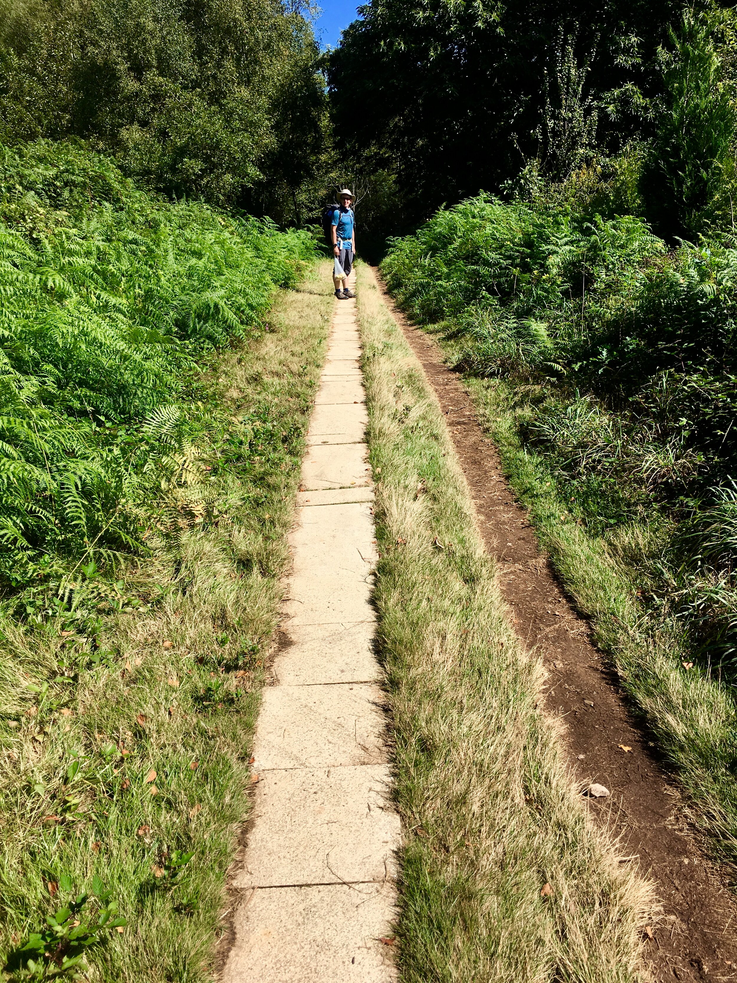
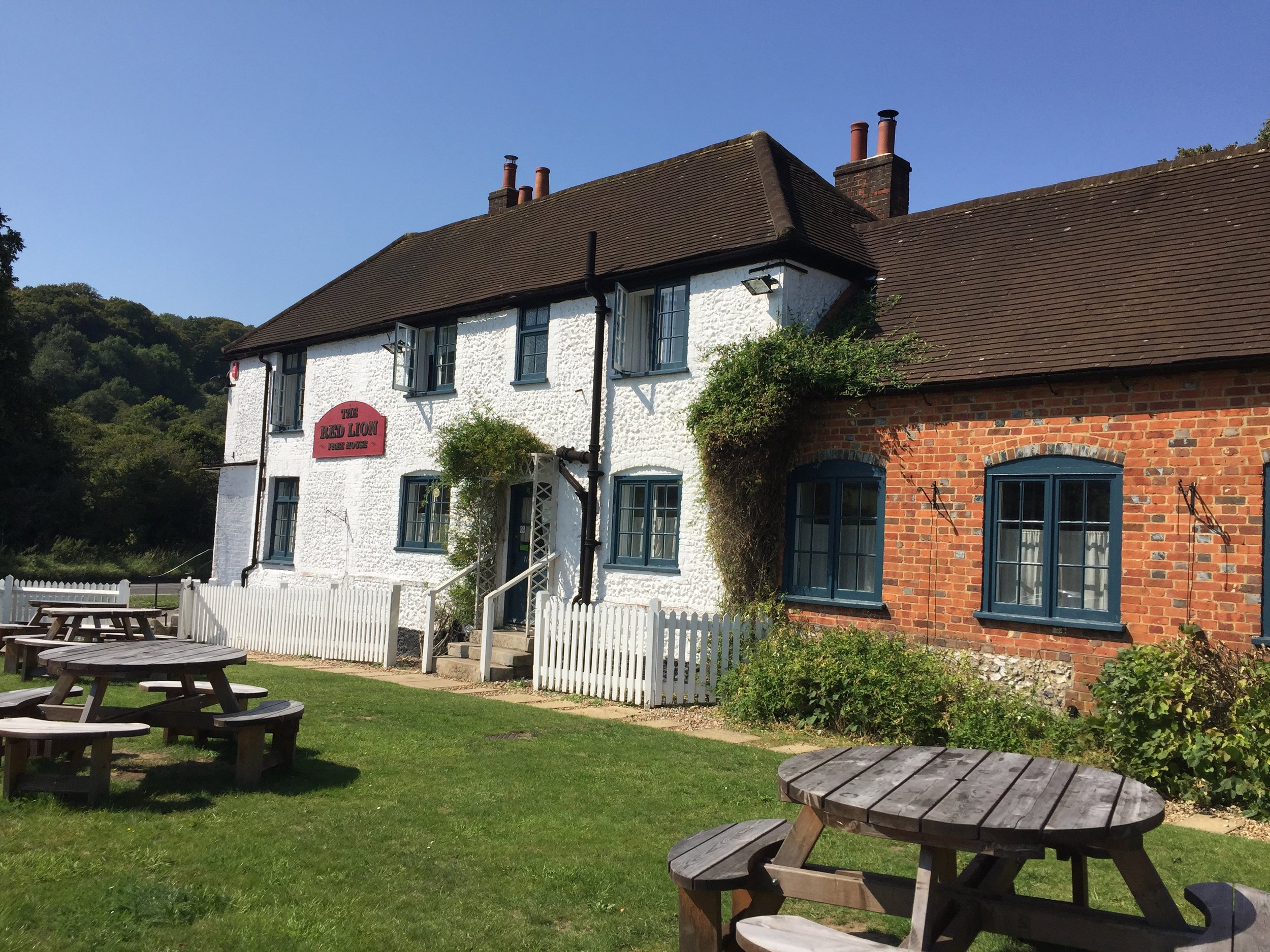
What a wonderful way to finish the project too. The Hughenden Stream is short at just over 2 miles from spring to mouth, but takes in some interesting points along the way. Although Hughenden Village Hall has its own large car park there’s signs saying parking is strictly for hall use only and there's a lockable gate. Rather than risk getting locked in we parked on the road nearby.
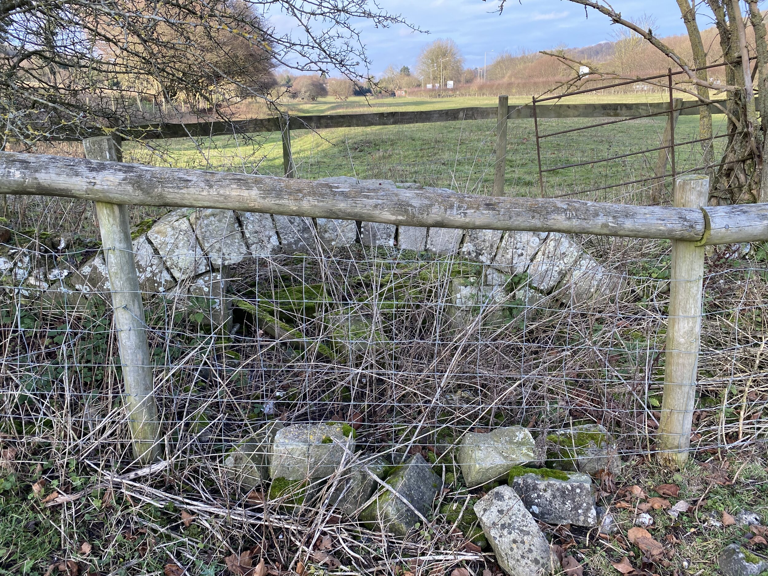
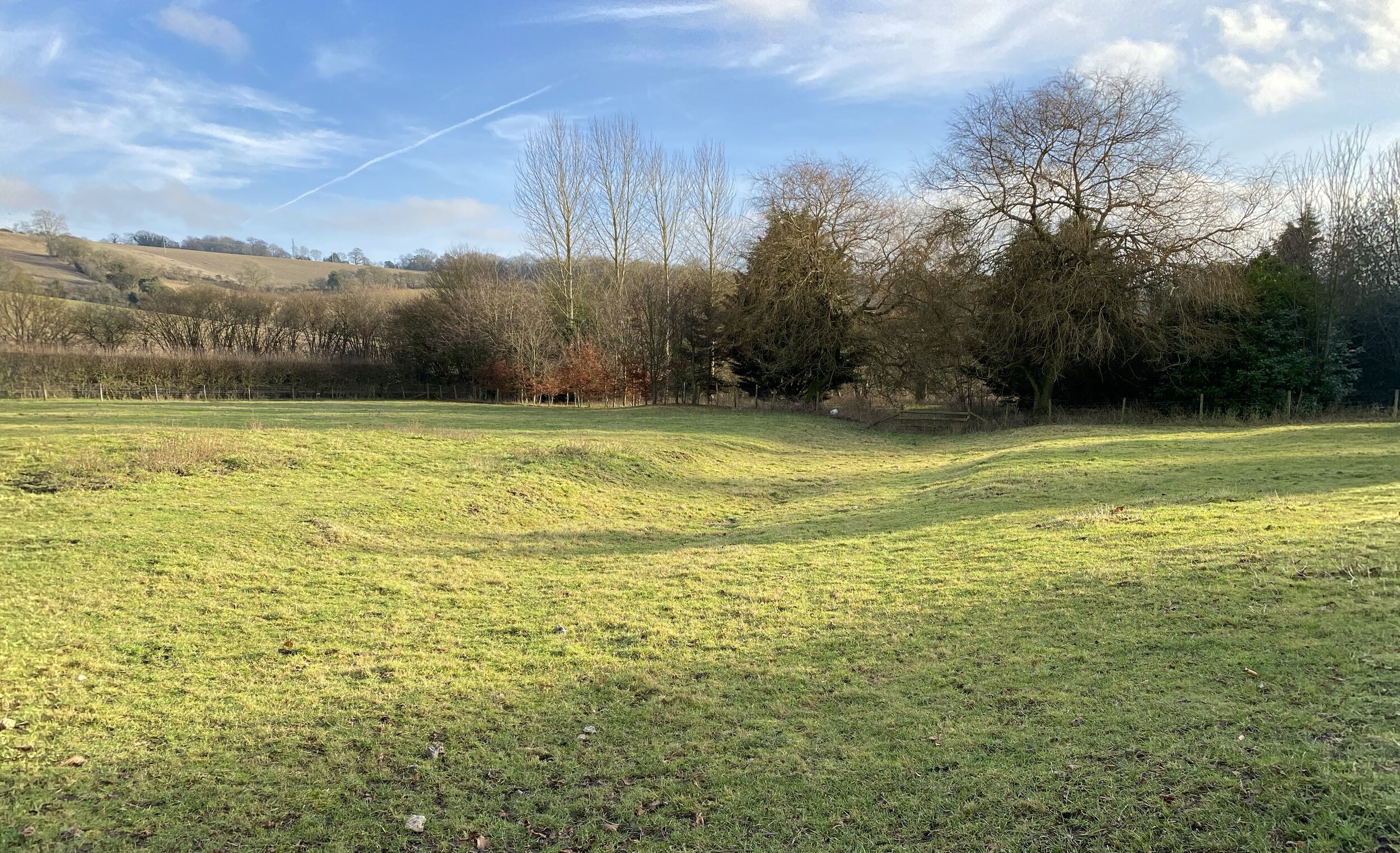
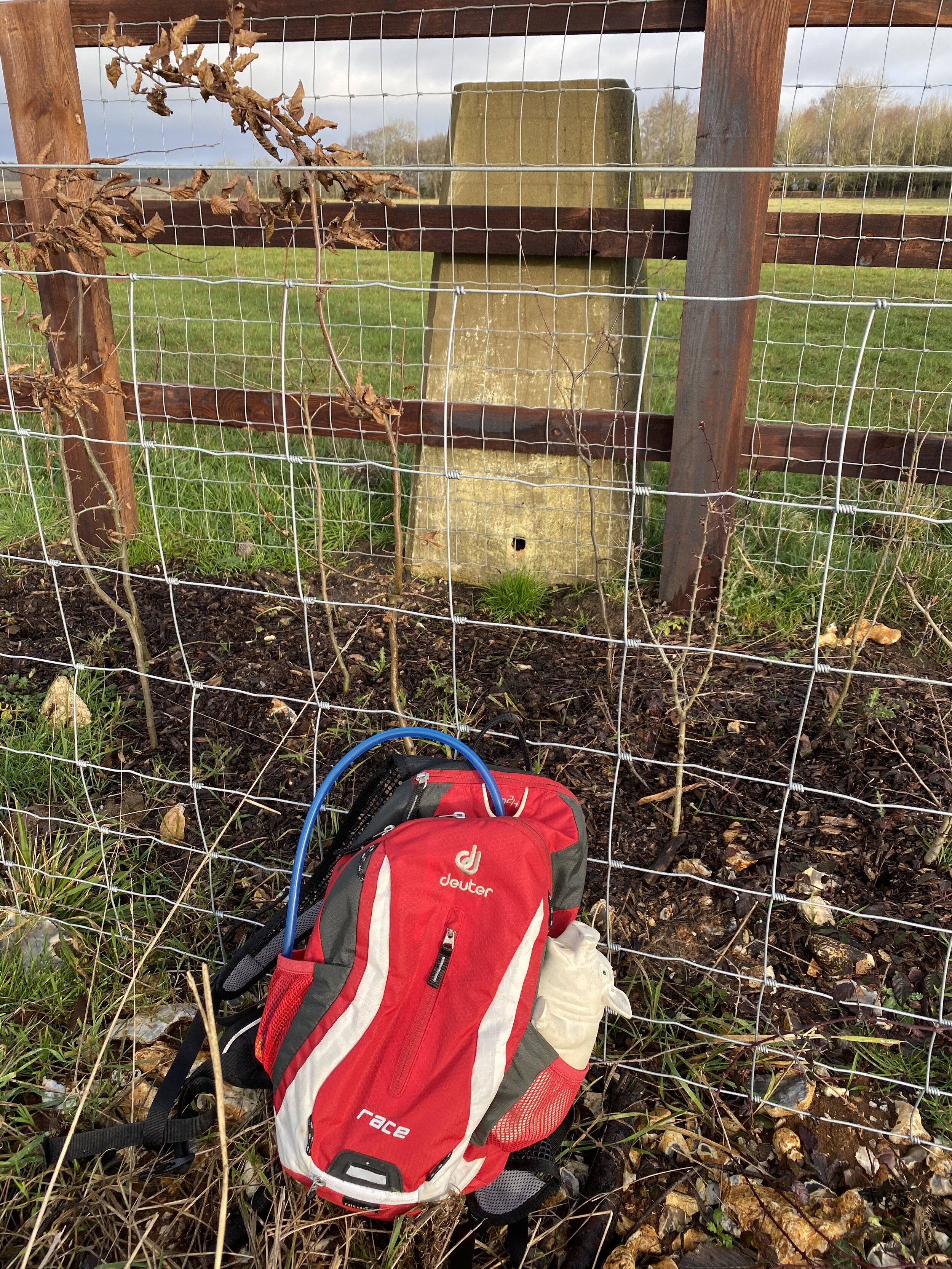
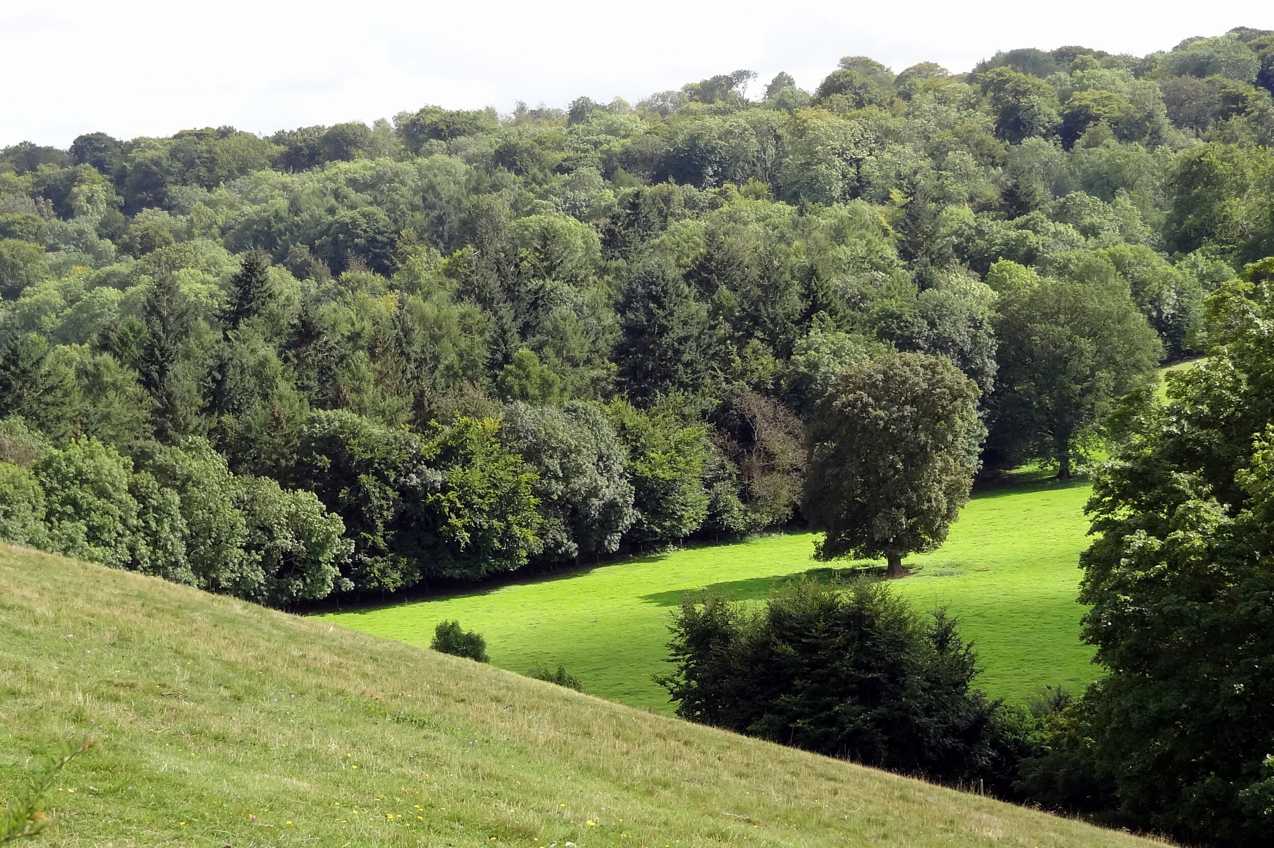
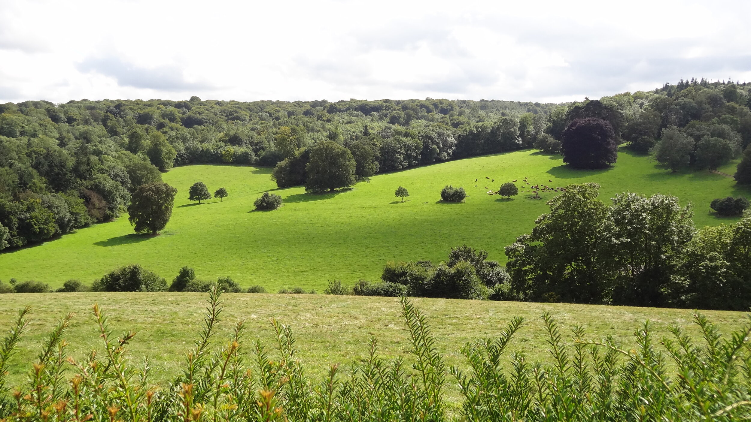
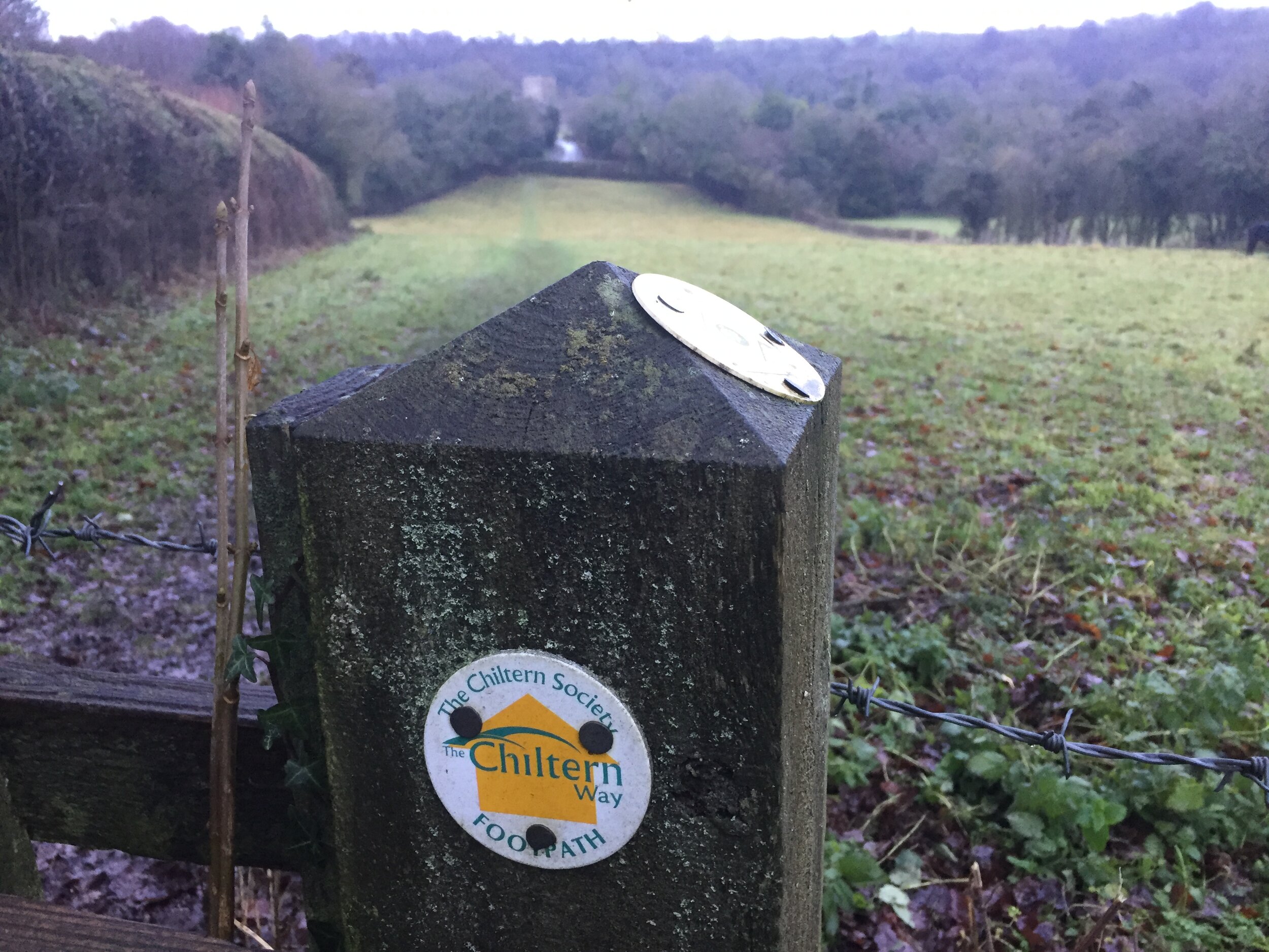
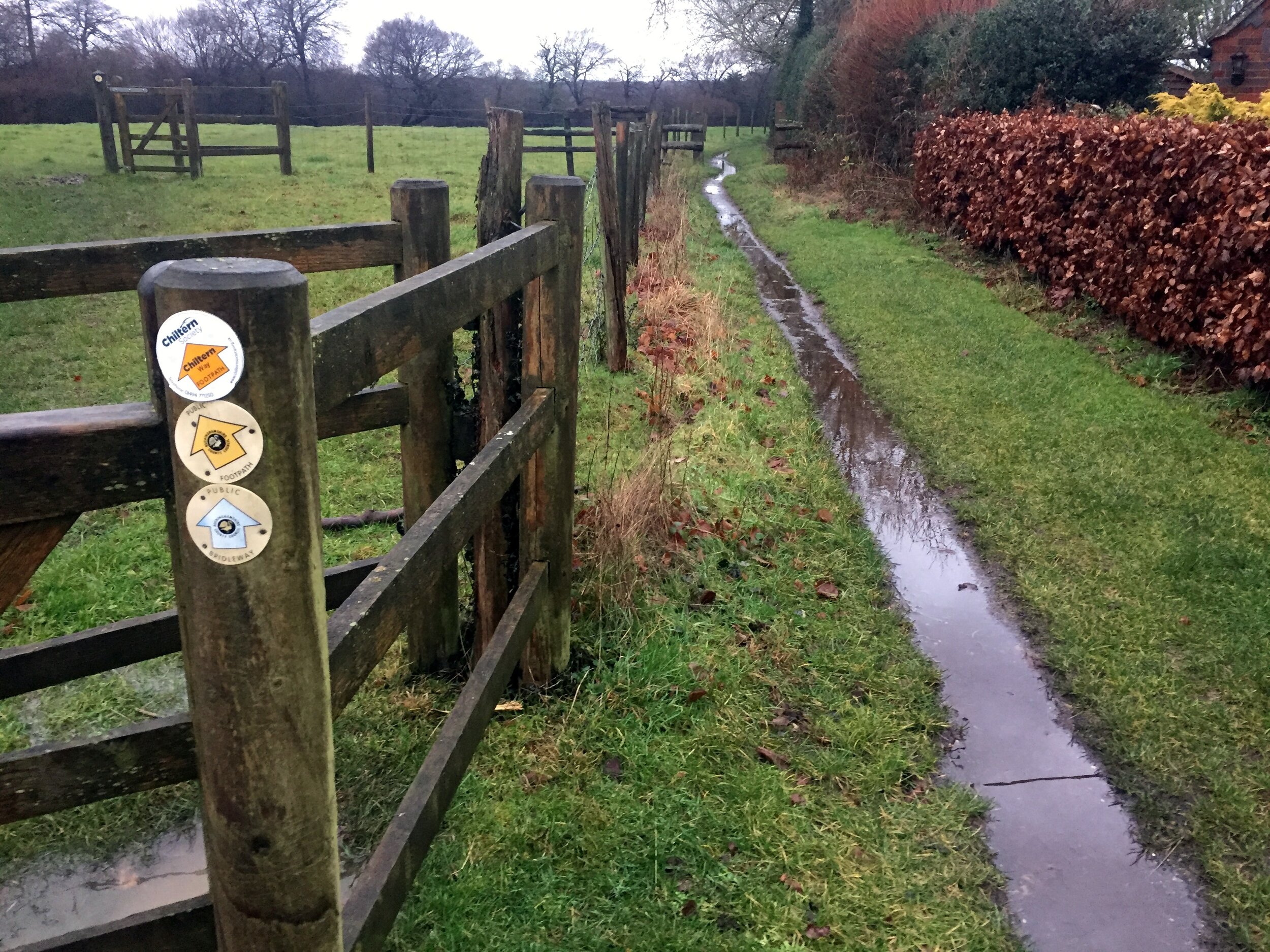
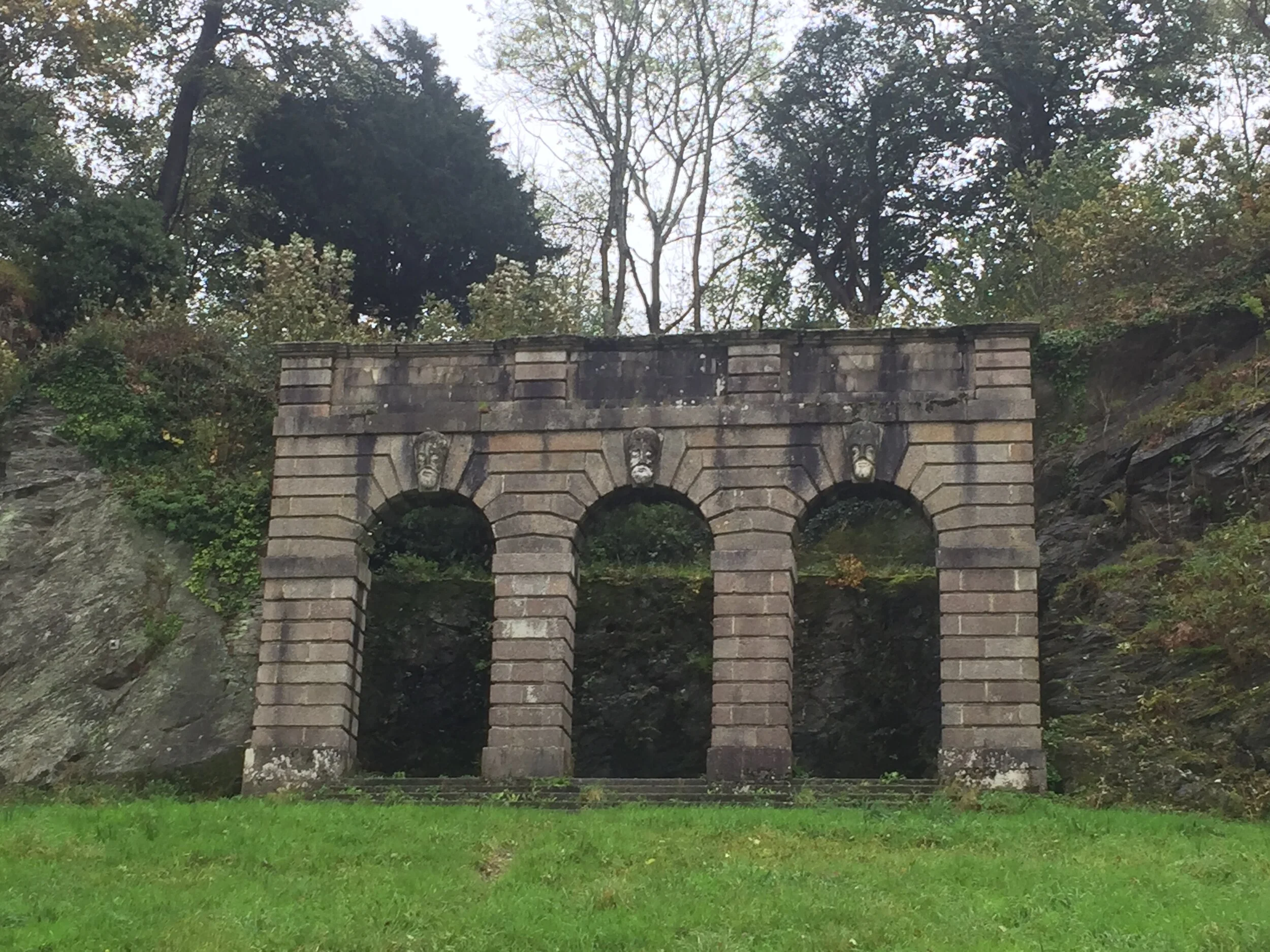
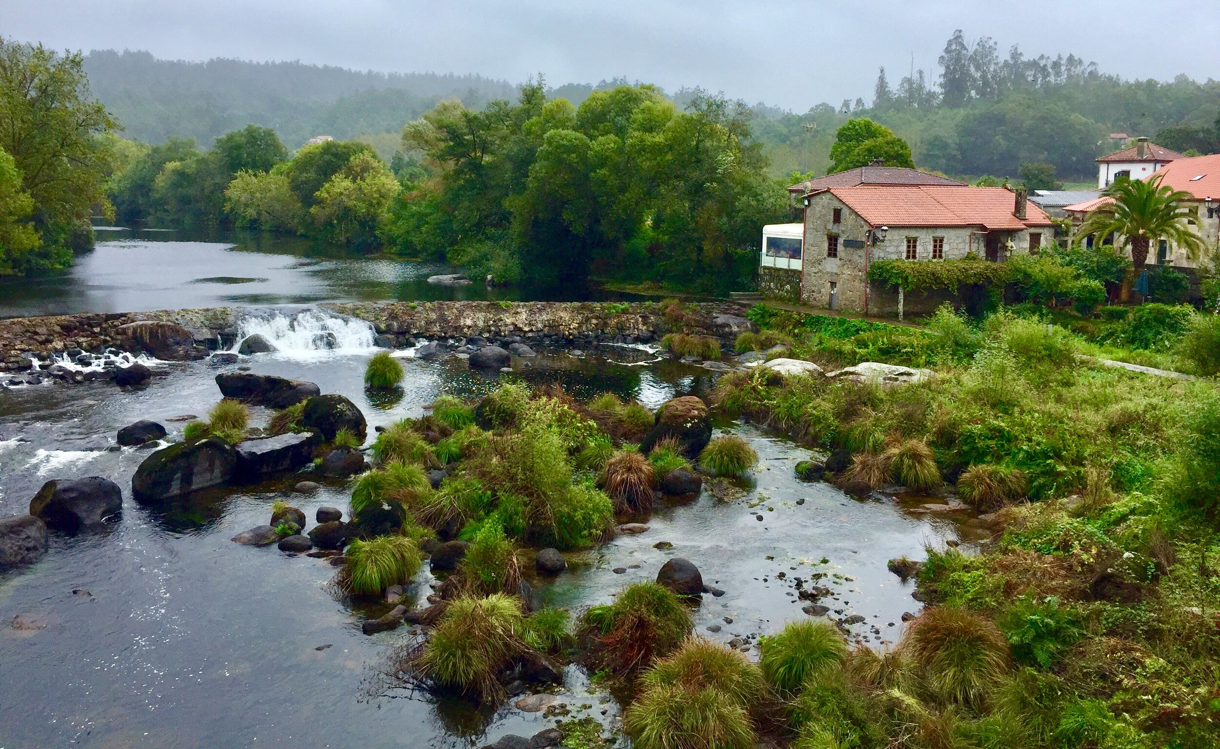
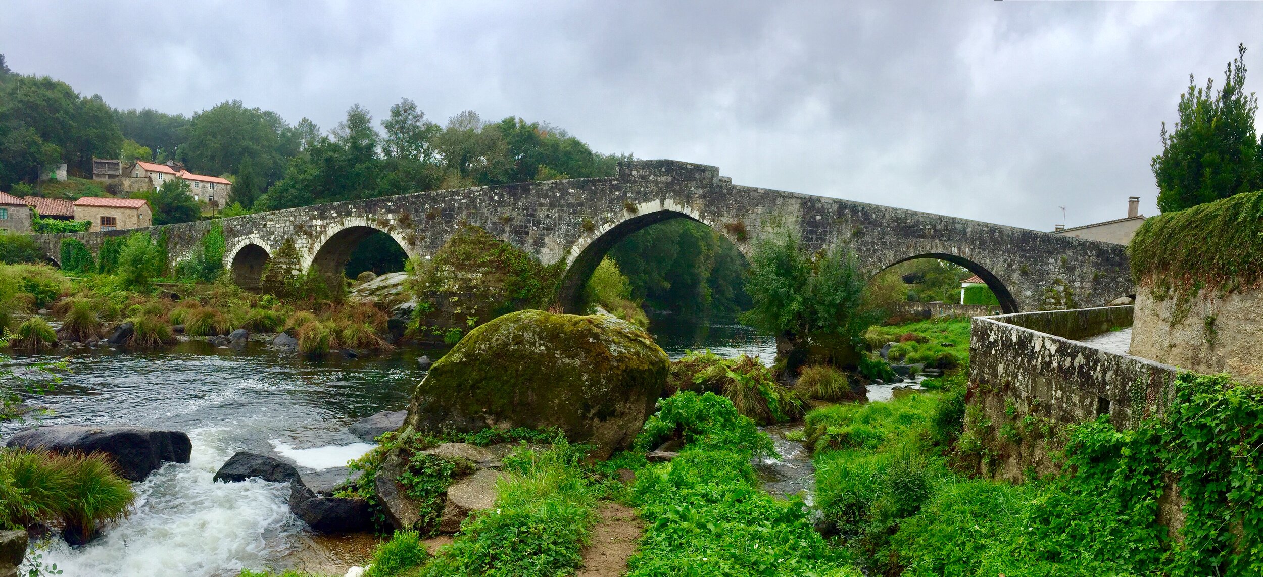
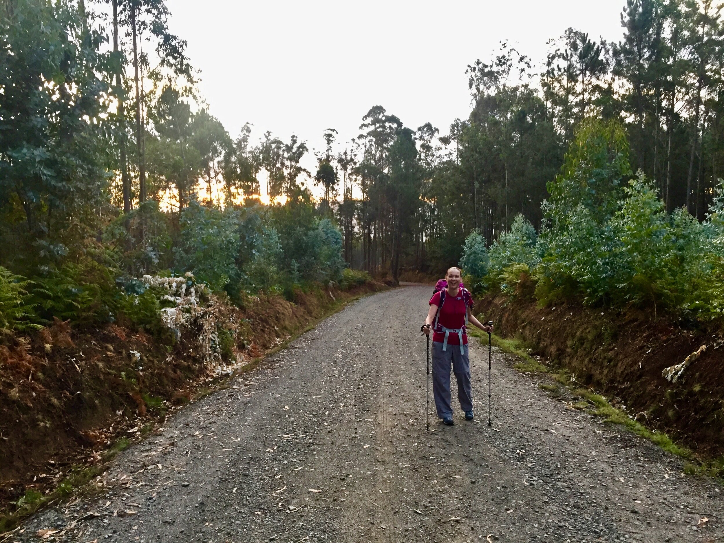
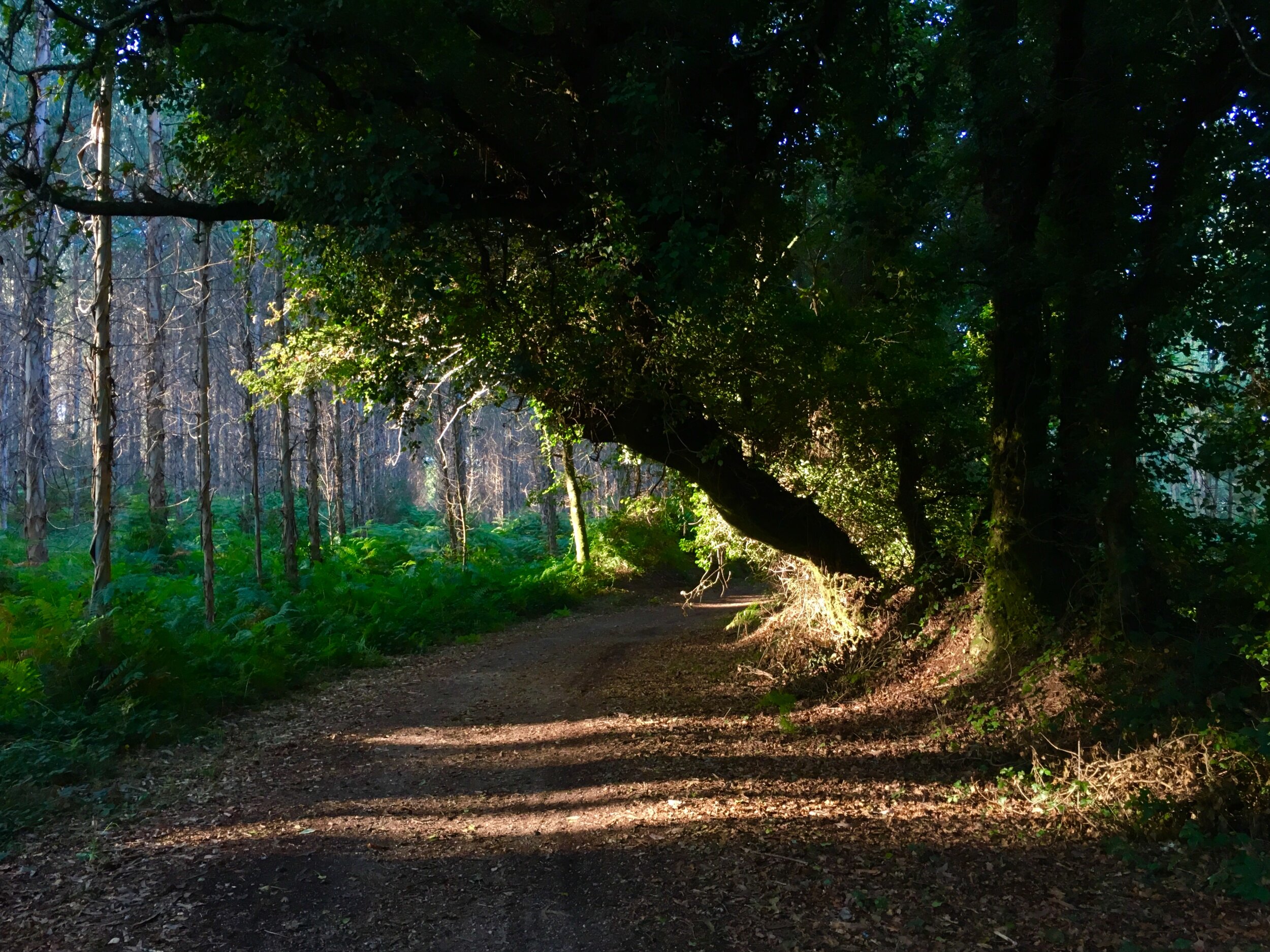
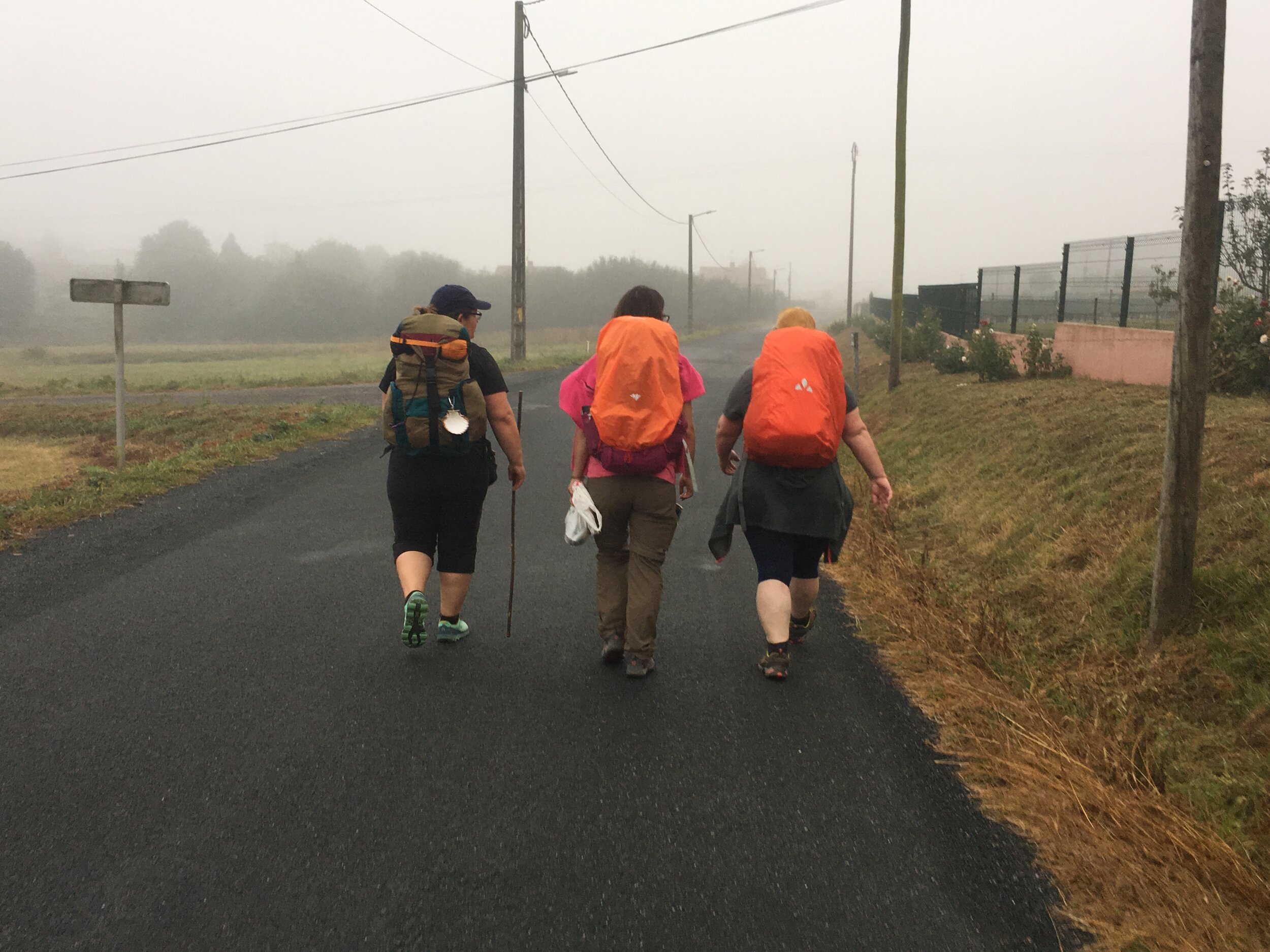
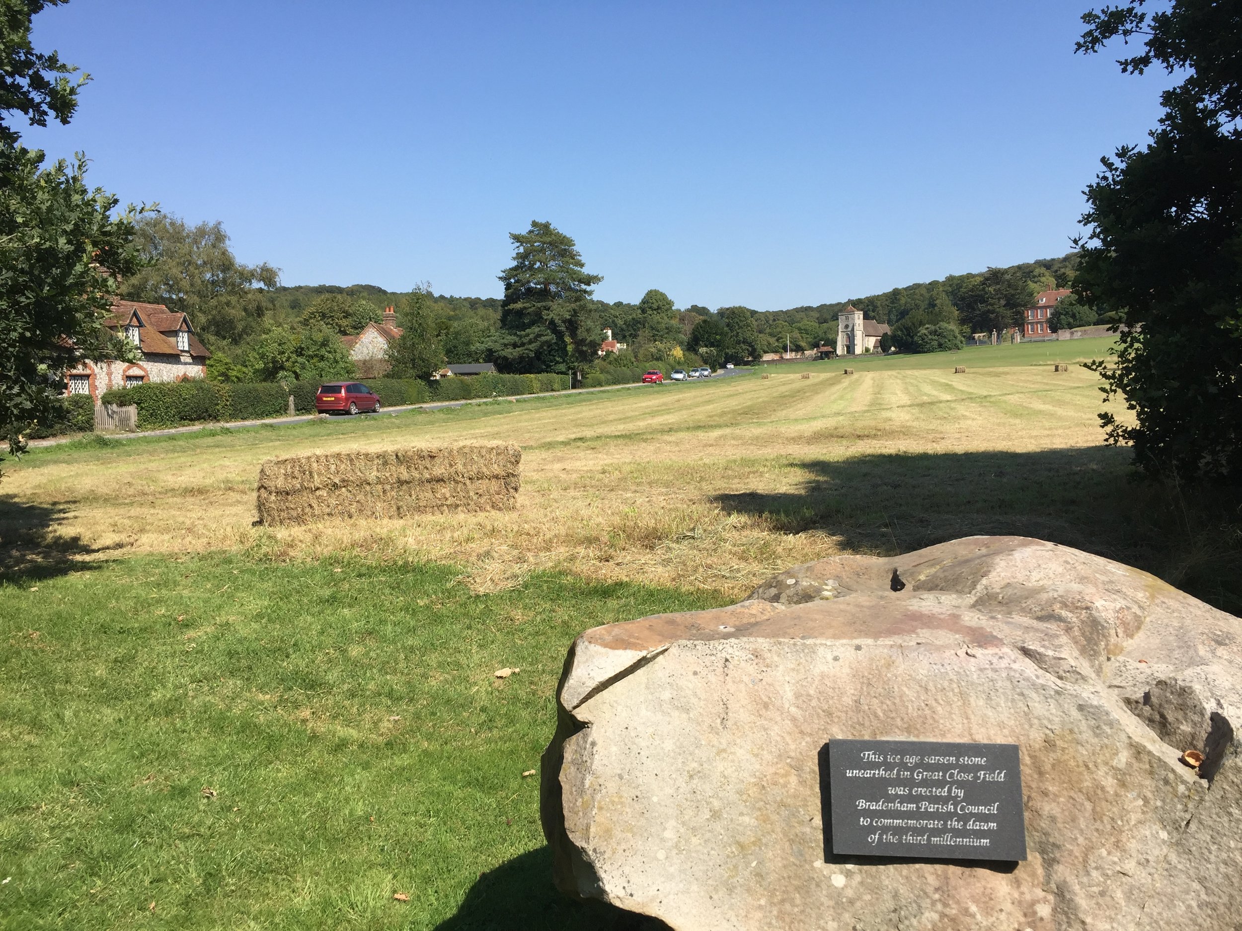
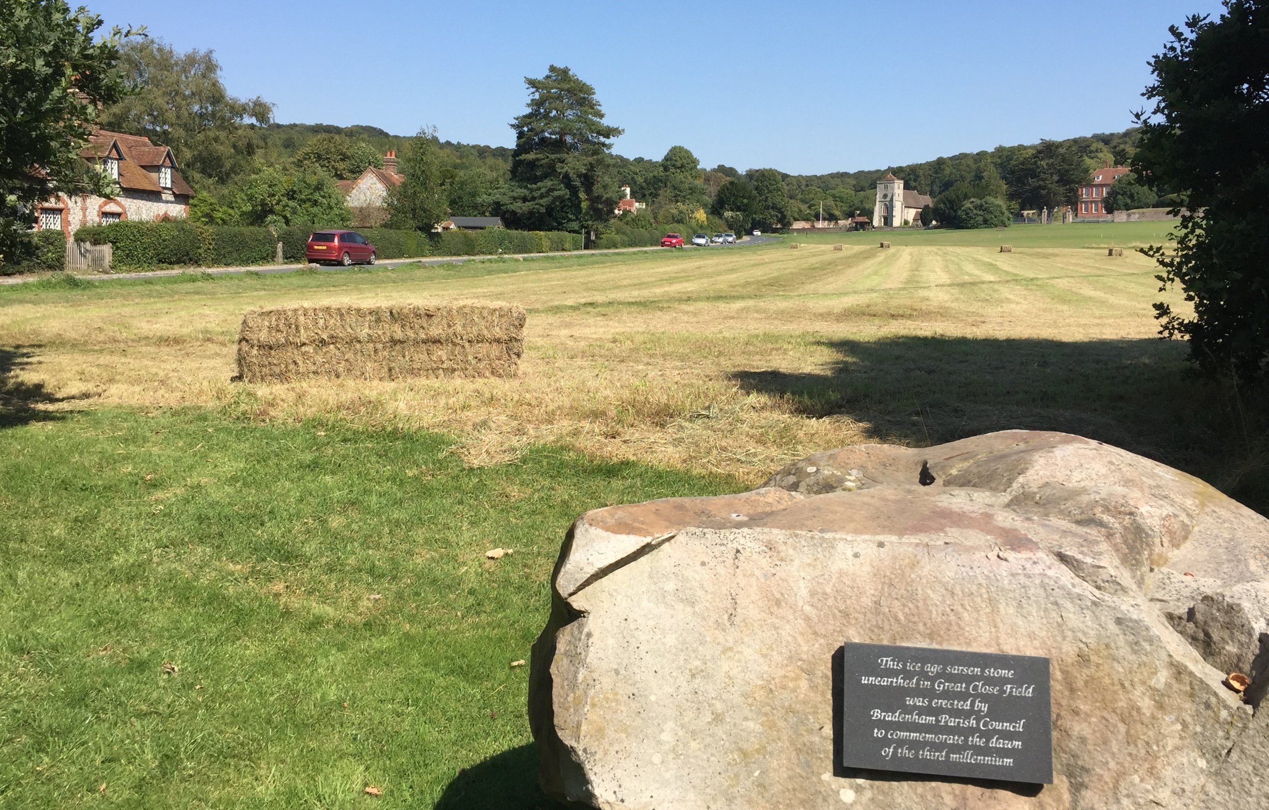
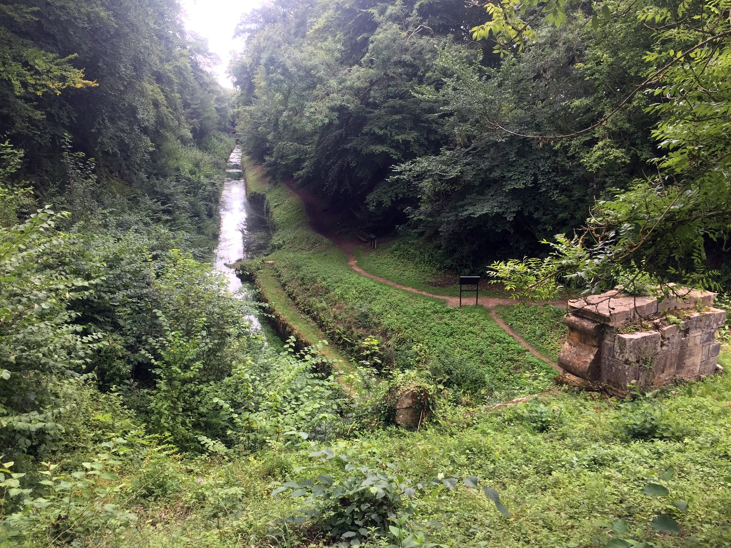
The stream is often dry in spring and summer so we chose well to walk it on a sunny but soggy mid-winter’s day. Even so, for the first part of our walk we saw only an indentation across the field where the stream once flowed. At around 750m in we found our first physical sign of the stream with the remains of an old stone bridge fenced off from the fields.
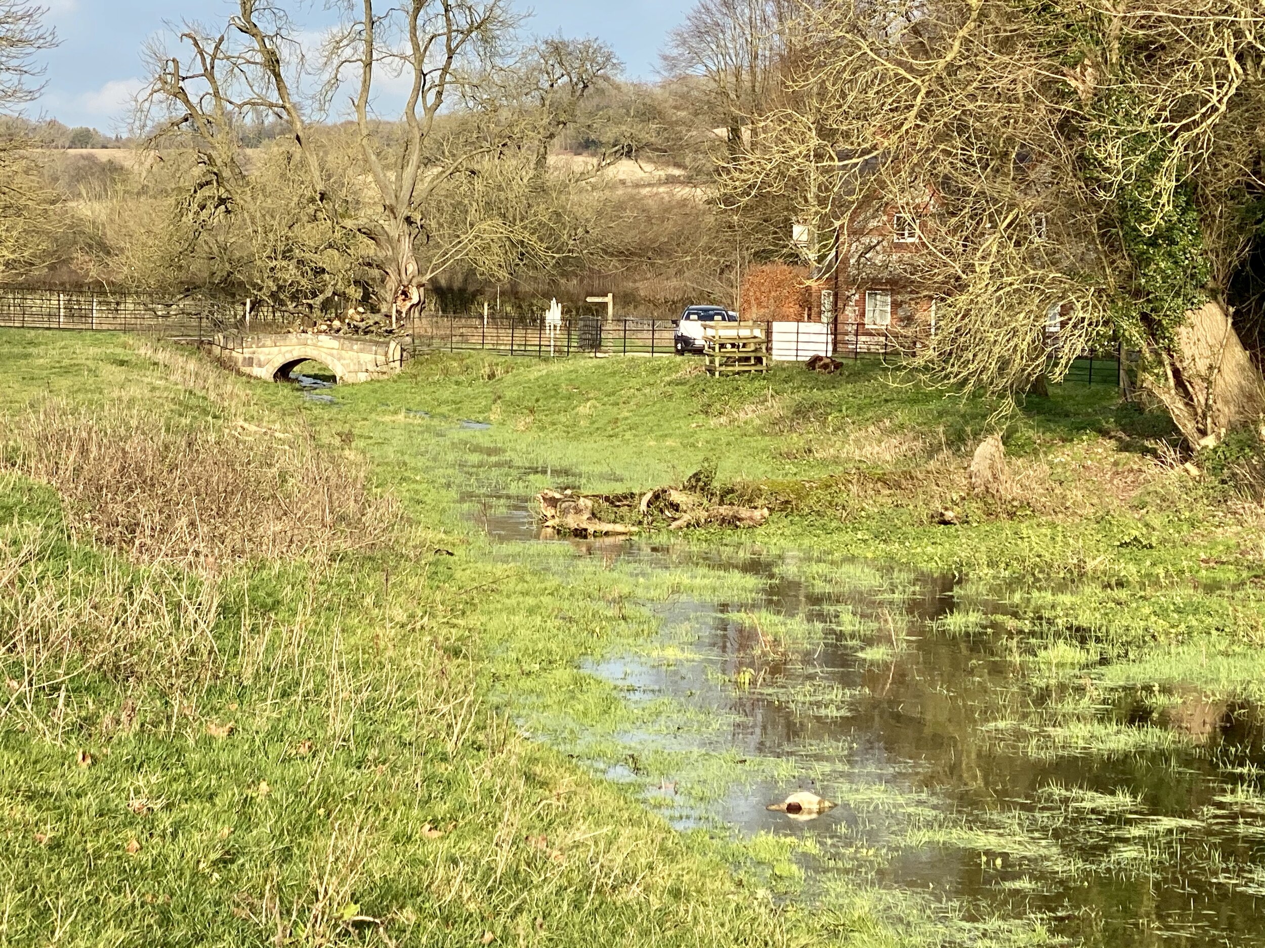
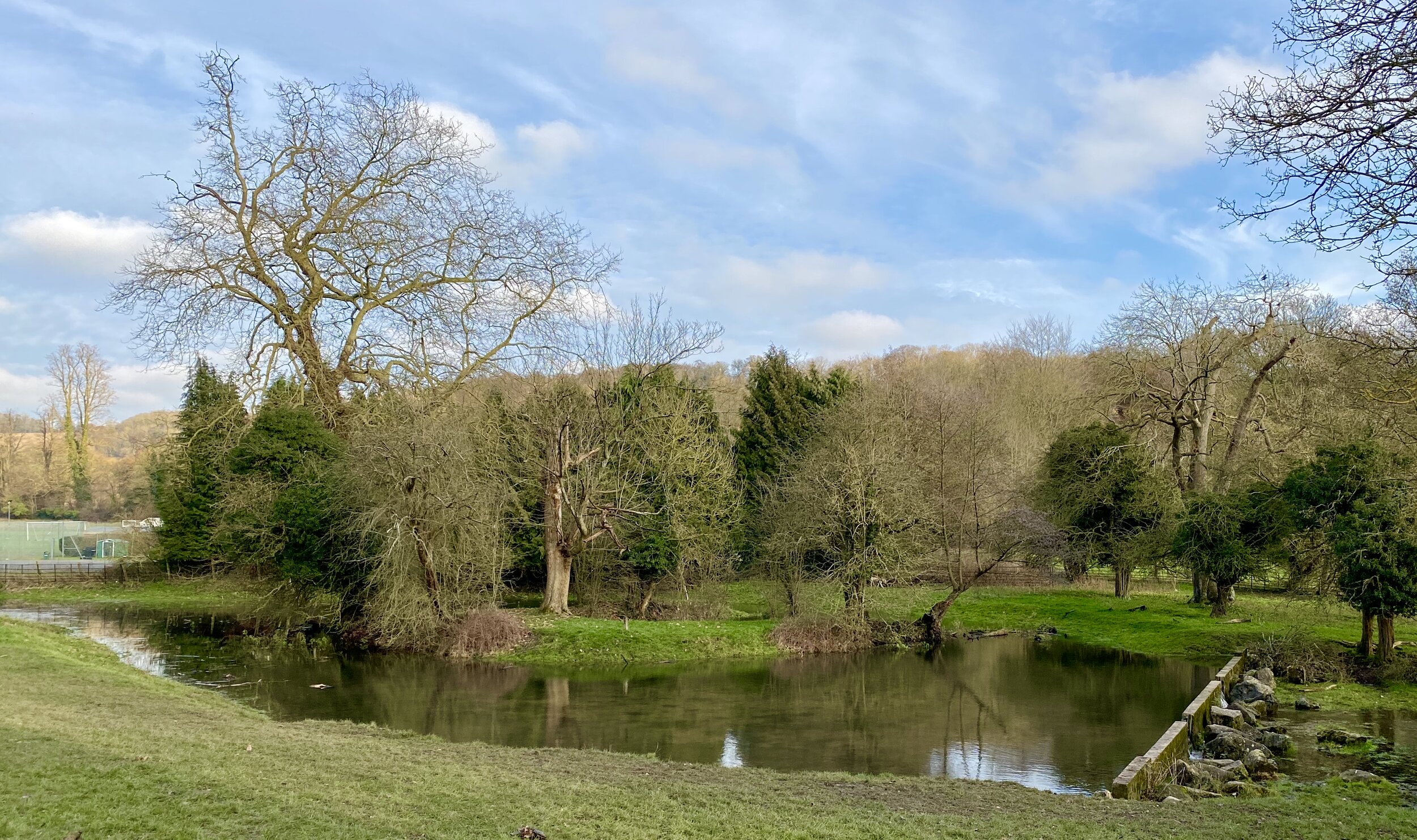
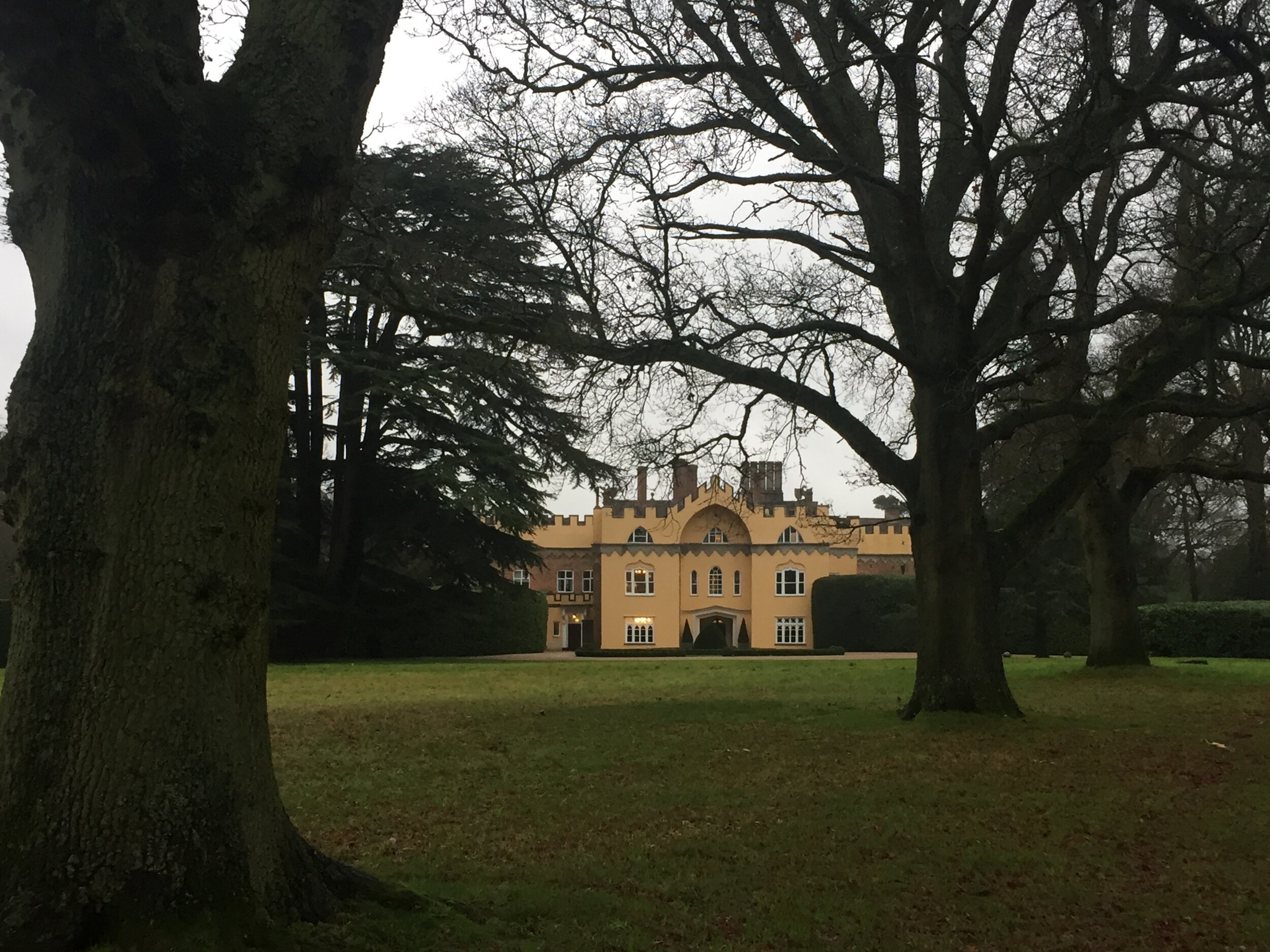
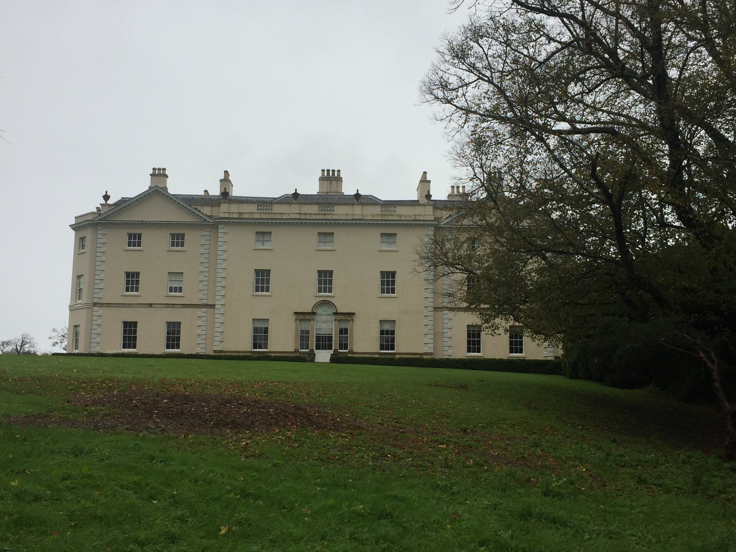
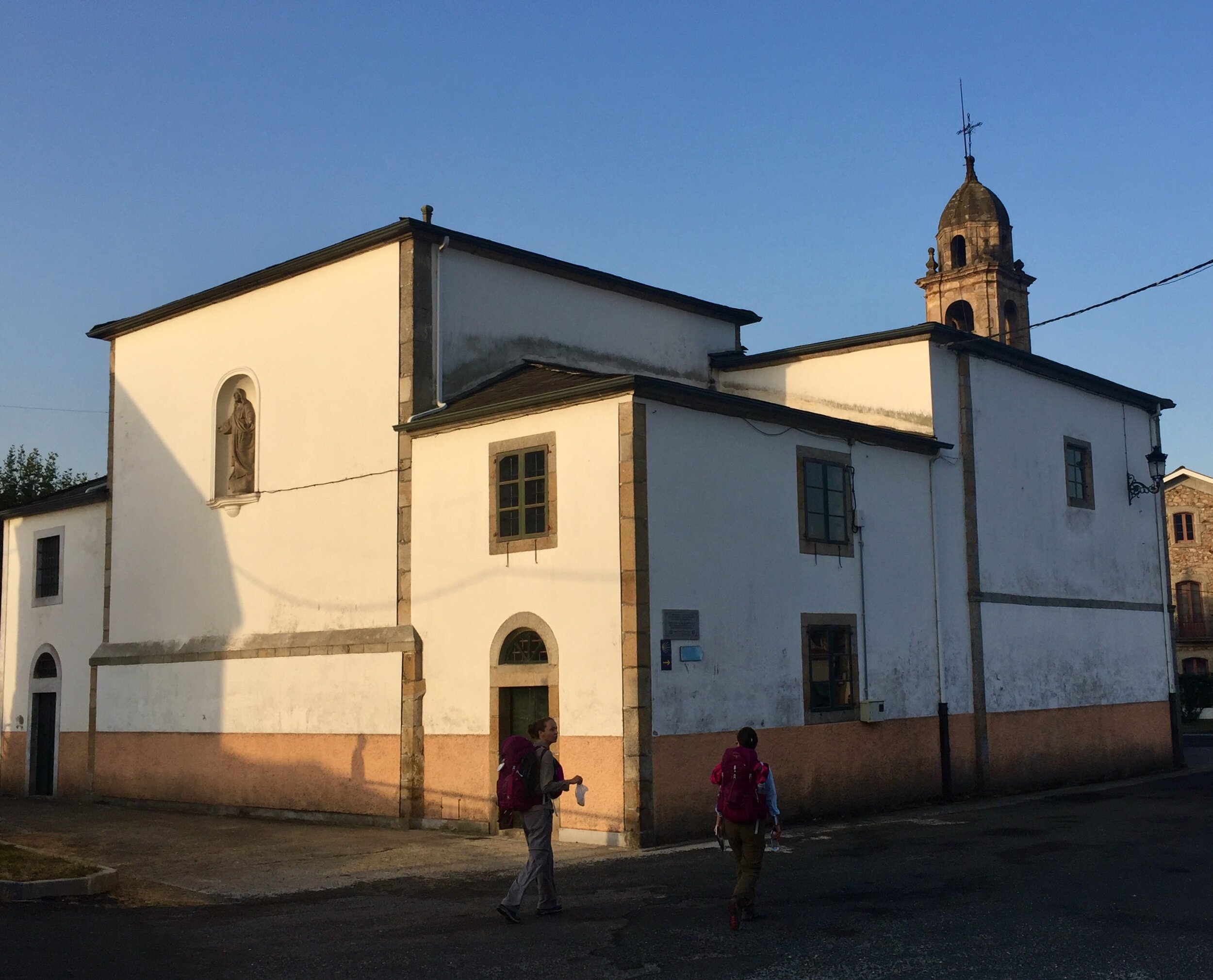
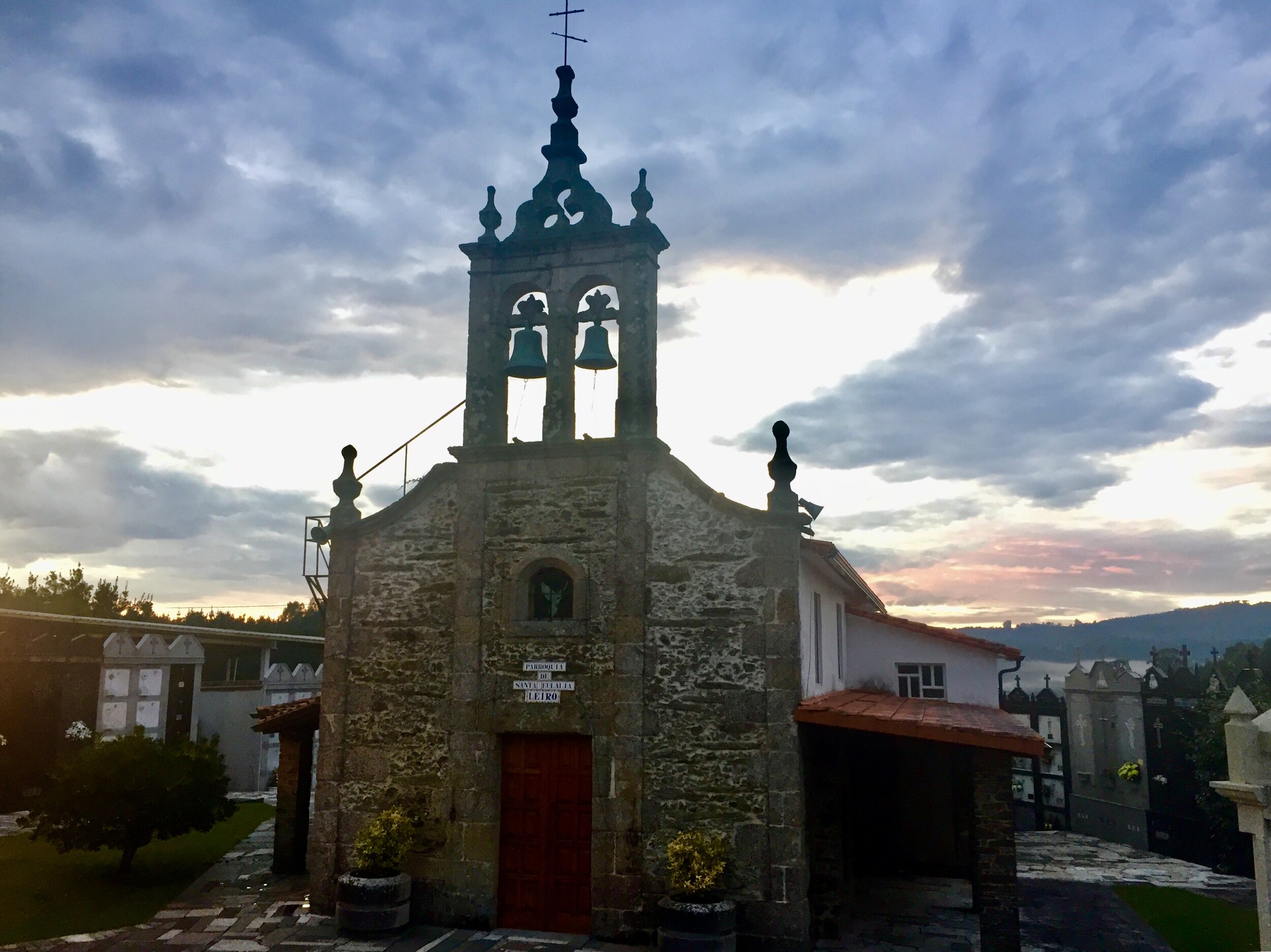
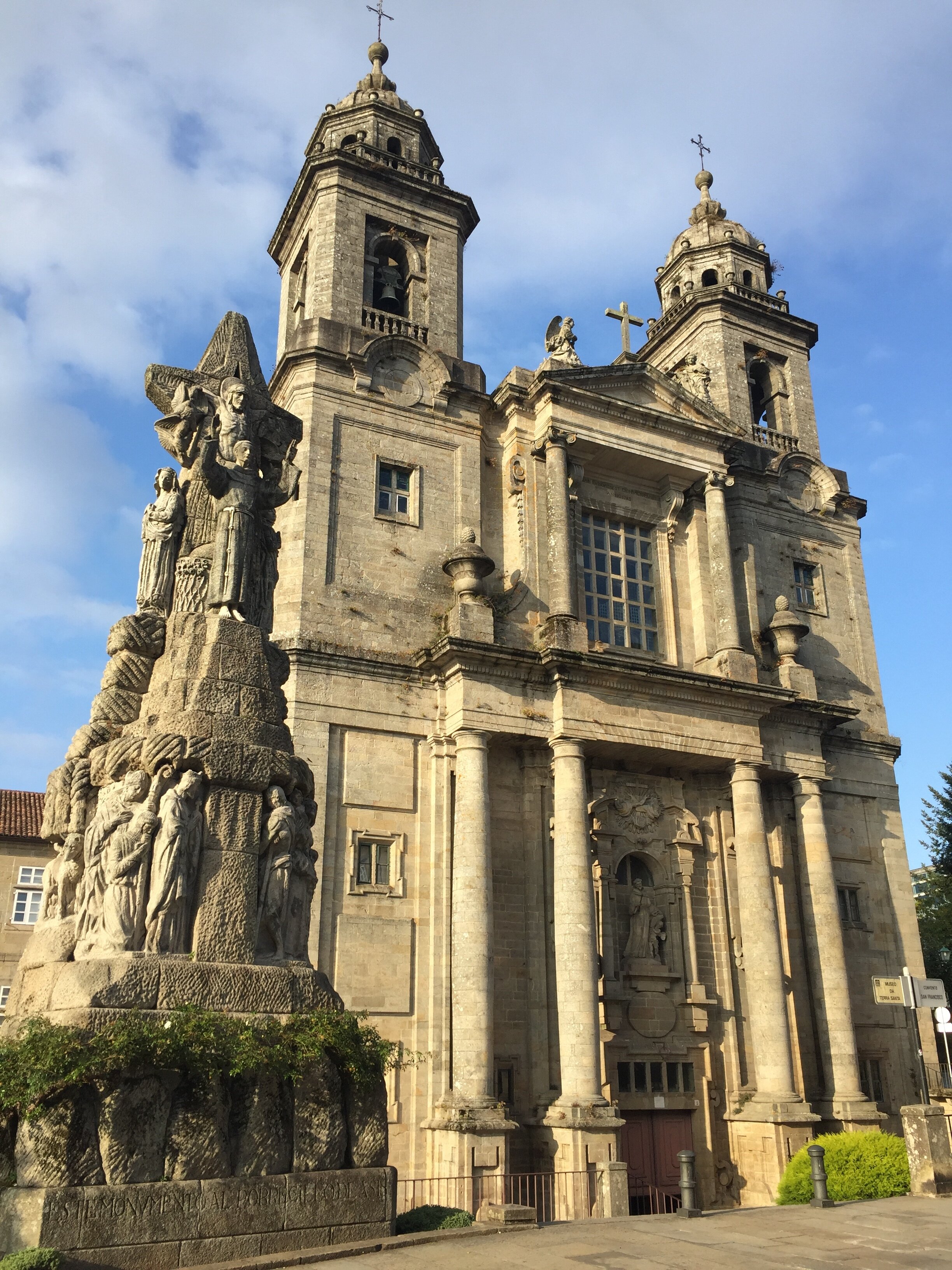
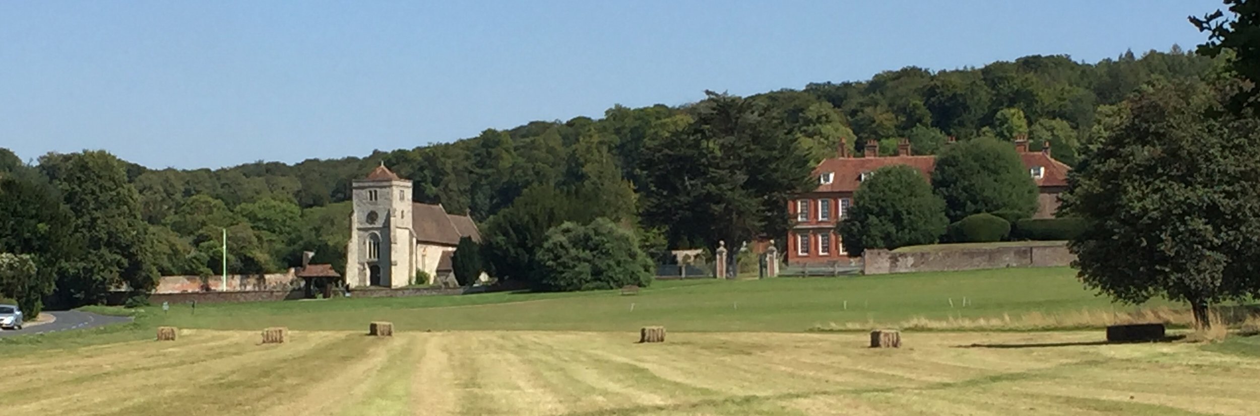
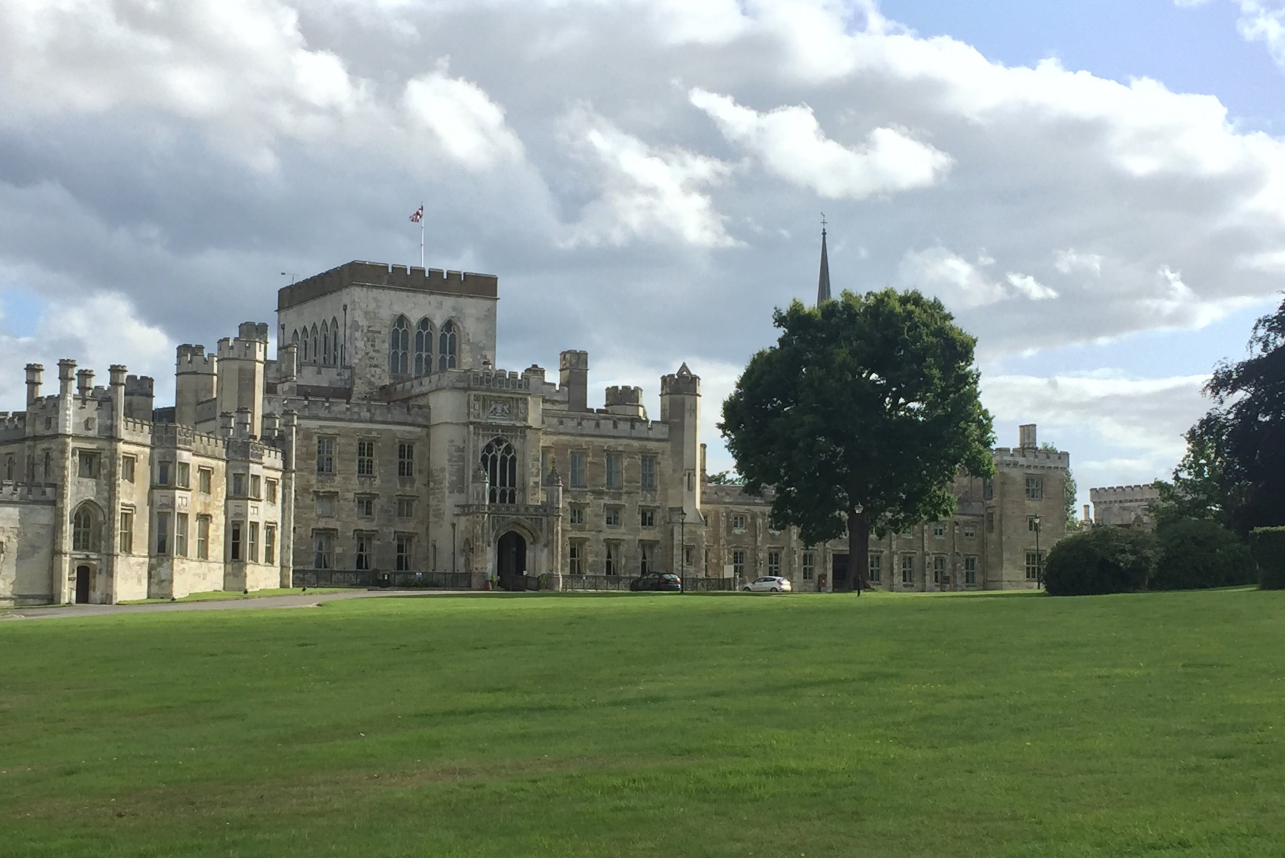
Our first sight of actual water was in the grounds of Church Farm at the point where the Hughenden Boundary Walk intersects with our route. A bit further down you’ll enter the grounds of Hughenden Park. Here you can visit the grave of former UK Prime Minister Benjamin Disraeli at St Michael & All Angels Church.
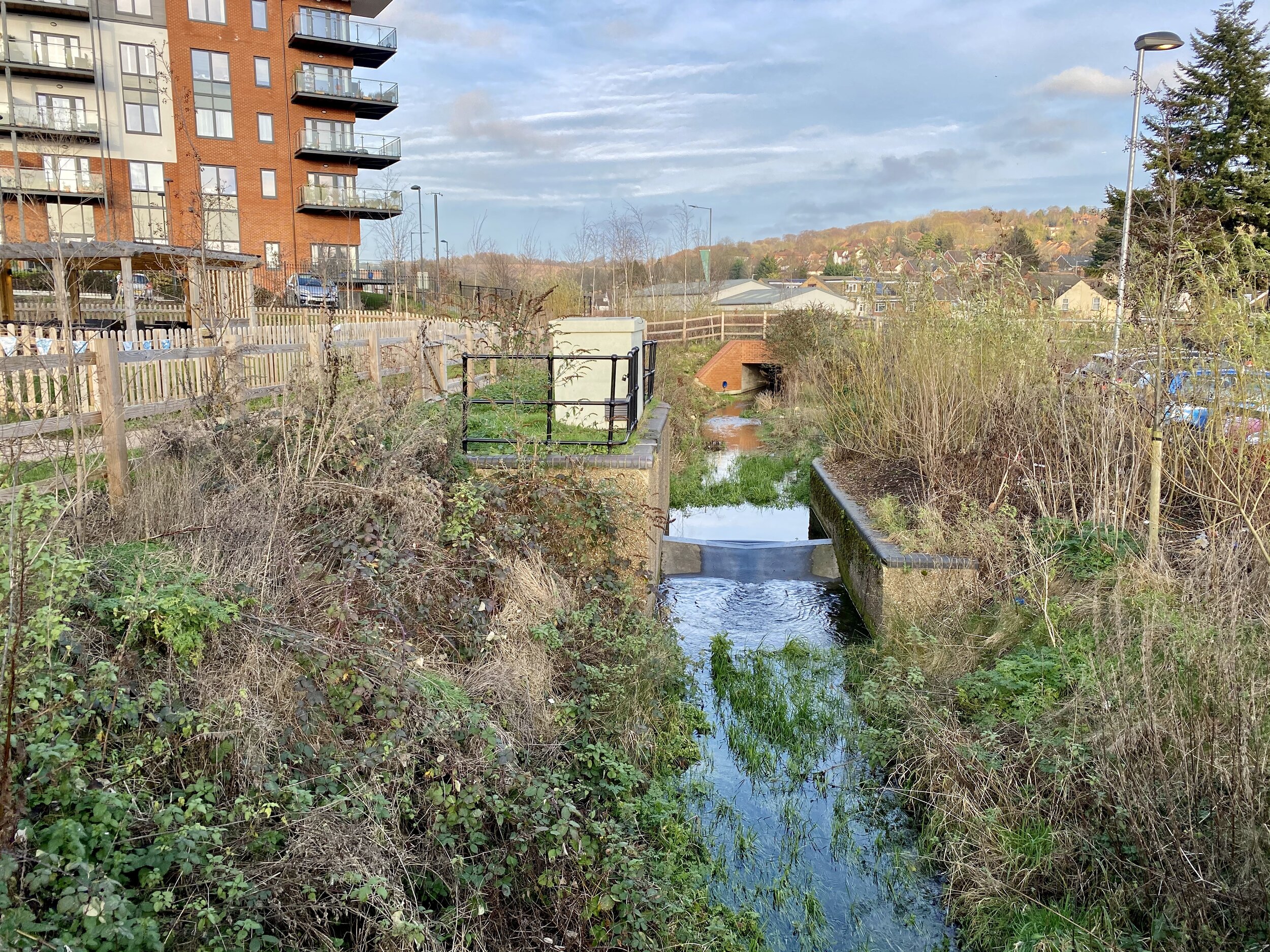
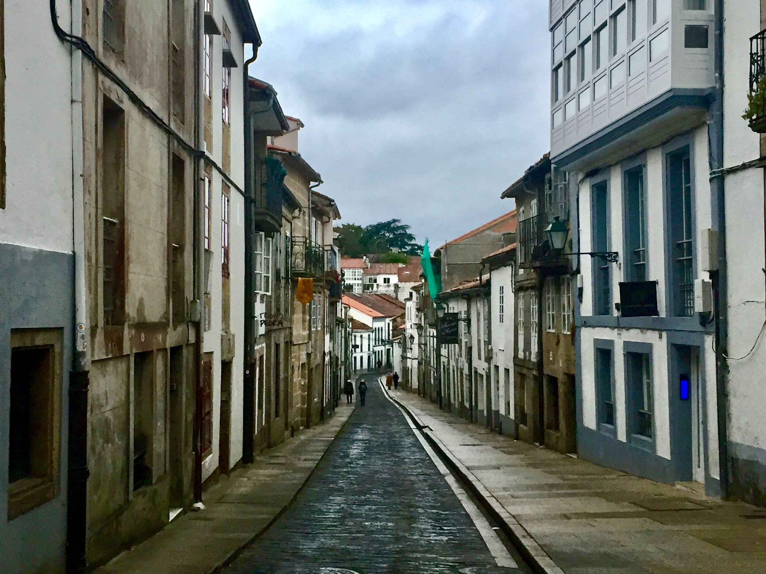
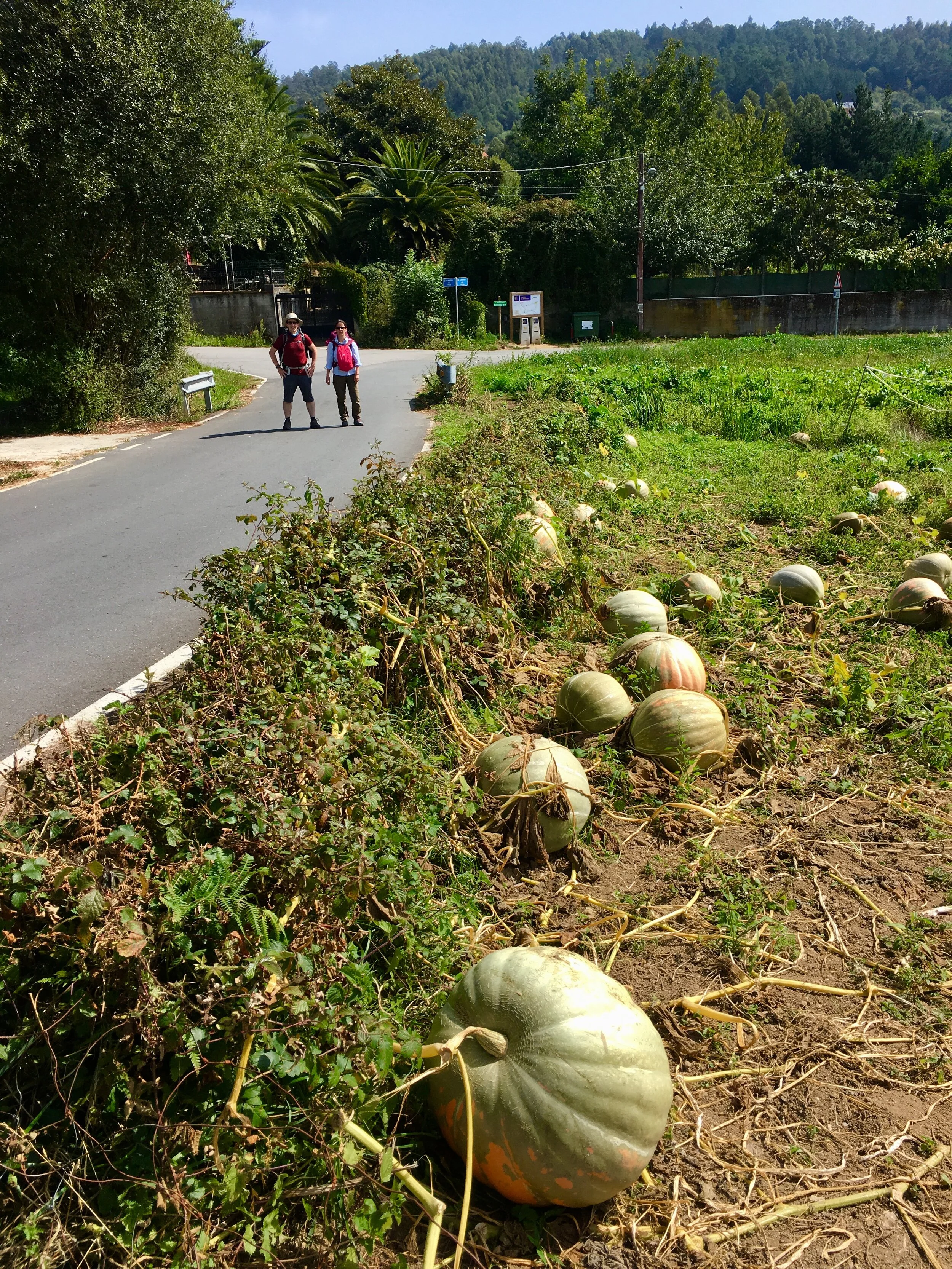
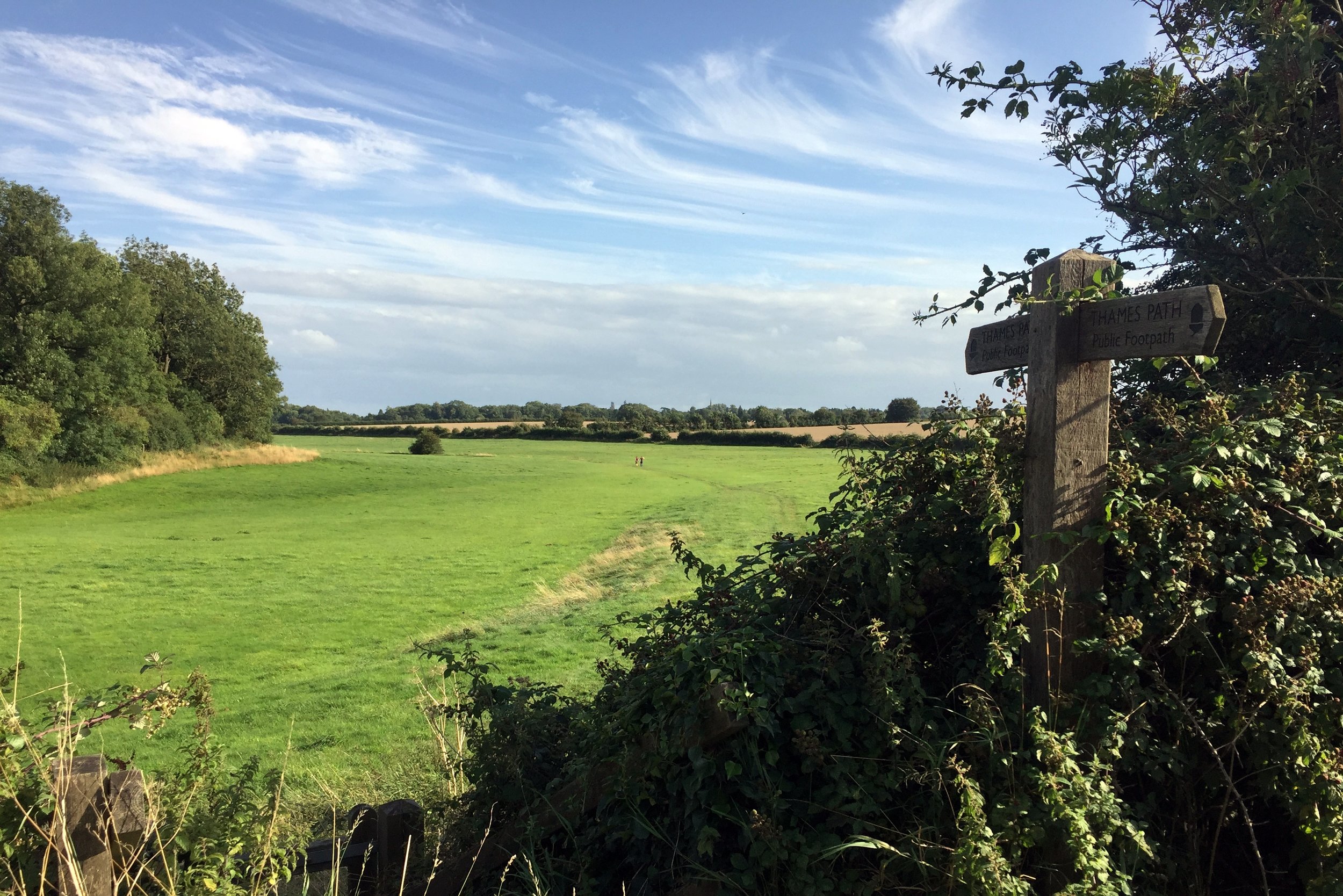
At the Southern end of Hughenden Park the stream disappears into a housing estate. You have the choice of keeping close to the stream by walking along the busy Hughenden Road or, as we did, take the quieter Coates Lane and Hughenden Boulevard. You can pick up the stream again by following a footpath along an uncovered channel that runs South-West from Hughenden Avenue between housing. At the end of the footpath, cross the road and follow intermittently covered and exposed sections of the stream in front of the Spindle and Thread Pub and Morrision's Supermarket.
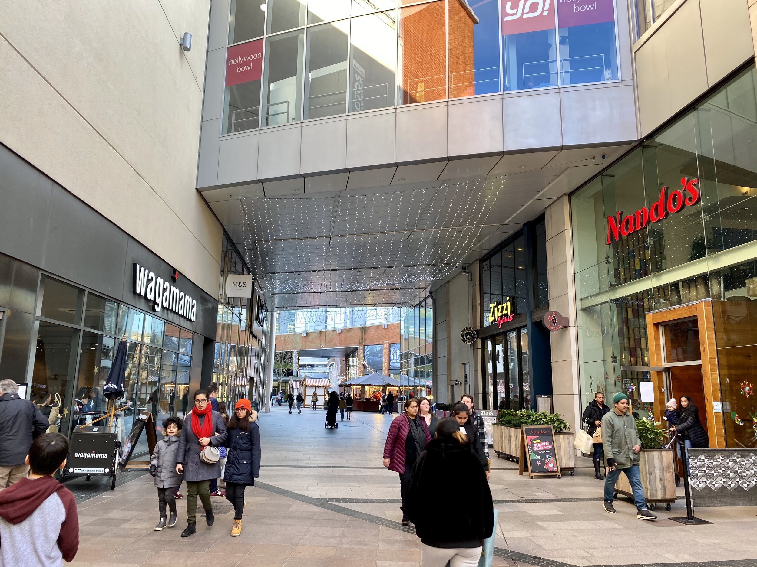
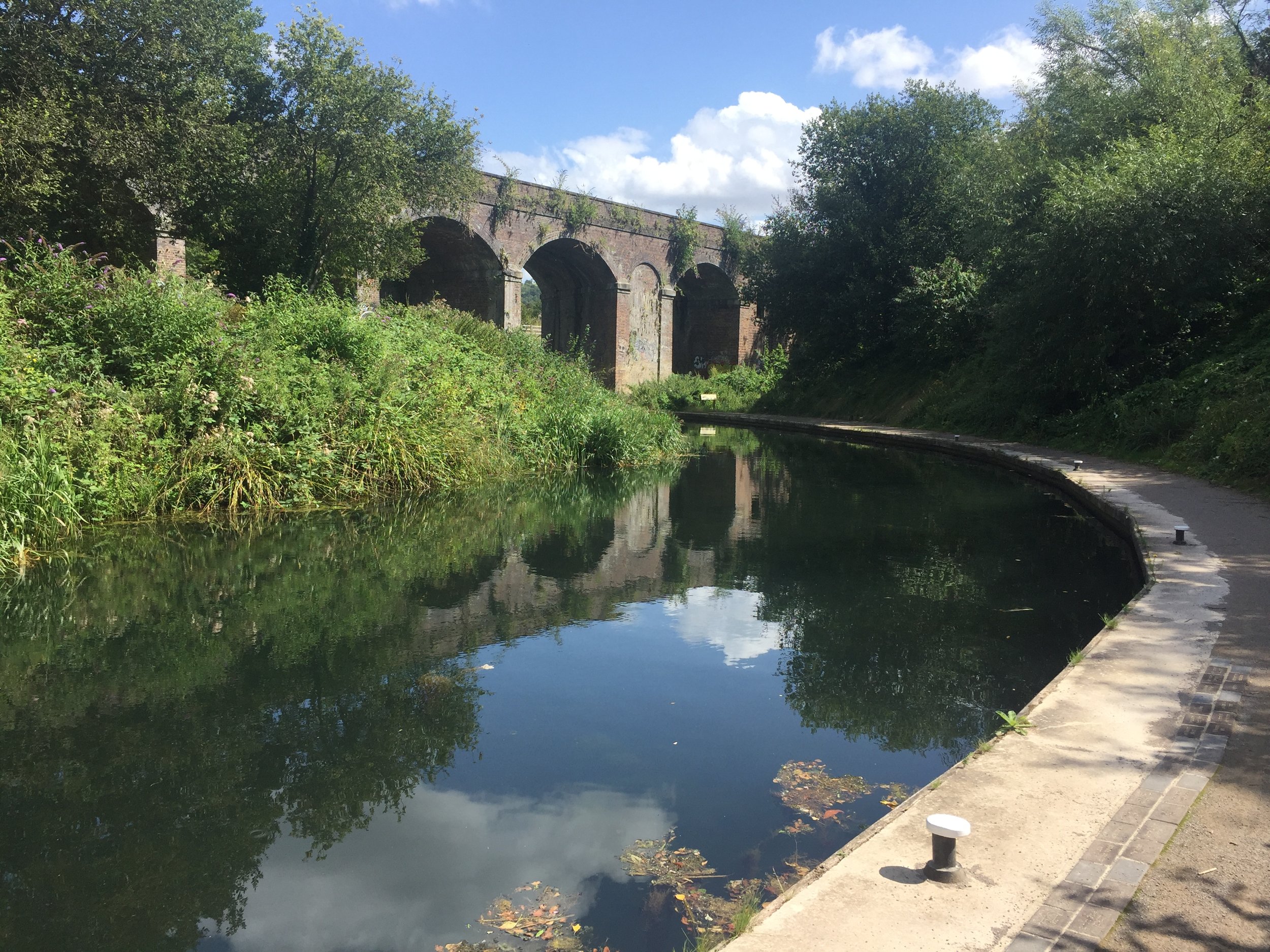
The last time that you see the uncovered stream is at the crossing of Parker Knoll Way south of Morrisons. The stream goes under the railway and flows under the town centre. For the final stretch of the walk follow Bellfield Road under the railway bridge, and cross the A40 Oxford Road to enter the Eden Shopping Centre. The Shopping Centre was built right on top of the River Wye and possibly the confluence with the Thames. I couldn’t find any details on whether the actual confluence was so I decided that it was probably between Nando’s and Wagamama’s, our final stop for the trip.
You can return to the start via the #300 bus. Check timetables for the most up to date info.
Red = the stream, blue = the walk