Part of the Chilterns Rivers series
River start: Just off B480 at Stonor, Oxfordshire
River end: Confluence with River Thames at Phyllis Court Club, Henley-on-Thames
River length: 6.5 km (4 miles)
Cycle route start / end: The Quince Tree, 21 B480, Stonor, Henley-on-Thames RG9 6HB
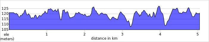
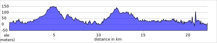
Cycle route length: 15.1 km (9.4 miles)
Cycle route elevation change: +/- 205m
GPX File: get via Buy Me a Coffee
Other routes touched (walk): Oxfordshire Way, Shakespeares Way, Chiltern Way
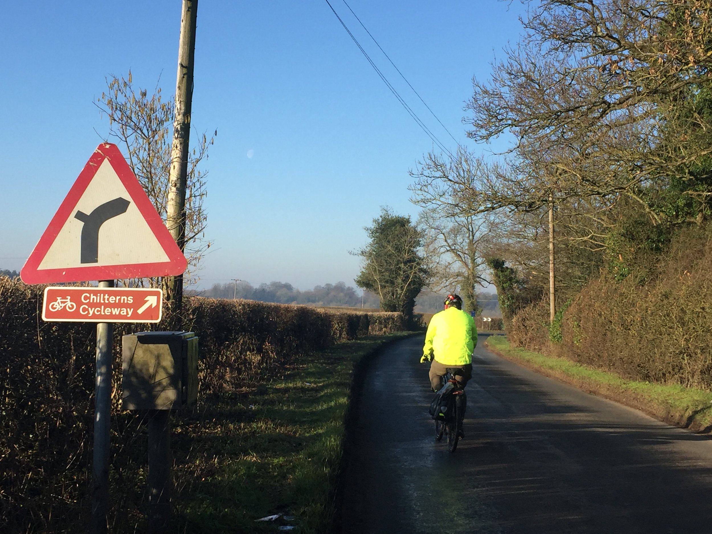
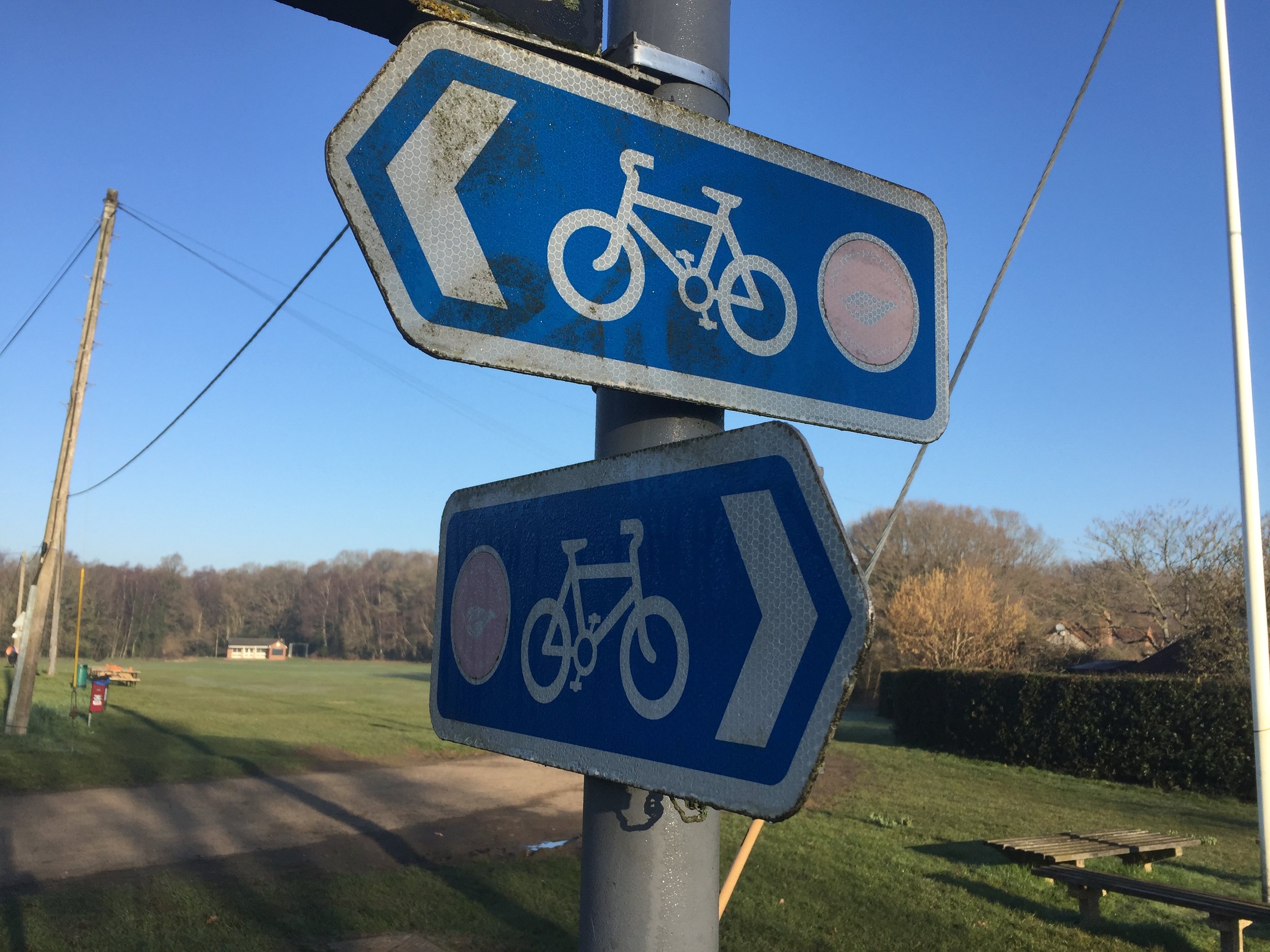
Other routes touched (cycle): Chilterns Cycleway
Map: OS Explorer 171 Chiltern Hills West, Henley-on-Thames and Wallingford
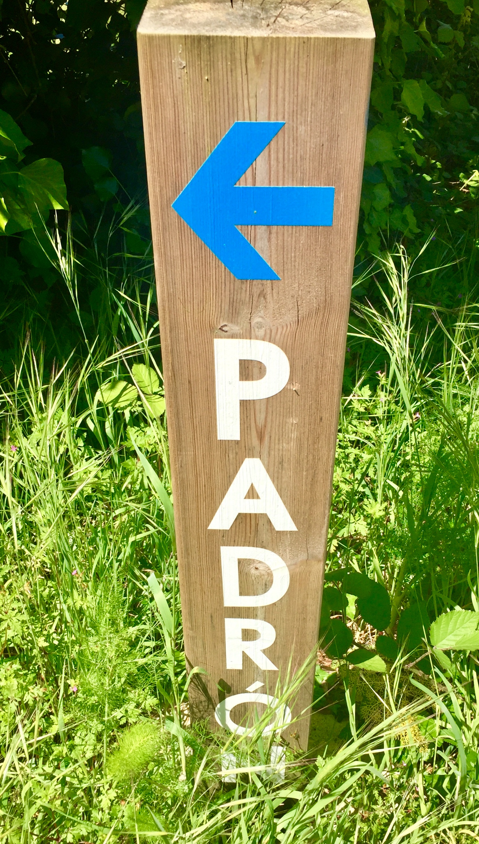
Links: Assendon Stream, Stonor, Henley-on-Thames, Jimmy The Marmoset
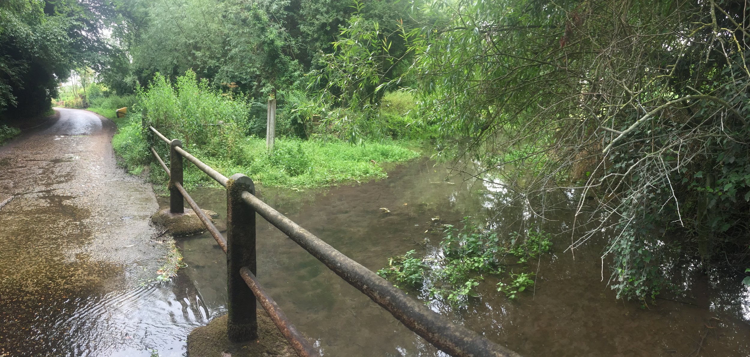
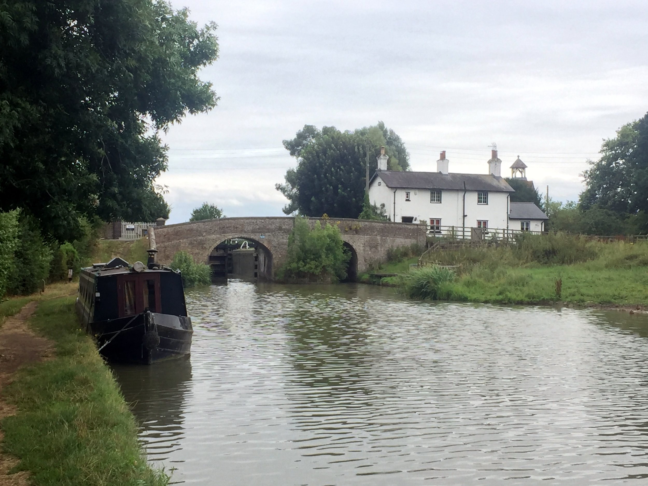
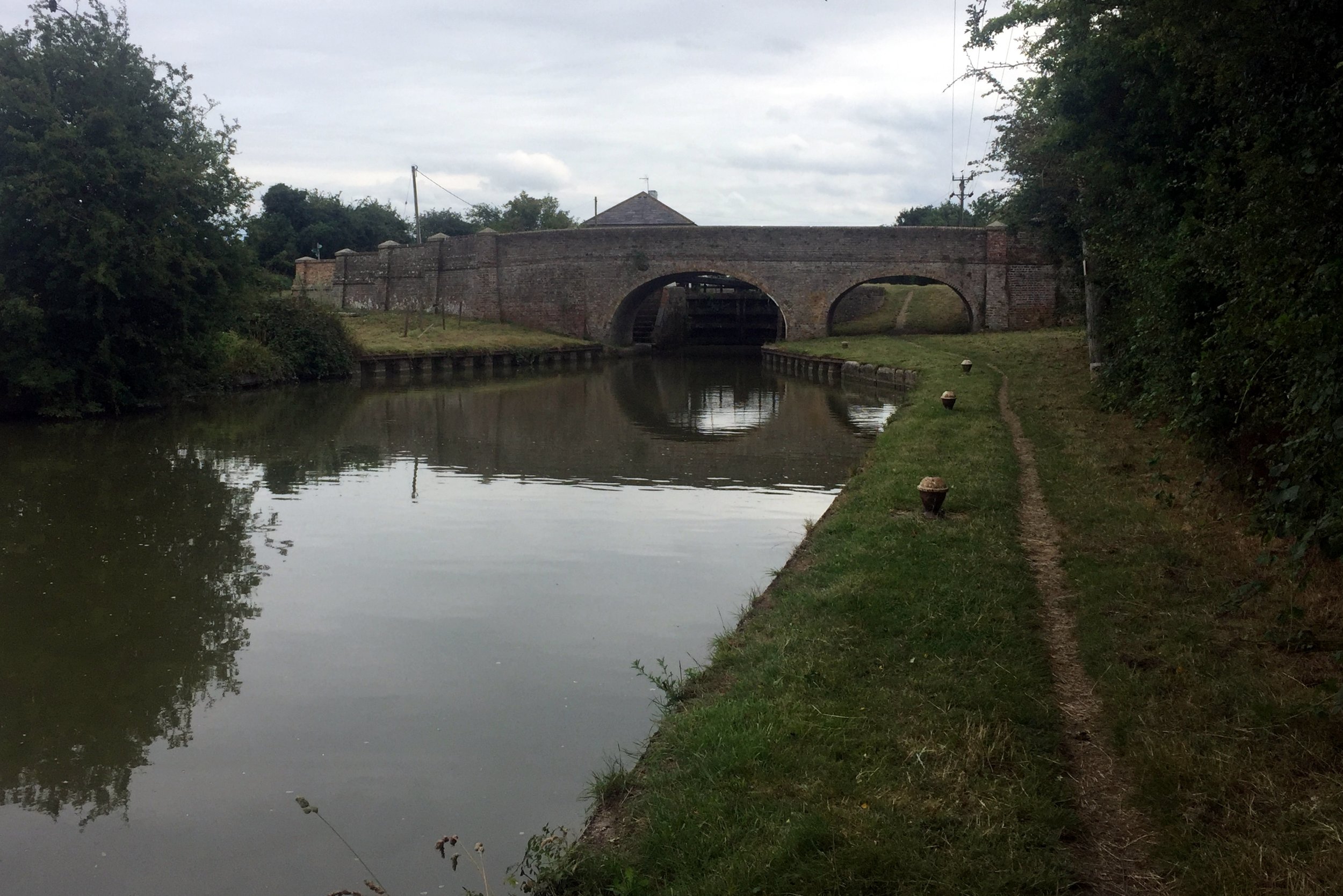
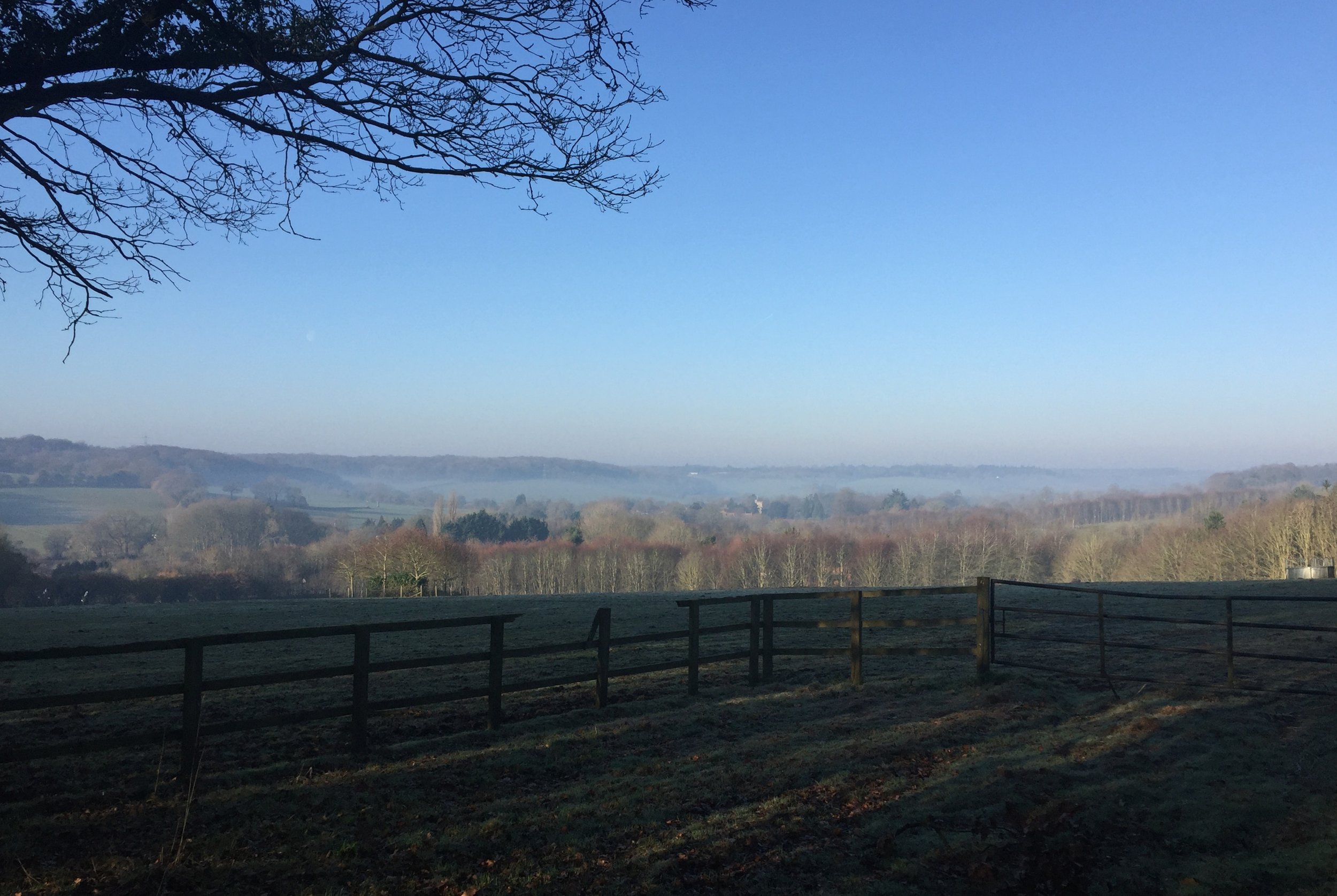
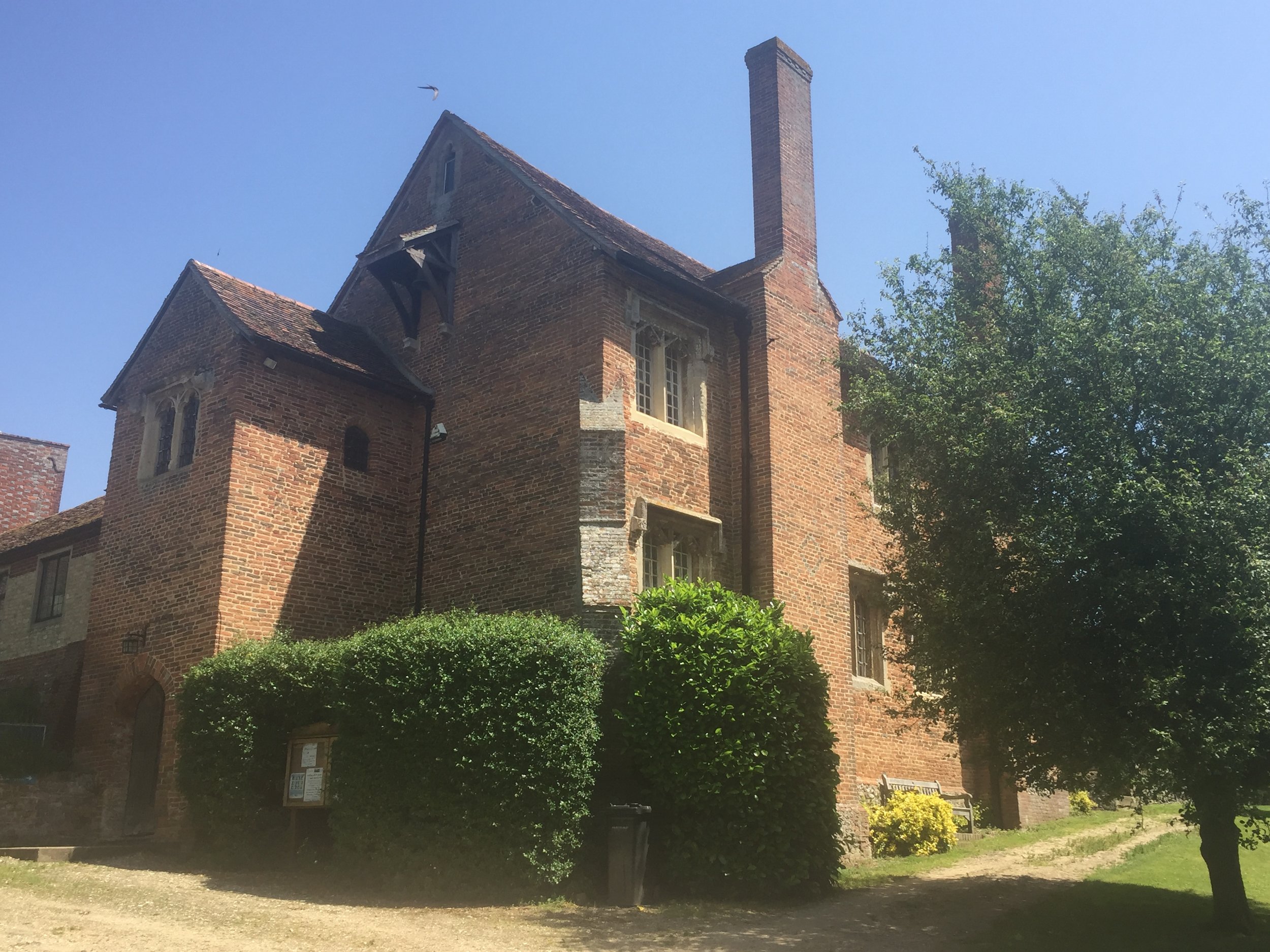
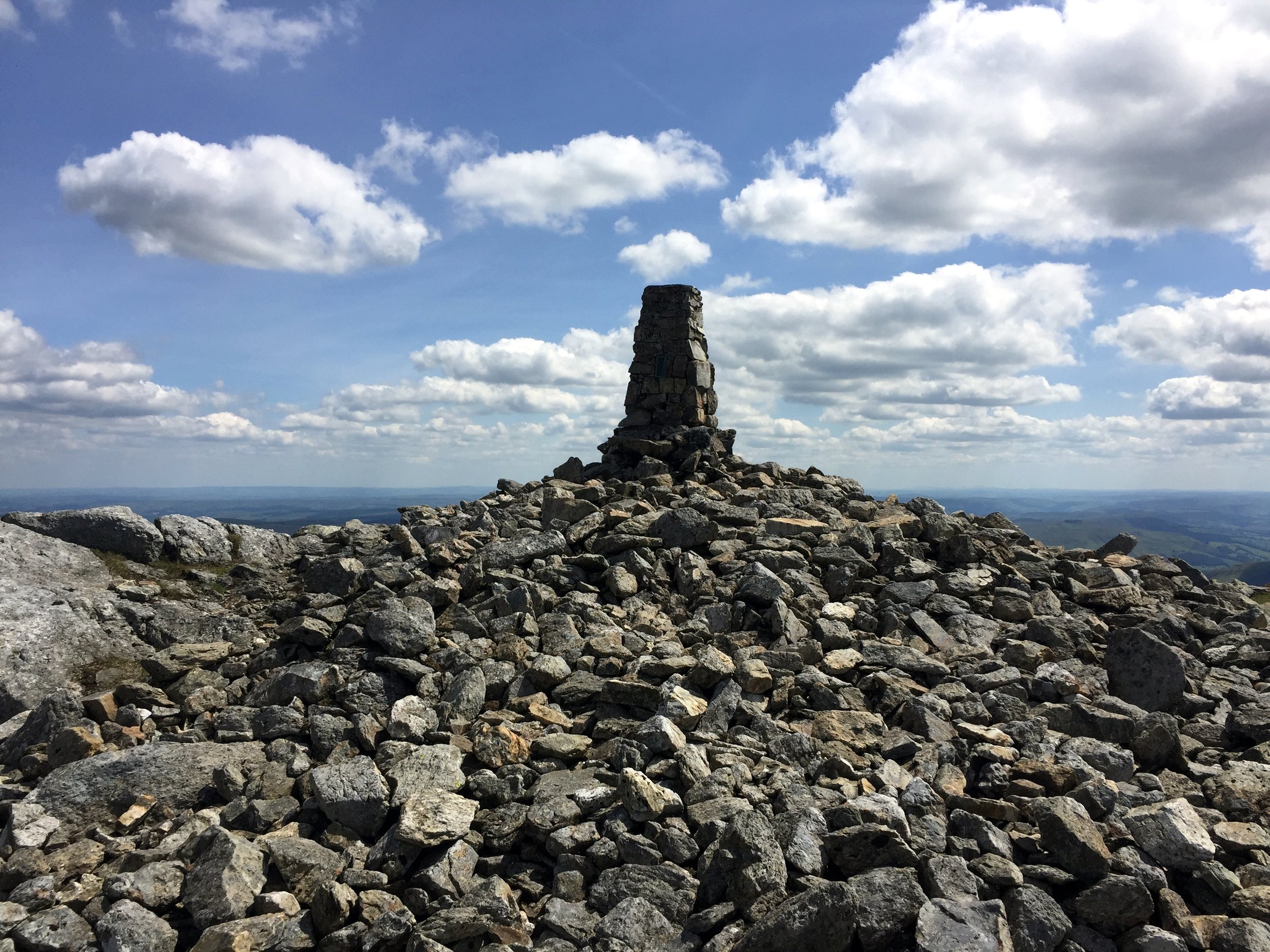
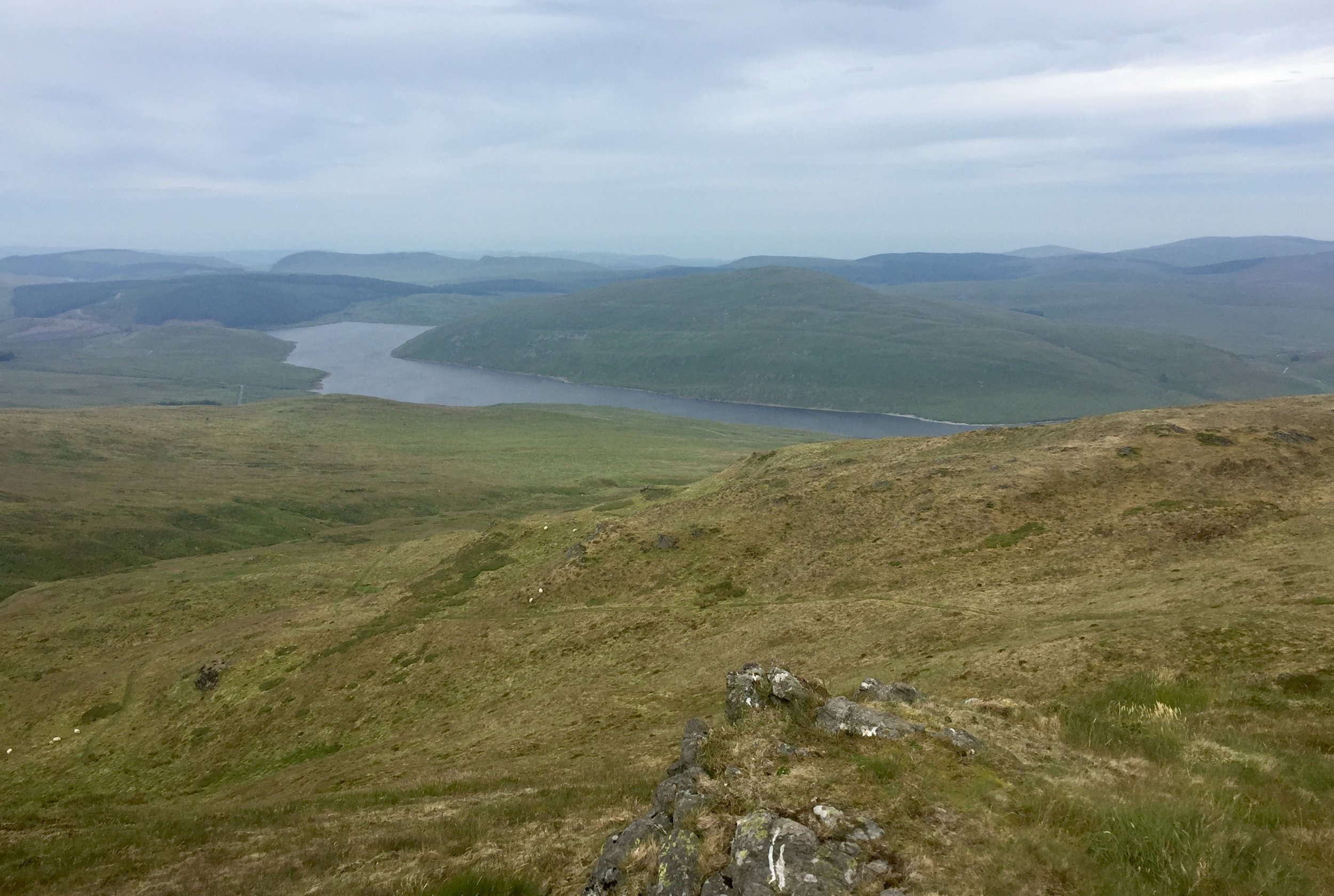
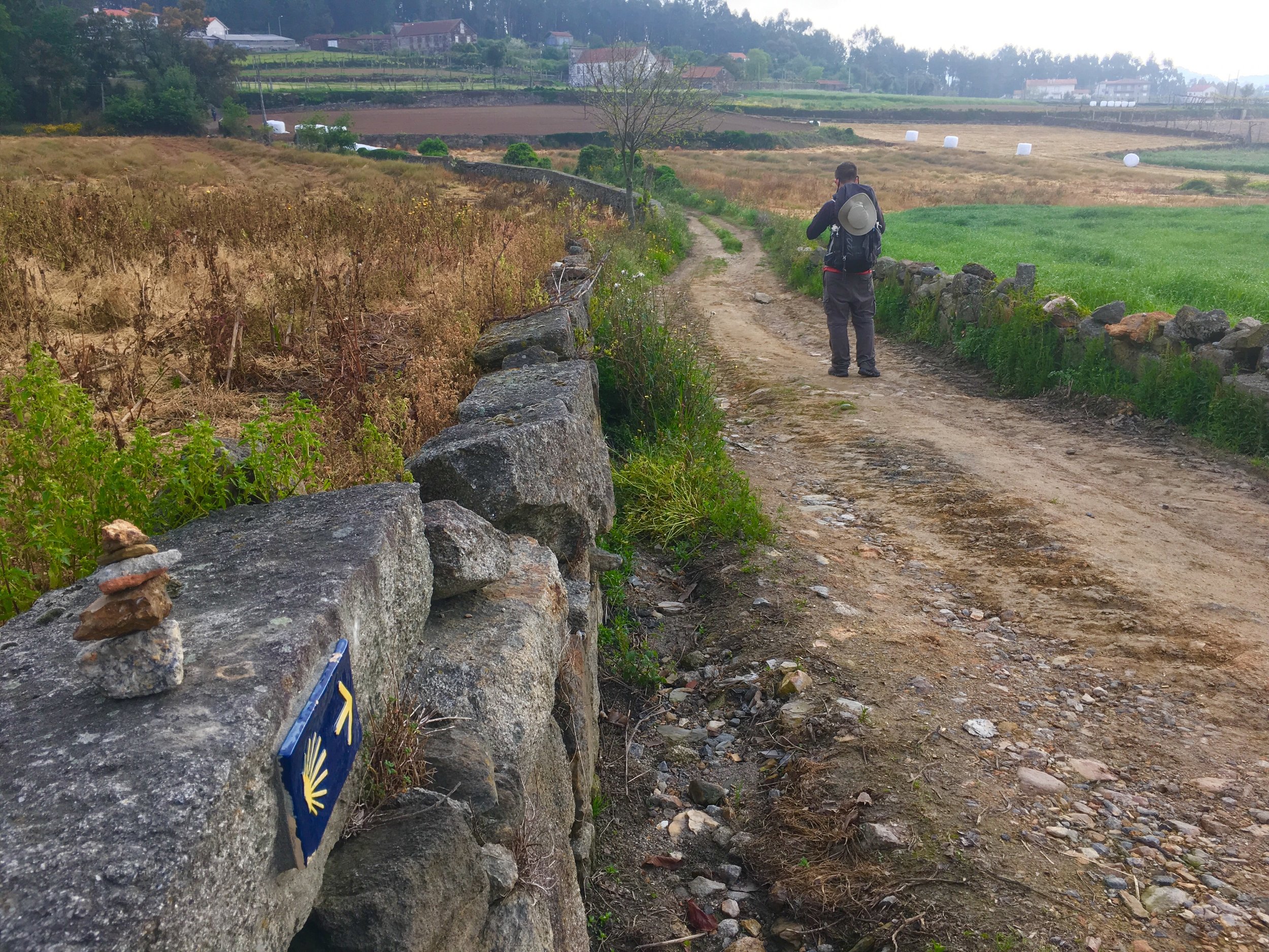
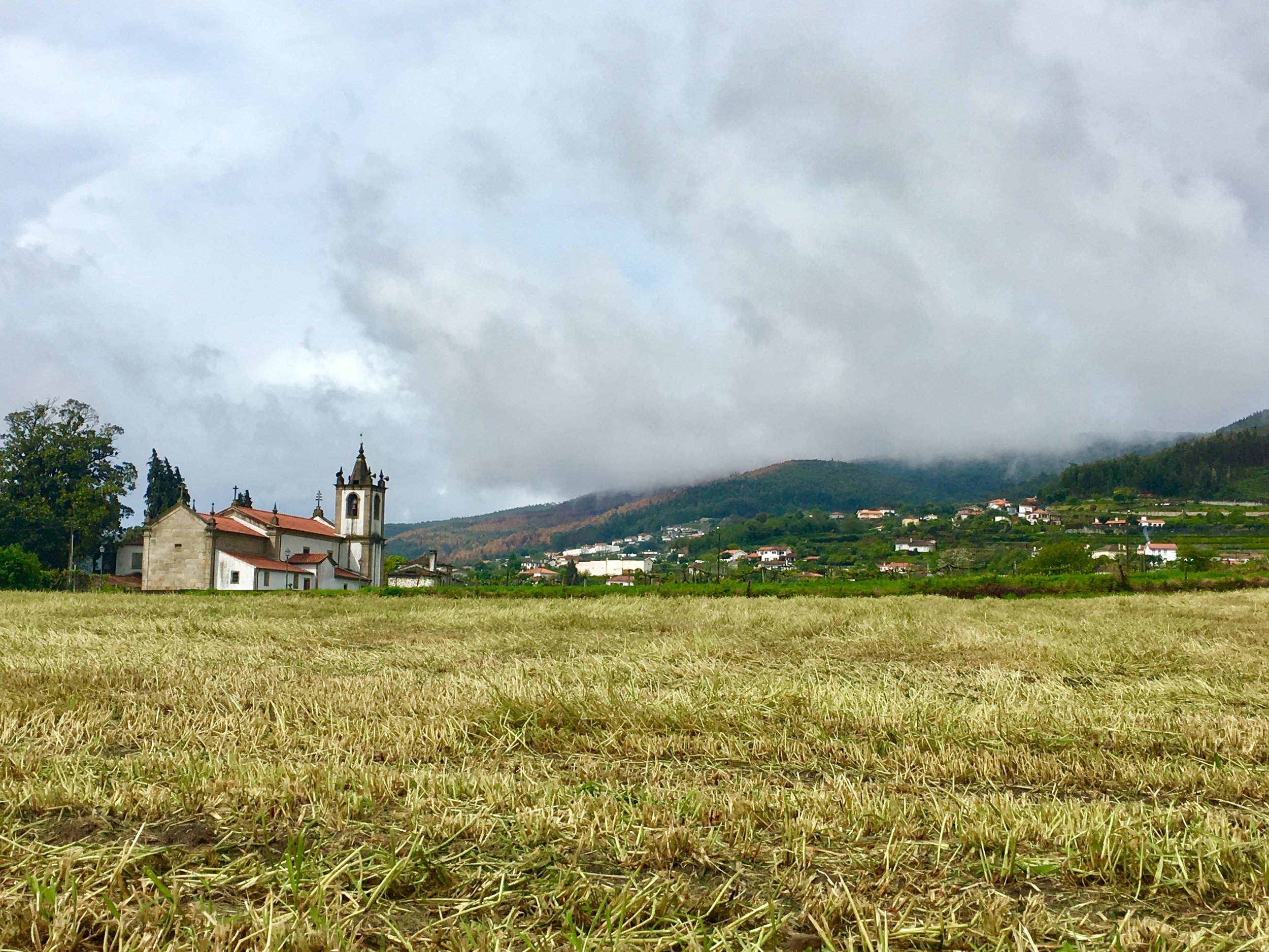
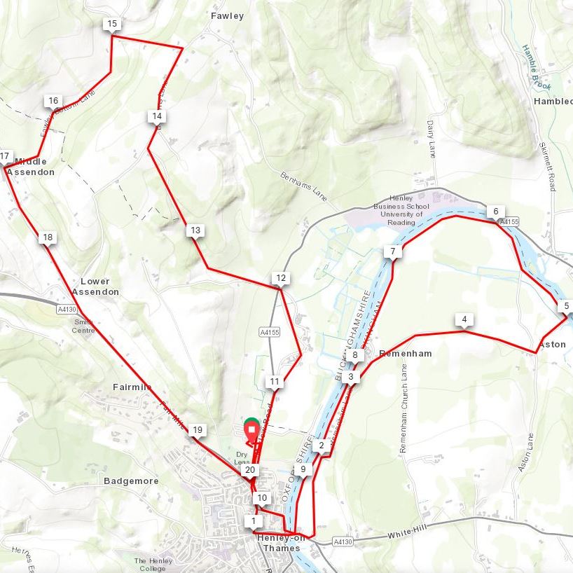
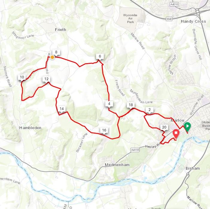
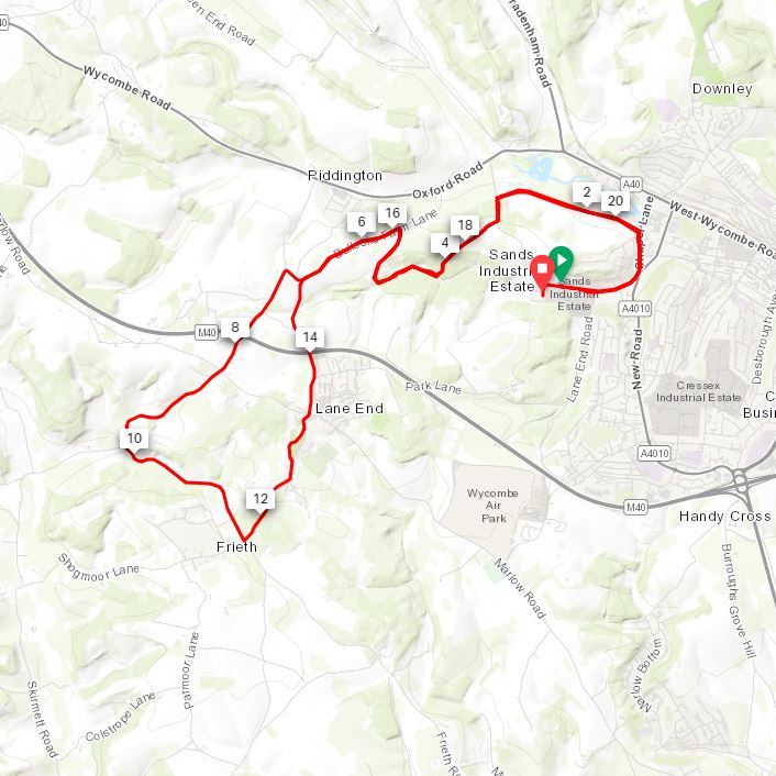
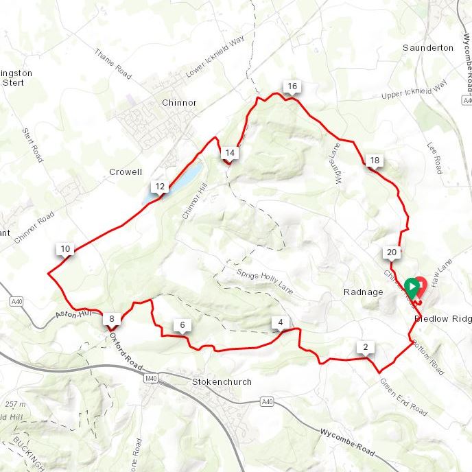
Having described yesterday’s Ouzel trip as “obscure and tenuous”, this one goes one step further by not even being there. The Assendon is an ephemeral chalk stream that is dry, even in wet winters. The best source that I could find on the stream is the JBA Trust Report about the last time the stream appeared in 2014. The document also shows the course of the stream, starting in Stonor Village and flowing South-East to the Thames just North of Henley-On-Thames town centre.
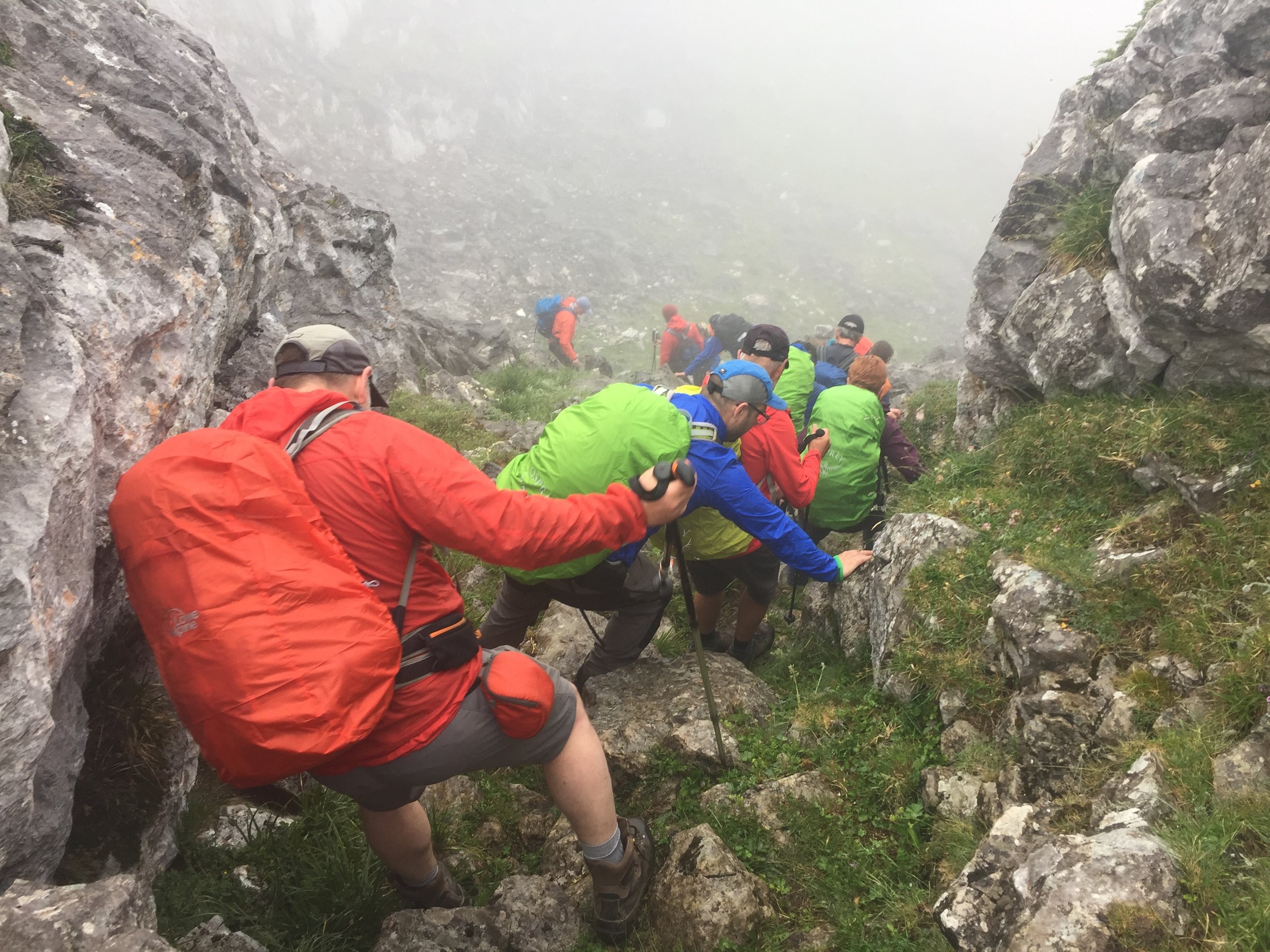
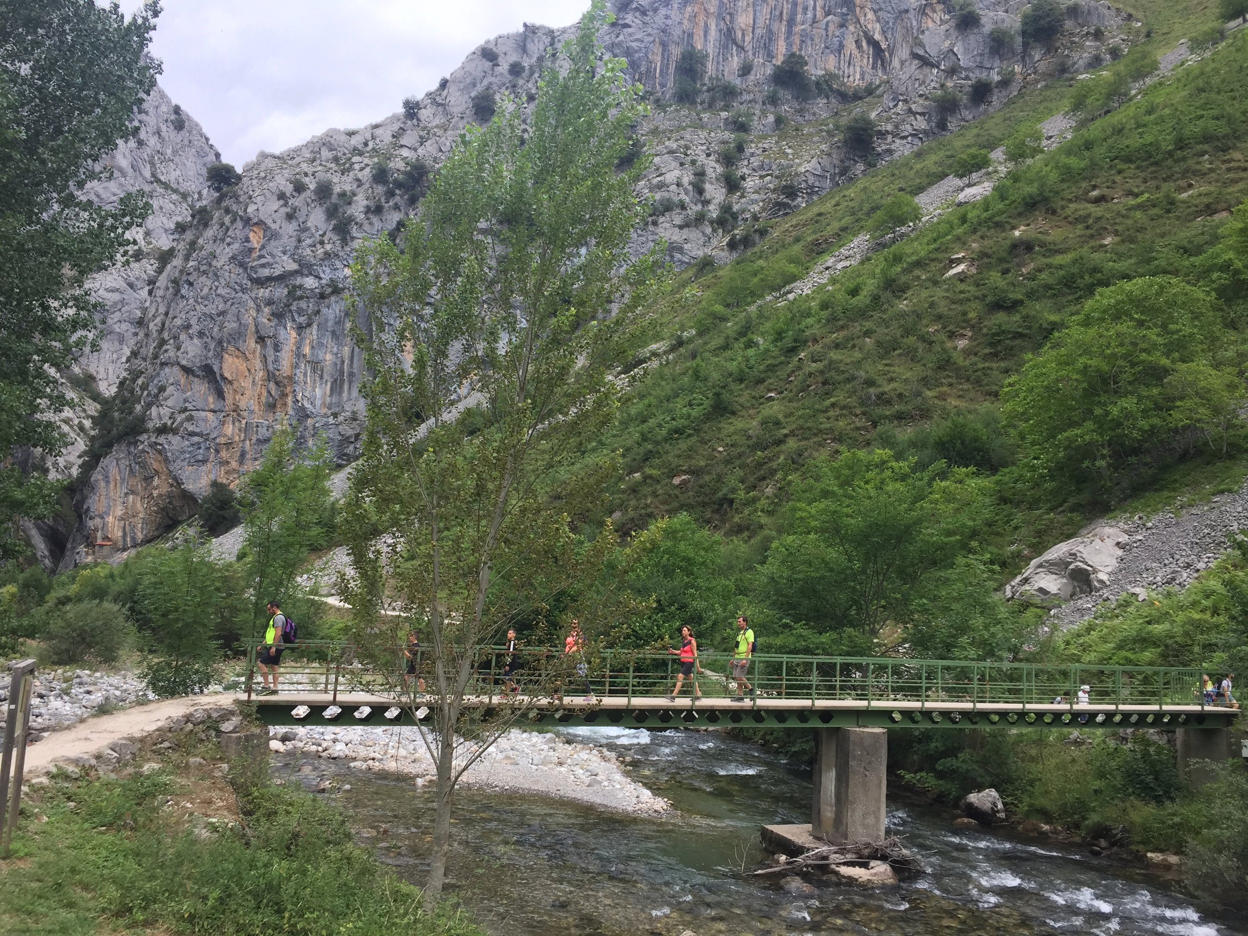
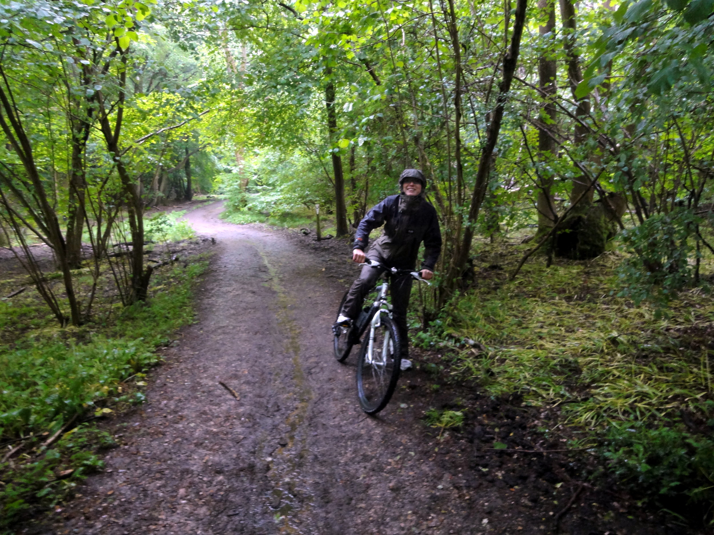
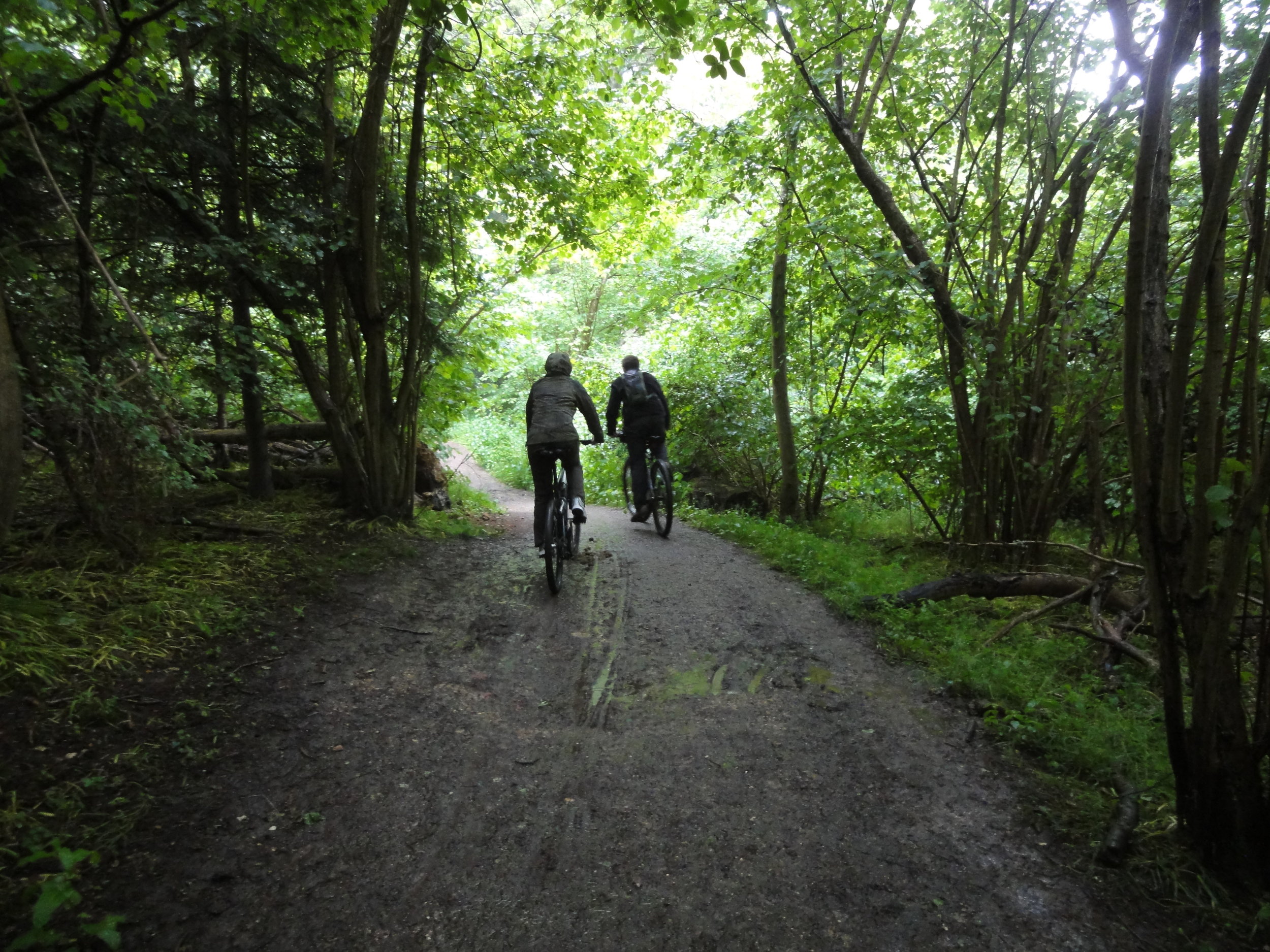
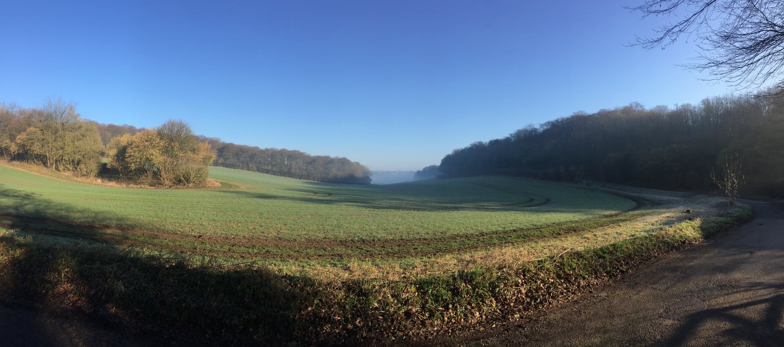
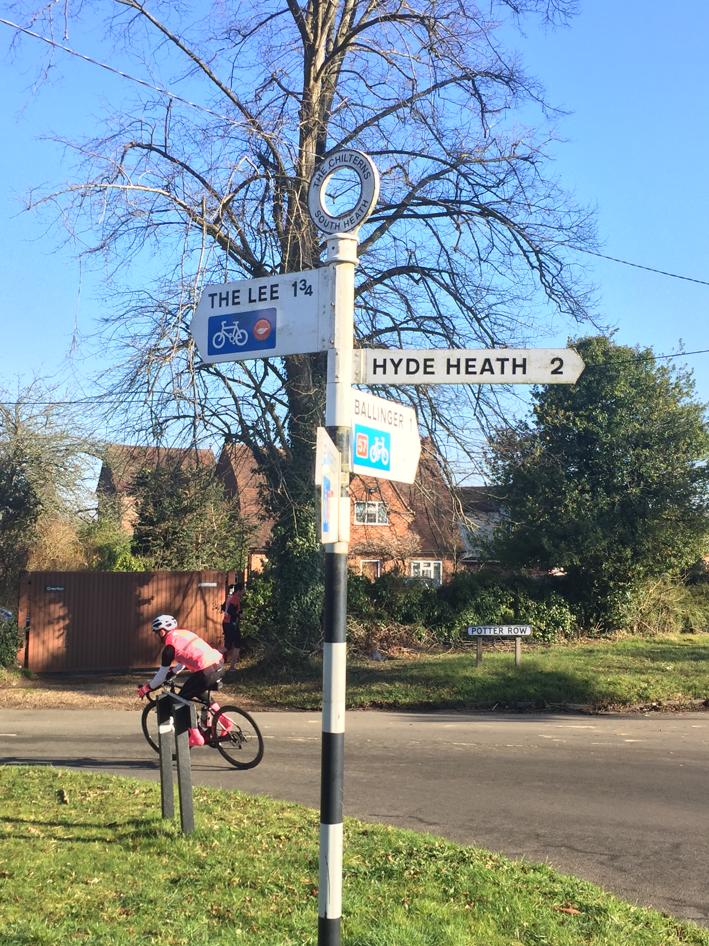
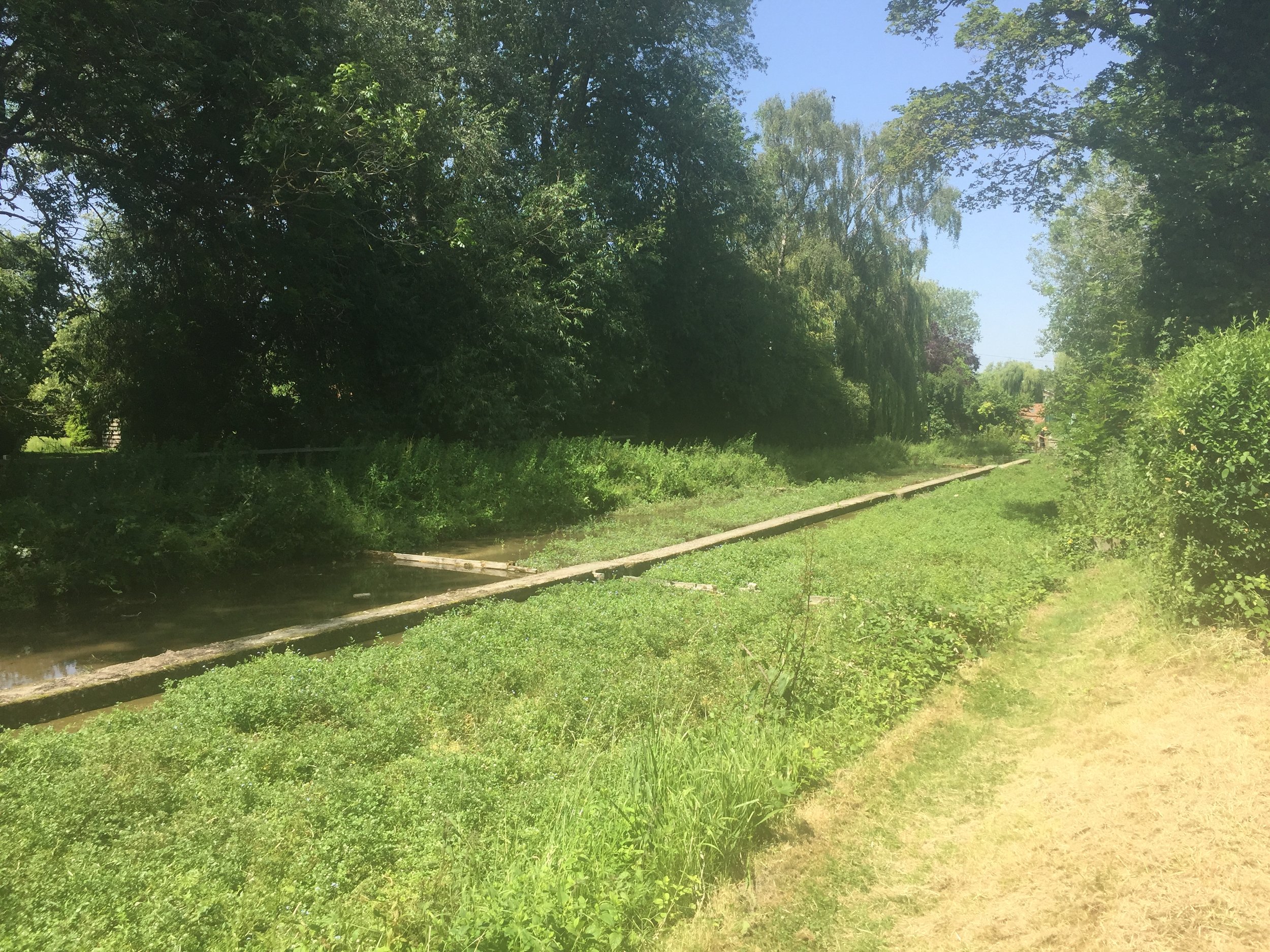
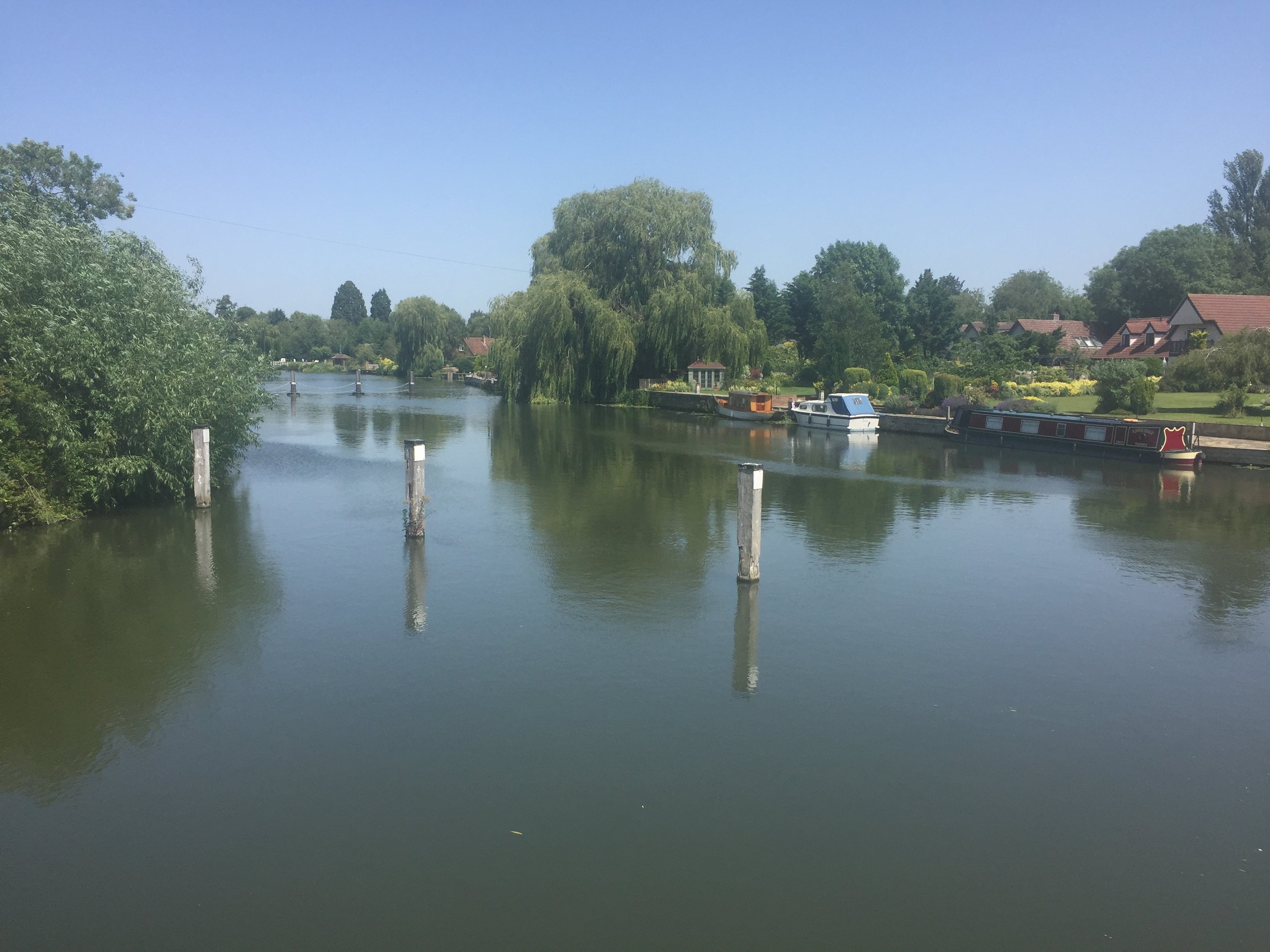
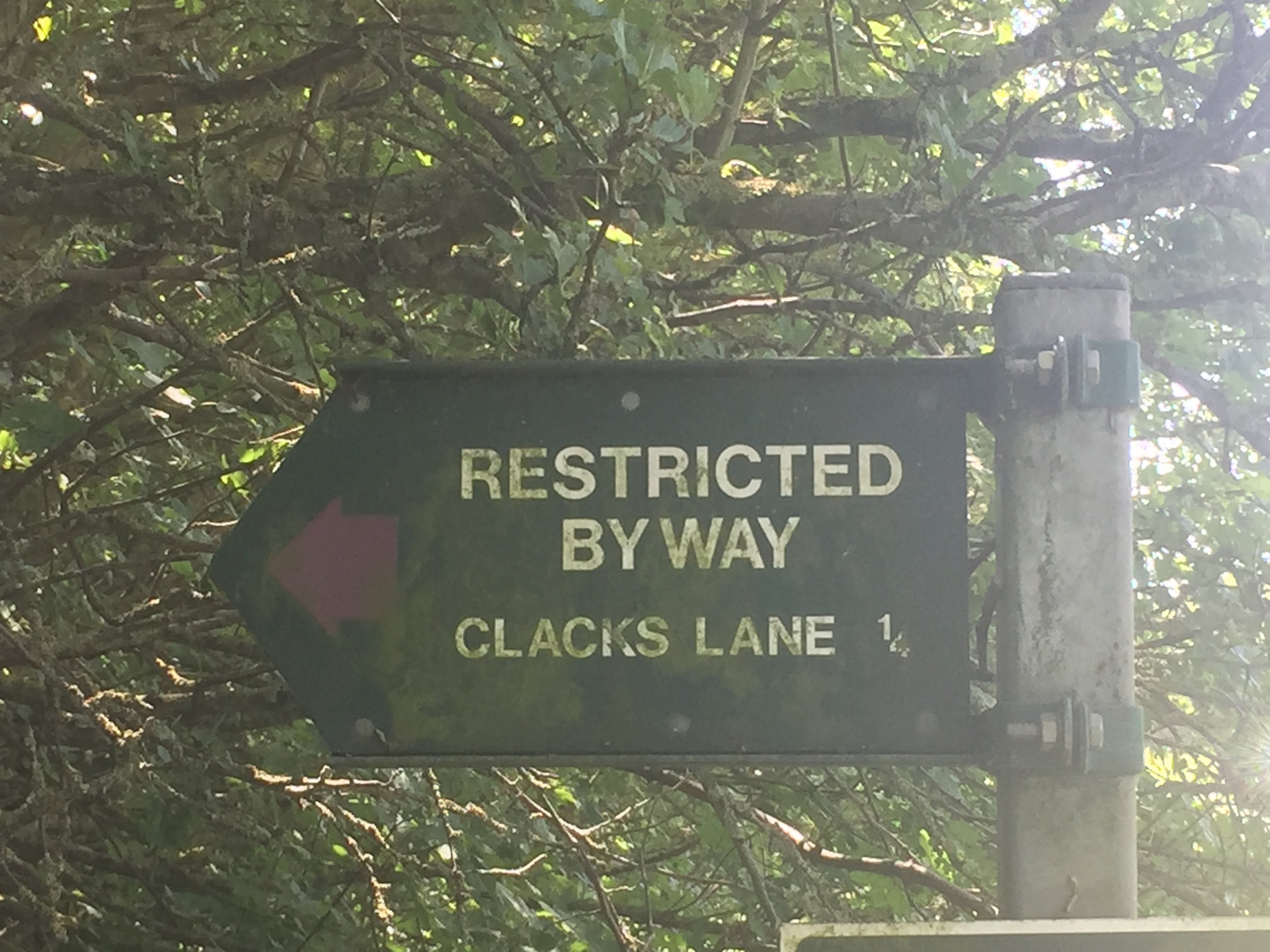
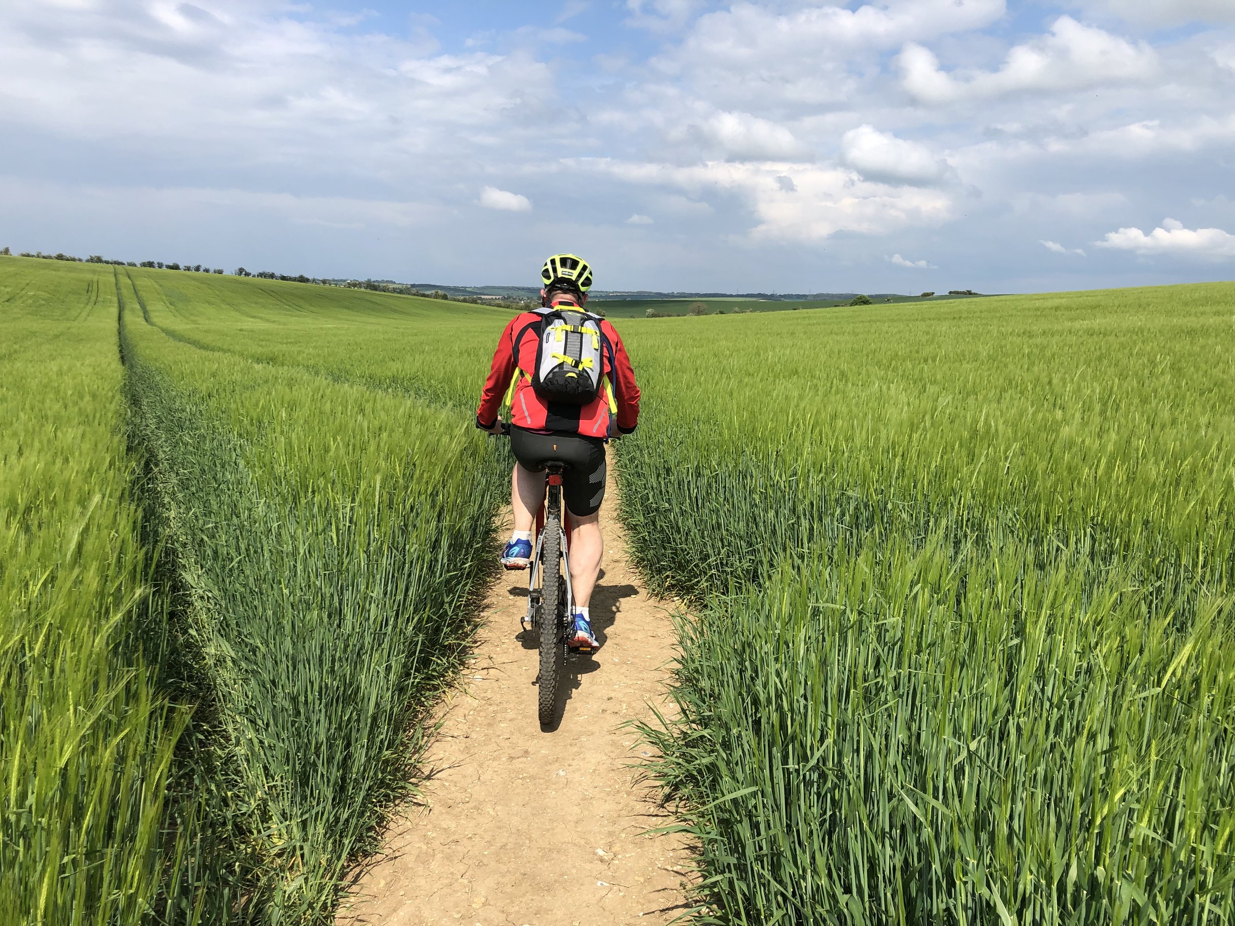
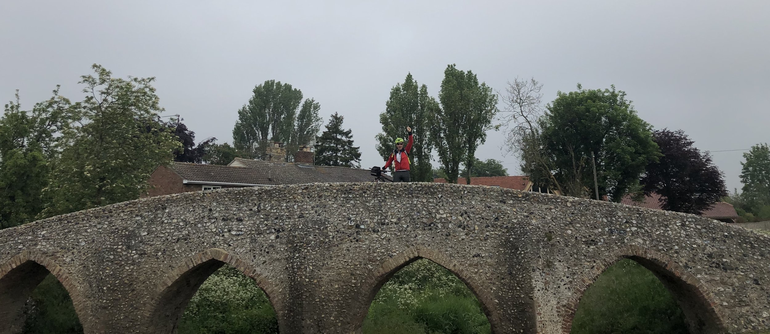
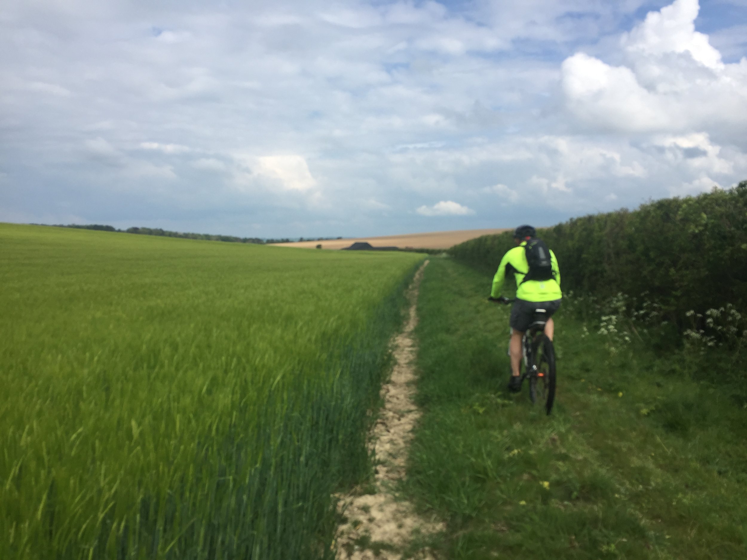
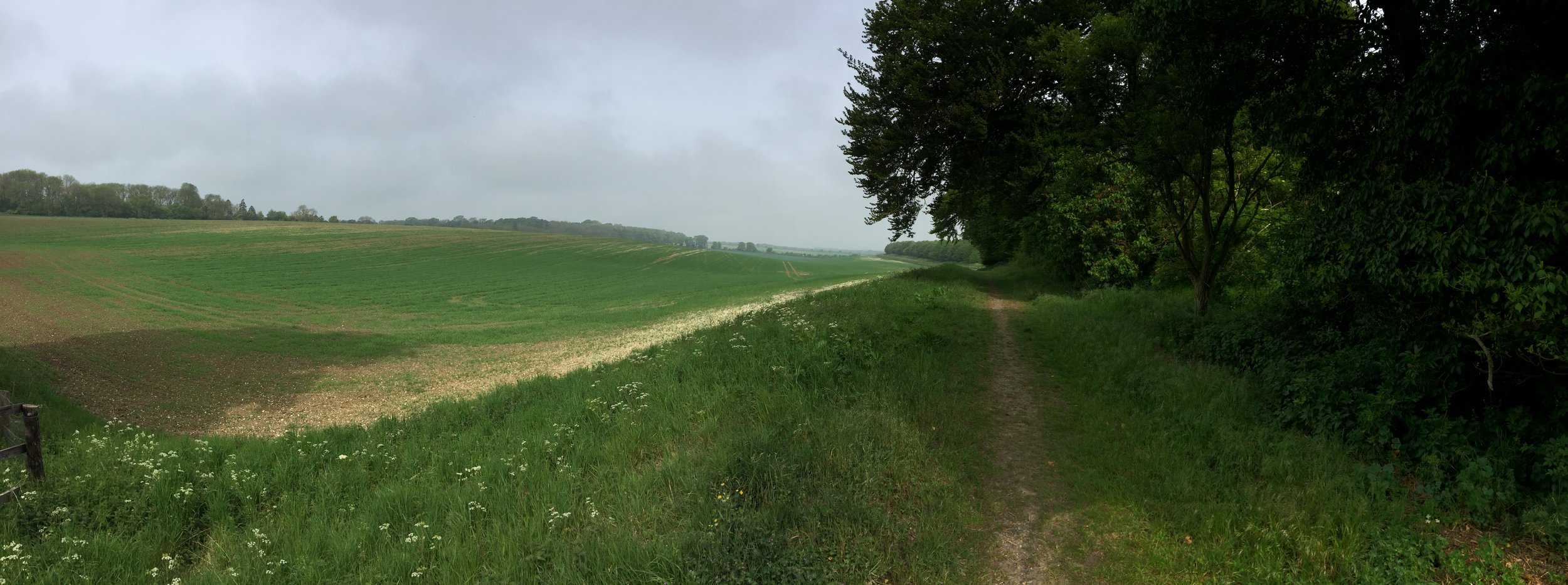
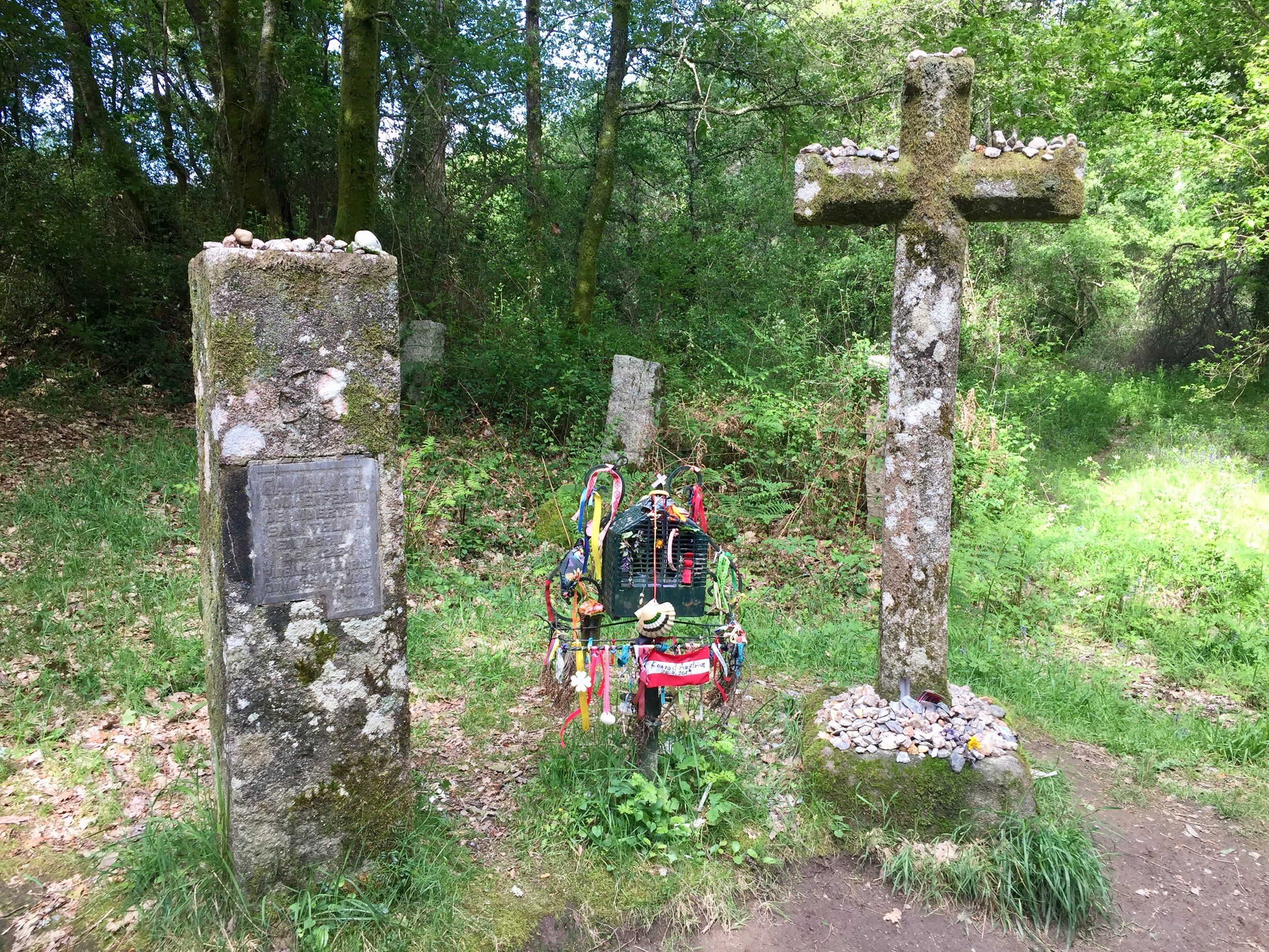
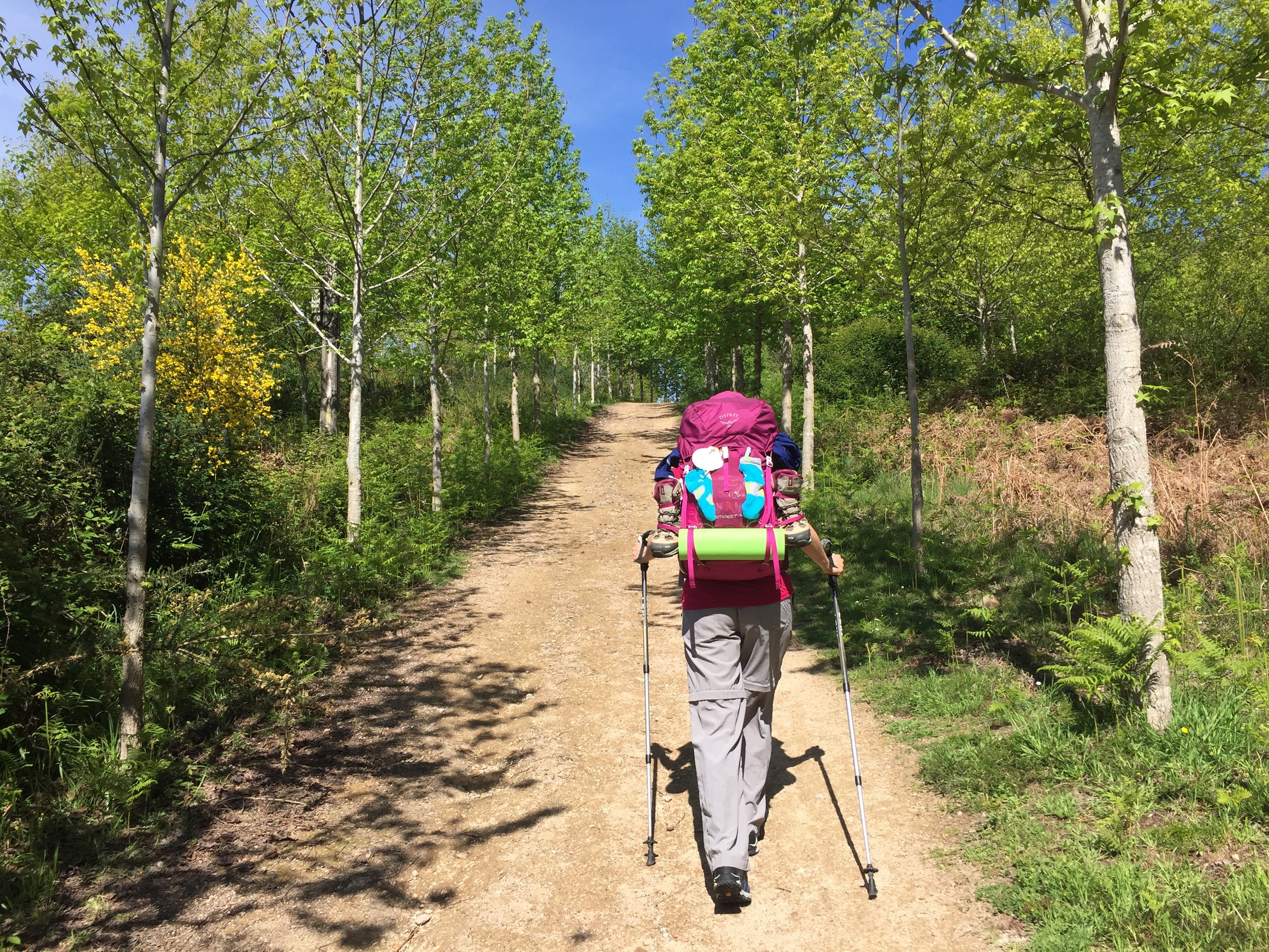
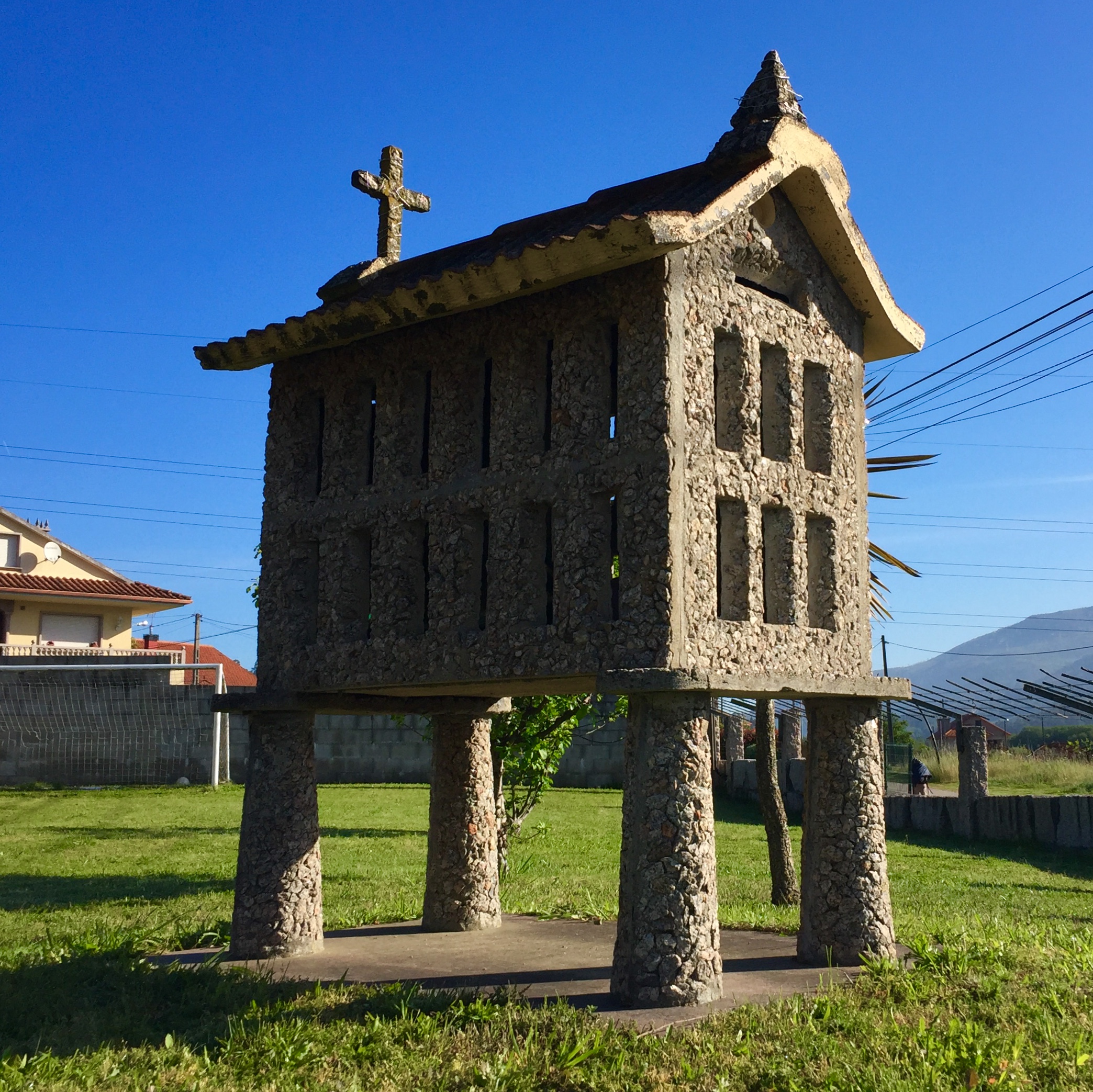
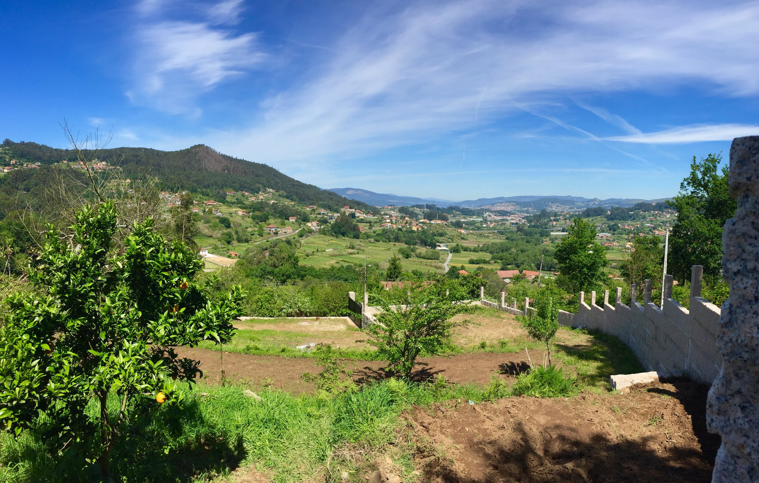
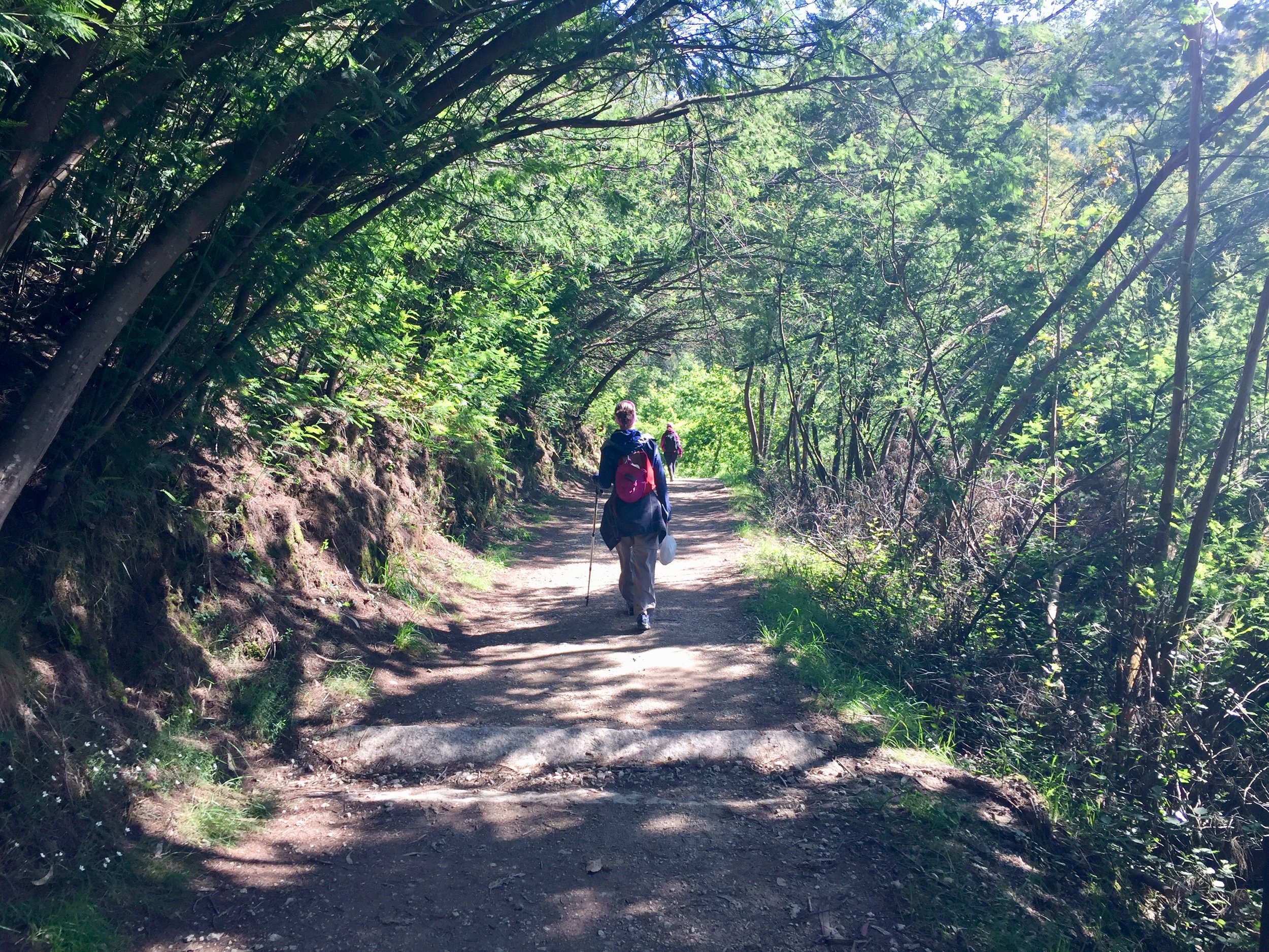
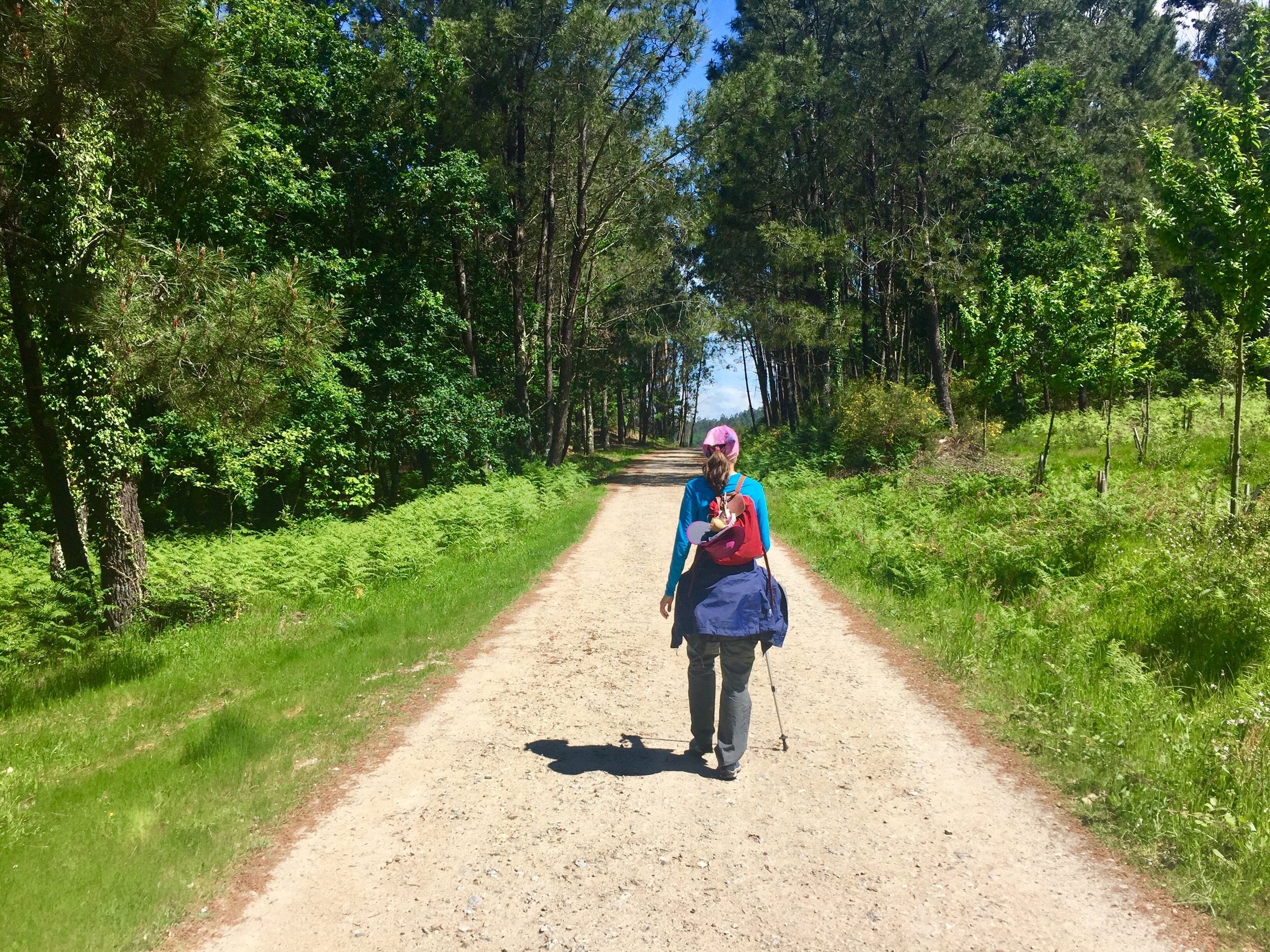
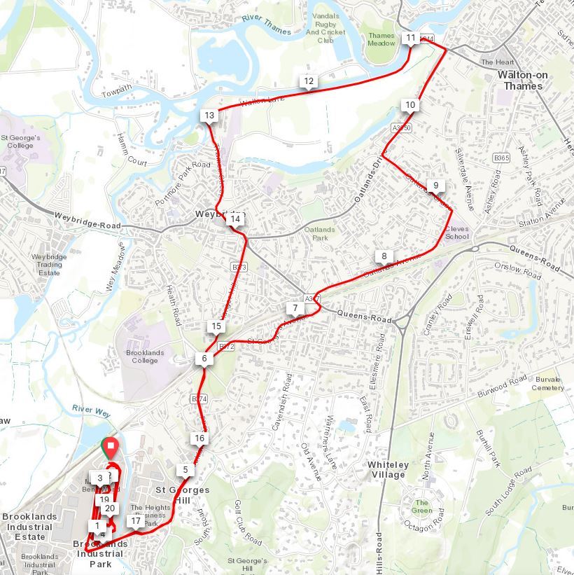
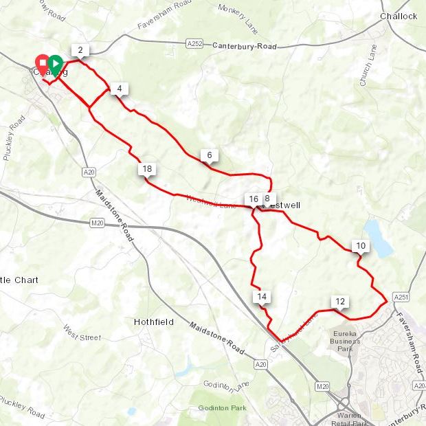
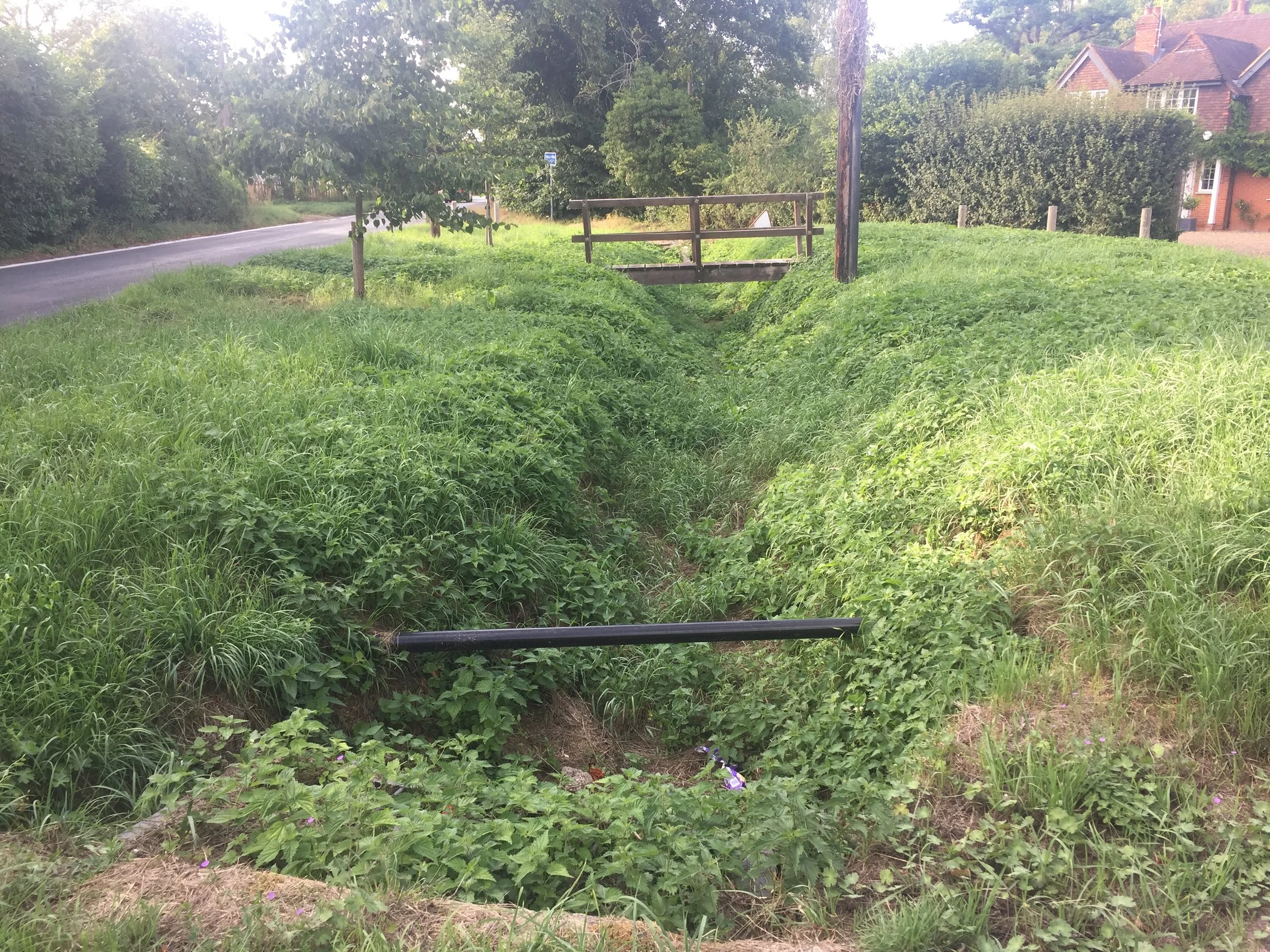
Cycling along the course of the stream is very straightforward as the B480 and then A4130 follow it all the way to Henley. The map in the JBA report is too low-res to tell, but it looks like the source is on the West side of the road then switches the the East side for most of the route. There’s a small green in Middle Assendon with a big ditch and a wooden bridge which I assume crosses the stream. Once you get onto the Fairmile cyclepath along the A4130 you’ll follow a long grassy ditch which becomes a concrete ditch following the pavement. Look out for the gravestone of Jimmy The Marmoset next to a tree before the stream diverts from the road under some houses. Presumably the stream meets the Thames in the grounds of the Phyllis Court Club. It’s a private club so if you’re not a member you can access the Thames via a footpath to the North.
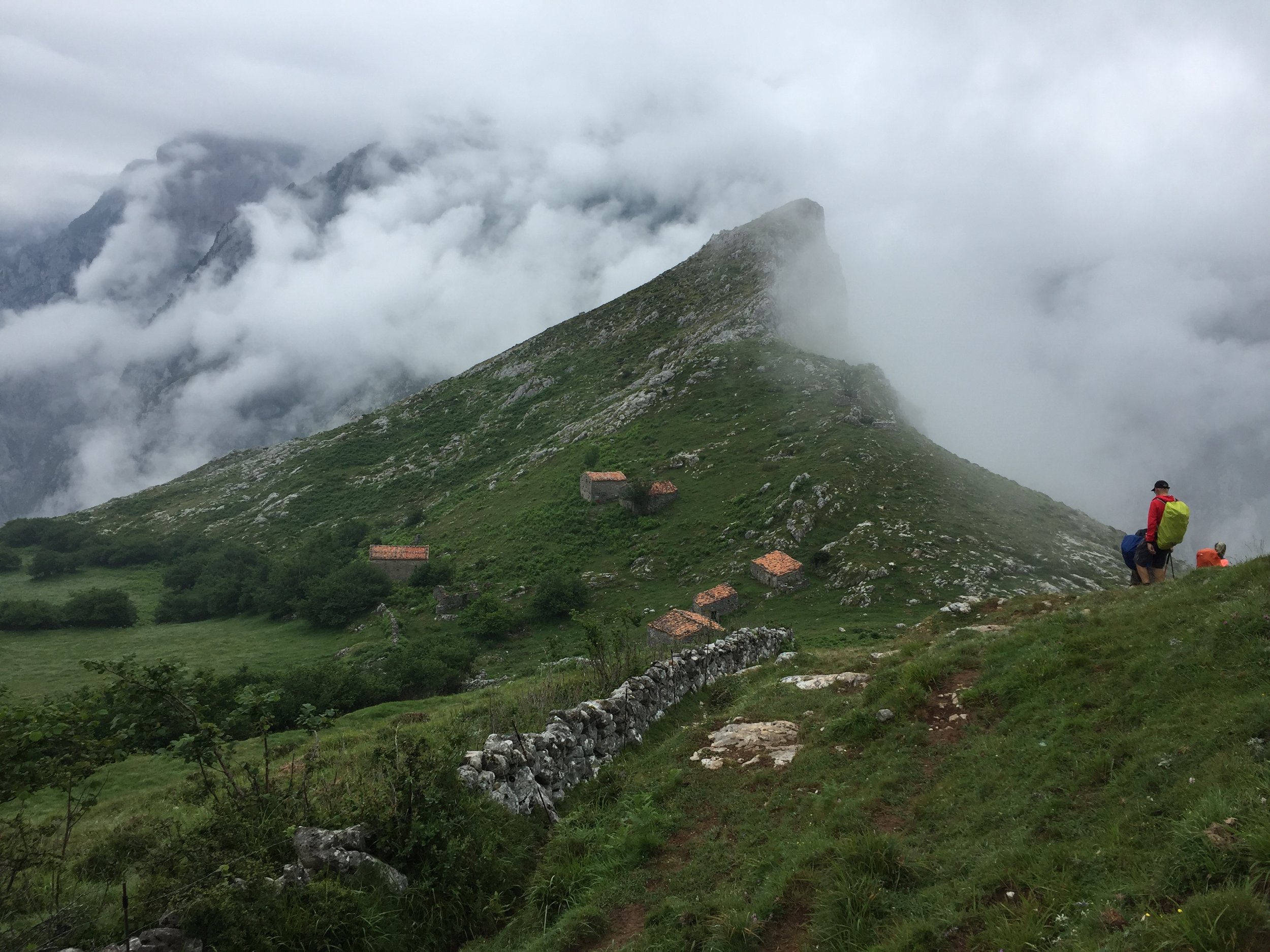
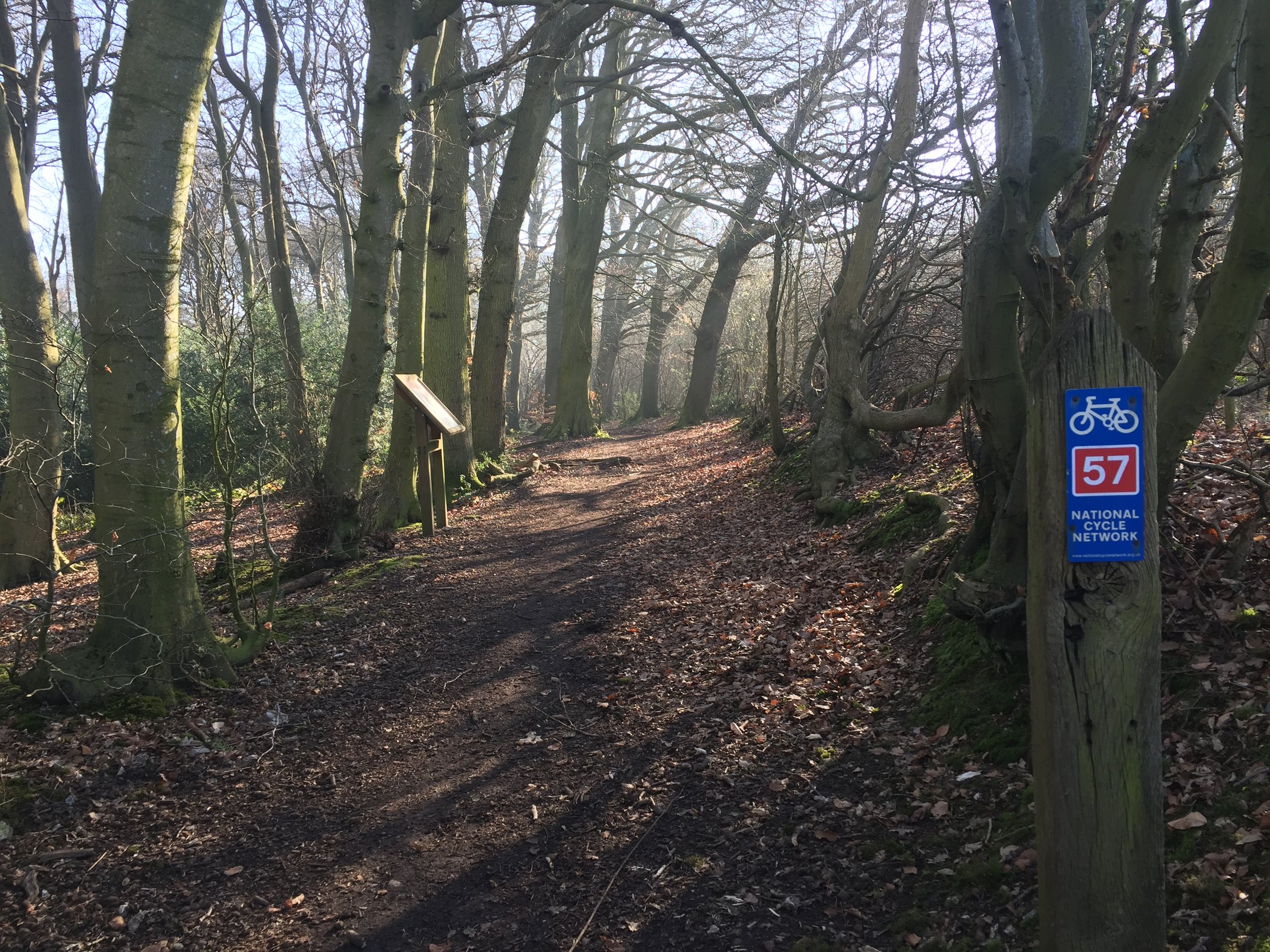
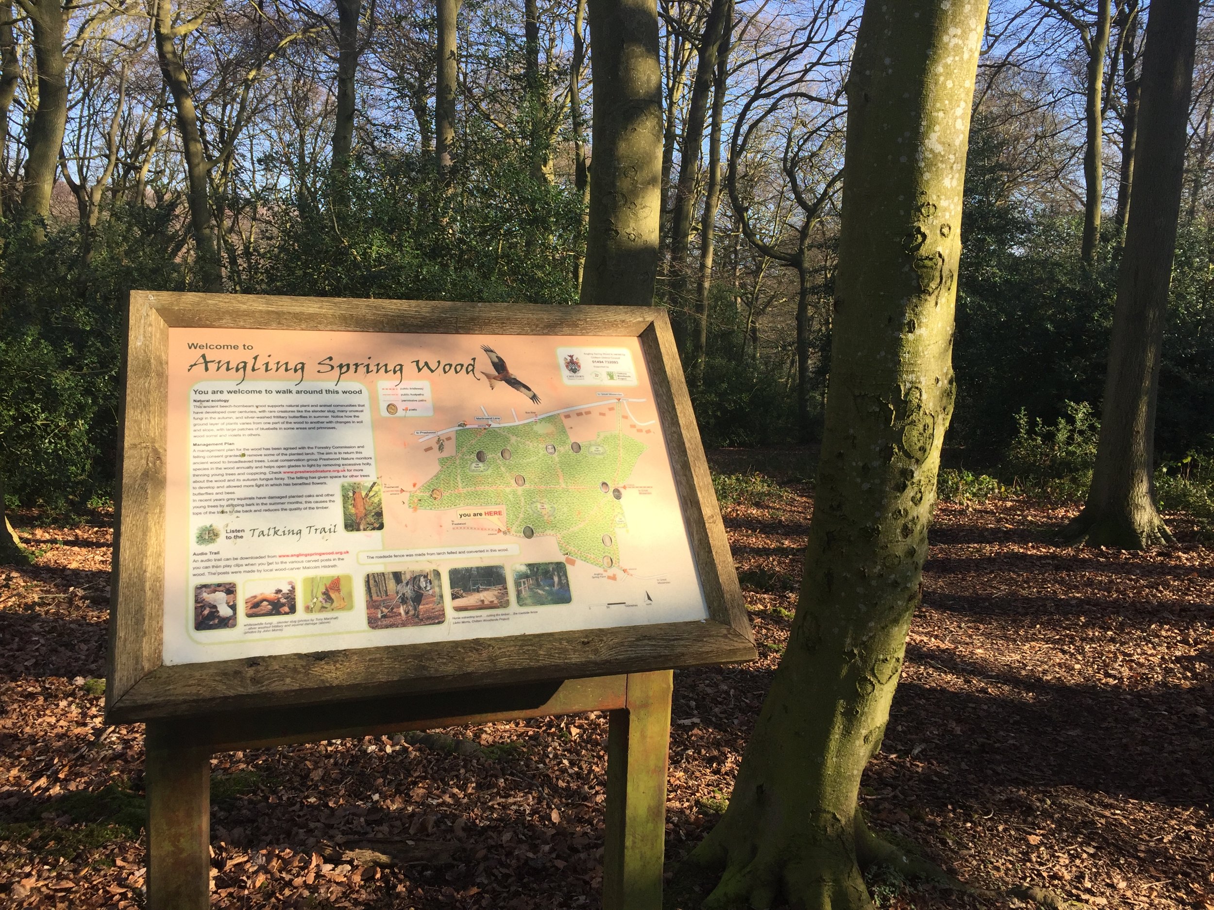
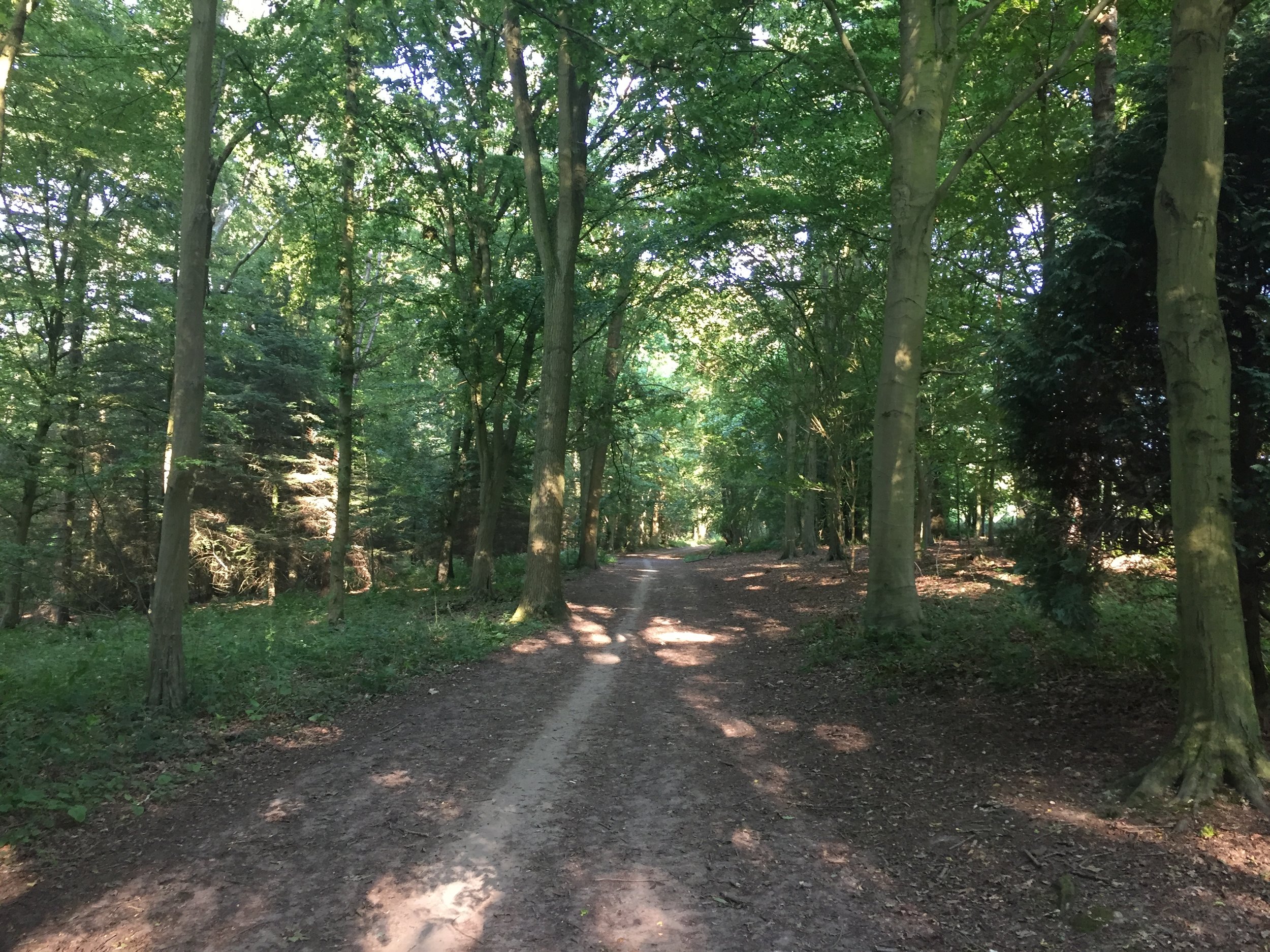
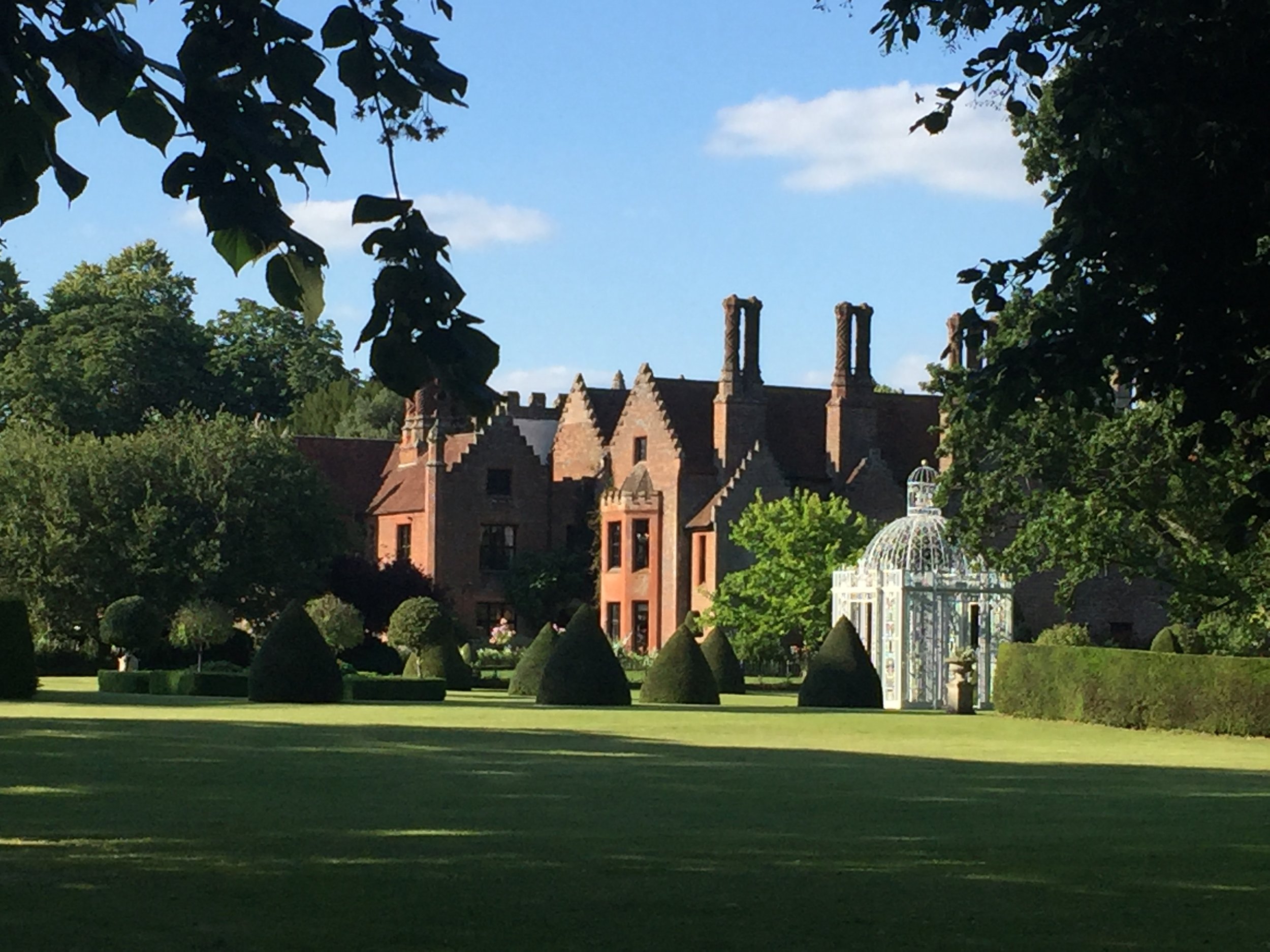
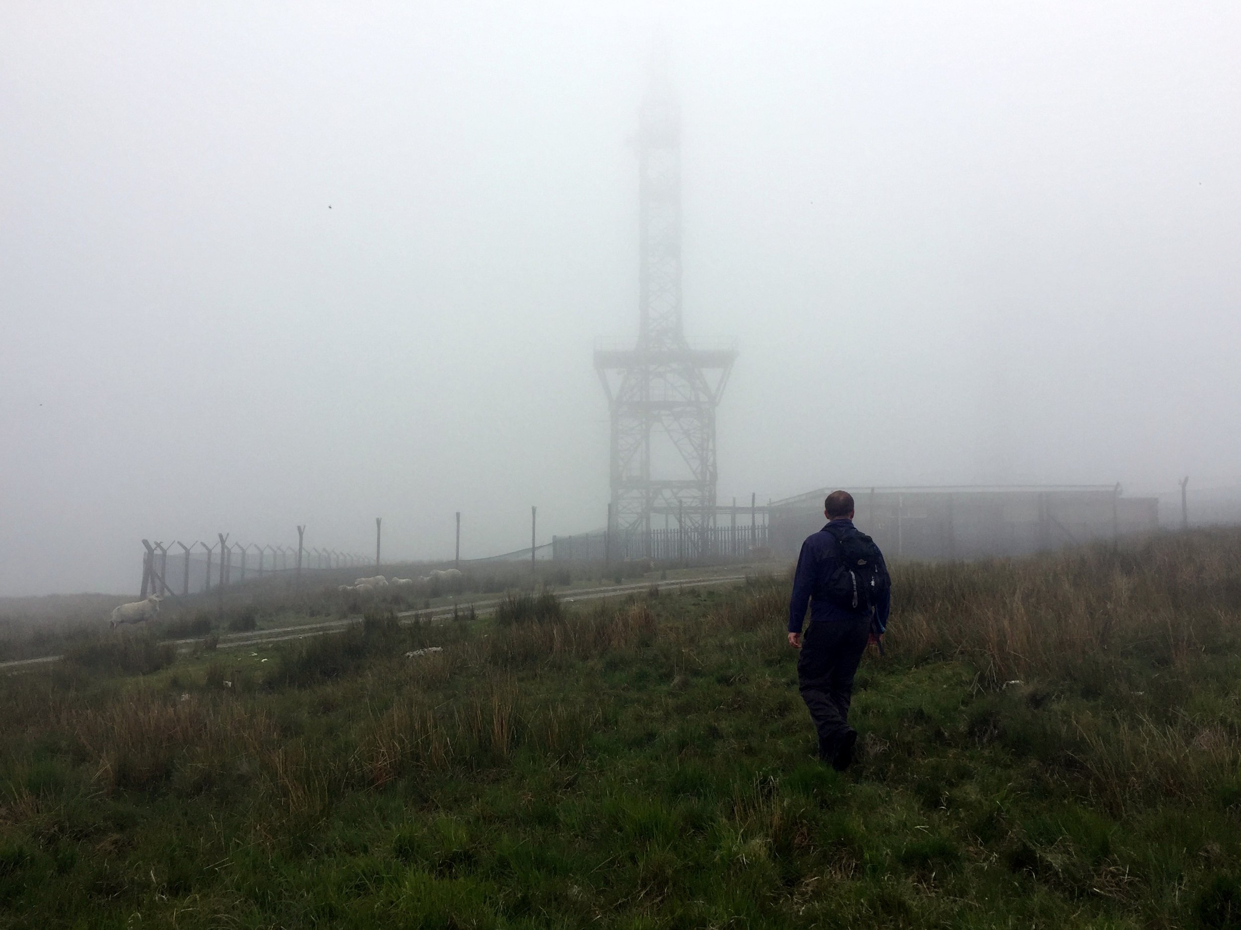
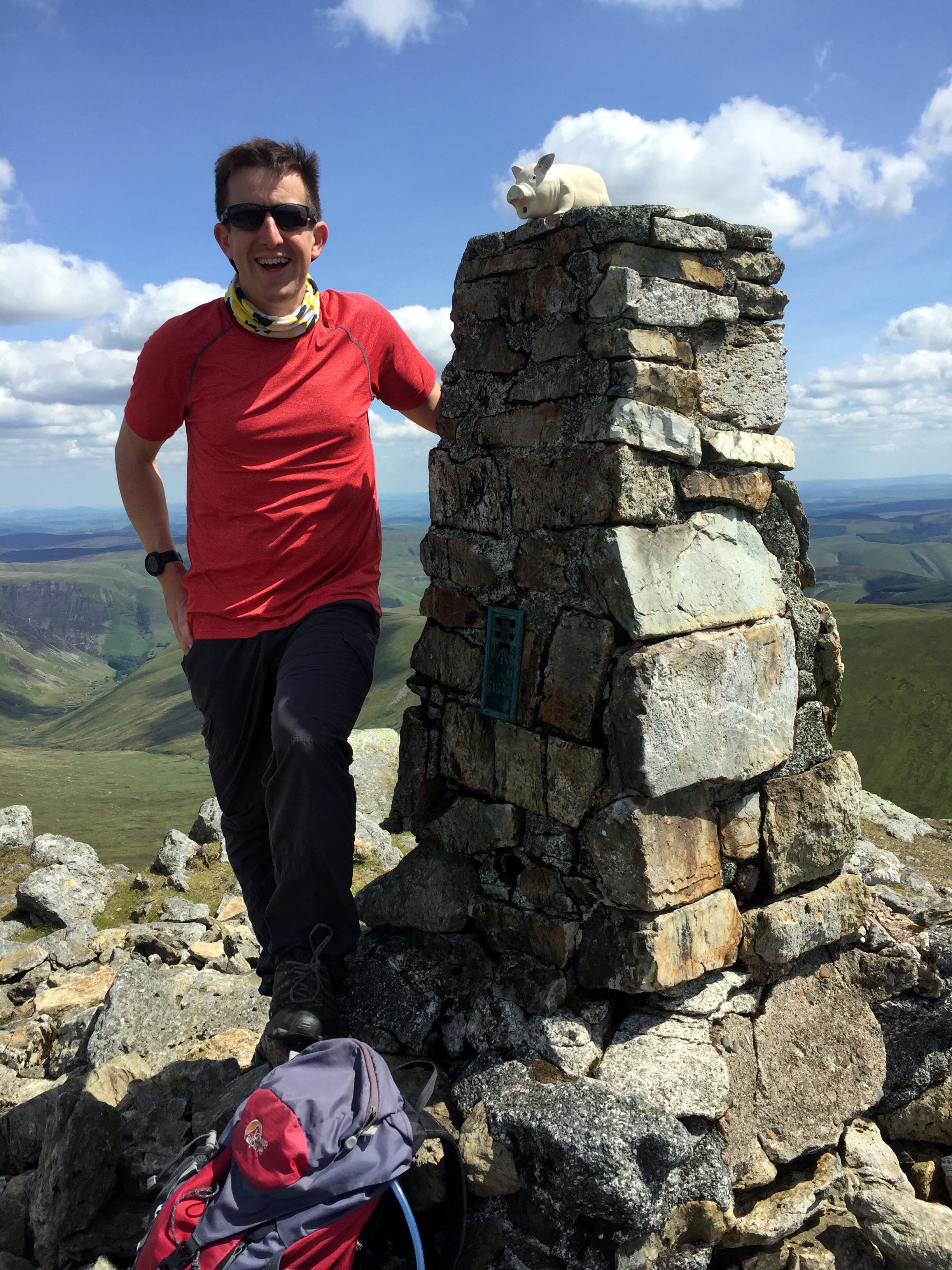
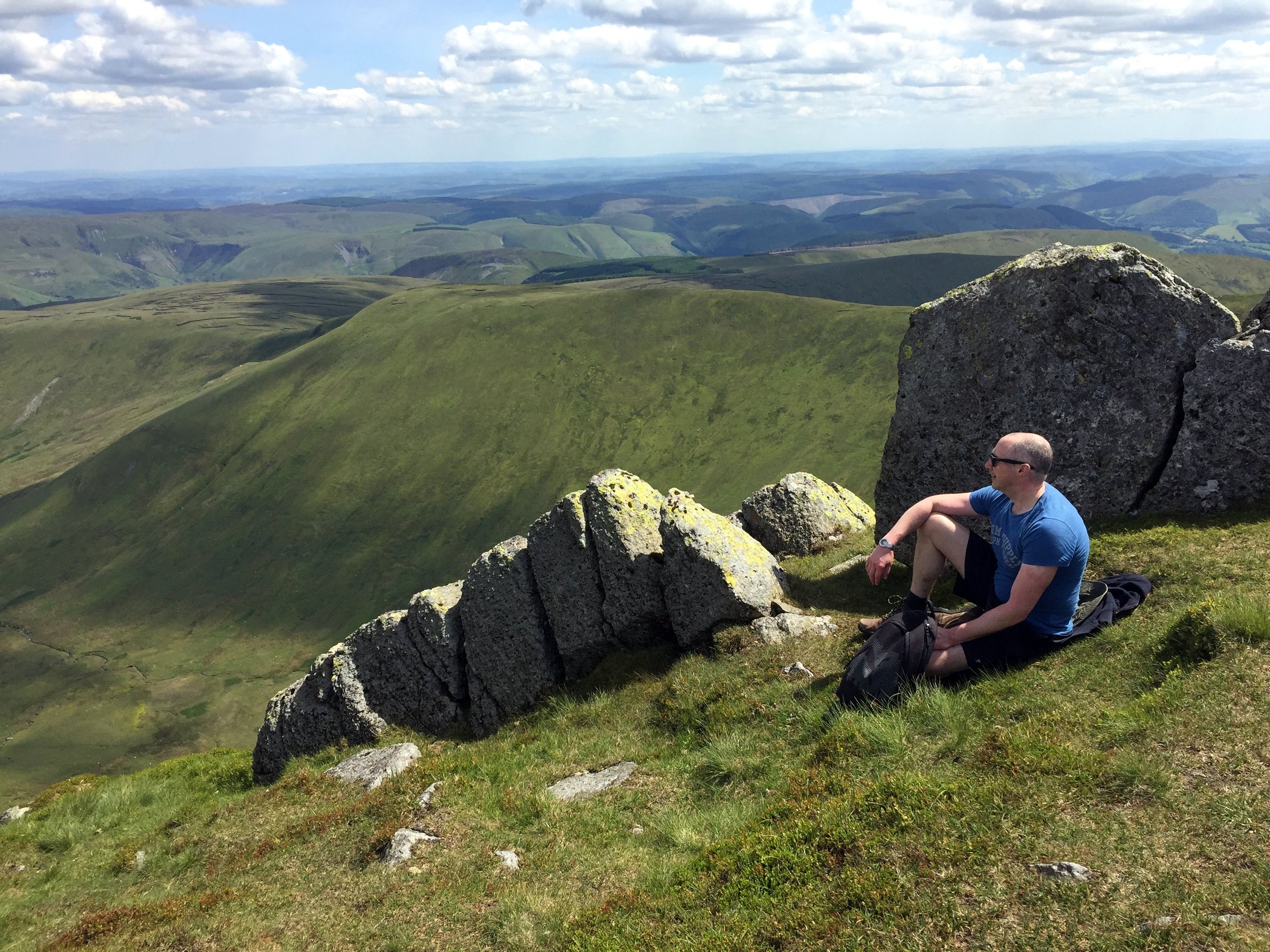
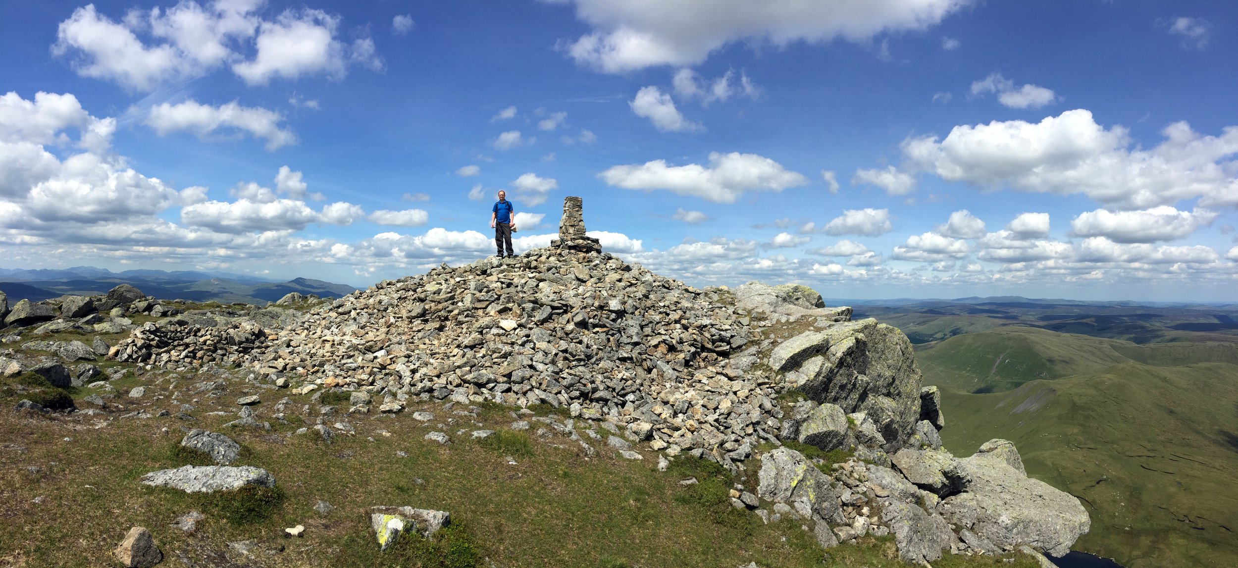
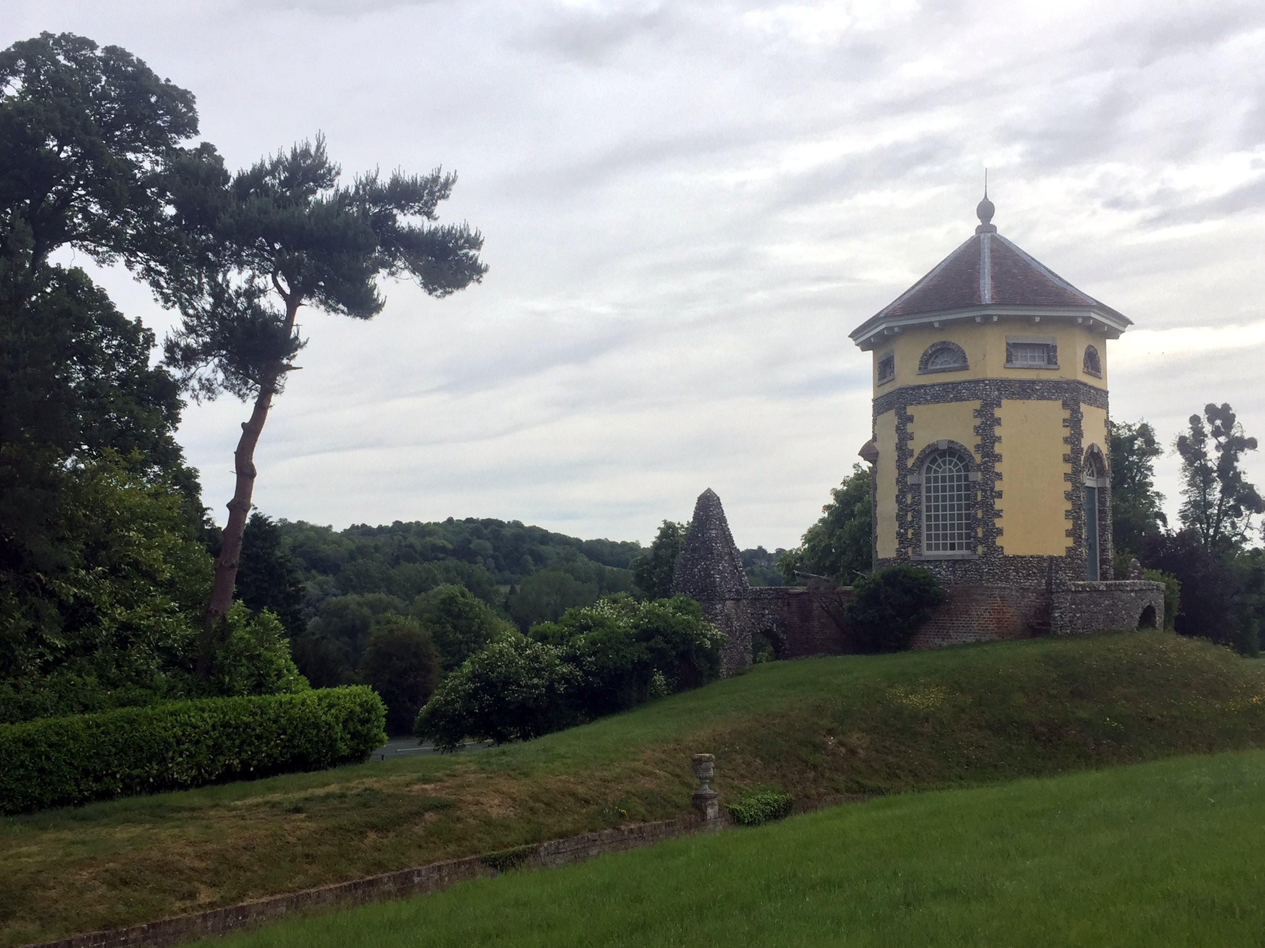
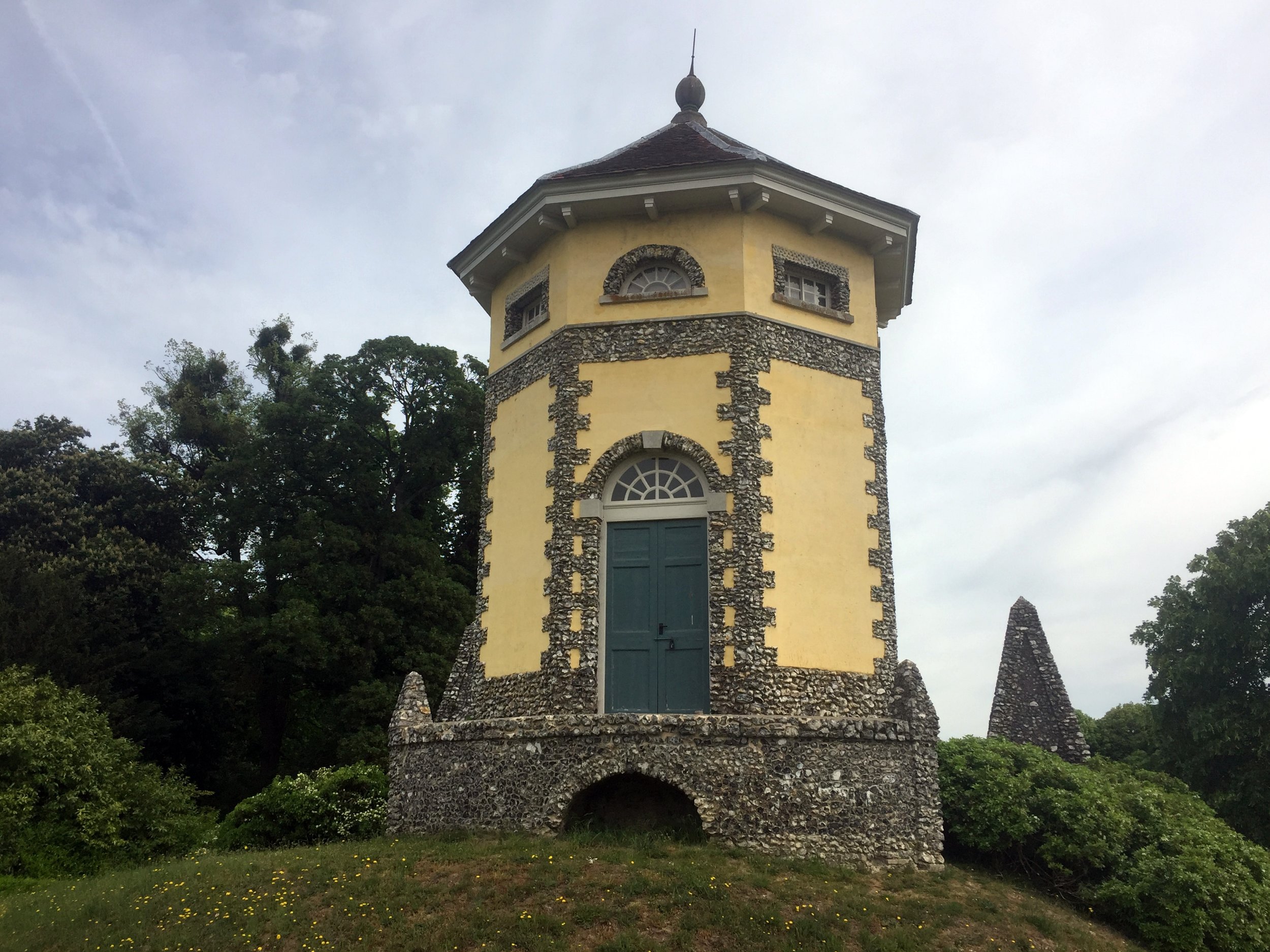
To return to the source via a more challenging route, take the Marlow Bottom Road for 1.5km North and turn left up Icehouse Lane towards Fawley. Turn right at Dobson’s Lane, then left at St Mary The Virgin Church At Fawley. Here you can see two impressive mausolea in the grounds before you take a steep descent down to Fawley Bottom Lane. The rest of the ride is a steep climb North, then an even steeper descent on a bridleway through woodland along the boundary of the Stonor Park estate.
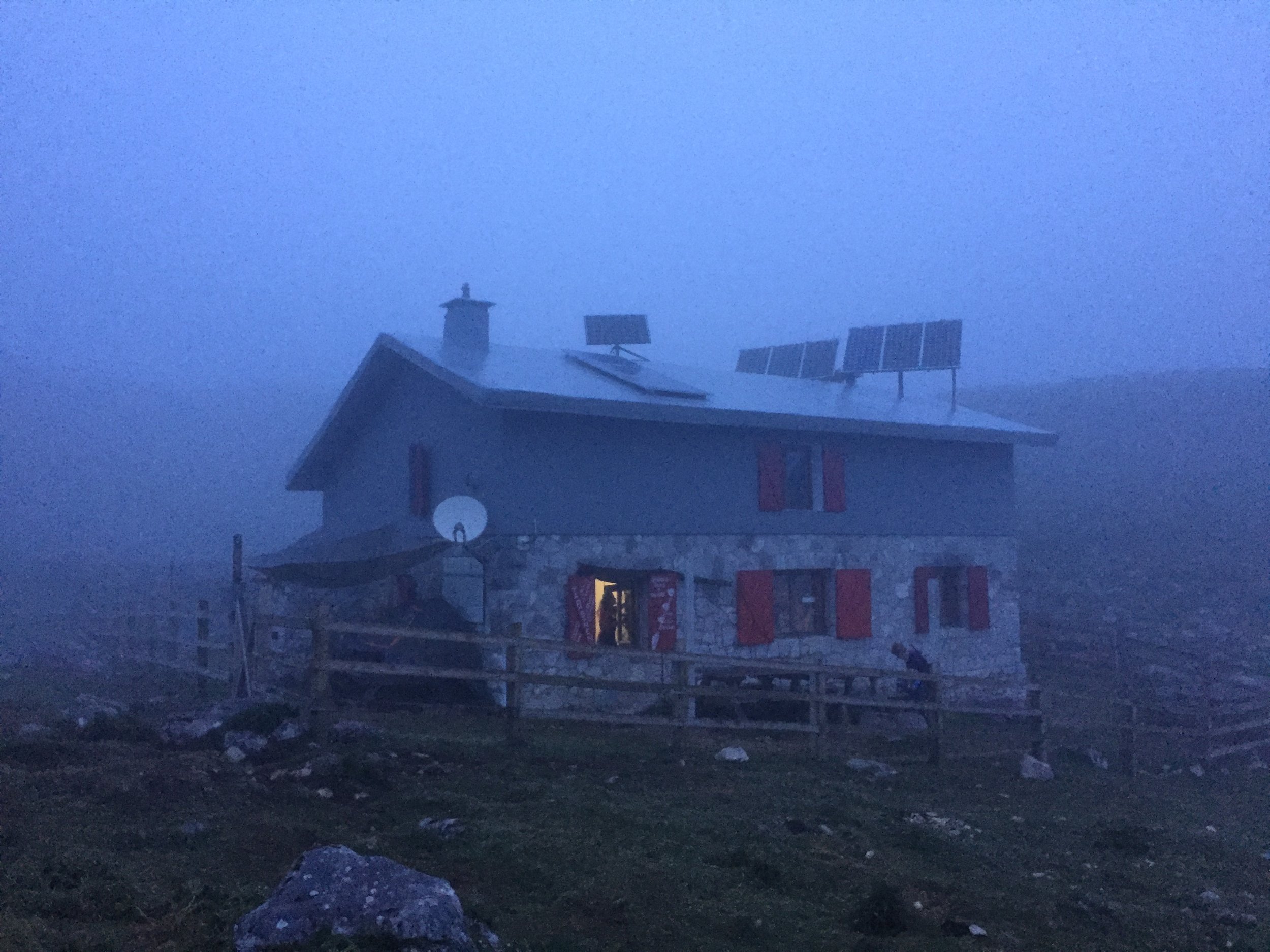
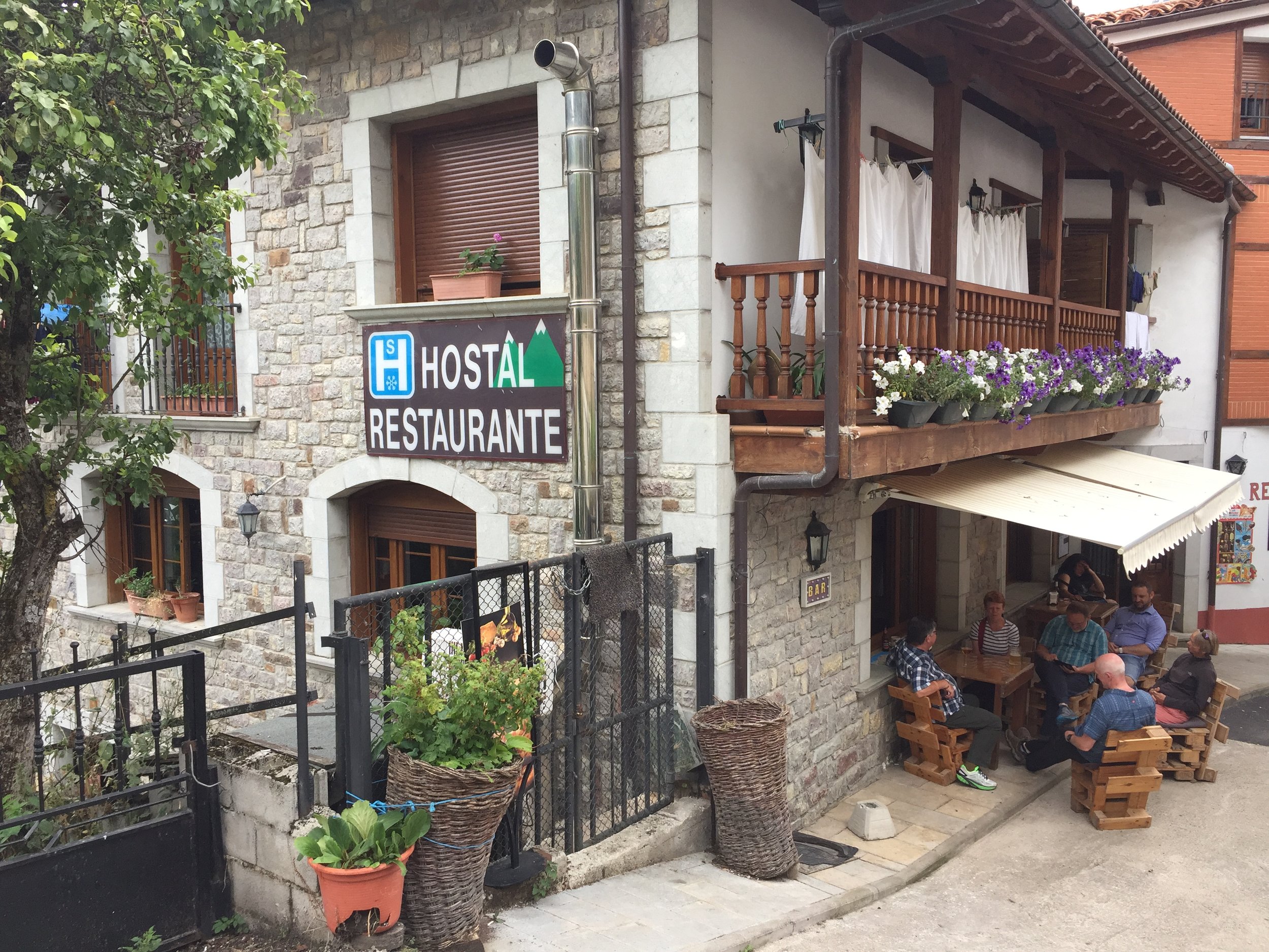
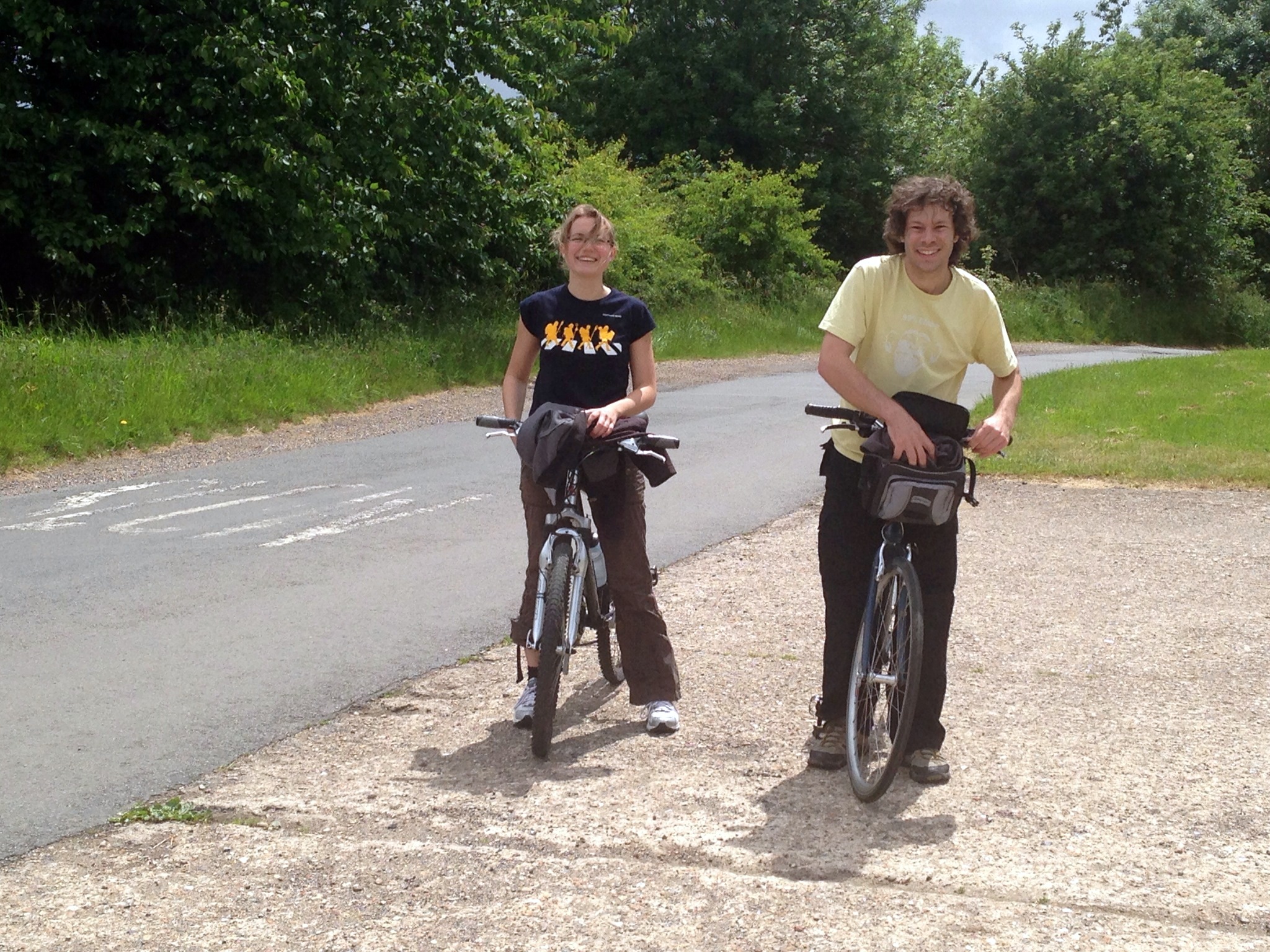
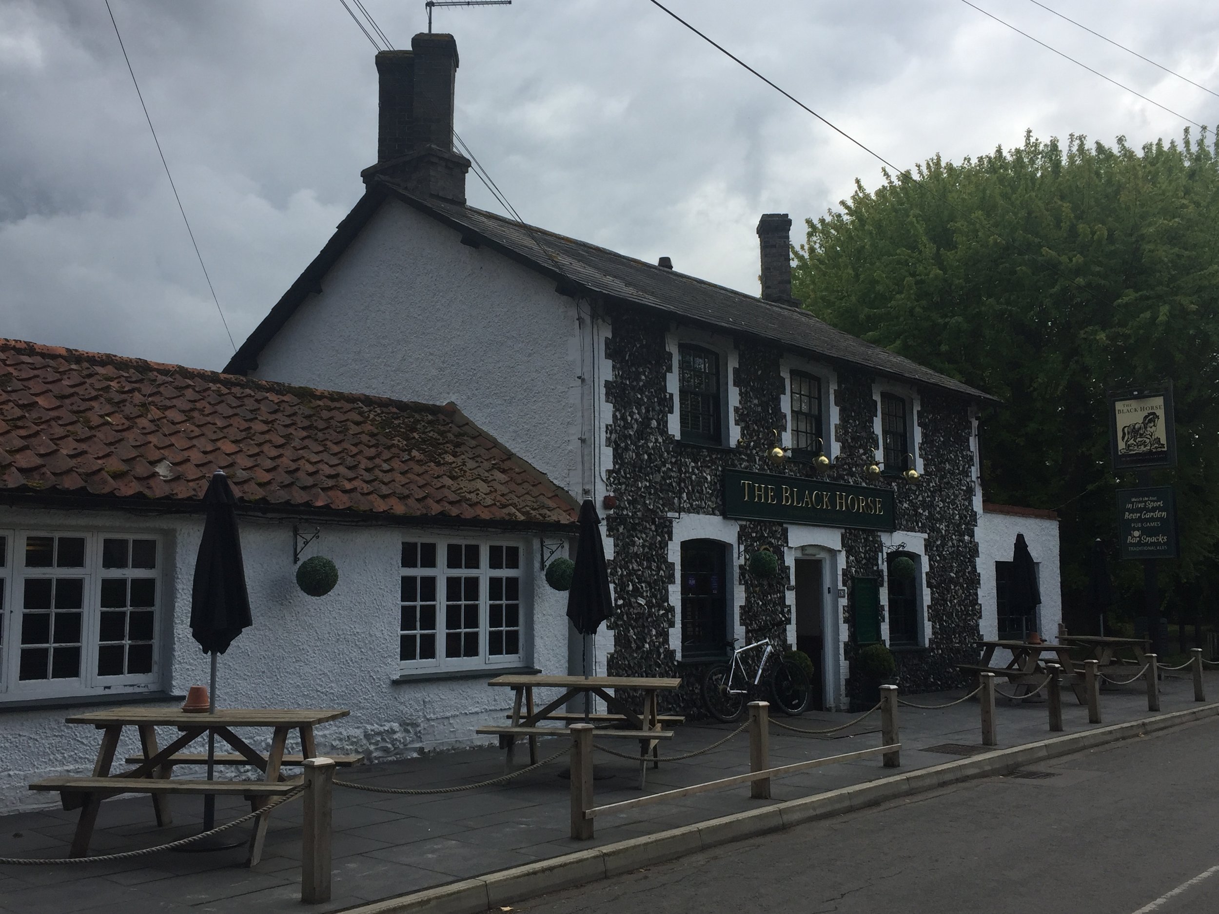
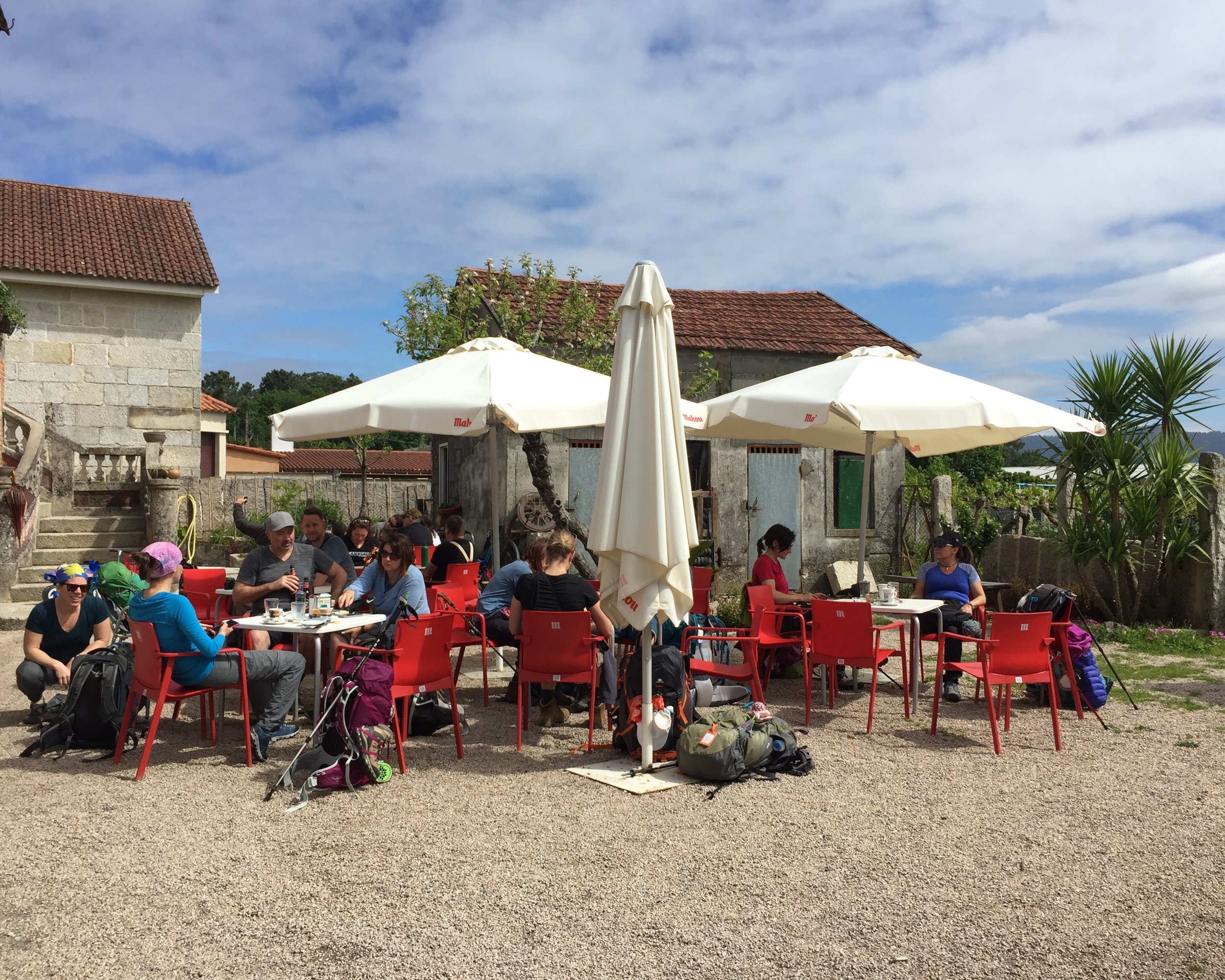
The Quince Tree cafe used to be a great place to start and end the ride but it closed down in 2016. Its still a good place to park but you’ll need to find other places for rest stops. For the childish amongst you there’s also the enjoyment of getting the full-house of smutty signs: Pishill, Bix Bottom, Lower Assendon and Cockslease Farm. Not that I would do such a thing …
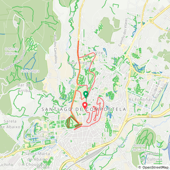
Blue = course of the stream, red = cycle route


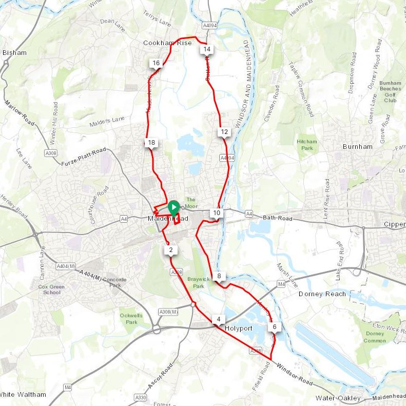
Elevation for cycle route