Having completed half of the South Downs Way on Race To The King, I was keen to do the rest. I’d also attempted a cycle trip on the Trail about 13 years ago but abandoned it after 30 miles. Deep mud had slowed us down and, in pre-GPS days, we didn't know where we were. Not being one to be happy with unfinished business, I needed to complete the first 50 miles.
Day 1: Destination Ditchling
Start: Eastbourne Railway Station, Terminus Rd, Eastbourne BN21 3QJ
Finish: White Horse Inn, 16 West St, Ditchling, Hassocks BN6 8TS
Distance: 51km (32 miles)
Elevation Change: +1188m / -1140m. Net +48m
GPX File: get via Buy Me a Coffee
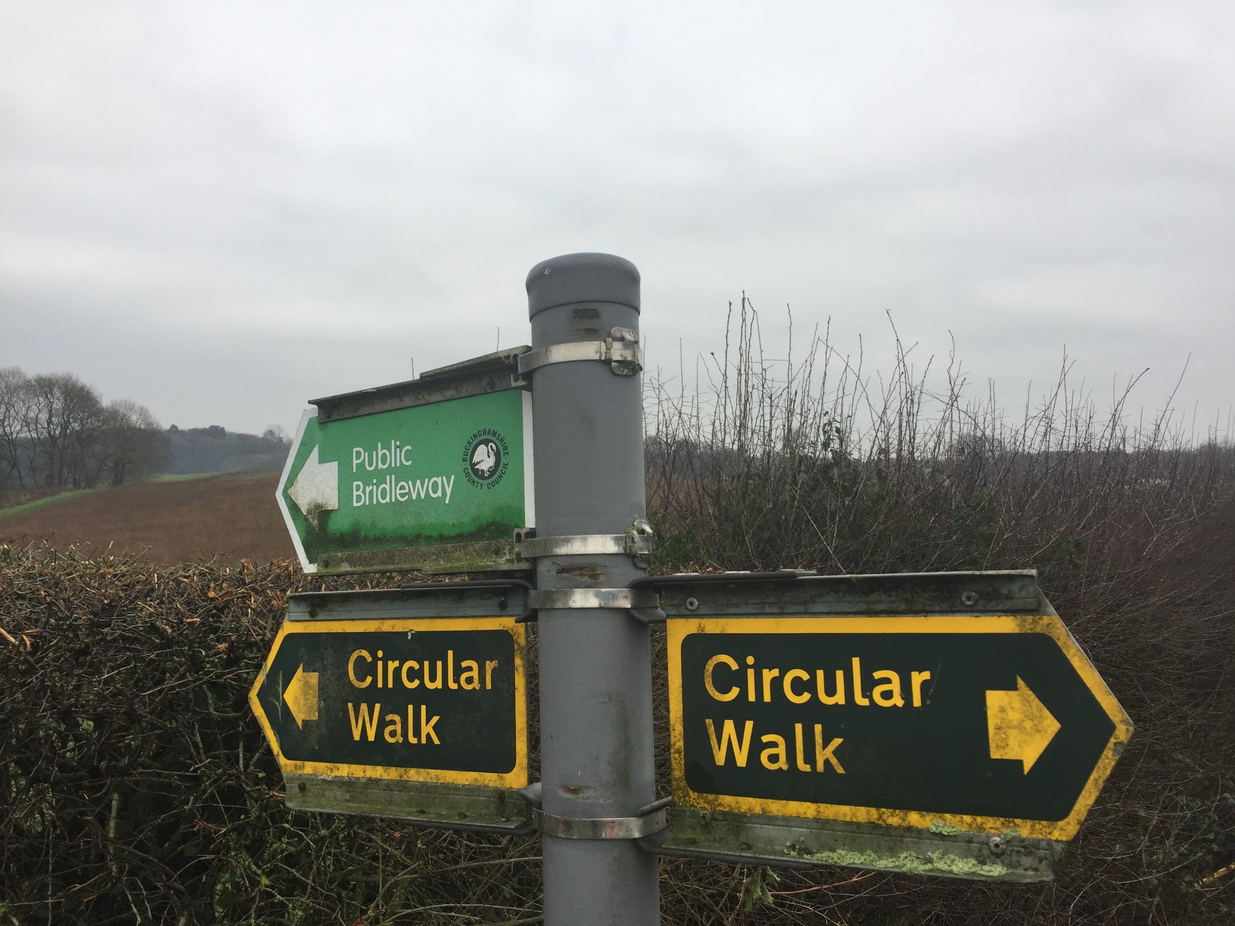
Other Routes Touched (walk): Weald Way, Vanguard Way, Sussex Ouse Valley Way, Mid Sussex Link
Other Routes Touched (cycle): NCN 2
Map: OS Explorer OL25 Eastbourne & Beachy Head and OS Explorer OL11 Brighton & Hove
Guidebook: South Downs Way: National Trail Guide (National Trail Guides), The South Downs Way: Winchester to Eastbourne, Described in Both Directions
Links: National Trails South Downs Way, National Trail South Downs Way Mountain Bike Guide, Eastbourne, South Downs National Trust
It was Saturday so a parkrun had to be included in the plan. We chose Tilgate as it was a new one for both Mark and I and he needed a new letter for his Alphabet Challenge. By the time we’d done the run, picked up the bikes and got 2 trains we were in Eastbourne for 13:30. It was getting on a bit for this time of year so we didn’t hang around.
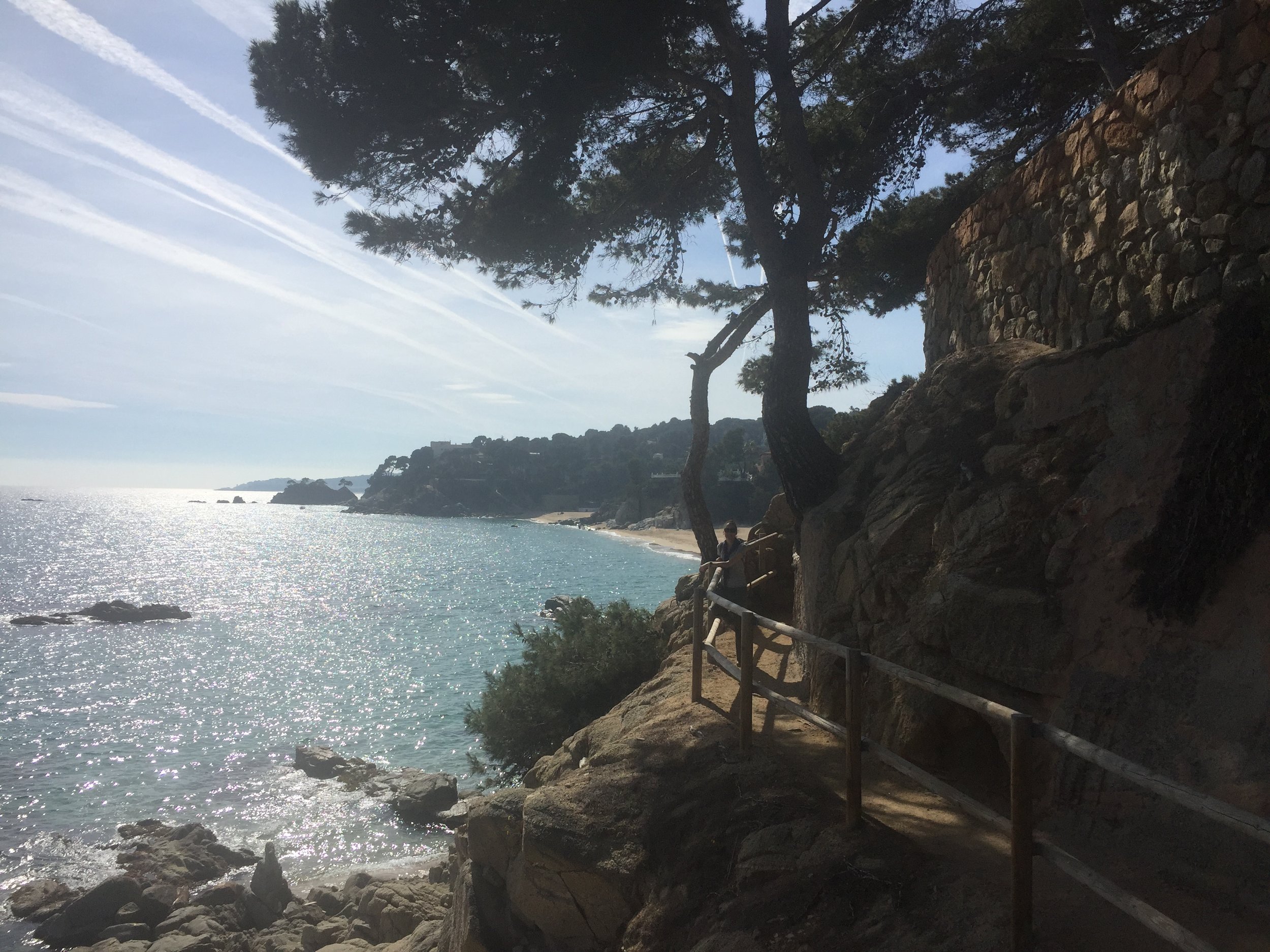
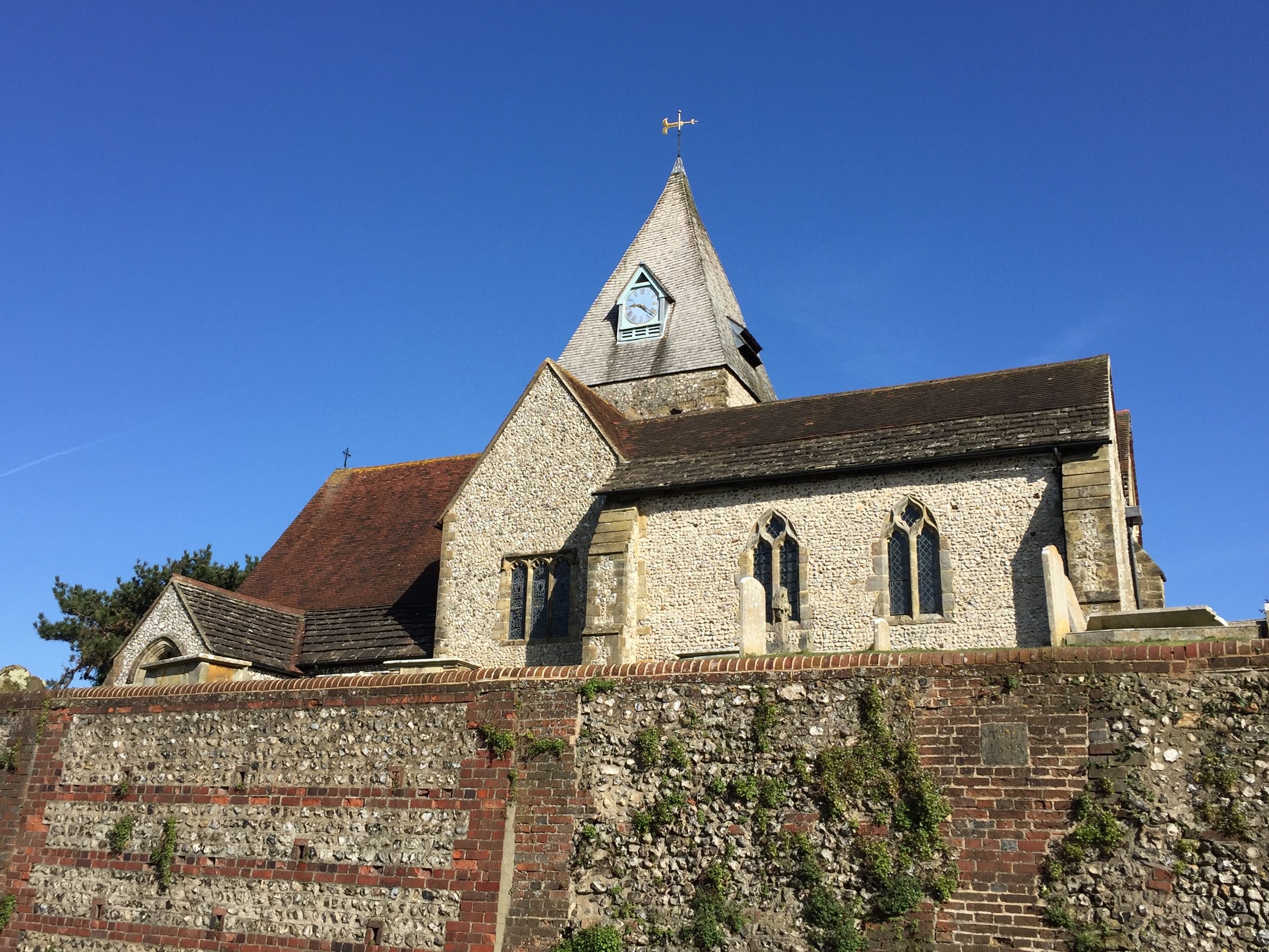
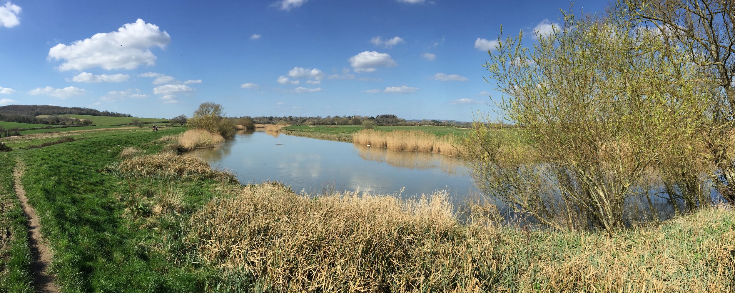
The first 14 km to Alfriston were familiar as I’d already covered them on the Beachy Head Marathon. Unlike my previous cycling attempt the ground was dry and mud-free. Even so, we were making slow progress as it had been a while since we’d been out on the bikes.
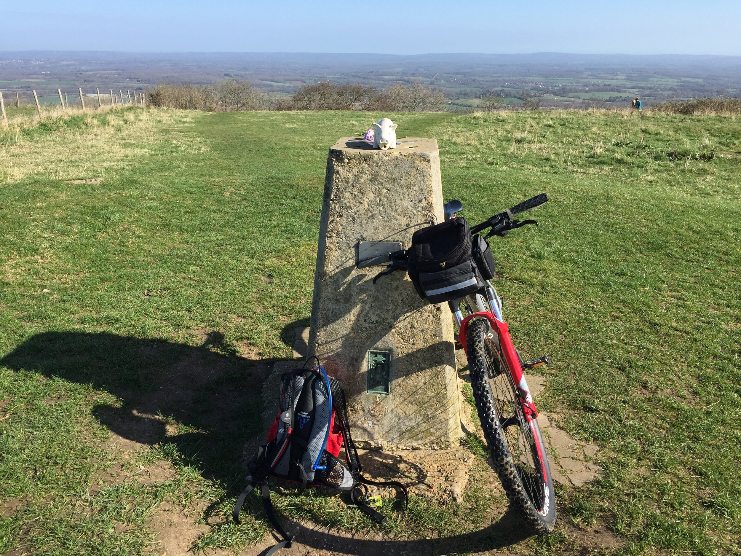
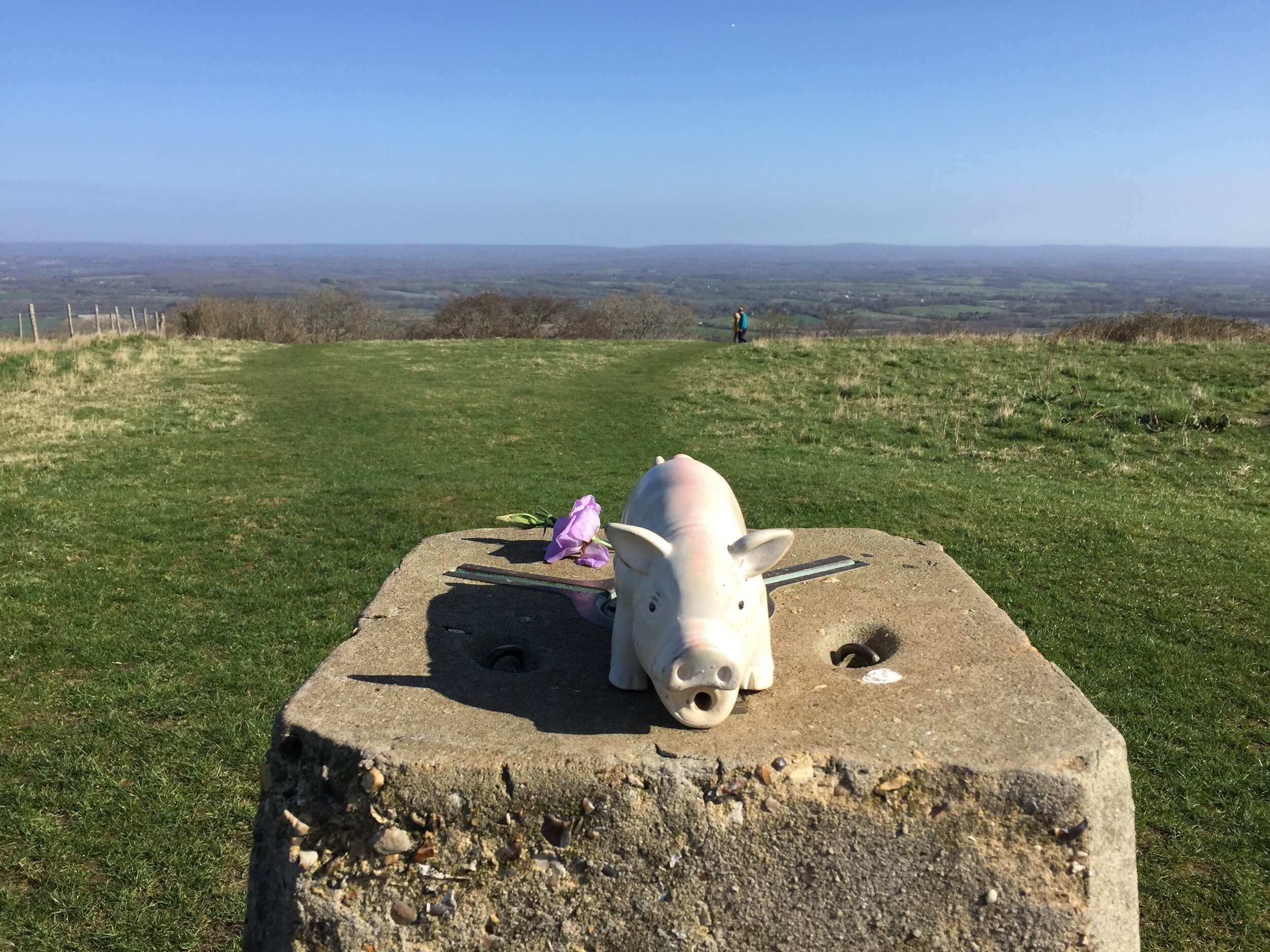
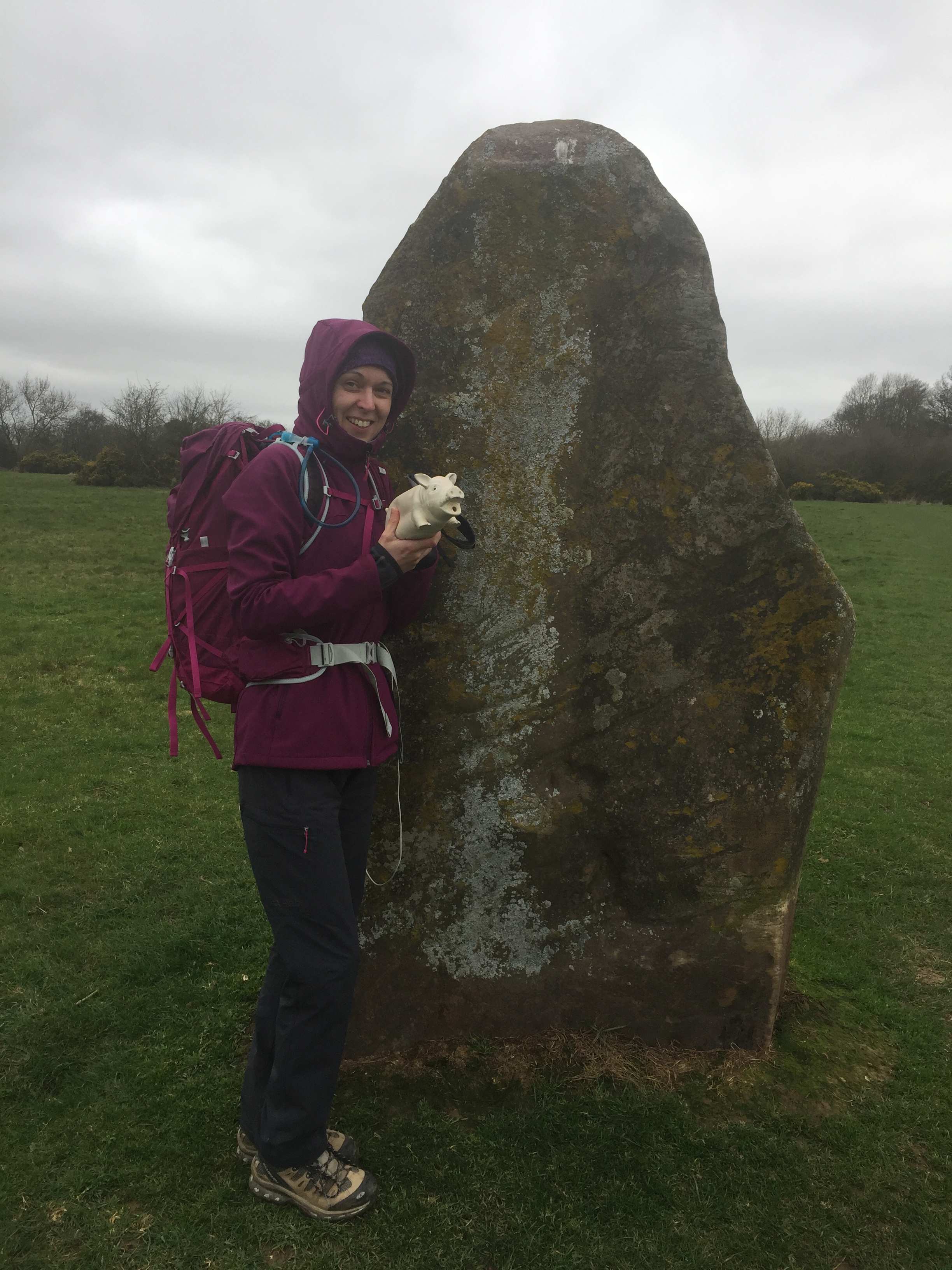
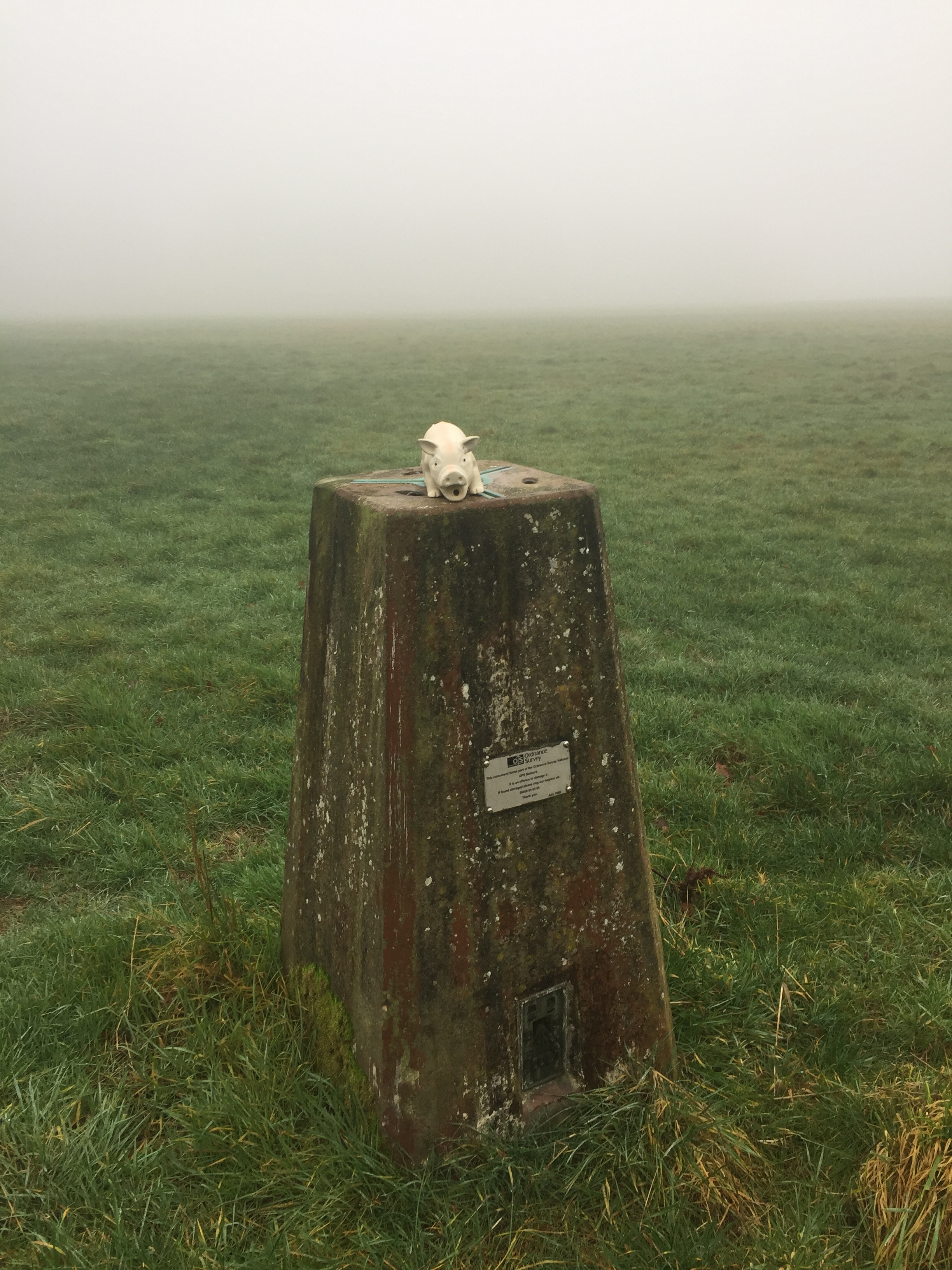
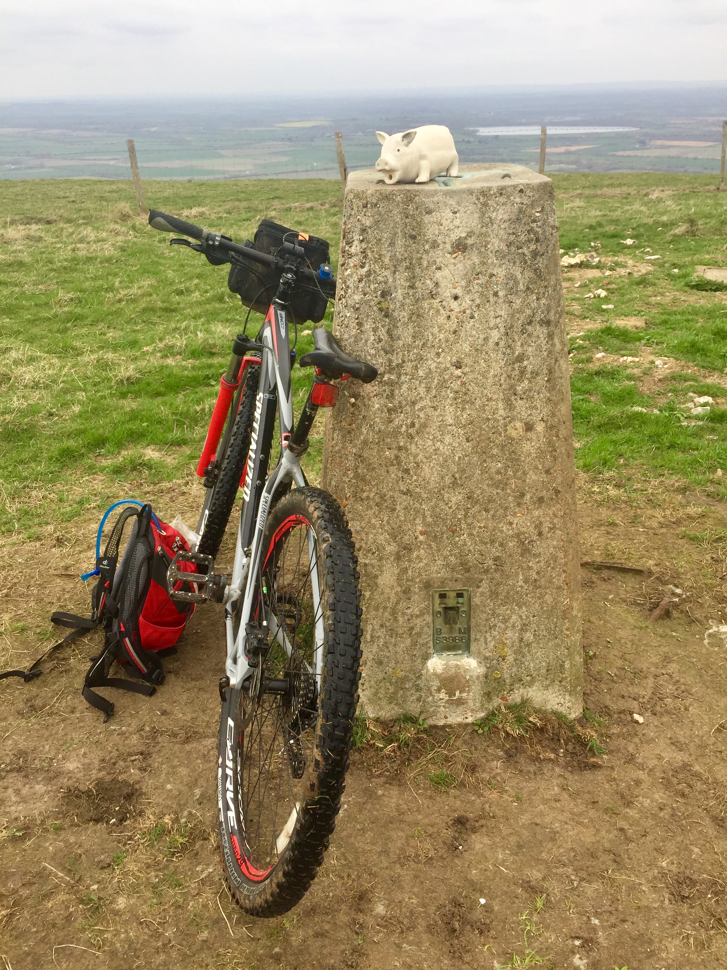
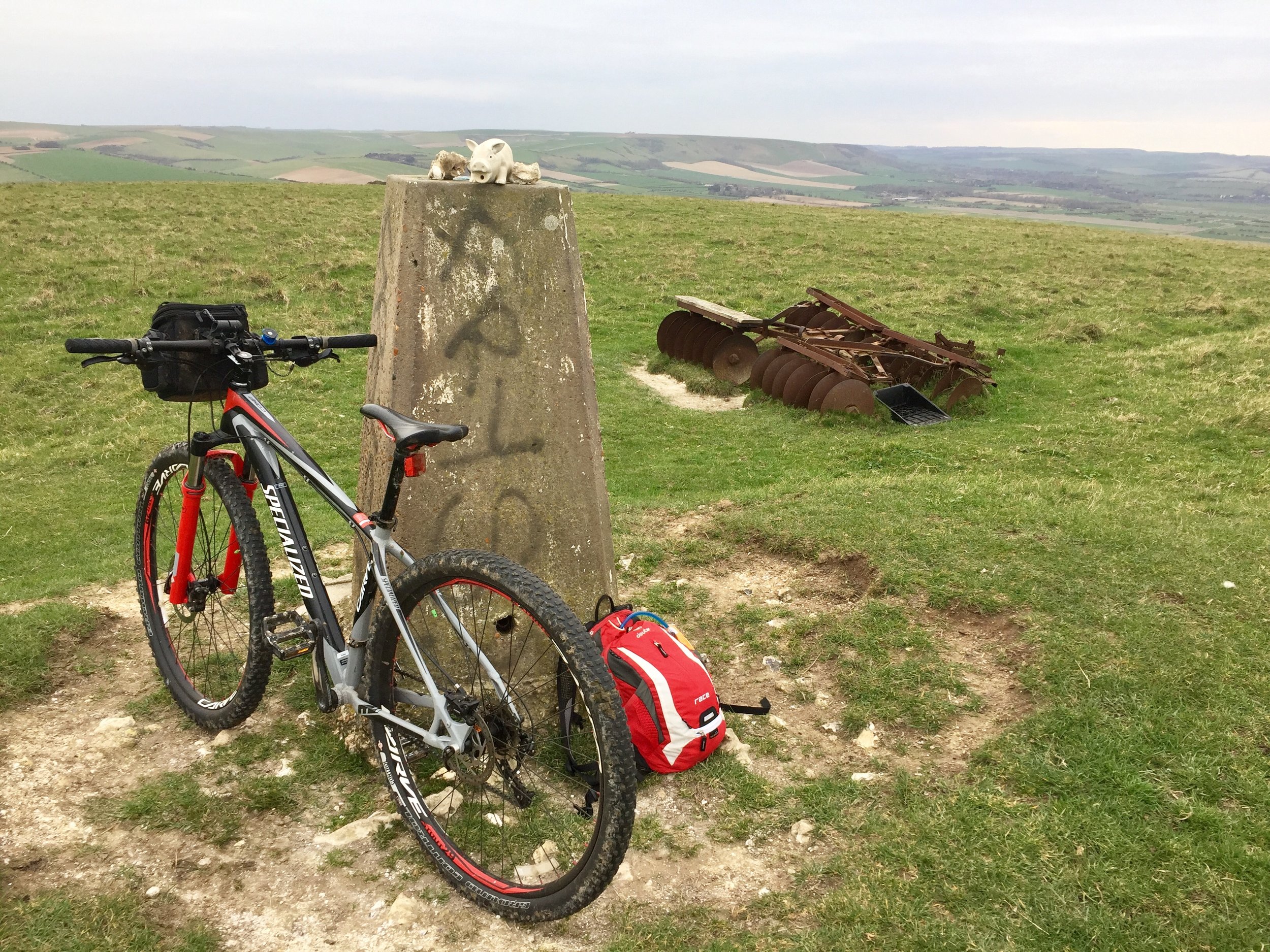
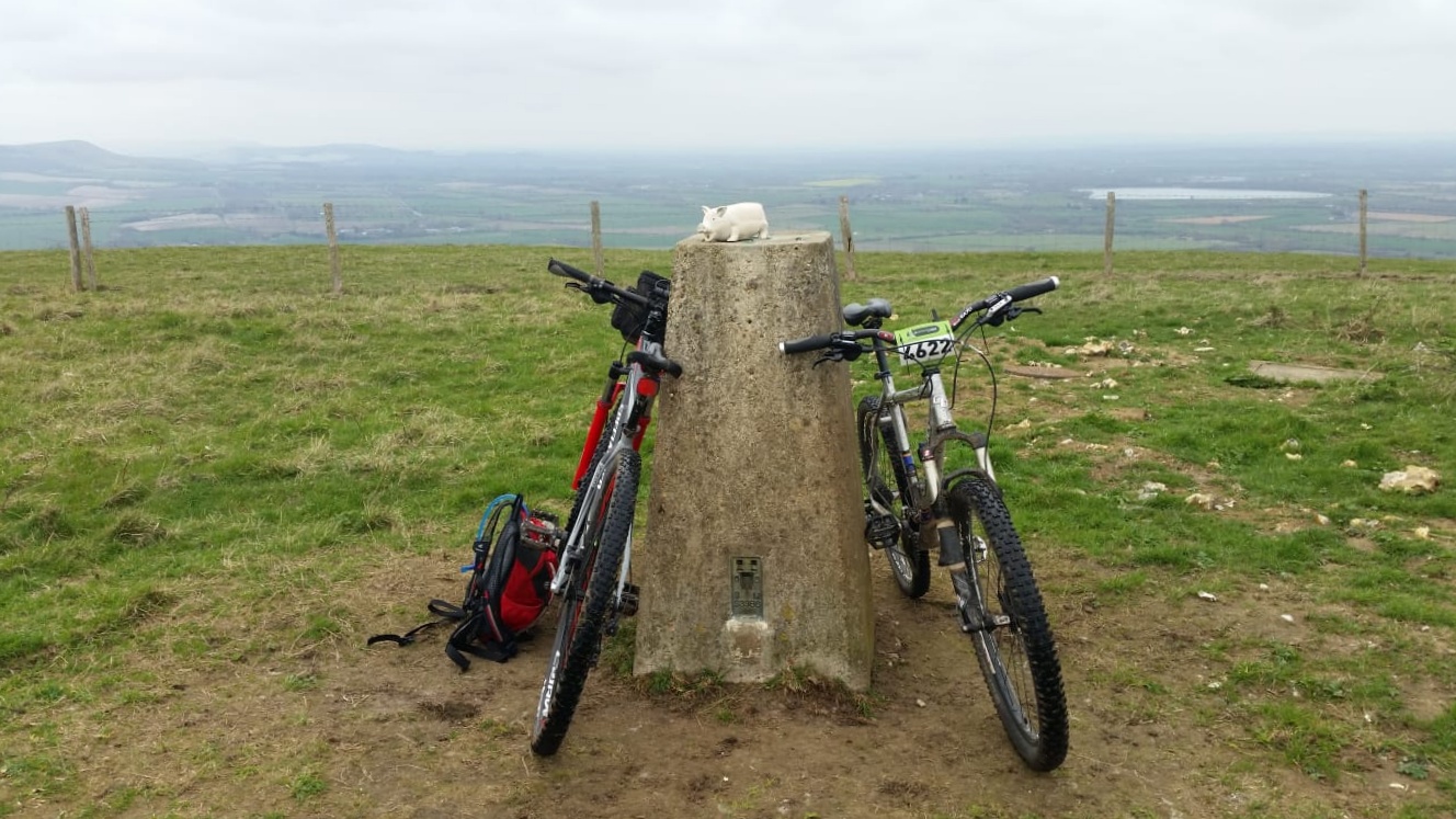
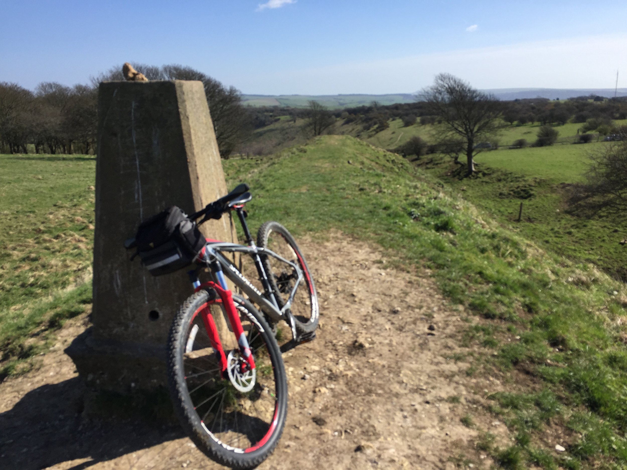
This was also a Trig Pointing adventure and we took the opportunity to bag some Trig Pillars on the route. There are 14 Trig Pillars on or close to the route. See below for the full list.
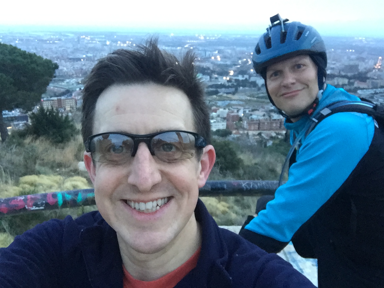
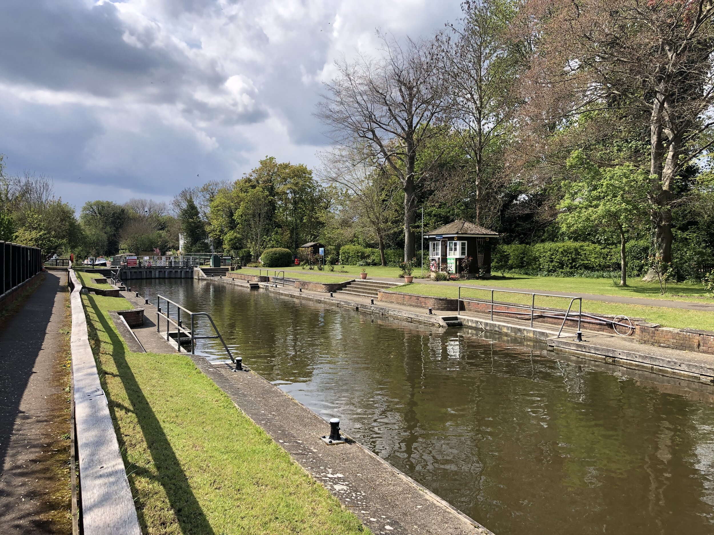
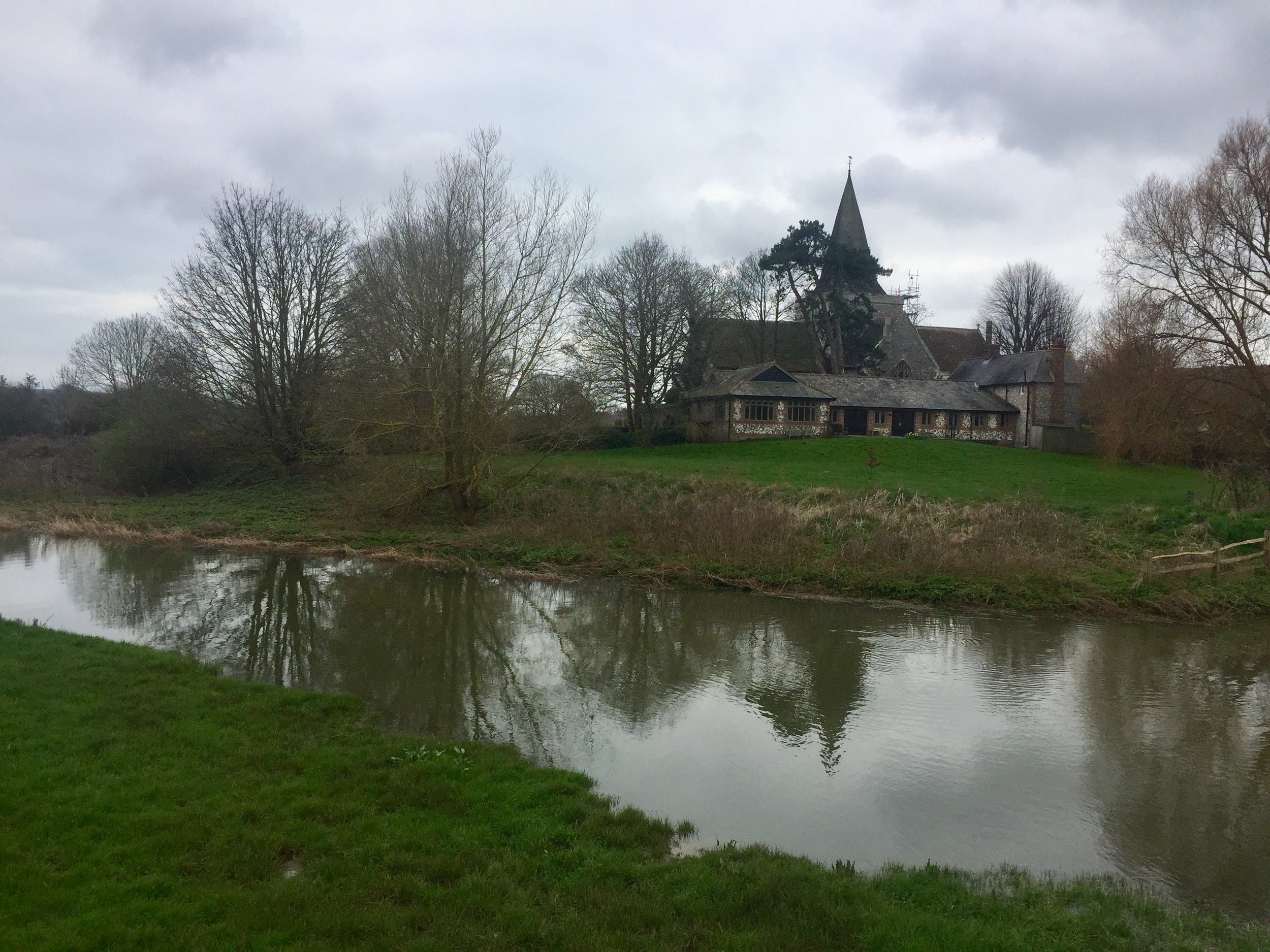
All went pretty well until Southease when Mark's bike decided to break. Going over a small bridge his back wheel lost a spoke and buckled. It didn’t take long to decide that the bike was “buggered” (technical cycling term) so we needed a Plan B. Luckily we had just passed a station and a train would be passing through shortly. Not having many other options Mark headed back home by train and I continued alone.
By now I was concerned about the daylight. It was already 17:00 with max 90 mins of daylight and at least 2 hours to go. I took on some of my emergency Haribo and tried to cover as much ground as possible with the remaining light.
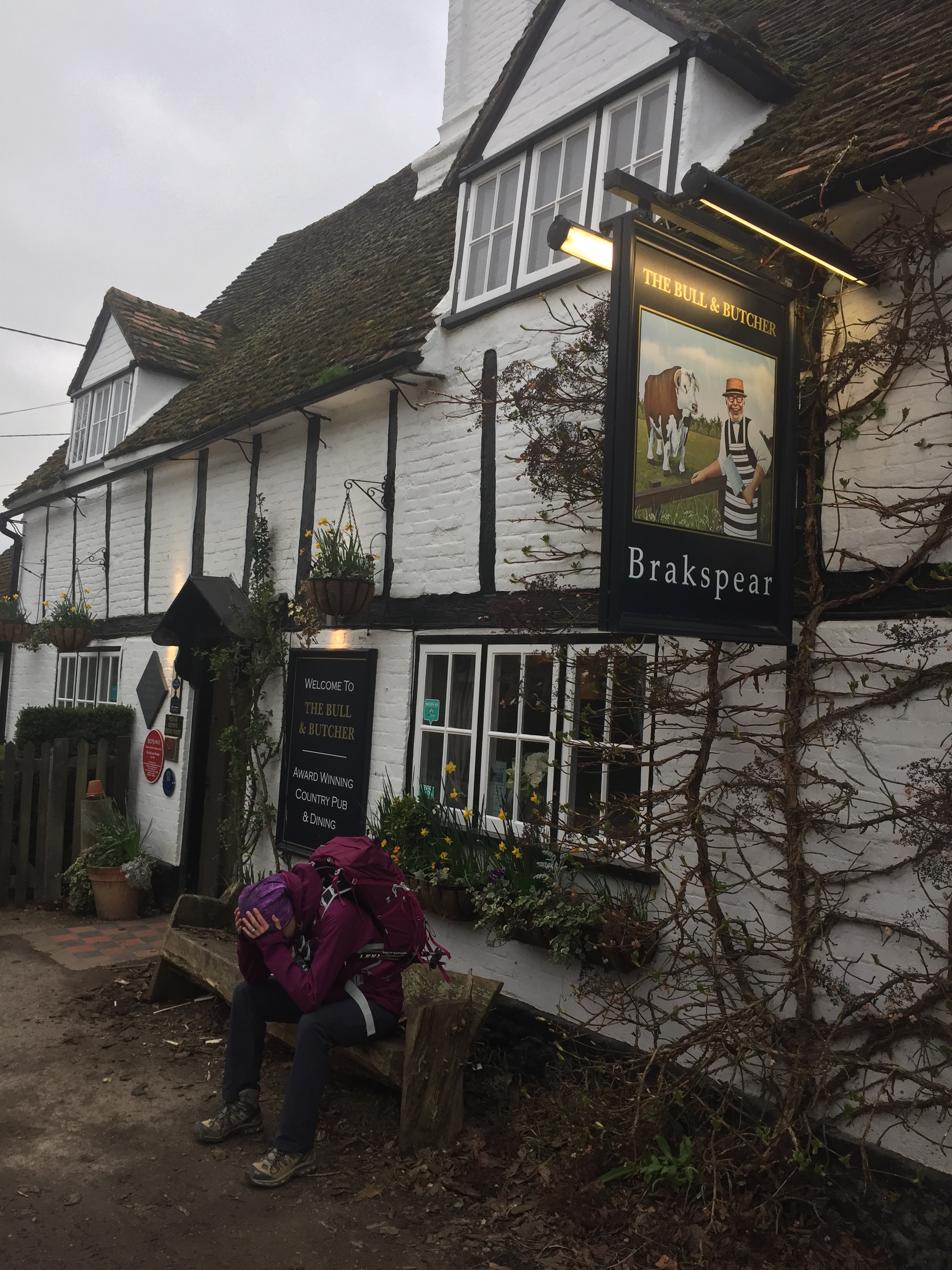
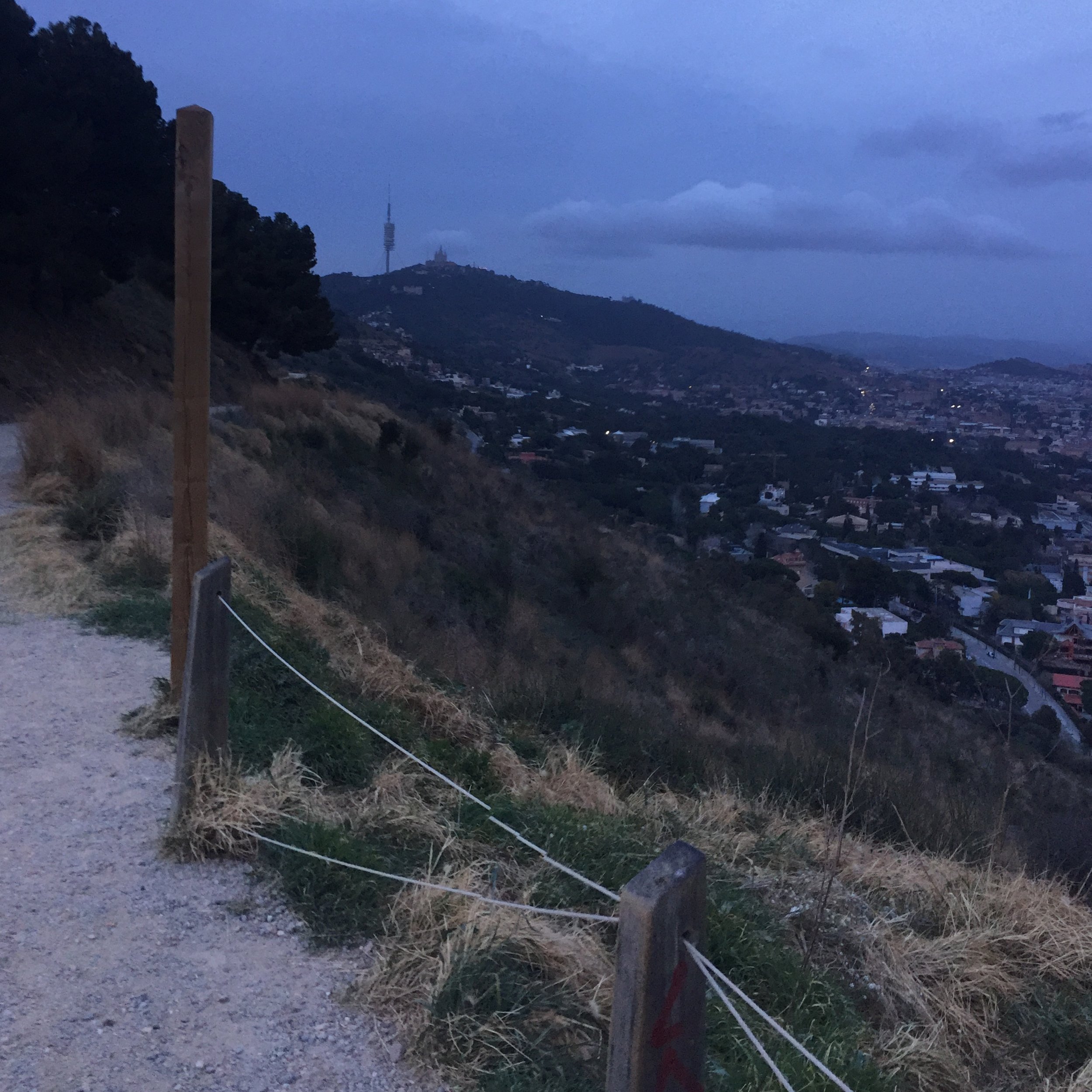
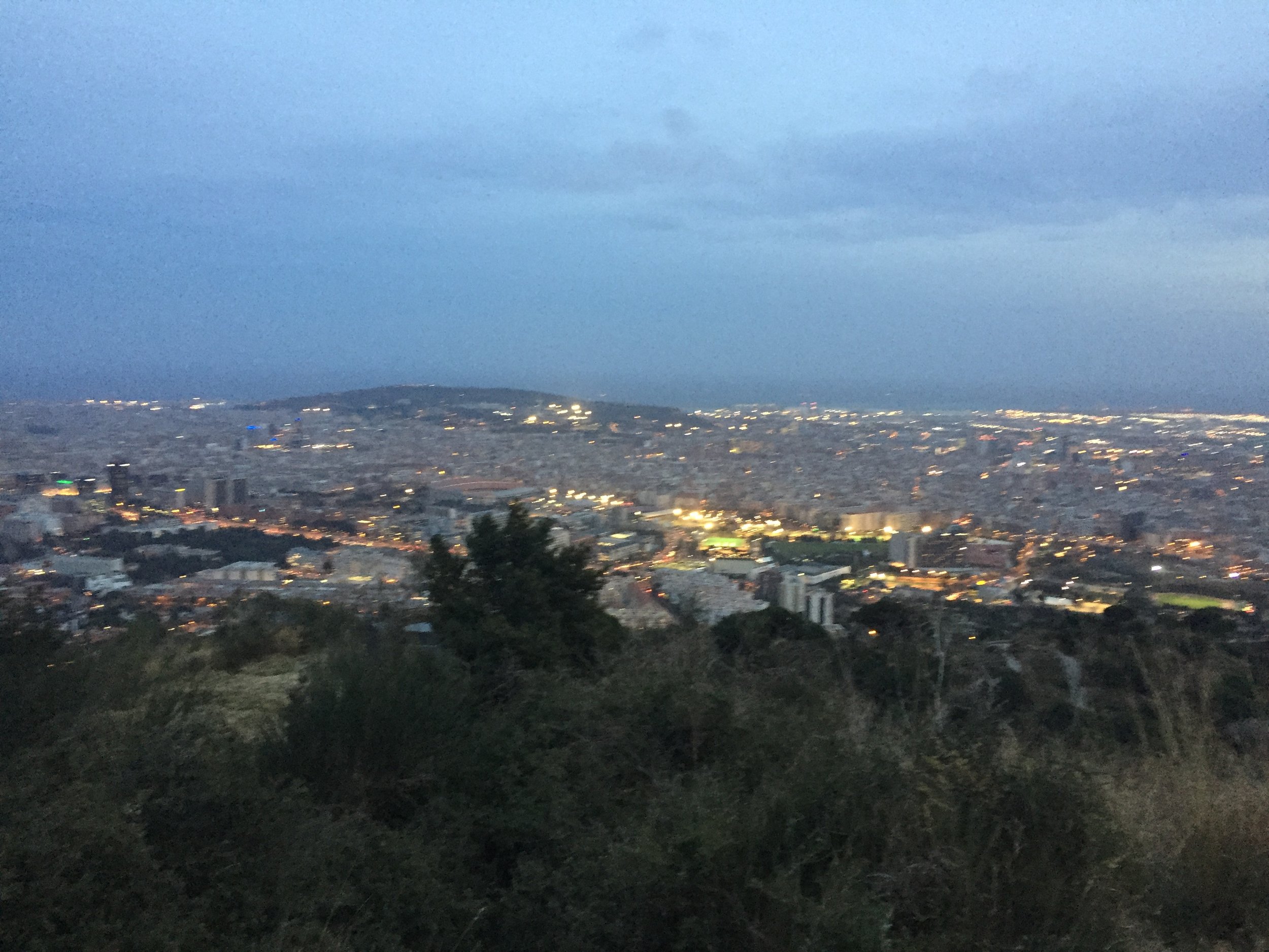
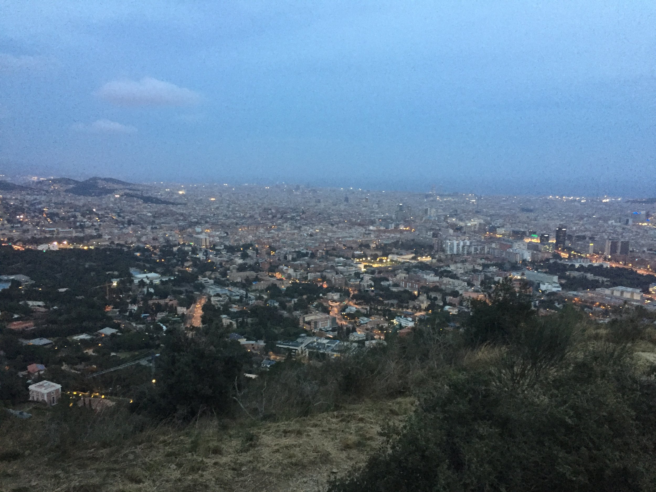
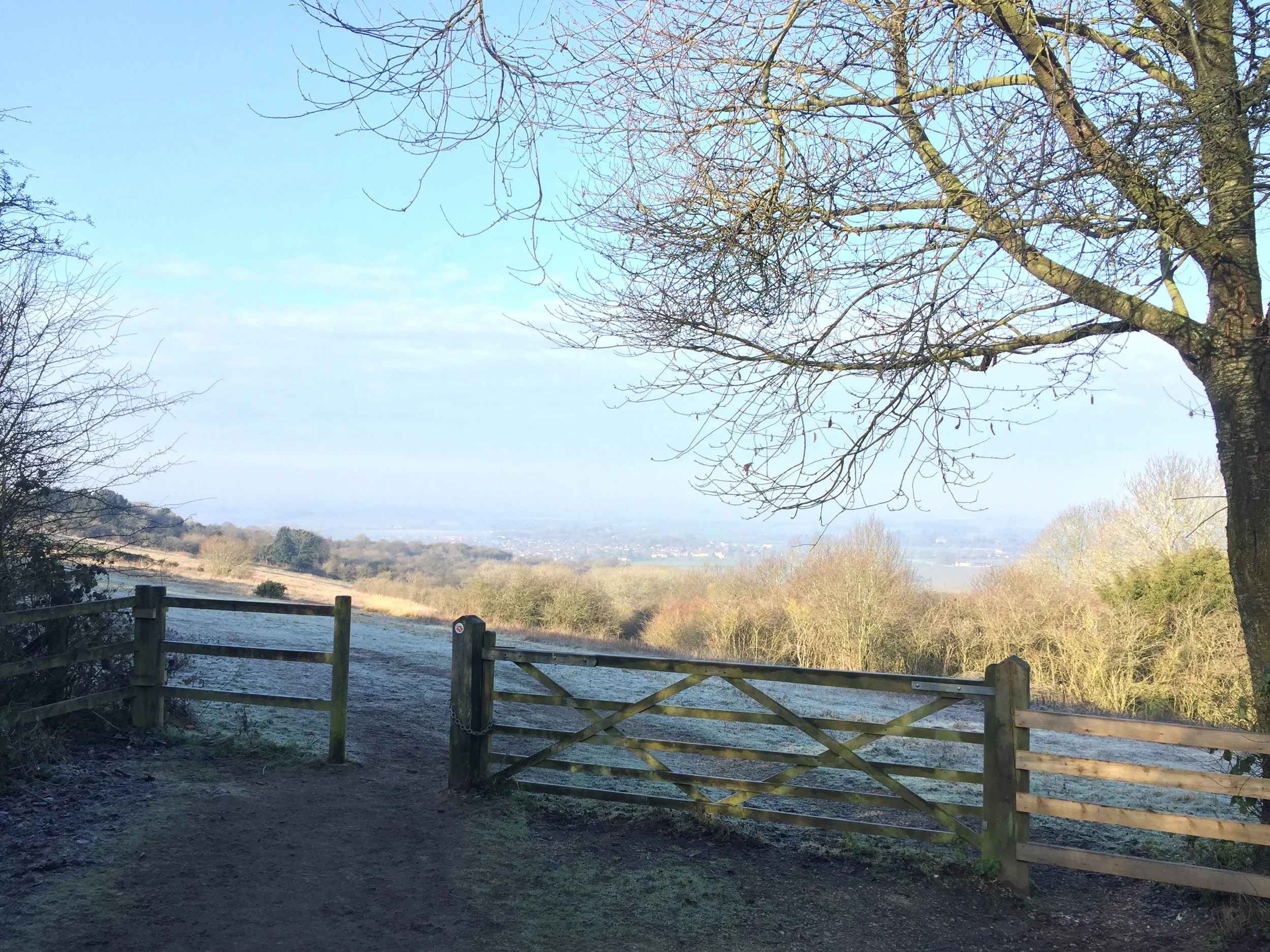
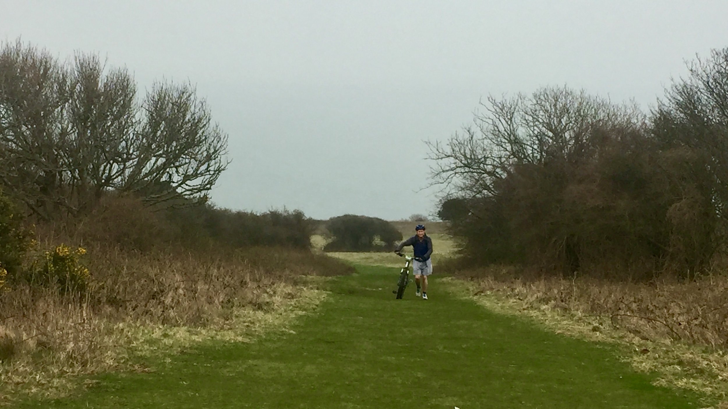
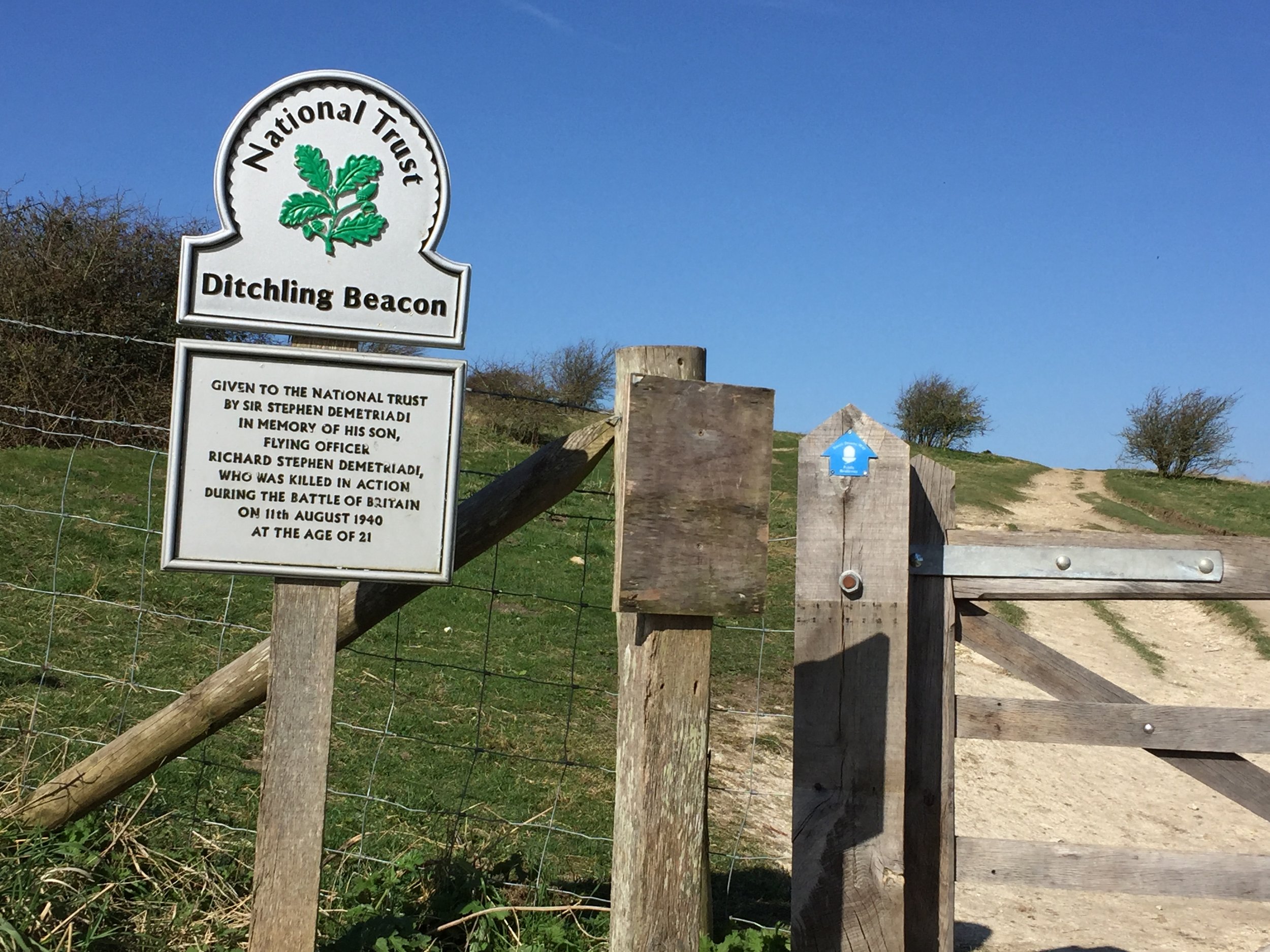
By the time I’d reached the bridge over the A27 it was completely dark and I still had Ditchling Beacon to climb. The next hour was a mix of slow cycling and pushing. At the top of the hill the trail was wide and relatively smooth. The sky was clear and the chalky trail was easy to see. I found it easier to turn my lights off and let my eyes adjust to the twilight.
I’d reached Ditchling Road by 20:00. The pub where I was staying was at the bottom of the hill and I wasn’t looking forward to taking the road down. Instead I discovered a path that goes parallel to the road. This was possibly more dangerous in the dark as it was steep and rutted. Even with carefully pushing the bike I still almost slipped over at least 3 times. By 20:30 I’d made it to the White Horse in Ditchling. After a shower, wine and fish and chips I took advantage of now having the twin room all to myself.

Day 2: Ditchling to Bury Hill
Start: White Horse Inn, 16 West St, Ditchling, Hassocks BN6 8TS
Finish: Bury Hill Trig Point near Amberley
Distance: 45km (28 miles)
Elevation Change: +1147m / -1056m. Net +91m
GPX File: get via Buy Me a Coffee
Other Routes Touched (walk): Mid Sussex Link, Downs Link, Monarch’s Way, Wey-South Path, West Sussex Literary Trail
Other Routes Touched (cycle): NCN 20, 223
Map: OS Explorer OL11 Brighton & Hove and OS Explorer OL10 Arundel & Pulborough
Guidebook: South Downs Way: National Trail Guide (National Trail Guides), The South Downs Way: Winchester to Eastbourne, Described in Both Directions
Links: National Trails South Downs Way, National Trail South Downs Way Mountain Bike Guide, Ditchling, Amberley, South Downs National Trust
Day 2 started with a full English Breakfast at the pub. This was mainly so I could make a Ditchling Bacon joke on WhatsApp. I’m still not convinced that my mates found it as hilarious as it deserved though.
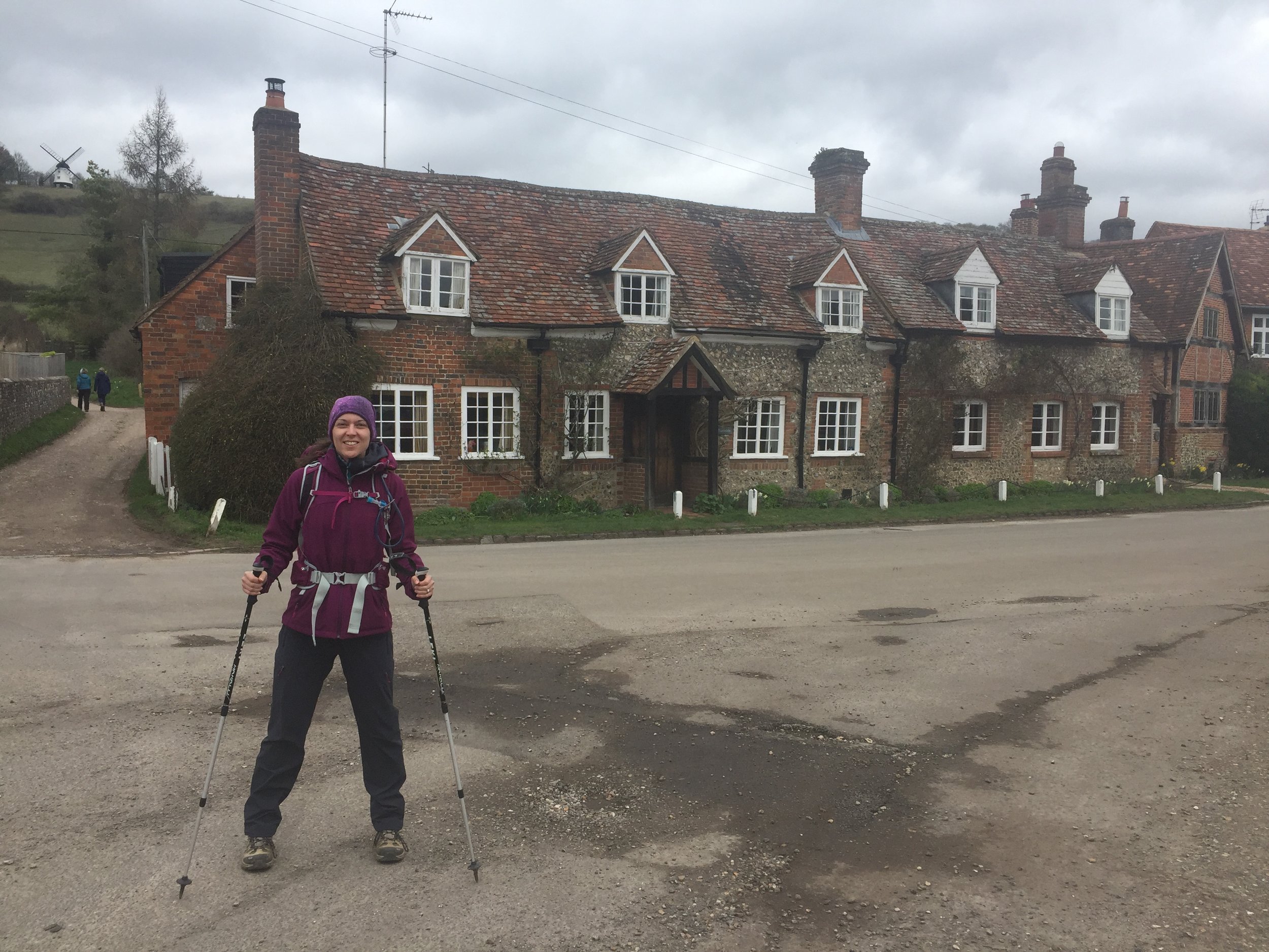
On leaving the hotel I cycled back through the village, this time in daylight. Turning onto Beacon Road you get a great view of the imposing wall that is Ditchling Beacon. I was determined to get to the top without stopping or pushing and I made it. Just. The Beacon was my first trig point of the day after a very sweaty 2 miles.
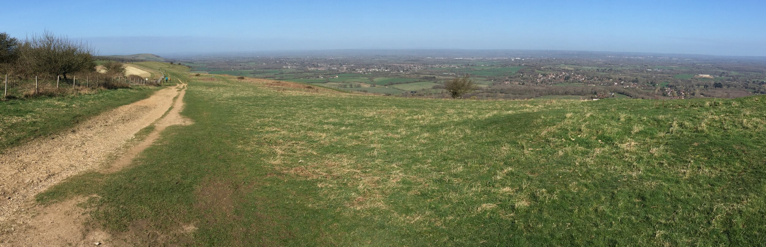
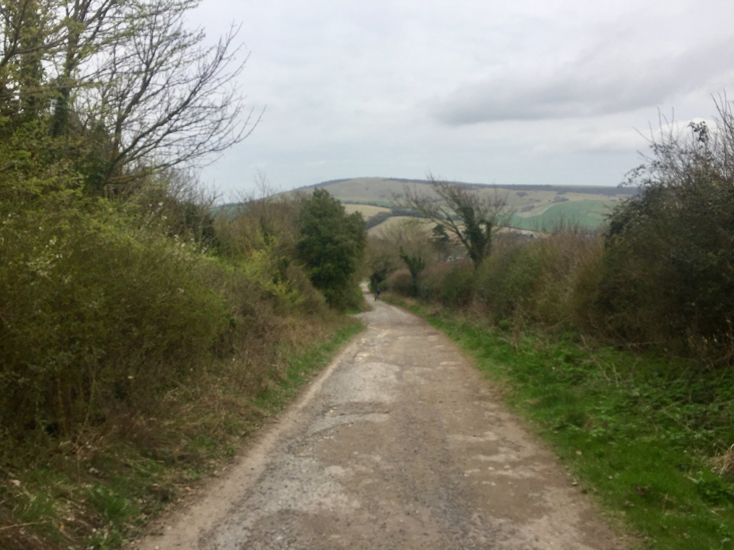
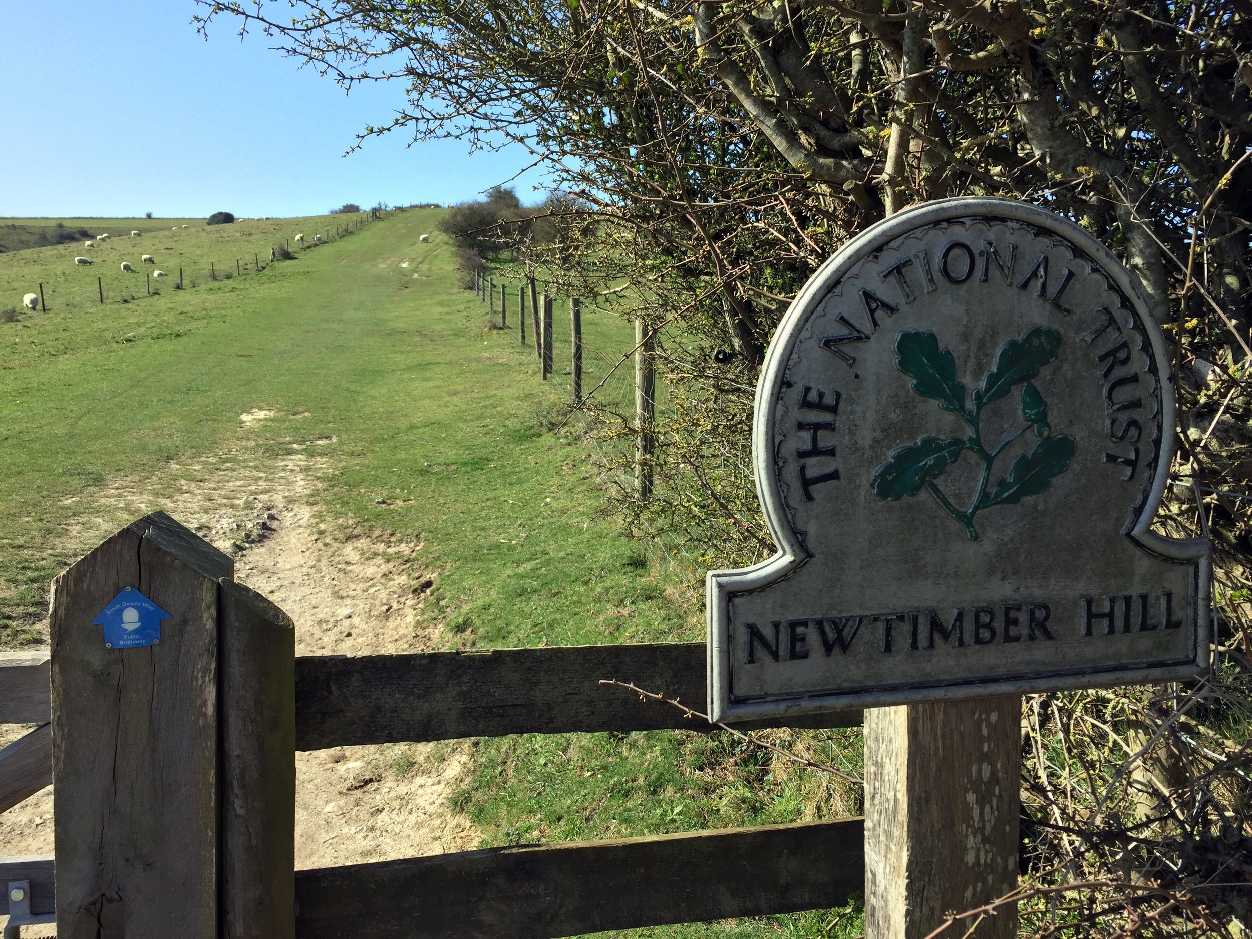
In contrast to the previous day's overcast grey skies, today was sunny and clear. This would be a very different day altogether. There were similar amounts of ups and downs but it felt easier with a lot more smooth downhill stretches to pick up speed.
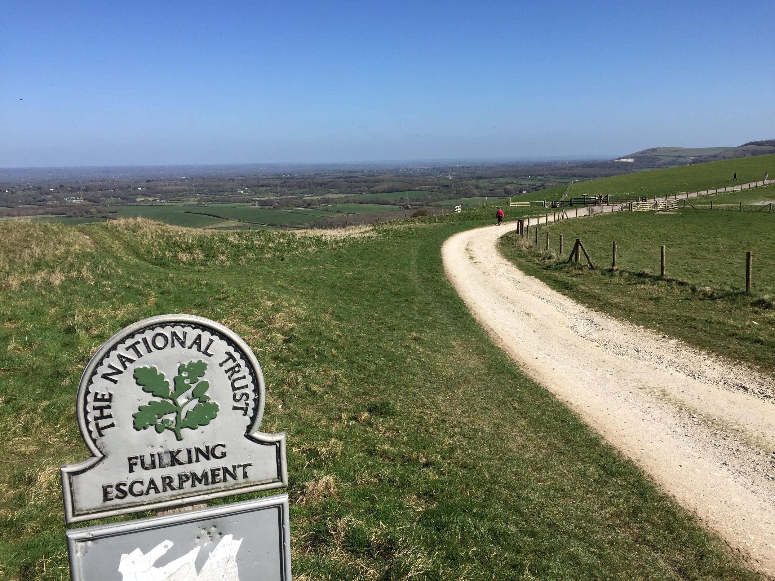
My second trig pillar was Devil’s Dyke at 13 km in. In my original planning I’d wanted to stay here only for the amusement of spending a night on Fulking Hill. The fact that the Devil’s Dyke Inn isn’t a hotel put an end to that. It was just as well given how late Day 1 turned out to be.
The rest of the day was a joyous trip along the South Downs. The warm early spring weather had brought a lot of people out walking, cycling or horsing(?) their way along the trail. I made a plan to say a cheery "hello" to everyone I passed to see their reaction. Horse-riders won with 100% "Hello"s back while walkers came joint second with mostly pleasant responses. Cyclists and runners came about even with either no responses or awkward grunts.
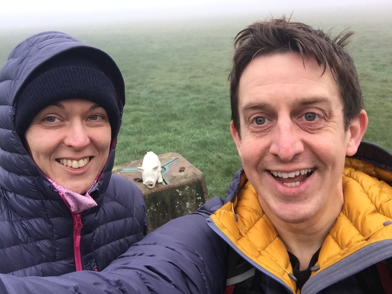
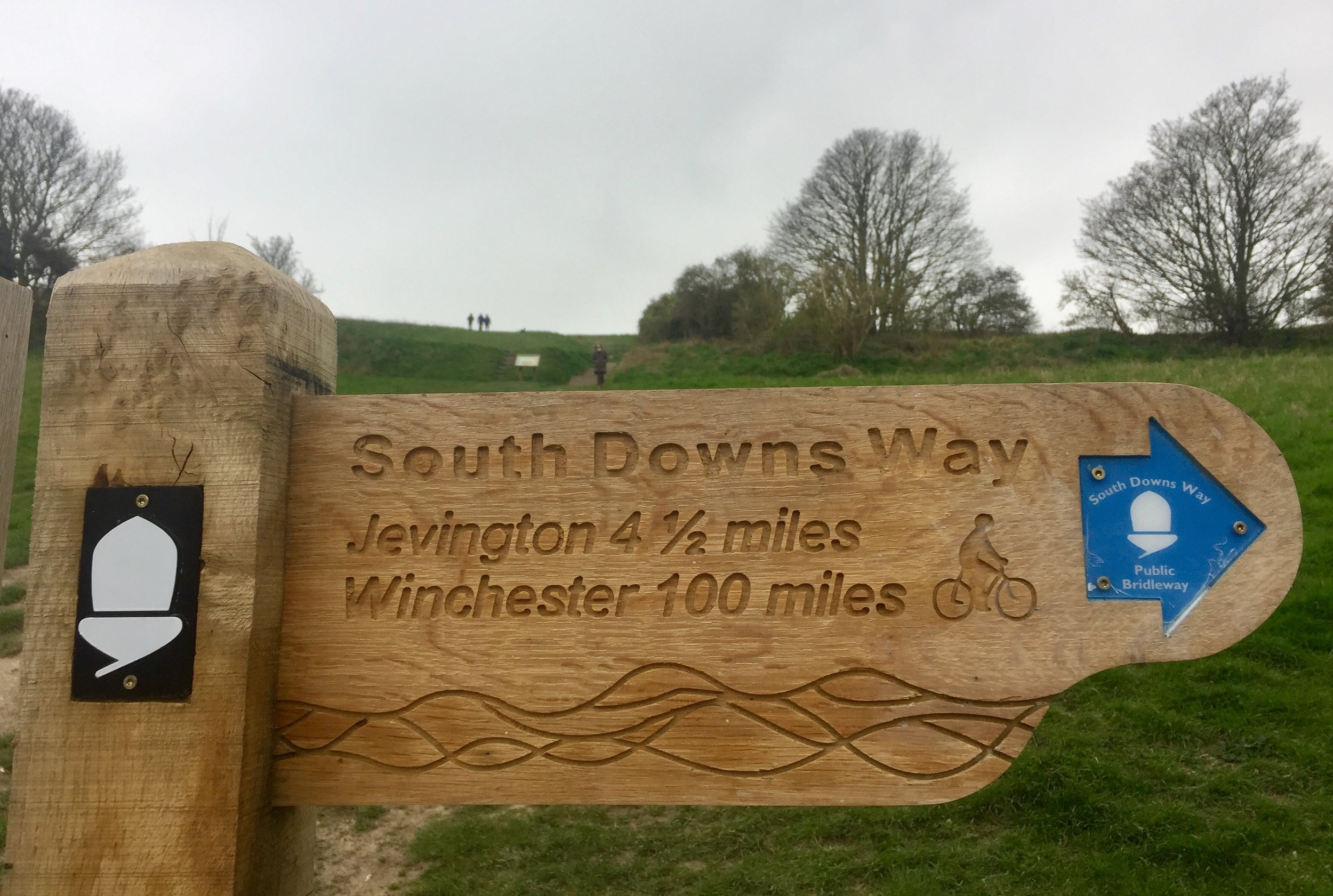
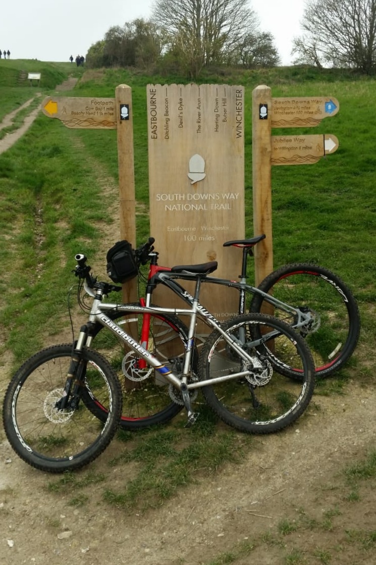
Amberley would be the natural destination for the first 50 miles of the Trail. I needed to go a bit further though as I needed to join the route of last year's Race To The King. The Ultra started a few miles South at Slindon, meeting the South Downs Way at Bury Hill. There's a Trig Point just off the Trail there so I made it my destination for this 2-day trip.
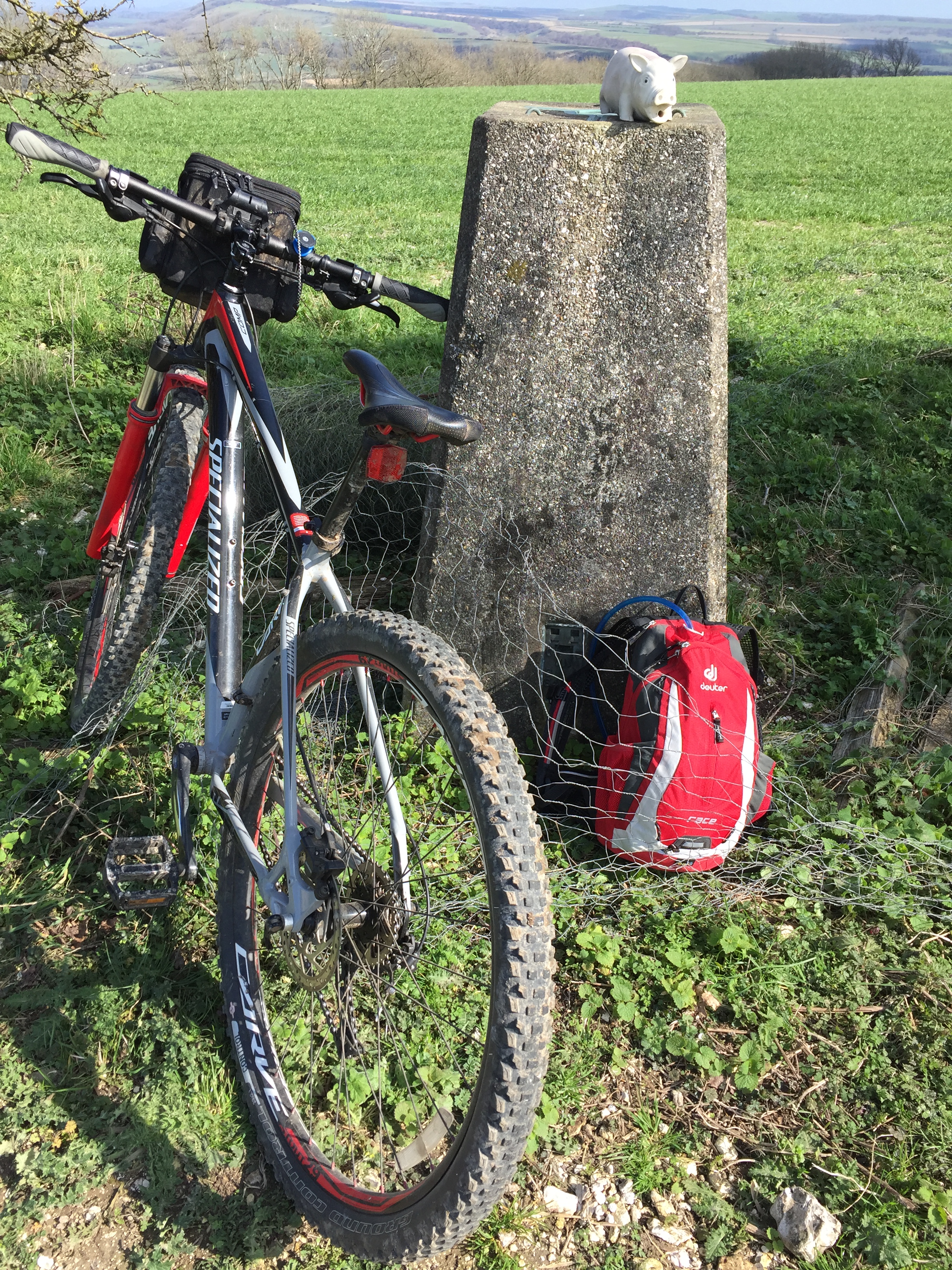
Trig Pillars on or near the South Downs Way (Eastbourne to Bury Hill)
All visited on this trip unless stated. Numbers in brackets show approximate kilometres from the start of the Trail at Eastbourne.
TP6953 - Wilmington Hill (10) - slight detour from SDW
TP1440 - Blackcap (42) - slight detour from SDW. I didn’t visit this one as it was already late and dark
TP0760 - Ditchling (46)
TP2770 - Devils Dyke (55)
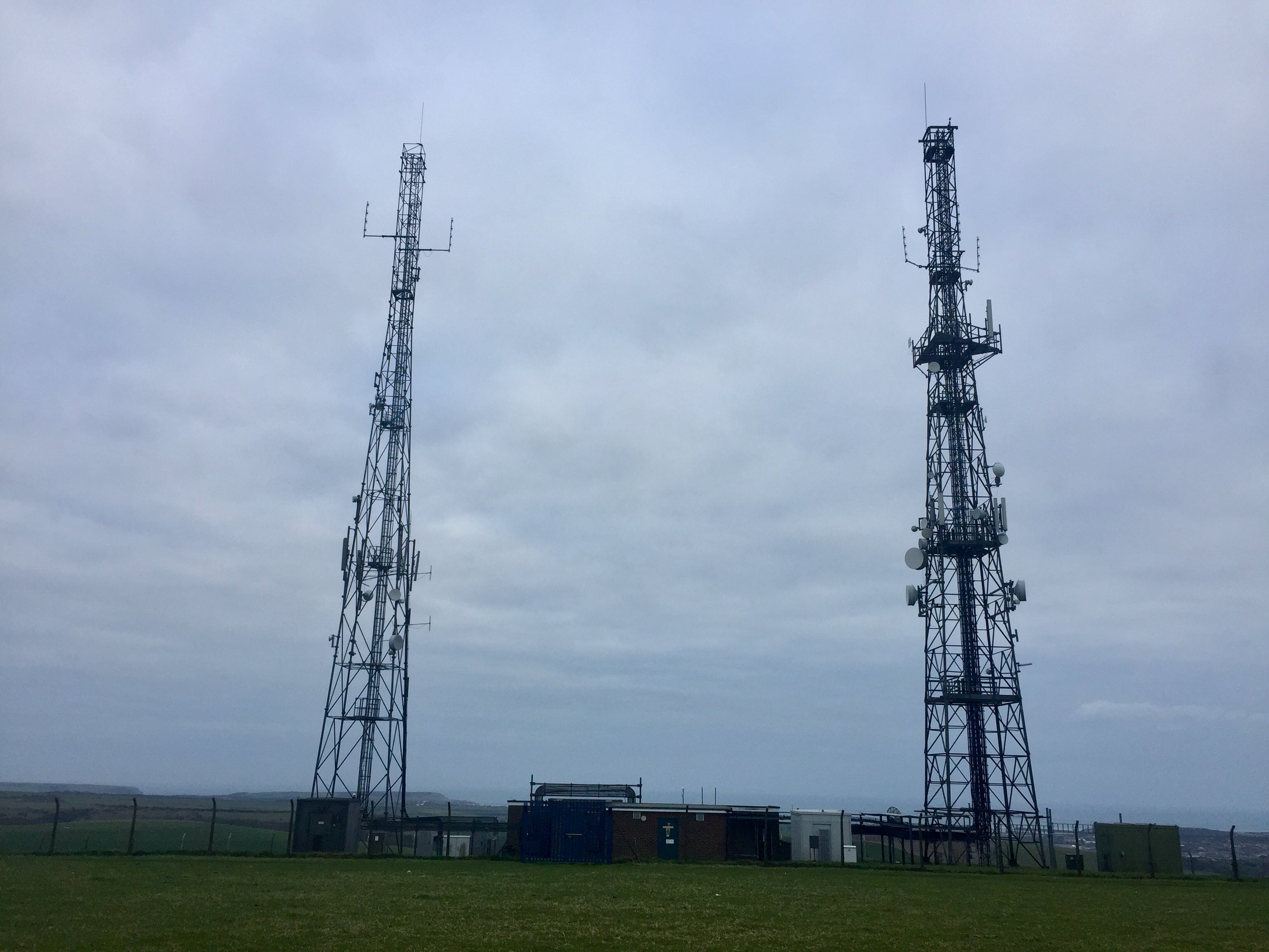
TP6595 - Truleigh Hill (59) - slight detour from SDW. I didn’t visit this one as there was no obvious public route from the Trail
TP6177 - Steyning Round Hill (68) - very near path but behind a fence
TP4257 - Kithurst Hill (78) - slight detour from SDW
TP0415 - Rackham Hill (81) - very near path but behind a fence
TP1812 - Bury Hill (88) - slight detour from SDW
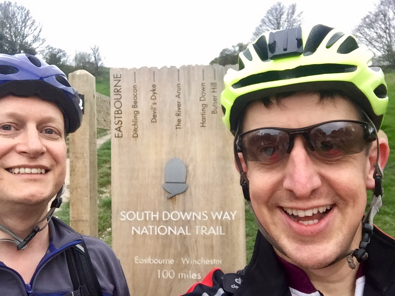
South Downs Way: Done
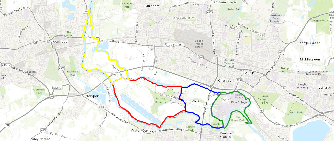
Map below: Blue = Beachy Head Marathon, Green = This cycle trip, red = Race To The King Ultra Marathon