Walking The Balatonszárszó Trail of Renewal, Hungary

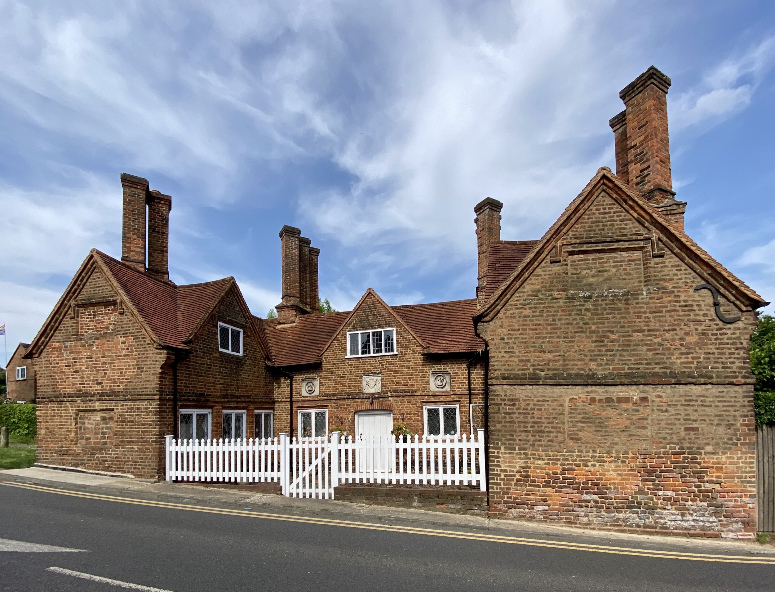
Séta a BalatonszárszóI megújulás útján

IMG_2002.jpg

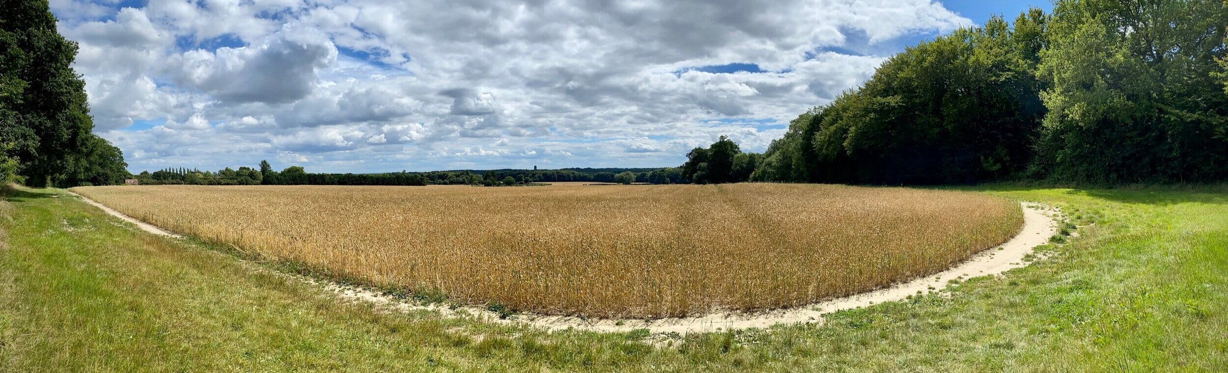
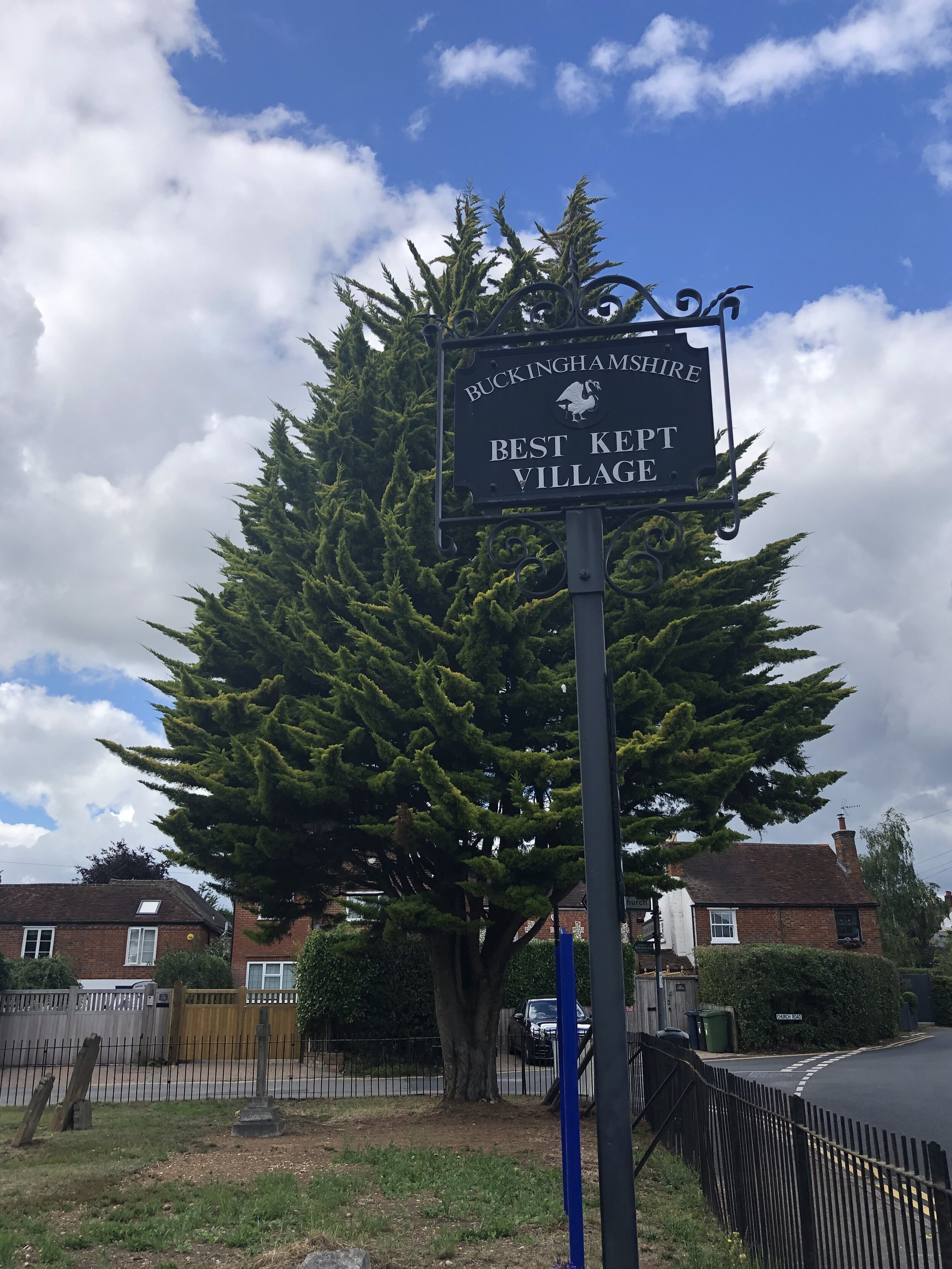
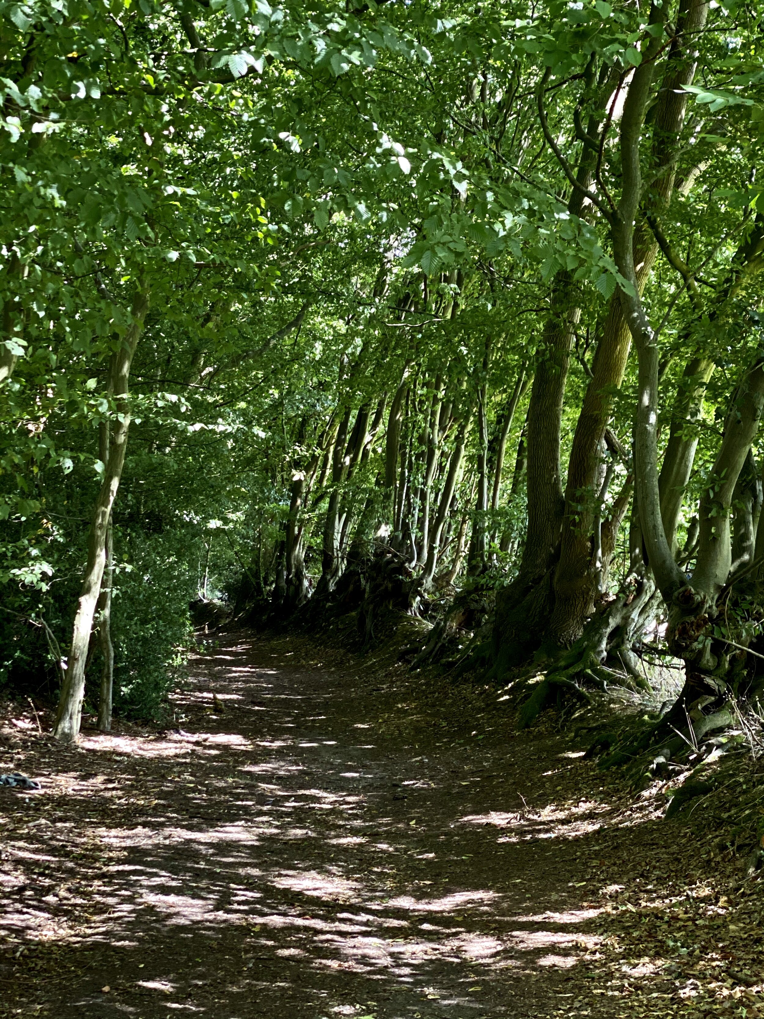
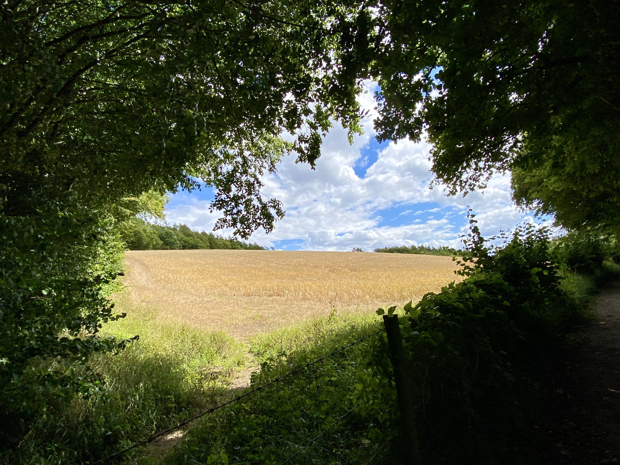
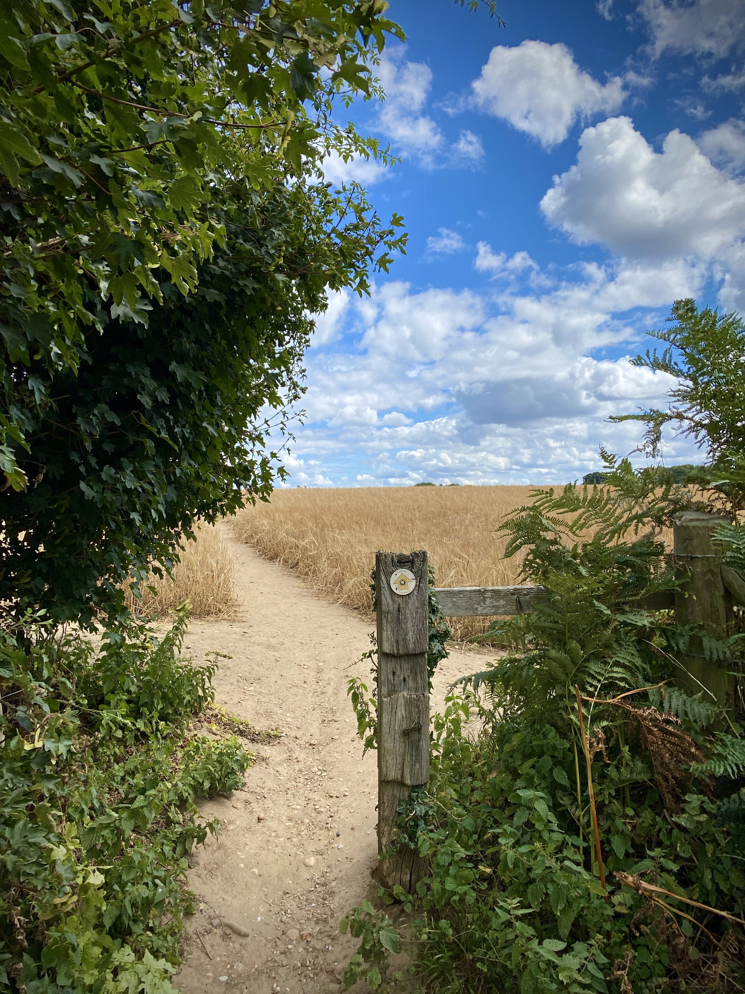
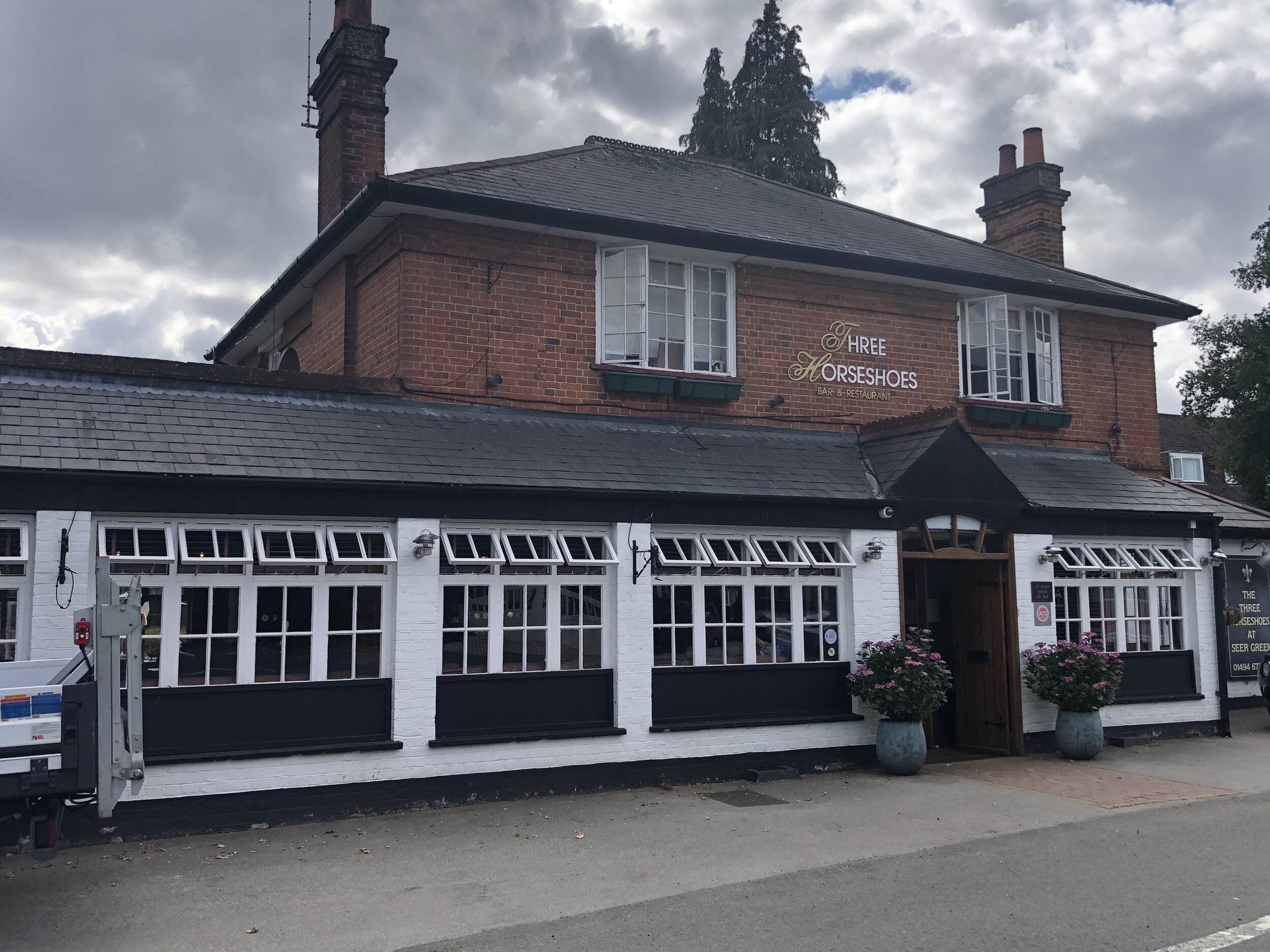
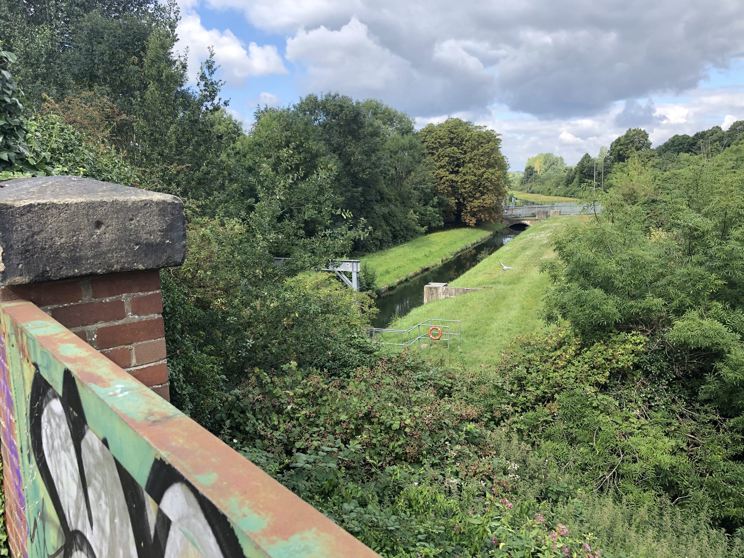
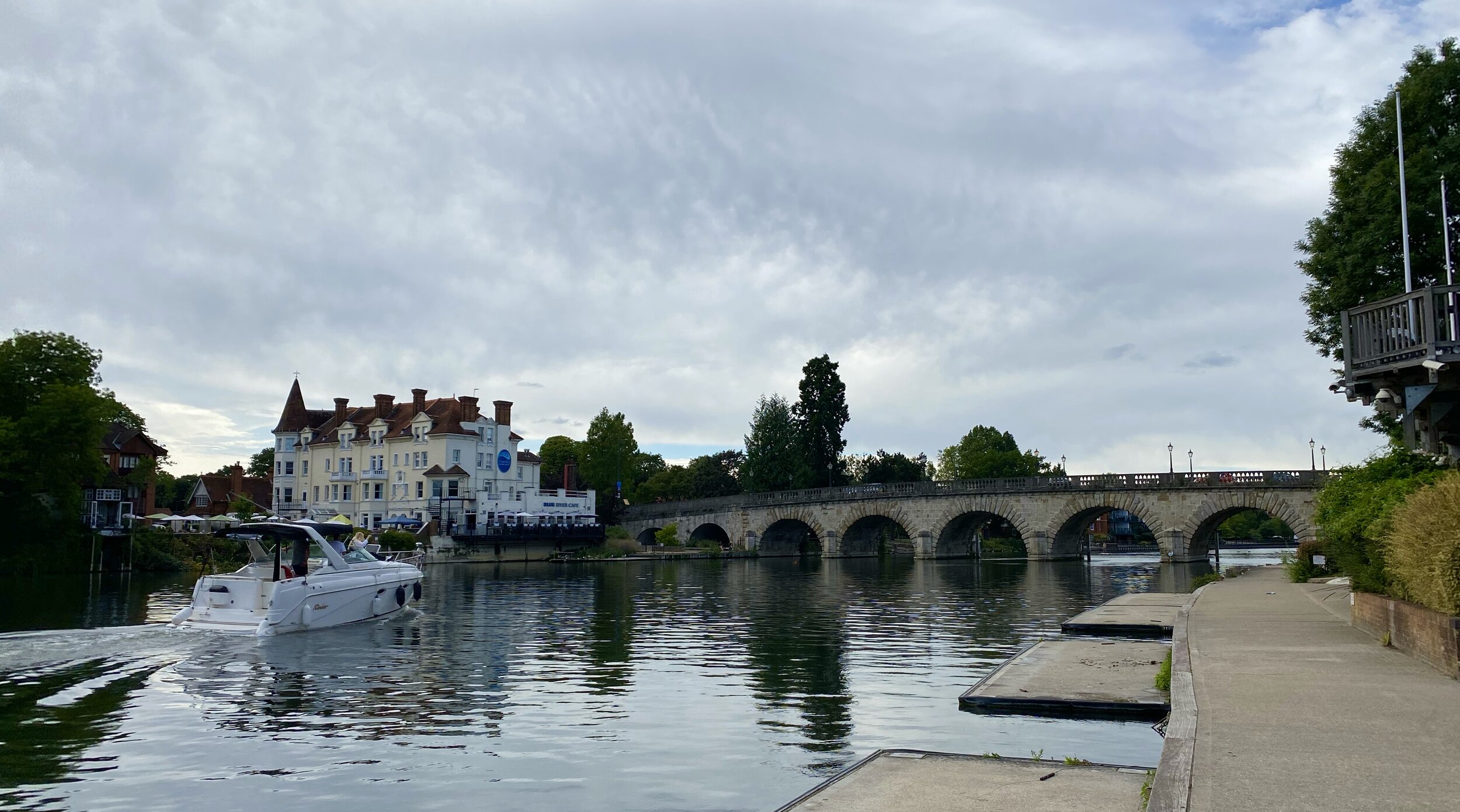
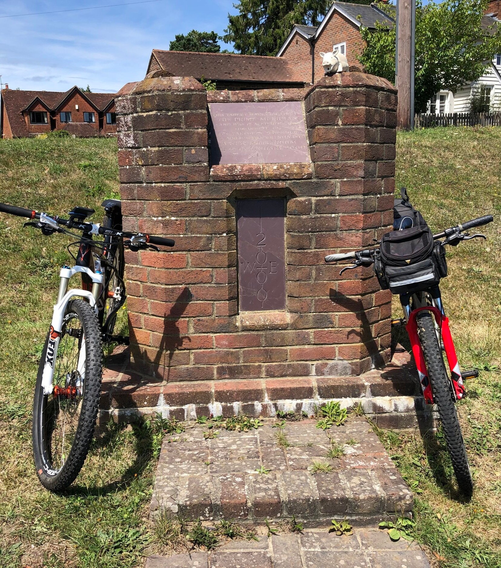
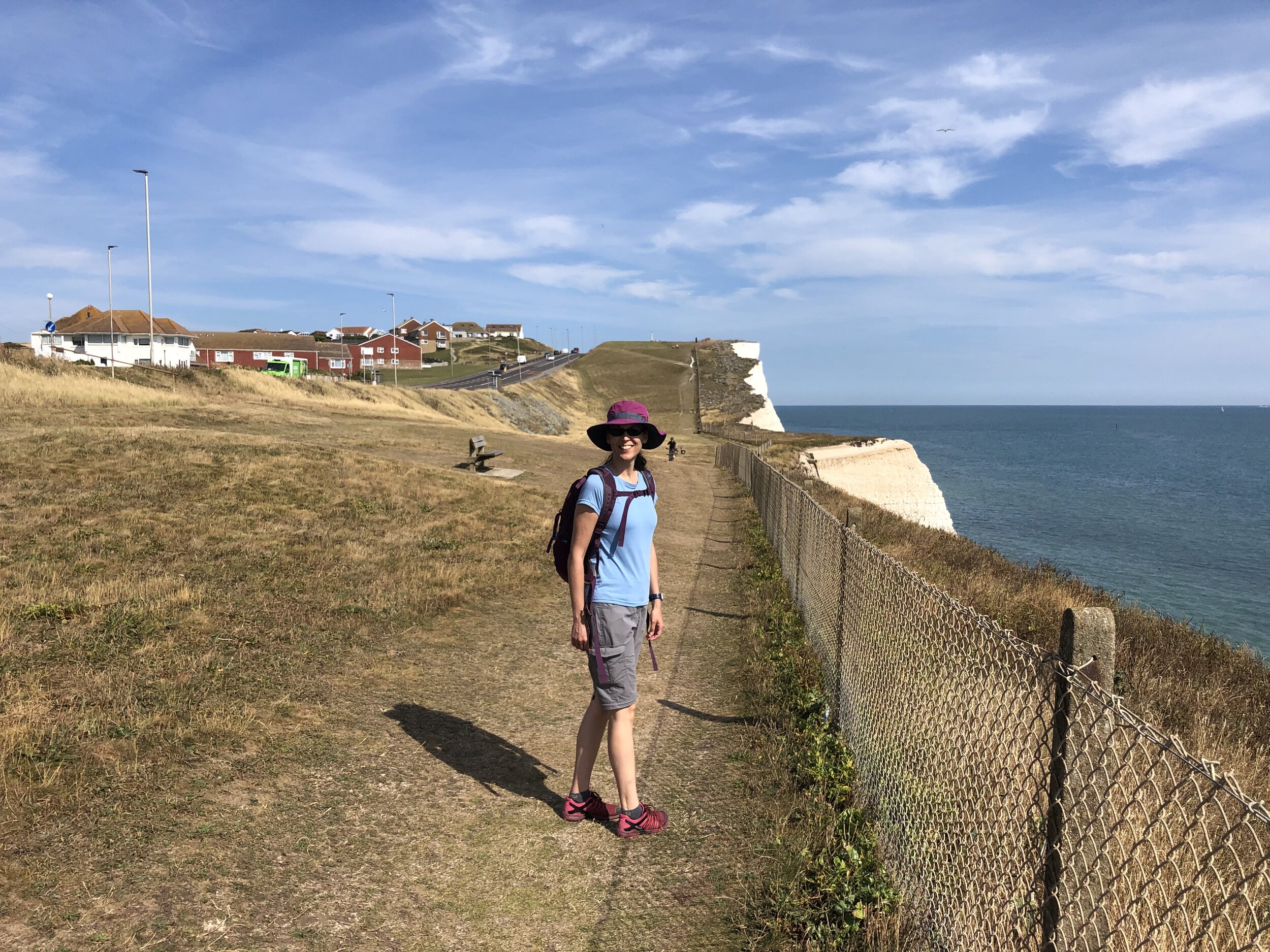
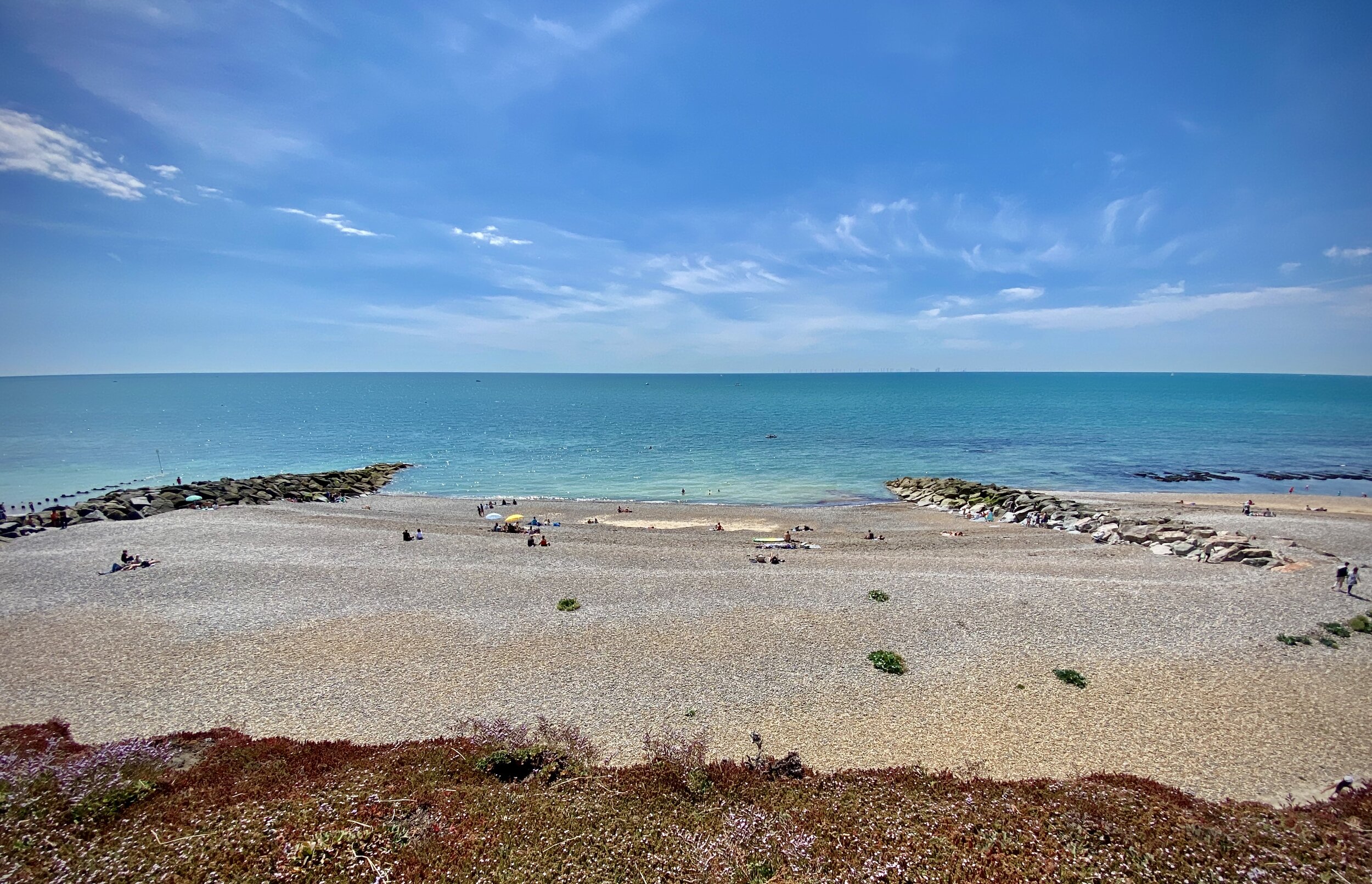
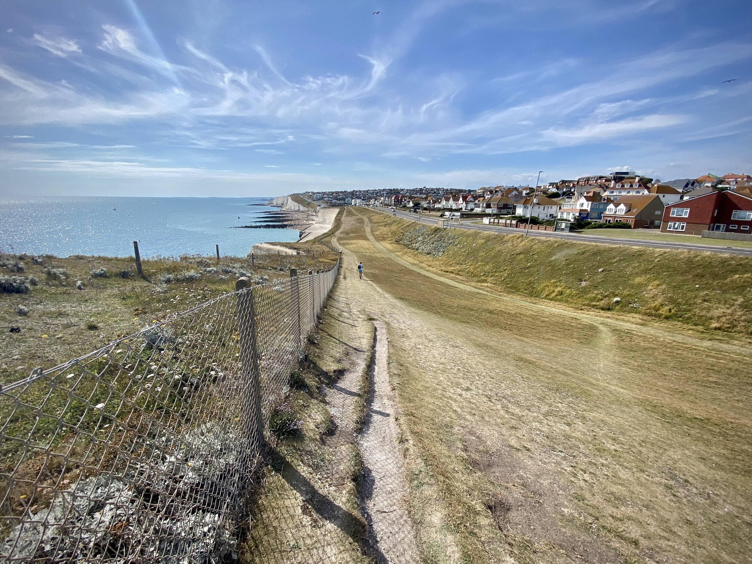
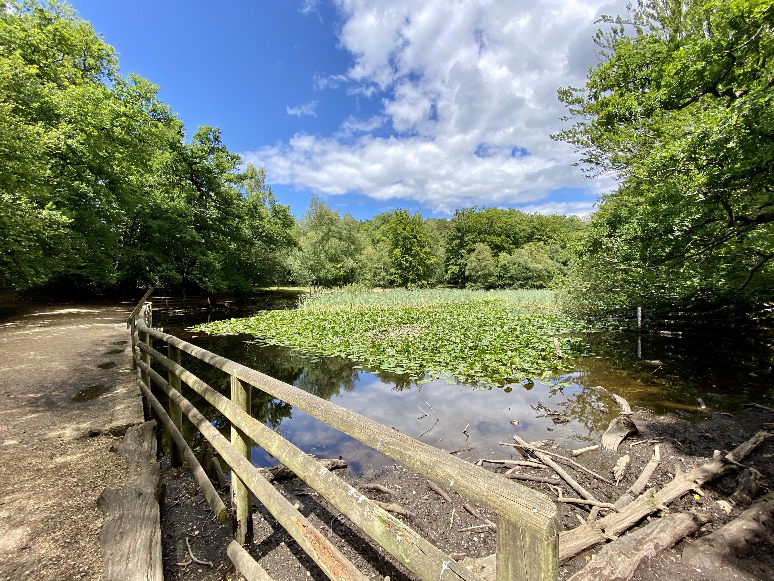
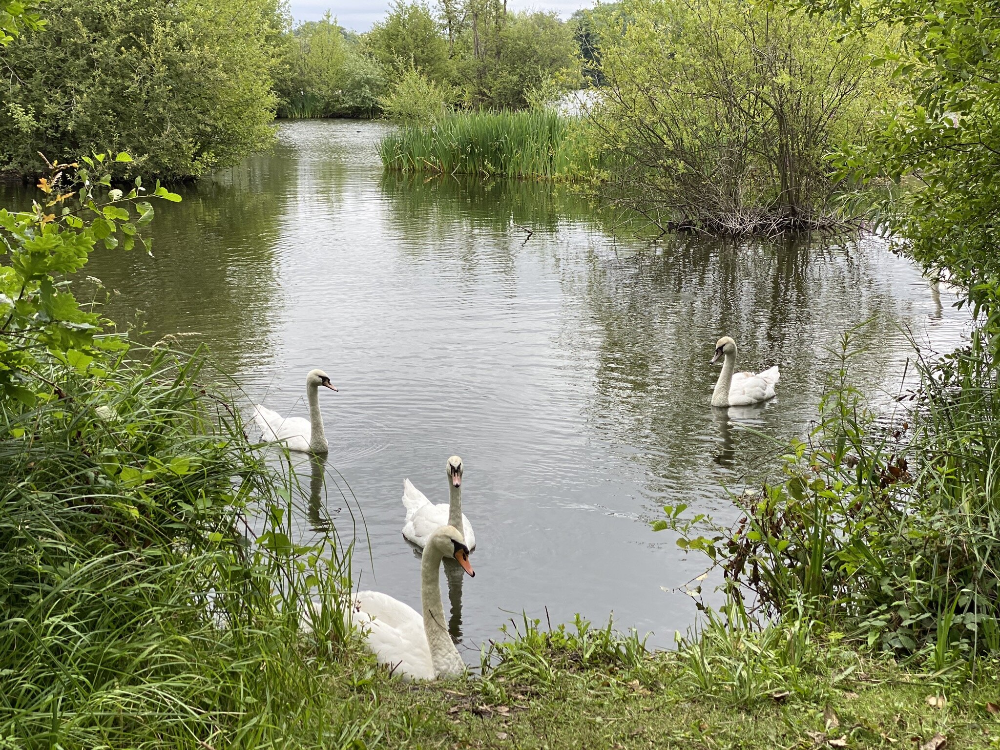
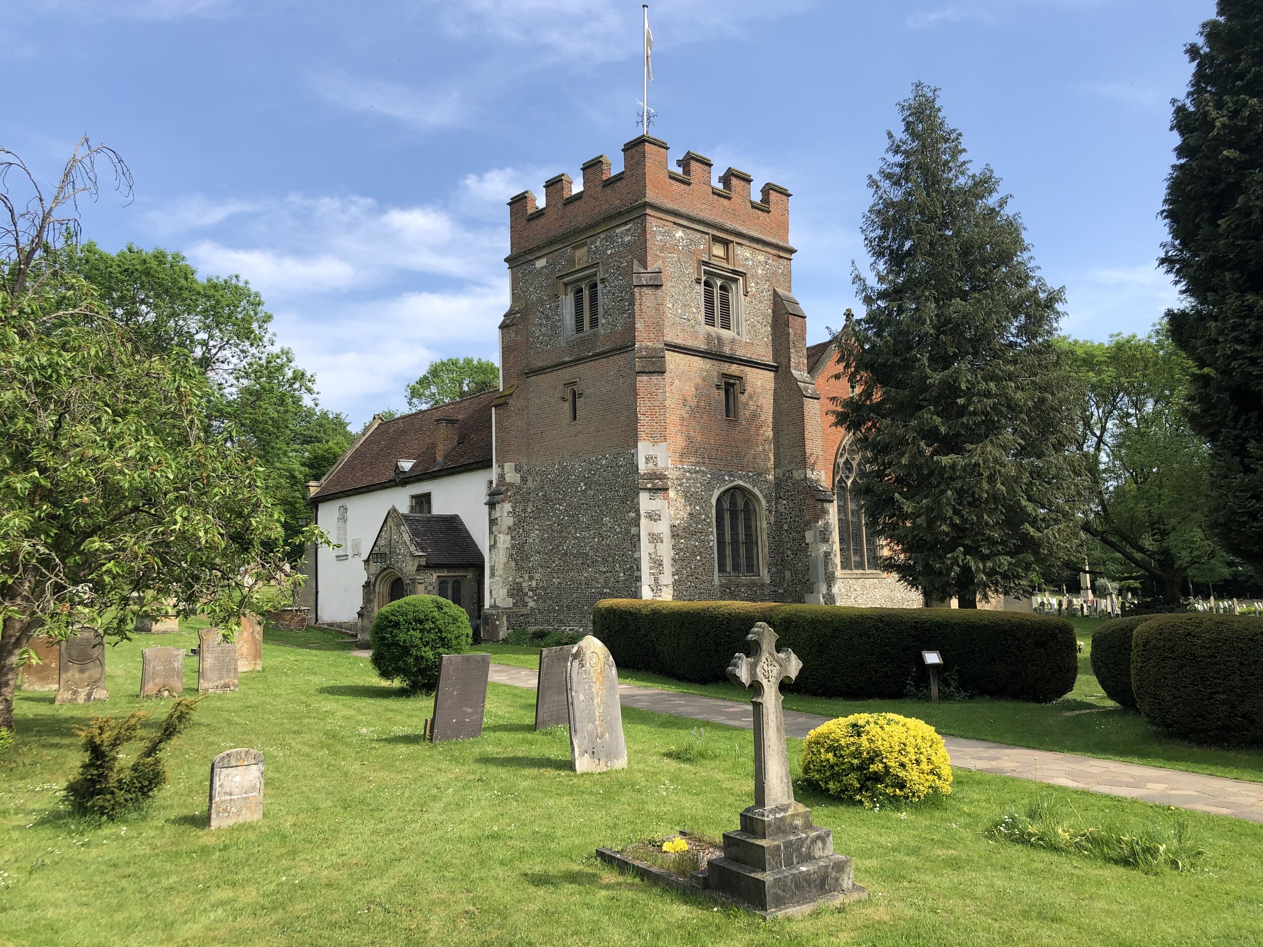
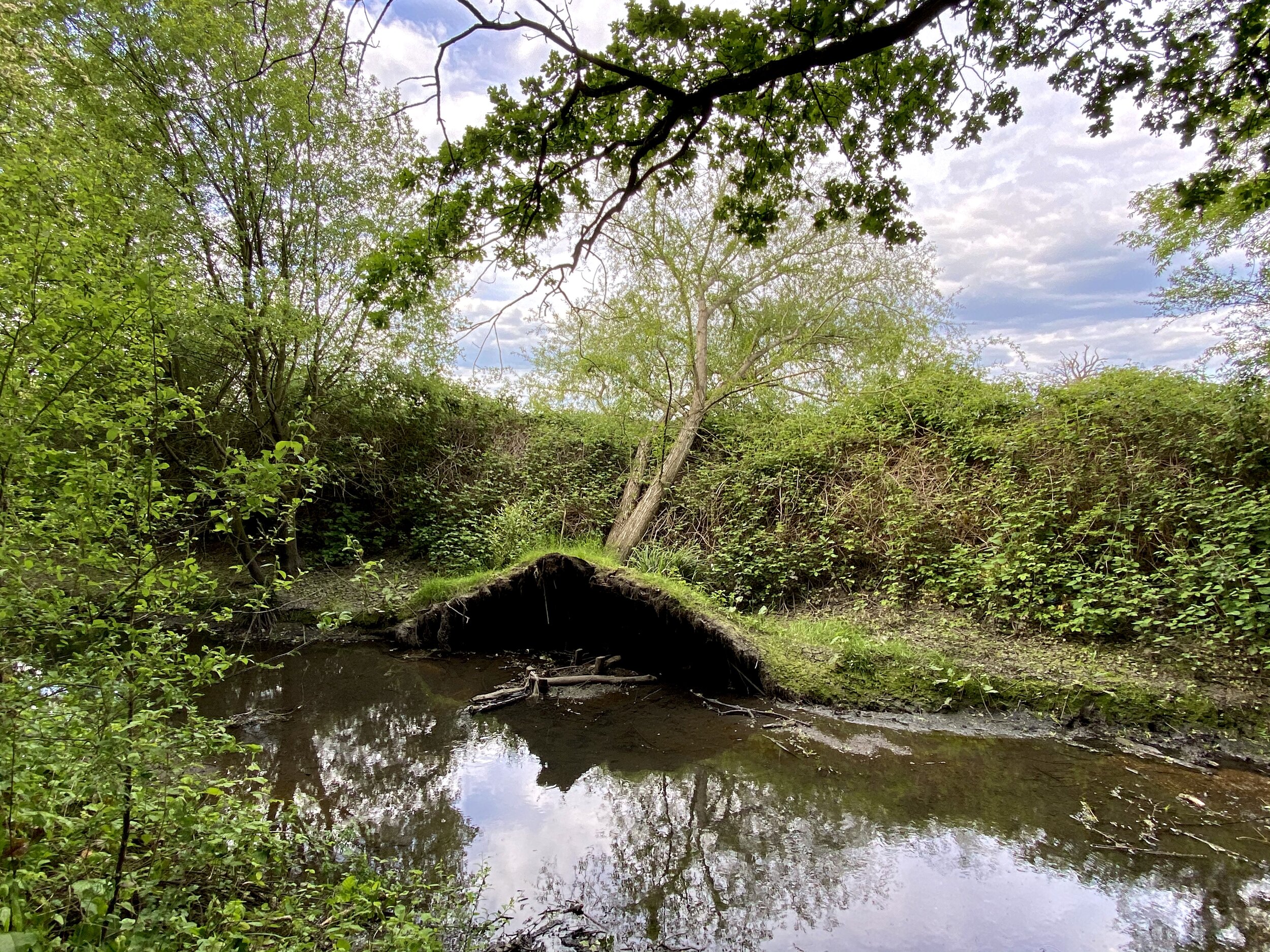
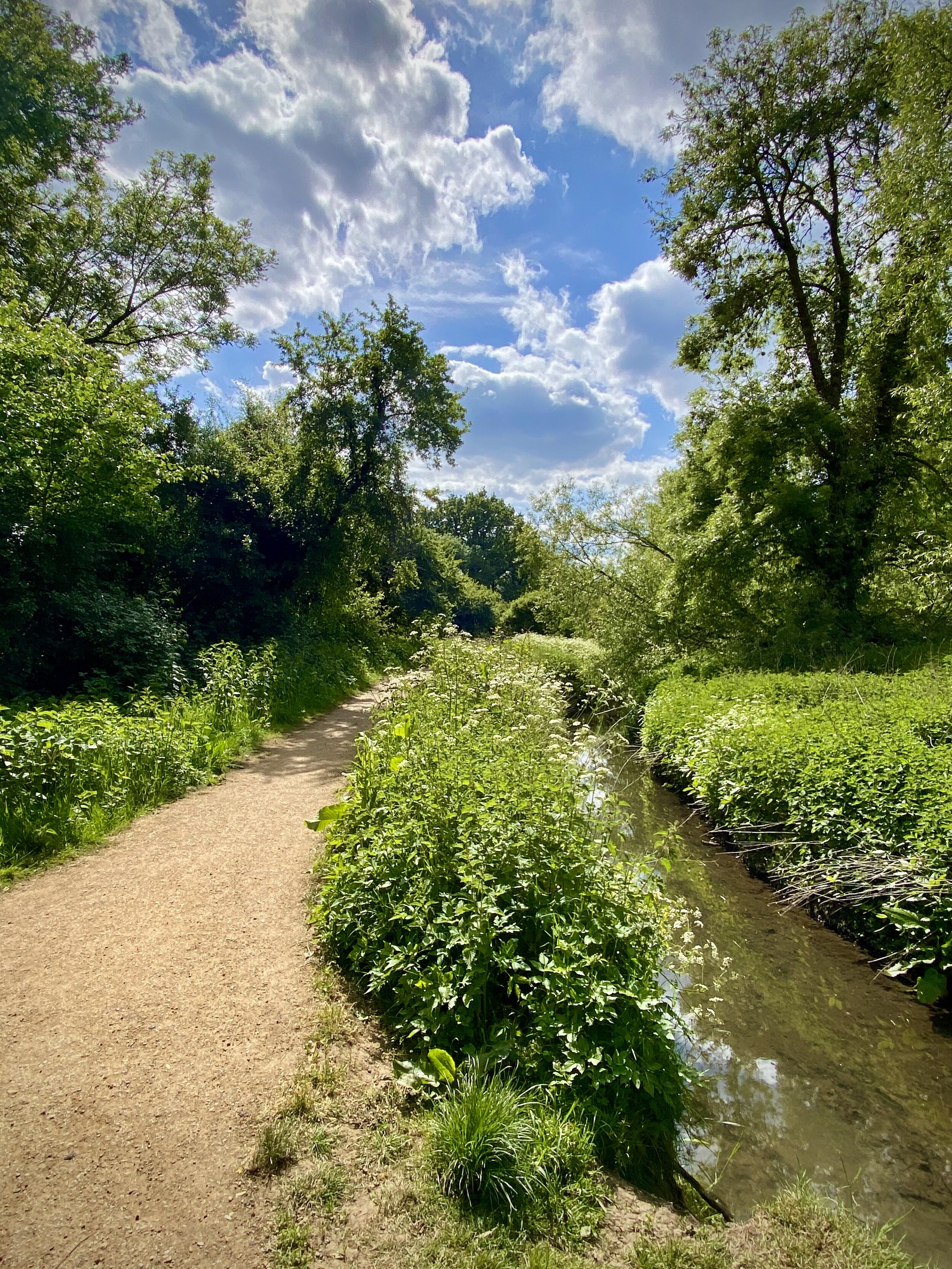
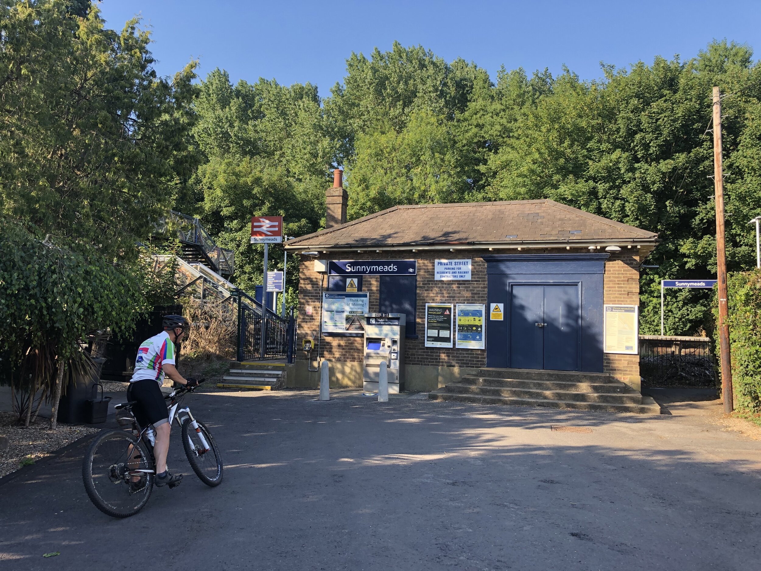
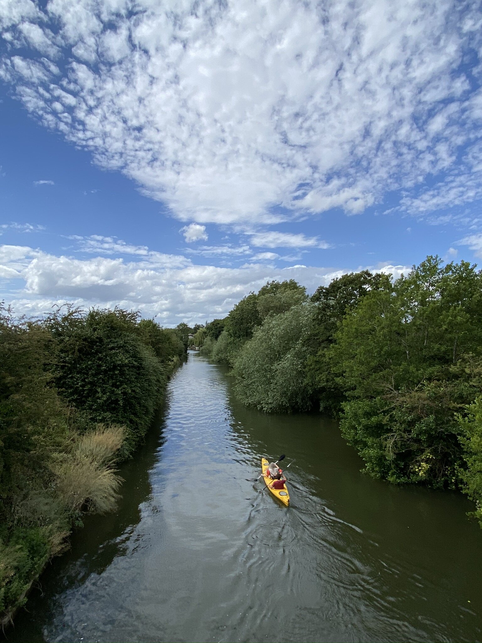
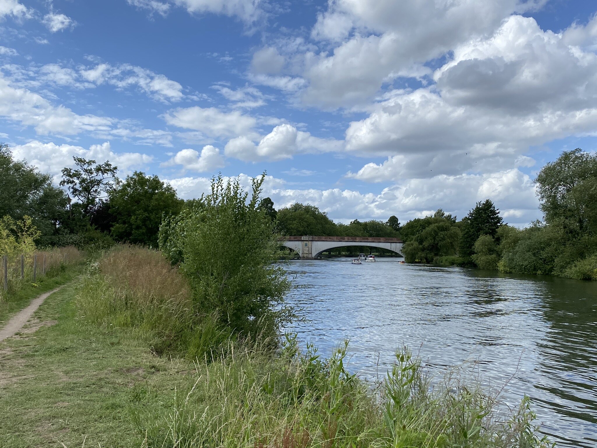
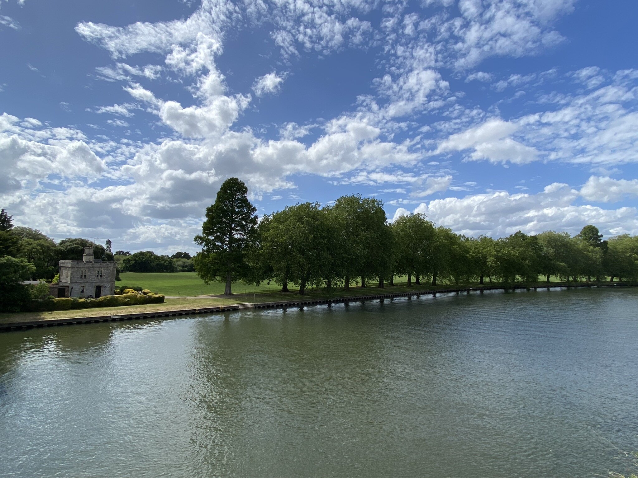
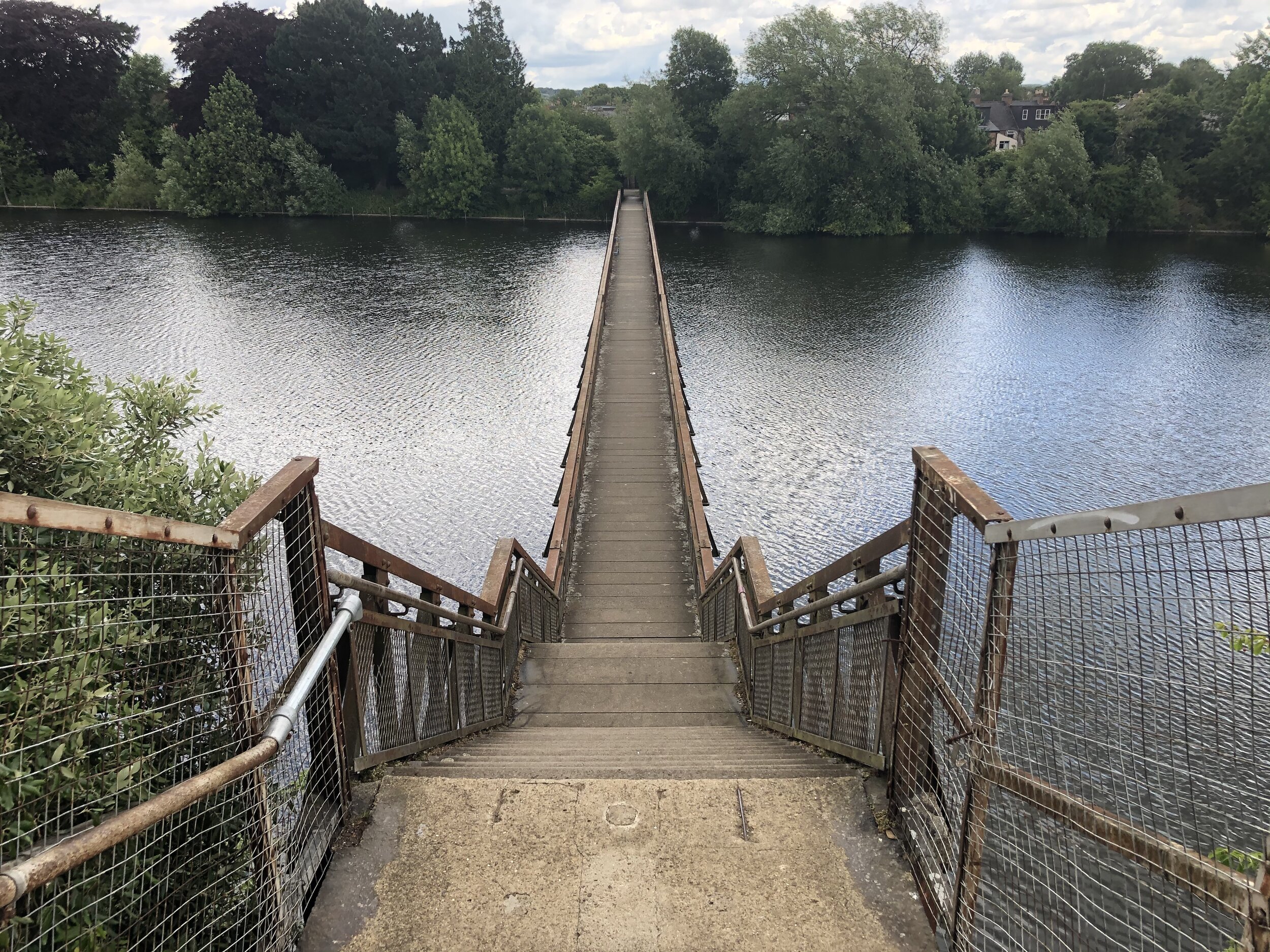
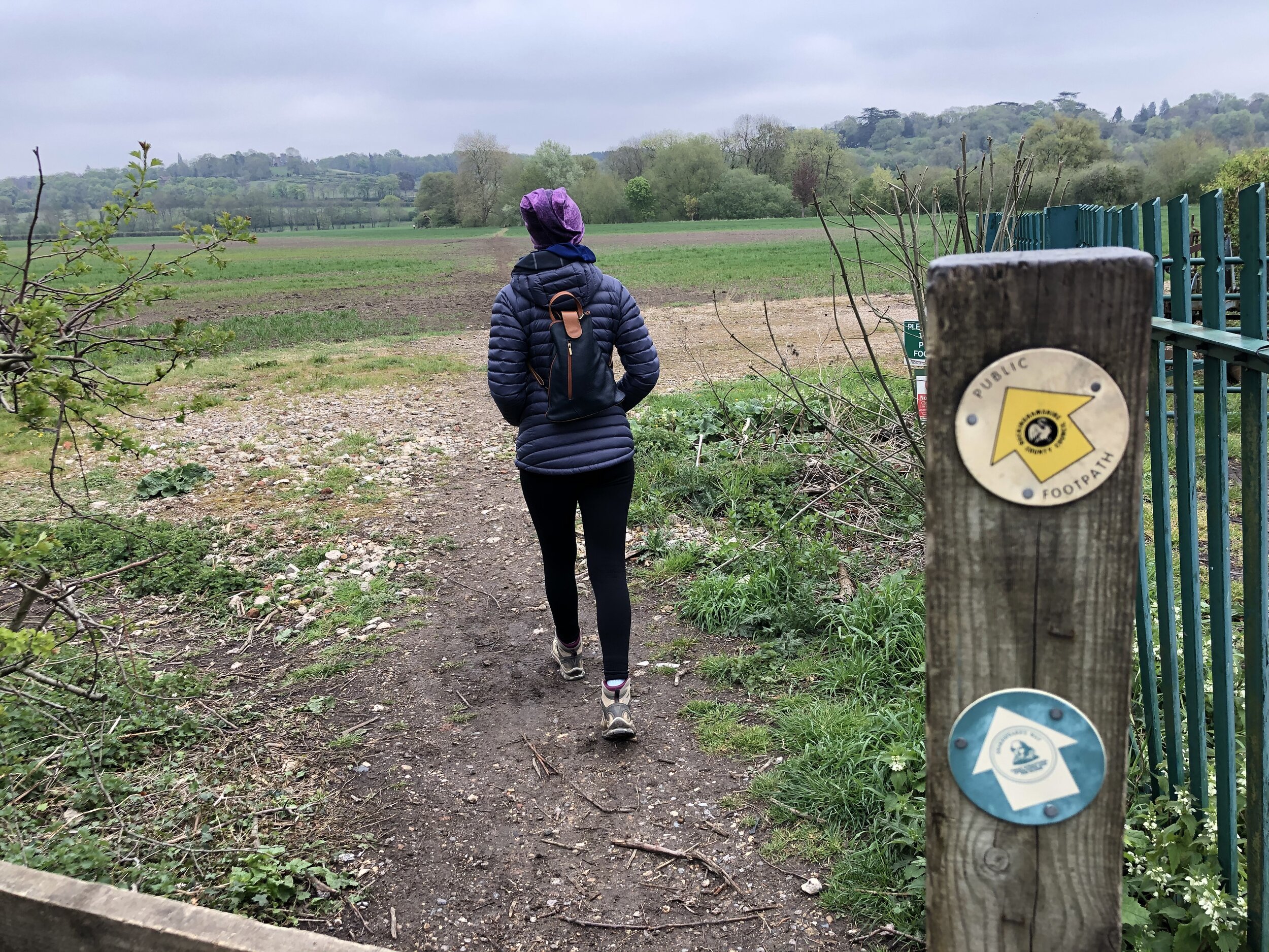
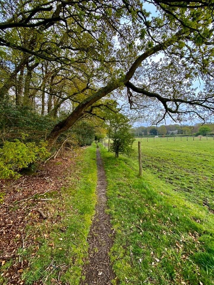
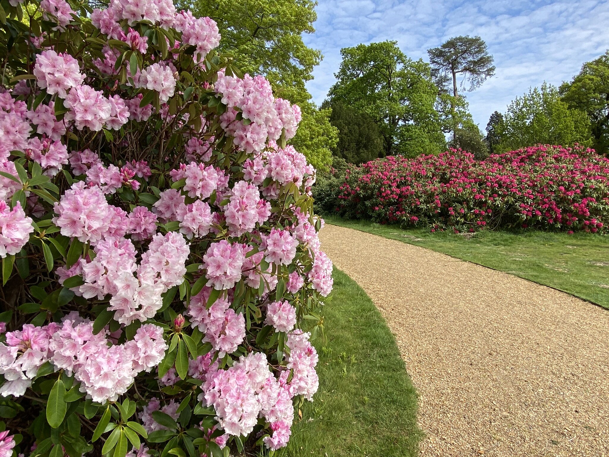
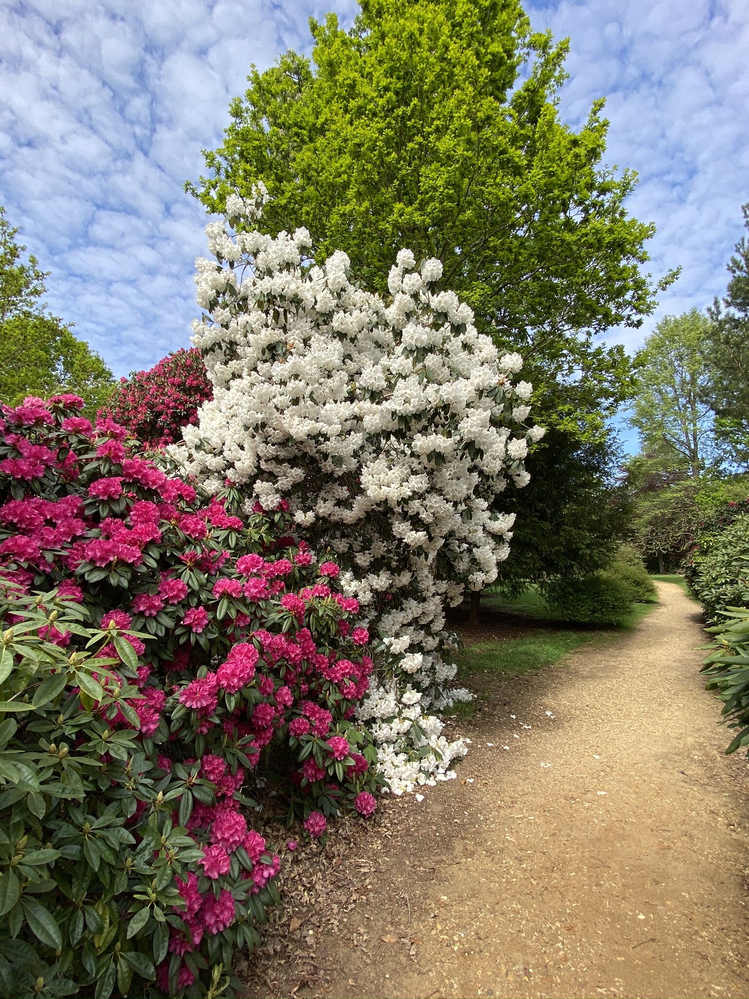
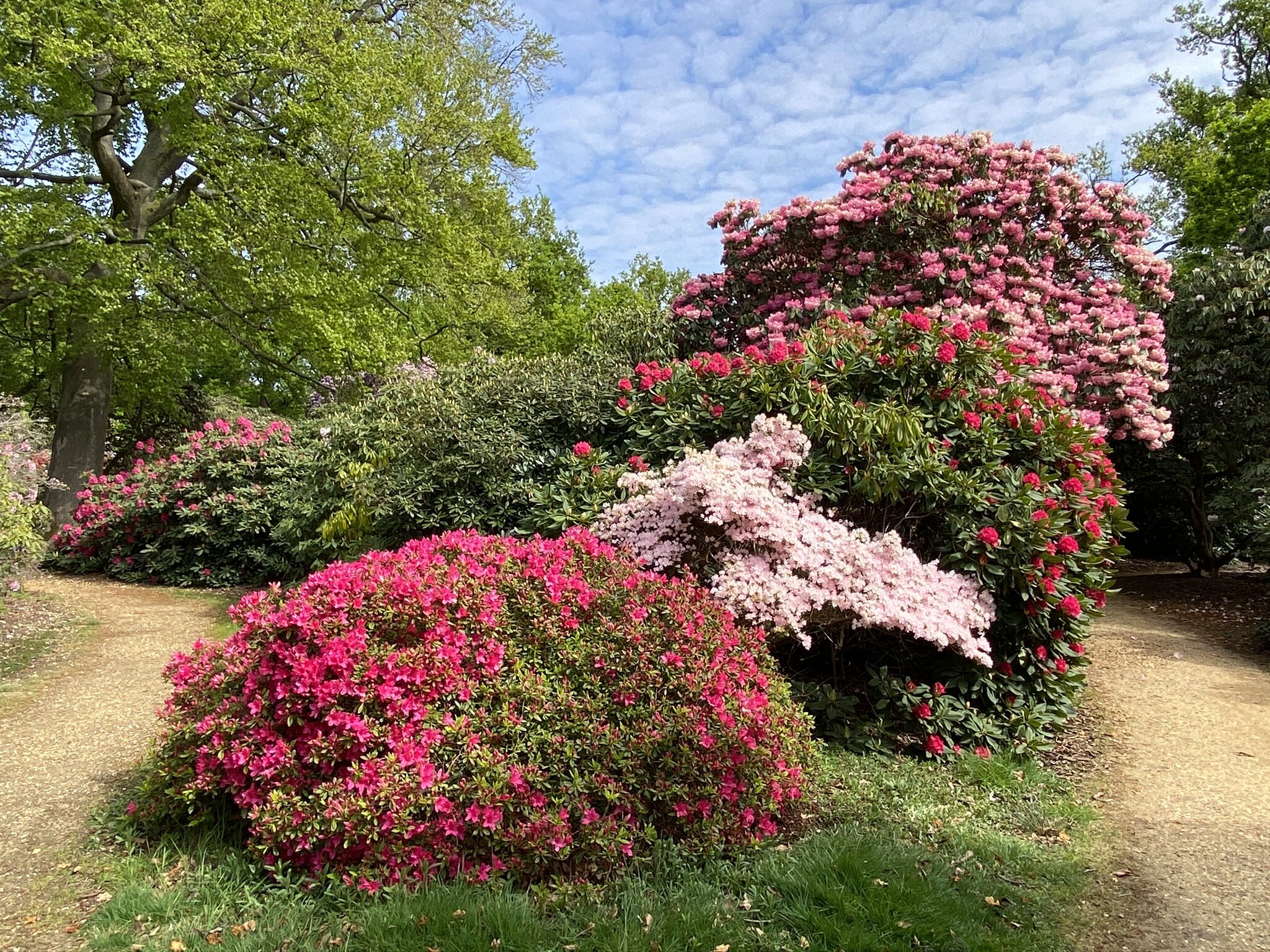
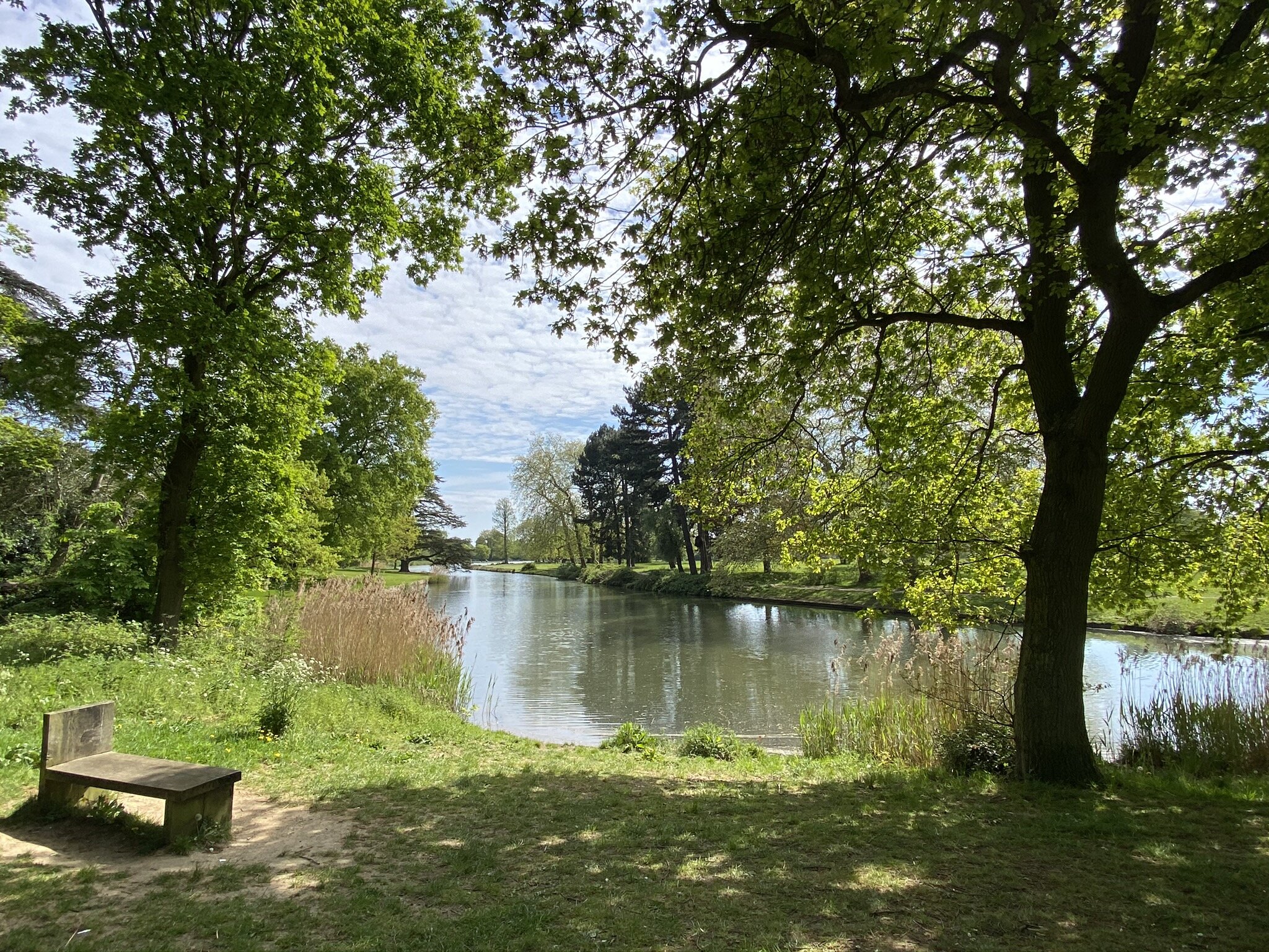
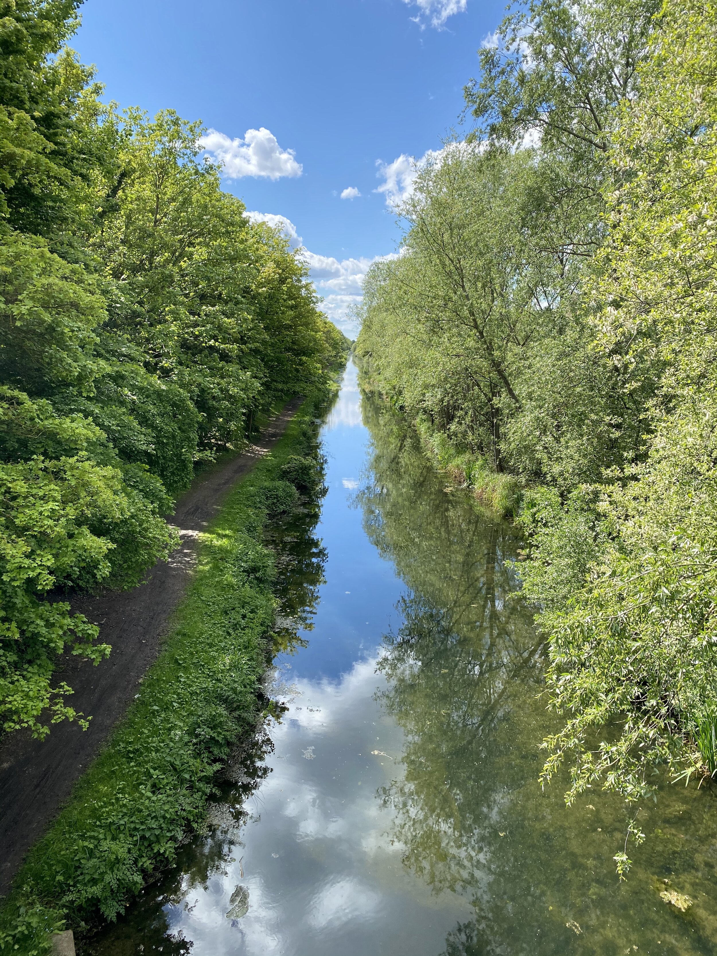
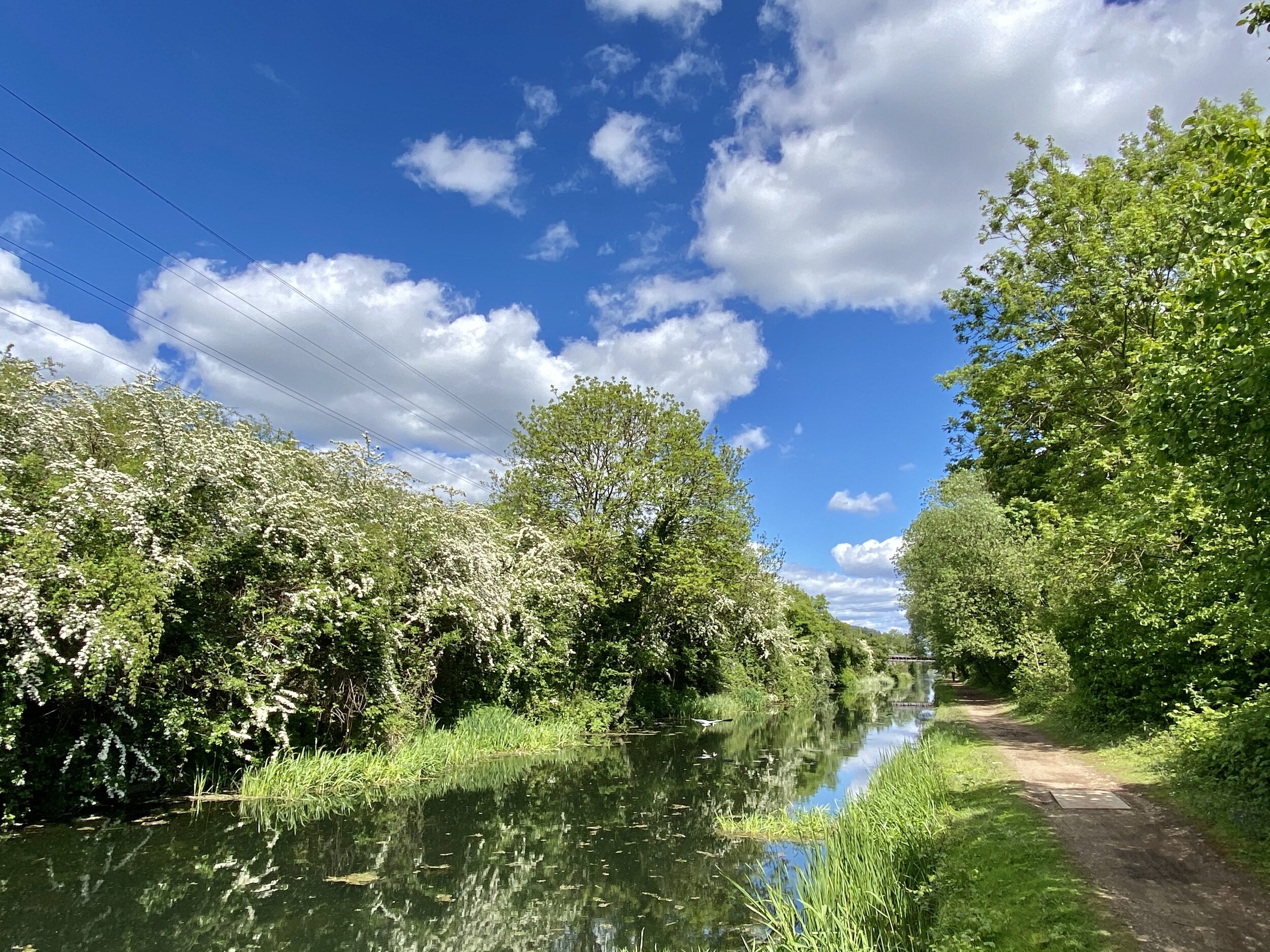
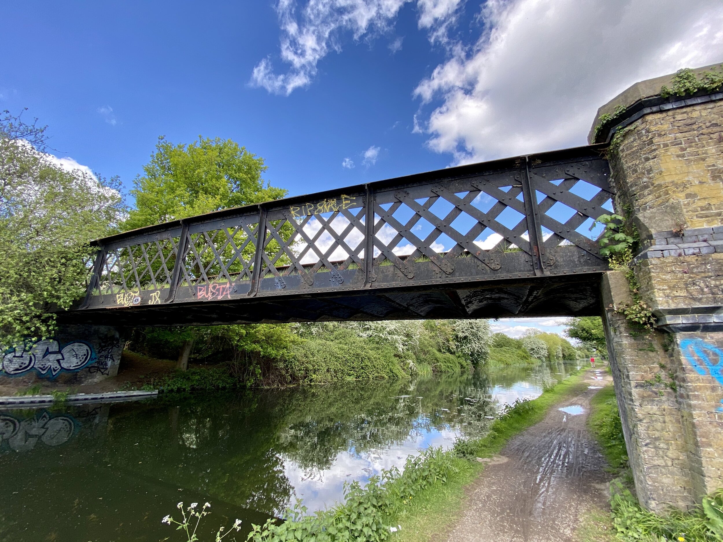
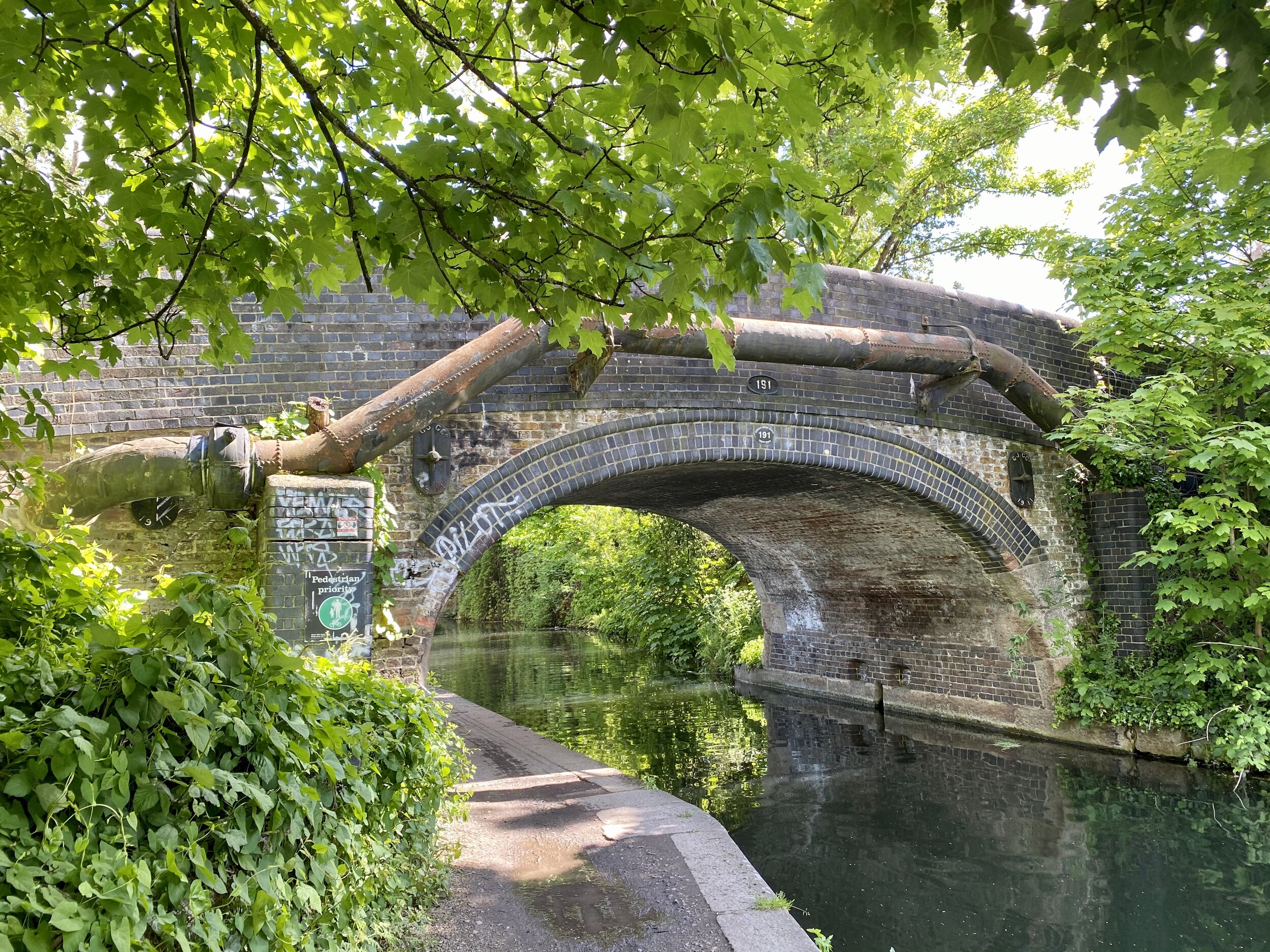
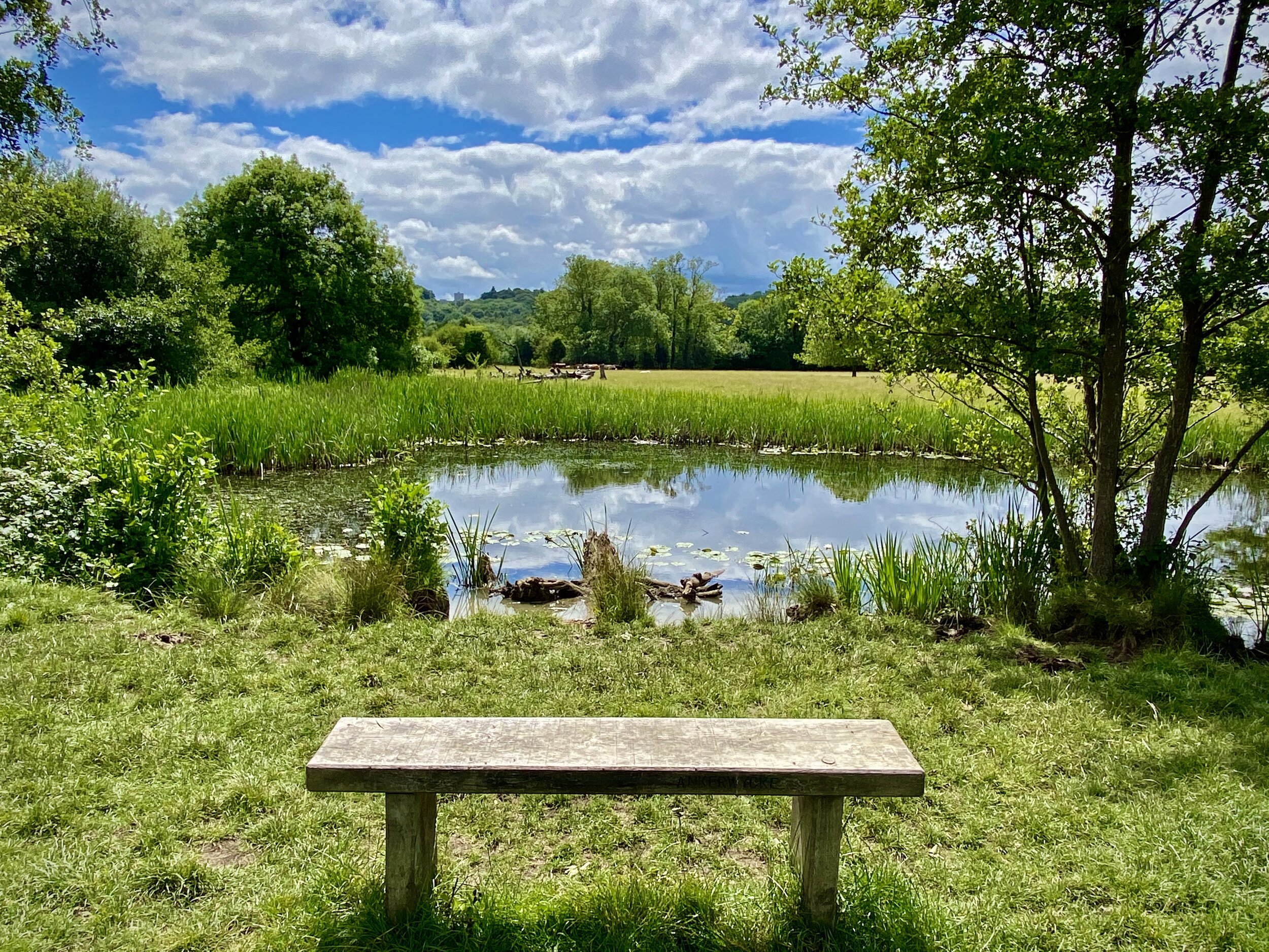
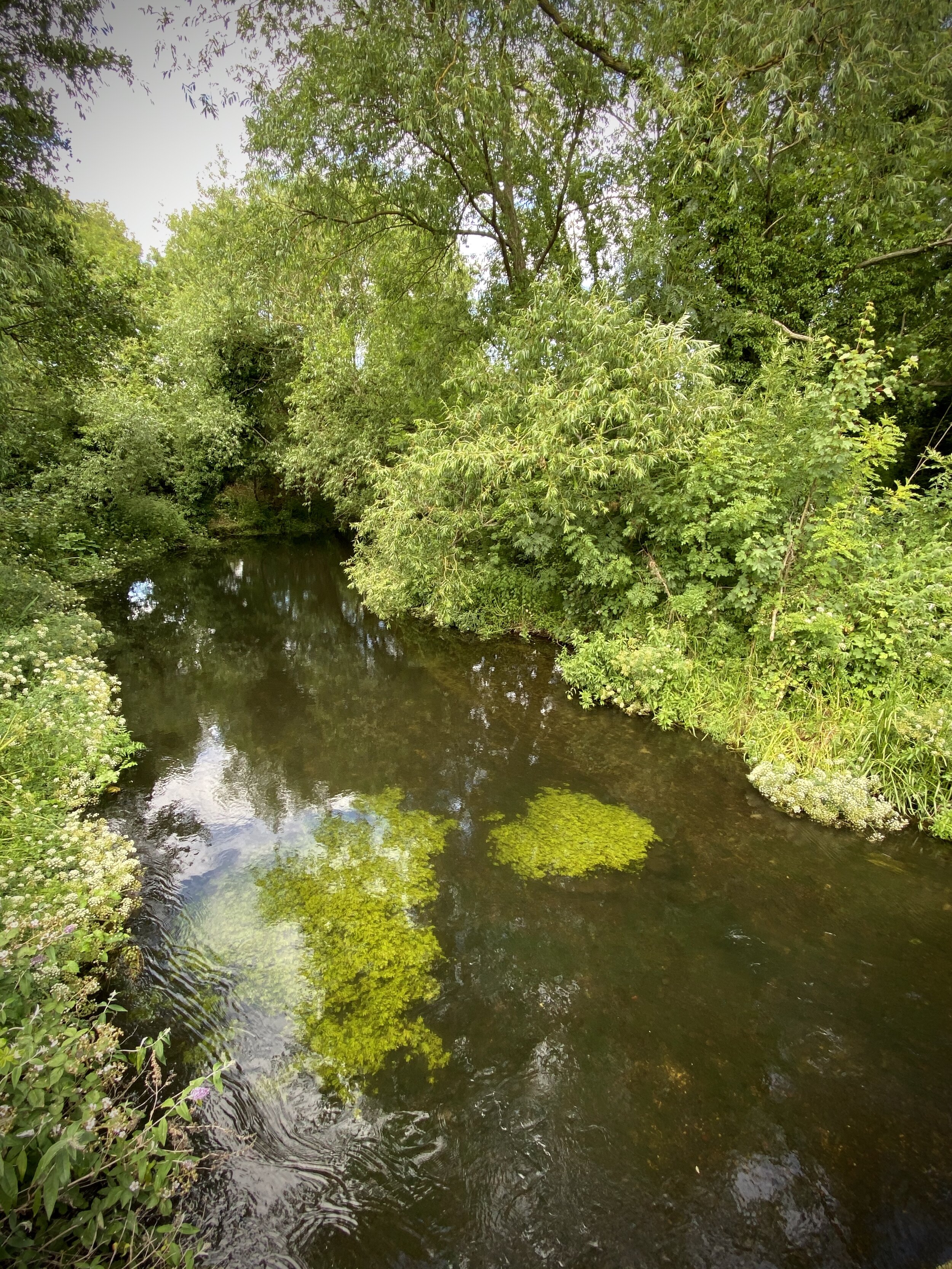
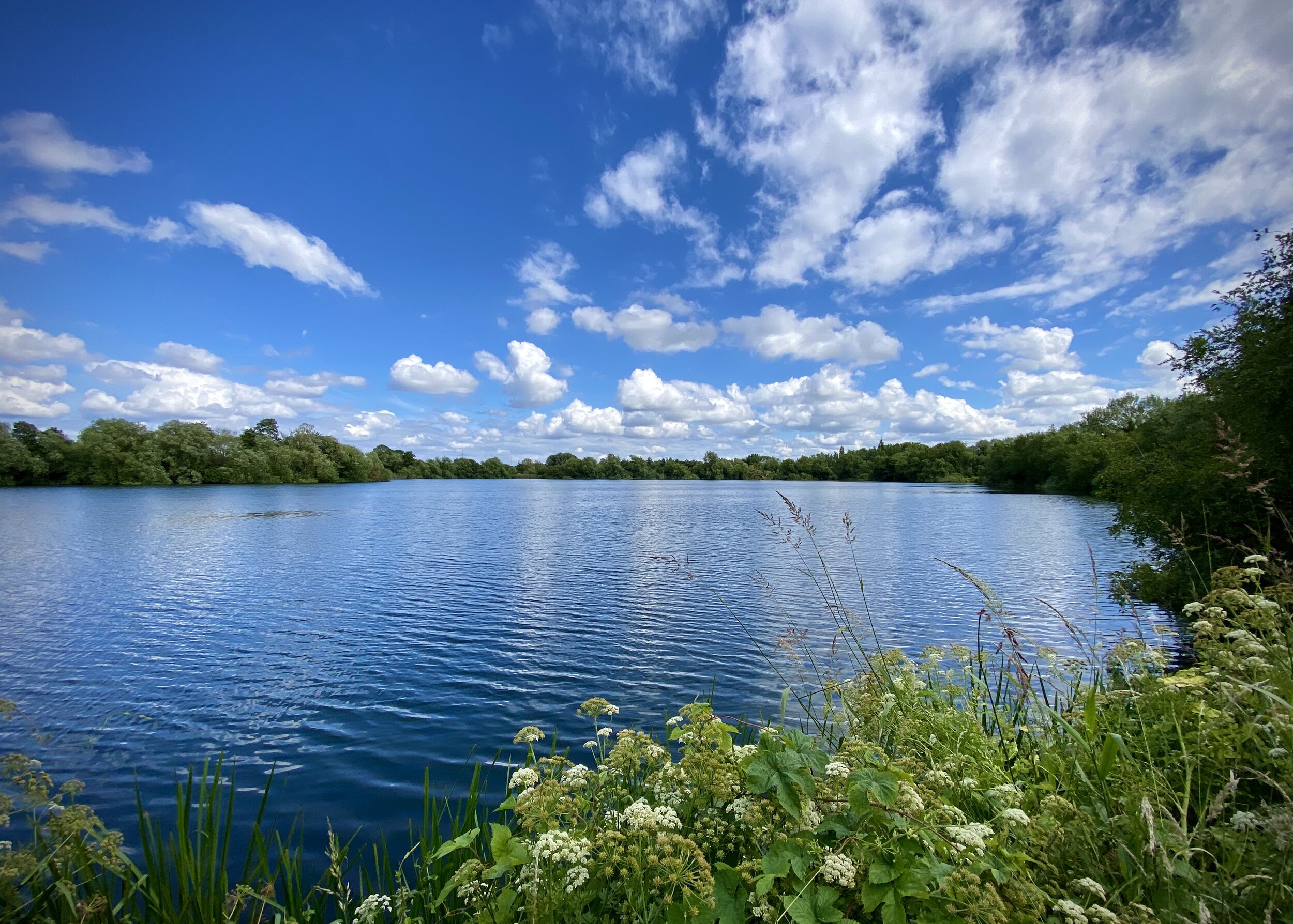
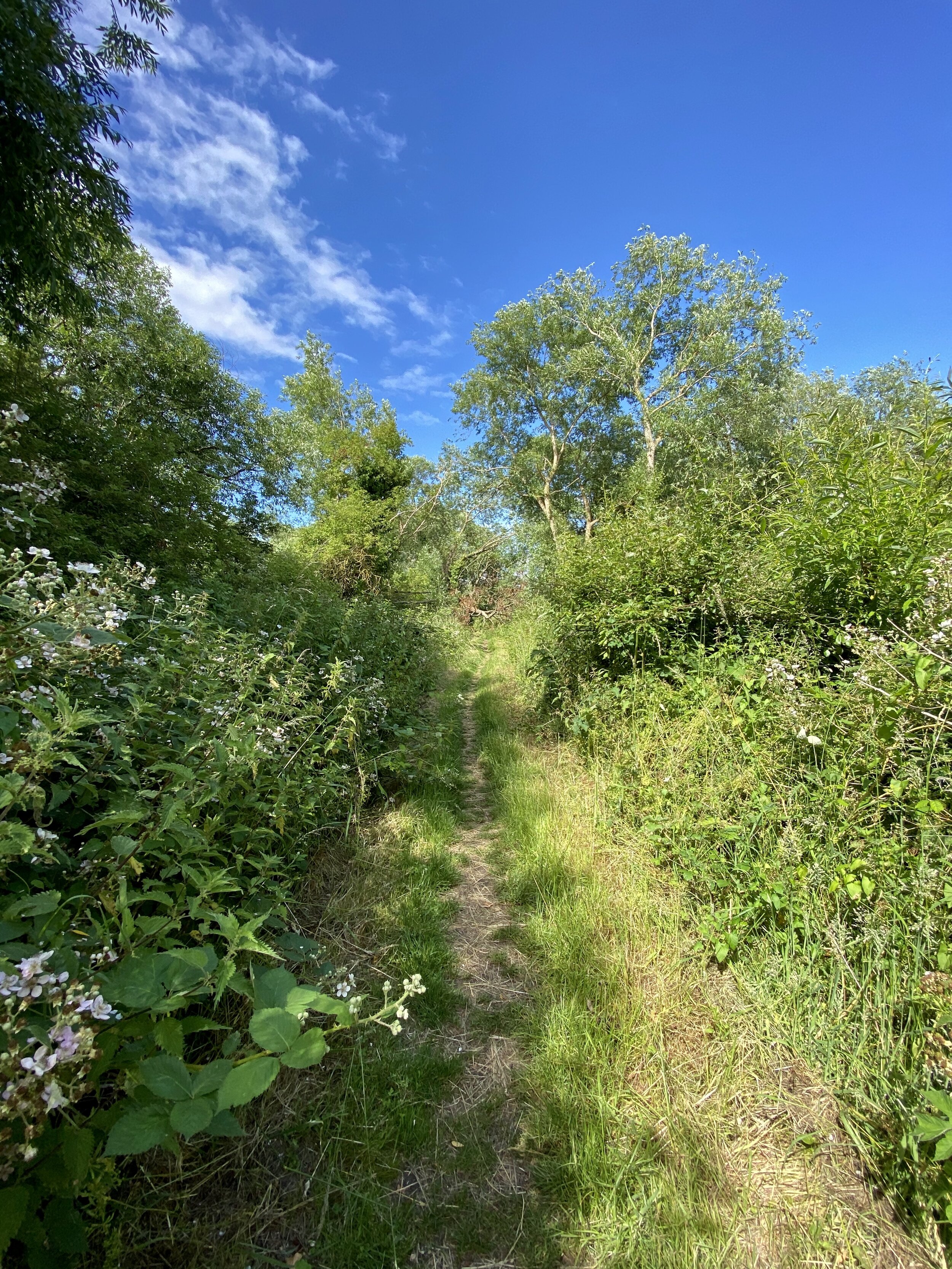
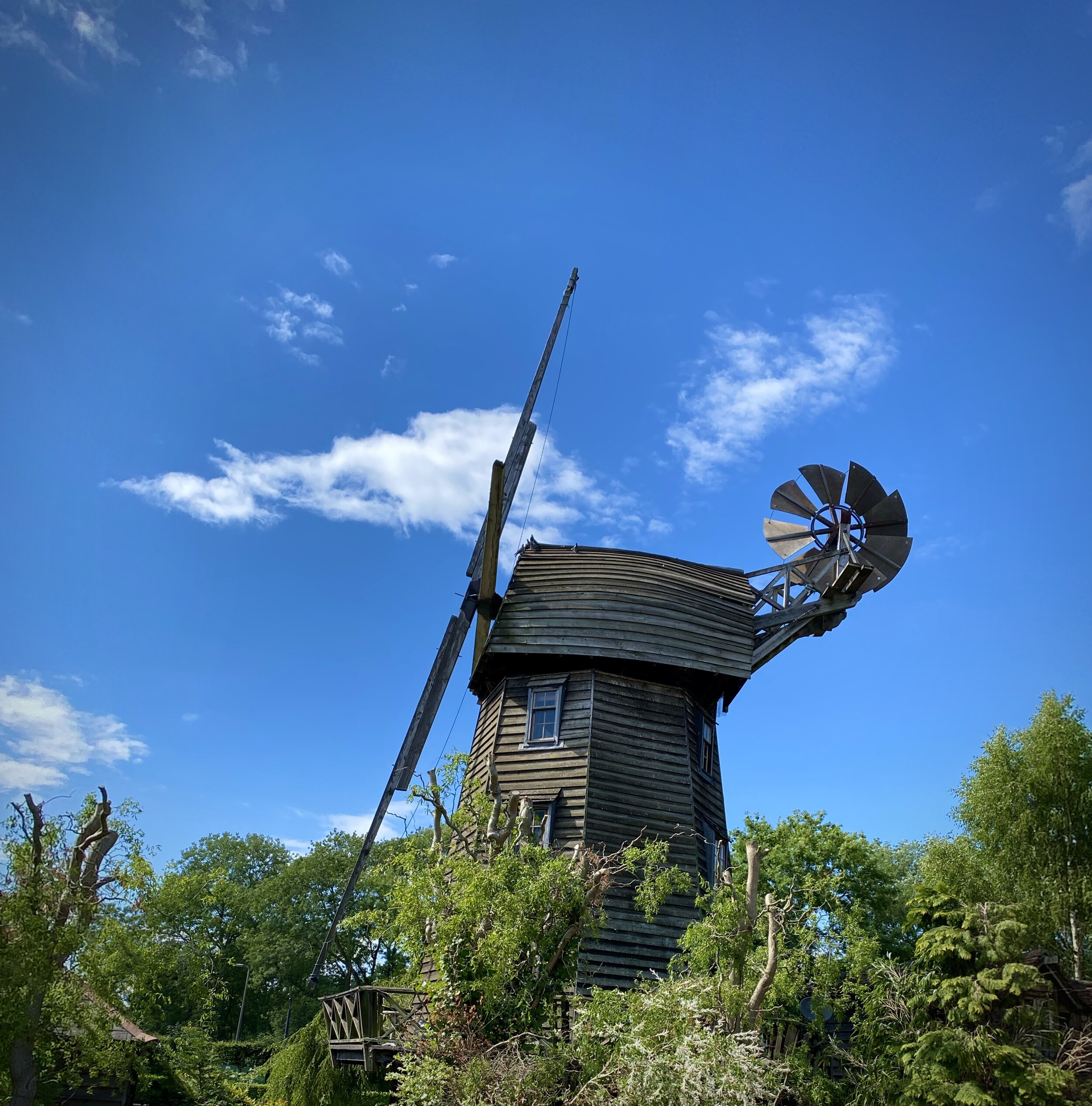
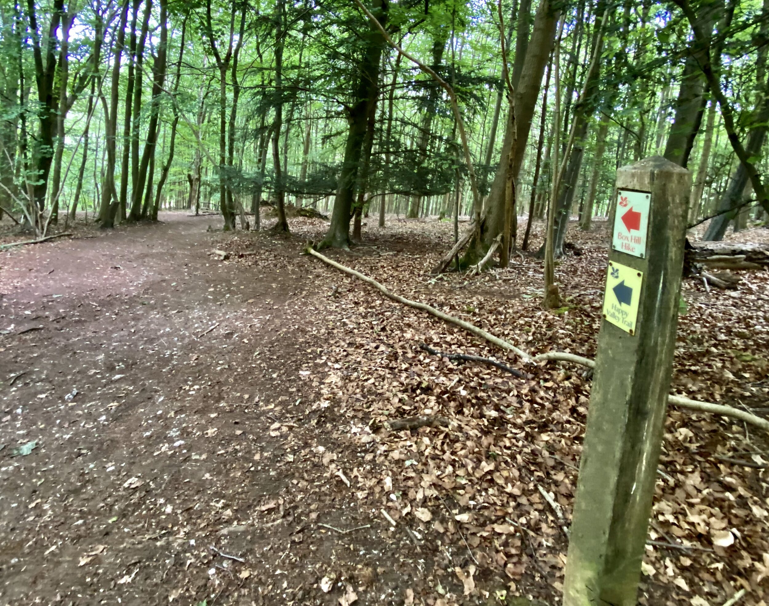
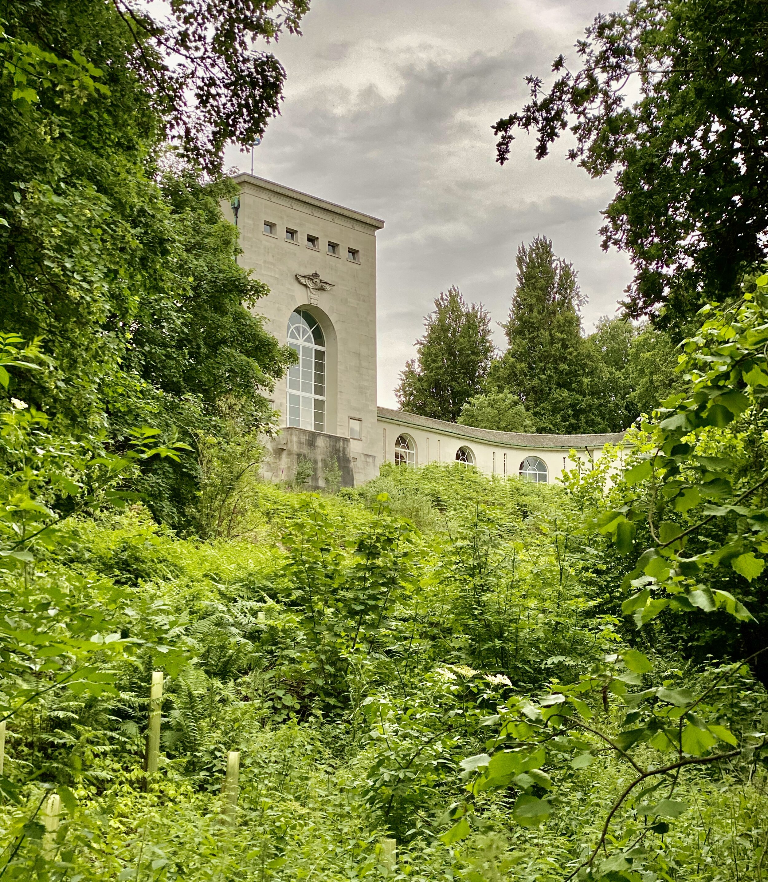
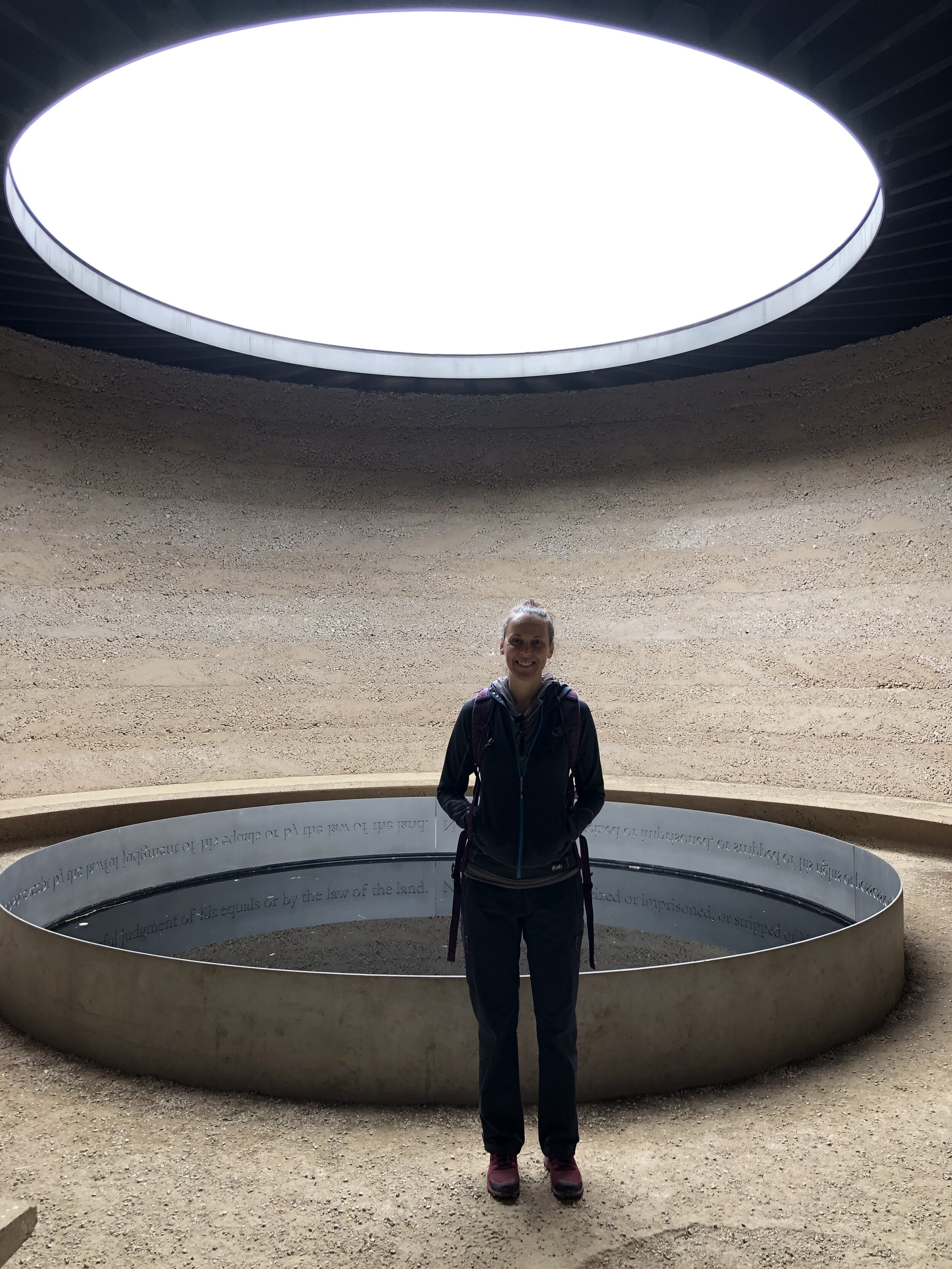
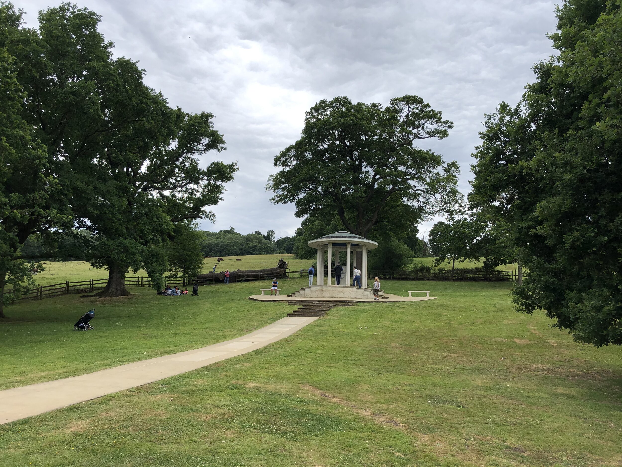
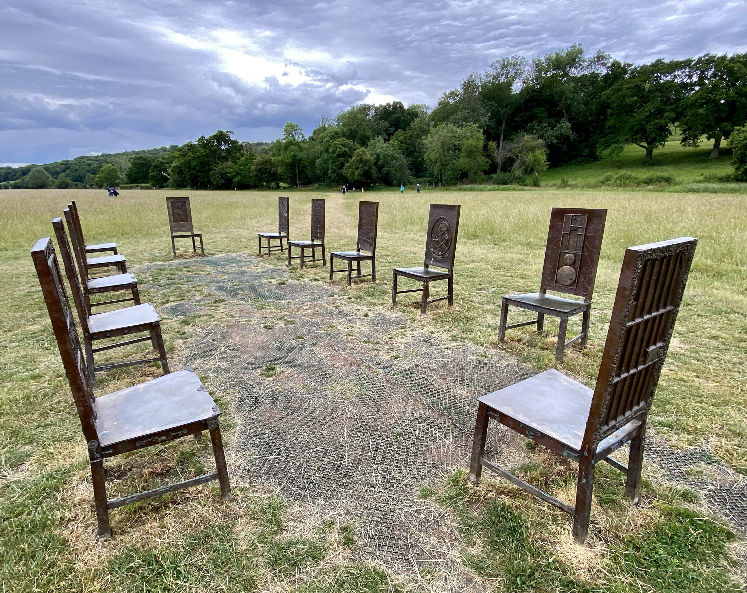
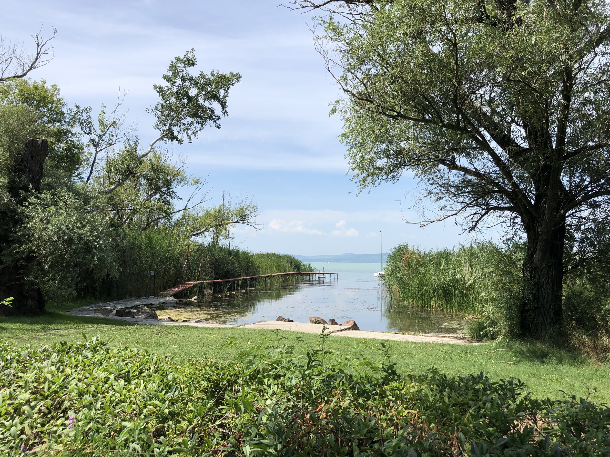
Balatonszárszó is a small town on the south side of Lake Balaton in Hungary. It’s my wife’s original home town and her parents still live there so we visit every summer. As well as enjoying the lake there’s a lot of walks in the area. This is one of 2 very short sign-posted walks in the town.

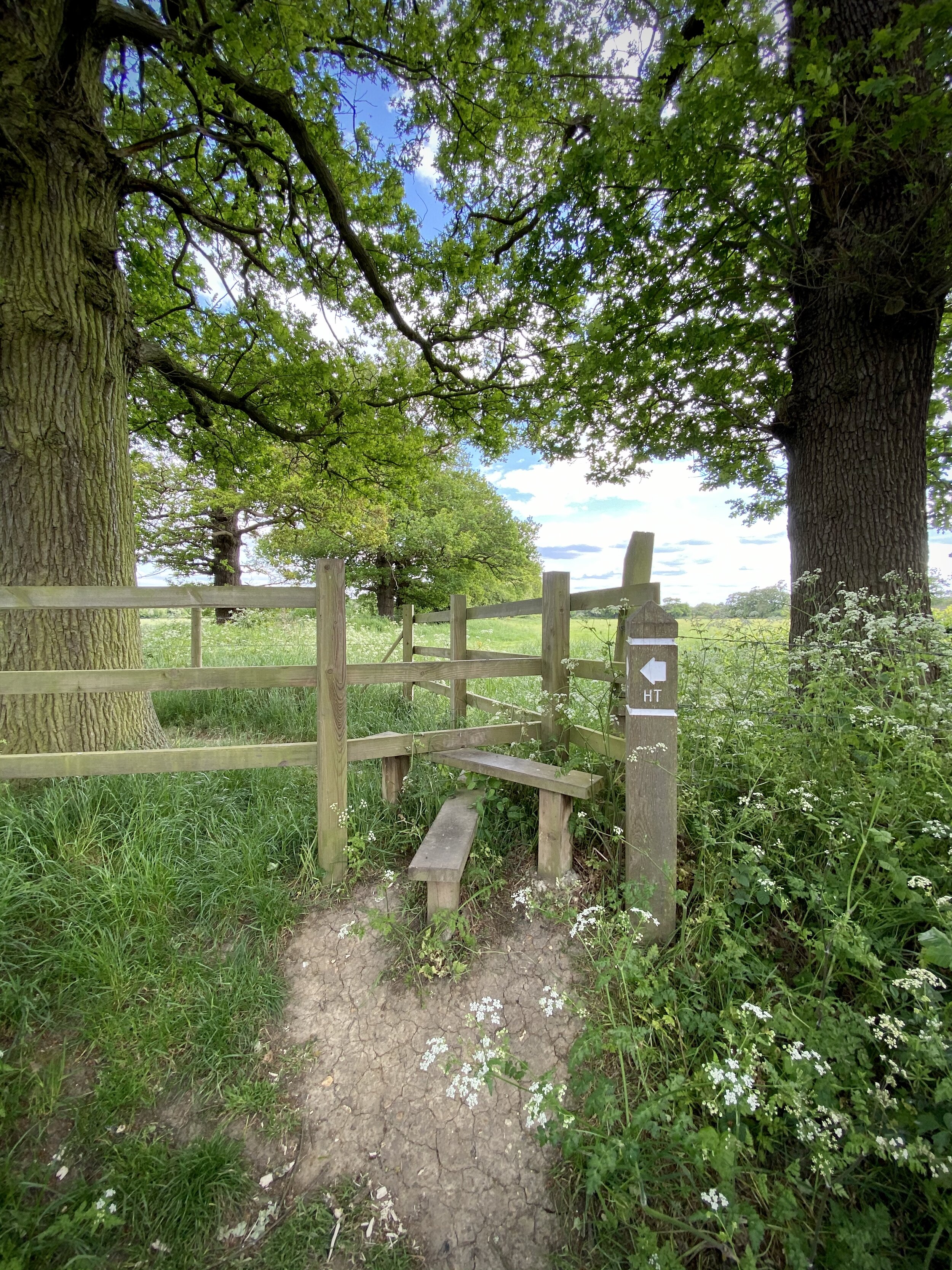
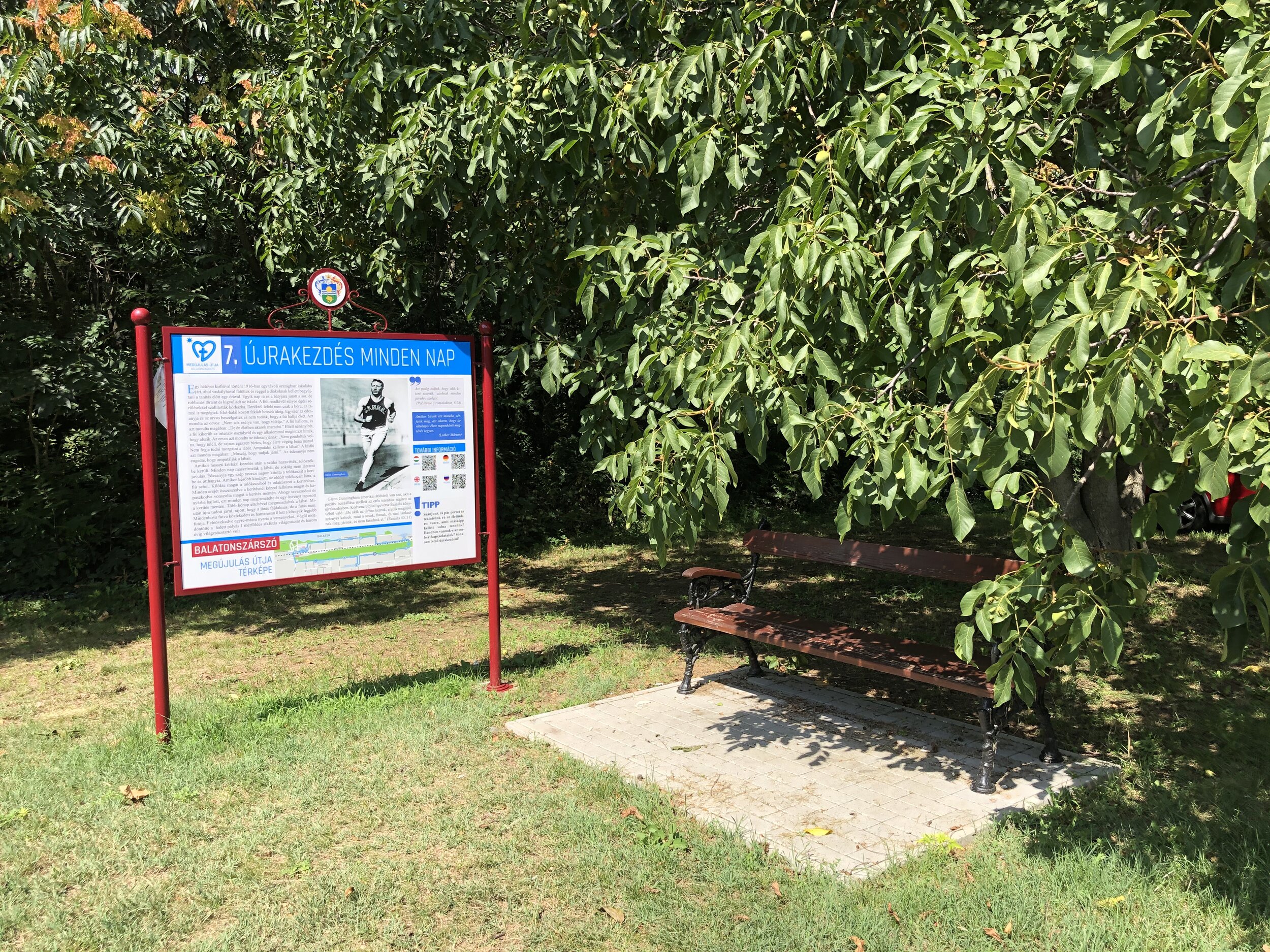
The Way Of Renewal was established to mark the 500th anniversary of the Lutheran Reformation. Along the 3.5 km walk you pass by 10 large signs giving descriptions in Hungarian on reformation themes. Each sign has a QR code that takes you to a web-page with an English Translation. These links are also shown below, along with an extract of the first part of the English translation.


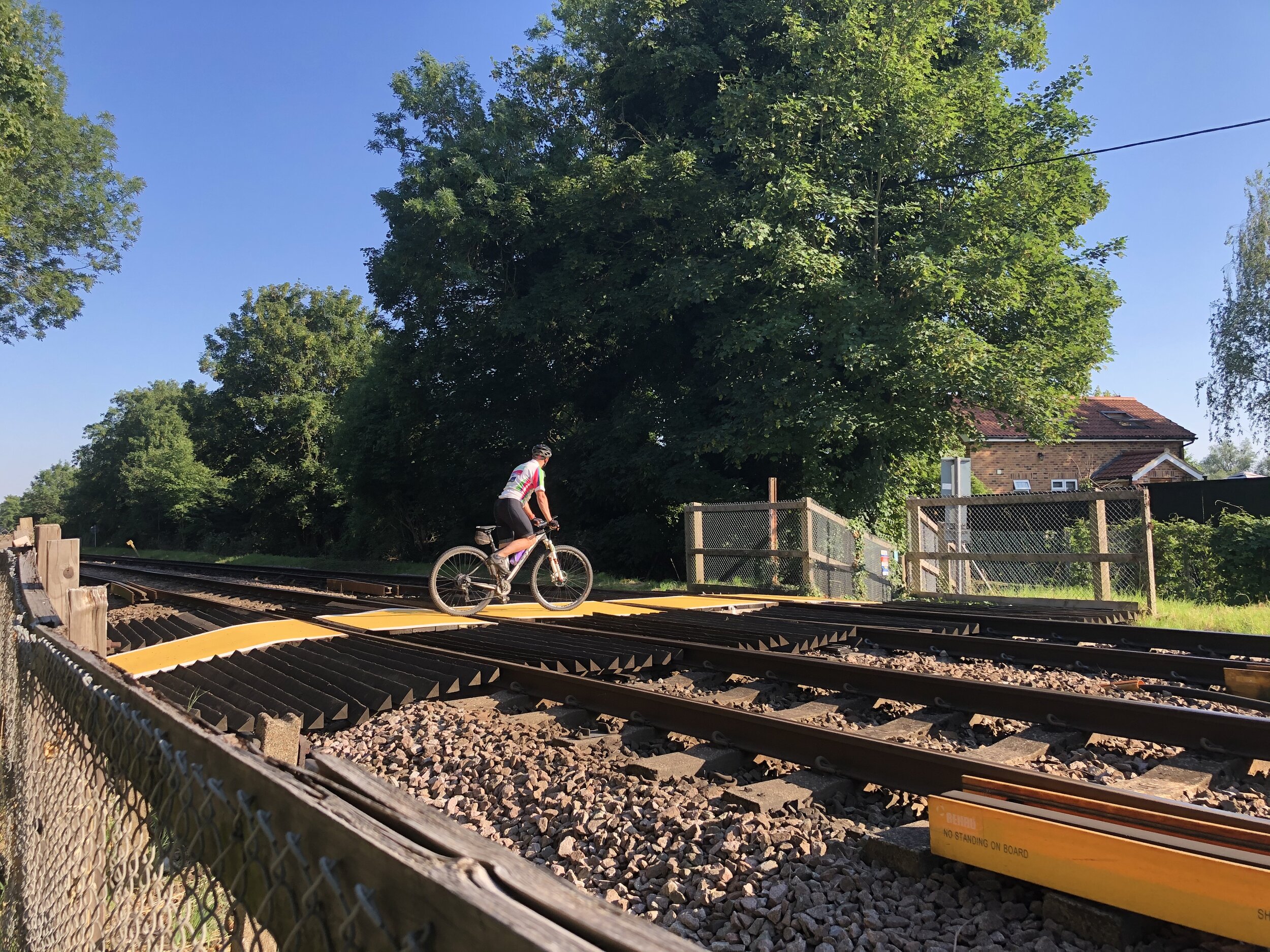
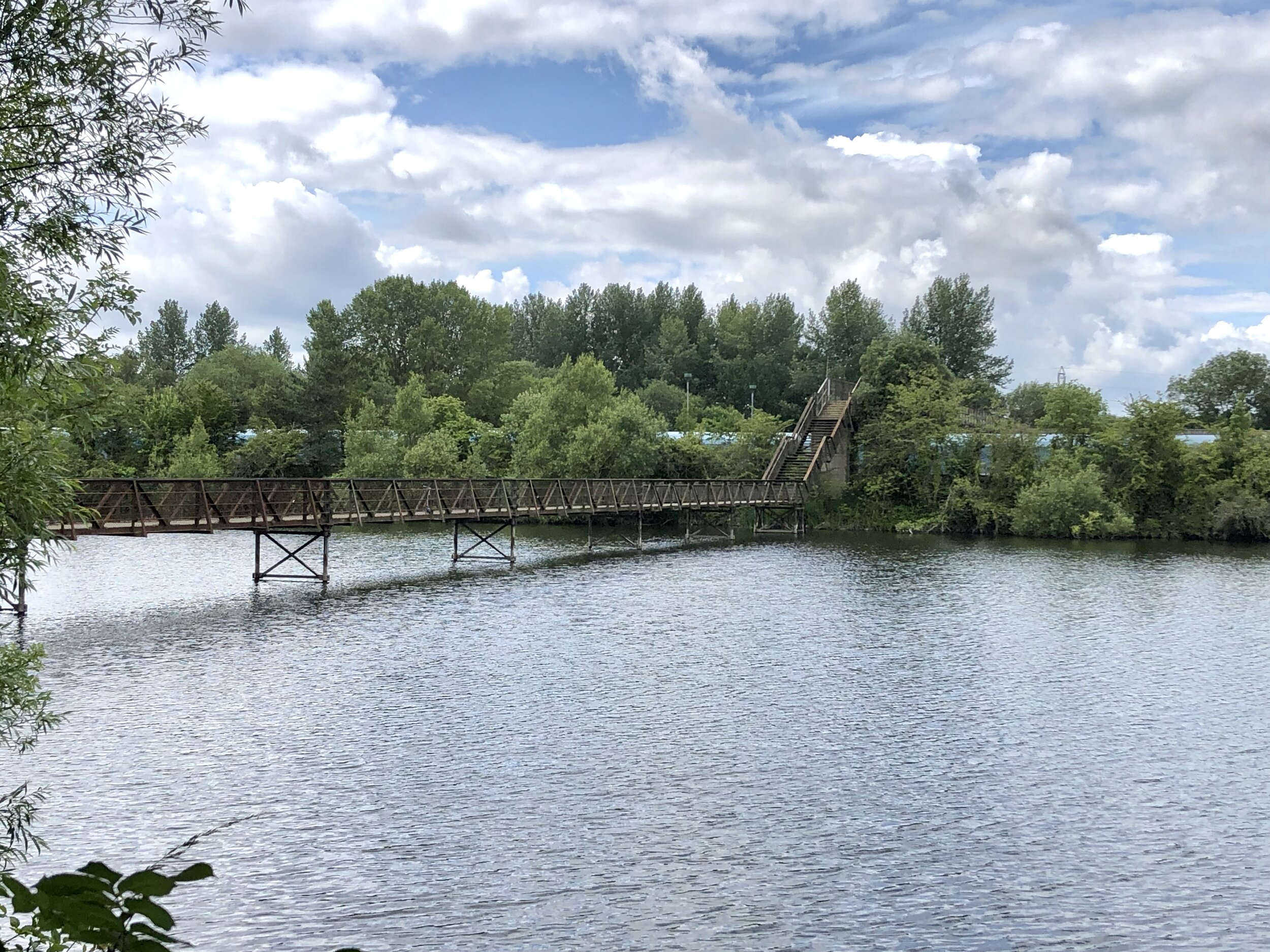
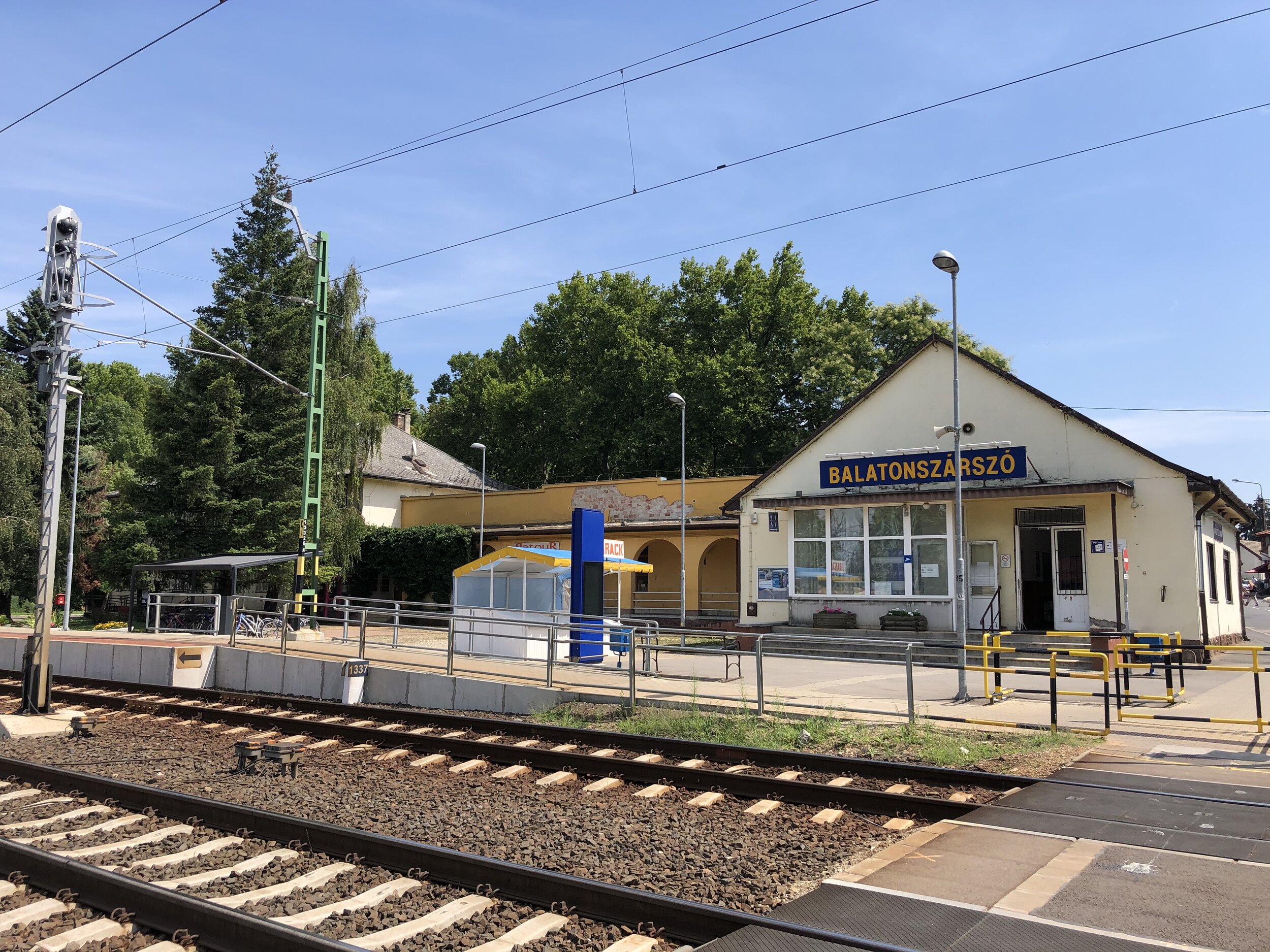
Start & Finish: Sign #1 on north-west side of Fő u. near railway crossing, Balatonszárszó
Distance: 3.5 km (2.2 miles)
Elevation change: +/- 19 m
GPX File: get via Buy Me a Coffee
Other routes touched (walk): Balatonszárszó Vers Utja (Poetry Trail)
Other routes touched (cycle): Balaton Cycle Route
Links: Way of Renewal, Lake Balaton, Balatonszárszó


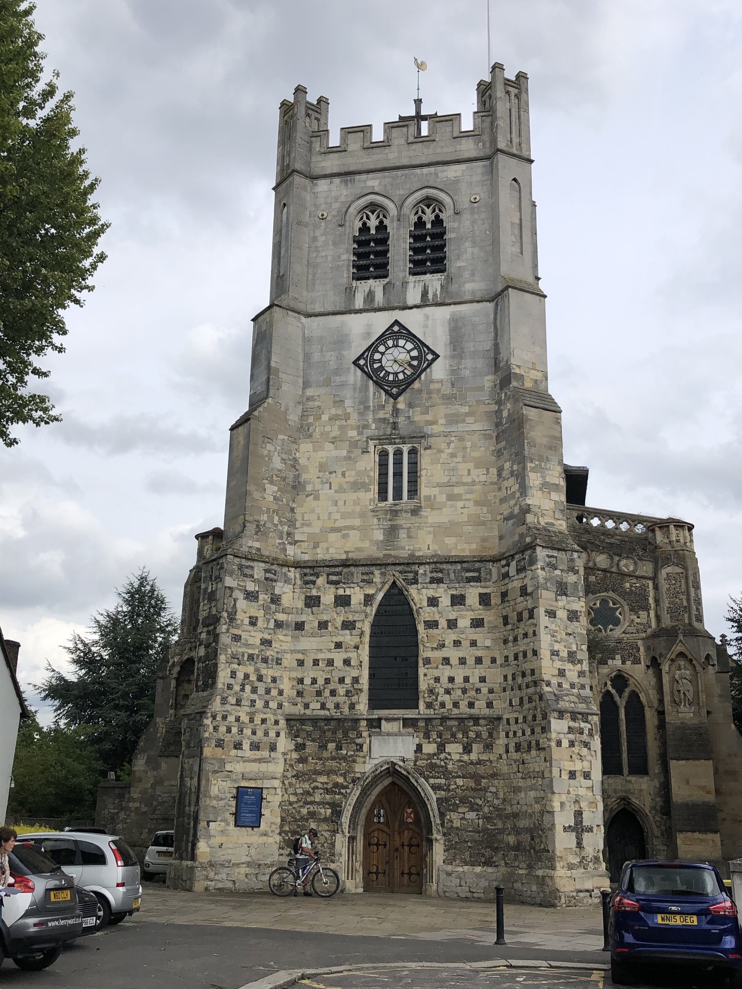
Stop 1: The Way of Renewal

Location: North-west side of Fő u. near railway crossing.
Extract: The consequence of human life is being on the move. We always go somewhere. Many times we physically take action, sometimes we are only figuratively on the go in the walk of life. The road is sometimes smooth, but there are also bumpy sections. We may ride miles lonely, but again and again, travel companions join us for shorter and longer times. The goal of this journey is the road itself – this is the year-to-year opinion of the growing number of people who start the pilgrimage. And indeed, the experience of being on the road makes us mature, forms our bodies, souls, and spirits. We can get rid of unnecessary pounds when go out for a walk or a hike; get rid of heavy loads and packs that are painful to carry. We can abandon the unneeded, which hinders our fulfillment, which makes harmony impossible. Instead we may find ourselves refreshed, cleansed and relieved.

Full text at: https://www.megujulasutja.hu/1-en?language=en


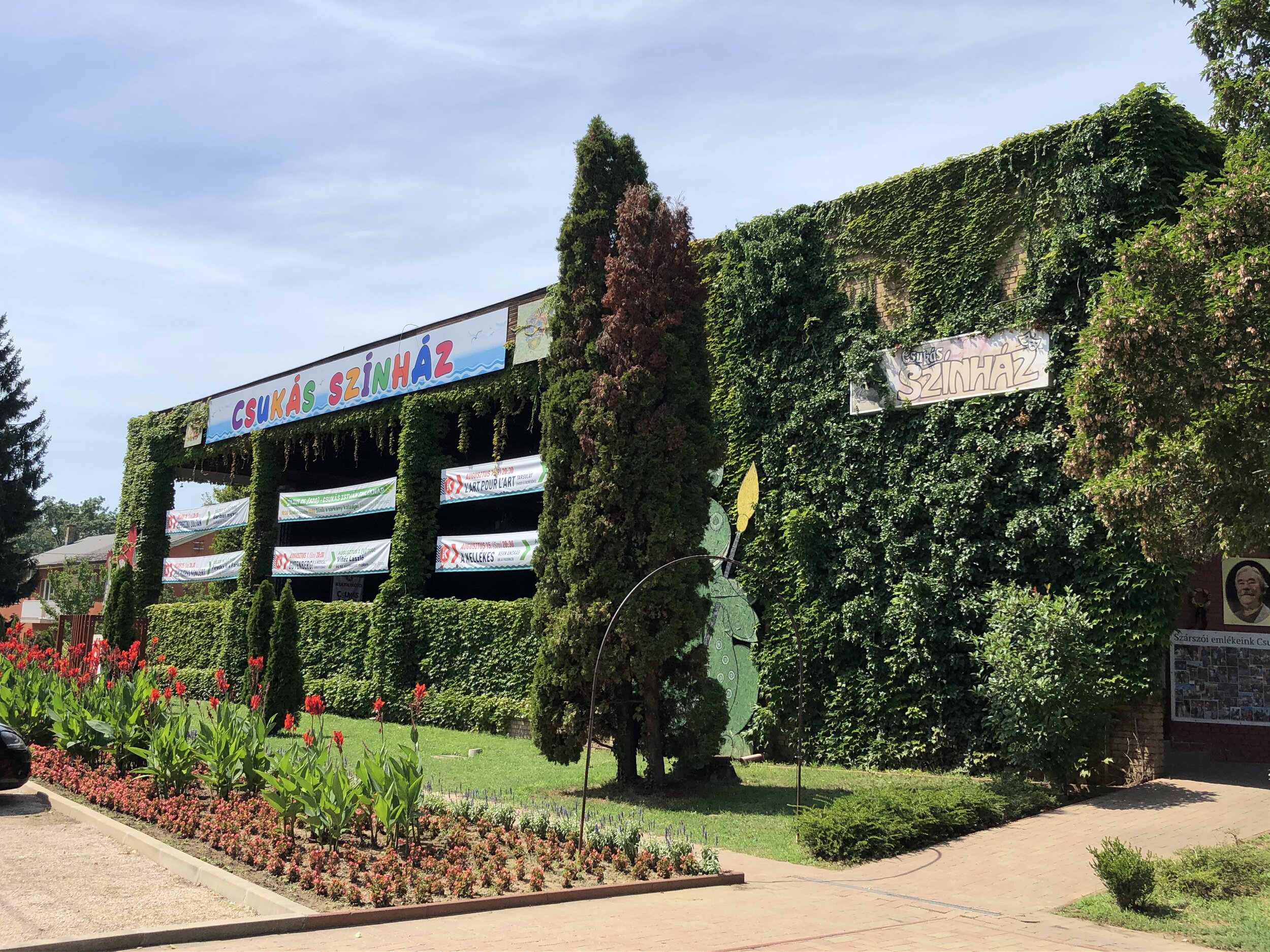
Stop 2: Ecclesia semper reformanda

Location: Opposite main entrance to Csukás Színház on Szabolcs u.
From previous sign: Walk North-East on Jókai Mór u. turn left onto Szabolcs u.
Extract: Since members of the Church are imperfect, therefore the Church, unfortunately, is also imperfect. From time to time, the church leaves the path proper living, teaching, and everyday practice. The reformers raised their voices against this in the beginning of the 16th century when they realized that the Bible's guidance and church life were not in harmony with each other. The severe overtones of the church of that time prompted them to focus on the essence – on the One, which only matters in the Church: to God. This has been half a millennium ago, but we still feel its impact and actuality today.

Full text at: https://www.megujulasutja.hu/2-en?language=en


Stop 3: Scripture is available

Location: North side of Móricz Zsigmond u. before Harka u.
From previous sign: Continue north on Szabolcs u then right onto Móricz Zsigmond u
Extract: The first Christians took the mission of Jesus seriously: "Go then, and make disciples of all the nations, baptising them in the name of the Father and of the Son and of the Holy Spirit." The disciples spread the gospel of the resurrection of Jesus Christ to many people. The centuries have passed and the official ecclesiastical language became Latin. Until the middle of the XX. century, Latin was so widespread as English is today, and knowledge of Latin was part of basic education. Before the Reformation, the Bible was only available in Latin - for a few people, as ordinary people did not know Latin. The reformers realized 500 years ago that the ordinary people, the members of the Church did not understand the Latin mass, and they did not have access to the texts of the Scriptures and its explanation for their lives. Luther and his followers wanted to make the Bible accessible to everyone and they wanted to help people think for themselves, using their free will, and make decisions on their own. This was the greatest achievement of Reformation.

Full text at: https://www.megujulasutja.hu/3-en?language=en


Stop 4: Marriage, family

IMG_2003.JPG

Location: Inside gate of Balatonszárszó szabadstrand, Móricz Zsigmond u
From previous sign: Continue east along Móricz Zsigmond u
Extract: When a man and a woman find each other and engage to each other, they get married. Starting from here, the married couple lives together. As the name 'married couple' indicates, it consists of two people who complement each other and form a couple. It is a divine vocation of man and woman to become a husband and wife, father and mother. They can realize this if they may count on each other and one can fulfill his/her own role with the kind support of the other one. Someone may only become a good wife by her husband's powerful support and vice versa: a good husband is formed by his wife's co-operation. Well-functioning marriage is a place of spiritual growth, and there is a perspective of spiritual enrichment and fulfillment, provided both parties do his/her own stuff for this purpose – and if they both renew from time to time.

Full text at: https://www.megujulasutja.hu/4-en?language=en


Stop 5: Community – responsibility

IMG_1963.JPG

Location: North side of Jókai Mór u
From previous sign: Turn right onto Bulcsu u. at eastern end of Móricz Zsigmond u. Turn left onto Jókai Mór u. Continue north-east until Evangelikus Konferencia és Missziói Közpon.
Extract: Since the time of Jesus Christ, Christians are seeking the community with each other. Christianity is a community religion - God does not only need solitary heroes, but rather people willing to accept each other and to share their pleasures and concerns. Our relationship with each other Jesus taught Christians to love each other. This means that we seek the good in other people, since we were all made in the image of God. We accept the difficulties of life as God's trials, as he wants to educate and strengthen us with these. In the conflicts we are forgiving and peace-building, we abandon violence and retaliation. The Beatitudes „Happy are the poor in spirit: for the kingdom of heaven is theirs. Happy are those who are sad: for they will be comforted. Happy are the gentle: for the earth will be their heritage. Happy are those whose heart's desire is for righteousness: for they will have their desire. Happy are those who have mercy: for they will be given mercy. Happy are the clean in heart: for they will see God. Happy are the peacemakers: for they will be named sons of God. Happy are those who are attacked on account of righteousness: for the kingdom of heaven will be theirs. Happy are you when men give you a bad name, and are cruel to you, and say all evil things against you falsely, because of me.” (Gospel of Matthew 5:3-11)

Full text at: https://www.megujulasutja.hu/5-en?language=en


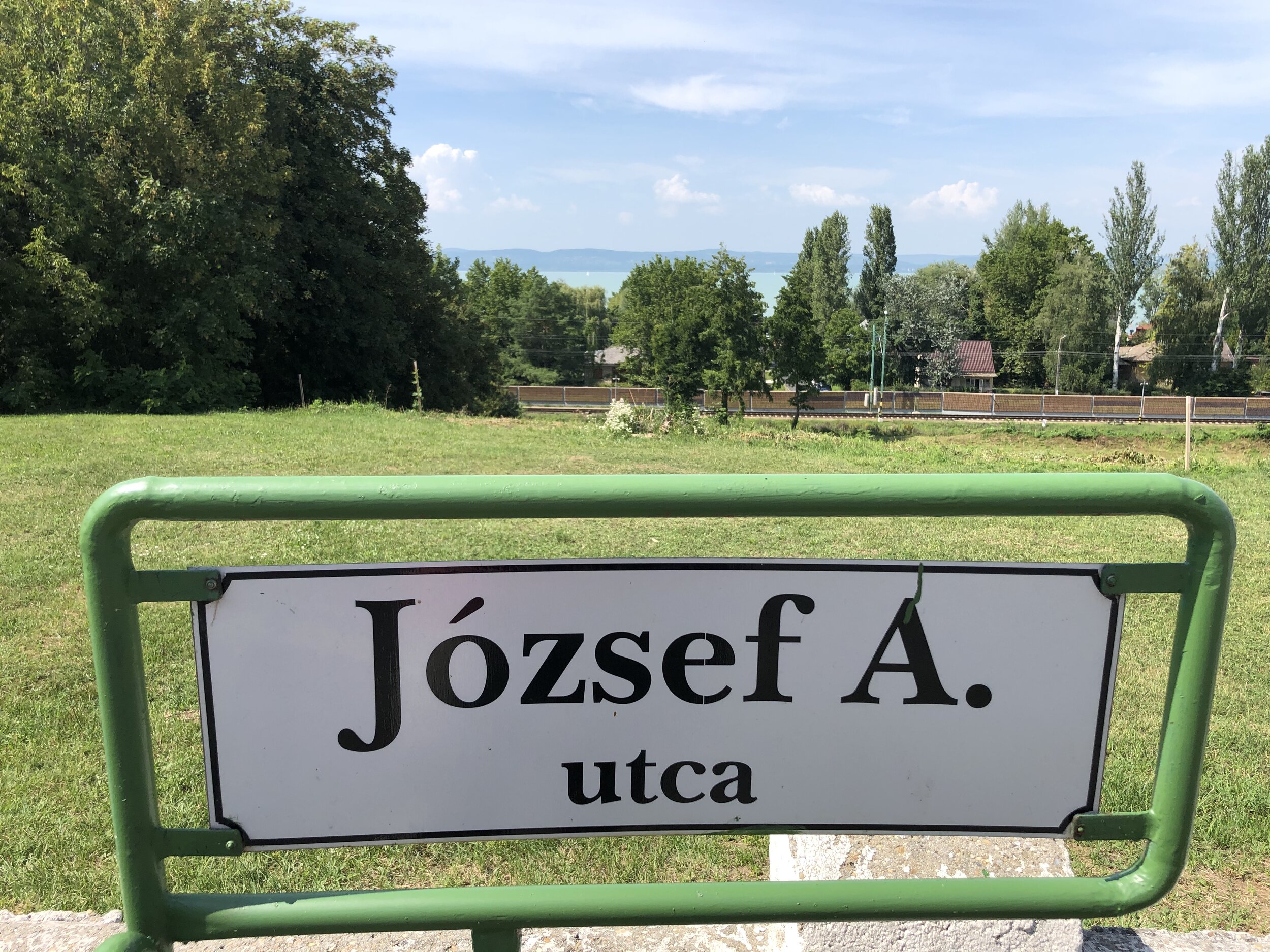
Stop 6: Creative knowledge

IMG_1964.JPG

Location: North side of József Attila u.
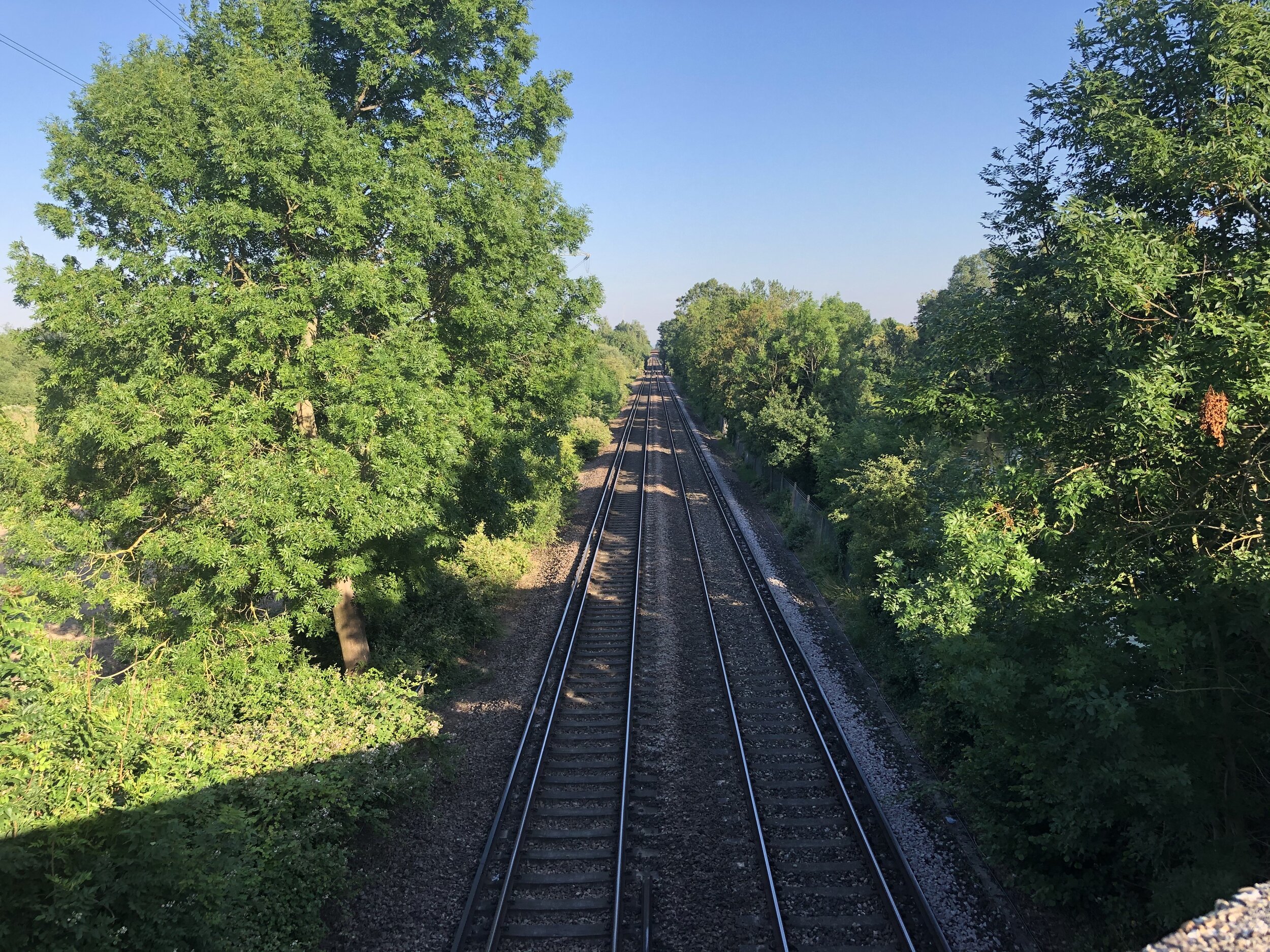
From previous sign: Cross railway line on pedestrian crossing, follow path up hill through trees to József Attila u. Turn right.
Extract: It was one of the earliest achievements of Reformation to provide new intellectual possibilities for the everyday people of the Middle Ages.

Knowledge is power. It can be any kind of knowledge we have not already learned. To read and write, master crafts, learning languages or just reading the Scriptures.

It is necessary to learn to acquire knowledge, especially at an impressionable age, that is, in childhood and at a young age.

In the first years of the Reformation, pupils studying in in Germany and Switzerland from all over Europe, took the new doctrines into their home country. Universities of this time were the strongholds of renewal. They were soon followed by reforms in the lower schools. Elementary schools and grammar schools were mostly owned by the church. The ever-expanding network of Protestant schools provided the opportunity for more young people to have a high level of knowledge.

Full text at: https://www.megujulasutja.hu/6-en?language=en


Stop 7: Restart every day

Location: North side of József Attila u.
From previous sign: Continue south-west along József Attila u.
Extract: It happened with a seven-years-old boy in 1916 in a remote country: he went to school where they heated with a stove during winter. In the morning the students had to light the fire in the stove one hour before the lesson. One day he came with his brother to start the stove, but there was an explosion and the school started on fire. The boy was transported to the hospital with extremely severe burns. From the waist down, not only his skin but also his muscles were burned. He was between life and death for a long time. Once his mother and the doctor talked and they did not know that the boy was hearing them. The doctor said, "He doesn't have much chance to survive." The boy heard and said to himself, "But I want to stay alive." A few weeks later the boy left the intensive care unit and once again they believed that he was asleep. The doctor said to his mother: "We didn't believe he was going to survive, but unfortunately it is certain that he will remain lame till the end of his life. He won't be able to move his legs. They need to be amputated." The little boy said to himself, "I must walk!" Fortunately his mother did not let the doctor amputate his legs.

Full text at: https://www.megujulasutja.hu/7-en?language=en


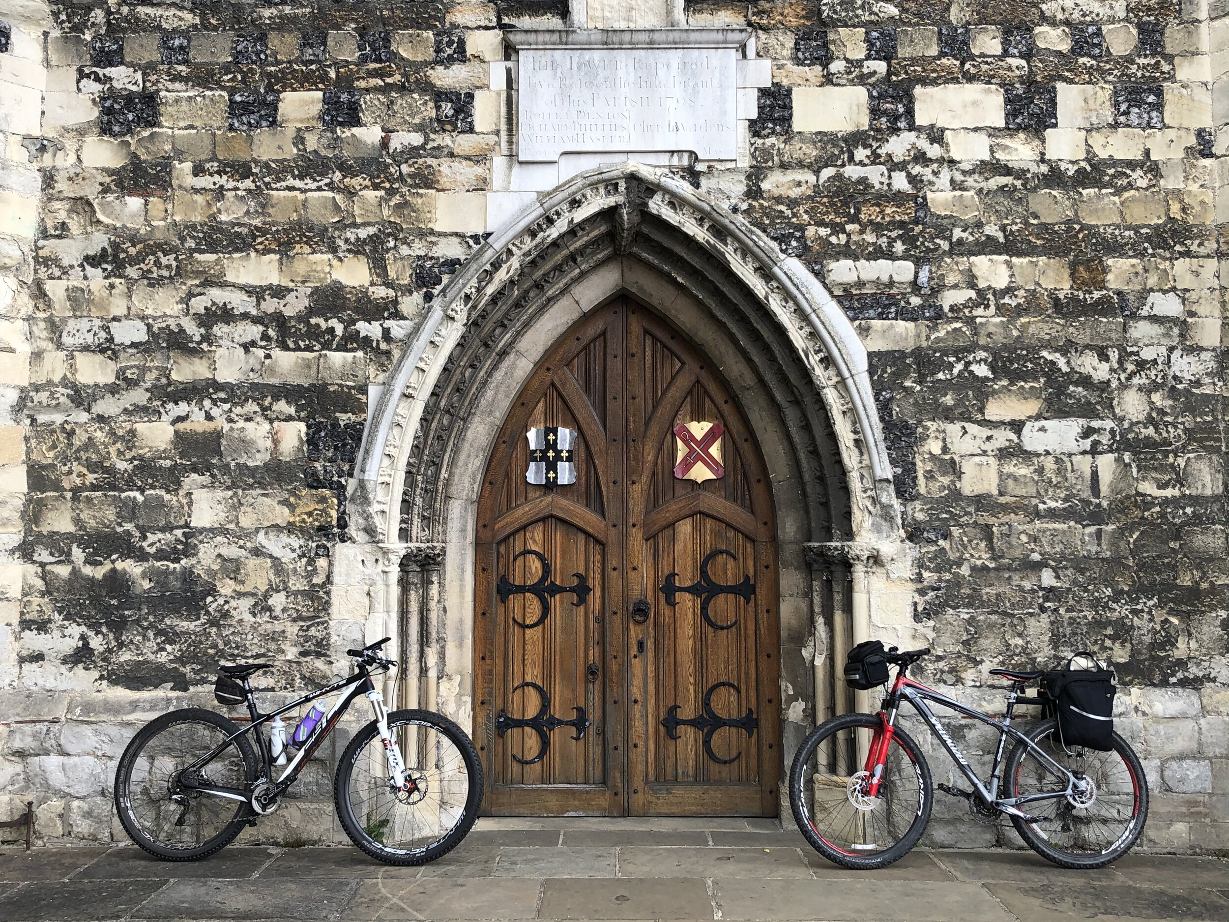
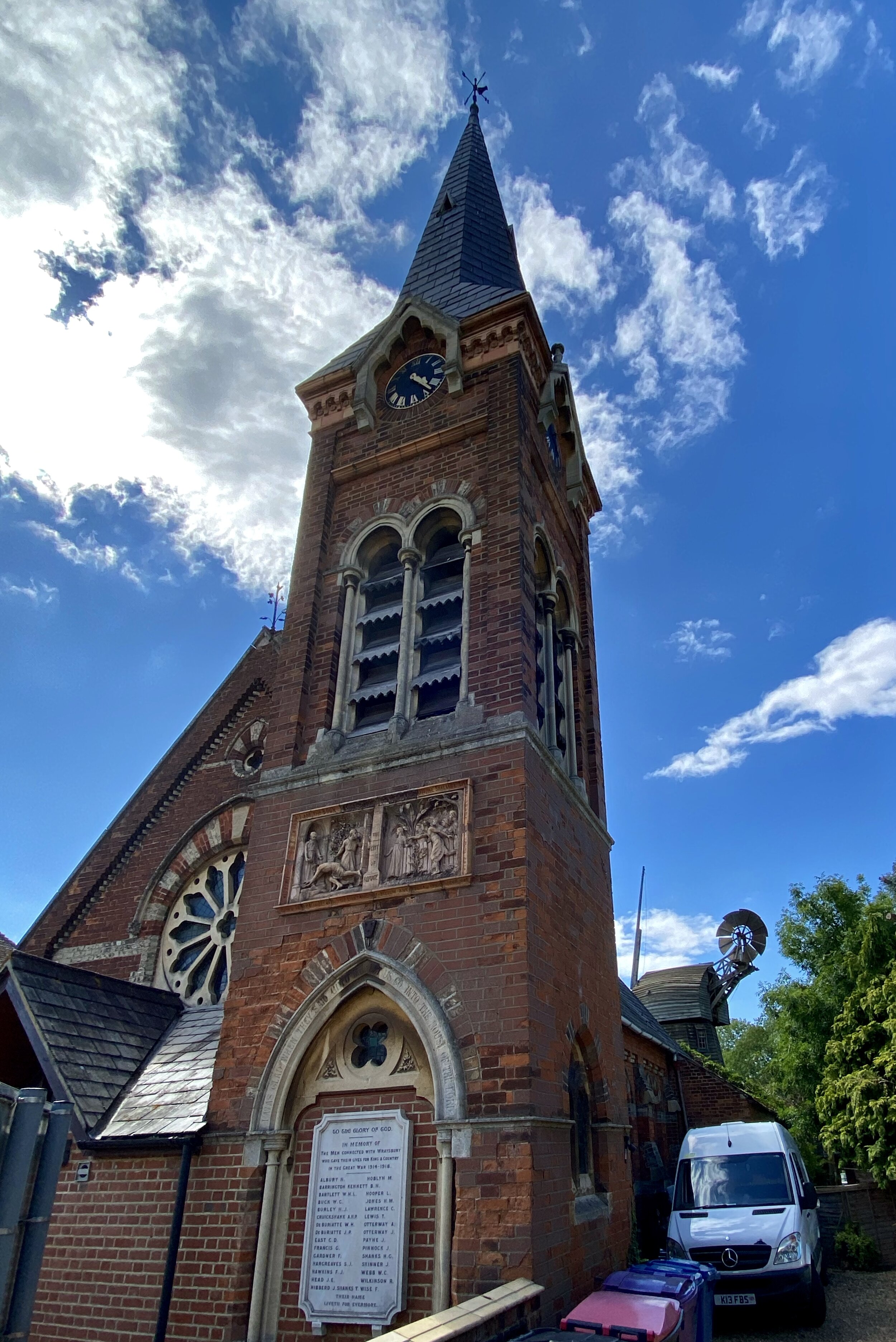
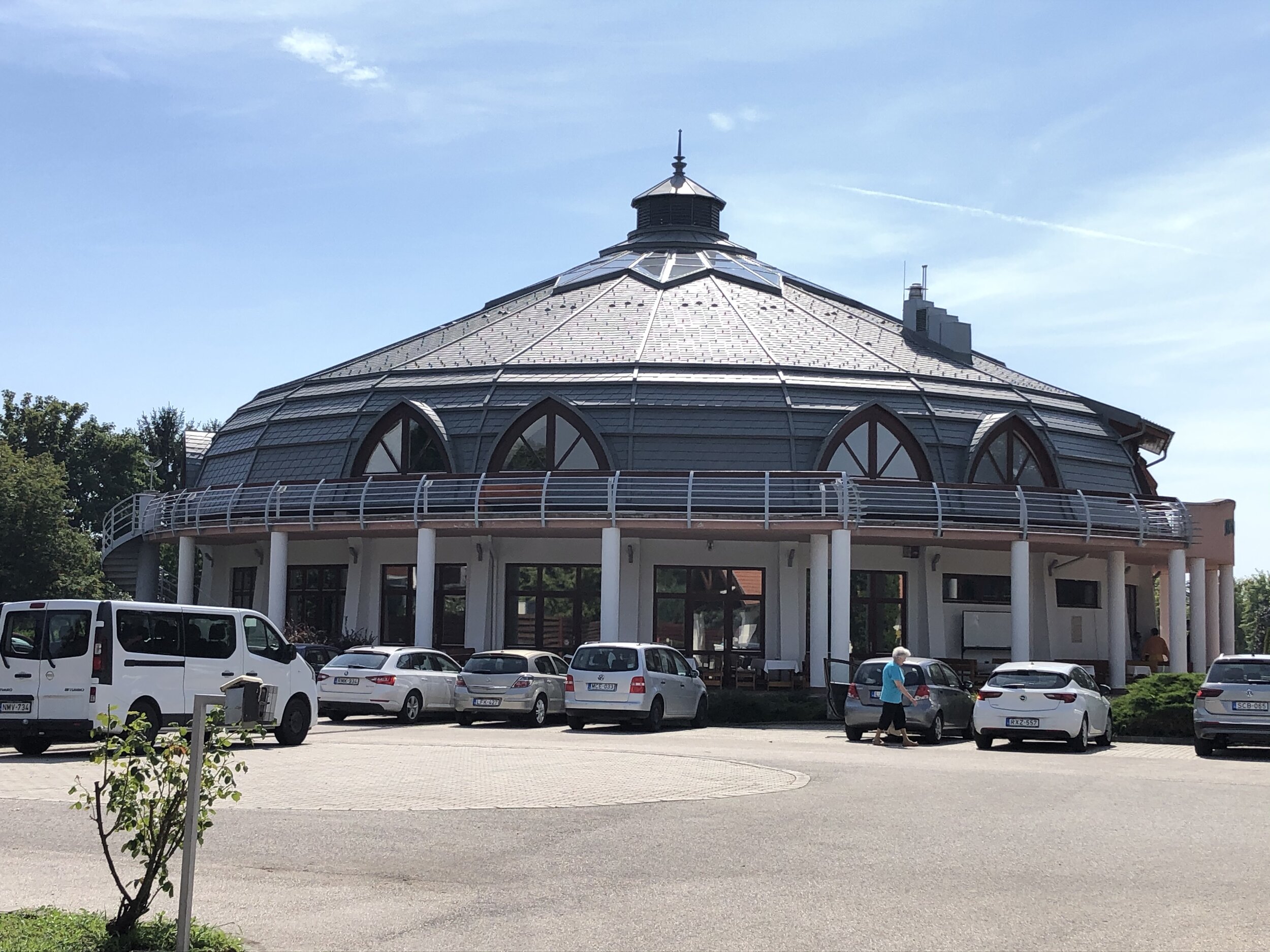
Stop 8: Church Buildings

Location: Outside main gate of SDG Family Hotel and Conference Center, Csárda u. 41
From previous sign: Take a left footpath heading south-east and turn right onto Nárcisz u. Continue to SDG Family hotel on the junction of Nárcisz u. and Csárda u.
Extract: The church building is the place to meet God. It is important for the community and for the individual because there is a soul in it. It was built humbly, with active engagement and sweat. Regardless of whether it is a centuries-old building or a new modern temple. "The greatest beauty of a church building is that it belongs to God. It is His house. The House of Glory. The Holy Spirit's workshop. The interior beauty of the temple lies in the fact that it becomes the property of man. There is happiness, but also a commitment to say "my church". We feel that it is not a legal but a spiritual possession. The temple becomes mine only by constant use. The beauty of the temple shines to me when I can happily say "all my life ..." In youth and in old age, in dreams, in bitter awakening, in effective work, in humiliation and under the cross, I must always live in the Lord's temple. Only in this case can I say: my church. " (Béla Kapi, Lutheran bishop)

Full text at: https://www.megujulasutja.hu/8-en?language=en


Stop 9: Human and nature

Location: North side of József Attila u.
From previous sign: Continue north along Csárda u. and take a left onto József Attila u.
Extract: We believe the whole world is God's creation: humans and animals, land and plants, Milky Way and the stars. When God created the world, God entrusted man: „And the Lord God took the man, and put him into the garden of Eden to till it and to keep it"- we read this in the beginning of the Bible, in the book of Genesis, in the second chapter. According to this command, man is to care the world while utilizing natural resources for his benefit. Divine guidance for cultivation and guardianship means that we must treat nature as a careful host. We should not view nature as something to be exploited, but rather we should view it like a wise and forward-looking gardener who preserves natural treasures for future generations as well. Every day we experience that we cannot keep God's command. We all see the adverse effects of global warming, the negative weather changes and urban smog. There is a steady lack of water in the growing part of our planet, many species are extinct. The amount of exploitable minerals and fuels decreases, as well as carbon dioxide, emitted into the atmosphere, increases. This makes our planet less and less usable. There is an urgent need for global action to reduce environmental damage and stop destruction.

Full text at: https://www.megujulasutja.hu/9-en?language=en


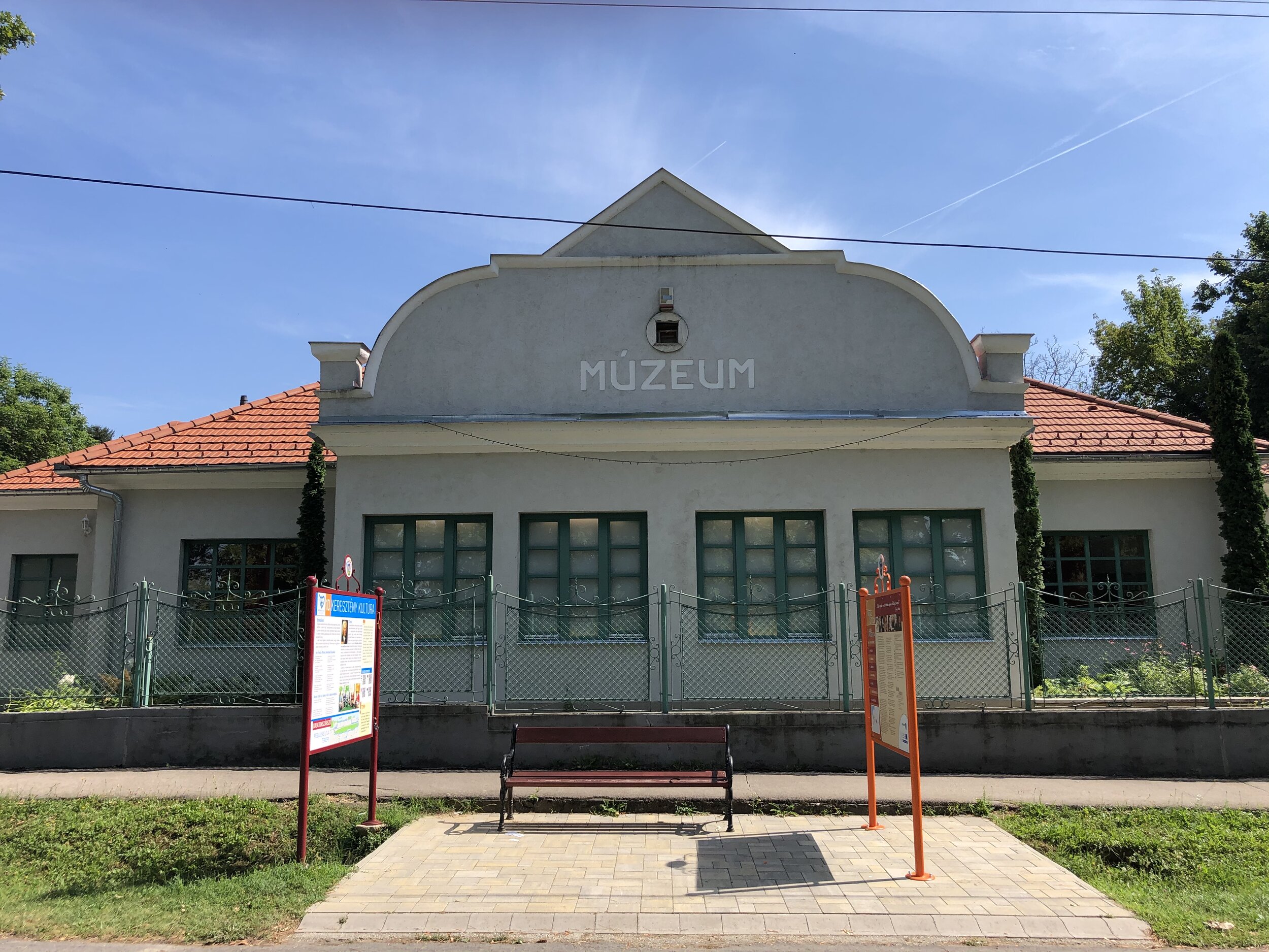
Stop 10: Christian culture

Location: On József Attila u. outside József Attila Museum
From previous sign: Continue south-west along József Attila u.
Extract: The truly outstanding writers and poets have always been touched by the supernatural, the divine world. They sought answers to the tough questions of life and frequently called God as recipient with their poems. In the poetic form of human feelings and thoughts, divine poems were born.

In today's fast-pace world, it is a soul-stirring event, if we have a book of poems in our hands for even half an hour and let ourselves be filled up by their message.

Full text at: https://www.megujulasutja.hu/10-en?language=en

To complete the circuit and return to Sign #1 continue south-west along József Attila u, take a right onto Fő u. and cross the railway line.


Back to Trek Index
Chiltern Walks: Beaconsfield, Knotty Green and Seer Green
Fields near Seer Green

Fields near Seer Green


Start & Finish: Beaconsfield Railway Station, HP9 2PJ
Distance: 10.6 km (6.6 miles)
Elevation change: + / - 84 m
GPX File: get via Buy Me a Coffee
Other routes touched (walk): N/A
Other routes touched (cycle): Chilterns Heritage Trail: Milton Route
Pubs / Cafes on route: Several in Beaconsfield, The Lion of Beaconsfield (2.3km in), The Jolly Cricketers (6.8km in)
Map: OS Explorer Map (172) Chiltern Hills East
Links: Beaconsfield, Beaconsfield Station, Forty Green, Knotty Green, Seer Green


From a start point at Beaconsfield Railway station, this route soon gets you into the quiet paths and country lanes of the Chilterns. It won’t take you long into the walk to realise that you’re in a very rich part of the country. We’re actually in Beaconsfield New Town, a mile north of the market town that dates back to 1185. The New Town came with the railways and, with fast regular trains to London, it’s still an attractive place to live in the countryside while working in London. The guidance below will help you navigate but don’t use it as a fully accurate turn-by-turn guide. Always take a map and/or a GPX route and prepare well for the weather and terrain.

Heading west from the station, you’ll cross Penn Road and take a north-westerly direction along Reynold’s Road. Follow onto a series of footpaths crossing quiet residential streets with some very large houses. After crossing Hogback Wood Road you’ll enter Hogback Wood and take a sharp right on a path through Knotty Green. Cross Penn Road again by the Red Lion Pub and onto a tight footpath to the right of a care home. After ~500m you’ll leave the residential area and follow the footpaths through woodland to the A355 Amersham Road.

Take care when crossing thee A355 as it’s very busy with a tight corner for cars coming up the hill from Amersham. After crossing the road you’ll be into woodland again, taking a right after ~400m and a left after another ~700m up a steep, short hill. At the top you’ll descend again crossing in a field into Seer Green. Here' you’ll meet the Milton Route of the Chiltern Heritage Trails and a chance for a rest at the Three Horseshoes pub.

After the Three Horsehoes, take a right at the end of Orchard Road onto School Lane. Following this south until you can take a right onto a footpath just past Vicarage Close. Continue south-west along the path, crossing Long Grove and Longbottom Lane onto Beaconsfield Golf Course. Be careful here as the footpath crosses the course so you’ll need to wait for golfers to play through. Continue south-west for ~1.5km, crossing the rail-line and eventually meeting the A355 on the eastern edge of Beaconsfield.

To complete the journey, take a zig-zagging route though Beaconsfield following Waller Road, Hyde Green Maxwell Road, a path over the railway line and finally Caledon Road back to the station.


Back to Chiltern Walks Index
Cycling The River Ash and Thames Path Circular
The underwhelming source of the River Ash as it splits from the Colne on Staines Moor

The underwhelming source of the River Ash as it splits from the Colne on Staines Moor


Part of the Chiltern Rivers Series
River start:
Splits from the Colne on Staines Moor
River end: Confluence with the Thames at Walton-on-Thames, Surrey
River length: 10 km (6.2 miles)


Cycle Route Start & Finish: Parking places at intersection of Moor Lane and Colne Valley Trail, Staines, TW18 4YY
Cycle Route Distance: 32.8 km (20.3 miles)
Cycle Route Elevation change: + / - 87 m
GPX File: get via Buy Me a Coffee
Other routes touched (walk): Thames Path, Colne Valley Trail
Other routes touched (cycle): NCN 4
London Coal Duty Posts: 84, 85, 86, 87, 88, 89, 90, 91, 92, 93
Pubs / Cafes on route:
Several including The Ferry Coffee Shop, Shepperton TW17 9LQ
Map: OS Explorer Map (160) Windsor, Weybridge & Bracknell
Links: River Ash, Staines, Staines Moor, Shepperton, Walton-on-Thames, Desborough Island, Hammertons Ferry


In the latest of my Chiltern Rivers Cycle Rides I explored the River Ash at the Southern end of the Colne Valley Regional Park. The Ash splits off from the River Colne next to the A30 Staines bypass North of the town and follows a South-Easterly direction to meet the Thames at Walton-on-Thames. Much of the route is hidden from public access so a cycle or walking trip of the Ash is one for the completists only. That definitely describes me so I had to do it. The reward for tackling it is the return route to Staines via the Thames Path.

The best place to start (if you’re driving there) is some free parking space on Moor Lane opposite the path to Staines Moor. Following this path you’ll pass over the Wraysbury River, the Staines Rivers Aqueduct and the rail line. You’ll need to use the A30 bridge to cross over the River Colne where you’ll find the point where the Ash splits on the Eastern bank. From here you can follow the Ash on a footpath for ~300 into a housing estate. For the next 4 km you won’t see the river as it keeps close to the A308 and cycling options zig-zag through residential areas of North Staines. You could cycle on the A308 to stay closer to the river and shave off some distance, but it’s a very busy road and you won’t see the river anyway.

The Ash, the A308 and the cycle route all come together at the Fordbridge Roundabout. Here the Ash takes a sharp turn right to the South and curves round the Queen Mary Reservoir through Laleham. The best cycle option is to follow the B377 Ashford Road then the B376 Shepperton Road. At Shepperton you have the choice of continuing along the B376 or taking a meandering route through Littleton, Shepperton and Upper Haliford to stay closer to the river.

The confluence with the Thames is tucked away behind a small island. You can get there by taking a private residential road called The Creek off Fordingbridge Road. A rickety wooden bridge stands over the confluence marking the end of the Ash part of the trip.

To return to Staines, go back to Fordingbridge Road and follow it West to the A244 and follow that onto Walton Bridge. Cross over the bridge and take the Thames Path back to Staines. I added an extra 1 km to the trip by taking a diversion along the perimeter paths of Desborough Island. One of the highlights of the trip is taking the small Hammertons ferry to the North side of the Thames. Check that it’s running before you go though as you’ll add a few extra km to the trip to find the nearest alternative crossing by bridge.

When you arrive back at Staines take the B376 heading North away from Staines Bridge. Take a right onto Moor Lane and continue for ~500m back to the parking spot.

Blue = course of the River Ash, Red = circular cycle route


Back to Chiltern Rivers Index
Thames Path & Jubilee River Walk - Maidenhead & Bray
Maidenhead Bridge

Maidenhead Bridge


Start & Finish: Riverside Gardens, Maidenhead, SL6 8NS
Distance: 10.7 km (6.6 miles)
Elevation change: + / - 35 m
GPX File: get via Buy Me a Coffee
Other routes touched (walk): Thames Path, Maidenhead Boundary Walk, Jubilee River Path
Other routes touched (cycle): NCN 52, 61, Beeches Cycleway
Pubs / Cafes on route:
Jenners Riverside Cafe (SL6 8NP), The Boathouse at Boulters Lock (SL6 8PE)
Map: OS Explorer Map (172) Chiltern Hills East and OS Explorer Map (160) Windsor, Weybridge & Bracknell
Links: Jubilee River, Maidenhead, Ray Mill Island, Bray, Dorney Reach, Bray Lock


The Jubilee River is a man-made channel built in the late 1990s and early 2000s to take overflow from the River Thames to prevent flooding around Maidenhead, Windsor, and Eton. The path along side it passes through wildlife and woodland making a easy, pleasant walk or cycle. It also runs parallel and close to the Thames, allowing for several combinations of short trips that take in both.

This is the first of a series of 4 circular walks of roughly 10 km that take in sections of both the Jubilee River and Thames Path. This one starts at the Car Park at Riverside Gardens in Maidenhead taking a clockwise direction to Dorney Reach at the walk’s southern edge.


The Complete Route: Thames Path & Jubilee River Walks

Screenshot 2020-09-20 073743.png

Yellow = Maidenhead & Bray, Red = Dorney & Eton Wick, Blue = Eton Wick and Eton, Greet = Eton and Datchet


Back to Thames Path Walks Index
Pole Hill: Waltham Forest Borough High Point

Significance: Highest peak on the Greater London Borough of Waltham Forest
Member of: N/A
Parent Peak: Haddington Hill. NHN = Highgate Hill
Historic County: Essex (of which Chrishall Common is the County Top)
Elevation: 91m
Date climbed: 21st October 2018 (on Tough 10 run) and July 14th 2020 (on Prime Meridian cycle)
Coordinates: 51° 38' 11'' N, 0° 0' 5'' W
Nearest Station: Chingford (Overground): 1 km
On route of: Greenwich Meridian Trail
OS Trig Pillar: TP5486 - Pole Hill
Map: OS Explorer Map (174) Epping Forest & Lee Valley Map
Links: Wikipedia (Waltham Forest), Wikipedia (Pole Hill), Peakbagger, Hillbagging, Epping Forest, Greenwich Meridian Monuments

The first time I found the summit of Pole Hill it was by accident. I was running the Tough 10 Epping Forest Race and spotted the Trig Pillar at the top of a steep climb. As I wasn't up for a PB I took a 30 second diversion to get a photo of my at the Trig. I was intrigued by the other monument next to it and made a mental note to check it out another time.

My return to the Pole Hill monument was on my Prime Meridian cycle trip. The monument is one of several obelisks and other markers that signify the line of 0 degrees longitude. As far as I know Pole Hill is the only place where there's a Meridian marker, a Trig Pillar and a County/Borough High Point.


Back to Greater London High Points Index
Cycling The Prime Meridian Part 1 - Peacehaven to Waltham Abbey
Obelisk at Peacehaven

Obelisk at Peacehaven


The Prime Meridian, also known as the Greenwich Meridian, is the line of longitude defined as 0°. It’s the line that divides East and West. It’s also a line that I asked myself last Christmas: “can that be cycled"?”. The answer is “no” as it’s a dead-straight line with buildings inconveniently built along it's path. You can cycle quite close to it though, so that’s what we did.

If you want to walk it, there’s a well-signed path called the Greenwich Meridian Trail. The Trail is also very well described in a series of 4 books by Graham and Hilda Heap. The cycle route that I designed stays as close to the Prime Meridian as possible but avoiding footpaths and opting for quieter country roads over busy main roads. Even if you’re cycling I highly recommend the Greenwich Meridian Trail books as they’re a great guide to the interesting things to see along the way.

For the first stage of our cycle trip we started at Peacehaven, where the Meridian meets the sea at it’s most Southerly point. From there we headed north over 2 days to Waltham Abbey, just above the M25. The rest of it came in later trips covering 6 days. See the main Prime Meridian post for the full route


Day 1: Coast, Downs and Weald

Start: Prime Meridian Obelisk, 96 The Promenade, Peacehaven, BN10 8LN
Finish: The Bakery Restaurant and Rooms, Westmore Road, Tatsfield, Westerham, TN16 2AG
Distance: 75 km (47 miles)
Elevation change: + 1,013m / - 812m (Net +201m)
GPX File: get via Buy Me a Coffee
Other routes touched (walk): Greenwich Meridian Trail, Newhaven-Brighton Clifftop Path, South Downs Way, Sussex Ouse Valley Way, Forest Way, High Weald Landscape Trail, Mid Sussex Link, Sussex Border Path, Tandridge Border Path, Greensand Way, Vanguard Way, North Downs Way
Other routes touched (cycle): NCN 2, 21
Pubs / Cafes on route:
Lots, but I recommend The Stable Tea Rooms, Heaven Farm, Furner's Green, Uckfield TN22 3RG (at km 34)
Maps:
- OS Explorer OL11 Brighton & Hove Map
- OS Explorer Map (135) Ashdown Forest Map
- OS Explorer Map (146) Dorking, Box Hill and Reigate Map
- OS Explorer Map (161) London South, Westminster, Greenwich, Croydon, Esher & Twickenham Map
Guidebook: Greenwich Meridian Trail Book 1: Peacehaven to Greenwich
Links: Wikipedia: Prime Meridian, The Greenwich Meridian, Greenwich Meridian Trail, Peacehaven, Prime Meridian Obelisk, Tatsfield


Day 2: London

Start: The Bakery Restaurant and Rooms, Westmore Road, Tatsfield, Westerham, TN16 2AG
Finish: Waltham Abbey Church, 4 Church St, Waltham Abbey EN9 1DJ
Distance: 62.5 km (39 miles)
Elevation change: + 377m / - 585m (Net -208m)
GPX File: get via Buy Me a Coffee
Other routes touched (walk): Greenwich Meridian Trail, Tandridge Border Path, London Loop, Capital Ring, Waterlink Way, Lewisham Promenade, Thames Path, Lea Valley Walk, Jubilee Greenway, The Greenway.
Other routes touched (cycle): NCN 1, 13, 21, 4, CS2, CS3, CS16, CS23,
Pubs / Cafes on route:
Lots, but I recommend The Breakfast Club, Queen Elizabeth Olympic Park, 29 East Bay Lane Canalside Here East, London E15 2GW
Maps:
- OS Explorer Map (161) London South, Westminster, Greenwich, Croydon, Esher & Twickenham Map
- OS Explorer Map (162) Greenwich and Gravesend Map
- OS Explorer Map (174) Epping Forest & Lee Valley Map
Guidebook: Greenwich Meridian Trail Book 1: Peacehaven to Greenwich and Greenwich Meridian Trail Book 2: Greenwich to Hardwick
Links: Wikipedia: Prime Meridian, The Greenwich Meridian, Greenwich Meridian Trail, Tatsfield, Royal Observatory Greenwich, Waltham Abbey


Prime Meridian markers on the route


Back to Prime Meridian Index
Rottingdean and Peacehaven Under and Over Cliff Walk
Looking west to Saltdean

Looking west to Saltdean


Start & Finish: White Horse Hotel, High St, Rottingdean, Brighton BN2 7HR, United Kingdom
Distance: 9.7 km (6 miles)
Elevation change: + / - 80 m
GPX File: get via Buy Me a Coffee
Other routes touched (walk): England Coastal Path, Newhaven-Brighton Clifftop Path, Undercliff Walk, Greenwich Meridian Trail
Other routes touched (cycle): NCN 2, Prime Meridian Cycle Route
Pubs / Cafes on route:
The Smugglers Rest, South Coast Road, Telscombe Cliffs, Peacehaven BN10 7BE
Map: OS Explorer OL11 Brighton & Hove Map
Links: Rottingdean, Peacehaven, Prime Meridian Obelisk


This was a pleasant late afternoon walk for us ahead of the next day’s Prime Meridian Cycle Trip with my friend Brian. We had spent the day on Rottingdean Beach, mostly drinking Champagne and eating ice-cream. Timea had joined Brian and I for the day and I wanted her to see the Prime Meridian Obelisk before she headed home.

The return walk from Rottingdean to the Obelisk at Peasehaven is just under 10 km with both undercliff and cliff-top options to choose from. You can follow the cliff-top all the way but the undercliff option stops for a few kms between Saltdean and the Western edge of Peacehaven. We took the undercliff walk, as much as we could, to Peacehaven and came back on the cliff top.

See the next post for more on the Prime Meridian Obelisk at Peaceheaven.

Back to Trek Index
Burnham Beeches Perimeter Walk
IMG_4741.jpg

Start & Finish: Car Park at Burnham Beeches, Slough, SL2 3LB
Distance: 5.8 km (3.6 miles)
Elevation change: + / - 52 m
GPX File: get via Buy Me a Coffee
Other routes touched (walk): The Beeches Way, Shakespeare’s Way
Other routes touched (cycle): NCN 461, Beeches Cycleway
Pubs / Cafes on route:
The Beeches Eco Cafe
Map: OS Explorer Map (172) Chiltern Hills East
Links: City of London: Burnham Beeches and Stoke Common, Woodland Trust: Burnham Beeches


Burnham Beeches is a  Site of Special Scientific Interest in South Buckinghamshire. The public area is owned by the Corporation of London which also manages nearby Stoke Common and Epping Forest in North London. With many paths criss-crossing it you could spend a whole day exploring it. It’s also crossed by the Beeches Way, Shakespeare’s way and the Beeches Cycleway, all of which I’ve followed on previous trips.

This walk follows a ~6 km trail of the perimeter paths starting from the main car park and passing the Beeches Eco Cafe. We had planned for this to be a long route, also taking in Egypt Wood to the North. Unfortunately, the map that I had planned it on was out of date and the path was blocked by a fence erected by the Portman Estate who own the land to the North.


Back to Chiltern Walks Index
Chiltern Walks: Rickmansworth Three Rivers Circular
Salter’s Cut, Rickmansworth

Salter’s Cut, Rickmansworth


Start & Finish: Rickmansworth Aquadrome, Frogmoor Lane, Rickmansworth WD3 1NB
Distance: 11.4 km (7 miles)
Elevation change: + / - 59 m
GPX File: get via Buy Me a Coffee
Other routes touched (walk): Rickmansworth Aquadrome Woodland Trail, Grand Union Canal Towpath, Colne Valley Trail, Hillingdon Trail, Ebury Way
Other routes touched (cycle): NCN 6, 61
London Coal Duty Posts: 59, 62
Pubs / Cafes on route:
The Cafe in the Park at Rickmansworth Aquadrome, Cafe @ Lock 81 (WD3 1JJ)
Map: OS Explorer Map (172) Chiltern Hills East
Links: Rickmansworth Aquadrome, Rickmansworth, Ebury Way


This week’s walk was a return to the source of some of our recent Colne Valley trips. In this short circular you’ll pass by the start of the Colne Valley and Hillingdon Trails and the confluence of both the rivers Chess and Gade with the Colne. Throw in a few Coal Duty Posts and a disused railway too and it’s a pretty geeky Chiltern trail. The guidance below will help you navigate but don’t use it as a fully accurate turn-by-turn guide. Always take a map and/or a GPX route and prepare well for the weather and terrain.

If you’re driving the best place to start is Rickmansworth Aquadrome which has a large free car park. If you’re coming in by train, it’s a 1 km walk from Rickmansworth station to the Aquadrome.

From the Aquadrome Car Park follow the Bury Lake Circular Walk round the southern and western edges of the lake. At the north-western corner take a left and follow the path along the northern edge of Stocker’s Lake. After ~2m from the start you’ll reach Springwell Lane. We took a right here to find the Coal Duty Post at Drayton Ford bridge before returning back. If you can live without the Coal Post excitement, just turn left onto Springwell Lane, reducing the total trip length by ~500m.

Continue South along Springwell Lane to meet the Grand Union Canal at Springwell Lock. Here’s you’ll meet the Colne Valley Trail and the start of the Hillingdon Trail. Follow signs for the Hillingdon Trail over the canal and through farmland uphill to Hill End Road. Turn left here, leaving the Hillingdon Trail and walk north along Springwell Lane, taking a footpath on the right as Springwell Lane curves to the left. Follow this footpath north for ~2 km to Stocker’s Farm. You’ll pass a well-preserved Coal Post about half way along this path. Continue north through Stocker’s Farm to reach the Grand Union Canal at Stocker Lock. Cross over the bridge to the north bank of the canal, to the site of another Coal Duty post on the towpath on the north west Corner of the bridge.

From Stocker Lock follow the Grand Union Canal towpath north east. Soon you’ll pass the gate to the Aquadrome Car Park. This gives you the option of making this a shorter route or pausing for a rest at the Cafe in the Park. An alternative place for a rest is the Cafe at Lock 81 further along the canal. Continuing on the Grand Union, you’ll reach an old railway bridge ~2 km from Stocker Lock. Leave the canal at the bridge by taking the steps up to the Ebury Way. This is a walking and cycling trail that follows the old rail line between Rickmansworth and Watford. I’d previously cycled the whole length en route to find the Middlesex County Top at Bushy Heath.

After leaving the Grand Union take a left onto the Ebury Way, following it back to Rickmansworth. On this stretch of the Ebury Way you’ll pass the confluence of both the River Gade and the Chess as they join the Colne.

Cross over the roundabout and follow a path to the left of the A404 Riverside Drive for ~500m. Before you reach another large roundabout take a left into the playground and follow the footpath over the River Colne and back into the Aquadrome. Follow the path in either direction around Batchworth Lake to return the the car park.


Back to Chiltern Walks Index
Walking The London Loop: South Oxhey to Hill End
Fields near Hill End

Fields near Hill End


Start: Oxhey Woods Car Park, Oxhey Drive South, Watford, HA6 3EX
Finish: On street parking near Harefield Care Home Hill End Road, Harefield, Uxbridge, UB9 6UX
Distance: 10km (6.4 miles)
Elevation change: + 93m / - 136 m. Net -43m
GPX File: get via Buy Me a Coffee
Other routes touched (walk): Hillingdon Trail
Other routes touched (cycle): N/A
London Coal Duty Posts: 52, 53, 54, 55
Pubs / Cafes on route:
Ye Olde Greene Manne, Batchworth Heath, Rickmansworth, WD3 1QB
Map: OS Explorer Map (172) Chiltern Hills East and OS Explorer Map (173) London North, The City, West End, Enfield, Ealing, Harrow & Watford
Guidebook: The London Loop: Recreational Path Guide
Links: Cycling The London Loop, London Loop - Transport for London, London Loop - Wikipedia, London Loop - Long Distance Walkers Association
- South Oxhey, Oxhey Woods, Moor Park


In our quest to complete the point-to-point trails of the Colne Valley there was one final part of the London Loop to do. Although I had (kind of) completed the London Loop few years ago, it was on bike and took many road diversions to avoid footpaths. This is one example of a section that is not suitable for bikes, so coming back for a walk gave me a new perspective on it.

I chose the car park at South Oxhey Woods as the starting point. This was mainly designed to give us a 10 km walk that finished at Hill End, where the London Loop joins the Hillingdon Trail. This worked well for us as we were able to take 2 cars and leave one at either end. If you’re relying on public transport, then this section wouldn’t make sense.

As with any trip on the London Loop, Colin Saunders’ book is the definitive guide so I’ll leave it to that book to provide the route description.

elevation_profile (1).jpg

Next sections of the London Loop:

Back to London Loop Index
Walking The Hillingdon Trail
Yeading Brook near Northolt

Yeading Brook near Northolt

The Hillingdon Trail is a ~20 mile walking route from Springwell Lock near Maple Cross to Cranford Park near Heathrow Airport. It was another local route that I’d had on the back burner for later and decided to try out as the country was emerging from the Covid lockdown. Hillingdon is the closest London borough to us and I’d only ever visited busy parts of it so had never associated it with nice country walking. As it turned out it took us through some beautiful parts of the area that we’ll be returning to for other walks soon.


SECTION 1 - Springwell Lock To Ruislip Lido

Start: Parking spaces at Springwell Lane, Harefield, Uxbridge UB9 6PG
Finish: Car park at Ruislip Lido, Reservoir Road, Ruislip HA4 7TY
Distance: 10.2 km (6.4 miles)
Elevation change: +143m / -135m
GPX File: get via Buy Me a Coffee
Other routes touched (walk): Grand Union Canal Towpath, The London Loop, Colne Valley Trail
Other routes touched (cycle): NCN 6, 61
Other Pubs / Cafes on route: The Water's Edge, Reservoir Road, Ruislip HA4 7TY (end of route).
Map: OS Explorer Map (172) Chiltern Hills East
Links: Hillingdon, Harefield, ANZAC Memorial, Ruislip Lido

We had already passed the official start of the trail at Springwell Lock a few weeks ago on the Colne Valley Trail. This stretch of the Grand Union Canal has a lot of trails passing through it and is especially well sign-posted. As we had covered the first 2 km many times before, we decided to start this section a bit further South at Harefield Locks. This is the point where the trail diverts off from the Grand Union and Colne Valley Trail, heading South East.

The whole trail is well sign-posted either with traditional metal arrow footpath signs or short wooden posts with HT marked on them. We were also following a GPS route but found that there were some inconsistencies. All of these were pretty minor and any diversions would come back together pretty quickly. I recommend not completely trusting the signs but take a GPS route or marked-up map too.

From the Grand Union the trail ascends through fields up to Harefield Village before heading back into undulating countryside. As you leave Church Hill Road in Harefield, take a moment to visit the ANZAC Memorial by St Mary’s Church. From here the rest of this section takes you through Bayslip Woods and Ruislip Woods, ending at Ruislip Lido.

elevation_profile.jpg

SECTION 2 - Ruislip Lido To Yeading Brook Meadows

Start: Car park at Ruislip Lido, Reservoir Road, Ruislip HA4 7TY
Finish: On street parking near Yeading Brook Meadows, Hayes, Northolt, UB4 9JA
Distance: 9.8 km (6 miles)
Elevation change: +29m / - 53m
GPX File: get via Buy Me a Coffee
Other routes touched (walk): Celandine Route, Willow Tree Wander, Dog Rose Ramble,
Other routes touched (cycle): N/A
Other Pubs / Cafes on route: Home Bar & Kitchen, 16 High Road, Ickenham, Uxbridge UB10 8LJ
Map: OS Explorer Map (172) Chiltern Hills East and OS Explorer Map (173) London North, The City, West End, Enfield, Ealing, Harrow & Watford
Links: Hillingdon, Ruislip Lido, River Pinn, Yeading Brook, RAF Northolt, Yeading, Yeading Brook Meadows

Following the mostly wooded Section 1, the trail now enters residential areas of Ruislip and Yeading. From Ruislip Lido, the trail heads roughly South through housing, re-joining the countryside near the River Pinn. Watch out for signs here as we took a wrong turn immediately after crossing the Pinn and started following the Celandine Route.

Once back on track we crossed what were once quiet meadows and have now become a building site for HS2. At the time of writing there is still a fenced off path through the site. Check before you attempt this section as the building will go on for years and may be diverted in future. Once through the building site you’ll cross under the existing GWR mainline and into West Ruislip. After some more housing you’ll cross over the Metropolitan underground line and back into the countryside.

With West Ruislip behind you, the trail curves round to the Western perimeter of RAF Northolt, continuing to follow the Yeading Brook. Unless any planes are taking off overhead you wouldn’t know that the airport is there. The growing rumble that you’ll hear is the A40 Western Avenue. A small tunnel takes you safely under the dual carriageway where the path follows a South-Easterly direction. Continuing on you’ll pass through Gutterage Wood, then Ten Acre Wood. The path will change direction again and head due South continuing to follow the Yeading Brook.

This section finishes at the start of Yeading Brook Meadows as you cross Kingshill Avenue. There’s no car park here, but lots of free on-street parking on The Greenway that runs along the Eastern border of the Meadow.

elevation_profile.jpg

SECTION 3 - Yeading Brook Meadows To Cranford Park

Start: On street parking near Yeading Brook Meadows, Hayes, Northolt, UB4 9JA
Finish: Car Park at Cranford Park, London TW5 9RZ
Distance: 7.4 km (4.6 miles)
Elevation change: +29m / - 31m
GPX File: get via Buy Me a Coffee
Other routes touched (walk): Grand Union Canal Paddington Branch Towpath, Grand Union Canal Towpath, The London Loop
Other routes touched (cycle): N/A
Other Pubs / Cafes on route: N/A
Map: OS Explorer Map (160) Windsor, Weybridge & Bracknell and
- OS Explorer Map (173) London North, The City, West End, Enfield, Ealing, Harrow & Watford
Links: Hillingdon, Yeading, Yeading Brook Meadows, Southall, River Crane, Cranford Park

Picking up from where you left off at the end of Section 2, continue South-East through Yeading Brook Meadows. Cross over Yeading Lane and under the A312 into Brookside where you’ll join the Paddington Arm of the Grand Union Canal. Cross over the bridge and follow the towpath in a South-Westerly direction. After ~3 km the canal meets the main channel of the Grand Union at Bulls Bridge. Take a right and follow the canal for approx 300m until you get to the A312 Parkway overpass. Use the zig-zagging footway to climb up to road level and follow the footpath to the side of the road South over the bridge. By now you’ll be missing the quiet countryside of section 1 as you walk through the busiest, ugliest part of the trail.

At the roundabout to the South of the overpass take a left onto North Hyde Road and a left onto Watersplash Lane. Here you’l enter Cranford Park and the home stretch of the trail. You’ll now be following the River Crane which splits off from the Yeading Brook a bit further North at Minet Country Park. After ~500m cross under the M4 via St Dunstan’s Subway and into the main part of Cranford Park. You’ll pass by St Dunstan’s Church and the remains of Cranford Manor.

As we were using 2 cars to get to the start and end points of the trail, the car park next to St Dunstan’s Church was the obvious place to end our walk. If you’re using public transport, continue South through Cranford park to the A4 Bath Road where there’s several options servicing the Heathrow area. This final section of the trail from the Grand Union canal also follows the London Loop which continues South towards Kingston.


Next sections of the London Loop:


Back to Colne Valley Walking Trails Index
Chiltern Walks: Chorleywood and Chenies
River Chess near Sarratt

River Chess near Sarratt

Start & Finish: Chorleywood Station, Chorleywood, Rickmansworth, WD3 5ND
Alternative Start and Finish: Parking at Chorleywood Common, WD3 5NZ
Distance: 8 km (5 miles)
Elevation change: + / - 85 m
GPX File: get via Buy Me a Coffee
Other routes touched (walk): Chess Valley Walk, Chiltern Way, Chiltern Heritage Trail
Other routes touched (cycle): N/A
Pubs / Cafes on route:
Black Horse Pub (WD3 5EG), several in Chorleywood Village Centre
Map: OS Explorer Map (172) Chiltern Hills East
Links: Chorleywood, Chorleywood Station, River Chess, Chenies, Chenies Manor


This a lovely circular walk in the eastern Chilterns. I thought I’d invented it myself but I’ve been doing some research on Google and it seems that others have had pretty much the same idea. The guidance below will help you navigate but don’t use it as a fully accurate turn-by-turn guide. Always take a map and/or a GPX route and prepare well for the weather and terrain.

We parked at one of a few free parking spots at Chorleywood Common. It’s also very accessible by train & Underground as Chorleywood Station is on the route and very close to where we started. Start by taking a north easterly route across the Common to the A404 Rickmansworth Road and cross over to the petrol station. Continue north east along Solesbridge Lane. Be careful here as its a country lane with no pavement. Its fairly quiet but you’ll probably need to duck into some of the driveways a cars pass. Shortly after passing Wyatt’s Road on the right, take a left onto the Chess Valley Walk.

From Solesbridge Lane continue in a North-Westerly direction with the Chess on your right until you reach the Chiltern Way. There’s an option about half way along to cross over the Chess and follow the Chess Valley Walk on the northern side, crossing back over via the Chiltern Way. Follow the Chiltern Way south West for ~2.5km until you cross under the railway line at Carpenter’s Wood. You’ll have passed the southern edge of Chenies village and over the A404 again on the way.

Leave the Chiltern Way immediately after the railway underpass by taking the footpath on the left. You’ll follow a wooded trail parallel to the rail line for just over 1 km taking you into Chorleywood Village Centre. Take a left onto Shire Lane, cross under the rail line again then first right onto Station Approach. If you arrived by tube or train you’ll be back to the start at Chorleywood station. Continue along Station Approach a bit further to reach the parking on Chorleywood Common.


Back to Chiltern Walks Index
Cycling The Windsor to Staines Railway
Level Crossing near Horton

Level Crossing near Horton


Start & Finish: Windsor & Eton Riverside Railway Station, Windsor SL4 1NA, United Kingdom
Distance: 26.3 km (16.3 miles)
Elevation change: + / - 78 m
GPX File: get via Buy Me a Coffee
Other routes touched (walk): Thames Path, Colne Valley Trail
Other routes touched (cycle): NCN 4
Pubs / Cafes on route:
Many in both Windsor and Staines Town Centres. A good half-way stop is The Swan Hotel, Staines
Map: OS Explorer Map (160) Windsor, Weybridge & Bracknell
Links: Staines-Windsor Line, Windsor & Eton Riverside Station, Datchet Station, Sunnymeads Station, Wraysbury Station, Staines West Station (closed), Staines Station


Hot on the heels of the Slough to Windsor Railway cycle ride, next up was Windsor to Staines. This one started at Windsor & Eton Riverside station which is a short walk from Windsor & Eton Central but on a completely different line. The Riverside Station is the terminus for a branch line that connects to the Waterloo to Reading line at Staines. To make this a circular route we took the Thames Path back to Windsor from Staines. An obvious alternative would be to make it a point-to-point trip, returning via train to Windsor. Although the route is enjoyable either as a cycle or a walk there’s a few points to note on either option.

Starting from Windsor & Eton Riverside Station, take Farm Yard North to the Thames Path and take a right. Follow the Thames Path on a North-Easterly direction past Romney Lock and through Home park until you reach the bridge that takes the B470 King Edward Avenue over the Thames. Cross the Thames and follow the B470 to Datchet, taking a left onto the B470 Datchet High Street. At the mini roundabout take a right and follow the B376 Horton Road towards the East.

If you’re walking you can take a footpath on the right about 1.5 km along the B376. This will take you alongside the railway line, over a level crossing and eventually to Sunnymeads Station. Continue through Sunnymeads until you reach the B376 again, now called Welley Road. If you’re cycling, you’ll find the footpath a bit tight so it’s best avoided. As a quick diversion continue to the mini-roundabout, taking the second exit onto Welley Road and join up with where the footpath comes out of Sunnymeads.

Continue on the B376 to Wraysbury High Street and take a left onto Station Road. Continue on Station Road until you get to Wraysbury Station. Take a right onto the footpath to the East side of the Colne Brook. The footpath runs parallel to the rail line for ~1.5 km until it connects to Moor Lane just before the M25 overpass. This is best taken on foot but if you’re attempting it by bike make sure you’re on a mountain bike as it’s quite uneven and rooty. If you’re cycling and want to avoid this section, its best to take the right turn onto the B376 Staines Road at Wraysbury rather than left to Wraysbury Station. This will take you through Hythe End directly into Staines Town Centre.

Whichever option you have just taken, you’ll end up at the Two Rivers Shopping Centre. Here' you’ll cross both the River Colne and River Wraysbury (stars of previous cycle trips). Follow clear signage through the town to Staines Railway Station. From the station you’re ~ 500m from the Thames Path which gives you a very easily navigable return route to Windsor.


Back to Cycle Index
Runnymede and Old Windsor Circular Walk
New Cut at Ham Island

New Cut at Ham Island


Start & Finish: The National Trust Car Park, Windsor Rd, Englefield Green, Windsor SL4 2JL
Distance: 7.5 km (4.7 miles)
Elevation change: + / - 23 m
GPX File: get via Buy Me a Coffee
Other routes touched (walk): Thames Path
Other routes touched (cycle): N/A
Pubs / Cafes on route:
Magna Carta Tea Room (SL4 2JJ), Coffee Shop at Windsor Farm Shop (SL4 2RQ)
Map: OS Explorer Map (160) Windsor, Weybridge & Bracknell
Links: Runnymede National Trust, Runnymede, Old Windsor, Ham Island


For the third and final part of our Runnymede walking trilogy we returned to the main National Trust Car park and headed North. This walk centres on a quiet part of the Thames Path to the East of Old Windsor. It’s a part of the National Trail that I’d often cycled many years ago but very little recently.

The first half is very easy to navigate as you just follow the Thames Path North until the Southlea Road Bridge. Along the way you’ll divert away from the actual route of the Thames and along New Cut, a man-made channel which created Ham Island on it’s Eastern bank. At Southlea Bridge walk up the stone steps and turn left, following Southlea Road for ~700m. The right hand side of the road is all private Crown Estate land and you can visit the Farm Shop for a mid-walk coffee.

Continue South-East as Southlea Road continues onto Straight Road through Old Windsor. Turn left onto Church Road and continue until the junction. Here you have 2 options: continue straight (East) to St Peters and Andrews Church, eventually reconnecting with the Thames Path, or taking the right hand footpath. The first option gives you a simple route back but you’ll be retracing your steps along the river. The later option takes you through the residential area back to Straight Road. Here you turn left and continue back to the Thames Path further down.


Back to Thames Path Walks Index
South Hinksey and Chilswell Valley Circular Walk
View of the Oxford skyline from the Chiswell Valley

View of the Oxford skyline from the Chiswell Valley


Start & Finish: Hinksey Park Car Park, A4144 Abingdon Road, Oxford OX1 4PZ
Distance: 8 km (5 miles)
Elevation change: + / - 71 m
GPX File: get via Buy Me a Coffee
Other routes touched (walk): Devils Backbone, Hinksey Heights Nature Trail
Other routes touched (cycle): NCN 5
Pubs / Cafes on route:
Cafe at Oxford Garden Centre
Map: OS Explorer Map (180) Oxford, Witney and Woodstock
Links: South Hinksey, Chilswell, Oxfordshire County Council Walks and Rides: Chiswell Valley Circular


In a change or location from our recent Chiltern and Surrey Hills based walks we started exploring Oxfordshire this week. The County Council’s website is a great resource for walks and we chose the Chilswell Valley Circular as our first. It’s easily accessible from the city centre and quickly takes you out into quiet countryside. The brief diversion to cross the busy Southern Bypass Road is a minor inconvenience, but a small annoyance in an otherwise great short walk. See the council’s PDF on the walk for route details.


Back to Trek Index
Walking The Beeches Way
Lord Boston’s Folly, Hedsor

Lord Boston’s Folly, Hedsor


For a well signed route very close to my home, it’s odd that I’d not completed this one years ago. At 27km (18 miles) this would have made for a good training for an ultra marathon so I kept it on the back burner for when I needed it. When the Covid-19 Lockdown came and all races cancelled, it was time to bring it forward. So, as soon as it was acceptable to travel a small distance from home, we decided that it was time to tackle it.

The guidance below will help you navigate but don’t use it as a fully accurate turn-by-turn guide. Always take a map and/or a GPX route and prepare well for the weather and terrain.


SECTION 1 - COOKHAM TO STOKE COMMON

Start: The Ferry, Sutton Road, Cookham, Maidenhead, SL6 9SN
Finish: Bus Stop on the B416 at Stoke Common, Stoke Poges, SL2 4DP
Distance: 11.5 km (7.1 miles)
Elevation change: +118m / -69m. Net -49m
GPX File: get via Buy Me a Coffee
Other routes touched (walk): Thames Path, Chiltern Way Berkshire Loop, Shakespeare’s Way, Buckinghamshire Way
Other routes touched (cycle): Beeches Cycleway
Other Pubs / Cafes on route: The Blackwood Arms, The Beeches Eco Cafe, several in Farnham Common
Map: OS Explorer Map (172) Chiltern Hills East
Links: Cookham, Hedsor, Burnham Beeches, Farnham Common, Stoke Common

The best place to start is the Ferry, a lovely riverside pub and restaurant next to the road crossing on the Thames at Cookham. The car park is for customers only but there’s other parking options nearby if you’re driving to the start. For the rail-return option (see below for details), Cookham Station is a 1.3 km walk to the Ferry.

From the Ferry, cross the road bridge and look out for the footpath on the right hand side of the road past the county sign for Buckinghamshire. Here you’ll cross a field and rejoin the Thames for a short distance. After passing through a small gated estate you’ll cross Hedsor Hill Road and onto a track that passes St Nicholas Church on the right and Hedsor Folly on the left. The 1km from Hedsor Lane to Broad Lane is pretty steep but once you get to the top the rest of this section is fairly flat.

As you continue along the Beeches Way you’ll notice that there’s a lot of signage to assist you. Be careful though as the Beeches Way signs are poorly maintained and many have faded or have moved, pointing in ambiguous directions. As the route also follows Shakespeare’s Way, you can look out for that route’s stickers, but a map or GPS route would be very helpful.

At approx 5.5 km in you’ll pass the Blackwood Arms, location of some Midsomer Murders episodes and a good place for a rest at approximately half way in. From here you’re only 1 km from the section than runs through Burnham Beeches, a well maintained country park and nature reserve. From Burnham Beeches you’ll pass through Farnham Common and woodland before reaching the end of this section at Stoke Common.

There’s a bus stop at the B416 Gerrards Cross Road with connections to Amerham, Wycombe, Gerrards Cross and Slough. If you’re driving the parking options are extremely limited here so an alternative end point would be Farnham Common. This would reduce section 1 by just over 2 km and add it to section 2.


SECTION 2 - STOKE COMMON to Langley Park

Start: Bus Stop on the B416 at Stoke Common, Stoke Poges, SL2 4DP
Finish: Langley Park Car Park, Billet Lane, Iver, SL0 0LT
Distance: 7.3 km (4.5 miles)
Elevation change: +48m / -65m. Net -17m
GPX File: get via Buy Me a Coffee
Other routes touched (walk): Shakespeare’s Way
Other routes touched (cycle): Beeches Cycleway
Pubs / Cafes on route: The Black Horse Fulmer, San Remo Kiosk Black Park, Langley Park Tearoom
Map:
OS Explorer Map (172) Chiltern Hills East
Links: Stoke Common, Fulmer, Black Park, Langley Park

From the B416 Gerrards Cross Road enter Stoke Common and follow the main North-Easterly path to the footpath exit on Stoke Common Road. Take a left onto Windmill Road down to Fulmer village centre. The Black Horse pub is one of our favourites and a good, albeit pricey, stop for a meal. On the North side of St James’ Church, take the footpath to the right before the bridge over the Alderbourne Stream. The trail follows the stream for ~300m before heading uphill through fields and into the private Fulmer Rise Estate.

Continue through the Fulmer Rise estate to exit and take a left onto Fulmer Common Road. When we got to the big metal footpath gate we found that one of the residents had locked it off with a bike chain. Some other walkers had already turned around and gone back to Fulmer. We asked a nice lady in the nearest house to open the car gate for us and continued on our way. Hopefully that was a one-off incident of public right-of-way blocking but we reported it to the council anyway.

A short way down Fulmer Common Road, take the first right onto Black Park Road and then a path ~400m on the left into Black Park. This is one of my favourite Country Parks and location of my home parkrun event. There’s many trails through the park but you’re basically heading South East to the footpath exit onto the A420 Uxbridge Road. Keeping to the Western side of the park will take you around the lake and past 2 cafes while the Eastern side will give you a glimpse of the back of Pinewood Studios at the North End.

At the South-East corner of Black park you can cross over the A420 Uxbridge Road to enter the North Eastern corner of Langley Park. Be very careful crossing this road as it can be extremely busy with cars travelling very fast. With the noisy road behind you, you can now enjoy the peace of the Rhododendron walks through Temple Gardens. This stage of the walk ends at the Langley Park cafe and car park as you emerge from Temple Gardens.

elevation_profile.jpg

SECTION 3 - Langley Park to West Drayton Railway Station

Start: Langley Park Car Park, Billet Lane, Iver, SL0 0LT
Finish: Station Approach, Yiewsley, West Drayton UB7 9DY, United Kingdom
Distance: 8 km (5 miles)
Elevation change: +29m / -61m
GPX File: get via Buy Me a Coffee
Other routes touched (walk): Shakespeare’s Way, London Loop, Grand Union Canal, Grand Union Canal Slough Arm, Colne Valley Trail
Other routes touched (cycle): NCN 61
London Coal Duty Posts: 69
Pubs / Cafes on route: Langley Park Tearoom, The Swan At Iver, The Rail Road Cafe West Drayton
Map: OS Explorer Map (172) Chiltern Hills East and OS Explorer Map (160) Windsor, Weybridge & Bracknell
Links: Langley Park, Iver, Yiewsley

From the Langley Park car park follow any of several footpaths through the park to the South Eastern corner. Here you’ll pick up a path heading directly East with sign-post for the Beeches Way, Shakespeare’s Way, Colne Valley Trail and NCN 61. Continue following the Beeches Way for 3 km on an Easterly direction. You’ll cross over Billet Lane, Wood Lane and Love Lane along the way, each of these running North/South. When you reach Bangor’s Road South you’ll turn right onto it, following South-East for ~300m before turning left onto Coppins Lane. Continue North along Coppins Lane and follow it as it turns from a road into a footpath and curves to the East. Watch out for a junction in the footpath and be careful to turn right rather than continuing on the Colne Valley Trail

After leaving Coppins Lane you’ll continue due South for just over 1 km and will reach Iver High Street. Cross over the High Street and continue South along Thorney Lane North. When you see signs for the Beeches Way pointing left down Victoria Crescent DO NOT follow them. A bridge over the canal further down this section has been removed but the signs have not been updated. Instead, continue South down Thorney Lane North until you cross the Grand Union Canal. On the South West corner of the bridge you can walk down to the canal towpath. Walk East along the towpath and you’ll rejoin the Beeches Way.

Follow the canal for ~1 km, crossing over both the Colne Brook and River Colne. When you reach a big metal footbridge crossing over the canal watch out for sign-posts and a Coal Post. Take a right onto the path leading from the bridge and continue South East. After ~1 km you’ll cross the River Frays and across a residential island then over the main section of the Grand Union Canal. Follow the Grand Union South East for ~500m until you reach the end of the route at West Drayton.


Accessing the start and end by train

We tackled the Beeches way by leaving a car at either end of each of the point-to-point sections. If you want to complete the route in 1 day there’s also an option to take a train from one end to the other. Cookham Station is 1.3 km from the start of the route at the Thames river bridge and the end of the route is very close to West Drayton station. From West Drayton you can take a train heading west and change at Maidenhead. From Maidenhead take a train towards Marlow or Bourne End and get off at Cookham.


Back to Chiltern Walks Index
Ankerwycke and Wraysbury Circular Walk
View of the Ankerwyke NT fields from the Western footpath near Magna Carta Lane

View of the Ankerwyke NT fields from the Western footpath near Magna Carta Lane


Start & Finish: The National Trust Car Park, Magna Carta Lane, Wraysbury, TW19 5AD
Distance: 8.8 km (5.5 miles)
Elevation change: + / - 33 m
GPX File: get via Buy Me a Coffee
Other routes touched (walk): Colne Brook Walk
Other routes touched (cycle): NCN 4
Pubs / Cafes on route:
The George at Wraysbury
Map: OS Explorer Map (160) Windsor, Weybridge & Bracknell
Links: National Trust Runnymede and Ankerwycke, Ankerwyke Yew, St Mary’s Priory, Ankerwyke, Wraysbury


This walk was the second of a 2-part exploration of the Runnymede and Ankerwyke National Trust site. We had already completed the Runnymede Memorials Circular the week before. The Ankerwyke site is much less visited, mostly because it’s not directly connected to the Runnymede site on the other side of the Thames. I’d actually been to Runnymede many times before but never knew there was anything to see across the river. Having discovered it, it’s a very pleasant, quiet part of the area for a interesting circular walk. The guidance below will help you navigate but don’t use it as a fully accurate turn-by-turn guide. Always take a map and/or a GPX route and prepare well for the weather and terrain.

The best place to park is at the free National Trust Car Park on Magna Carta Lane. It’s very small though, holding about 10 cars and little-to-no options for parking elsewhere on that road. If it’s full the best alternative would to be park in Wraysbury Village Centre or at The George pub.

From the National Trust Car Park take the main footpath South through the cow fields to the Thames. Along the way you’ll pass the 2 main points of interest, The Ankerwyke Yew and the ruins of St Mary’s Priory. When you reach the Thames, turn left and follow the footpath East. After approx 500m the path will take a sharp left to head North away from the river. Look out for a small gate on the right hand side of the path that will take you onto Hythe End Road. A sign says that it’s a private road, but there didn’t seem to be any issues with walking down it.

Hythe End Road ends at a Thames Water pumping station which marks the start of the Staines Rivers Aqueduct. Follow the road as it takes a sharp left up to the B376 Staines Road. Take a right here and continue for about 100 metres. You’ll pass over a bridge on the Colne Brook and will find a footpath on the left taking you into Wraybury Lakes. The 1 km footpath here is a lovely part of the circuit passing by the Colne Brook River on your left and a reservoir on your right.

At the Northern end of the Wraysbury Lakes footpath you’ll pass over the Windsor-Staines railway line on a level-crossing. On the Northern side of this turn left and follow the footpath next to the tracks until you reach Coppermill Road. Take a left here, following the road over the railway bridge at Wraysbury station and look out for a footpath on the left taking you onto The Lane. This will pass through a farm and onto Wraysbury Footpath 7 that takes you to Wraysbury High Street. When you reach the village centre take a moment to see the windmills behind Wraybury Baptist Church.

Continue South along Wraysbury High Street and take a right onto the B376 Windsor Road. Shortly you’ll pass The George Pub on the right. Take a left onto St Andrew’s Lane and enter into the Church grounds. At the back of the church you’ll find a footpath heading South. Continue on this all the way back into the National Trust property. When you reach Magna Carta Lane you can either take a left and follow the road directly back to the car park or pick one of the footpaths back to the Thames. We choose one that runs along the Western perimeter of the fields, joining back with the main path near St Mary’s Priory.

elevation_profile.jpg

Back to Thames Path Index
Walking The Box Hill Hike
View from the OS Trig Pillar at Box Hill

View from the OS Trig Pillar at Box Hill


Start & Finish: The National Trust Car Park, Zig Zag Rd, Tadworth, KT20 7LB
Distance: 11.2 km (7 miles)
Elevation change: +/- 370 m
GPX File: get via Buy Me a Coffee
Other routes touched (walk): North Downs Way, Thames Down Link
Other routes touched (cycle): NCN 22
OS Trig Pillars: TP1553 - Box Hill, TP4791 - Mickleham Down,
Other Pubs / Cafes on route:
The Running Horses Mickleham
Map: OS Explorer Map (146) Dorking, Box Hill and Reigate
Links: National Trust Box Hill, Box Hill Hike Route Guide, Peakbagger: Box Hill


The Box Hill Hike is a classic of the Surrey Hills trails. It’s a bit longer, a bit steeper and a bit more enjoyable that others that we’ve been to in the area recently. The National Trust’s guide to the walk gives a clear description on the route so I won’t repeat it here. My additional notes on the route are:

  • The official start and finish points are at the National Trust Visitors’ Centre at the top of Zig Zag Road. They have a car park there but it can be extremely popular in Summer weekends or Bank Holidays. There’s alternative on-street parking further round the route in Box Hill Village or Mickleham.

  • The route is well signposted but all signs point in an anti-clockwise direction. If you’re going clockwise, as we did, you’ll need to keep a closer watch out for the signs as some will be facing away from you as you pass them.

  • Baggers of OS Trig Points will find 2 pillars on route, one (Box Hill) very near the National Trust Car Park at the start and the other on Mickleham Down.

elevation_profile.jpg

Back to Surrey Hills Index
Runnymede Memorials Circular Walk
Far East side of the NT estate near the Runnymede Hotel and Spa

Far East side of the NT estate near the Runnymede Hotel and Spa


Start & Finish: The National Trust Car Park, Windsor Rd, Englefield Green, Windsor SL4 2JL
Distance: 7 km (4.5 miles)
Elevation change: + / - 91 m
GPX File: get via Buy Me a Coffee
Other routes touched (walk): Thames Path
Other routes touched (cycle): NCN 4
Other Pubs / Cafes on route:
Magna Carta Tea Room (SL4 2JJ), Runnymede Cafe (TW20 0AE)
Map: OS Explorer Map (160) Windsor, Weybridge & Bracknell
Links: National Trust Runnymede and Ankerwycke, RAF Memorial Runnymede, Lutyen’s Kiosks, Magna Carta


This is a short walk that packs in a lot of history. Runnymede is a National Trust site on the banks of the Thames to the South East of Windsor. It’s most famous for being the location where the Magna Carta, a charter of rights and basis of modern law, was signed by King John in 1215. This walk combines a pleasant section of the Thames path with the main memorials and monuments in the area.

Start at the National Trust car-park (free to members) opposite the Tea Rooms. From here follow the Thames Path for ~2.75 km to the Runnymede Hotel and Spa just before the M25 river crossing. Both the National Trust managed banks of the river and the Pleasure Ground are great places to stop for a picnic in the summer. Watch out for the Queen Elizabeth statue in the Pleasure Grounds and the paintings on the lock-keepers cottage at Bell Weir Lock.

At the Eastern end of the Runnymede Hotel you’l find a footpath that takes you away from the river, through the car-park and up to the A308 Windsor Road. As you cross the road you’ll see 2 octagonal brick buildings called the Lutyens Kiosks. These were commissioned by architect Edward Lutyens to commemorate the death of MP Urban Broughton who died in 1929.

With the kiosks behind you continue along the footpath across the fields in a westerly direction for just over 1 km. Here you’ll find a path that takes you up into Cooper’s Hill Woods and onto Cooper’s Hill Lane. Continue for ~1km past the Kingswood University campus on your left to the gates of the RAF Memorial on your right. The RAF Memorial commemorates more than 20,000 airmen and women who were lost in the Second World War who have no known grave. I’ve been there several times before and always found it to be a peaceful, thought-provoking place.

On exiting the RAF Memorial, take a left onto Cooper’s Hill Road and retrace your steps to a footpath that takes you North into the woods at the Western corner of the memorial property. This path takes you steeply down and back to the fields where the main Runnymede memorials are located. The final 1 km of the walk is worth taking slowly to fully appreciate the history and significance of the memorials and works of art. In order you’ll pass Writ In Water, The American Bar Association Magna Carta Monument, The JFK Memorial and The Jurors artwork. The National Trust page for Runnymede is a great start for finding out more about these.

After The Jurors, you’ll be back at the A308 Windsor Road with the Car Park on the other side.


route-32887054-map-full.png
elevation_profile (1).jpg


Back to Thames Path Walks Index
Cycling The Slough to Windsor Railway
Arches near Eton Wick

Arches near Eton Wick


Start & Finish: Slough Railway Station, Brunel Way, Slough SL2 5BY
Distance: 9.8 km (6 miles)
Elevation change: + / - 48m
GPX File: get via Buy Me a Coffee
Other routes touched (walk): Jubilee River, Thames Path
Other routes touched (cycle): NCN 4, 61, 461
Other Pubs / Cafes on route:
Loads in Windsor and Eton
Map: OS Explorer Map (160) Windsor, Weybridge & Bracknell
Links: Slough, Slough Station, Slough-Windsor & Eton Line, Chalvey Halt Station, Windsor, Windsor & Eton Central Station, Slough & Windsor Railway Society


Having explored some local branch lines on foot in the last few weeks, it was now time to get on my bike for another one. This is the 2 mile line that connects the GWR mainline at Slough to Windsor and Eton Central. If you’re arriving by train check out Station Jim on platform 5 for a bit of geeky canine station history.

From the main (South) entrance of Slough station, head West along Brunel way and take a left onto B416. Be careful here as its a very busy road. We were there very early on a Sunday morning so it was quiet, but you still need your wits about you. At the big junction take a right onto the A4 and continue for 300 metres before taking a left onto Burlington Road. This keeps you as close as possible to the track as it curves away from the GWR mainline around the site of the old Thames Valley University.

Continue South-West along Burlington Road, right onto The Crescent and right onto Chalvey Road East. Here you’ll see the metal bridge that takes the rail line over the main road. To the North of the bridge was the site of Chalvey Halt, a station that was only open between May 1929 and July 1930. Take a left onto Ragstone Road before the rail bridge. Ragstone Road curves round to the East after about 100 metres where you’ll find a road that continues South parallel to the track. When we got there the gates at the entrance to the road were locked. As a diversion we continued along Ragstone Road, took a right onto the A332 to pass under the M4 then took the path on the right to follow the the North side of the Jubilee River. This path continues for a short distance to the rail crossing of the Jubilee River then curves off to the North to meet the path that we had planned to be on. Take a left to pass under the rail line then immediately left.

From here the path follows tight to the rail line all the way to the River Thames. You’ll pass under the M4, over the Jubilee River, under the A355 spur road and onto fields at the back of Eton College. With the Slough section now behind you the route gets significantly more pleasant as it passes the brick arches that hold the line high overground through to the centre of Windsor. When you reach the Thames you can’t follow the track over the river so you’ll need to divert West to the A355 road bridge, cross there and return East until you meet the rail line again at Alexandra Gardens.

After passing under the rail line take a right to follow the North side of the track through Alexandra Car Park. At Goswell Road take a right, pass under the arch and then a left. You’ll now be in the service area of the shopping centre next to the station. Continue up the hill until you see a set of steps and a ramp that takes you up to the main station concourse. You’ll now be in what was a very large station opposite Windsor Castle. The modern station is tucked away at the back of the shops and cafes.

From Windsor there’s many options for longer rides back to Slough. The fastest, most direct route is to take the B3022 Thames Street as it descends from the Castle back to the river. Cross over Eton Bridge and follow Eton High Street (B3022) heading North. At the roundabout next to the Jubilee River continue North onto the A332 back to Slough Town Centre. When you reach the big A4 junction from the start of the trip, take a right onto Wellington Street (A4) then a left before Tesco back onto Brunel Way, finishing back at the station. Once you leave Eton there’s nothing pleasant or interesting about this section so I recommend taking the train back if you’re walking the line rather than cycling it.


Back to Cycling Index