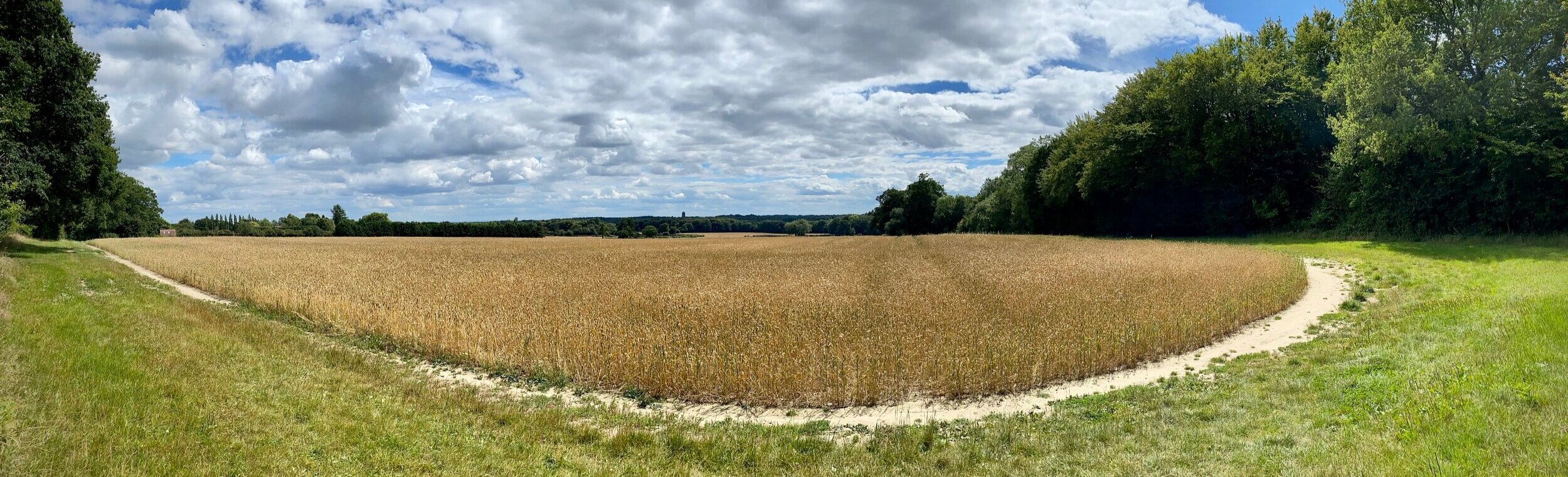
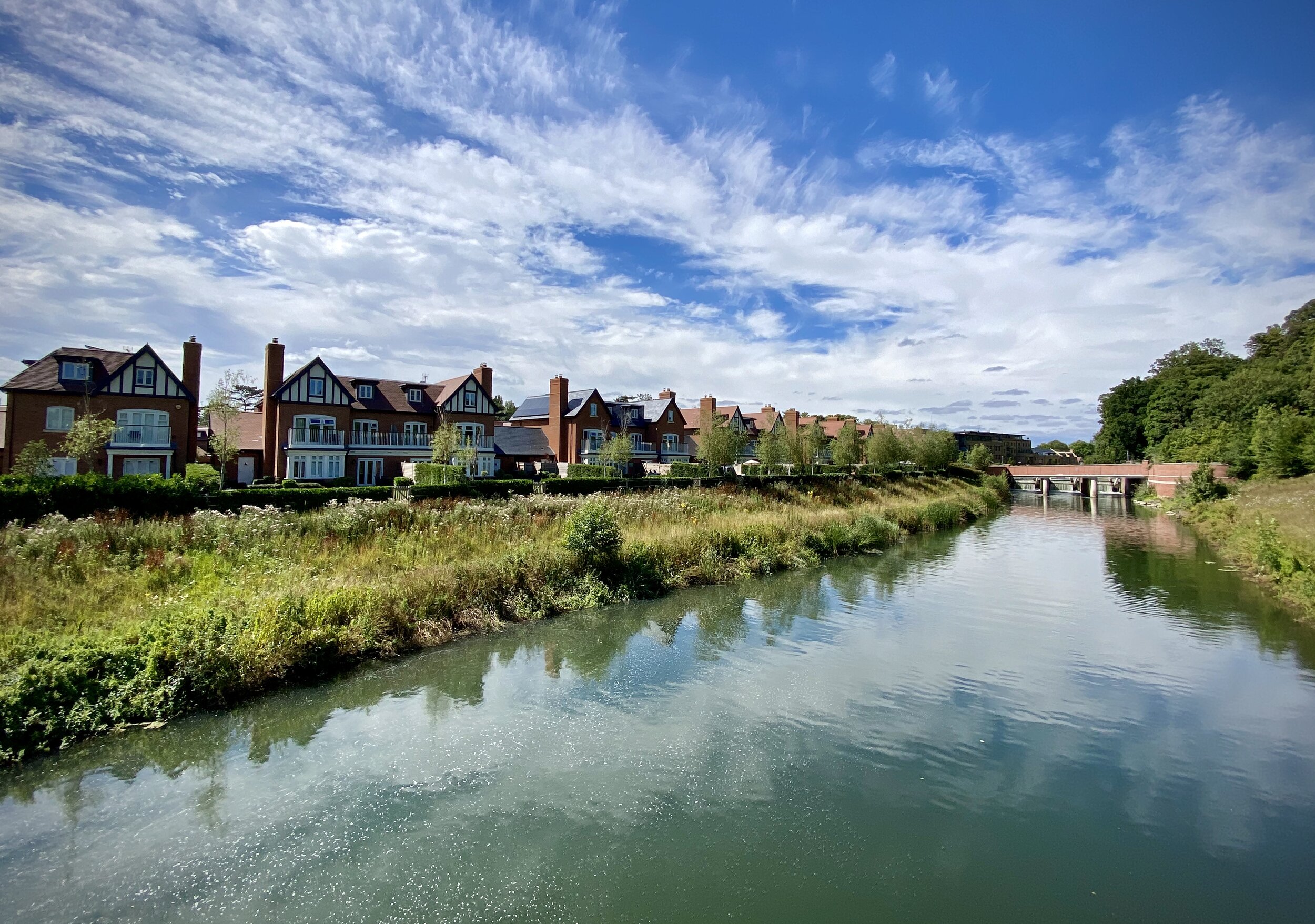
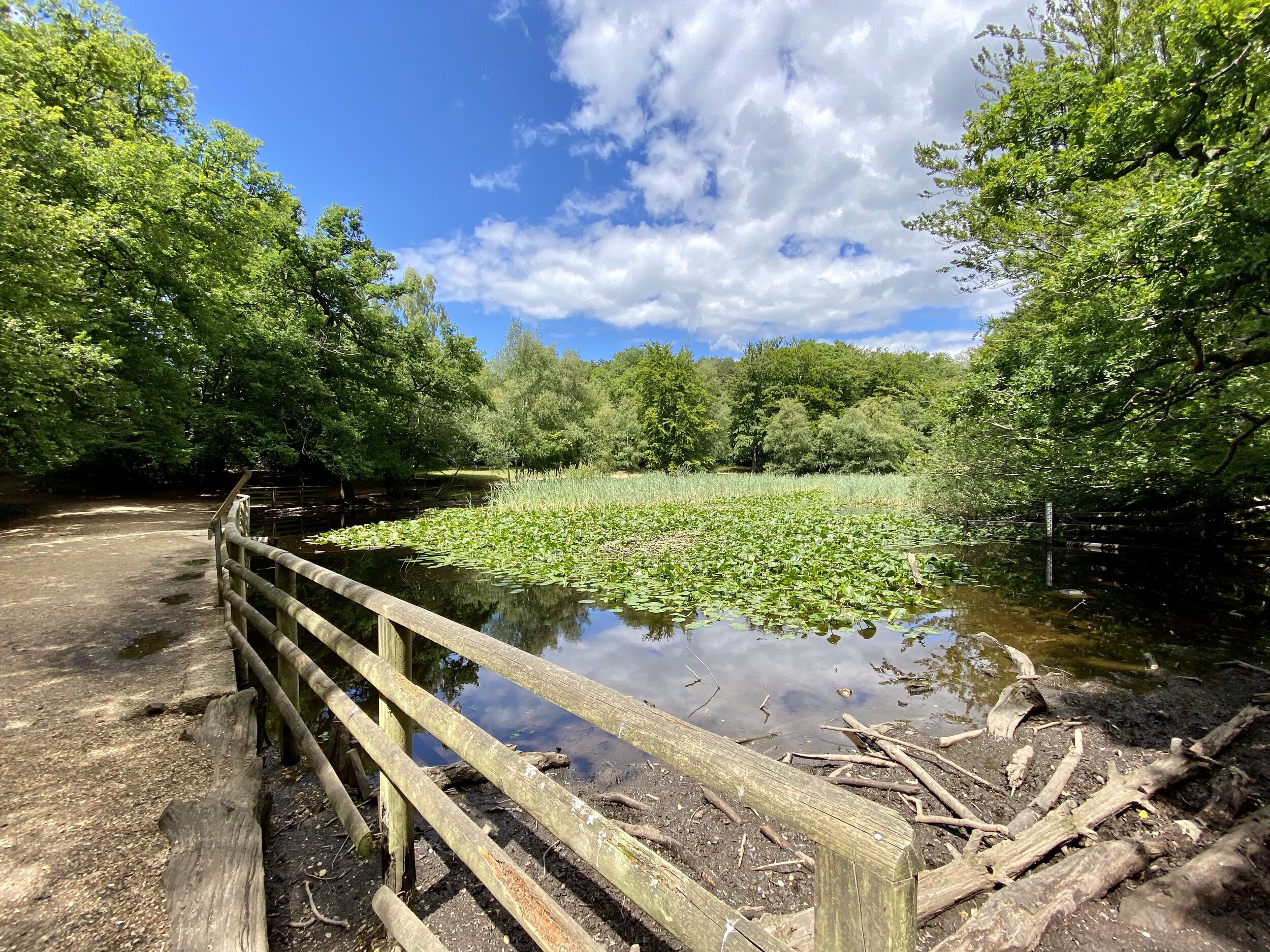
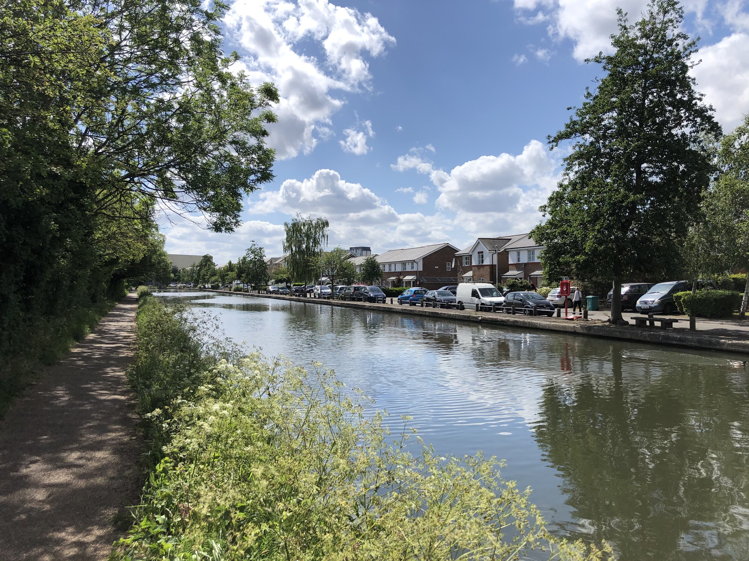
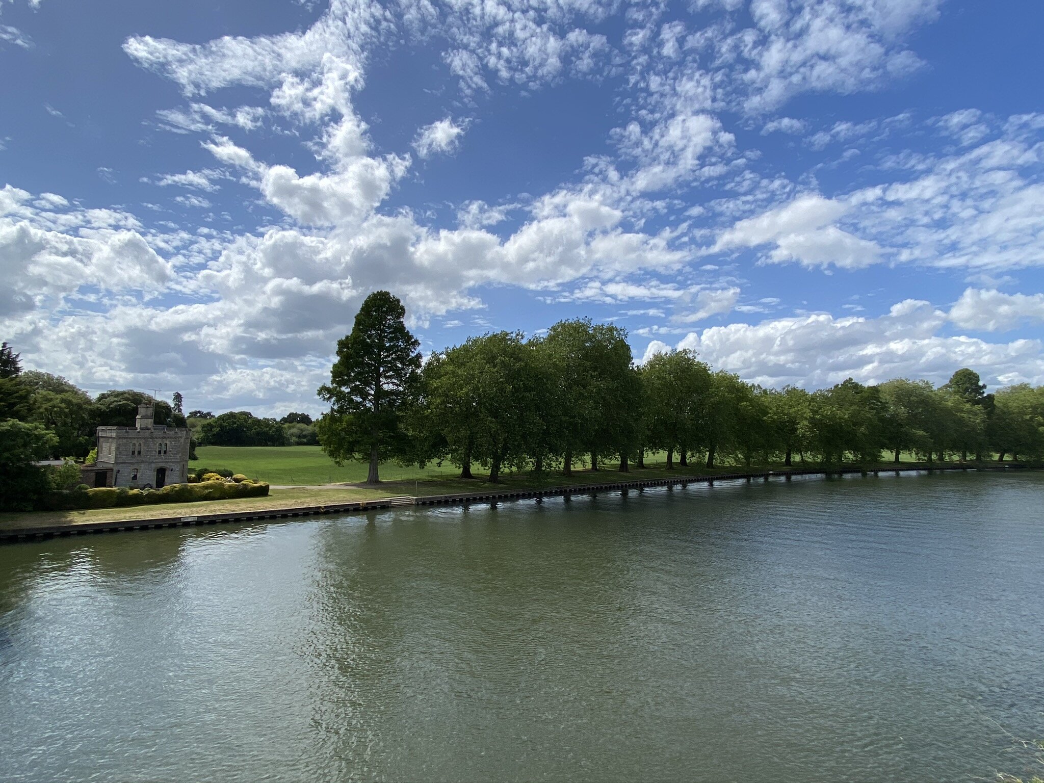
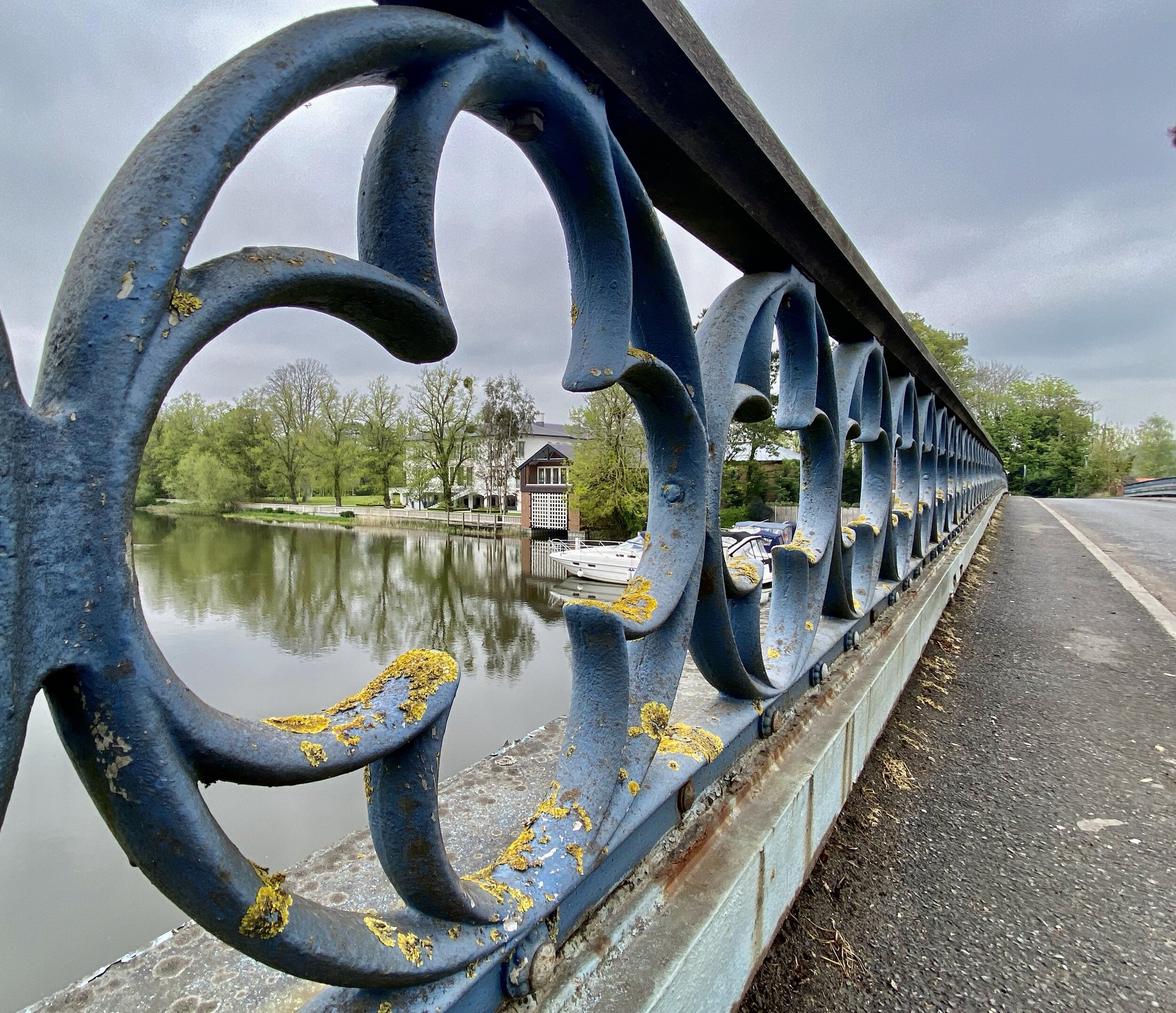
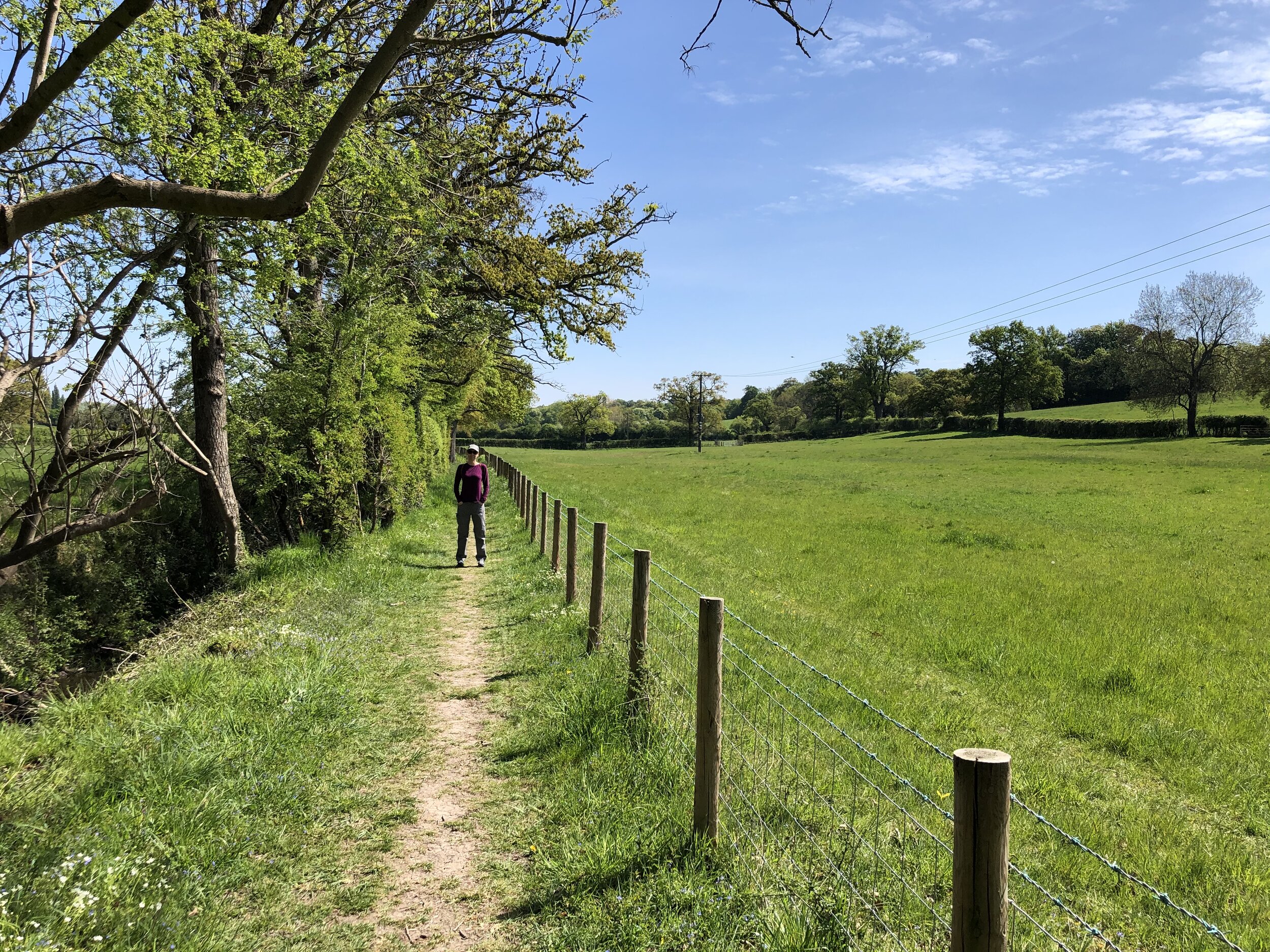
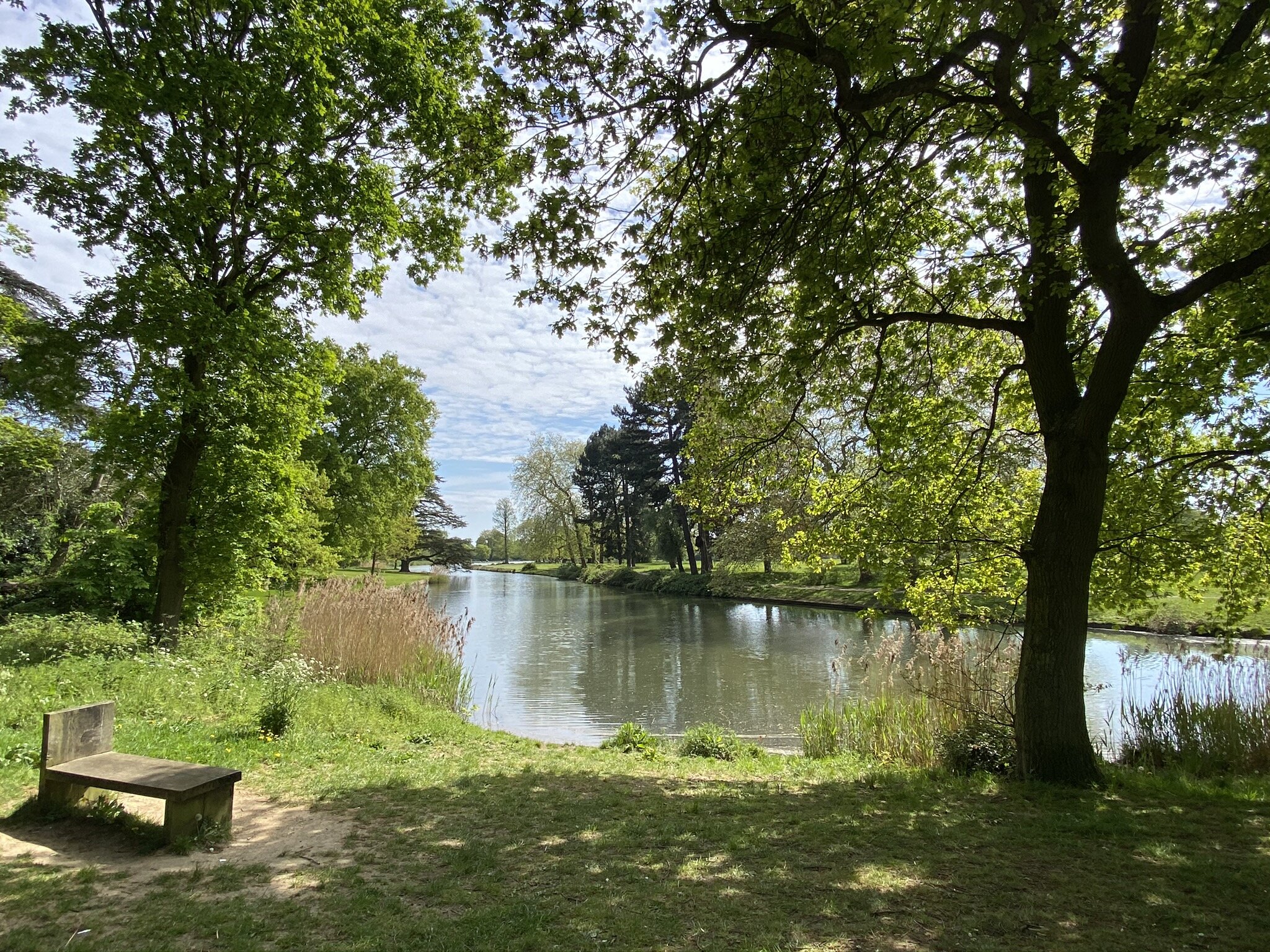
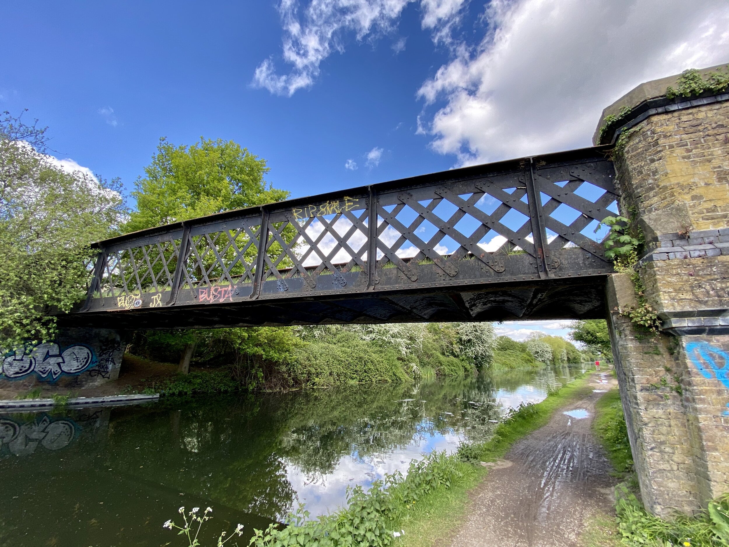
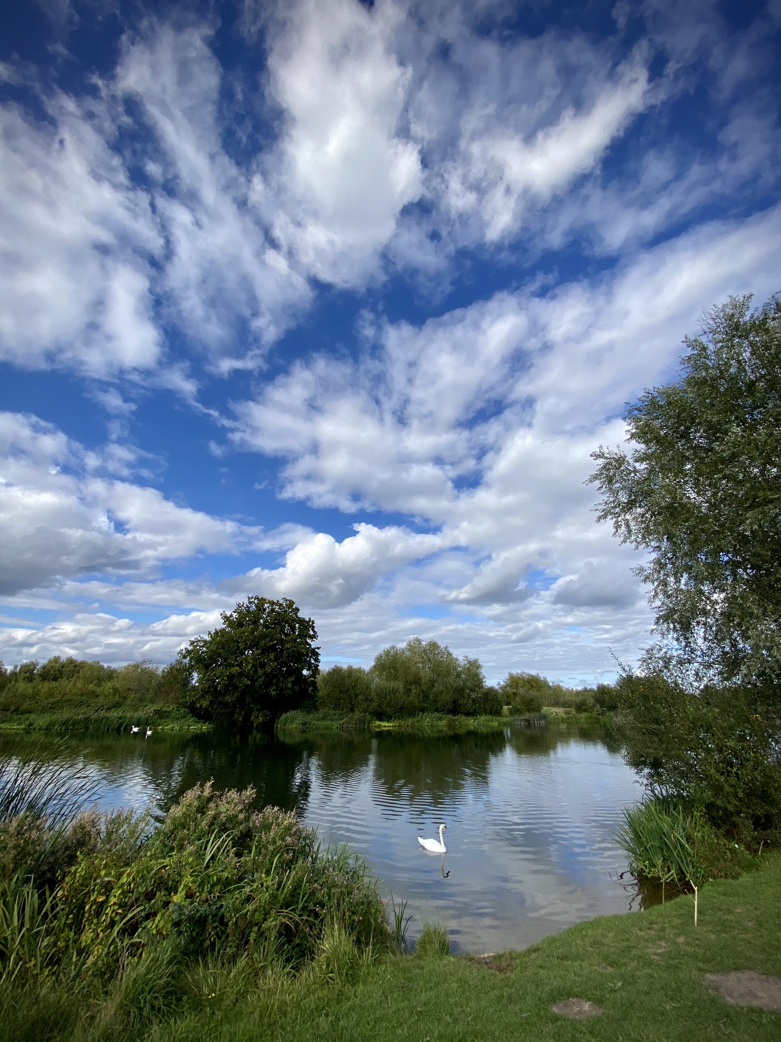
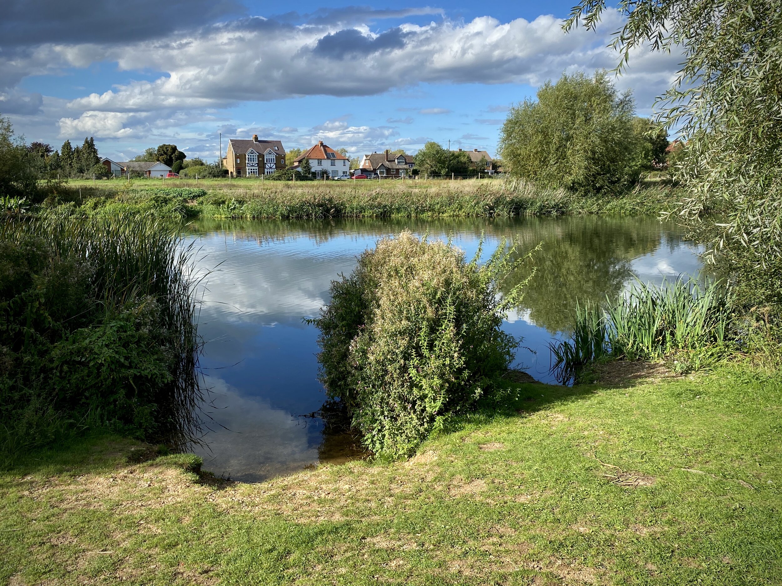
Jubilee River near Dorney
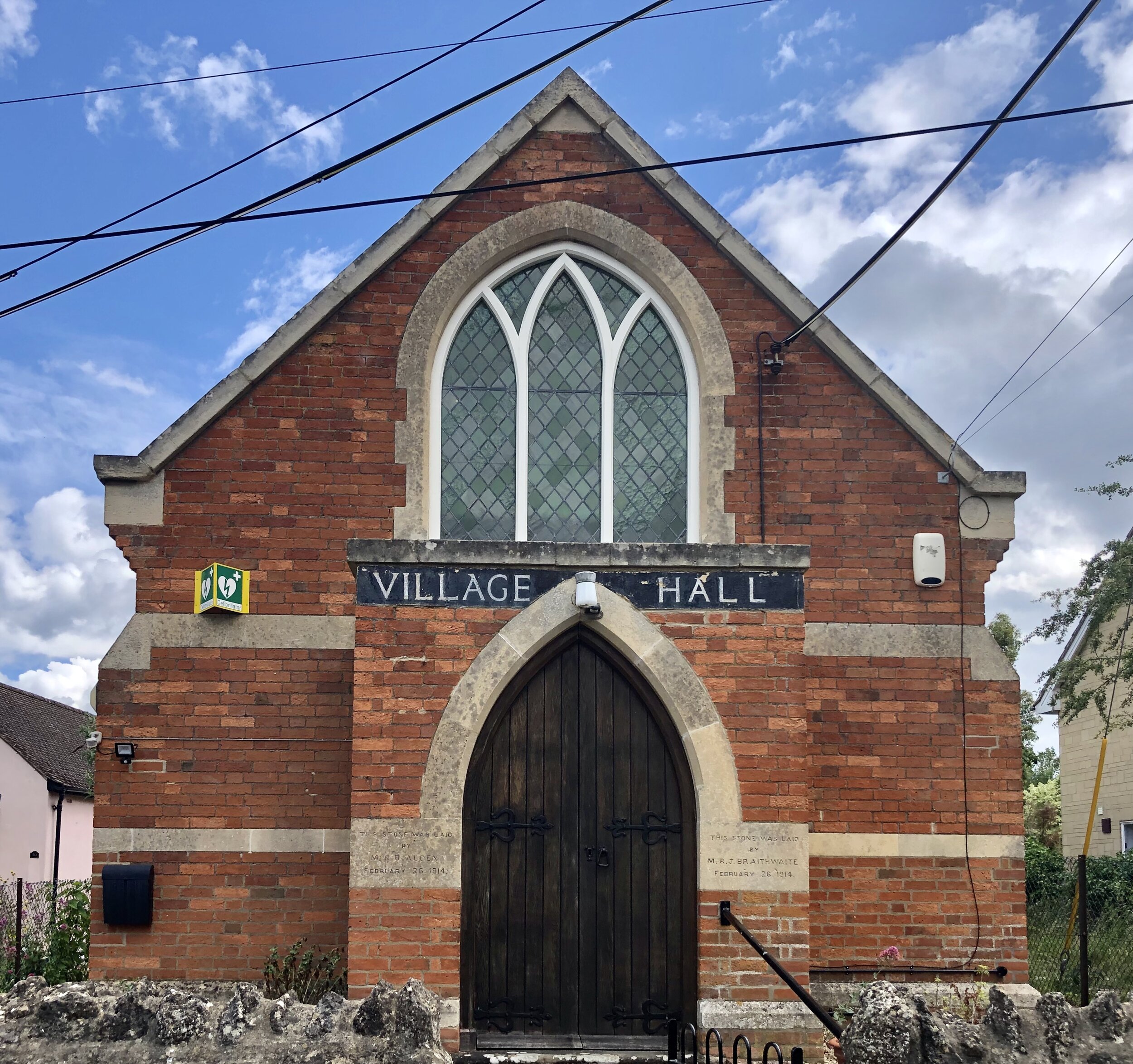
Start & Finish: Eton Wick Village Hall, Eton Wick Rd, Eton Wick, Windsor SL4 6LT
Distance: 9.9 km (6.1 miles)
Elevation change: + / - 25 m
GPX File: get via Buy Me a Coffee
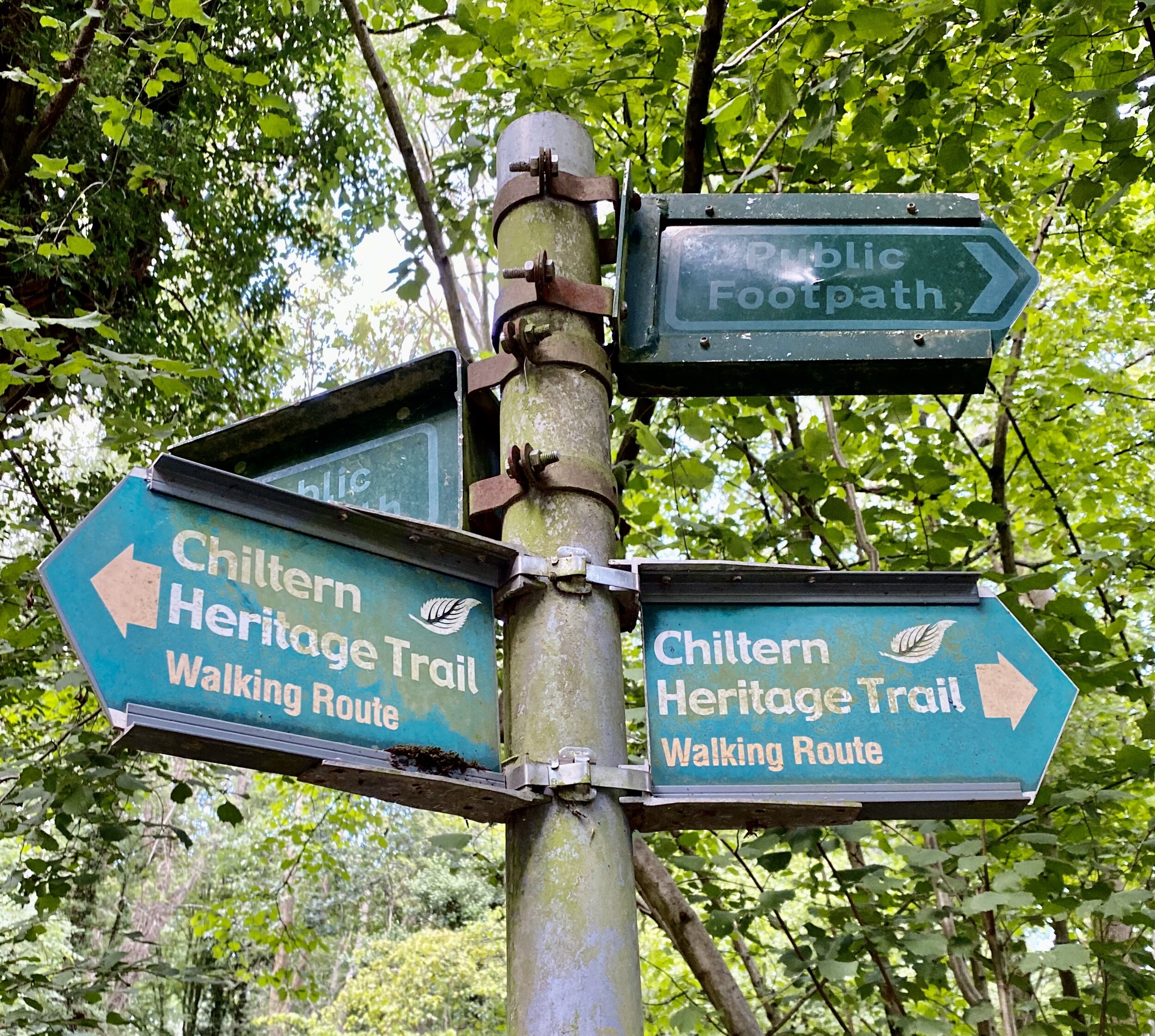
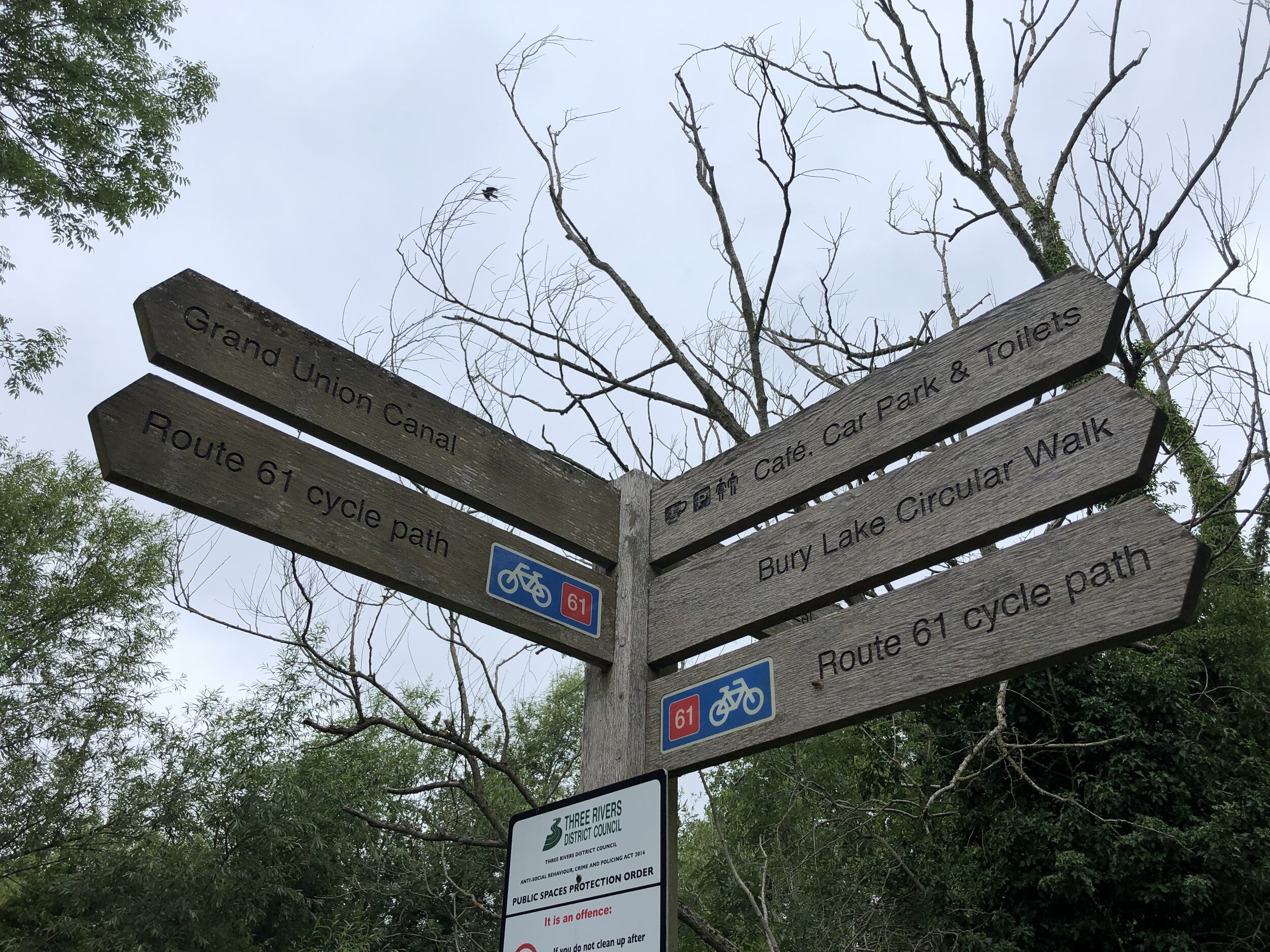
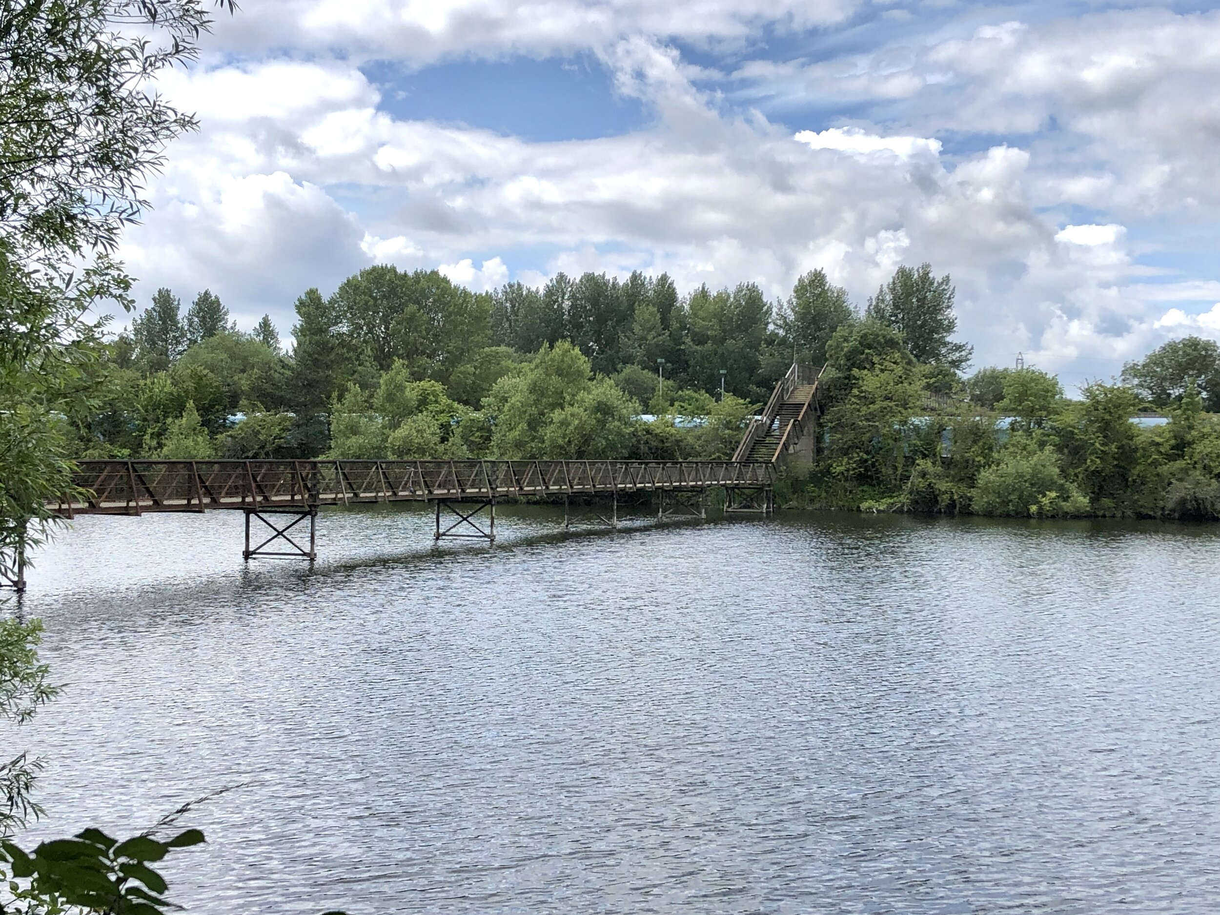
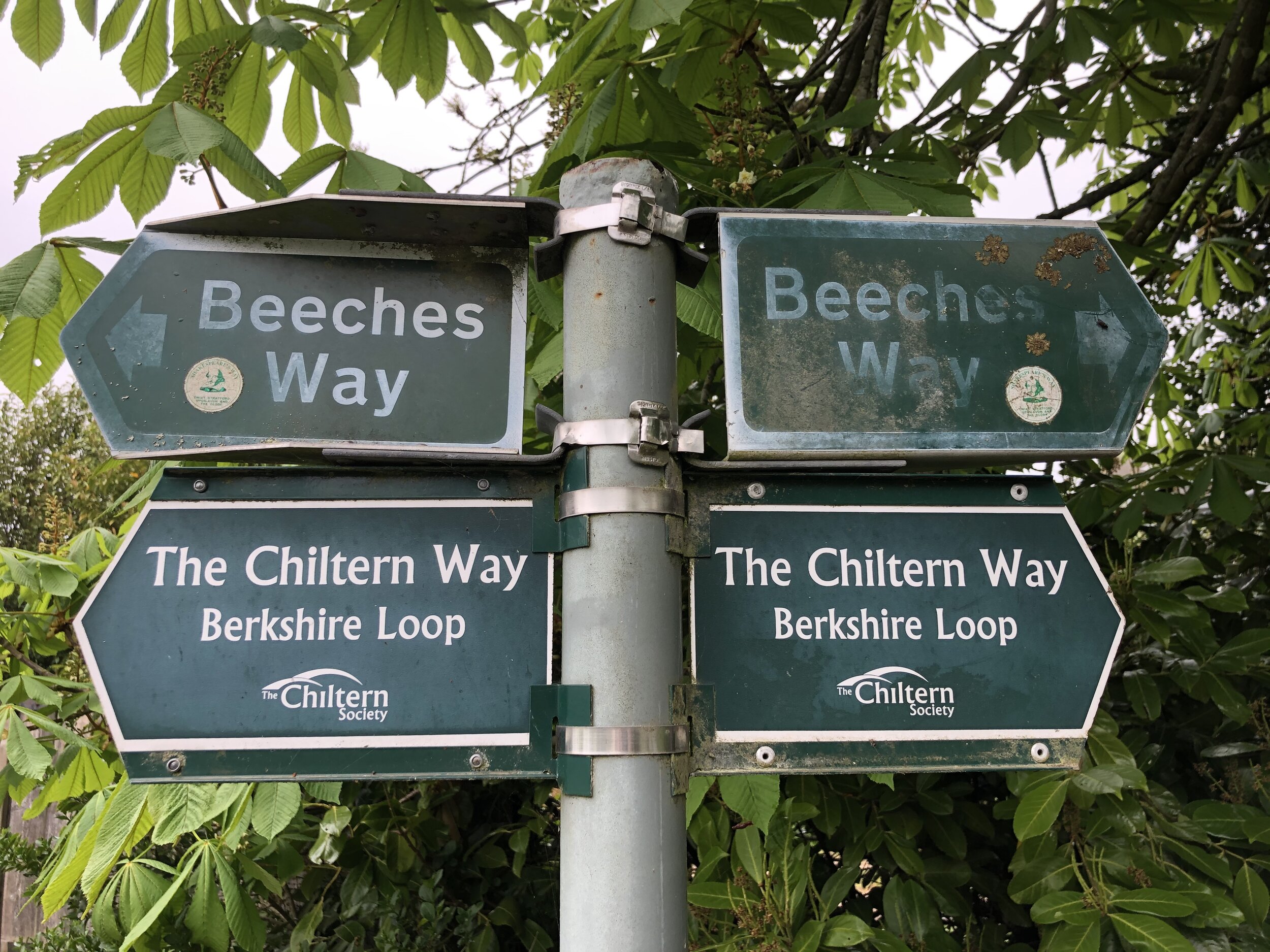
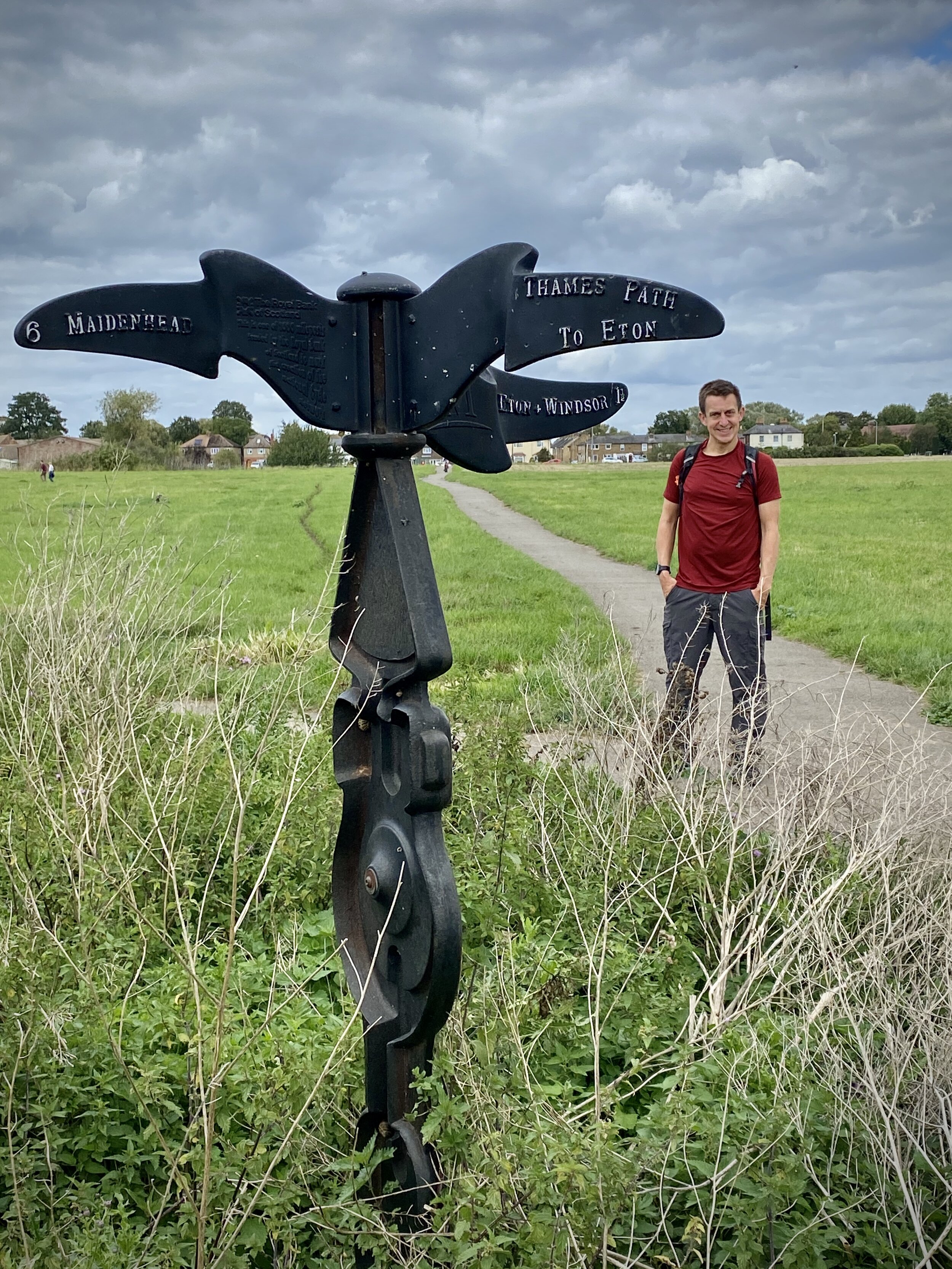
Other routes touched (walk): Thames Path, Jubilee River Path
Other routes touched (cycle): NCN 61
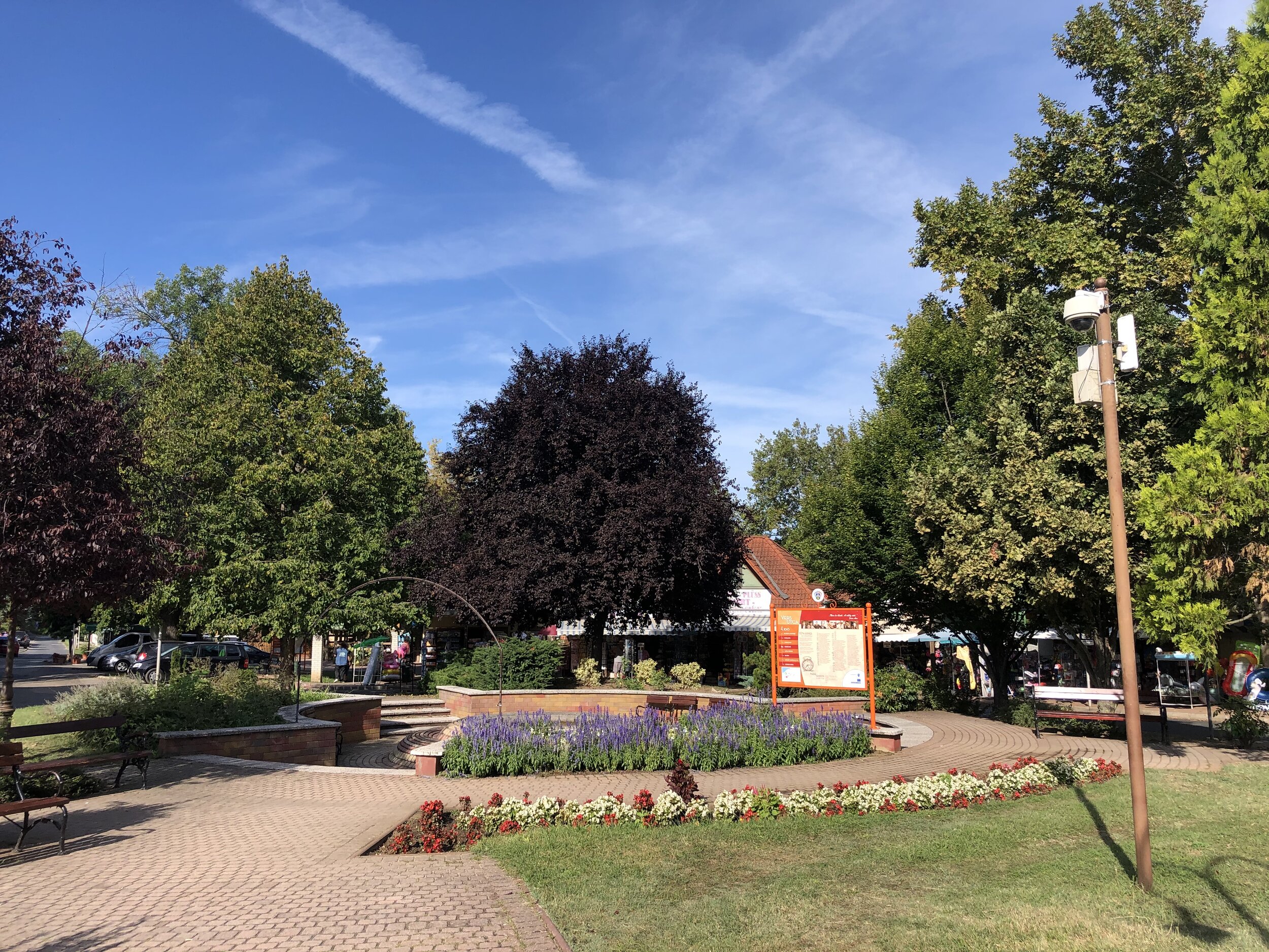
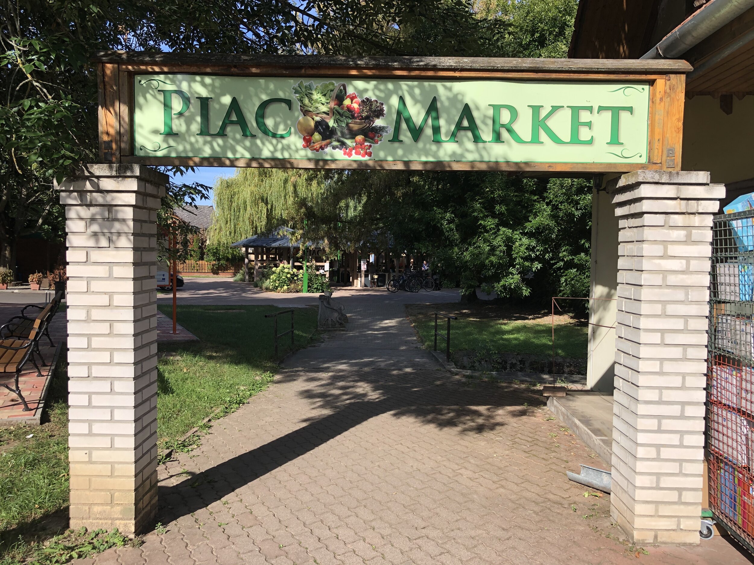
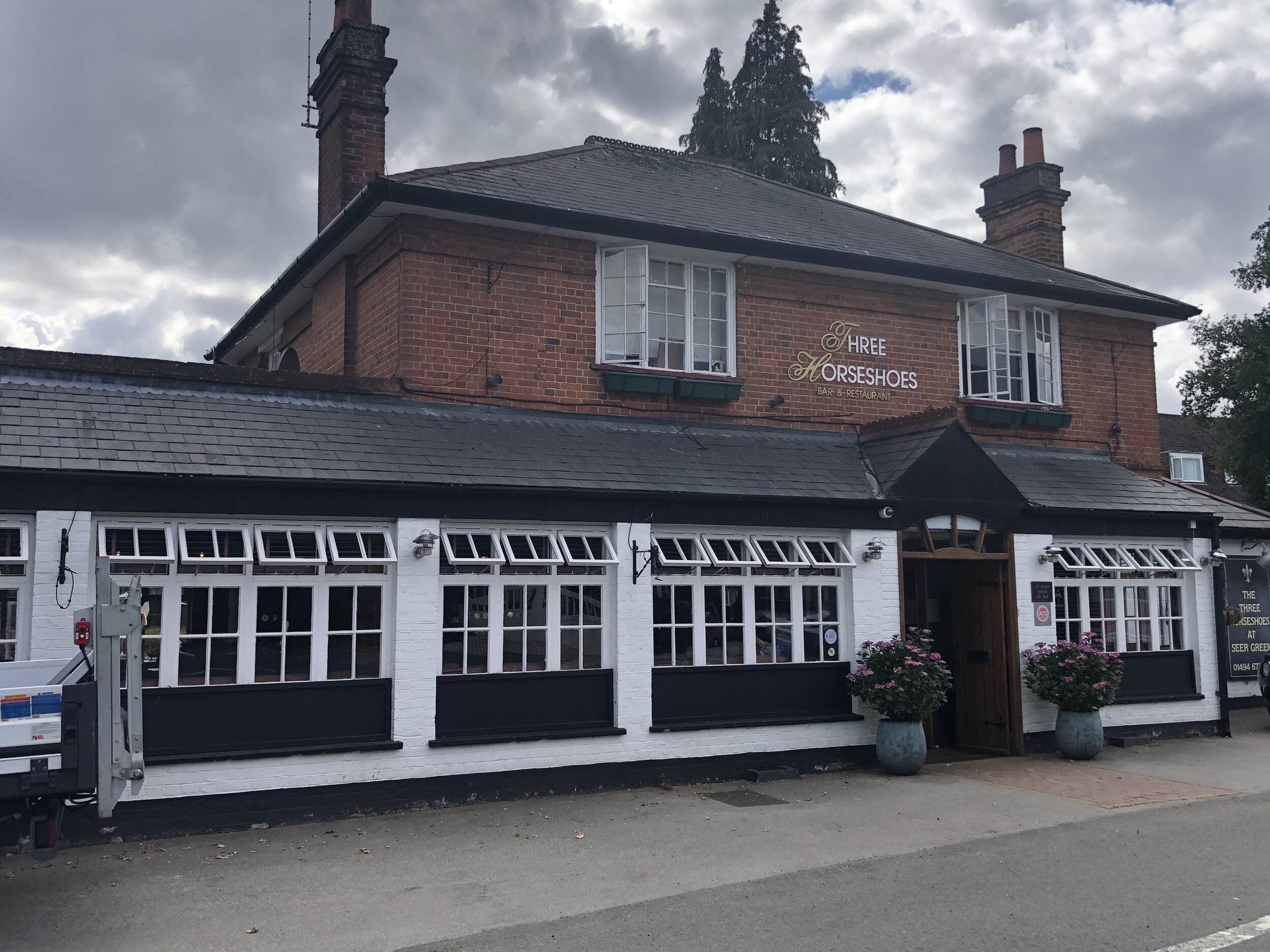
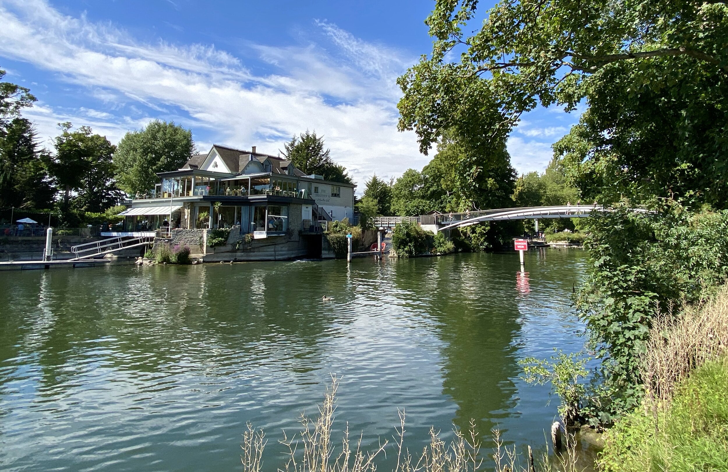
Pubs / Cafes on route: N/A but some shops on Eton Wick Road
Map: OS Explorer Map (160) Windsor, Weybridge & Bracknell
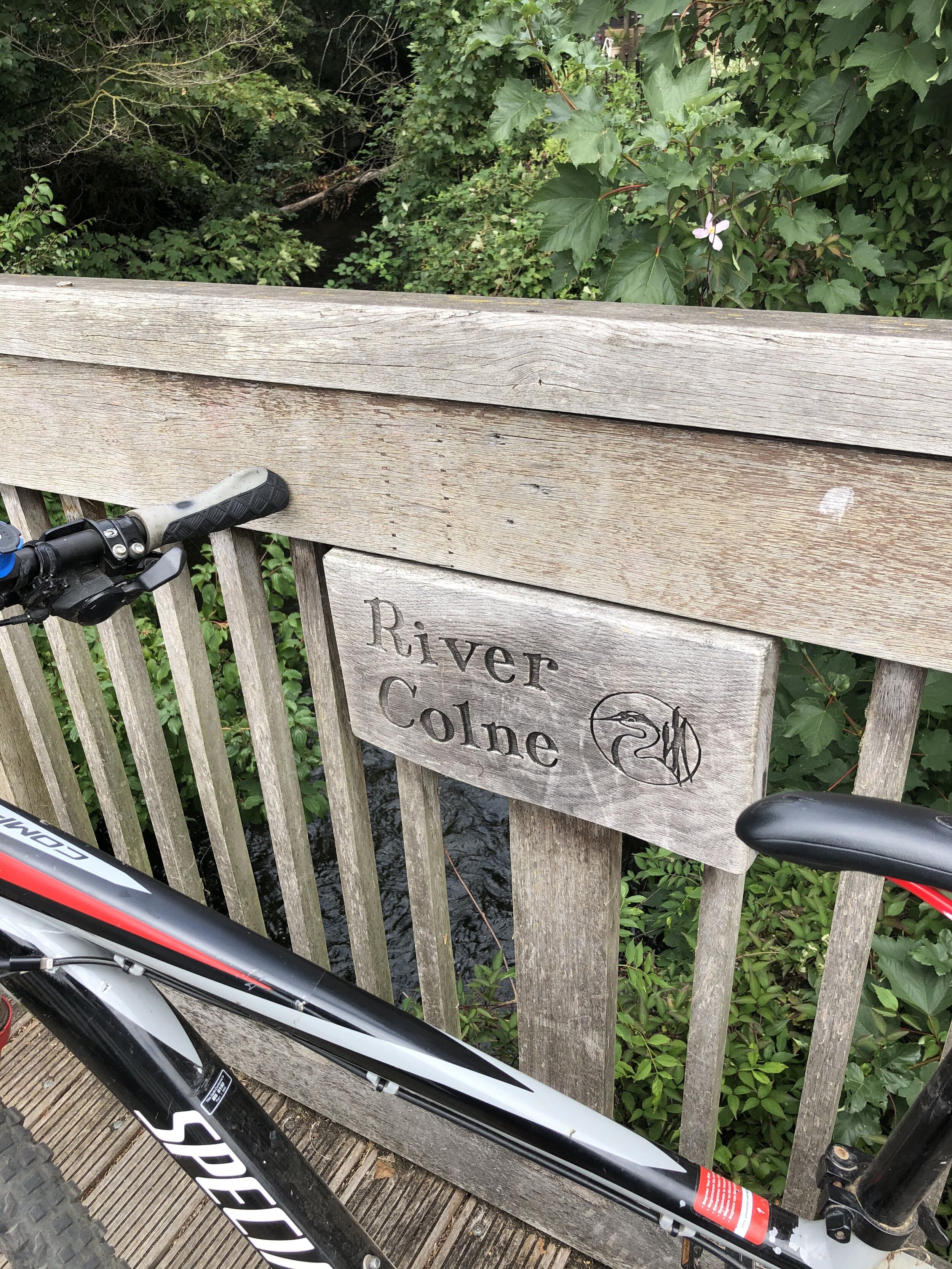
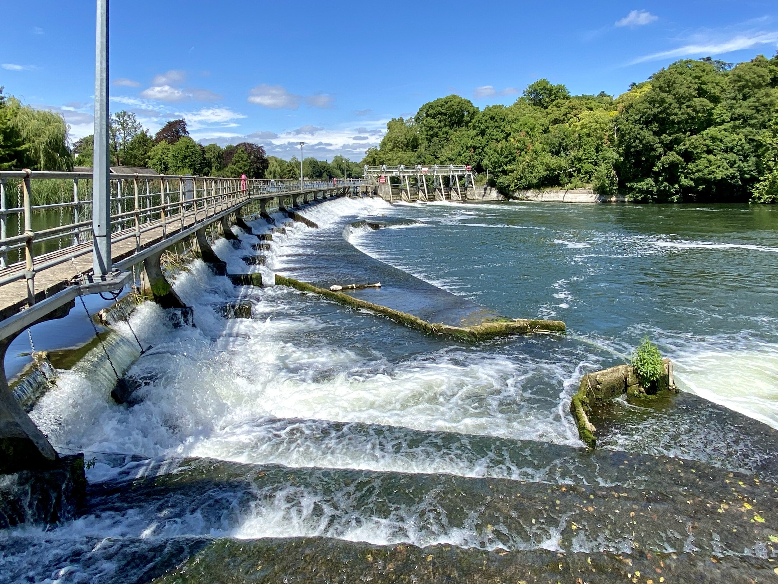
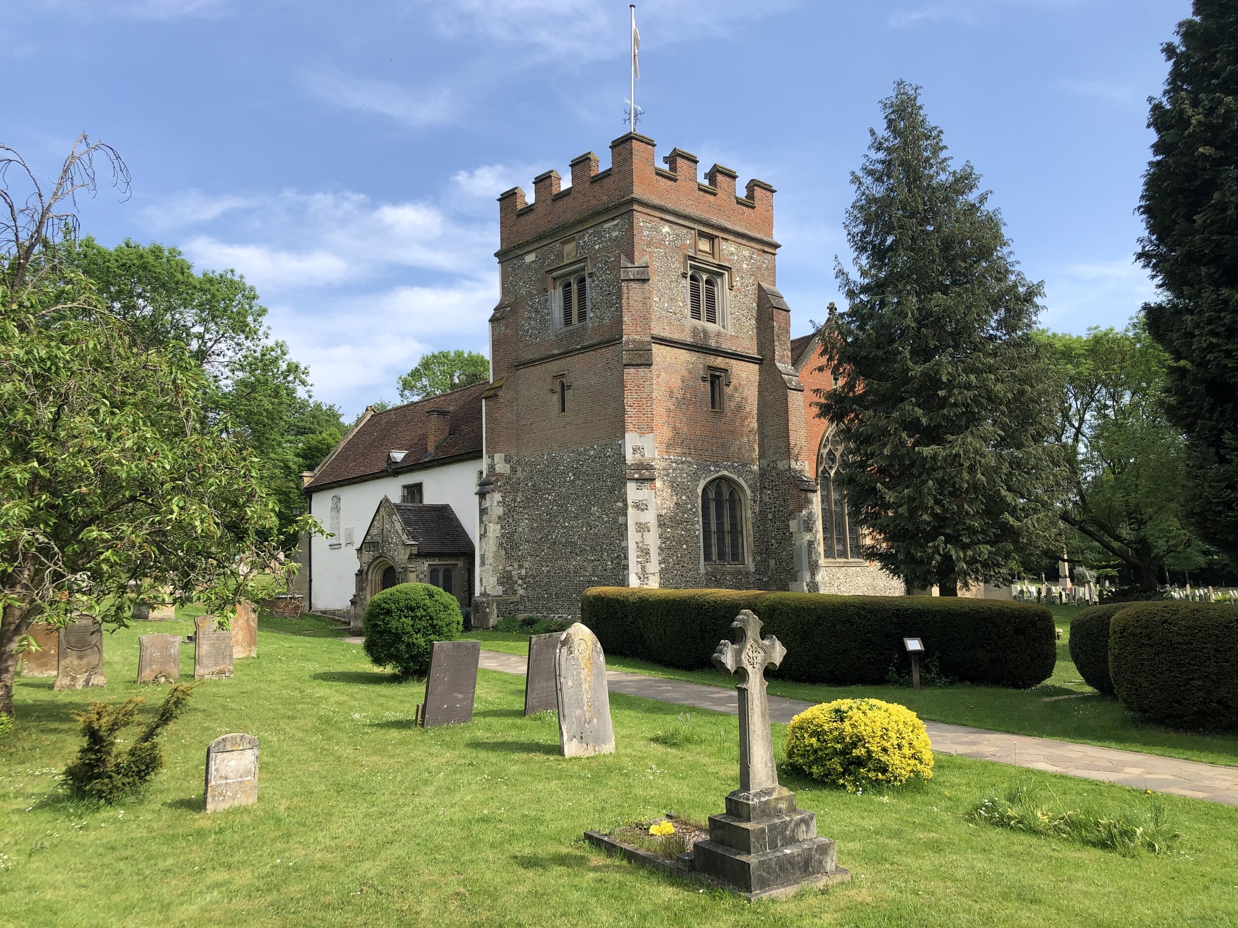
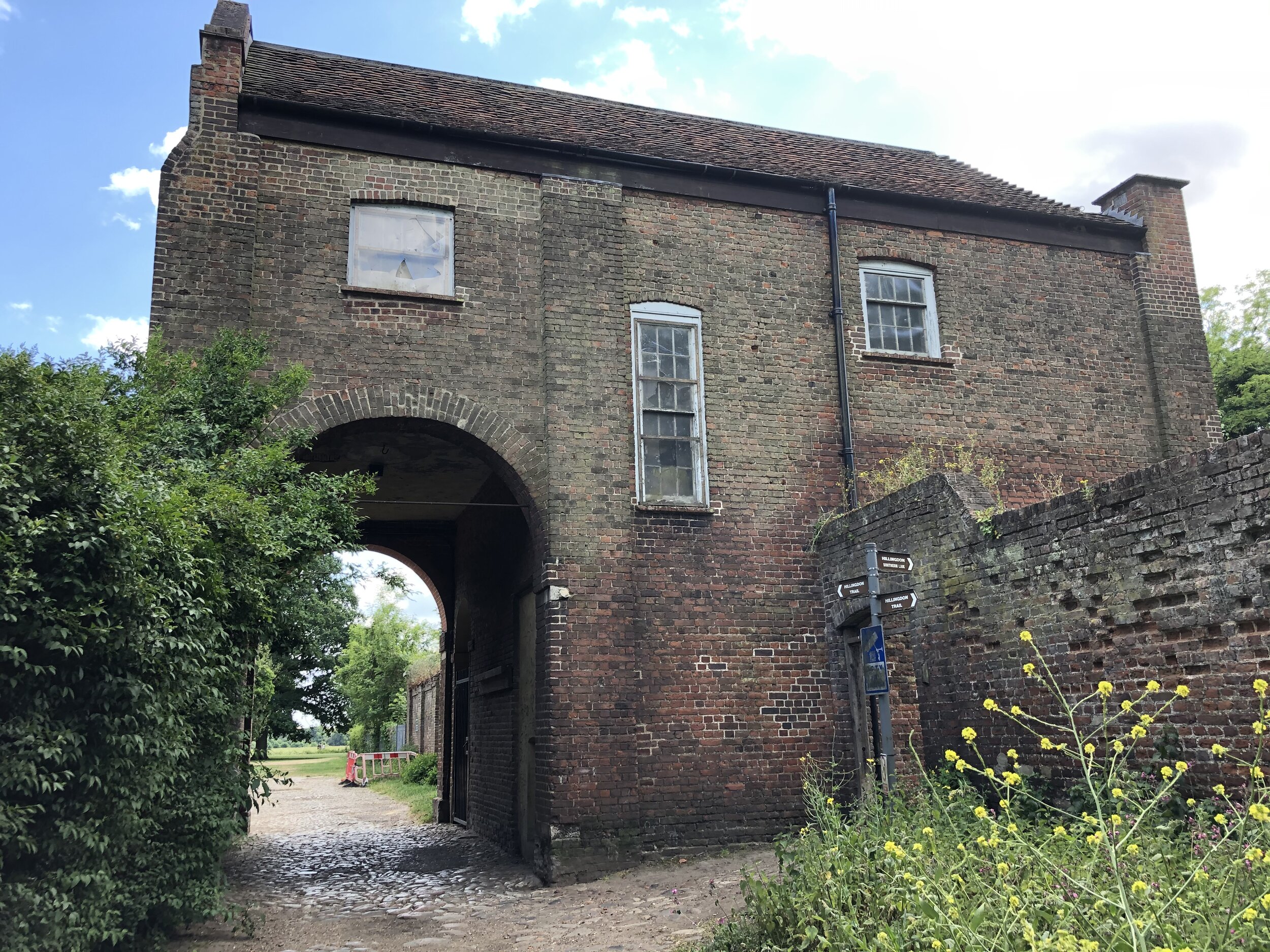
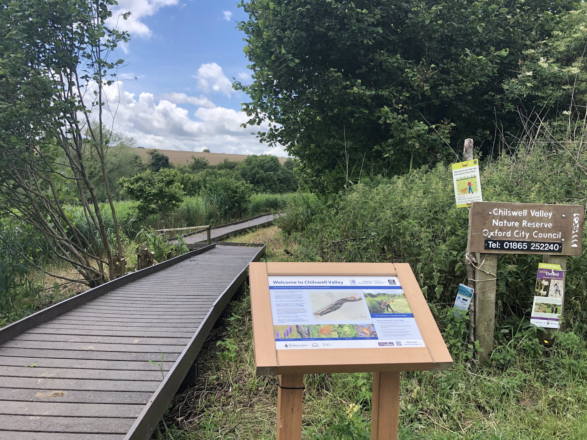
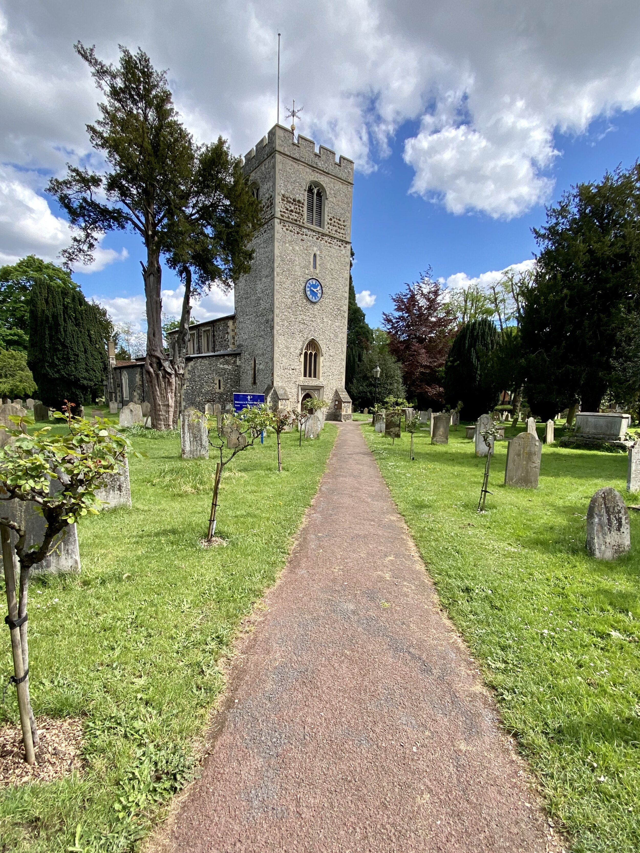
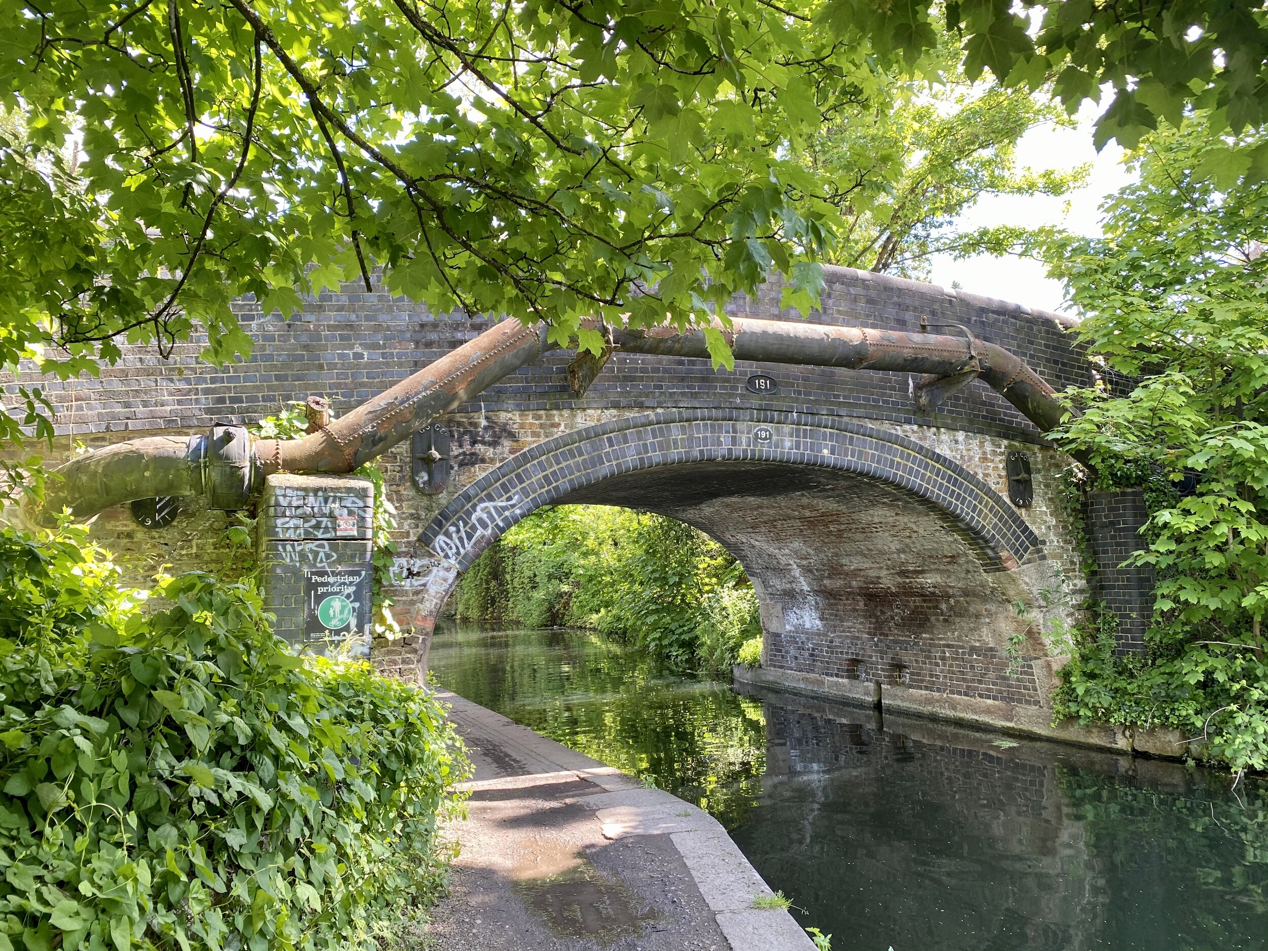
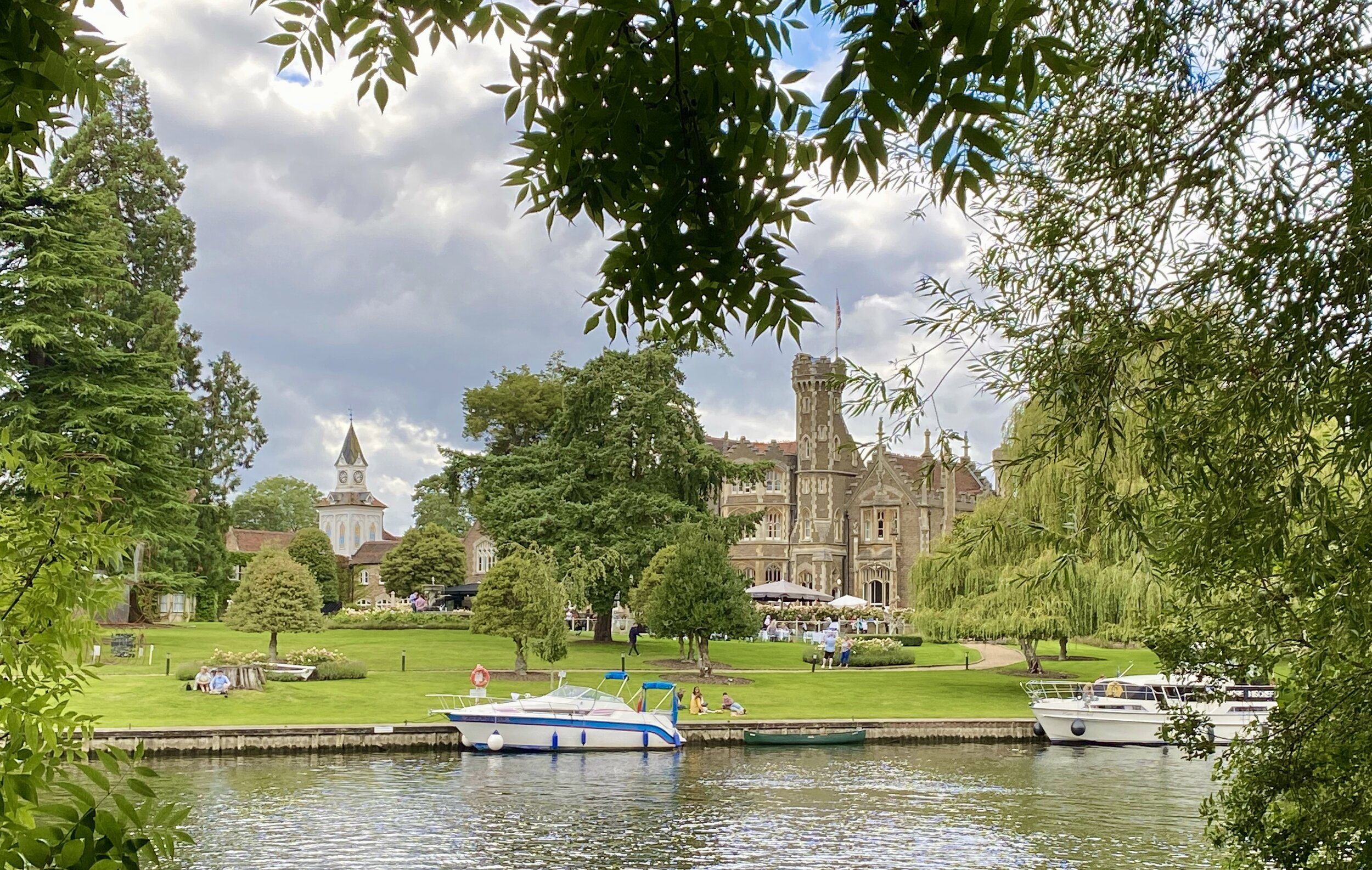
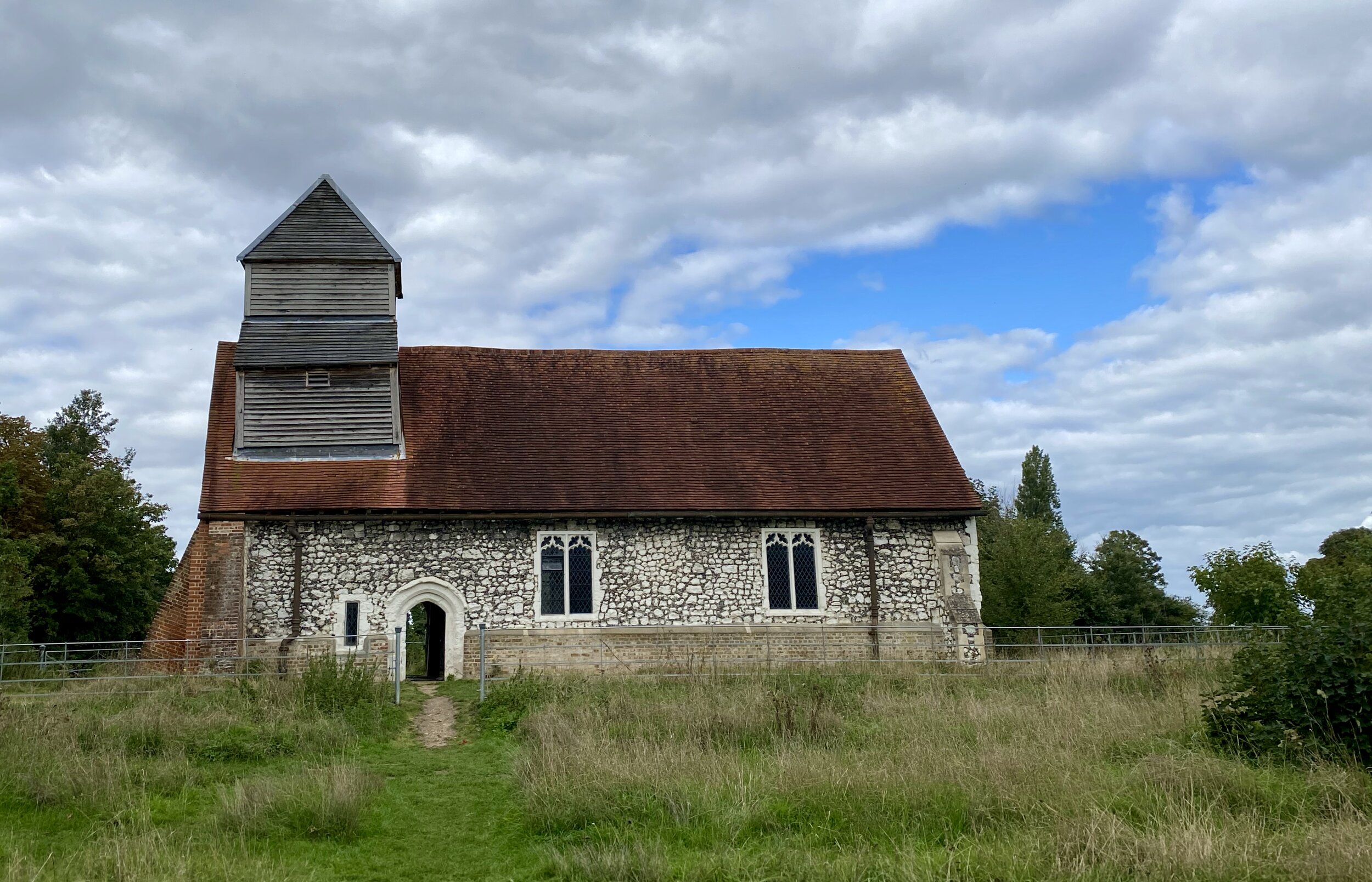
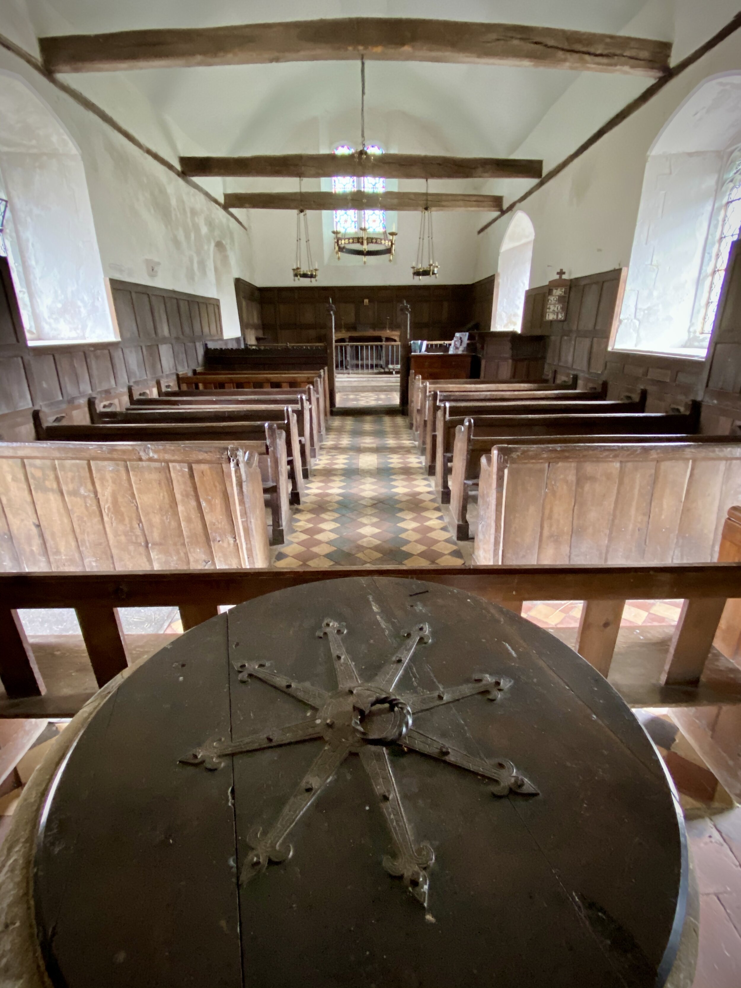
Links: Jubilee River, Eton Wick, Dorney Lake, Boveney Lock, St Mary Magdalene's Church, Boveney
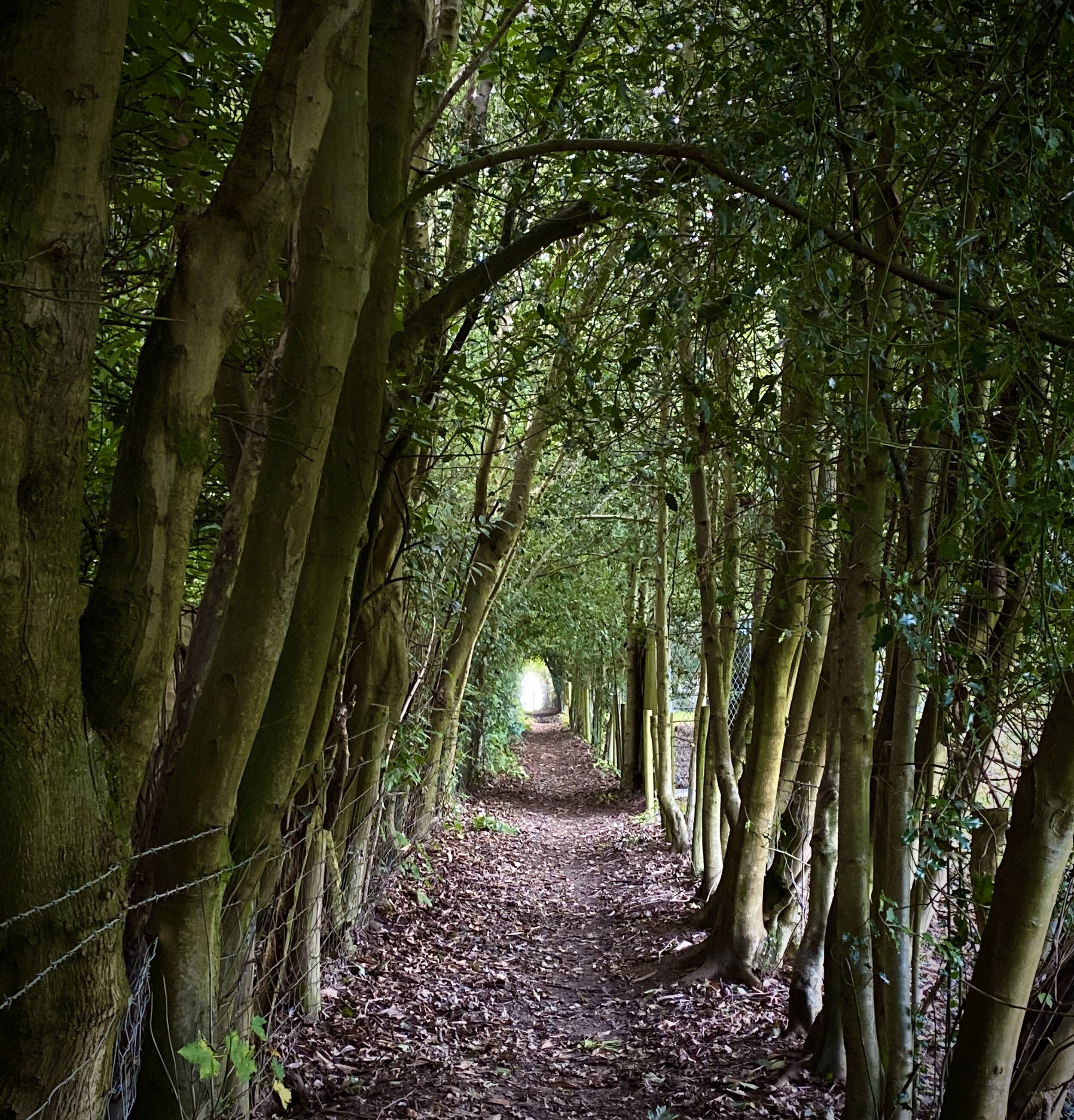
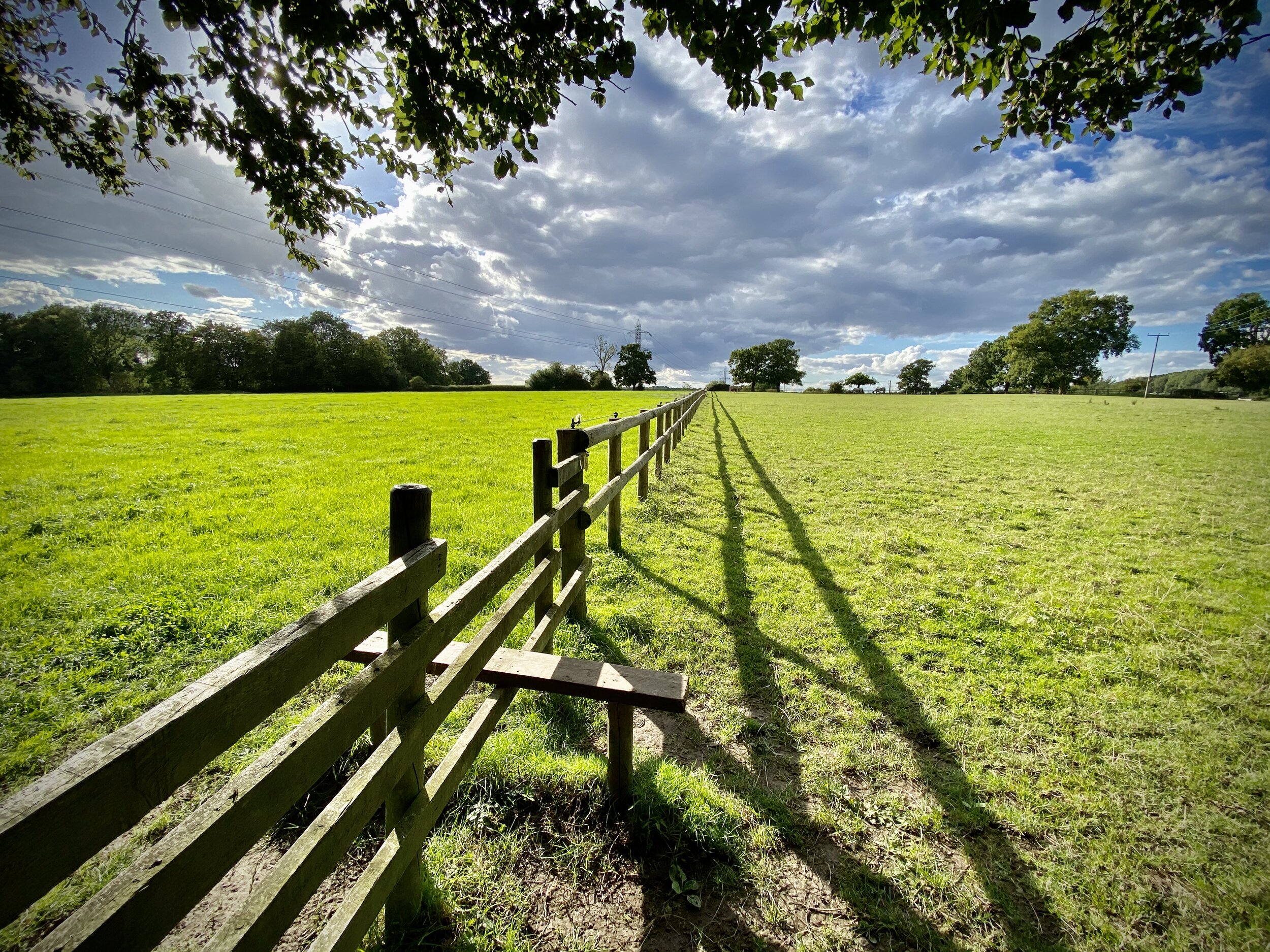
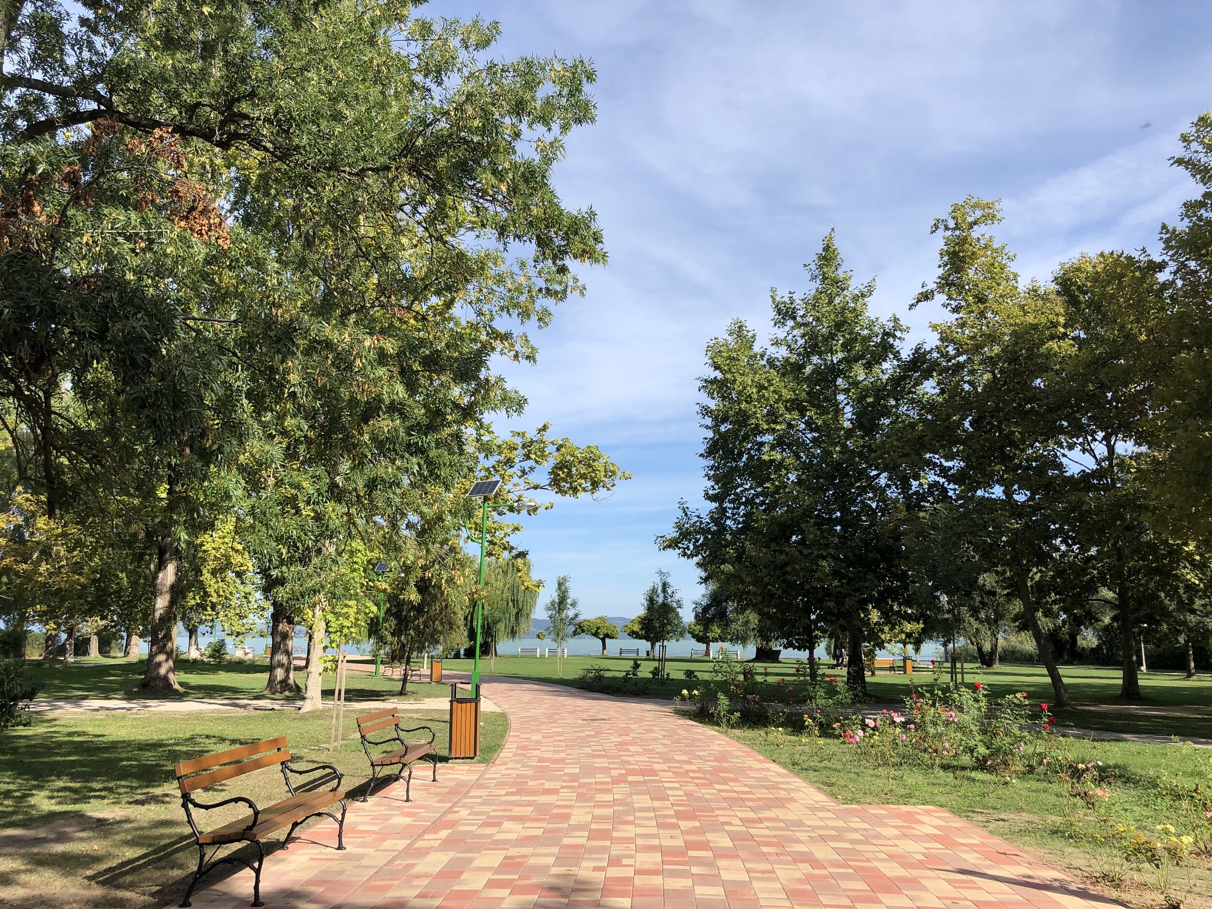
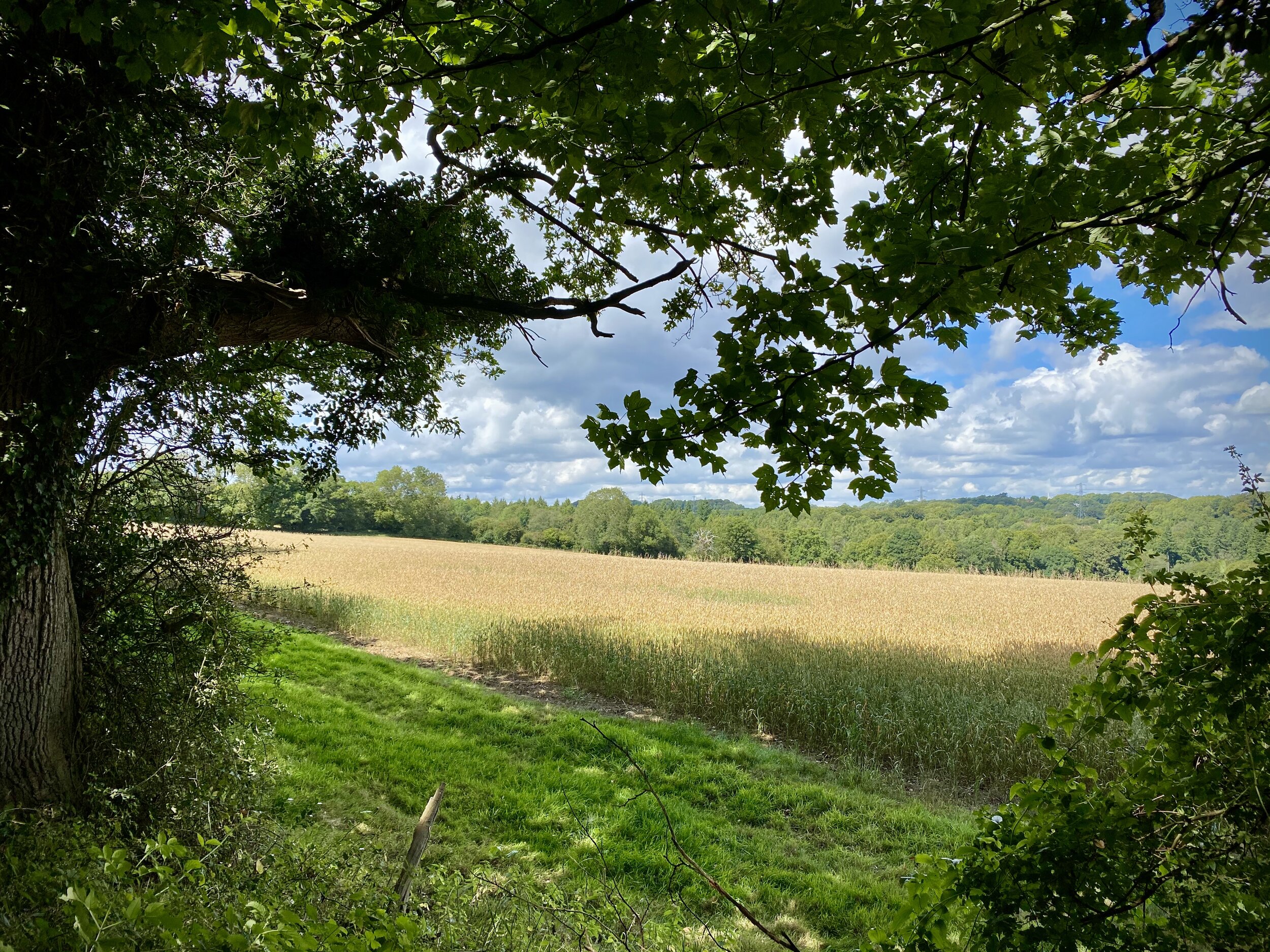
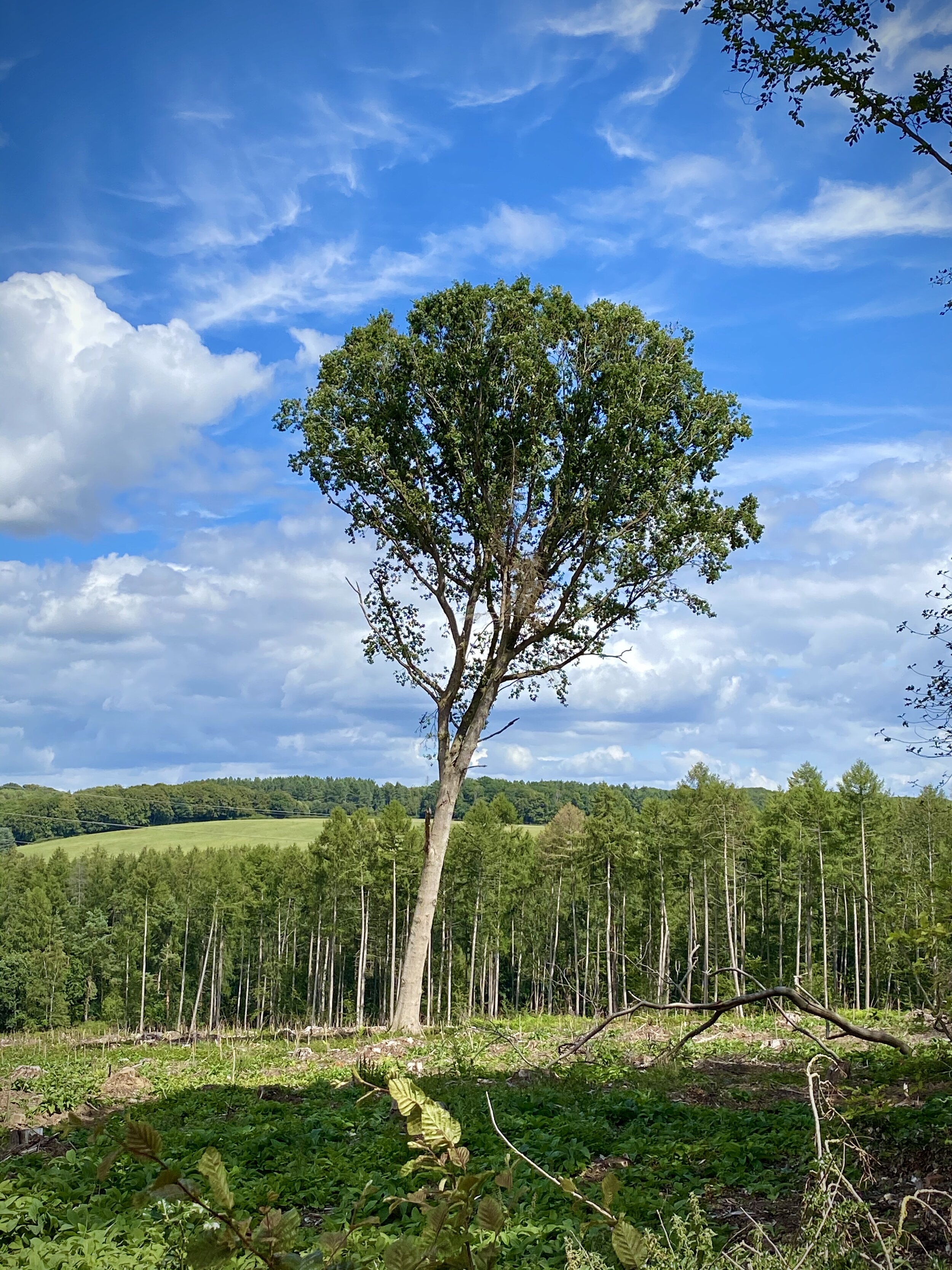
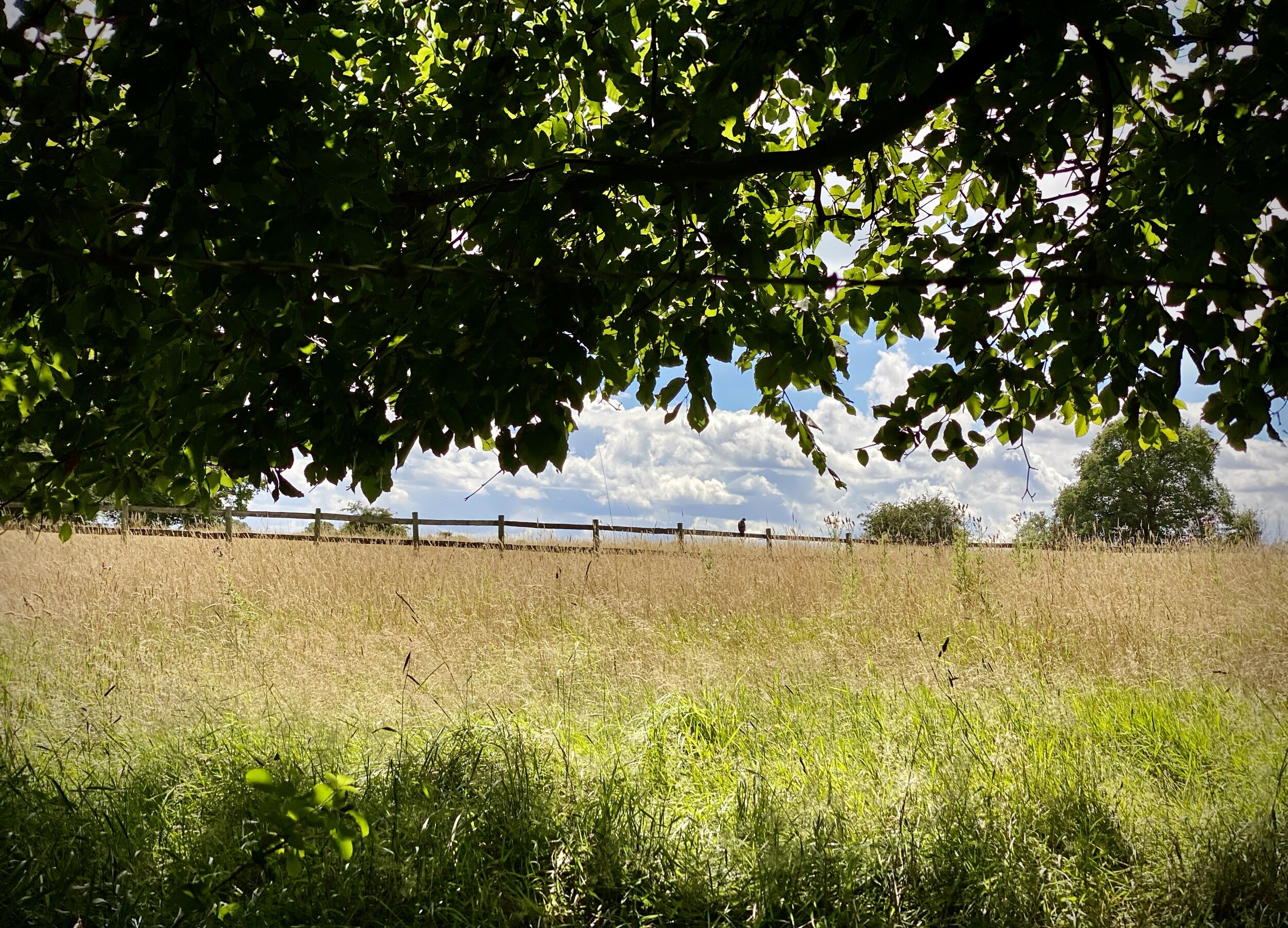
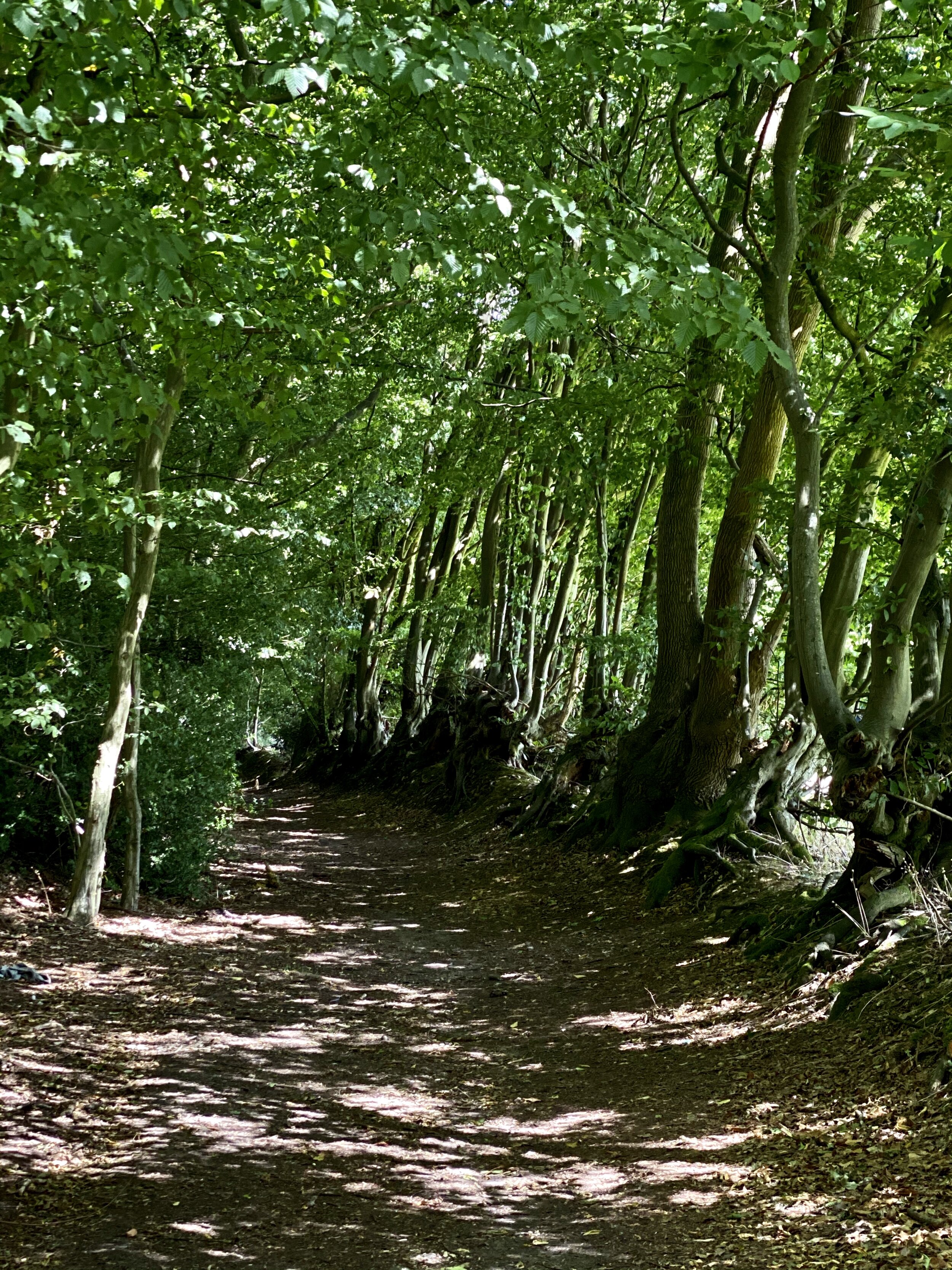
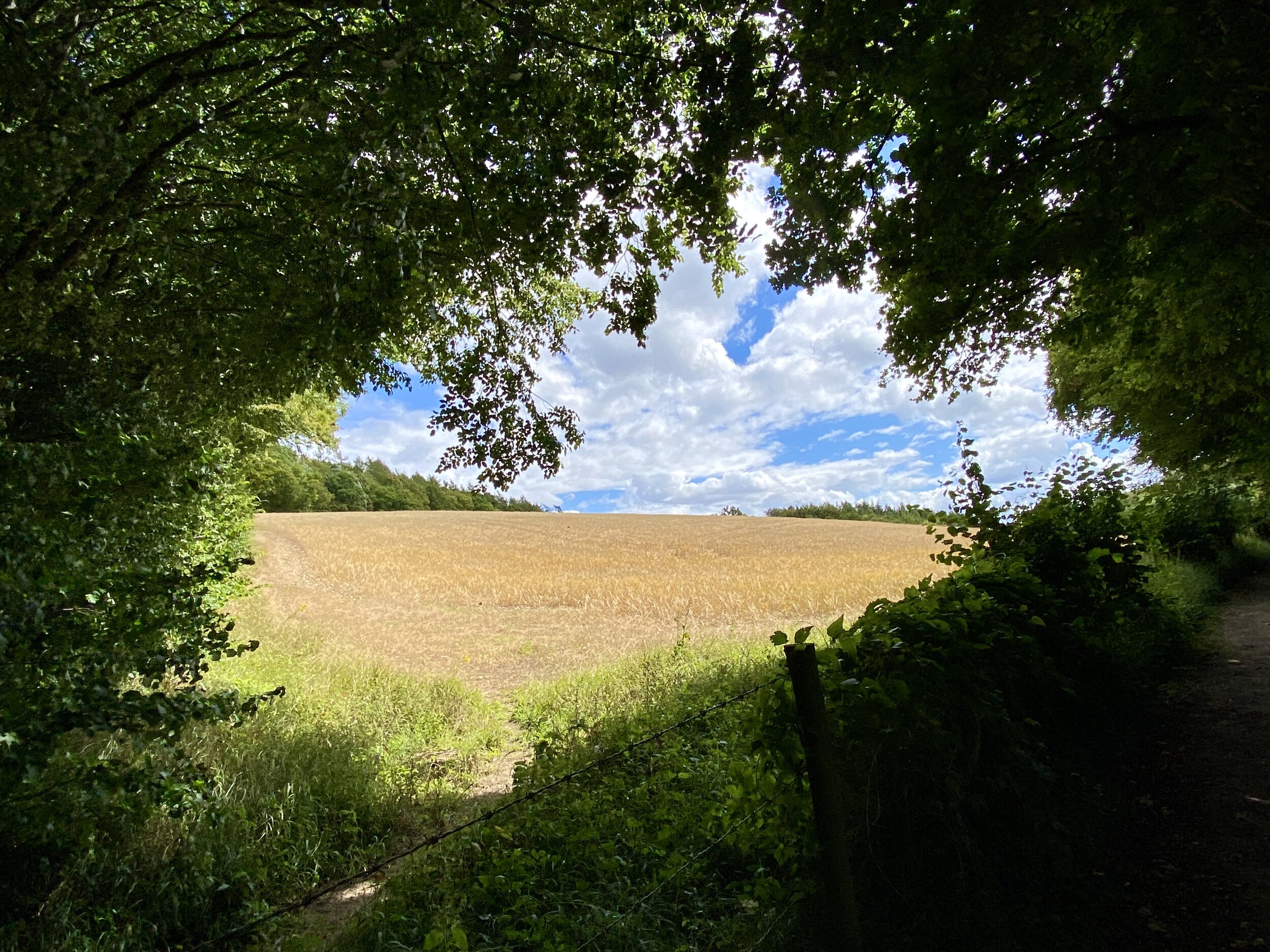
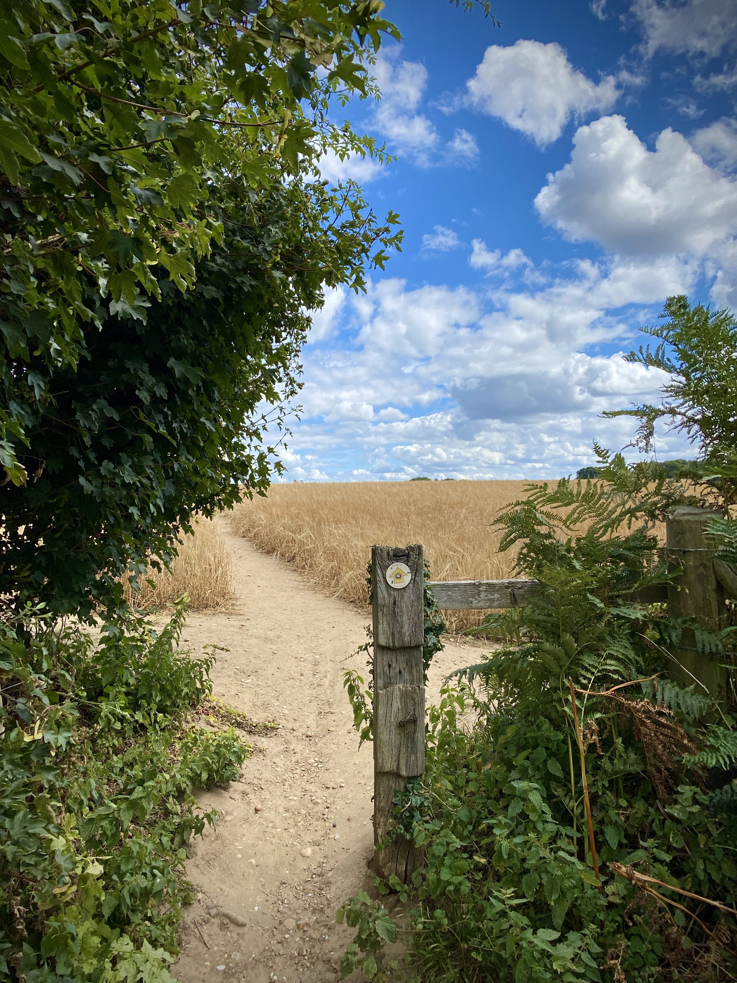
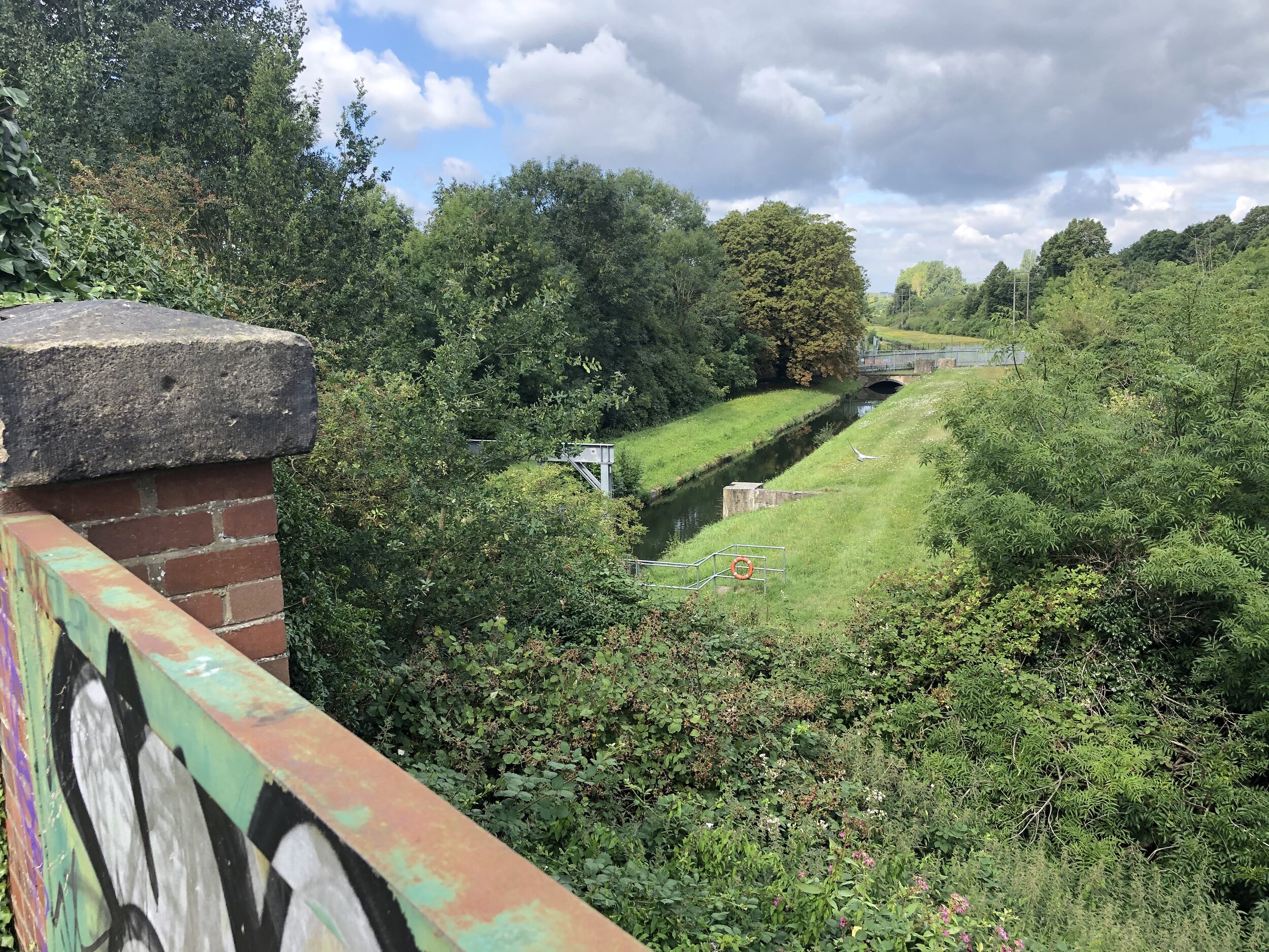
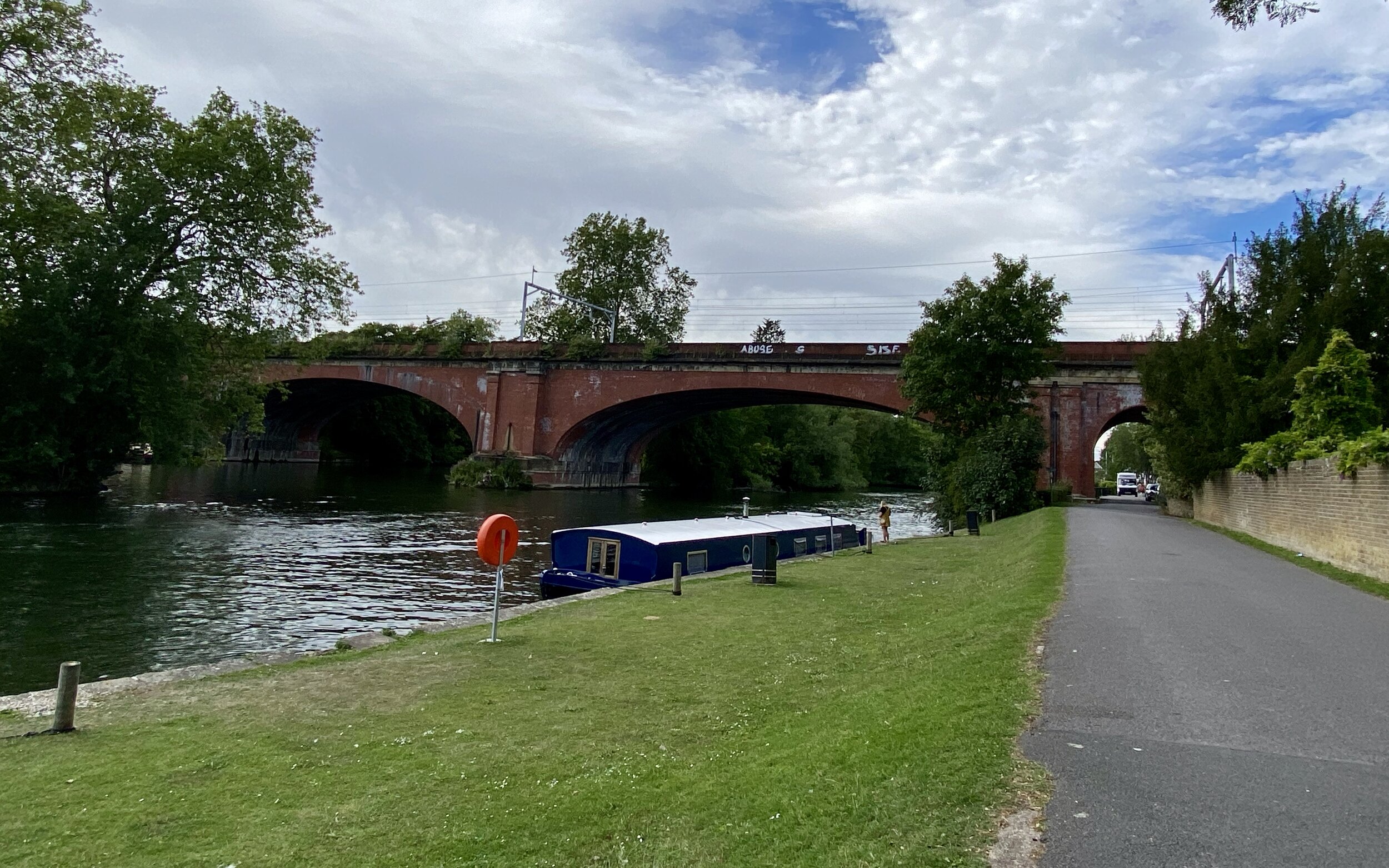
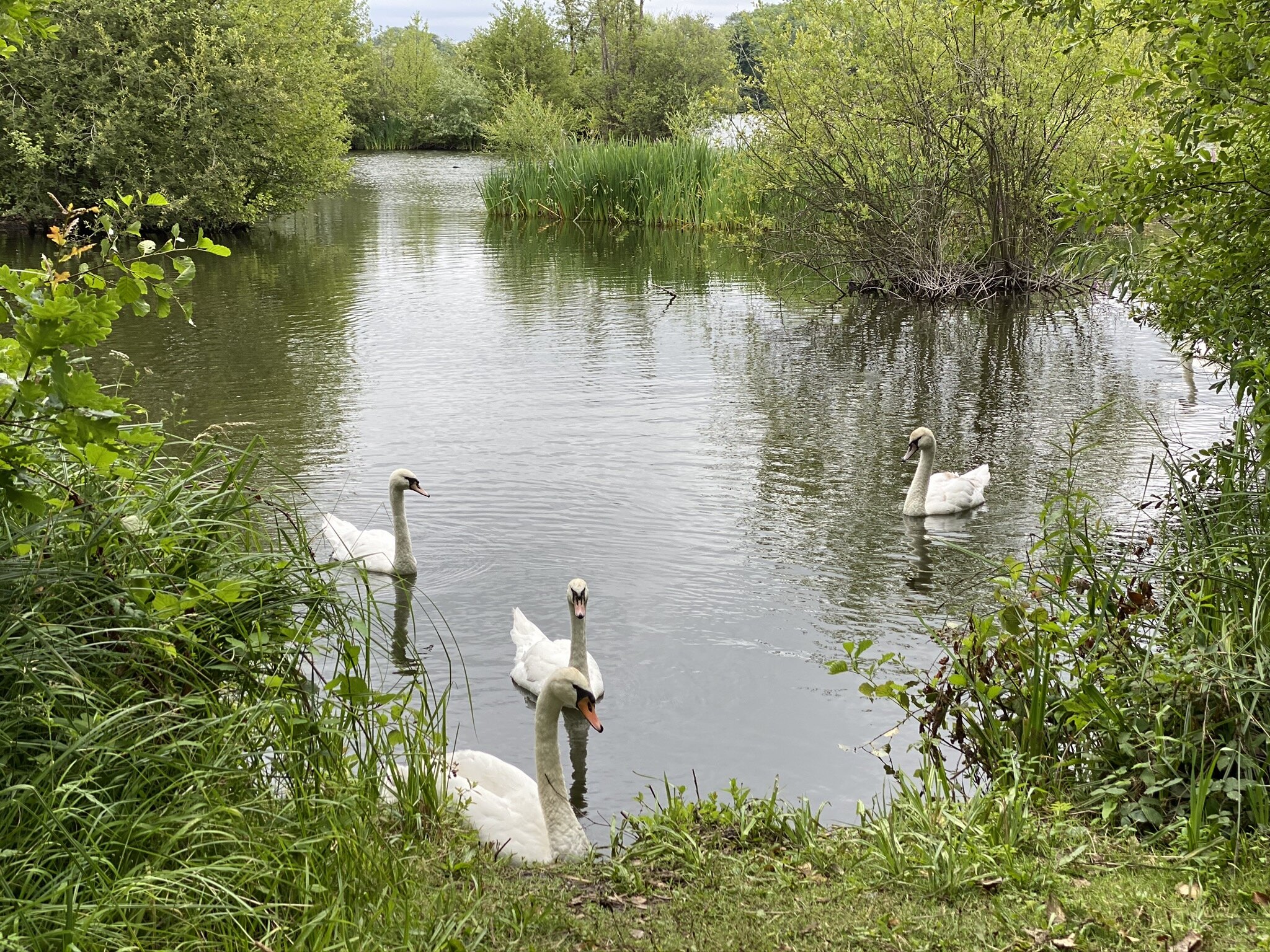
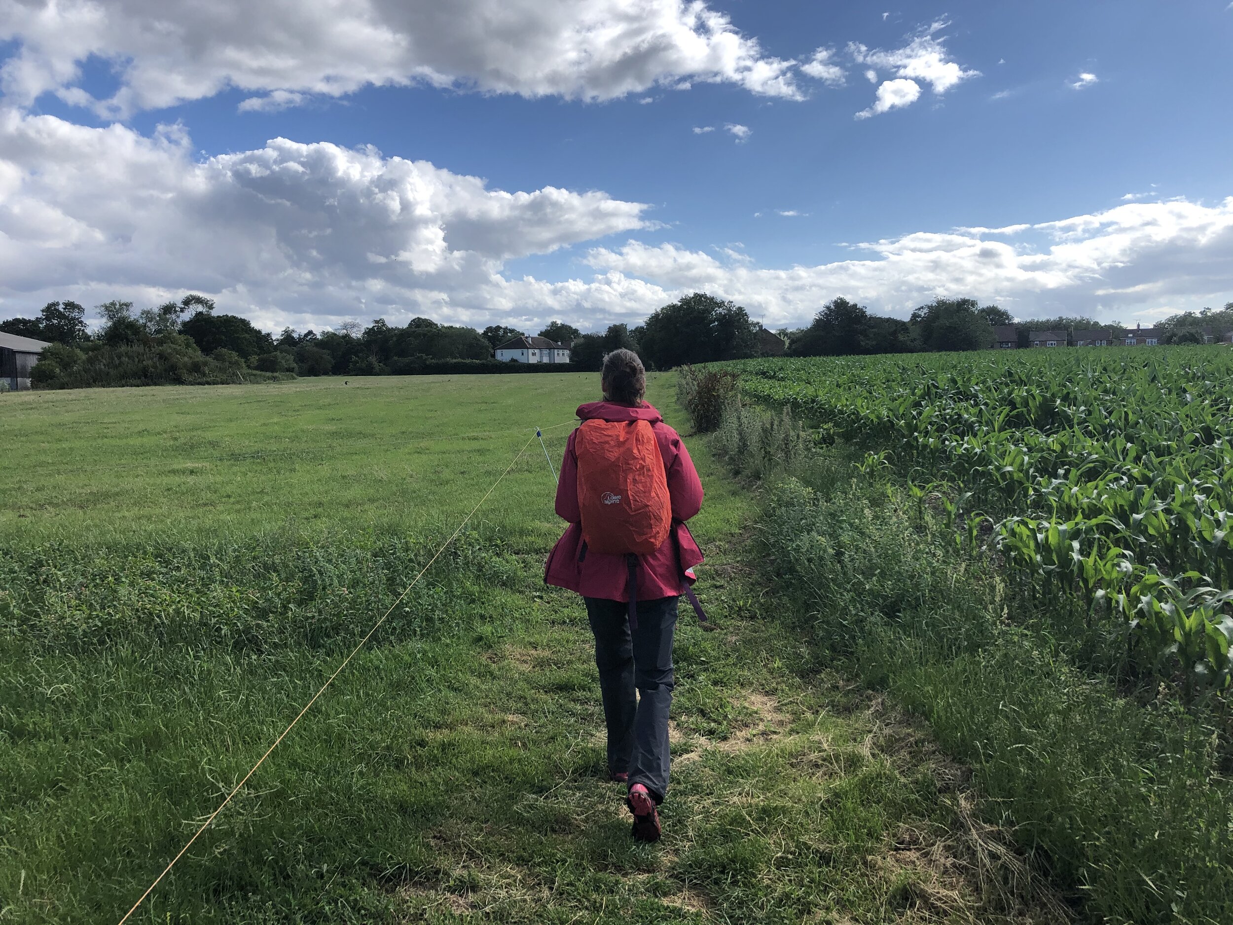
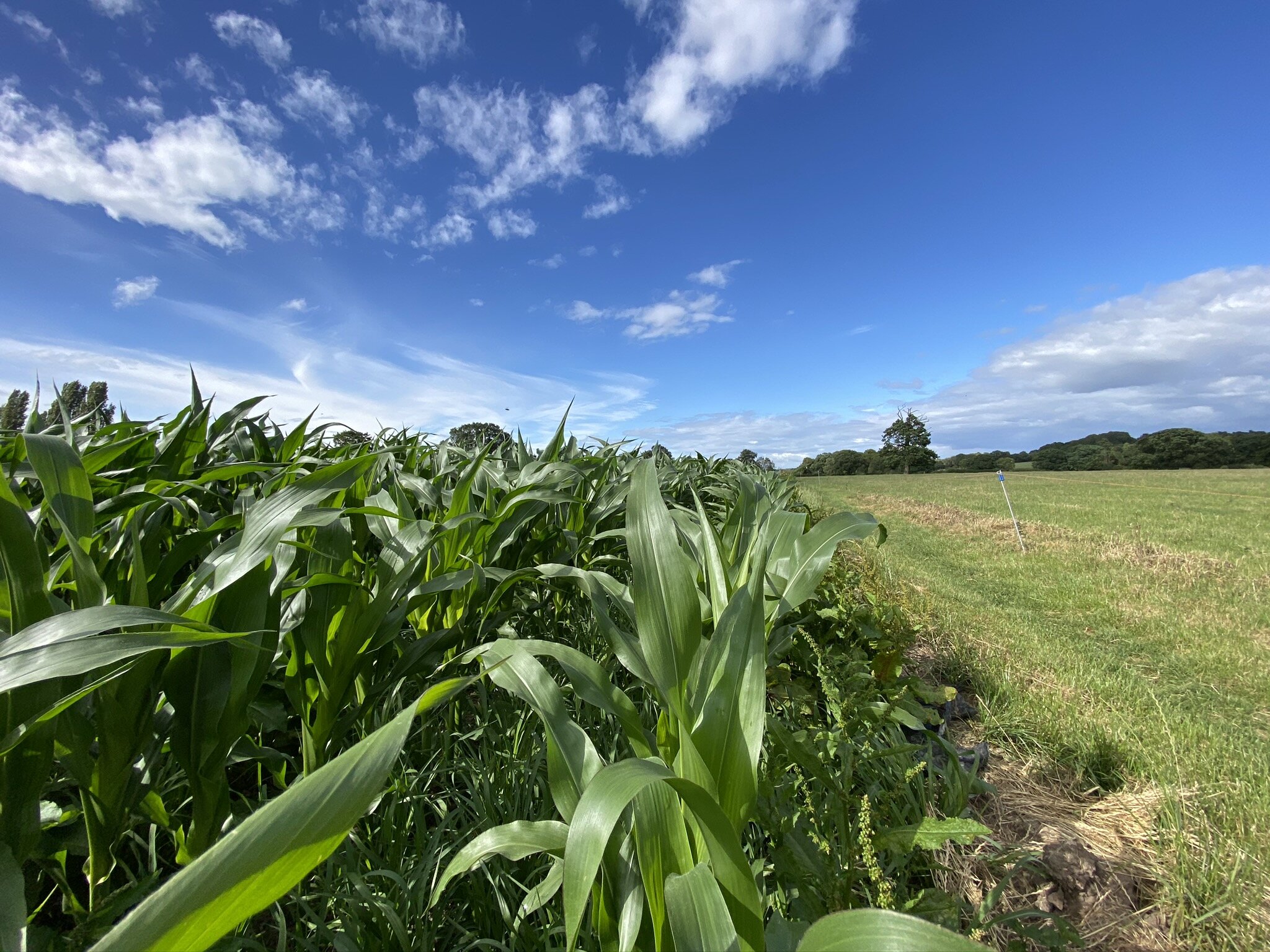
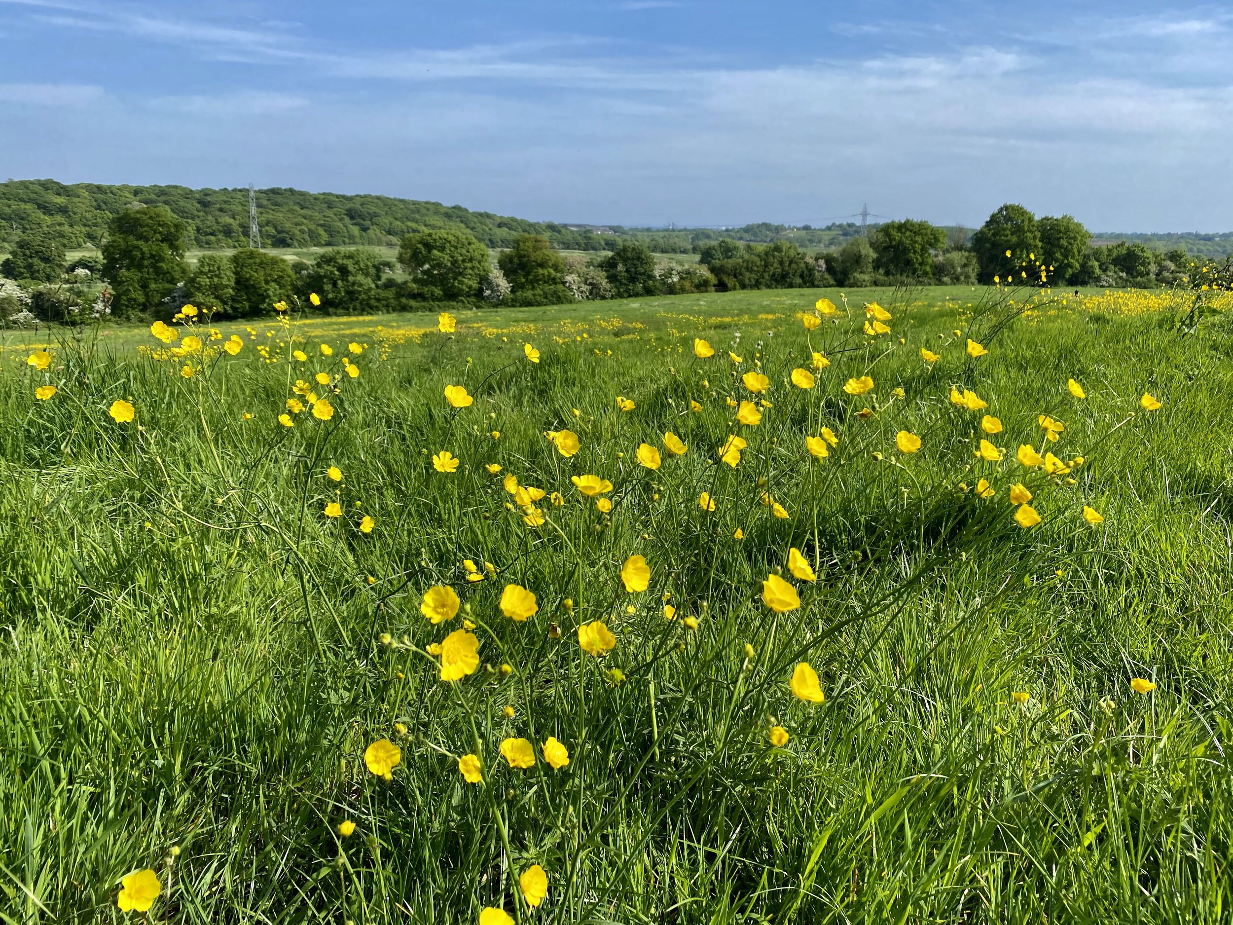
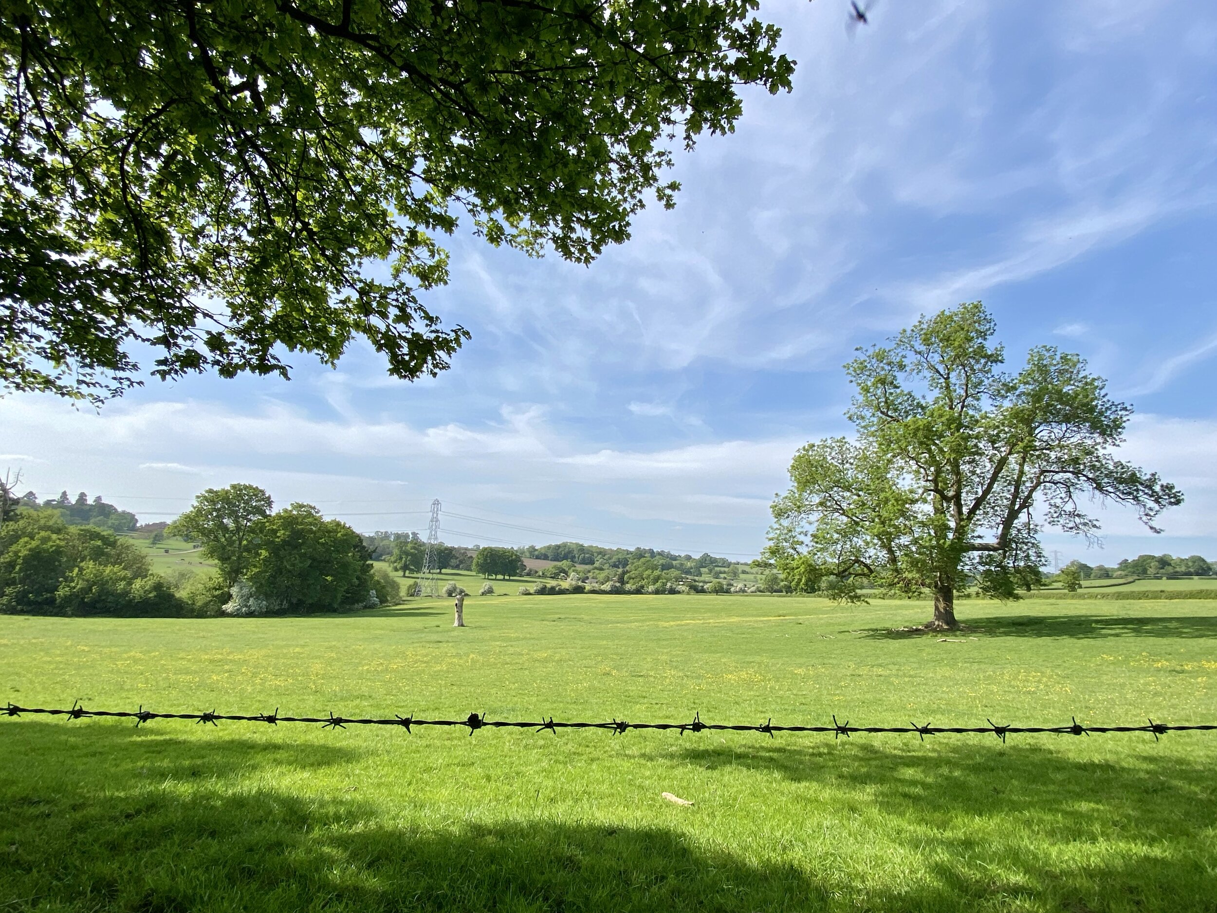
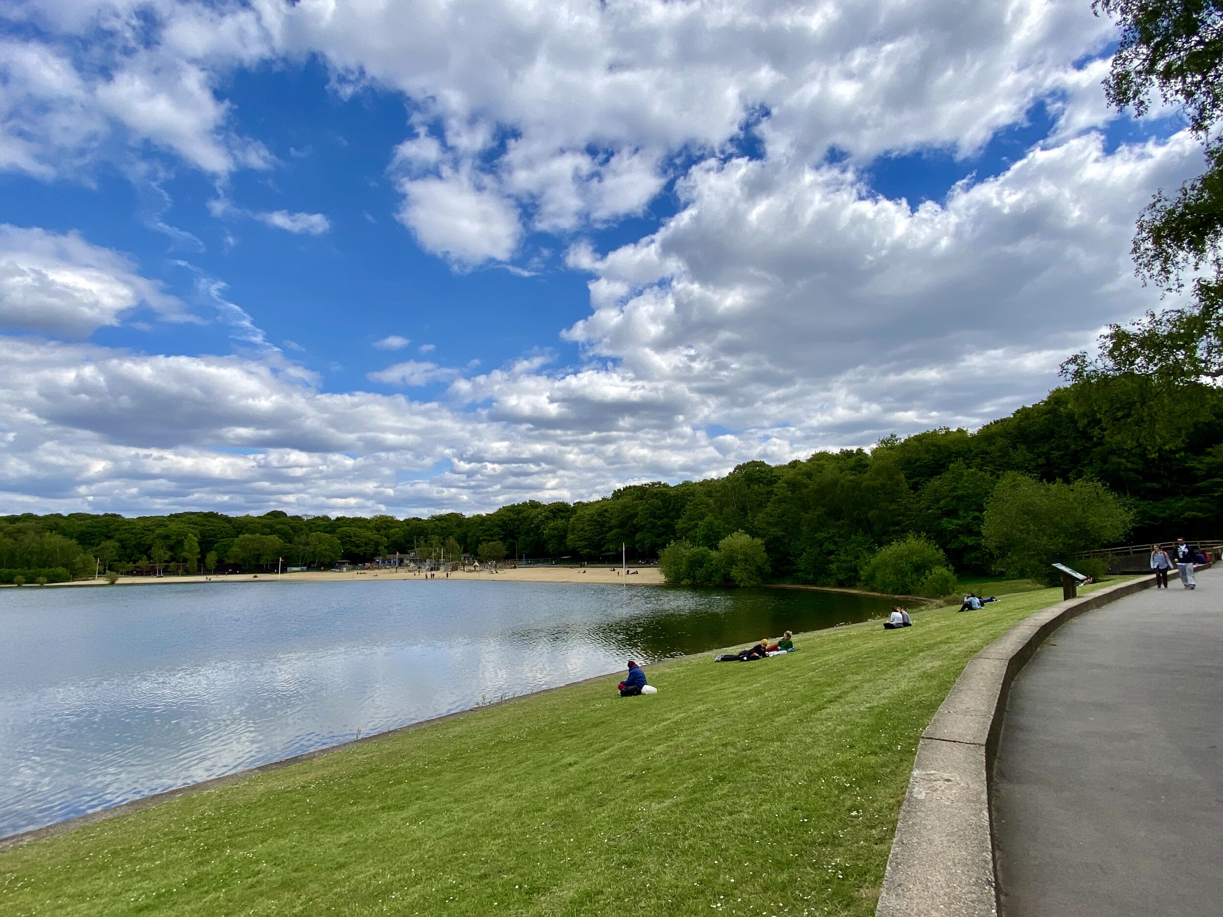
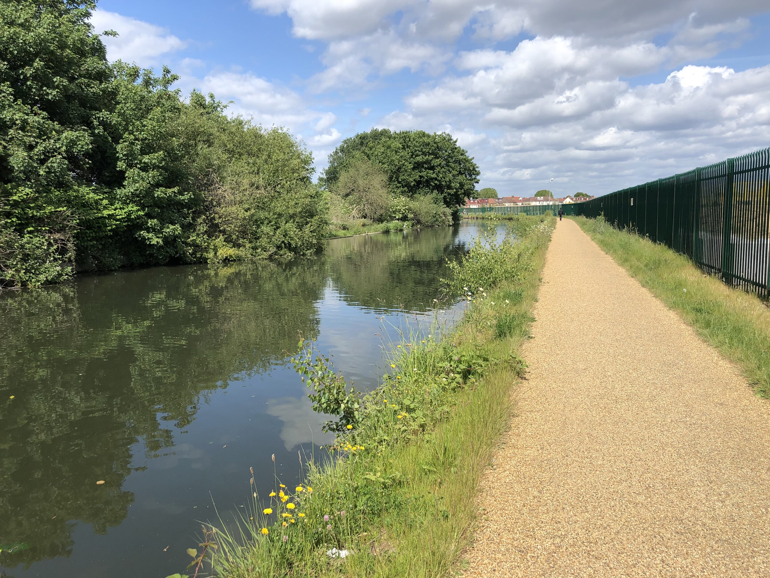
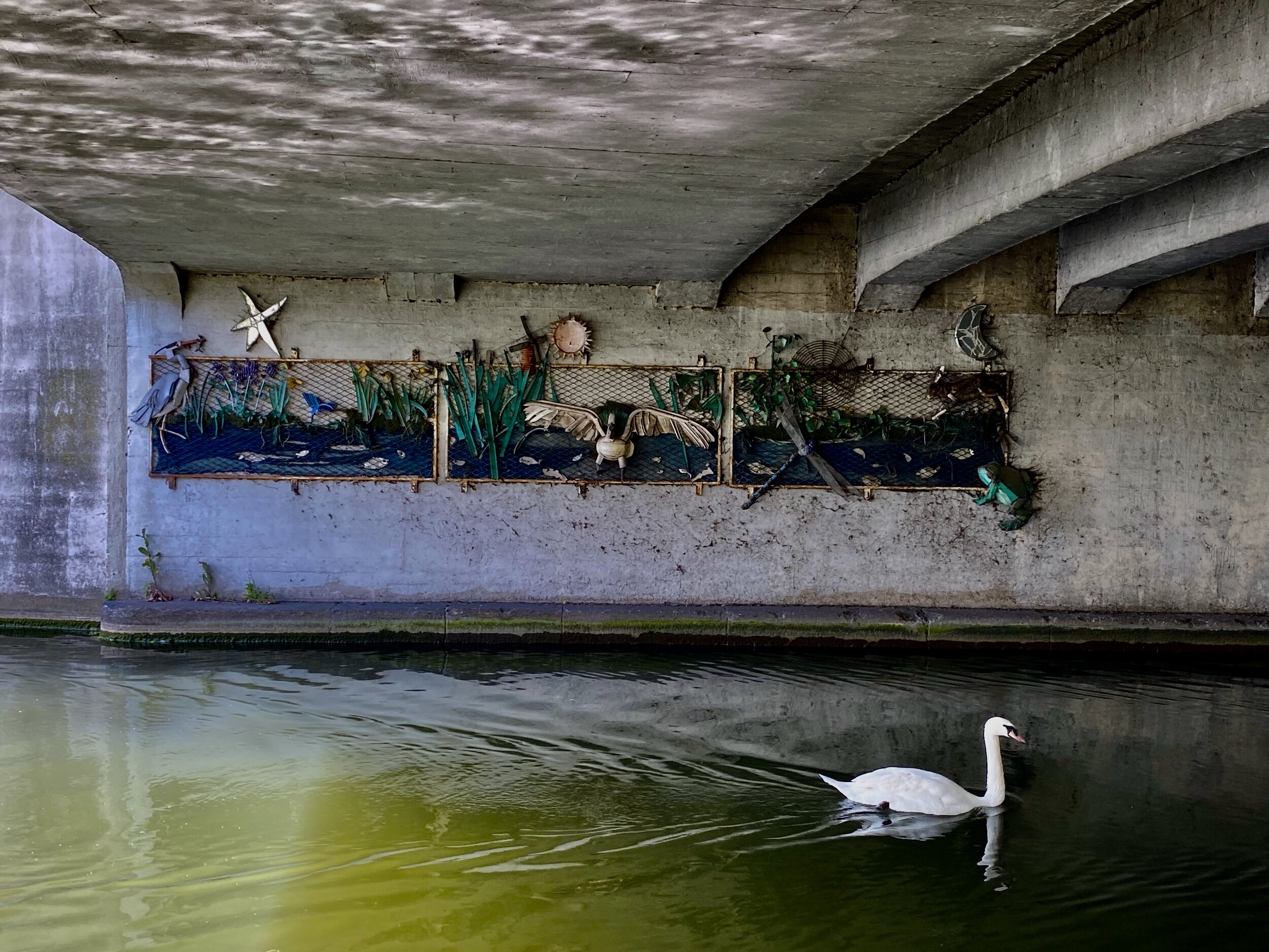
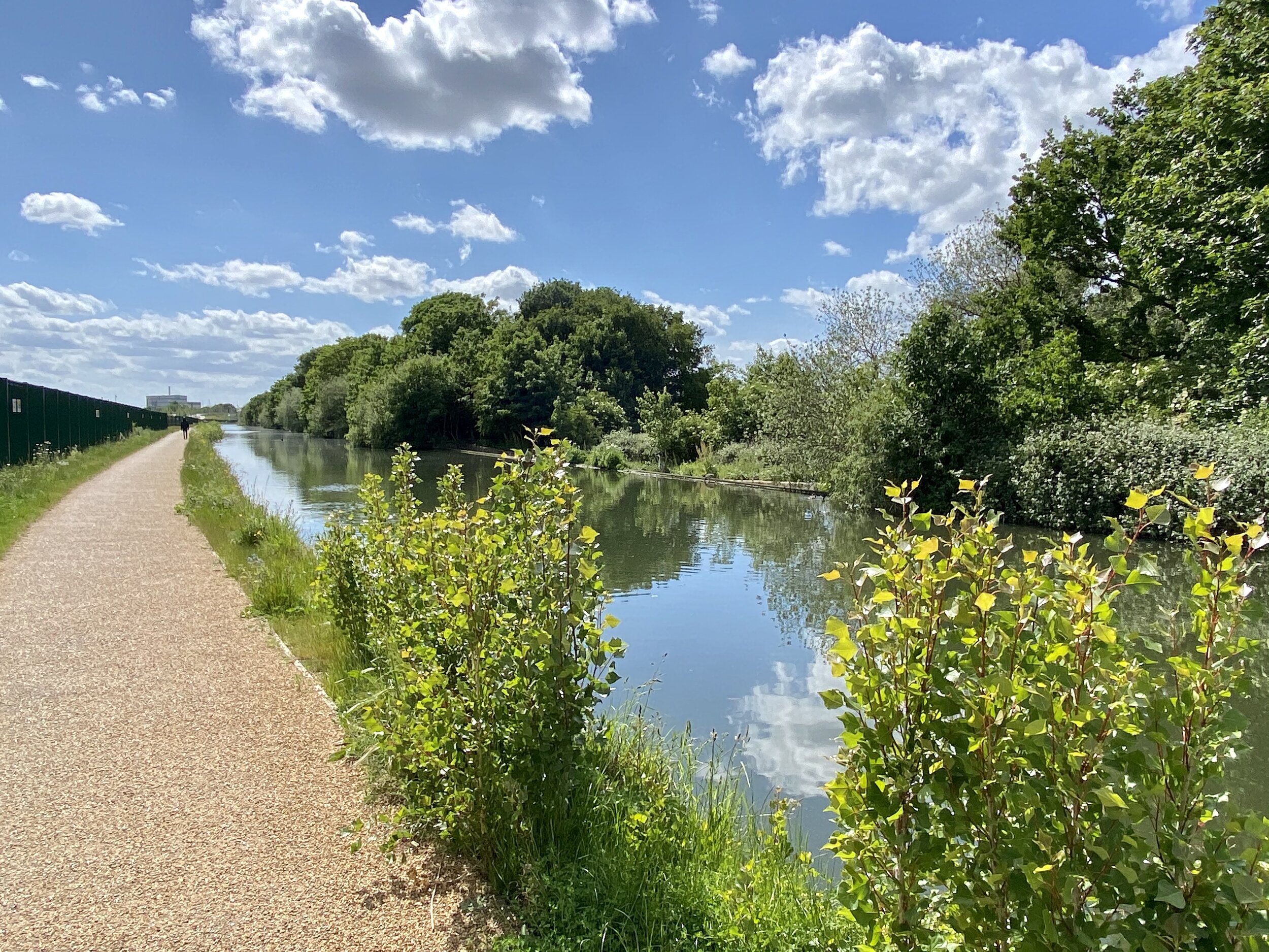
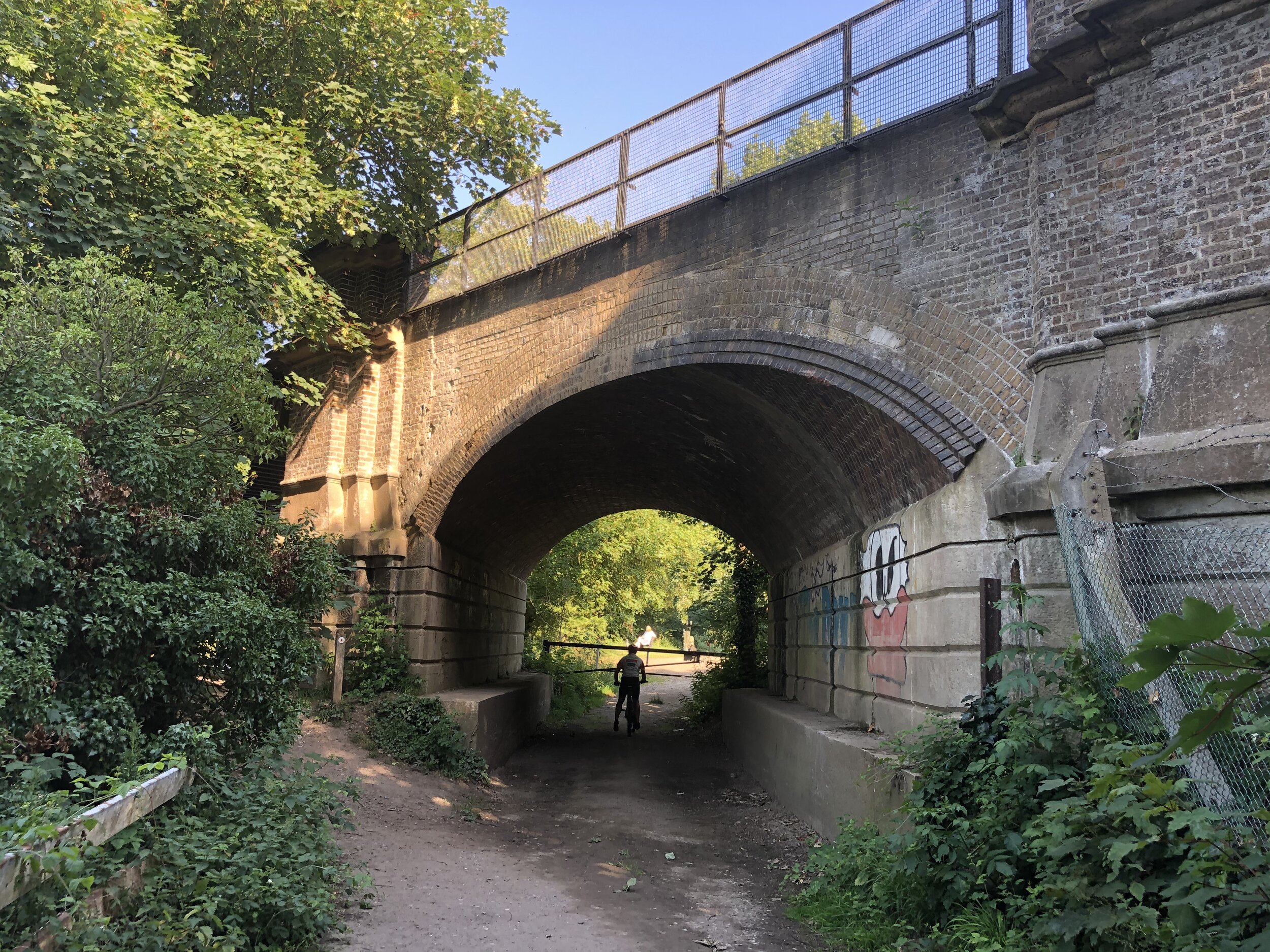
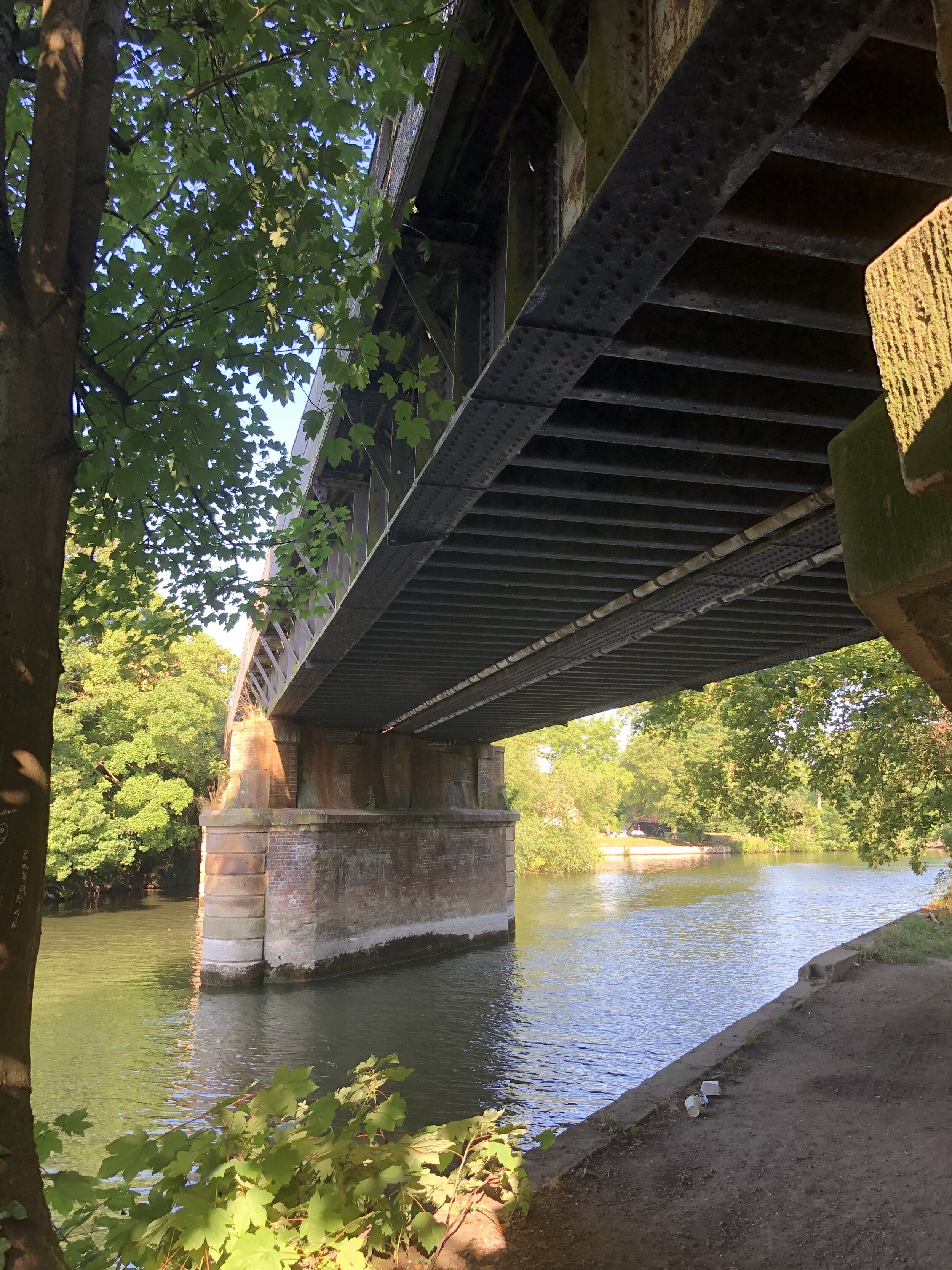
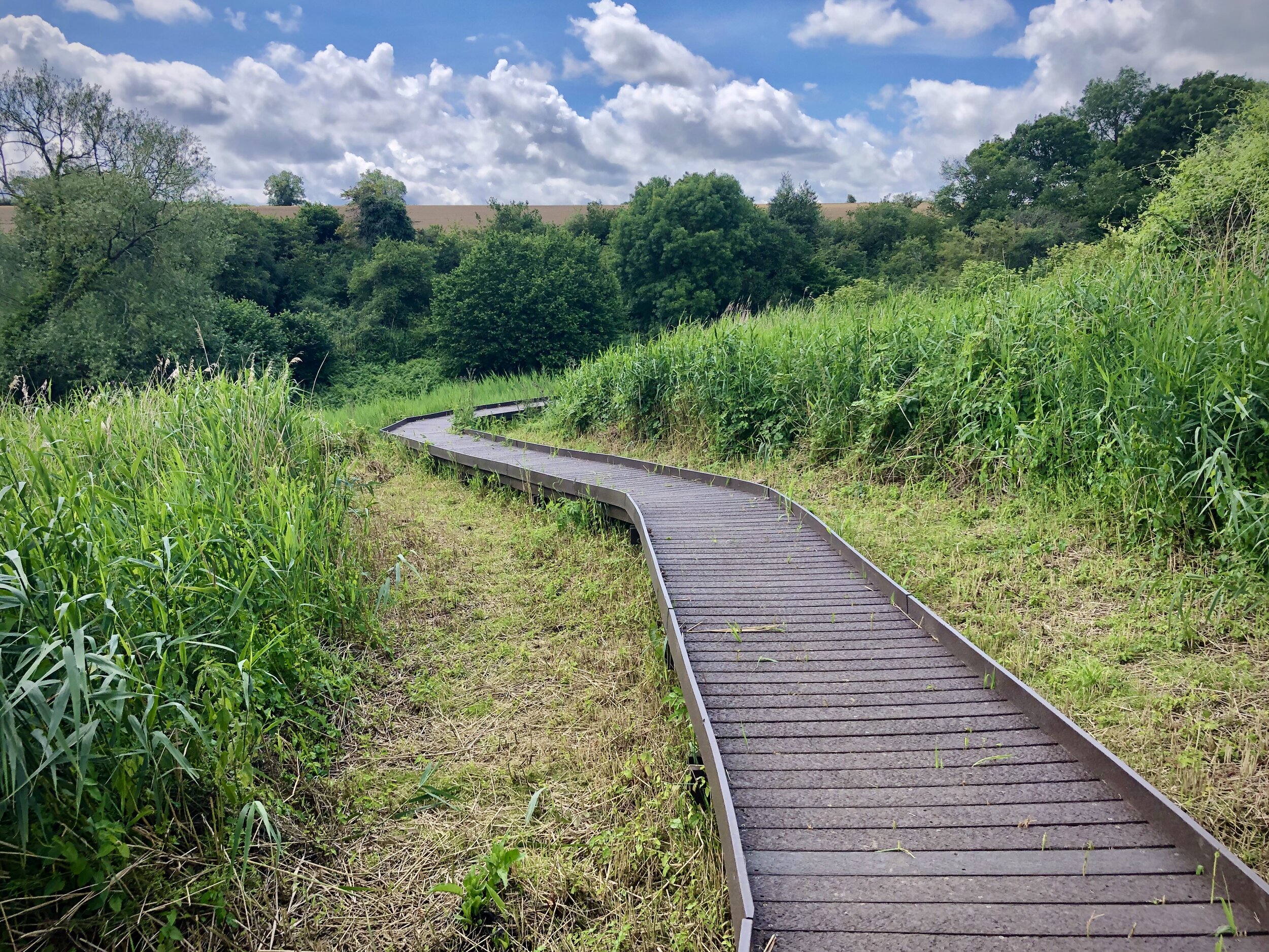
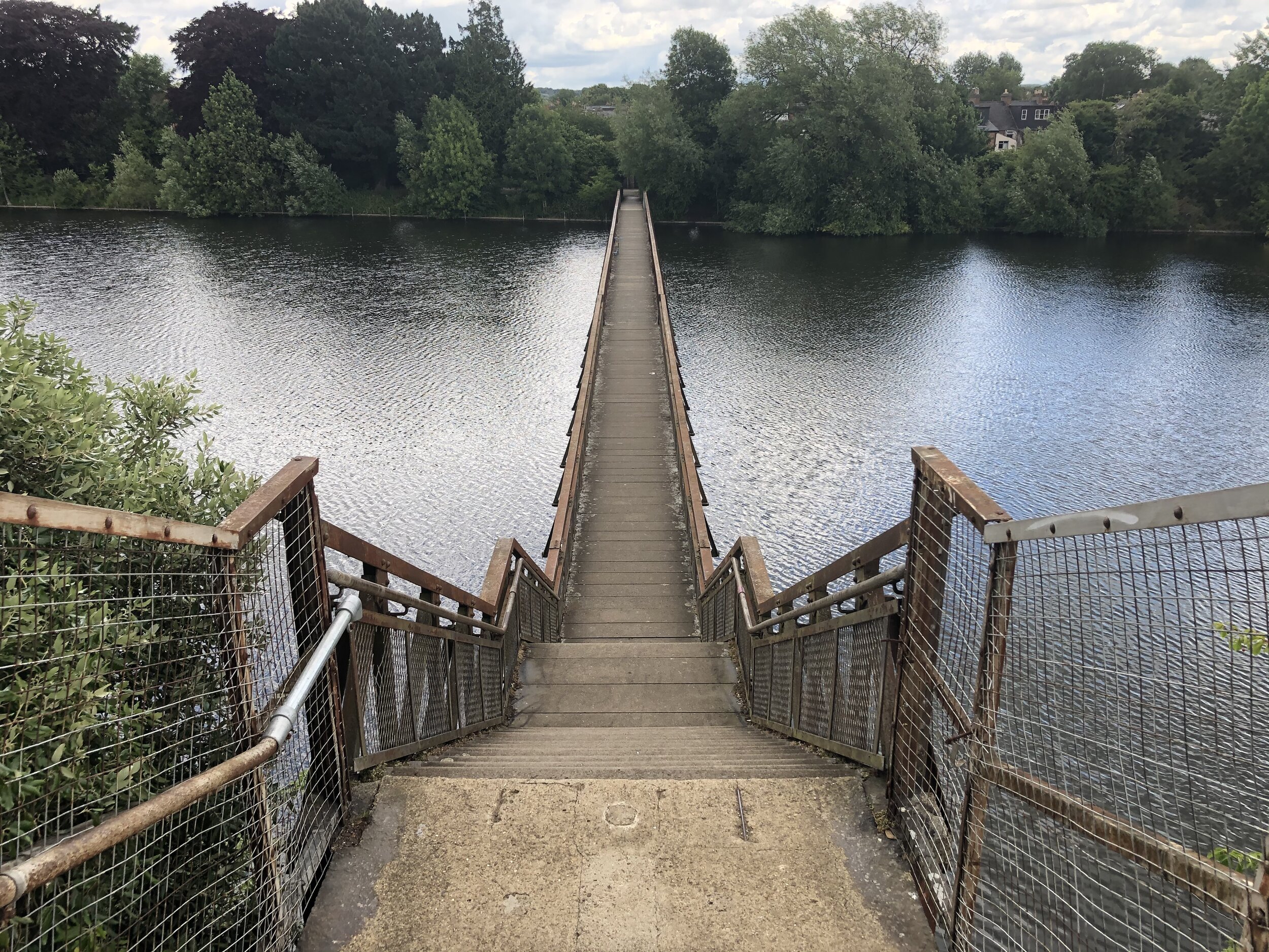
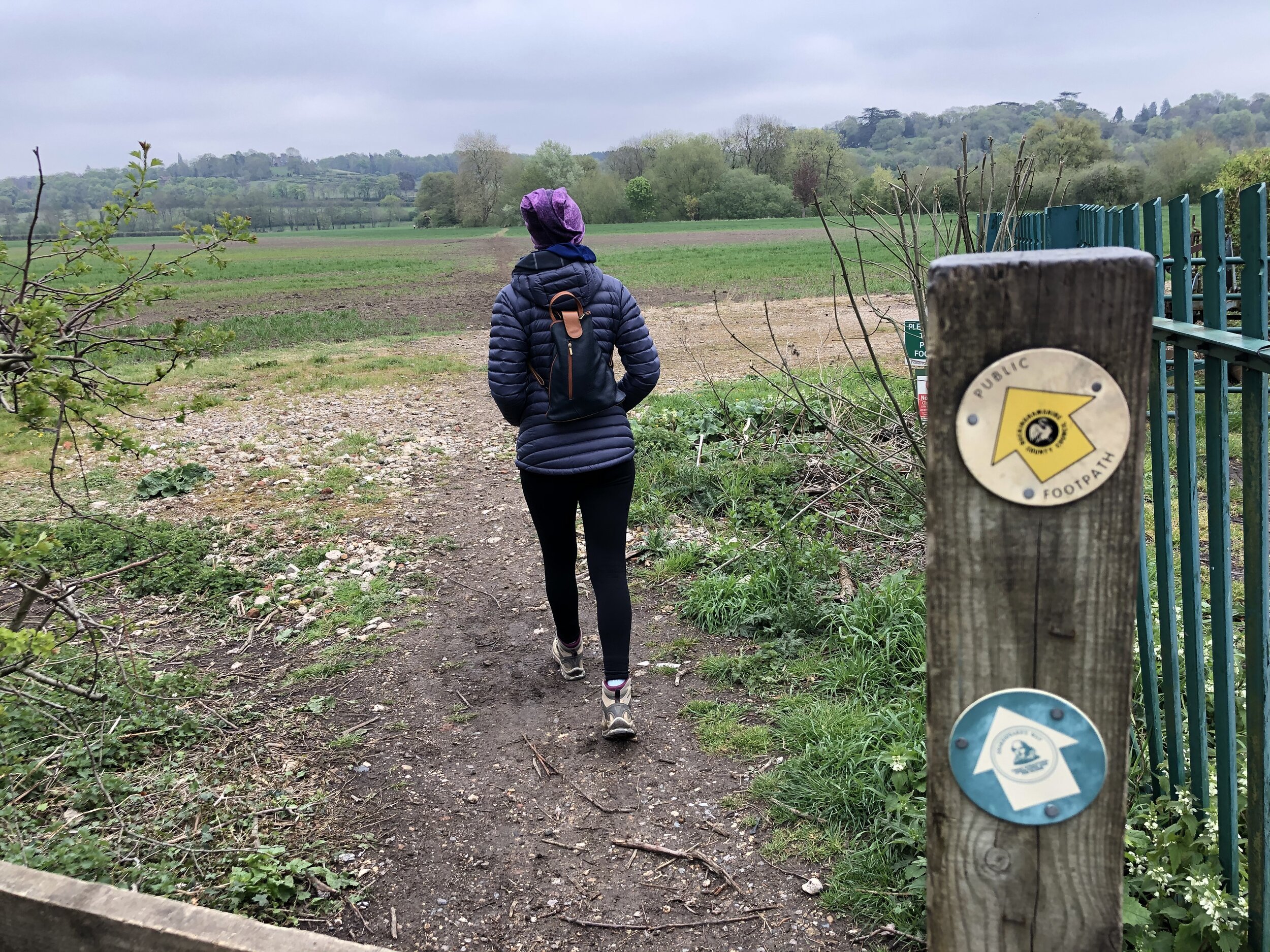
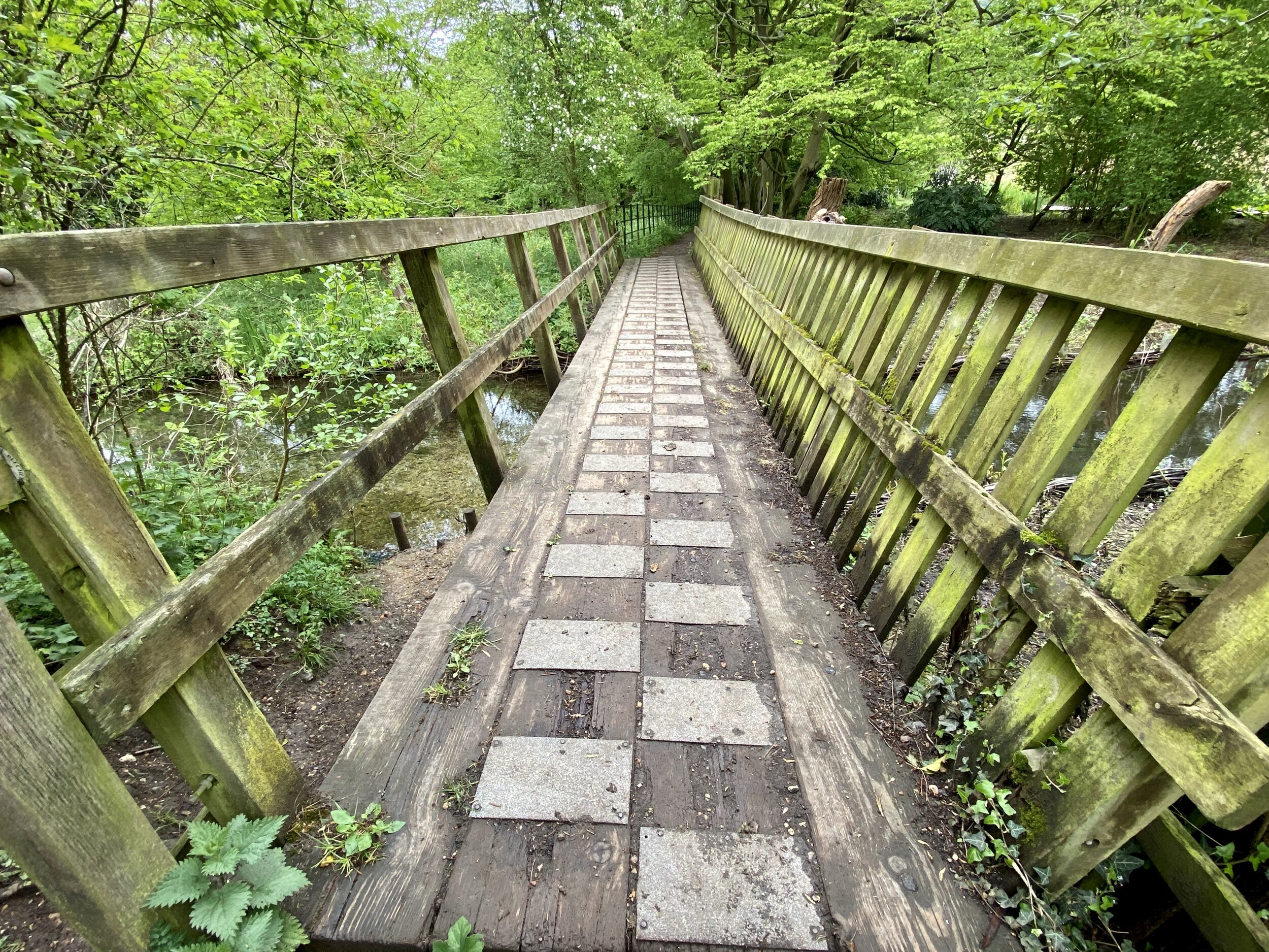
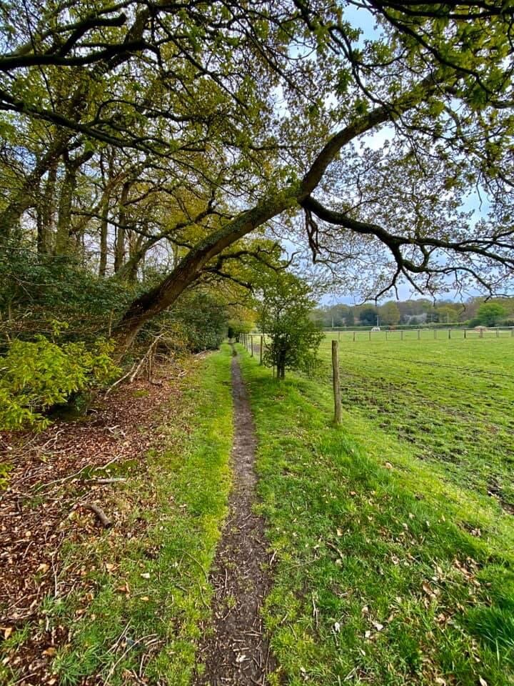
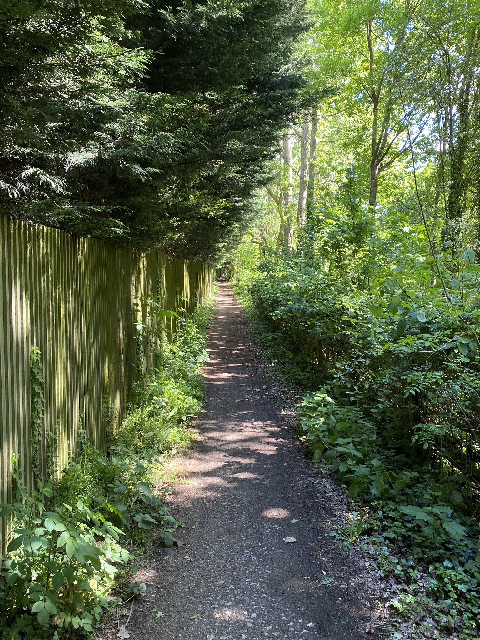
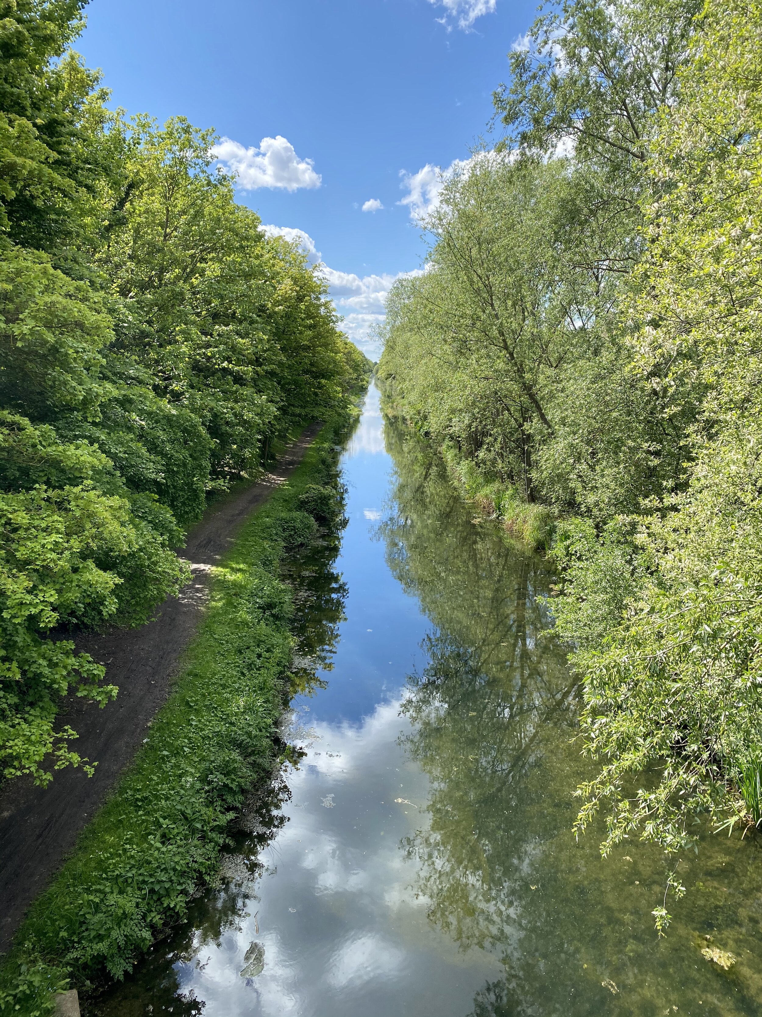
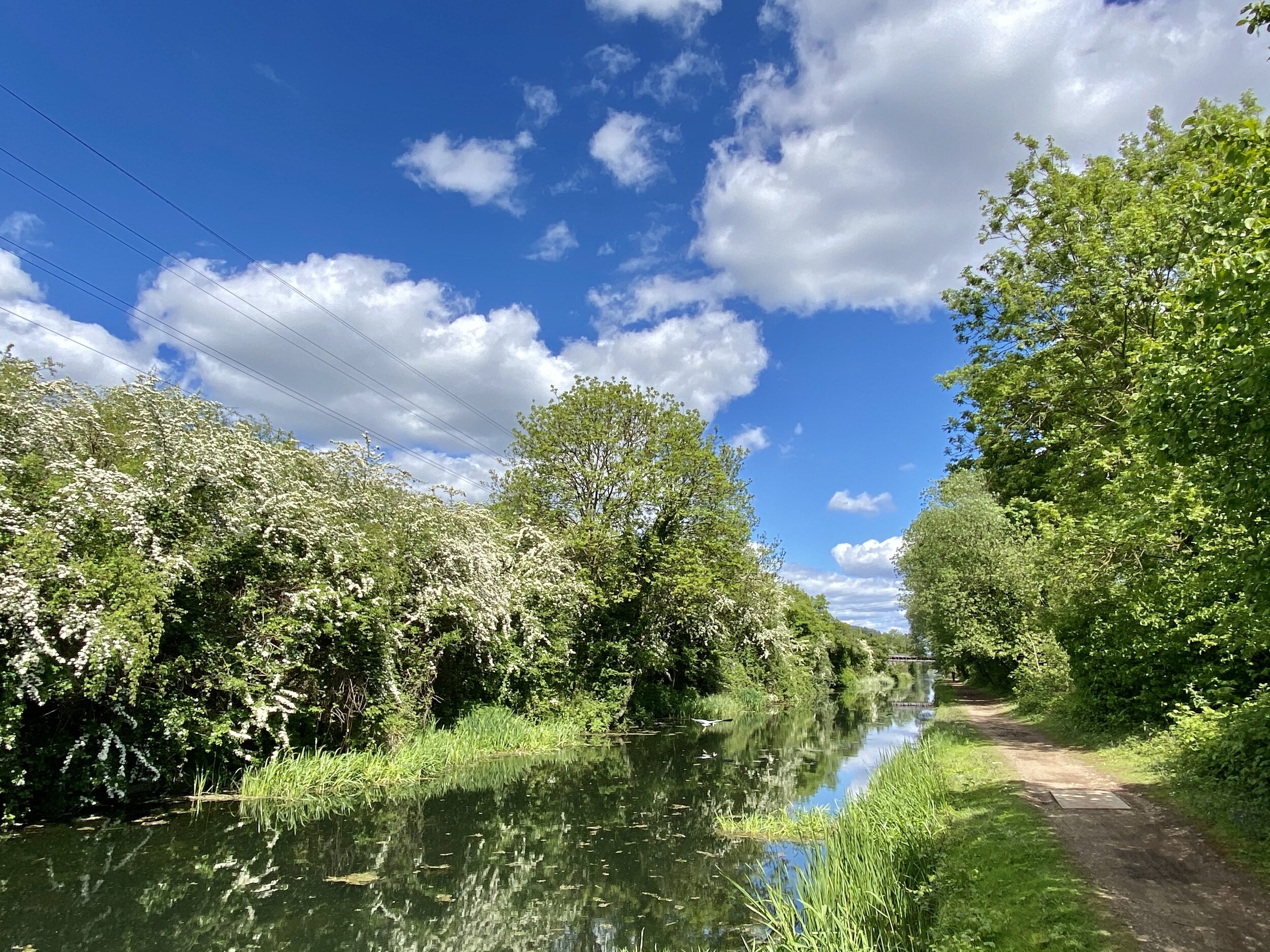
The Jubilee River is a man-made channel built in the late 1990s and early 2000s to take overflow from the River Thames to prevent flooding around Maidenhead, Windsor, and Eton. The path along side it passes through wildlife and woodland making a easy, pleasant walk or cycle. It also runs parallel and close to the Thames, allowing for several combinations of short trips that take in both.
This is the second of a series of 4 circular walks of roughly 10 km that take in sections of both the Jubilee River and Thames Path. This one starts at Eton Wick village hall and meets up with section on on Harcourt Road in Dorney Reach.
The Complete Route: Thames Path & Jubilee River Walks

Yellow = Maidenhead & Bray, Red = Dorney & Eton Wick, Blue = Eton Wick and Eton, Greet = Eton and Datchet
Previous Thames Path Section (west): Maidenhead & Bray
Next Thames Path Section (east): Eton Wick and Eton