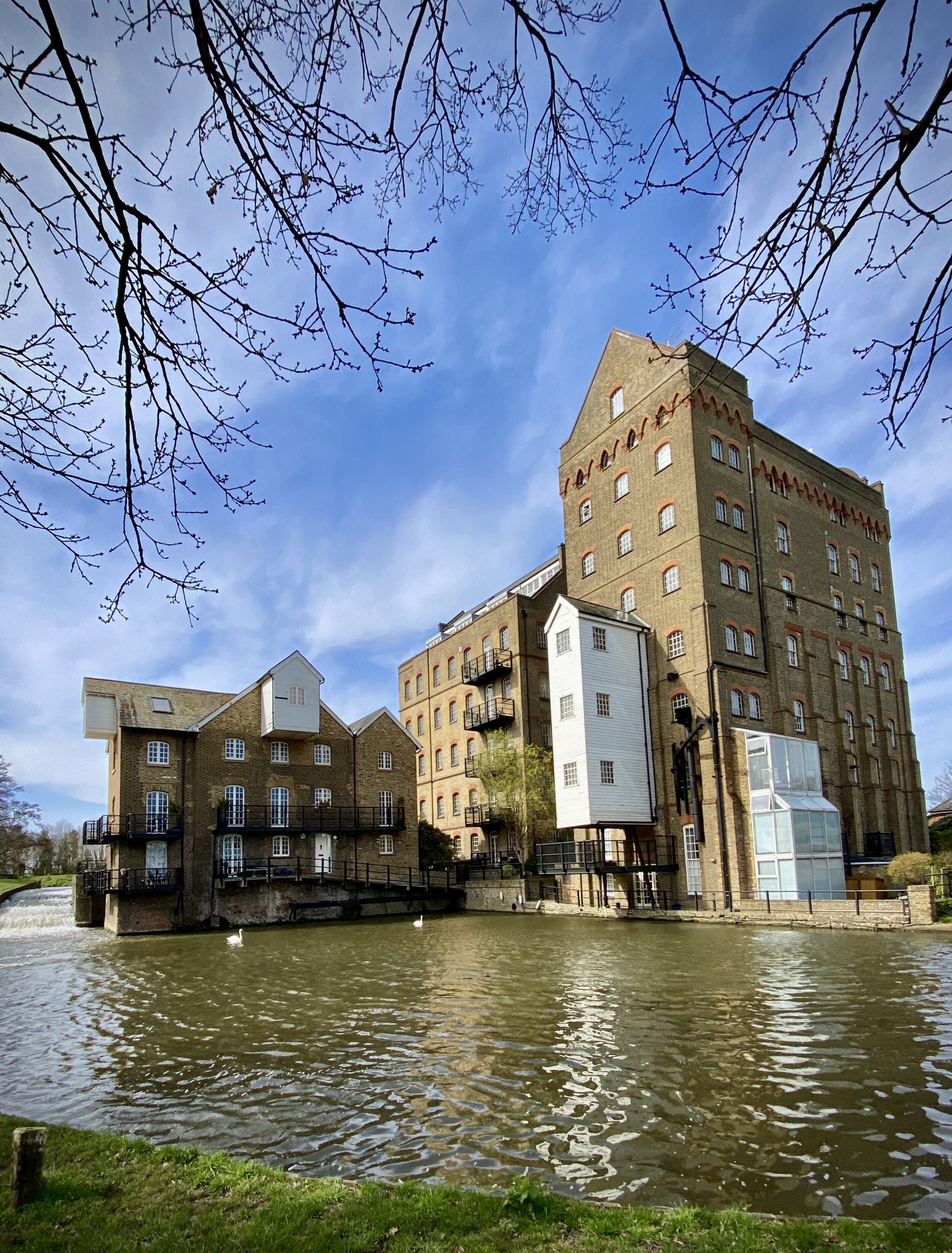
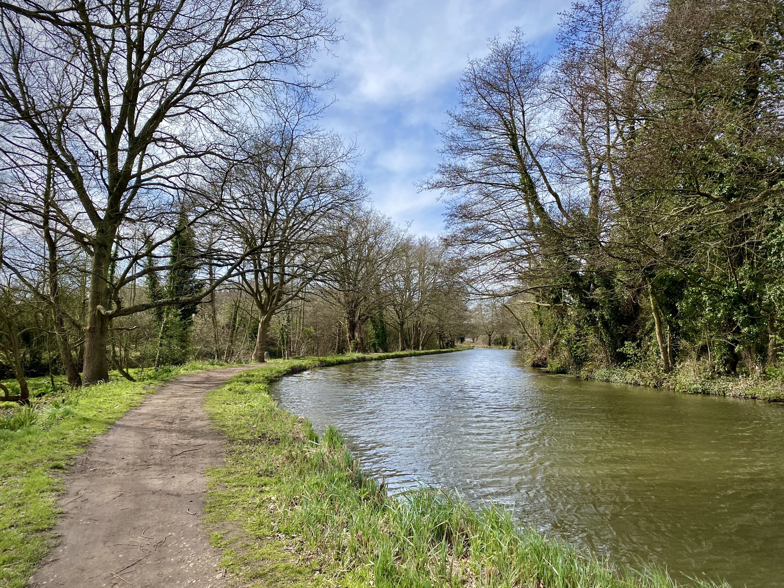
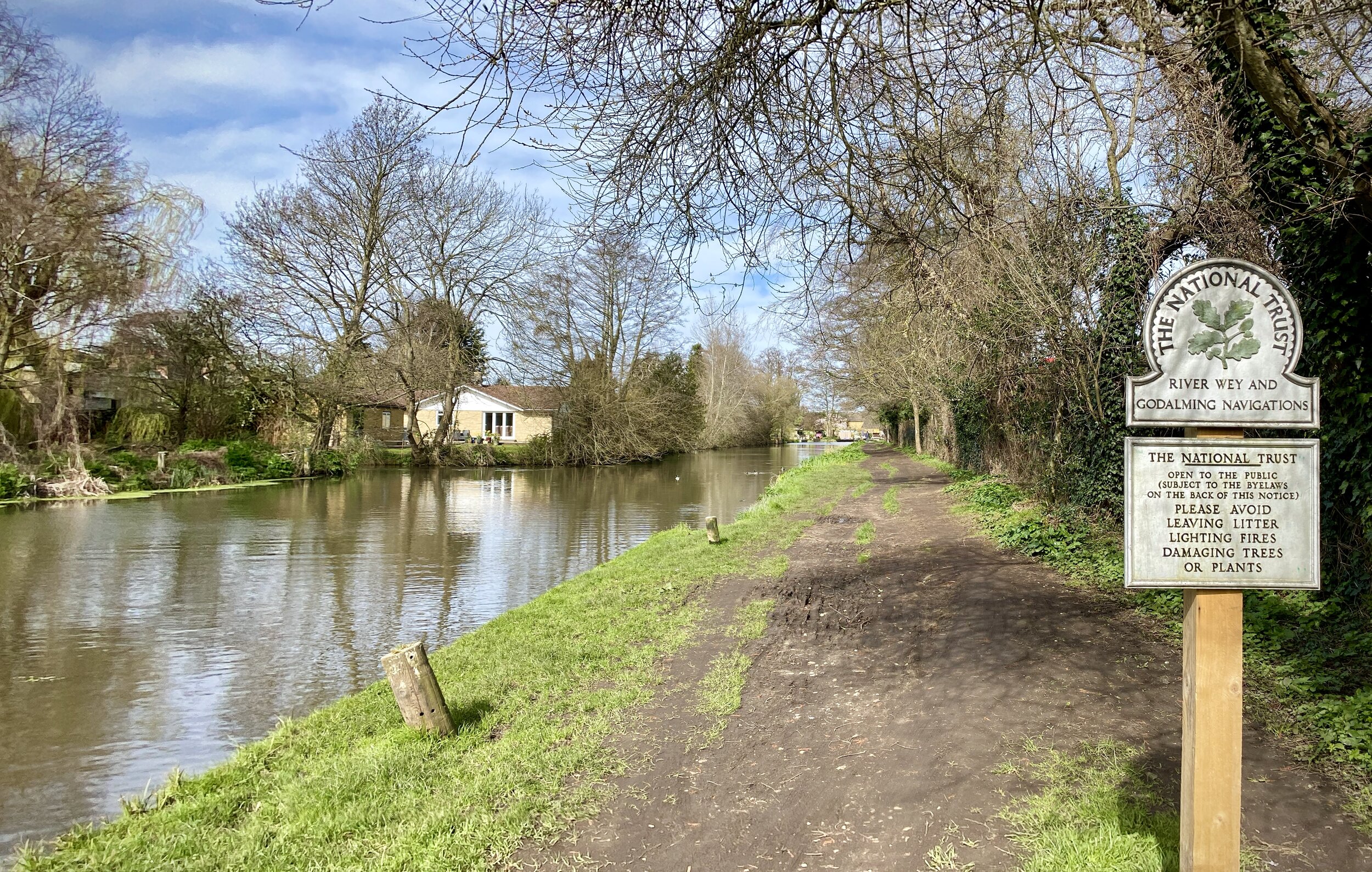
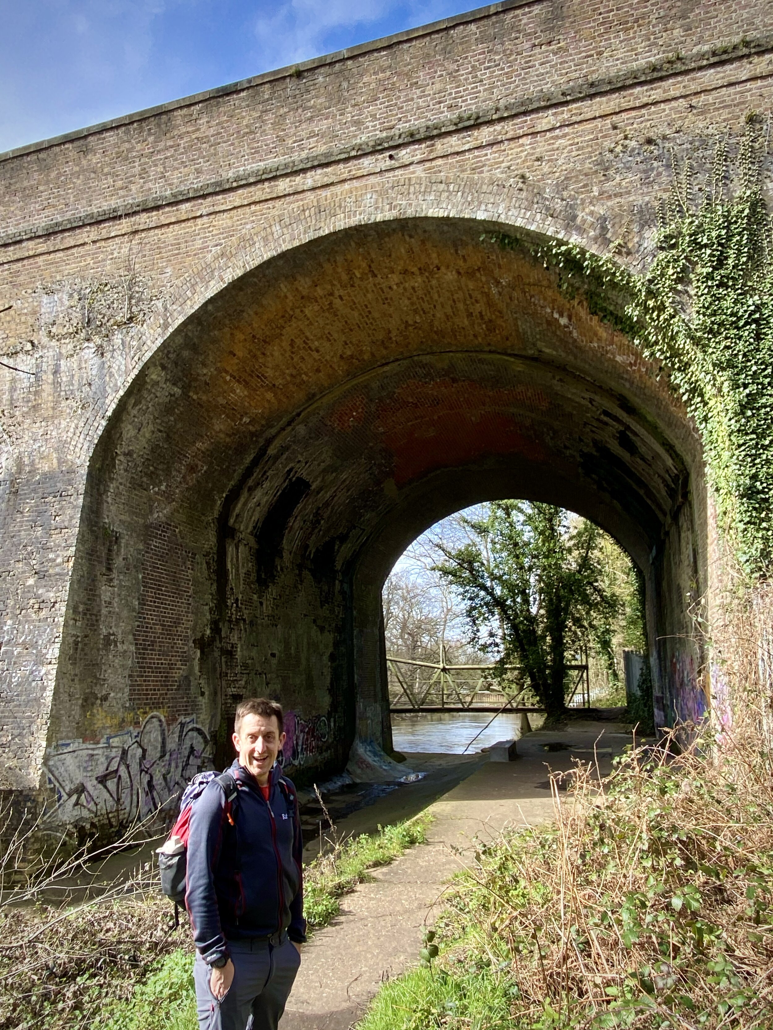
Walking The Box Hill Hike
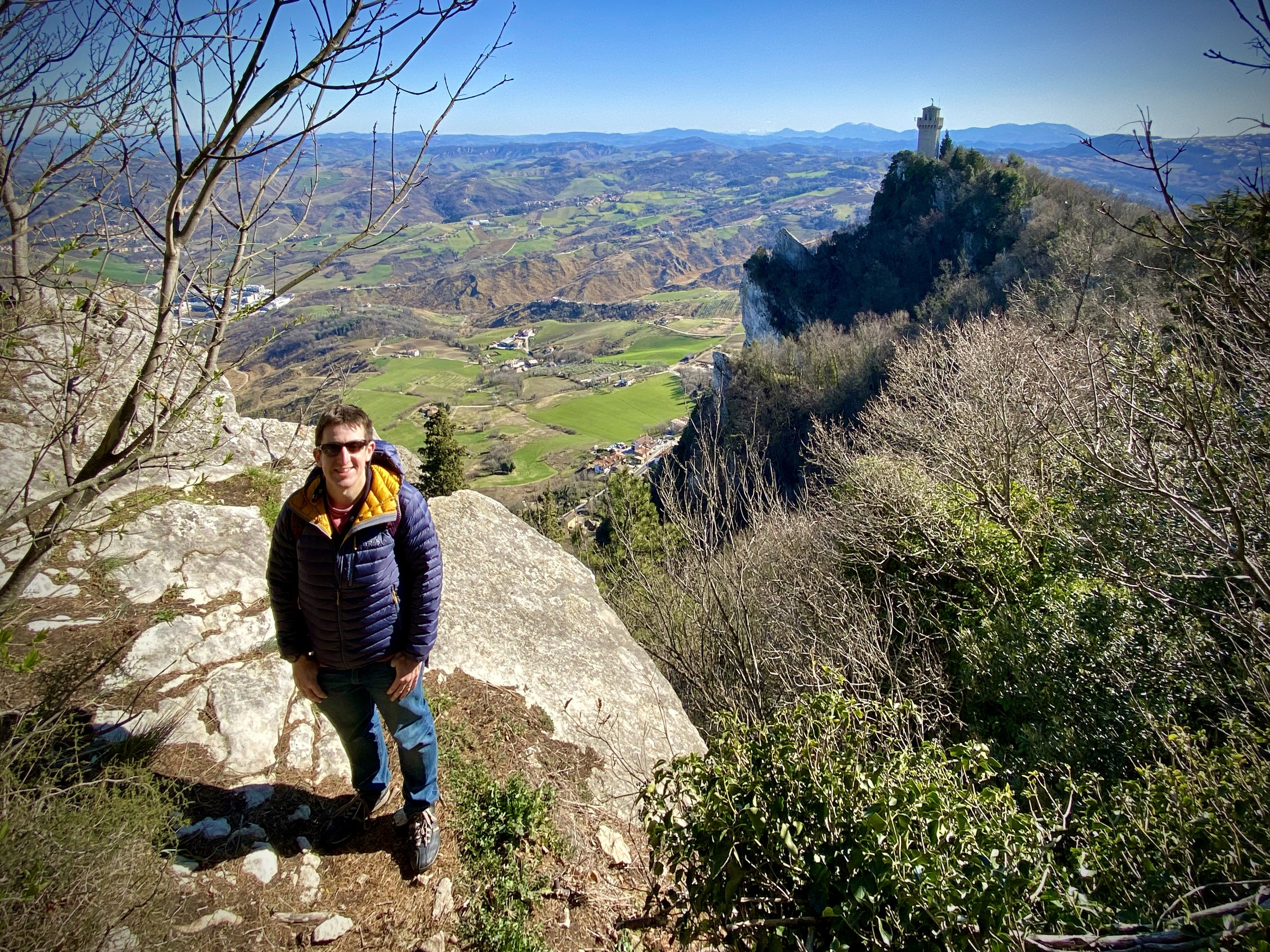
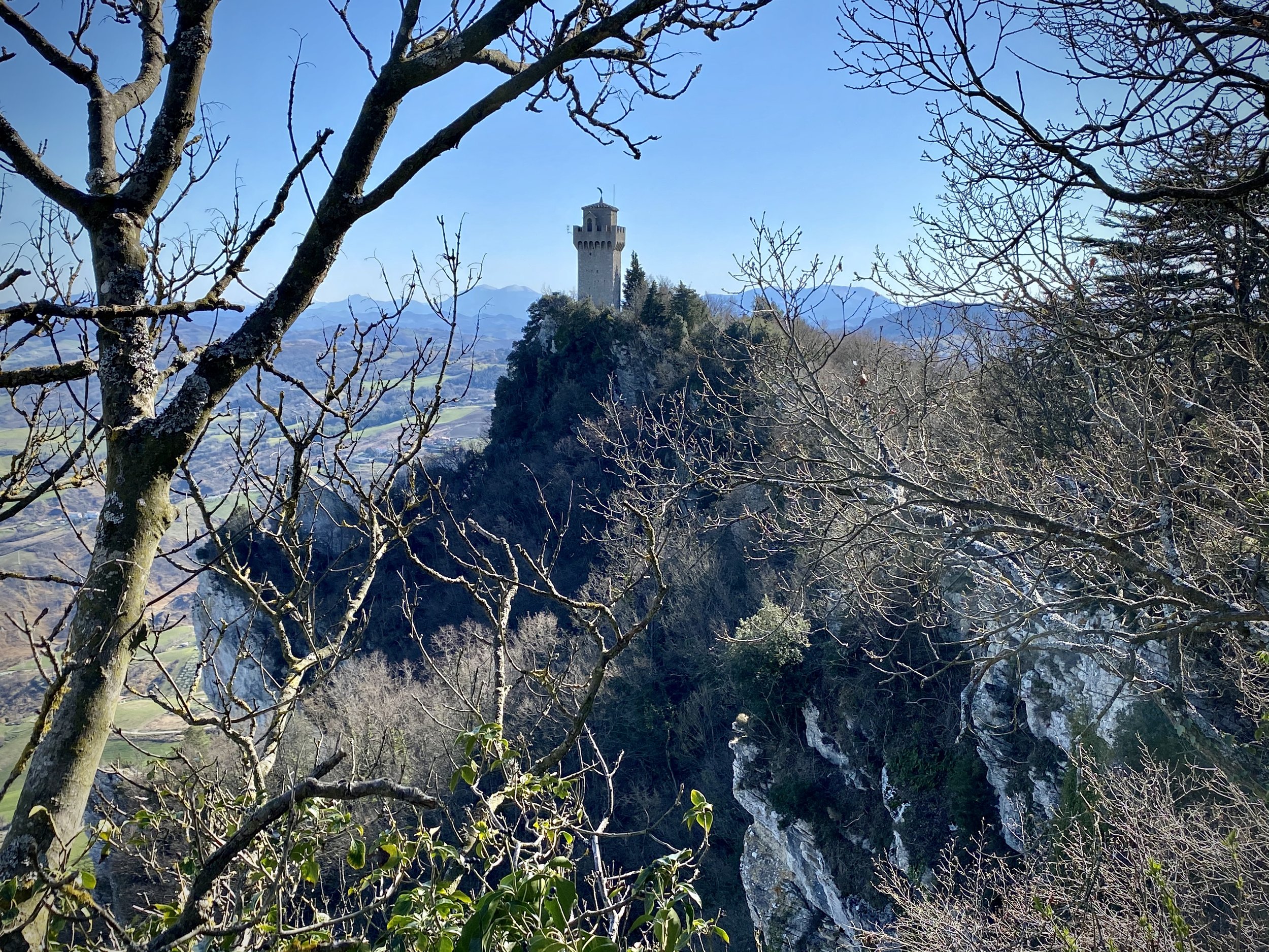
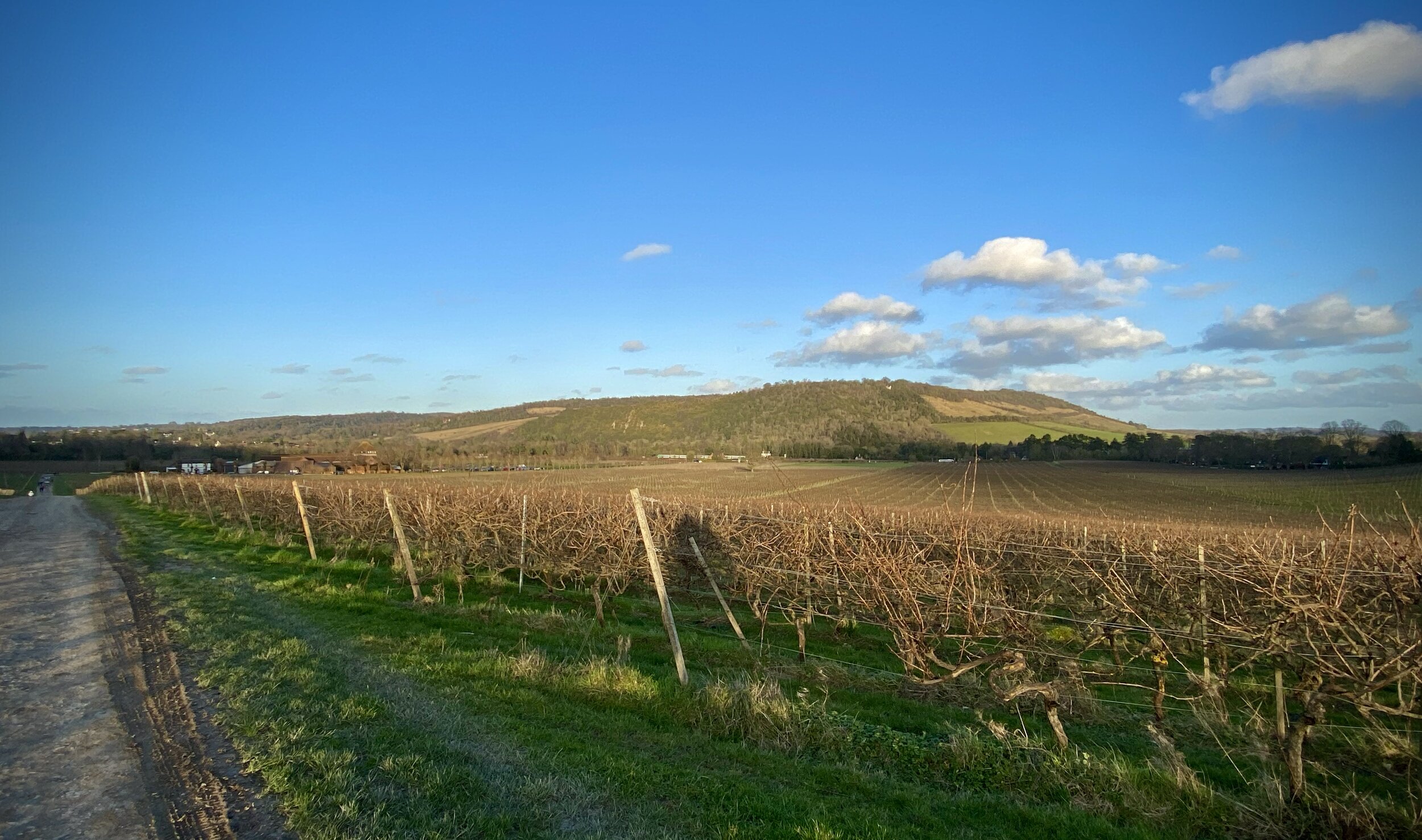
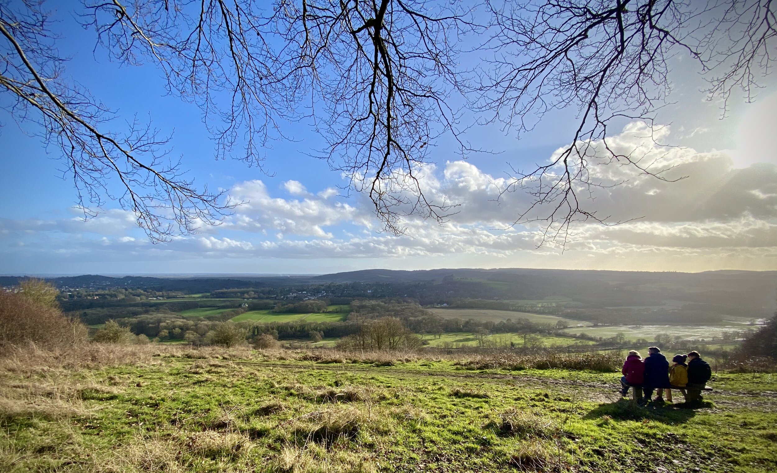
View from the OS Trig Pillar at Box Hill

View from the OS Trig Pillar at Box Hill


Start & Finish: The National Trust Car Park, Zig Zag Rd, Tadworth, KT20 7LB
Distance: 11.2 km (7 miles)
Elevation change: +/- 370 m
GPX File: get via Buy Me a Coffee
Other routes touched (walk): North Downs Way, Thames Down Link
Other routes touched (cycle): NCN 22
OS Trig Pillars: TP1553 - Box Hill, TP4791 - Mickleham Down,
Other Pubs / Cafes on route:
The Running Horses Mickleham
Map: OS Explorer Map (146) Dorking, Box Hill and Reigate
Links: National Trust Box Hill, Box Hill Hike Route Guide, Peakbagger: Box Hill


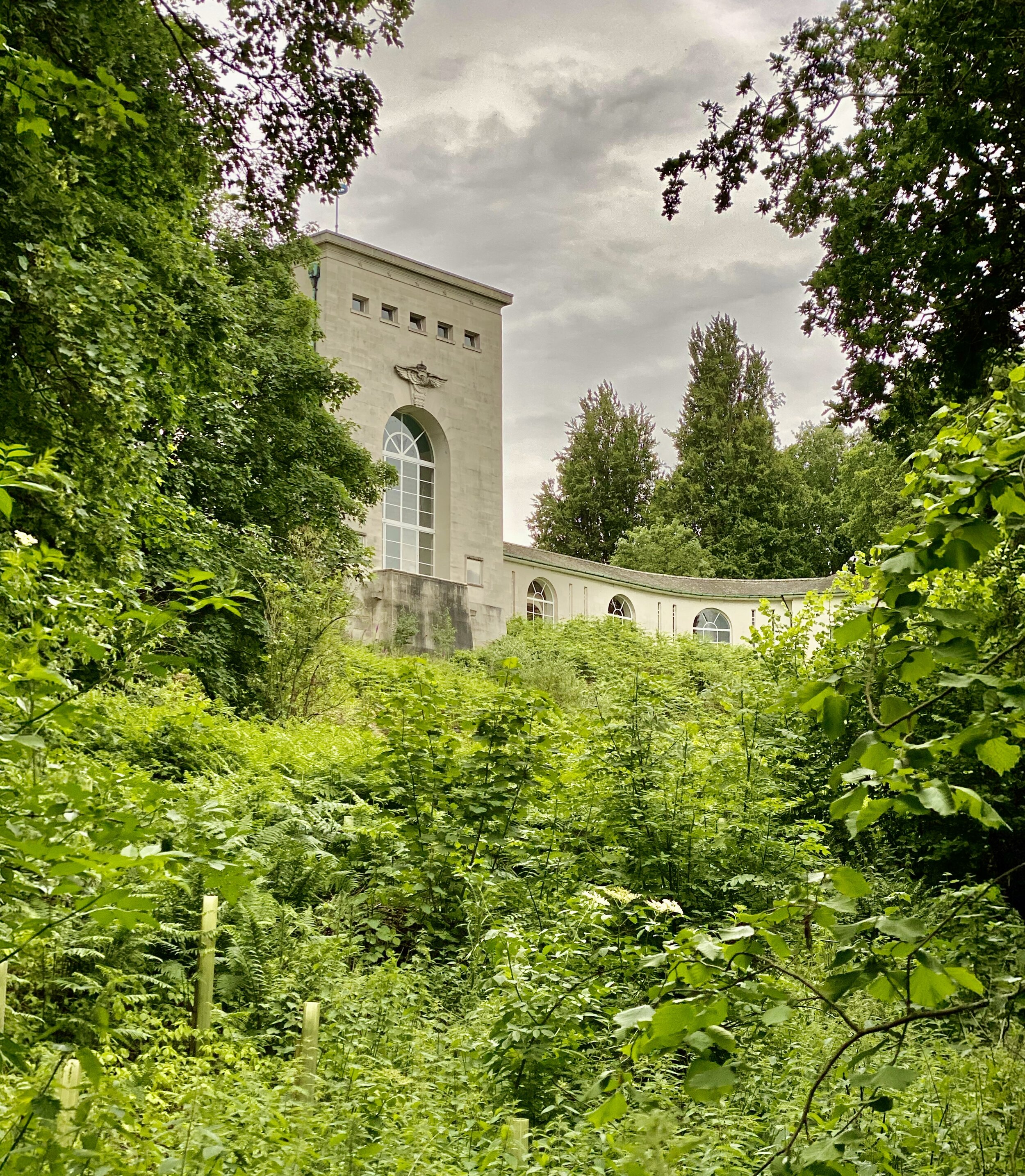
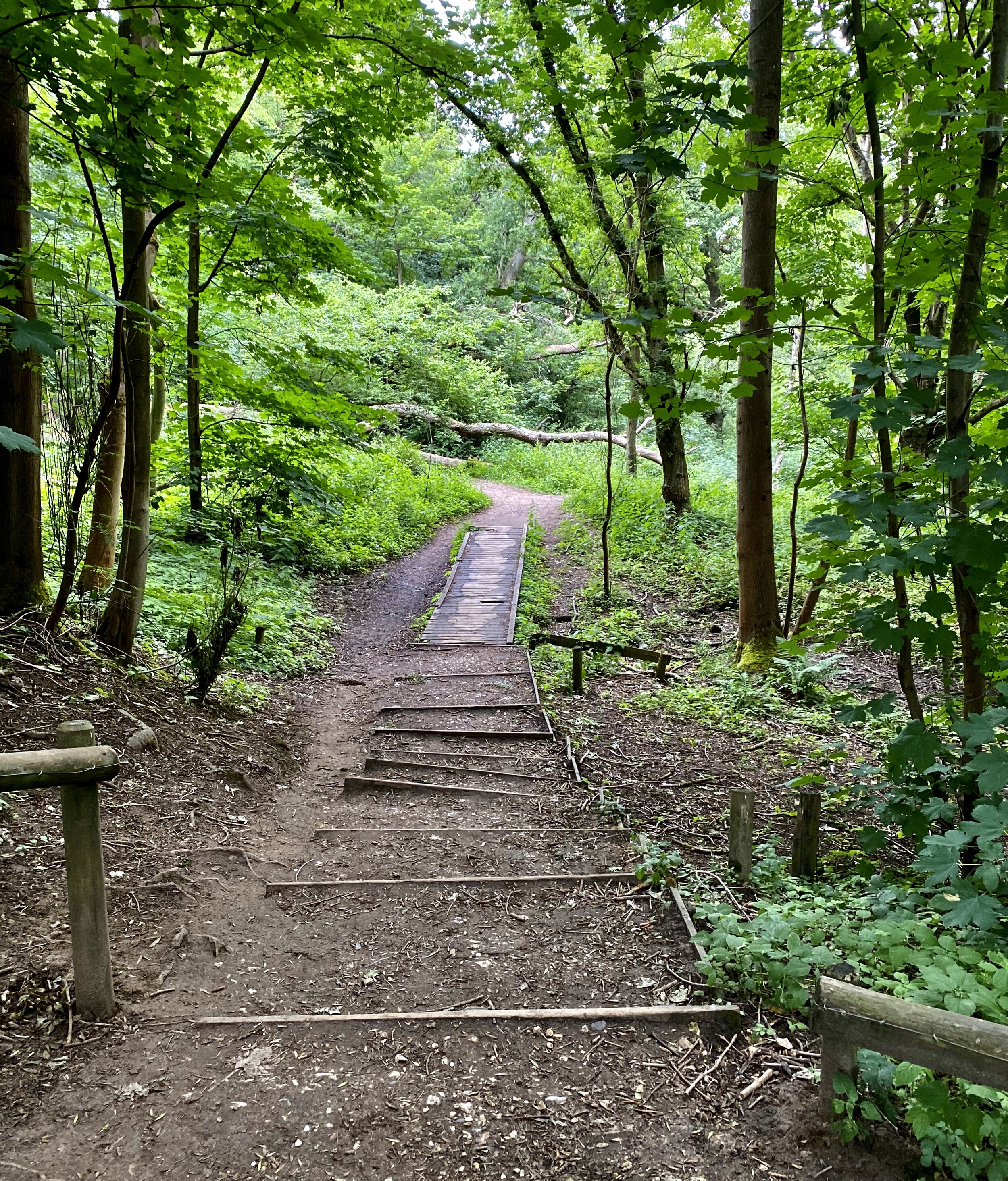
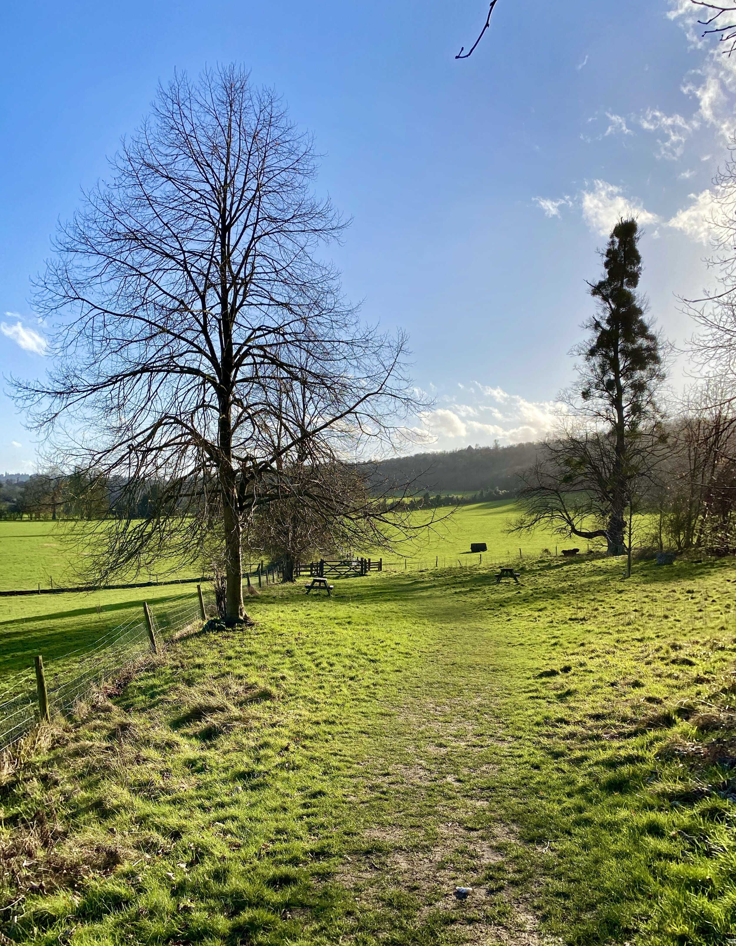
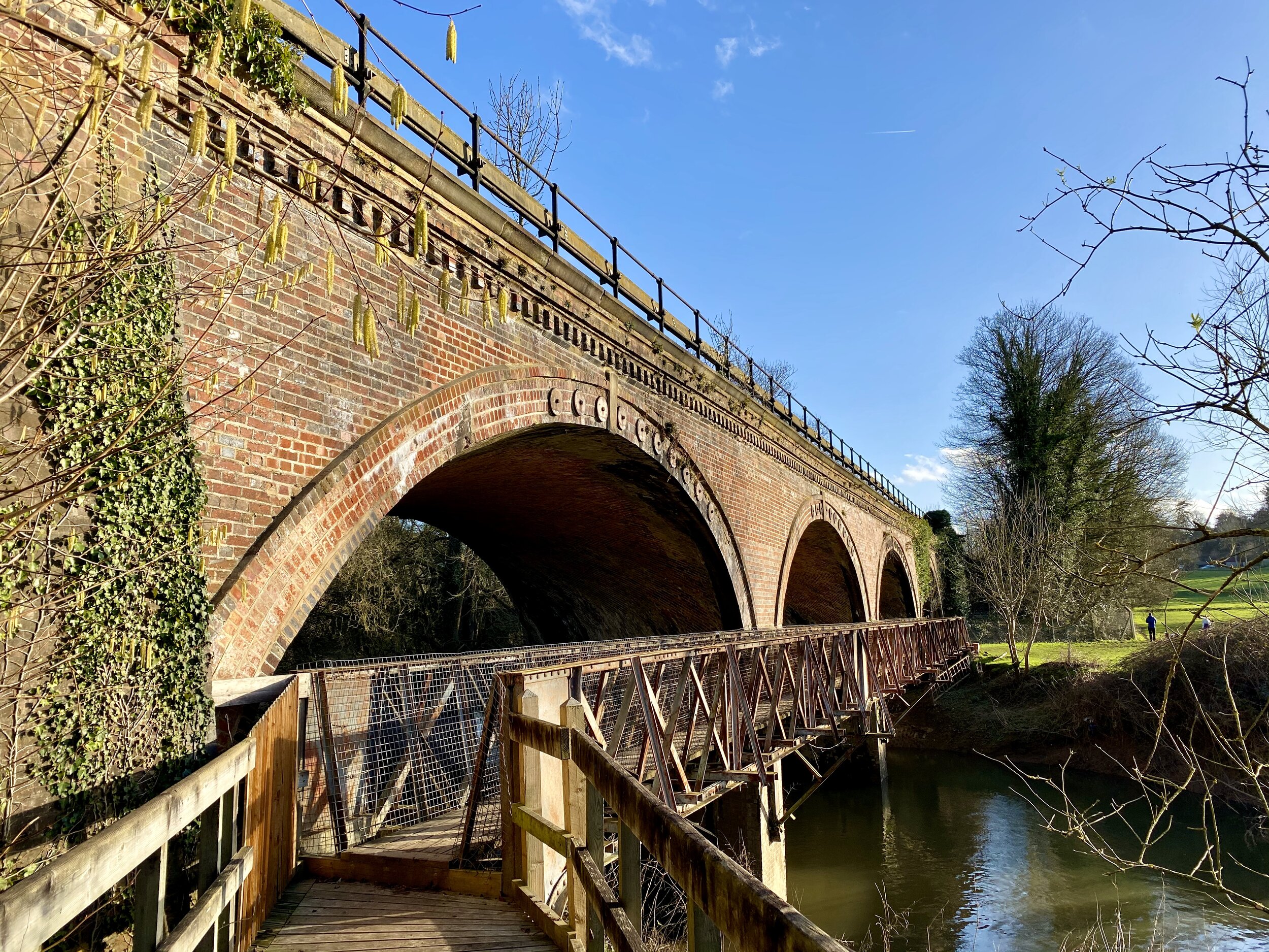
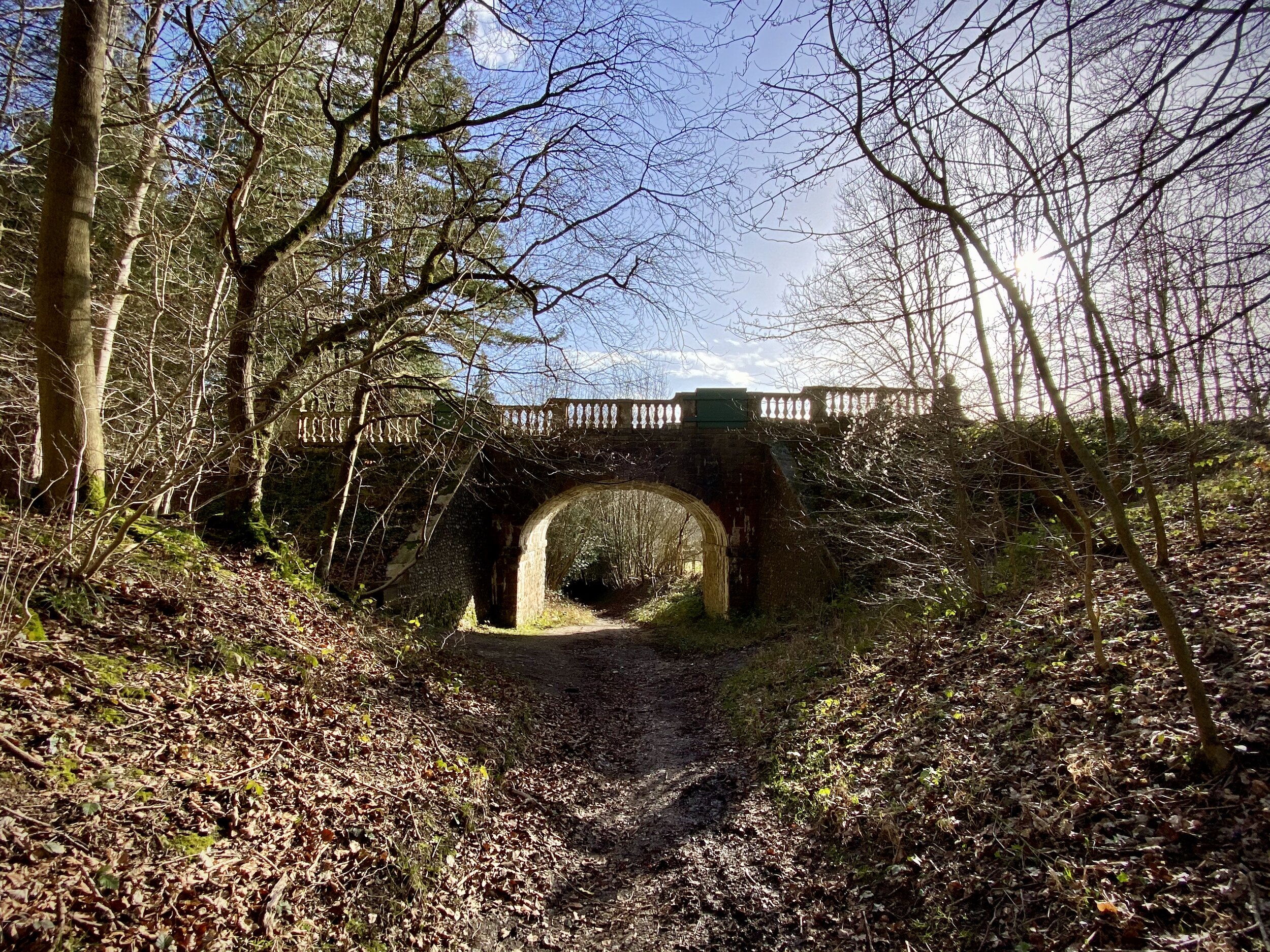
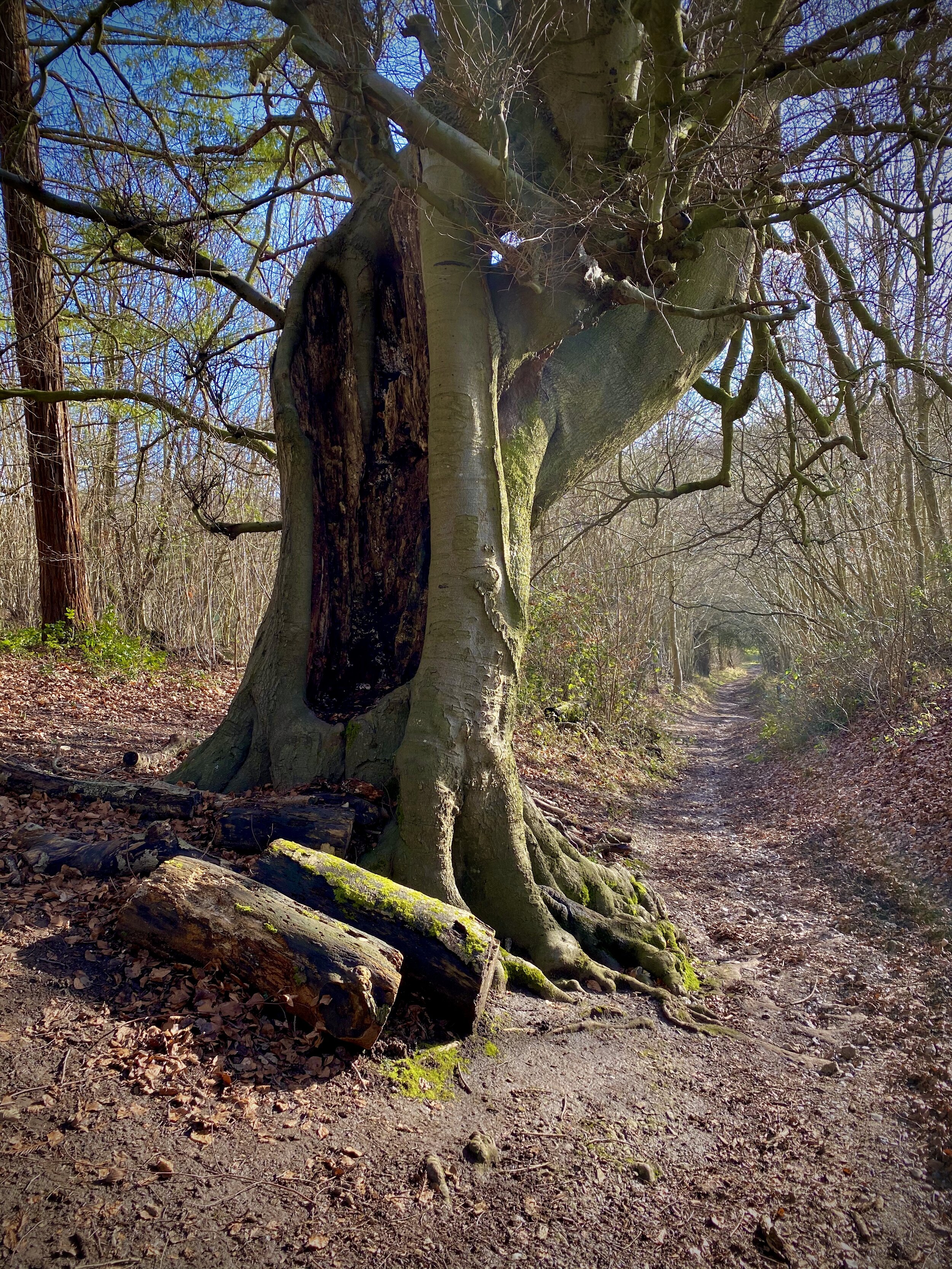
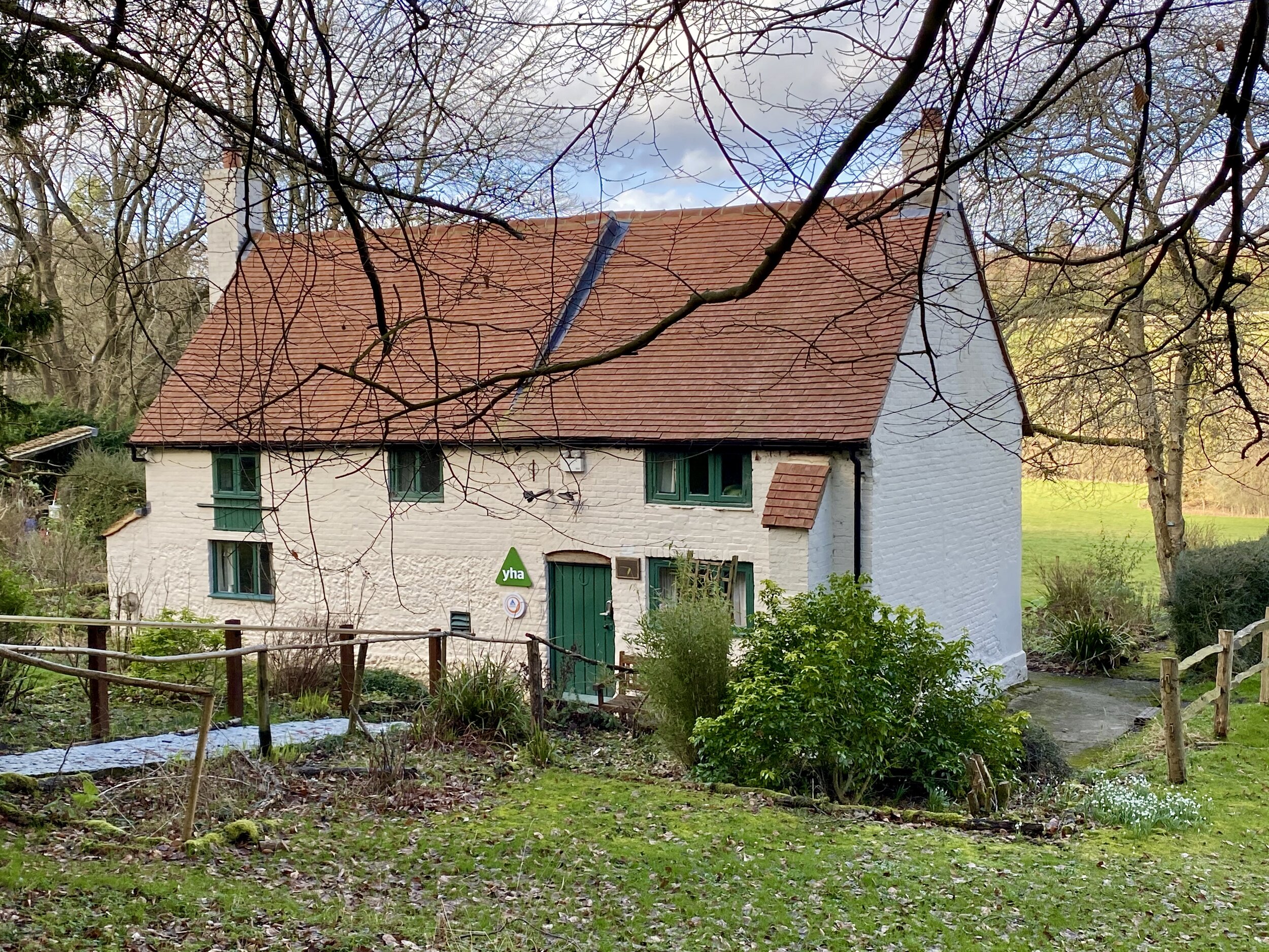
The Box Hill Hike is a classic of the Surrey Hills trails. It’s a bit longer, a bit steeper and a bit more enjoyable that others that we’ve been to in the area recently. The National Trust’s guide to the walk gives a clear description on the route so I won’t repeat it here. My additional notes on the route are:

  • The official start and finish points are at the National Trust Visitors’ Centre at the top of Zig Zag Road. They have a car park there but it can be extremely popular in Summer weekends or Bank Holidays. There’s alternative on-street parking further round the route in Box Hill Village or Mickleham.

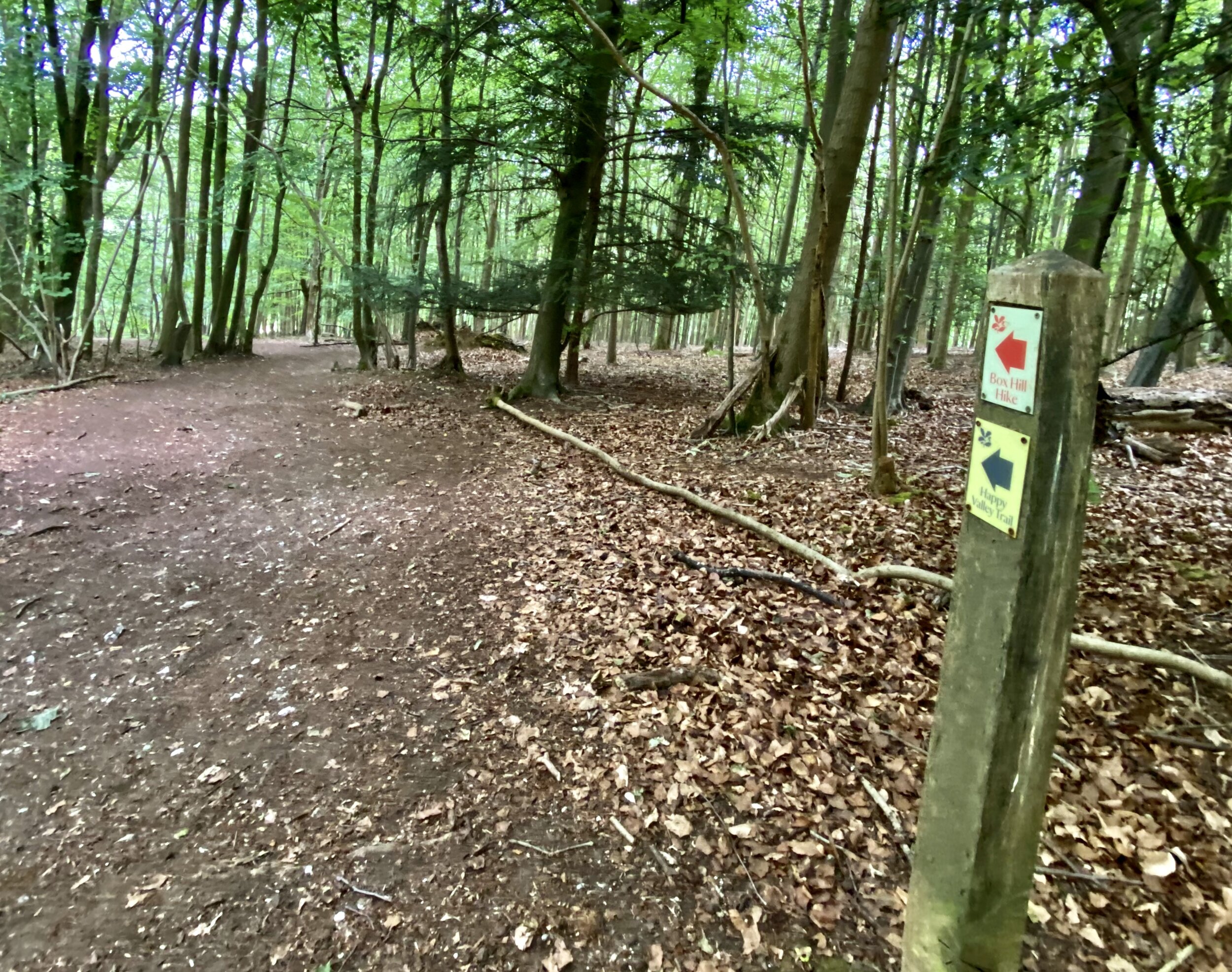
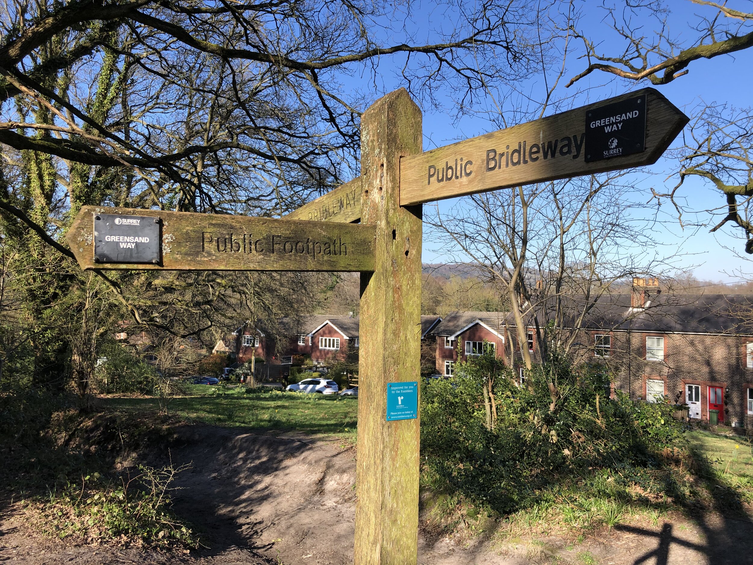
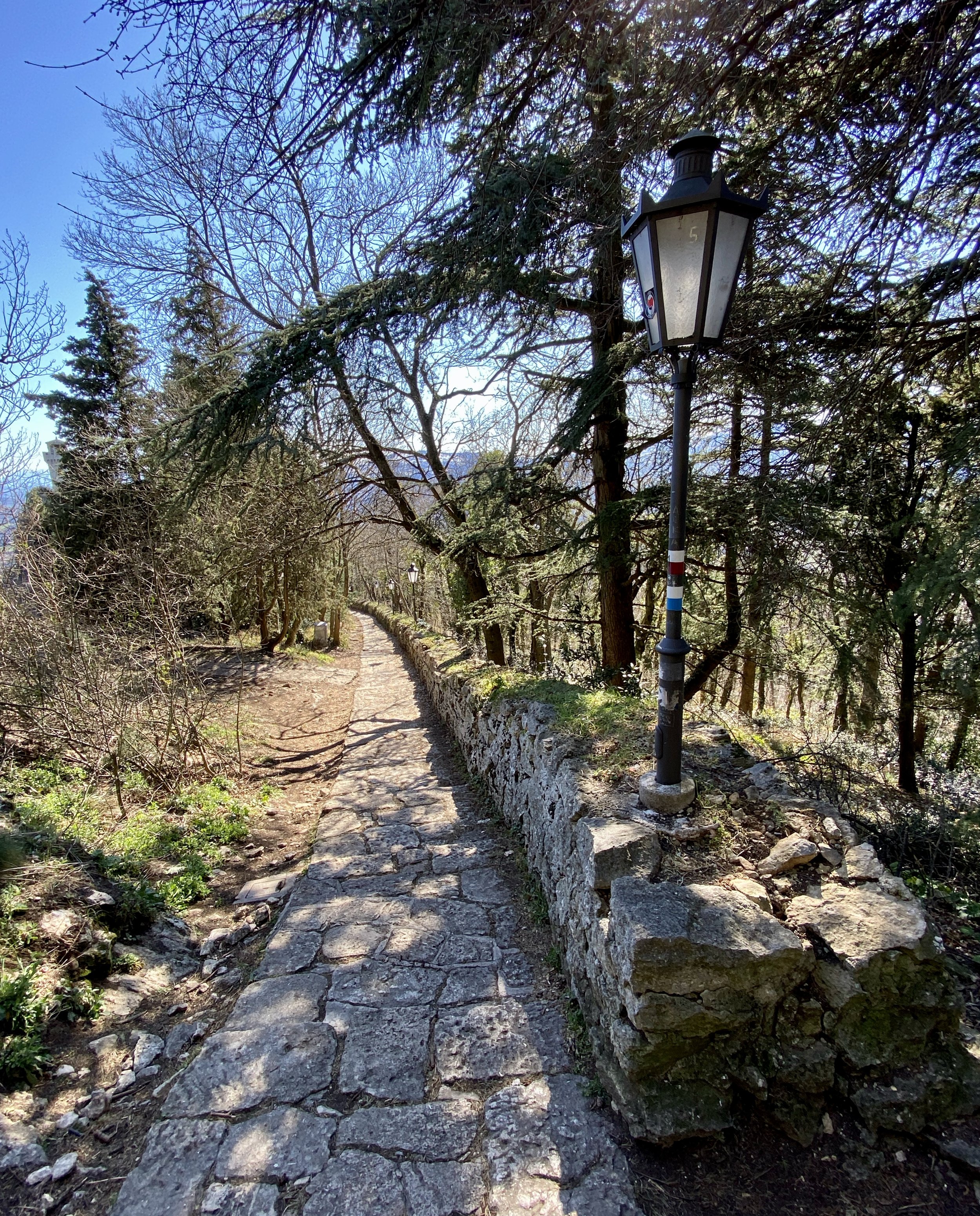
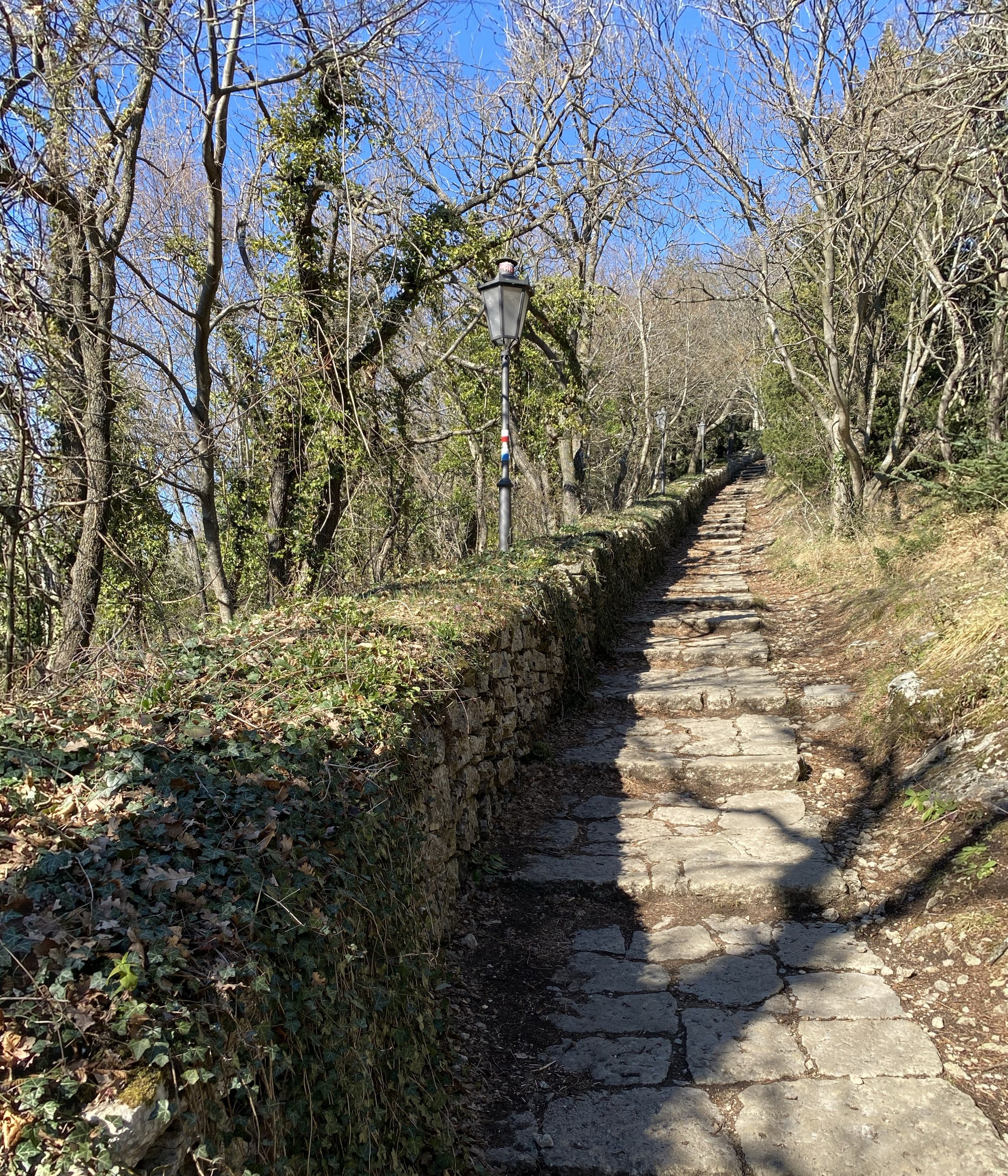
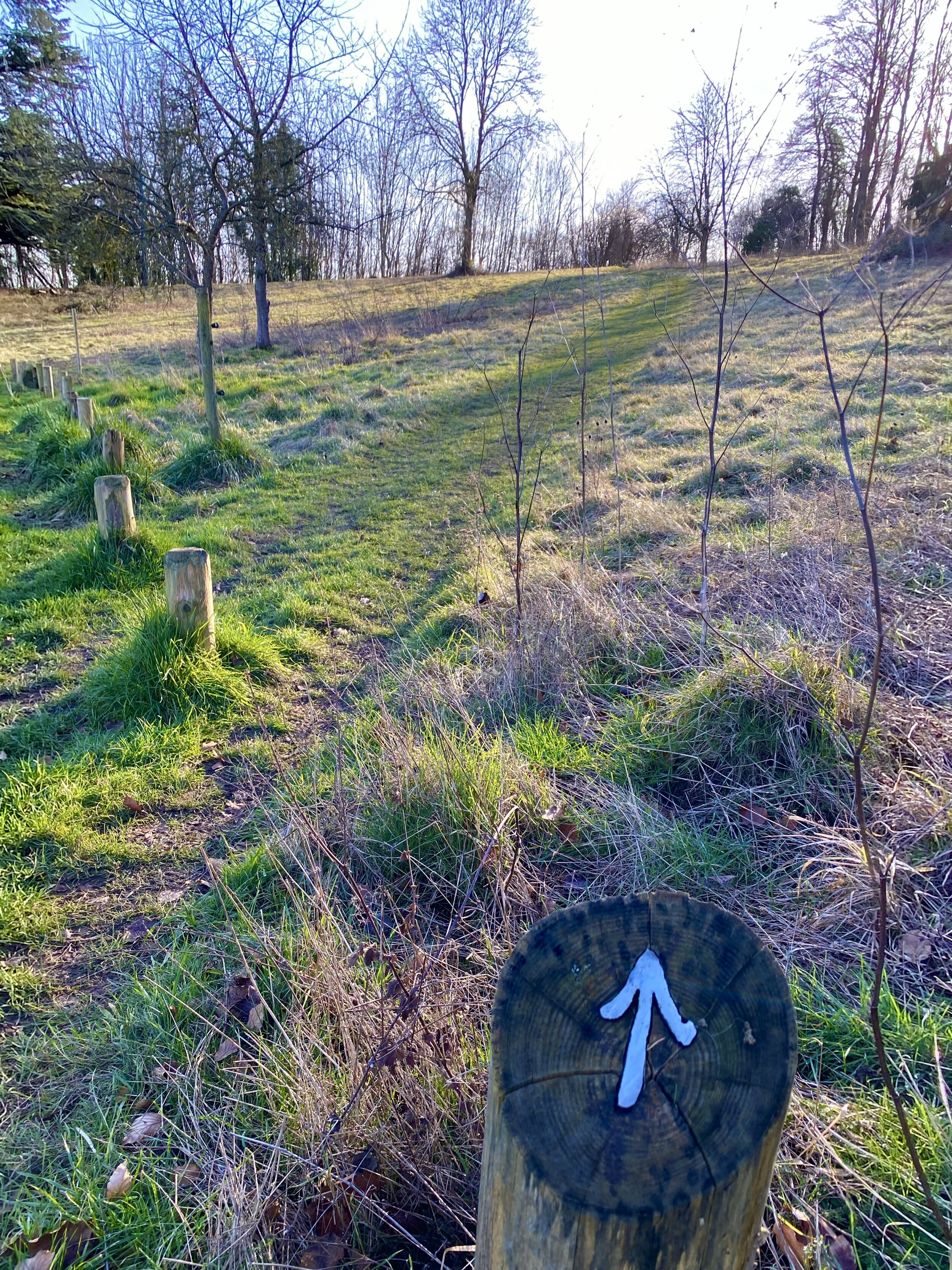
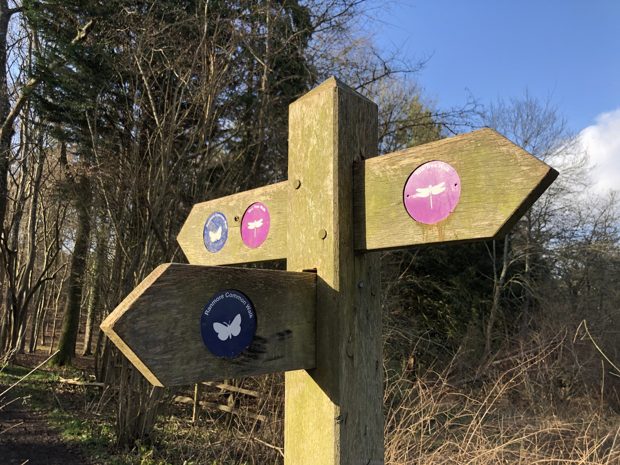
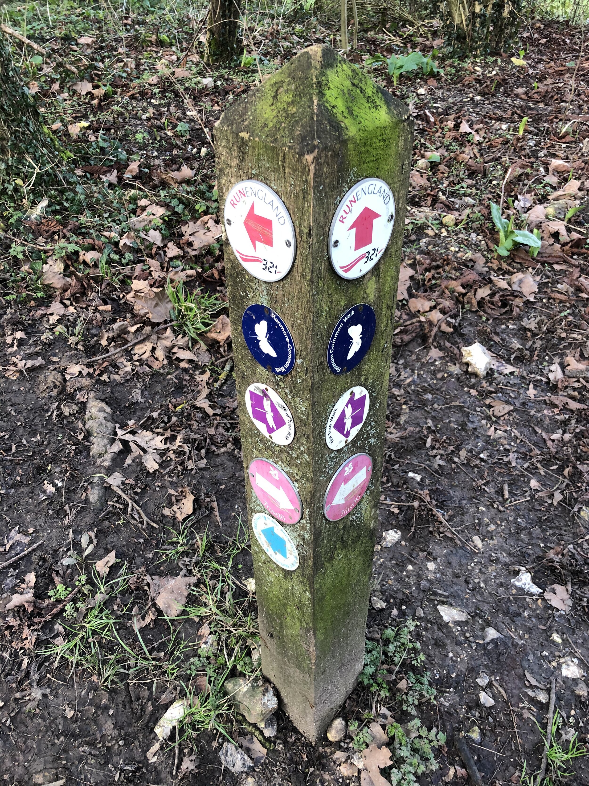
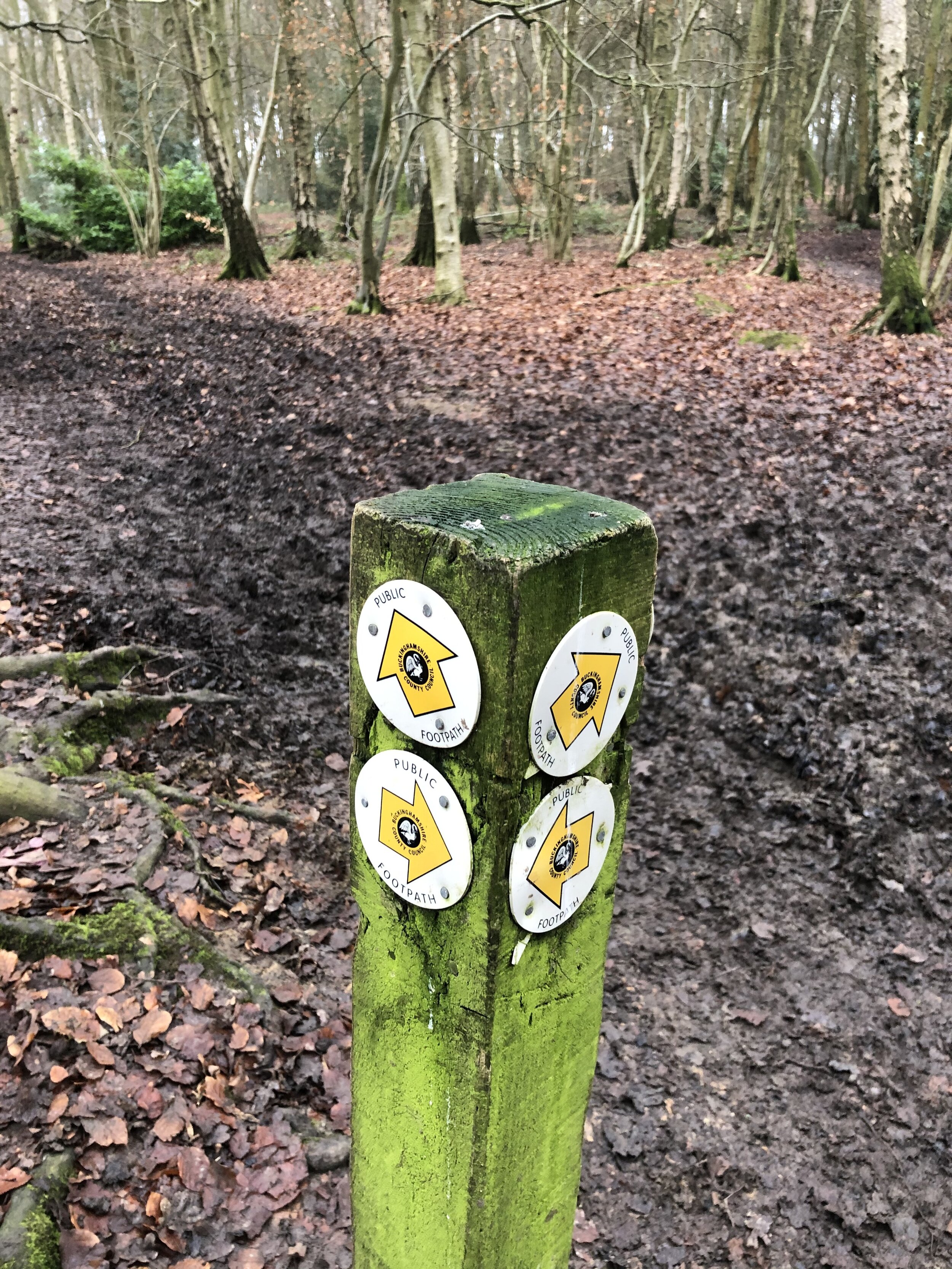
  • The route is well signposted but all signs point in an anti-clockwise direction. If you’re going clockwise, as we did, you’ll need to keep a closer watch out for the signs as some will be facing away from you as you pass them.

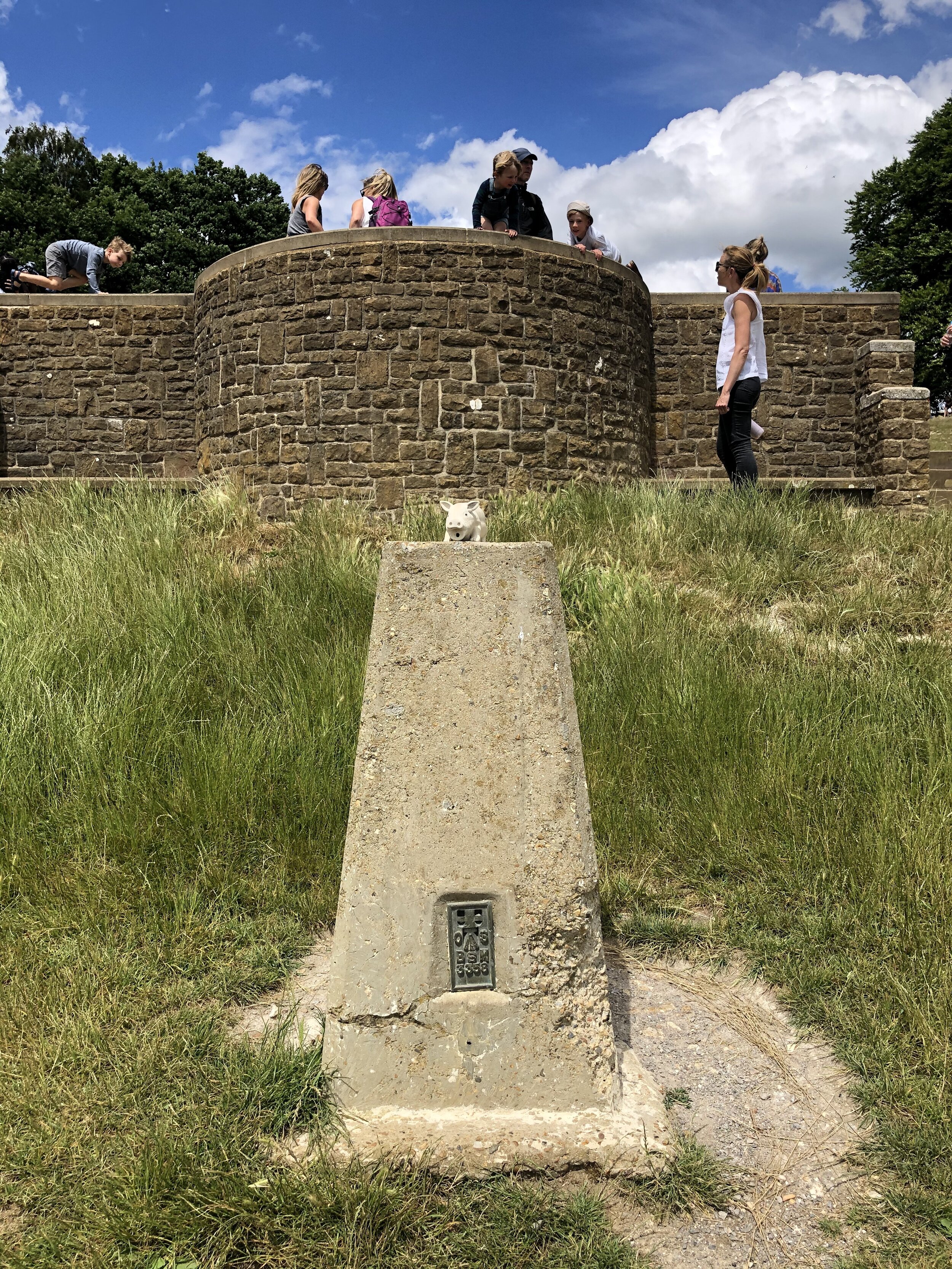
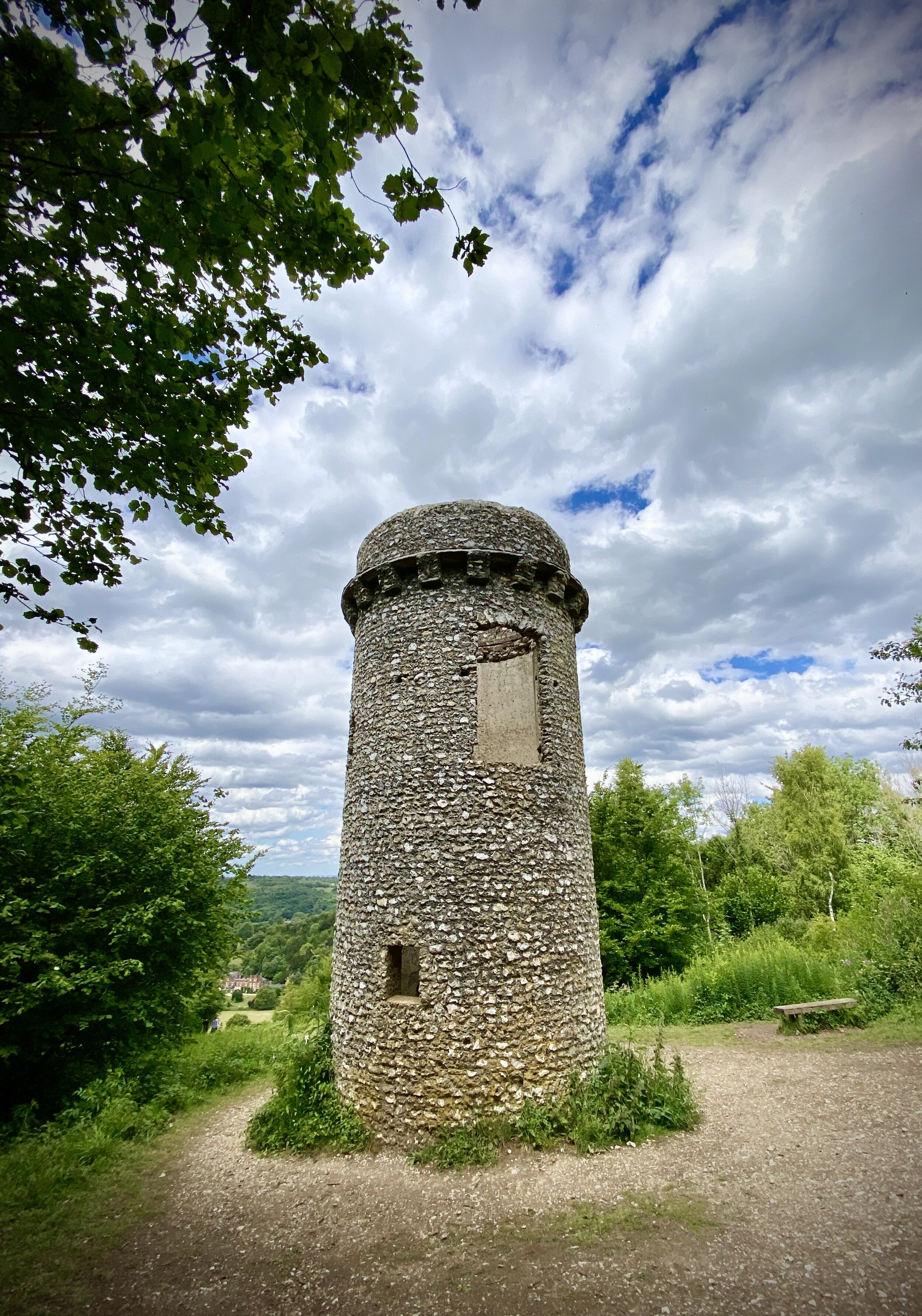
  • Baggers of OS Trig Points will find 2 pillars on route, one (Box Hill) very near the National Trust Car Park at the start and the other on Mickleham Down.

elevation_profile.jpg

Runnymede Memorials Circular Walk
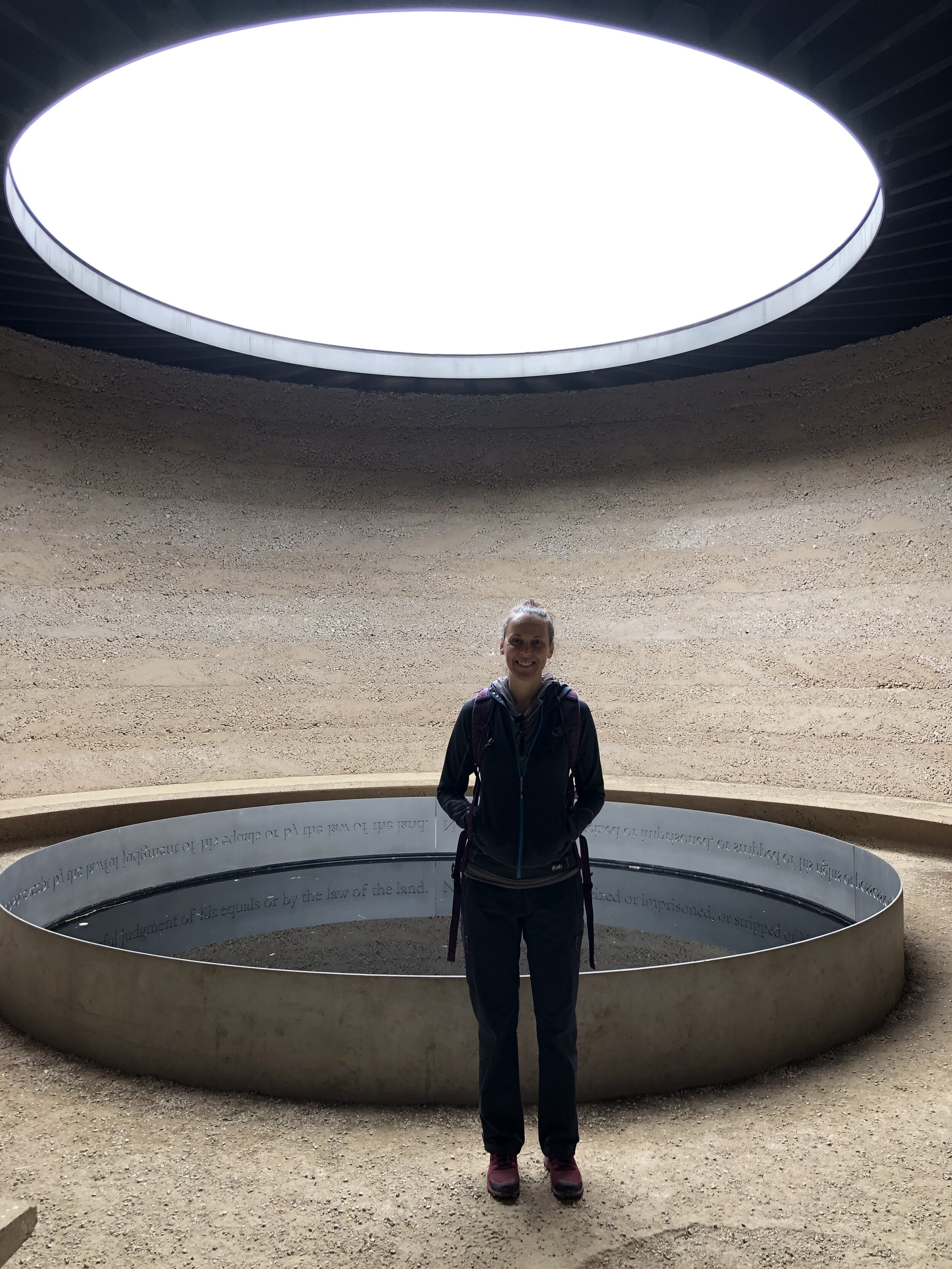
Far East side of the NT estate near the Runnymede Hotel and Spa

Far East side of the NT estate near the Runnymede Hotel and Spa


Start & Finish: The National Trust Car Park, Windsor Rd, Englefield Green, Windsor SL4 2JL
Distance: 7 km (4.5 miles)
Elevation change: + / - 91 m
GPX File: get via Buy Me a Coffee
Other routes touched (walk): Thames Path
Other routes touched (cycle): NCN 4
Other Pubs / Cafes on route:
Magna Carta Tea Room (SL4 2JJ), Runnymede Cafe (TW20 0AE)
Map: OS Explorer Map (160) Windsor, Weybridge & Bracknell
Links: National Trust Runnymede and Ankerwycke, RAF Memorial Runnymede, Lutyen’s Kiosks, Magna Carta


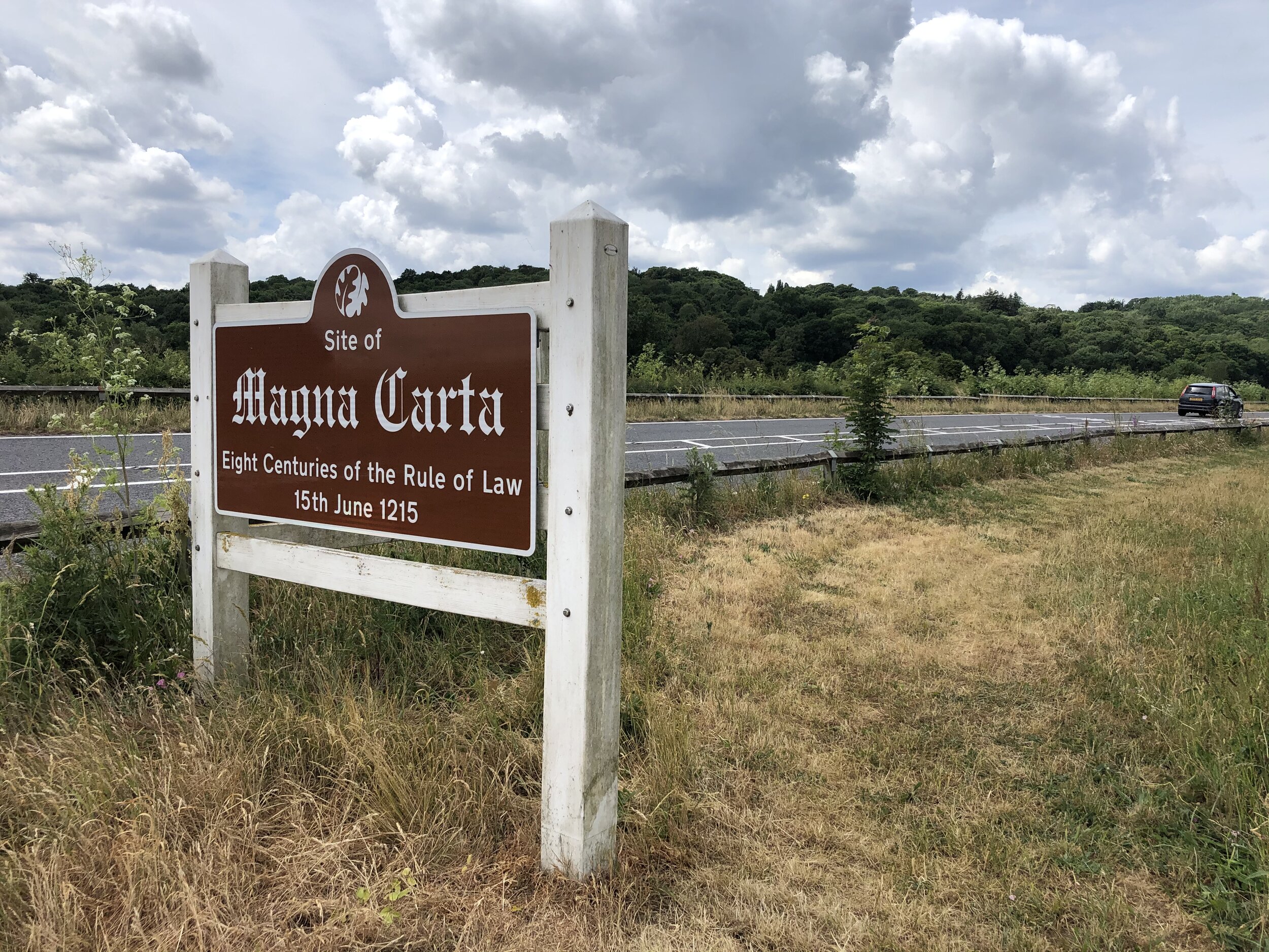
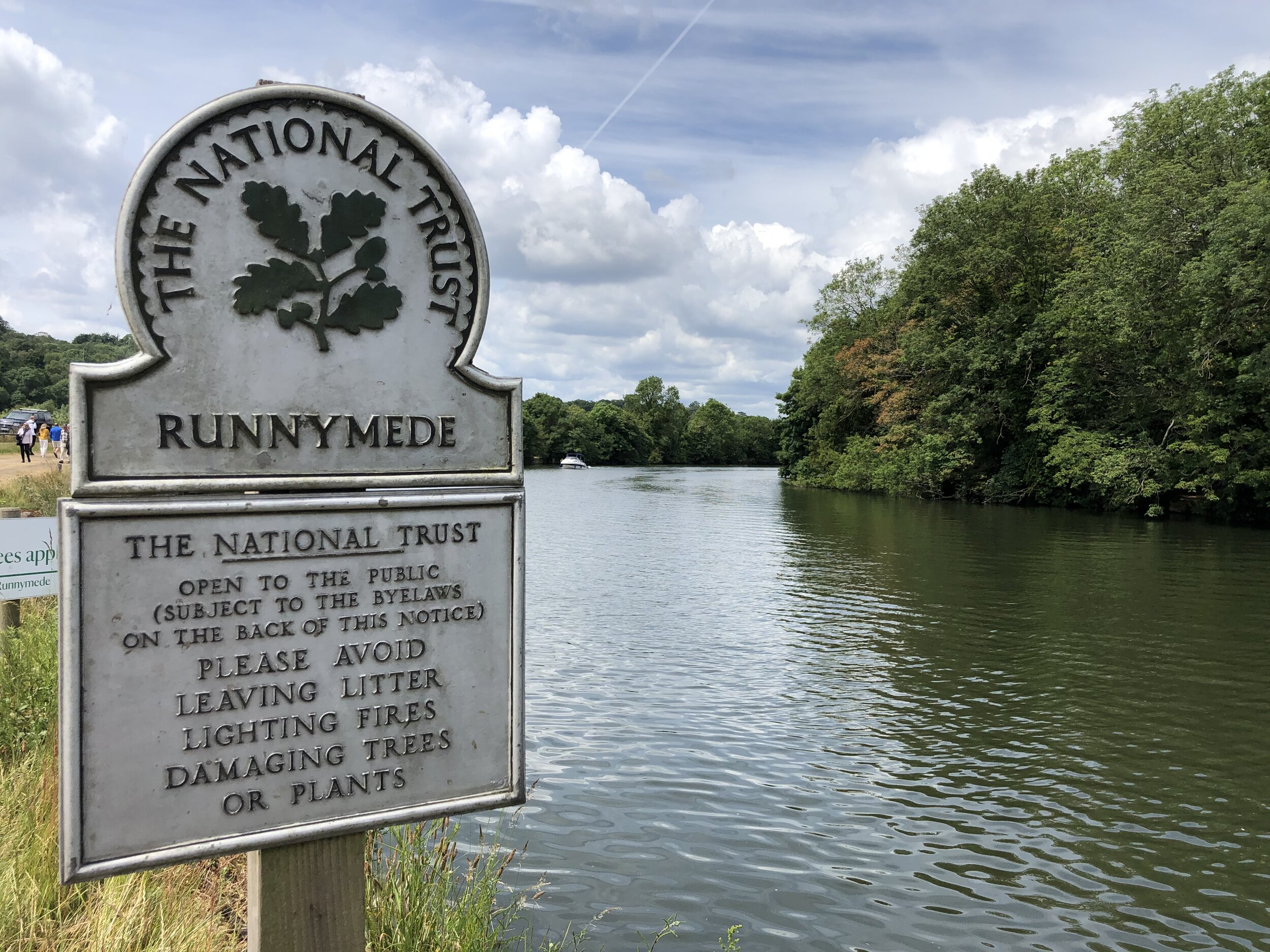
This is a short walk that packs in a lot of history. Runnymede is a National Trust site on the banks of the Thames to the South East of Windsor. It’s most famous for being the location where the Magna Carta, a charter of rights and basis of modern law, was signed by King John in 1215. This walk combines a pleasant section of the Thames path with the main memorials and monuments in the area.

Start at the National Trust car-park (free to members) opposite the Tea Rooms. From here follow the Thames Path for ~2.75 km to the Runnymede Hotel and Spa just before the M25 river crossing. Both the National Trust managed banks of the river and the Pleasure Ground are great places to stop for a picnic in the summer. Watch out for the Queen Elizabeth statue in the Pleasure Grounds and the paintings on the lock-keepers cottage at Bell Weir Lock.

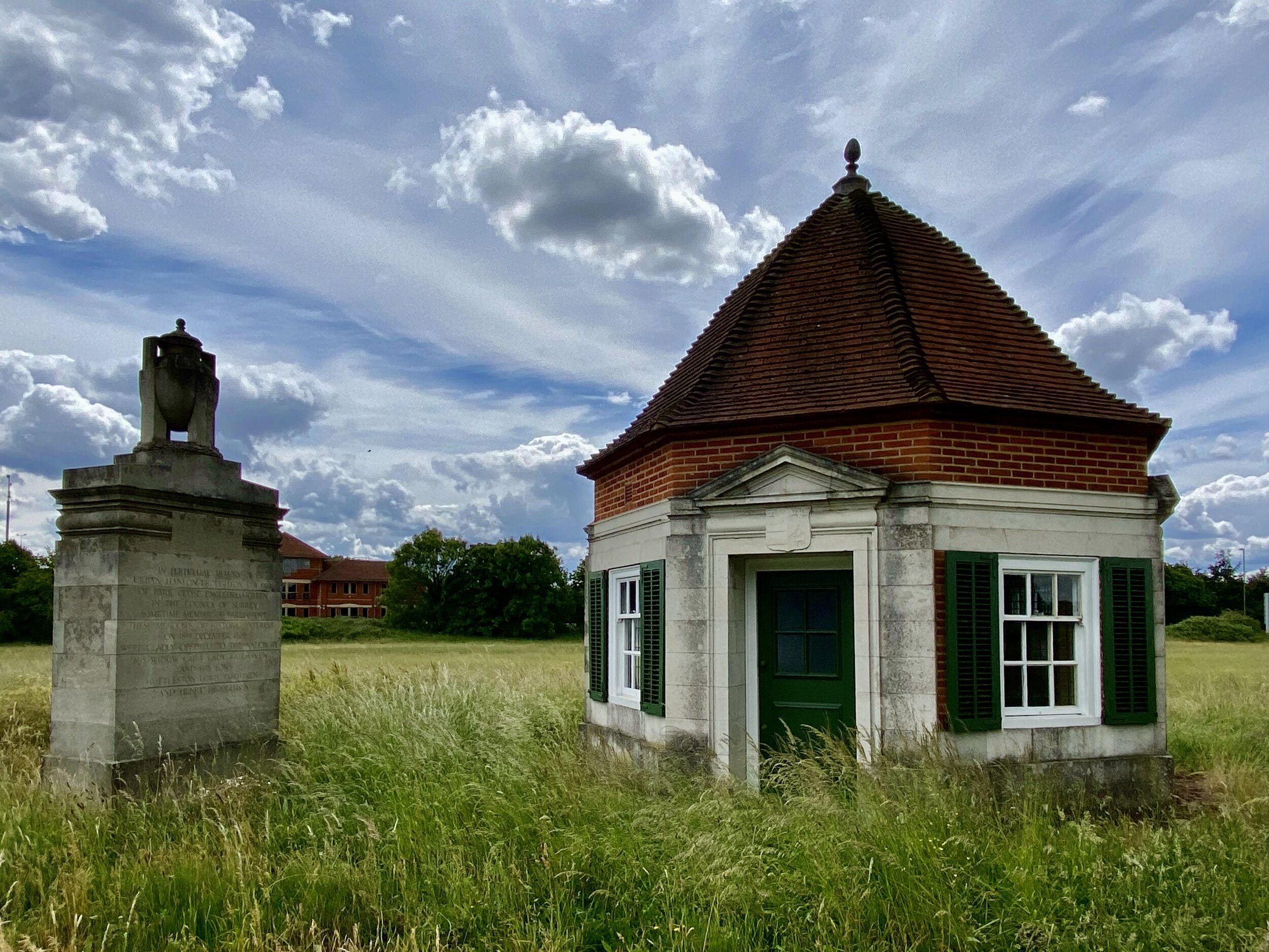
At the Eastern end of the Runnymede Hotel you’l find a footpath that takes you away from the river, through the car-park and up to the A308 Windsor Road. As you cross the road you’ll see 2 octagonal brick buildings called the Lutyens Kiosks. These were commissioned by architect Edward Lutyens to commemorate the death of MP Urban Broughton who died in 1929.

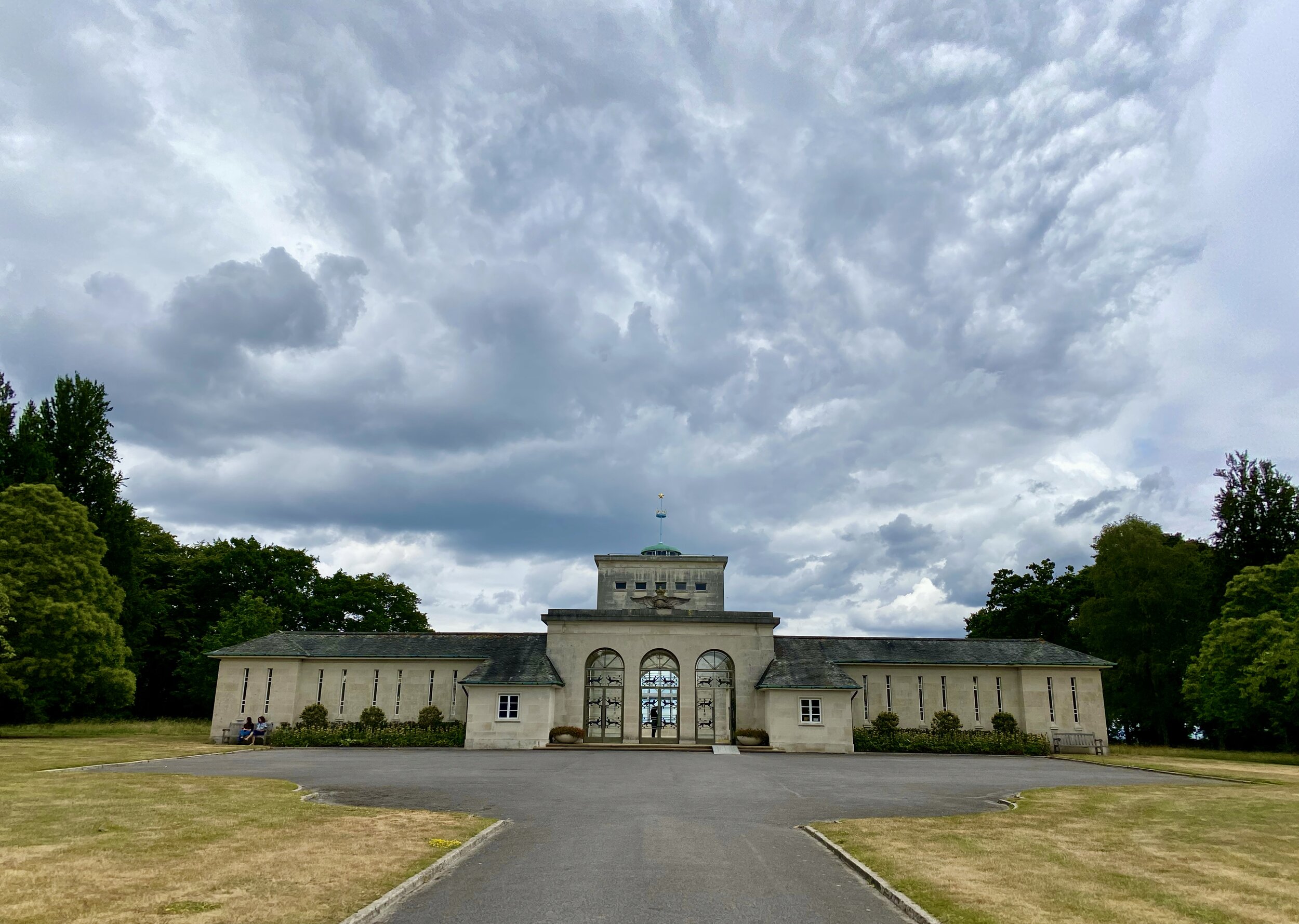
With the kiosks behind you continue along the footpath across the fields in a westerly direction for just over 1 km. Here you’ll find a path that takes you up into Cooper’s Hill Woods and onto Cooper’s Hill Lane. Continue for ~1km past the Kingswood University campus on your left to the gates of the RAF Memorial on your right. The RAF Memorial commemorates more than 20,000 airmen and women who were lost in the Second World War who have no known grave. I’ve been there several times before and always found it to be a peaceful, thought-provoking place.

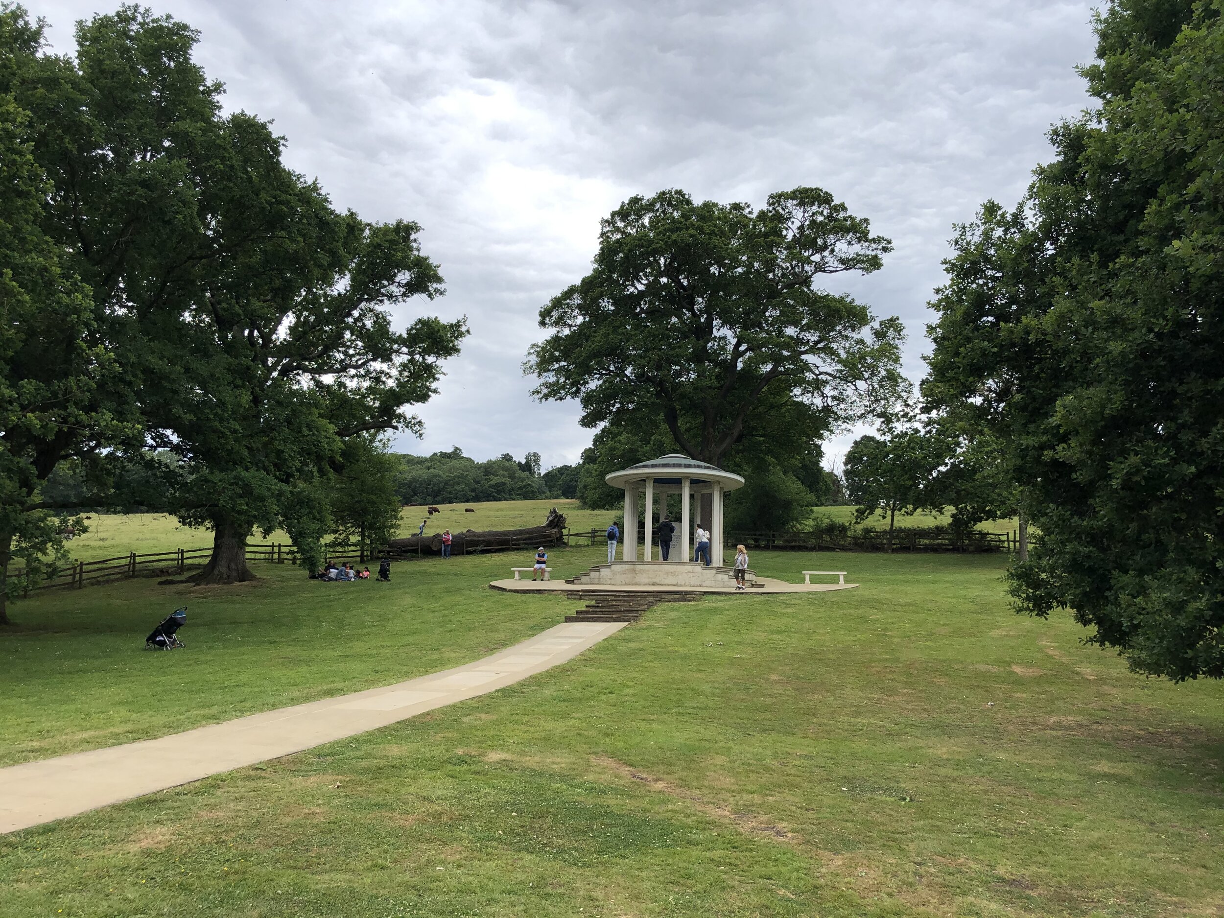
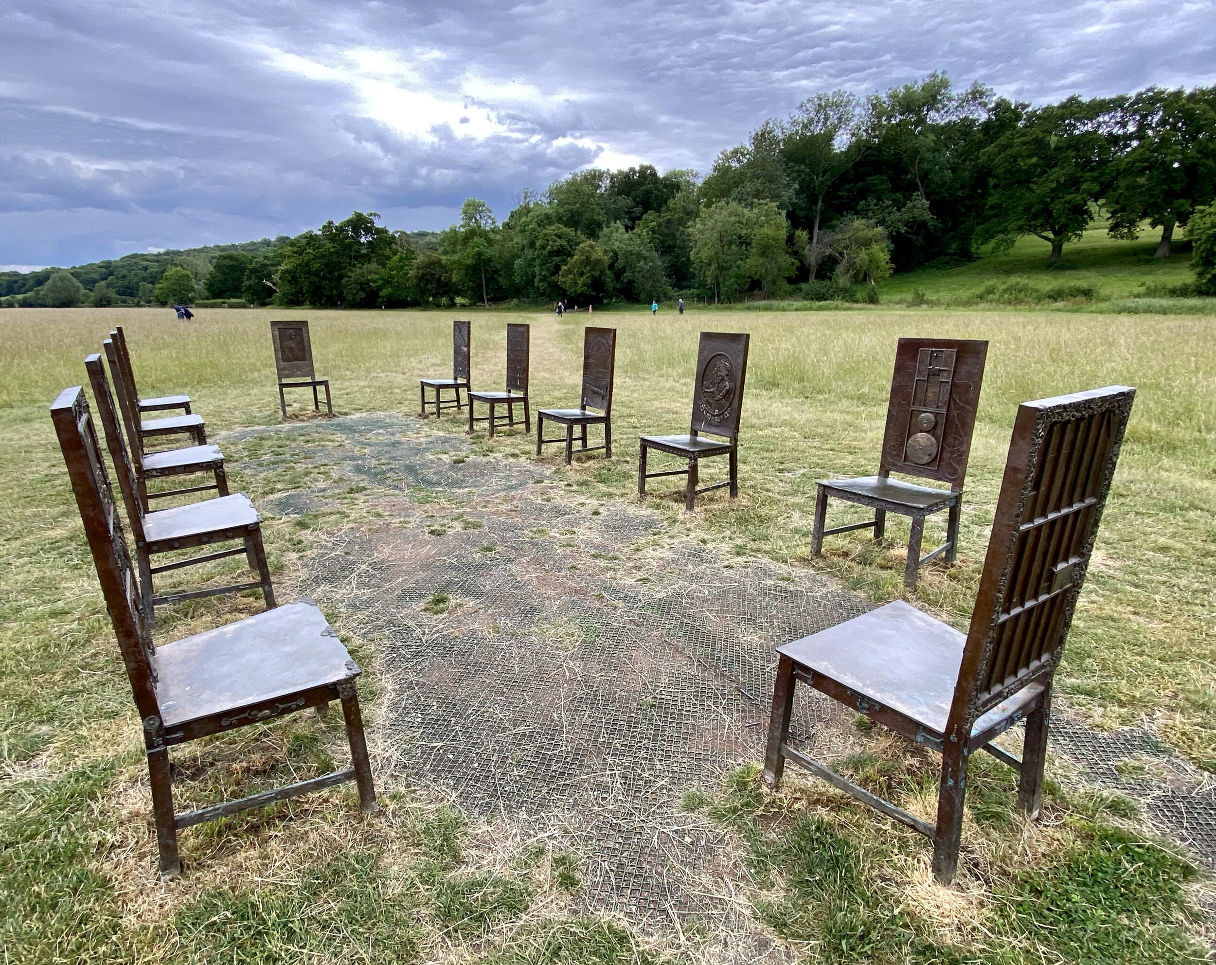
On exiting the RAF Memorial, take a left onto Cooper’s Hill Road and retrace your steps to a footpath that takes you North into the woods at the Western corner of the memorial property. This path takes you steeply down and back to the fields where the main Runnymede memorials are located. The final 1 km of the walk is worth taking slowly to fully appreciate the history and significance of the memorials and works of art. In order you’ll pass Writ In Water, The American Bar Association Magna Carta Monument, The JFK Memorial and The Jurors artwork. The National Trust page for Runnymede is a great start for finding out more about these.

After The Jurors, you’ll be back at the A308 Windsor Road with the Car Park on the other side.


route-32887054-map-full.png
elevation_profile (1).jpg


Cycling The Slough to Windsor Railway
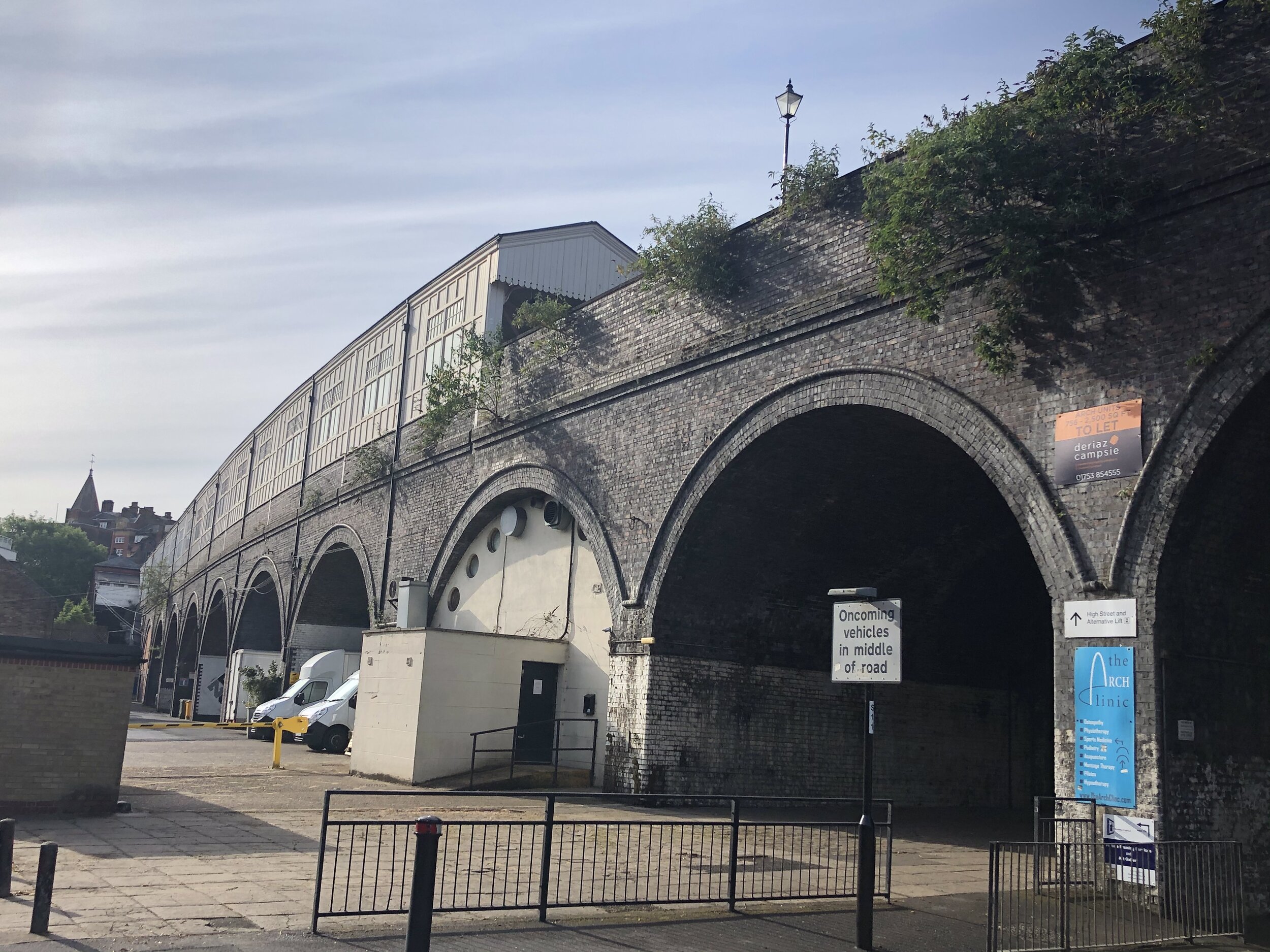
Arches near Eton Wick

Arches near Eton Wick


Start & Finish: Slough Railway Station, Brunel Way, Slough SL2 5BY
Distance: 9.8 km (6 miles)
Elevation change: + / - 48m
GPX File: get via Buy Me a Coffee
Other routes touched (walk): Jubilee River, Thames Path
Other routes touched (cycle): NCN 4, 61, 461
Other Pubs / Cafes on route:
Loads in Windsor and Eton
Map: OS Explorer Map (160) Windsor, Weybridge & Bracknell
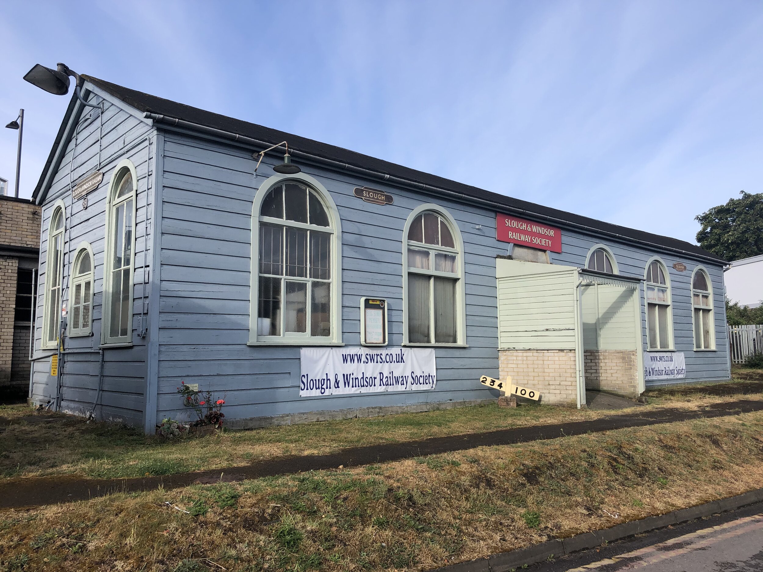
Links: Slough, Slough Station, Slough-Windsor & Eton Line, Chalvey Halt Station, Windsor, Windsor & Eton Central Station, Slough & Windsor Railway Society


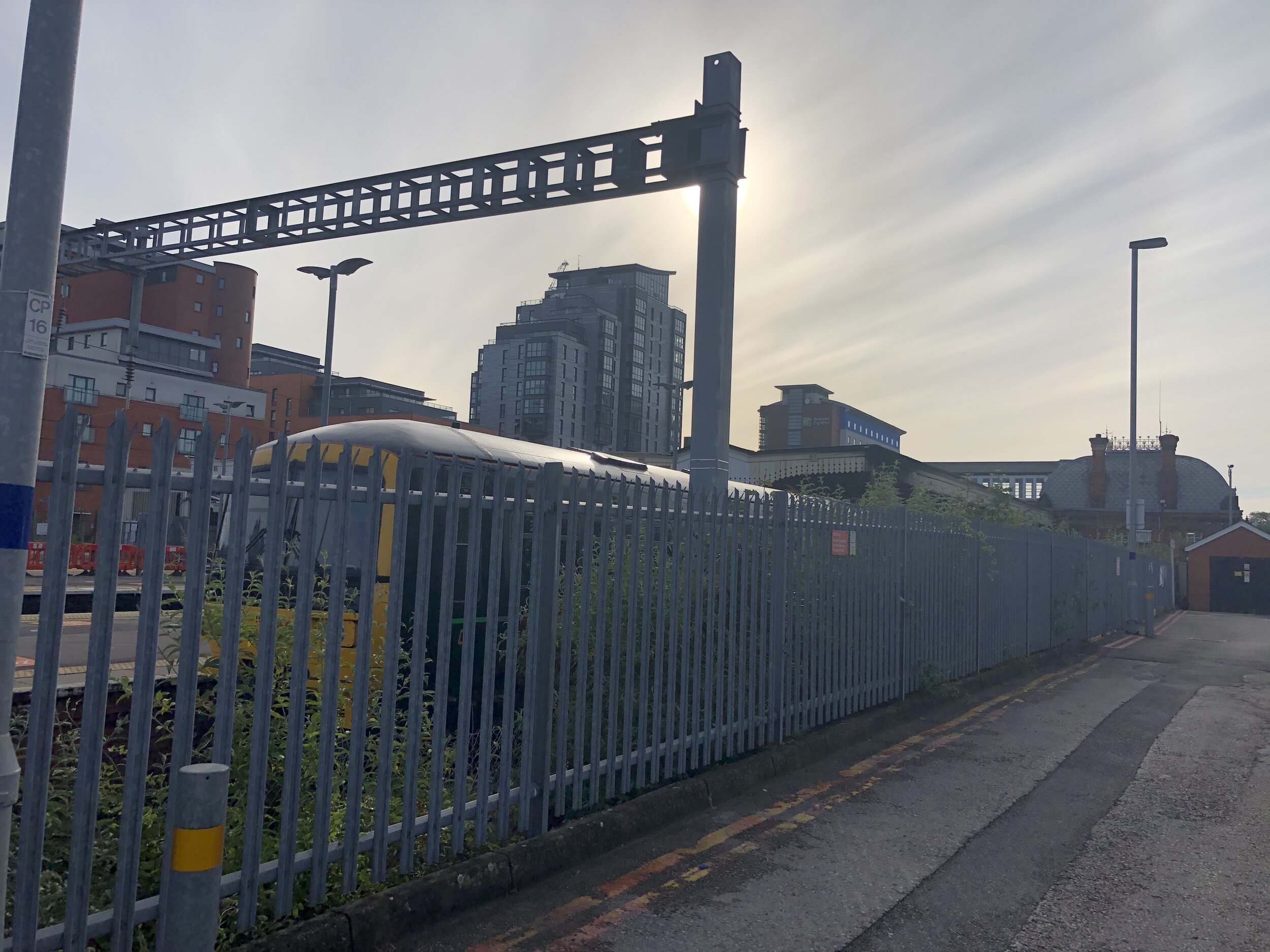
Having explored some local branch lines on foot in the last few weeks, it was now time to get on my bike for another one. This is the 2 mile line that connects the GWR mainline at Slough to Windsor and Eton Central. If you’re arriving by train check out Station Jim on platform 5 for a bit of geeky canine station history.

From the main (South) entrance of Slough station, head West along Brunel way and take a left onto B416. Be careful here as its a very busy road. We were there very early on a Sunday morning so it was quiet, but you still need your wits about you. At the big junction take a right onto the A4 and continue for 300 metres before taking a left onto Burlington Road. This keeps you as close as possible to the track as it curves away from the GWR mainline around the site of the old Thames Valley University.

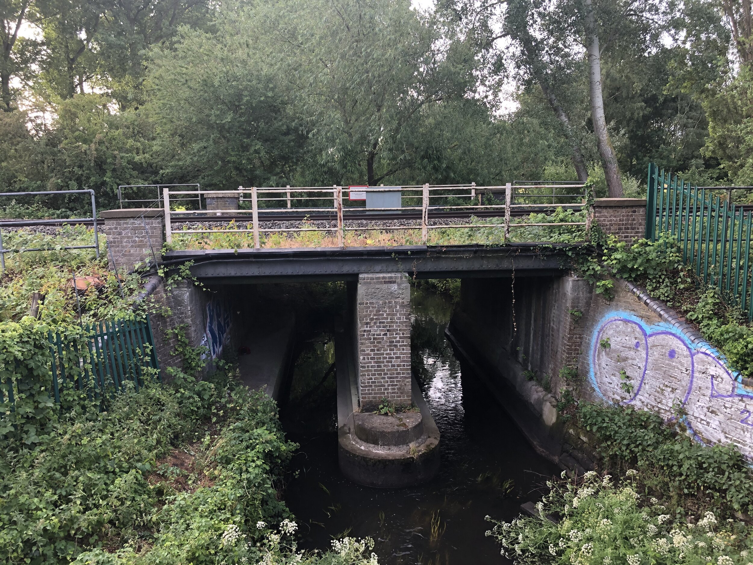
Continue South-West along Burlington Road, right onto The Crescent and right onto Chalvey Road East. Here you’ll see the metal bridge that takes the rail line over the main road. To the North of the bridge was the site of Chalvey Halt, a station that was only open between May 1929 and July 1930. Take a left onto Ragstone Road before the rail bridge. Ragstone Road curves round to the East after about 100 metres where you’ll find a road that continues South parallel to the track. When we got there the gates at the entrance to the road were locked. As a diversion we continued along Ragstone Road, took a right onto the A332 to pass under the M4 then took the path on the right to follow the the North side of the Jubilee River. This path continues for a short distance to the rail crossing of the Jubilee River then curves off to the North to meet the path that we had planned to be on. Take a left to pass under the rail line then immediately left.

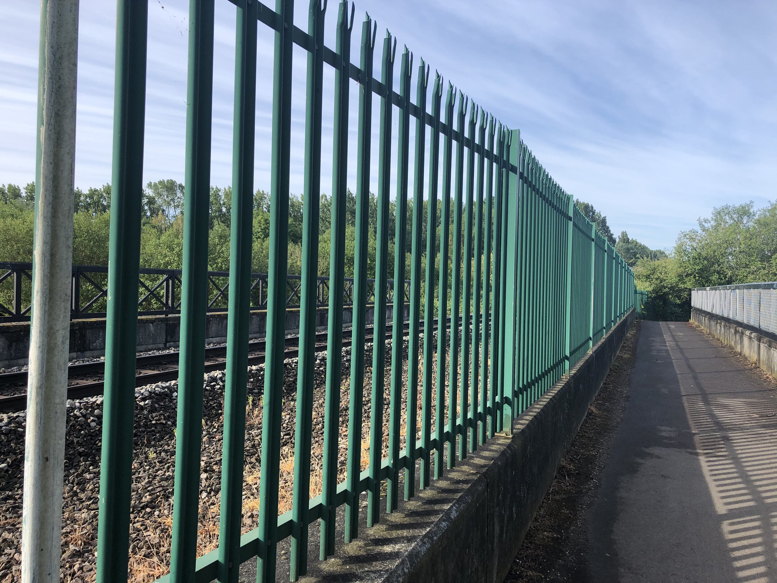
From here the path follows tight to the rail line all the way to the River Thames. You’ll pass under the M4, over the Jubilee River, under the A355 spur road and onto fields at the back of Eton College. With the Slough section now behind you the route gets significantly more pleasant as it passes the brick arches that hold the line high overground through to the centre of Windsor. When you reach the Thames you can’t follow the track over the river so you’ll need to divert West to the A355 road bridge, cross there and return East until you meet the rail line again at Alexandra Gardens.

After passing under the rail line take a right to follow the North side of the track through Alexandra Car Park. At Goswell Road take a right, pass under the arch and then a left. You’ll now be in the service area of the shopping centre next to the station. Continue up the hill until you see a set of steps and a ramp that takes you up to the main station concourse. You’ll now be in what was a very large station opposite Windsor Castle. The modern station is tucked away at the back of the shops and cafes.

From Windsor there’s many options for longer rides back to Slough. The fastest, most direct route is to take the B3022 Thames Street as it descends from the Castle back to the river. Cross over Eton Bridge and follow Eton High Street (B3022) heading North. At the roundabout next to the Jubilee River continue North onto the A332 back to Slough Town Centre. When you reach the big A4 junction from the start of the trip, take a right onto Wellington Street (A4) then a left before Tesco back onto Brunel Way, finishing back at the station. Once you leave Eton there’s nothing pleasant or interesting about this section so I recommend taking the train back if you’re walking the line rather than cycling it.


Chiltern Walks: Marlow Donkey
Marlow Bridge over the Thames

Marlow Bridge over the Thames


Start & Finish: Bourne End Railway Station, 1 Station Road, Wooburn Green, Bourne End, SL8 5RN
Distance: 11.4 km (7 miles)
Elevation change: +/- 65m
Shakespeare’s Way section covered: The Thames Path at Marlow to Bourne End Rail Bridge: 3.4 km
GPX File: get via Buy Me a Coffee
Other routes touched (walk): Thames Path, Shakespeare’s Way, The Chiltern Way Berkshire Loop, Cookham Bridleway Circuit
Other routes touched (cycle): N/A
Pubs / Cafes on route: The Marlow Donkey, The Bounty at Bourne End
Map: OS Explorer Map (172) Chiltern Hills East
Links: Maidenhead - Marlow Passengers’ Association History, Marlow Branch Line, Bourne End Station, Marlow Station, Marlow Bridge, National Trust Winter Hill and Cockmarsh


The Shakespeare’s Way is a 235 km / 146 mile mile long-distance path connecting Shakespeare's birthplace in Stratford-upon-Avon with the Shakespeare's Globe (Theatre), Southwark, London. A 34km section of the path cuts through the Chiltern Hills National Landscape in a south-easterly direction. Our walks take in short sections of the Shakespeare’s Way and loop back to the start on other paths. The Shakespeare’s Way is reasonably well marked however you’ll need a map or GPX route to keep on track for the return sections of the loops. The guidance below will help but don’t use it as a fully accurate turn-by-turn guide.

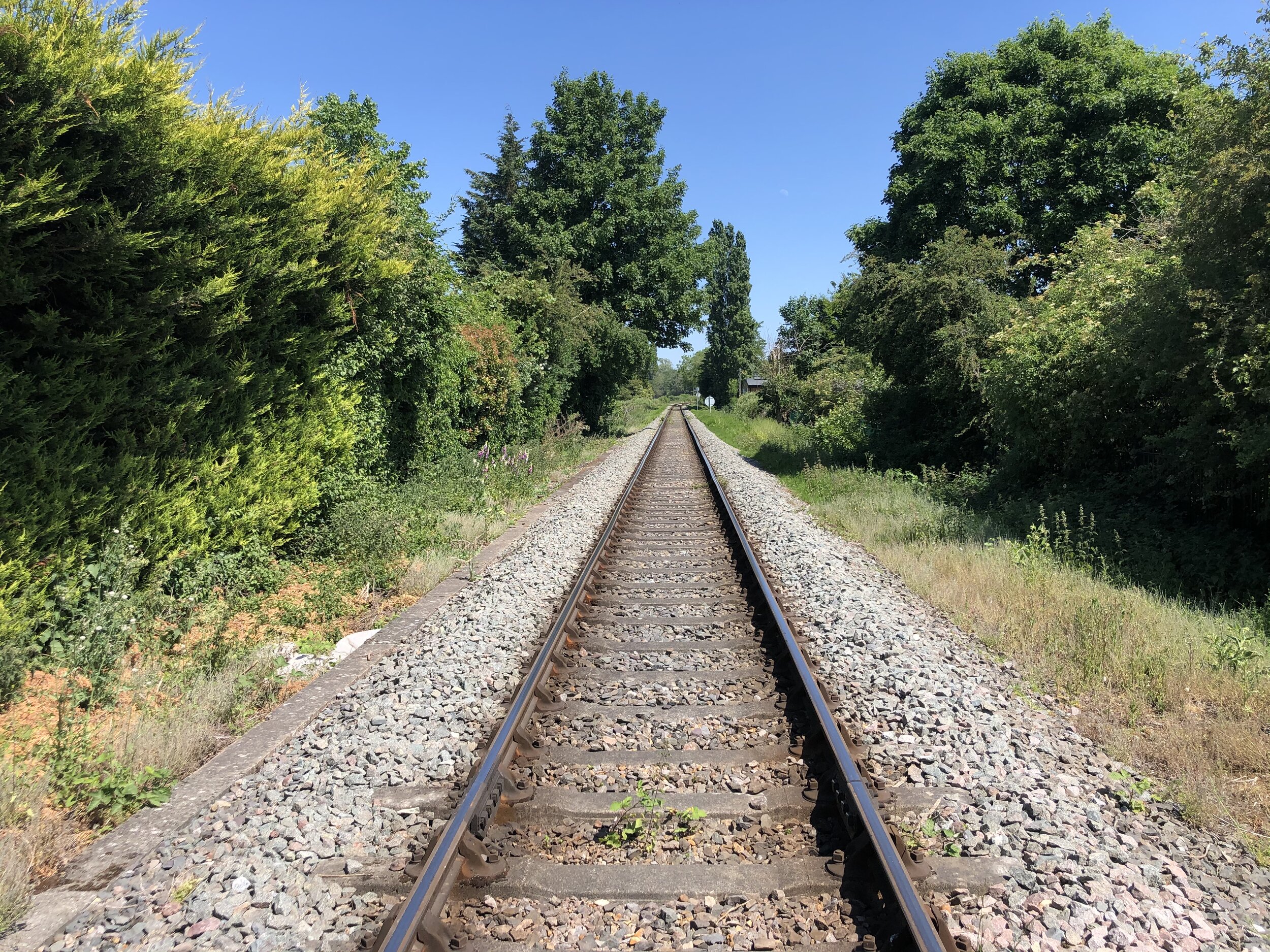
As well as being part of the Shakespeare’s Way collection, we also did it as a continuation of the Wycombe to Bourne End Railway Disused Railway Walk. This time we were following an intact rail line that joins Marlow to Maidenhead via Bourne End. The Maidenhead section will come another time but, for now, we were doing a circular walk based on the “Marlow Donkey” section from Bourne End to Marlow. The notes below describe the anti-clockwise route initially following the train line from Bourne End to Marlow. If you’re following the Shakespeare’s Way collection in a north-west to south-east direction, then reverse the route.

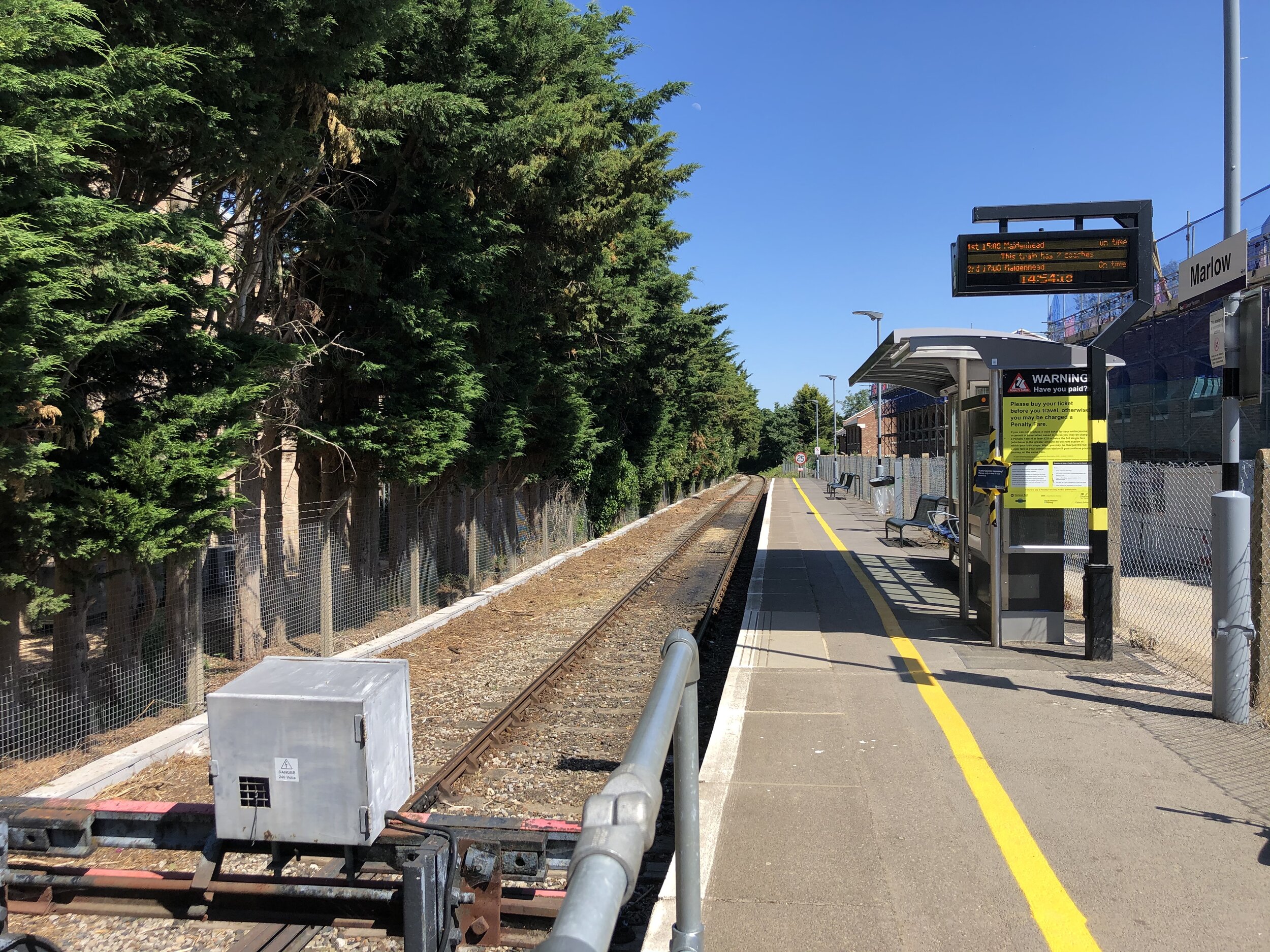
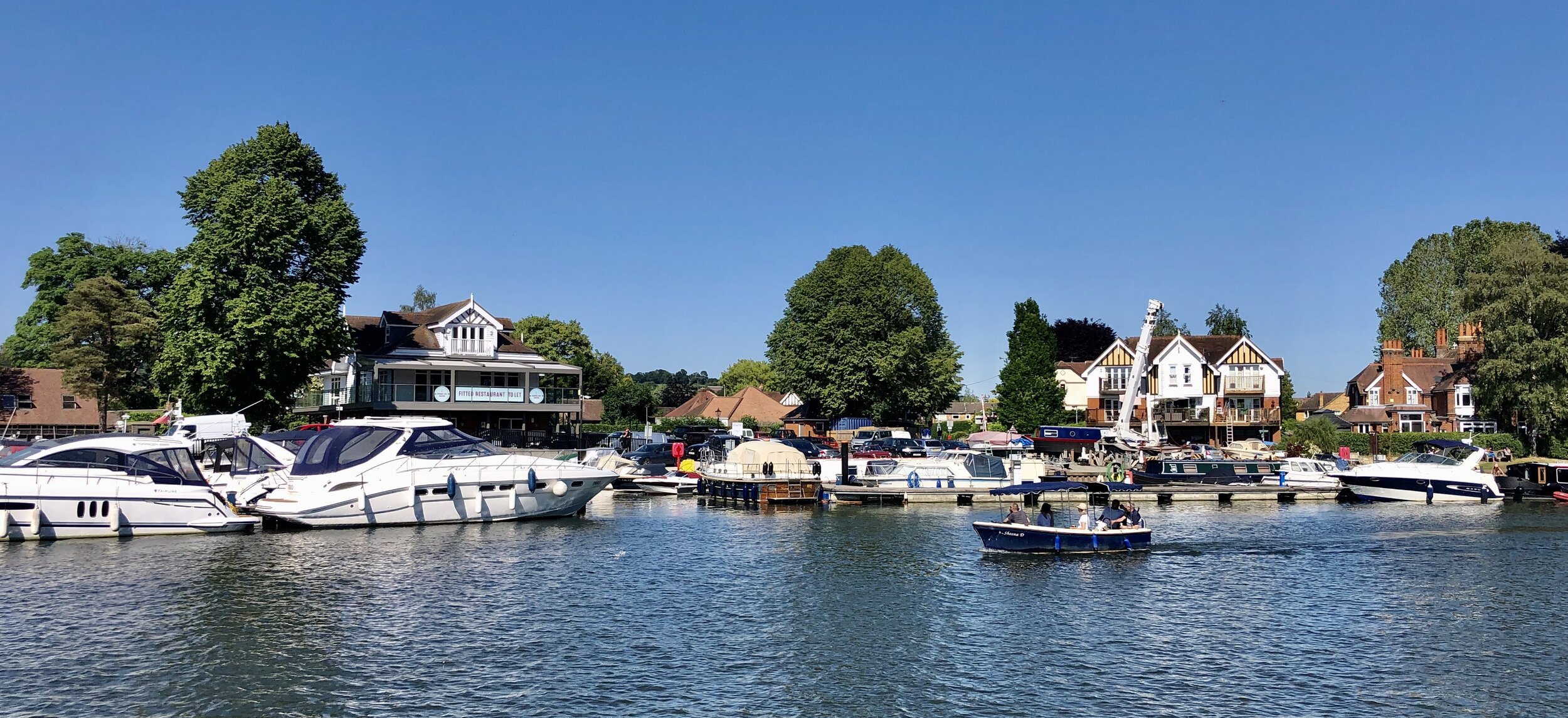
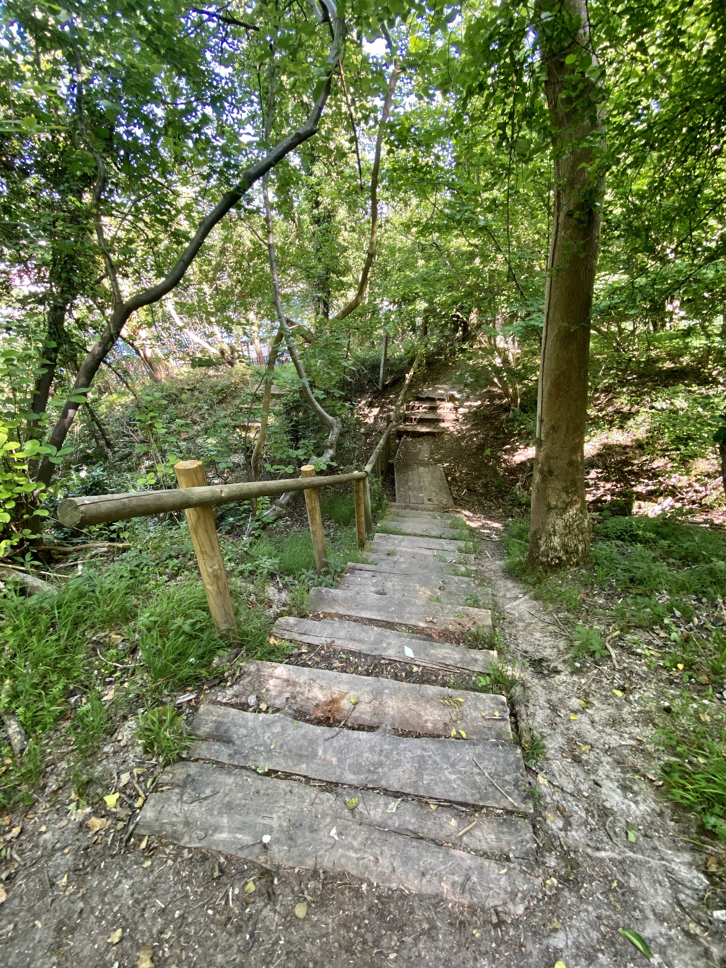
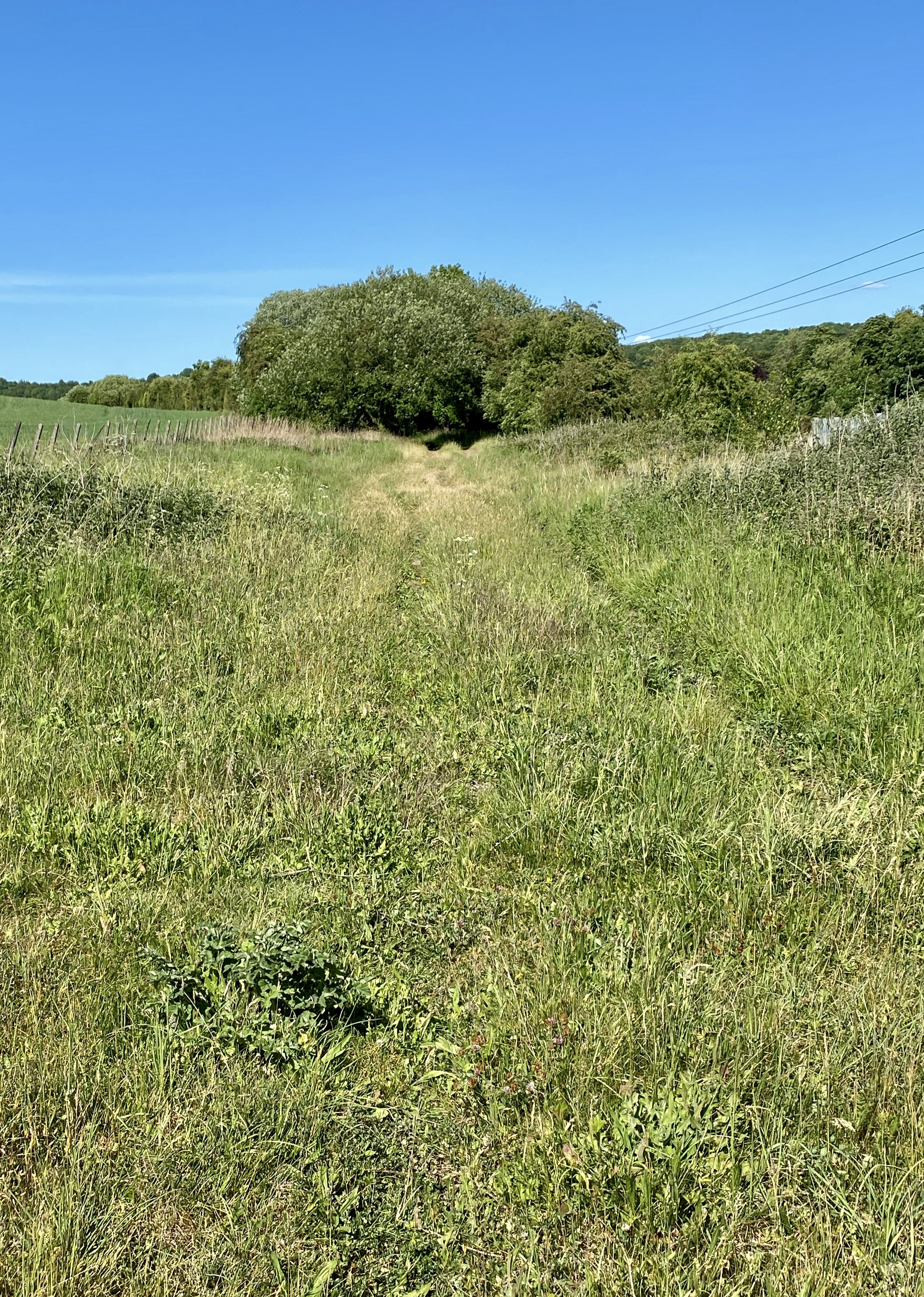
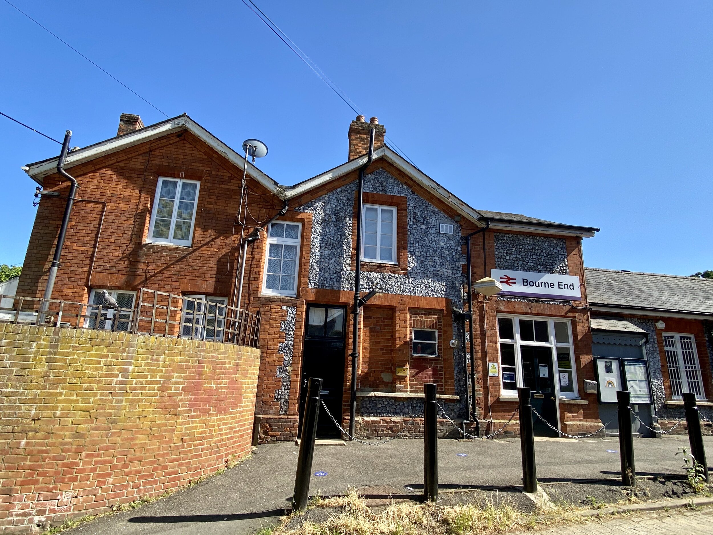
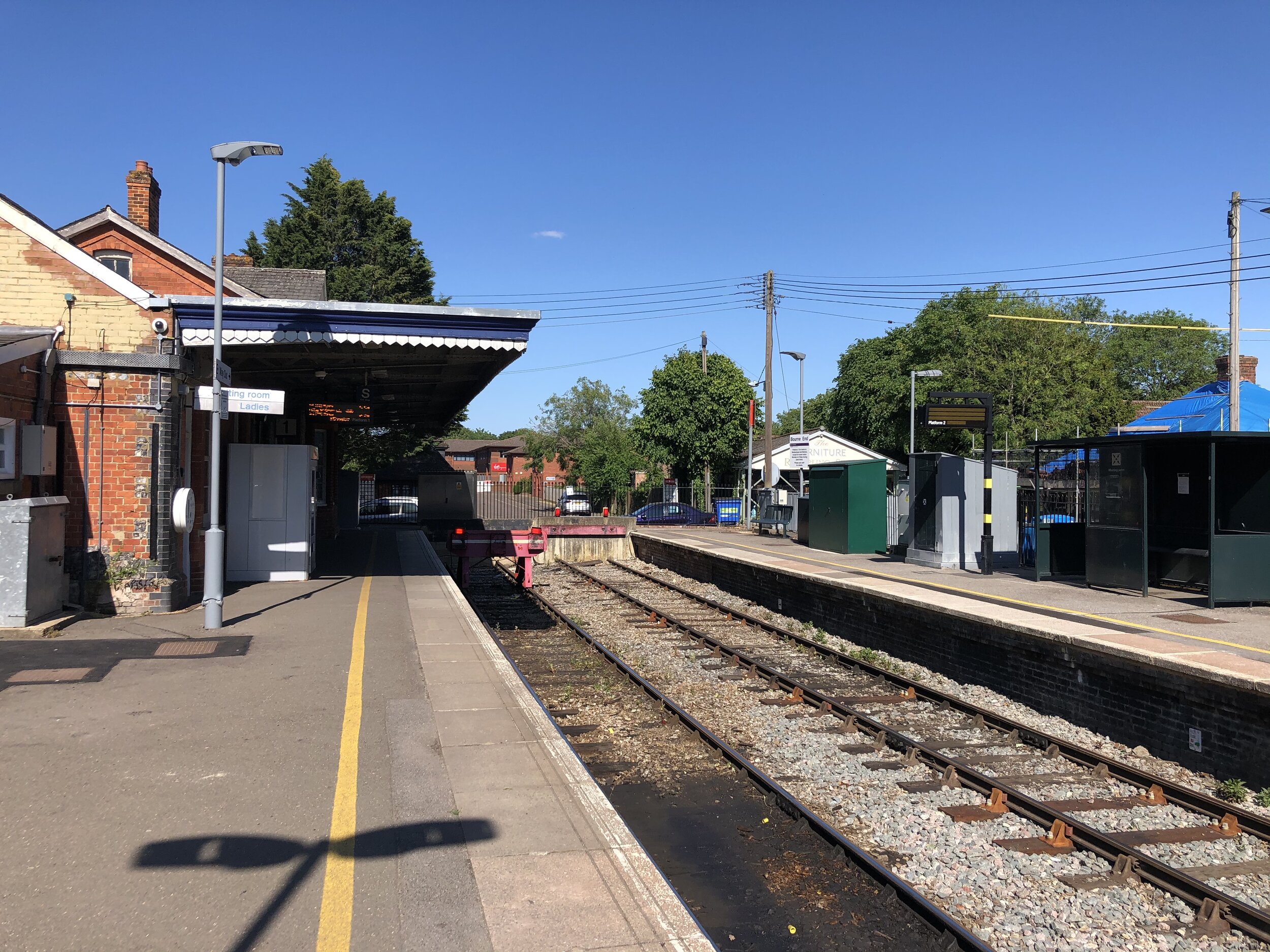
From the car park at Bourne End Station, follow a footpath in a south-westerly direction to meet the bridge where the line to Maidenhead crosses the Thames. The rail line will be on your right and you’ll pass the section where it splits to head north to Marlow. At the river crossing take the stairs down to the Thames path, turn right and cross underneath the railway bridge. Continue along a narrow path to Bourne End Marina. The rail route passes behind some very nice houses on the riverfront and over level crossings connecting the marina to the town centre.

Further along the Thames Path you’ll cross Spade Oak Meadow and cow-filled farmland. The rail line stays close from the river for about 3 km until it curves round to the West at Marlow Rugby Club. At this point you have 2 choices, one to follow the course of the train line to Marlow Station and the other to keep close to the river, following the Thames Path and Shakespeare’s Way. Both options reconnect at Marlow Bridge.

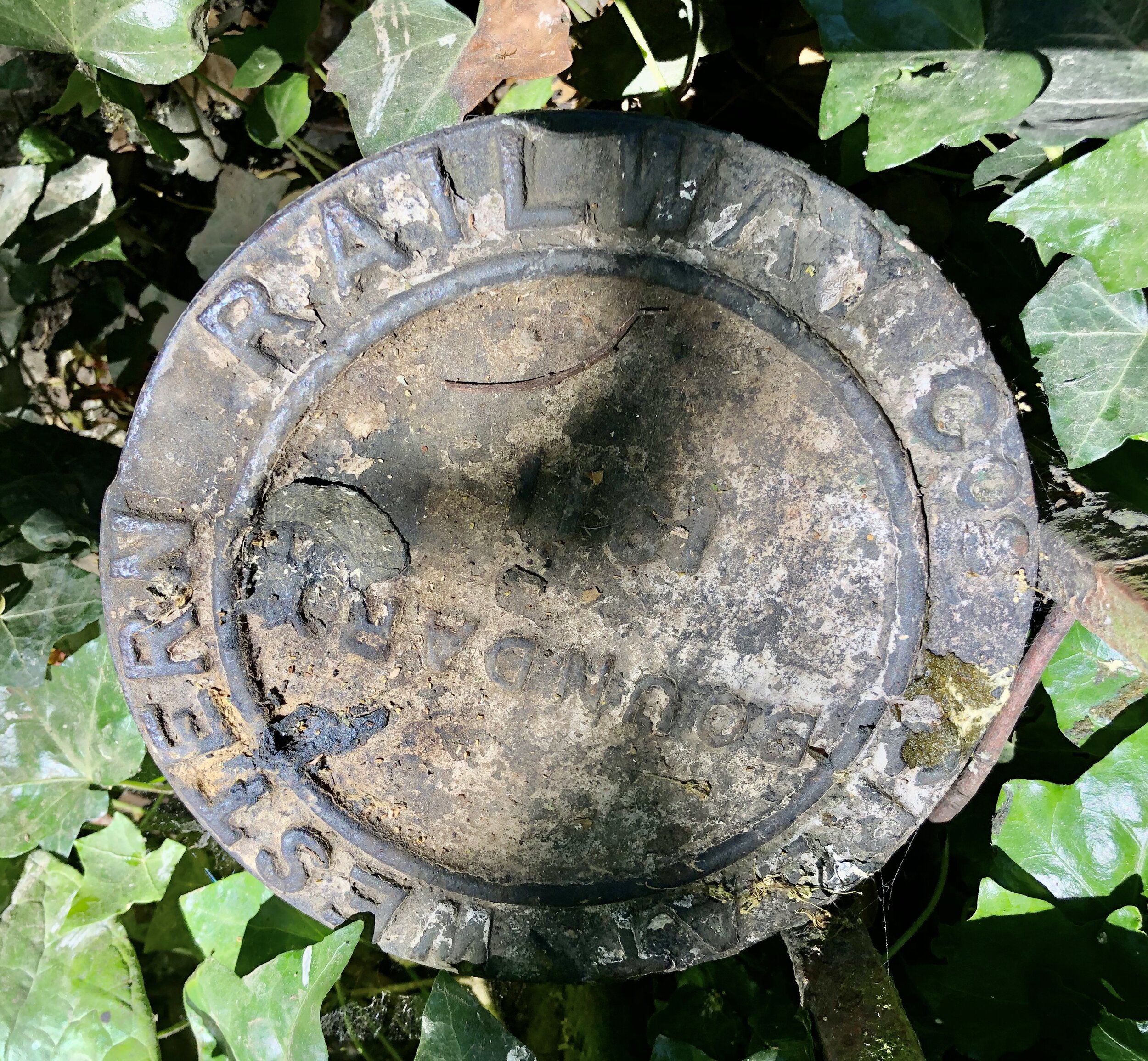
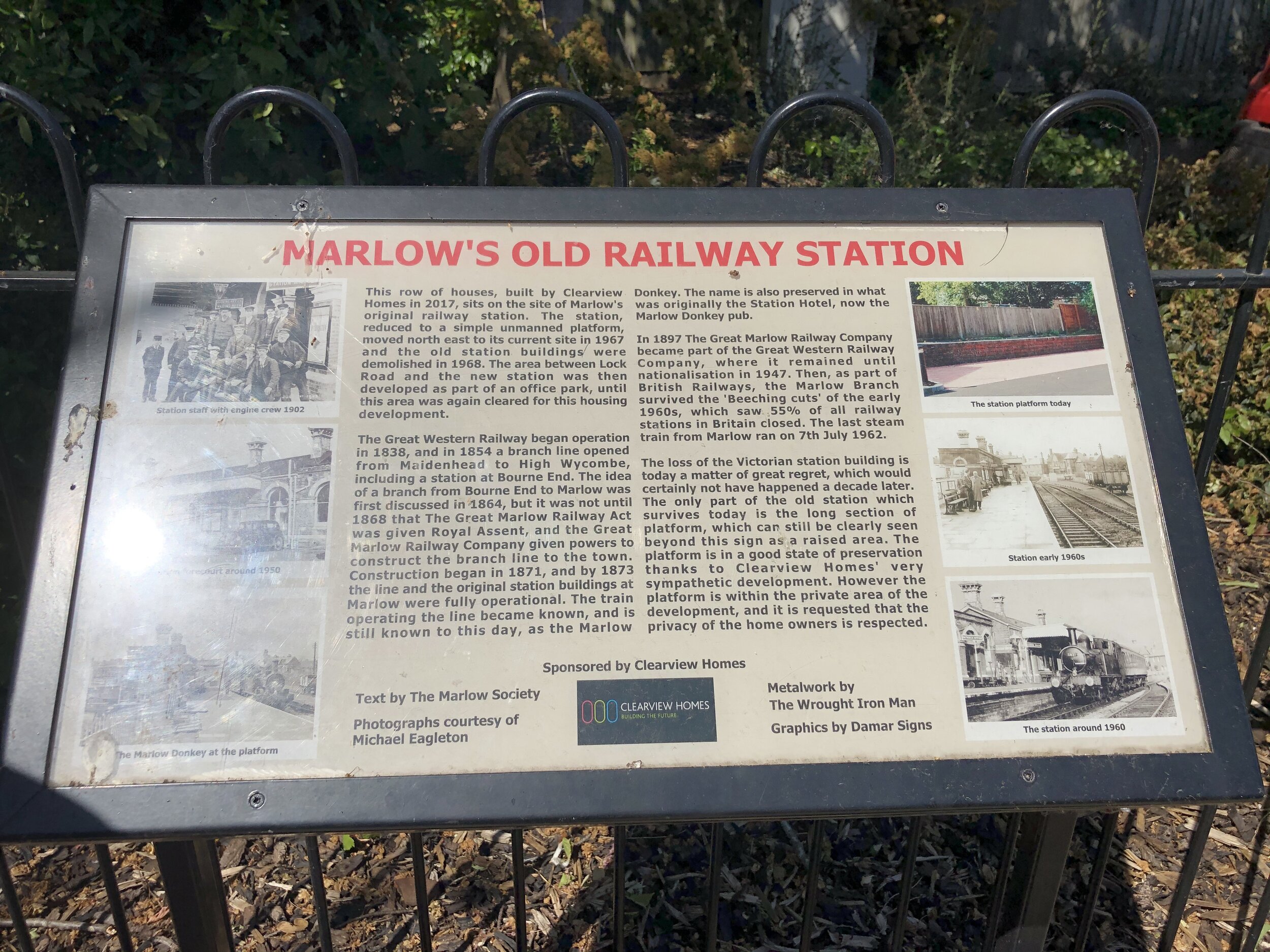
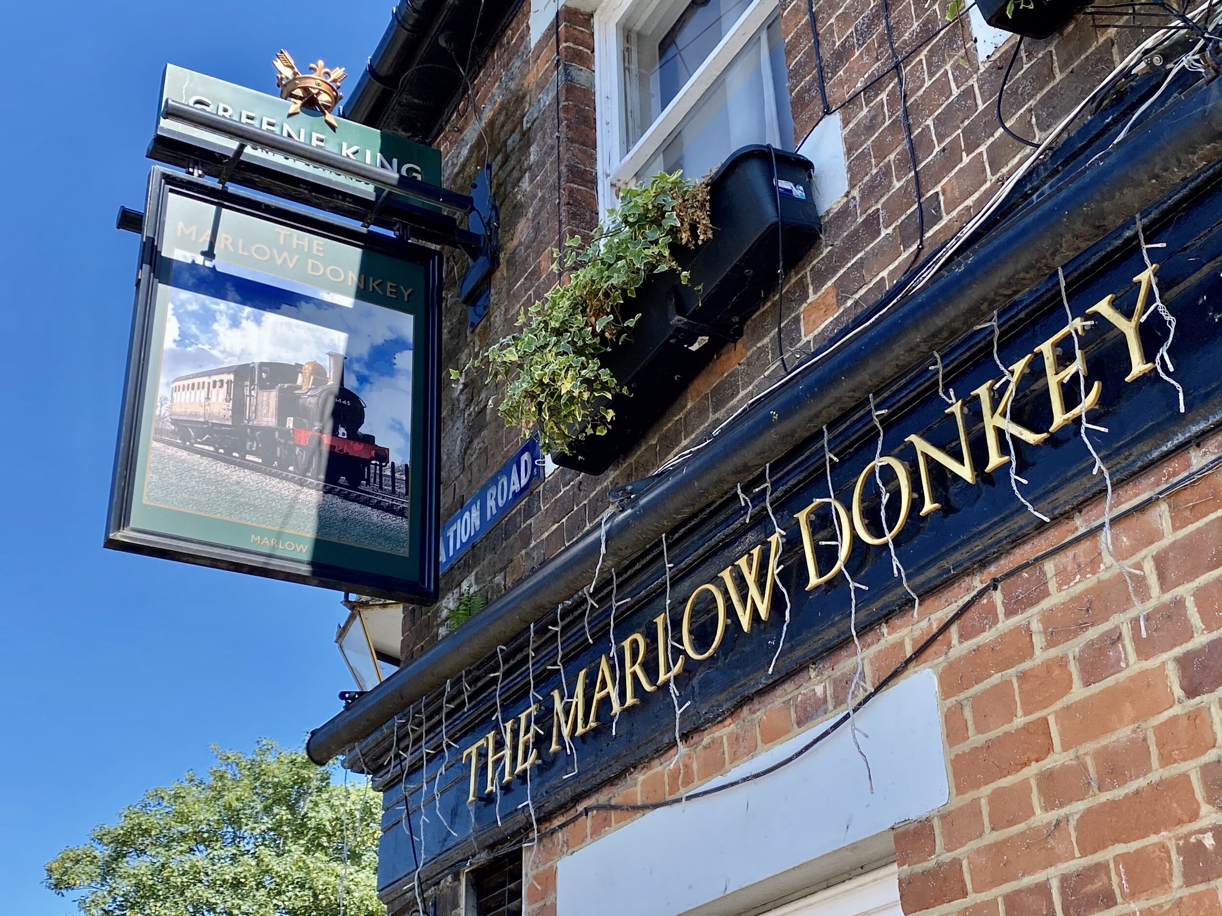
If you’re following the train line, leave the Thames Path to follow a path between the Rugby Club and the rail line. After the A404 underpass the rail line continues behind houses and you’ll need to follow Gosmore Lane, Riverpark Drive and Lock Road to keep as close as possible to the line. The Marlow Donkey Pub sits at the corner of Lock Road and Station Approach. If you divert for a few minutes down Station Approach you can find an information board about the original station on the left hand side and the uninspiring new Marlow Station a bit further down. Back at the Marlow Donkey pub you can continue the walk down Station Road, left onto Mill Road and right onto the Thames Path as it passes through some narrow alleys to the Marlow Road (High Street) at All Saints Church. Take a left here to cross Marlow Bridge.

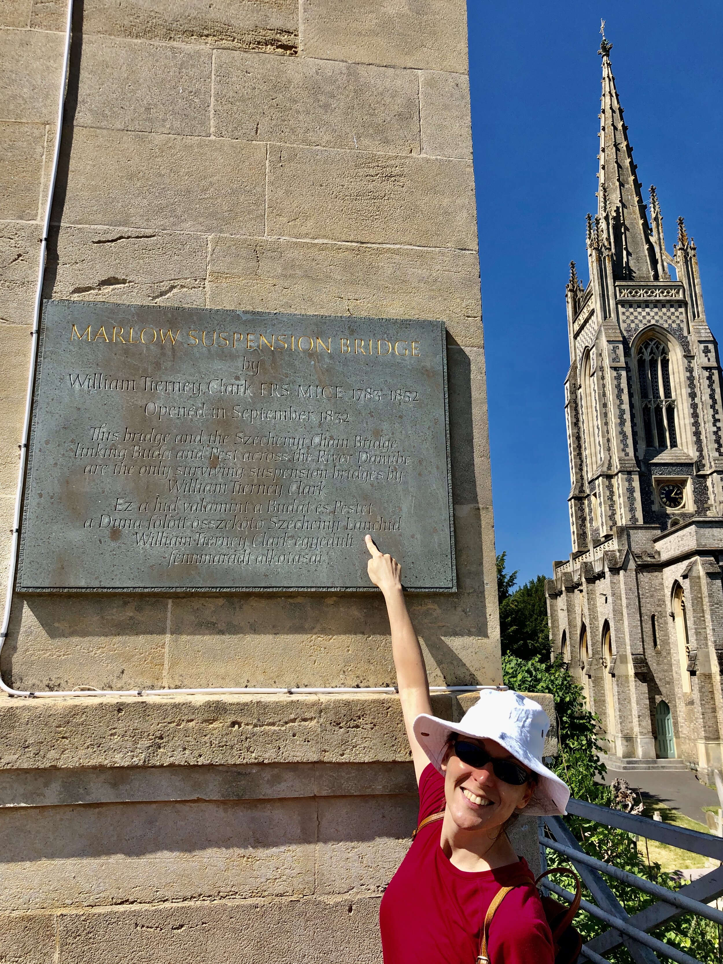
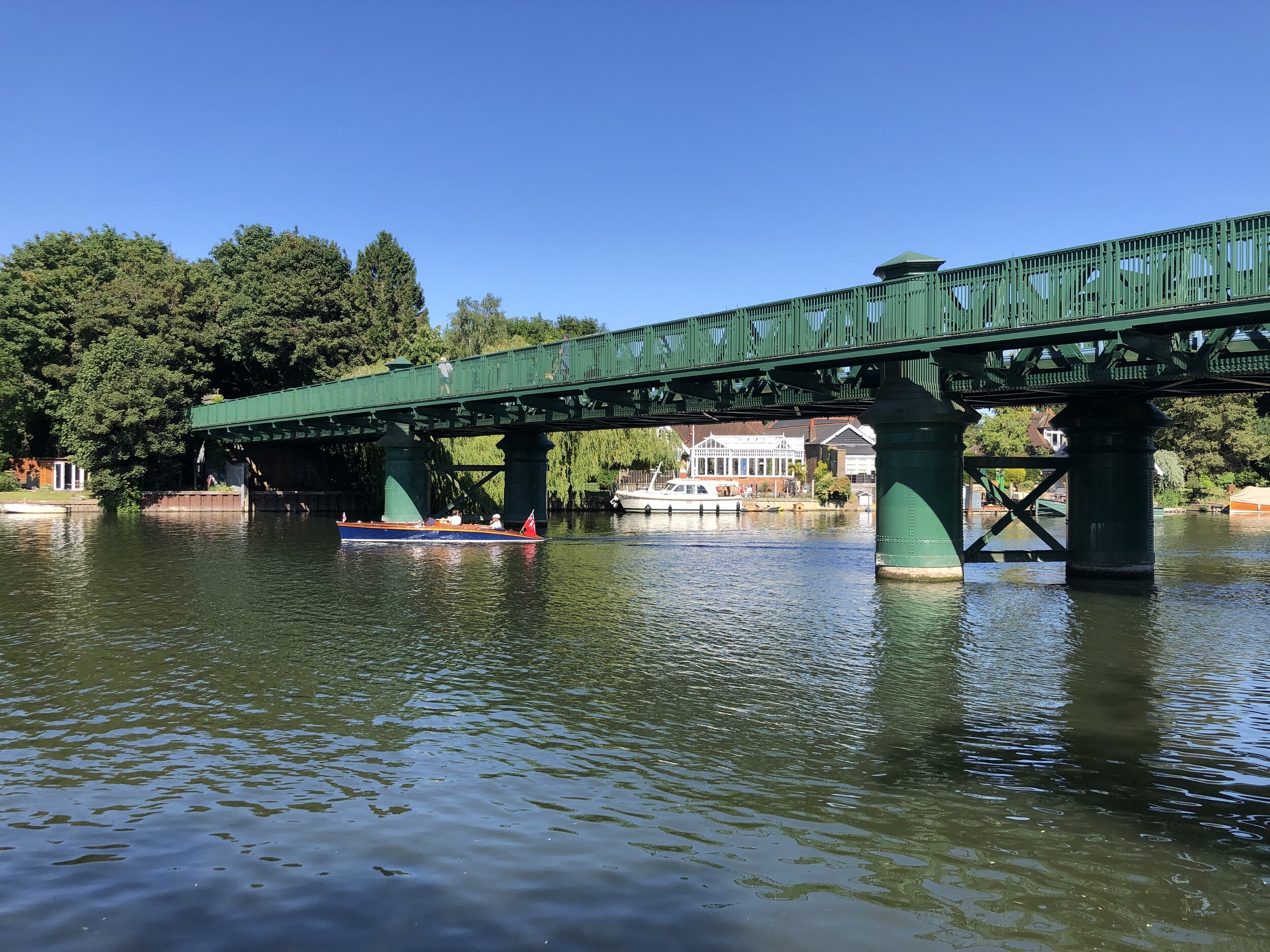
Crossing Marlow Bridge is always a point of interest for us due to Timea’s Hungarian heritage. The bridge was designed by William Tierney Clark and is a smaller version of the Chain Bridge that crosses the Danube in the heart of Budapest. Look out for a plaque on the north-east pillar of Marlow Bridge with text both in English and Hungarian.

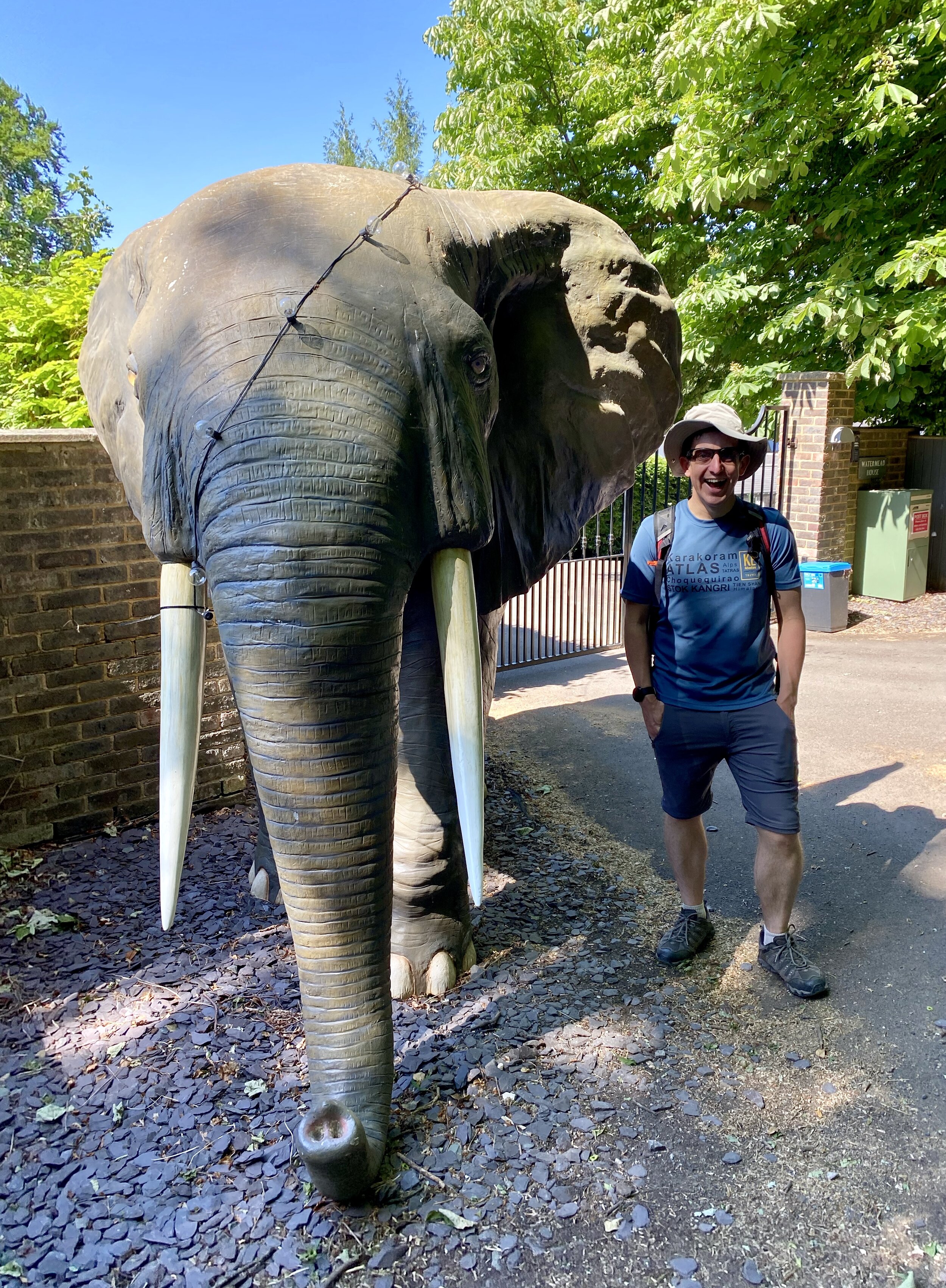
Continuing south after the bridge you’ll pass The Compleat Angler hotel and take a left onto Quarry Wood Road. Continue for ~1 km until the foot of the hill. Be careful of cars here as there’s no pavement in this section. Pass a small bridge over a stream take the left hand footpath at the point where Quarry Wood Road takes a sharp right. From here continue past lovely riverside houses and woodland at the base of Winter Hill. Beware of the elephant!

At ~2.5 km from leaving Quarry Wood Road you’ll see a tall metal footpath sign in the middle of a field and at the bottom of a steep uphill path. Take a sharp left here and continue to the track behind the riverside houses. Continue East along this path following the Thames back to the Bourne End Rail Bridge. The quirky pirate themed Bounty Pub before the bridge is a great place for a drink to celebrate (nearly) completing their loop. To get back to the start at Bourne End Station cross the rail bridge back to the north side of the Thames and retrace your steps from the start of the route.

Part 3 of the Wycombe-Maidenhead Rail Trilogy will come soon with the Bourne End To Maidenhead section.


Shakespeare’s Way previous section (north): Marlow and Harleyford
Shakespeare’s Way next section (south): Bourne End, Cookham and Wooburn

Walking The High Wycombe To Bourne End Disused Railway
IMG_4190.jpg

Start: High Wycombe Railway Station, High Wycombe, HP13 6NN
Finish: Bourne End Railway Station, 1 Station Road, Wooburn Green, Bourne End, SL8 5RN
Return to Start: via #36 bus. Check timetables for details.
Distance: 9.9 km km (6.2 miles)
Elevation change: +37m / -86m. Net -49m
GPX File: get via Buy Me a Coffee
Other routes touched (walk): The Chiltern Way
Other routes touched (cycle): N/A
Other Pubs / Cafes on route: Several in Wooburn Green village
Map: OS Explorer Map (172) Chiltern Hills East
Links: Maidenhead - Marlow Passengers’ Association History, Wycombe to Bourne End railway - looking back at the historic line (Photos)
Wycombe Railway, Loudwater Station, Wooburn Green Station, Bourne End Station


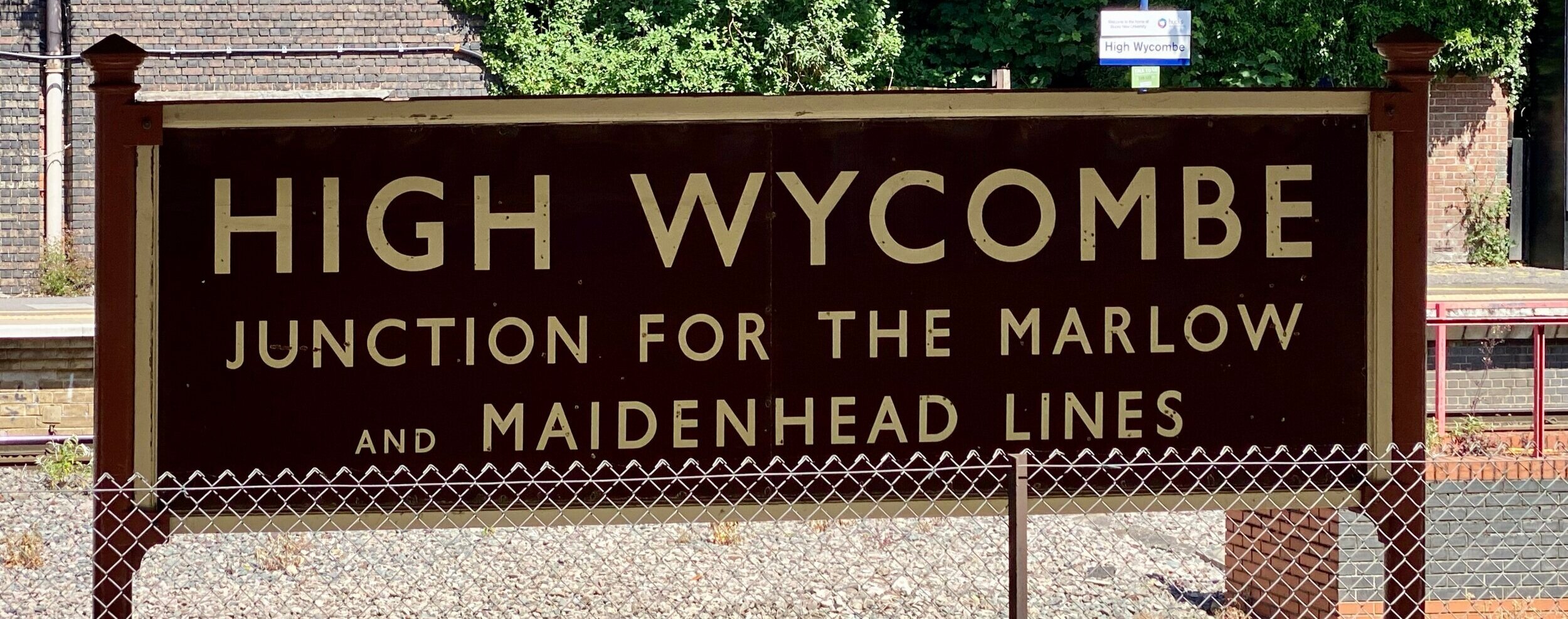
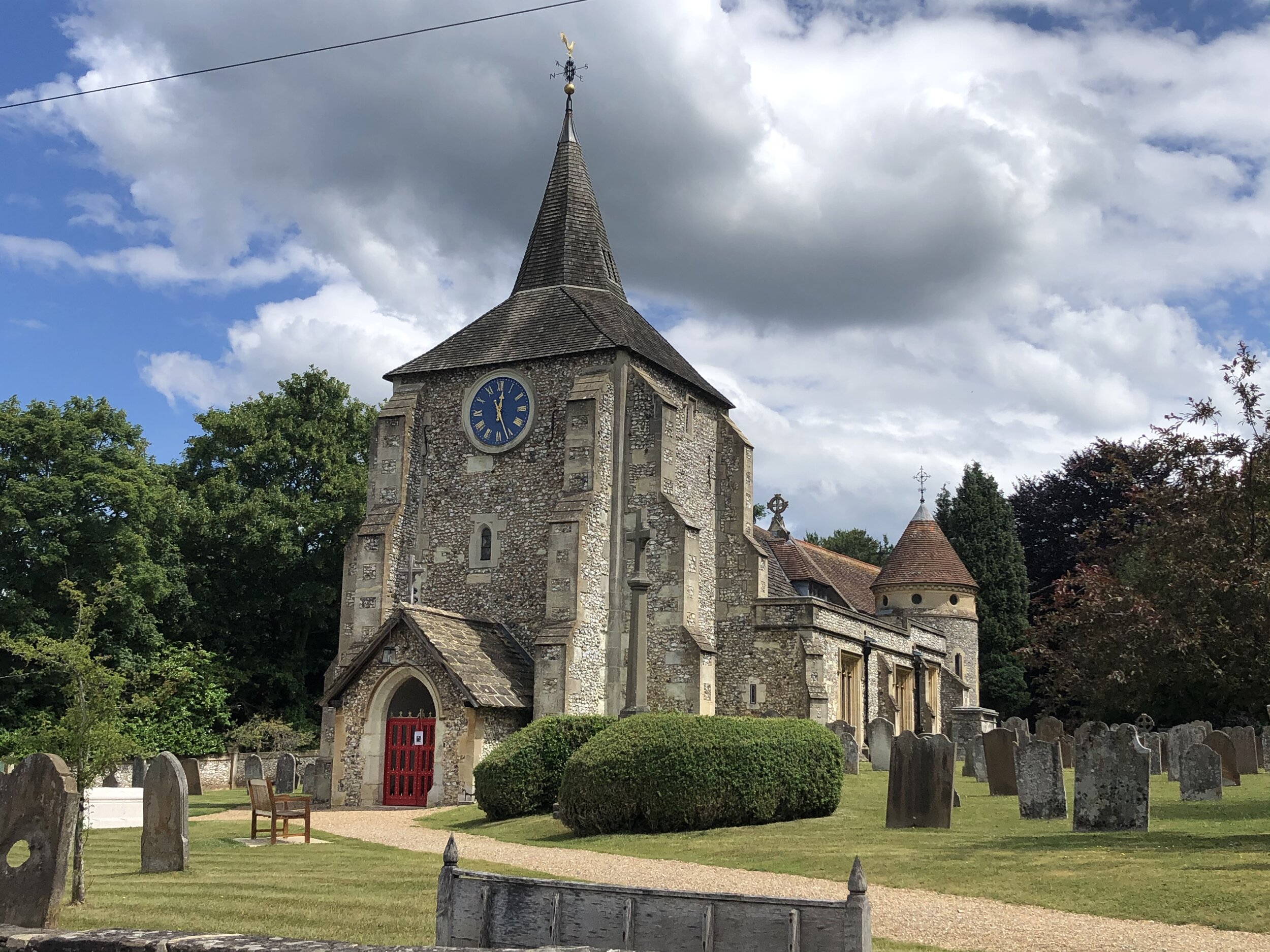
The Wycombe to Bourne End Railway was originally part of a longer section that connected Maidenhead and High Wycombe. The Maidenhead to Bourne End section is still intact but the line to Wycombe closed in 1970. Unlike a lot of disused railways its not been fully adopted into a cycle route or walking trail. It’s all walkable though with a bit of planning, some good navigation and a few diversions. The guidance below will help you navigate but don’t use it as a fully accurate turn-by-turn guide. Always take a map and/or a GPX route and prepare well for the weather and terrain.

You can start at either end but we chose to start at High Wycombe station as we will continue the trip to Maidenhead on a later trip. From the station walk East for approx 750m following Birdcage Walk, then Station Road and Queen’s Road until it meets the A40. Follow the A40 for another ~500m, crossing to the South side of the road at the junction with Pinions Road. Up to this point there’s no visible remains of the old railway, although you can see the main Chiltern Line when you look North up several of the adjoining streets.

The first time that you encounter the old railway is at the steep embankment that stops abruptly at the A40 opposite Pinions Road. There was originally a steel girder bridge that took the railway over the A40 to join up with the mainline to the Northwest. There’s a path to the East of the embankment where you’ll get your first chance to walk along the old rail route. Here the River Wye passes underneath as it continues its journey from Bradenham to the confluence with the Thames not far from Bourne End Station.

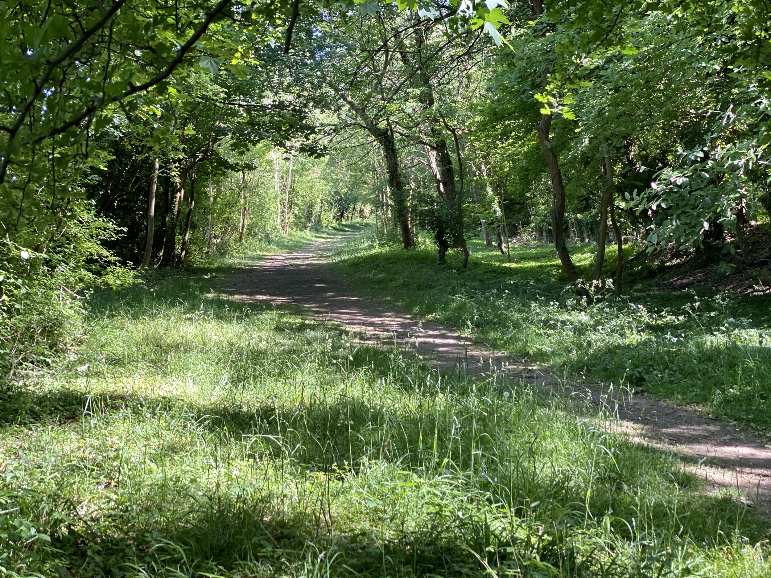
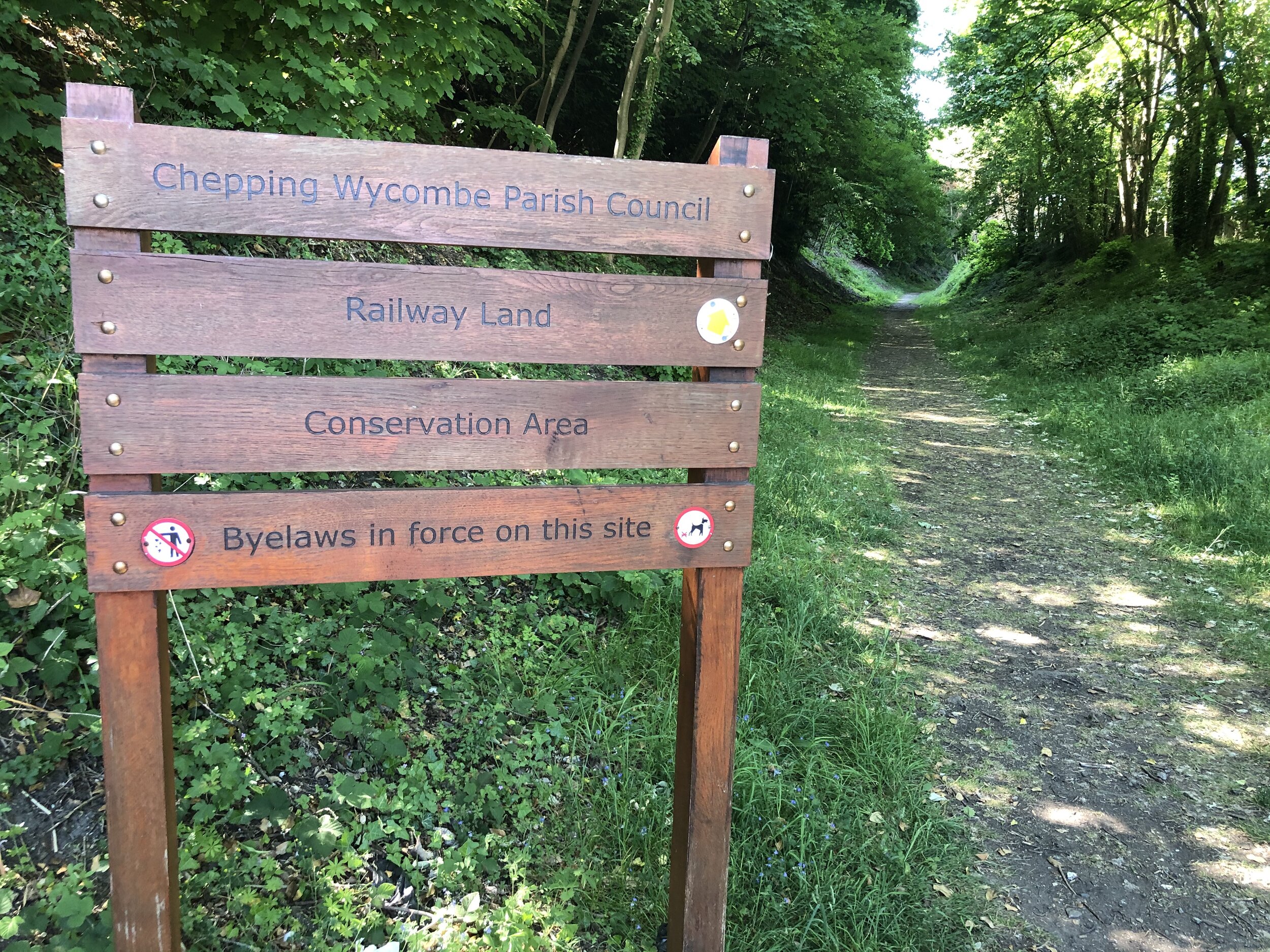
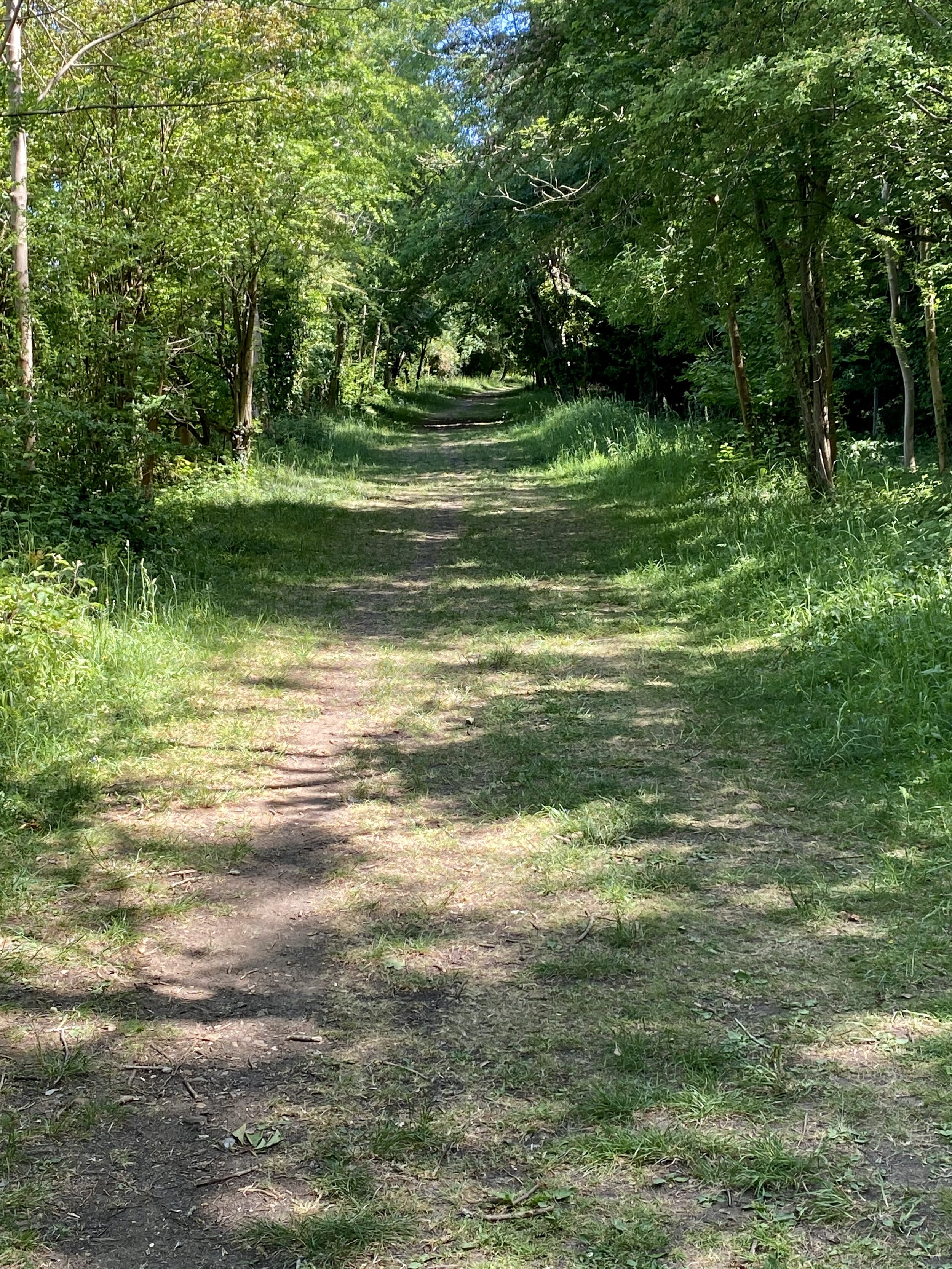
This part of the walk ends at Bassetsbury Lane which you can follow close to the old rail route for ~1.4km. To the right hand side of the road the houses are built up higher that the road in place of the tracks. Bassetsbury Lane becomes Kingsmead Road which you’ll take until it crosses the Chiltern Way just after the Rugby Club. Turn right up Bridge Bank Close following the Chiltern Way for about 100m. Here you can rejoin the path that follows the rail route South East through the woods. You’re now on the Chepping Wycombe Parish Council Railway Land Conservation Route, a highlight of the trail.

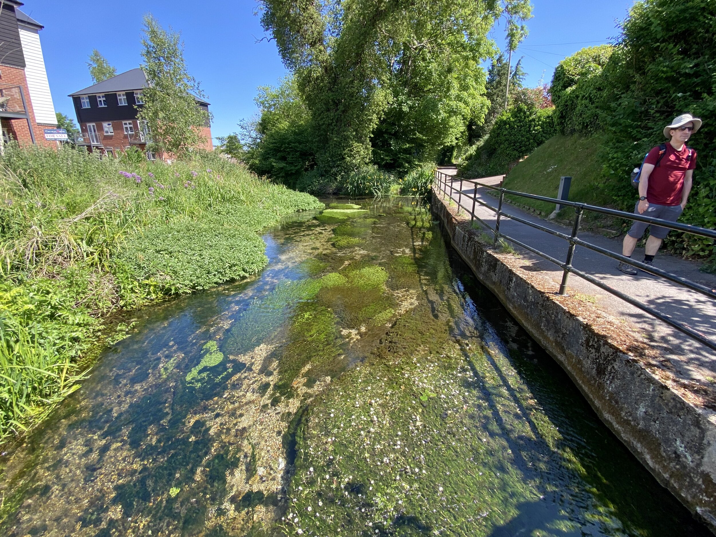
The conservation trail ends Treadaway Hill very close to the old Loudwater Station, now demolished. Here the there was a Level Crossing but the route is now blocked by an industrial estate next to the M40. To continue the walk, divert left onto Treadaway Hill and take a right at the Happy Union pub to follow Boundary Road. Pass under the M40 bridge and over a small roundabout onto Wycombe Lane. A very short distance past the roundabout take the footpath to the right of the pavement up into the woods.

Continue through the woods for a short distance until you reach Flackwell Heath Golf Course. A footpath will continue straight across the golf course, however turn left and follow the path and track along the North-East side of the golf course. When the main path will takes you back onto Wycombe Road continue along the overgrown path that follows the back of the houses. The path will take a sharp right hand turn up the hill at the end of the golf course. Continue up but take the left hand path at the path junction to continue on to Juniper Lane. Turn left on Juniper Lane and follow this back to Wycombe Road.

For the next 1.6 km / 1 mile you’ll continue along Wycombe Road through Wooburn Green. This stays to the East of the railway route, although diversions onto the parallel streets of Compton Road, Red Lion Way and Old Station Road would keep you closer to the tracks. All of these are cul-de-sacs so a through-route on these is not possible. The only one that we diverted to was Old Station Road which, not surprisingly, was the location of the original Wooburn Green Station that was demolished in the late 1980s.

When you reach Wooburn Manor Park, look out for a footpath on the right of Wycombe Road that takes you past Spade Oak and back onto the railway route. From here you can continue along a quiet, wooded section that follows the old rail line for 1.6 km / 1 mile to Bourne End. When the path finishes at the A4155 Cores End Road, cross over and take a footpath onto Boston Drive to continue to Bourne End Station.

I’d stumbled upon parts of this route year ago on various cycling and Geocaching adventures. As it’s not a recognised trail I hadn’t considered tracing the route of the line until recently. I’m glad that I did though as its a hidden gem of a route still with evidence of the old rail route.

elevation_profile.jpg

The Wycombe Railway and Connecting Lines


More Disused Railway Posts


Walking the Reigate Mills and Pillboxes Trail
View from Galley Hill Windmill

View from Galley Hill Windmill


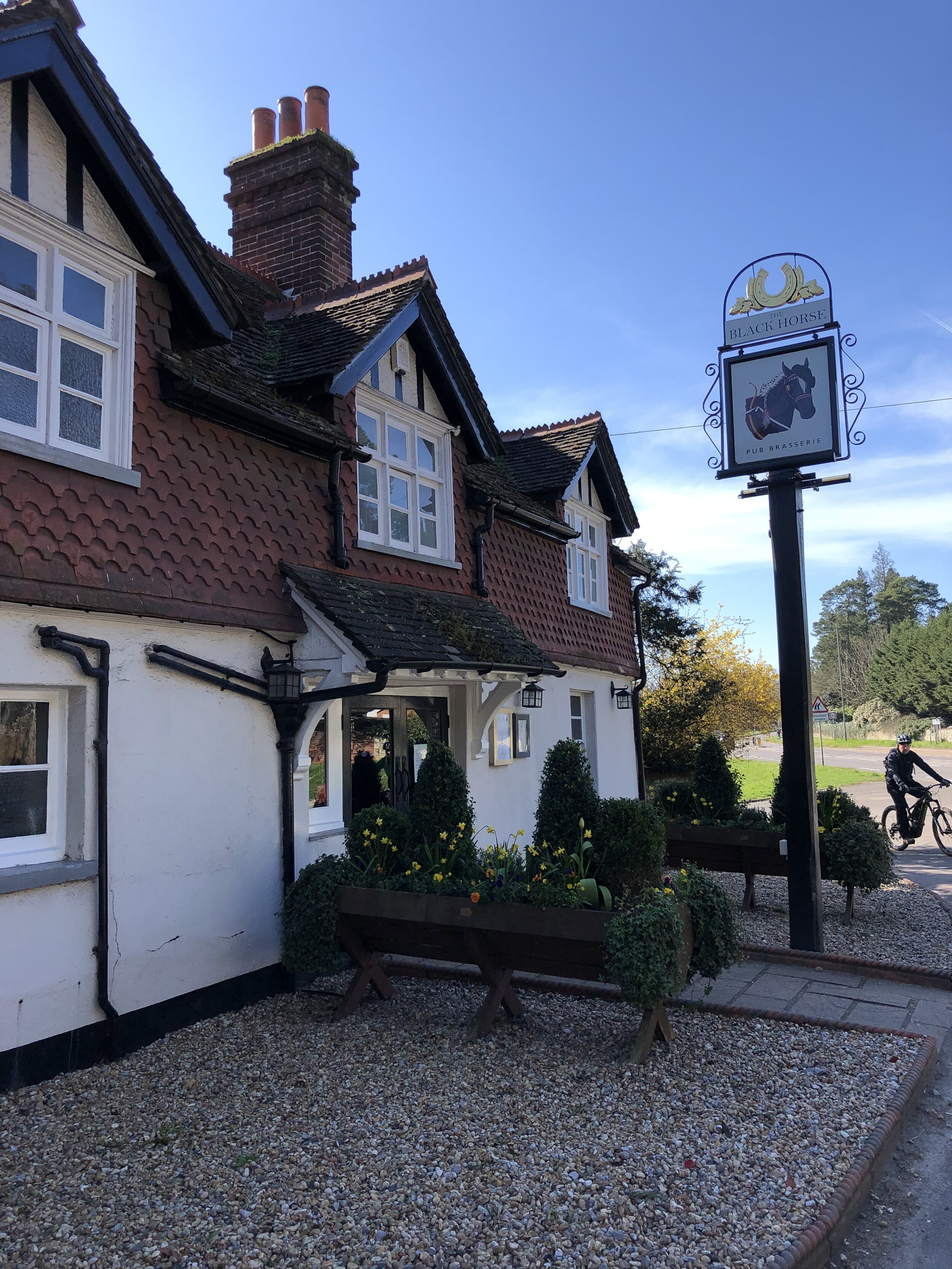
Start / Finish: The Black Horse Pub, 93 West St, Reigate, RH2 9JZ
Distance: 7.3 km (4.5 miles) … although the Explore Surrey PDF has it at 6.5 km
Elevation Change: +/- 71m
GPX File: get via Buy Me a Coffee
Other Routes Touched (walk): Greensand Way
OS Trig Pillar: TP5633 - Reigate Heath
Cafe / pub on route: Black Horse Pub (at start and end) / Skimmington Castle Pub (at 6.2 km in)
Map: OS Explorer Map (146) Dorking, Box Hill and Reigate
Links: Explore Surrey - Reigate Mills and Pillboxes, Reigate, Reigate Heath


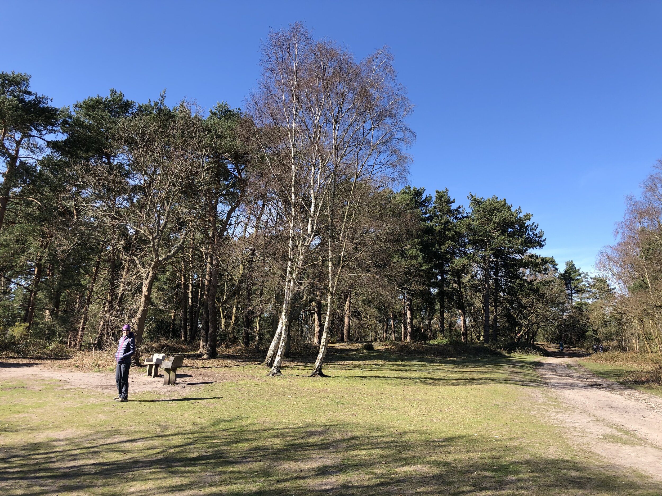
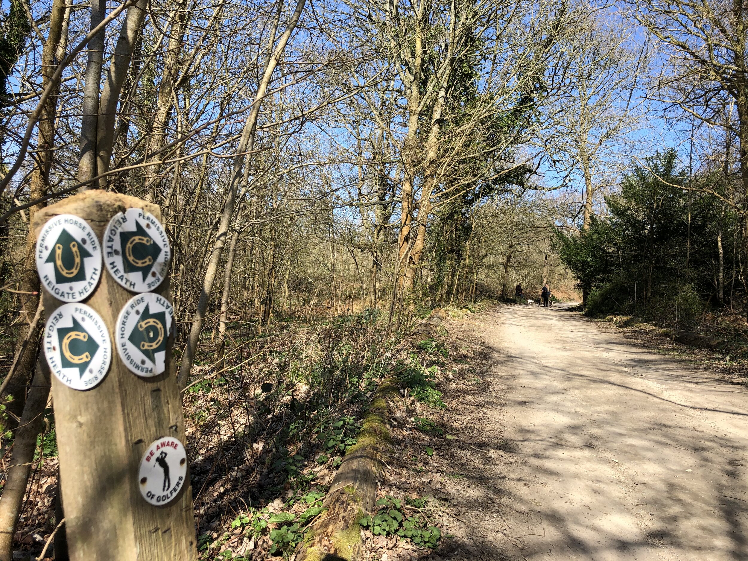
The Mills and Pillboxes Trail is an easy, scenic walk around Reigate Heath, Shag Brook and the River Mole. This was our latest walk in the Explore Surrey series whose website is a rich source of information about getting out and about in the county. It was our 5th of their walks and was a nice way to escape the house during the COVID-19 lockdown whilst socially distancing.

As with all of their routes, their PDFs have all the details so I won’t cover them again here. The only additional thing to note is that the PDF guide starts and end the walk at the Black Horse Pub. If you’re driving there’s alternative car parking at Flanchford Road Car Park which will reduce the length of the walk by approx 1 km.
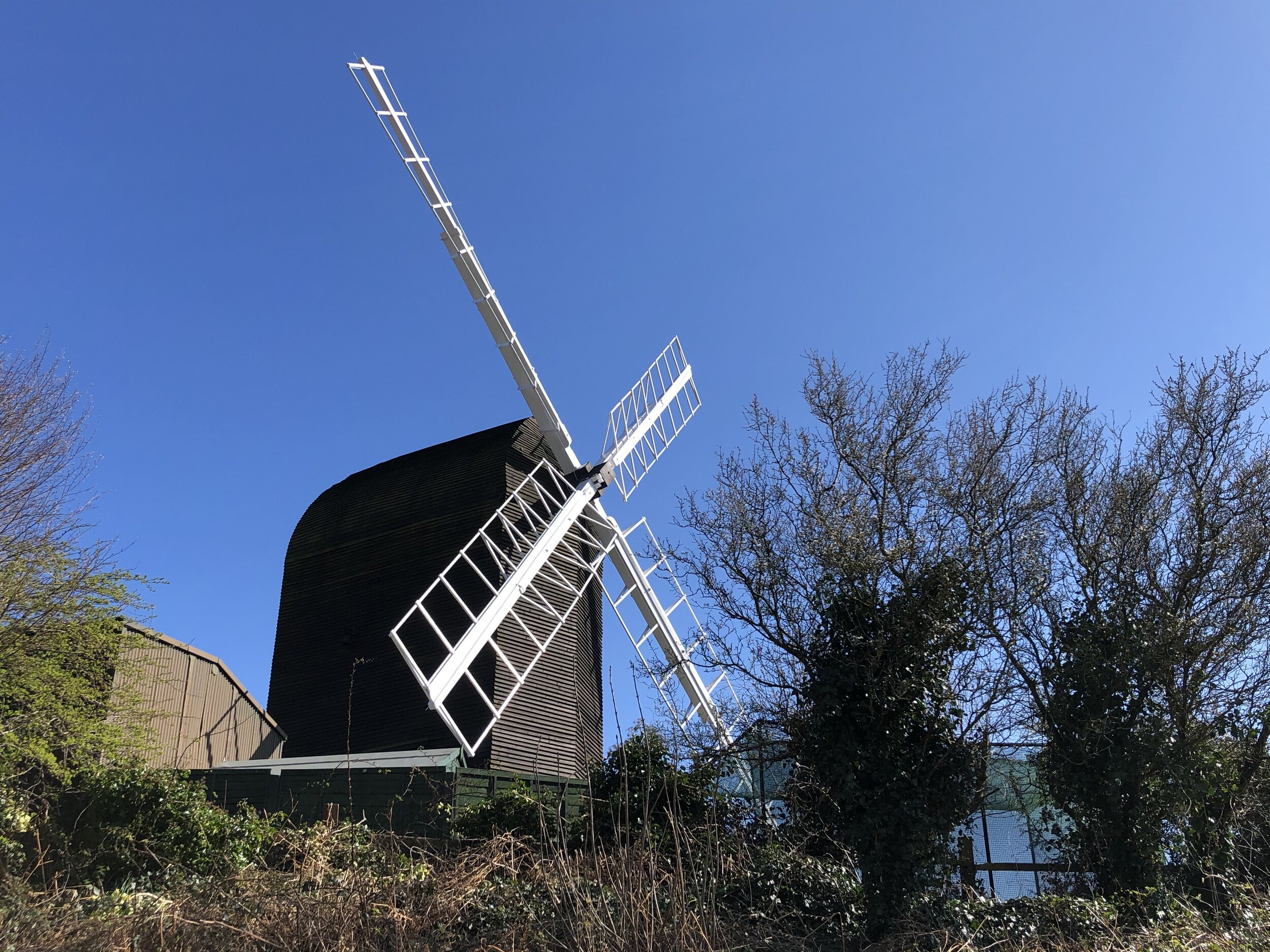
At the Galley Hill Windmill you can also bag the Reigate Heath Trig Pillar. It's on the North Side of the windmill near a bench. There's lots of bracken around it but it was easy to spot and access when we were there.


elevation_profile.jpg

Walking the River Wey Part 2: Weybridge Locks and Levels Trail
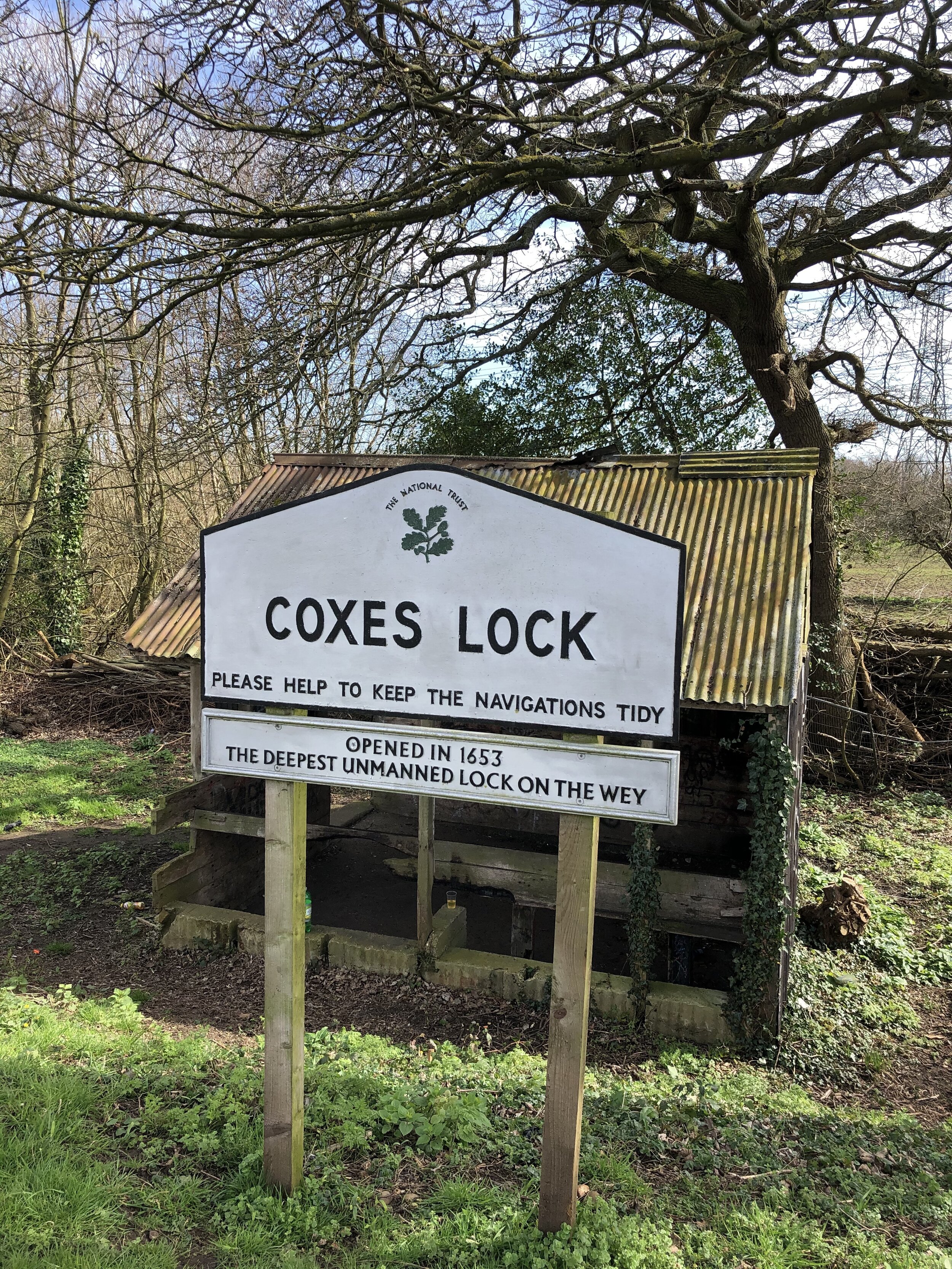
Coxes Lock on the Wey Navigation

Coxes Lock on the Wey Navigation


Start / Finish: Weybridge Railway Station, Station Approach, Weybridge, KT13 8UD
Distance:
7.3 km (4.5 miles)
Elevation Change: +/- 43m
GPX File: get via Buy Me a Coffee
Other Routes Touched (walk): Wey Navigation Footpath
Cafe / pub on route: Several in Weybridge Town Centre.
Map: OS Explorer Map (160) Windsor, Weybridge & Bracknell
Links: Explore Surrey - Weybridge Locks and Levels, Weybridge, Weybridge Station, Wey Navigation


This is the second of a series of short circular walks along the River Wey and the Wey Navigation canal in Surrey. The guidance below will help you navigate but don’t use it as a fully accurate turn-by-turn guide. Always take a map and/or a GPX route and prepare well for the weather and terrain.

This walk is also part of the the Explore Surrey series whose website is a rich source of information about getting out and about in the county. As with all of their routes, their PDFs have all the details so I won’t cover them again here. The only additional thing to note is that the PDF guide starts and end the walk at Weybridge station. If you’re driving there’s alternative car parking in Weybridge Town Centre or free-on street parking on parts of the route between the station and Church Street.

elevation_profile.jpg

Completing all Wiltshire parkruns
Wiltshire banner.JPG

There are currently 10 parkrun events in present-day Wiltshire, of which I have completed 5. The first was Lydiard (formerly Swindon) which started on March 6th 2010 and the newest is Thoulstone which started on February 8th 2025. The name for having completed all parkrun events in the county is “A Complete Bustard”.

South Tidworth, where the Tidworth parkrun takes place, was moved from Hampshire into Wiltshire in 1992, but houses there still have Hampshire on their postal addresses.

Numbers exclude any events that are not open to the general public such as prisons or armed forces facilities.


A map of the parkrun events in the county of Wiltshire.

All of the Wiltshire parkrun events …

Below are each of the Wiltshire 5k parkrun events in alphabetical order. A few things to note:

  • The interactive maps below take you to the approximate location for the course, typically the centre of the park. See the course instructions in the parkrun page for each event for specific directions to the start.

  • Course maps and elevation profiles show the route at the time that I ran it and may have changed since then. See the Course page in the event’s page on parkrun.org.uk for the current course outline. Note that course outlines are from Garmin data during a specific run and may vary from the officially measured distance.

  • Please contact me if you spot an event that doesn’t have a course map and elevation profile and you would like to donate one from your own run. I’m also interested in maps and elevation profiles for courses that have changed or where there’s a regular alternative route (e.g. Horsham). I’ll need a GPX file from your run plus the date. I’ll include a credit for you and will donate £1 to parkrun.


Chippenham

  • I have not yet completed this event

  • Historic County: Wiltshire

  • Ceremonial County: Wiltshire

  • Inaugural: April 12th 2014

  • Links: Event Home Page, Course Page


Lydiard

  • I completed this event on: January 12th 2019 with a finish time of: 24:38

  • Original name: Swindon. A second parkrun (Seven Fields) launched on the other side of Swindon, so the original event adopted a more specific location-based name to avoid confusion.

  • Historic County: Wiltshire

  • Ceremonial County: Wiltshire

  • Other routes touched: N/A

  • Inaugural: March 6th 2010

  • Links: Event Home Page, Course Page

 
elevation_profile - Lydiard.jpg

Marlborough Common

  • I completed this event on: New Year’s Day 2022 with a finish time of: 29:35

  • Historic County: Wiltshire

  • Ceremonial County: Wiltshire

  • Other routes touched: Wessex Ridgeway

  • Inaugural: September 22nd 2018

  • Links: Event Home Page, Course Page


Melksham

  • I have not yet completed this event

  • Historic County: Wiltshire

  • Ceremonial County: Wiltshire

  • Inaugural: December 16th 2017

  • Links: Event Home Page, Course Page


Quakers Walk

  • I have not yet completed this event

  • Historic County: Wiltshire

  • Ceremonial County: Wiltshire

  • Inaugural: September 9th 2023

  • Links: Event Home Page, Course Page


Salisbury

  • I completed this event on: July 6th 2024 with a finish time of: 28:37

  • Historic County: Wiltshire

  • Ceremonial County: Wiltshire

  • Other routes touched (cycle): NCN 24

  • Inaugural: June 6th 2015

  • Links: Event Home Page, Course Page


Seven Fields

  • I completed this event on: March 7th 2020 with a finish time of: 26:59

  • Historic County: Wiltshire

  • Ceremonial County: Wiltshire

  • Other routes touched: N/A

  • Inaugural: November 16th 2019

  • Links: Event Home Page, Course Page

 
elevation_profile - Seven Fields.jpg
route-32083407-map-full - Seven Fields.png

Southwick Country


Thoulstone

  • I have not yet completed this event

  • Historic County: Wiltshire

  • Ceremonial County: Wiltshire

  • Inaugural: February 8th 2025

  • Links: Event Home Page, Course Page


Tidworth

  • I completed this event on: October 25th 2025 with a finish time of: 27:40

  • Historic County: Wiltshire

  • Ceremonial County: Wiltshire

  • Other routes touched: N/A

  • Inaugural: June 4th 2022

  • Links: Event Home Page, Course Page


More parkrun posts

parkruns are free, weekly, community 5k events all around the world. I started in December 2012 and have been obsessive about it ever since. See my parkrun Collection page for details.

Featured and popular parkrun posts:


parkrun Stopwatch Bingo Challenge

I found this using the Running Challenges Chrome extension. Its a challenge to get a parkrun finish time for each second of a stopwatch. Given that its practically impossible to plan a finish to the second, its really a matter of luck over a period of many runs. I completed mine with :59 at Lyme Park in the Peak District in September 2017. Well, kind of ..... there was something wrong with their timing that day and I (and I assume others) was recorded at 59:59 rather than 29:39 as my Garmin had it. It took another 2 and a half years before I finally got a genuine :59 at Seven Fields parkrun in Swindon.

59.JPG

More parkrun posts

parkruns are free, weekly, community 5k events all around the world. I started in December 2012 and have been obsessive about it ever since. See my parkrun Collection page for details.

Featured and popular parkrun posts:


South East England parkruns

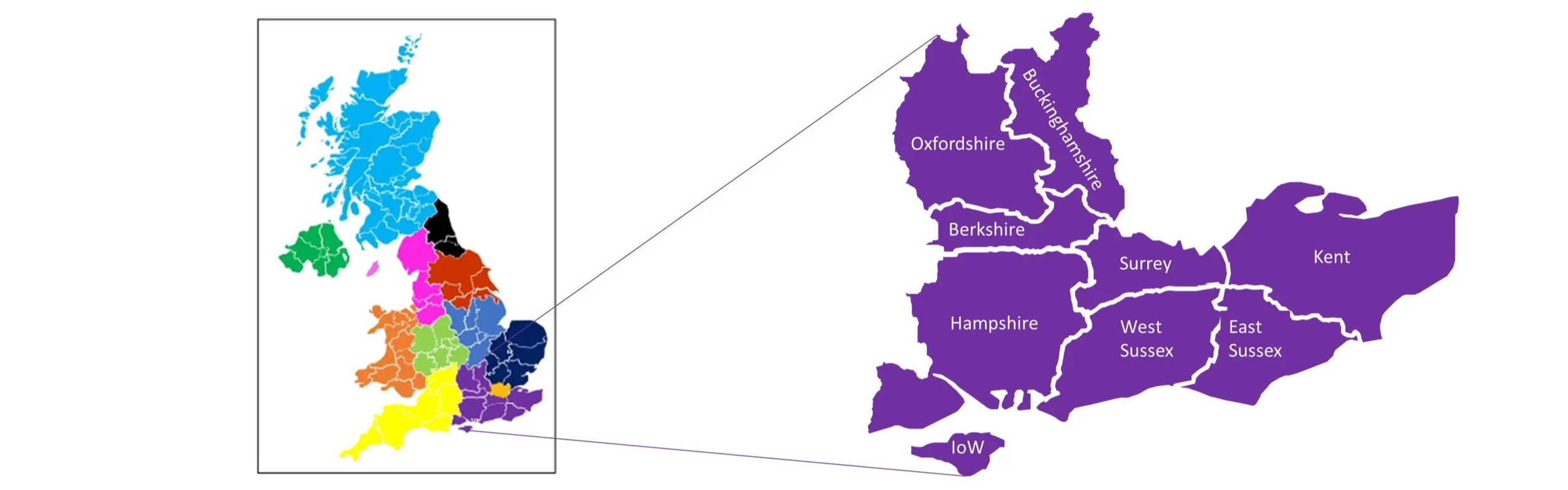
The parkrun Regionnaire status used to be a major part of parkrun tourism, with South East England being the largest region. Changes in the parkrun website in 2019 removed the regions making it harder to track completion status. All is not lost though as here’s the complete parkrun guide to what’s in and what’s out of the counties of South East England.

South East England is the most populous and economically significant region of the UK, excluding London, which it entirely surrounds on its southern and western borders. The region is composed of nine ceremonial counties: Berkshire, Buckinghamshire, East Sussex, Hampshire, the Isle of Wight, Kent, Oxfordshire, Surrey, and West Sussex. Geographically, the South East is characterised by its distinctive chalk ridgelines and ancient woodlands. It contains the majority of the North Downs (running through Surrey and Kent) and the entirety of the South Downs National Park (in Hampshire, West Sussex, and East Sussex). Coastal features are dramatic, notably the world-famous White Cliffs of Dover in Kent and the coastal resorts like Brighton.


The counties of the South East of England

parkrun event numbers per county

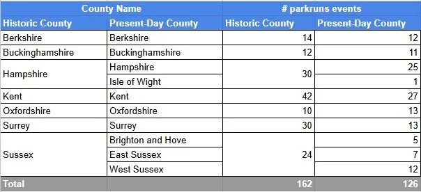
There are currently 126 parkrun events in the present-day counties of the South East region. The Historic Counties, prior to the various boundary changes had a further 36 events, most of these are now part of Greater London. Numbers exclude any events that are not open to the general public such as prisons or armed forces facilities.


Notes and exceptions.

  • Numbers of event above exclude prison parkruns and permanently cancelled events.

  • Bournemouth, Highcliffe Beach and Moors Valley parkruns were part of historic Hampshire and would have been in historic South East England, but are now part of present-day Dorset, so would be in the South West England region.

  • Tidworth: South Tidworth where the parkrun takes place was moved from Hampshire into Wiltshire in 1992 but houses there still have Hampshire on their address for post.

  • Hazelwood was part of historic Middlesex and is now part of present-day Surrey.

  • Parts of historic Surrey and Kent are now part of Greater London. See the individual pages for those counties for the list of which events are now part of Greater London.


The South East Counties parkrun pages

Click on each of the images below to go to the page with details of the parkrun events for the county. Isle of Wight is included in the Hampshire page.


More parkrun posts

parkruns are free, weekly, community 5k events all around the world. I started in December 2012 and have been obsessive about it ever since. See my parkrun Collection page for details.

Featured and popular parkrun posts:


Monte Titano: San Marino High Point

Significance: Highest Point in San Marino
Parent Peak:
TBC NHN: Testa del Monte, Italy
Elevation:
739m
Date climbed:
February 28th, 2020
Coordinates:
43° 55' 56'' N, 12° 27' 7'' E
Guidebook: Europe’s High Points (Cicerone)
Links:
Wikipedia (San Marino / Monte Titano), Peakbagger

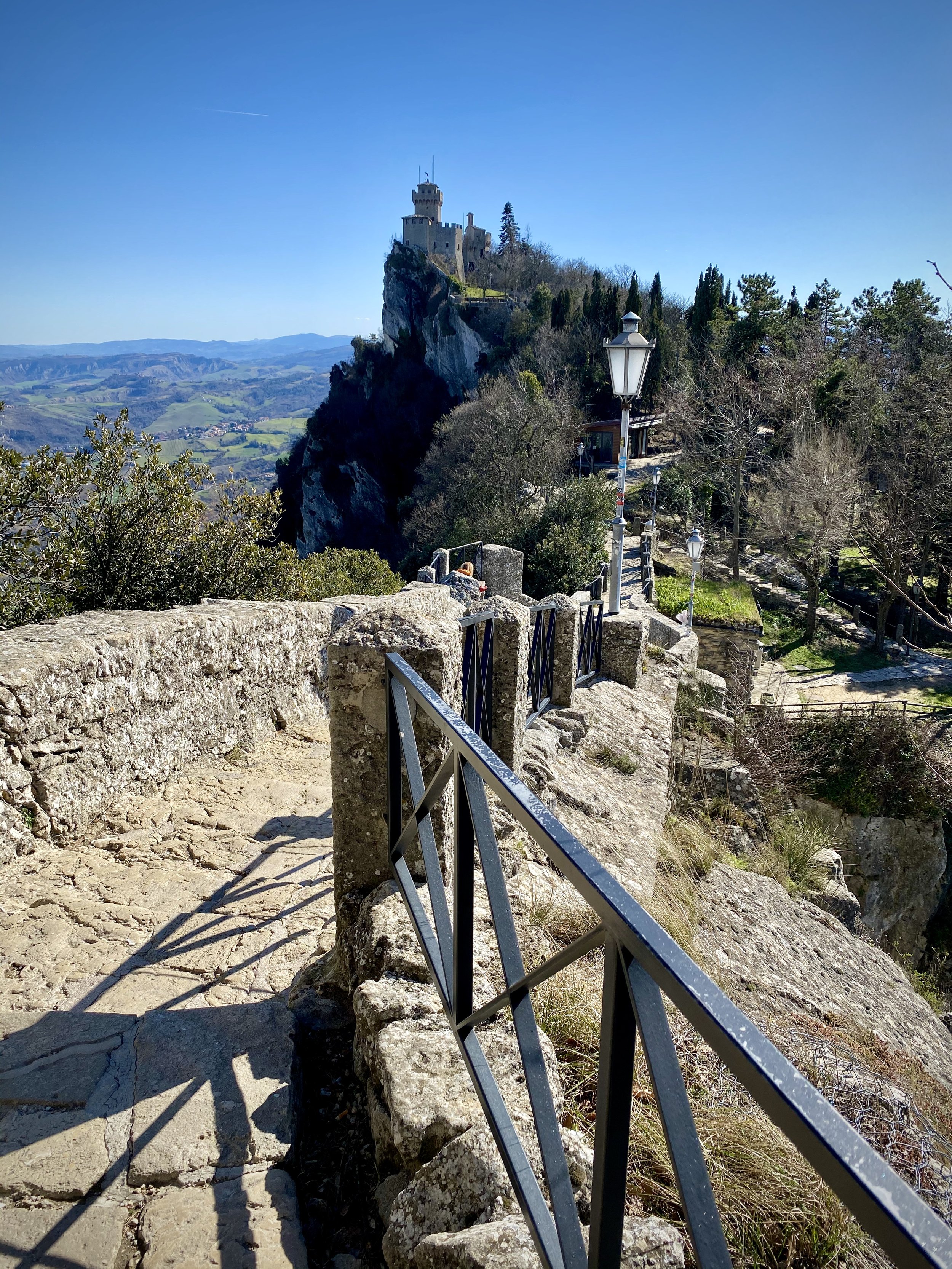
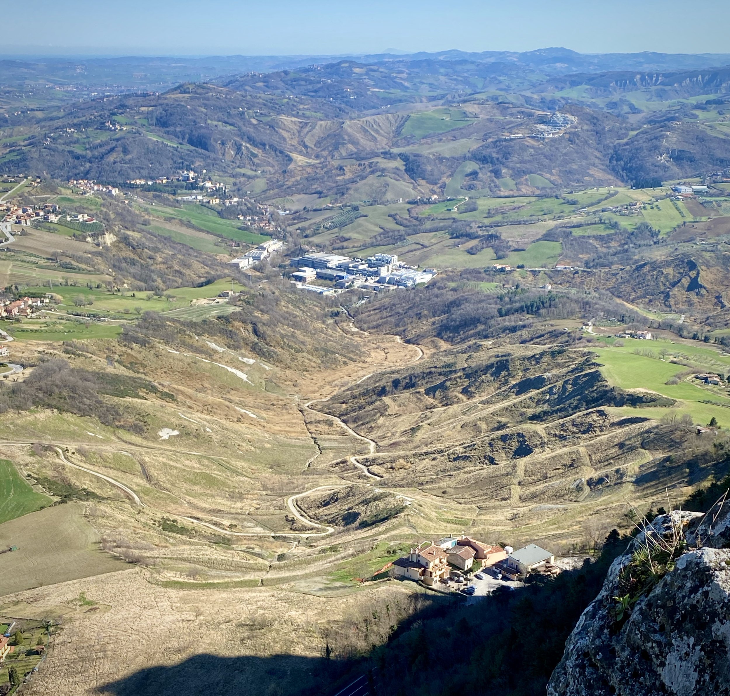
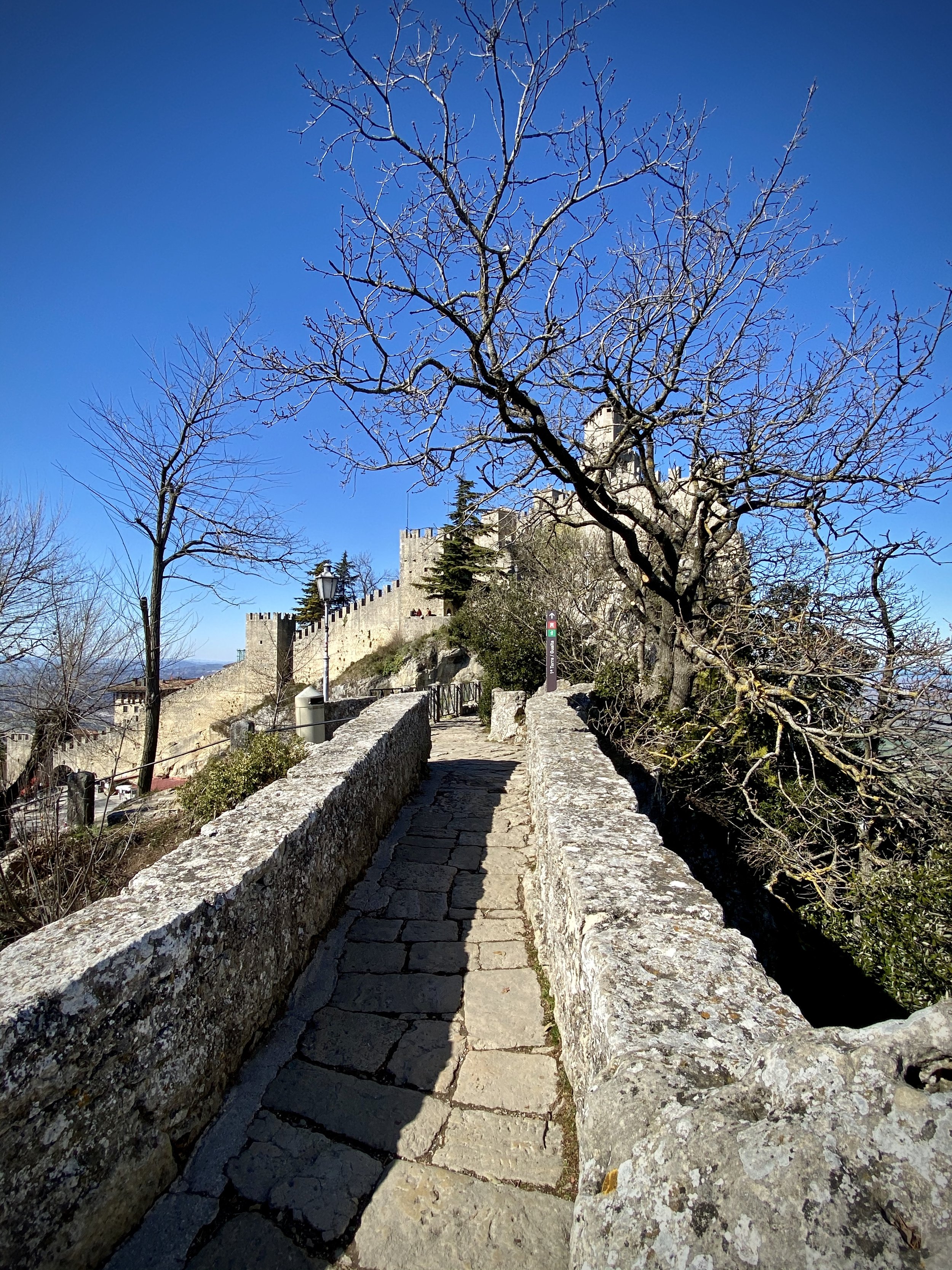
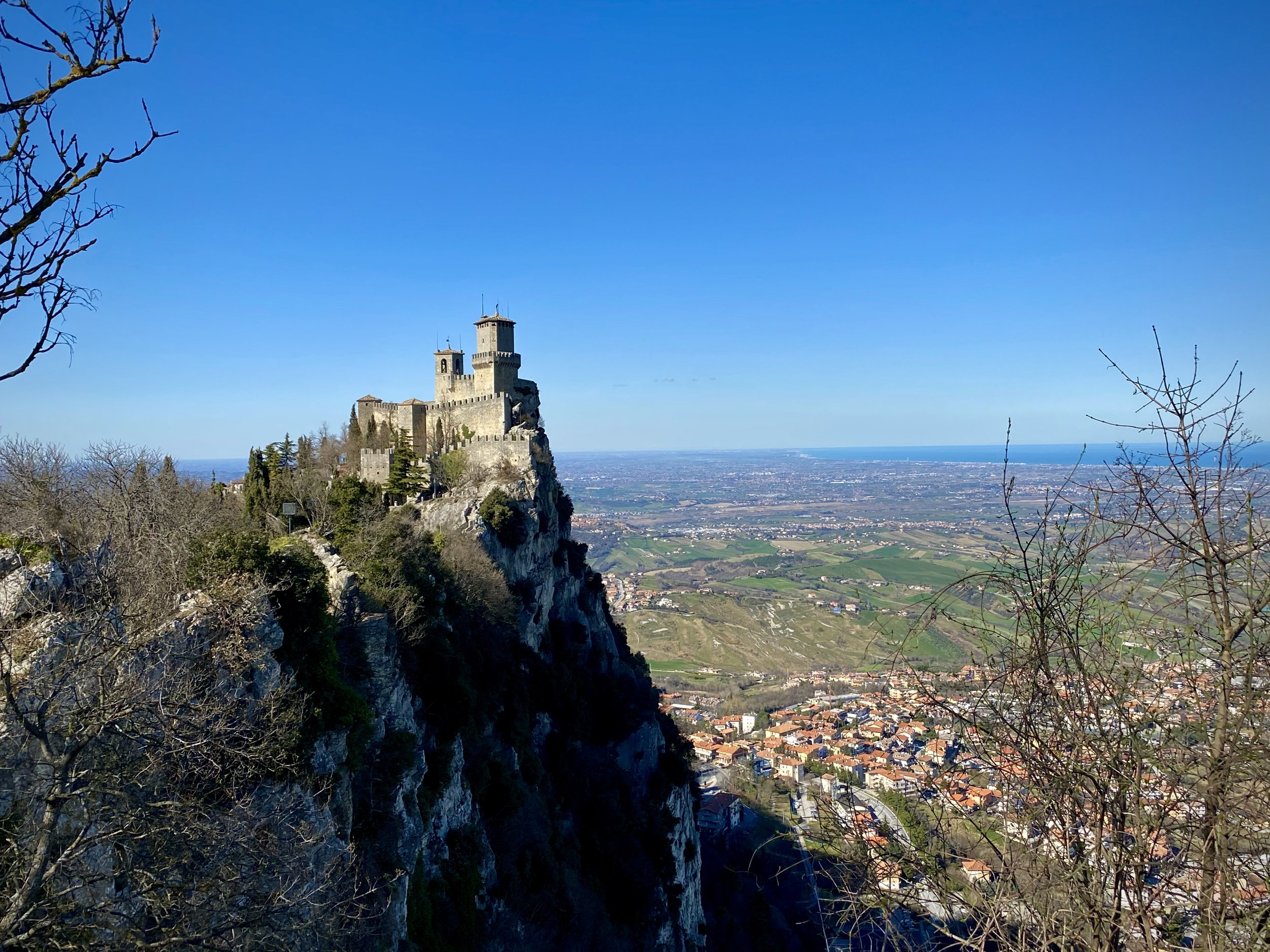
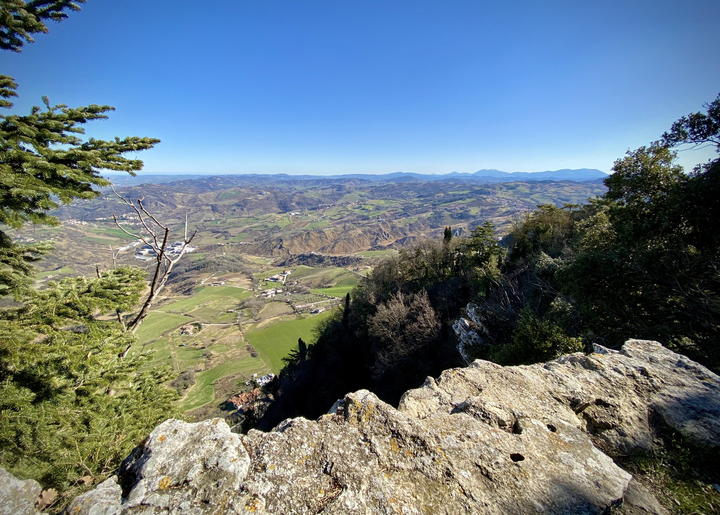
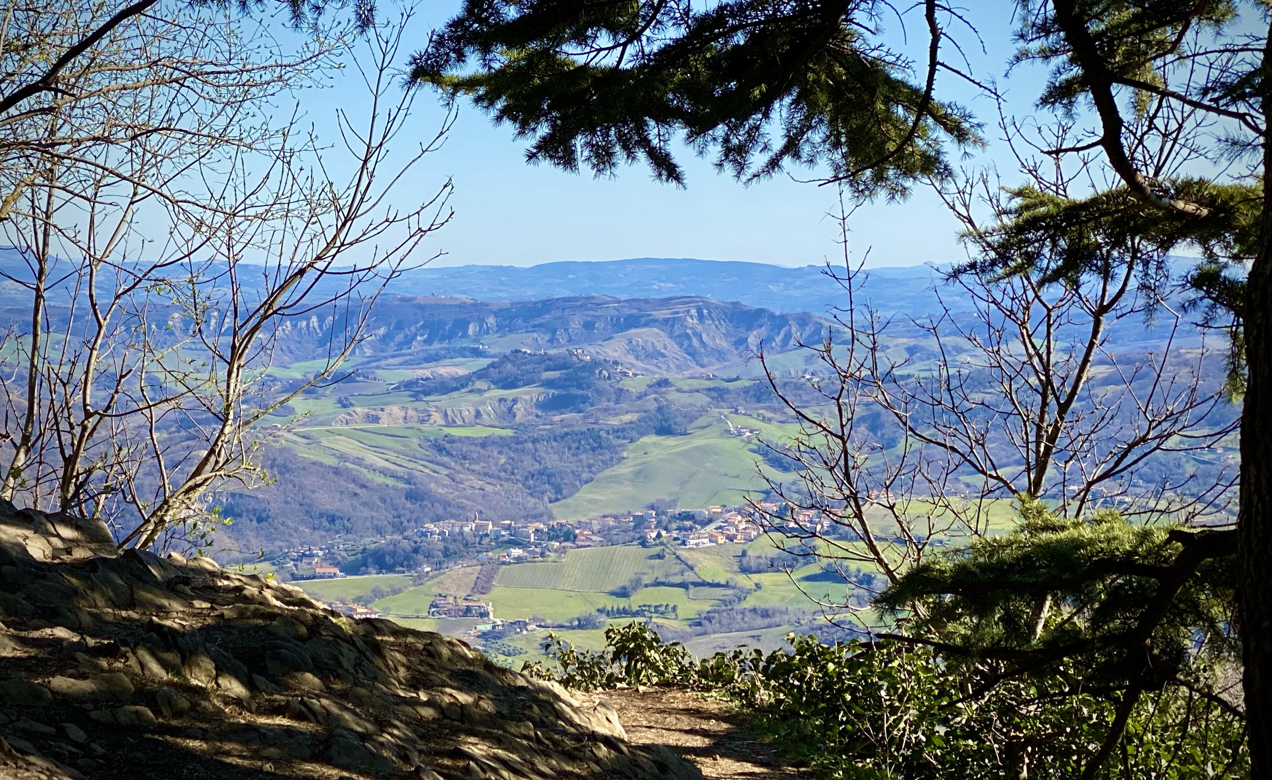
Although I had been to San Marino nearly twenty years before I didn’t bag the country’s high point. On our return visit in February 2020 Timea and I made a point of finding it. We were on a driving tour of the Po Valley right in the week that Covid-19 quickly spread through Northern Italy. We continued our tour while cities emptied out and museums and other attractions shut their doors. It was still possible to enter the city walls of San Marino but with not many places to go inside there was plenty of time to walk around the old city walls. The summit of Monte Titano is on the city wall walk on the south-eastern side of the old town. Definitely worth the trip for the views across the whole of the small country and a lot of Italy too.


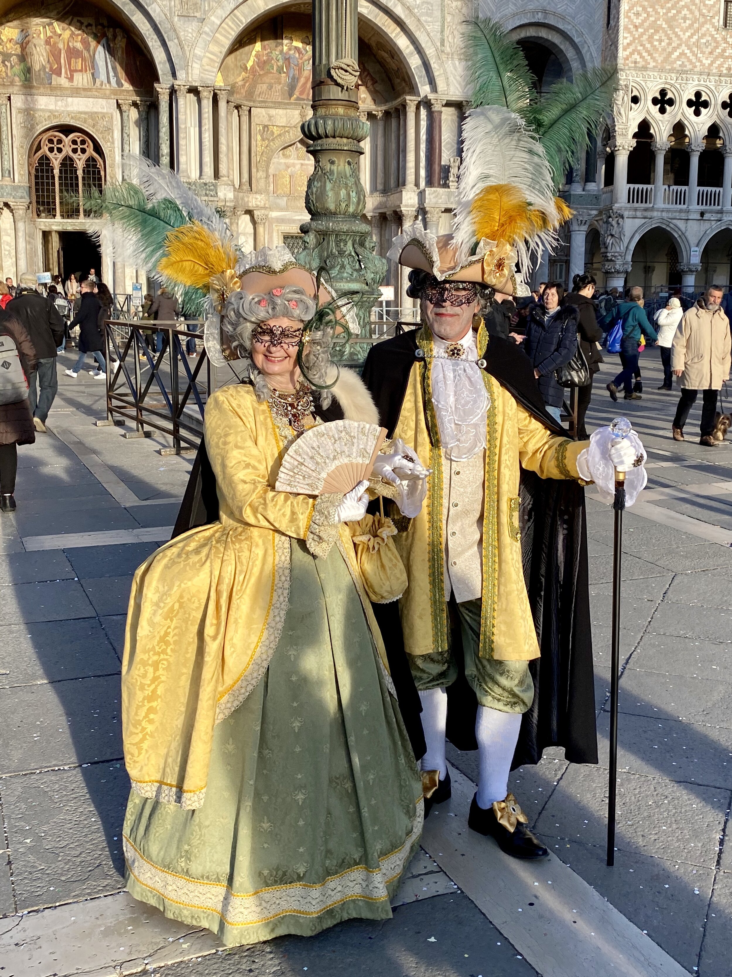
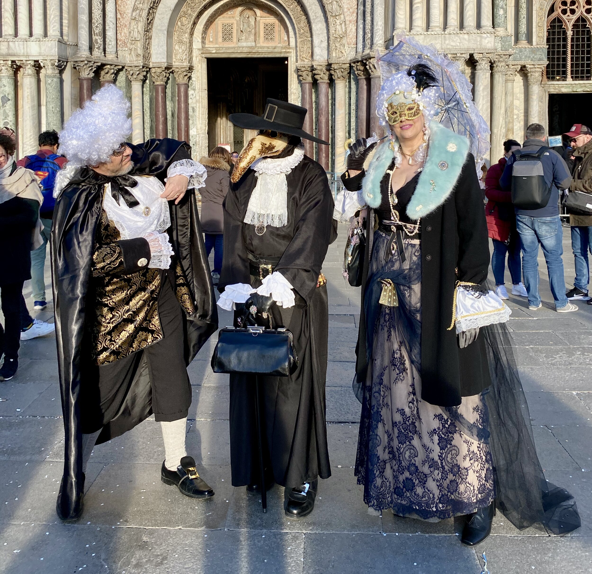
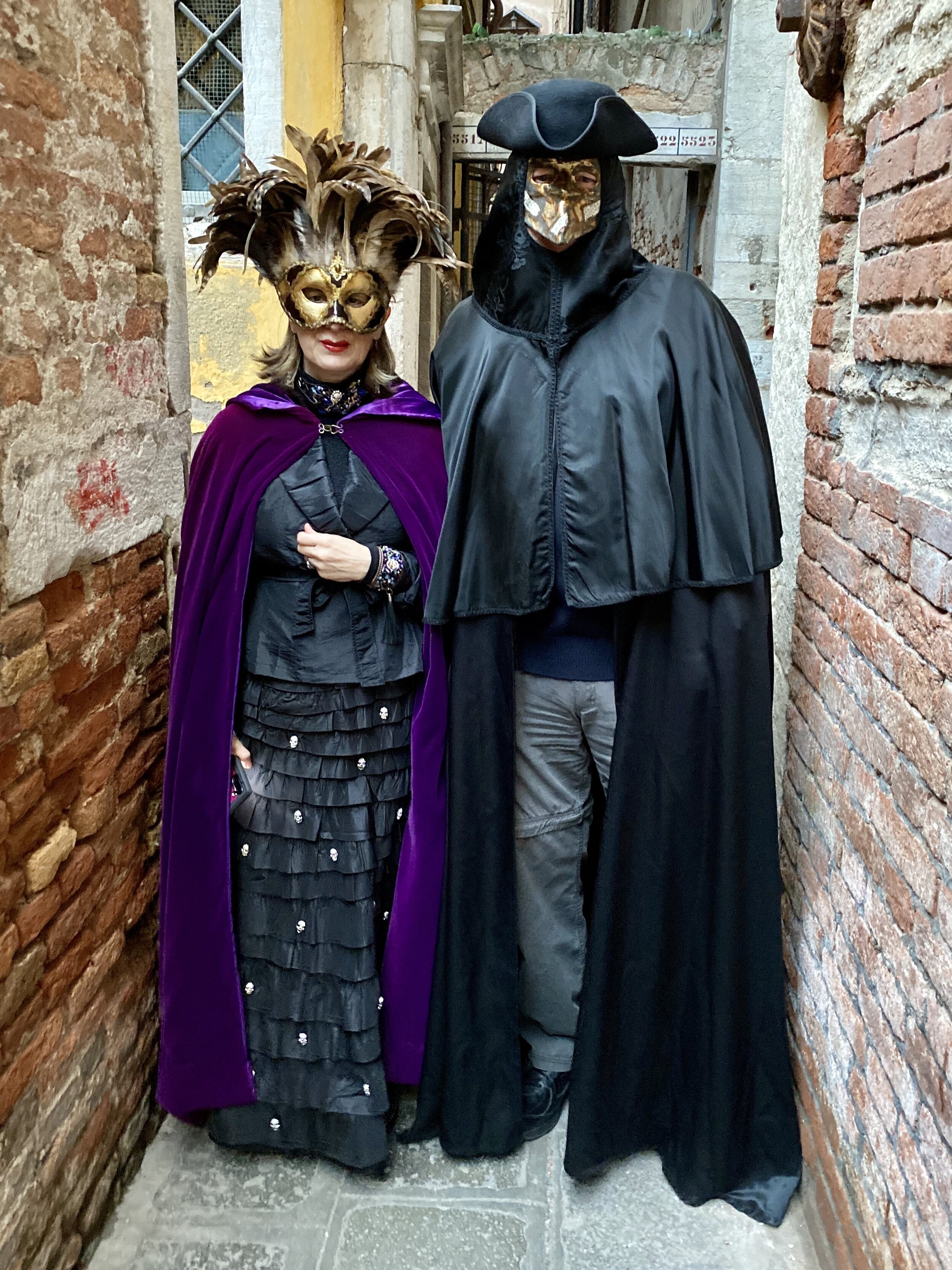
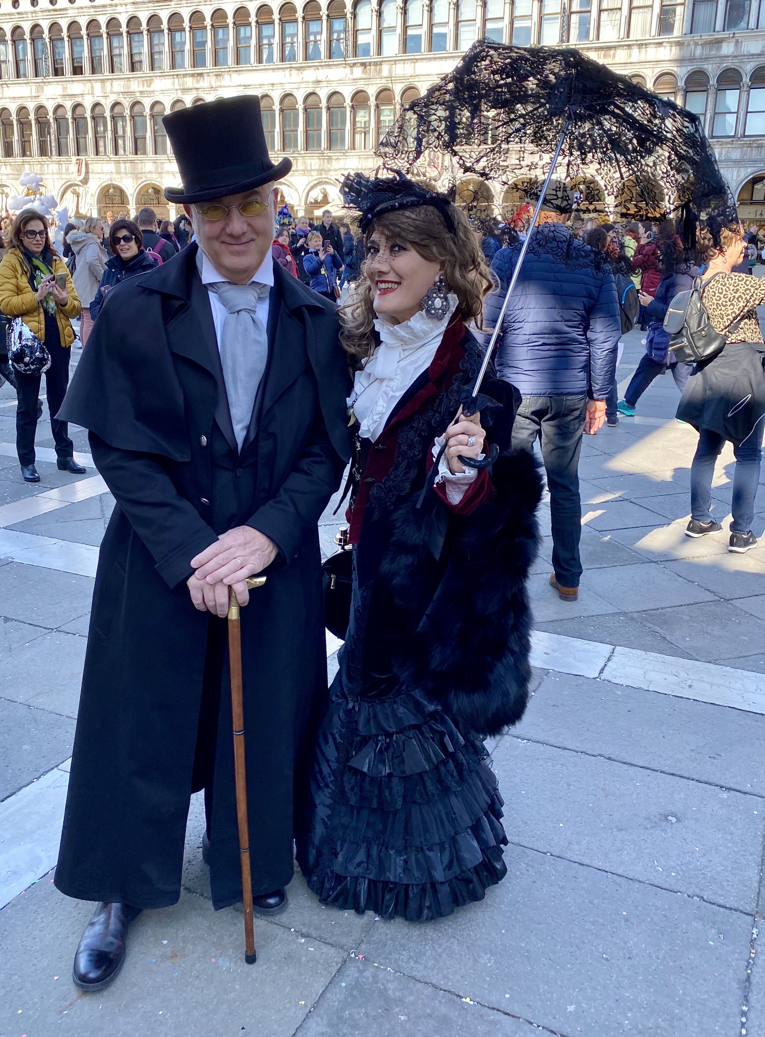
Venice Carnival 2020
Richard gowerItalyComment
Venice 10K(ish) Walk
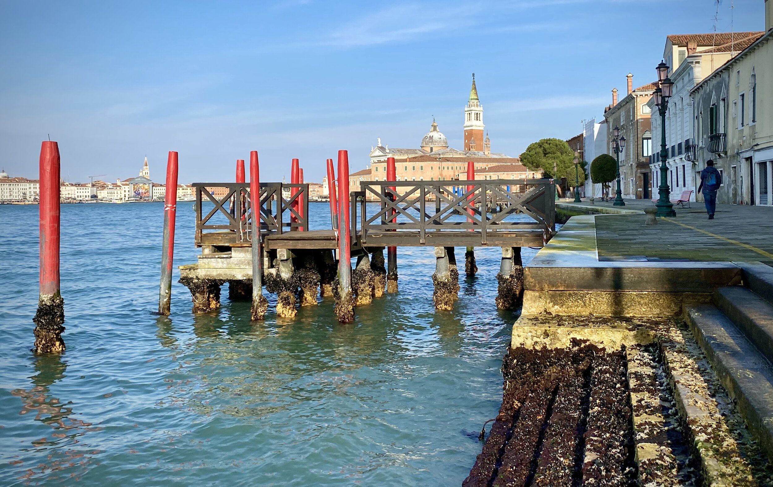
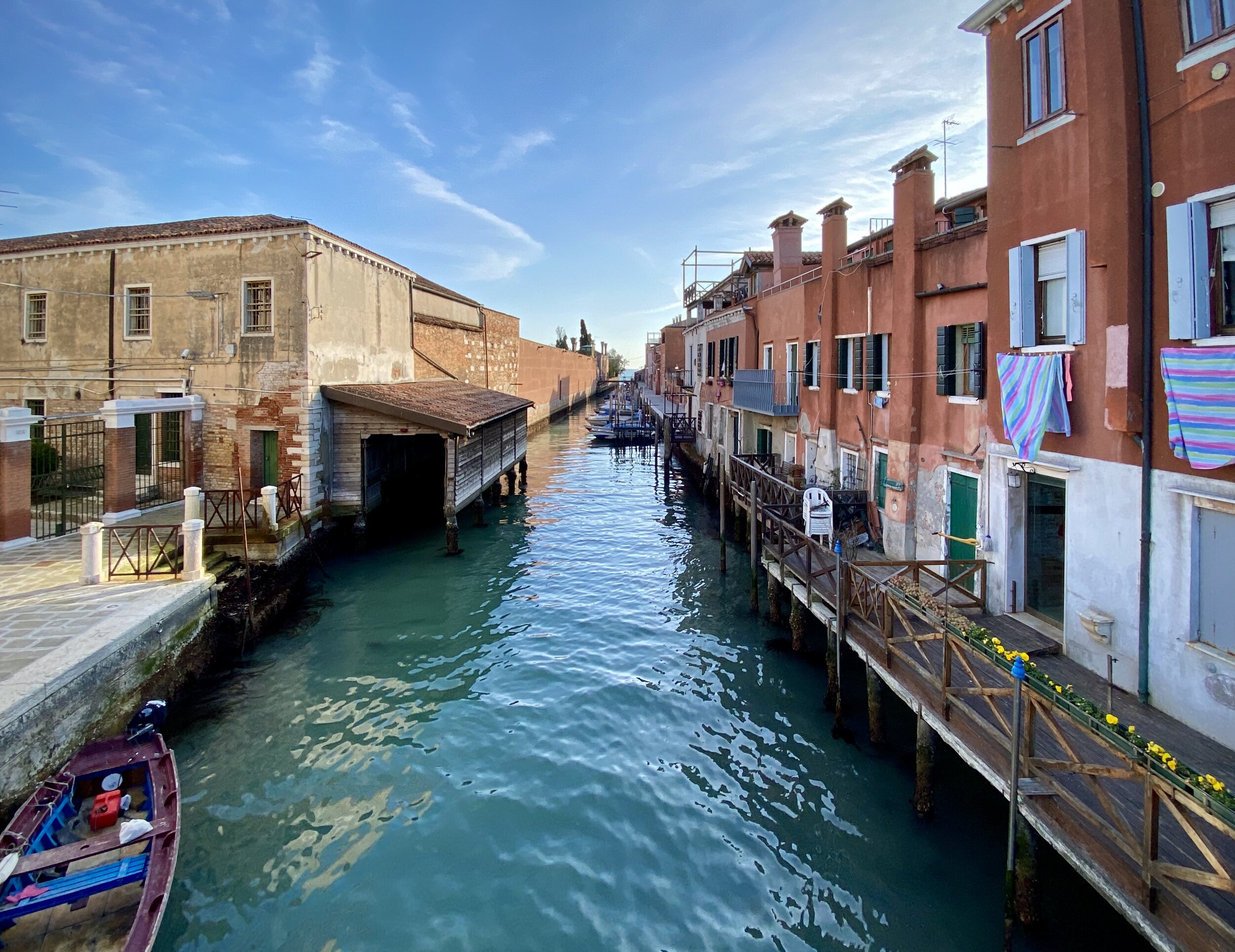
Giudecca, Venice

Giudecca, Venice

Start / Finish: Piazza San Marco, 30100 Venezia VE, Italy
Distance:
~10 km (6.1 miles)
Elevation Change: +/- 50m
GPX File: get via Buy Me a Coffee
Other Routes Touched (walk): il Cammino di sant’Antonio (The Way of Saint Anthony)
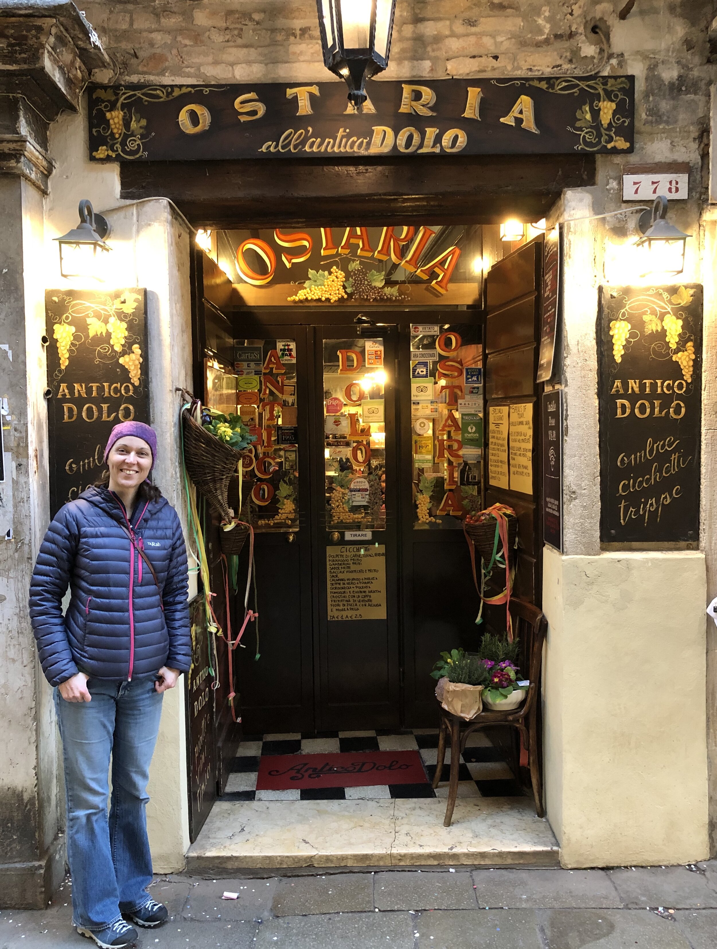
Cafe / restaurants on route: 100s, but we visited: Caffe Florian, Caffe San Giorgio, Ostaria Antico Dolo


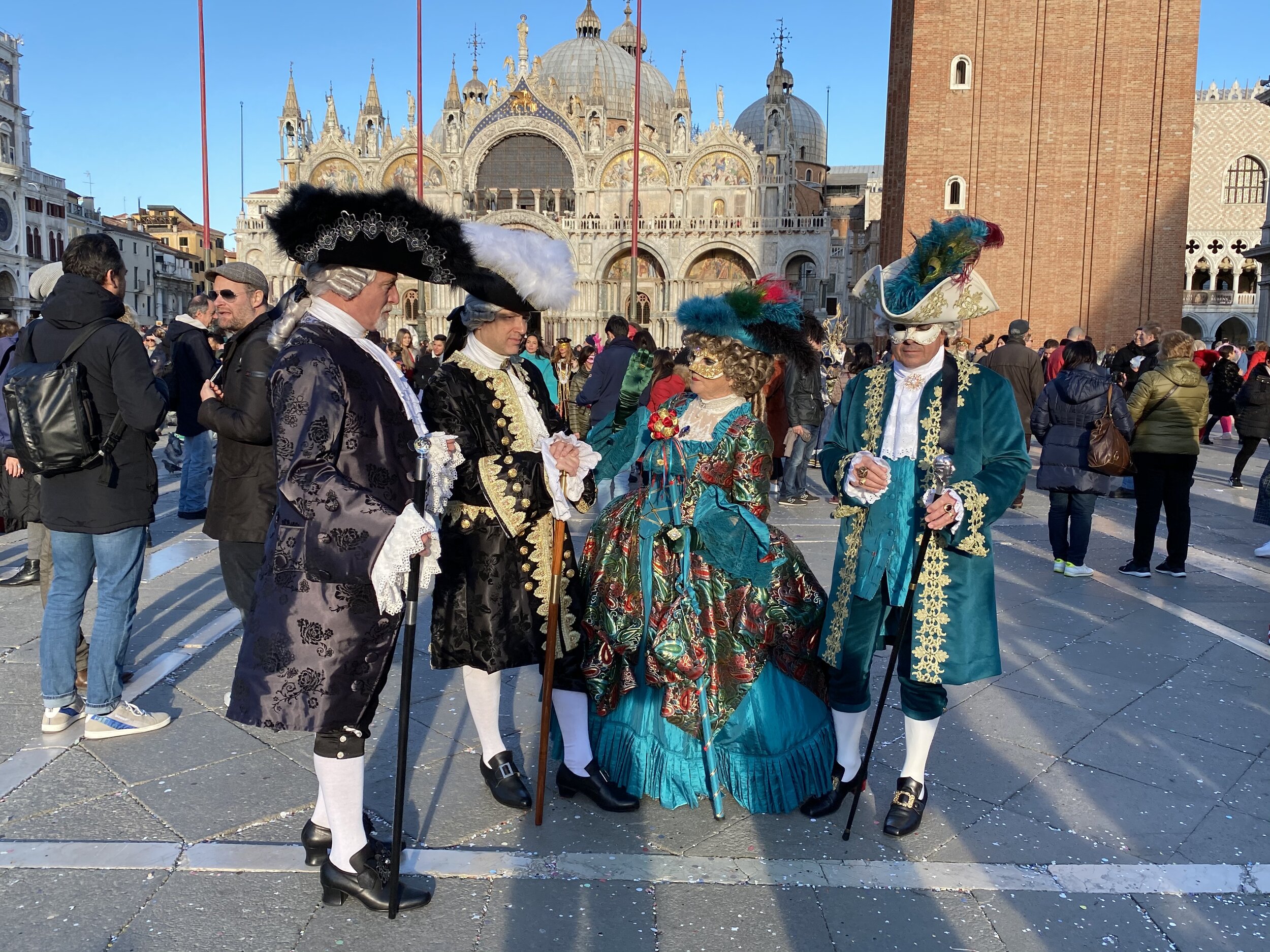
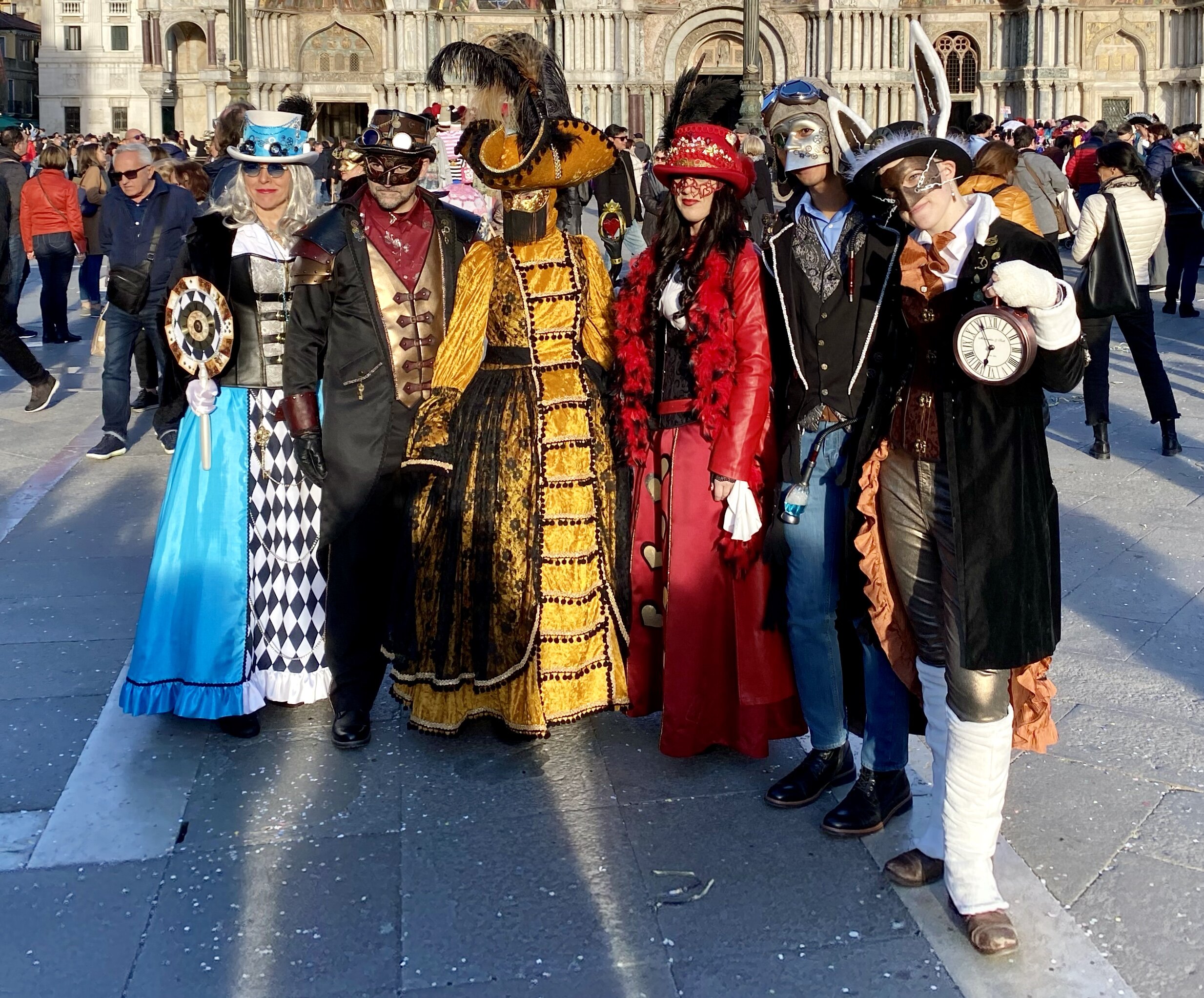
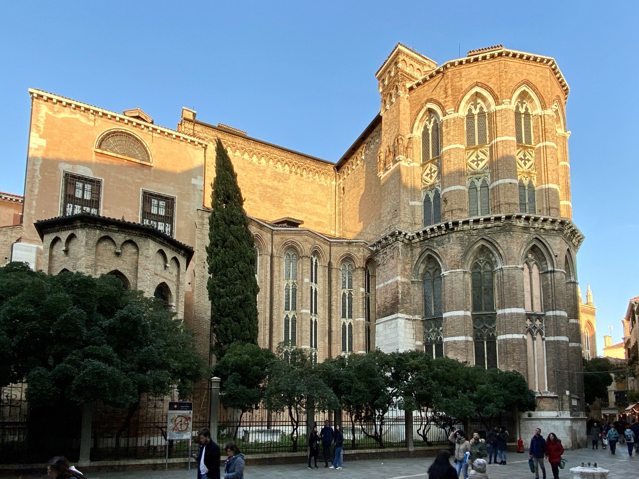
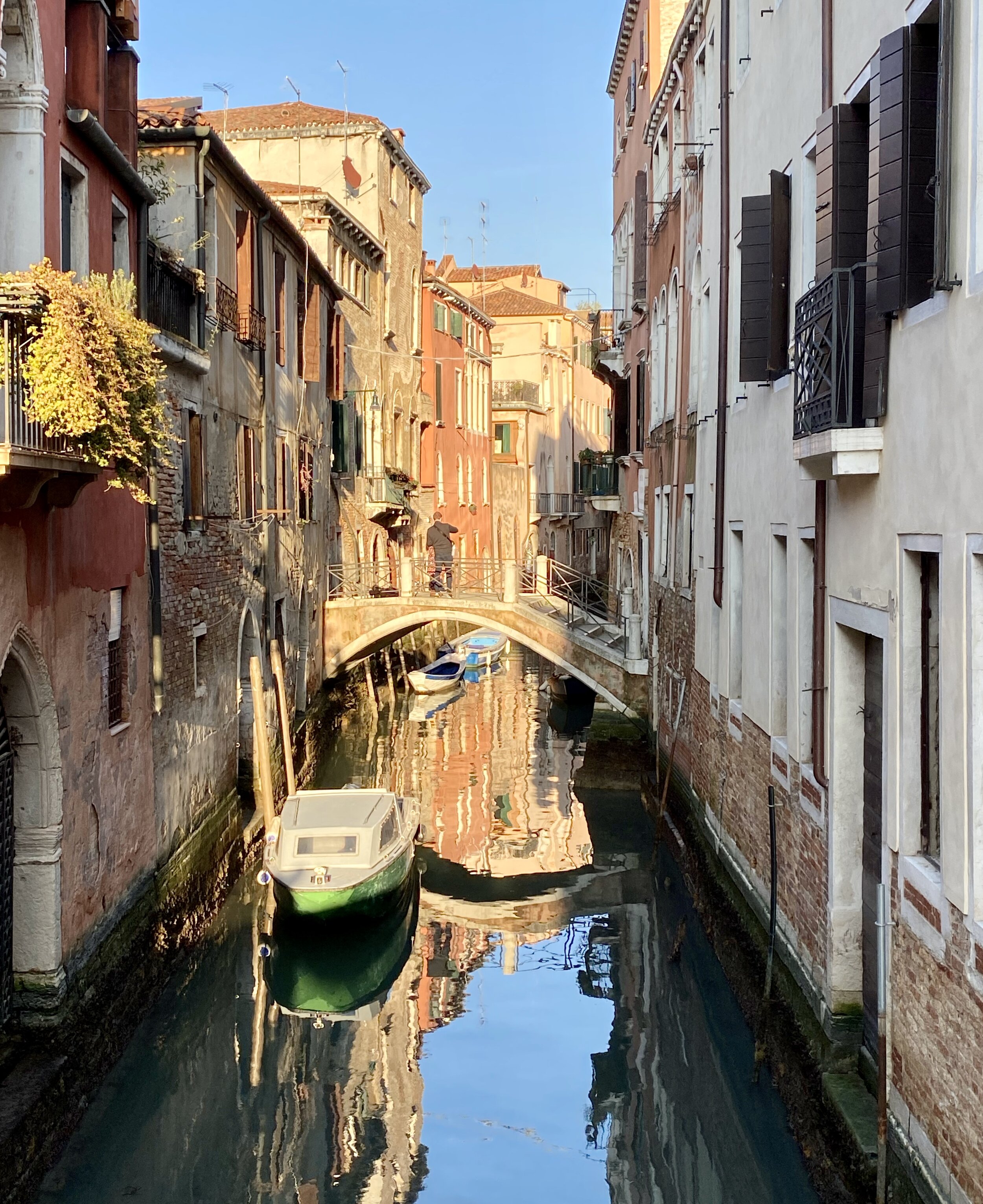
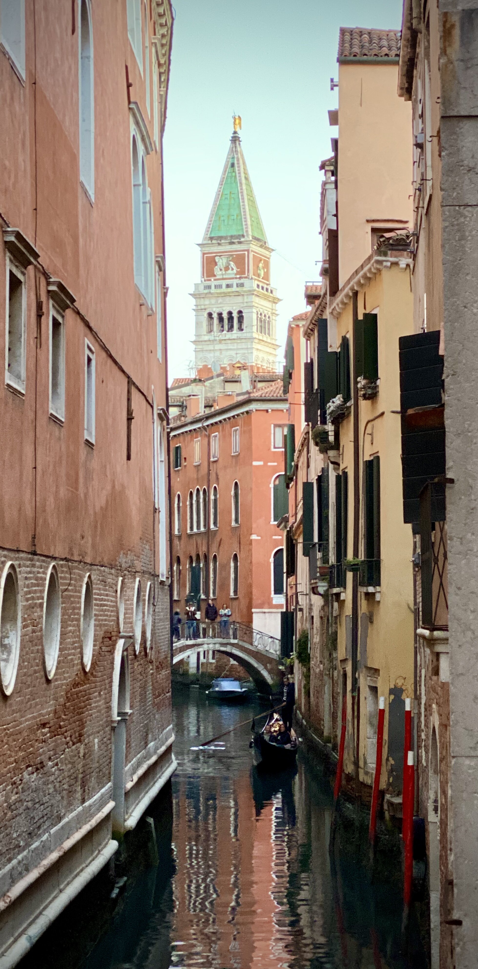
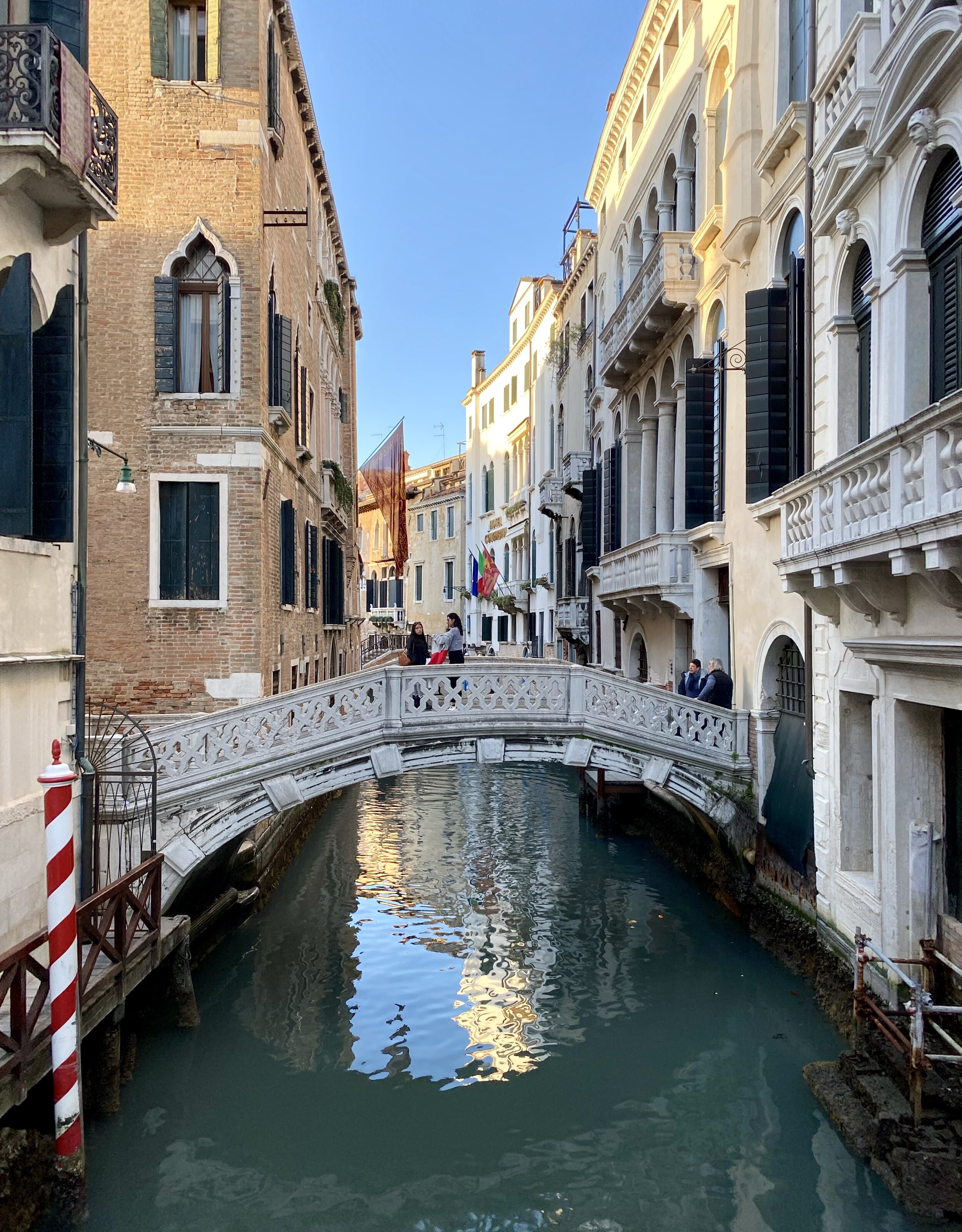
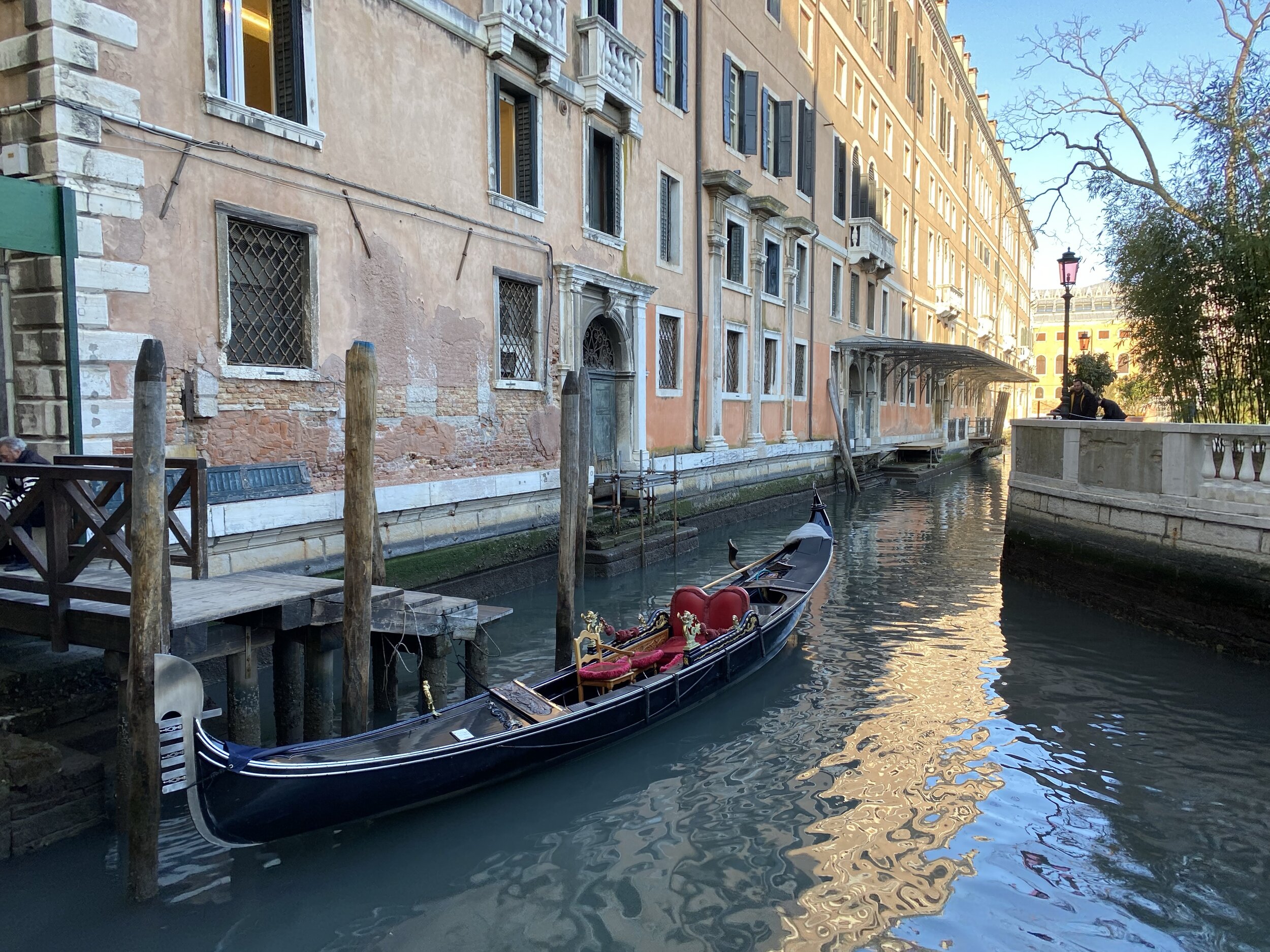
There’s a near infinite combination of walks around Venice. We were in town for the Carnival and wanted a mix of being in the middle of it and getting away from the crowds. We pretty much made this one up as went. In hindsight this trip, or variations on it, make for a great route around central Venice and neighbouring islands.

How to do the island hopping section:

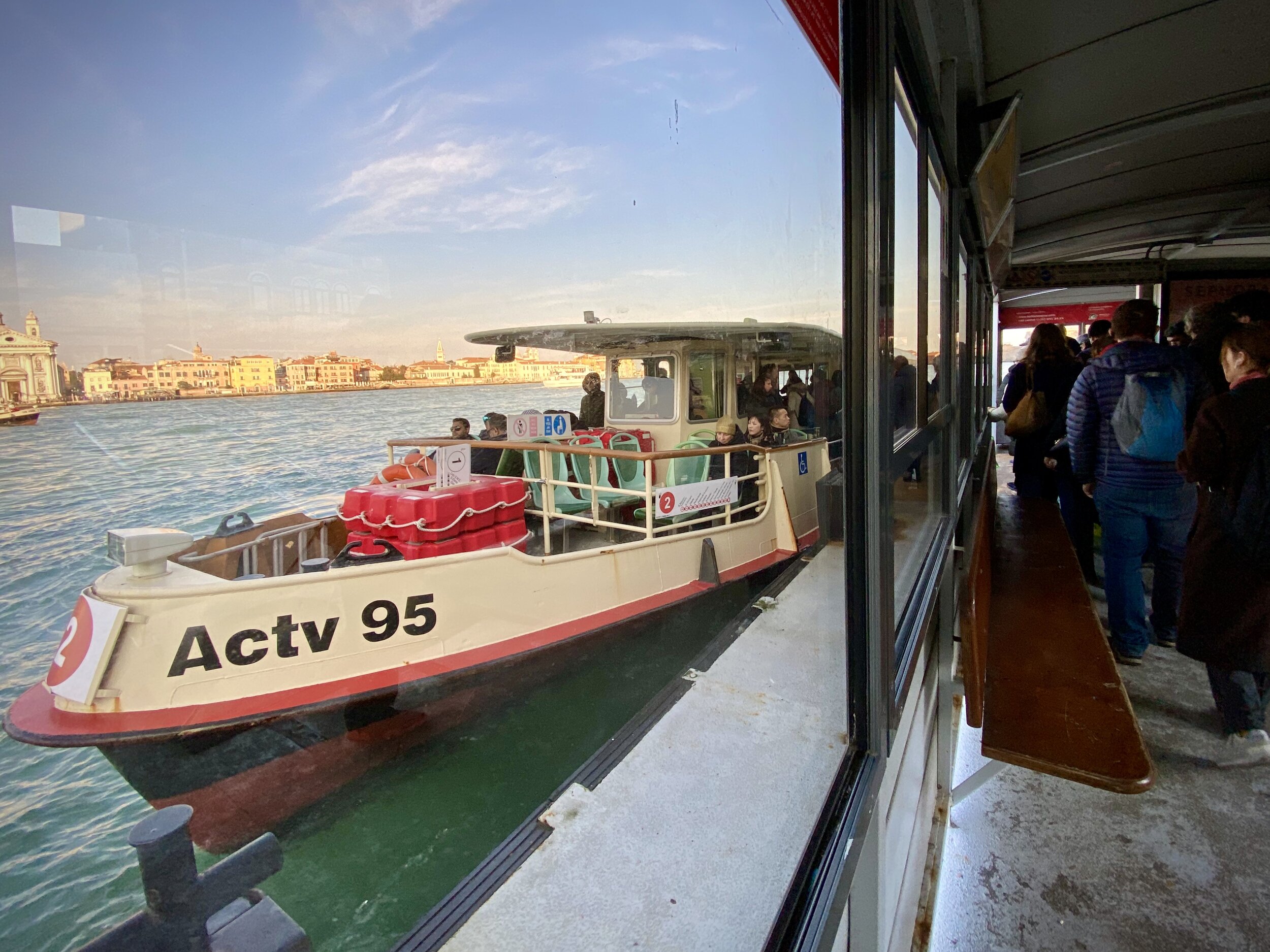
  • Start at St Mark's Square, walk to the San Marco-San Zaccaria water bus stop water bus stop.

  • Take water bus #2 from San Marco-San Zaccaria to San Grigorio (1 stop)

  • Check out San Grigorio Island. Main feature is the Church of San Giorgio Maggiore and Caffe San Giorgio is a good place for a break.

  • Take water bus #2 from San Grigorio to Zitelle (1 stop). This is the Eastern most stop on Giudecca.

  • Walk West along Guidecca island, visiting Church of the Santissimo Redentore along the way.

  • Take water bus #2 from Palanca across to Zattere on the Dorsodouro District.

  • With more time we would have continued our walk along Giudecca to Sacca Fisola stop and taken the anti clockwise ferry back to Zattere.

From Zattere we meandered Northwards through Dorsodouro to the Church of San Rocco. The Patron Saint of Pilgrims and Dogs was a feature of our Camino walks so we had to pay him a visit.

From the Church we continued North East through San Polo District to the Rialto Bridge. The Ostaria Antico Dolo restaurant was our dinner stop. After the Rialto Bridge we headed South East eventually arriving back in St Marks Square.

Looking at the route on the map, it's a 7km walk, but we easily added an extra 3km on top of that by making interesting detours along the way.


elevation_profile - 10K Walk.jpg
Completing all Northamptonshire parkruns
Northamptonshire Banner.JPG

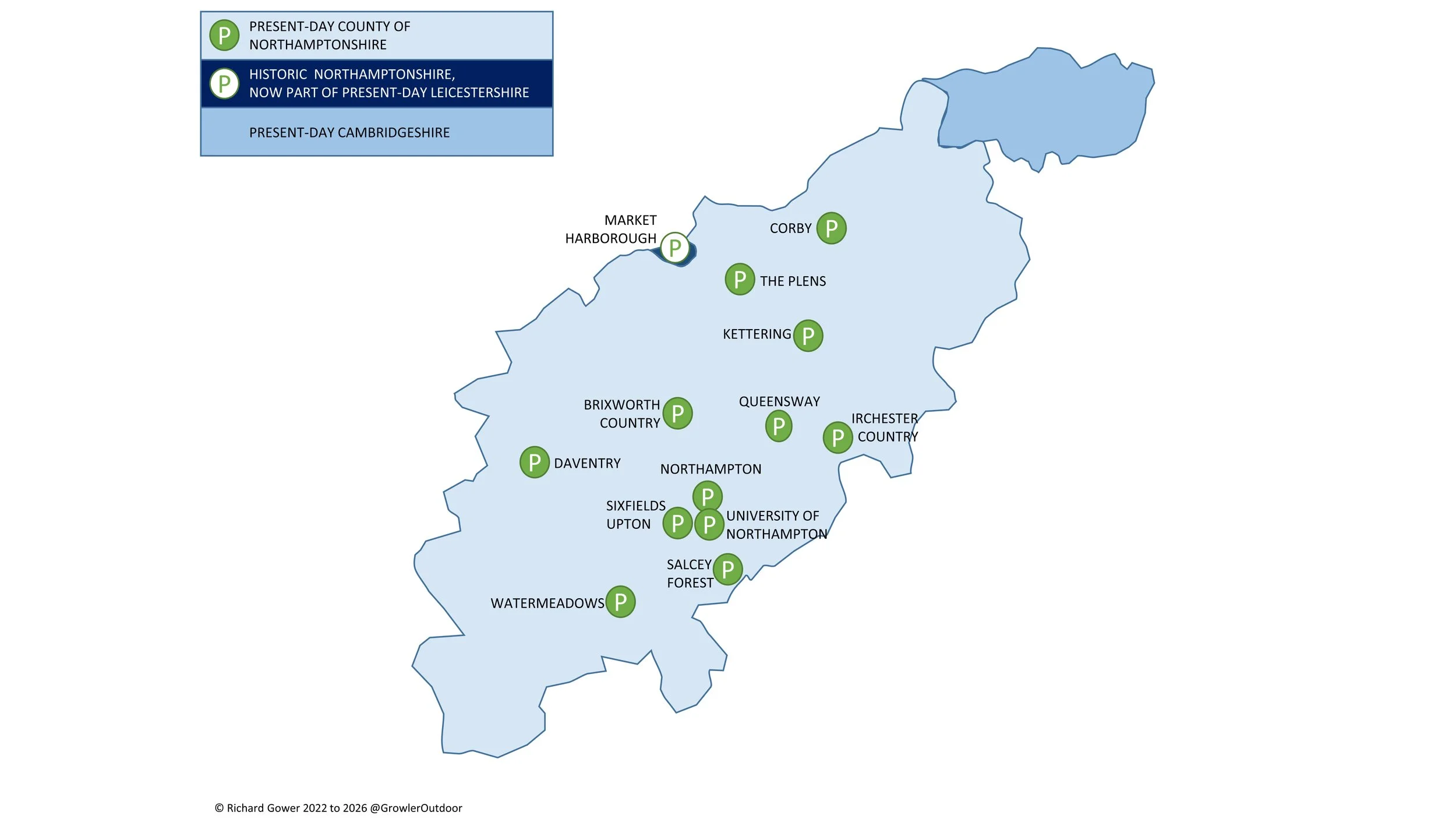
There are 12 parkrun events in the present-day county of Northamptonshire, of which I have completed 5. The first parkrun was Northampton, which started on May 5th 2012, and the newest is Queensway, which started on June 6th 2026. The name for having completed all parkrun events in the county is “Northamp-done-shire”.

The location of the Market Harborough event was in the historic county of Northamptonshire but is now in present-day Leicestershire.

Numbers exclude 2k Junior parkruns and any events that are not open to the general public such as prisons or armed forces facilities.


A map of all of the parkrun events in the county of Northamptonshire

All of the Northamptonshire parkrun events …

Below are each of the Northamptonshire 5k parkrun events in alphabetical order. A few things to note:

  • The interactive maps below take you to the approximate location for the course, typically the centre of the park. See the course instructions in the parkrun page for each event for specific directions to the start.

  • Course maps and elevation profiles show the route at the time that I ran it and may have changed since then. See the Course page in the event’s page on parkrun.org.uk for the current course outline. Note that course outlines are from Garmin data during a specific run and may vary from the officially measured distance.

  • Please contact me if you spot an event that doesn’t have a course map and elevation profile and you would like to donate one from your own run. I’m also interested in maps and elevation profiles for courses that have changed or where there’s regular a alternative route.. I’ll need a GPX file from your run plus the date. I’ll include a credit for you and will donate £1 to parkrun.


Brixworth Country


Corby


Daventry


Irchester Country

  • I completed this event on: December 21st 2019 with a finish time of: 25:58

  • Other routes touched: N/A

  • Inaugural: November 2nd 2019

  • Links: Event Home Page, Course Page


Kettering


Market Harborough


Northampton


Queensway


Salcey Forest

  • I completed this event on: January 25th 2020 with a finish time of: 26:03

  • Other routes touched: N/A

  • Inaugural: October 26th 2019

  • Links: Event Home Page, Course Page

 
elevation_profile - Salcey Forest.jpg

Sixfields Upton

  • I completed this event on: February 15th 2020 with a finish time of: 25:53

  • Other routes touched (cycle): NCN 536

  • Inaugural: February 24th 2018

  • Links: Event Home Page, Course Page

 
elevation_profile  - Sixfields Upton.jpg

The Plens


University of Northampton


Watermeadows

  • I completed this event on: July 31st 2021 with a finish time of: 25:18

  • Other routes touched: N/A

  • Inaugural: February 16th 2019

  • Links: Event Home Page, Course Page

 
elevation_profile - Watermeadows.jpg
route-36984491-map-full - Watermeadows.png

More parkrun posts

parkruns are free, weekly, community 5k events all around the world. I started in December 2012 and have been obsessive about it ever since. See my parkrun Collection page for details.

Featured and popular parkrun posts:


Walking The Mole Gap Trail
Rail bridge, just north of Westhumble

Rail bridge, just north of Westhumble


Start: Leatherhead Railway Station, Station Approach, Leatherhead KT22 7SW
Finish:
Dorking Railway Station, Station Approach, Dorking RH4 1TF
Distance: 9.5 km (5.9 miles)
Elevation Change: +91m / - 100m. Net -8m
GPX File: get via Buy Me a Coffee
Other Routes Touched (walk): Ranmore SCC, North Downs Way, Norbury Park Walk
Other Routes Touched (run): Mole Valley parkrun, Surrey Bacchus Wine Half Marathon
Other Routes Touched (cycle): NCN 22
Cafe / pub on route: Pilgrim Cycles at Boxhill and Westhumble Station / The Stepping Stones Pub, Westhumble
Map: OS Explorer 146 Dorking, Box Hill & Reigate
Links: Explore Surrey - Mole Gap Trail, River Mole, Leatherhead, Leatherhead Station, Westhumble, Boxhill and Westhumble Station, Denbies, Dorking, Dorking Station


The Mole Gap Trail is an easy, scenic walk roughly following the River Mole. This was our latest walk in the Explore Surrey series whose website is a rich source of information about getting out and about in the county. It was our 3rd of their walks and it proved to be just as rewarding as the others. As with all of their routes, their PDFs have all the details so I won’t cover them again here. Instead, here’s a few other things to note:

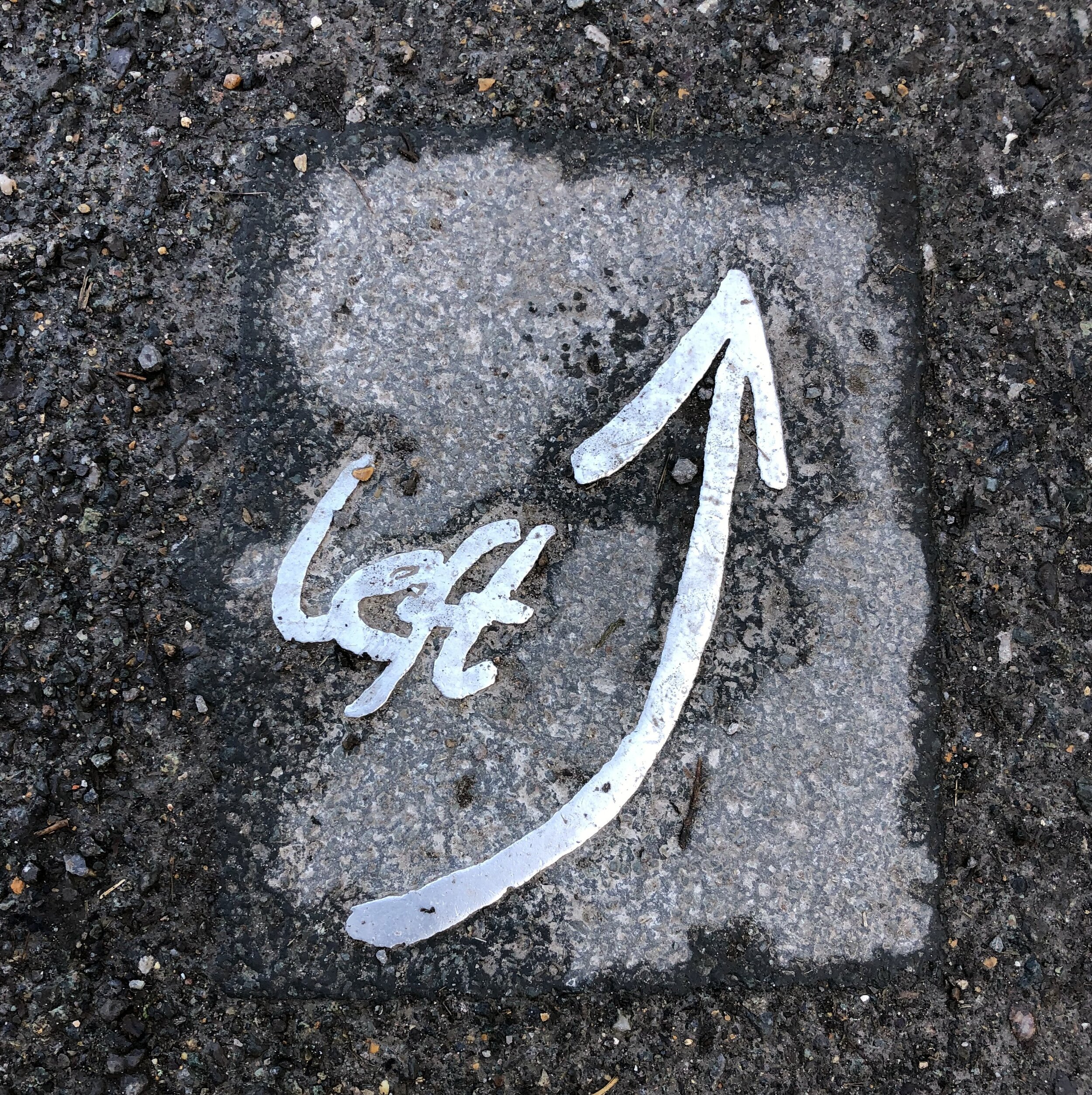
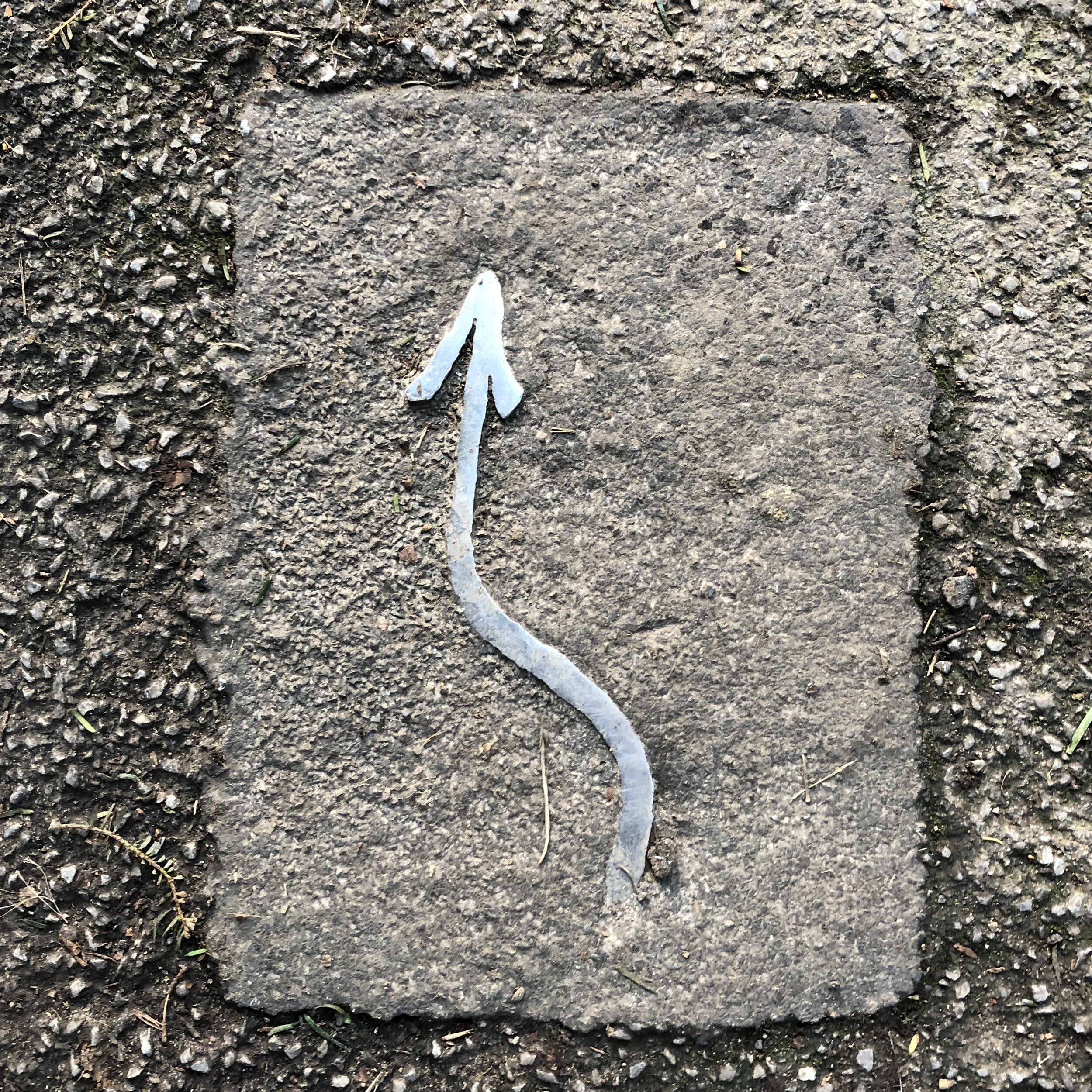
The route is well signposted with silver metal arrows and messages, mostly on the ground but also on some footpath signposts. There’s a lot of different trails following or crossing this route, so be careful not to get taken off in the wrong direction. As much as you could just as easily take the opposite route starting from Dorking, the South-facing route from Leatherhead makes more sense as you’re following the direction of the arrows.

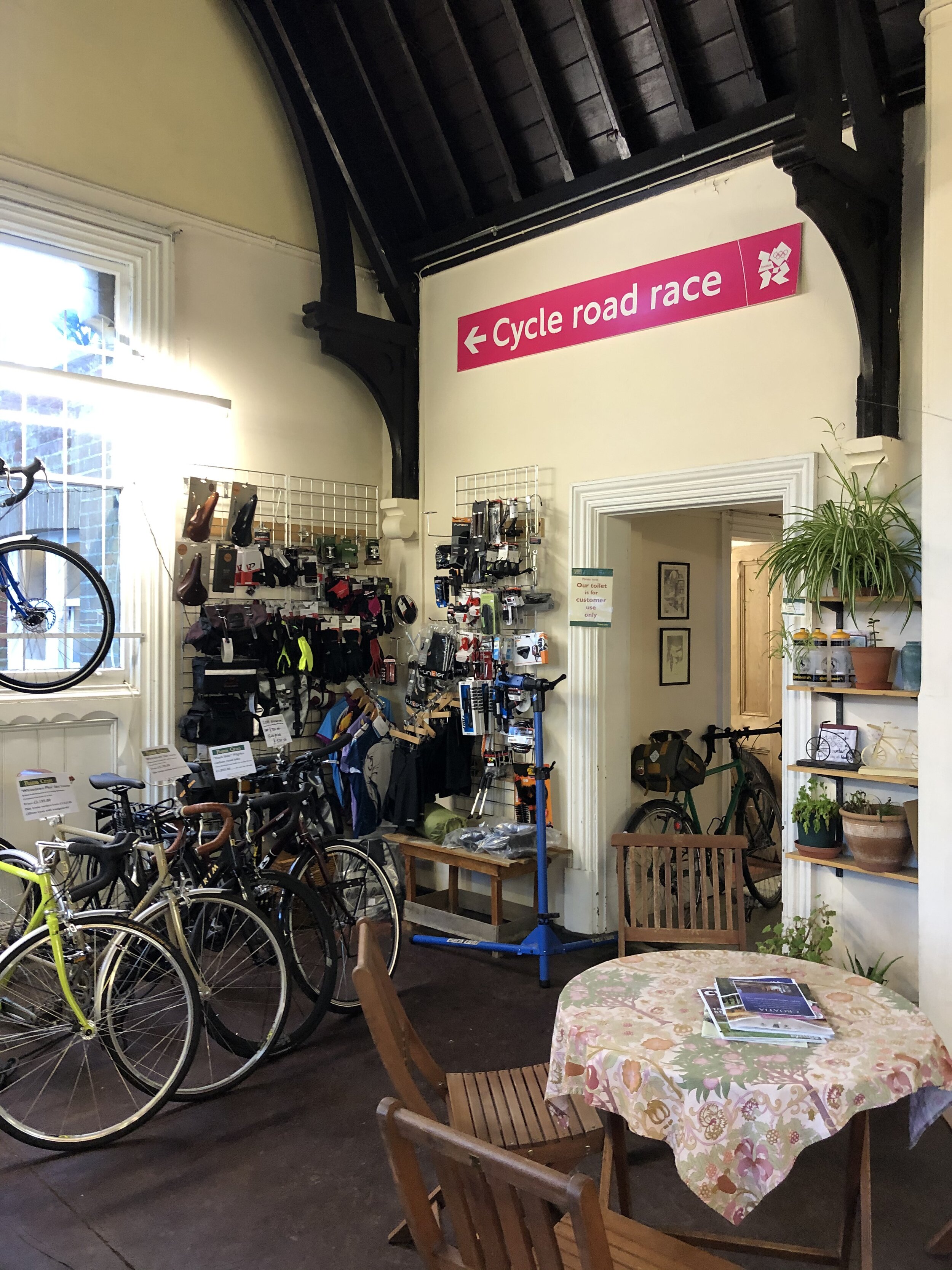
The Pilgrim Cycles cafe at Box Hill and Westhumble Station is a great place to stop for a rest at about 2 thirds of the way in. I particularly liked the old signs including one from the 2012 Olympics Cycling route.
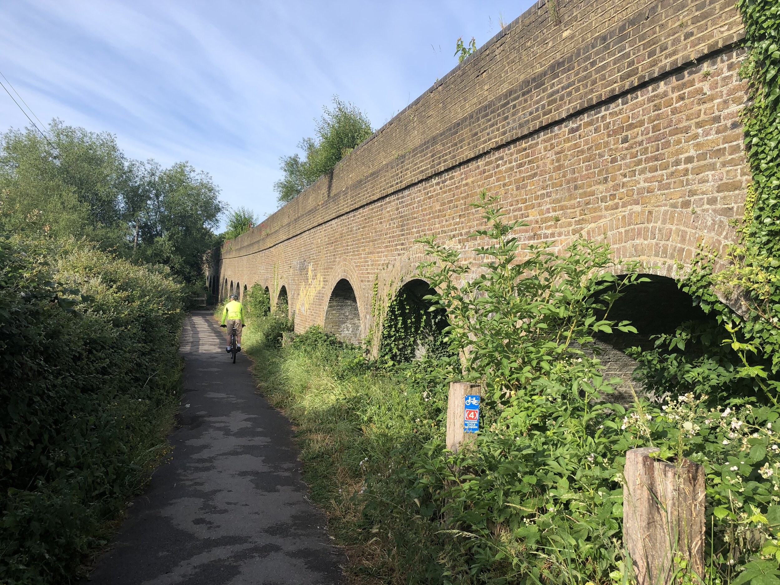
According to Country Walking Magazine, the Mole Gap Trail is the shortest trail in Britain that is waymarked on the ground, labelled with the green diamonds of a recreational route on the OS Explorer map and has it’s own name on the map and isn’t part of a longer trail.


elevation_profile (1).jpg

Euro parkrun

The first parkruns events in each country in the continent of Europe. Updated August 2024 to show Lithuania. See the footnotes regarding Cyprus.


Footnotes

  • * shows where there were multiple events started on the first day for that country.

  • Iceland briefly had a parkrun but it has been permanently cancelled. Iceland is generally considered part of Europe but actually straddles the European and American continental plates. The parkrun event at Elliðaárdalur was on the American side of the continental divide.

  • Both of the original Russian parkruns are on the European, rather than Asian, part of Russia. parkrun is currently not operating in Russia

  • Although there is no parkrun in the Czech Republic yet, the Cieszyn parkrun course in Poland crosses the Poland/Czech border.

  • Akrotiri parkrun on the island of Cyprus is part of the British Overseas Territory of the Sovereign Base Areas of Akrotiri and Dhekelia. This makes it fall within the same box on the graphic as Cape Pembroke Lighthouse, Falkland Islands. It is also on a closed facility and is therefore open to authorised people only.


More parkrun posts

parkruns are free, weekly, community 5k events all around the world. I started in December 2012 and have been obsessive about it ever since. See my parkrun Collection page for details.

Featured and popular parkrun posts:


Walking The Prospects of Polesden Circular
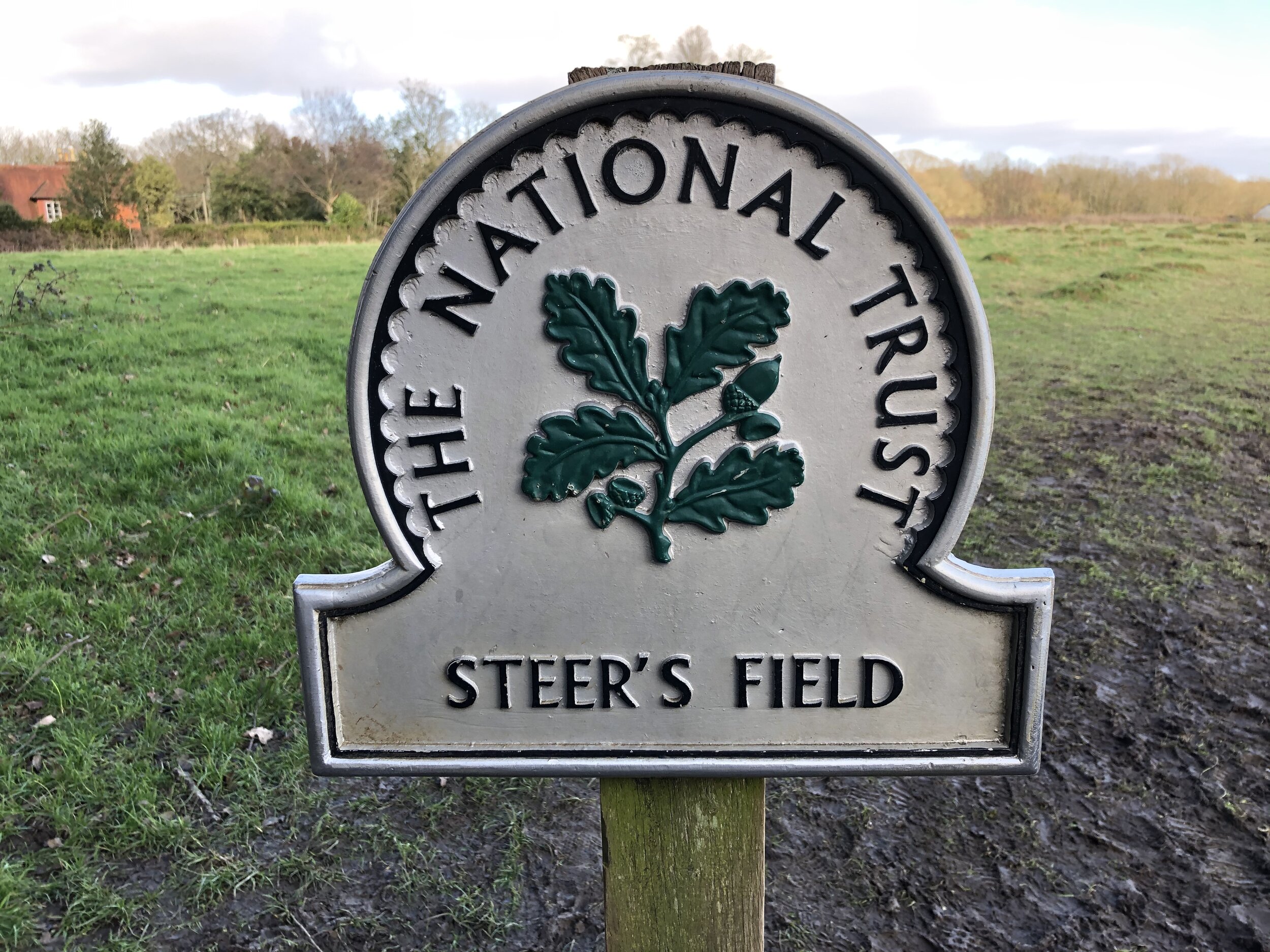
Steer’s Field

Steer’s Field


Start / Finish: Polesden Lacey National Trust Car Park, Great Bookham, Leatherhead, RH5 6BD
Distance: 8.3 km (5.2 miles)
Elevation Change: +/- 169m
GPX File: get via Buy Me a Coffee
Other Routes Touched (walk): Ranmore SCC, North Downs Way, Yew Tree Walk
Other Routes Touched (run): Trust 10 (Running) Route, Surrey Bacchus Wine Half Marathon
Other Routes Touched (cycle): N/A
Cafe on route: The cafe at Polesden Lacey National Trust
Map: OS Explorer 146 Dorking, Box Hill & Reigate
Links: Explore Surrey - Prospects of Polesden Circular, Polesden Lacey National Trust, Ranmore Common


This was our second of the Surrey County Council (SCC) Walks and a return visit to the Polesden Lacey National Trust Estate. The Explore Surrey website contains all of the directions, so I’ve not included them here. Instead, here’s a few other things to note:

We parked at the National Trust Car-park rather than Denbies Hillside Carpark as mentioned in the leaflet. National Trust parking is free for members or a small charge for non-members. There’s also the Granary Cafe which is a good (and only) place on the route.
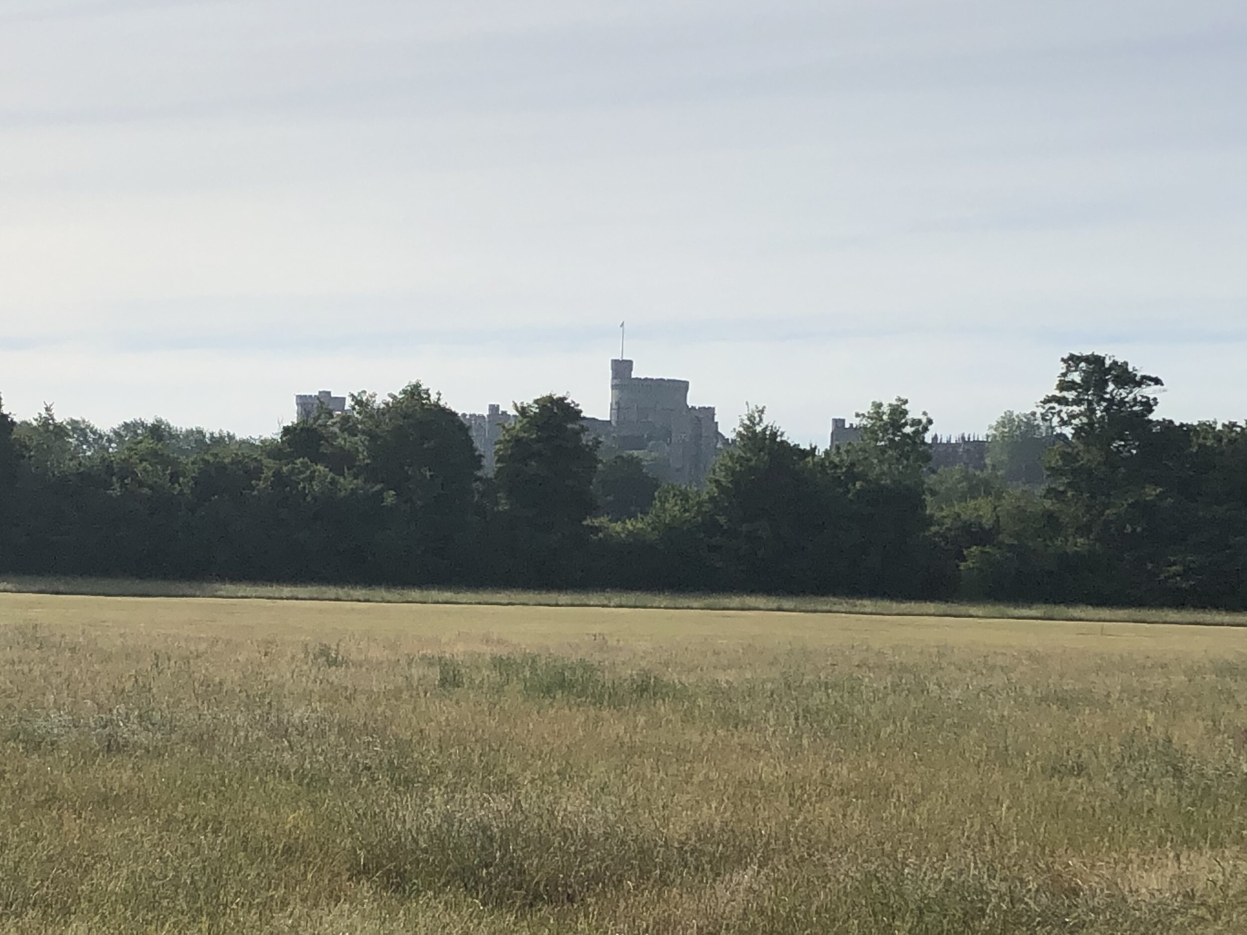
Unlike its sister route, the Ranmore Circular, the Prospects of Poleden is not signposted so you’ll need a map or GPS route. The Yew Tree Walk follows much of the same route, but not all of it so don’t strictly follow the blue Yew Tree roundels.
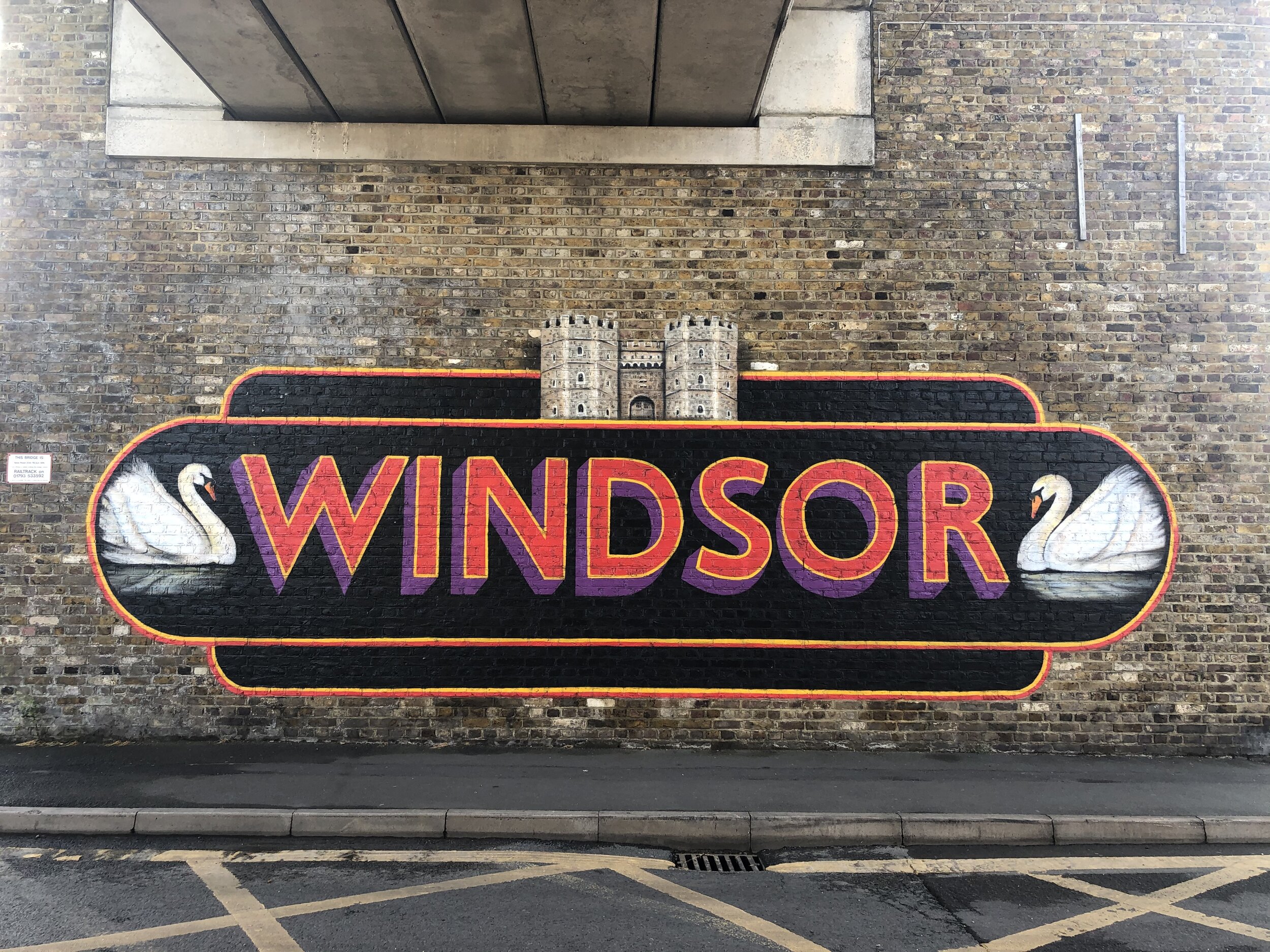


Chiltern Walks: Great Missenden and Ballinger
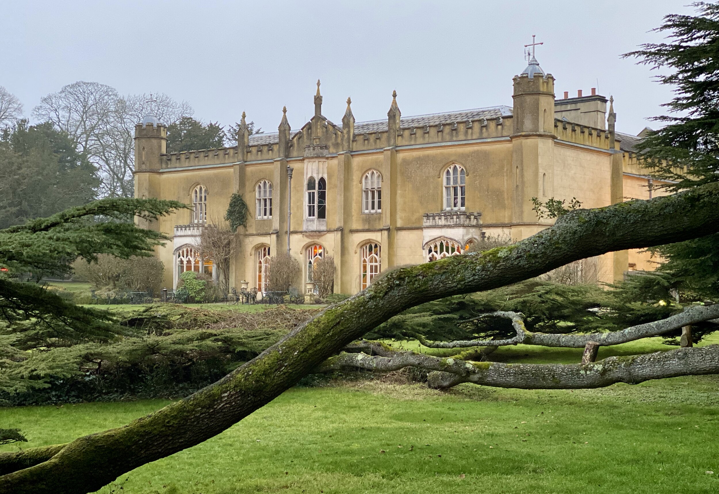
Descent to Great Missenden from The Hyde

Descent to Great Missenden from The Hyde


Start / Finish: Great Missenden Station, HP16 9WH
Alternative Start / Finish: Link Road Car Park, Great Missenden, HP16 9AE
Distance: 9.8 km (6 miles)
Elevation Change: +/- 113m
Chiltern Heritage Trail Section Covered: Buryfield Car Park to Ballinger Common: 3 km
GPX File: get via Buy Me a Coffee
Other Routes Touched (walk): Chiltern Heritage Trail, South Bucks Way
Other Routes Touched (cycle): Hampden Route, NCN 57
Pubs / Cafes on route: Several in Great Missenden
Map: OS Explorer Map (181) Chiltern Hills North
Links: Great Missenden, Great Missenden Station, Ballinger


This is a ~10k circuit of farmland and small villages to the North East of Great Missenden. The steep sections are confined to the start and end with a relatively flat middle section. We had lovely classic Chilterns views even on an overcast January day. We’ll likely be back in the Spring for another go too. The guidance below will help you navigate but don’t use it as a fully accurate turn-by-turn guide. Always take a map and/or a GPX route and prepare well for the weather and terrain.

The route is also part of a series of 17 walks that, between them, cover the 83 km of the Chiltern Heritage Trail. Created as a Millennium project, this trail links the towns and parishes within the district, offering stunning scenery, charming villages, and points of historical interest.

** Note that when we did this walk the HS2 works were getting ready to be built on the eastern side of the A413. We noticed some footpath diversion signs and it’s likely that the first section of this walk will be slightly different until the works are complete. Check current maps when you plan your version of this walk **
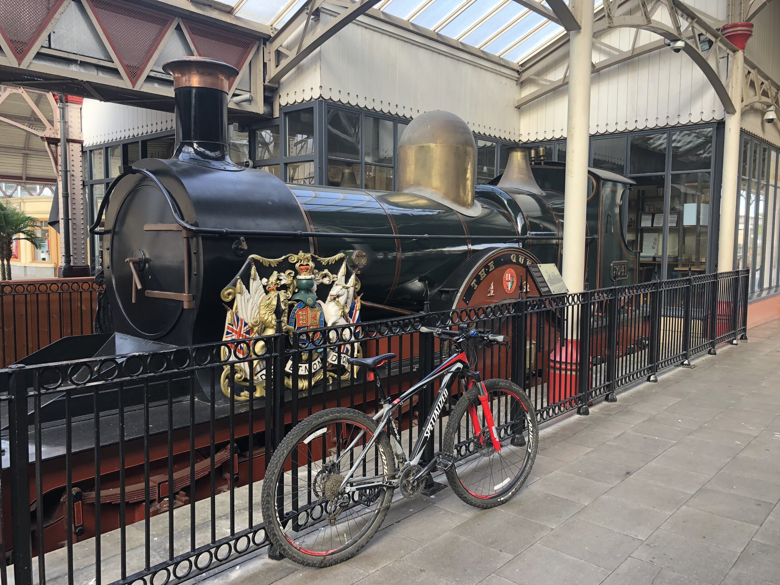
The Link Road Car Park is an obvious place to start and it’s also a very short walk from the train station. Although most of the walk is the other side of the busy A413, you don’t need to dodge the cars. There’s an underpass on the outward stretch and a bridge next to St Peter and Paul’s Church on the return.

Much of the first 3 km is a steady climb north-east, passing Potter Row to Ballinger Common. At the War Memorial Hall on the East side of the Common you’ll head south along Ballinger Road. It's fairly quiet and you can walk on the grass verge on the left hand side of the road. When you see Ballinger Bottom take a footpath heading South diagonally across a field, bypassing the village. This will take you to the junction of Ballinger Road and Marriott’s Avenue. Take the footpath to the left of Marriott’s Avenue, heading south-east to a small wooded area at South Heath. On reaching the woodland, turn right and follow the footpath for approx 1 km to the B485 Frith Hill Road.
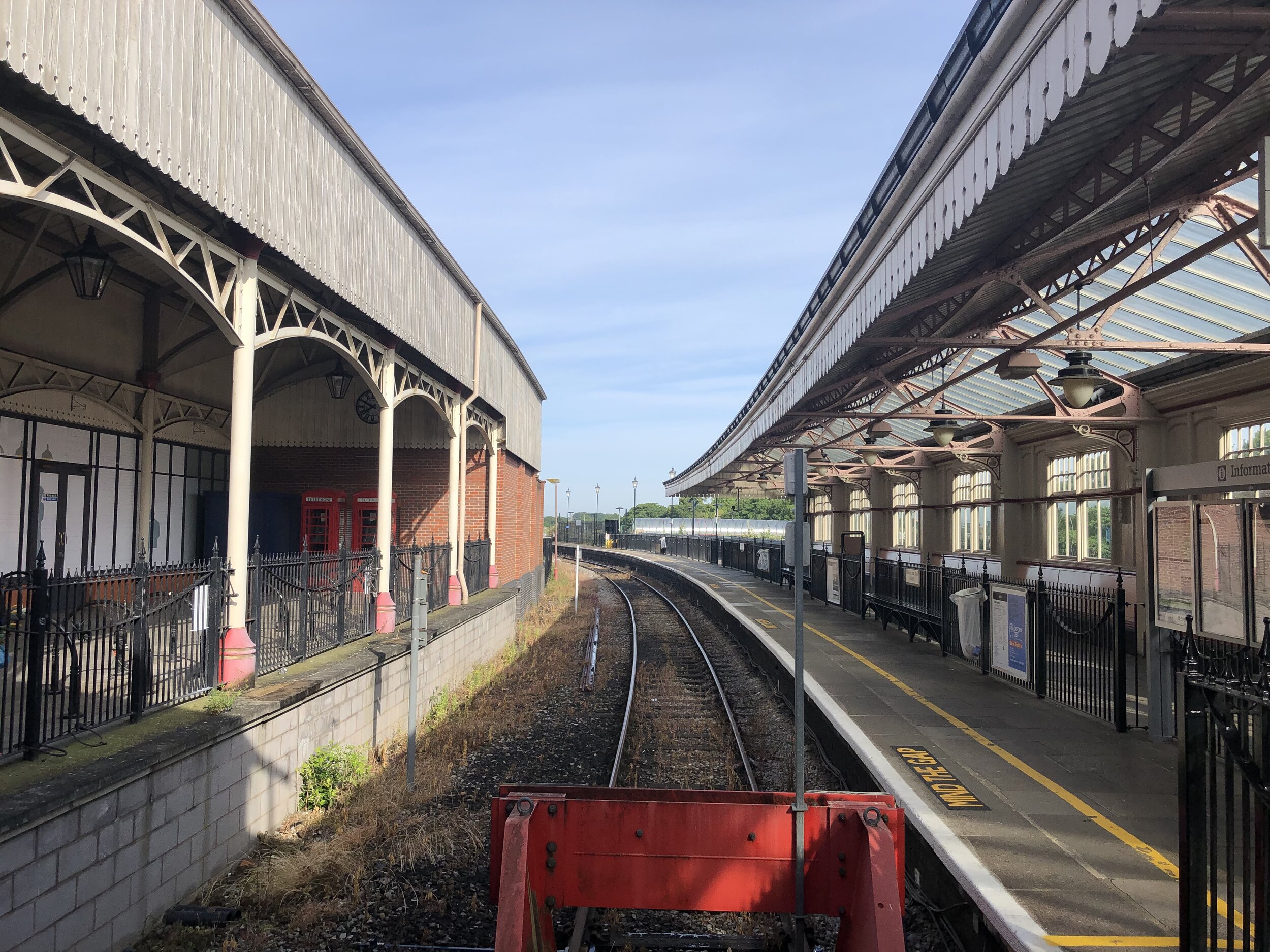
Watch out for traffic here. The B485 is busy but there’s a pavement on the south side for the very short section that you’ll follow it (heading West). Take Hyde Heath Road heading south-east for about 250m then take the first footpath on the right, heading south-west. Hyde Heath Road isn’t busy but there’s no pavement so be careful and watch out for cars. Once on the footpath, you’re back in pleasant Chilterns territory, crossing rolling hills, quaint farms and a lovely old manor house on Hyde Lane.
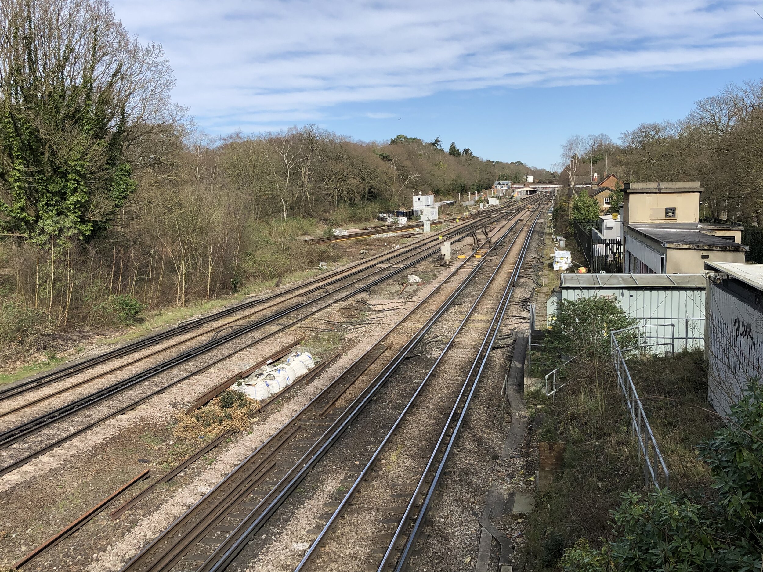
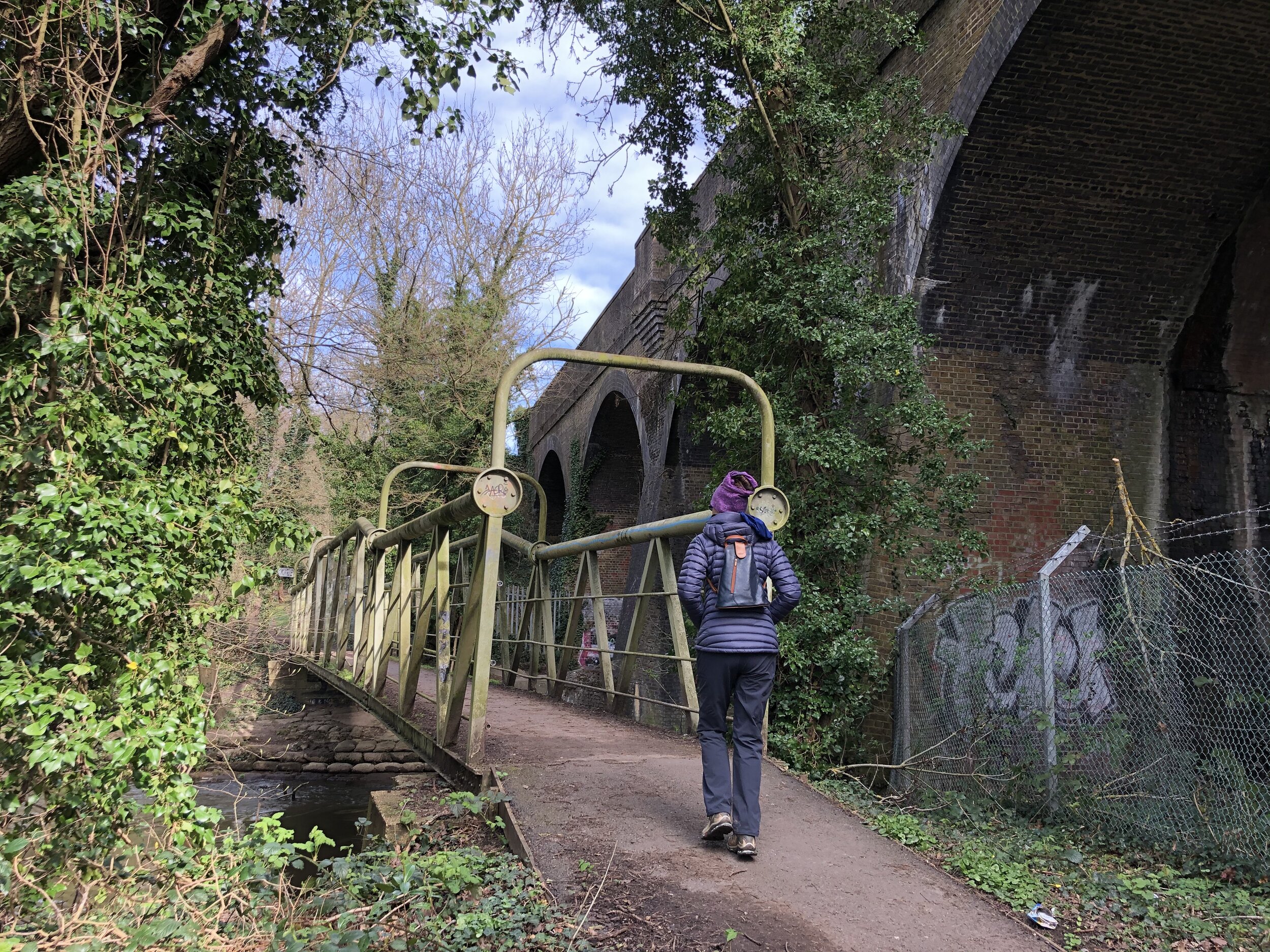
The final section is a steep descent to St Peter and Paul’s Church. Cross the bridge and you’ve got 3 options for the final stretch back to the car park. The quickest way back is to turn right and follow Church Lane, Buryfield Lane and the South Bucks Way to the car park. Alternatively, turn right for the longer route following the South Bucks Way along the perimeter of Missenden Abbey to London Road, then follow the High Street in a northerly direction. We took the 3rd option which was through a small gate into the grounds of the Abbey, across the River Misbourne and out the North exit of the property.


Chiltern Heritage Trail next section clockwise: Lee Common and Ballinger
Chiltern Heritage Trail next section anti-clockwise: Great Missenden and Little Kingshill