Chiltern Walks: Hedgerley Circular
IMG_9337.jpg

Start / Finish: The White Horse, Hedgerley, Village Lane, Hedgerley, Slough SL2 3UY
Distance: 9.1 km (5.6 miles)
Elevation Change: +/- 86 m
GPX File: get via Buy Me a Coffee
Other Routes Touched: None
Other Pubs / Cafes on route: None
Map: OS Explorer Map (172) Chiltern Hills East
Links: Hedgerley


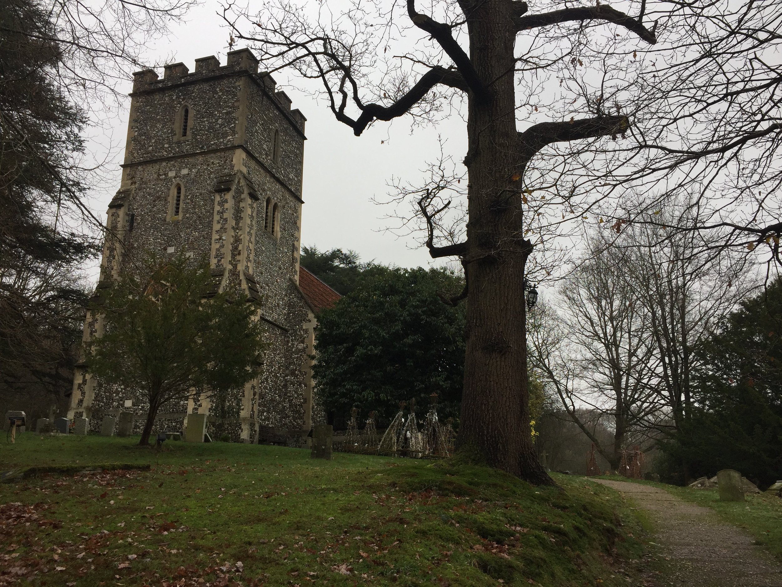
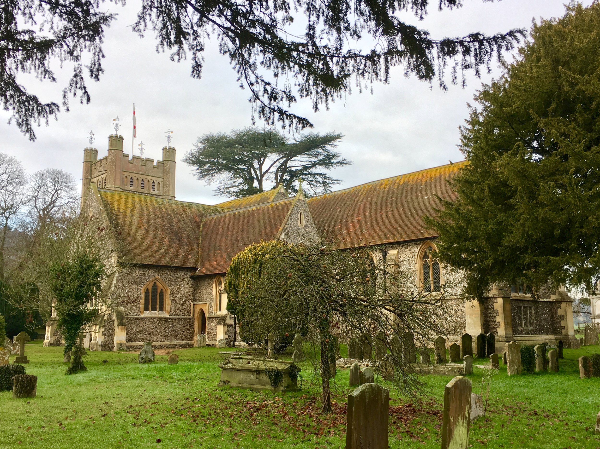
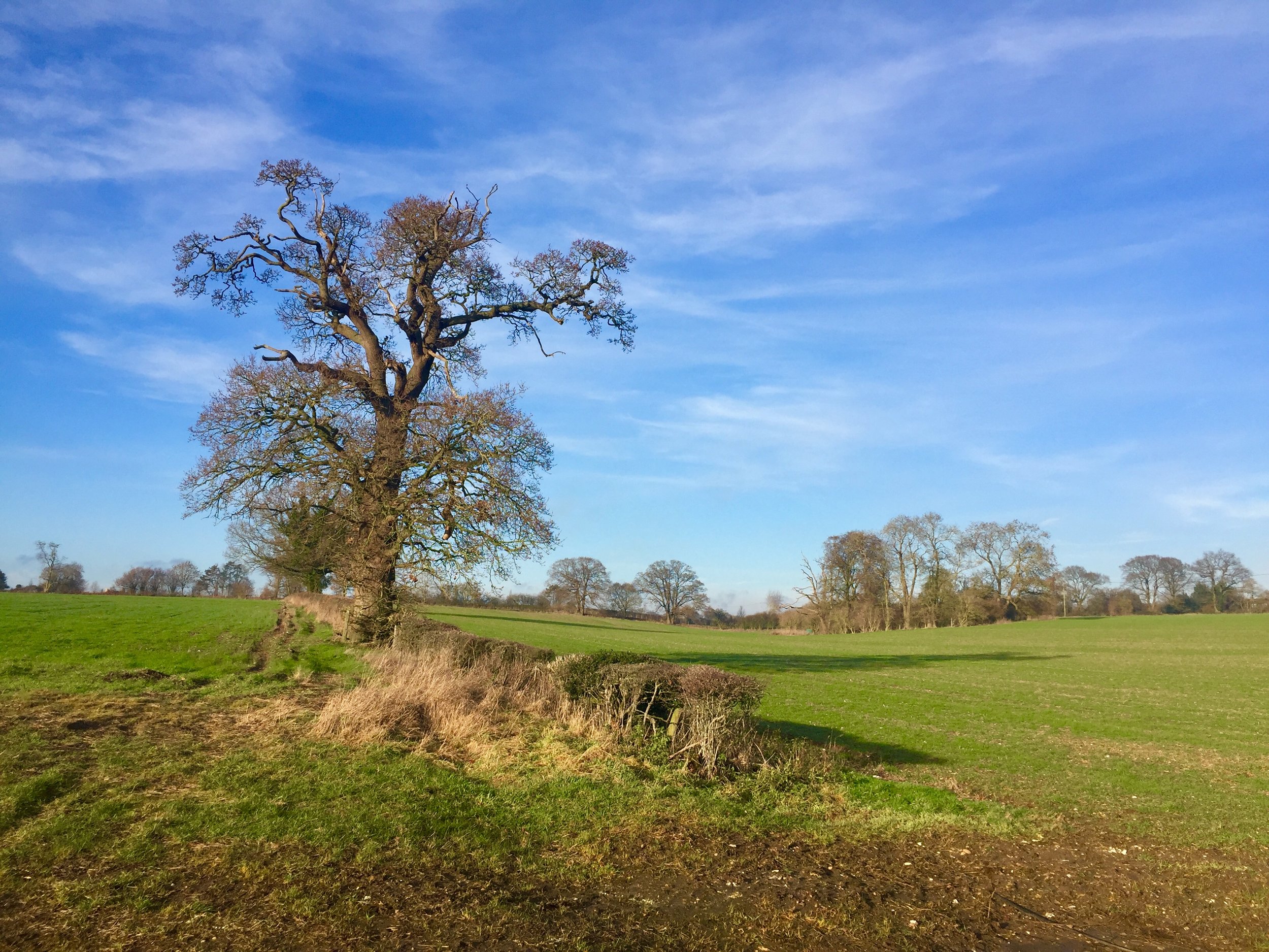
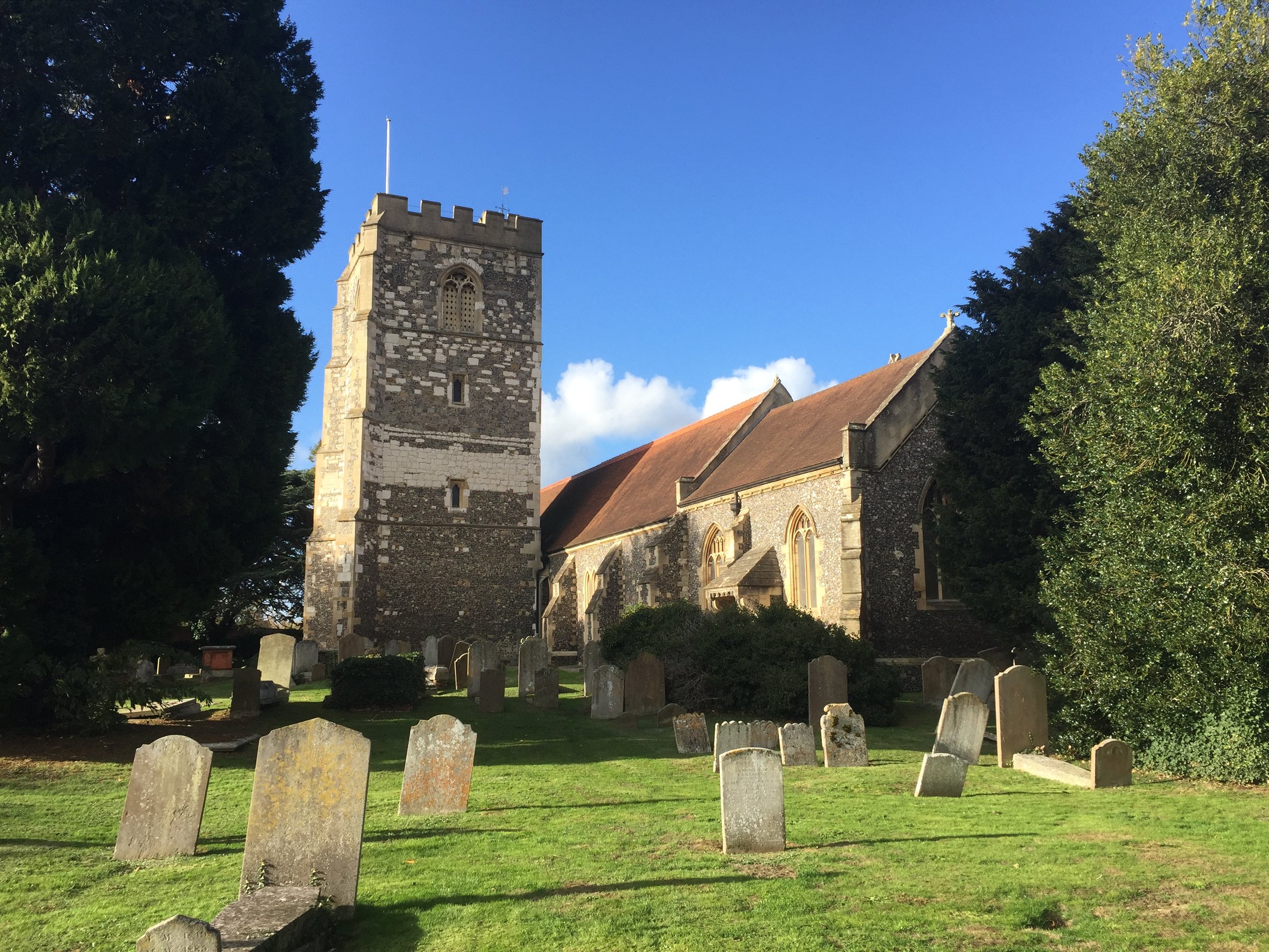
This one’s not technically in the Chiltern Hills National Landscape, but its close enough and fits into my own “Greater Chilterns” region. Hedgerley is not a place you’ll find by accident and most people speed past it on the way to London on the M40. Its worth hunting out though as this is a nice, quiet (in most places) walk with a great pub at its centre. The guidance below will help you navigate but don’t use it as a fully accurate turn-by-turn guide. Always take a map and/or a GPX route and prepare well for the weather and terrain.

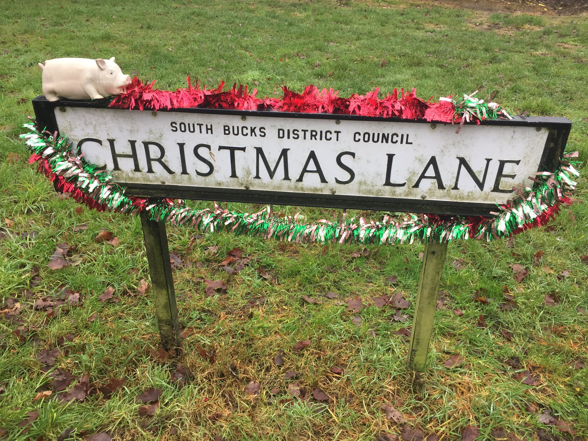
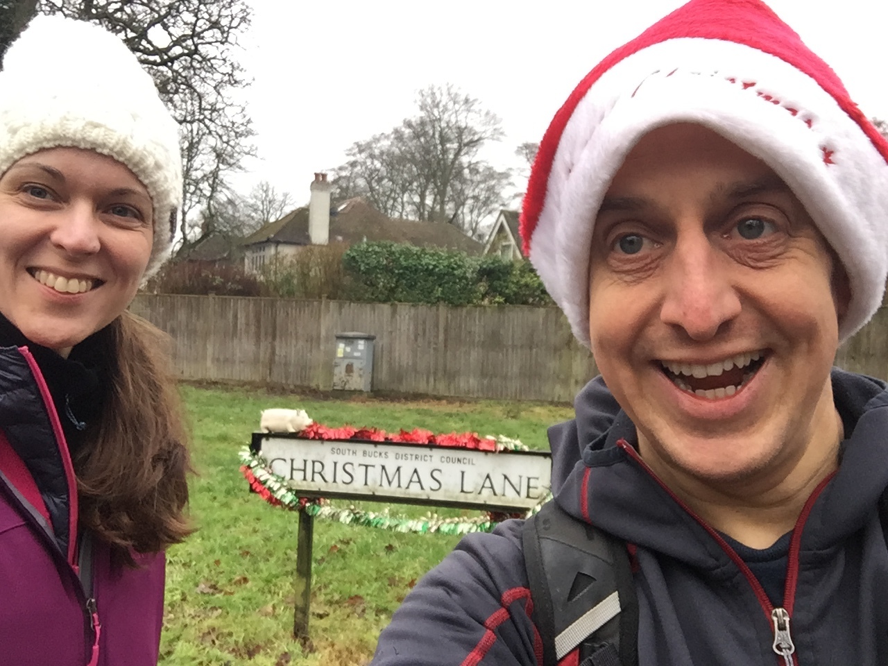
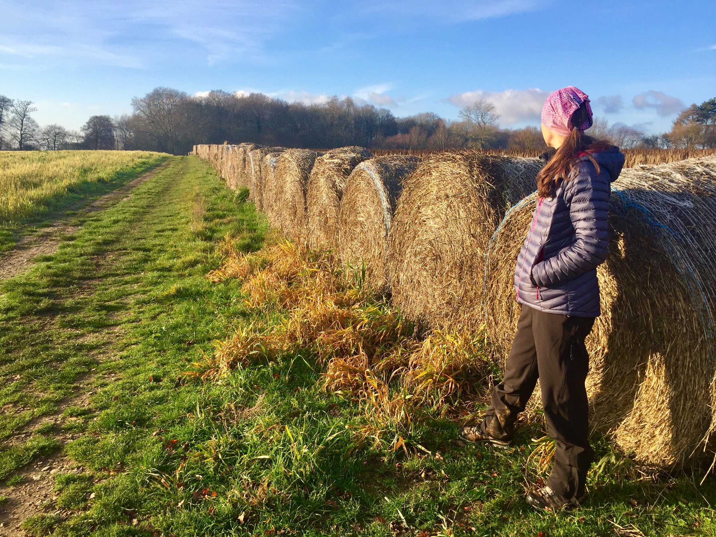
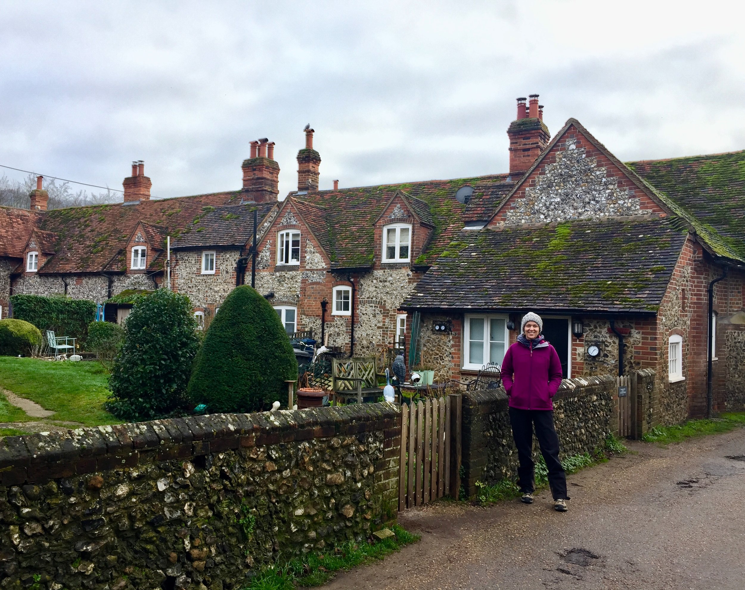
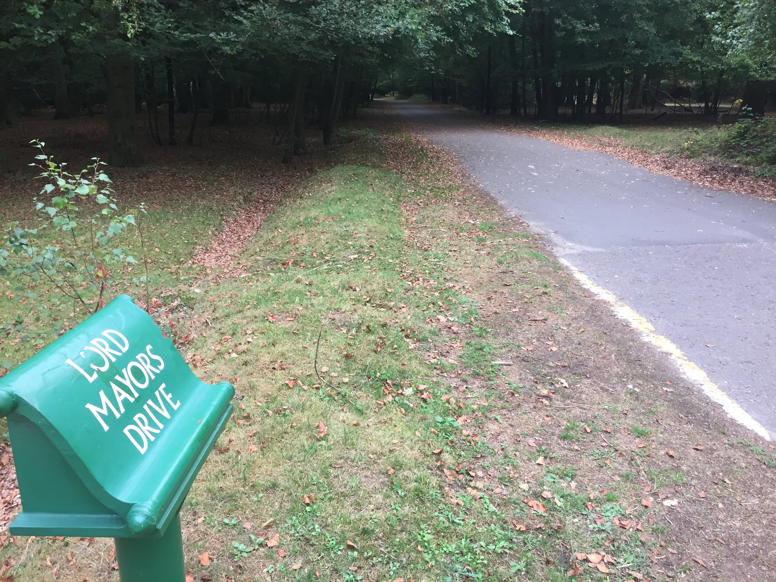
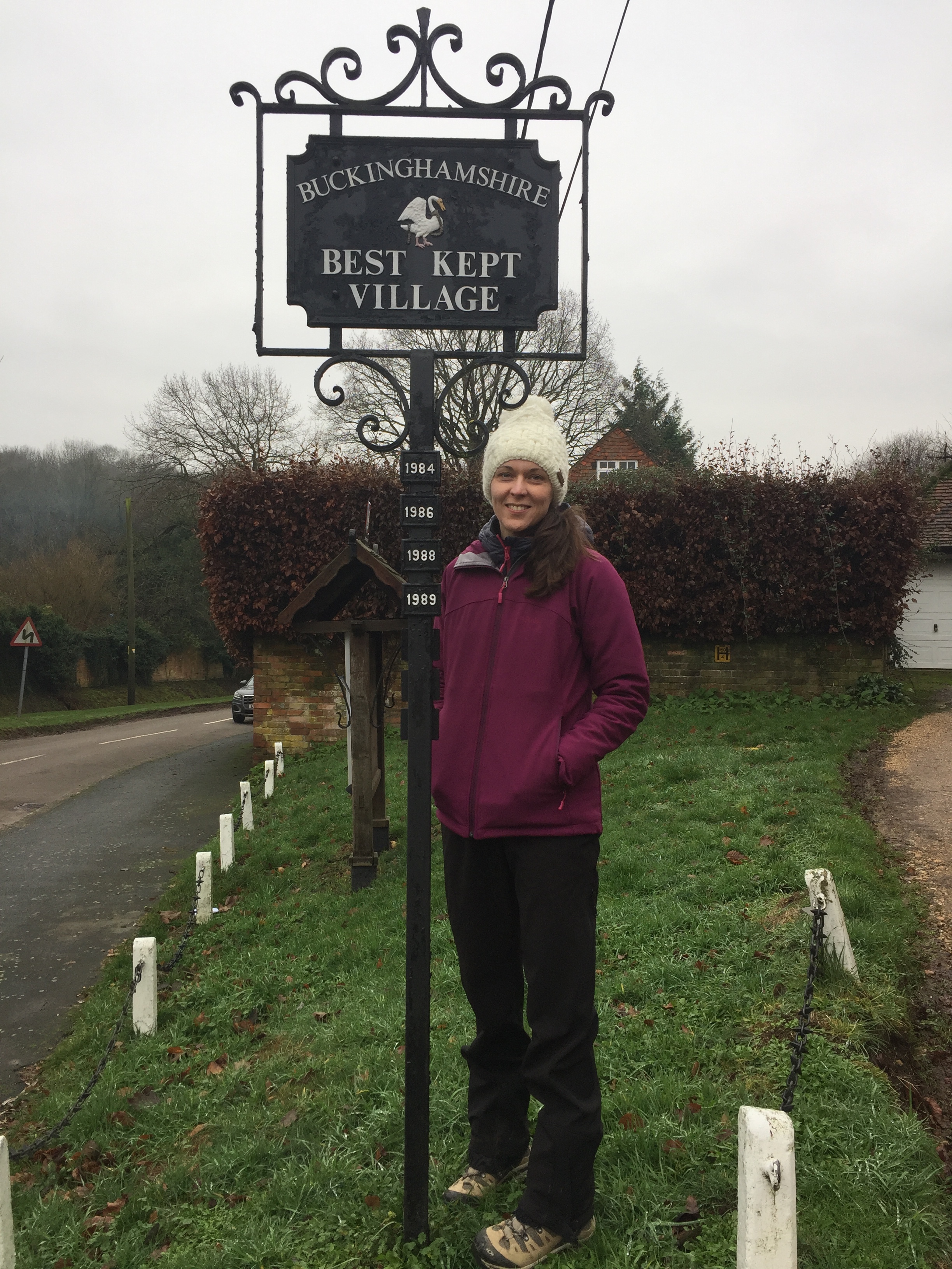
The whole route is a bow-tie shape with the White Horse pub in the centre. We’re locals and, with the wife feeling a bit ill, we decided to do it as 2 shorter walks on Christmas Day and Boxing day. This also gave us the opportunity for a selfie by the Christmas Lane sign 1.5m into the first part.

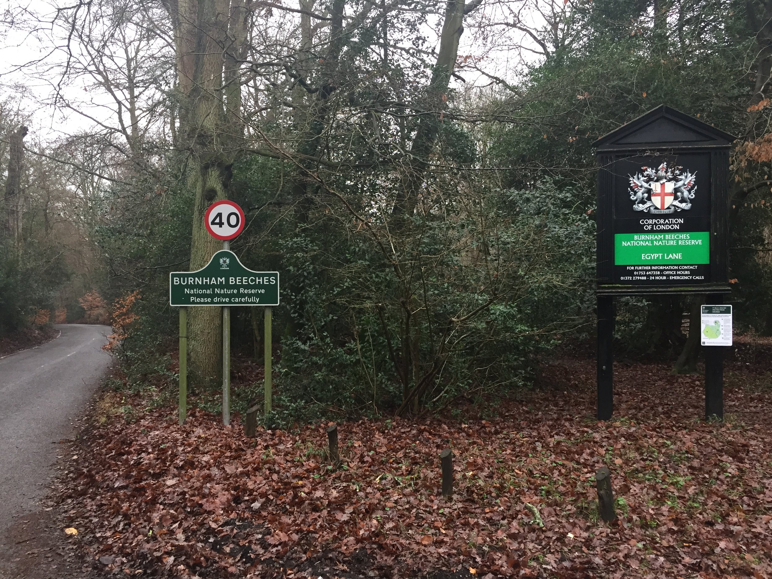
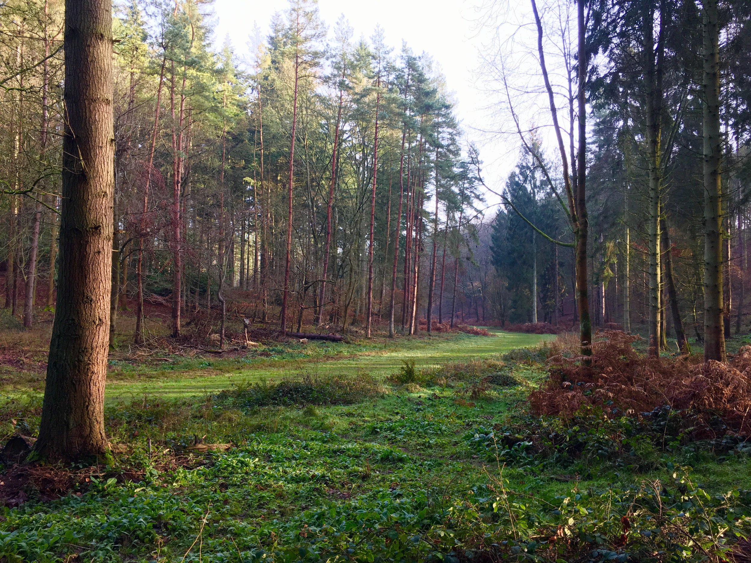
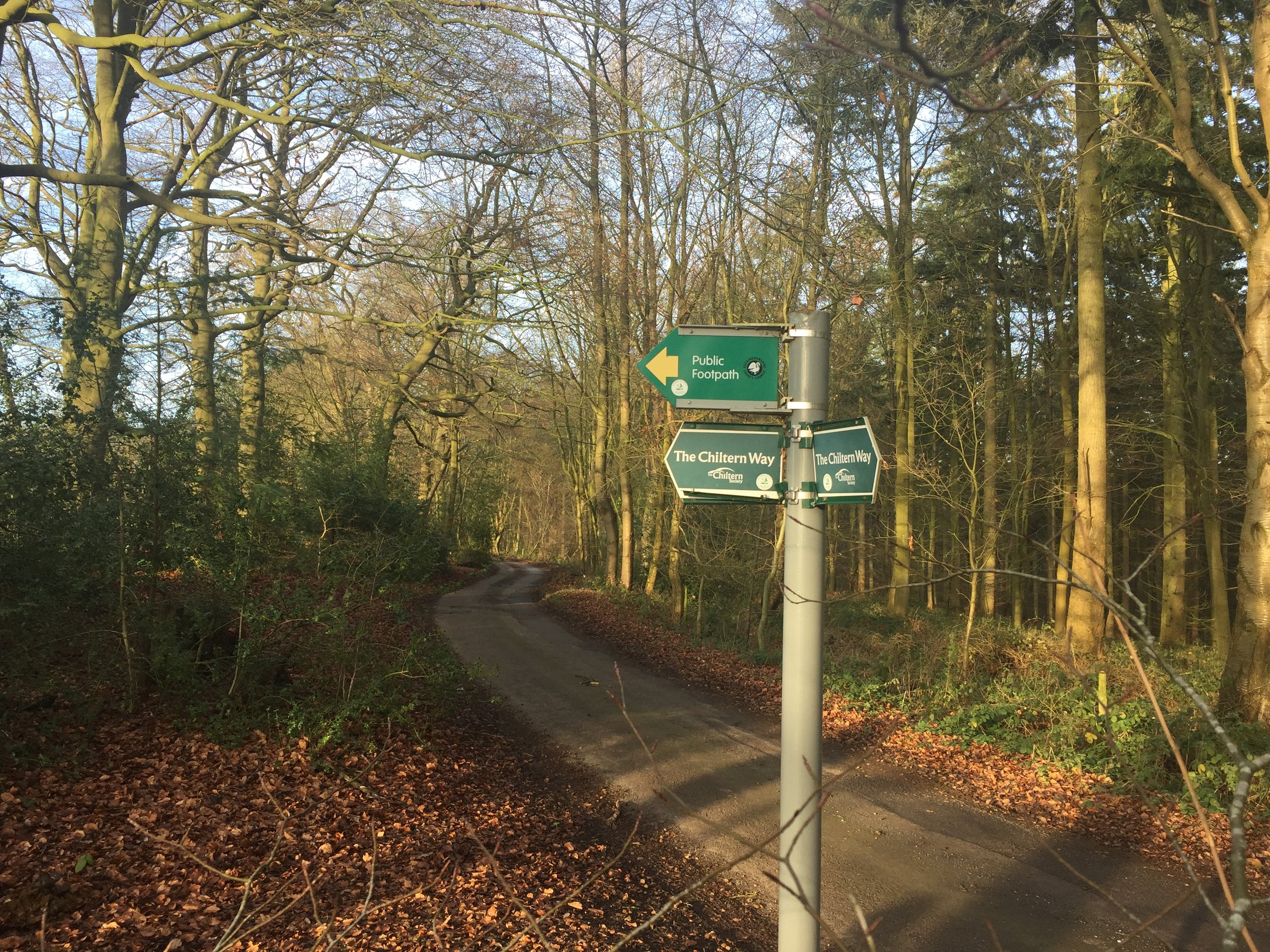
The western section is longer at ~6 km with the eastern section at just under 3.5km. Both are pleasant and relatively easy with only minor inclines. Watch out for a half-mile section on Parish Lane on the western section which has no footpath but lots of fast cars heading toward the motorway from Stoke Poges. Once past this you’ll be rewarded with a loop of Egypt Wood, a quiet woodland next to Burnham Beeches. The eastern section suffers from the noise of the M40 that runs really close to it. Don’t let that put you off though as it includes a pleasant walk through Hedgerley Green.


Walking The Chiltern Way Part 3 - Chalk Hill to Streatley

Sheep at Sunrise near Chalk Hill


Start: White Lion Pub Watling Street, Houghton Regis, Dunstable, LU6 1RS
Finish: The Chequers, 171 Sharpenhoe Road, Streatley, Luton, LU3 3PS
Distance: 16.4 km (10.2 Miles)
Elevation: +184m / -149m. Net +35m
GPX File: get via Buy Me a Coffee
Other Routes Touched (walk): Chiltern Way, Icknield Way, Chalgrave Heritage Trail, John Bunyan Trail
Other Routes Touched (cycle): Chilterns Cycleway, Icknield Way Trail (cycle route)
Pubs / Cafes on route: White Lion (at start), The Old Red Lion (1.8 km in), The Star (6.4 km in), Red Lion Sundon (9.1 km in), The Chequers (at end).
Map: OS Explorer Map (193) Luton and Stevenage
Links: Houghton Regis, Chalton, Sundon, National Trust Sharpenhoe, Streatley


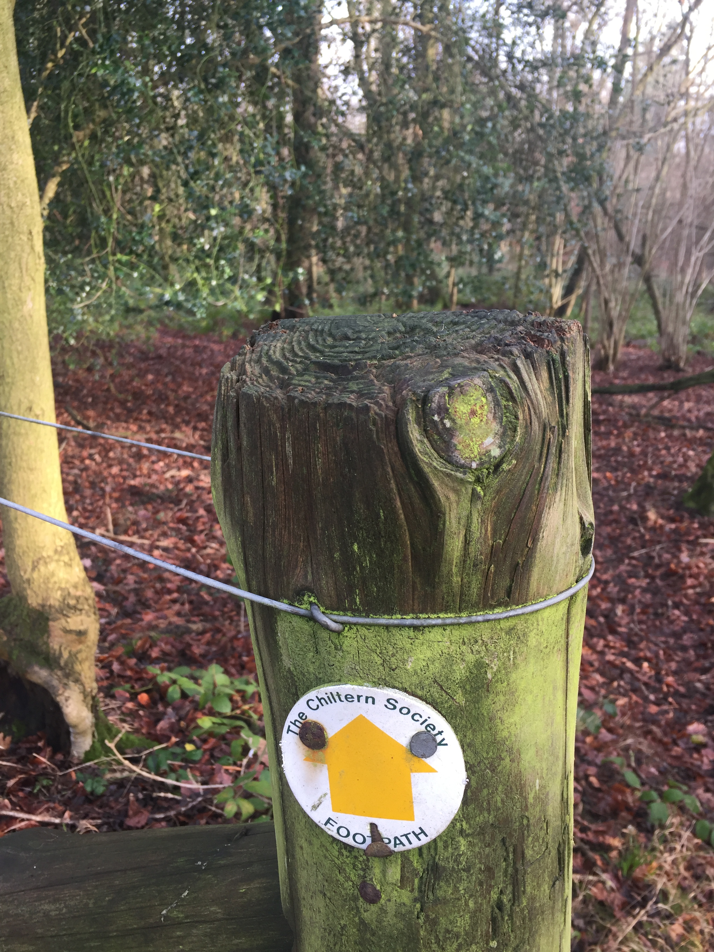
This is the third of a series of point to point walks on the Chiltern Way. The full trail is approximately 177 miles (285 km) long, depending on which extensions you take, and takes a large circle around the Chiltern Hills National Landscape. My friend Brian and I have been doing a section a year on or around the Winter Solstice since 2019. At the current rate we plan to be finished in December 2027. The Chiltern Way is well sign-posted however you should take a map or GPX route to keep on track and be prepared for all weathers. This post isn’t intended as a fully accurate turn-by-turn guide.

We had already covered this section of the Chiltern Way a couple of years before when walking the Chalk Hill to Pirton section of the Icknield Way. Not feeling the need to retrace these 16 km, we picked up again at Streatley (see part 4 of Walking The Chiltern Way).

Looking back at the map when writing the Chiltern Way posts it looks like the Chiltern Way between Chalk Hill and Streatley now takes a different route to the Icknield Way. Presumably this was due to the development of housing and distribution warehouses around the A5/M1 corridor.


Chiltern Walks: Hambleden and Rotten Row
View from the east of Hambleden

View from the east of Hambleden


Start / Finish: Car park next to the Stag and Huntsman, Hambleden, Henley-on-Thames RG9 6RP
Distance: 6km (3.7 miles)
Elevation change: +/- 113m
GPX File: get via Buy Me a Coffee
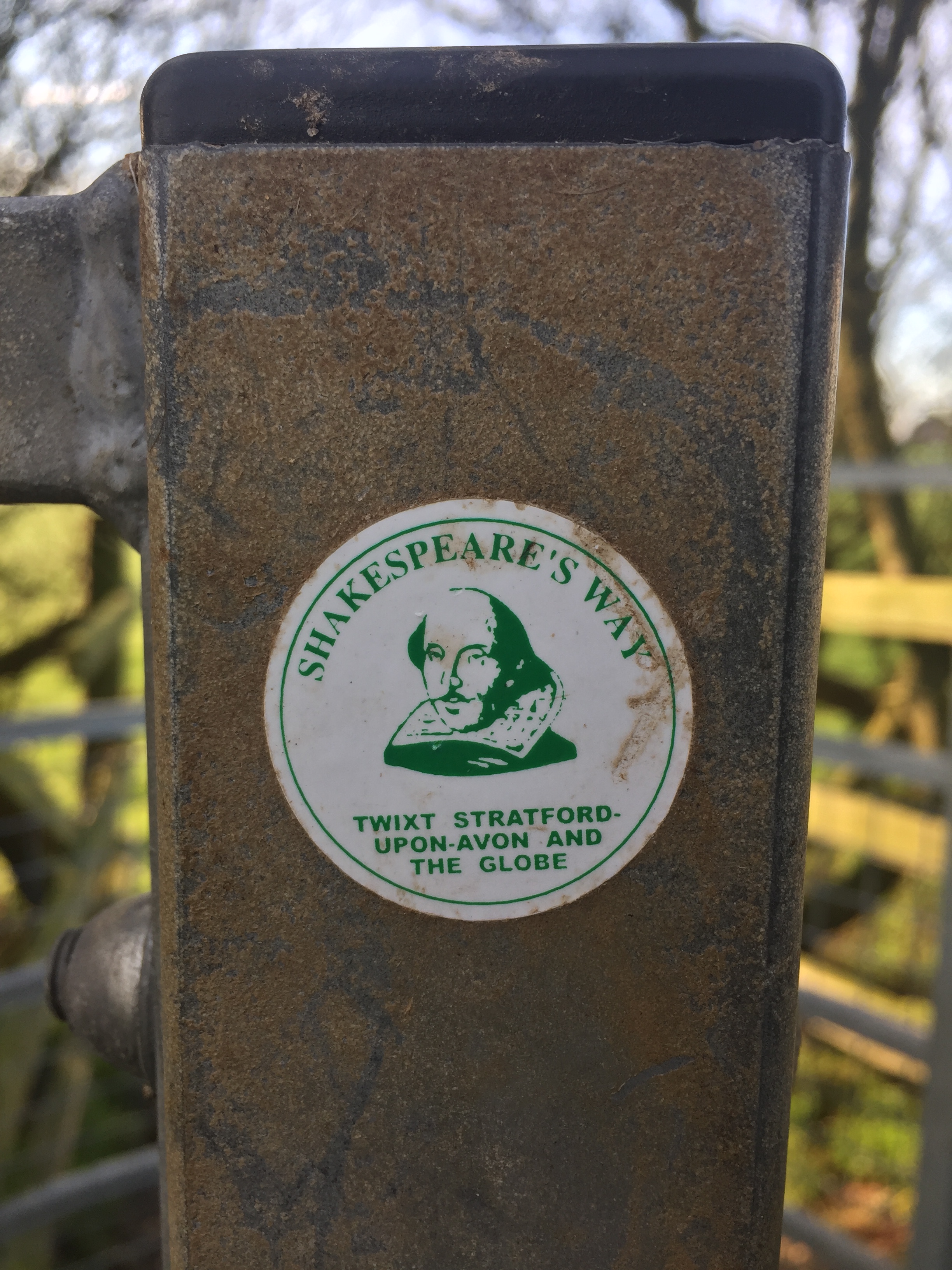
Other Routes Touched (walk): Chiltern Way, Shakespeare’s Way
Other Routes Touched (cycle): Chilterns Cycleway
OS Trig Pillar: TP4092 - Huttons Farm
Pubs / Cafes on route: The Stag and Huntsman at the start and finish
Map:
OS Explorer 171: Chiltern Hills West, Henley-on-Thames and Wallingford
Links: Hambleden


This is part of a series of short circular walks in the Chilterns. The guidance below will help you navigate but don’t use it as a fully accurate turn-by-turn guide. Always take a map and/or a GPX route and prepare well for the weather and terrain.

Hambleden is a great choice for a Chiltern walk with several options for routes and ample free parking at the Stag and Huntsman. This one starts at the pub with a short walk through the village before turning right onto the first road off Pheasants Hill, Frieth Road. You’ll see a sign for Huttons Farm and some retractable entry bollards. It's a public right of way so continue on up the hill. At the top of the hill take a right, then a left at the path junctions as the route goes round the well-kept Huttons Farm estate.

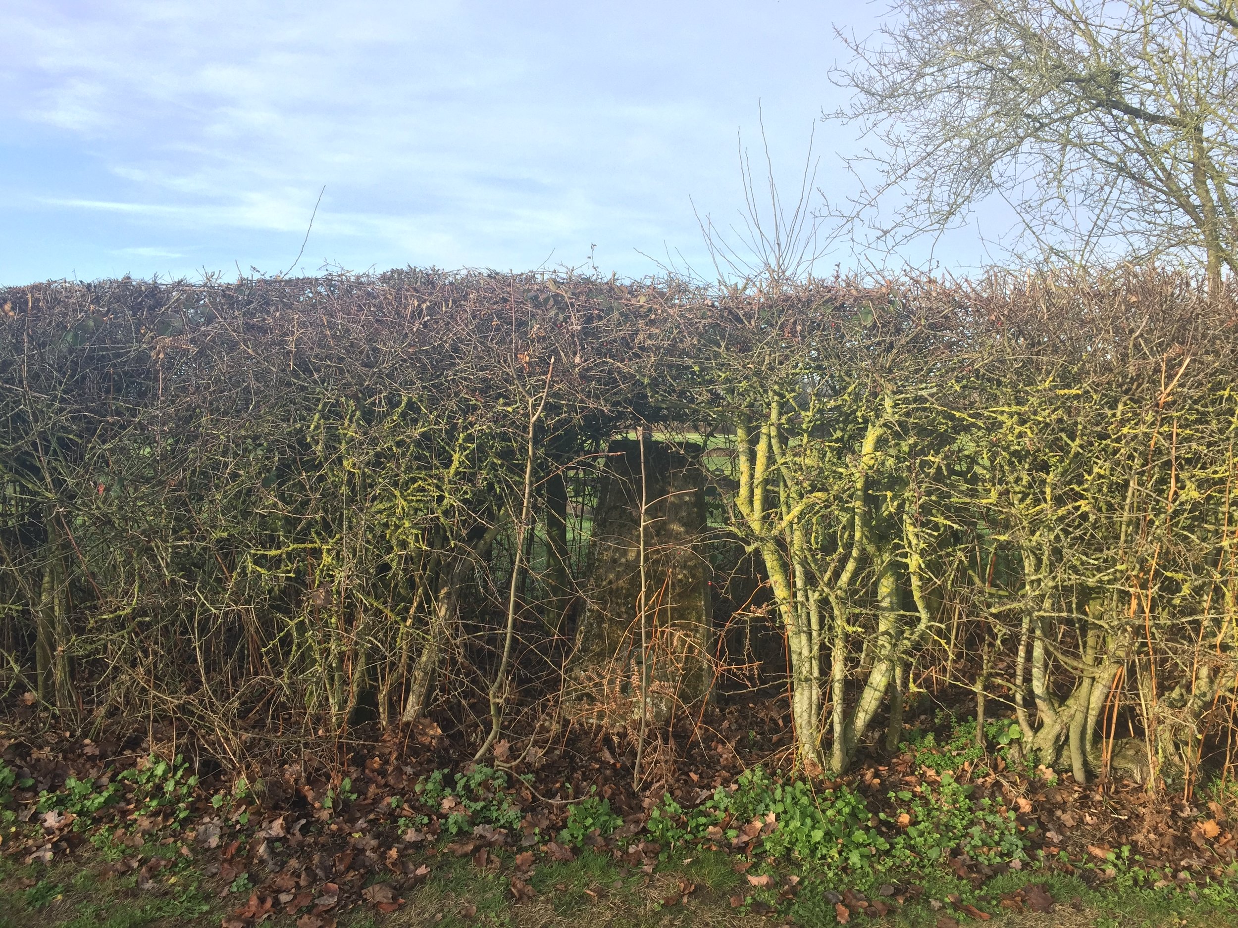
The Trig Pillar that I based the walk on is buried in the hedge on the North side of the road before the East entrance to the estate. It was easy to spot on this mid-winter’s day but likely harder to find in the Summer. After the Trig Pillar, continue on for about ~0.5 km before taking a right hand turn following a path into the woods. Continue in the same North-Easterly direction to an obvious junction and follow the fence into a clearing in the trees. In ~0.5 km you’ll meet the Chiltern Way. Take the right-hand / Southerly direction up a steep bank to the road. From here follow the Chiltern Way / Shakespeare’s Way signs for 2 km through Rotten Row back to Hambleden.

The North-east Hambleden Circular route is a longer version of this walk but doesn’t include the Trig Pillar.


Chiltern parkruns

There’s only 4 parkrun events in the Chiltern Hills National Landscape (formerly AONB), but the Chilterns covers a much larger area. I’ve not seen a common definition, so I’ve decided to select the boundaries marked by the rivers Thames, Colne and Lea. Most of the rivers and streams that start in the Chiltern Hills eventually flow into these 3 rivers, so it feels like the best boundary. One could argue that the area could also include everything south of the Lea before it reaches the Thames at Limehouse Basin, but that would include most of North London too.

So, the Greater Chilterns area, a beautiful and adventure-filled region, contains 17 parkrun events so far. It also includes my home event, Black Park and 2 of my hilliest favourites, Church Mead and Wendover Woods. Here’s the links:


More parkrun posts

parkruns are free, weekly, community 5k events all around the world. I started in December 2012 and have been obsessive about it ever since. See my parkrun Collection page for details.

Featured and popular parkrun posts:


3 Hours in Old San Juan, Puerto Rico
IMG_E9009.JPG

Puerto Rico is an unlikely place to go to if you live in the UK. There’s no direct flights and the connections via the US are a pain in the arse. If you want to go to the Caribbean there’s many other places to go to first. I was fortunate enough to have a work trip there. It may have taken more time travelling than I spent there but the work was good and it gave me a very small glimpse of the Capital.

I arrived a day before the meeting with a spinning head full of jet lag and work thoughts. I needed a break and headed out to see the Old Town. I was staying at La Concha, a hotel on Condado over the bridge from Isleta de San Juan. Checking out the route on Google Maps I assumed it would be a pleasant walk from the hotel to the Old Town. I’m not sure about pleasant but it was certainly interesting.

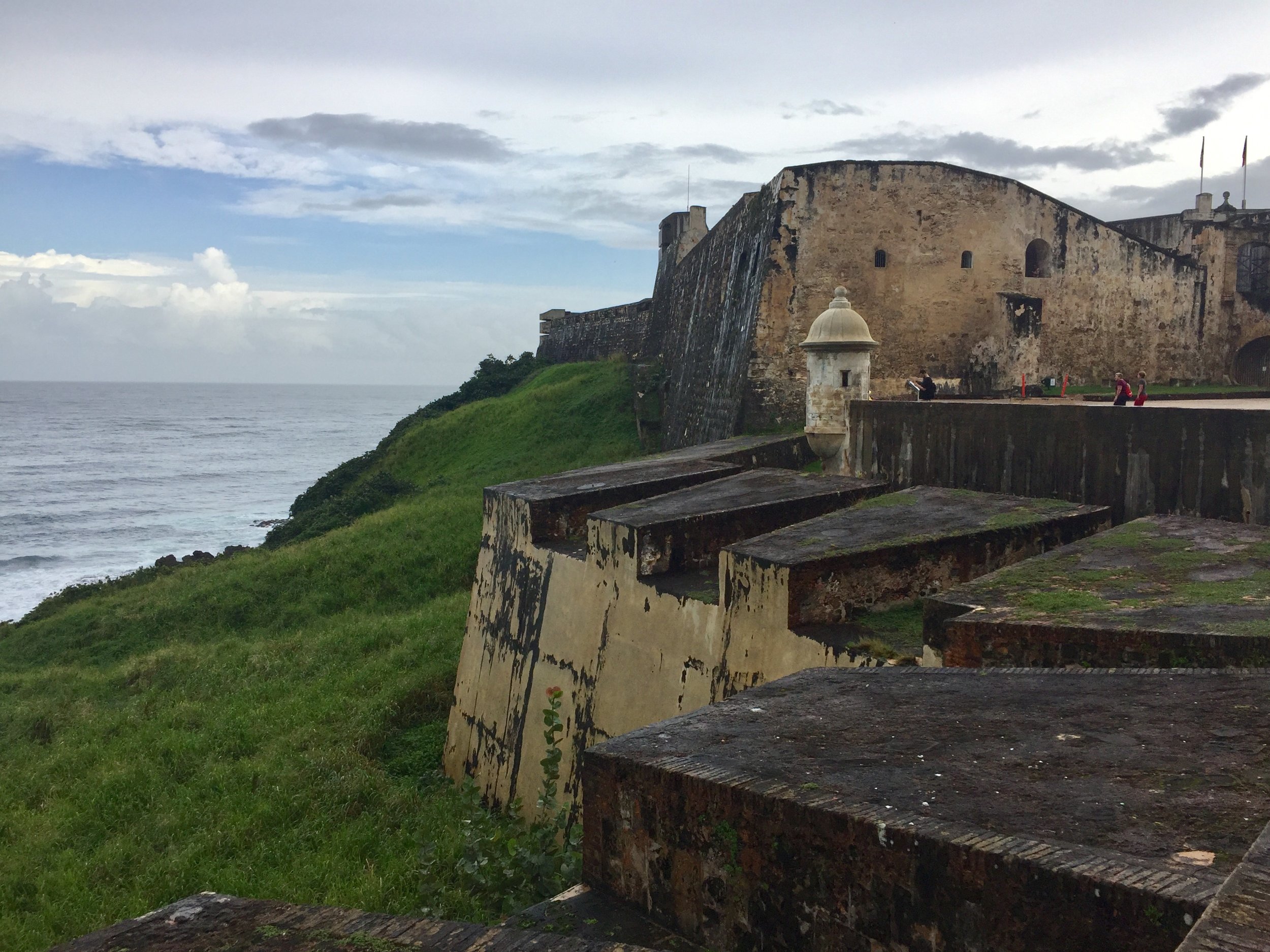
The first stop over the bridge was San Geronimo Fort. It appeared abandoned but the gates were open so I wandered in. A couple of minutes later a man came out of a hut and spoke to me in Spanish. I assumed he was a security guard shooing me away but he turned out to be quite welcoming. He just wanted me to be careful as it was raining and slippery. In many other islands this would have been a well kept tourist attraction. This was my first experience of a city very much feeling the impact of economic decline and the devastating effects of the 2017 hurricane.

Moving on towards the Old Town, the hurricane’s effects became even clearer as I reached Parque del Tercer Milenio. In what should have been a busy recreational spot, there was literally no one around for a full 10 minutes. It had a real 28 Days Later feel about it. Loads of cars were parked up but no people. Buildings that should have been busy were abandoned and decaying.

The first person I saw was a homeless guy coming out of a beach changing hut. He started staggering in my general direction. This didn’t help with the zombie movie feel and I had a minor internal freak out so started walking more quickly. After a couple more similar encounters I moved off the beach path and onto the sidewalk next to the main road. Here there was another homeless guy walking towards me down the middle of the busy road.

Despite the ever-increasing feeling that I should have taken a taxi to the Old Town, I was glad I walked there. It gave me a very real view of a city struggling to get back on its feet. The homeless guys weren’t dangerous, just out of options.

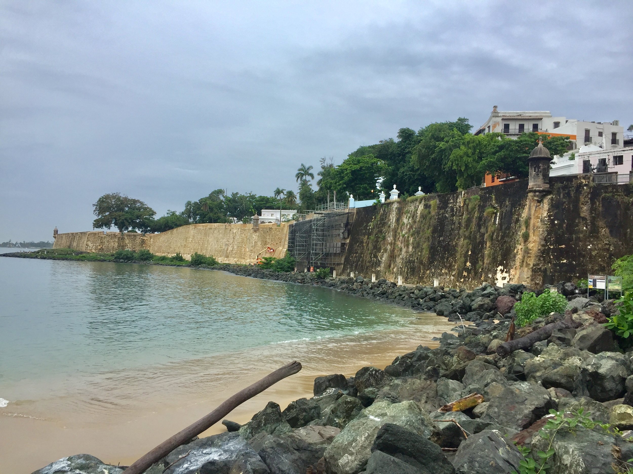
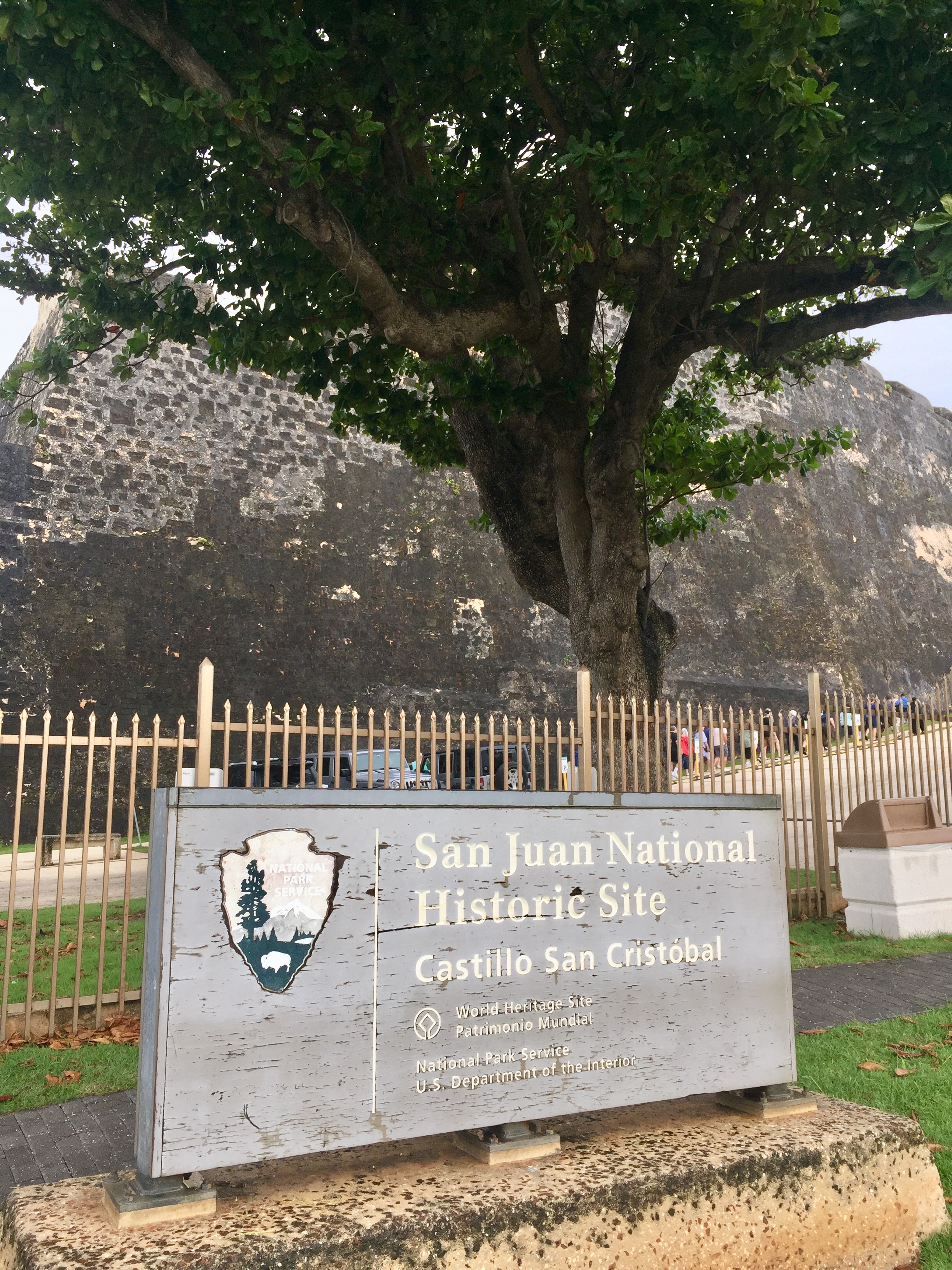
By the time I reached Castillo de San Cristóbal I’d crossed a line into the Old Town and into a very different feeling. This was the boundary of the Spanish-era city walls and the furthest point that most cruise tourists visit. This was UNESCO-town with all the investment in repairs to keep the tourists coming back.

After waiting 10 mins for a dithering group of tourists to work out how to count themselves I decided to leave the Castillo and come back later. Instead I continued West along to the top of the fortifications. I passed La Perla community, some great street art and Santa María Magdalena de Pazzi cemetery along the way. Having a tour guide or at least a book would have been great. This was a whistle-stop lone walkabout so I had to make do with great views but no historical context.

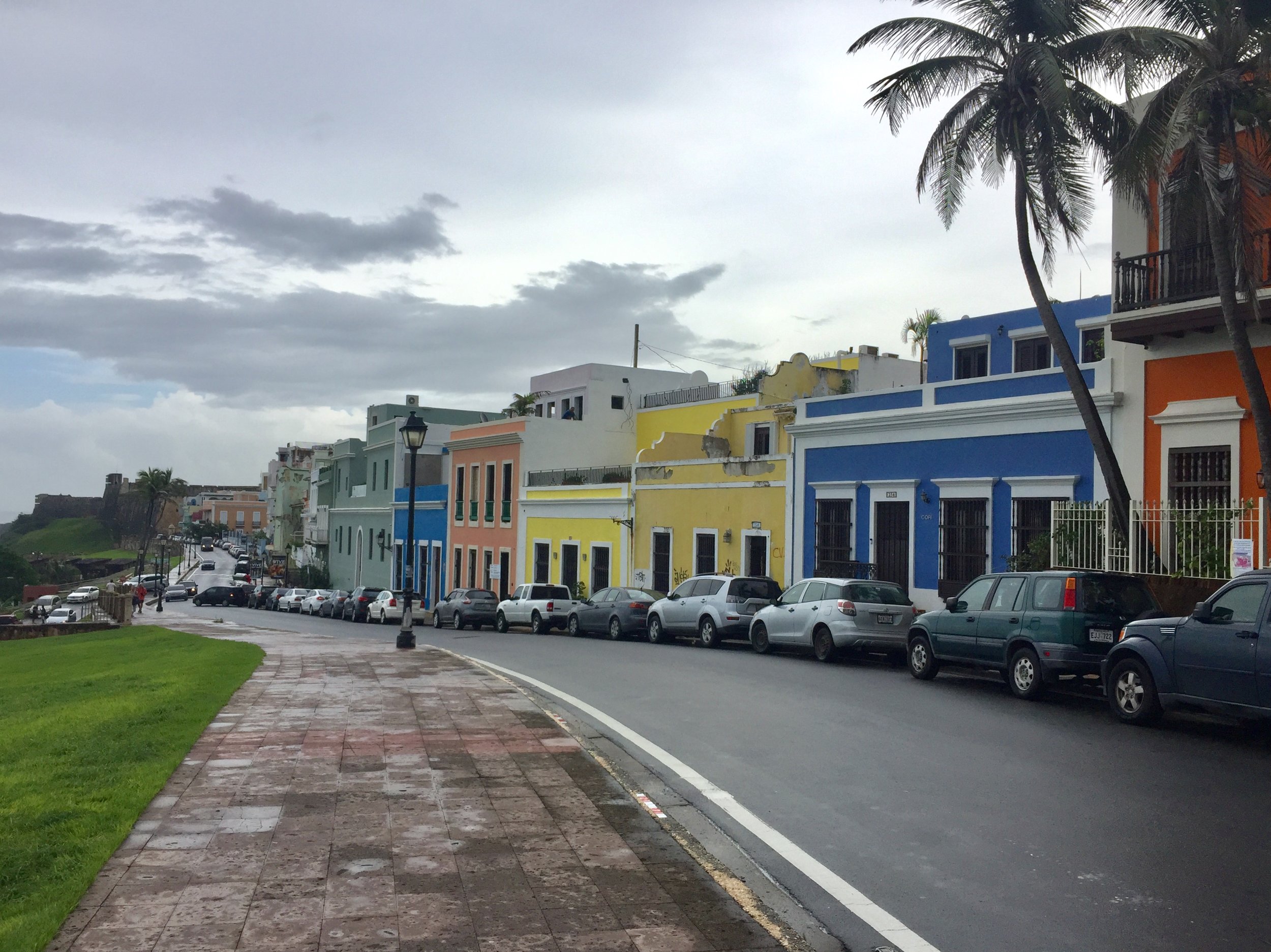
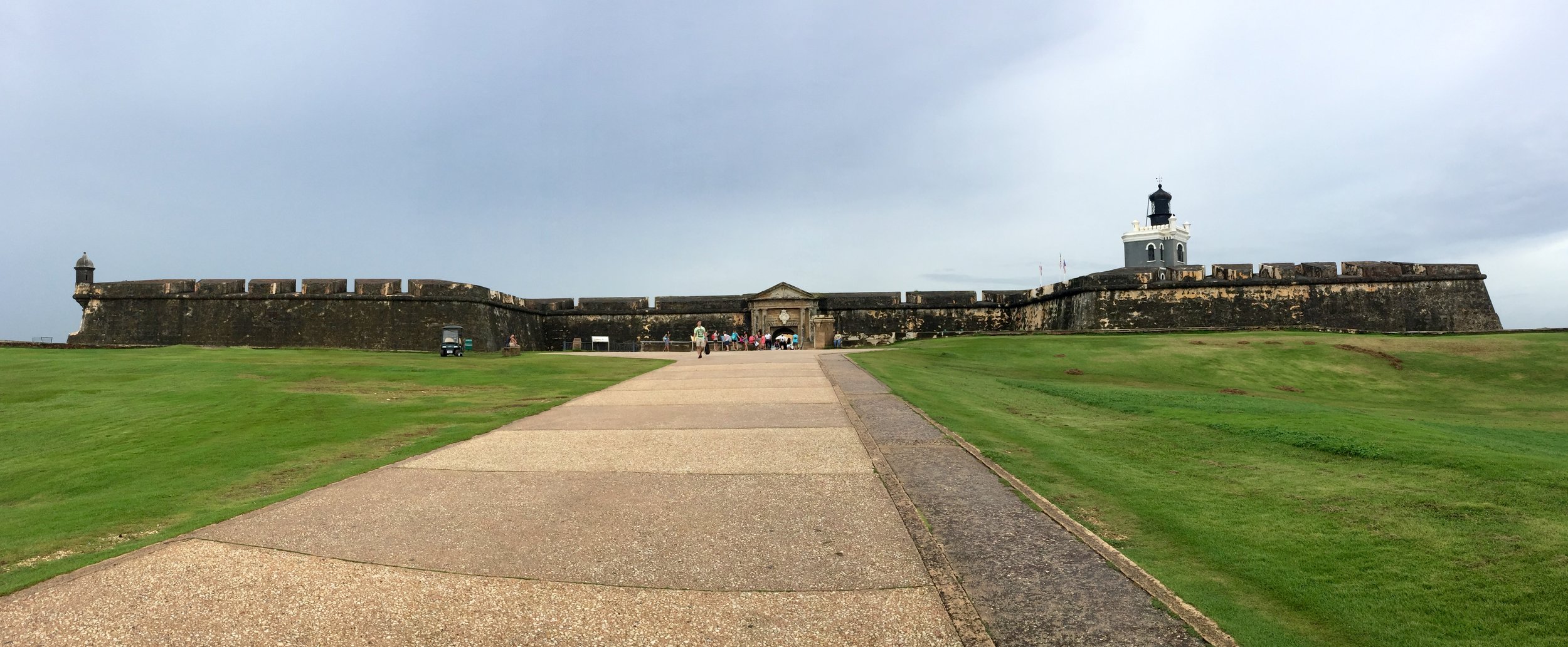
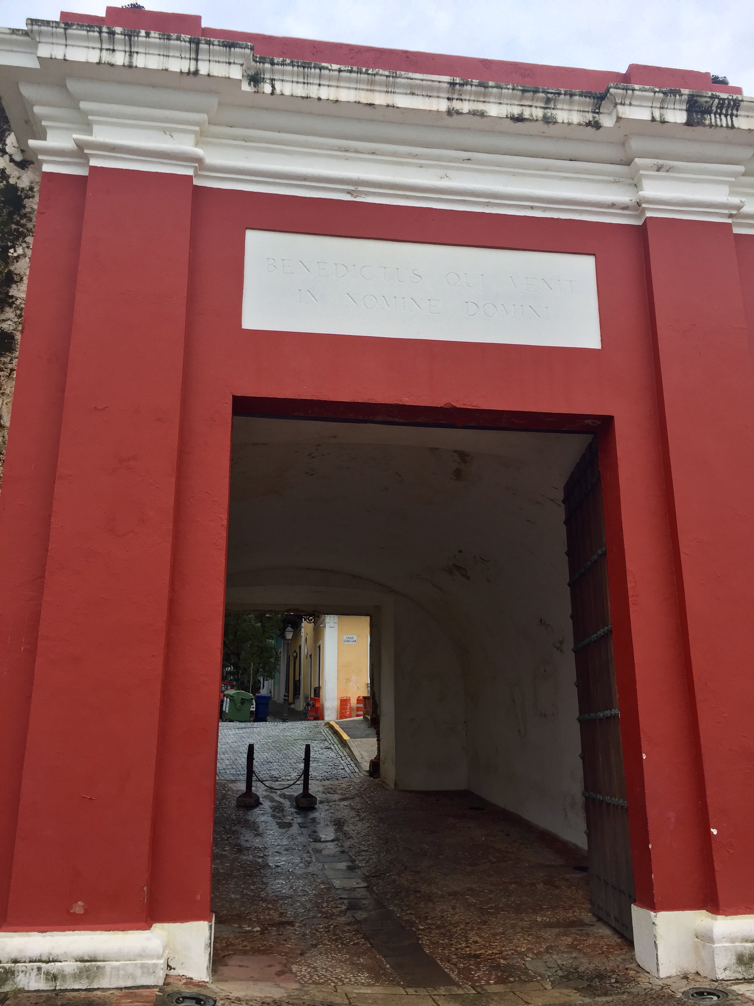
Castillo San Felipe del Morro San Juan is at the end of the island. With no dithering cruise groups to block my entrance, I had a look around. By now time was ticking on and I needed to start heading back. My final hour was a meander through the beautiful streets of the Old Town with a couple of diversions to Puerta De San Juan and Iglesia San José, finally returning to Castillo de San Cristóbal. By now the cruisers had sorted themselves out and I had a clear run at getting in.

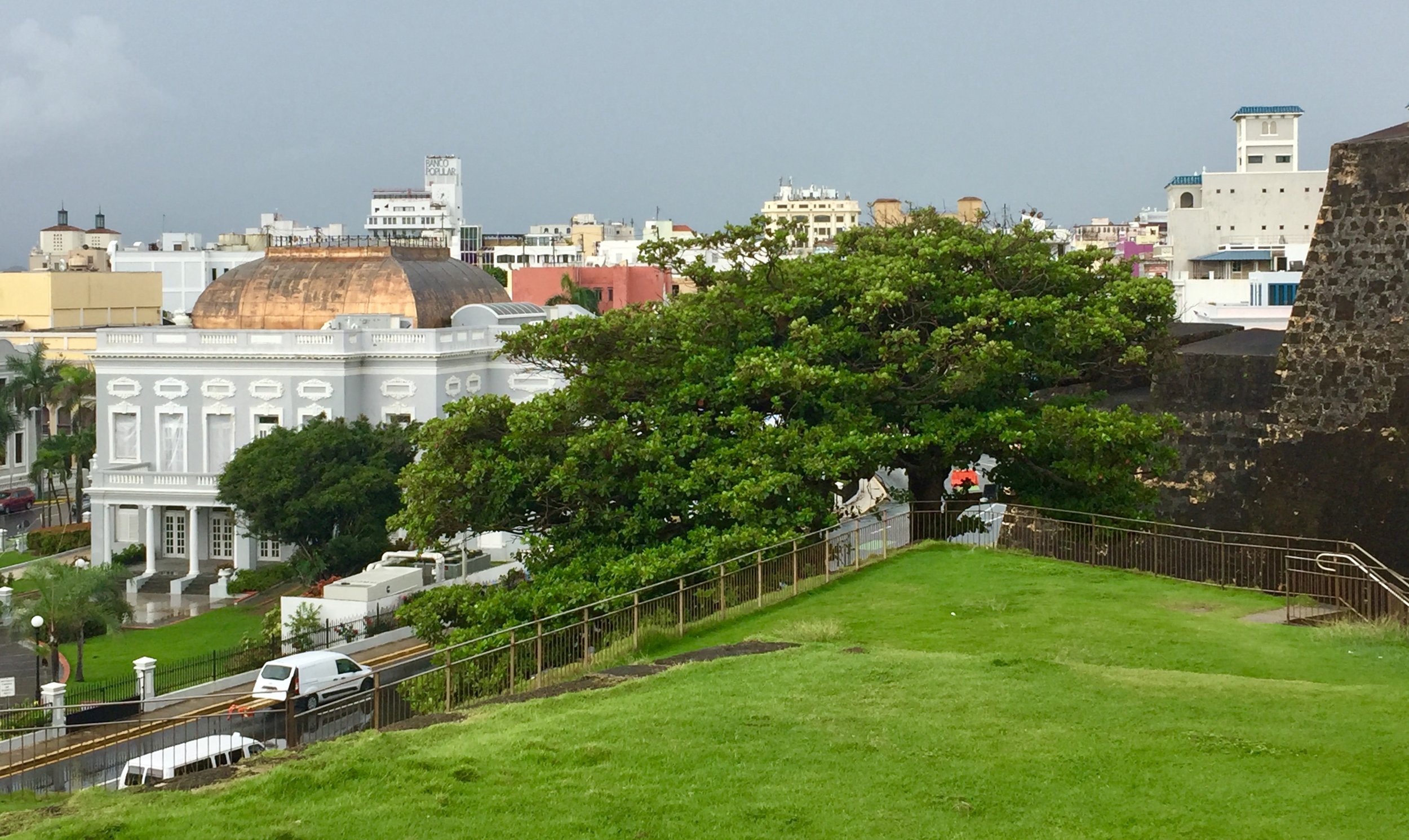
Both Castillos are managed by the US National Park Service and are well maintained with interesting information panels. They also both have great views of the city from the tops of the fortifications. By the time I got to the top of San Cristobal my jet-lag kicked in and all I could think about was getting a taxi back to the hotel.

I would have loved more time in the city and even more to explore the island. I'd checked out Cerro de Punta, the Island High Point, but that would have been a whole day trip. Its tough to be disappointed though as a unexpected trip to San Juan was still a great experience. My main memory is having talked to some of the locals about their experience of living through the after effects of the storm. They're a hardy and friendly bunch and I'm glad to have met a few of them.

 
Cycling The Maidenhead Boundary
IMG_8913.jpg

Start/Finish: Ockwells Park, Maidenhead SL6 3YX
Distance:
23.3 km (14.5 miles)
Elevation Change: +/- 209m
GPX File: get via Buy Me a Coffee
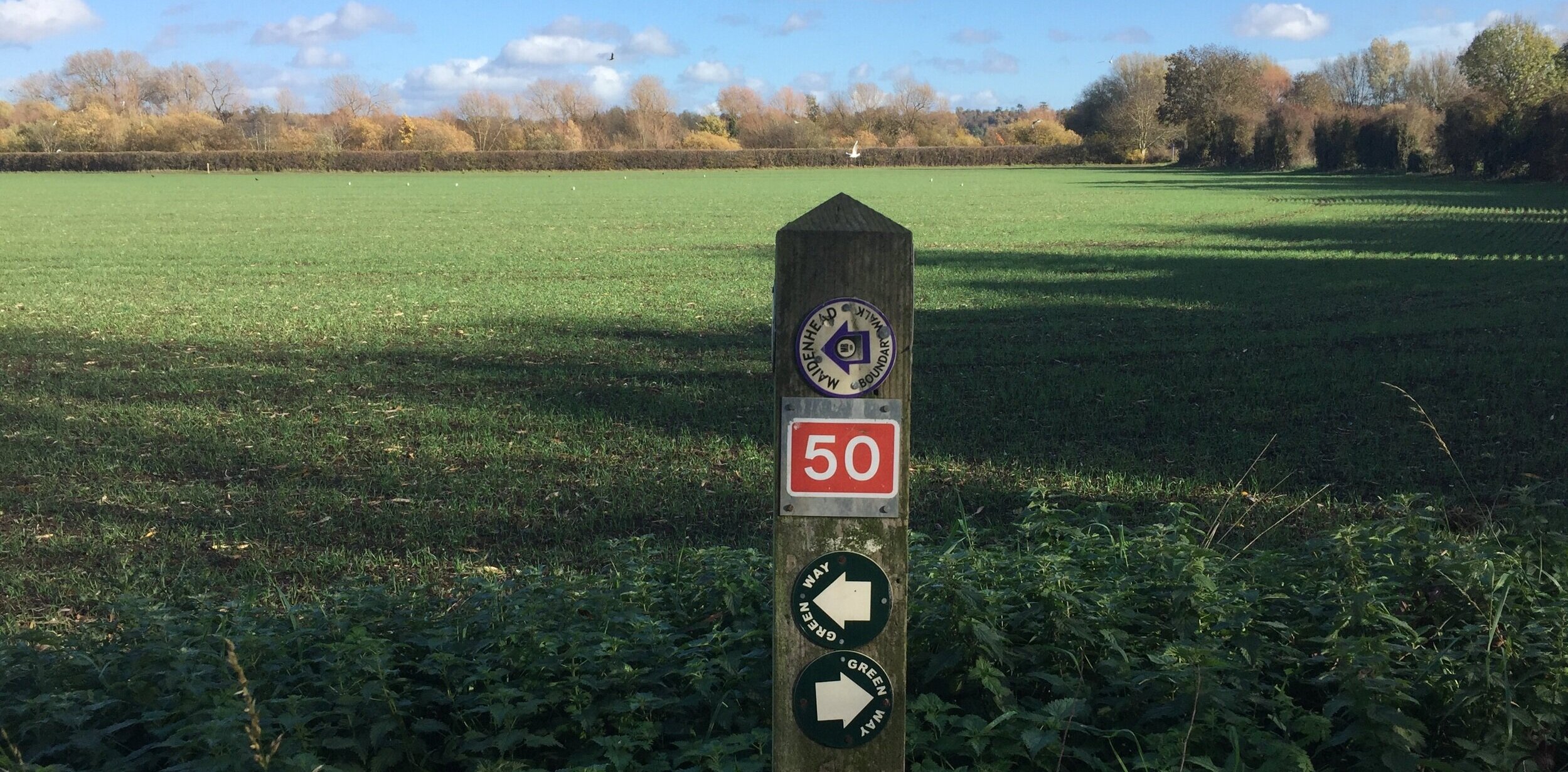
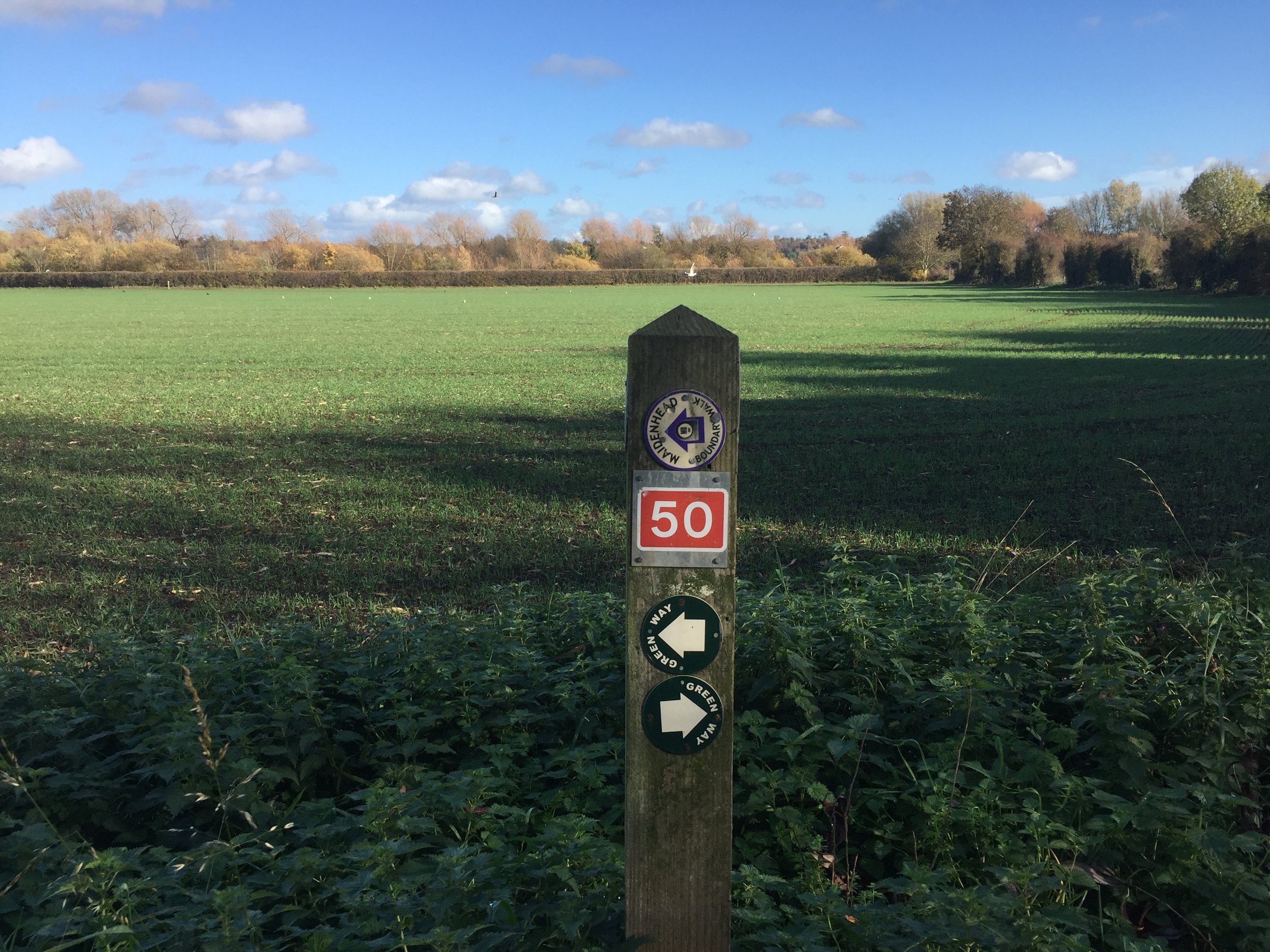
Other Routes Touched (Cycle): NCN 4, 50
Other Routes Touched (Walk): Thames Path, Chiltern Way Berkshire Loop, Green Way West
Map: OS Explorer Map (172) Chiltern Hills East and OS Explorer Map (160) Windsor, Weybridge & Bracknell
Links: http://boundarywalk.org.uk/, Boundary Walk Route PDF with detailed instructions
- National Trust Maidenhead & Cookham Commons, National Trust Brick and Tile Works


The Maidenhead Boundary Walk is a well signposted route around my hometown. In my not-so-adventurous days growing up there I remember the annual charity walk passing near my home and thinking “why would anyone want to walk all that way?”. Nowadays 15 miles is well within “Short micro-adventure” territory and I was keen to cycle it as soon as I saw the route mapped on RideWithGPS.

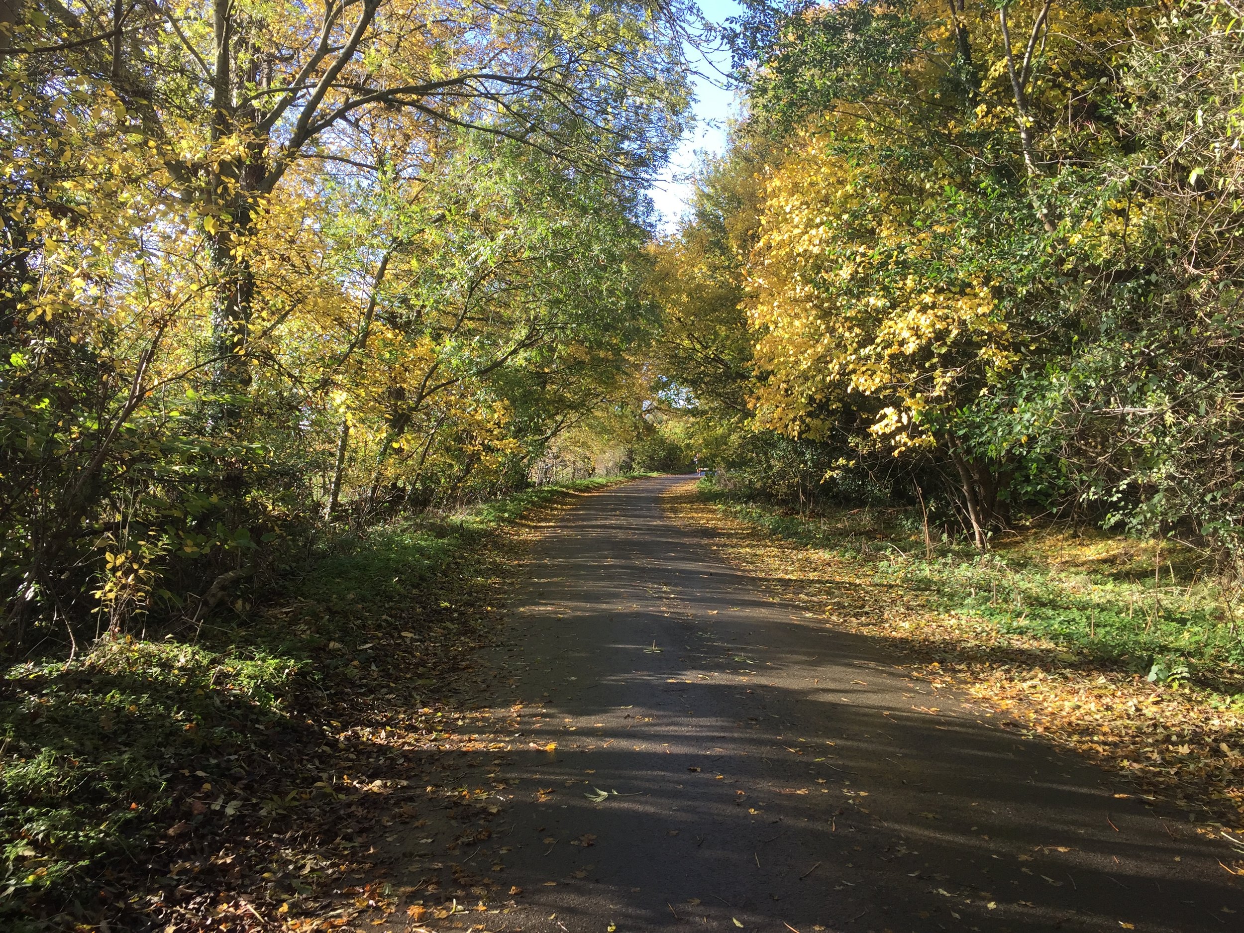
Although its obviously designed as a walk, its very cycle-friendly with only 1 section on the Thames Path that’s not for cycling (see below). The rest is mostly quiet roads and bridleways with a few kissing gates thrown in, but large enough to get your bike through. The off-road parts can get muddy so take a Mountain Bike.

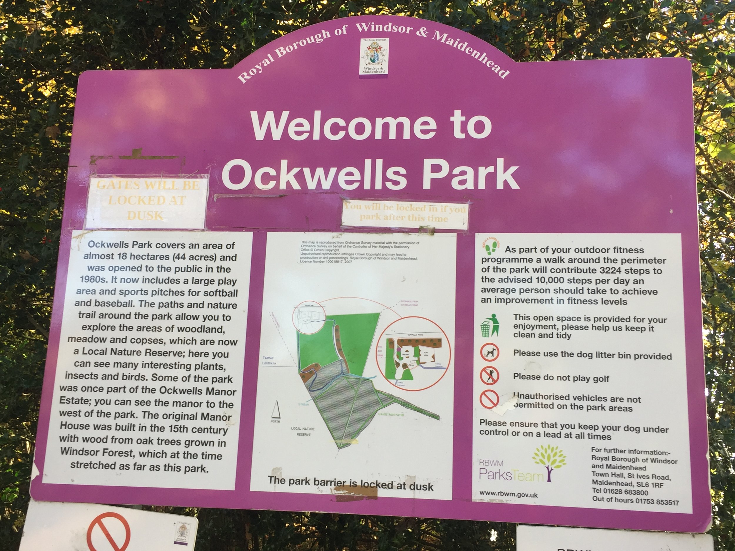
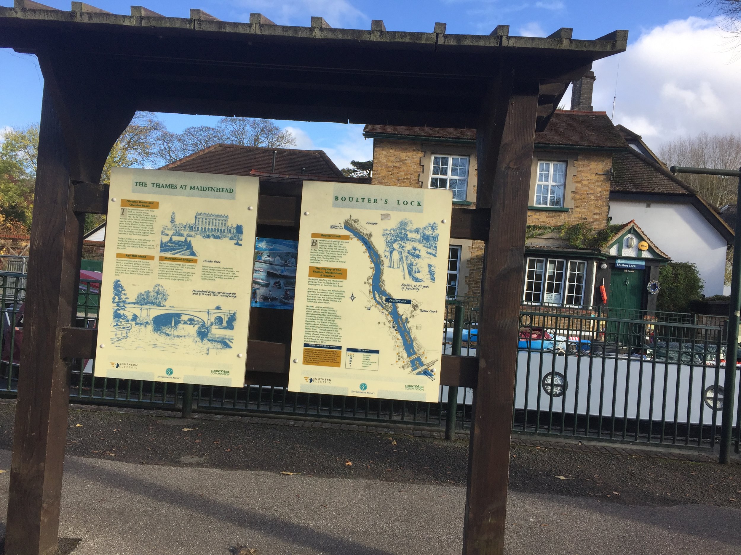
The charity walk starts at Boulters Lock, however I chose Ockwells Park as a better start and end point. This has easy access from the M4, free parking and a cafe with toilets. Its also the mid-point of the Southern section of the route. From here head West following small roads and a path to the Shire Horse pub at the A4.

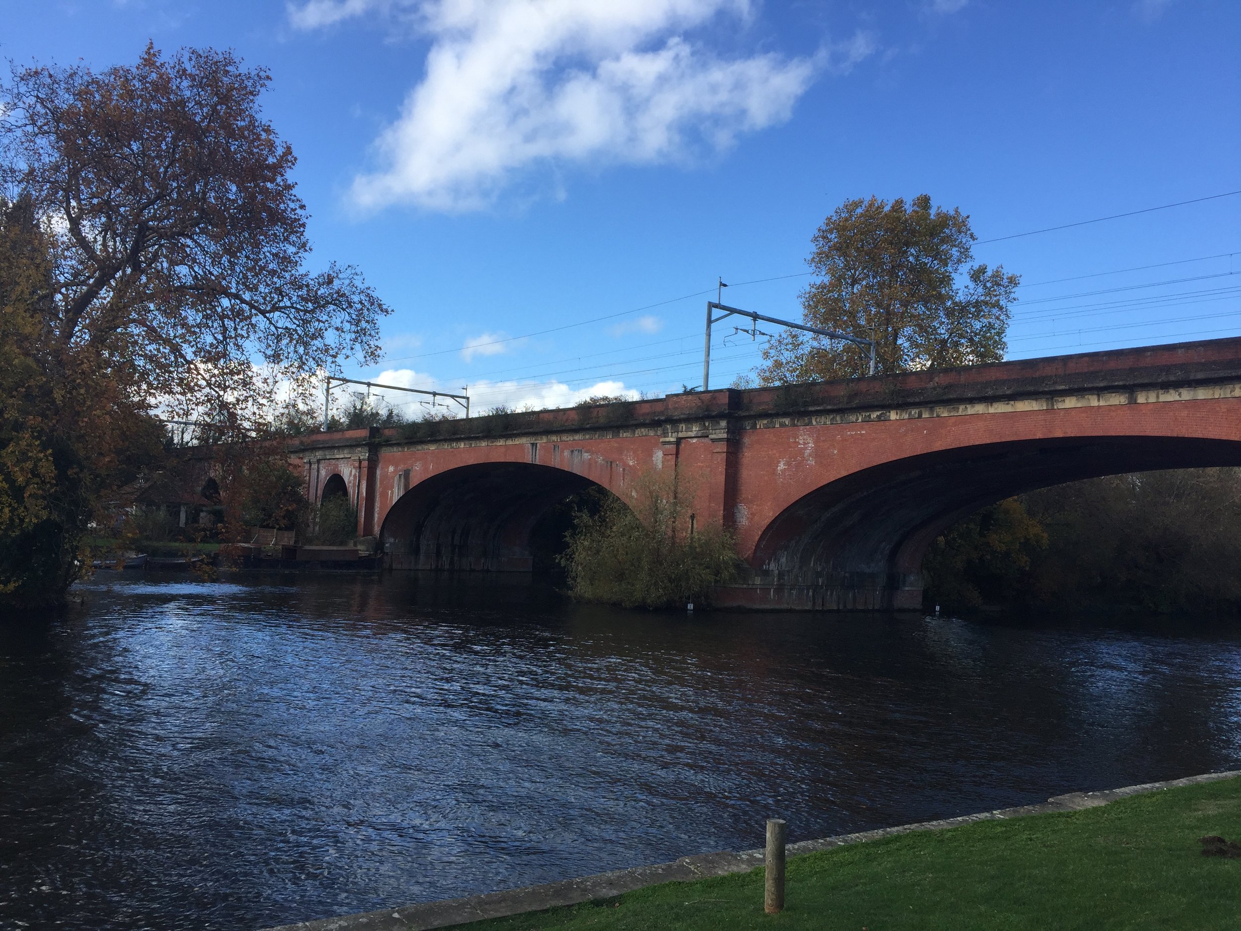
The western section heads North through National Trust land, passing through Maidenhead Thicket, Pinkneys Green and the old Brick and Tile Works. This is the highest point on the route at 85m. From here the route descends toward the Thames with views of Cliveden to the East and Windsor Castle to the South-East. The whole of the Eastern section follows the Thames Path, crossing over from the West Bank to the East Bank at the A4 Maidenhead Road Crossing. You’ll cross back over the Thames on the noisy M4 crossing at Dorney Reach.

Back on the Southern section, the route passes through Bray, Braywick and Maidenhead Golf Course before crossing over the A404M footbridge and returning to Ockwells Park.

This was a really pleasant couple of hours cycling for an Autumn Sunday afternoon

Below: location of the recommended start point at Ockwells Park


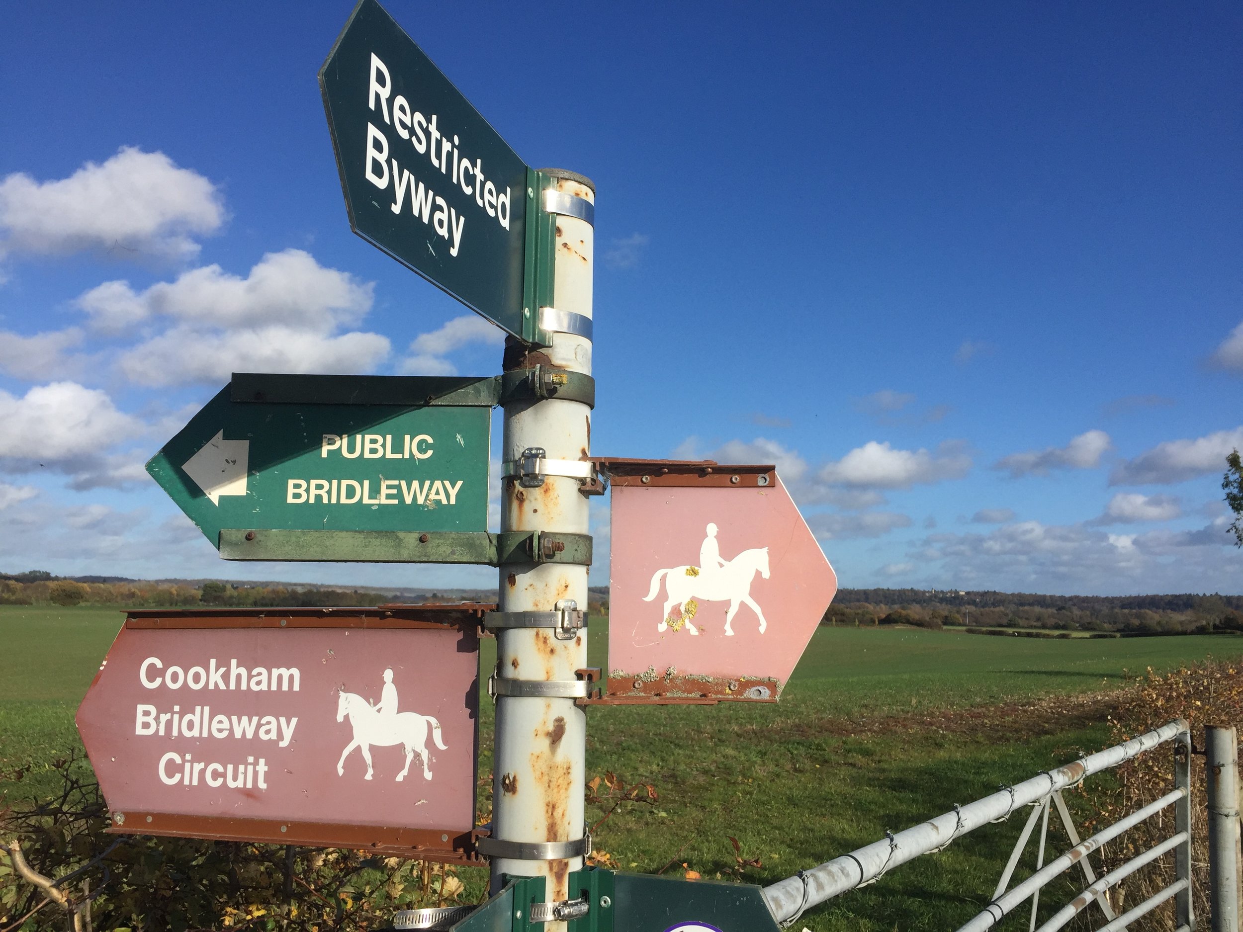
Cycle Diversion

The only section that doesn’t allow cycling was at KM 14 where Islet Road becomes a footpath to the Thames. I got off and pushed, however if you want to stay on your bike, just keep on the A4094 Lower Cookham Road and don’t take the left turn onto Islet Road. I recommend sticking to the route and taking the short walk along the Thames for some nice views.

Take lower Cookham Road to avoid cycle ban on Thames Path

Completing all Surrey parkruns
Surrey parkrun banner.JPG

There are currently 13 parkrun events in present-day Surrey. The first was Banstead Woods which started on June 16th 2007 and the newest is Egham Orbit which started on January 25th 2025. The name for having completed all parkrun events in the county is “SurreyALList”.

The Historic County of Surrey has a further 17 events, totalling 30. These 17 are now part of Greater London. Hazelwood is an interesting one having been in both Historic Surrey and Middlesex and is within the M25 but outside Greater London. Part of the Riddlesdown course, including the finish, is in Surrey, although the start is in Greater London, so it’s classified as a LonDone event. Both Bethlem Royal Hospital and Crystal Palace cross the Surrey/Kent border but are mostly in Historic Kent.

I first completed the county on November 10th 2018 at Cranleigh.

Numbers exclude any events that are not open to the general public such as prisons or armed forces facilities.


A map of the parkrun events in the county of Surrey.

All of the Surrey parkrun events …

Below are each of the Surrey 5k parkrun events in alphabetical order. A few things to note:

  • The interactive maps below take you to the approximate location for the course, typically the centre of the park. See the course instructions in the parkrun page for each event for specific directions to the start.

  • Course maps and elevation profiles show the route at the time that I ran it and may have changed since then. See the Course page in the event’s page on parkrun.org.uk for the current course outline. Note that course outlines are from Garmin data during a specific run and may vary from the officially measured distance.

  • Please contact me if you spot an event that doesn’t have a course map and elevation profile and you would like to donate one from your own run. I’m also interested in maps and elevation profiles for courses that have changed or where there’s a regular alternative route (e.g. Horsham). I’ll need a GPX file from your run plus the date. I’ll include a credit for you and will donate £1 to parkrun.


Banstead Woods

  • I completed this event on: January 9th 2016 with a finish time of: 25:56

  • Original name: Banstead Woods Time Trial. The original set of Time Trials were rebranded as "parkrun" in 2008 to appeal to a wider, non-traditional running community.

  • Historic County: Surrey

  • Ceremonial County: Surrey

  • This event is also part of LonDone +

  • Other routes touched (walk): N/A, but the Eastern edge runs close to a parallel to the Banstead Countryside Walk

  • Inaugural: June 16th 2007

  • Links: Event Home Page, Course Page, blog7t write-up


Broadwater

  • I completed this event on: February 5th 2022 with a finish time of: 25:50

  • Historic County: Surrey

  • Ceremonial County: Surrey

  • Other routes touched: None

  • Inaugural: September 18th 2021

  • Links: Event Home Page, Course Page, blog7t write-up


Brooklands

  • I completed this event on: December 29th 2018 with a finish time of: 27:01

  • Historic County: Surrey

  • Ceremonial County: Surrey

  • This event is also part of LonDone +

  • Other routes touched: N/A

  • Inaugural: November 17th 2018

  • Links: Event Home Page, Course Page, blog7t write-up


Cranleigh

  • I completed this event on: November 10th 2018 with a finish time of: 26:45

  • Historic County: Surrey

  • Ceremonial County: Surrey

  • Other routes touched (cycle): N/A, although NCN 223 passes by the car-park

  • Inaugural: October 4th 2014

  • Links: Event Home Page, Course Page, blog7t write-up


Egham Orbit

  • I completed this event on: October 11th 2025 with a finish time of: 27:07

  • Historic County: Surrey

  • Ceremonial County: Surrey

  • This event is also part of LonDone +

  • Other routes touched: None

  • Inaugural: January 25th 2025

  • Links: Event Home Page, Course Page


Frimley Lodge

  • I completed this event on: March 5th 2016 with a finish time of: 25:33

  • Historic County: Surrey

  • Ceremonial County: Surrey

  • Other routes touched (walk): Basingstoke Canal Towpath

  • Inaugural: February 13th 2010

  • Links: Event Home Page, Course Page, blog7t write-up


Note that the course has changed since I completed it.


Guildford

  • I completed this event on: February 13th 2016 with a finish time of: 25:43

  • Historic County: Surrey

  • Ceremonial County: Surrey

  • Other routes touched (cycle): NCN 223

  • Inaugural: March 10th 2012

  • Links: Event Home Page, Course Page, blog7t write-up


Hazelwood


Homewood

  • I completed this event on: May 20th 2017 with a finish time of: 27:25

  • Historic County: Surrey

  • Ceremonial County: Surrey

  • This event is also part of LonDone ++

  • Other routes touched: N/A

  • Inaugural: October 15th 2016

  • Links: Event Home Page, Course Page, blog7t write-up


Mole Valley


Nonsuch


Reigate Priory

  • I completed this event on: January 16th 2016 with a finish time of: 26:49

  • Historic County: Surrey

  • Ceremonial County: Surrey

  • This event is also part of LonDone +

  • Other routes touched (walk): Greensand Way, Reigate and Banstead Millennium Trail

  • Inaugural: March 2nd 2014

  • Links: Event Home Page, Course Page, blog7t write-up


(alternative winter course)


BONUS: Riddlesdown

See the LonDone post for location map, elevation, finish time and link.

This one’s in the Greater London parkrun region and the Historic county of Surrey but also touches on the present-day county of Surrey. The start is just on the London side of the border with the finish in Surrey.


Woking

  • I completed this event on: December 12th 2015 with a finish time of: 24:57

  • Historic County: Surrey

  • Ceremonial County: Surrey

  • Other routes touched (cycle): NCN 223

  • Inaugural: August 16th 2014

  • Links: Event Home Page, Course Page, blog7t write-up


parkruns in Historic County of Surrey but now IN Greater London

See the LonDone blog post for maps and stats for these:

* The Bethlem Royal Hospital and Crystal Palace courses are partly in Historic Surrey and mostly in Historic Kent.


More parkrun posts

parkruns are free, weekly, community 5k events all around the world. I started in December 2012 and have been obsessive about it ever since. See my parkrun Collection page for details.

Featured and popular parkrun posts:


Predator Seabreacher Adventure

This was my birthday present from The Wife: a trip round and under Victoria Dock, London in a metal killer whale. As I was strapping myself into it the guy looked at my voucher and told us that they don’t sell the 30 minute version any more as too many people were throwing up inside. I was fine as we’d already bought it but I just wished that he’d told me after. Don’t do this if you’re remotely sea-sick, claustrophobic or hung-over (they also have a long list of other conditions on their risk assessment). For anyone else, its awesome. Check out the video and imagine half an hour of the same.

 
Walking in South Mauritius

I was preparing to get bored on Mauritius. It was our big holiday and this time it was Timi's choice as I had chosen Peru last year. Timi wanted a more relaxing beachy holiday and Mauritius ended up top of the list. It looked lovely in the brochure but it didn't look like there would be a lot of adventure to be had. I was wrong.

The island is well known as a honeymoon destination but there's loads to keep the adventurous busy. After the first week of relaxing and driving around the North-Western part we had worked out what to do for week 2.

We already knew that our hotel for the 2nd week was close to the island's highest mountain. We just didn't know how easy it would be to get there. One interesting blog post about it had a link to one of the big travel companies there. On enquiring about the trip it would be 60 Euro per person plus another 60 for transport from the hotel.

It was a lot of money and we asked our travel rep at the hotel if they had options for the same trip. A couple overheard us and came over after to give us some advice. They had been up the peak the day before without a guide and found it very easy. They had also seen many other walkers on the route without guides.

I wrote back to the travel company to let them know that we didn't need their services. Then followed an amusing e-mail chain where the company rep's attitude quickly changed from pleasant to threatening. They said that it was dangerous and illegal to trek in Mauritius without a guide. When I asked for them to point me towards evidence of this they told me to "Google myself". So I did. One connection was to a guy who wrote a great blog on Mauritian treks. He explained that there was no law about local guides. Many of the routes are not dangerous but some go through private land. The advantage of a guide would be to steer you in the right direction. Other than that, there's little advantage if you're an experienced walker.

I also found the contact details for the Mauritius Office of Tourism. Nothing on their website referenced the need to use a guide. I e-mailed them to explain the situation but no reply came. So, we we pretty sure that we didn't need a guide but not 100% so we took a risk and did it ourselves anyway.


Piton de la Petite Rivière Noire

Significance: Highest peak in Mauritius
Elevation: 828m
Date climbed: 11th October 2018
Coordinates: 20° 24' 32'' S, 57° 24' 29'' E
Route Start / End: out and back from lay-by on Plaine Champagne Road, just west of Gorges Viewpoint Parking
Route Distance: 6.7 km (4.3 miles)
Route Elevation Change: +/- 241m
GPX File: get via Buy Me a Coffee

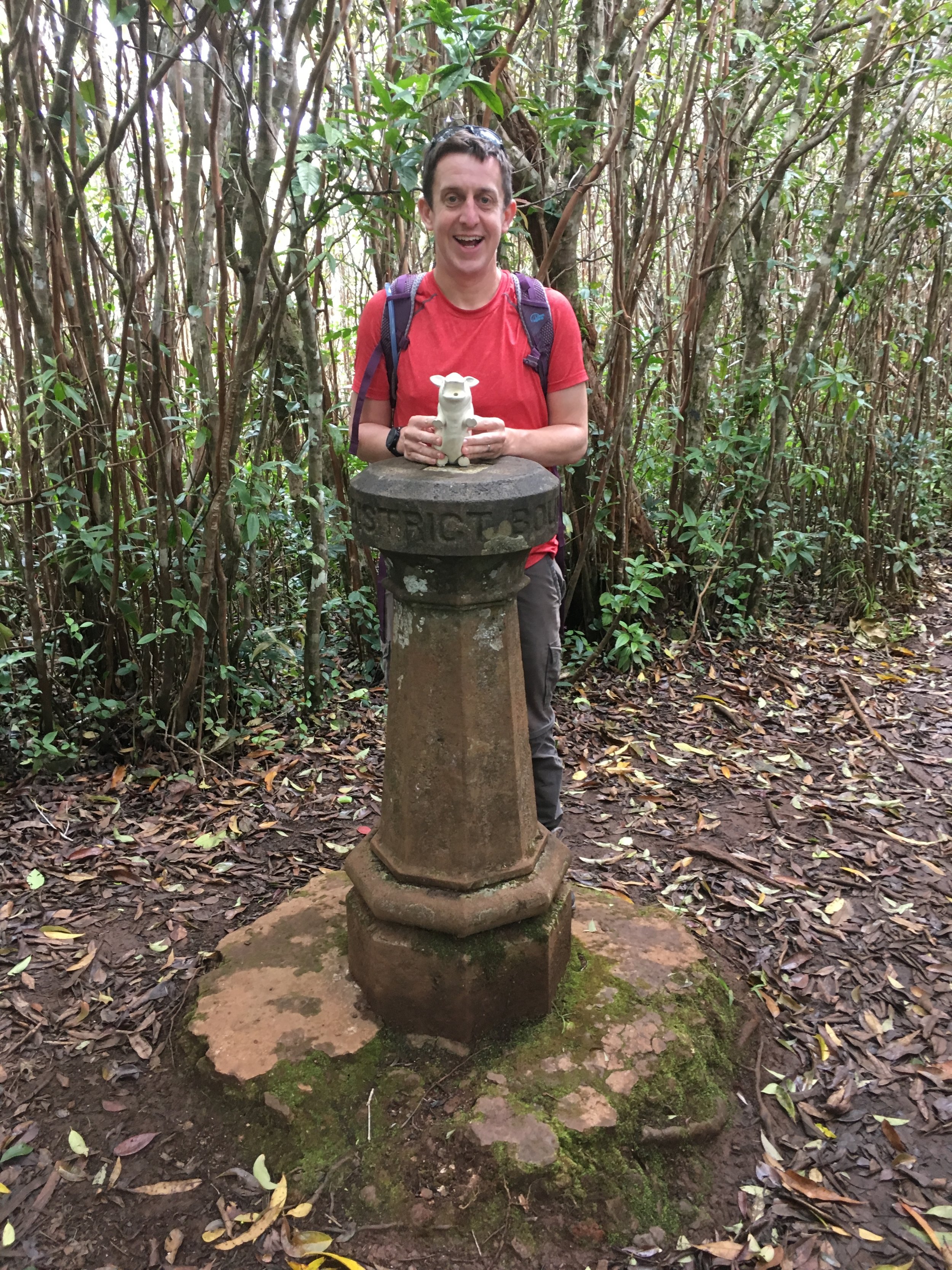
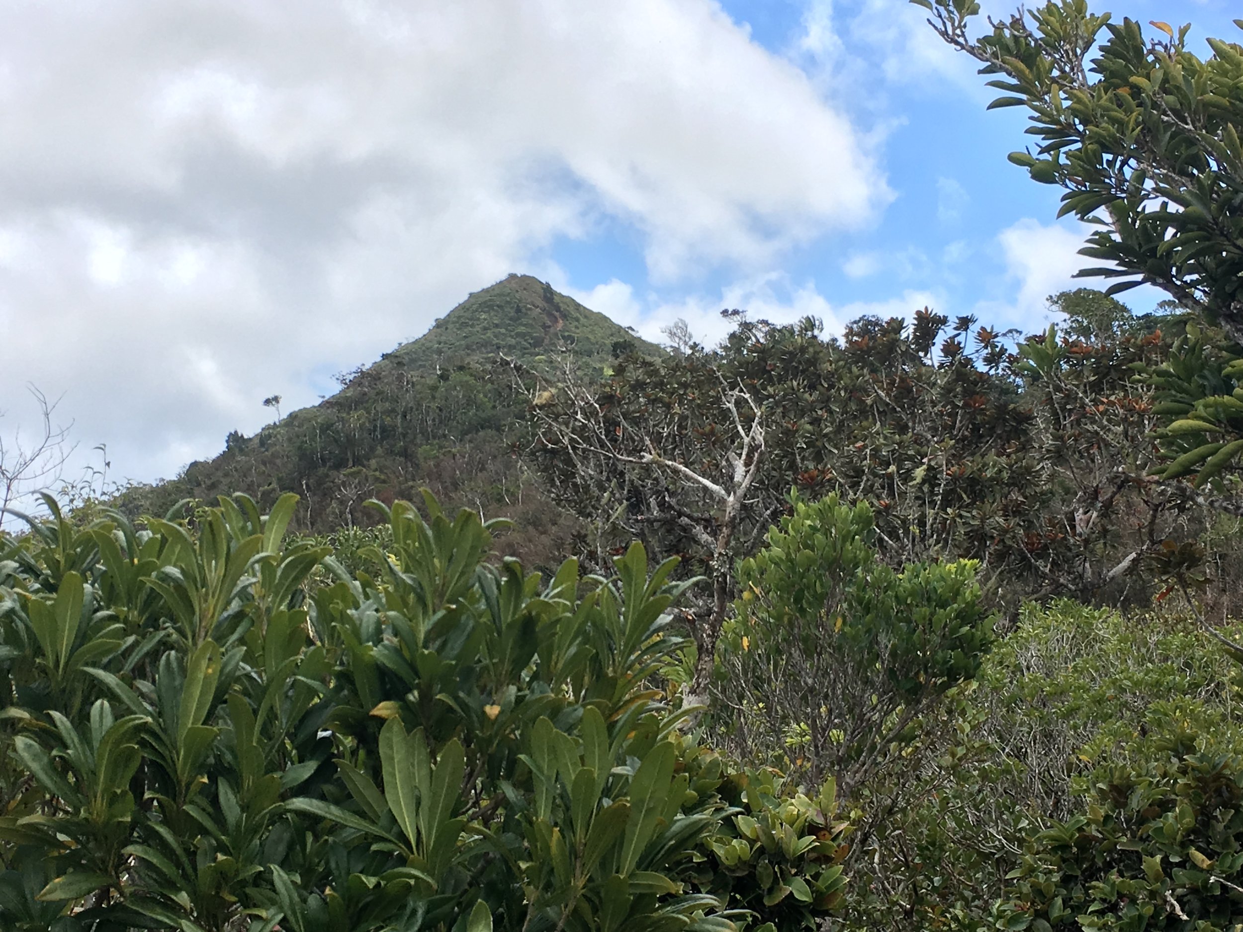
Piton de la Riveire Petite Noire is the highest mountain in the country. There was an option of walking there from our hotel, approaching from the South-West. Instead, taking advantage of our rental car, we drove to the more popular start near the Black River Gorges Car Park. The best option is to park in the lay-by West of the Car Park, starting you much closer to the trail.

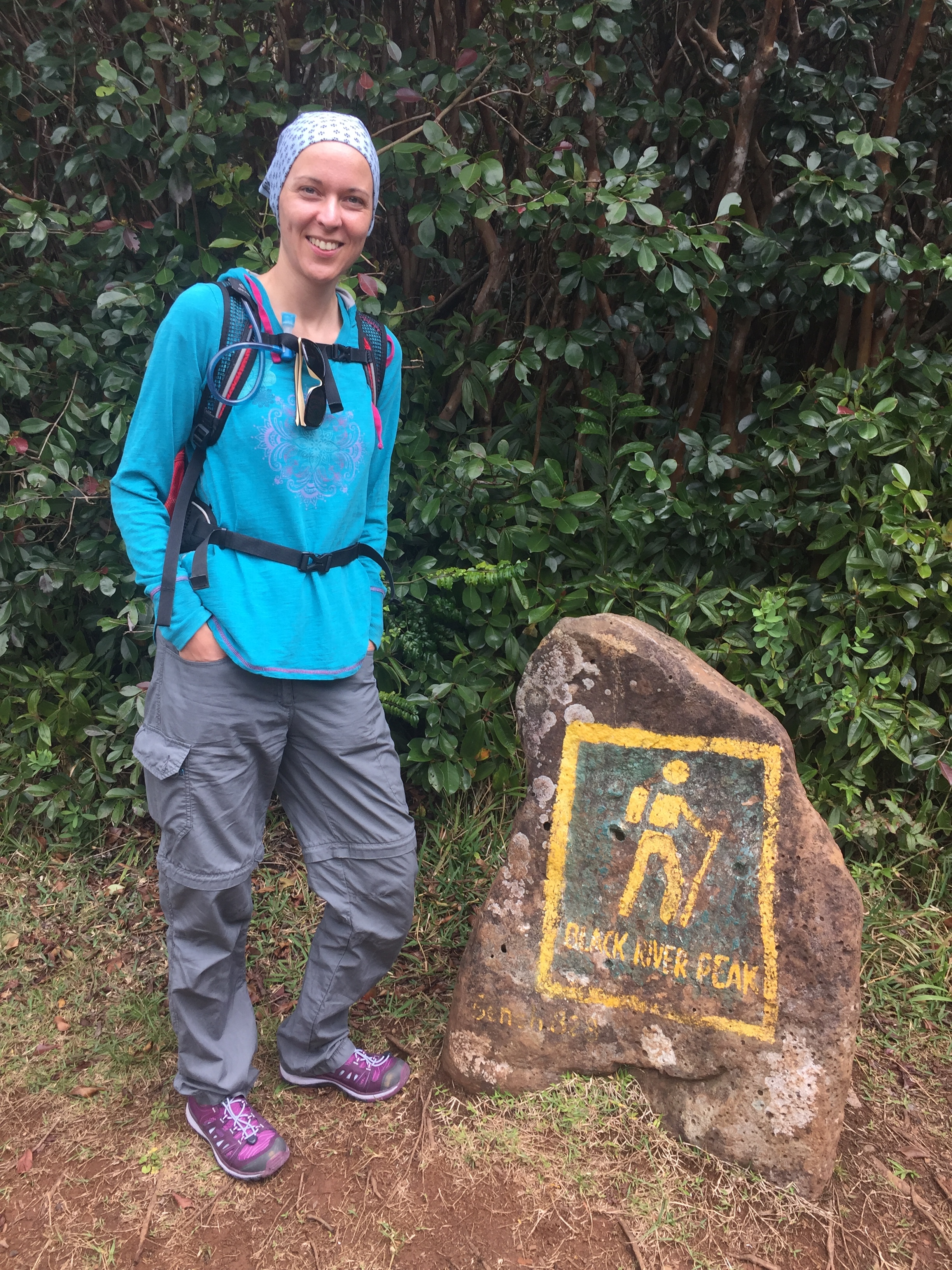
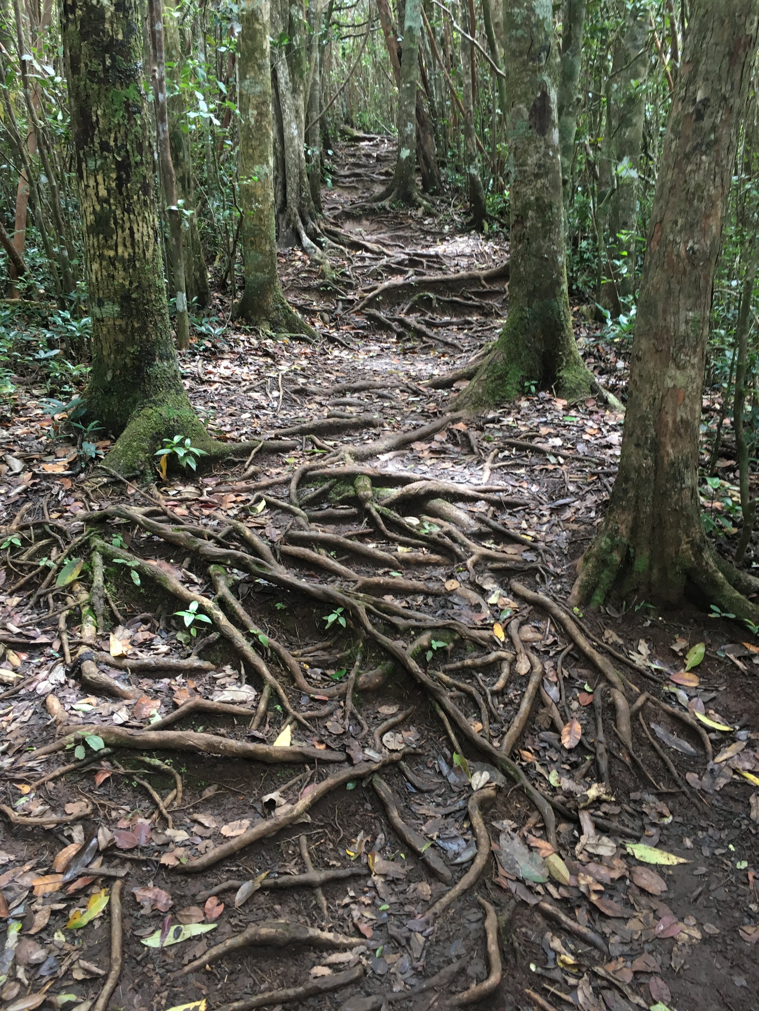
The trail is very easy to follow and very little chance of going wrong. Much of it cuts through dense trees with a few gaps to see the view. For most of the route its not particularly steep either. The main hazard is the combination of mud and tree roots. We went on a dry day following a few days of rain and it was fine. It would be a lot trickier under much wetter conditions.

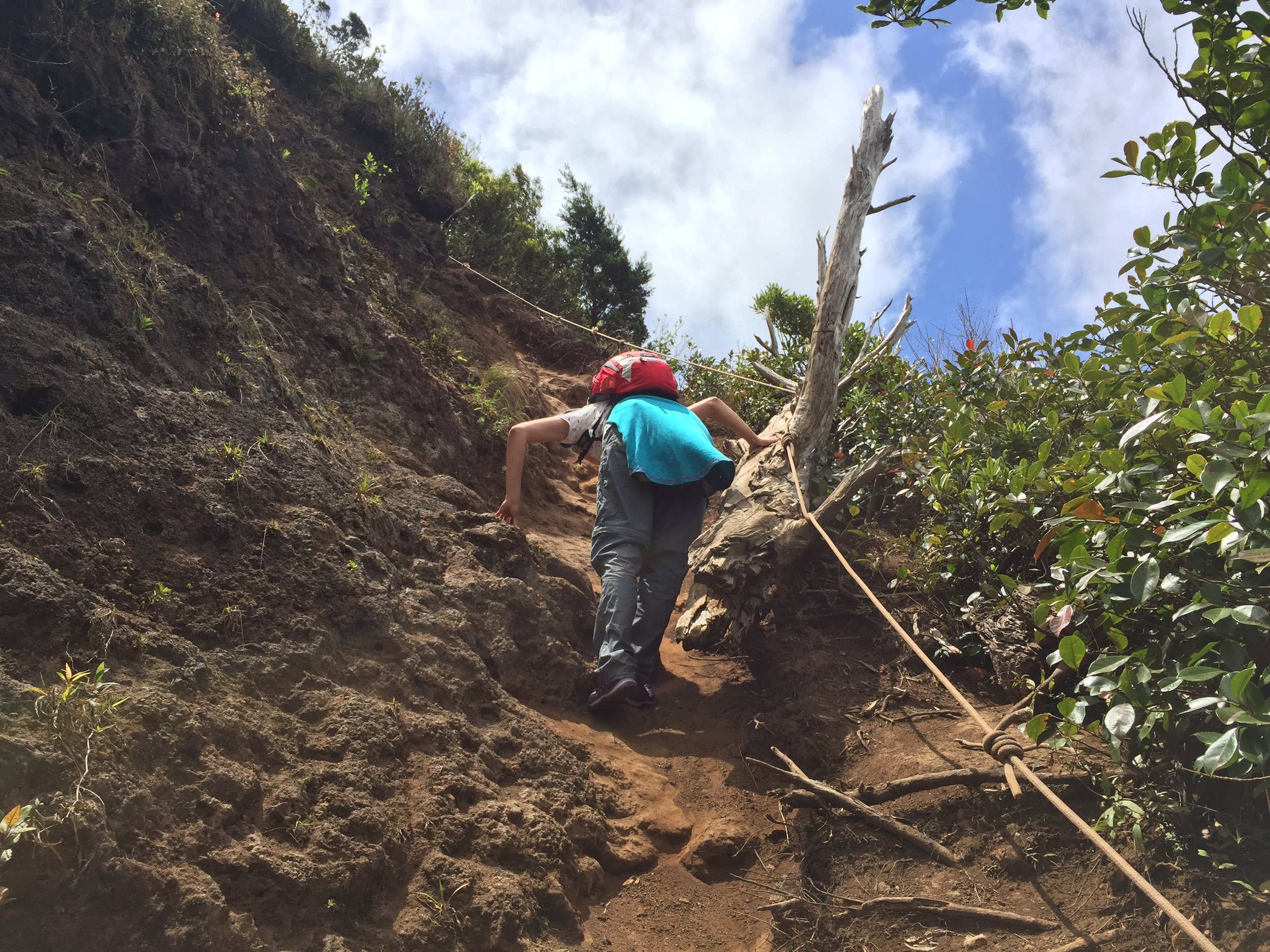
The final 10 minutes is much steeper although there are ropes in places to help you up. One rope was tied to a tree that had fallen over and I wasn't completely confident that it was anchored properly. It held fine and we were up to the top in no time. This would only part where you would need a guide for safety reasons. Even so, compared with the trickier parts of many UK mountains, it's pretty straight-forward.

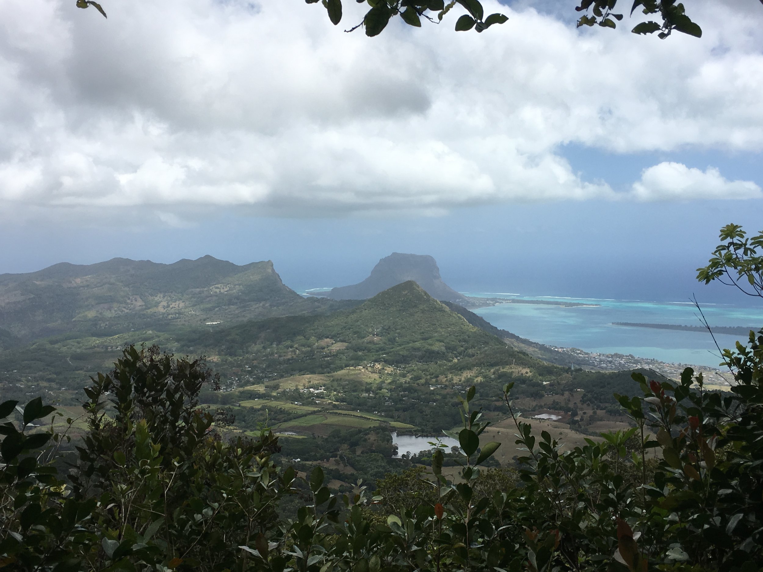
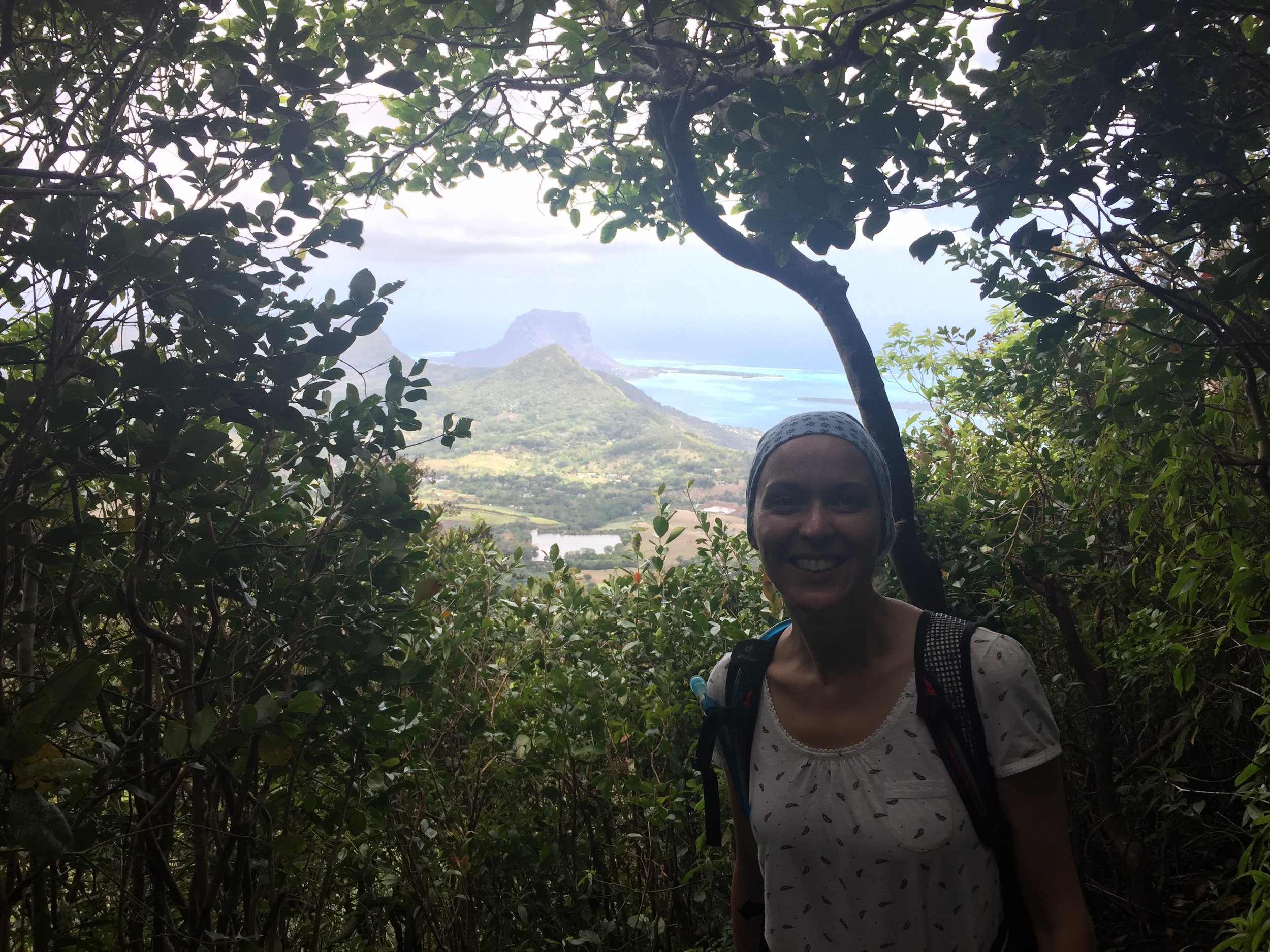
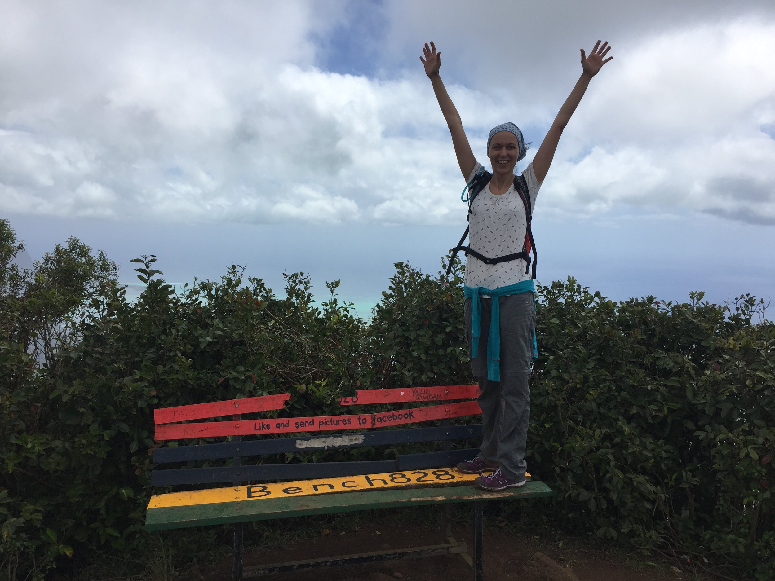
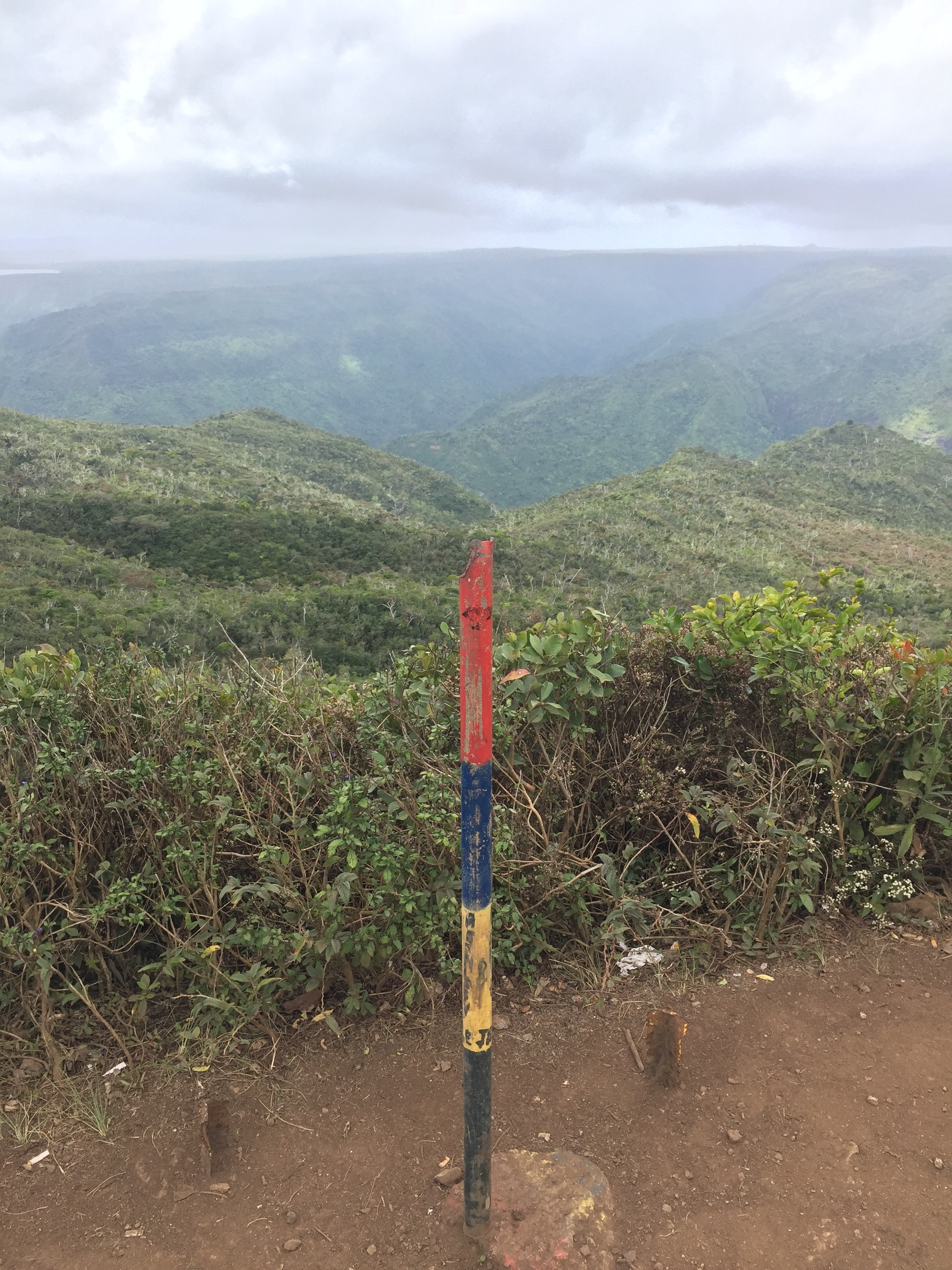
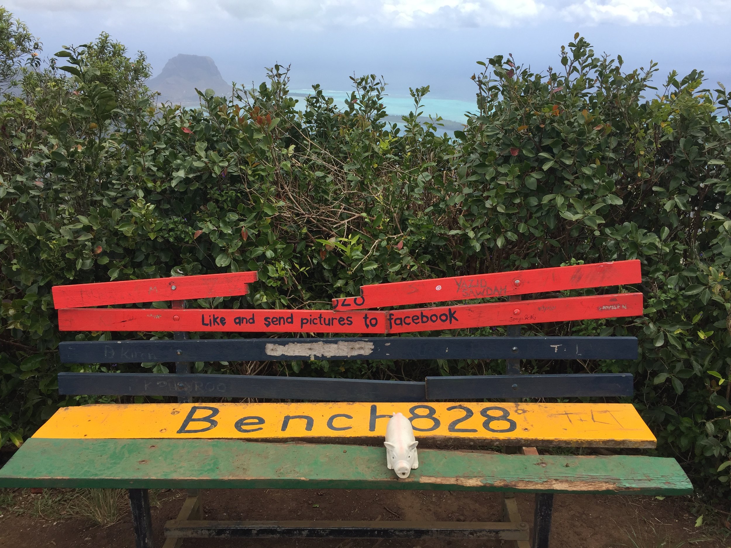
The summit rewards you with amazing 360° views over the South of the island. Le Morne Mountain to the South-East is particularly enticing from the angle. It was here that we decided to climb that one too a few days later.

On the descent, following the same route, we counted up how many people we had passed on the trail. For the full walk there were 25 people in 10 groups of which only 3 groups had a guide. Having tested the route for myself I can't see any reason to use a guide unless you're really inexperienced or the guide has amazing stories to tell along the way.

map below: Trailhead at Gorges Viewpoint Parking


Le Morne Mountain

Elevation: 556m
Date climbed: 13th October 2018
Coordinates: 20° 27' 10 S, 57° 18' 60 E
Route Start / End: out and back from parking at Le Morne Trail Entrance on the south of the peninsula
Route Distance: 7.3 km (4.5 miles)
Route Elevation Change: +/- 560m
GPX File: get via Buy Me a Coffee

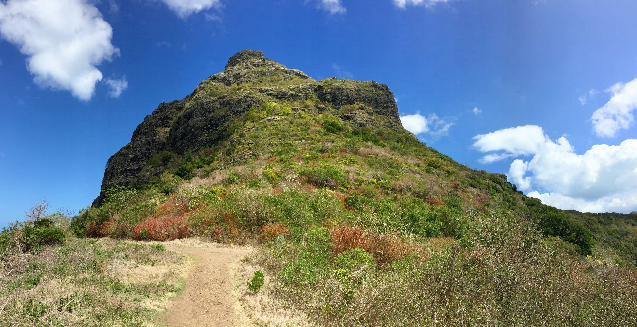
Inspired by our easy conquest of the country high-point, we set off for Morne Mountain 2 days later. This was the walk where most articles suggested that having a guide was either mandatory or highly recommended. The 2 reasons for this are the steepness of some sections and that some of the route goes through private property. Taking the advice of the couple we'd met in the hotel earlier in the week we decided to try it ourselves.

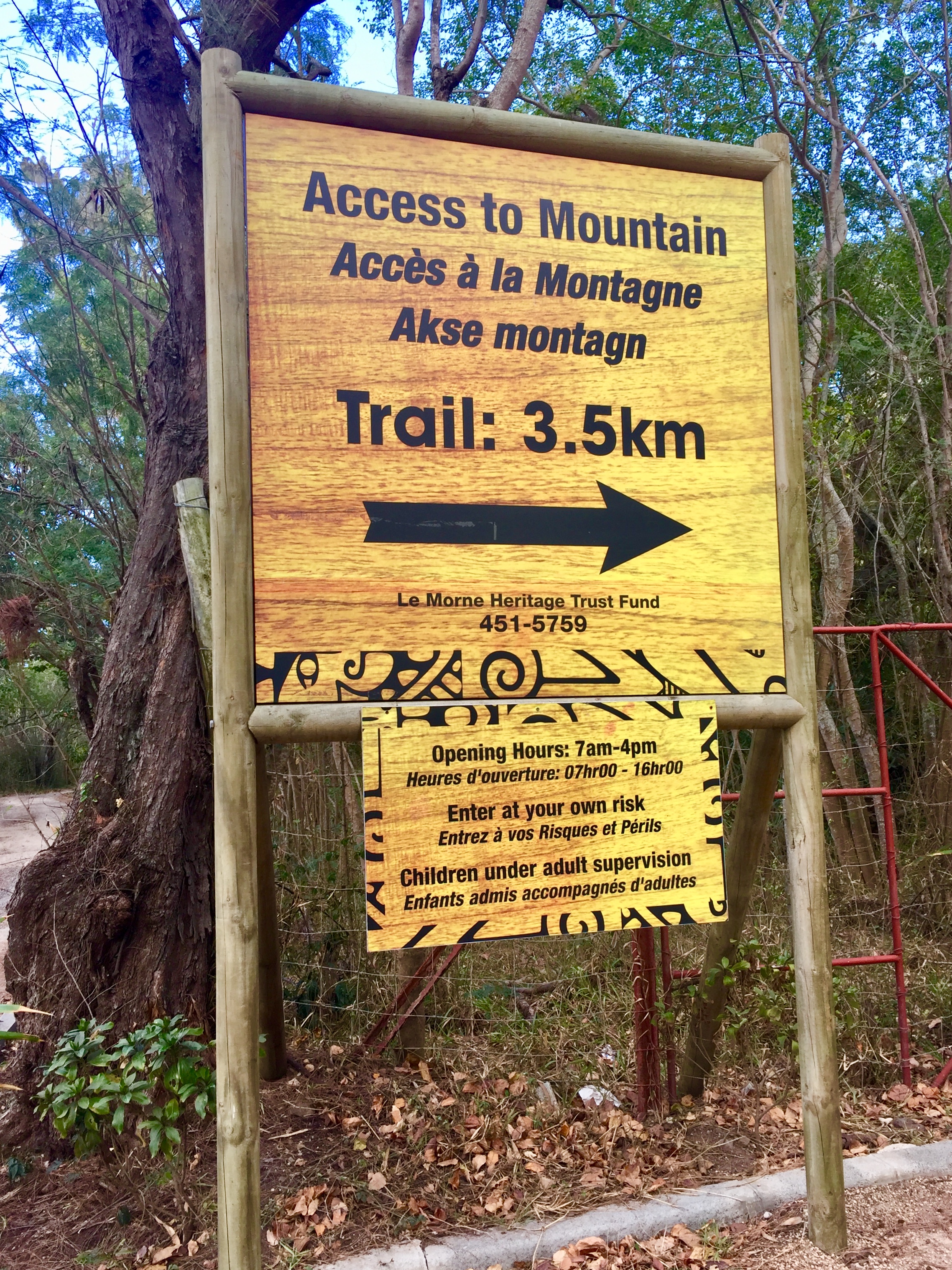
Parking for the walk is easy to find on the South Side of the Morne Peninsular. You need to sign in at the control booth by the gate. There were a couple of employees in the booth but neither seemed bothered about either checking or helping people.

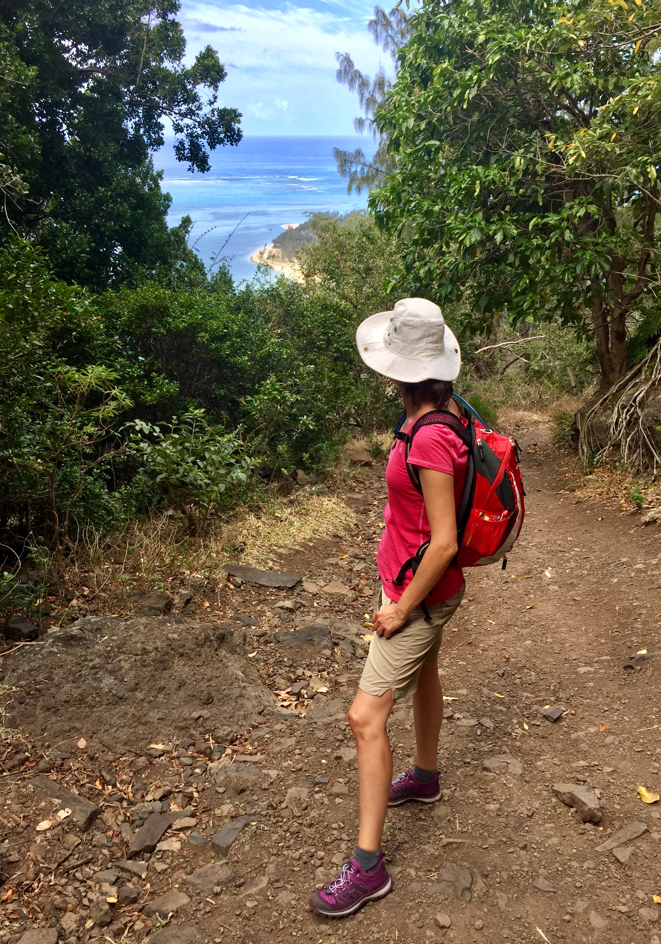
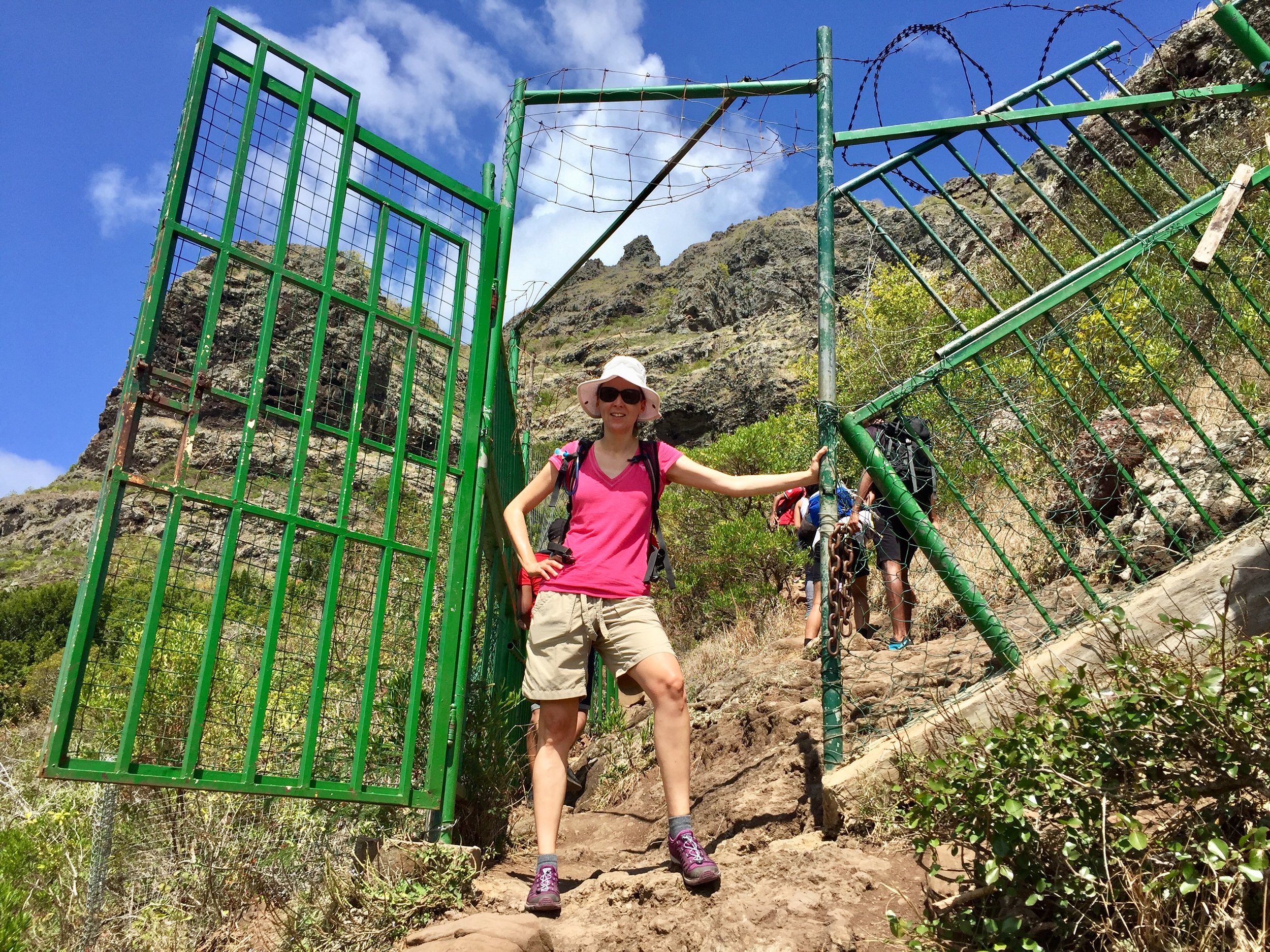
From the trail-head the first 3 km is a gradual easy ascent on wide paths. This takes you to a fence and a gate which marks the entrance to the private area. I'd read stories of people either being turned away or charged an entrance fee for going past this point. On the day we went the gate was open and no-one was around so we passed straight through. This is a good point to make a decision whether to attempt the full climb or call it a day. From here you can see the steep part and several people we spoke to had decided they weren't fit or brave enough to go further.

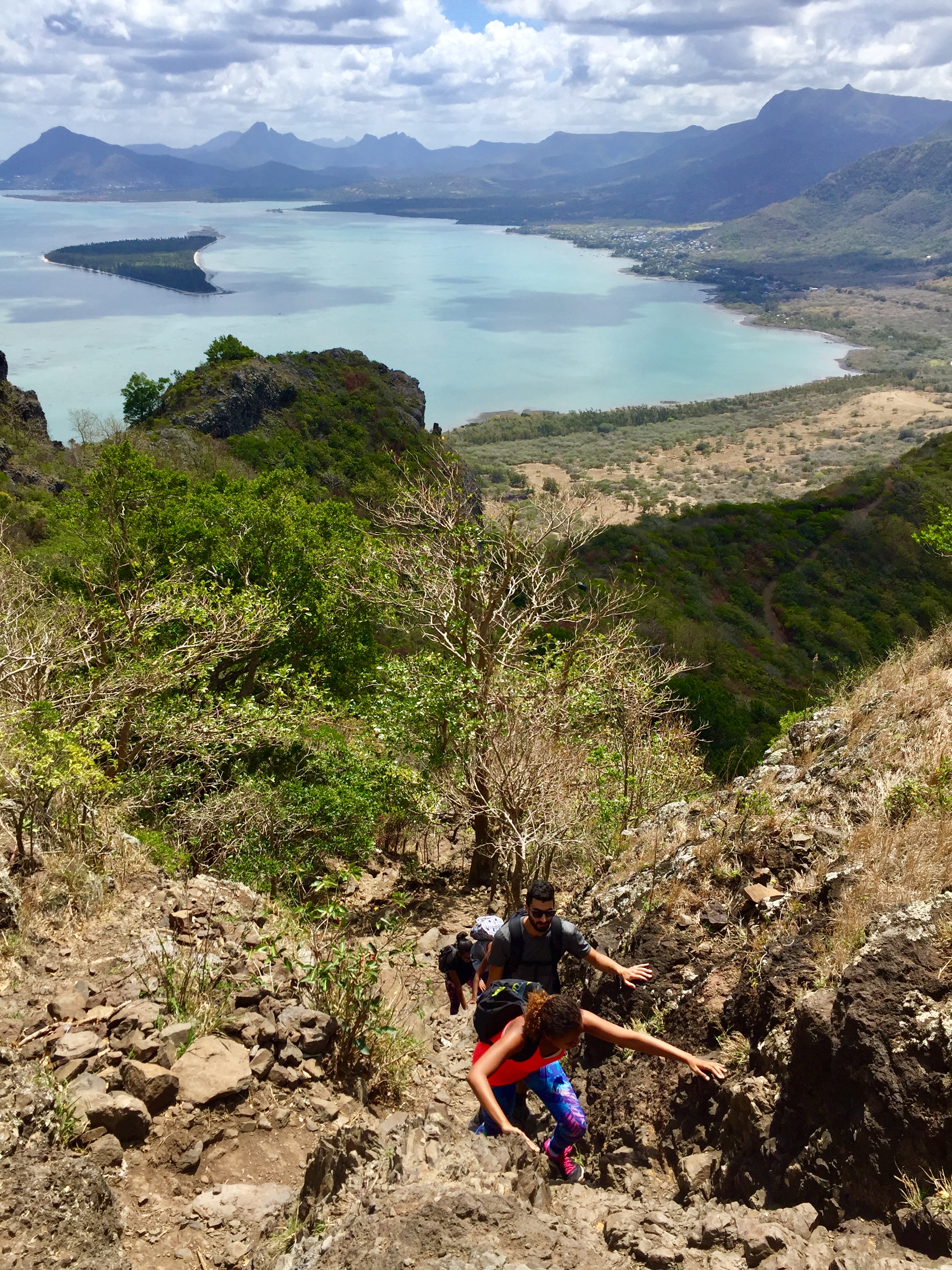
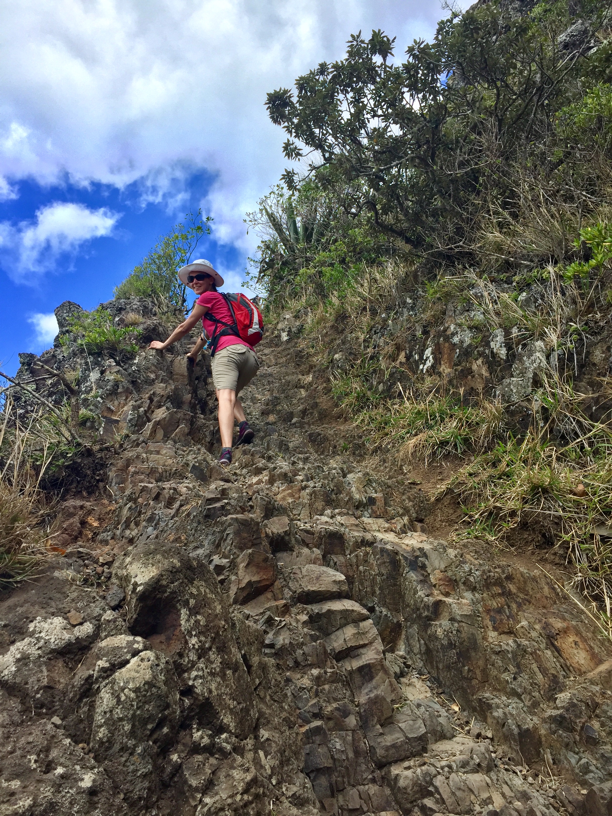
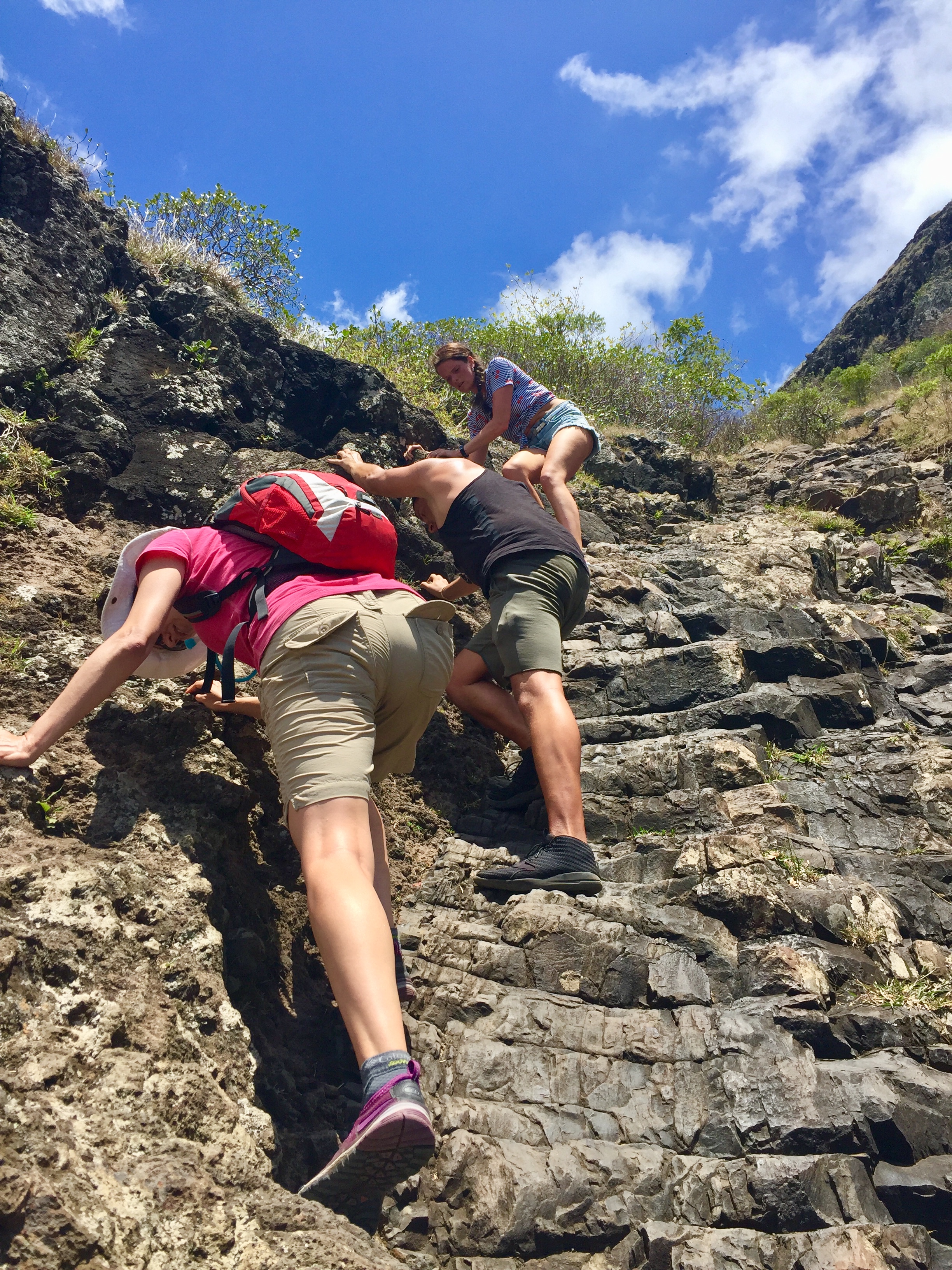
A few minutes past the gate you'll reach the Chimney. This is a steep high-sided section that's the hardest part of the route. Normally there's ropes on either side but these had been removed for maintenance. There's lots of rocks and routes to hold on to though and we found it easy to help each other up. I definitely would not have attempted this on a wet day as the descent through it would be treacherous.

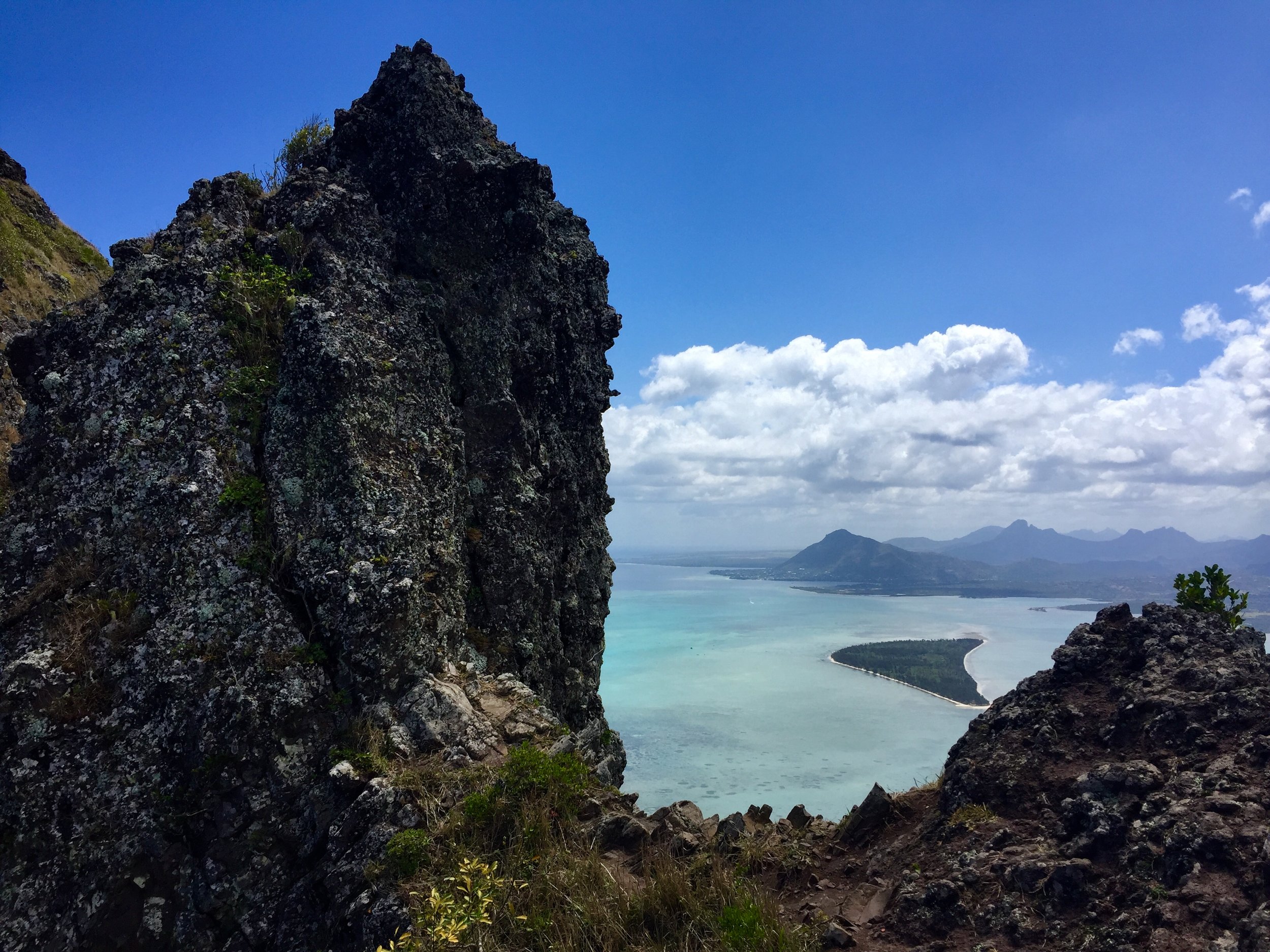
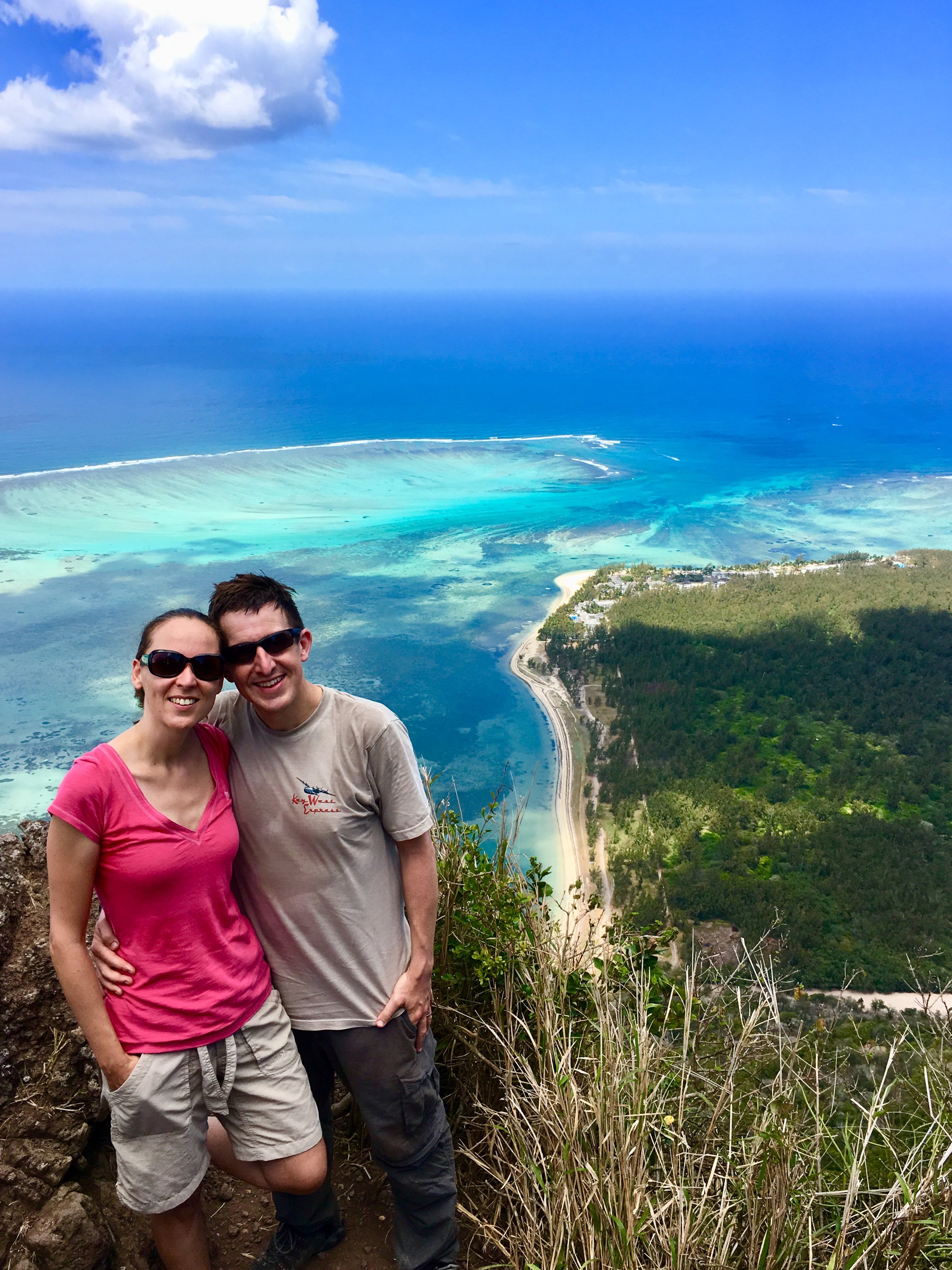
Even if it wasn’t for the sharp edges, this is not a route to rush through. There’s an amazing view out of every angle. On a clear day like the one we had you can see for miles and get a great perspective on the underwater waterfall next to the peninsula.

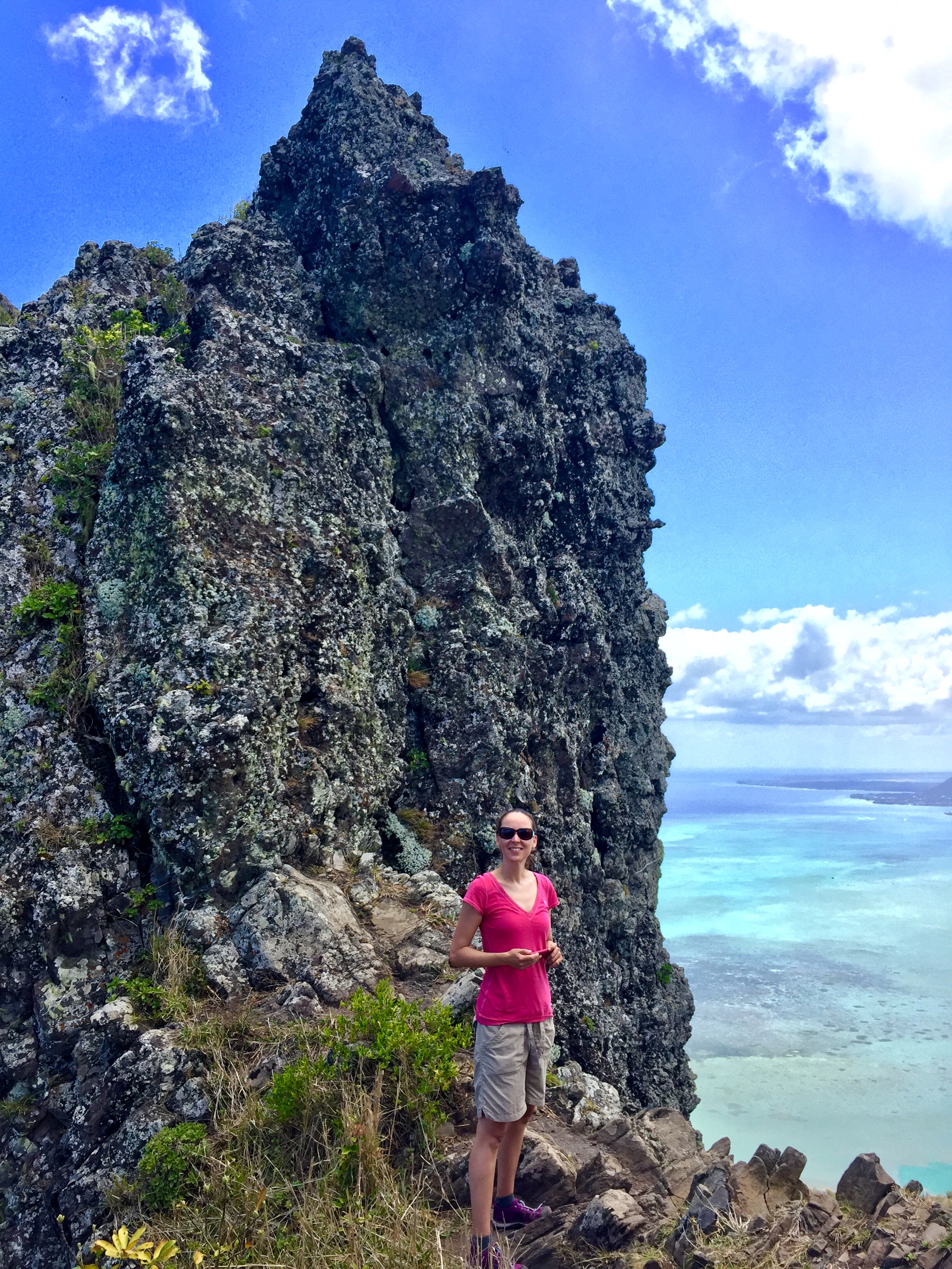
The walking route ends by a big metal cross. The actual summit can only be accessed with climbing gear and proper experience. We had neither but it’s hard to be disappointed with a finish as spectacular as this. The Cross was rammed with people queuing for the best selfie positions. We found a quiet rock, waited patiently for our turn whilst taking a breather, then started our descent.

We took our time on the way down as we negotiated the tricky parts of the chimney. We were thankful that we didn’t take a guide so that we could have the walk to ourselves. Observing some of the other trekkers on the way up though, it was clear that some people should have taken a guide. Some were clearly not fit enough, others poorly dressed, one was carrying a baby and some had no water with them. If all a guide did was tell them to be better prepared, then there’s definitely a reason to use them.

 

Don’t get me wrong, I’m not certainly against guides in general. They play an important part of the local travel economy, especially in developing countries. I had some amazing experiences with guides on Kilimanjaro, the Inca Trail and the Balkans. In these trips the guides kept us safe, informed us on local history and were great ambassadors for their countries. My problem is with companies, like the one I battled with in Mauritius. They try to exploit tourists with “mandatory" guides for simple trips like Piton de la Riveire Petite Noire. We were happy to save the money this time and spend it on bigger tips for locals who really deserved it.

Far from being just a honeymoon destination, I discovered a wonderfully diverse, fun and adventurous island that would be high on my list of places to return to.

More on the web:


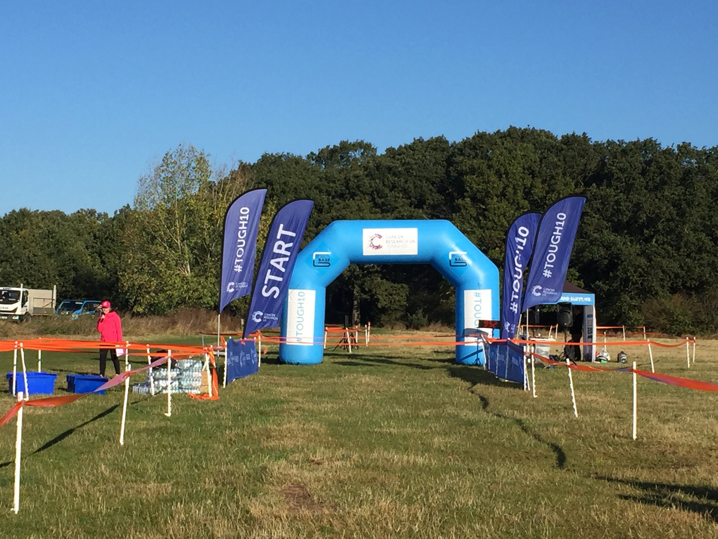
Tough 10, Epping Forest

When: October 21st 2018
Where: Epping Forest, London
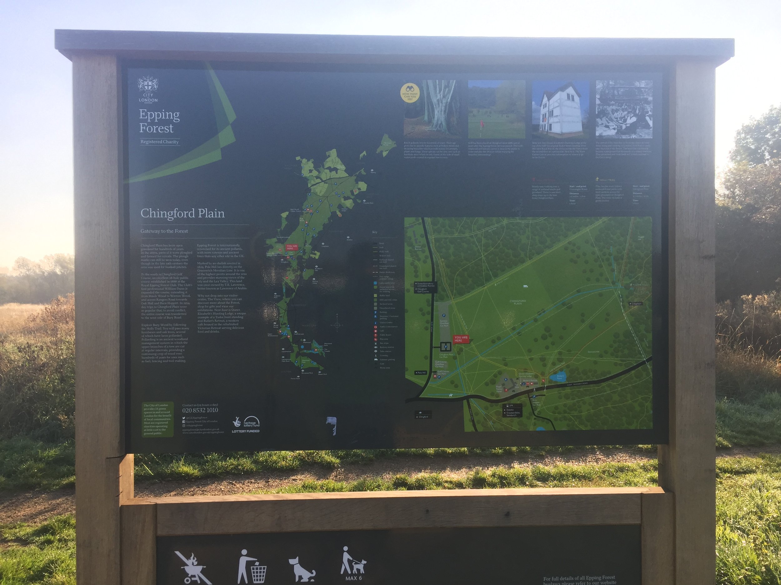
Course: Single lap hilly trail race starting on Chingford Plain and snaking through the hills of Epping Forest.
Other Trails touched (walk): London Loop, Greenwich Meridian Trail 
Other Trails touched (cycle):
Finish time
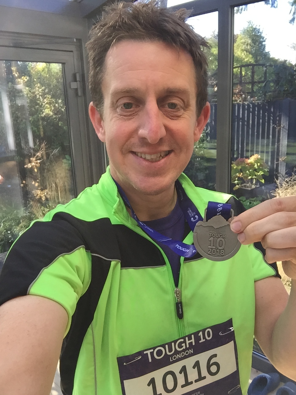
: 1 hour 2 minutes

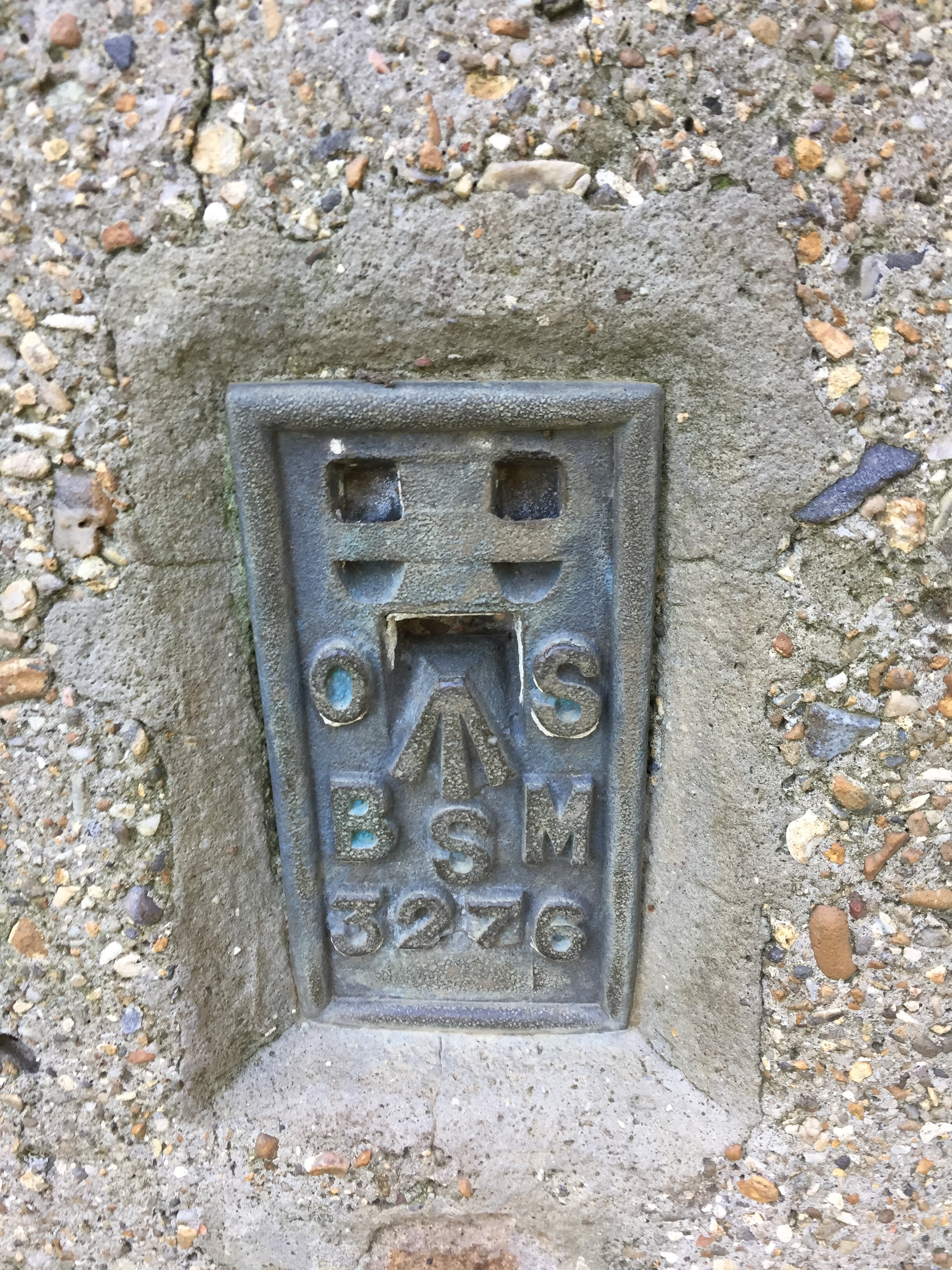
They weren’t joking when they called it Tough 10! This was never going to be a PB and a week of 3 long haul flights and epic jet lag didn’t help either. Great course though and I even managed to bag a new Trig Point at Pole Hill, 7k in.

 
Fort Reno, Washington DC High Point

Significance: Highest Point in Washington DC
Parent Peak: Montgomery County High Point
Elevation: 414m
Date “climbed”: 17th December 2018
Coordinates: 38° 57' 6'' N, 77° 4' 33'' W
Links: Wikipedia / Peakbagger


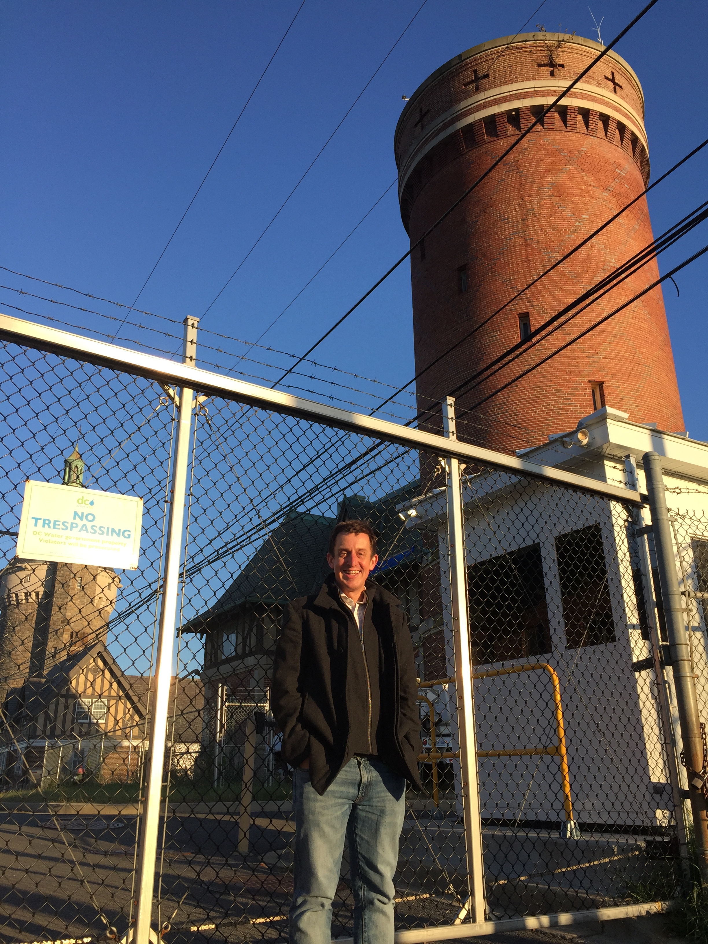
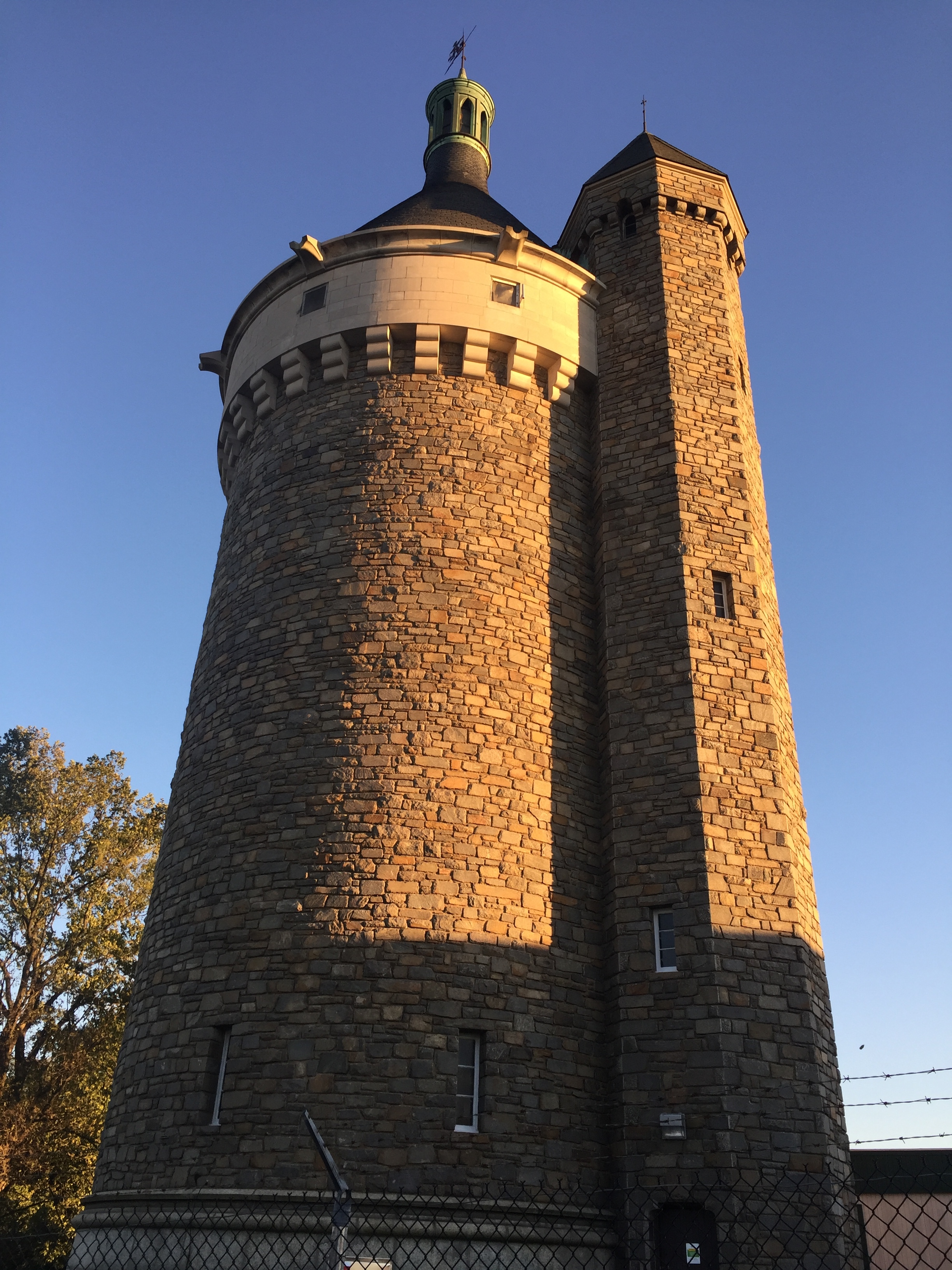
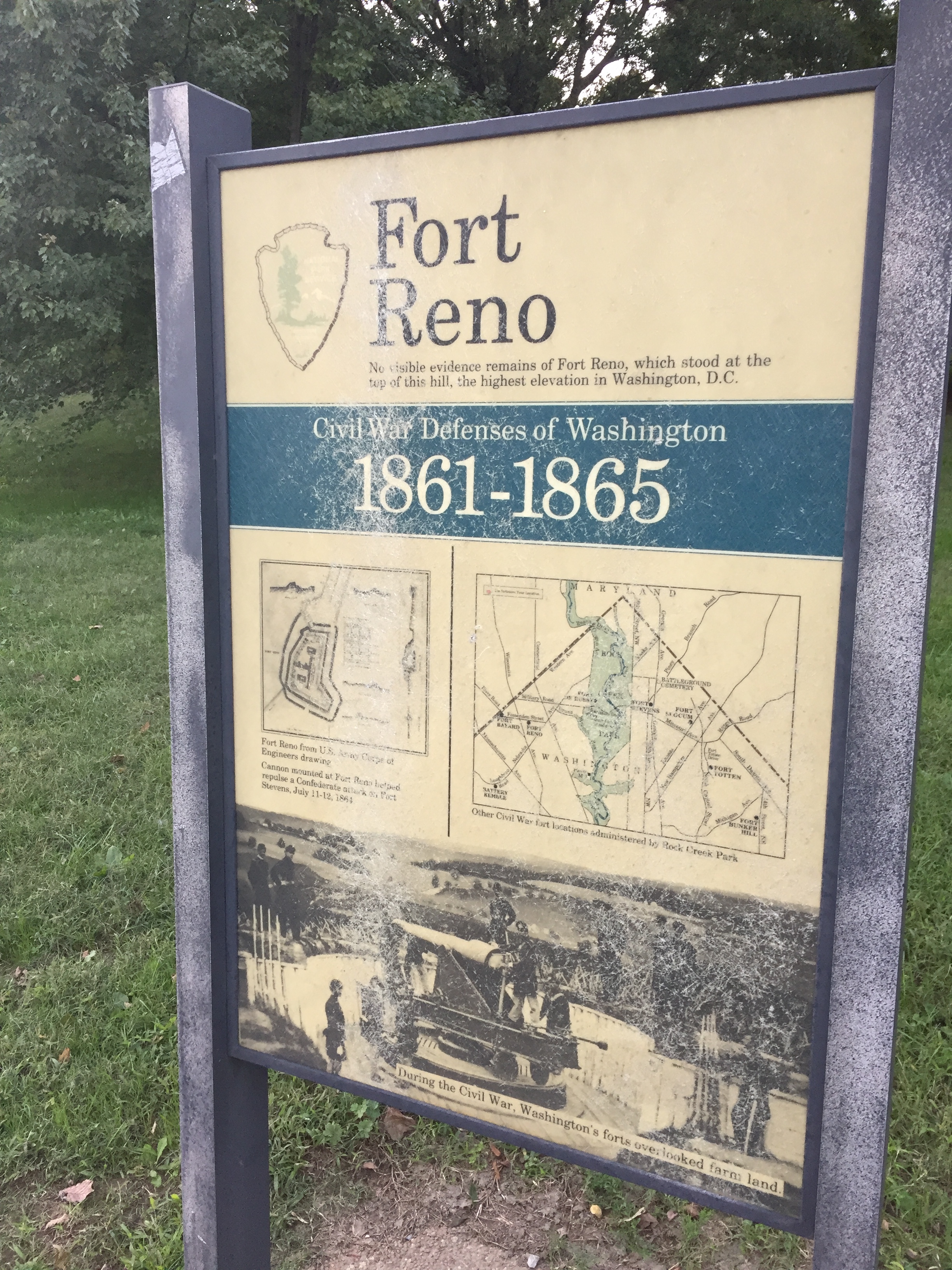
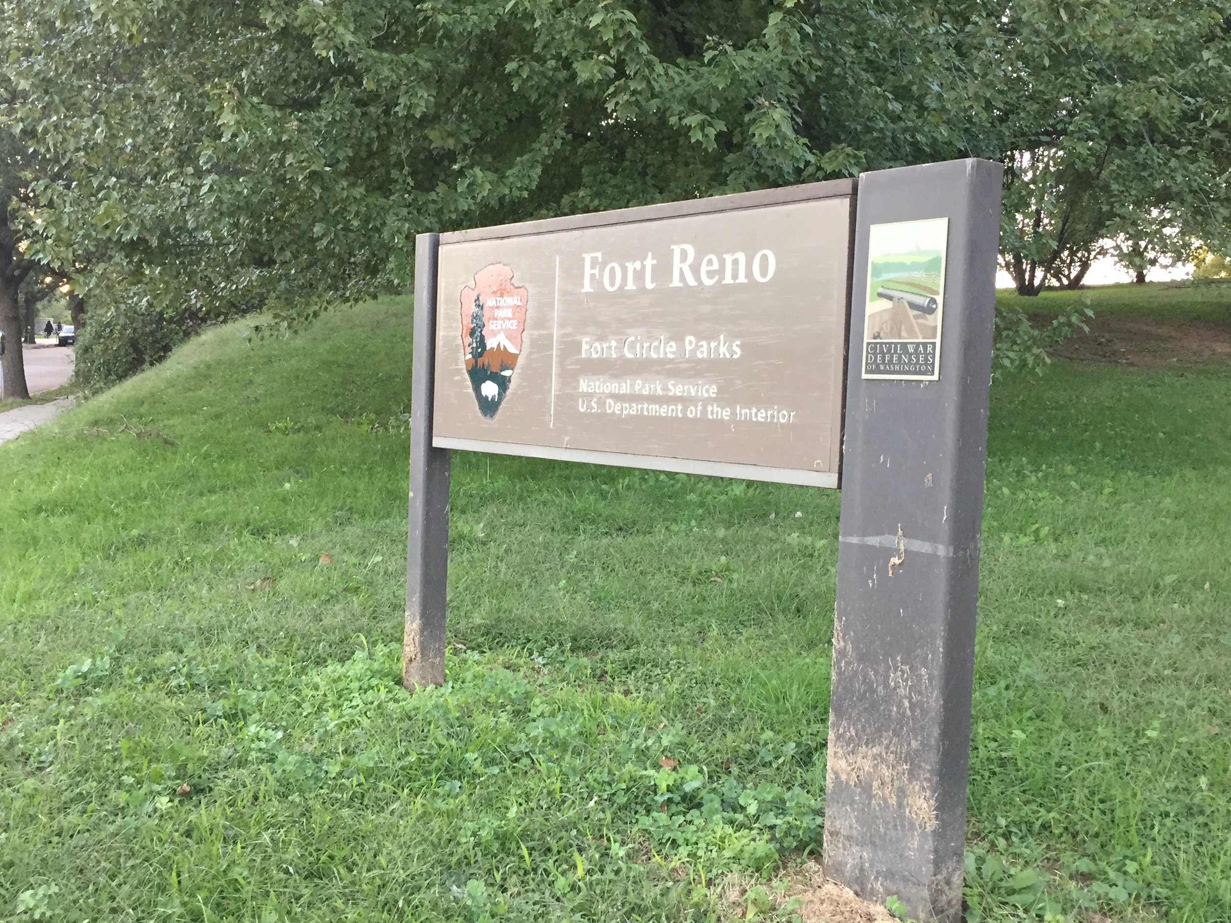
This was my second US State(ish) High Point of the year. Similar to High Point, New Jersey earlier in the year it was a convenient evening excursion whilst working in the area. This one is a pretty underwhelming “peak” in a fairly flat city. At 125m the highest point isn’t even higher than the Washington Monument. Even so, its easy to get to and there’s decent nearby parking so it’s a worthwhile trip for any High Point geek already in the DC area.

You can get to the high point by walking up to the gates of the Department Of Transportation salt depot. There’s a large brick tower behind the gates so you can’t miss it. There’s also a USGS-style survey marker at the highest natural point in the park. I spent half an hour searching for it but then gave up as my jetlag was kicking in and finding a solution for that became more interesting than finding the plaque.


Wills Neck: Quantock Hills High Point
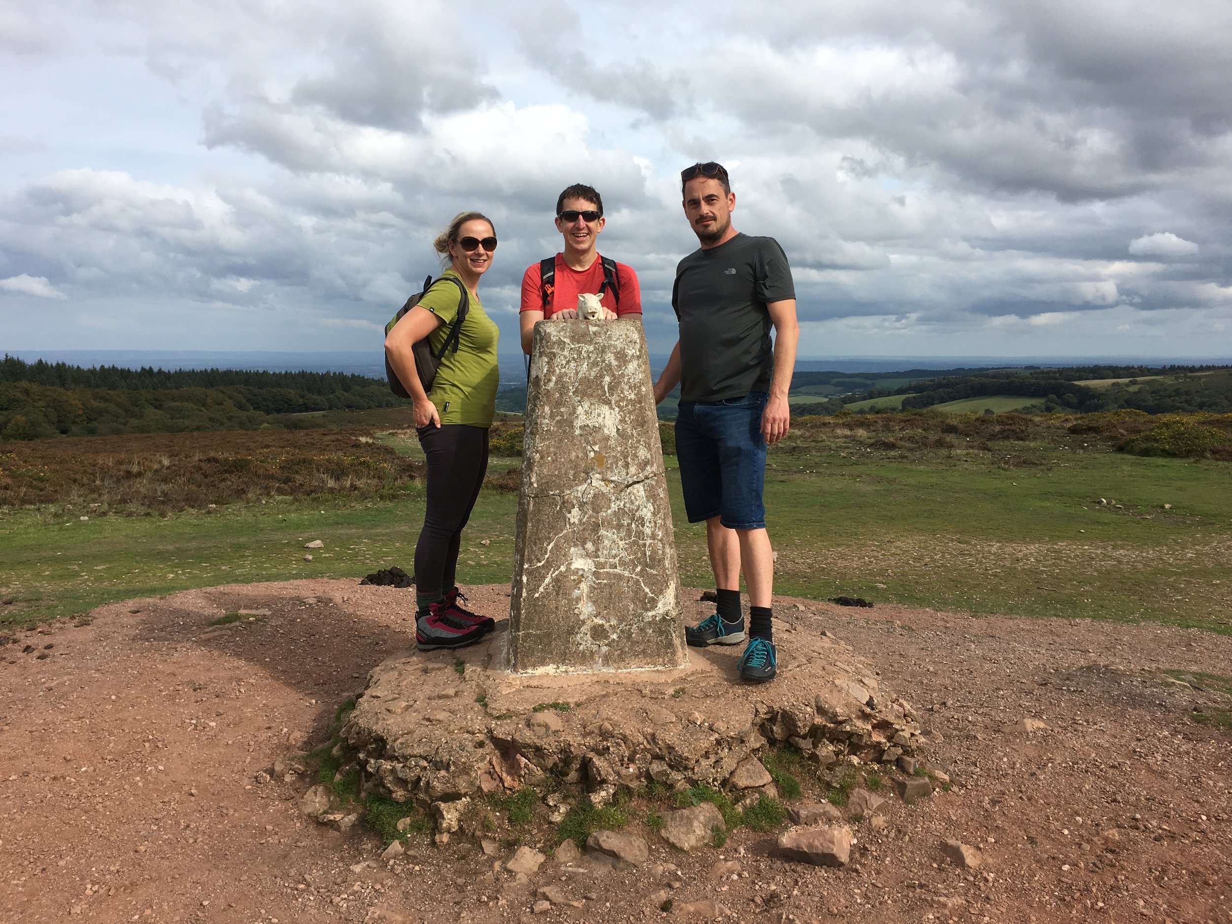
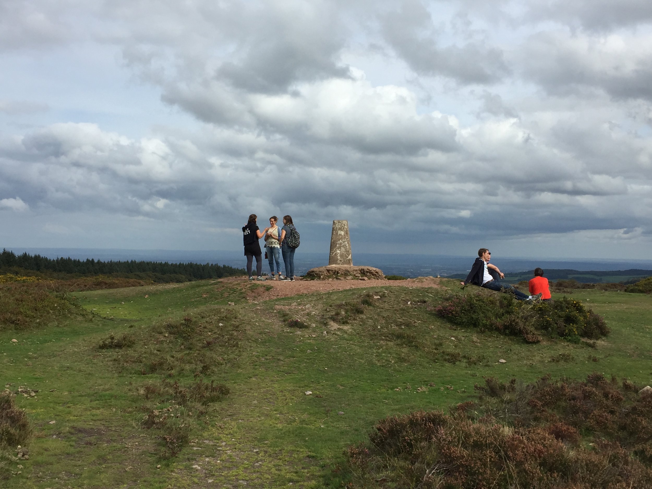
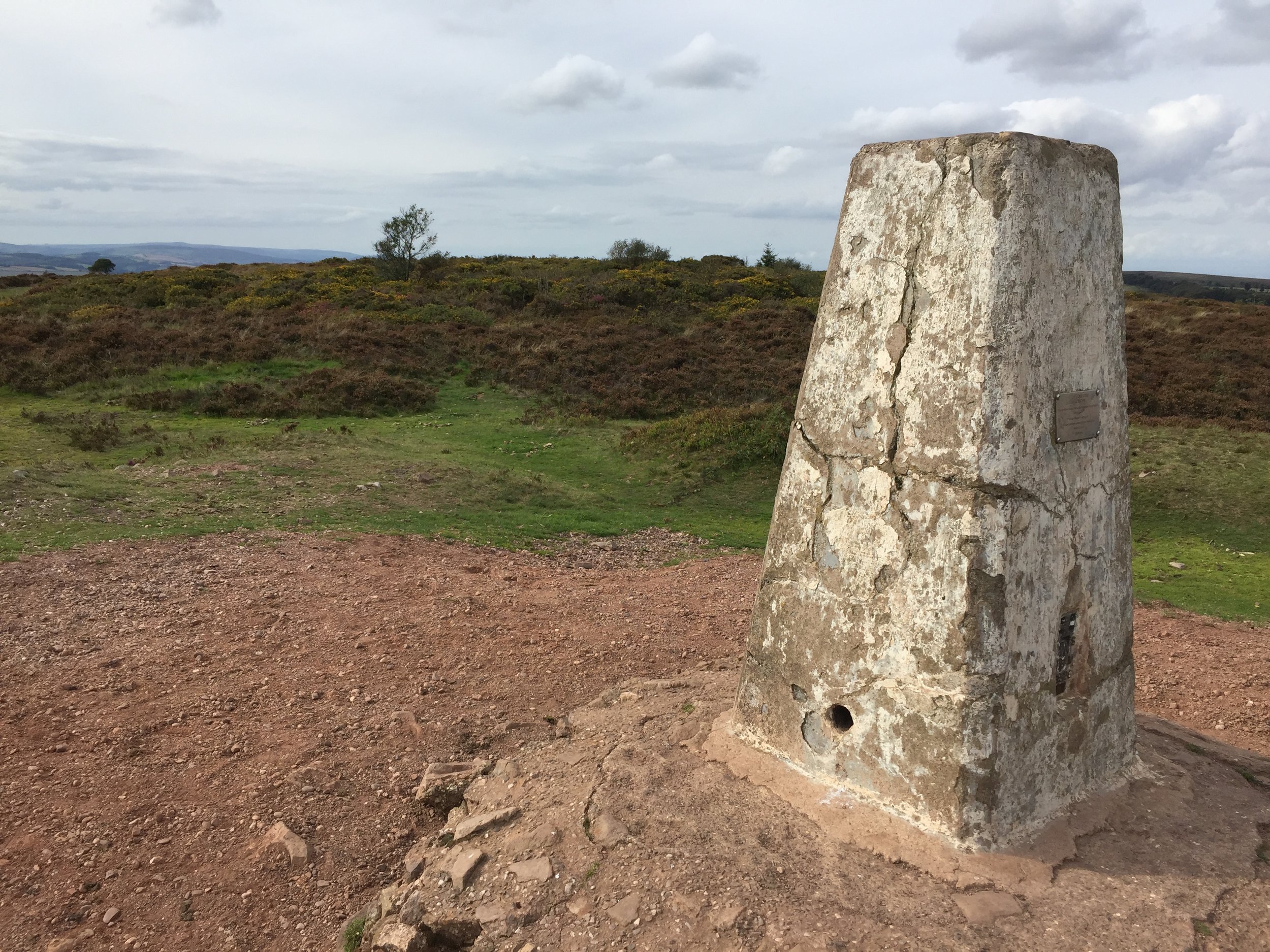
Wills Neck Trig Pillar

Wills Neck Trig Pillar


Significance: Quantock Hills National Landscape High Point
Member of: Marilyn, Hardy
Parent Peak: Dunkery Beacon
Nearest Higher Neighbour: Lype Hill
Elevation: 386m
Date climbed: September 15th 2018
Coordinates: 51.1096° N, 3.1937° W

Route Start / End: Out and back from the car-park next to the Forest Office on Cockercombe Road. Follow the track up to the T-junction, then its a ~4k circular walk taking in the high-point.
Route Distance: 8.5 km (5.3 miles)
Route Elevation Change: +/- 217m
Subsidiary tops on route: none
GPX File: get via Buy Me a Coffee
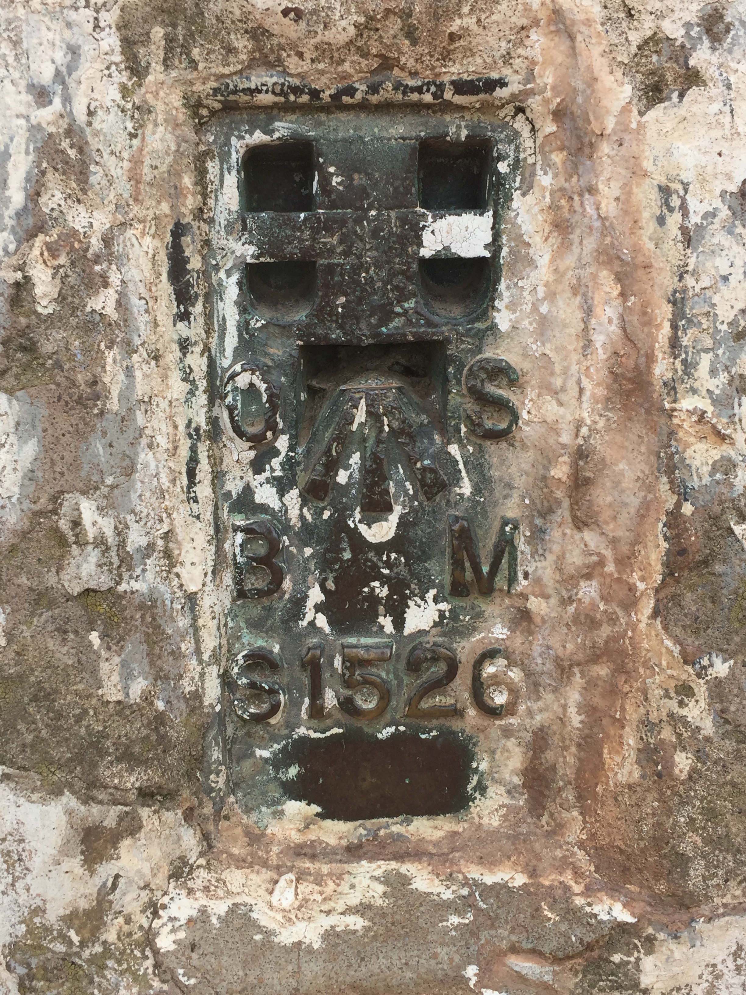
OS Trig Pillar: TP0733 - Bagborough
Other routes touched: Quantock Greenway
Map: OS Explorer Map (140) Quantock Hills and Bridgwater
Links: Wikipedia: (Will’s Neck / Quantocks), National Trust Quantock Hills, Peakbagger


Will's Neck stands as the highest point of the Quantock Hills, National Landscape (formerly AONB) in Somerset, England. The summit reaches an elevation of 384 meters above sea level, making it one of the most prominent landmarks in the region. Due to its significant topographical prominence, it qualifies as one of England's 'Marilyns', a term for hills with a relative height of at least 150 meters. The highest point is marked by a modern concrete trig pillar, which replaced a cairn originally constructed by schoolboys from Clifton College between 1922 and 1945.

The hill’s name, "Wills Neck," is believed to be derived from the Old English word Wealas, meaning 'strangers,' 'foreigners,' or 'Welshmen,' suggesting the area was a historical border. It is formed from Devonian-period Hangman Grits, a type of sedimentary rock (sandstone and slate) laid down approximately 420 million years ago when the area was covered by a shallow sea. The geology and high, exposed position contribute to the open heathland environment of the summit, contrasting with the wooded combes and lower pastures of the surrounding Quantock Hills.

Timea and I bagged Wills Neck while visiting some friends that I had made on the High Peaks of The Balkans trip. It’s an area rich in hiking paths such as the Quantock Greenway plus other similar sized peaks. We’ll likely be back to explore more of the area, but this made a great first experience of the Quantocks.

The guidance below will help you navigate but don’t use it as a fully accurate turn-by-turn guide. Always take a map and/or a GPX route and prepare well for the weather and terrain.

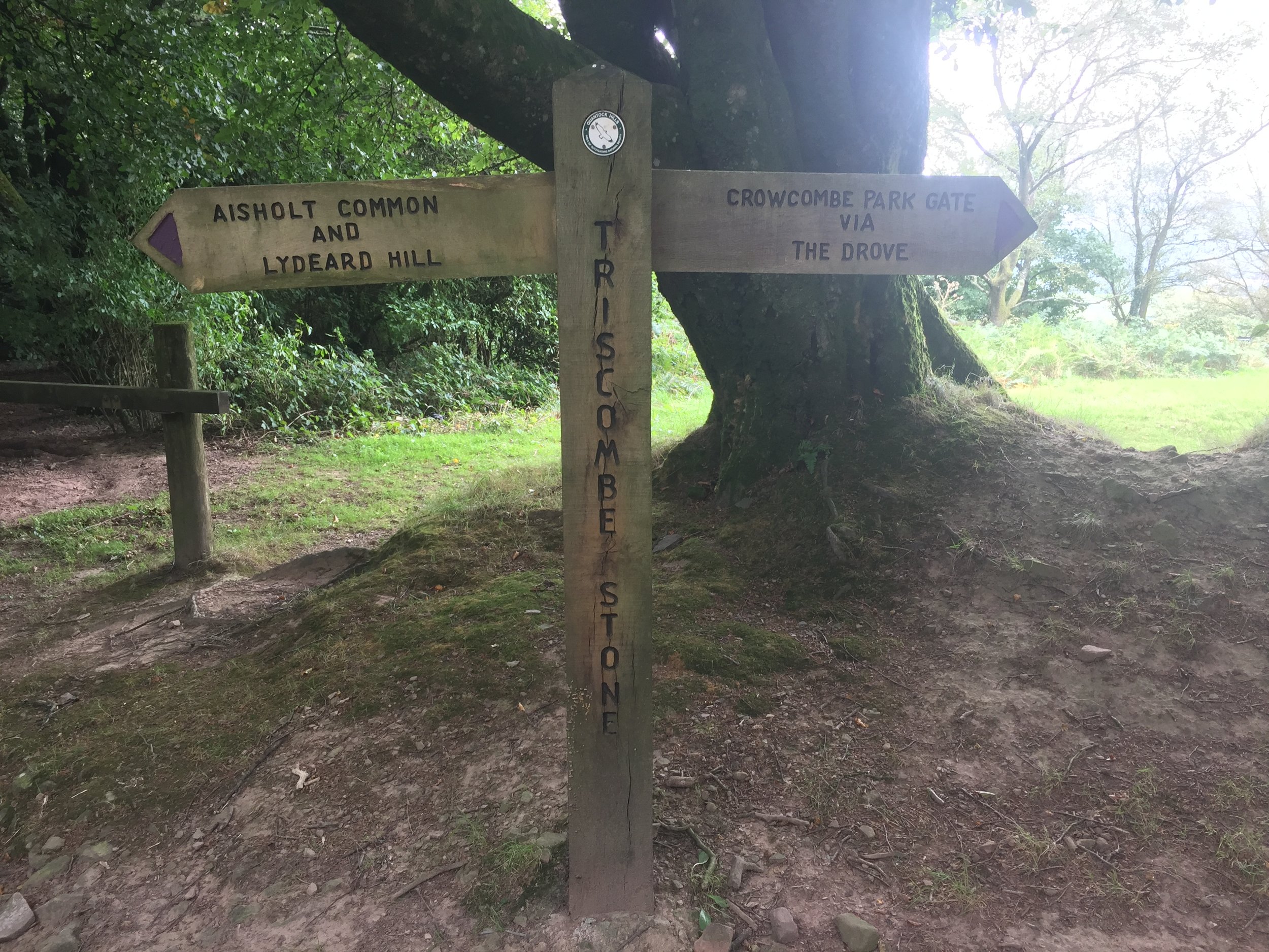
The walk starts at the Triscombe Lower Car park and Cockercombe Bottom lane in a south westerly direction following the course of the Cockercombe stream. At around 2.4 km you’ll reach a junction in the path. Take a right heading north to meet the Quantock Greenway and Cockercomeb Road. Take a left onto the road then a left onto The Drove. At ~100m down The Drove take a right onto a path that heads in a southerly direction to the Trig Pillar at the summit of Wills Neck.
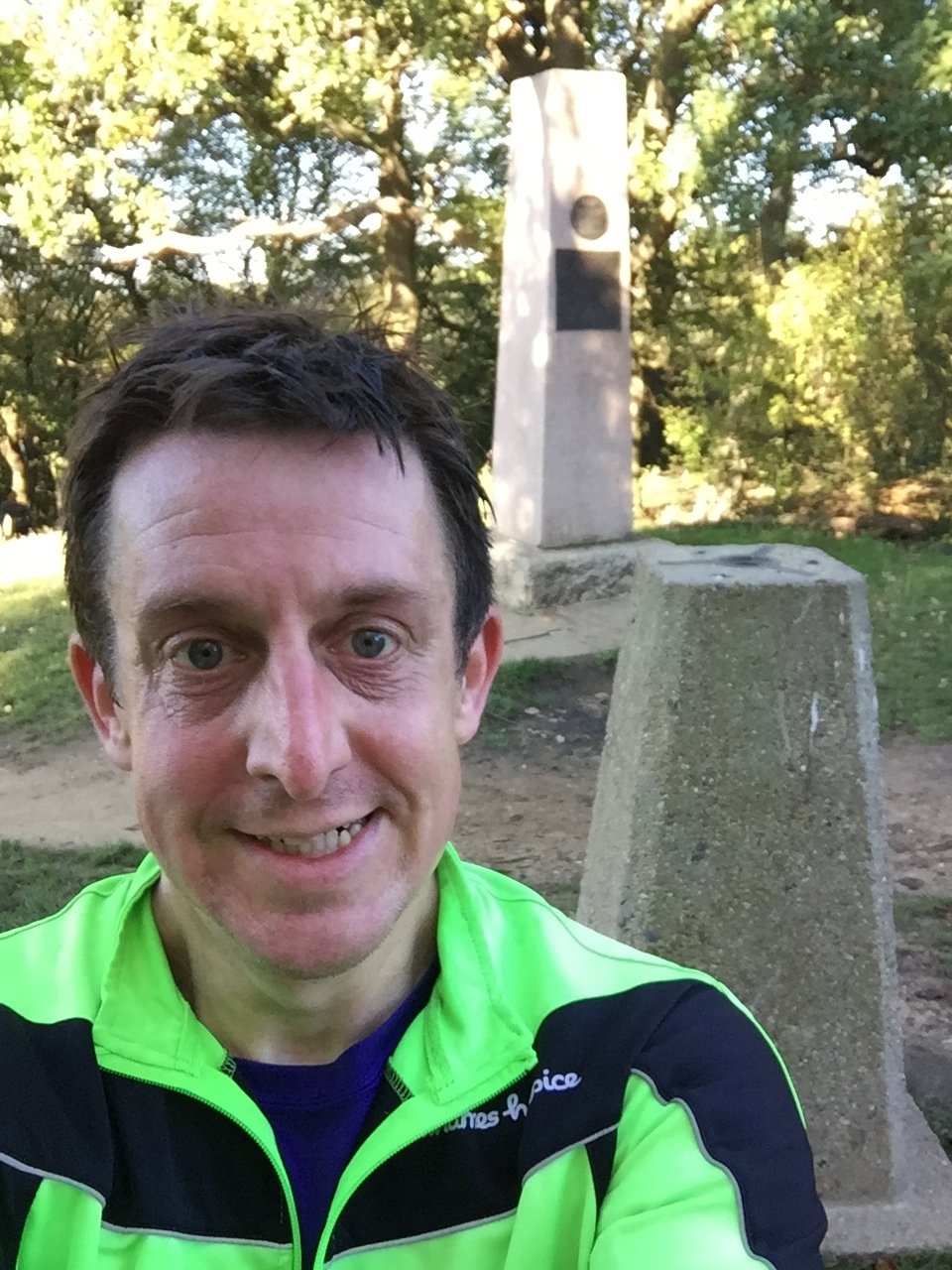
After the Trig Pillar, continue along the track for ~190m then take a left to head north to the edge of the woodland. Take a right to follow the woodland edge for 500m then take a left to walk through the woods in a northerly direction. When you reach the clearing in the middle of the woods, head west to meet the junction of the path that you followed up Cockercombe Bottom. Take a right to retrace your steps back to the start



Surrey Bacchus Wine Half Marathon

When: September 9th 2018
Where: Denbies Wine Estate, Surrey, UK
Course: Single lap hilly trail race that looks like a waving alien on its side. Starts and ends in Denbies Wine Estate, Dorking and passes through National Trust land, Dorking Wood and Ashcombe Wood.
Other routes touched (walk): North Downs Way, Ranmore SCC, Prospects of Polesden SCC, Mole Gap Trail
Other routes touched (cycle): None
Finish time
: 2 hours 11 minutes


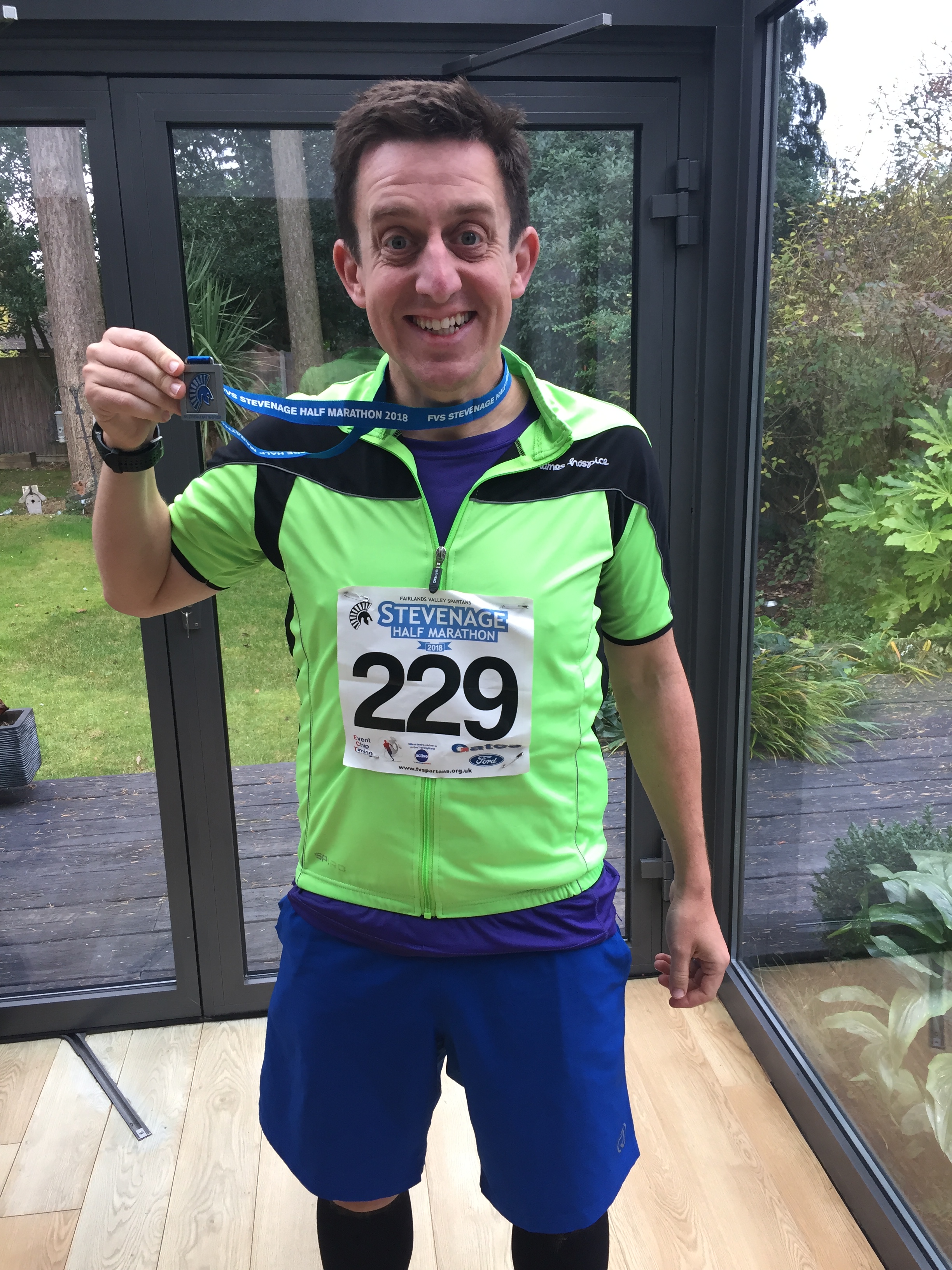
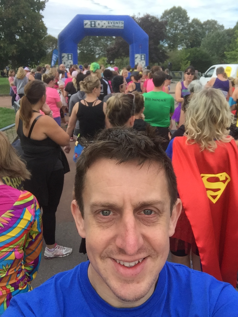
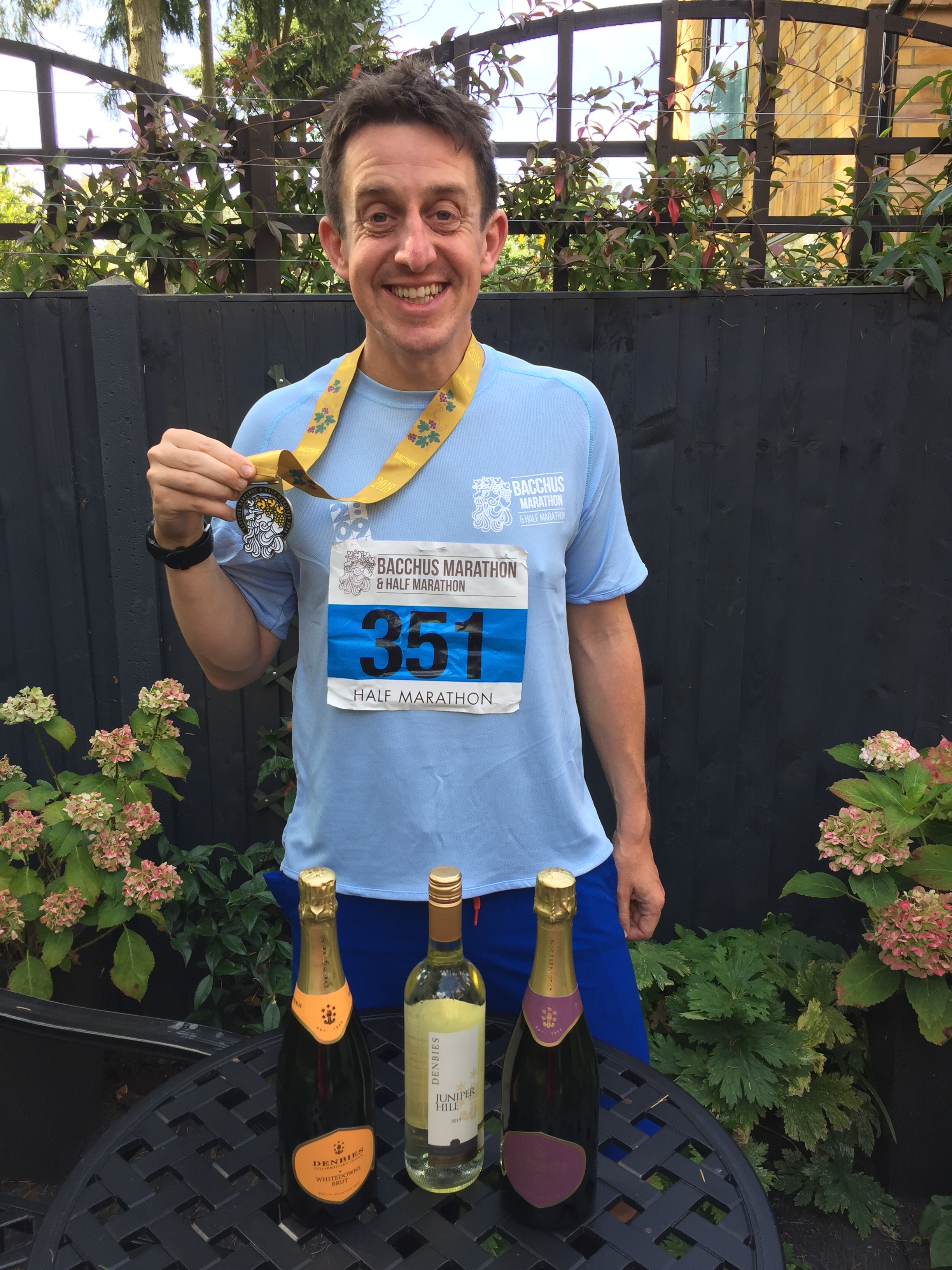
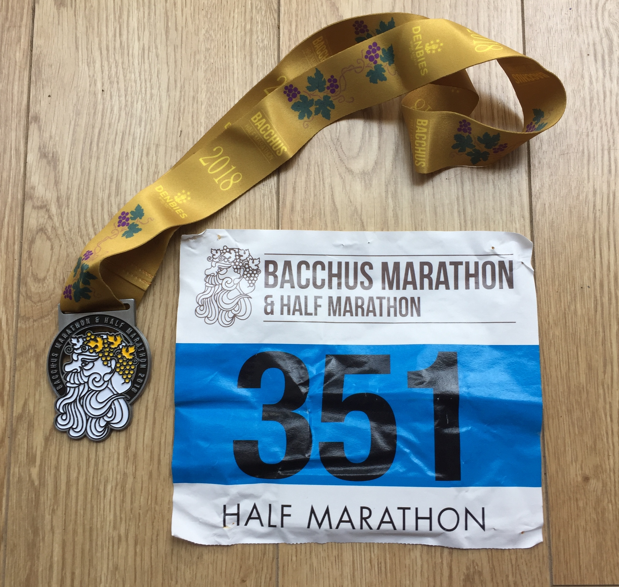
Half Marathon #46 of 50 and my favourite so far. There were 5 wine stops along the route with wines from the Denbies Wine estate, plus pizza, cake and music. Basically, a big party with a bit of running in between.

 
Thames Path Challenge 28k

When: September 8th 2018
Where: Bishop's Park, Fulham, London, UK
Course: Thames Path from Bishop's Park to Hurst Park, West Molesey, Surrey
Other Trails touched (walk): Thames Path, Beverley Brook Walk, Capital Ring
Other Trails touched (cycle): NCN 4,
Finish time
: 7 hours 16 mins (Walk)

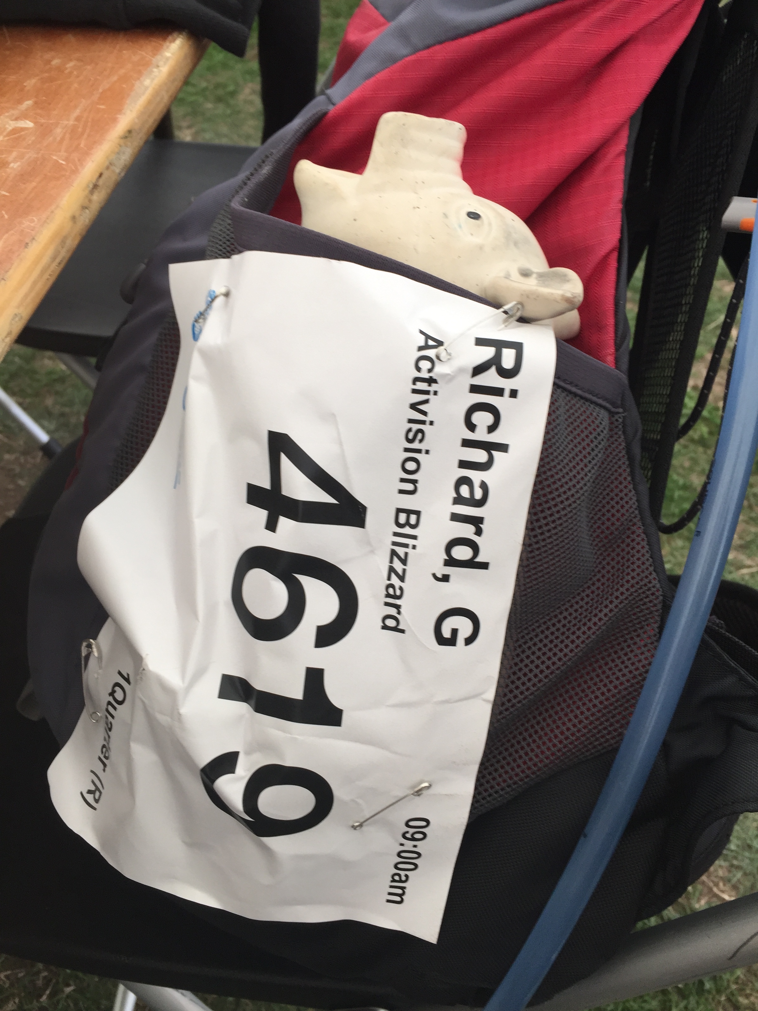
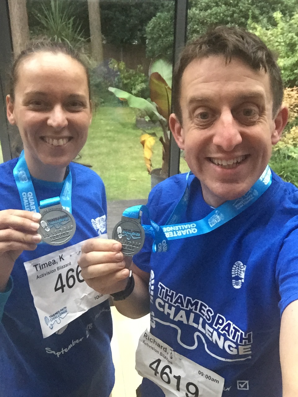
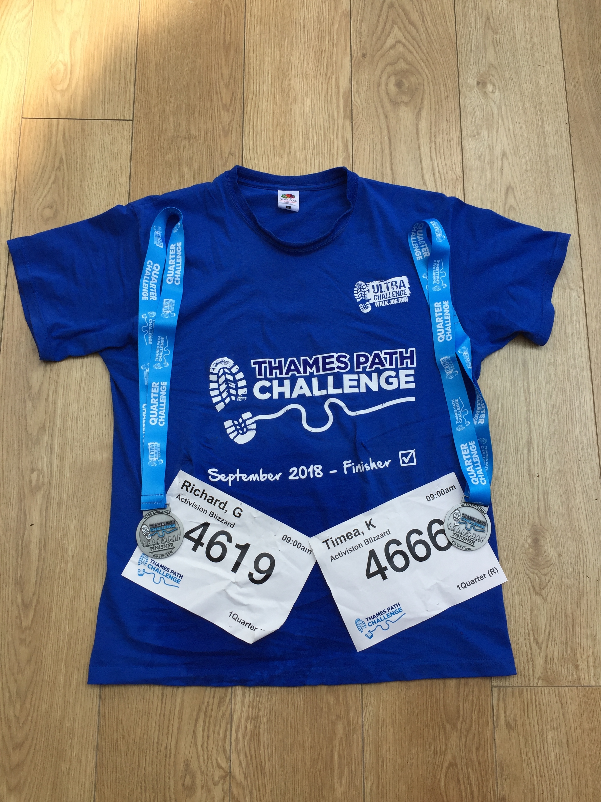
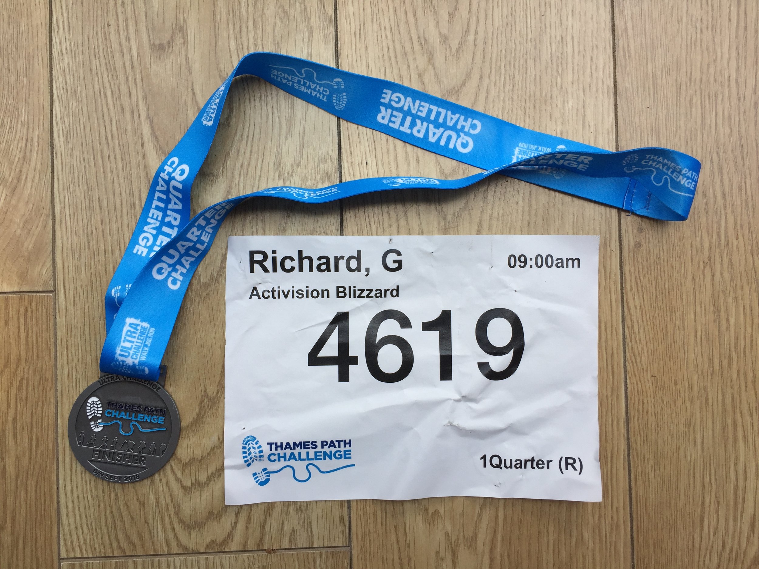
This was a return to the Thames Path for my first long-distance walk with Timea and the start of our training for next year's Camino. We were part of a group from Timi's company, Activision, some of whom did the 50k or 100k options. Just like the Threshold series that I'm more familiar with, this was a really well organised event from Action Challenges


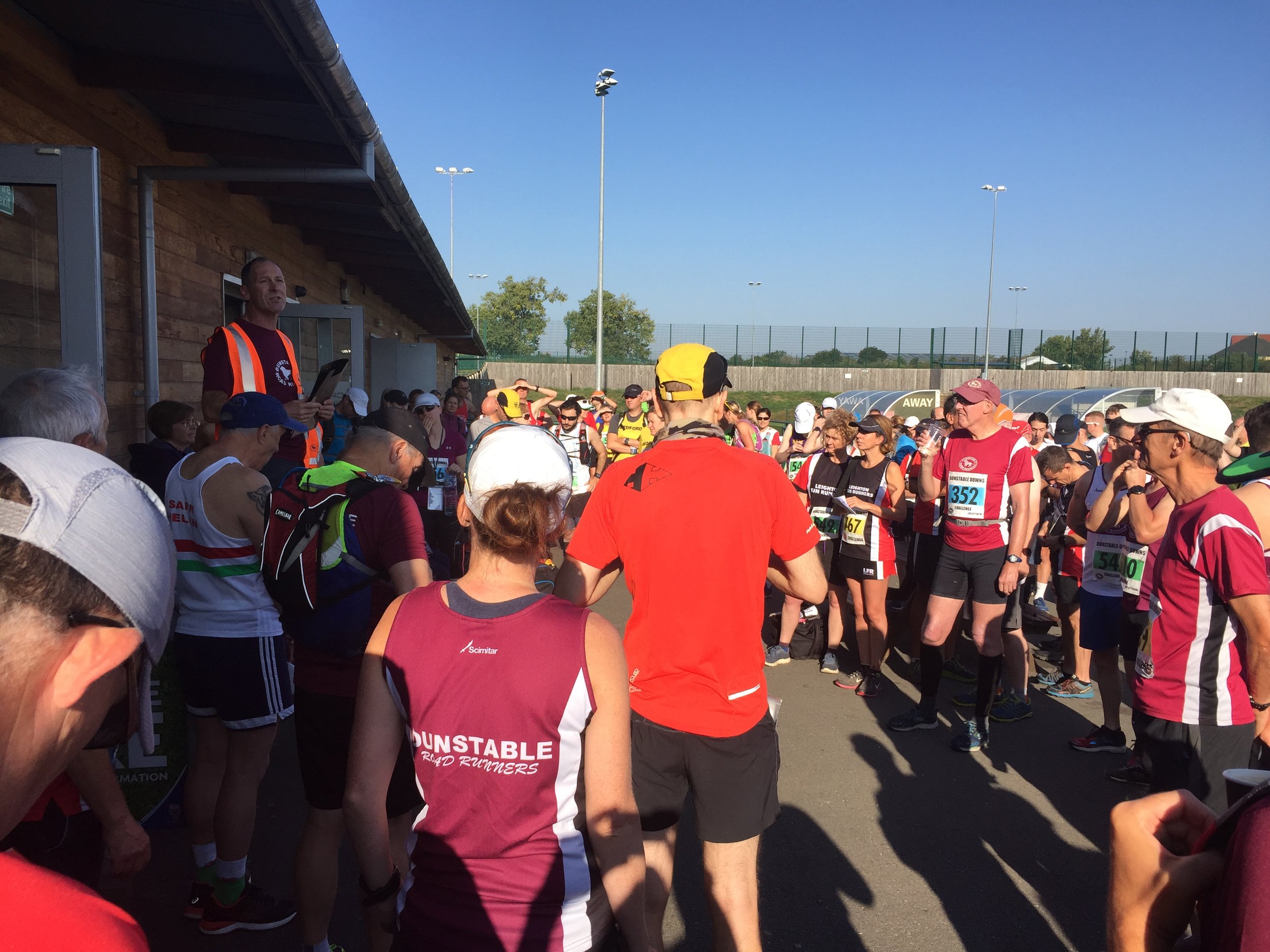
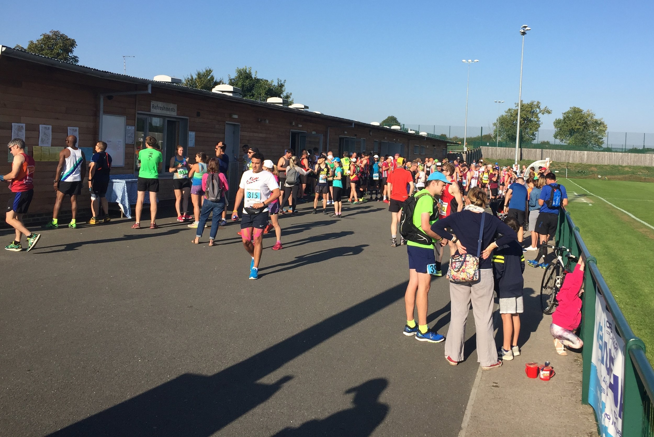
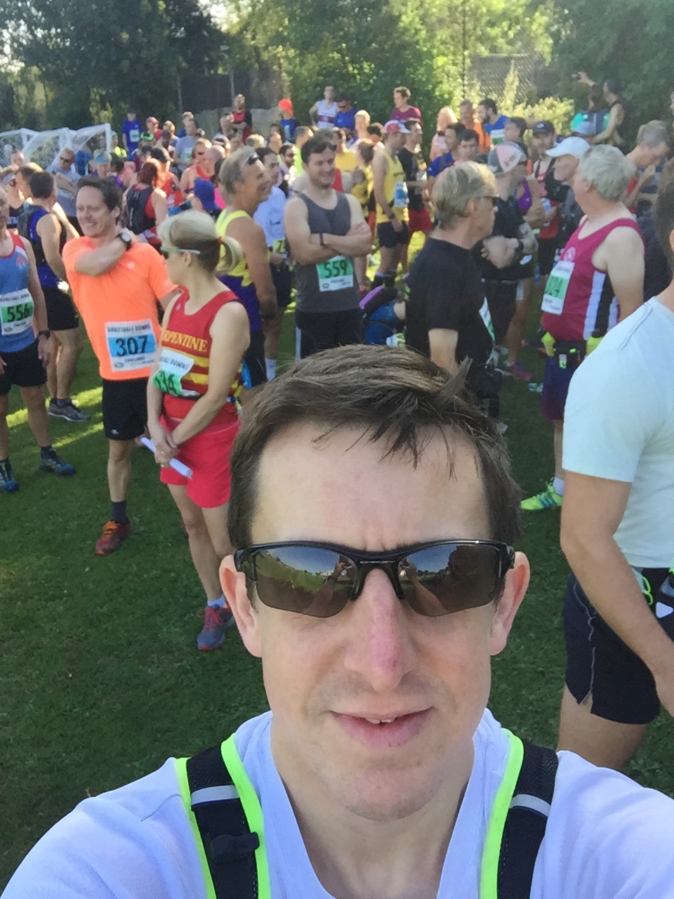
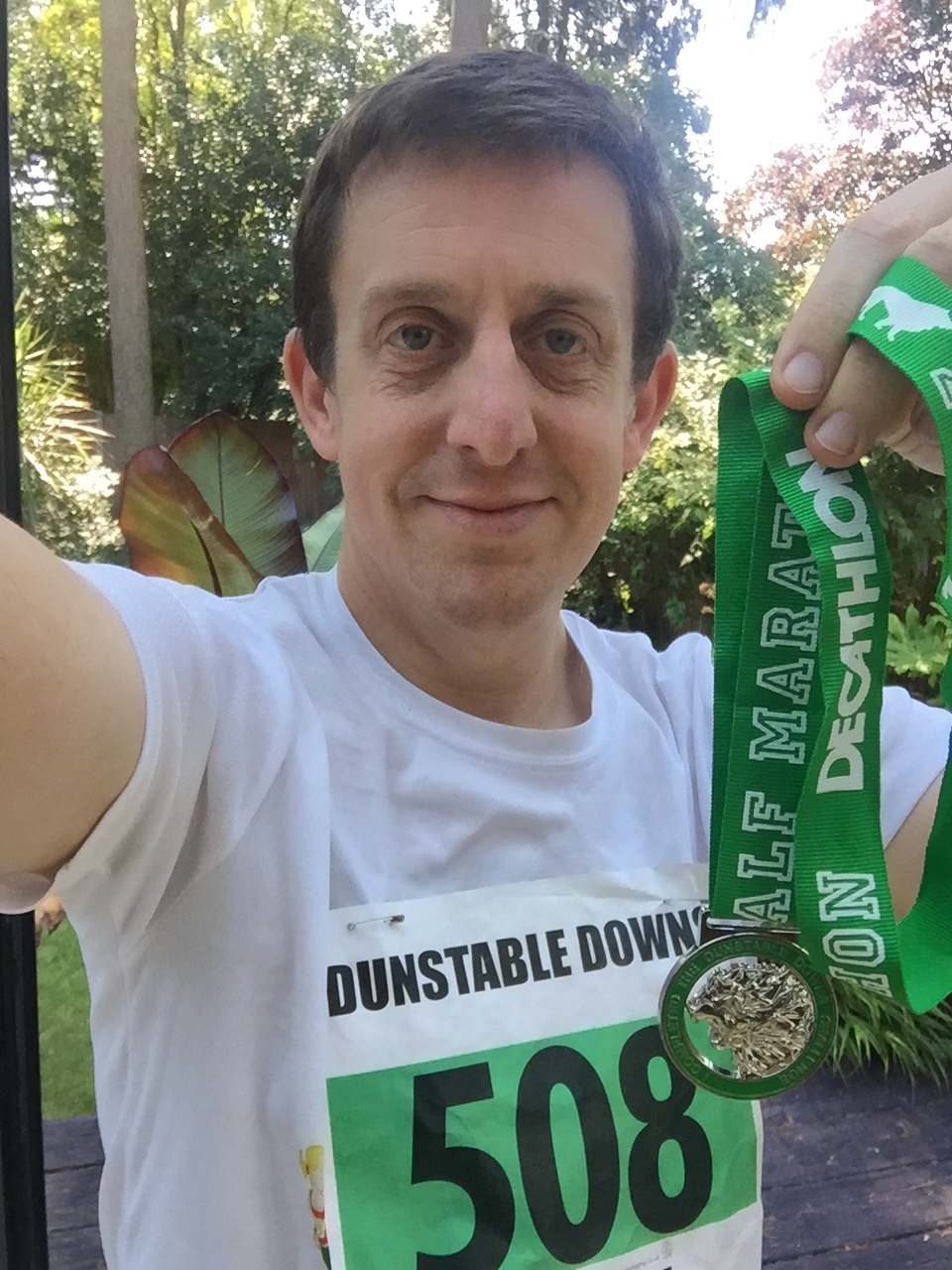
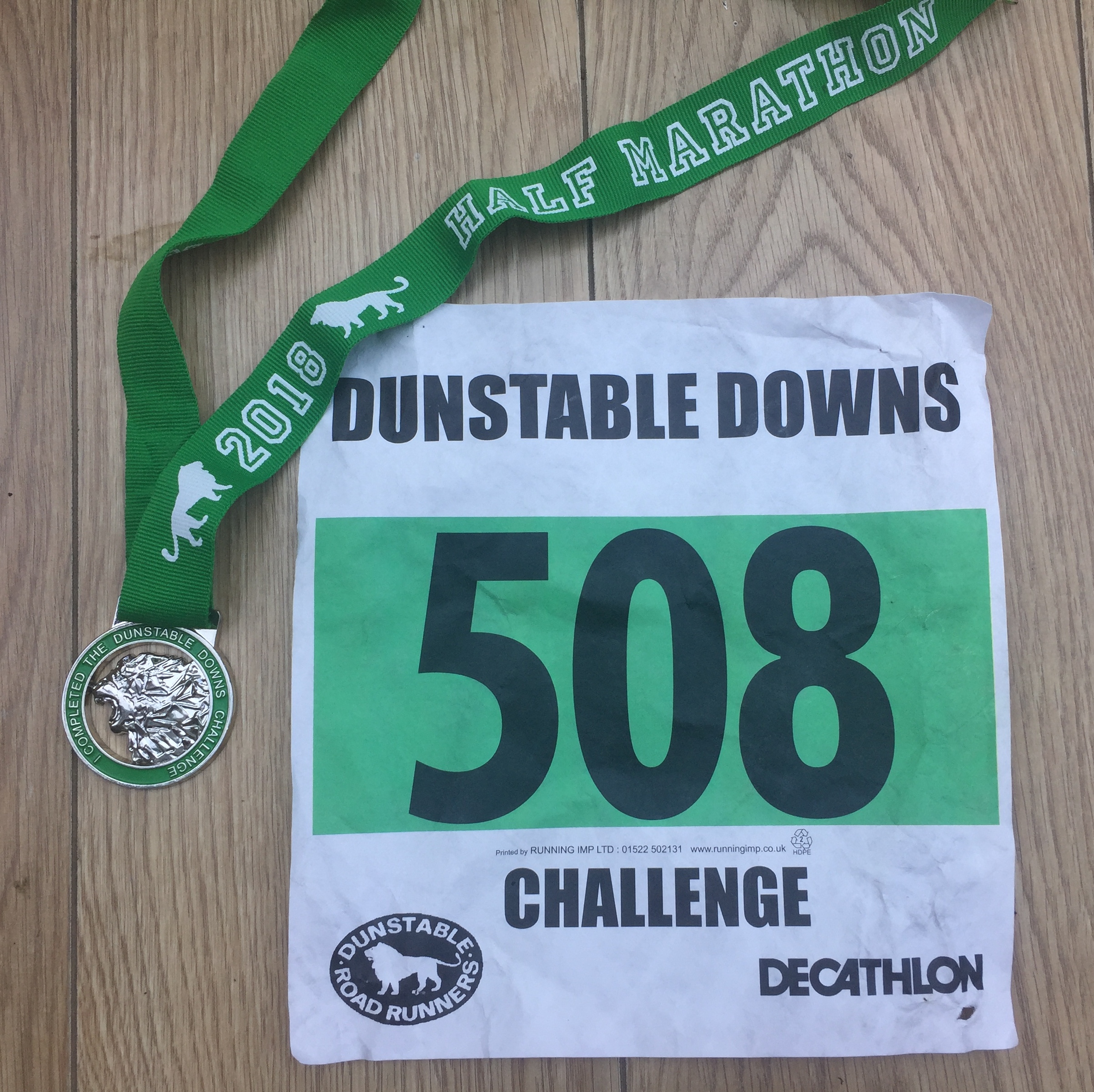
Dunstable Downs Trail Half Marathon

When: September 2nd 2018
Where: Dunstable Downs, Bedfordshire,  UK
Course: Single loop starting at Creasey's Park Community Football Centre, Dunstable, heading up over Dunstable Downs on the Icknield Way across the National Trust grounds. Loops back through Studham Common, returning to base back along the Downs. Lovely views.
Other routes touched (walk): Icknield Way, Chiltern Way
Other routes touched (cycle): Chilterns Cycleway
Finish time: 2 hours 11 mins (Hot + Hilly)

Cycling The River Crane & The Hounslow Baseline
IMG_8131.jpg


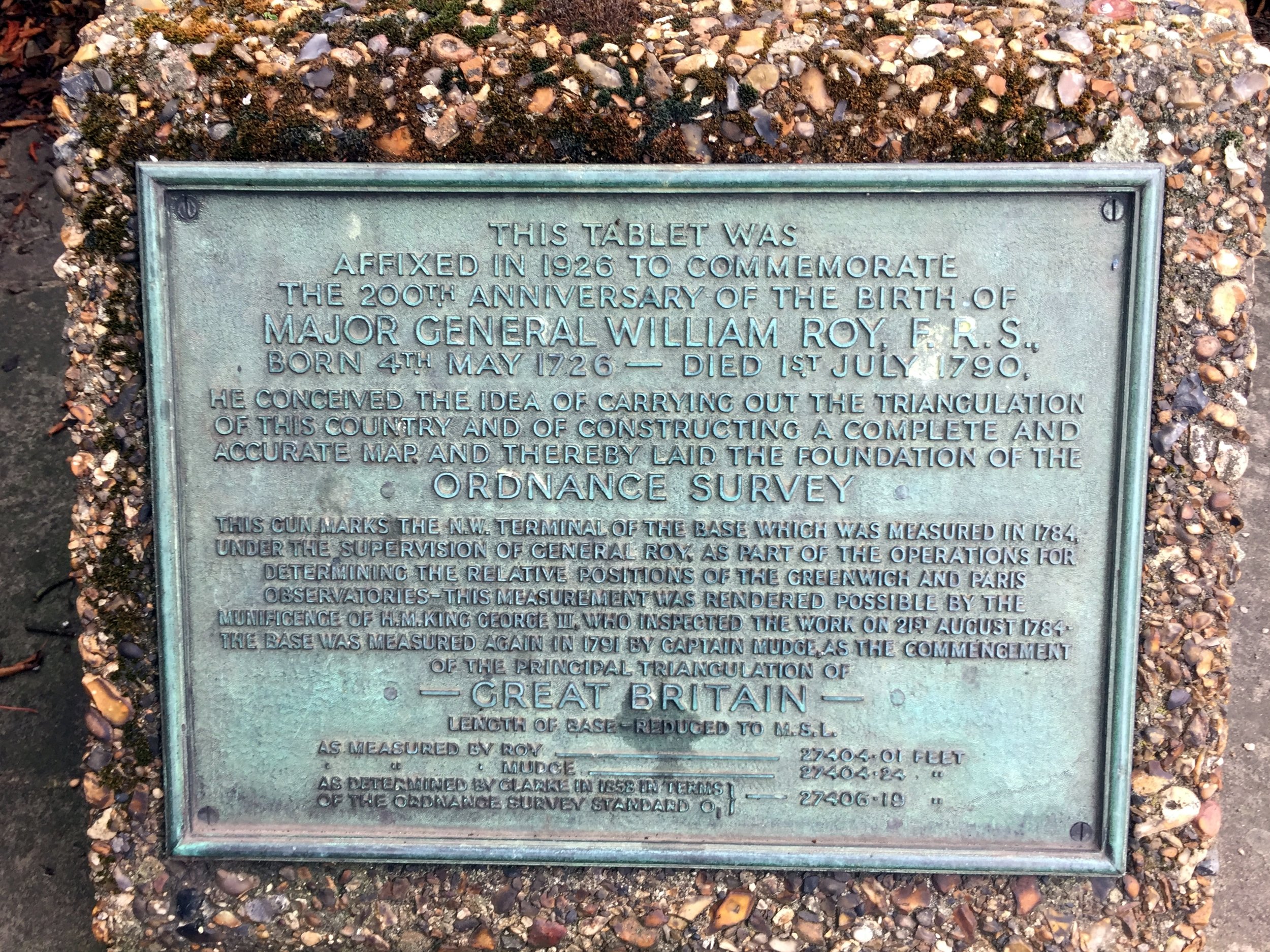
The idea for this trip came while reading Mike Parker's book, Map Addict. In his fascinating and funny account of all things map-related, Chapter 2 covers the very beginnings of the Ordnance Survey. Long before the Ordnance Survey officially existed, General William Roy pioneered the meticulous techniques that would later be used to map the entirety of the UK. His 1784 Hounslow Baseline was the very first highly accurate point-to-point measurement of its kind, chosen because of its proximity to the Royal Observatory at Greenwich and the extraordinary flatness of Hounslow Heath.

I won't go into the entire history of the triangulation of Great Britain, as Mike Parker's book is the perfect place to start. Instead, this post outlines a brilliant 50km circular cycle adventure that explores the historic Hounslow Baseline and the nearby River Crane.


The River Crane

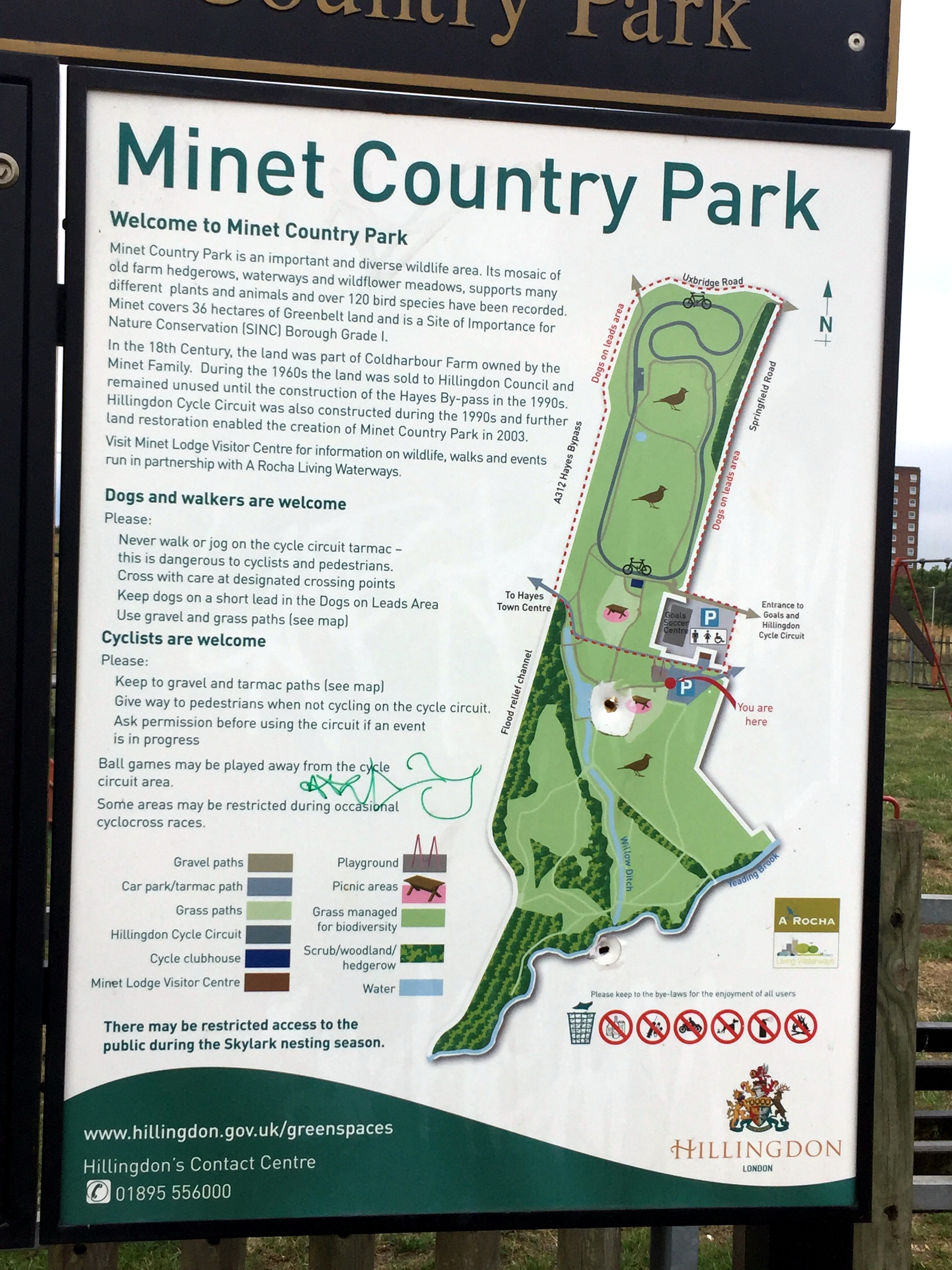
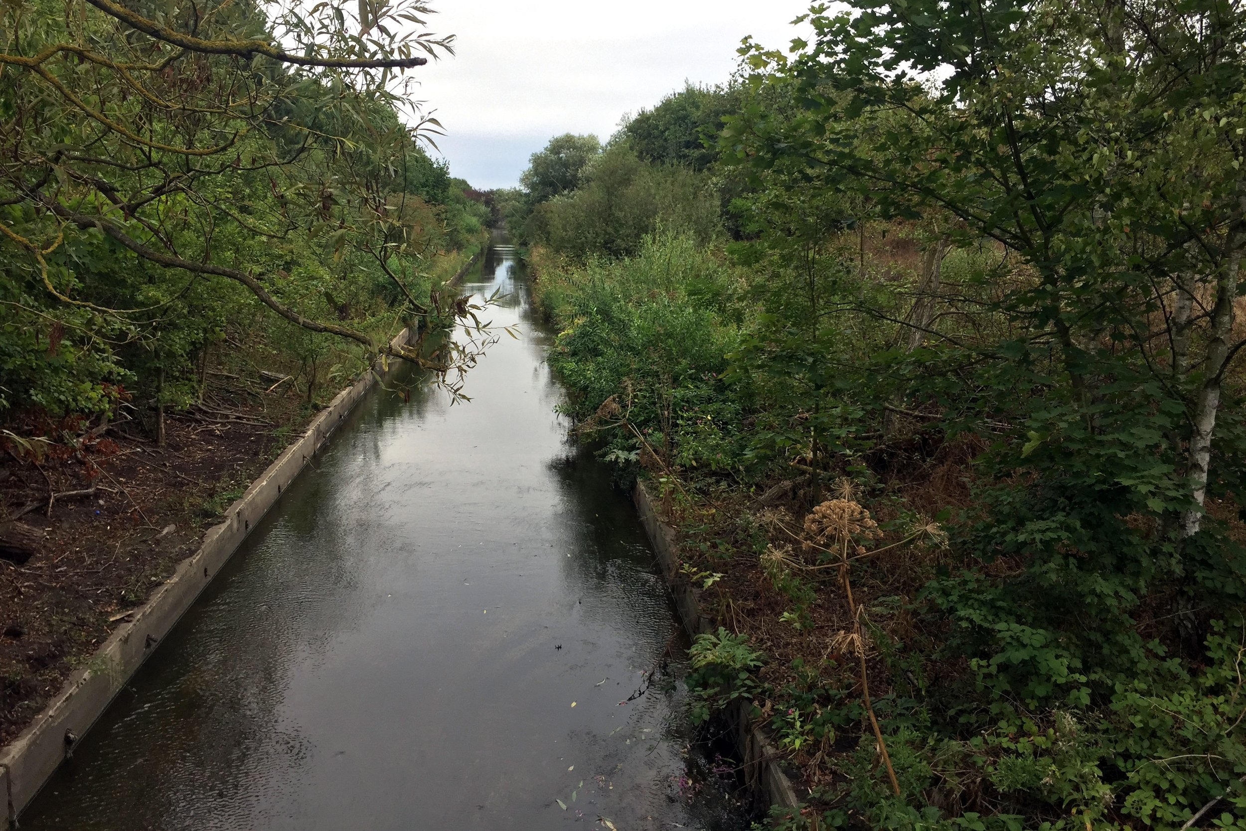
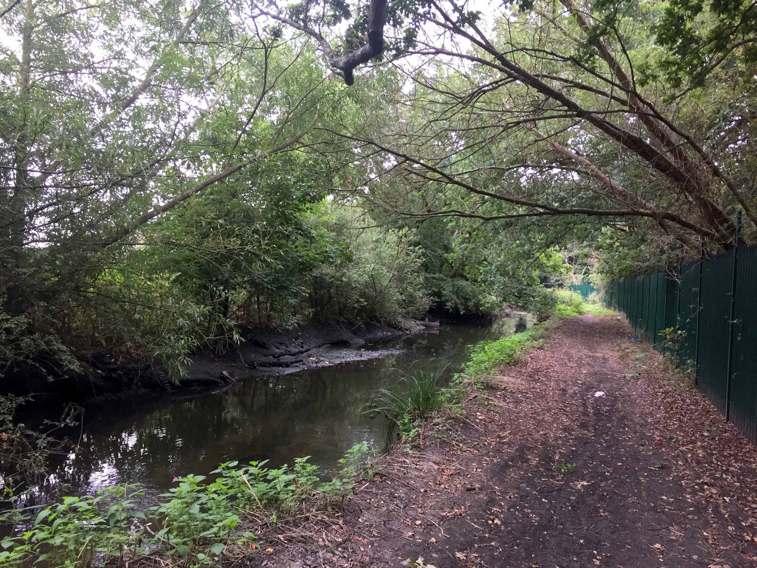
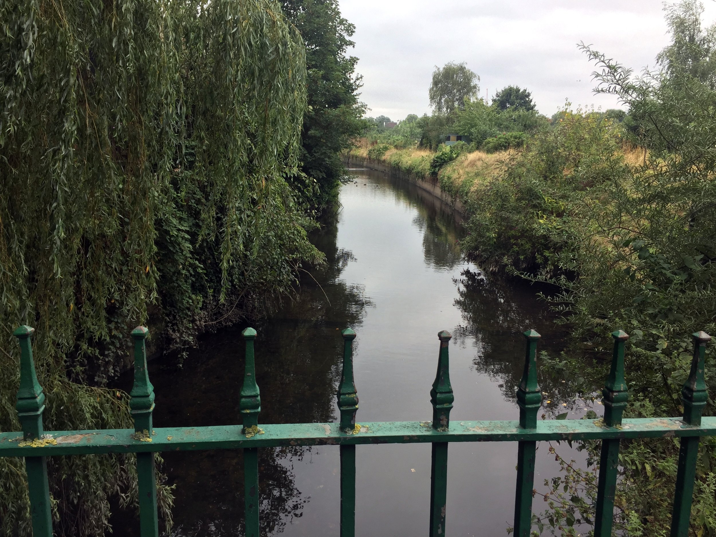
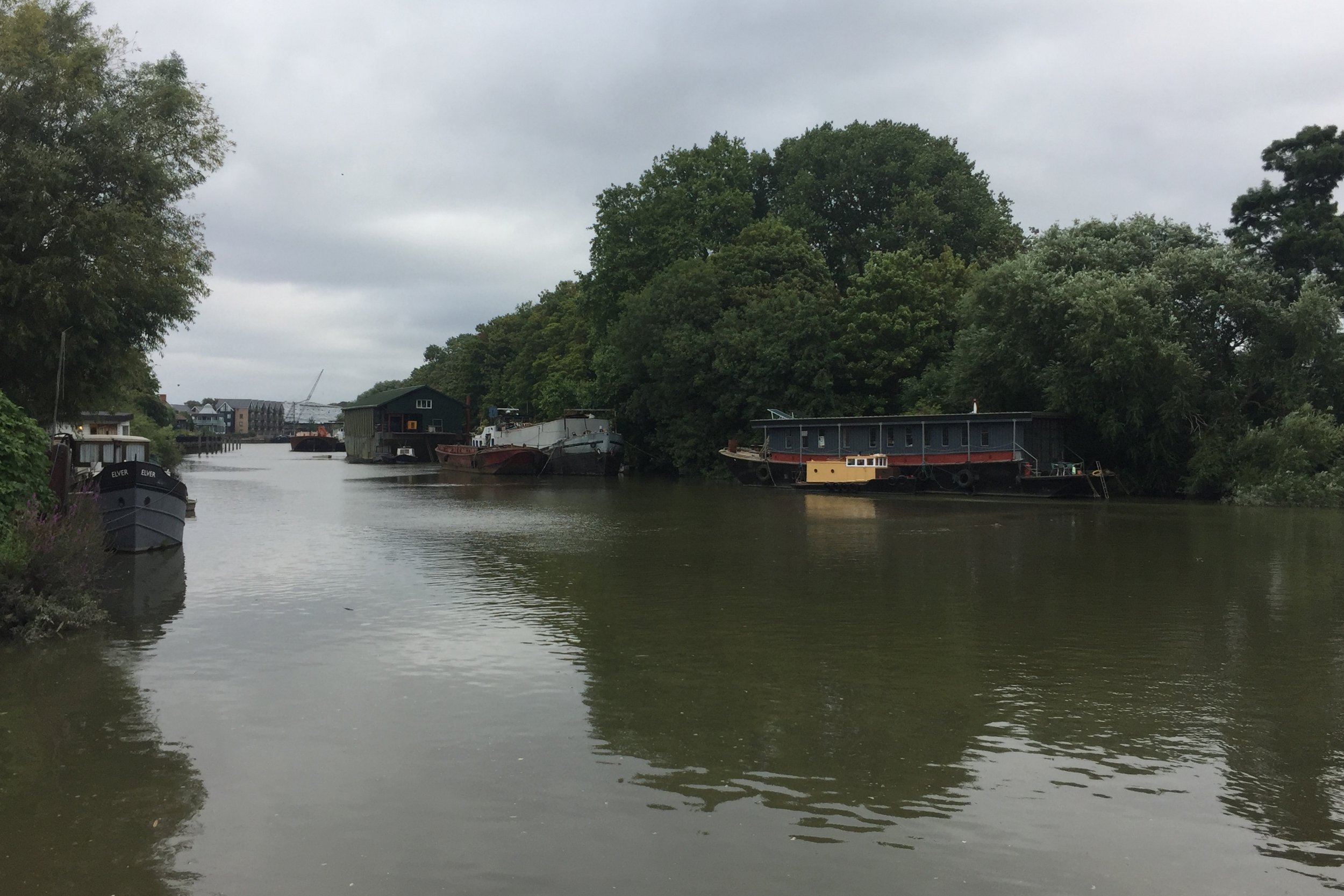
The best place to start is the car park at Minet Country Park in Hayes. A few hundred metres west, you will cross a bridge giving you your first sight of the River Crane (which is actually known as the Yeading Brook further upstream before it officially becomes the Crane).

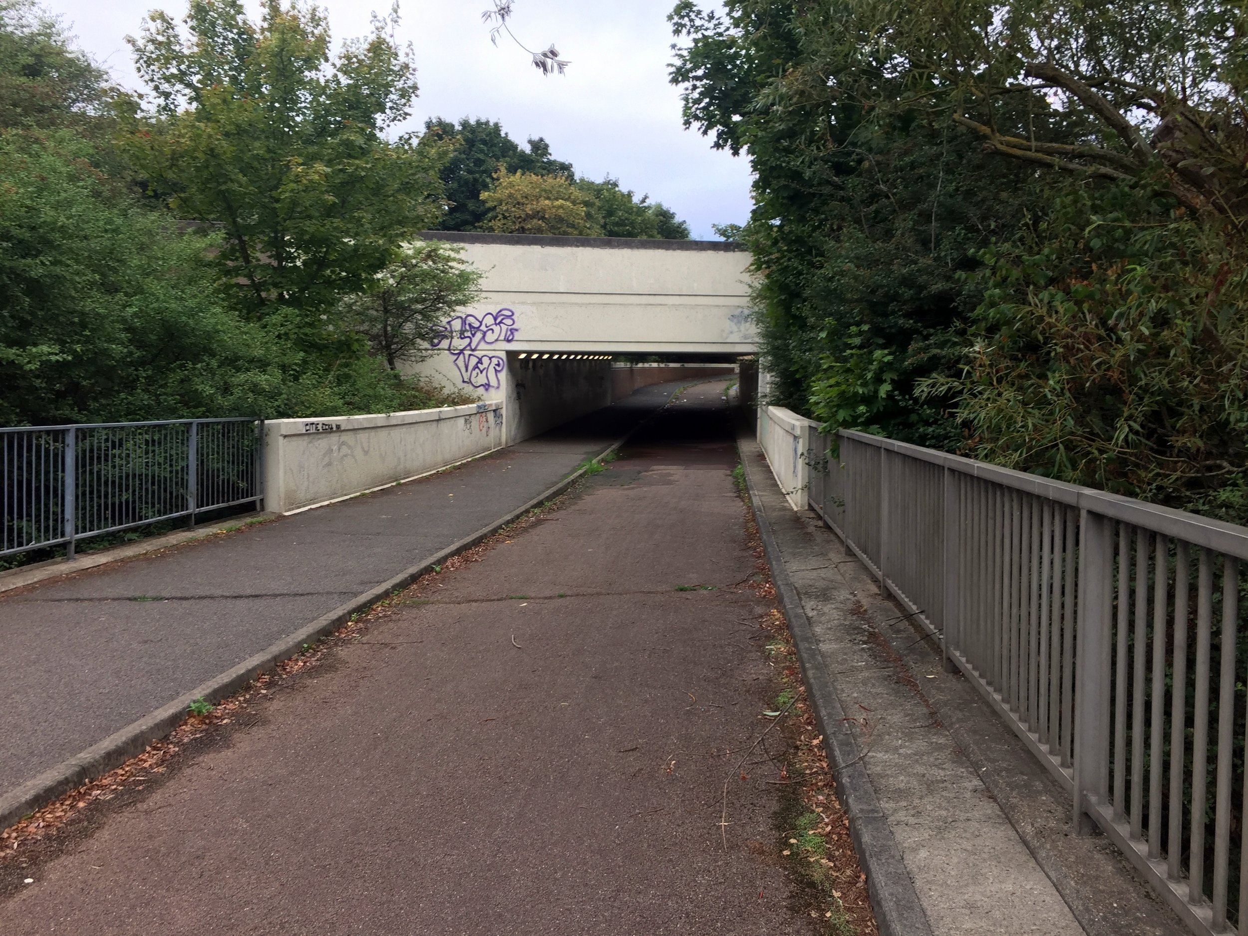
From the bridge, continue north-west through the Parkway underpass, then take a left and follow the cycle path running parallel to the Parkway. This crosses over the Grand Union Canal and the mainline railway. Don't forget to marvel at the sprawling industrial wasteland along the way! Once over the canal, you will join the well-signed London Loop, which you can easily follow for much of the river's route.

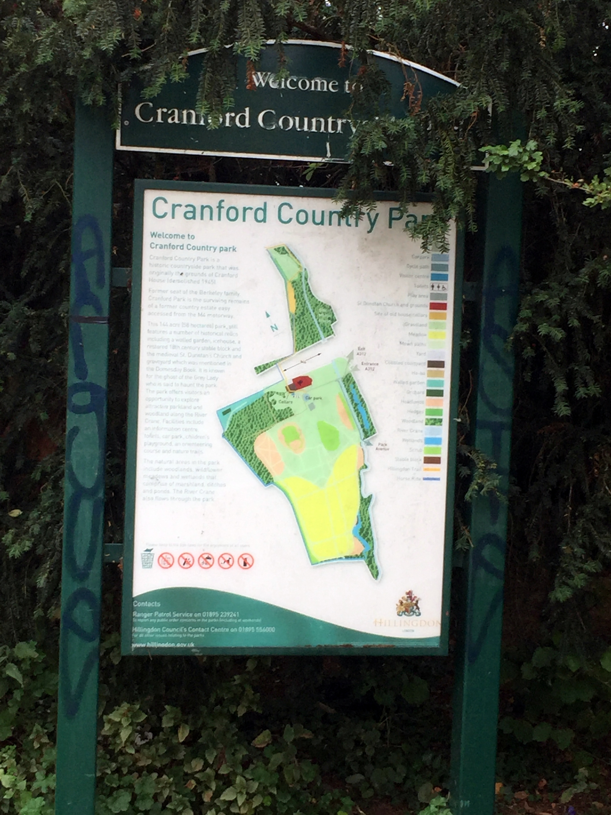
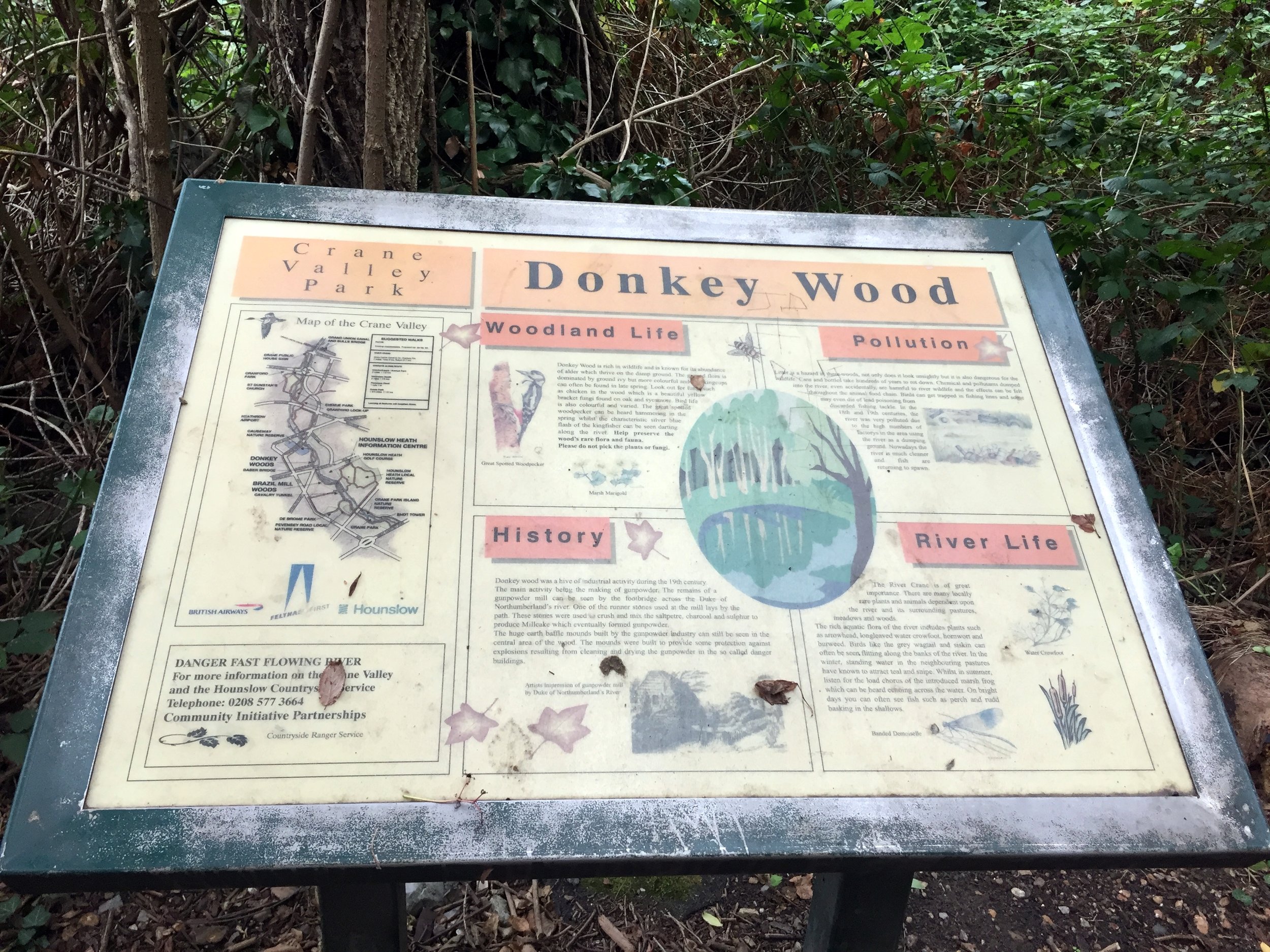
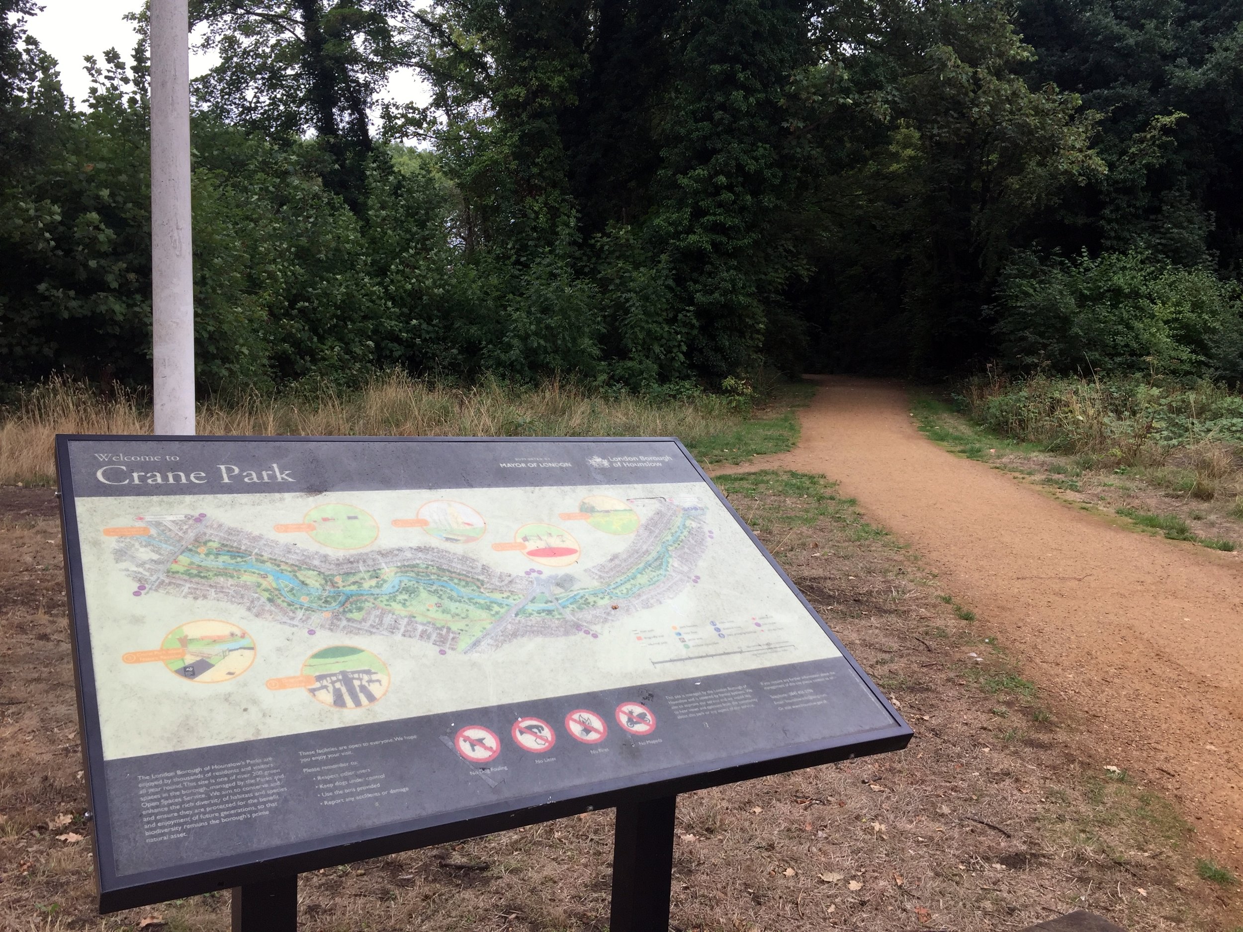
The route dives into Cranford Park, the first in a brilliant chain of green spaces that hug the Crane. Once you cross the busy A30 (you will likely have to cycle west for a short distance to safely use the crossing), the path strings together The Causeway, Donkey Wood, and Brazil Mill Meadows before delivering you into Crane Park, home of the local Crane parkrun! Crane Park is steeped in history; it was once the site of the notorious Hounslow Gunpowder Works. Look out for the imposing 18th-century brick Shot Tower built beside the water, a stark reminder of the area's explosive past.

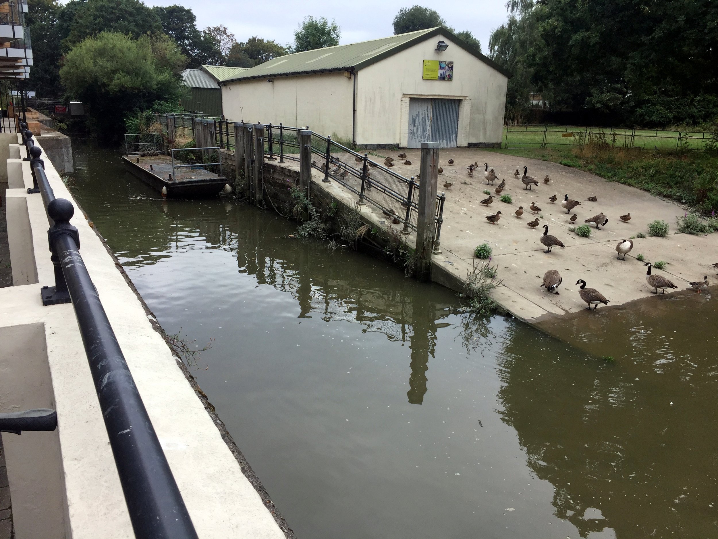
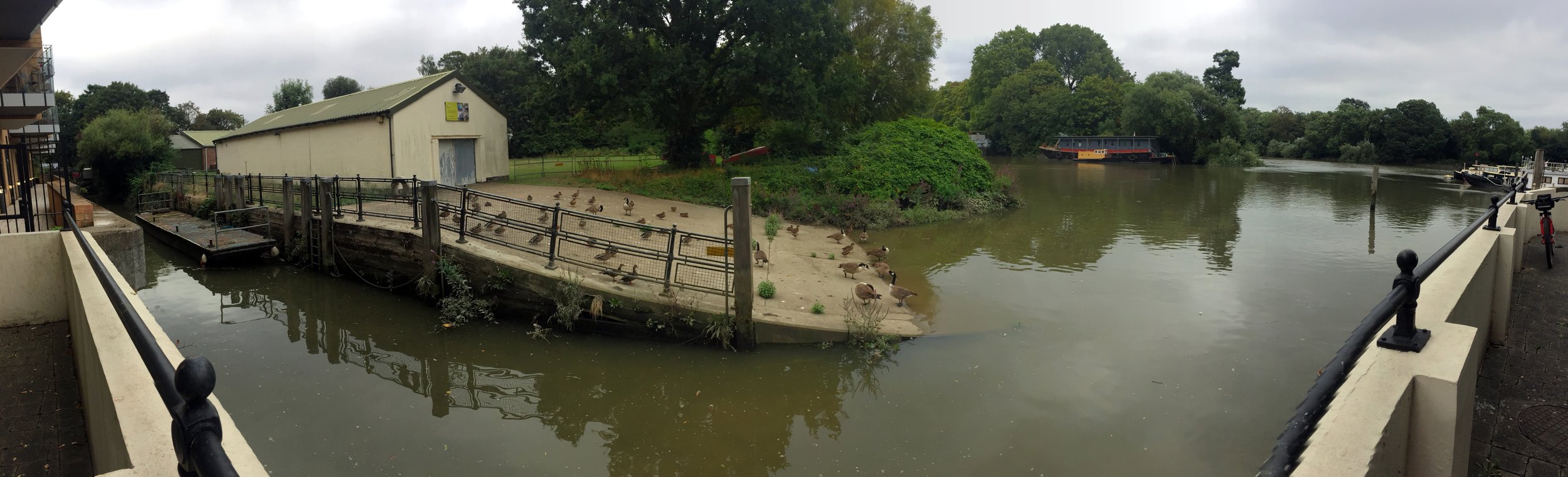
After Crane Park, the London Loop officially diverts away from the river, so you will need to rely on your GPX file to navigate through several residential Twickenham streets to stay close to the water. Eventually, the Crane meets the River Thames next to an apartment block off Railshead Road.


The Thames Path & Capital Ring at St Margarets

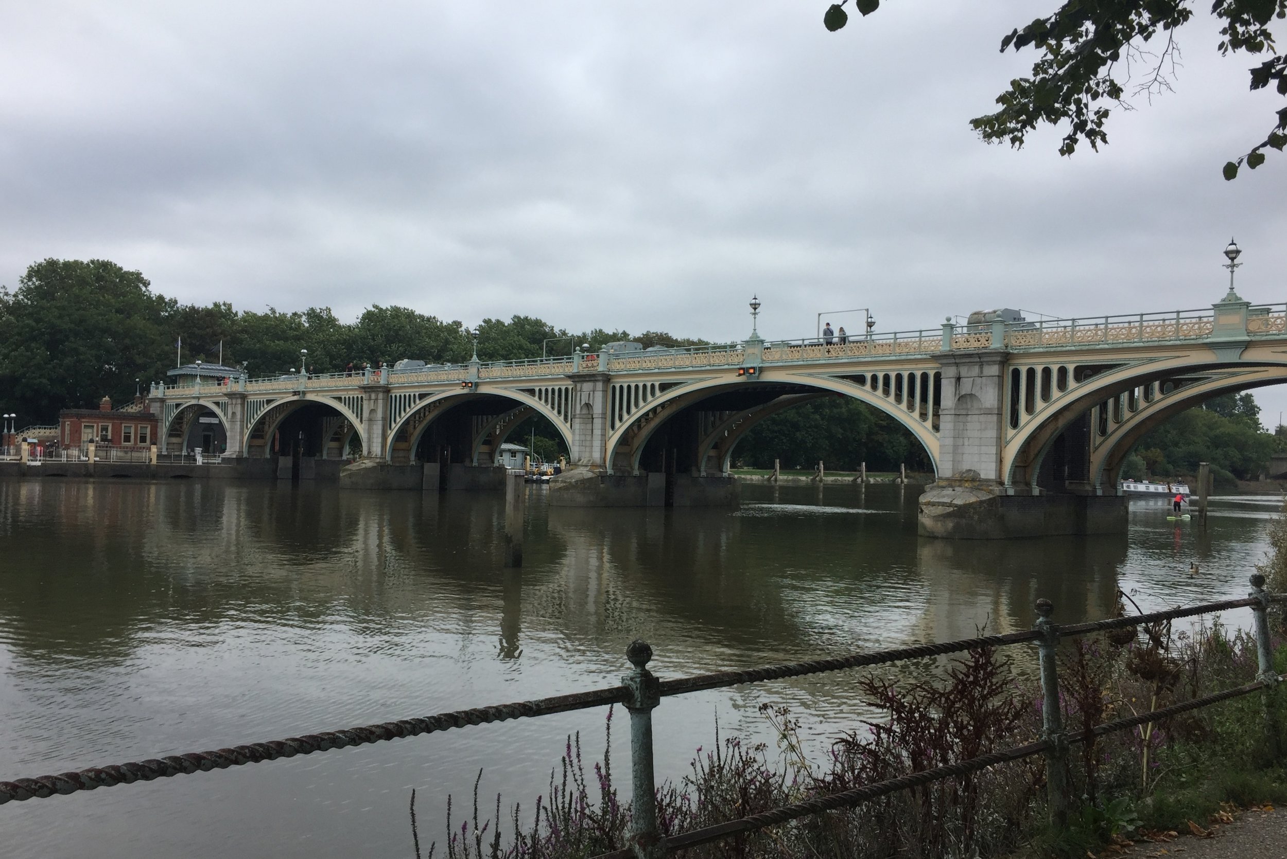
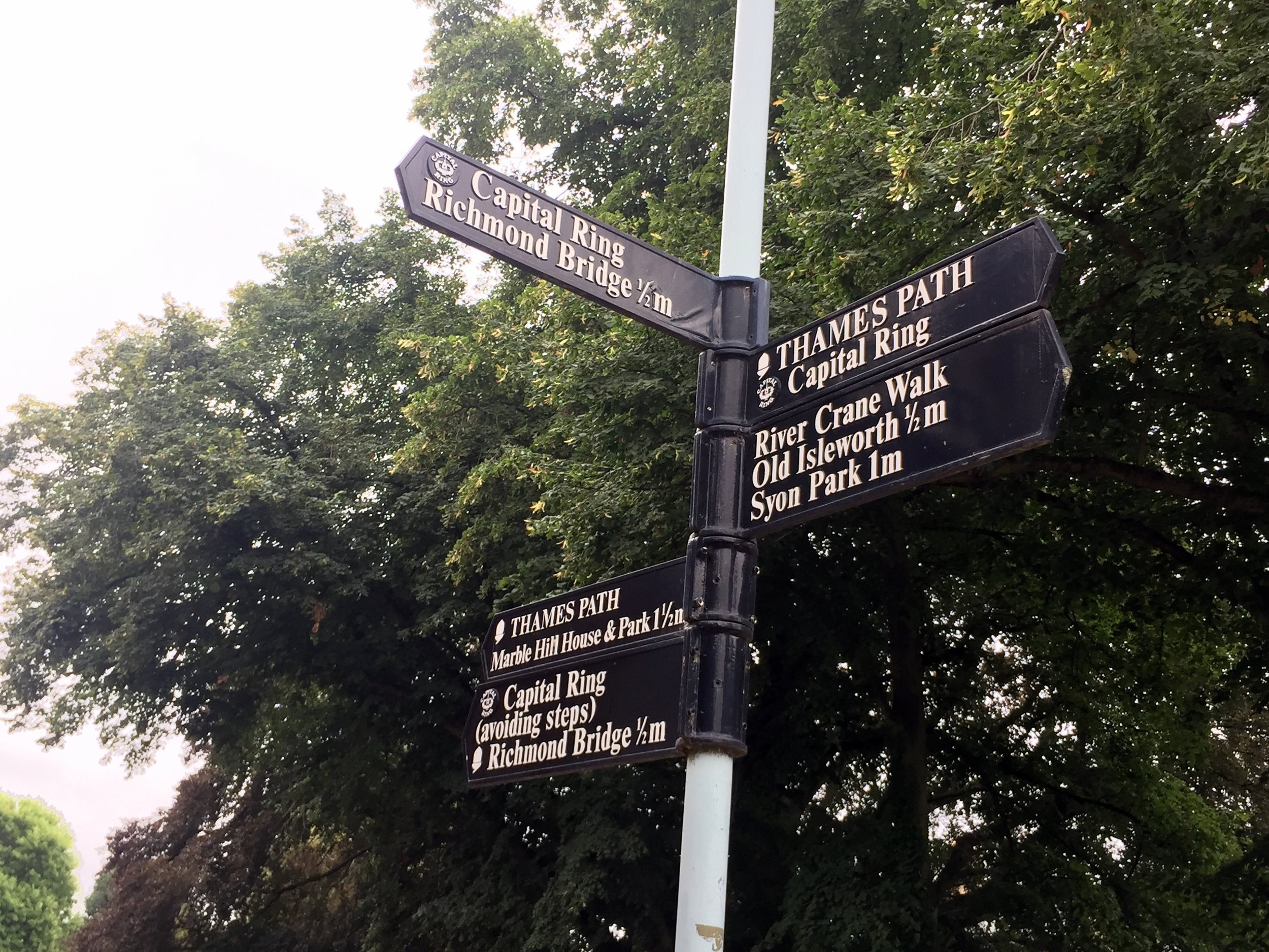
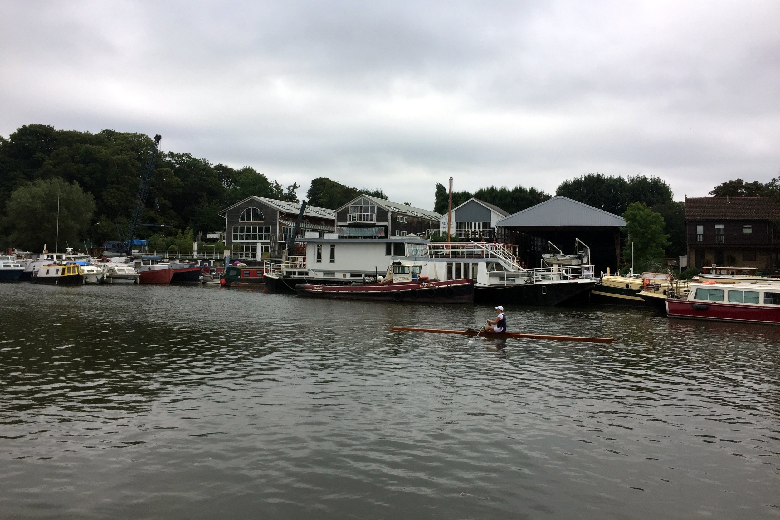
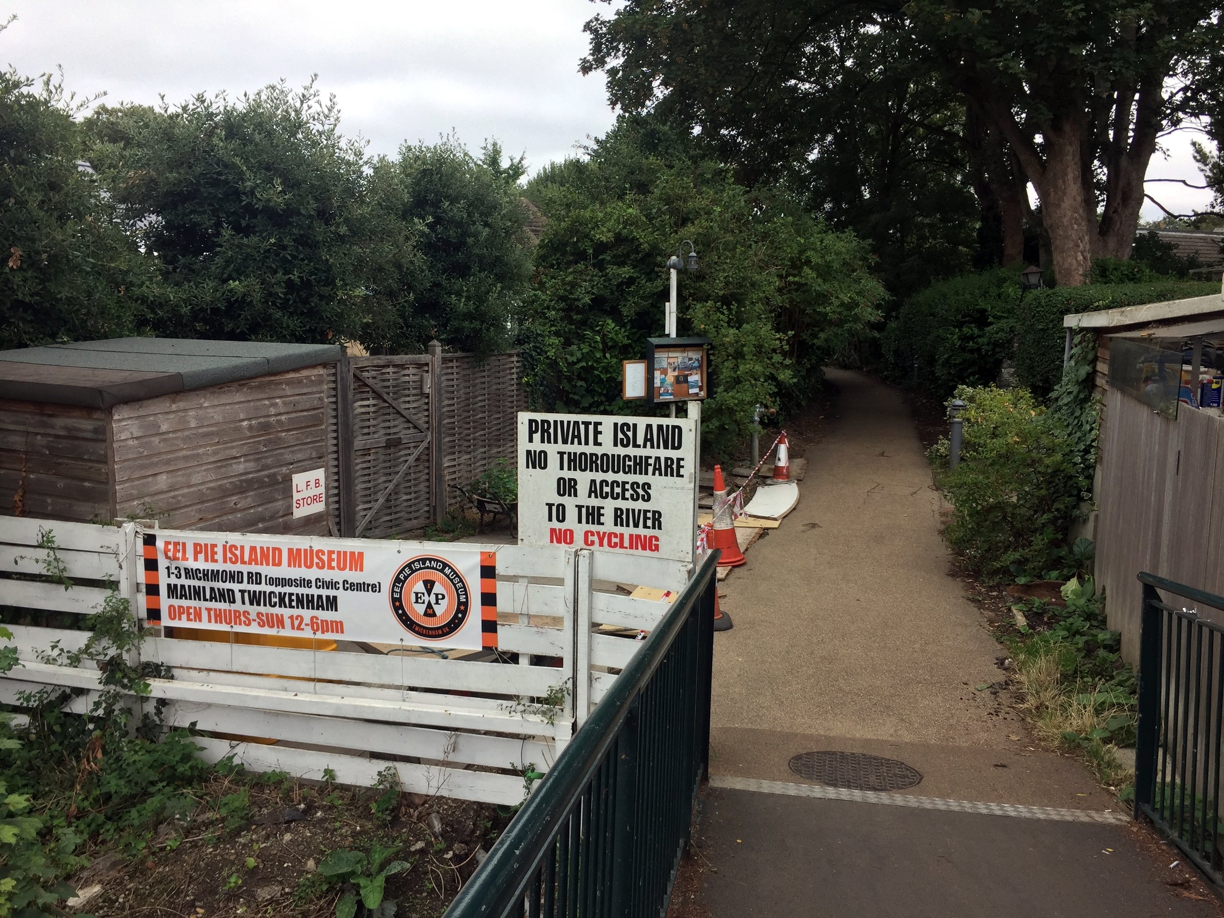
From the end of the Crane, there are two options to get you over to the Hounslow Baseline: a direct but busy road route, or a marginally longer but far more scenic trip along the Thames Path. Taking the Thames Path (as I did) briefly links you up with the Capital Ring. A stop at the famous Barmy Arms pub and a quick view of Eel Pie Island—the legendary 1960s hangout for bands like The Rolling Stones and The Who—makes for a perfect halfway rest stop.

After navigating the local roads away from the Thames up to the A312 (Uxbridge Road), keep an eye out for a small footpath near a zebra crossing. This path leads into a quiet cul-de-sac called Roy Grove, which is home to the south-eastern end of the Hounslow Baseline.


The Hounslow Baseline

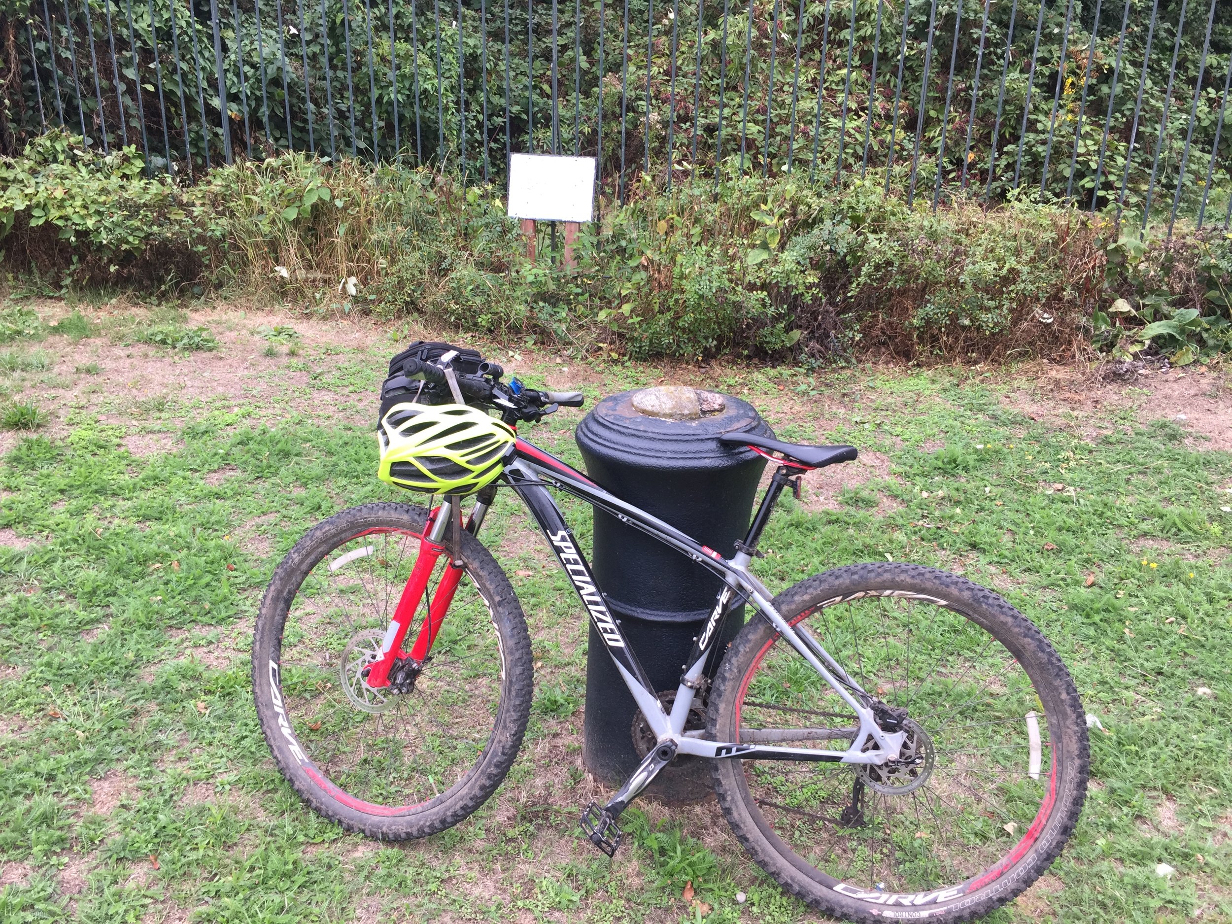
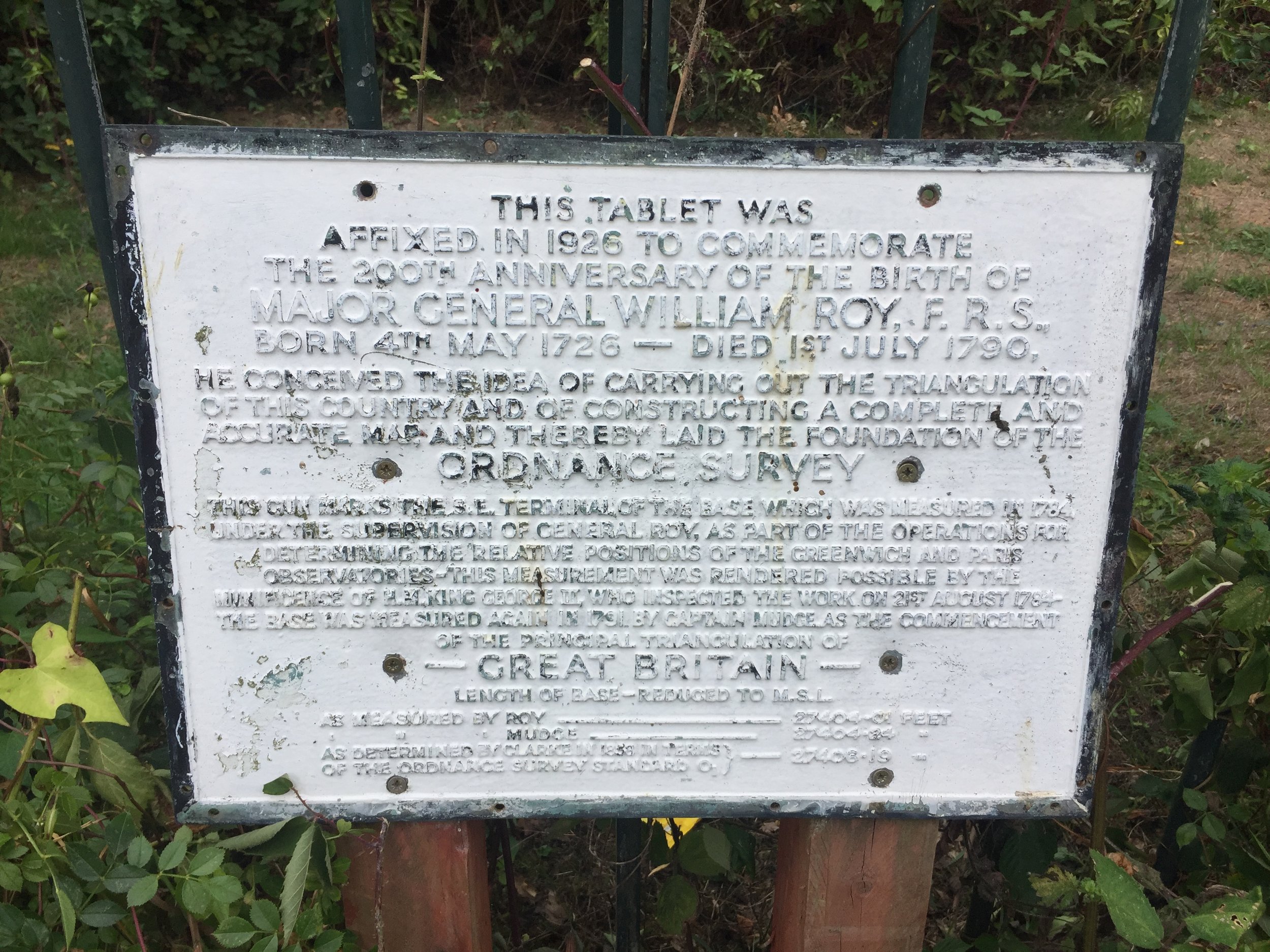
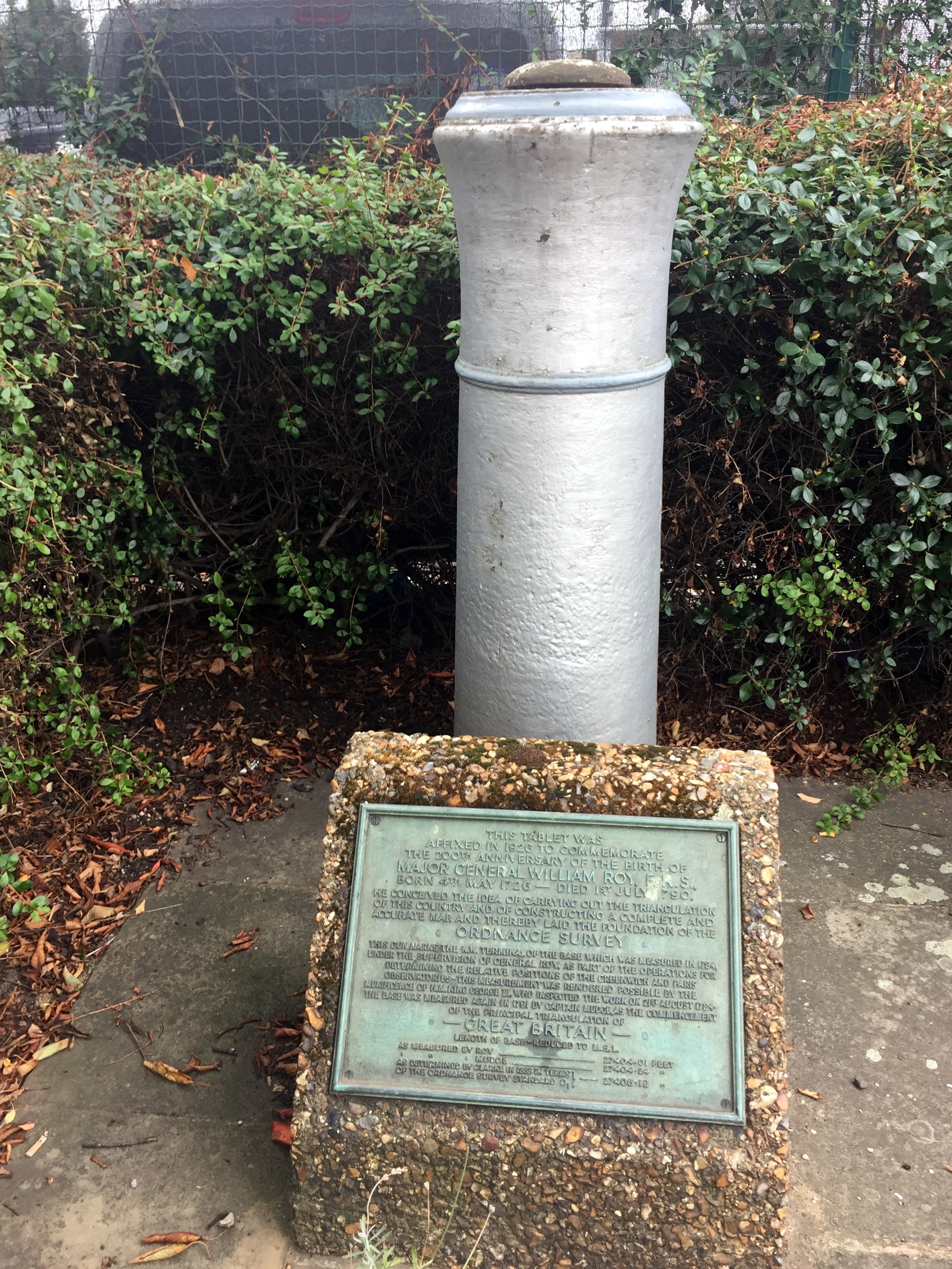
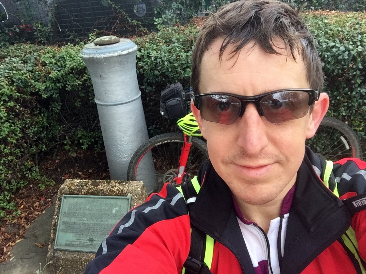
The street name, Roy Grove, is your first clue. The actual monument sits on an unloved patch of grass between two houses and consists of a historic cannon barrel buried muzzle-first into the ground, next to a plaque honouring Major General William Roy.

To cycle the actual Baseline, you essentially follow the A312 north-west for about 7km. The road name changes several times, but it is a remarkably straight route that closely traces Roy's original measurement line. Eventually, you reach the Hatton Cross Roundabout right on the edge of Heathrow Airport. You have to take a slight diversion around the Eastern Perimeter Road here, as the airport is unsurprisingly not keen on people cycling across the active runways!

The northern end of the Baseline is hidden on a grassy triangle at the junction of the Northern Perimeter Road and Nene Road. The monument, a twin of the cannon at Roy Grove, is tucked in the far corner. It sits right next to a massive Heathrow business car park. It is rather lovely that, in an area where every inch of concrete is monetised for parking, this little-visited monument has been quietly preserved. While some argue the Ordnance Survey should do more to promote these monuments, I quite like that they are hard to find. It feels entirely fitting that you need a map and some solid navigation skills to track them down!

From the monument, it is an easy 7km ride back to Minet Park, taking you through Sipson, one of the historic "doomed villages" that will eventually be lost if Heathrow's proposed third runway ever goes ahead, before linking back up to the Grand Union Canal.


Red = course of the River Crane, Yellow = cycle route, Blue = Hounslow Baseline. Green = (approx) future site of proposed Heathrow 3rd runway

Elevation plan of the cycle route (marked as yellow in the map)

Elevation plan of the cycle route (marked as yellow in the map)


More London Posts

If you enjoyed reading this post, there is plenty more to explore across the capital. I have put together a dedicated London Outdoors page where I keep track of all my other adventures around the city. It is a handy index where I group my posts by the different types of places I have visited: including historic boundary lines, canal towpaths, and some surprising urban high points.

The collection covers a bit of everything: from long-distance cycling routes to tracing the underground network on foot, and ticking off another Saturday morning parkrun. If you are looking for some inspiration for your own weekend outings, head back over to the London Outdoors page to see what else I have been up to.

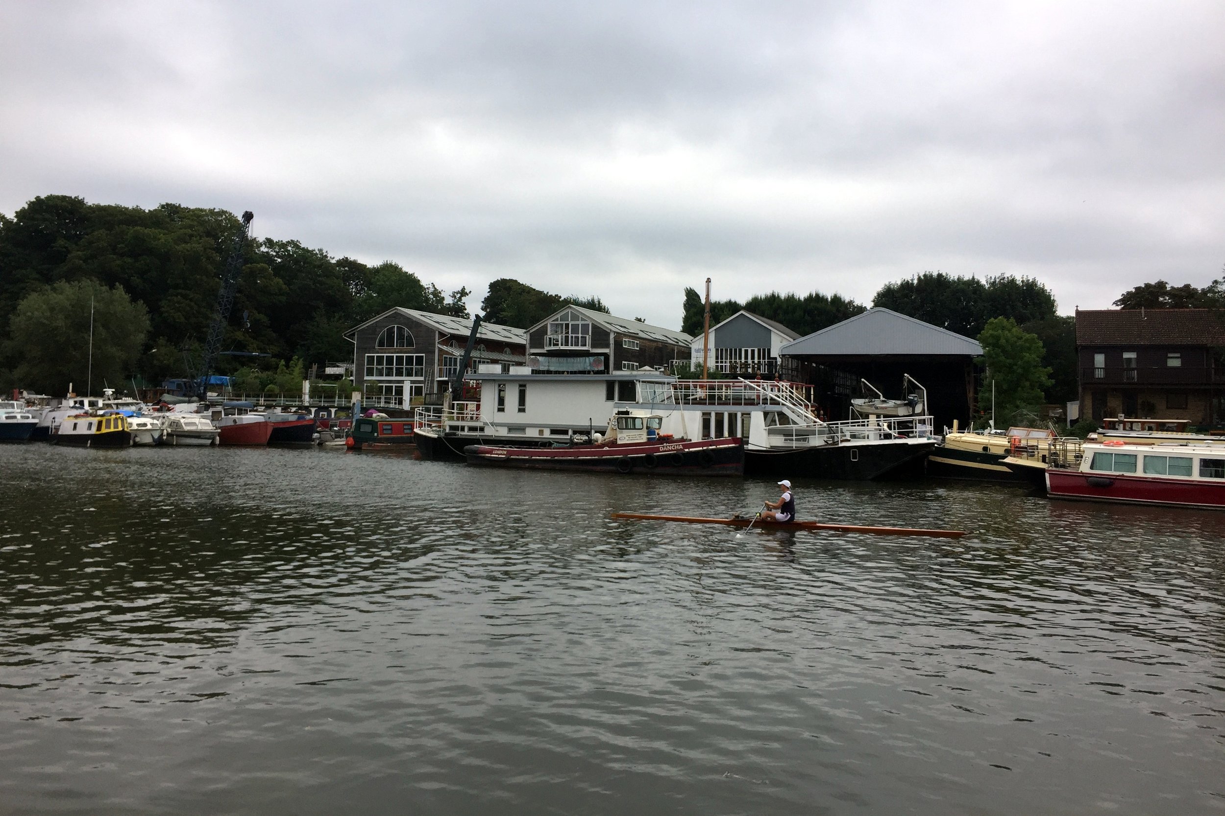
Middlesex parkrun & The Eel Pie Pilgrimage
Middlesex parkrun banner.JPG

When I completed my 100th different parkrun event at Hazelwood, I didn't realise at the time that it was also my last of the 20* parkruns in the historic county of Middlesex. This milestone only became important later on when I started looking for new parkrun challenges to tick off. I'd previously completed LonDone and the Channel Islands Region. Next up would be the South East England region but there were 84 of them and I'd only run 26, so it would take ages. I needed some smaller, more frequent hits, and the mini-regionnaires of the Historic Counties would do the job.

The Historic County of Middlesex has been chopped and changed over the years and technically ceased to exist as an administrative area back in 1965 when it was mostly swallowed up by the creation of Greater London. Yet, this "ghost county" stubbornly refuses to die. Its name, literally meaning the territory of the 'Middle Saxons' (sitting right between Wessex, Essex, and Sussex), lives on in county cricket, university titles, and the staunch refusal of many residents to drop it from their postal addresses. You'll also still spot its historic emblem—three notched swords known as seaxes—scattered across local coats of arms. Most relevant to the parkrun geek, Middlesex is proudly displayed in the address of parkrun Headquarters that can be found at the bottom of every page on parkrun.org.uk. A pilgrimage to the parkrun HQ would be a fitting end to the Middlesex mini-regionnaire.

So, as a part of a different micro-adventure, I headed towards Eel Pie Island. This is a quaint, quirky place in the Thames just off the Twickenham riverside. I'd read about it and its interesting musical history a few years ago and had wanted to check it out. Discovering that it's now the Global HQ for parkrun meant that I had to go immediately. I wasn't really sure what to expect though. I had visions of a sprawling HQ complex, maybe under a volcano, with Paul Sinton-Hewitt at the centre of it, stroking his cat and surveying a huge map of the world, planning his next country to conquer.

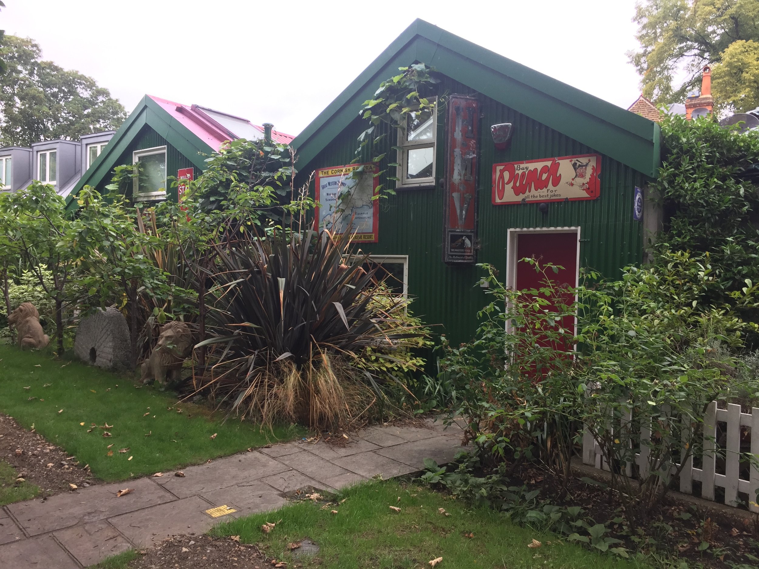
As it turned out there were no volcanoes and if there was a sprawling complex it was well hidden. Although you can walk onto the island over a footbridge, there's no access to Phoenix Wharf where the offices are. There are some cute cottages along a quiet footpath but no obvious signs of a global HQ. I assumed that the secrecy was for a reason. They're probably in league with the Illuminati and the Bilderberg Group is probably also behind the fence. Assuming I was being watched by parkrun's crack security militia I decided to retreat before being captured, never to be seen again.

*at the time


Completing Middlesex parkun

If you've done LonDone, you've pretty much also done Middlesex as it's only Hazelwood that sits outside of the Greater London region. The other odd exception is Oak Hill. It's the only North-West London event that's not within the Middlesex boundary, due to an oddly shaped scoop of old Hertfordshire that plucks it out from its neighbours. I'm now hoping for a new parkrun to be set up in Wrotham Park as it would have the honour of being the only event that's inside old Middlesex but outside of Greater London.


Here's the full list of all parkruns, at the time of writing, that are in the Historic County of Middlesex.

Actual course routes and positions for events that I have completed


More parkrun posts

parkruns are free, weekly, community 5k events all around the world. I started in December 2012 and have been obsessive about it ever since. See my parkrun Collection page for details.

Featured and popular parkrun posts: