When: April 15th 2018
Where: Barnes, London, UK
Course: Start and end at Barn Elms Sports Centre. 2 lap course mostly along Thames Path between Putney and Hammersmith Bridges, looping around Barnes Common and Bishops Park. Flat.
Other routes touched (walk): Thames Path, Beverley Brook
Other routes touched (cycle): NCN 4
Finish time: 1:57
When: April 8th 2018
Where: Charing, Kent, UK
Course: Hour-glass shaped loop from Charing School through country lanes and part of the North Downs Way
Other routes touched (walk): North Downs Way, Shepherd Neame Walking Route,
Other routes touched (cycle): NCN 17
Finish time: 2:07 - slow due to [insert excuse here]
Colne meets the Thames at Staines
Part of the Chiltern Rivers Series
River start: North Mymms Park in Hertfordshire.
River end: Confluence with the River Thames in Staines, Surrey
River length: 18 km (11.2 miles)
Cycle route start / end: parking in North Mimms town centre, Hertfordshire / River Thames in Staines.
Cycle route length: 57.8 km (36 miles)
Cycle route elevation change: +182m / -262m. Net -80m
GPX File: get via Buy Me a Coffee
Other routes touched (walk): Hertfordshire Way, Grand Union Canal Towpath, London Loop, Beeches Way, Colne Valley Trail, Thames Path
Other routes touched (cycle): NCN 12, 4, 6, 61
Map: OS Explorer Map (182) St. Albans and Hatfield / OS Explorer Map (172) Chiltern Hills East / OS Explorer Map (160) Windsor, Weybridge & Bracknell
Links: River Colne, Welham Green, North Mymms, Rickmansworth, Staines
The Colne is the daddy of the Chiltern Rivers. The Lee may be longer, but the Colne tells the real story of the Chilterns. From its start at North Mymms, the river flows south through Hertfordshire, Buckinghamshire, meeting the Thames at Staines in Surrey. Along the way it picks up water from smaller rivers such as the Ver, the Gade, the Chess , the Pinn and the Misbourne. Travel along these and you'll see some of the best scenery of the region.
The cycle route that I devised was awesome. I was fully prepared to get lost, stuck in the mud or work around non-cycle paths. As it turned out, it was a challenging but hugely enjoyable combination of trails, country roads, canal towpath and interesting industrial wasteland.
Unlike some of the other Chiltern Rivers, its possible to stay pretty close to the river itself. There's not one waymarked route to follow, but stringing a few together will get you there. Its complicated, so take a bike sat-nav and don't even think of attempting it on a road bike. Its muddy. And awesome.
How to do it.
Roughly its the following, but don't just rely on this. Take a map or GPX file.
Start at Welham Green, Hertordshire.
Follow Dixons Hill Road / Tolgate Road / Coursers road out of town.
Cross the fields, following the river until you get to the Watling Chase Timberland Trail
Follow the Trail to Lowbell Lane, crossing under the A1081
Passing through London Colney, take Shelney Lane over the M25
Follow Harper Lane to Watling Street, briefly turning right, then left onto a Bridleway
When passing though a farm/equestrian centre please dismount and walk the bikes through. The natives are friendly, but sounds like they have had a bad experience with people ignoring the "no cycles" sign.
Follow School Lane over the M1 to Garston.
By now you will be on NCN 61. Follow this all the to the Malt Shovel Pub on the Grand Union Canal at Iver.
This stretch of the NCN 61 also follows the Abbey Way and Ebury Way
Turn right off the canal then left onto Old Mill Lane.
Take the right hand path around Little Britain Lake, Following London Loop (section 1) then the Beeches Way to the Colne Valley Way
When the Colne Valley Way reaches Thorney Mill Road, take a left onto it until Wise Lane
Follow Wise Lane then the Colne Valley Trail onto Harmonsworth Moor.
Cross under the M4, then over the A4 through Stanwell Moor and under the A30.
Once past the A30, its a wiggle through Staines to the end of the river at the Thames opposite the Swan Hotel.
Recommended Lunch Stop
The Cafe in The Park at Rickmansworth Aquadrome is a great half-way stopping point. Their Courgette and Lime cake is amazing.
Elevation for cycle route
Completed parkrun events by Region
Completed events in date order
Data based on the awesome Running Challenges Chrome Extension
Source of the Alderbourne near the M40 at Fulmer
Part of the Chiltern Rivers Series
River start: Pond at Low Farm, off Framewood Road, Fulmer, Buckinghamshire
River end: Confluence with Colne Brook, next to M25 on Uxbridge Moor
River length: 8 km (5 miles)
Cycle route start / end: Black Horse Pub, Windmill Rd, Fulmer, Slough SL3 6HD
Cycle route length: 18 km (11 miles)
Cycle route elevation change: +/- 116m
GPX File: get via Buy Me a Coffee
Other routes touched (walk): Beeches Way
Other routes touched (cycle): Beeches Cycleway, NCN 61
Map: OS Explorer Map (172) Chiltern Hills East
Links: Fulmer, Uxbridge Moor
The Alderbourne loves motorways. A long time ago it flowed through quiet South Buckinghamshire countryside. Now it's flanked by both the M40 and M25, crossing right through the junction of both. Despite this, there's some interesting routes near it, as I found out on this circular ride loosely based on the river's course.
The best base for the ride is the Black Horse in Fulmer. It’s a regular of mine and one of my favourite pubs in the area. From here, cross the main road and go down Hay Lane to the junction with Framewood Road. This is as far as you can go by bike as both directions of Framewood Road are private. To see the source, lock your bike here and continue straight on the footpath for a third of a mile. A junction in the path will take you through a gate where you can see the small lake that feeds the river at Low Farm.
An optional add-on is to continue north-west along the main path for 5 minutes. Here you can see the decaying remains of Picking Farm. Once a large manor house, its been rotting for years getting overtaken by Japanese Knotweed.
To follow the Alderbourne, retrace your steps to the Black Horse and take Alderbourne Lane, heading east. The lane will briefly join Hawkeswood Lane which is crossed by the river with a ford. As with many places around here, being close to Pinewood Studios, the ford was a location for a movie (Genevieve 1953). Follow Alderbourne Lane to the end and it will meet Pinewood Road at the corner of Black Park and the film studios.
The route continues down Silverhill Road while the river diverts north without public access. The closest route to the river would be to take Silverhill then the A412, however this is a very busy road and not a pleasant cycle. Instead take the bridleway on the right of Silverhll before the M25 crossing. This follows the boundary of the Pinewood Studios extension and meets Iver Heath. Keeping to bridleways next to the M25 for 2.5 miles, you'll reach the Alderbourne's end where it meets the Colne Brook.
To complete the circular route, continue along the bridleway and follow the Beeches Way / NCN Route 61 until Billet Lane next to Langley Country Park. Follow this north to the A412 and cross it into Black Park. From here you can follow the eastern perimeter of the park along the side of the original Pinewood Studios site. At the North End of the park you can take Fulmer Common Road, then Windmill Road back to the Black Horse.
Despite not seeing much of the Alderbourne except for the start and end, its a great excuse for an interesting 11 mile ride around the area. Don't miss out on the opportunity for a meal and a pint at the Black Horse too.
Blue = River, Red = Cycle Route
Elevation for cycle route
Northern end of the route where the River Frays ducks under the Grand Union and meets the River Colne
Part of the Chiltern Rivers Series
Rivers start, end & length:
- Colne Brook: Splits from the Colne at Uxbridge Moor, runs 14.4 km (9 miles) to the Thames at Hythe End near Staines, Surrey
- Wraysbury: Splits from the Colne at West Drayton, runs ~9 km (5.5 miles) and rejoins the Colne near the confluence with the Thames at Staines, Surrey
- Frays: Splits from the Colne at Uxbridge Moor, runs ~9 km (5.5 miles) and rejoins the Colne near the confluence with the Thames at West Drayton, Middlesex
Cycle route start / end: Colne Visitors Centre, Denham, Uxbridge, UB9 5PG
Cycle route length: 46 km (28.5 miles)
Cycle route elevation change: +/- 149m
GPX File: get via Buy Me a Coffee
Other routes touched (walk): Grand Union Canal Towpath, London Loop, Beeches Way, Colne Valley Trail, Thames Path
Other routes touched (cycle): NCN 4, 6, 61
Map: OS Explorer Map (172) Chiltern Hills East, OS Explorer Map (160) Windsor, Weybridge & Bracknell
Links: Colne Brook, Wraysbury River, Frays River, Uxbridge, West Drayton, Staines
This route is not pretty, but it is interesting. This is the lower Colne Valley, a land of marshland, rivers and moors sliced and diced by motorways, rail lines and dirty industry. It’s a place that few people discover and why would they? The Chilterns surround it to the north west and Windsor Great Park is not far to the south. What this area lacks in beauty it makes up for in intrigue. It’s a chance to get lost in a place you’ve wizzed by on the way to somewhere else.
I'd made a failed attempt at this trip in January. It's been a winter of cancelled running events and I've added a few extra kilos. I was eager to get back on my bike for another attempt and a short window in a rainy Easter weekend gave me a chance. It was wet, muddy and cold. I loved it.
The best place to start the trip is car park at the Colne Valley Regional Park Visitors Centre. From here, its a 2.5 mile cycle down the Grand Union to the start of the Colne Brook. You can see the split from the River Colne from a bridge on the A4007 at Cowley. About 500m further on, a footpath next to the M25 follows the end of the Alderbourne before it meets the Colne Brook. The cycle route stays as close to the river as possible, passing through Iver, Thorney Park Golf Course, Colnebrook village and the back of Heathrow T5 industrial estates.
Once past Heathrow the route gets more pleasant as it weaves through the Wraysbury reservoirs, emerging at Hythe End. After passing the start of the Staines Reservoirs Aqueduct, the route joins the footbridge on the M25 river crossing. From here you can see the confluence with the Thames opposite the Runnymede Hotel.
After a short ride east along the Thames, cross back over the river and you'll find the point where the River Colne reaches the Thames near the old Town Hall. The junction of the Colne and the Wraysbury can be seen from a bridge off Church Street a couple of hundred meters to the north.
From Staines, the cycle route stays in sight of the Wraysbury river for most of the route except for a diversion around a grotty industrial estate at the back of T5. The start of the river at West Drayton is within a stone's throw of the end of the Fray's River. This end of the Frays is hard to keep close to, so the route diverts through West Drayton and Yiewsley before meeting the river at Little Britain Lake. From here the river can be tracked pretty closely through Uxbridge up to the junction with the Colne at Denham Lock.
Yellow = Cycle Route, Red = River Colne Brook, Blue = Wraysbury River, Green = River Frays
Elevation for cycle route
When: March 25th 2018
Where: Black Park Country Park, Buckinghamshire, UK
Course: 2 laps of the parkrun course
Other routes touched (walk): Beeches Way
Other routes touched (cycle): None
Finish time: 55 mins
Good to be back in action after a winter of cancelled events.
When: March 11th 2018
Where: Harpenden, Hertfordshire, UK
Course: Muddy mixed terrain starting and ending at Rothamsted Park, leading out to the Rothamsted Estate, the Nicky Line and some nice residential streets of Harpenden.
Other routes touched (walk): Nicky Line, Chiltern Way
Other routes touched (cycle): NCN 57
Finish time: 2:05
When: March 3rd 2018
Where: 20 Fenchurch Street, London
Floors: 36
Steps: 828
Finish time: 6 minutes, 49 seconds
Charity: Great Ormond Street Children's Hospital
My donation / sponsorship total: £250
Coming back to Tenerife wasn't very appealing to me until recently. I must have been there about 20 times with my family when I was growing up. My parents had a half share in an apartment in Las Americas with my Dad's’ business partner’s family . We had some great times there and it was the setting for some of my fondest memories.
I only got the travel bug in my mid twenties and since then I’ve been on a mission to see the world. I developed a rule about not going back to places, so Tenerife never got a look in. It was going to Madeira last year and walking the Levadas that started to change my mind. I realised that I’d only seen holiday resort Tenerife, not the outdoor wonderland that most tourists never visit. It was time to return and to show Timi the holiday places of my childhood.
First up, a 5 mile walk of the resort to recreate some old moments...
Playa de las Americas
Playa de las Americas beach - early 1980s
2018
Dad: view to Villamar, Bouganville Playa and Gran Tinerfe - early 1980s
2018: Same view from lower position. Upper walkway now closed for building works.
Dad: view to Parque Santiago 1,2,4 and Conquistador - late 1980s
Richard - 2018
Los Angeles cafe & view to Roque del Conde mountain: mid 1980s
Flanagans: the scene of some epic 1980s dad dancing.
Cafe amazingly still there in 2018. Mountain obscured by palm trees
2018: Flanagan's is long gone. Still classy though.
Parque Santiago 3
Parque Santiago 3 was the resort where my parents shared an apartment with the Blore's, the family of my dad's business partner.
Mum in front of Parque Santiago 3 being built in the 1980s
Mum: late 1980s. The big ugly block in the distance is the now-demolished Europa hotel
Timi in 2018
Same bridge 30 years later.
Late 1980s: Perfecting my smug grin
2018: Smugness comes naturally now. Bigger me, bigger tree.
Mount Teide Cable Car
Summit of Teide, early 1980s
2018: slightly different angle, bit colder, but still there.
Old cable car: mid 1980s
2018: new cable car. Click here for the Teide website's history of the cable car
1980s low tech sign on the cable car station
2018: same building, new tech.
Dragon Tree, Icod de los Vinos
800 year old Dragon Tree in 1980s
835 year old Dragon Tree.
La Gomera
Roque de Agando - mid 1980s, rocking the Comic Relief T-shirt
Ruins of old banana harbour - mid 1980s
View of Tenerife from La Gomera ferry: mid 1980s
Roque de Agando - looking a bit older in 2018
2018 - still ruined but looks like someone lives there now.
2018: much more development. Think there's a volcano in there somewhere.
And finally, one of my favourite photos: The Gowers and The Blores at the Santiago 3 apartment before a night out (late '80s). Sadly, no 2018 recreation for this one as not all of the original cast are still with us.
See also: Gran Canaria: Then and Now
Mt Teide
Mt Teide
Significance: High point of Tenerife, The Canary Islands and Spain
Summit height: 3,717m
Highest point reached: 3,555m
Guidebook: Europe’s High Points (Cicerone)
I don’t remember much about visiting Mt Teide. I’ve definitely been before, at least to the bottom of the Teleferico (cable car). Judging from the old photos it must have been about 35 years ago.
I do remember talking with my dad about going up again when I was an early teenager. This was in my less adventurous days and I was scared when my dad told me that the air would be thinner up there. I had this fear that it would be too thin for him and he would have a heart attack. I realised today that he would have been about the same age as I am now ... which I’ve now decided is really really young.
So, on my first trip back in over 20 years and with a well developed adventure obsession, I had to make it to the top. I’d made all the plans: permit, pre booked tickets, all the right clothing. The only problem was that it was February and the trail from the upper cable car station was shut due to ice.
Despite the near miss of reaching the summit, Timi and I had an amazing day. We ticked off the Teide National Park UNESCO site and got some amazing photos of the peak and Los Roques de Garcia before the clouds came down.
I was a bit disappointed in not getting to the top but February is always a risk. It’s was the same reason we didn’t get to Mt Olympus in Cyprus 3 years ago. After all, our mission for the week was to have a relaxing end of winter break, not to get to the summit. Anway, I figured that we would have better luck climbing Alto de Garajonay on Friday.
Alto de Garajonay
Significance: High point of La Gomera
Summit height: 1,487m
Highest point reached: 1,250m
Whilst a Teide trip is simple to organise, La Gomera is trickier. We wanted a 1 day trip from where we were staying in Costa Adeje, Tenerife. I started researching 6 weeks before. The first company that I emailed obviously hadn’t got the knack of using computers. After 2 weeks with no reply to my enquiry I emailed again. Apparently their reply was stuck in their draft folder. They sent me as brief an email as they could muster, so I replied with a few basic questions. No response.
With a bit more research I found another company that had a few interesting trekking options on their website. I picked one and paid online, giving all the details they asked for, including the hotel where we were staying it. It was a good sign that I got a response straight away, but strange that they were asking me again where I was staying. I told them our hotel name and within minutes got a refund with a blunt email saying I that I could not join the trip as I was not staying on the island. After a bit of back and forth with me trying to explain how god customer service works, I gave up.
Attempt #3 was prompted by an email from my hotel asking if there was anything they could do to help with our upcoming stay. They even had an Experience Centre with a dedicated email address. I wrote to them to explain what we wanted to do on La Gomera. No reply. Was the island was actively trying to discourage tourists? By now I’d given up hope of making arrangements in advance and decided to chill out and sort out when I got to Tenerife.
Once we’d arrived at the hotel and settled in Timi and I went to the hotel’s Experience Centre to ask about La Gomera. Having not quite got to the top of Teide we were determined to bag at least one island summit. I asked whether the jeep safari they offered would go to Alto de Garajonay, the highest point on the island. The guy made a phone call and confirmed that yes, it definitely did. Result.
On the day of the trip we were picked up early and taken on the ferry from Los Cristianos to San Sebastián de la Gomera. Soon after arriving the jeep convoy stopped at a nearby viewpoint and the main guide explained the day’s agenda. It all sounded great but was a bit odd that he didn’t mention to stop at the summit. I asked him about it... “no, unfortunately we don’t go there, it’s a bit of a hike and no tour company goes there.” I was, as you could imagine, not amused.
The tour itself was OK but not special and certainly nothing to make up for the lack of summiting. We did the usual stops for the Aloe Vera Farm, Banana Plantation, local lunch and Botanical Gardens. All fairly interesting but not worth the money we’d paid for, especially as I’d been there before. So close.
Back at the hotel I made sure they understood my frustration and eventually got my money back. I’ll spare you the details here as my Tripadvisor review explains it well.
So, the learning for La Gomera is not to go with an excursion if you want to get to the high point. Don’t believe anyone who tells you they go there unless you’re sure they completely understand that Alto de Garajonay doesn’t mean just the National Park that surrounds it. You may have better luck than I did with a local company on Gomera, just don’t expect good customer service.
We plan to go back but we’ll organise it ourselves now that we know what to do and where to go. The best plan seems to be to go by ferry on foot and hire a car on La. Gomera. Our first plan had been to take our Tenerife based rental car over on the ferry, then we found out that most rental companies don’t allow it. The island roads from the port to the national park are good and there’s several parking spots around the trail to the summit. We will probably stay on the island for a few days and check out the many other trails too.
So close
Roque de Agando - volcanic plug, a highlight of the centre of La Gomera
This was a Christmas present from Timi after a bit of heavy hinting. A great Saturday double-bill of the Adventure Travel Show in London followed by the Archipelago restaurant. My new favourite place in London. Had the zebra to start with, crocodile curry main course with silkworm pupae side dish and chocolate covered scorpion for desert. Awesome
Total Distance in 2017
Run: 455 miles
Cycle: 1,256 miles
Trek: 284 miles
Total = 1,975 miles
Trek = recorded hiking & walking events, not general steps.
Key Events in 2017
1 Ultra Marathon
10 Half Marathons
44 Total parkruns
25 New parkruns
4 New County Tops (Goatfell, Kinder Scout, Cheeks Hill, Black Hill)
2 New Countries (Romania, Peru)
Stats from 2010 .. first year of tracking via Garmin
Start: Salisbury Cathedral, The Close, Salisbury, SP1 2EJ
Finish: Winchester Cathedral, 9 The Close, Winchester, SO23 9LS
Distance: 44 km (27.3 miles)
Elevation change: +599m / -605m m. Net -6m
GPX File: get via Buy Me a Coffee
Other routes touched (walk): Old Sarum Way, Monarch’s Way, Test Way,
Other routes touched (cycle): NCN 23, 24, 246,
Map:
- OS Explorer Map (130) Salisbury and Stonehenge
- OS Explorer Map (131) Romsey, Andover and Test Valley
- OS Explorer OL32 Winchester, New Alresford & East Meon
Links: Clarendon Way, Salisbury, River Test, Winchester
I struggle with December. I don't know whether its real Seasonal Affective Disorder, but I'm definitely affected by the short, dark days. By the time I finished work on the 20th I was barely clinging on for the break. What I needed was a 1 day microadventure: a whole day outside and to get physically rather than mentally tired. The Clarendon Way solved this.
The route is a 20 mile sign posted trail between Salisbury and Winchester. It has the feel of a Pilgrimage route with a cathedral at either end and long, straight ancient paths. It connects 2 old Royal Palaces, including Clarendon Palace after which it is named.
There's a lot of pleasant countryside and some interesting sections at either end. Much of the middle is unremarkable though. Maybe I've been spoilt by other trails like the Ridgeway that have more to see. That wasn't really the point of today's trip though.
The day started with a head full of unfinished work thoughts, re-mortgaging details and annoyances about dodgy builders. Thoughts came and went over the course of the 8 hour trip. Ideas rumbled around, solutions presented themselves and some things lost their importance. I've read about people finding enlightenment on a Pilgrimage. I wasn't going to get that on a 1-day walk, but I understand where it comes from. For some its a religious experience, for me its the head-clearing power of exercising outdoors.
Getting there:
The Clarendon Way is a good 1-day walk or, in summer, a trail marathon run. Although it can be broken into sections, the completed journey in a day is enormously satisfying. I parked at Basingstoke station and took a 45 minute train to Salisbury, returning from Winchester to Basingstoke. This is the best solution if you're coming from the north and there's a similar option using Southampton station as the connector. The train station in each city is about half a mile from the cathedral.
For an alternative 2-day option on walking the Clarendon way, check out Hiker Hero’s blog about the trail. It’s a great article with some awesome photos and more description on the route.
Cowroast Lock near the source of the Bulbourne
Part of the Chiltern Rivers Series
River start: Cow Roast and Dudswell in Northchurch, Hertfordshire
River end: Confluence with the River Gade at Two Waters in Apsley near Hemel Hempstead, Hertfordshire
River length: 11 km (6.8 miles)
Cycle route start / end: Bridge where Lower Kings Road meets the Grand Union at Berkhamsted
Cycle route length: 24 km (15 miles)
Cycle route elevation change: +/- 86m
GPX File: get via Buy Me a Coffee
Other routes touched (walk): Grand Union Canal Towpath, Chiltern Way
Other routes touched (cycle): Chilterns Cycleway, Berkhamsted Route 6
Map: OS Explorer Map (181) Chiltern Hills North
Links: River Bulbourne, Cowroast, Berkhamsted, Hemel Hempstead
I nearly didn't bother with the Bulbourne. Its a chalk stream running 7 miles from Cow Roast to Hemel Hempstead in Hertfordshire. Despite being on a mission to walk, cycle or run all the Chiltern Rivers, I felt that I'd already done it. It doesn't have its own footpath but the Grand Union Canal towpath runs alongside it and I'd cycled it several times before. The completed-finisher in me couldn't let it go though. I may have cycled the route, but I never taken any notice of the river. Had I missed something wonderful? No, as it turned out, but it did make for a nice Winter Solstice microadventure and a way to avoid Christmas shopping.
My ride with cycle-buddy Charles was a 15-mile circular route starting in Berkhamsted. From here the source of the Bulbourne is a 3-mile cycle up the A4251 to Cow Roast. The actual source is penned in between the Grand Union, the main road and a Mini dealer. There's not much of the river to see for the first few miles, just marshy ground.
After 3 miles on the Grand Union, and back at Berkhamsted, the river appears and follows the right hand side of the towpath. For the final stretch to Hemel, it disappears and reappears several times, crossing over the canal at one point. The river finally merges with the Gade at Two Waters, hidden behind a garden centre. From here the return trip to Berkhamsted is a 25 minute ride back along the A4251.
Blue = River, Red = circular cycle route
Elevation for cycle route
Start: Brecon Canal Basin, Brecon, LD3 7EY
Finish: Crickhowell High Street, Crickhowell, NP8 1BE
Distance: 25 km (15.5 miles)
Elevation change: +134m / -201m. Net -67m
GPX File: get via Buy Me a Coffee
Other Routes Touched (walk): Taff Trail, Usk Valley Walk
Other Routes Touched (cycle): NCN 8
Maps:
- OS Explorer OL12 Brecon Beacons National Park - Western & Central areas
- OS Explorer OL13 Brecon Beacons National Park - Eastern area
Links: Monmouthshire & Brecon Canal, River Usk, Brecon, Talybont on Usk, Crickhowell
I’d only seen the Monmouth & Brecon Canal a few times before and that was only the basin at Brecon. It’s where I started the Taff Trail many years ago and was the venue for a Landscape Photography course I did in 2012. I never thought about where it went to until recently. Timi and I were staying in the Valley of Ewyas on the Welsh border and I needed a one-day adventure while she spent time with her coaching friends.
I looked at a few options from cycling the whole length of its to walking or running a section. The 16-mile Brecon to Crickhowell section was an obvious choice for a short winter day. There’s an infrequent bus between the towns which helped the logistics for a point-to-point walk.
After a thwarted attempt on Pontypool parkrun I arrived at Crickhowell at 09:30. I’d driven over an hour to get there from our isolated farmhouse only to find that the run was cancelled due to ice. It was especially annoying as I had checked the run’s homepage the day before to see if it was on. It must have been cancelled overnight and, without internet at the farm, I had no way of checking that morning.
With the bus leaving at 10:20 I had a while to fill up on coffee and carrot cake at the Latte-Da cafe next to the bus stop. The last time I’d spent any time in the town was 25 years ago. I remember a cafe there that was a shrine to Cliff Richard. His songs were on constant rotation and there were photos of him all over the walls. It was a quirky place that I hoped was still there but it was now long gone in the history of the town.
After a short bus ride and a 5 minute walk to the canal basin I started my walk. The first section was pretty snowy with some amazing views of Pen-y-fan and its sisters on the first 3 miles. The well kept towpath is dotted with wooden sculptures and information boards depicting the history of the canal.
The route follows the River Usk remaining higher than the river in most parts and crossing it on viaducts several times. The A40 is also close by and, apart from the first couple of miles out of Brecon, it’s distant enough not to spoil a quiet walk.
There were a couple of places, like Talybont on Usk and Llangynidr, with canal-side pubs that would have been nice stops. As it happened I decided to plough on so I could be back at the farm before it got dark.
The first 5 miles were the most interesting then a lot of the route was much the same. That’s why I prefer to cycle along canal towpaths as they’re often a bit samey for the slower speed of walking. Even so, it was a lovely walk and a good use of a chilly winter day.
When: November 19th 2017
Where: Knebworth House, Hertfordshire, UK
Course: Hertfordshire country lanes with Start and Finish at Knebworth house. Undulating.
Other routes touched (walk): None
Other routes touched (cycle): NCN 12
Finish time: 1:58
When: October 29th 2017
Where: Luton, Bedfordshire, UK
Course: Tarmac, mix of park and city. Starts at Stockwood Discovery Centre, through Luton Hoo Estate, City Centre, Wardown Park, ending in the Town Hall Square.
Other routes touched (walk): Lea Valley Walk,
Other routes touched (cycle): NCN 6
Finish time: 1:59
When: October 7th 2017
Start & Finish: The St Madoc Centre, Llanmadoc, Swansea, SA3 1DE
Distance: 79.8 km (49.6 miles)
Elevation: +/- 881m
GPX File: get via Buy Me a Coffee
Other routes touched (walk): Wales Coast Path, The Gower Way
Other routes touched (cycle): NCN 4
Map: OS Explorer Map (164) Gower, Llanelli
Finish time: 15 hours 30 minutes
Links: Gower Peninsula, Rhossili & South Gower Coast National Trust, The Mumbles
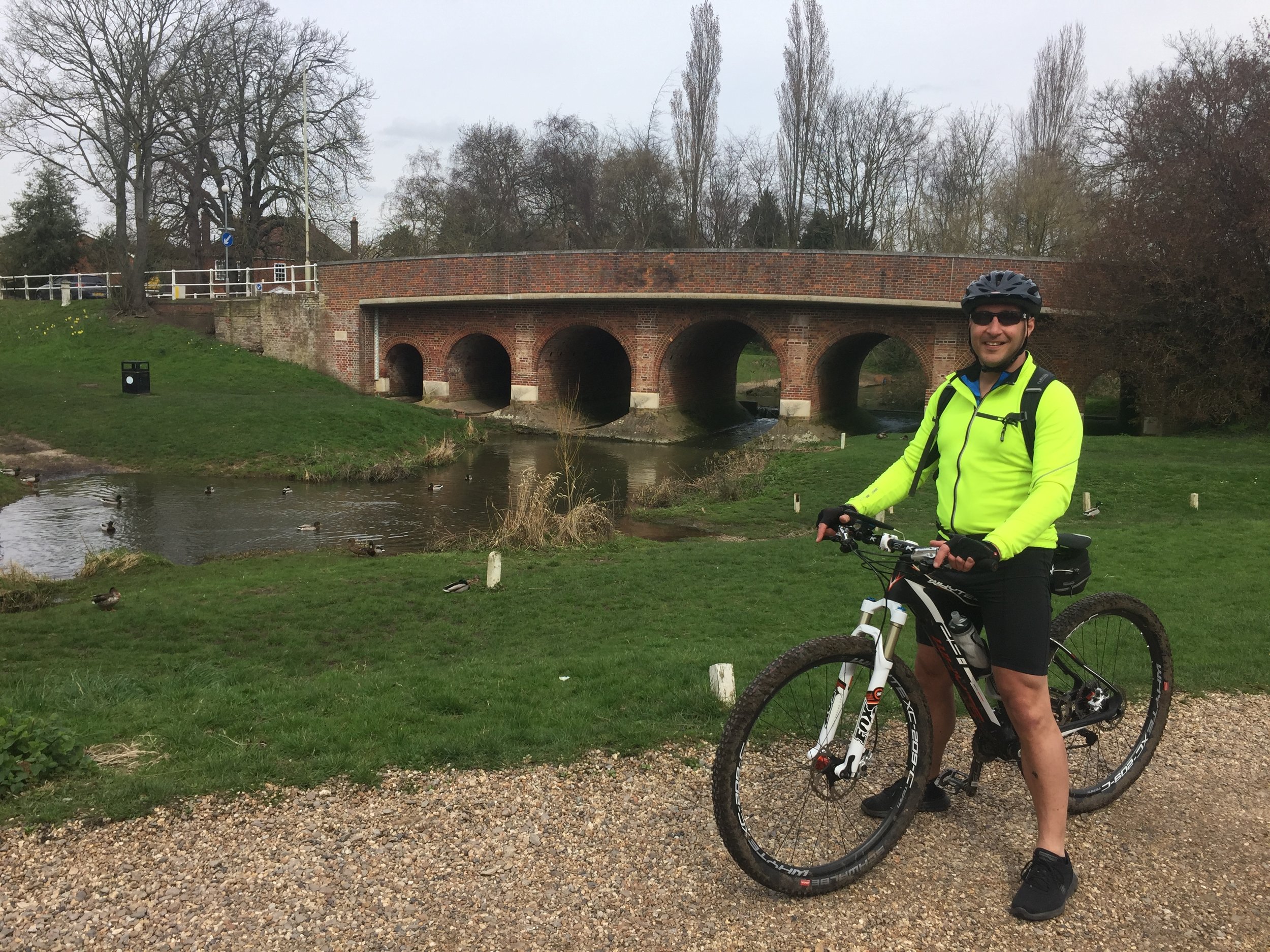
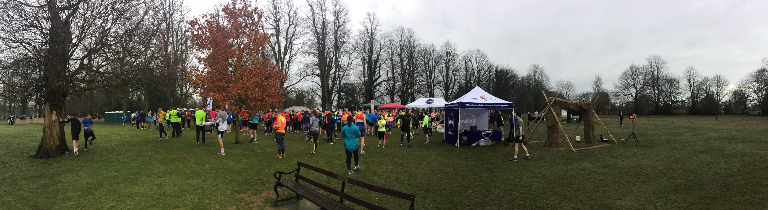
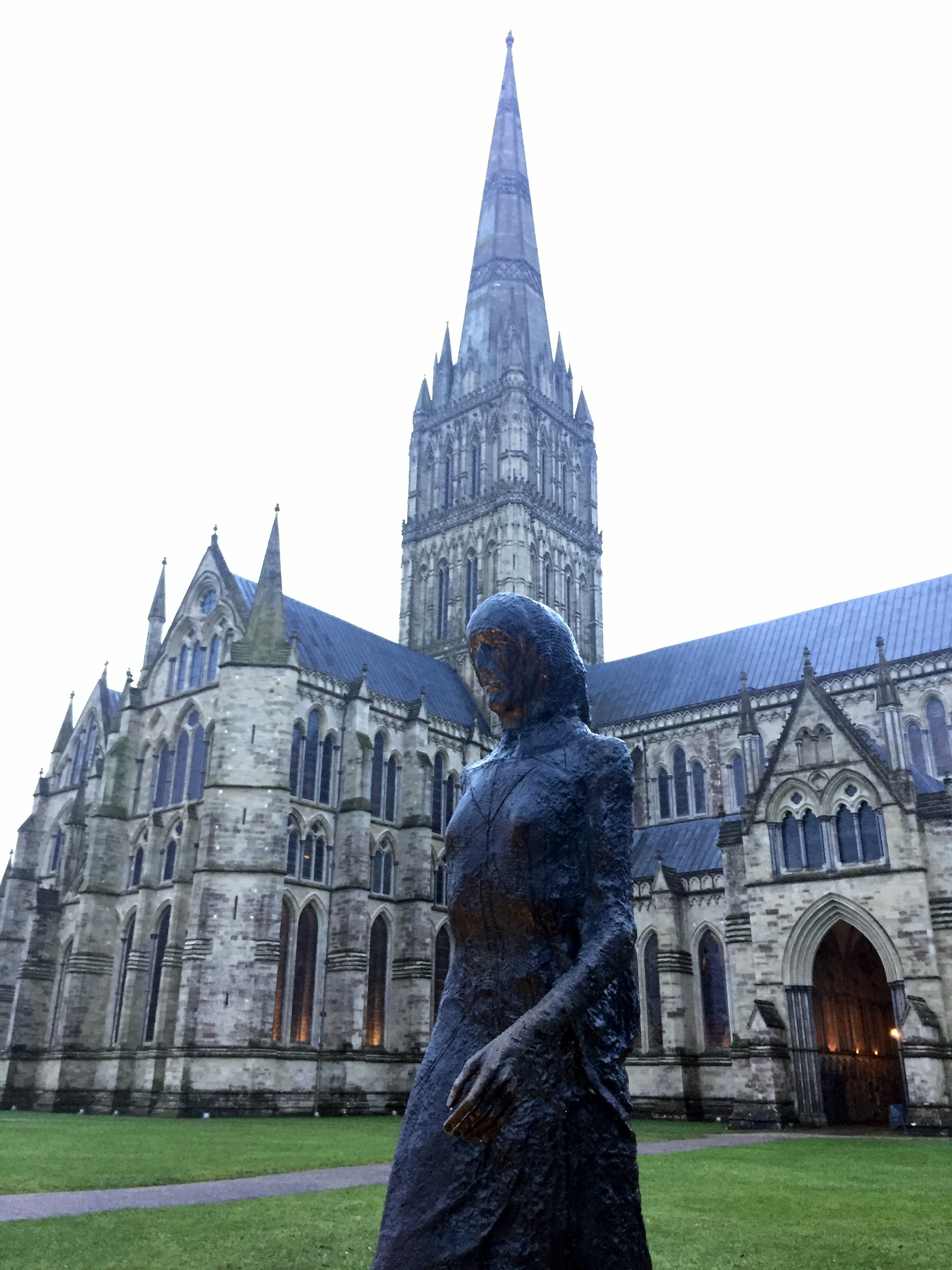
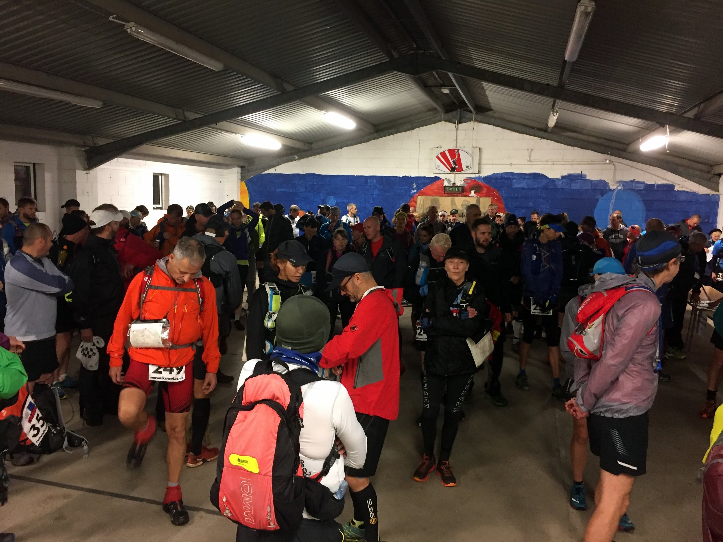
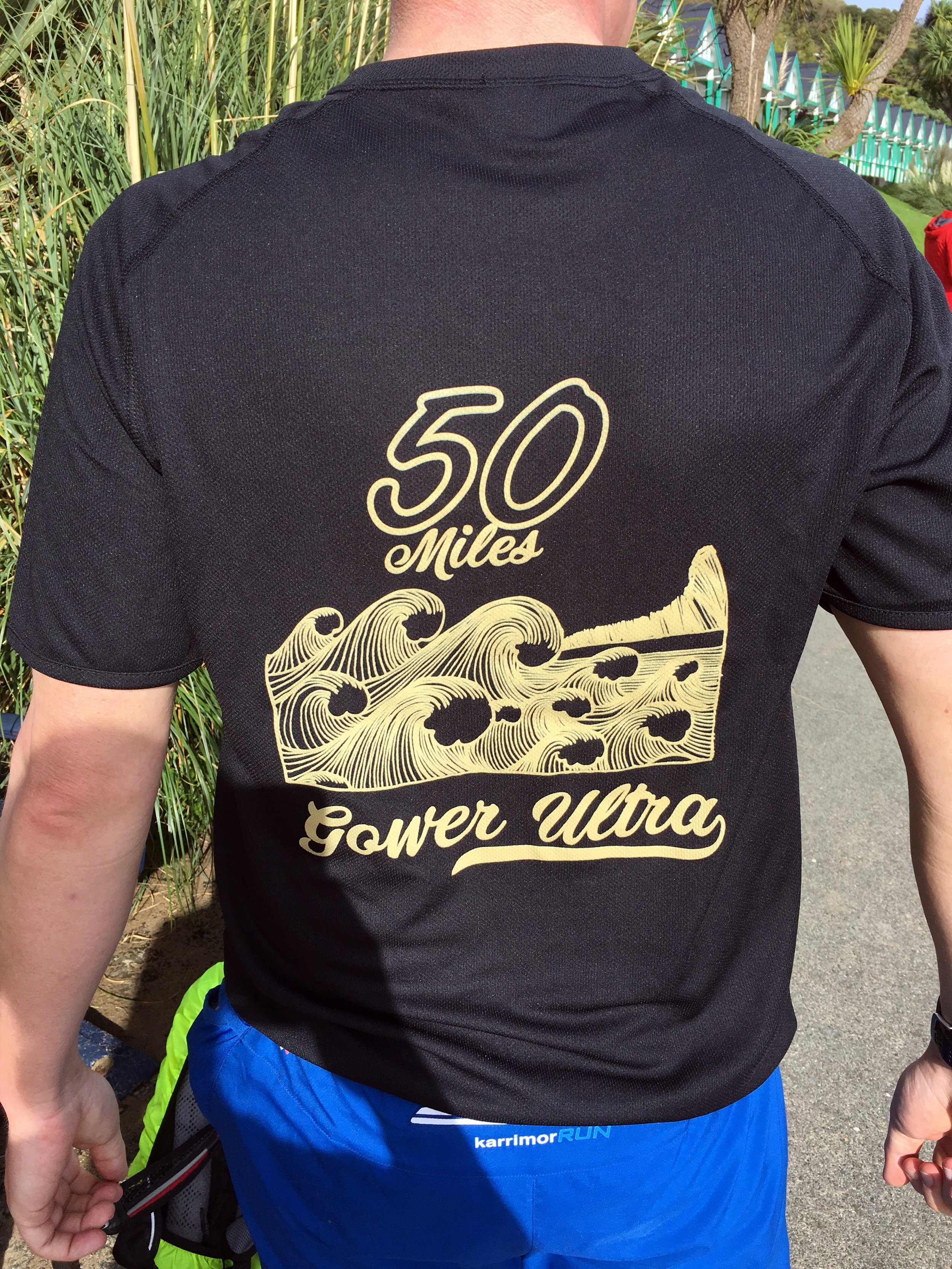
After last year’s Race To The Stones I thought that I had scratched my Ultramarathon itch. That one was the event that first got me excited about doing an Ultra. Now that I had done 2 I was happy that I didn’t need to do more. That feeling lasted 6 weeks until I saw an ad for the Gower Ultra. It had my name all over it. I signed up straight away, 1 year before the race.
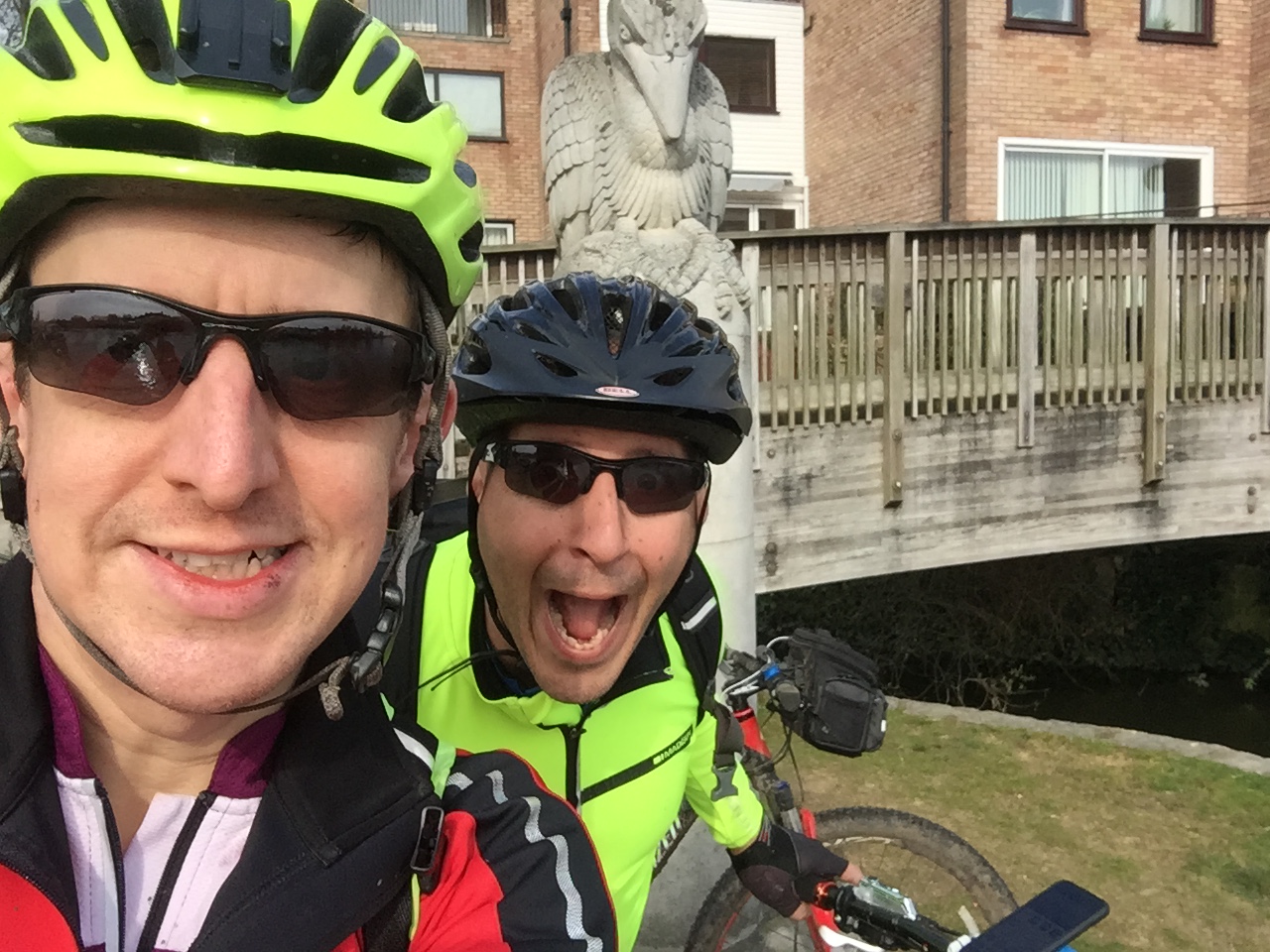
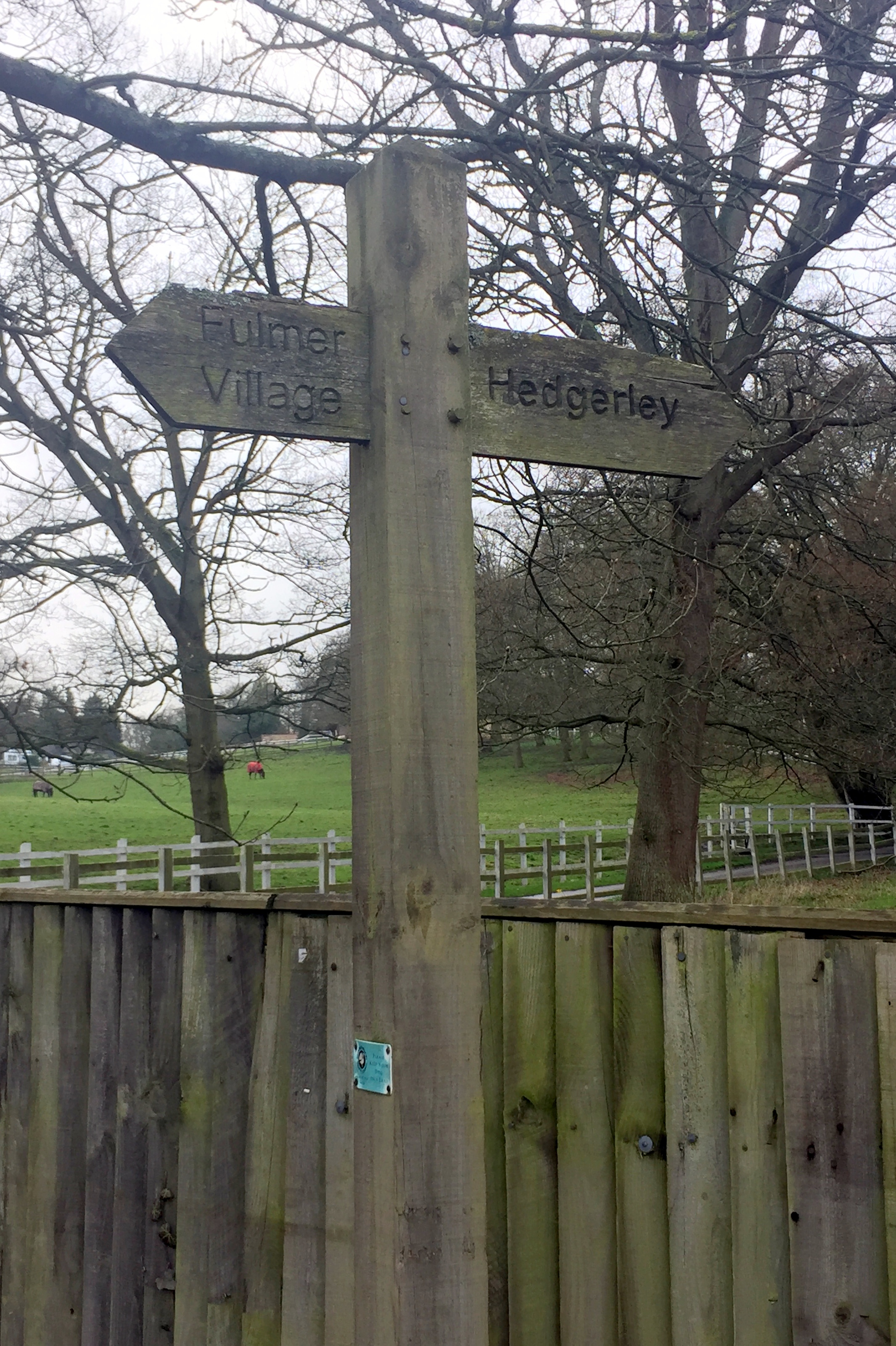
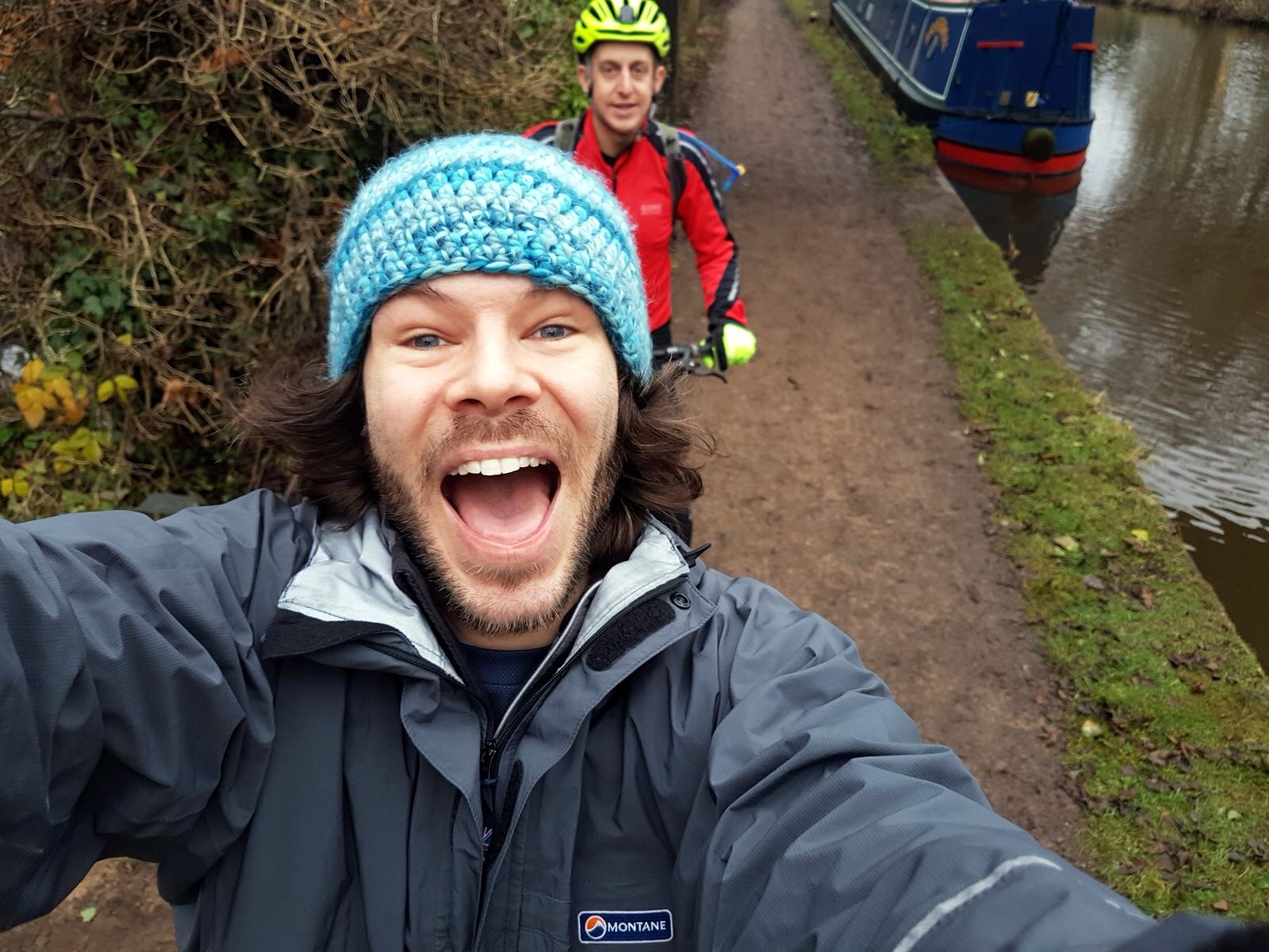
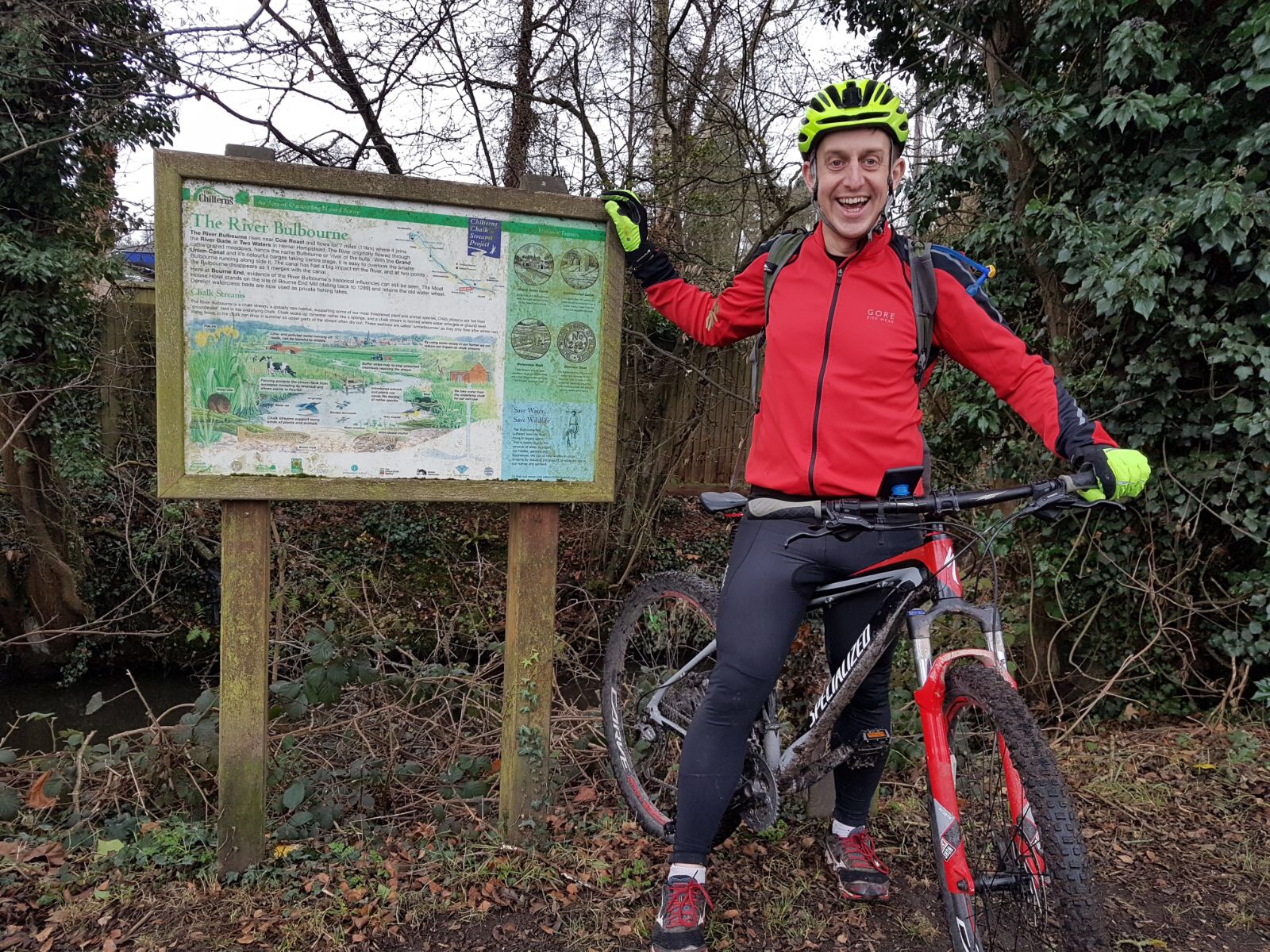
A year later and I was still excited. My usual support crew, Timi and Mum, were there. We drove down the night before, staying half a mile from the start. The plan was the same: I would run the first 20 or so miles on my own while they have a leisurely breakfast and we would meet around lunchtime.
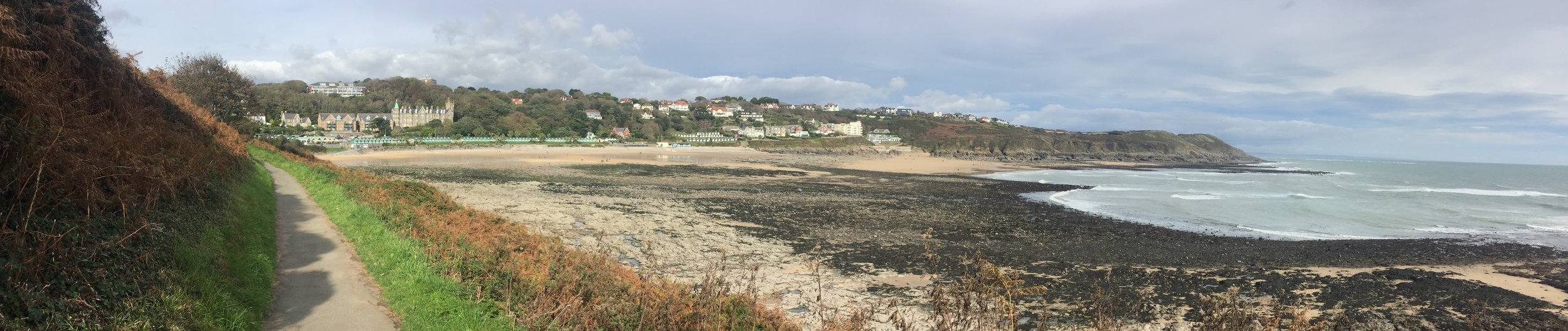
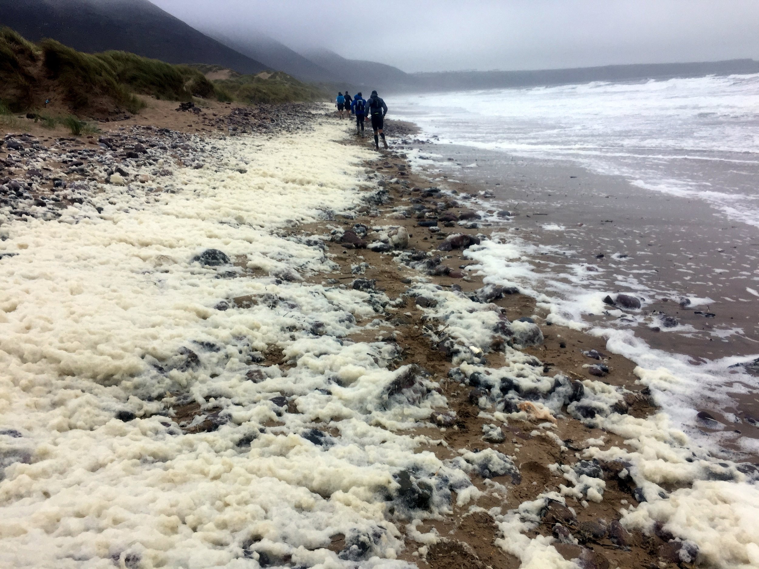
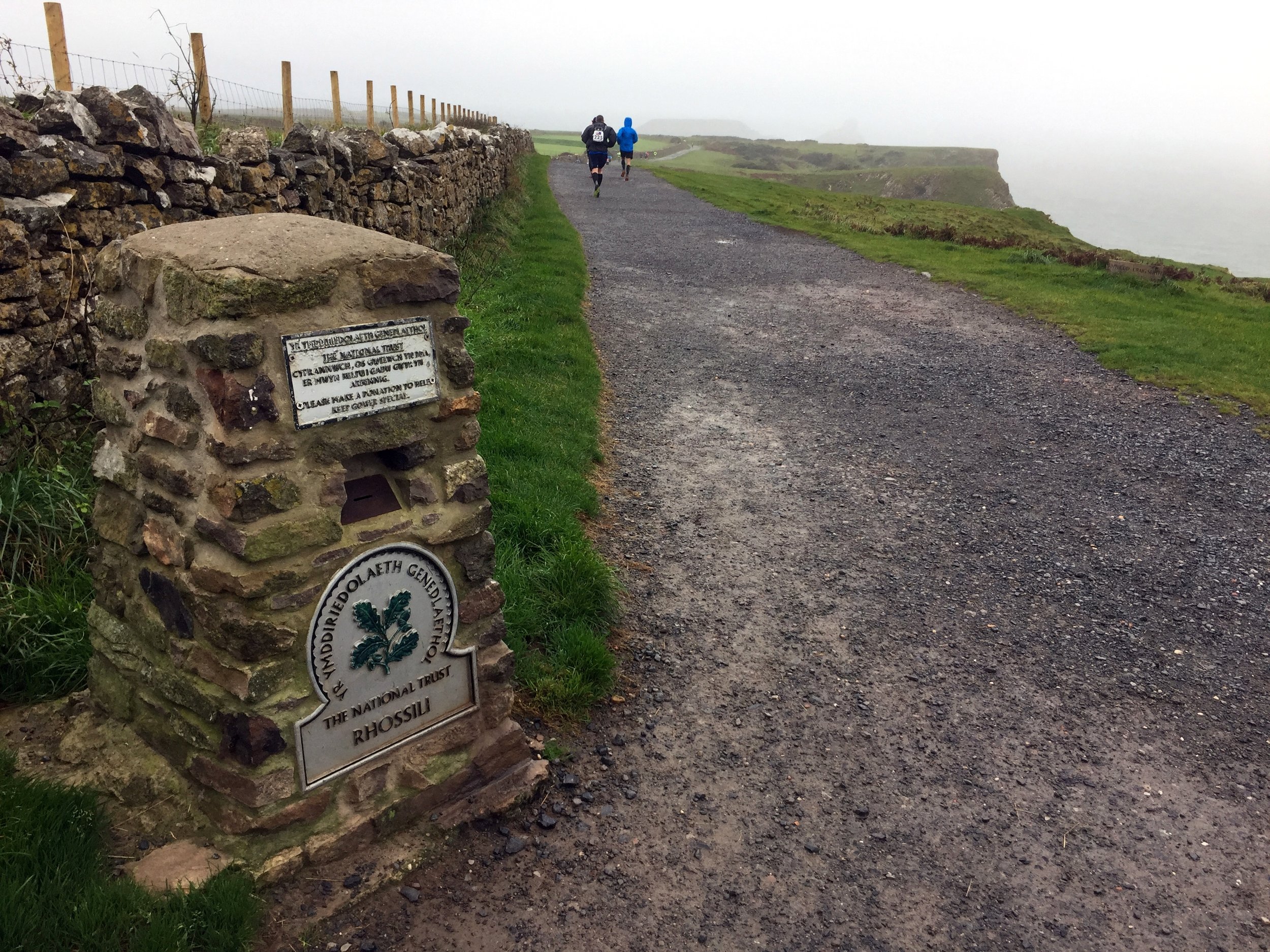
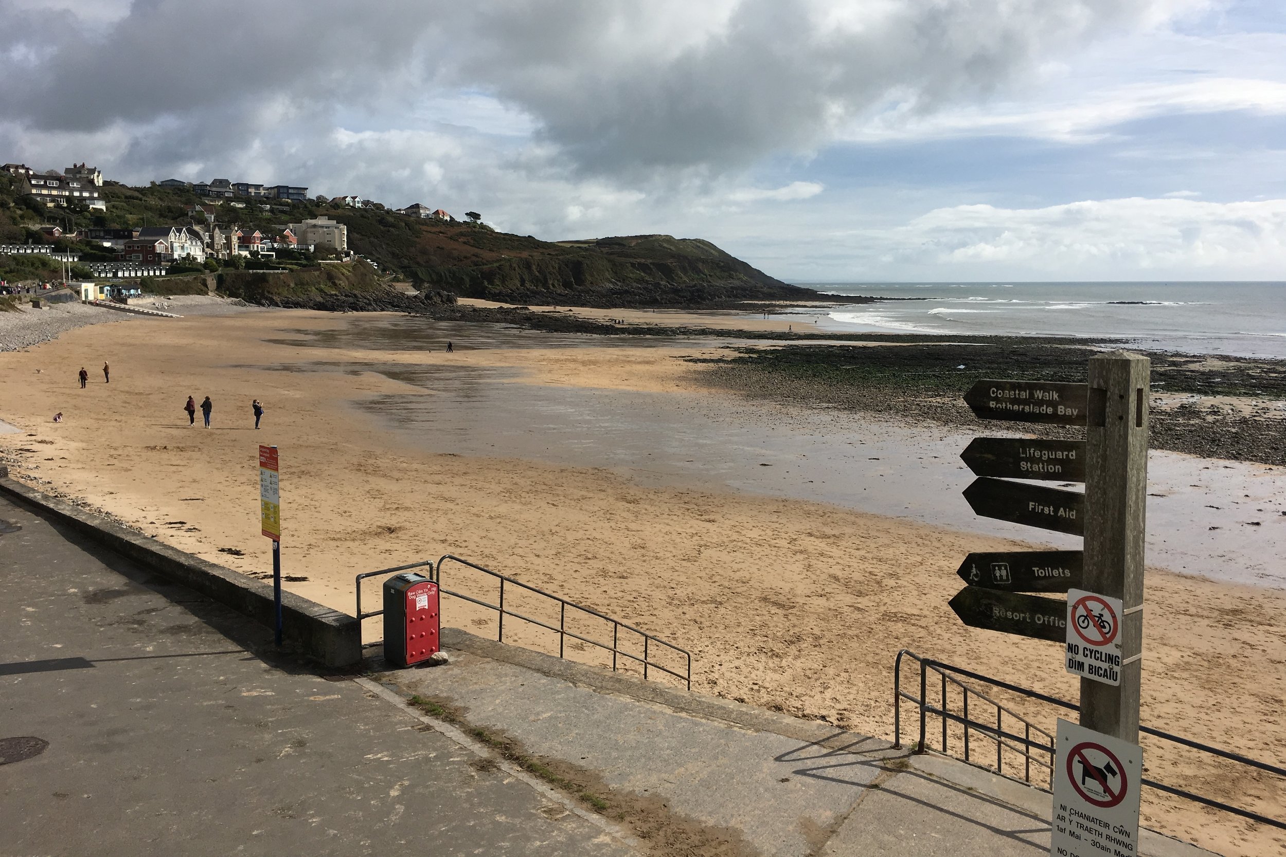
The start was great, along sandy dunes leading down to Rhosilli Bay. The tide was half out but slowly coming inwards. Through much of the beach section there was an equal mix of stones and sand. The sand was easier to run on so I kept on it, only moving onto the stones every few minutes when the tide came in further. That worked well ... until it didn’t, with a sleepy lack of concentration resulting in a major soaking from a wave. I was only 3 miles into a 50 mile run and my feet were already drenched.
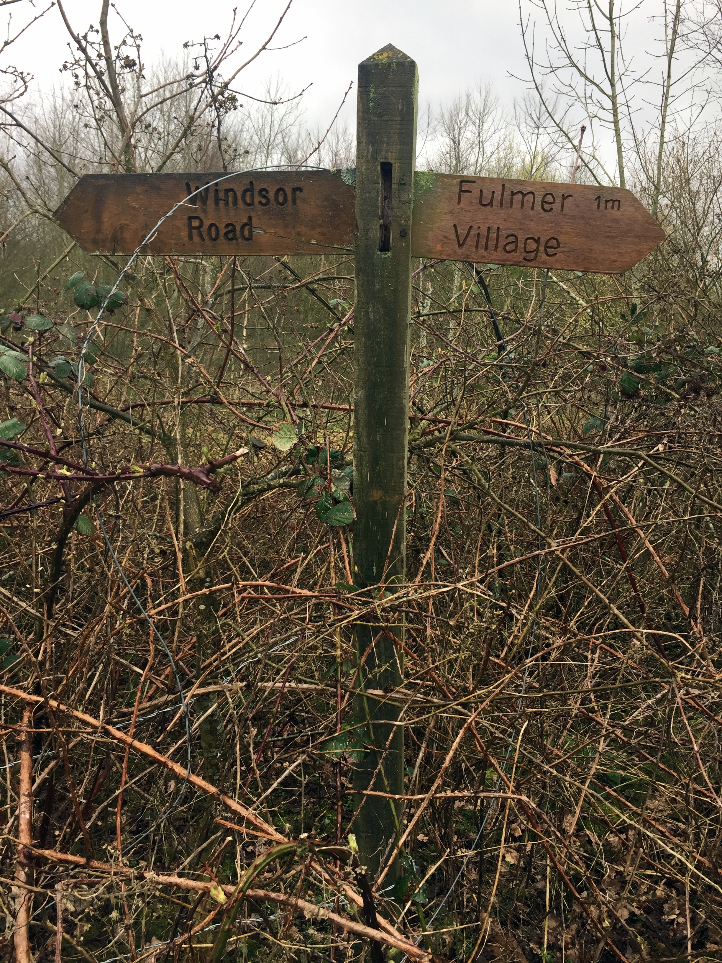
I was exactly on plan by Port Eynon where I met up with Timi and Mum for the first time. Mobile signal was poor and my texts calling for new socks hadn’t got through. I decided to carry on a get re-socked at the next meeting point at Oxwich Bay. By the time I got there I was already 30 minutes behind, not having factored the cliffs, mud and beach into the plan.
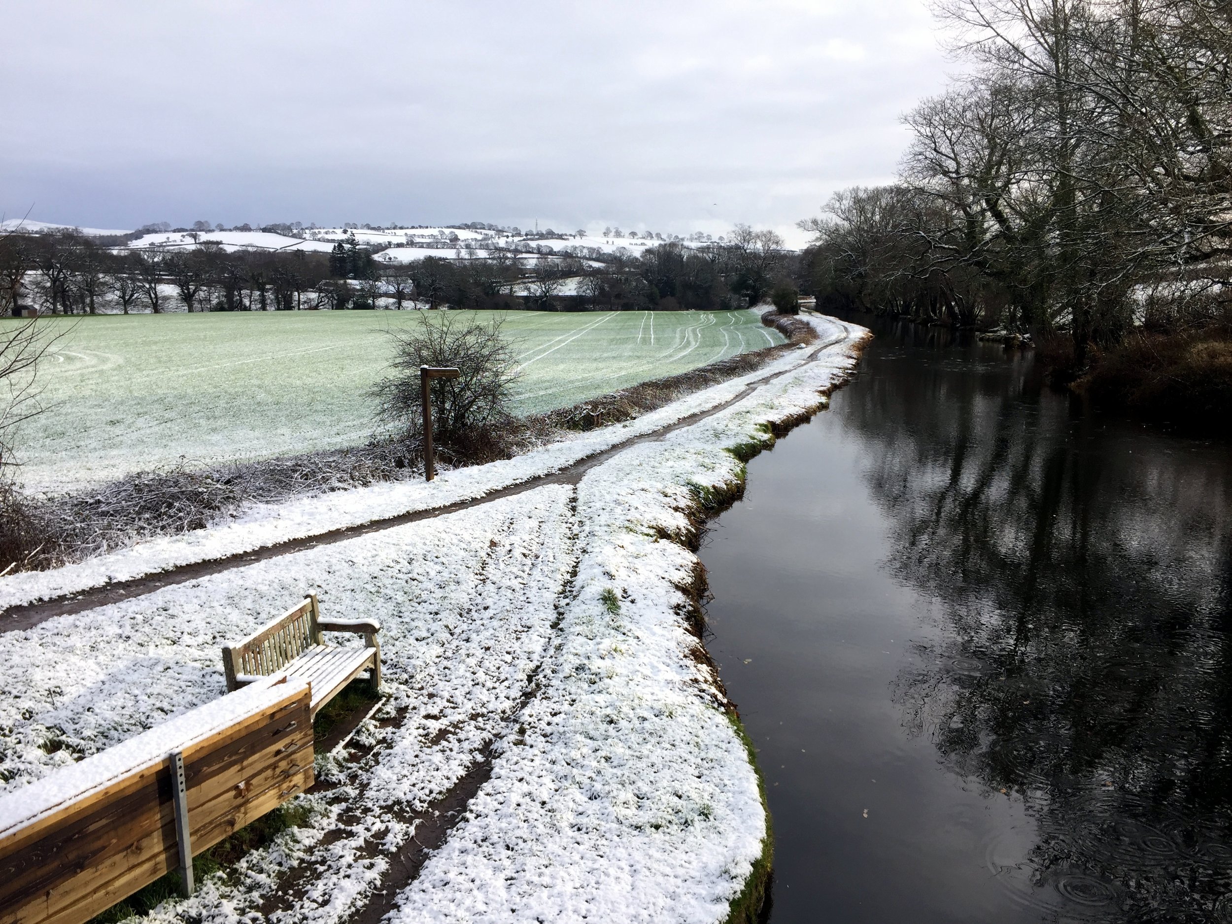
Having learnt from Race To The Stones I had increased my minutes-per-mile on my plan. I reckoned on 13 minutes-per-mile for the first 15 miles with an extra minute per mile for further 10 mile blocks. That seemed pretty realistic when sitting in from of my computer at home. The reality was that this was a tough course and the wettest weather in the event’s history.
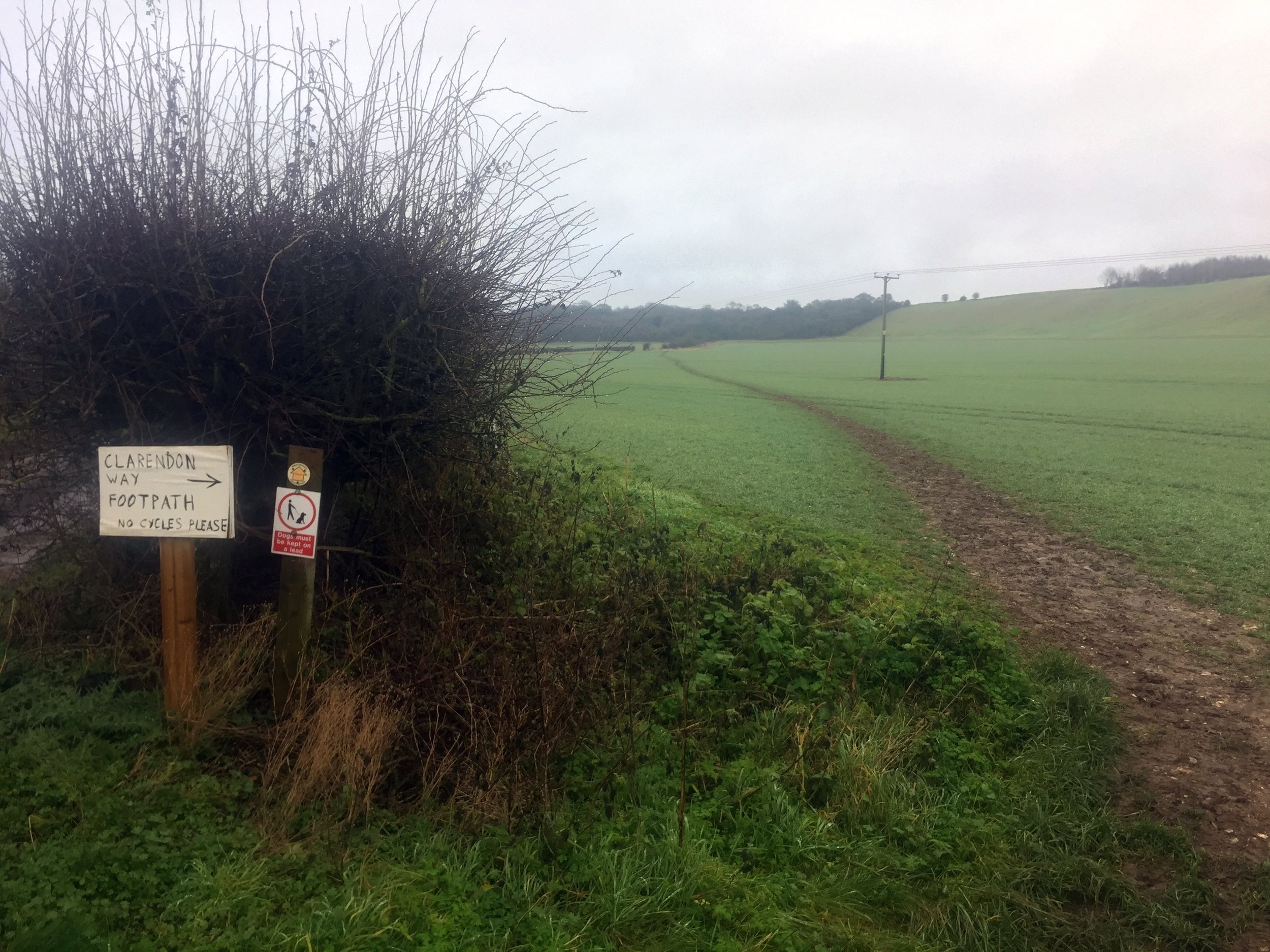
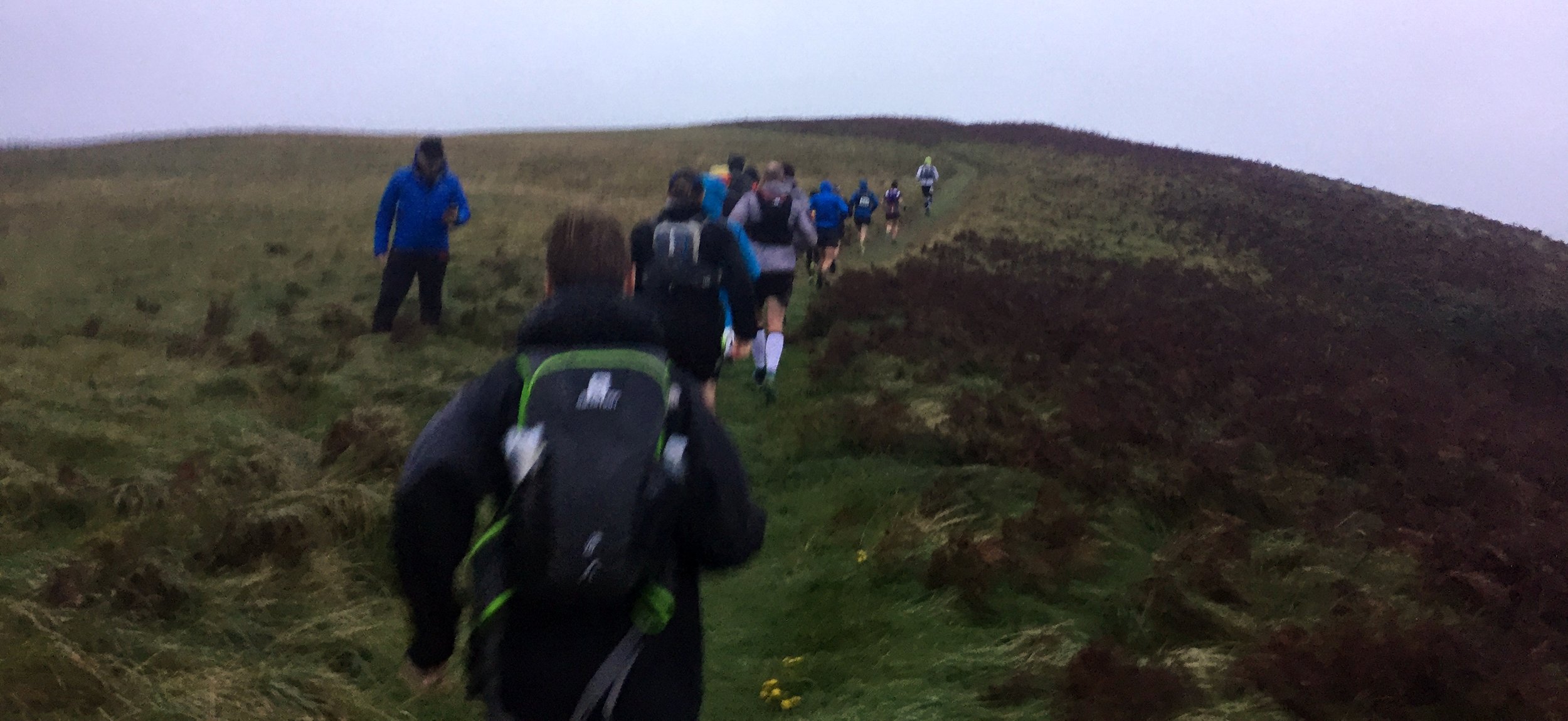
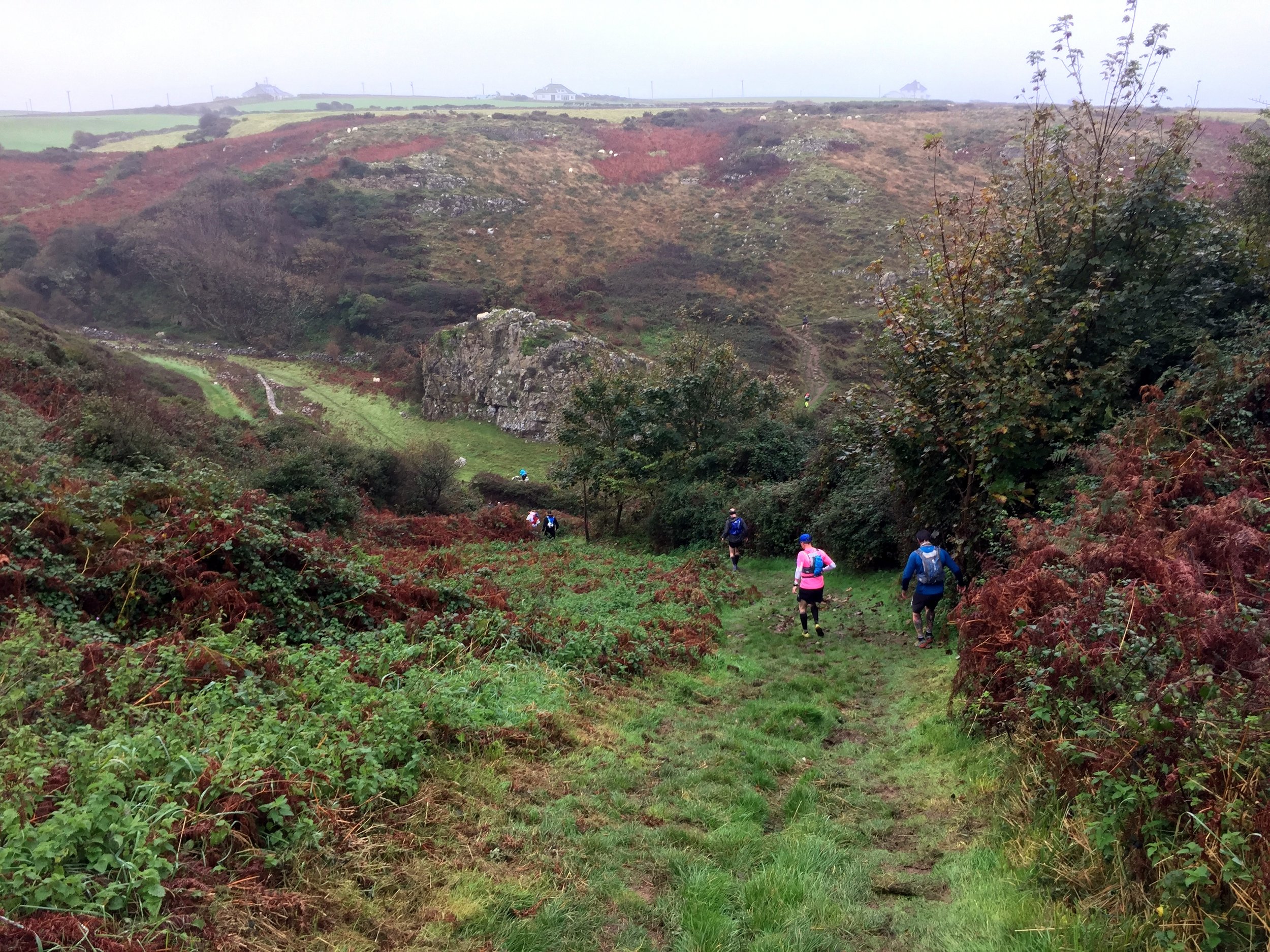
By 20 miles the plan had gone out the window. At Langland, where the route leaves the coast, I was 2 hours behind. With a 16.5 hour cut-off I had enough time to take it slow. From here, it was only about finishing.
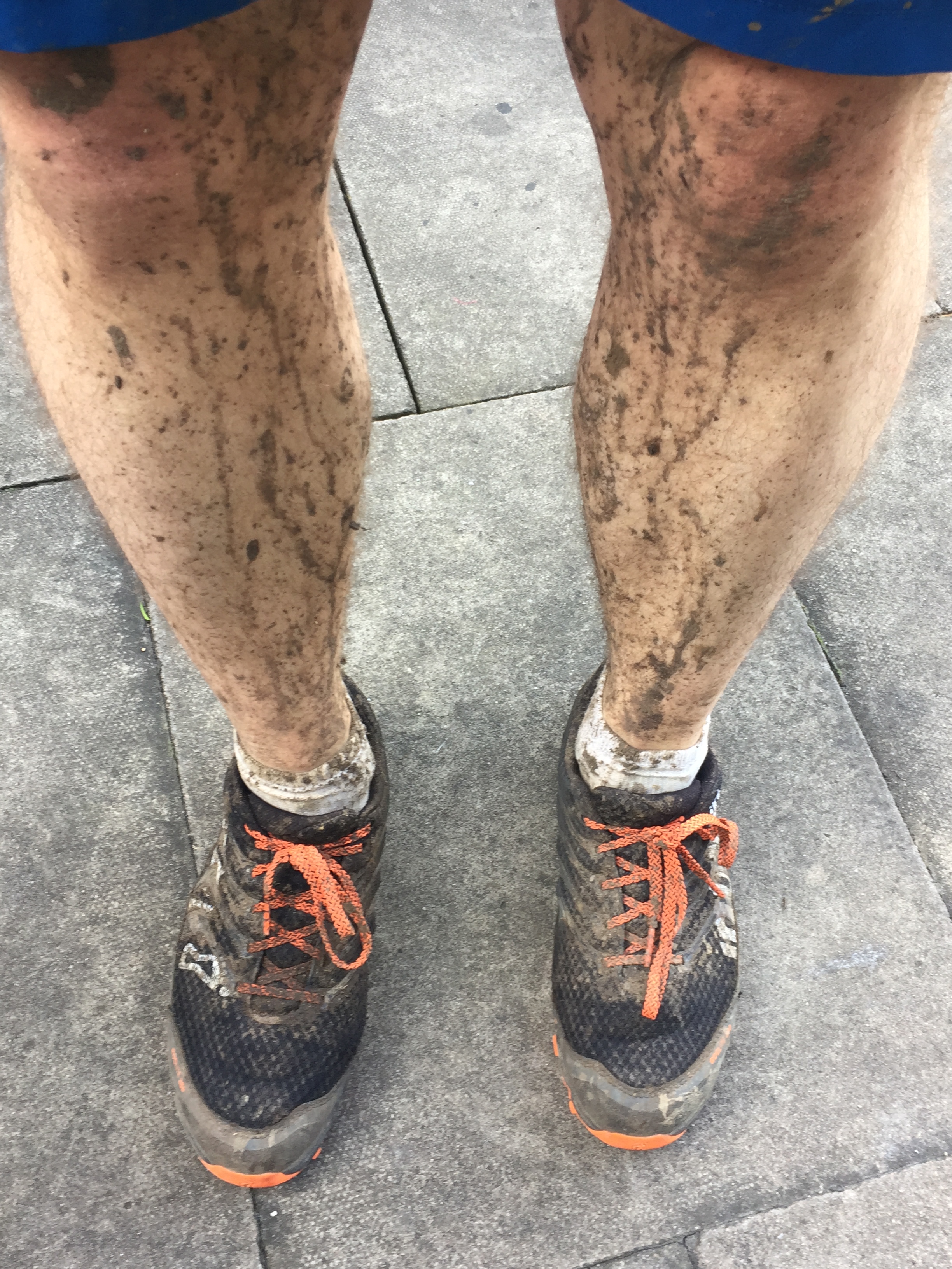
The inland section began with a marshy common, drenching me again. I had no more dry socks so I had to carry on. I even decided not to look at my feet at the checkpoints. I knew it wasn’t going to be pleasant and seeing them wouldn’t help my motivation.
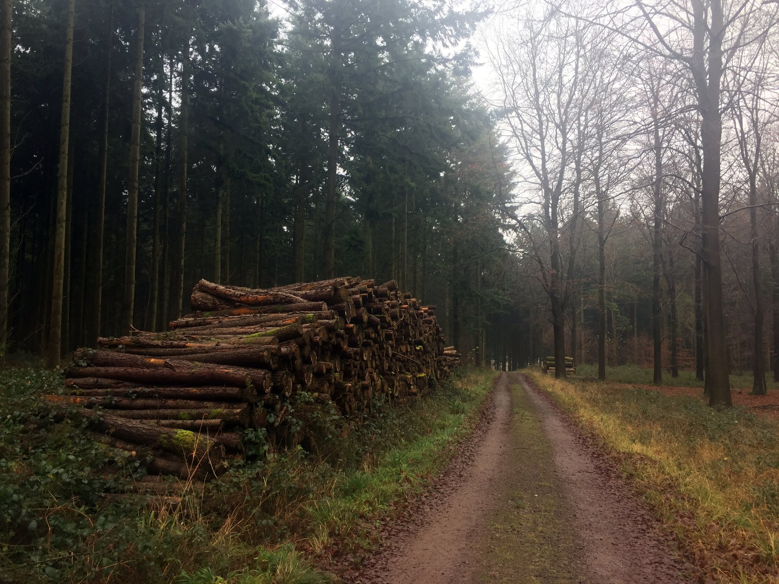
By the time I reached the north coast it was dark. Something in my trainer popped painfully. Probably a blister, possibly a toe. I was still 15 miles off and now hobbling at a 23-minute-mile pace. Timi and Mum were now stopping every 2 miles, also directing other runners who were wandering off-route in the dark.
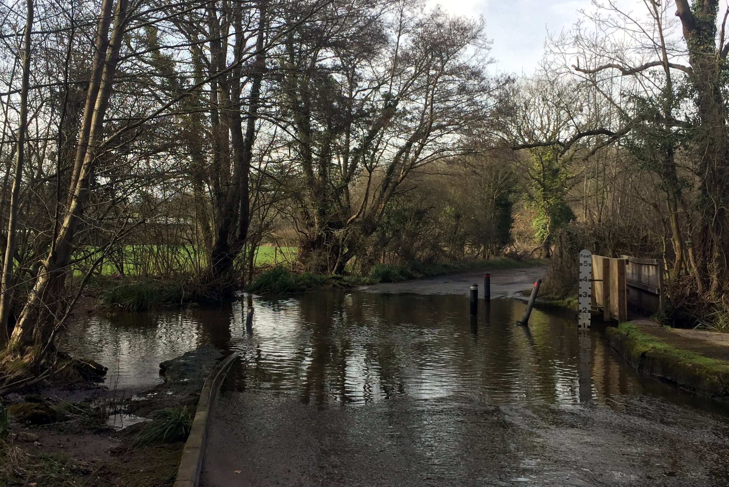
The trickiest part was at mile 40 where the route follows a tidal road. The instructions were clear that there was a higher ground alternative. It had been over 12 hours since anyone had read that and, after all, how bad could it be? Pretty bad as it turned out. The tide was coming in pretty fast and was already covering the road. I got to a point where it was up to my knees but decided to carry on as I could see the other side only a few metres away.
A couple of miles further on Timi and Mum were waiting at a junction. They had driven further but had to return as the water was now really deep. They were directing us half a mile up a small lane to the main road on higher ground. We heard later that one girl had attempted the tidal road and had water up to her chest.
The final few miles were a slow muddy slog. My head torch had run out of battery and all the spare batteries so I was using the light on my phone. Cars were roaming around the country lanes at the end looking for lost runners.
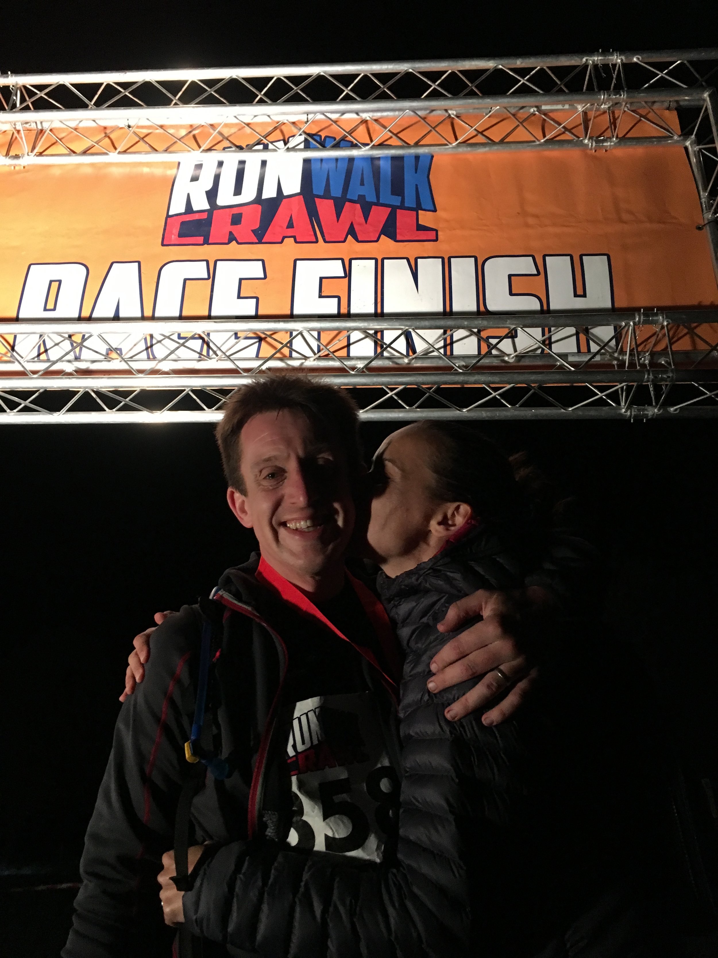
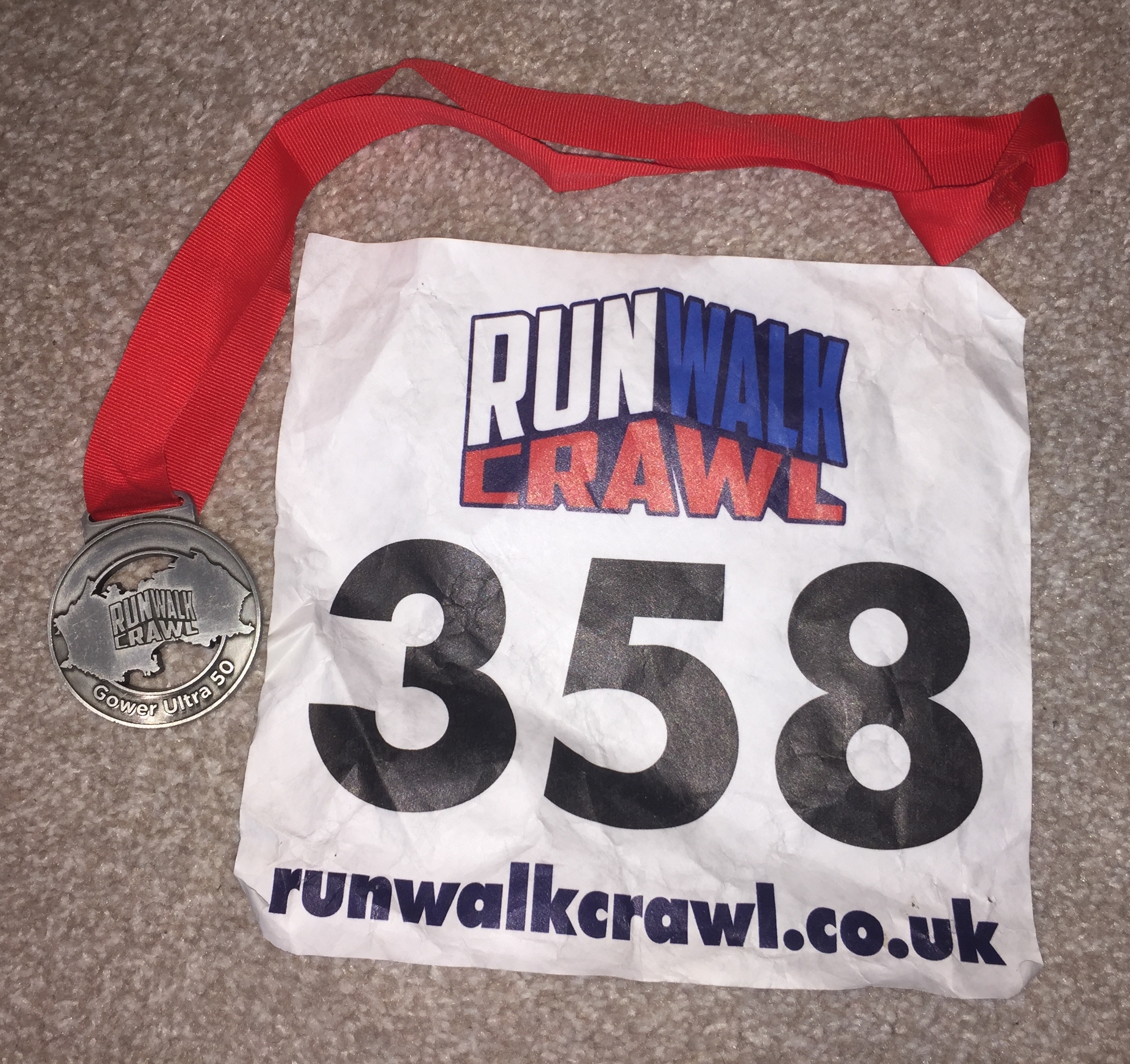
After a final steep cliff, I closed the 50 mile loop and crossed he finish line in 15.5 hours. It was by far the hardest and most painful thing I’ve ever done.
Back at the hotel we examined my feet. The burst blister was actually a burst toe and there were deep prune grooves all over. I’ve not posted the photos of them here. You’d not eat for days if you saw them. Needless to say Timi wasn’t impressed. Maybe I’ll leave it a few weeks before signing up for my next one ....
Part of the Chiltern Rivers Series
River start: Near the Black Horse Pub, Aylesbury Road, North of Great Missenden town centre.
River end: Confluence with the River Colne at Denham Country Park, Buckinghamshire
River length: 27 km (17 miles)
Running route start / end: Black Horse pub to Denham Lock
Running route length: 28.6 km (17.7 miles)
Running route elevation change: +102m / - 107m. Net -5m
GPX File: get via Buy Me a Coffee
Other routes touched (walk): South Bucks Way, Chiltern Way, London Loop, Grand Union Canal Towpath
Other routes touched (cycle): Hampden Route, Milton Route, NCN routes 6, 61,
Map: OS Explorer Map (172) Chiltern Hills East, OS Explorer Map (181) Chiltern Hills North
My latest in the Chilterns Rivers Project and a final (and only) long-run before the Gower Ultra. It's only really suitable for walking or running as the paths are not cycle friendly. The A413 is the closest cycle alternative but it's not very interesting.
There's not a single sign-posted route for this one so here's how it's done.
With your back to the Black Horse pub, run south along Aylesbury Road / High Street, through Great Missenden centre until the junction with the A413. An alternative is to take the South Bucks Way behind the pub, running parallel to the road and following the river more closely.
Turn right onto the A413, following it for just under a mile until Highmore Cottages, the lane leading into Little Missenden. ** WARNING - this is a busy road with no pavement so be extra careful ** There's no footpath alternative without a major diversion.
After approx 2 miles, Highmore Cottages will turn left crossing under the A413. Before this turn, take a right turn onto the South Bucks Way,
Follow the South Bucks Way for just over a mile, through the Shardloes Estate to Amersham Cricket Club. Follow footpath signs to Amersham High Street.
Follow Amersham High Street, turning left into St Mary's church opposite Whielden Street. Turn right at the Misbourne, following footpaths leading behind Tesco to Station Road.
Turn right at Station Road, cross the roundabout and follow the A355 for about 100 metres until you see the footpath leading south-east across the fields.
Continue on the footpaths (signed Chiltern Heritage Trail) running parallel with the river until Chalfont St Giles.
At Chalfont St Giles, cross the main village road, taking the footpath along the right/west side of the church. After the path crosses the river, do not continue on the Chiltern Way, instead, take a sharp right following a path that continues to follow the Misbourne until Chalfont St Peter.
At Chalfont St Peter take the A413 underpass opposite the Greyhound pub. Immediately exiting the underpass, turn right and follow the path parallel to the A413.
Just after passing Woodside Hill, take the footpath that crosses Gerrard's Cross Golf Club. Watch out for golf balls as the path crosses the fairway three times.
After the golf course, the path goes into a wood (often muddy underfoot) and follows a small lake.
At the T-junction it's not possible to follow the river. Turn left and follow the path up the hill, then diagonally crossing a field until a gate by a care home. Turn right along the drive until Denham Lane.
Follow Denham Lane / (becoming Slade Oak Lane) downhill, past Denham Golf Club station bearing left onto Old Rectory Lane. Continue until the junction with the A412.
Cross the A412 and turn right, following the footpath and take the first left onto Village Road.
Follow Village Road through Denham Village until you reach the South Bucks Way on the left.
Take the South Bucks Way crossing Buckinghamshire Golf Course and past the Colne Visitors Centre.
After the Colne Valley Regional Park Car Parks, cross a field and along the Colne until a footbridge.
The path meets the Grand Union Canal just after the footbridge. The confluence of the Misbourne and the Colne is just on the right of the towpath as you look right towards Uxbridge.
Red = River Misbourne, Blue = the route described above. The route stays tight to the river except for a small section west of Gerrards Cross crossing the M25
Elevation for running route