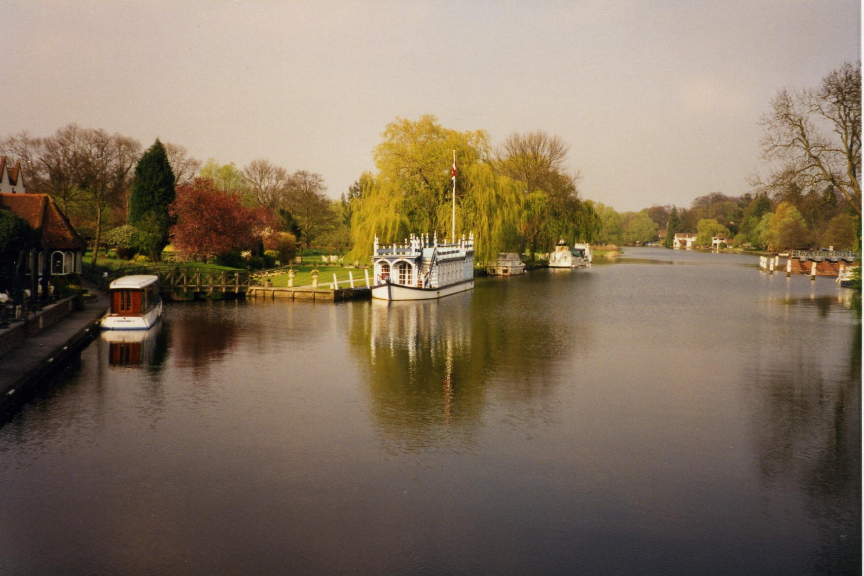
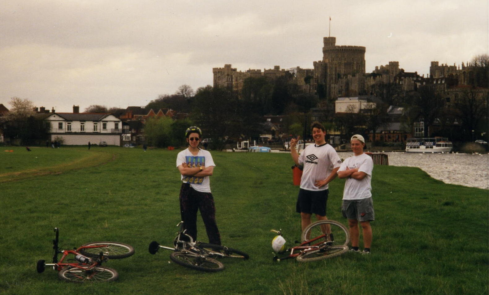
Cycling The Thames Path

Windsor


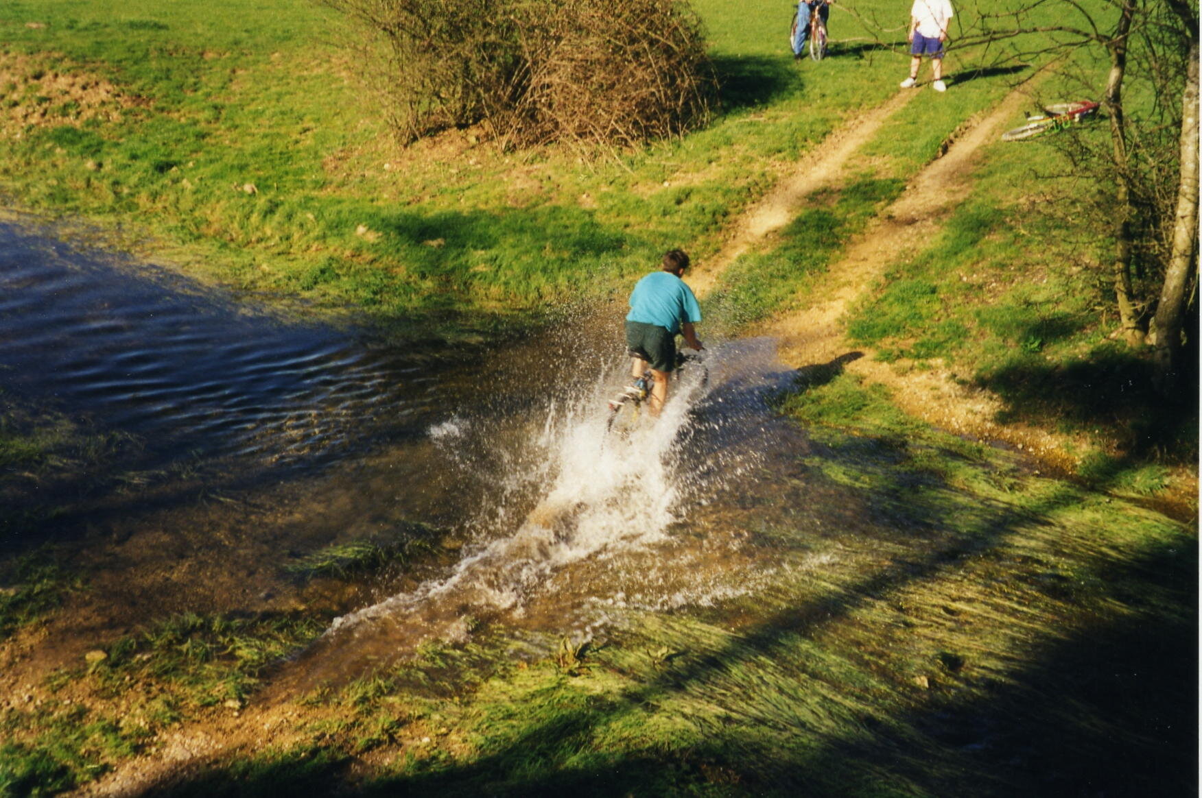
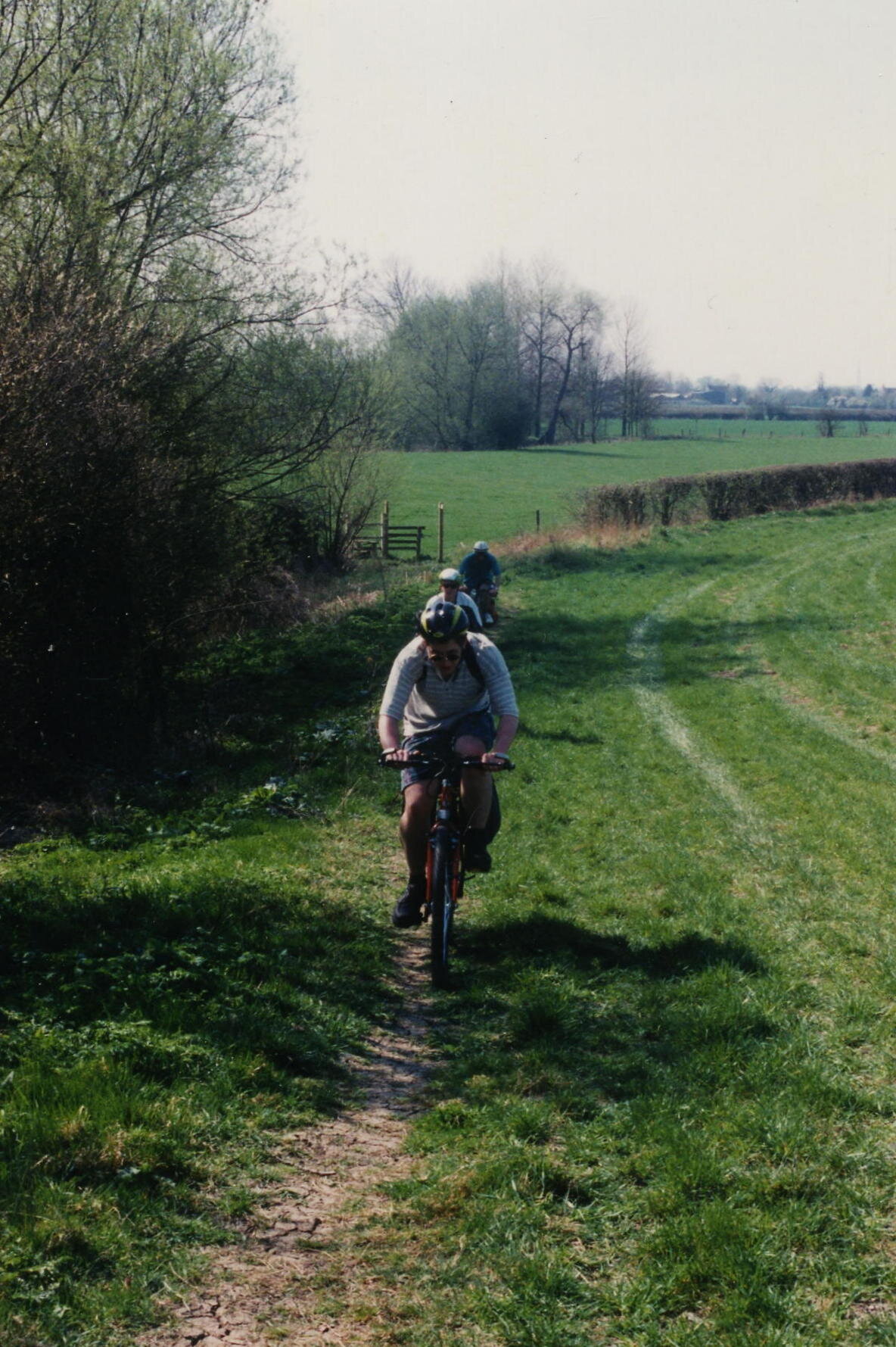
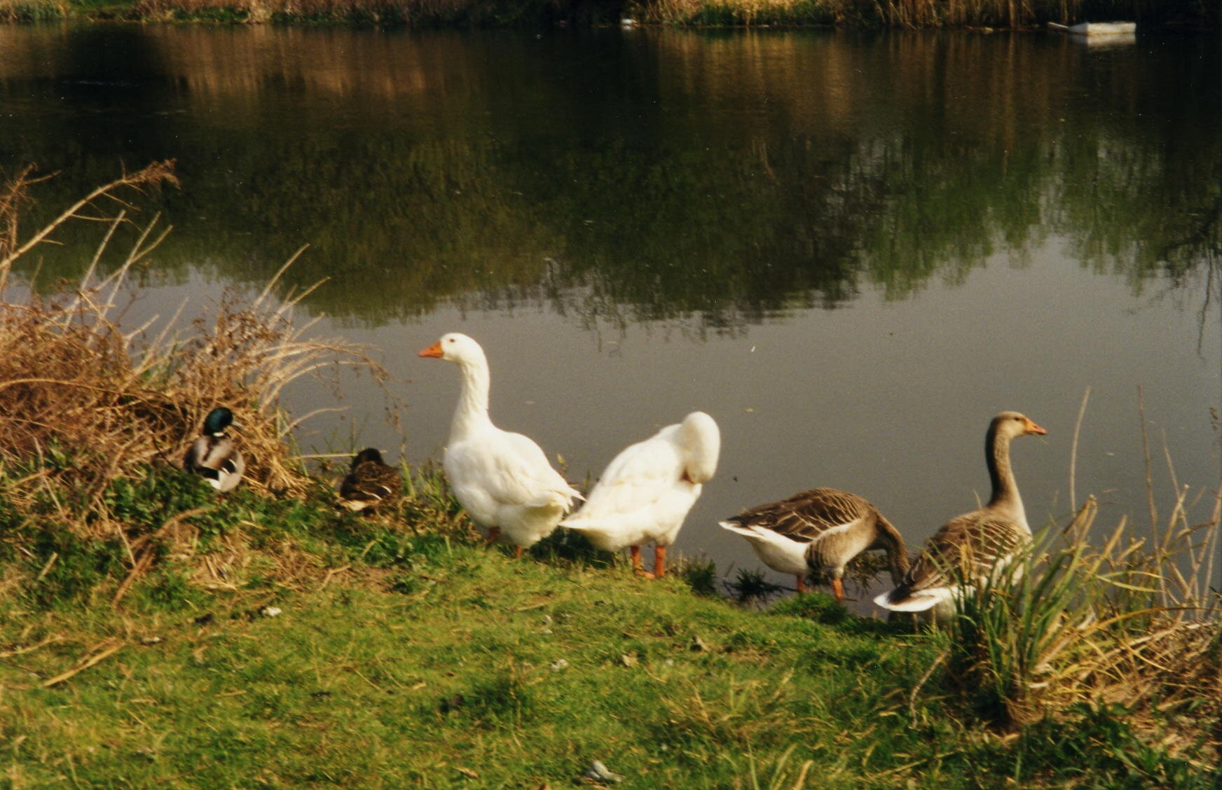
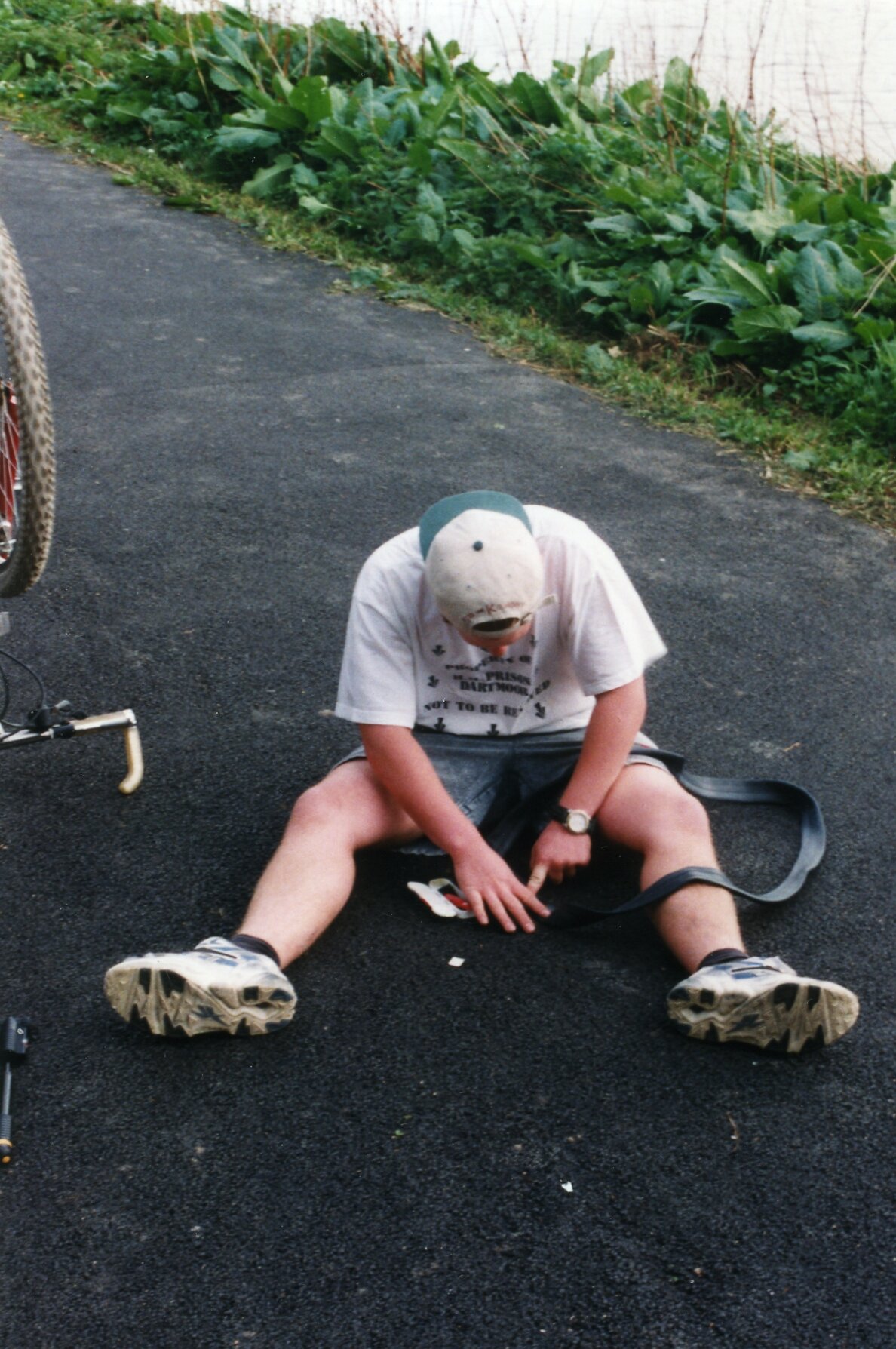
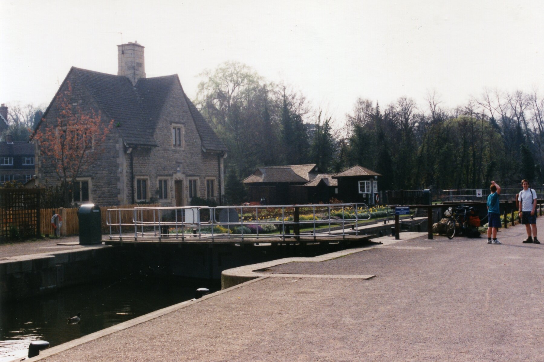
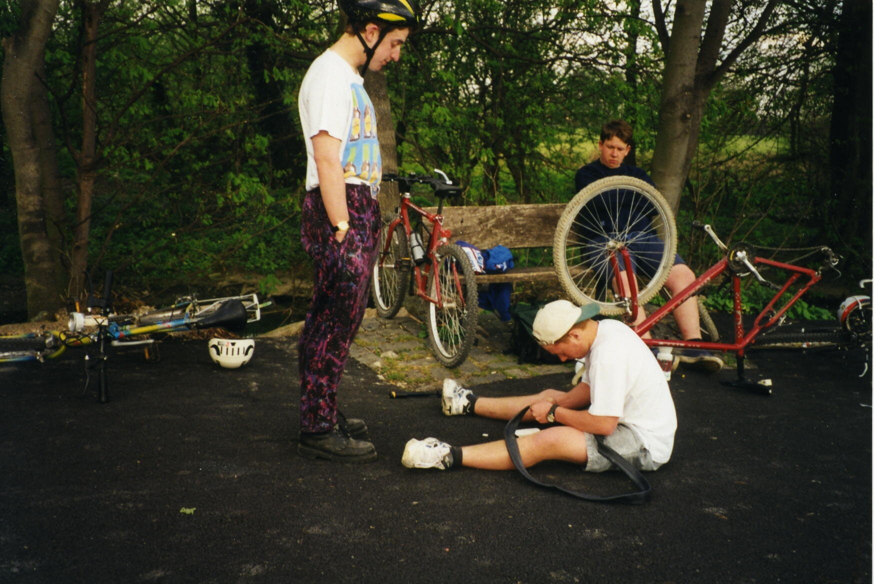
The most important thing to say about cycling the Thames Path is “don’t cycle the Thames Path”. This was one of my first long distance cycle rides and, back in 1997, I didn’t put a lot of thought into it. Nowadays I put a lot of planning into trips to make sure that I use cycle-friendly paths. These were the pre-internet, pre-GPX days. Back then we just got a lift to the source and started cycling. If I was to do the Thames Path now I definitely wouldn’t cycle any of the first section to Oxford and I’d be choosy about parts of the middle section too.

Don’t just take my work for it though: from visitthames.co.uk: “Most of the Thames Path is a public footpath on which cyclists have no legal right to ride unless they have permission from the landowners - cycling without permission is a trespass offence against landowners. If you choose to cycle by the river, please be aware it is a potentially dangerous activity”.

The Thames Path is a magnificent National Trail and I highly recommend giving it a go. The easiest advice is to Walk to Maidenhead then cycle the rest. The reality is probably more nuanced though and I’m sure I’ll return to update the routes one day. In the meantime, here’s the sections as I did them in ‘97. Please use the comment box below if you have any more recent advice on cycling on the Thames path.


Part 1: Source To Oxford

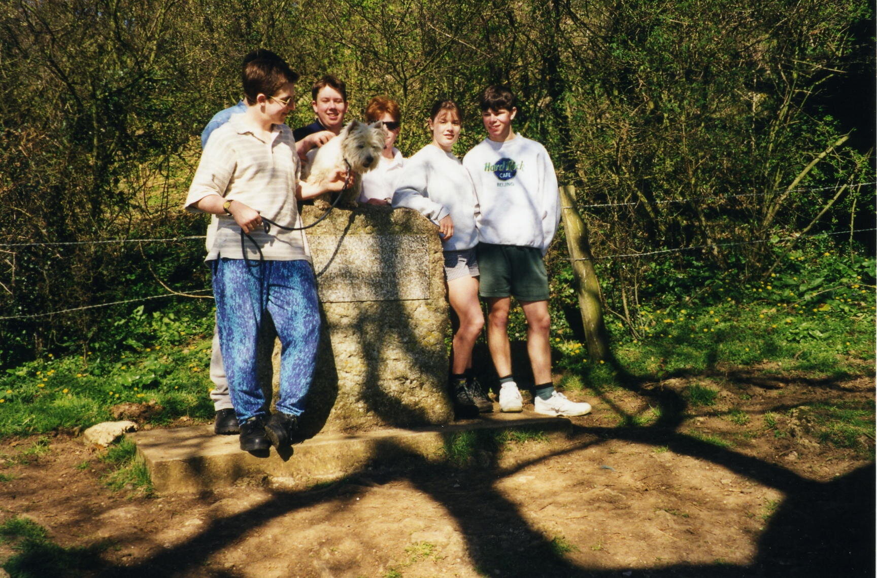
Start: Thames Head Inn, Tetbury Rd, Cirencester GL7 6NZ (alternative = Kemble Railway Station)
Finish:
Oxford YHA, 2A Botley Rd, Oxford OX2 0AB
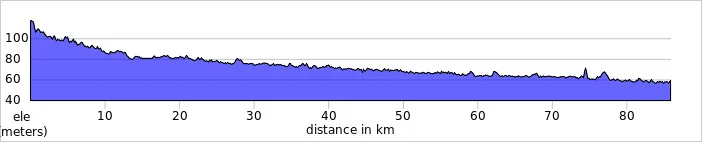
Distance: 86 km (53 miles)
Elevation change: +96m / - 254 m / Net -158m
GPX File: get via Buy Me a Coffee
Other Routes Touched (Walk): Thames Path, Wysis Way, Oxford Green Belt Way, Shakespeare’s Way
Other Routes Touched (Cycle): NCN 45
OS Map(s):
- OS Explorer 168 Stroud, Tetbury & Malmesbury
- OS Explorer 169 Cirencester & Swindon
- OS Explorer 170 Abingdon, Wantage & Vale of White Horse
- OS Explorer 180 Oxford, Witney & Woodstock 

elevation_profile - Thames Path 1.jpg

Part 2: Oxford To Hurley Lock

Start: Oxford YHA, 2A Botley Rd, Oxford OX2 0AB
Finish:
Hurley Lock, Mill Ln, Hurley, Maidenhead SL6 5ND
Distance: 57 miles / 91 km
Elevation change: +312m / - 339 m / Net -27m
GPX File: get via Buy Me a Coffee
Other Routes Touched (Walk): Thames Path, Shakespeare’s Way, Oxford Green Belt Way, European Walk E2: UK South East England, The Ridgeway, The Chiltern Way Berkshire Loop
Other Routes Touched (Cycle): NCN 4, 5, Chilterns Cycleway
OS Map(s):
- OS Explorer 180 Oxford, Witney & Woodstock
- OS Explorer 170 Abingdon, Wantage & Vale of White Horse 
- OS Explorer Map 171 Chiltern Hills West, Henley-on-Thames and Wallingford
- OS Explorer Map (172) Chiltern Hills East

elevation_profile - Thames Path 2.jpg

Part 3: Hurley Lock to Thames Barrier

Start: Hurley Lock, Mill Ln, Hurley, Maidenhead SL6 5ND
Finish:
Thames Barrier, Eastmoor St, Greenwich Peninsula, London SE7 8LX
Distance: 72 miles / 116 km
Elevation change: +435m / - 463 m / Net -28m
GPX File: get via Buy Me a Coffee
Other Routes Touched (Walk): Thames Path, Shakespeare’s Way, The Chiltern Way Berkshire Loop, Maidenhead Boundary Walk, London Loop, Capital Ring, Jubilee Walkway, Jubilee Greenway
Other Routes Touched (Cycle): NCN 1, 4, 61
OS Map(s):
- OS Explorer Map (172) Chiltern Hills East
- OS Explorer Map (160) Windsor, Weybridge & Bracknell
- OS Explorer Map (161) London South, Westminster, Greenwich, Croydon, Esher & Twickenham
- OS Explorer Map (173) London North, The City, West End, Enfield, Ealing, Harrow & Watford

map - Thames Path 3.JPG

The complete route


Related Blog Posts:

Back to Cycle Index
Tryfan & The Glyderau: a night to remember

I often brought up "Best Day / Worst Day" as a conversation starter on nights out. With a bit of alcohol it could often be quite revealing about newly found friends. Prior to my wedding day my own Best Day would vary. My Worst Day was always the same: the night we called out Mountain Rescue on the Glyderau.

Although I'd recounted the story many times I've not written about it until now, nearly 30 years later. It was the evening that drilled into me a respect of both the mountains and the need to prepare for any eventuality.

It was March 1993 and I was part of a group of Venture Scouts and leaders on a mountain leadership course. It was a mix of learning about mountain skills, practical experience and an end of winter social event.

While spring is emerging in a lot for the country, March is still very much winter in Snowdonia. Even in the best of weather this is a place where treks need careful consideration. In winter you really need your wits about you. Detailed planning, appropriate clothing, backup food and escape routes are all essential precautions.

As with the previous 2 years that I'd joined the trip, our main walk was Tryfan and the Glyderau. It's a challenging 10k circular walk taking in 3 summits between 918 and 1001 metres. Each year the weather had closed in and we descended early using our escape routes.

This particular year I was leading a group of 6. As usual we parked at Idwall Cottage Youth Hostel at the western end of Llyn Ogwen. Unlike previous attempts we took a clockwise route taking in Tryfan first.

Tryfan is a beast. From a distance it looks like Godzilla and is scary enough to put off many inexperienced hikers. Assuming you're a good scrambler with head for heights, it's relatively straightforward. By contrast we found that climbing Glyder Fawr via the Devil's Kitchen on previous trips much trickier.

We got up an over Tryan without problems and started heading south toward Glyder Fach. Here we met another group from the same course who had approached from the east on a different route. From here were were on the same route up and over the Glyderau. The other group were friends of ours and we came together as a larger group. This was the main mistake as it led to one large group travelling more slowly than two smaller ones. One girl in the other group was also having knee issues, adding more time to the ascent.

After submitting Glyder Fach the clouds came in. It was cold and we were clearly behind schedule. I made the decision to take the emergency route descending to the north from the next summit, Castell y Gwynt. The route was clear, but had several steep sections. The group stuck together, helping each other down. It was safe but slow.

By 16:00 we were not far from the bottom of the mountain. What lay in the middle was a stream and a waterfall over a short but steep cliffs. It would have been doable earlier in the day, but light was quickly fading and it was clear that we were not going to get 14 of us down safely.

The plan was for two of us to make our way down the waterfall to the car park and call for help. The others would stay where they were with two of the oldest in the group in charge to keep them together. They had enough food and clothing so would have been fine as long as they didn't leave that spot.

Chris and I slowly made our way down the waterfall. The rocks were sharp and my trousers got snagged on a few, ripping a large hole in the back. Not far from the base of the falls we found the path that followed the east side of Llyn Idwal to the car park.

By now it was clear to the leaders at the base that we were long past our planned finish time. We met one of those leaders half way back along the lake path as he had come to find us. We took him back to the base of the waterfall to show him where we had come down. The group was not far up and we could clearly see their torch lights.

Chris and I were taken back to the bunkhouse to wait there until the others could be brought down. Meanwhile 17 members of Ogwen Mountain Rescue stopped whatever they were doing that evening and and headed to Llyn Idwal.

The 5 hours between us getting to the bunkhouse and the first of the others returning were nerve-racking. We were safe, but what about the others? They seemed safe enough where we left them but what if they moved and fell? What if something went wrong when they were being helped down? My mind played out the aftermath of a worst case scenario. This was what makes it easy for me to pick this as my Worst Day.

The others slowly came down and arrived at the bunkhouse from 02:00 in the morning. One girl had been screaming and was freaking out the others. They got her down and back first. The others came back by 03:30. Everyone was safe and relieved to be back in the warm.

Everyone went through their own process of closure. There was the inevitable inquest run the local Scout region. Some of us did some fund raising for Ogwen Mountain Rescue, this time on the significantly flatter Thames Path. Four of us had a need to complete the route, although doing it in winter wasn't a criteria. We returned in the summer on a clear dry day and finished the full 10k circuit without a hitch.

The main legacy for me is in my approach to the mountains. I've done a walking leadership course at Plas-y-Brenin, got better equipment, maps and GPS devices. I only go in smaller groups and in summer conditions. I save the more challenging routes for times when I'm part of a group that's being lead by a qualified guide. Maybe it was my Worst Day, but for the lessons that lead to all the safe treks that I've enjoyed since then, it could be one of the best.


Tryfan

Member of: Marilyn Hewitt, Welsh 3000, Nuttall, Furth
Parent Peak: Glyder Fawr
Elevation: 917m
Coordinates: 53° 6' 54'' N, 3° 59' 51'' W
Links: Wikipedia / Peakbagger / Hillbagging / National Trust


Glyder Fawr

Member of: Marilyn, Hewitt, Welsh 3000s, Nuttall, Furth
Parent Peak: Snowdon
Elevation: 1001m
Coordinates: 53° 6' 5'' N, 4° 1' 45'' W
Links: Wikipedia / Peakbagger / Hillbagging

Glyder Fach

Member of: Hewitt, Welsh 3000s, Nuttall, Furth
Parent Peak: Glyder Fawr
Elevation: 994m
Coordinates: 53° 6' 17'' N, 4° 0' 30'' W
Links: Wikipedia / Peakbagger / Hillbagging


The Route - all peaks

Route Start / End: Ogwen Car Park, Bethesda, Bangor, LL57 3LZ
Route Distance: 9.8km (6 miles)
Route Elevation Change: +/- 857m
Subsidiary tops on route: Castell y Gwynt (972m)
GPX File: get via Buy Me a Coffee
Other routes touched: Welsh 3000s, Snowdonia Slate Trail


route-37149331-map-full  - Tryfan Glyderau.png
elevation_profile - Tryfan Glyderau.jpg
Back to Trek Index