Cycling The Colne Brook, Wraysbury & Frays Rivers

Northern end of the route where the River Frays ducks under the Grand Union and meets the River Colne
Part of the Chiltern Rivers Series
Rivers start, end & length:
- Colne Brook: Splits from the Colne at Uxbridge Moor, runs 14.4 km (9 miles) to the Thames at Hythe End near Staines, Surrey
- Wraysbury: Splits from the Colne at West Drayton, runs ~9 km (5.5 miles) and rejoins the Colne near the confluence with the Thames at Staines, Surrey
- Frays: Splits from the Colne at Uxbridge Moor, runs ~9 km (5.5 miles) and rejoins the Colne near the confluence with the Thames at West Drayton, Middlesex
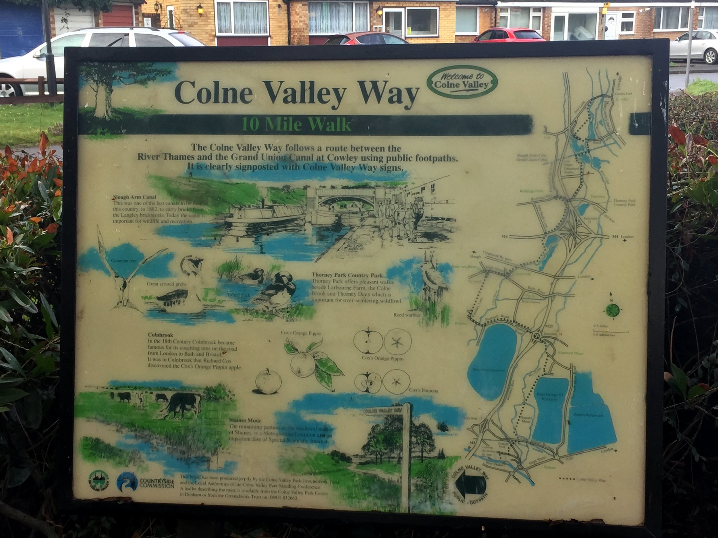
Cycle route start / end: Colne Visitors Centre, Denham, Uxbridge, UB9 5PG
Cycle route length: 46 km (28.5 miles)
Cycle route elevation change: +/- 149m
GPX File: get via Buy Me a Coffee
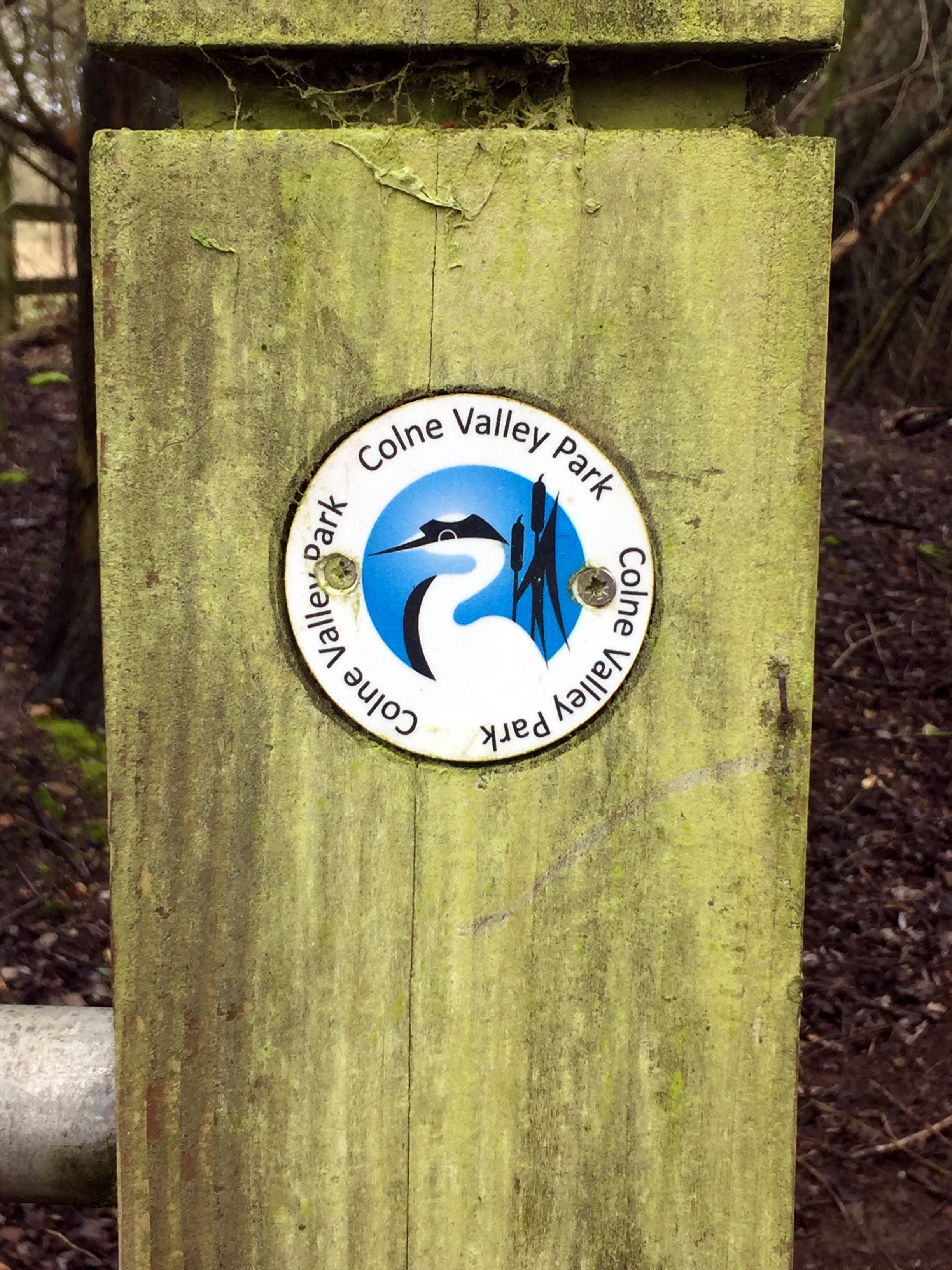
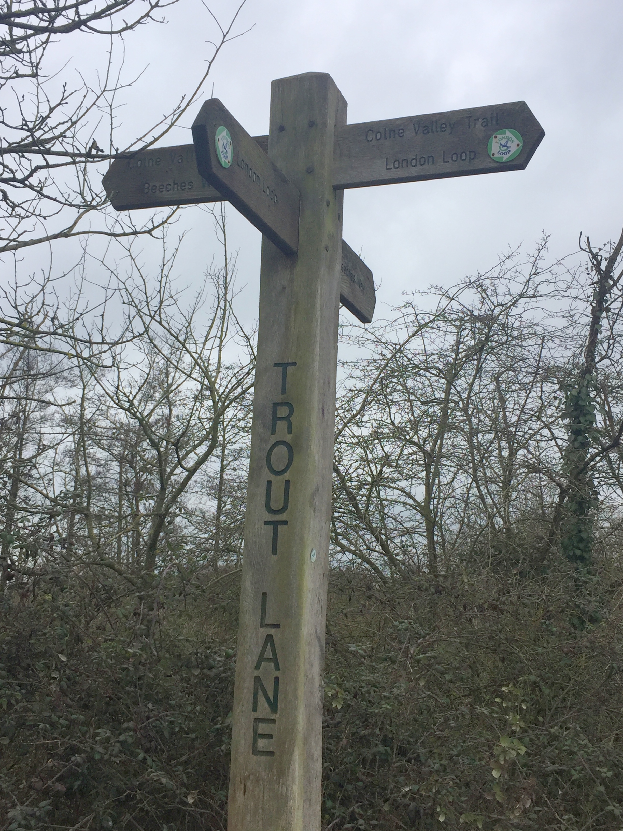
Other routes touched (walk): Grand Union Canal Towpath, London Loop, Beeches Way, Colne Valley Trail, Thames Path
Other routes touched (cycle): NCN 4, 6, 61
Map: OS Explorer Map (172) Chiltern Hills East, OS Explorer Map (160) Windsor, Weybridge & Bracknell
Links: Colne Brook, Wraysbury River, Frays River, Uxbridge, West Drayton, Staines
This route is not pretty, but it is interesting. This is the lower Colne Valley, a land of marshland, rivers and moors sliced and diced by motorways, rail lines and dirty industry. It’s a place that few people discover and why would they? The Chilterns surround it to the north west and Windsor Great Park is not far to the south. What this area lacks in beauty it makes up for in intrigue. It’s a chance to get lost in a place you’ve wizzed by on the way to somewhere else.
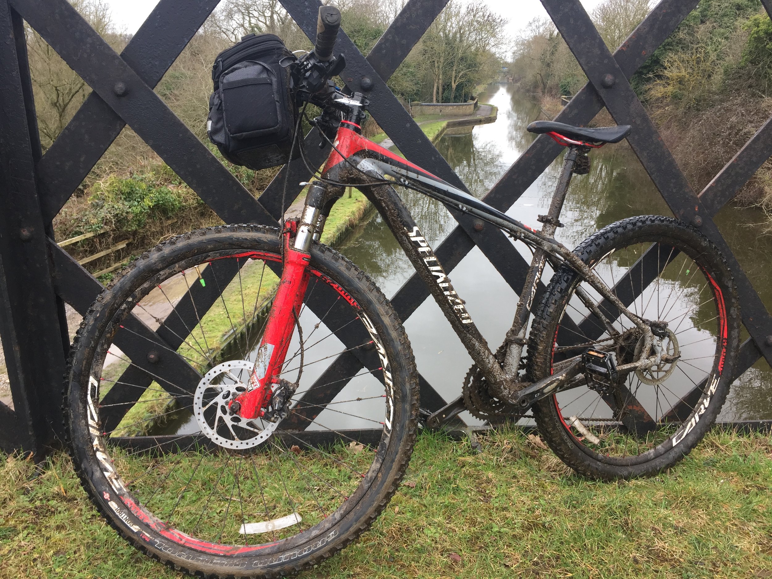
I'd made a failed attempt at this trip in January. It's been a winter of cancelled running events and I've added a few extra kilos. I was eager to get back on my bike for another attempt and a short window in a rainy Easter weekend gave me a chance. It was wet, muddy and cold. I loved it.
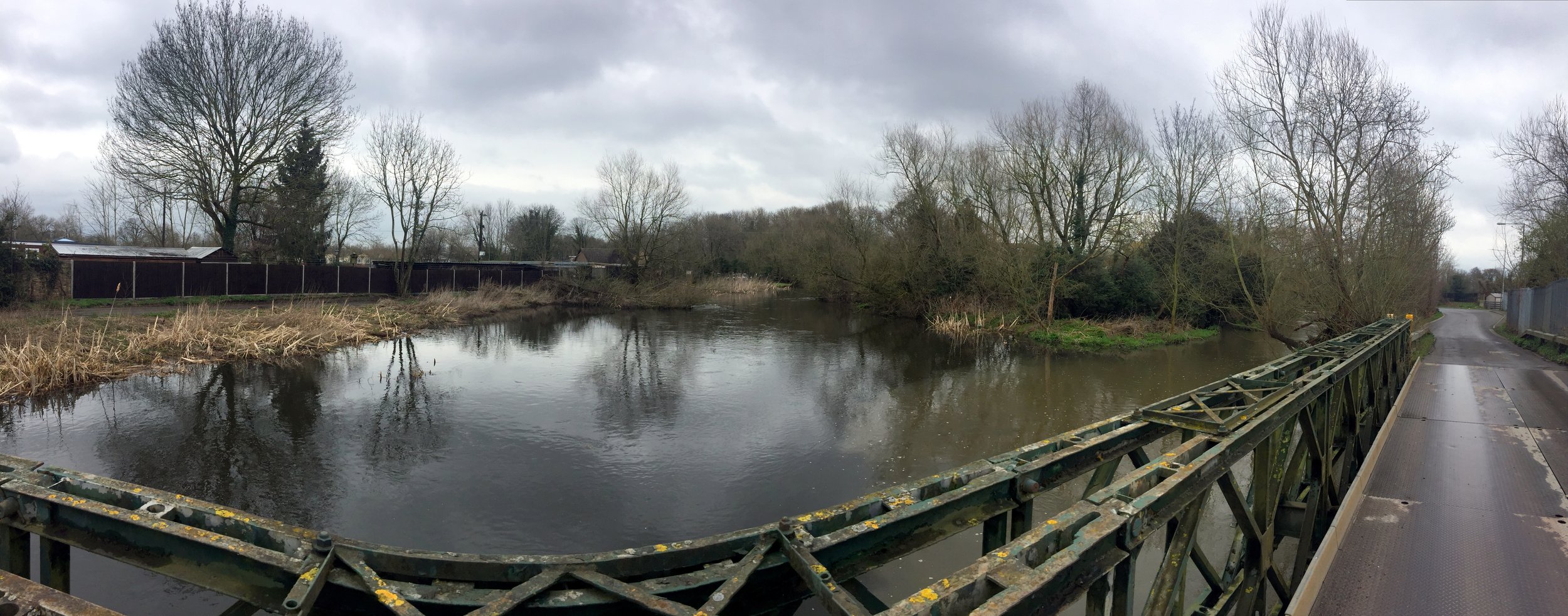
The best place to start the trip is car park at the Colne Valley Regional Park Visitors Centre. From here, its a 2.5 mile cycle down the Grand Union to the start of the Colne Brook. You can see the split from the River Colne from a bridge on the A4007 at Cowley. About 500m further on, a footpath next to the M25 follows the end of the Alderbourne before it meets the Colne Brook. The cycle route stays as close to the river as possible, passing through Iver, Thorney Park Golf Course, Colnebrook village and the back of Heathrow T5 industrial estates.
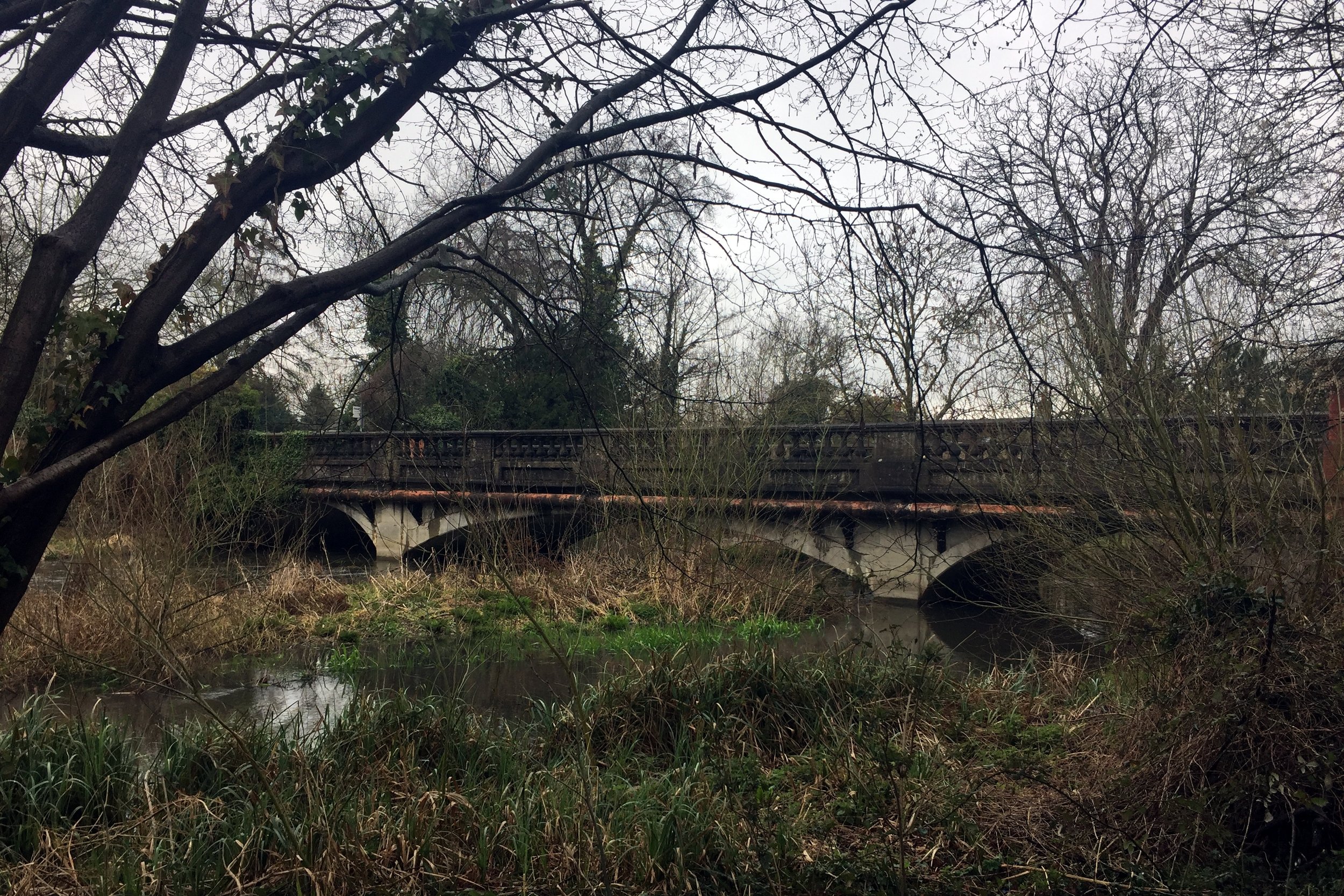
Once past Heathrow the route gets more pleasant as it weaves through the Wraysbury reservoirs, emerging at Hythe End. After passing the start of the Staines Reservoirs Aqueduct, the route joins the footbridge on the M25 river crossing. From here you can see the confluence with the Thames opposite the Runnymede Hotel.
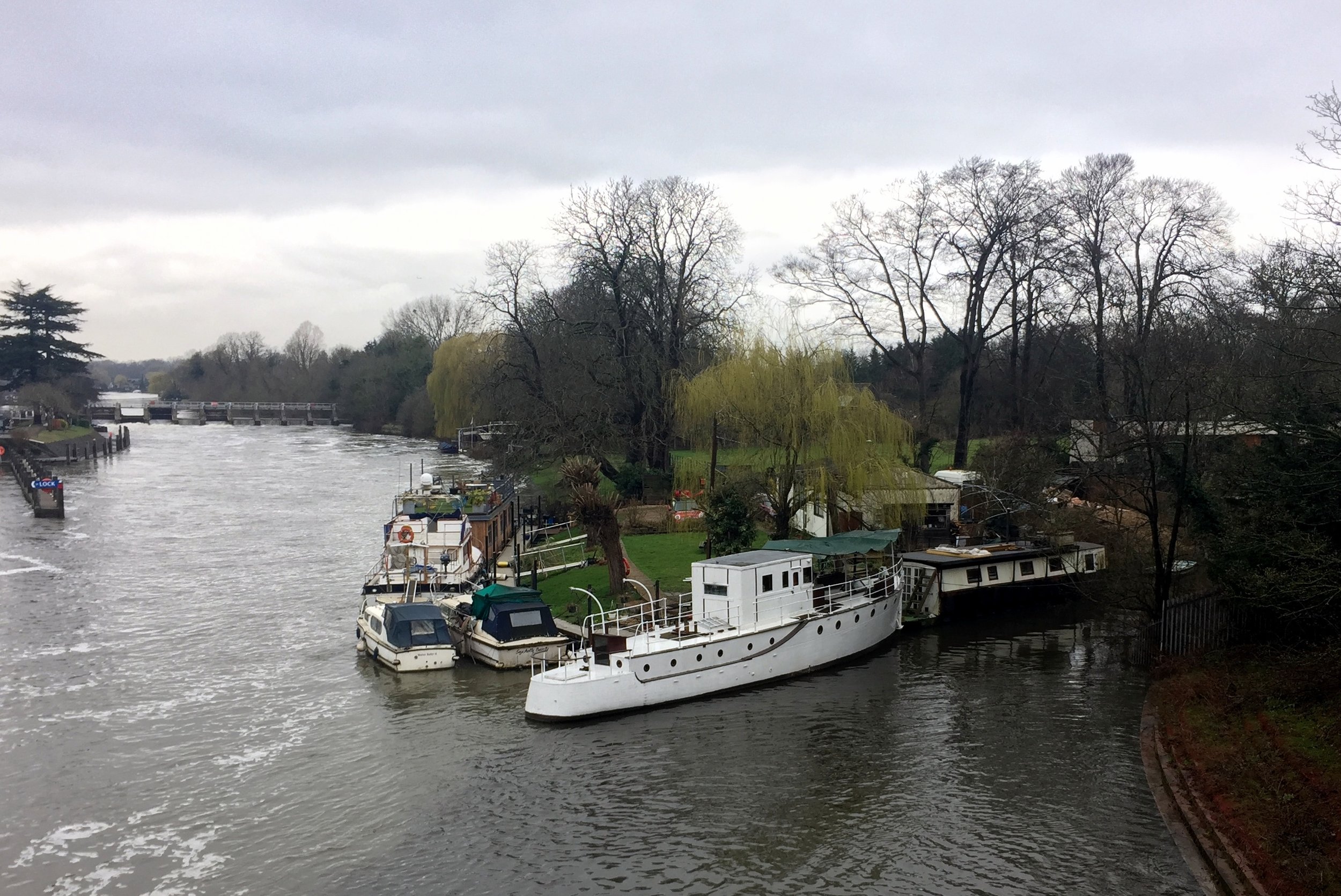
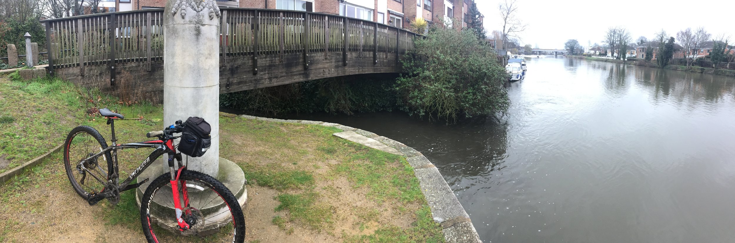
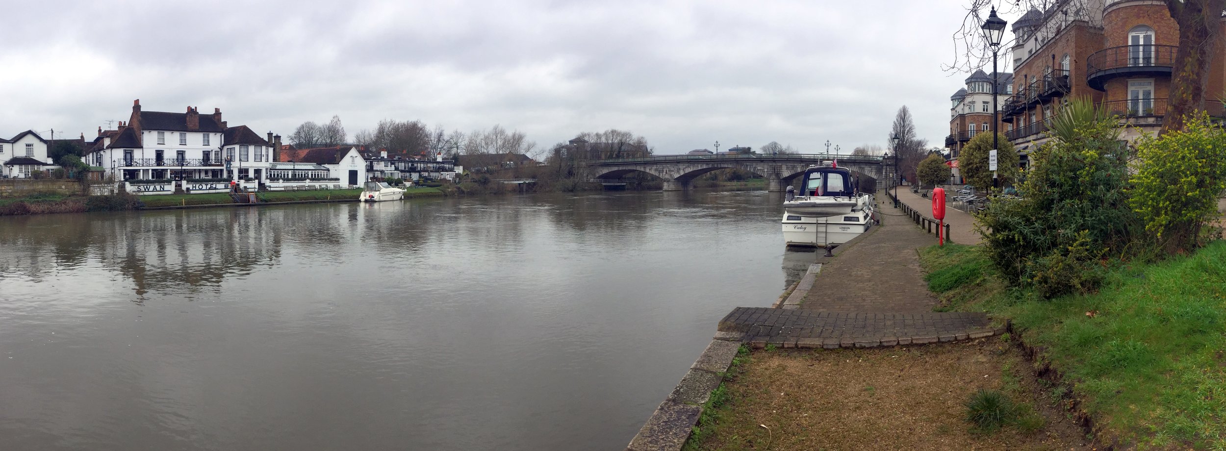
After a short ride east along the Thames, cross back over the river and you'll find the point where the River Colne reaches the Thames near the old Town Hall. The junction of the Colne and the Wraysbury can be seen from a bridge off Church Street a couple of hundred meters to the north.
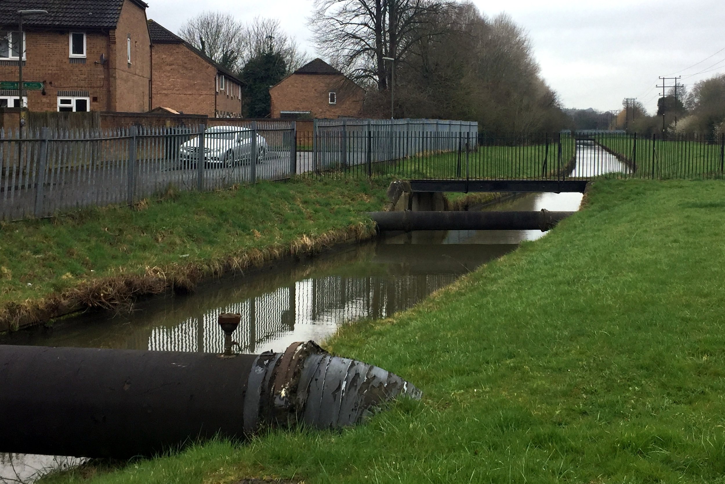
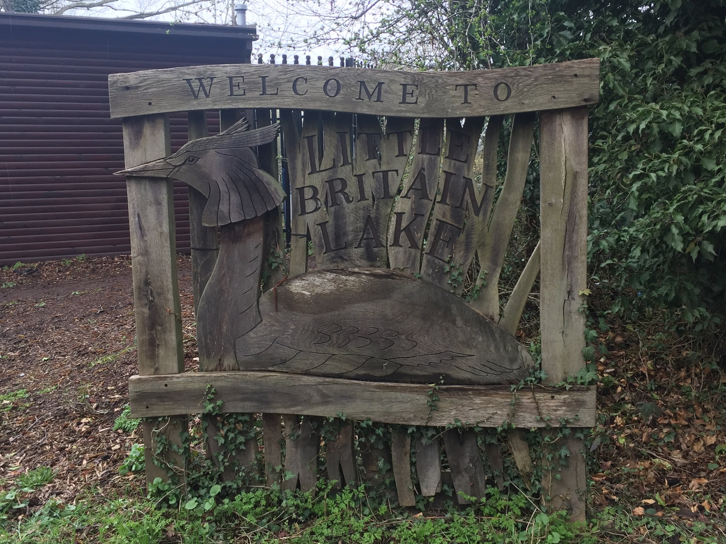
From Staines, the cycle route stays in sight of the Wraysbury river for most of the route except for a diversion around a grotty industrial estate at the back of T5. The start of the river at West Drayton is within a stone's throw of the end of the Fray's River. This end of the Frays is hard to keep close to, so the route diverts through West Drayton and Yiewsley before meeting the river at Little Britain Lake. From here the river can be tracked pretty closely through Uxbridge up to the junction with the Colne at Denham Lock.
Yellow = Cycle Route, Red = River Colne Brook, Blue = Wraysbury River, Green = River Frays

Elevation for cycle route