Cycling The River Alderbourne

Source of the Alderbourne near the M40 at Fulmer
Part of the Chiltern Rivers Series
River start: Pond at Low Farm, off Framewood Road, Fulmer, Buckinghamshire
River end: Confluence with Colne Brook, next to M25 on Uxbridge Moor
River length: 8 km (5 miles)
Cycle route start / end: Black Horse Pub, Windmill Rd, Fulmer, Slough SL3 6HD
Cycle route length: 18 km (11 miles)
Cycle route elevation change: +/- 116m
GPX File: get via Buy Me a Coffee
Other routes touched (walk): Beeches Way
Other routes touched (cycle): Beeches Cycleway, NCN 61
Map: OS Explorer Map (172) Chiltern Hills East
Links: Fulmer, Uxbridge Moor
The Alderbourne loves motorways. A long time ago it flowed through quiet South Buckinghamshire countryside. Now it's flanked by both the M40 and M25, crossing right through the junction of both. Despite this, there's some interesting routes near it, as I found out on this circular ride loosely based on the river's course.
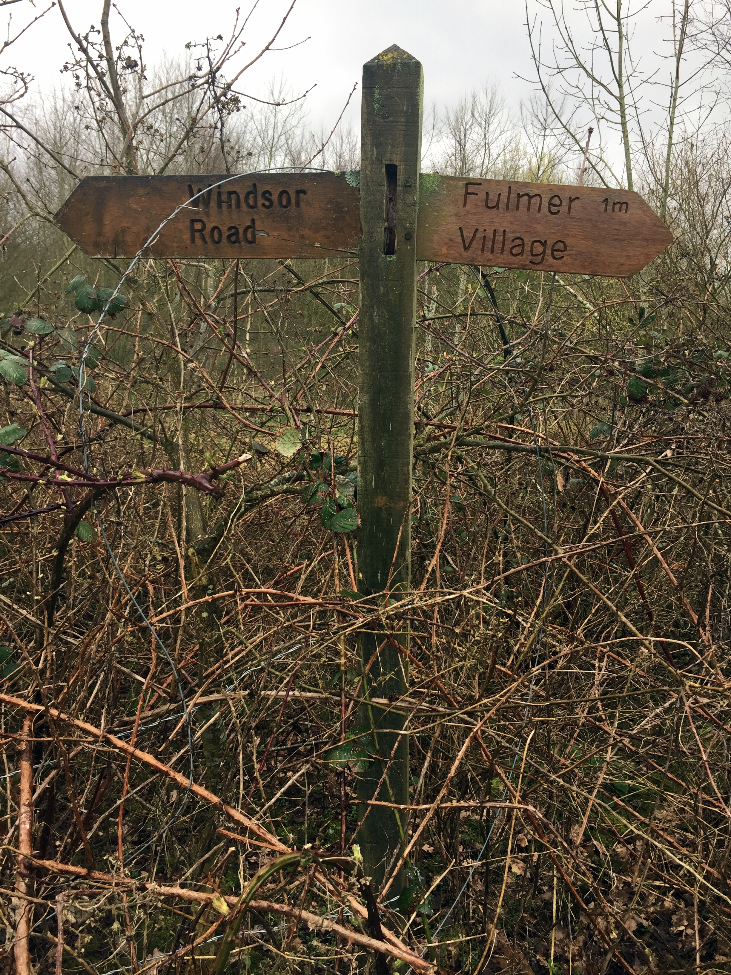
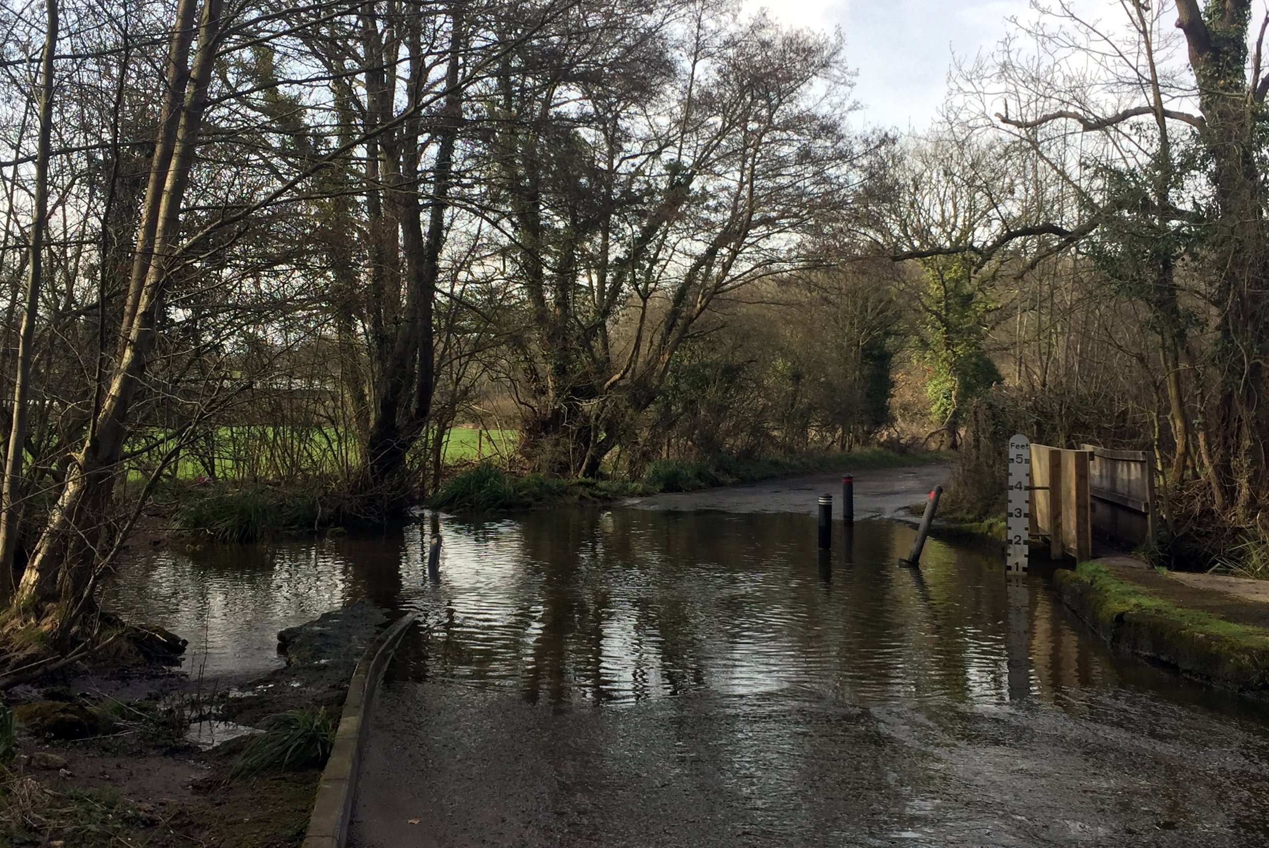
The best base for the ride is the Black Horse in Fulmer. It’s a regular of mine and one of my favourite pubs in the area. From here, cross the main road and go down Hay Lane to the junction with Framewood Road. This is as far as you can go by bike as both directions of Framewood Road are private. To see the source, lock your bike here and continue straight on the footpath for a third of a mile. A junction in the path will take you through a gate where you can see the small lake that feeds the river at Low Farm.
An optional add-on is to continue north-west along the main path for 5 minutes. Here you can see the decaying remains of Picking Farm. Once a large manor house, its been rotting for years getting overtaken by Japanese Knotweed.
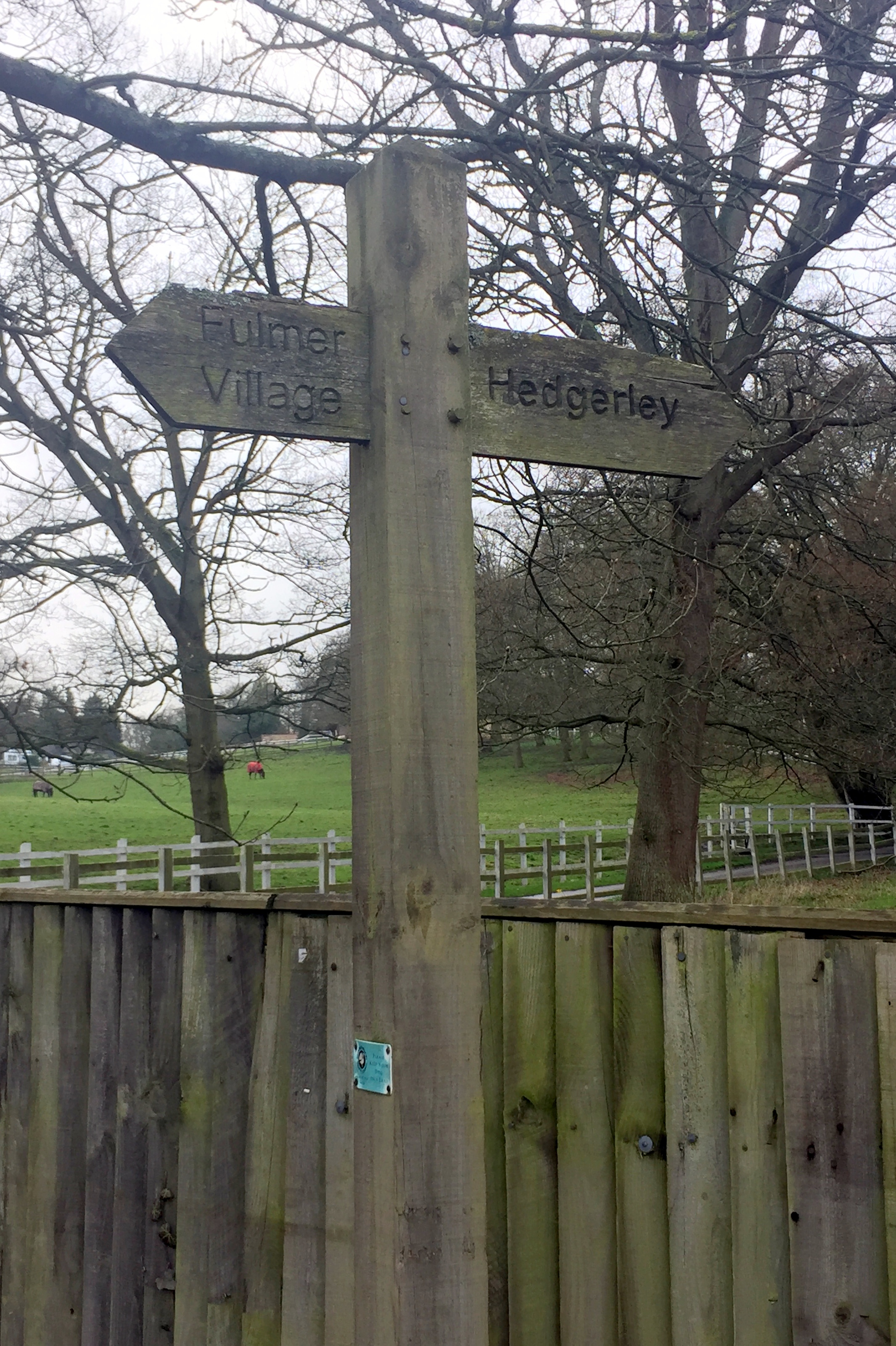
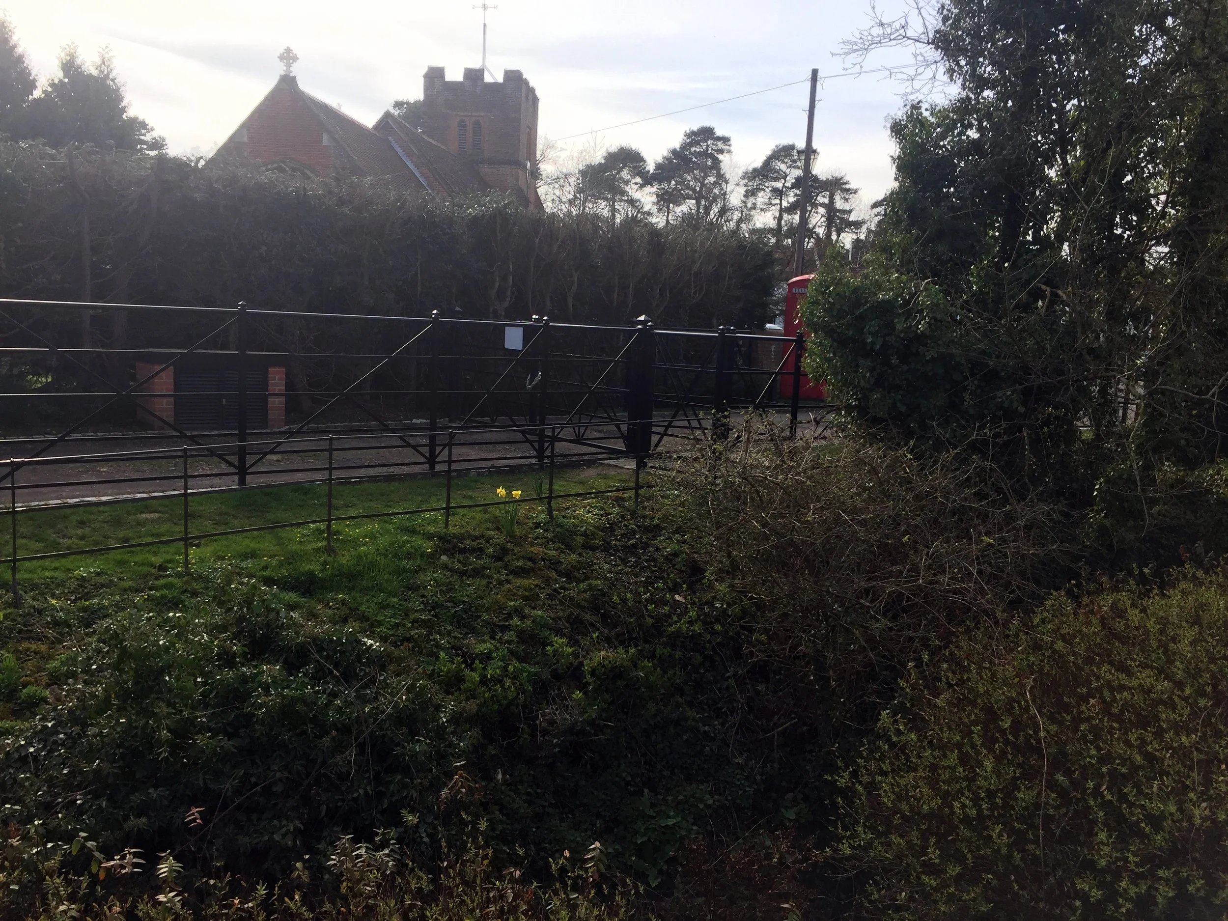
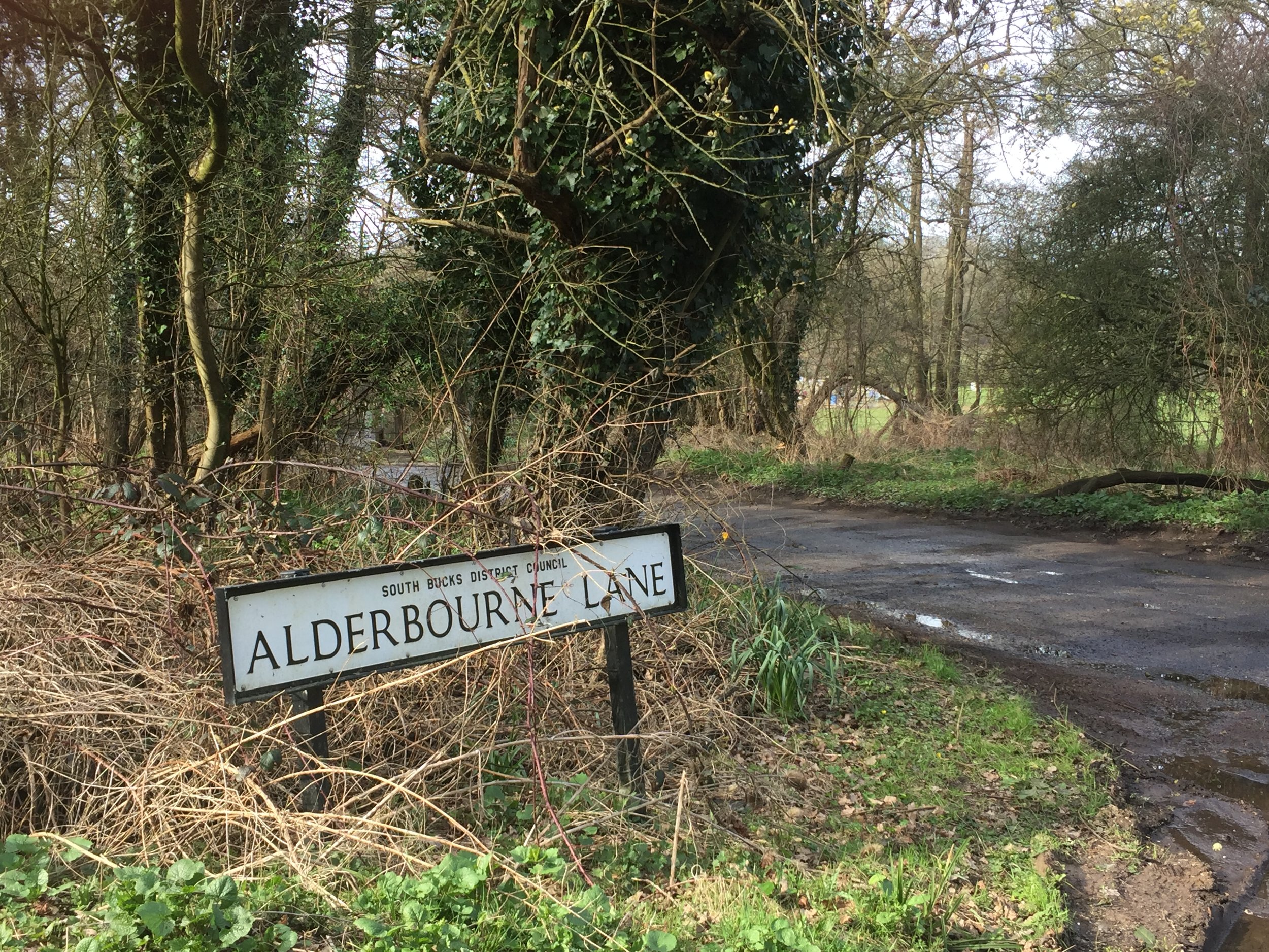
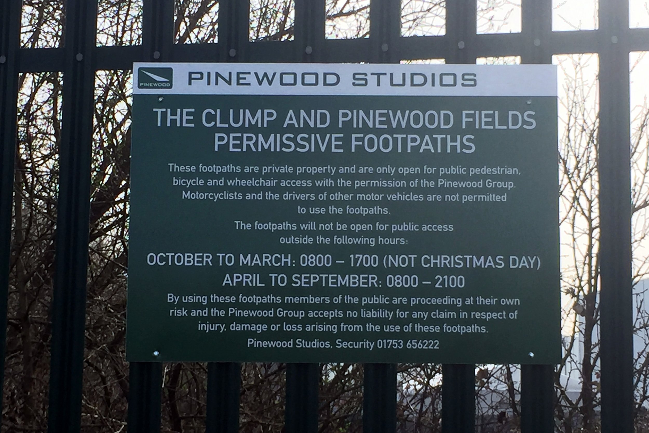
To follow the Alderbourne, retrace your steps to the Black Horse and take Alderbourne Lane, heading east. The lane will briefly join Hawkeswood Lane which is crossed by the river with a ford. As with many places around here, being close to Pinewood Studios, the ford was a location for a movie (Genevieve 1953). Follow Alderbourne Lane to the end and it will meet Pinewood Road at the corner of Black Park and the film studios.
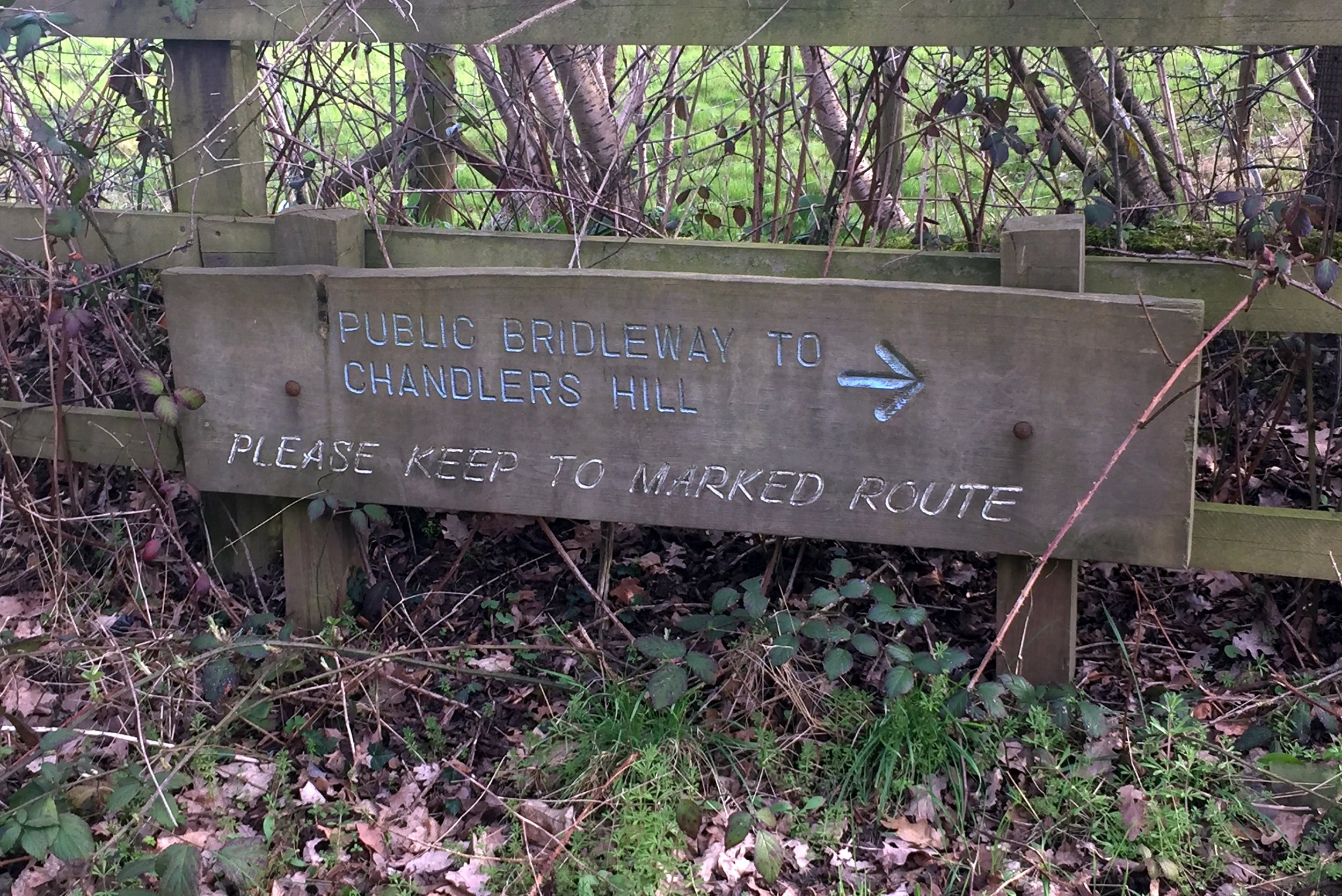
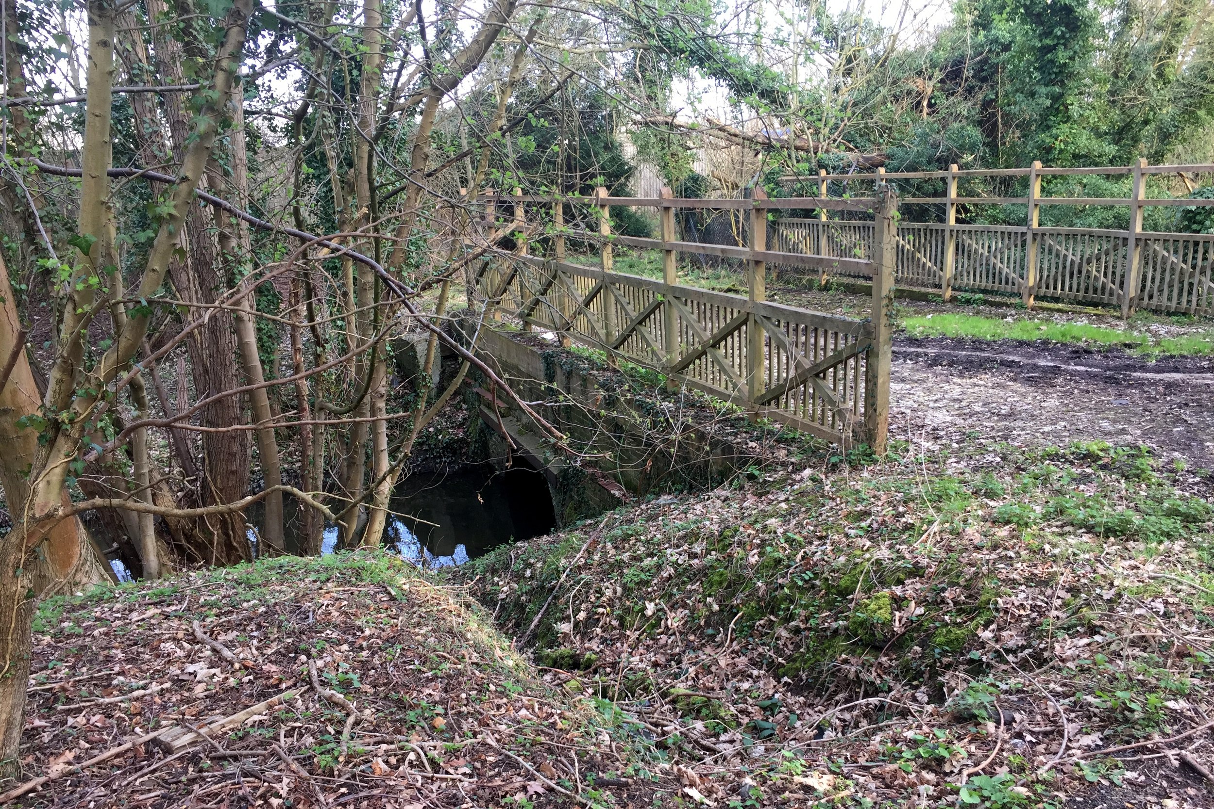
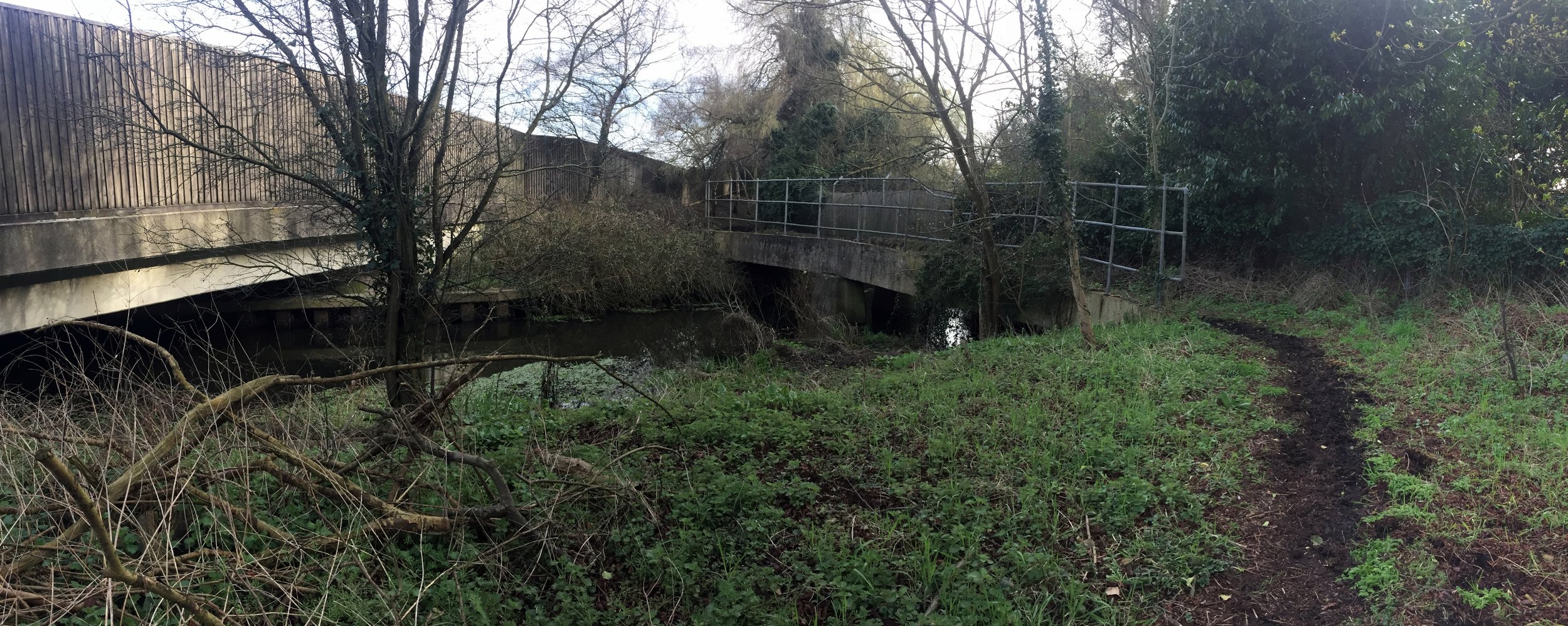
The route continues down Silverhill Road while the river diverts north without public access. The closest route to the river would be to take Silverhill then the A412, however this is a very busy road and not a pleasant cycle. Instead take the bridleway on the right of Silverhll before the M25 crossing. This follows the boundary of the Pinewood Studios extension and meets Iver Heath. Keeping to bridleways next to the M25 for 2.5 miles, you'll reach the Alderbourne's end where it meets the Colne Brook.
To complete the circular route, continue along the bridleway and follow the Beeches Way / NCN Route 61 until Billet Lane next to Langley Country Park. Follow this north to the A412 and cross it into Black Park. From here you can follow the eastern perimeter of the park along the side of the original Pinewood Studios site. At the North End of the park you can take Fulmer Common Road, then Windmill Road back to the Black Horse.
Despite not seeing much of the Alderbourne except for the start and end, its a great excuse for an interesting 11 mile ride around the area. Don't miss out on the opportunity for a meal and a pint at the Black Horse too.
Blue = River, Red = Cycle Route
Elevation for cycle route