Chiltern Walks: Piddington and Wheeler End

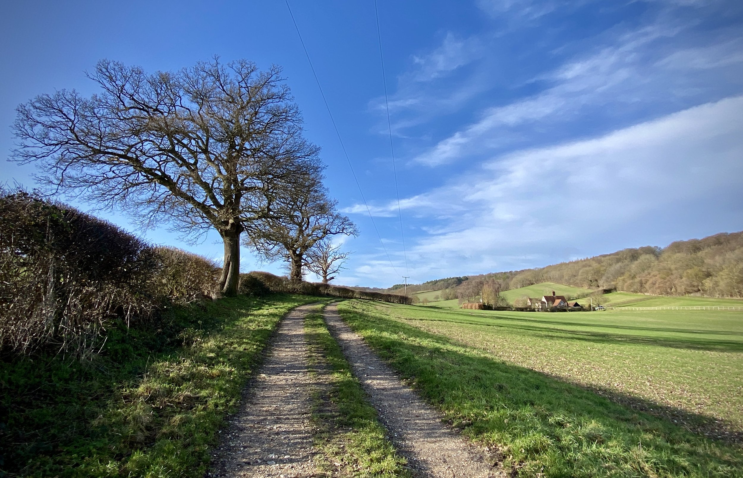
Farm near Piddington
Start & Finish: The Dashwood Roadhouse, Old Oxford Road, Piddington, Bucks, HP14 3BH
Distance: 8.5 km (5.3 miles)
Elevation change: +/- 145m
GPX File: get via Buy Me a Coffee
Other routes touched (walk): None
Other routes touched (cycle): Chilterns Cycleway
Pubs / Cafes on route: The Dashwood Roadhouse at the start and end
Map:
- OS Explorer Map (171) Chiltern Hills West, Henley-on-Thames and Wallingford
- OS Explorer Map (172) Chiltern Hills East
Links: Piddington, Wheeler End
This is part of a series of short circular walks in the Chilterns. The guidance below will help you navigate but don’t use it as a fully accurate turn-by-turn guide. Always take a map and/or a GPX route and prepare well for the weather and terrain.
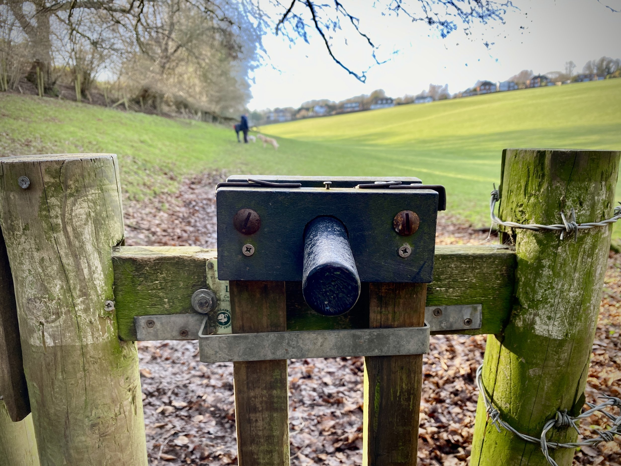
For this walk we parked outside the Dashwood Roadhouse, formerly the Dashwood Arms. The pub is on the Old Oxford Road which runs parallel to the A40. There’s plenty of free parking spaces outside of the pub. From the pub we took a left then a left again onto Chipps Hill and a right onto a track that runs parallel to the A40 in a westerly direction. Keep heading west through Dell’s Wood until you get to a path junctions just before Bigmore Lane at 2.3 km.
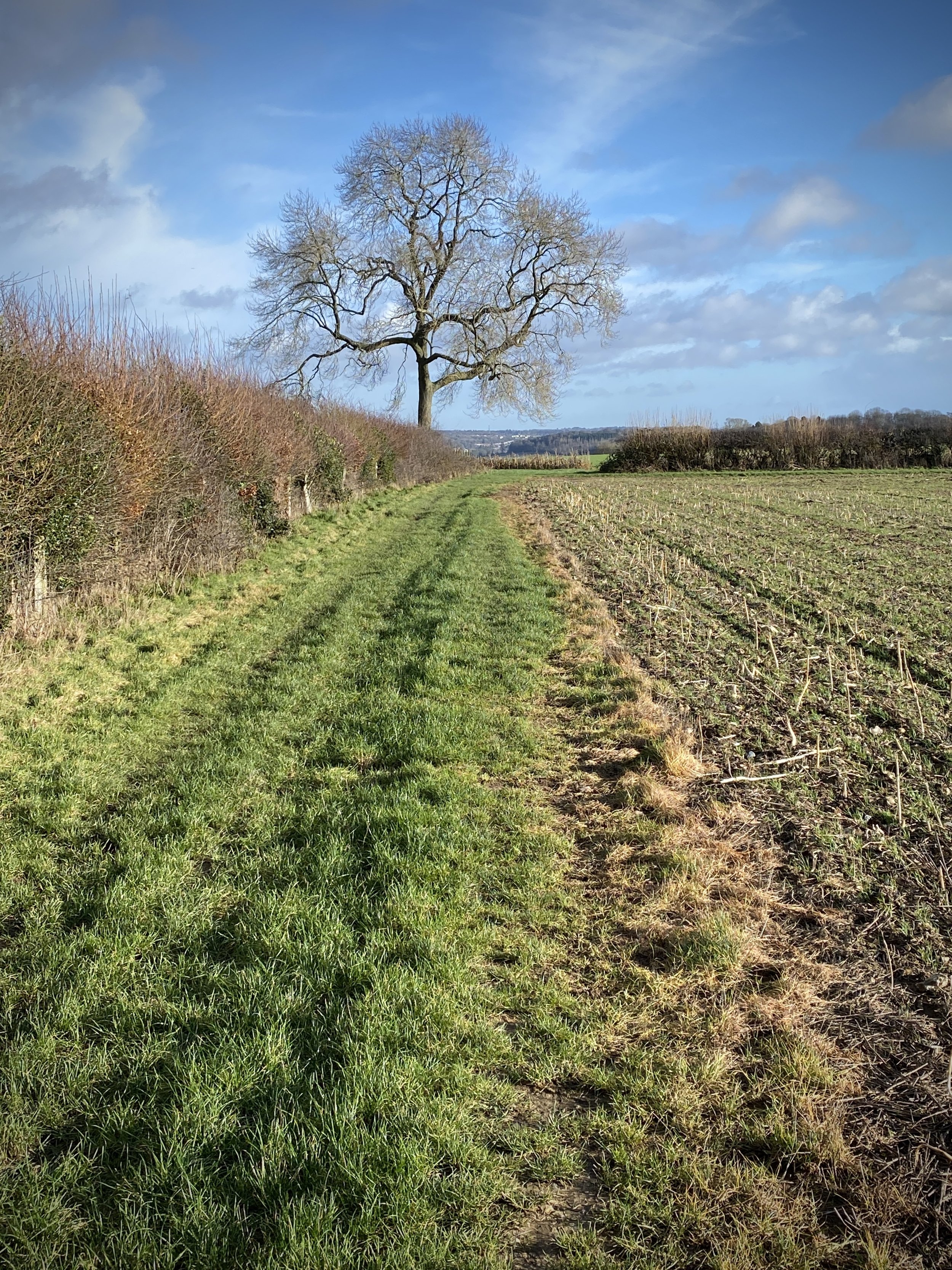
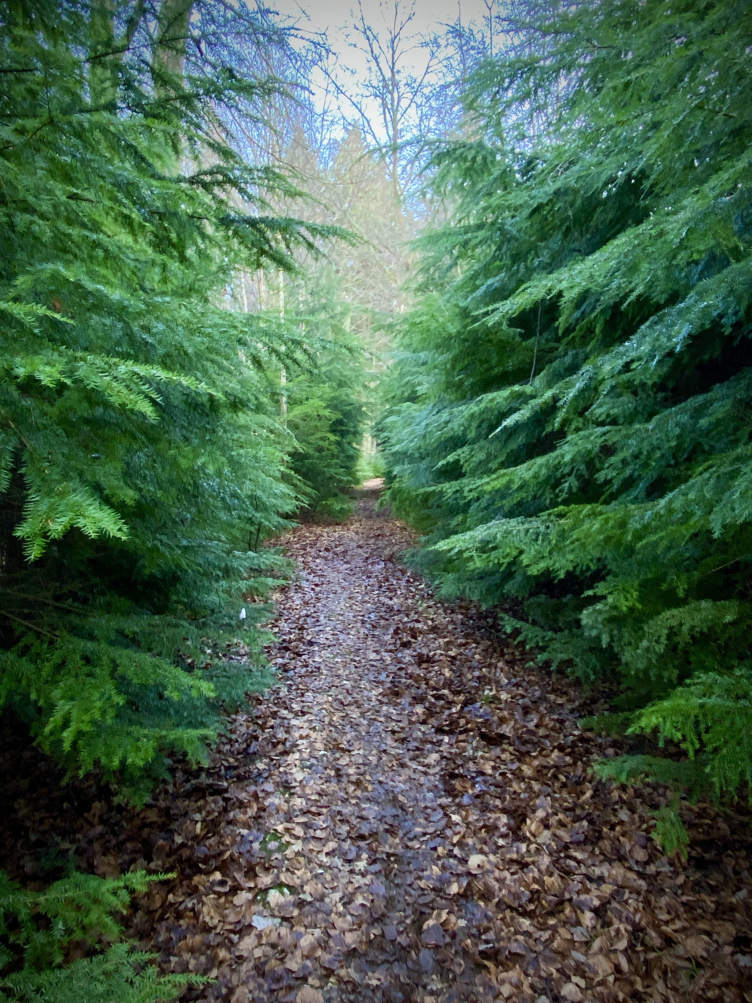
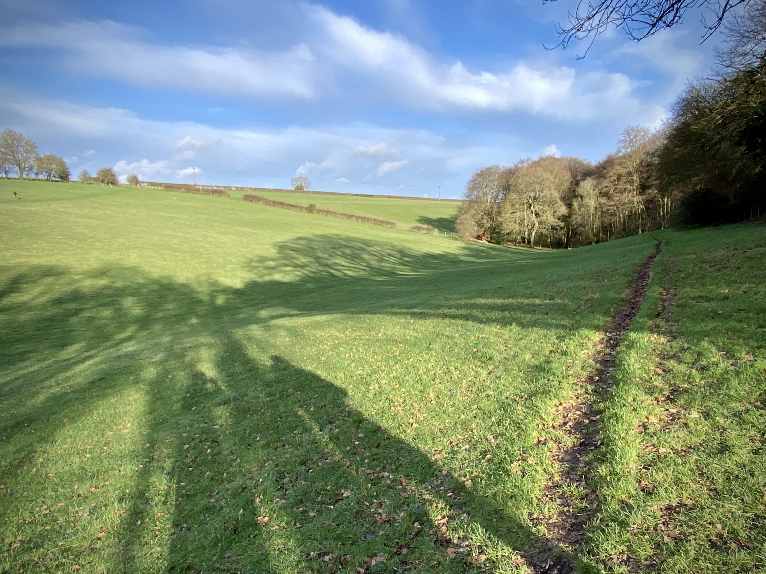
Take a left at the path junction and climb up through the woods to reach some farm buildings. Continue heading south through fields then through woods as the path curves round to the east. Continue heading east through Wheeler End Common and Denham Wood. You’ll be close to the M40 here and there’s always a hum of traffic in the distance but not as loud as you might expect based on the map.
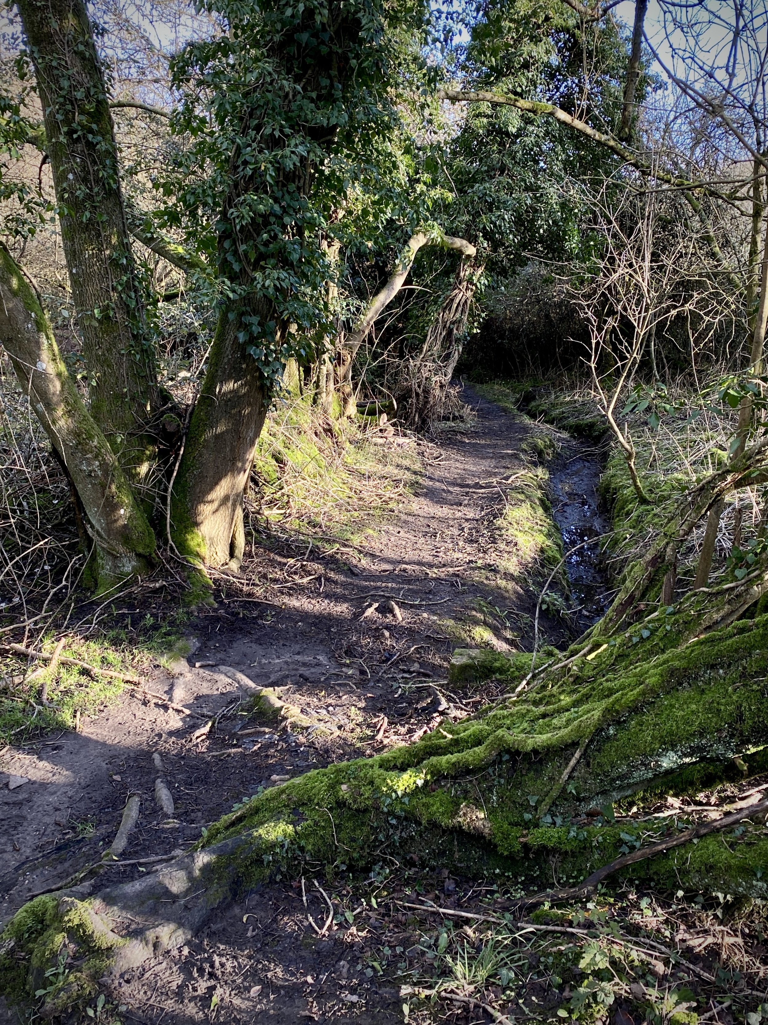
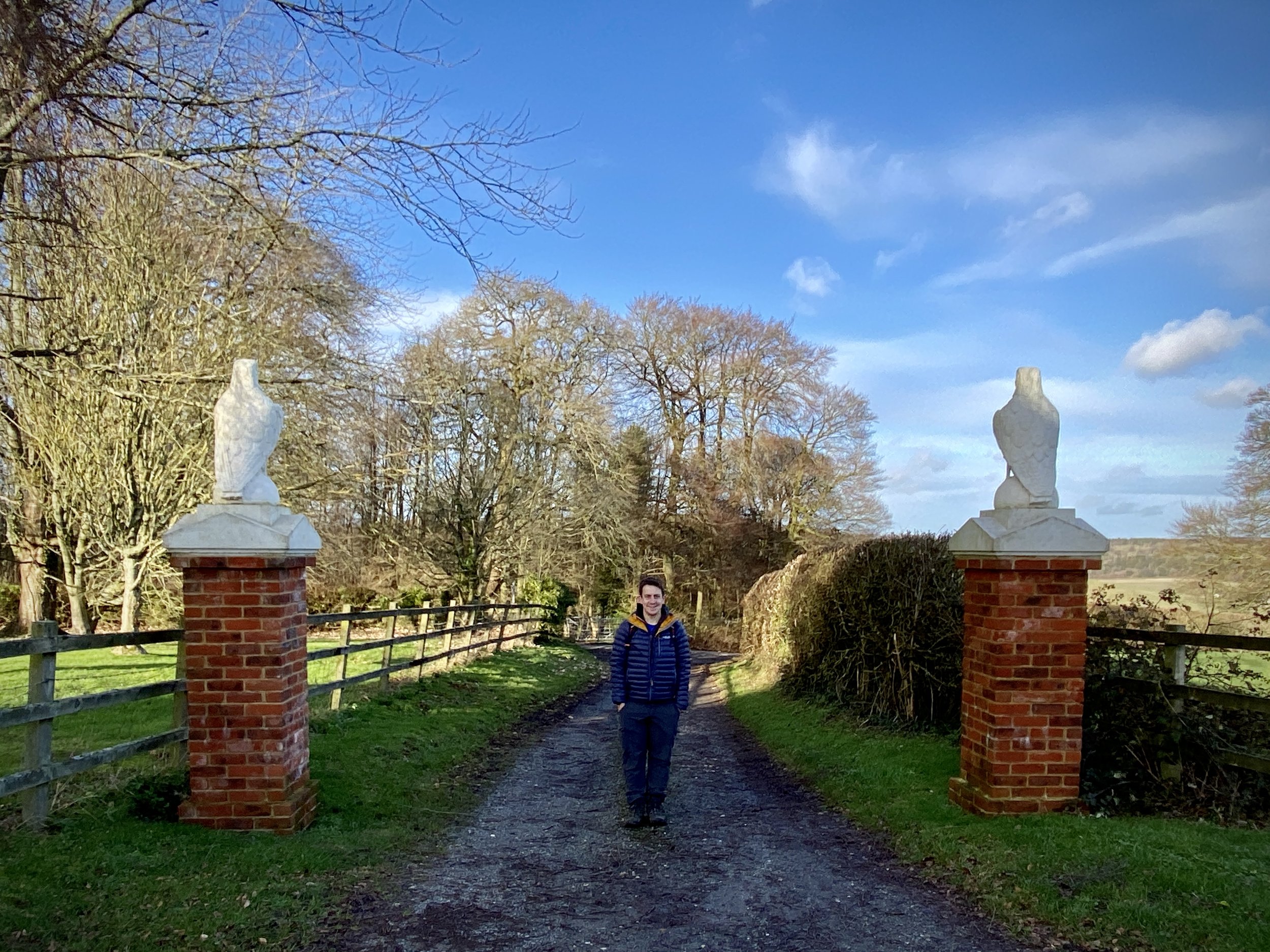
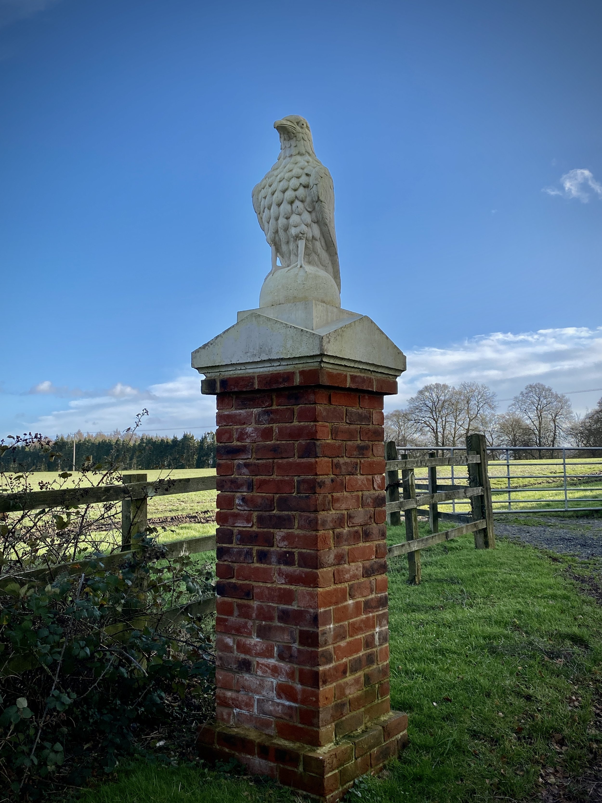
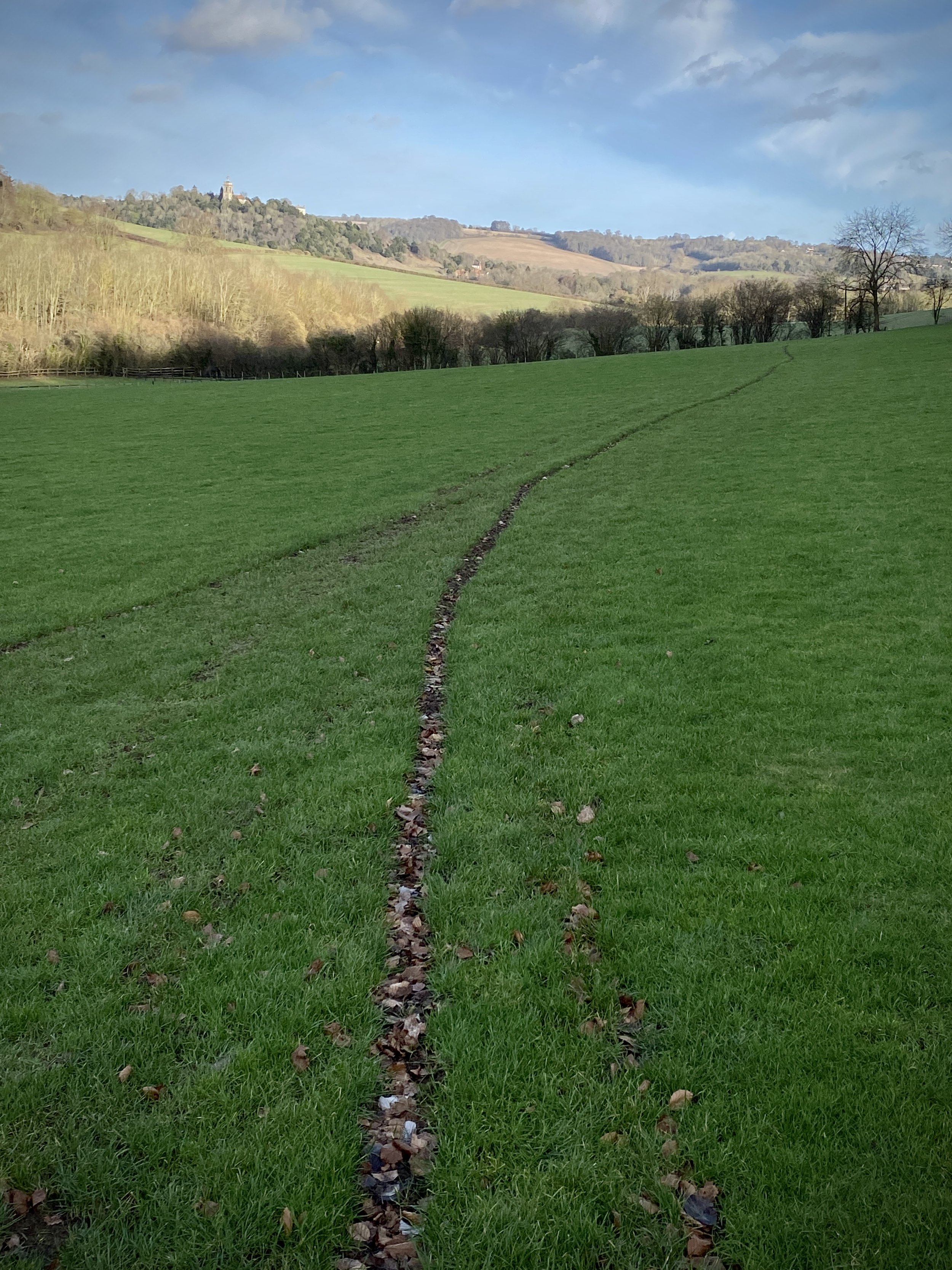
After Denham wood, the route curves up towards the north, reaching Bullock Farm Lane. Cross over the lane and descend through the woods and a field back to Piddington and the start point at the Dashwood Roadhouse.