Chiltern Walks: Piddington and West Wycombe

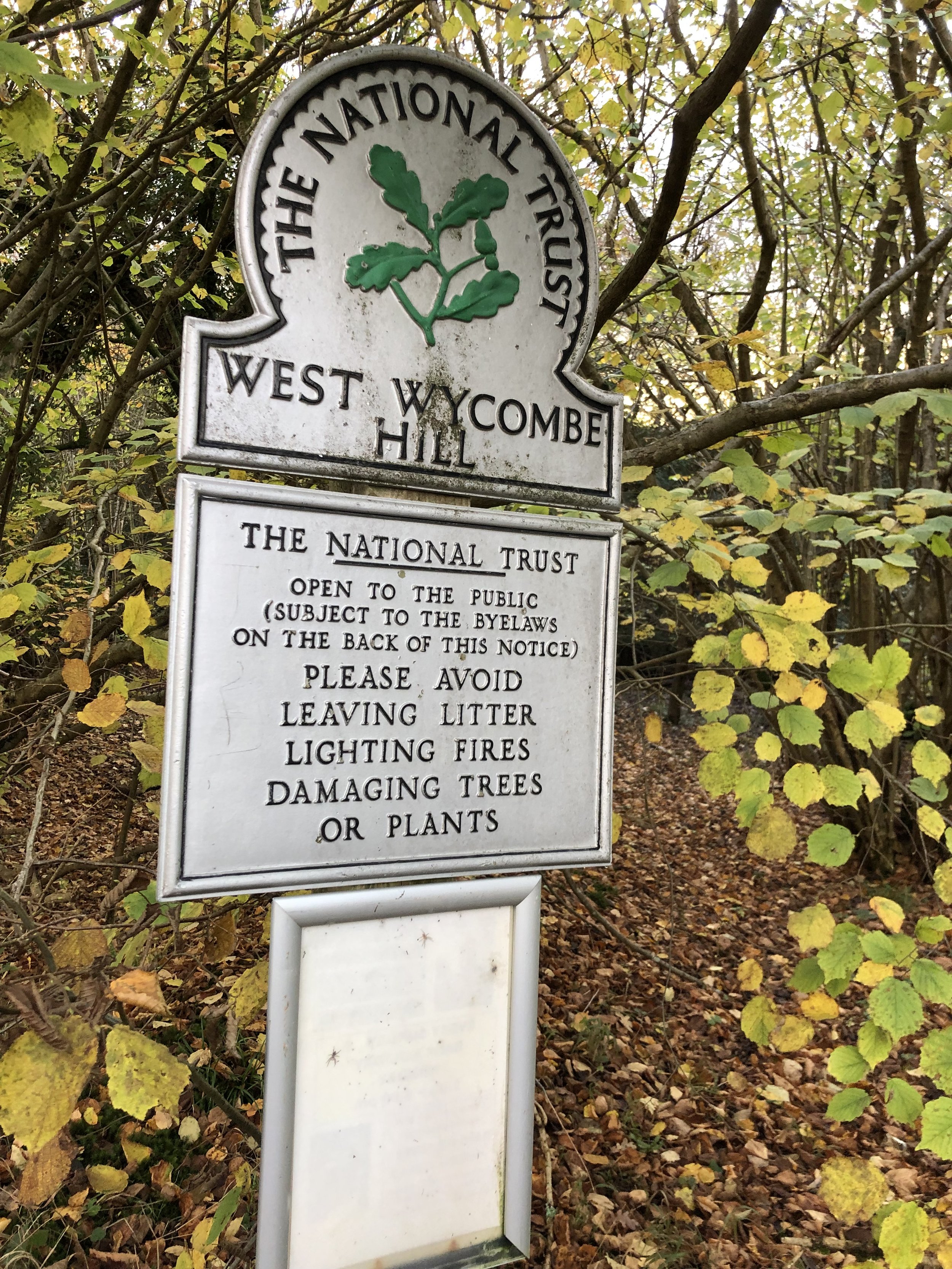
West Wycombe Hill
Start & Finish: The Dashwood Roadhouse, Old Oxford Road, Piddington, Bucks, HP14 3BH
Distance: 8 km (5 miles)
Elevation change: +/- 243m
GPX File: get via Buy Me a Coffee
Other routes touched (walk): None
Other routes touched (cycle): Chilterns Cycleway
Pubs / Cafes on route: The Dashwood Roadhouse at the start and end
Map:
- OS Explorer Map (171) Chiltern Hills West, Henley-on-Thames and Wallingford
- OS Explorer Map (172) Chiltern Hills East
Links: Piddington, West Wycombe, West Wycombe Caves, Dashwood Mausoleum, National Trust - West Wycombe Park, Village and Hill
This is part of a series of short circular walks in the Chilterns. The guidance below will help you navigate but don’t use it as a fully accurate turn-by-turn guide. Always take a map and/or a GPX route and prepare well for the weather and terrain.
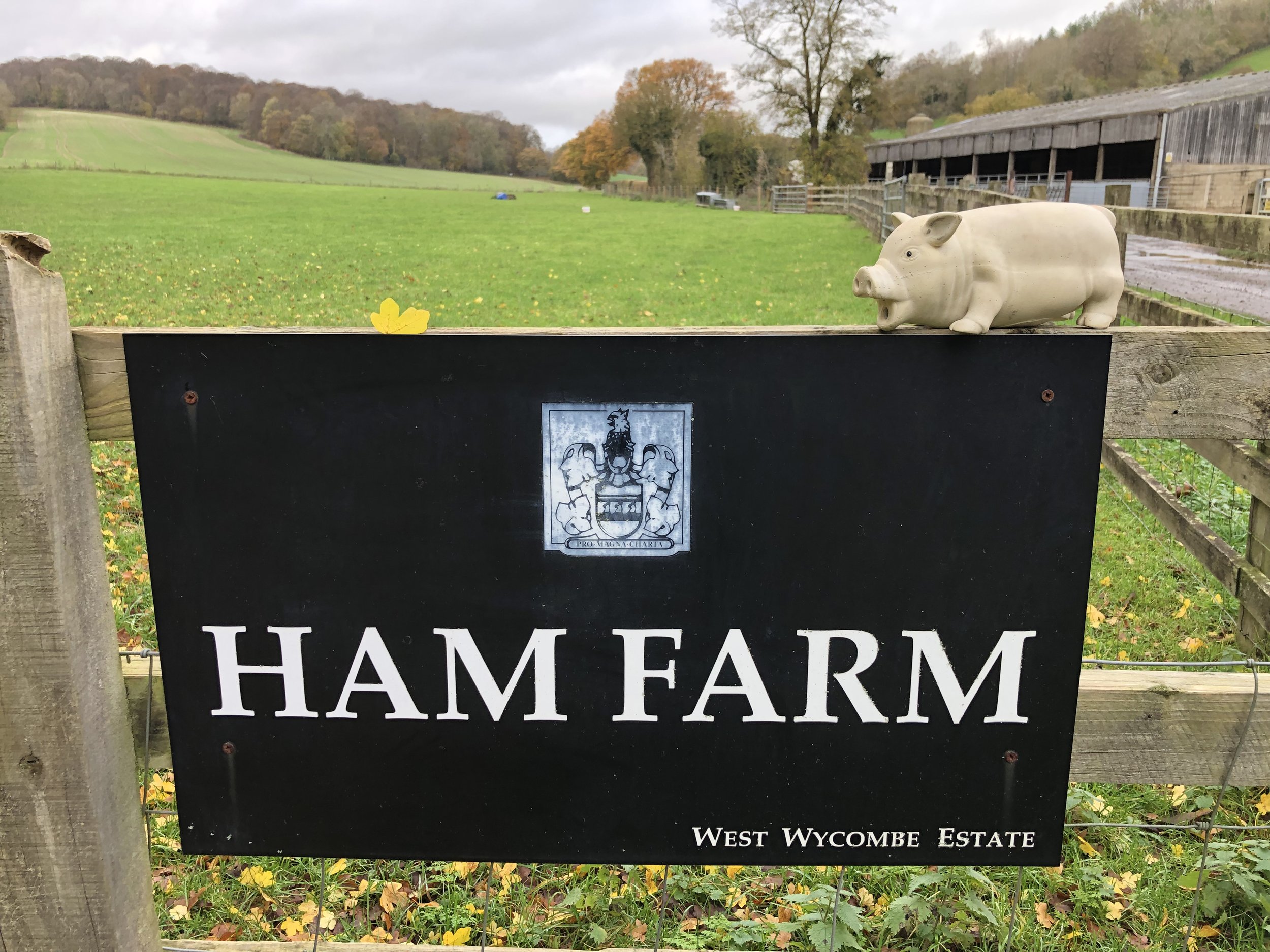
For this walk we parked outside the Dashwood Roadhouse, formerly the Dashwood Arms. The pub is on the Old Oxford Road which runs parallel to the A40. There’s plenty of free parking spaces outside of the pub. From the pub cross over the road and follow the private road into Ham Farm. Turn right after the first set of farm buildings and take the footpath that climbs the hill in a north-easterly direction. Continue on this path crossing over Bottom Road, Chinnor Road and Slough Lane.
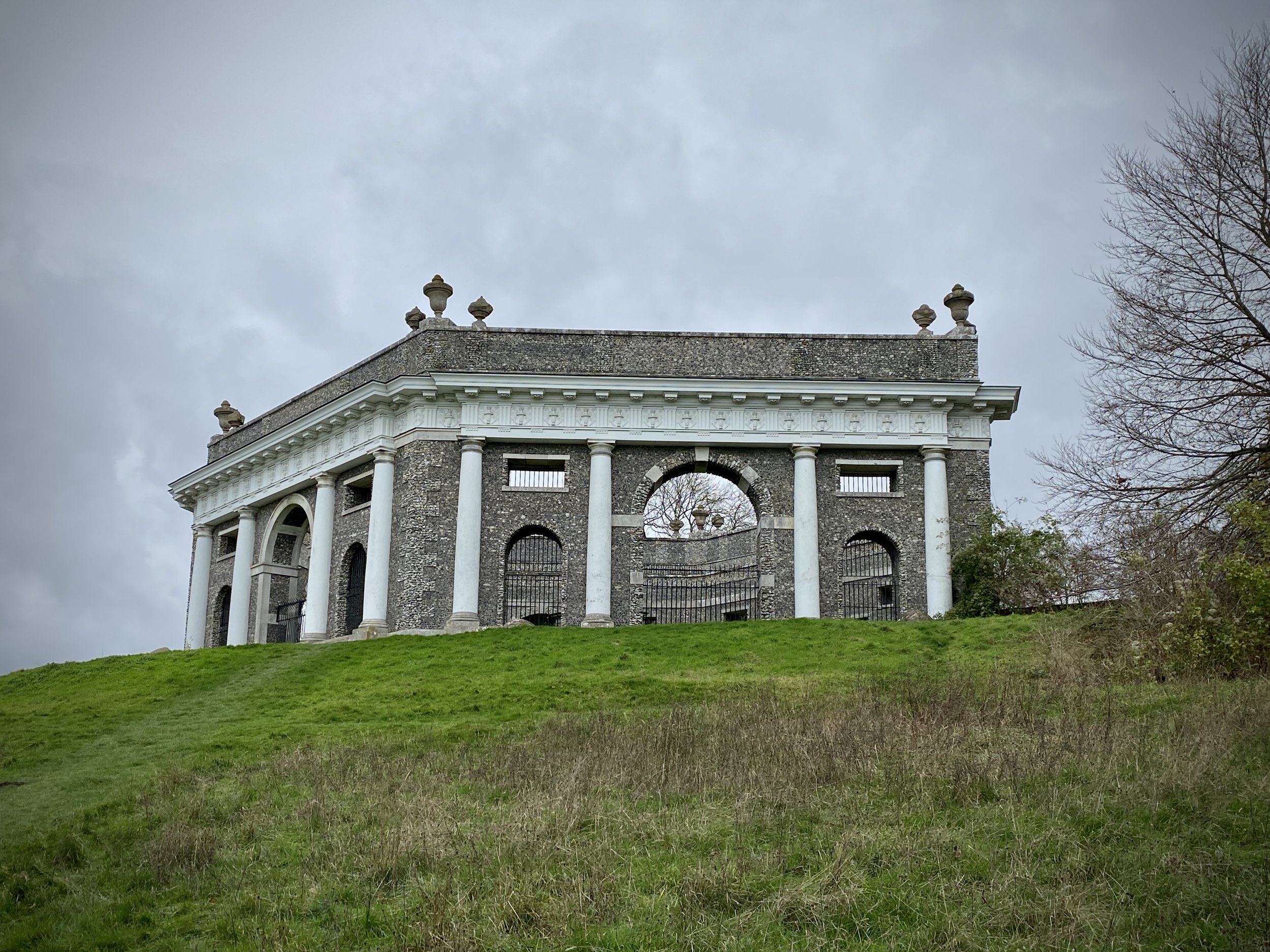
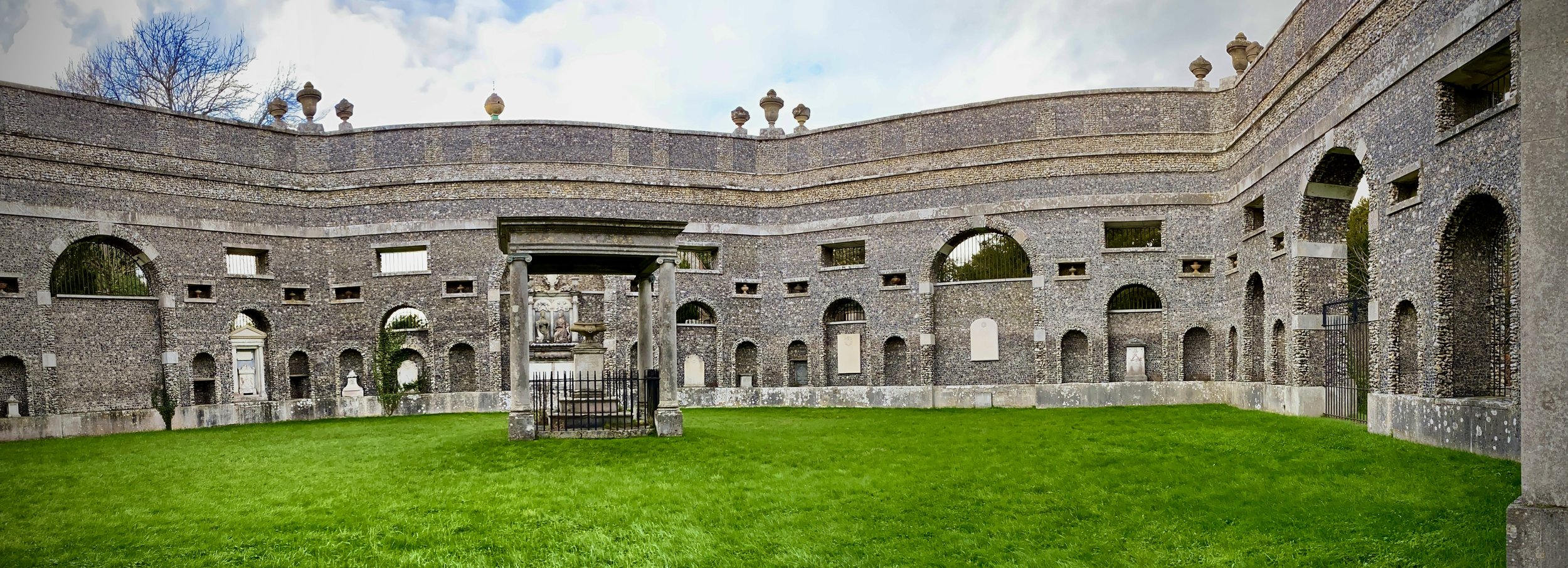
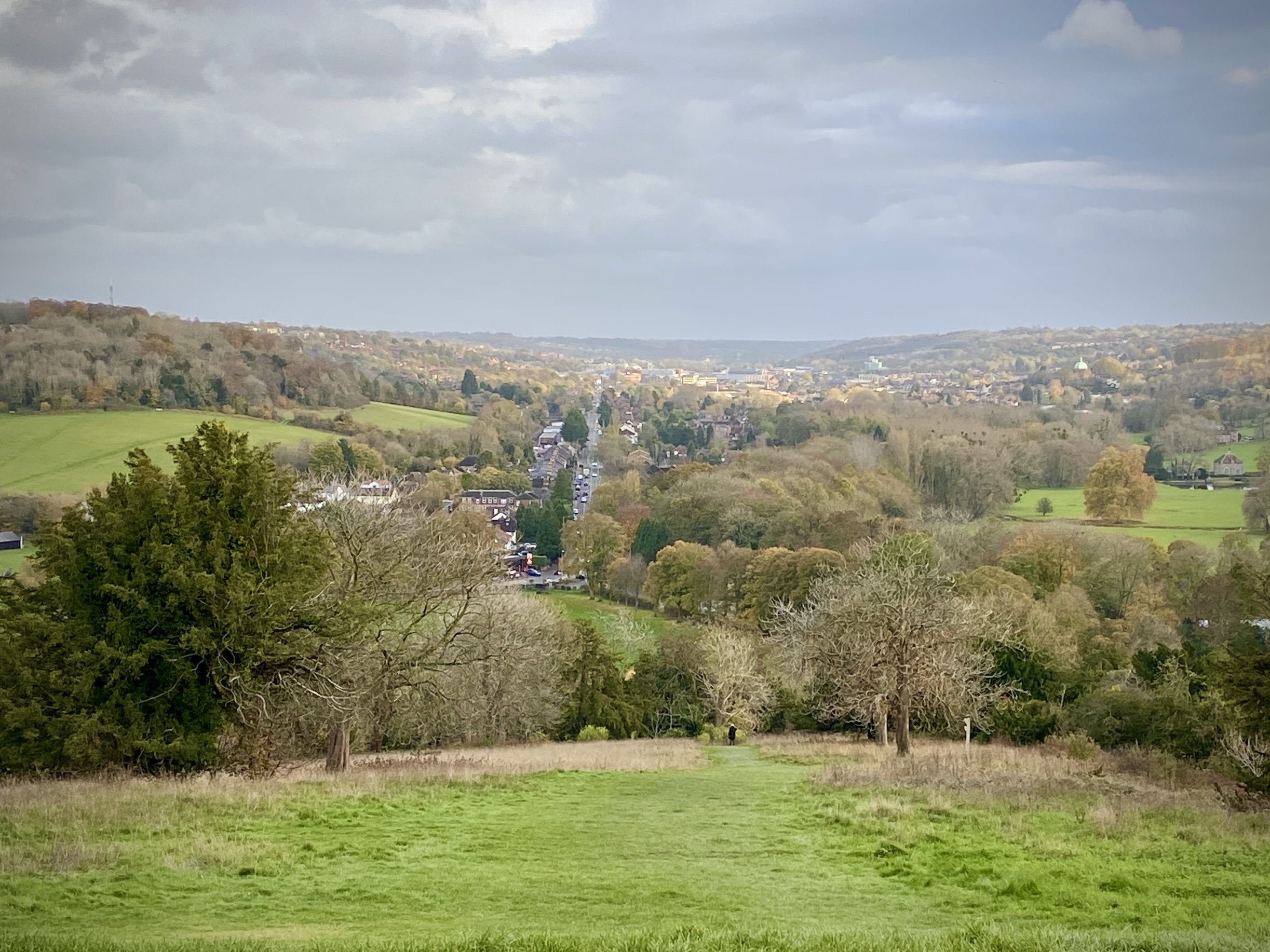
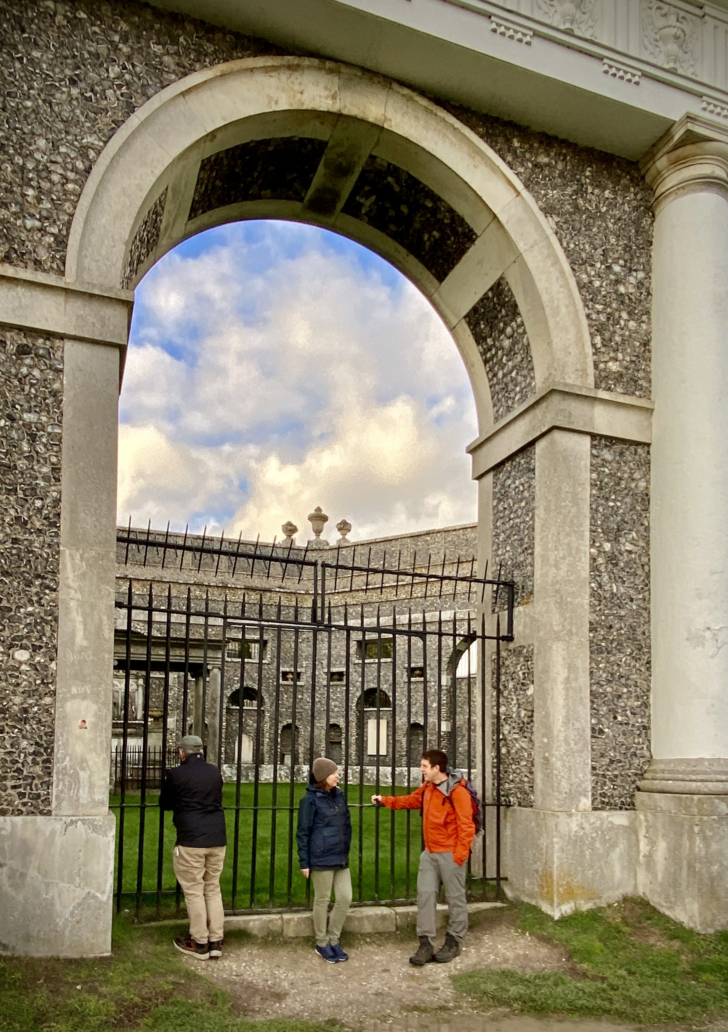
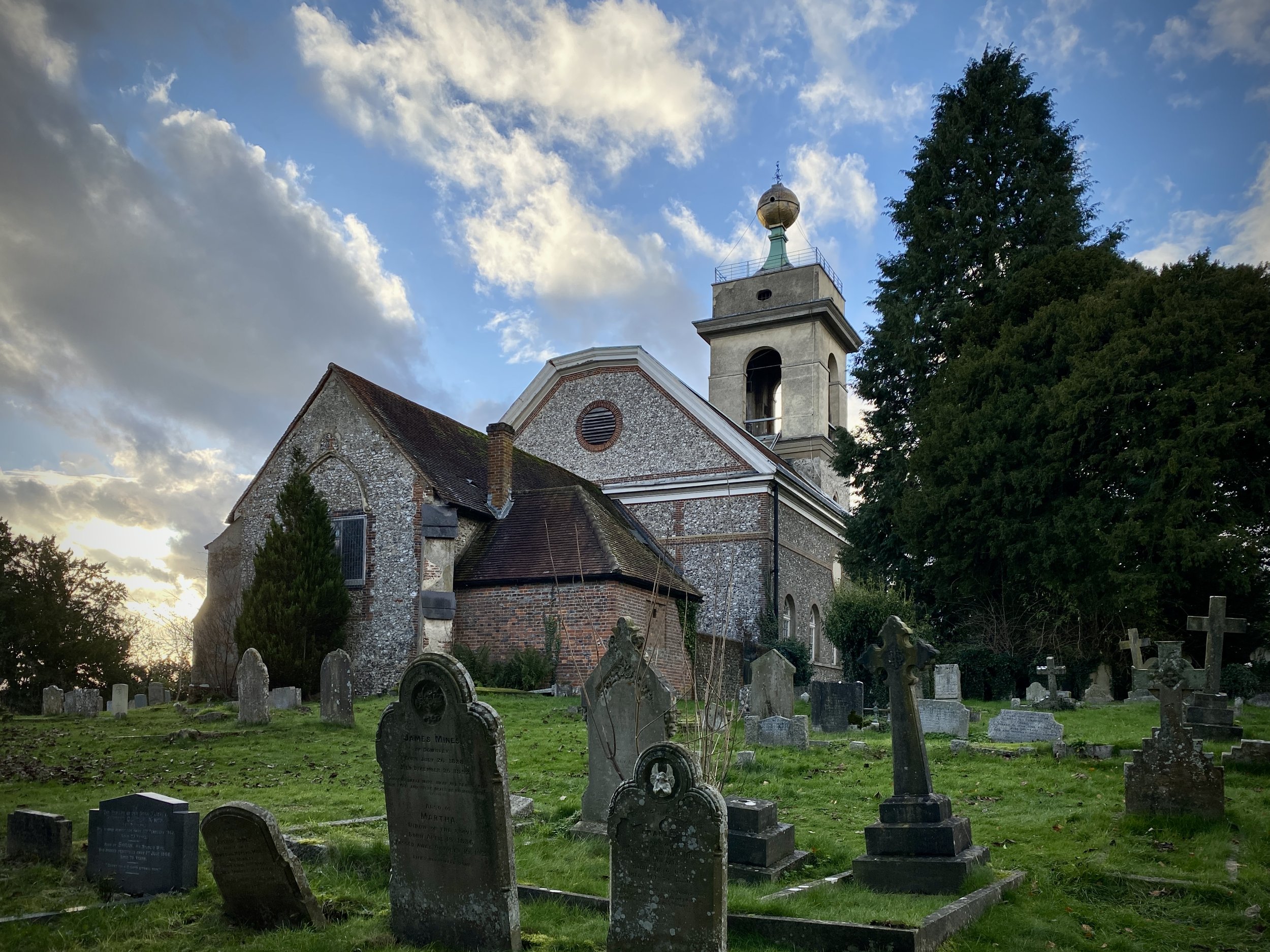
After Slough Lane climb the steep hill to Hearton Wood and take a right onto the main track that follows the ridge in a south-easterly direction. At the car-park leave the track to visit the Dashwood Mausoleum and St. Lawrence Church. If you have more time you can visit the Hellfire Caves under the hill. The entrance to this is on Church Road.
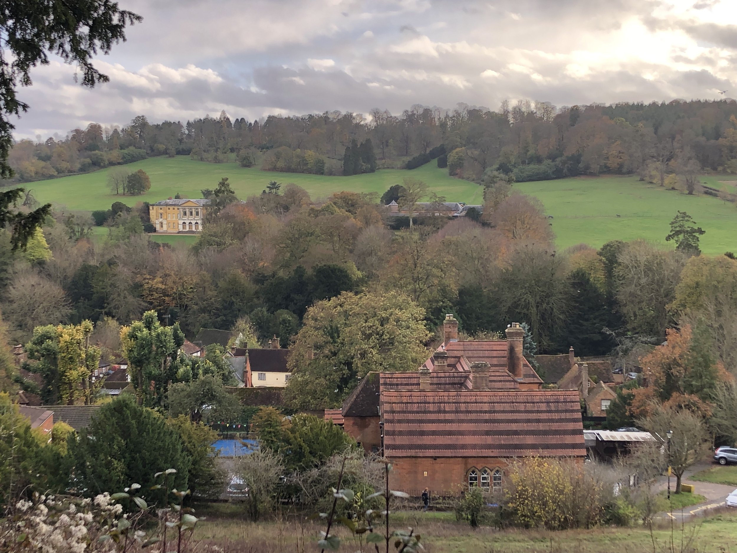
Descend the hill to the junction of Chorley Road and Oxford Road (A40), Take a right onto the Oxford Road and follow the pavement for 200m, then cross over to the south side to Towerridge Lane. Follow Towerridge Lane up the hill for 900 metres, curving to the right, until it stops at some private houses. When the lane becomes a foopath follow it in a south-westerly direction for 300 metres then take a footpath on the right into the woods. Follow this path in a westerly direction through Upper Dorrells Wood, cross over bullocks Farm Lane and onto a north-westerly footpath.
When you reach the village of Piddington take Queen Street to Princes Street, then follow that until you reach the Old Oxford Road and the Dashwood Arms.