Chiltern Walks: Lane End, Fingest and Moorend Common

Fields near Bolter End Common
Start & Finish: Village Car Park, 1 The Ferns, Lane End, High Wycombe, HP14 3HB
Distance: 8.7 km (5.4 miles)
Elevation change: +/- 160m
GPX File: get via Buy Me a Coffee
Other routes touched (walk): Chiltern Way
Other routes touched (cycle): Chiltern Cycleway
Pubs / Cafes on route: Several in Lane End village centre, plus The Chequers Inn, Fingest (4.3km in), The Prince Albert (6.9 km in)
Map:
- OS Explorer Map (171) Chiltern Hills West, Henley-on-Thames and Wallingford
- OS Explorer Map (172) Chiltern Hills East
Links: Lane End, Fingest
This is part of a series of short circular walks in the Chilterns. The guidance below will help you navigate but don’t use it as a fully accurate turn-by-turn guide. Always take a map and/or a GPX route and prepare well for the weather and terrain.
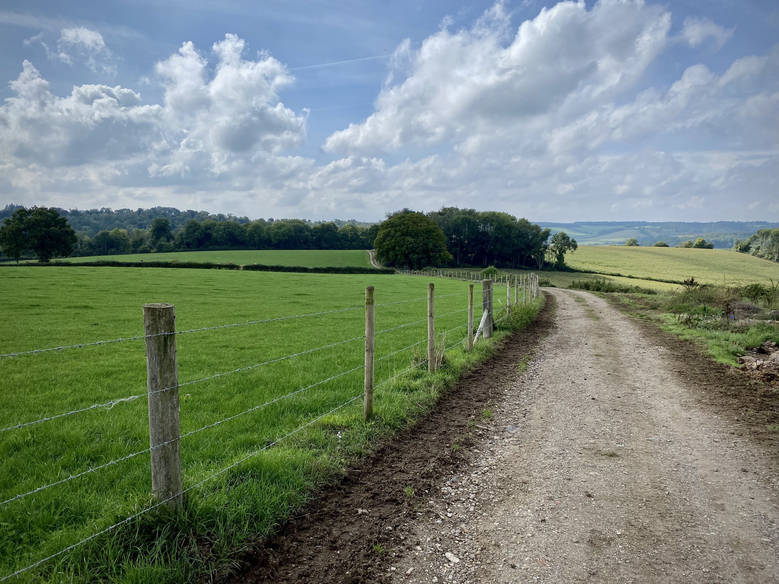
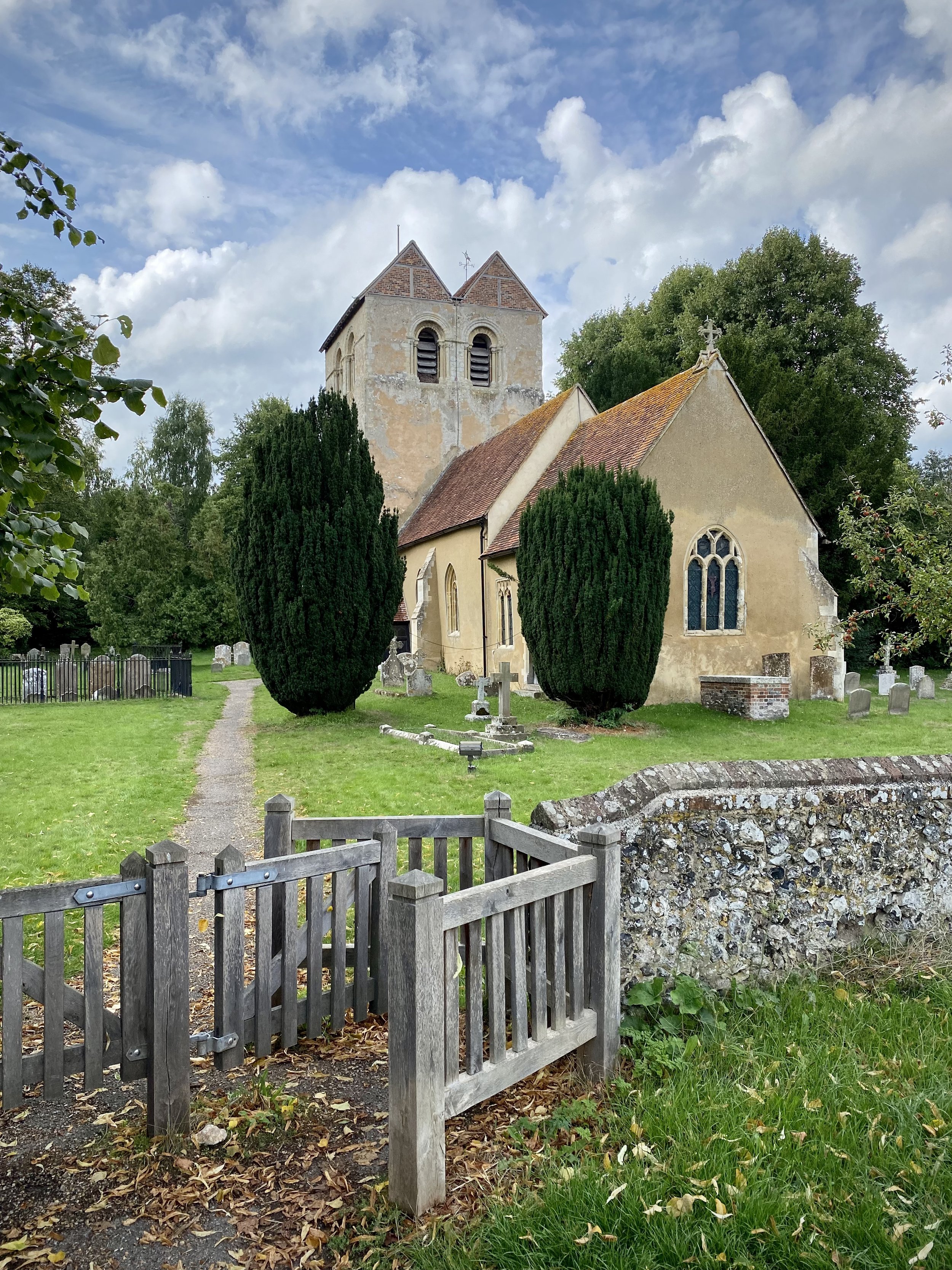
For this walk we parked at the free village car park opposite the village hall. From here cross the B482 Finings Road and follow Church Path round the right hand side of Holy Trinity Church. When you reach the old pub, now a house, turn right and follow the footpath down through the woods. At path junctions in the wood keep to the right until you reach the farm track at Bolter End Common. Take a left and descend for 1 km down to the woods. At the woods you’ll meet an east-west path. Take a right through a gate onto a private road and descend until you meet Fingest Lane.
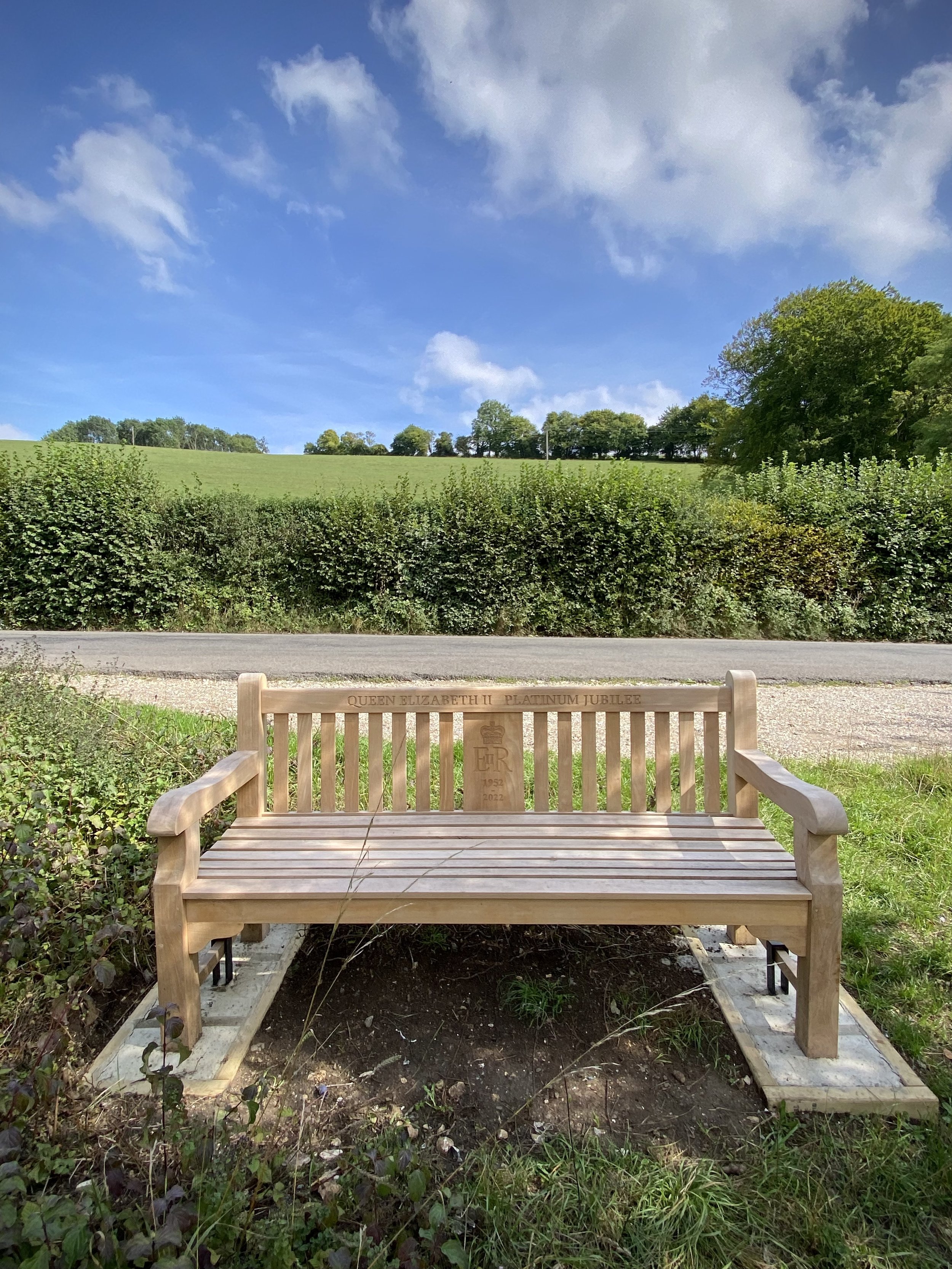
Take a right onto Fingest Lane and look out for a clearing with a bench dedicated to Queen Elizabeth’s Platinum Jubilee. Here you can take a footpath that runs in a north-westerly direction parallel to Fingest Lane. Follow this path and take a left at the end where the road curves to the right. Follow this path along the edge of fields in a south-westerly direction until you reach the village of Fingest. The Chequers Inn is a good place to stop for a rest at this half way point of the trip.
When leaving the Chequers Inn walk in an easterly direction along Fingest Lane and take the footpath on the right signed The Chilterns Way. Follow this path up the hill keeping the woods on your right. After ~500 metres, the path will briefly enter Mousell’s Wood then across a field and into another woods. In this second woods, leave the Chiltern Way as it takes a sharp right. Instead continue along the path heading east to a path junction at Adams Wood. Take a left and follow the path into Adams Wood in a northerly direction for only a few metres before the path curves back to the east. Follow this path for just under 1 km until you reach the far eastern side of the woods. Take a right turn and head south until you meet the junction with Spurgrove Lane. Take a left on a path through the hedge and descent through a field until you meet Fingest Road.
If you need a rest here the Prince Albert Pub is not far down the road on the right. Otherwise cross Fingest Road and follow the path past some houses on the left up through the woods. There’s a few paths here that all interconnect but you’ll need to make sure you’re heading north-east to connect with Church Road. Take a right onto Church Road and follow the pavement alongside it until you see a path on the right with a sign to a house called Chiltern View. Follow this path and take a right at the junction so that you’re walking north with the allotments on your right. You’ll reach the back of Holy Trinity Church where you can either take a right or left hand path around it to connect back to the start.