Thames Path & Jubilee River Walk - Eton and Datchet

View across the Thames from Home Park to the confluence with the Jubilee River
Start / Finish: Car park at the Jubilee River Riverside Centre, Slough Road, SL1 2BP
Distance: 7.4 km (4.6 miles)
Elevation change: +/- 22m
GPX File: get via Buy Me a Coffee
Other Routes Touched (walk): Thames Path, Jubilee River Path
Other Routes Touched (cycle): NCN 4, 61
Pubs / Cafes on route: Many either side of Eton Bridge
Map: OS Explorer 160 Windsor, Weybridge & Bracknell
Links: Jubilee River, Windsor, Eton, Eton College, Datchet
The Jubilee River is a man-made channel built in the late 1990s and early 2000s to take overflow from the River Thames to prevent flooding around Maidenhead, Windsor, and Eton. The path along side it passes through wildlife and woodland making a easy, pleasant walk or cycle. It also runs parallel and close to the Thames, allowing for several combinations of short trips that take in both.
This is the fourth of a series of 4 circular walks of roughly 10 km that take in sections of both the Jubilee River and Thames Path. This one starts at the small car park at the Riverside Centre on the Jubilee River north of Eton.
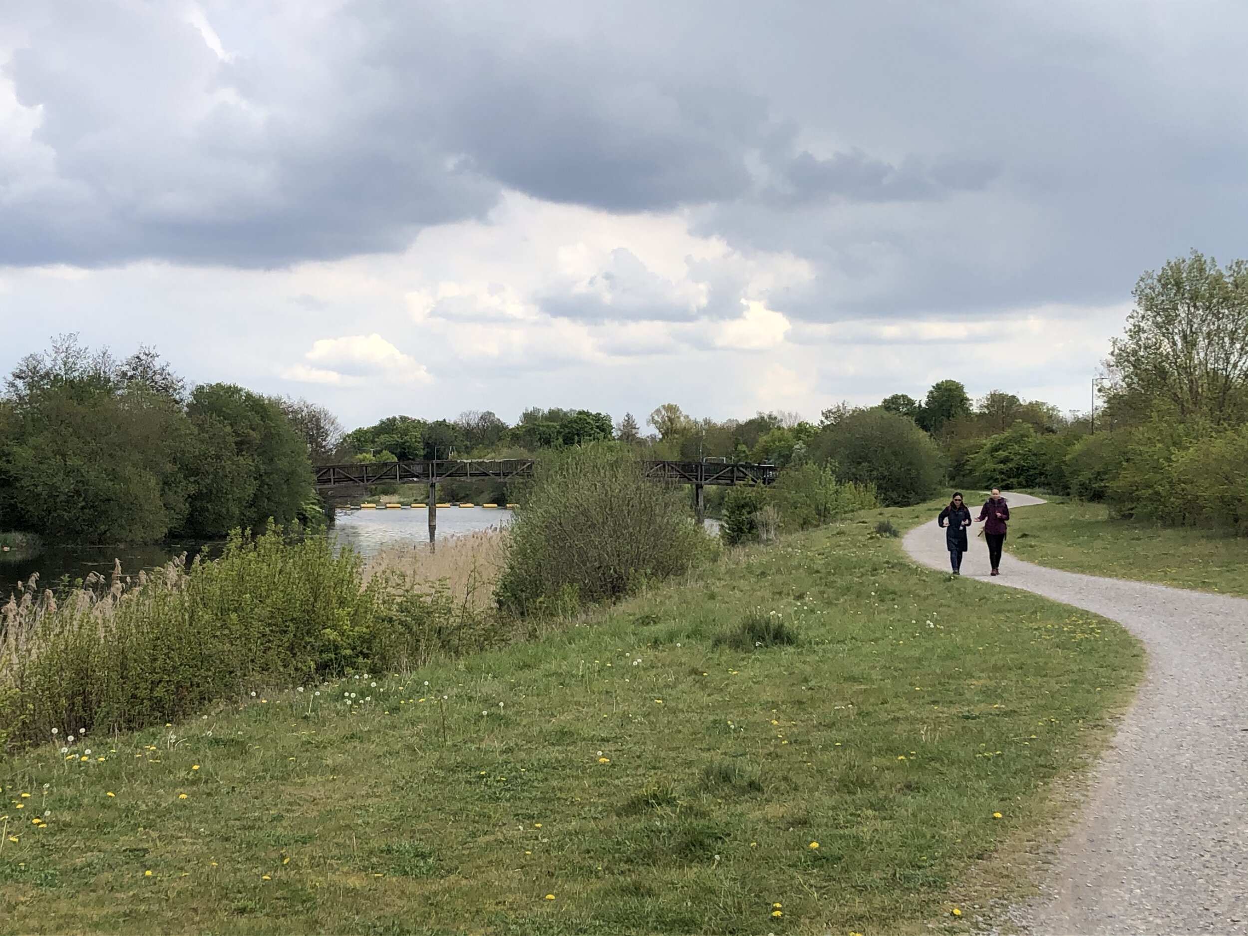
The first 1 km from the car-park follows NCN Route 61 before it diverts north toward the Grand Union. Here, keep on the Jubilee River heading south-east after the footbridge, crossing over Eton Road, under the railway line and into Datchet Golf Club. The confluence with the Thames is hidden from the path by high hedges that border the golf course. When you cross the bridge on King Edward II Avenue look back along the east bank and you can see the junction of the rivers.
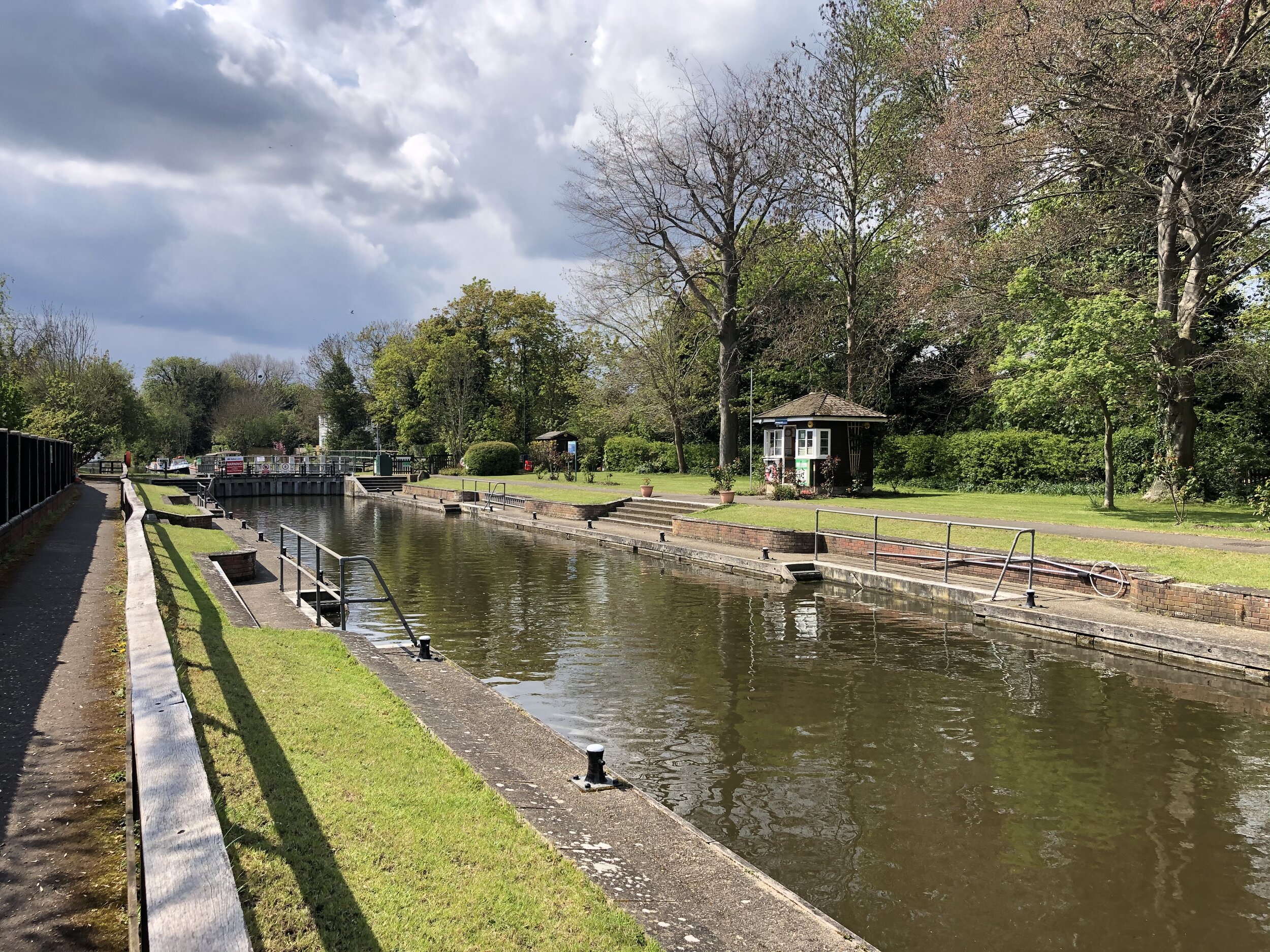
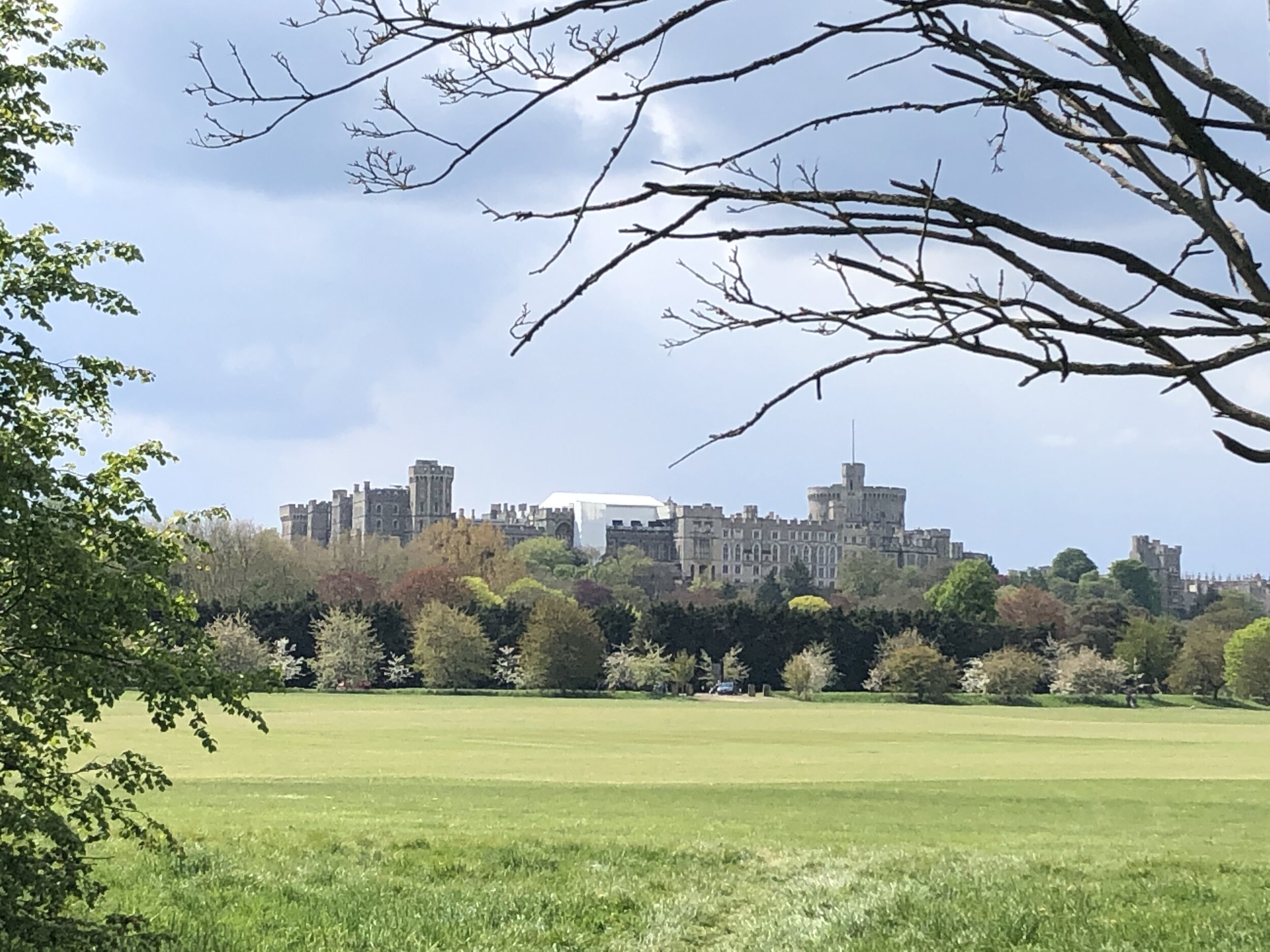
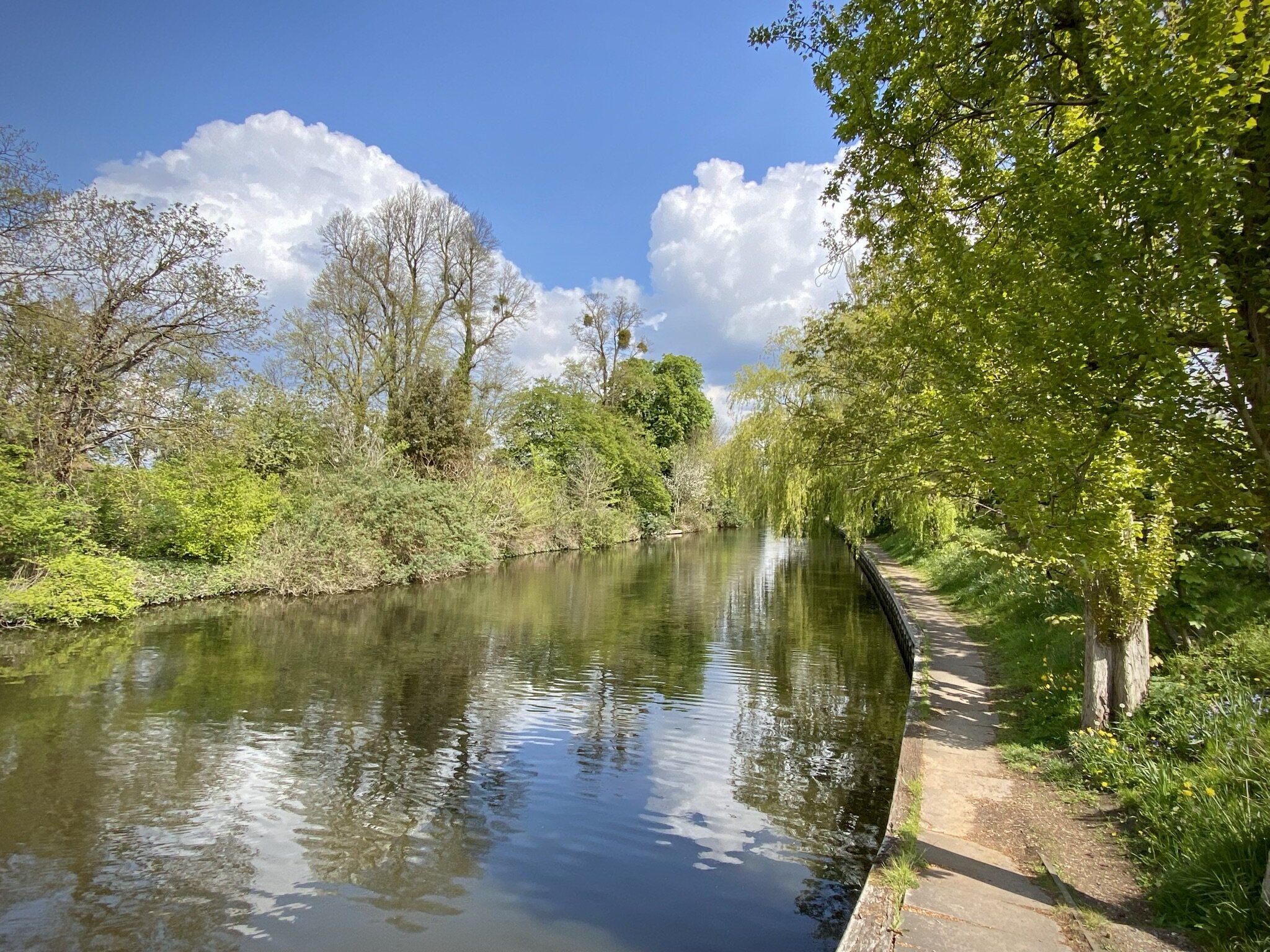
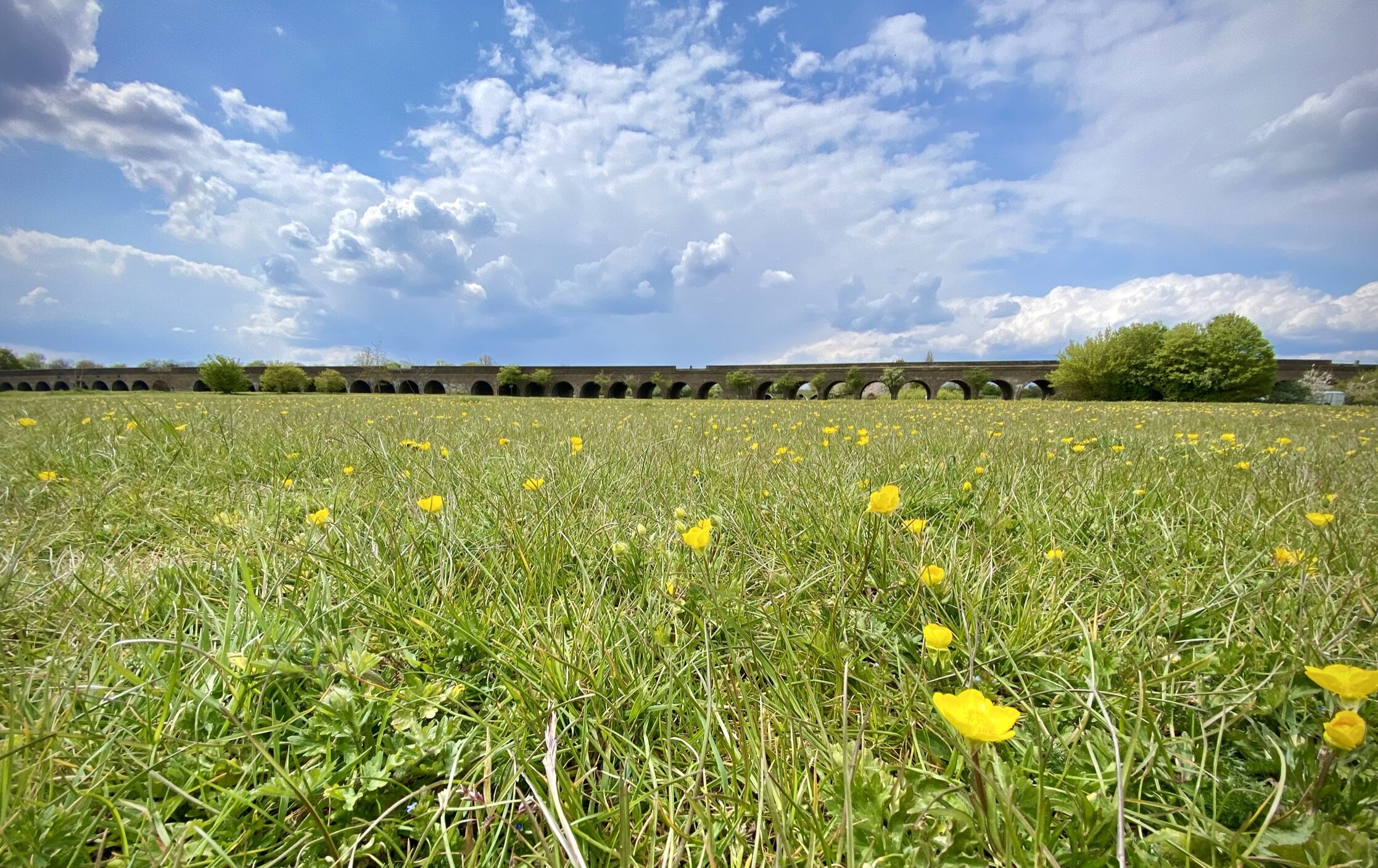
On the bridge you’ll also get a great view of Windsor Castle and, to the south, the private areas of the Castle estate. Immediately after bridge, turn right onto Home Park and follow the Thames Path as it bends round towards Eton Bridge. After crossing under the railway line for a second time the path crosses a light industrial area containing a boat repair yard and Romney Lock. Despite living near Windsor for most of my life I didn’t even know there was a lock there as you can easily miss it. After the lock the path follows the edge of the Railway Station car-park and opens out to Windsor Riverside.
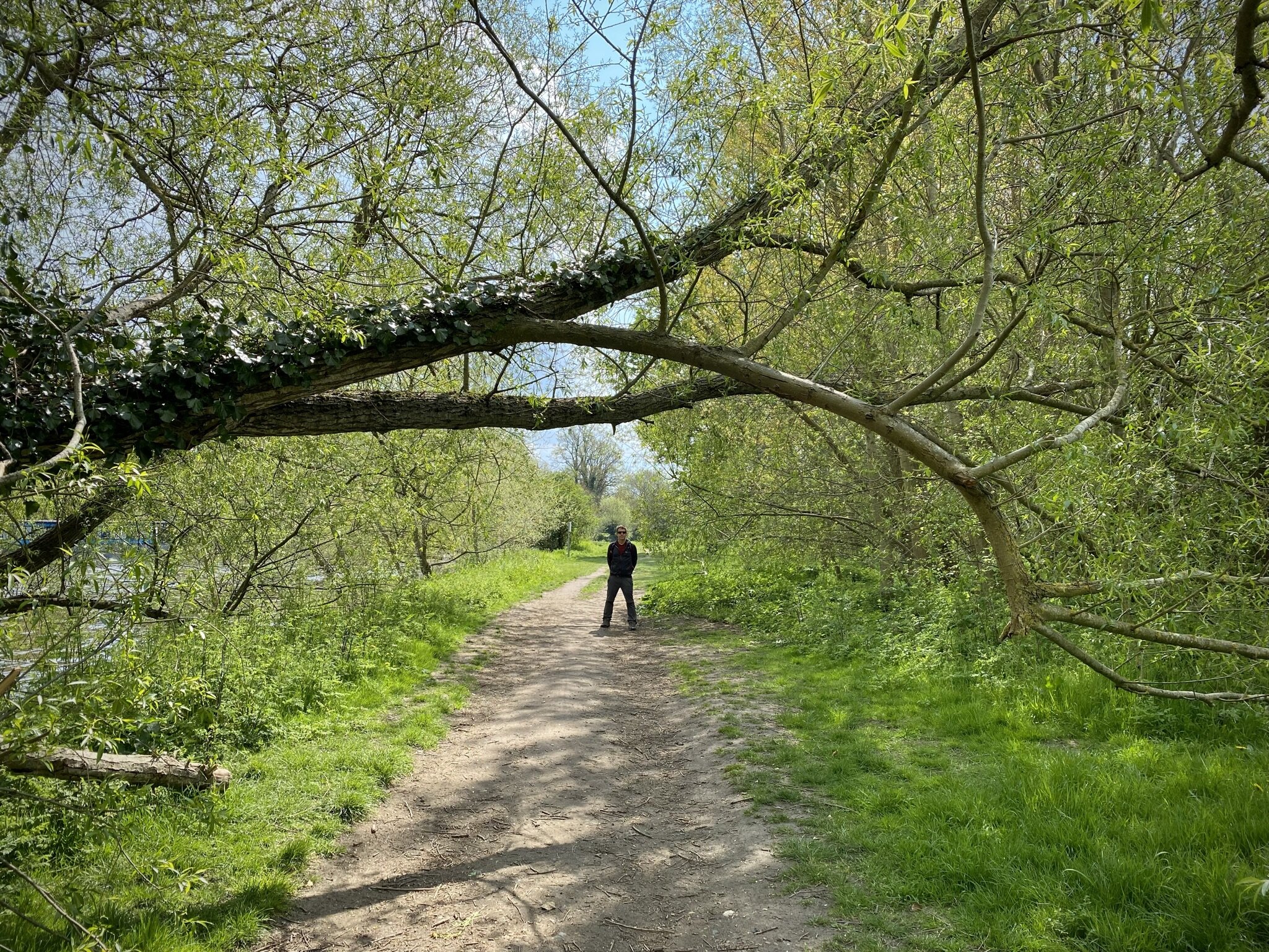
Here's a good point in the trip to take a break and there’s loads of choice on either side of Eton Bridge. The route continues back on the Eton side of the bridge with a couple of options. The short option would be to follow Eton High Street / B3022 as it will take you directly back to the start. A longer but more interesting alternative is to take a left turn off Eton High Street through Church Close. This takes you on paths round the back of the college buildings and playing fields, then along the Slough/Windsor railway spur leading back to the Jubilee River west of the car park.
The Complete Route: Thames Path & Jubilee River Walks
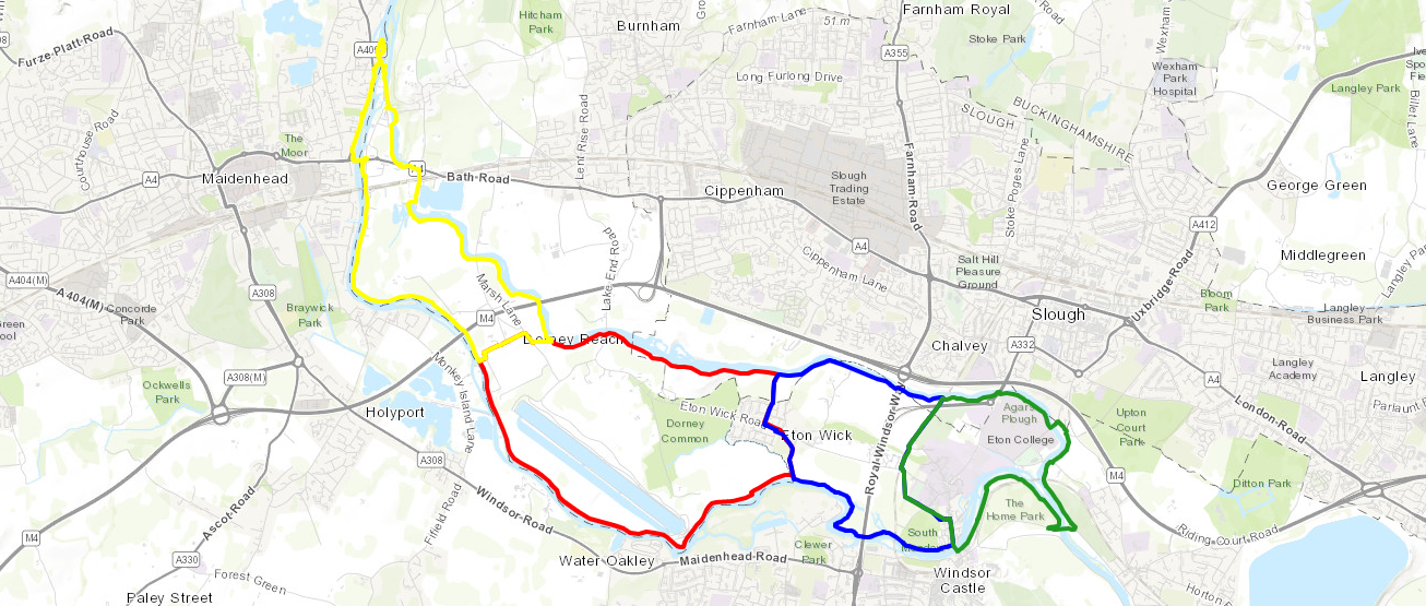
Yellow = Maidenhead & Bray, Red = Dorney & Eton Wick, Blue = Eton Wick and Eton, Greet = Eton and Datchet
Previous Thames Path Section (west): Eton Wick and Eton
Next Thames Path Section (east): Windsor Home Park Circular Walk