Cycling The River Cut

Confluence with the Thames at Bray Marina
River start: Fish Ponds, North Ascot, Berkshire
River end: Confluence with the Thames between Queens Eyot Island and Bray Lock
River length: ~22.5 km (~14 miles)
Cycle route start: Junction of Hatchet End and Forest Road, North Ascot
Cycle route end: Sumerleaze Bridge, Bray Marina
Cycle route length: 22.6 km (14 miles)
Cycle route elevation change: +230m /- 269m. Net -39m
Other routes touched (walk): Ramblers Route
Other routes touched (cycle): NCN 4
Map: OS Explorer Map (160) Windsor, Weybridge & Bracknell
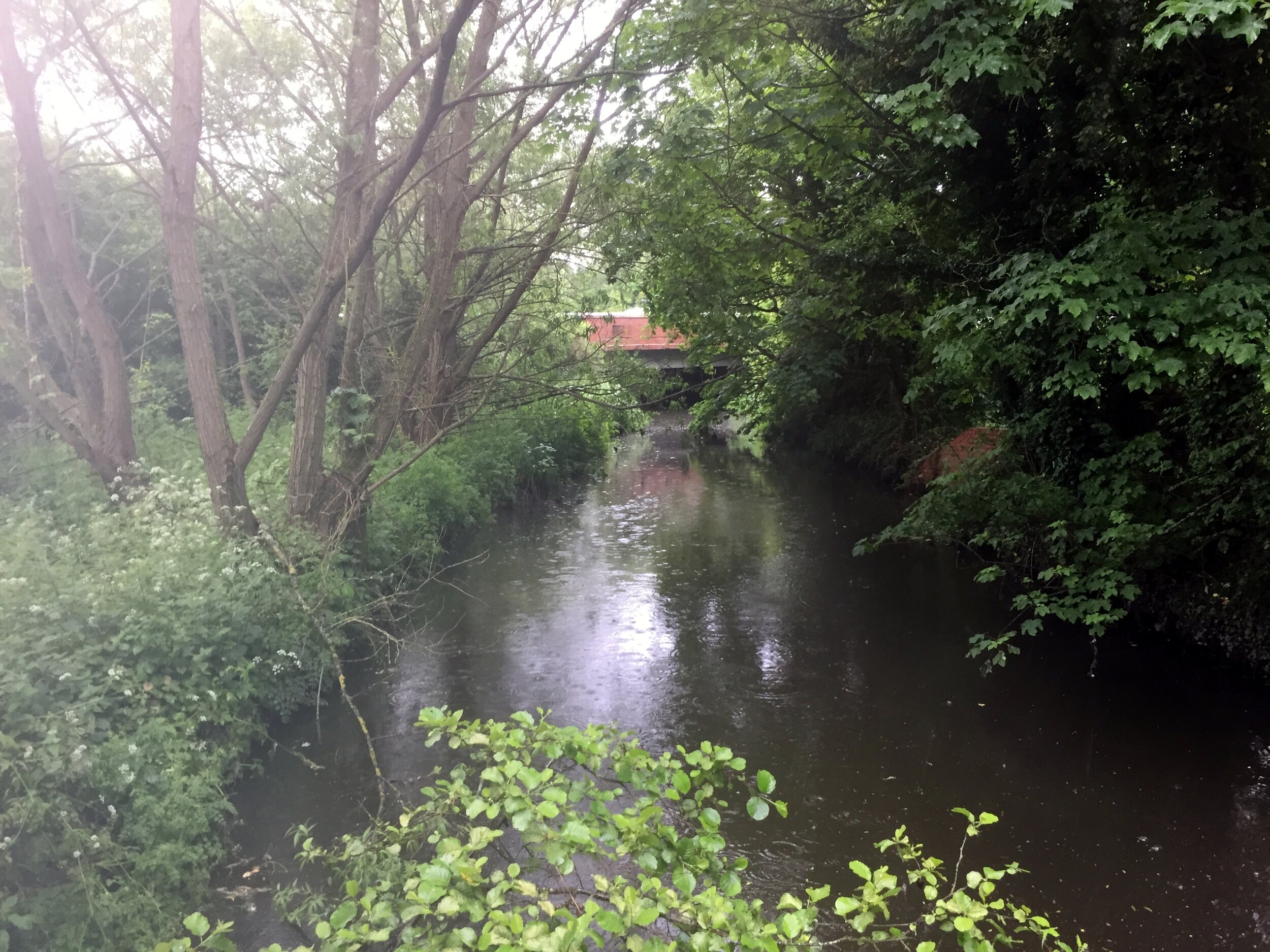
The Cut is an obscure 14-mile tributary of the Thames. There's no path to cycle or walk next to it, but the roads around it give a nice hour and a half ride through small Berkshire villages. I had crossed it many times before without knowing its name. It even crossed the garden of a house I'd lived in for a couple of years.
The purpose of today's trip was to cycle as close as possible to it from the start at North Ascot to the Thames at Bray. The best place to start is the junction of the A330 and the Forest Road. Here a stream goes under the road and continues south-east through Ascot Golf Course to Virginia Water lake. To the north-west is Fish Pond, in a private estate, where the river flows on towards the Thames.
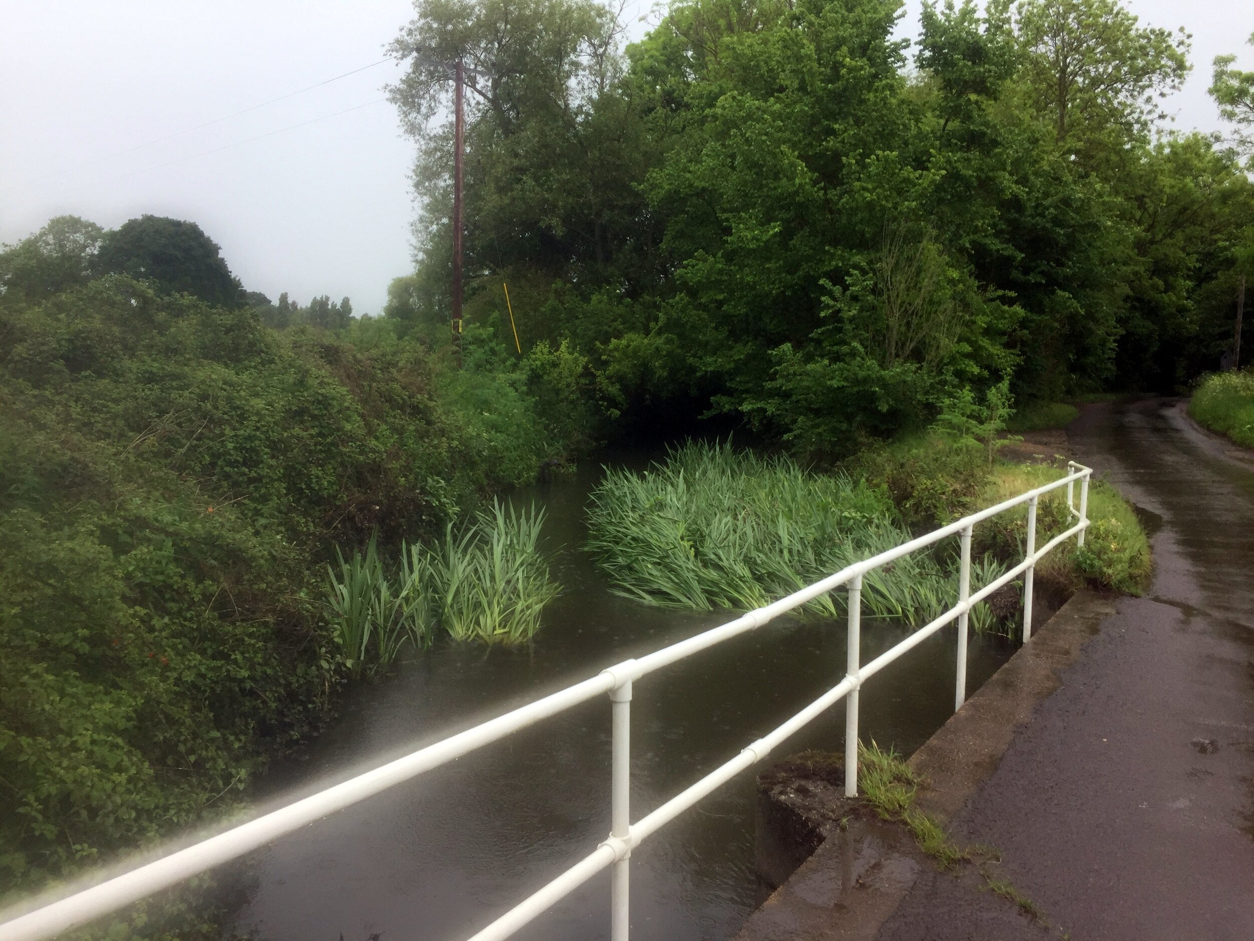
From here, the cycle route follows mostly country lanes and some larger roads through Winkfield, Newell Green, Warfield, Binfield, Touchen End and Holyport. The only place to cycle next to the river is on the last mile at Bray Lake before it enters the Thames at Bray Marina.
Red: River Cut, Blue: Cycle Route

Elevation profile for cycle route