Lôn Las Cymru: Cycling The NCN Route 8 Wales End To End
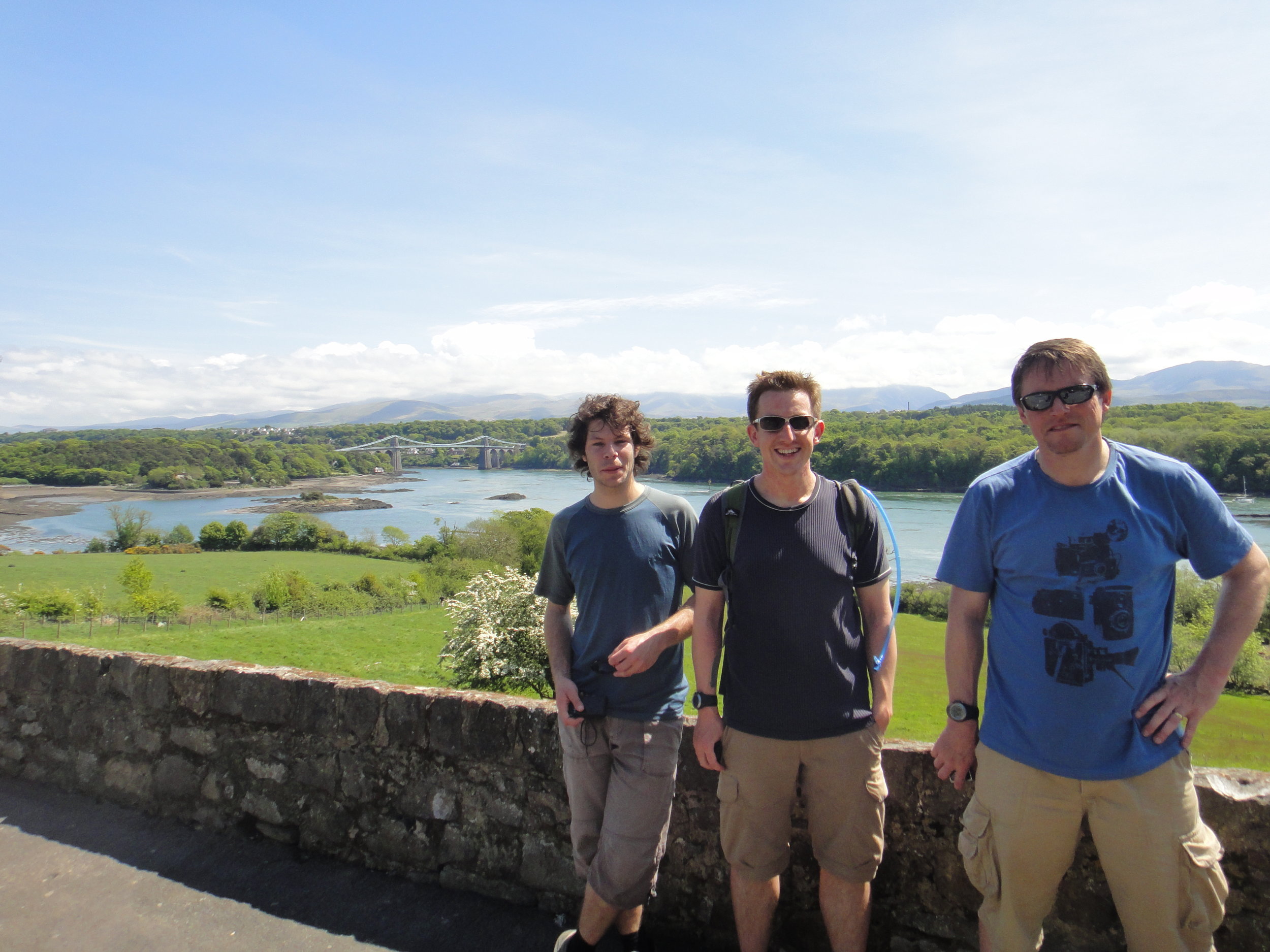
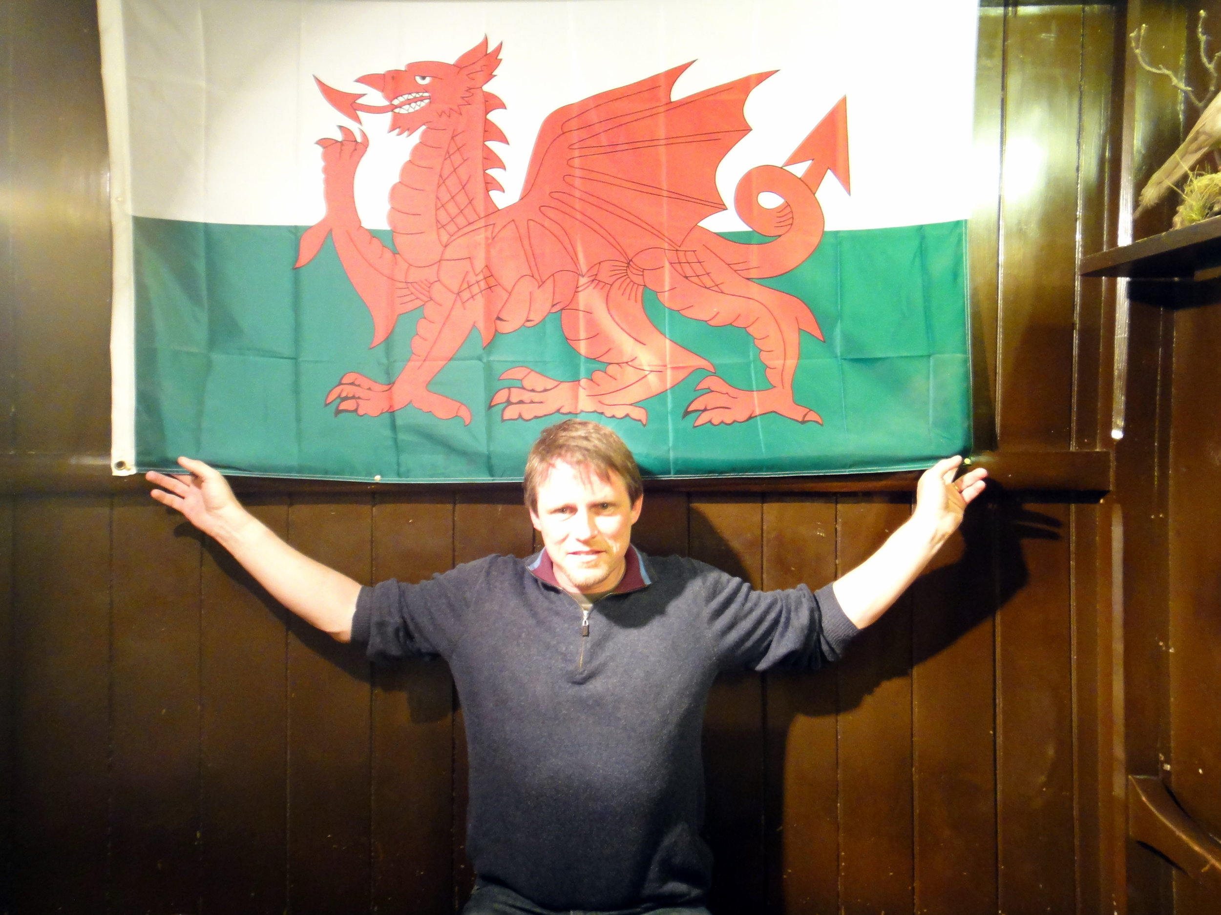
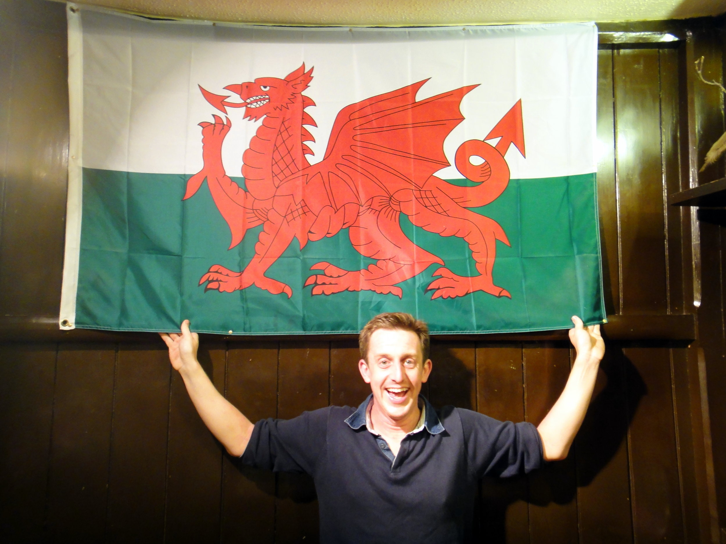
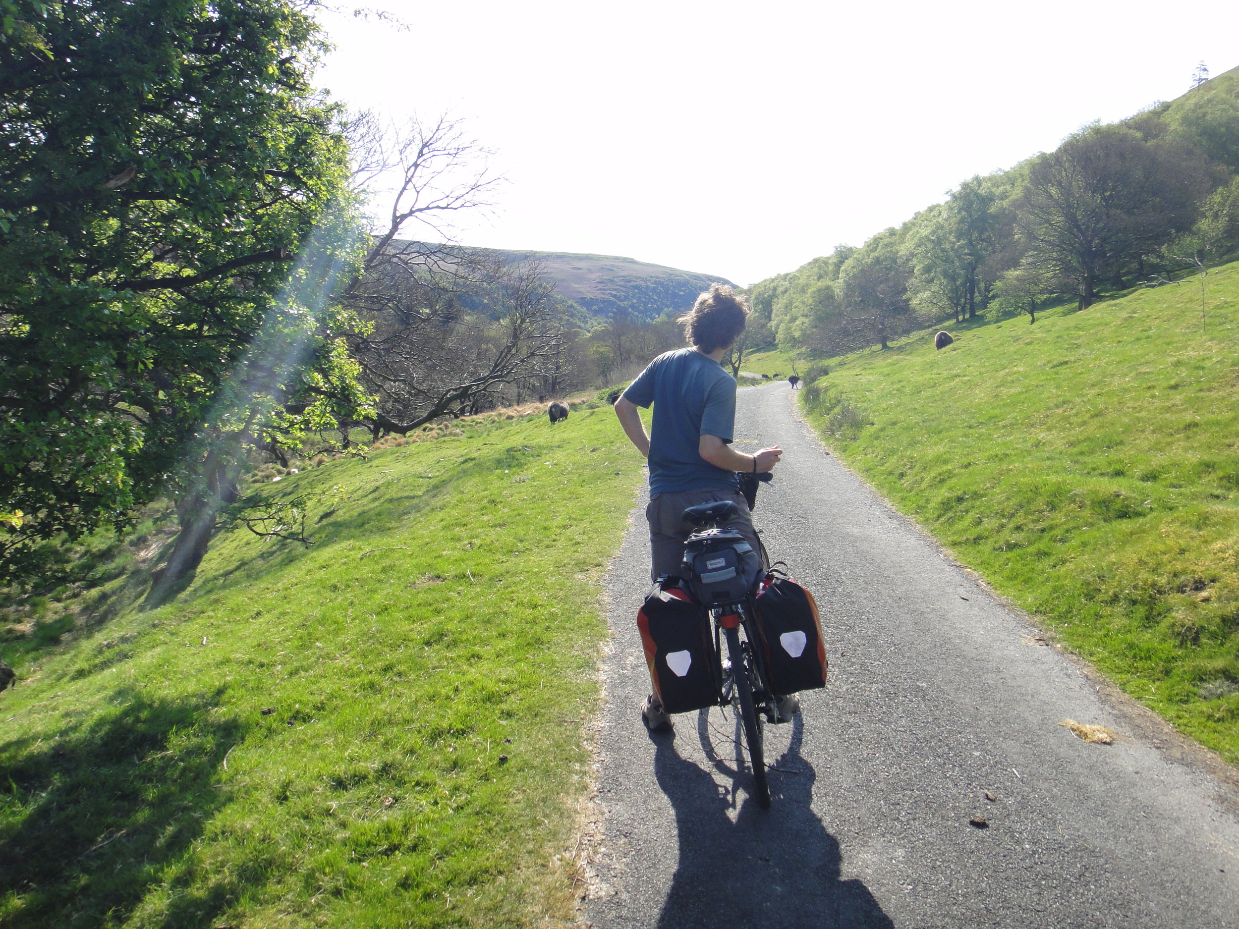
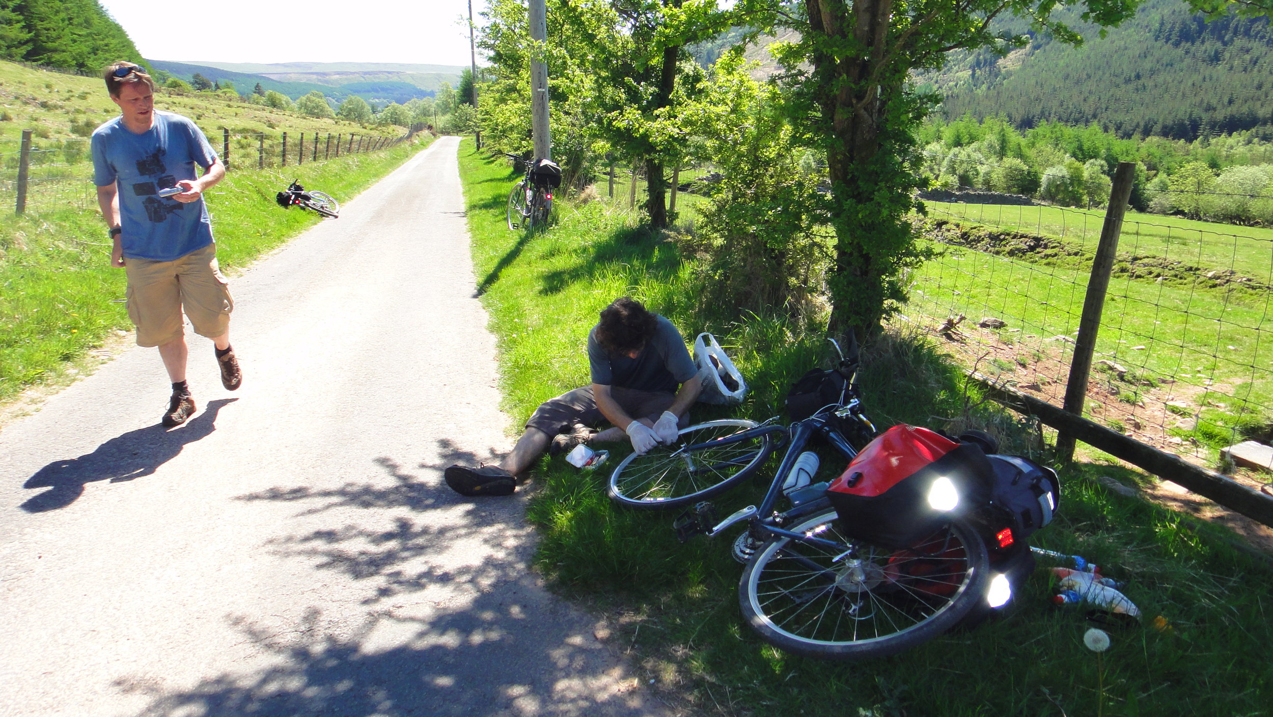
Cycling the NCN route 8, the Welsh End to End, was my alternative Stag Do. Although I had a more traditional one, my interests at the time were returning to the outdoors and this would end up being more memorable. It was a four day, three person adventure through the the heart of Wales.
The route is also know by its Welsh name, Lôn Las Cymru, which means Wales' Blue Lane. I'd only heard of this name in the last few years so I assume it adopted it since our trip. Whatever the name, it's a great North-South end to end as an alternative to, or warm up for the much longer LEJOG.
Unlike LEJOG the far ends of the route are easily accessible by train. We were travelling up from South East England and took a train from London Euston to Crewe then the North Wales Coast line to Holyhead. The return trip from Cardiff is even more straightforward with many options for trains heading east into England.
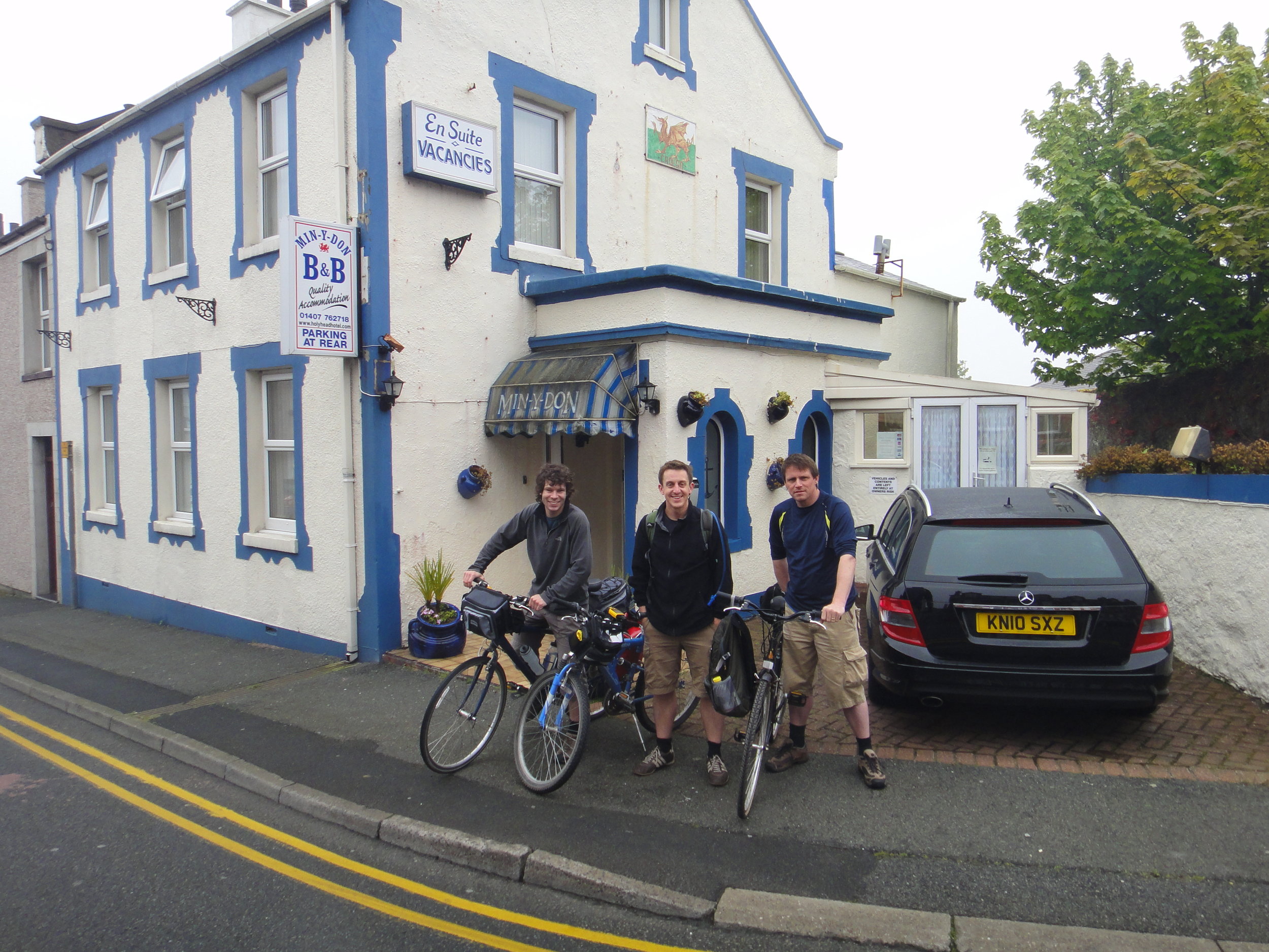
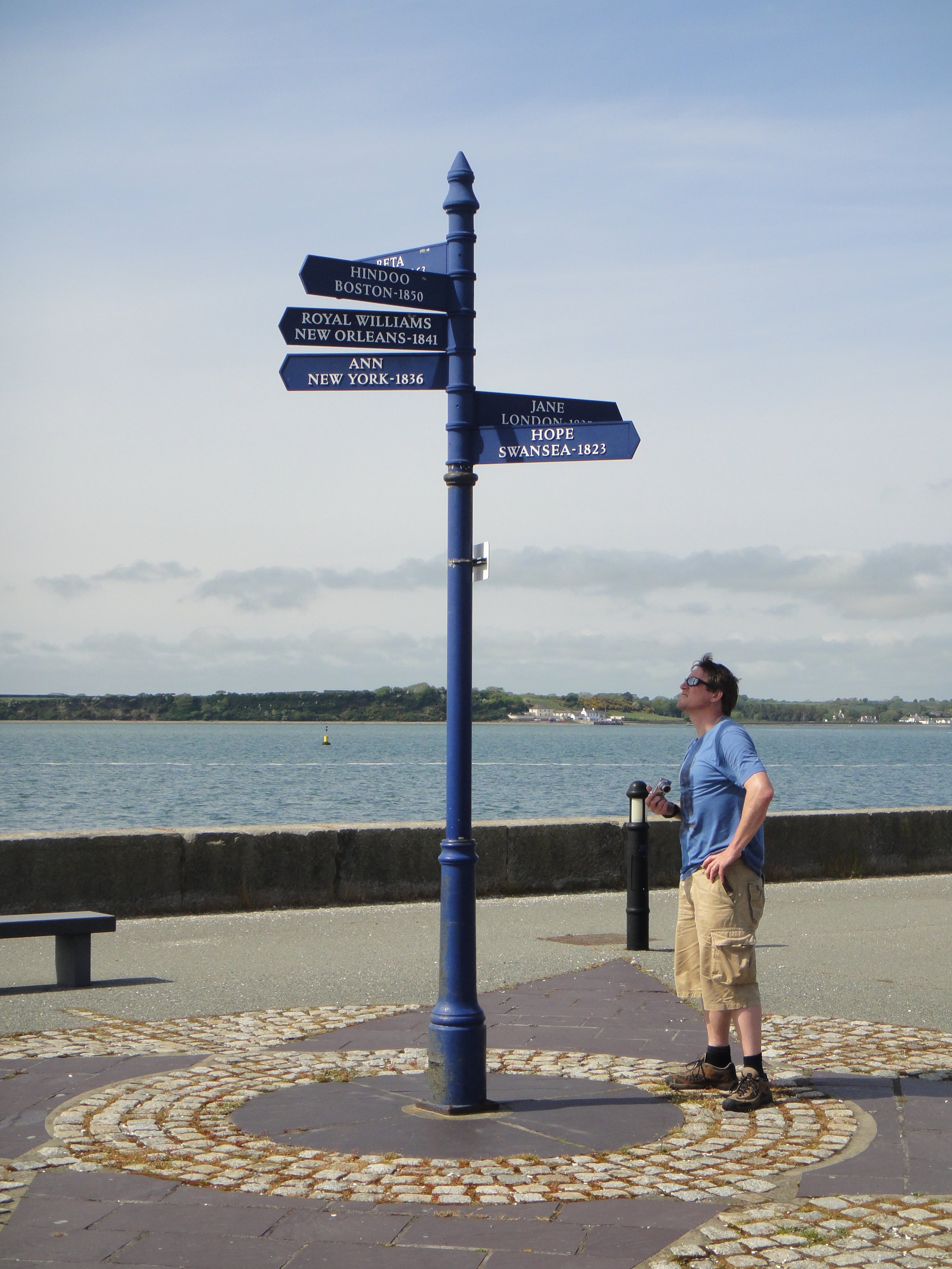
Once a busy port town for ferries to Dublin, Holyhead has lost its way in recent years. There's not much reason to stop in town now if you're taking the ferry. We were just staying one night but quickly ran out of things to do. It was a few years before I'd started my UK County Top obsession. If I'd known at the time it would have been a short cycle to Holyhead Mountain to bag the highest point in Anglesea. I returned a few years later to claim it on a tour of the North Wales County Tops.
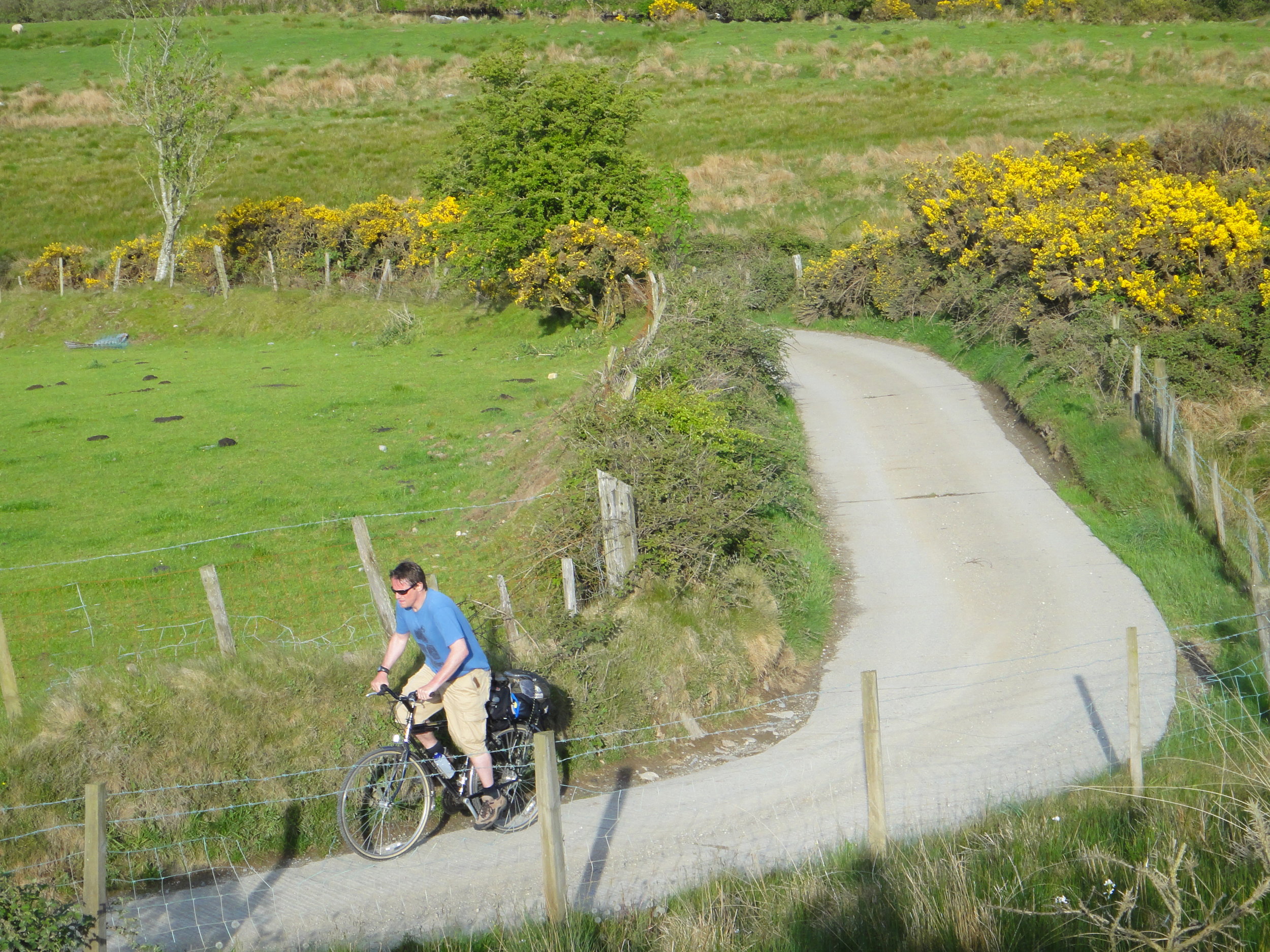
After a good night's sleep we set off early to find the start of the route and make our way south. Splitting the trip into 4 days gives you enough time to see the country and get enough miles in. It also nice splits into 4 distinctly themed days.
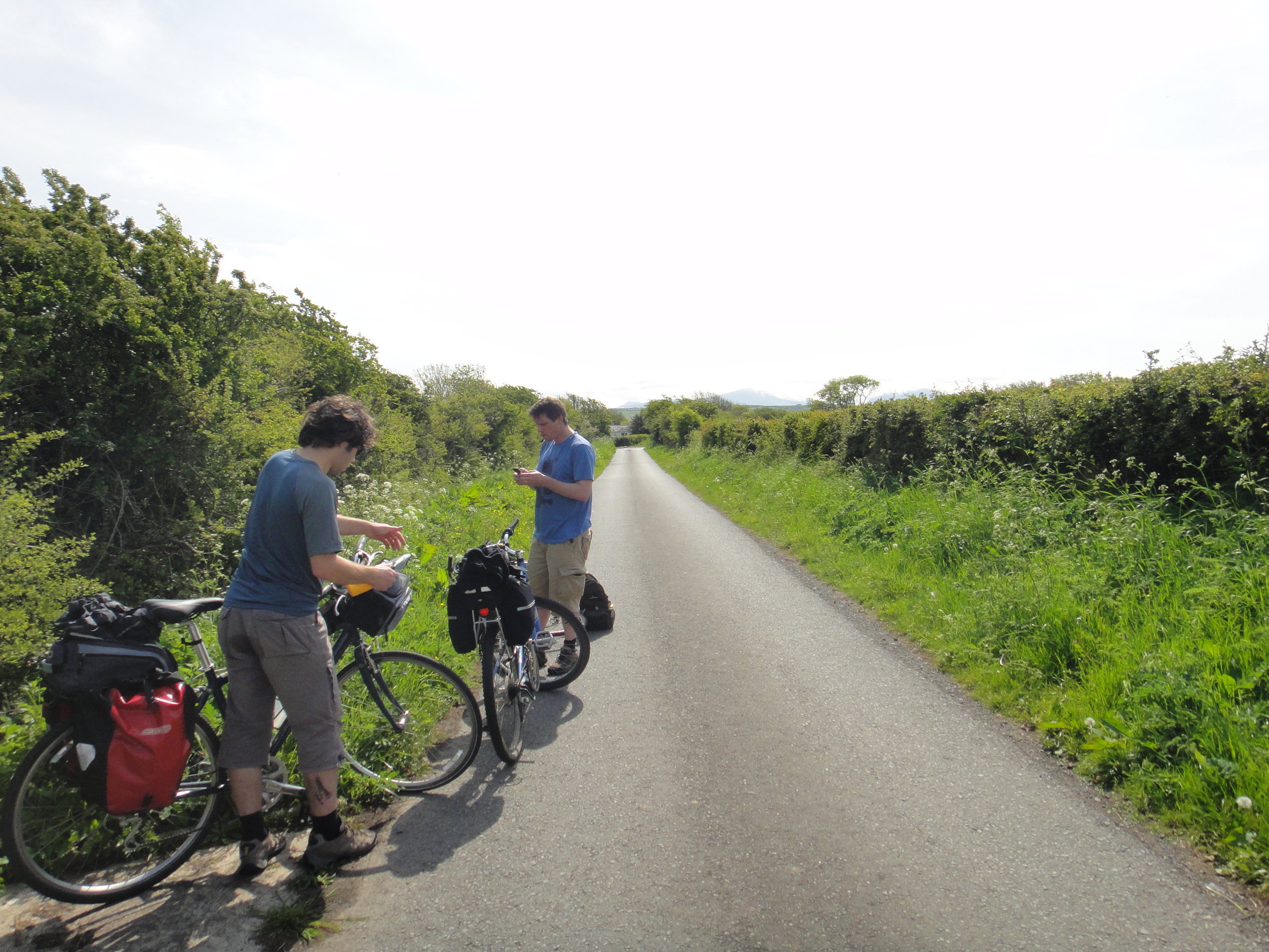
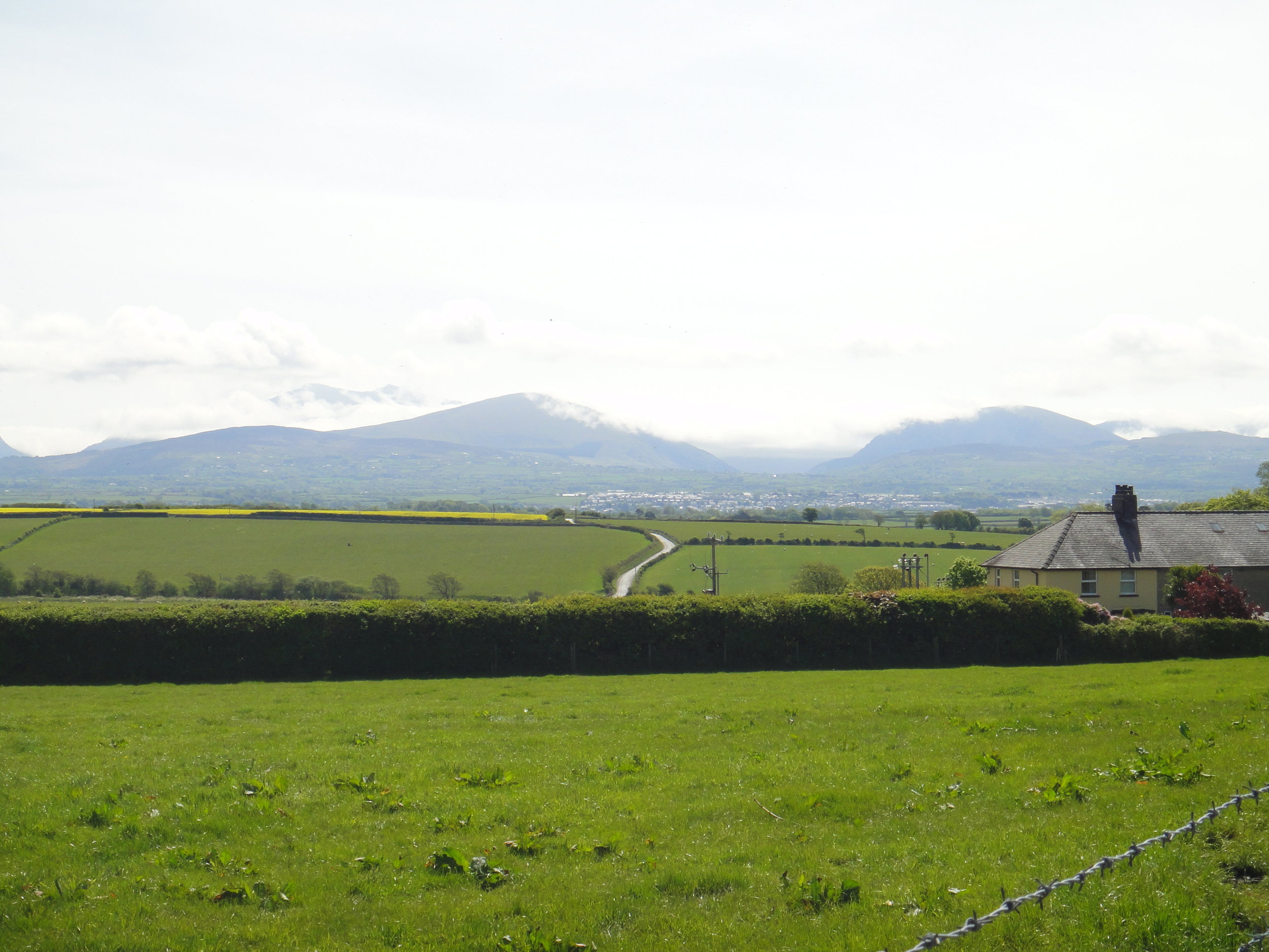
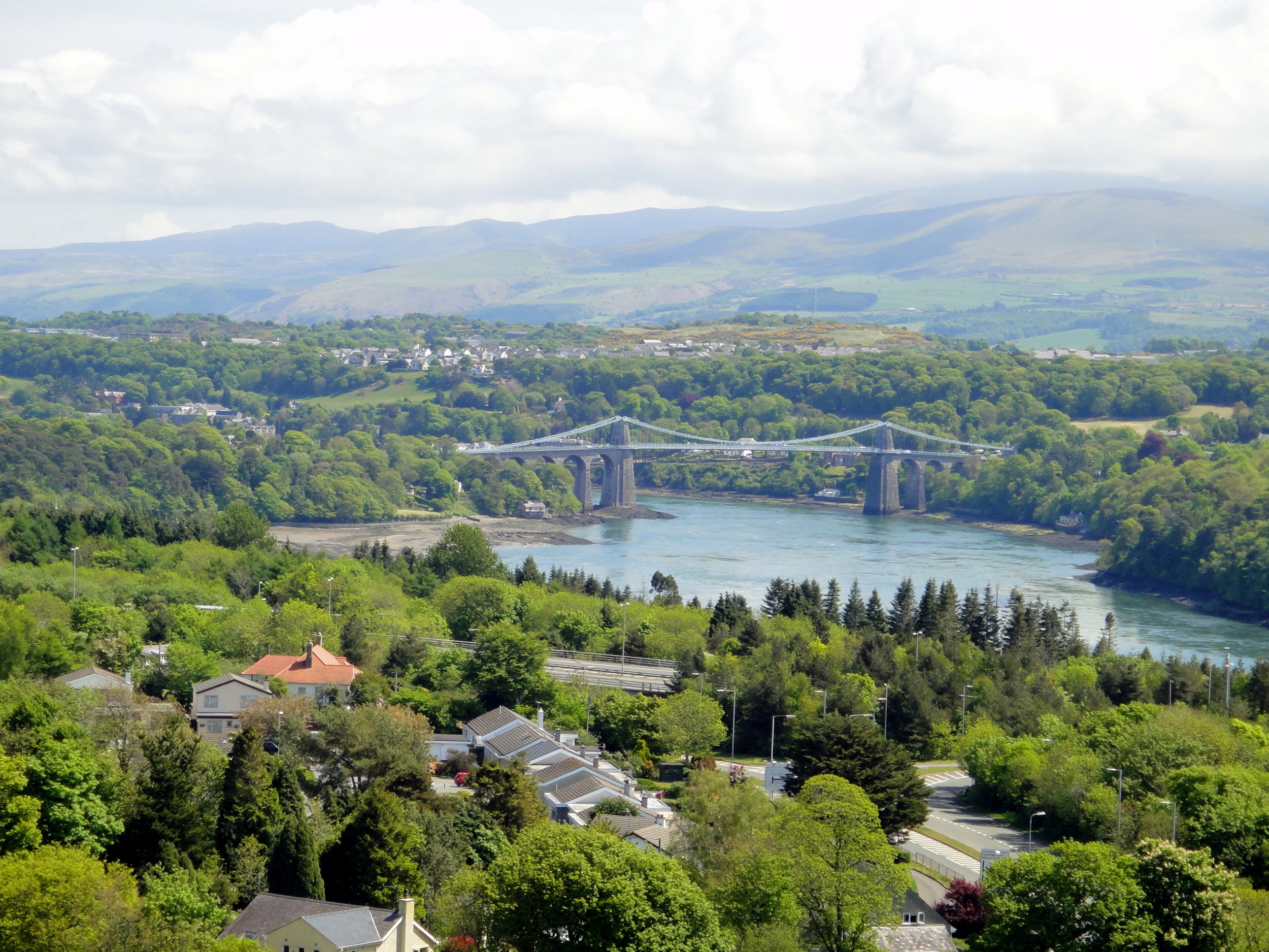
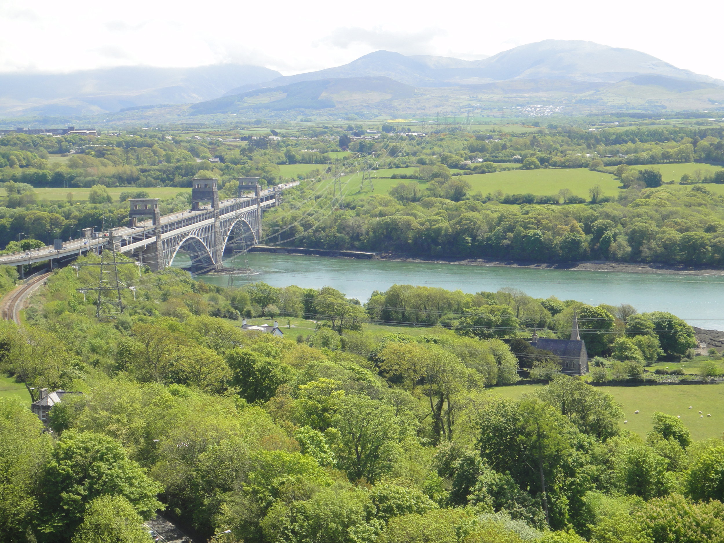
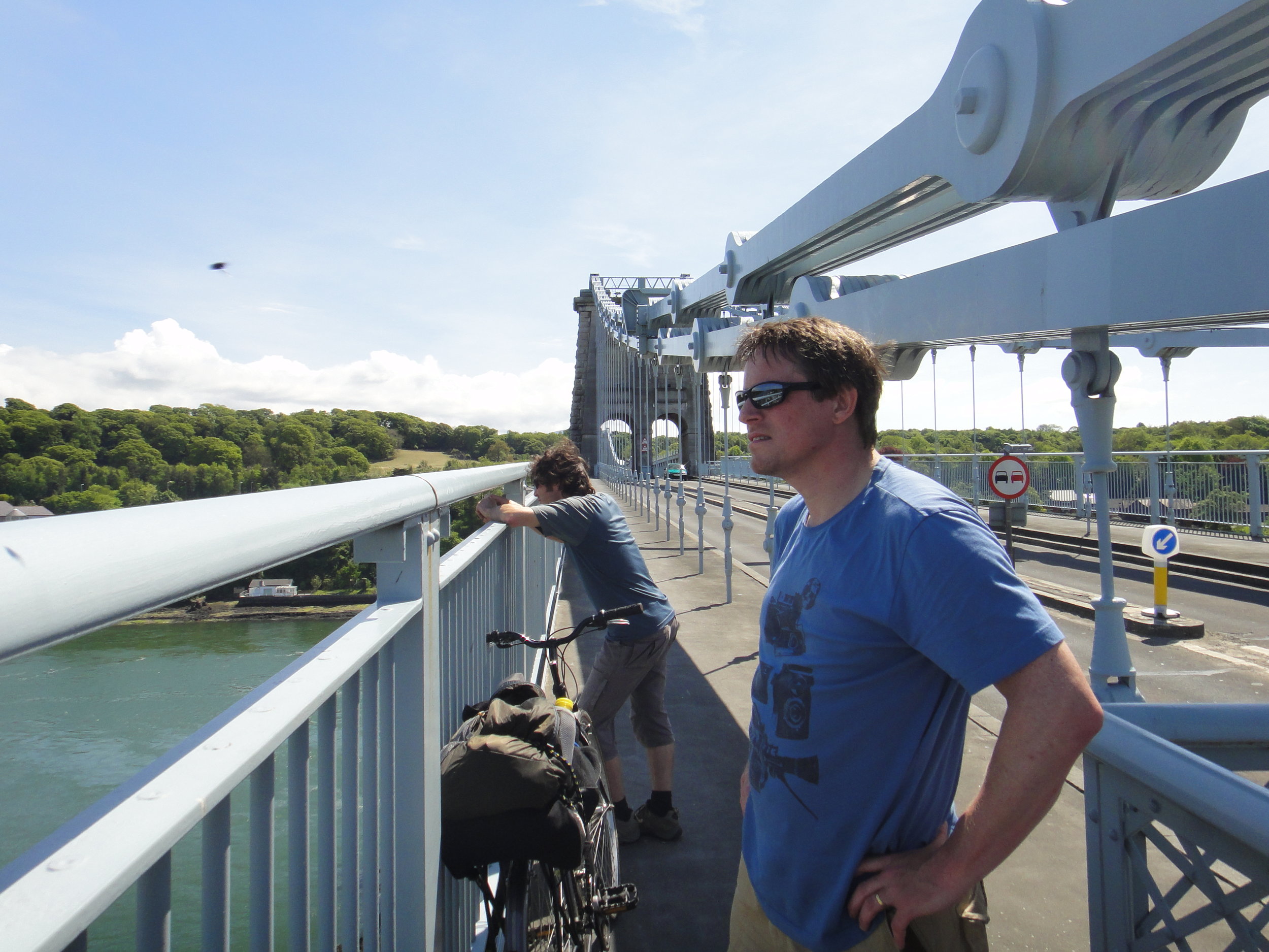
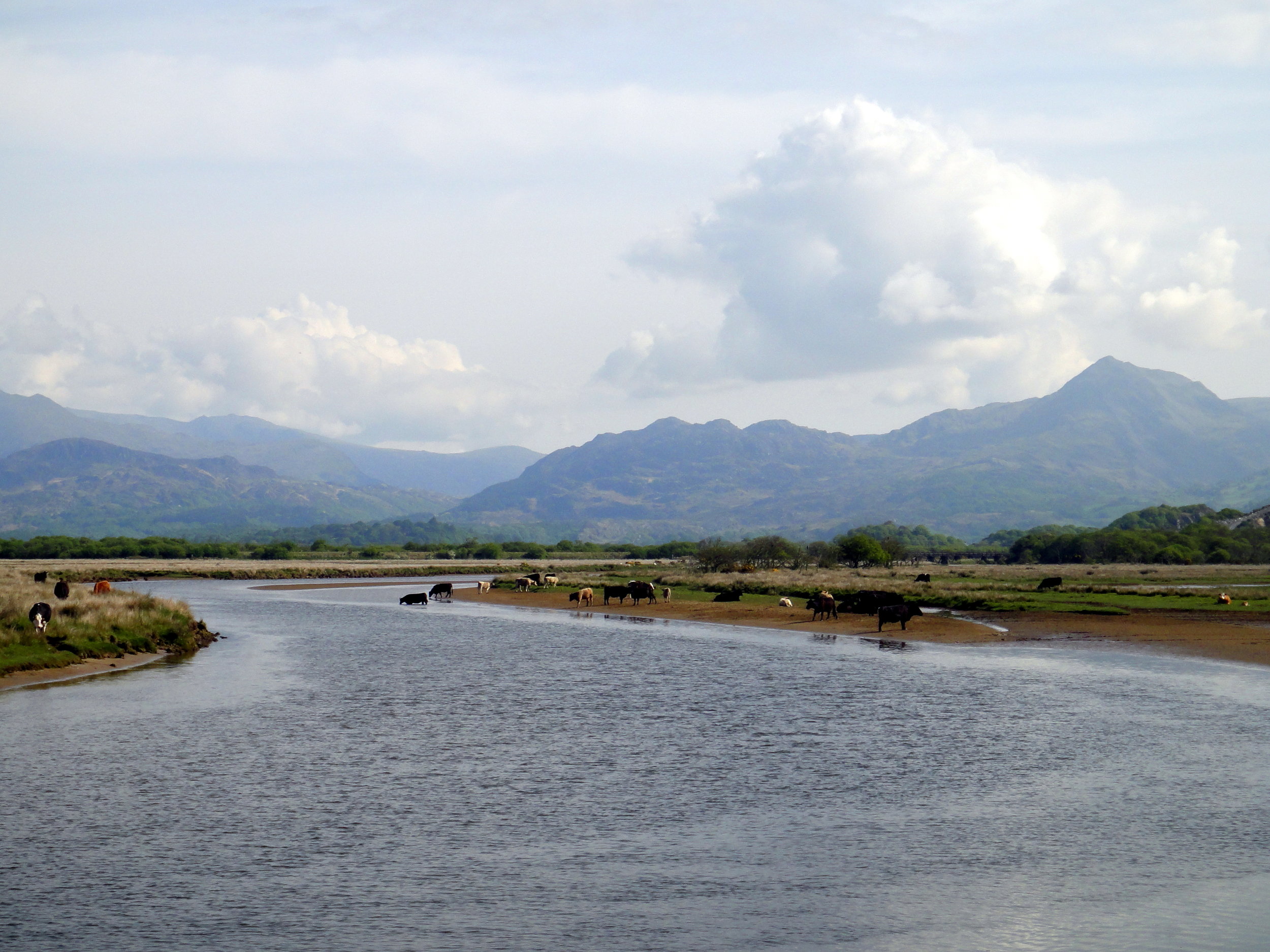
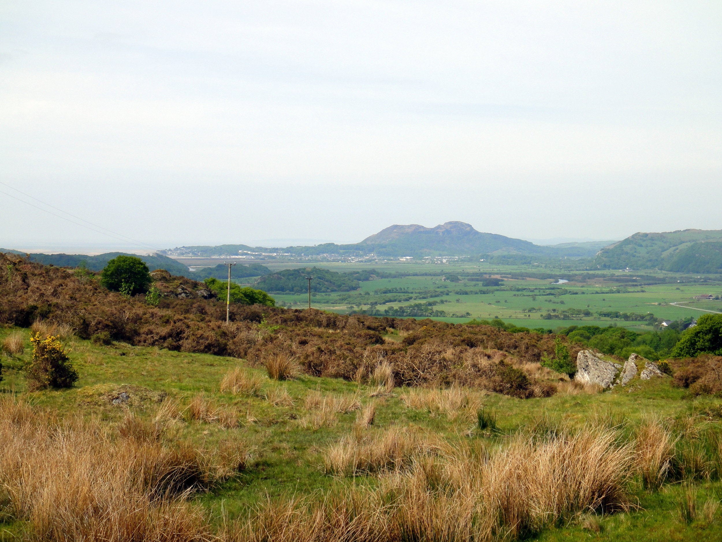
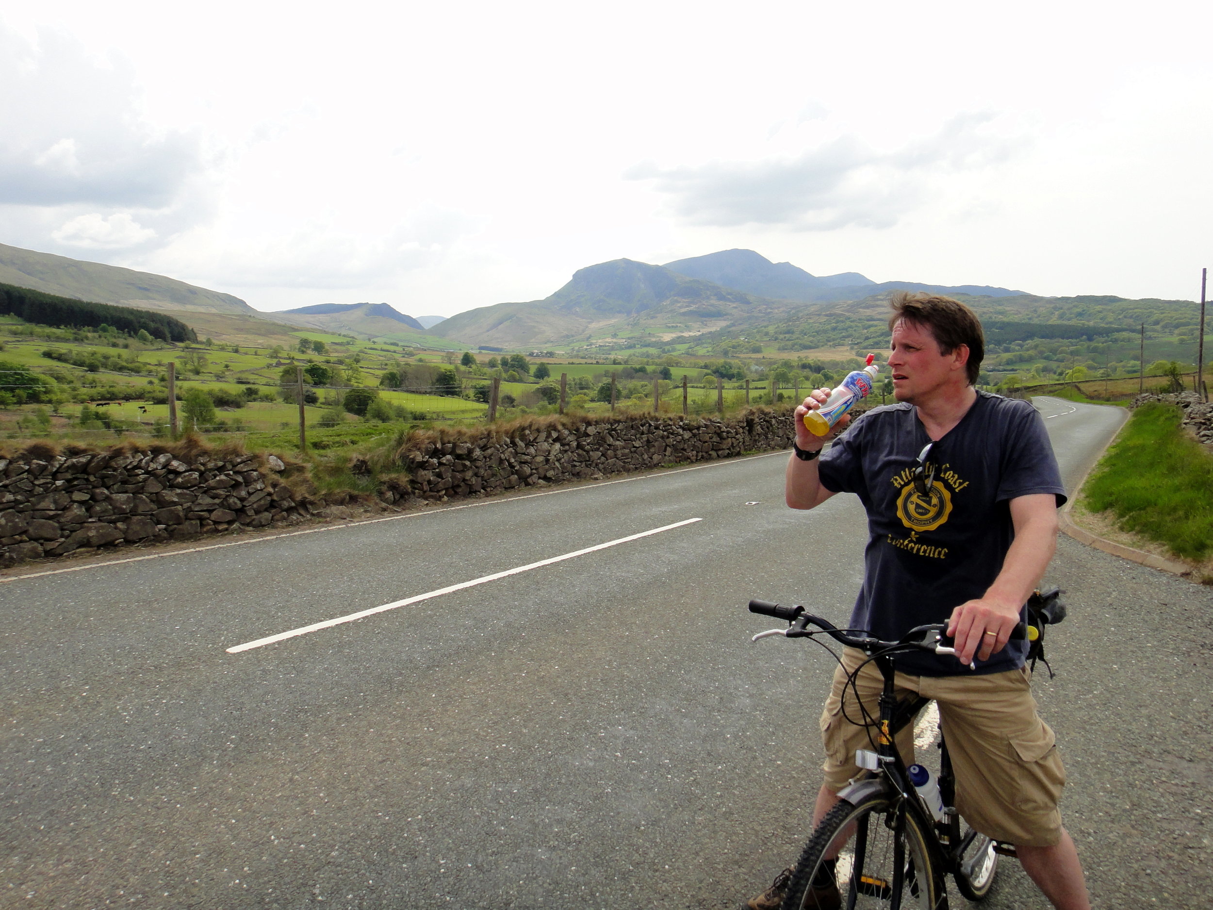
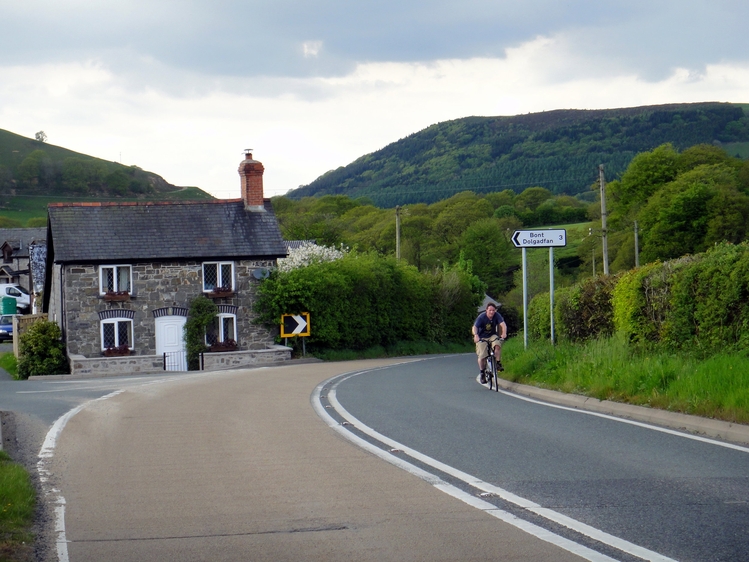
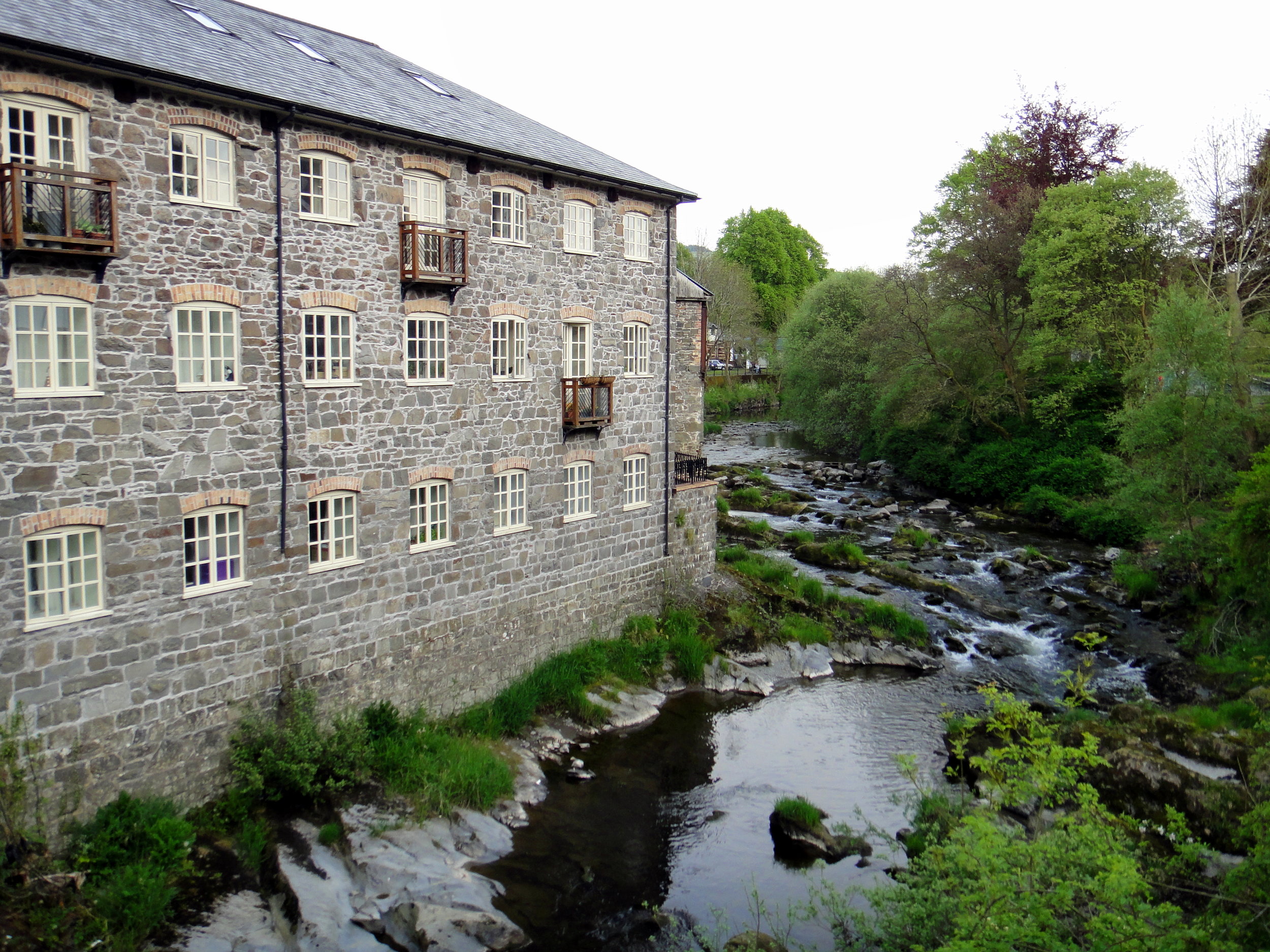
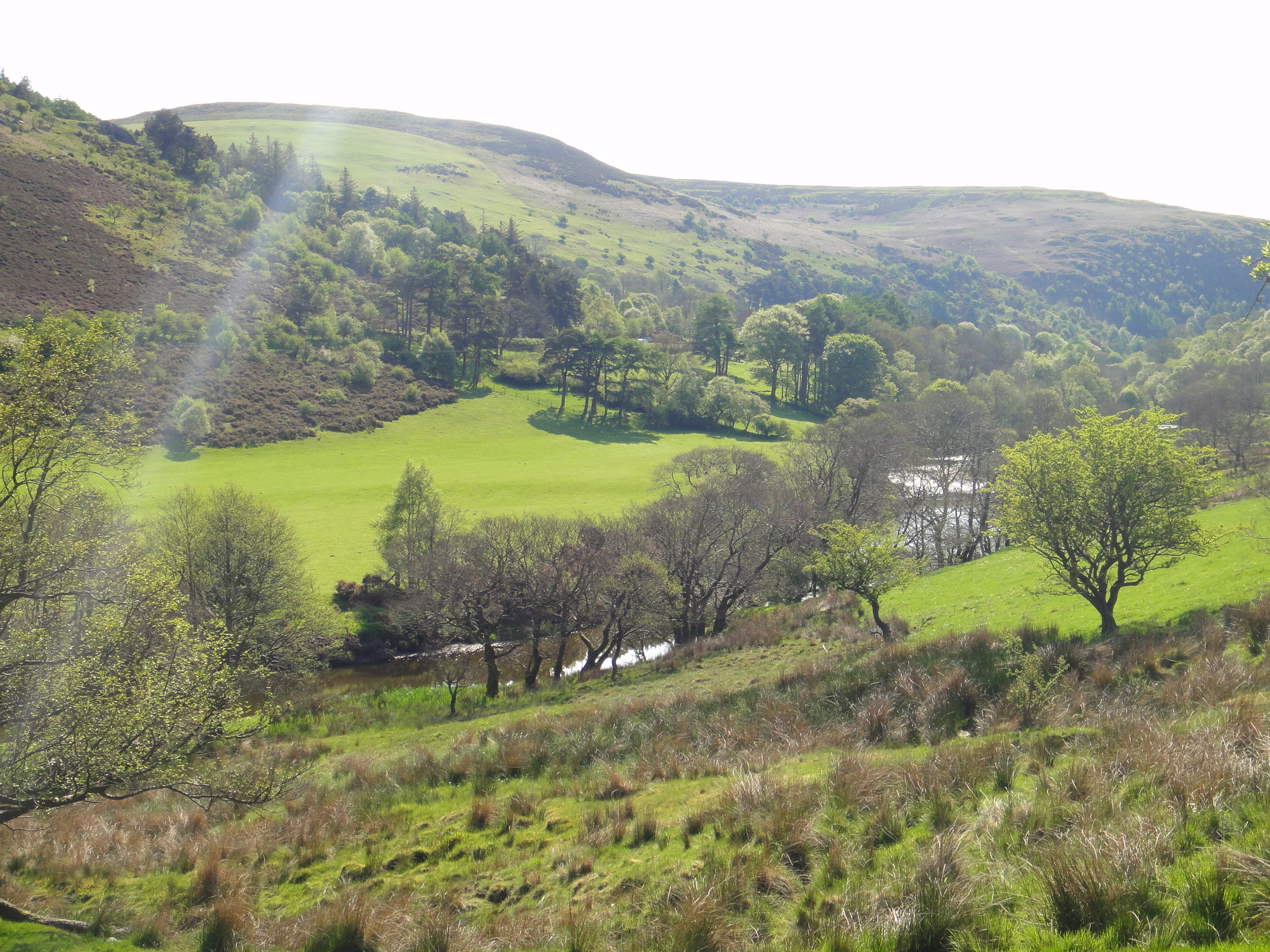
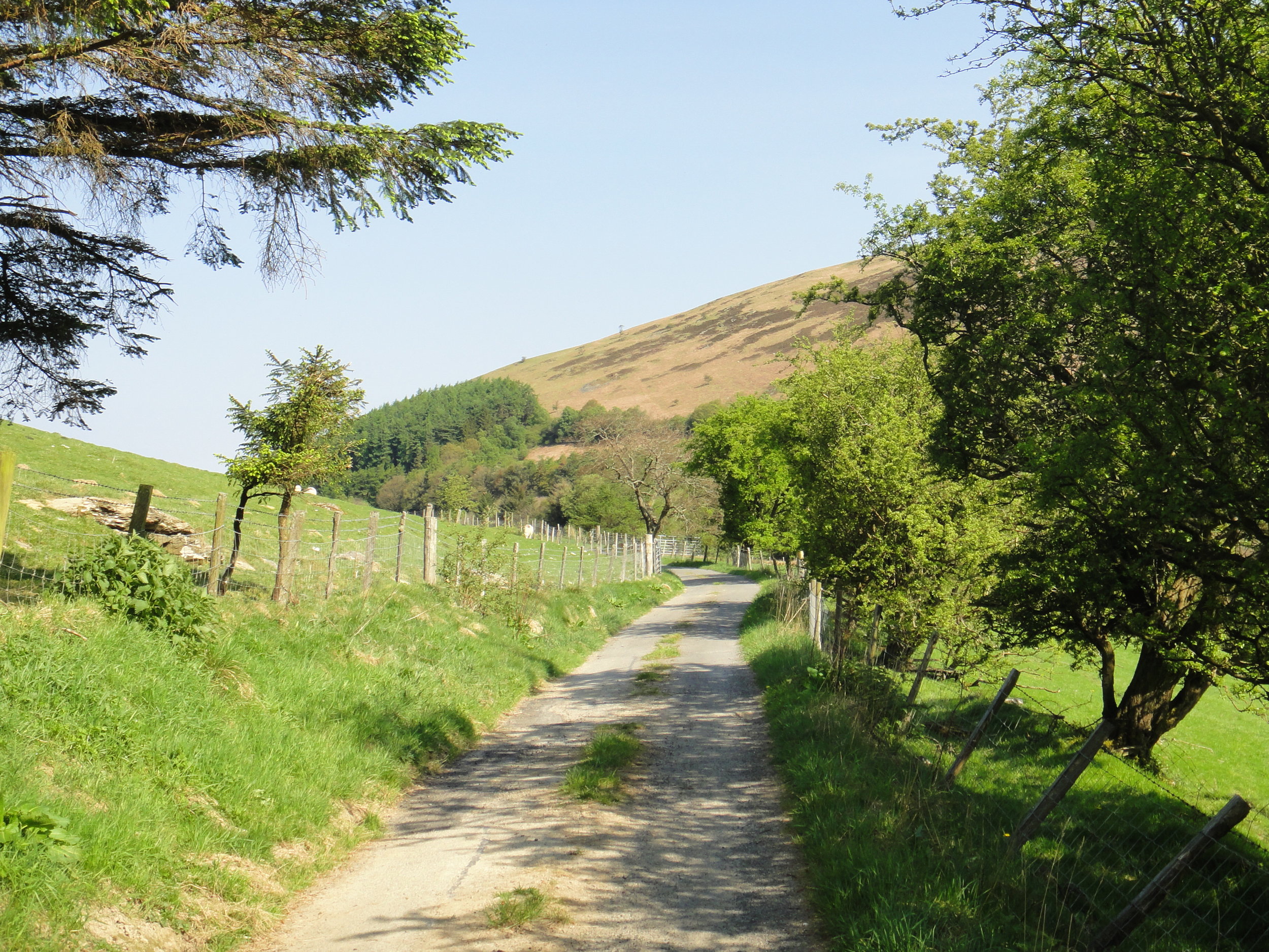
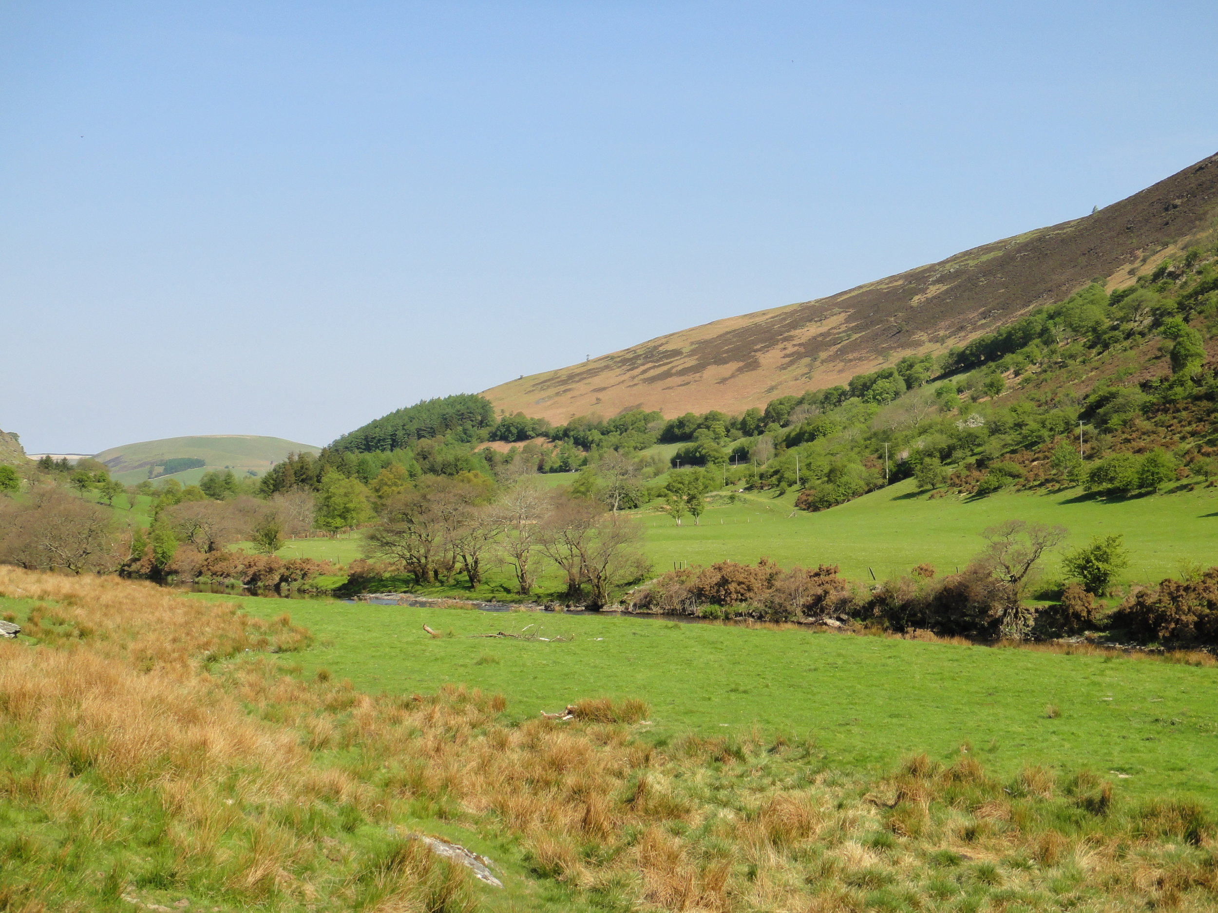
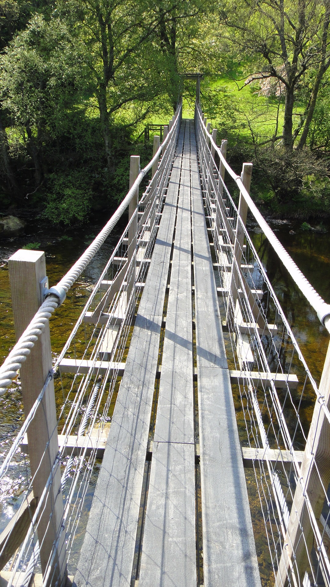
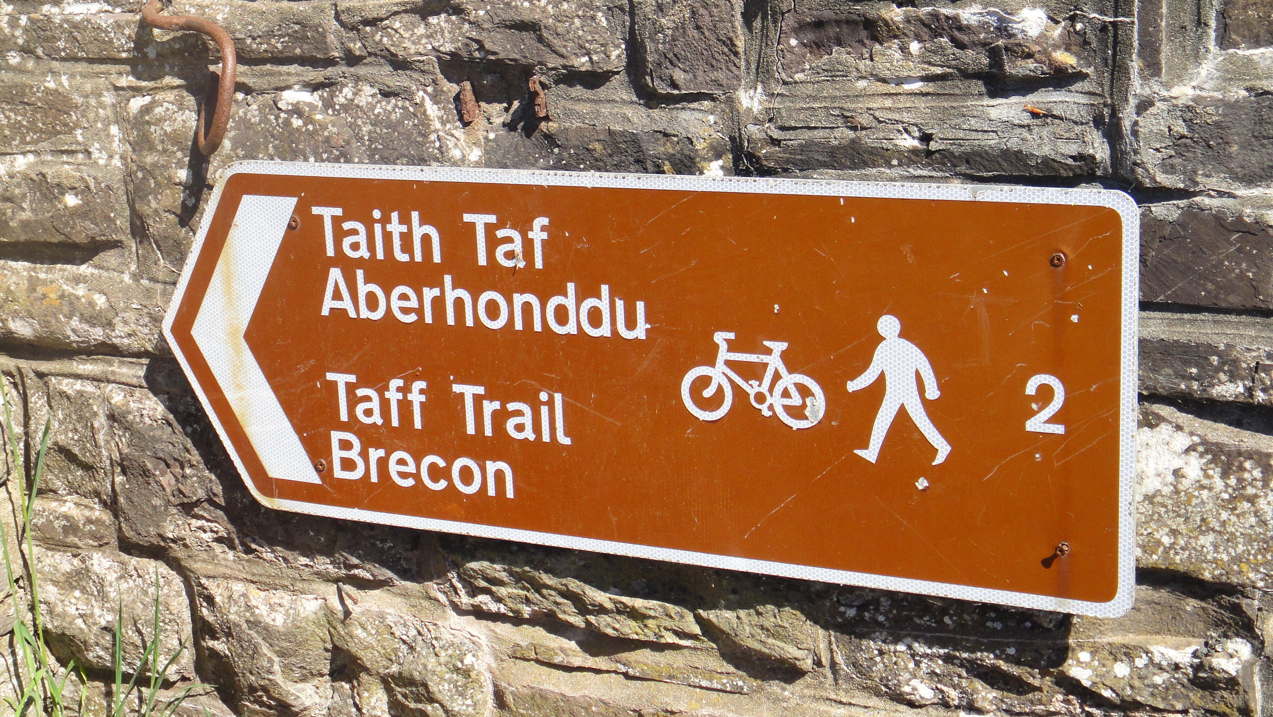
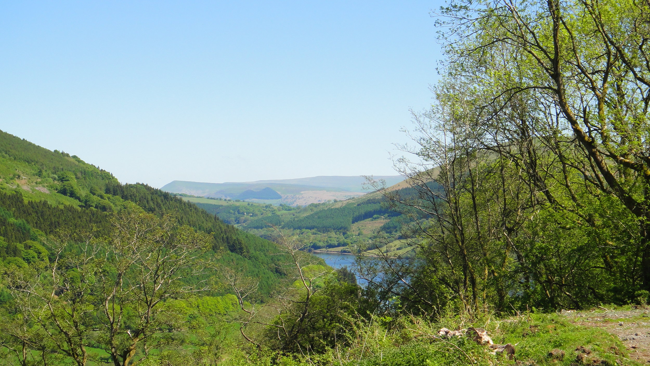
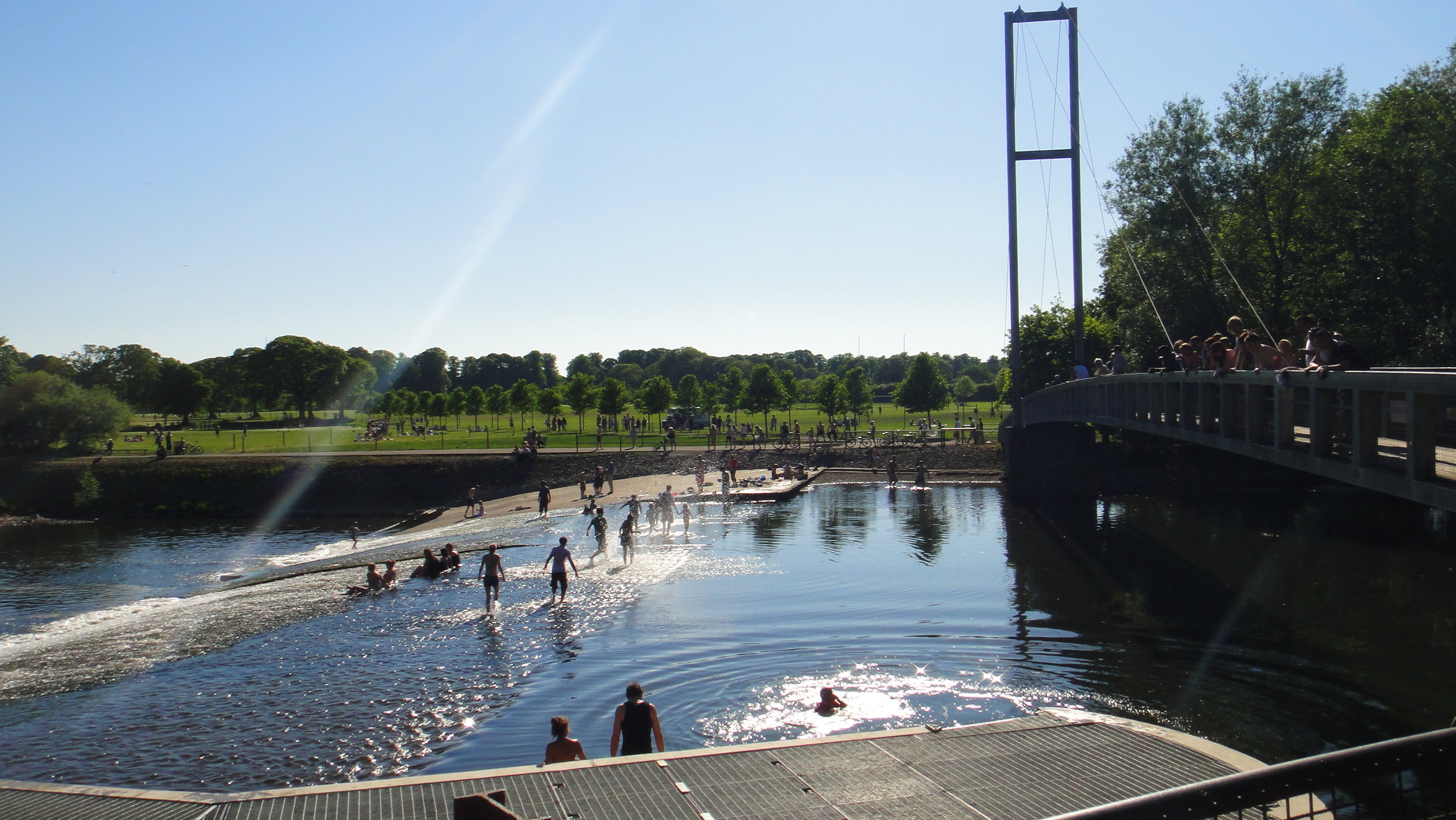
Day 1 is beautiful, cutting through the heart of Anglesea, over the Menai Bridge and across the top of the Llyn Peninular. By contrast, Day 2 is hilly with more dramatic scenery as you curve round the south western edge of the Snowdonia National Park. Day 3 is a gentler descent through mid-Wales through some stunning countryside often overlooked by tourists. Day 5 is the Grand Finale, tracking the Taff Trail through the Breacon Beacons National Park, through the valleys to Cardiff Bay.
For a more detailed description of the route I recommend the section in Big Rides (look out for my own Day 3 photo on page 76).
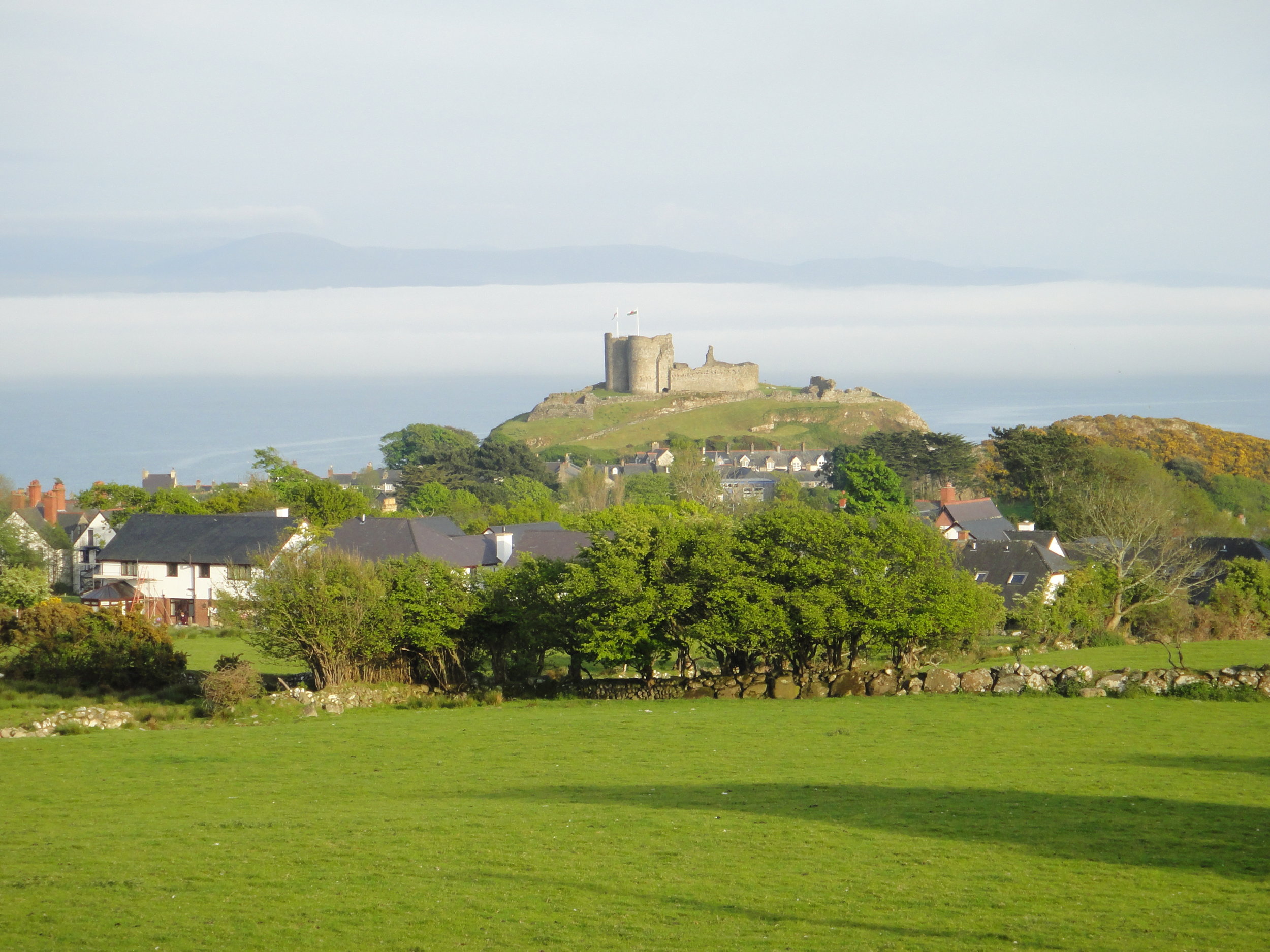
Day 1: Holyhead To Tremadog
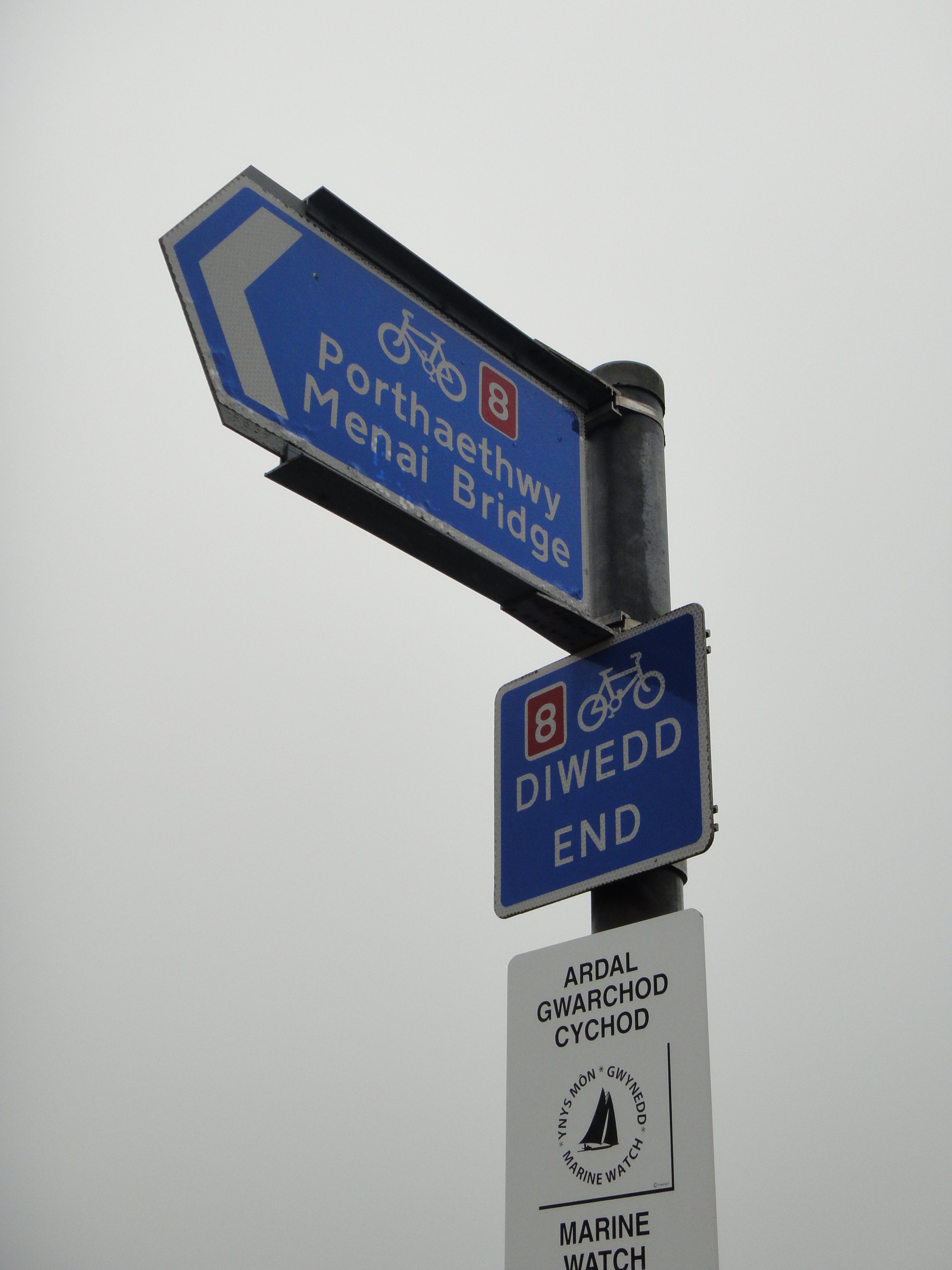
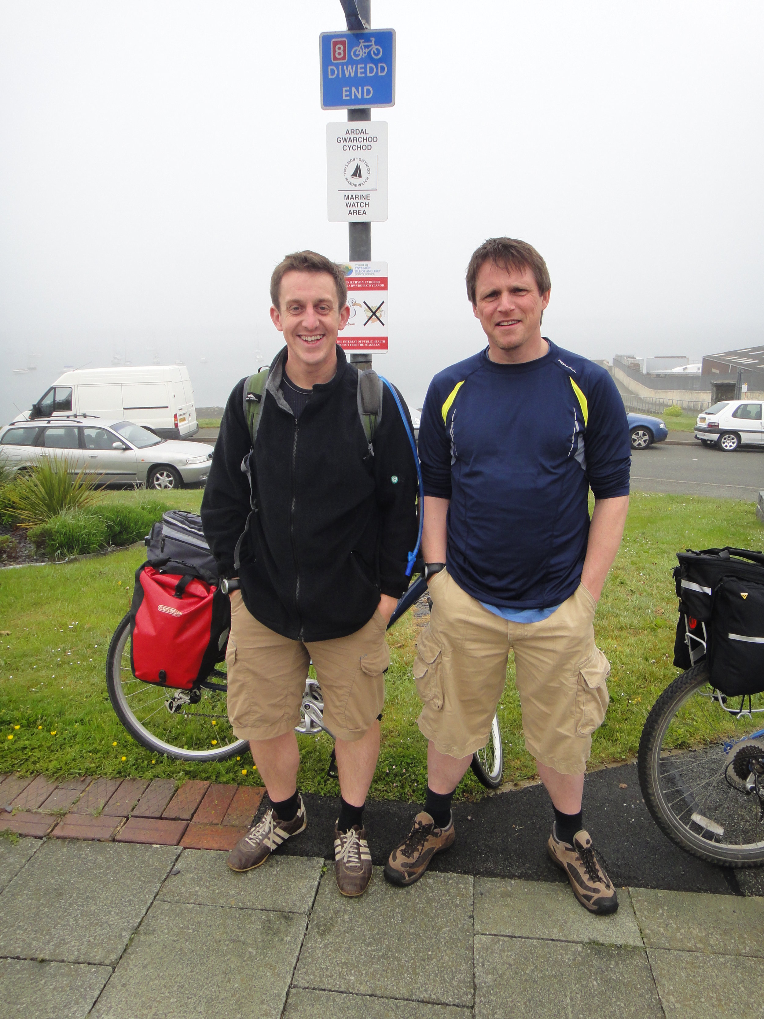
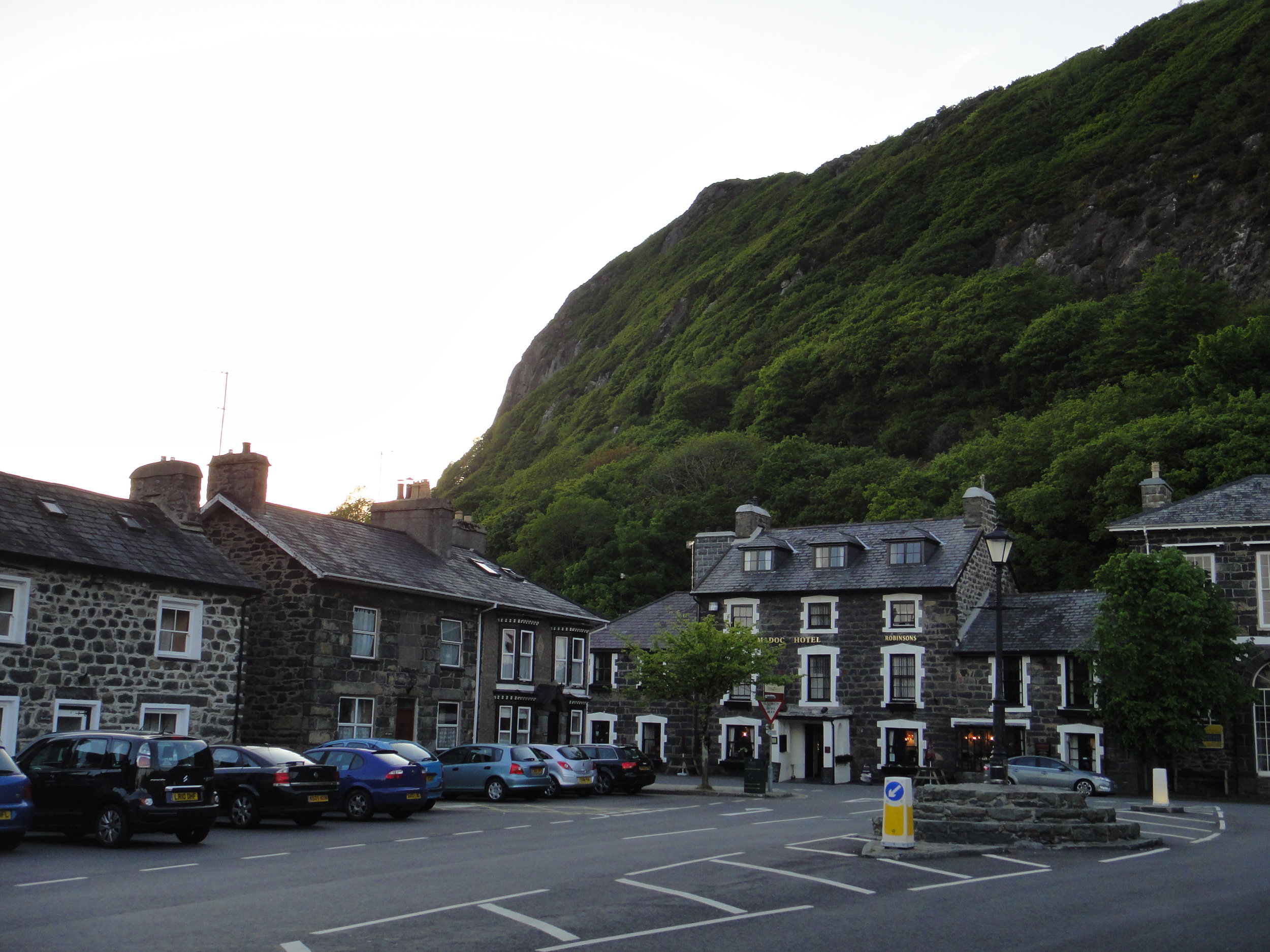
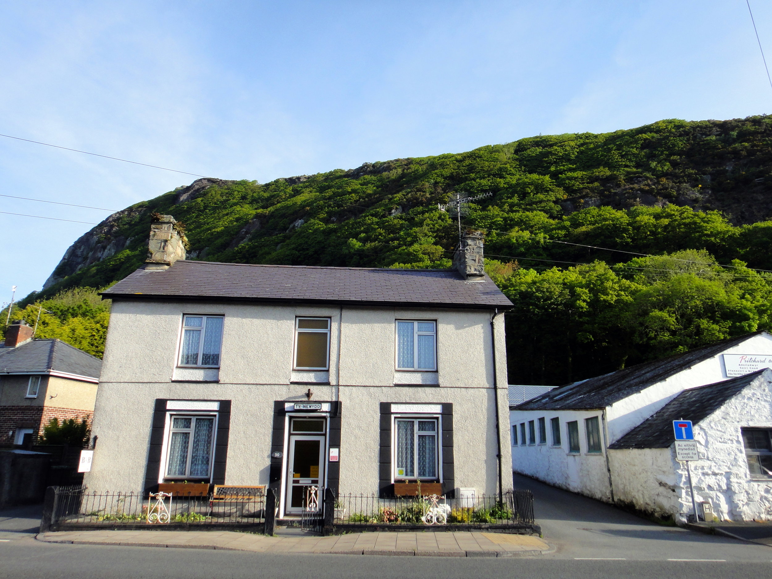
Start: NCN8 Sign on Prince of Wales Road, Holyhead
Finish: Ty Newydd, 30 Dublin Street, Tremadog, LL49 9RH
Distance: 108 km (67 miles)
Elevation change: +941m / - 945m / Net -4m
GPX File: get via Buy Me a Coffee
Other Routes Touched (Cycle): Giach Anglesey Cycle Path, Lôn Las Cefni,
Other Routes Touched (Walk): Isle of Anglesey Coastal Path, Wales Coast Path, Llŷn Coastal Path,
OS Map(s):
- OS Explorer 262 Anglesey West
- OS Explorer Map (263) Anglesey East
- OS Explorer OL17 Snowdon & Conwy Valley
- OS Explorer Map OL18 Harlech, Porthmadog & Bala/Y Bala
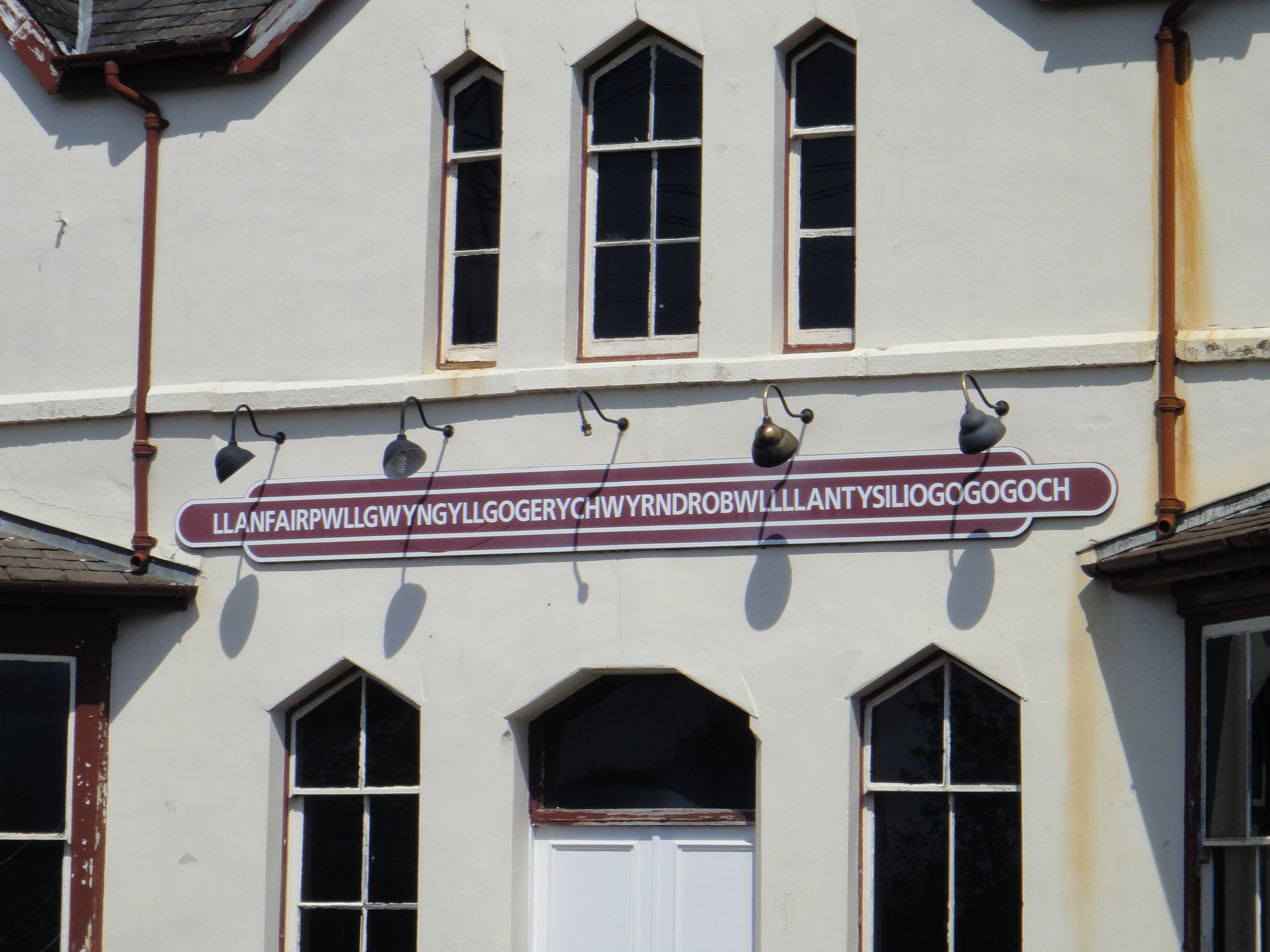
Links: Anglesey, Holyhead, Llanfairpwllgwyngyllgogerychwyrndrobwllllantysiliogogogoch, Menai Bridge, Tremadog

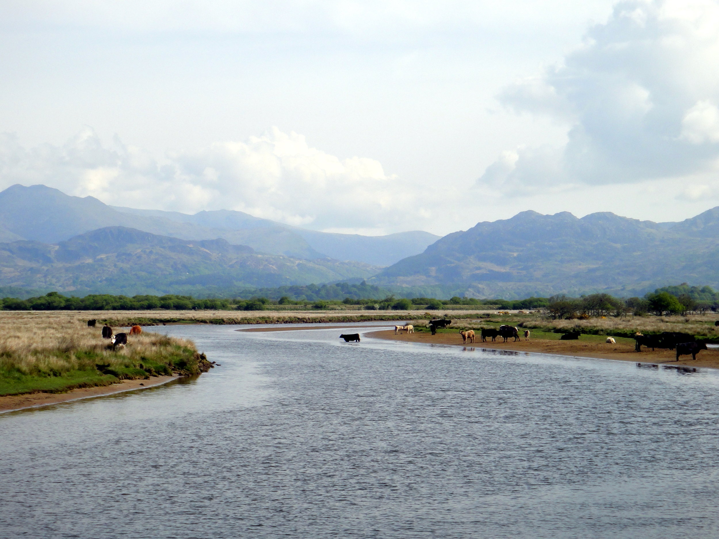
Day 2: Tremadog To Llangurig
Start: Ty Newydd, 30 Dublin Street, Tremadog, LL49 9RH
Finish: Plas Y Bwlch, Llangurig, Nr Llanidloes, SY18 6RT
Distance: 121 km (75 miles)
Elevation change: +2,358m / - 2,073m / Net +285m
GPX File: get via Buy Me a Coffee
Other Routes Touched (Cycle): NCN 82, Mawddach Trail
Other Routes Touched (Walk): Wales Coastal Path, Glyndwrs Way, Severn Way
OS Map(s):
- OS Explorer Map OL18 Harlech, Porthmadog & Bala/Y Bala
- OS Explorer Map OL23 Cadair Idris & Llyn Tegid
- OS Explorer Map 215 Newtown, Llanfair Caereinion
- OS Explorer Map 214 Llanidloes & Newtown
Links: Tremadog, Porthmadog, Dolgellau, Llangurig


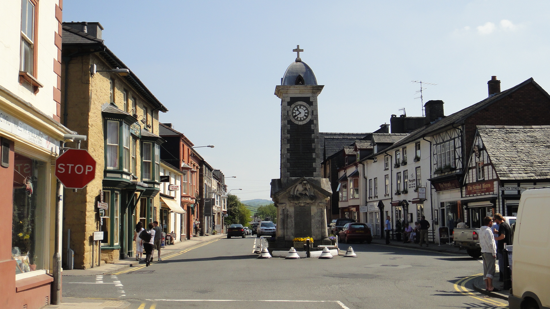
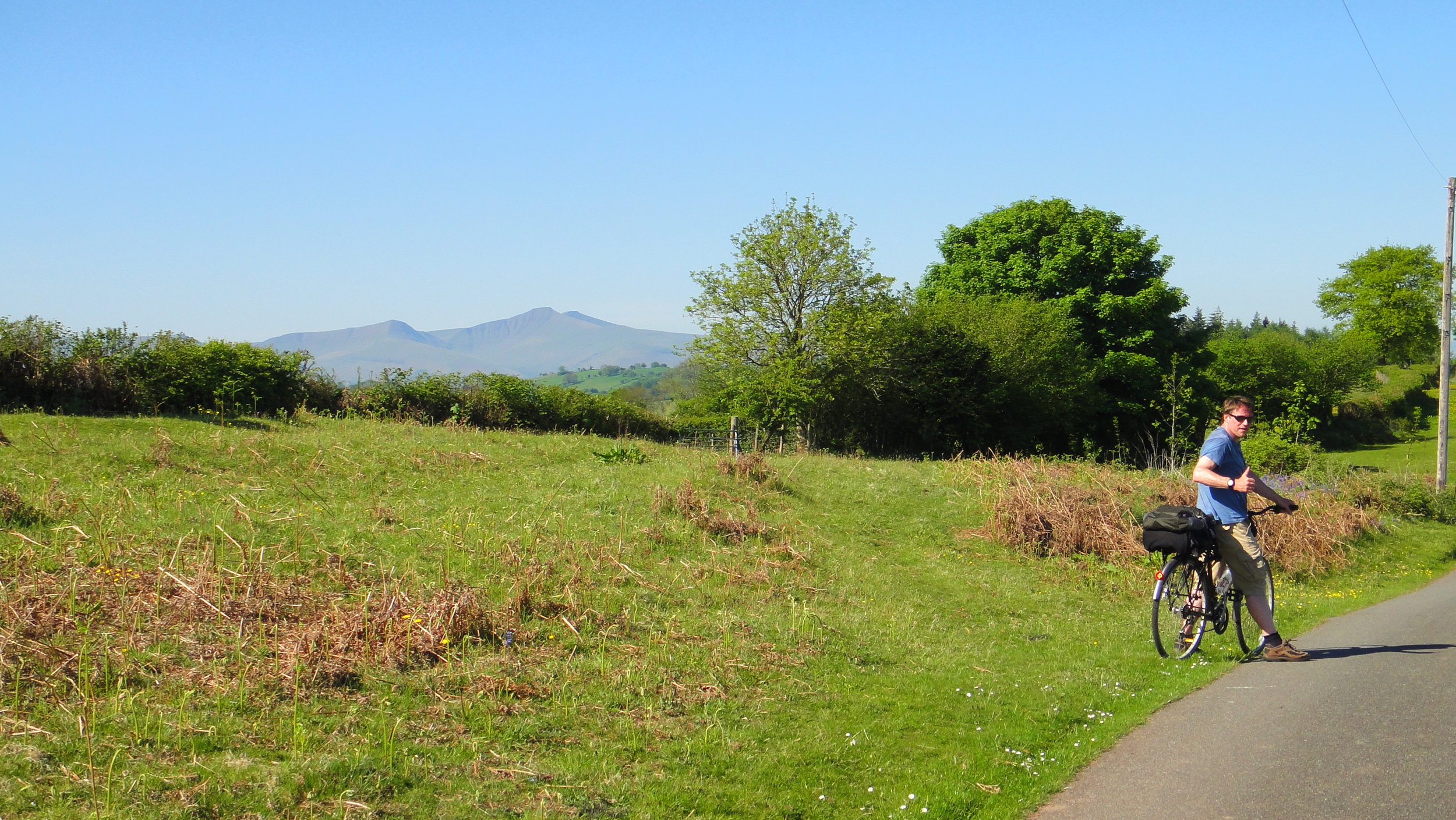
Day 3: Llangurig To Talgarth
Start: Plas Y Bwlch, Llangurig, Nr Llanidloes, SY18 6RT
Finish: Tower Hotel, The Square, Talgarth, Brecon, LD3 0BW
Distance: 80 km (50 miles)
Elevation change: +851m / - 1,014m / Net -163m
GPX File: get via Buy Me a Coffee
Other Routes Touched (Cycle): NCN 81, 818
Other Routes Touched (Walk): Wye Valley Walk
OS Map(s):
- OS Explorer Map 214 Llanidloes & Newtown
- OS Explorer 200 Llandrindod Wells & Elan Valley & Rhayader
- OS Explorer Map (188) Builth Wells, Painscastle and Talgarth
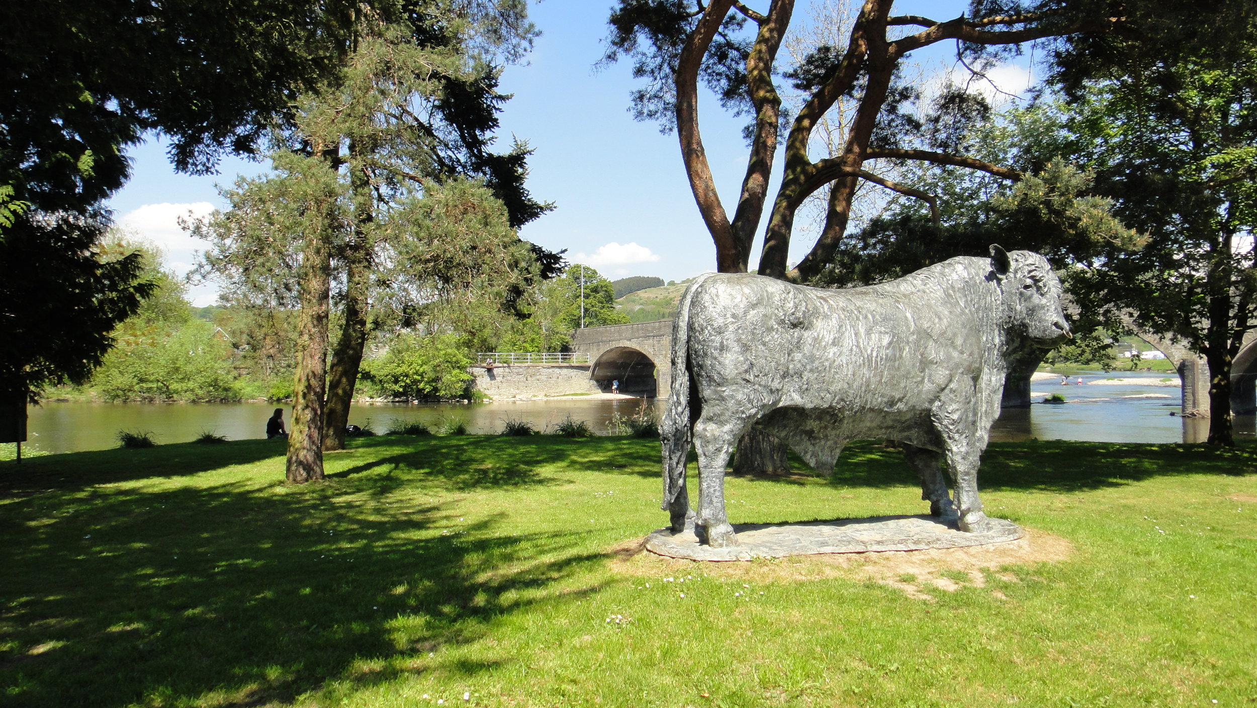
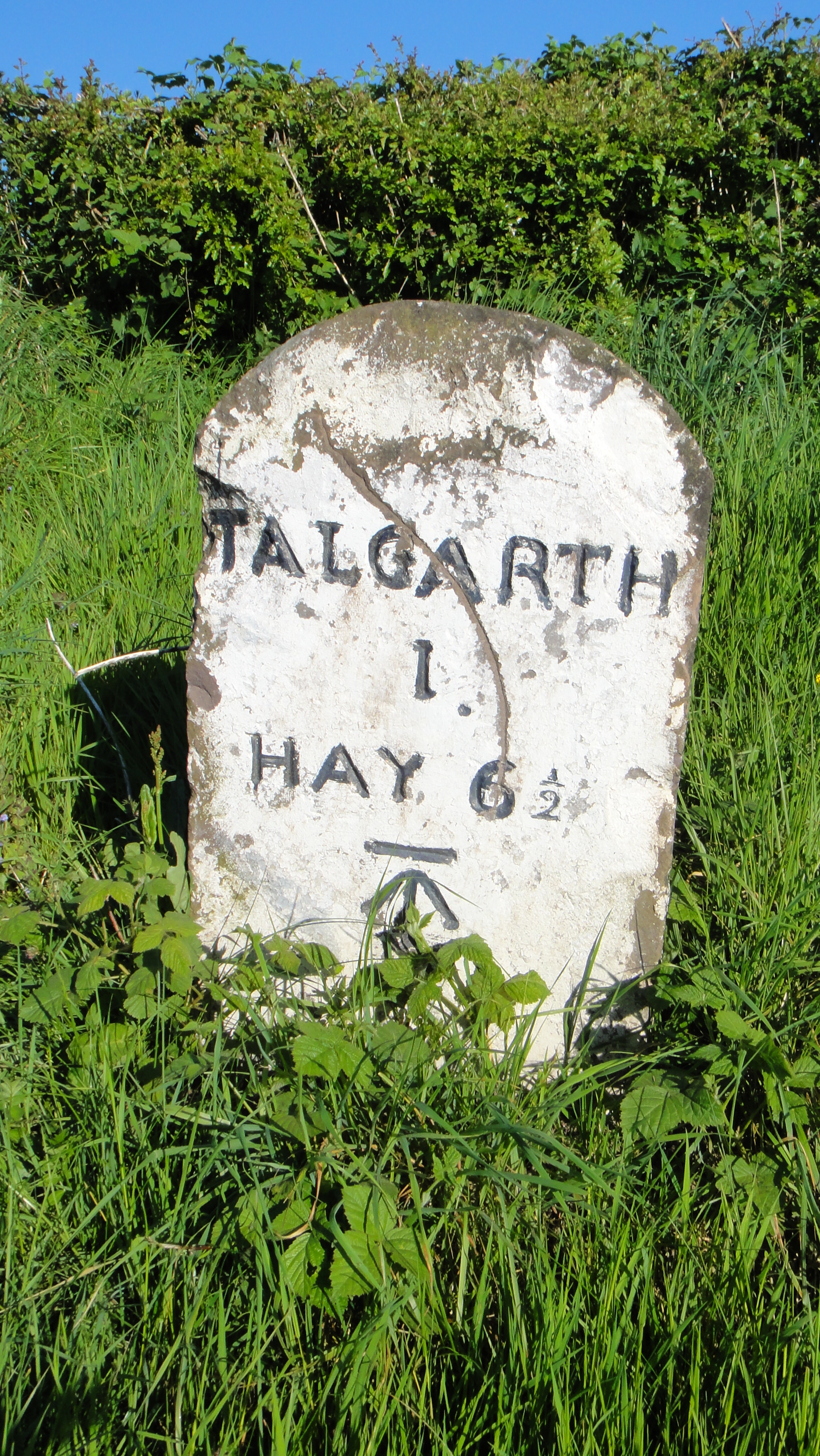
Links: Llangurig, Rhayader, Newbridge-On-Wye, Builth Wells, Glasbury, Talgarth
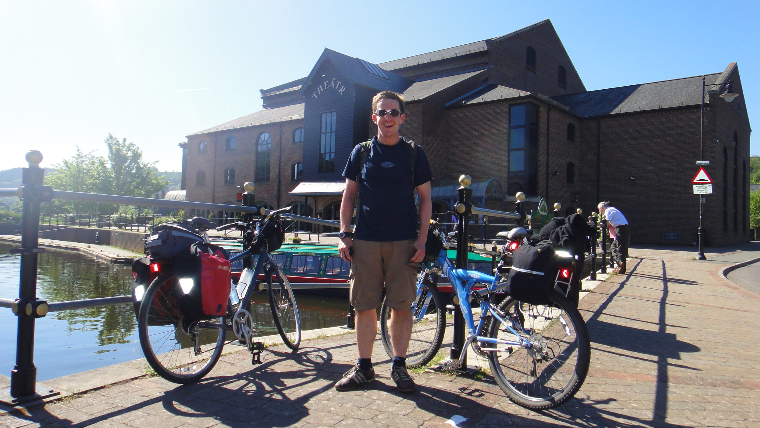
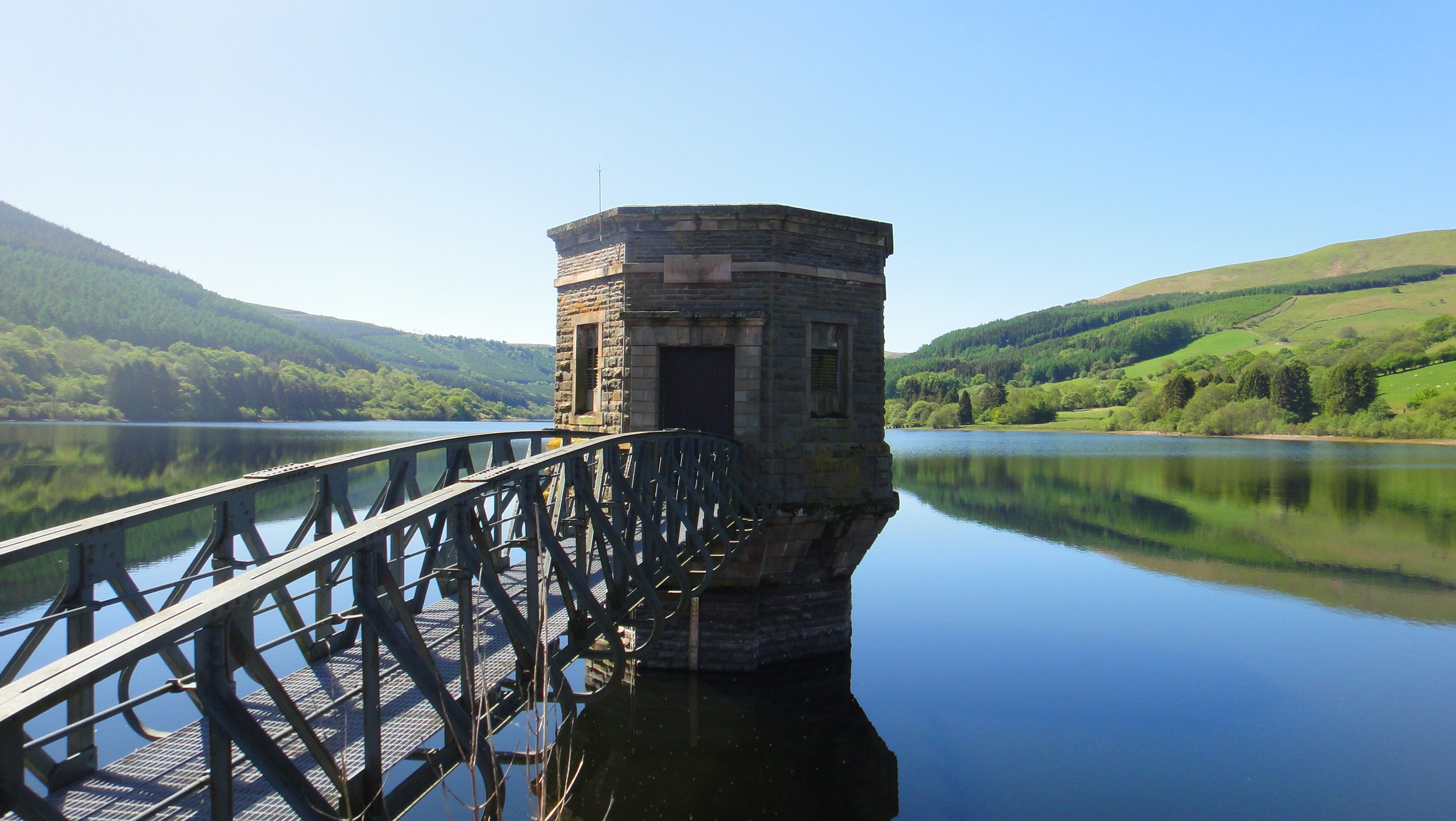
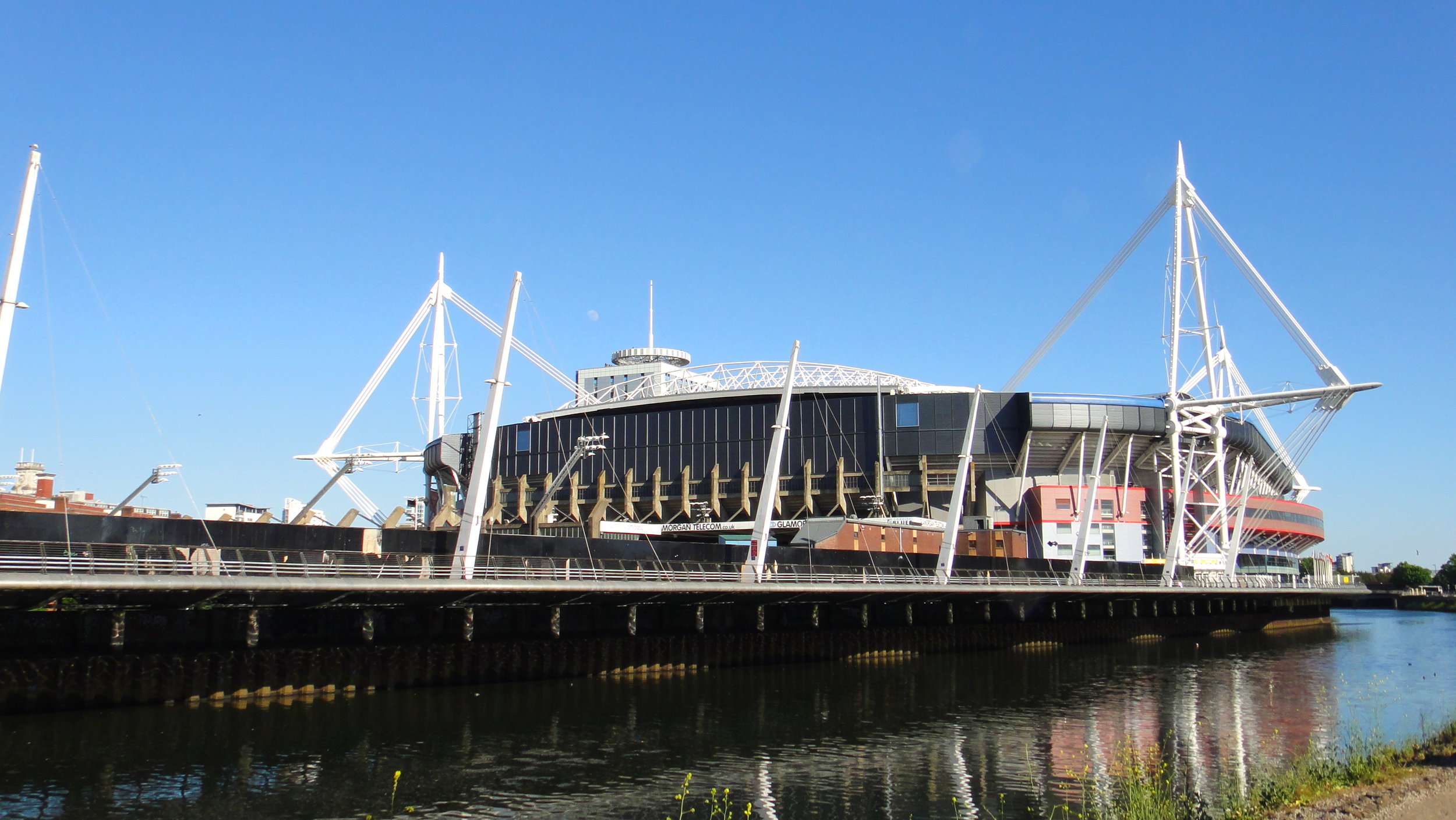
Day 4: Talgarth To Cardiff
Start: Tower Hotel, The Square, Talgarth, Brecon, LD3 0BW
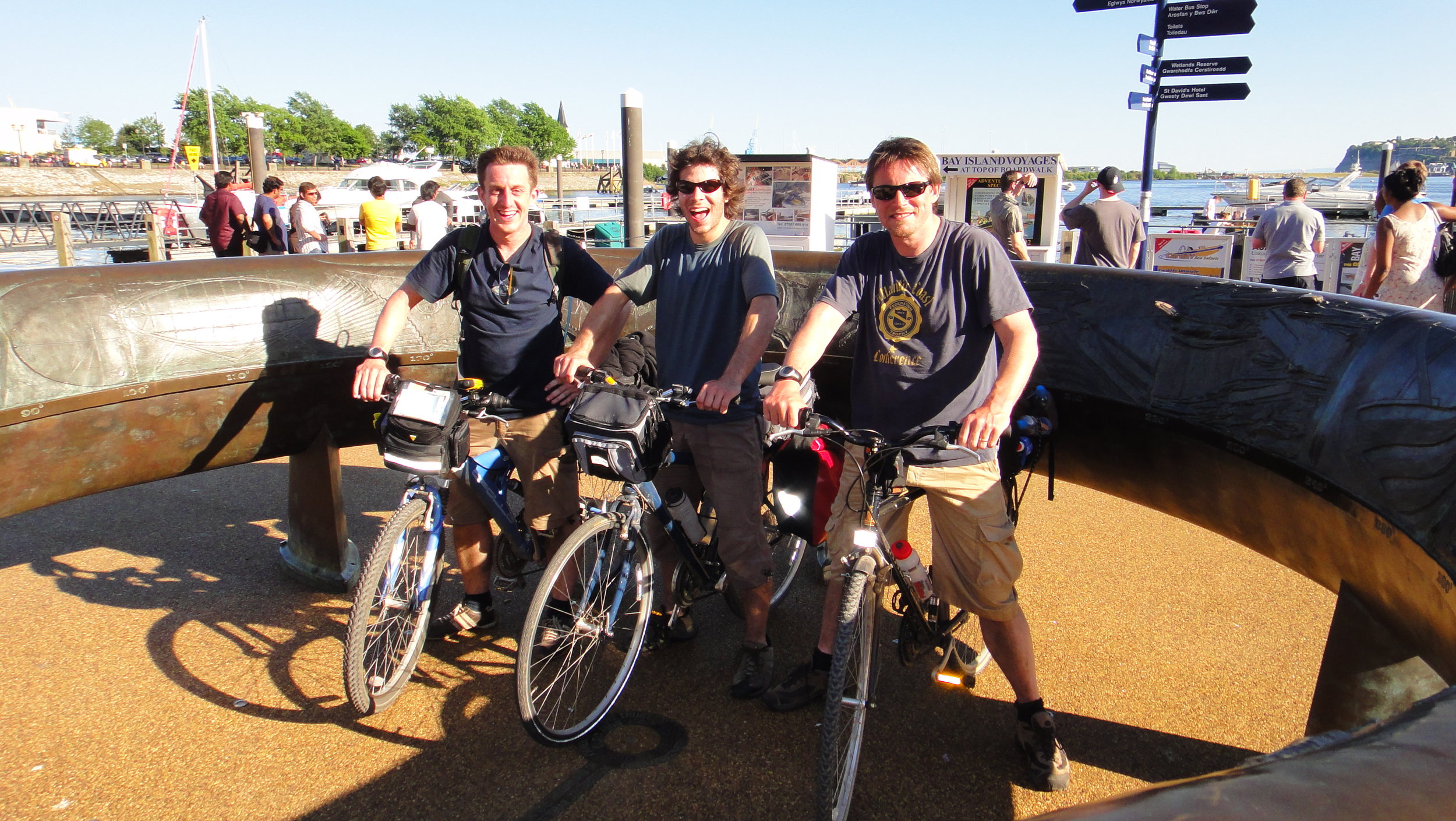
Finish: Celtic Ring, Cardiff Bay
Distance: 103 km (64 miles)
Elevation change: +948m / - 1,065m / Net -117m
GPX File: get via Buy Me a Coffee
Other Routes Touched (Cycle): NCN 4, 47
Other Routes Touched (Walk): Taff Trail, Beacons Way, Pontypridd Circular, Wales Coast Path
OS Map(s):
- OS Explorer Map (188) Builth Wells, Painscastle and Talgarth
- OS Explorer OL13 Brecon Beacons National Park - Eastern Area
- OS Explorer Map (166) Rhondda and Merthyr Tydfil
- OS Explorer Map (151) Cardiff and Bridgend/Caerdydd a Phen-y-bont ar Ogwr
Links: Talgarth, Brecon, Talybont-on-Usk, Pontsticill, Merthyr Tydfil, Aberfan, Pontypridd, Cardiff
The complete route
Each colour represents an individual day
More on the web: